|
Dick's Eastern Sierra Nevada Pictures |
||
| These
photos were originally part of my Sierra Nevada page. That page grew too
large, and is being divided into several new pages, including this one (Eastern Sierra), Yosemite, Kings Canyon and Sequoia National Parks, Central Sierra Nevada, Kings & San Joaquin Rivers and Death Valley |
||
| Links to More Photos | ||
| New photos added here July 30, 2025 (captions in red) | ||
| Click the picture for a larger view - photos open in a new window | ||

|
 |
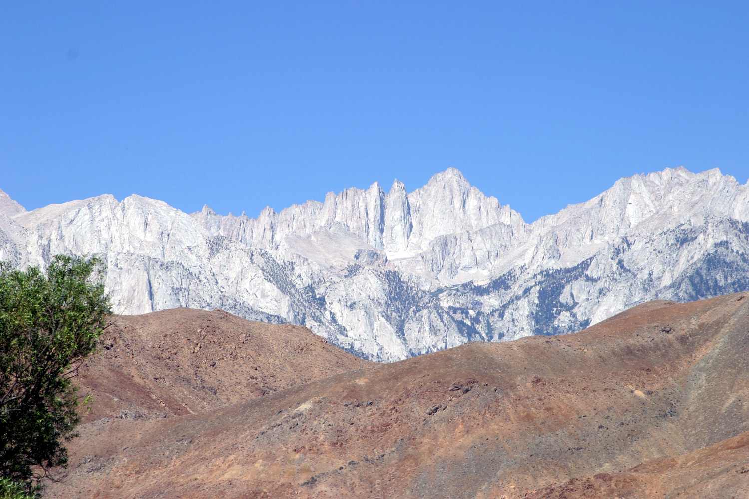 |
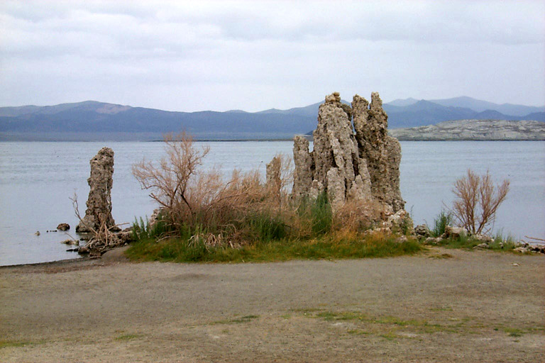
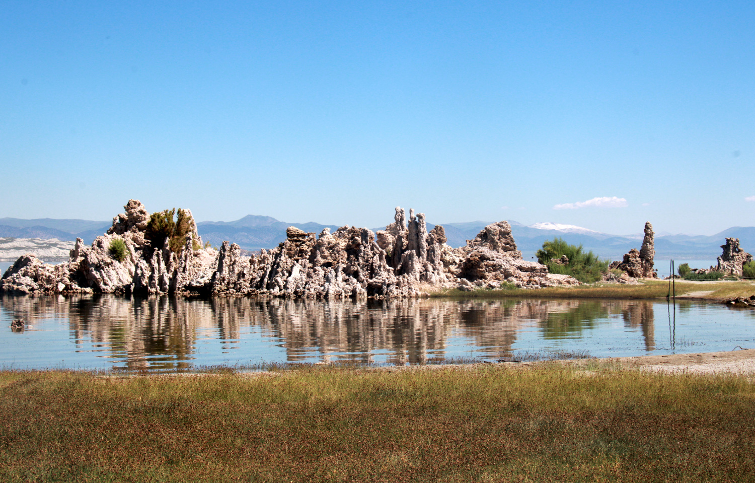
| Eastern Sierra from Sage Hen Summit | Tufa tower at Mono Lake (photo by Tim Liddle) | Mt. Whitney, highest point in the lower 48 states |
 |
 |
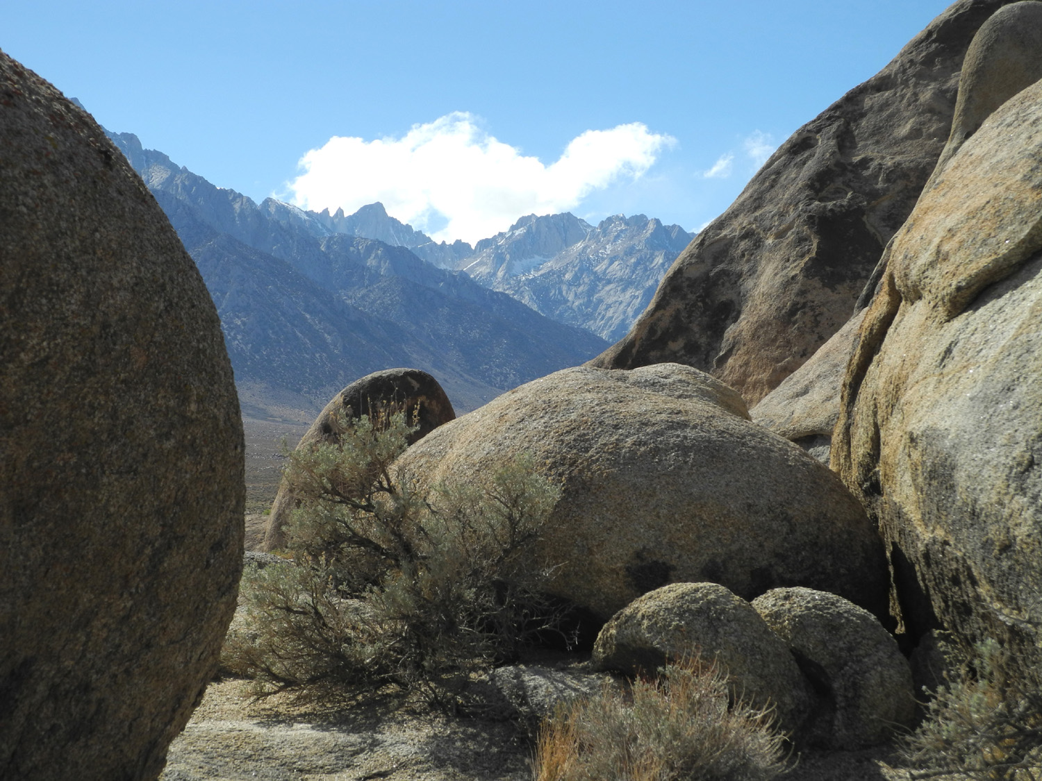 |
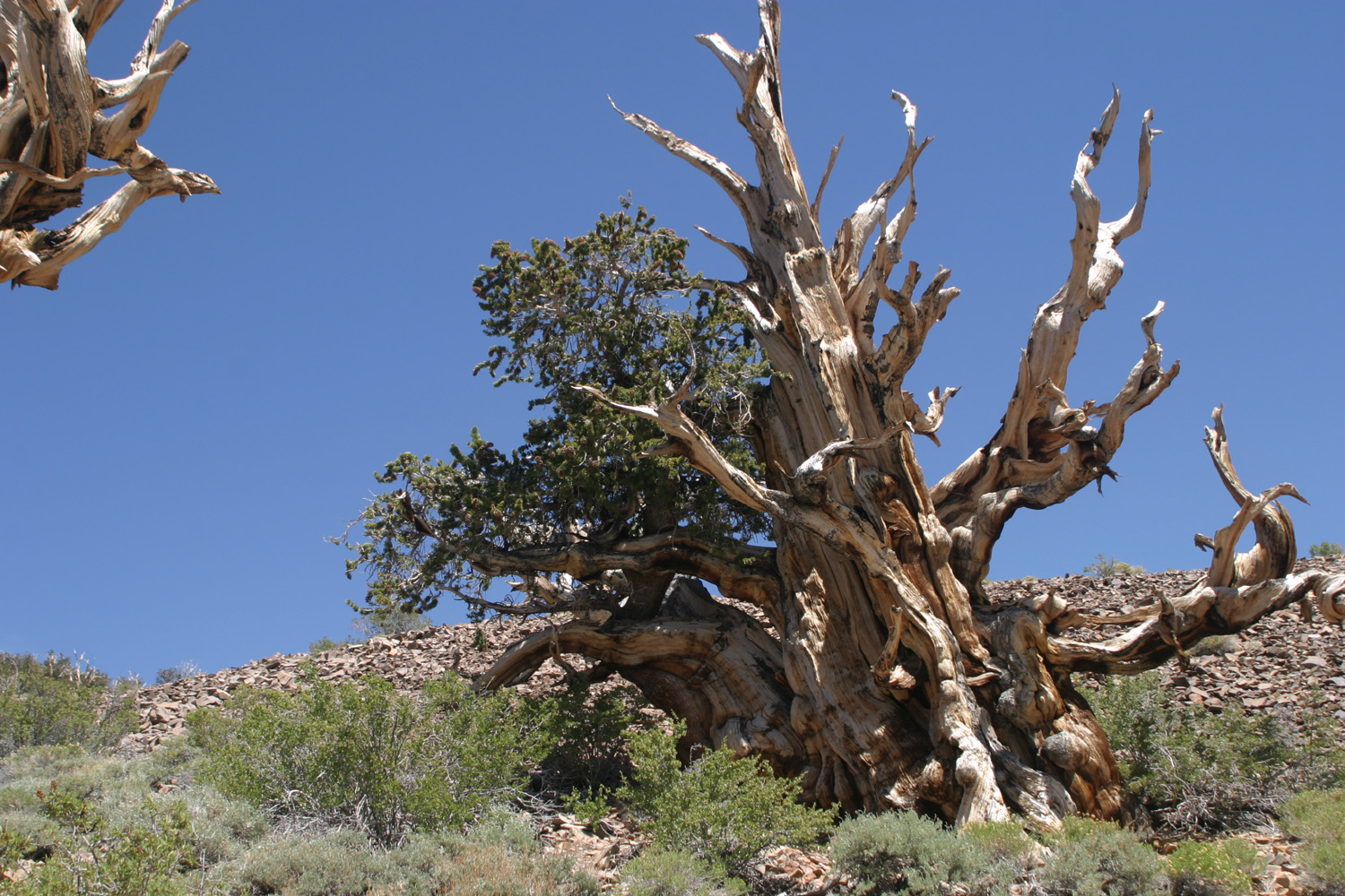
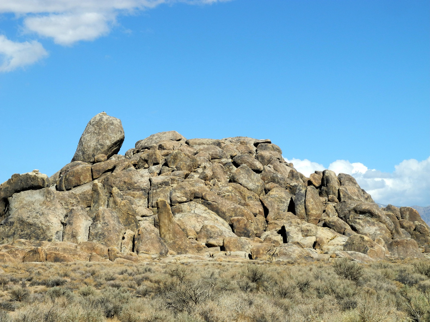
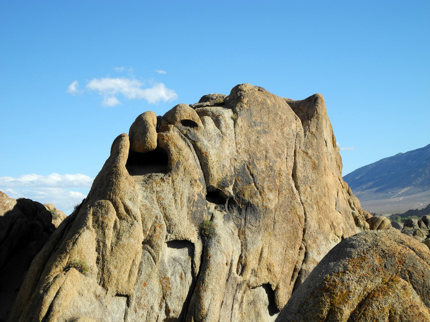
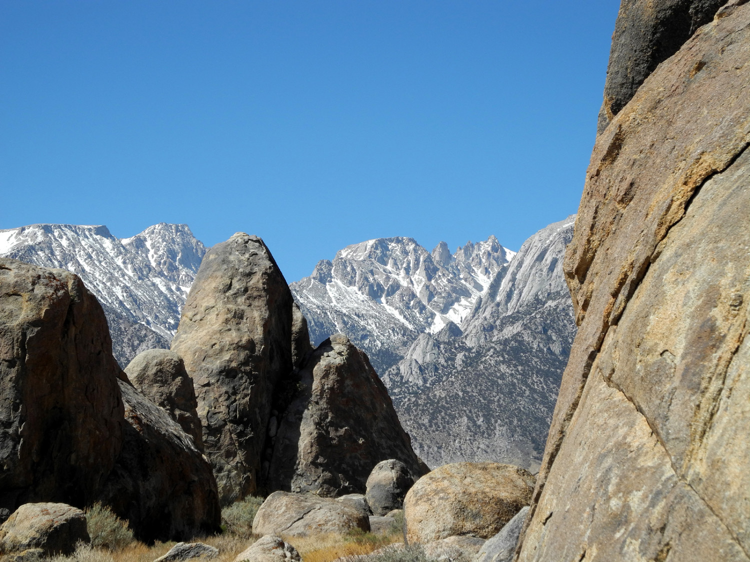
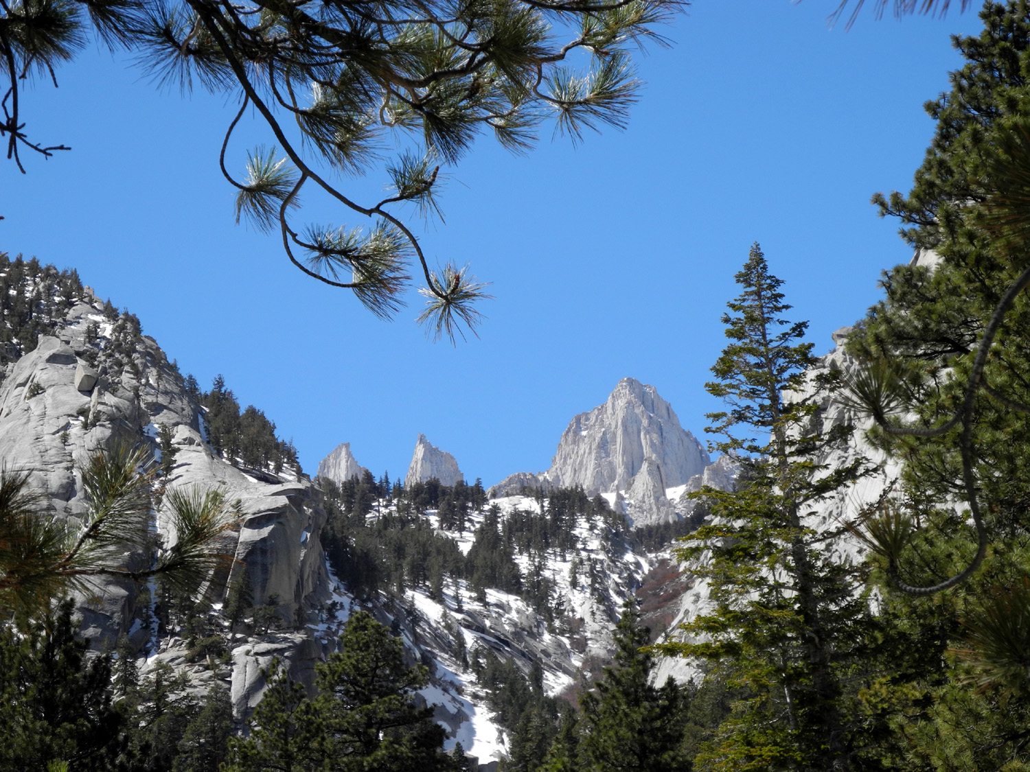
| An ancient bristlecone pine adapts to harsh conditions | In the Alabama Hills, between US 395 and the Sierra | Boulders with Mt. Whitney beyond |
 |
 |
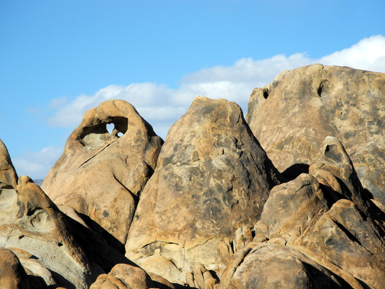 |
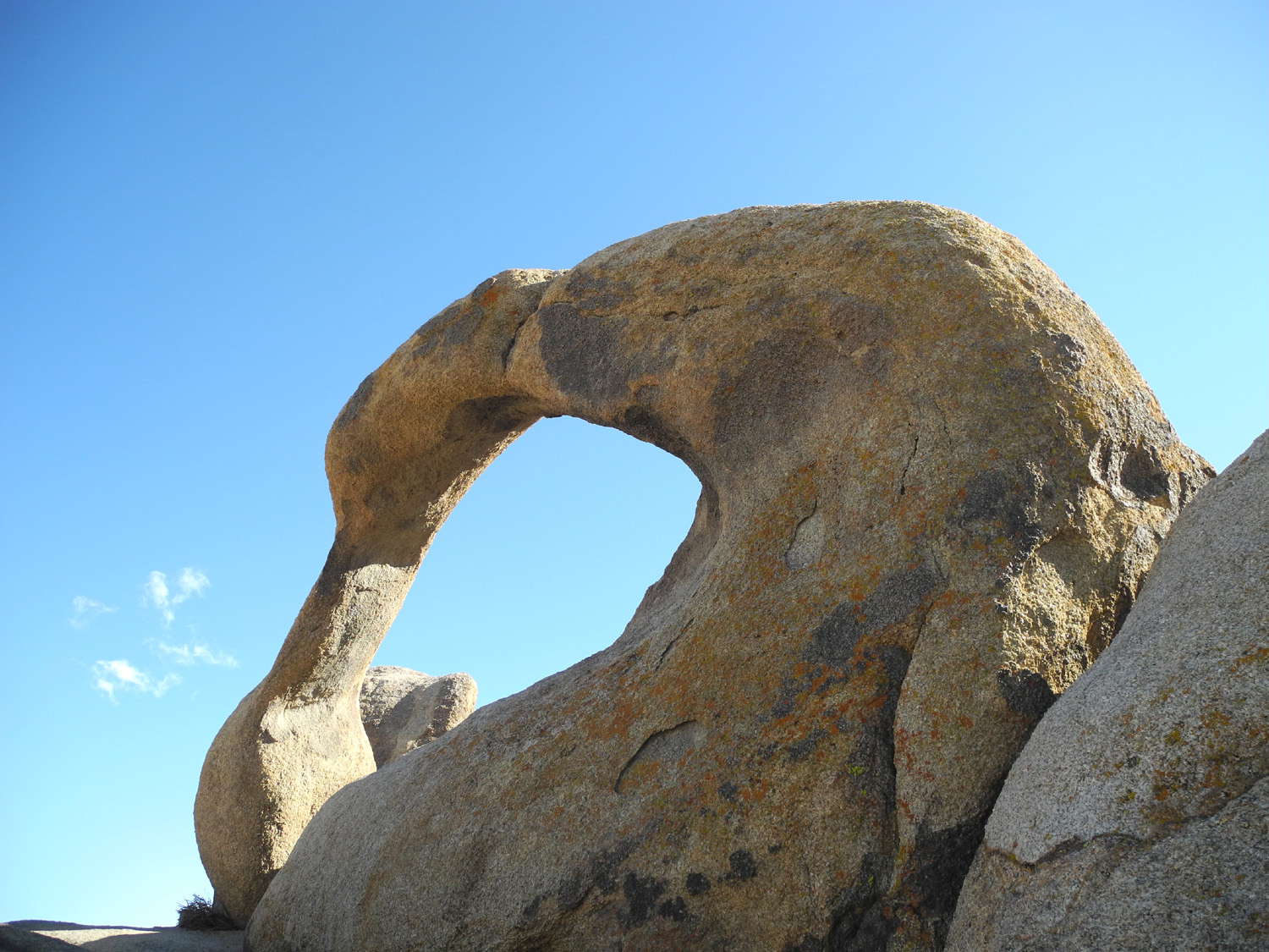
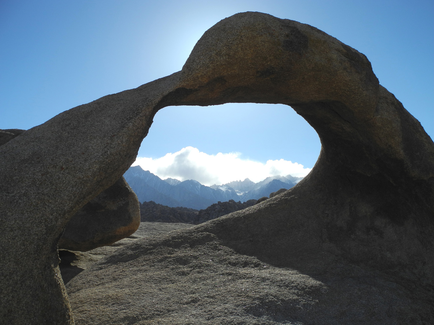
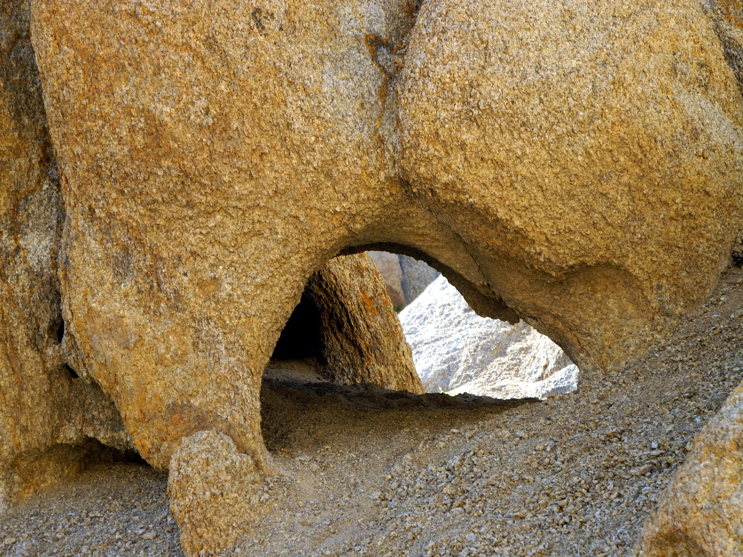
| Mobius Arch in the Alabama Hills | Looking at Mt. Whitney through the arch | Windows in the rock |
 |
 |
 |
| The work of water and wind | More striking rock formations | Another view of Whitney |
 |
 |
 |
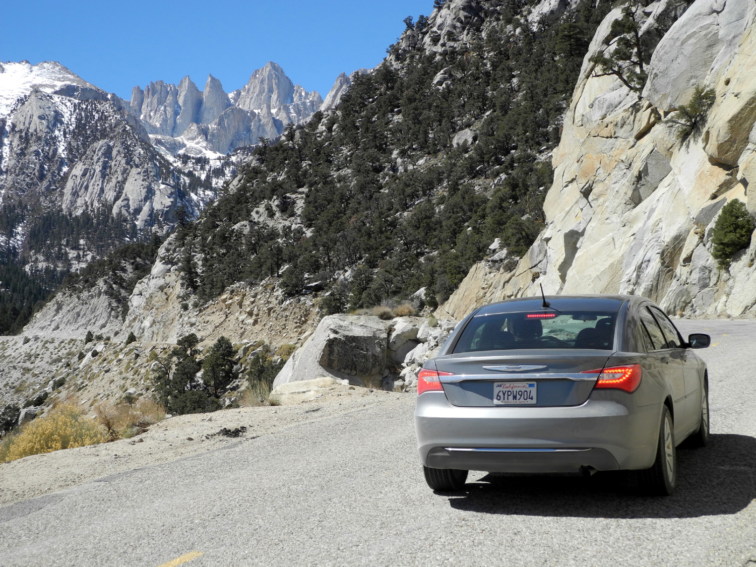
| The road from Lone Pine to Whitney Portal | A close look at Mt. Whitney | Icicles decorate the creek at Whitney Portal |
 |
 |
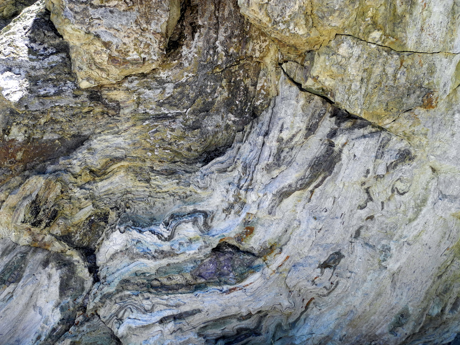 |
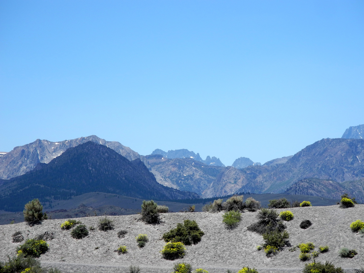
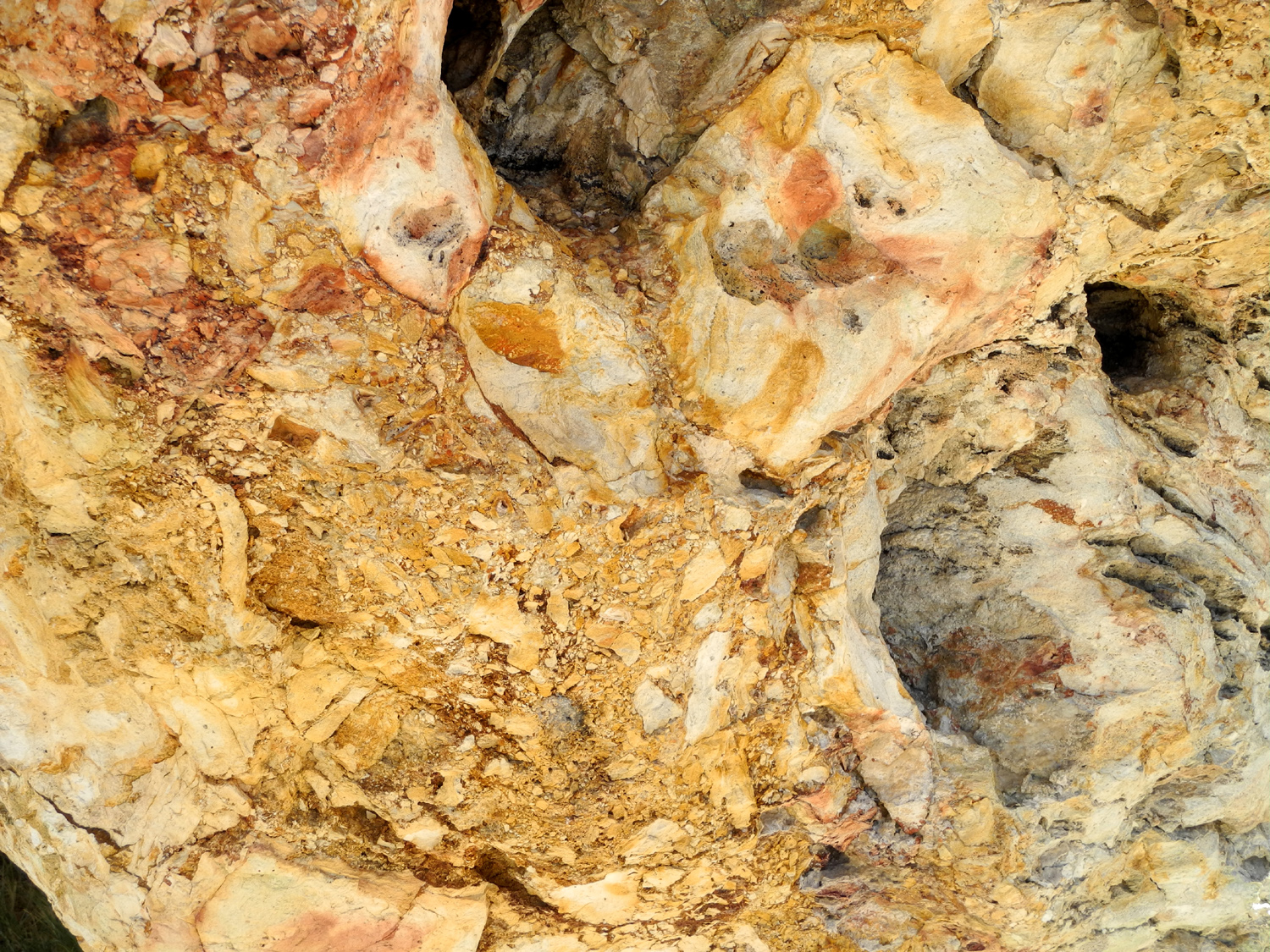
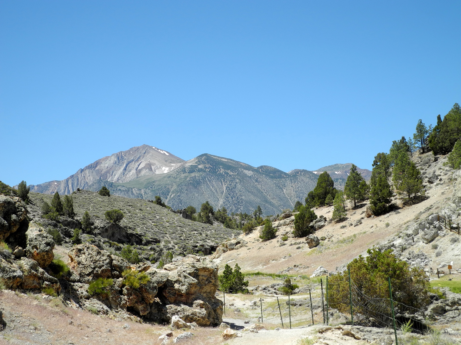
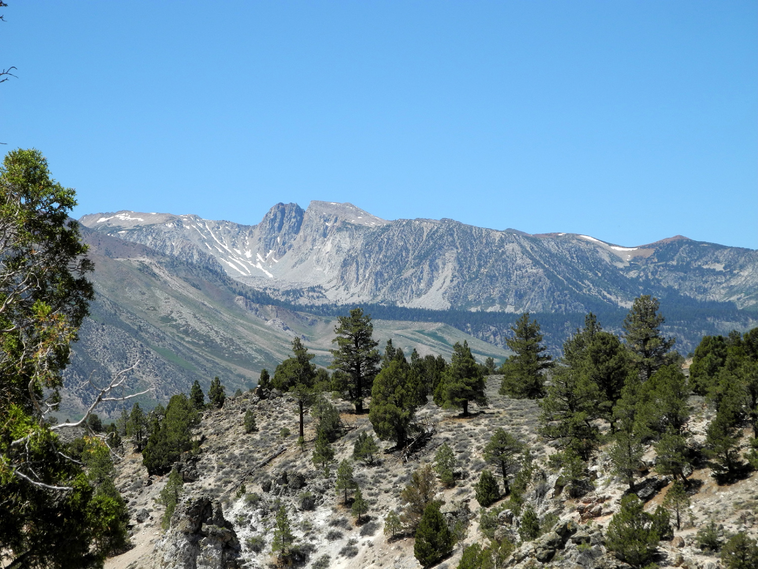
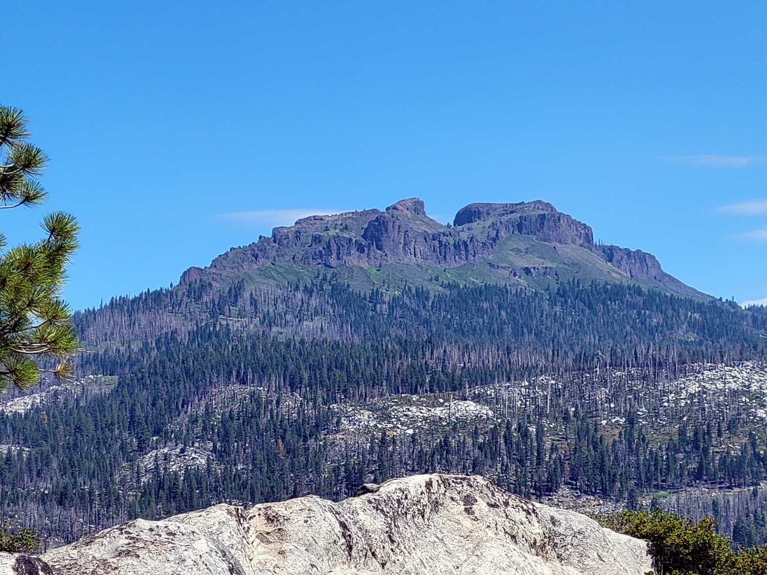
| A look at Mt. Whitney from south of Lone Pine | High desert terrain with the high Sierra in the background | Colorful and twisted rock formation near Hot Creek |
 |
||
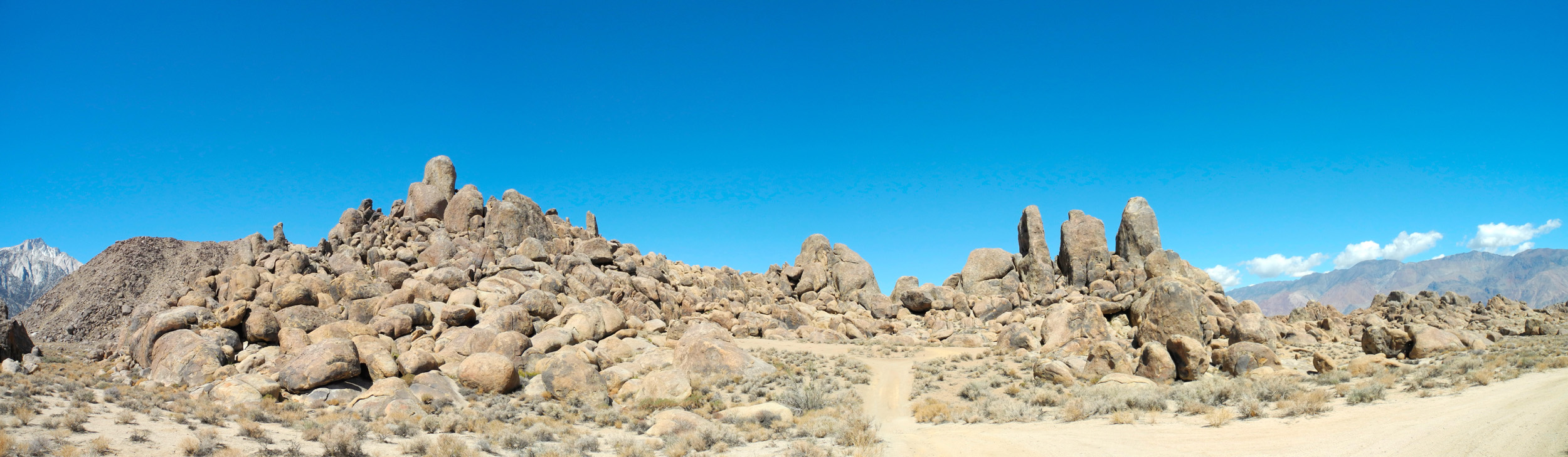
| Panoramic view of Alabama Hills formations | ||
 |
 |
 |
| Rock near Hot Creek, shaped by volcanic action | More Hot Creek rock formations | View of the Sierra from Hot Creek |
 |
 |
 |
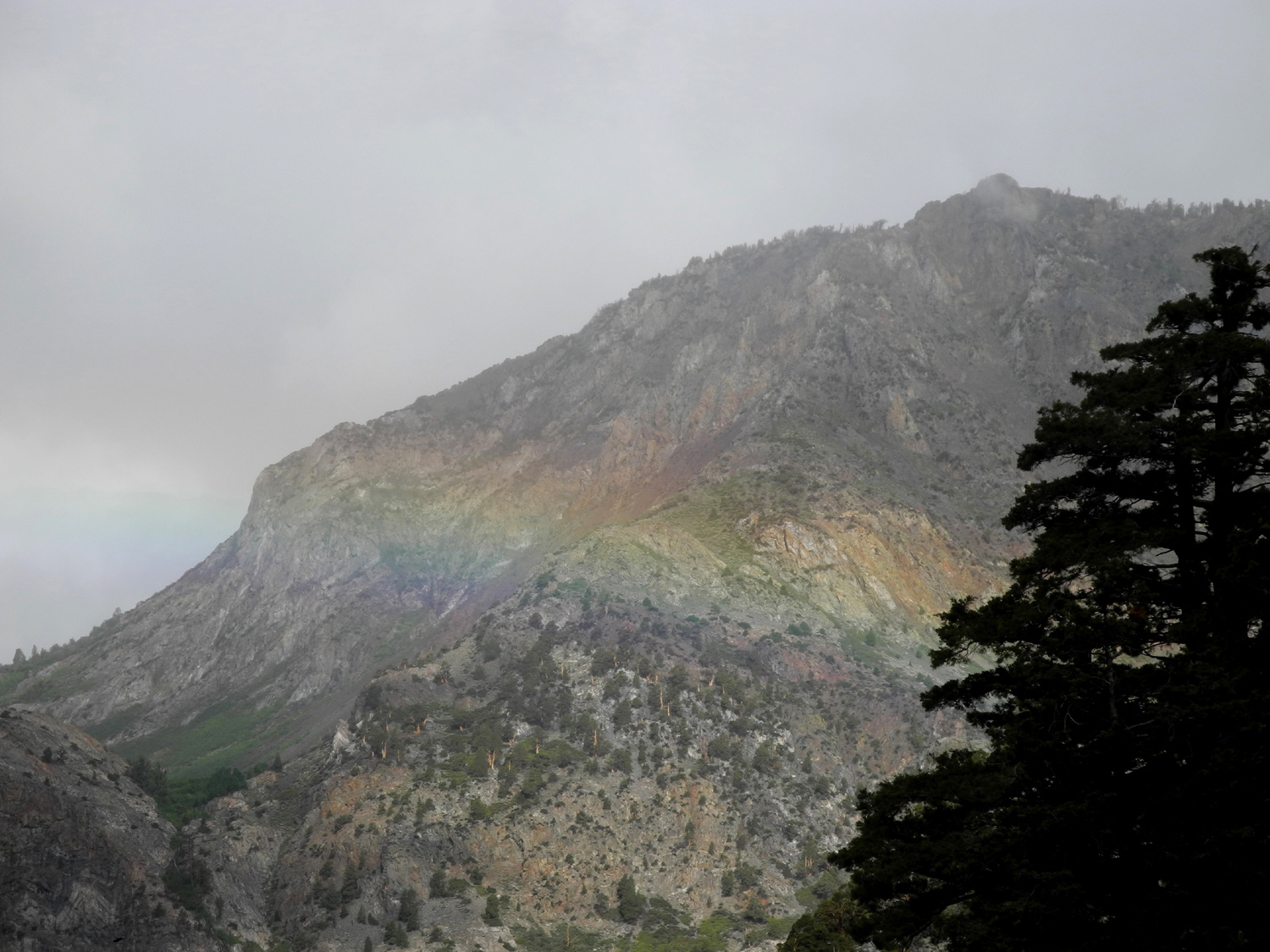
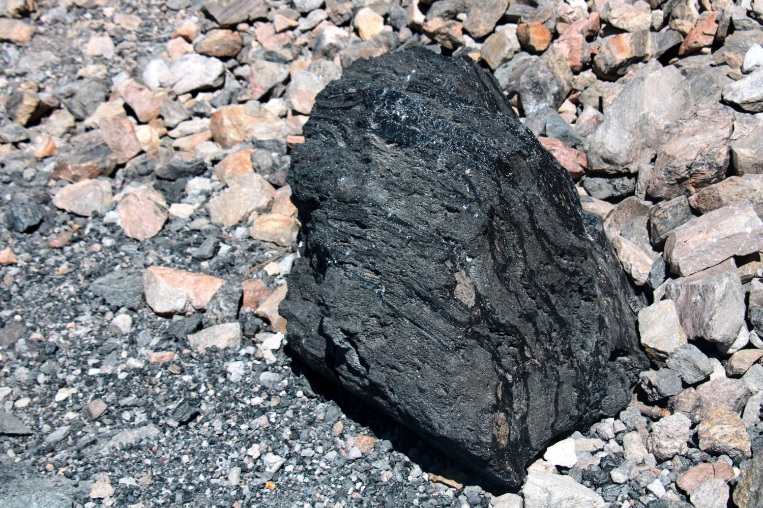
| Another Sierra View | Storm above June Lake | Multi-colored obsidian boulders at Obsidian Dome |
 |
 |
 |
| The top of Obsidian Dome | Obsidian boulder at Obsidian Dome | On top of Obsidian Dome |
 |
 |
 |
| Possibly an ancient steam vent, on top of the dome | Sierra View from Obsidian Dome | Jumbled rock on Panum Crater south of Mono Lake |
 |
||
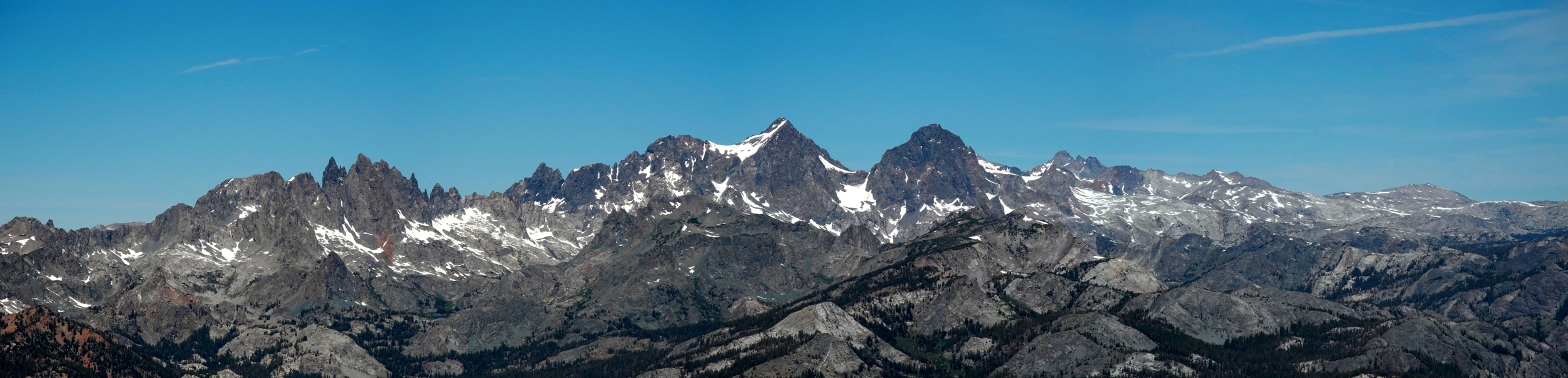
| Panoramic view of the Minarets from Mammoth Mountain | ||
 |
 |
 |
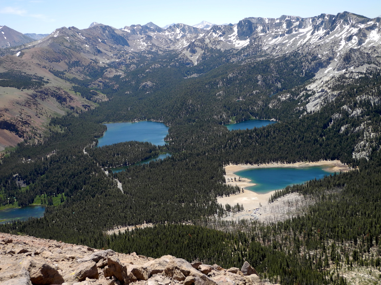
| View from Seven Lake Vista on Mammoth Mountain | Cliffs above the June Lake Loop road | Water spout on Mono Lake |
 |
 |
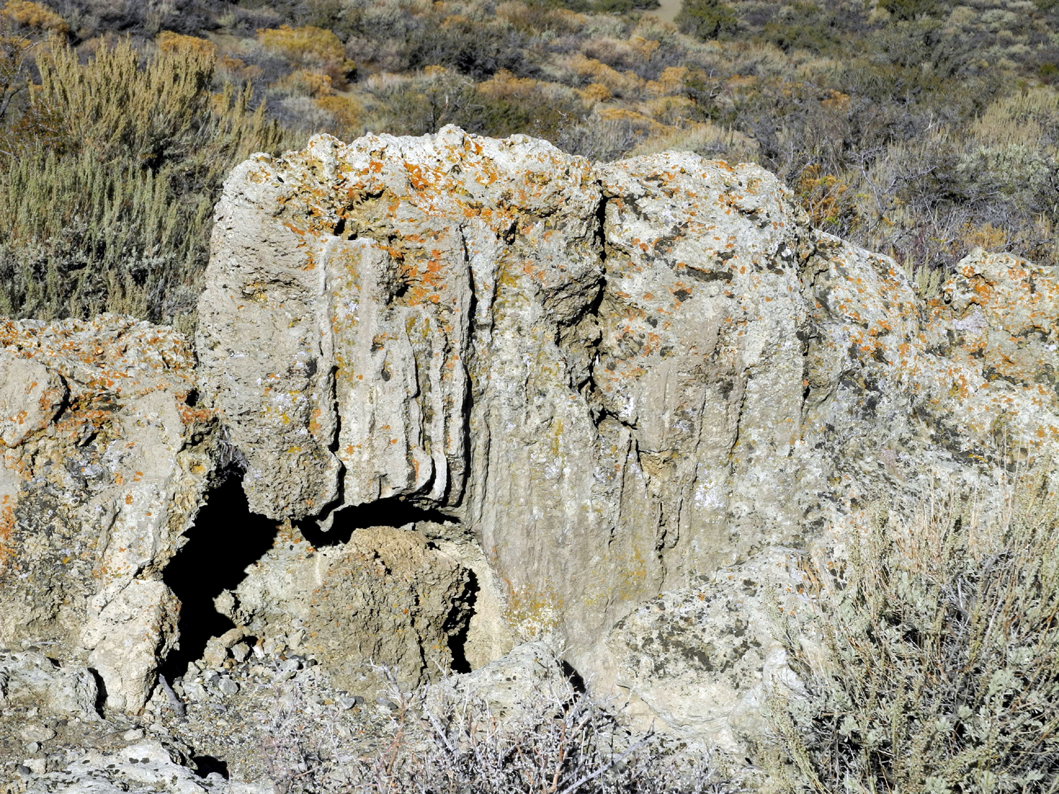 |
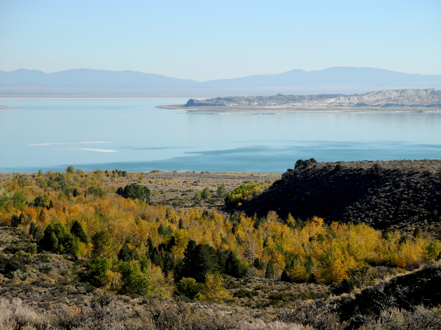
| The dramatic top of the plug on Panum Crater | Mono Lake | Ancient tufa high above Mono Lake |
 |
 |
 |
|
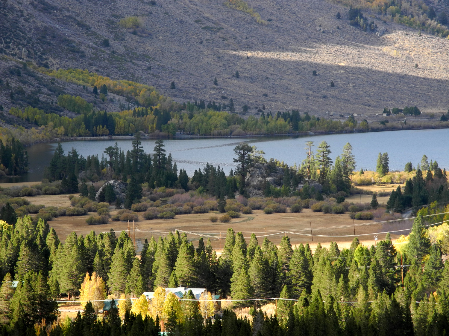
Silver Lake from Fern Lake Trail on the June Lake Loop |
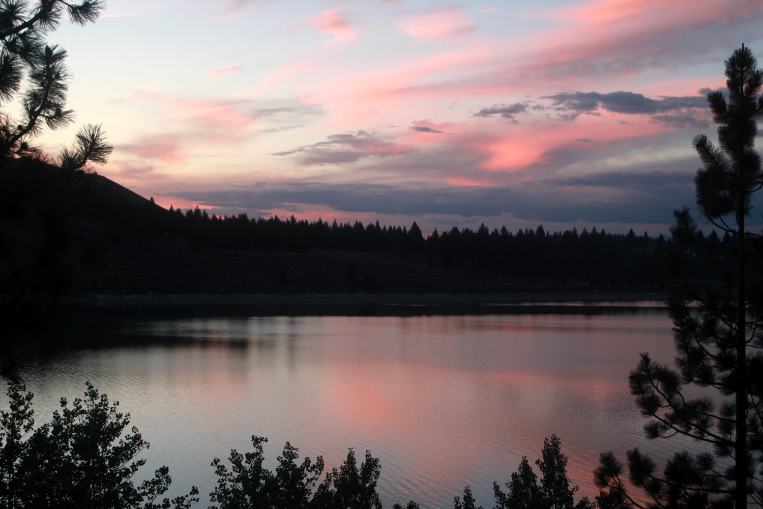
Sunset on June Lake | Nature's artwork on Panum Crater |
|
 |
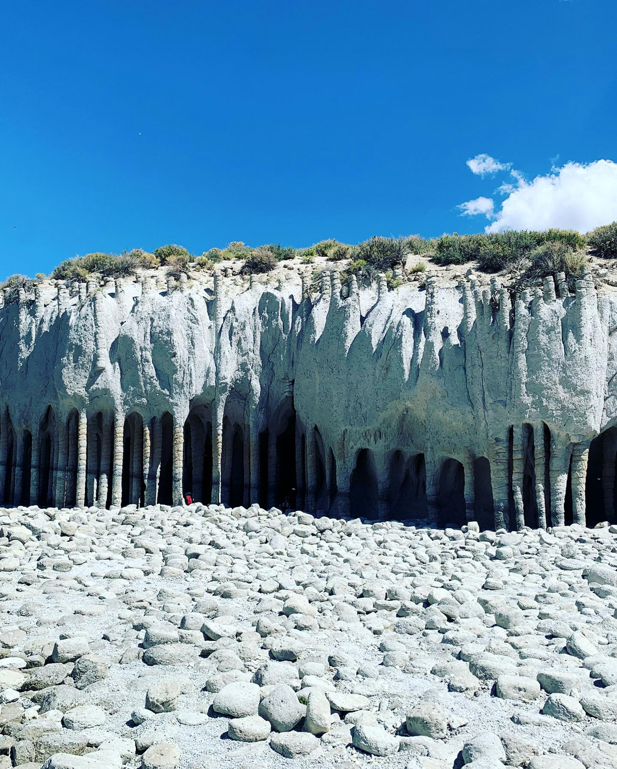 |
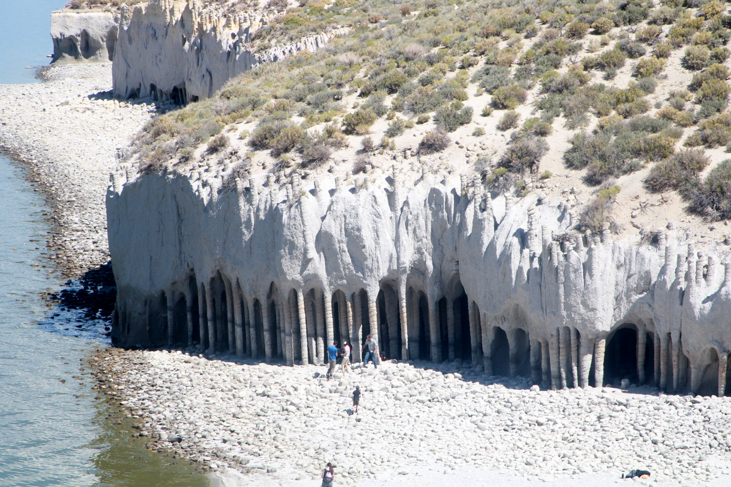
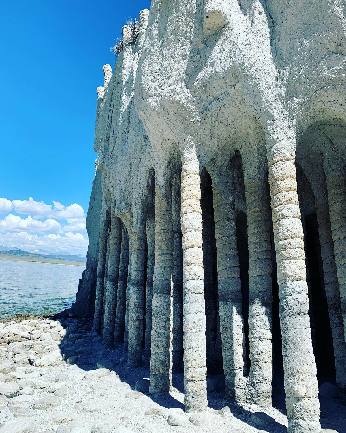
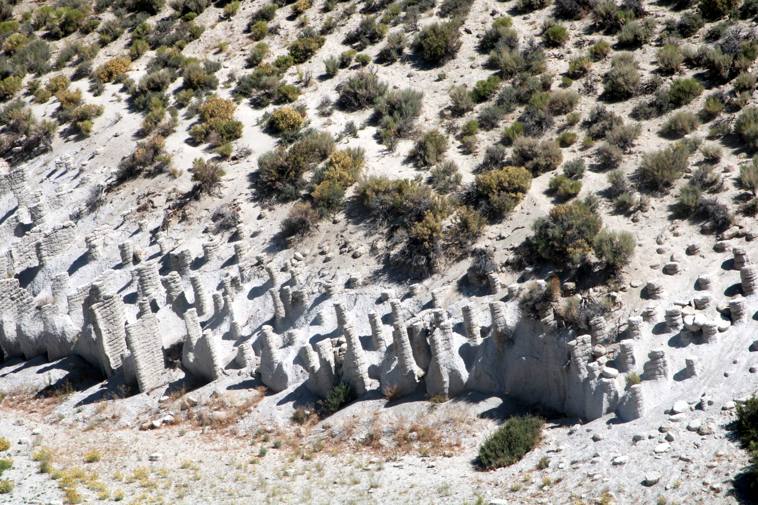
| The delightfully strange Lake Crowley Columns, east of US 395 (2nd & 3rd photos by Johnny & Brittany Upshaw) | ||
|
|
|
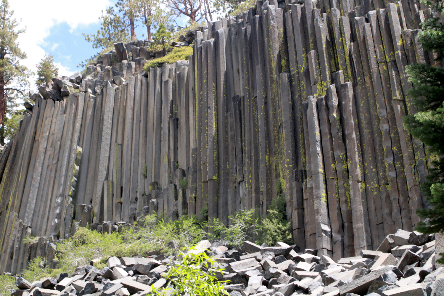
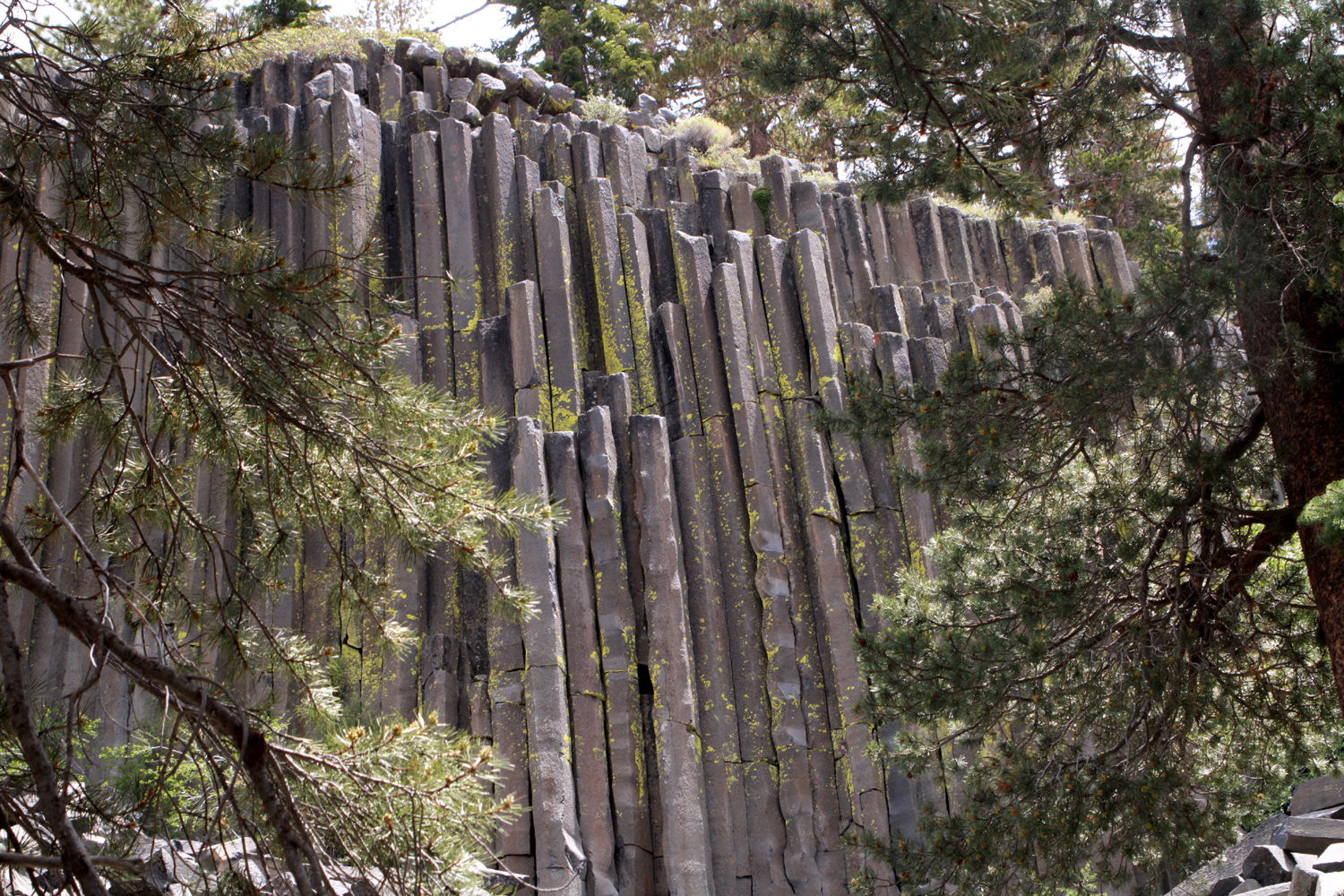
| Some stubby columns | The Devil's Postpile | A closer look at the "posts" |
|
|
|
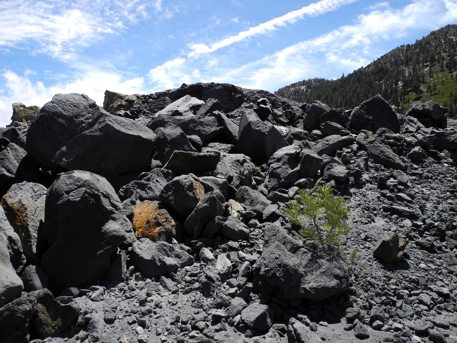
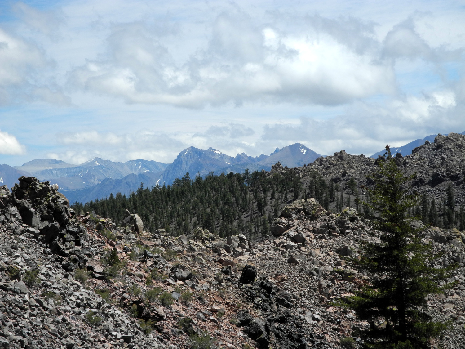
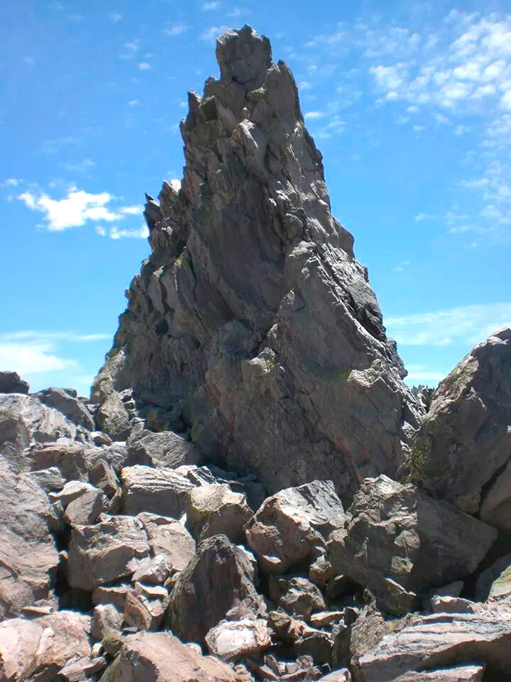
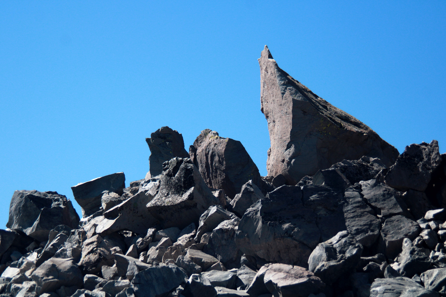
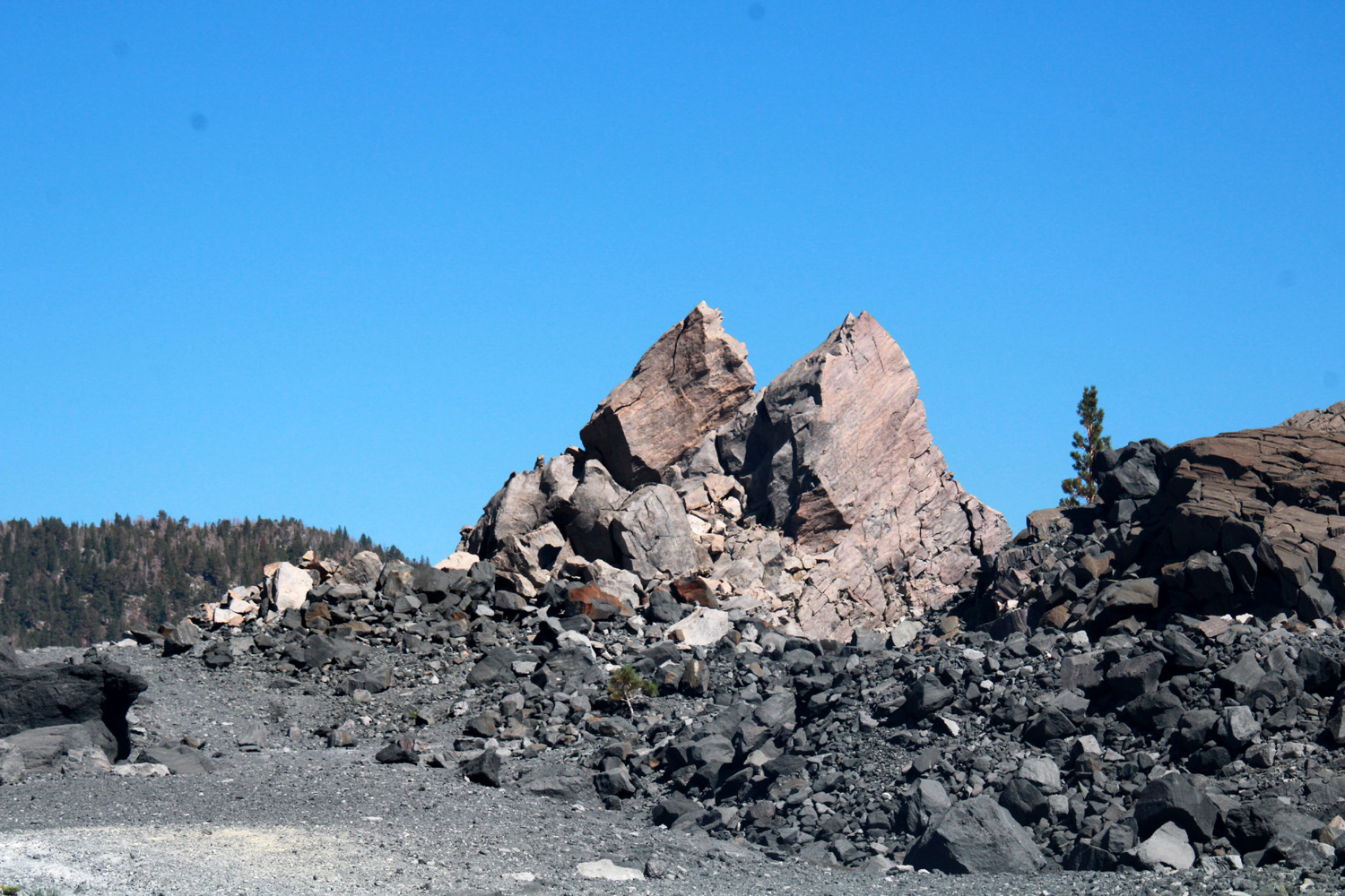
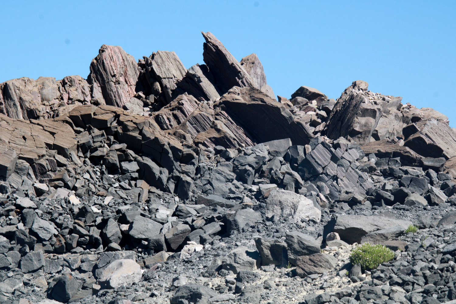
| Cracked rock on Panum Crater | Minarets and Ritter Range from Rainbow Falls Trail | Mountain northeast of CA 108 near Sonora Pass |
|
|
|
|
Twin Lakes, west of Bridgeport (by Teri Liddle) |
Eastern Sierra peaks west of Twin Lakes | Tufa Towers at Mono Lake |
|
|
|
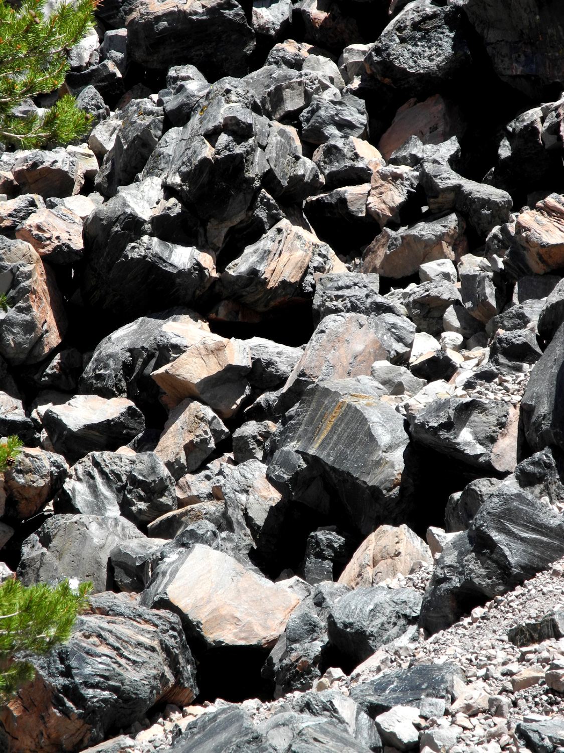
| Bizarre formations on Obsidian Dome east of US 395 south of Lee Vining | ||
|
|
|
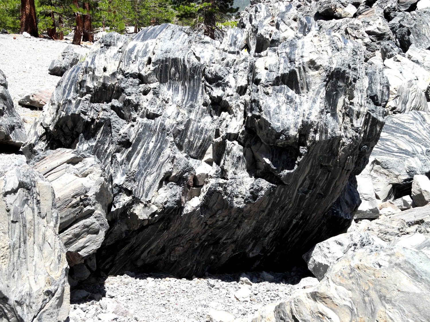
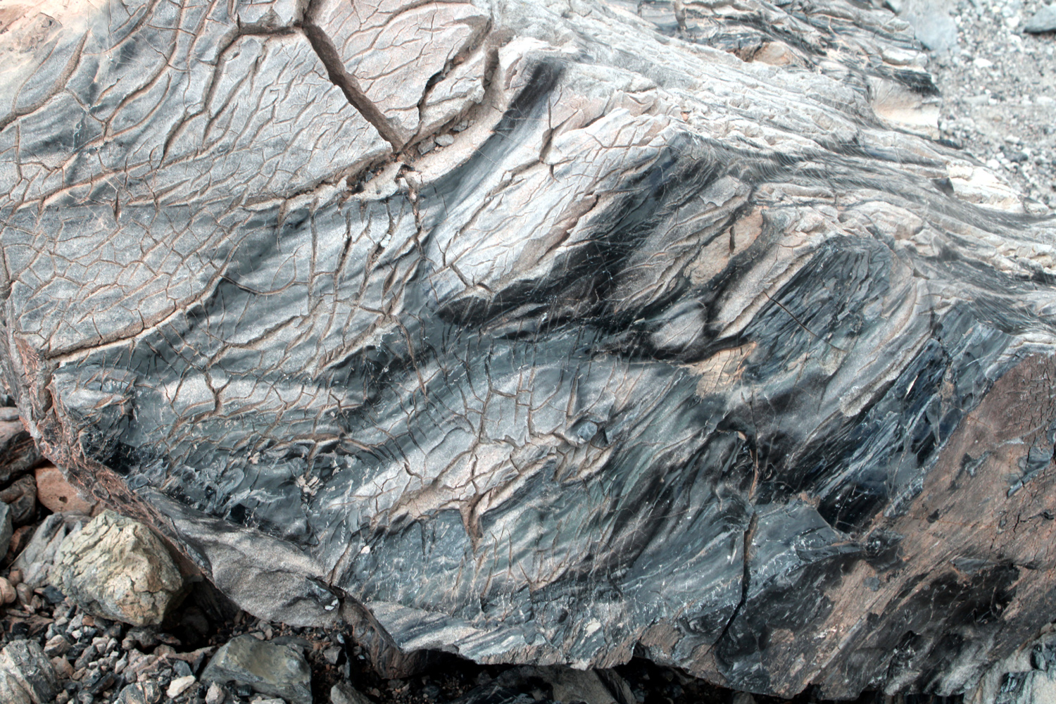
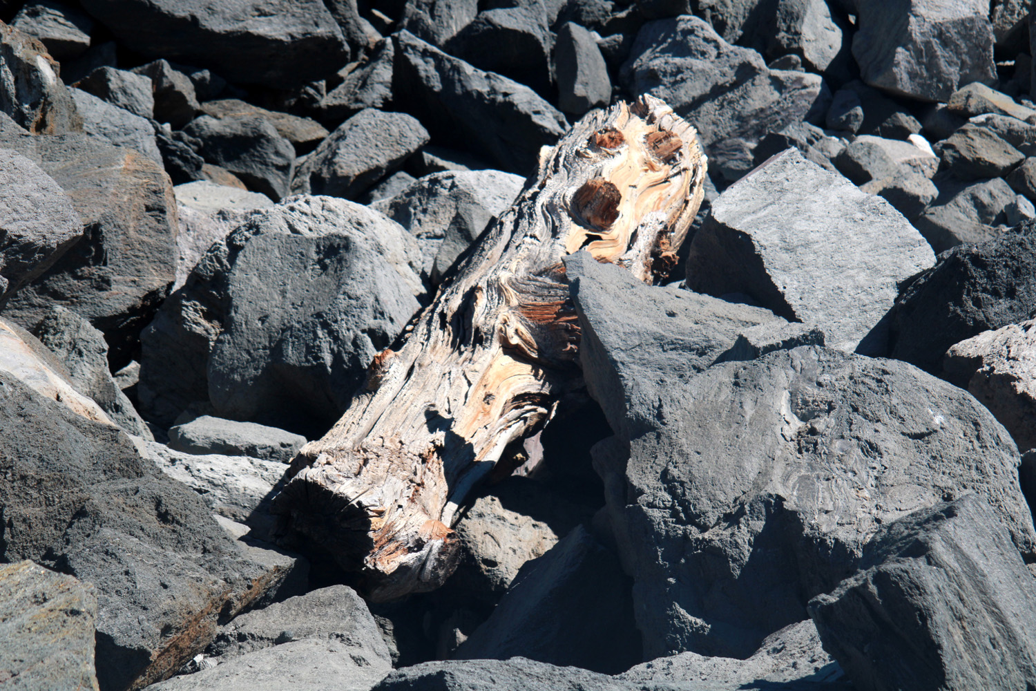
| Ancient log on Obsidian Dome |
Not smooth as obsidian usually is - so is it obsidian anyway? |
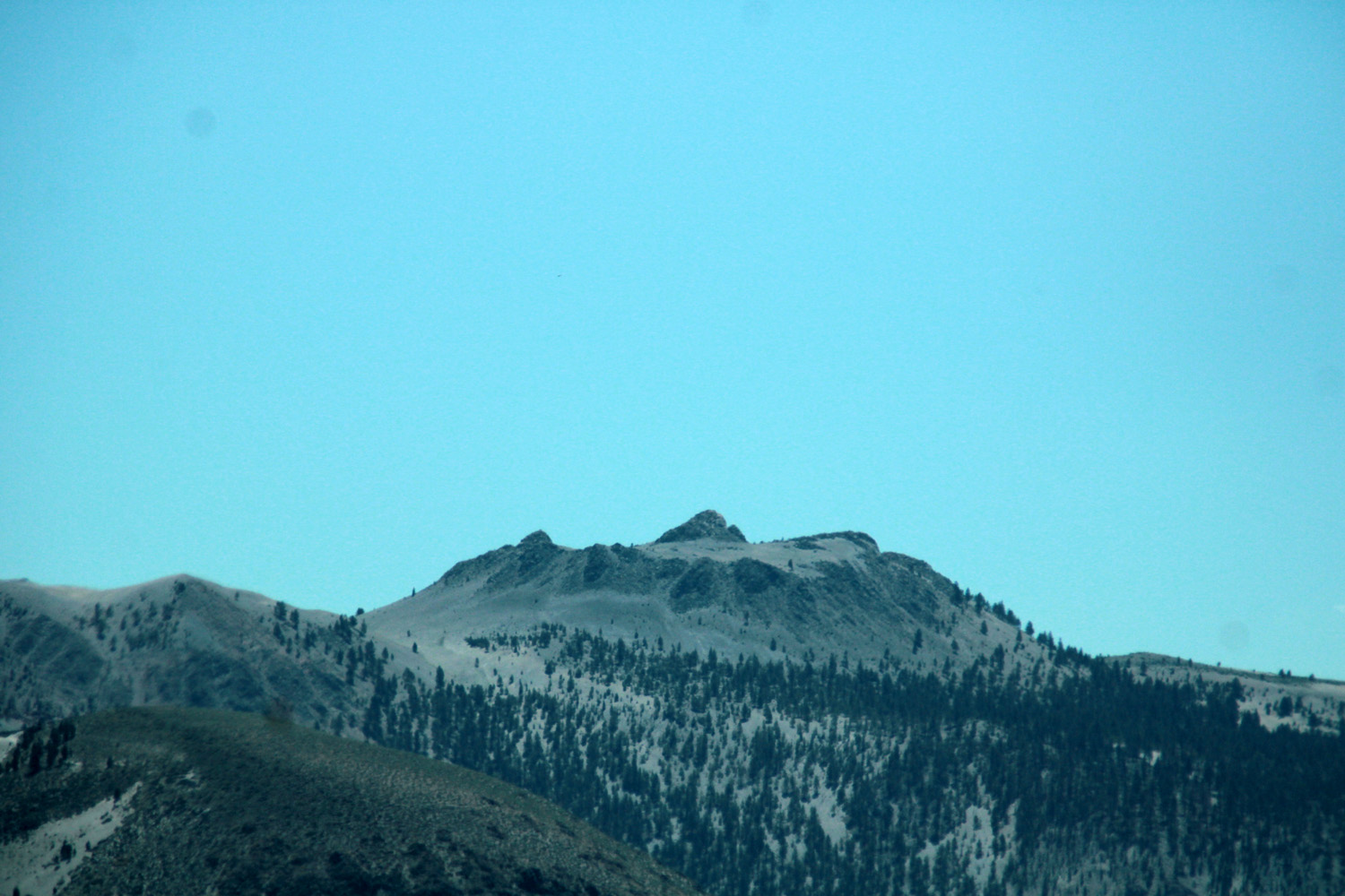
Dormant volcano east of US 395 (by Jack Upshaw) |
|

|

|
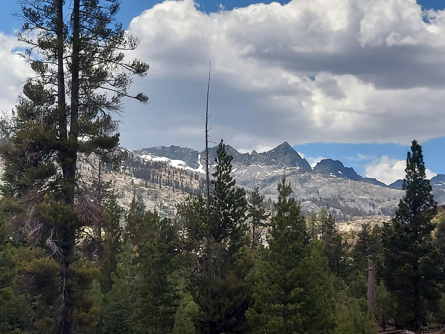
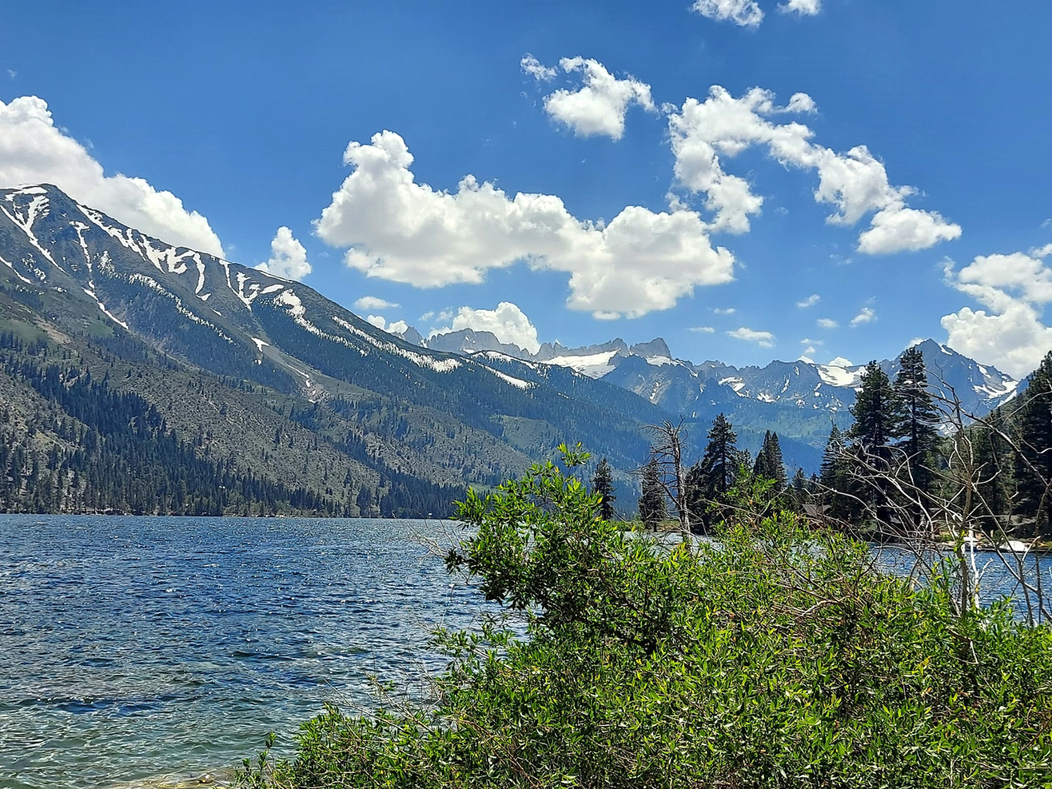
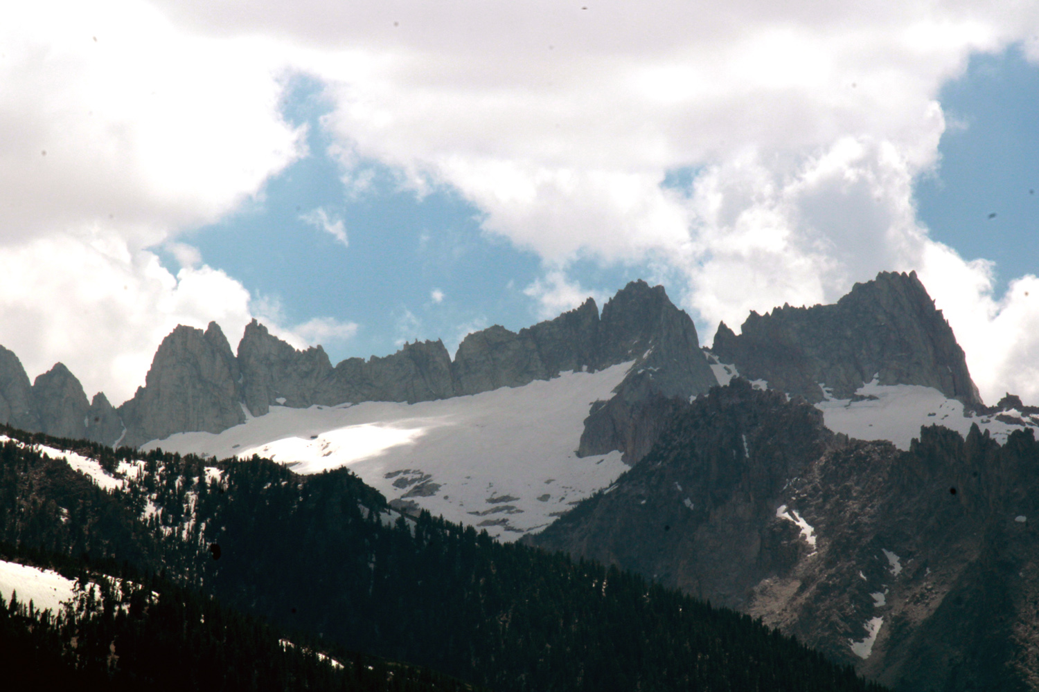
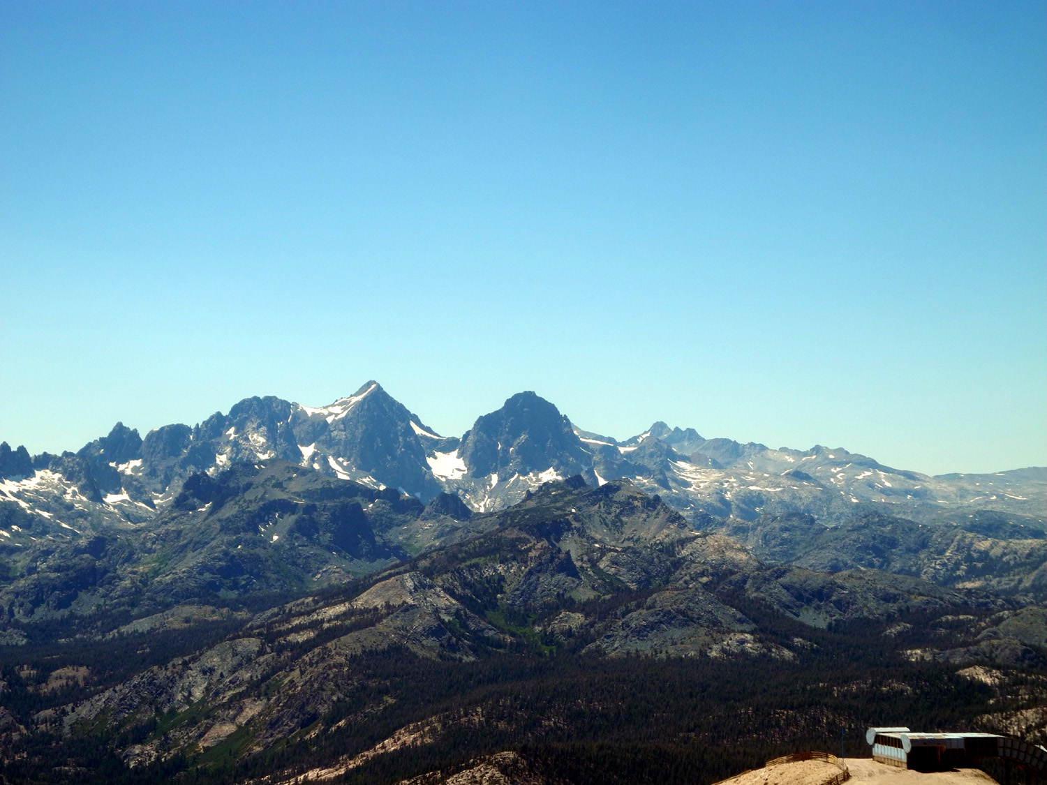
| Ritter Range from Mammoth Mountain | The Minarets | Convict Lake near Mammoth Lakes CA |

