Old Mariposa The Charlie Walker Collection |
|||
| Links to Other Photo Albums Related Links | |||
|
Most of the photos on this page were provided by native Mariposa, CA, resident Ralph Walker. The pictures from his collection were either taken by or collected by Ralph's father, C.J. (Charlie) Walker, who lived from about 1875 to 1928, and had a garage in downtown Mariposa from 1914 to 1928. Most of his photos date from the 1920s. Some older photos were most likely taken by Carlton E. Watkins, a noted photographer who worked in California in the mid-1800s. The Downtown photos are mostly by the late Frank Boeck, and were taken about 1938. Source and date of Mariposa County Towns and Pioneers are mostly unknown. Some photo captions include links that take you to a section on this page with additional information. |
|||
| New photo added here June 26, 2026 | |||
| Old Mariposa Downtown Mid 20th Century Mariposa County Towns Pioneers | |||
| Click photo for a larger view (pictures open in a new window) | |||
 |
 |
 |
|
|
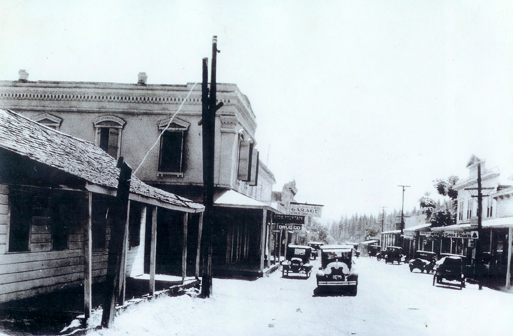
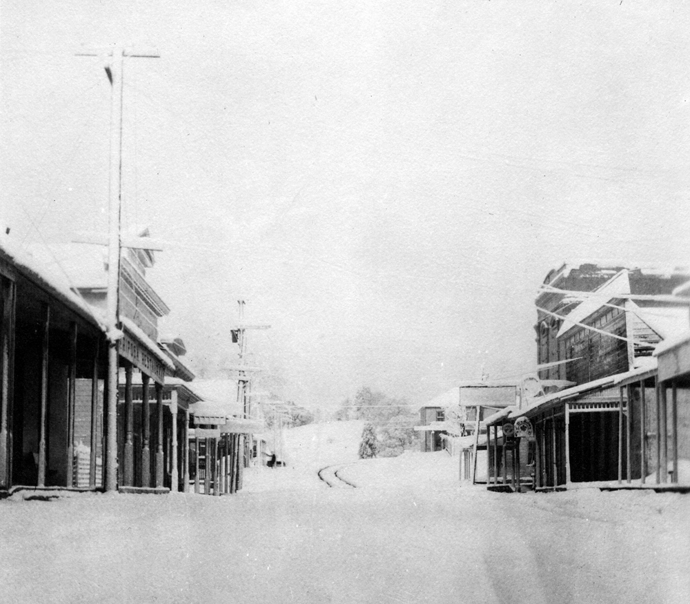
Mariposa,
looking south, 1920s; Garber |
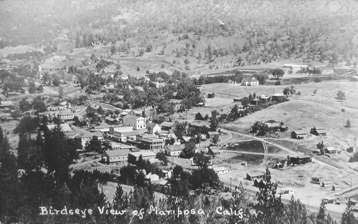
View
of Mariposa; large white building just to left |
Old
|
|
|
|
|||
|
|
|
|
|
|
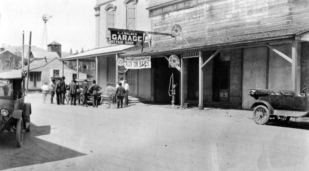
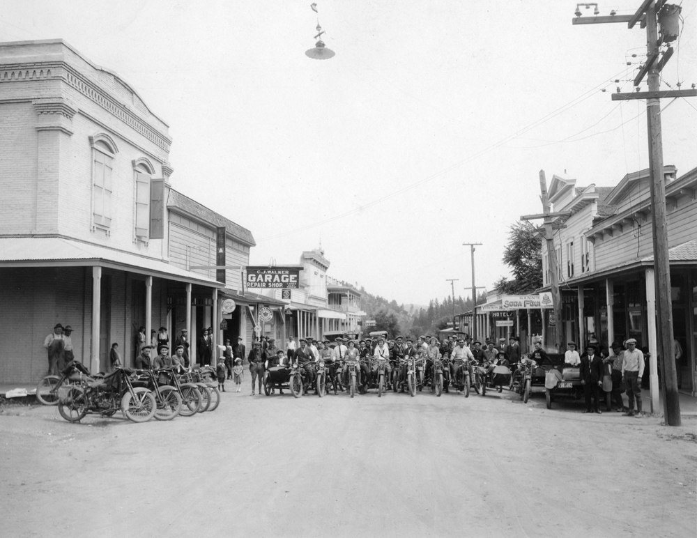
Charlie
Walker's garage, early 1920s |
This is the location of
garage before the |
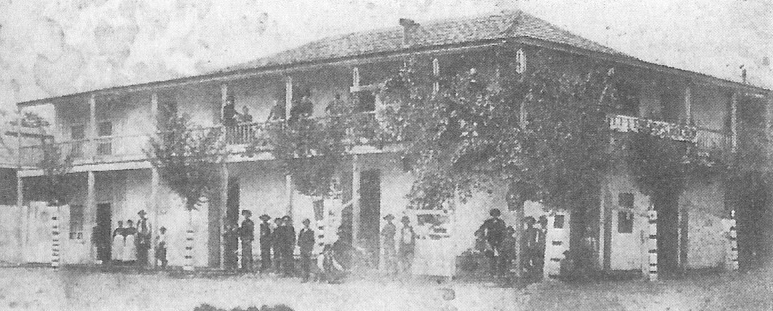
Schlageter Hotel building, 5th and Highway 140 (See Note 3) |
|
|
|
|||
|
|
|
|
|
|
|
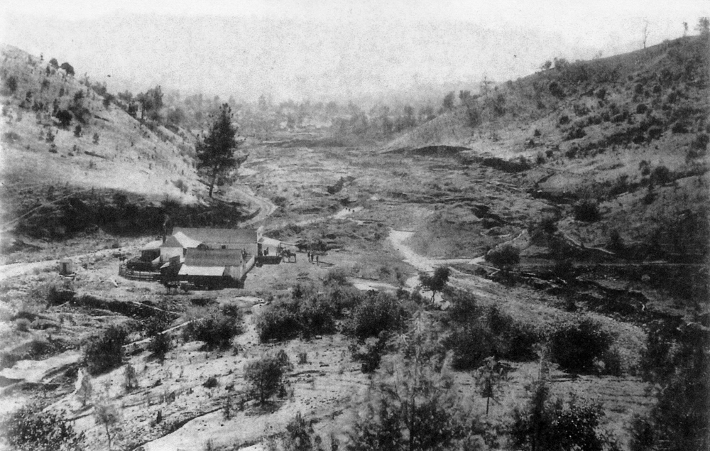
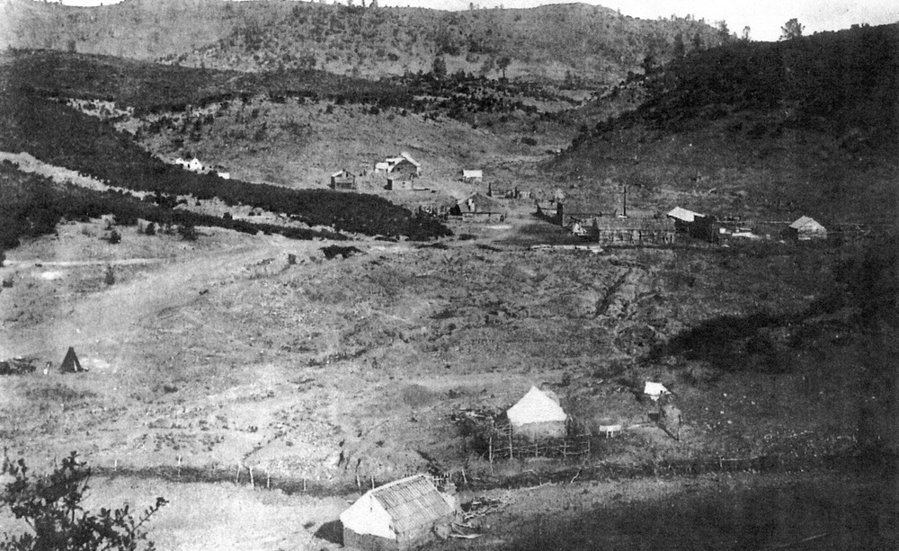
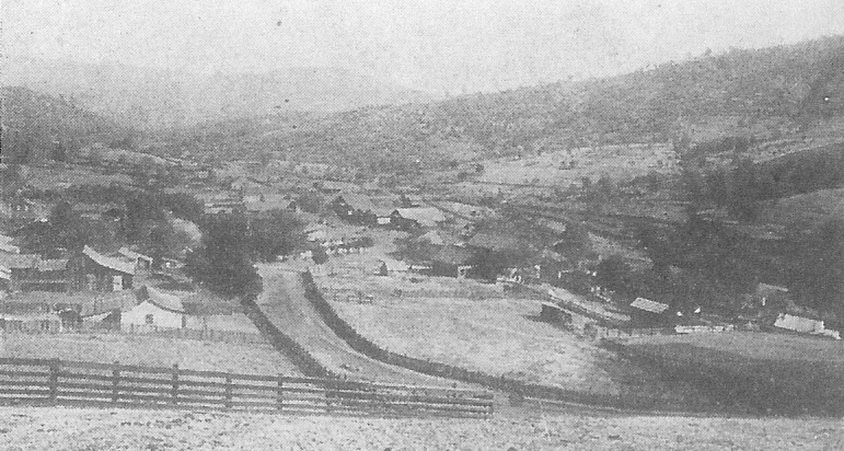
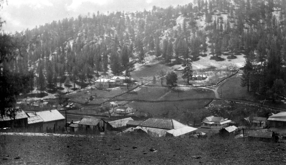
View of south end of town, from hills east of town |
|
|
|
|
|||
|
|
|
|
|
|
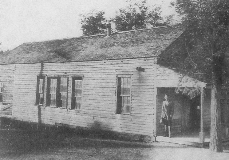
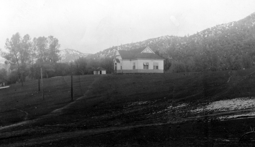
Another view of Walker home |
Old
Mariposa Elementary |
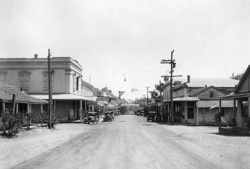
Downtown
Mariposa, facing north, 1920s |
|
|
|
|||
|
|
|
|
|
|
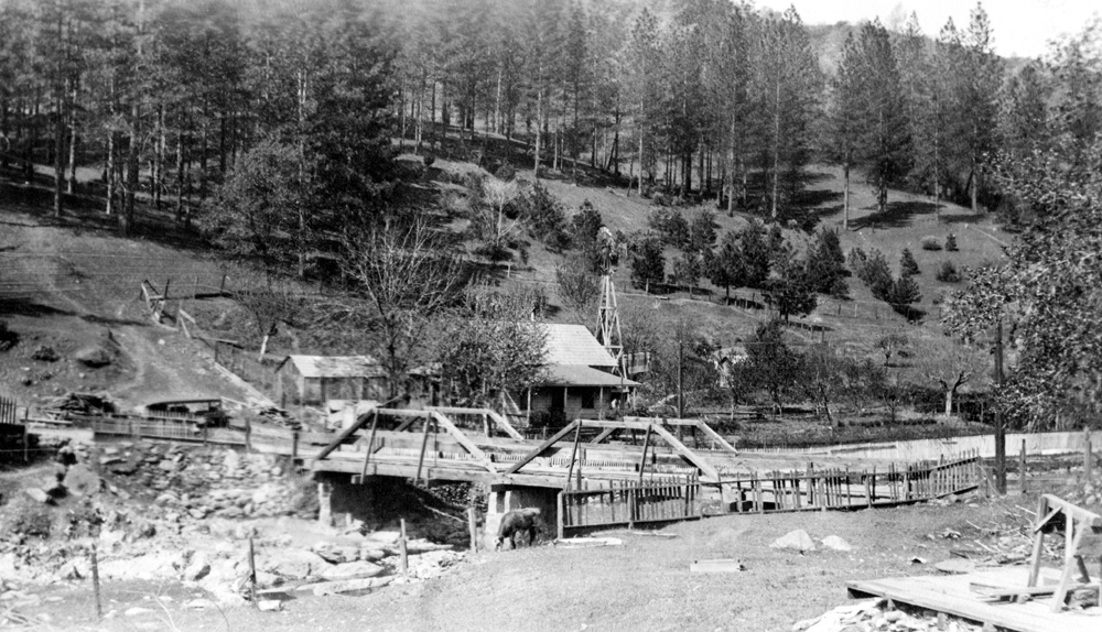
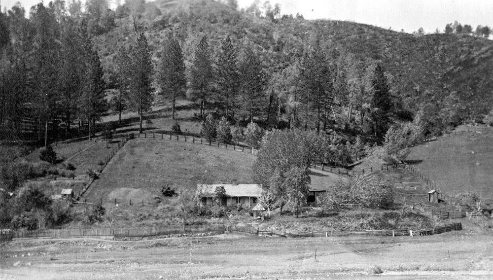
Jiles home, just south of present day location of Stroming Machinery (house burned down in 1948) |
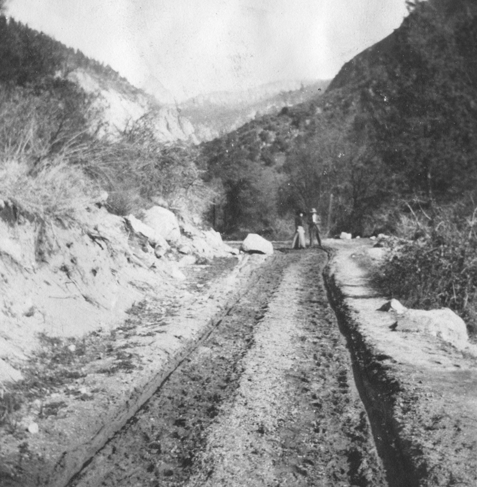
Old
muddy road between El Portal and
|
Arch Rock (west entrance to Yosemite) before opening was enlarged to allow passage of vehicles |
|
|
|
|||
|
|
|
|
|
|
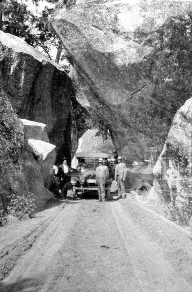
One
of the first cars through Arch Rock, Highway 140 entrance to
|
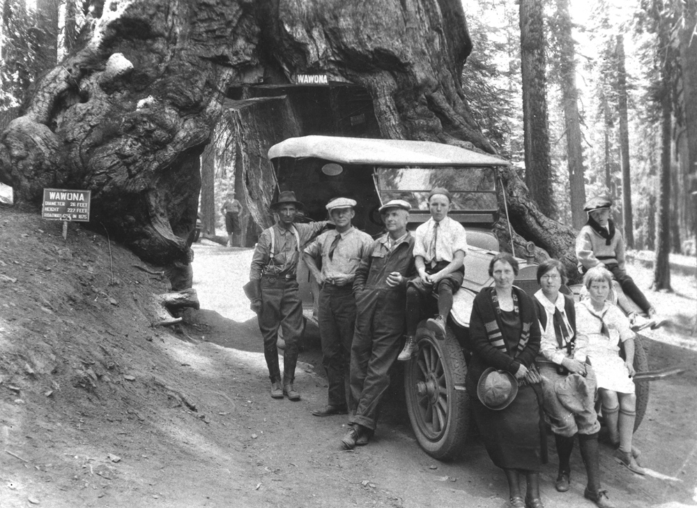
Charlie Walker left rear with Nelson family, at Wawona Tree (See note 5) |
Charlie Walker left; Mrs. Washburn holding reins; soldiers from company stationed at Wawona (See note 6) |
|
|
|
|||
|
|
|
|
|
|
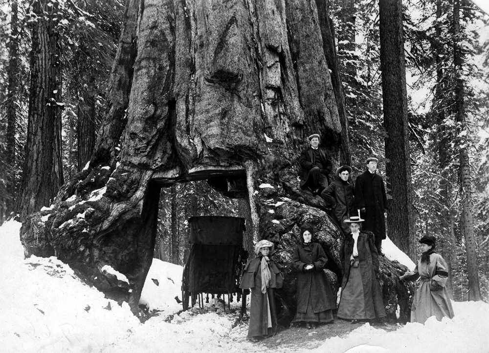
Tourists at tunnel tree in winter |
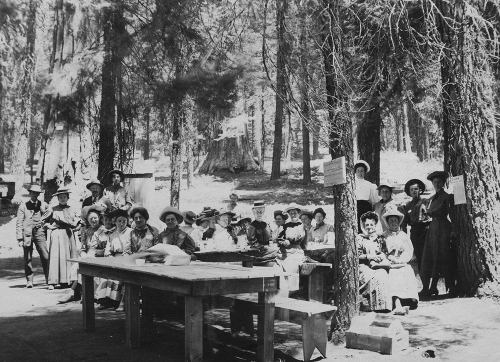
Gathering
in Yosemite,
probably |
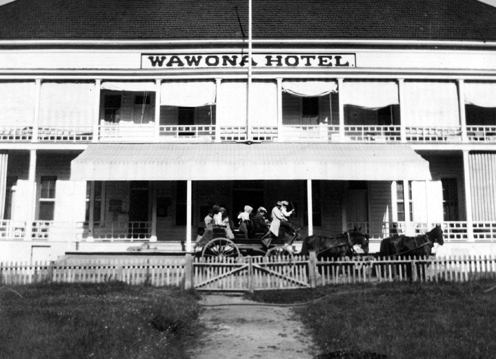
Wawona Hotel in Yosemite |
|
|
|
|||
|
|
|
|
|
|
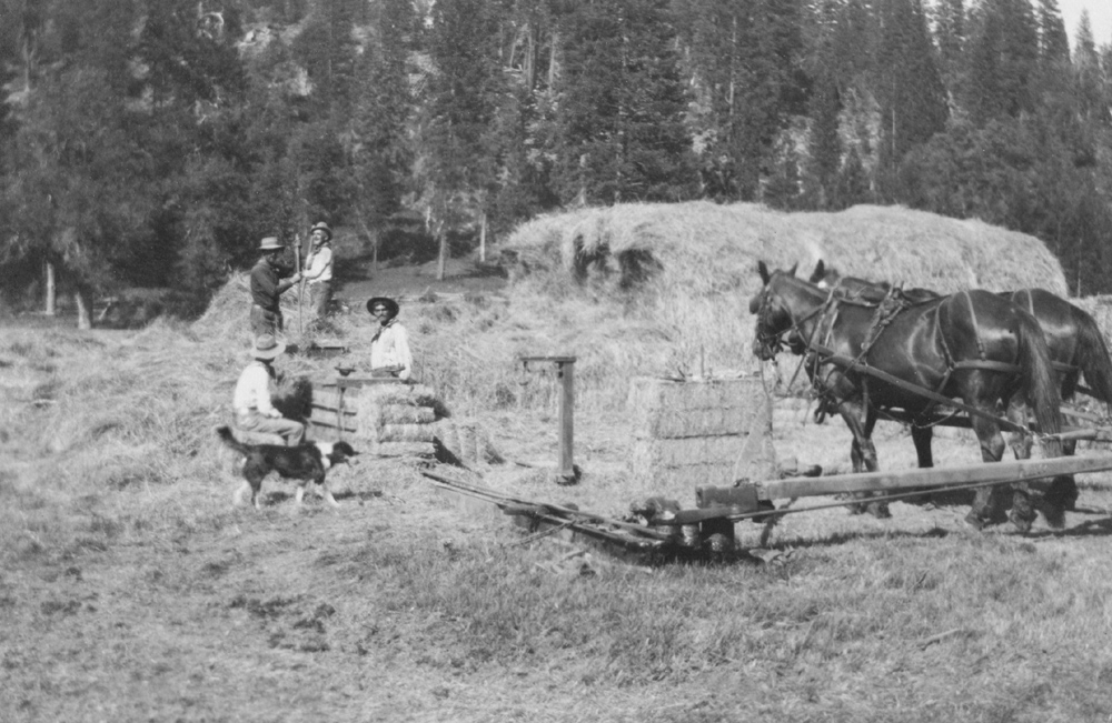
Baling hay in meadow just south of where Wawona golf course is today |
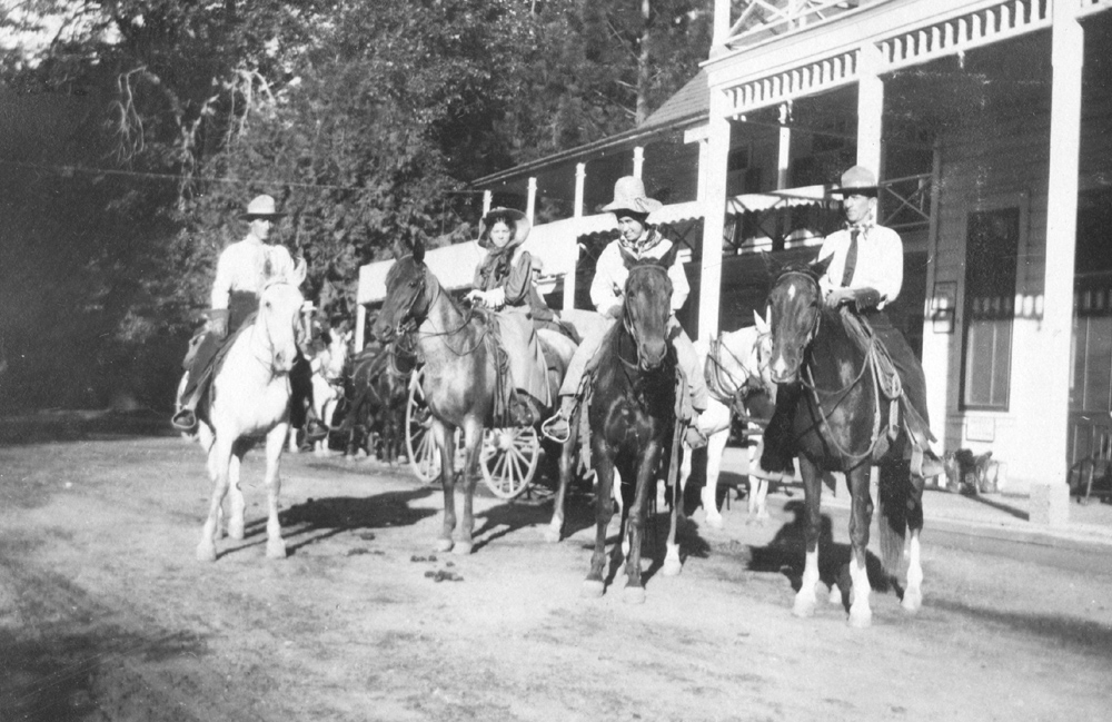
Rangers in front of Wawona Hotel |
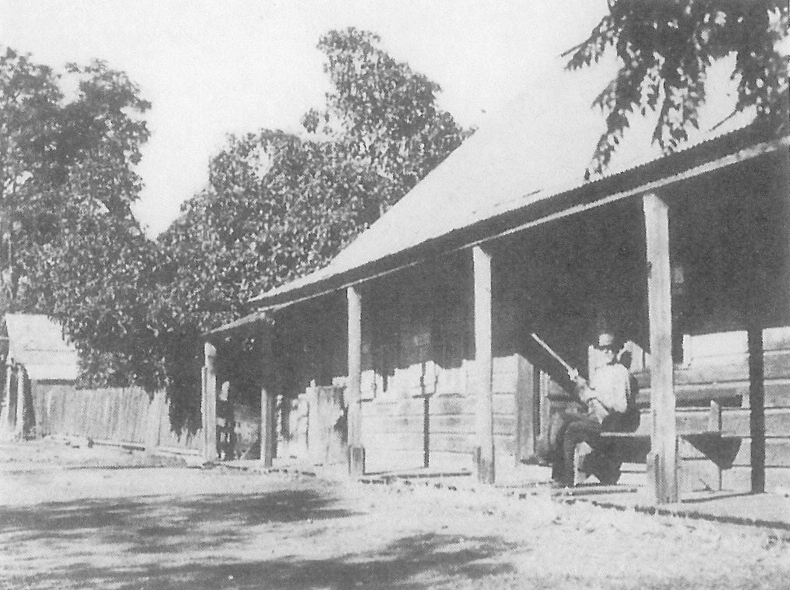
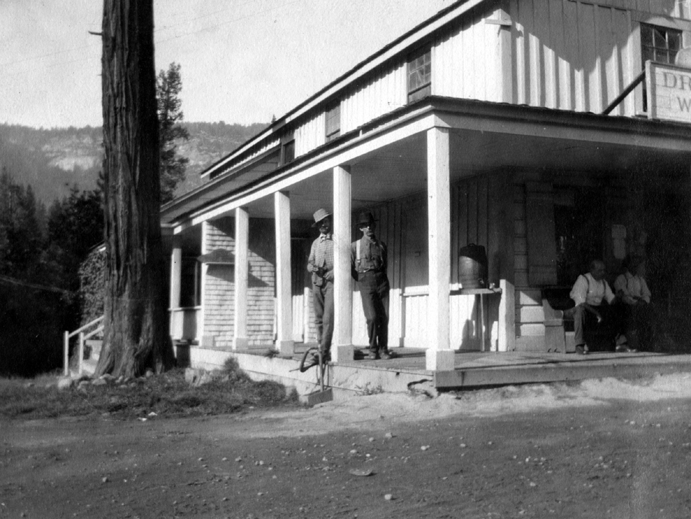
Old store in Wawona early 1900s |
|
|
|
|||
|
|
|
|
|
|
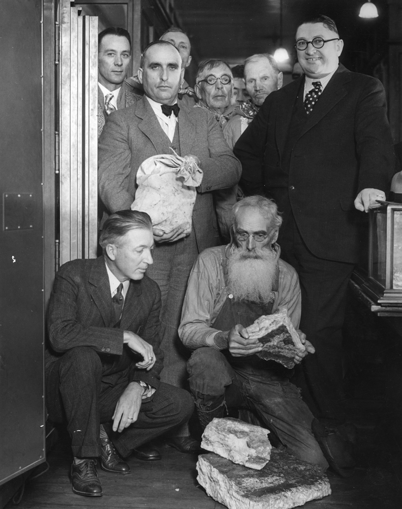
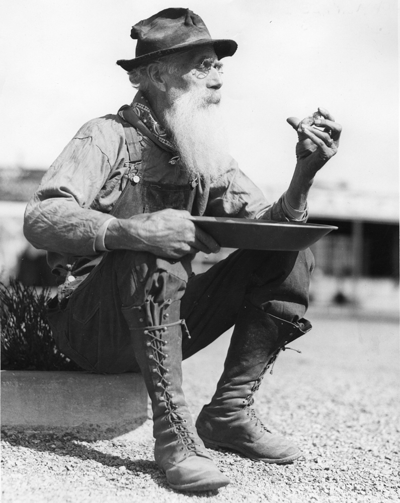
Inspecting
high grade ore from Whitlock Mine |
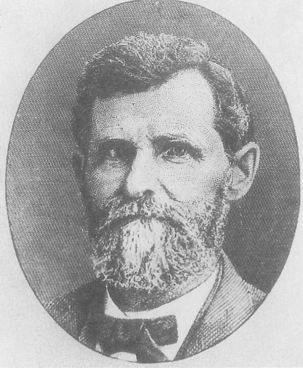
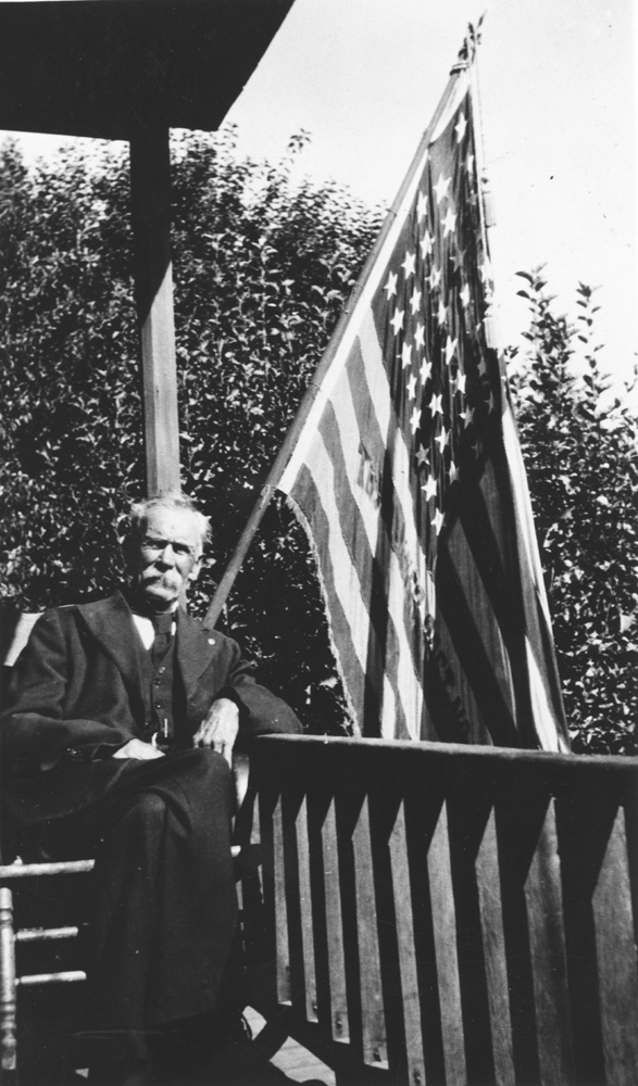
Pioneer miner John Preston |
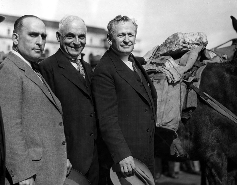
Sheriff John Castagnetto, Judge J.J. Trabucco, Governor Clement C. Young (served 1927 - 1931) |
|
|
|
|||
|
|
|
|
|
|
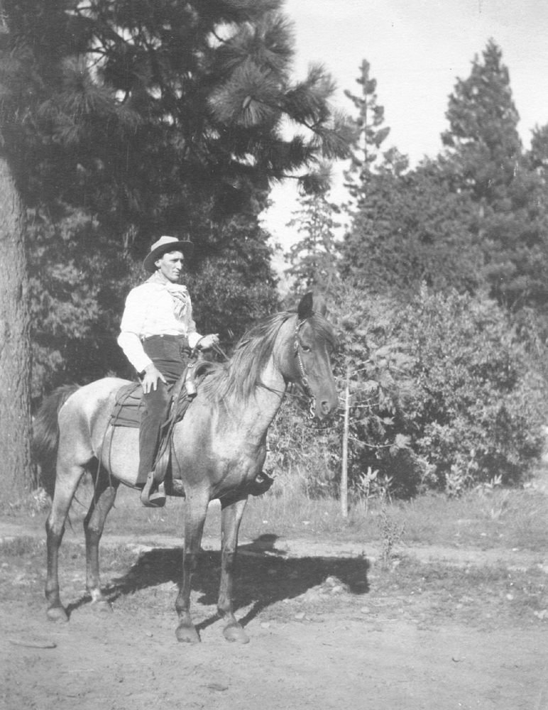
Charlie on his favorite horse |
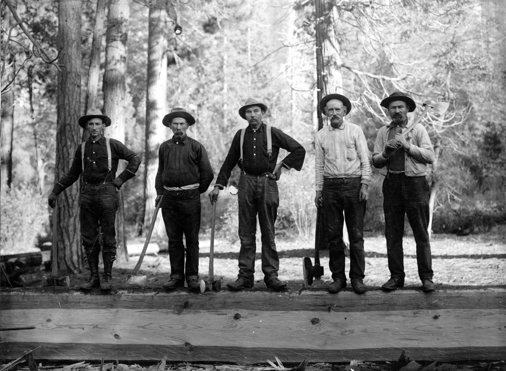
Charlie Walker with crew hewing beams for construction in YNP |
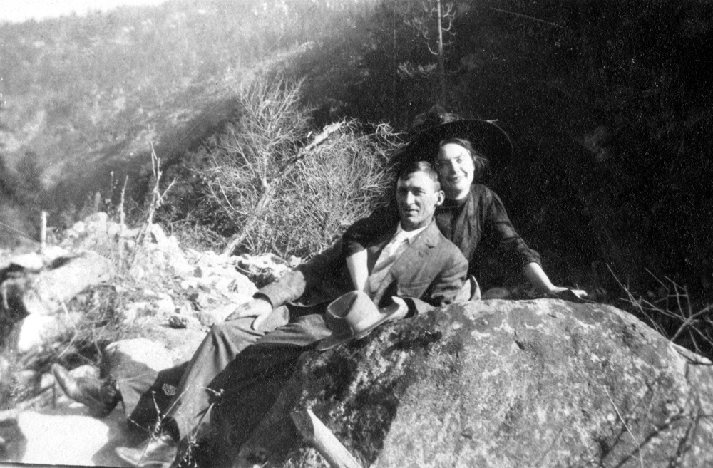
Charlie and May Walker on their honeymoon in 1910 |
|
|
|
|||
|
|
|
|
|
|
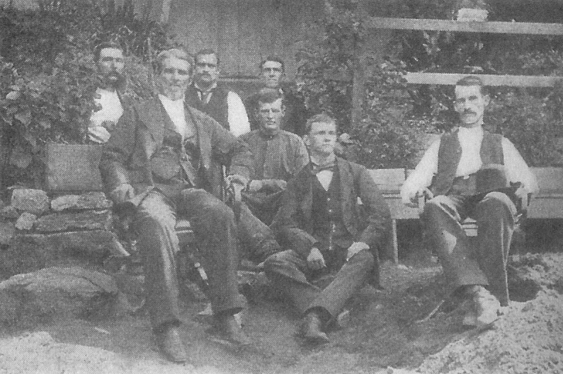
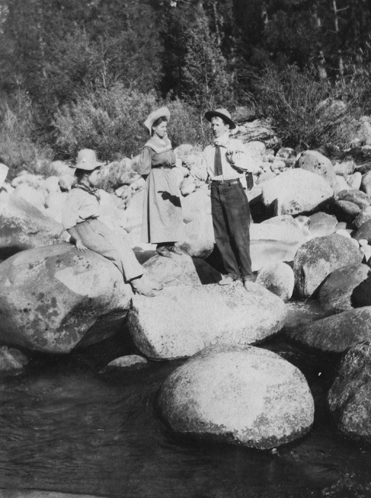
Charlie and friends |
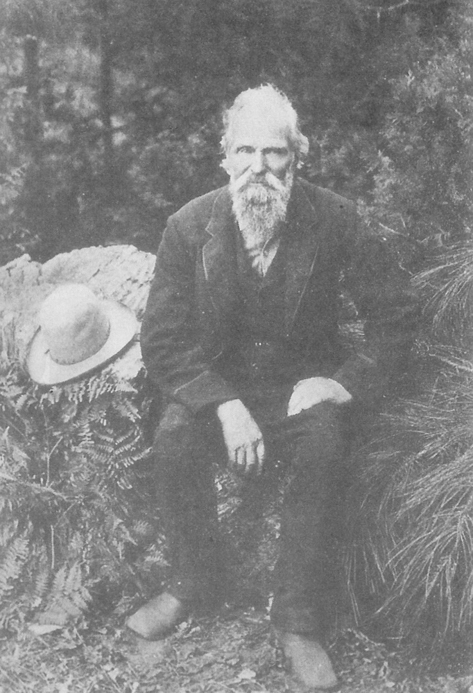
Mrs.
Walker's father Herman Hesse near Boulder
Creek
|
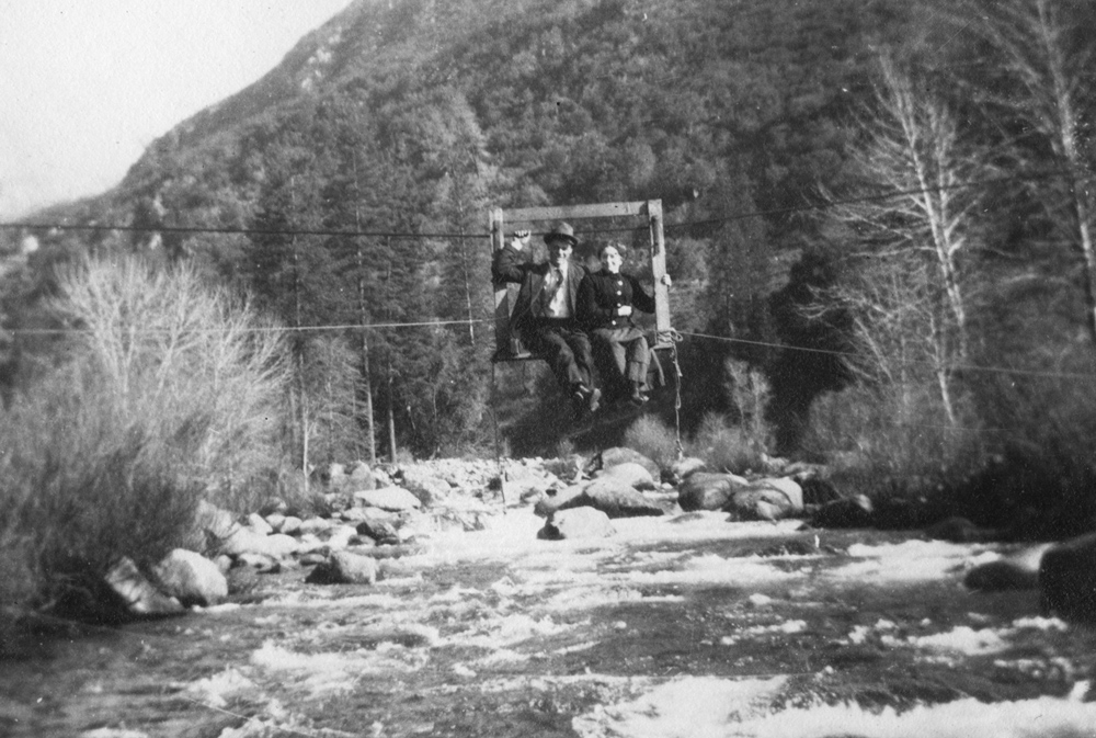
Riding
the "Go Devil" that crossed the |
|
|
|
|||
|
|
|
|
|
|
Swinging
bridge across the |
Construction camp at Exchequer Dam, 1925 (See Note 8) |
Merced
|
|
|
|
|||
|
|
|
|
|
|
Mr. & Mrs. Curry and friends leaving El Portal for home in Modesto (See Note 10) |
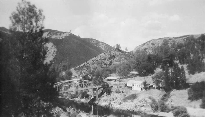
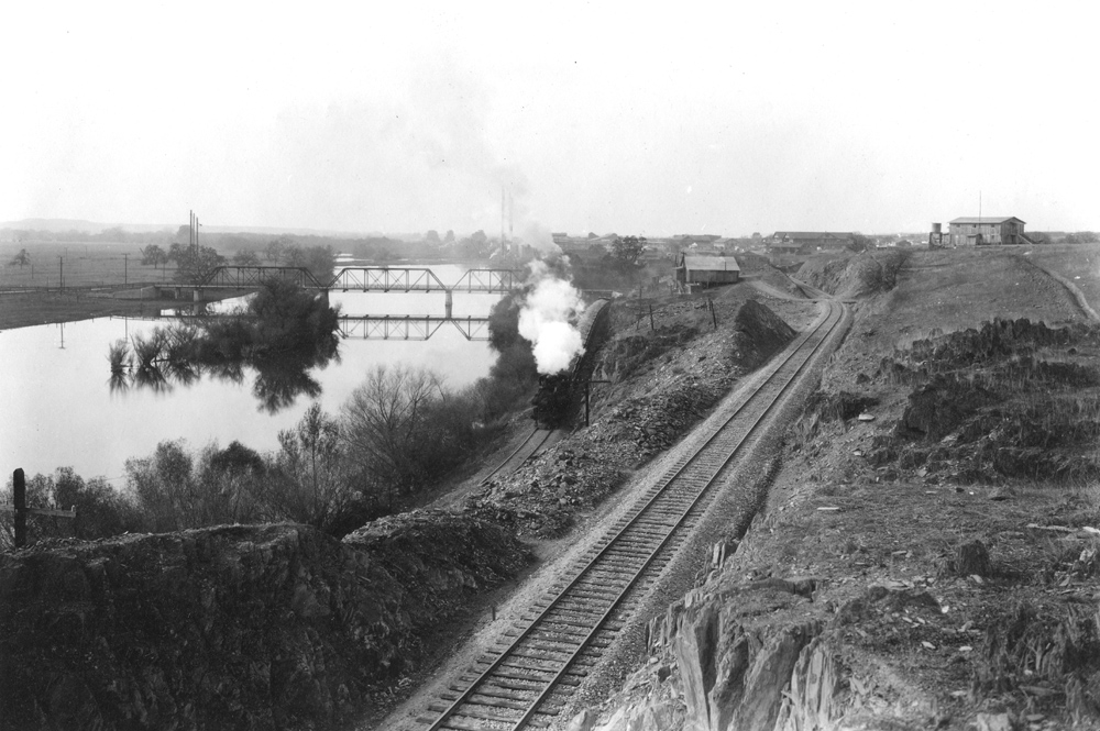
Bagby, 1920s (See Note 11) |
Lumber mill at Merced Falls, 1920s |
|
|
|||
|
|
|
 |
|
John
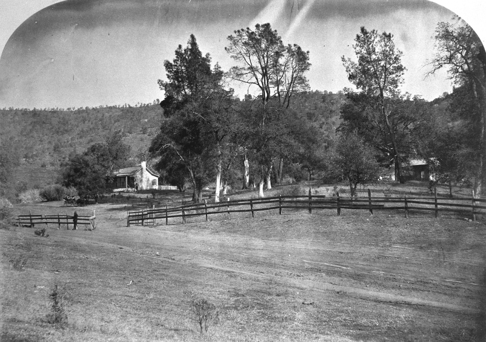
C. Fremont home near |
Easter Parade in Hornitos in 1920s |
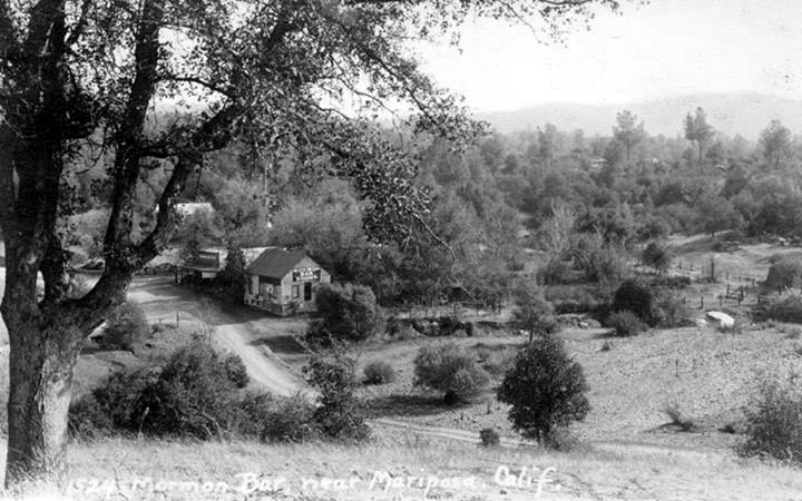
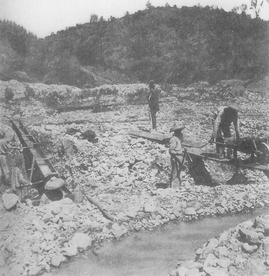
Mormon Bar, 1850s (See Note 12) | |
 |
 |
 |
|
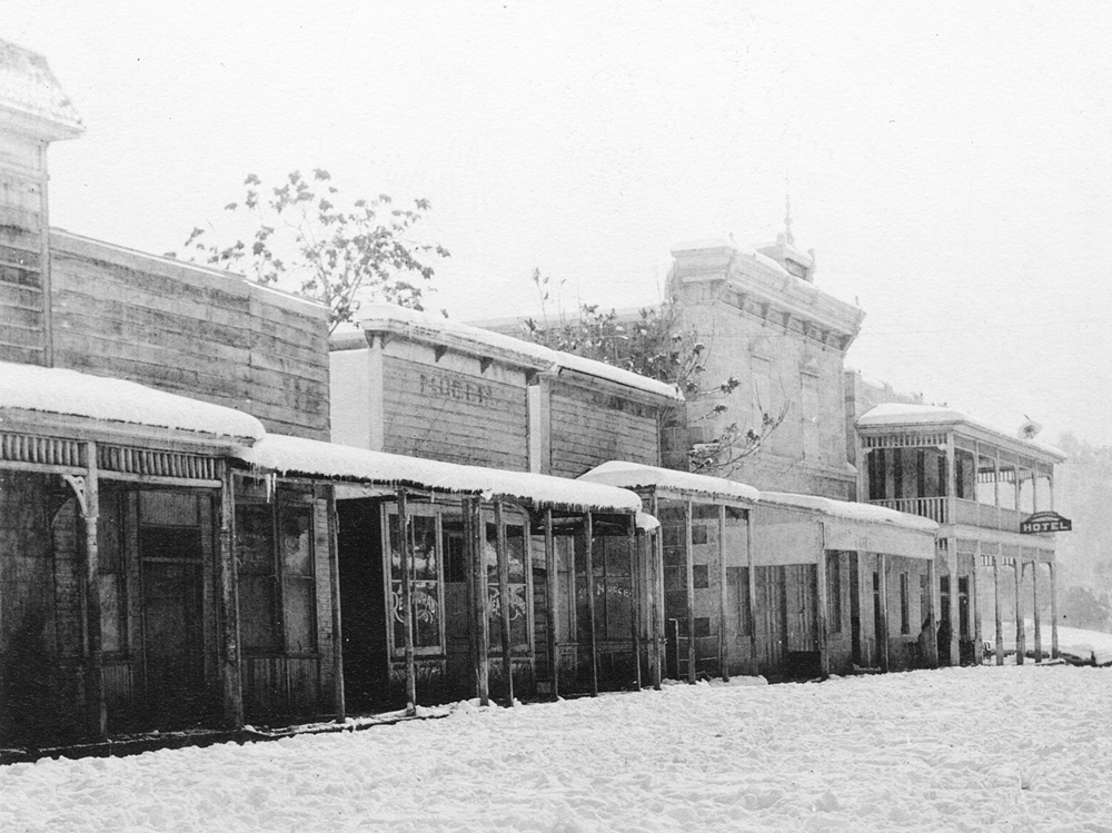
| Downtown, probably 1920s | Town of Carson (See Note 13) | Hite's Cove Mine, 1911 (See Note 14) | |
 |
 |
 |
|
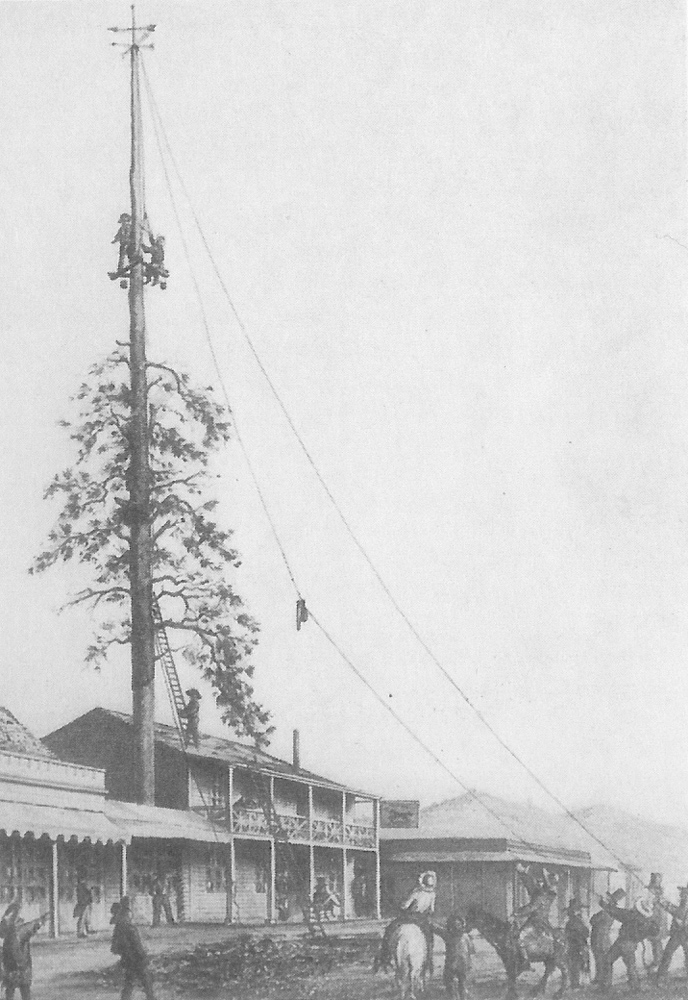
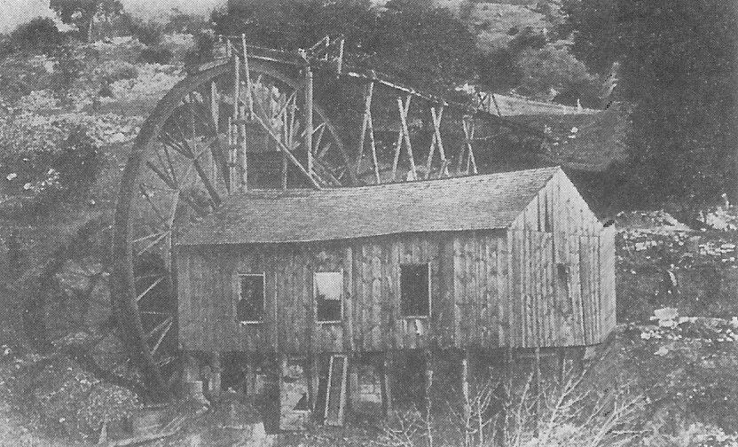
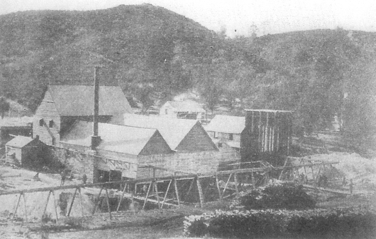
| Old Mariposa Gazette building | Schlageter Hotel - trimming its famous flag pole (See Note 3) | Water-powered quartz mill near Mariposa, 1850 | |
| Downtown - Mid 20th Century | |||
 |
 |
 |
|
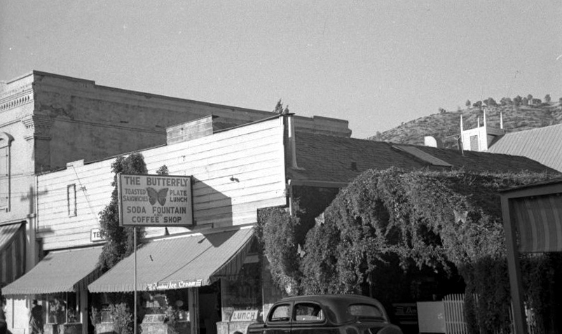
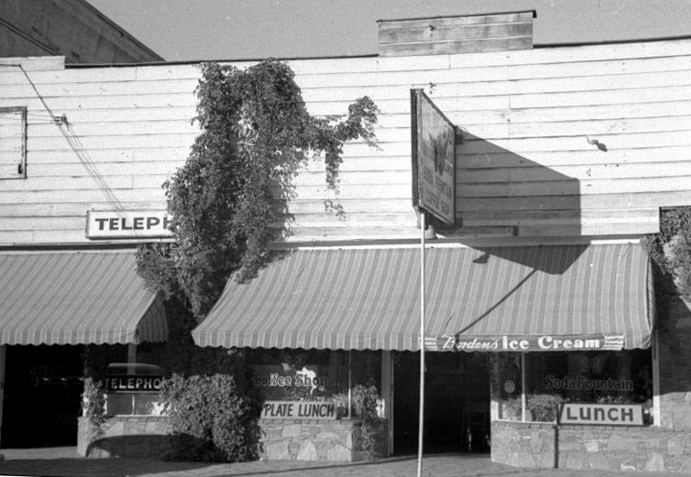
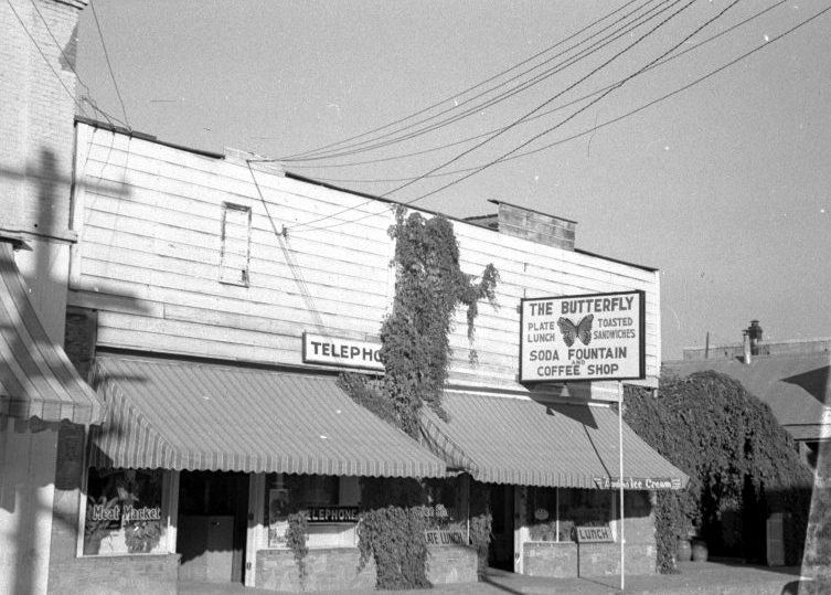
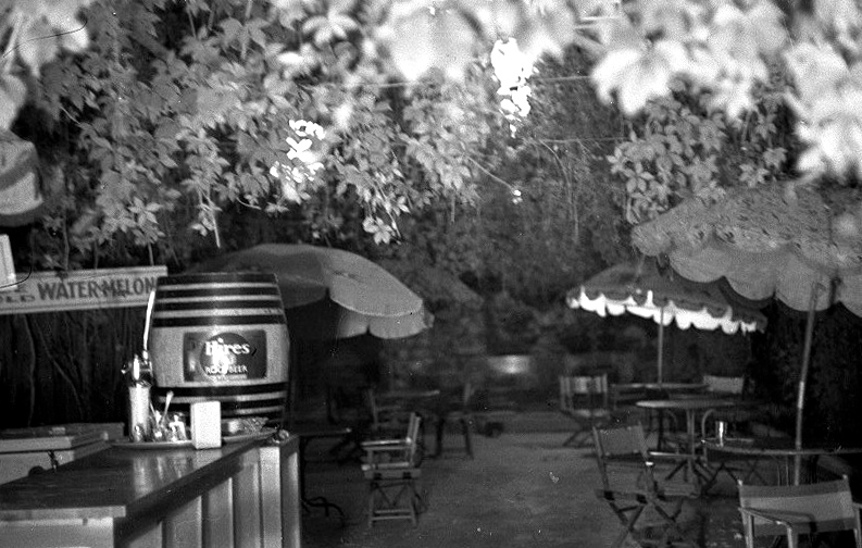
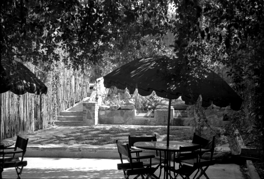
| Butterfly Cafe and Beer Garden - about 1938 (Frank Boeck photos) (east side of Charles Street) | |||
 |
 |
 |
|
| The beer garden | |||
 |
 |
 |
|
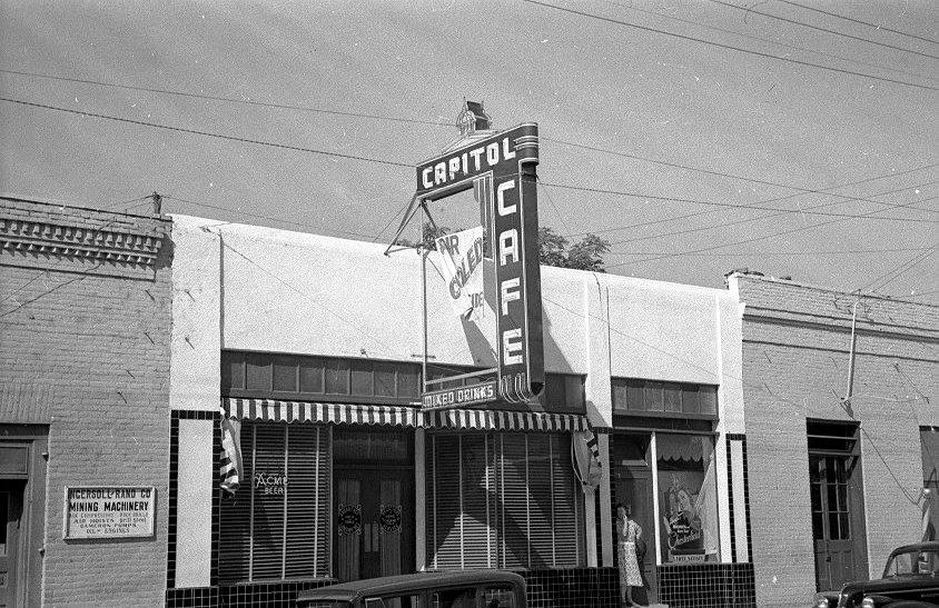
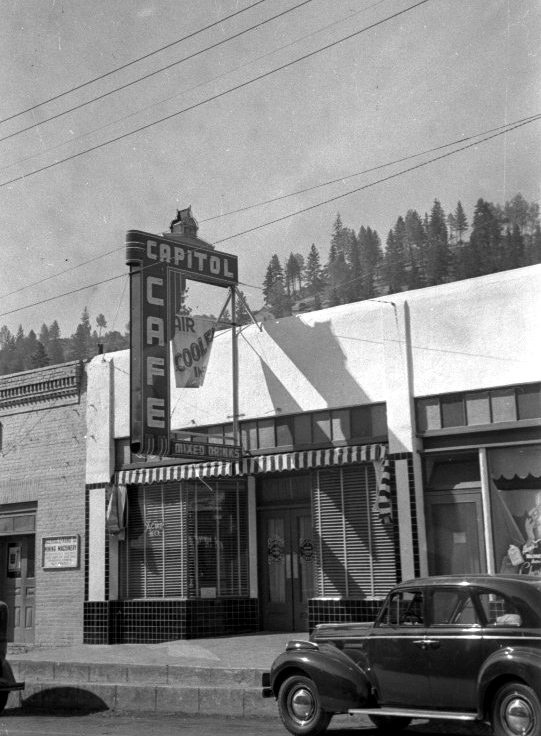
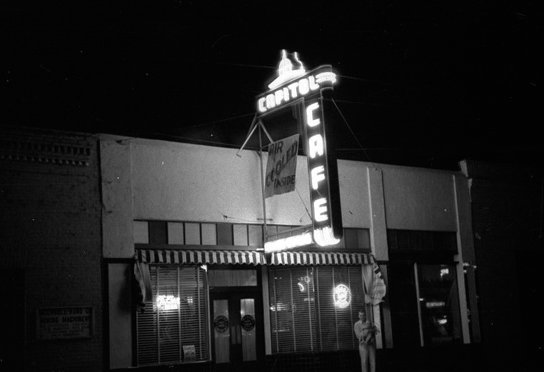
| Capitol Cafe - west side of Charles Street (Highway 140) | |||
 |
 |
||
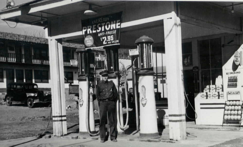
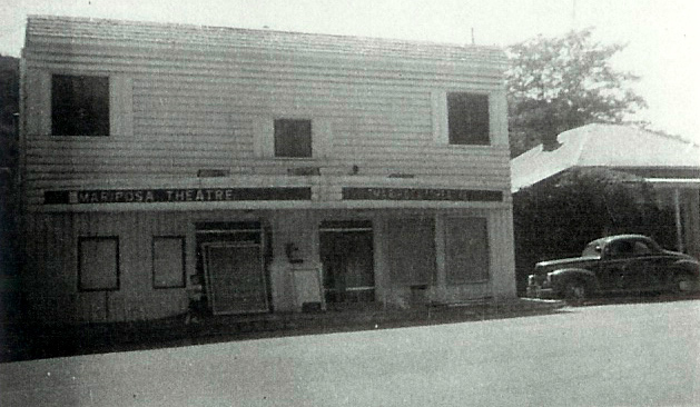
| Richfield gas station, 6th and Charles Street | Mariposa Theater | ||
|
Mariposa County Towns
(Mt. Bullion (AKA Princeton), Mt. Ophir, Bear Valley, Hornitos, Indian Gulch, Bagby, Coulterville) |
|||
 |
 |
 |
|
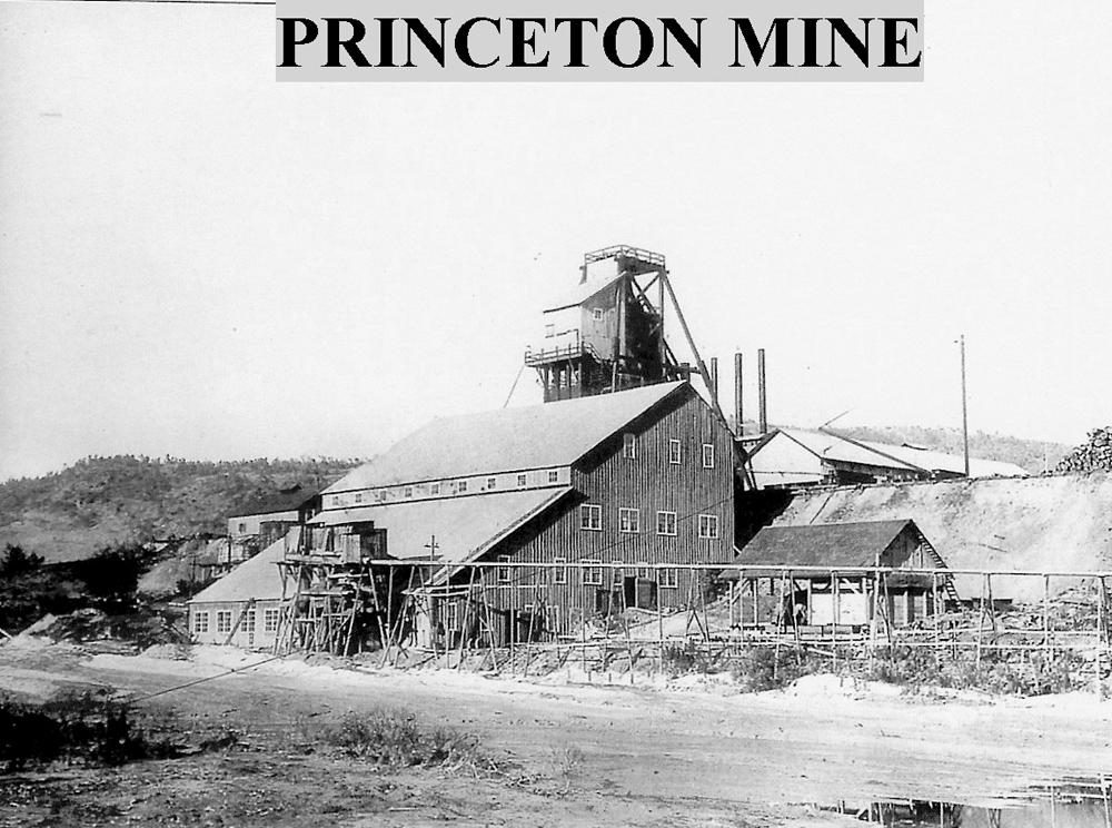
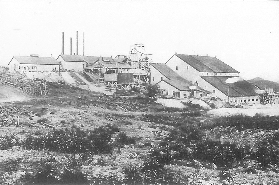
| Mt. Ophir mine and mill | Marre Store in Mt. Bullion (built in 1862) | Princeton Mine | |
 |
 |
 |
|
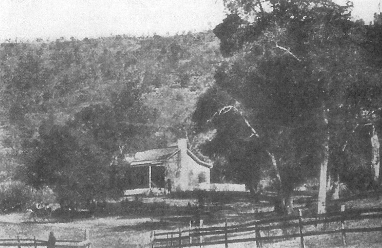
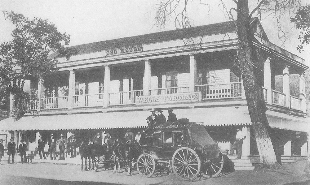
| Princeton Mine; probably last photo taken of mine's exterior works | Fremont cottage at Bear Valley in 1858 | Oso House, Bear Valley | |
 |
 |
 |
|
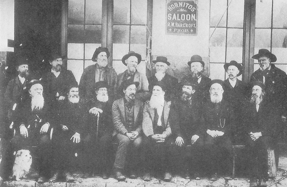
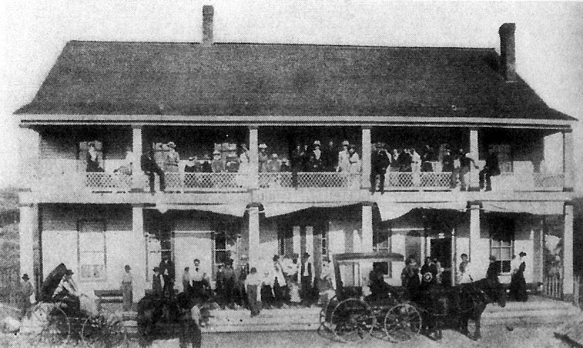
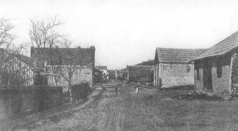
| Reunion of old-timers in Hornitos | Hornitos Hotel, ready to receive an ex-president (which one is not stated) | Main Street, Hornitos, possibly 1913 | |
 |
 |
 |
|
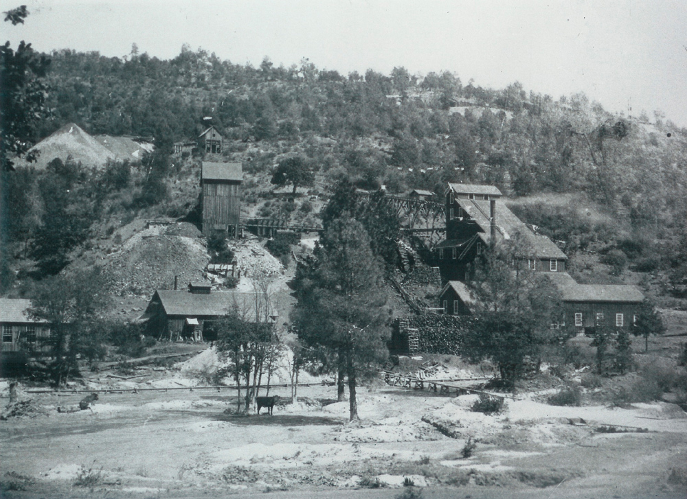
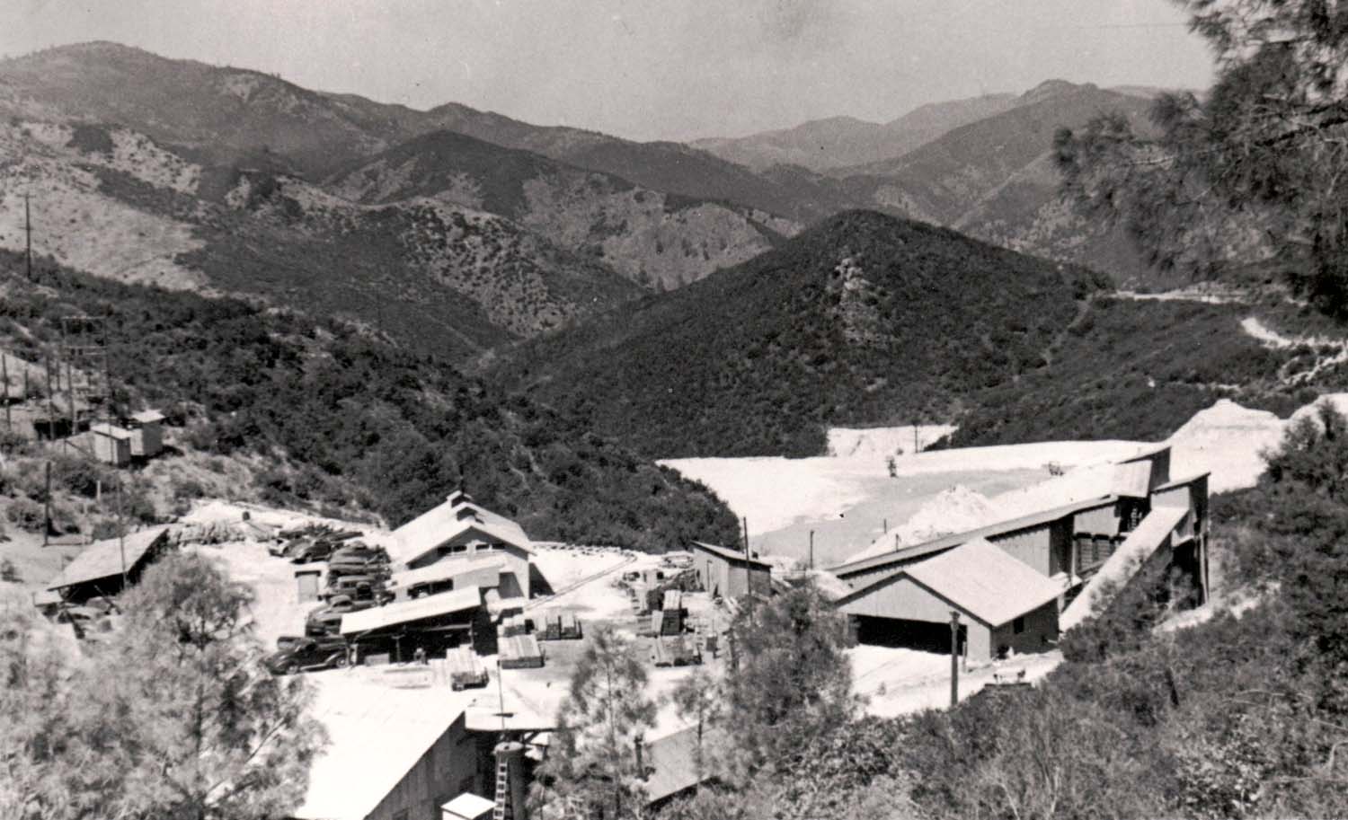
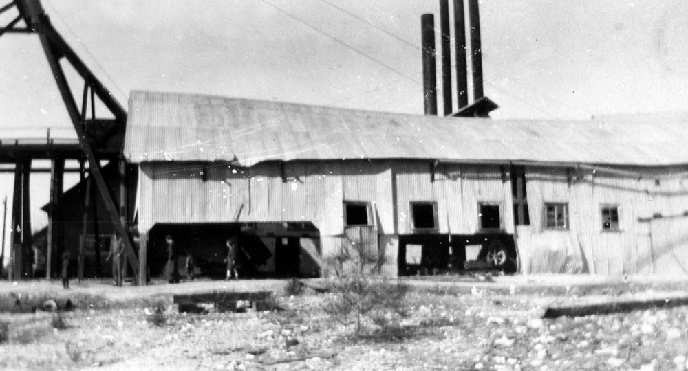
| First Indian Gulch school | Solari Store, Indian Gulch | Whitlock Mine | |
 |
 |
 |
|
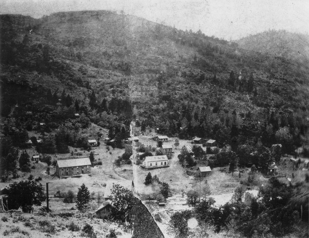
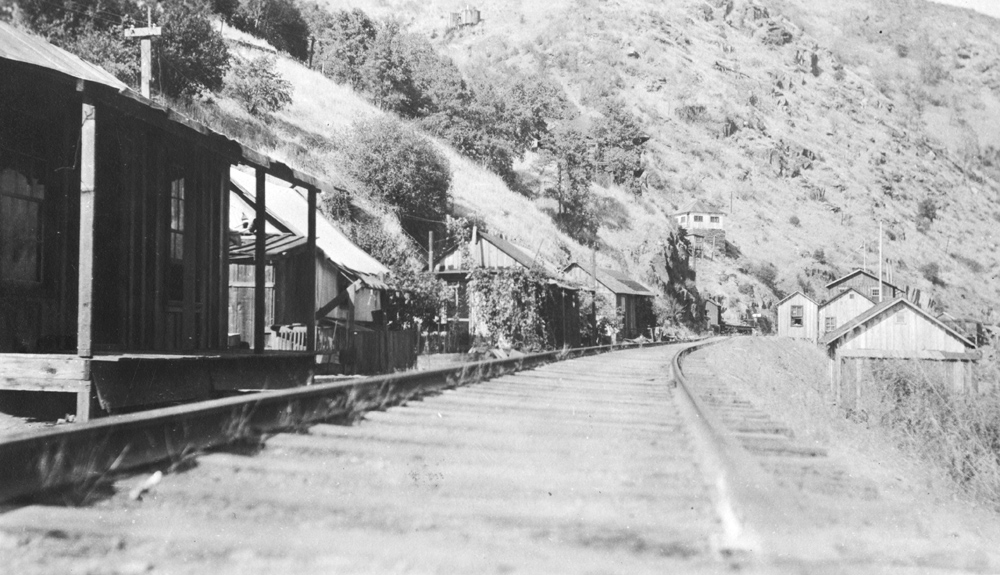
| Town of Whitlock | Bagby on the Merced River | Original Jeffrey Hotel in Coulterville | |
 |
 |
 |
|
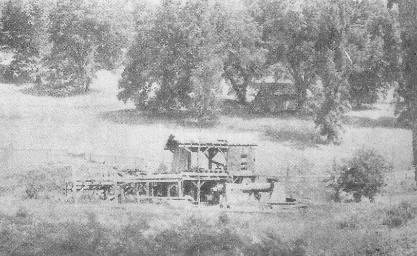
| Coulterville in 1878 | Mormon Bar (See Note 19) | Pine
Tree Mine, north of Bear Valley near the top of Bagby Grade (See Note 20) |
|
| Pioneers | |||
 |
 |
 |
|
| Francisco Bruschi, Coulterville pioneer | Tom Bichard, pioneer miner and philosopher | Early day officials in front of Court House 1880s | |
 |
 |
 |
|
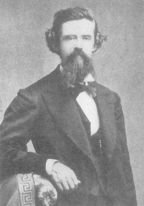
| Captain John S. Diltz, pioneer miner (See Note 17) | Angevine Reynolds, newspaperman (See Note 16) | Millionaire miner John Hite and employees (See Note 14) | |
 |
 |
 |
|
| Galen Clark "the Guardian of Yosemite" | Lafayette H. Bunnell, early day miner who named Yosemite (See Note 15) | Rock Greeley and his logging team | |
 |
 |
 |
|
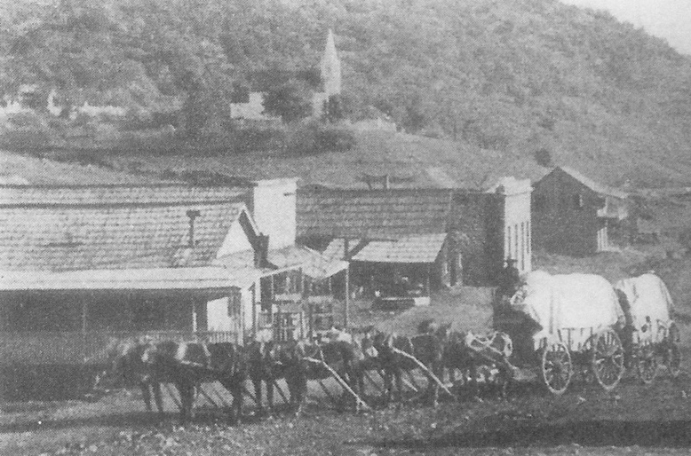
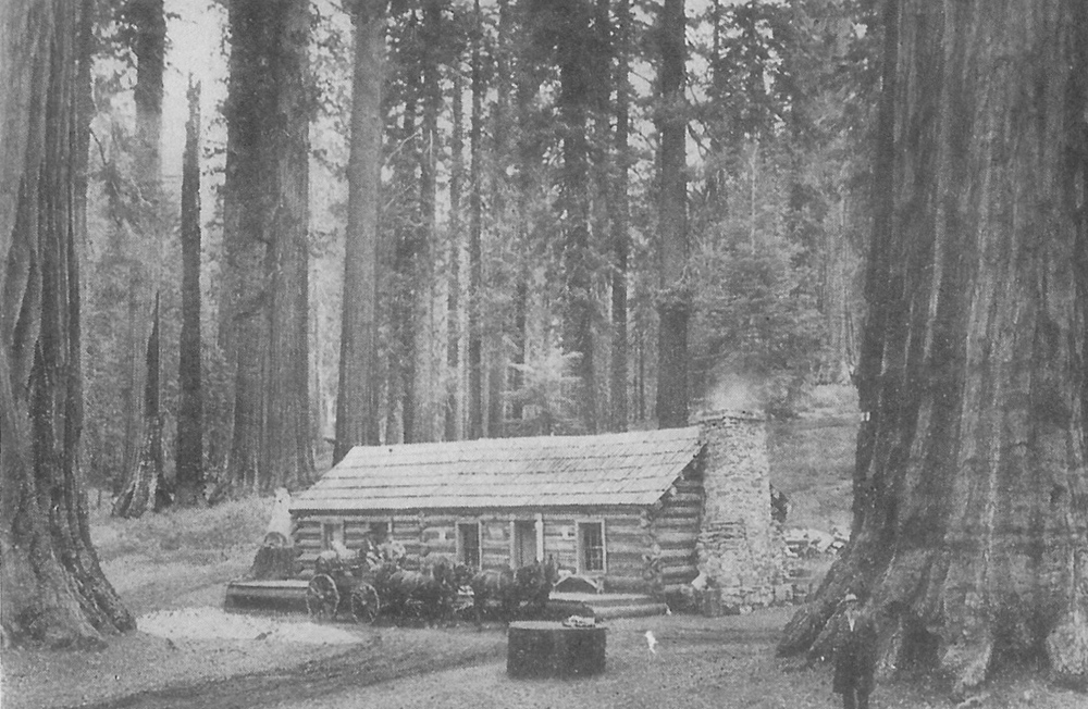
| John Gilmore and his team entering Mariposa in 1879 | Galen Clark at his cabin in the Mariposa Grove of redwoods |
|
|
 |
 |
 |
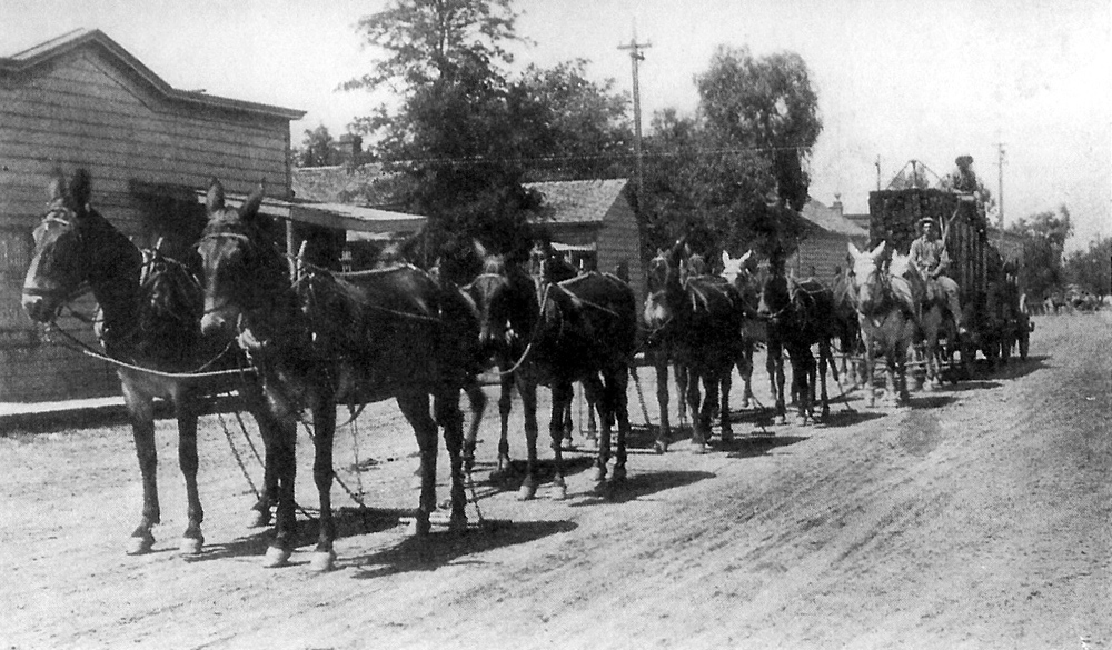
|
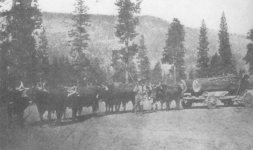
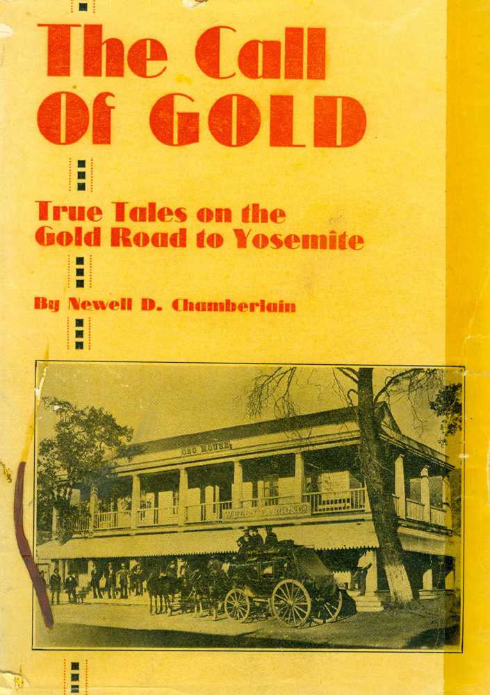
| David Clark's home and sawmill | First 12-animal team to enter Yosemite | Mariposa history, The Call of Gold (See Note 18) | |
| Related Links | |||
| Yosemite Photos by Watkins & others | John Castagnetto | ||
| Tunnel Tree, after it fell | Washburns & Wawona | ||
| Curry Family in Yosemite | 21st Century Mariposa Photos | More about Delaware North | |
| Bagby Photos | Hite's Cove | ||
| Additional Information | |||
|
1. Charlie Walker's garage, early 1920s: The building to the left is the IOOF (Oddfellows) Lodge at the corner of 6th & Highway 140. It later housed the local drug store on the first floor; that building is now a clothing store, Fremont House. 2. This is the location of garage before the wood buildings burned down. The wood buildings on this site burned down; the new building was built with rock walls. C. J. Walker bought the building from Mr. Gann, whose descendents still live in Mariposa. After Mr. Walker's death the building was sold to his daughter and son-in-law, Marge and Jim Dulcich. It was first a restaurant, then a grocery store. The Dulcich's son now operates a hardware store in the building. 3. Schlageter Hotel building, 5th and Highway 140: Built in 1859 by John F. McNamara, destroyed by fire in 1866, rebuilt in 1867 by Herman Schlageter. Presidents Ulysses Grant & James Garfield stayed here. 4. Downtown Mariposa, facing north, 1920s: The present-day highway extends straight in the direction of the tire tracks, just before they turn, and is lined with businesses for about a mile. When the highway was first built, it turned where the tracks turn, and went past the high school, joining the present route about two miles up. 5. Charlie Walker left rear with Nelson family, Wawona Tree: Mr. Nelson was the resident engineer when the state built Highway 140 from Mariposa to El Portal. The Wawona Tree, AKA the Tunnel Tree, is located in the Mariposa Grove of giant sequoias in the south part of Yosemite National Park. A tunnel was cut through the tree in 1881, enlarging an existing fire scar. Two men were paid $75 for the job. The tree had a slight lean, which increased when the tunnel was completed. Travelers would come to have their picture taken either driving through it or standing underneath the tree. It was photographed accommodating everything from horse-drawn carriages in the late nineteenth century to automobiles in the 1960s. The tree fell in 1969 under an estimated two-ton load of snow on its crown. The giant sequoia is estimated to have been 2,300 years old, and is now known as the Fallen Tunnel Tree. 6. Charlie Walker left; Mrs. Washburn holding reins; soldiers from company stationed at Wawona: At various times, the Washburns operated stage coach lines into Yosemite and operated the Wawona hotel. Wawona is located near the south entrance of the park, about 25 miles from Yosemite Valley. 7. Gathering in Yosemite, early 1900s: The caption provided for this photo was "a gathering at Camp Curry." However, after looking closely at the photo, it is clear that there are two redwood trees in the background. These trees did not grow in the valley. It was probably taken at the Mariposa Grove, Yosemite's largest and best known stand of redwoods. Starting in 1899, Camp Curry was the iconic park concessionaire, manager of the Ahwanee Hotel, store, restaurants, camping cabins, and even a swimming pool, for over half a century. The Curry family sold the company in the 1960s, and it was managed (and mis-managed) by a succession of owners, until the park concession was awarded in a bidding process to the Delaware North Company in 1993. In the 2010's the concession was transferred to Aramark. 8.Construction camp at Exchequer Dam, 1925: Exchequer Dam, built on the Merced River between 1924 and 1926, is owned by the Merced Irrigation District and provides water for farming and power generation, as well as recreation for mountain and valley residents alike. The 281,000 acre feet of Lake McClure was increased to over one million with the completion of New Exchequer Dam in 1967. 9.
Merced
10. Mr. & Mrs. Curry and friends leaving El Portal for home in Modesto: The Yosemite Valley Railroad ran from Merced to El Portal, and operated from 1907 to 1946. From El Portal passengers rode horse-drawn carriages on a three hour trip to Yosemite Valley. Later motorized vehicles provided this service, but the completion of Highway 140 from Merced to Yosemite spelled the end for this historic railway. During its operation, the railroad also provided freight service, hauling logs, lumber and minerals down the canyon. 11. Bagby, 1920s: Bagby was a stop on the Yosemite Valley Railroad, as well as a popular recreation site where State Highway 49 crosses the Merced River. The community began as a ferry called Ridley’s Ferry that operated between 1850 and 1852 at or near this location. Then in 1859 Col. John C. Fremont established a 16-stamp ore-crushing mill here, and named the community that grew up at the milling complex on the south side of the river Benton Mills, after his father in law, Senator Thomas Hart Benton of Missouri. In 1890 boarding houses, cabins, a mill building, a post office and a store were established on the north side of the river. The community that grew up there was called Bagby, after B. A. Bagby, a local hotel owner. The completion of New Exchequer Dam and subsequent rise in the level of Lake McClure in the 1960s inundated what was left of the town. 12. Mormon Bar: This community got its name when a company of Mormon soldiers built a log cabin on a hill in the fall of 1848. It is located on Mariposa Creek, south of the junction with Stockton Creek, near the present day fairgrounds. (Carlton Watkins photo) 13. Carson: Carson was located at what is now the junction of Yaqui Gulch Road and Highway 140. It was a mining community with a thriving tannery (Watkins photo) 14. Hite's Cove Mine: Hite's Cove mine was located on the South Fork of the Merced River, and became the center of a dramatic legal battle. The story is told in full in a book The Millionaire Miner and the Indian Girl. This link reports on the disposition of the case. A popular hiking trail leads into the area from Highway 140 near El Portal. 15. Laffayett H. Bunnell: An article from California Med in 1964 recounts the events surrounding Dr. Bunnell's choice of names. You can see a scanned version, or choose a downloadable PDF file. 16. Angevine Reynolds: A former Texas ranger, Reynolds edited the Mariposa Gazette, served as county clerk, and was involved in various business enterprises. There's a nice biography here. 17. John Diltz: Captain Diltz was one of the more successful miners of Mariposa County. His autobiography was included in Newell Chamberlain's history of the area, Call of Gold. Here's a very brief sketch. 18. The Call of Gold: Many of the pictures here and extensive information about the people and locations pictured are included in The Call of Gold, a history of early Mariposa County by Newell D. Chamberlain. The entire book is available on line, but ideally one should read the recent, annotated version, which corrects some of Chamberlain's errors. 19. Mormon Bar: This is located about two miles south of Mariposa, just off present day Highway 49 South. My best guess is that it dates from the early 20th century. The building on the left was still standing but not in use when I was a young child in the 1940s. This photo was posted by Mariposa historian Tom Phillips on the Facebook page You Know You're From Mariposa When... This page has hundreds of photos of old and not-so-old Mariposa and its residents, and is well worth a visit. 20. Pine Tree Mine: Originally part of John C. Fremont's mining operations, the Pine Tree operated at least into the 1940s. My father, Bob Estel, worked there briefly some time after 1935. Nothing is left but a concrete structure whose purpose is unknown. (Source material includes Wikipedia and many other Internet sites) |
|||


