|
Dick's Parkfield Pictures |
||
| Photos Parkfield Slide Show Links | ||
| New photos added here May 22, 2019 (captions in red) | ||
|
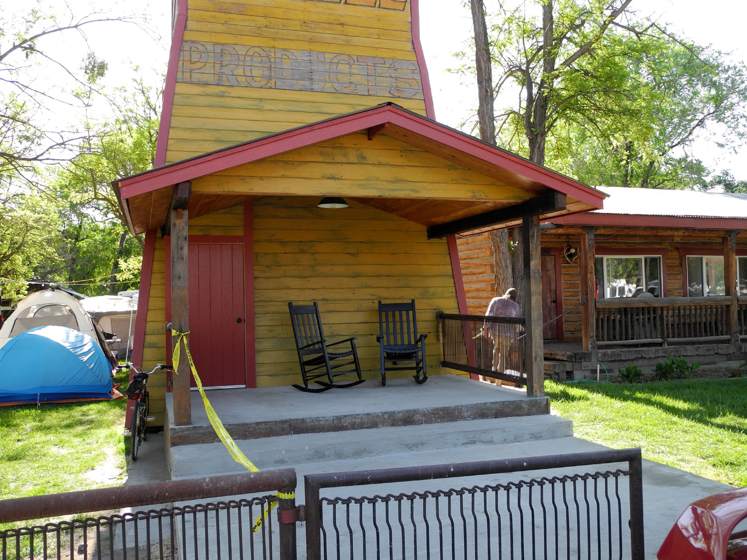
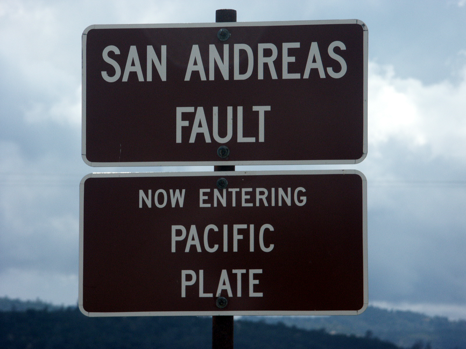
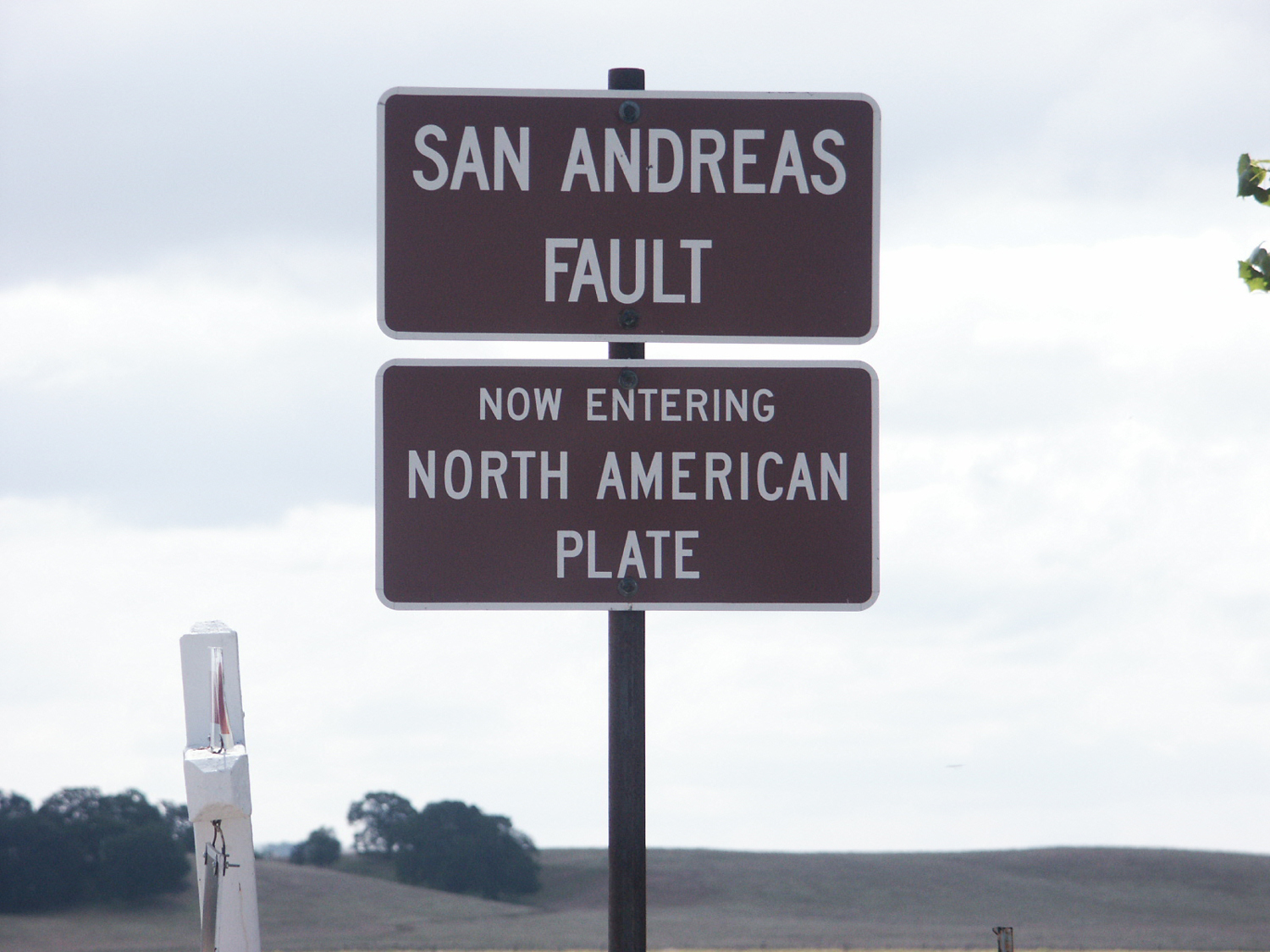
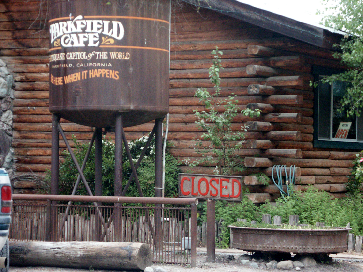
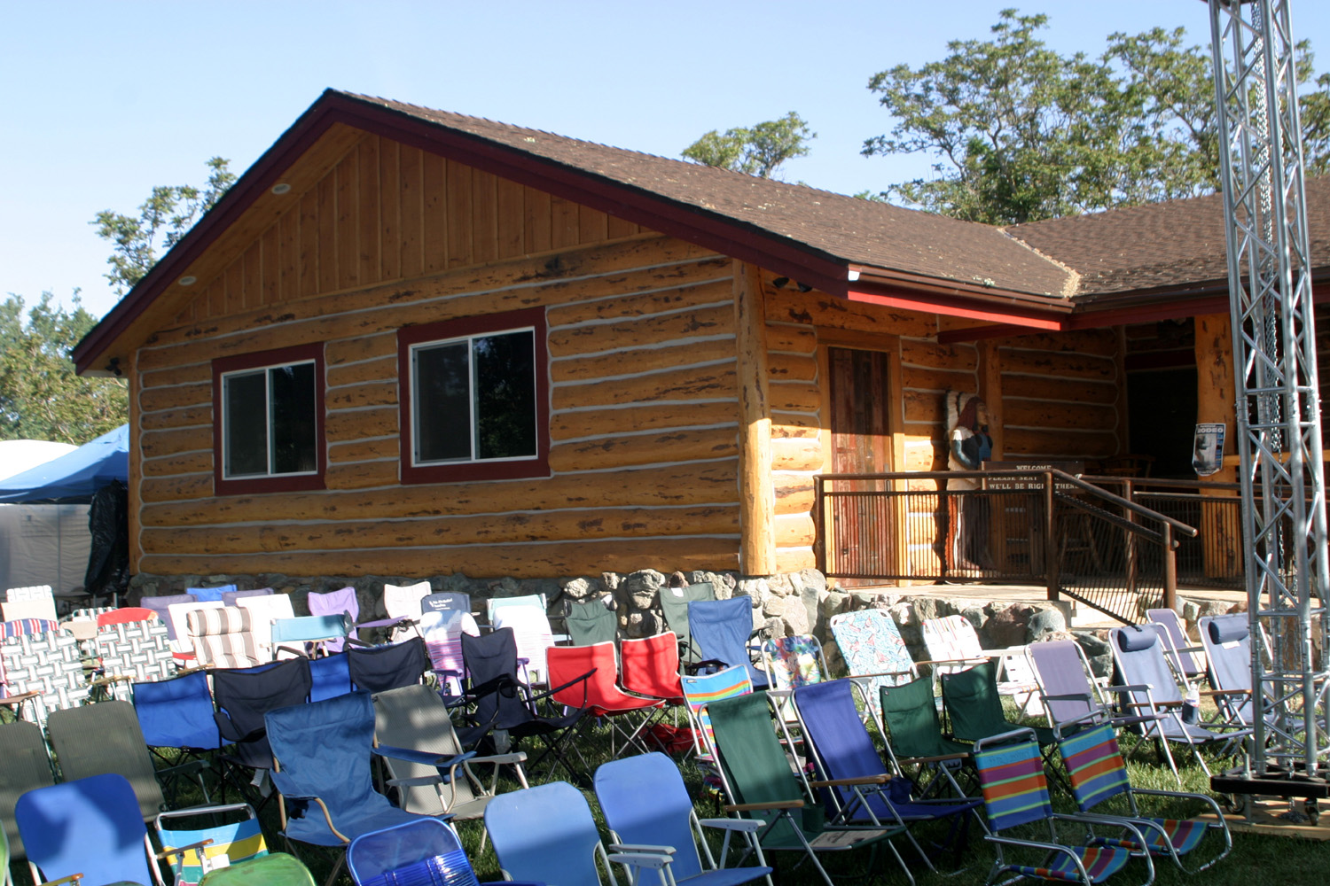
Parkfield, CA, is the site of a bluegrass festival every Mother's Day weekend. At other times it's the site of trail rides, wild pig hunts, weddings, motorcycle rallies, rodeos and other events, under the name V6 Ranch. It's also the site of earthquakes. Located on the San Andreas Fault, where the Pacific and North American plates slip and slide and grind together, it's an ideal spot for earthquake study. The US Geological Survey has a building there with quake monitoring instruments, and when there is a significant event, scientists converge on the town to learn more about what's happening. Parkfield is an ideal location for such a study. The tallest building in town is an old wooden water tower, and the only two business buildings are made of heavy logs. Property damage and injuries are unlikely even in a fairly strong quake. The town motto for the rodeo, bluegrass festival and other events is “Be here when it happens,” which of course refers to “the big one.” There was a “little one” in 2004, which you can read about here. My first knowledge of Parkfield and my first visit there came when my friends, the late Ben and Wilma Briscoe of Avenal, took me there for breakfast at the cafe one time. I was impressed with the surroundings, and a year or two later, when I learned there was a bluegrass festival there, I made plans to attend. From 2001 to 2019 I missed only one. Parkfield is in the
Cholame
Valley, directly west of Avenal and south of Coalinga, but access is
from the south via
Cholame Valley Road off Highway 46 from Cholame, or from San
Miguel to the north on US 101 via Vineyard Canyon Road. The bridge was re-built about 2001, because the old bridge had been moved out of alignment due to slippage of the fault. The new bridge is already showing a slight change in alignment. There is also a road that runs north and south between Parkfield and Coalinga, but it turns to dirt about eight miles out of Parkfield. It's never a good route for RVs, and it's virtually impassable when wet. I have to confess that, despite warnings, I started up that road after a light rainfall, because it didn't look that bad. However, the dirt there has a composition that instantly turns slick when it gets wet. After just a few feet I realized I needed to turn around. Then I realized I should just back up very slowly back on to the pavement, and even doing this, the truck slid around a bit. When there
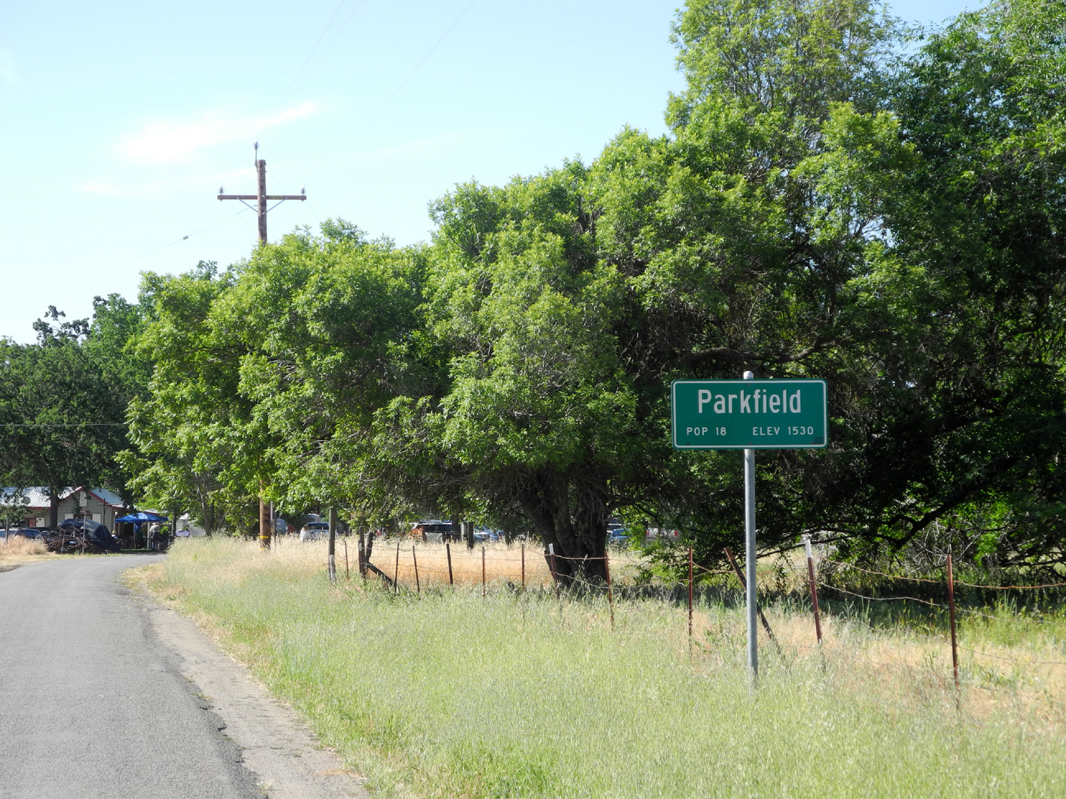
are no events going on, it's a quiet, rural spot. The sign at the
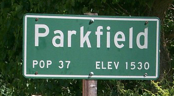
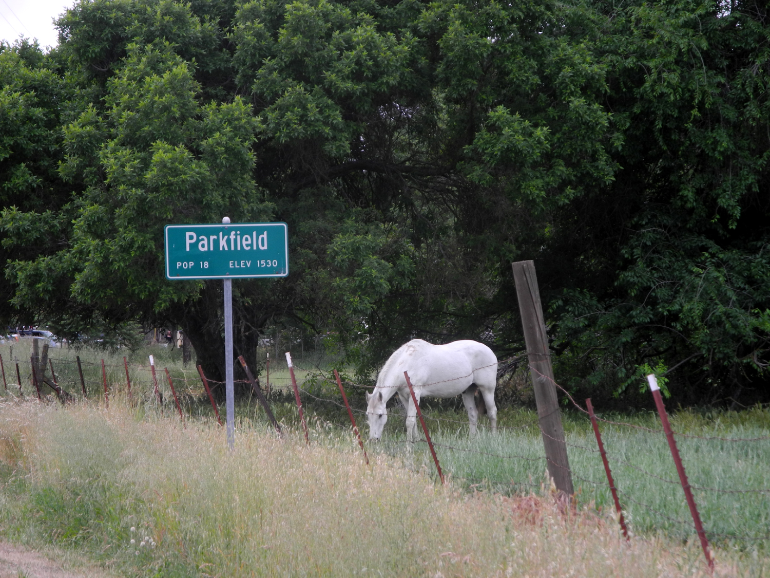
"city limits" says “Population 18, Elevation 1530.”
There are only two businesses in the actual town, the Parkfield
Café and the Parkfield Inn. I counted seven houses within the town
area, although there are others within a quarter mile. Except for
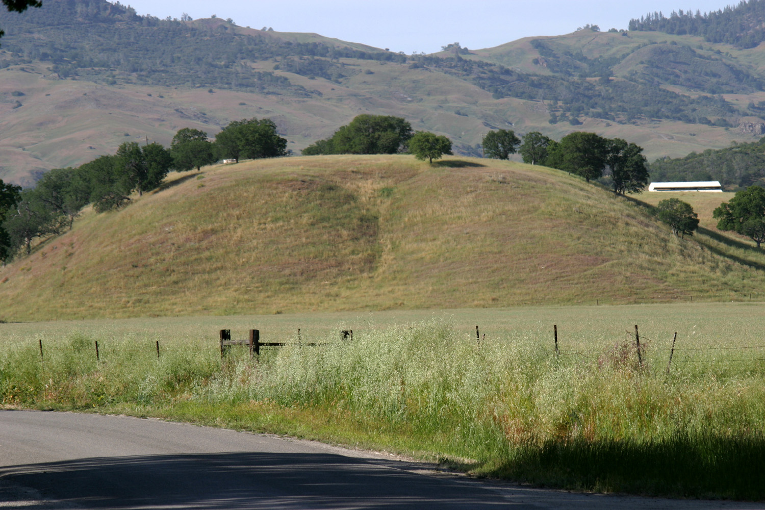
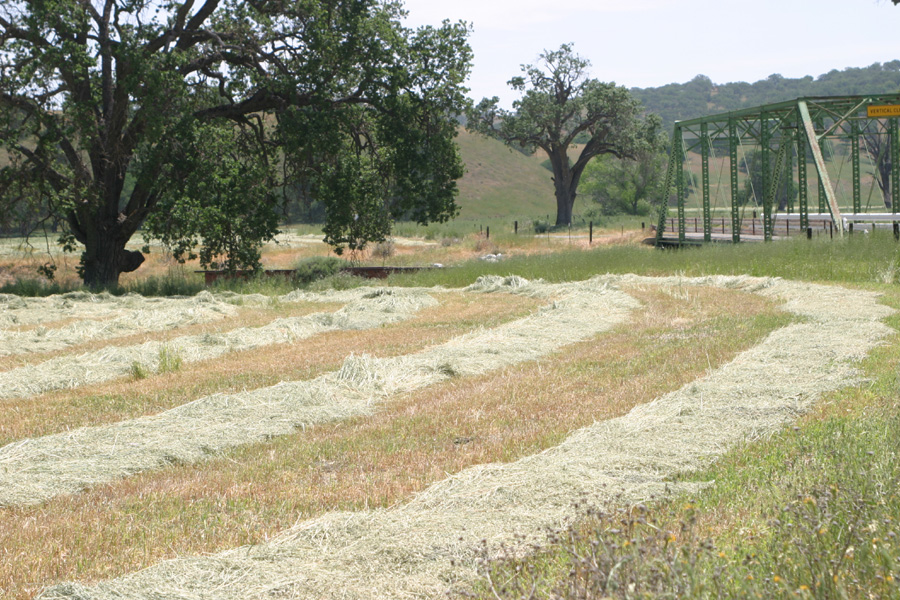
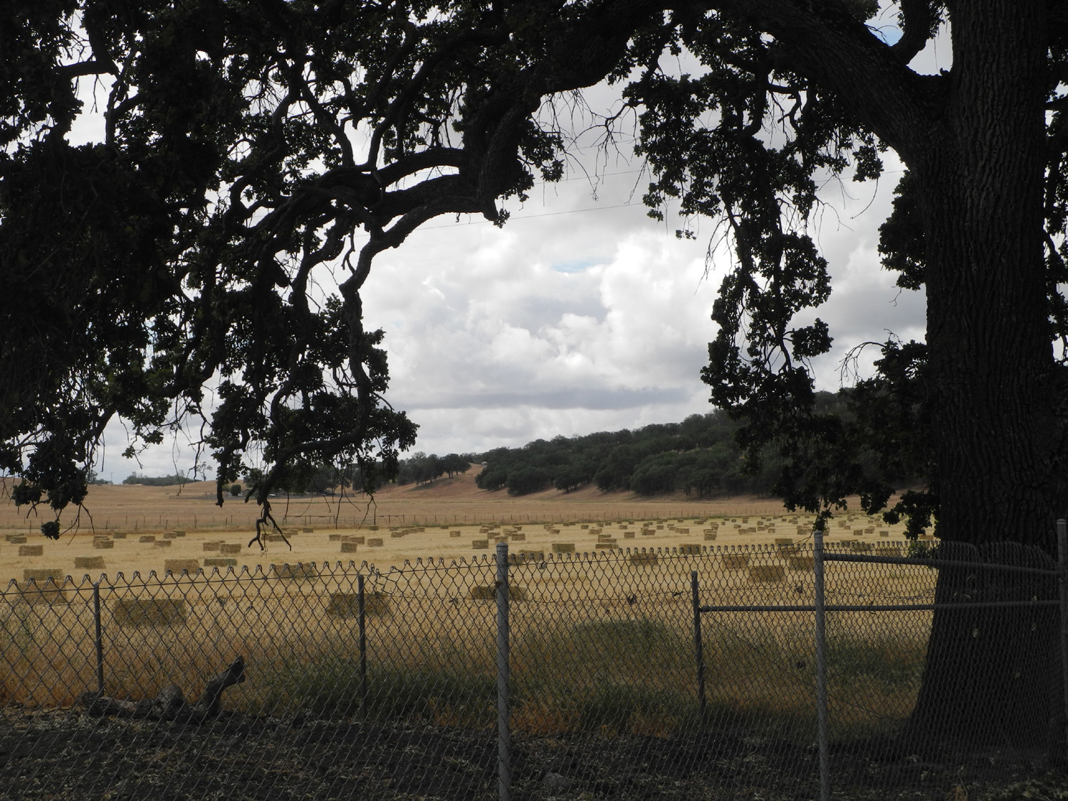
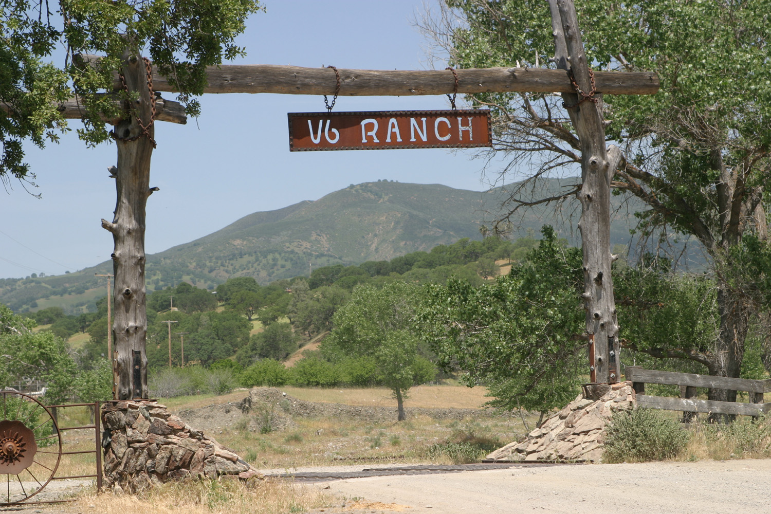
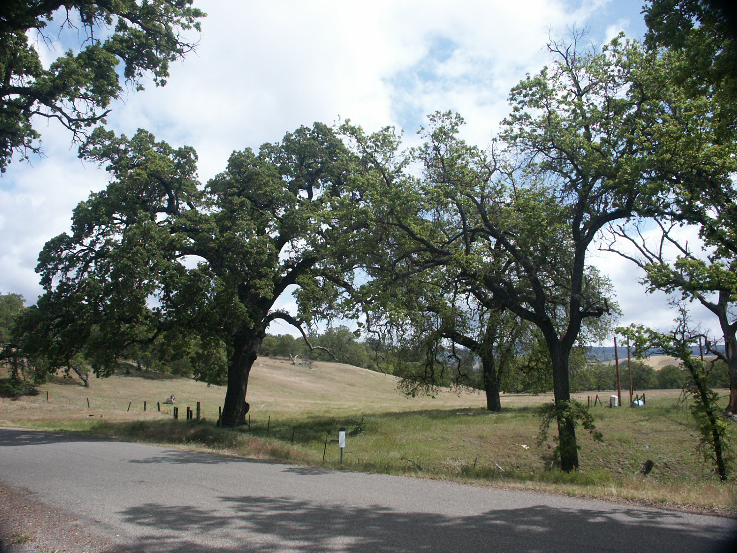
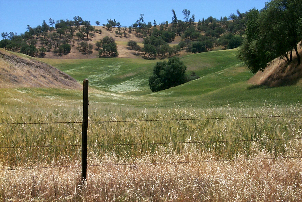
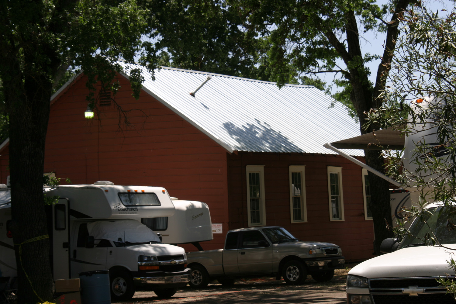
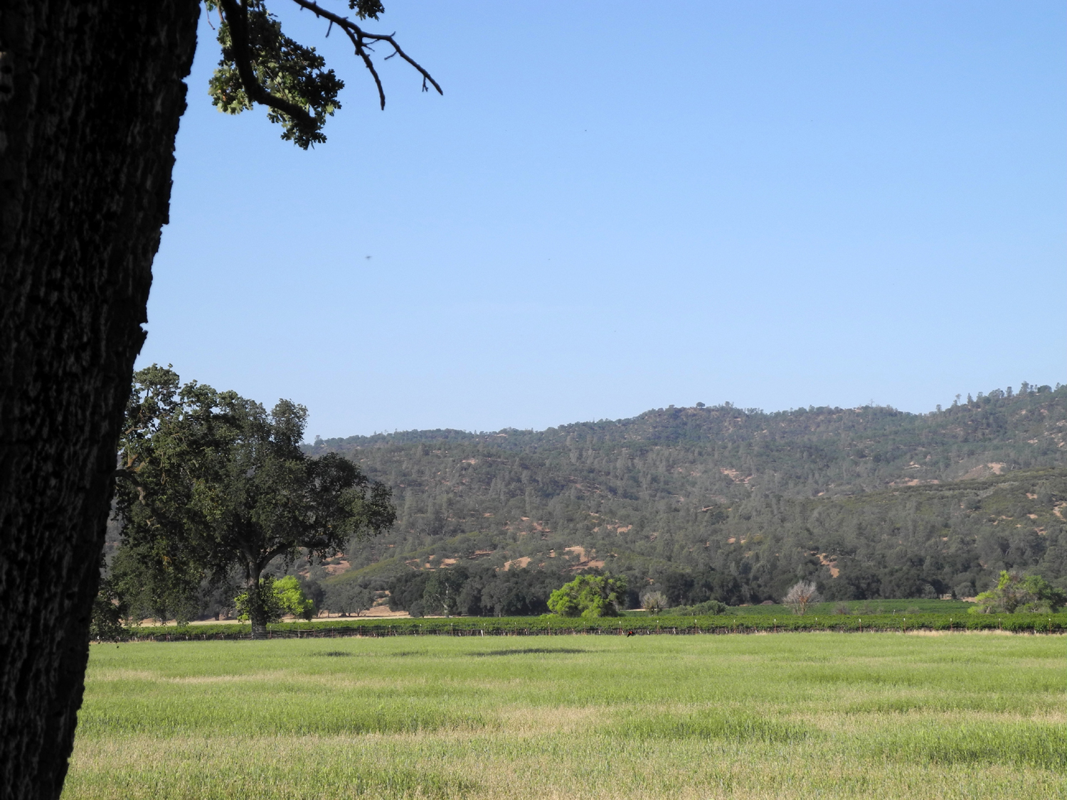
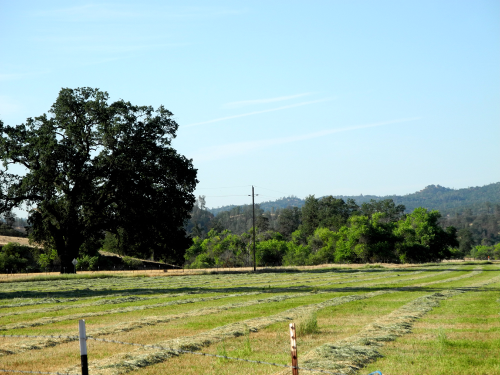
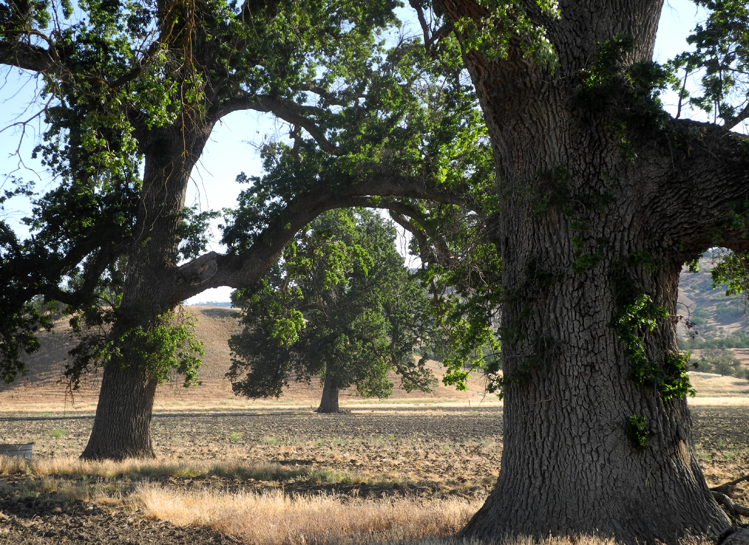
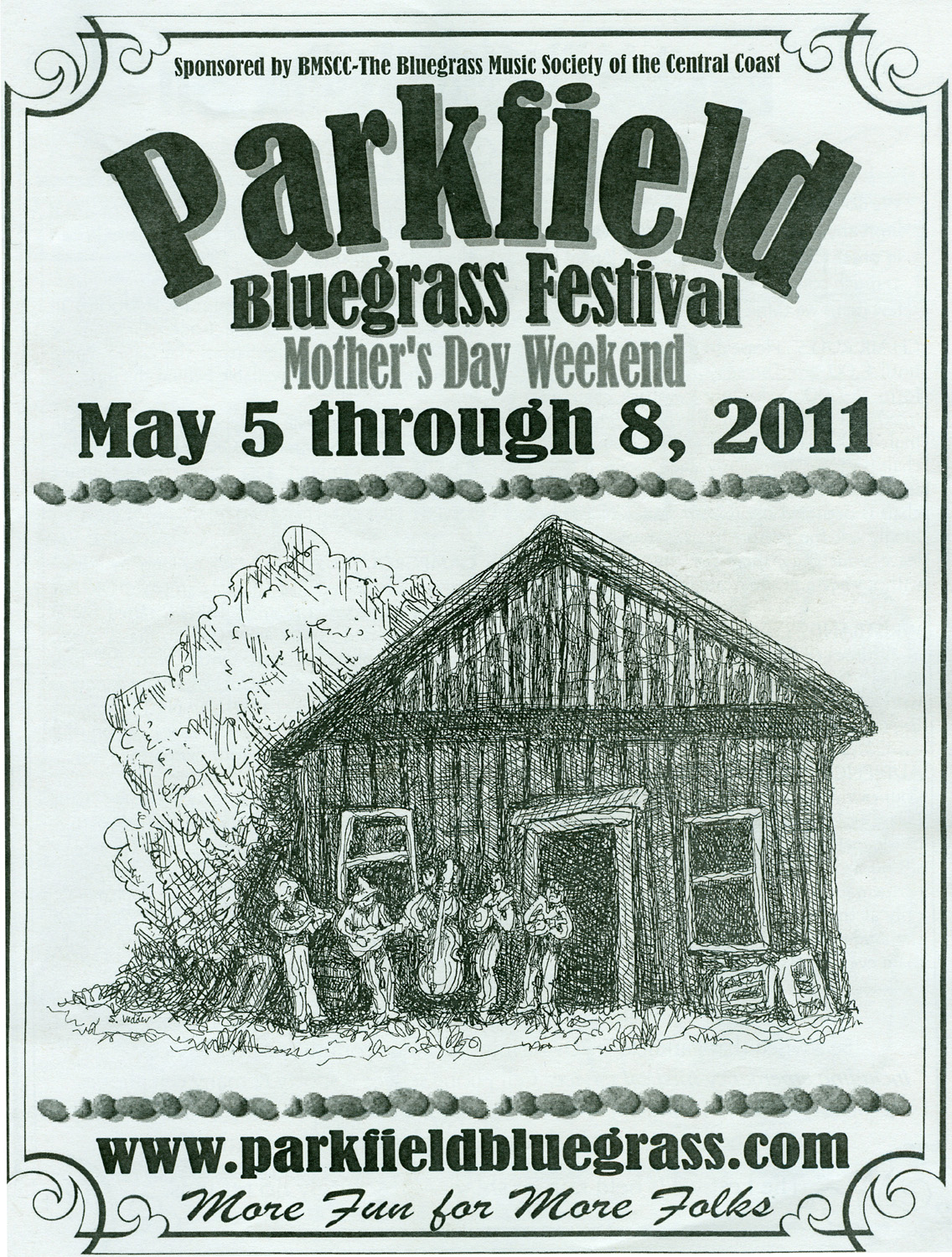
the main road through town ( Of course, there are a number of farms and ranches out in the country along the various roads, and on a hill above town, the John Varian residence, a large new home that was built in the last few years. The Varian family owns the two businesses in Parkfield as well as 20,000 acres of ranch land, the V6 Ranch. It is very pretty country. The Cholame Valley varies in width from maybe 100 feet to a mile. The fields and hills are covered with large, ancient valley oak trees, and the principle agricultural activity is cattle and hay. During the festival, the hay in some fields has been cut and is drying on the ground, awaiting the bailer. As you approach the town, the valley narrows down, and there is a flat, lush creek bottom with brown hills rising abruptly about 40 feet from the stream. North of town there are yuccas in bloom in May, and it's a nice drive from the town to the end of the pavement. The first European settlers arrived in the area in 1854. In addition to agriculture, there was extensive mining, and in 1900 the population was around 900. When the mines gave out, everyone moved away except the ranchers. I had the pleasure of meeting John and Barbara Varian, who operate the town businesses, at the 2009 bluegrass festival. John's grandfather, Sigurd Varian, along with his brother Russell, invented the Klystron tube, which was critical in the development of radar. They developed the technology into equipment that is still used in the treatment of cancer. Sig's son, Jack, is the current patriarch of the family. He, and his wife Zee live at the ranch headquarters, and all four children, two sons and two daughters, live in the area. Barbara is a fifth generation member of another ranching family that purchased land in the San Ardo area in 1865. John and Barbara have two daughters and a son, all of whom are involved in ranching and rodeo activities. In 2009, noting a number of changes that had taken place, I realized I should photograph everything of any possible interest, before any more changes occur. Small and quiet does not mean unchanging. Just since the 2010 festival there is a new roof on the Community Center, a cover over a row of mailboxes on the main road, a new building on one of the ranch sites in town, and a swimming pool behind the lodge. An old building a block off the main street burned down. In the 1890's this was the original Parkfield Hotel, and it was memorialized in a drawing by Sally Vedder that graces the cover of the 2011 festival program. --Dick Estel, May 2009; updated May 2011, May 2014 and December 2022 |
||
| Click photo for a larger view (pictures open in a new window) | ||
 |
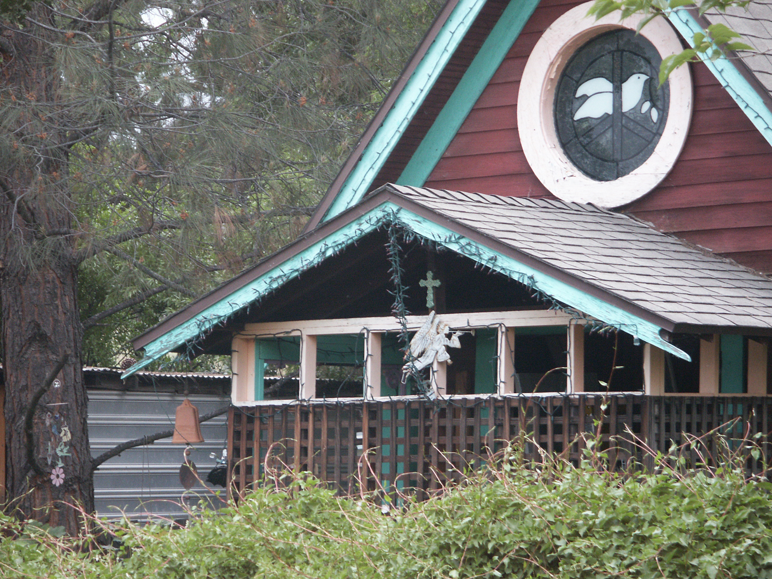 |
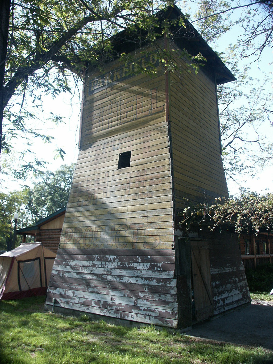
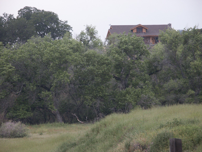 |
| The old water tower | The coolest-looking home in Parkfield | The John & Barbara Varian home |
 |
 |
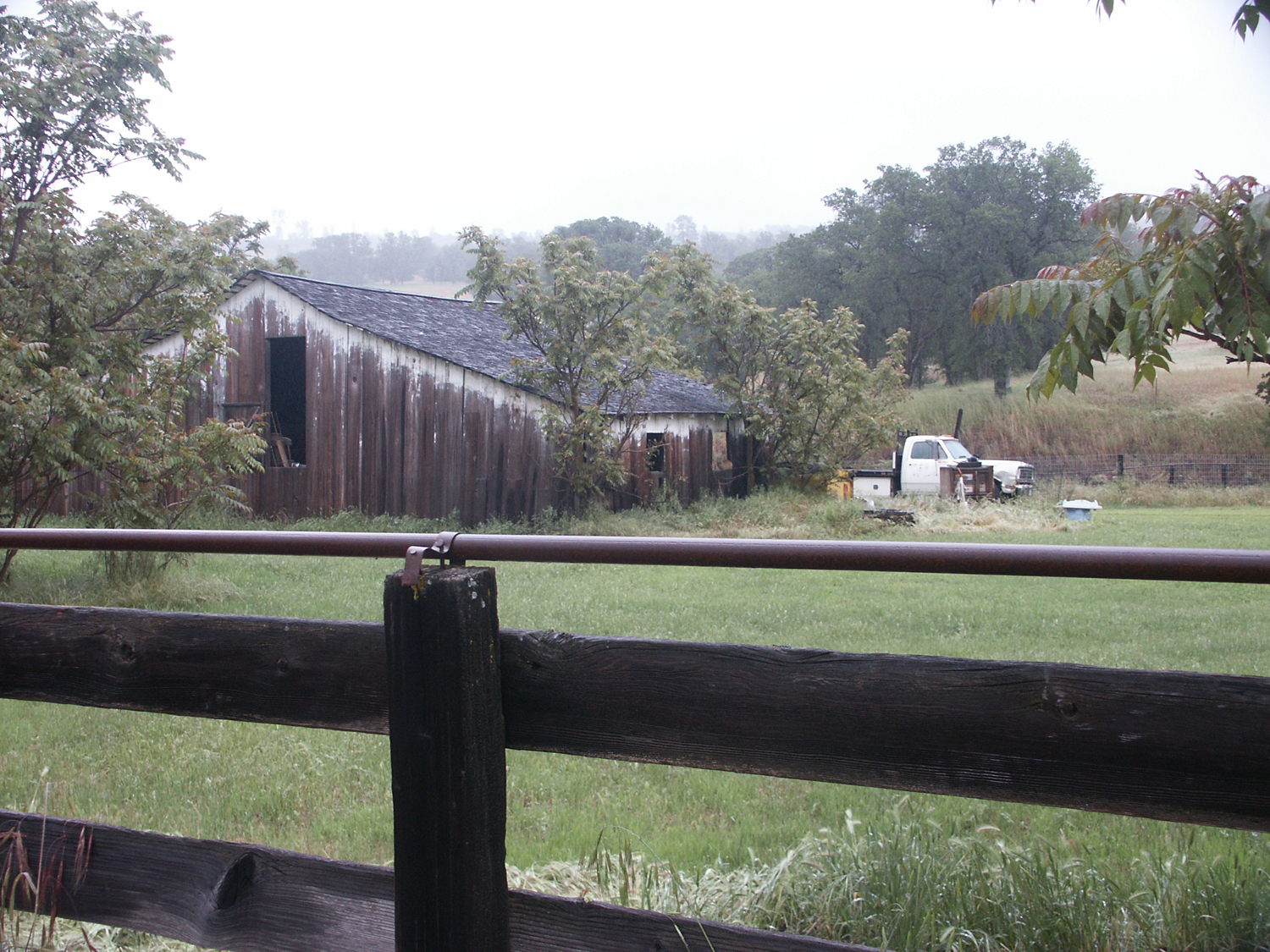 |
| The muddy road, with my tire tracks at the right | The V6 Ranch gate | Barn on Parkfield-Coalinga Road, north of town |
 |
|
 |
| Hay field just outside of town | Hay drying near town | Close-up |
 |
 |
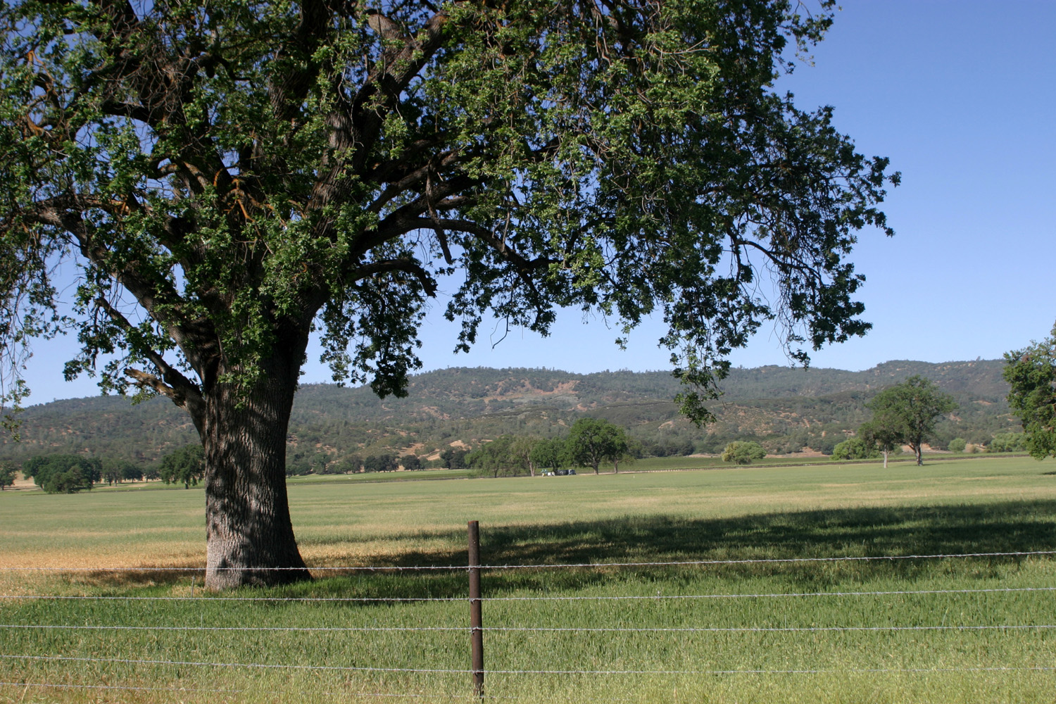 |
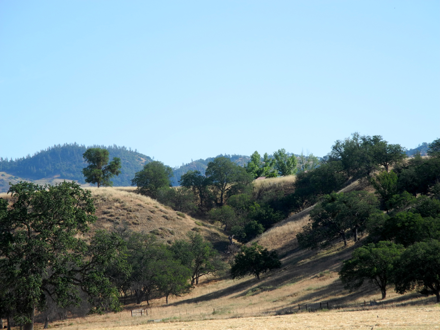
| Ranch near Parkfield | Cholame Creek north of town | Oaks & field west of town |
 |
 |
|
| Entering the Pacific Plate | Entering the North American plate | The "city" limits (2001 population count) |
 |
 |
 |
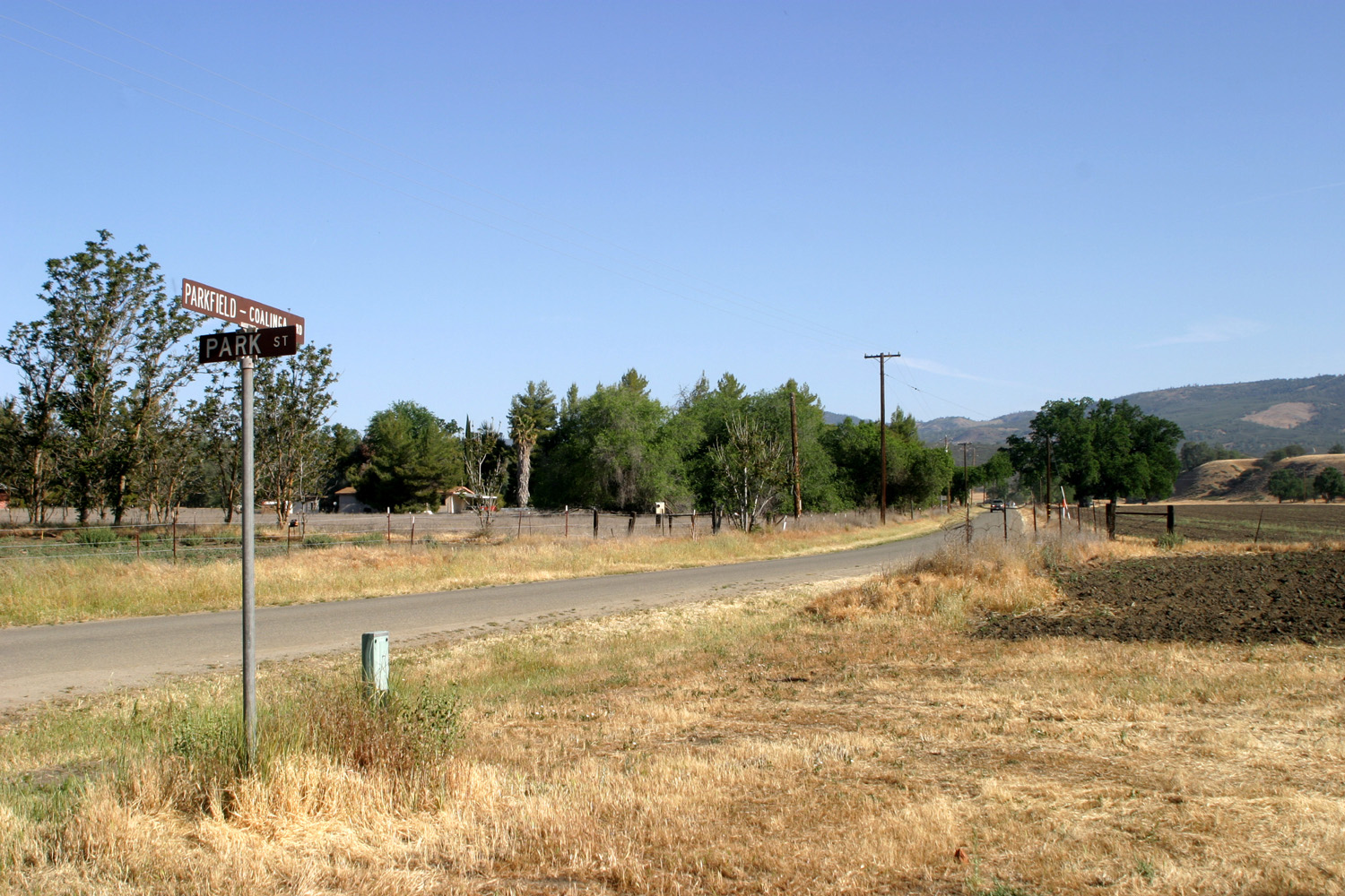
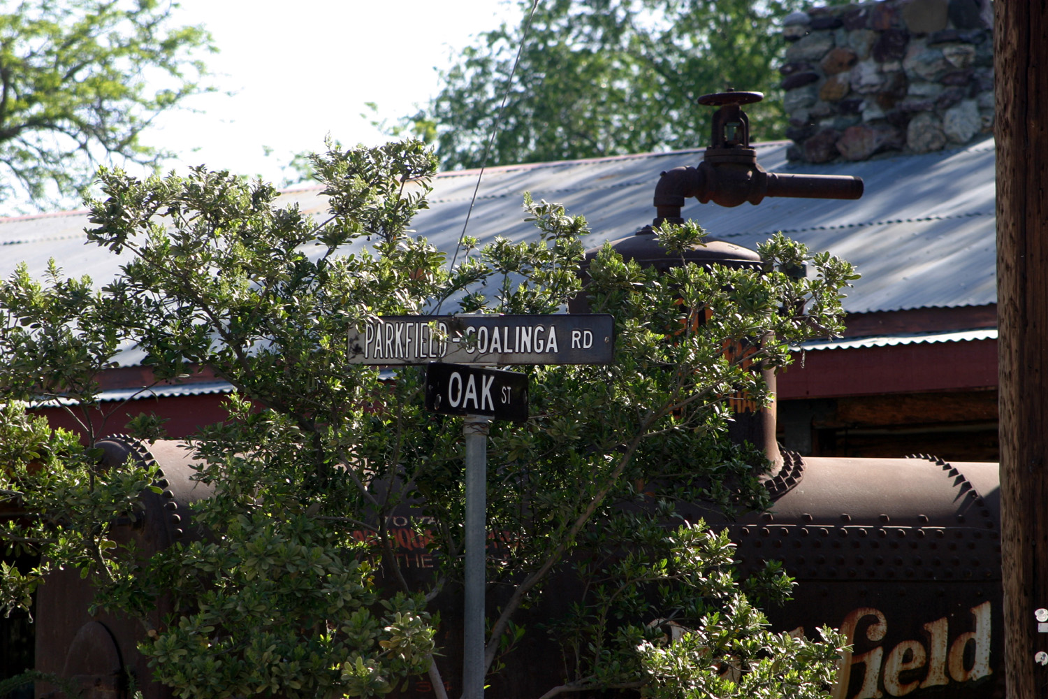
| Intersection, north side of town |
Looking north on the Parkfield-Coalinga Road |
Mailboxes on Parkfield-Coalinga Road near Park Street |
 |
 |
 |
| Guarding Park Street | Looking north from center of town | South from the same area |
 |
 |
 |
| Center of town | Looking east on Oak Street | Permanently parked |
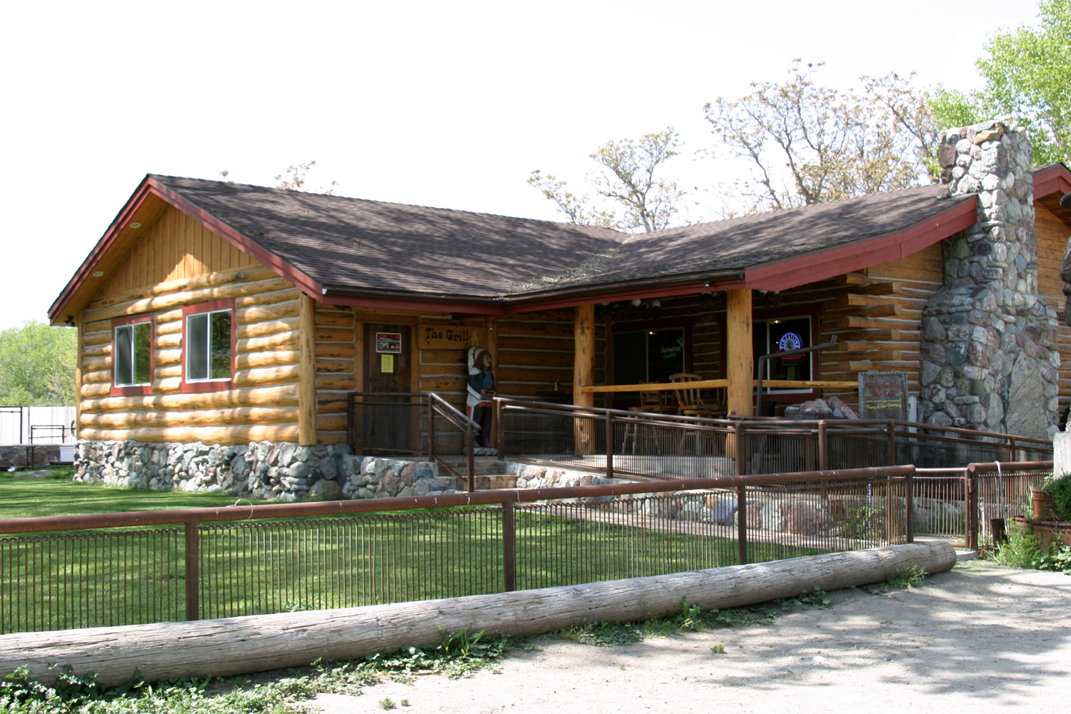
 |
 |
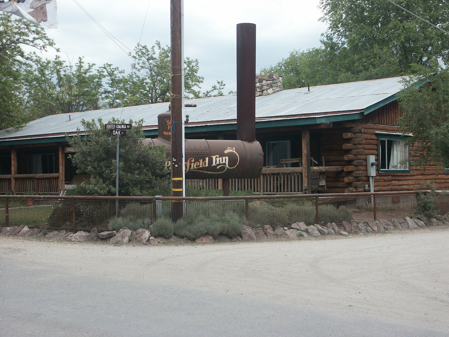 |
| Parkfield Cafe | The new wing, added 2008-09 | Parkfield Inn |
 |
 |
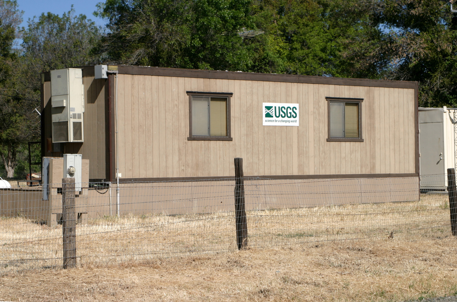 |
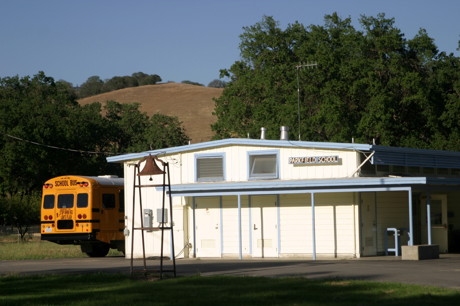
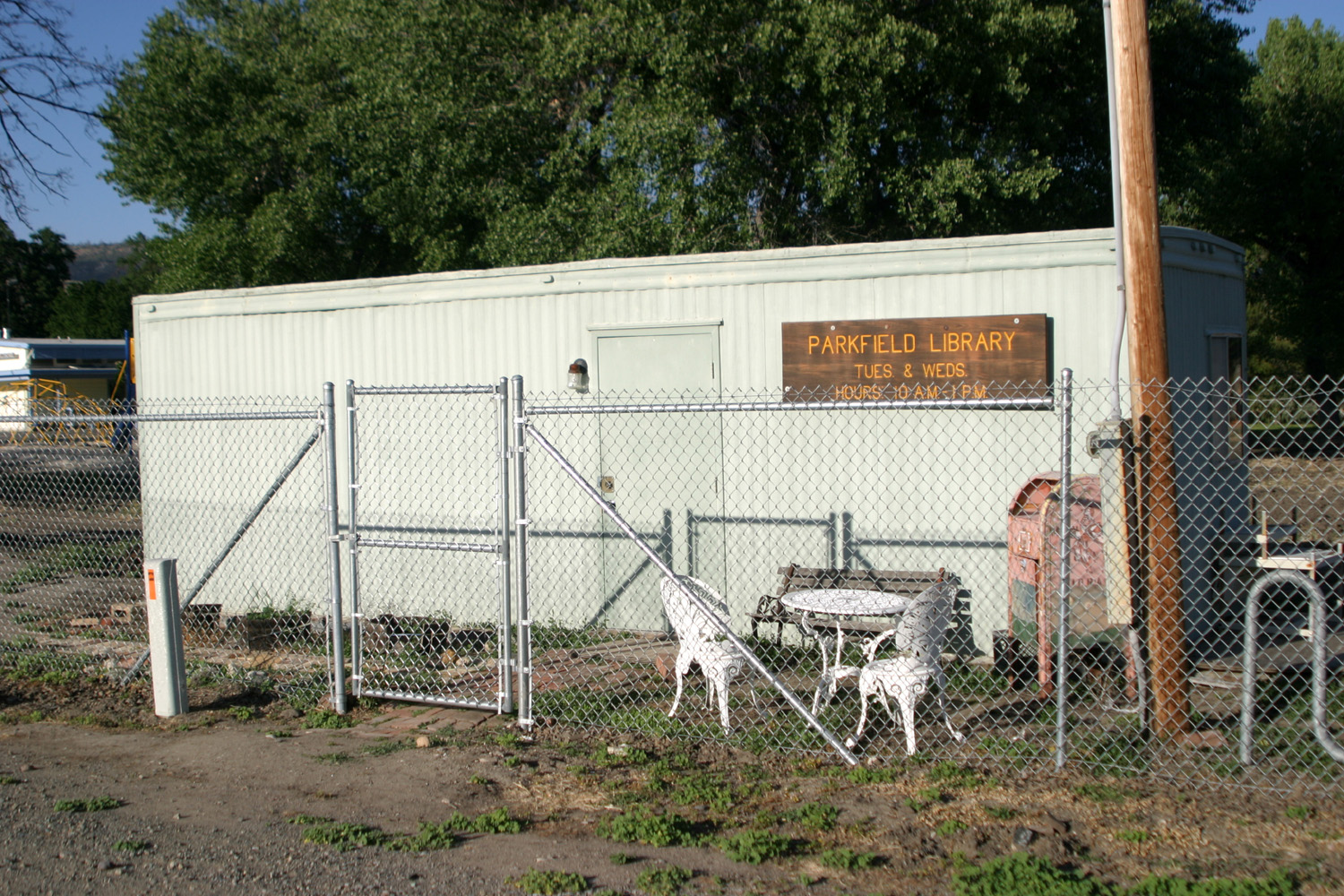
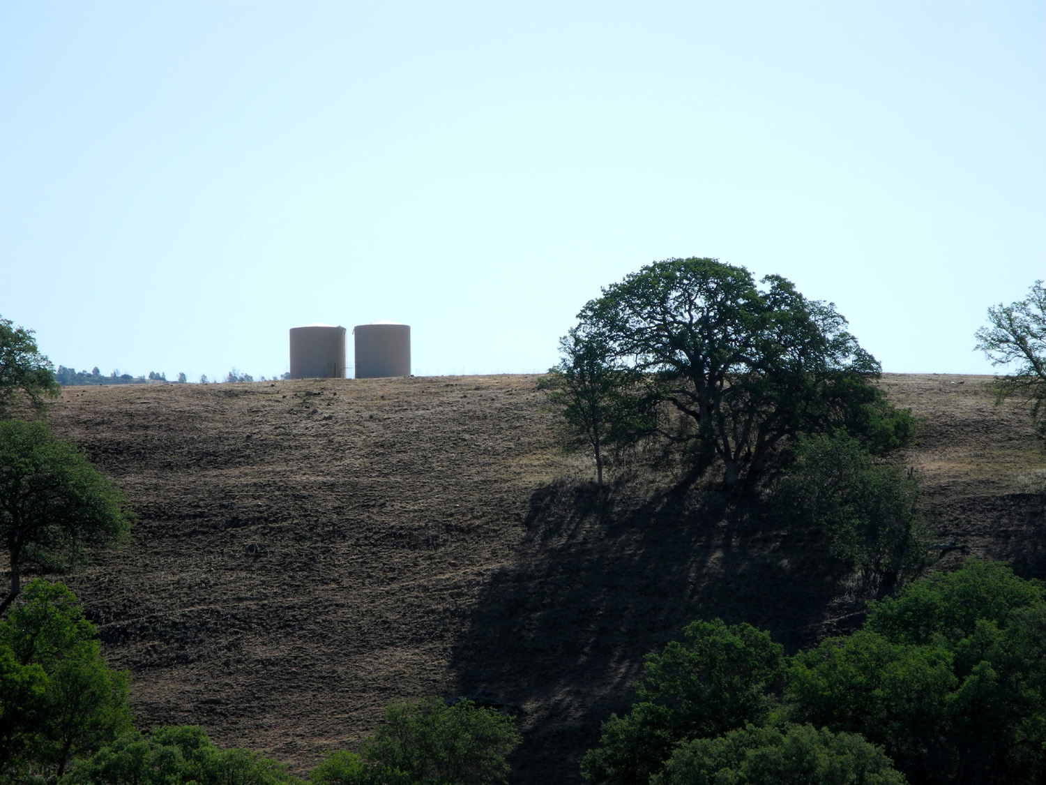
| Parkfield School | Library in a can | Where they measure the shaking |
 |
 |
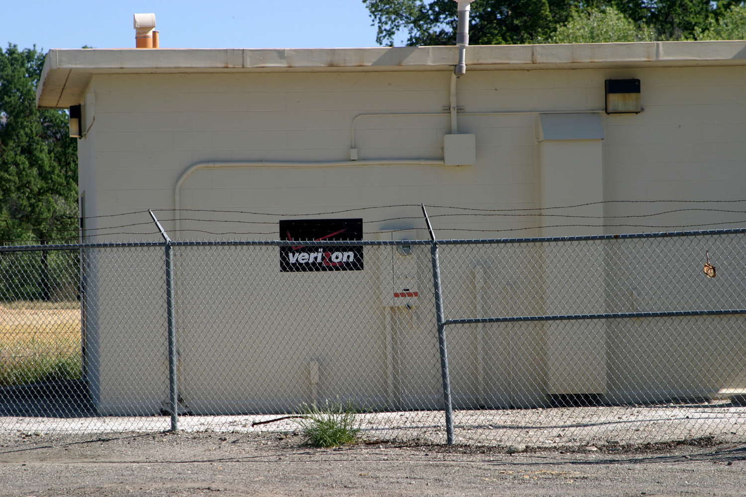 |
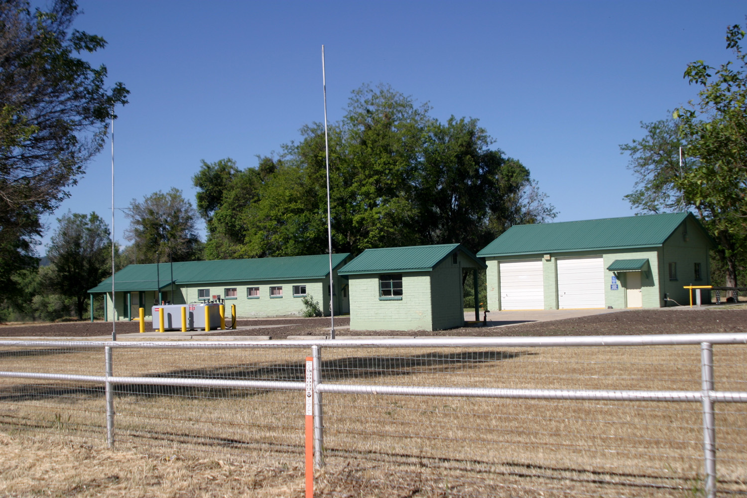
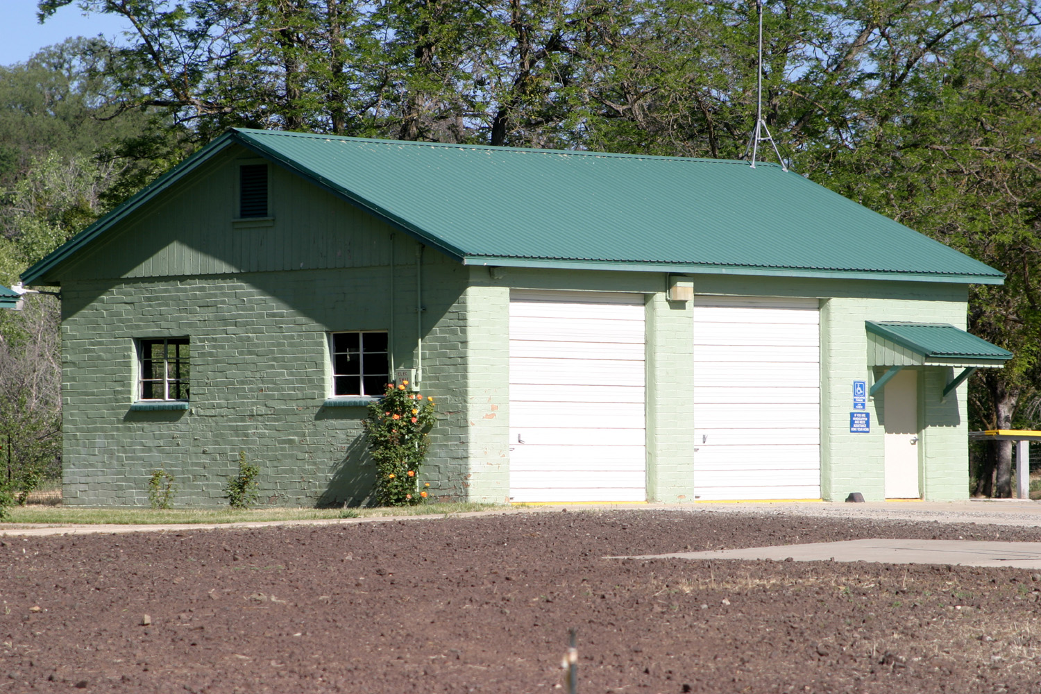
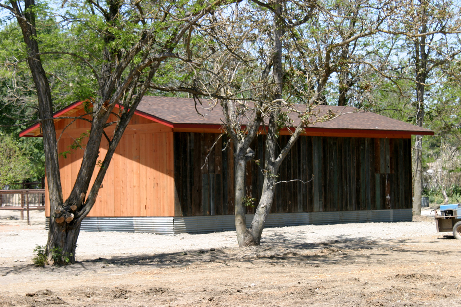
| State Division of Forestry complex | CDF building | Why Verizon is the only cell service that works in Parkfield |
 |
 |
 |
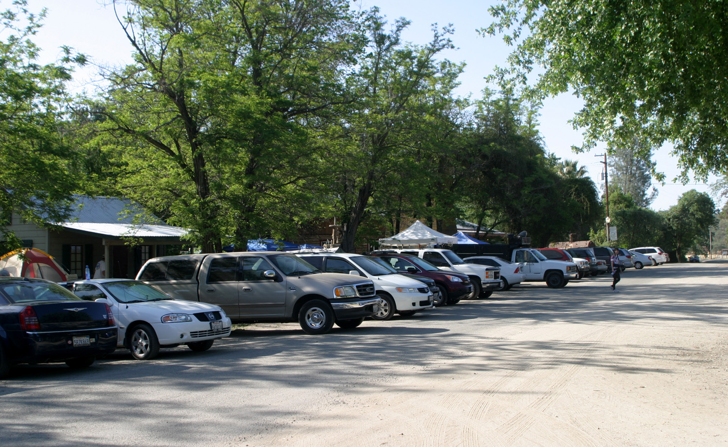
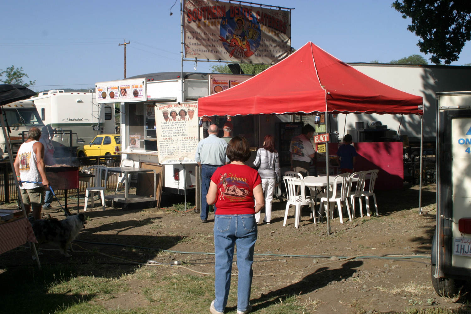
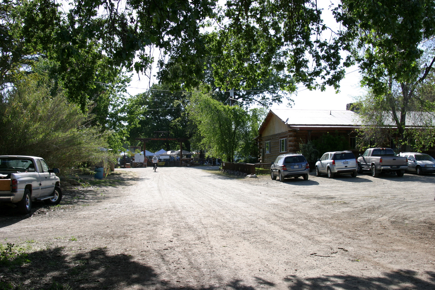
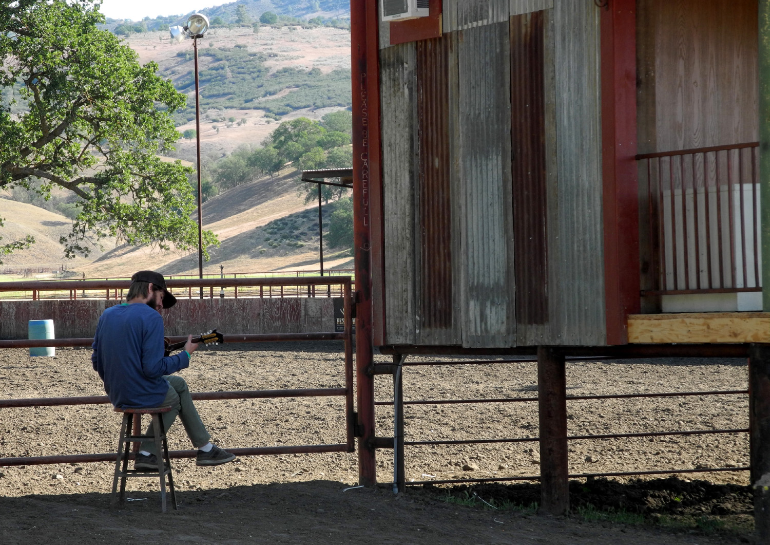
| Dining al fresco | More food choices when the bluegrass festival is on |
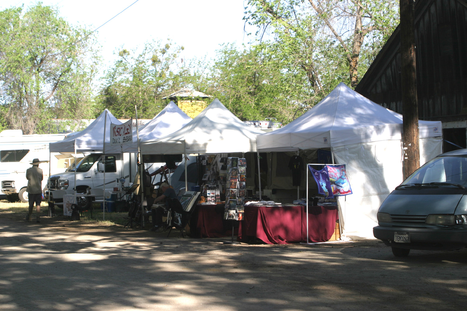
Concession booths on Oak Street |
 |
 |
 |
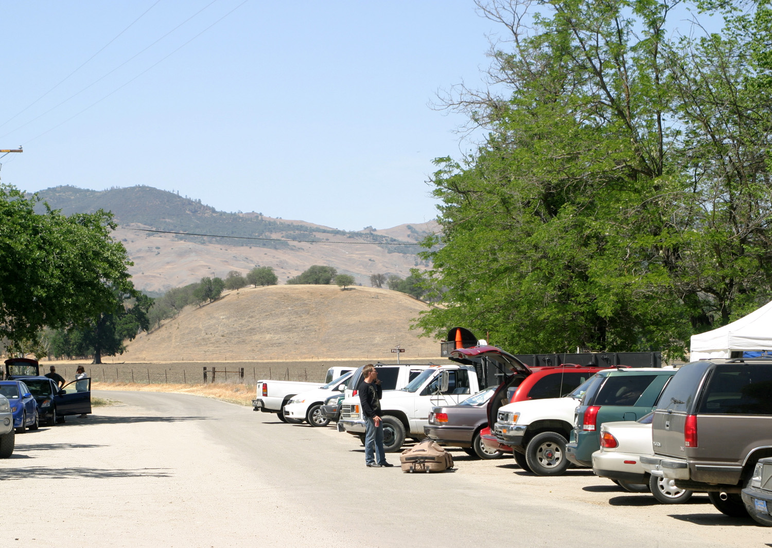
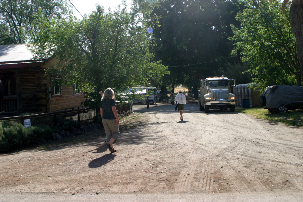
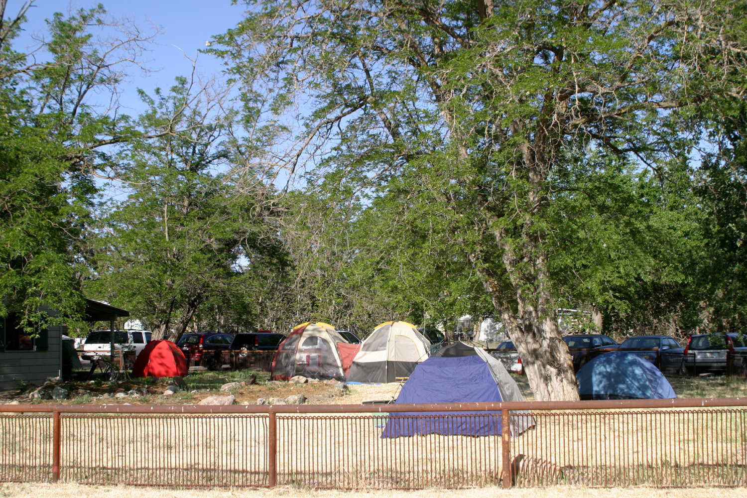
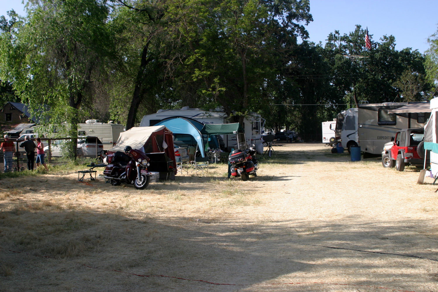
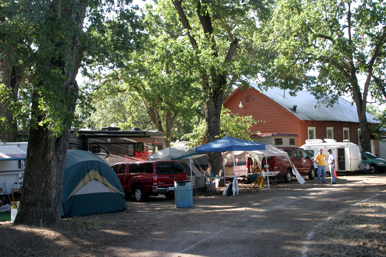
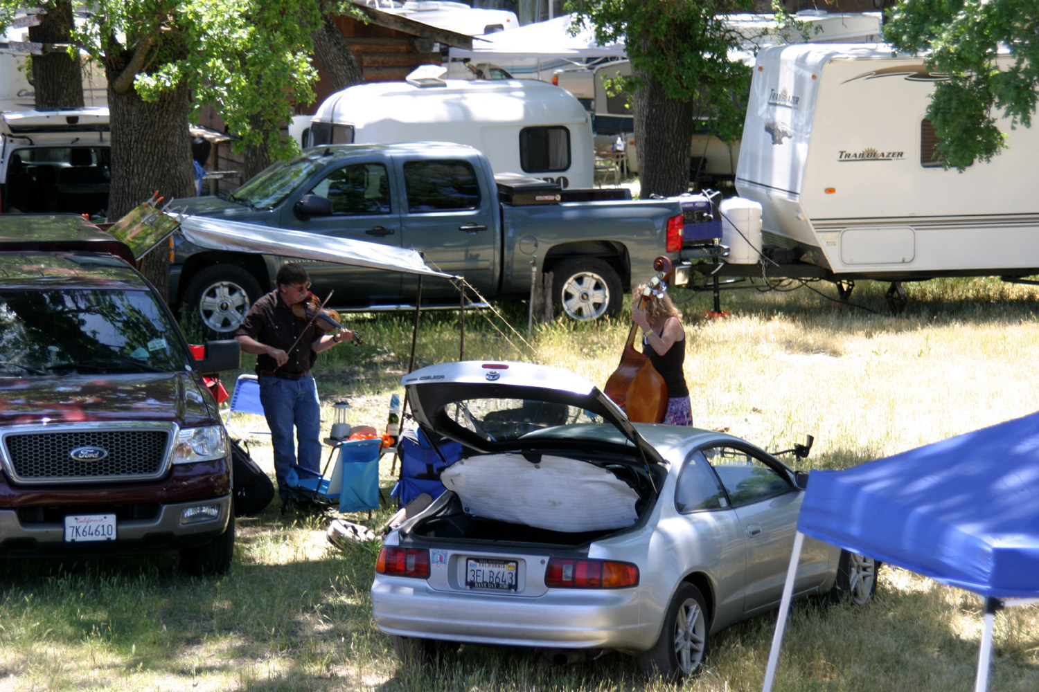
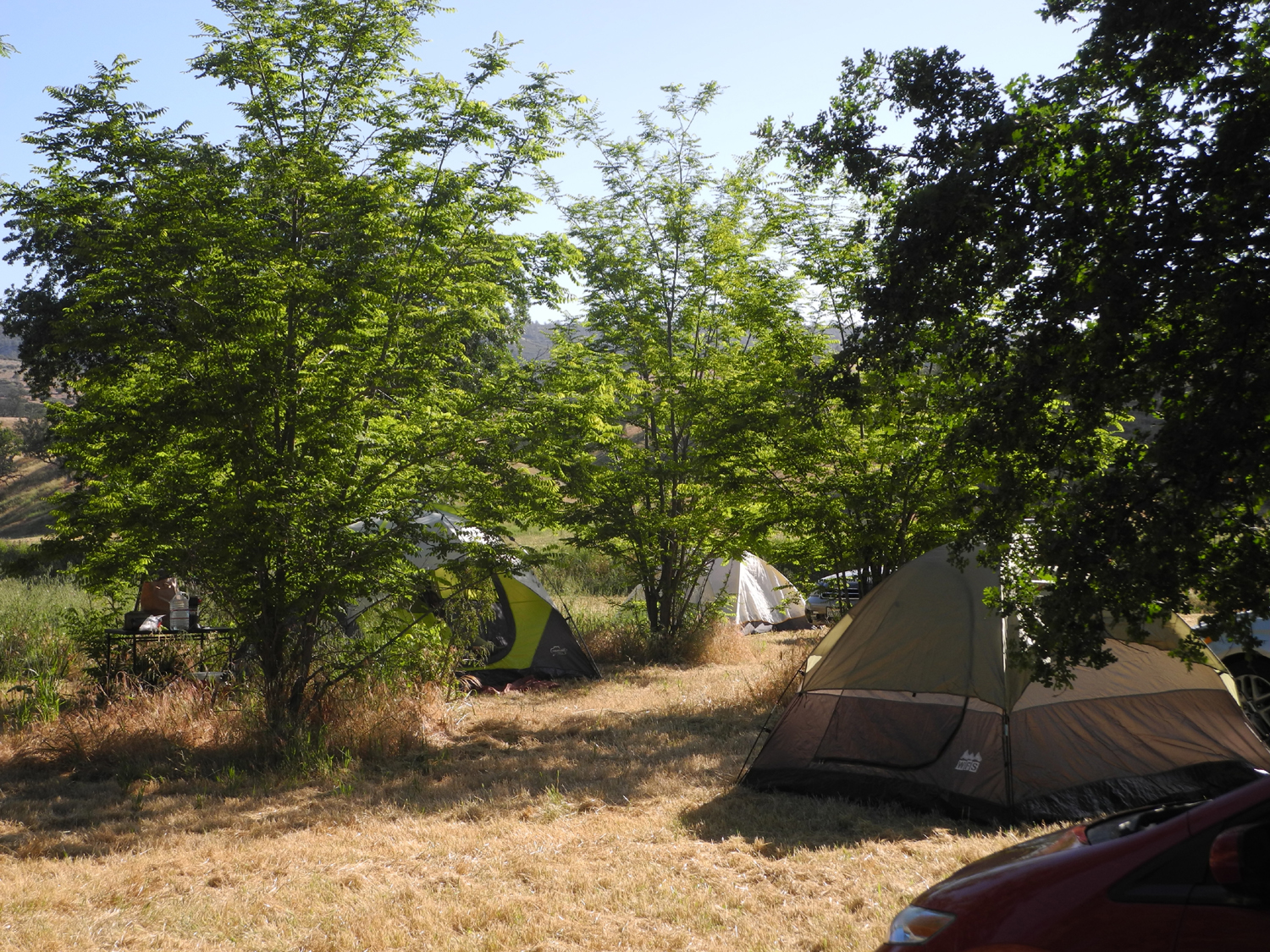
| Tent camping at the festival | Between Oak and Park streets | RV camping behind the restaurant |
 |
 |
|
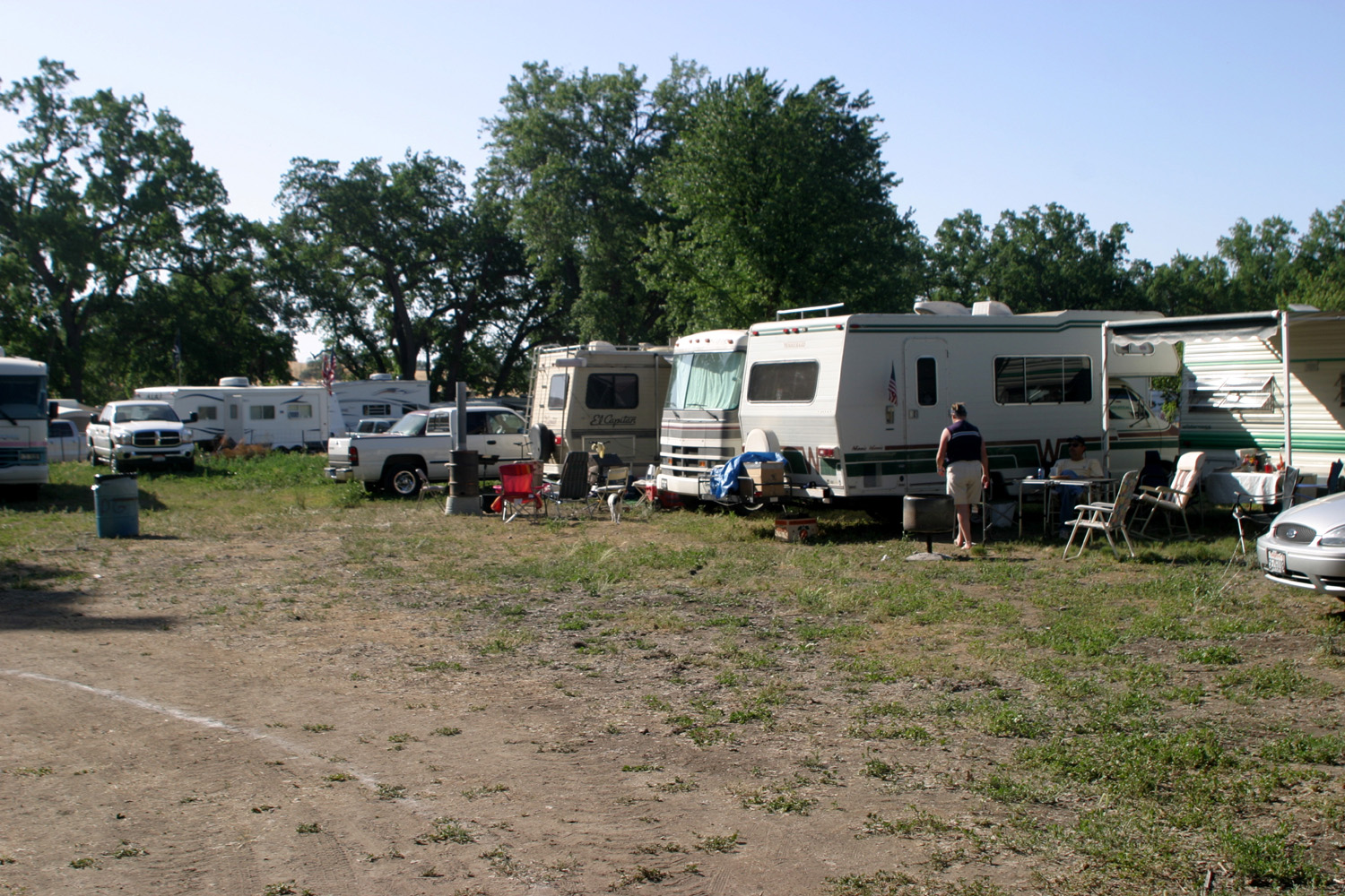
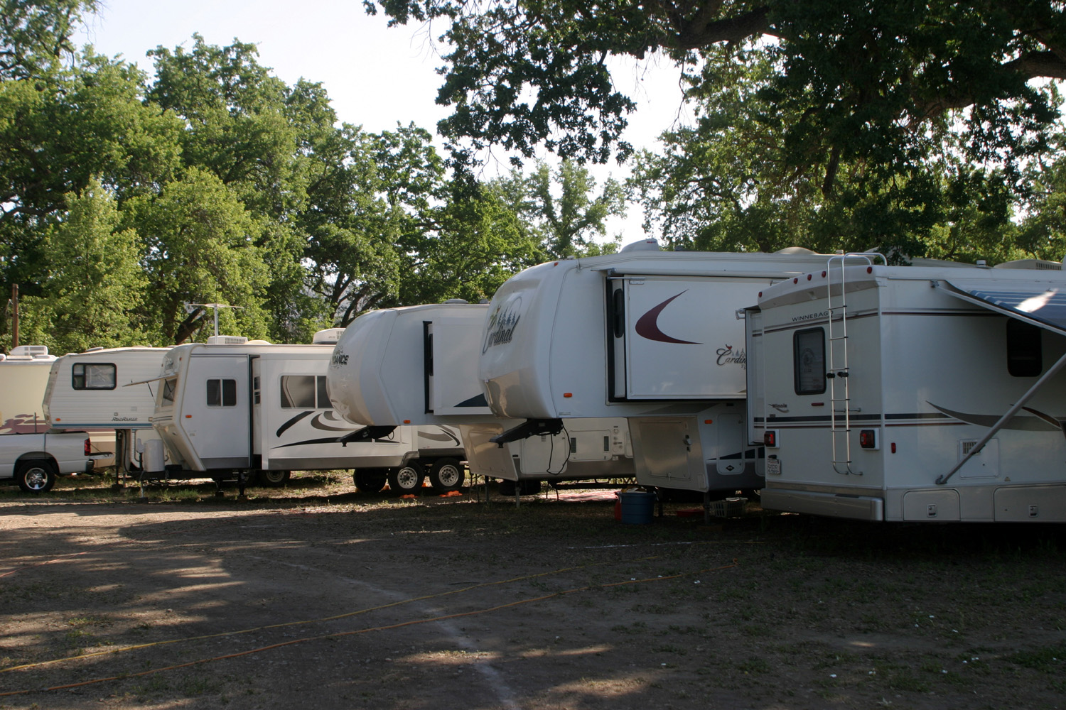
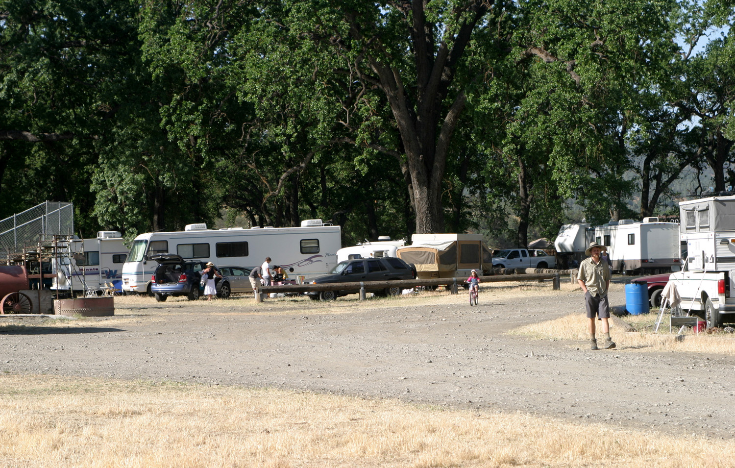
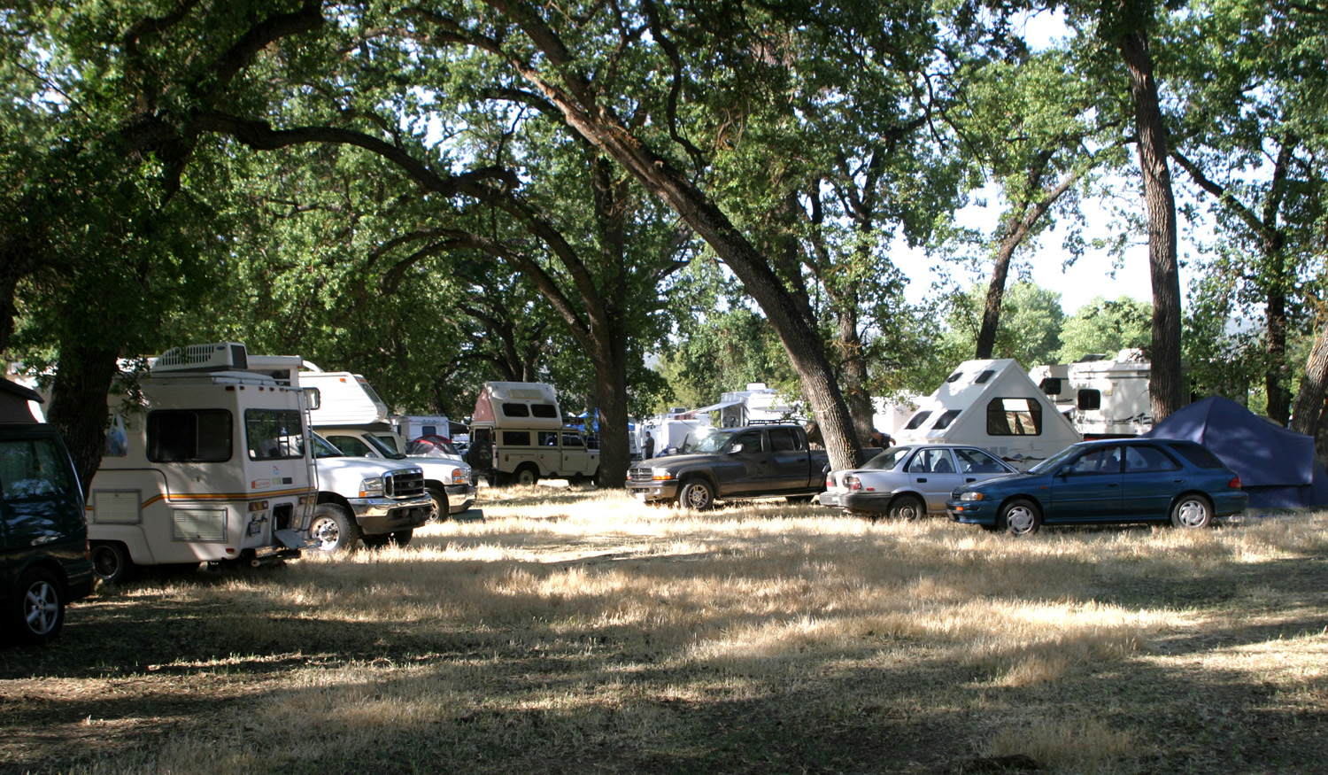
| RVs by the Community Center | Camping in the "back 40," near the rodeo grounds | Camping in front of the Community Center |
 |
 |
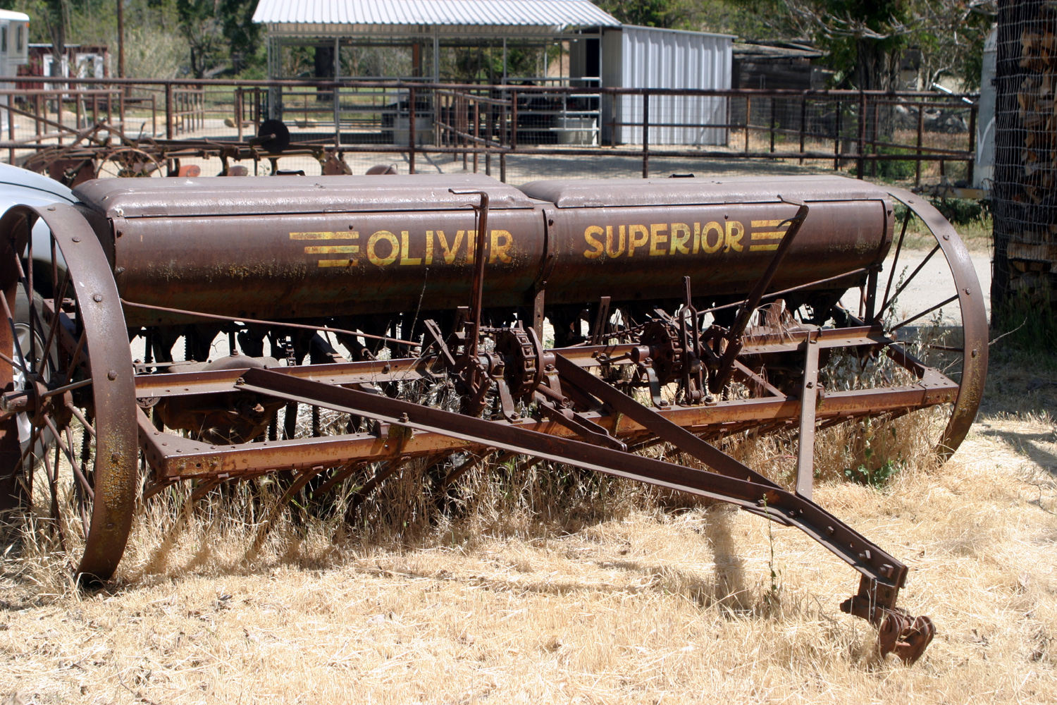 |
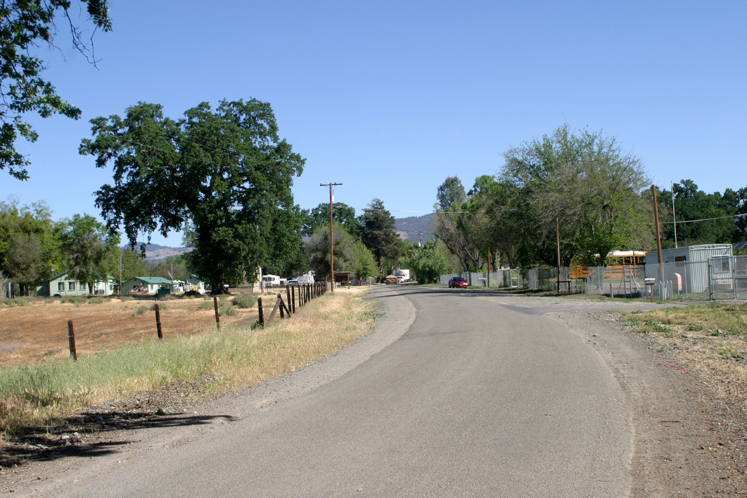
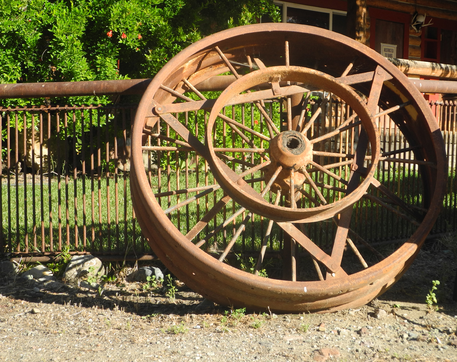
| Plenty of shade under the plentiful valley oak trees | Heading into town from the south | One of several pieces of old farm equipment on display |
 |
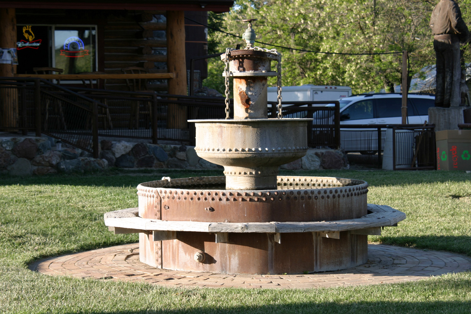
 |
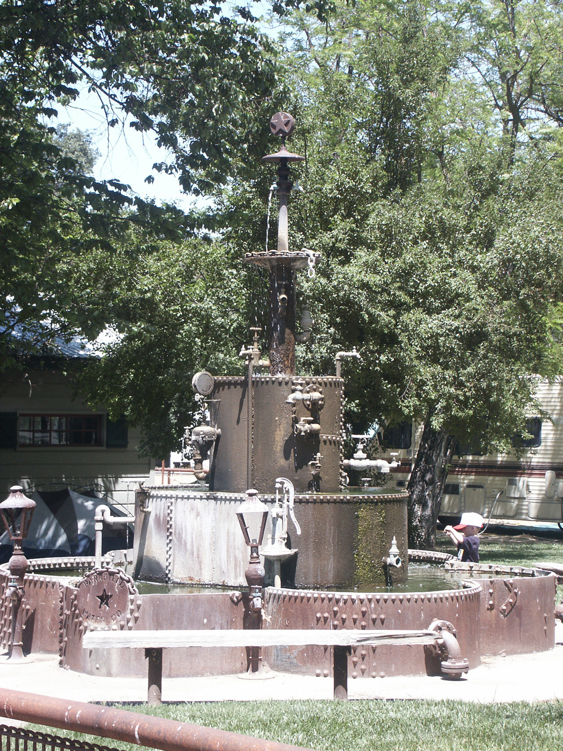 |
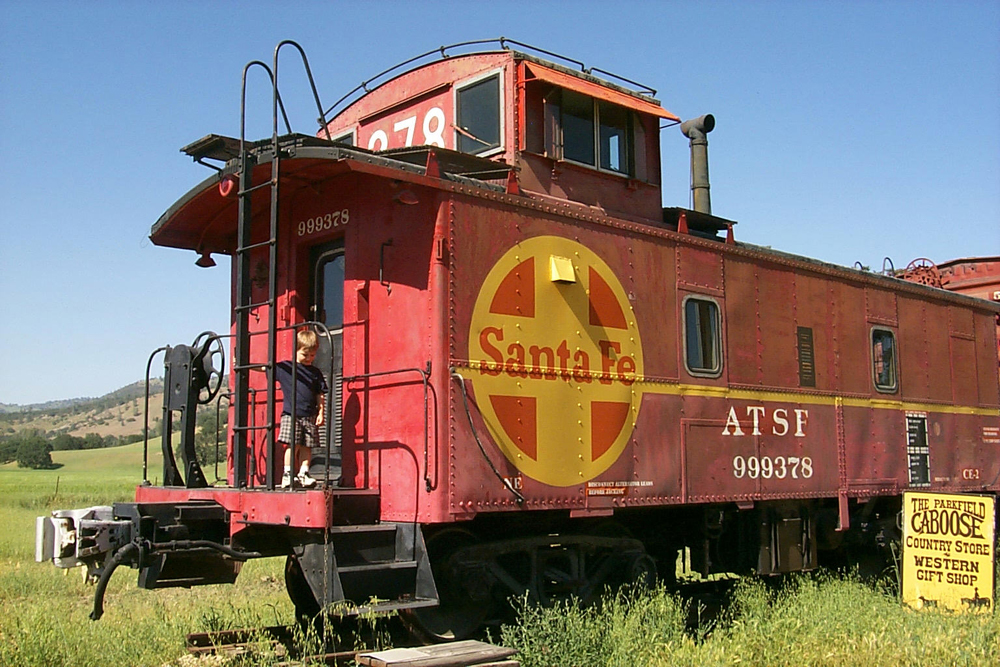
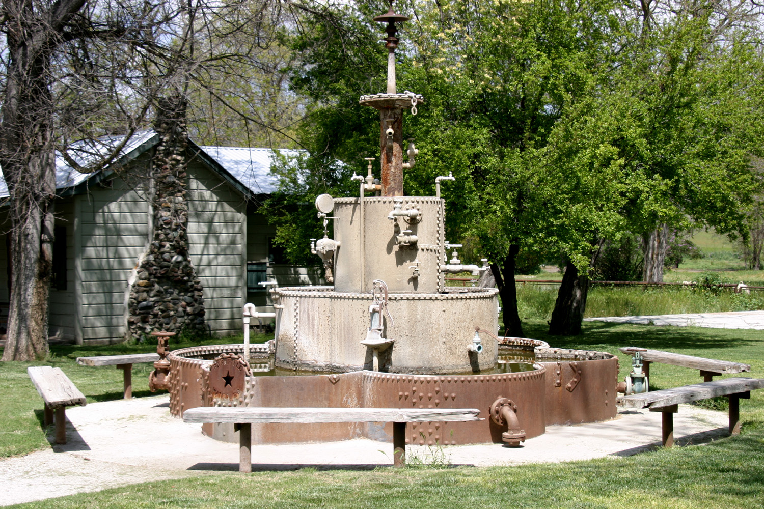
| The long-gone caboose in 2001 | One of two fountains in the town | Kids & water always go together |
 |
 |
 |
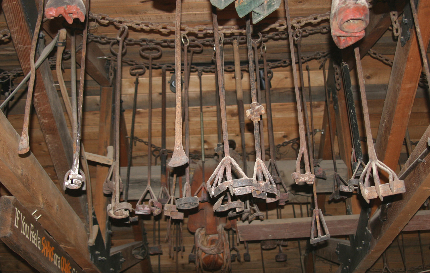
| The cafe as it was before remodeling | Branding irons hanging from ceiling of cafe | Cafe & stage area a month before the festival |
 |
 |
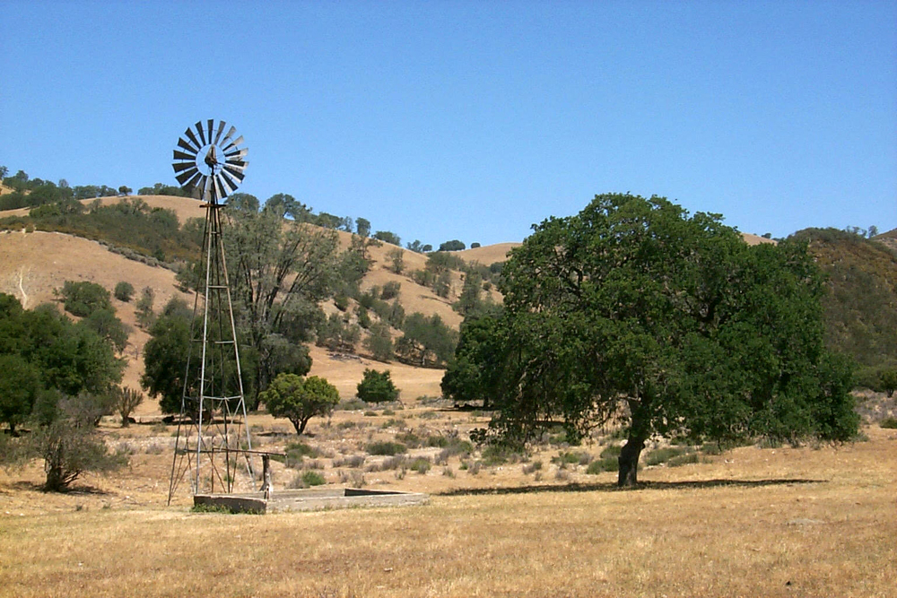 |
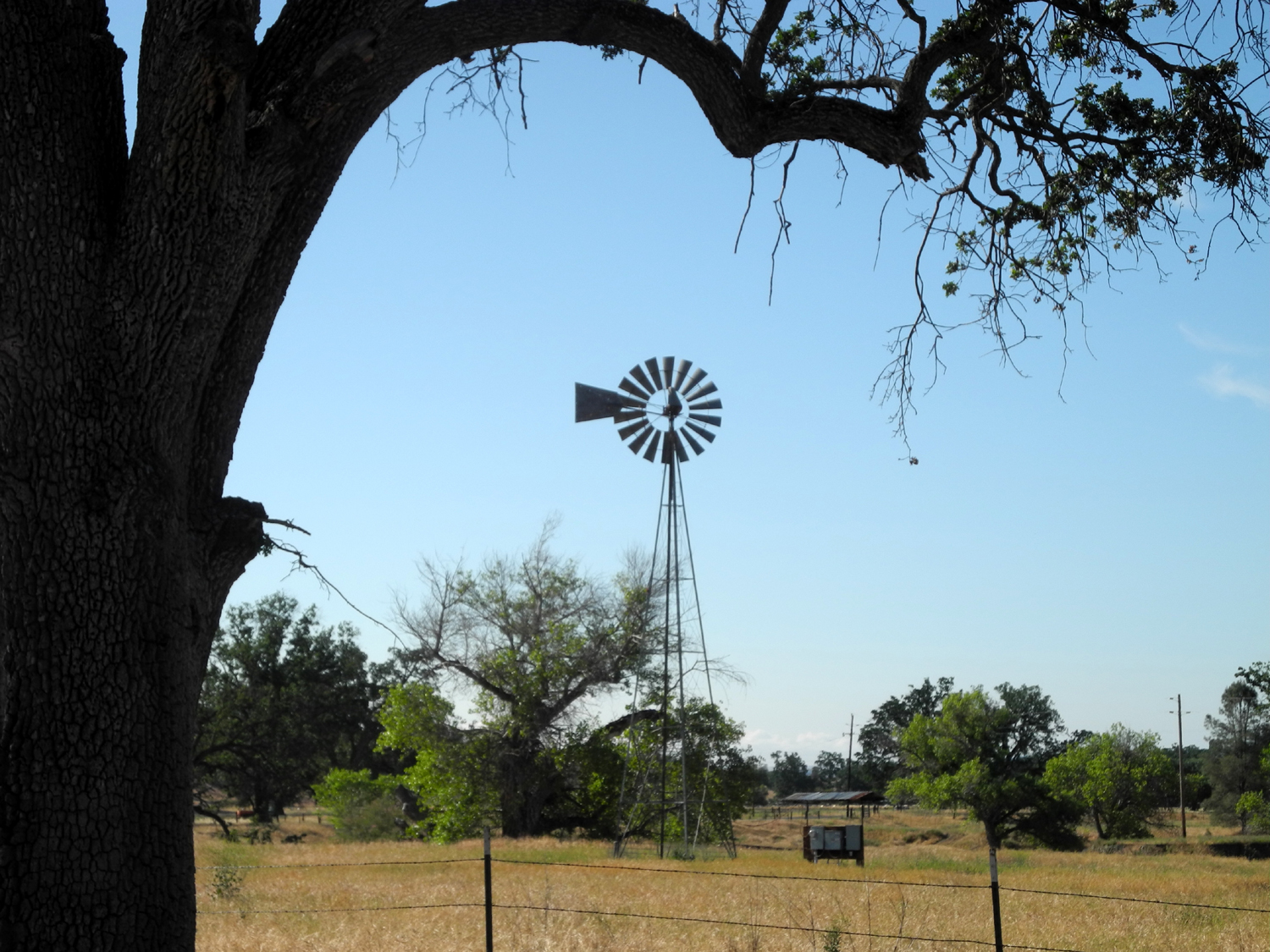
| Oaks along Cholame Road, south of Parkfield | On the road between Parkfield and San Miguel | Windmill along the road to San Miguel |
 |
 |
|
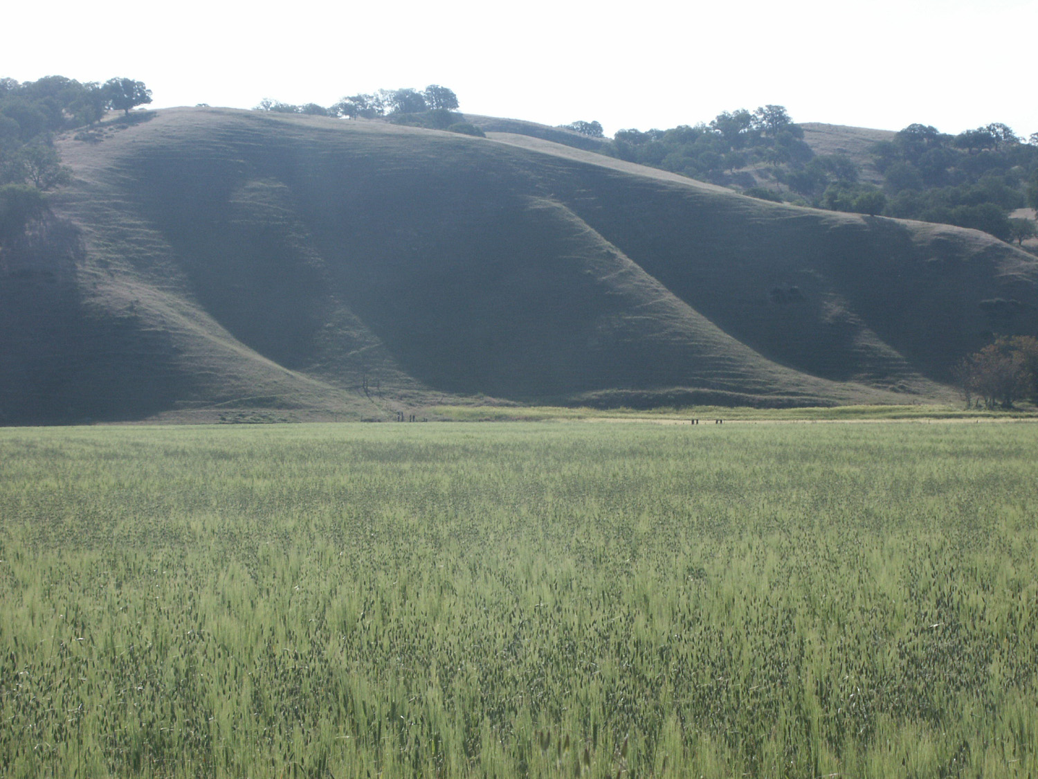
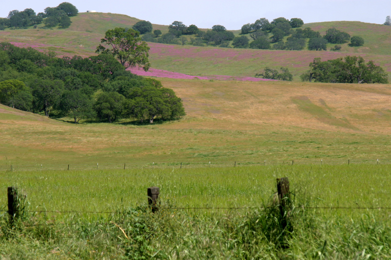
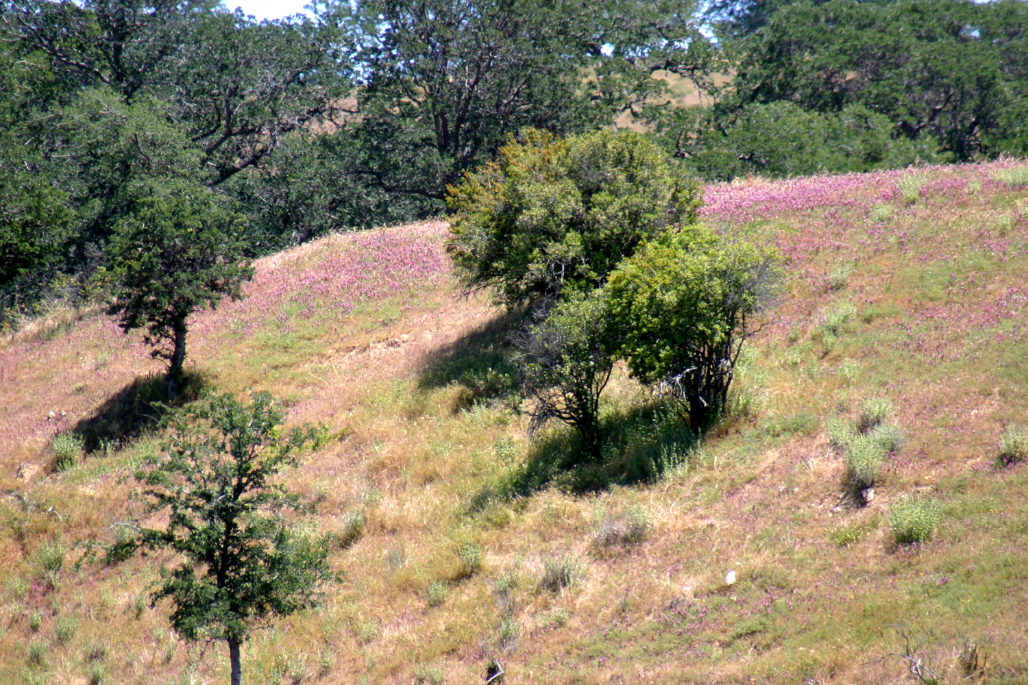
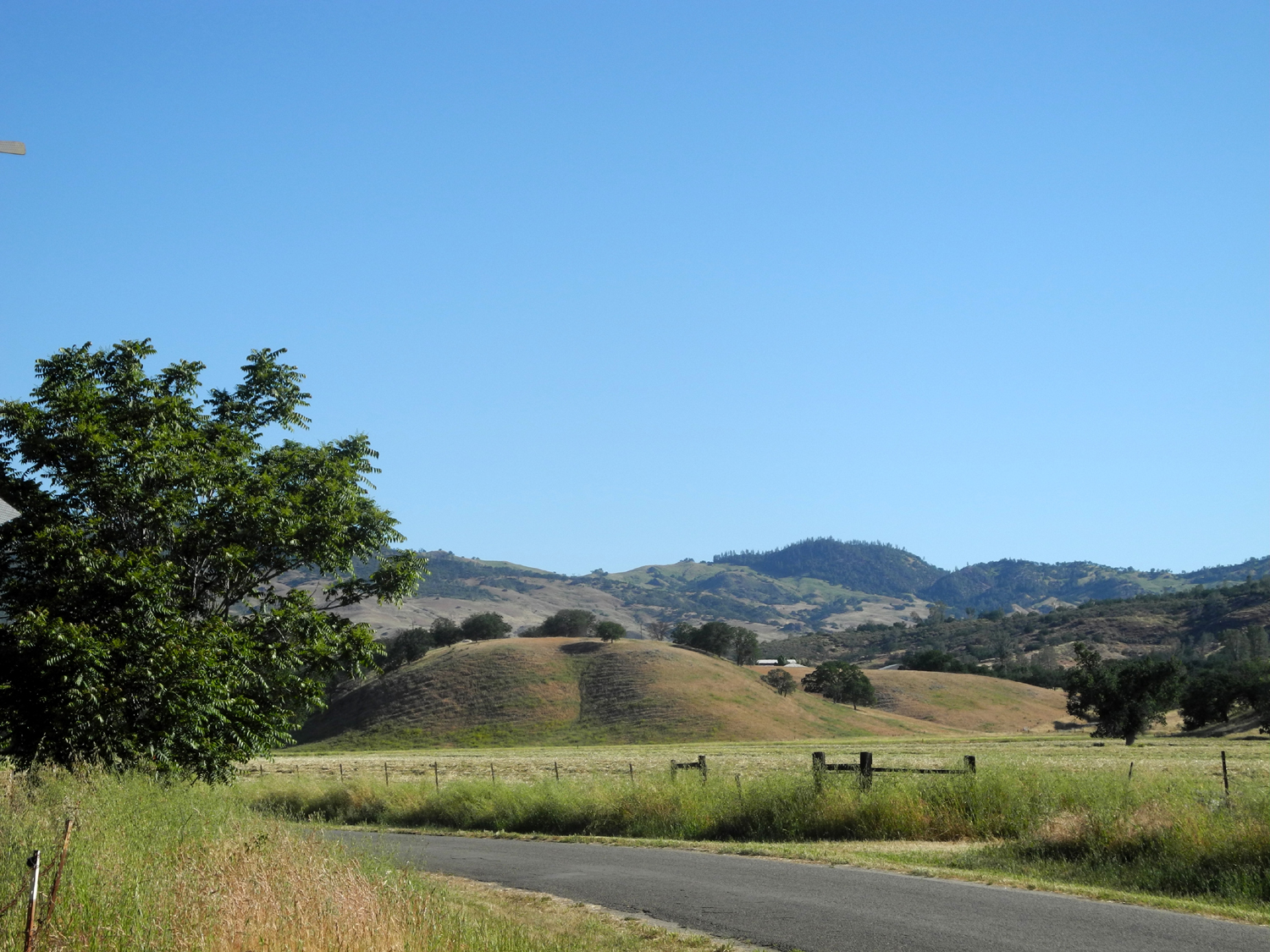
| Flowers on hill above town, April 2010 | A month later, only a few flowers remain | Hill northeast of town |
 |
 |
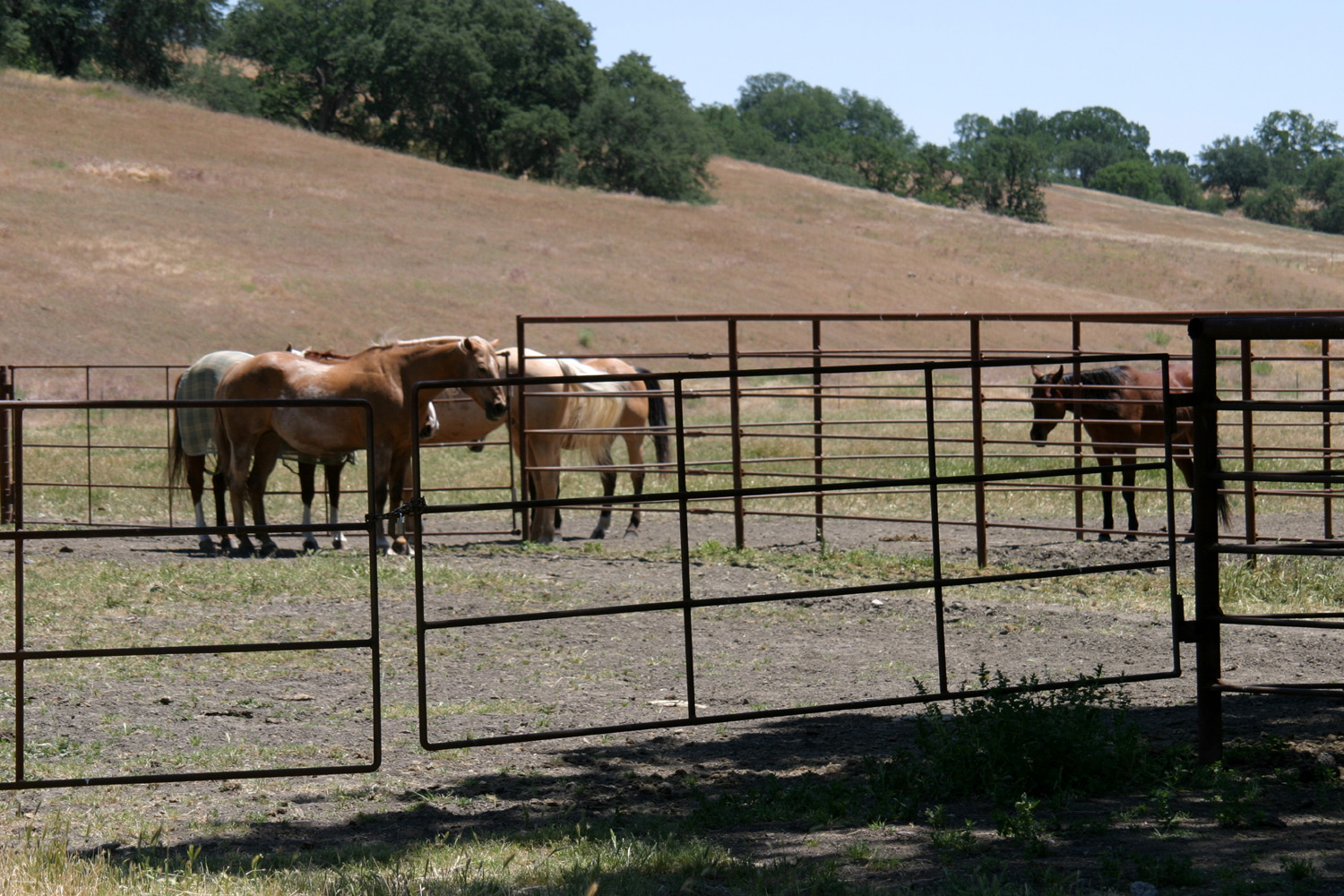 |
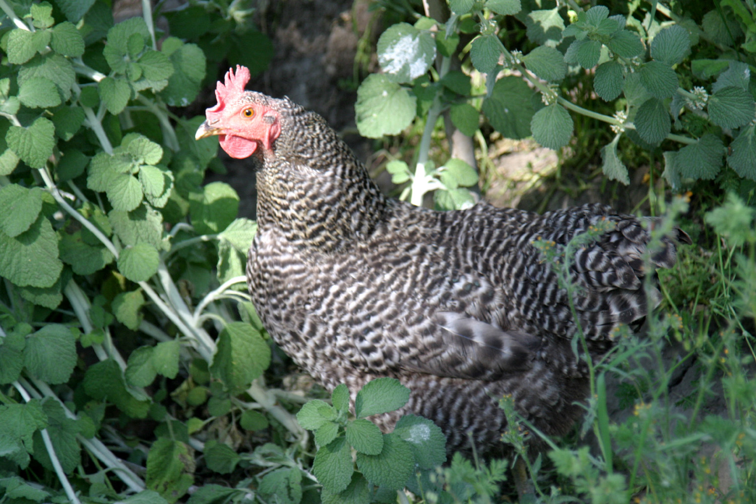
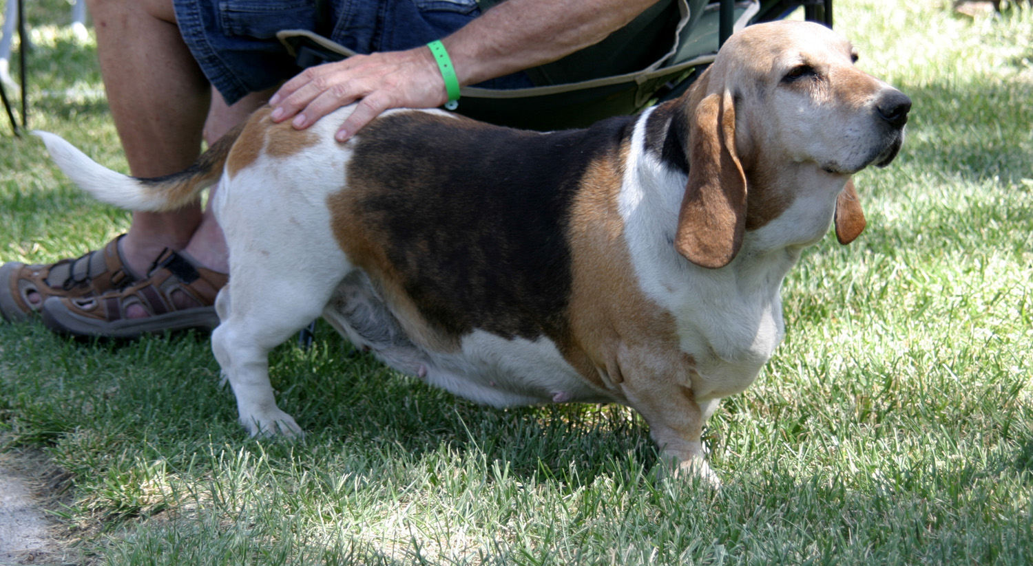
| Free range chicken | The Parkfield dog | Horses near the rodeo grounds |
 |
 |
 |
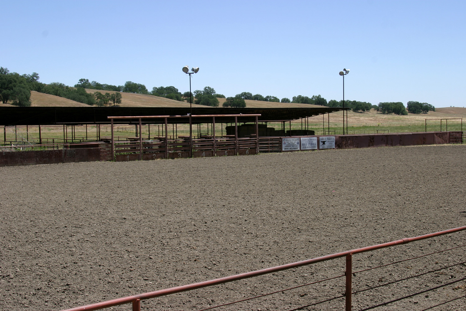
| Rodeo grounds | An ancient profession, still needed | Varian Family |
 |
 |
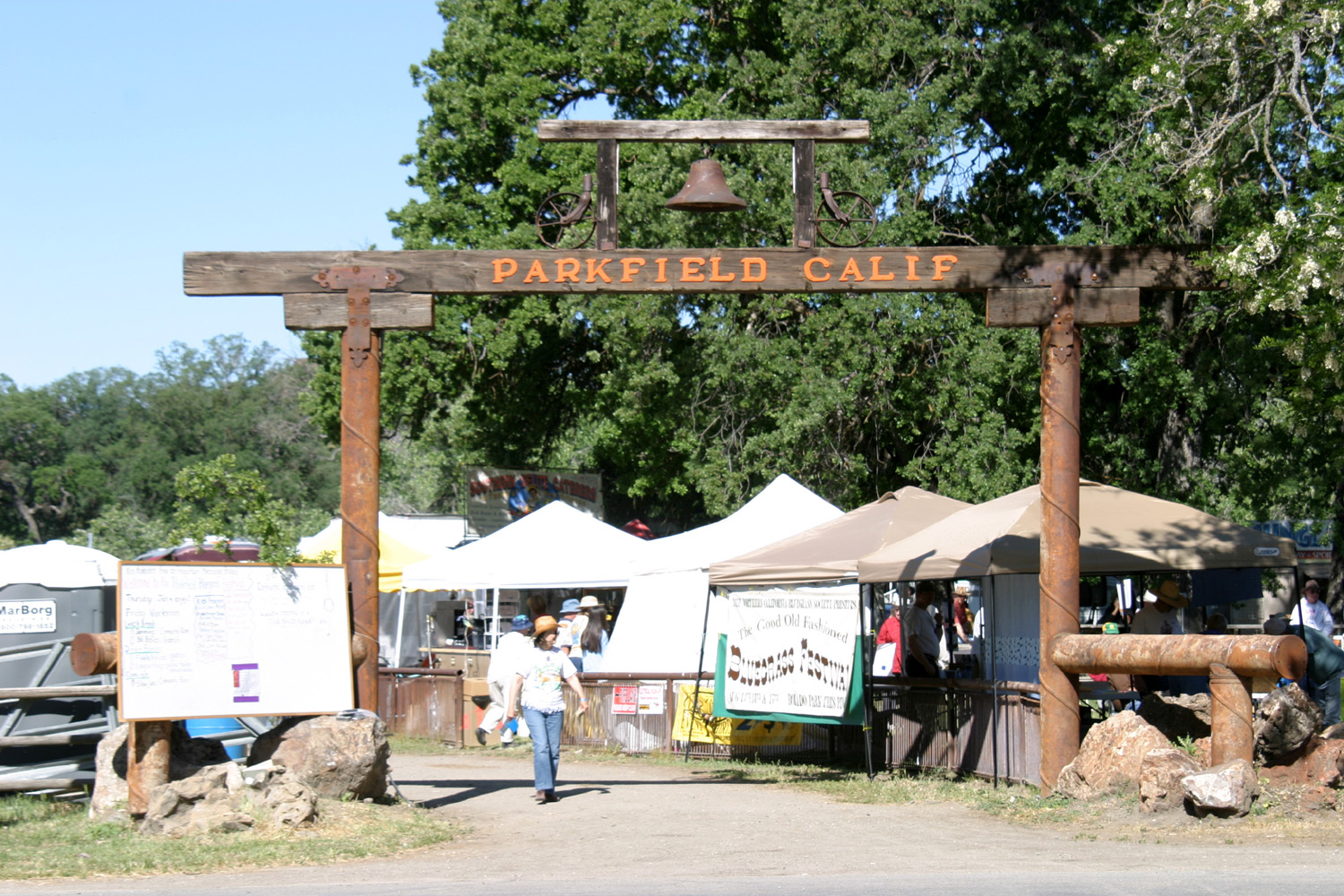 |
| The main "downtown" intersection | Looking west on Oak Street | Entry to festival area |
 |
 |
 |
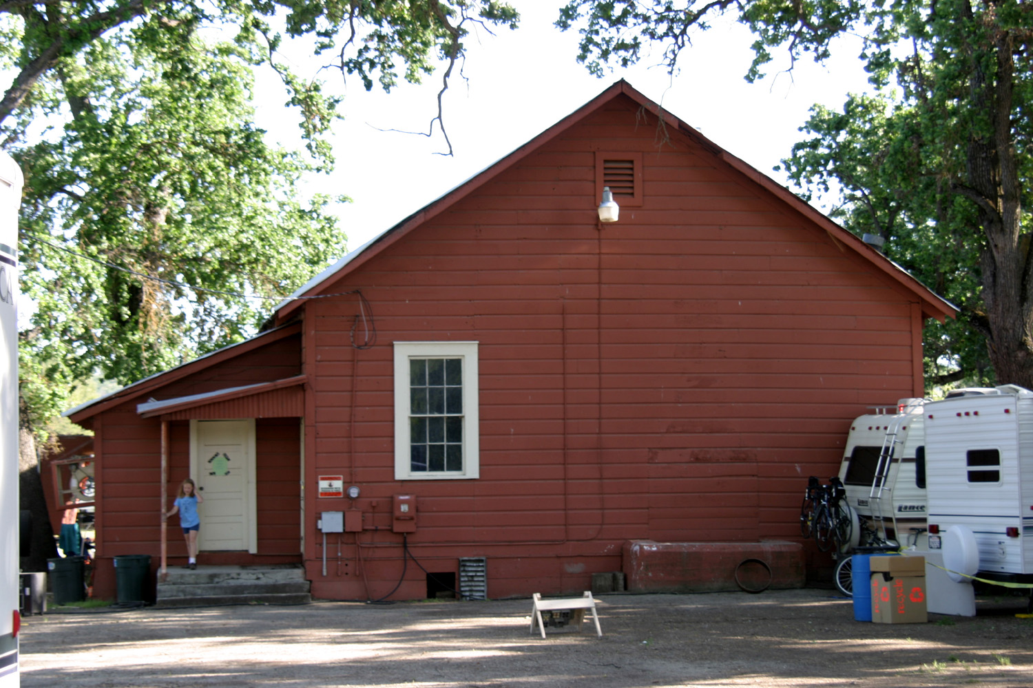
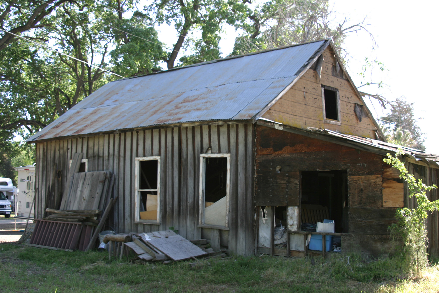
| The Community Center | Old
house, now used for storage (burned down in 2011) |
Fountain in audience area |
 |
 |
 |
| Looking
toward cafe from main bluegrass camp area |
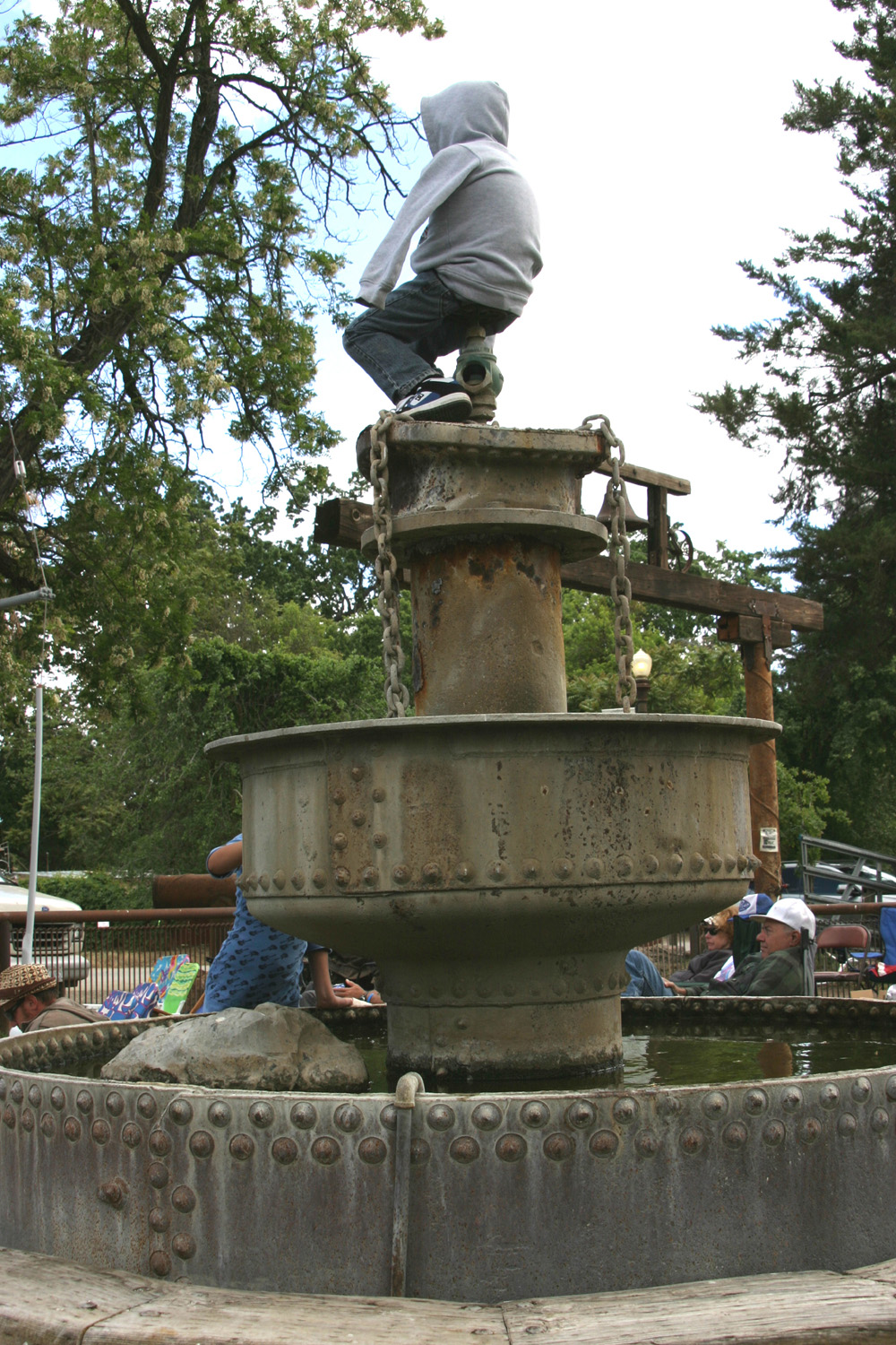
Picking in boondocks camping area | Not a statue, but a real kid with good climbing skills |
 |
 |
 |
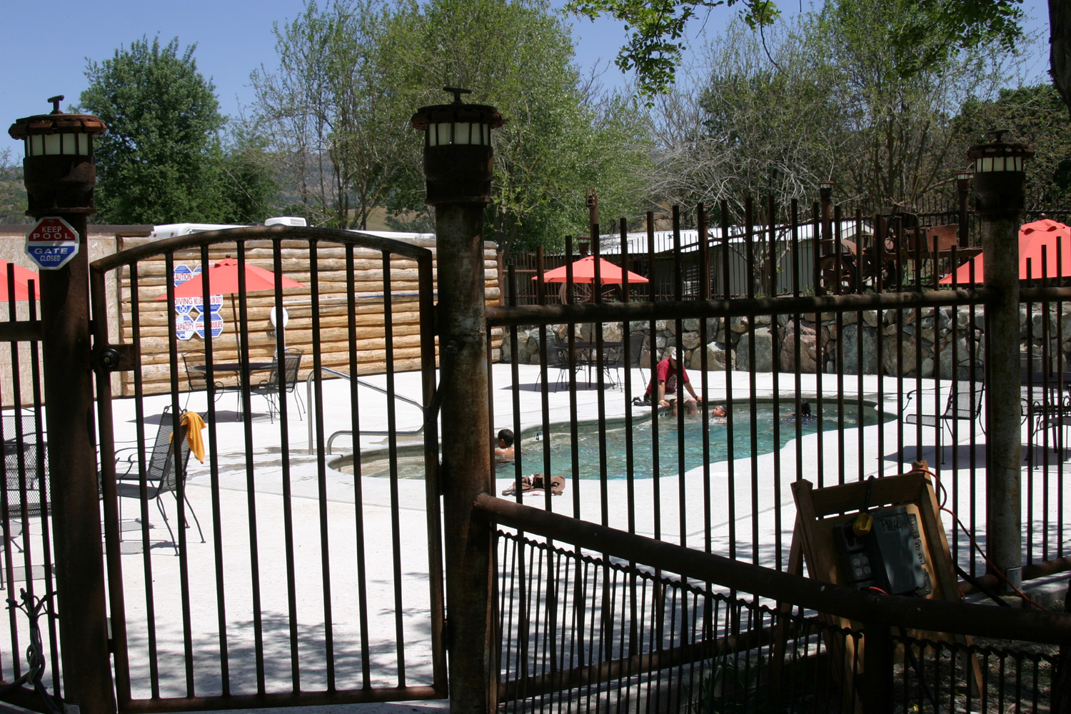
| The new swimming pool | The Community Center got a new roof in 2010 | New building on a ranch property in town |
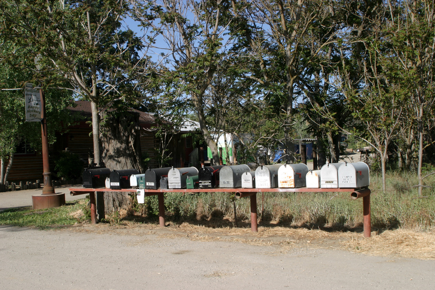
 |
 |
 |
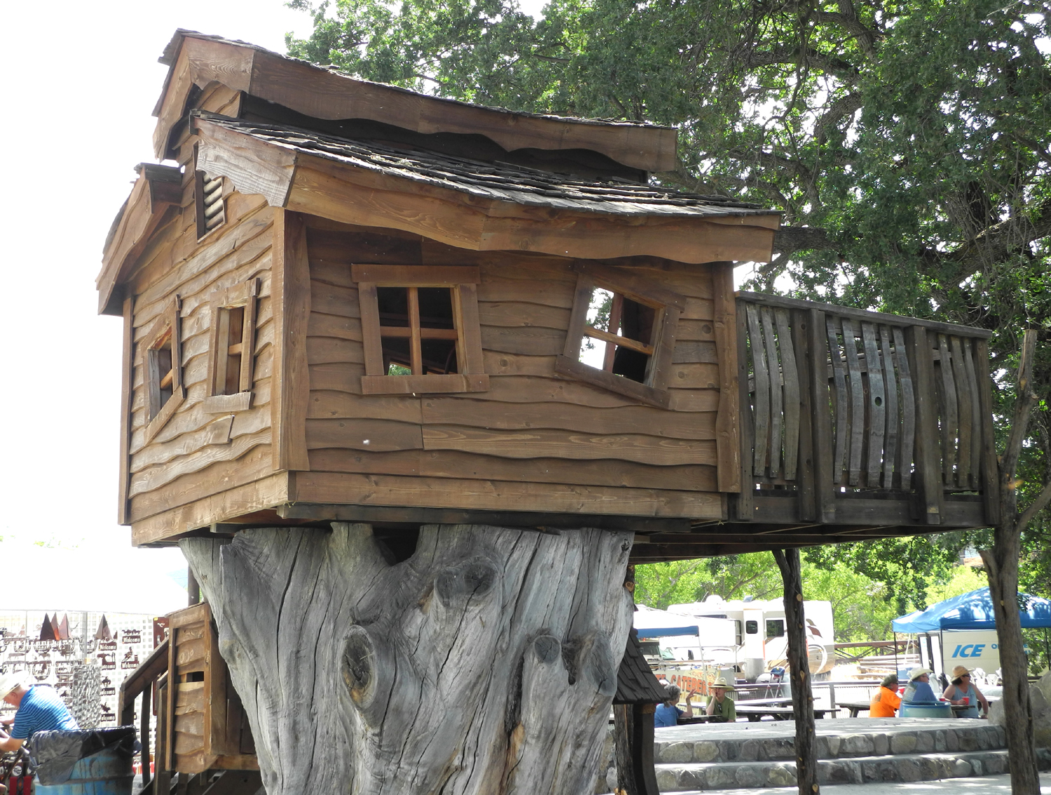
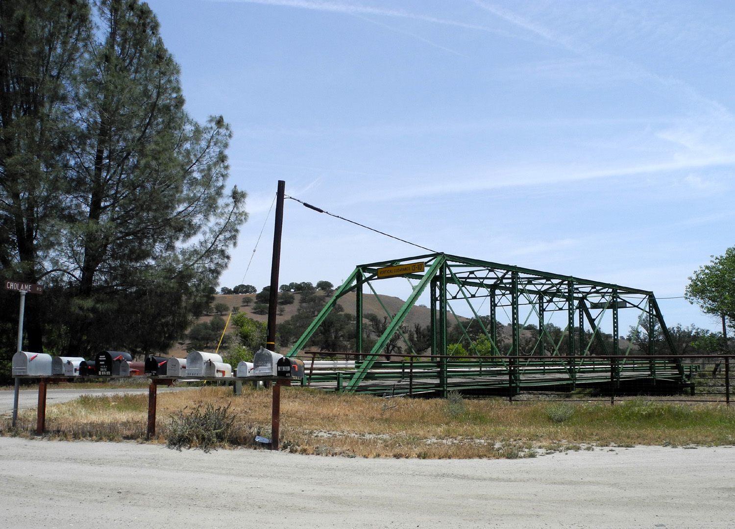
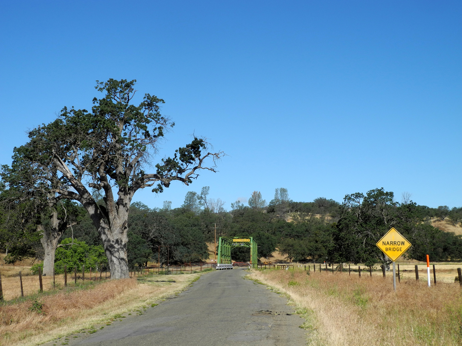
| The mail boxes are now protected from the weather | Tree house near the cafe | Bridge where Cholame, Vineyard Canyon and Parkfield-Coalinga Roads meet |
 |
 |
 |
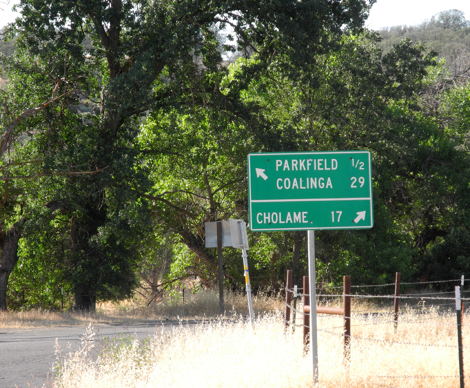
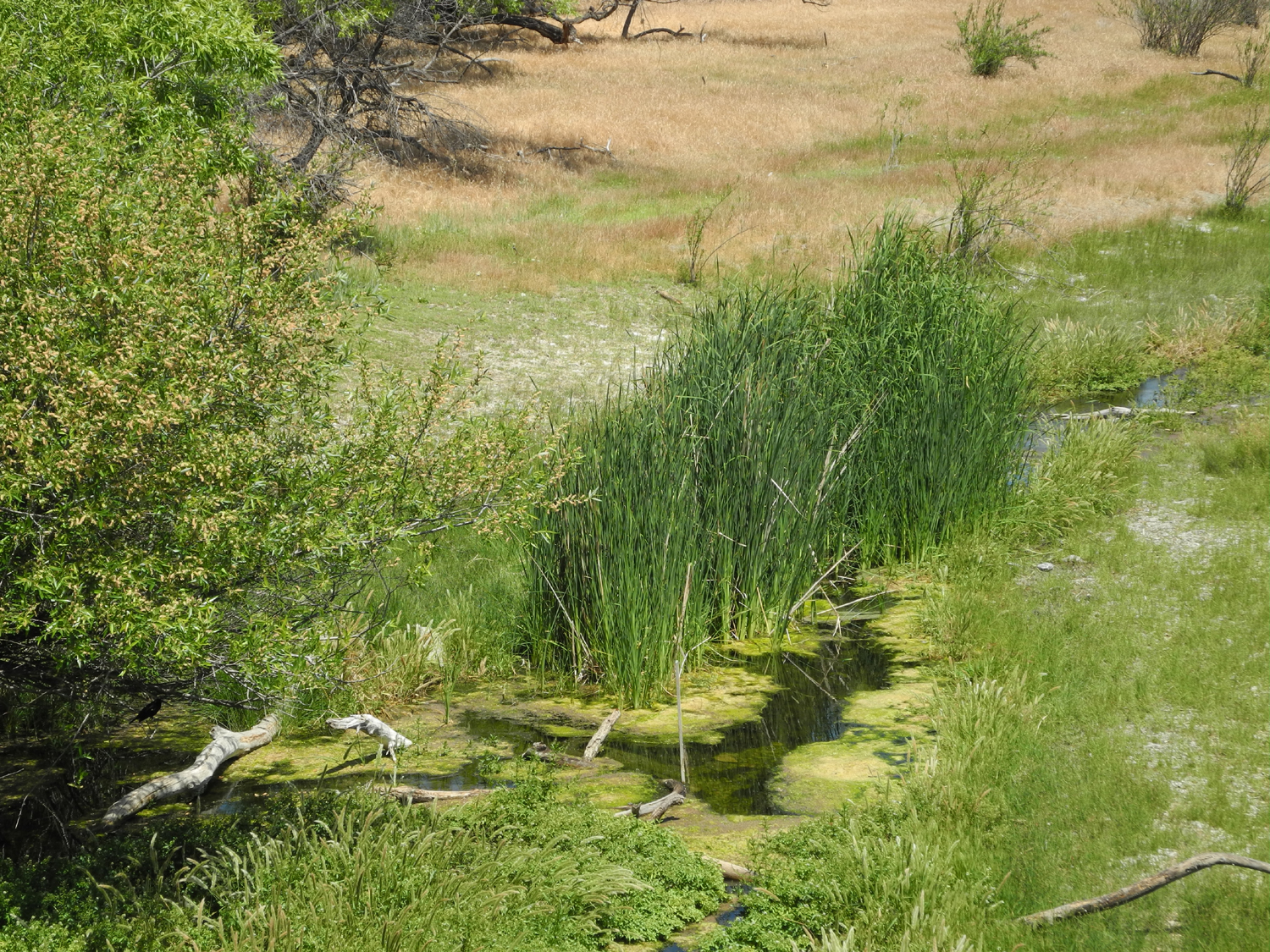
| Road sign near the bridge | Even in a very dry year, there's a bit of water by the bridge | Field above creek |
 |
 |
 |
| Looking east across the bridge | Field,
vineyard and hills west of Vineyard Canyon Road |
A dry year means a small hay crop for 2013 |
|
 |
 |
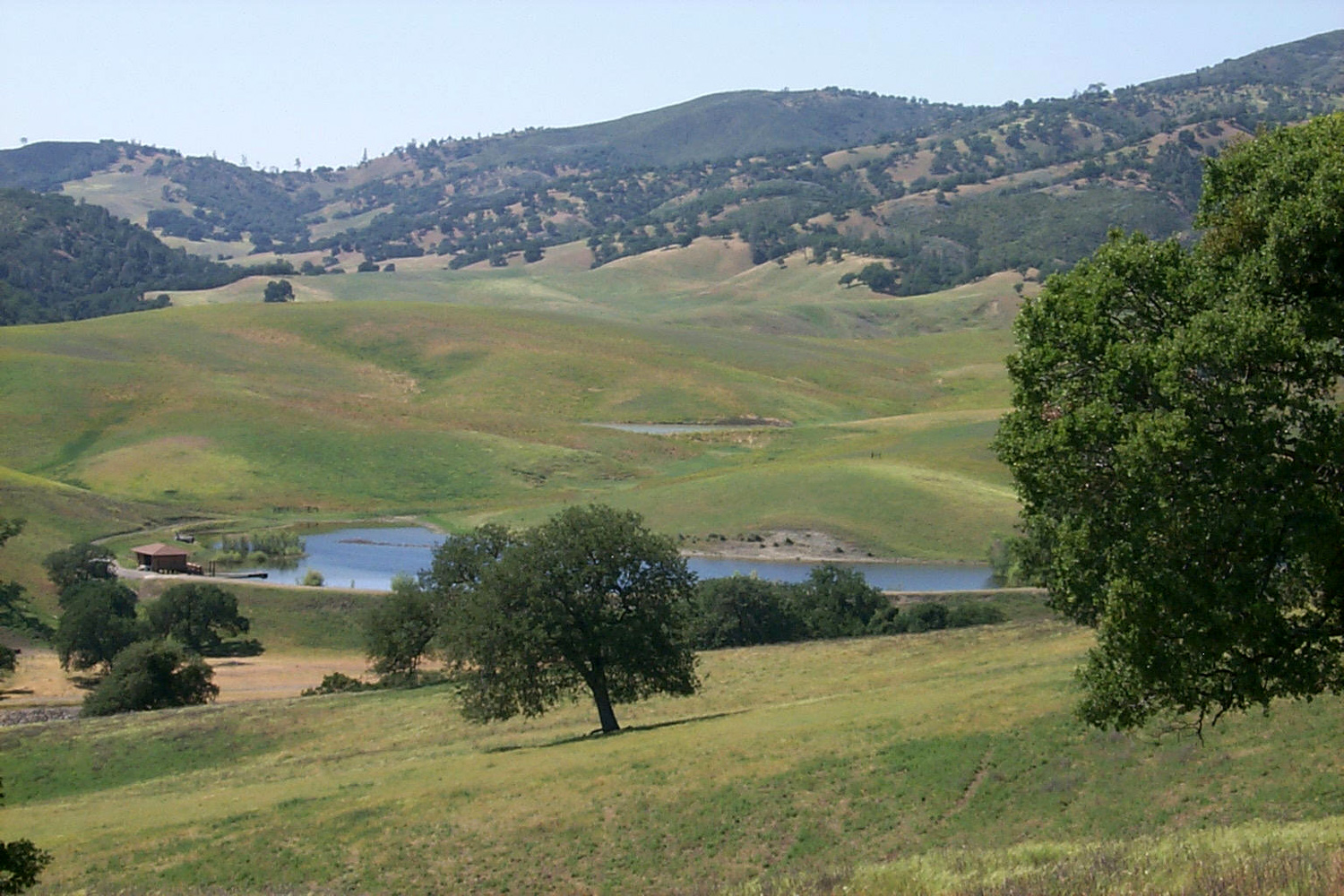
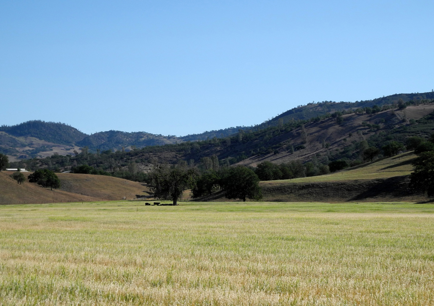
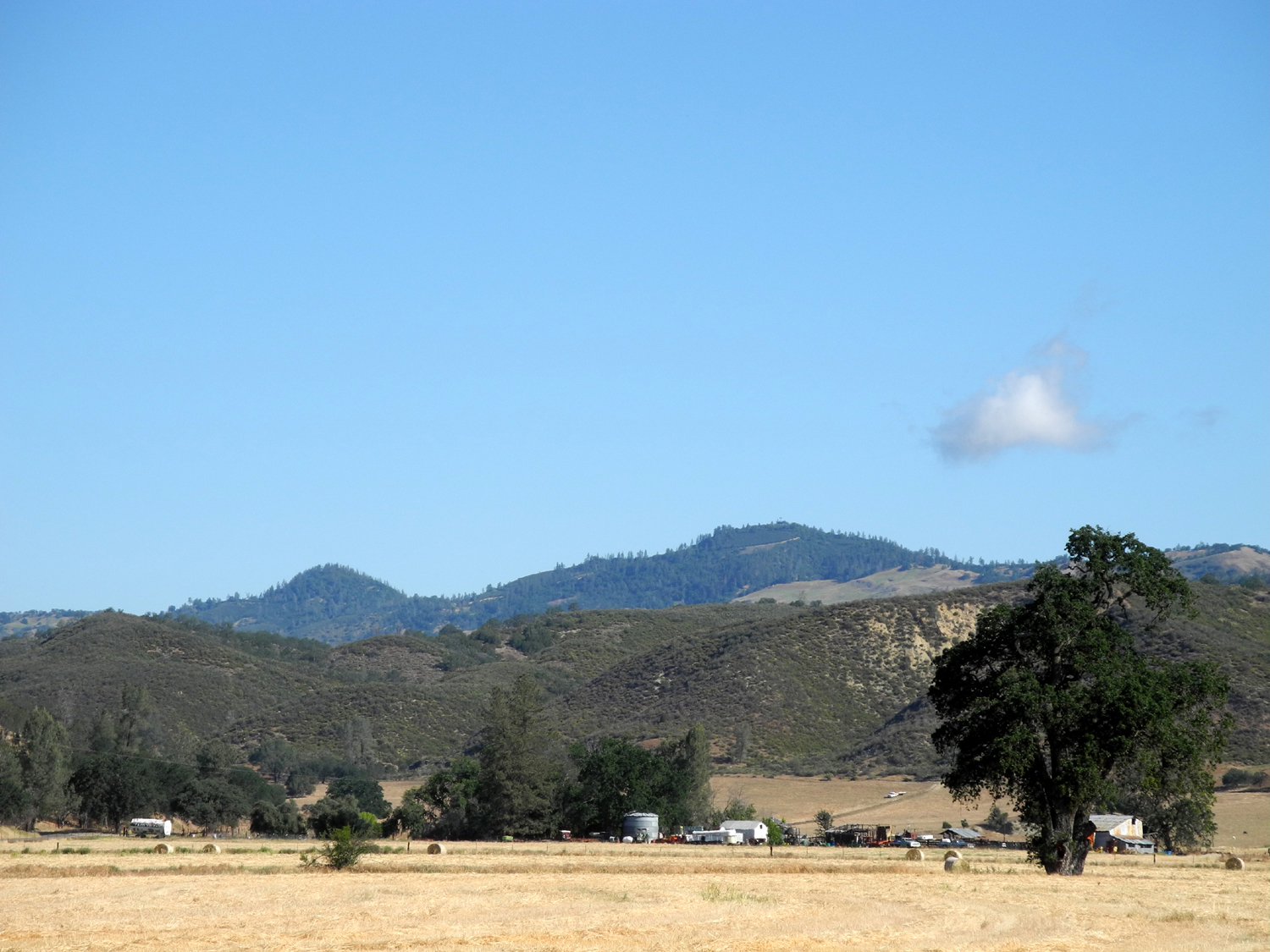
| V6 Ranch | Stock pond on the ranch | Hills above the ranch |
|
 |
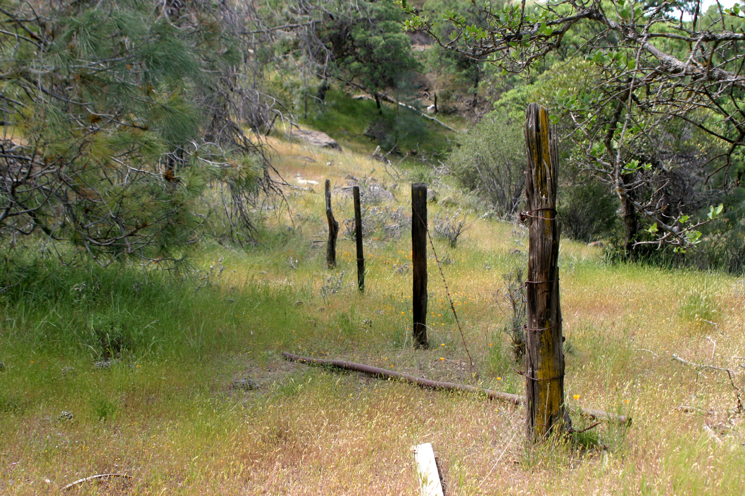 |
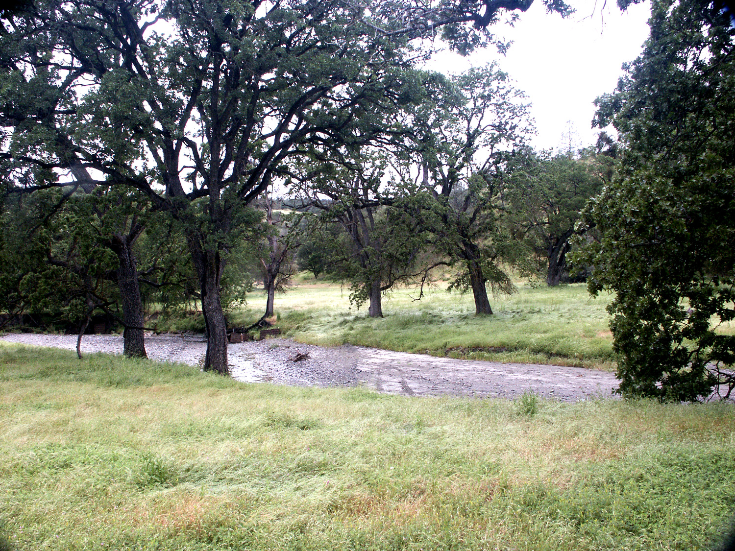
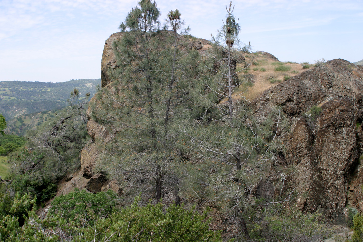
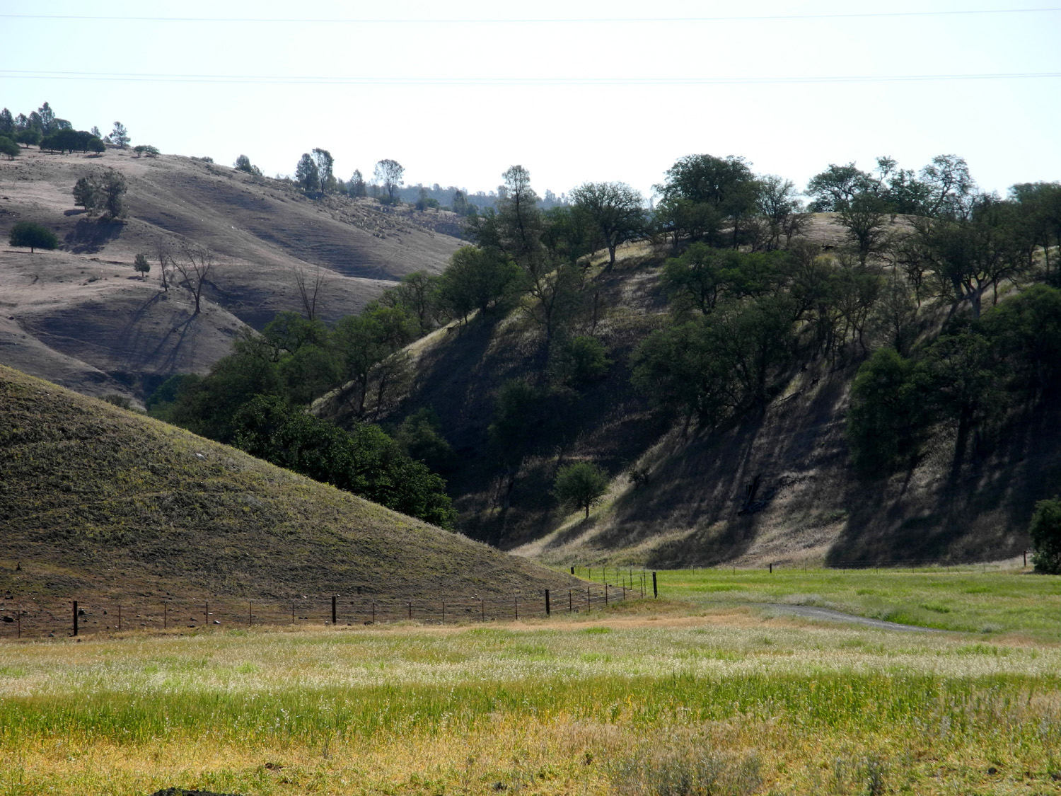
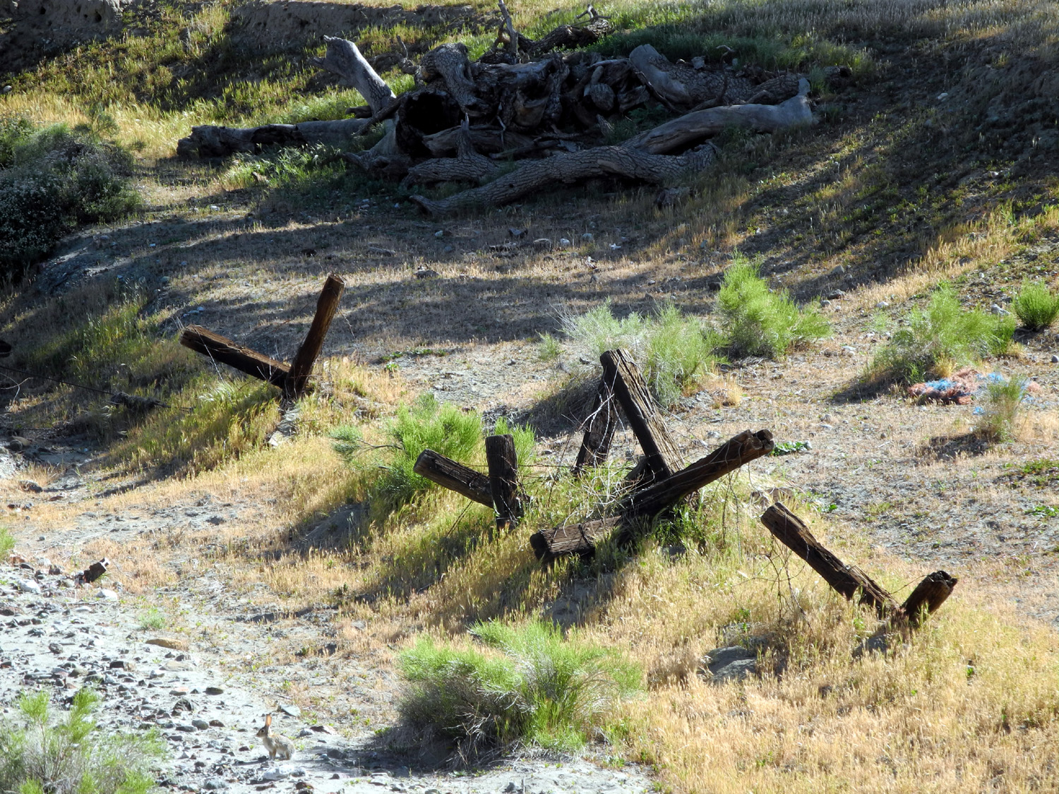
| Cholame Creek, north of Parkfield | Cliff by Parkfield-Coalinga Road | Remnant of old fence near road |
 |
 |
|
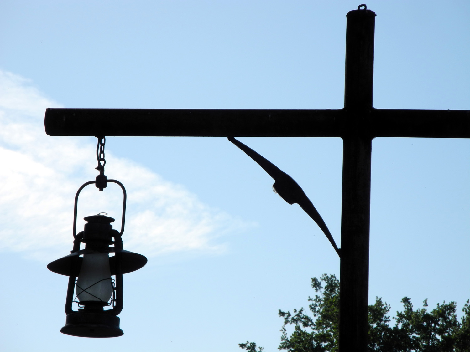
| New
in 2014 around the
platform - a circle of lanterns |
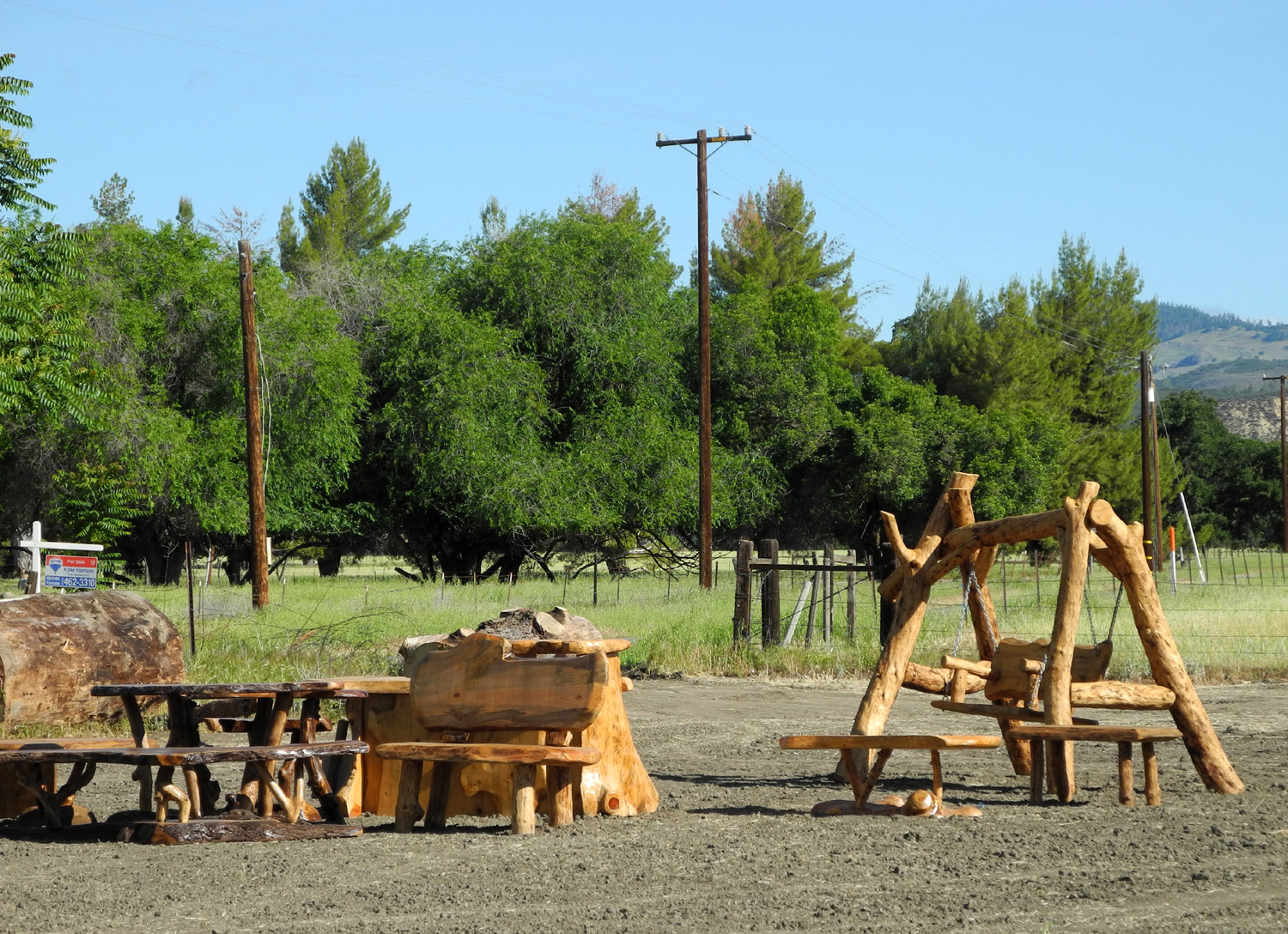
Rugged but practical lawn furniture for sale | The old Shell Oil Company
pump house is now a rental cabin |
 |
 |
 |
| The hay is short and the
grass on the hills is brown in 2014 |
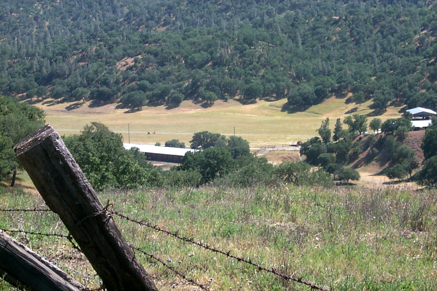
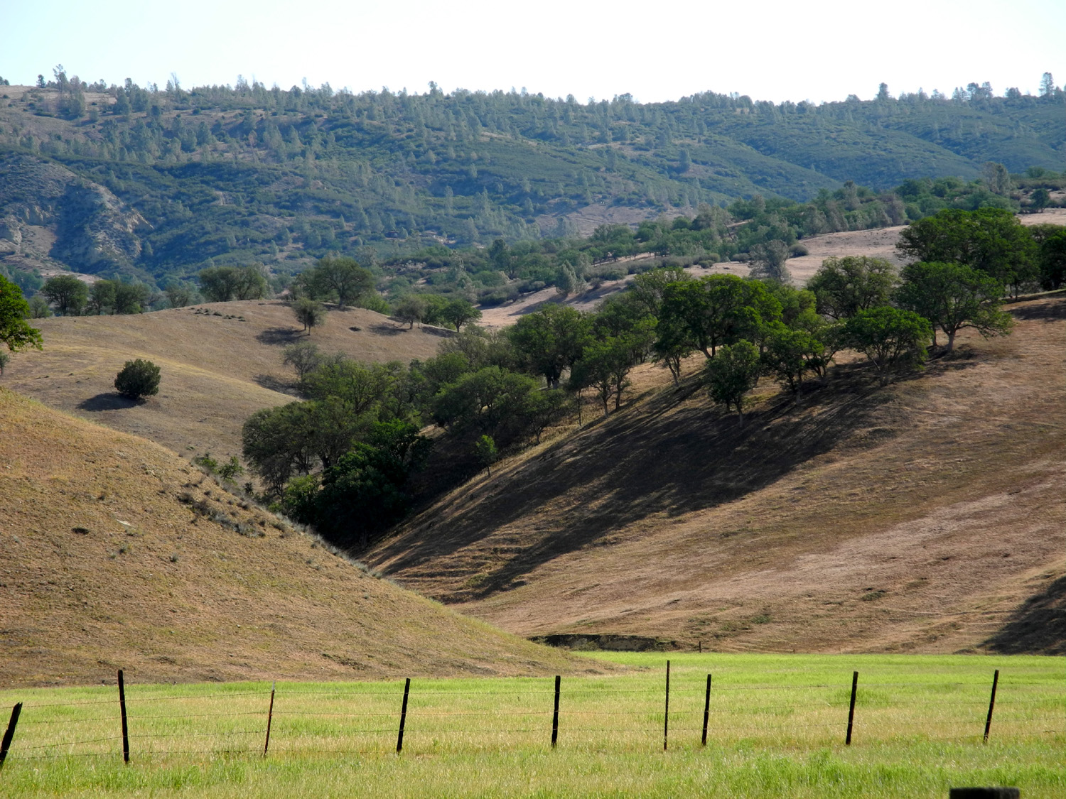
The view east of town | Another eastern view |
 |
 |
 |
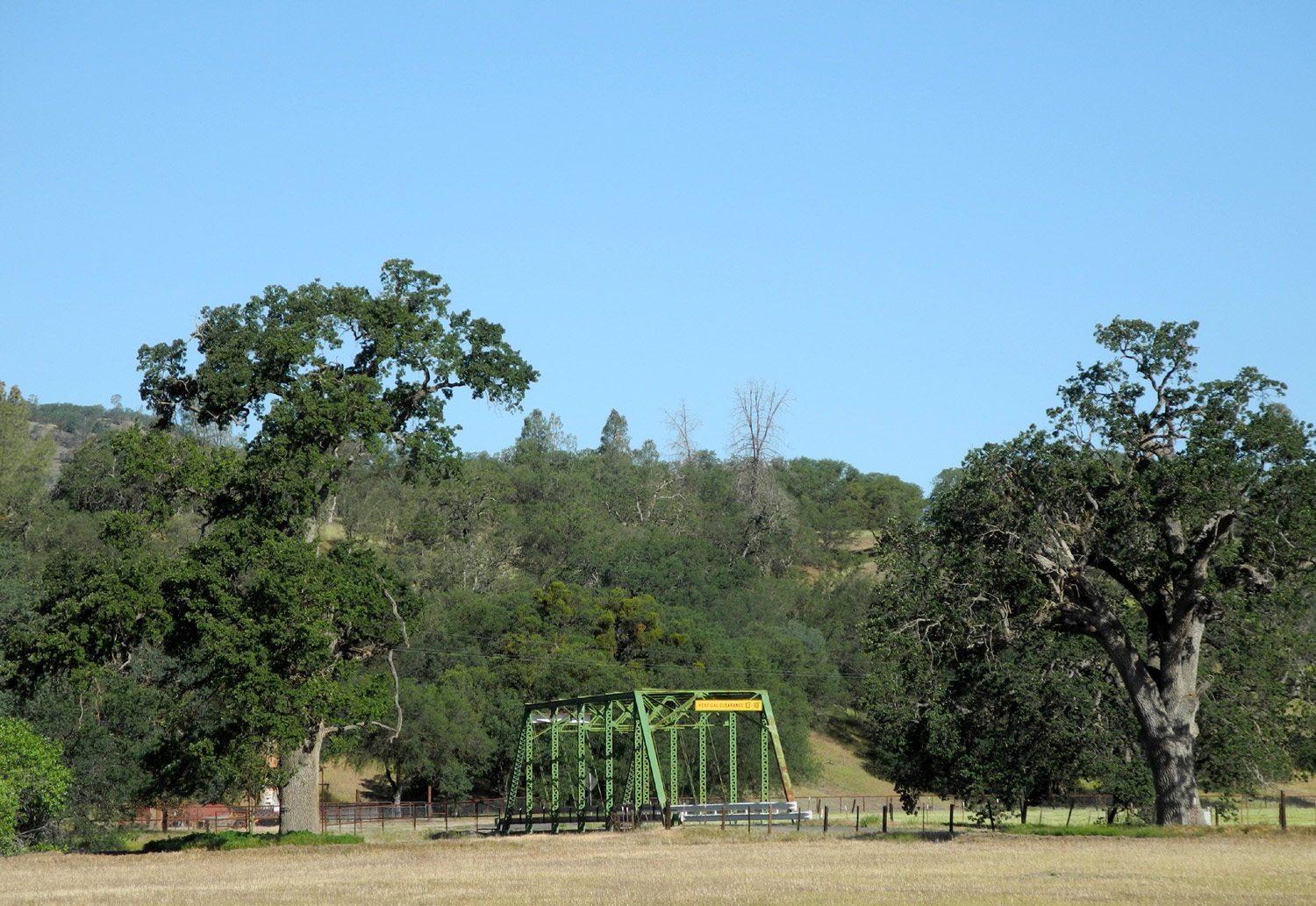
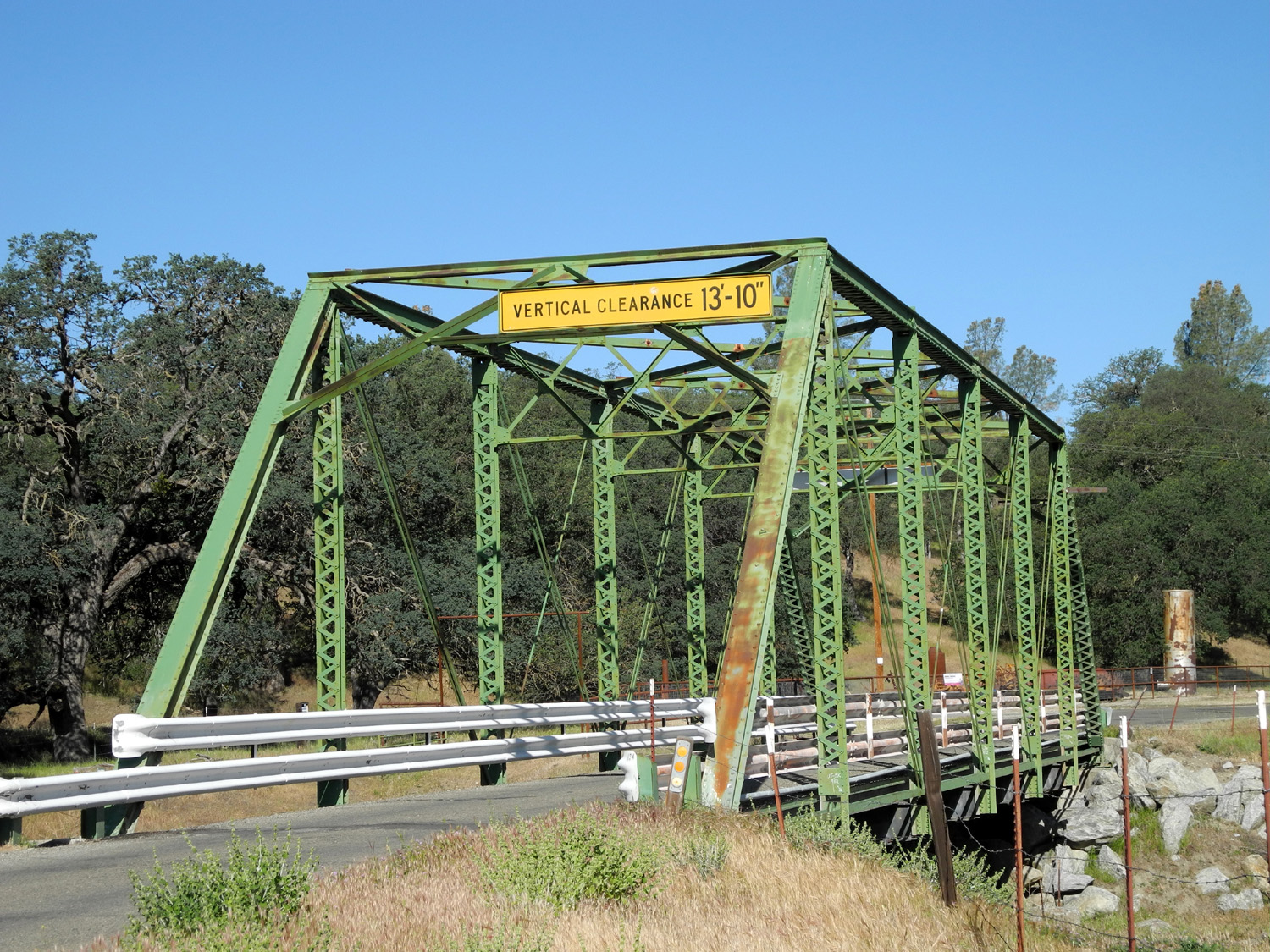
| The
bridge near the southern approach to Parkfield |
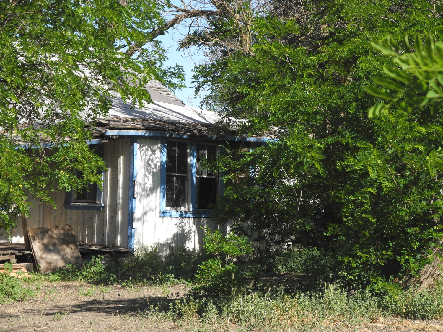
This
is just about the last house left on east Park Street |
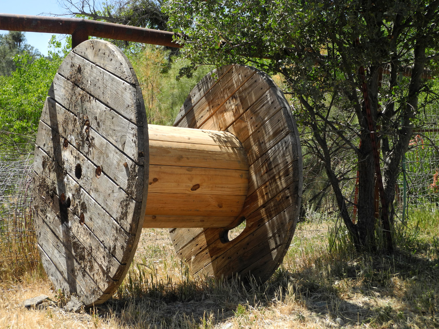
Big spool back of the cafe |
 |
 |
 |
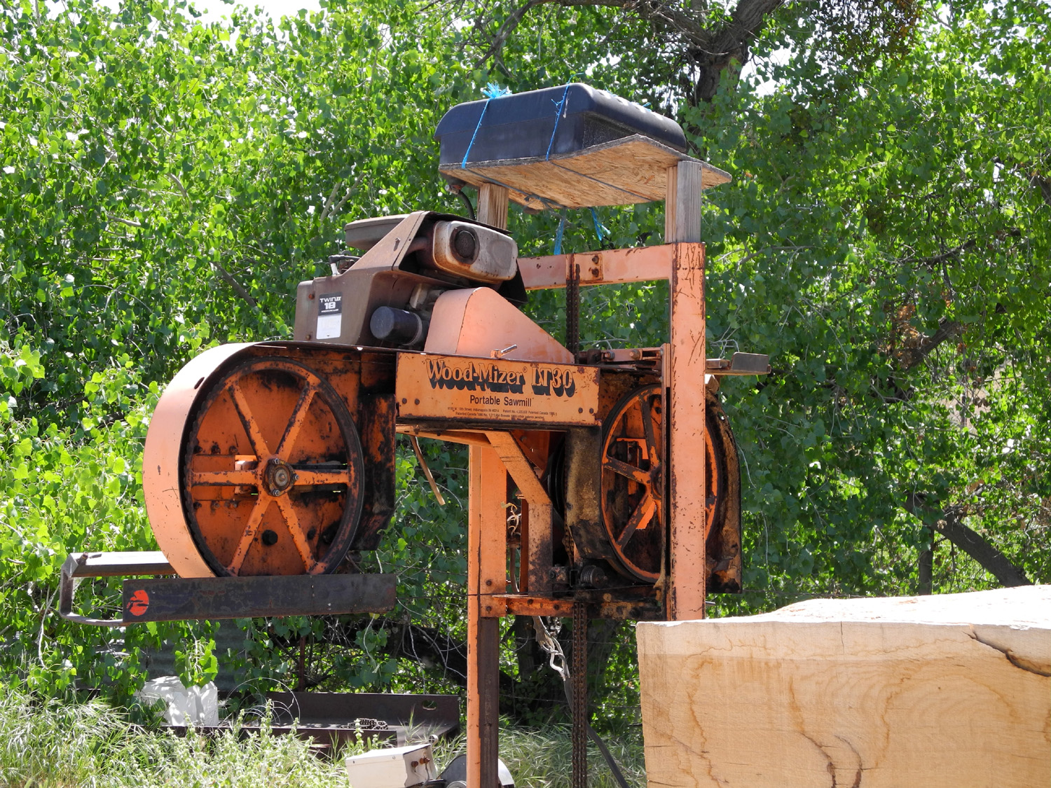
| This mill is pulled through the log instead of the usual method where the log moves into the saw | The
bridge north of town on the Parkfield-Coalinga Road |
A closer look |
 |
 |
 |
| Windmill near the bridge | Cholame Creek and hills beyond from the bridge | Old fence in the bed of the creek |
 |
 |
 |
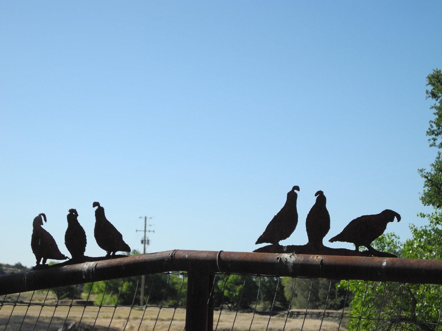
| These
quail keep watch on a ranch fence next to the bridge |
There were tanks on the hills |
A lone picker at the 2014 bluegrass festival |
 |
 |
 |
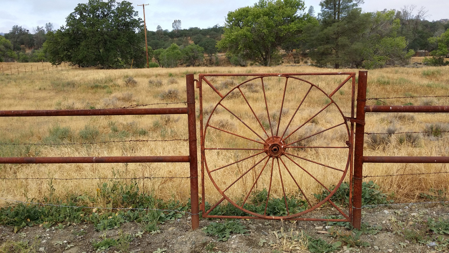
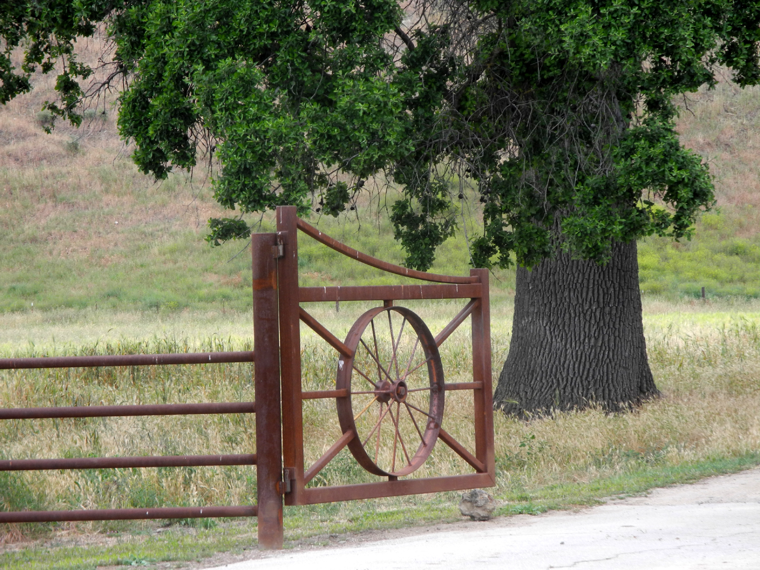
| One of Parkfield's many horses | Wagon wheel gate north of town | Hay in the field next to Parkfield |
 |
||
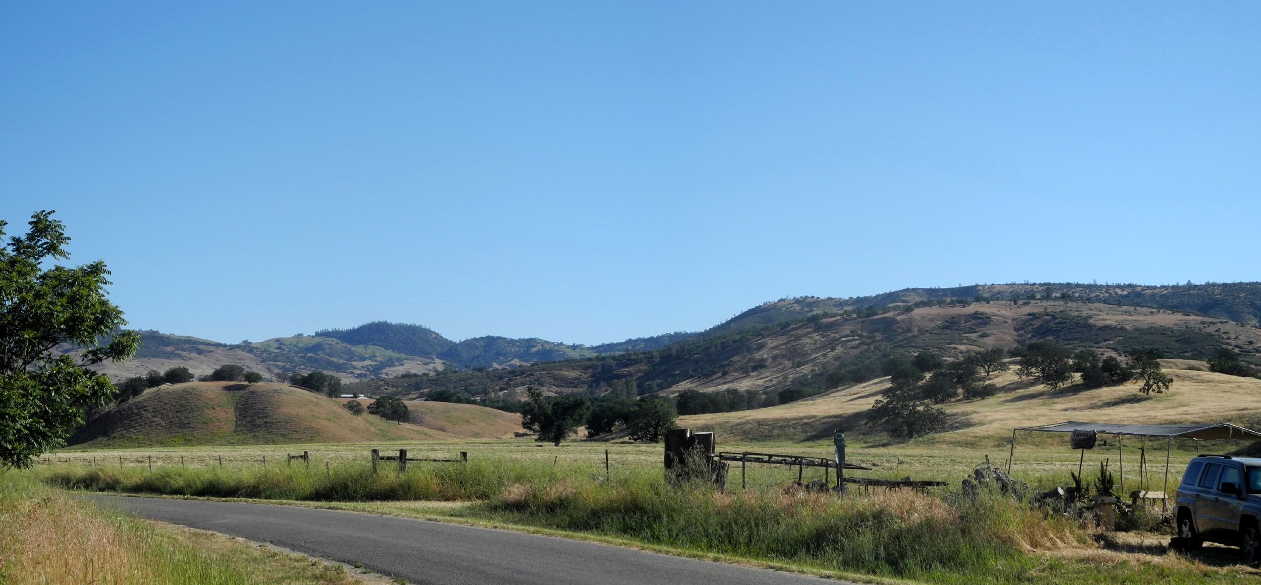
| Panoramic view looking east and north from the edge of town | ||
 |
||
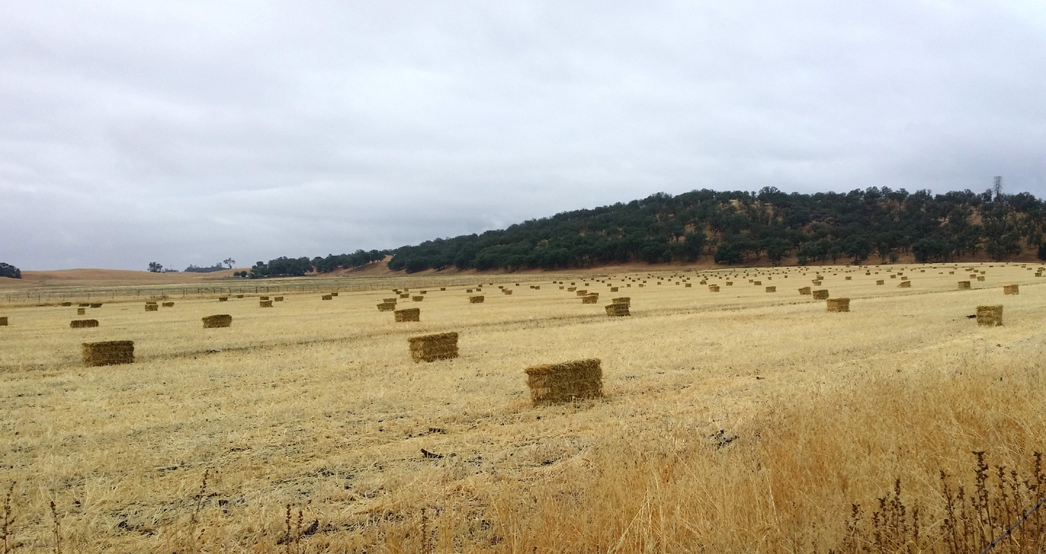
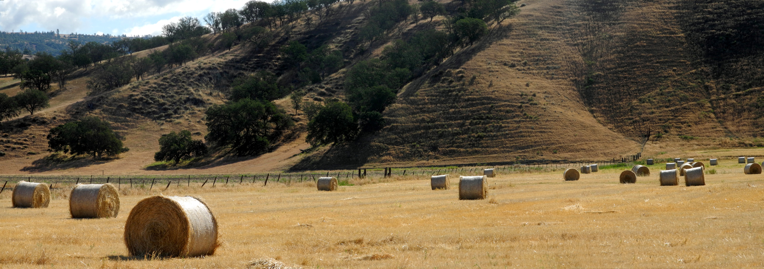
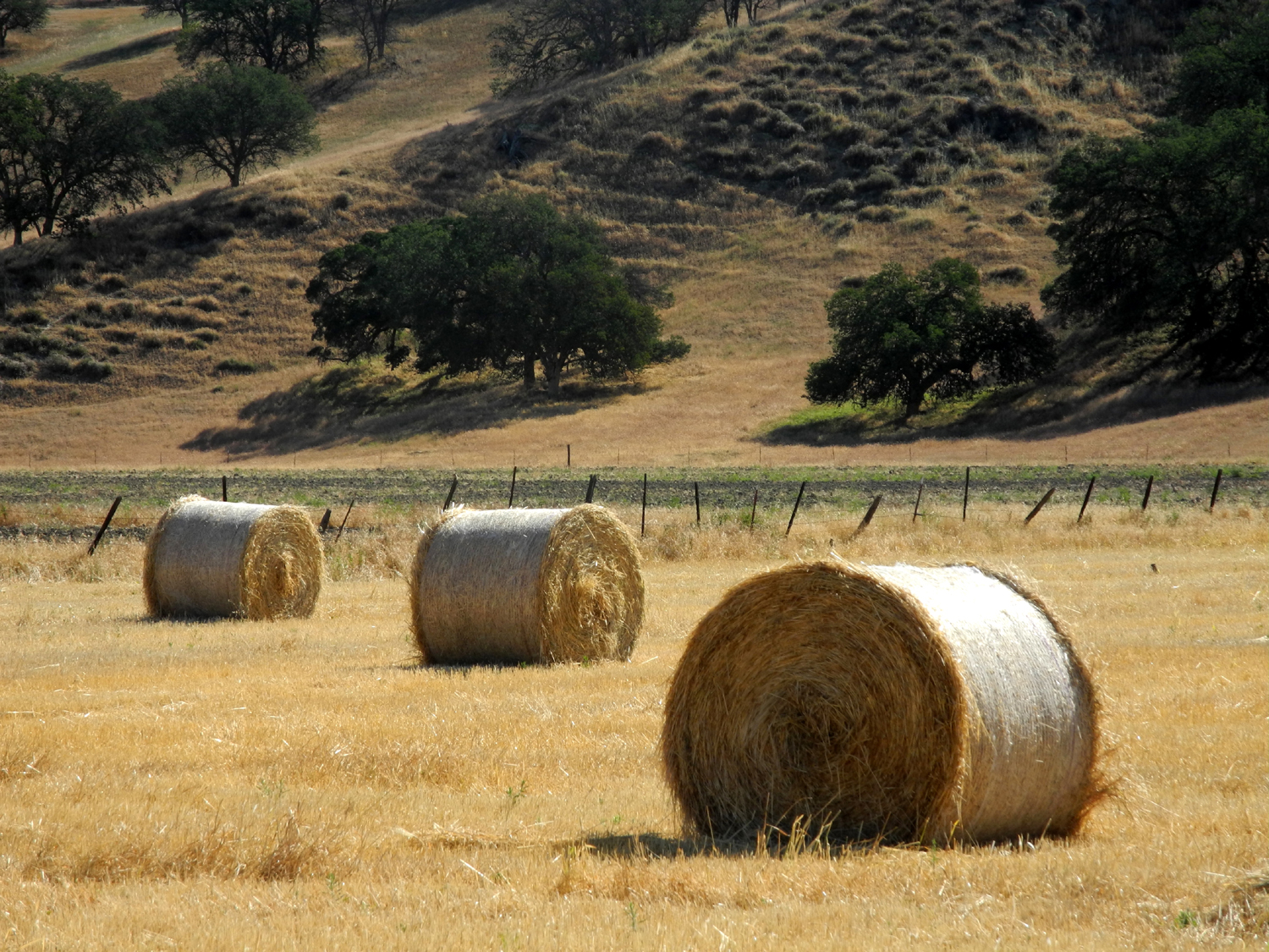
| Round bales, seen for the first time in May 2016 | ||
 |
 |
 |
|
Population used to be 37 - where did they all go? |
Witches left over from Halloween | Beautiful valley oaks north of town |
 |
 |
 |
| Hills north of town |
Ranch along the Parkfield-Coalinga road |
Bridge north of town on Parkfield-Coalinga Road |
 |
 |
|
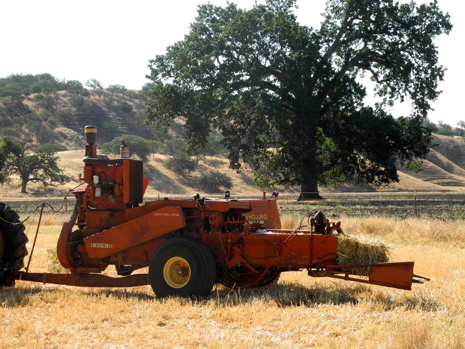
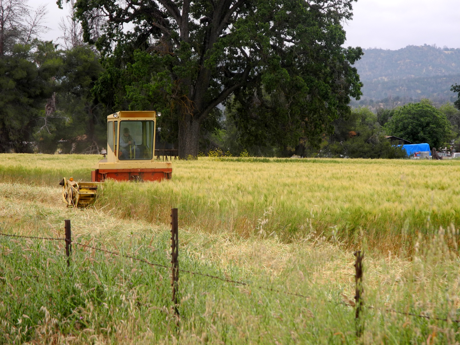
| Windmill near the bridge | Hay baling machine | And the results of baling |
 |
 |
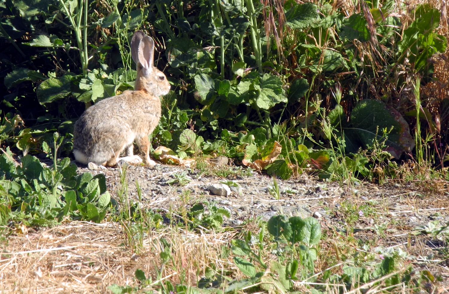 |
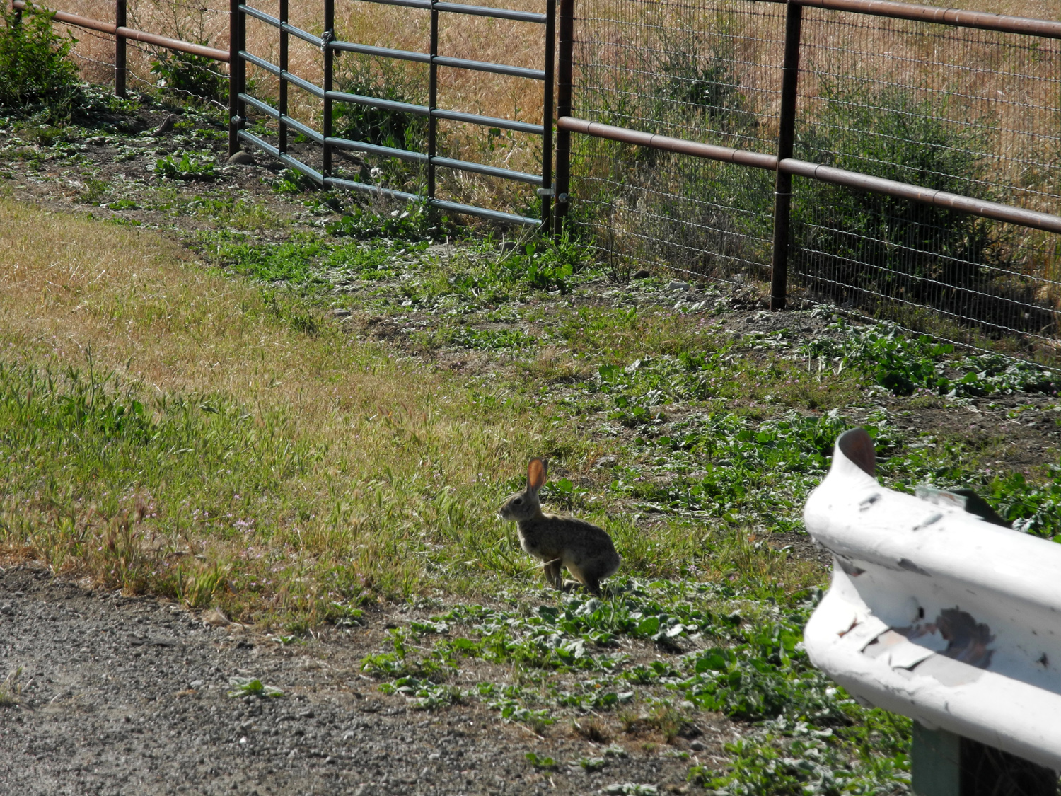
| Some bales are round in 2016 | Rabbit, not afraid of the photographer | He spent long moments munching on a juicy weed by the road |
 |
 |
 |
| A pirate ship in Parkfield | An overflow "tent city" north of Park Street at the 2017 Bluegrass Festival | A view along Parkfield-Coalinga Road |
 |
 |
 |
| This hay was cut minutes before the photo was taken | Mower at work along Parkfield-Coalinga Road | Wagon wheel gates are a must in this country |
 |
 |
 |
| Some say Parkfield is a one-horse town | Parkfield's big wheel | The seasonal CalFire station is open for business |
 |
 |
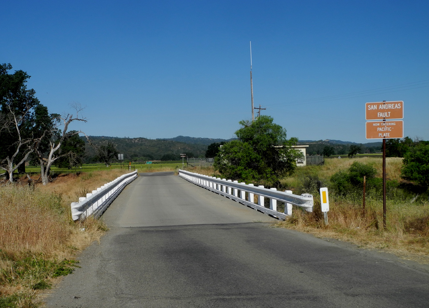 |
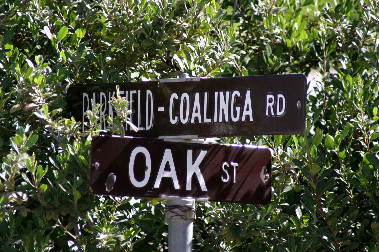
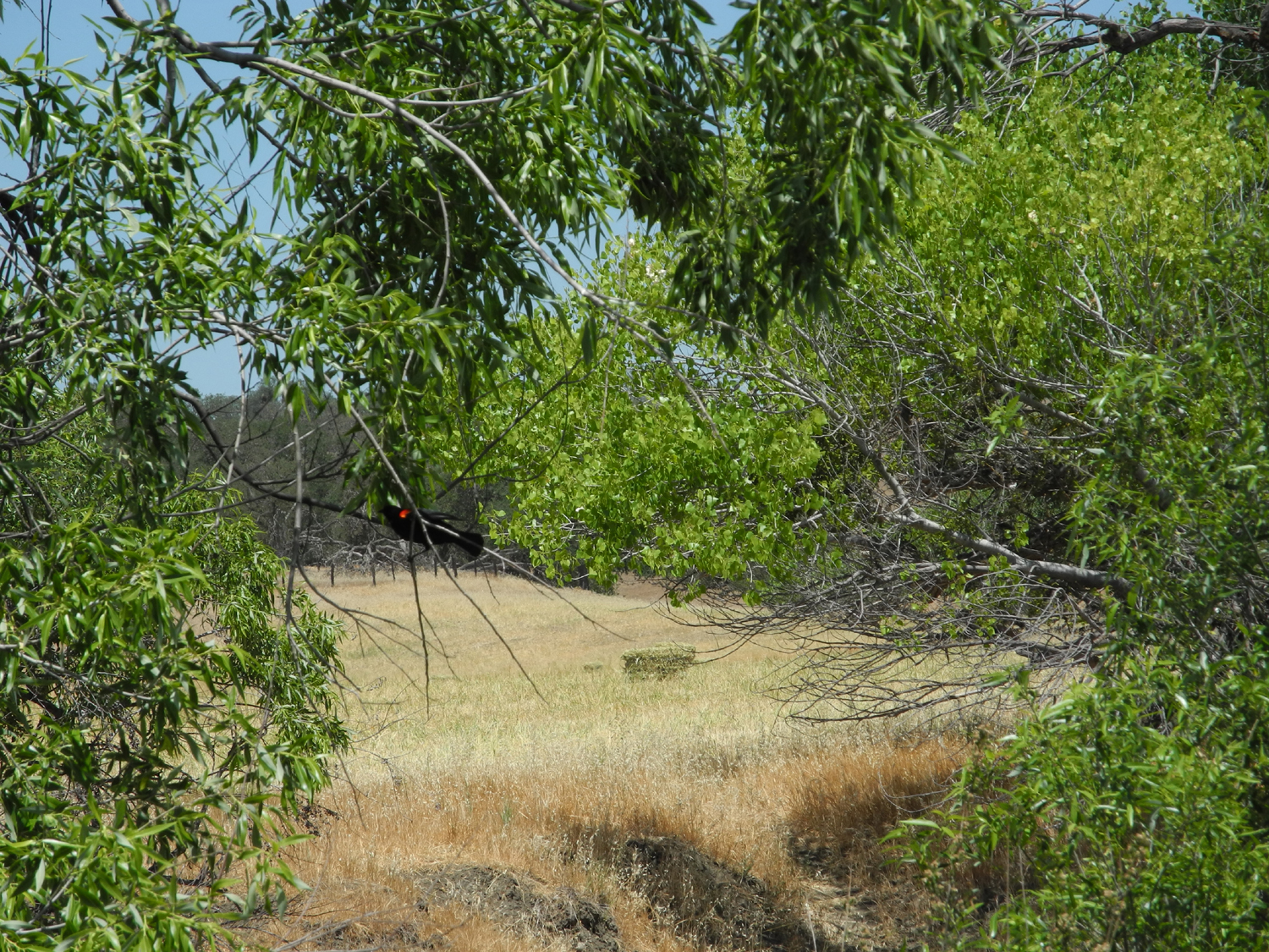
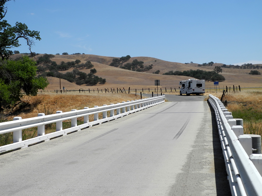
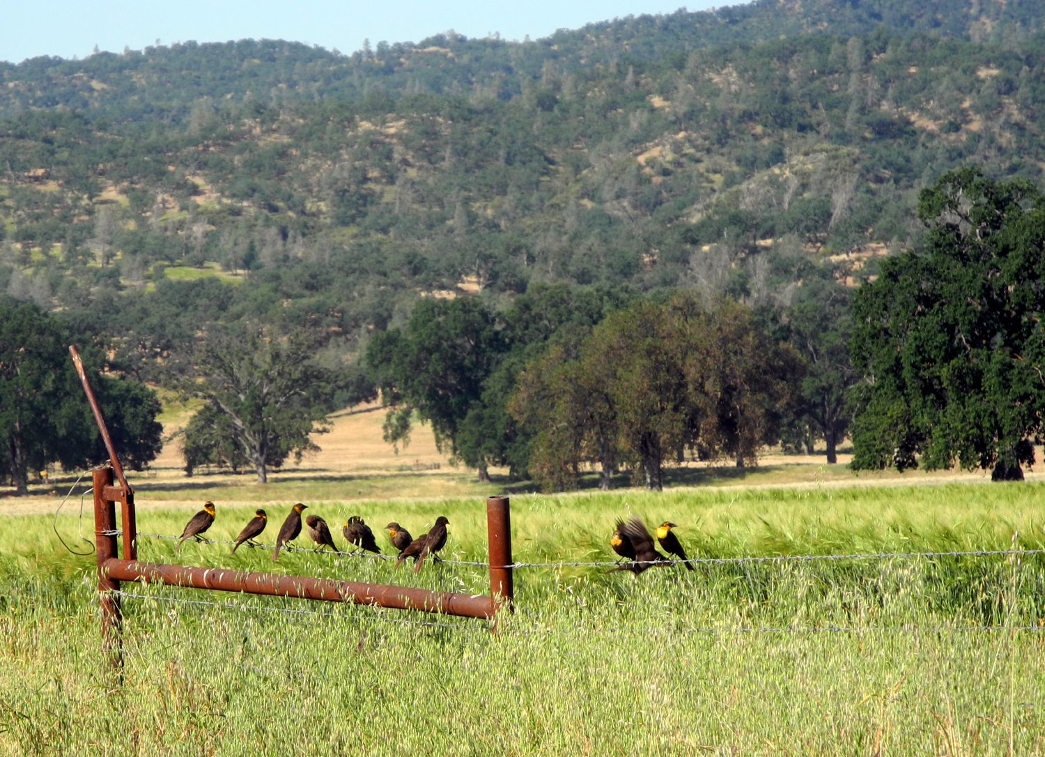
| Looking west on Oak Street | Yellow-throated birds beside Cholame Road | The bridge across the San Andreas Fault |
| Related Links | ||
| Parkfield Events | Parkfield Bluegrass festival | San Andreas Fault |
| US Geological Survey | Parkfield Quake of 2004 | Klystron Tube |
| San Ardo | San Miguel | Coalinga |
| Bluegrass 2003 | Bluegrass 2004 | Bluegrass 2005 |
| Bluegrass 2006 | Bluegrass 2008 | Bluegrass 2009 |
| Bluegrass 2010 | Bluegrass 2011 | Bluegrass 2012 |
| Bluegrass 2013 | Cholame Valley Road | Bluegrass 2014 |
| Parkfield Slide Show | Jack Varian's Blog | |

