|
Dick's Kings River and San Joaquin River Area Pictures |
|||
|
|
|||
|
More
Sierra Nevada Area Photos:
Yosemite, Kings Canyon and Sequoia National Parks Central Sierra Nevada Eastern Sierra Death Valley |
|||
|
|
|||
|
Kings River Area San Joaquin & Fresno River Area Links to More Photos |
|||
|
|
|||
|
New photos here June 15, 2026 (captions in red) |
|||
|
|
|||
|
Click the picture for a larger view - photos open in a new window |
|||
|
Kings River Area |
|||
|
|
|||
|
|
|
|
|
|
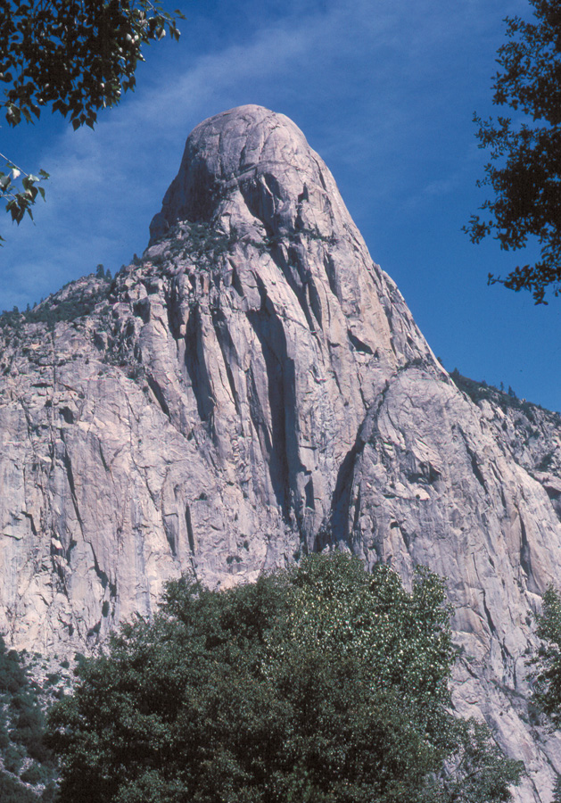
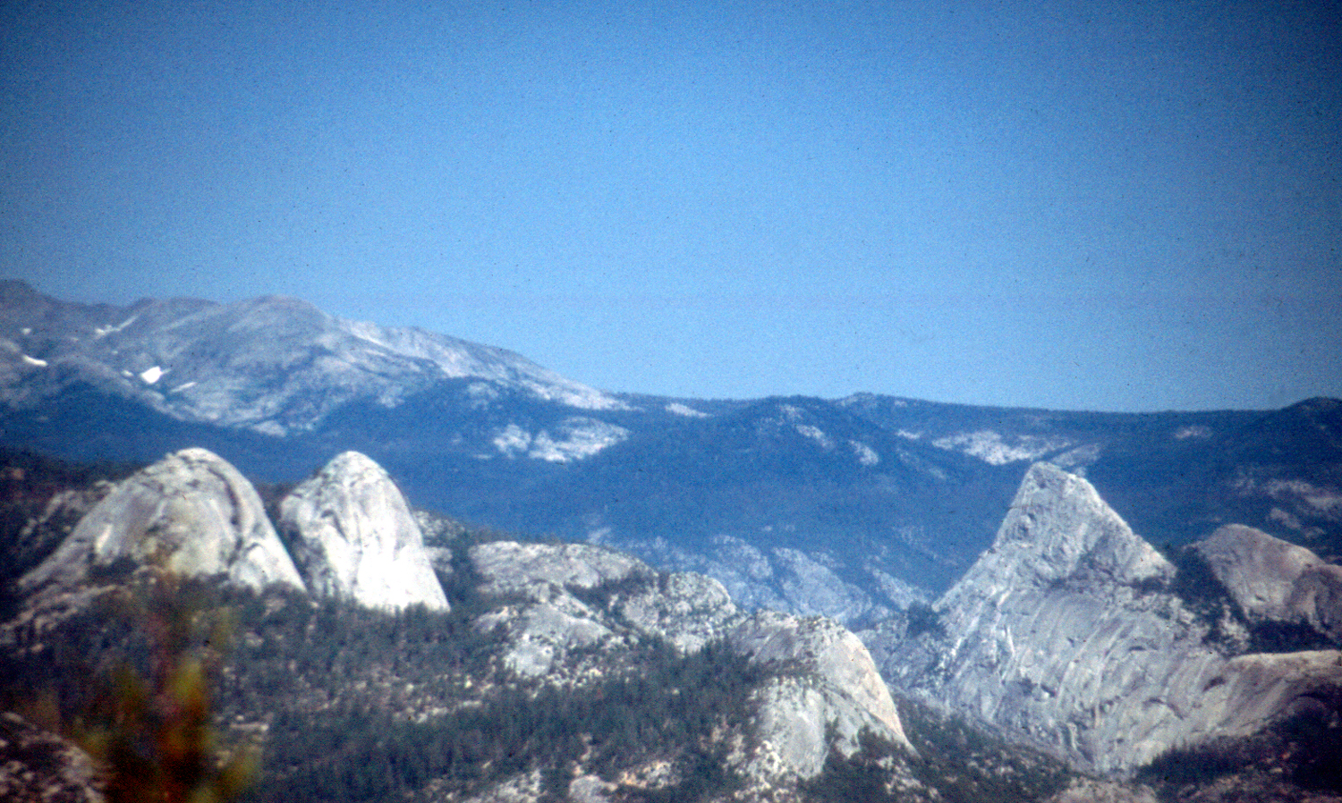
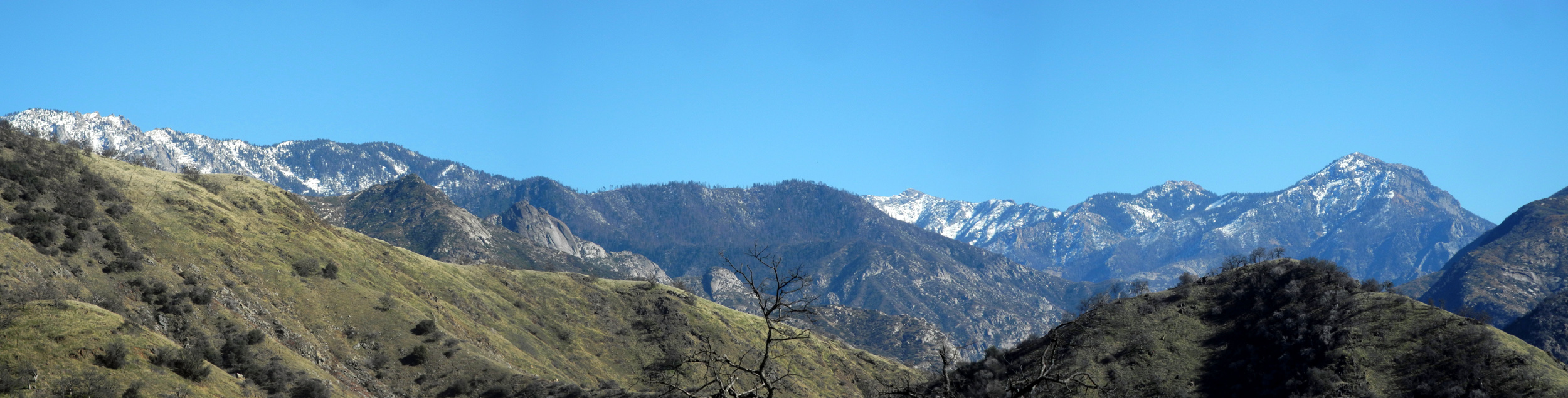
Tehipite Dome |
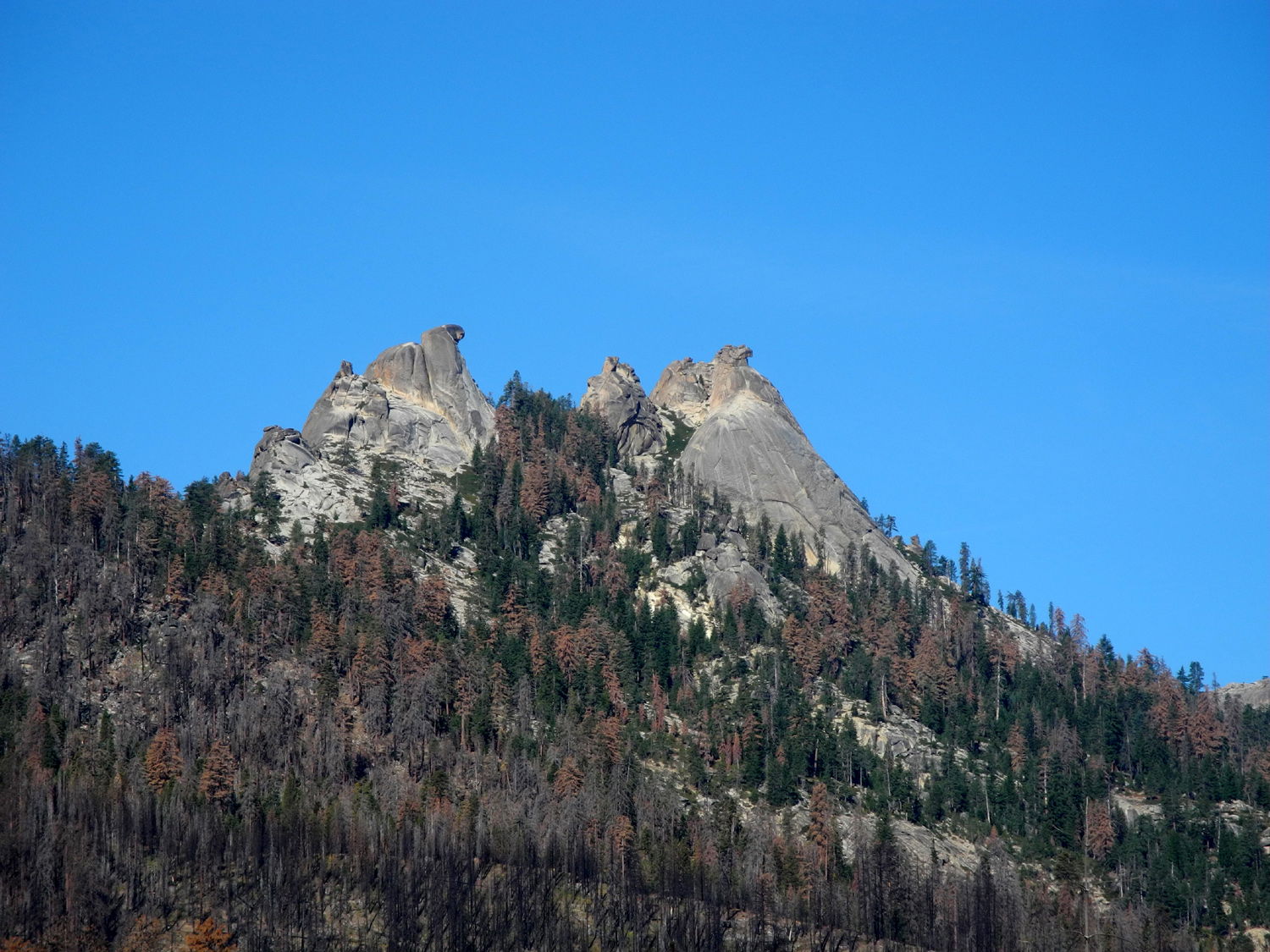
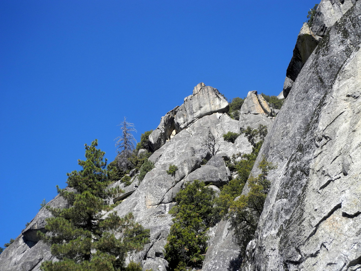
Sphinx Crest above Kings Canyon |
Tehipite Dome from northwest |
|
|
|
|||
|
|
|
|
|
|
Tehipite Valley (Kings River, middle fork) |
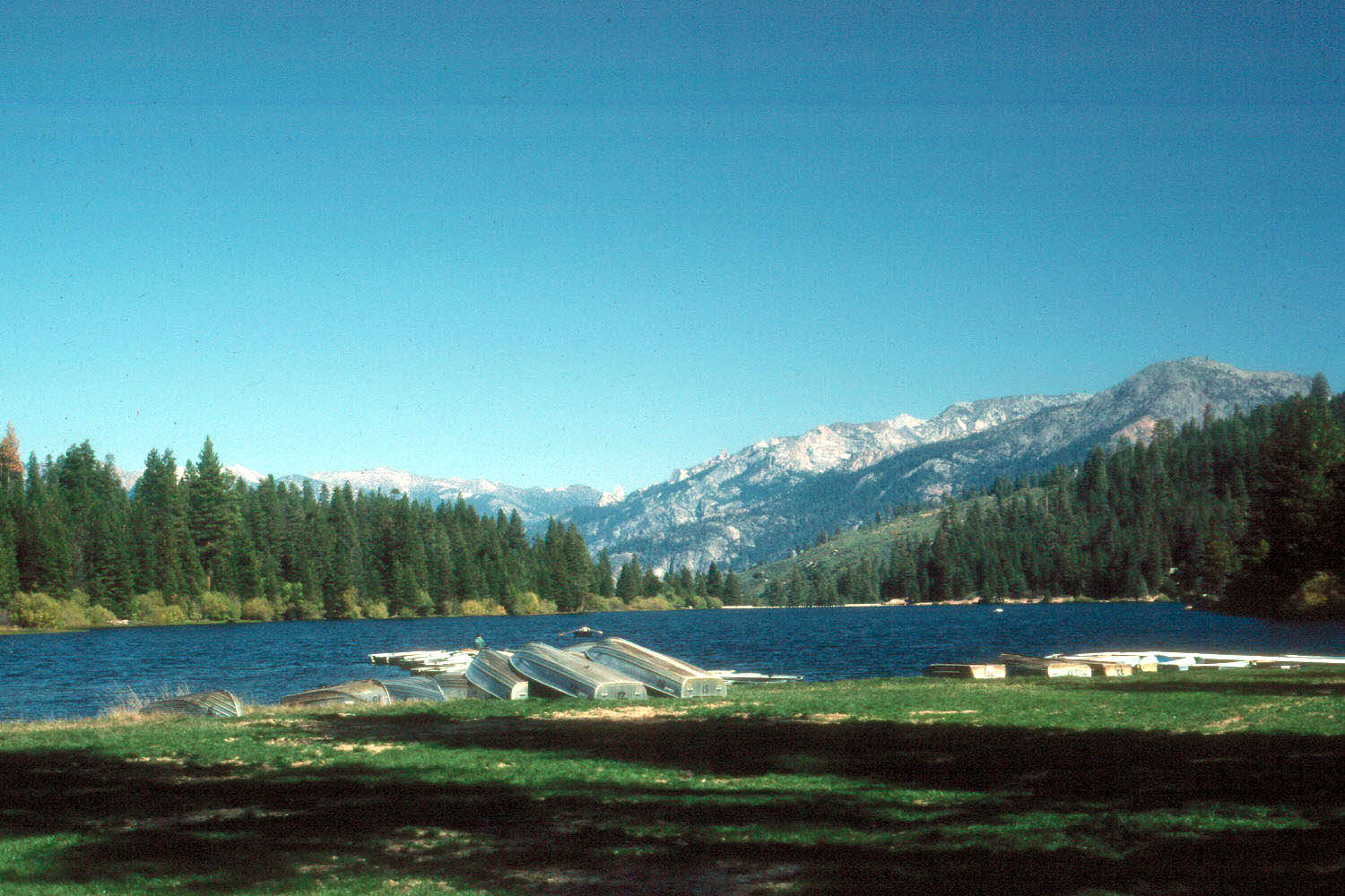
Hume Lake, Sequoia National Forest |
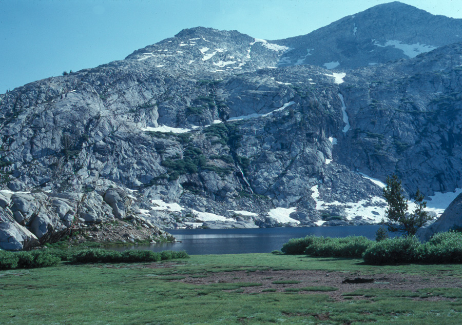
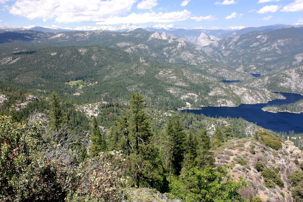
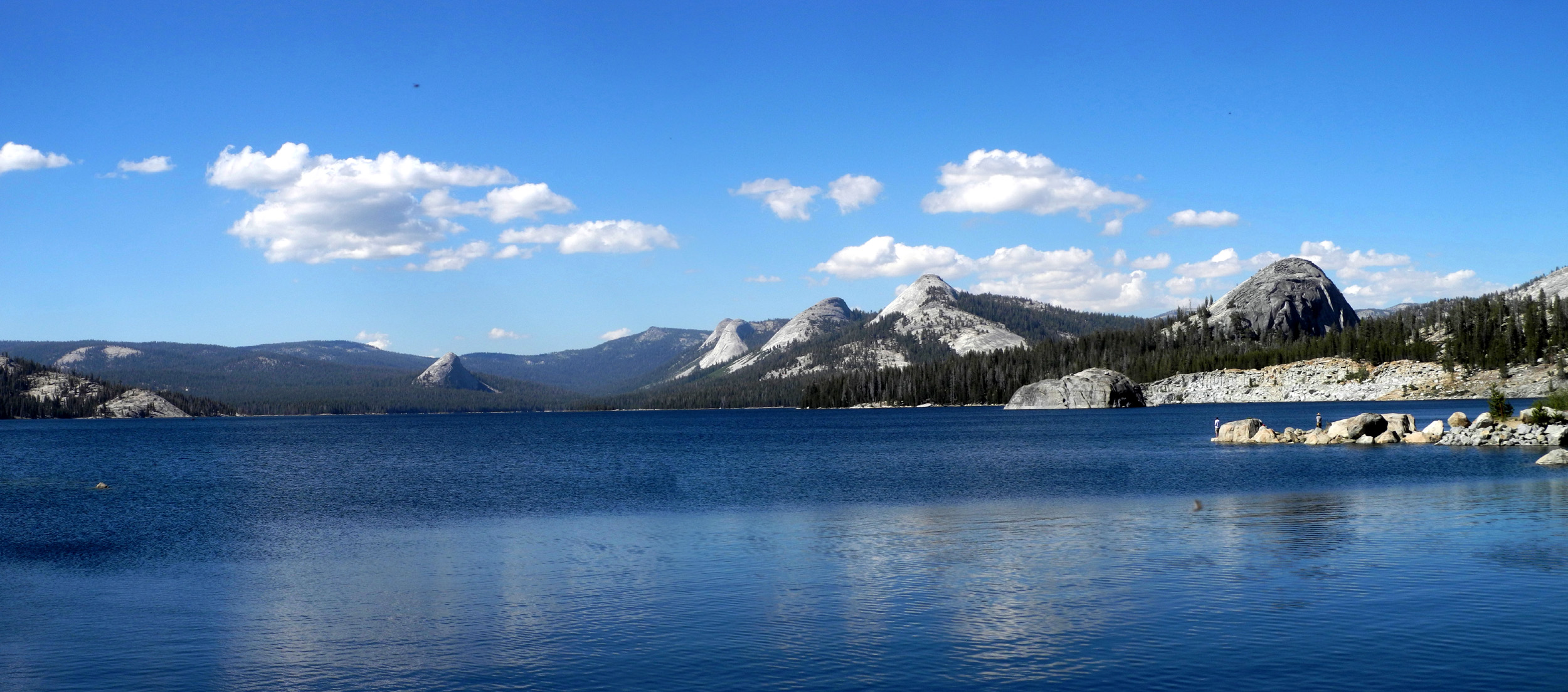
Granite Lake, on the divide between north and middle forks of the Kings River |
|
|
|
|||
|
|
|
|
|
|
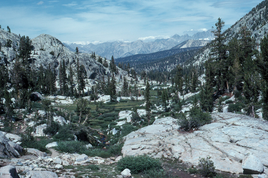
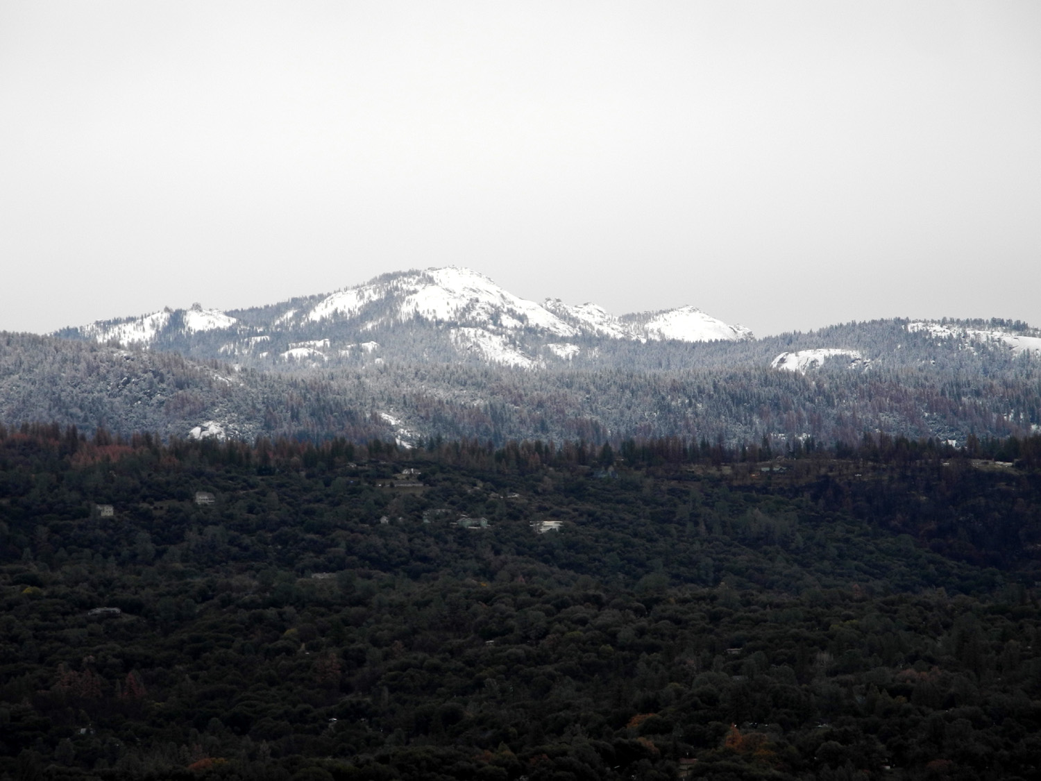
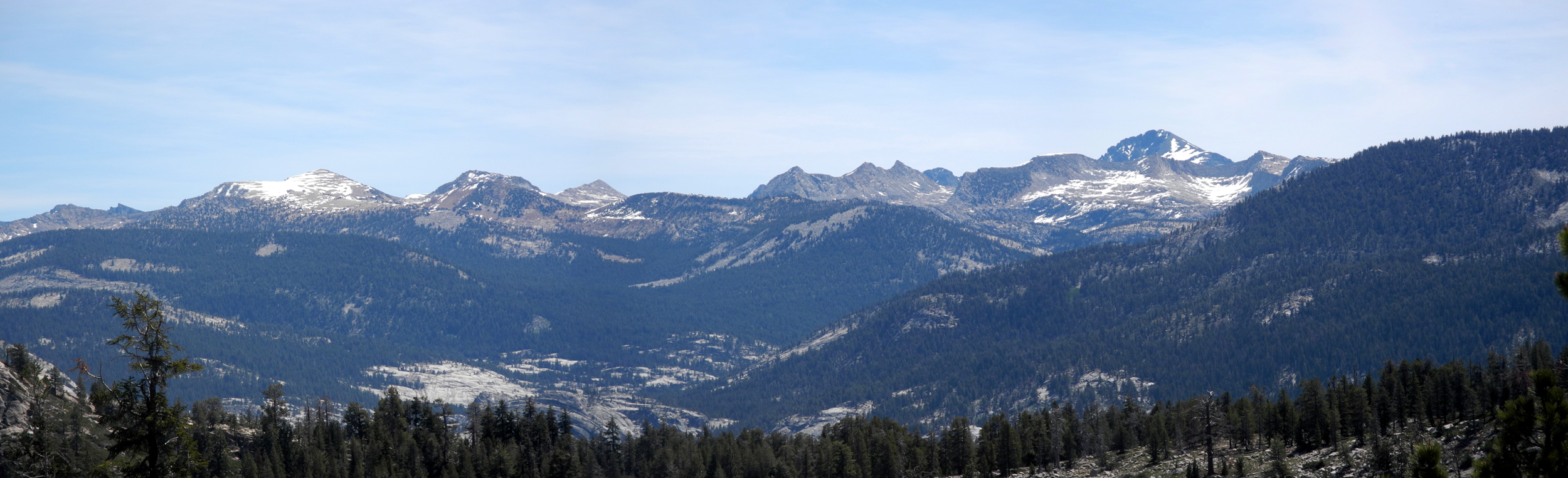
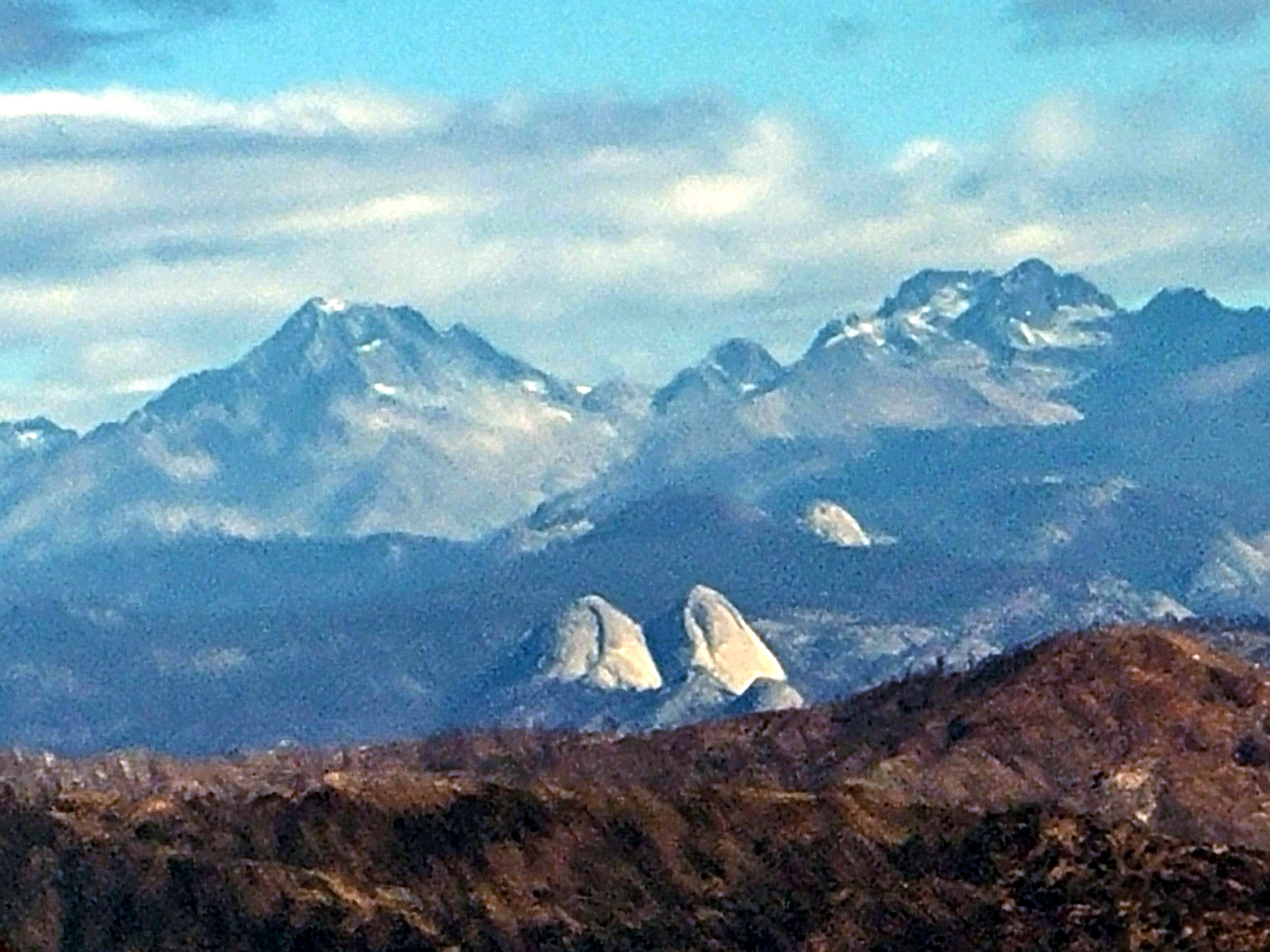
Looking north from Granite Pass |
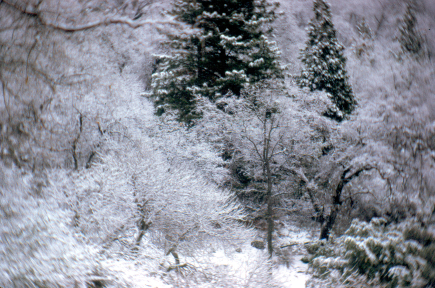
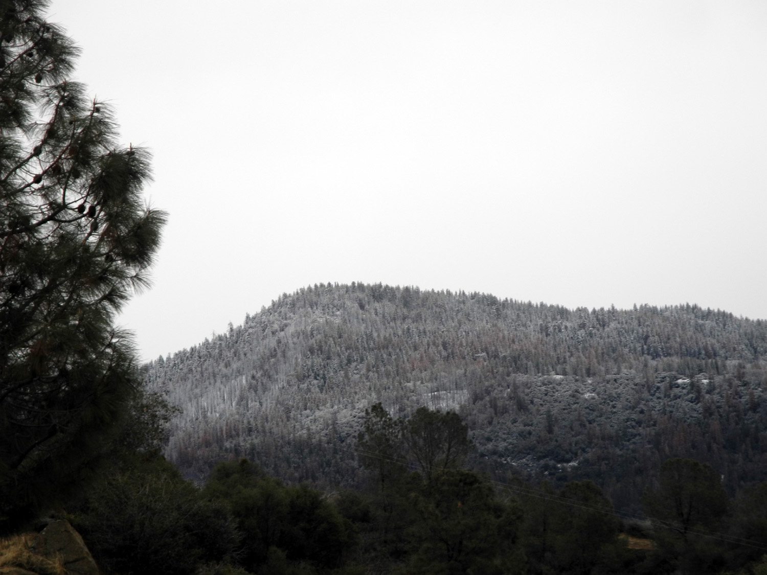
Snow all over, near Kings Canyon Park |
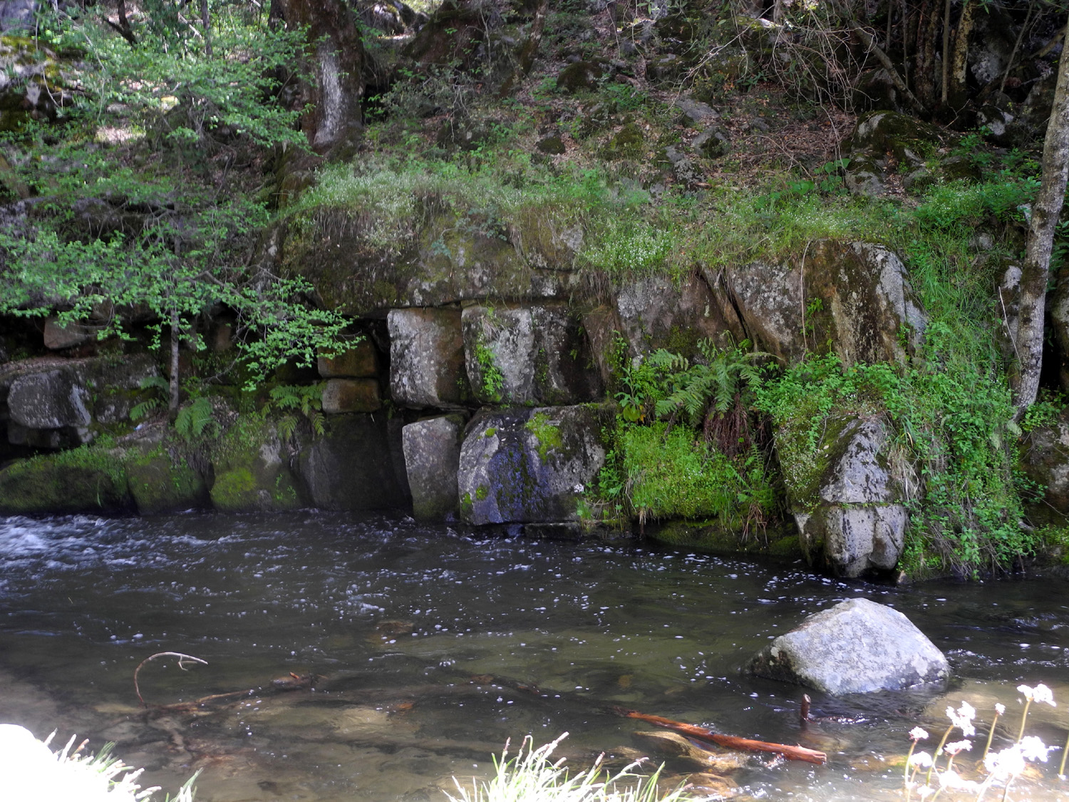
Water Lily Pond, Old Wishon Road |
|
|
|
|||
|
|
|
|
|
|
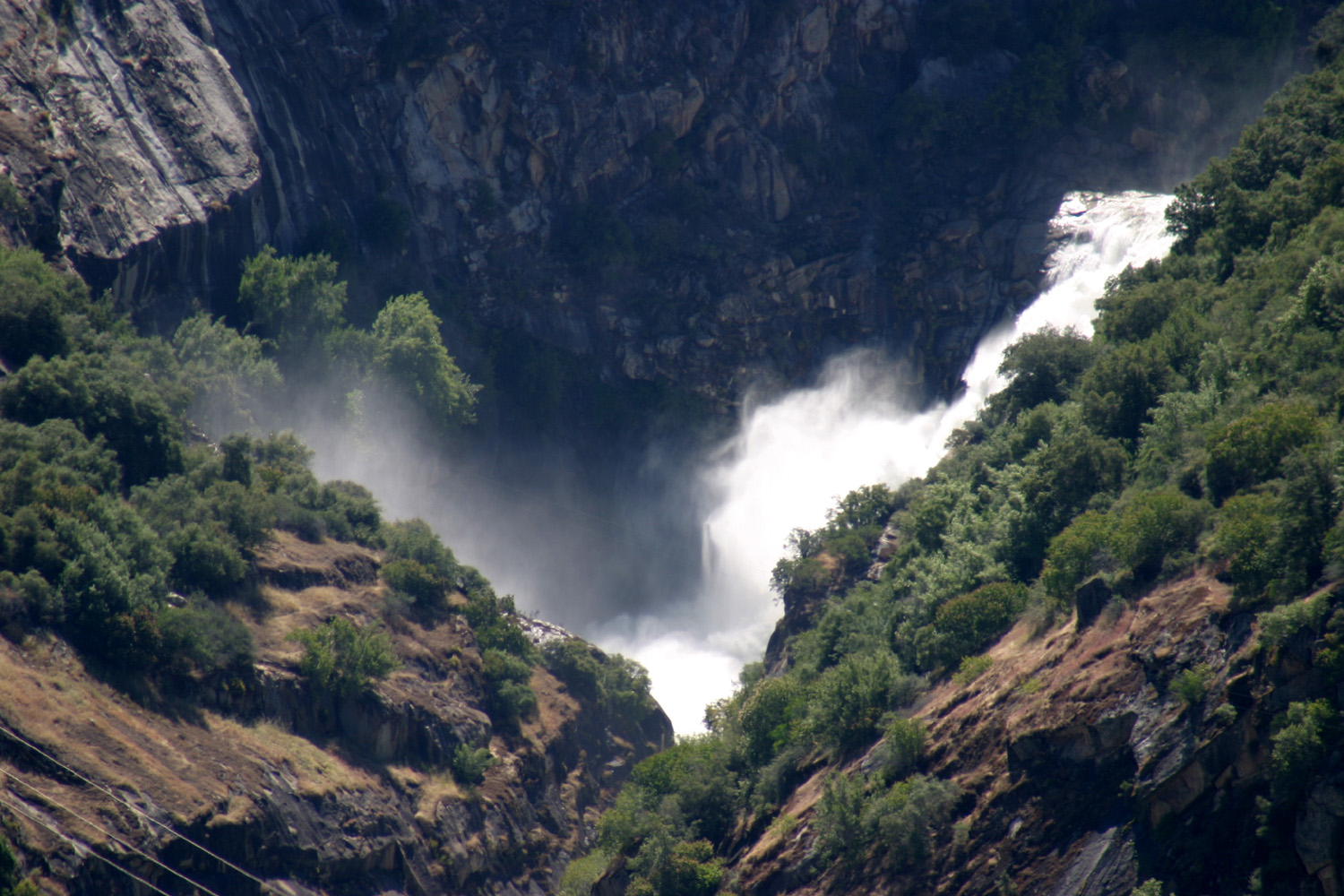
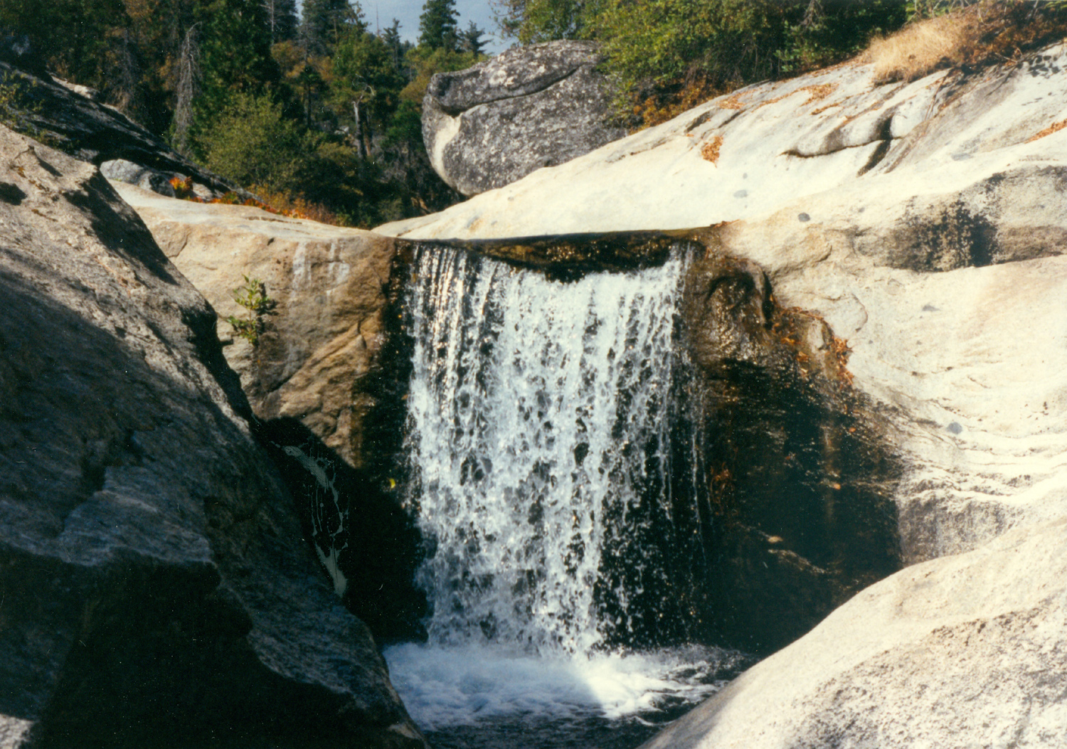
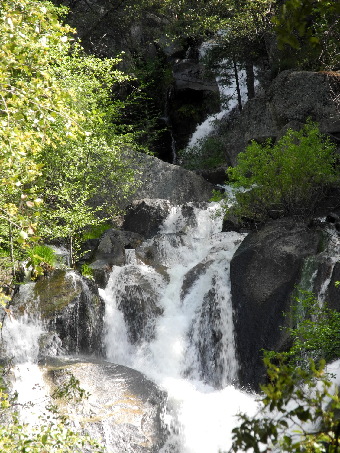
Falls in Hell Hole, North Fork, Kings River |
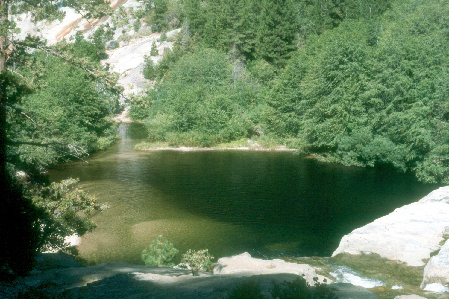
Pond in Hell Hole, Kings North Fork |
Falls on North Fork of the Kings River, near Balch Camp |
|
|
|
|||
|
|
|
|
|
|
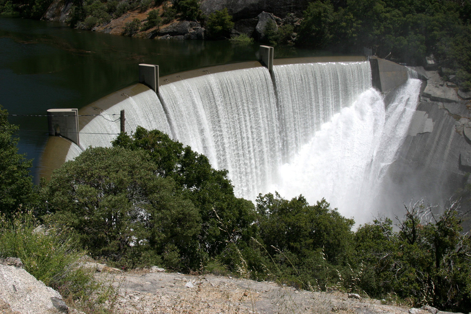
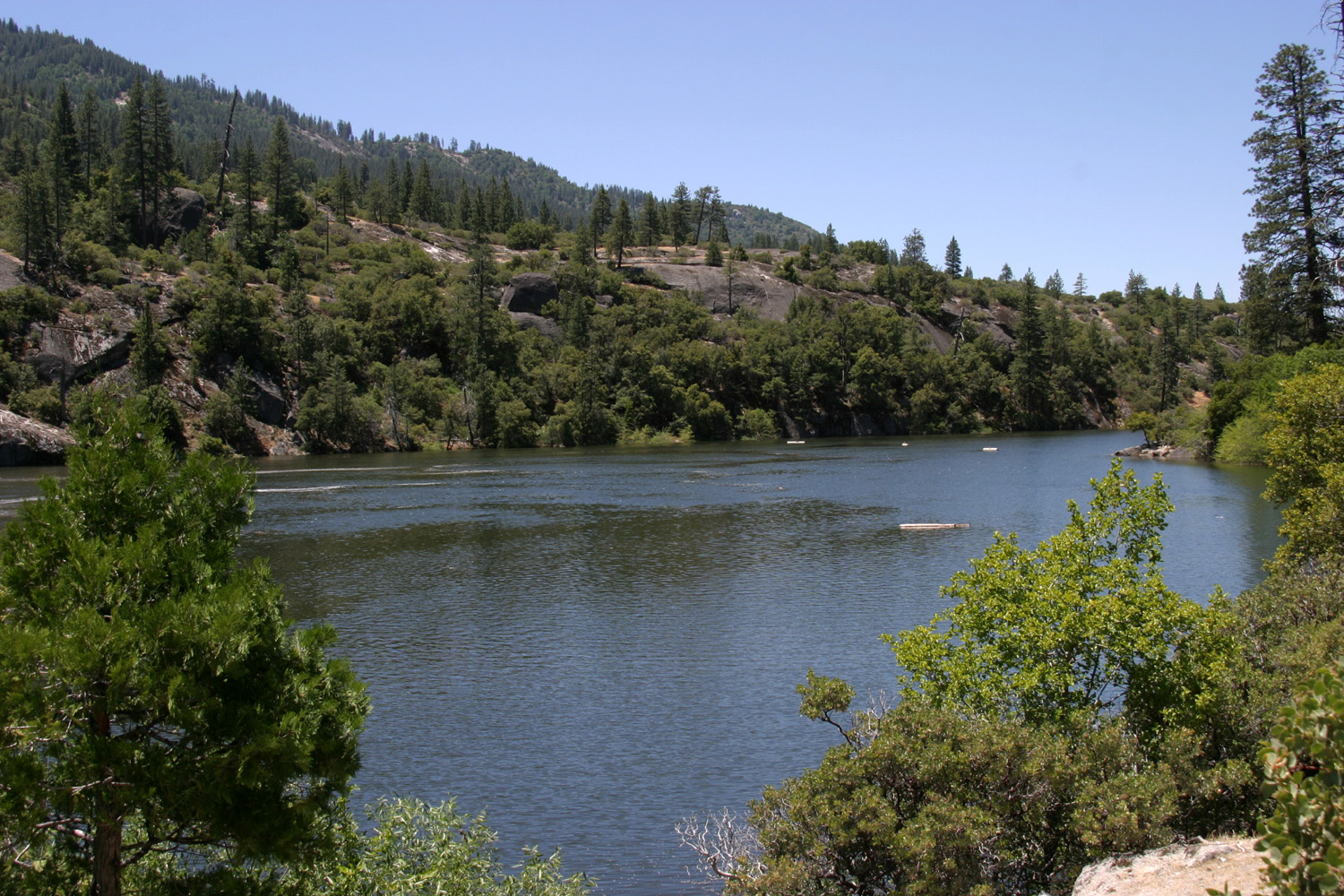
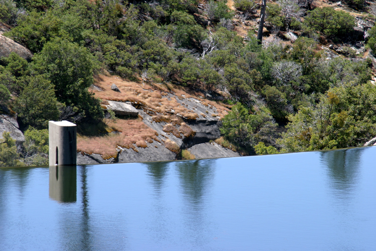
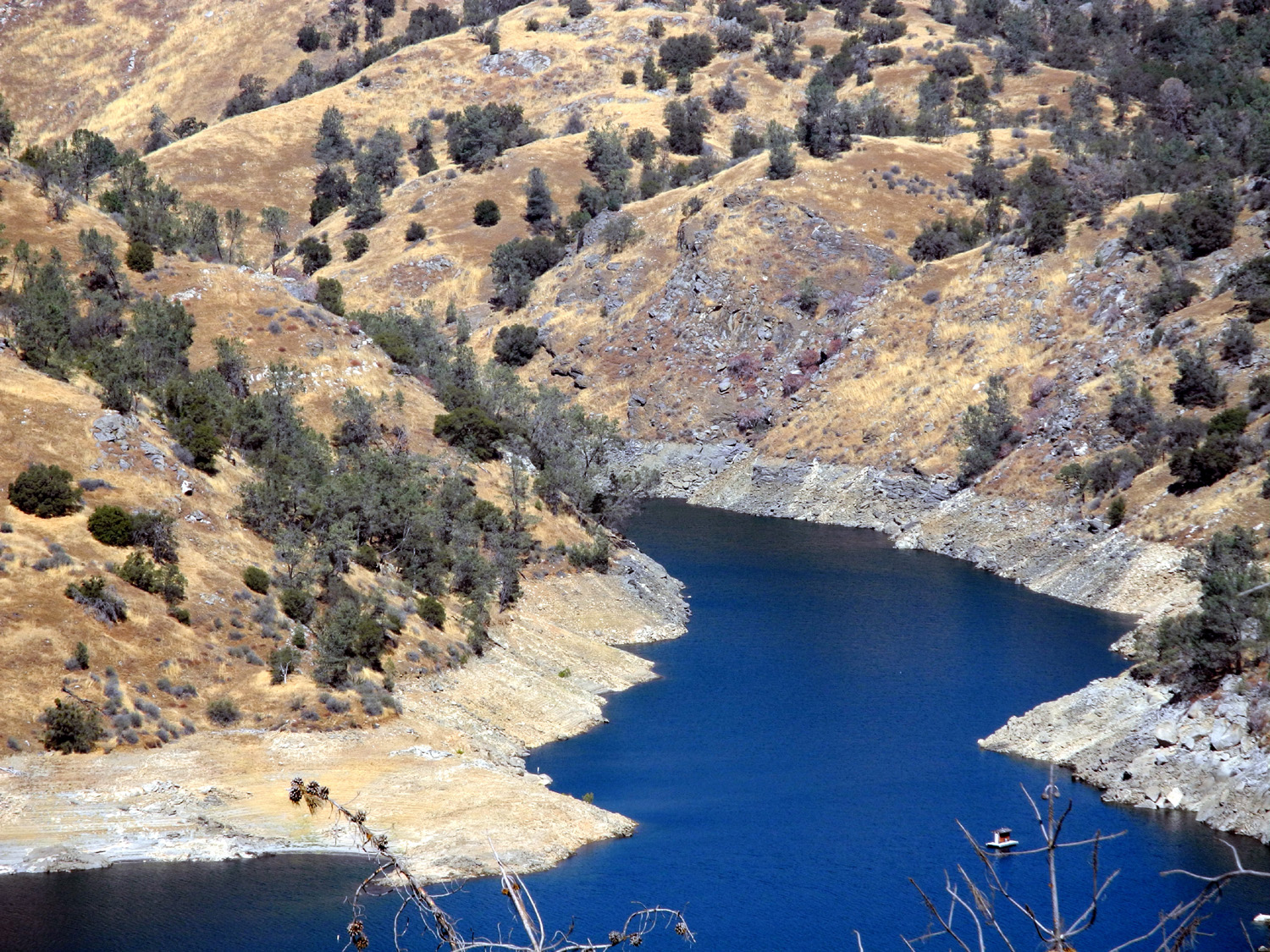
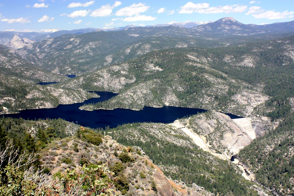
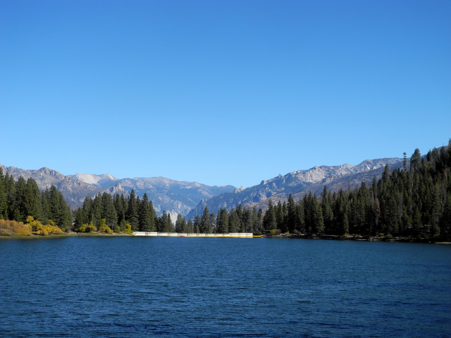
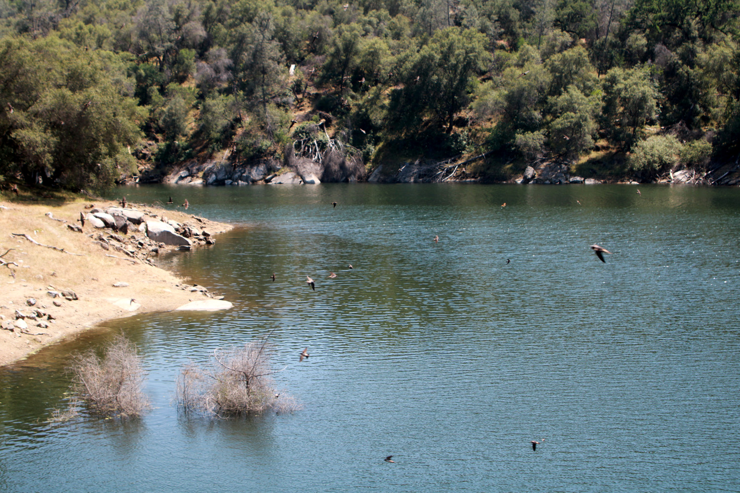
Dam at Black Rock Reservoir on the Kings River North Fork |
The reservoir |
Where water pours over the dam |
|
|
|
|||
|
|
|
|
|
|
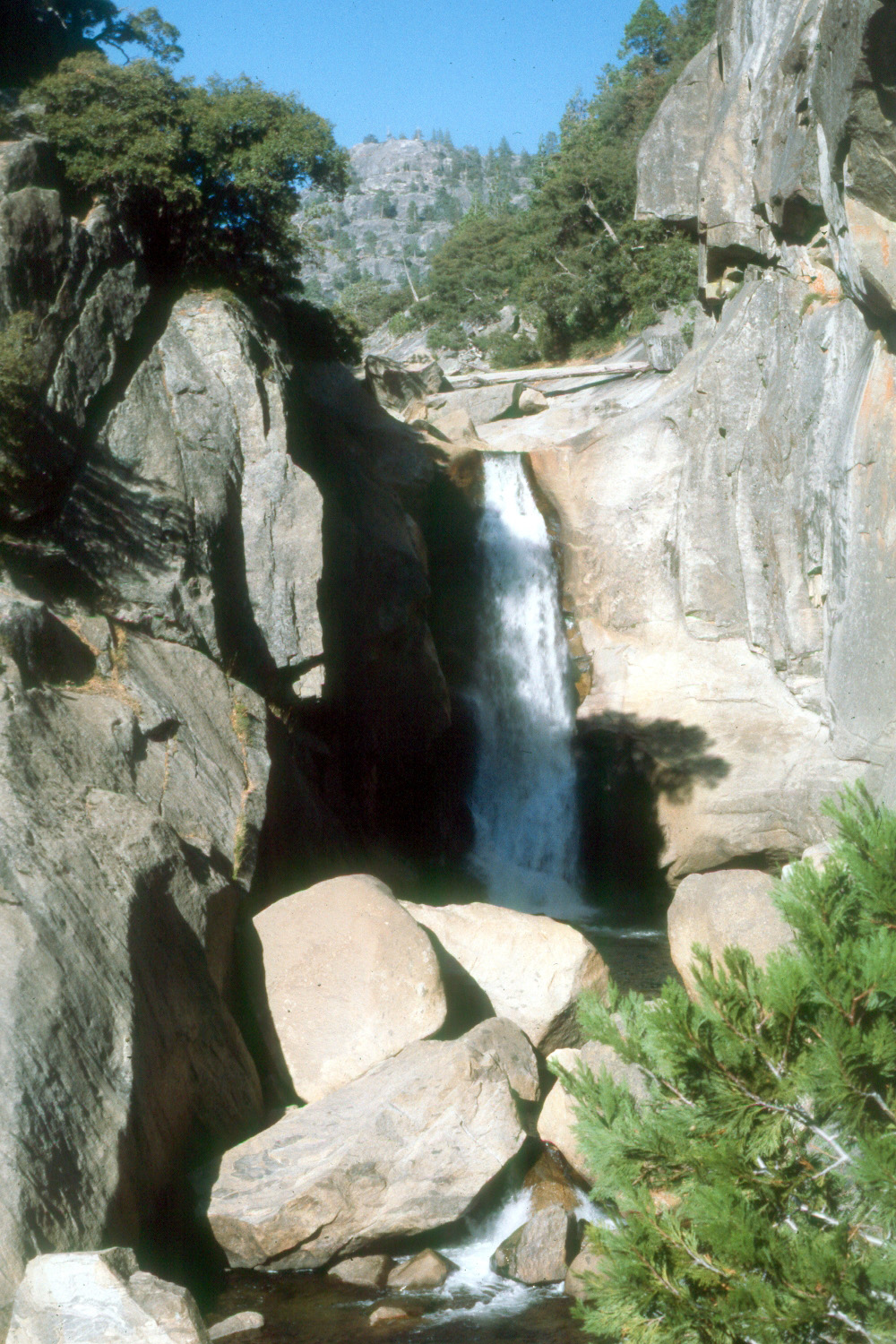
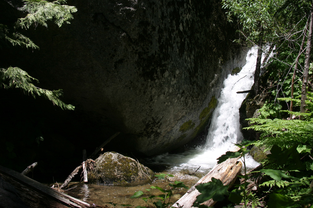
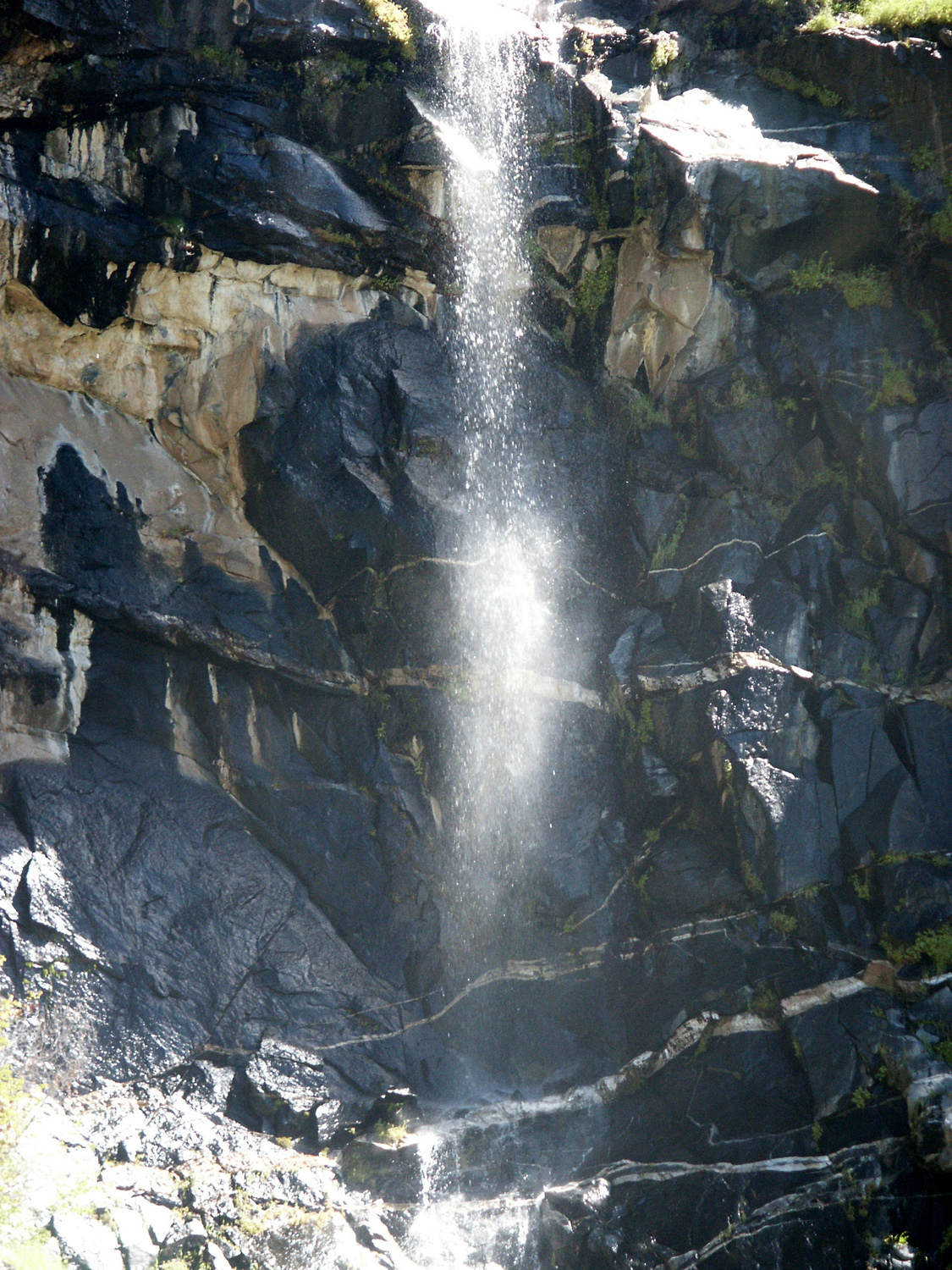
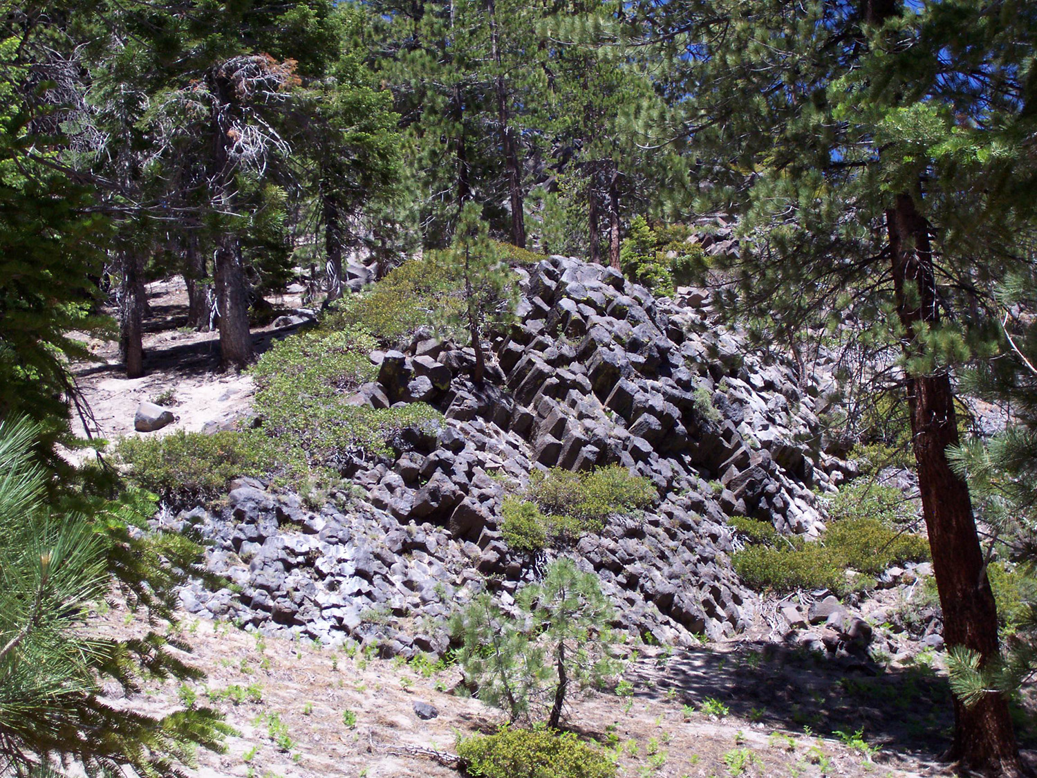
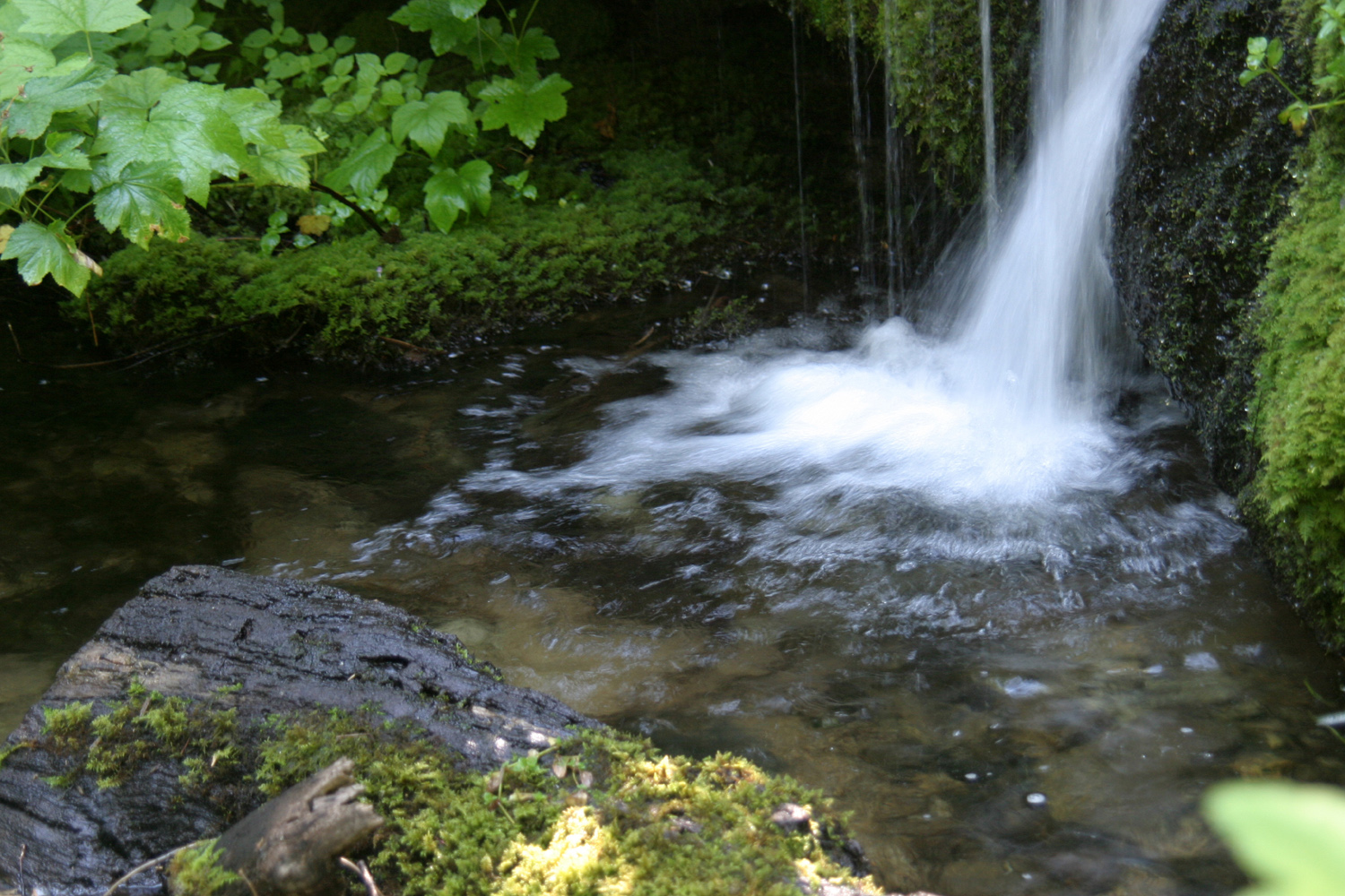
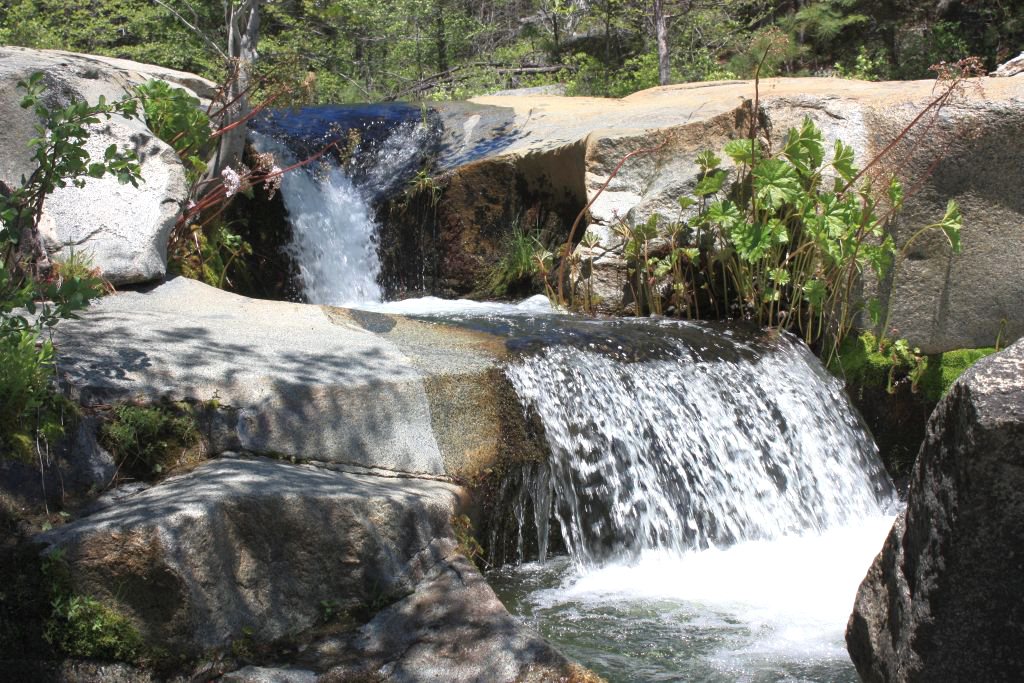
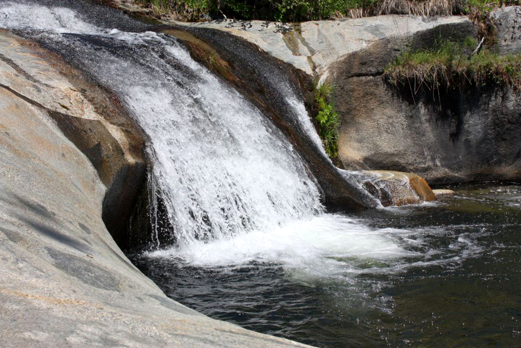
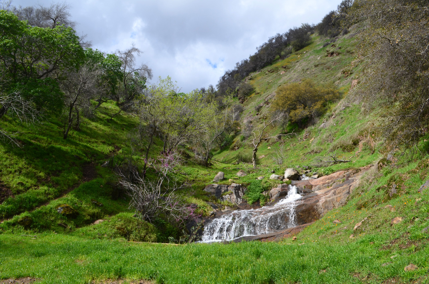
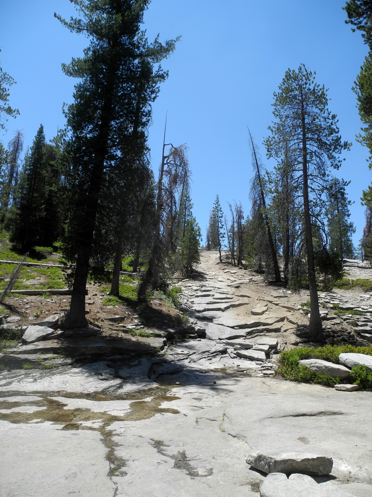
Small waterfall near Black Rock |
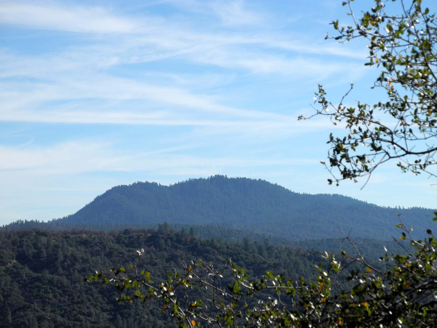
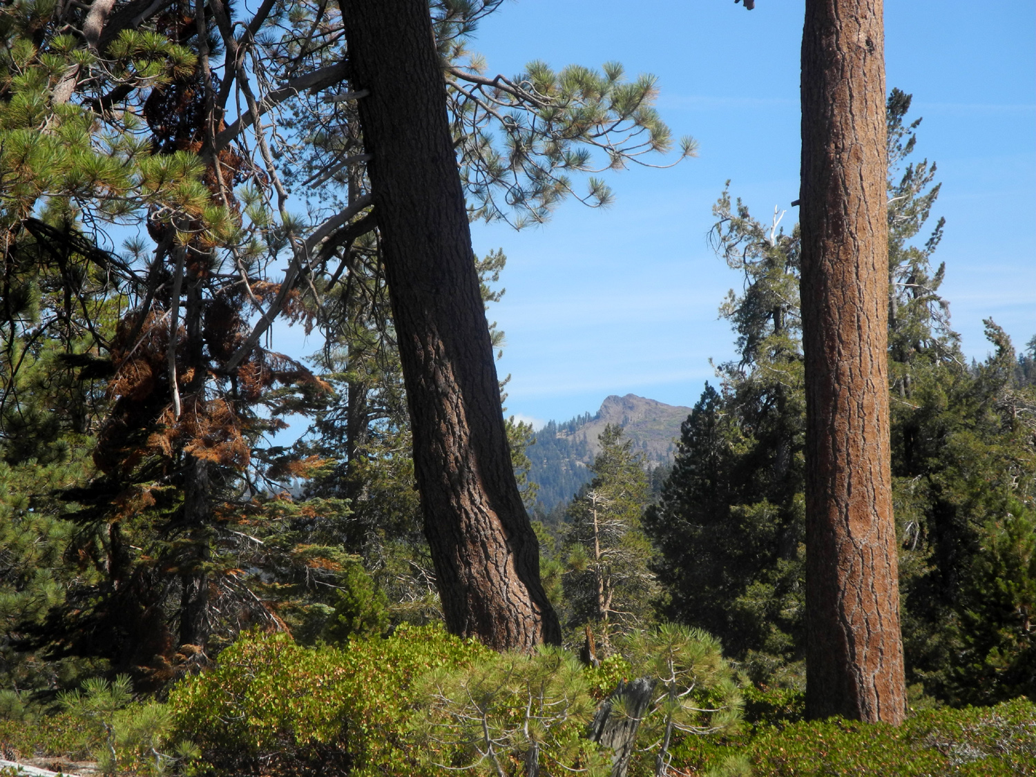
Wren Peak in Kings Canyon National Park, from above Pine Flat Lake |
Spring waterfall above Black Rock Reservoir, Fresno County |
|
|
|
|||
|
|
|
|
|
|
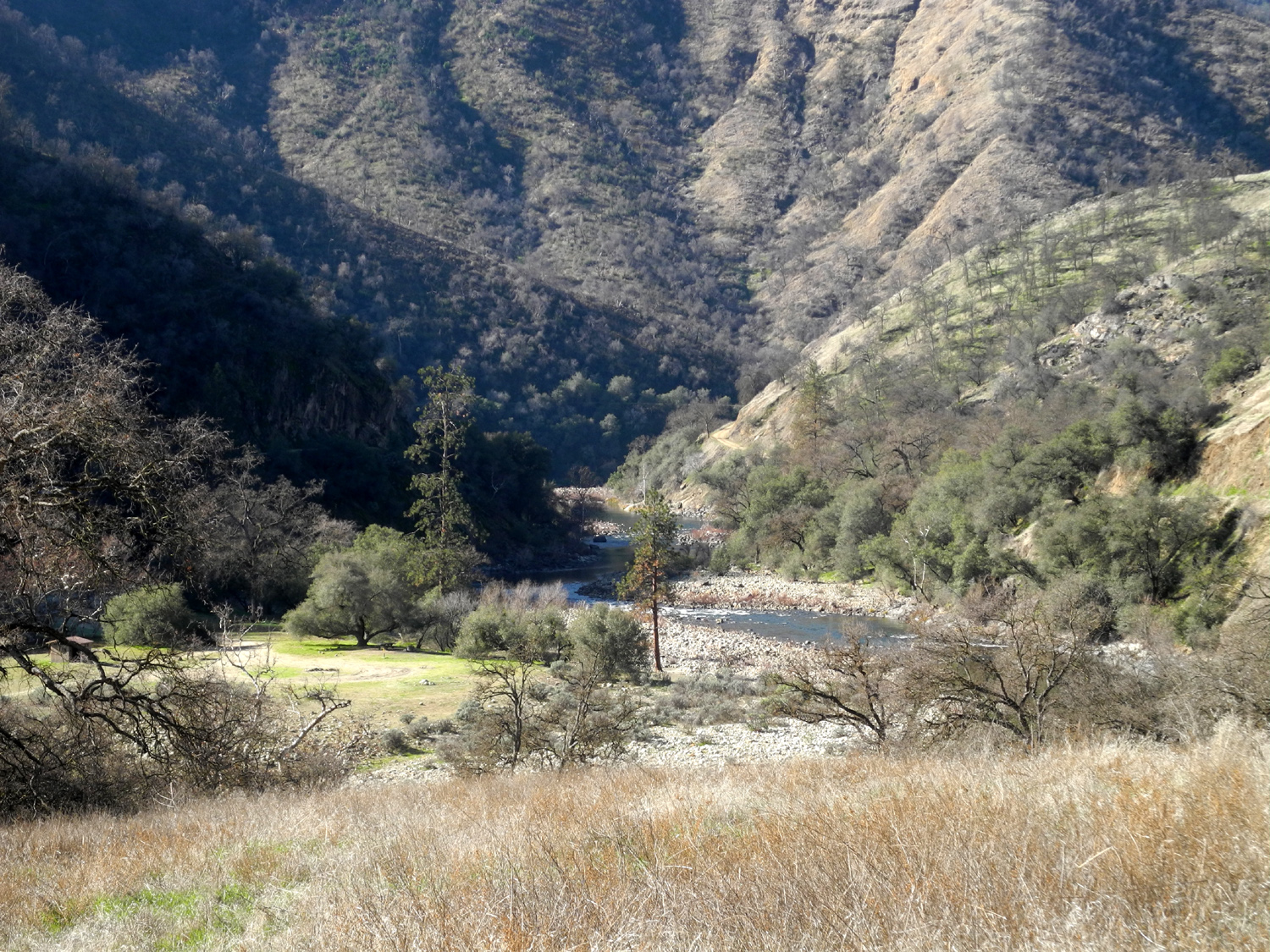
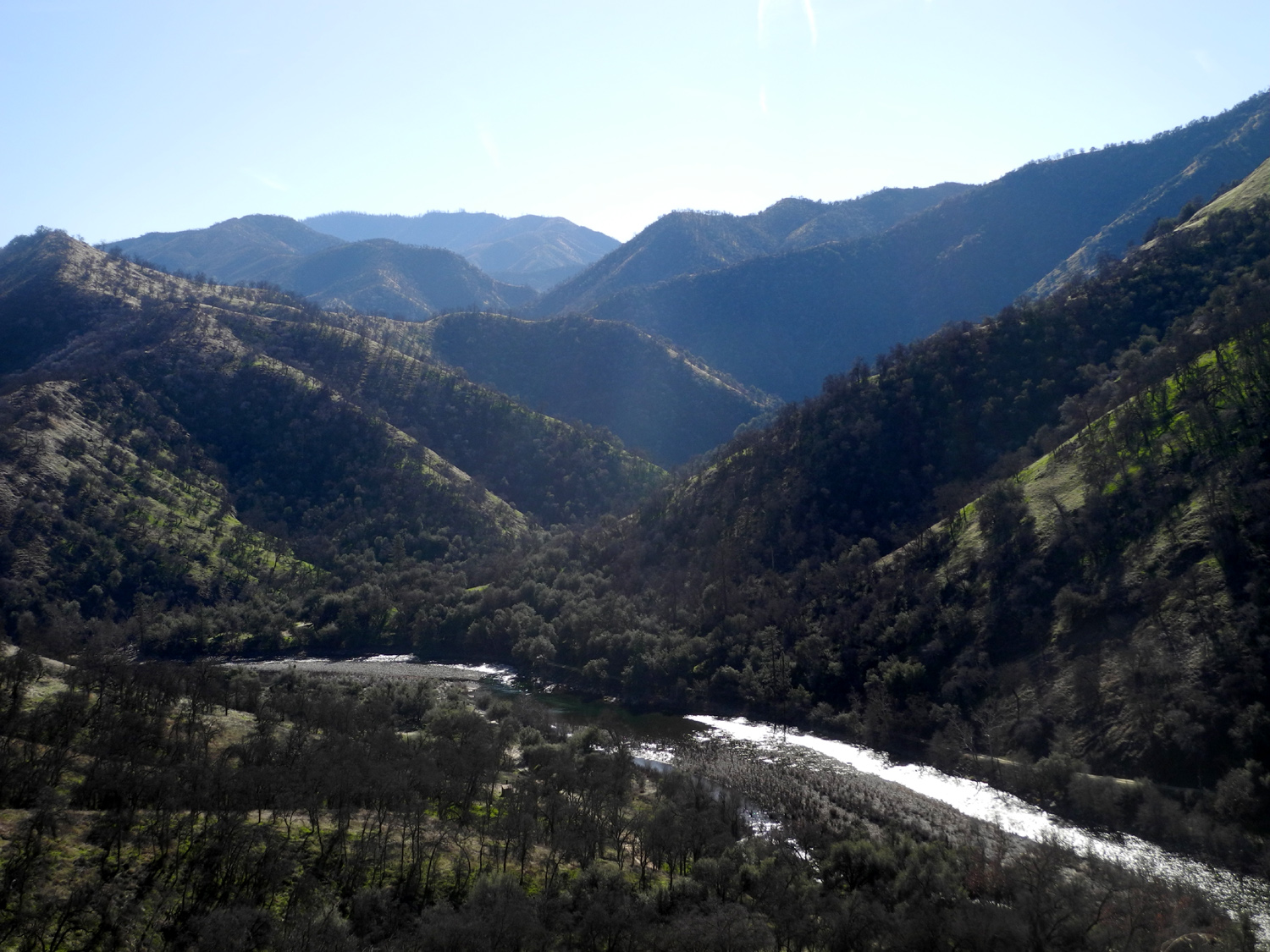
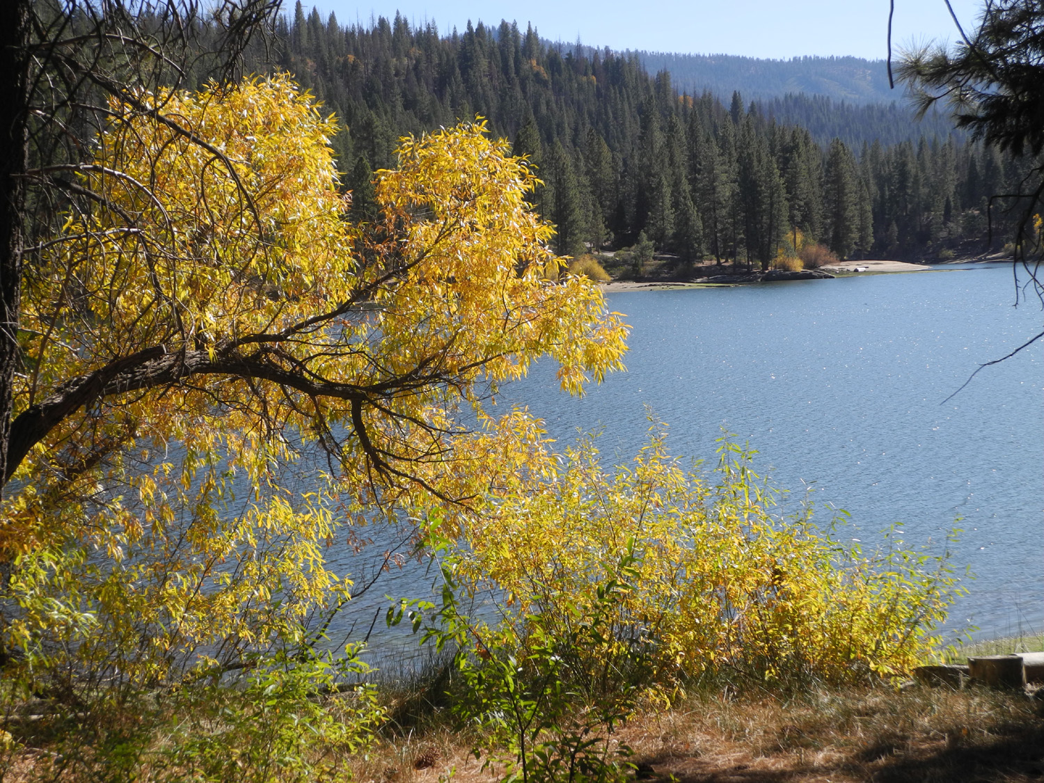
North Fork Kings River below Lake Wishon |
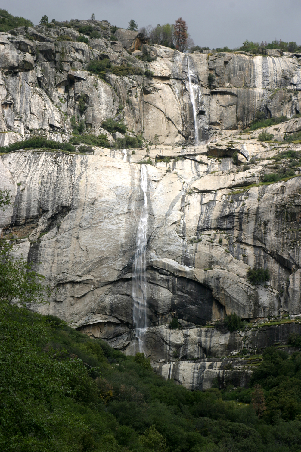
Patterson Falls, above the North Fork of the Kings River |
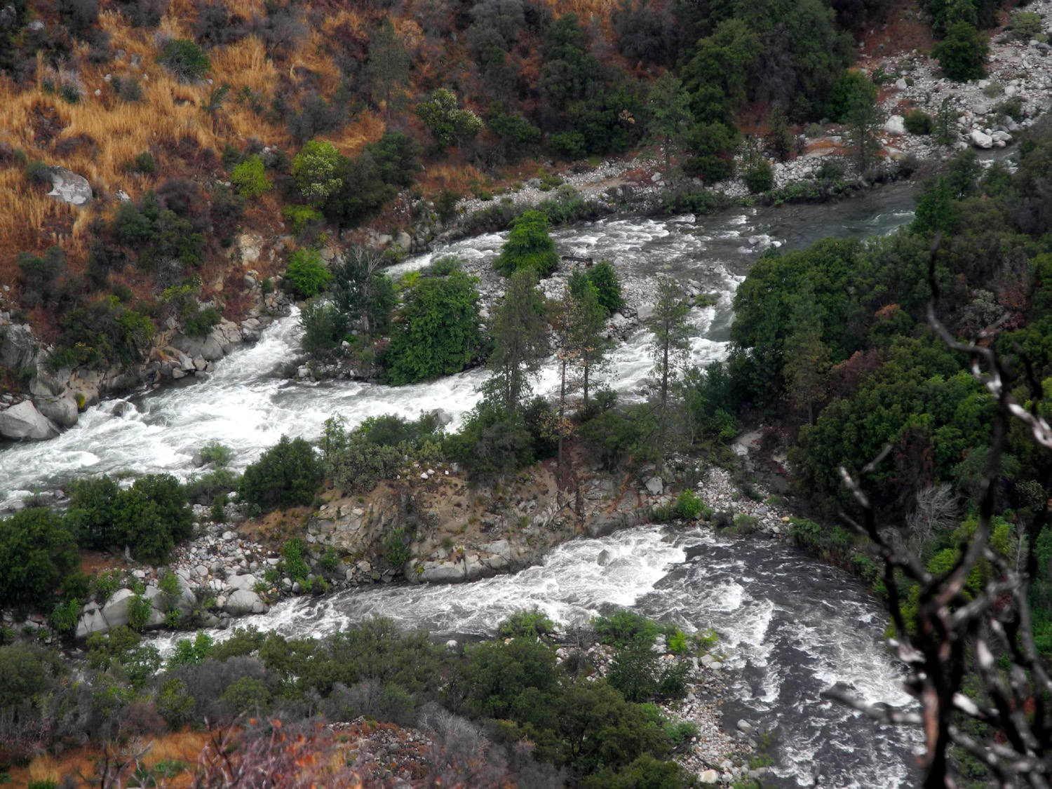
Junction of the Middle and South forks of the Kings River |
|
|
|
|||
|
|
|||
|
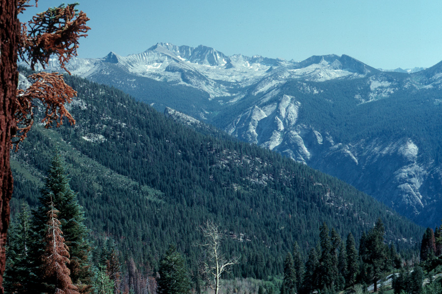
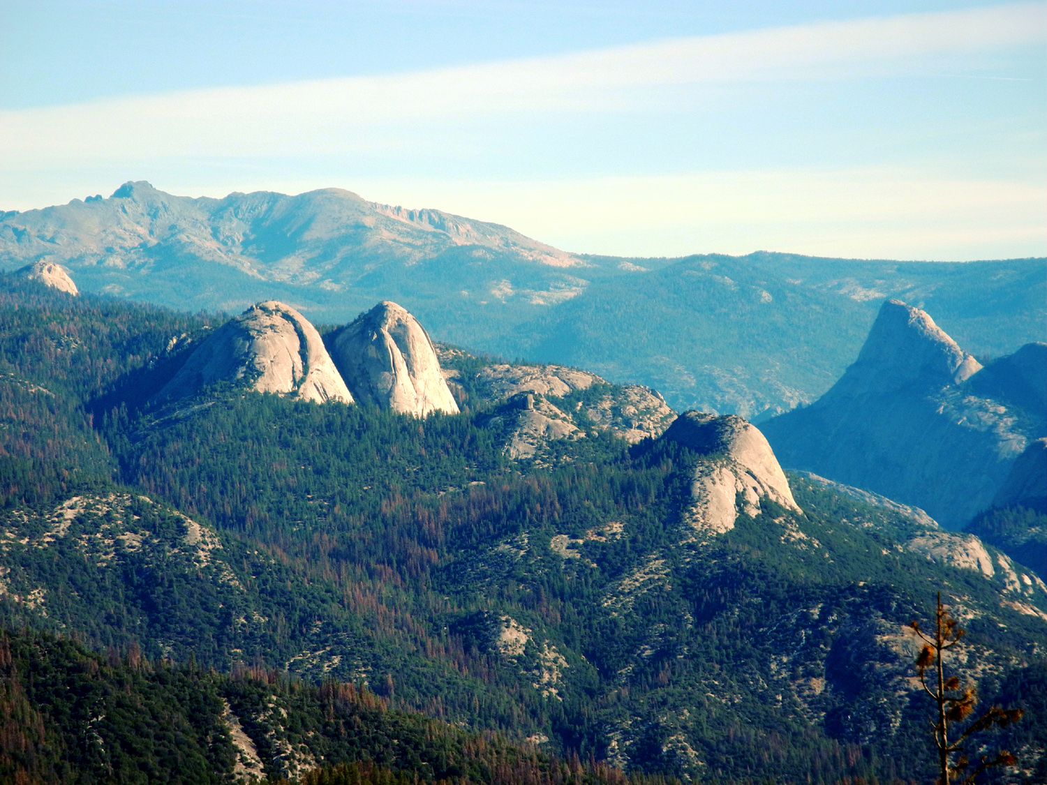
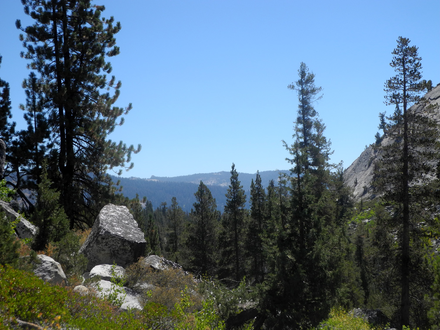
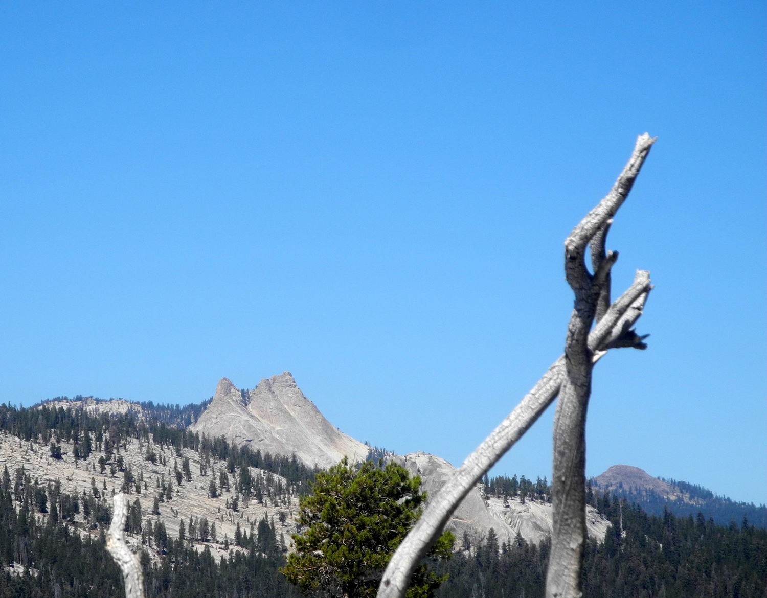
The Monarch Divide and Wren Peak, between the middle and south forks of the Kings River |
|||
|
|
|||
|
|
|
 |
|
|
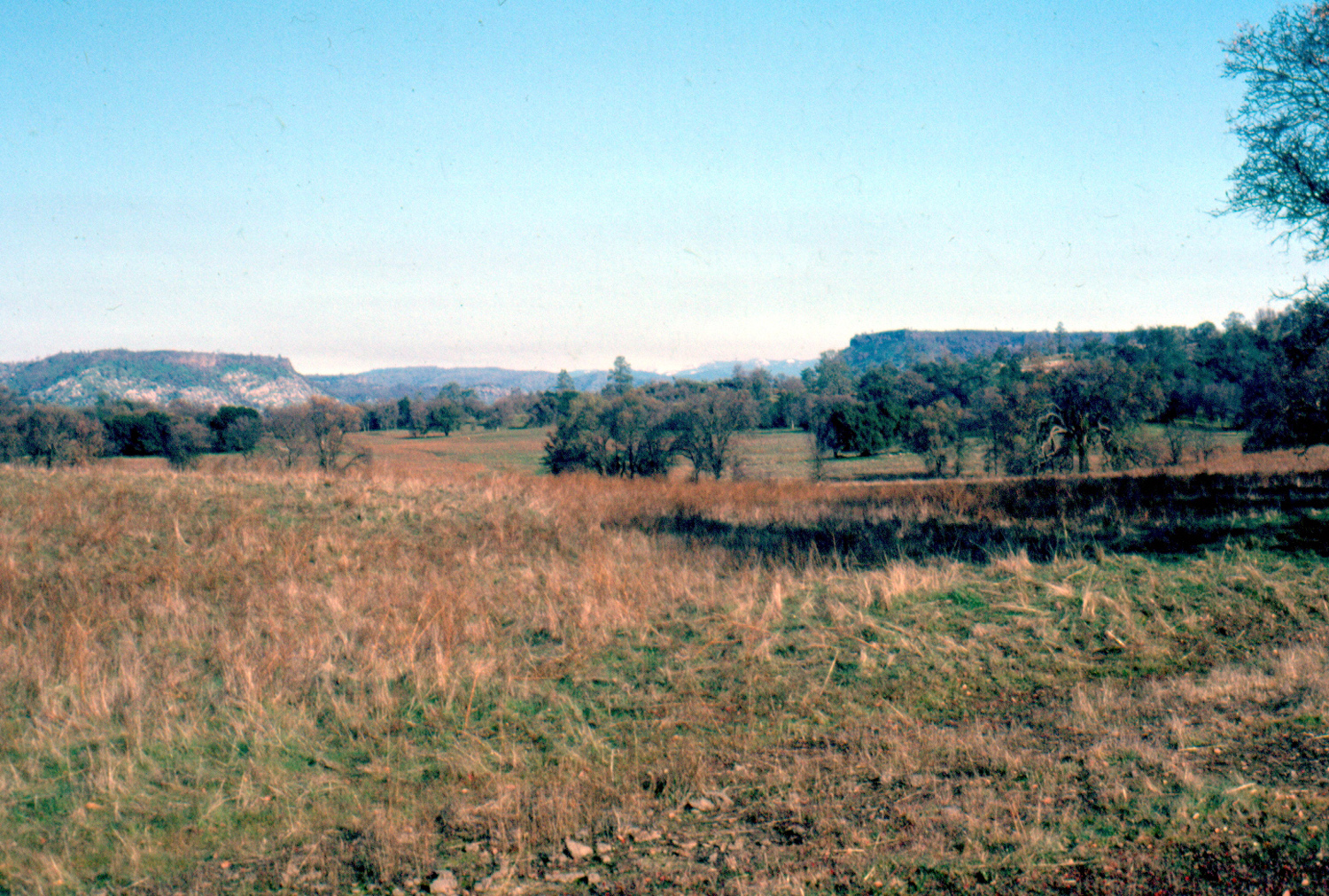
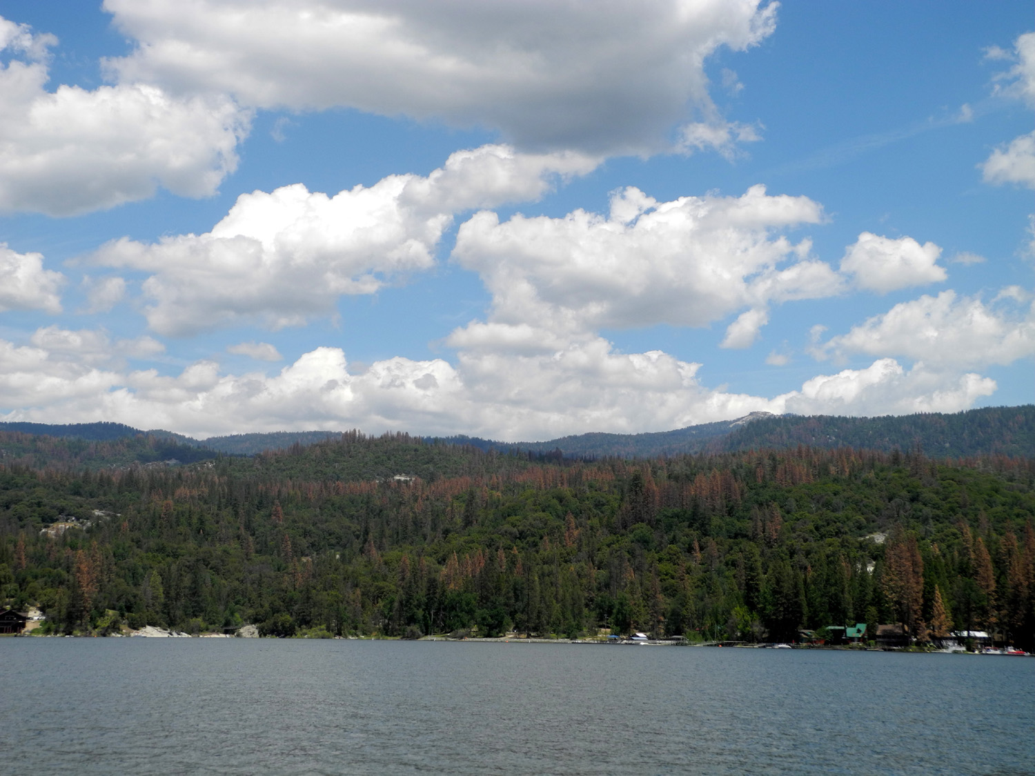
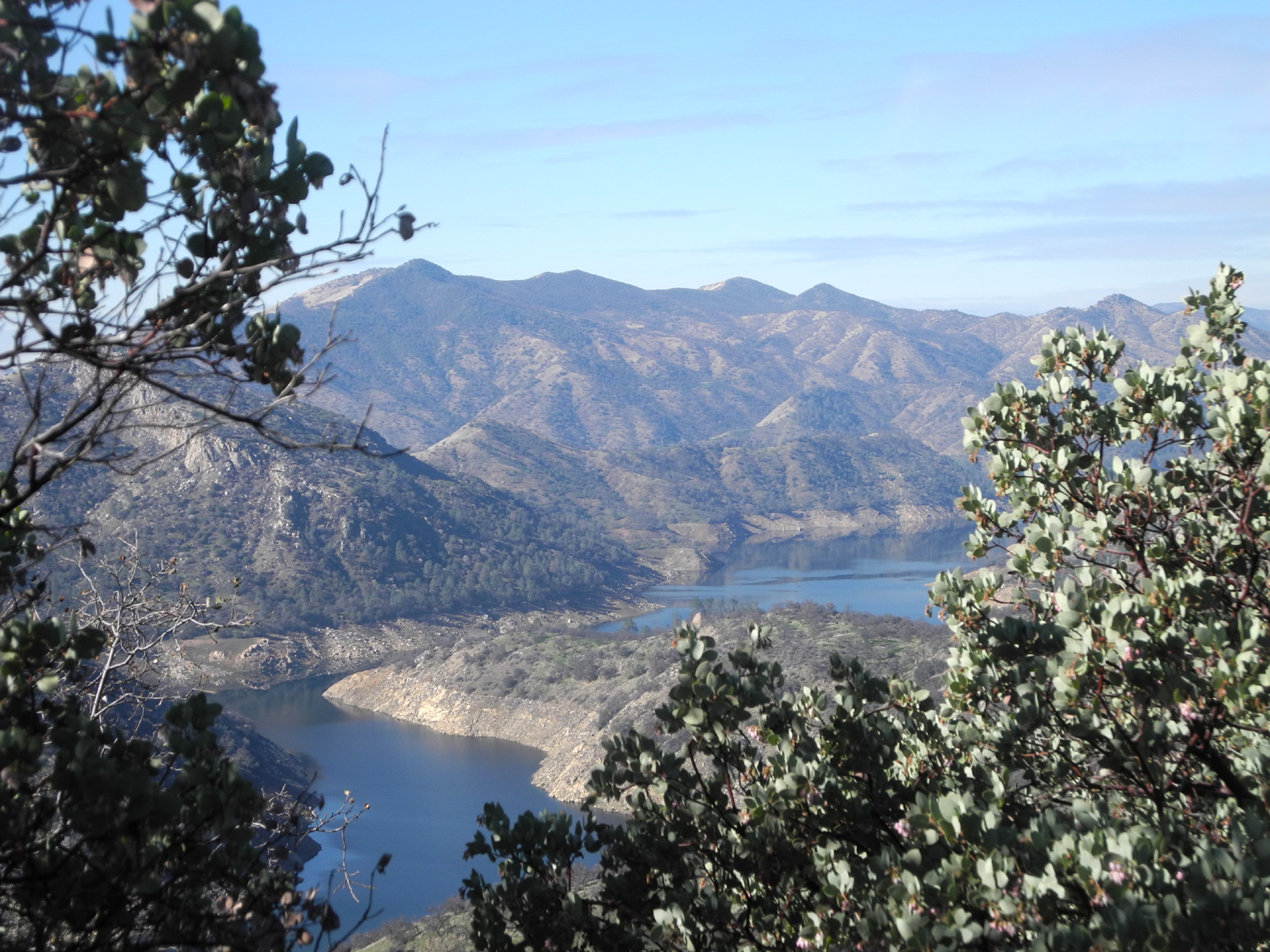
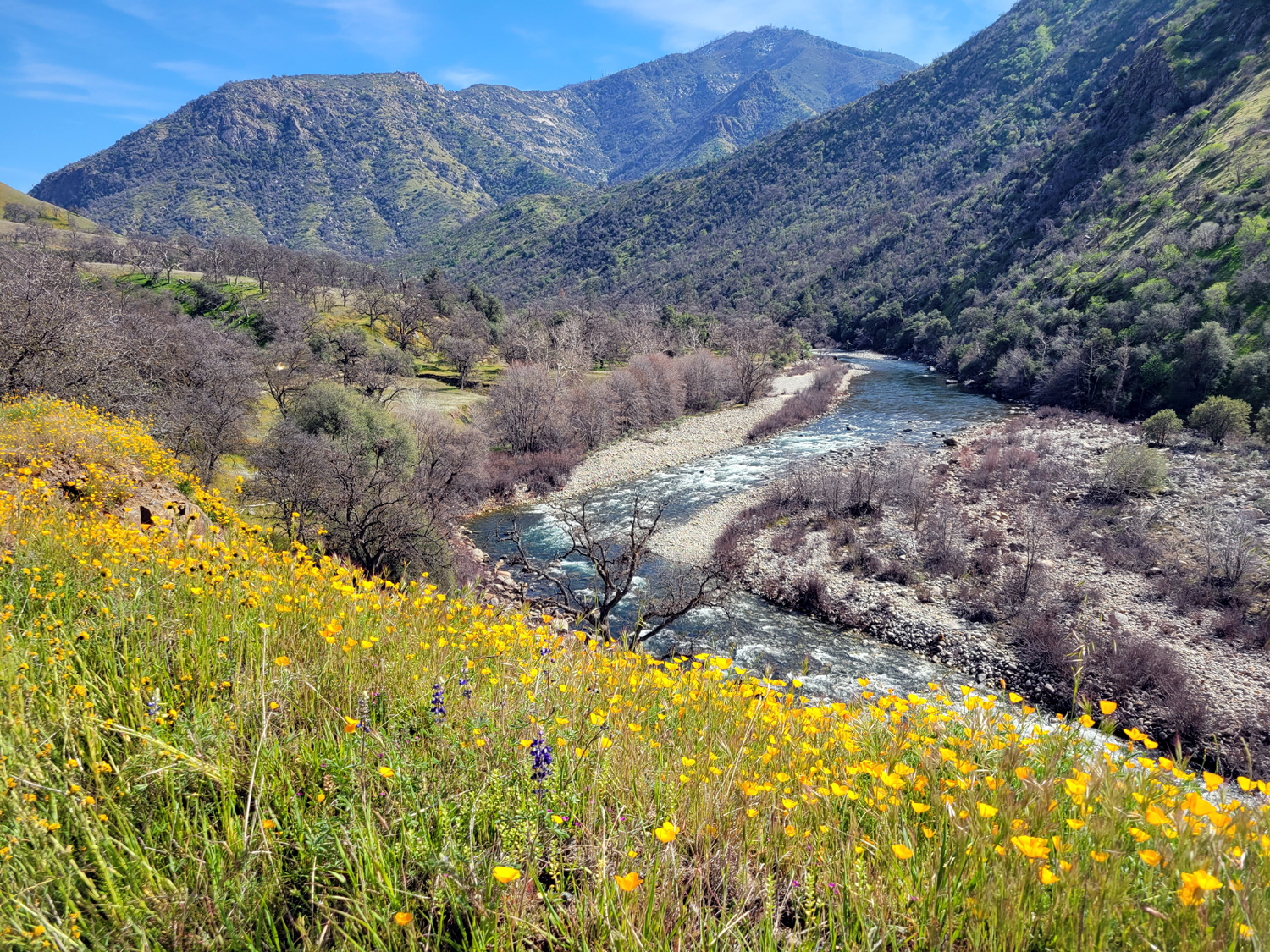
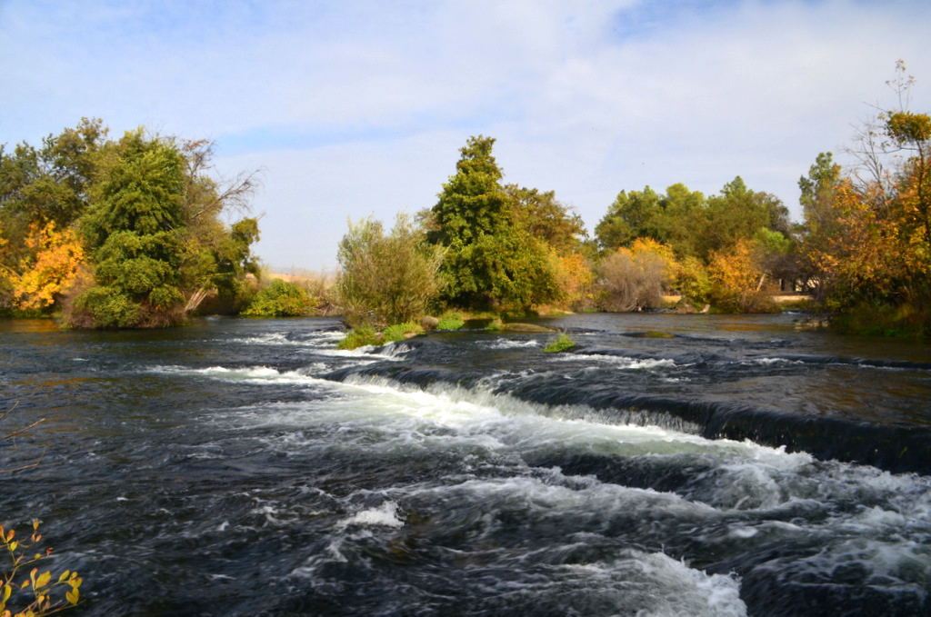
The Kings River with a little beach seen from Trimmer Springs Road |
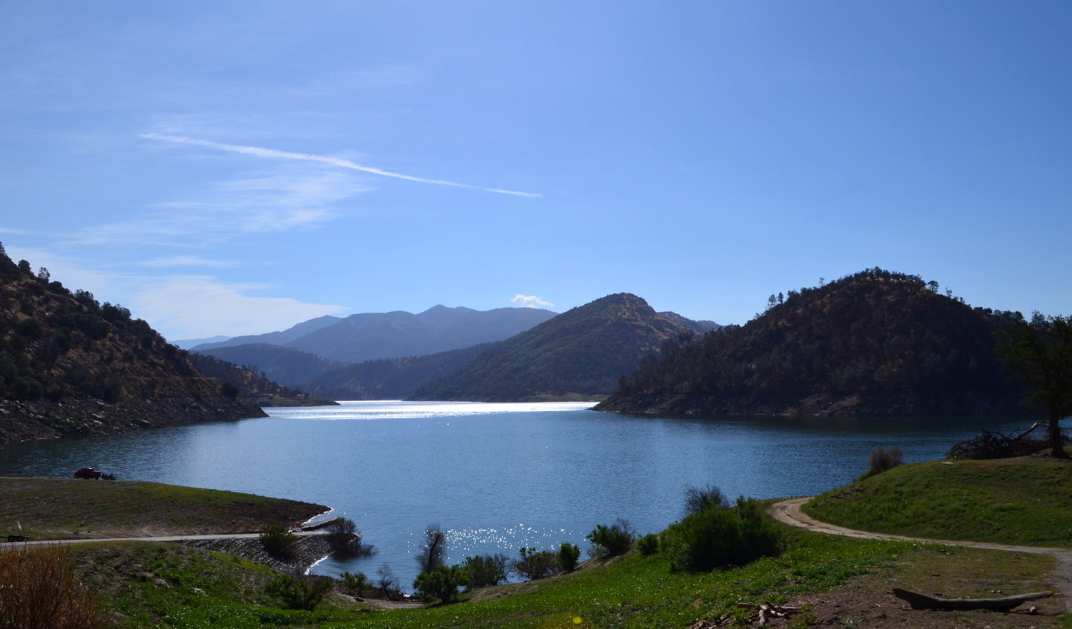
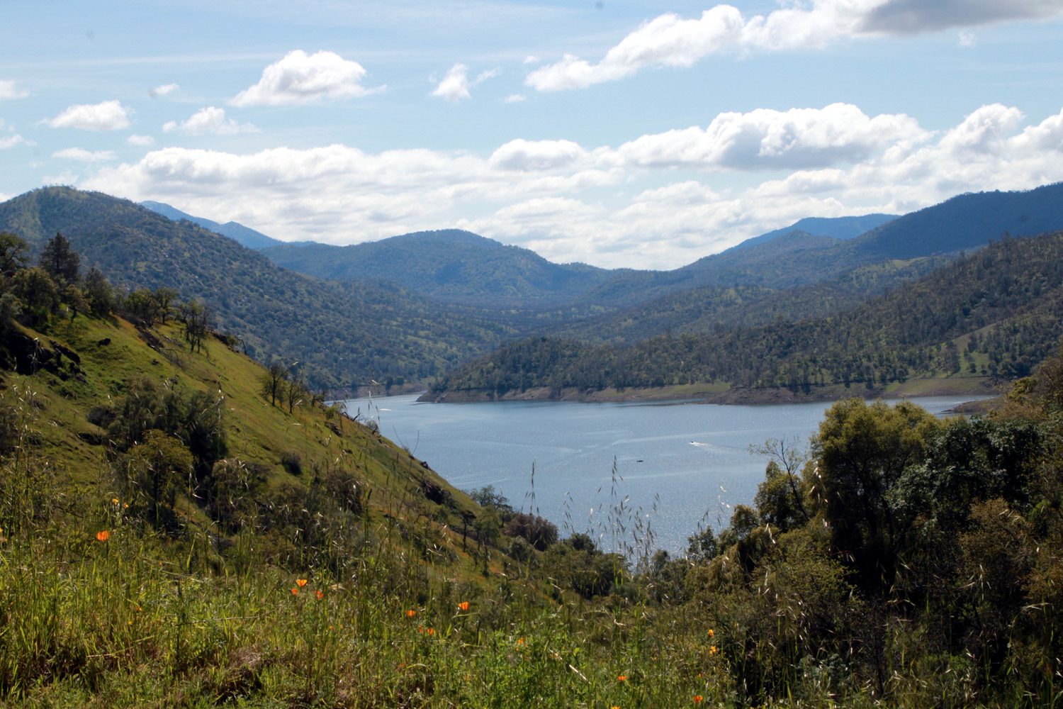
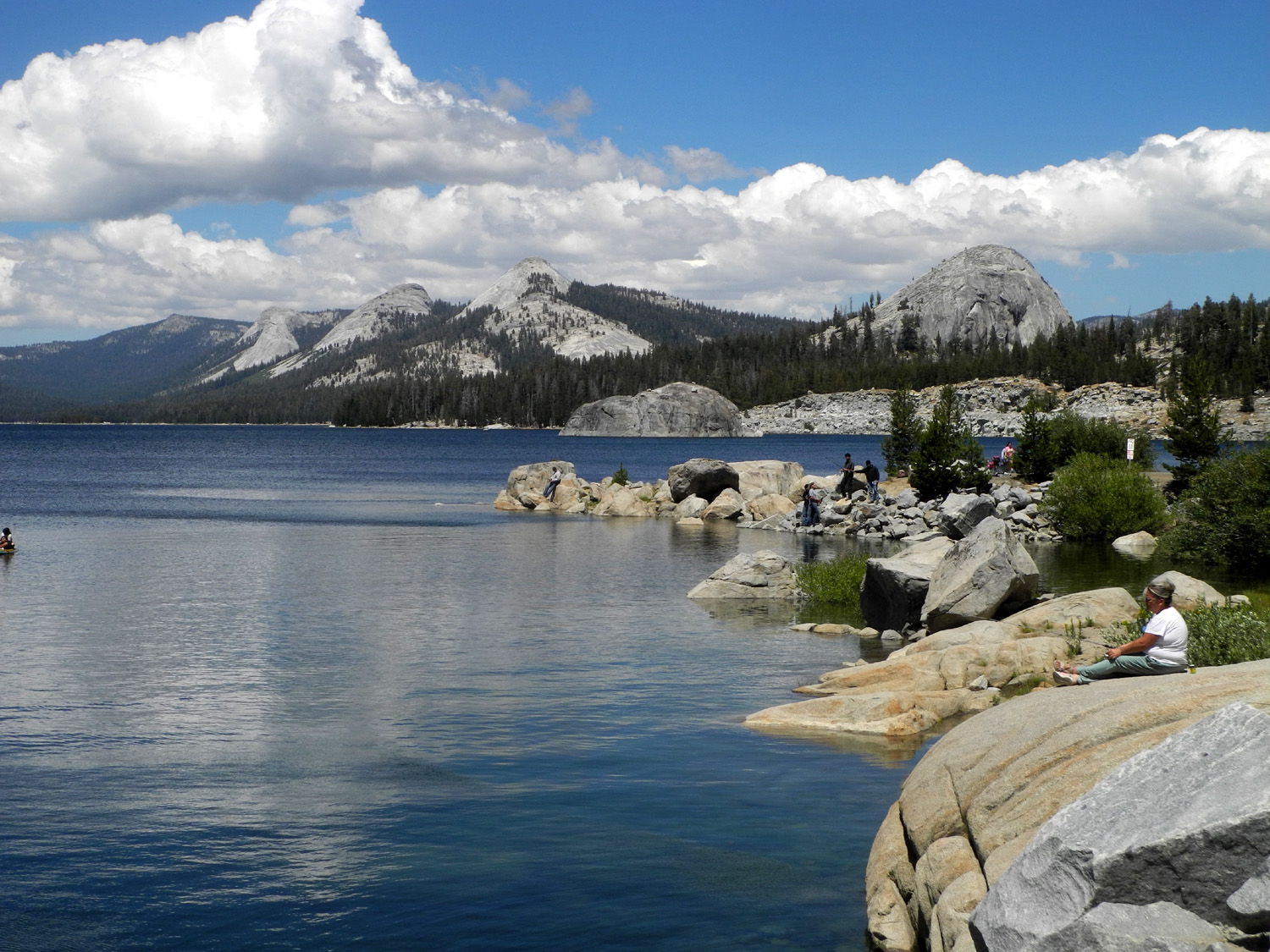
Pine Flat Lake, still with plenty of water in late summer 2017 (by W. Thiessen) |
Amazingly still waters of Pine Flat Lake reflect the hills above in January 2018 | |
|
|
 |
|
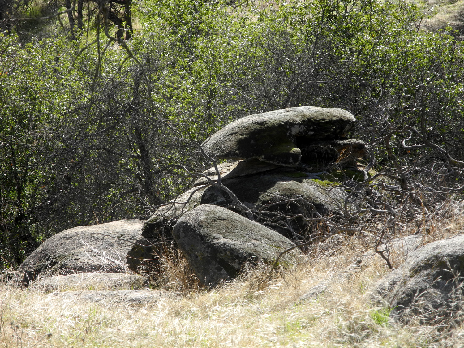
| Pine Flat from Trimmer Springs Road over Secata Ridge | Kings River at Bear Wallow Trail Head | The canyon across the river is where Garlic Meadow Creek runs in | |
|
|
 |
|
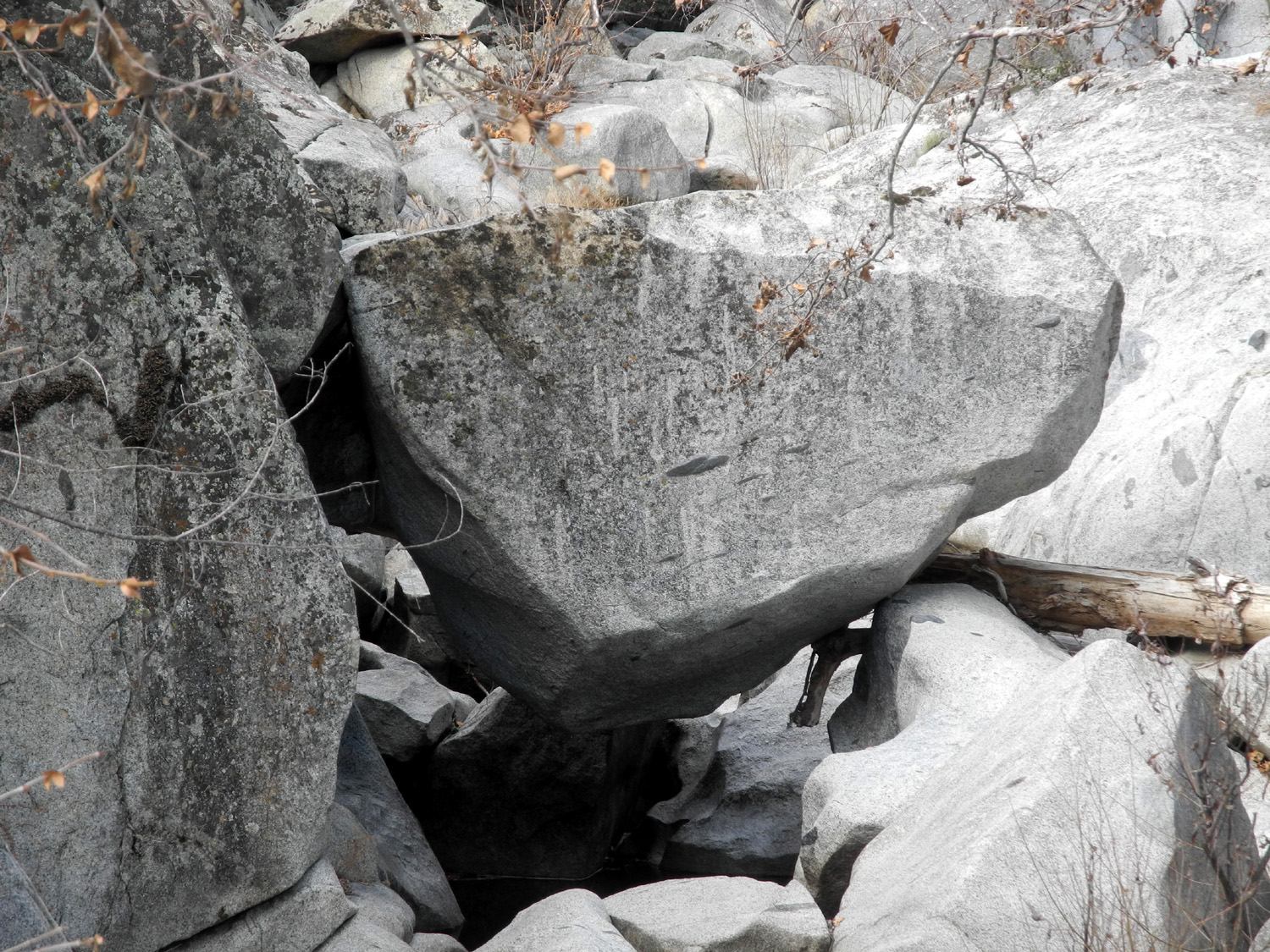
| Rock formation along the Bear Wallow Trail | Hanging boulder in Big Creek north of Pine Flat Lake | Along the road south of Mill Flat Campground (Wes Thiessen) | |
|
|
 |
|
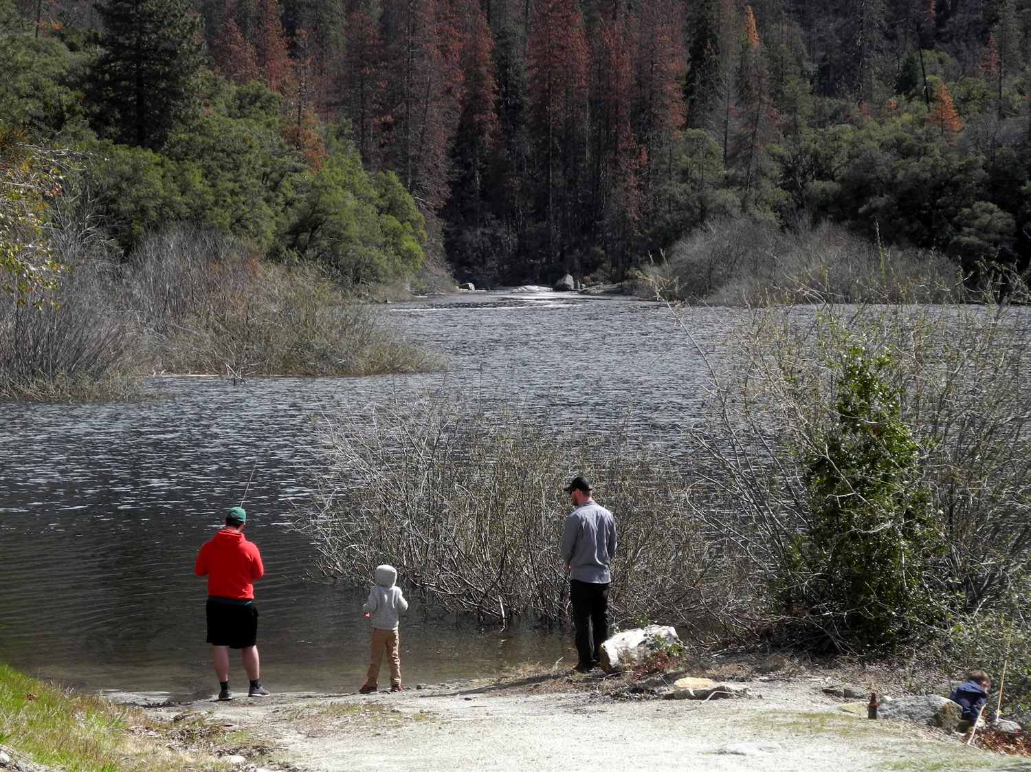
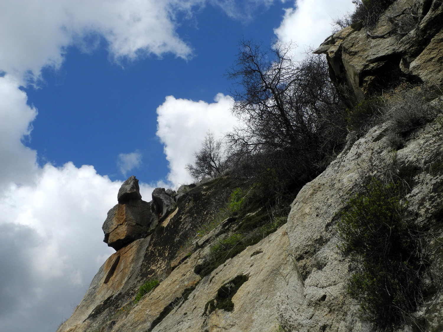
| Fishing n Black Rock Reservoir, on the North Fork of the Kings River | Striking rock formation on the Kings River National Recreation Trail | The road near Camp Four and a Half Cabin by the Kings River | |
|
|
 |
|
| Hiking the Dusy-Ershim Trail across the Big Granite Slope near Courtright Reservoir | Enjoying the view from our camp near Courtright | Courtright sunset | |
 |
|||
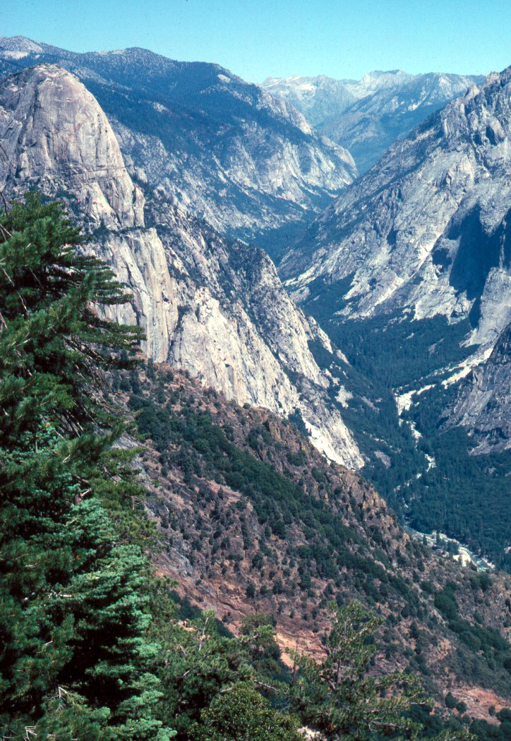
| The LeConte Divide, separating the Kings River and San Joaquin River drainages | |||
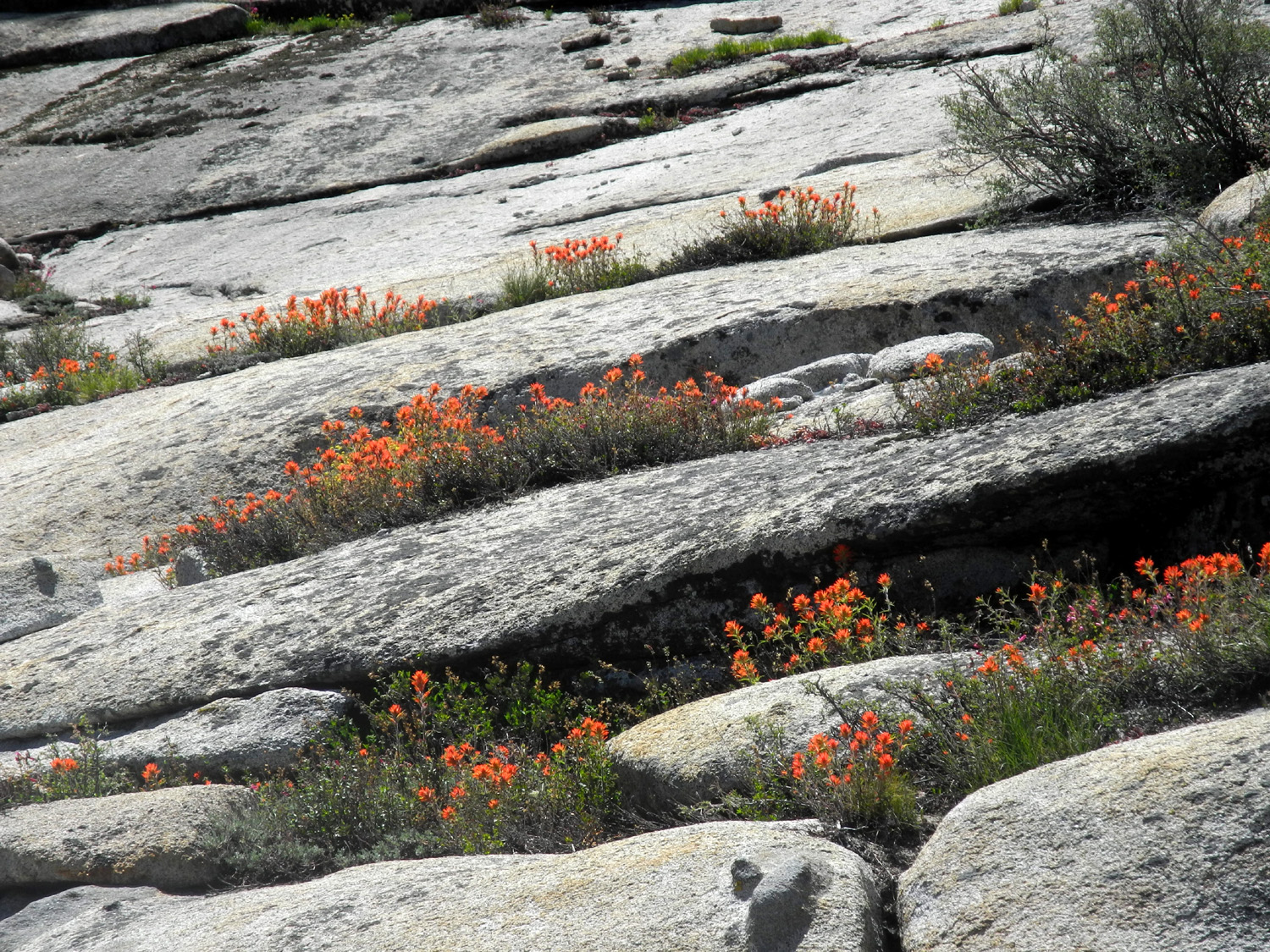
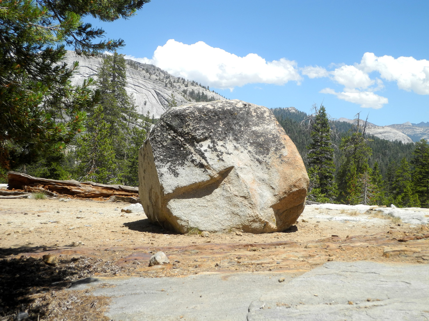
|
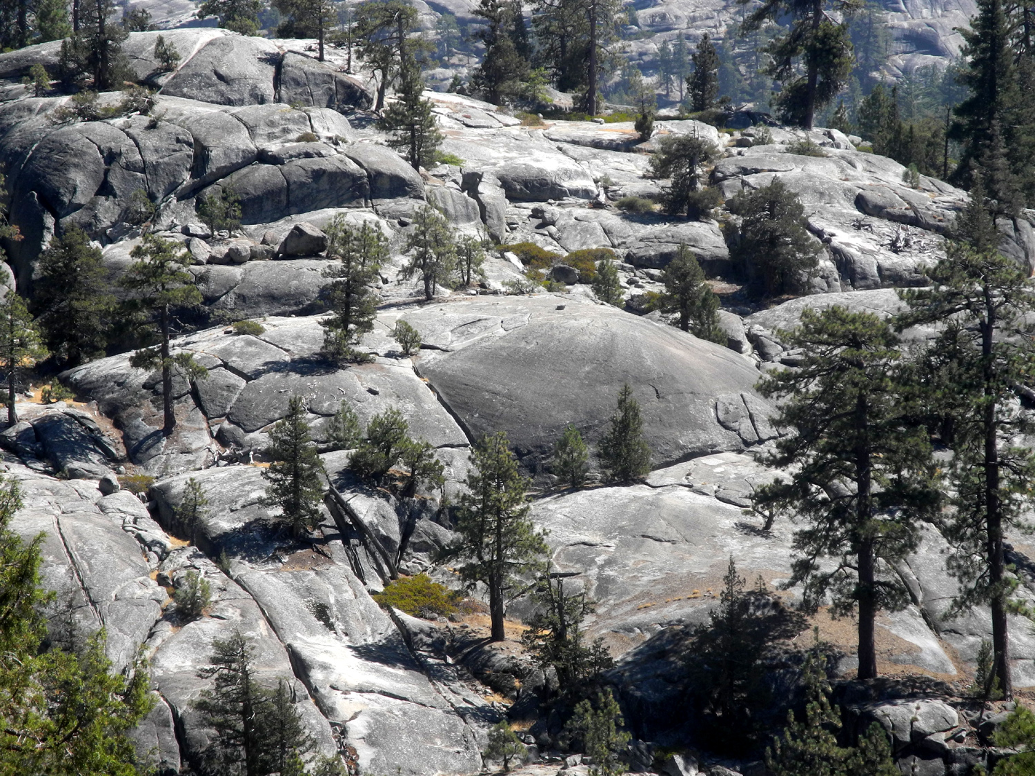
|
|
|
| Wavyleaf Indian paint brush in granite | Rounded rocks above the Kings River North Fork inspire the name "Wishon Domes" | Upper edge of Granite Gorge below Wishon Reservoir | |
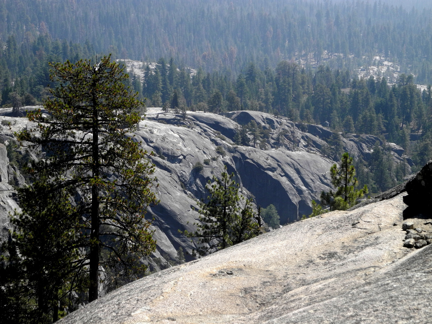
|
|||
| We call this flat area with a big granite cliff "The Amphitheater" - above the Kings River North Fork below Wishon freservoir | |||
 |
|||
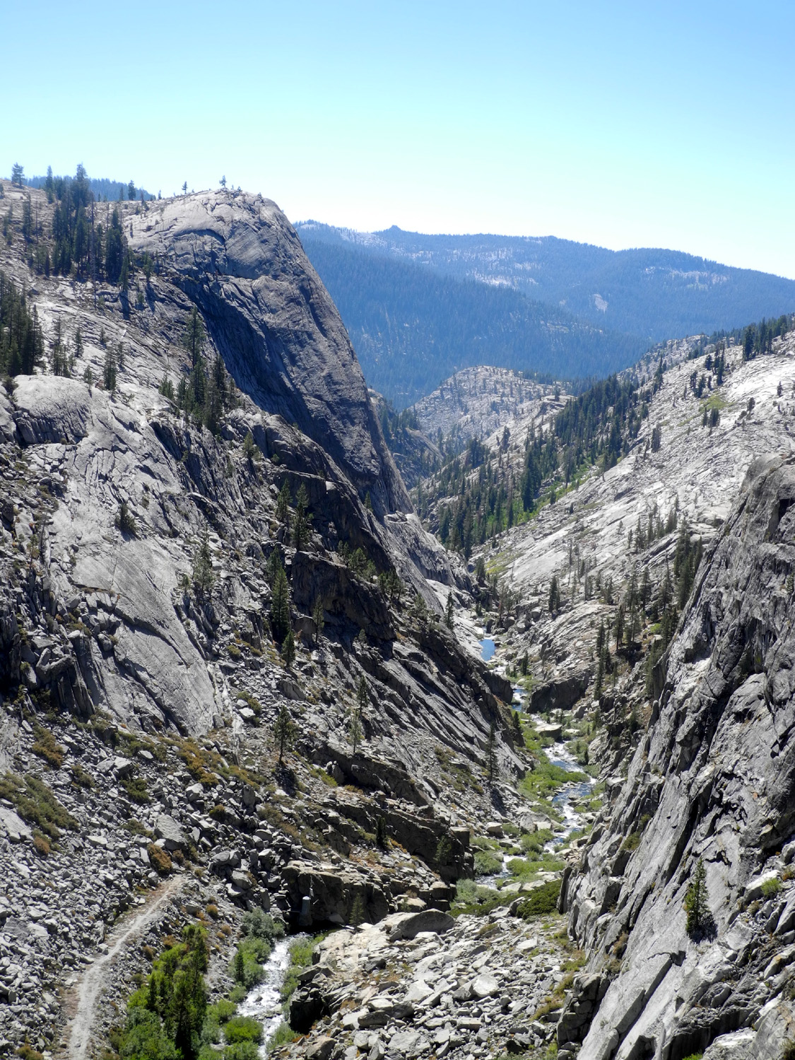
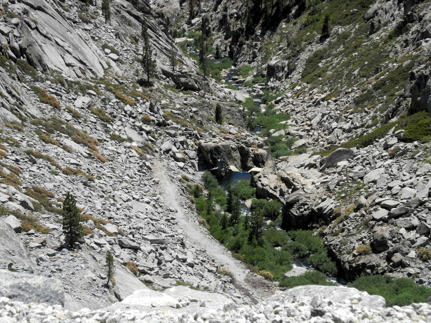
| Looking up the drainage of the North Fork of the Kings River | |||
 |
|||
| Left to right Constant Dome, Maxson Dome (on the skyline) lower Double Dome with Hopeless Dome below and upper Double to the right | |||
 |
 |
 |
|
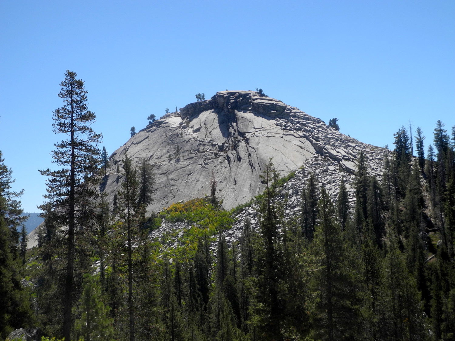
| The canyon of Helms Creek, looking downstream from the Courtright Dam | Drainage between Double Dome and Hopeless Dome, looking southeast | Maxson Dome near Courtright Reservoir | |
 |
 |
 |
|
| Hopeless Dome from the slope below Double Dome | High Sierra peak to the north from Bald Mountain Road | Rock cliff along the road from Black Rock to Wishon above the Kings River North Fork | |
 |
 |
|
|
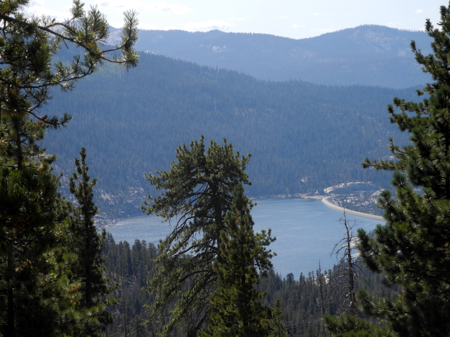
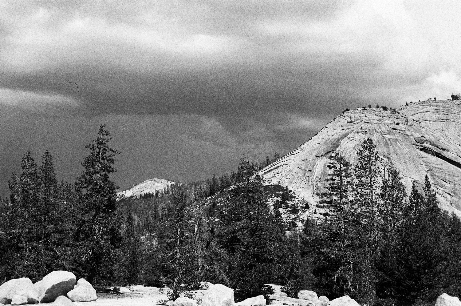
| Peak west of Courtright Reservoir | Lake Wishon from the Courtright Road | Dome under the storm | |
|
|||
| The Monarch Divide and Wren Peak from the Bear Wallow Trail | |||
|
|
|
|
|
Hume Lake and mountains above Kings Canyon |
Willow by Hume Lake | Yes, that's a road - 4-wheel drive only | |
|
|||
| Courtright Reservoir, full to the brim | |||
|
|
|
|
|
Morning sun on a rock
outcrop above the Upper Kings River |
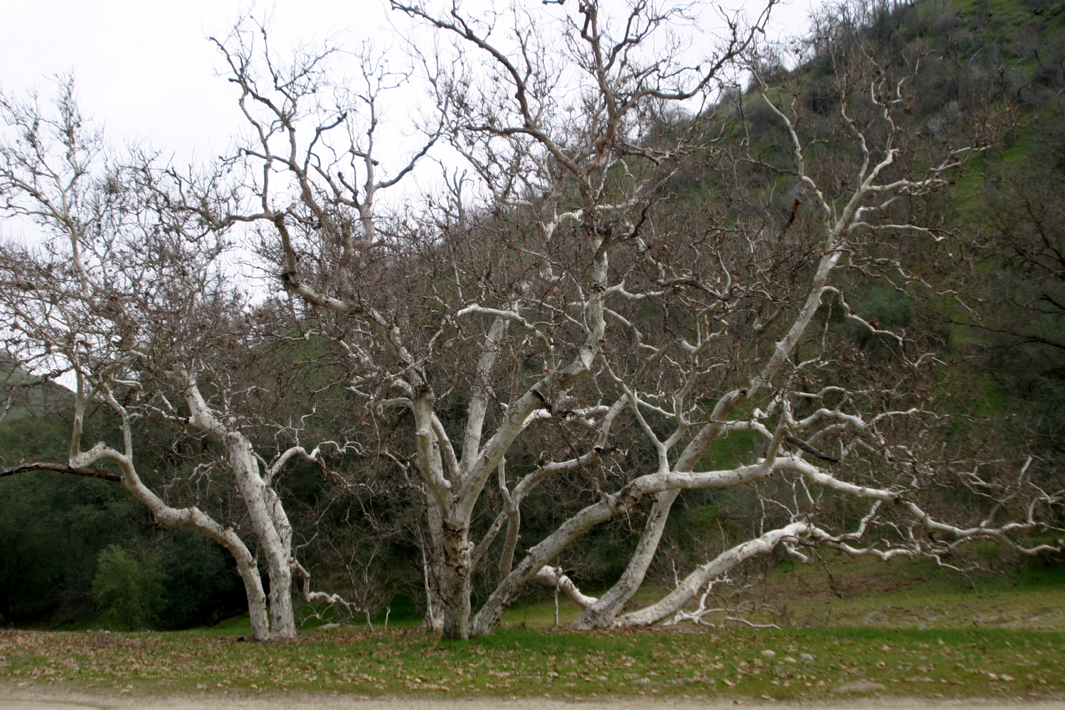
Sycamores at Green Cabin
Flat Campground on the Kings River |
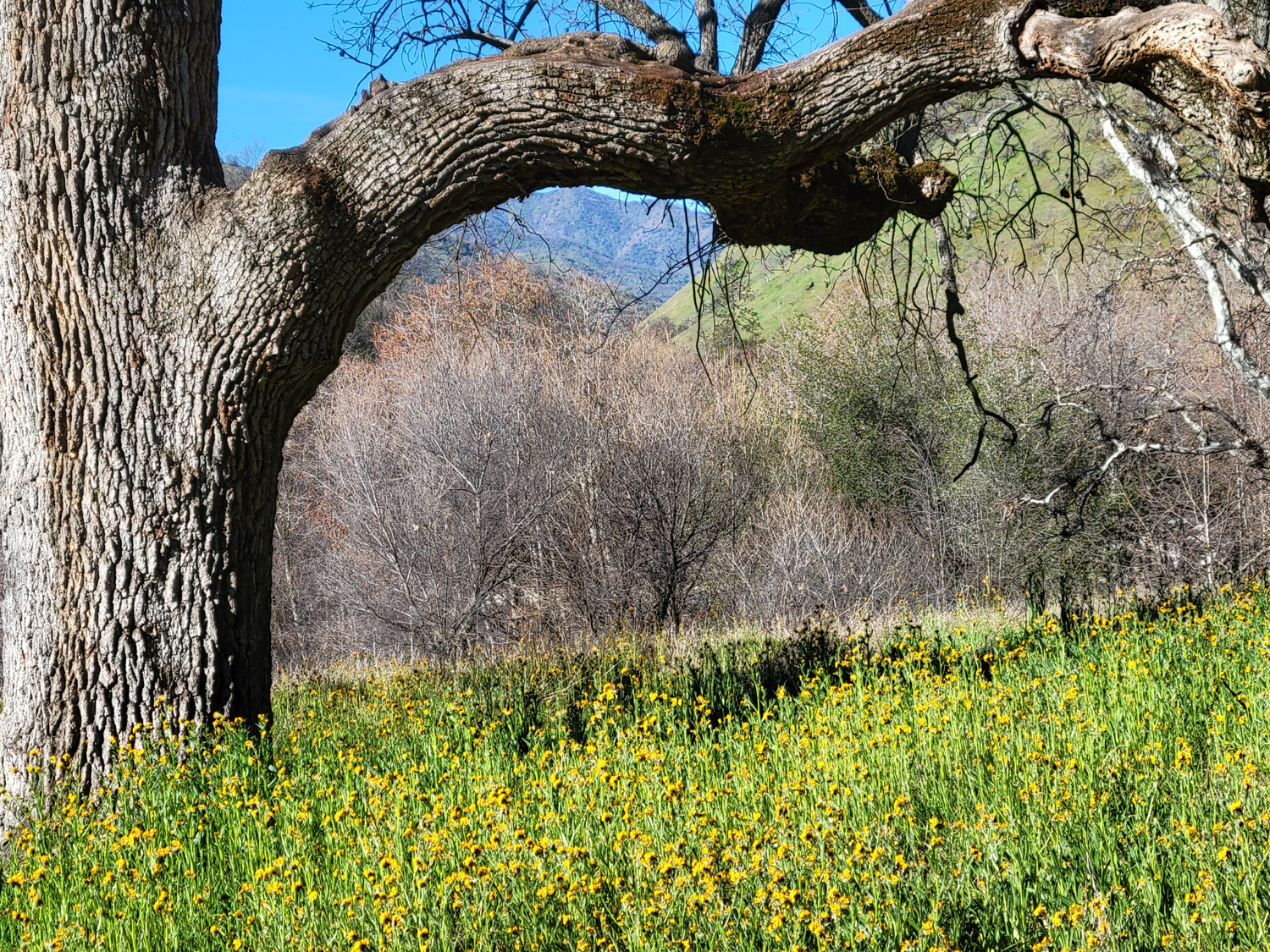
Branch of a valley oak frames this field of fiddlenecks |
|
|
|
|
|
|
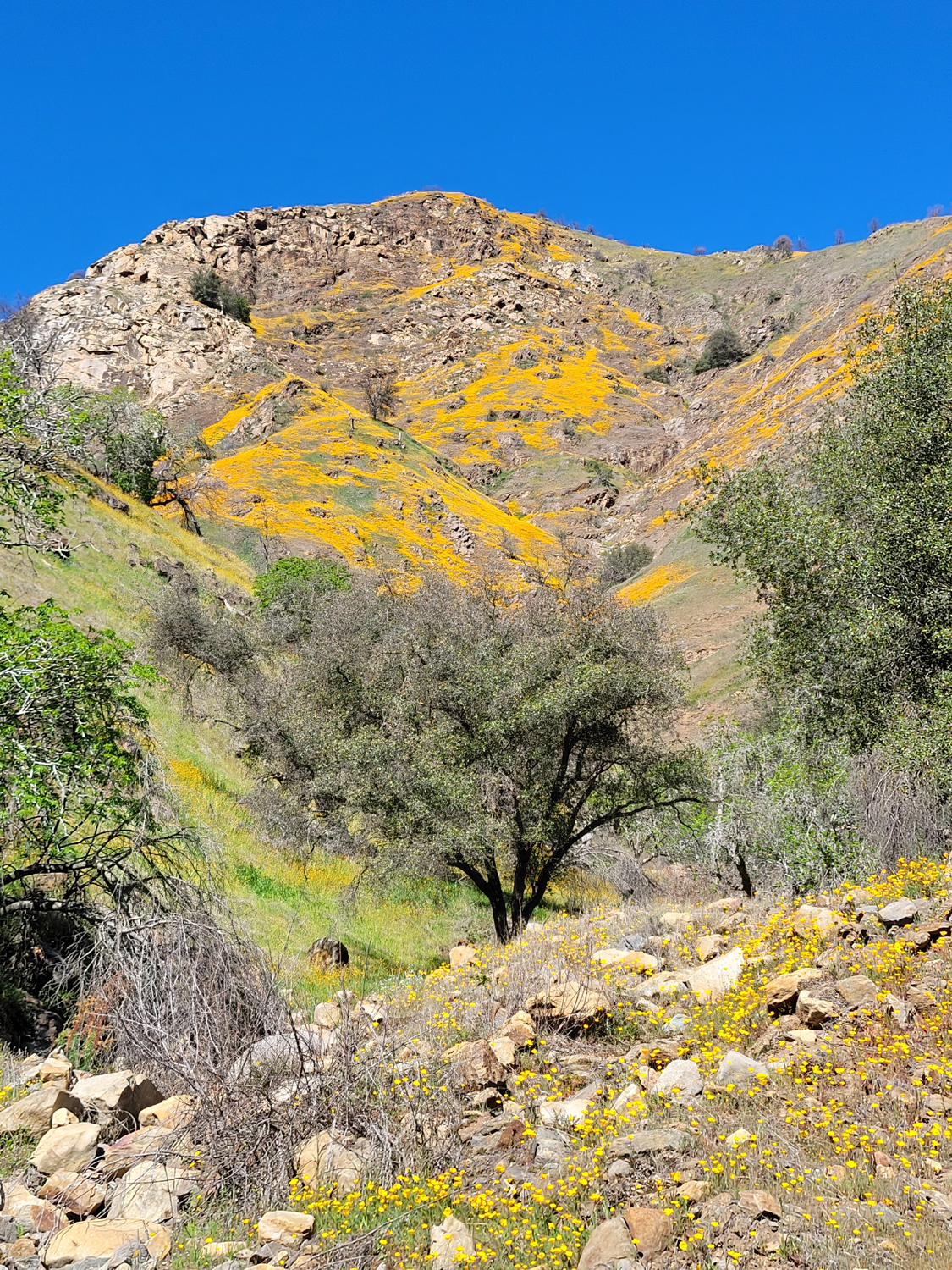
Poppies and a few
lupines above the Kings River |
Poppies in the rocks and above a drainage by the Kings River |
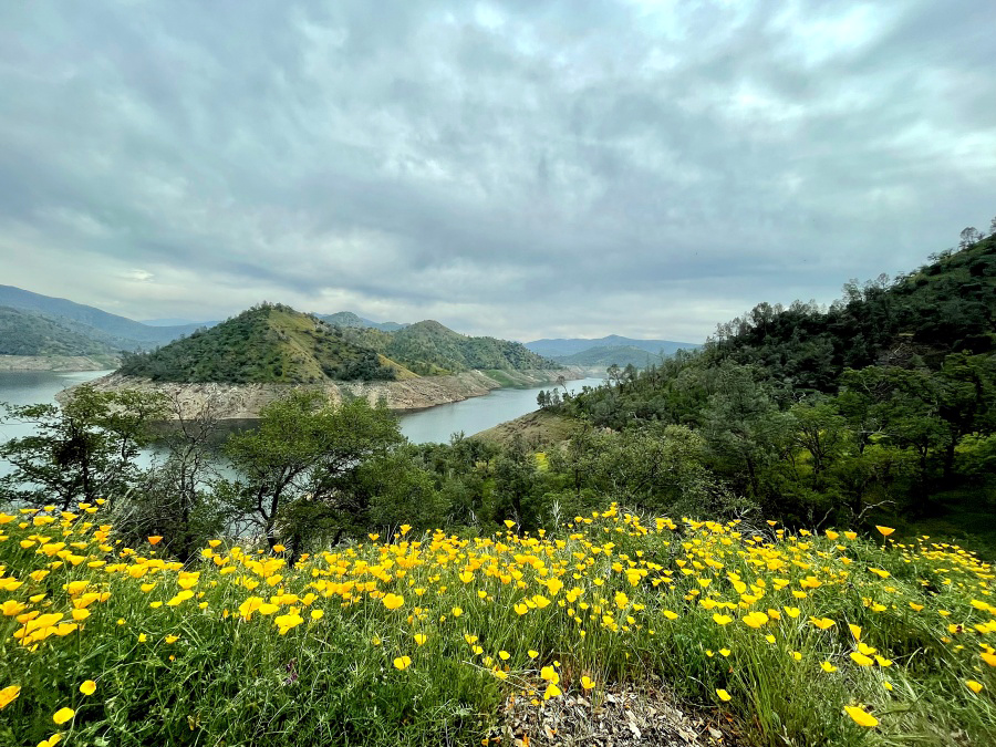
Pine Flat Lake and poppies | |
|
|
|
|
|
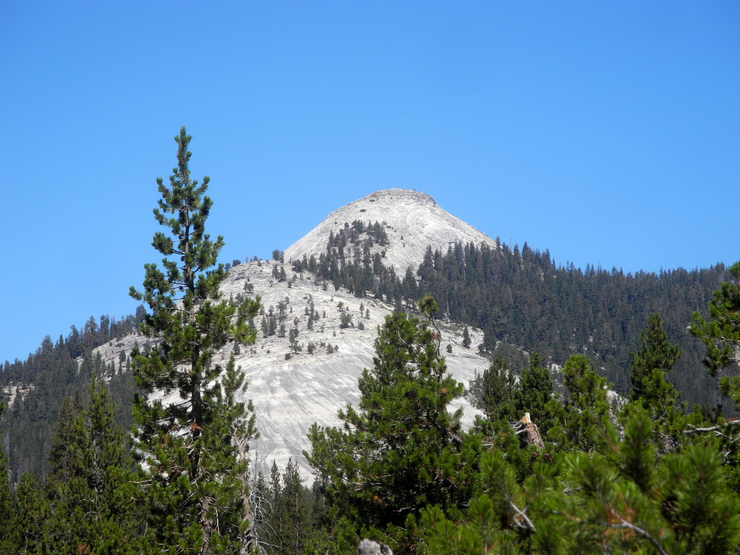
View of Maxson Dome along the Dusy-Ershim 4-Wheel Drive Trail |
View of Pine Flat Lake down the valley of Little Sycamore Creek |
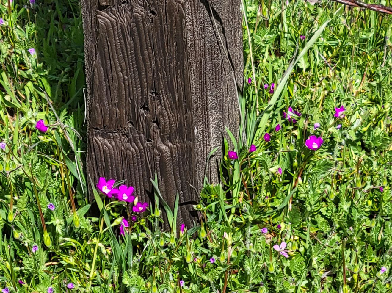
Fringed redmaids by an old fence post | |

|
|
|
|
|
The valley of Hughes Creek from Trimmer Sprngs Road |
Blue oaks and green grass in the
Sycamore Wildlife Area near Pine Flat Lake |
Drying grass seed heads near Sycamore Creek |
|
|

|

|
|
|
Swallows at Sycamore Creek bridge chirped and darted toward me |
Looking down the drainage of Little Salamander Creek to Pine Flat |
Poppies, Pine Flat and the Edison Point Loop Trail (Thiessen) |
|
|
|
|
|
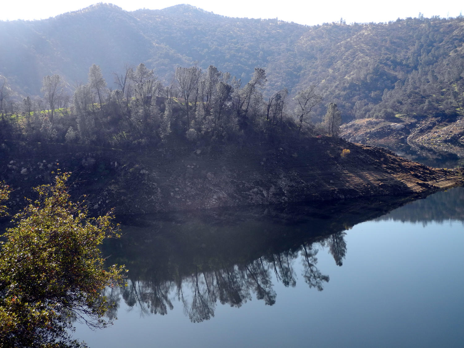
| Courtright Reservoir, July 2025 | Helms Creek Canyon below the dam | Glacial erratic southeast of the reservoir | |
|
San Joaquin River & Fresno River Area |
|||
|
|
|||
|
|
|
|
|
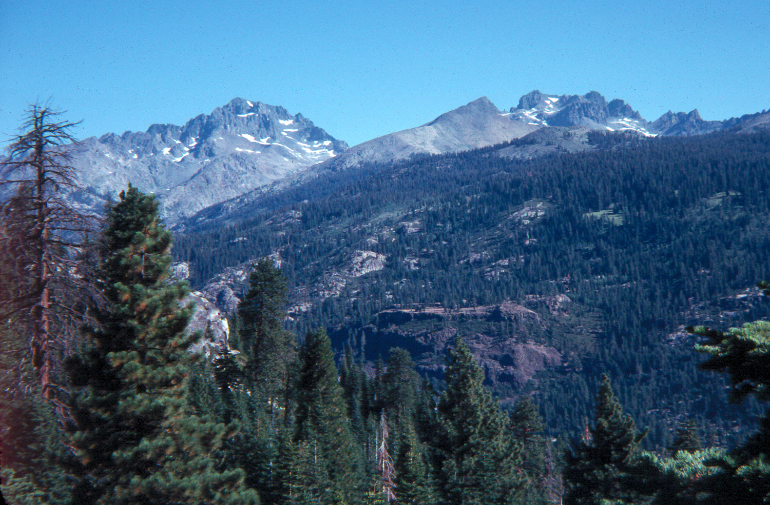
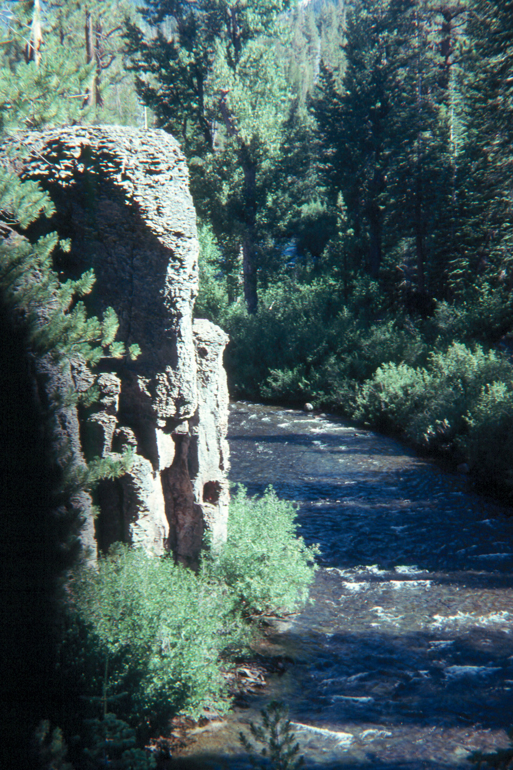
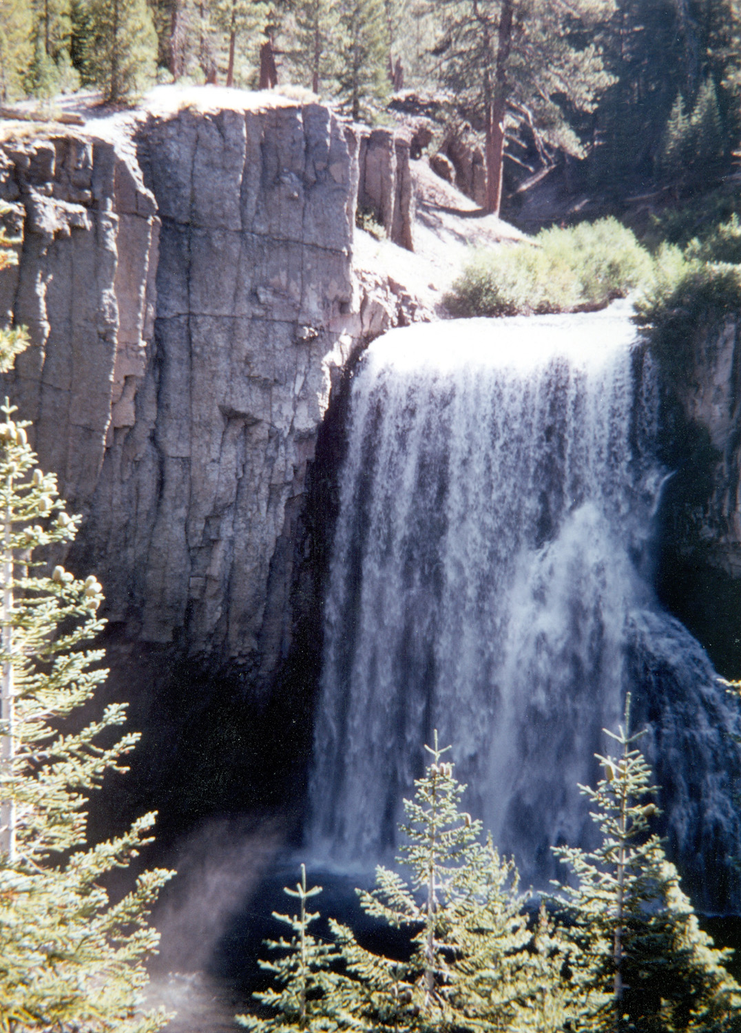
| Mt. Ritter & Minarets above San Joaquin River (north fork) | Middle Fork, San Joaquin River, Devil's Postpile National Monument | Rainbow Falls, middle fork of the San Joaquin River | |
|
|
|||
|
|
|
|
|
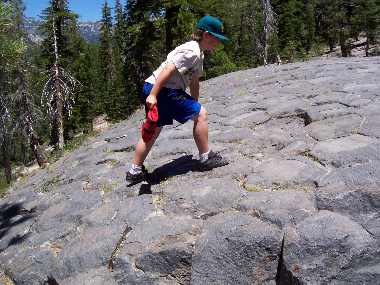
| Devil's Postpile | On top of the Postpile | A "baby" postpile not far from the big one | |
|
|
|||
|
|
|
|
|
| Fuller Buttes from Mile High Lookout | The Eagles Beaks | South Fork drainage | |
|
|
|||
|
|
|
|
|
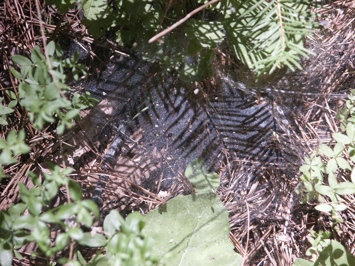
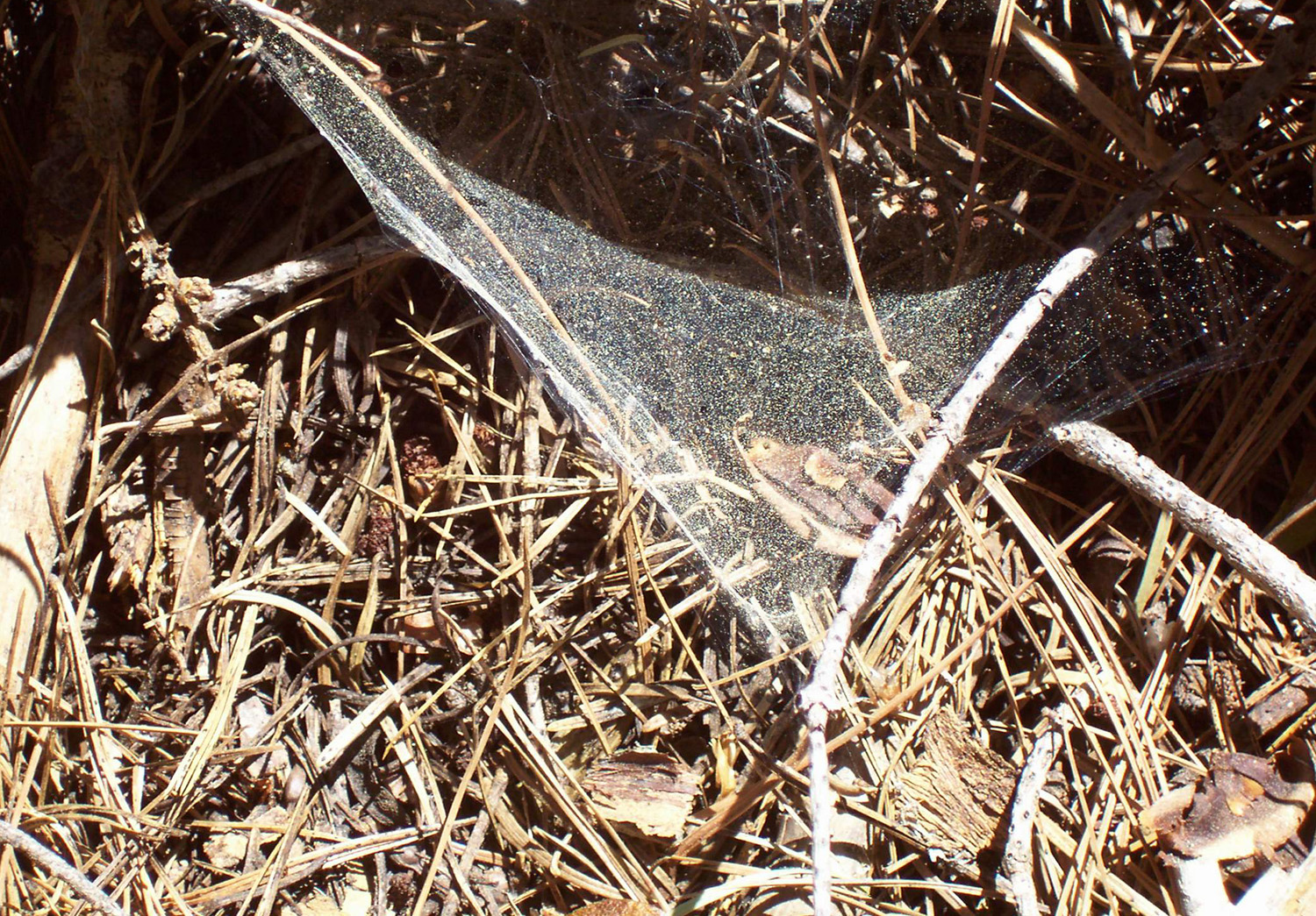
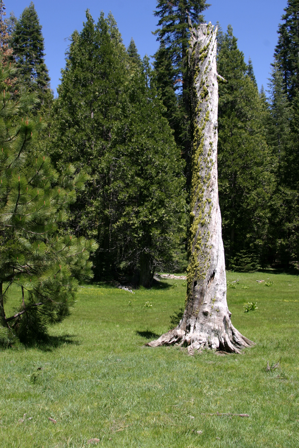
| Spider webs add texture to the forest | This web is covered with yellow evergreen pollen | A dead snag stands guard over a Sierra meadow | |
|
|
|||
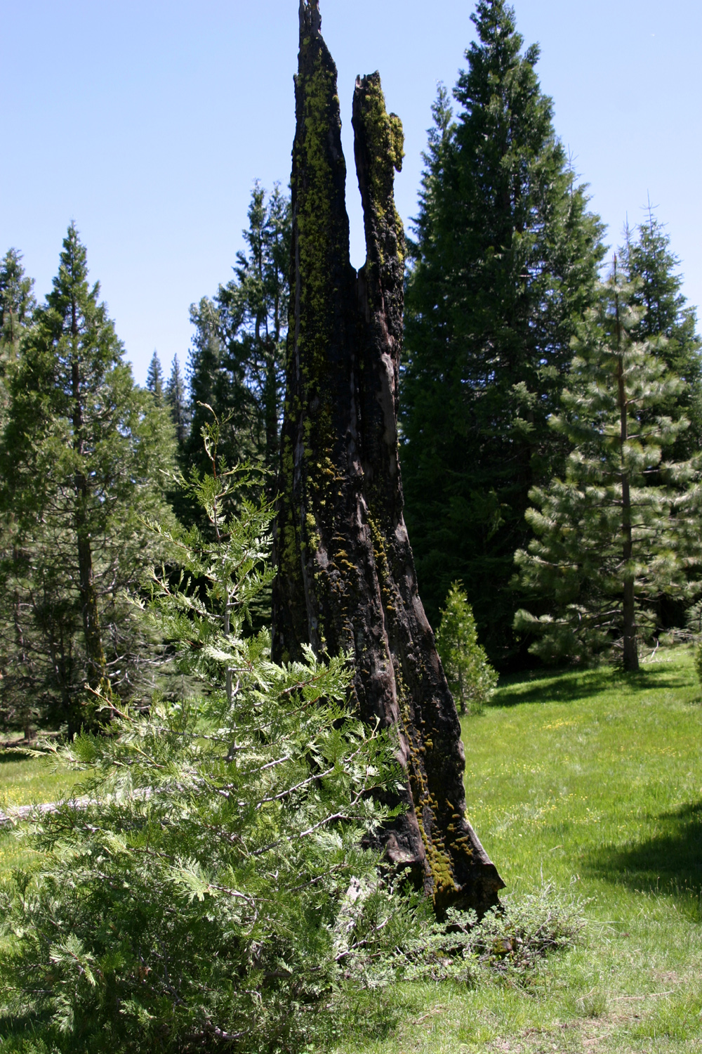
|
|
|
|
|
| Burned out tree in meadow | Small falls near Chilkoot Campground, Sierra National Forest | Bottom of falls | |
|
|
|||
|
|
|
|
|
| Kennedy Table on left; Squaw Leap on right from Auberry Road | Finegold Bay on Millerton Lake |
Rounding horseshoe bend at Millerton Lake |
|
|
|
|||
|
|
|
|
|
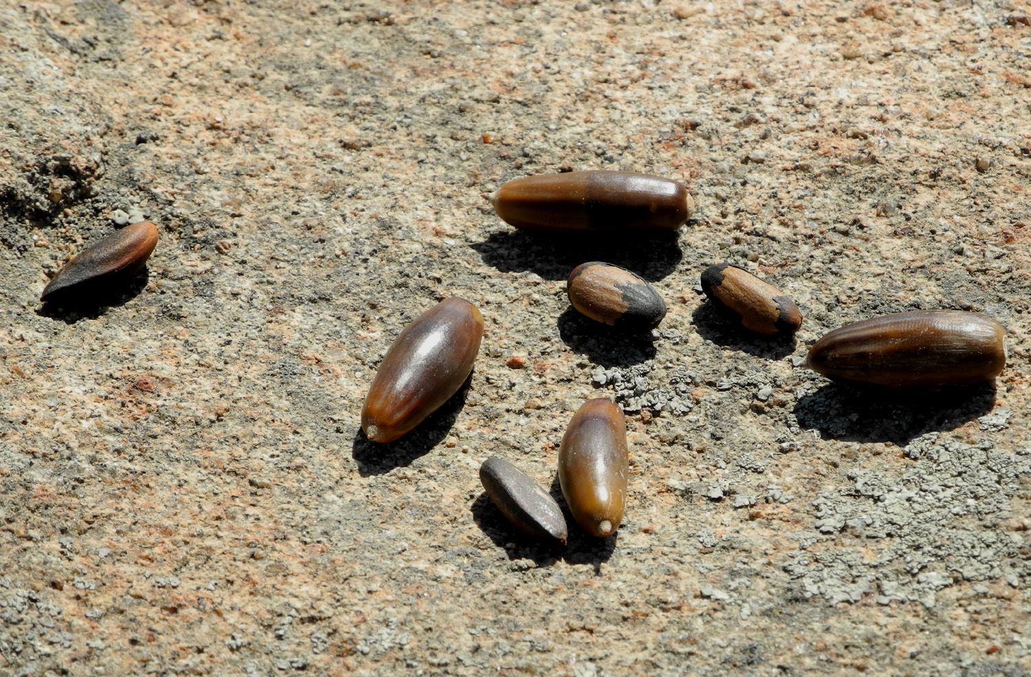
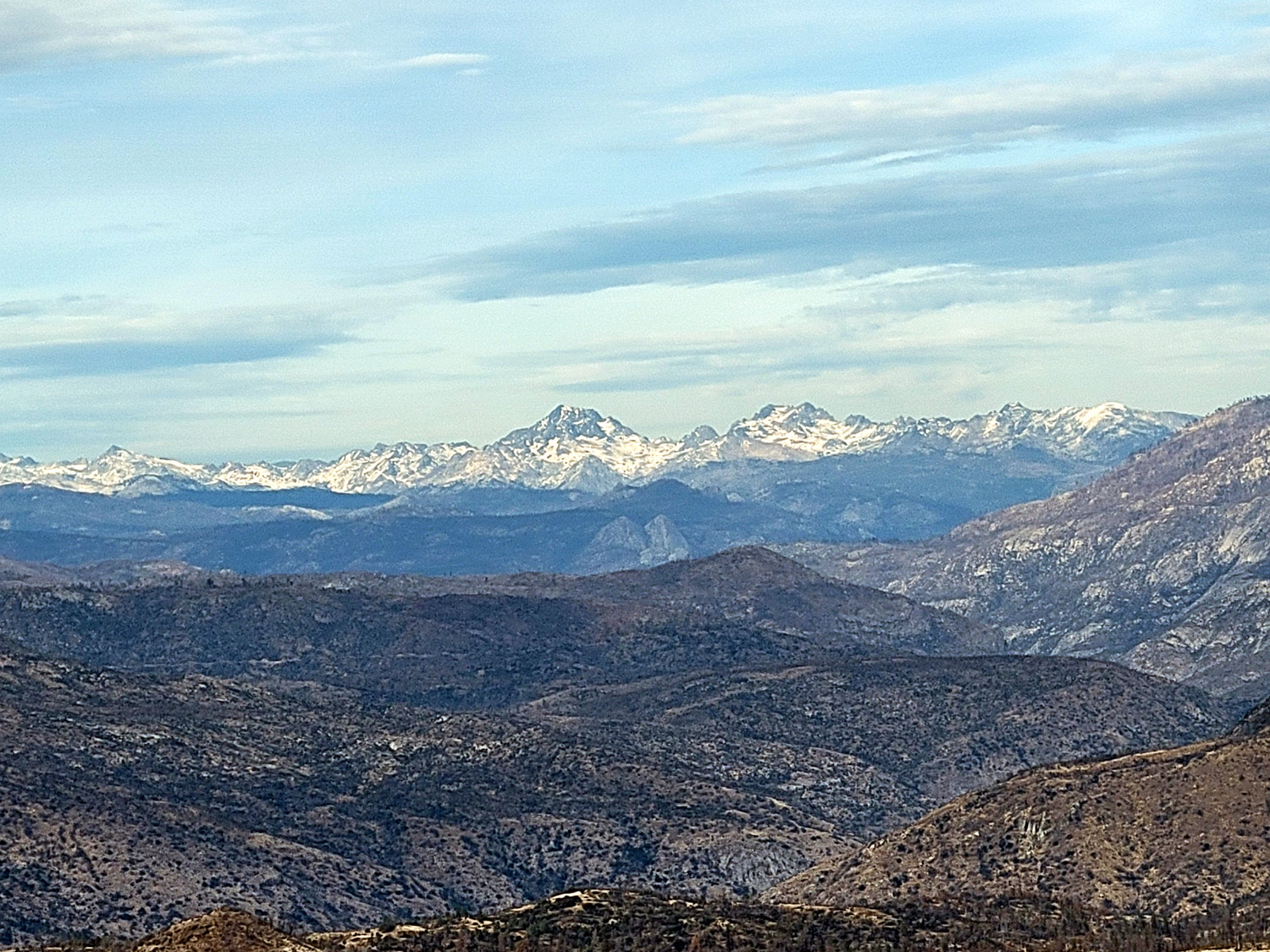
| Nuts found along the San Joaquin River trail | Table top peak, Fresno County |
|
|
|
|
|||
|
|
|
|
|
| Falls on Willow Creek, Madera County CA |
Rock Creek near the High Sierra Scenic Byway |
Pool on Rock Creek | |
|
|
|||
|
|
|
|
|
| Mammoth Pool on the San Joaquin River | Mammoth Pool; Fuller Buttes and Jackass Rock in background; High Sierra in distance | Goat Mountain, near Bass Lake | |
|
(Rock Creek and Mammoth Pool photos by Susan Crandall) |
|||
|
|
|
|
|
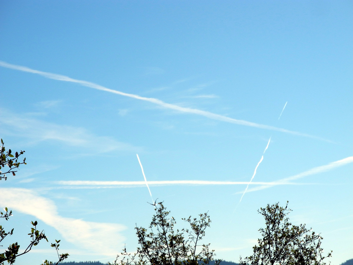
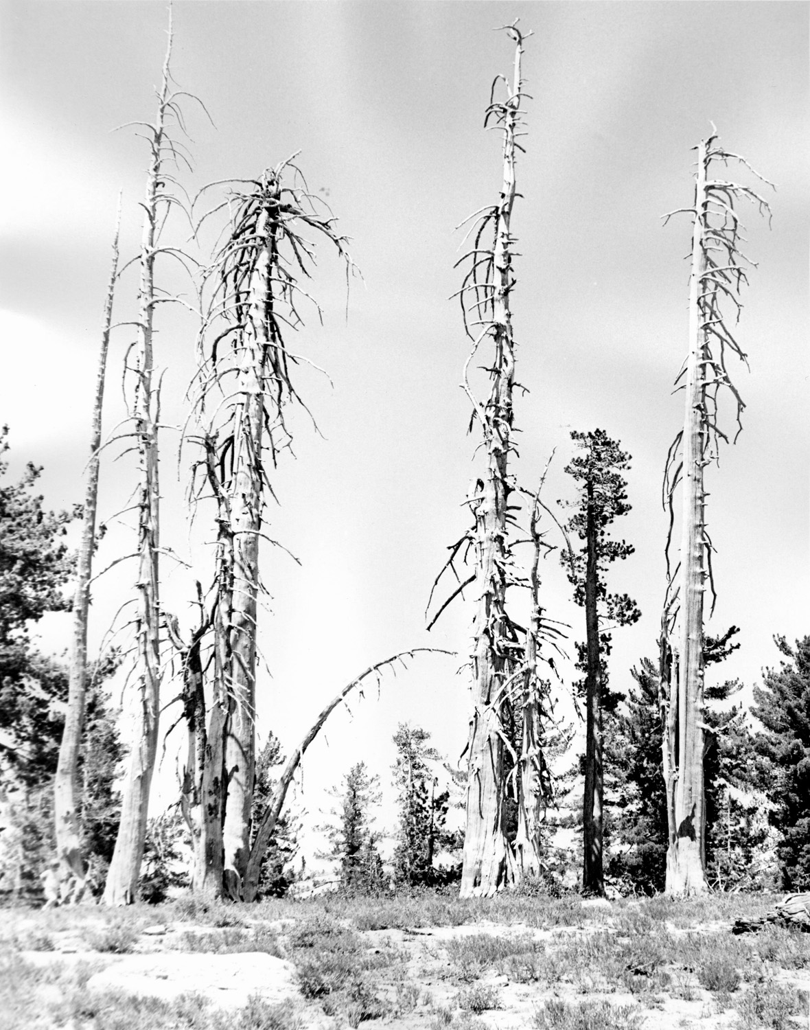
| Jet trails above Goat Mountain | Dead trees at Kaiser Pass | A peaceful stroll on the Shadow of the Giants Trail in Nelder Grove | |
|
|
|||
|
|||
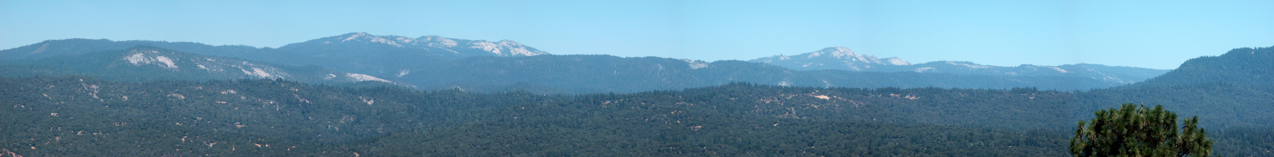
| Panoramic view seen from near Oakhurst; Big Shuteye Peak in center | |||
|
|
|
|
|
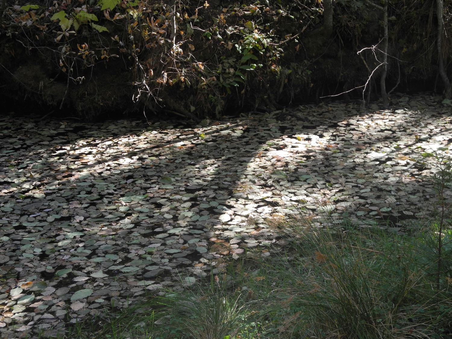
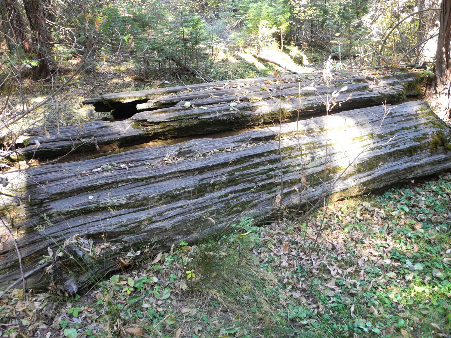
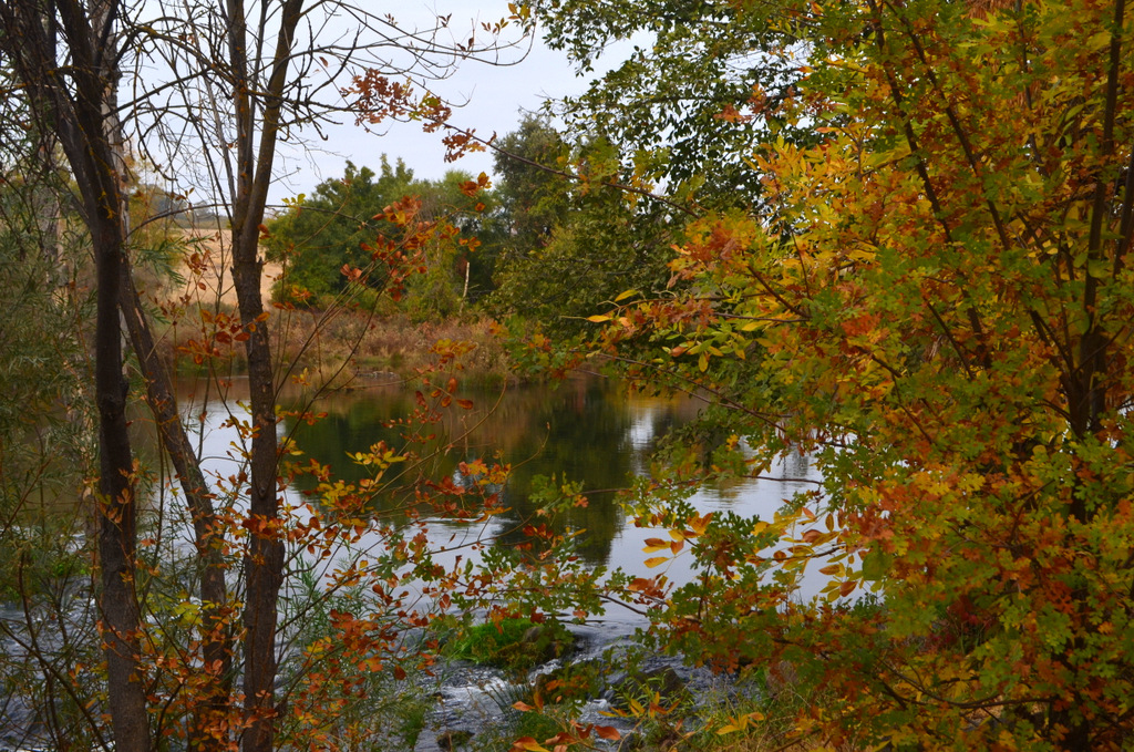
| Buried log in Sierra meadow | At the edge of Nichols Meadow | Fall leaves on California Creek | |
|
|
|||
|
|
|
|
|
| Ancient cedar log |
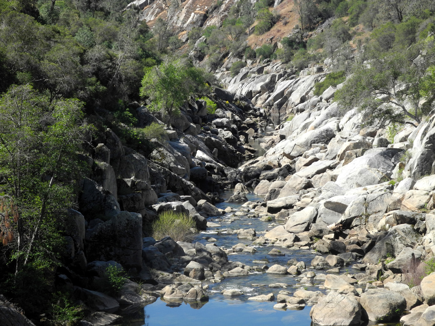
San Joaquin River in San Joaquin Gorge BLM area |
Snow field at Road 620 and Old Yosemite Road above Oakhurst |
|
|
|
|||
|
|||
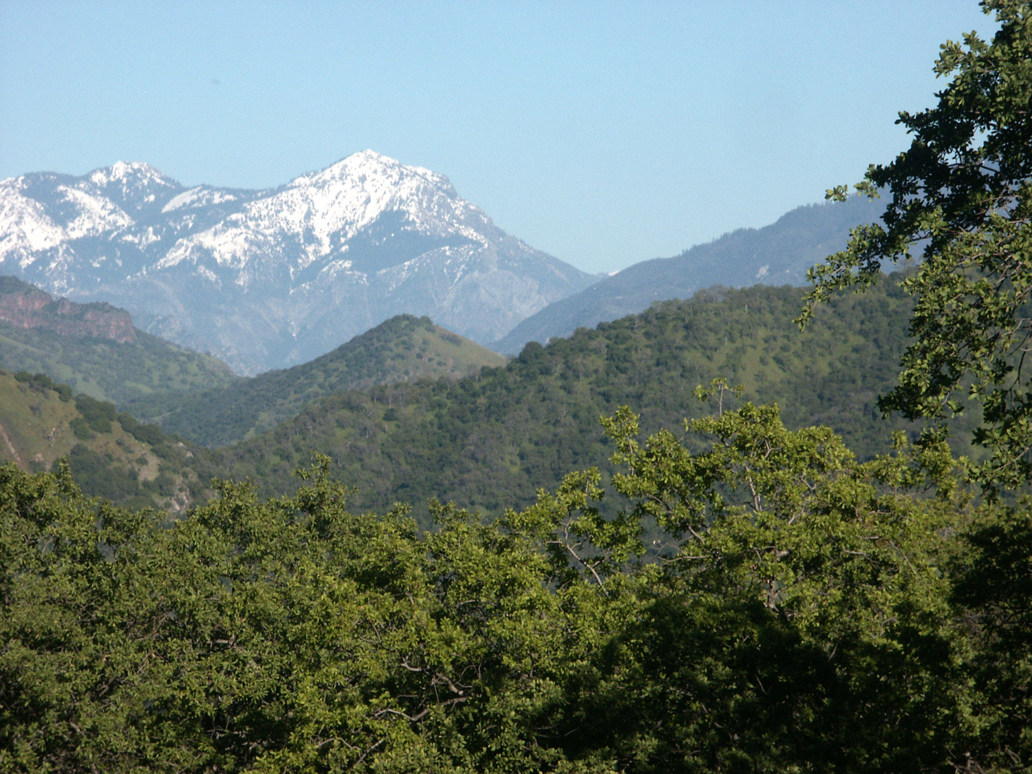
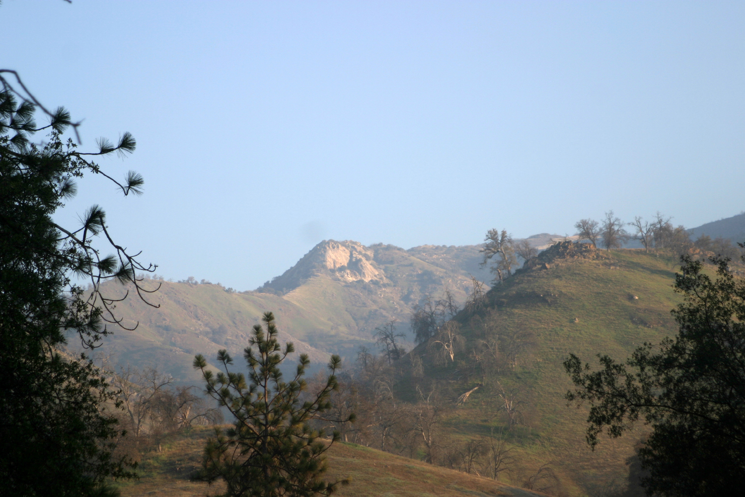
| Mountains south and east of Oakhurst | |||
|
|||
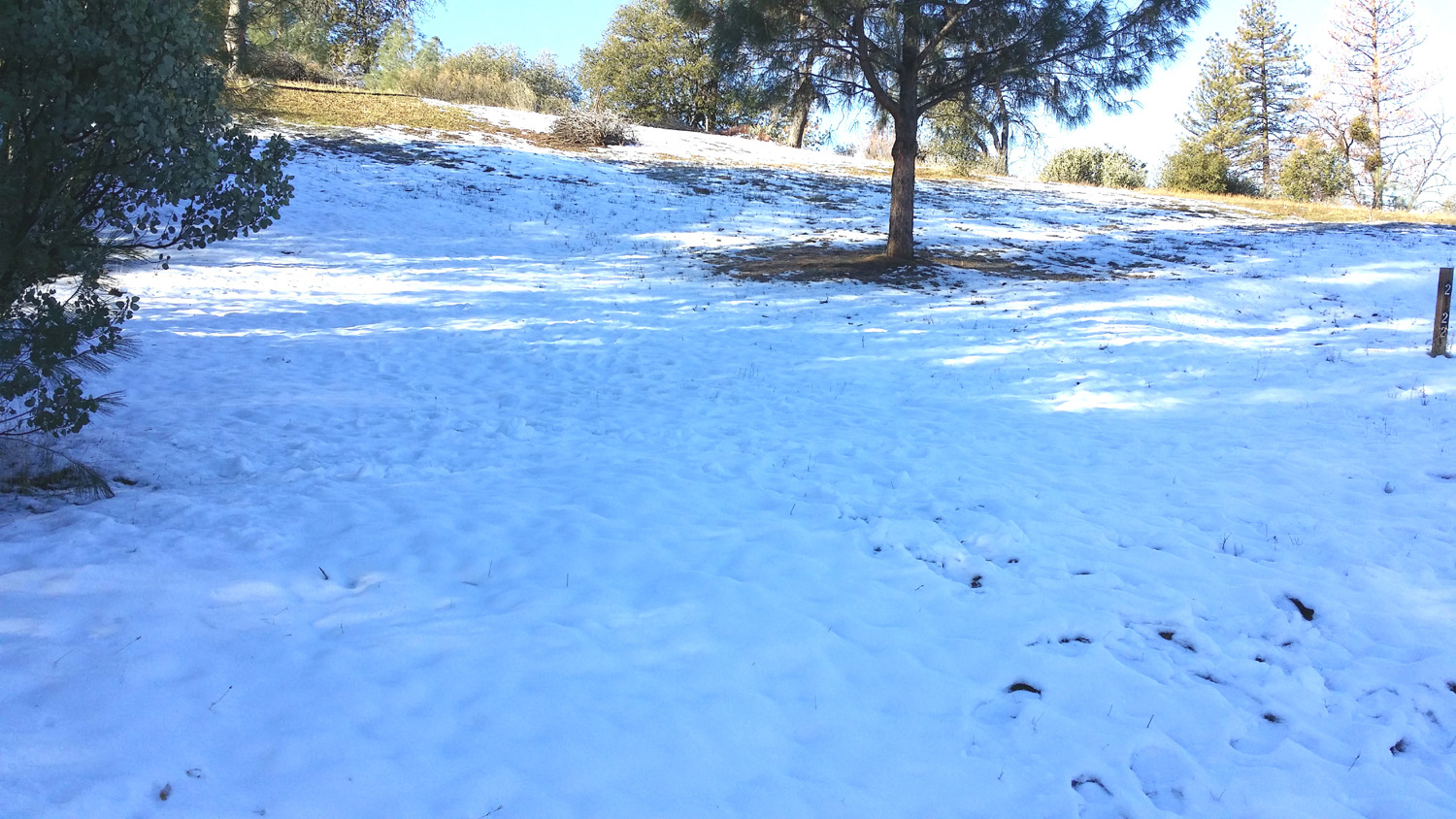
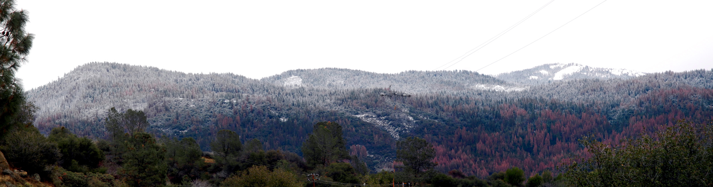
| Snow covers the trees northeast of Oakhurst | |||
|
|
|
|
|
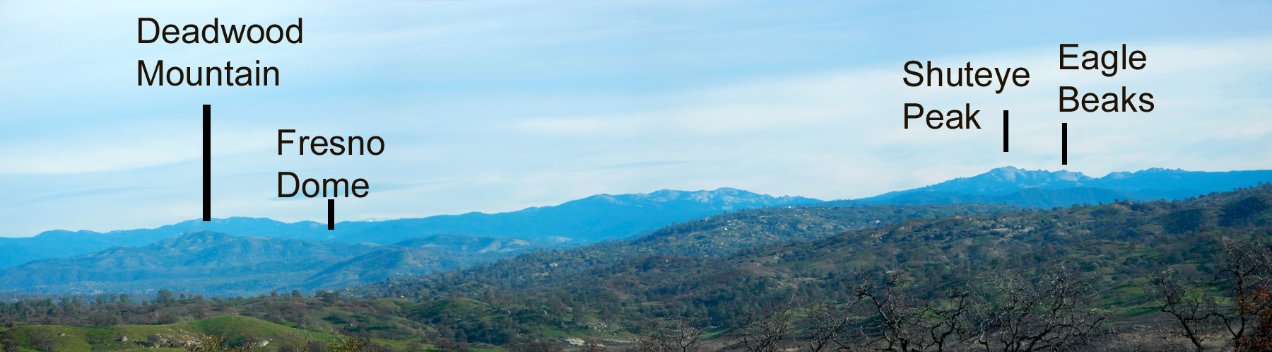
| View to the east from Road 620 in December 2015 | Shuteye Peak and the Eagle Beaks | Lewis Creek near the Lewis Creek Trail | |
|
|
|||
|
|
|
|
|
| Corlieu Falls on Lewis Creek | Bass Lake, spring 2016 | Visitors on the Swinging Bridge over the South Fork of the Merced near Wawona | |
|
|
|||
|
|
|
|
|
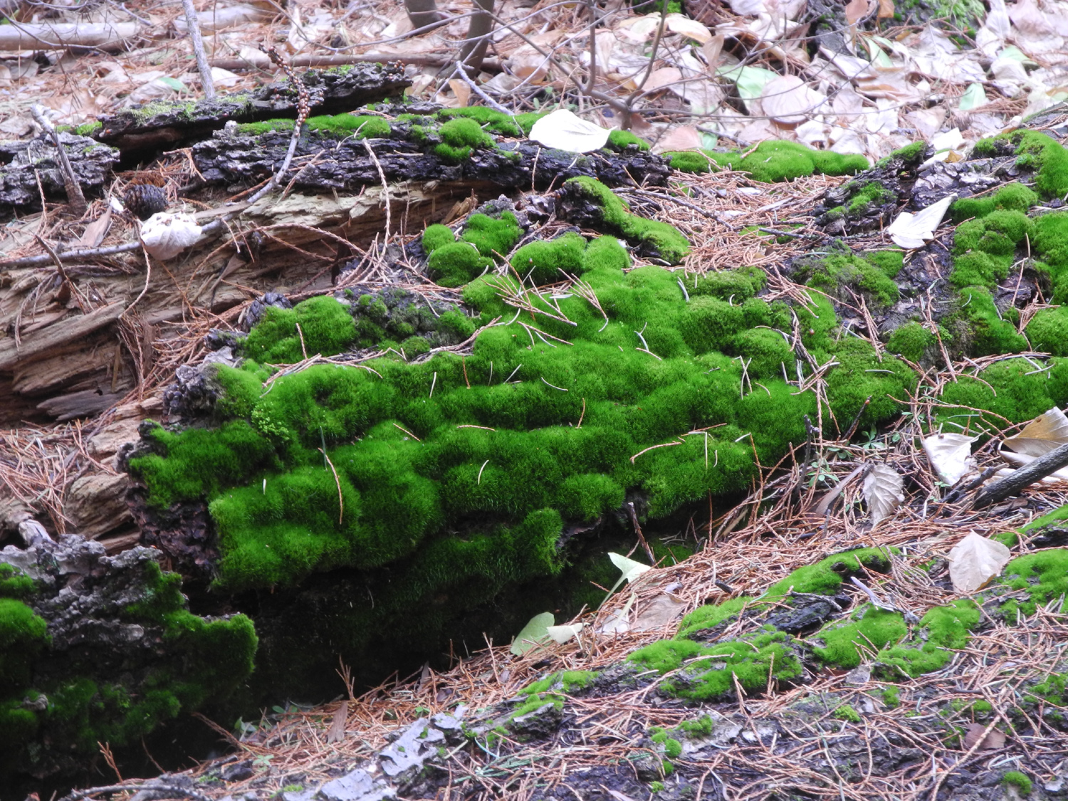
| Wasp nest in Nelder Grove | "Tuck and roll" moss in Nelder Grove |
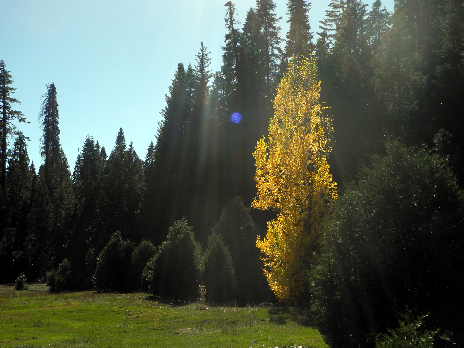
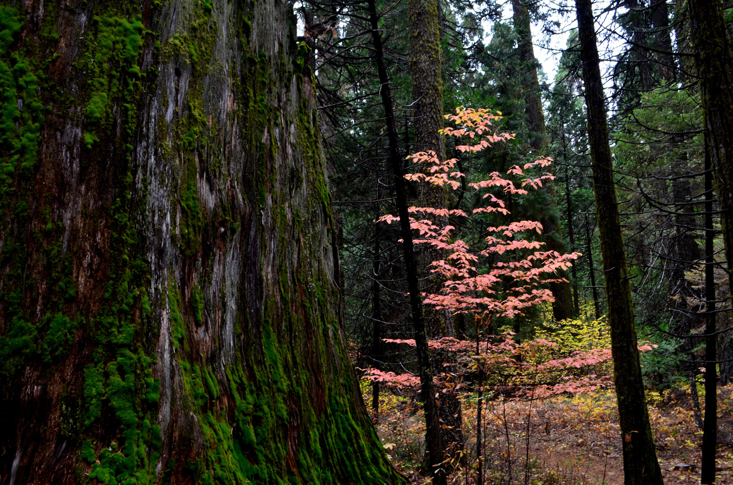
Dogwood stands out in the dark forest in Nelder Grove |
|
|
|
|||
|
|
|
|
|
|
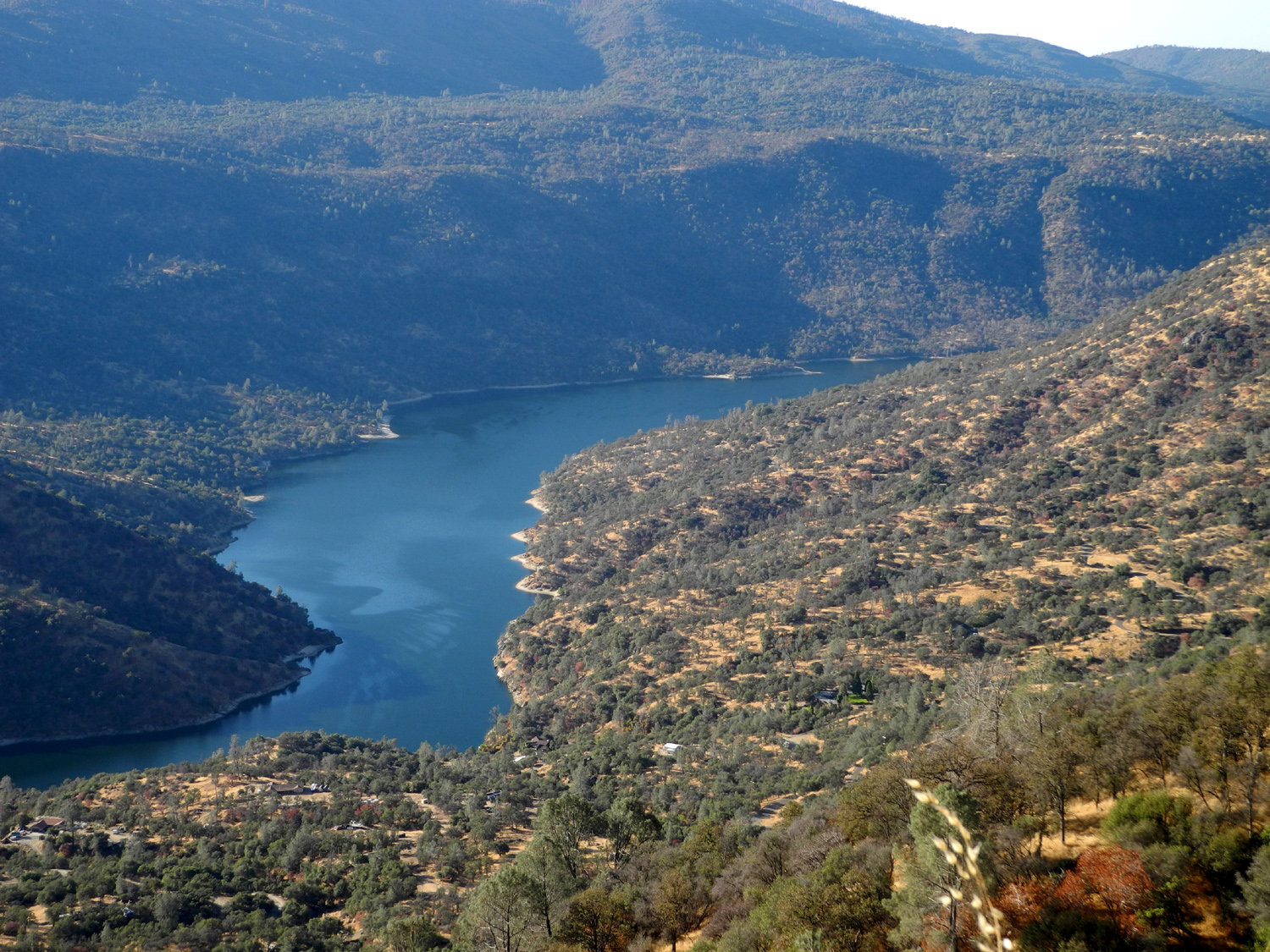
Redinger Lake on the San Joaquin River |
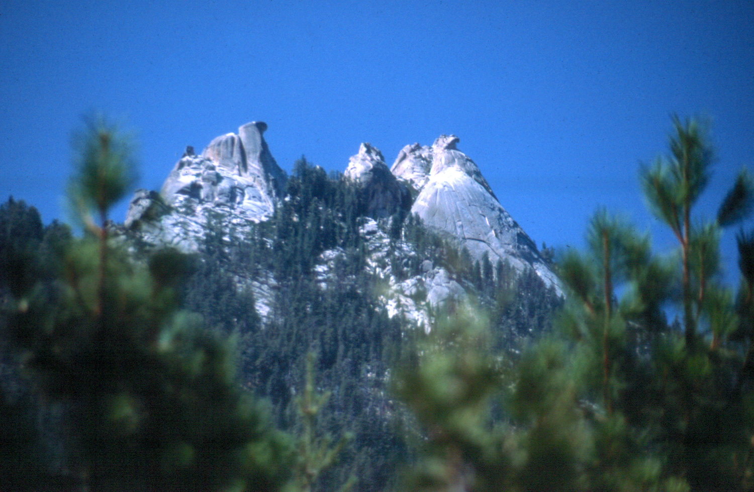
The Eagles Beaks from Mile High Overlook |
Fuller Buttes on the left; Balloon Dome on the right |
|
|
|
|||
|
|
|
|
|
| Fresno Dome with approaching storm | Unique rock formation near Grays Mountain Campground | Views of the Sierra were spectacular in February of 2017 | |
|
|
|||
|
|
|
|
|
|
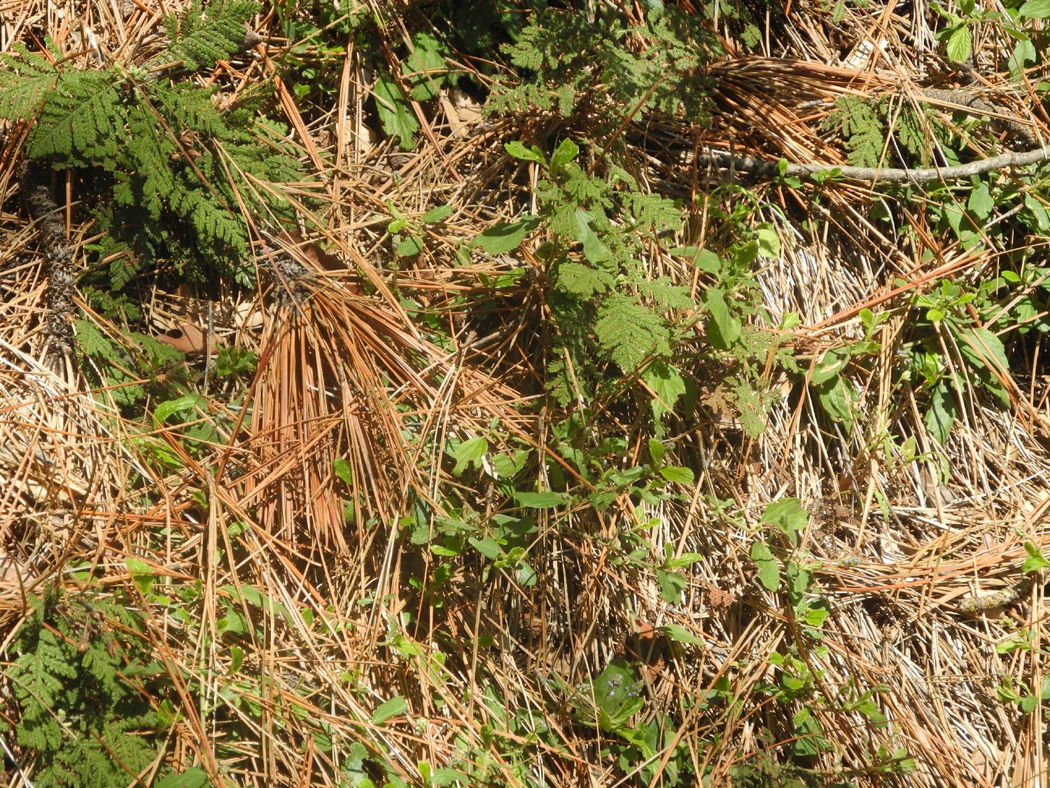
Pine needles and bear clover |
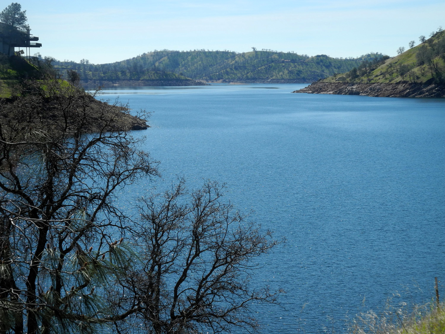
Lake
Millerton, blue and |
Peaceful
water and fall |
|
|
|
|
|
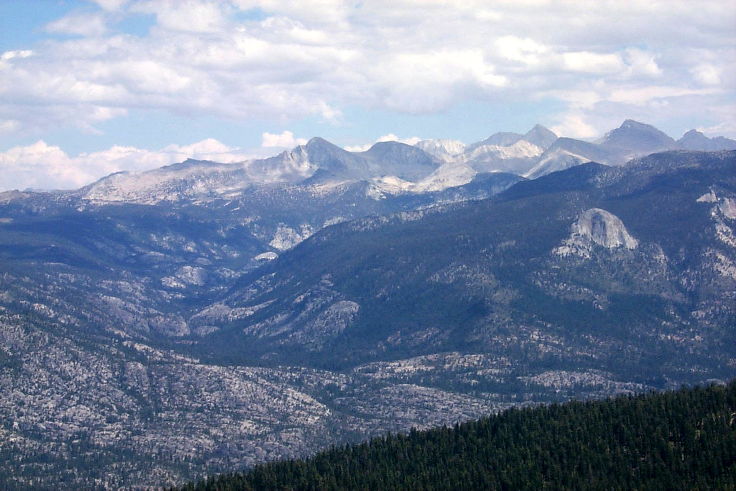
| The San Joaquin at Lost Lake | A gentle rapids by the Lost Lake Trail | Ritter Range; Fuller Buttes in foreground | |
|
|

|
|
|
Globe
Rock, by the Sierra
Vista Scenic Byway (Neely Photo) |
Ritter Range from near Meadow Lakes | Mt. Ritter and Fuller Buttes | |
|
|||
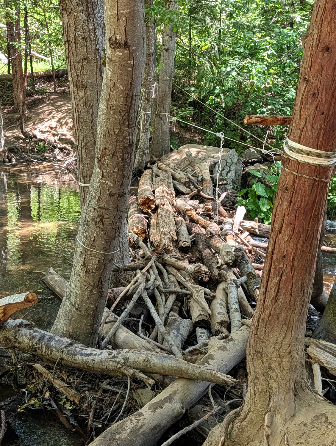
|
This log "bridge" on
Lewis Creek looks like it was built by giant beavers |
|||
|
|
|||