|
Dick's Colorado Photos |
|||
|
New photos added here November 18, 2024 |
|||
(Click for a larger view) |
|||
 |
 |
 |
 |
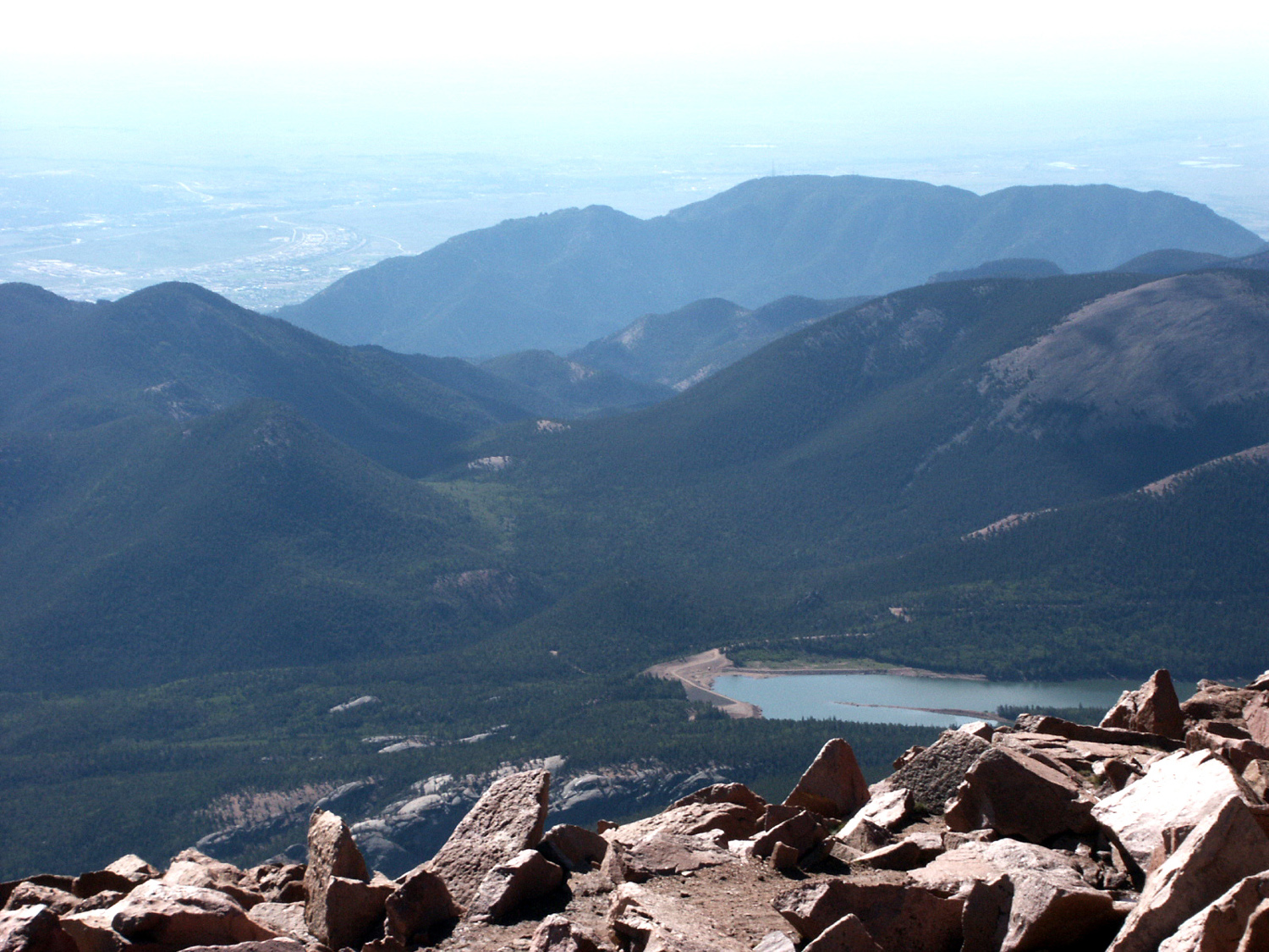
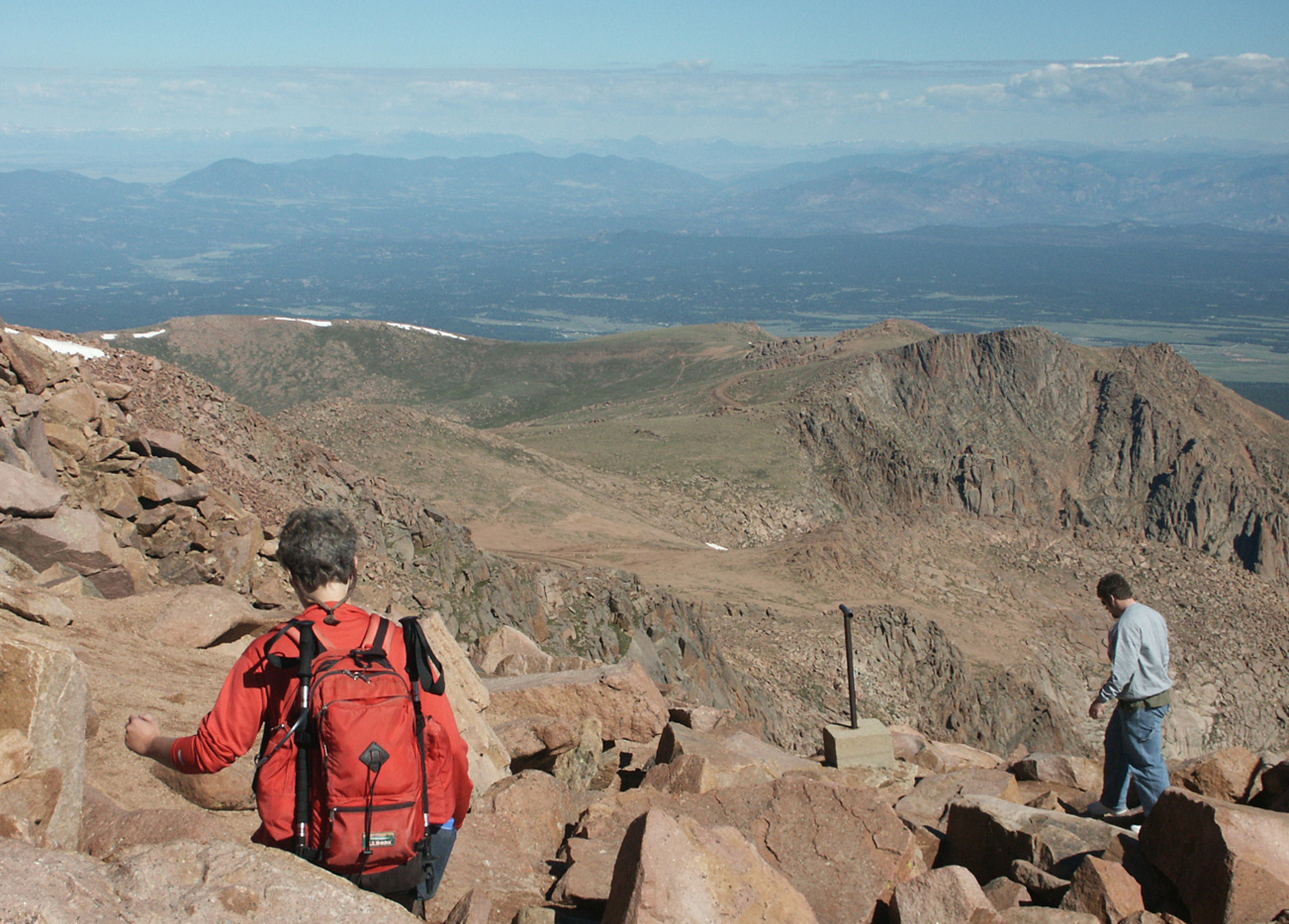
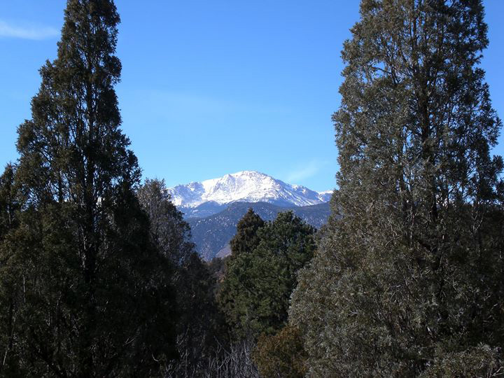
| View from Pike's Peak | Scrambling around the peak |
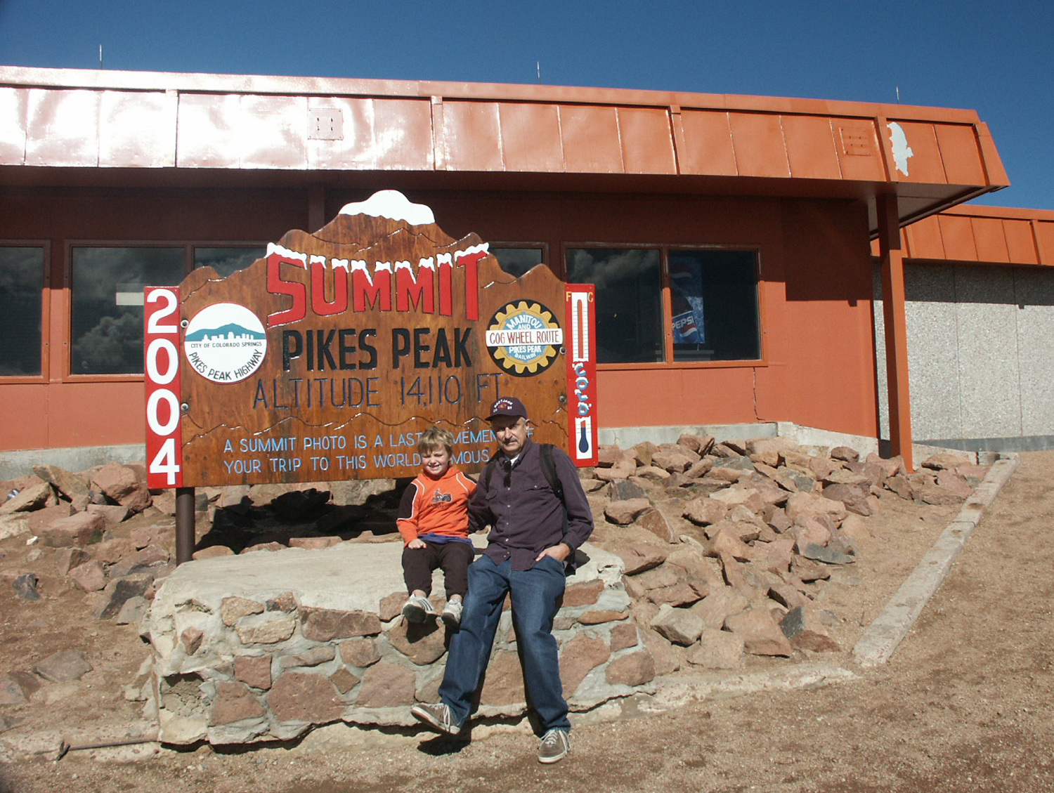
Dick & Mikie above 14,000 feet |
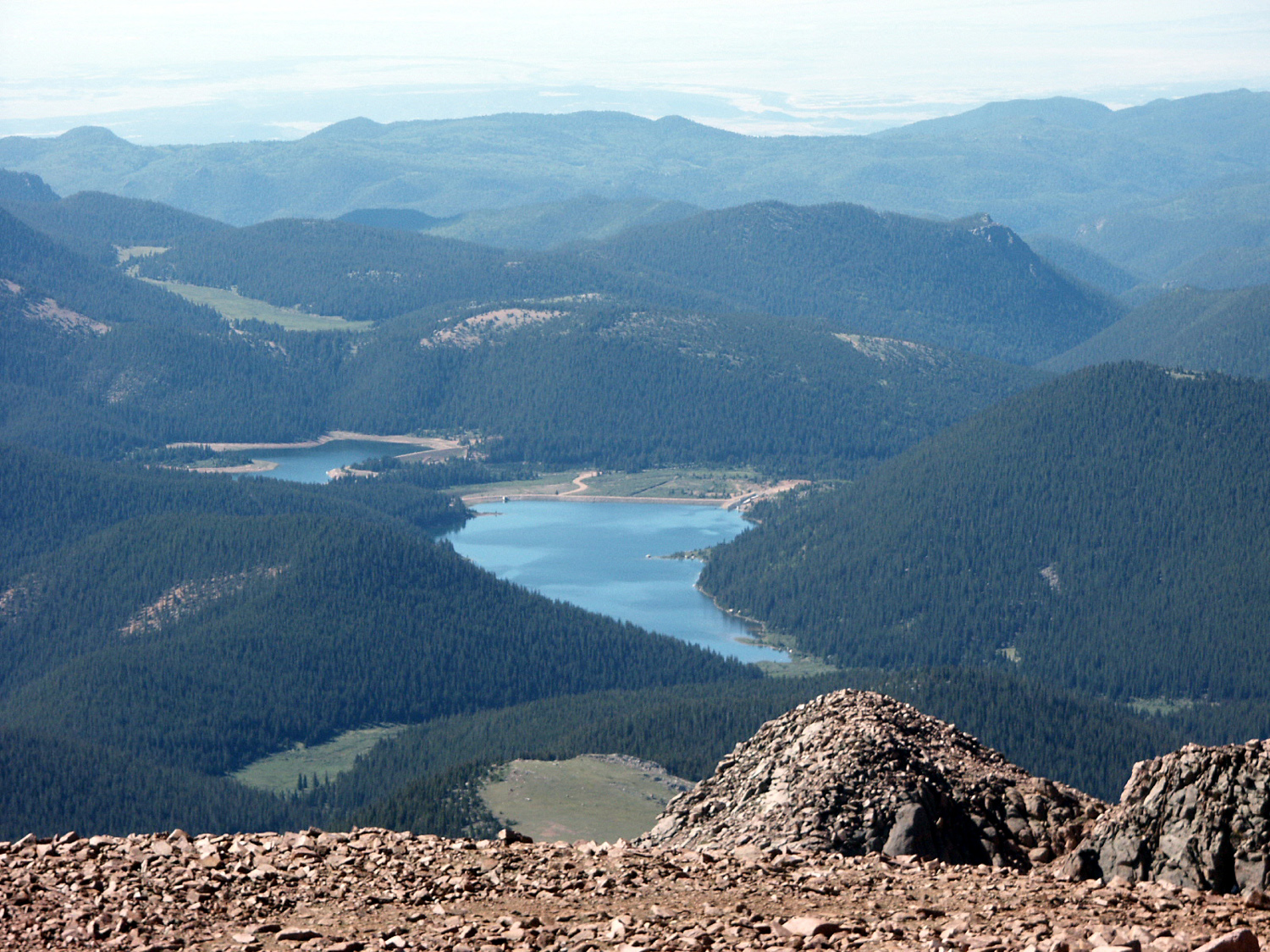
Lake below the peak |
 |
 |
 |
 |
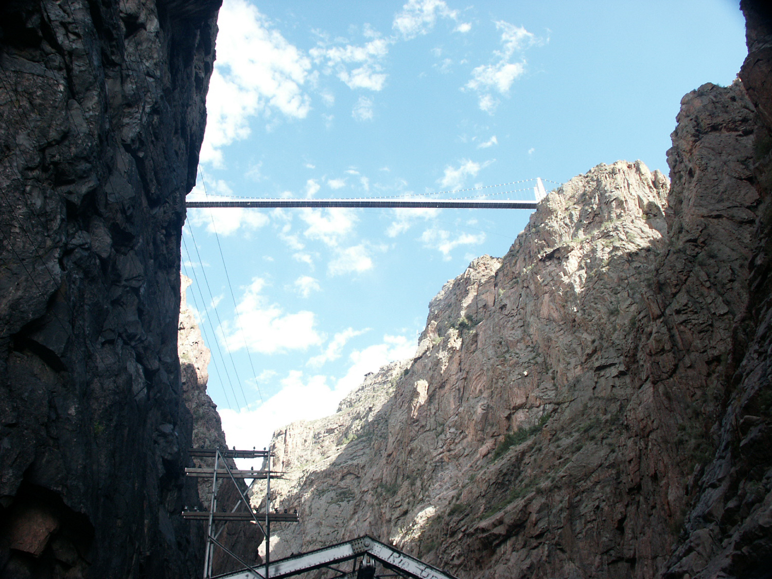
| Bridge
over Royal Gorge, 1000 feet above the Arkansas River |
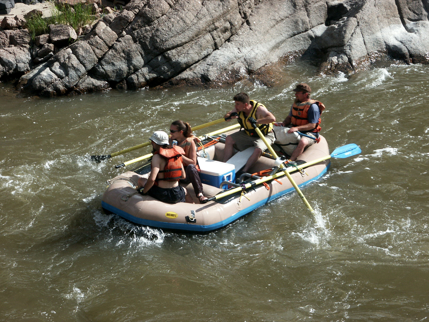
Rafters on the Arkansas River, seen from the Royal Gorge excursion train |
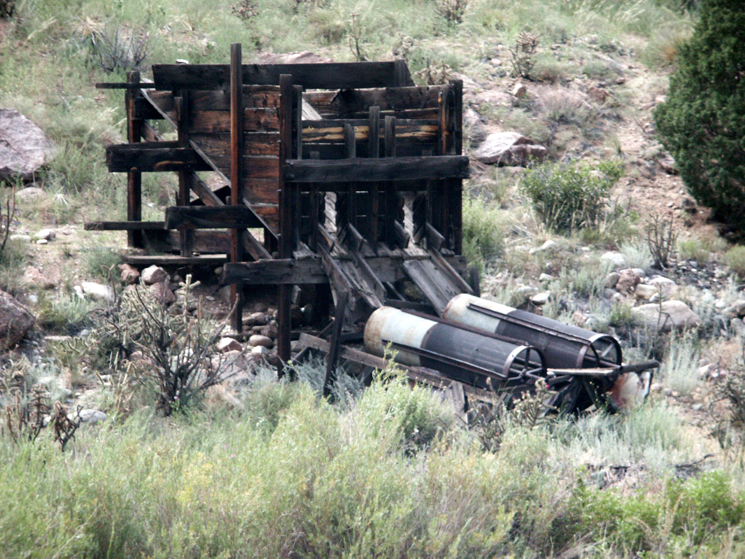
Old mining equipment along the river |
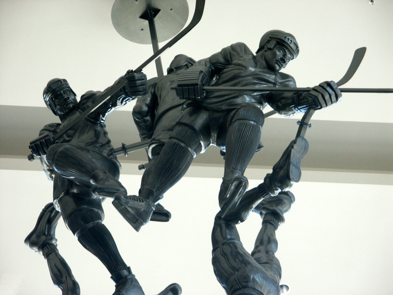
Sculpture inside the Pepsi Center, |
 |
 |
 |
 |
|
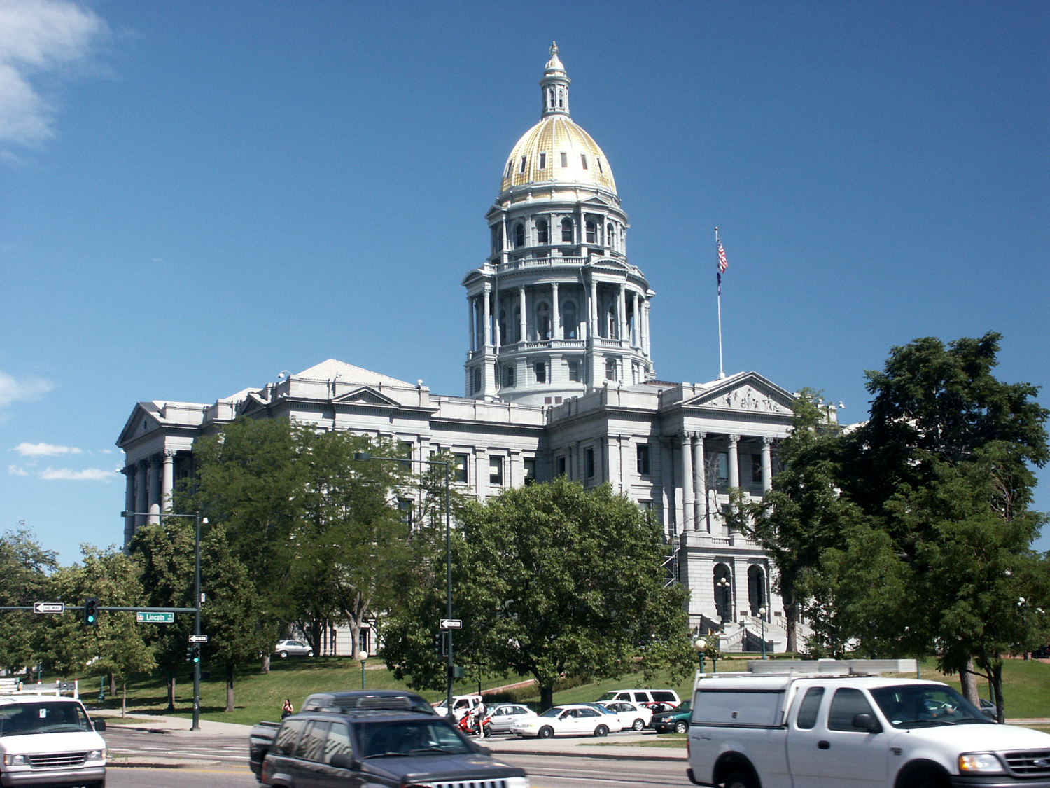
State Capitol (with real gold on the dome) |
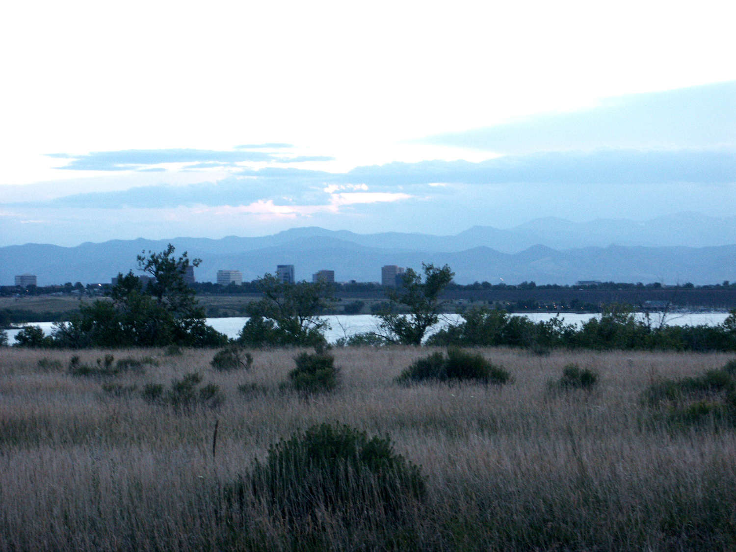
Looking west at Denver from Cherry Creek State Park |
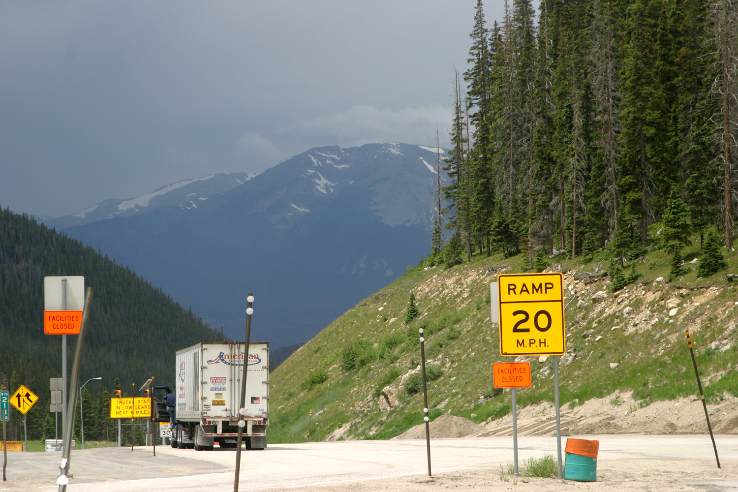
West exit, Eisenhower Tunnel on I-70 |
View from the tunnel |
 |
 |
 |
 |
|
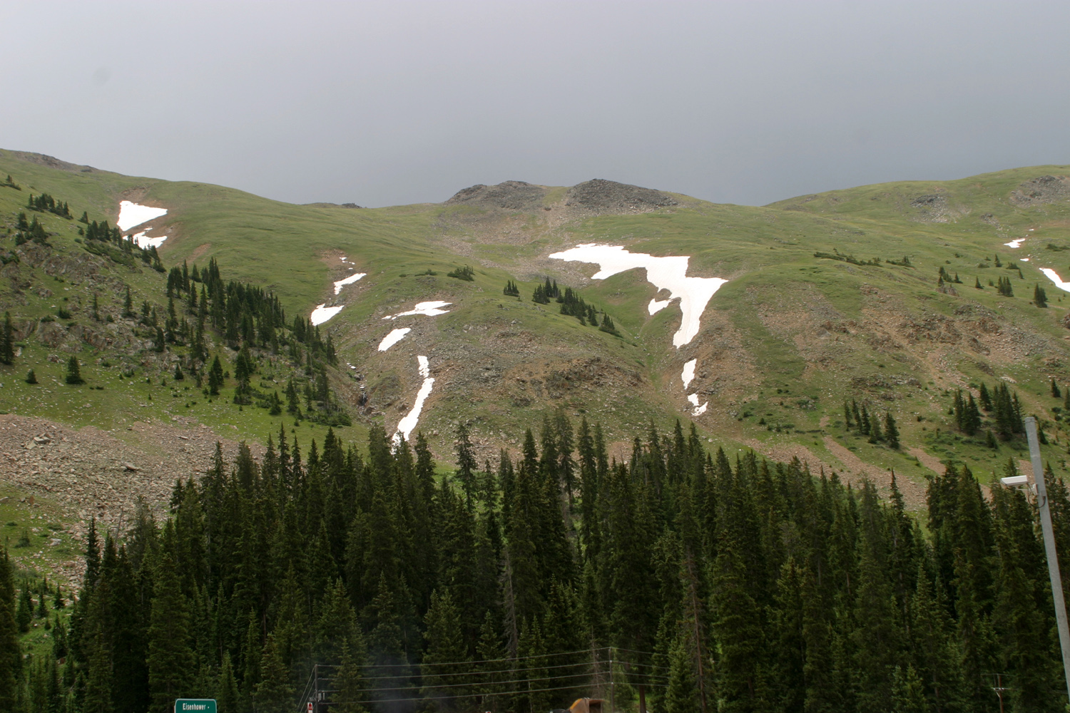
Snow on the ridge above the tunnel |
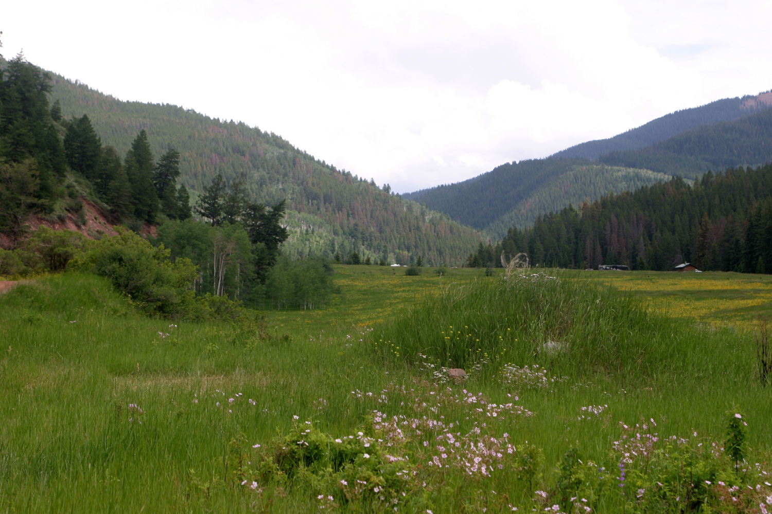
Along the road to Sylvan Lake State Park | Meadow near Sylvan Lake | Another meadow view |
 |
 |
 |
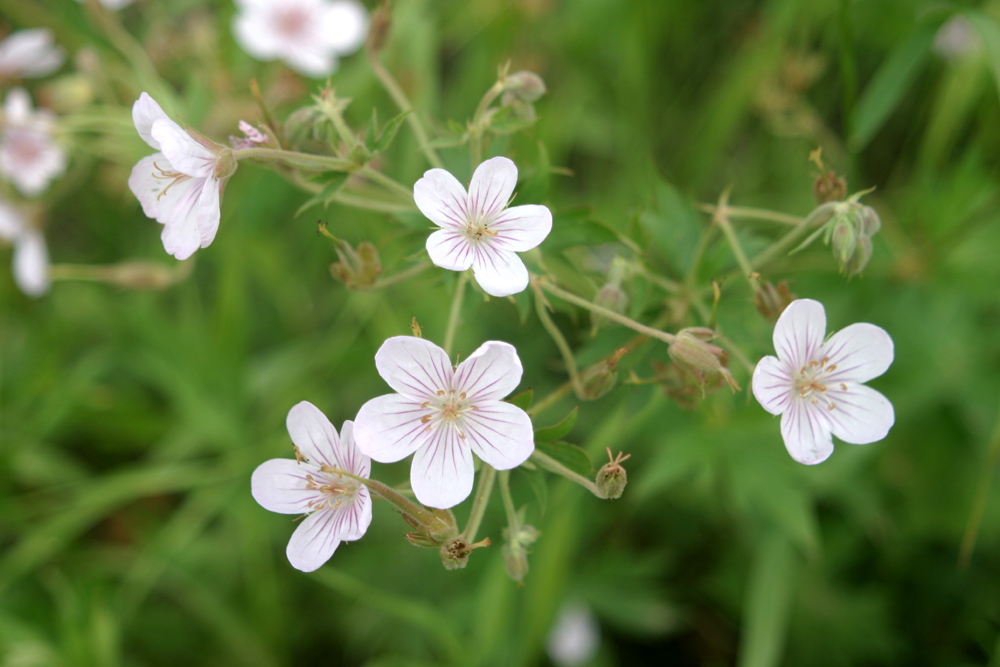 |
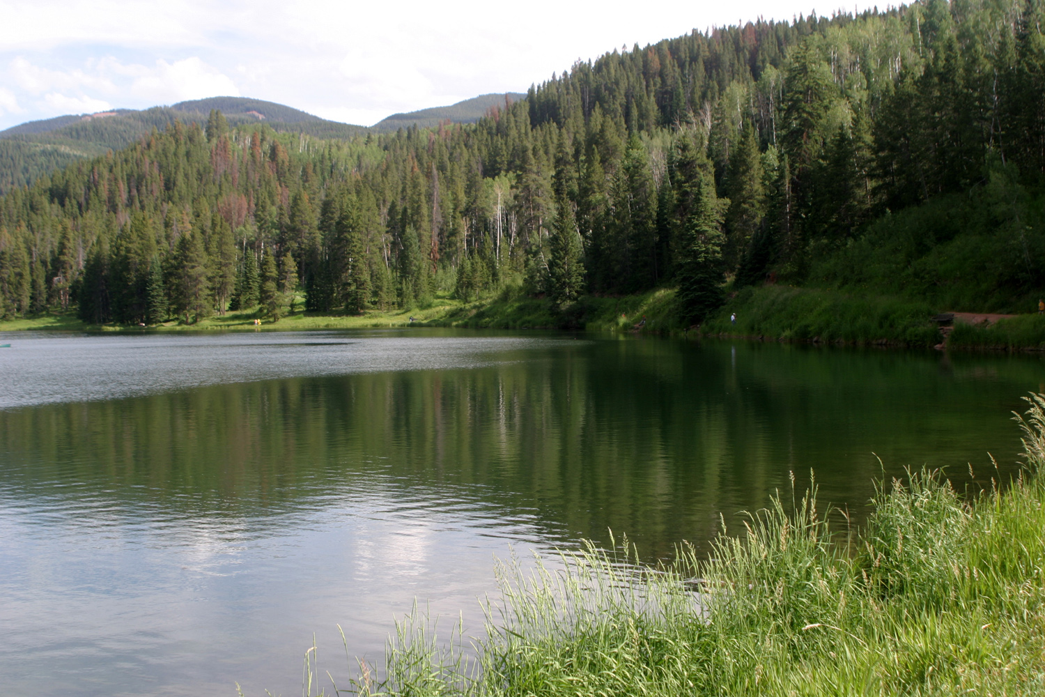
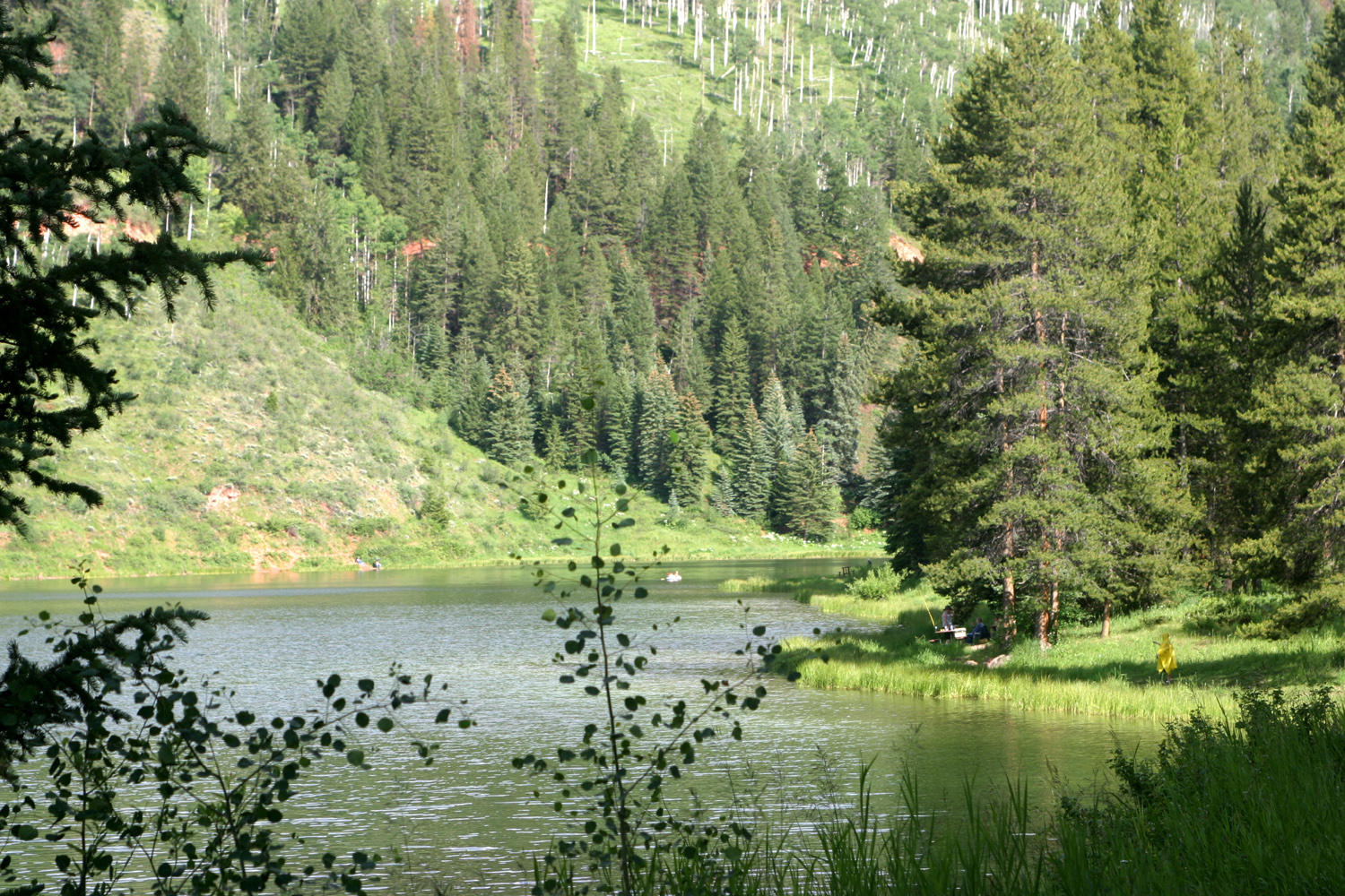
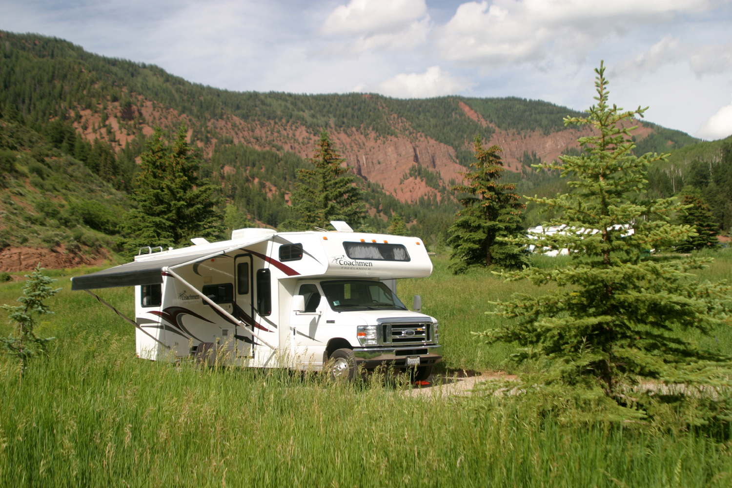
| Sylvan Lake, Colorado | Another lake view | Camping at Sylvan Lake | Flowers in the park |
 |
 |
|
 |
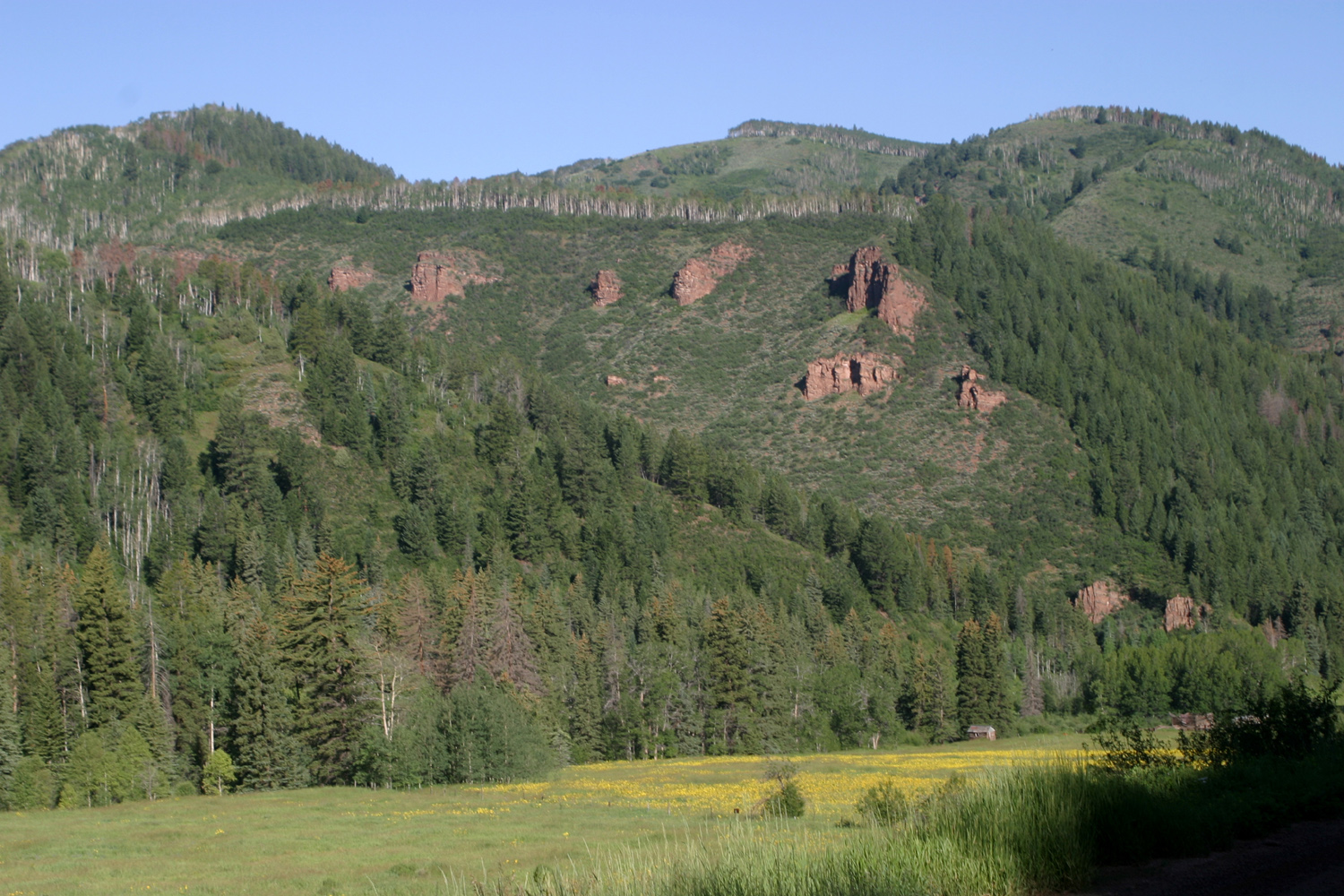
| Cliffs above the lake |
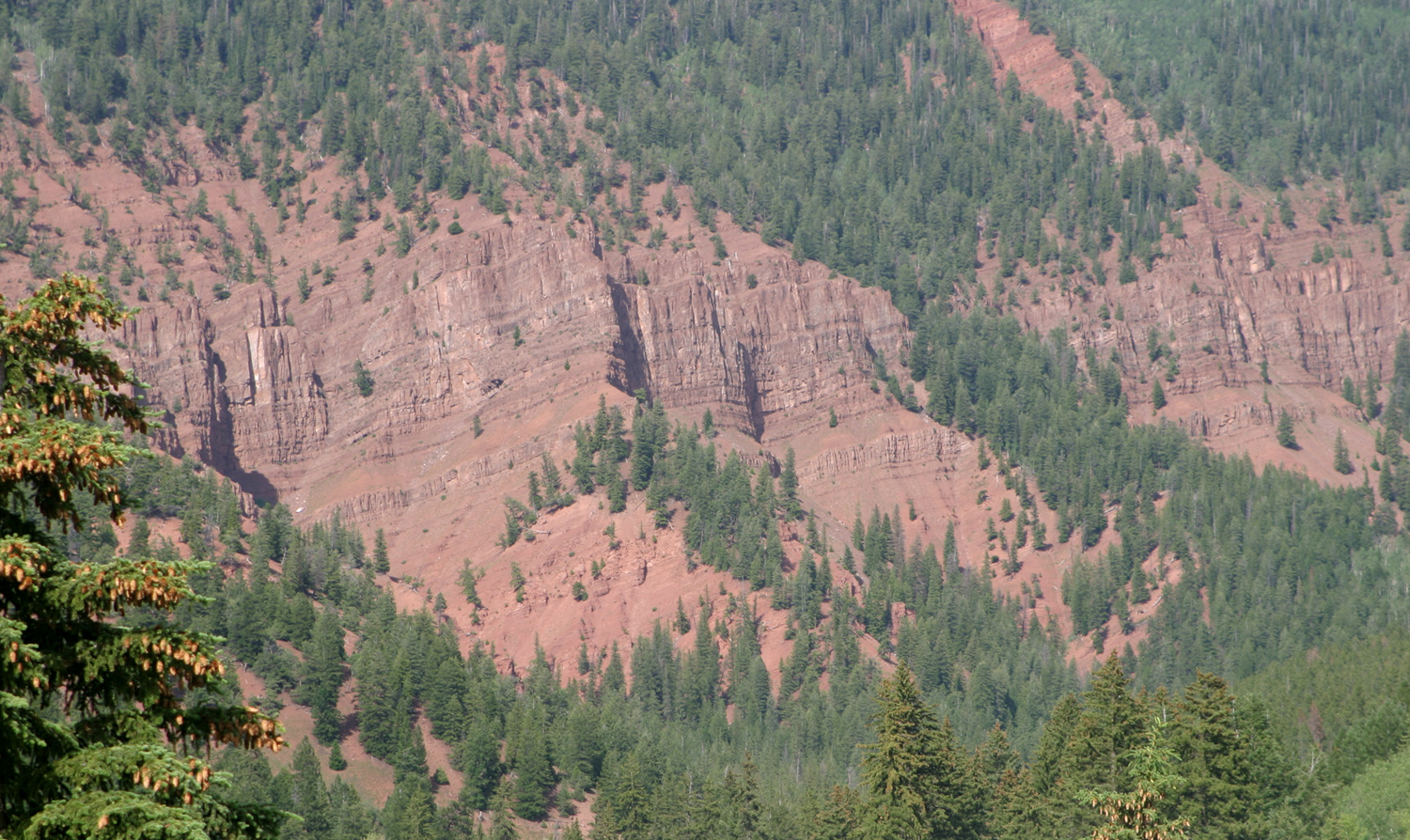
Sandstone outcroppings above the valley |
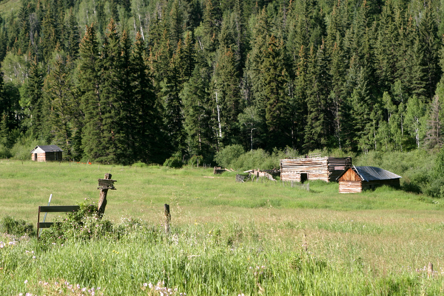
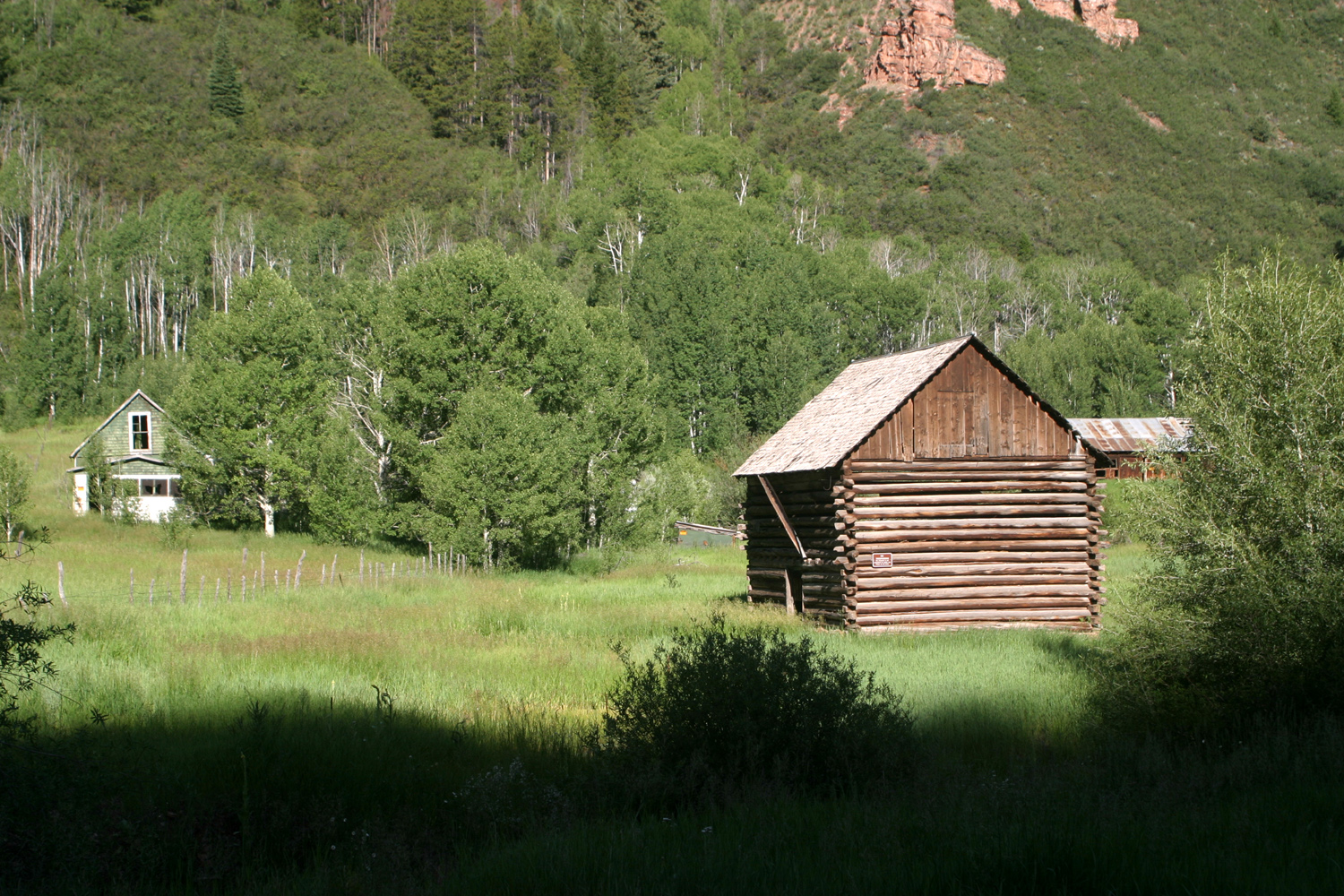
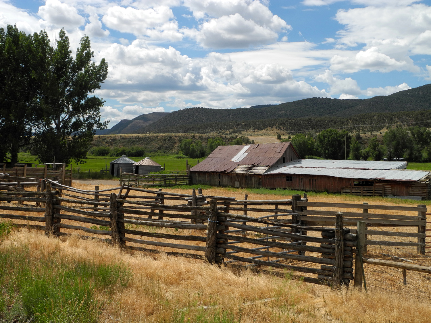
Ranch on the road to Sylvan Lake |
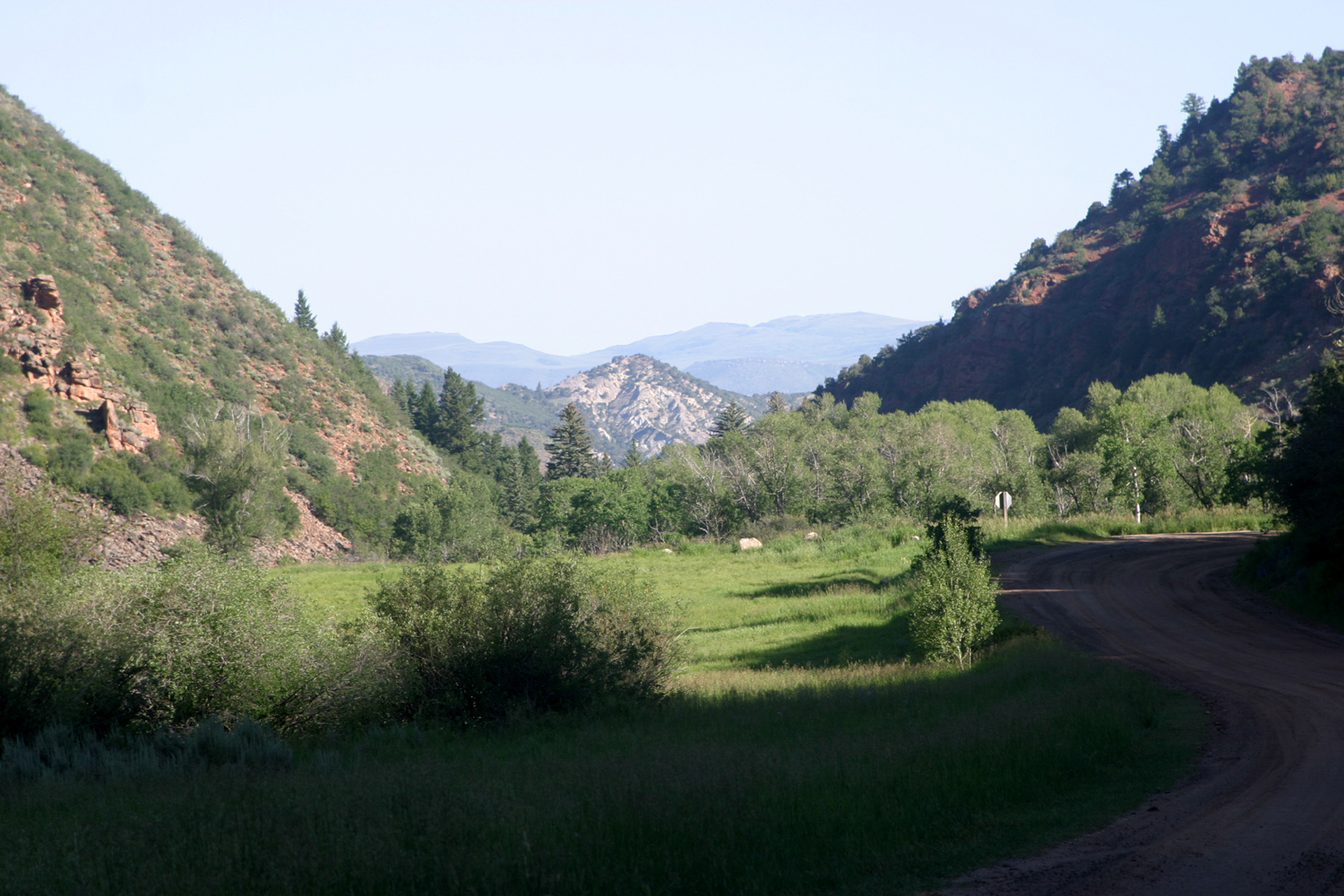
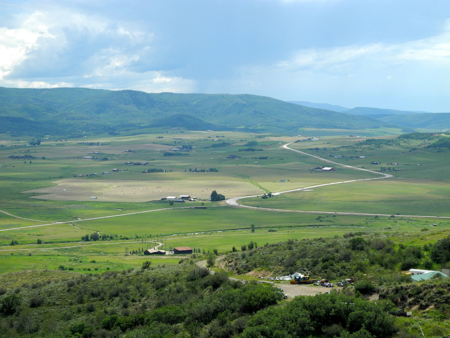
Looking north on road from Sylvan Lake to Eagle CO |
 |
 |
 |
 |
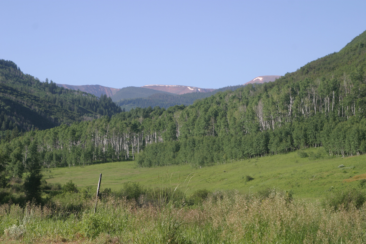
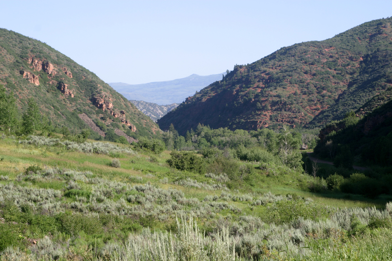
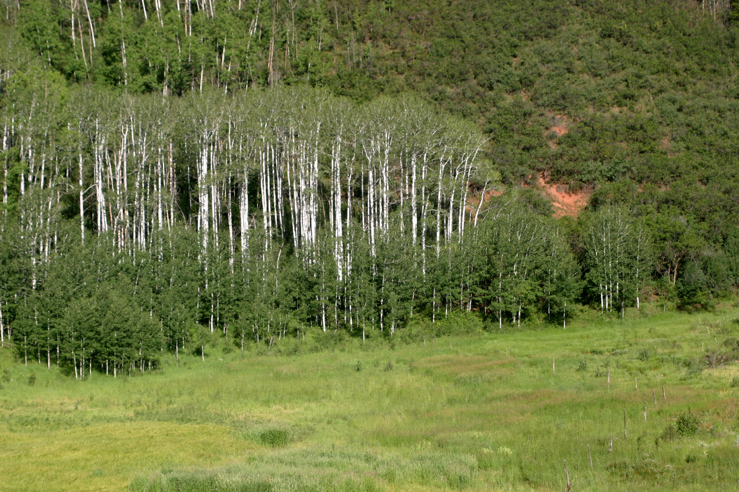
| Another view north | Aspens along the creek | Near Sylvan Lake |
A fresh bowl of snow
in Denver, |
|
 |
 |
 |
| The Garden of the Gods, Colorado Springs | In the garden | Pike's Peak from Garden of the Gods | Another view of the peak |
| (Above by Teri Liddle) | |||
 |
 |
 |
 |
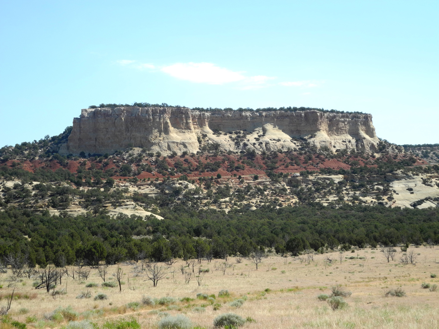
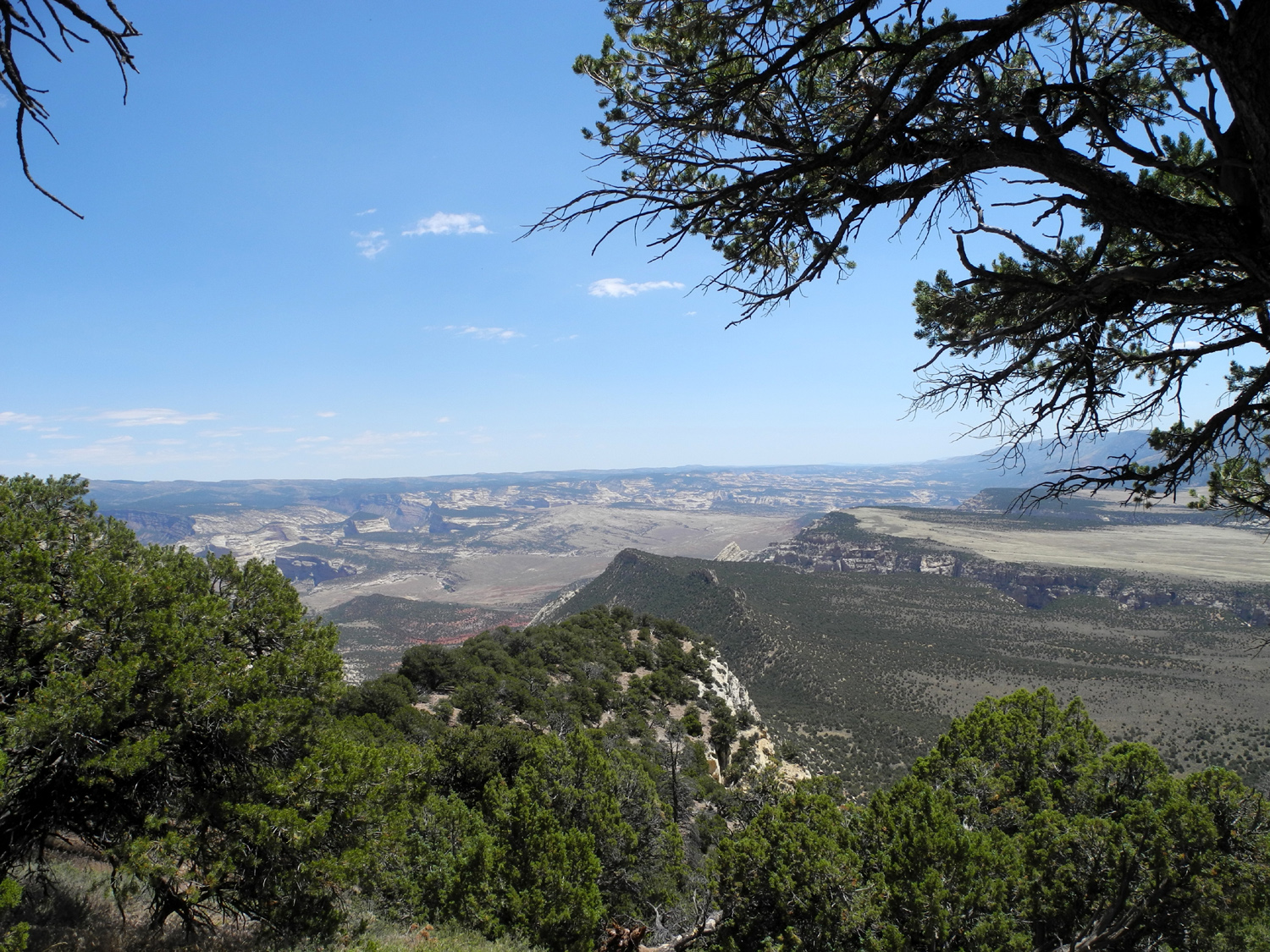
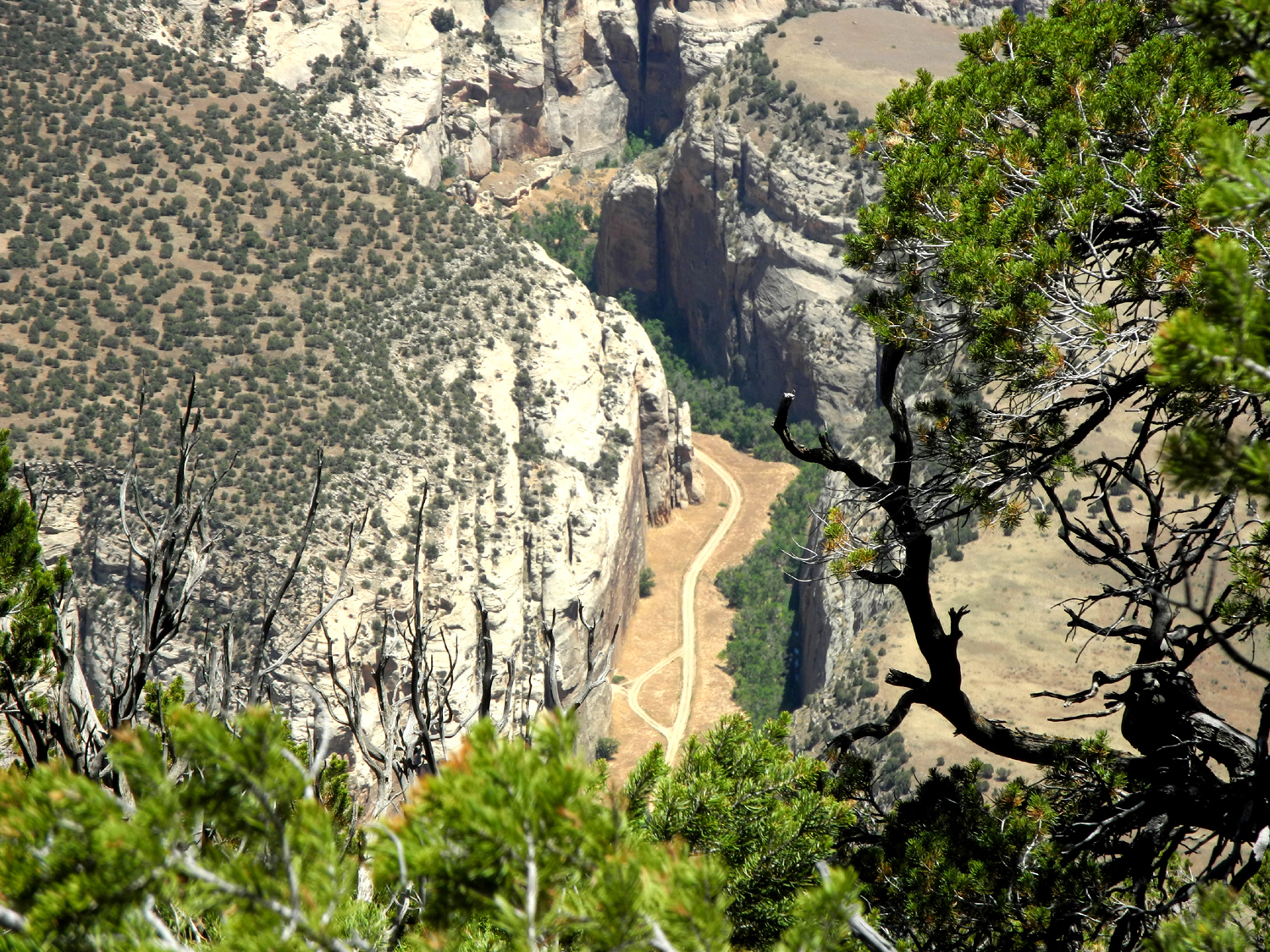
| Plug Hat Butte in Dinosaur National Monument |
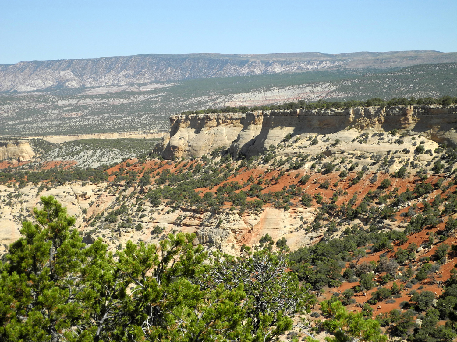
A canyon scene above the butte |
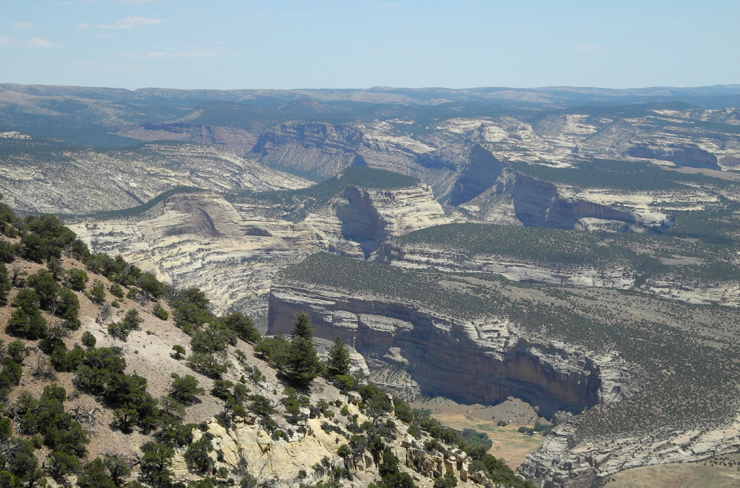
The
canyons of Dinosaur National Monument |
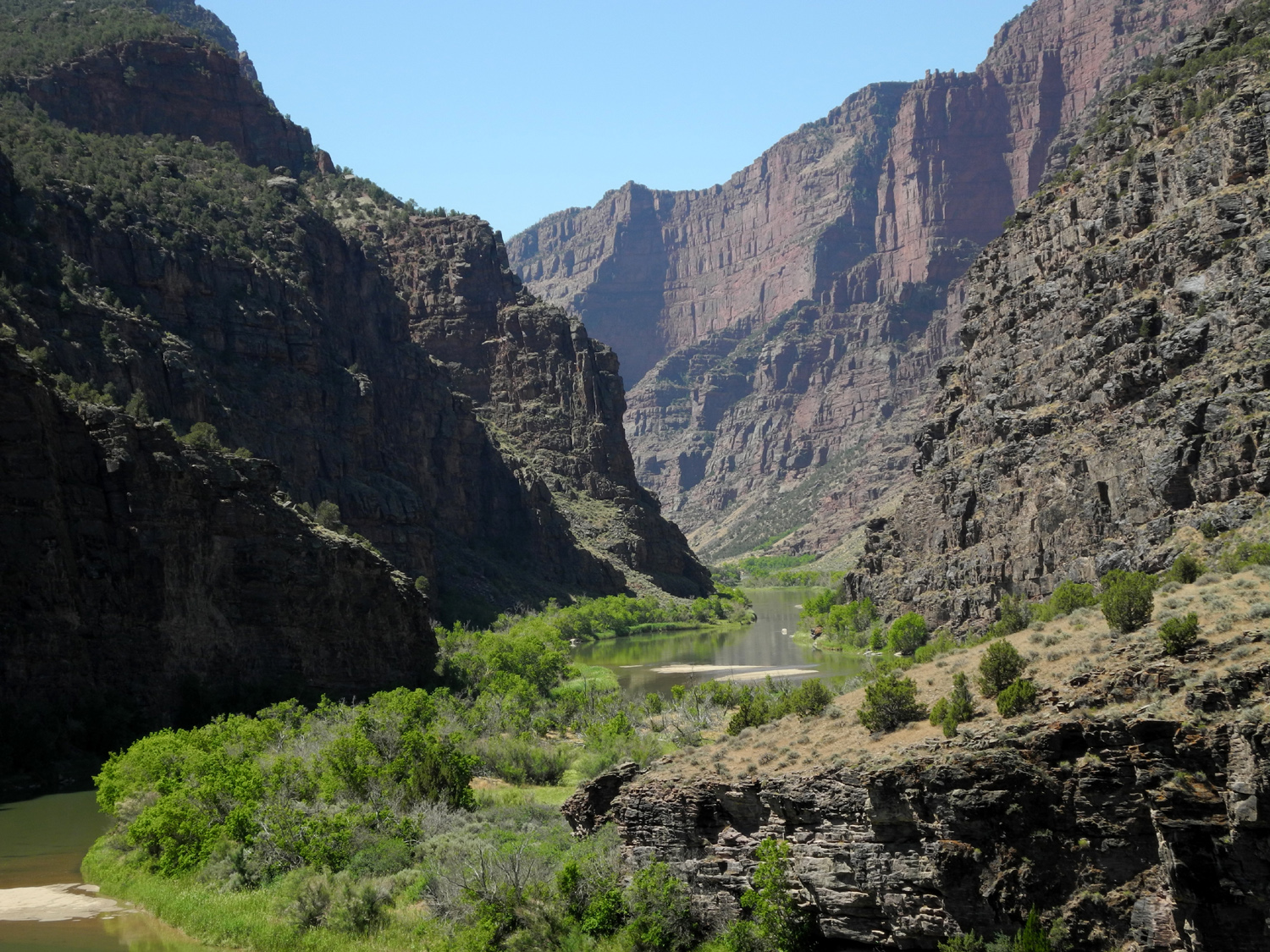
Echo Park,
where the Yampa joins the Green River |
 |
 |
 |
 |
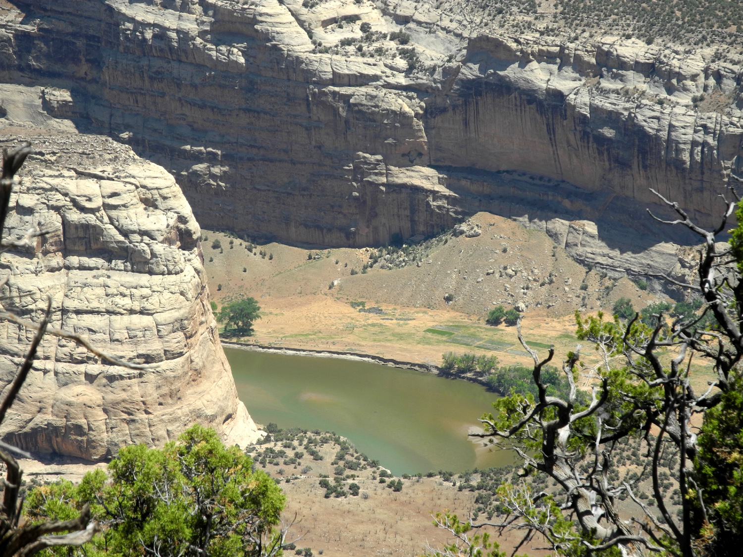
| Close up in Echo Park | Scene
along Harper's Corner Road in the monument |
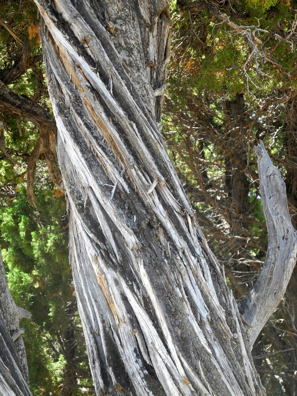
Twisted juniper | Talk about a remote road! |
 |
 |
 |
 |
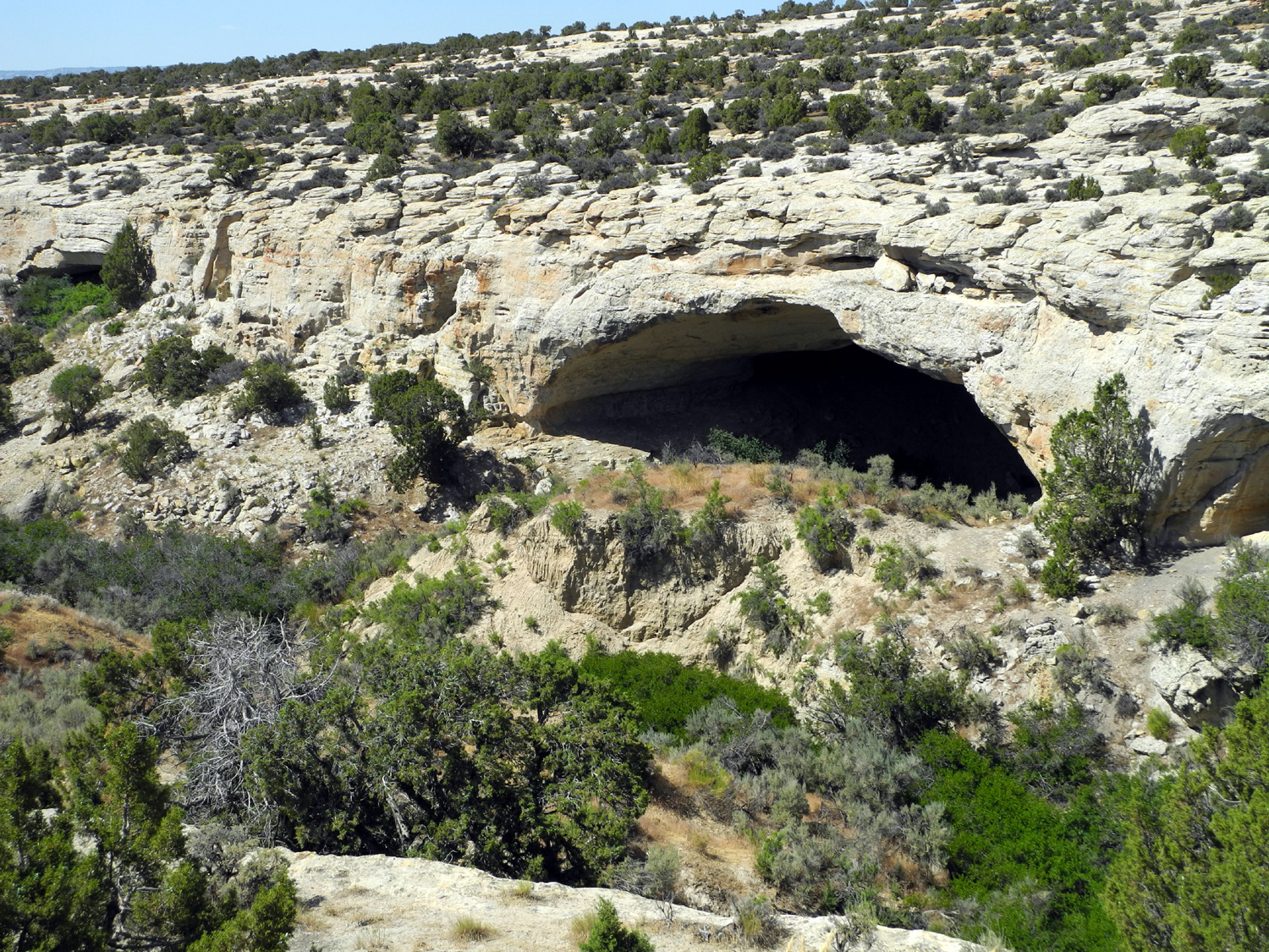
| Rock
formation by the trail to the Gates of Lodore |
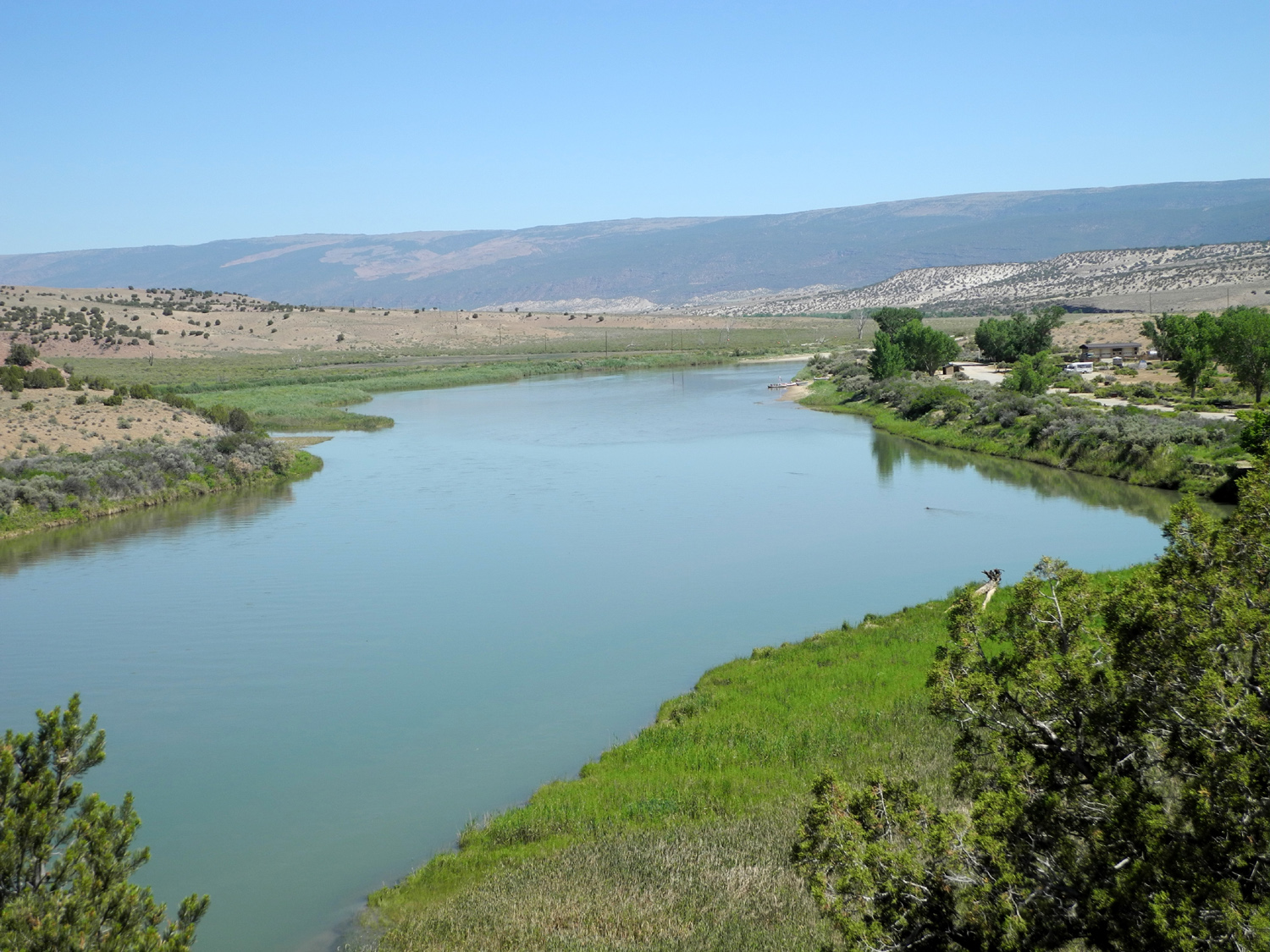
The
Green River above the Gates of Lodore |
Red cliffs above the Green River |
Where
the Green River enters the Gates of Lodore |
 |
 |
 |
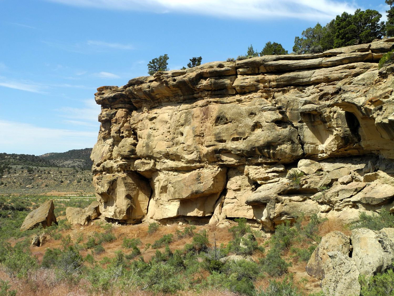 |
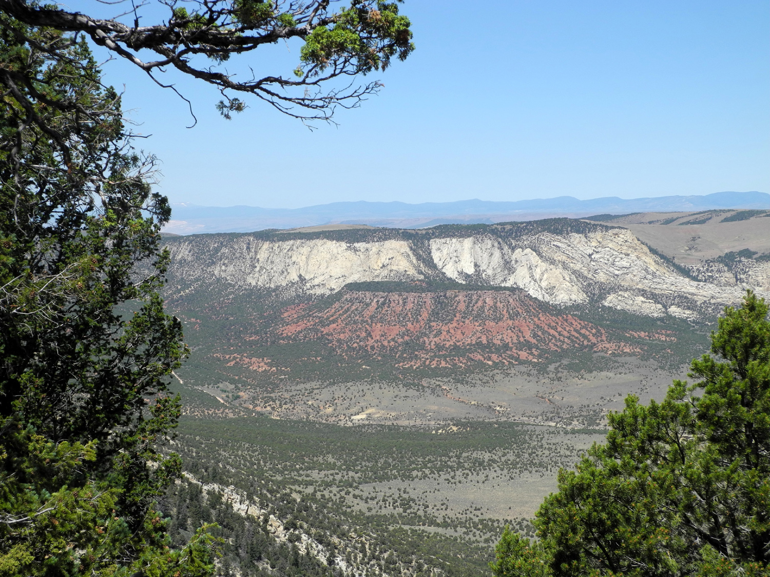
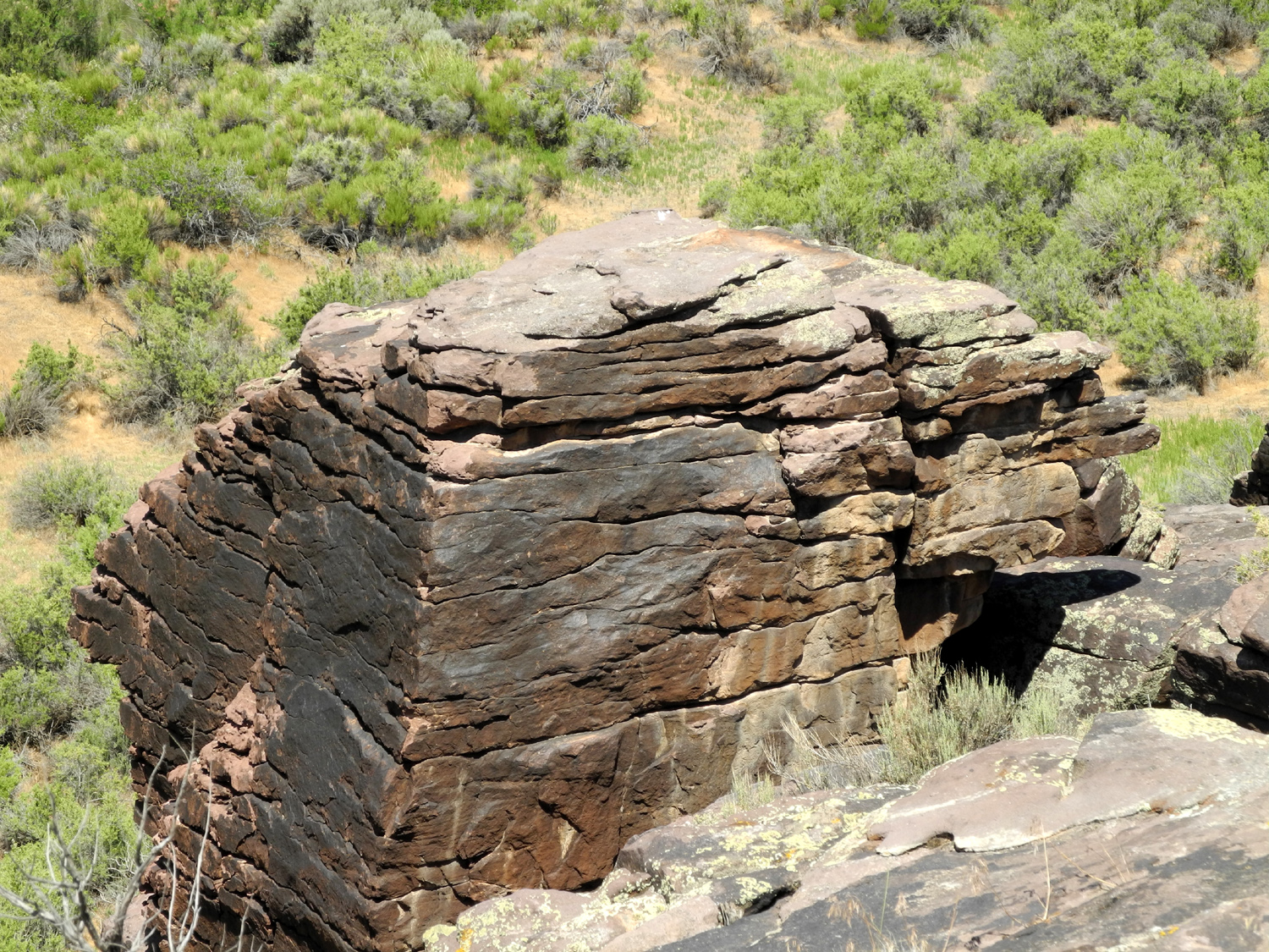
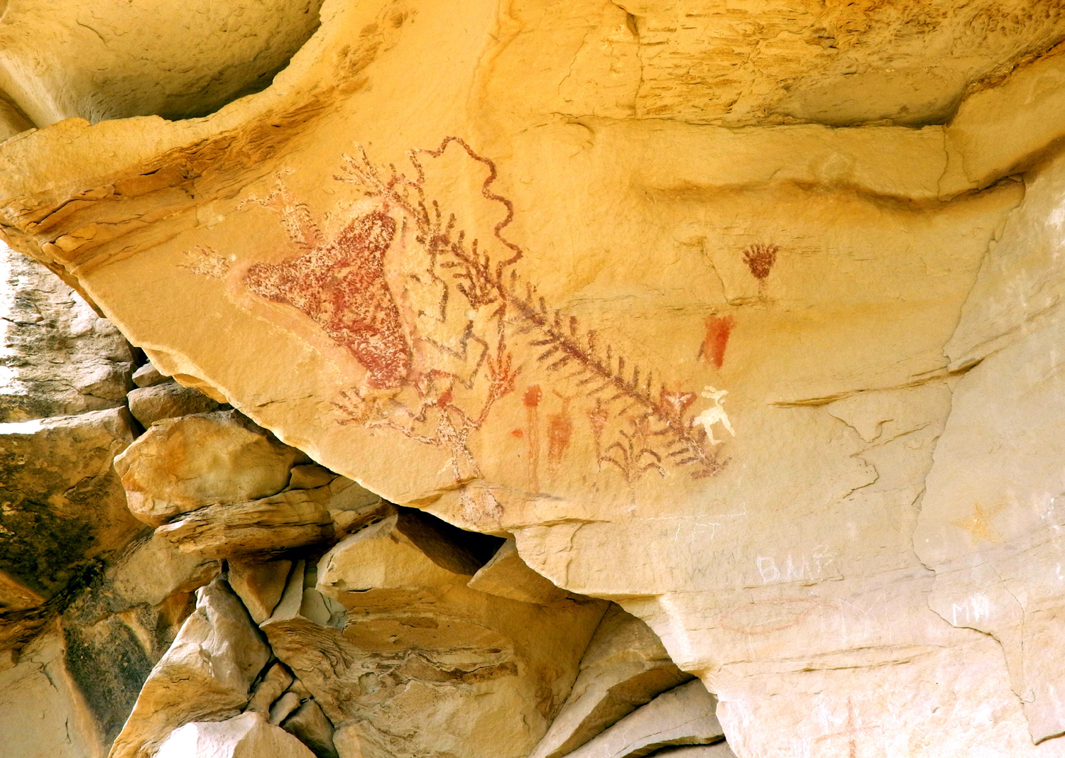
| Rock formations on Colorado 64 northwest of Rangely |
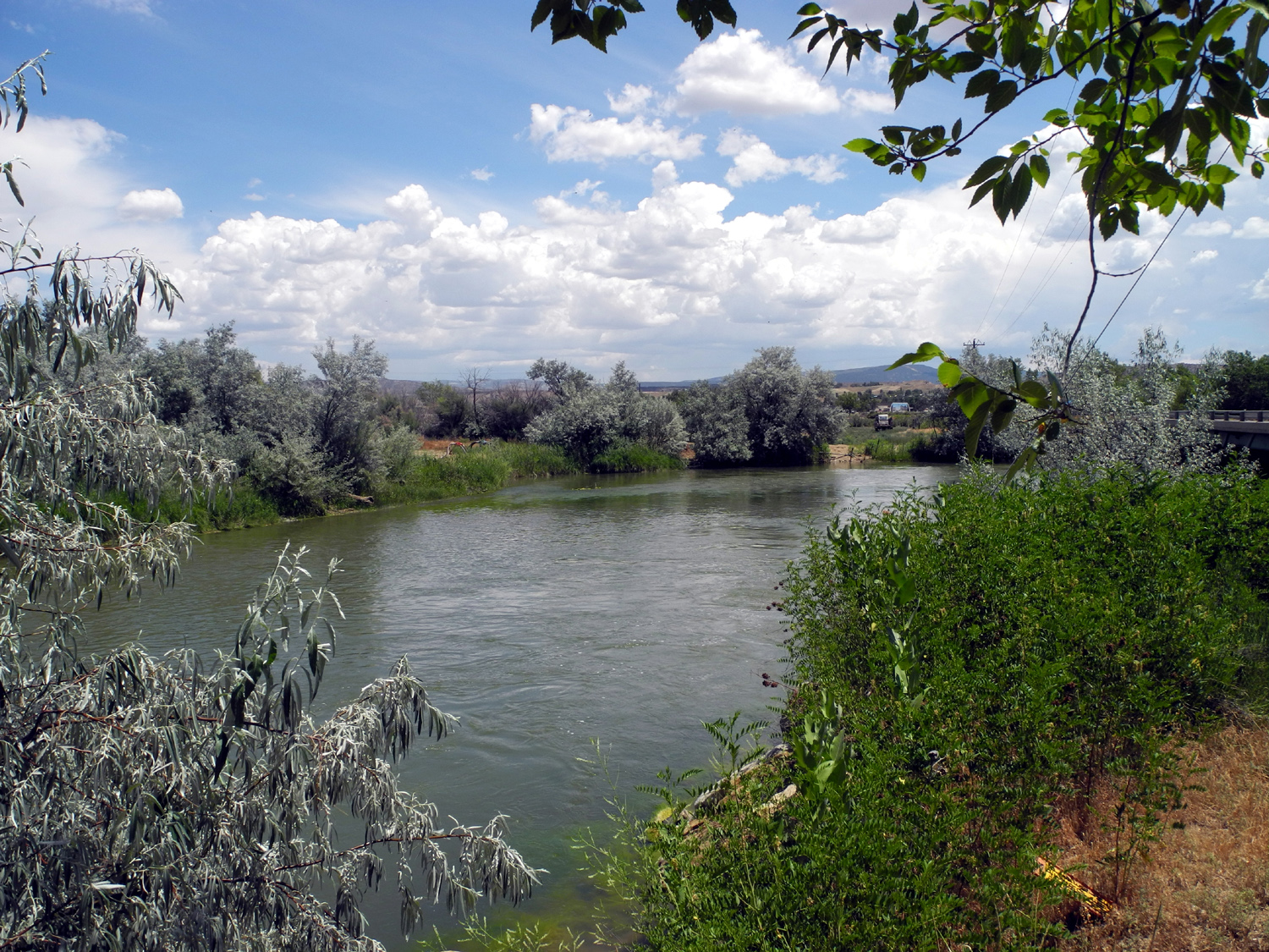
The White River near Rangely | Eroded cliff in Four Mile Draw | Cliffs
in the Canyon Pintado Historic District south of Rangely, CO |
 |
 |
 |
 |
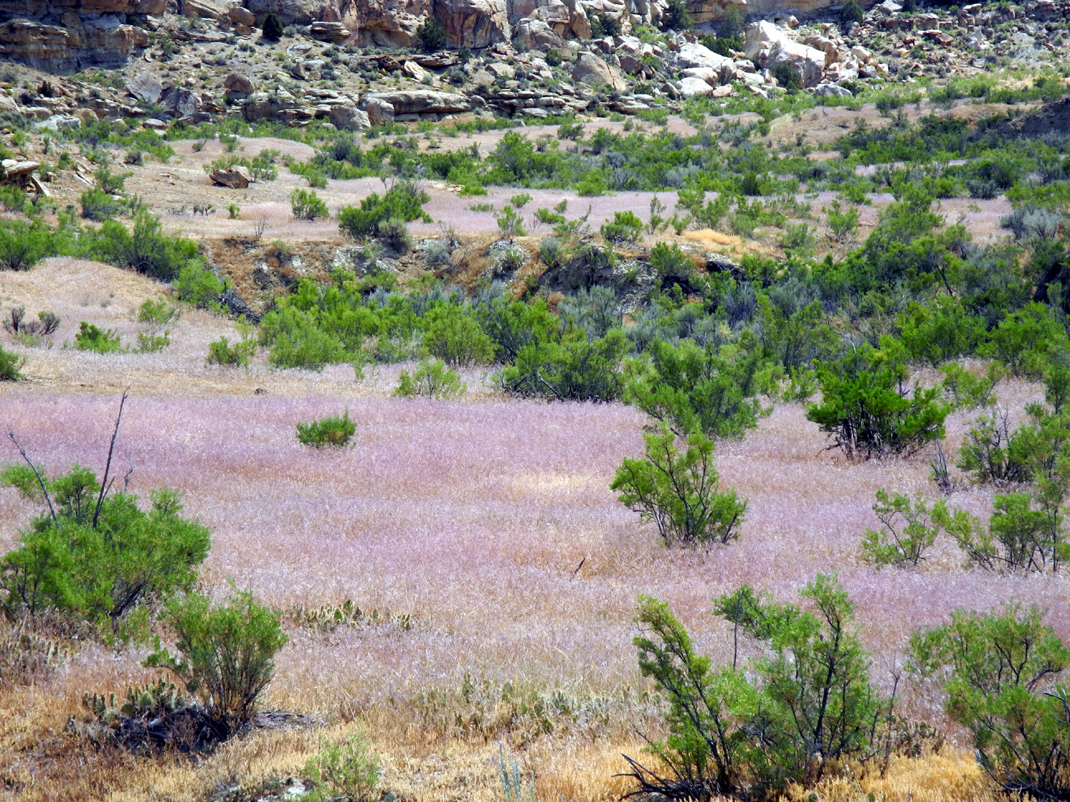
| A lance painted on the rock | Grasses and scrub brush | Abandoned ranch along CO 64 | Yampa River Valley along US Highway 40 |
 |
 |
 |
|
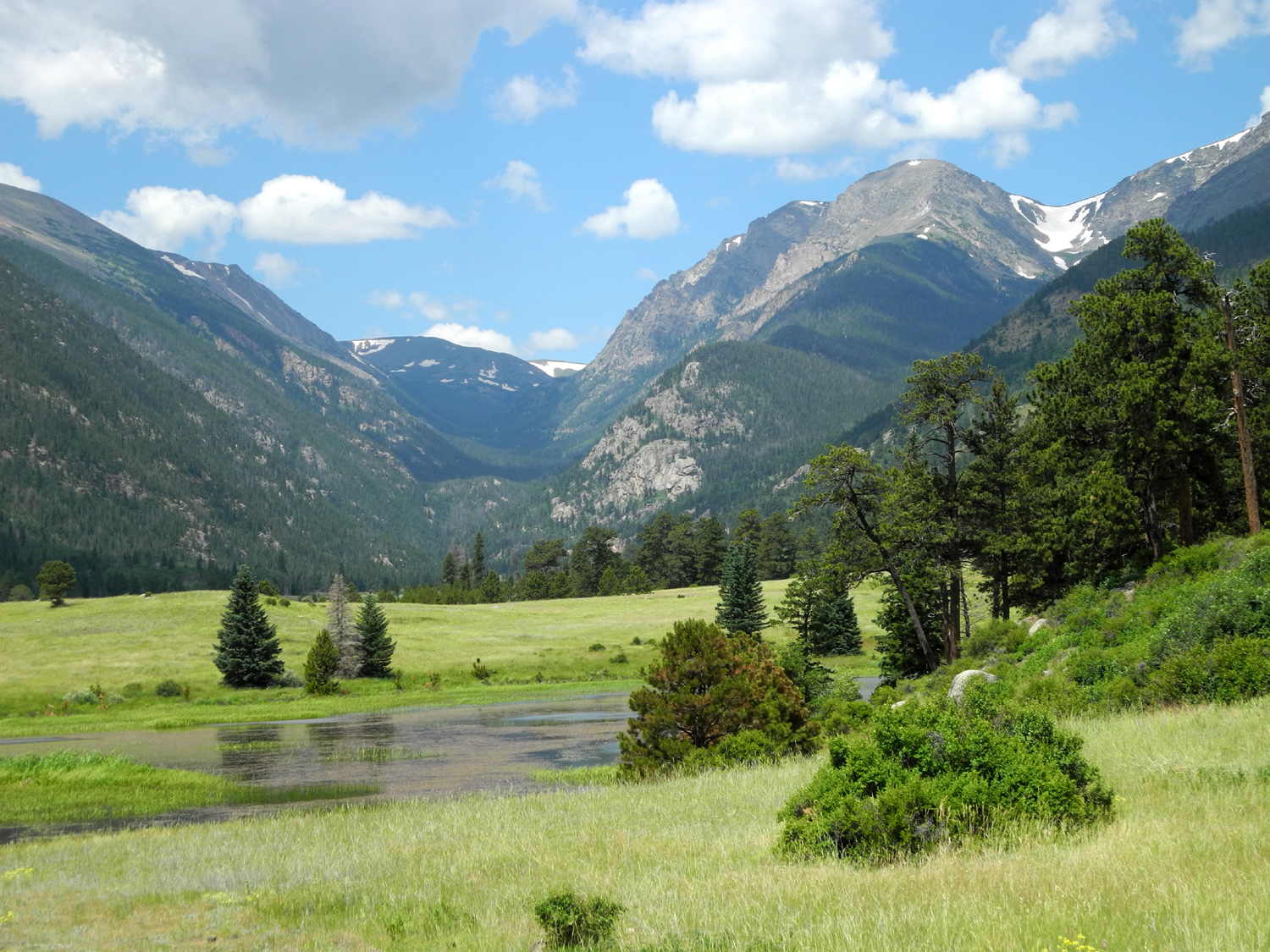
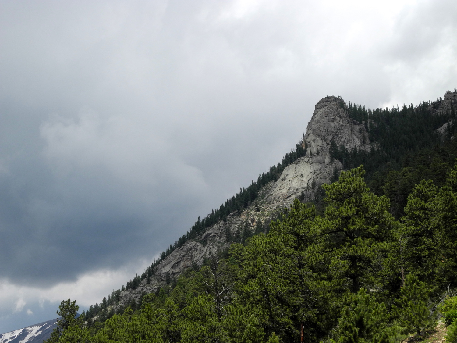
| Storm in Rocky Mountain National Park |
The Rockies above Granby Lake |
Still more of those Rocky Mountains | Storm above Granby Lake |
 |
 |
 |
 |
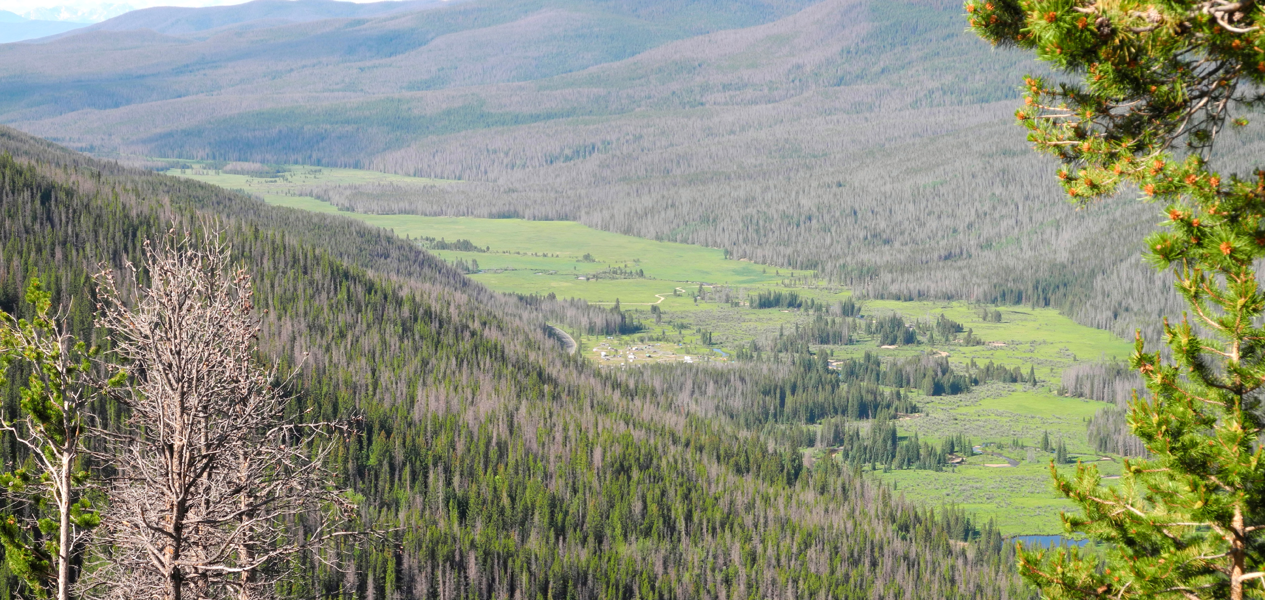
| Adams
Falls rushes toward Grand Lake in Colorado |
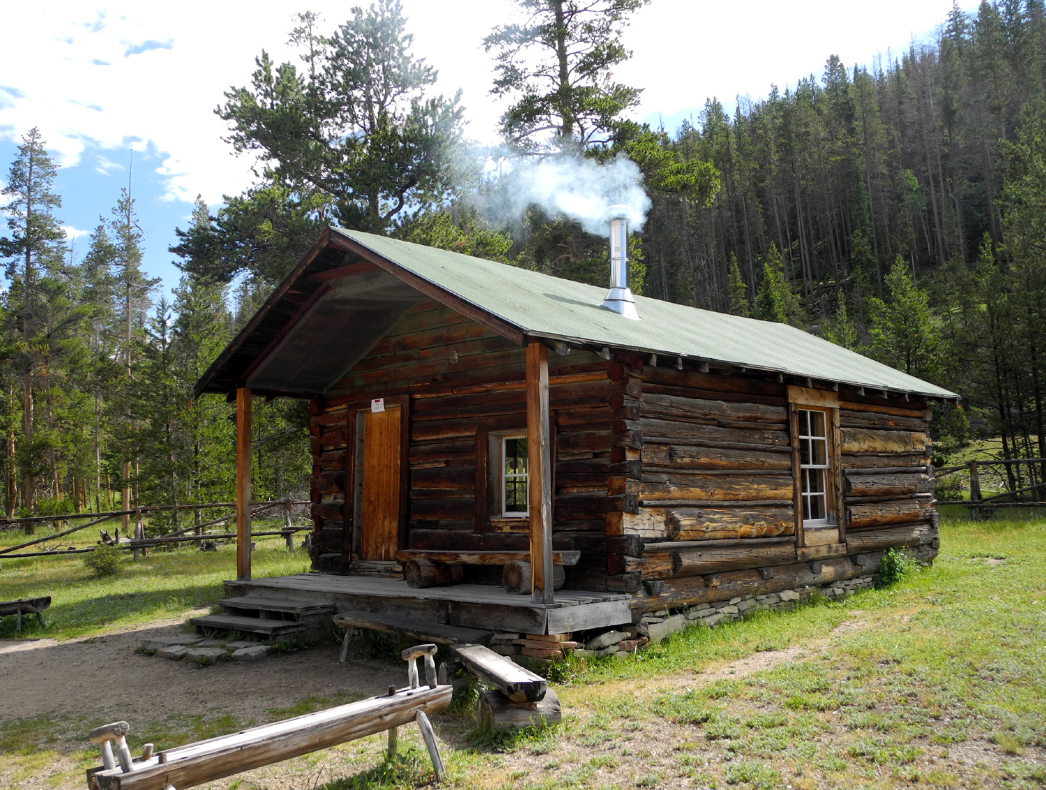
Homesteader's
cabin in Kawuneeche Valley |
On
the road through Rocky Mountain National Park |
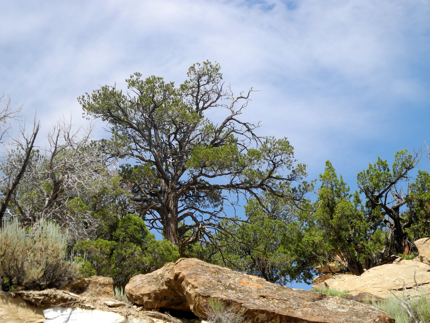
A
large piñon tree in Dinosaur National Monument |
 |
 |
 |
 |
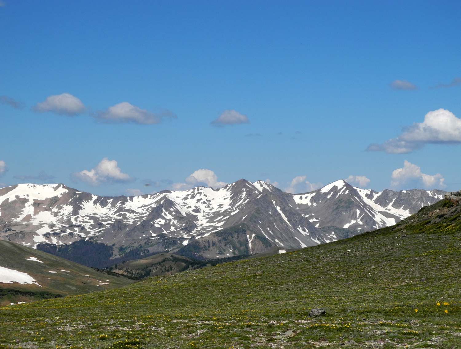
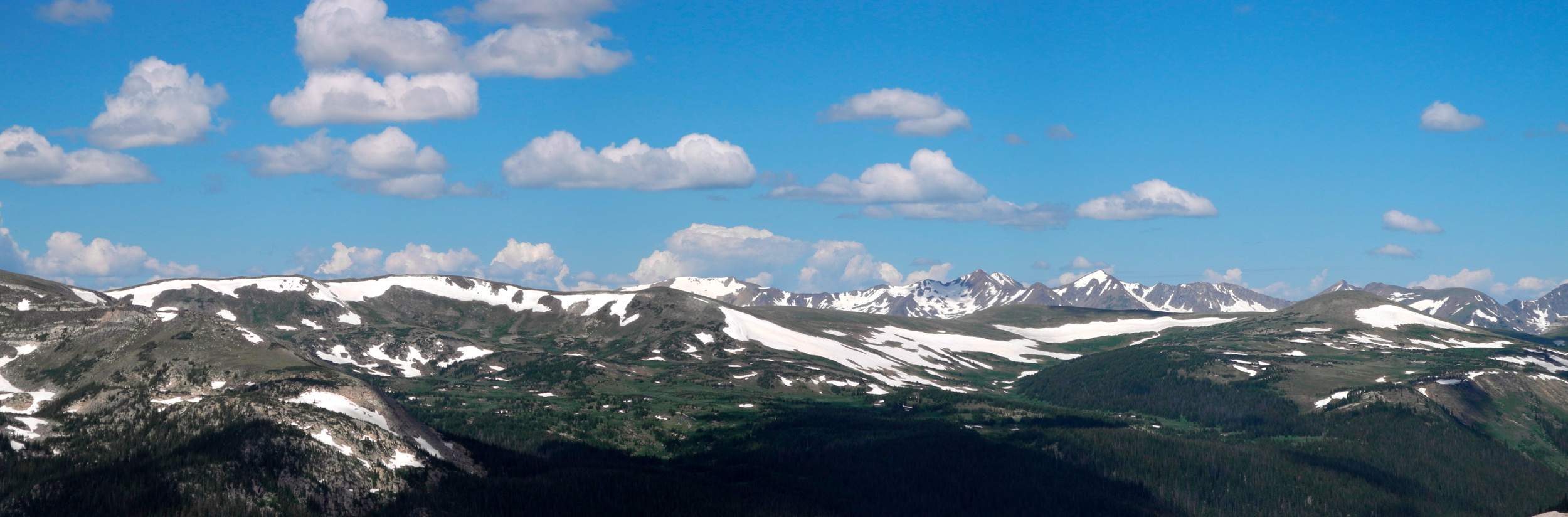
| A dramatic view in the park | Mountains and tundra above the tree line |
Park on the east side of the Rockies |
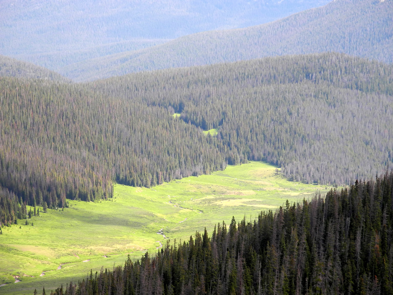
Down
in the "low" country around 7,000 feet |
 |
 |
 |
 |
| High
meadow in Rocky Mountain National Park |
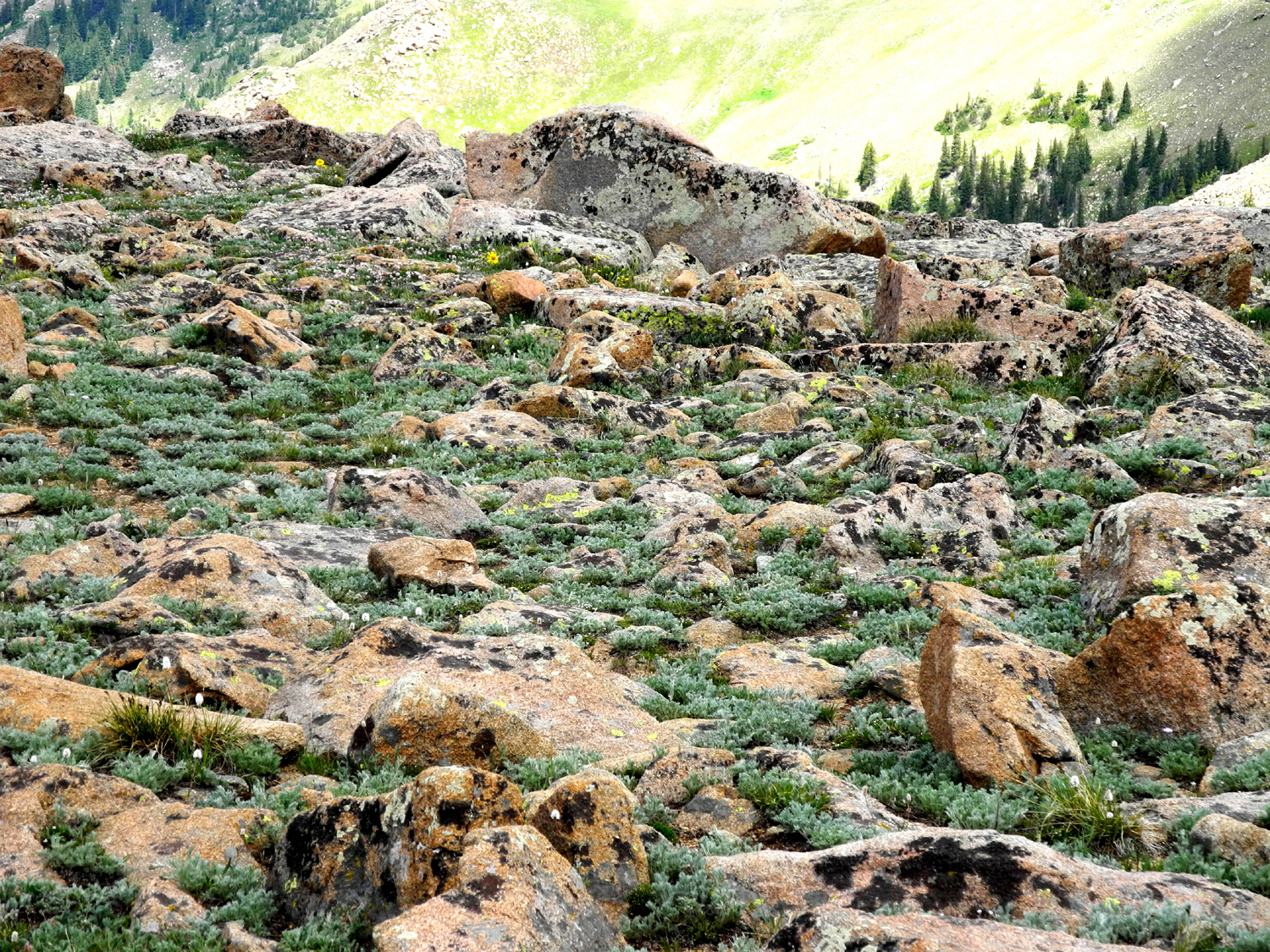
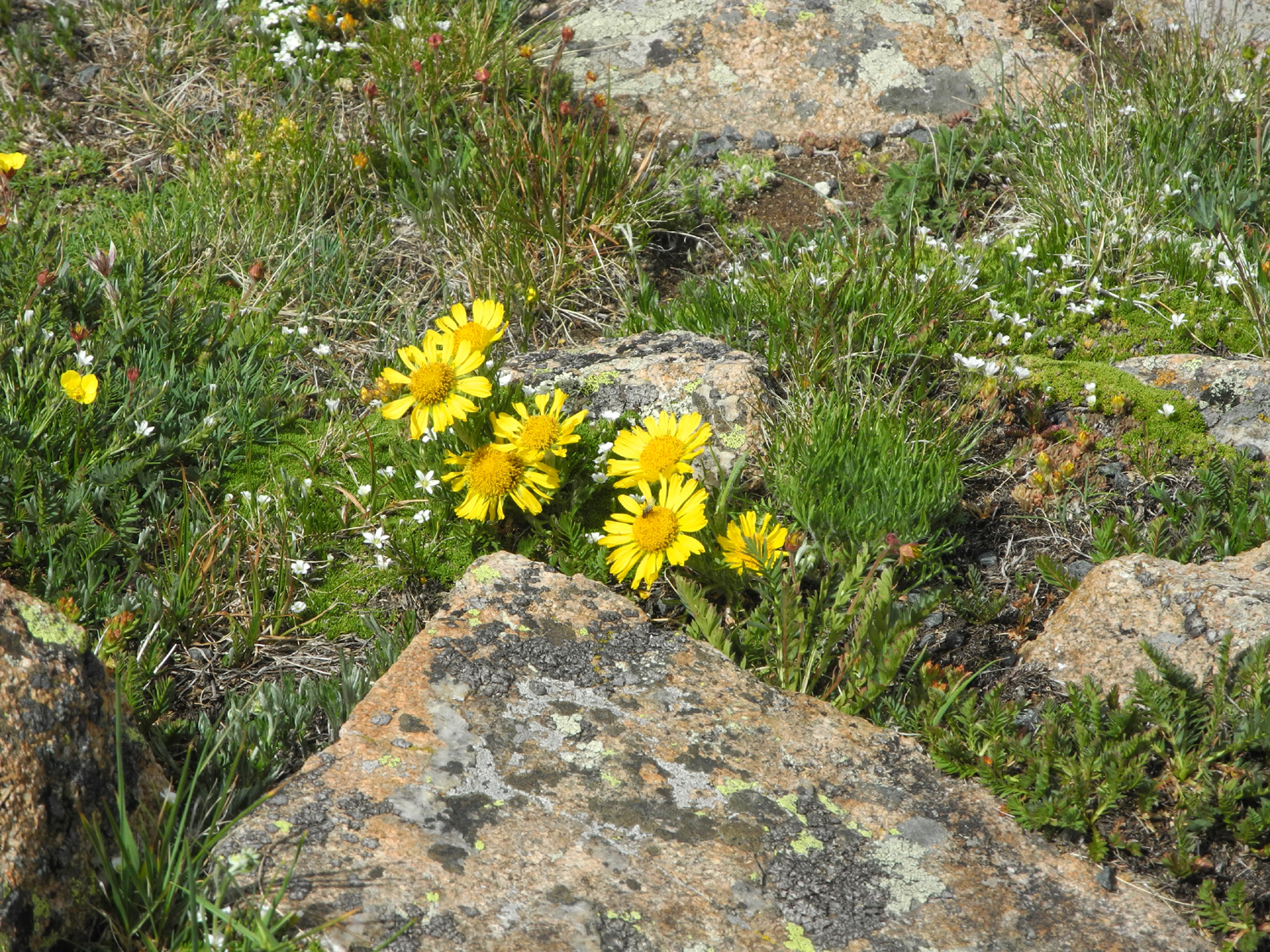
The rocky tundra above tree line |
One
of a hundred species that survive in the high country |
Storm over the Rockies |
 |
|||
| Above tree line | |||
 |
|||
| Kawuneeche Valley in Rockey Mountain National Park | |||
 |
|||
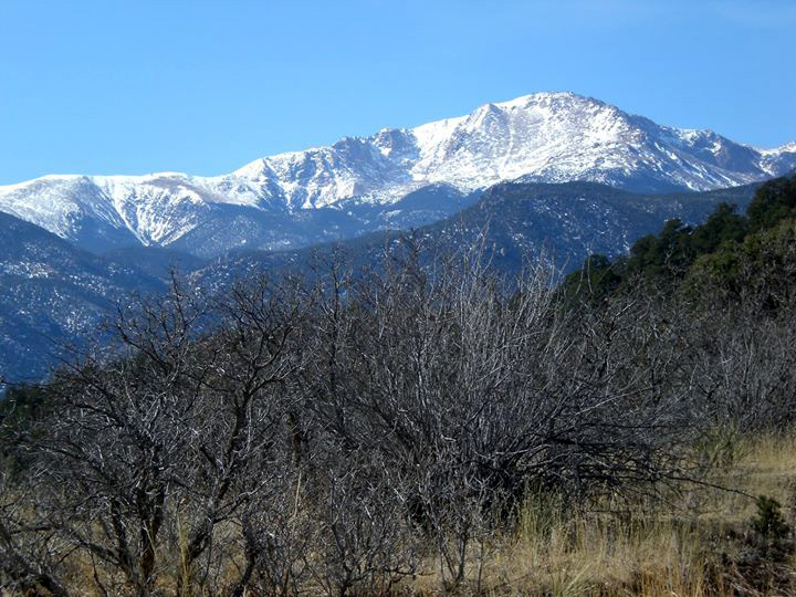
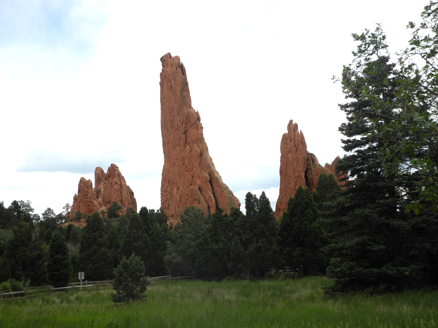
| Pikes Peak and Garden of the Gods | |||
 |
|||
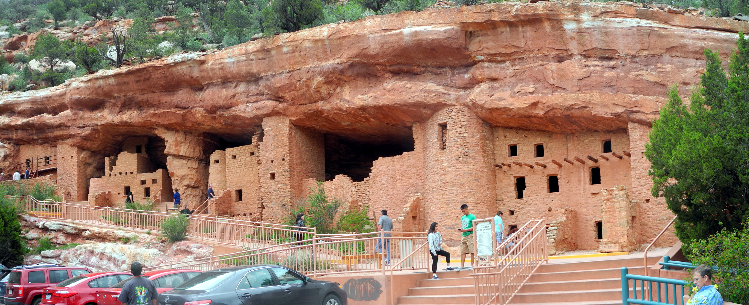
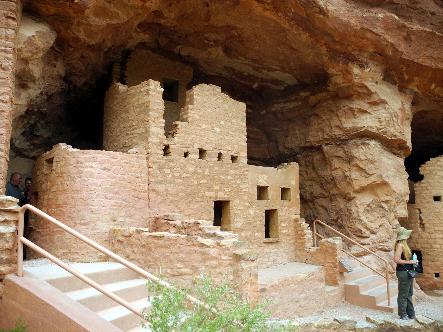
| Manitou Cliff Dwellings | |||
 |
 |
 |
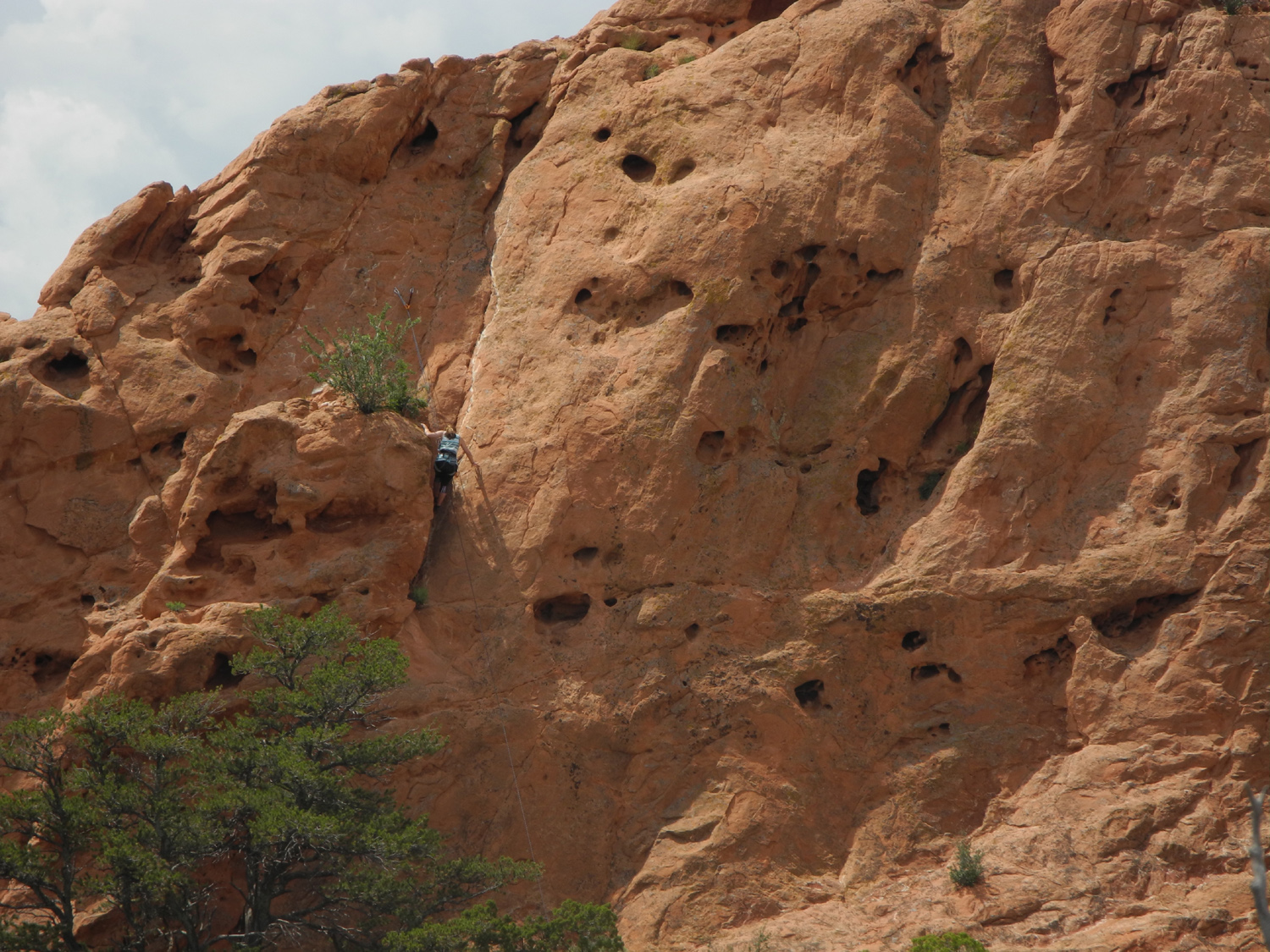 |
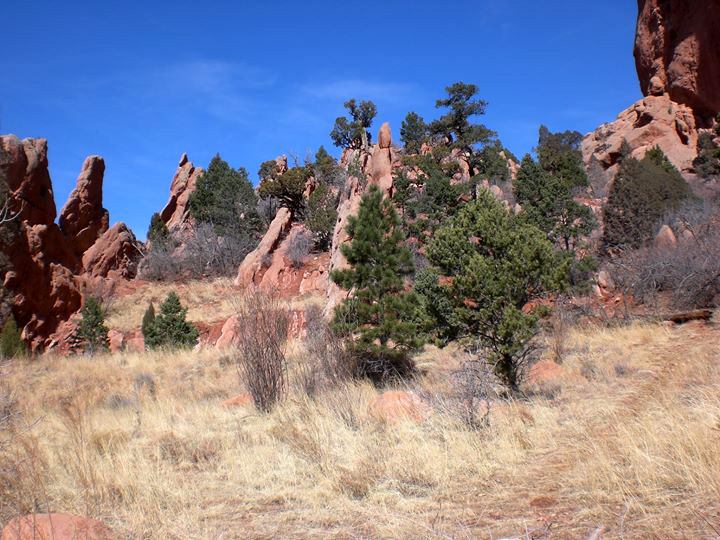
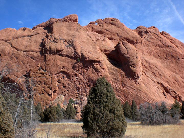
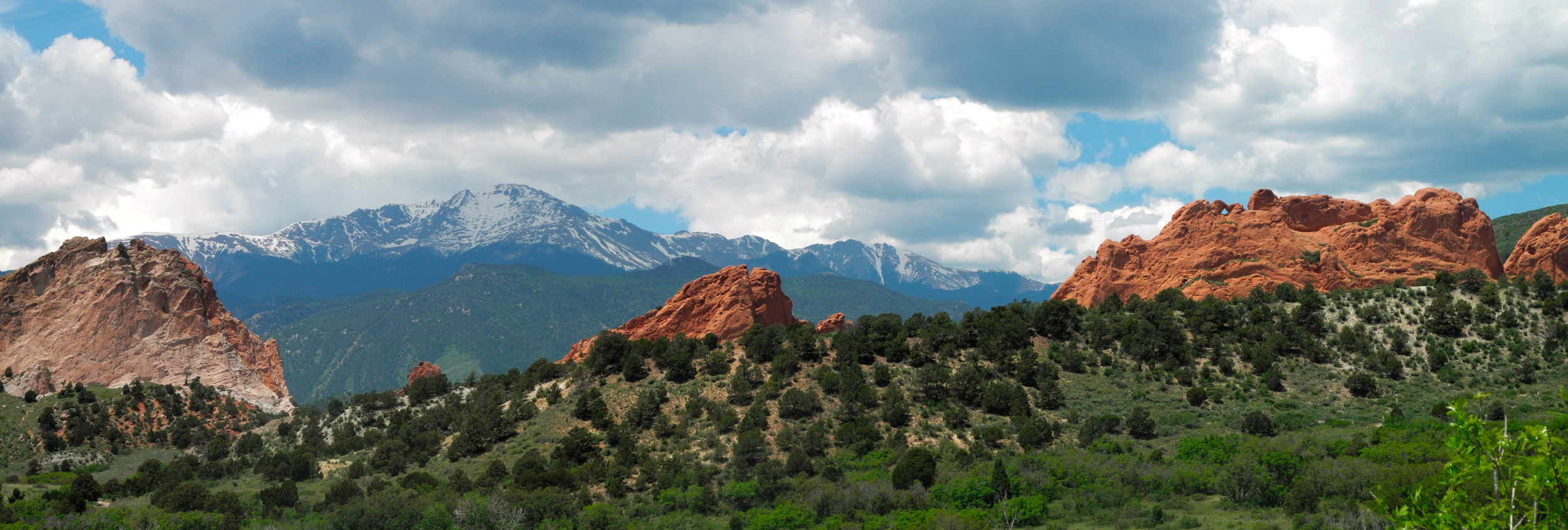
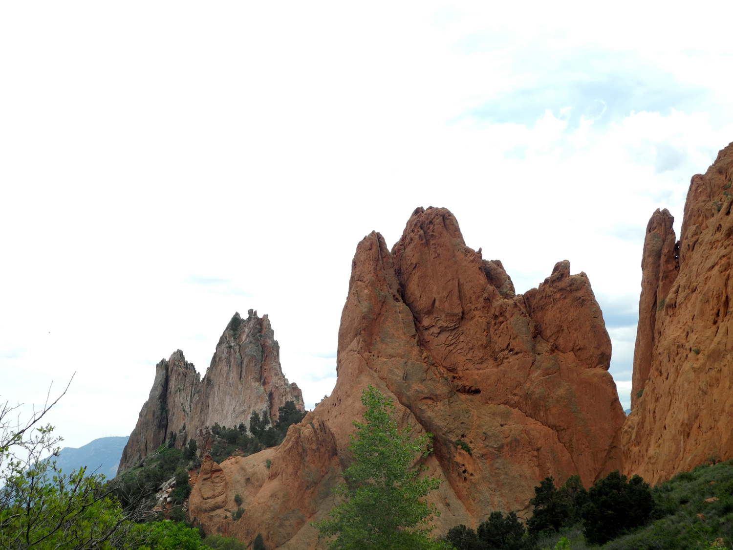
| In the Garden of the Gods |
Unique formations in the Garden |
The kissing camels | Climber on the rock |
 |
 |
 |
 |
| Green
bushes contrast nicely with the red sandstone |
Manitou Cliff Dwellings | Snowy Rockies north of US 50 | Canyon and river,
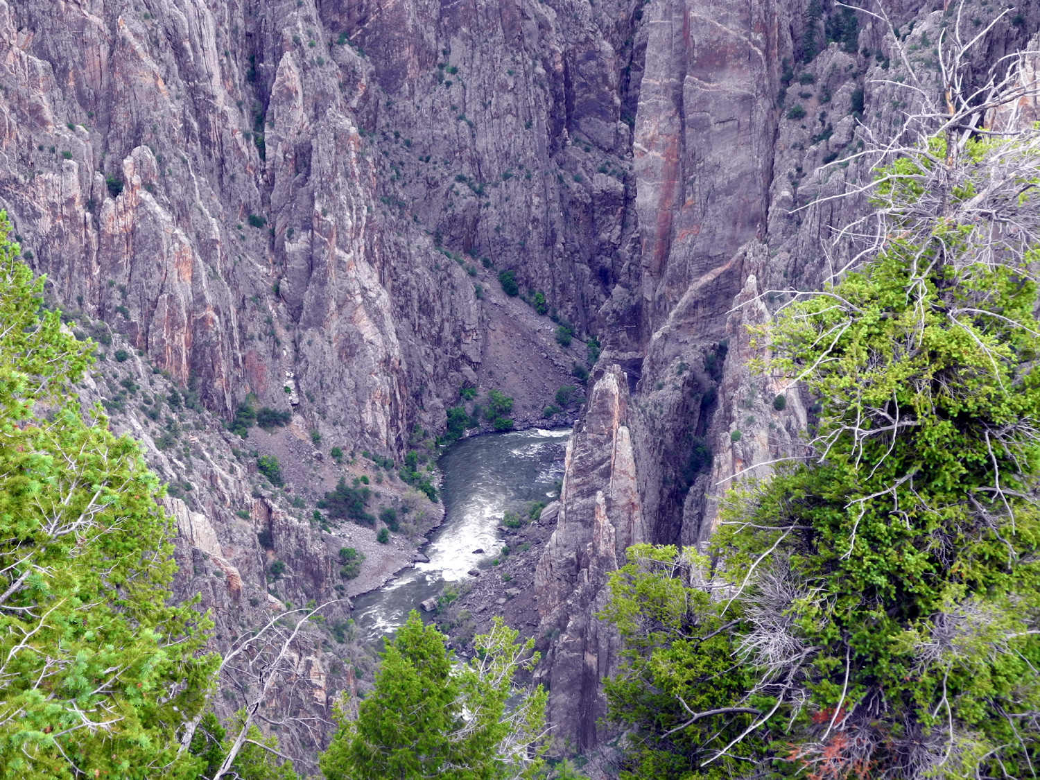
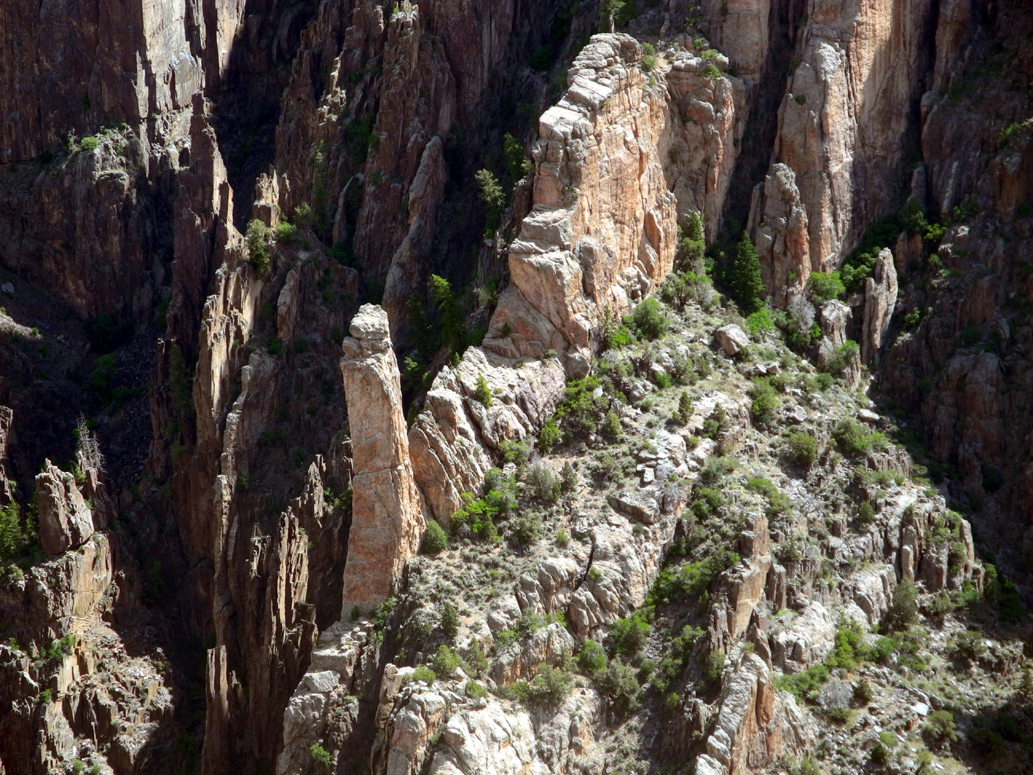
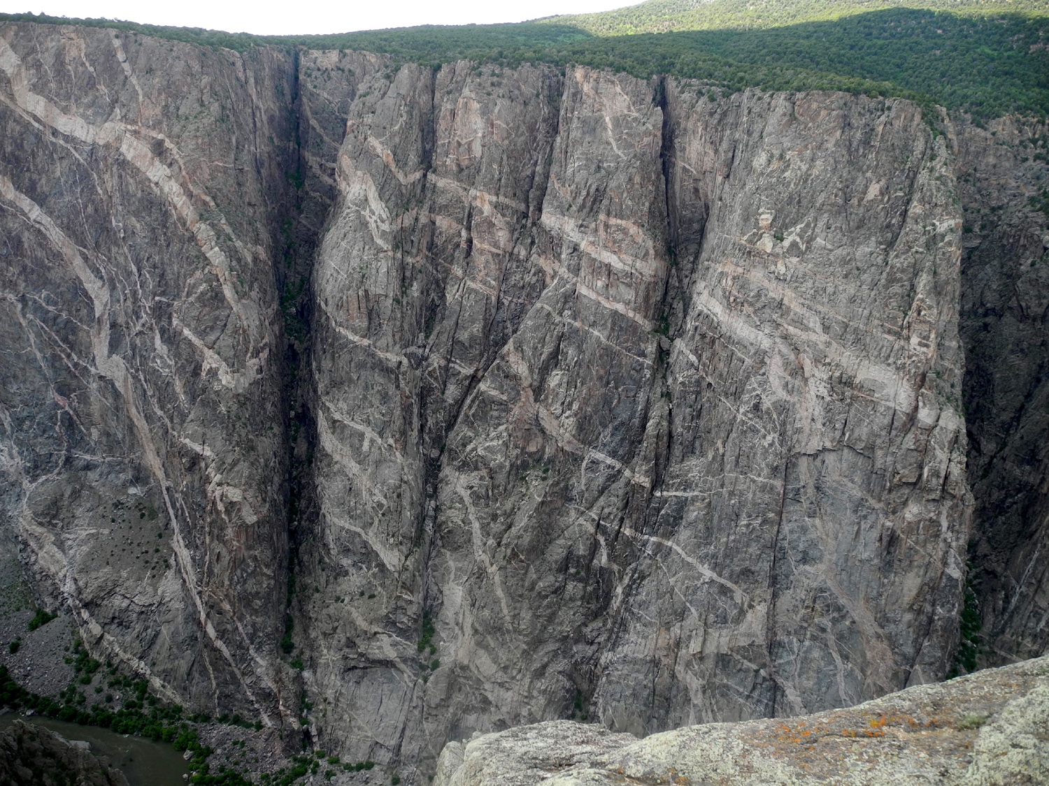
Black Canyon of the Gunnison National Park |
 |
 |
 |
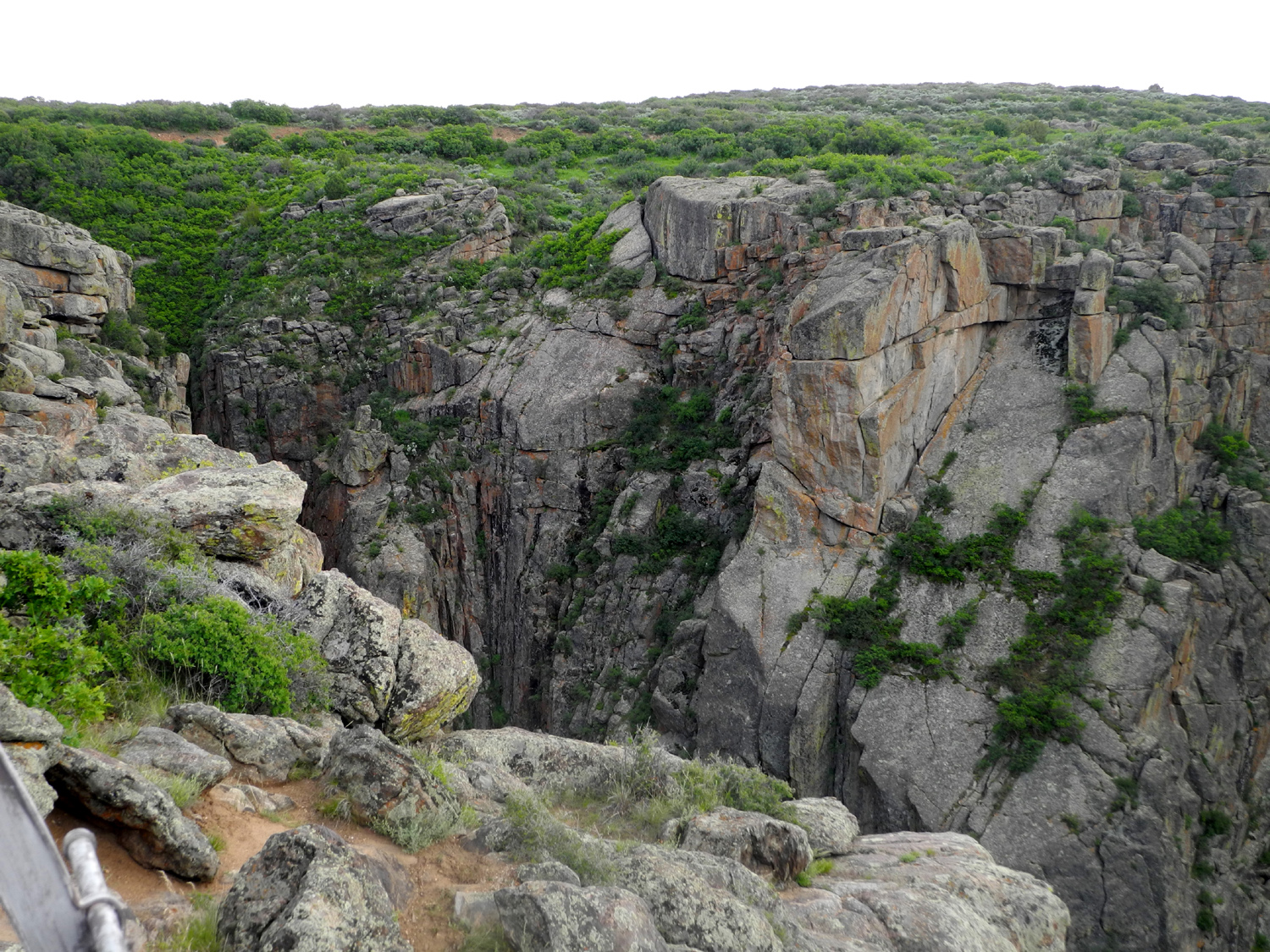 |
| Down in the canyon | View from Gunnison Overlook near the visitor center |
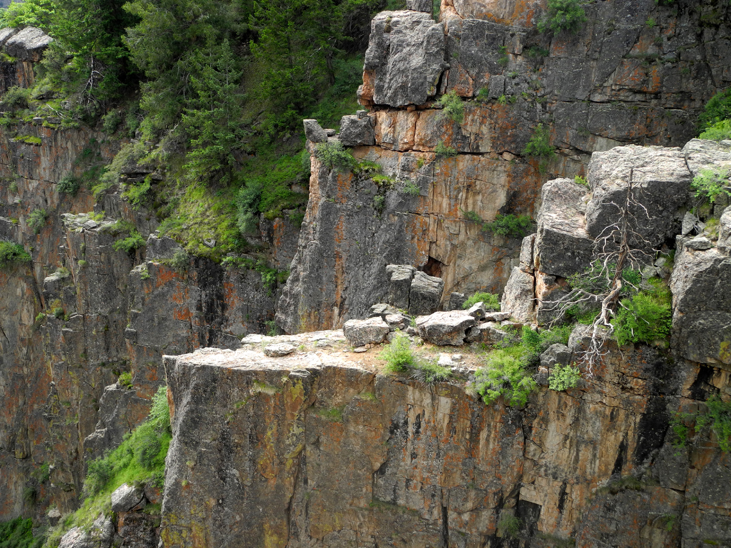
Painted Wall, the highest cliff in Colorado |
A side canyon at the Painted Wall vista point |
 |
|||
| Panoramic view from US 50 southwest of Colorado Springs | |||
 |
|||
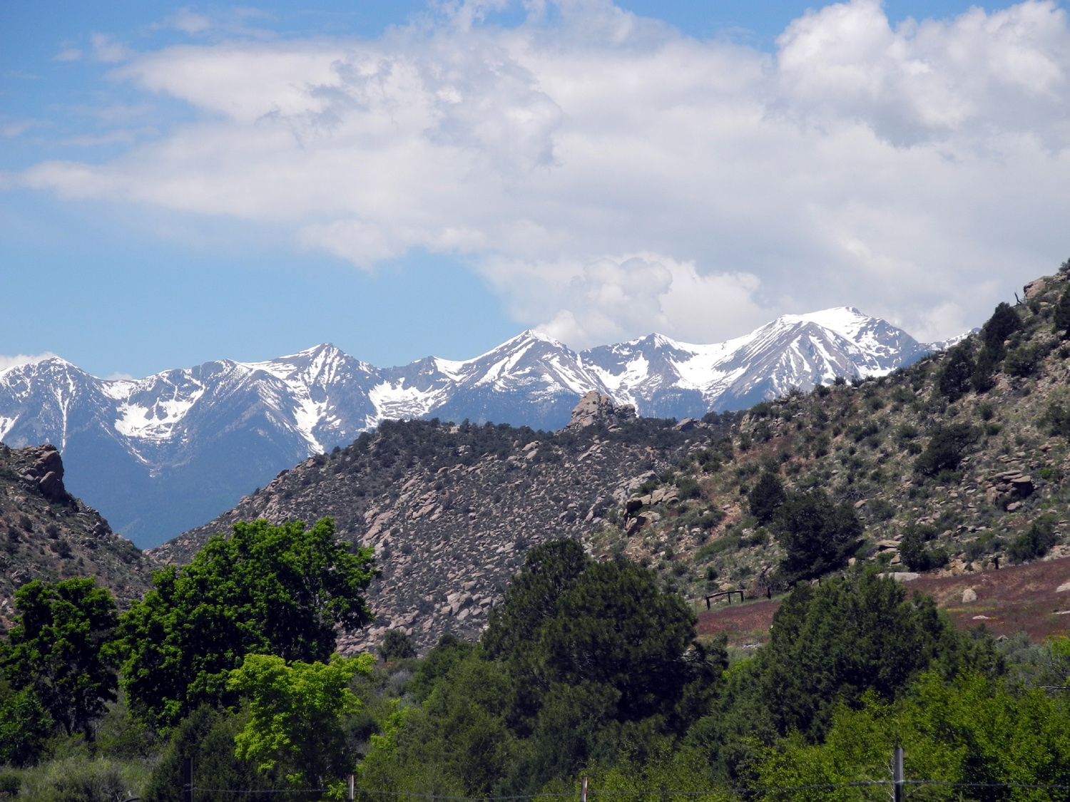
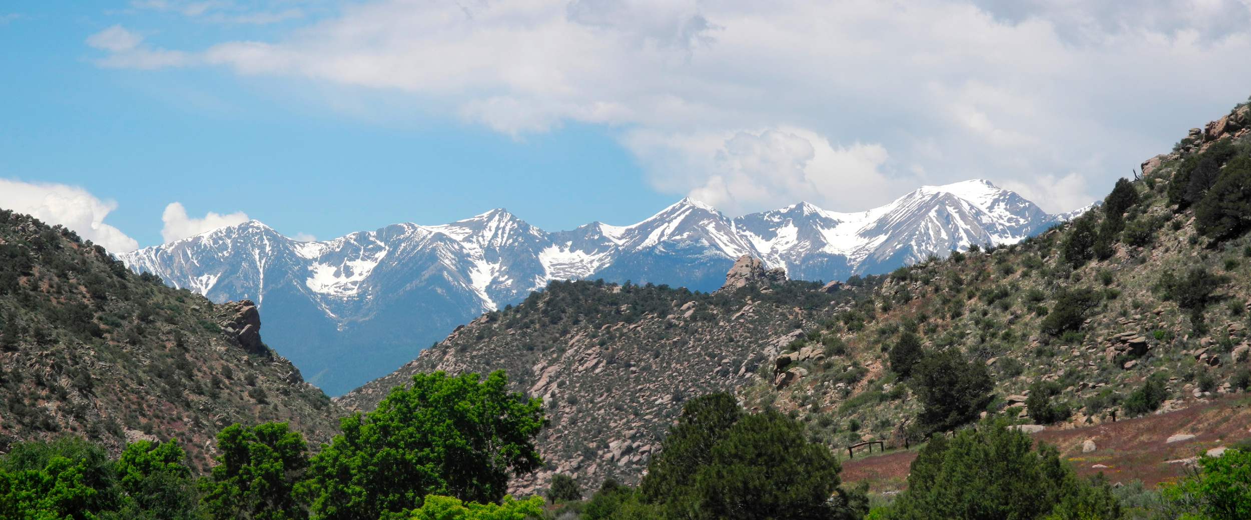
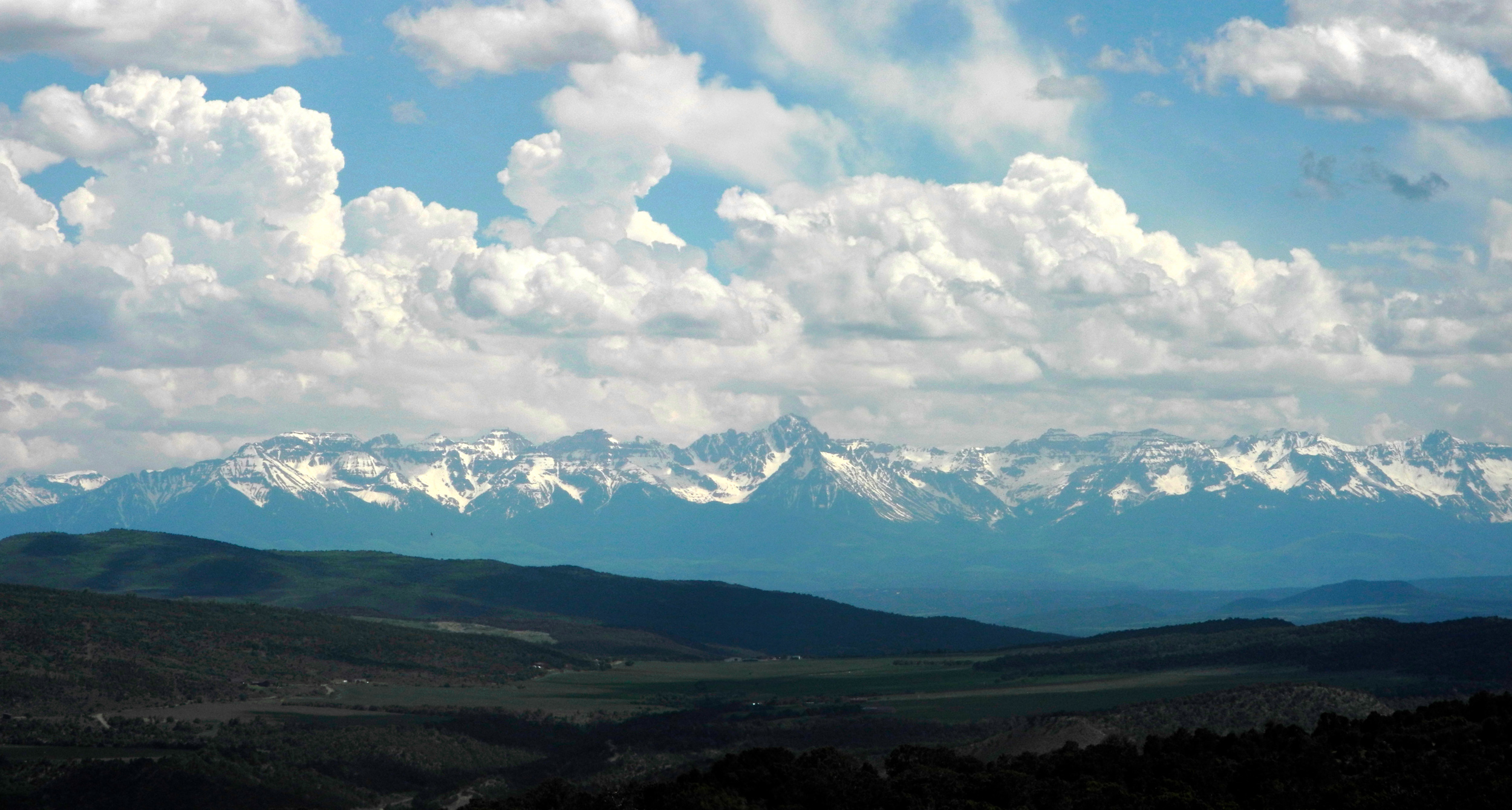
| The San Juan Mountains from Highway 347 between Black Canyon of the Gunnison National Park and US 50 | |||
 |
 |
 |
|
| The road to Pike's Peak (Nancy Teets photo) | Sandstone formation near Cortez | View
from the Durango to Silverton Railroad (Teri Liddle photo) |
|
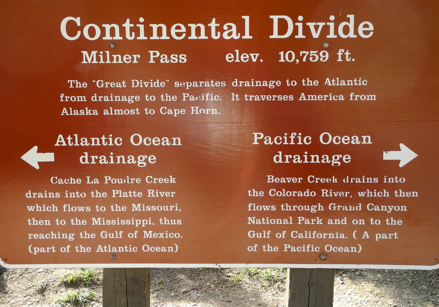
State of Colorado State Parks Wikipedia Article Sylvan Lake State Park |
|||

