|
Dick's Utah Photo Album |
|||
| Arches
Canyonlands
Zion
Bryce Canyon
Capitol Reef
Dinosaur National Monument Elsewhere in Utah Related Links More Photo Links |
|||
| New photos added here and here November 18, 2024 (Captions in red) | |||
| (Click on photos for a larger view) | |||
| Arches National Park | |||
| More Information Slide Show | |||
|
|
 |
 |
|
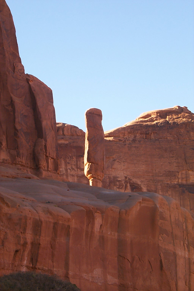
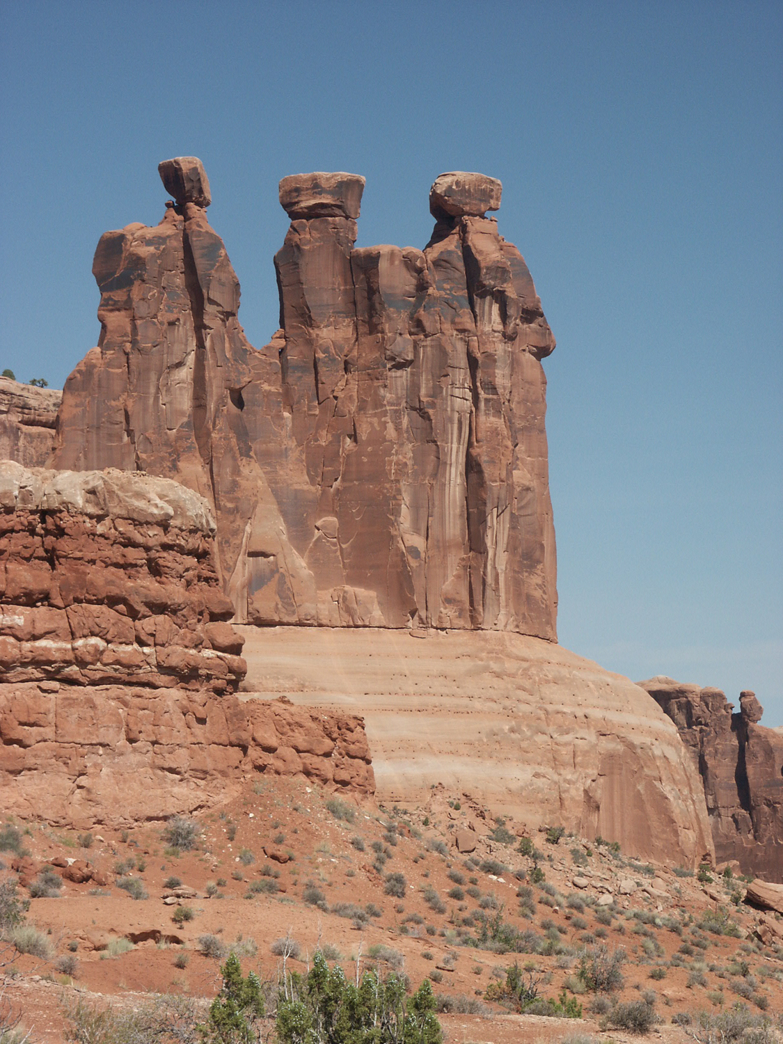
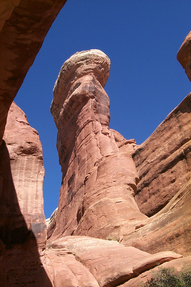
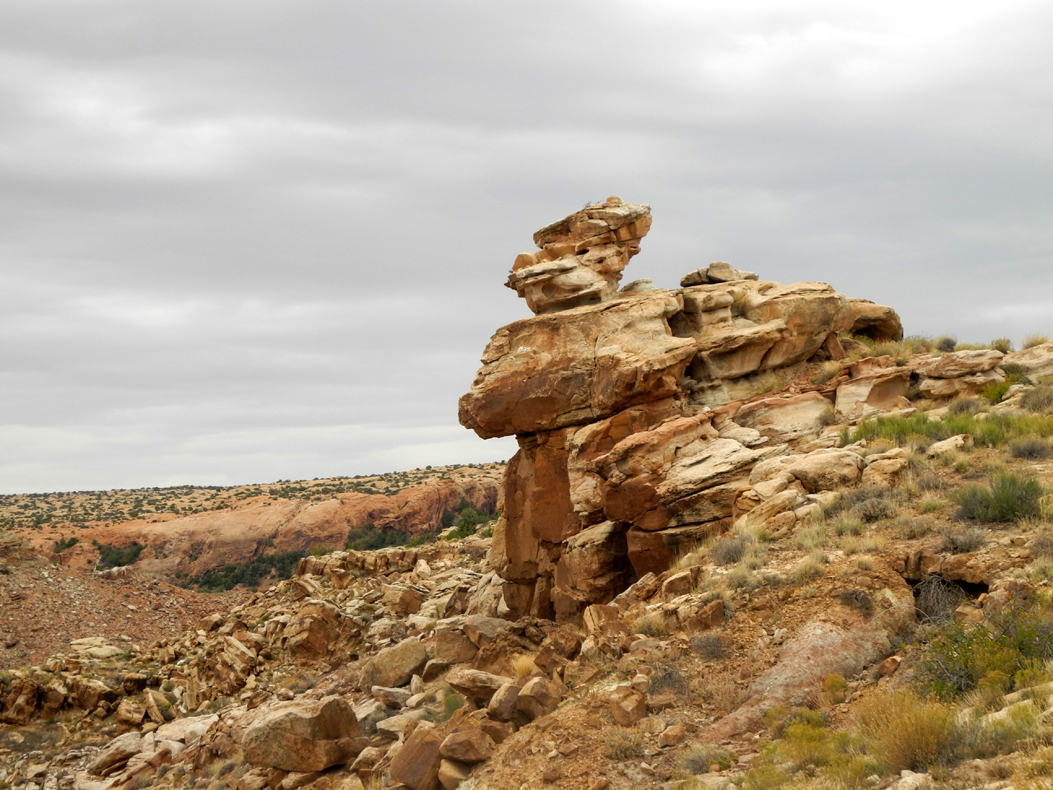
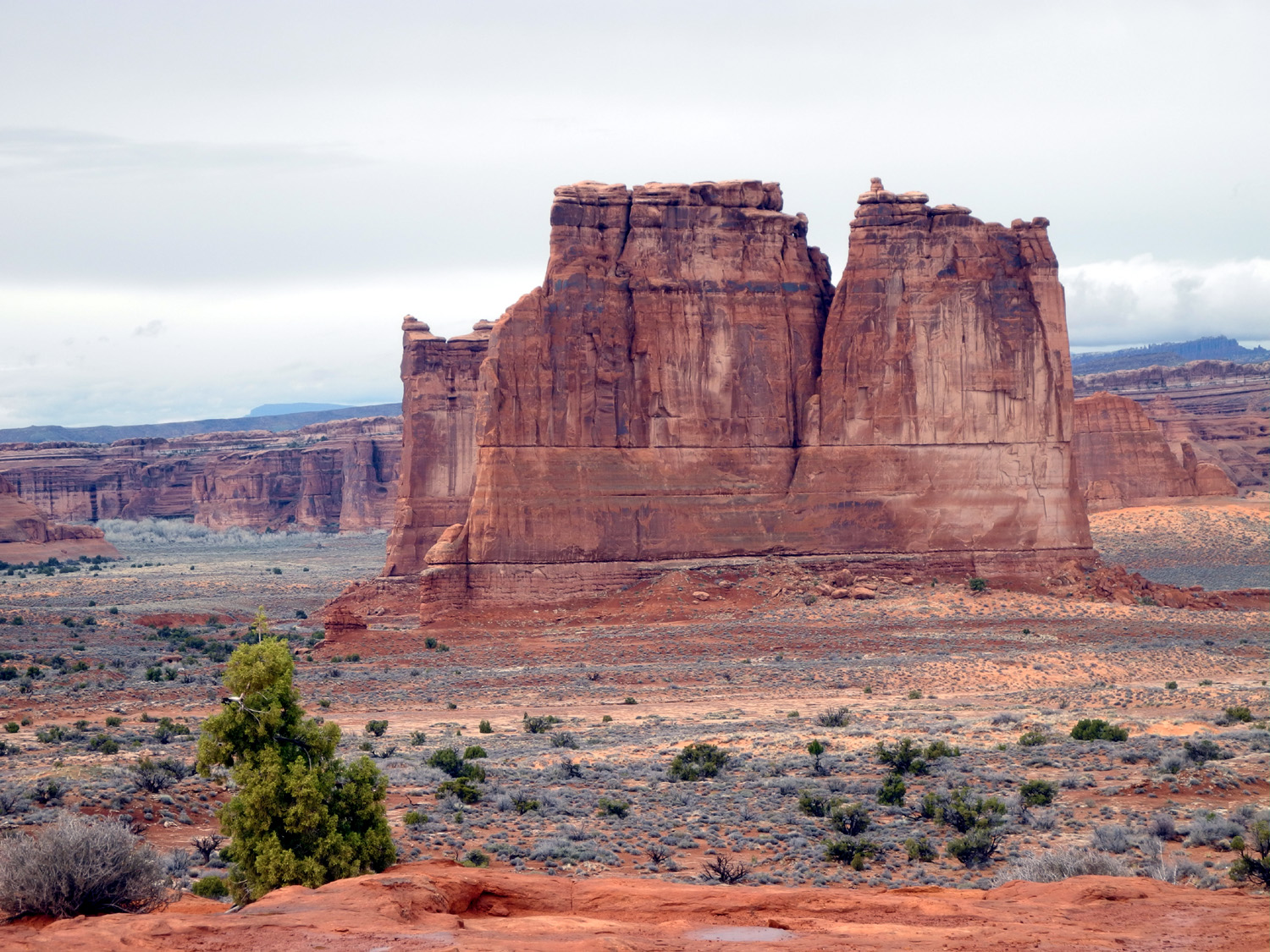
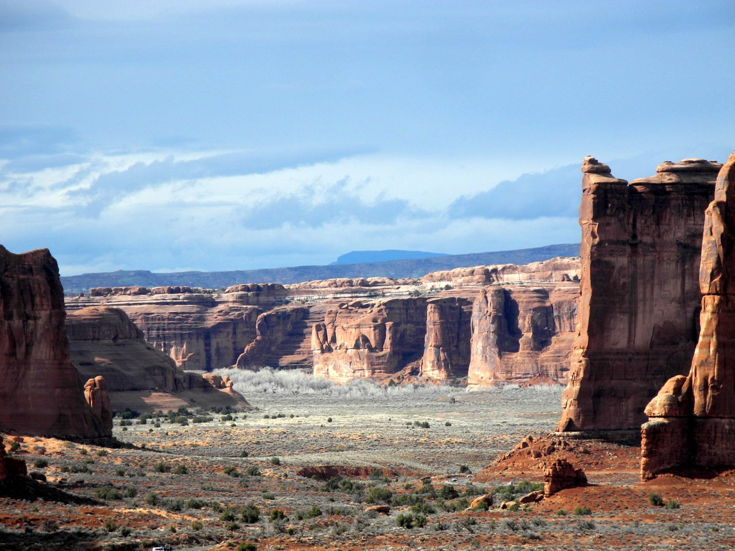
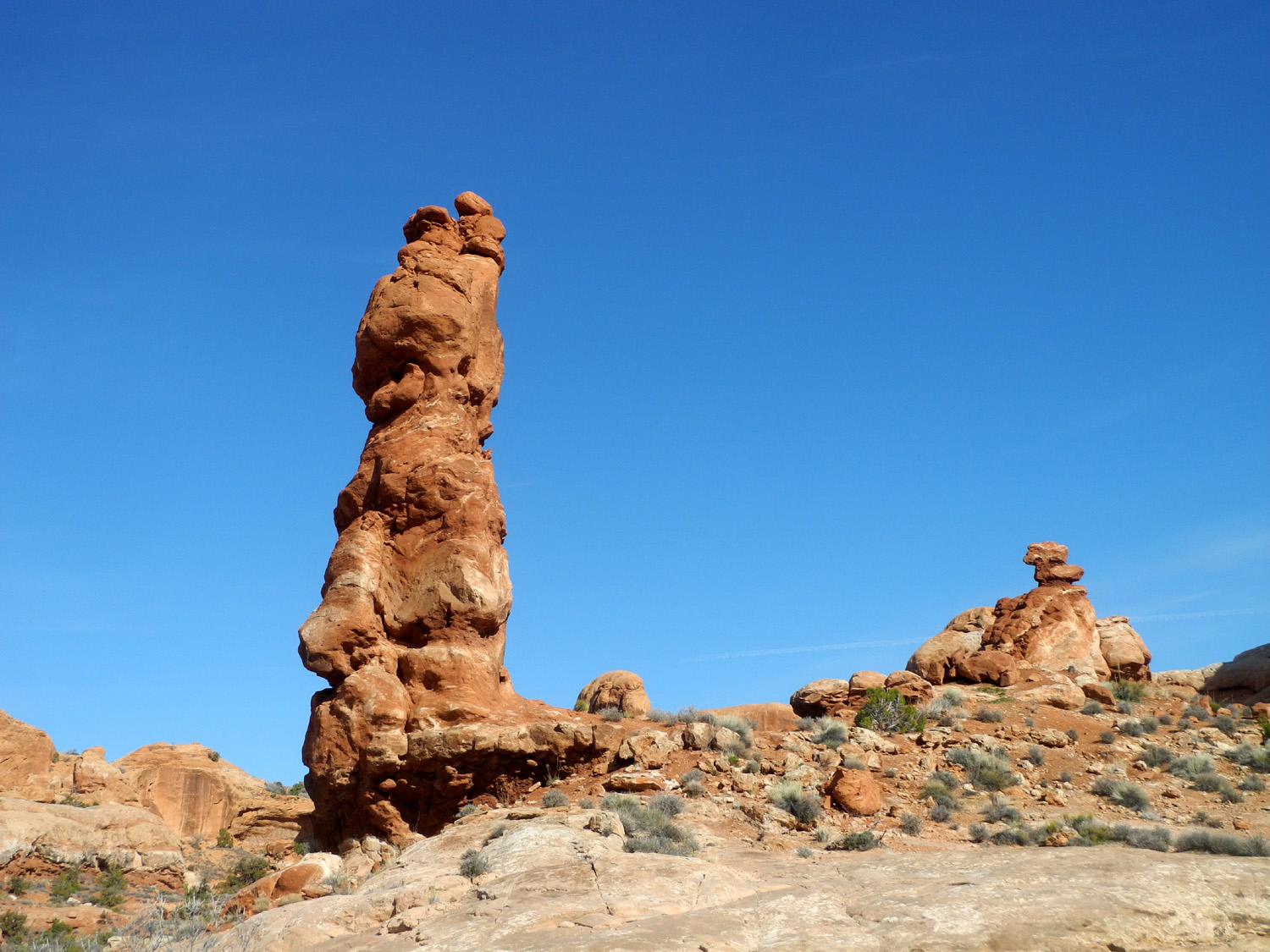
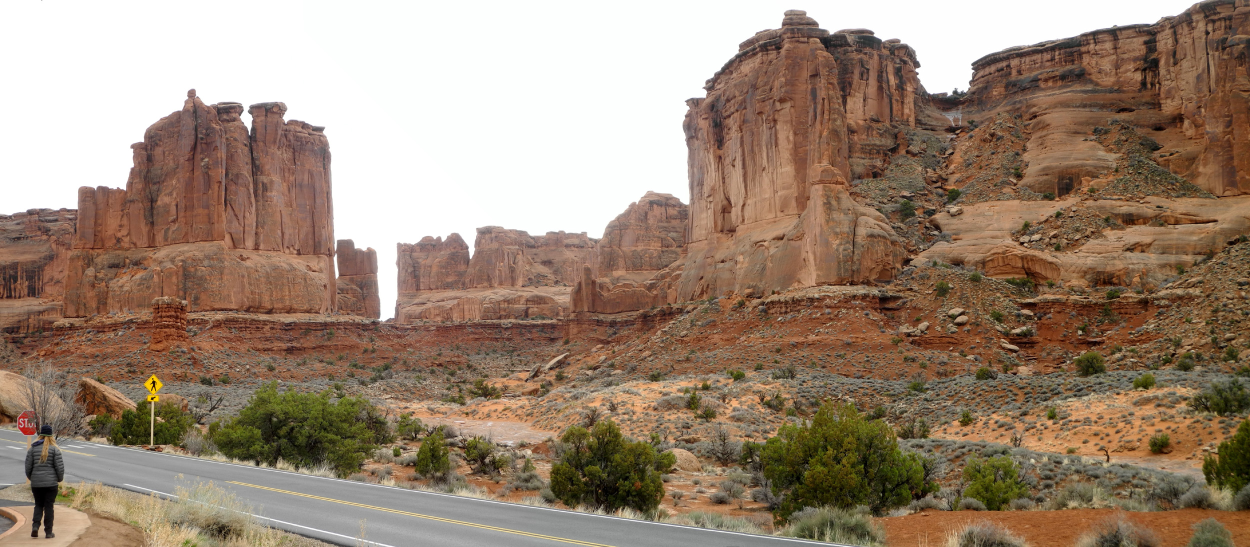
| Park Avenue | Balanced Pinnacle | The Three Gossips | |
 |
 |
 |
|
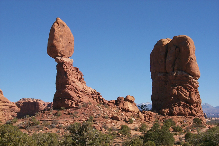
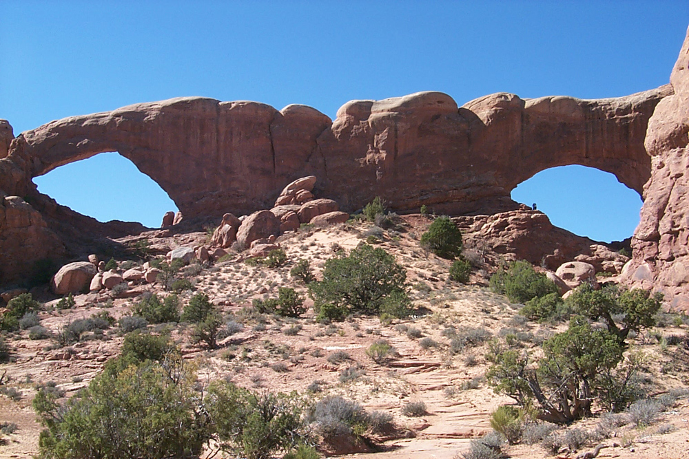
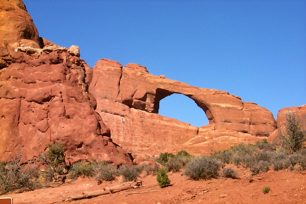
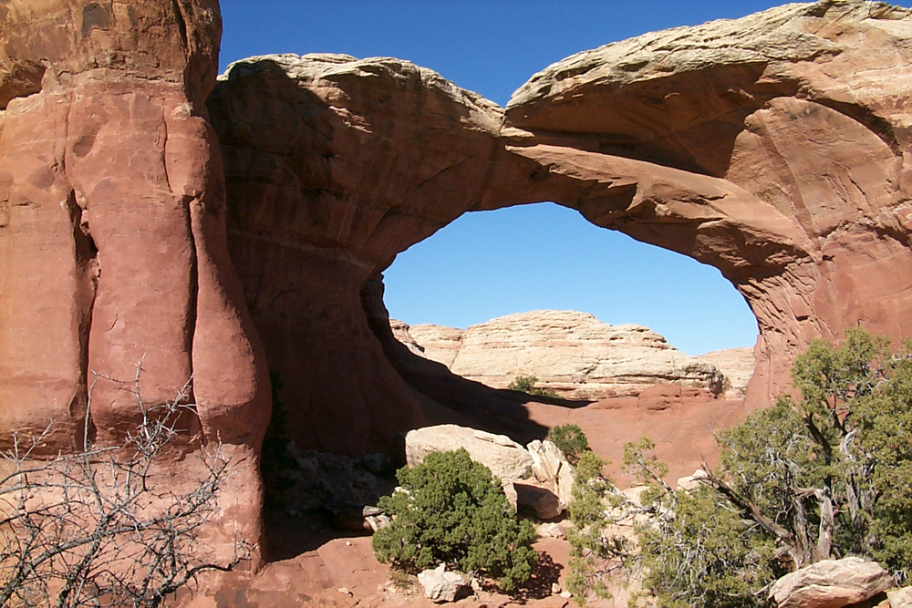
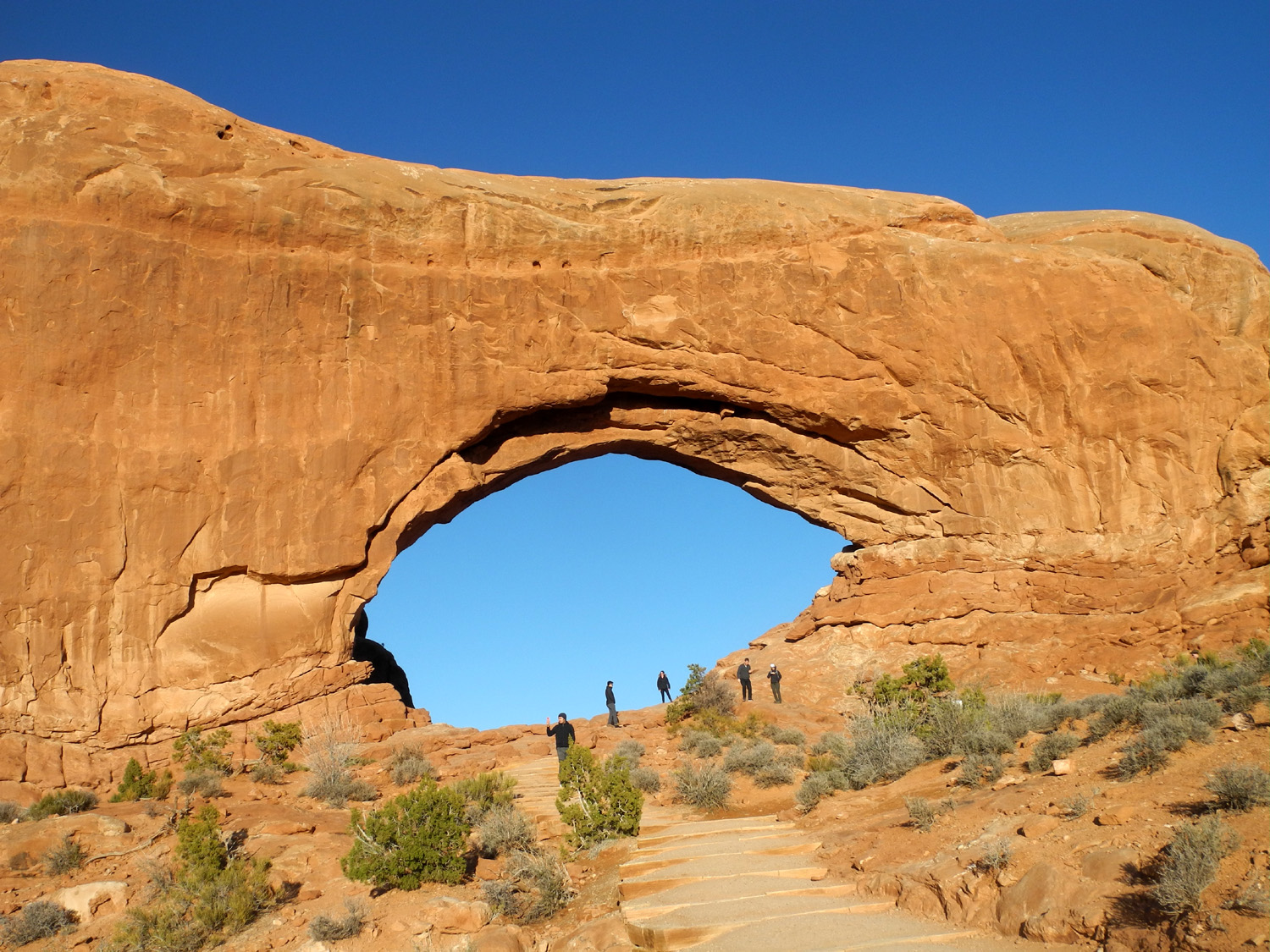
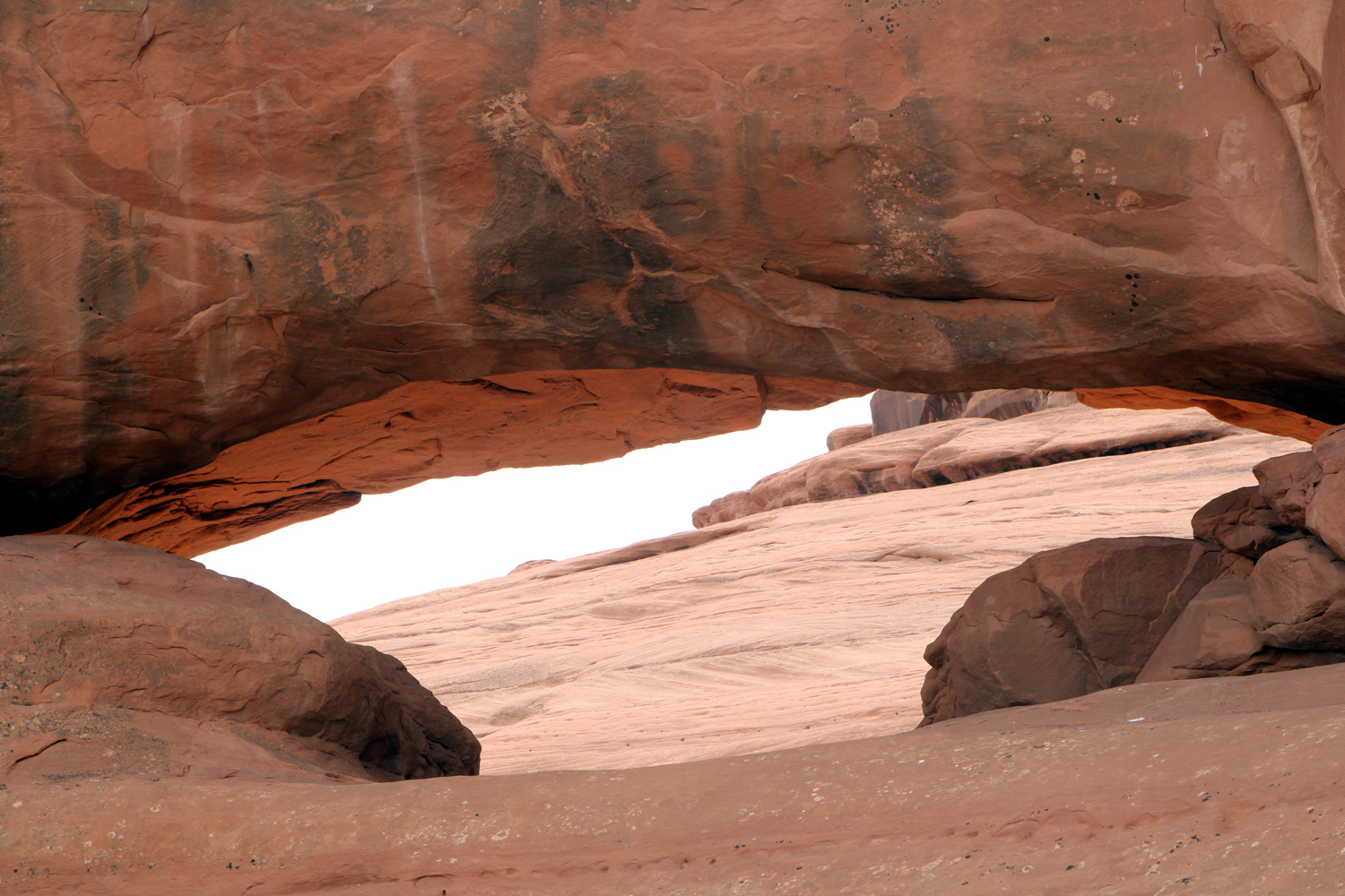
| How arches begin | Balanced Rock | North & South Windows | |
 |
 |
 |
|
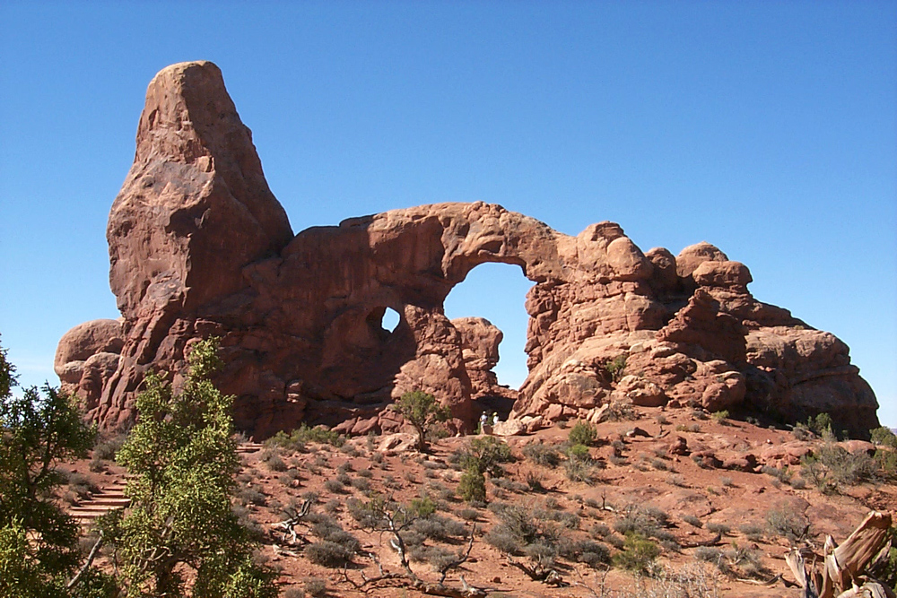
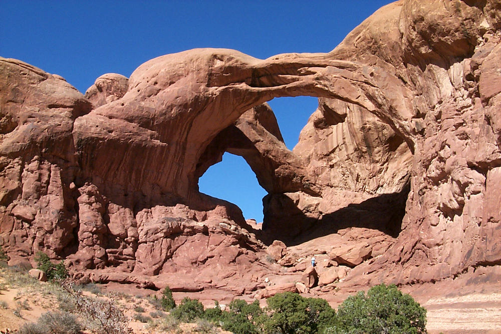
| Turret Arch | Double Arch | Landscape Arch | |
 |
 |
 |
|
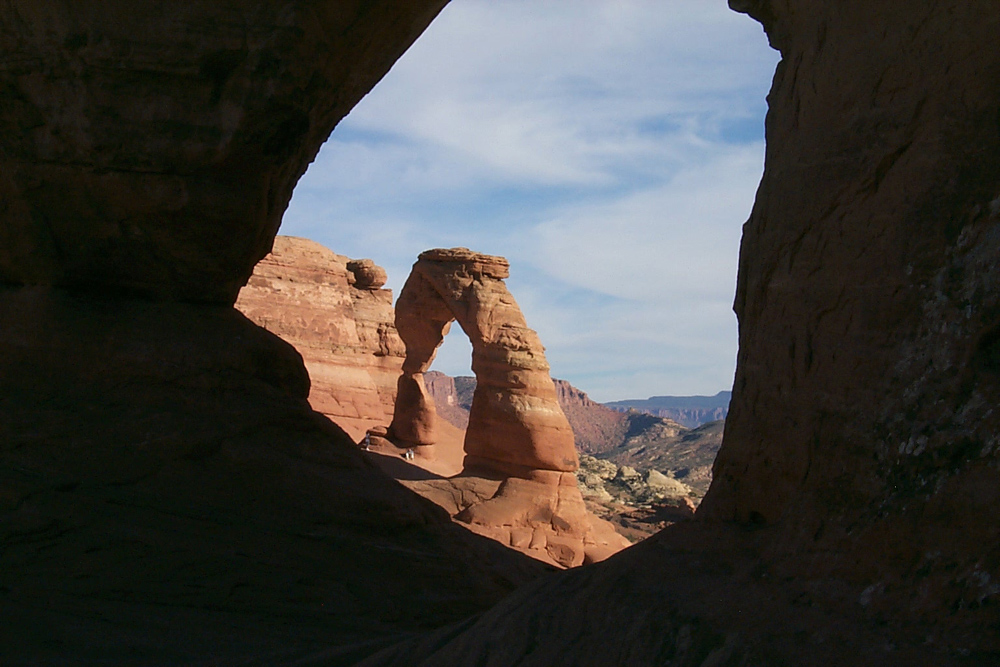
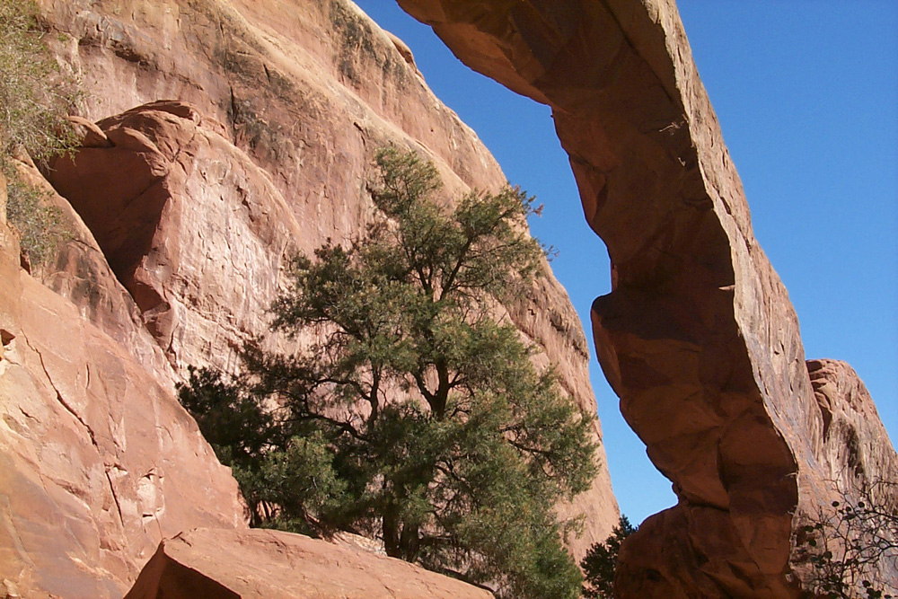
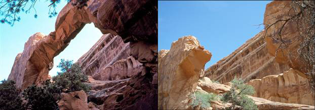
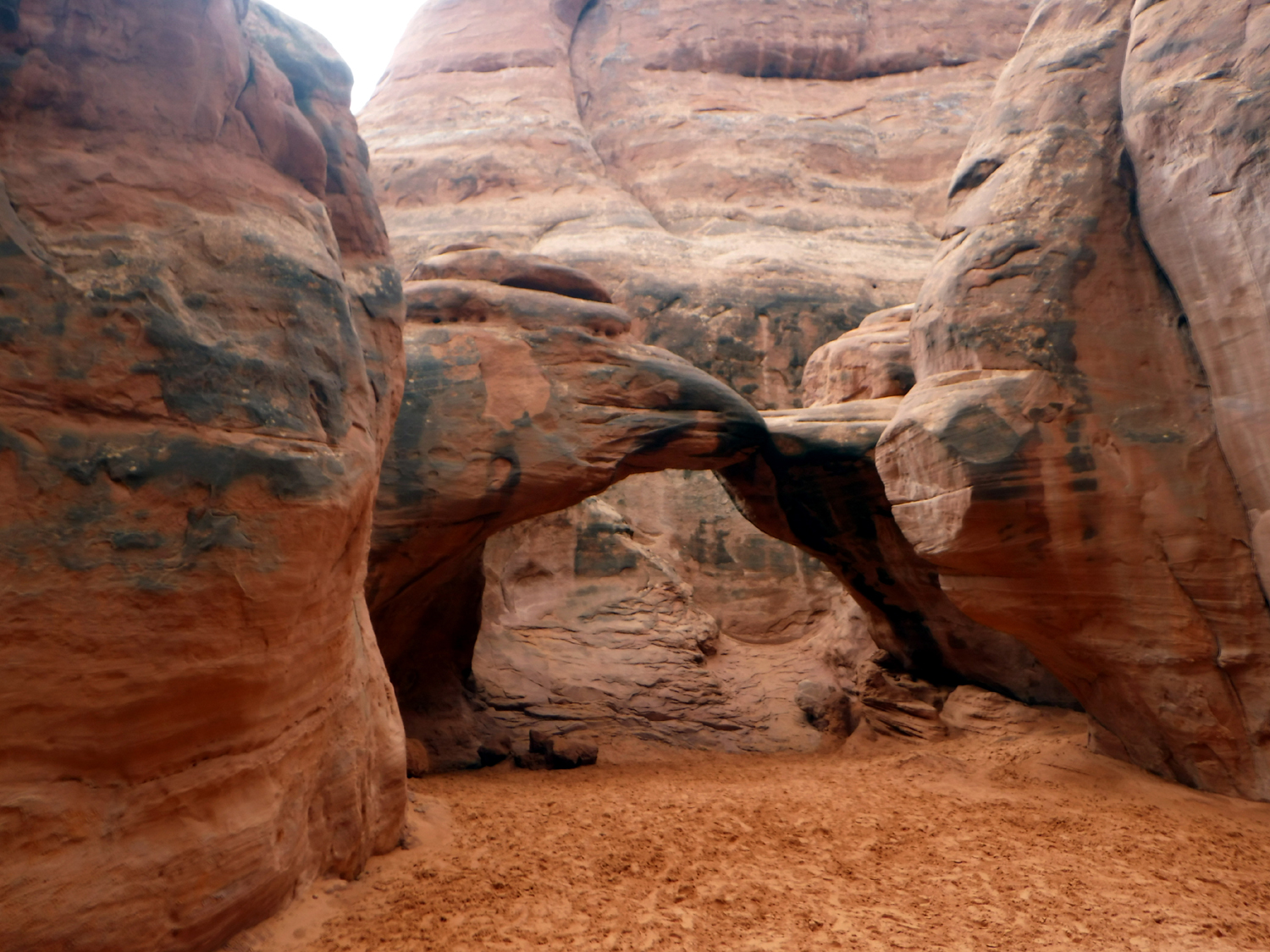
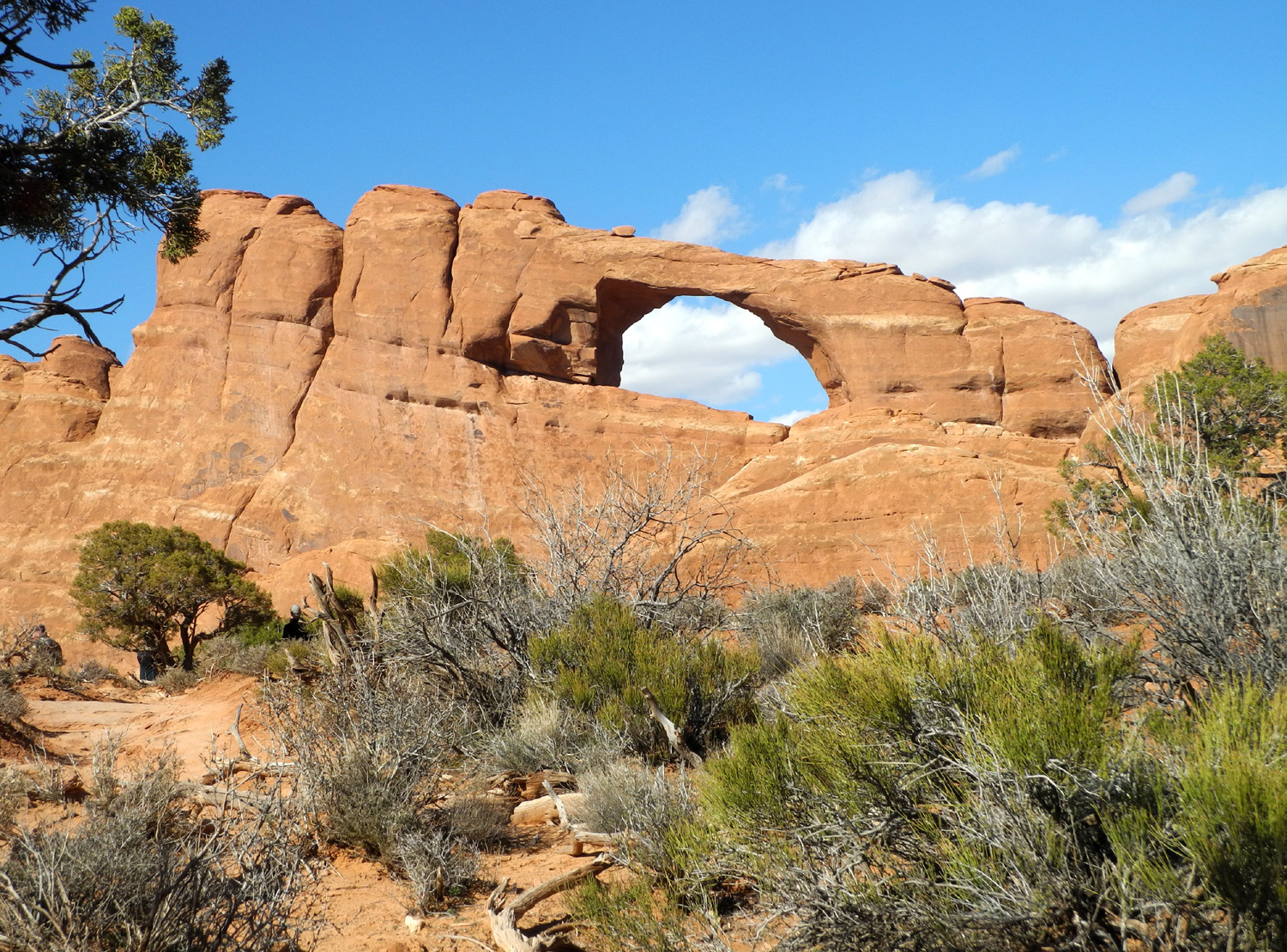
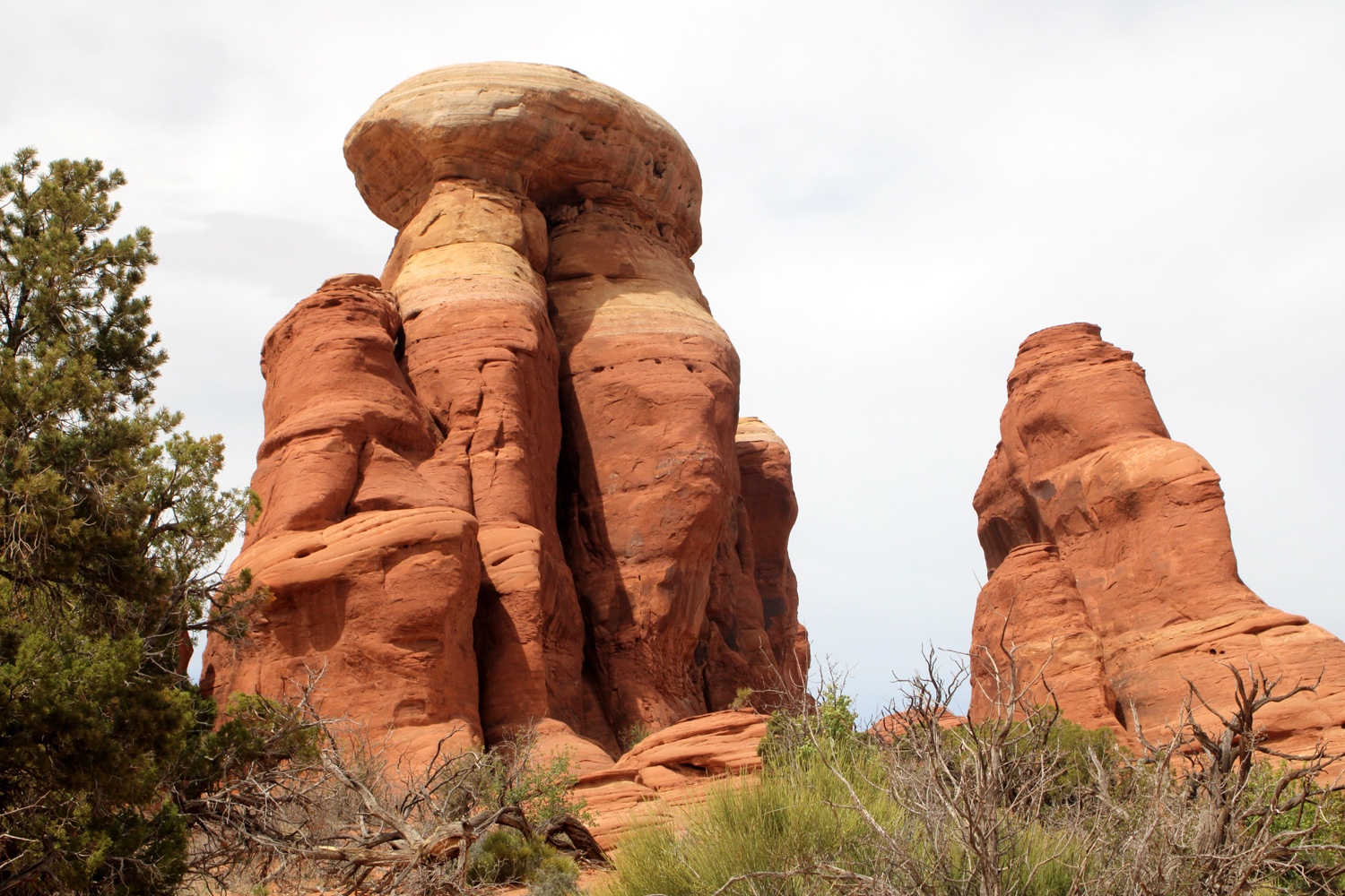
| Navajo Arch | Skyline Arch | Delicate Arch | |
 |
 |
 |
|
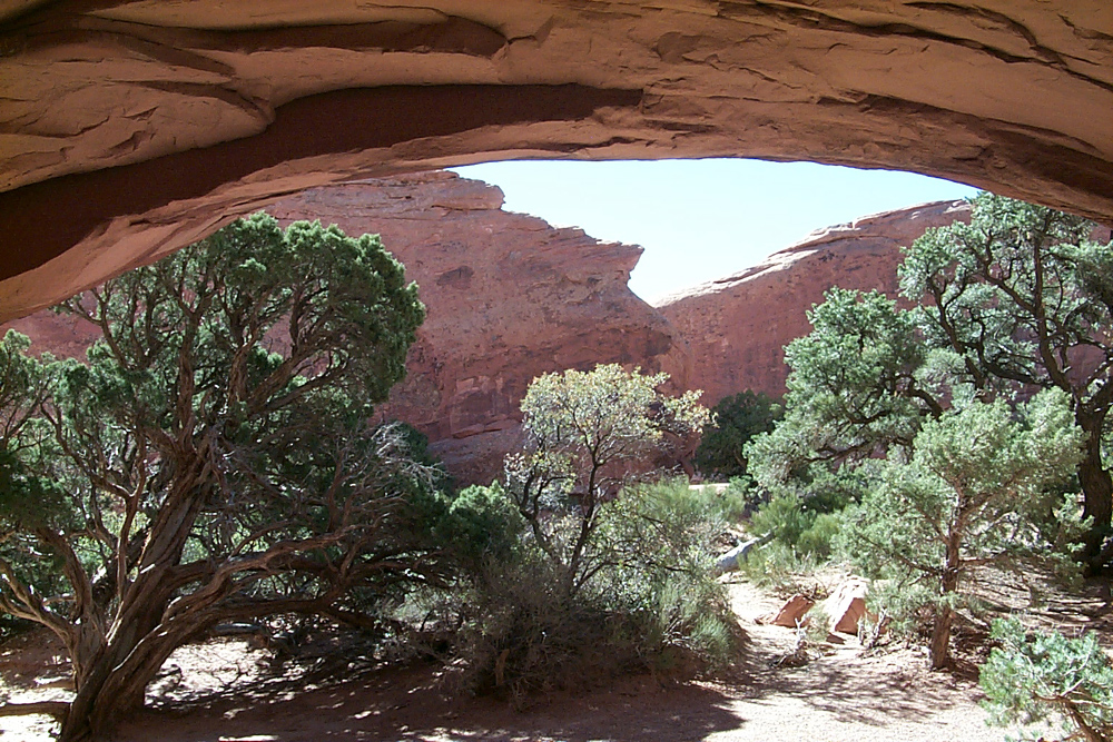
| Klondike Bluffs | Tower Arch | Looking west from inside Tower Arch | |
 |
 |
 |
|
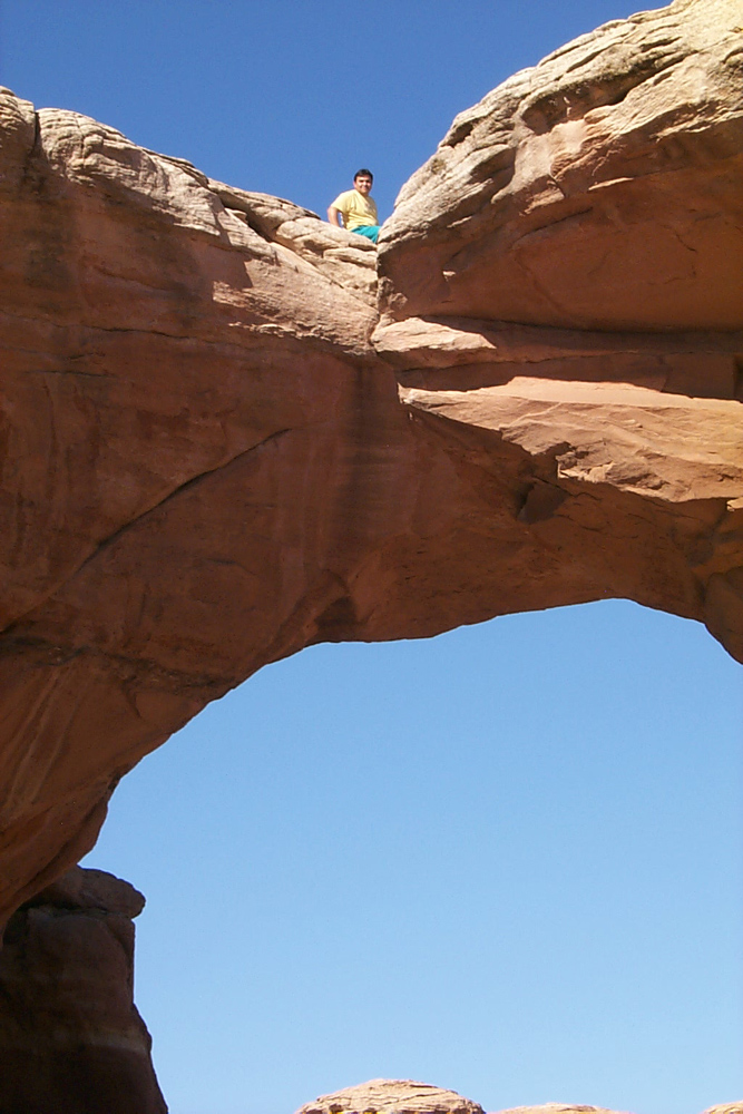
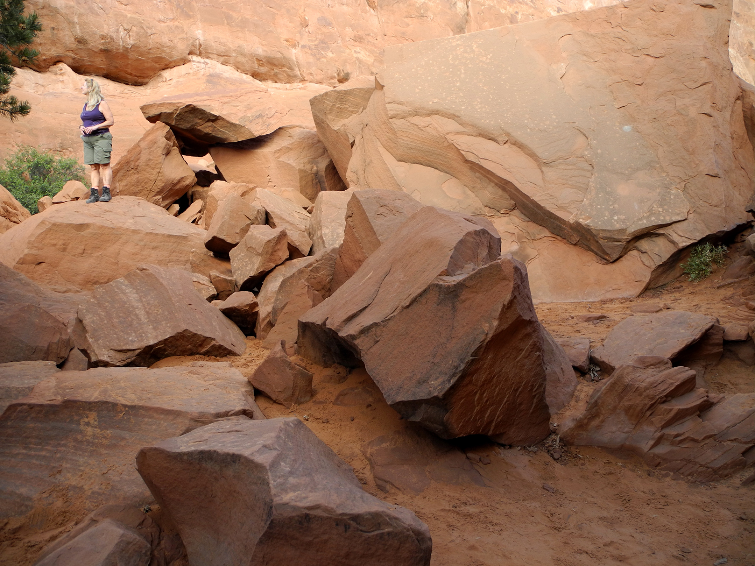
| Tower from inside the arch | Broken Arch | Daring visitor on Broken Arch | |
 |
 |
||
| Wall Arch, located on a trail a mile or so from the road, collapsed in 2008. Photo at left taken in 2002; photos on right courtesy NPS | |||
 |
 |
 |
|
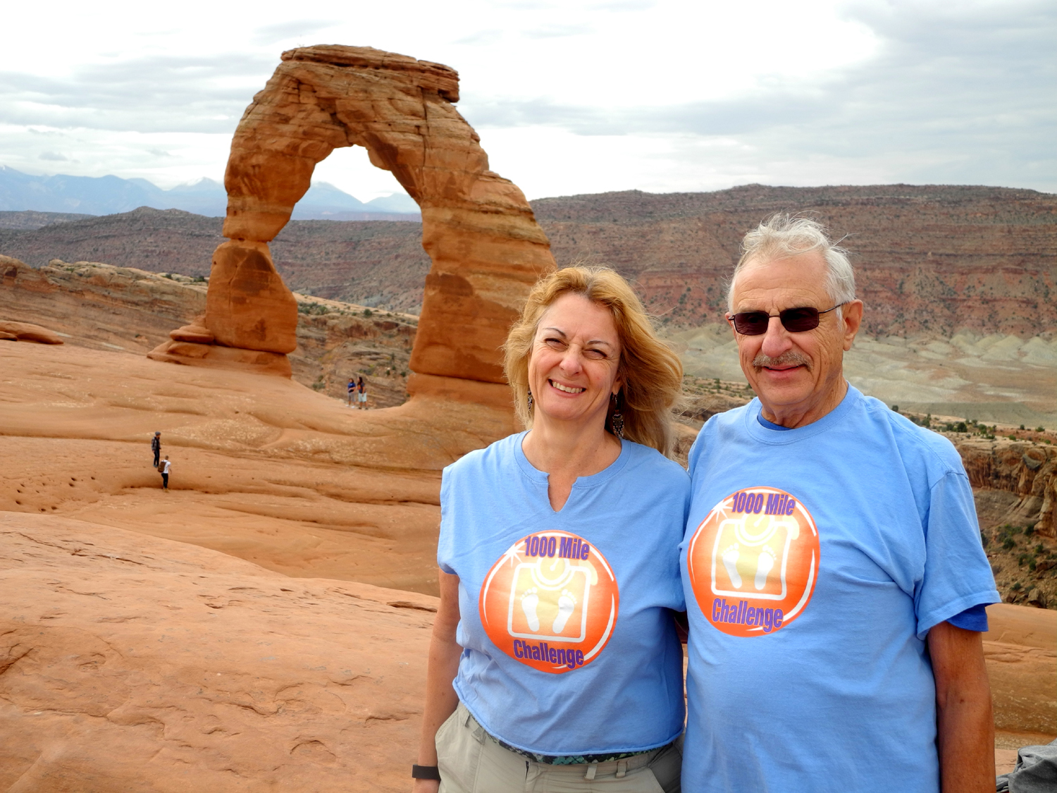
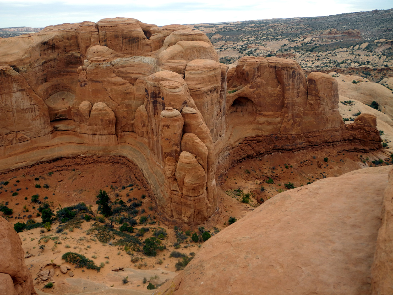
| Dick with daughter Teri at Delicate Arch in 2015 | Massive
shapes above the wash east of Delicate Arch |
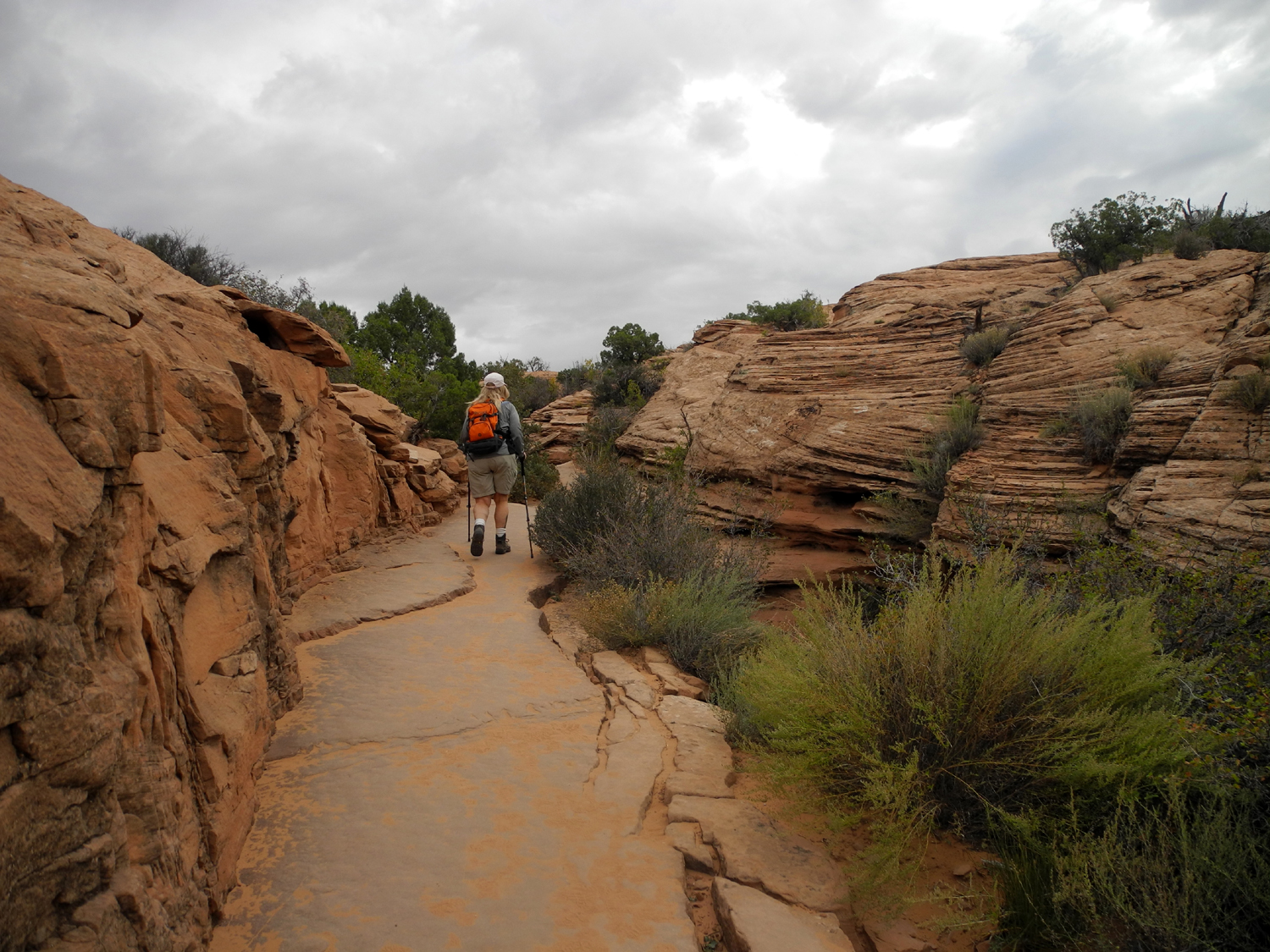
A section of the Delicate Arch trail |
|
 |
 |
 |
|
| Sand Dune Arch |
A close look under Skyline Arch |
Rocks that fell from Skyline Arch in 1940 |
|
 |
 |
 |
|
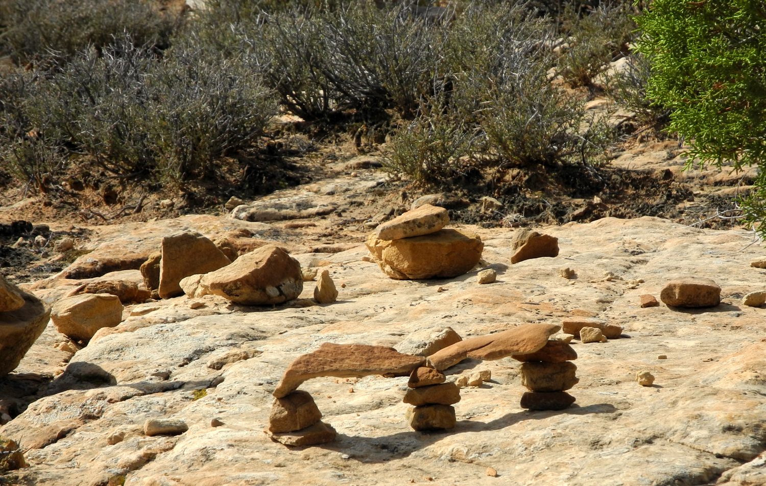
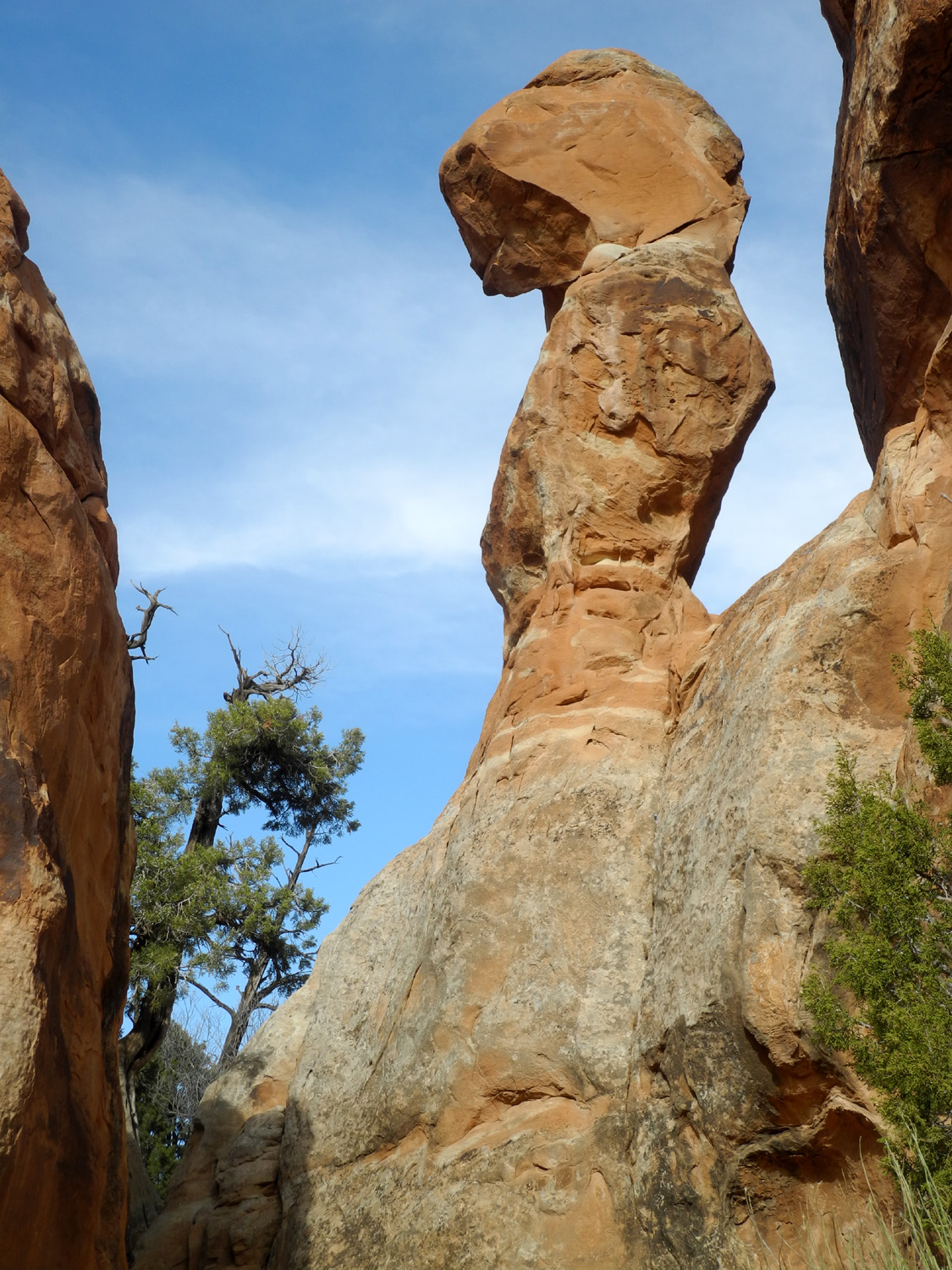
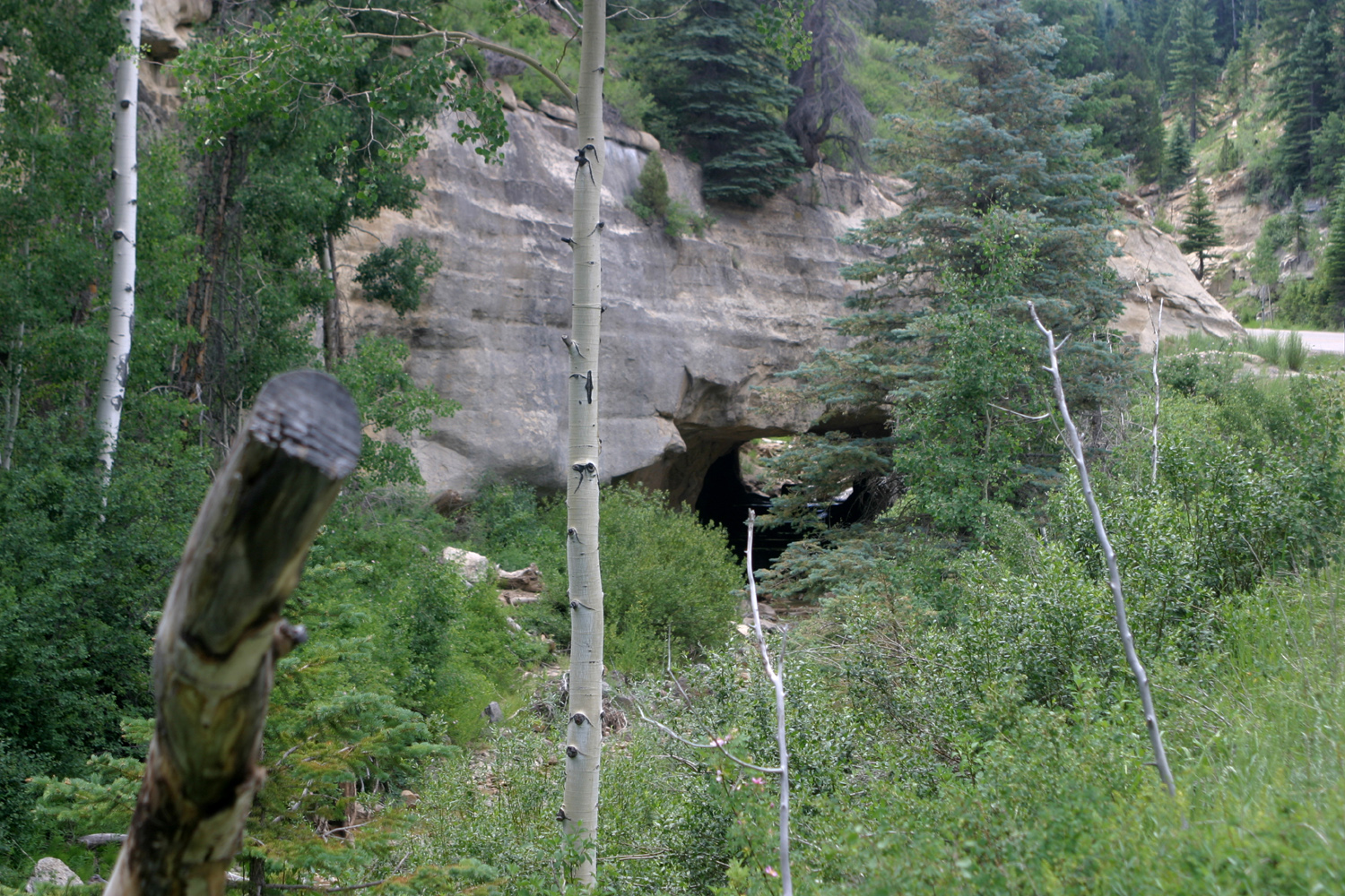
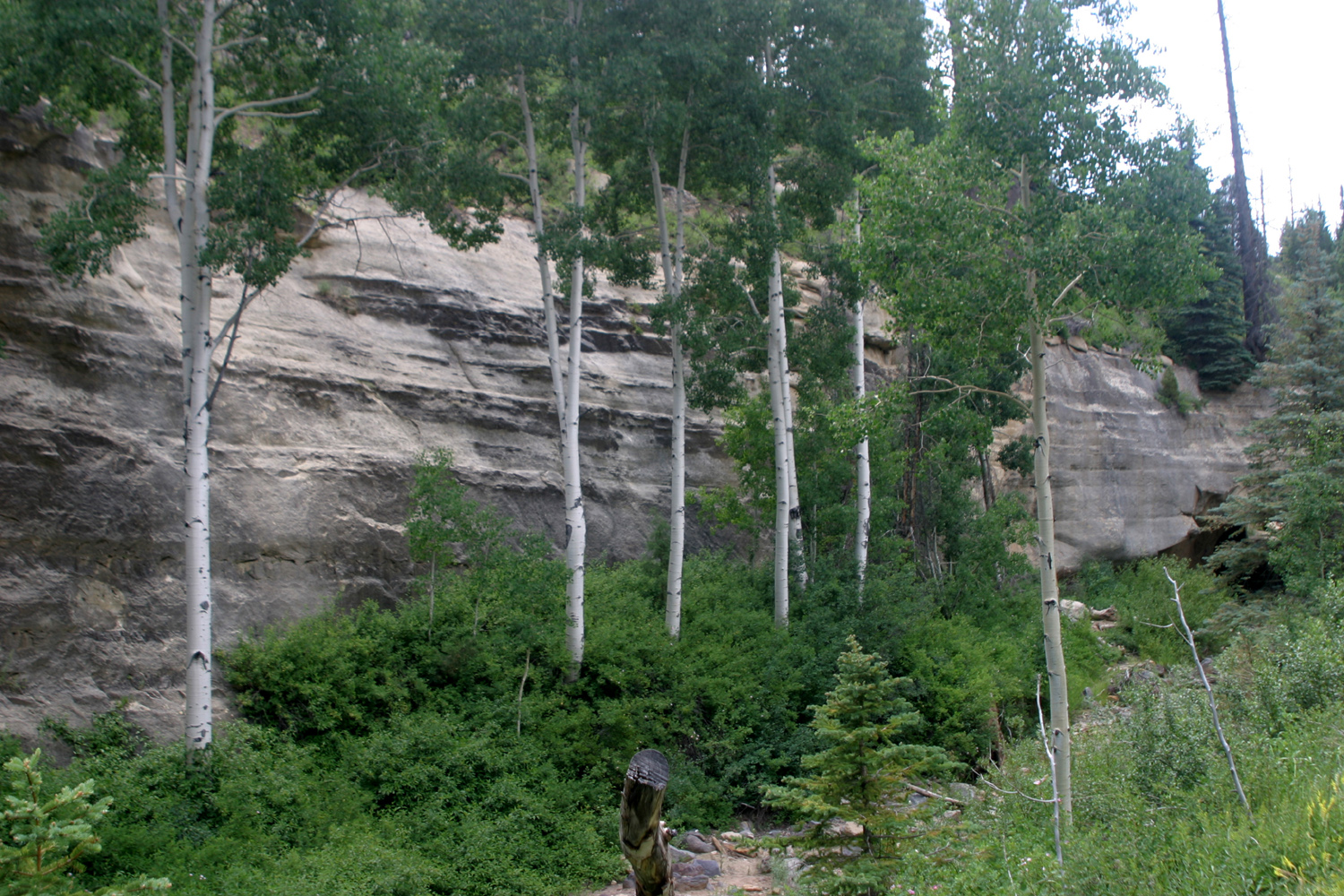
| This area has a dozen small man-made arches | The Penguins keep watch just above the visitor center |
Precarious pile of rock | |
 |
 |
 |
|
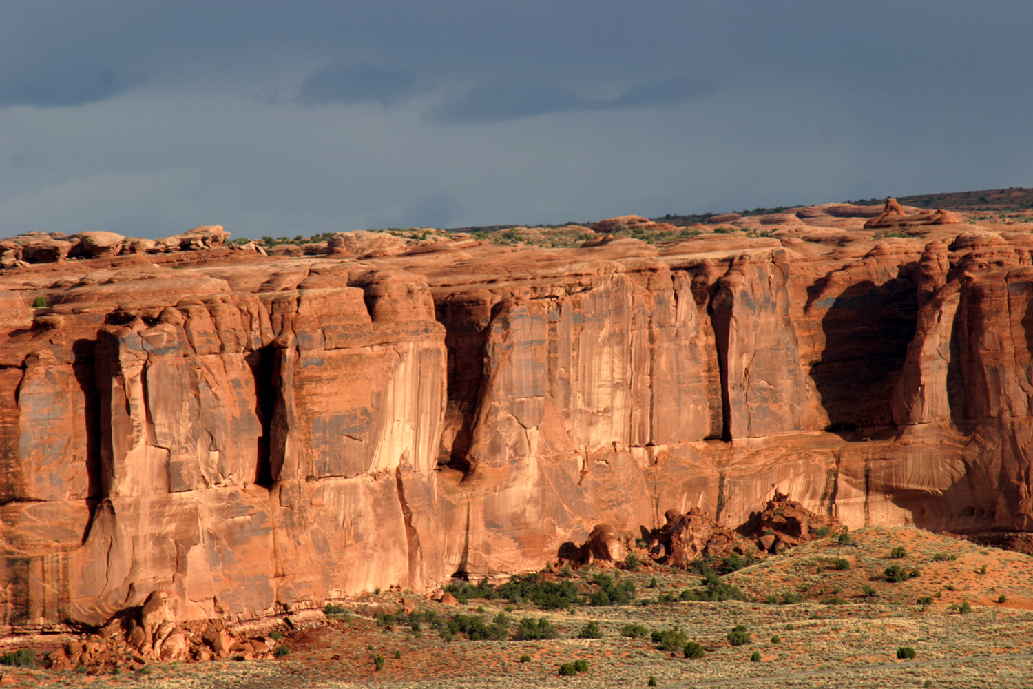
| View at the Fiery Furnace | The Great Wall | Near Courthouse Wash | |
 |
 |
 |
|
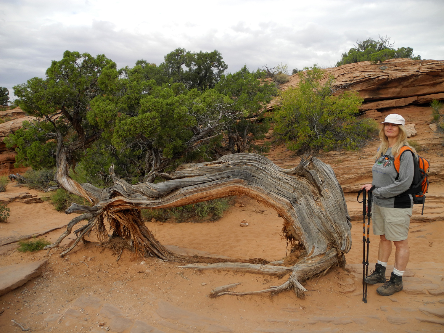
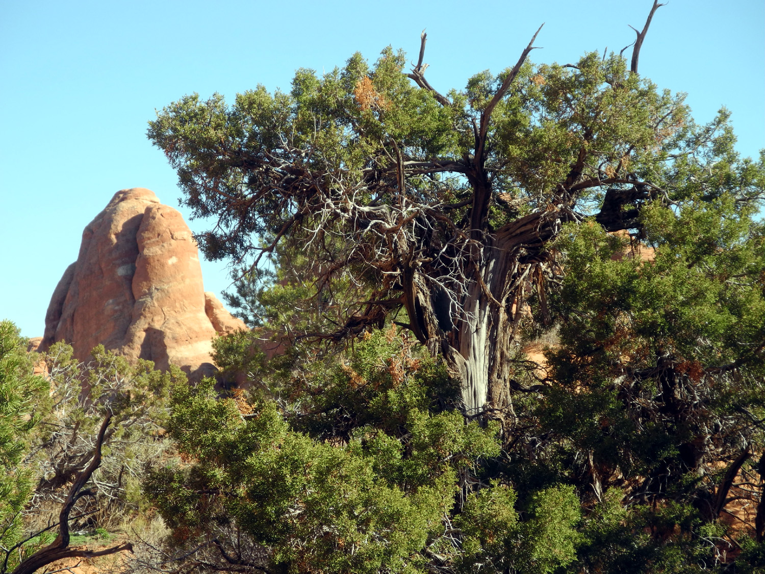
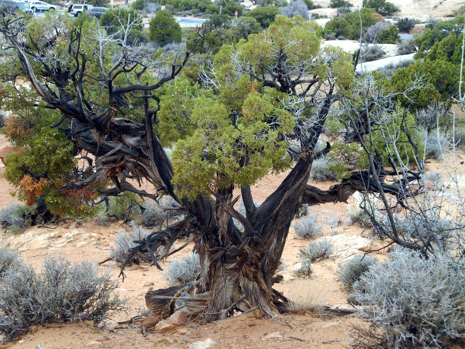
| Courthouse Wash | Petrified Sand Dunes | Teri and a hardy juniper | |
 |
 |
 |
|
| Tunnel Arch | Sandstone
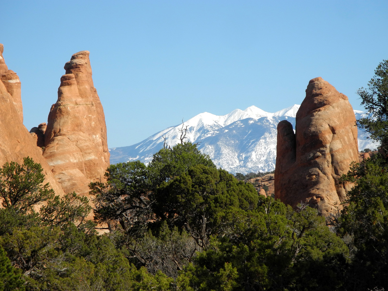
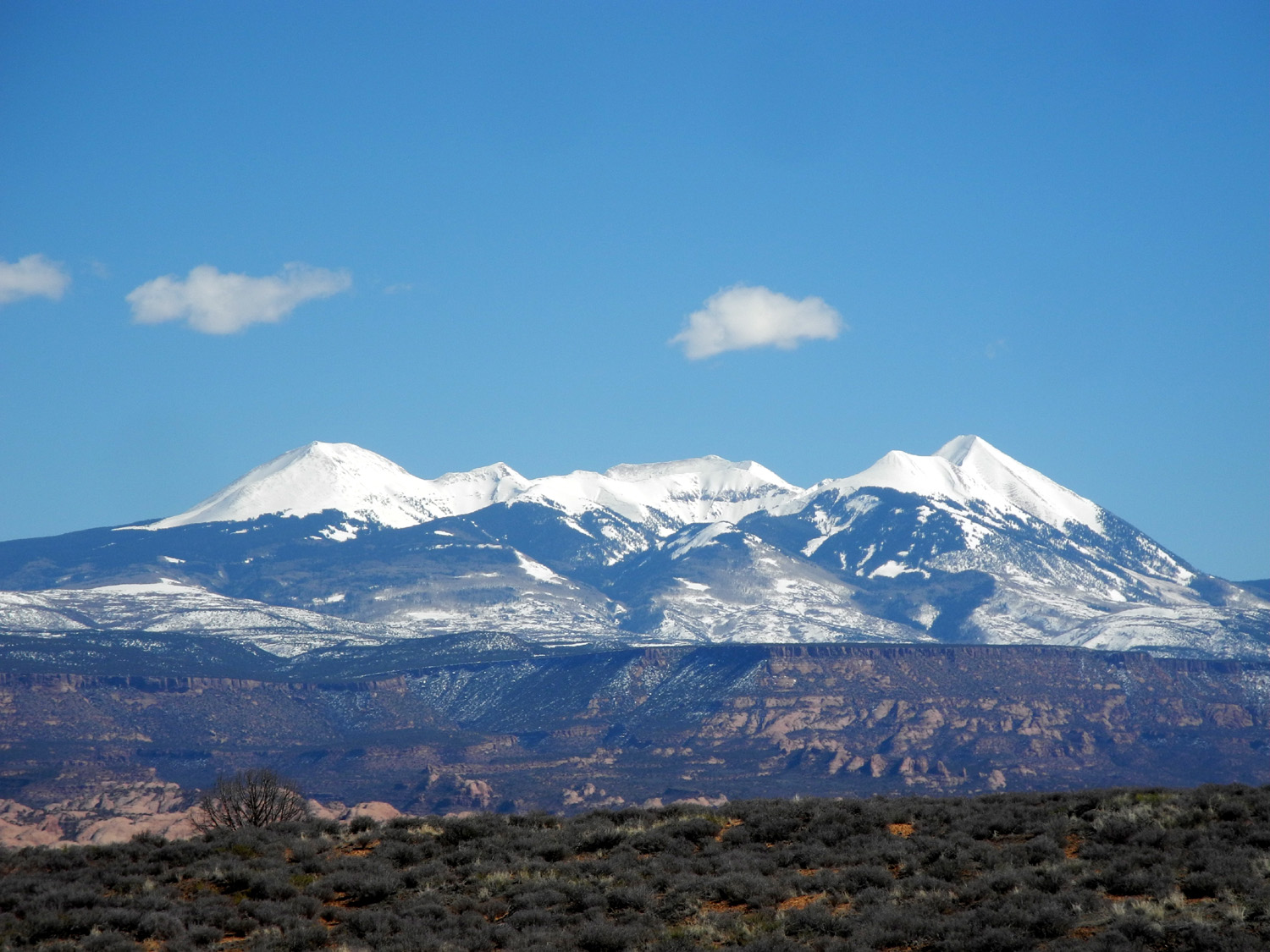
formations at the Windows Area and the La Sal Mountains |
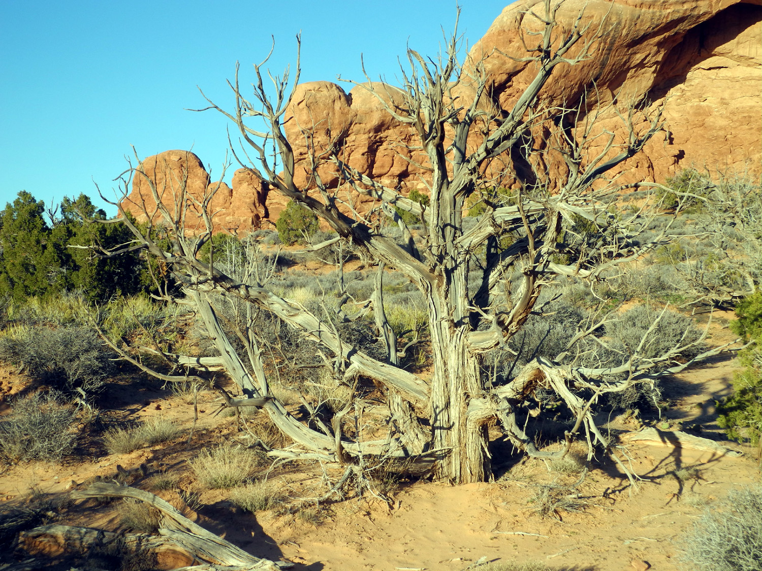
Dead juniper at Windows Area | |
 |
 |
 |
|
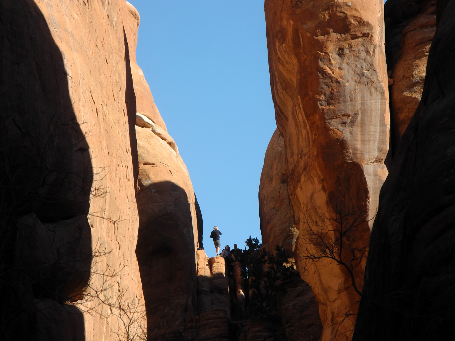
| Another view of Skyline Arch | Tourists entering North Window | Scrambling between the fins near Sand Dune Arch | |
 |
 |
 |
|
| Tunnel Arch from the Pine Tree Trail | Sandstone and juniper near Skyline Arch | Colorful soil along Salt Valley Road | |
 |
 |
 |
|
| Courthouse Tower | A close view of Courthouse Wash | Towers like this are scattered throughout the park | |
 |
 |
 |
|
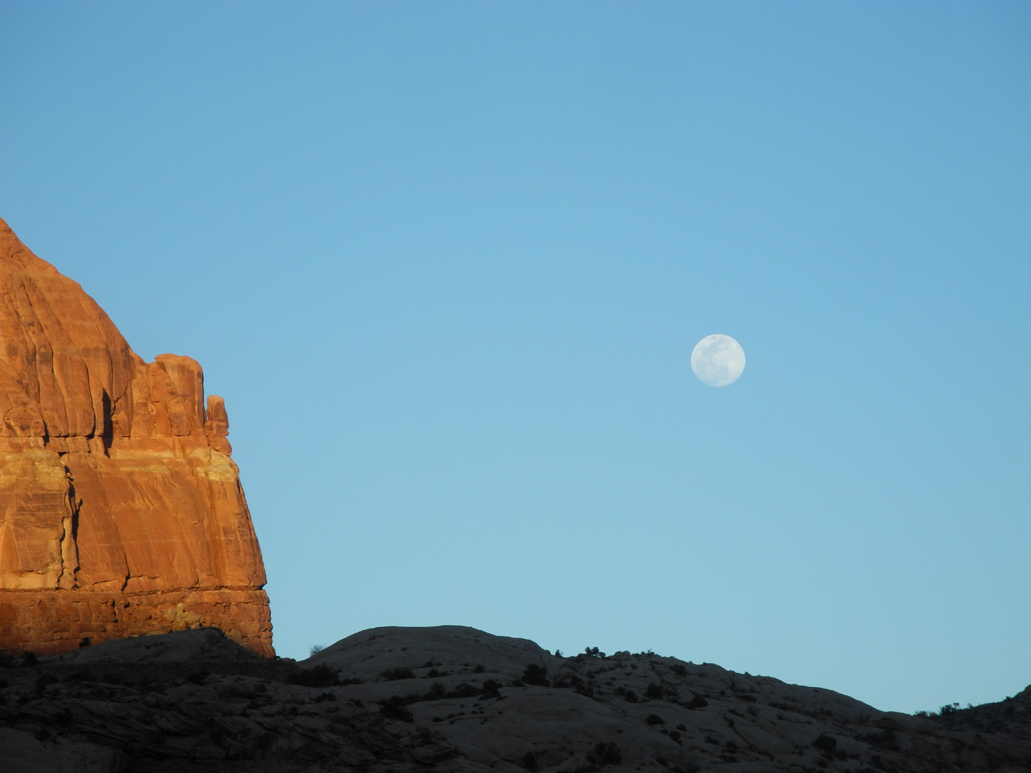
| Moon and sandstone, March 2019 | A fantastic "growth" in the Devil's Garden | The Three Gossips look down on Sheep Rock | |
 |
 |
 |
|
|
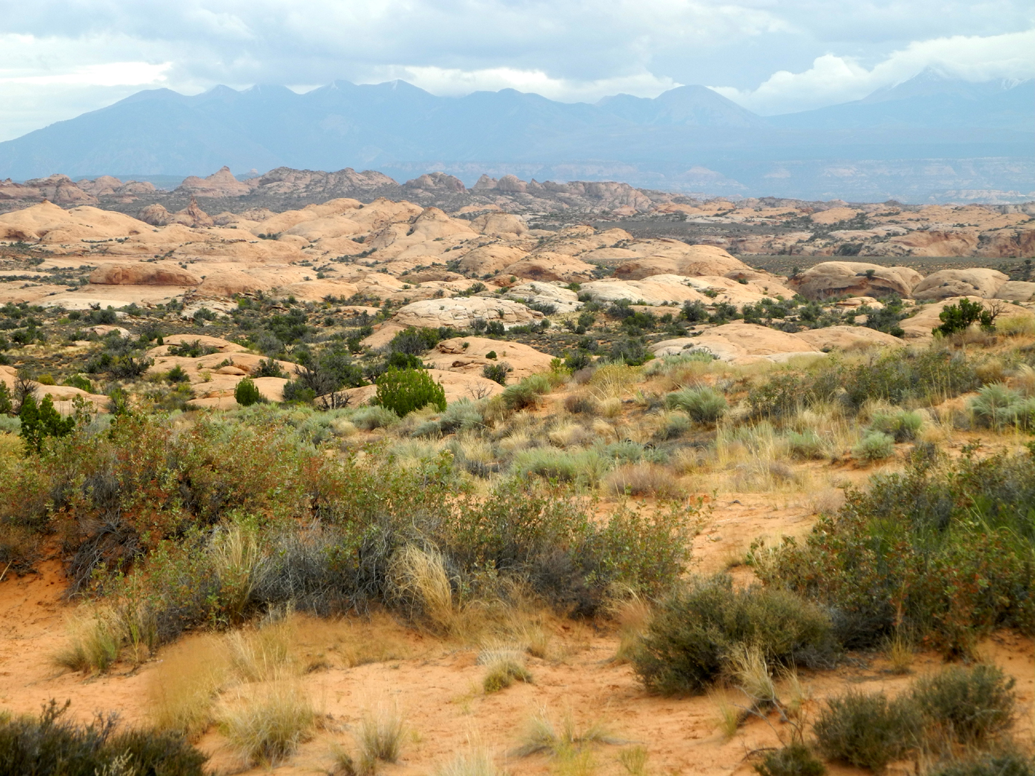
The La Sal Mountains with the Colorado River canyon in foreground |
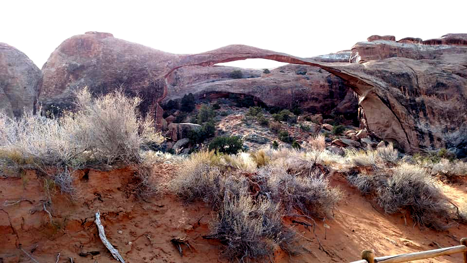
A wide view of Landscape Arch | Formations along the park road | |
 |
|||
| Sandstone cliffs across the road from the Petrified Dunes | |||
 |
|||
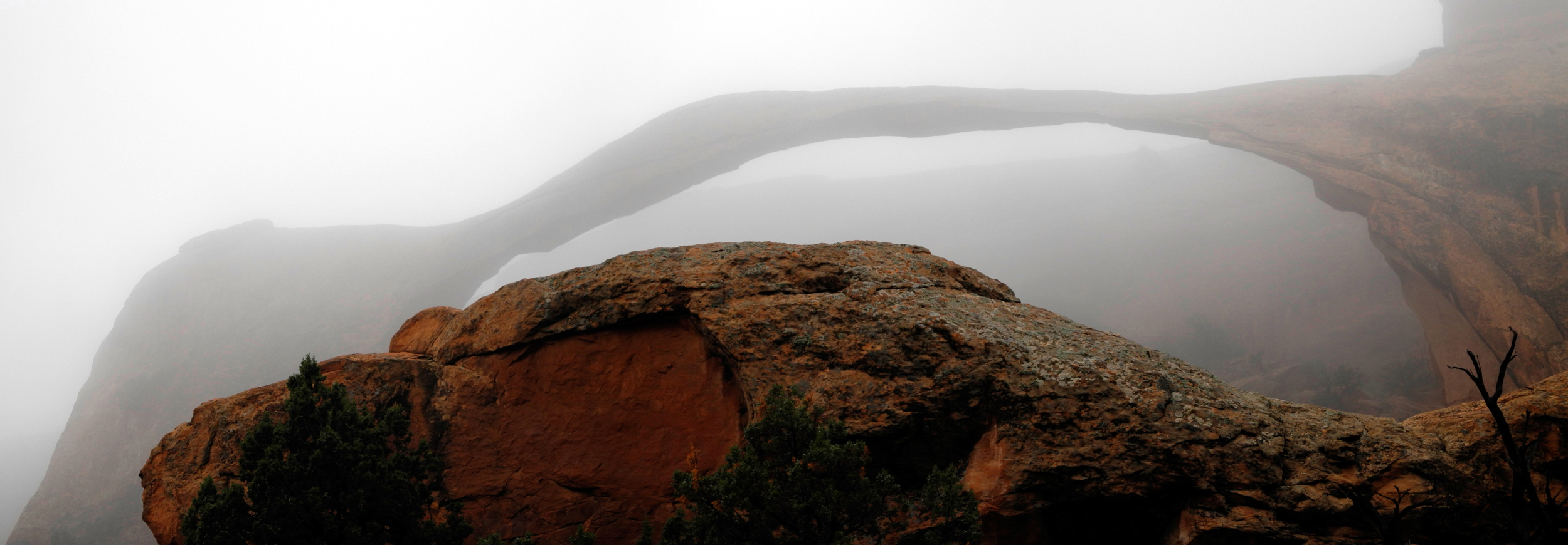
|
A misty, mysterious view of Landscape Arch |
|||
 |
|||
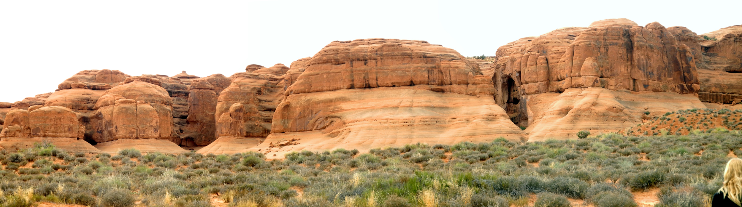
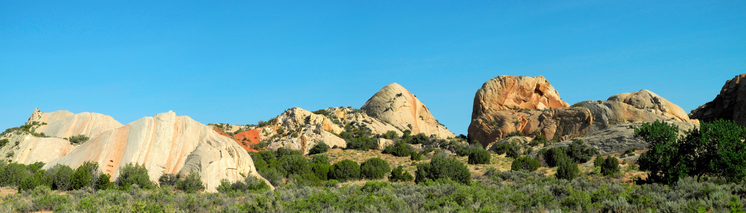
| Sandstone panorama from Devil's Garden Trail | |||
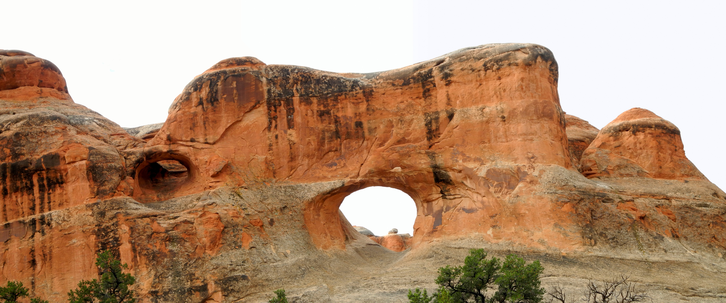 |
|||
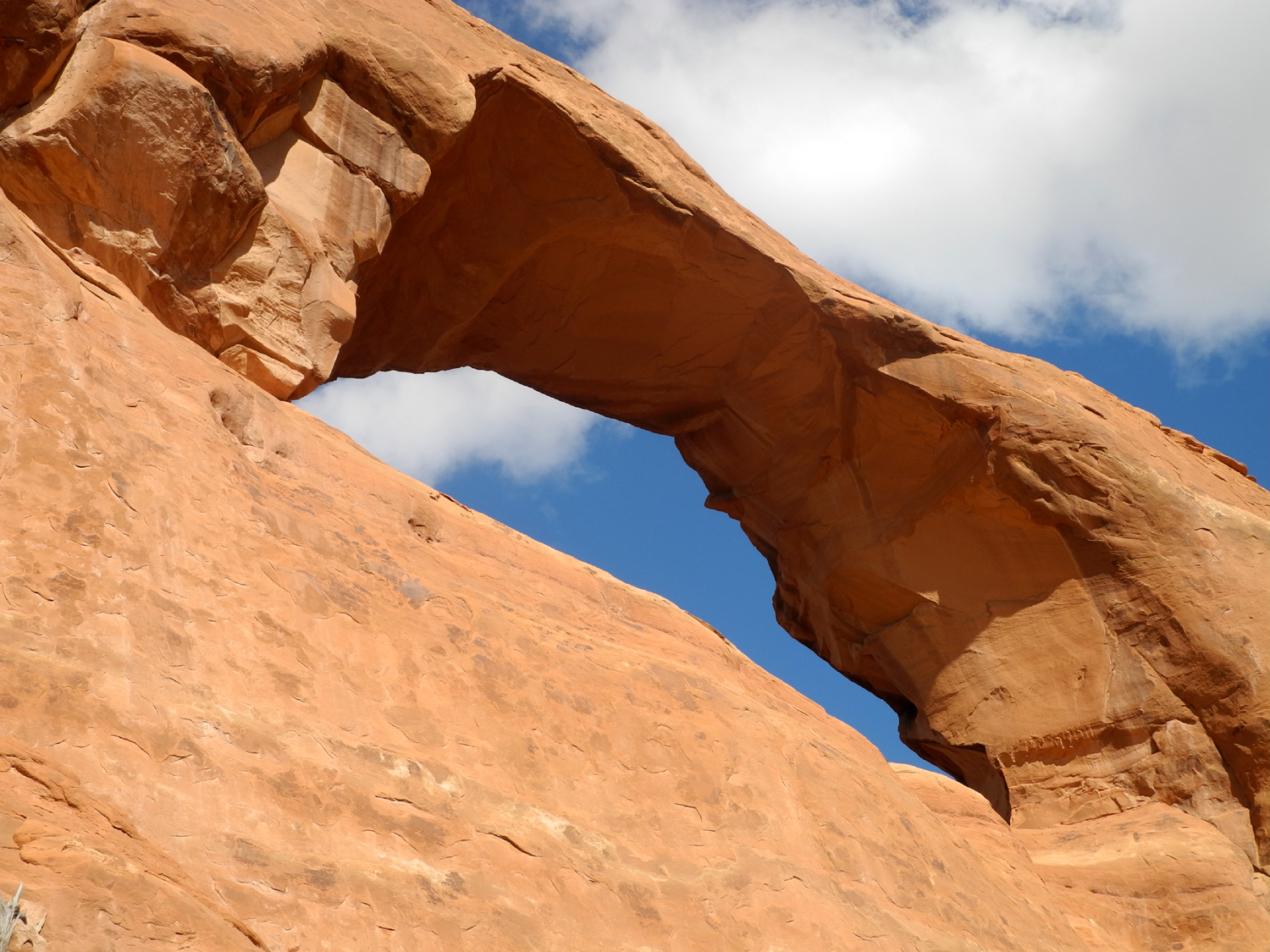
| Tunnel Arch, with a small un-named arch to the left | |||
 |
|||
| Looking across from Balanced Rock toward the Windows Section, La Sal Mountains in the background | |||
 |
|||
| Sandstone takes on fantastic shapes near Double Arch | |||
 |
|||
| A tourist contemplates the amazing formations across the road from Courthouse Tower | |||
 |
|||
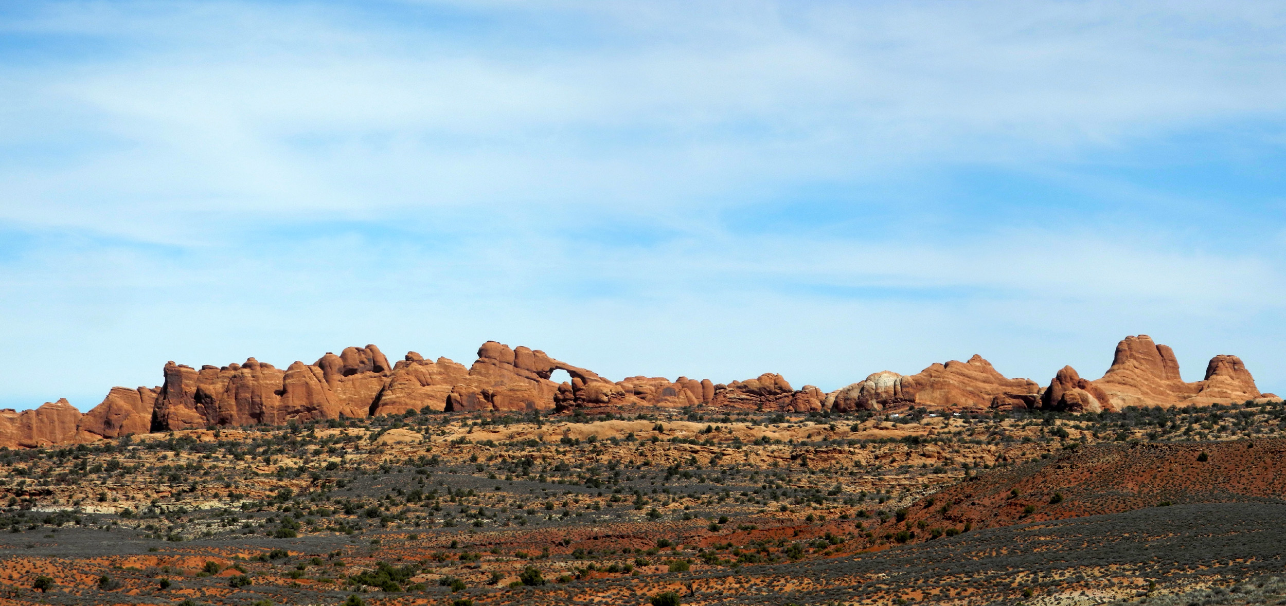
| Skyline Arch stands out in this distant panoramic view from the Salt Valley Road | |||
 |
|||
| Dramatic sandstone panorama, with Colorado River gorge in foreground | |||
 |
|||
| The Fiery Furnace | |||
 |
 |
 |
|
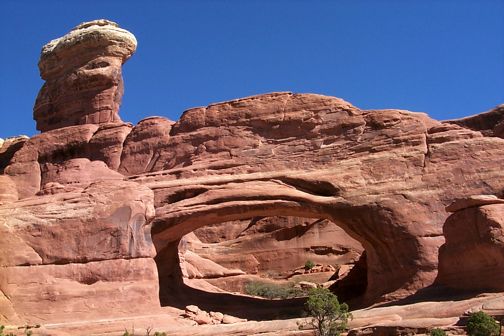
| The shapes of the junipers are endlessly fascinating | Formations near Tower Arch | Eye of the Whale Arch | |
| Arches National Park Official Site | |||
| Canyonlands
National Park More Information |
|||
 |
 |
 |
|
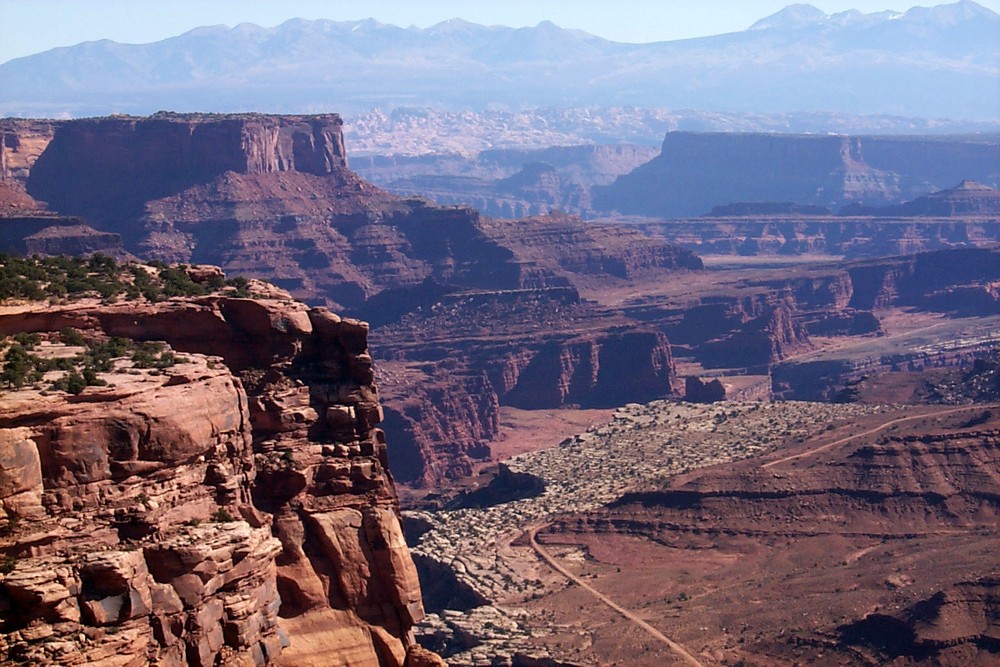
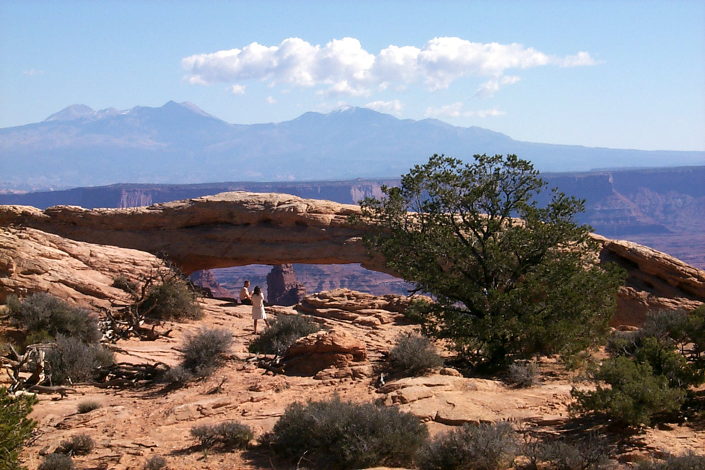
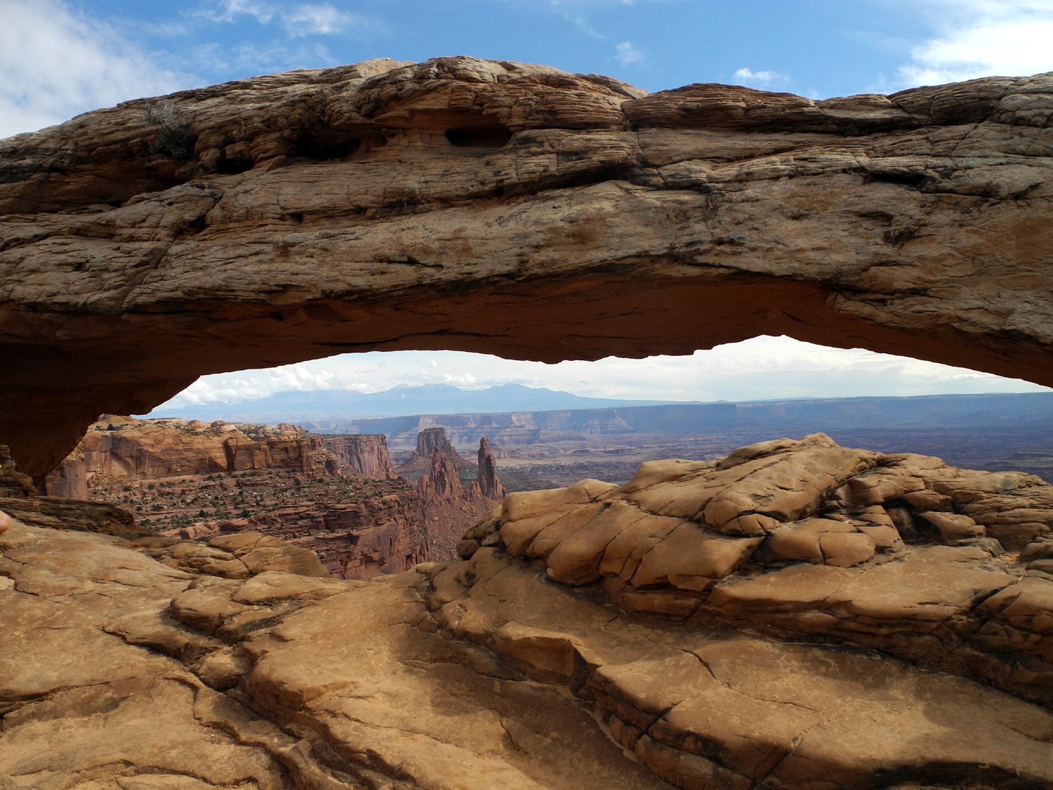
| View from Visitor Center | Mesa Arch | View from White Rim Overlook | |
 |
 |
 |
|
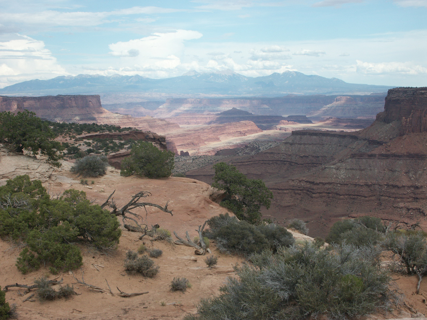
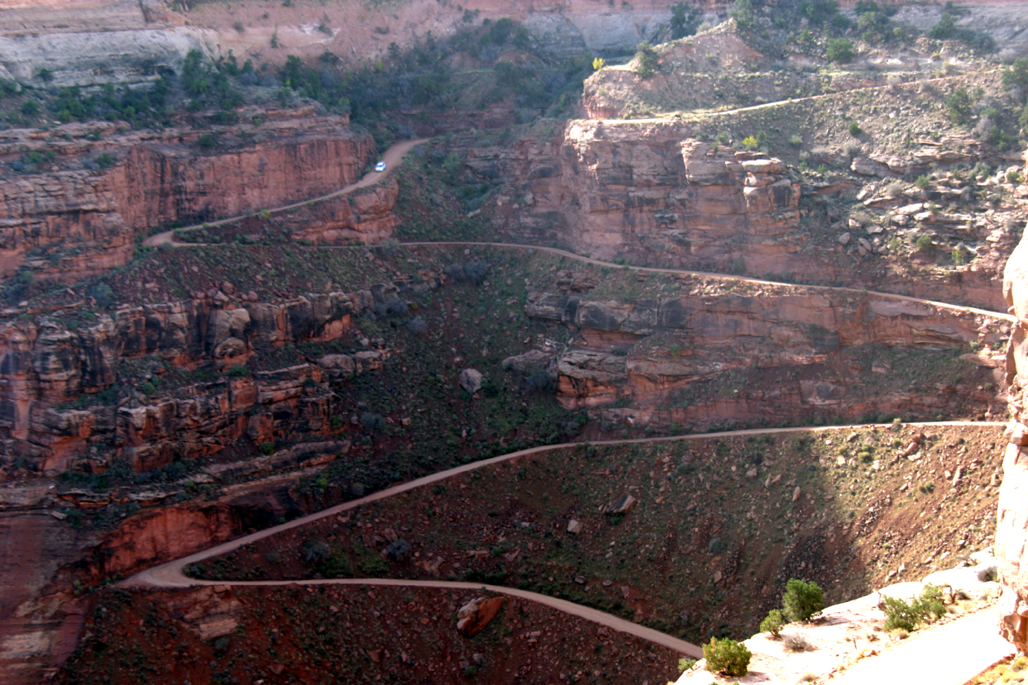
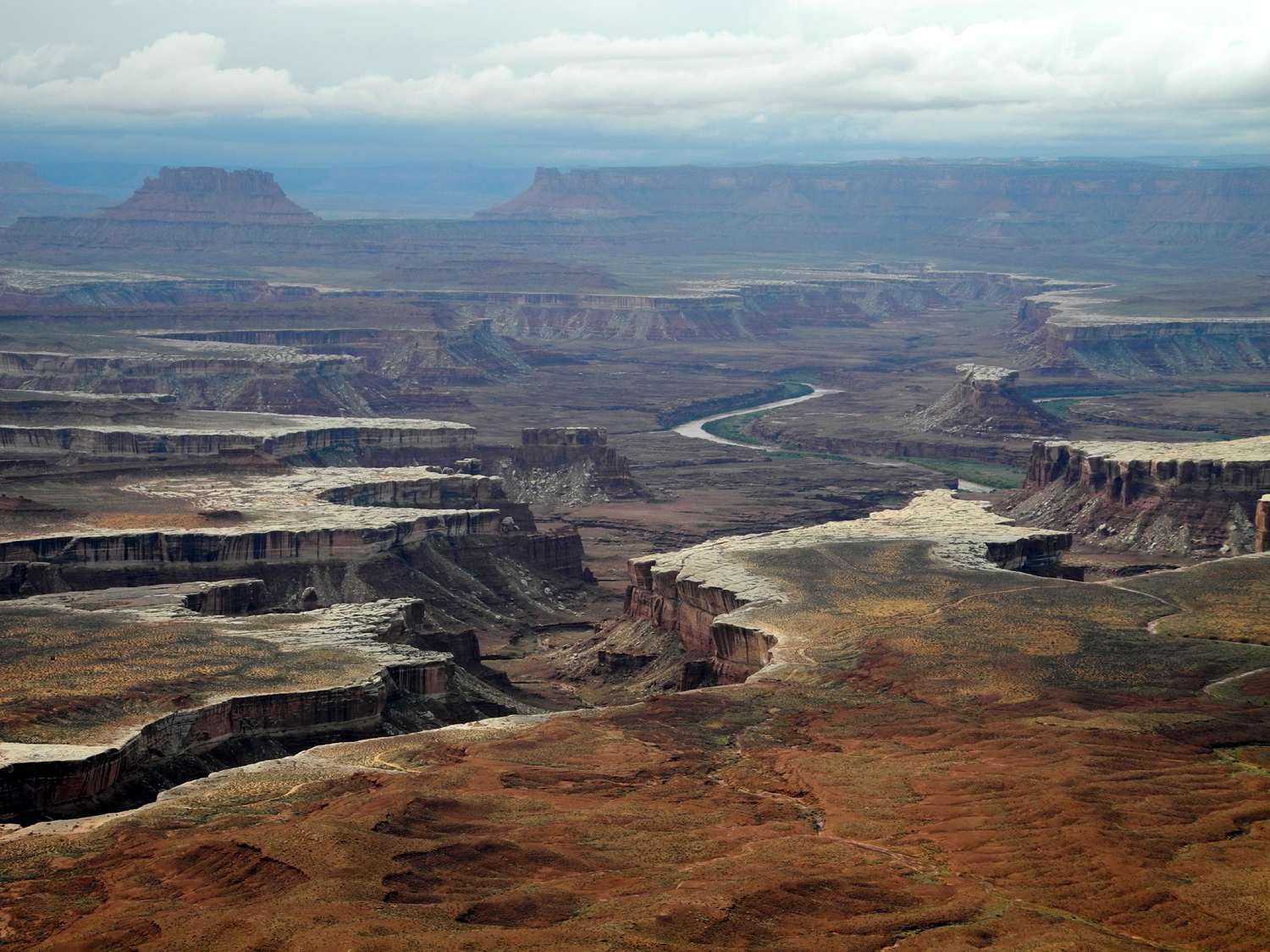
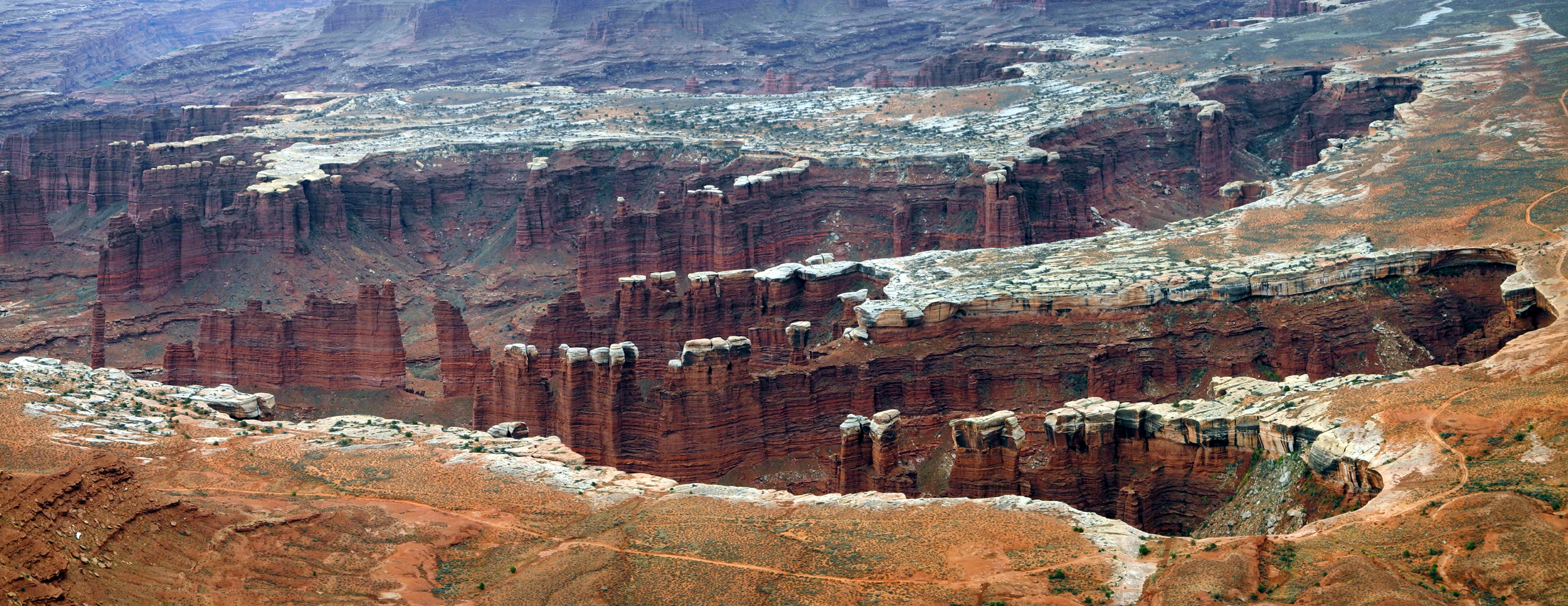
| White Rim and Monument Basin | Near
Visitor Center; LaSal Mountains in background |
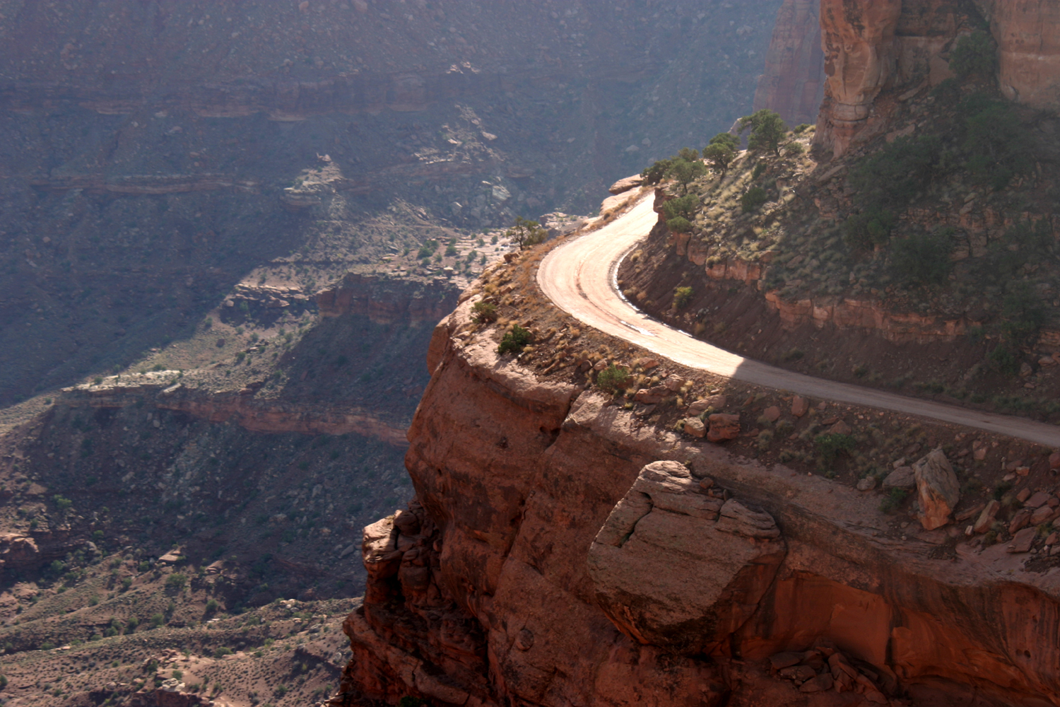
Shafer Trail | |
 |
 |
 |
|
| Another section of the trail | White Rim Road, 1200 feet below the plateau | View through Mesa Arch | |
 |
 |
 |
|
|
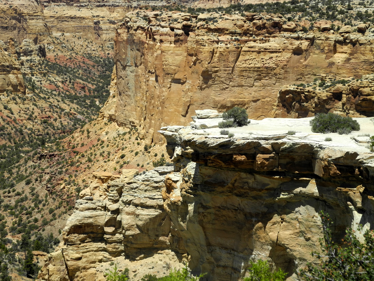
Another small arch in
the |
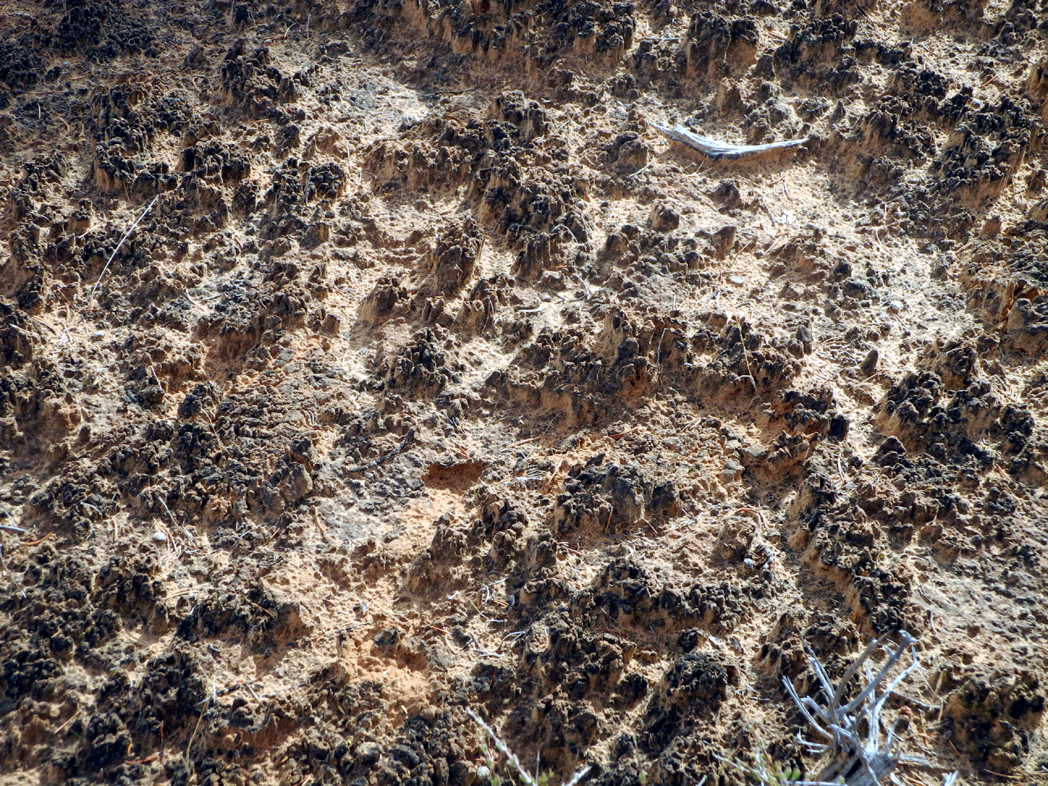
Cryptobiotic soil along the Mesa Arch trail |
The Green River | |
 |
 |
 |
|
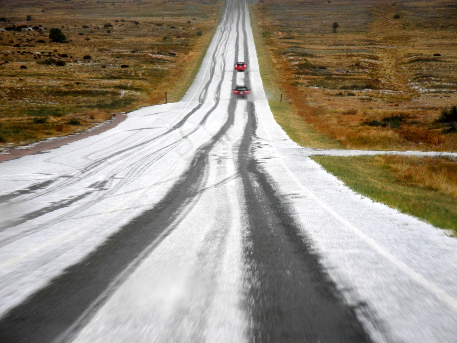
| Temporary runoff waterfall in Canyonlands Park | Unexpected hail on the road as we drove out of the park | The Historic Shafer Trail | |
 |
|||
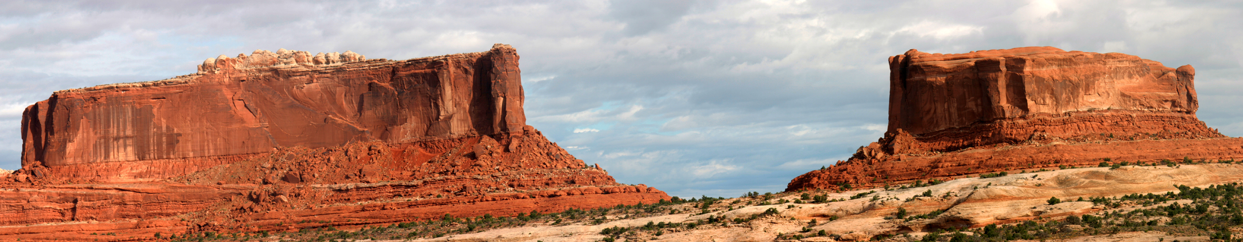
| The Monitor and the Merrimac - buttes on BLM land on the highway to Canyonlands | |||
 |
|||
| Another view of the White Rim and Monument Basin | |||

|

|
|
|
| The river at the bottom of Canyonlands | Musselman Arch, off the White Rim | Formations in the lower part of Canyonlands | |
| Above three photos by Teri Liddle | |||
| Canyonlands National Park Official Site KC Publications - Interpretive Books about America's National Parks | |||
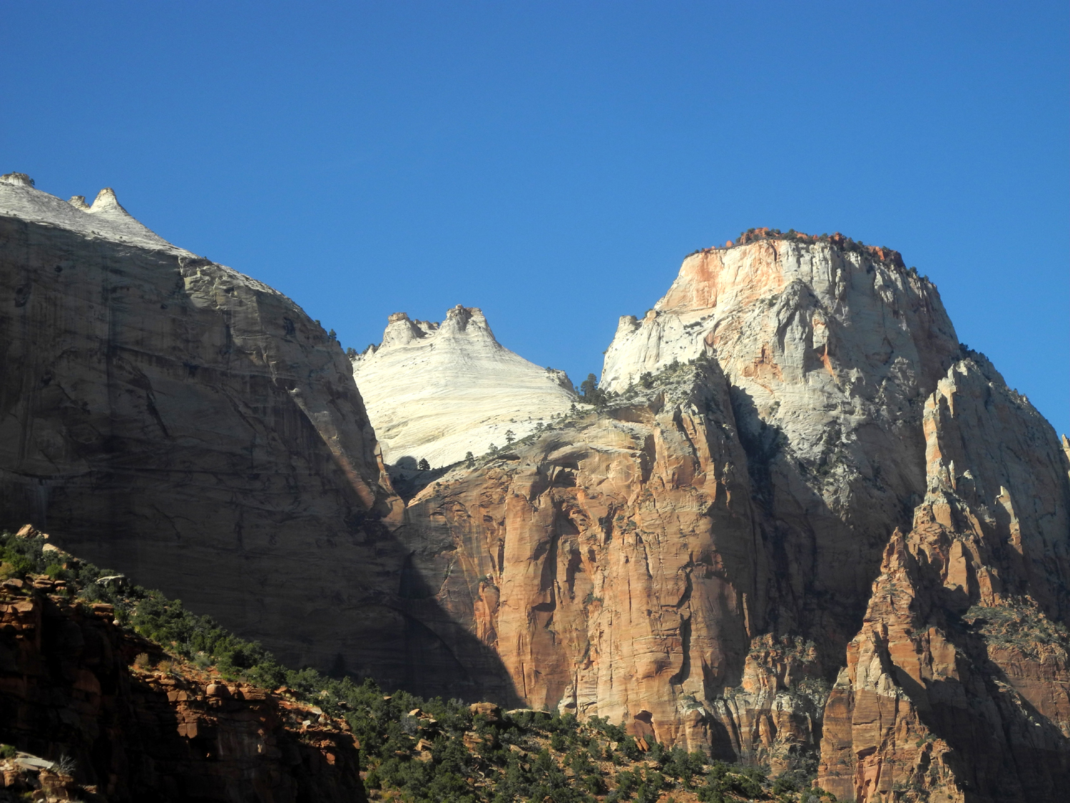
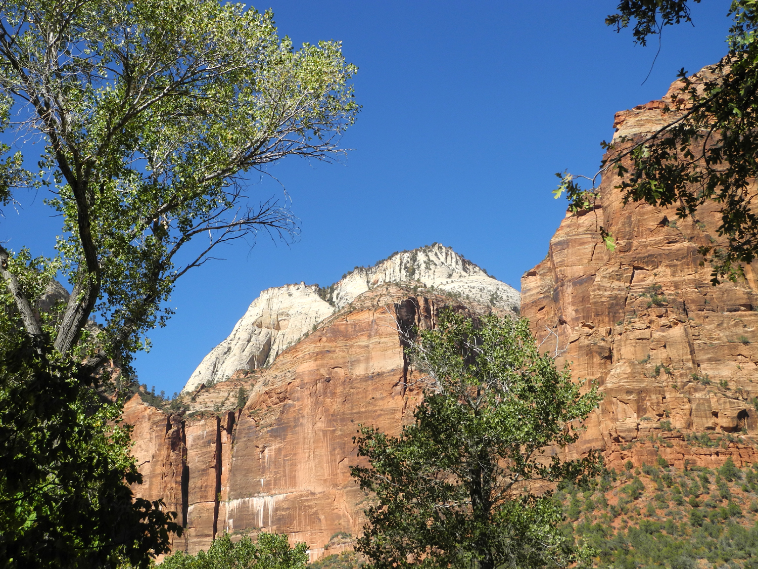
| Zion National Park | |||
|
|||
 |
|||
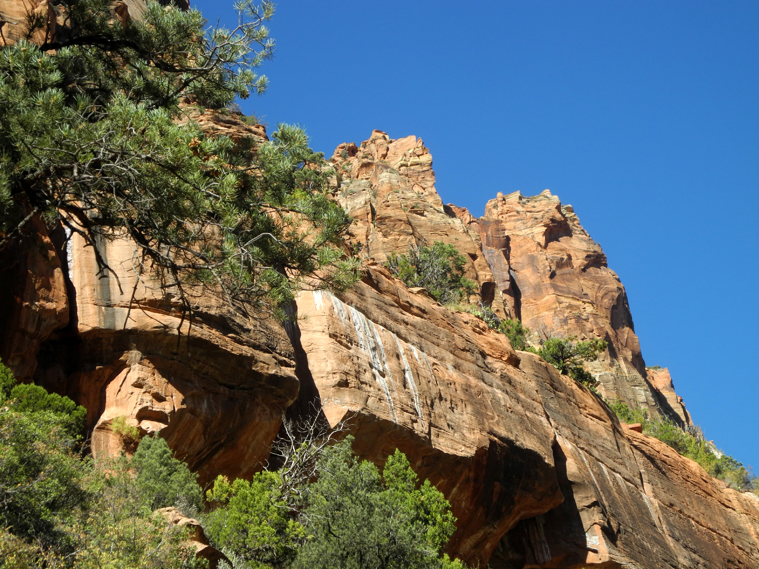
| This cliff, right across the Virgin River from our campsite, went through a series of changing colors as the sun went down each night | |||
 |
 |
 |
|
| View from along the Pa'Rus Trail | Contrasting
colors and shapes as seen from the Emerald Pools Trail |
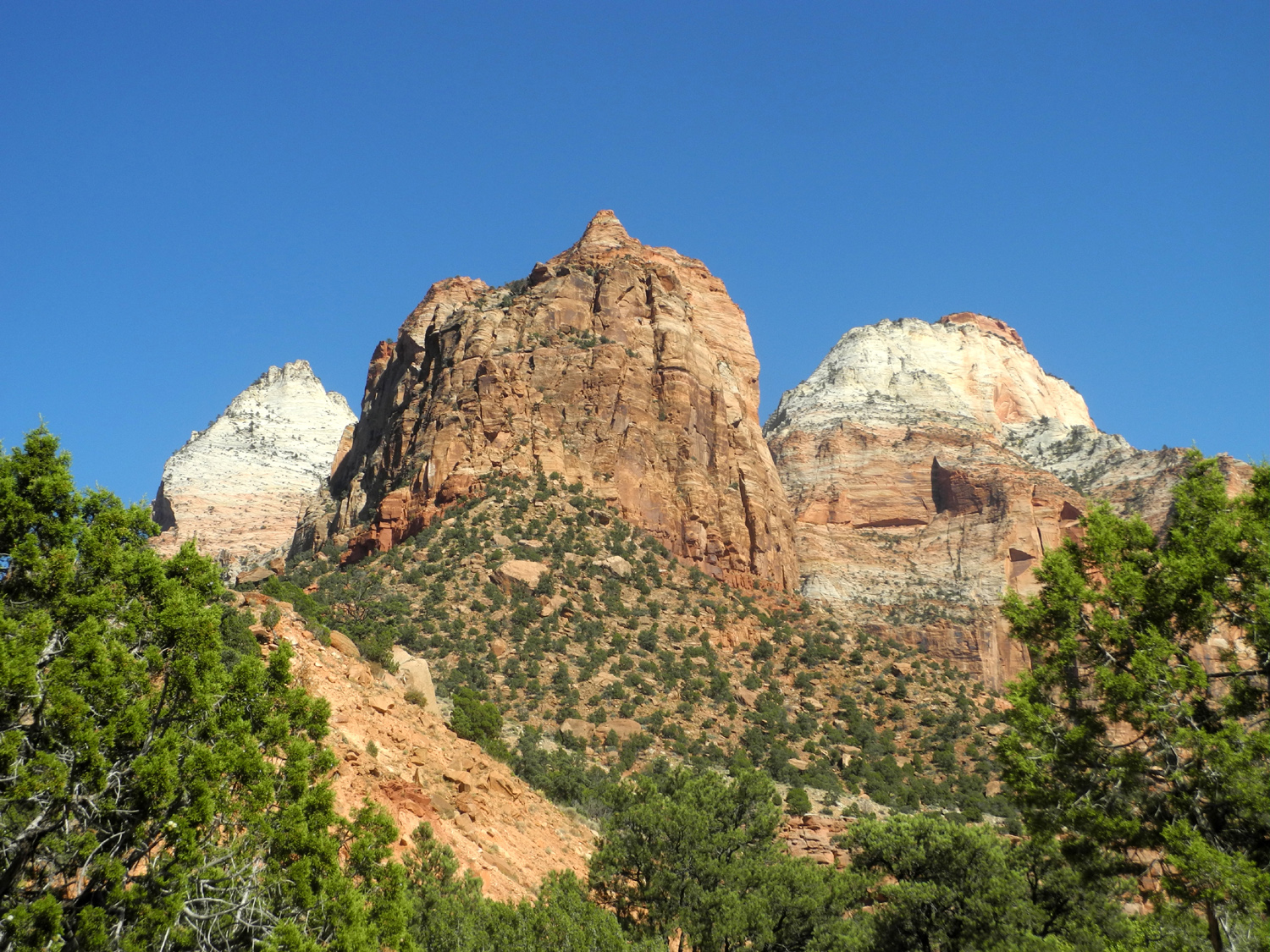
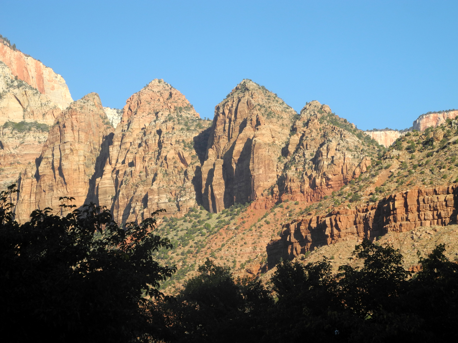
A series of four peaks from the Emerald Pools Trail | |
 |
 |
 |
|
| Cactus reminds us that this is desert country | Water falling into the lower Emerald Pool | View from just
above the lower pool; upper pool is against the cliff in the center |
|
 |
 |
 |
|
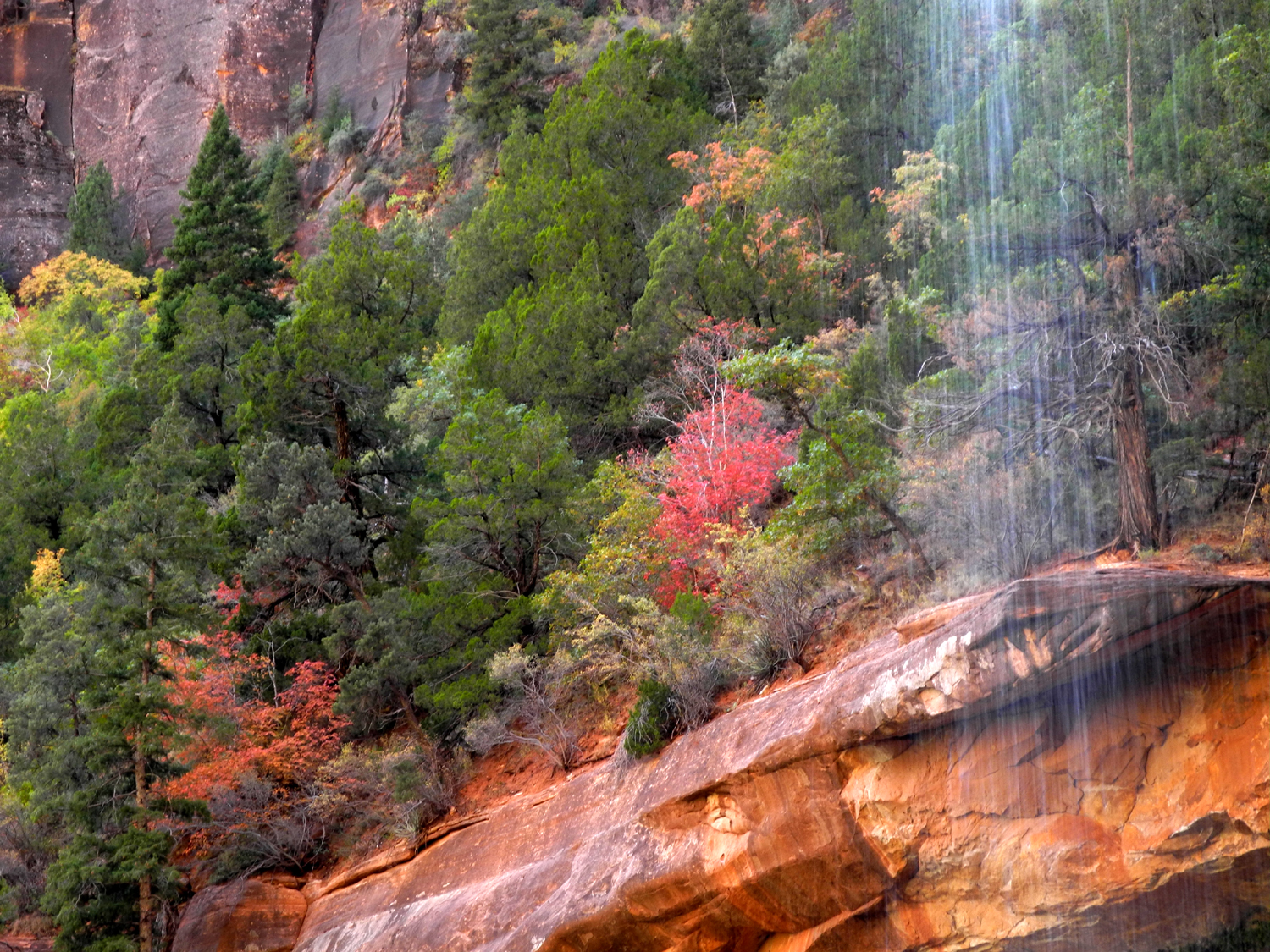
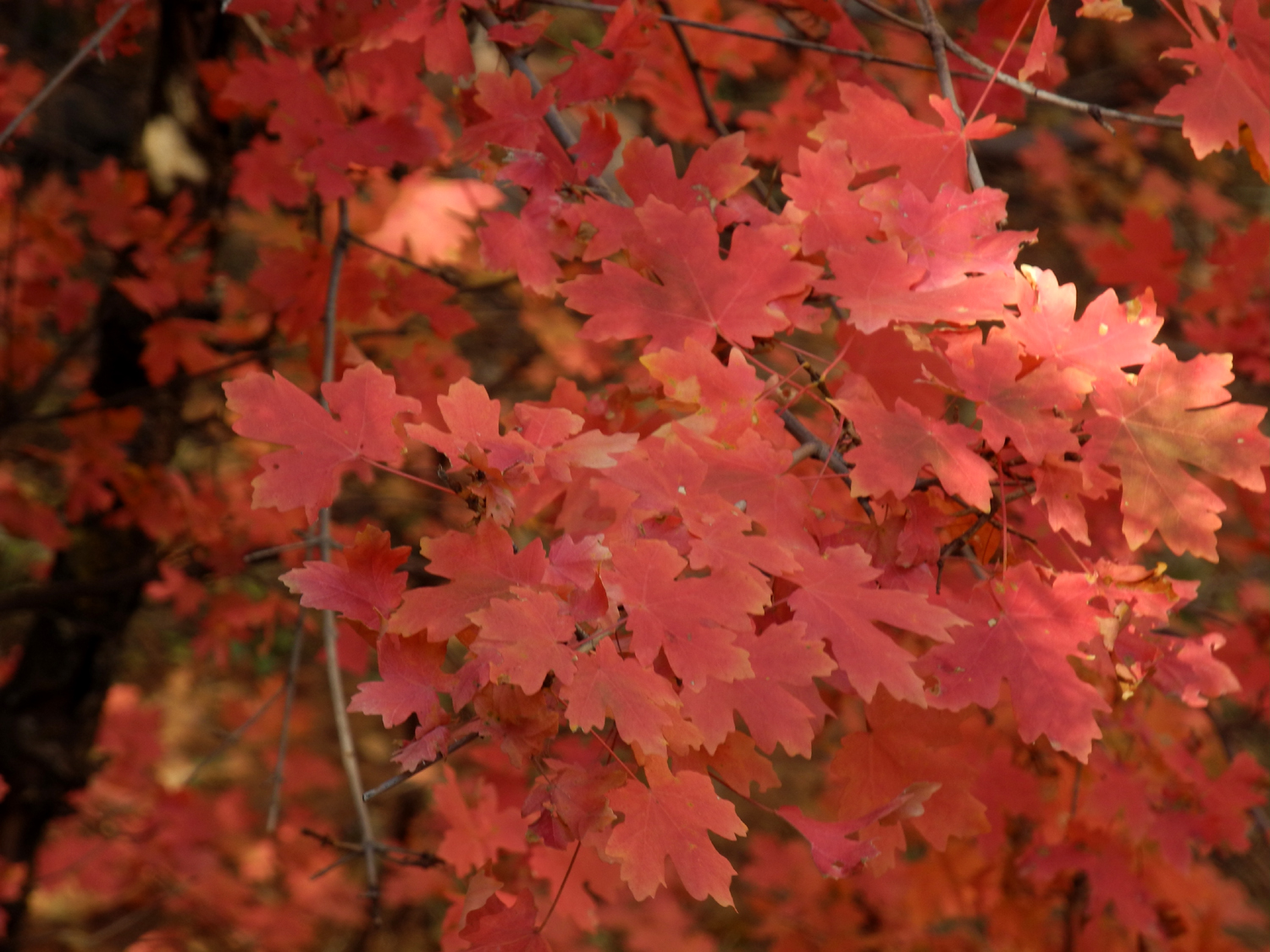
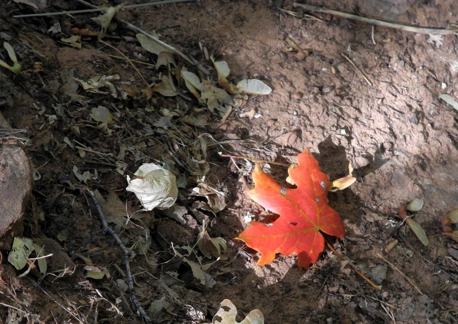
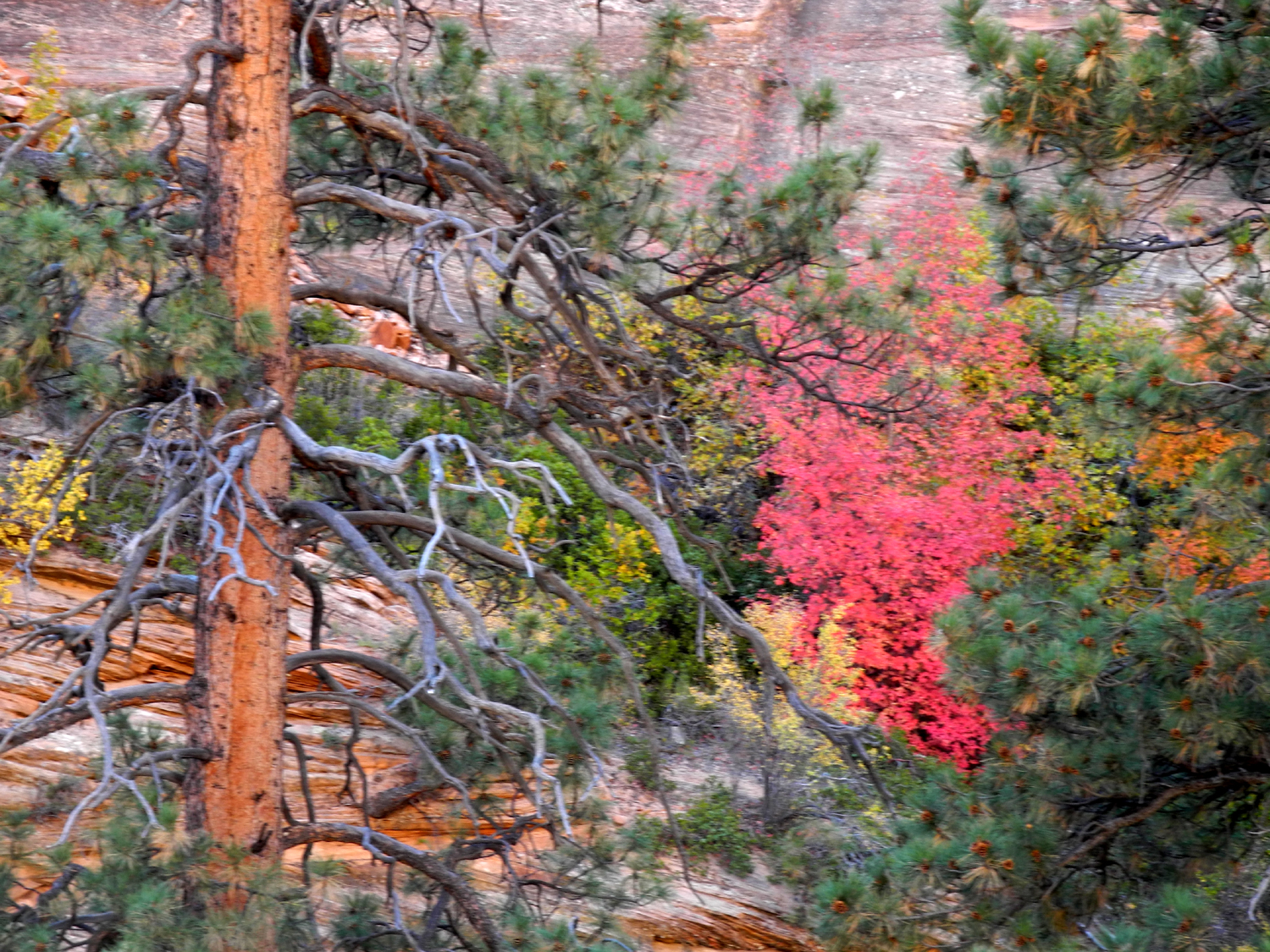
| Bigtooth maple provided spots of brilliant scarlet throughout the park | |||
 |
 |
 |
|
|
Looking out
from the darkness of |
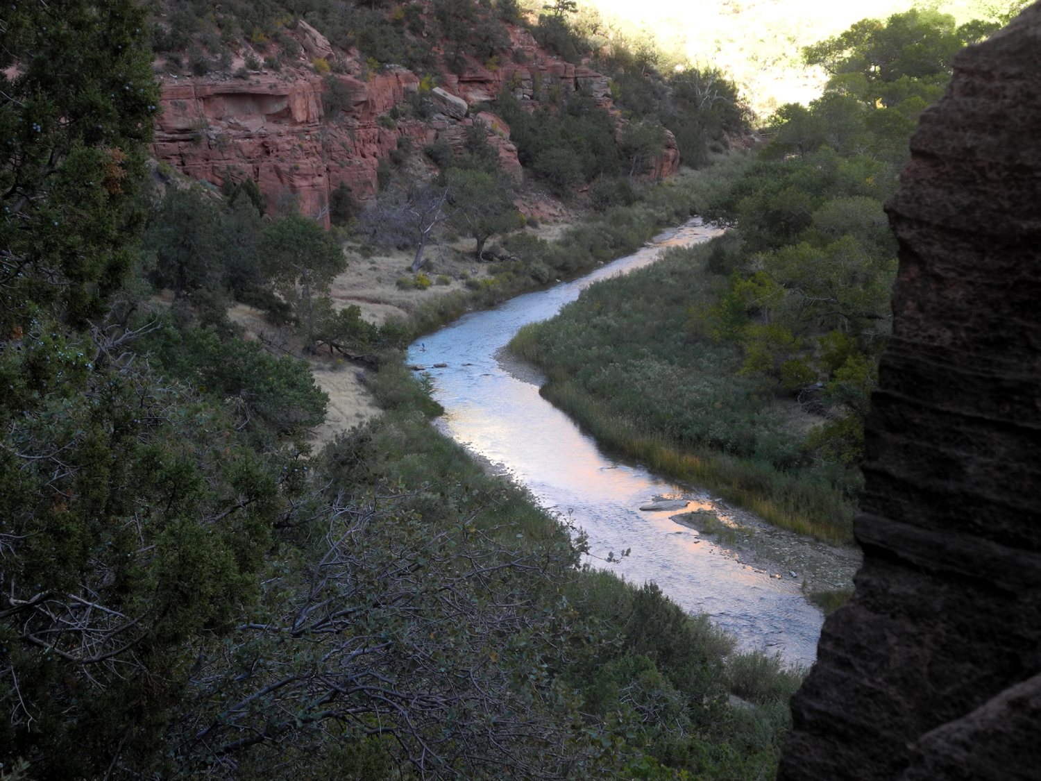
The Virgin River shines in the late afternoon sun | Cliffs near Zion Lodge | |
 |
 |
 |
|
|
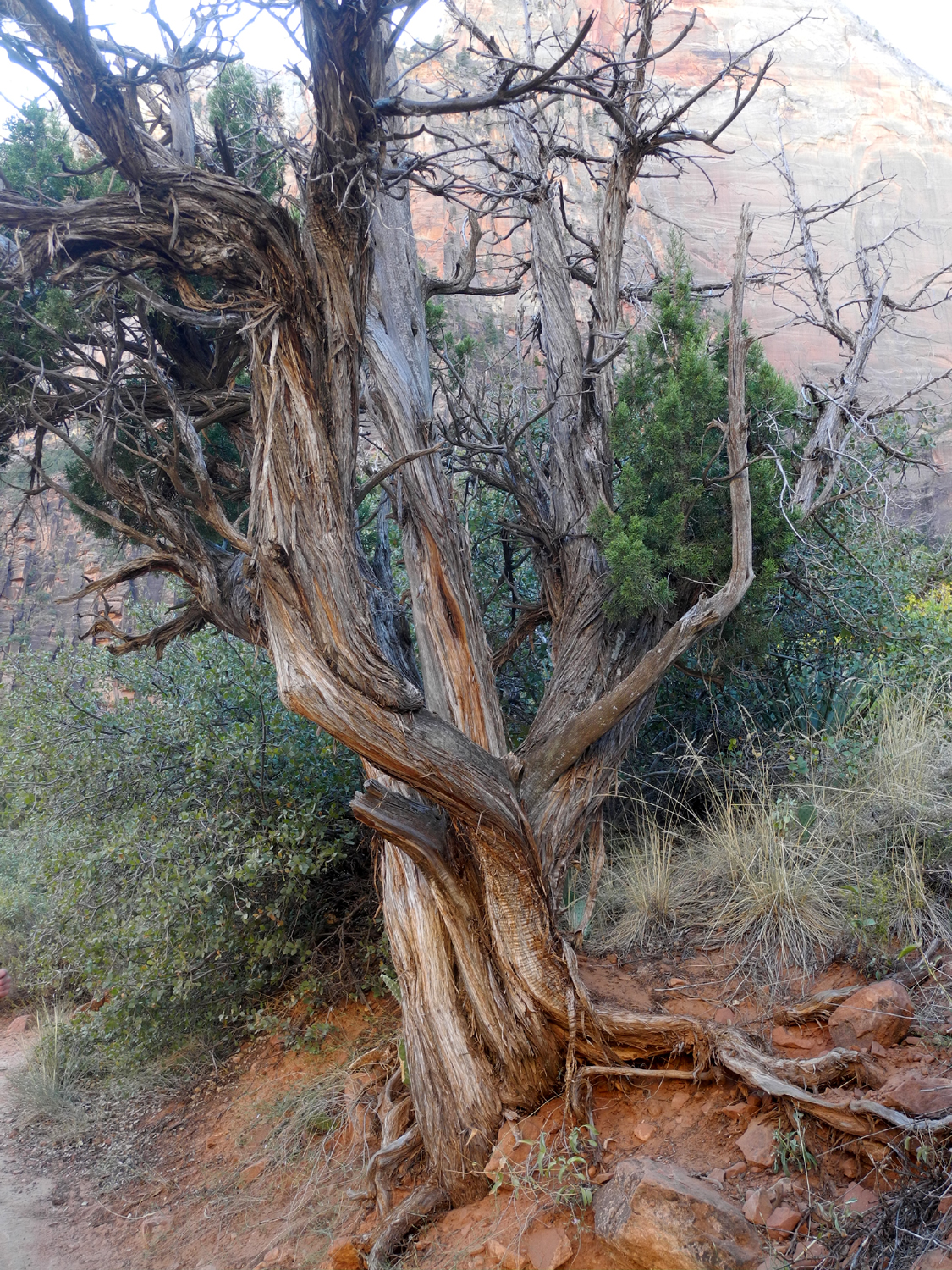
Juniper along
the final section of |
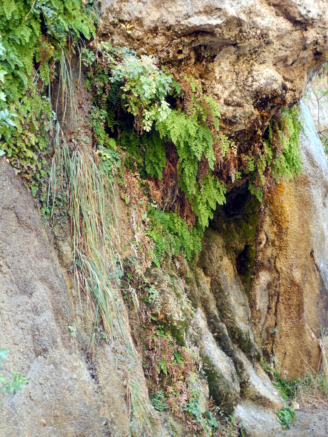
Hanging gardens along the Riverside Walk | We saw at
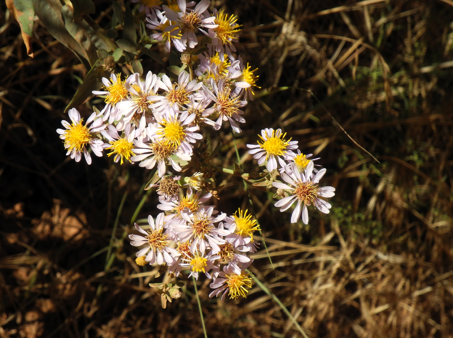
least a half dozen different flower species |
|
 |
 |
 |
|
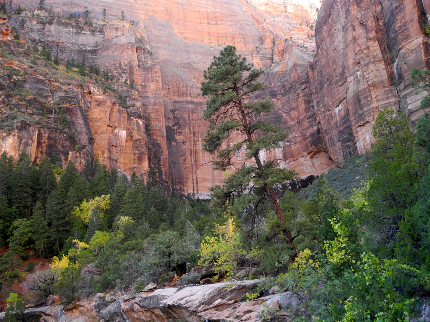
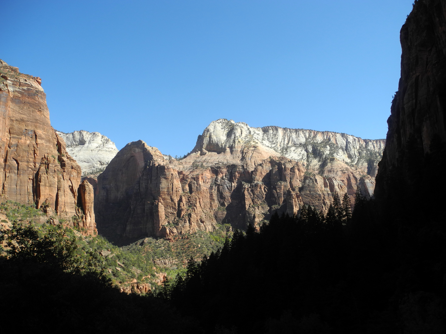
| Cliffs above the Sand Bench Loop | Ponderosa pine
and bigtooth maple offer contrast along Highway 9 |
Teri steps into the Virgin River to hike the Narrows | |
 |
 |
 |
|
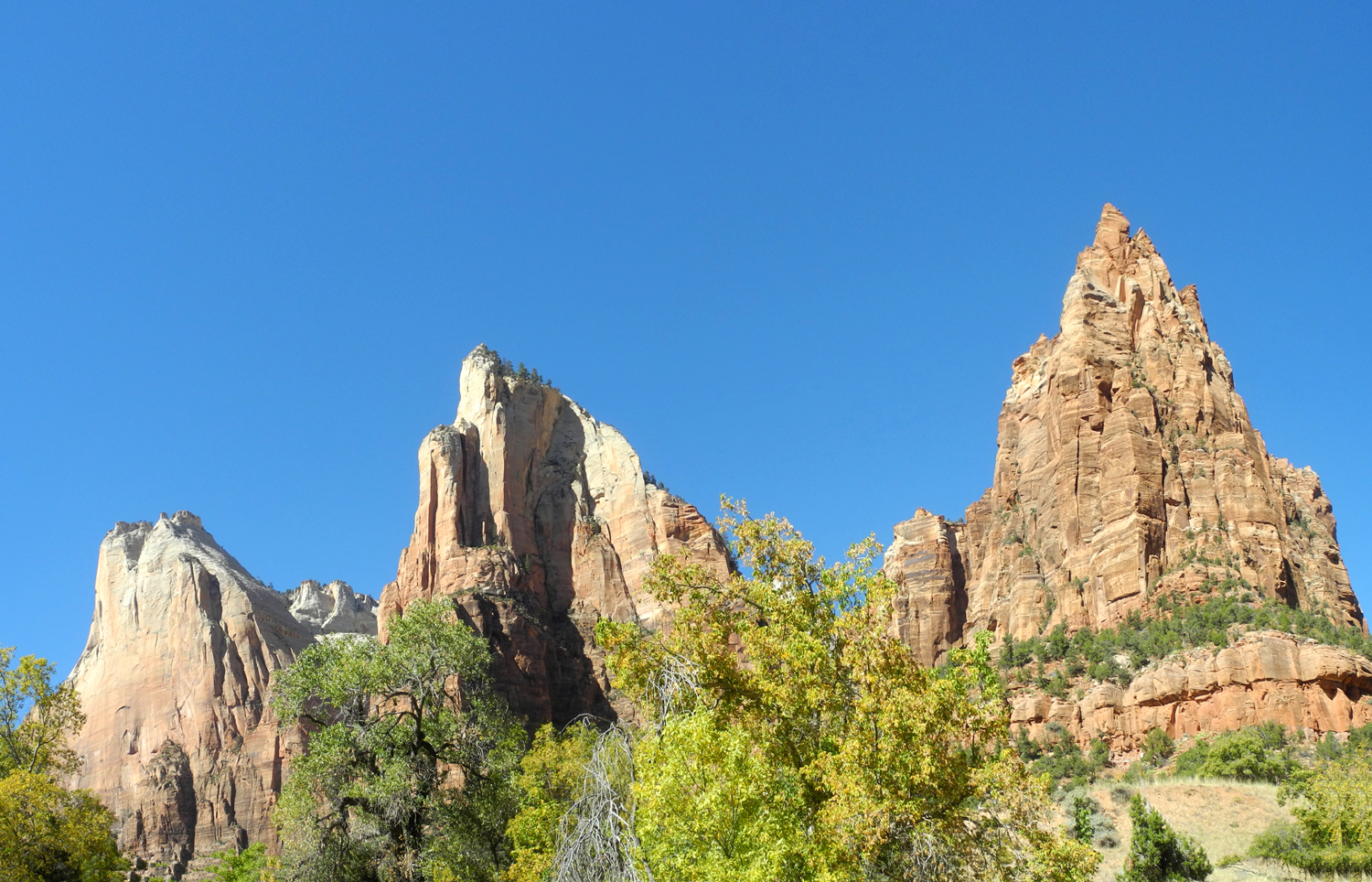
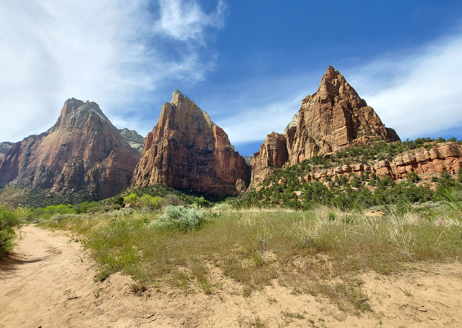
| No place to walk but in the water | In the Court of the Patriarchs | Another view | |
| Zion National Park Official Site | |||
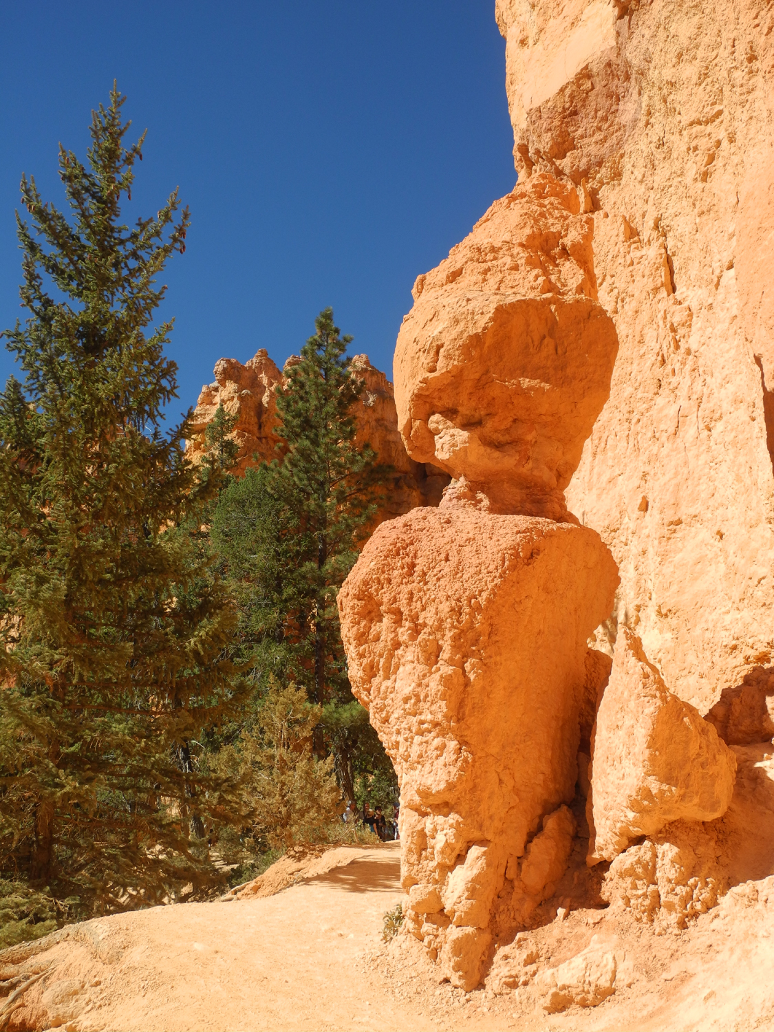
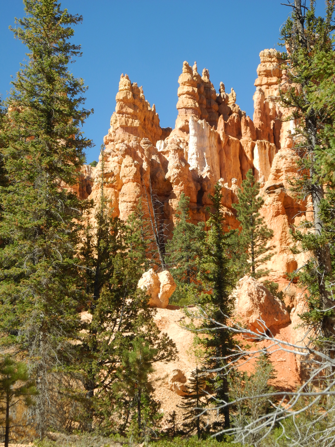
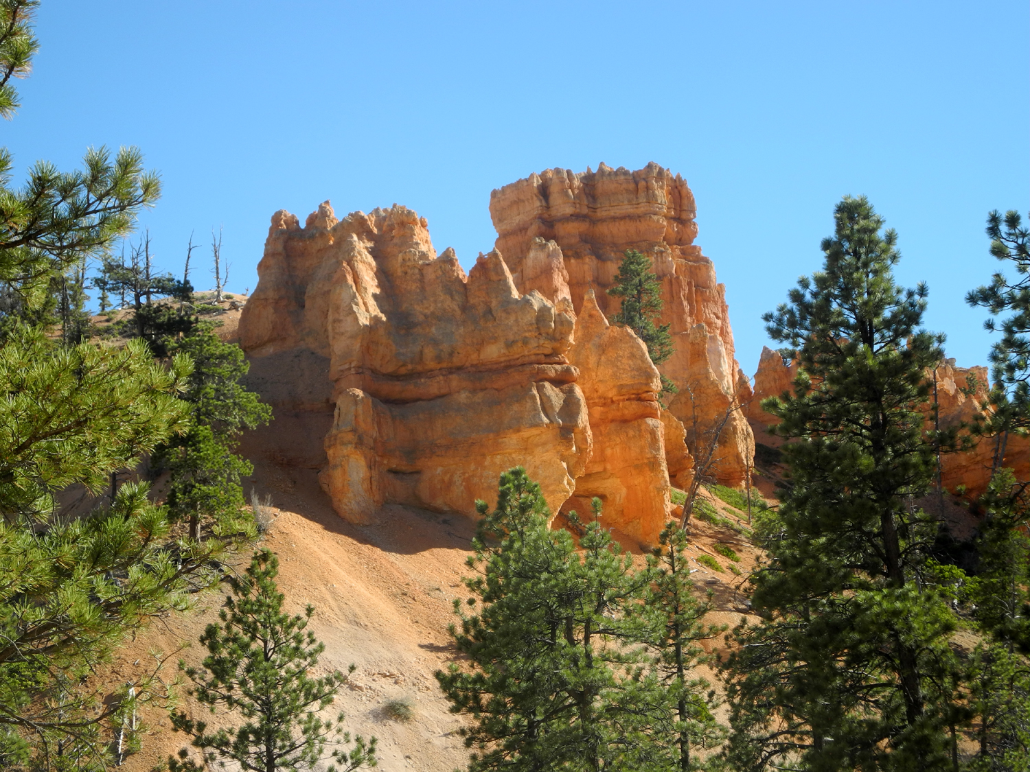
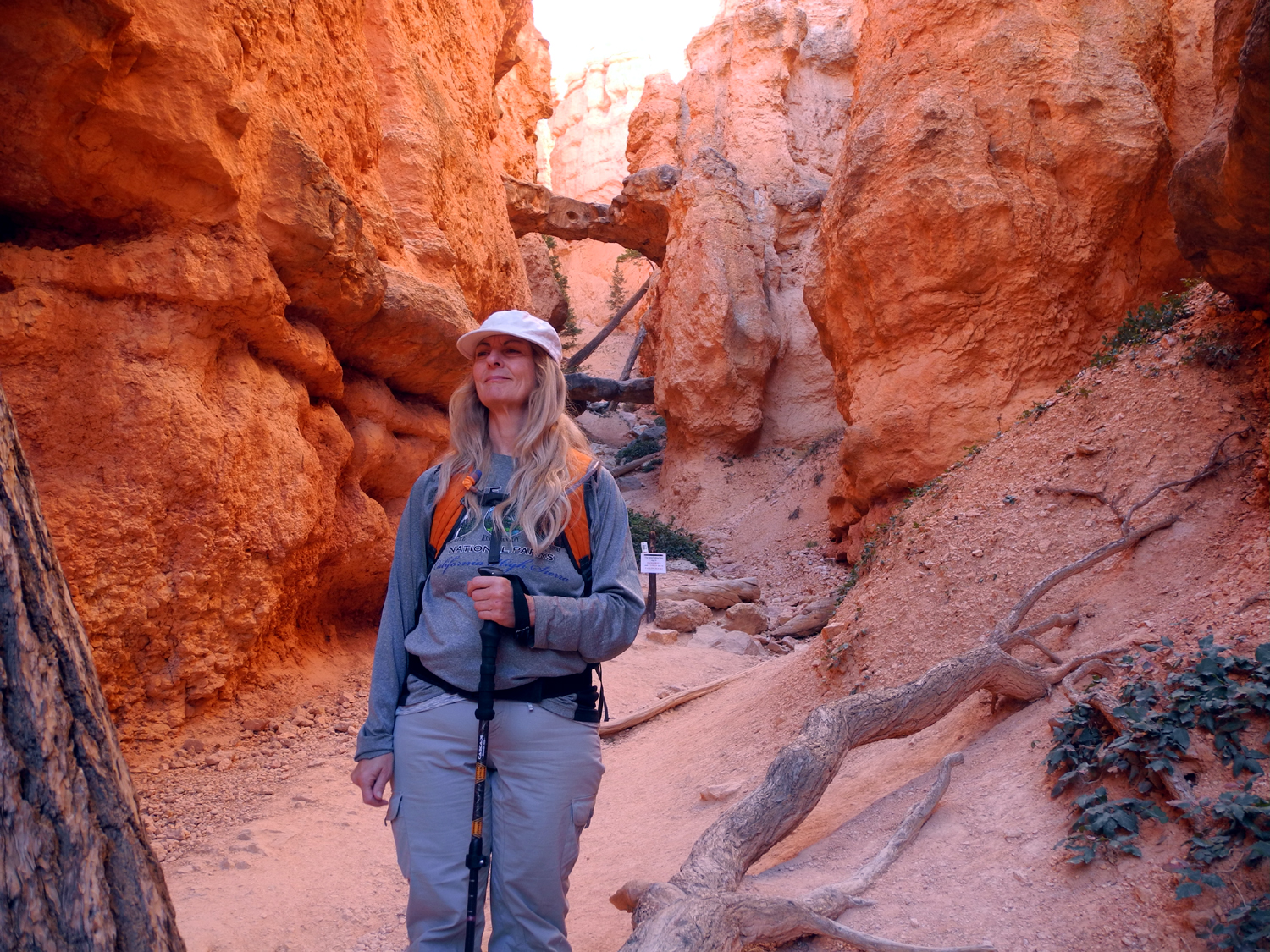
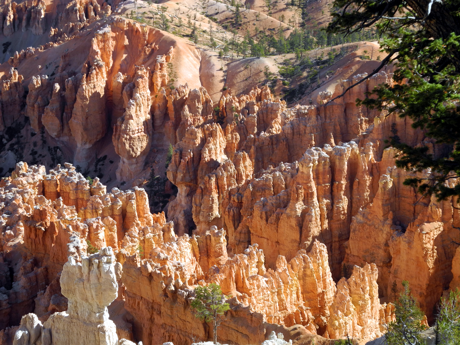
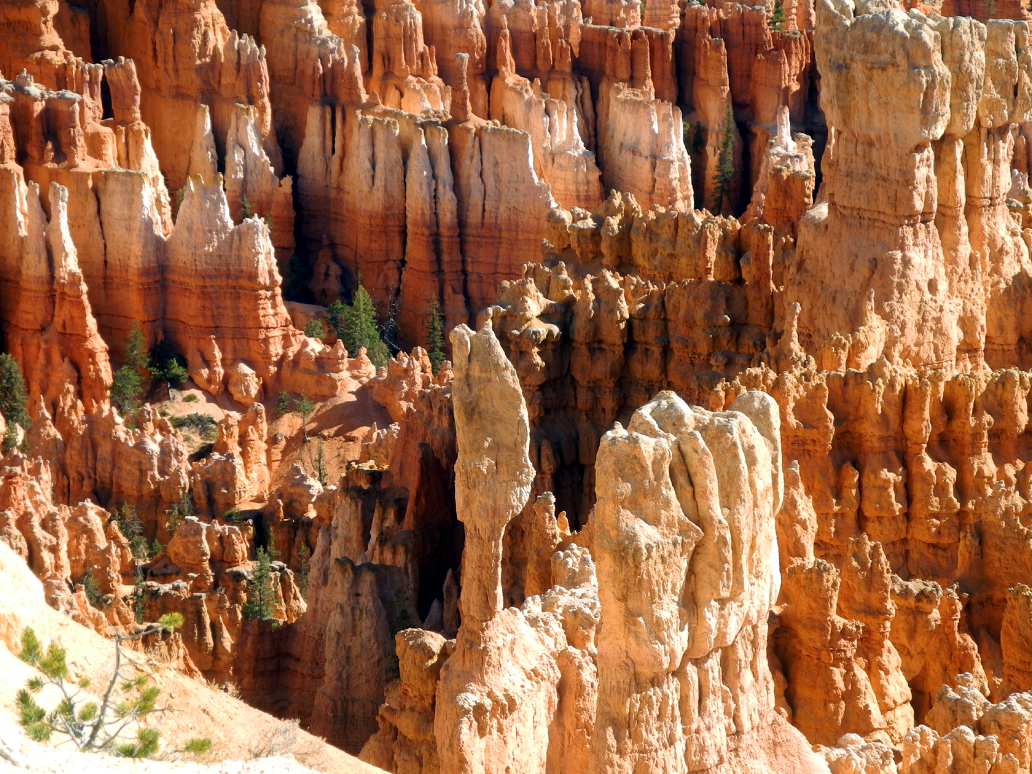
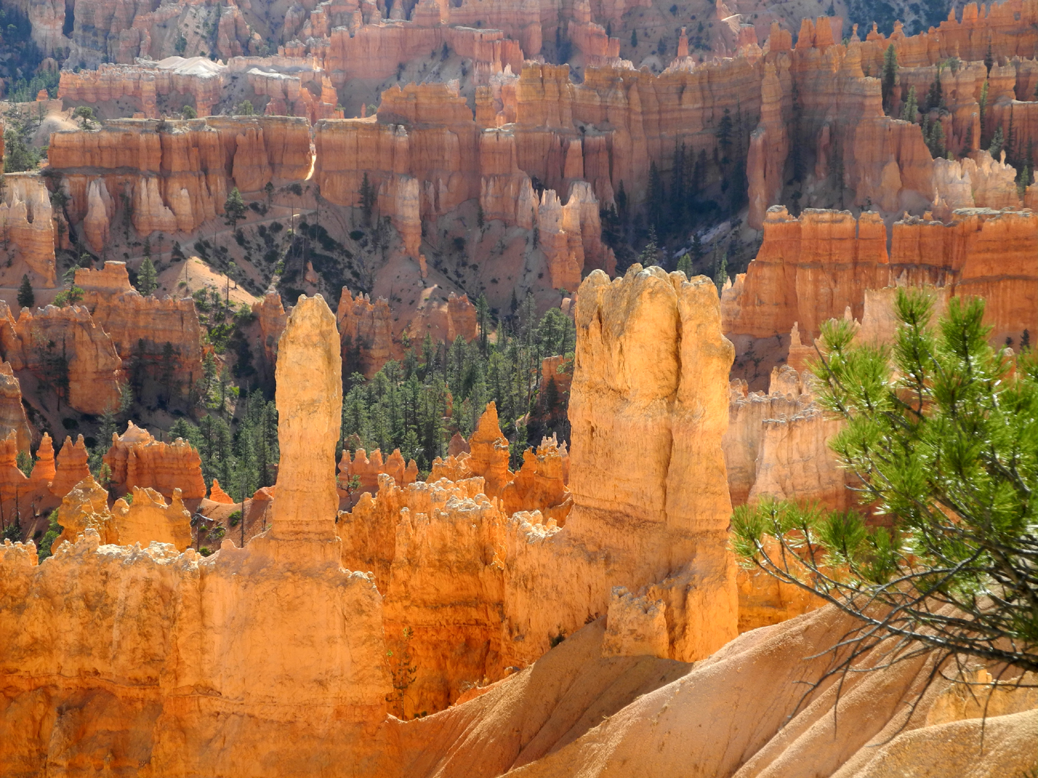
| Bryce Canyon National Park | |||
|
|||
 |
 |
 |
|
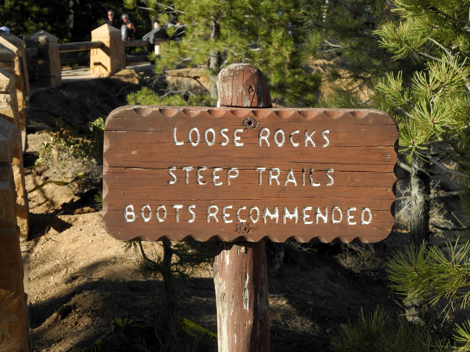
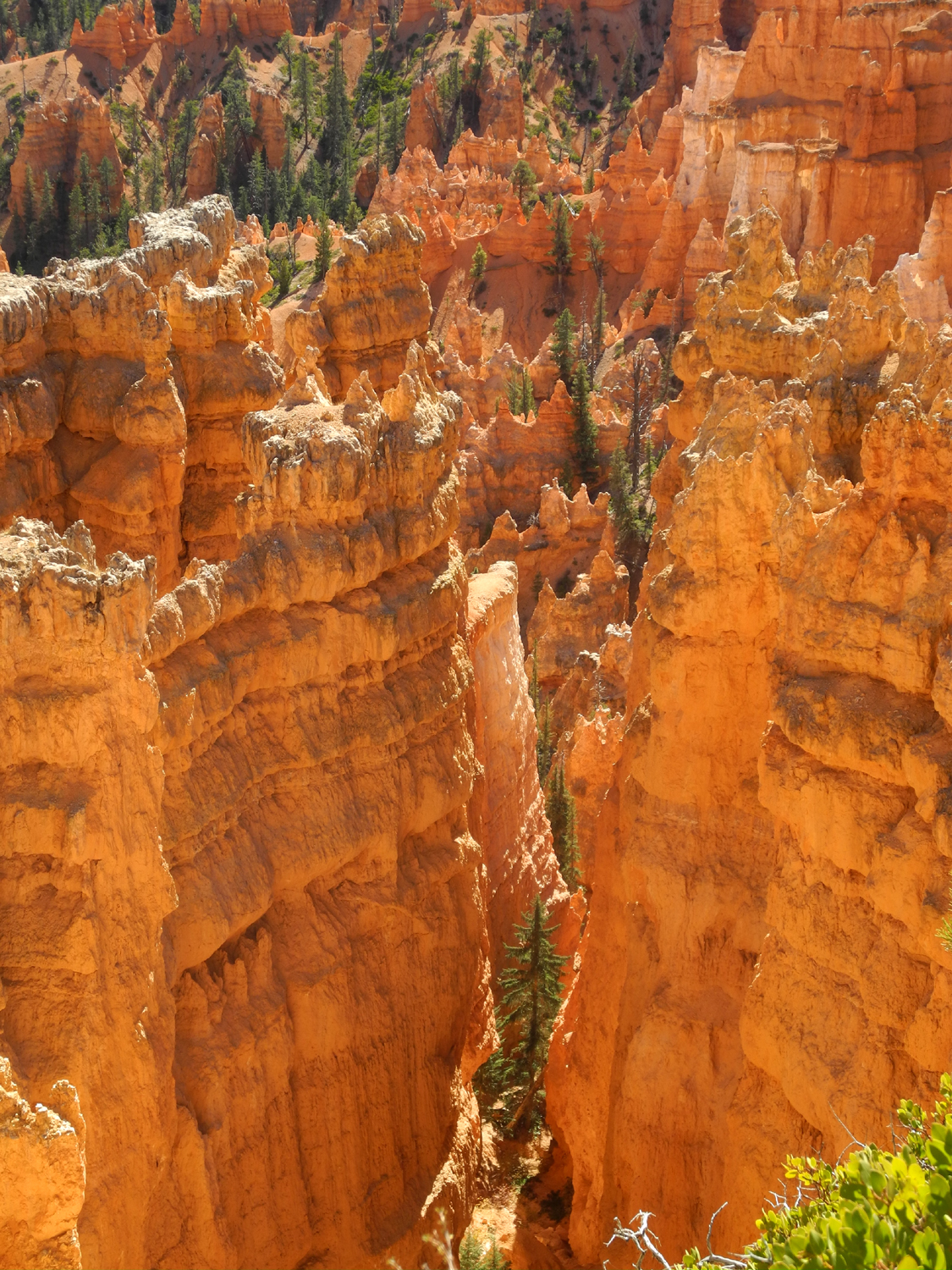
| You've been warned! | Looking down a narrow slot below the rim | The
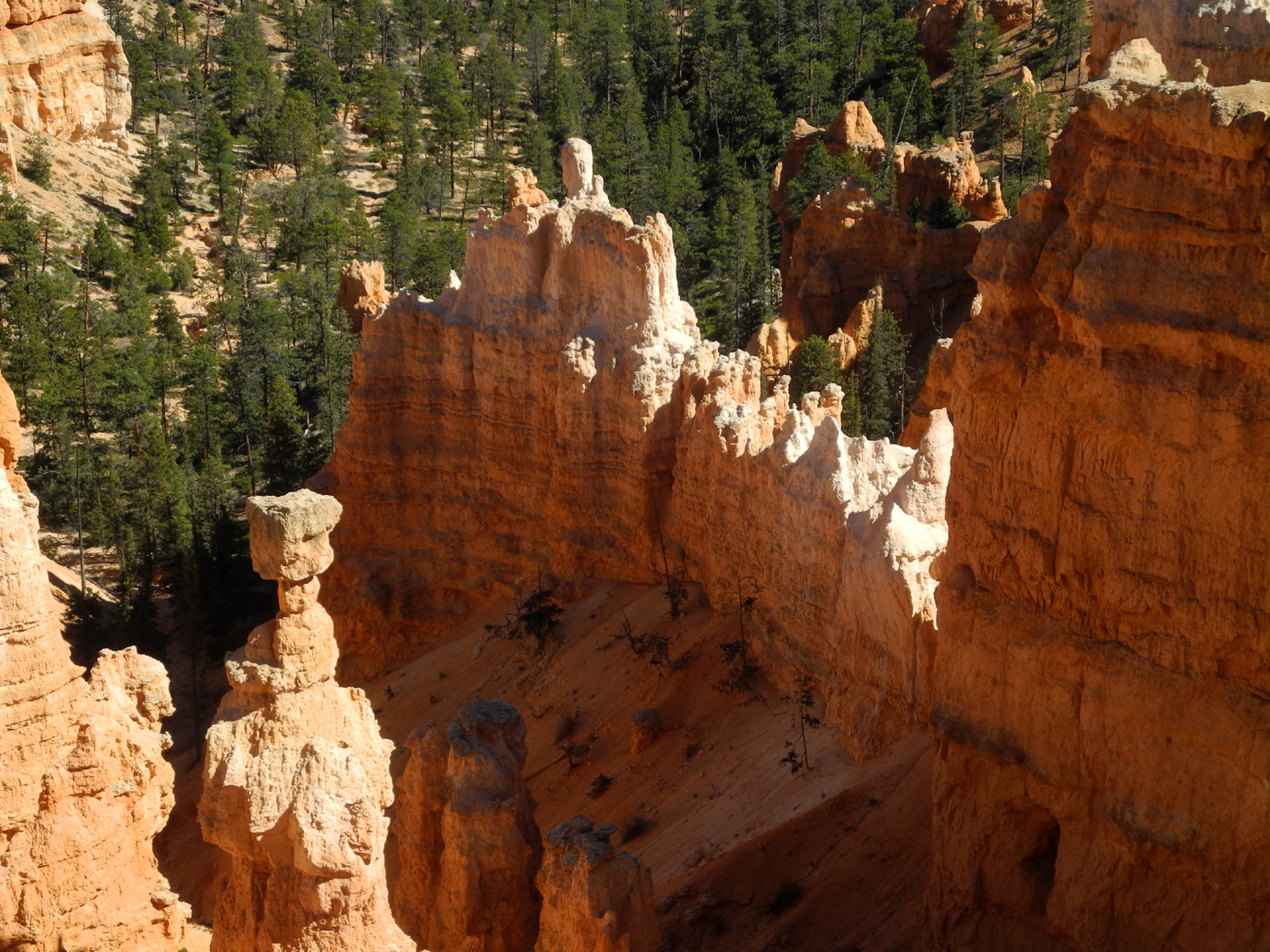
"balanced rock" formation at center left is Thor's Hammer |
|
 |
 |
 |
|
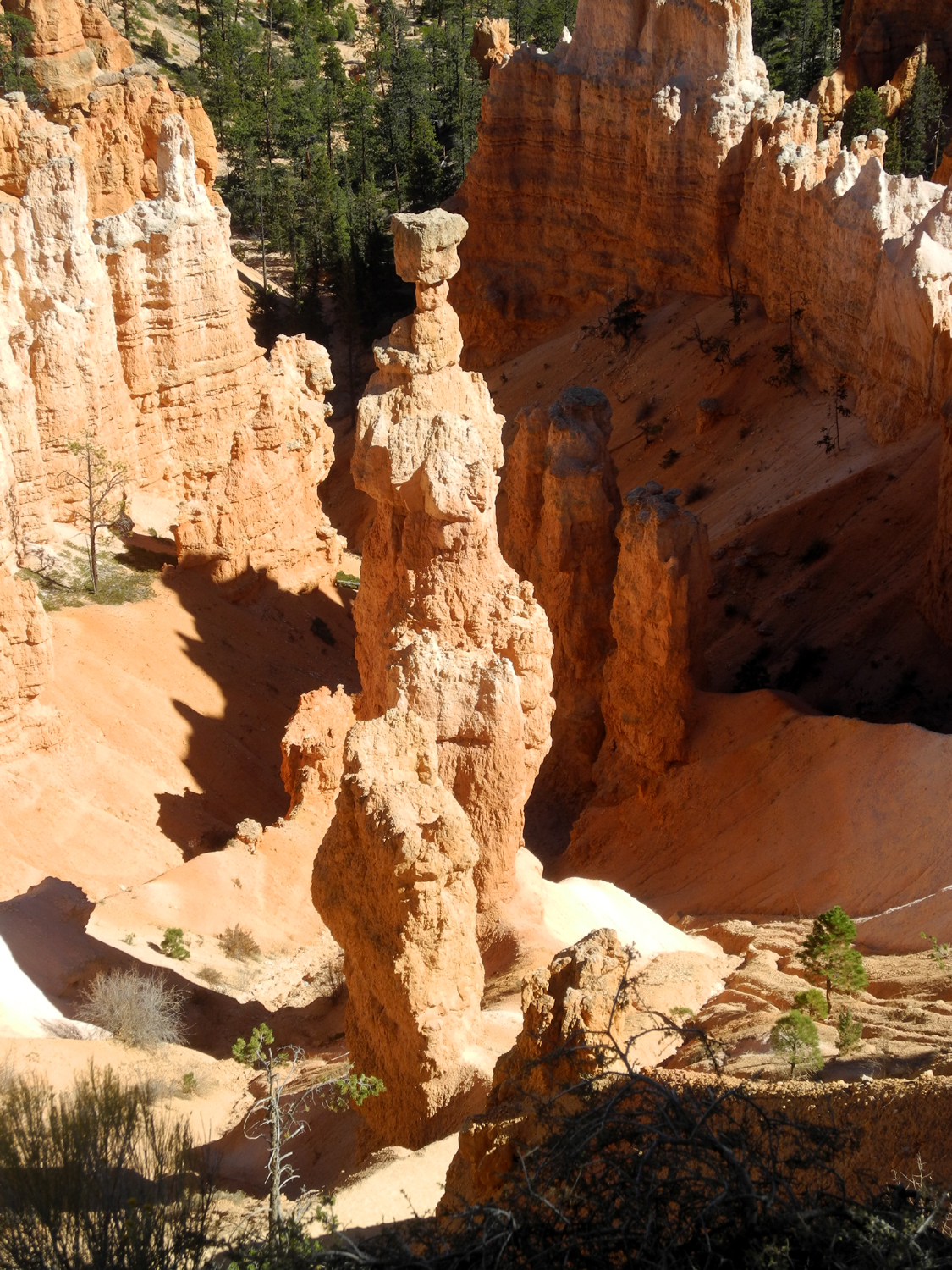
| Another view of the Hammer | Odd shapes along the Navajo Loop | Looking up from the loop | |
 |
 |
 |
|
| This would make a good castle | Teri at the natural bridges | More sandstone towers | |
 |
 |
 |
|
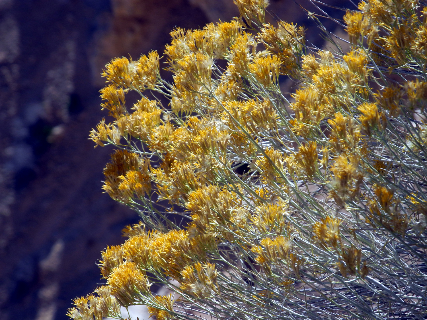
| View across the canyon from the rim | View from Bryce Point | This is probably rabbit bush | |
 |
 |
 |
|
| Views from the Rim Trail between Inspiration Point and Sunset Point | |||
 |
 |
||
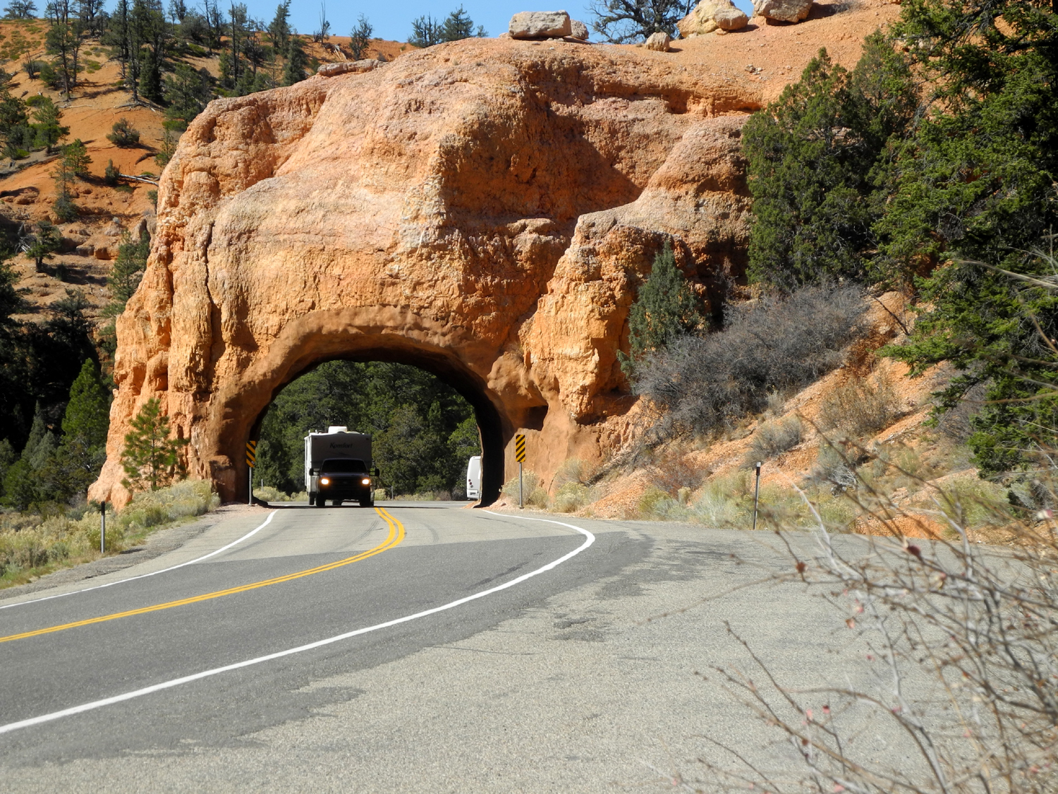
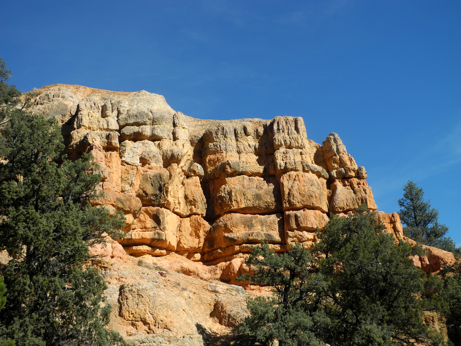
| Highway 12 tunnel at Red Canyon | Weathered cliffs at Red Canyon | ||
 |
|||
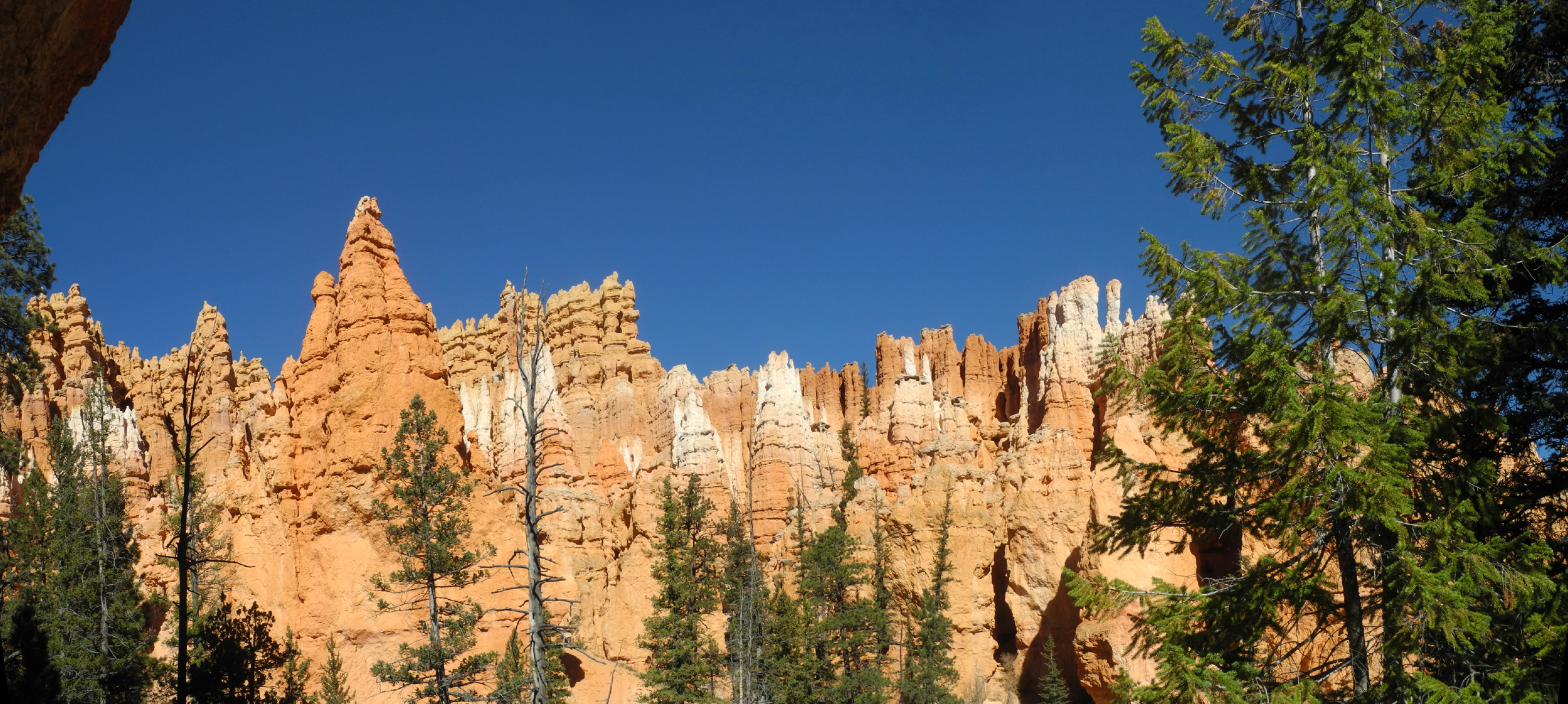
| Panoramic view from Navajo Loop | |||
 |
|||
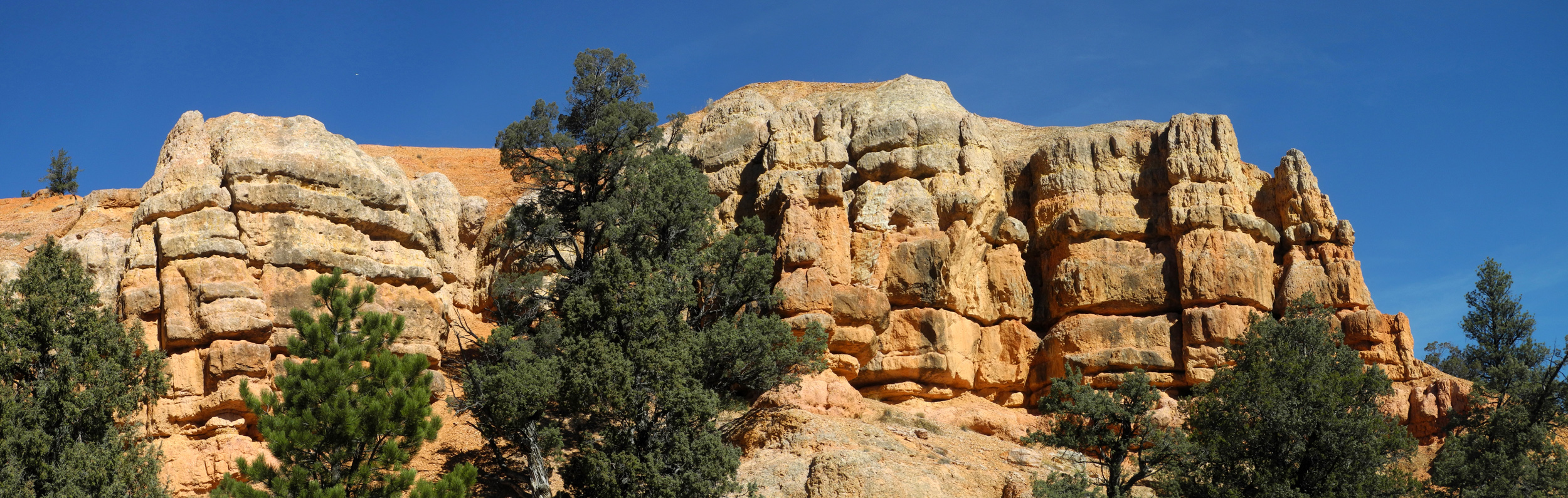
| Panorama of Red Canyon cliffs | |||
| Bryce Canyon National Park Official Site | |||
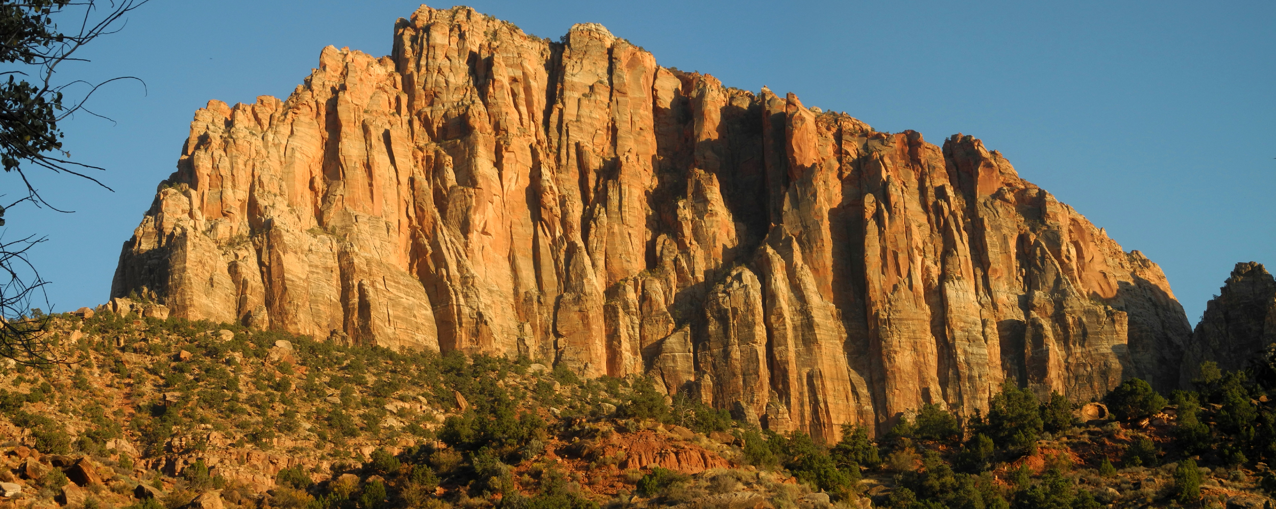
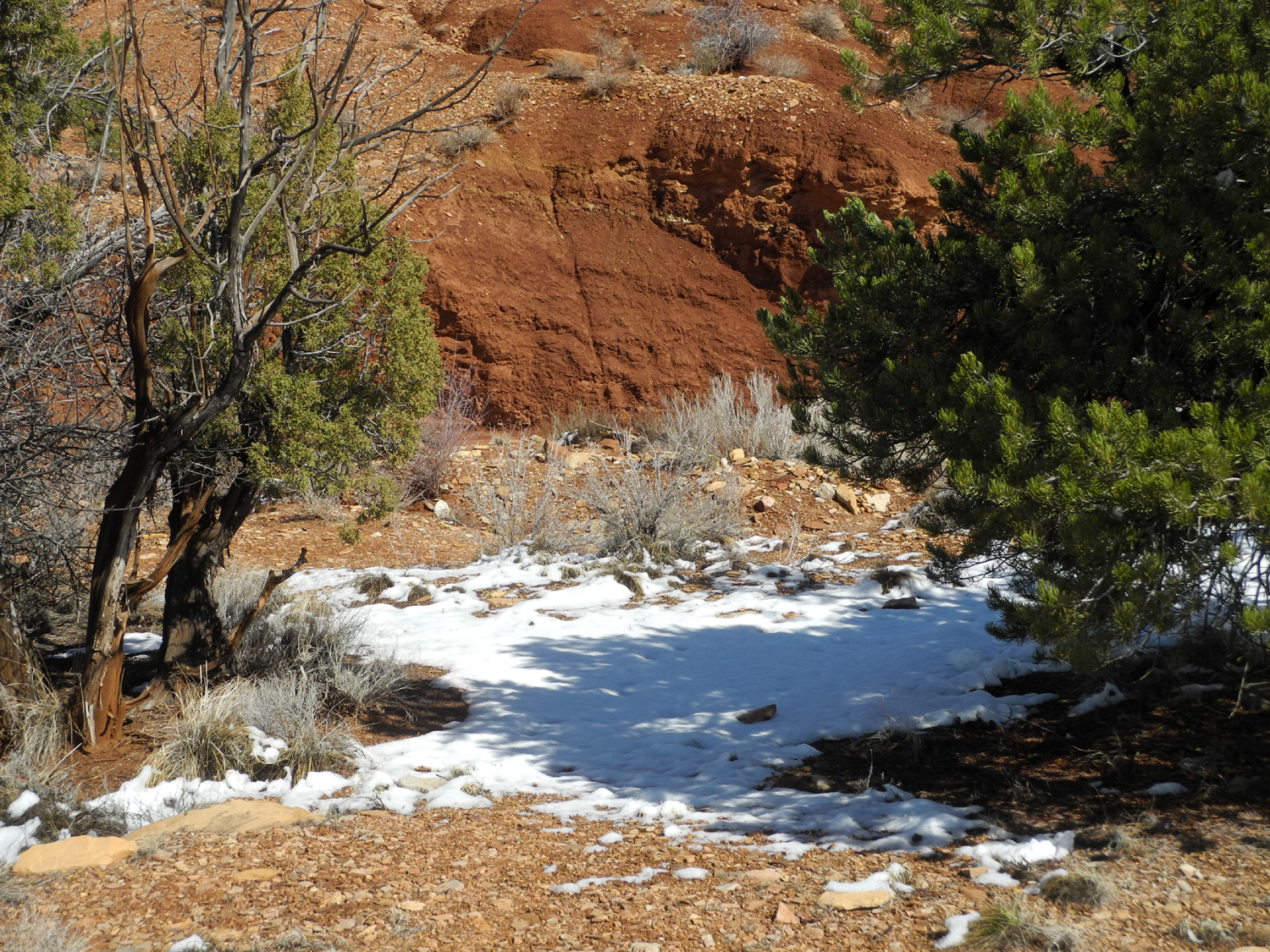
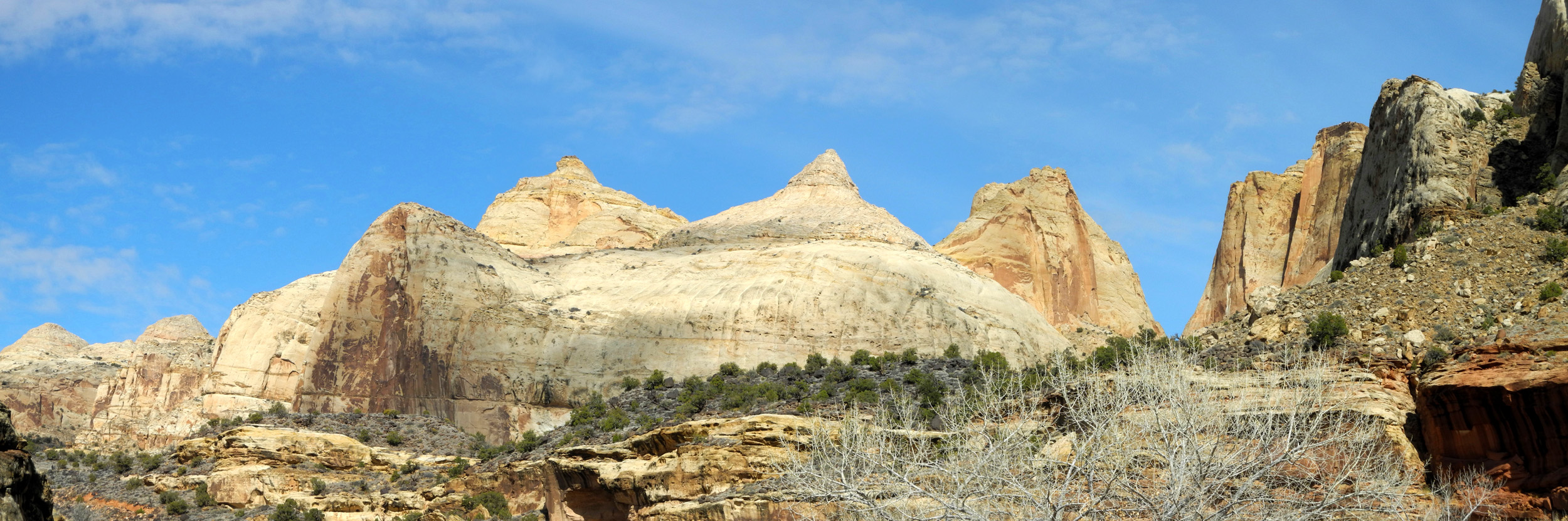
| Capitol Reef National Park | |||
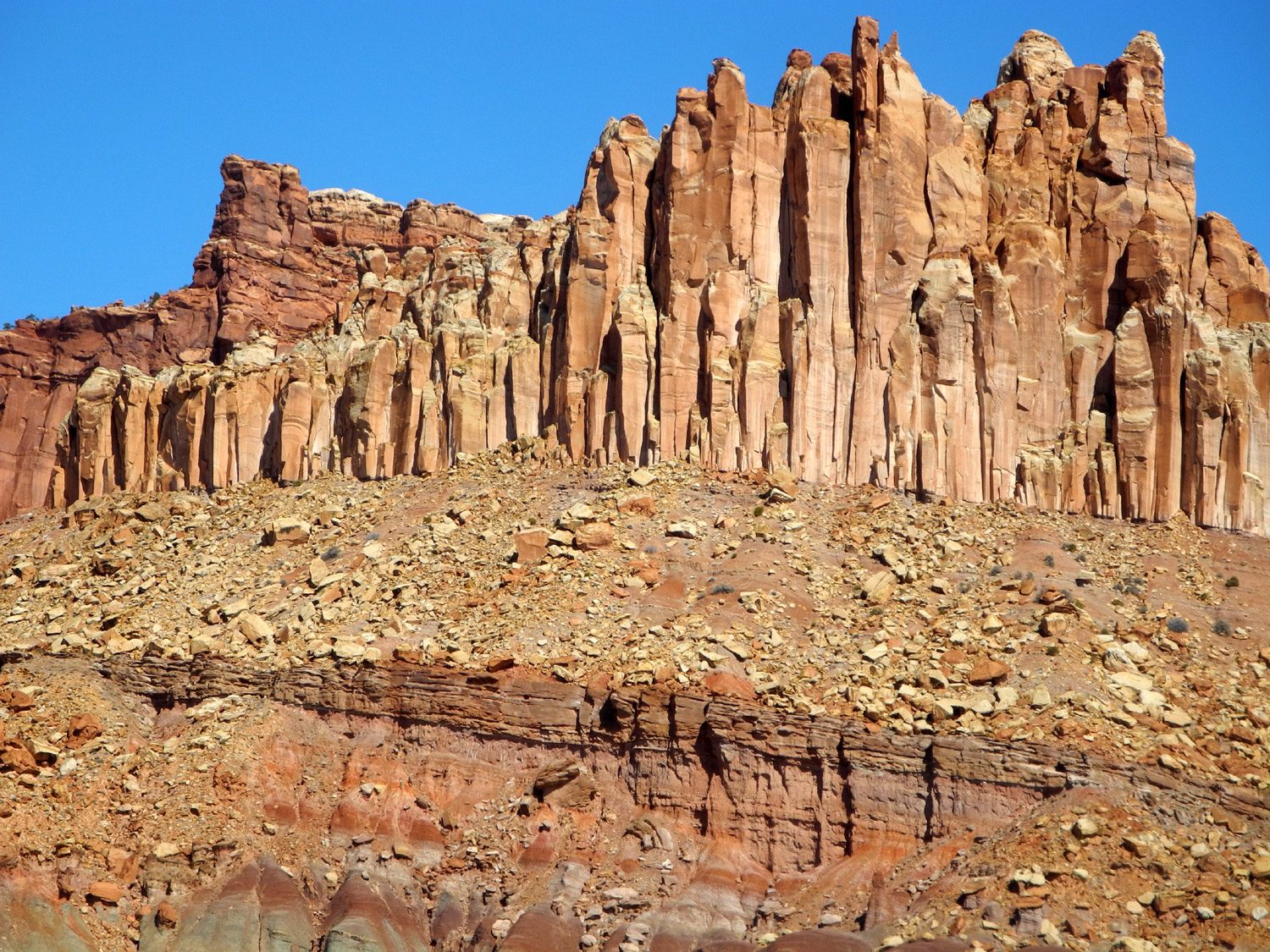 |
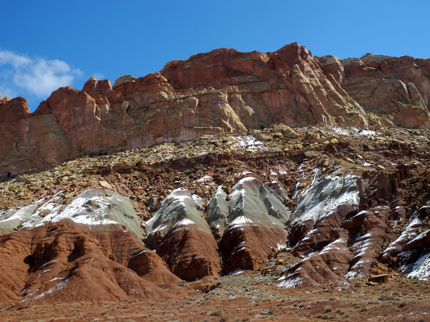 |
 |
|
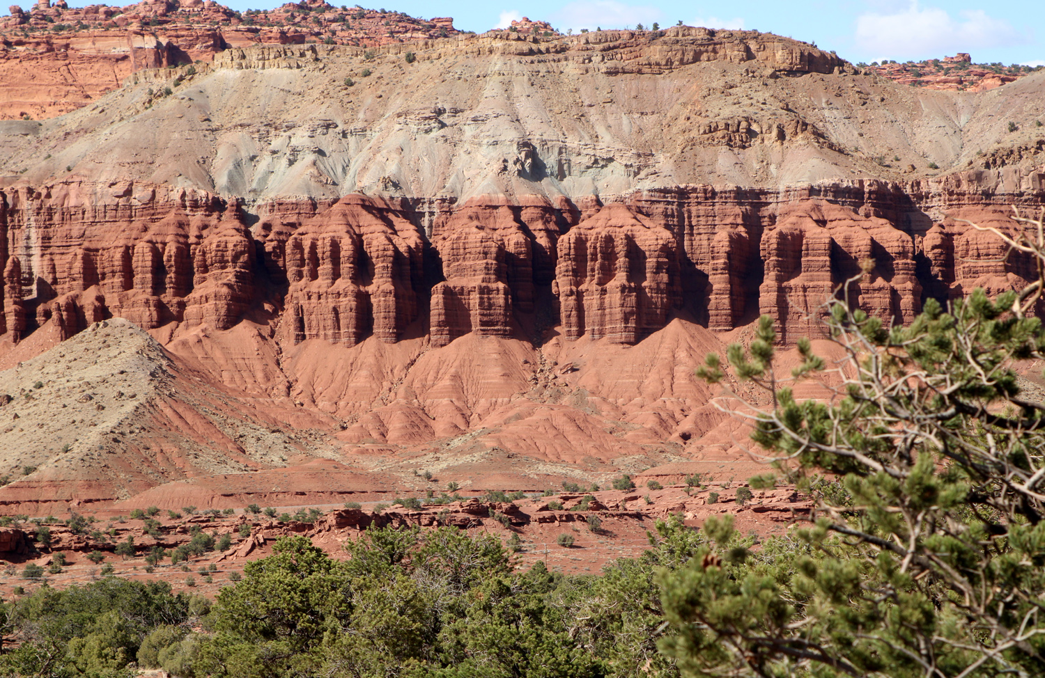
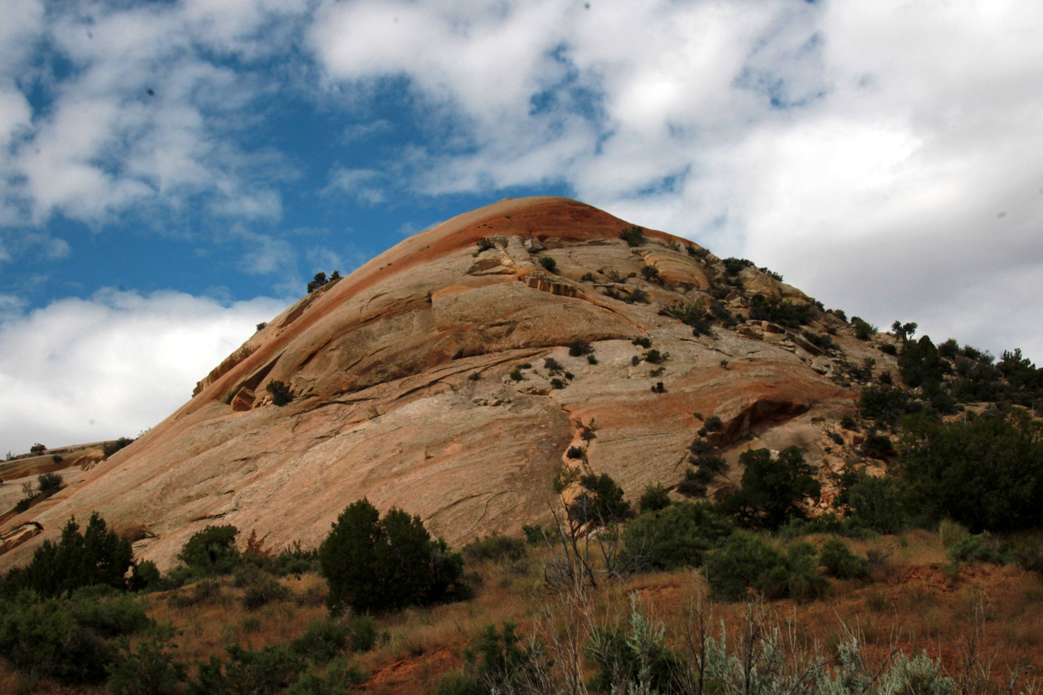
| Vertical fractures give this formation a unique look | The snow adds a frosted white layer to the red and gray sandstone |
Snow under the junipers in Capitol Reef | |
 |
|||
| Sandstone formations along the Fremont River | |||
 |
|||
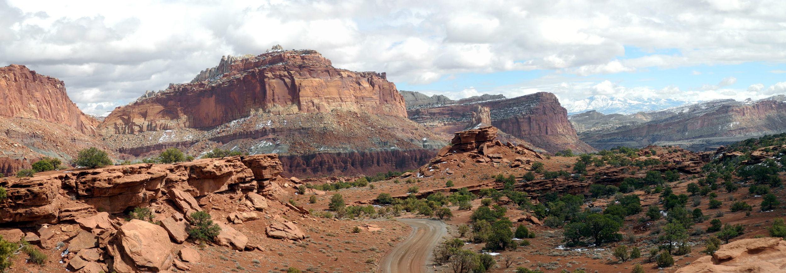
| Panoramic view from the park road west of visitor center | |||
 |
 |
 |
|
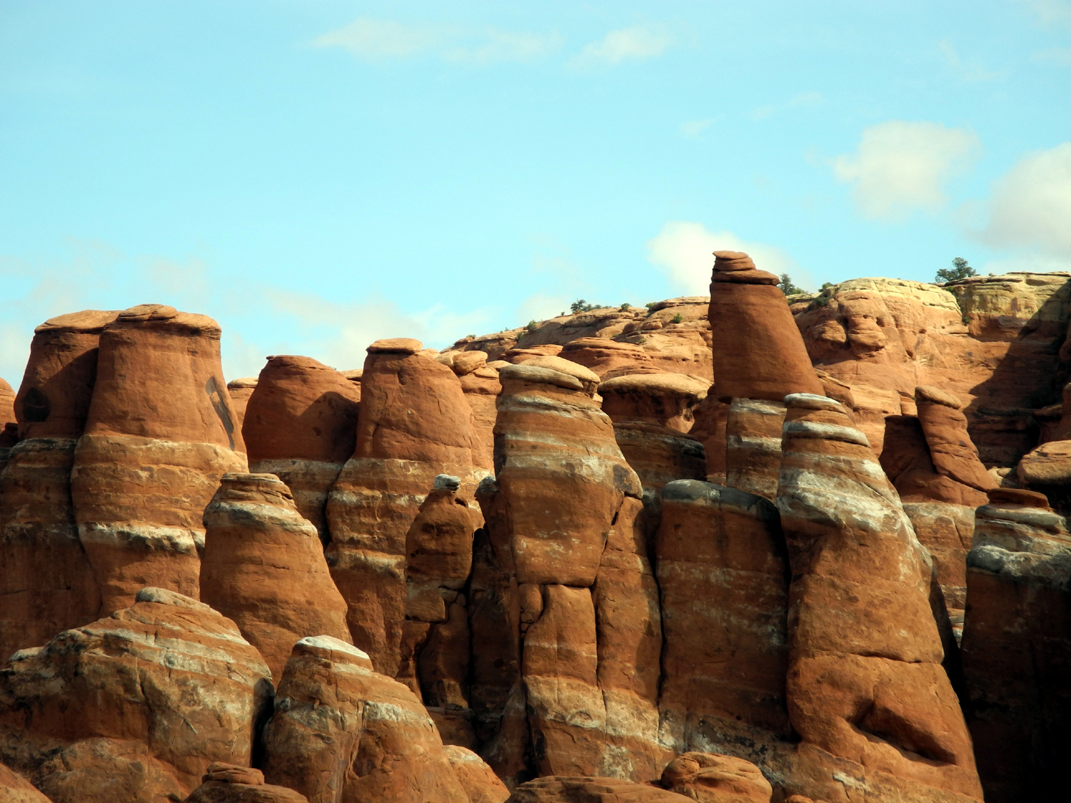
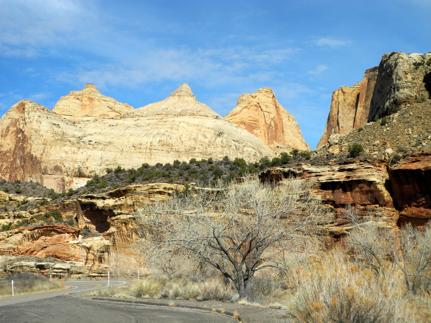
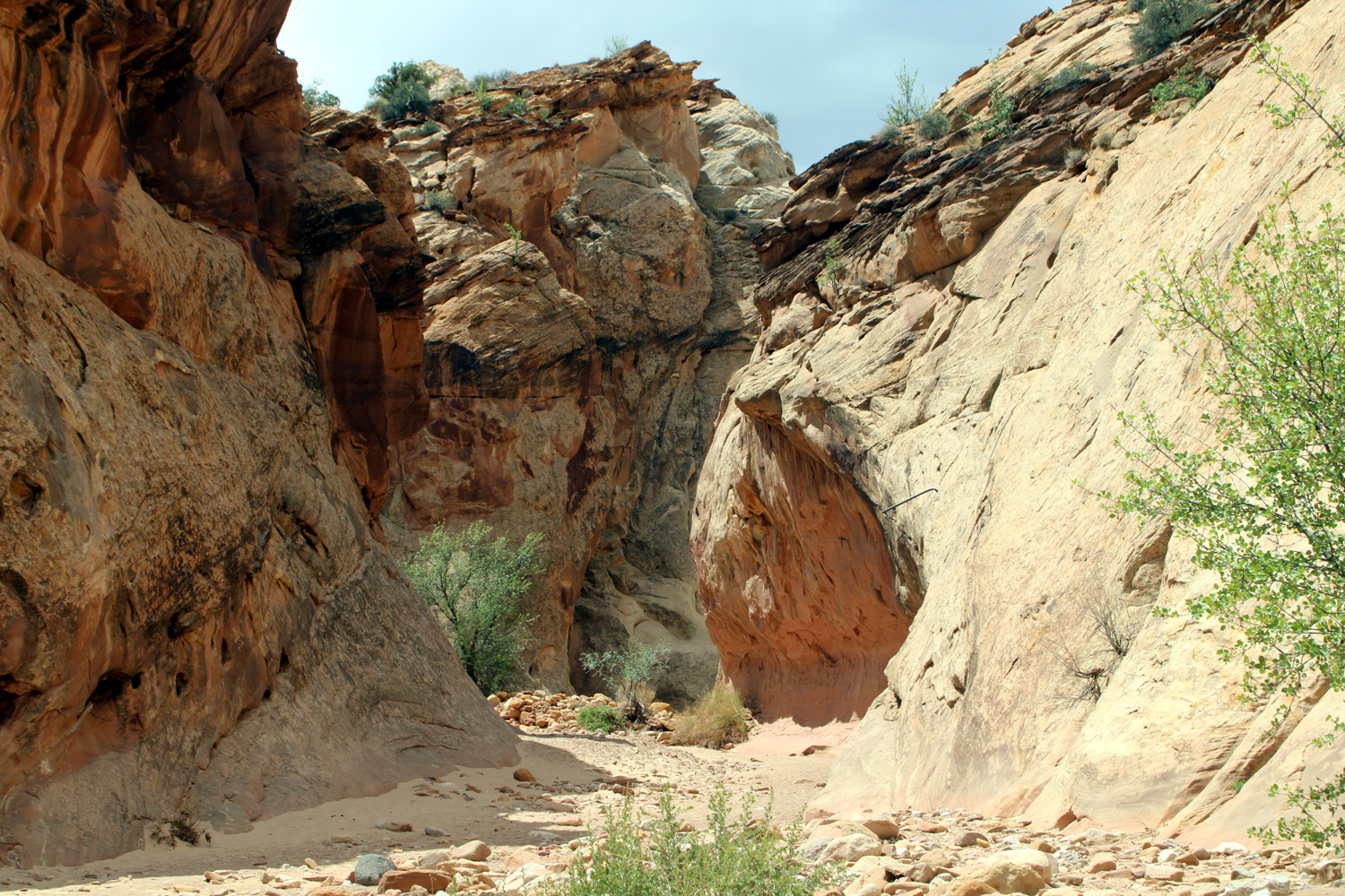
| View along the park road | The trail into Capitol Gorge | Sandstone columns in groups of two to five | |
| Capitol Reef National Park | |||
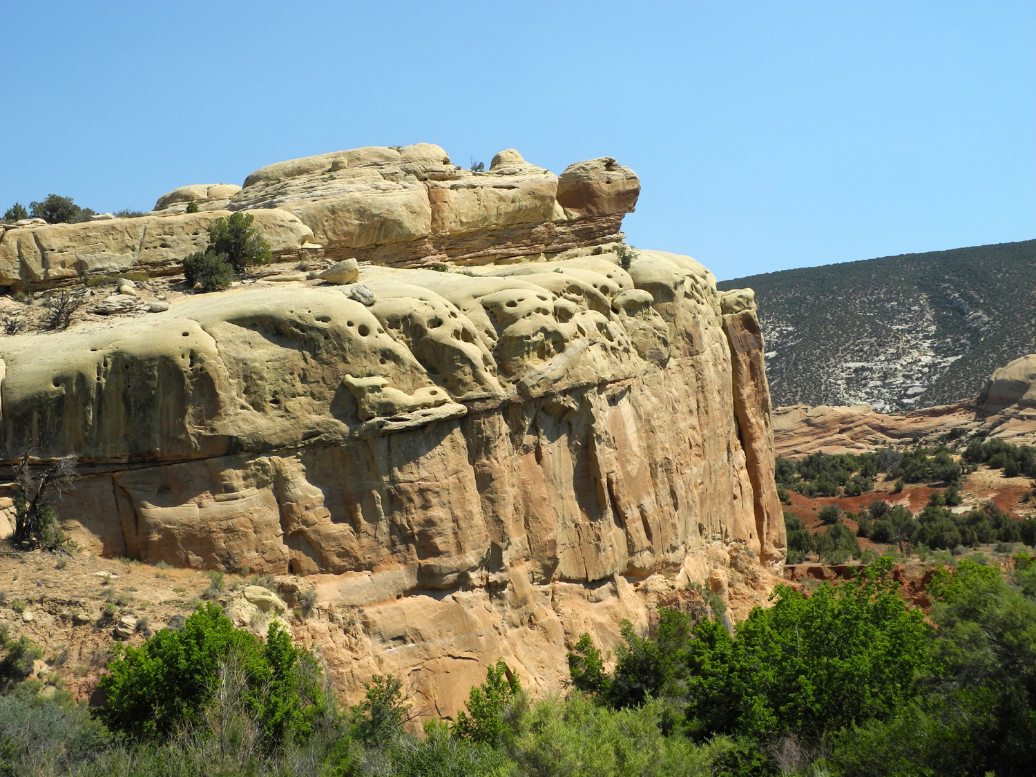
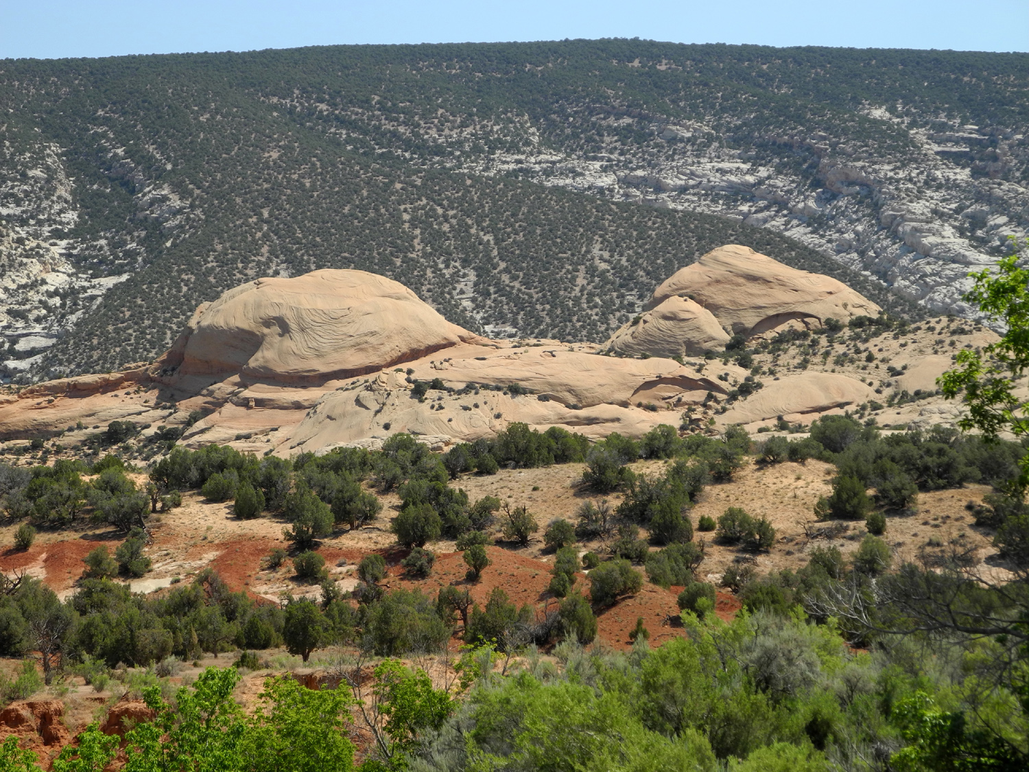
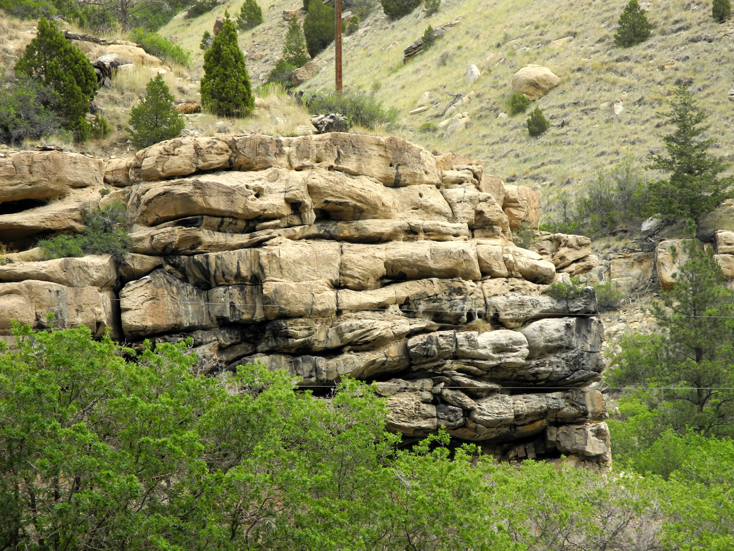
| Dinosaur
National Monument More Information Slide Show |
|||
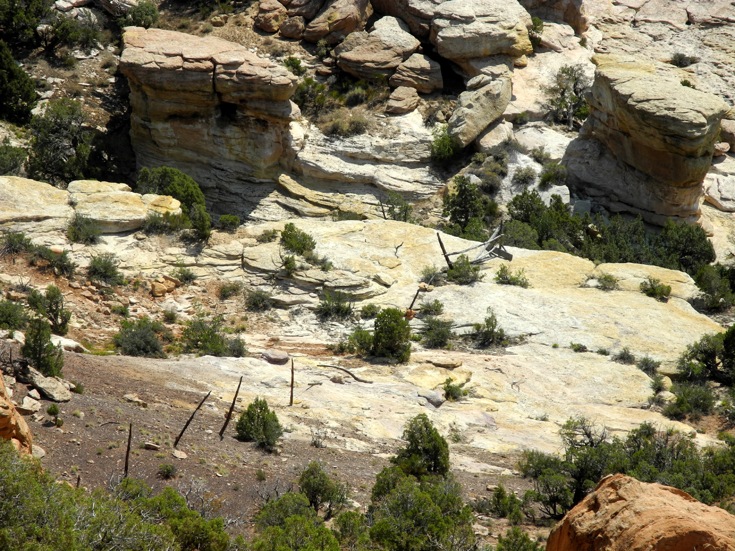
 |
 |
 |
|
| Turtle Rock in Dinosaur National Monument | Another turtle rock? | Josie Bassett Morris' cabin | |
 |
 |
 |
|
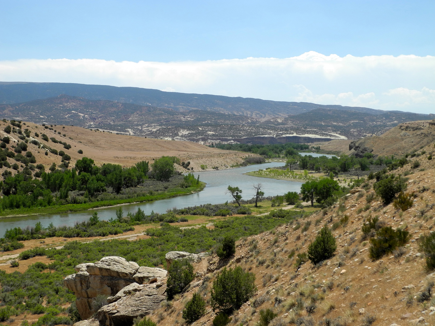
| Box canyon where Josie corralled her cows | Multicolored rock near Split Mountain Area | The Green River near Split Mountain area | |
 |
 |
 |
|
|
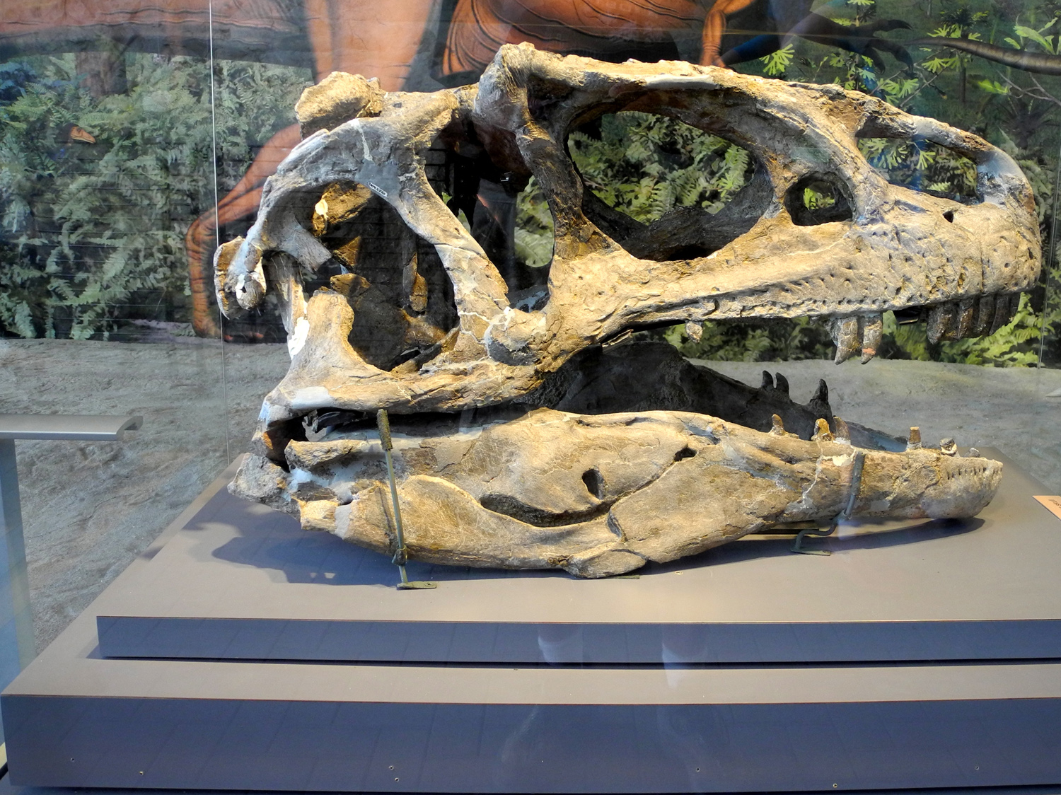
Actual apatosaurus skull fossil |
Bones in the dinosaur fossil quarry |
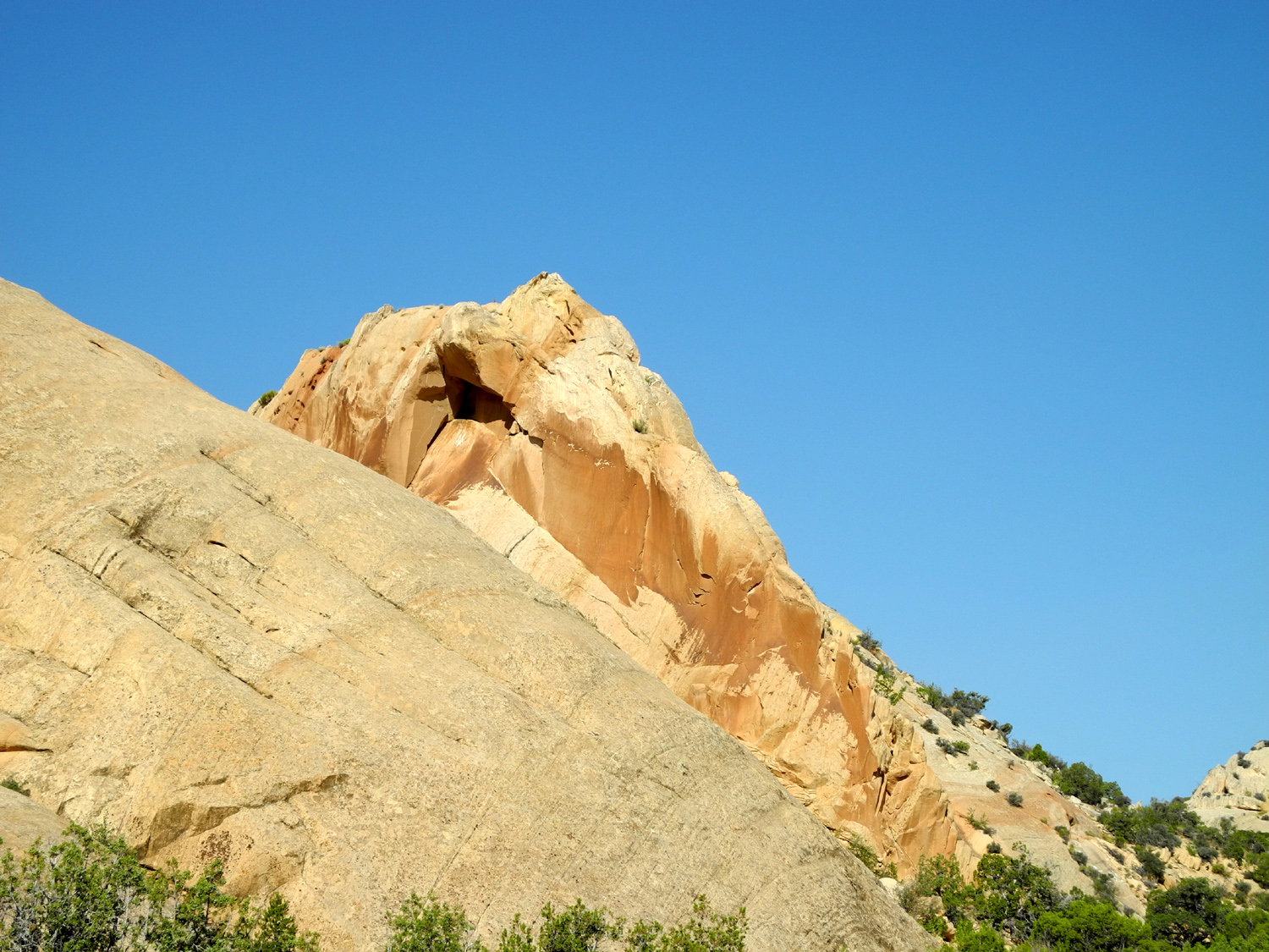
Another rounded sandstone cliff | |
 |
 |
 |
|
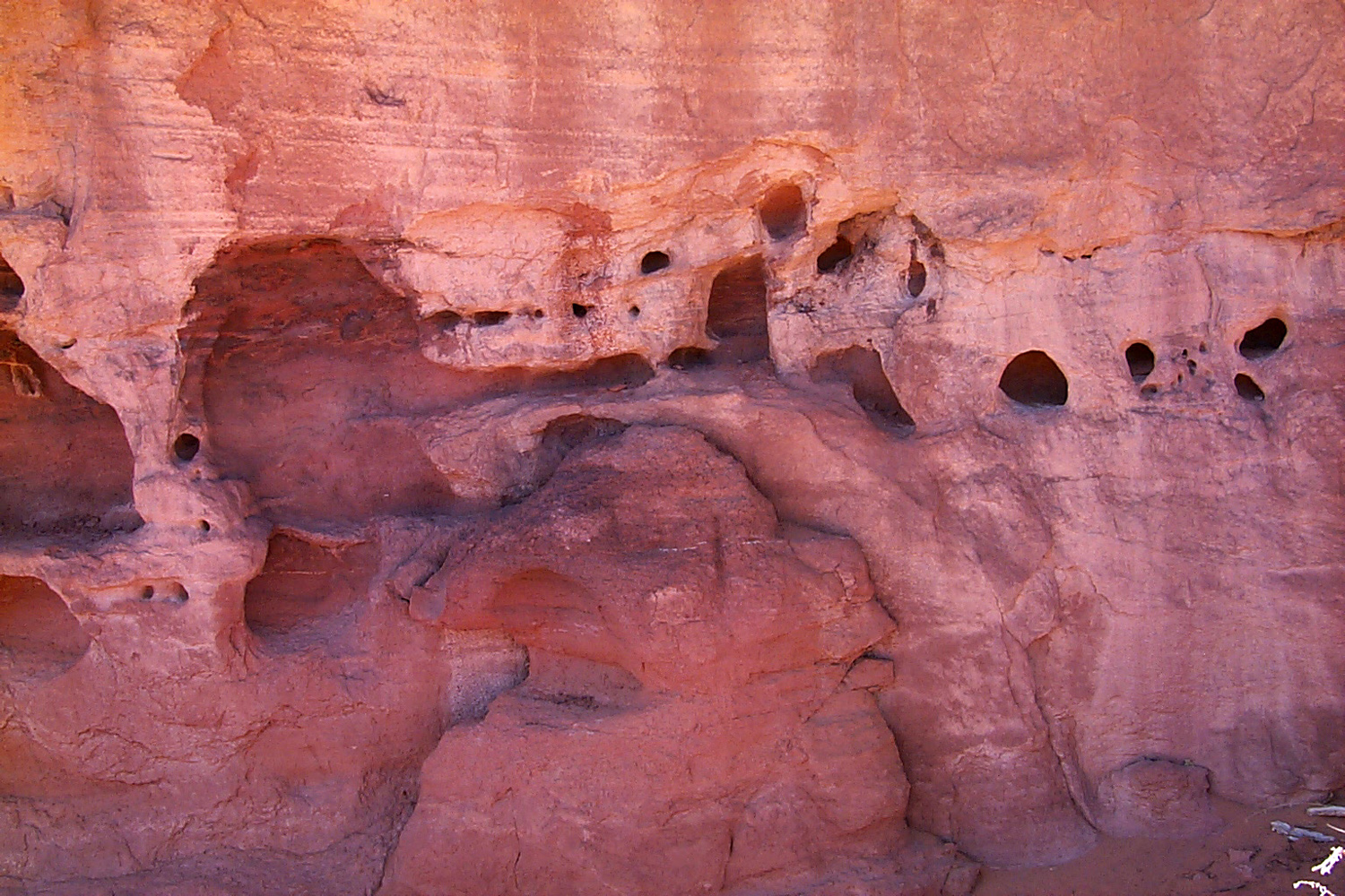
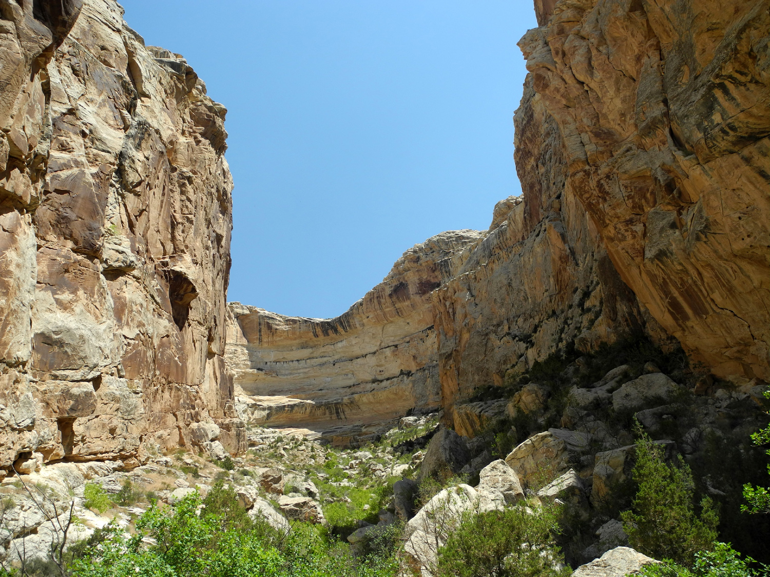
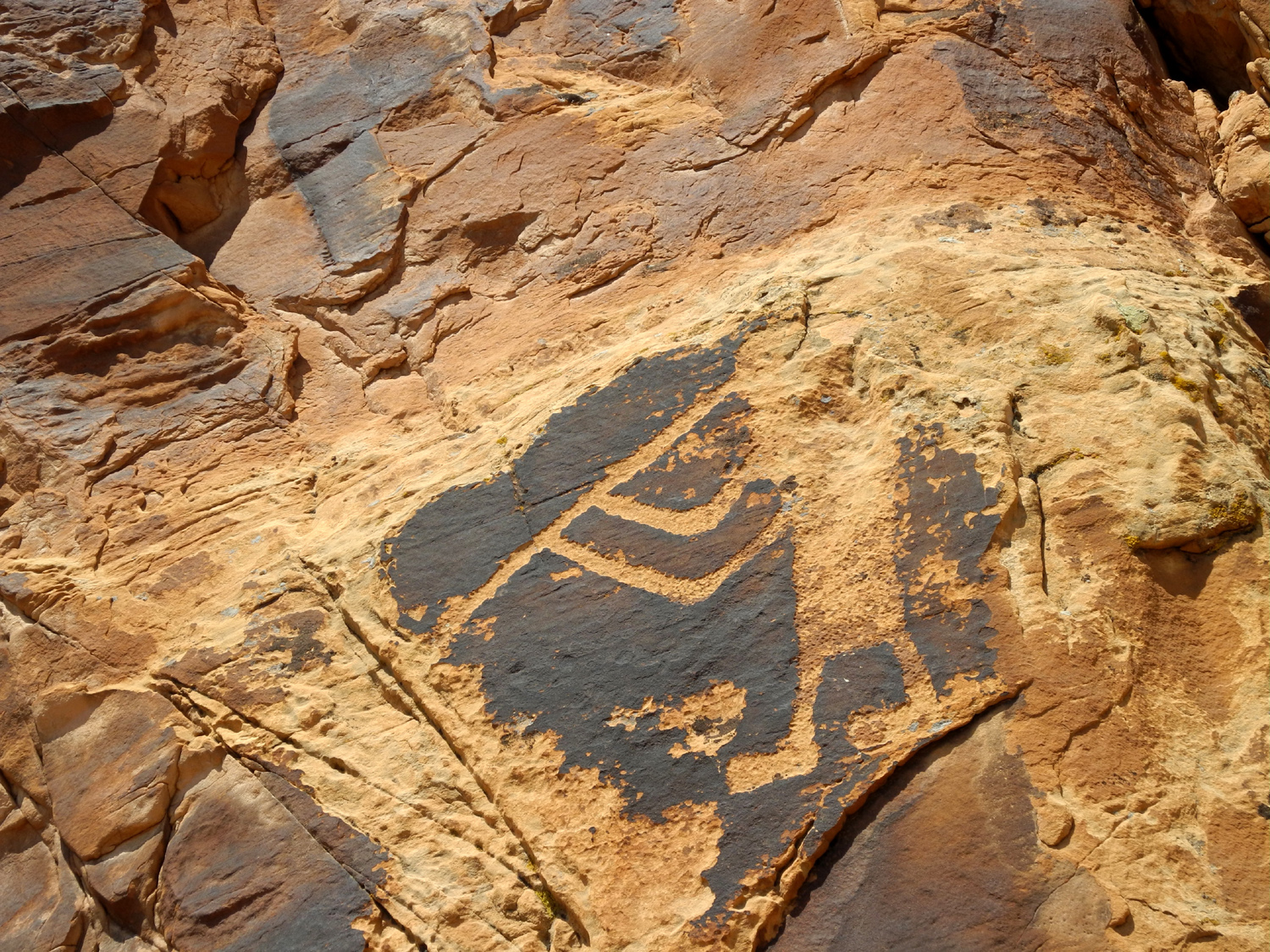
| At the entrance to Sound of Silence Trail | A rare shady spot on the trail | View from the petroglyph trail | |
 |
 |
 |
|
|
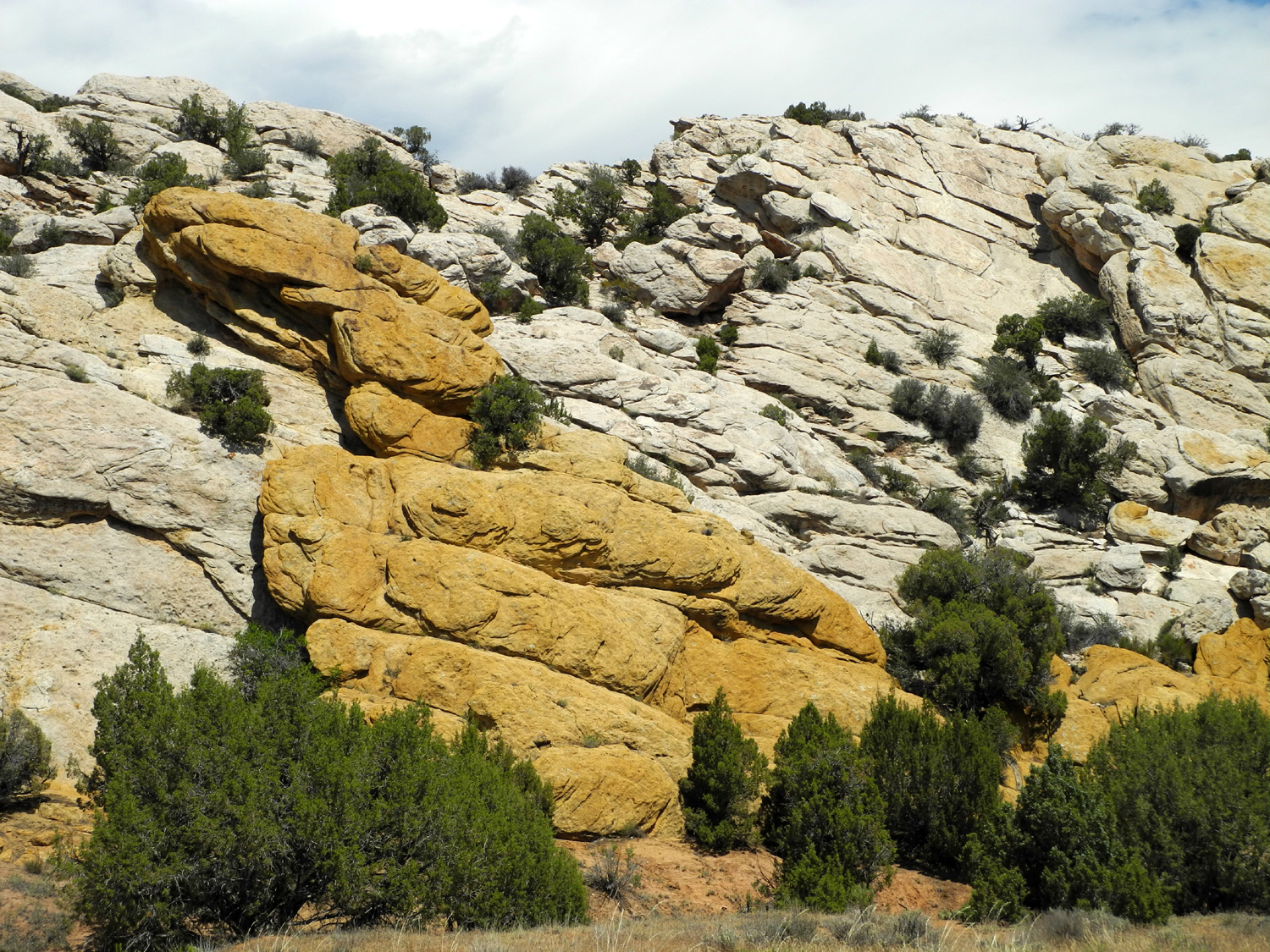
Endless variety of shapes and color | Tilted layers | |
 |
 |
 |
|
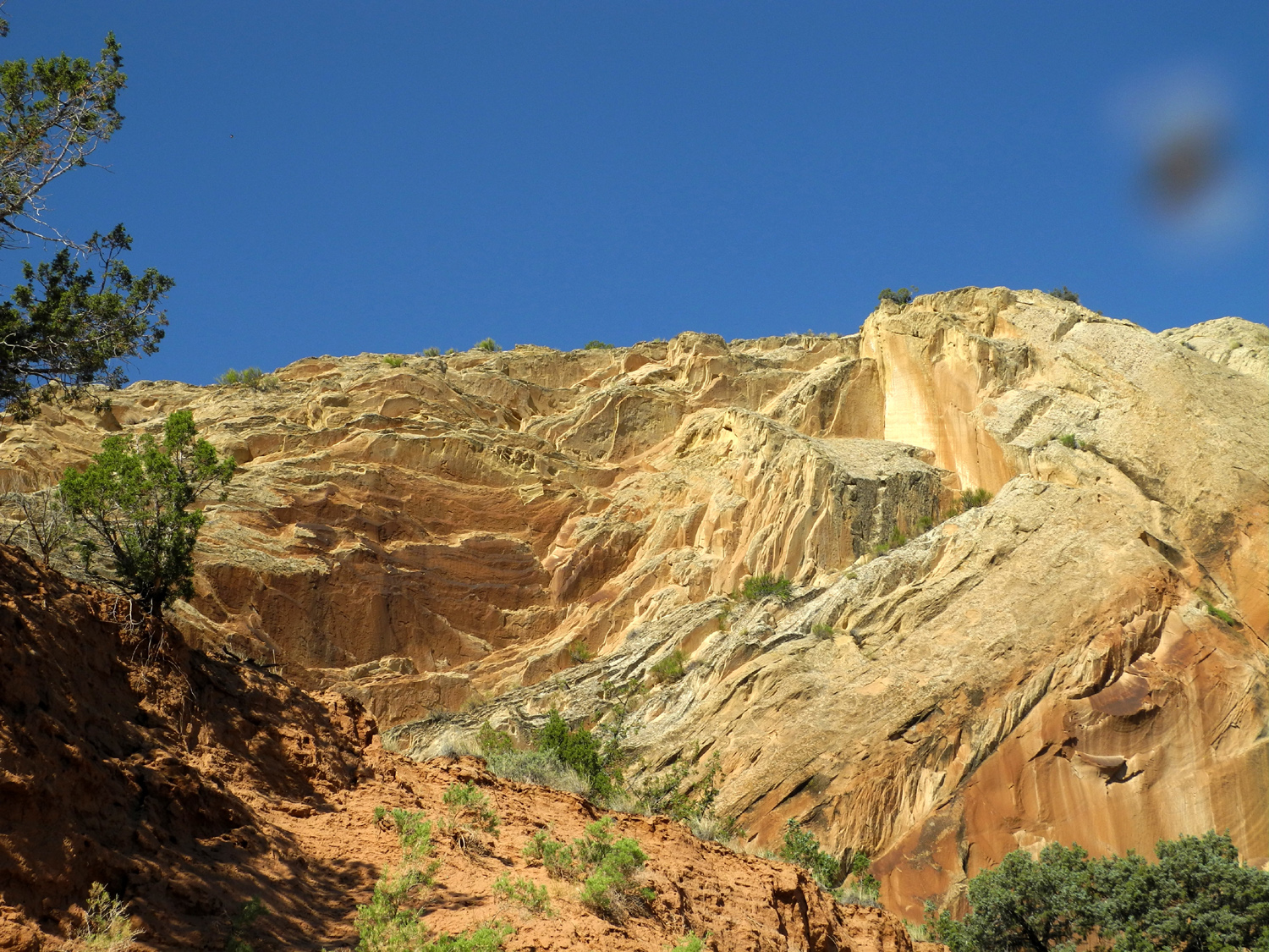
| Without the trees, it would be a moonscape |
Just like the back window of an SUV |
The
masterpiece, it probably |
|
 |
 |
||
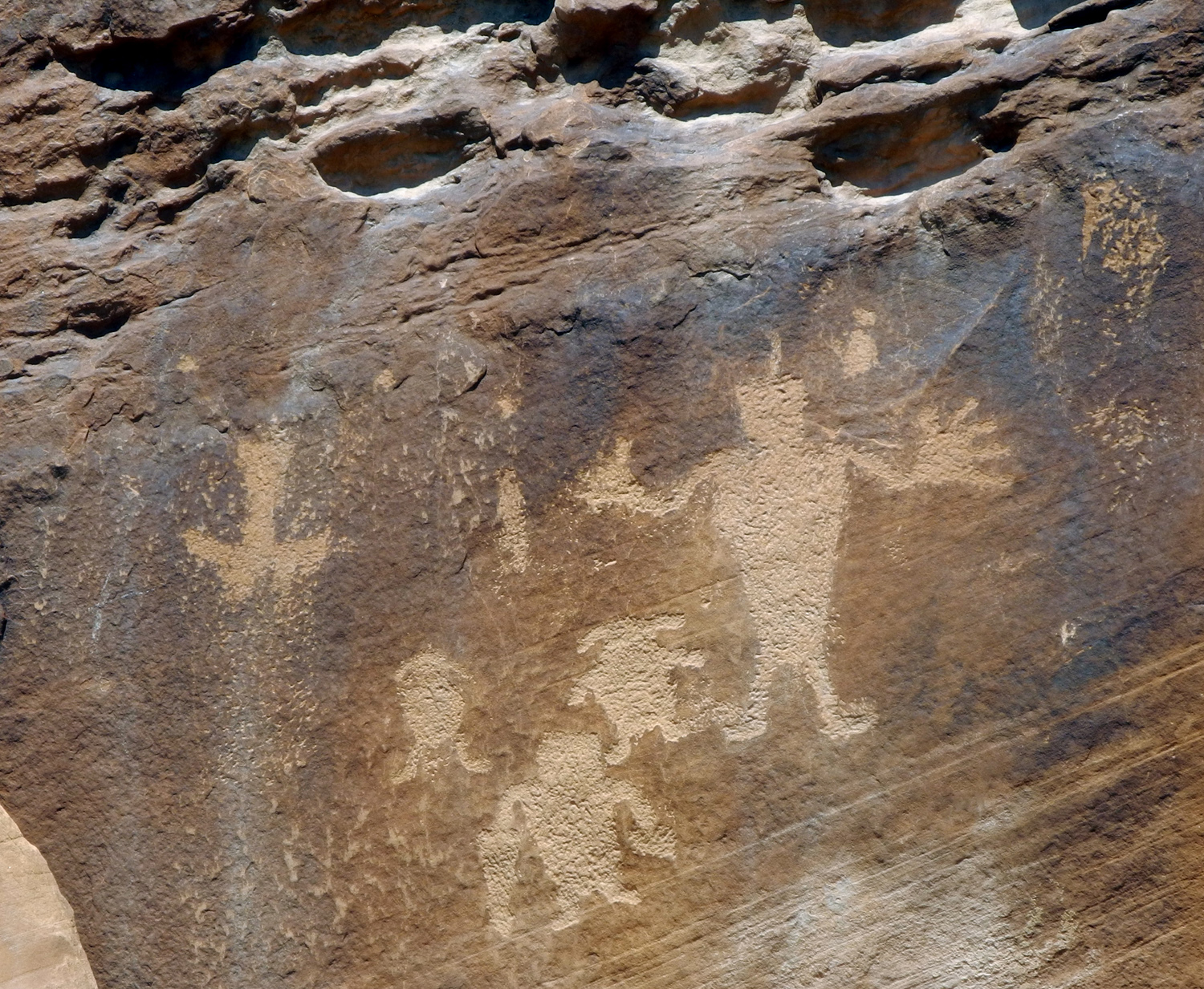
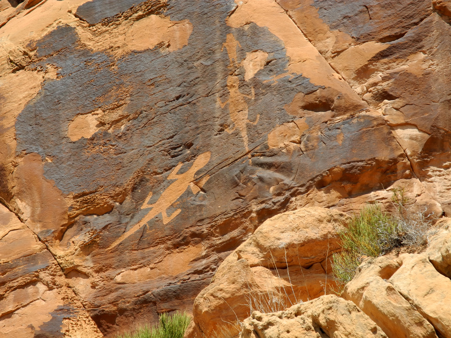
| The lizard is visible above the trail to the petroglyphs |
Flute player,
a common figure in southwest native culture |
||
 |
|||
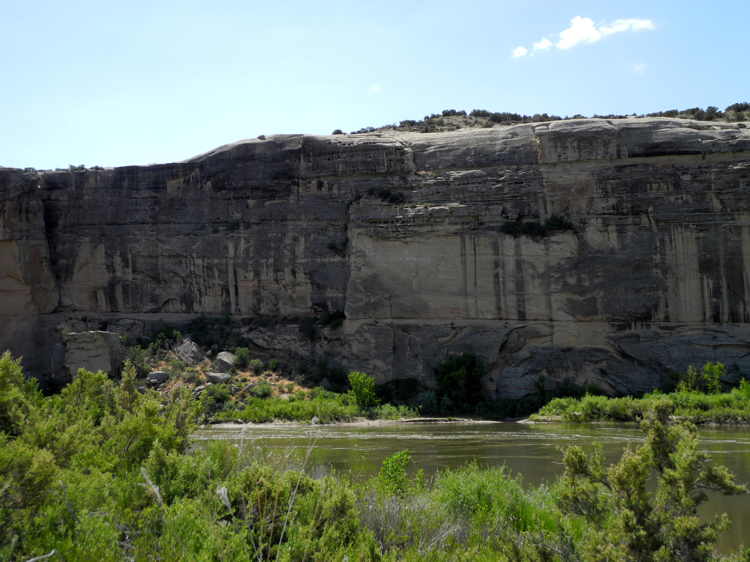
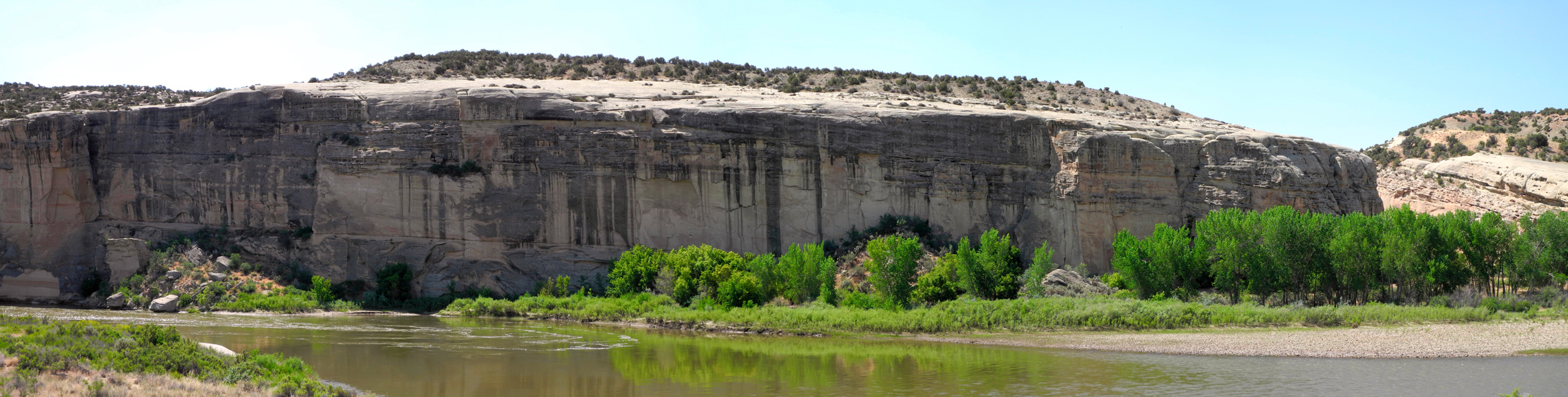
| Cliffs along the Green River | |||
 |
|||
| Entrance to the Sound of Silence Trail | |||
|
|
|
|
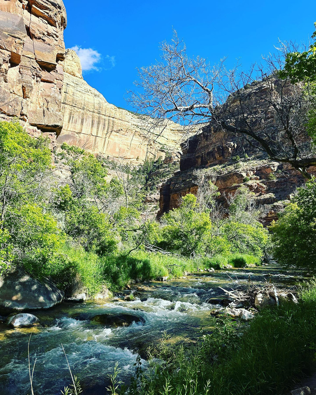
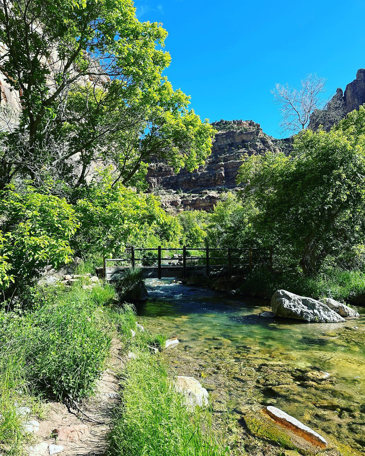
| Rounded rock hill near Sound of Silence Trail | Jones Hole, western part of Dinosaur | Bridge over Jones Creek | |
| Elsewhere in Utah | |||
 |
 |
 |
|
| Sedimentary rock
east of Salt Lake on Interstate 80 |
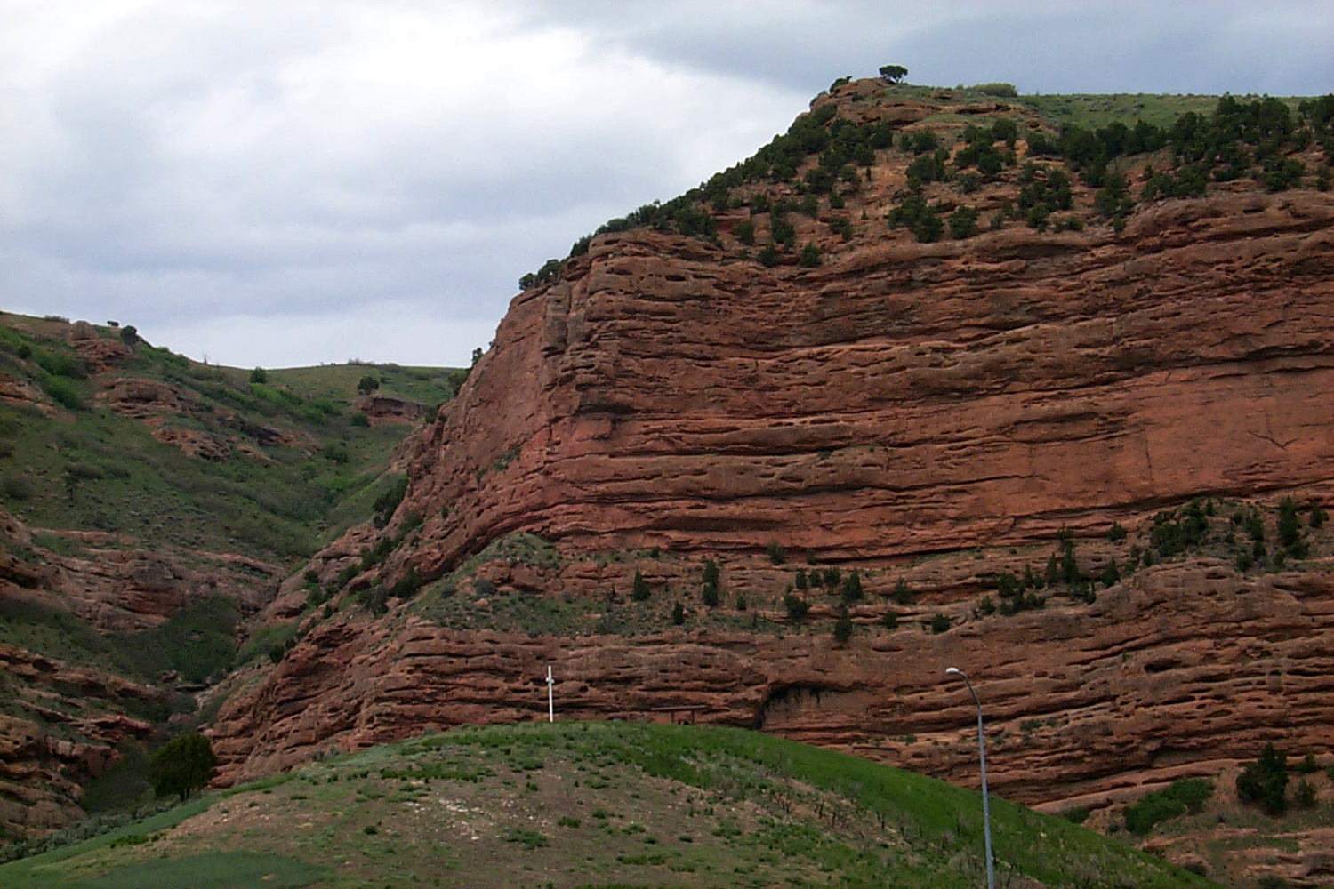
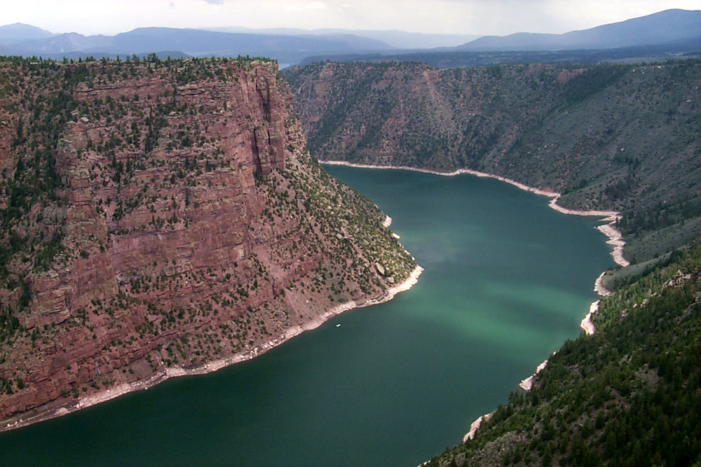
Sheep Creek Canyon | Flaming Gorge Reservoir | |
 |
 |
 |
|
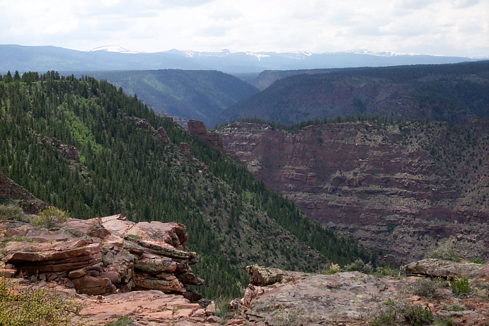
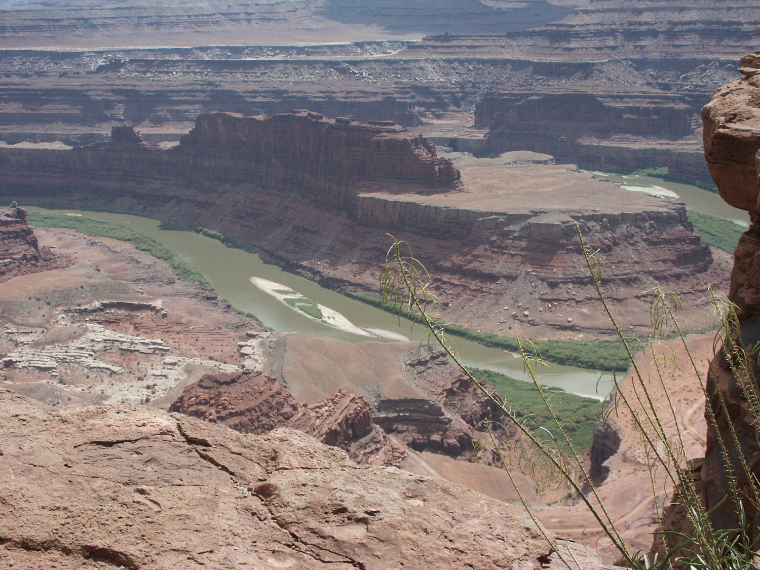
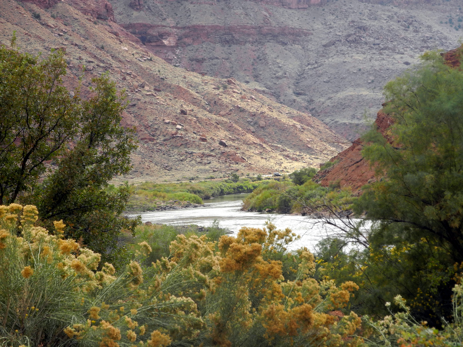
| Canyons and Uintas Mountains, northern Utah | Colorado River from Dead Horse Point State Park |
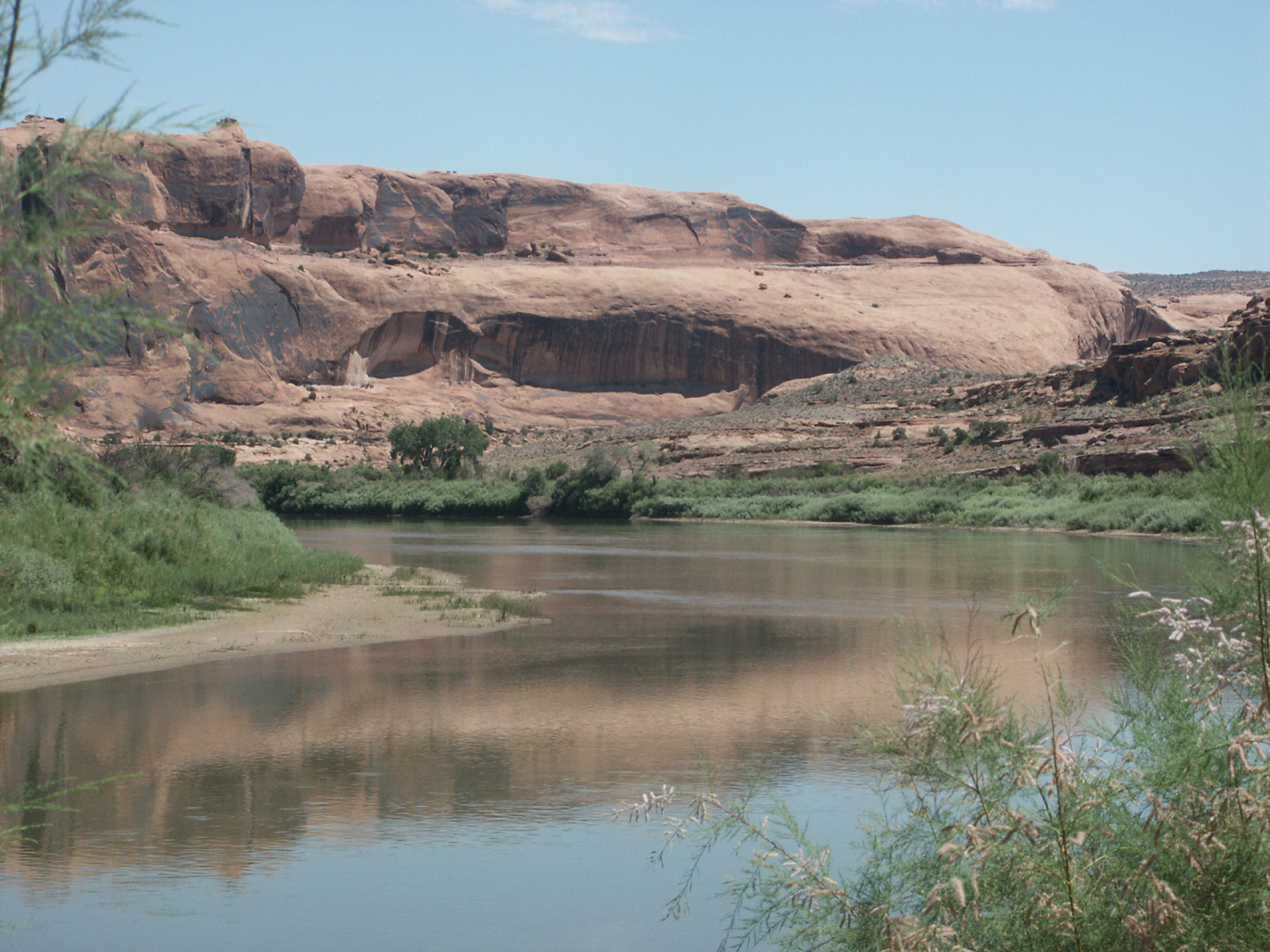
Colorado River along Utah |
|
 |
 |
 |
|
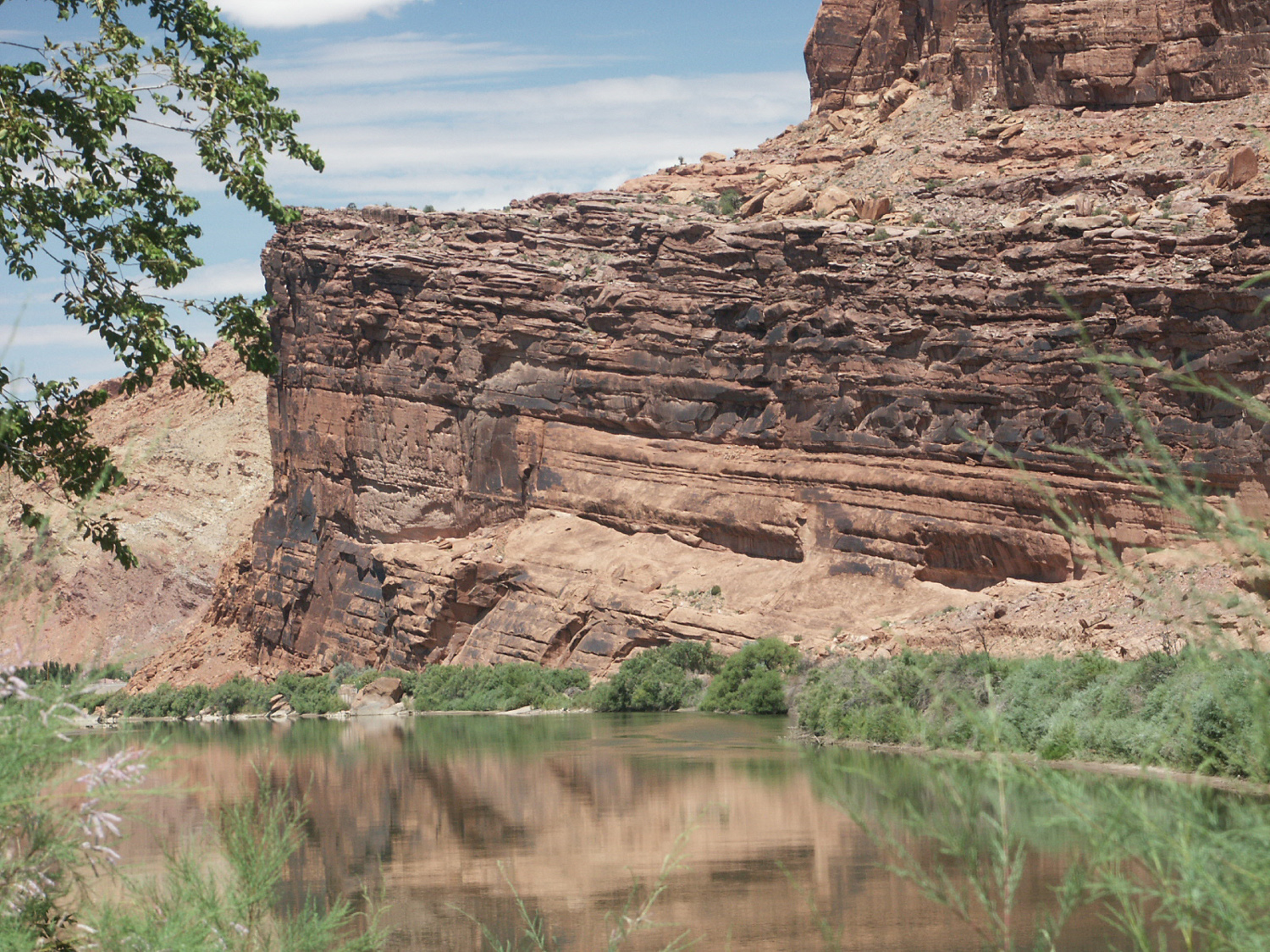
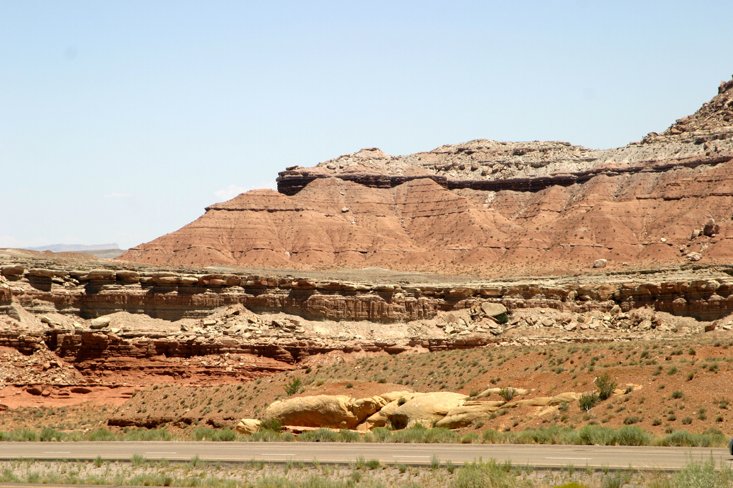
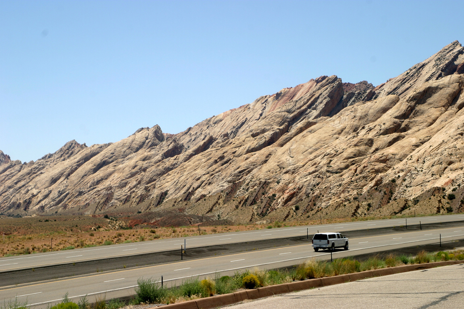
| More sandstone cliffs by the river | Sandstone formations along I-70, eastern Utah | Pass on I-70 through San Rafael Reef | |
 |
 |
 |
|
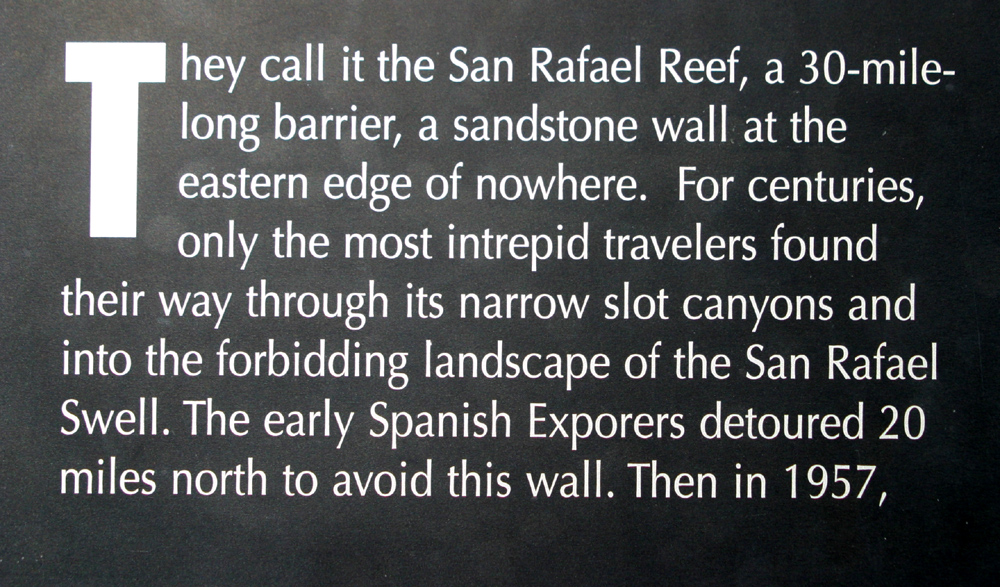
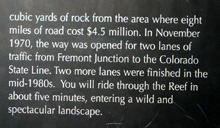
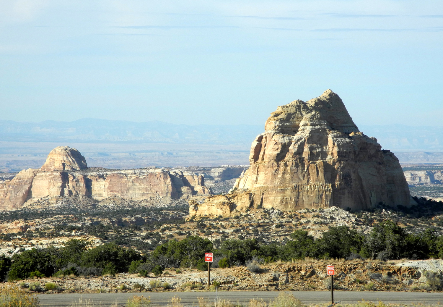
| Signs at San Rafael Reef highway construction site | |||
 |
 |
 |
|
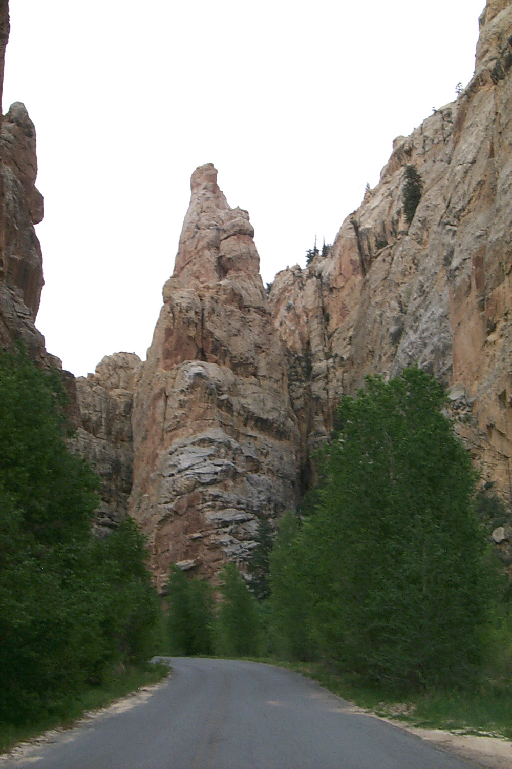
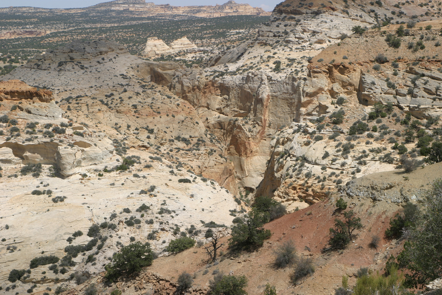
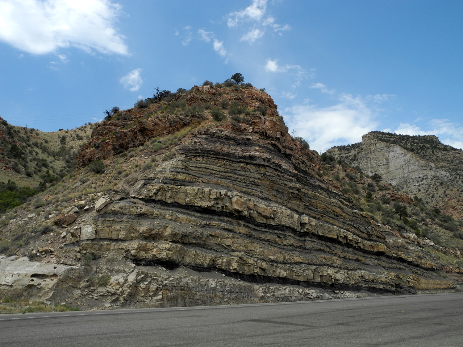
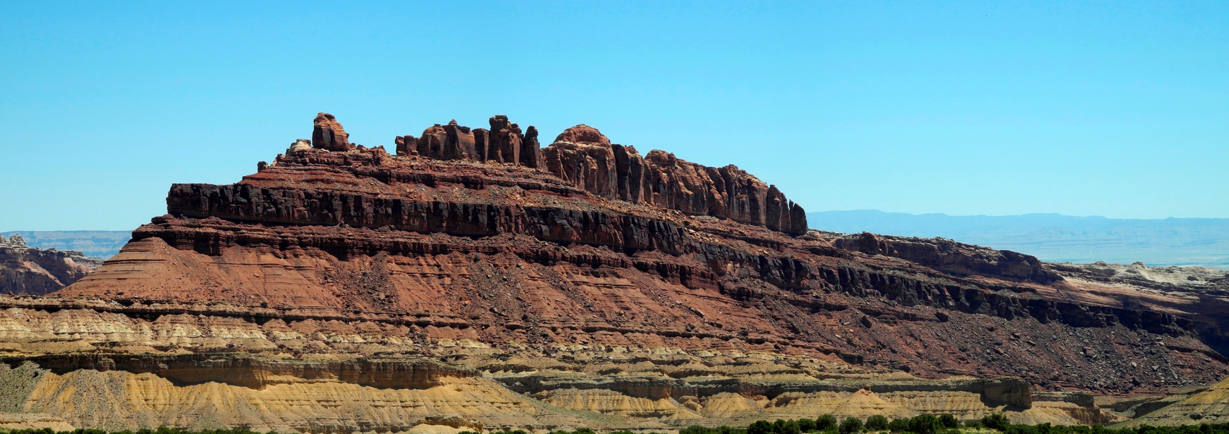
| San Rafael Reef, eastern Utah | Looking south from highway | Eagle Canyon | |
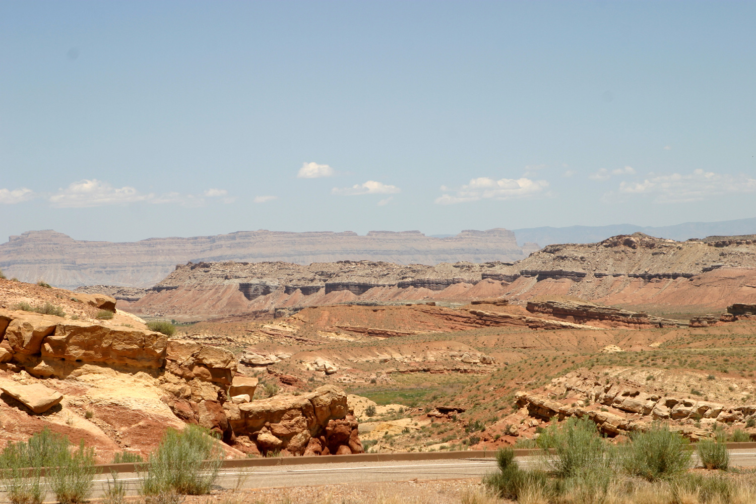 |
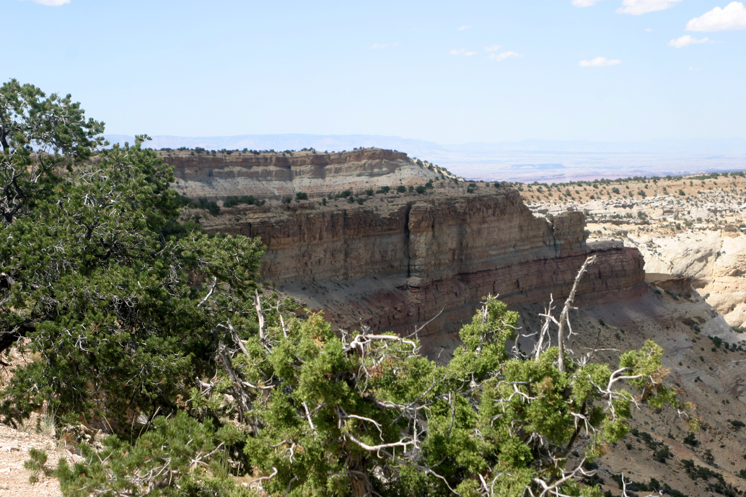 |
 |
|
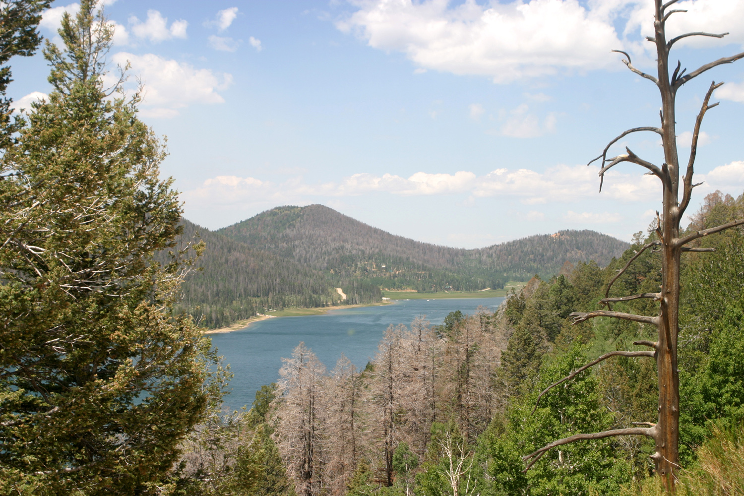
| Looking east from Eagle Canyon view point | Formations near Eagle Canyon | Navajo Lake on Highway 14 | |
 |
 |
 |
|
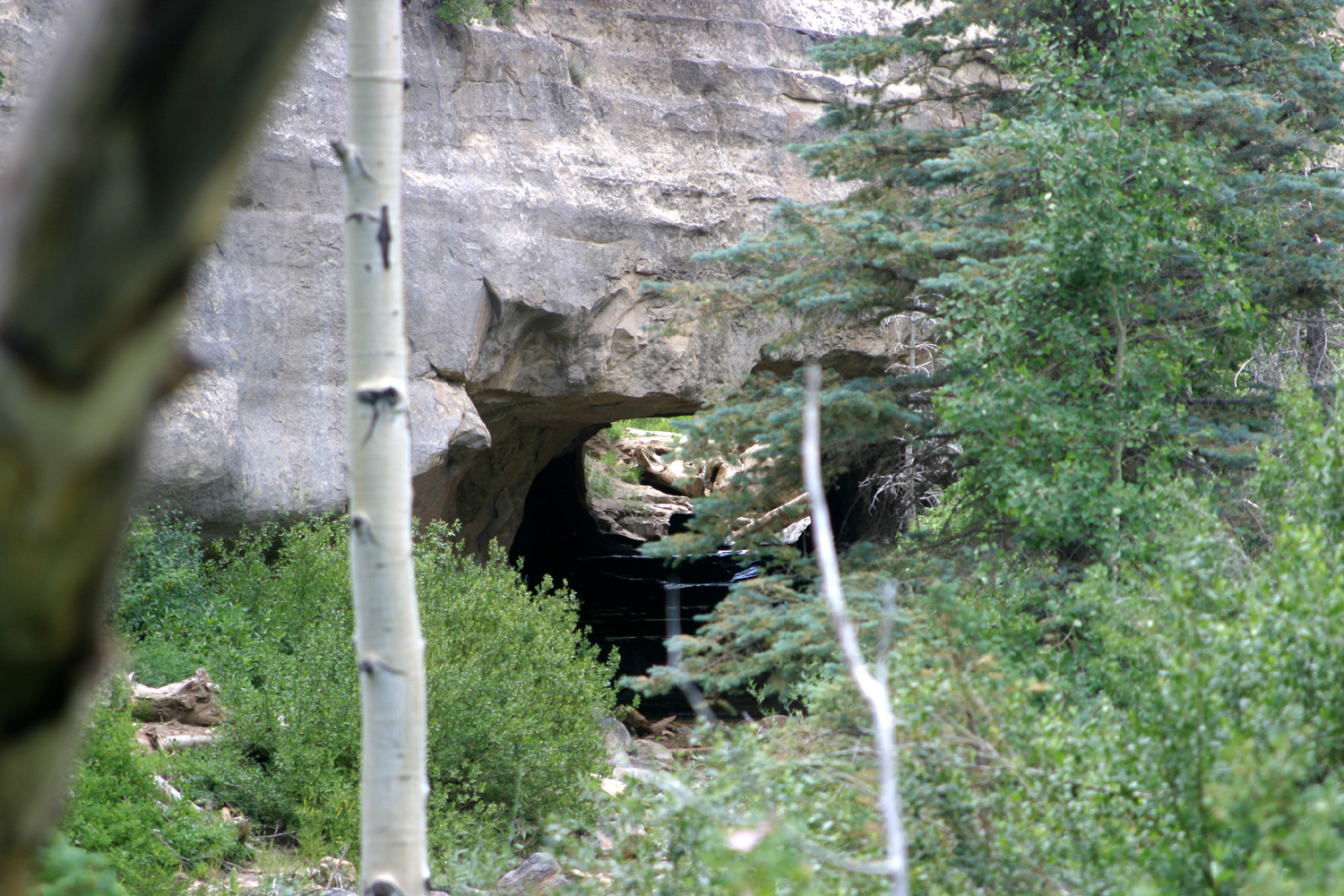
|
Natural bridge, Utah Highway 14 |
Another view of natural bridge | Cliff west of bridge | |
 |
 |
 |
|
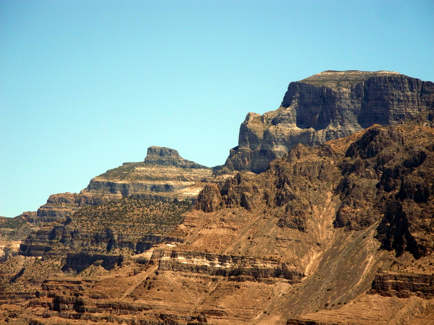
| Highway 14, looking west toward Cedar City | Notch Peak | Along US 6 in western Utah | |
 |
 |
 |
|
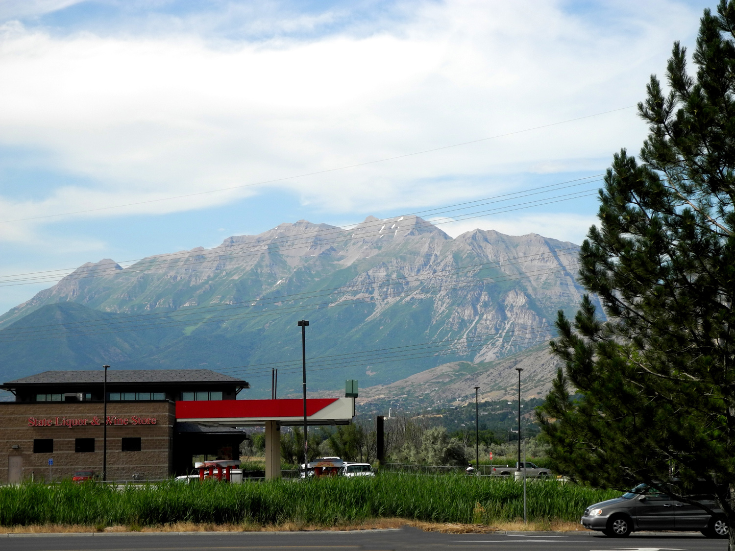
| Rock formations along US 6 | Wasatch Mountains above Springville, UT | In Price Canyon on US 6 | |
 |
|
 |
|
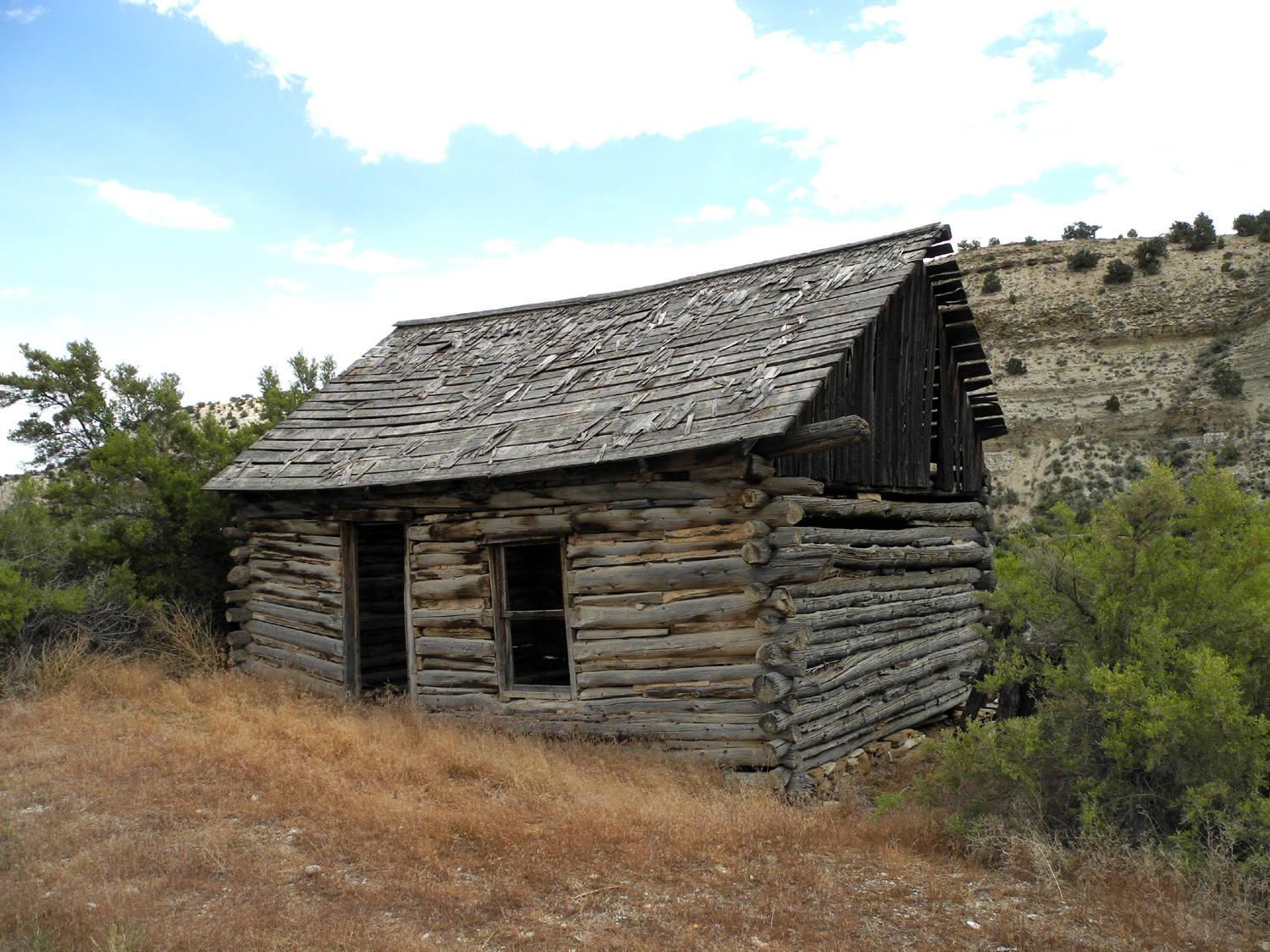
| Another view along Price Canyon | Old cabin on US 191 | Castle Valley Vista Point on I-70 | |
 |
 |
 |
|
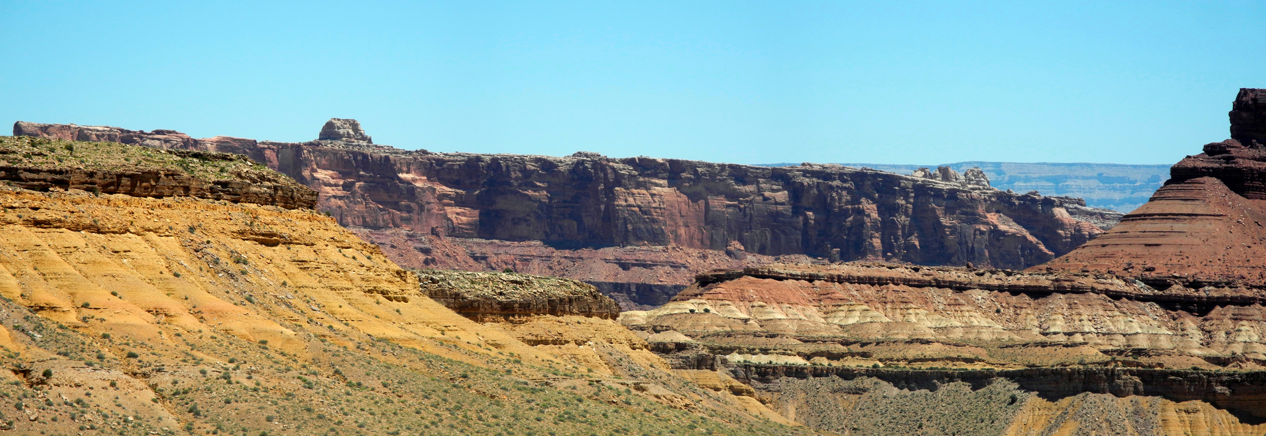
| More views at Castle Valley Vista Point | |||
 |
|||
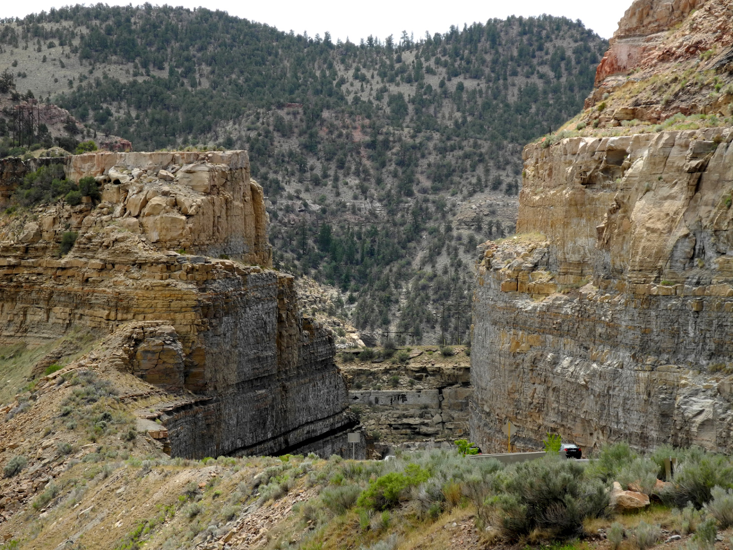
| Panoramic view into Black Dragon Canyon | |||
 |
|||
| Panoramic view from above Black Dragon Canyon | |||
 |
|||
| Ghost Rock view | |||
 |
 |
 |
|
| A view at Castle Valley | View from Ghost Rock Vista | Another Ghost Rock view | |
 |
 |
 |
|
| View at Eagle Canyon Vista |
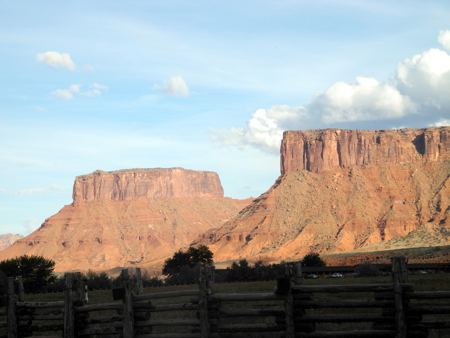
Colorado River below Red Cliffs Lodge |
Buttes across the highway from the lodge | |
 |
 |
 |
|
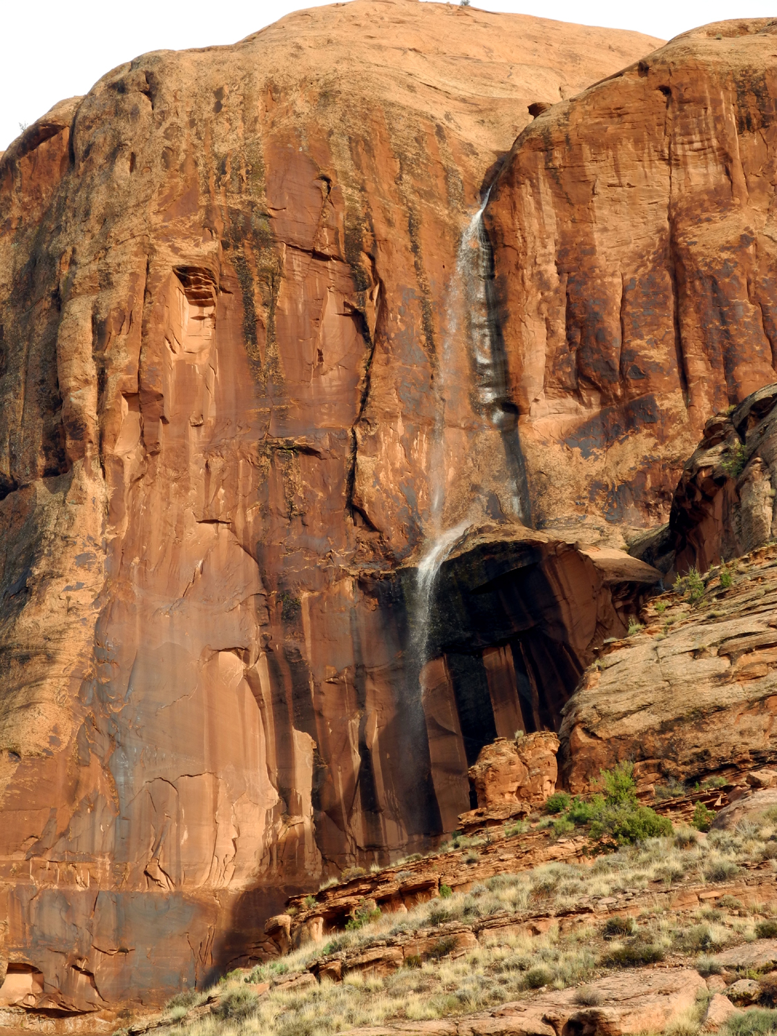
| Runoff from a storm created this one-day waterfall |
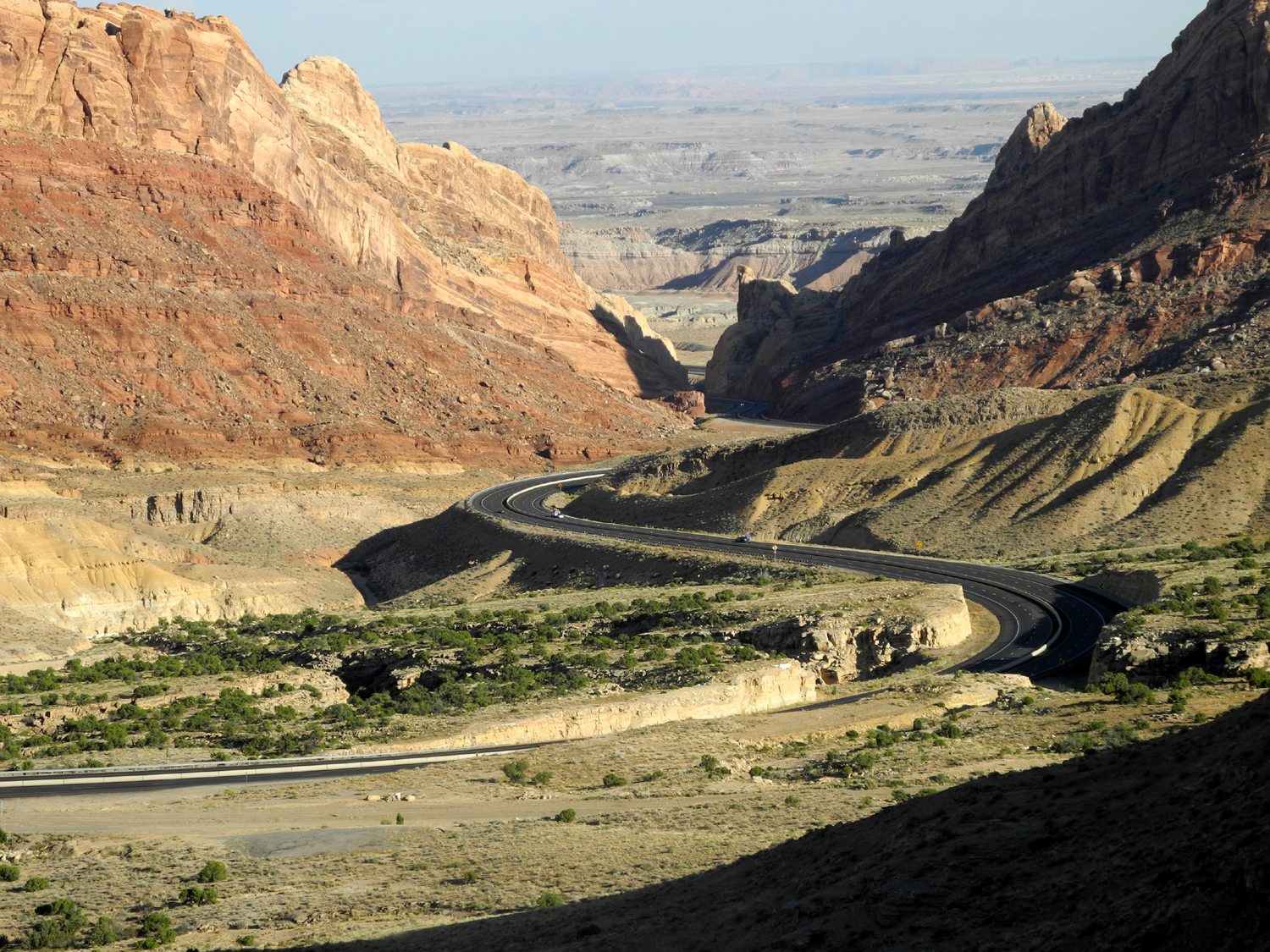
I-70 through the San Rafael Reef |
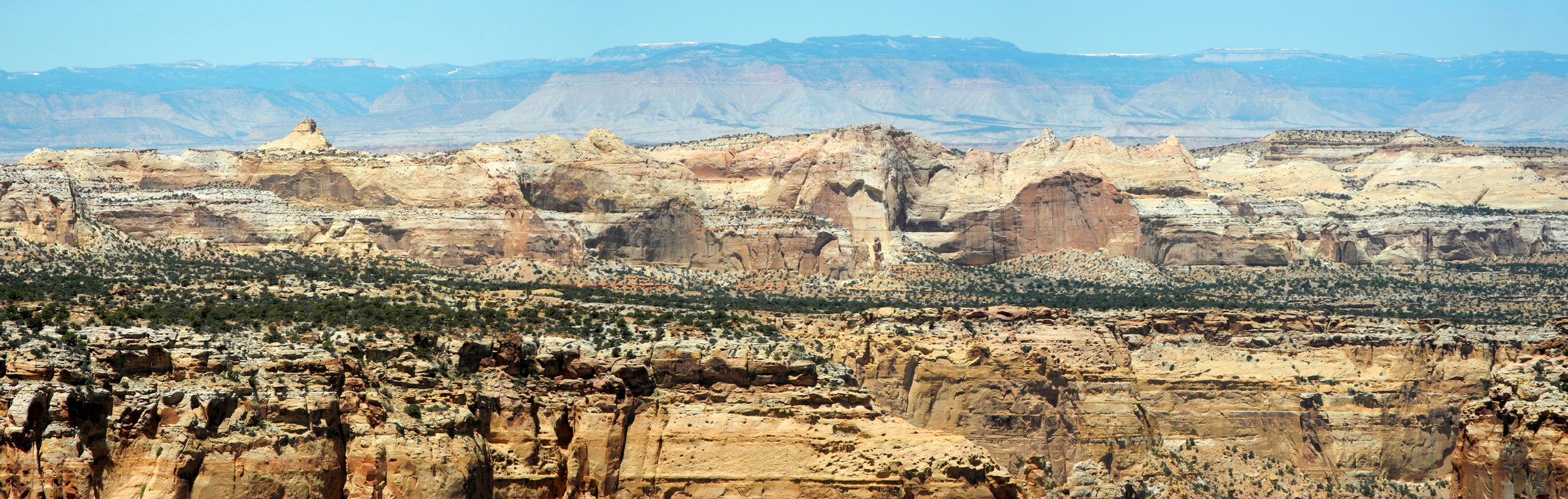
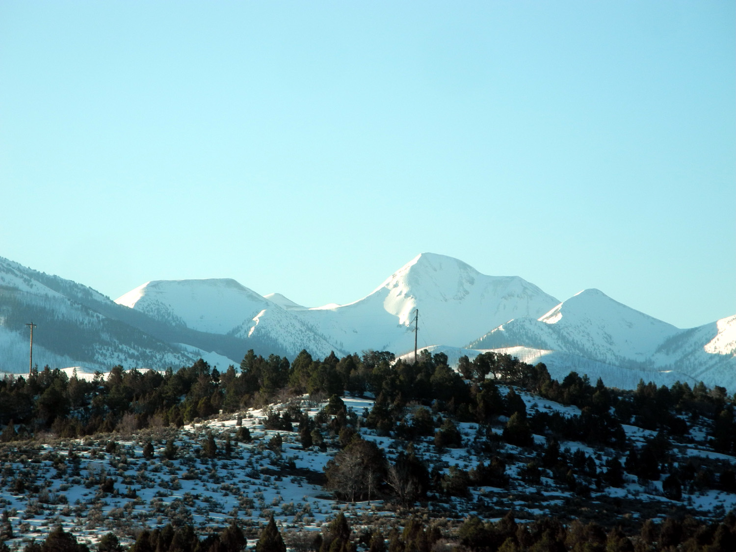
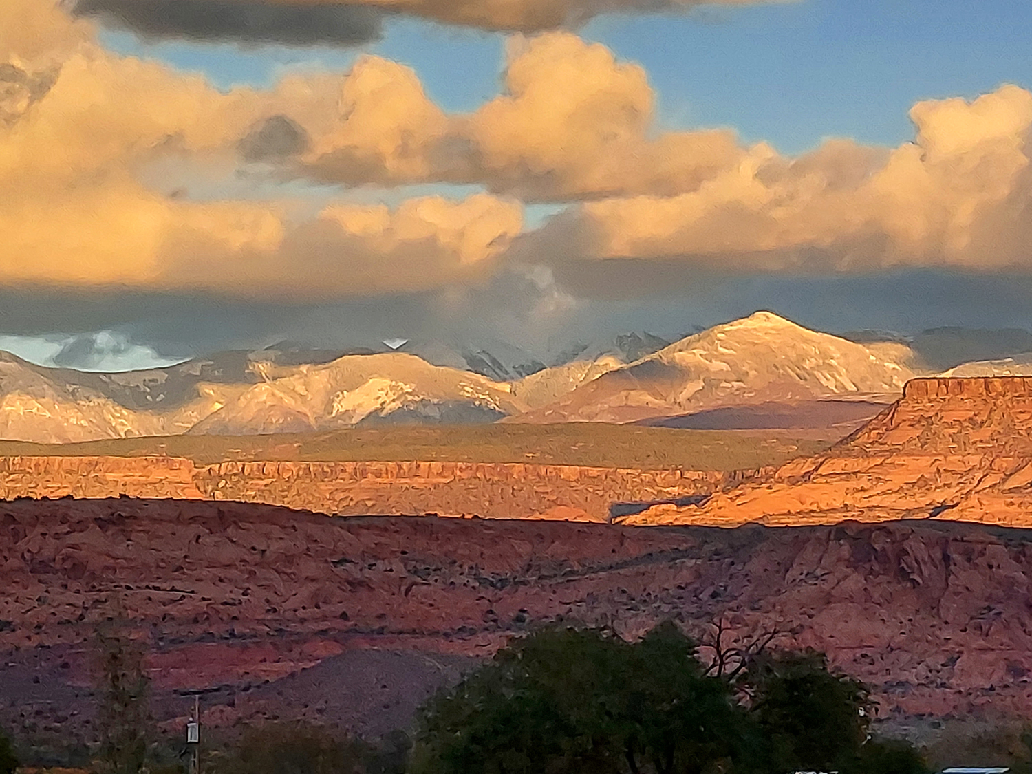
Mountains in Fishlake National Forest along I-70 | |
 |
|

|
|
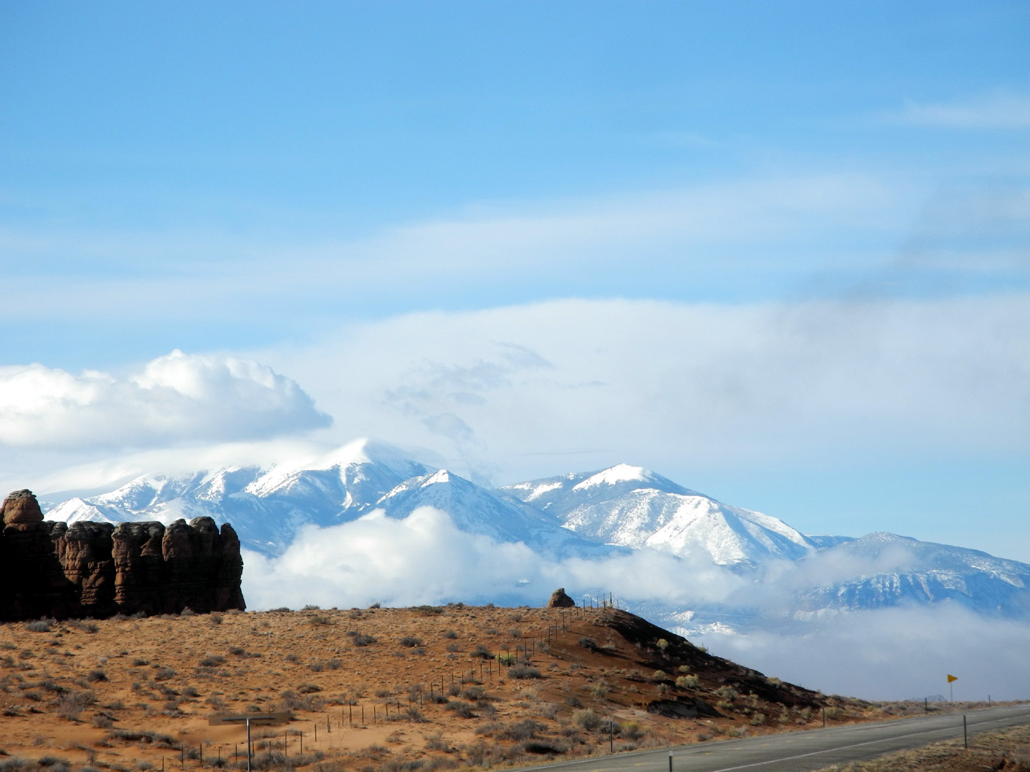
| Snowy mountains south of Goblin Valley State Park |
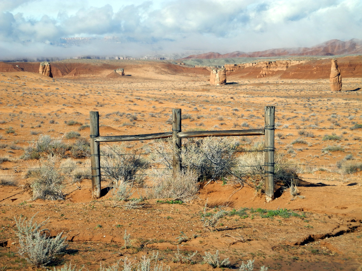
Scattered hoodoos in Goblin Valley | Snowy summit on Utah Highway 20 | |

|
|
|
|
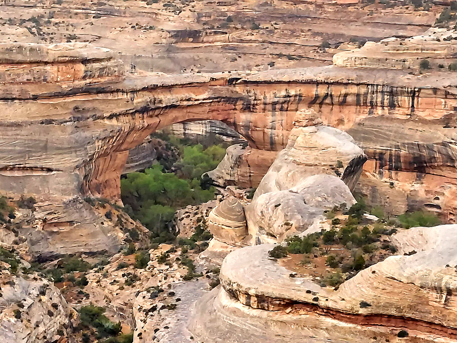
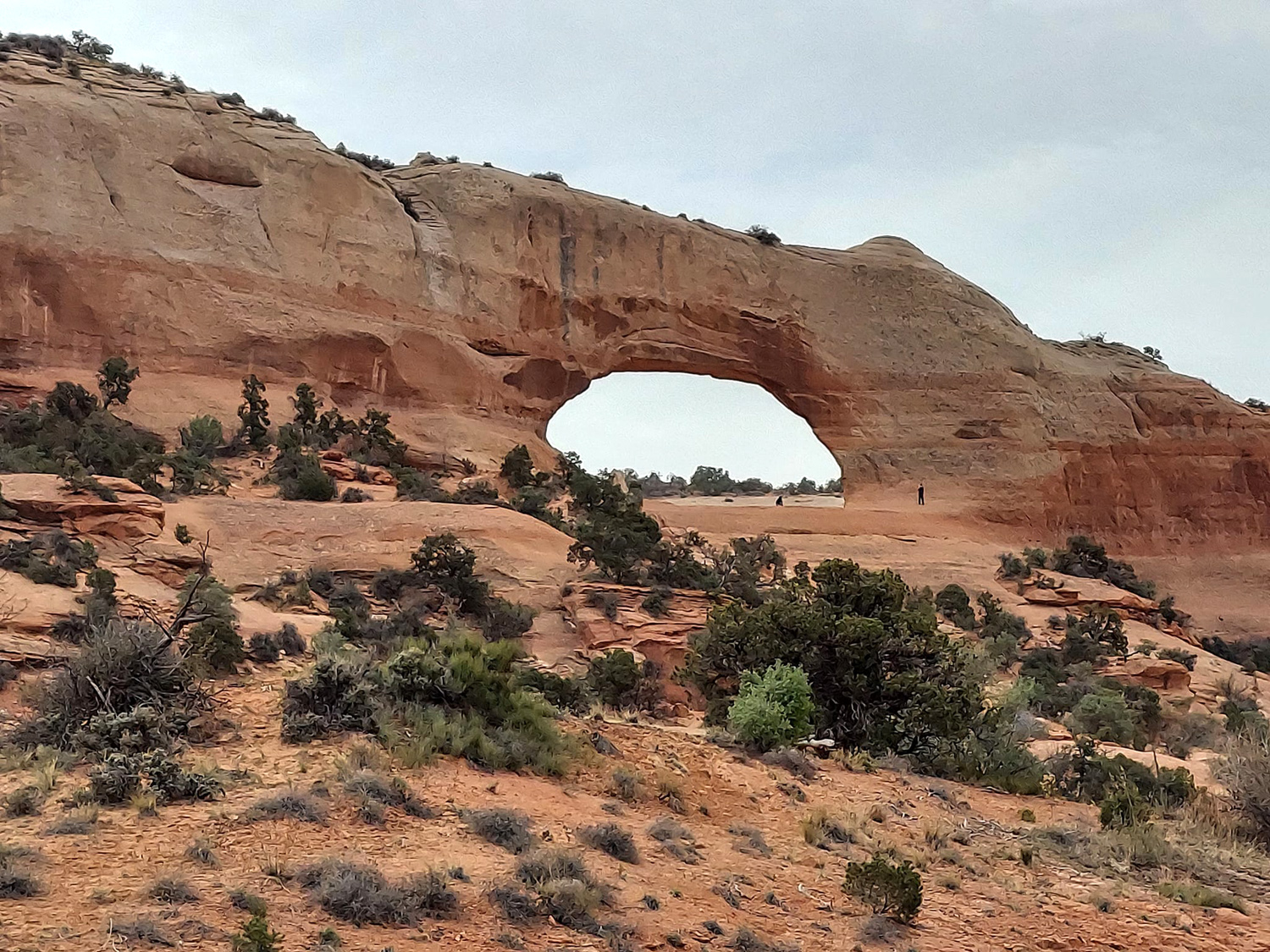
| More Highway 20 snow | Sipapu Bridge, Natural Bridges National Monument | Wilson Arch, south of Moab | |
|
|
|
|
|
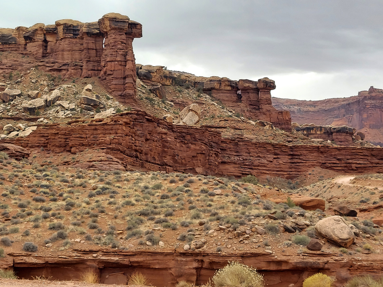
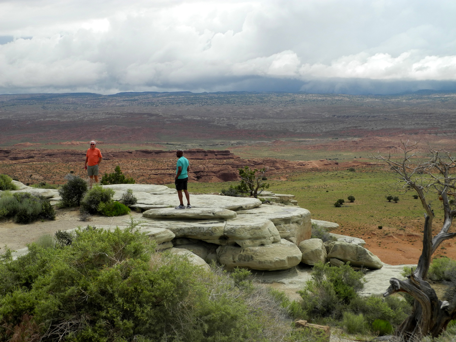
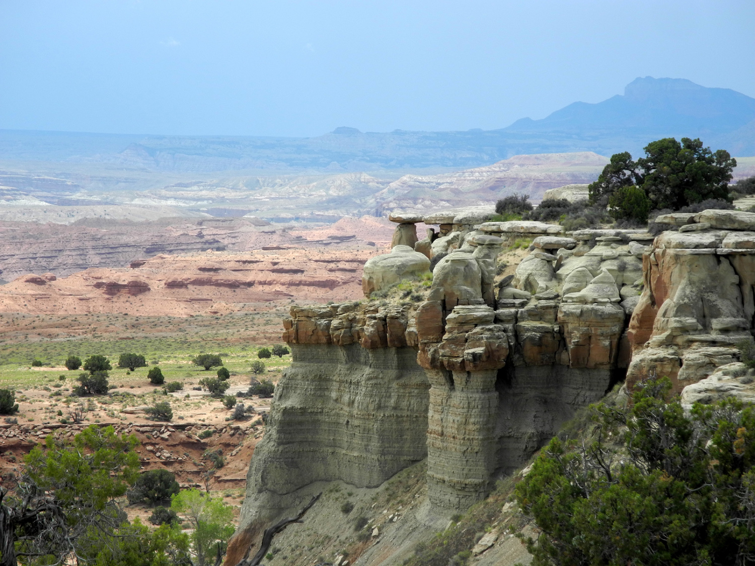
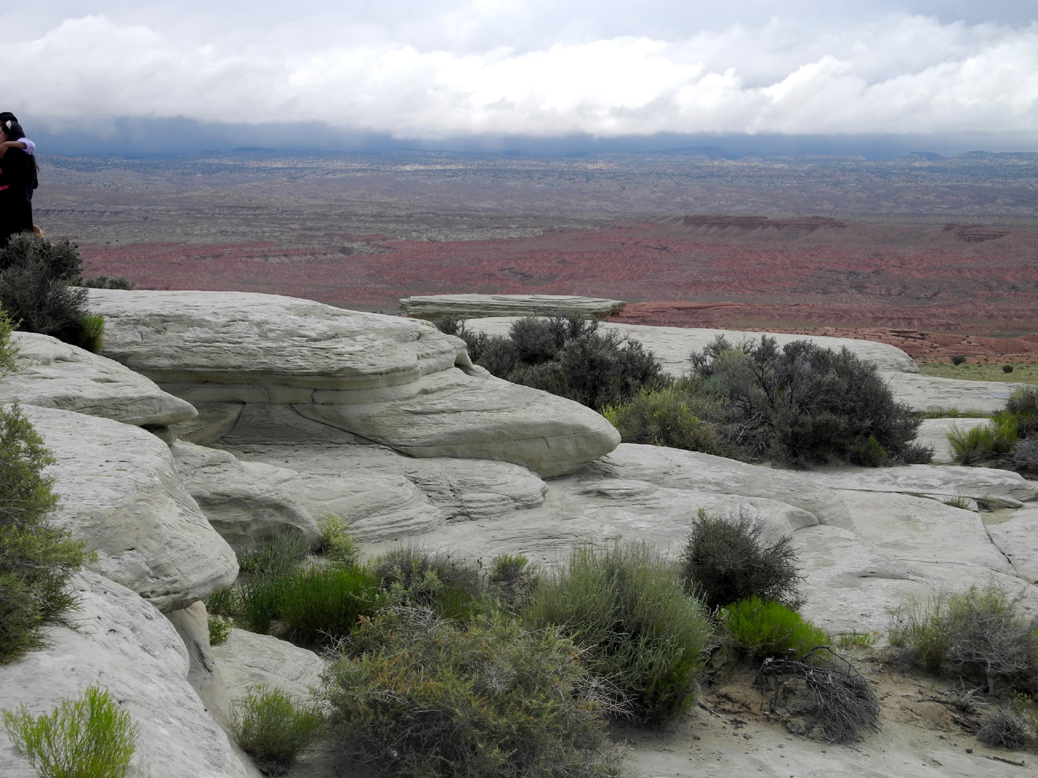
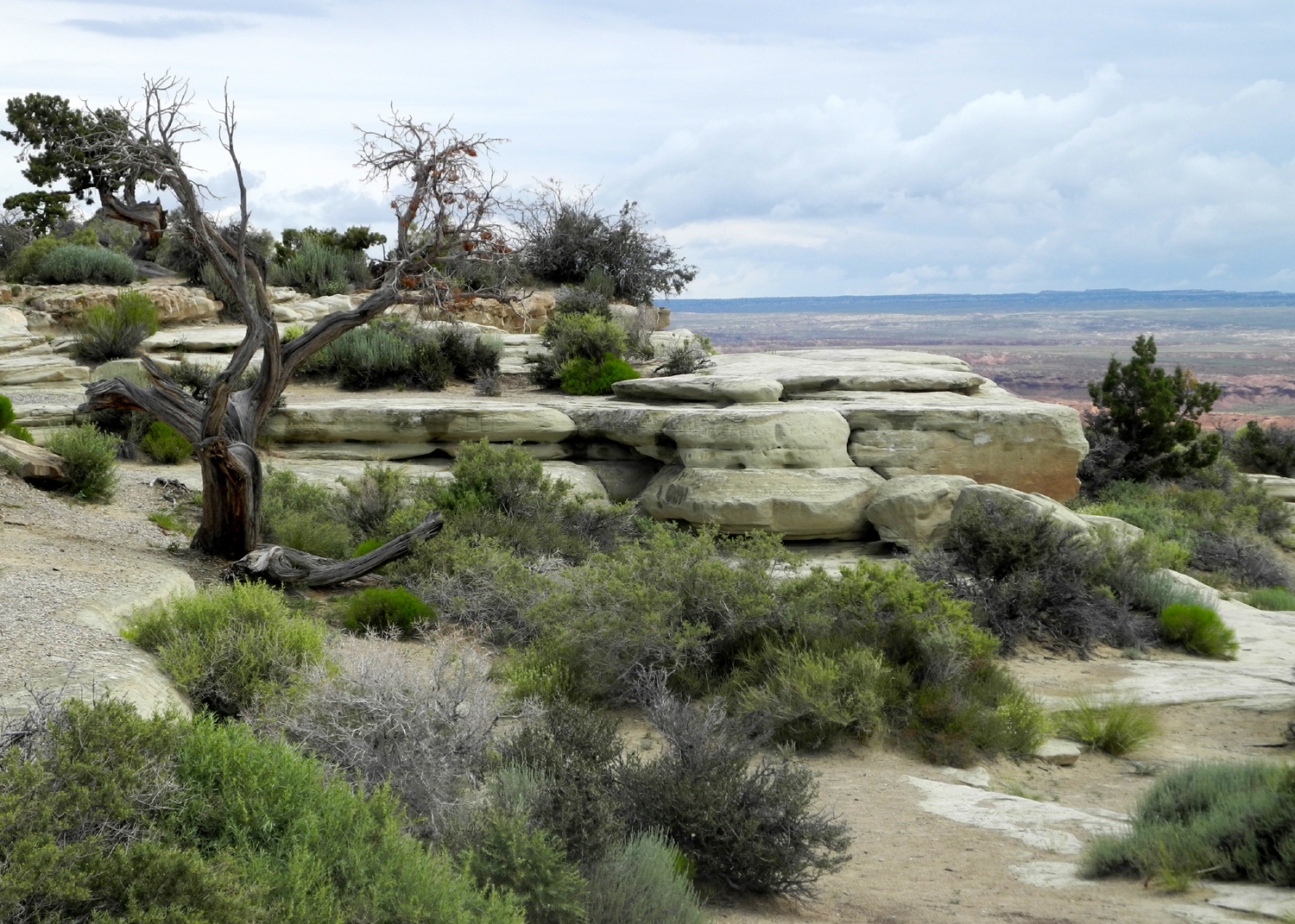
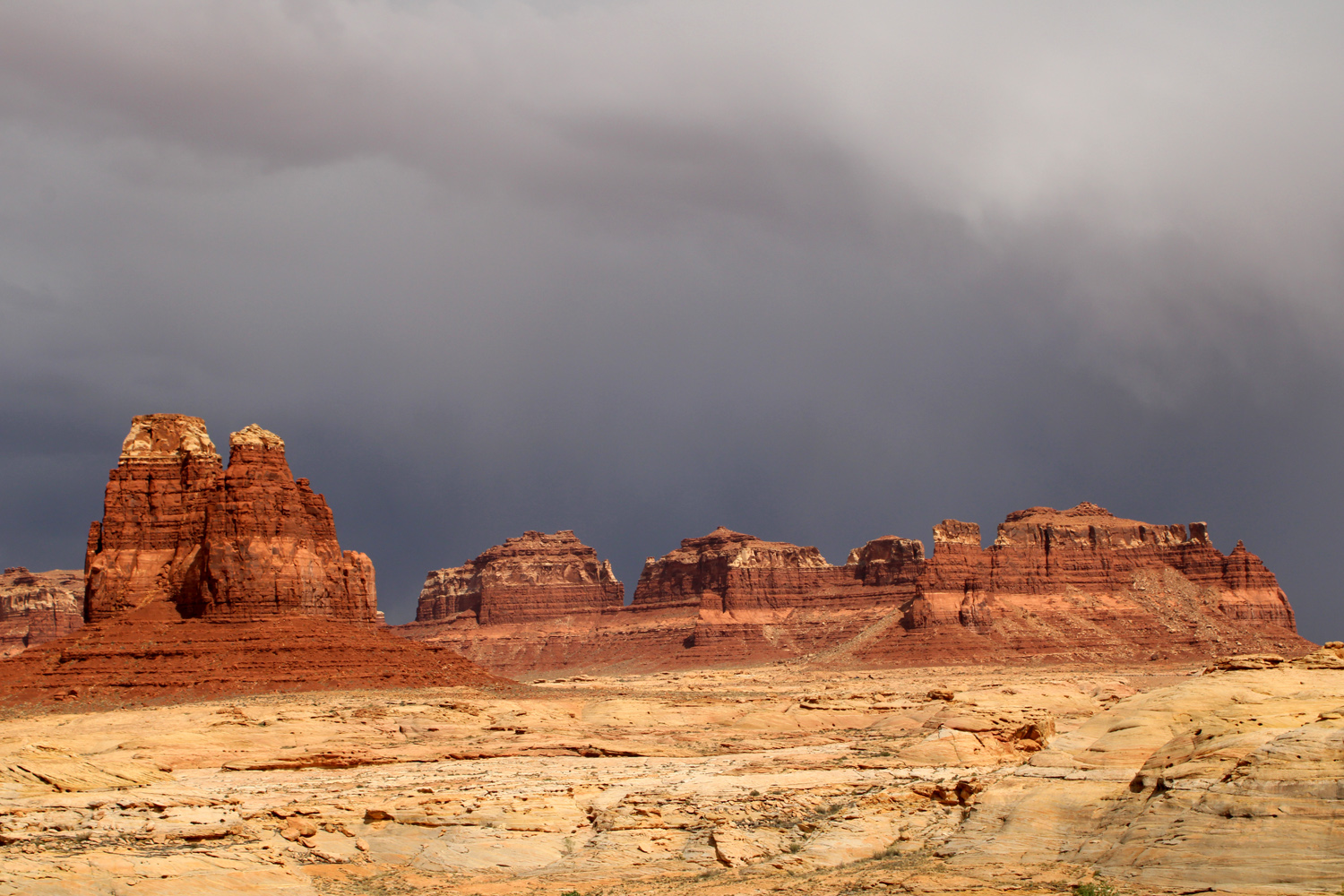
Storm
over sandstone ridge along Utah Highway 95 |
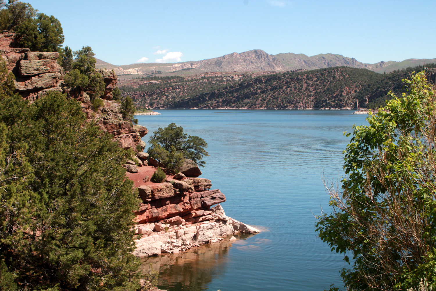
Flaming Gorge Reservoir |
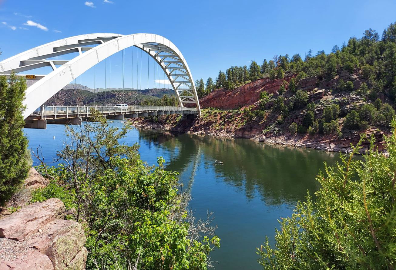
Bridge over a branch
of the lake (Teri Liddle Photo) |
|
|

|

|
|
| La Sal Mountain sunset | Mexican Hat Rock | San Juan River at Mexican Hat, Utah | |
| Above three photos by Teri Liddle | |||
| Related Links | |||
| Arches National Park | |||
| Canyonlands National Park | Dinosaur National Monumewnt | Bryce Canyon National Park | |
| Capitol Reef National Park | Dead Horse Point State Park | ||