

Adventures of 2015 - February to May |
||
The Road to Goofy Smith Flat Henry Cowell Redwoods & Big Sur Pine Flat Drive & Hike Finegold Trail White Rock Road Trip Edison Point Trail Nelder Grove |
||
|
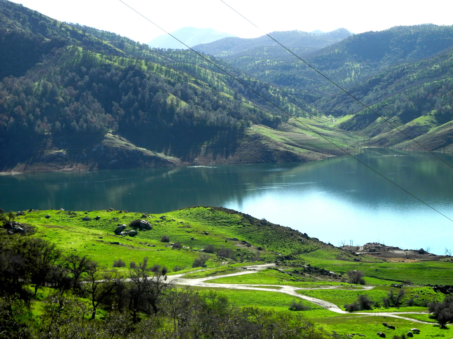
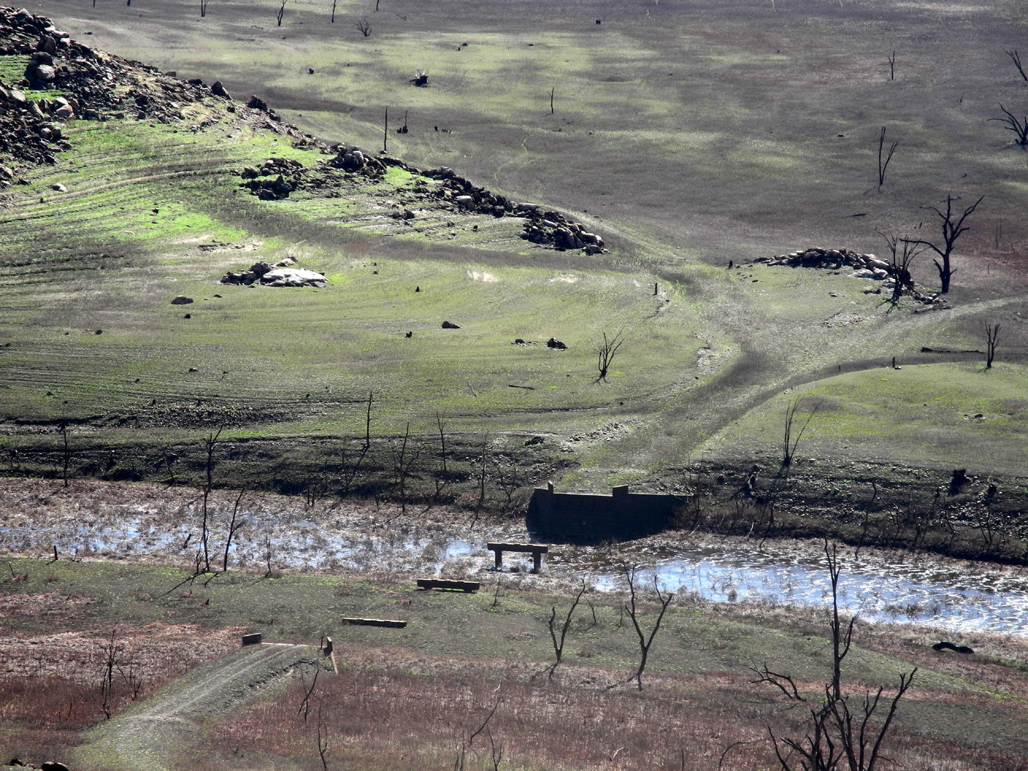
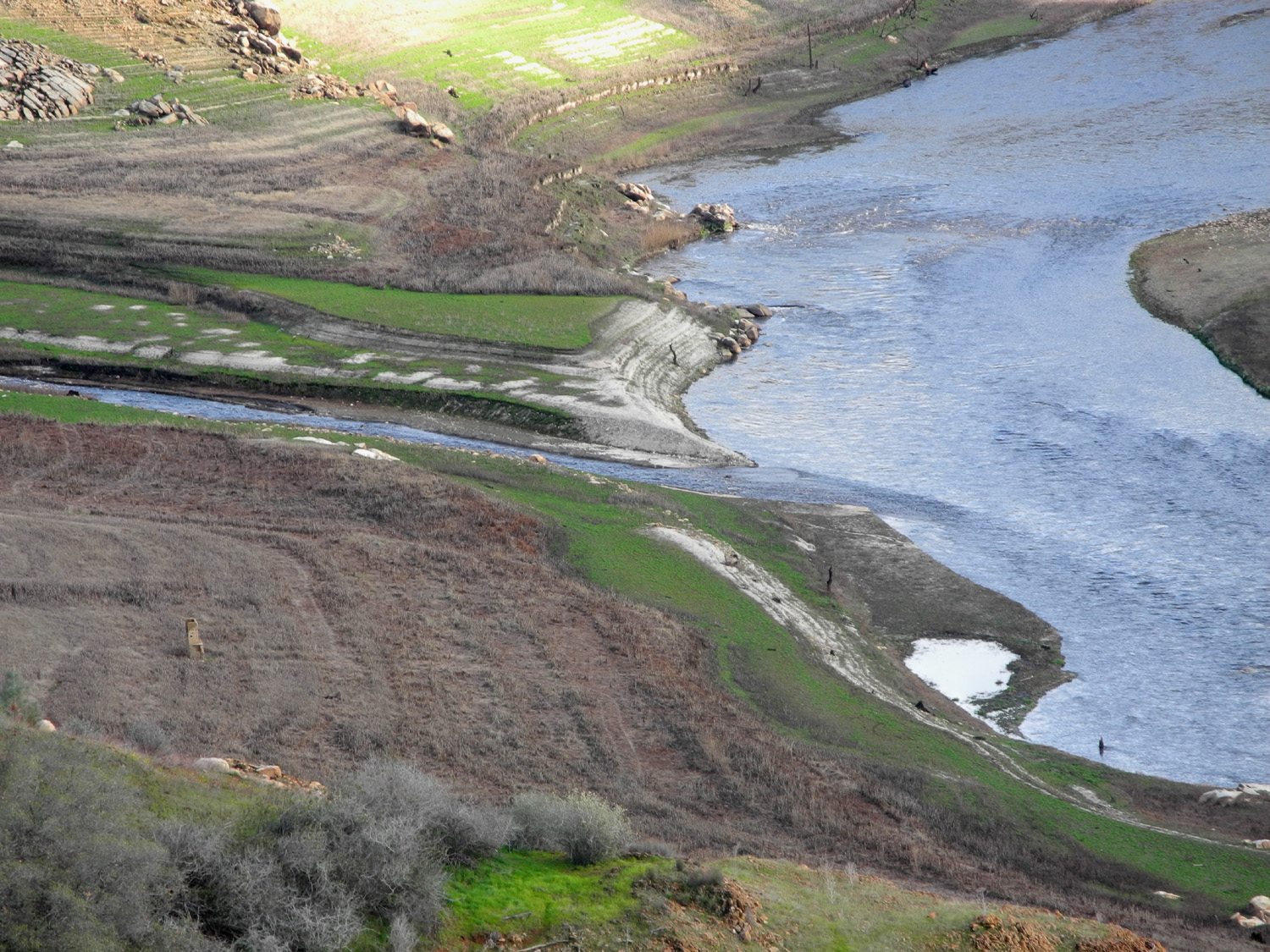
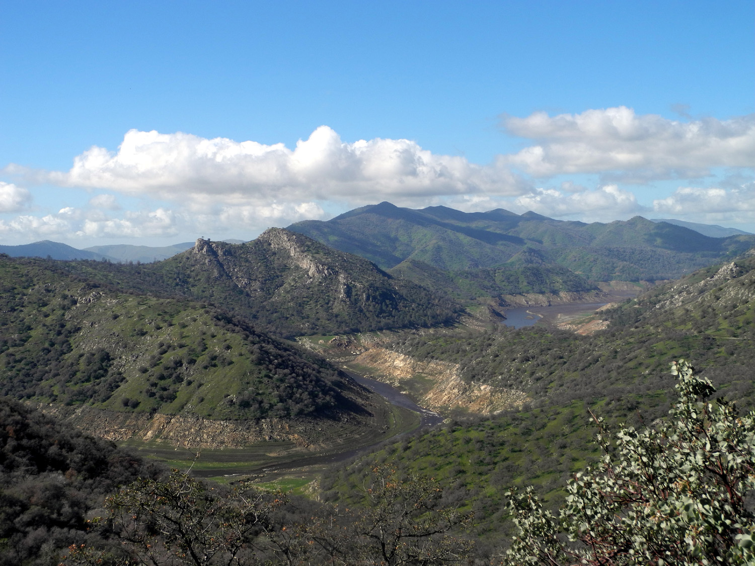
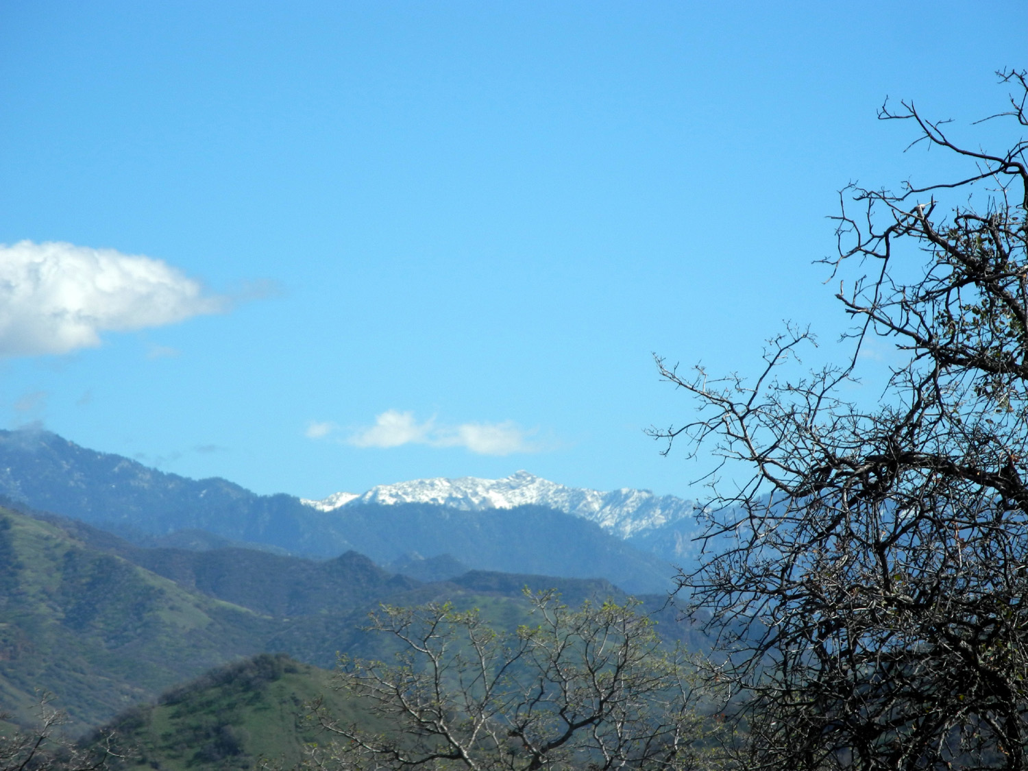
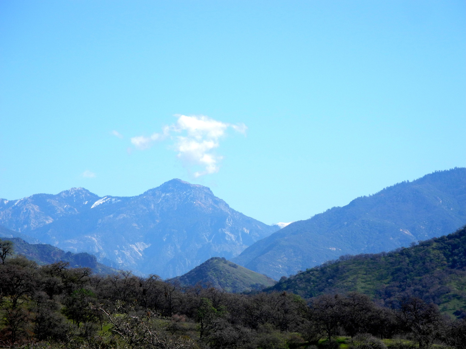
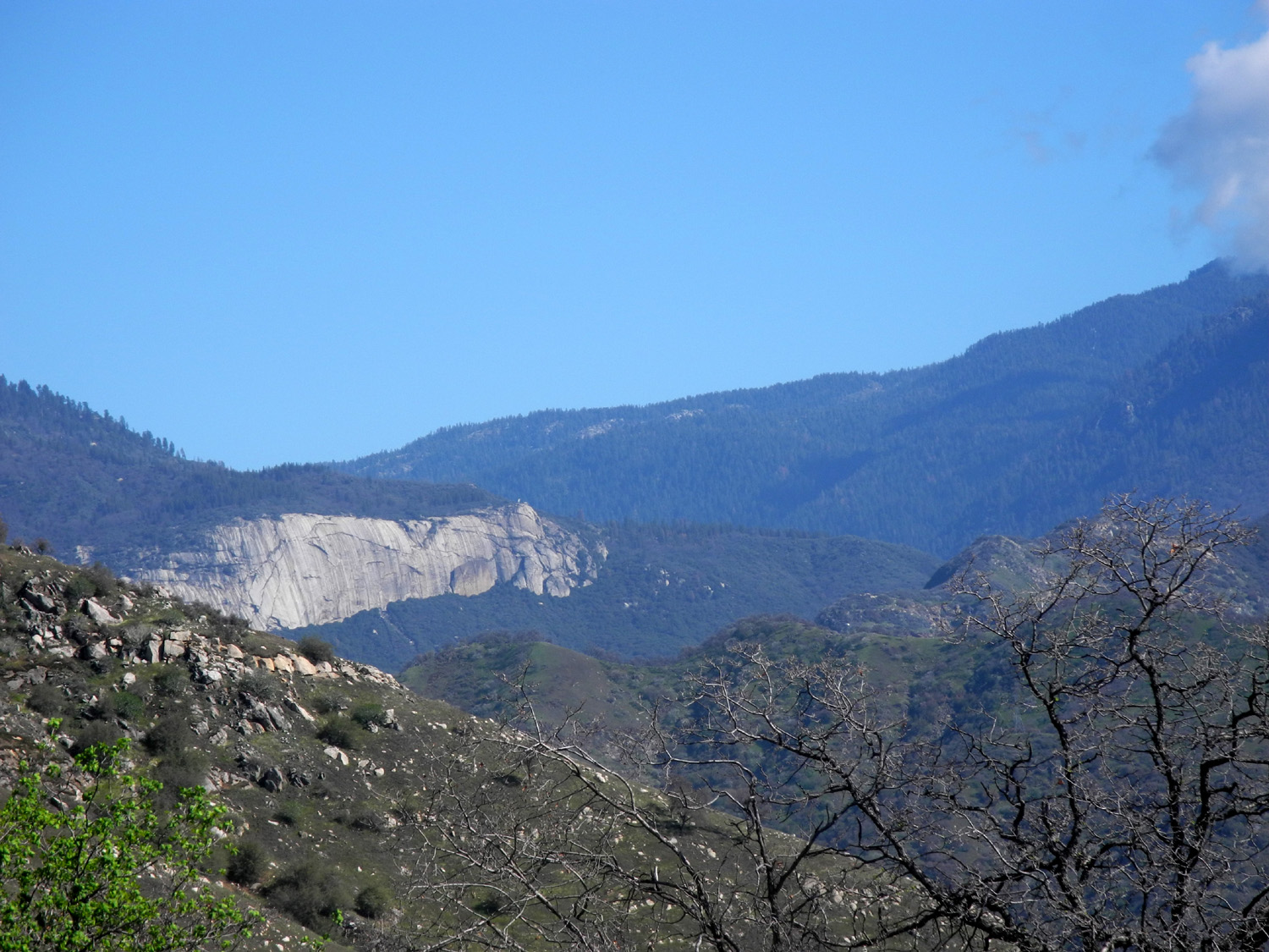
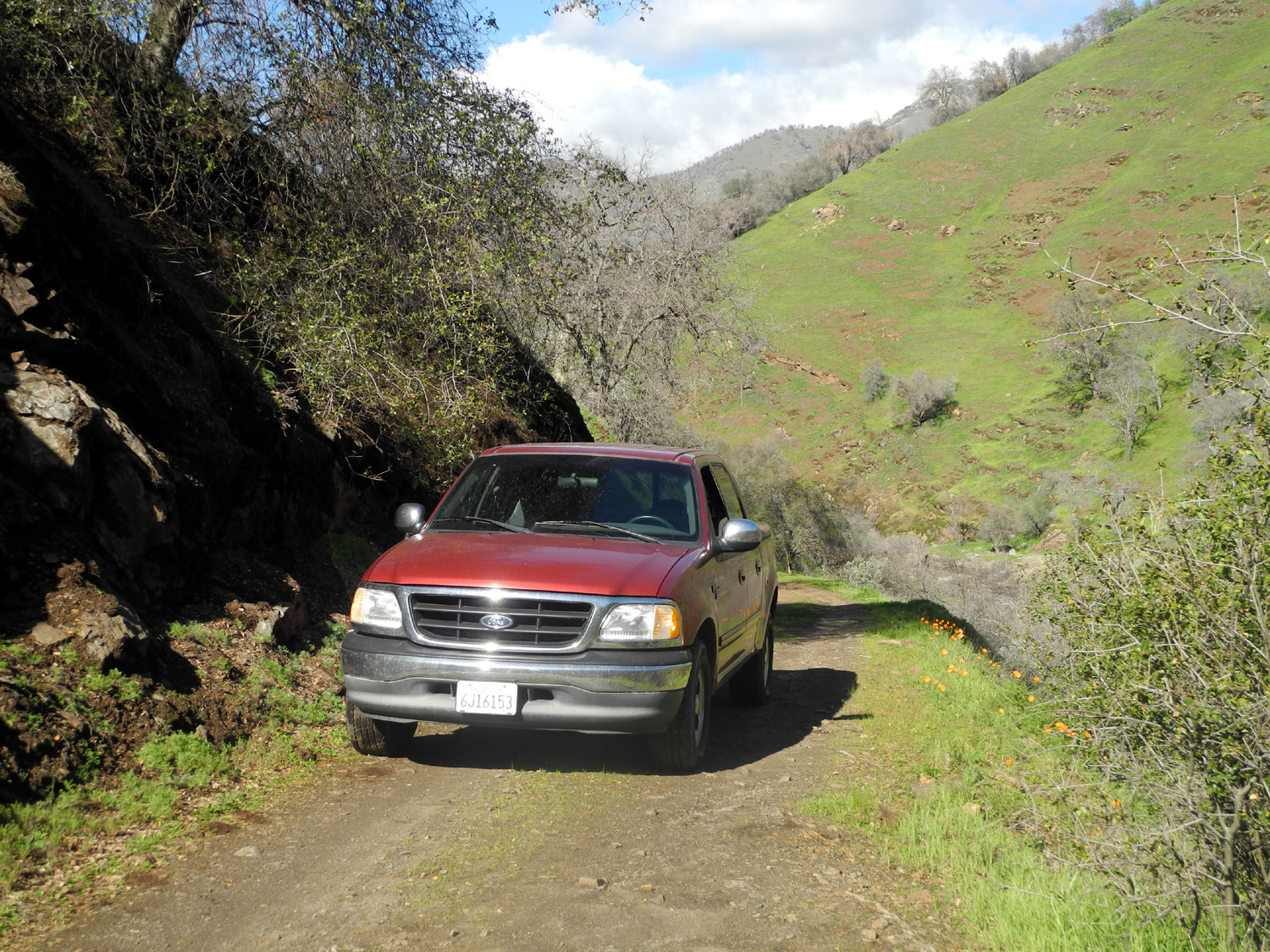
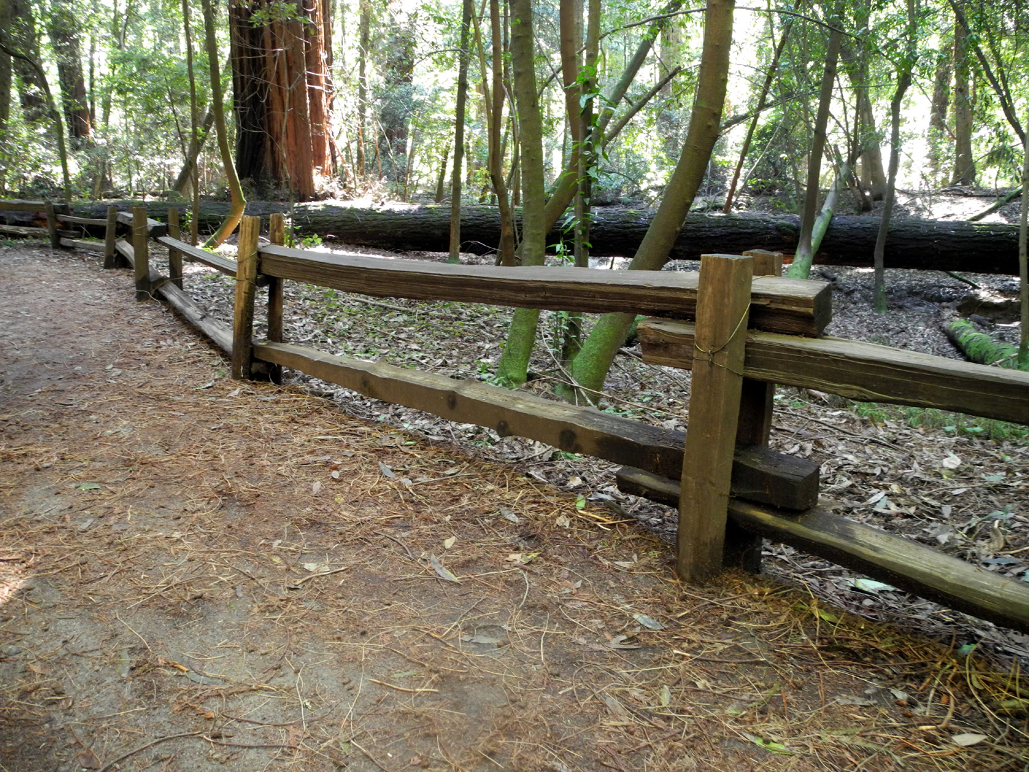
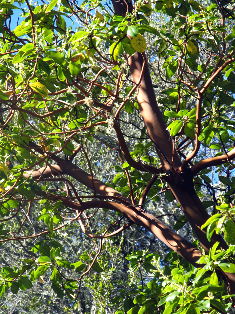
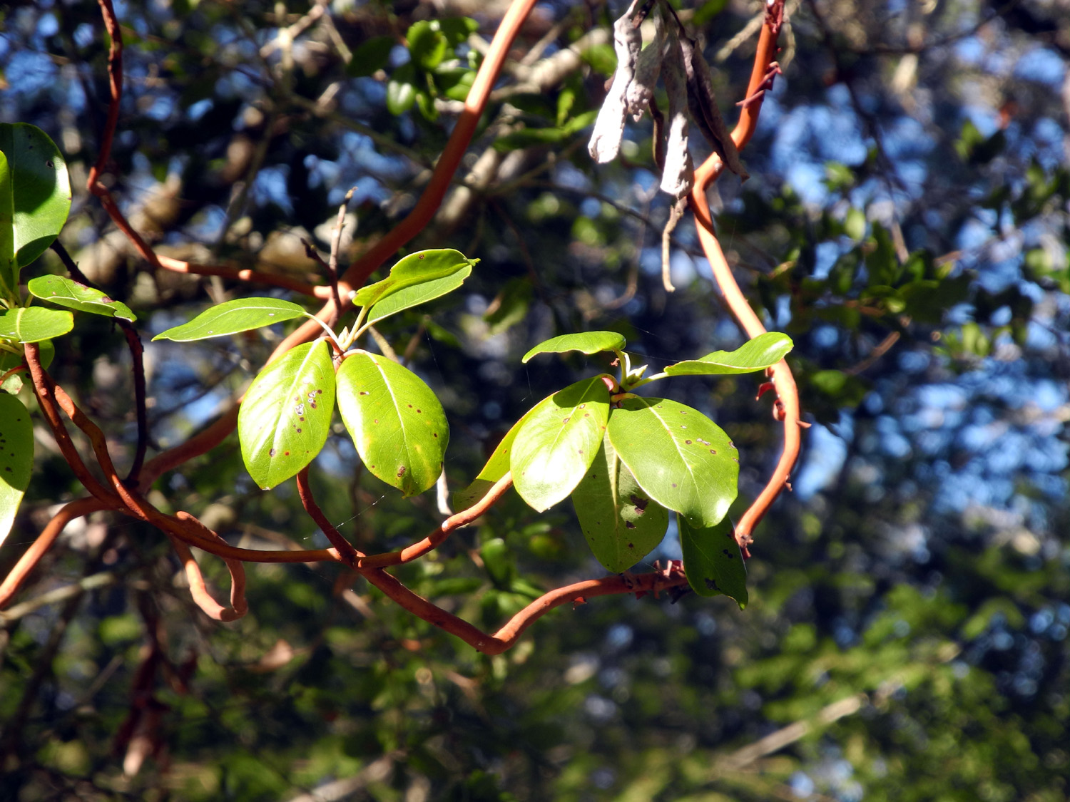
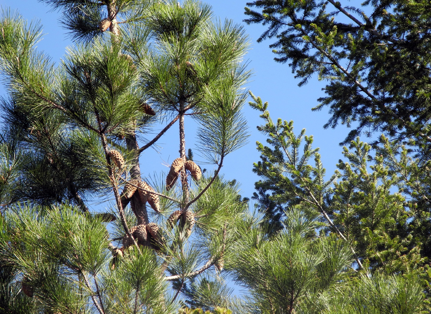
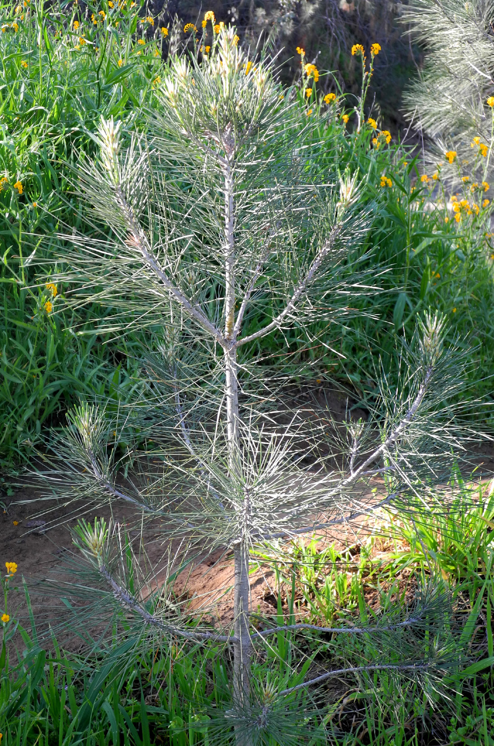
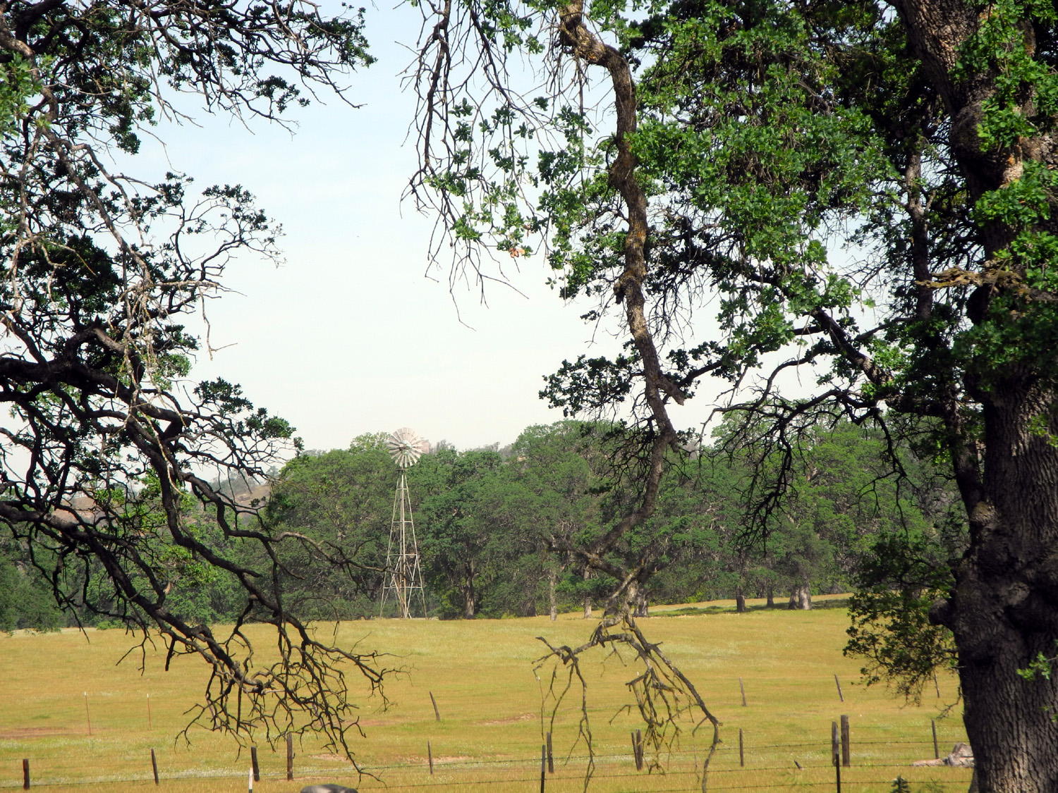
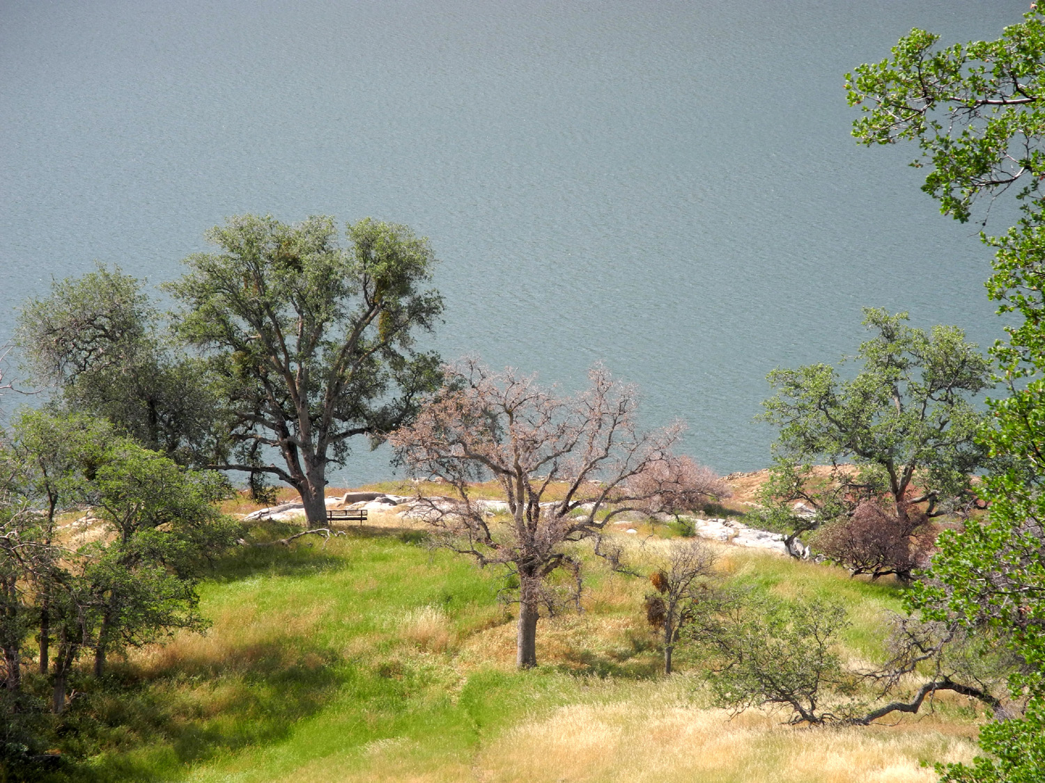
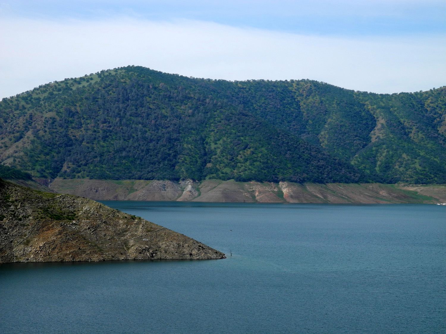
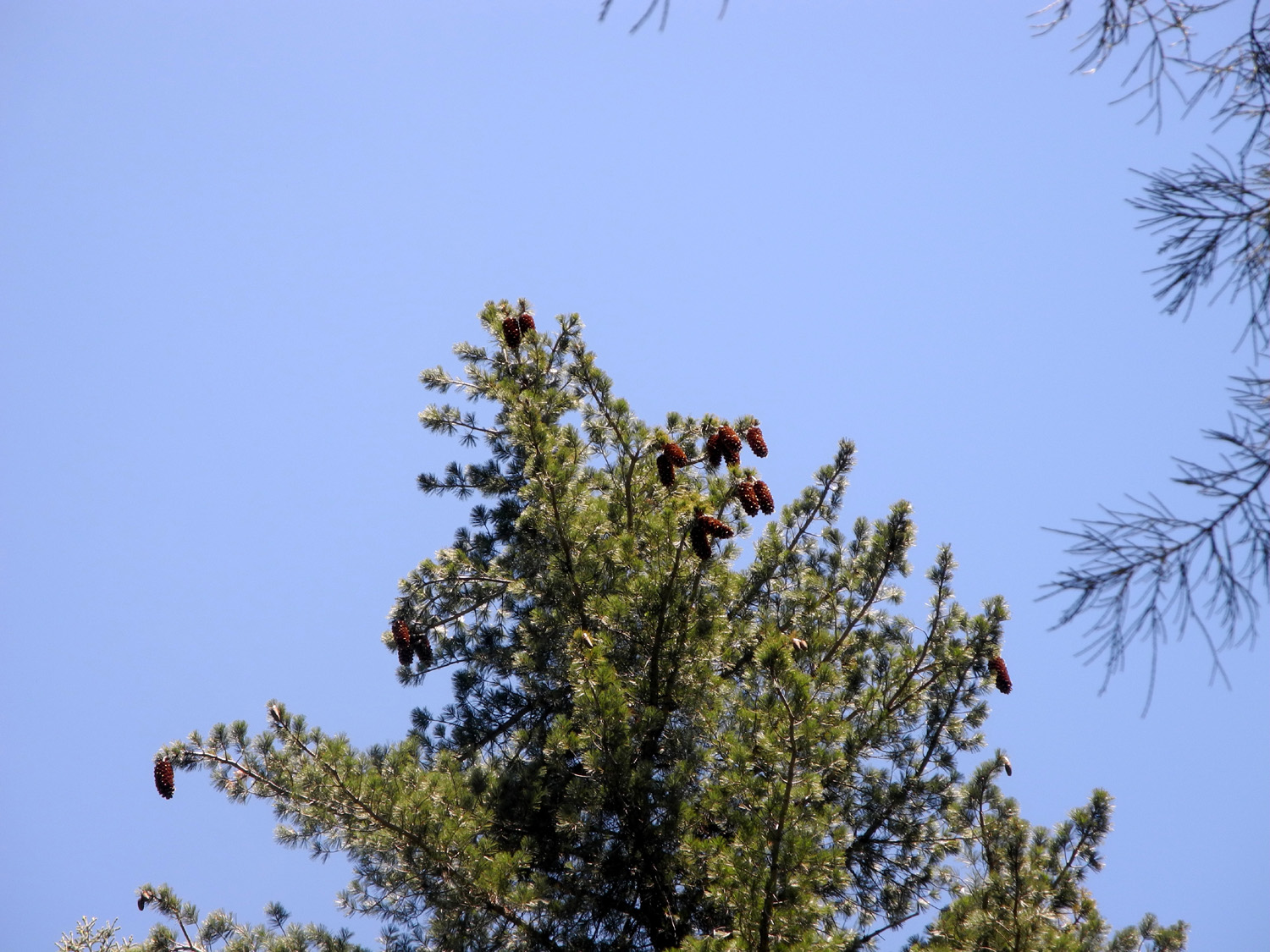
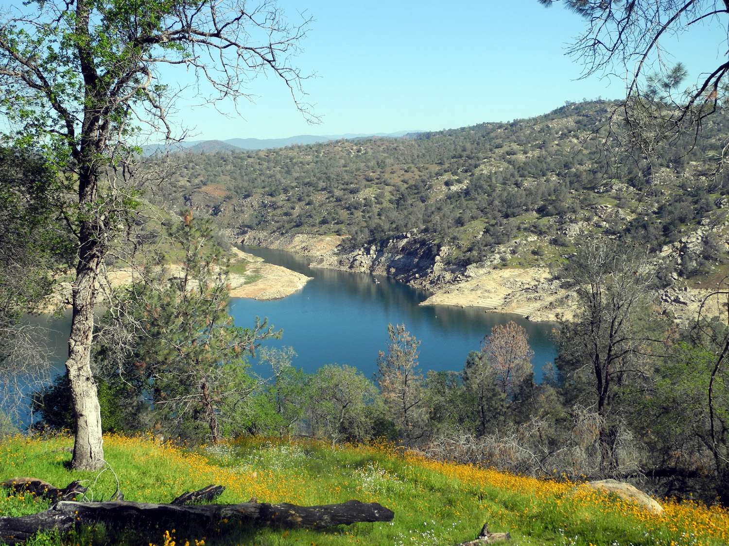
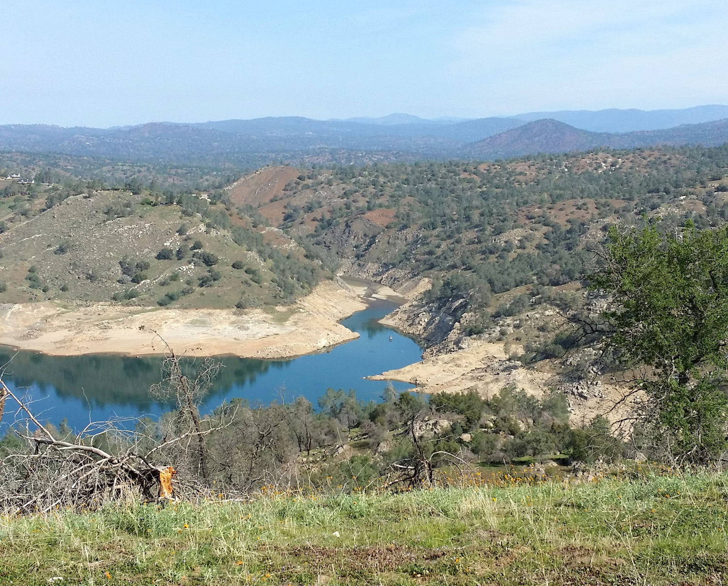
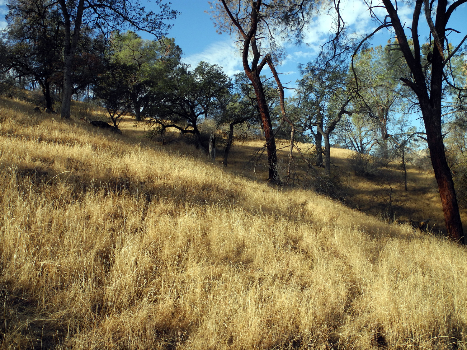
The Road to Goofy Smith Flat In the second week of February I realized I had a few days free. This usually means that it's time for camping or a day trip, so on February 9 I packed a lunch and set out in my pickup for Pine Flat Lake, on the Kings River in the Sierra foothills to the east. I planned to go at least to the ridge near the upper end of the lake, where several old roads into the countryside offer hiking opportunities, and possibly as far as Goofy Smith Flat (more about that name later). The long-running California drought is far from over, but we've had small storms on a fairly regular basis since early fall, so the grass and wildflowers have had a good start. This meant that once I left the city, I enjoyed spectacular scenery from start to finish. My plan was to stop and hike at several places, enough to get in at least my daily 30 minutes. Of course, I also made a number of short stops to take pictures and/or look around. One of the first of these was Kirkman's Point, where the lake first comes into view, and as expected, there was not much lake to look at. In mid-December this million acre-foot reservoir was filled to only 12% of capacity, and January was virtually rainless. The drought's effect was even more dramatic farther up the road, where the two major tributaries come in on the north side. The lake pretty much ends where Sycamore Creek enters, so there is no lake at all up this canyon nor the Big Creek channel. You are looking at the river flowing in its original bed above this spot. These conditions still make for some striking views, with what looks like green lawn on much of the lake bed, long dead trees standing in the shallow water, and the remains of an ancient bridge across Sycamore Creek exposed for the first time in many years. My first walking stop was at a campground just past Sycamore Creek. Between Sycamore and Big Creeks there are two campgrounds and a picnic area. For reasons unknown they have been closed for decades, and I could write an essay about the stupidity of keeping people from enjoying this area, but I'll just say that it annoys me every time I drive by there. You can still walk in, and this is what I did, following the camp road through a relatively level area of blue oaks, bull pines and flowers. The road is in very good condition for having been basically abandoned for nearly 30 years. There was no place that I could not have driven on it, as long as I removed small piles of branches from two areas. Once back in the truck I continued on toward Big Creek, deciding as I drove that I would check out one of the more interesting man-made features in the area. Along the west side of Big Creek are a number of structures that I call "waterworks" and my friend Sue refers to as "weirs," probably a more accurate description. They consist of small concrete basins, guardhouse like structures, valves, and other features, and I believe they were used to measure runoff before the construction of Pine Flat Dam. Most of those I've seen are found on the dirt road that goes up Big Creek to the Shaver Lake area through Blue Canyon, and I have walked up to several of them. This time I explored one of the three that are on the paved road before it crosses Big Creek and before you turn onto the dirt road. This was more like wading than hiking - the grass, above knee-high in places, was soaking wet with dew, and by the time I got back to the truck, water had entered my canvas top boots, gone through my socks, and cooled my heels (as well as the rest of my foot). However, it certainly qualified as exercise, and I got a good look and a number of photos. This is one of the smaller complexes, but still includes a basin, "guardhouse," spillway and valve. I got some good pictures of the artifacts, as well as some spring flowers, and returned to the truck to continue my journey. Past Big Creek the road heads up hill and away from the lake, eventually crossing over Secata Ridge before dropping back down to lake level, where there is a power house and an open campground, Kirch Flat. My grandson Mikie and I have made many trips to this location and what we call the Frog Pond. When you come over the ridge you can see some higher mountains, particularly a part of the Monarch Divide, which separates the Middle and South forks of the Kings River. The head of this ridge, Wren Peak, is normally covered with snow at this season, but no white stuff could be seen this year. There's also a good view of Patterson Bluffs, which rise above the North Fork of the Kings. To the right side of the road (south) there is a lot of land between road and river. There are some fairly level areas, rounded knolls, and rolling country, which then drops off steeply closer to the river. Old dirt roads, probably from ranching activities, run through this area in several places, and are drivable for short distances. I went into an area I've gone to a number of times before. The foothill vegetation here includes a lot of manzanita, and we have gathered the dead branches for our campfires at Kirch Flat. This time my only activity was hiking. I drove in and parked by a big electrical tower, then walked farther in on the road, which becomes too steep and rough for anything but four wheel drive. This 15 minute hike led me down hill for a while, then in a loop back up to my parking place. Again I collected a large amount of water in my boots and socks, enjoying the walk in spite of this. Back in the truck, I continued down the hill to Kirch Flat Campground, and drove in for a look. When Mikie and I have camped here during Easter vacation it has been nearly full, but this time there was no one there. I walked down to the frog pond, and they weren't there either. Now it was time to decide
whether to start back or go all in and drive to Goofy Smith
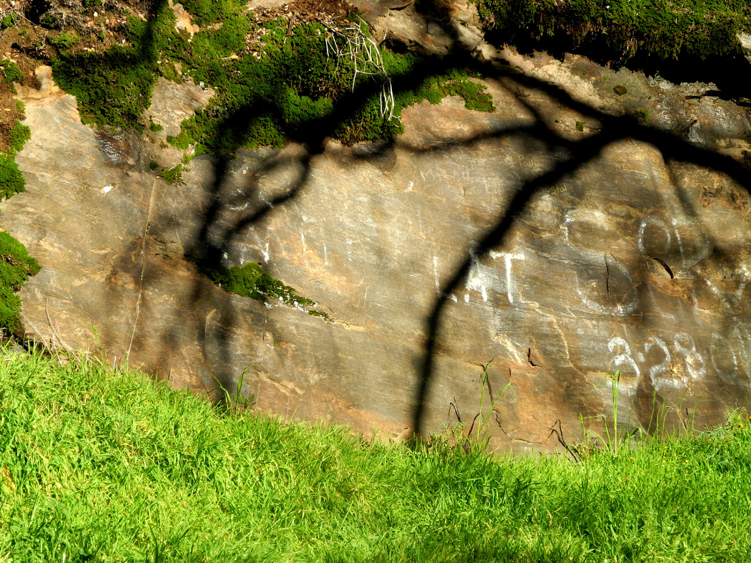
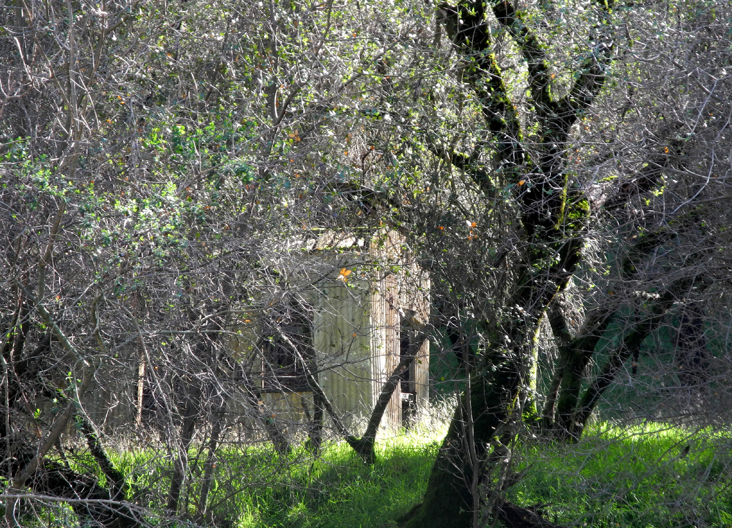
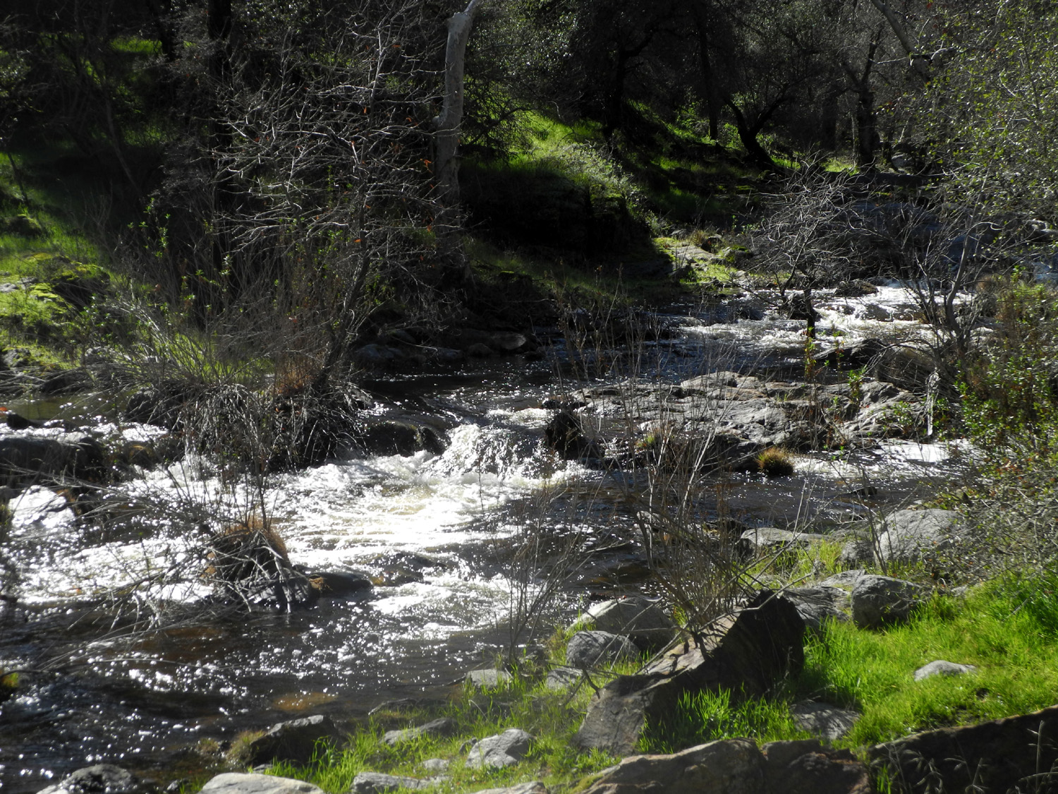
Flat. Past Kirch Flat the
road crosses the river, then a mile or so above that it cross back
and follows the North Fork. At this location dirt roads
go up both sides of the main river. The one on the south leads to
several small campgrounds, the largest of which is Mill Flat Creek
Campground, reached via a three mile drive that climbs up and down the canyon,
offering some spectacular views of the river. The
road leaves the river at this point and follows Mill Flat Creek for
a while, eventually coming out on Highway 180, the road from After my trip I asked a couple of local history experts about the location, but neither of them had heard of Goofy Smith Flat or anything else Goofy Smith. An Internet search turns up three hits, all of them my pages on visits to the area. The painting on the rock has faded badly since I first saw it, and has been partly obscured by goofy visitors with more paint than brains. If you did not know what it read originally, you would not be able to read it now. However, the cabin still stands. In my mind it was a falling-down wood building, but in actuality the exterior is corrugated metal, so it should last a long time. When I first saw it I was able to get across the creek for a closer look, but the details of that visit are long forgotten. This time the creek was too high to attempt a crossing. It's hard to spot the cabin through the trees that line the bank, but I got a few photos that show part of it. The dirt road into this area is winding and very narrow, especially the last half mile or so. Driving out after one of my visits years ago, we met another vehicle at a place where passing was impossible, and he had to back up several hundred yards before we found a spot wide enough - this on a road that has a high bank on one side and drops off steeply to the creek on the other. On my recent trip I was holding my breath and crossing my fingers hoping I would not meet anyone, but it was hard to drive that way, so I relaxed and hoped for the best. It helped that above Sycamore Creek I had seen no more than three or four other cars, even on the paved road. Along the section of the road by the lake, and also at the far end of my trip, I saw lots of poppies. I believe the ones by the lake were mainly a variation called gold cups, a little smaller and with a bit more yellow in the orange than "regular" California poppies. There were many other flower species, but none in great numbers. There seemed to be fewer the farther I went. Despite the low elevation, when you go that far, you are a long way into the mountains (a 125 mile round trip in this case). By the time I left Goofy Smith Flat I was ready to eat the lunch I brought along. I made one quick stop, where there is a Forest Service rental cabin about a mile in on the dirt road, to write down the contact number. Then I drove back as far as Kirch Flat and ate at one of the picnic tables there. By this time there were two other parties in the campground, both day visitors like myself. On the return trip I took a few pictures at places I'd missed on the way up, but mostly I just made it a non-stop run back home, vowing to take similar day trips whenever the chance arises. --Dick Estel, February 2015 |
||
|
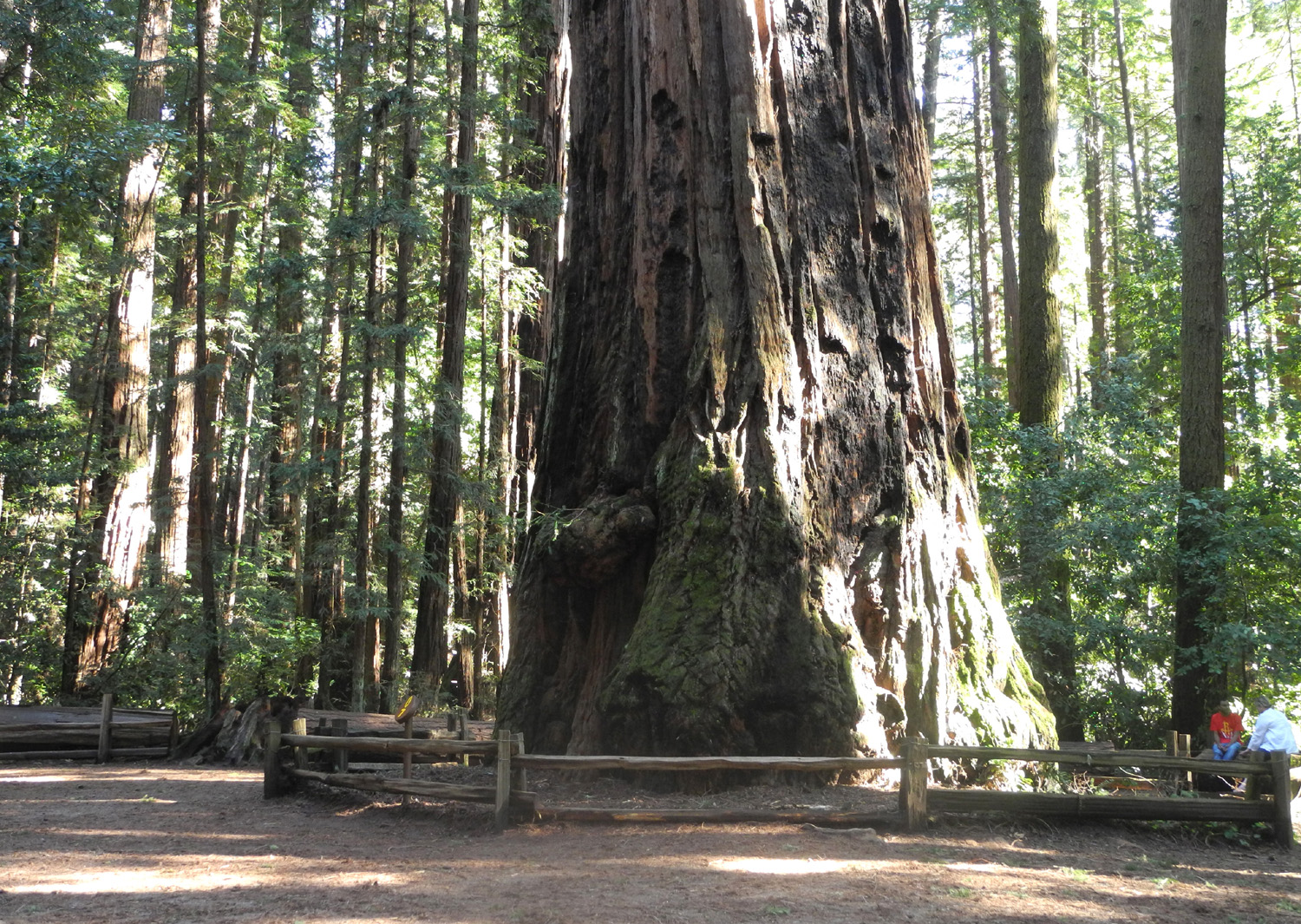
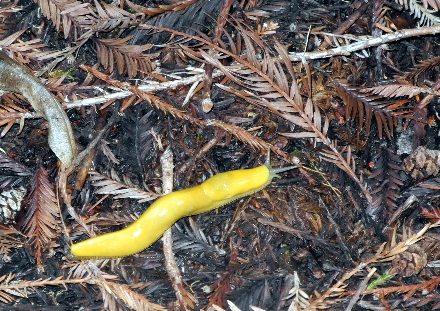
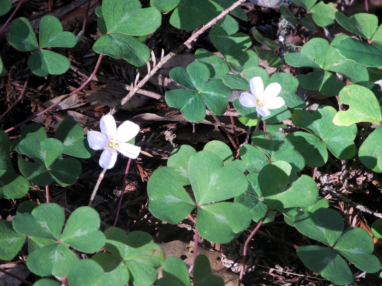
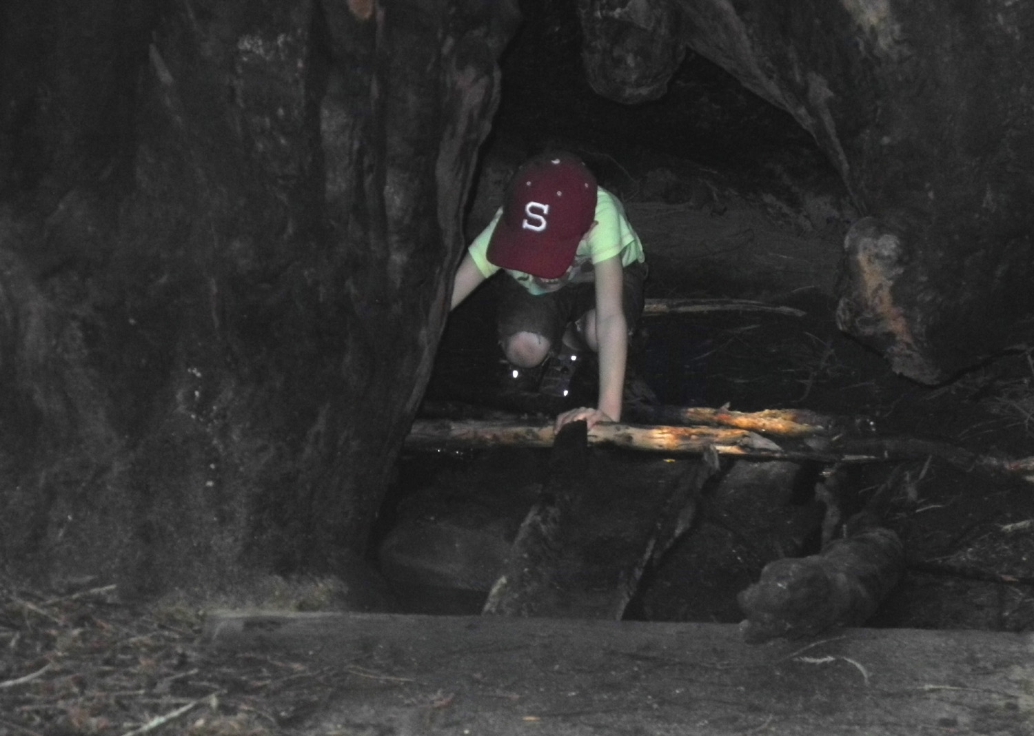
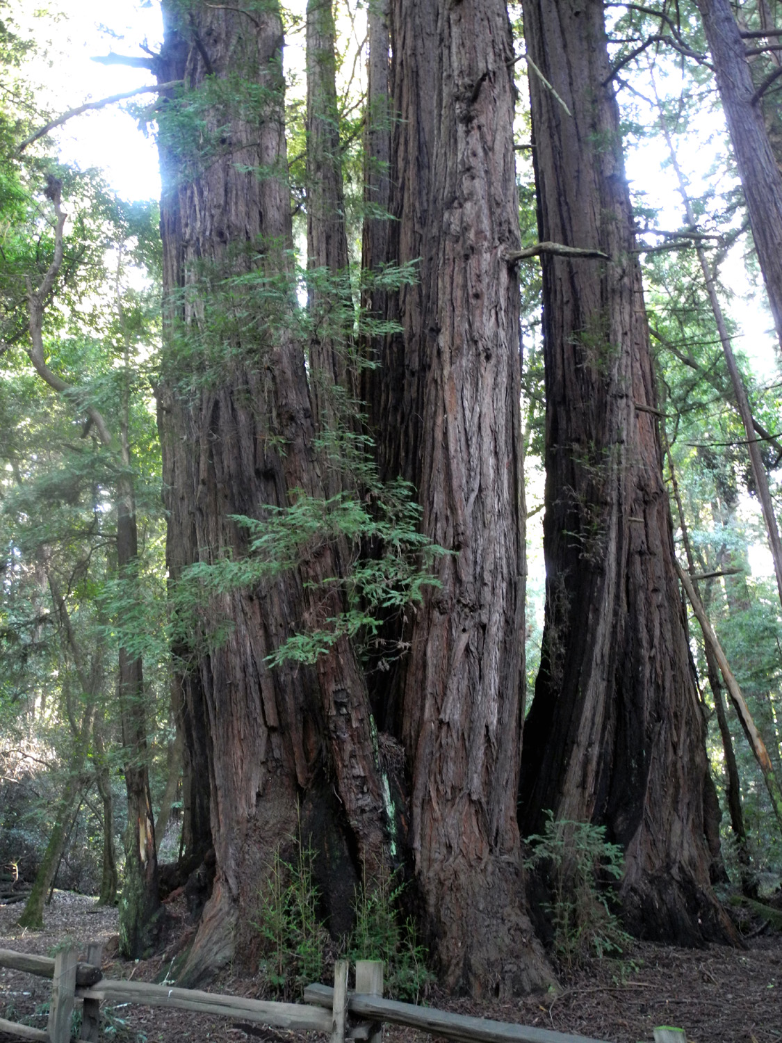
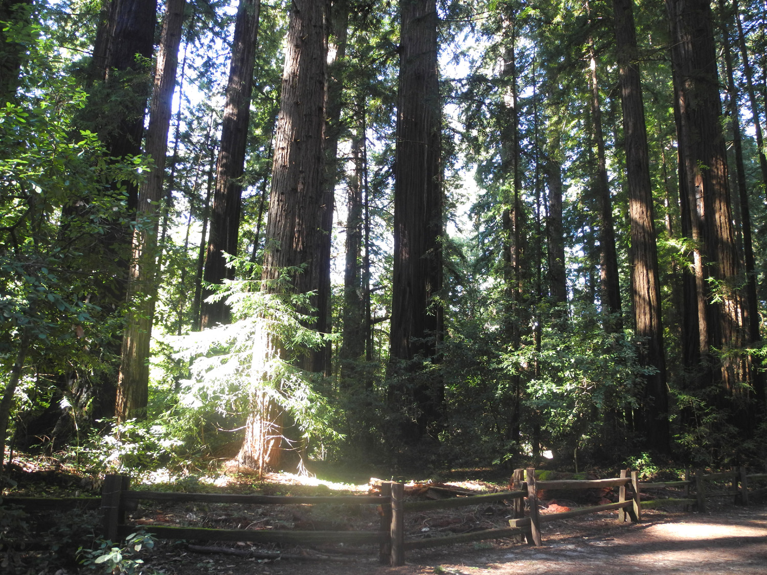
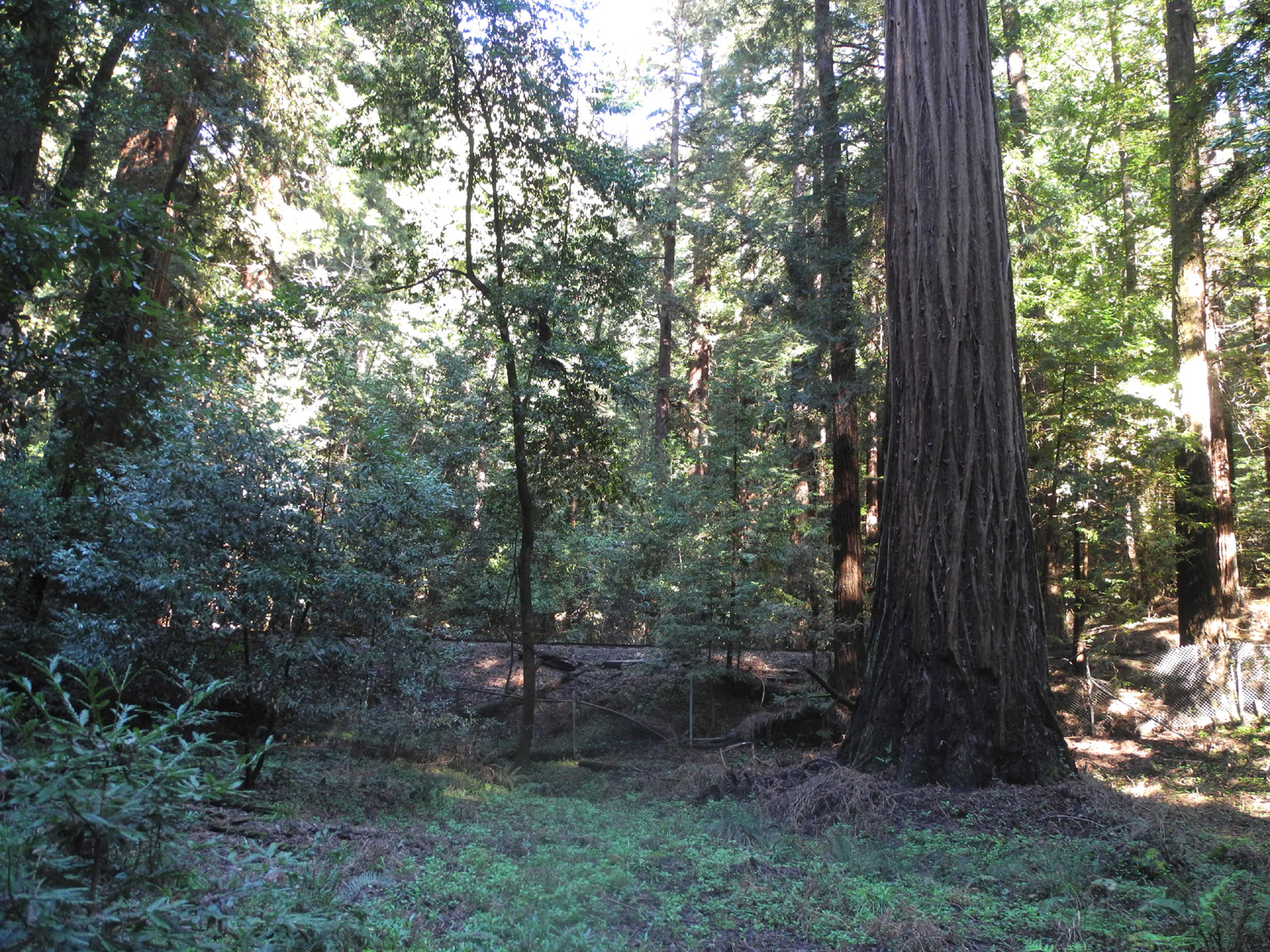
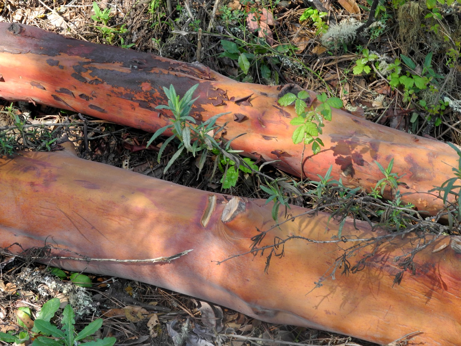
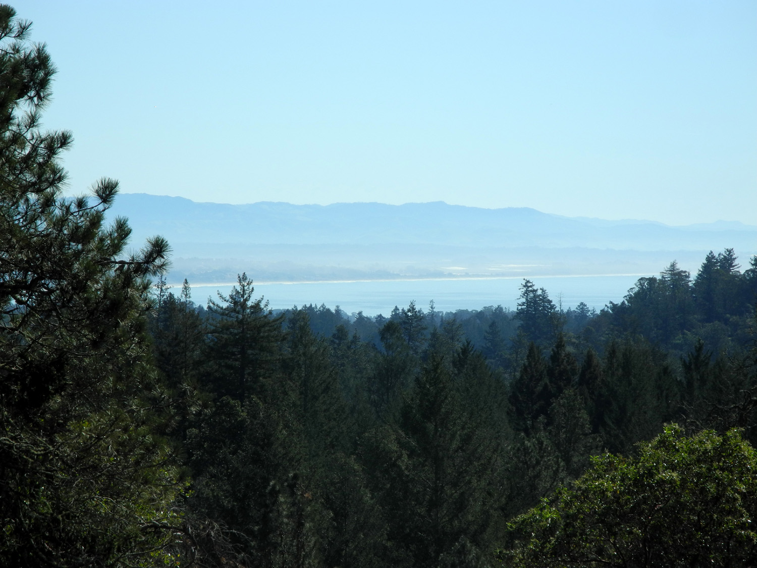
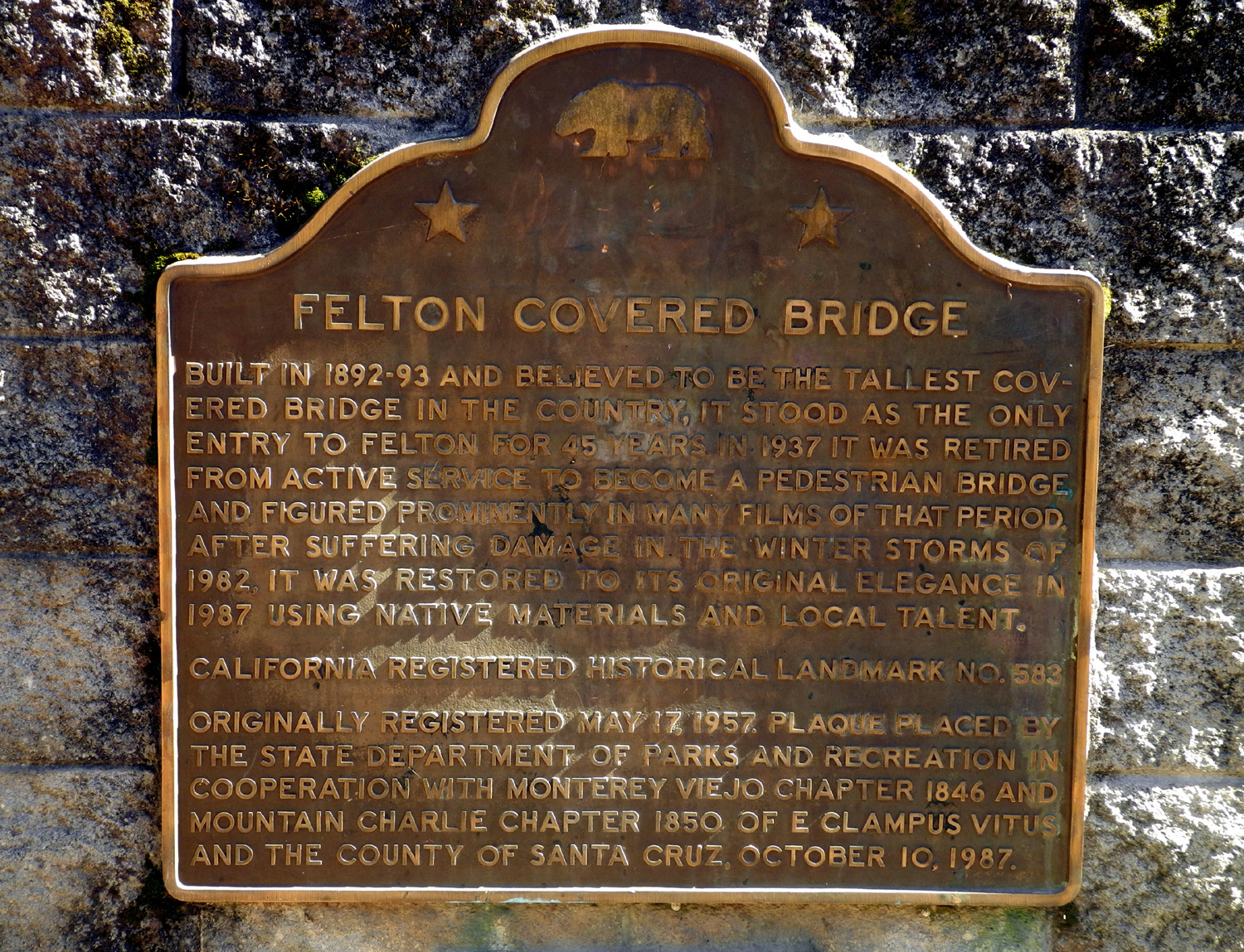
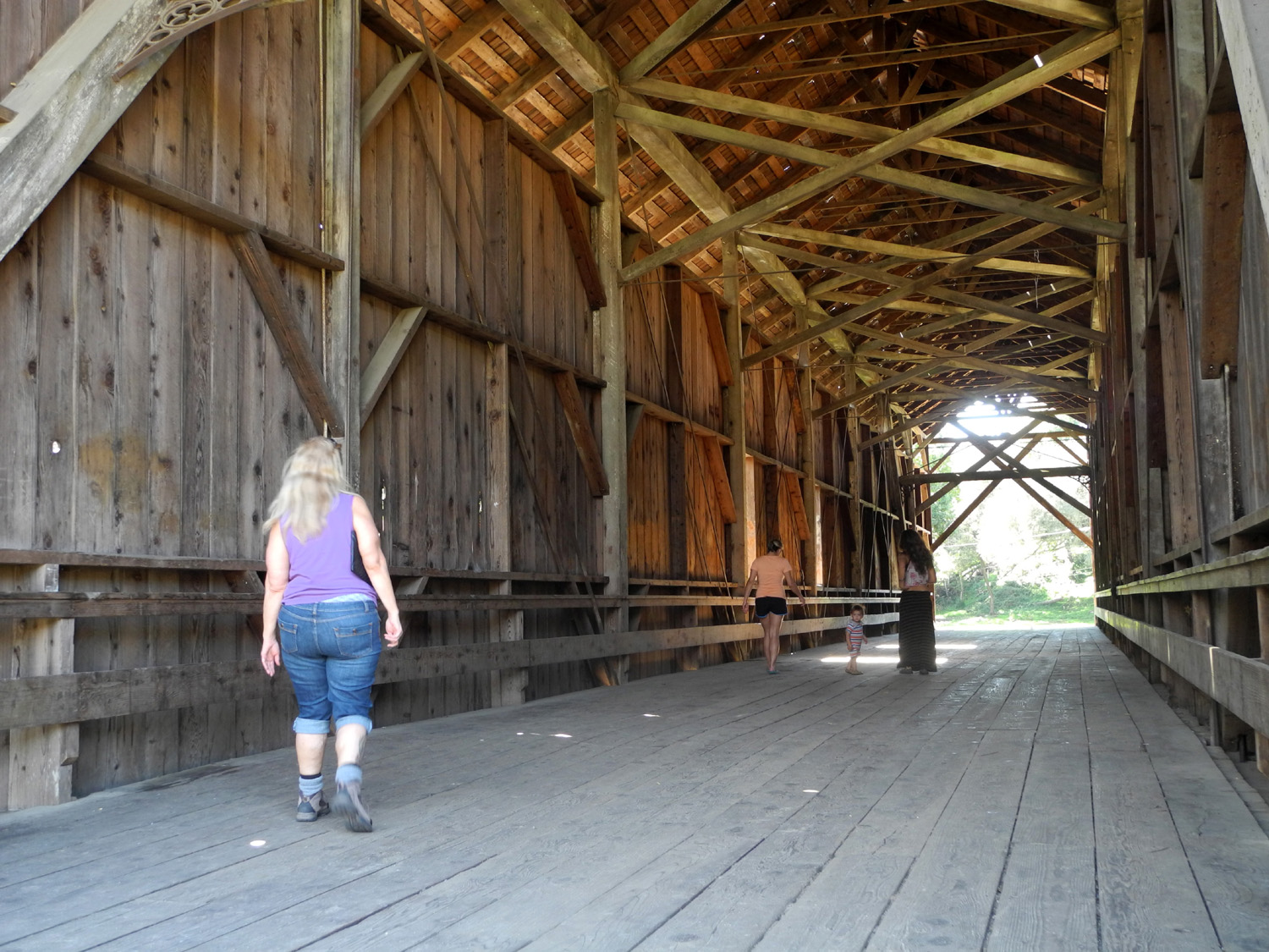
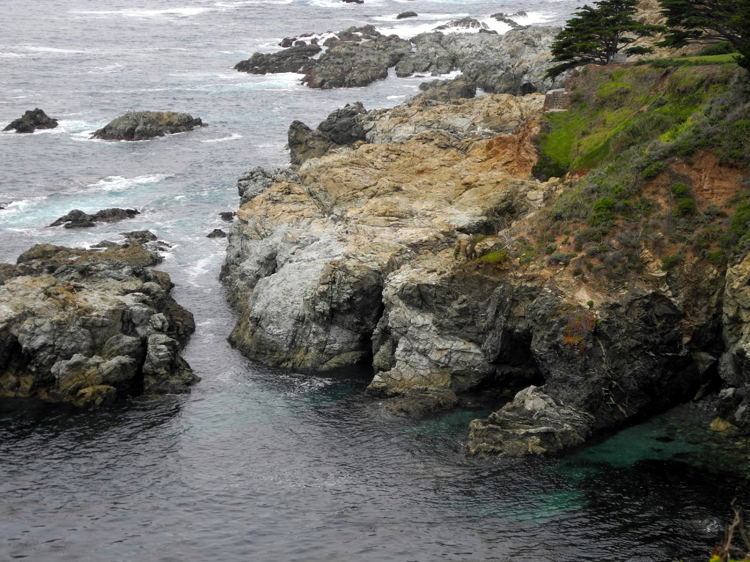
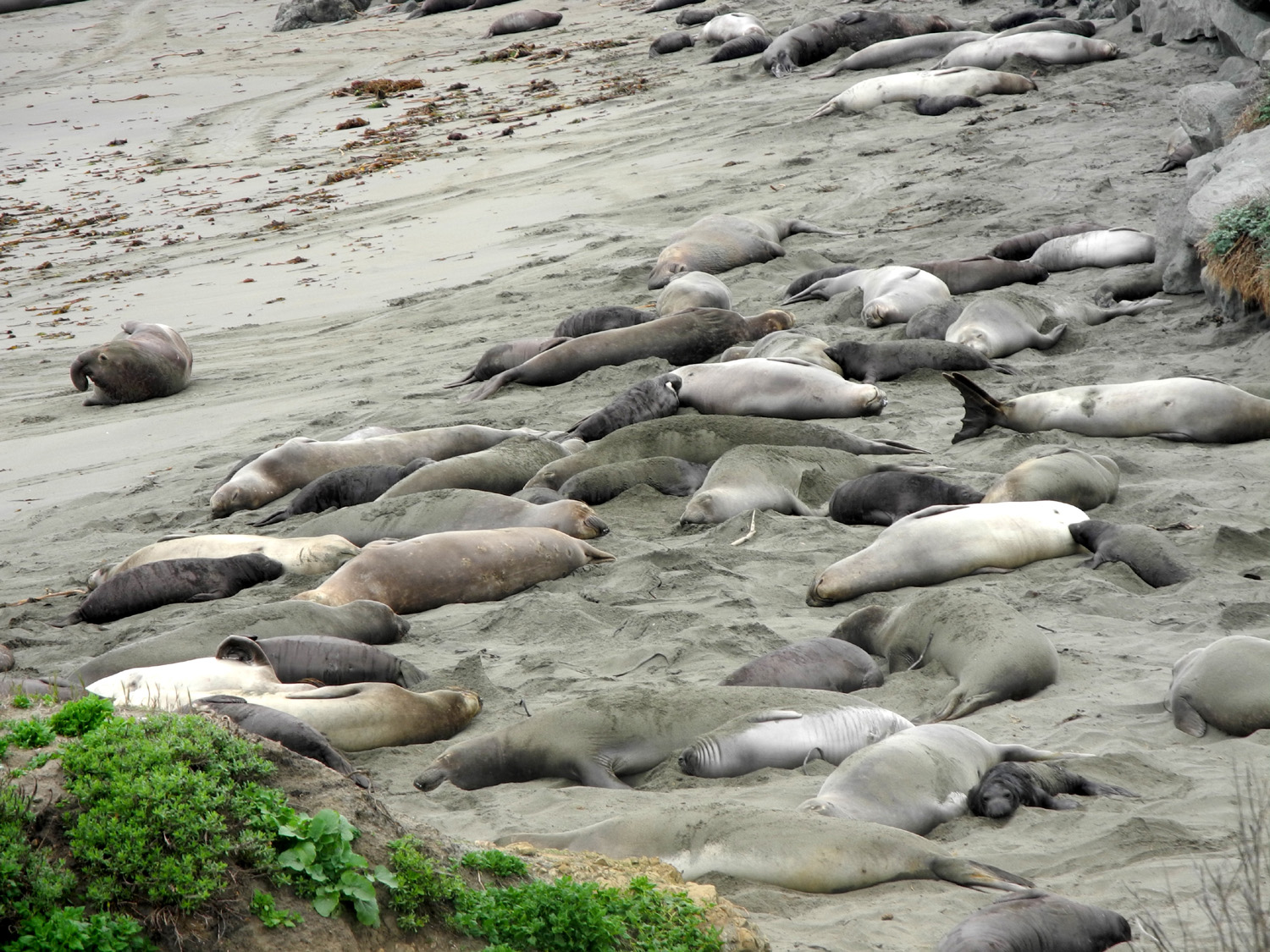
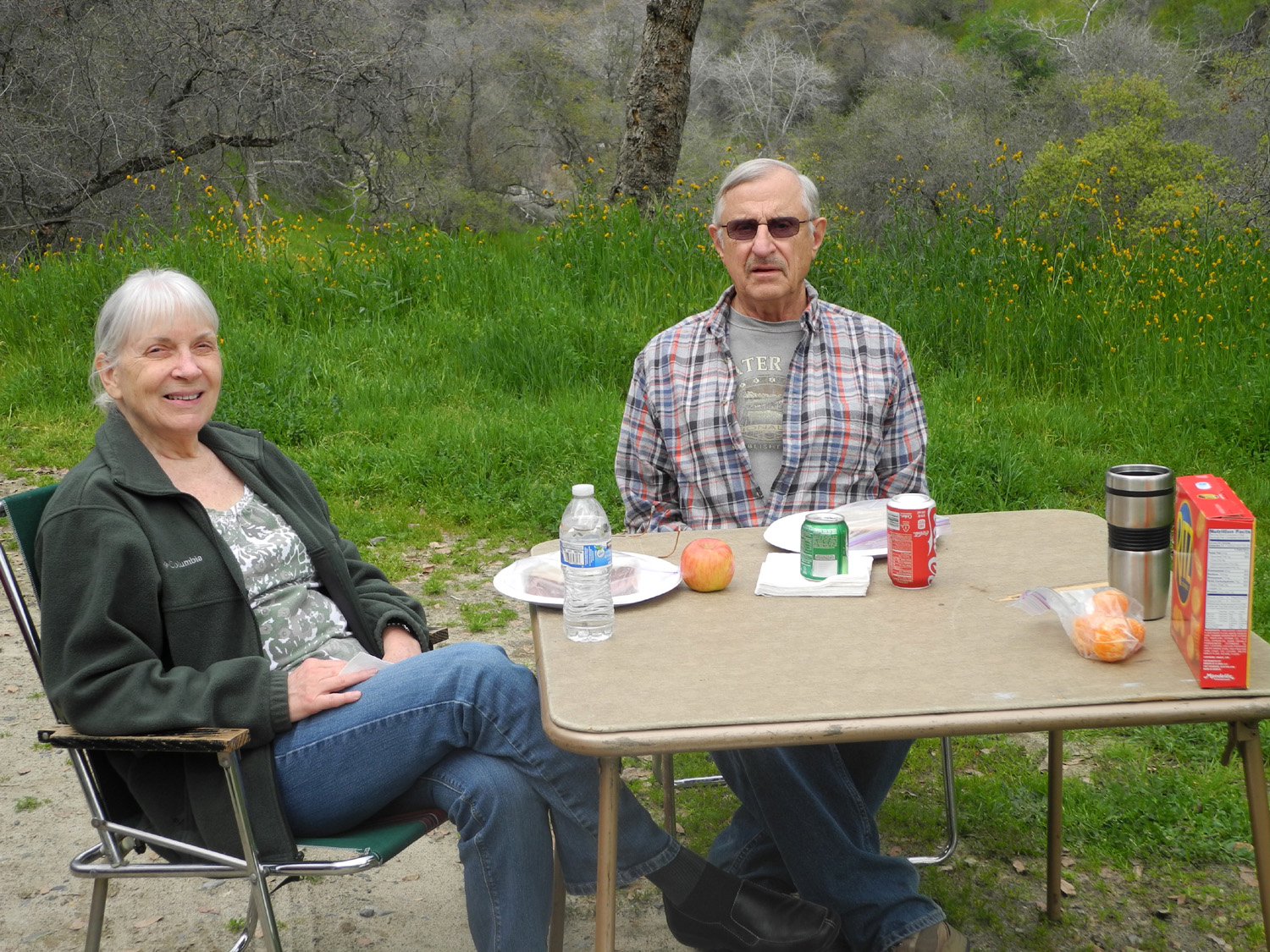
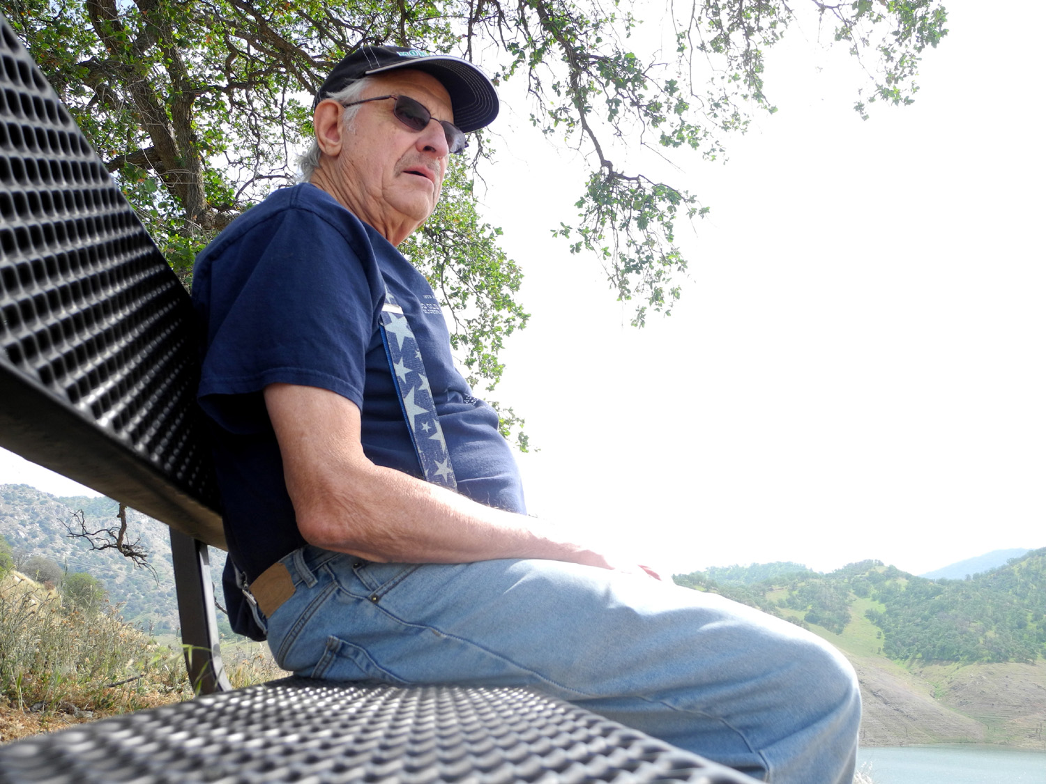
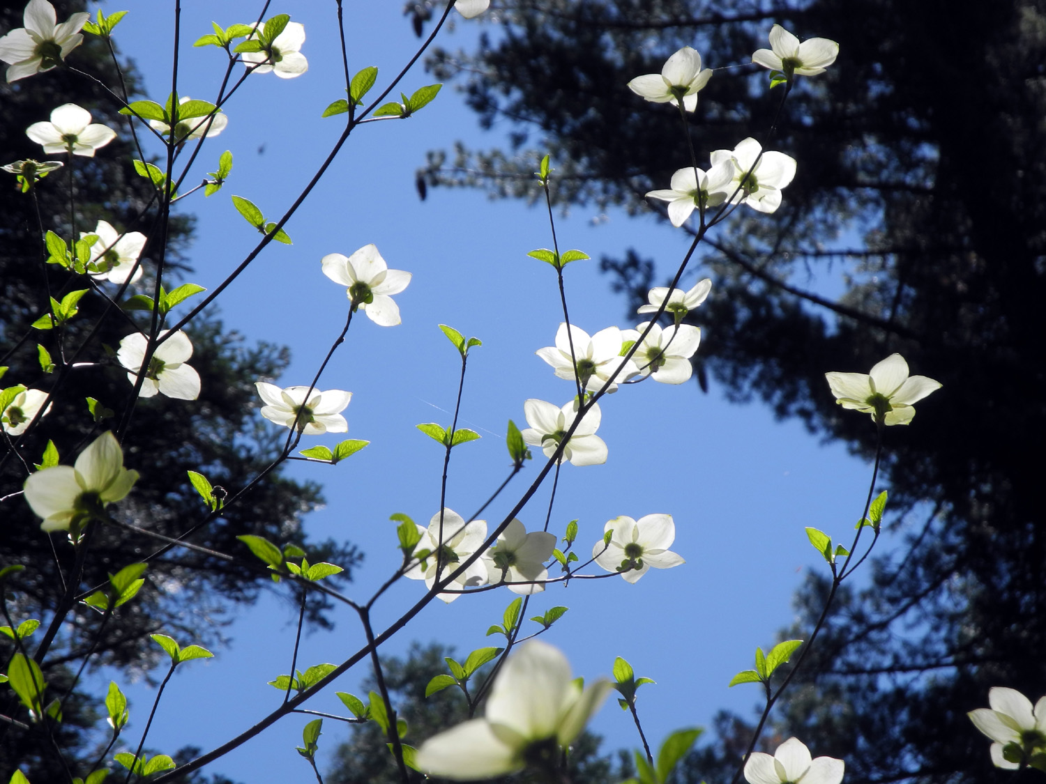
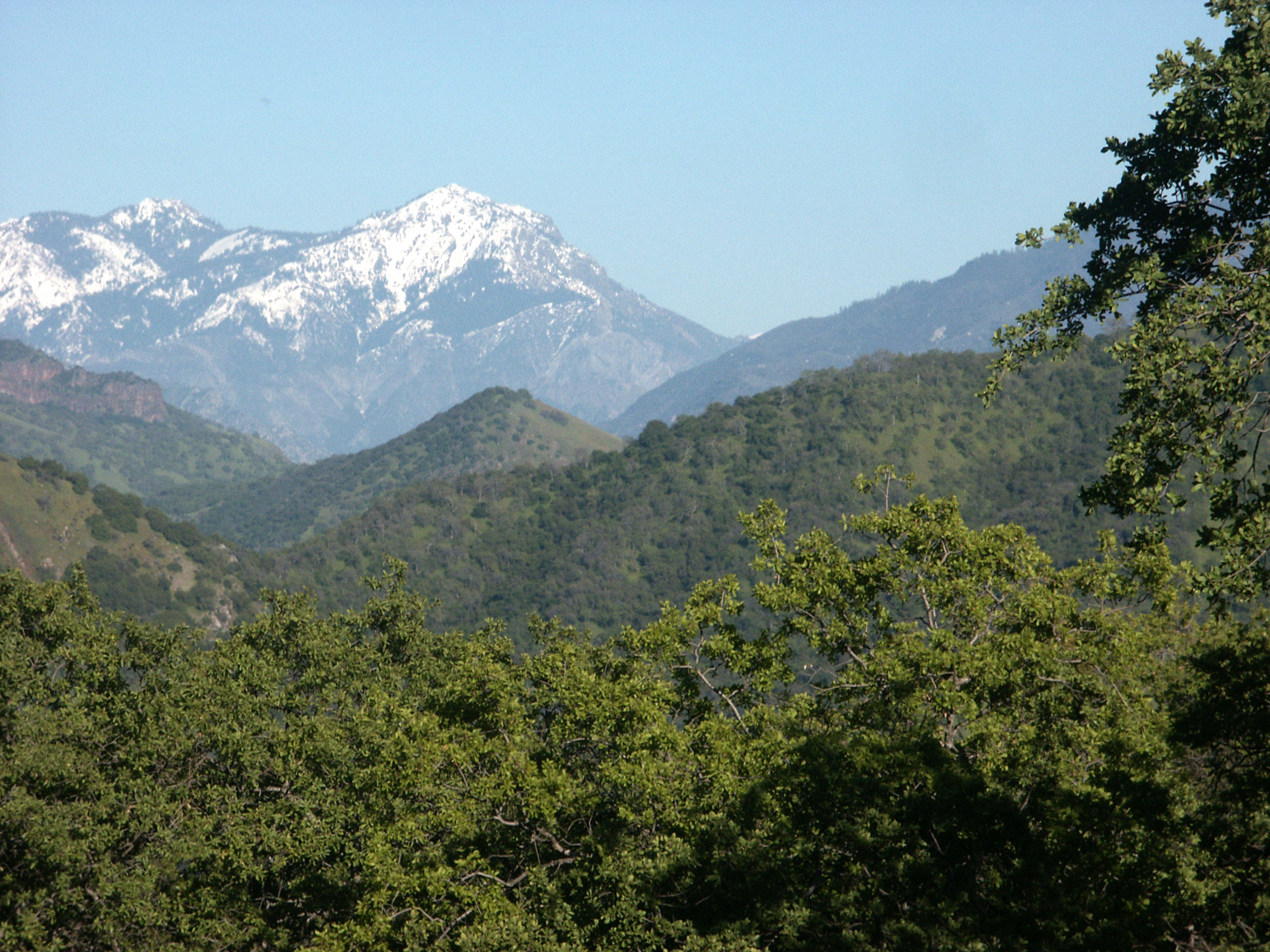
Henry Cowell Redwoods & Big Sur In January my daughter Teri called me and asked if I was interested in hiking in the Santa Cruz redwoods on President's Day weekend. Since I always look forward to spending time with my kids and grandkids, and since hiking is my main form of exercise, I immediately said "yes." The fact that she wanted to do all the driving was an added bonus. She made reservations at the Fern River Resort in Felton, on the San Lorenzo River right across from Henry Cowell Redwoods State Park. Teri left work early on Friday the 13th of February and we left from her house around noon, expecting to arrive between 3:30 and 4. When we got on State Highway 9 going north from Santa Cruz, there was a sign saying that the road was closed ahead and to "use detour." We did not see a sign indicating where the detour was, so we continued up Highway 9, watching for it. Instead we came to a barrier across the road, and had to turn back to Santa Cruz and get on Highway 17. Not far up this road we saw the route to Felton and a detour sign. The lodge is just south of town on Highway 9, and offers very nice individual cabins, many of which overlook the San Lorenzo River. Although we did not get there till 4:30, we still had time after bringing in our luggage to take a short walk. We walked along the side of Highway 9 about a quarter mile to the park entrance, and walked in. The road immediately goes over the river, and just past the bridge the Meadow Trail led to the right. We followed that for a short distance, but it was starting to get dark, so we soon retraced our steps back to the cabin, and enjoyed an excellent homemade tortilla soup for dinner. Our plan for the next day was to drive into the park, stop at the visitor center, then start by hiking the short Redwood Grove Loop Trail. After this we would explore another section of the twenty miles of trails in the park. The loop trail is asphalt and pretty much level, with numbered posts marking many of the trees and other points of interest, and a trail guide is available just past the visitor center. You can also arrange guided walks with a docent at the visitor center. If you've never been in the coast redwoods, it's hard to appreciate them from a written description, and photos can only capture a small piece of these amazing places. It is basically a rain forest, and anything that falls on the ground is immediately covered with green moss, as are a number of old stumps. Since coast redwoods get over half their daily requirement of 500 gallons of water a day from moisture in the air, the damp fogs that drift over the area many days each year contribute greatly to the forest's development. The average coast redwood is taller, but smaller in diameter and younger than its cousin, the giant sequoia of the Sierra. It also produces new growth around the base, putting up a few or a hundred stems that can develop into separate trees under the right circumstances. Besides redwoods, the most common large trees in the area are Douglas fir, tan oak, and bay trees. The latter grow much larger than the big shrub we are used to seeing in the Sierra foothills, reaching to heights of 50 feet or more. The Cowell grove area boasts what are believed to be the tallest bay trees in the world. The space between large trees is filled with a large variety of small shrubs and bushes, and many plants and flowers. Probably the most common of these is redwood sorrel, which creates a thick ground cover in many areas. The damp coastal forests of the Pacific are home to the banana slug, a large, yellow version of this species. Teri had never seen one "live," but I assured her it was almost impossible to walk in these woods without spotting several. We had walked about a third of the trail when we met a volunteer. He asked if we had any questions, so I asked him where the banana slugs were. "Just past tree 7, at the end of the fence, there was one a few minutes ago." We followed his directions, and sure enough, there he was, just waiting to pose for us. Teri was delighted to see a total of three that day, and two more the next. It's worthy of note that the slug is the official mascot of nearby the University of California, Santa Cruz. Now if I am completely honest, one of the main reason these creatures delight me is that they live at least a hundred miles from my yard. But they do look better than the small brown pests that I had to put up with at my previous residence. At the southern end of the loop trail, where it curves back toward the starting point, another trail heads up hill, connecting with the Pipeline Trail. The volunteer at the visitor center had told us this trail led to a place with a view of the ocean. Another trail nearby goes up to a higher place with a viewing platform. This trail parallels the river, but rises up above it several hundred feet, and goes through a variety of terrain and vegetation. We went up to the ridge, the first viewpoint, where there is a bench from which we enjoyed the view down the San Lorenzo River valley to Santa Cruz and Monterey Bay. Just past the loop, the trail goes under a railroad trestle, part of the nearby Roaring Camp & Big Trees Railroad, which offers steam train rides through the redwoods. The distance to this point was about a mile and a half from the visitor center, so after enjoying the view, we started back down. Near where this trail joined the redwood loop we sat at a picnic table and enjoyed the sandwiches we had brought, and also one of our more interesting experiences in the grove. The picnic area is near the John C. Fremont Tree, where the famous explorer camped in the 1840s. It was reported that he slept inside the hollow base of the tree. When asked about this during a return visit in 1888, he replied, "It makes a great story; let it stand." There was a hole in the base of the tree that seemed to go in pretty far, and while we were looking at it and talking with some other hikers, a young man got down, made his way across boards that had been laid down over a large puddle, and disappeared inside. Soon we heard him call out, "I'm standing up!" At this point a docent came along with several hikers, and said that when a few years earlier a group of high school students decided to see how many people could go in, they had 81 people inside. At the same time, several children went into the tree and soon there were at least a half dozen. The details of the story about the record number seemed to change the next day when another docent told it, but we witnessed a good number of tourists managing to go in both days. However, I suspect that the number was probably closer to 18 than 81. The visitors who had been walking with the docent chose to continue to the Pipeline Trail, so we replaced them on the rest of the walk back to the visitor center, learning a few new facts and being reminded of some we already knew. Henry Cowell, whose name is honored by the park, does not really deserve that much credit - he cut down most of the redwoods in the area and burned the wood in his lime kilns. His descendents donated the land to the state with the proviso that it would carry Henry's name. Along the final section of the trail are several unusual trees. One is an example of a typical coast redwood feature - when a tree is badly damaged or cut down, a circle of new trees often grow up from the roots around the original tree's location. The Celery Stalk tree is a rare example of multiple trunks grown up with the mother tree still standing in the middle. Further down the trail is a strange looking redwood, with huge branches coming out and growing up from the main tree, more like an oak or similar species. Scientists believe it is a mutant, because the branching repeats higher up on the newer trunks. Some other visitors were discussing a small redwood with almost white foliage, and asked the docent about it as we approached. This was the first time I heard of the existence of albino redwoods, which develop this way due to an inability to produce chlorophyll. To survive it must join its roots to that of another redwood, from which it draws nutrients as a parasite. Only about 60 examples exist in the entire redwood belt from Big Sur to southern Oregon. Also in this area is the Theodore Roosevelt Tree. The great president stopped here in 1903 and spoke briefly. From here he went immediately to Yosemite, where he had his famous visit with John Muir, which helped convince TR to take steps to preserve what is now one of our great national parks. Our visit to the park this day provided two other memorable sights - driving in past a meadow, we saw a number of deer, who were also there for our enjoyment the next day. Next to the entrance station and park office there are several specimen trees that were planted for educational purposes - a giant sequoia, a Douglas fir, and most unusual, a dawn redwood. Native to China, this is a rare deciduous conifer, so my photo of it's leafless branches is not nearly as impressive as the species deserves. In the 1950s I was privileged to hear a lecture at UC Berkeley by a scientist who was part of an expedition into the remote area where the trees grew, one of the first westerners to see it. A Google search provides plenty of photos, some of which are obviously NOT dawn redwoods. After taking a look at these trees, we drove back to the resort, where we spent a leisurely evening reading and of course enjoying one of Teri's wonderful home-cooked meals, barbecued chicken in this case. On Sunday, studying the map of this relatively small park, we decided to hike in from the campground and up to the viewing platform. This required driving up Highway 9 through Felton and east on Graham Hill Road, to the eastern side of the park, a drive of just a few miles. The campground itself was closed, but there is a parking area with trail access. Although it was fairly early, we got one of the last two or three parking spots, and when we returned, all spaces were taken and there were a number of cars parked along the roads. The trail here connects with a number of others, including more than one route in from the redwood grove. It was sometimes hard to tell if we were on the right trail, but we just kept following signs that said "Pine Trail," and this took us in the right direction. Our hike this day was through much drier territory, with a corresponding difference in vegetation. There were no redwoods, with tan oak, madrone, pines and live oak being the dominant species, along with many shrubs including manzanita. We also saw a rare sight for a coastal zone - ponderosa pines, which appear in only four areas with a marine climate. They are encouraged by both the somewhat drier conditions on the east side of the ridge, and by soil characteristics of the Santa Cruz sandhills. We also spotted a number of knobcone pines, another species that grows in poor soil. The region was under a vast sea about 15 million years ago, and these inland sandhills contain a variety of marine fossils, including deep beds of sand dollars. The soil is also low in nutrients and due to its coarse nature does not hold moisture well, giving rise to species that tolerate dry conditions, including several that are unique to the area. At one point on our hike three boys, around age 10, came hurrying up the trail, well in advance of their parents. As they passed us they informed us, "We're the Hiking Crew!" I didn't have a chance to let them know that I have my own hiking "club" with the Ramblers. After a nice walk through what was mostly an oak and madrone forest, we reached the viewing platform, which is about 15 feet above ground, accessible by a stairway. From the platform we had a 360 degree view of nearby hills, some of the more distant Santa Cruz Mountains, and an expanse of Monterey Bay and the Pacific that filled close to a quarter of the vista. We spent a half hour or so on the platform and on the ground looking at bushes there, including Bonny Doon manazanita, unique to this area, and a silver leaf bush lupine, very healthy but not yet showing flower buds. We took a different trail back down, making a loop back to the campground. It was still early, and we had decided to check out the Fall Creek Unit of the park, separated from the part we were in by the town of Felton. In the morning we had noticed a covered bridge in town, so we stopped there first. It's located in a small park, and dates back to the early 1890s. It's believed to be the tallest covered bridge in the country, and at one time provided the only route in to Felton. It was only a short distance to the trail access point in the Fall Creek Unit, but there were cars parked along the road and the small parking lot looked to be full, so we drove on. We did not find another road into the park in the next mile or so, and the map showed that it was several miles to the nearest one, so we went back to the first parking area, drove in, saw that there were no spaces available, and decided to go back to the redwood grove, eat lunch at the picnic area by the entrance station, and repeat the loop trail again. This proved to be an excellent choice. There was plenty of parking in the picnic area, lots of tables available, and during our walk, we again connected with a docent part of the way, learning a few more facts about the area. We also heard a different version of the Fremont tree occupancy record, this time that the people involved were "volunteers," whatever that meant. We enjoyed our second jaunt through the redwood loop, spotting another two banana slugs to finish off our rain forest wildlife viewing. We got back to the car, said our goodbye to Henry Cowell, and returned to the cabin for another great dinner of homemade chili. The weather throughout our visit was excellent. It was sunny every day, but cool and damp in the deep shade of the redwoods. At the upper viewing platform it was close to 80 degrees, and of course, much drier. At the resort, although there was no visible mist, the grass around our cabin was wet all day, and we had to watch our step on the stairs, which were also damp. We were going home the next day, and our plan was to visit Natural Bridges State Beach on the ocean near Santa Cruz. However, after a little discussion we decided to drive further south down Highway 1, all the way through the Big Sur country. I had not been through the entire route since the 1960s, so I was 100% in favor of the change in plans. Looking at the estimated driving time on my map program, this meant we would take about six hours to get home instead of three, but we had plenty of time. Even if you have never been in the Big Sur country, you have probably seen a car ad featuring the iconic Bixby Creek Bridge or other views along this rugged and scenic section of the California coast. If you go there, you will also see high cliffs, ranches that date back over a century, flowers of various kinds, surfers, high end resorts, waves crashing on rugged rocks, and redwoods. Along nearly all the route a high cliff drops off on the ocean side, and rises high above the road on the other. We enjoyed a leisurely drive down this route, stopping often to take pictures, and finally emerging from the cliff zone into a broader, more level sea plain. The end of Big Sur is at San Simeon, of Hearst Castle fame, but we had a different destination in mind, stopping to see the elephant seals that congregate in large numbers on the beaches. The growth of this herd at Peidras Blancas from two animals in 1990 to around 17,000 today is a story in itself, best told here. Although these huge animals seem to spend most of their time lying motionless on the beach, they put on a pretty good show for us. First a baby seal decided it was lunch time, so he started nudging his mother. She turned slightly, and with his continued encouragement finally got herself partly on her back, making the lunch station available. Then came an even more dramatic event - a large male came up from the water, moving quite quickly till he was half way to a group of females guarded by an even larger male. He made a couple of further tentative moves toward the others, at which point the boss seal turned, raised his head, and issued a verbal warning. The other seal moved back slightly, but not far enough or quick enough to satisfy the big guy, who suddenly heaved his 8,000 pound bulk up and began moving toward the young upstart. The latter turned and started back toward the water, moving only a short distance. A couple more short moves by the dominant male caused him to move even further, finally satisfying the other, who went back to his rest. Realizing that the baby seal was right and that it was indeed lunch time, we drove on down the highway to the town of San Simeon and ate at El Chorlito Mexican Restaurant. Although the place has quite a few negative reviews on line, what we had was very good - shrimp enchilada for Teri, and shredded beef for me, both a la carte. The service was a bit slow, since a single server was tasked with seating guests, taking and delivering orders, and acting as cashier. There were about a dozen parties in the restaurant, and more coming in on a regular basis. Overall he did a good job of getting people in and out, but the place certainly needs to add more staff. After lunch we had just a short drive down Highway 1 to Highway 46, where we turned east. This route passes over the coastal mountains, then through Paso Robles and over more hills into the Cholame Valley where it connects with Highway 41 into Fresno. The first part presents green, oak-covered hills, then an area of vineyards. Through the Cholame Valley our route was lined with wildflowers, including splashes of orange poppies on the hills above the junction. The rest of the route was very familiar to me, being the road I take going to and from the annual bluegrass festival in Parkfield, fifteen miles up the valley from the 41/46 junction. Once back in the San Joaquin Valley we we driving through flat farmland the rest of the way. By a canal that parallels the road north of Kettleman City, we were privileged to see a number of egrets and a heron. We got back to Teri's in late afternoon, and I transferred my luggage to my car, visited briefly with Tim and Mikie (son-in-law and grandson) and headed home. So, for our President's Day weekend we got in a lot of exercise, visited places we'd never seen or hadn't seen in a long time, ate some great meals, and saw fantastic scenery. Surely Abe and George would have approved. --Dick Estel, February 2015 |
||
|
Pine Flat Drive & Hike There’s
something about spring that make me want to get out and go camping
and hiking. There are people who will tell you that there’s almost a month of
winter left, but when temperatures are in the high 60s, it hasn’t
snowed since the late 20th century, there have been only
three nights of below freezing weather all winter, the wildflowers
are in full bloom, and the fruit trees are blossoming, it’s spring
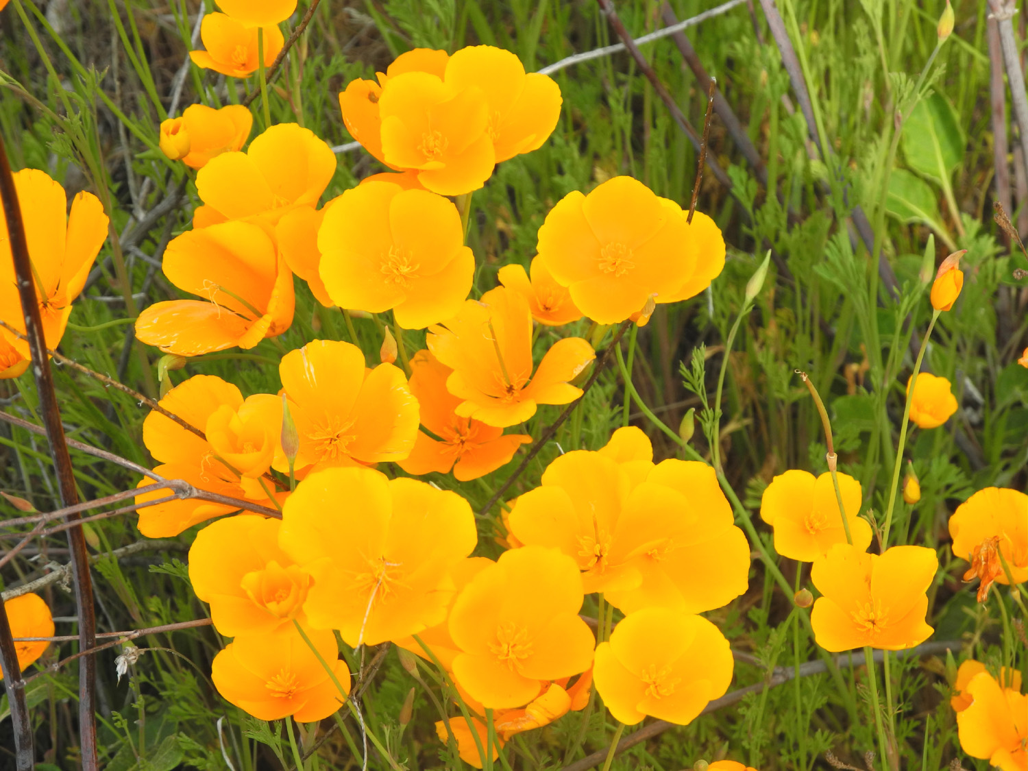
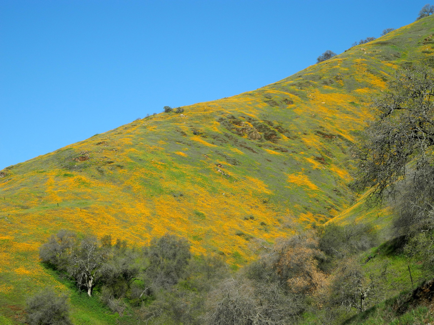
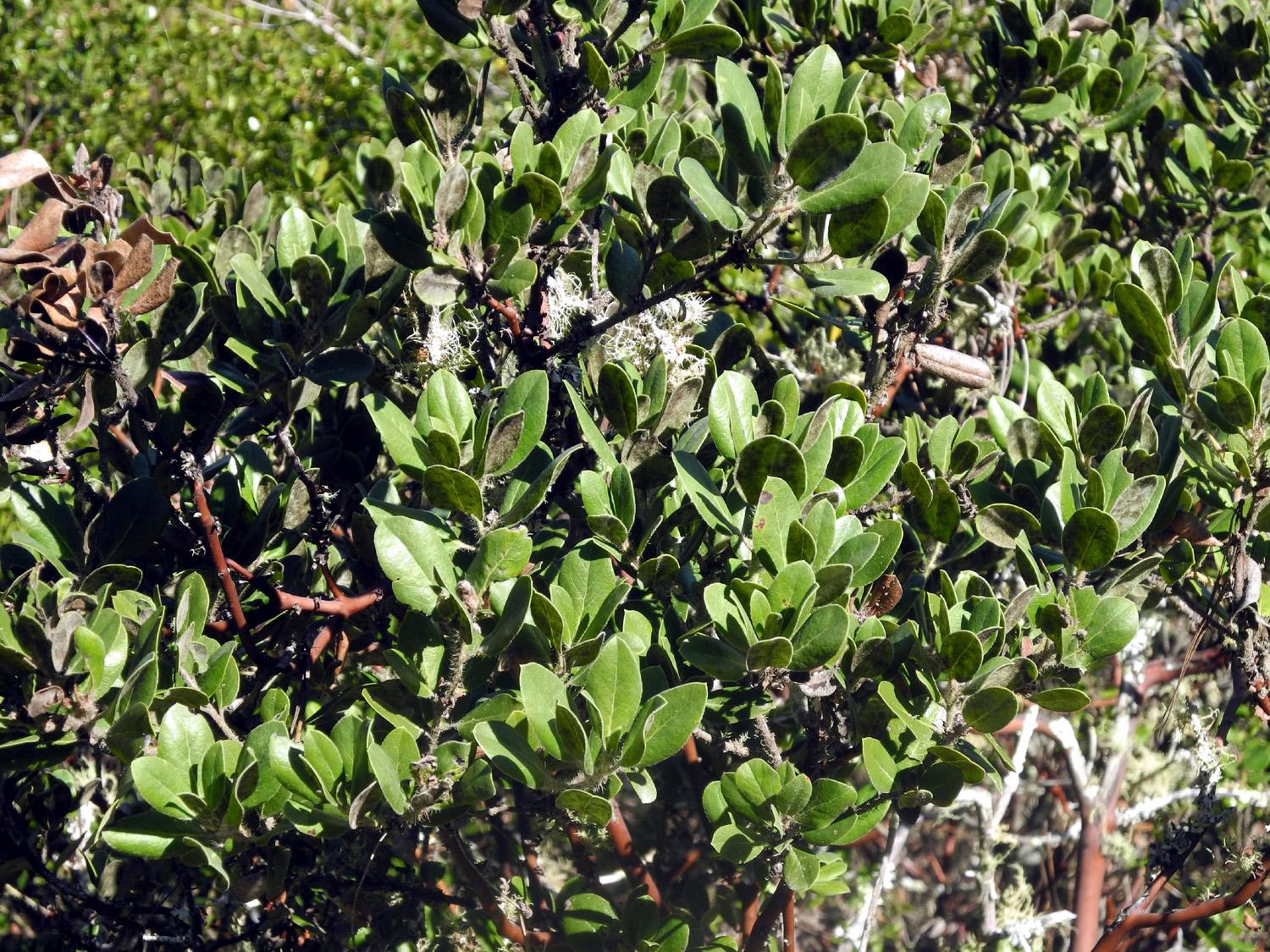
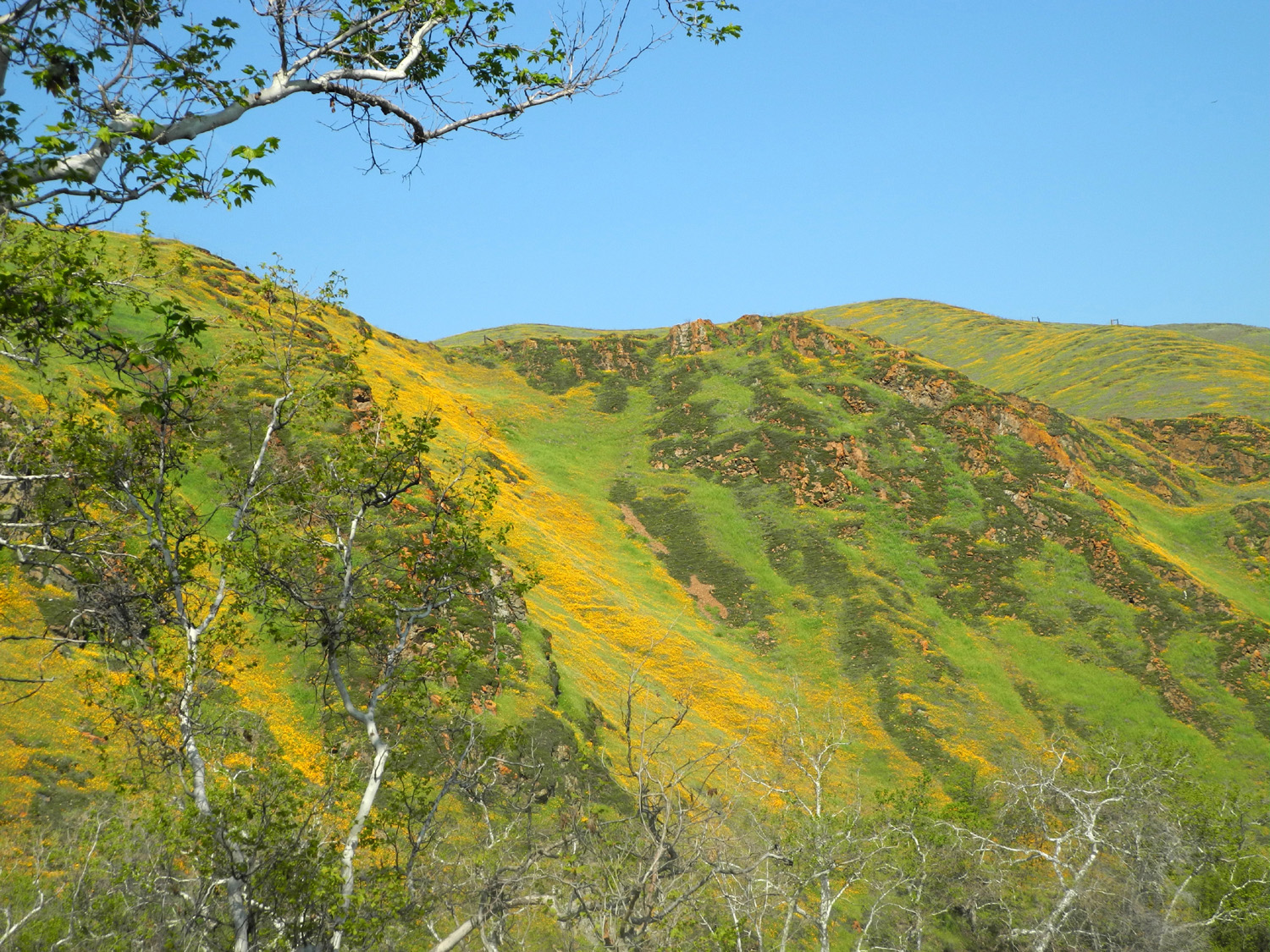
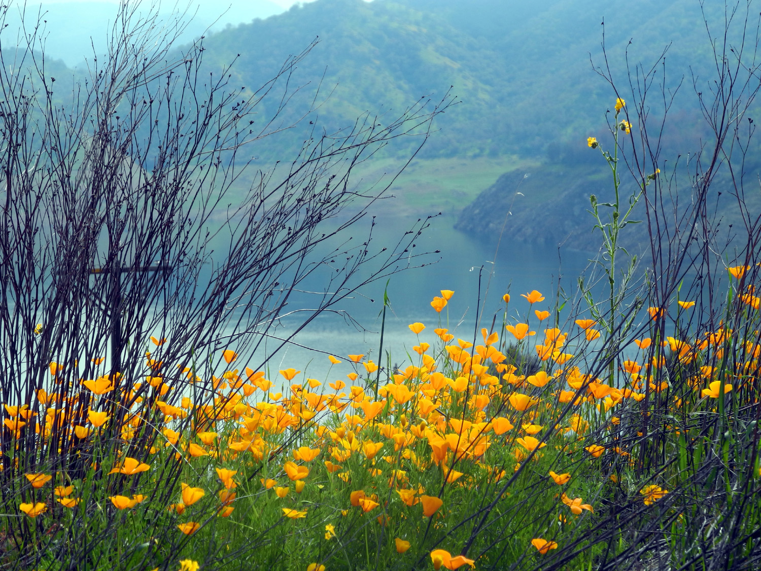
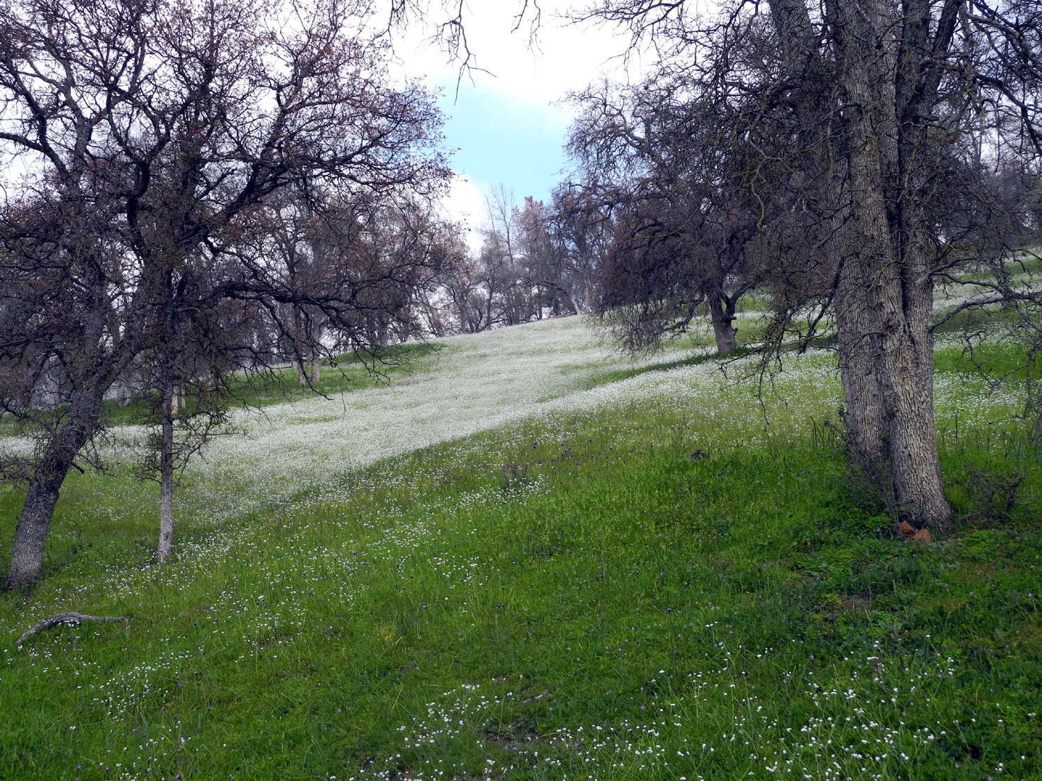
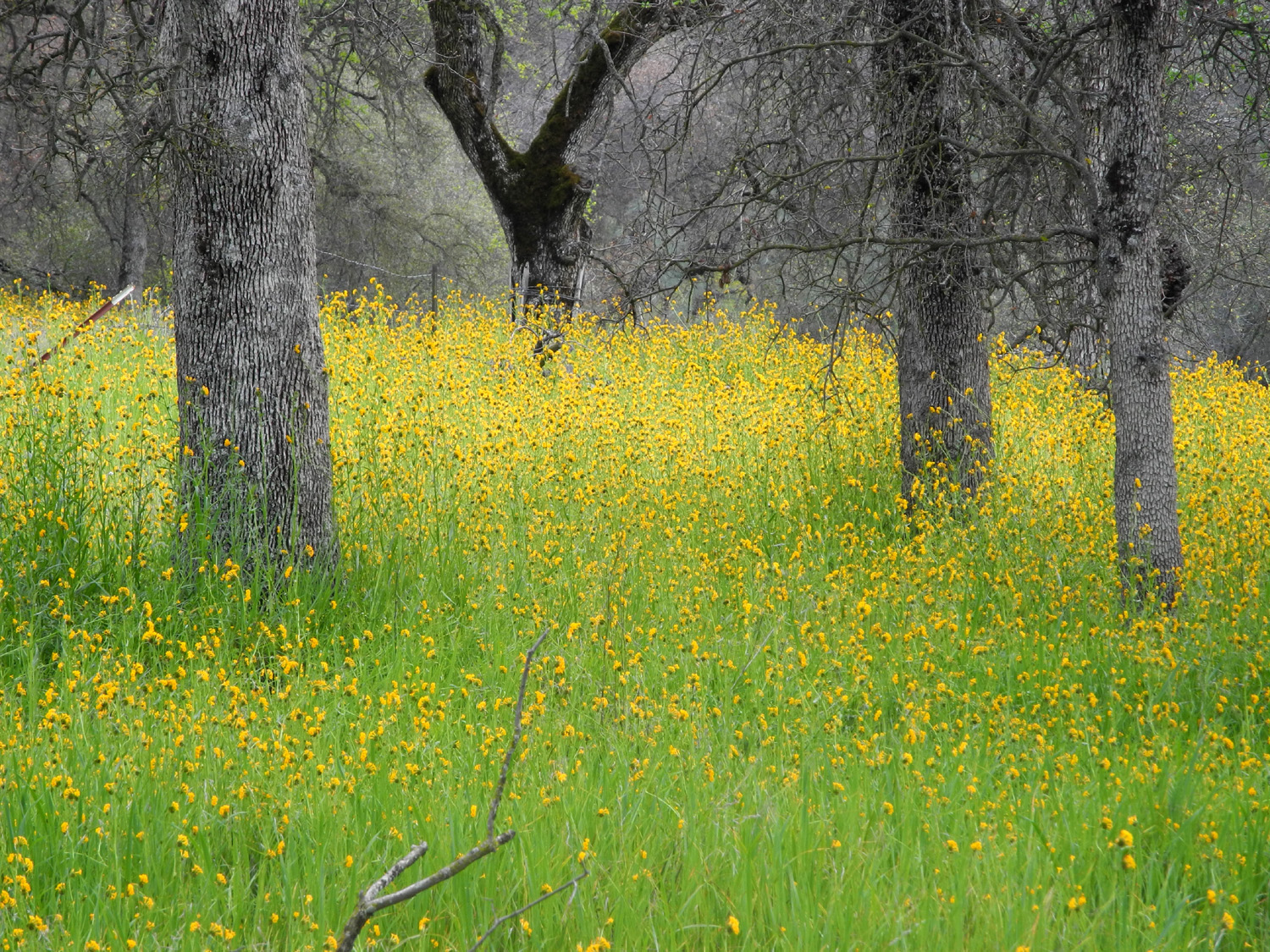
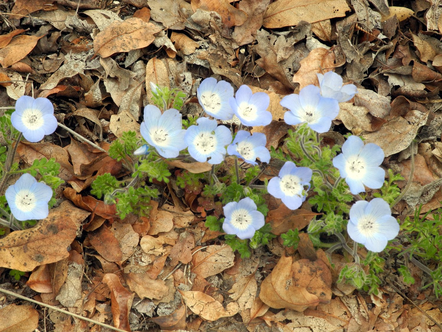
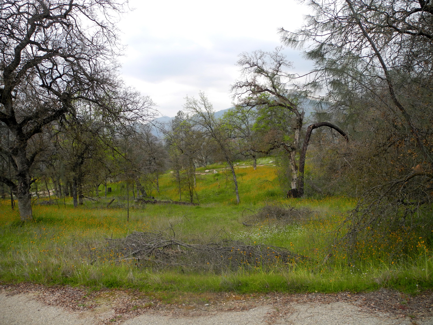
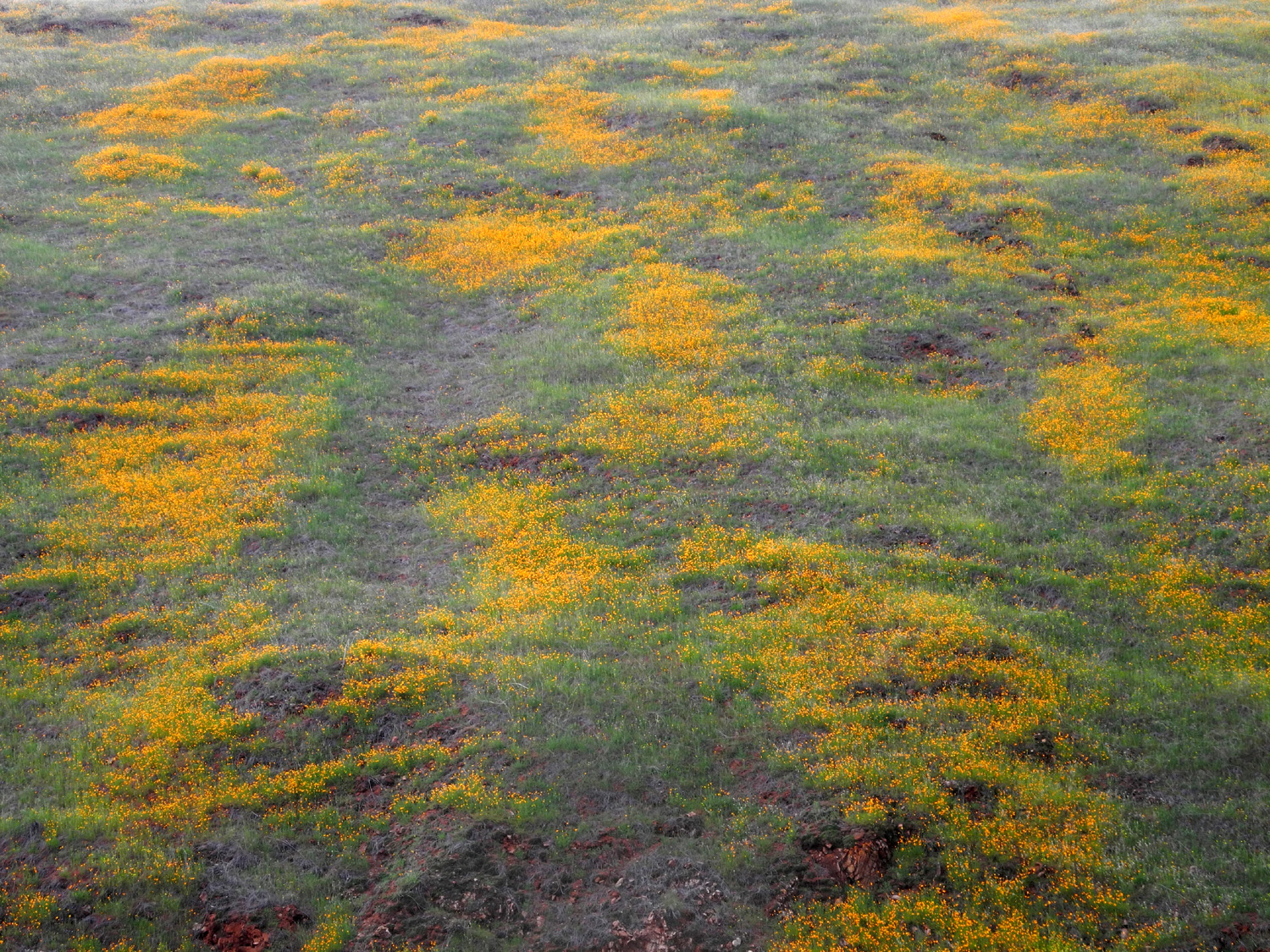
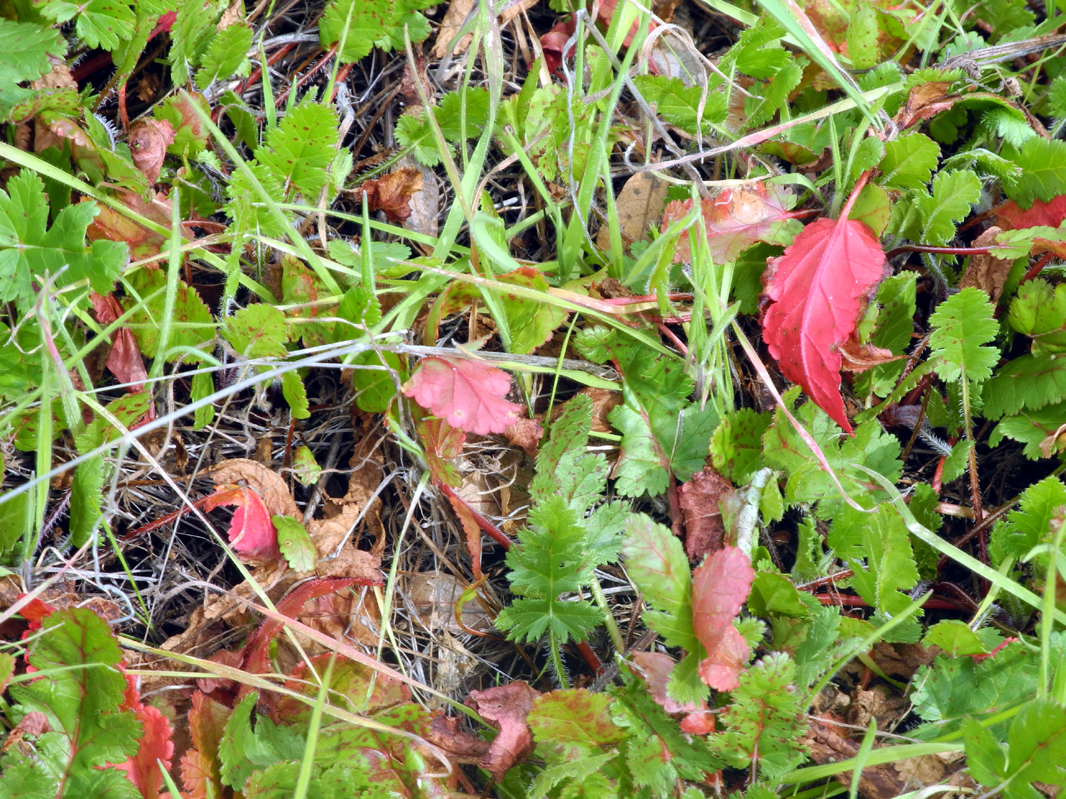
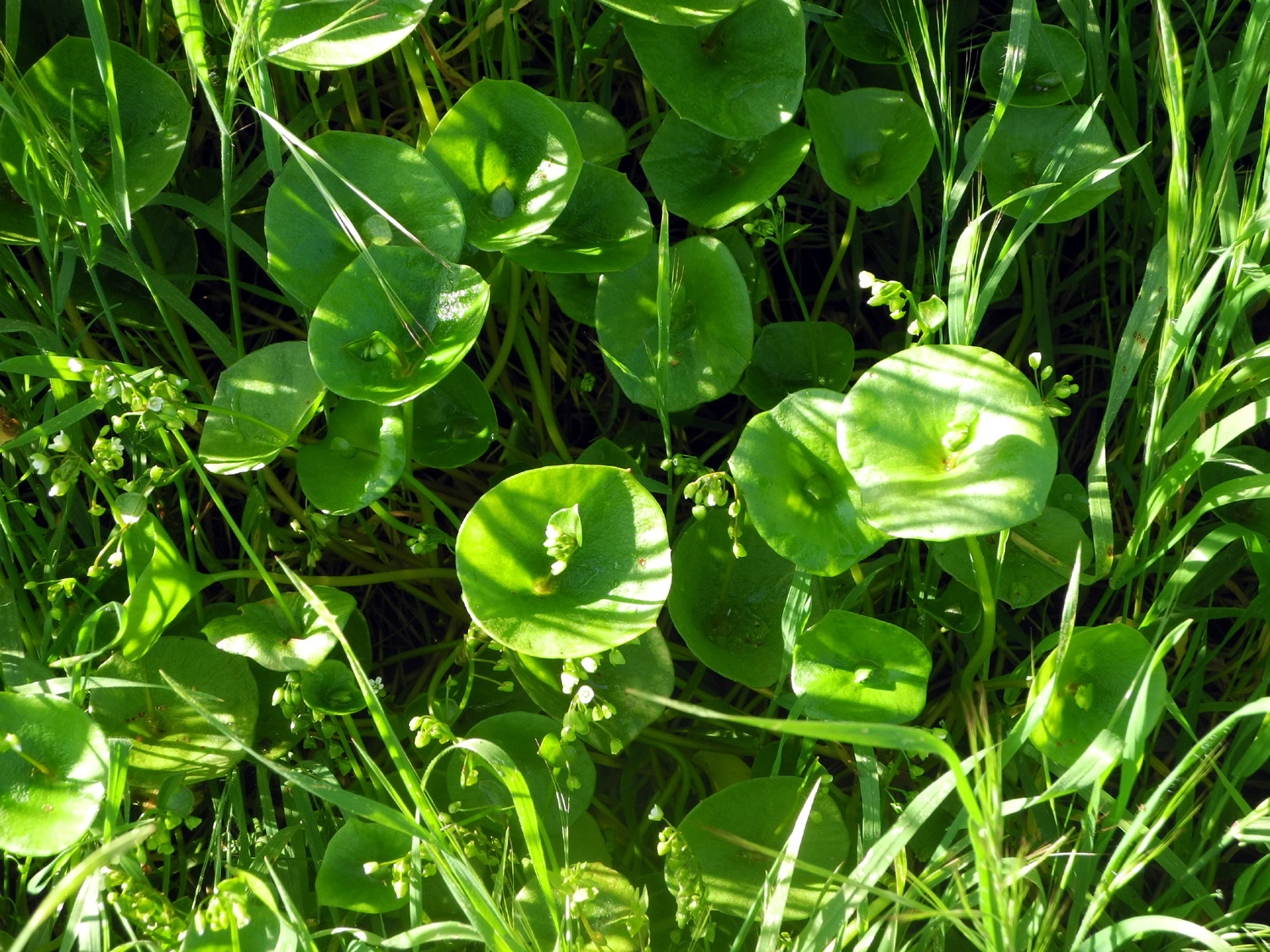
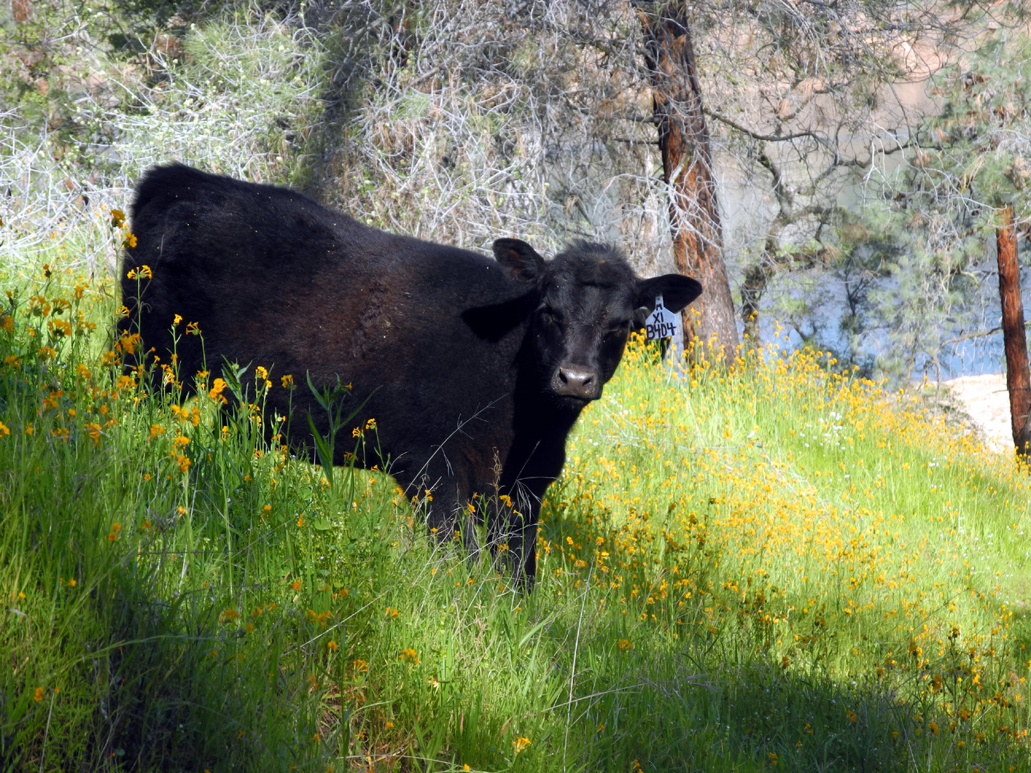
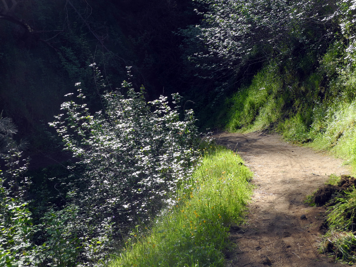
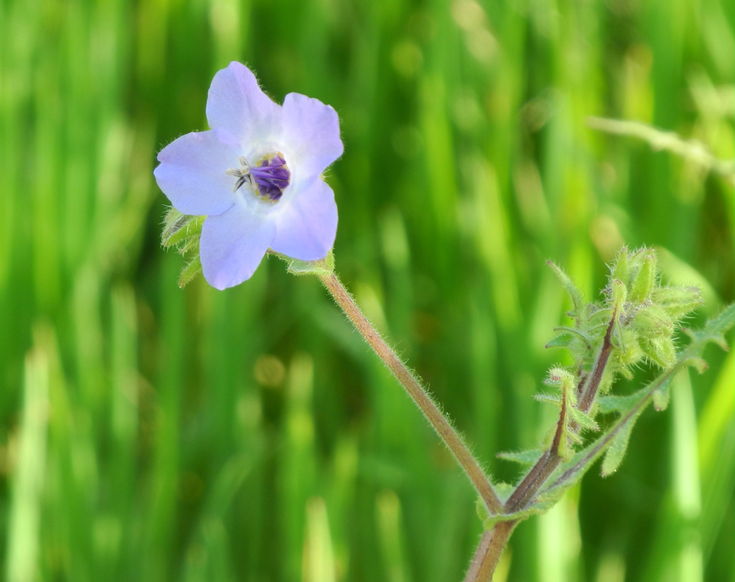
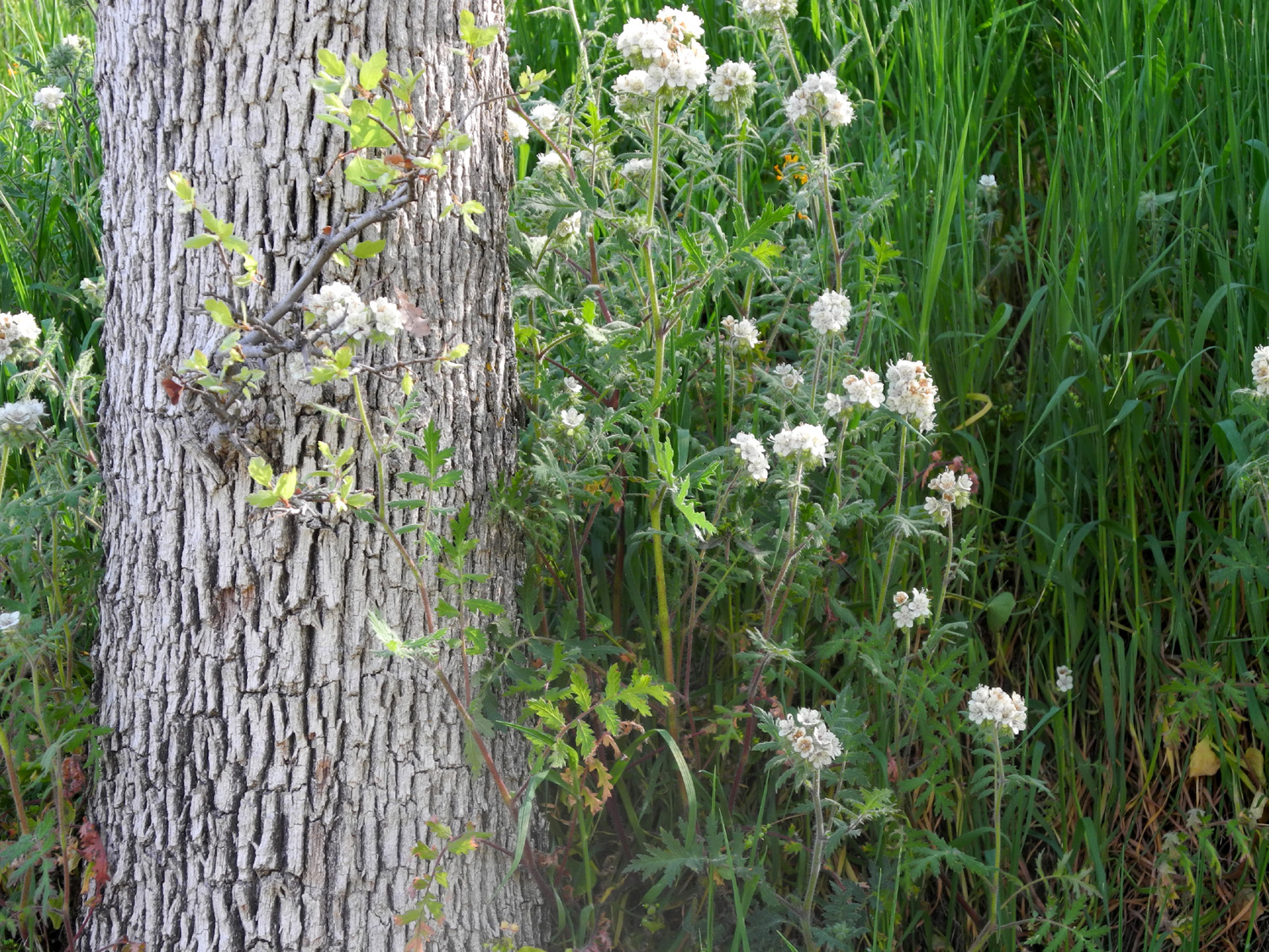
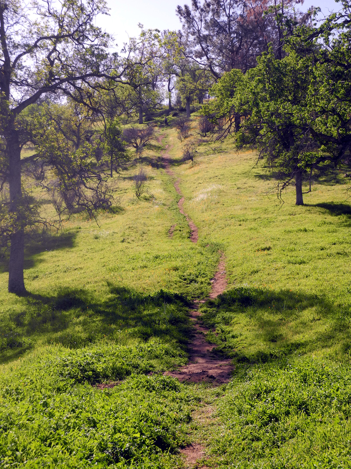
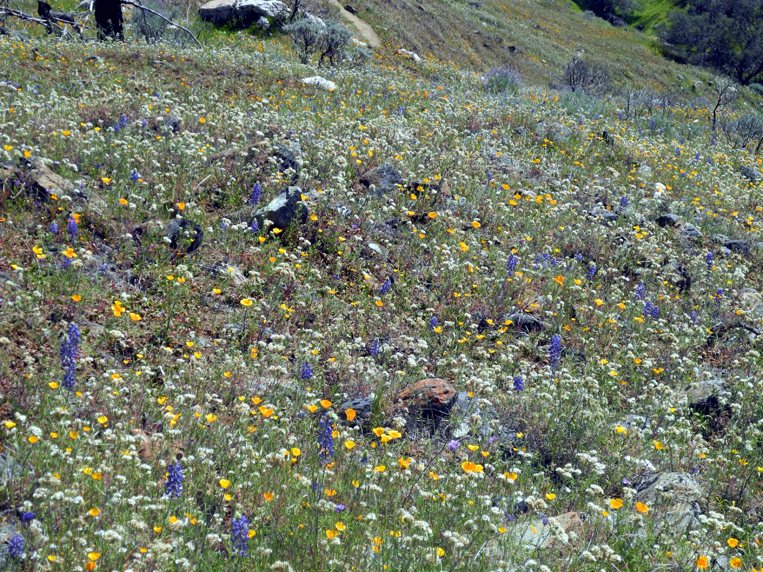
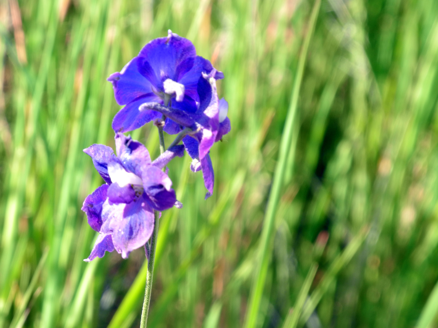
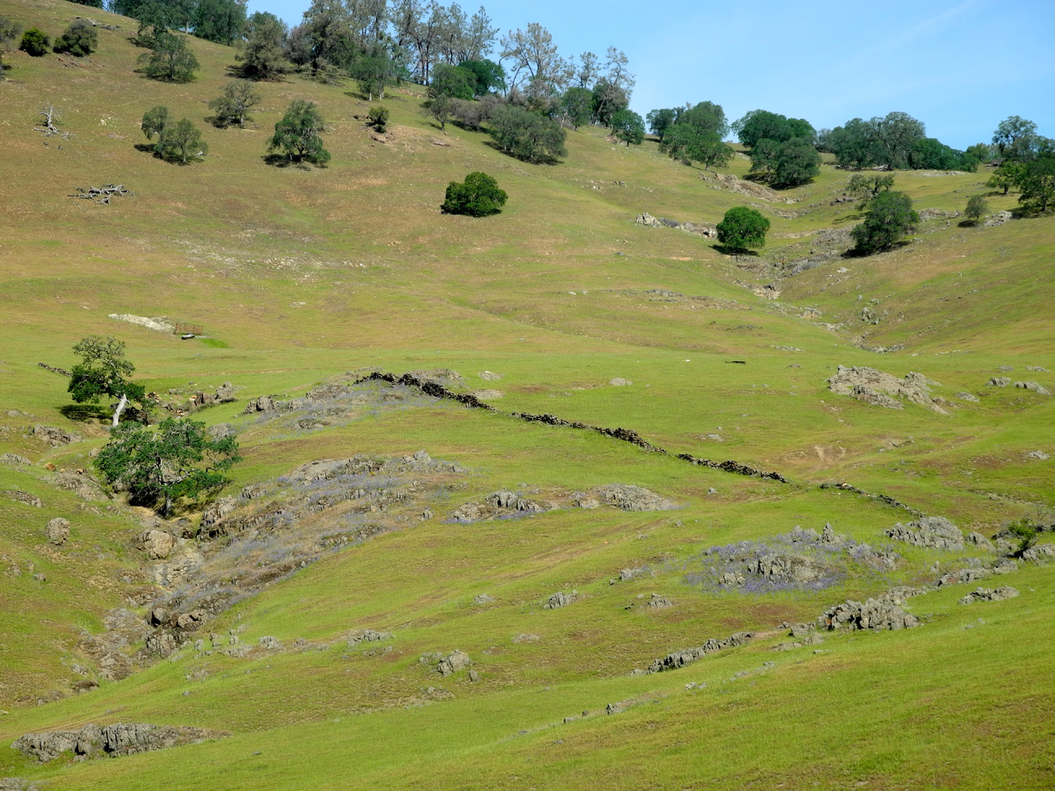
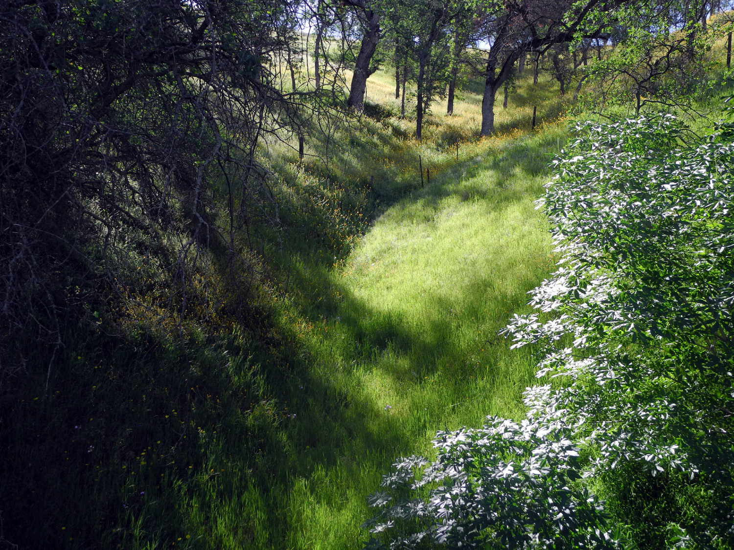
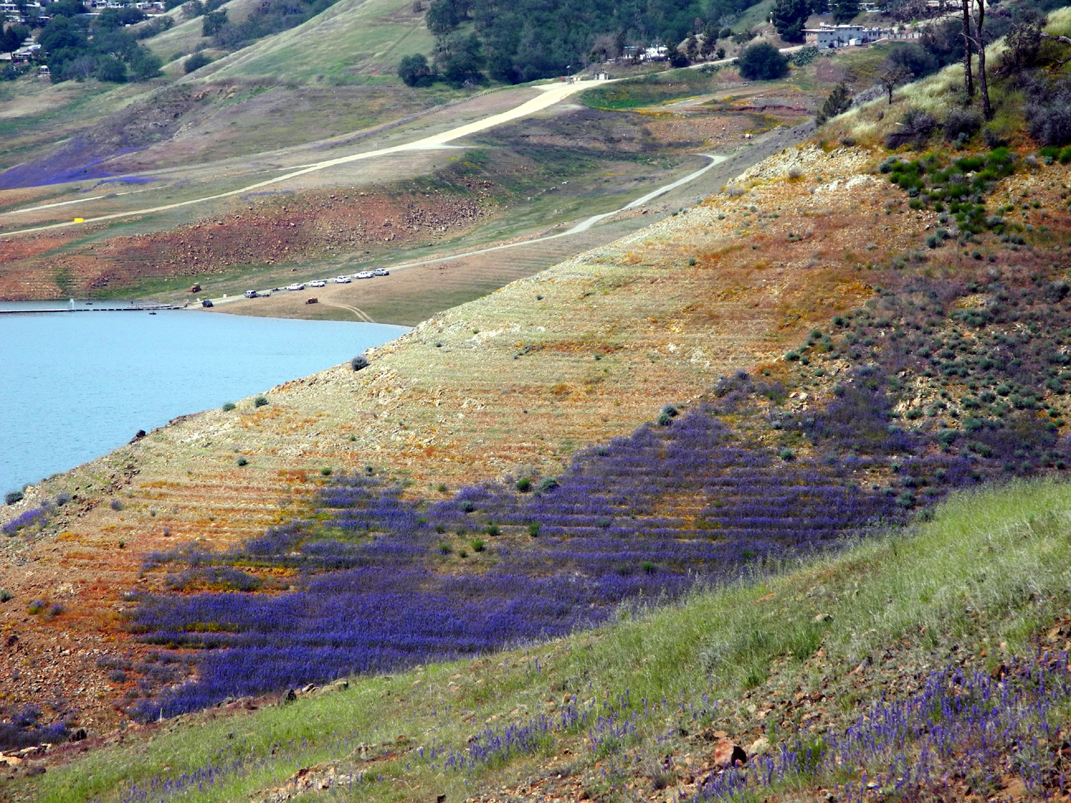
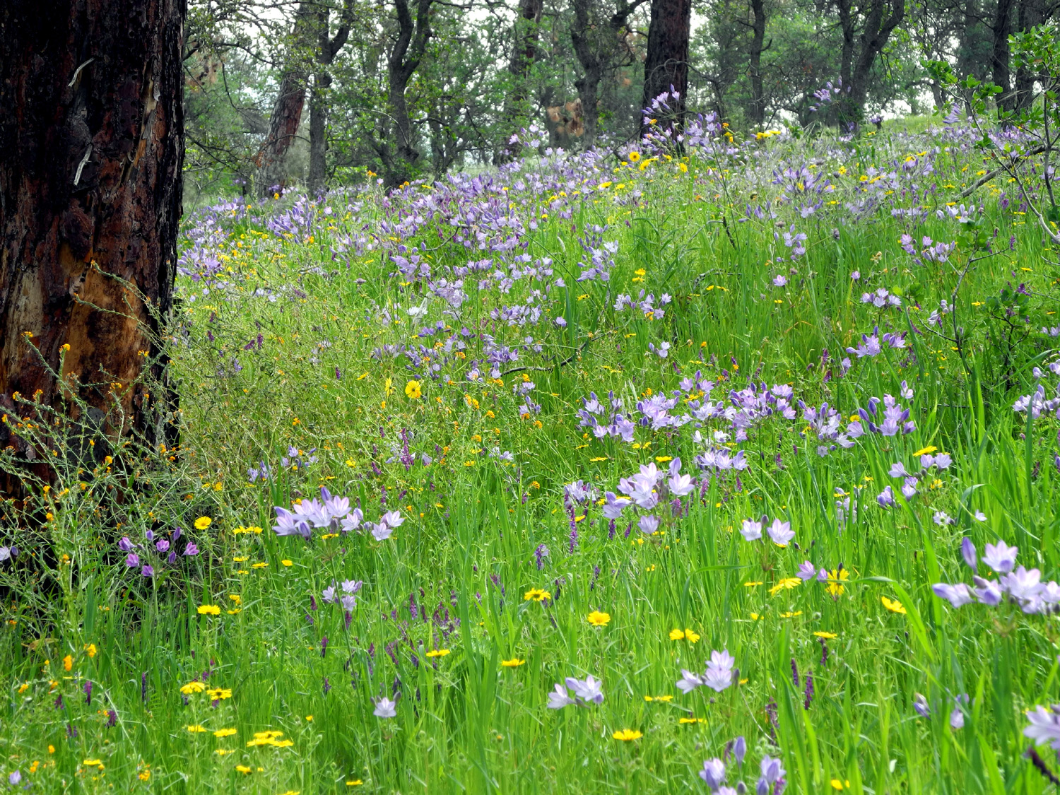
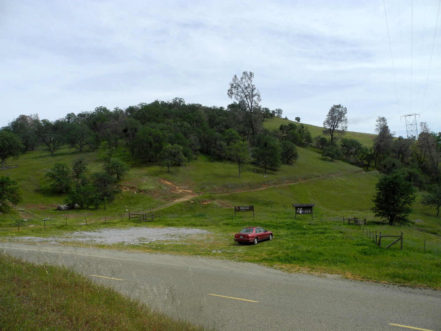
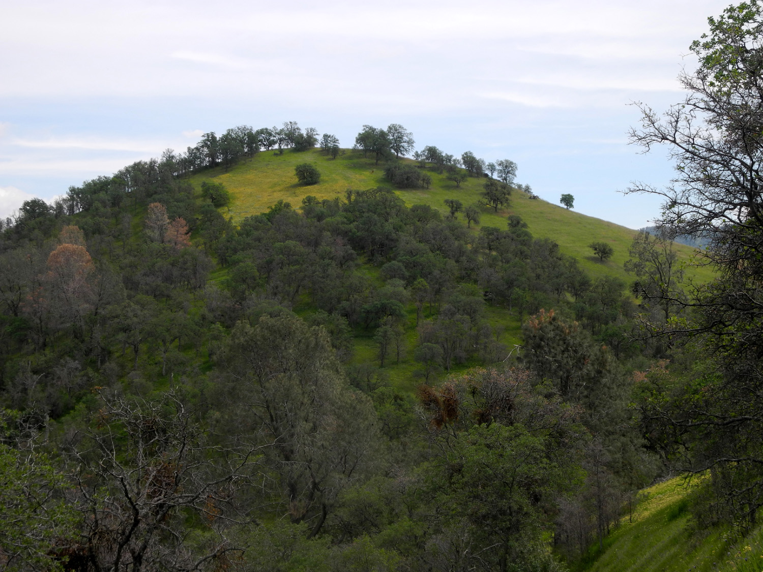
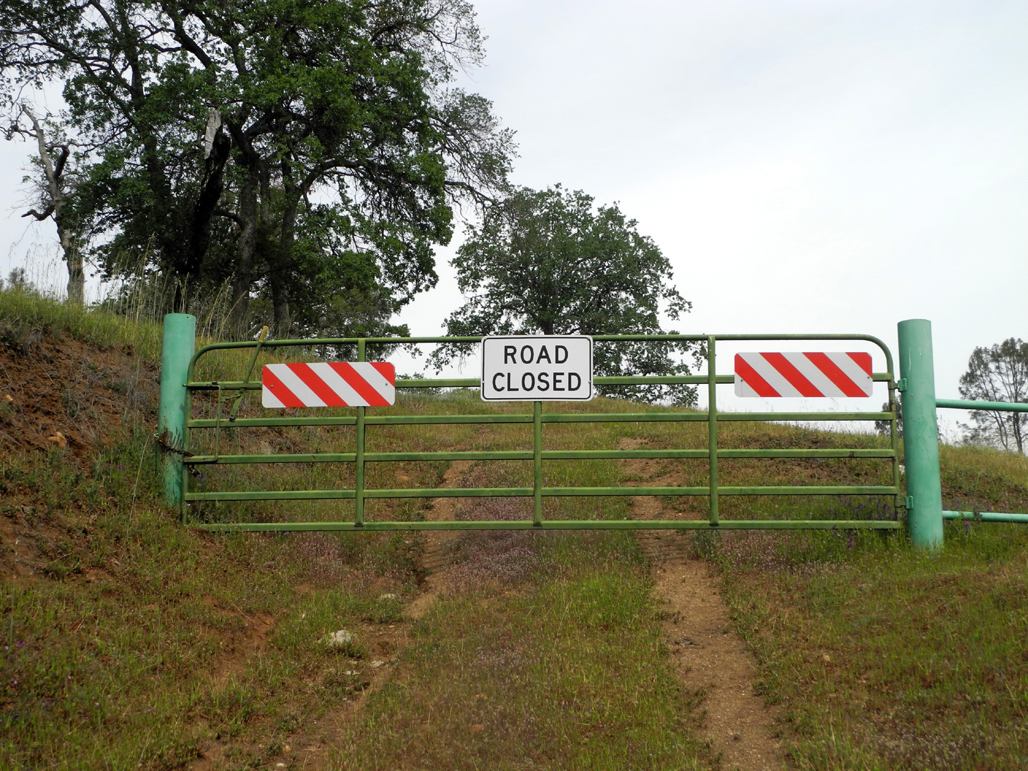
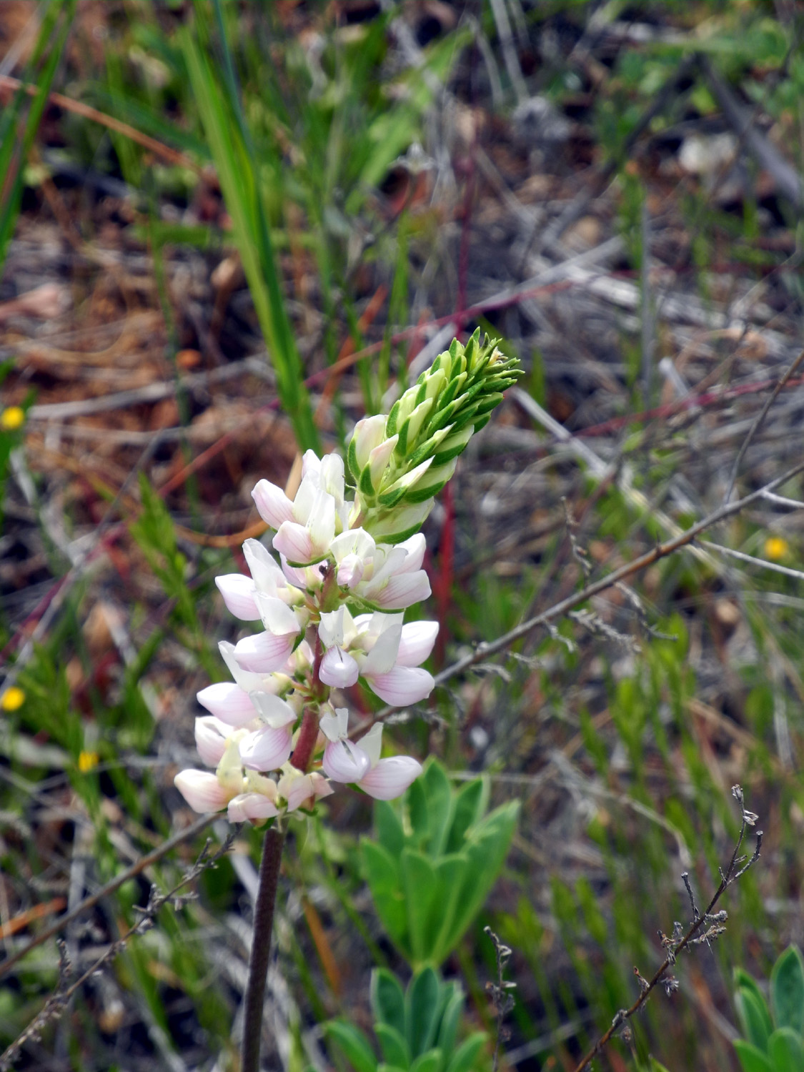
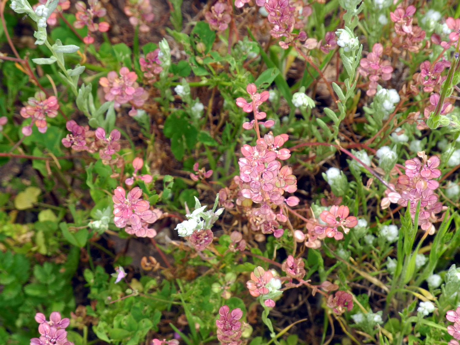
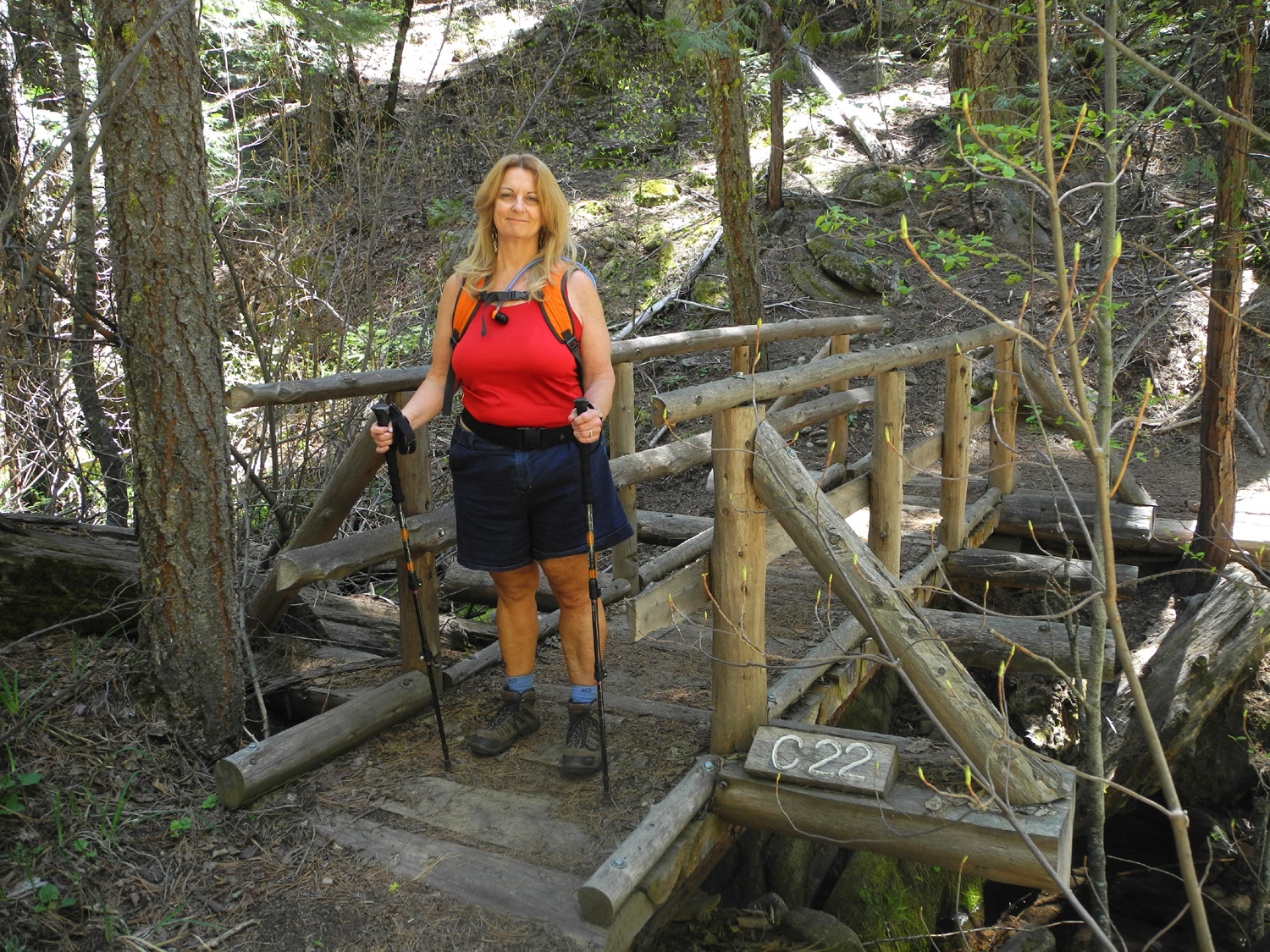
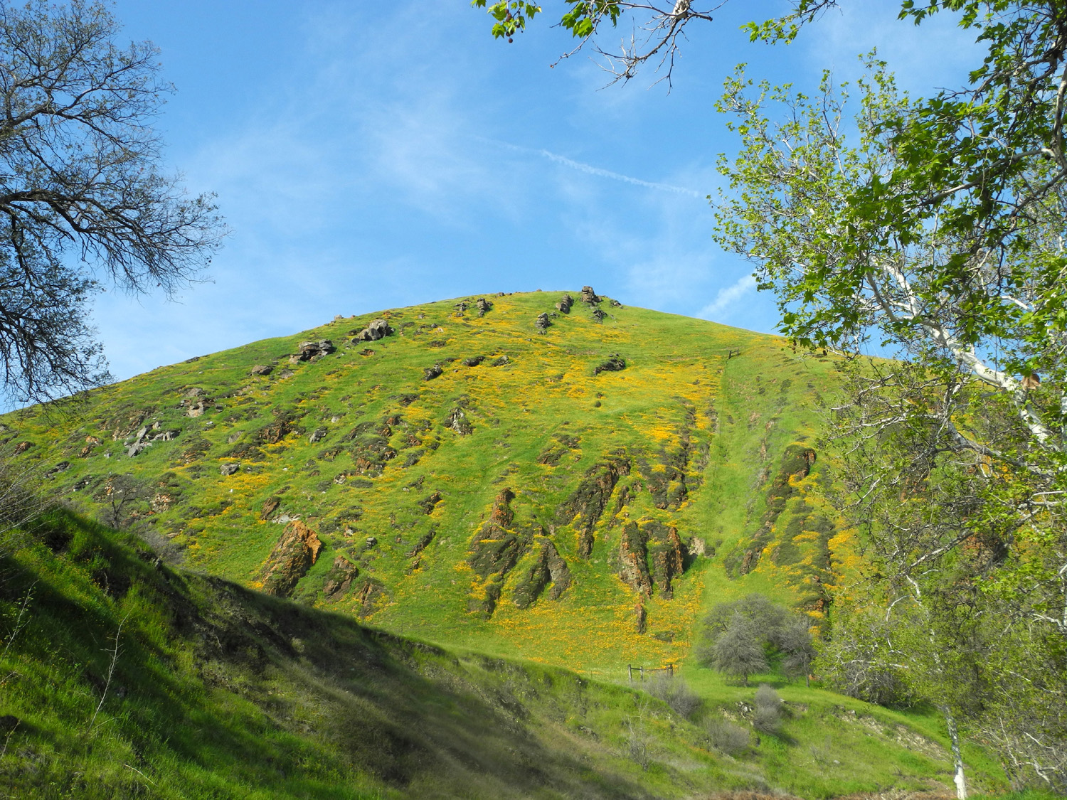
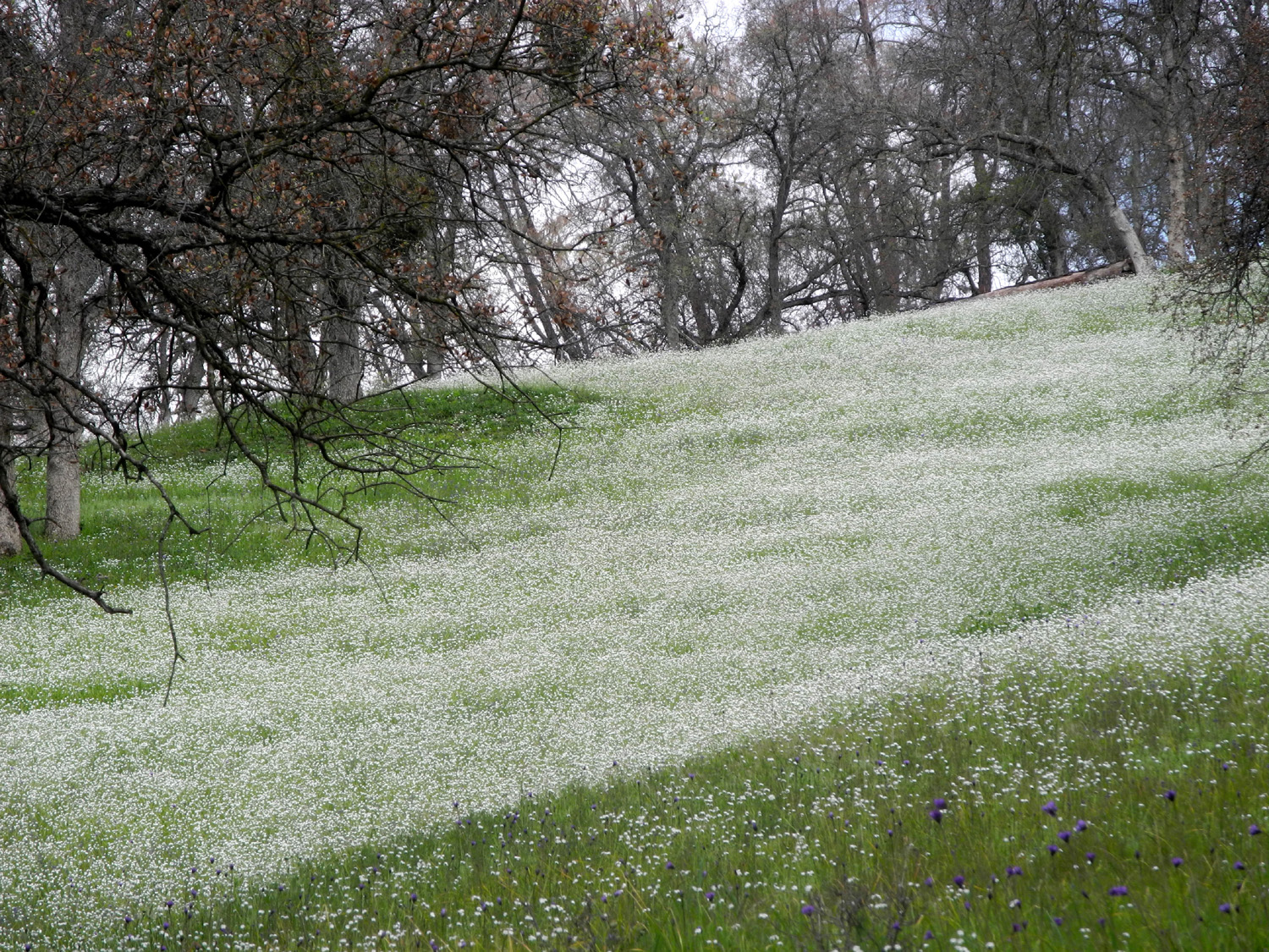
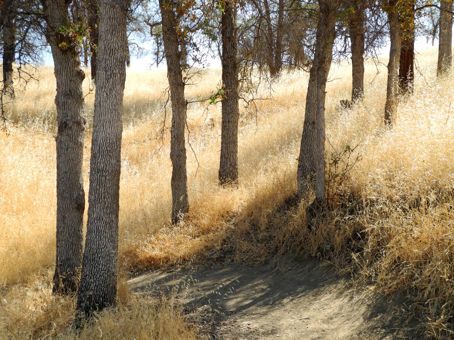
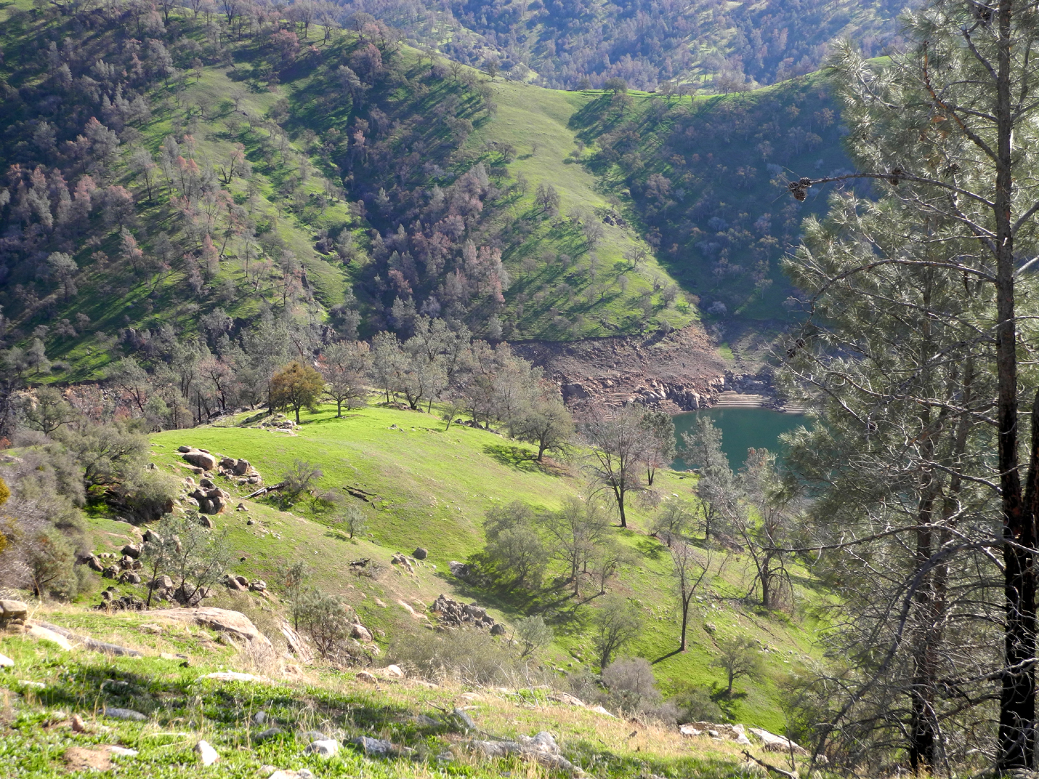
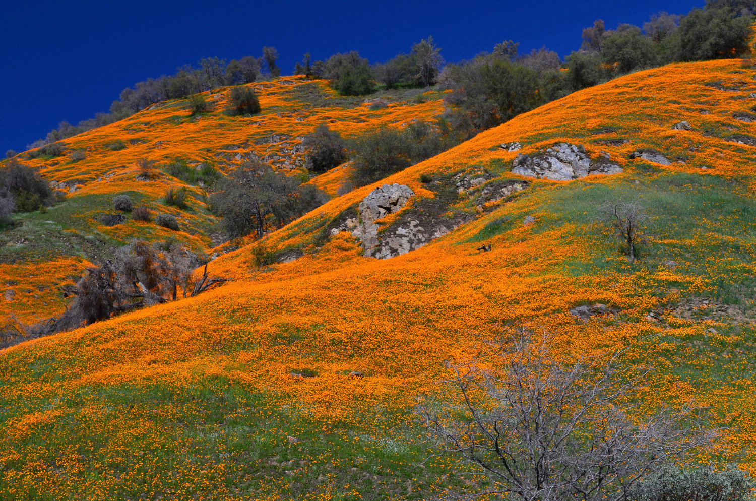
in central California. So on February 26 my friend Carolyn Amicone and I set out for the foothills on what I call a “drive and hike.” This is where you drive to a good hiking location, take a relatively short hike, drive a little more, hike some more, and repeat till it’s time to go home. Our destination was nearby Pine Flat Reservoir, where I had gone earlier in the month. There has been enough rain to get the wildflowers going good, and there were a lot in bloom during my previous trip, so I had high hopes for a good display. As it turned out, they were spectacular. Along the road and on the hills above the lake, many areas were painted orange with poppies. Further up the road, we went by a stretch where there were bush lupines right by the road for a hundred yards. During our hikes we saw quite a few baby blue eyes and shooting stars, and fields of popcorn flowers. Of course, there were many other blossoms large and small, many of which we could not identify. We stopped first at a vista point that overlooks the lake, which is more of a pond due to the extended drought. This area had a lot of poppies and other flowers by the parking area, so we got some good pictures. We also talked with some other people who had stopped there, including a lady from Kansas who was delighted to be out in the spring sunshine of California, instead of shivering in the frozen Midwest. Our first hiking stop was at what I call the Sycamore Creek Fire Road, a place I hiked last year. I don't know if it's really a fire road, or a road used for ranching, or what, but it is an old dirt road, blocked off to vehicle access. Despite the barriers, there's a track where people with four wheel drive vehicles have simply driven up the bank and around the barrier. They've also created detours at two locations where trees have fallen across the road. Carolyn was familiar with Pine Flat, but had not been this far up the road in many years, and had never visited the areas where we walked. Although the first 100 feet or so of the fire road is very steep, it then becomes a nice "up and down" hike, with nothing very strenuous, and lots of stuff to look at. The trees are mostly blue oak, bull pine and live oak, with lots of shrubs of various types, especially chaparral (in bloom) and manzanita (with just a few blossoms out). We saw many wild cucumbers in bloom, and some unusual miner's lettuce with striped leaves. I'm keeping track of time spent walking, and Carolyn is paying attention to distance, so of course, I forgot to start the time and mileage app on my phone (which I also left in the car). Last year I had used a different app, and we agreed it was close to the mile I registered at that time. We did check the time and walked about an hour and a half on this hike, of course with lots of stopping to look and take pictures. We turned back at the same spot I reached previously, just below a slope covered with the thickest stand of popcorn flowers we saw anywhere. It was late April when I walked here last year, so most of the flowers were gone by that time, and I saw just scattered remnants of the flowers that were thick this year. From here we had three more walks to do, but not much driving. Along a one mile stretch past our first stop there are two campgrounds and a picnic ground on the lake side of the road, all of which have been closed for close to 30 years. They are open to walking, and our first stop was the one I checked out earlier in February when I went to Goofy Smith Flat. It was much the same as it had been earlier, except that the fiddlenecks had exploded. They were thick on February 9, but they had somehow found a higher level of thickness. Many of them were nearly waist high. We also encountered a nice stand of baby blue eyes. The short loop walk through the campground is nearly level, and I expected pretty much the same at the next stop. However, the road there took us down hill a few hundred feet before arriving at the first campsite. This road had a lot more vegetation on it, but nothing that impeded our hike. There was a bit more up and down and it was slightly longer than the other one, probably taking us five minutes longer to walk. Returning to the car, we drove the minute or two to the final hiking spot, the picnic ground. When these places were open I had camped at one of the campgrounds once, but my favorite spot was the picnic area, and I camped there a couple of times. It didn't get much use even then, so no one complained about my presumably illegal activities. The picnic area is located on a ridge that divides Sycamore Creek from the main river channel, so walking out we had good views of the creek. The road goes out probably a half mile and loops around a small rise. On the return part of the loop we could look down into the main part of the Kings River - truly a river instead of a lake, with the water level in the lake severely reduced by drought. Continuing a theme, this road was buried under even more leaves, soil and plant growth than the two campgrounds, and it was hard to find anyplace where the pavement was visible. The spot I camped at was located at the farthest point of the road, and in those days a trail went out a short way to the end of the ridge. You could follow it from the highest point to a small knoll a little bit lower down, and all the way to the lake if you were willing to make the steep climb back up. I had hoped we might be able to to walk out at least to the high point, but there were two problems. The trail was just barely visible to someone used to following faint paths in the country, but was completely overgrown with tall grass and fiddlenecks. At the start of this last walk, the sole of one of Carolyn's boots had started to come loose, getting worse as we walked in. I offered to turn back, but she bravely made her way to the end of the road and back out. However, bushwhacking through tall grass was out of the question. With lots to look at, we stopped often, and this was the longest of our three campground walks, although it was mostly an easy, level route. When we got back to the car, we were ready to get rid of the sandwiches I had brought for lunch. We drove another mile or so to where the main road crosses Big Creek and a dirt road goes up the creek, and drove in a few hundred yards. Here there is a nice, level place to park, and we set up a card table and folding chairs and enjoyed the nice weather, spectacular surroundings, and views of the creek. This location is across from the largest of the concrete and rock "waterworks" I've mentioned in my earlier report, with rough concrete steps leading up to the basin, but we were through with walking for the day. I've been up those stairs, and it's steep climb, and you still have to go through an area with no trail to get to the rock work. With lunch finished, we started home, once again enjoying the hills and flowers along the way. We noticed some flowers we hadn't seen while driving up, including rare white shooting stars, and got some different views of the poppy-covered hills. And we were glad to realize that we would be making another visit to the area early in March with the Ramblers. --Dick Estel, March 2015 |
||
|
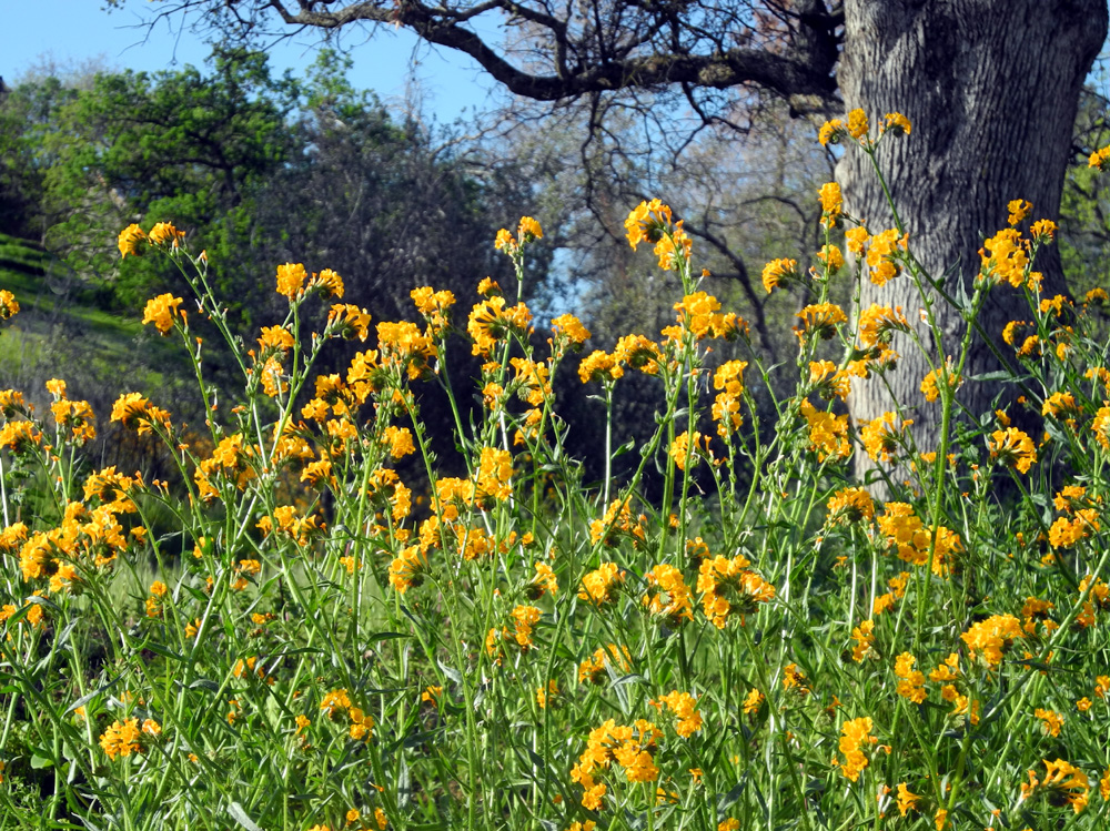
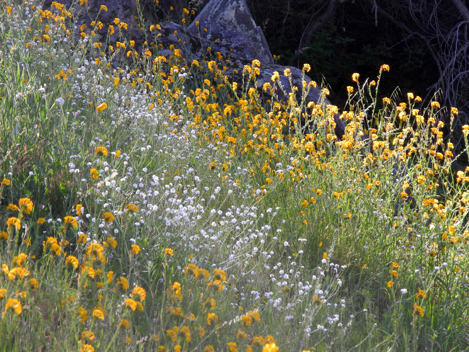
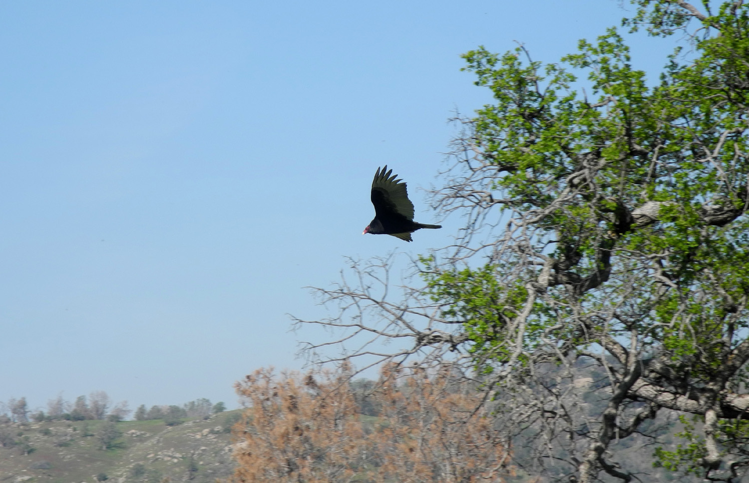
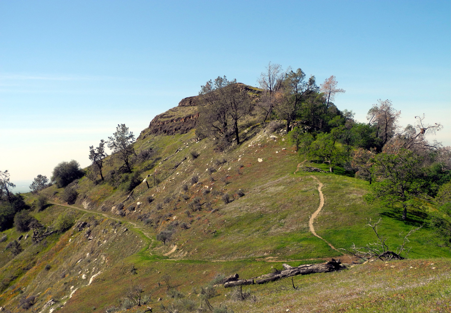
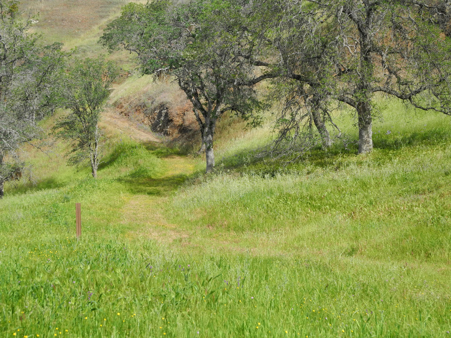
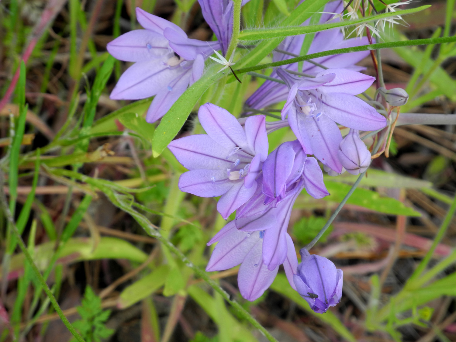
Finegold Trail With March rapidly speeding by, weather getting warmer, and little rain in store, I've been trying to do as much hiking as possible during our unofficial spring (known in some areas as the last two months of winter). With this in mind, on March 9 I made my eighth trip to the Finegold Trail, officially the western end of the San Joaquin River Trail, which goes uphill from the Finegold Picnic area on Millerton Lake. Since I've written about this area so many times, I'll keep this short, and provide links to all the previous trips at the end. Focusing on what's new or different, we've had rain on a fairly regular basis this year, not enough to end the drought, but enough to bring forth an above average wildflower display, and I believe they were better on this trip to the area than any previous one. Just past the start of the trail there was a small patch of baby blue eyes, the only ones I saw on the entire hike. The blossoms were not fully open, and were bent over "looking down" due to the weight of the dew. When I came back out they were fully open and looking me in t he eye as they should. The miner's lettuce is especially luxuriant this year, and I saw some with 3-inch bracts, which are usually around an inch in diameter. I also saw more livestock than any other time, including a cow and her half-grown calf who were occupying the trail, and didn't give any indication that they planned to move as I approached. Finally, when I started to pass them on the narrow trail, they moved down the hill one foot off the path. Birds were also active, with a number of vultures riding the updrafts, and a woodpecker diligently drilling into a tree above the trail as I passed by. Just past what I have named Resting Rock, there is a fork where a very steep trail goes up above the main trail and eventually to the top of nearby Pincushion Peak. I went up this trail once, just to the lower knoll, and have wanted to try to get all the way to the top. I debated whether to stick with the easier main trail but eventually dived into the challenge of the other one, following my long-standing tradition of taking short, slow steps. The steepest section was longer than I remembered, but I made it with no difficulty, although I soon realized I did not feel up to going all the way to the top. I stopped on top of the knoll and rested, eating an apple and power bar, and taking a bunch of photos. There were a lot of poppies here, and they would have been impressive if I had not recently seen what may be record numbers by Pine Flat Lake. The bush lupines were out in full bloom, as were many other flowers. Other than the ubiquitous fiddlenecks, the most common flower was one I can't identify. It has a clump of off-white blossoms, and the overall impression when there are a bunch of them together is that they look fuzzy, so I call them "fuzzy whites," which I am certain is not their real name. They were in evidence along Sky Harbor Road on the way to the trailhead, and along the trail in many places. (Later I learned that they are called phecelia.) There were also lots of poppies along the road, but the blossoms had not opened for the day when I drove in. Like the baby blue eyes, they were wide awake on my homeward trip. While on the knoll I noticed a rock outcropping just down the hill and realized I had to take a photo of myself in honor of my Ramblers hiking companion, Wes Thiessen. It would probably have provided good comic relief to an observer to see me trying to safely make my way down the rock strewn slope and up on the "posing rock" in ten seconds. I managed to get one fairly good shot in four or five tries. From the knoll, a trail goes west down to a saddle. A narrow path then goes up and around Pincushion Peak. What I can see looks fairly steep, but there is an old road around the south side that is nearly level, so I walked out on this. As expected, when I got just past the peak I had a good view of the main part of Millerton Lake and Friant Dam. At this area there was a very steep trail going up Pincushion. It looked like it would not be too difficult to get to the stop, but experience told me it would in fact add an hour or more to my trip and be more of a challenge than I wanted at the time. When I started back down I did not have to go up to the top of the knoll again, since a narrow cow trail went around to the left, more or less level, back to the steep trail I had taken coming up. I made my way down this with care, and was very happy to reach the main trail and Resting Rock. From there it was a fairly quick and easy return to the car. I had planned to head for
home and fix a nice breakfast or lunch, since I had only had orange
juice before my hilltop snack. Then I realized it would be much
better to let someone else do the dirty work, and went to the
Colorado Grill, one of the best burger places around. Previous visits and photos from those times October 8 and 29 and November 5, 2012 Dry grass in Fall 2012 February 2, 2013 Green scene in February 2013 March 25, 2014 Finegold Branch of lake, March 2014 The lake in March 2015 October 13, 2014 Dry Hills, October 2014 December 6, 2014 Green grass getting a good start by December 2014
The first major street after I leave my house is Villa, which I take north to Herndon. Just past this point it curves around into Minnewawa (one of my favorite street names), which takes me all the way north to Copper. A short jog left brings me to Auberry Road, which goes straight north, then winds its way through a residential development and into the foothills. You can follow this road all the way to the town of Auberry, but I turn left at Millerton Road, drive a couple of miles to Sky Harbor Road, which is just past the Table Mountain Casino. Six miles on Sky Harbor brings me to the end of the road and the trailhead.
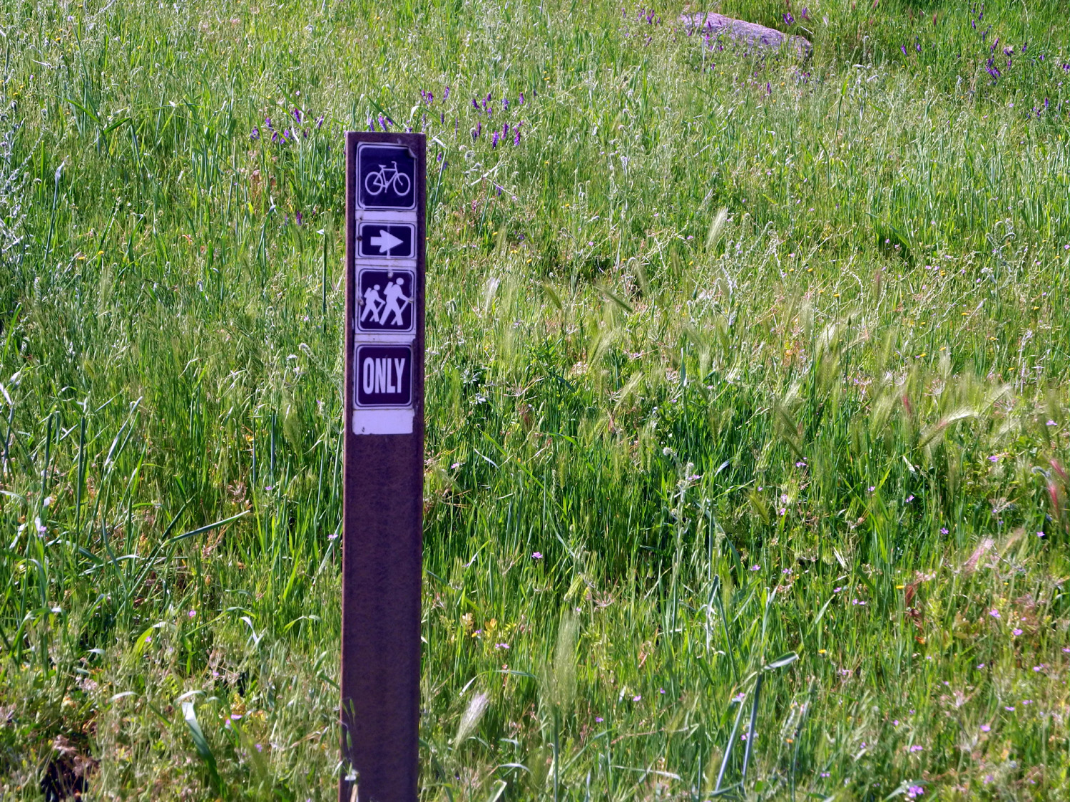
This trail is part of what is intended to be an 80-mile route from Highway 99 on the west side of Fresno to the eastern slope of the Sierra. Various segments exist, including the section from Sky Harbor to the San Joaquin Gorge. Be aware that many of the web pages mentioning this trail focus on bike riding. It's a delightful walk from either end, but I have no hope of ever completing the entire segment unless I can do it three miles at a time, with a helicopter ride to and from my starting and ending points. --Dick Estel, March 2015 |
||
|
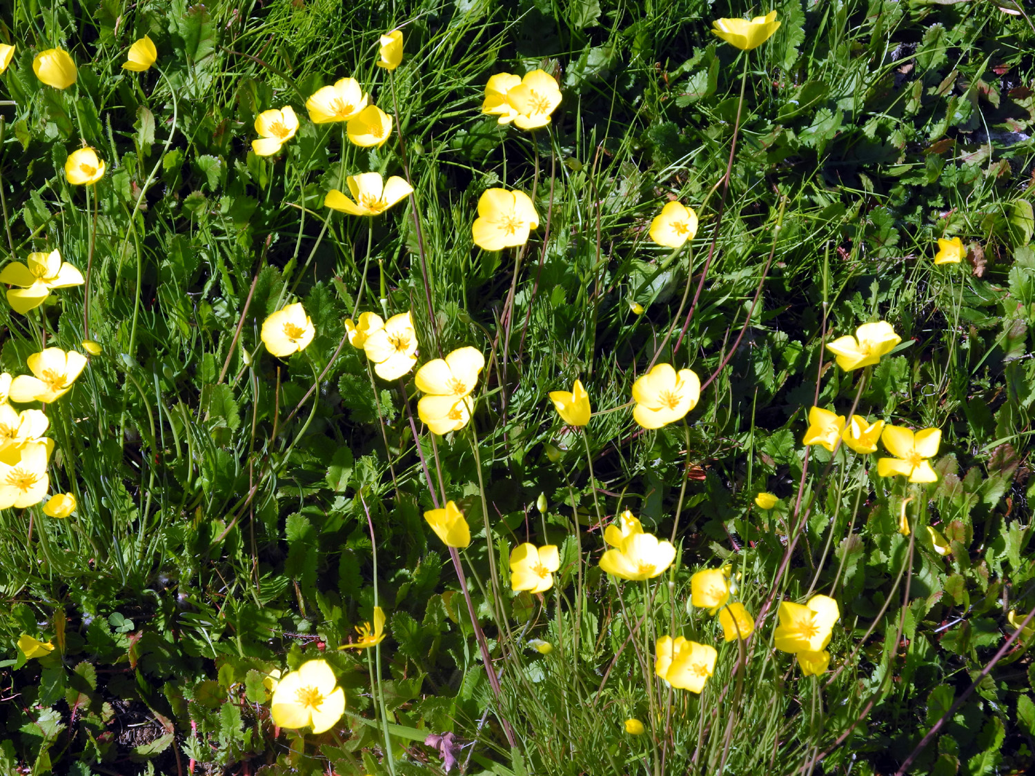
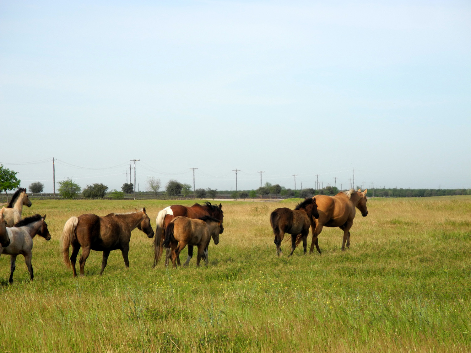
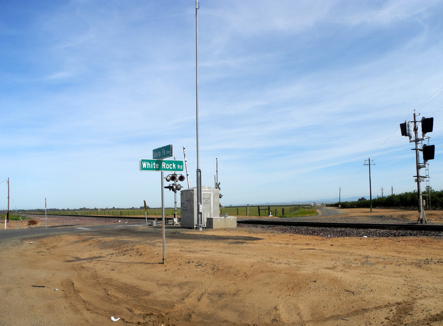
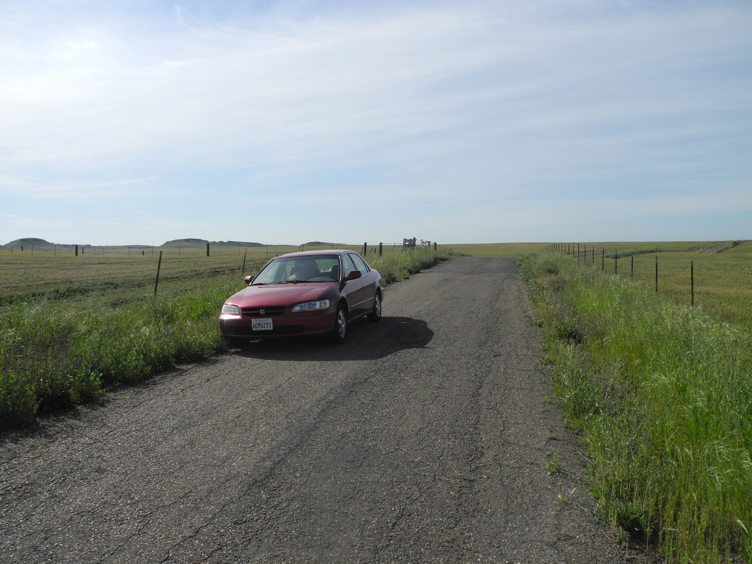
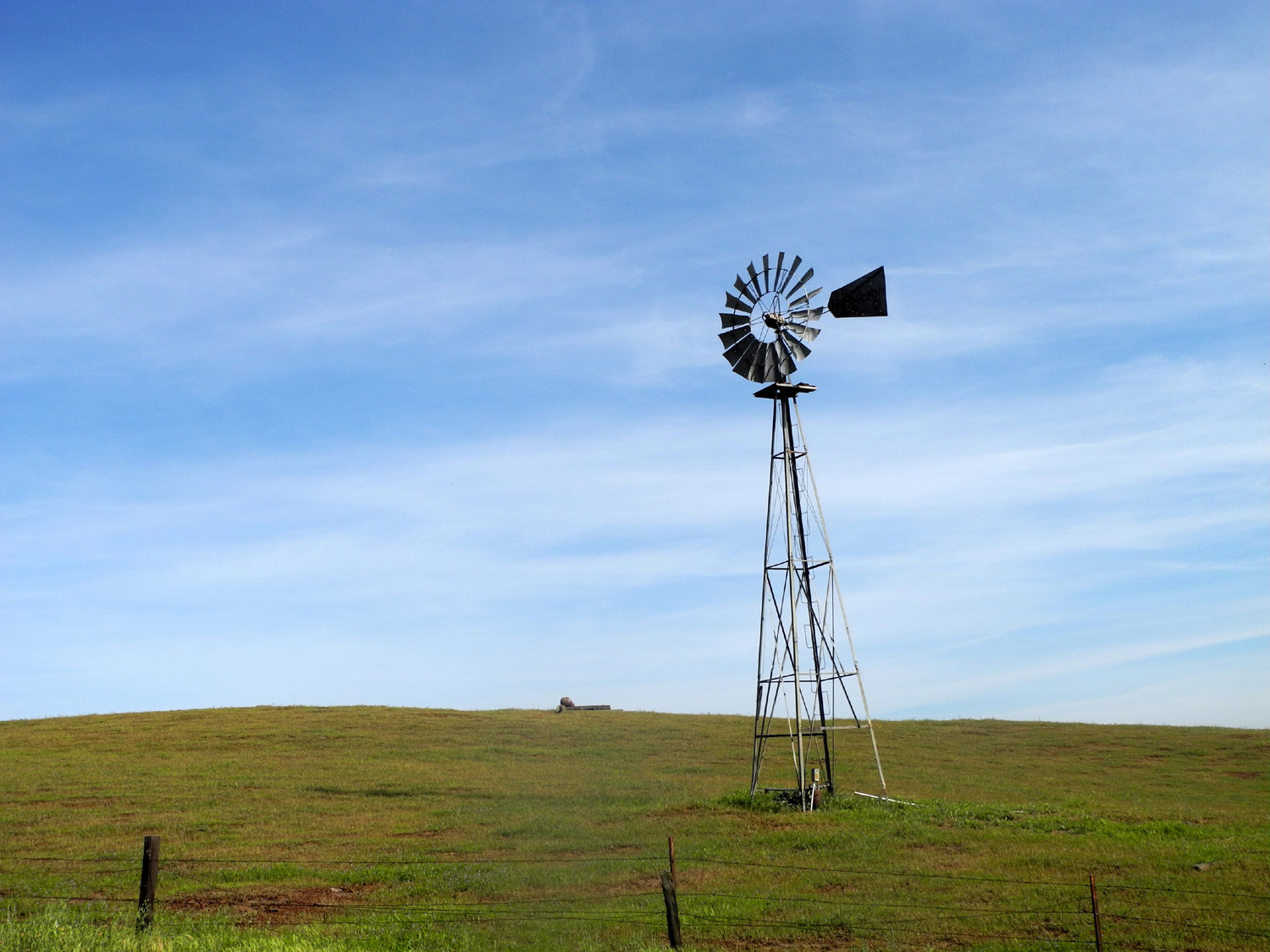
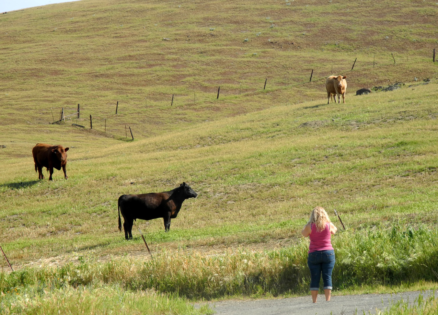
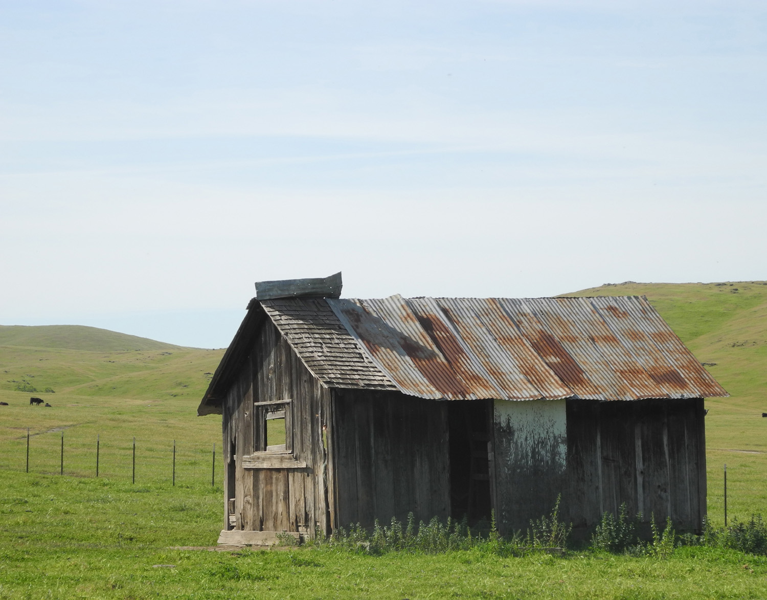
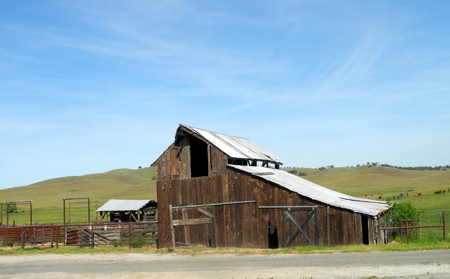
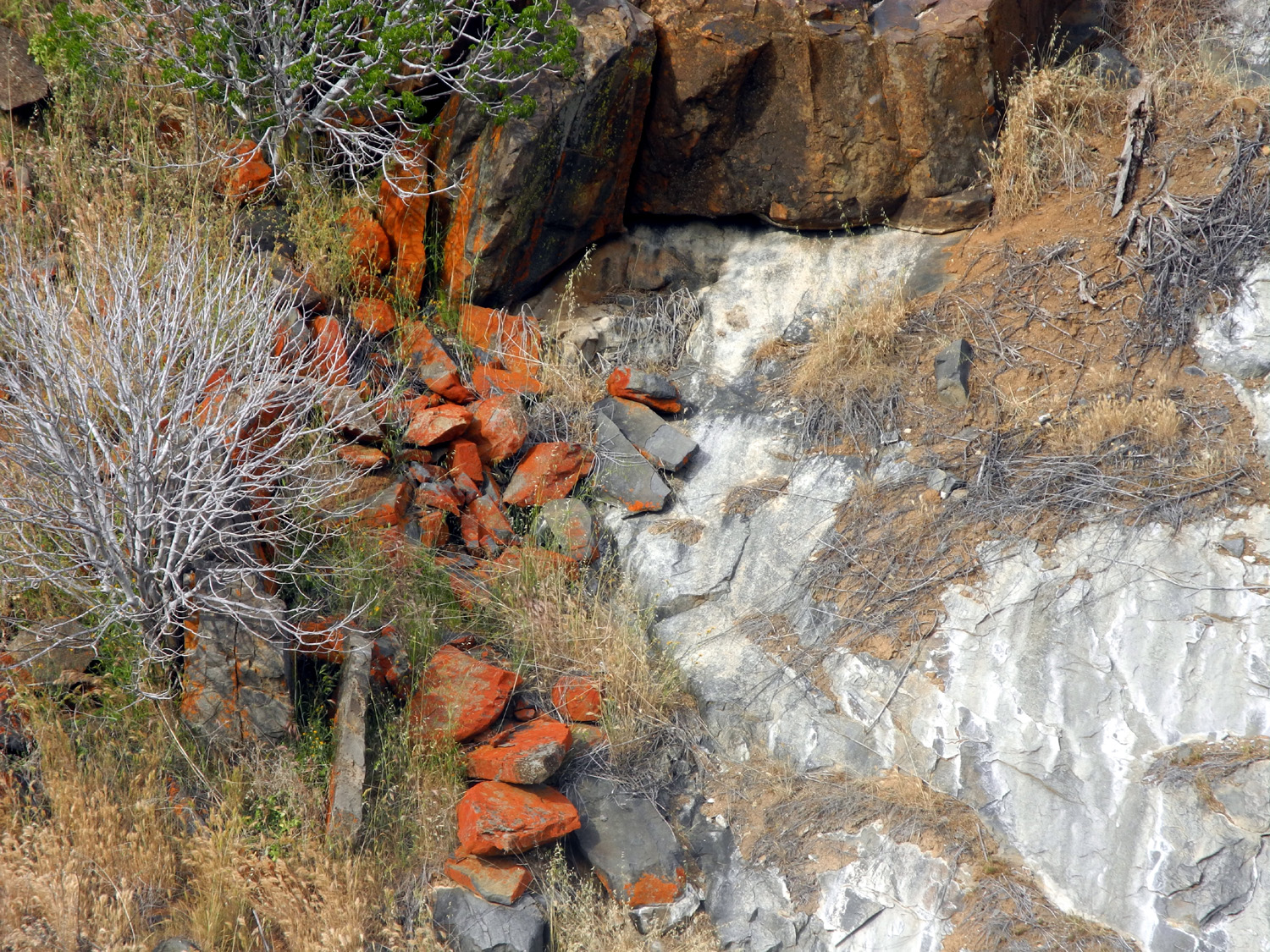
White Rock Road Trip My first trip on the White Rock Road, in early December of 2013, was a solo journey, the landscape was cloaked in brown fall colors, and there were no flowers. I had wanted to make a return journey with additional companions in the spring, and finally on March 21 it happened. Along with my daughter Teri Liddle and my friend Janell Sidney, we left Fresno about 9:30 a.m. and drove up Highway 99, then via Santa Fe Avenue to the junction with White Rock Road, which winds up through the foothills in southeast Mariposa County. Even before we reached the turnoff we made our first photo stop, when we saw a herd of horses in the field where Santa Fe crosses the railroad tracks. As we approached the fence they drifted away from us, but we were able to get some good photos. The first few miles of the road is in Merced County and goes through flat ranch land, but as soon as it enters Mariposa County, it becomes a narrow, winding road that gradually climbs from the valley at around 500 feet to the 2,000 foot elevation near Mariposa. In addition to flowers, trees and grass, things we saw along the road included windmills, old sheds and barns, rustic bridges, two wild turkeys, and cows. What we did NOT see for the first half of the drive were people, other cars, and even connecting roads. Of course, we had to stop and take pictures of the things we did see. This included several unfamiliar species of wild flowers, as well as lupines, popcorn flowers, and the ubiquitous fiddlenecks. Where we stopped to look at an old wooden bridge, Janell heard a splash, then saw a turtle go into the water. We then saw him under the water, and there were at least three of them, either seen or heard. We also walked through the old White Rock Cemetery, reminding us that White Rock was not just a road but once a community with a school, and possibly some business enterprises. "Old" does not mean abandoned, since the cemetery contains members of pioneer ranching families who died in the 21st century, as well as many from the 19th. Since this route rises up from the valley well into the foothills, there are various types of terrain along the way. You can refer to my previous report for a detailed description. I'll just mention here that we crossed Mariposa Creek twice on the way up and twice coming home. This is a fairly small stream, but it runs all the way from its source outside of Mariposa down into the valley and into the San Joaquin River. Our first crossing was at the end of the dirt section of the road, after which we were in more "civilized" country, with lots of homes, mostly just out of sight of the road. I didn't take pictures of a lot of the cool stuff along the way, because I had done that earlier, so click here for earlier White Rock Road photos. When we connected with Old Highway, where I drove less than a week earlier with The Ramblers, we went only a short distance, then took Yaqui Gulch Road out to Highway 140. It's only a few miles from this junction into town, where the highway again crosses the creek where Highway 49 comes in from the south. We arrived in town around lunch time and all agreed that our best choice would be Mariposa's leading Mexican restaurant, Castillo's, which is in the building that was once the town post office (but in a different location). We all enjoyed our lunch, and were fortified for our final project of the day, visiting some of the shops in downtown Mariposa. We all managed to find something to buy, but didn't get carried away, which would be easy with the many choices offered. When we started home we decided to stay with a scenic route, and went down Old Highway, the same road I traveled with the Ramblers on March 16. This time we stopped at a couple of places I had bypassed on the previous drive, and got a good look at a big patch of flowers known as Chinese houses growing on the road bank. We followed the same
route home as my earlier trip, completing our 176 mile round trip
journey around 5:15. --Dick Estel, March 2015 |
||
|
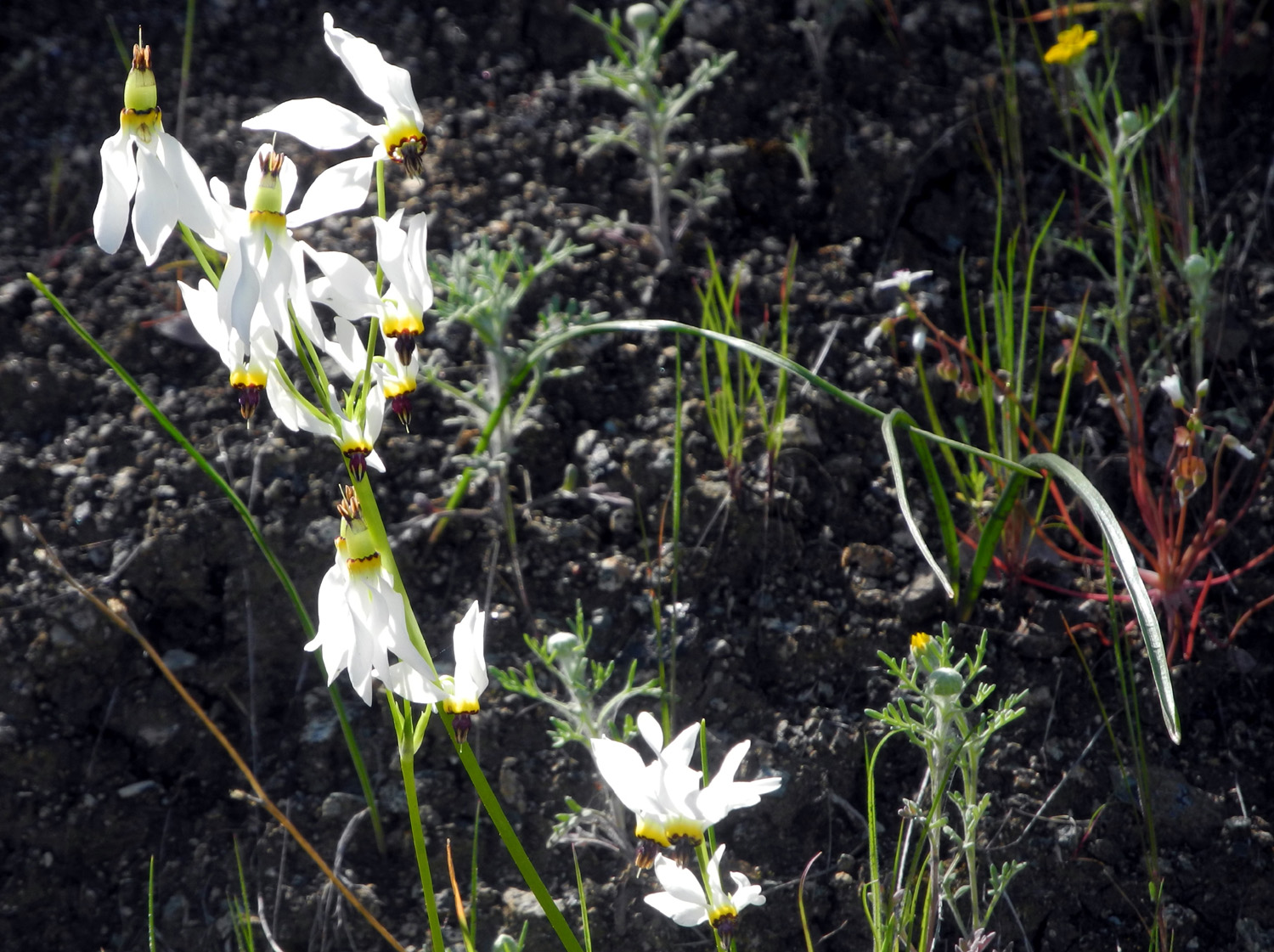
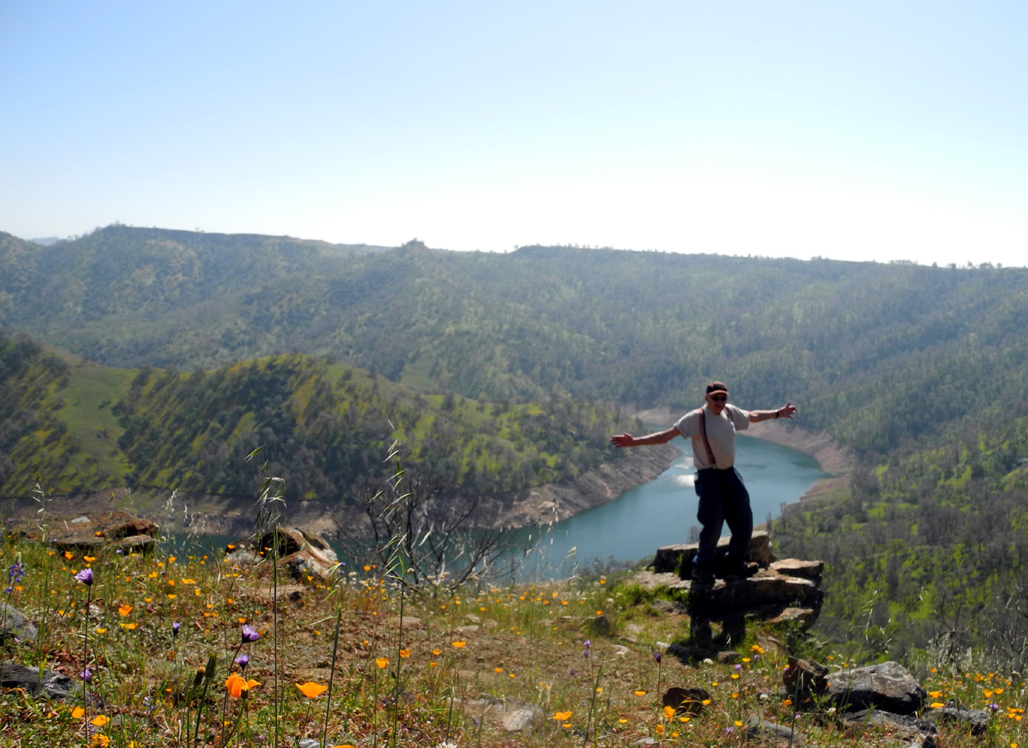
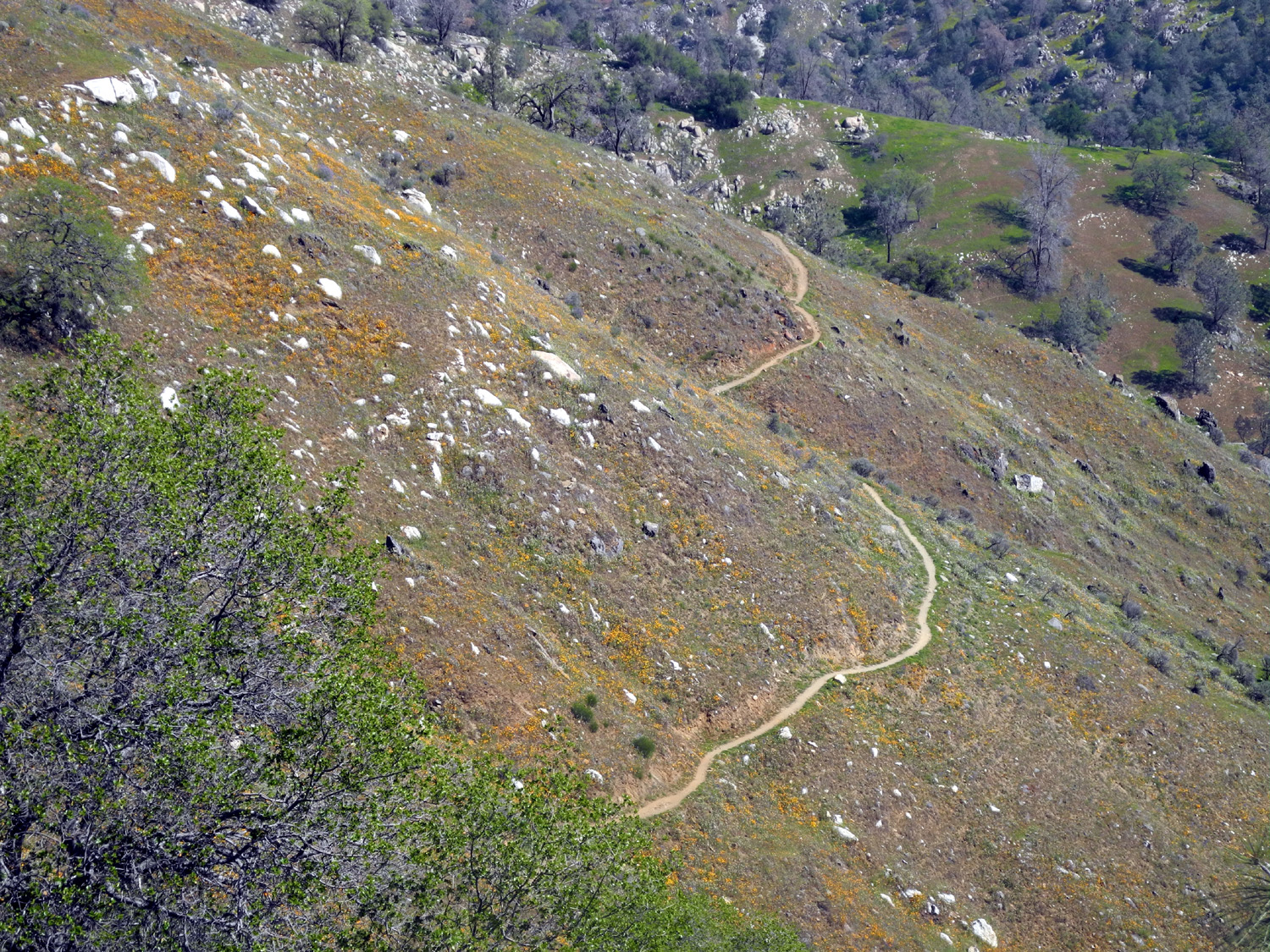
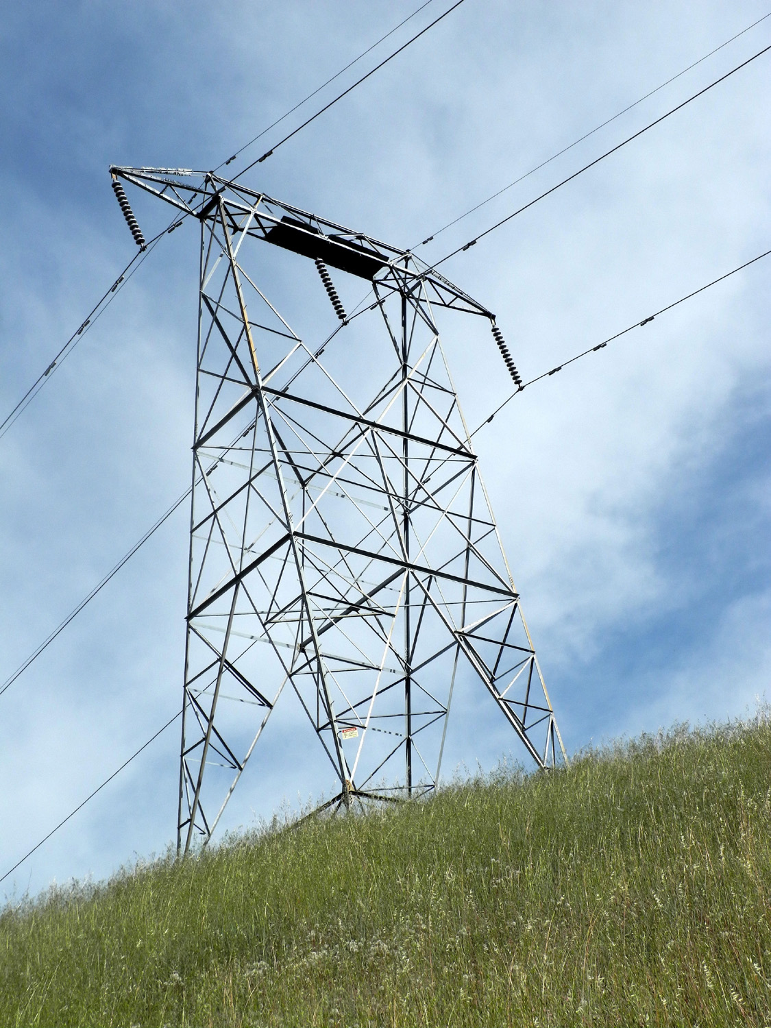
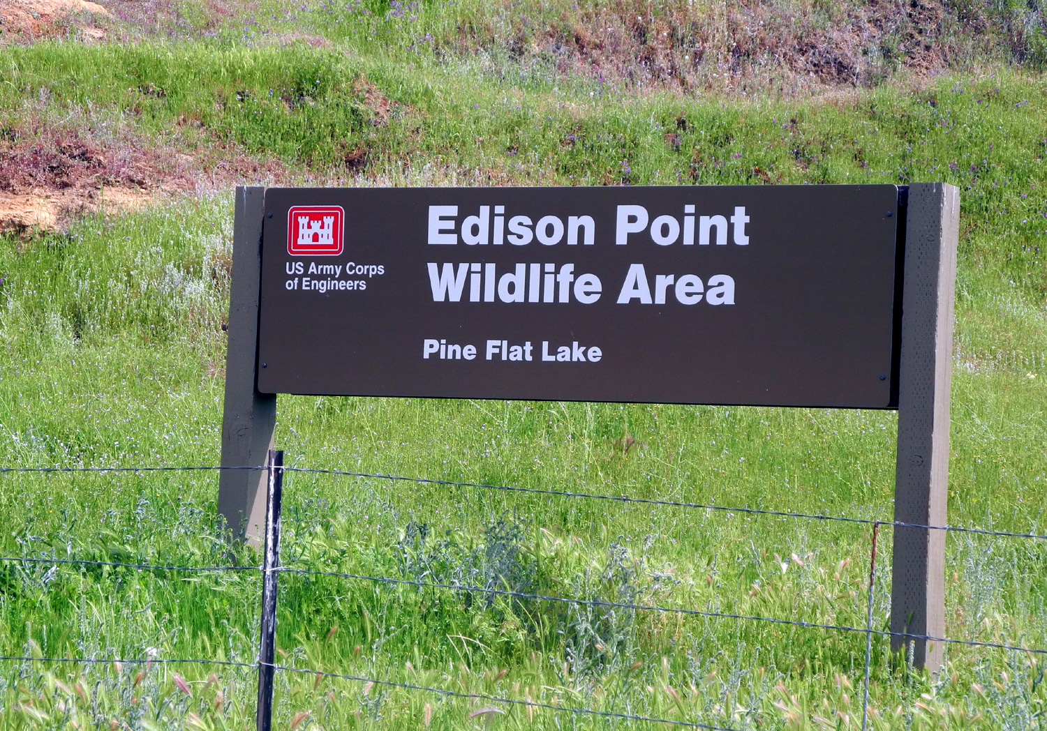
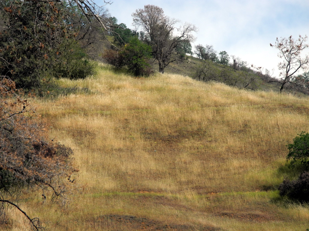
Edison Point Trail Trying
to get in as much spring hiking as possible, I decided on a fourth
visit to the Pine Flat area on March 24, this time a solo outing. At
first I thought I would return to the Sycamore Creek Fire Road
that Carolyn and I hiked in February. Before arriving at the trailhead, I made a couple of stops to check out the hillsides that were previously covered with poppies, looking like someone had spilled orange paint down the slopes. There was not a speck of orange remaining, and I saw only a few scattered blossoms along the road and where I hiked. I would say that 99% of the poppies were finished, as were most of the fiddlenecks and popcorn flowers. However, there were new blooms to enjoy, which I'll get to a bit later. When the Ramblers hiked the Edison Point Trail, we did an "out and back" on the section that is really a rough dirt road leading to an electrical tower on the point - a gentle uphill stroll. At the top we saw a narrow path leading to the west toward the lake. Wes explored this route a short way, and came back up the other side of the hill to report that it appeared to go straight down to the lake. This information caused us to decide to return the way we came. This time I resolved to go down that trail unless it became impossible, and try to discover the complete loop trail that is described in articles about the hike. The trail went half way around the hill, then took a sudden dive straight down the hillside. This lasted only about 100 feet, after which the trail turned into a series of switchbacks with long stretches, gently descending to a bench just above the high water level. I could see the bench at the start of the switchbacks, but it seemed to take a long time to get there. Along the way I was rewarded with views of a new hillside painting - large patches of pure blue where lupines were growing on the upper slope of the dry lake bed. In addition I had seen quite a few purple and yellow brodiaea on the first part of the trail, but nothing like what was to come. From the bench, the trail led in the direction of the main road, with several more long switchbacks. In one place the trail was only about ten feet above the section I had just walked. I could have saved quite a few steps with an easy climb up the hillside, but of course, I would have reduced my exercise time and mileage. Descriptions of the trail have described it as "overgrown," and It was indeed a challenge to see the trail in some places. The wild grasses were three to five feet high, the trail was narrow, and I credited my ability to find my way to wandering around in country like this while I was growing up. It was along this part of the hike, where the trail went into several cool, shady areas where a drainage came down, that I saw massive amounts of purple brodiaea, in greater profusion than I have ever seen anywhere. There were also quite a few of the yellow ones, also known as "pretty face" and "harvest brodiaea," but the big fields of these were still to come. While poppies on the hillside were visible from the main road on previous trips, seeing the big brodiaea fields required some hiking. The lavender color of the brodiaea was in contrast with the darker purple of vetch, which occurred in large patches at a number of places. I also came across some climbing brodiaea. These plants put up a long stem that twines around brush and other plants, often to a length of six feet or more, with a single blossom at the end. When I got back close to the trailhead, there were a number of "shortcuts" leading up to the parking area, so it was hard to trace the actual trail, although it was obvious once I got back to the start. On the earlier hike we had started down what I thought was this end of the route, but we soon got into a place were poison oak grew all across the path we were following. After returning to the trailhead this time, I went out the path we had started on, and less than 20 feet before the poison oak there was an "obvious" switchback where the trail went down and back away from the bad spot, and of course, connected to the rest of the loop. Last time we had noticed someone walking up a dirt road across from the parking area, another gated route that goes up to other sections of the power line. I walked up this road a short distance. It was fairly steep, but was also decorated with thick patches of flowers, with an emphasis on the harvest brodiaea. There was also a flower I call the Mystery Snap Dragon Flower, which Teri, Janell and I also saw on our White Rock Road drive. These flowers are few in number, but the individual blooms are very beautiful. A friend has since advised me that these are a type of penstemon. On the last third of the Edison Point trail I saw a number of Mariposa Lilies, one of the more spectacular flowers in our foothills. There are white and purple varieties, but I saw only the white ones. They also appeared along Trimmer Springs Road. Also in evidence on the trail and on the road were Farewell to Spring - somewhat presumptuous considering it's only the fourth day of the season. I walked just under three miles total, all but about a half mile of it on the Edison Point loop, and enjoyed at least two hours of actual exercise, along with a lot of stopping to look and take photos. It was a fairly warm day, but there was a constant breeze. Although
it would have been more fun with a hiking companion or two, visually
this was one of the most delightful hikes I've enjoyed this year. --Dick Estel, April 2015 |
||
|
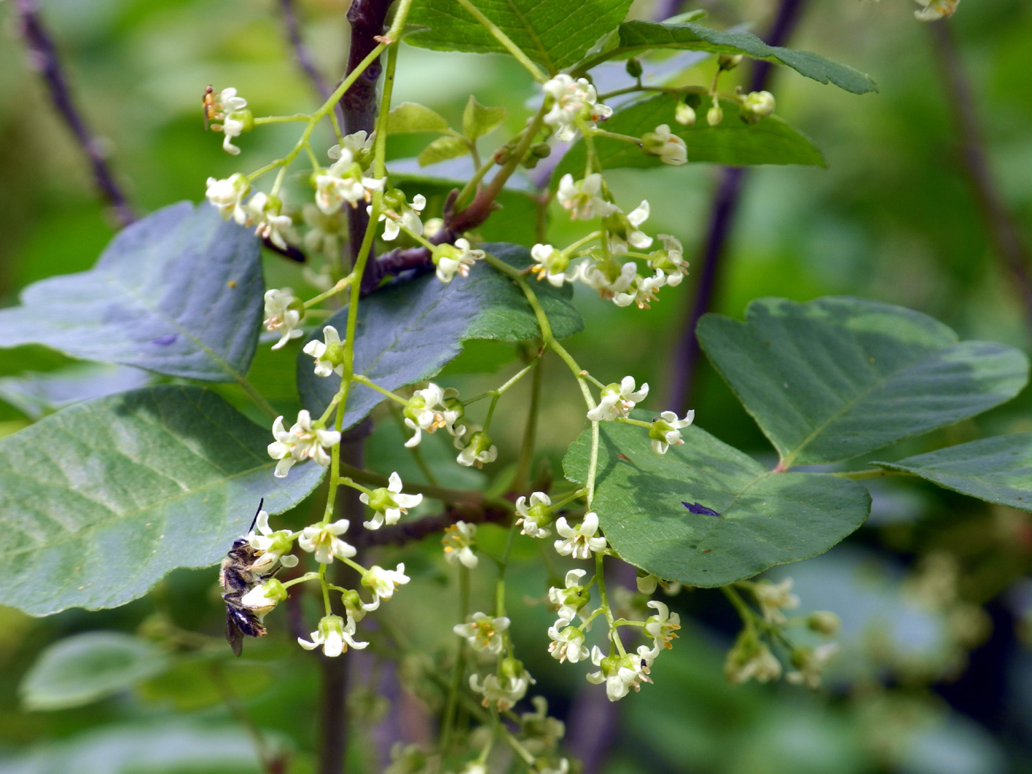
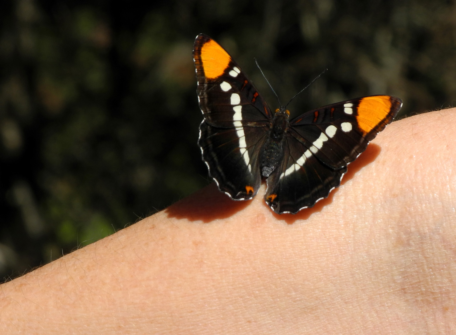
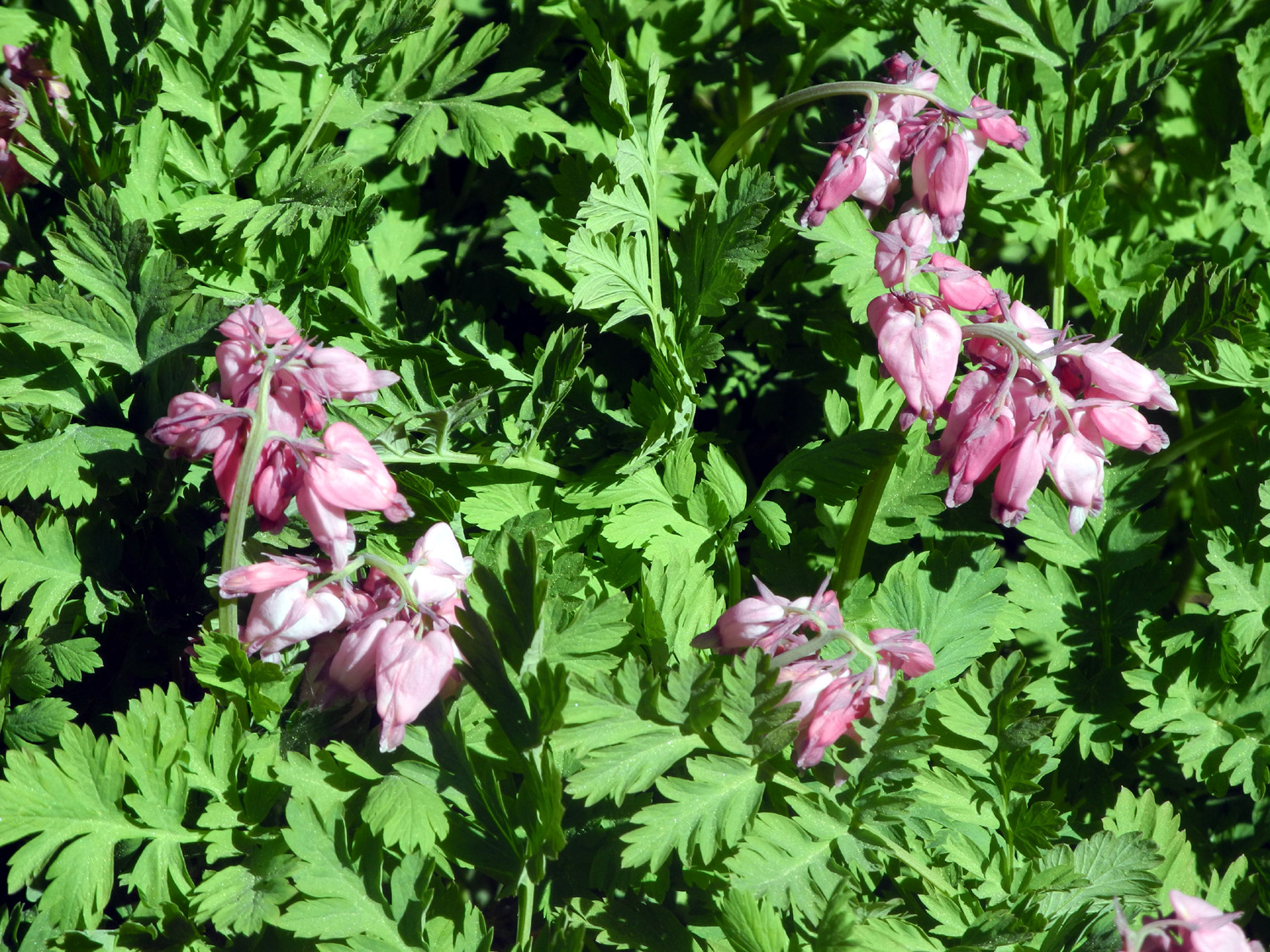
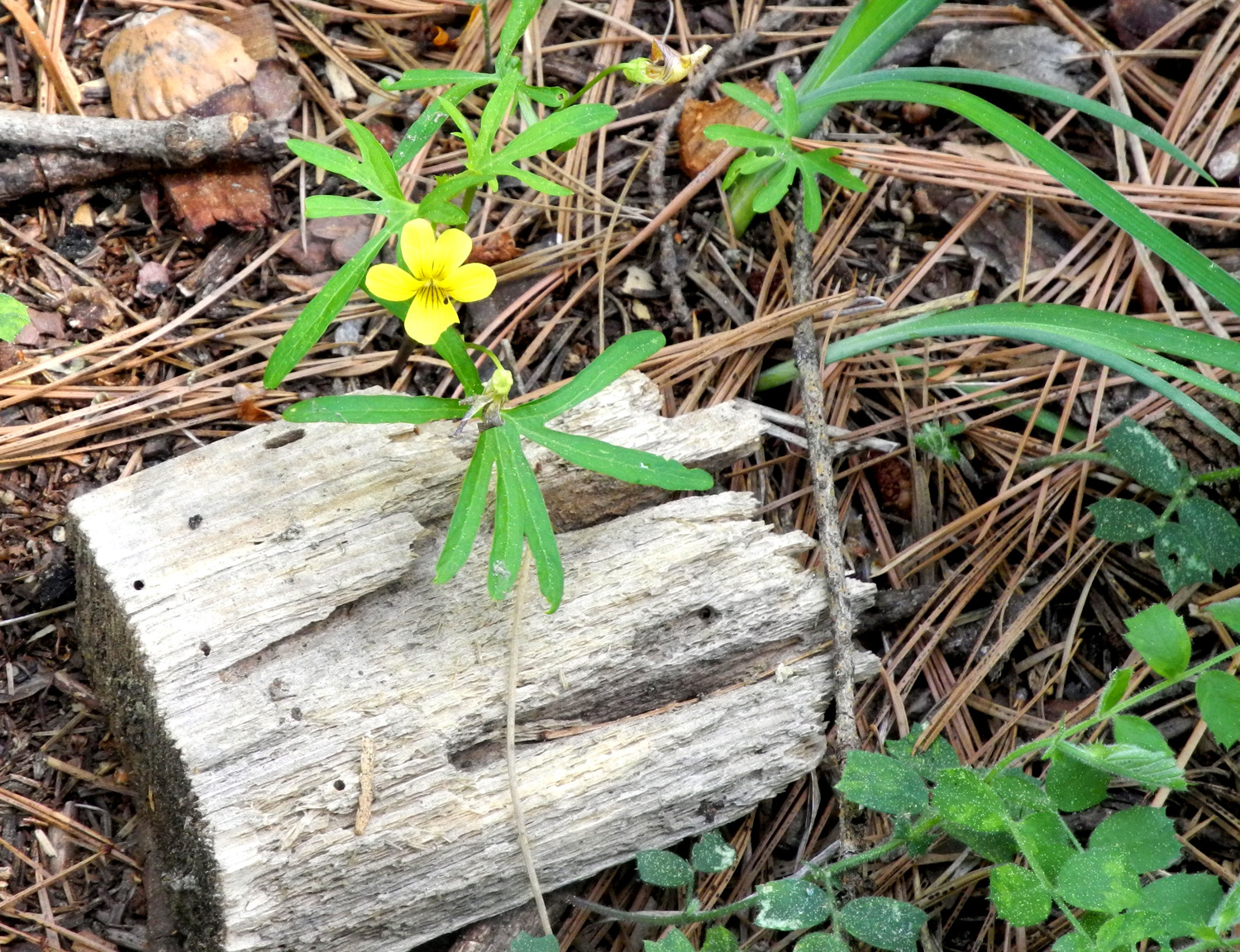
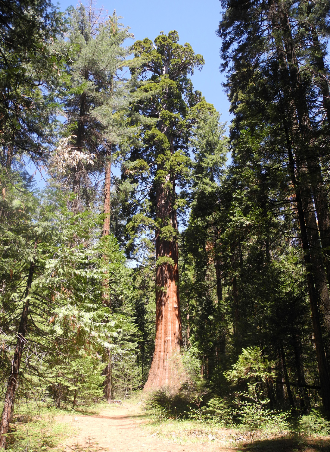
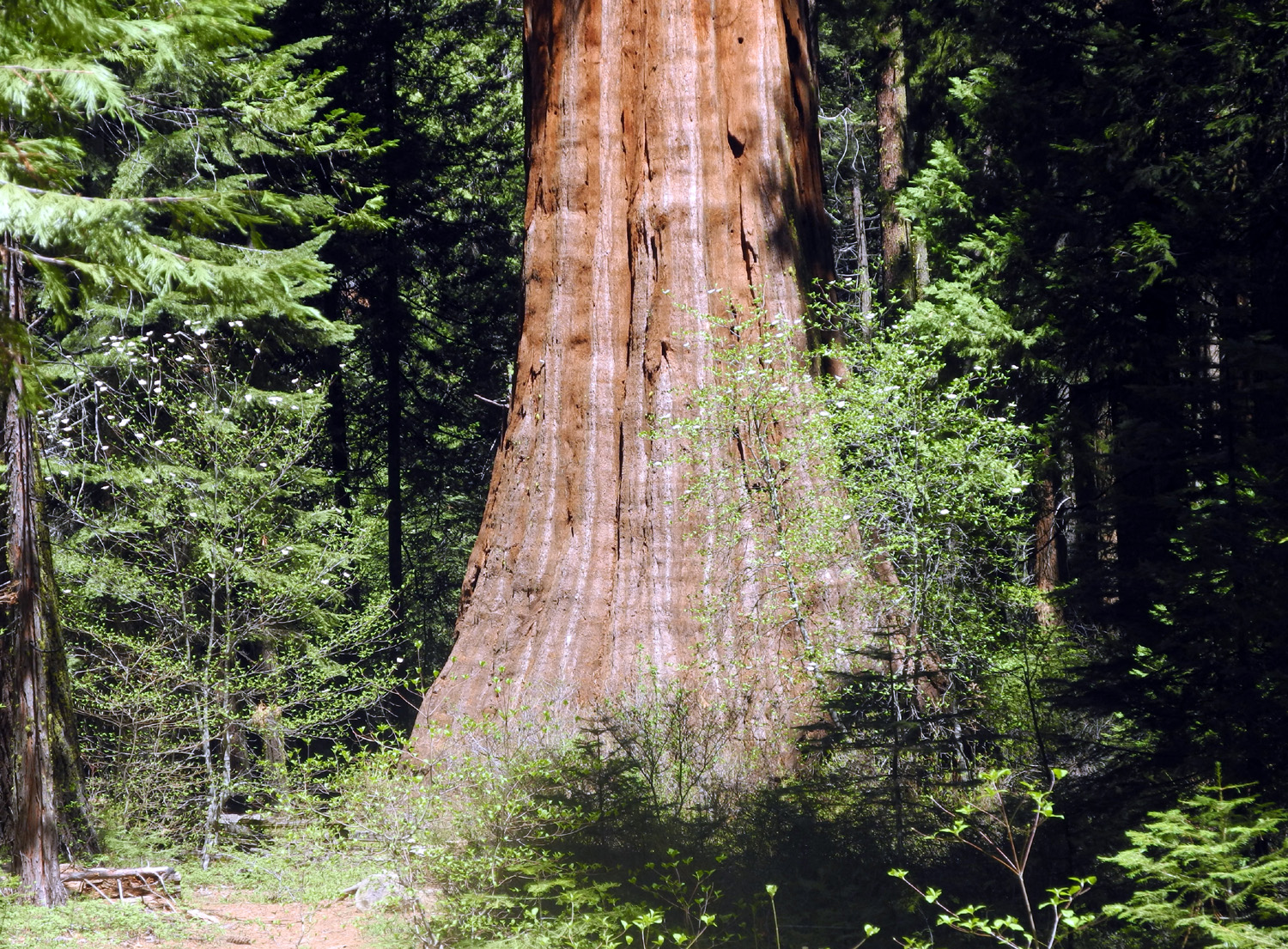
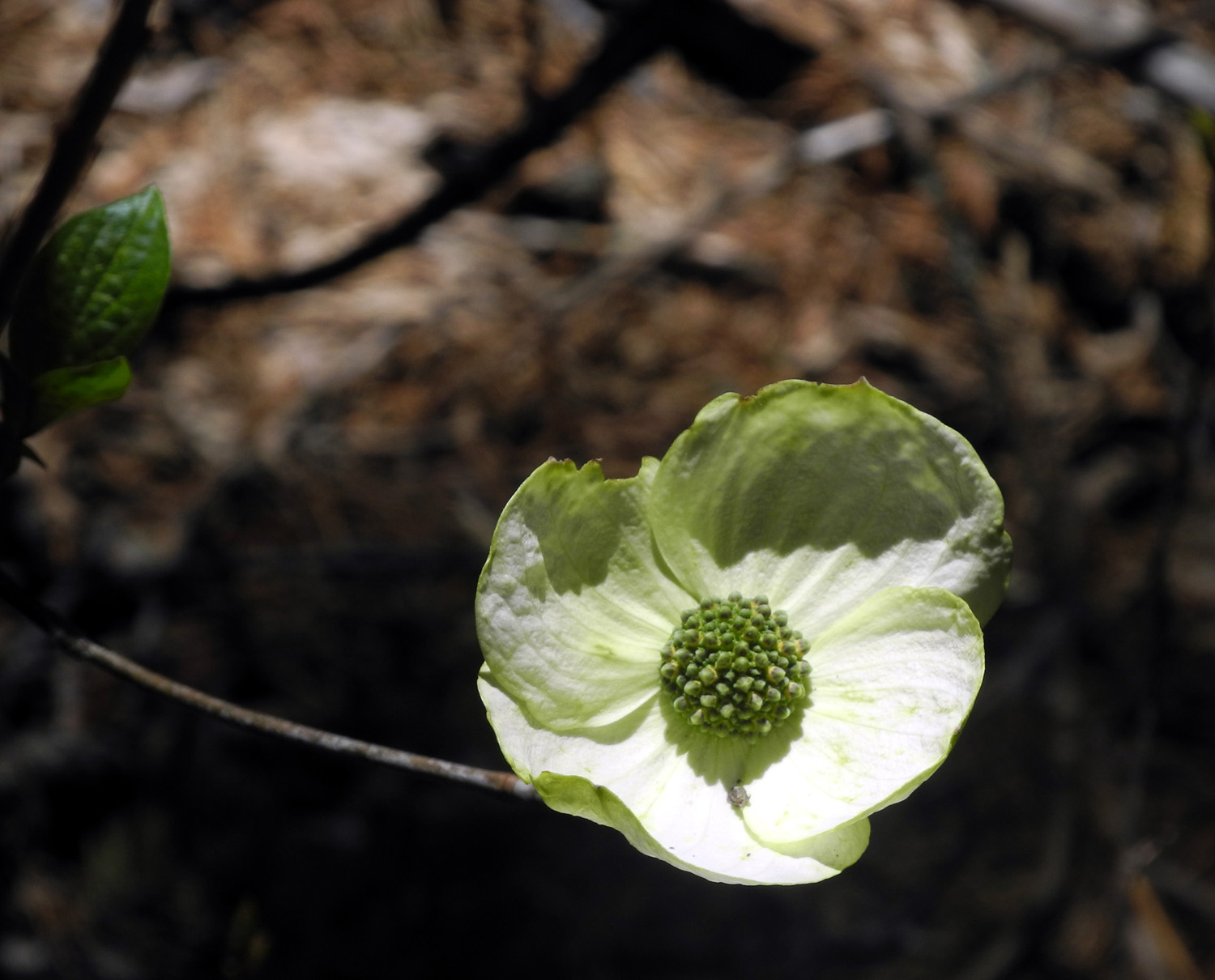
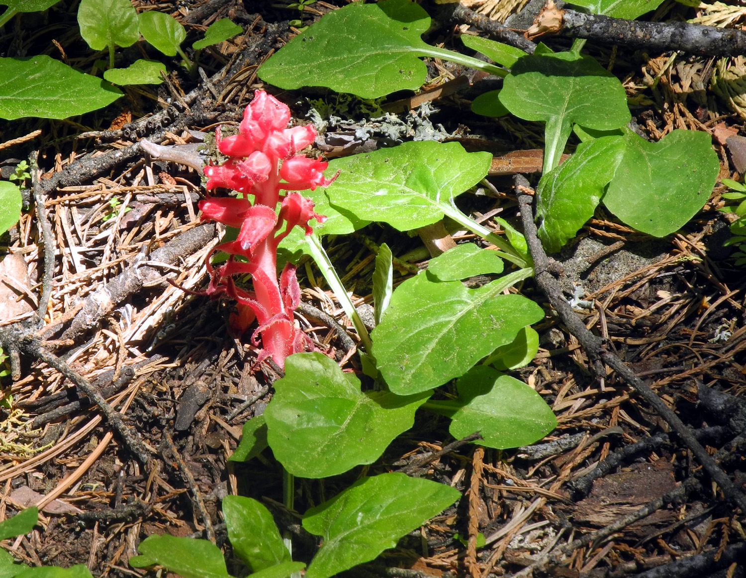
Nelder Grove Last year I hiked at Nelder Grove three times - with the Ramblers, with my neighbors Bob & Alice, and with my grandson Johnny and great grandson Colton. On May 3 of this year I hiked with someone who was with me the very first time I visited the area, my older daughter Teri. She was five years old at the time, and I was a bit younger too, and we've both been there many times since. There is a lot of information about the grove, and details about the trail here, so I won't repeat that stuff. That link covers all three hikes of last year. Links below include some information about my early visits to Nelder, the first of which included my former wife Jackie, and daughters Teri and Jennifer. We got a fairly early start, but because we were talking and not paying attention, I missed the turn-off from Highway 41, which is a few miles past Oakhurst. It took two tries to find it, since there are three roads leading off 41 in that area, and the big Sky Ranch sign that used to be my landmark, is gone. Along the dirt road on the way in, we noticed some unusual flowers by the road where it crosses California Creek. We stopped, and as soon as we got out of the car, a butterfly landed on Teri's arm, and stayed there while I took several pictures. Later I was able to identify these flowers as bleeding hearts. The gate across the road to the campground and trailheads had just been opened the day before, and there were several other parties there. We stopped briefly at the interpretive center, which was only partly open, then drove the short distance to the parking area near the Bull Buck Tree trailhead. This is an easy half mile walk with some gentle ups and downs, through the typical forest of that elevation - sugar pine, cedar, ponderosa pine, and fir trees. We were delighted to discover that the dogwood was in bloom, and saw many blossoms along the road and on the trails. I had brought the Nelder Grove guidebook that I picked up last year, which describes various trees, stumps and other points of interest along the way, each marked with a small numbered log sign. The Bull Buck was its usual magnificent self, flanked on both sides by dogwood in bloom, and we rested and enjoyed the surroundings there for 20 minutes or so. We then continued the short distance to the start of the Chimney Tree Loop Trail. I had hiked this route at least three times previously, including last year with the Ramblers, but it was Teri's first time. It should be mentioned that neither trail existed when we made our first visit. We were prepared for the possibility of fallen trees across the trail, since it was so early in the season, and we did indeed encounter one. It was not a difficult detour to go up the hill and around it. Overall, the trail was just right in length and difficulty for me. Teri can handle much more challenging hikes, but most of what she was seeing was new to her, and she greatly enjoyed the outing. When I hiked with the Ramblers, we saw many piles of brush, dead branches and fallen logs that had been cut up by fire crews that were on stand-by last summer and put in piles for burning. As expected, these piles had been burned during the winter, leaving a number of blackened circles of ash and wood remnants. Where the piles were particularly large, the burning crew had raked a fire break around the circle, to remove old bark, needles and typical forest debris that could possibly catch fire and burn beyond the desired limits. Naturally we saw a number of wildflowers along the way, including some that I first thought were yellow violets, a blossom that was common around the area where I grew up. The foliage did not look quite right, but I attributed that to a fading memory. However, hiking with the Ramblers two days later I saw both these flowers and violets with the correct type of foliage. The blossoms are nearly identical, but the leaves are quite different, and eventually I was able to identify the ones from the Nelder hike as Shelton's violet. We also saw many wild strawberry blossoms, gooseberries, a snow plant, and of course, the dogwood throughout the grove. We had perfect weather for our hike, with a high of 70 expected but in the 60s during the time we were there. At the end of our walk, we checked my exercise app, and learned that we had averaged a zippy one mile per hour, typical of this type of hike, which is as much about looking at stuff as it is about getting from one place to another. On our way along the trail one couple passed us, and we met two people on bikes and a family that were going in the opposite direction. The lady on the bike asked us how much farther the trail went, and looked dismayed when we we let her know she had barely covered a quarter of the distance. It did not surprise us when they soon came back down the trail, returning the way they had come. After we drove out from the campground to the main dirt road, we took a short side trip to where California Creek runs across Road 6S90. There is a small waterfall cascading down above the road, and below the road, a sawdust pile, a remnant from the logging operations of the 1890s. Even with a good breakfast and snacks along the way, we were ready for a late lunch when we got back to the car, so we headed for Oakhurst and Pete's Place, a restaurant we've both enjoyed several times before, and which we highly recommend. We arrived back home with
about an hour to spare before the adult league hockey game in which
both of Teri's sons play, and I finished off the day watching my
grandsons on the ice and chasing my older great grandson around the
rink. --Dick Estel, May 2015 |
||
Photos (Click to enlarge; pictures open in new window) |
||
Goofy Smith Flat Trip Henry Cowell Redwoods & Big Sur Pine Flat Drive & Hike |
||
|
Goofy Smith Flat Trip |
||
|
|
||
|
|
 |
 |
|
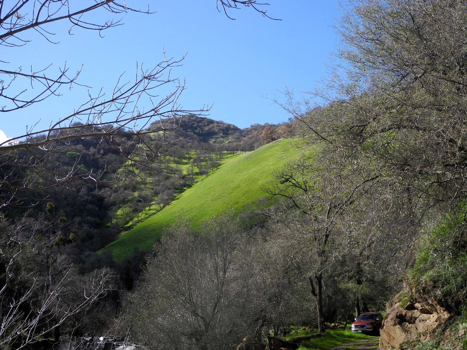
All that nice green lawn |
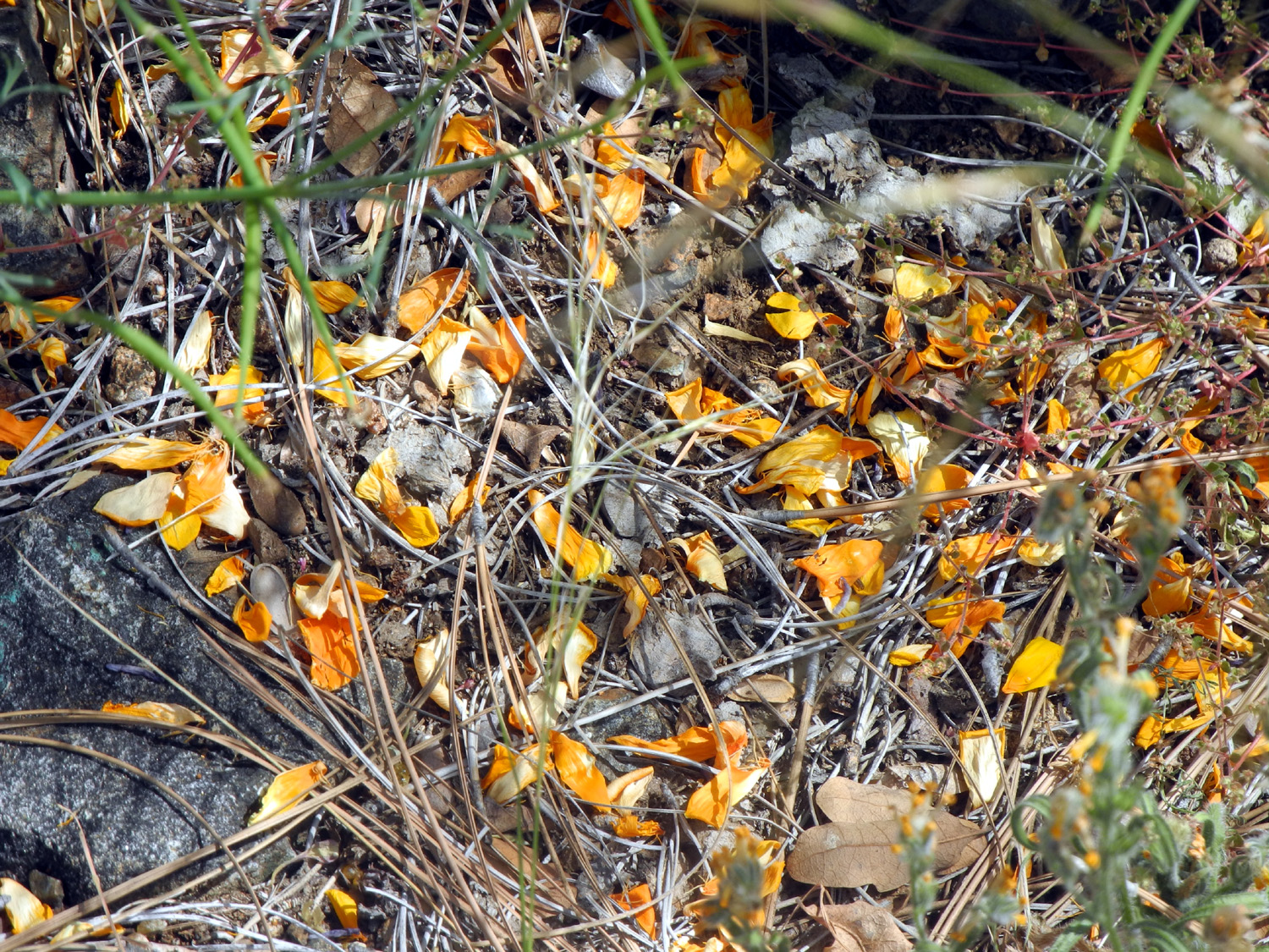
Poppies on the hillside | Low water exposes the remains of a
long- abandoned bridge across Sycamore Creek |
 |
 |
 |
|
Big Creek runs into the river |
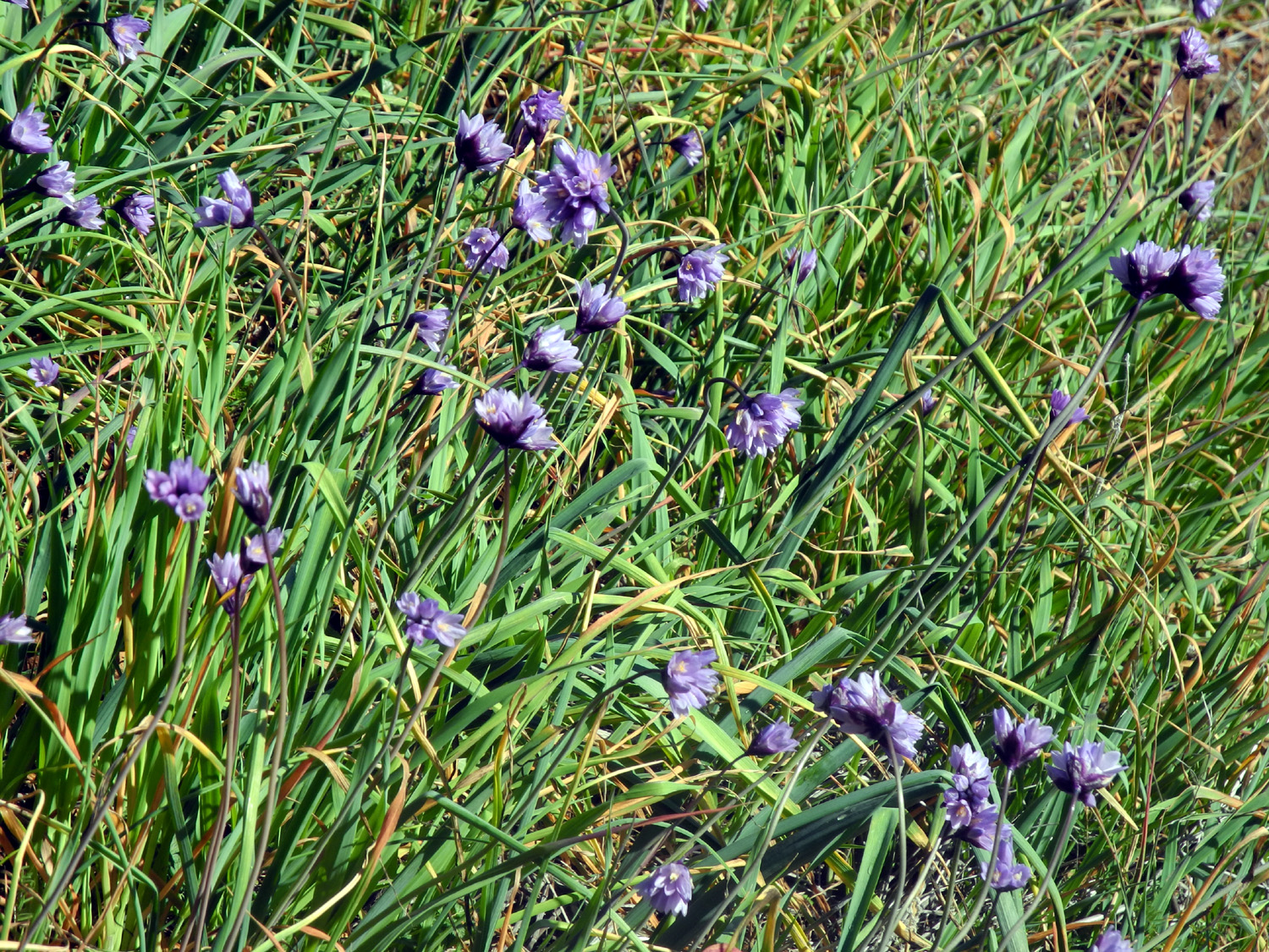
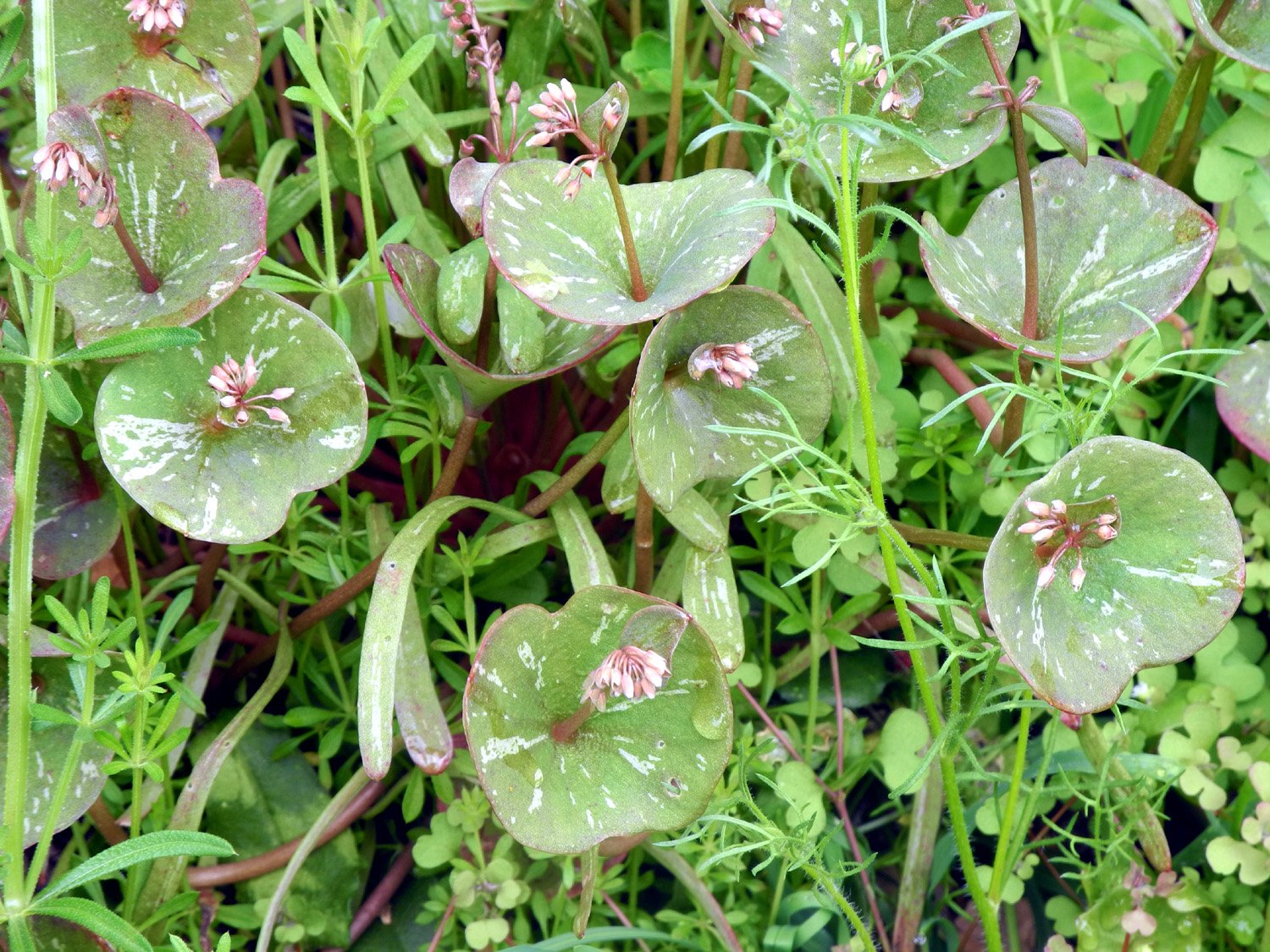
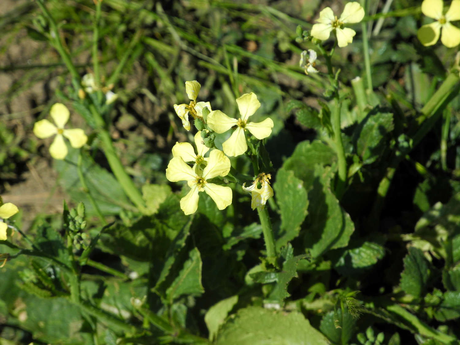
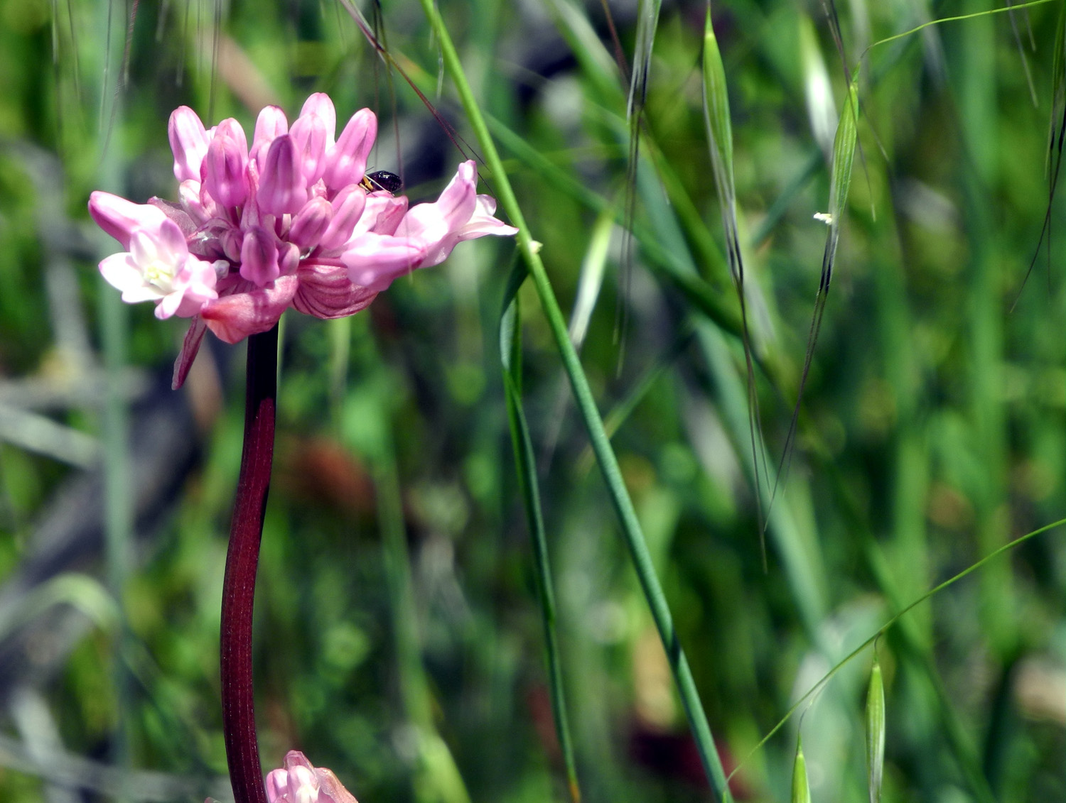
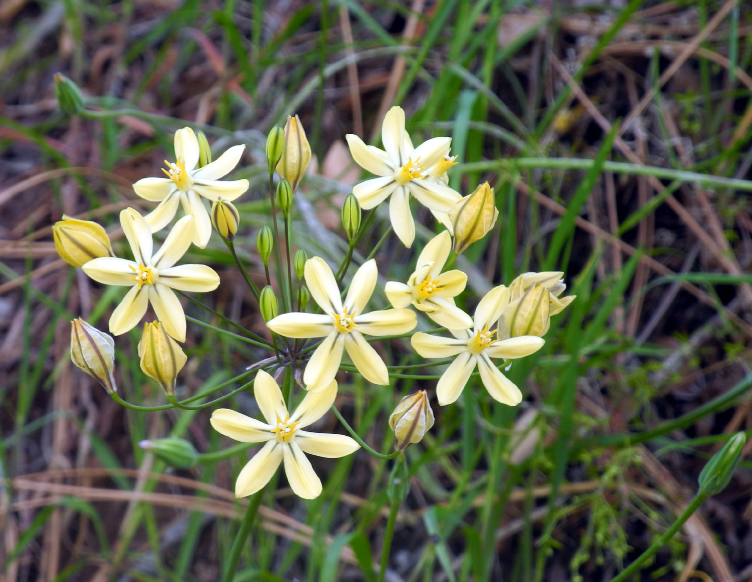
Blue dicks in bloom near Big Creek |
This section of Big Creek is normally a branch of the lake |
 |
 |
 |
|
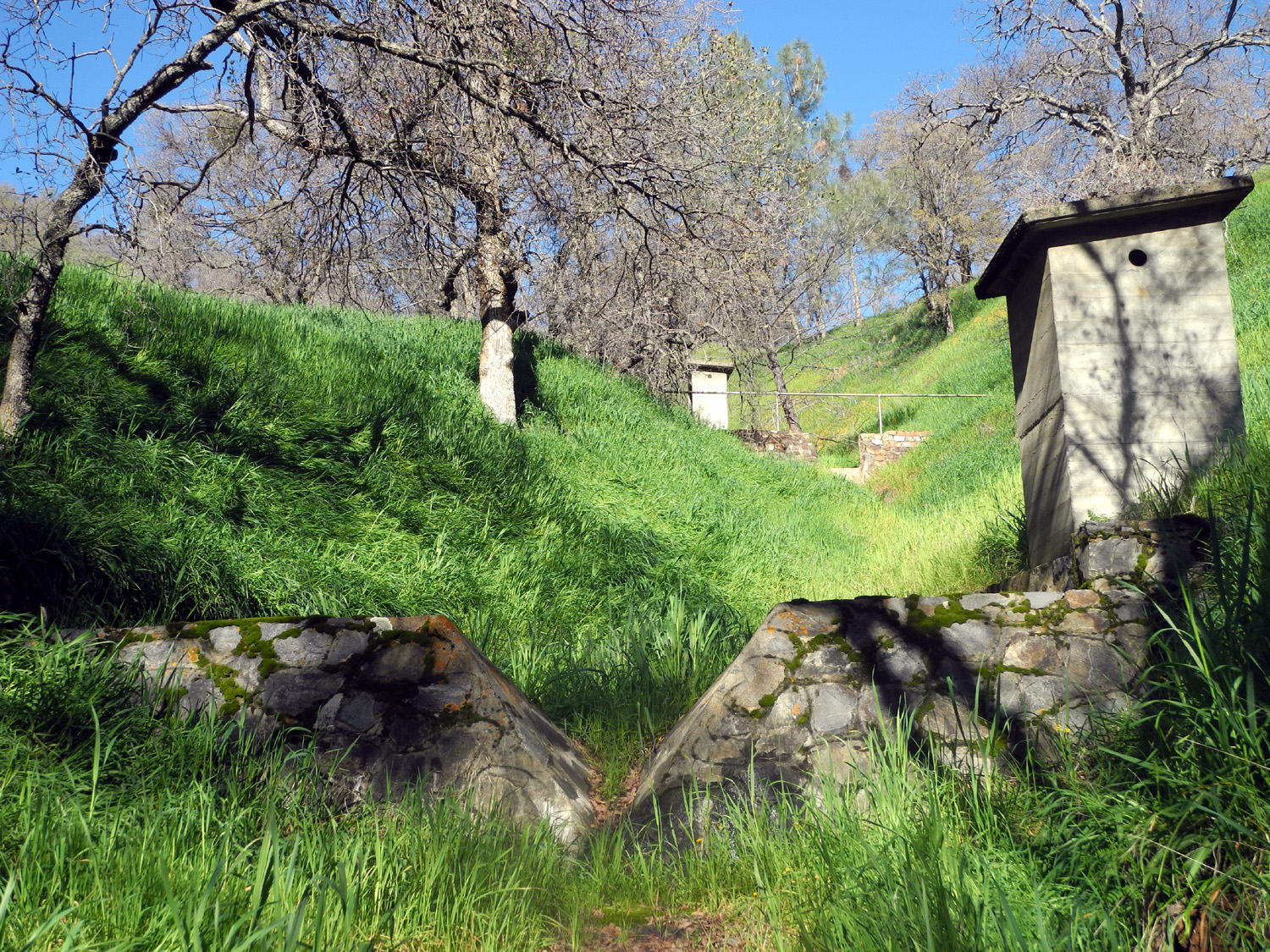
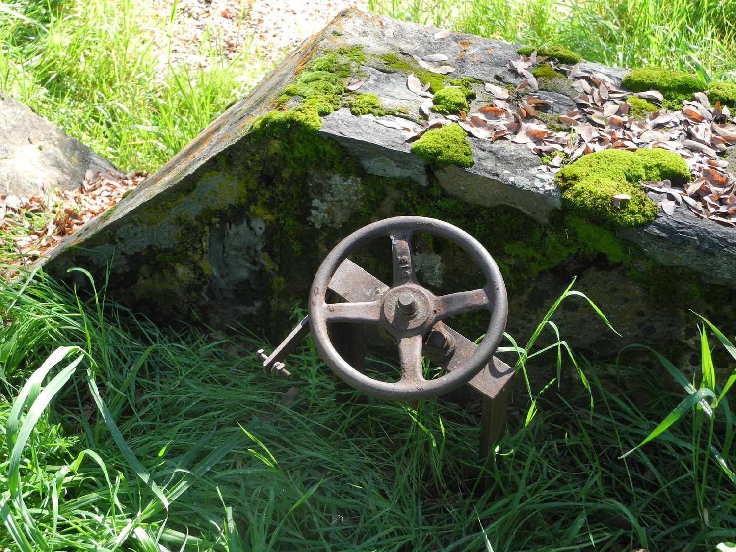
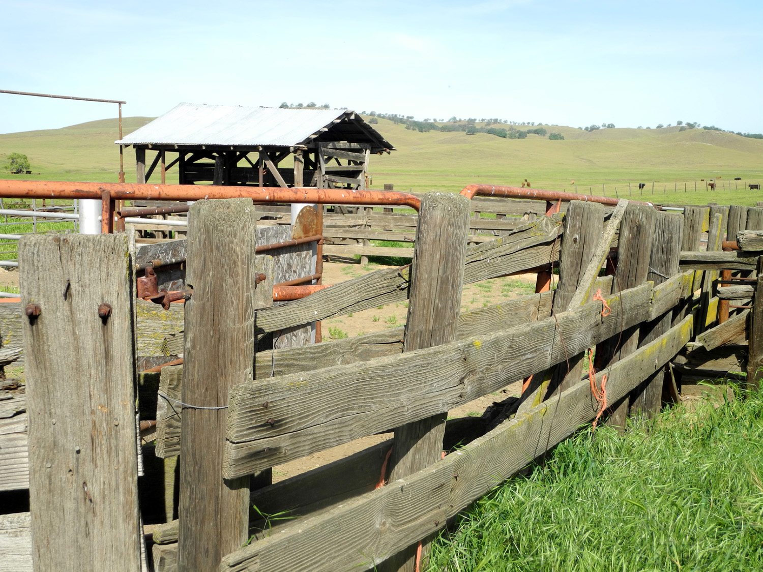
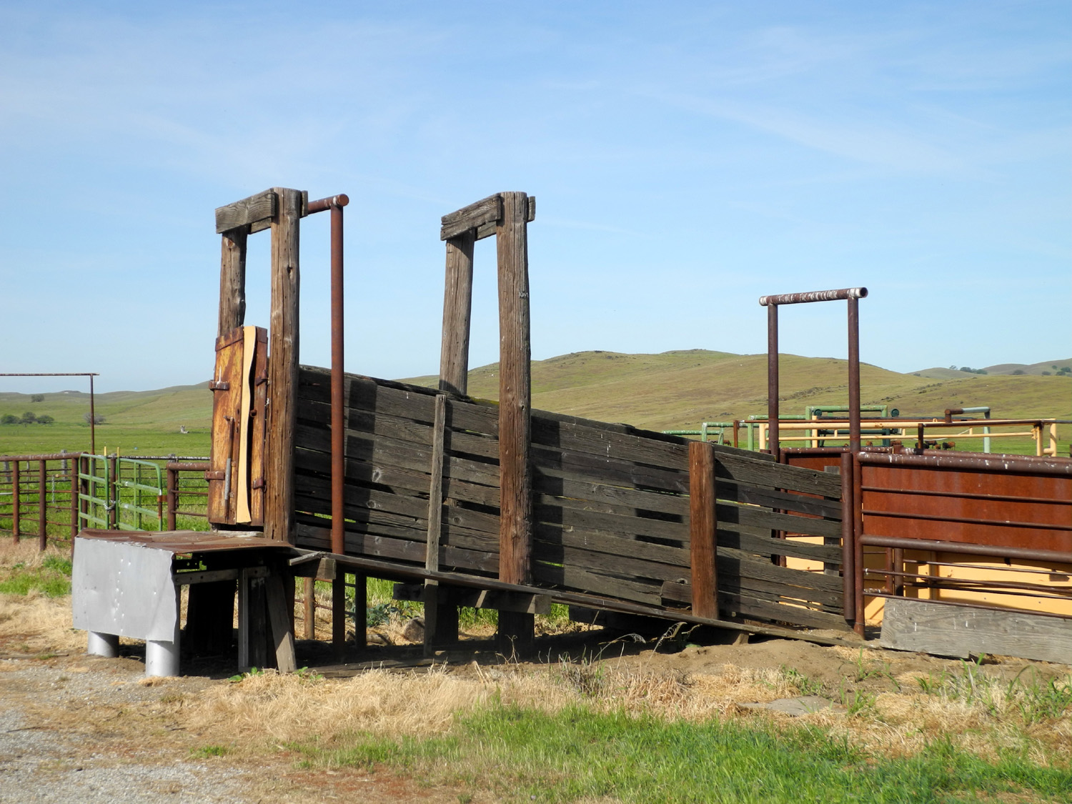
Concrete and stone work at the |
This rusted valve has long been inoperable | The purpose of these
"guardhouse" like structures is a mystery |
 |
 |
 |
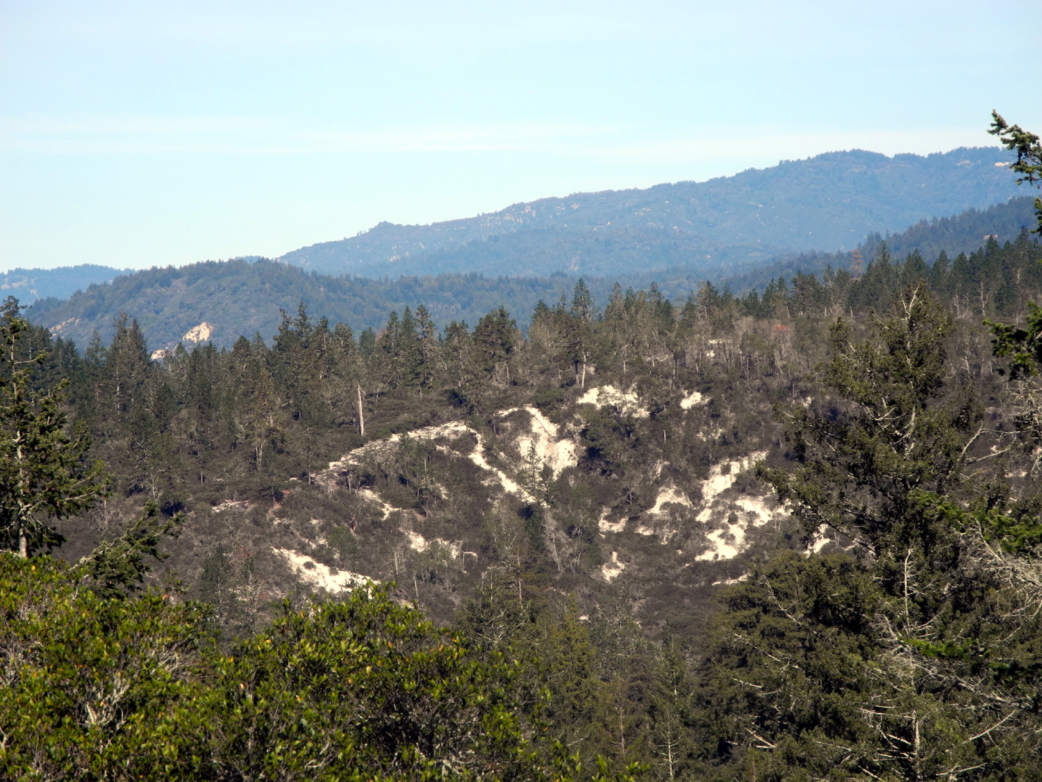
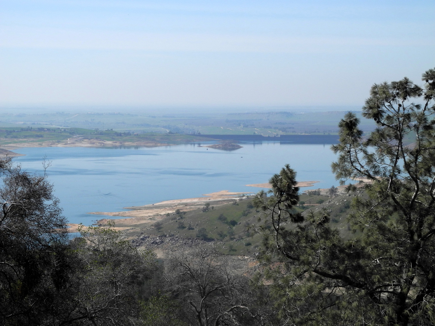
| Upper end of Pine Flat Lake reveals the original river channel |
Snow on the Monarch Divide | Wren Peak |
 |
 |
 |
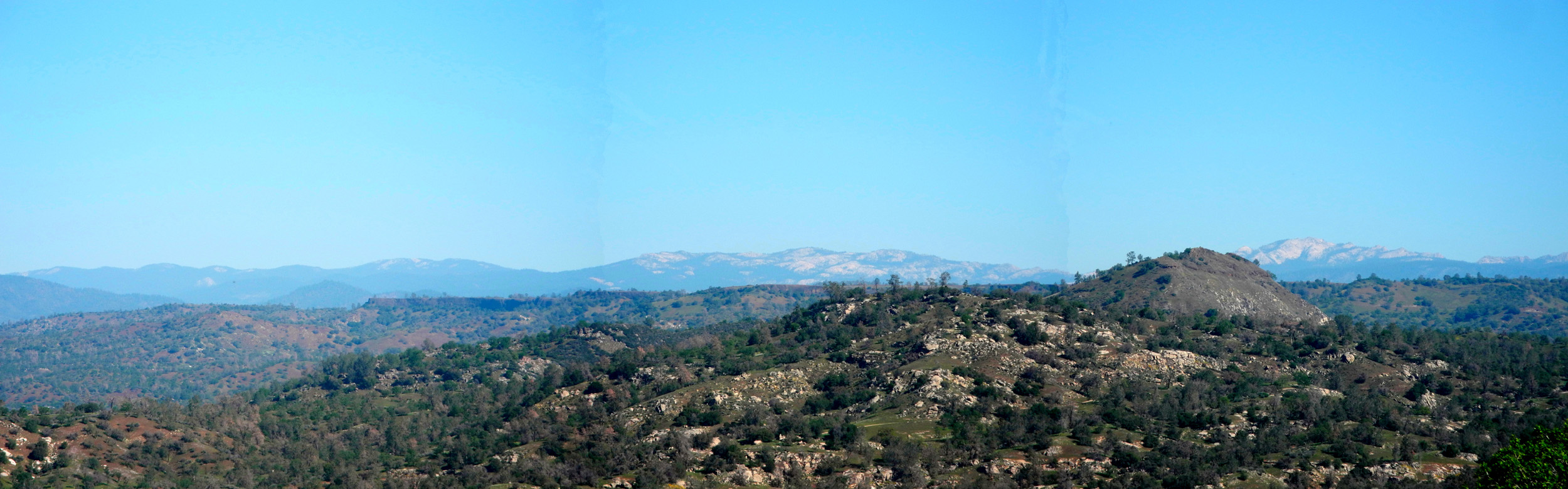
| Patterson Bluffs | Power pole near Secata Ridge | Section of giant oak that was removed from the road |
 |
 |
 |
| No passing lane here | Some of the letters in "Goofy Smith Flat" are still visible |
Goofy's cabin, on a flat spot across the creek from the road |
 |
 |
 |
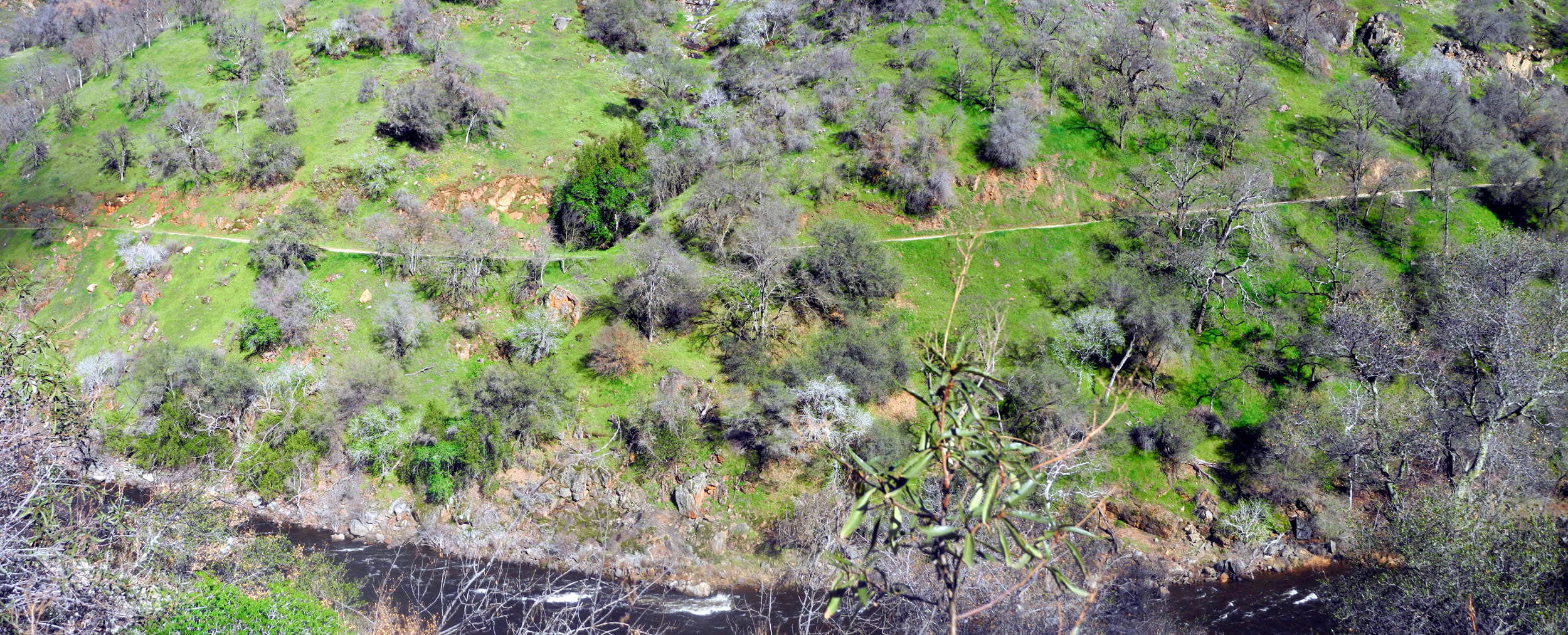
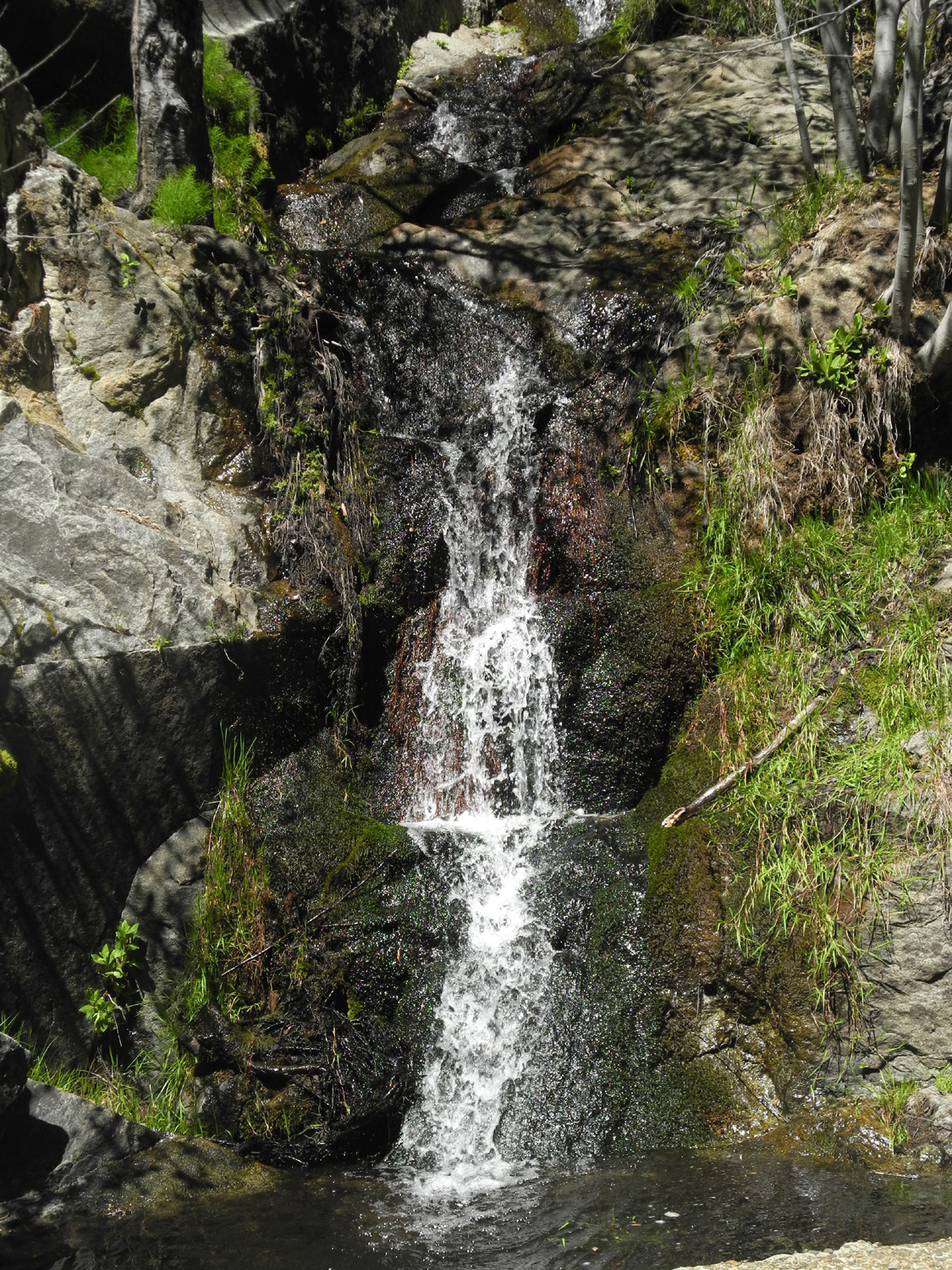
| Evidence of recent rain | Mill Flat Creek | Green hillside above the creek |
 |
||
| The road to Garnet Dike, on the north side of the river | ||
|
Henry Cowell Redwoods & Big Sur |
||
 |
 |
 |
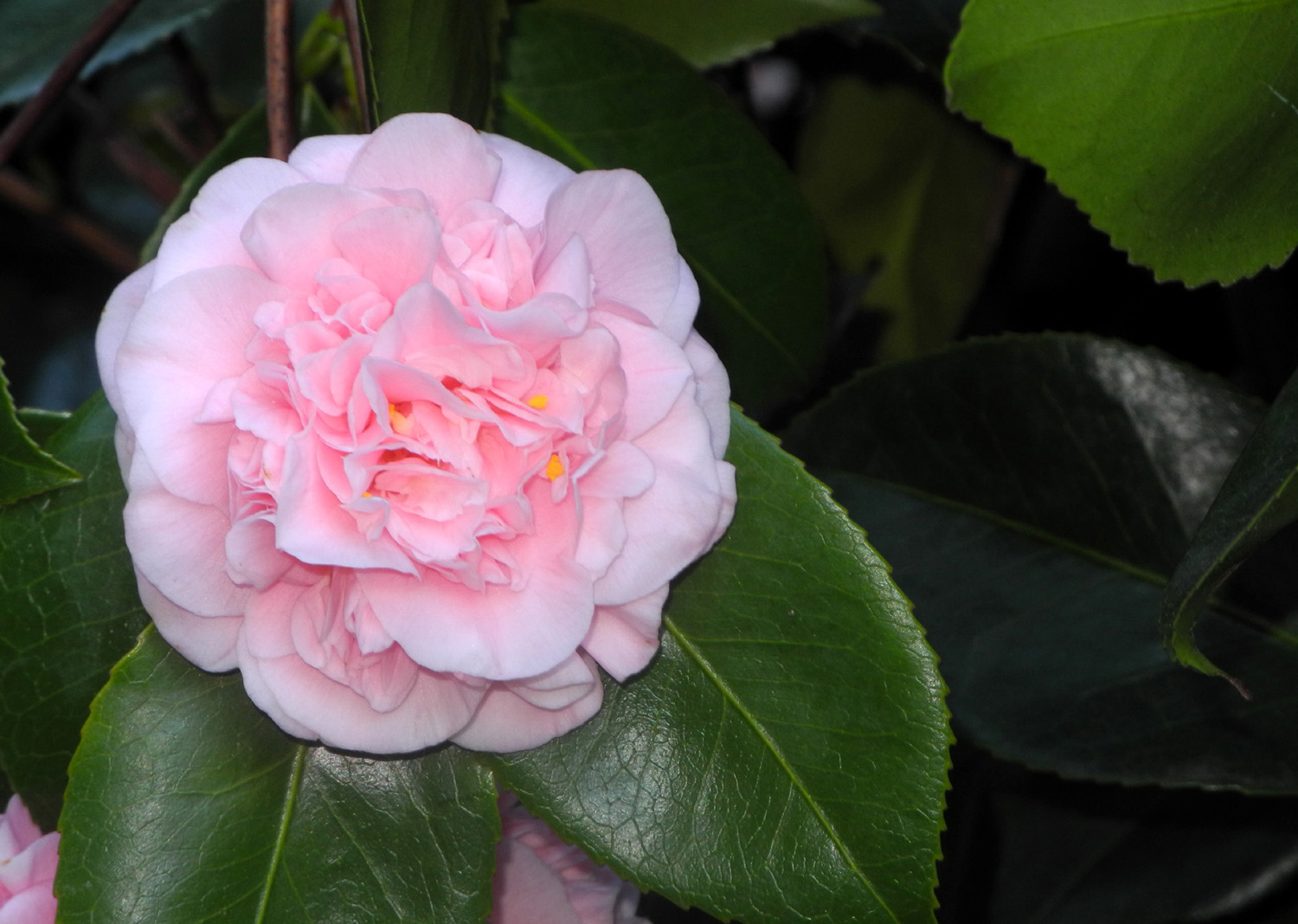
| The lodge area was planted with large camellia trees |
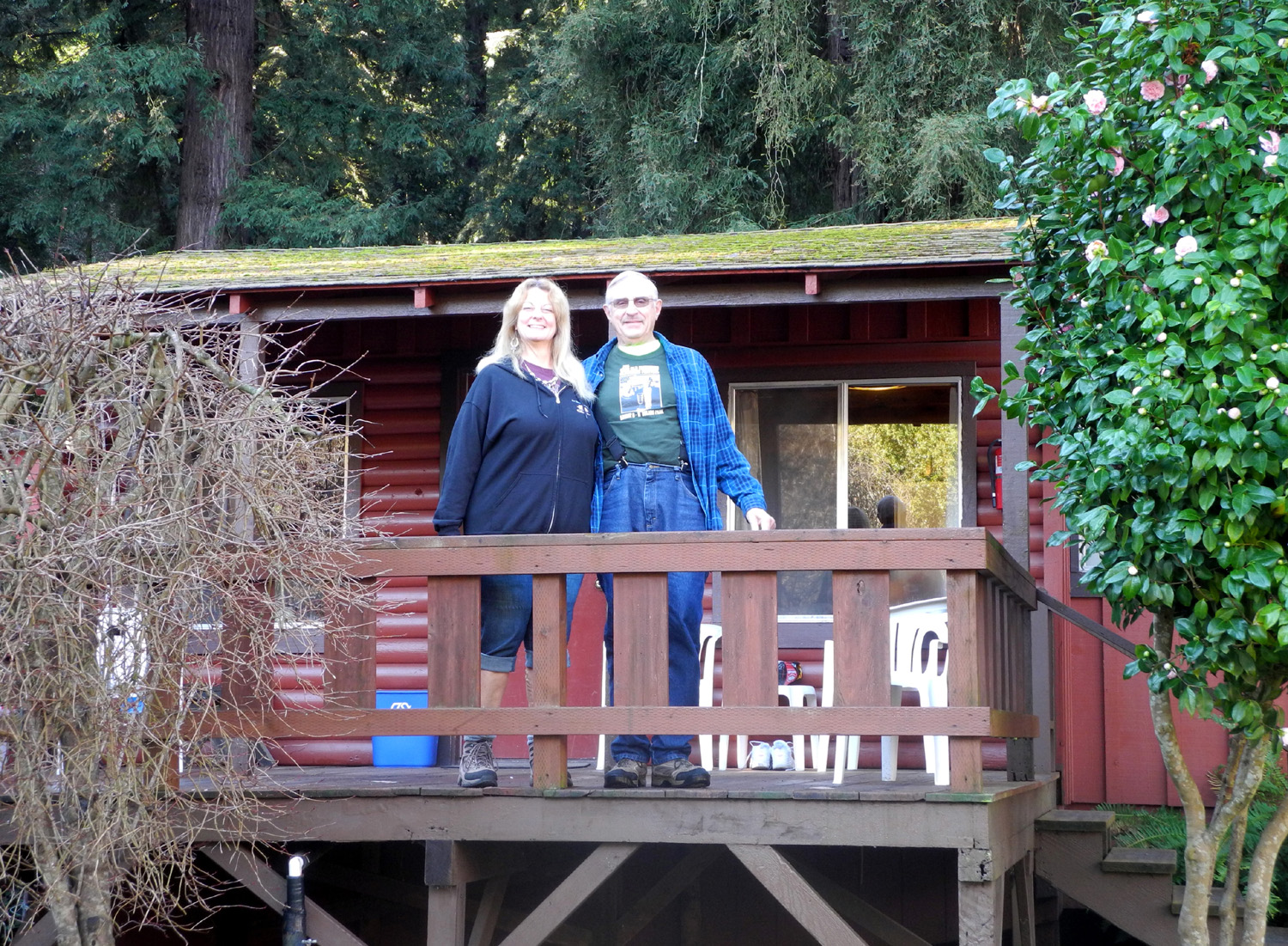
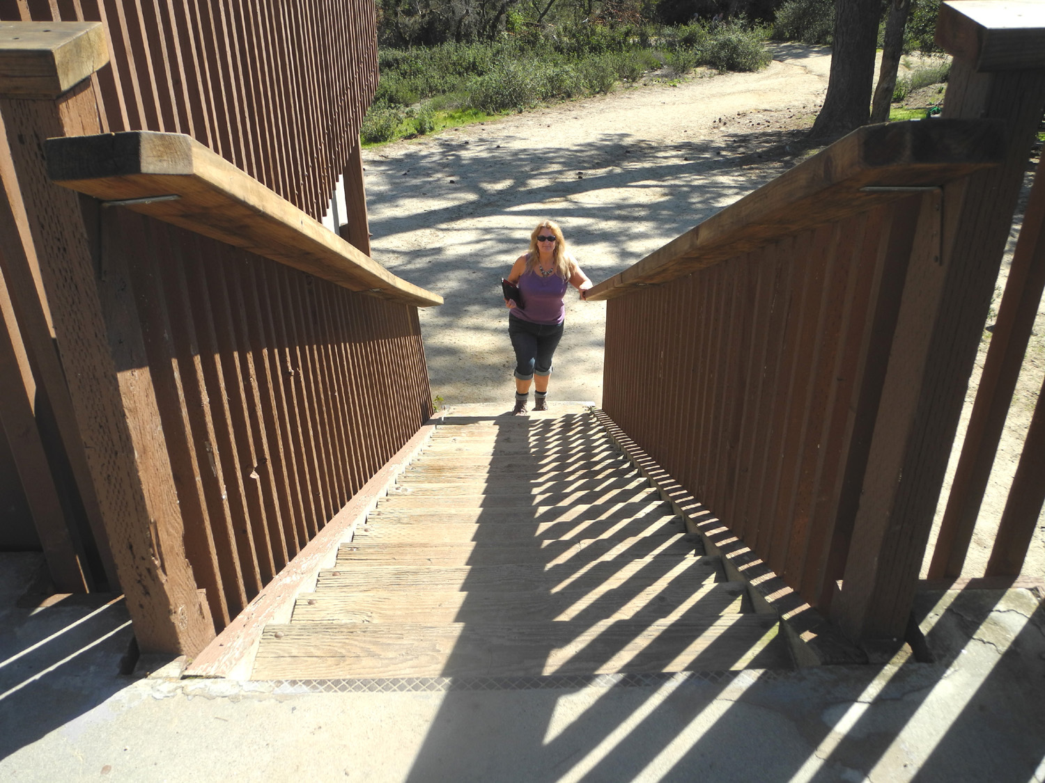
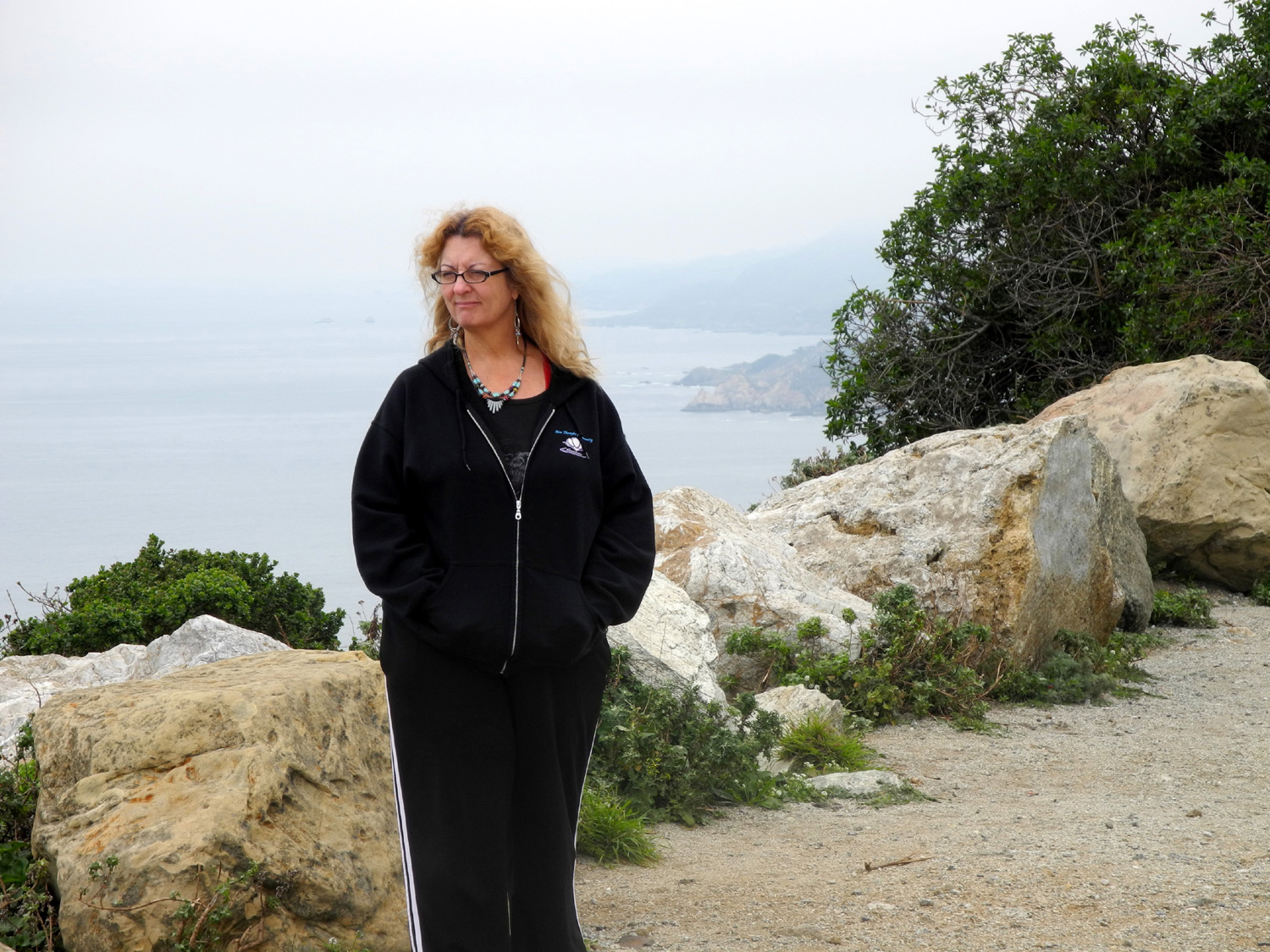
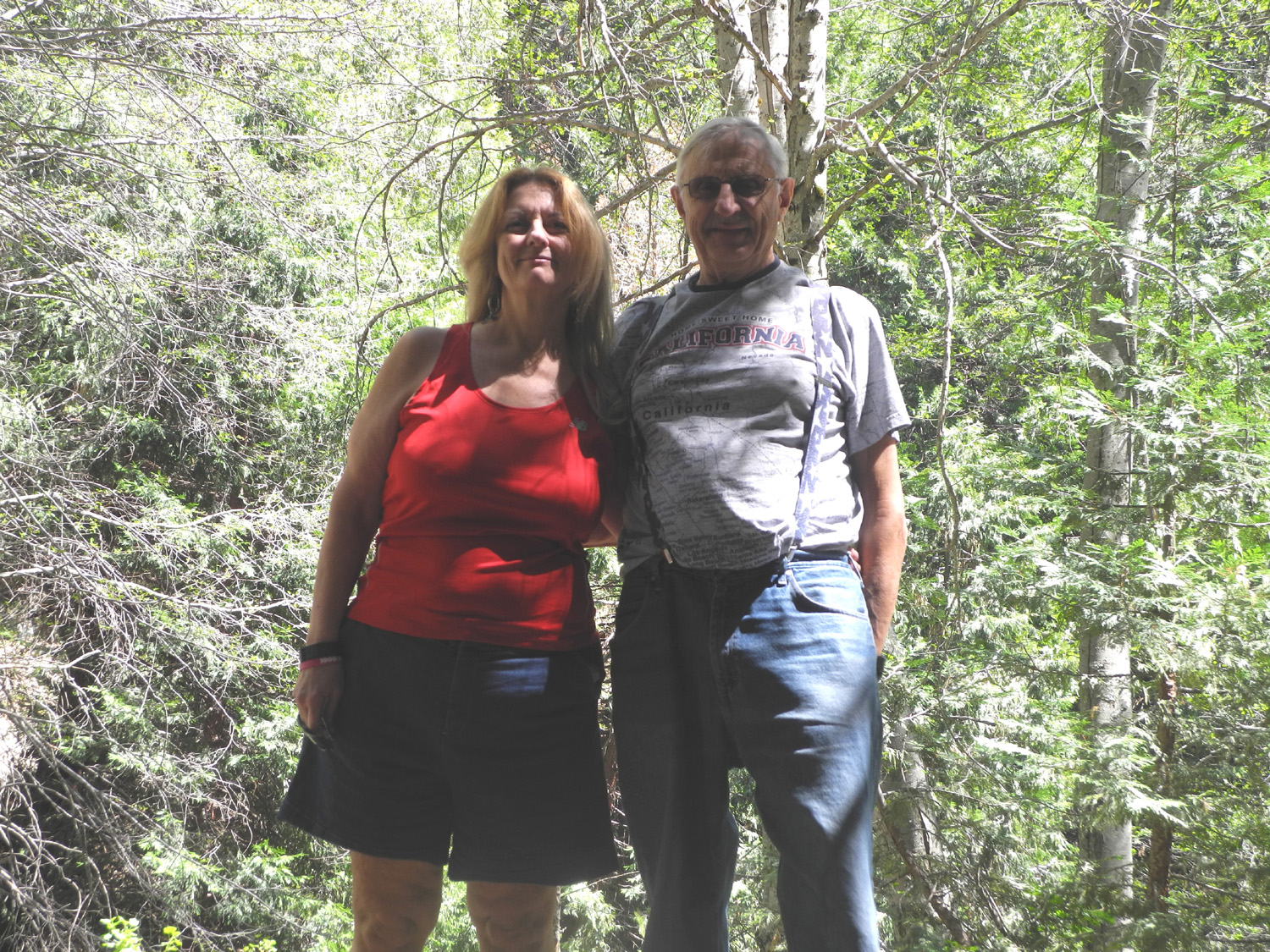
Blossom close-up | Teri and Dick on the cabin porch |
 |
|
 |
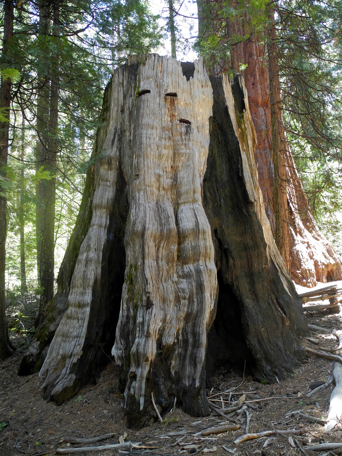
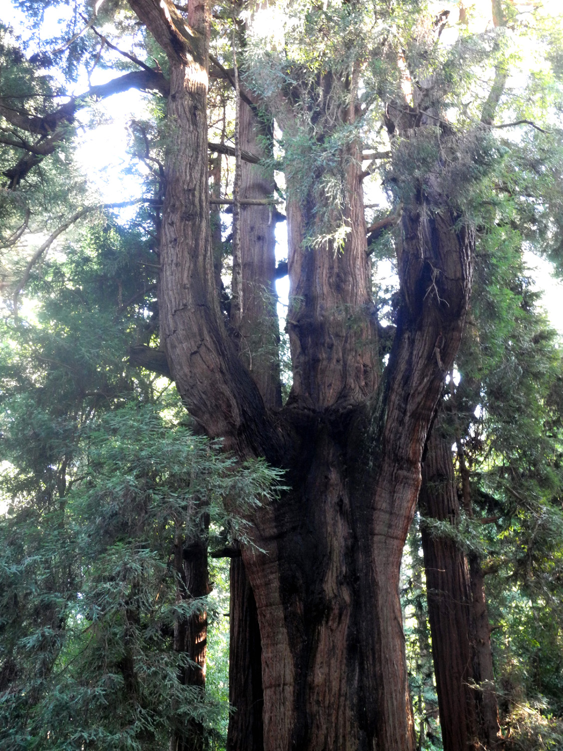
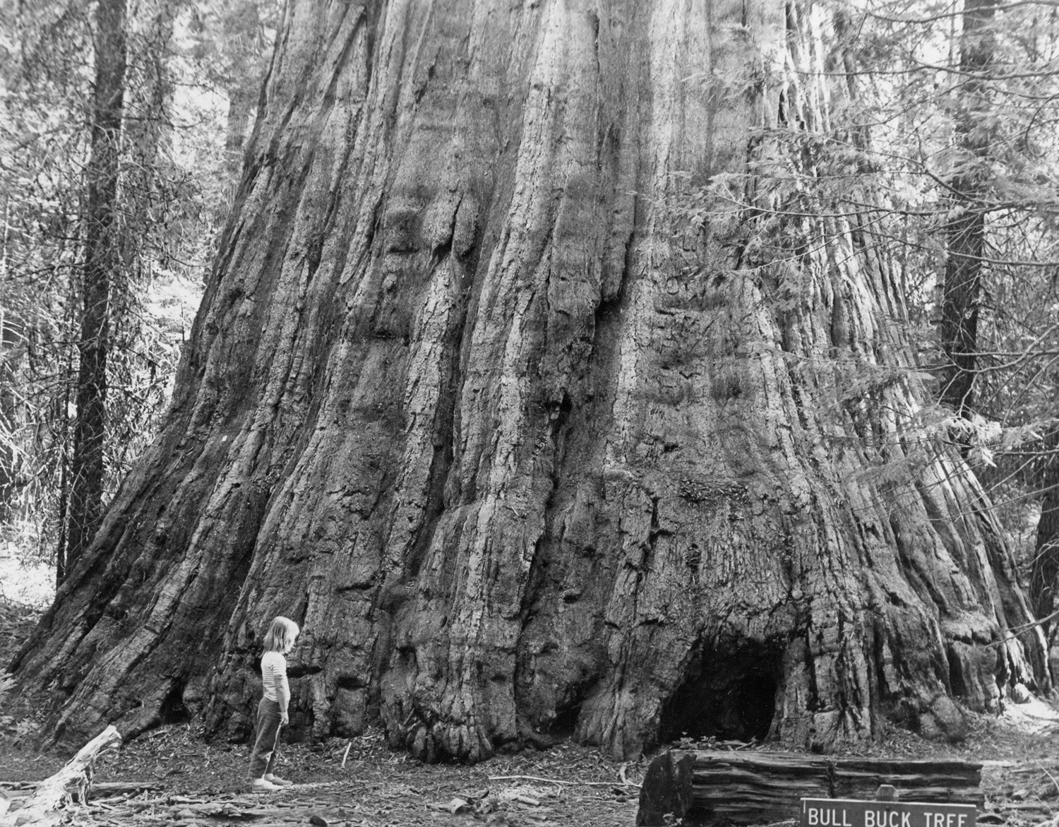
| At the Fern River Resort | The biggest tree in Henry Cowell Redwoods State Park |
We walked close to the fences, watching for slugs |
 |
 |
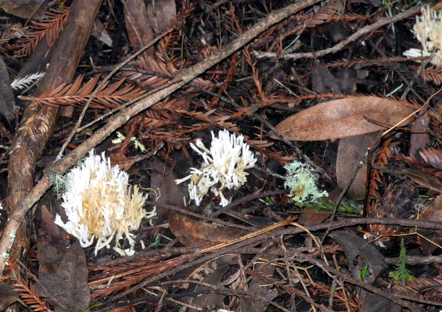 |
| And there he was, the famous fighting banana slug | Redwood sorrell | Corel fungus |
 |
 |
 |
| Trestle over the San Lorenzo River | Emerging from the John C. Fremont Tree | The Celery Stalk |
 |
 |
 |
| A typical scene in the grove |
Plant
life of all kinds is |
Mutant redwood |
 |
 |
 |
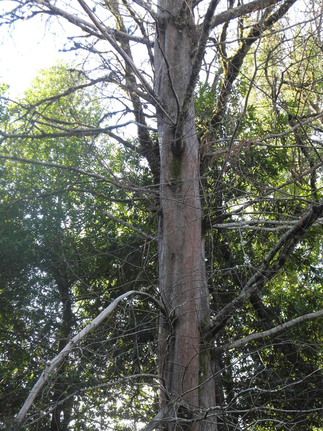
| The deciduous dawn redwood |
Ponderosa pine in the |
Woods in upper area of park |
 |
 |
 |
| Madrone tree | Close-up of leaves | A cluster of tan oaks |
 |
 |
 |
| Dick on the trail | Teri is having a great time | Knob cone pine |
 |
 |
 |
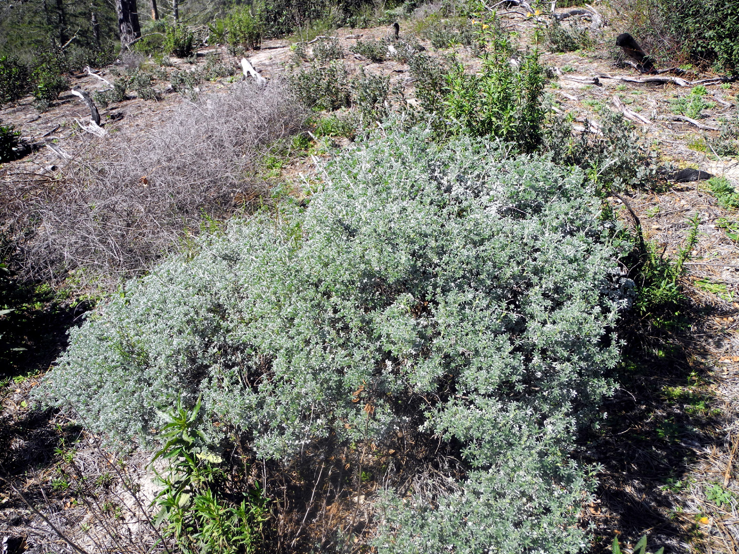
| One of several manzanita species found in the area |
Fallen madrone |
Dead ponderosa and viewing platform |
 |
 |
 |
| Santa Cruz area on Monterey Bay |
Santa Cruz Mountains |
The sand hills |
 |
 |
 |
|
Teri climbing the stairs |
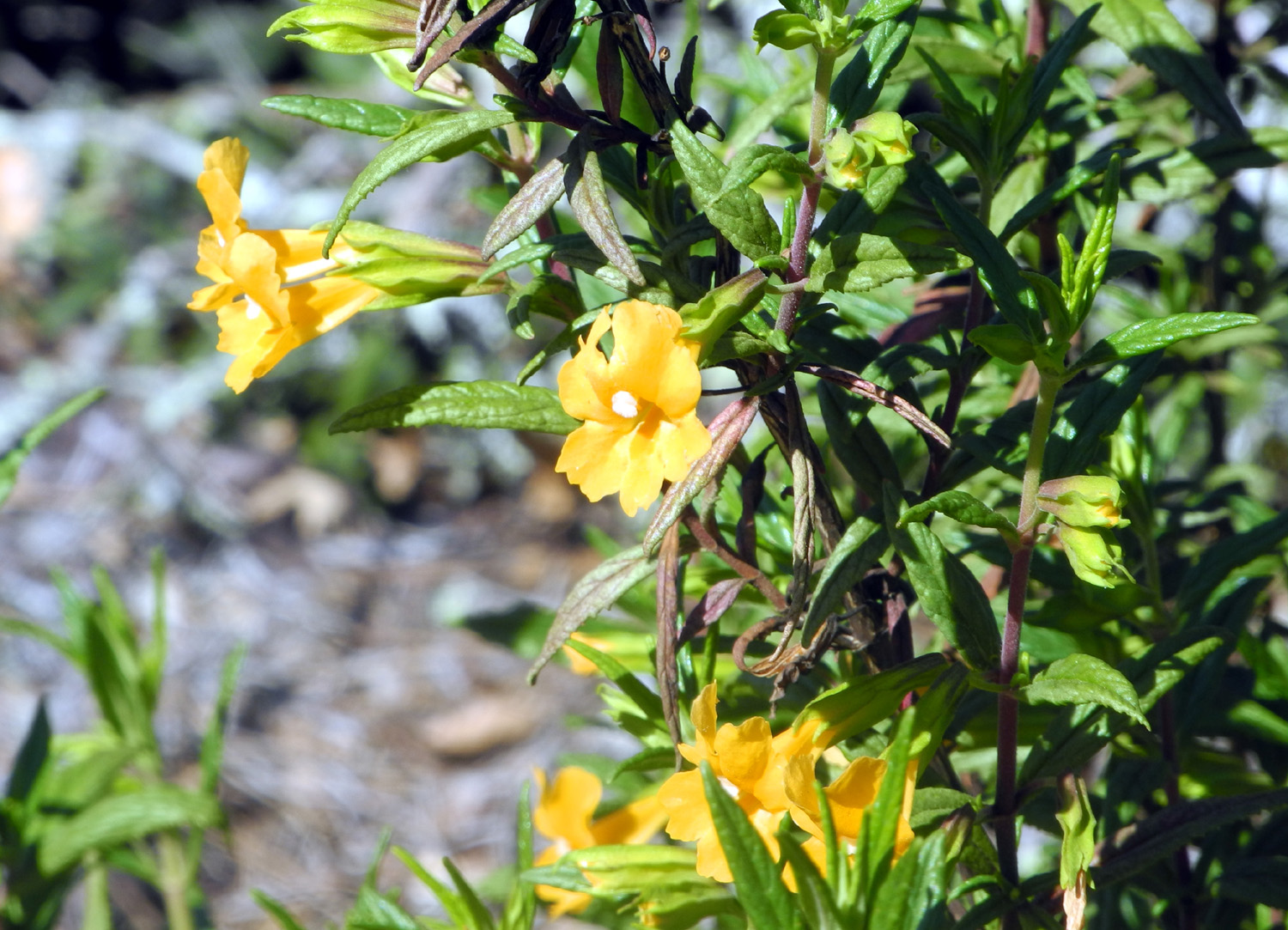
Monkey flower | Bush lupine |
 |
 |
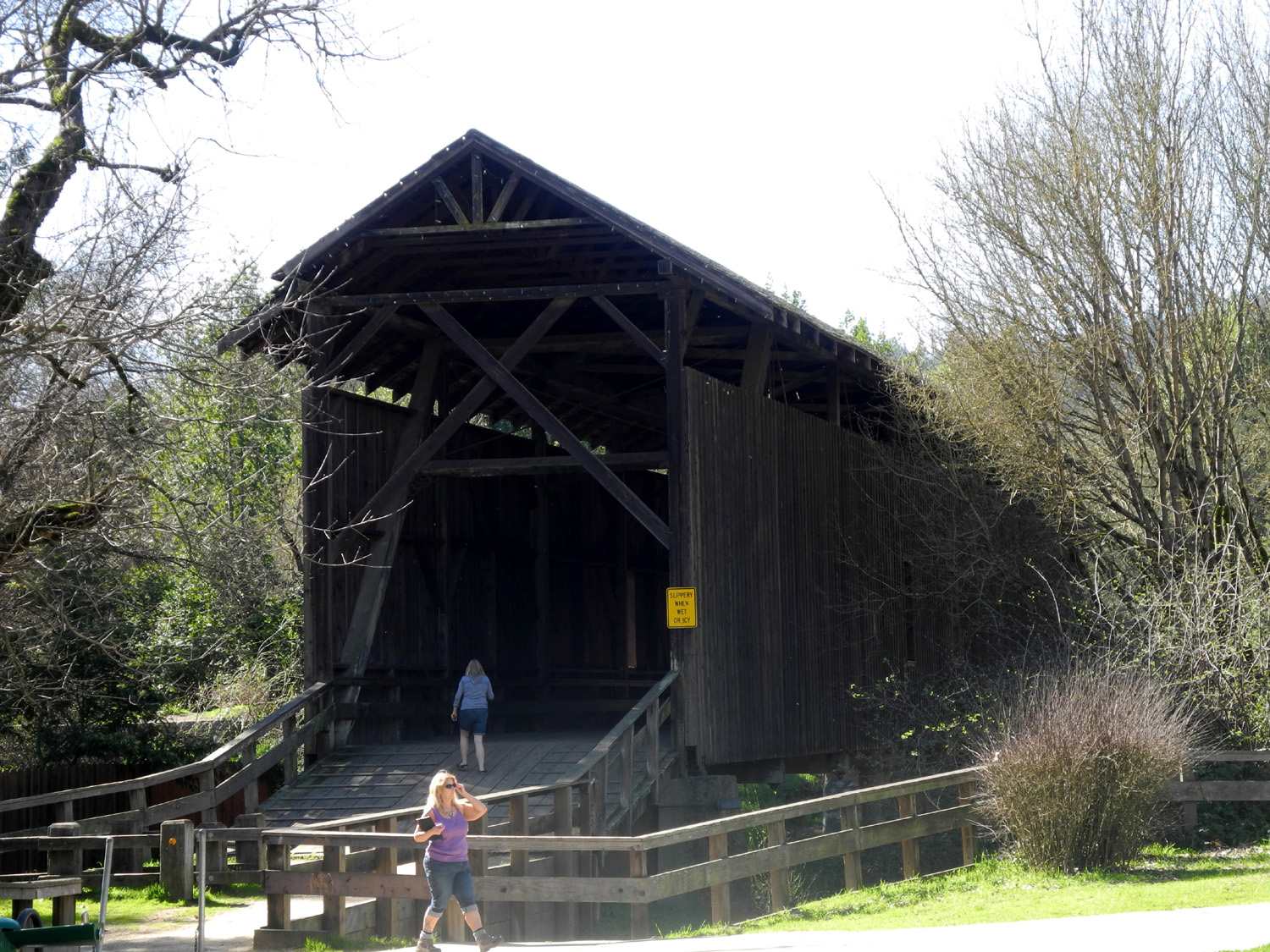 |
| A massive oak tree | Covered bridge plaque in Felton | The bridge, over 120 years old |
 |
 |
 |
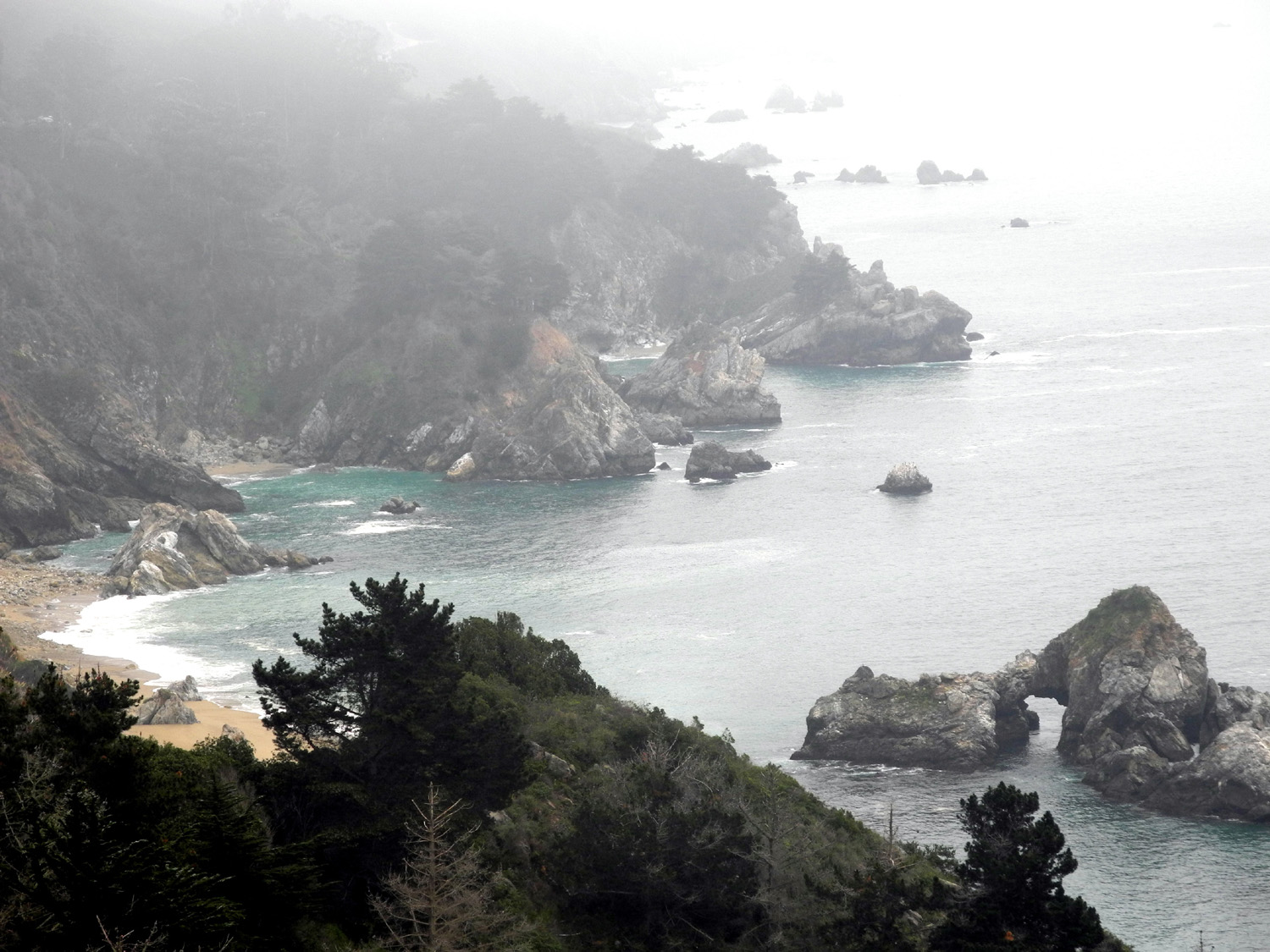
| Teri inside the bridge | Typical rugged coast at Big Sur |
At least 50 ground squirrels were at work in this field |
 |
 |
 |
| Iconic Bixby Creek Bridge on State Highway 1 in Big Sur |
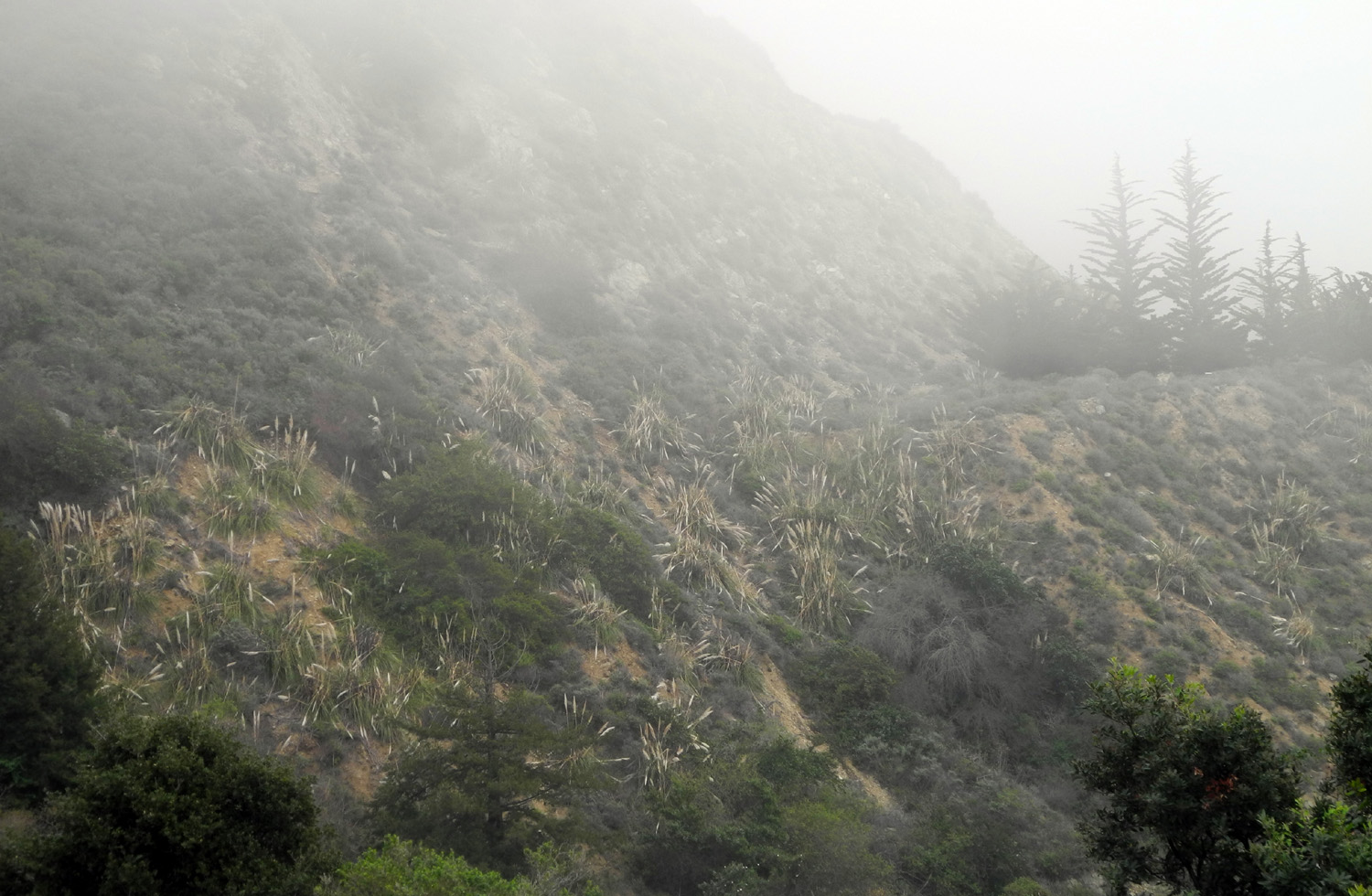
Teri enjoys the view | Pampas grass grows in profusion |
 |
 |
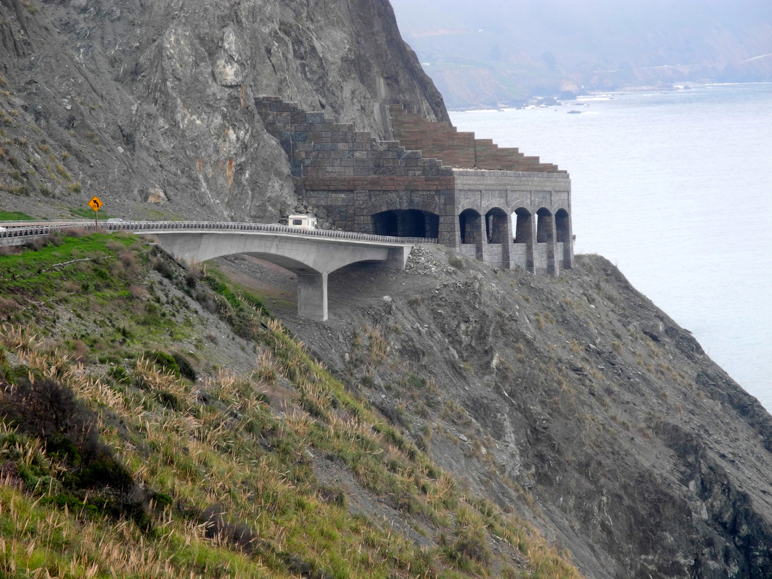 |
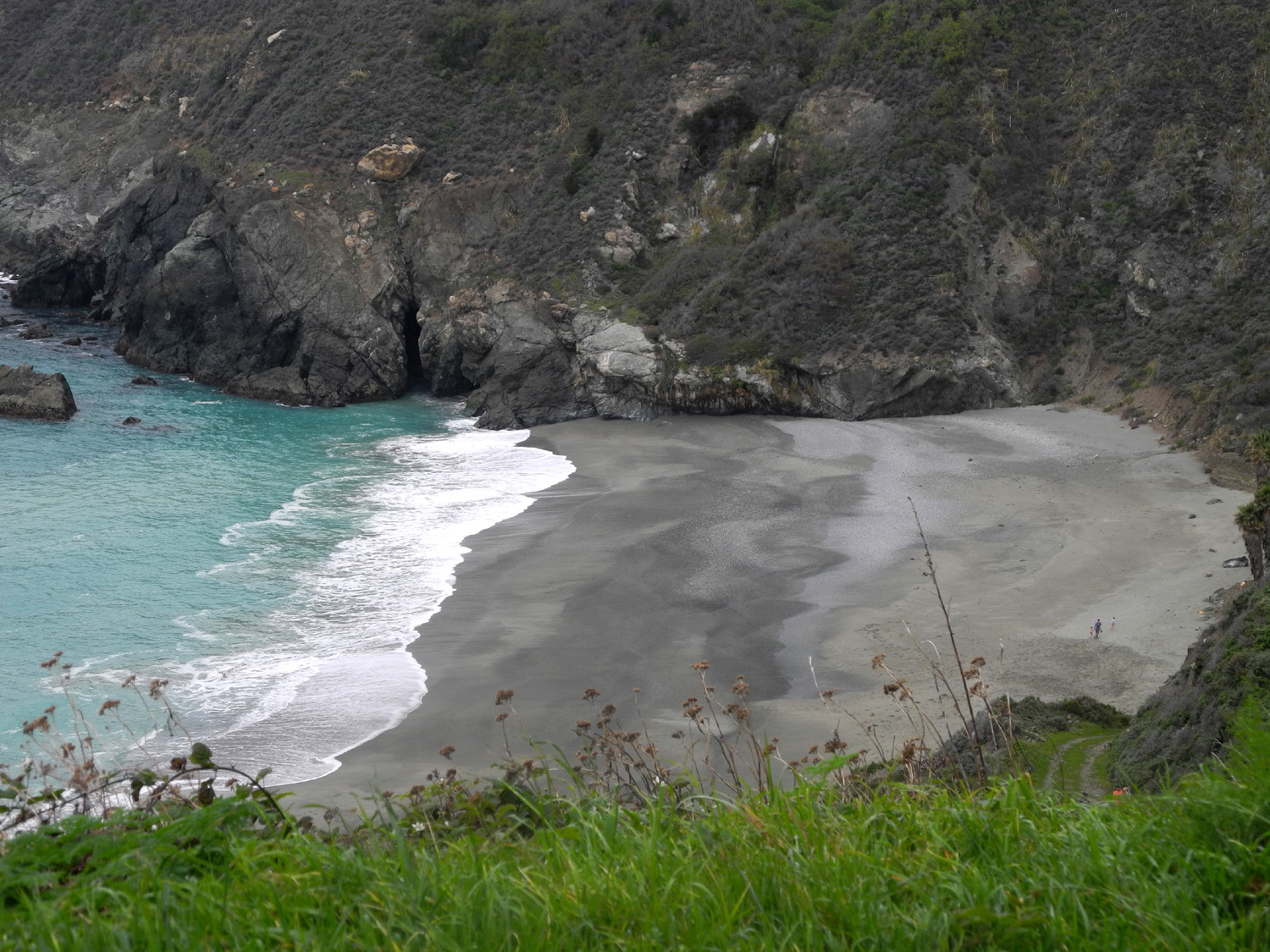
| A misty scene | Secluded beach | New bridge replaces one destroyed by a rock slide |
 |
 |
 |
| Heed this warning! |
Elephant seals, doing what they do best |
Lunch time |
| Pine Flat Drive & Hike | ||
 |
 |
 |
|
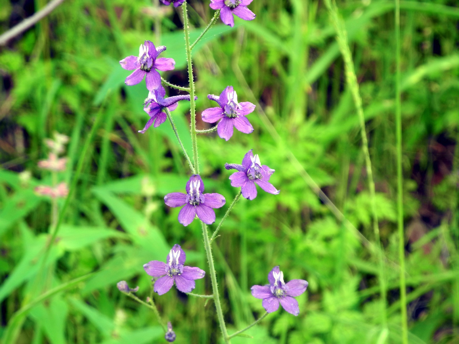
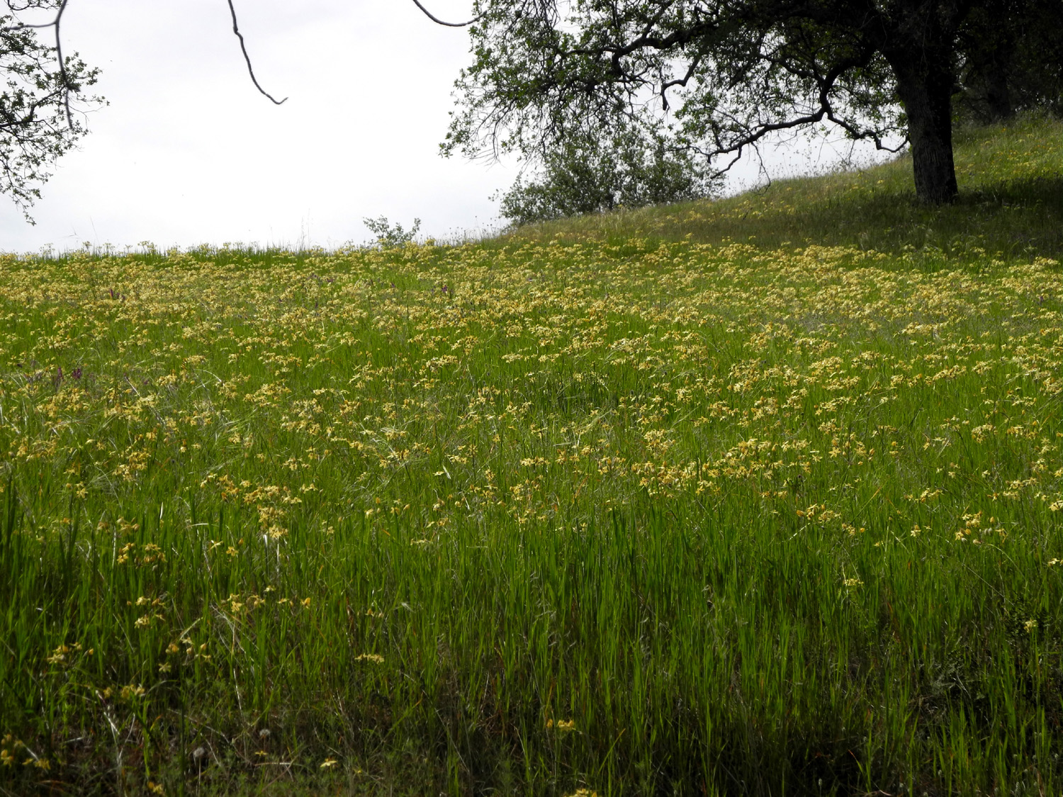
Poppies cover the hillsides |
The Kings River at Winton Park | Poppies with the lake beyond |
|
 |
 |
| A few of millions |
An unusual variety of miner's lettuce |
Popcorn flowers along the Sycamore Fire Road |
 |
 |
 |
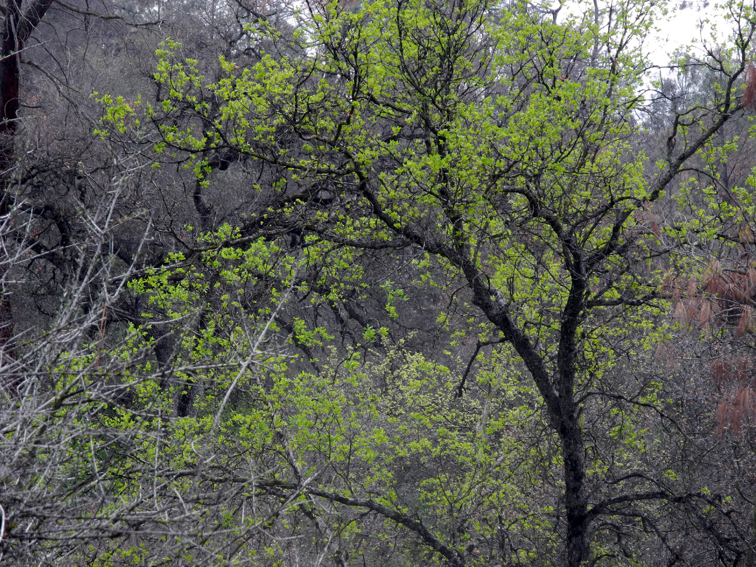
| Blue oaks are having their "coming out" ceremony |
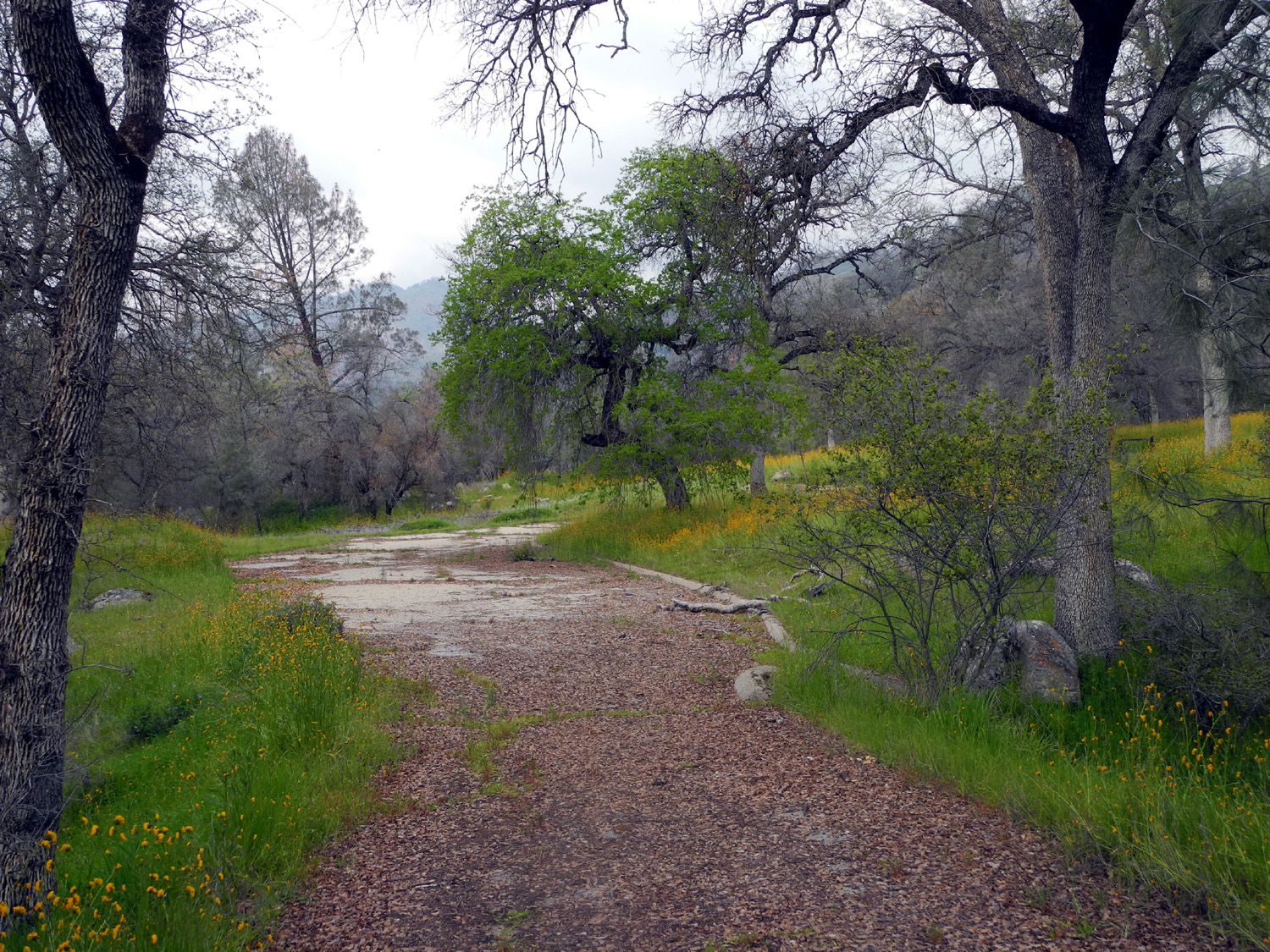
Leaves cover the abandoned road in the Sycamore Wildlife Area |
Fiddlenecks win the award for quantity |
 |
 |
 |
|
One of nature's |
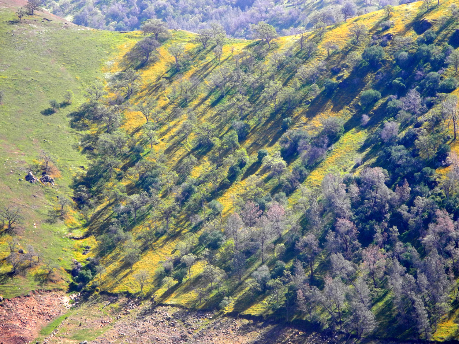
View in the old campground | Artistic daubings on the hillside |
 |
 |
 |
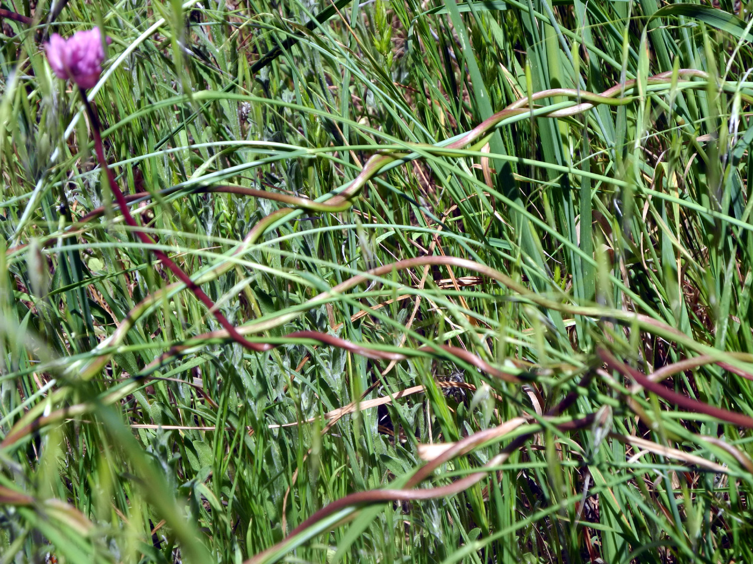
| Colorful new growth | Lunch beside Big Creek | Rare white shooting stars |
| Finegold Trail | ||
|
 |
 |
| Fiddlenecks at the start of the trail | Conditions have been perfect for lush miner's lettuce growth |
A young bull pine |
 |
 |
 |
| Cows share the trail | Poison oak shines in the sun | Unidentified at the
time, this turned out to be a fiesta flower |
 |
 |
 |
|
"White
fuzzy" phecelia,
second |
Brilliant green hills
covered |
Landscaping in stripes |
|
|
 |
 |
|
The lake is a little fuller than last year |
Buzzard on the lookout for lunch | Gold cups, a smaller, more yellow variety of poppy |
 |
 |
 |
| This trail is steeper than it looks |
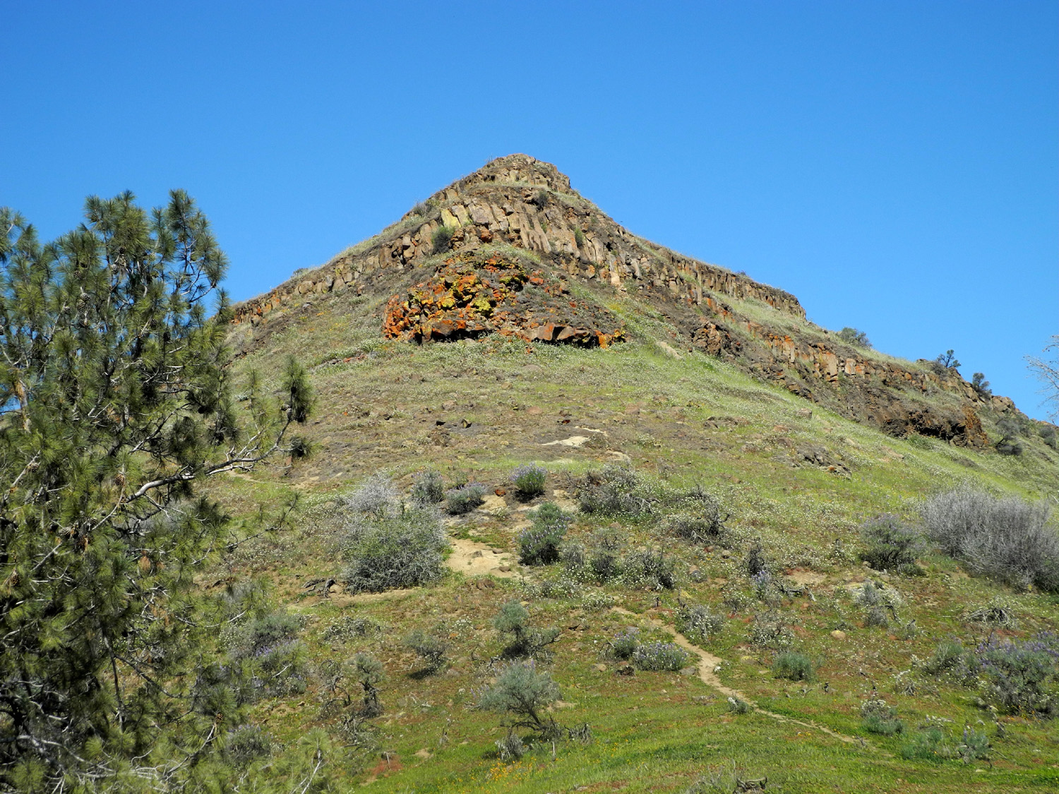
This rocky hill top is covered with flowers |
Bush lupines are out in force |
 |
 |
 |
| Dick channels his inner Wes | The San Joaquin River Trail | Ridge across from the trail is covered with flowers |
 |
 |
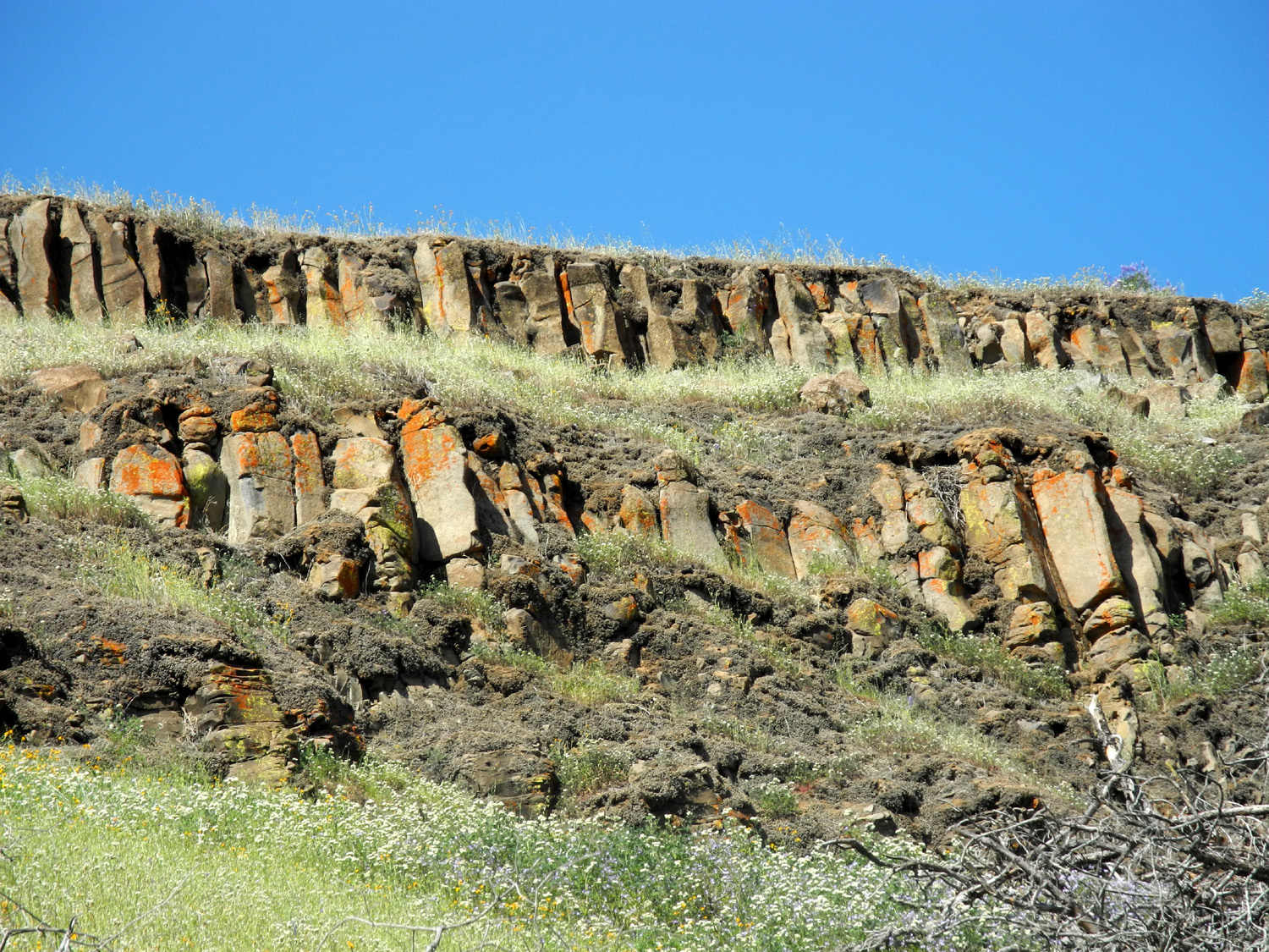 |
| Pincushion Peak | The other side of the peak | Close up of the rocky top |
 |
 |
 |
| A nice pale yellow bloom |
There were only a few |
Another of nature's amazing landscape designs |
 |
 |
 |
|
The lake from the
southwest |
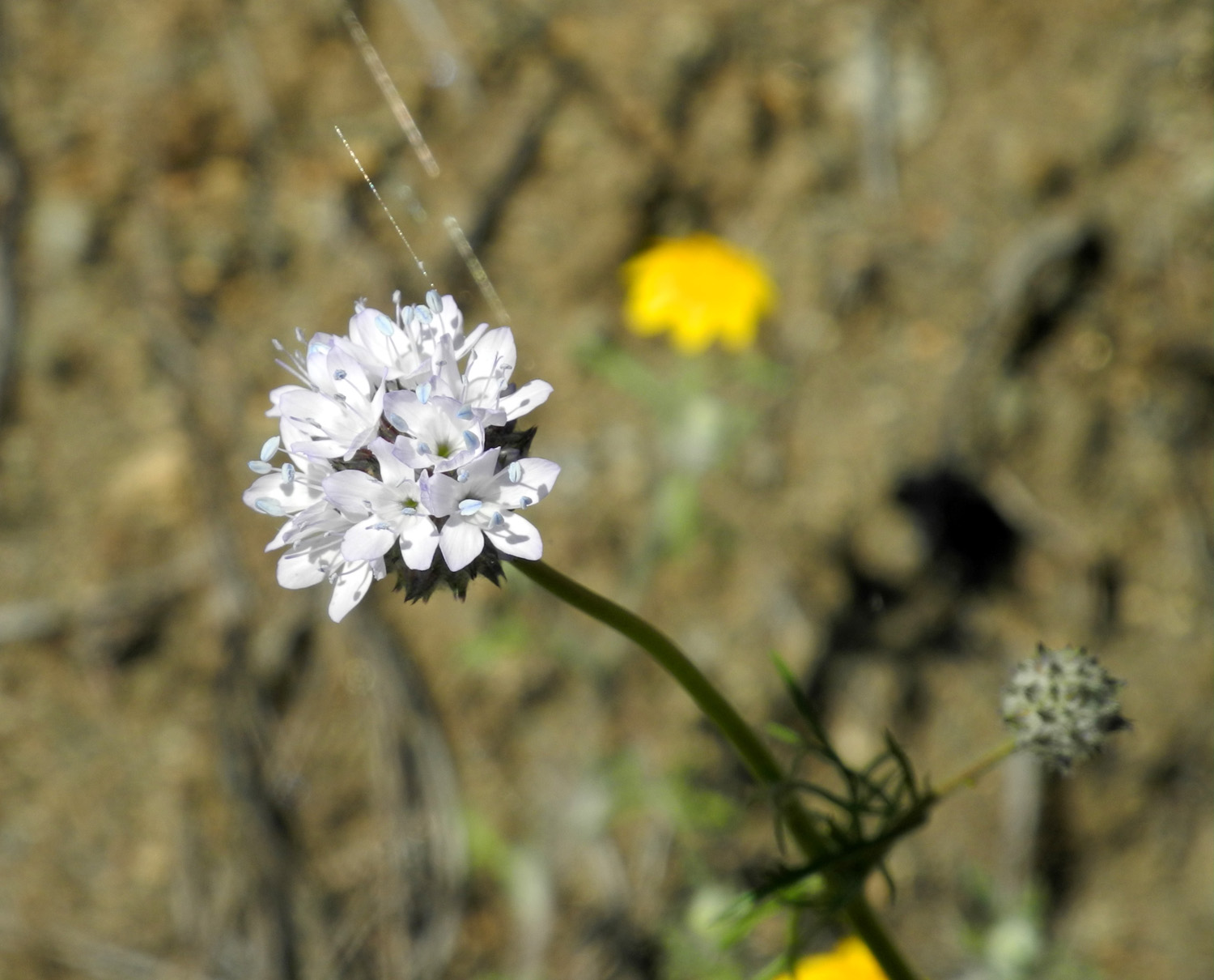
The trail crosses a small drainage | Delicate lavender edges decorate bird's eye gillia |
 |
||
| The view to the northeast | ||
| White Rock Road | ||
 |
 |
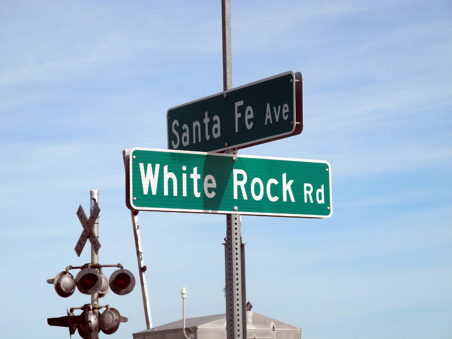 |
| Horses by Santa Fe Avenue | Where White Rock Road crosses Santa Fe Avenue |
The beginning of a long lonely road |
 |
 |
 |
|
The only car that we
saw for |
Windmills dot the countryside | Cows pose for Teri |
 |
 |
 |
| A lonely shed on a lonely road | Barn is a reminder of the main industry in the area |
The old corral |
 |
 |
 |
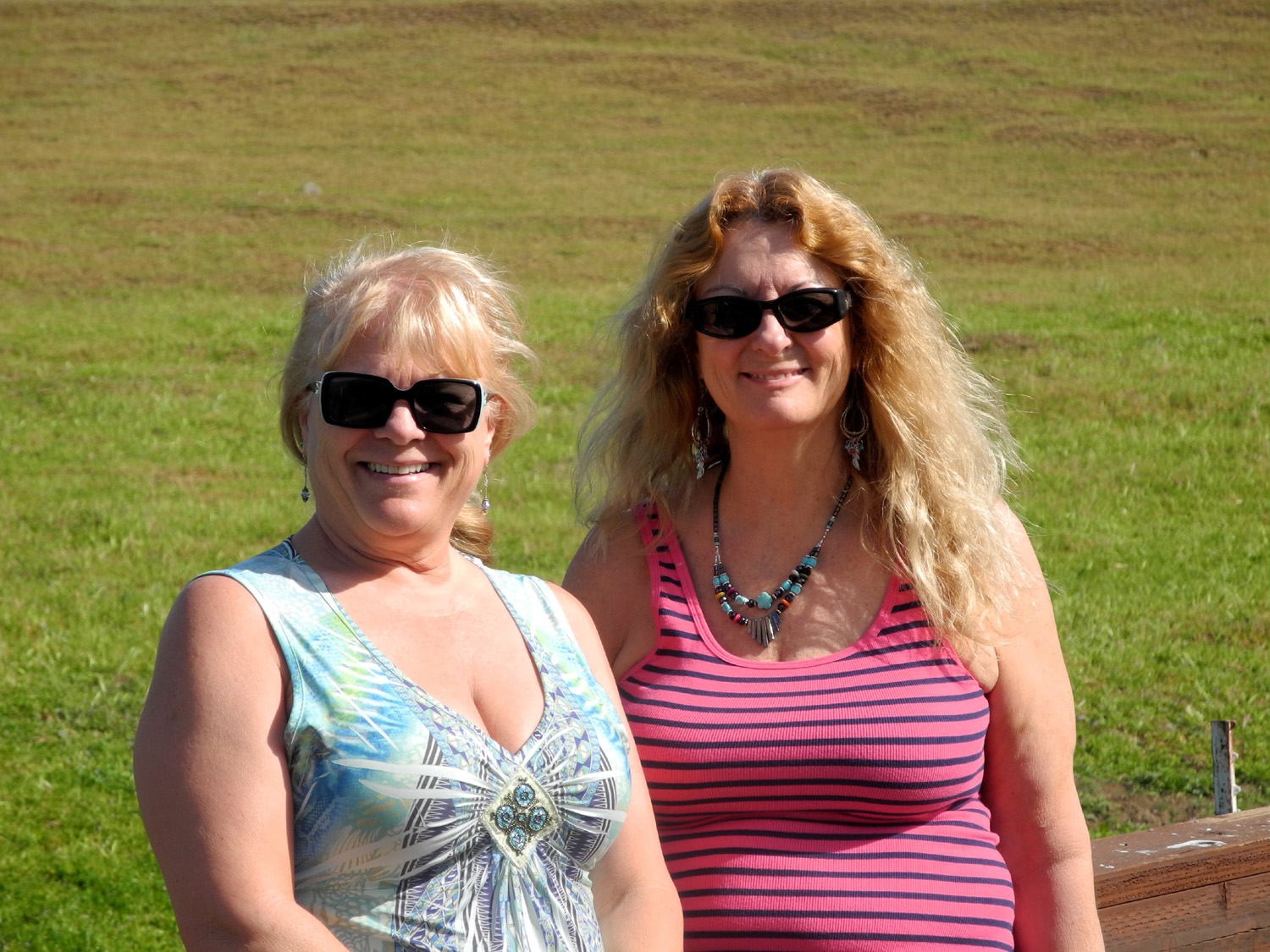
| Cattle chute next to barn | Janell and Teri | A rustic bridge |
 |
 |
 |
|
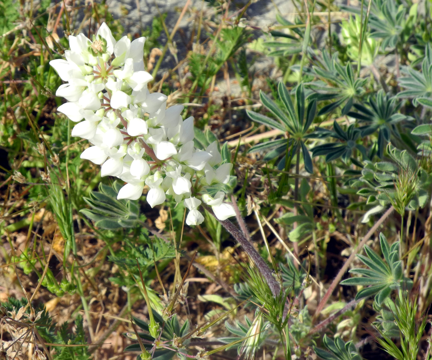
White lupine in White Rock Cemetery |
Windmill through the oaks | Our favorite unidentified flower |
|
 |
 |
| Enjoying the green rolling hills | A long-abandoned homestead | After driving the 5-mile dirt section of the road |
 |
 |
 |
| Chinese houses on Old Highway | Rock walls are found throughout the Sierra foothills |
Rust colored rocks above Owens Creek along the Old Highway |
| Edison Point | ||
 |
 |
 |
| Along Trimmer Springs Road west of Pine Flat Lake |
Where the poppies were three weeks earlier | Electrical tower above the trail |
 |
 |
 |
| The trail approaching Edison Point | Go that way | Where the road becomes a narrow trail |
 |
 |
 |
|
This inviting bench is a long hike away |
The trail has some long switchbacks | Yes, that IS the trail |
 |
 |
 |
| Finally on the bench | View from the bench | Upper lake bed is converted to a garden of lupines |
 |
 |
 |
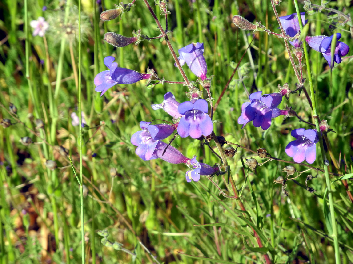
| A type of penstemon | Thistle with huge striped leaves | One of the more striking flowers, the Mariposa Lily |
 |
 |
 |
| Lots of grass and flowers, just a very narrow trail |
Typical view along the trail | What's left of the poppies |
 |
 |
 |
| Tangled stems of climbing
brodiaea (also known as twining brodiaea) |
Climbing brodiaea blossom | From a distance this flower
can be mistaken for a dandelion seed head |
 |
 |
 |
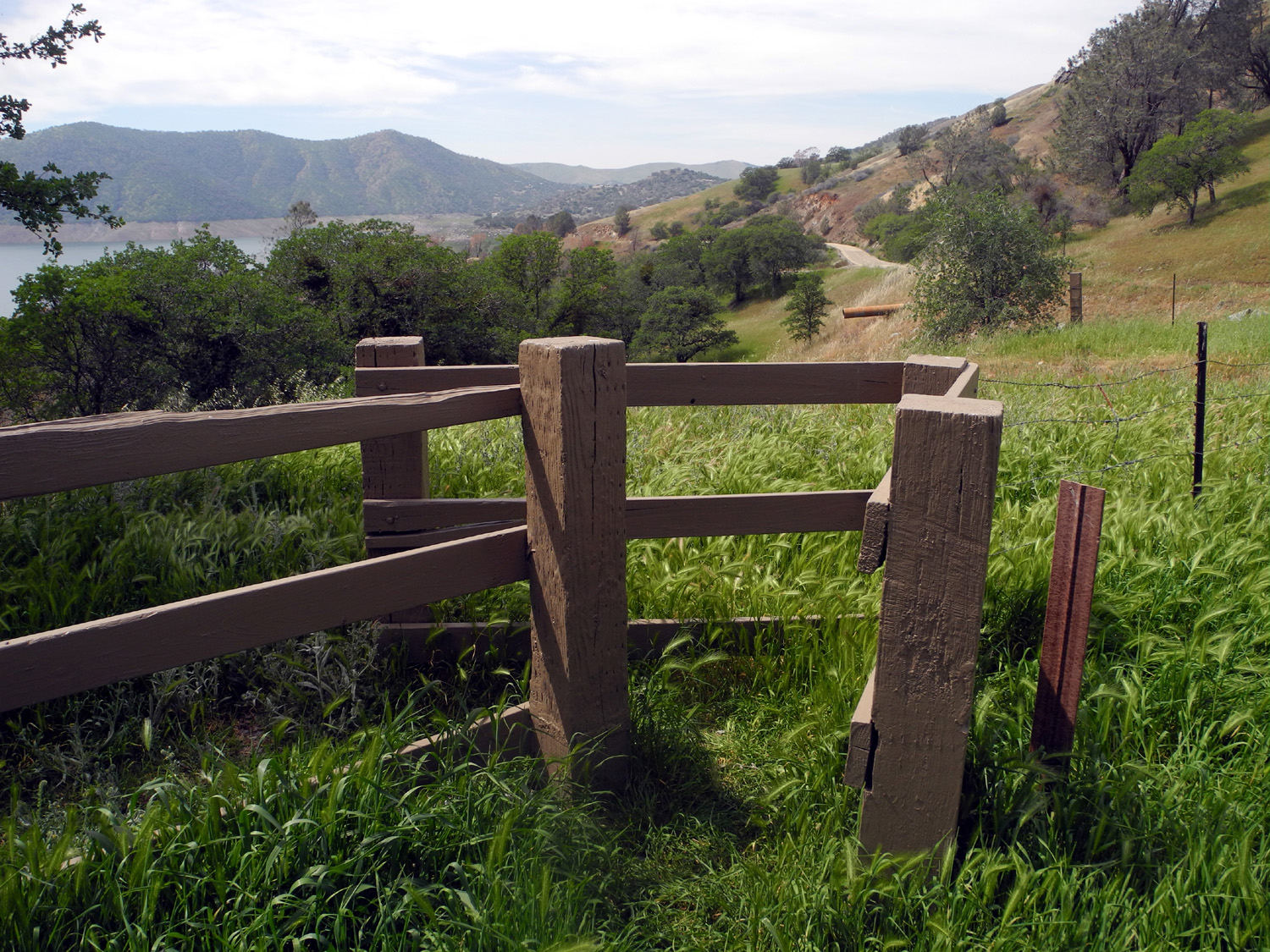
| The beginning and end of the trail | Gate admits upright bipeds and blocks bulky quadrupeds |
This "obvious" switchback
takes you away from the poison oak |
 |
 |
 |
| Parking lot overview | Hill above the trailhead |
Hikers welcome, vehicles not so much |
 |
 |
 |
| A white lupine | One of the mystery flowers |
Don't pick these - they're |
|
|
 |
| The star of the show, purple brodiaea, close up... |
...and in profusion | Green seed pods of lacepod dry to a rust color |
 |
 |
 |
| The co-star, harvest brodiaea | They like a little more sunshine than the purple variety |
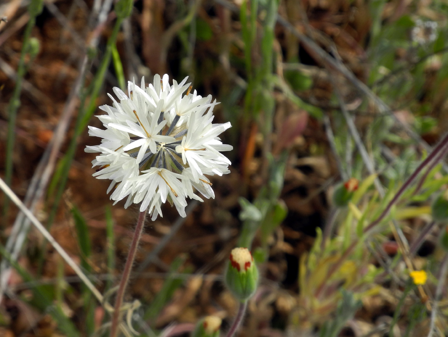
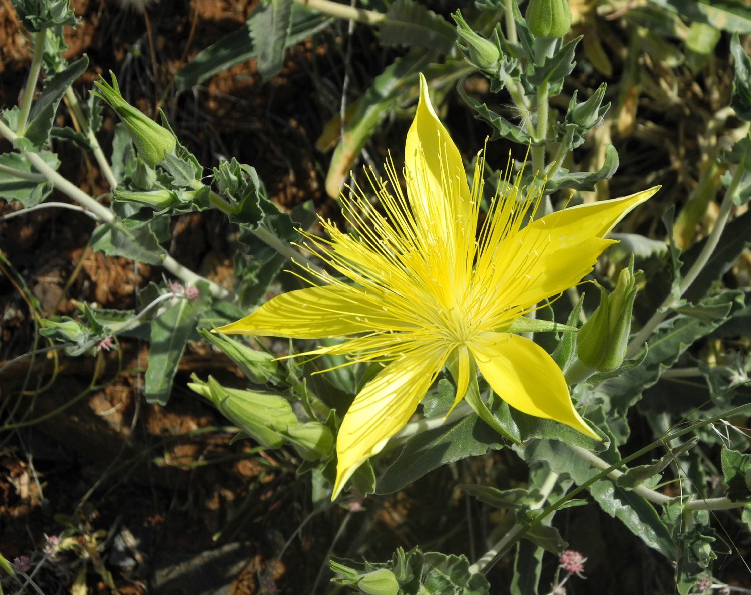
Blazing Star, a spectacular flower about four inches across |
| Nelder Grove | ||
 |
 |
 |
| Butterfly on Teri's arm | Bleeding hearts near California Creek and Road 6S47Y |
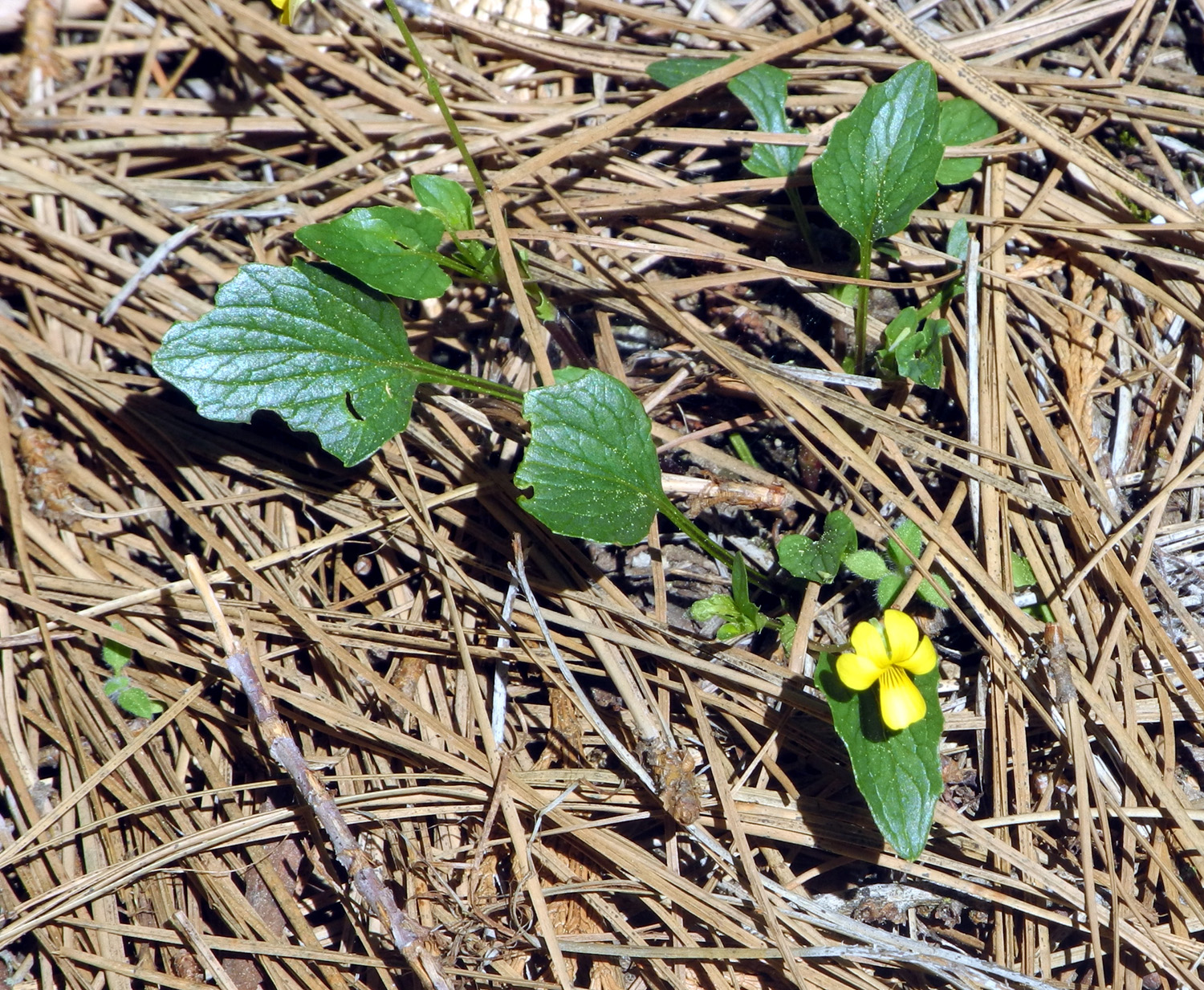
Shelton's violet |
 |
 |
 |
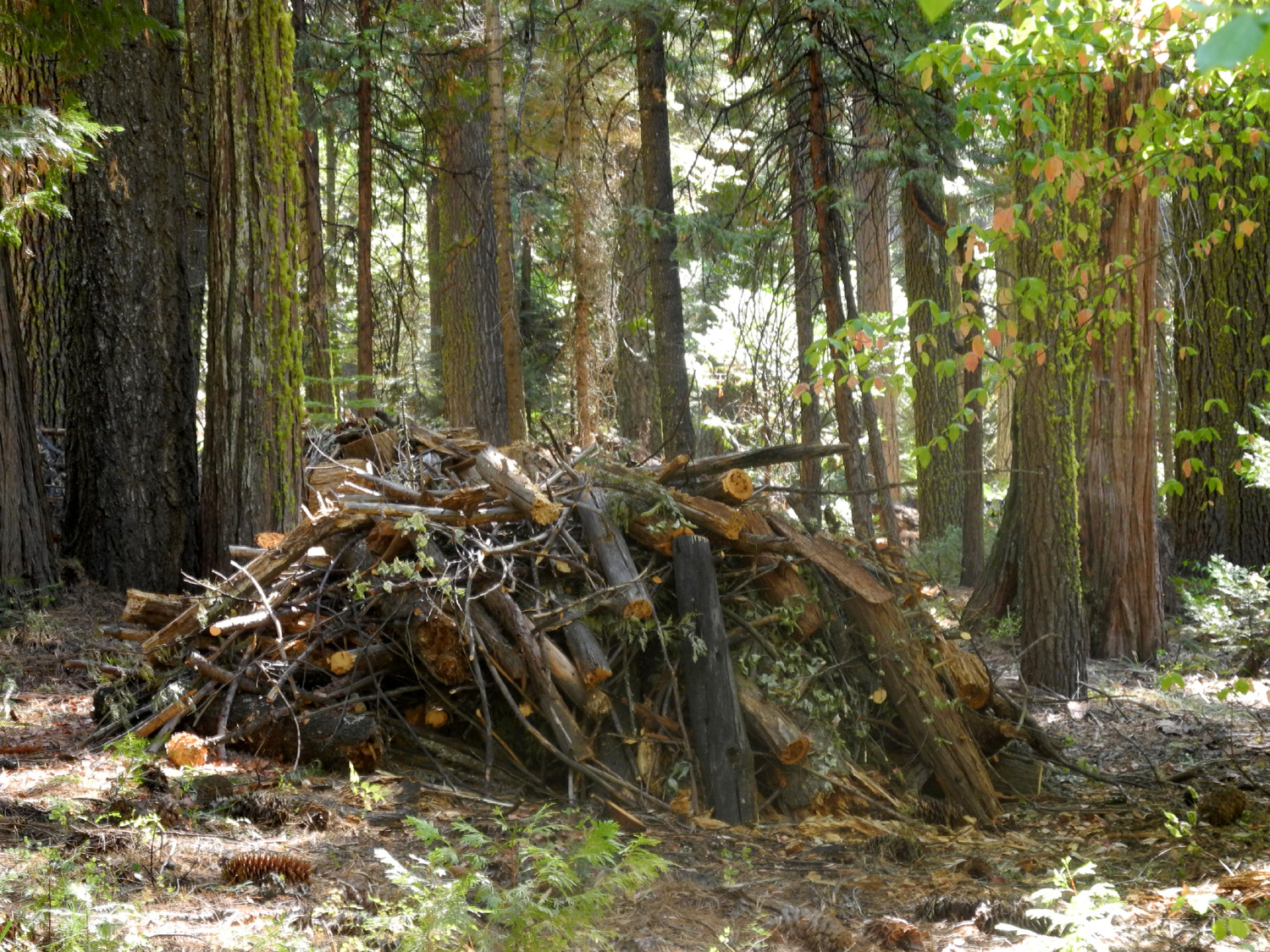
| Several dozen brush piles were burned along the trail |
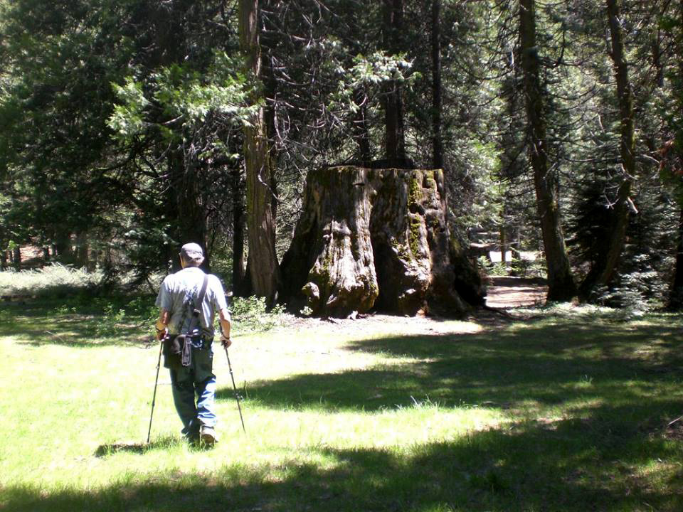
The Bull Buck Tree |
The tree, flanked by dogwood in bloom |
|
 |
 |
| Stump with the Bull Buck beyond | Dogwood blossoms | A close-up |
 |
 |
 |
| Snow plant |
Young fir growing on a |
Teri on the bridge on
the |
 |
 |
 |
| Small waterfall on California
Creek below Nelder Campground |
Sawdust from logging in
the |
Teri and Dick after the hike |
 |
 |
 |
|
Dick in the meadow |
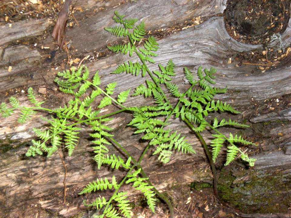
Fern on log |
Sugar pine with a nice crop of cones |
| Related Links | ||
| Pine Flat Reservoir | Kirch Flat Campground | Foothill Wild Flowers |
| Kings River Conservancy | Sycamore Creek | Kings River |
| Felton | San Lorenzo River | |
| Redwood Grove Loop Trail | Coast Redwoods | Reviews of the park by visitors |
| Big Sur | Big Sur Tourism | Giant Sequoias |
| Banana Slugs | John C. Fremont | |
| Henry Cowell | Dawn Redwoods | Santa Cruz Sandhills |
| Felton Covered Bridge | Big Sur | Bixby Creek Bridge |
| Miner's Lettuce | Elephant Seals | California Drought |
| Millerton Lake | San Joaquin River | Topographical Map |
| Millerton State Recreation Area | San Joaquin River Trail | Hiking the Trail |
| Wildflower Identification | White Rock | Castillo's |
| Mariposa County | Mariposa Shopping | White Rock Cemetery |
| Edison Point Trail | Dick's Nelder Page 1 | Dick's Nelder Page 2 |
| Redwood Photo Gallery | Snow Plant | Snow Plant Photos |