|
|
Dick's Winter 2014
Hikes |
| |
|
Photos
Related Links
More
Travel Reports |
| |
|
Millerton
South Shore Trail Clovis
Trails Hite's
Cove Trail |
| |
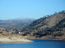
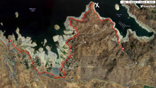
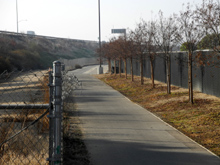
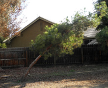
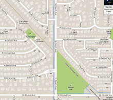
Millerton
Lake South Bay Trail: Often when I plan a short hike or some
other low-key trip, I think "I'm not going to send out a report
on this." Then as I'm walking along, I find myself writing part
of the report in my mind and making up photo captions. I guess I
will
stop writing about hikes and trips when they pry my cold, dead
fingers off the keyboard.
So
here's the first report of 2014, a hike that is really just a
slightly enhanced part of my regular daily exercise.
I
try to walk every morning, following one of several routes around my
neighborhood. Last August I started increasing the length of my
walks, with the goal of completing the recommended 150 minutes of
exercise per week. I also started driving to various places where I
can get on to the Clovis trail system, where I try to walk for at
least 45 minutes.
And
once in a while I drive farther to where I can walk longer, such as
my two hikes in Sequoia Park last year, and my accidental 40 minute
walk in Denver. In the fall of 2012 I made my first trip to a
trailhead at the upper end of Millerton Lake, about 20 miles from
home. This is what I call the Finegold
Trail, officially the San
Joaquin River Trail, which I wrote about at least twice.
The
only problem with this trail is that the first mile is 99% uphill,
some of it fairly steep. By the time I get to the top of the ridge,
I don't feel like going any farther. So, looking for a good, long,
not too steep hike, I remembered a trail I walked on
with my daughter many years ago that mainly followed the shore of
Lake Millerton, closer to the dam. I looked on line, and found that what I
was looking for was the Blue
Oak Trail. The
lake itself, plus a narrow strip of land around much of it,
constitute Millerton State
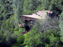
Recreation Area. Above the park land in some areas
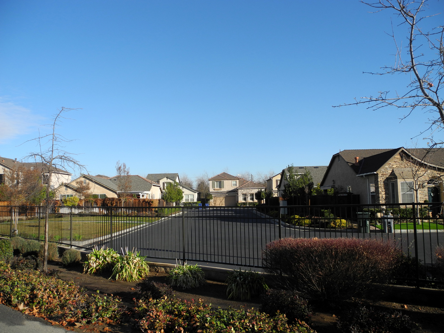
there is residential development, mostly large homes, spaced well
apart from each other.
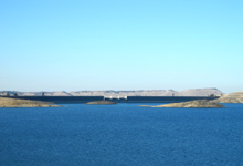
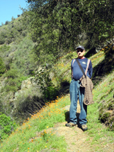
With no rain forecast and
highs in the low 60s, January 14 seemed like an ideal day, so I drove
west from my house about a mile, then north on Willow Avenue until
it ended at Friant Road. This leads to the small town of Friant and
the dam, and runs into Millerton Road, which runs roughly east and
west. After a short drive on this road I arrived at the park
entrance gate.
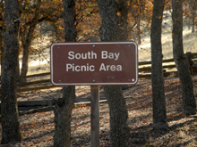
The
trail begins a short distance off Millerton Road at the Blue Oak
Picnic Area. However, the web page said that the first two miles
just run along the internal park road, and most people start at the
South Bay picnic area. Driving in to this location, I could see the
trail along the road, and also noted that it was directly adjacent
to the residential development.
I
found the South Bay parking
area, and was soon on the trail. The first half mile or so also
parallels the road. There are no houses in this section, but there
has been a lot of earth moving on the private land above the trail,
so development may be planned. A better idea would be to continue
past the South Bay Picnic area about a half mile to where the road
dead ends at a parking lot, and join the trail there.
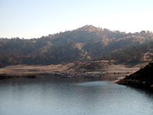
Past
this point there were no more roads or houses, although homes can be
seen in the distance, mostly the Sky Harbor area at the upper end of
the lake. The road to that area comes off Millerton Road a mile or
so past the park entrance.
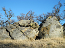
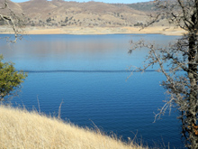
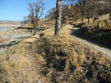
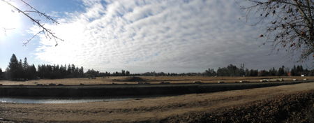
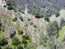
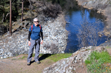
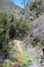
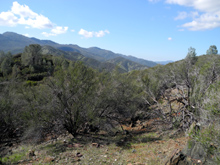
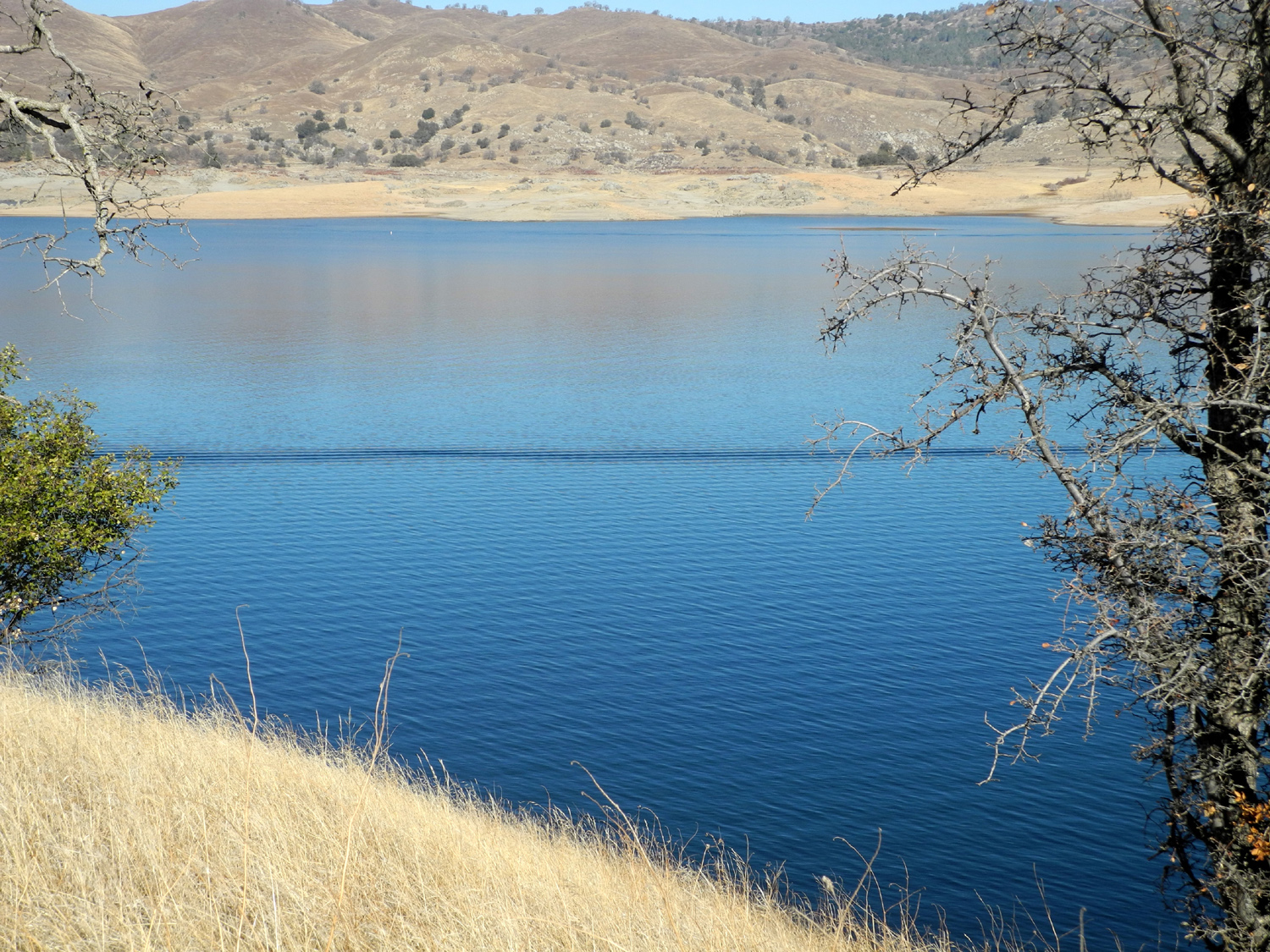
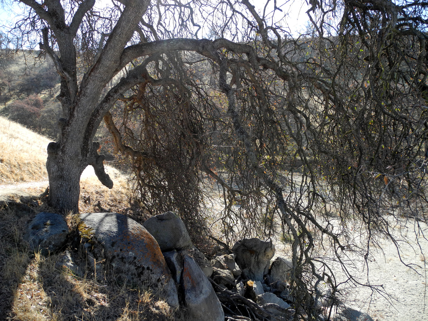
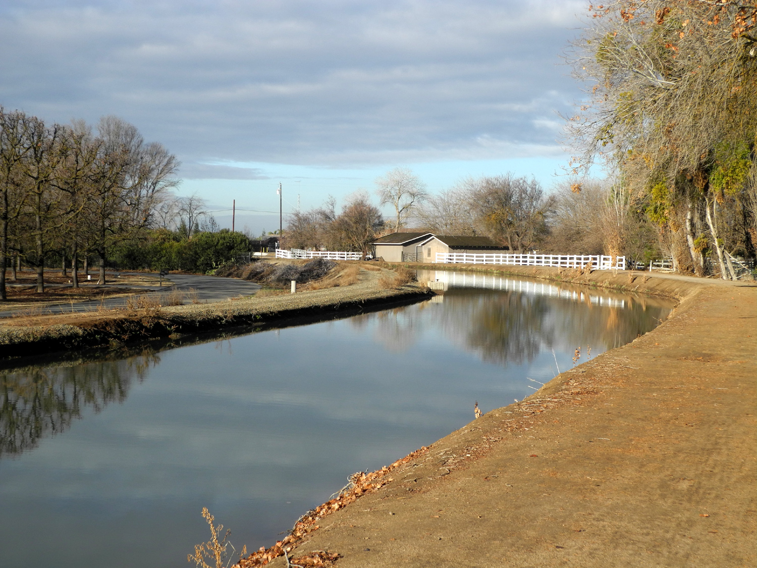
This
is a perfect hiking trail for me, with lots of up and down. There is
never more than a hundred feet or so of either before it changes,
and there are no really steep places. Since the trail follows the
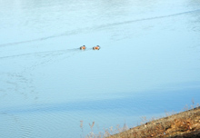
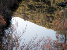
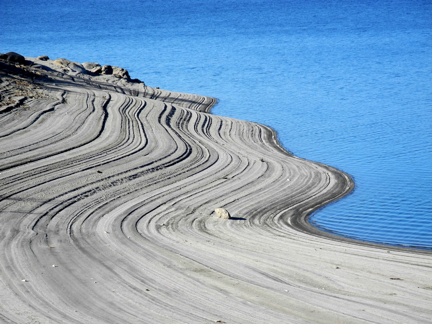
lake shore, there are always views of the
lake. The water is low,
but very blue, and there's still enough to offer some good photo
ops.
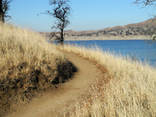
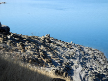
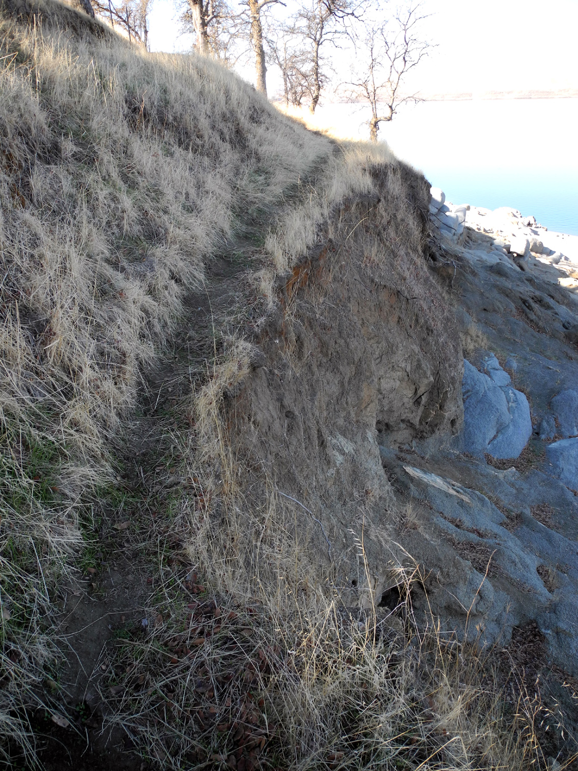
As
happens near most fishable streams and lakes, there are informal
trails right next to the edge of the water, or at least the edge of
where the water has been when the lake is full. There are also
little paths from the main trail down to these, so where the
connection was easy, I walked on the lower trails part of the time.
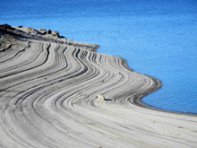
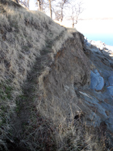
In some places, this "fisherman's trail" is just a couple
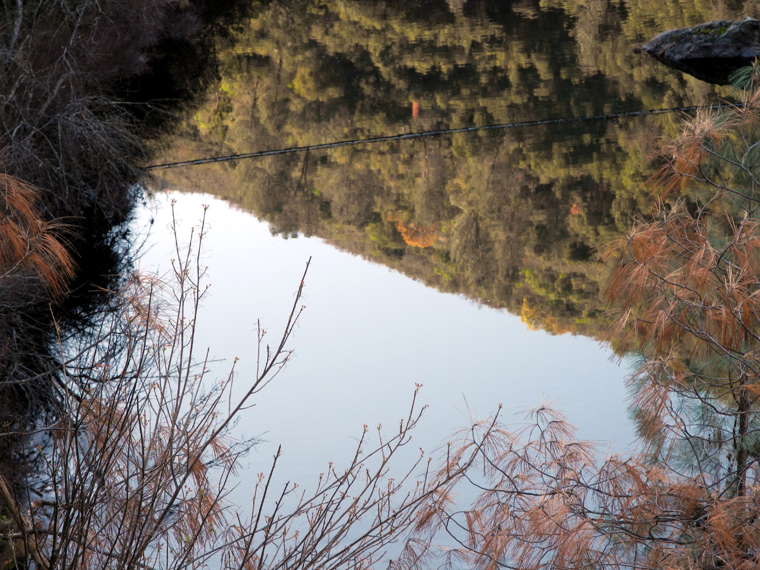
of inches from a sheer drop-off of six to fifteen feet. It occurred
to me that these "cliffs" were dirt, and that water had
been lapping at them for 80 years or so. Would they suddenly cave
in? None of them did, but I was very careful and limited my
"off-trail" walking.
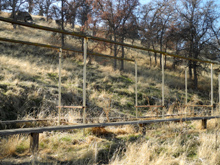
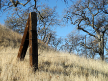
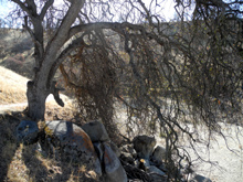
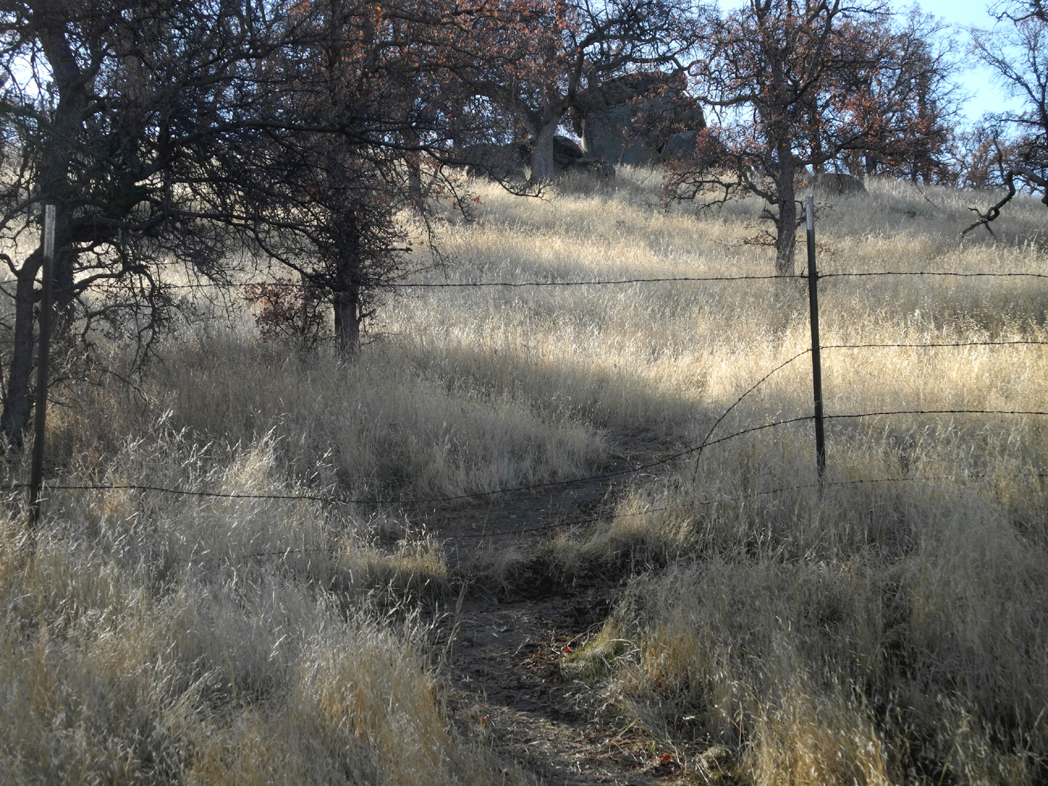
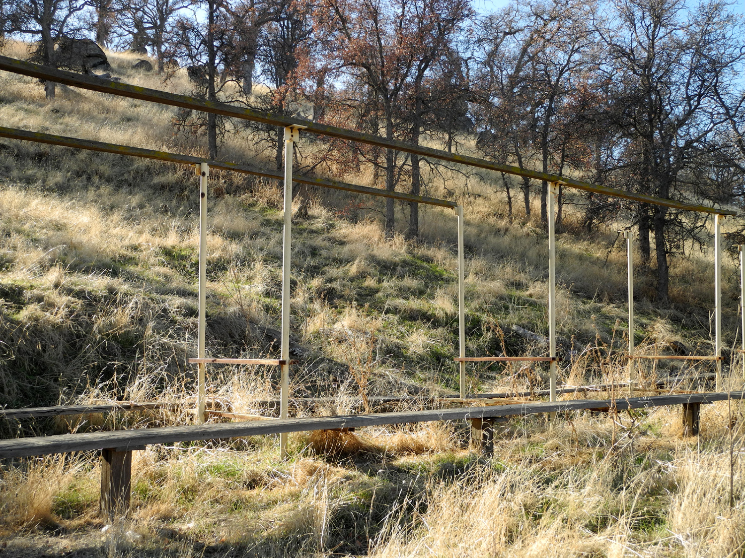
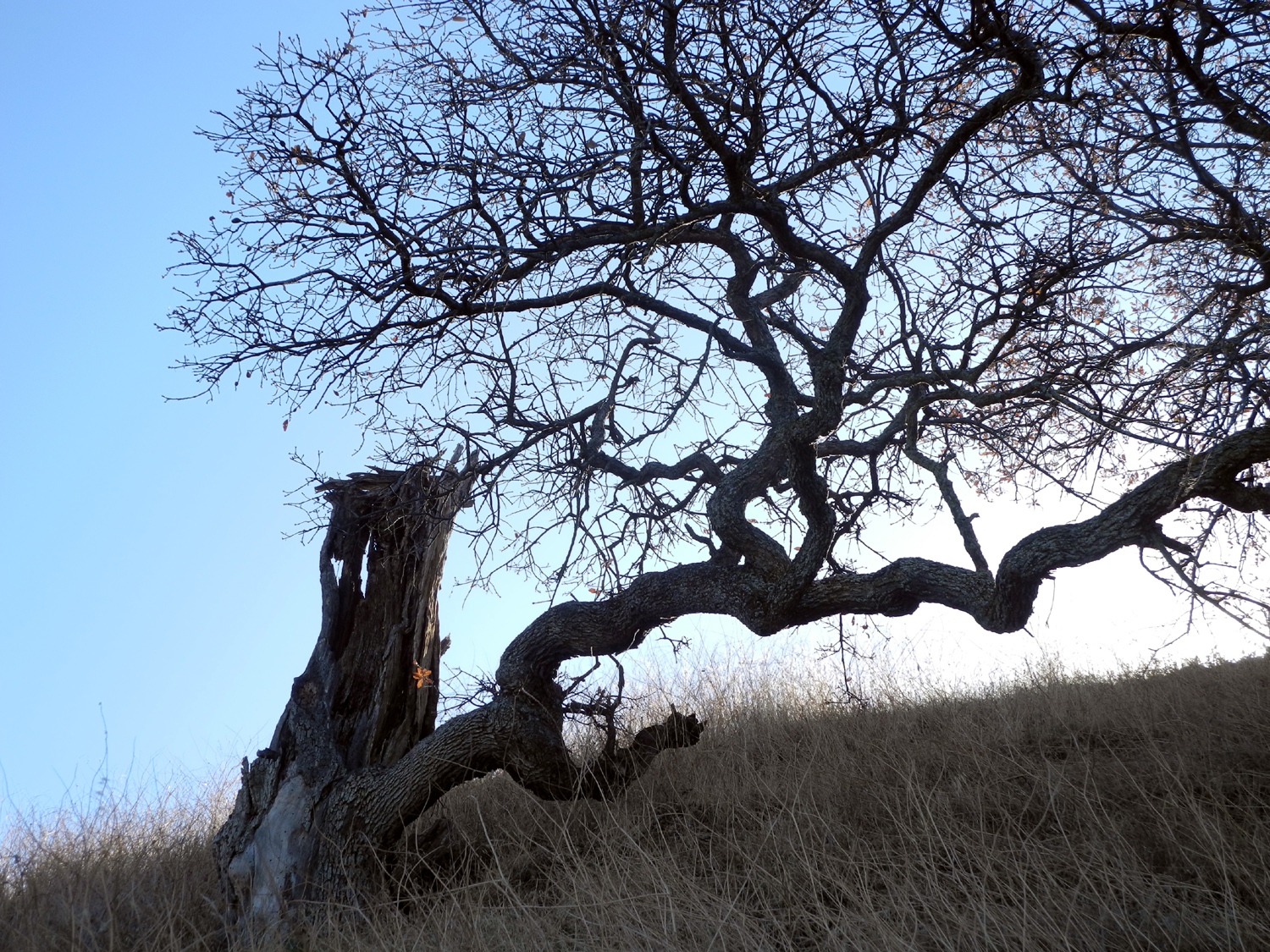
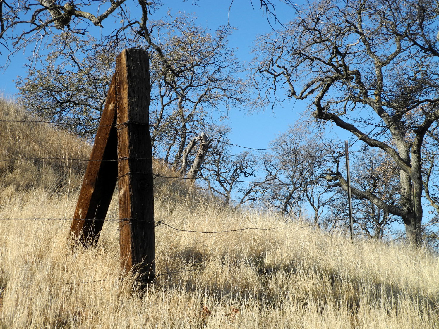
At
one place I could see some posts sticking up on the hillside above
the trail. There was also a clear path and a hole in the fence that
allowed easy access. This seemed like an invitation to explore, so I
made my way up to the mysterious
artifact. I'm not sure what it was;
it's about 30 feet long, with heavy boards all along both sides at
just the right height for sitting. It could have been a very long
table of some sort, possibly with a canopy over the top, but if so,
the "table" and canopy are long gone.
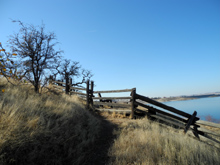
Since
this trail goes around the lake and ends at Winchell
Cove, I didn't
worry about getting to any particular destination, but turned back
after I had walked "far
enough." Actually I made it to a
point of land where you can see up river into the lake near were
Finegold Creek runs in, and to the cove
on the south, which has a marina,
and is reached by a road that comes in from Millerton Road south of
the park road that I took.
At
several places during the hike I could see Shuteye Peak and the
Eagle
Beaks, which are part of a ridge at the 8,000 foot level on the west
side of the San Joaquin River, a number of miles upstream from
Millerton.
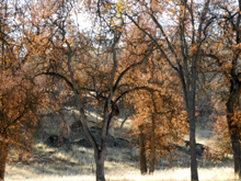
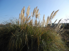
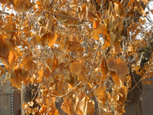
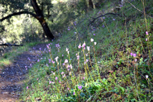
The
vegetation along the trail is almost 100% dry grass and blue
oaks. This
is a type of scenery that can be enjoyed, but it also reminds us of
how badly we need rain. Normally there would be a good growth of new
grass by this time, but I saw only a few shoots here and there along
the trail.
There
are a lot of ground squirrels active in the area, and I saw quite a
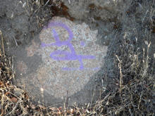
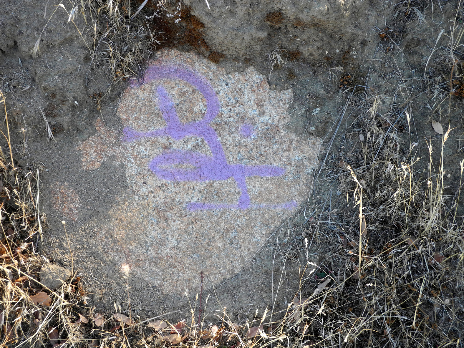
few hawks. I also saw signs of one of the more disgusting animals,
the graffiti "artist", which had marked benches, rocks and even trees.
However,
it was a very good hike overall. I walked for a total of almost 90
minutes, enjoyed views of the lake and Sierras to the east, and
built up an appetite for a stop at Sweet Tomatoes on the way home.
Millerton
South Bay Photos
--Dick
Estel, January 2014
|
| |
|
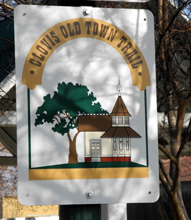
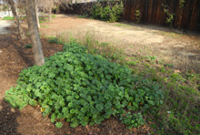
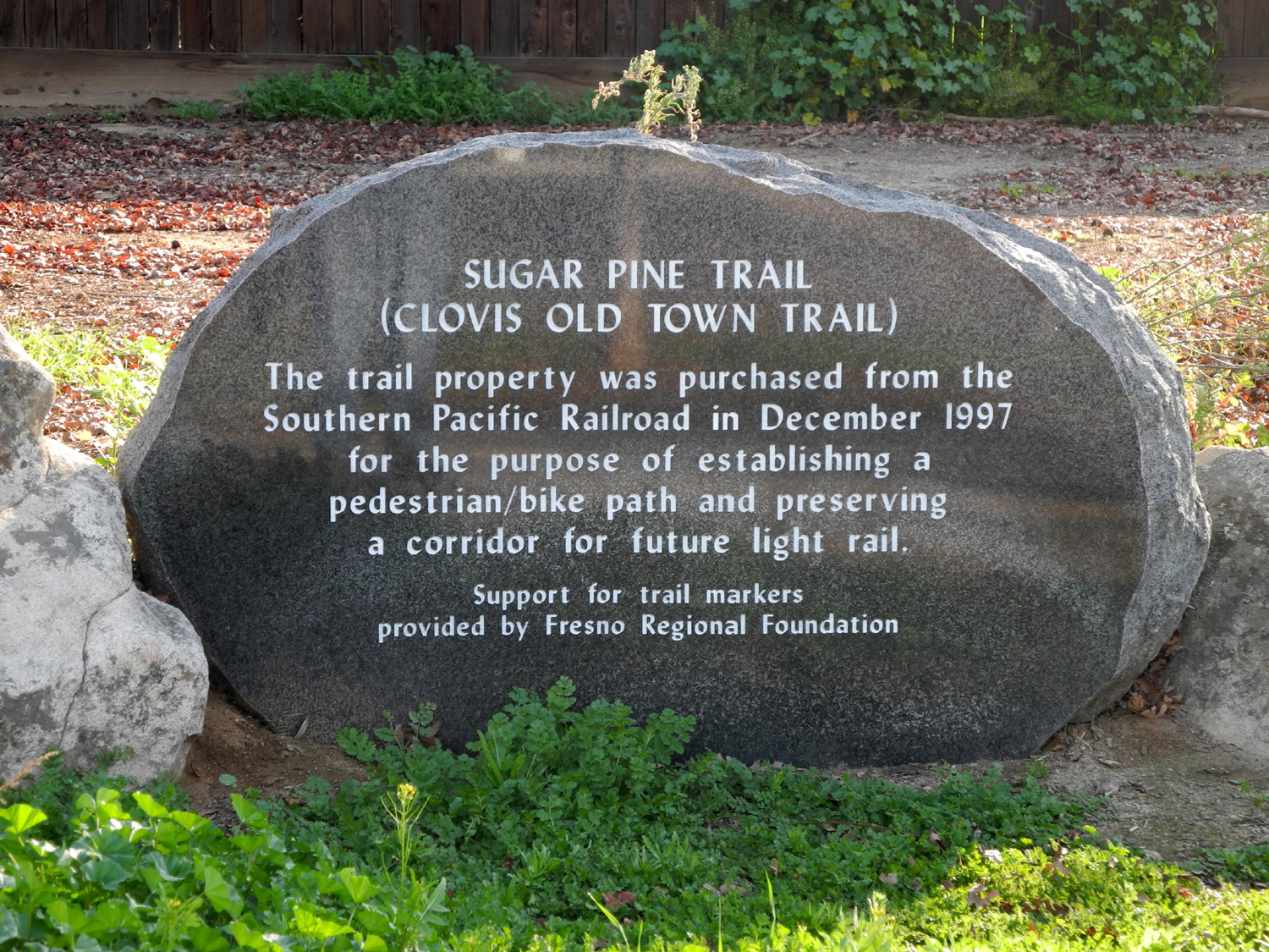
Clovis Trails:
While I'm at it, I'd like to write a few words about the Clovis
trail system. We are fortunate to have an extensive system of trails
within the City of Clovis, CA, where I live. Some of them follow old
railroad beds, some wind along a creek, and some are just tucked
behind a row of trees along a main road.
I first learned of these
trails in 2009 when my grandson and his wife, Johnny and
Brittany, invited
me to join them for a walk. I drove to the corner
of Clovis and Alluvial, about four miles from my house, where I
found a park with a trail coming in from across the intersection, and
leading north along Dry
Creek. A little less than a mile
north of this point the trail forks, and you can also go off the
trail and follow the bank of a canal where it goes through open land
and orchards. We hiked and
rode bikes in this area a few times, and I walked parts of the trail
by myself a time or two, but it was only in the last few months that
I started exploring the trail system more extensively. Again, this
was part of my project to increase my exercise time. About
once a week I drive to an area where the trail is accessible and
walk for a half hour or so, then turn around and return to my
parking spot. So far I have hiked from three "jumping off"
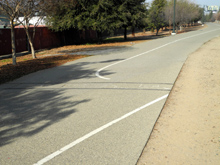
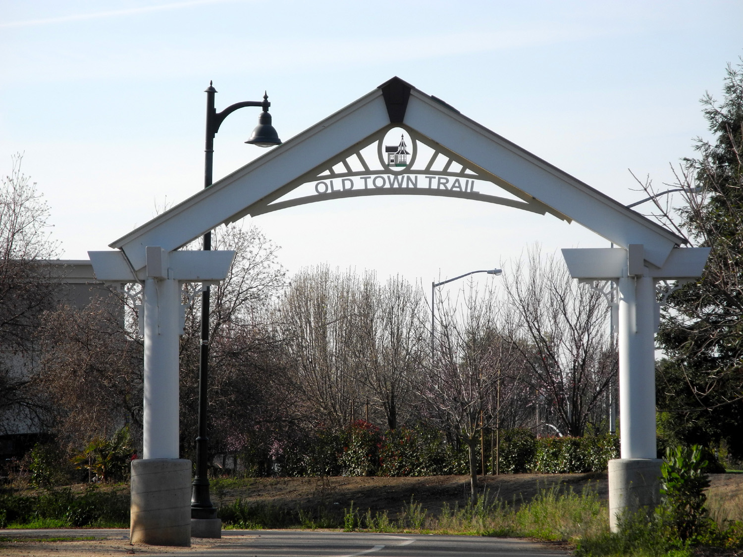
places: 1. Downtown Clovis: The
Clovis Old Town Trail runs through this area just east of Clovis Avenue and
goes south for nearly three miles. It also goes north, then northwest, but
it's hard to find where it goes in the downtown area. I hike this
route in connection with visiting the Saturday morning Farmer's
Market. After my shopping, I walk a block or two toward the Clovis
Rodeo Grounds, then take the trail south. I've also tried going
north, but could not see where the trail ran through the center of
town. This is pretty much a business/industrial area, but the trail
is lined with trees and shrubs. (I've since figured out where the
trail goes through downtown.) 2.
Dry Creek Park at Clovis and Alluvial: The trail here is the Dry
Creek Trail, which leads southwest from this
area to join the diagonal portion of the Old Town Trail.
Heading north it runs to a point about
a mile north and a mile west, winding along the bank
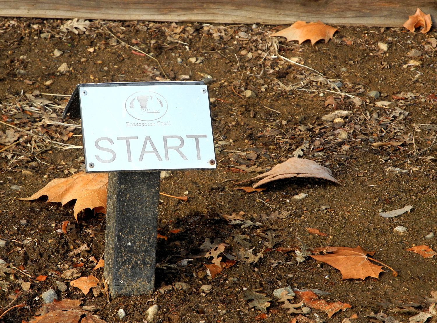
of Dry Creek. At this point it joins the Enterprise Trail, which runs
southeast along a canal. Although this section is near a major
street, the east side has the creek, then an area of large,
secluded lots and big homes, mostly screened by the vegetation along
the waterway. Just past Dry Creek Park is the Clovis
Botanical Garden, which emphasizes drought-tolerant trees and
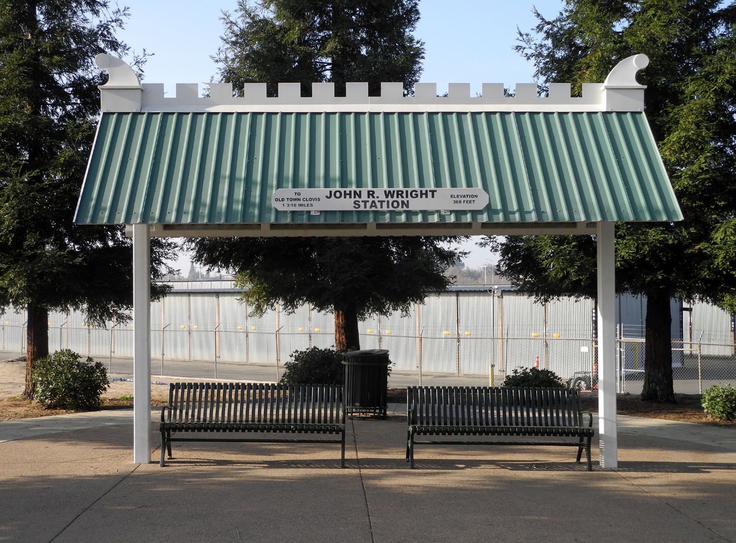
plants. 3. John R
Wright Rest Stop: This area has a tiny parking lot next to a fire
station just off the place where northbound Villa Avenue jogs to the
east and becomes Minnewawa. From here you can follow the diagonal
portion of the Old Town Trail to the northwest or southeast. You can also
cross the street and take the Dry Creek Trail toward Dry
Creek Park. I've walked northwest, and have also taken the trail
to the park, but have yet to explore the southeast section. Along
the section I've walked there are a number of concrete markers
giving the dates of various significant events in Clovis. All
the trails have places where you cross a road, most with little
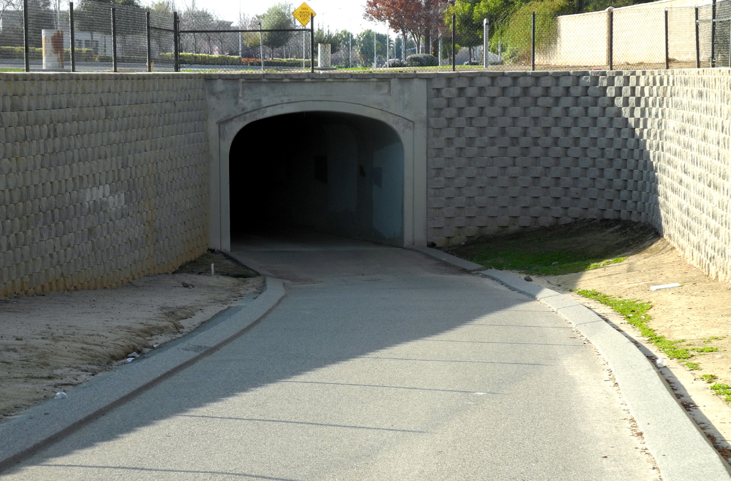
traffic. Busy streets either have a traffic light or pass under the
street through a
tunnel. Like the trail at Millerton, Clovis also has "side
trails," small paths that have been worn in the dirt area next
to the paved trail. I sometimes walk on these since dirt is easier
on the feet than asphalt. One
of my more interesting experiences occurred on the Dry Creek Trail
between the Wright rest top and the
park. About half way along there is a large ponding basin, occupied
by ducks, seagulls and egrets. There was
a duck up near the fence,
which is about 30 feet from the water right next to the trail, so I
stopped to take a closer look. I noticed a duck on the water
swimming directly toward me. Then I realized that every duck on the
pond was swimming in my direction, and soon they were all up by the
fence, expecting a handout. The next
time I hiked this section I brought some old bread and soon had 30
or 40 birds of various types battling for the crumbs. Over
the coming weeks I expect to explore other parts of the trail
system. I'll add any interesting new information to this page. --Dick
Estel, January 2014
January 20 Update:
Today I walked the Old Town Trail southeast from the Wright Rest
Stop, and in the process learned how to follow the trail through
downtown (from Bullard east of Clovis Avenue, just head for Clovis
and Sierra). This and
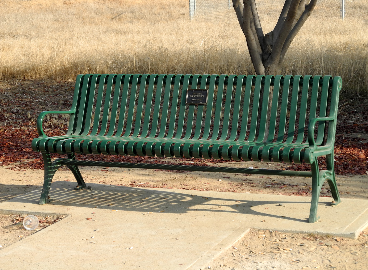
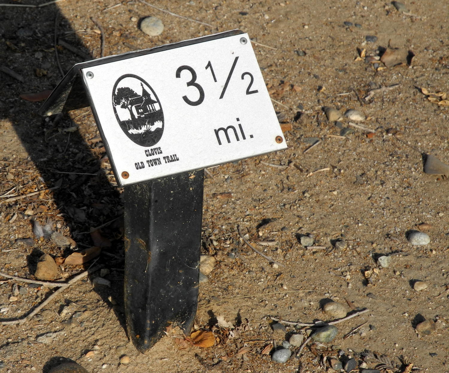
other parts of the trail system offer a number of amenities,
including benches for resting, signs commemorating various events in
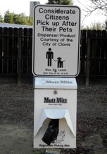
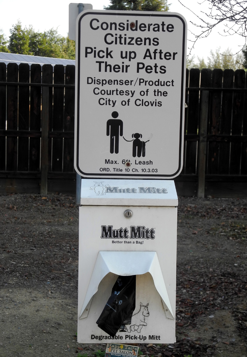
Clovis and area history, plaques identifying tree species, poop bag
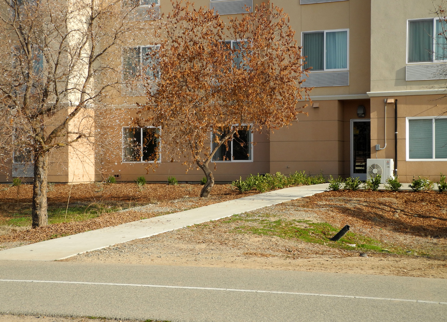
dispensers, mileage markers, walkways to access the trail from residential and
business areas along the way, an occasional drinking fountain, and
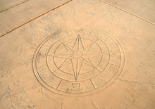
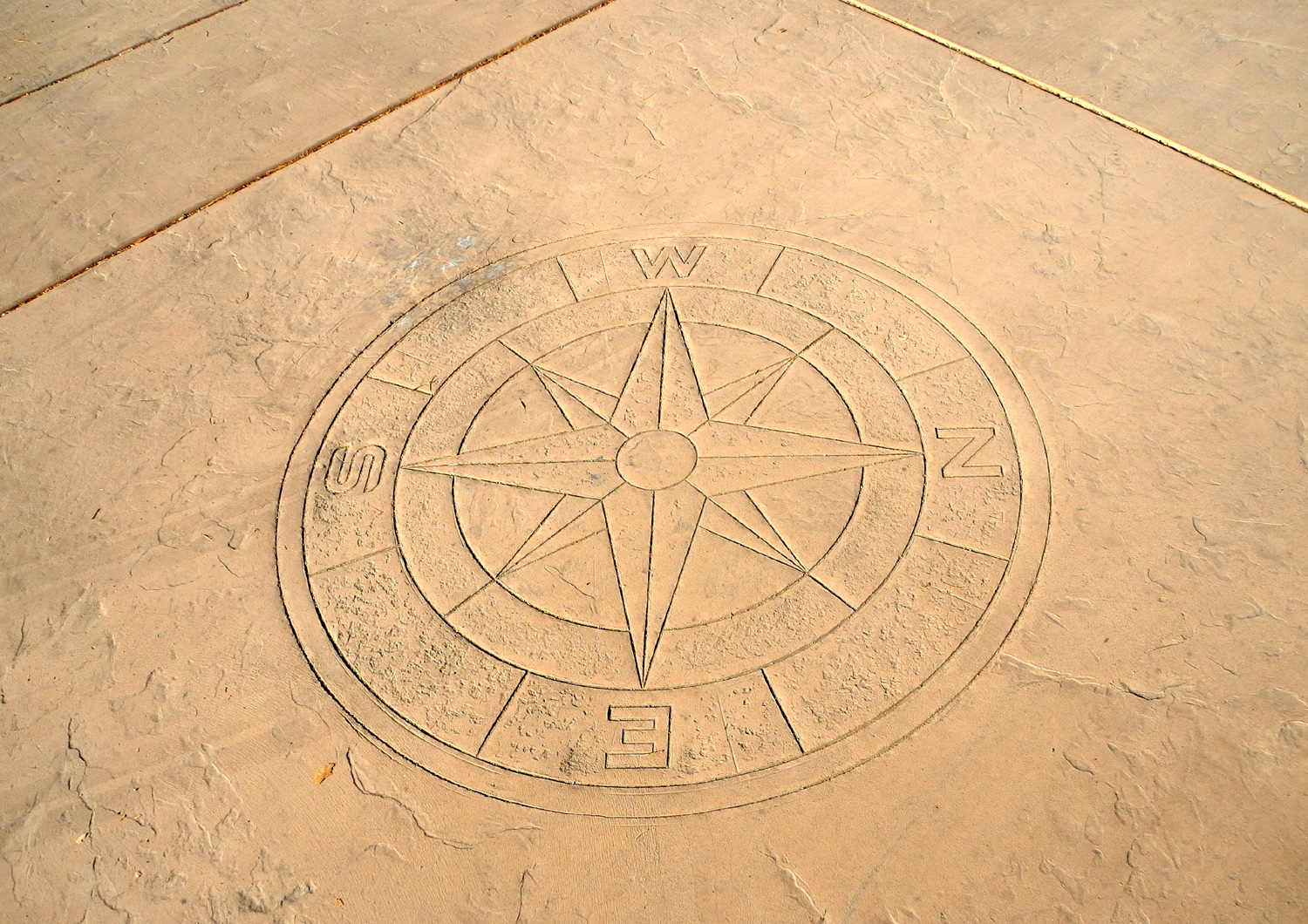
even a compass etched into the pavement at one point.
There are very few bathrooms, but in a number of places, the trails
pass through parks that have facilities. Along
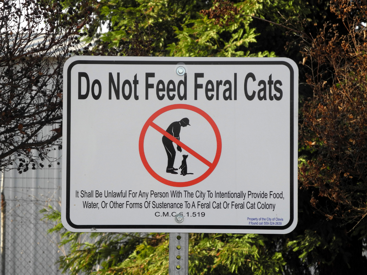
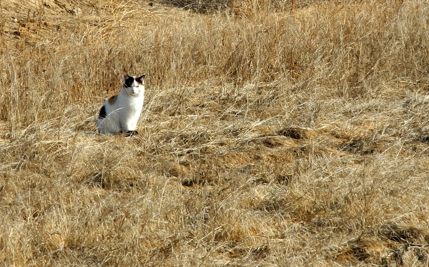
one 100-yard stretch of the trail, there are five or six signs
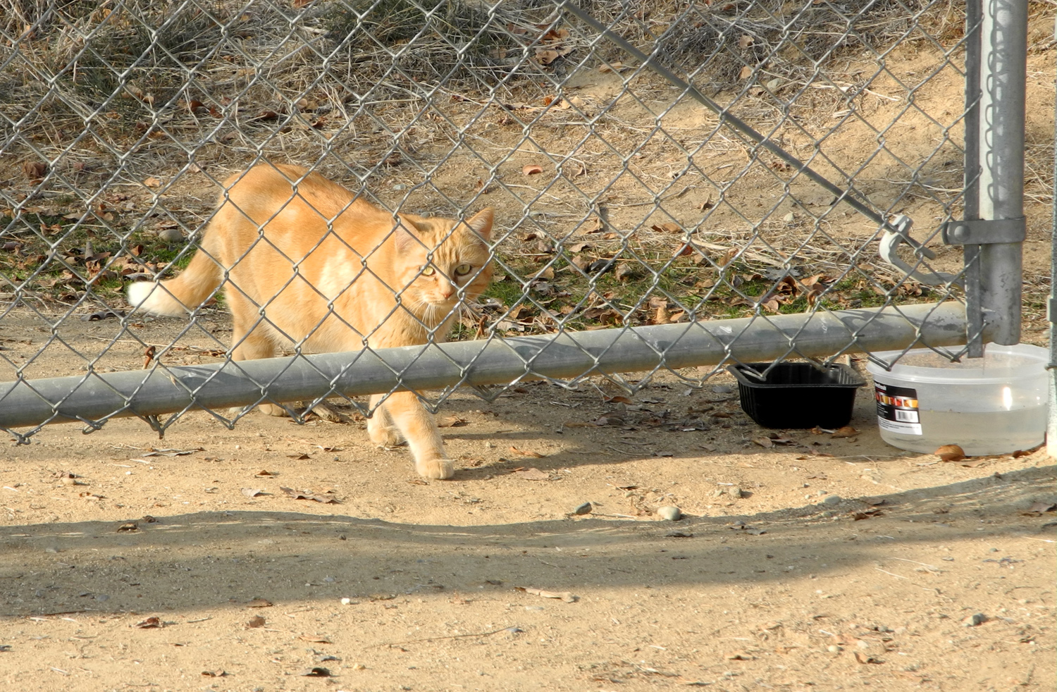
warning against giving food or water to feral cats. There is also at
least one cat per sign along this stretch, as well as a place where
there are dishes containing food and water. Since
my main interest is in logging the requisite number of exercise
minutes, I rarely pay attention to the distance I walk. However, the
sign at the rest area gives the mileage to Old Town as 1.3 miles,
and since I walked to that point and back, I did a little over two
and a half miles. The weather was quite cool when I started, but I
was plenty warm at the end, and it was an enjoyable walk. --DE
February 3 Update: Today was my day to drive to where I could
walk a section of the Clovis trail system, and the location I chose
was the Enterprise Trail. Running eastward parallel to Shepherd Ave
and the Enterprise
Canal, this section of the trail then takes a jog
to the southeast, ending after a half mile or so. Officially this
trail does not connect to any of the other trail segments, although
the map shows "future trails" leading several miles
further. Where I parked on Shepherd between Clovis & Fowler
Avenues, the Dry Creek Trail comes to an end. To get to the official
start of the Enterprise Trail, you walk along a canal bank for close
to a half mile. Here the paved trail begins abruptly in a corner
where fences behind the adjacent houses form an "L."
When
I first started down the canal bank I was not sure if this was the
right way, but as soon as I came to the paved trail I recognized it
from hiking and biking here with Johnny and Brittany and their dogs
in 2009. Along both the canal
bank section and the official trail there are large
homes on the north side, part of
recent development, while the area along the
other side of the canal is more open, mostly former ranch and farm
property with a few older houses, sheds, barns, and some industrial
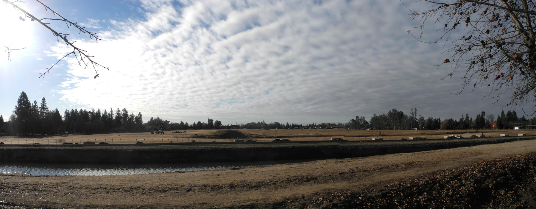
areas. Just before the point where I turned back a major development
of some type is underway, probably houses. This
trail is more "primitive" than those closer to downtown -
no center line, and no signs except for mileage. Driving the 4.8
miles from home to where I parked I had some good views of the
Sierra covered with recently-fallen snow. I hoped to get some nice
photos from the trail, but the view was blocked by the large homes. As
usual on these walks, I hiked for about a half hour, then turned
back, getting in a total 60 minutes, worth two days of my minimum
requirement. Before heading home I went to Denny's and rewarded
myself with a grand slam. --DE
February 20 Update: Continuing my quest to hike all segments
of the Clovis trail system, today I drove west to Willow Avenue,
then north toward Shepherd. Looking at the map, it appears that the
Old Town Trail has its northern terminus somewhere along Willow
between Nees and Shepherd.
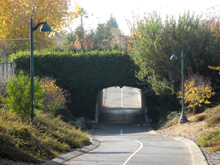
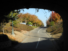
I
spotted the place where the trail went through a tunnel under
Willow, but there was no parking in this area, so I continued north
and made a U-turn at Shepherd. I could see the trail along the
western side of Willow in this area, and finally found a side street
where I could turn in and park. From here I had two choices - cross
busy Willow Avenue, or walk north on a side walk, then double back
on the trail just at the start of its passage through the
tunnel. I chose the
latter course, and followed the trail southeast, walking my usual 30
minutes out. I soon saw that it would be possible to get to the
trail by parking in a shopping center on the northeast corner of
Willow and Nees, so that will be my future starting point if I walk
this area again. The trail here is mostly between residential
developments, with a tunnel crossing at Nees, and a slightly busy
surface street crossing at Peach Avenue. This is where I turned
back, but Google maps shows the trail going through a park on the
other side of Peach, so I will try hiking from that location some
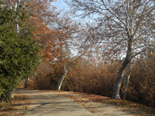
time. Although the trail
along here is lined with trees, in some way it was the least
interesting section of trail system so far. Of course, my purpose is
exercise, not scenery, but it it's possible, I'd like to have both.
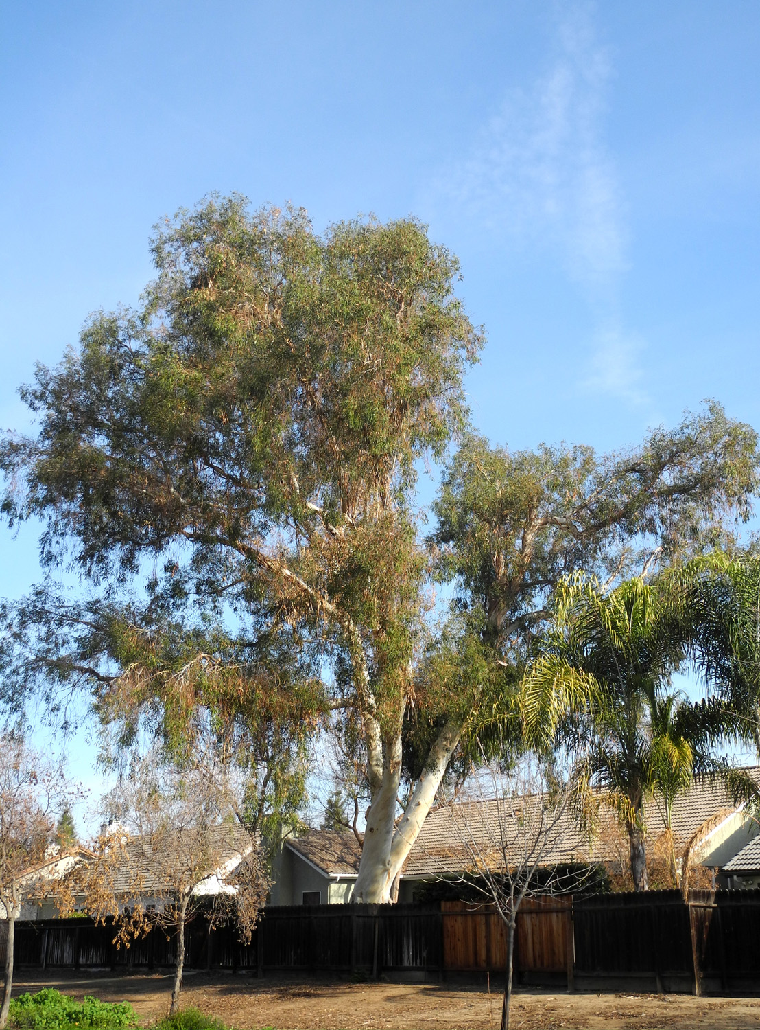
I did enjoy observing that there are a number of large, old
eucalyptus trees in one stretch of newer houses, trees that were
obviously planted in an earlier time, long before the current
development was built. And
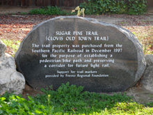
I learned that the trail has a dual purpose - having been built
largely along an unused railroad right of way (which I knew), part
of the purpose of preserving it was to have a corridor for future
light rail. I hope it stays a walkway for the rest of my lifetime. My
trip also gave me the opportunity to add to my collection of photos
of old
barns, although this one was along Willow at Nees, on my
driving route rather than the walk. --DE
February
27 Update: Today I hiked the only segment of the Clovis trail
system that I had not previously explored, the southern end of the
Old Town Trail. Actually I didn't get quite to the southern end,
because I didn't have my trail map, so wasn't
sure exactly where the end was. As it turned out, I was about a
quarter mile from that point. I
could have walked south to the southern end, but chose to go north
instead. However, I didn't go very far or very long. This is the
least enjoyable part of the entire trail system, because it runs
parallel to Clovis Avenue where it is a busy six-lane, 50 MPH
thoroughfare. It was very noisy, and I'm sure the CO2 level was well
above a healthy number. The
place where I started was north of Dakota Avenue, just south of the Clovis
Recreation Center. It was a cool, crisp morning, following a
fairly heavy rain the night before. The one really nice part of the
route was a planting of about a half-dozen tulip
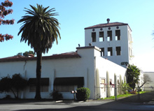
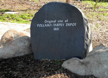
trees, which were just starting to blossom. There was also a marker
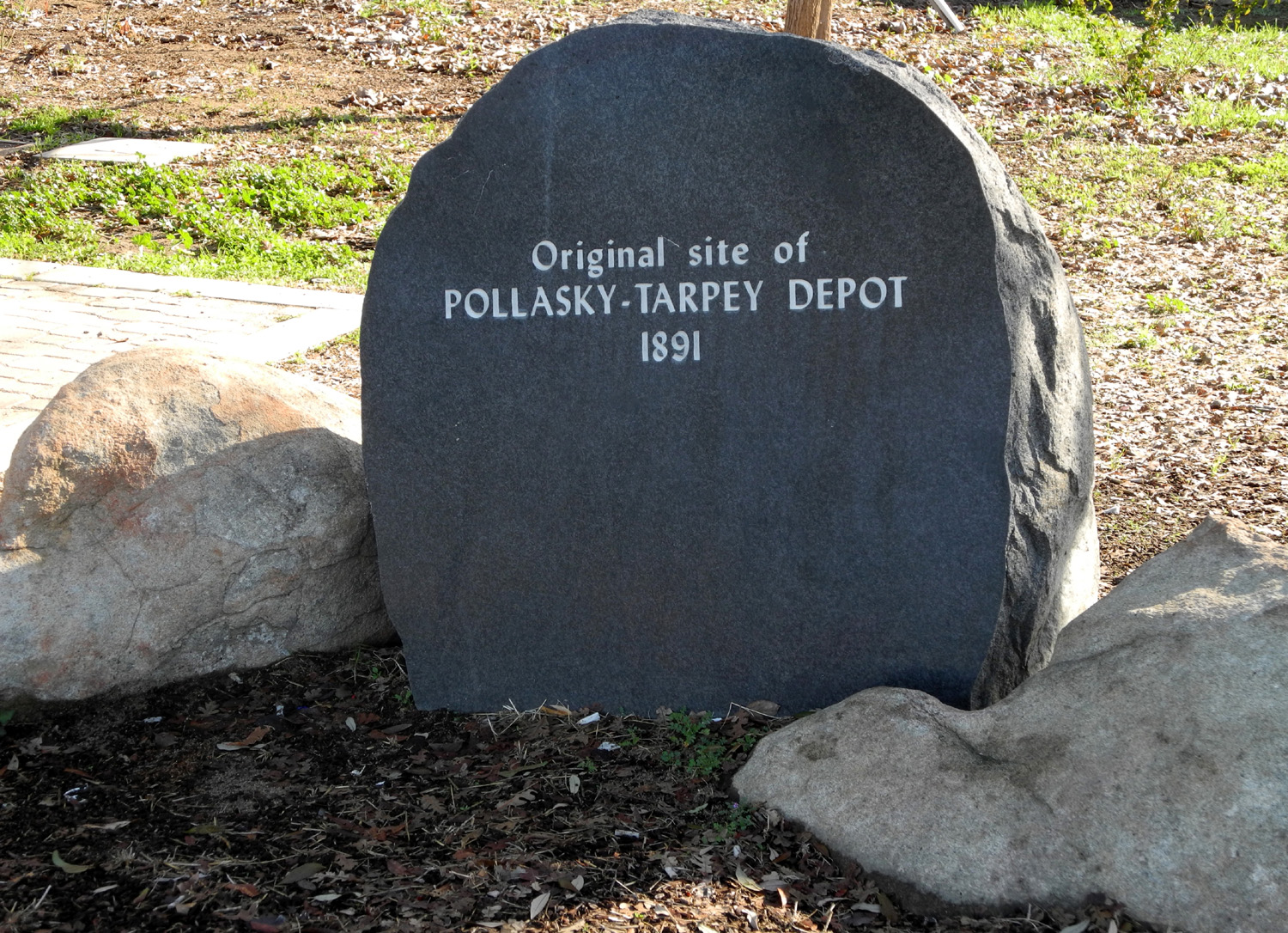
showing the location of Tarpey
Station, which now serves as the Chamber of Commerce office in downtown
Clovis. That, the tulip trees, and getting a good look at the
architecture of the rec
center building were the only redeeming qualities of today's
walk, and I will let this short segment stand in for the entire
southern section from Shaw to just north of Shields. Additional
Clovis Trail walks after this are documented on a separate
page. Clovis
Trail Photos --DE |
| |
|
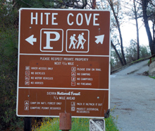
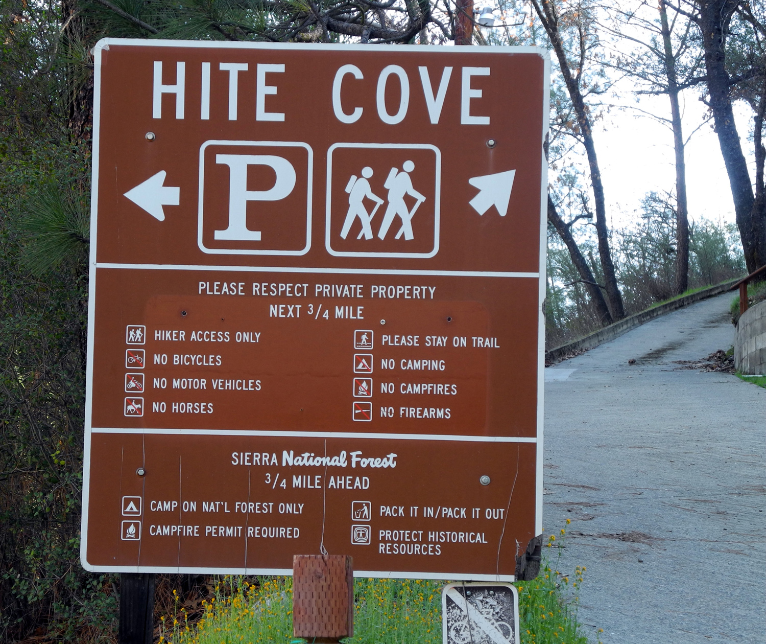
Hite's Cove Trail:
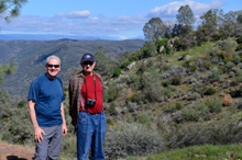
This journey involved an exchange of information. Although I grew up
in Mariposa County and have ties there to this day, I visited an
area I had never seen before. At the same time I was able to show my
hiking companion something he had no knowledge of.
But before going ahead, I
have to go back in time a bit. During my early years at the
Department of Social Services, I was slightly acquainted with Wes
Thiessen, a social worker. He left to work at a private agency, then
went into private practice, but recently started coming to the
county retirement association lunches. He also became part of a
group of county retirees that meets for lunch every Friday. We
discovered a mutual interest in hiking, and he suggested a March
hike on the Hite's
Cove Trail, in Mariposa County.
Going back even farther,
John Hite was a prospector who established a mine on the South Fork
of the Merced River in 1862, where he operated for 17 years,
becoming a millionaire in the process. There's a lot more John Hite history,
which you can investigate here,
here,
and here,
but it's not pertinent to this report.
(Note: The current
official name of the area and trail is Hite Cove, but in my youth it
was always Hite's Cove, and I'm not changing.)
Rising in the high ranges
of Yosemite, the South
Fork crosses Highway 41 at Wawona, and ends at the main river
and Highway 140, site of the Savage
Trading Post. As a kid I had fished and picnicked at that
location, about 20 miles from Mariposa, but had never been up the
river from the highway.
The Hite's Cove Trail
runs along the east side of the south fork, a round trip of seven
miles to the site of the mine. It is also possible to hike the
entire 22 mile trail into Yosemite, but this is a trek requiring
significant time and effort, and not for weekenders such as myself.
Even the seven mile version is a bit too much for me (Wes has done
it and could do it again with ease).
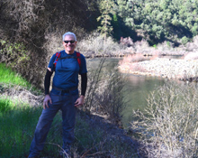
After a planning session
that consisted of two minutes during one of our Friday lunches, we
settled on March 11 as the date. Wes arrived at my house at 7
o'clock that morning, and we set out up Highway 41 to Oakhurst,
where we turned west on Highway 49 into Mariposa. Here we took the
Yosemite All-Year Highway, State 140, toward Yosemite, descending to
the Merced River
canyon at Briceburg,
and following the river for the short drive to the South Fork.
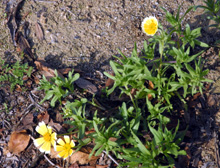
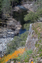
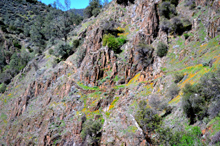
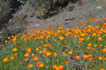
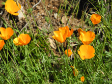
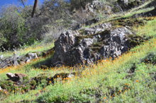
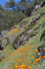
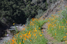
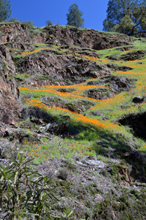
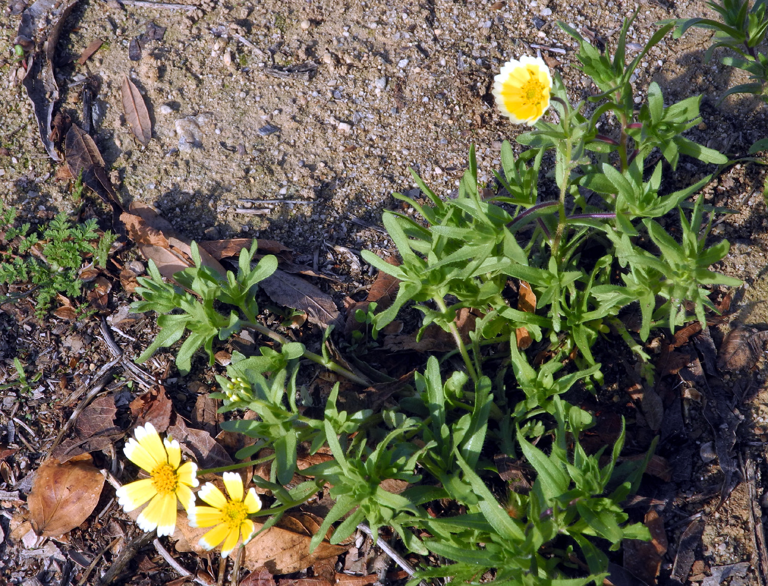
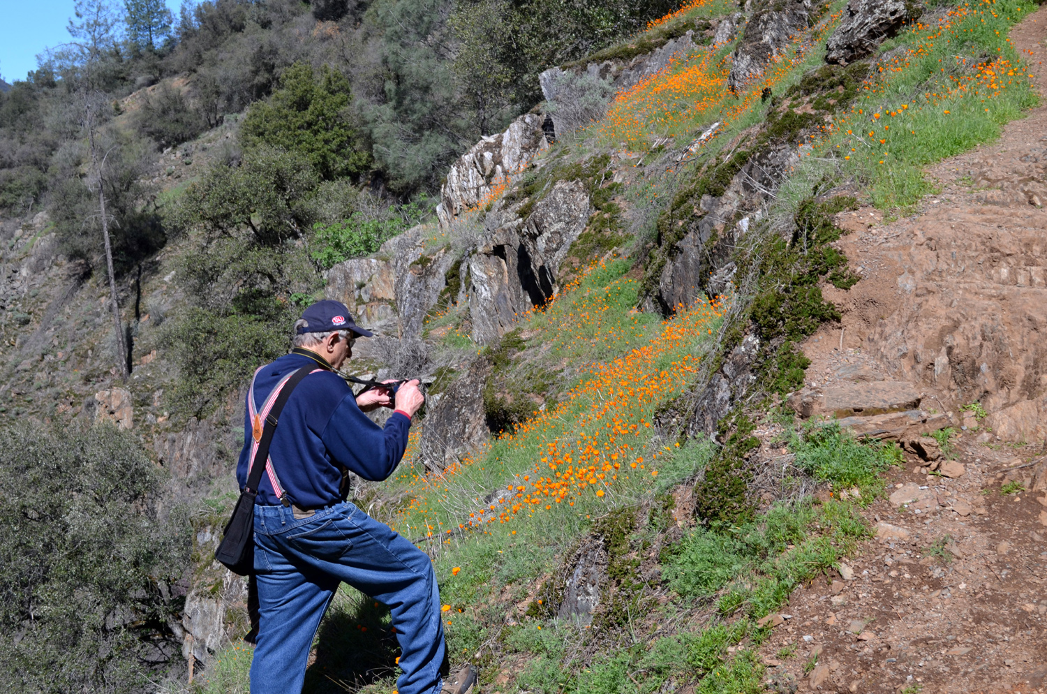
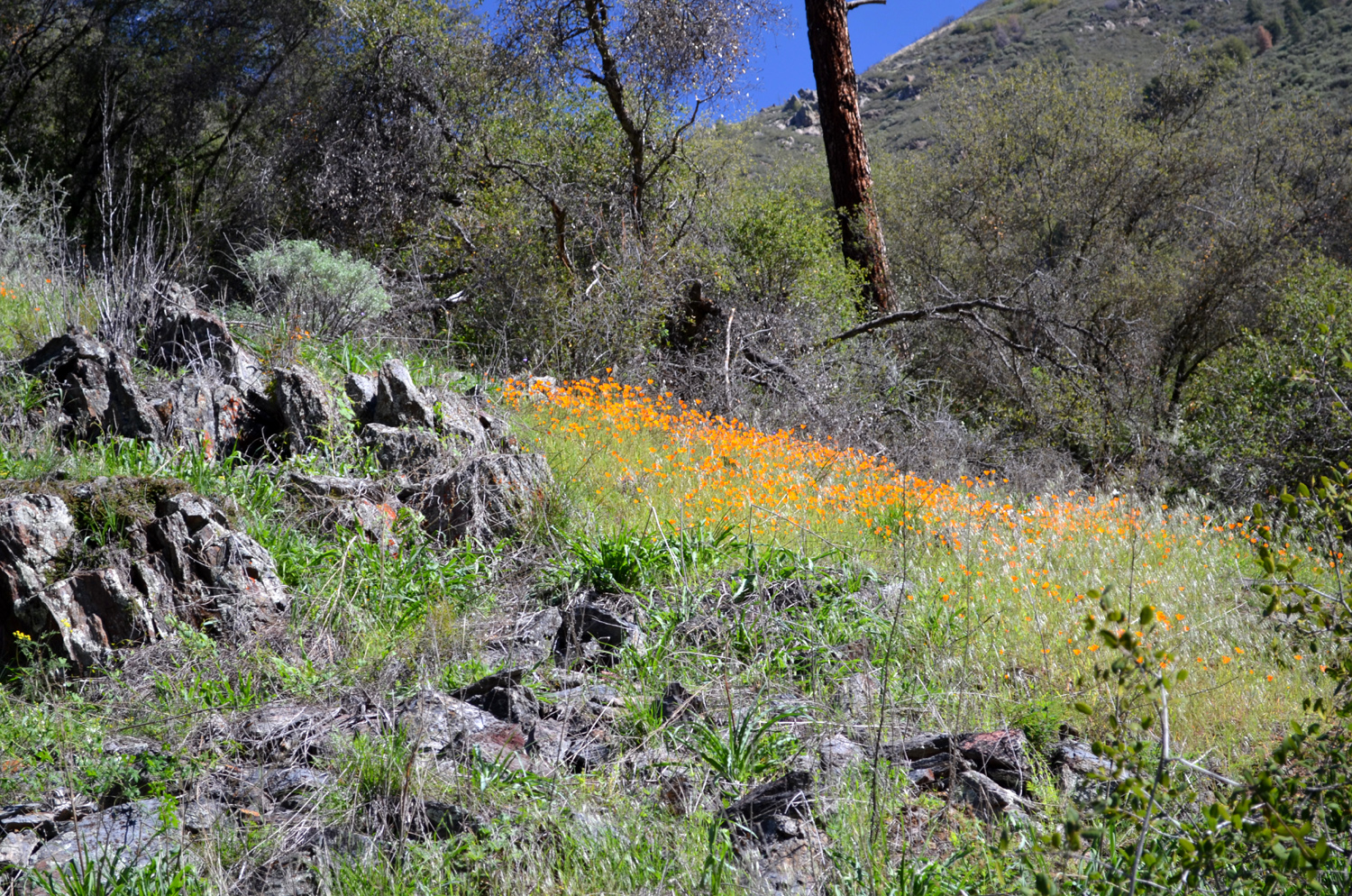
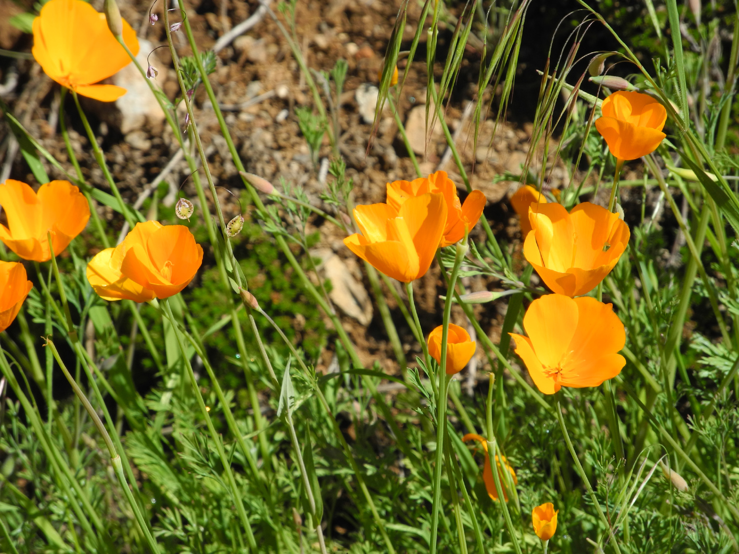
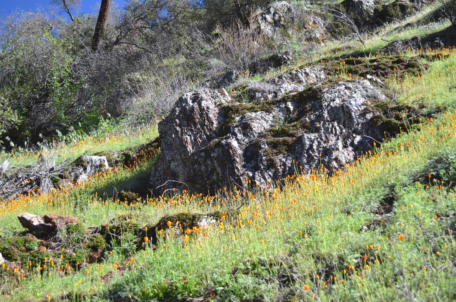
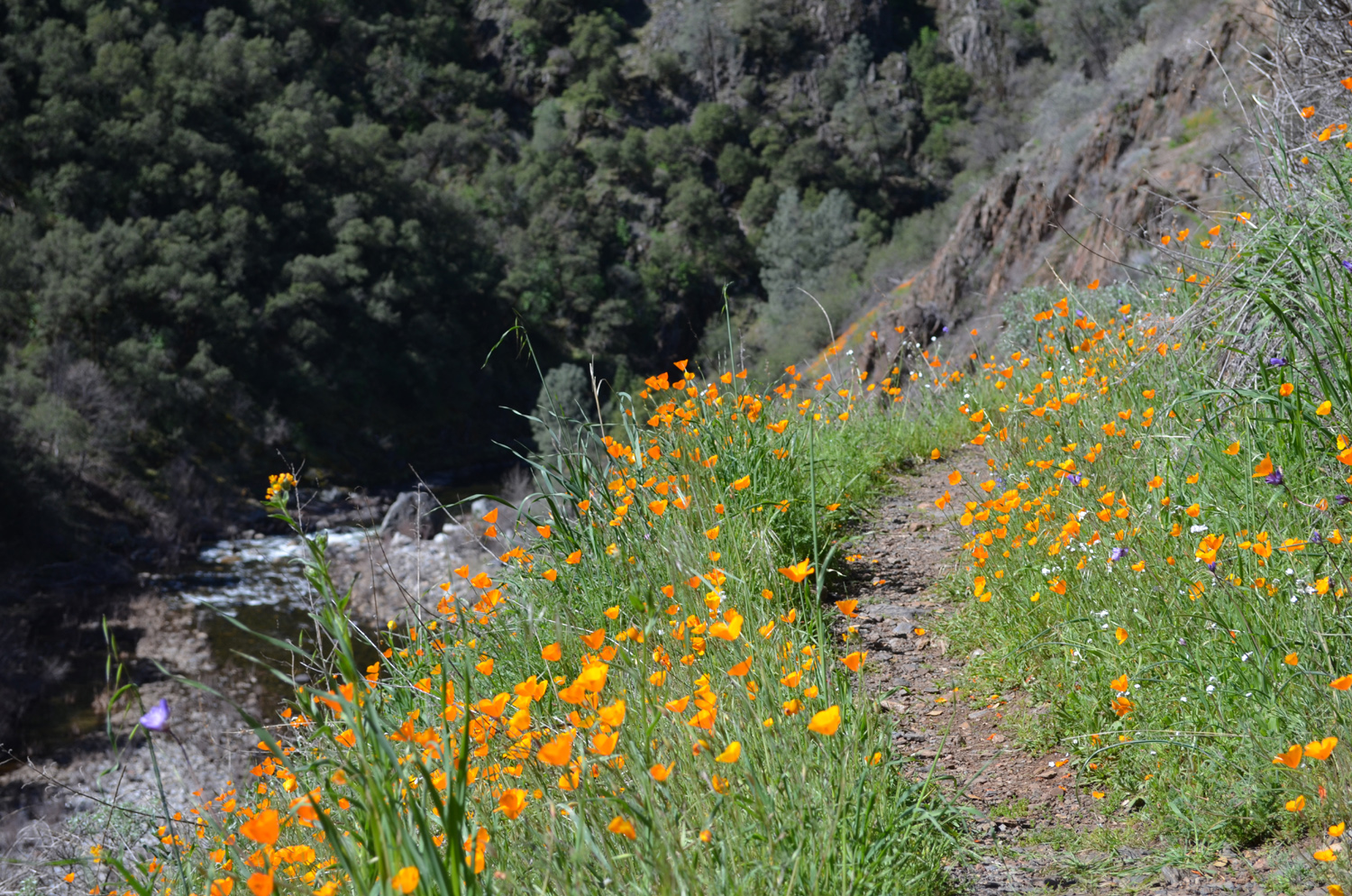
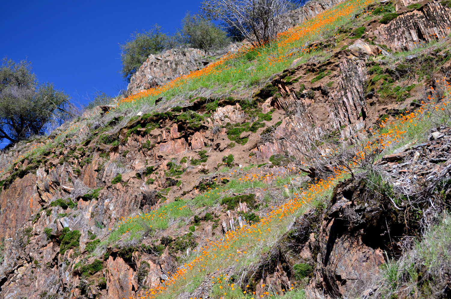
With the gold rush long
ended, the treasure in this area consists of California
poppies, fiddlenecks, and other wildflowers, and the profusion
of flowers is the trail's main claim to fame.
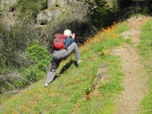
Despite our early start,
it was nearly 10 a.m. when we got on the trail. Our plan was to hike
about an hour, then turn back. With the dry winter, there has been a
shortage of wildflowers, but a series of storms in February brought
green grass and some flowers to the foothills, and we hoped that
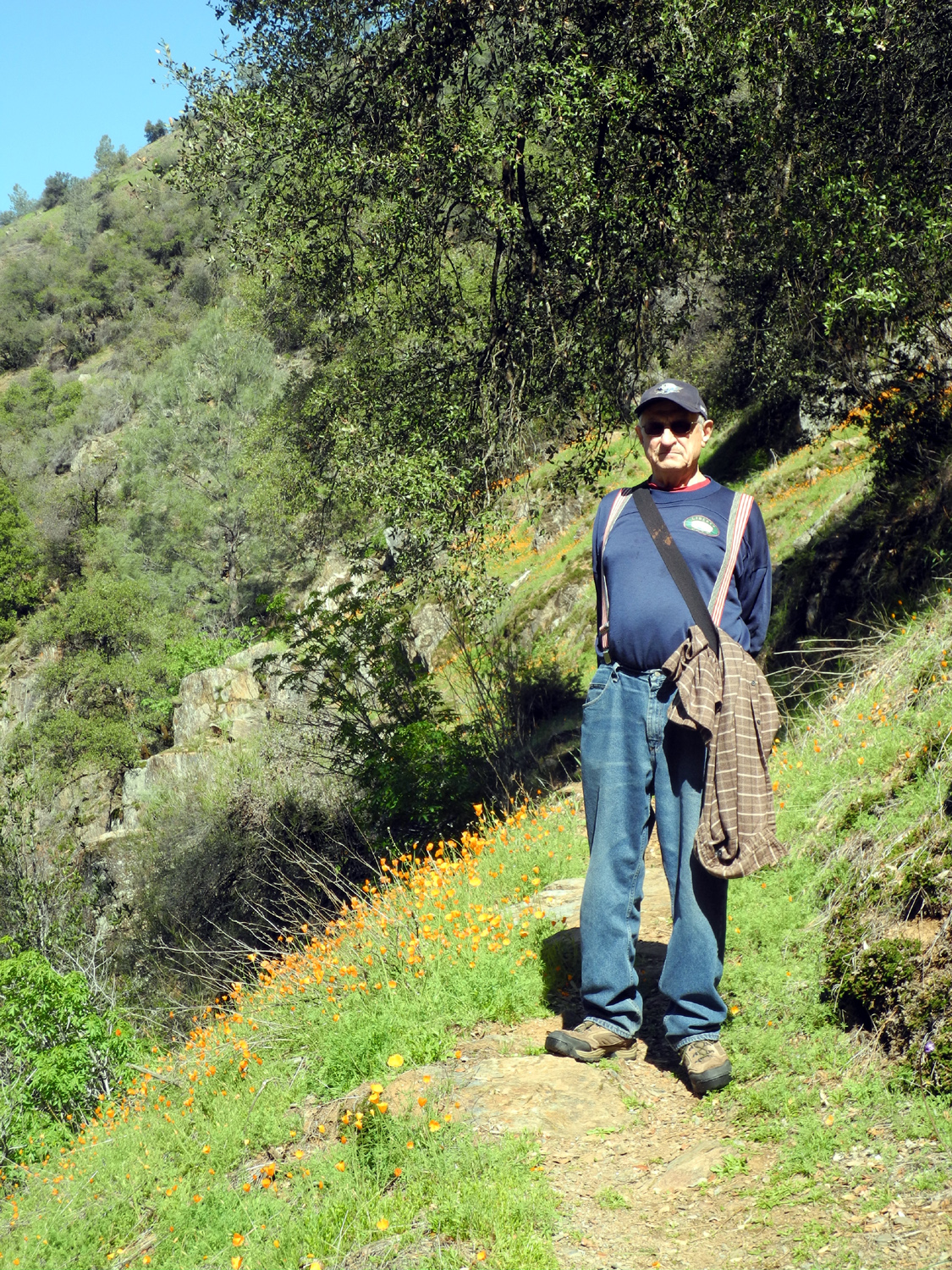
would be the case here. A short way up the trial we encountered the
first stands
of poppies, but they were not open (poppies normally close up at
night). It was still fairly cool, and we hoped by the time we walked
back out it would have warmed up enough for them to open.
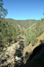
However, the first points
of interest involved three man-made objects. First, we had a good
view of the Highway 140 bridge
that crosses the south fork, with the main river just beyond. Above
this area is one of the large towers
of an electrical transmission line that runs up the canyon. My
father helped construct this power line and the towers in the early
1940s. The first 3/4 mile of the trail is private land, then it
enters the Sierra National Forest. In this section, just around the
first bend, and across the river from the trail, is a dramatic multi-story
house, built to take advantage of the steep hillside.
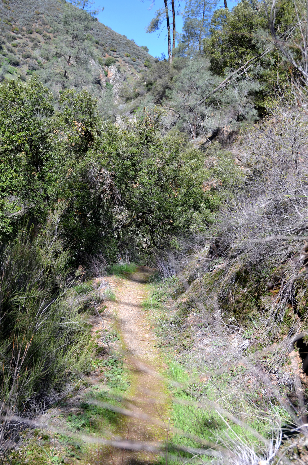
The trail itself has only
a few steep areas, especially the very beginning, where you walk up
a concrete driveway to get on the route. Most of the way the
trail runs along the canyon about 100 feet above the river, with
a steep drop-off on one side, and cliffs or steep slopes on the
other. It has a lot of easy up and down, just perfect to put various
muscles to work. It's fairly narrow, and it would be unwise to walk
and look at the scenery at the same time, but it's not dangerous as
long as you pay attention to what you are doing.
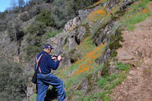
As we continued our walk,
we ran across more and more species of flowers. One that usually
comes out earlier, and that I had not seen on any of my previous
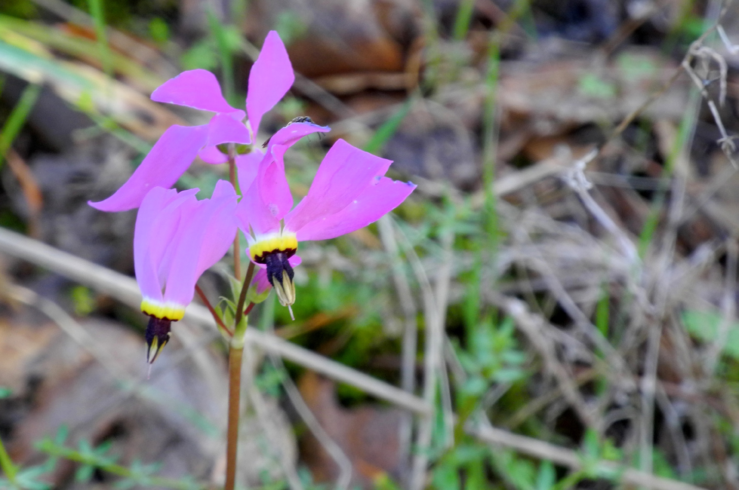
walks this year, was the spectacular shooting
star, of which there were substantial numbers in many places
along the way. There were also plenty of popcorn flowers and
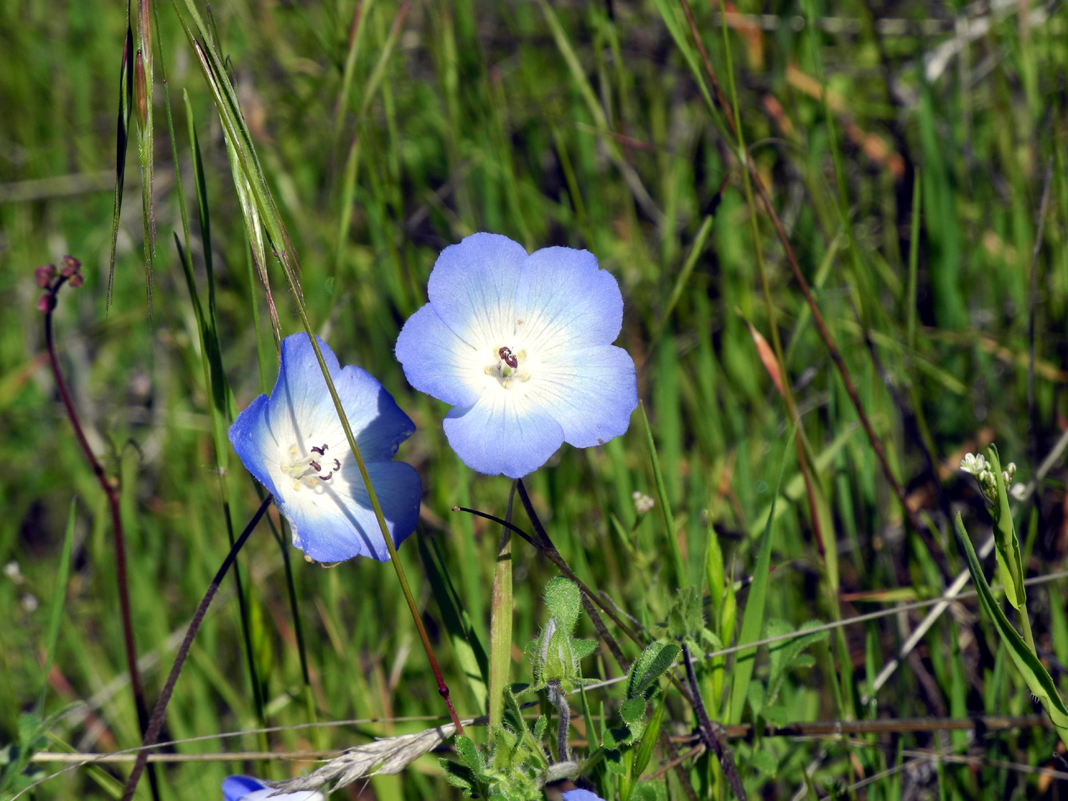
fiddlenecks. There were lesser numbers of small lupines, daisies, baby
blue eyes and redbud. However, nothing matched the
poppies, which are known to be the most common and spectacular
flower along the Merced River canyon and its tributaries. And they
were indeed open when we walked back out.
In addition to flowers,
we saw two animals that are not encountered that often, a salamander
on the trail, and two wild turkeys beside the highway near Midpines.
Although our planned walk
was supposed to be two hours total, we didn't hurry, I walk slowly
on uphill stretches, and we stopped to take many photos, so it was
nearly three hours before we got back to the car. We then returned
to Mariposa and had lunch at the Miner's
Inn Cafe, one of the town's oldest restaurants.
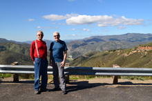
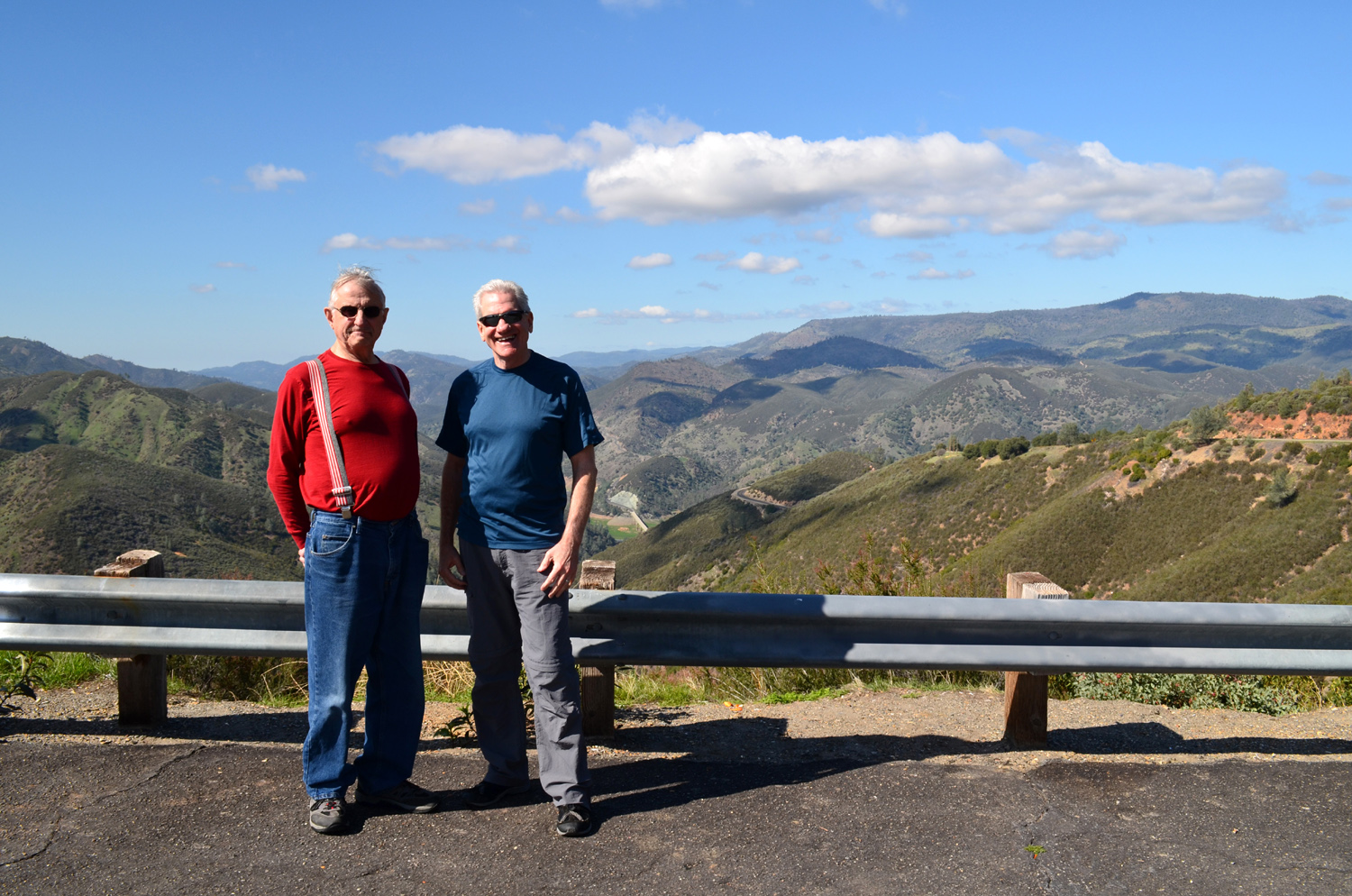
Then it was my turn to
show Wes something new. We drove out on State 49 North through the
little towns of Mt.
Bullion and Bear
Valley, which was where John C. Fremont had his home during the
time he spent in Mariposa. He acquired a large tract of land, the Mariposa
Grant, and started several mines, including the Pine
Tree, which is just north of Bear Valley, about 12 miles from
Mariposa.
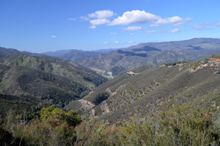
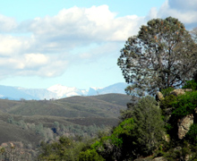
There's a nice overlook
just above it that gives a view of the winding Bagby
Grade, the upper end of Lake McClure, and the high bridge that
crosses the lake/river there. Near the mine there is a ridge that
you can walk out on, and see into Yosemite
Valley, about 32 miles away. If you didn't know what you were
looking at, it would be easy to overlook it, but armed with advance
knowledge, it's easy to spot the top half of El Capitan, Half Dome,
and Cloud's Rest, which was buried under snow. Wes was suitably
impressed.
We took a number of photos
here, observing some different wild
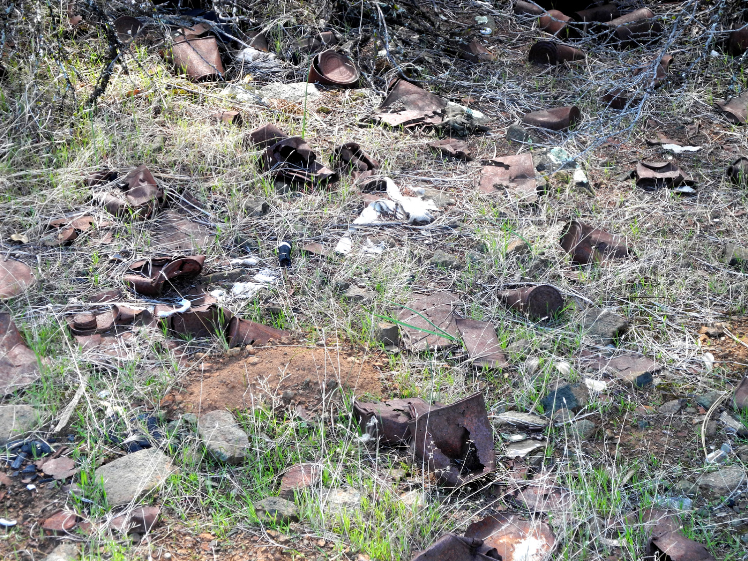
flowers, as well as an area where cans and other trash had been dumped.
From the looks of some of the items, they almost surely dated from
mining days.
My
father worked briefly at the Pine Tree in the early 1940s, but it has been
closed for many years. There has been talk and even attempted plans
to re-open the mine, but environmental problems put
a stop to these efforts, at least for now.
Once we had seen all we
wanted of this area, we drove back toward Mariposa and on down
Highway 49 through Oakhurst, then back home, both of us enriched by
the new territory we had explored.
--Dick Estel, March 2014 |
|
|
Photos
(Click to enlarge; pictures open in new window) |
| |
Millerton
South Bay Trail
Clovis Trails Hite's
Cove Trail |
| |
Millerton South Bay
Trail |
|
|
|
|
 |
 |
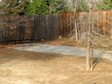
| The starting point of my hike |
Blue oaks have turned to gold |
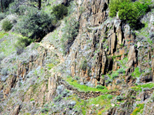
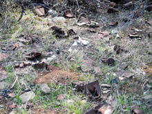
Rocks, grass and trees |
| |
 |
 |
 |
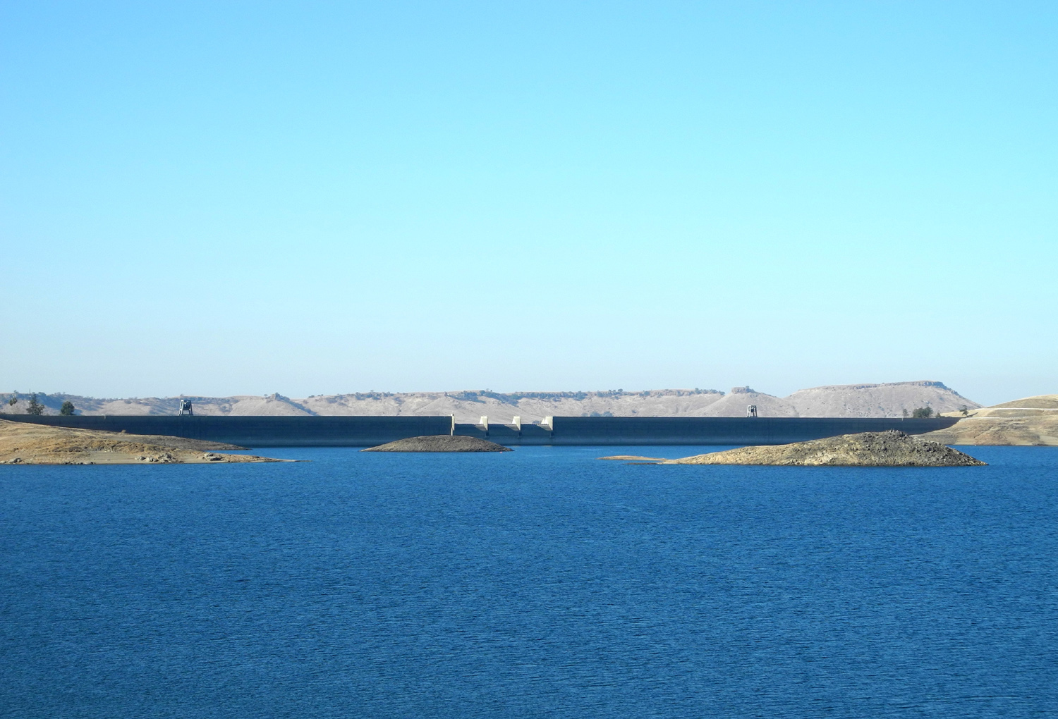
Friant Dam with Little Table
Mountain
in the background |
A closer view |
Shuteye Peak and Eagle
Beaks on the
horizon |
| |
|
 |
 |
| Patterns painted by water |
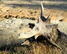
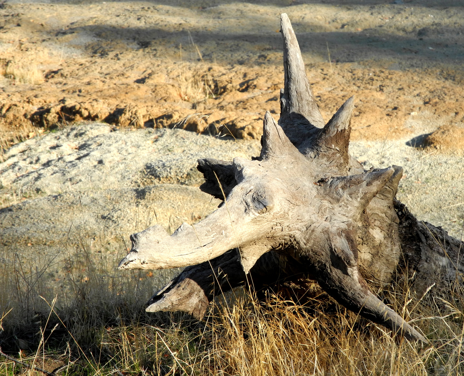
Triceratops log |
An invitation to explore |
| |
 |
 |
 |
| The mysterious artifact |
Universal symbol for
"Assholes
were here" |
Triumph over the elements |
| |
 |
 |
 |
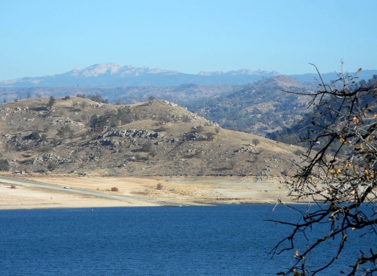
| Looking toward Sky Harbor |
Winchell Cove |
This post marks the point
where I
turned back |
| |
 |
 |
 |
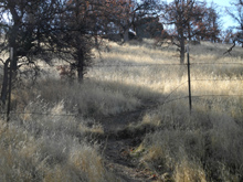
| A typical section of the trail |
Boat tracks |
The work of water |
| |
 |
 |
 |
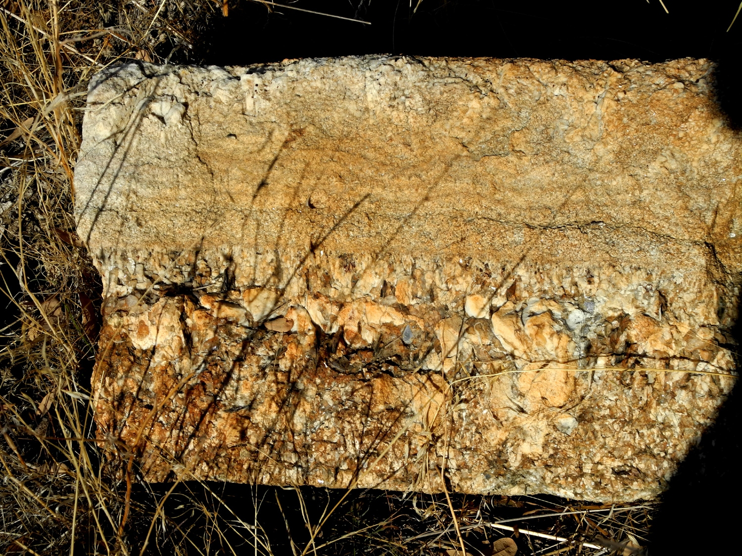
| Lots of different ingredients in this
rock |
The official trail above and
the
fisherman's path below |
The "top" of this tree is
lower than the base |
| |
 |
 |
 |
| Yes, I walked along this
"cliff" |
Beyond the fence, a resting place |
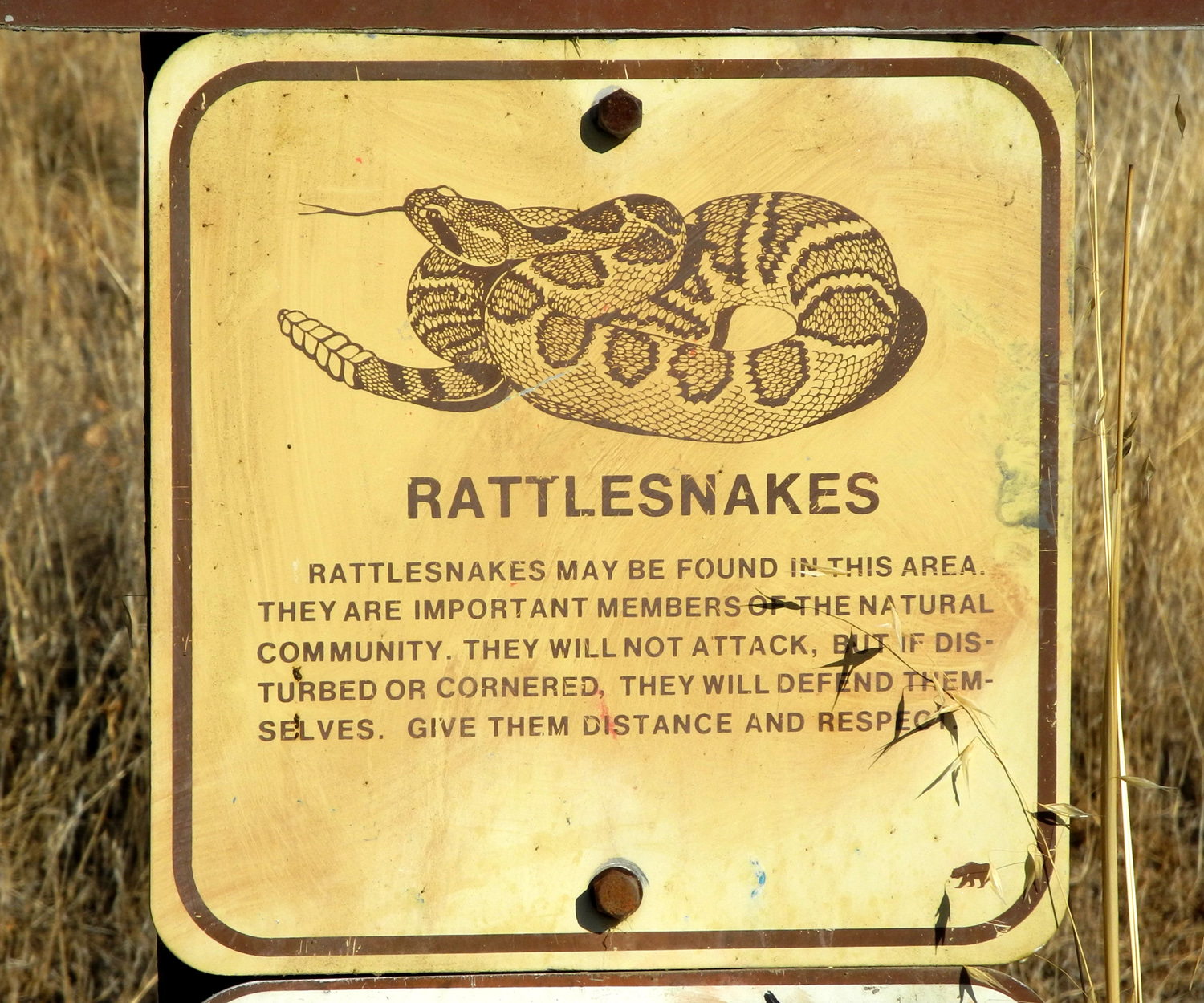
Heed this warning sign! |
| |
| |
 |
|
| |
The black X marks my starting point;
the
white one is the turn-around point |
|
| |
|
Clovis Trails |
| |
 |
 |
 |
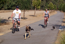
Johnny, Brittany, Crosby &
Faith on
the trail in 2009 |
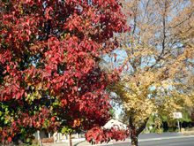
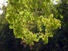
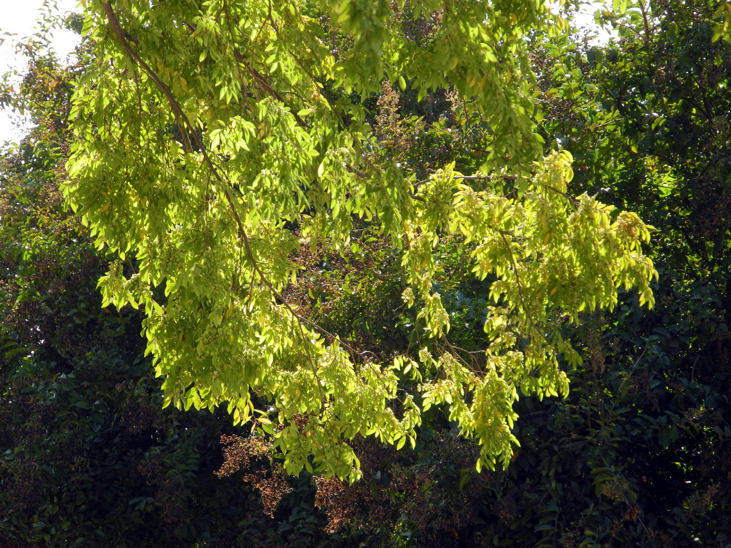
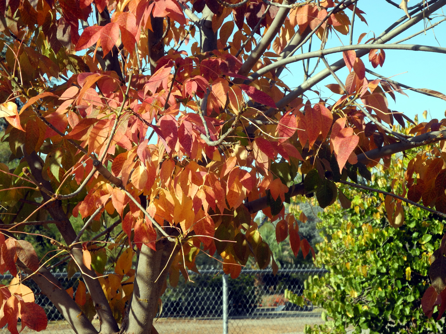
Sunlit leaves |
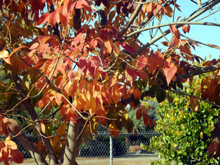
Signs of fall |
| |
 |
 |
 |
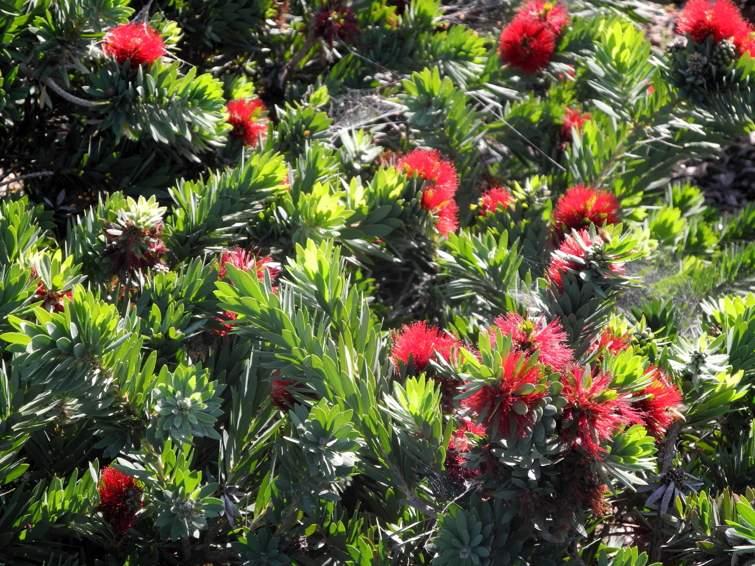
| Bottle brush bloom over a long period |
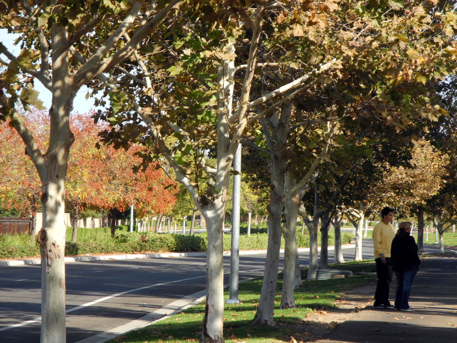
The road and the trail |
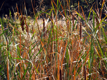
Cattails by Dry Creek |
| |
 |
 |
 |
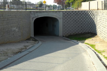
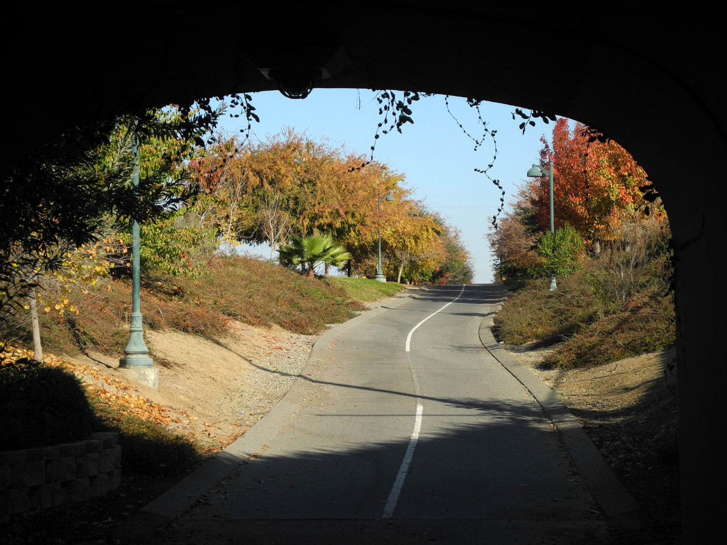
| Into the tunnel |
Looking out from the tunnel |
Historic marker along the trail |
| |
 |
 |
|
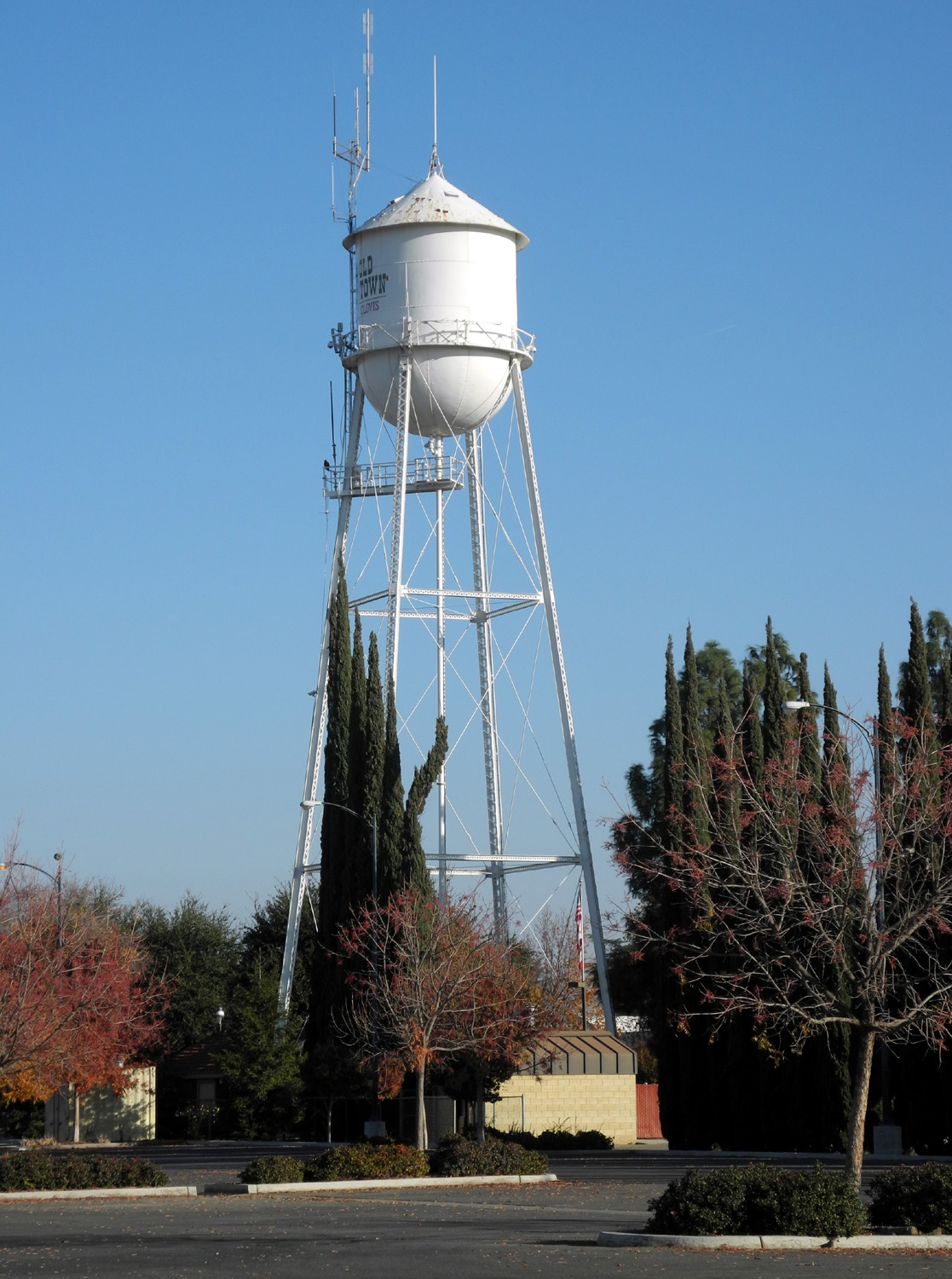
Water tower in downtown
Clovis, constructed in 1913 |
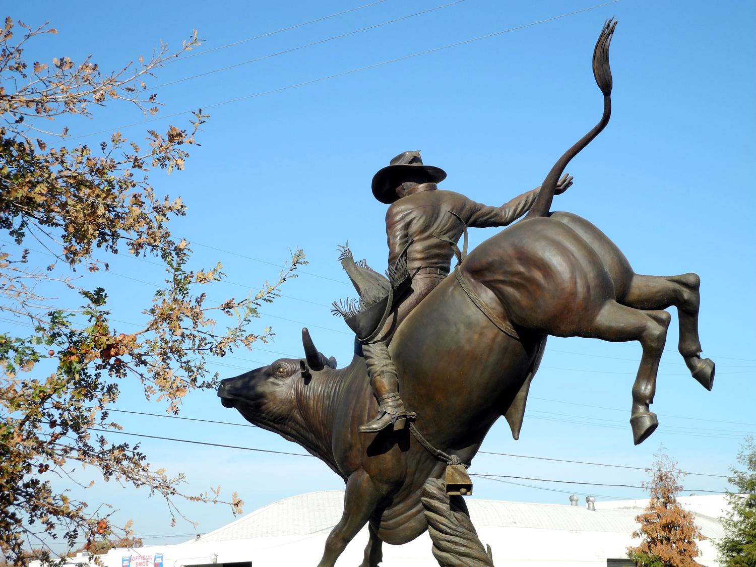
Bull rider stands guard
at
the Rodeo
Grounds entry |
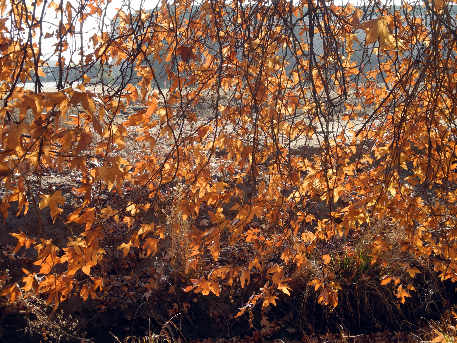
More fall leaves |
| |
 |
 |
 |
| The trail near Minnewawa
Avenue |
Waiting for a handout |
Ruddy ducks |
| |
 |
 |
 |
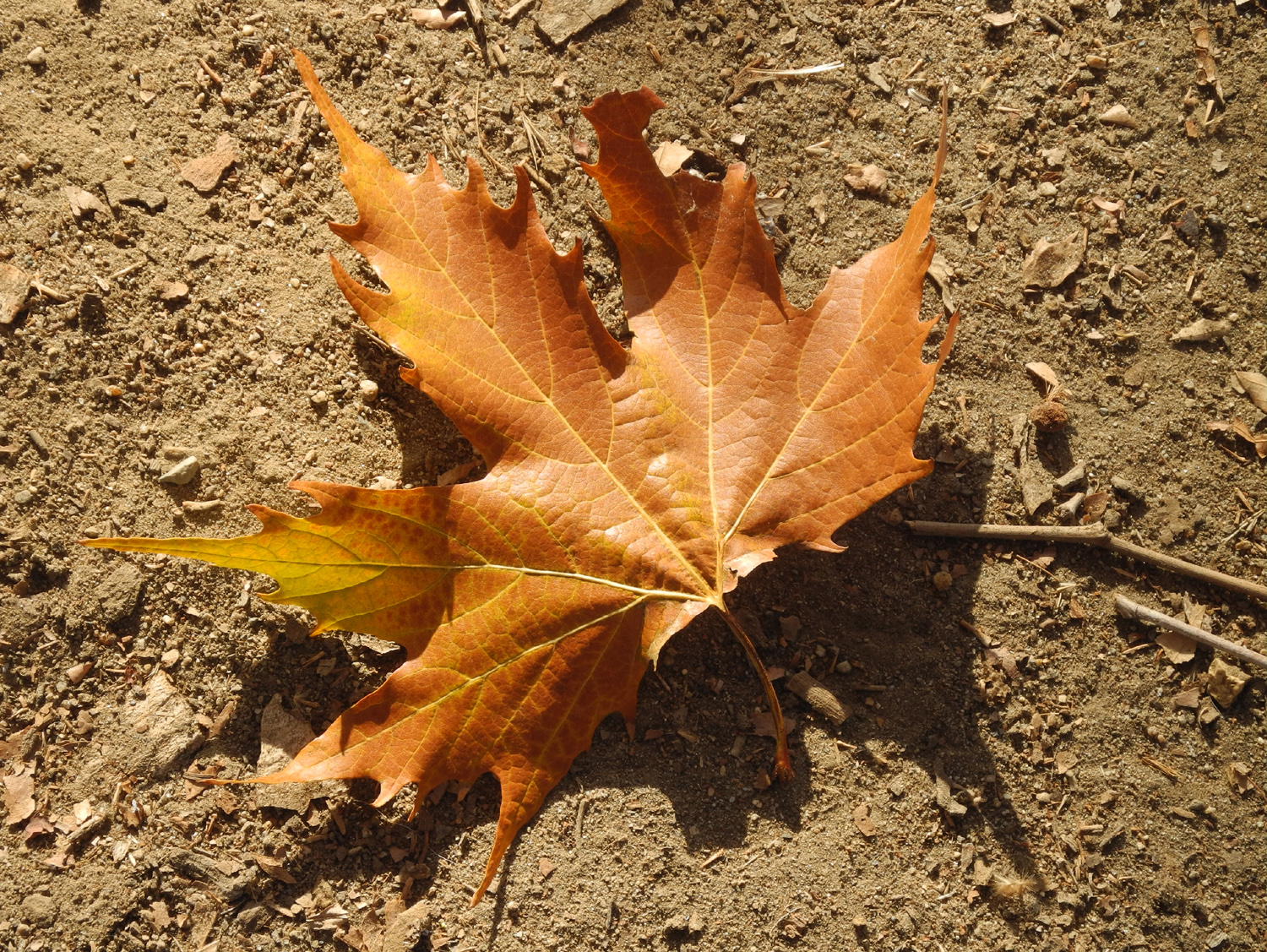
| Sycamore leaf, nearly 12 inches across |
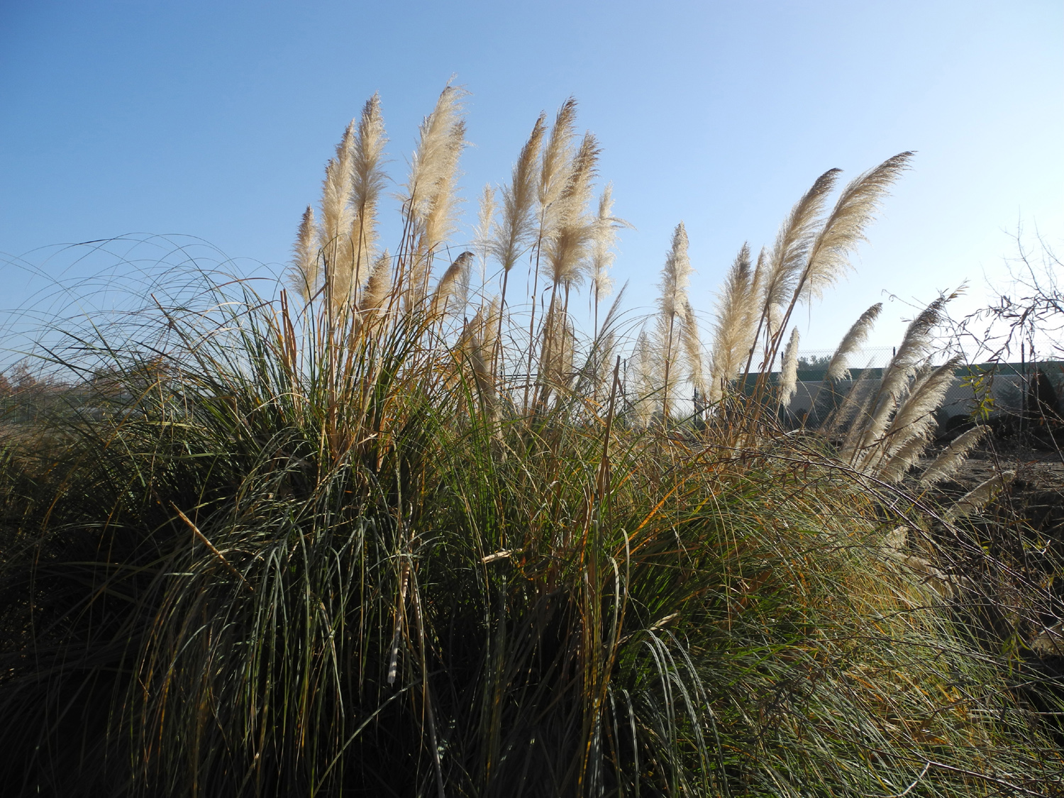
Exotic grass by the trail |
Backlit sycamore leaves |
| |
 |
 |
 |
|
Rest
stop next to the
Minnewawa parking lot |
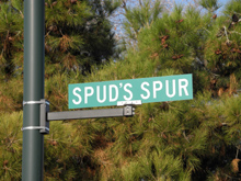
The
Internet could not tell me who Spud was |
The
spur itself - a short trail that
leads in from a residential area |
|
|
|

|

|
|
|
There
are five of these
signs in a 100-yard stretch |
"I
am NOT a feral cat - feed me!" |
Compass
etched into walkway |
|
|
|
|

|

|
|
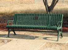
Benches
honor donors
who support the trail system |
Mileage
signs appear ever quarter mile |
From
the Marriott you can walk
out the back door to the trail |
|
|
|
|
|
|
|
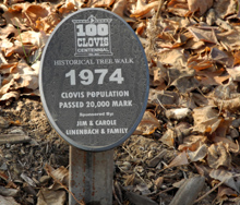
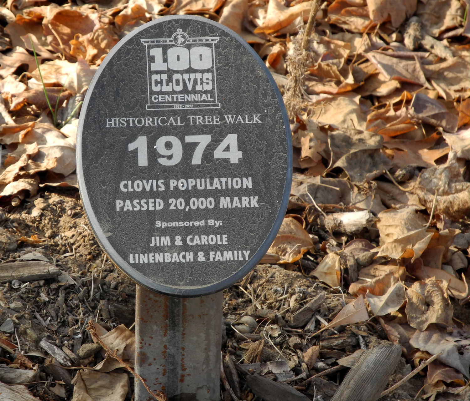
Forty-five
years later the
population is over 100,000 |
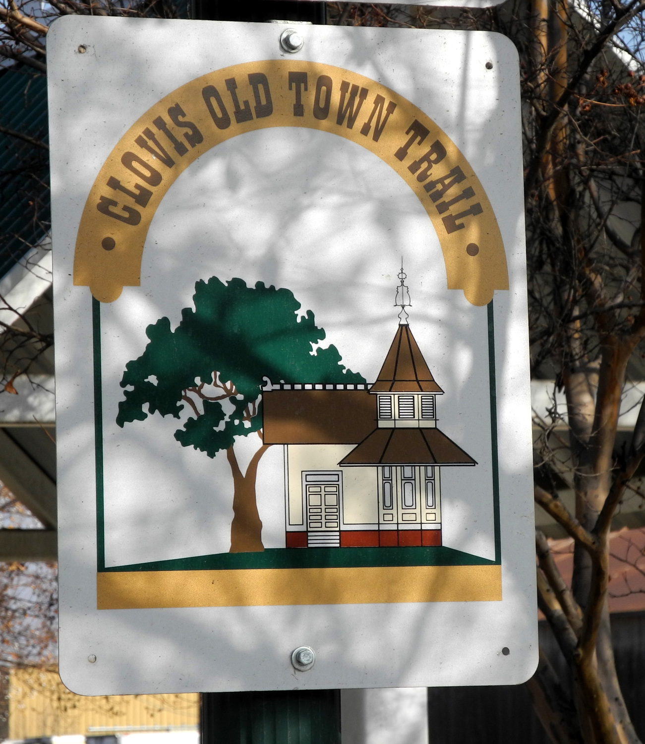
Trail
sign at Clovis and Sierra Avenues |
Was
the center line painter drunk? |
|
|
|
|

|
|
|
Dry
leaves along the trail |
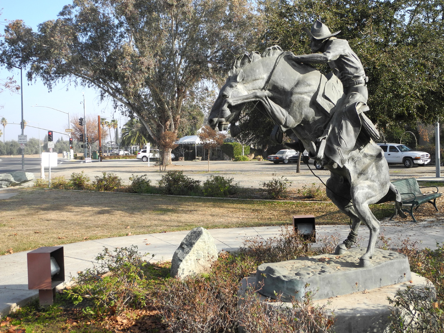
Despite
its present size, Clovis
honors its cowboy beginnings |
A
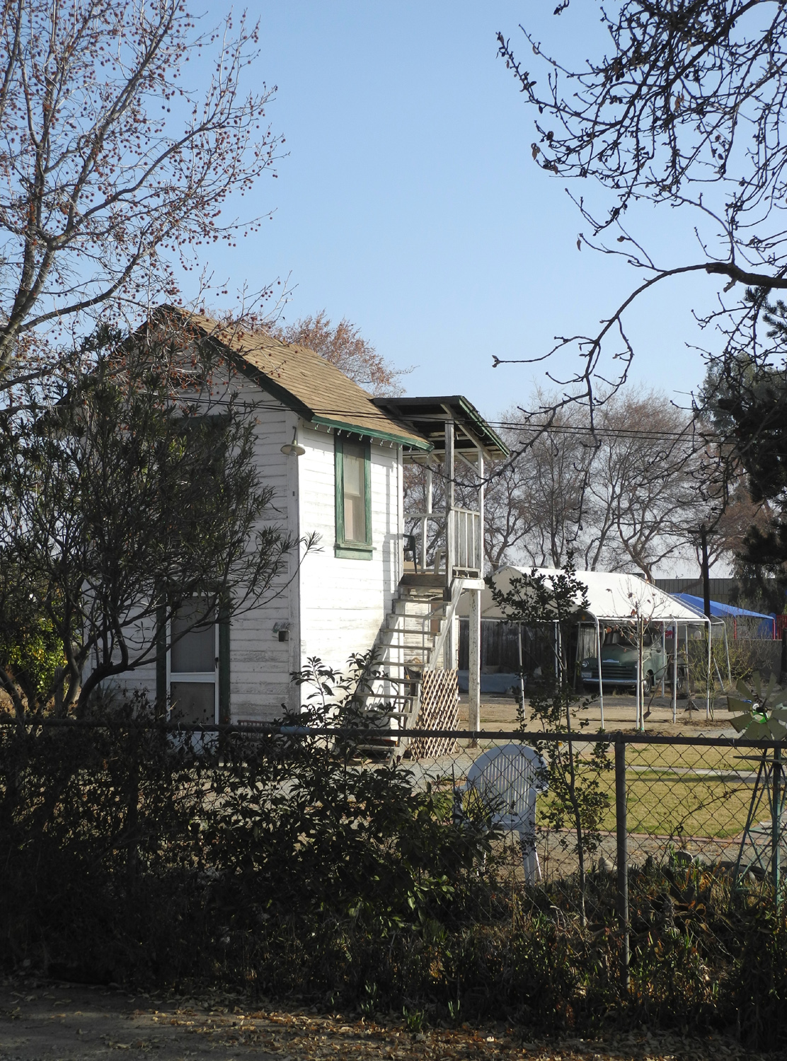
charming scene on
the edge of downtown |
| |
 |
 |
 |
|
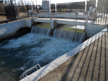
This
control system sends
water in two directions |
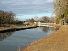
Looking
west along
the Enterprise Canal |
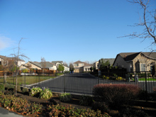
Housing
development
north of the trail |
| |
 |
 |
 |
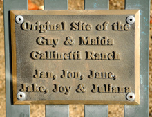
| Plaque on bench
next to the trail |
The Enterprise Trail
"officially" starts here |
You have to walk
on the canal bank
to get to the starting point |
| |
 |
 |
 |
| The tunnel under
Willow Avenue |
Official start of
the Old Town Trail |
The reason for
the trail |
| |
 |
 |
 |
| Some of the trail
landscaping |
This tree does
not understand
its position in life |
Not every trail
walker meets
the definition of considerate |
| |
 |
 |
 |
Ancient
eucalyptus, here
long before the houses |
The piney woods
part of the trail |
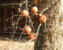
Known as oak
apples,
these develop
when a wasp
injects its eggs into the
tree |
| |
 |
 |
 |
It's a weed, but
looks good
when young and green |
Some unexpected
flowers |
The old barn at
Willow and Nees Avenues
|
| |
 |
 |
 |
| A trailside
observer |
Where the trail
crosses Peach Avenue |
Tulip tree
blossoms |
| |
 |
 |
 |
Part of the
Clovis Rec
center; the building's original
purpose is unknown to me |
Where the Tarpey
Station
once was; now it's downtown |
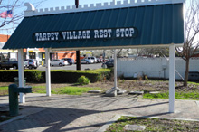
There's no bench,
but I
guess you can stand under it |
| |
 |
| Dramatic
clouds provide a backdrop for a new housing development, just under
way |
| |
| Hite's Cove Trail and
Highway 49 (WT = Wes Thiessen photo) |
| |
 |
 |
 |
The hike starts with a walk
up this
driveway to the trail |
Wes by the Merced, ready to go |
South Fork, Highway 140 bridge,
and
main Merced River (WT) |
| |
 |
 |
 |
Rugged Merced River
canyon from the
trail |
Location, location, location |
Dick on the trail (WT) |
| |
 |
 |
 |
| Wes on a ledge at the edge |
A still reflecting pool in the river |
Cliff, poppies and river (WT) |
| |
 |
 |
 |
| Wes gets the perfect shot |
And so does Dick (WT) |
The reason for the hike -
flowers
and
other scenery (WT) |
| |
 |
|
 |
| A typical stretch of the trail (WT) |
A closer view |
Pure poppy field (WT) |
| |
 |
 |
 |
| Up close |
Shooting stars, the most
beautiful of
all wildflowers |
Baby blue eyes |
| |
 |
 |
 |
| Nature's amazing landscaping abilities (WT) |
A rare section where the trail
goes
through trees (WT)
|
A stand of shooting stars (WT) |
| |
 |
 |
 |
| Just poppies and rock
outcroppings (WT) |
| |
 |
 |
 |
| A zig zag arrangement (WT) |
Bagby Grade on Highway 49,
just north
of Bear Valley |
Dick and Wes at the Bagby
Grade
overlook (WT)
|
| |
 |
 |
 |
Yosemite Valley from near the
old Pine
Tree Mine site |
Chemise brush and rugged
hills of the
Merced drainage |
Closer view of chemise |
|
 |
 |
 |
|
Wes and Dick with Yosemite
in the
distance (WT)
|
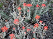
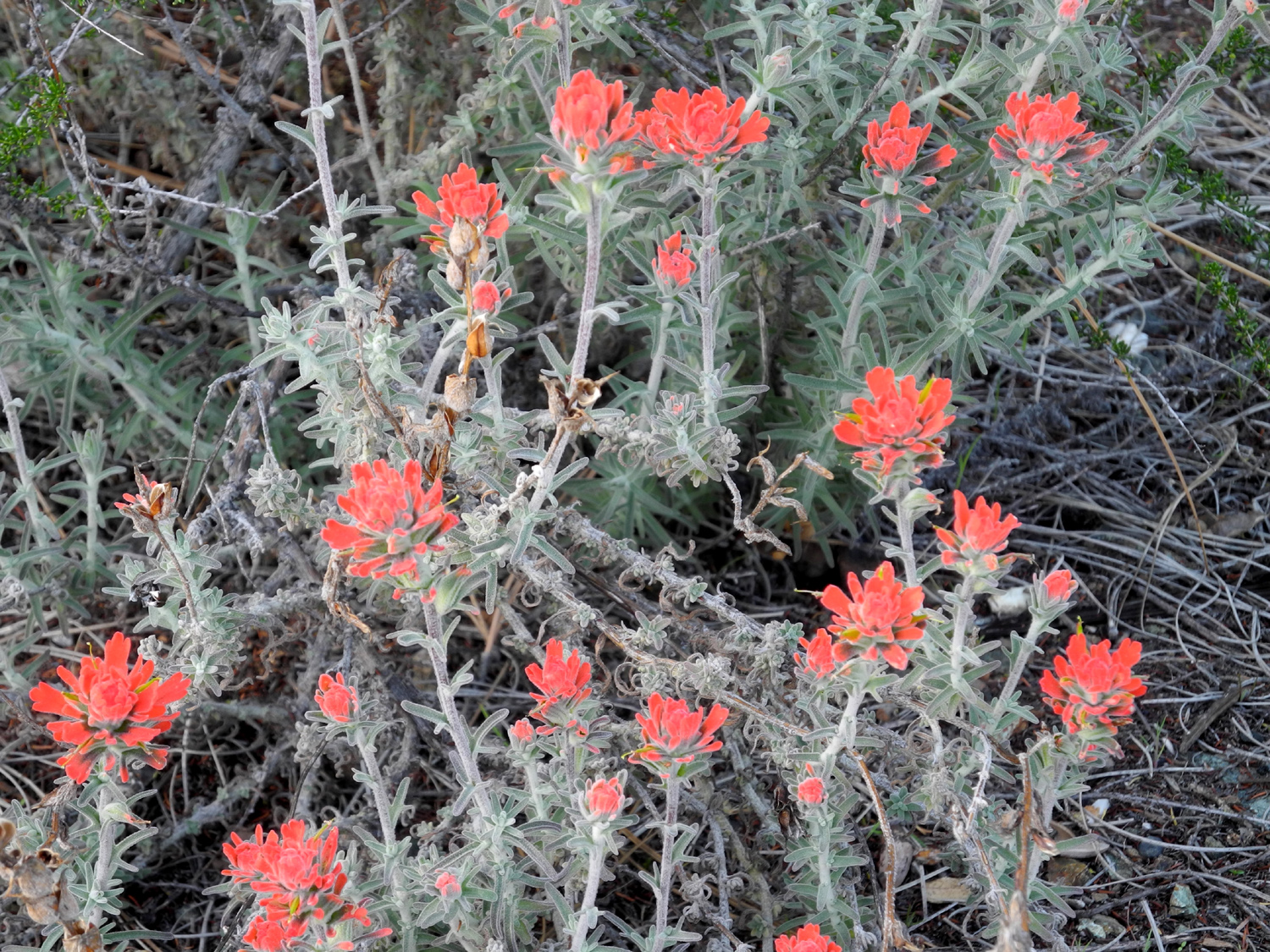
Indian paint brush |
Good spot for
archeological study |
| |
| Related Links |
|
| Blue
Oak Trail Info
|
Millerton
State Recreation Area |
South
Shore Trail Map
|
| Winchell
Cove Marina |
Clovis
trail system |
More
Trail Info |
| Biking
the Trails |
Clovis
Botanical Garden |
Hite
Cove Trail |
| More
About the Trail |
Hite
Cove Trail
Map |
USFS
Information |
| Merced
River Canyon Photos |
Merced
River |
South
Fork |
| Mariposa
Grant |
Pine
Tree Mine |
The
Story of John Hite |
| |
|
|


