|
Sierra Foothills - Winter 2013 |
||
|
|
||
|
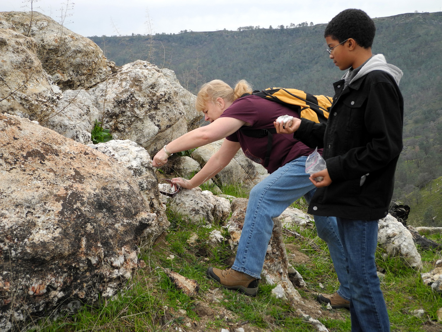
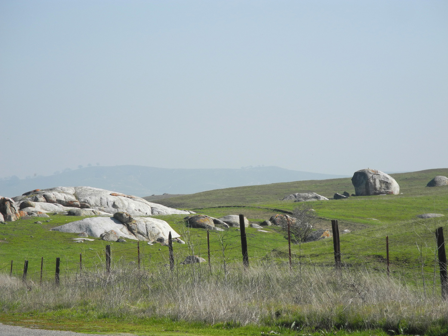
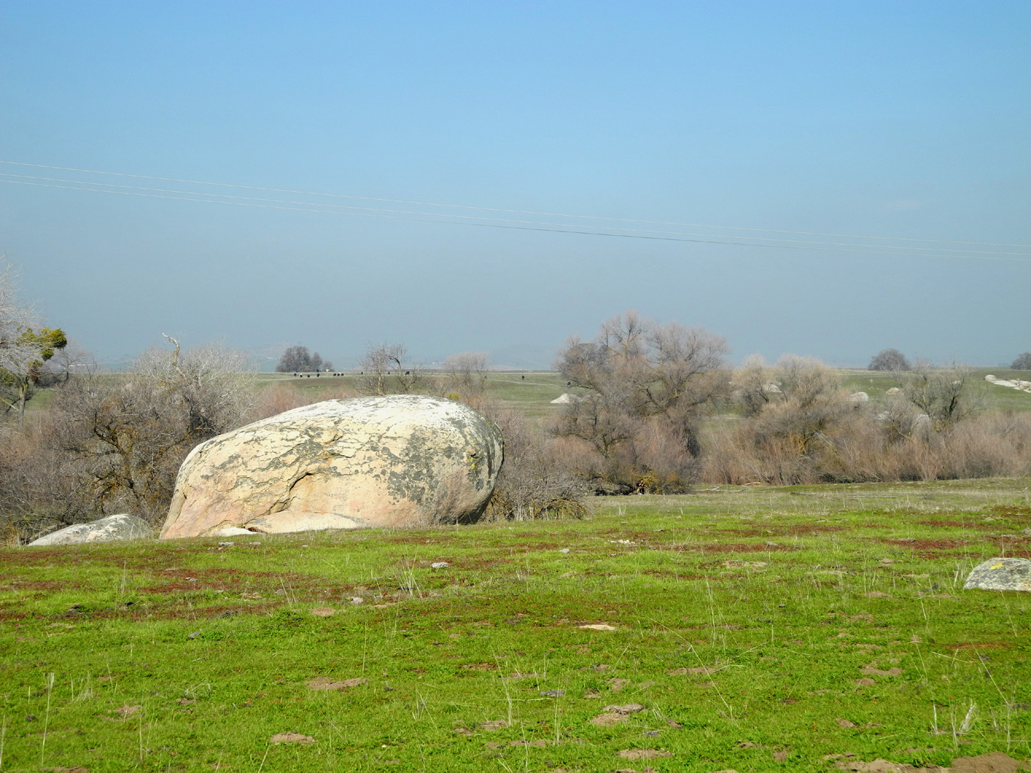
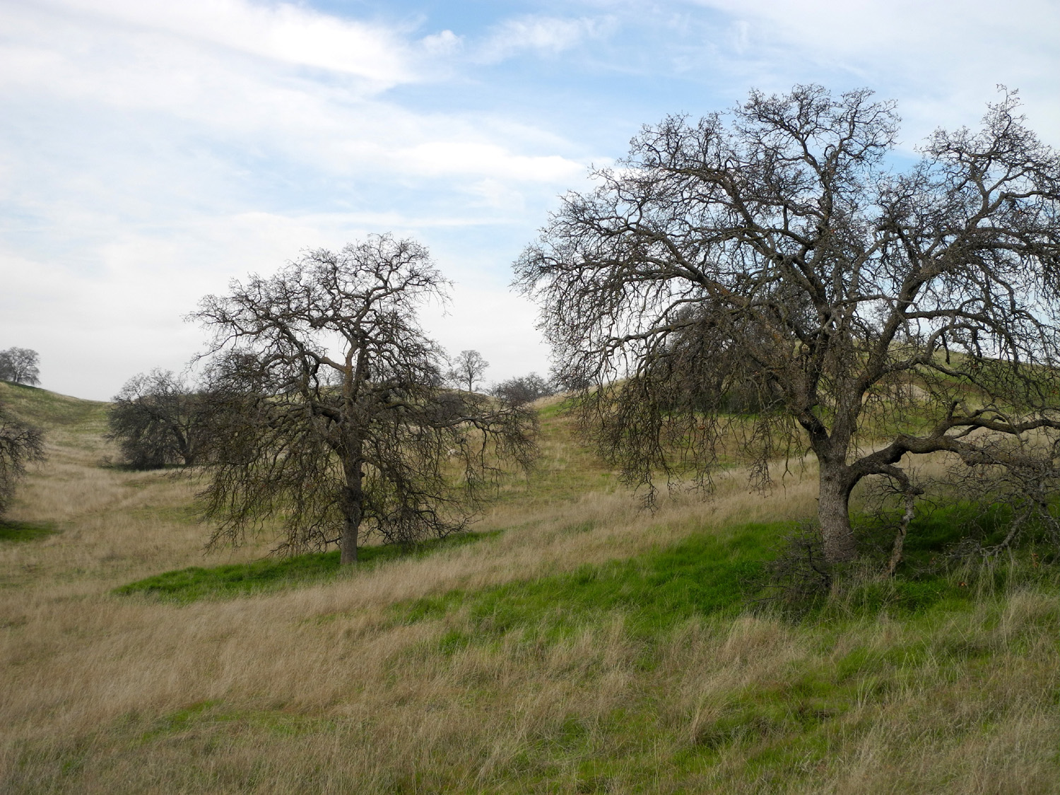
On February 2 I went hiking with my friend Janell Sidney and her grandson Mark Washington. We went to the Finegold trailhead near Sky Harbor, where I had been three times last fall, and made mainly the same hike as my first visit, up to the top of a ridge where the lake curves around and there is water on three sides of you. My first hikes were in October and November, when the grass was dry and the weather was fairly warm. For this hike, we had bright green grass, a few flowers and weather that was just right for a brisk uphill hike, about 65 degrees. We left my house a little after 10, and made the 25 mile drive to the trailhead. Previously there had been only one or two other cars at the parking lot, but those hikes were during the week. This time, on a Saturday, there were at least a dozen other cars there. Despite all the vehicles, we saw only a few people along the trail, until we reached the ridge top, where a group of six or eight were coming down the hill west of the trail. We also met and talked to a couple of bike riders, one of whom was riding the entire 14 or so miles of the trail from the San Joaquin Gorge to the Finegold trailhead. Janell and I agreed that nothing could make us ride a bike down that steep hill. At the ridge top there are a number of boulders with large sections of quartz, so Janell and Mark turned into hard rock miners, trying to chip out some crystallized samples of the rock (also hoping that a gold nugget might pop out). Along the trail on this and my previous hikes, we picked up a few pine nuts. These come from the bull pine, also known as digger pines and grey pines, and are quite tasty. However, the shell is very hard, the nut is small, and cracking them often results in an inedible smushed mess of shell and meat. In other words, while it's fun to "live off the land," pine nuts are more trouble than they're worth (I still have most of the ones I picked up in October sitting on the kitchen counter, waiting for ambition to strike). After resting and "mining" at the top of the ridge, we continued a few hundred yards past this point. We agreed that we’d like to explore the trail further, if we could just get someone to drop us off at the top of the ridge. It’s a fairly steep climb, nearly all up hill, and once you finish that, there’s not much ambition to go farther. On our way home we stopped and had lunch at the Dam Diner in Friant. --Dick Estel, March 2013 |
||
|
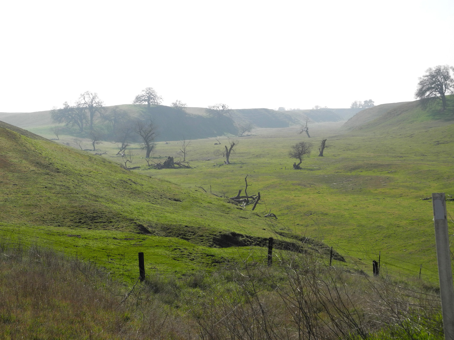
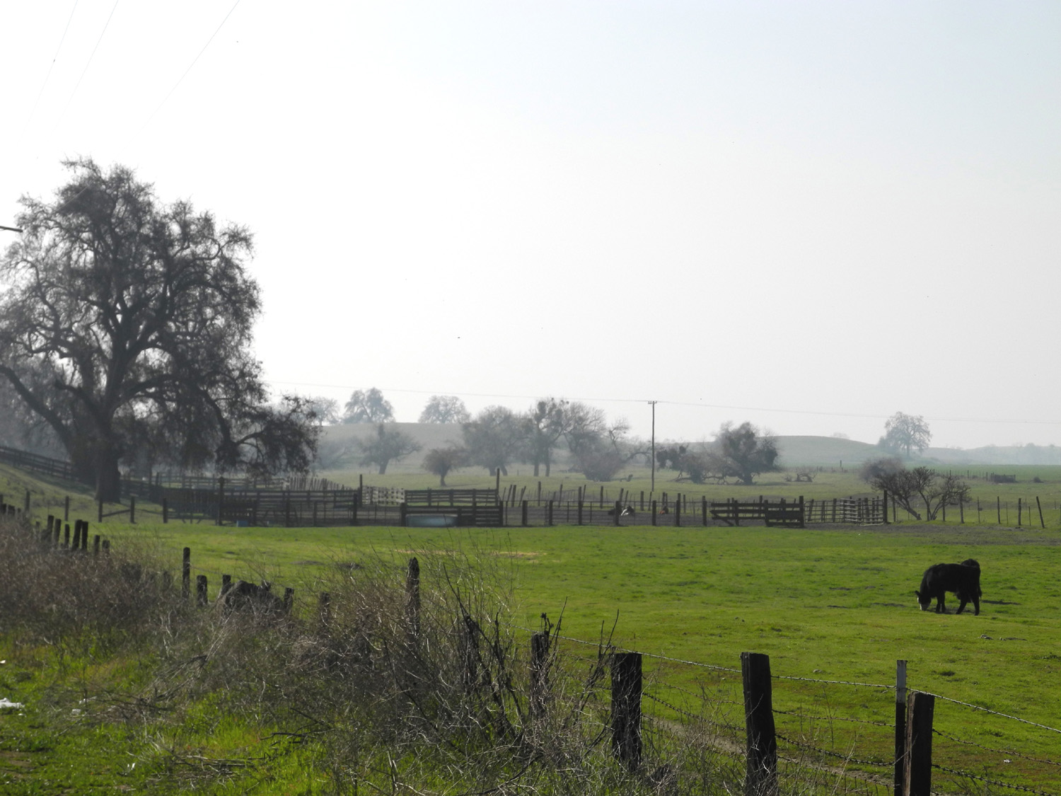
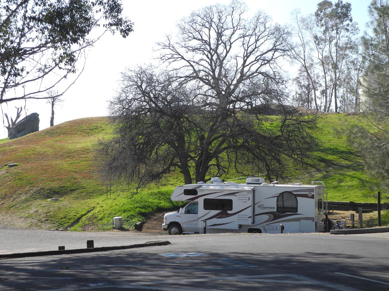
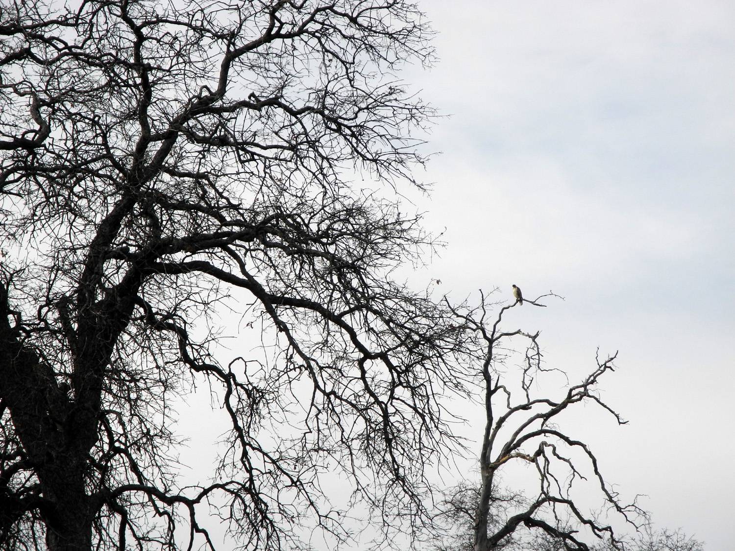
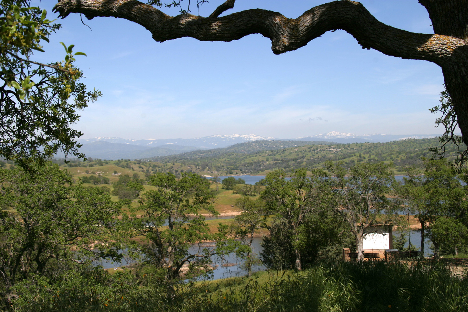
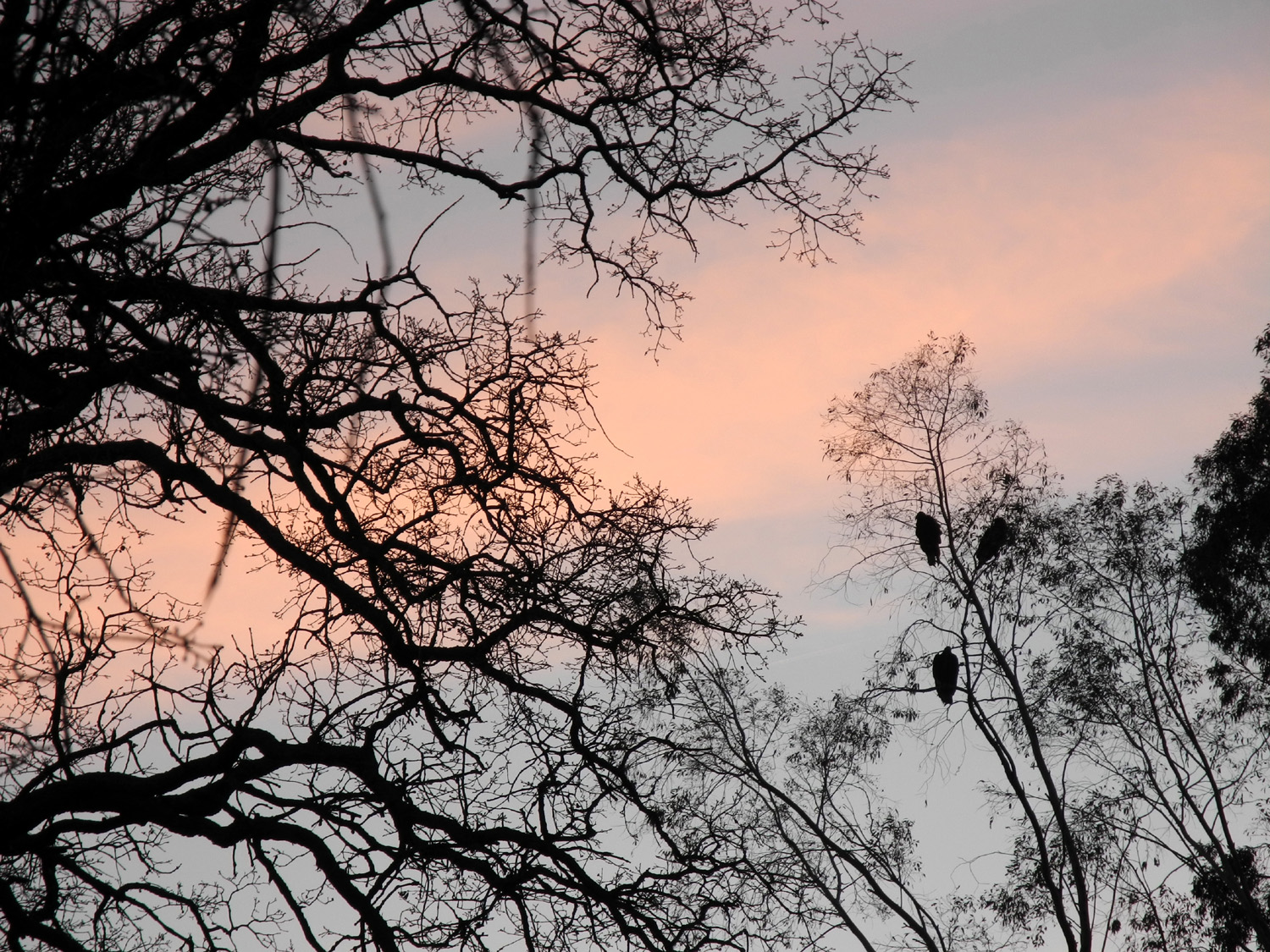
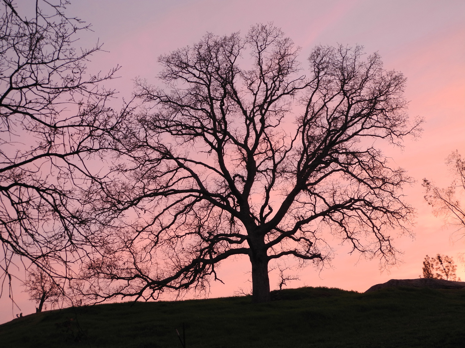
Hensley Lake One of my favorite winter/spring camping areas is Hensley Lake, located on the Fresno River in Madera County, about 45 miles from my house. I try to go at least once every year, although scheduling is sometimes a challenge. If the weather is nice, I often have other stuff to do, and when my schedule is clear, it seems to bring rain or cold or wind. However, the forecast for February 4 - 6 was for temperatures in the 60s, very little wind, and no precipitation, so I decided it was time. The campground has quite a few sites with electricity, and there is a reservation system that allows you to book a site on-line and pay for it by credit card. Since going to Hensley is often a last-minute decision, I have not used the system in the past, but once in a while that means I get a less than desirable space. One time I was able to get the only available site with hookups, but only because the people who were there before me decided to leave early. Last year as I rode my bike around the campground, I made a list of the better sites, since there's nothing on-line to tell you which is which, just site numbers. I was able to get my number one choice, but as it turned out, I would have been fine just showing up - there was only one other party anywhere near the area I wanted, and only four total. I got started at my usual time (when I get around to it), and had a nice, scenic drive. The first part is north on Highway 41 then west on Highway 145. This section is only moderately scenic, and I've driven it hundreds of times. However, once you turn off the main highways, you get on Road 400, which winds through low hills, past ranches, creeks and ponds. For the first time I stopped and took some photos in this area, since I have photographed the scenery around the lake and campground extensively. I got set up in my chosen spot, and got busy doing nothing. Actually I did some bike riding, a little walking, and a lot of reading the first day. The next day was very nice in the morning, and after breakfast I rode my bike to the trailhead for the one mile loop trail and hiked that, stopping at one point to rest and read for about a half hour. In the afternoon a strong breeze came up and it was a little cooler than I would have liked, but still nice to be out in the country. Late in the day a few buzzards landed in a tree on the hill above me, and I got some nice photos of the birds silhouetted against the sunset. Due to the colder weather, I ended up inside earlier than usual, reading, watching TV and eating. The next morning I got a leisurely, late start, getting back to Clovis early in the afternoon. |
||
|
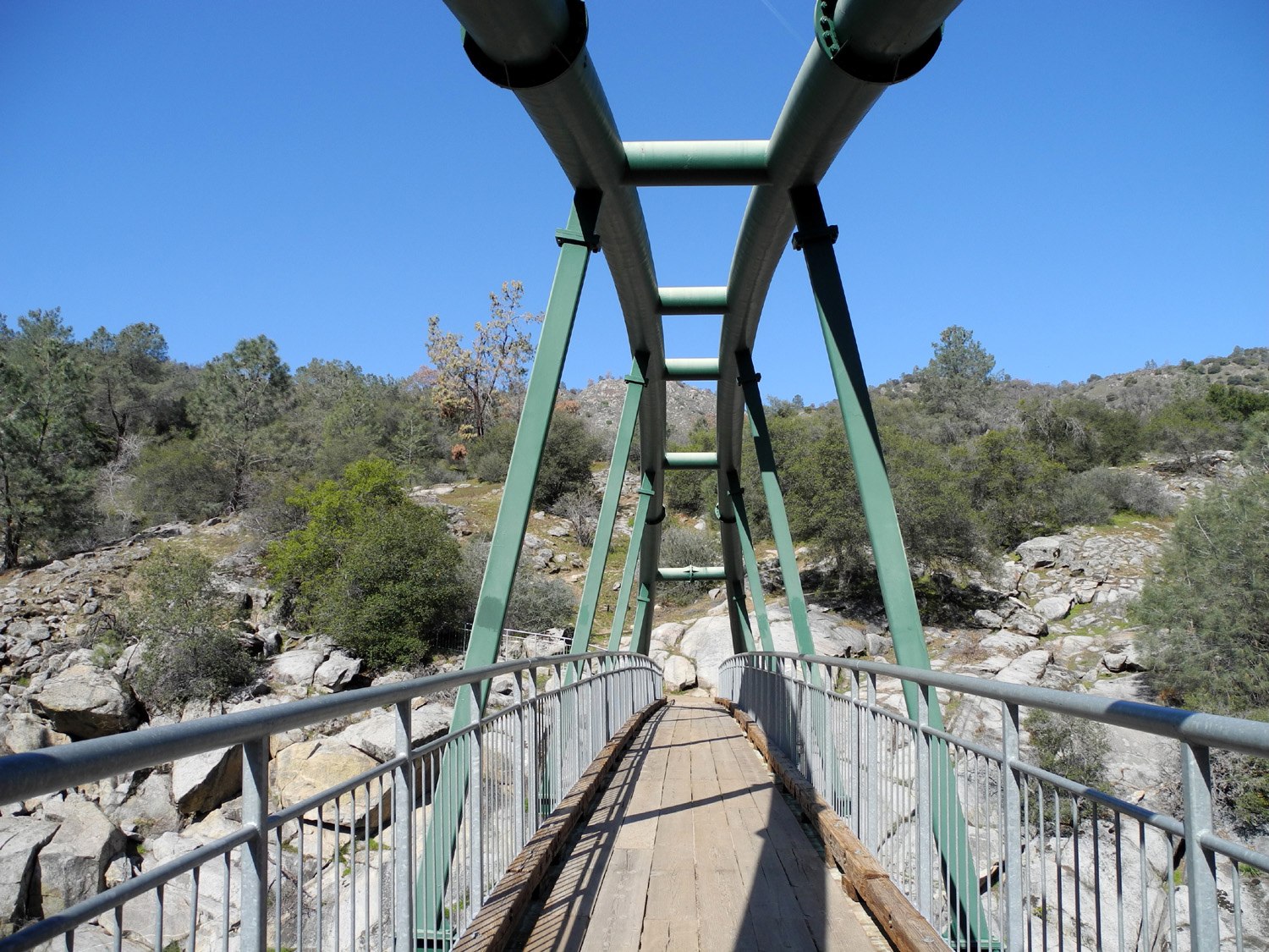
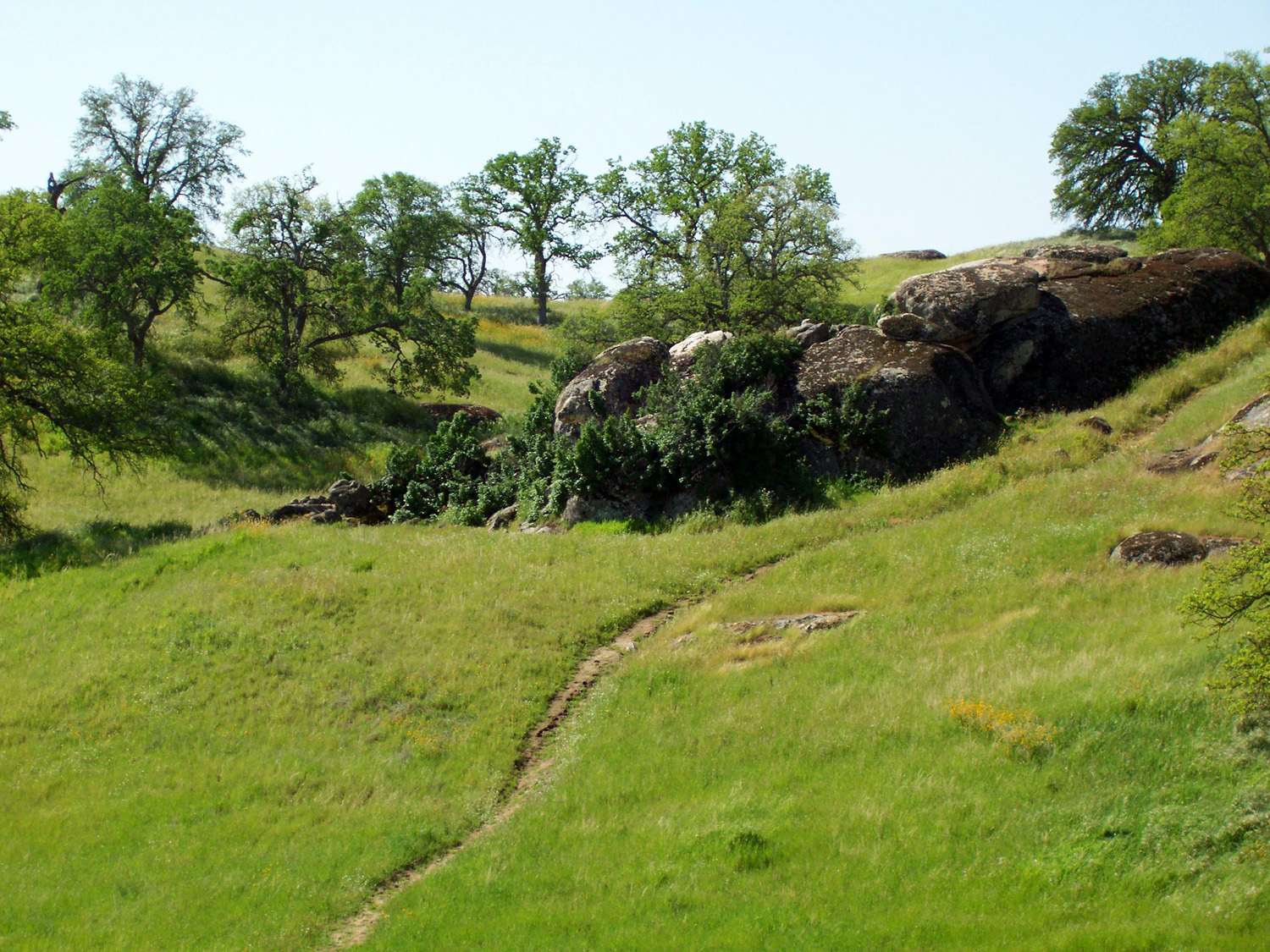
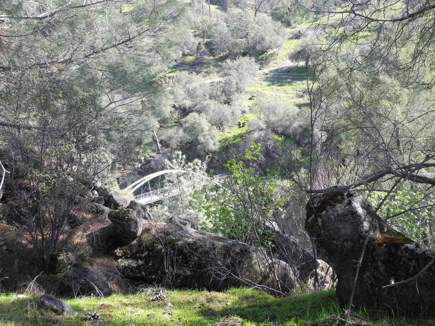
San Joaquin Gorge On February 28 I did not do my usual morning walk. Instead I went to the San Joaquin Gorge (Squaw Leap) and hiked the trail down to the river. (Read about last year's hikes in this area here.) Actually I only hiked about half the trail; as soon as I went through the first gate I veered off to the right and went “cross-country.” I had done this a few times in the past, but don’t have any particular route that I can recall, so I just tried to follow normal hiking rules – never lose elevation unless you have no choice, regardless of detours around brush, gullies, etc.; continue in the general direction of your destination, and for those of us of great age, be careful with every step, especially going up and down rocks or down steep hillsides. --Dick Estel, March 2013 |
||
|
|
||
|
|
 |
 |
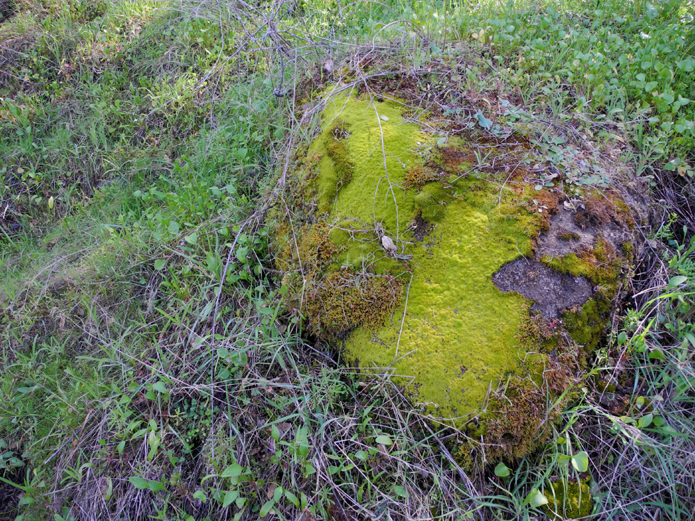
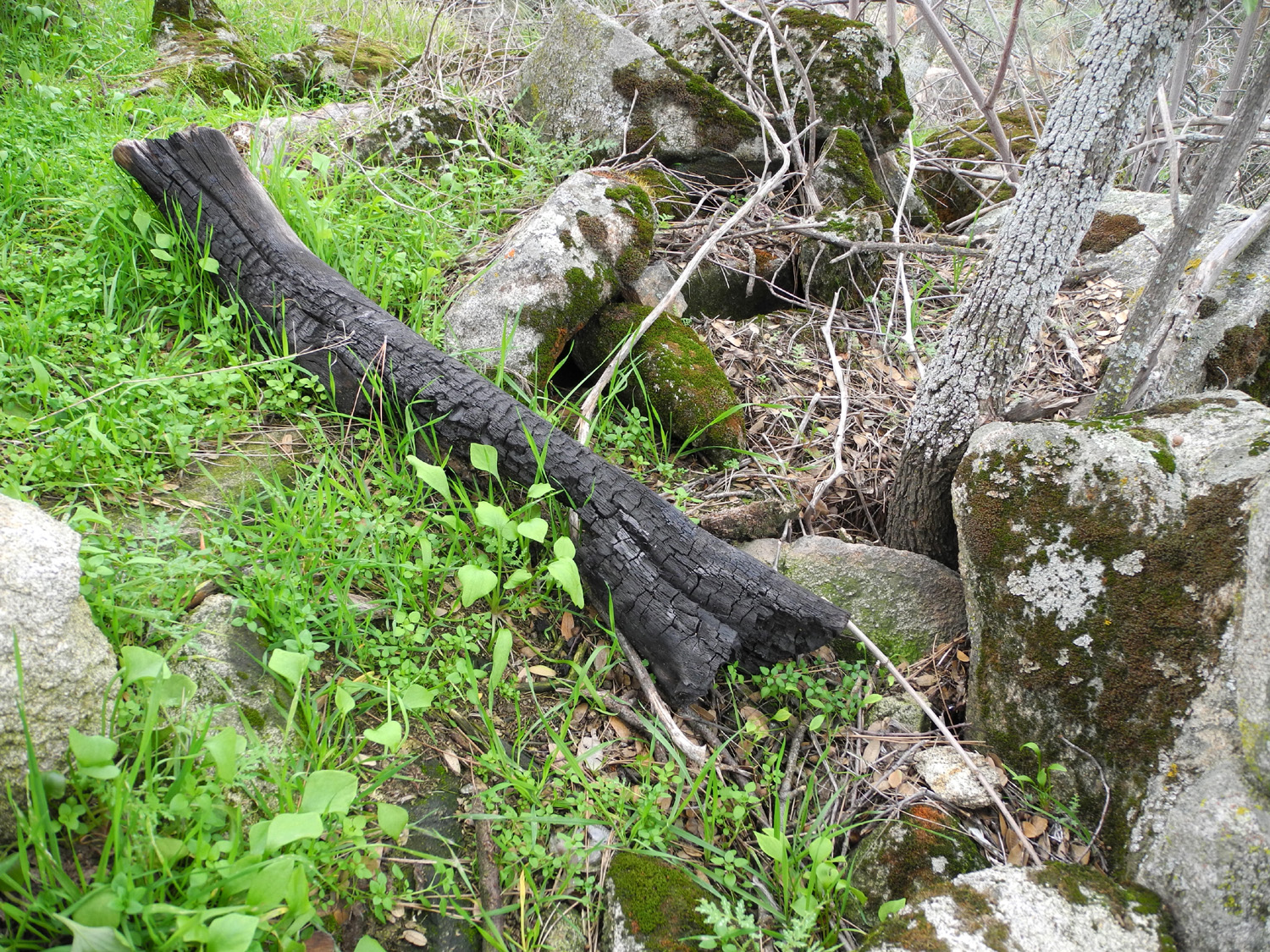
| Nature creates a striking
composition with the burnt log, green plants and mossy rocks |
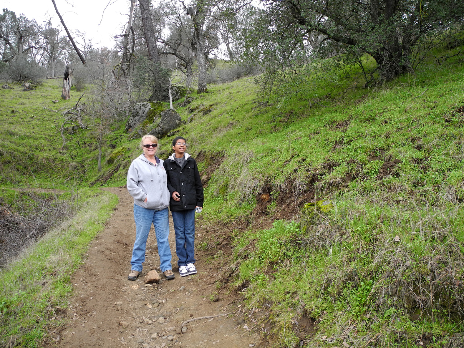
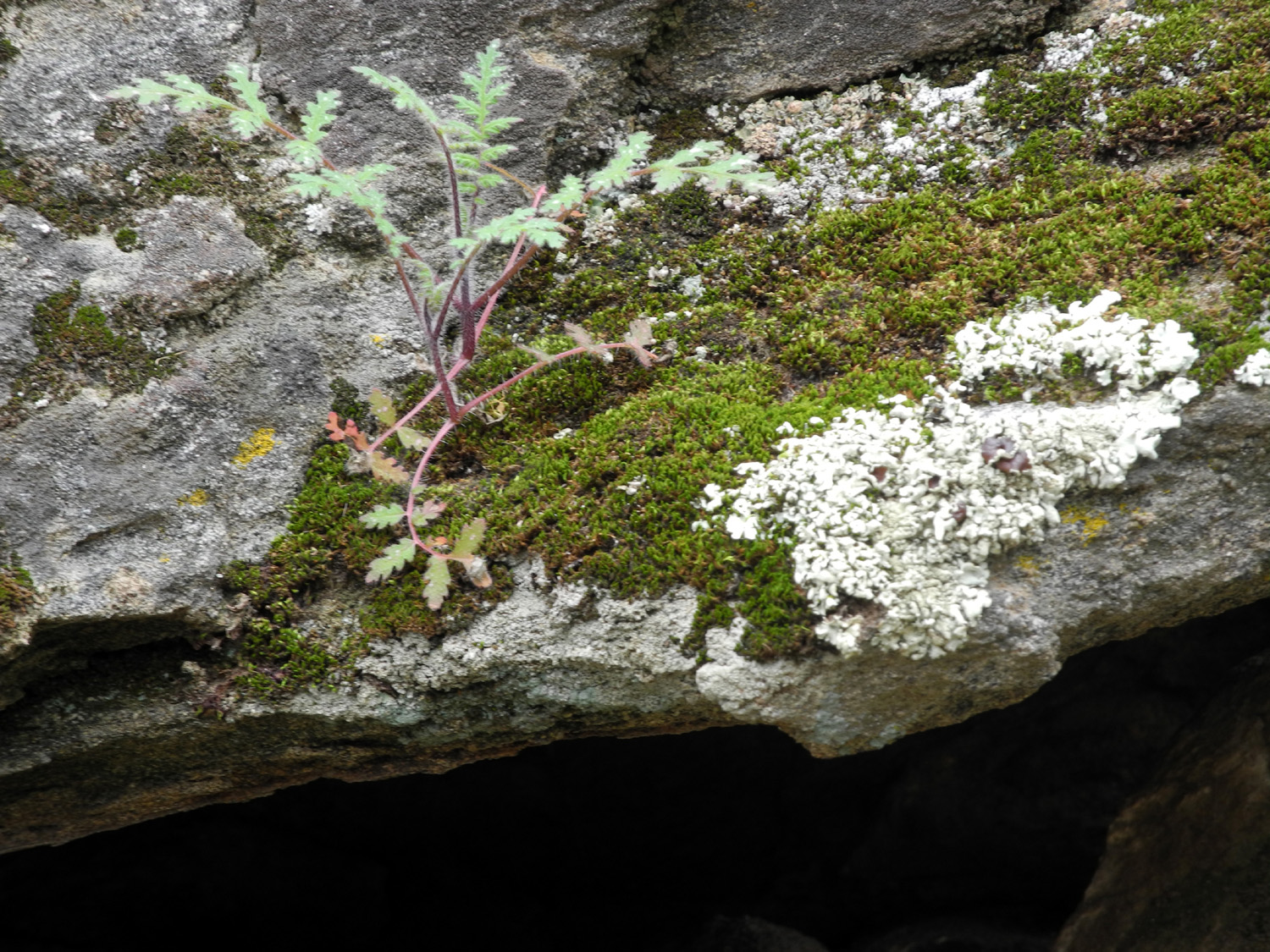
Janell and Mark on the trail | Plants grow anywhere they can find a bit of soil |
 |
|
 |
|
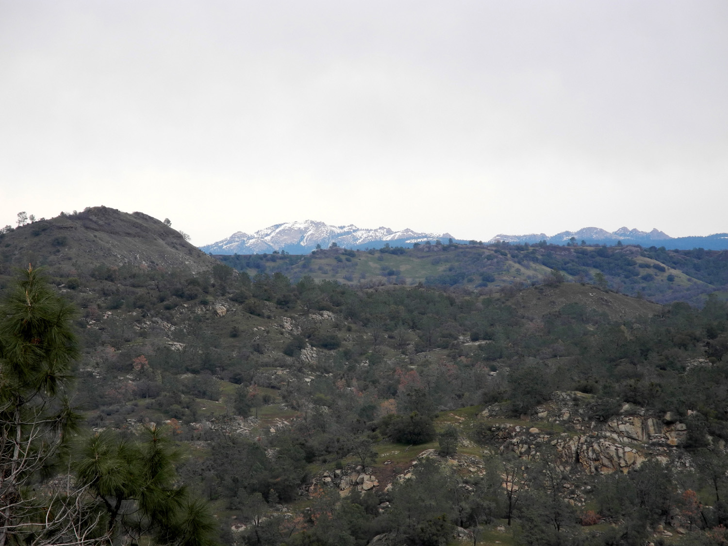
Shuteye Peak and Eagle
Beaks, |
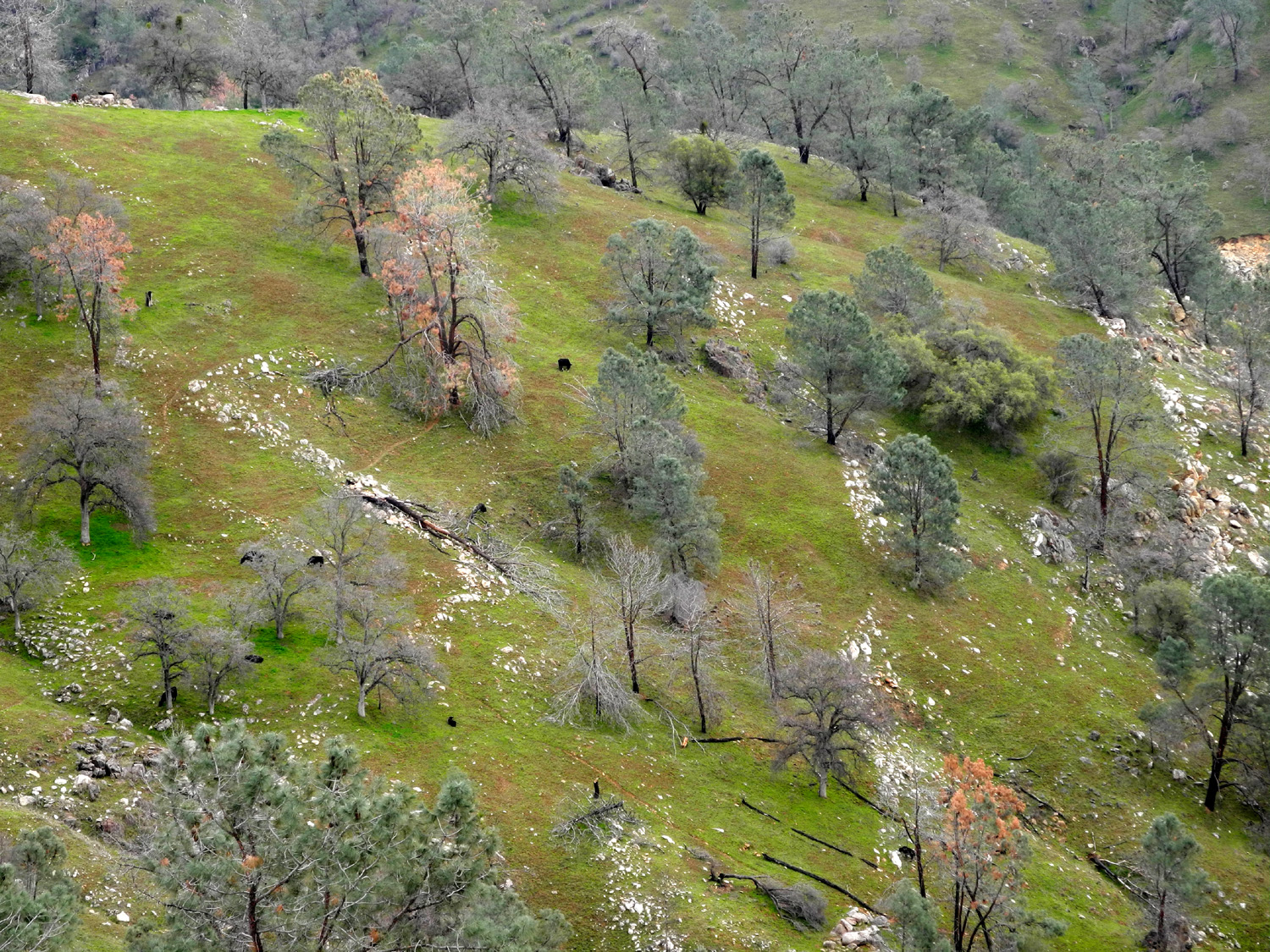
Janell and Mark try a little hard-rock mining | Black cattle, green grass, grey pines and white rocks |
 |
 |
 |
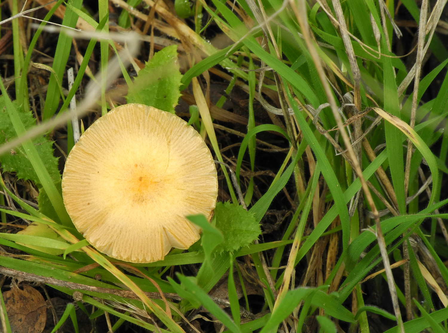
| Pine trees tower above a large rock outcropping | A lone mushroom nestles among new plant growth |
Boat rounding Horseshoe Bend |
| Hensley Lake Trip | ||
 |
 |
 |
| Rolling hills
along Road 400 en route to Hensley Lake |
Farmland along Road 400 | Ranch on Road 400 |
|
 |
 |
| Creek bottom by Road 400 | Parked in my favorite campsite | The crotch of this blue oak next to my camp provides a perfect germination basin |
 |
 |
 |
| The new crop of grass is getting a good start | One of the
many hawks seen on a typical visit to Hensley |
Lake and mountains from hill above campground |
 |
 |
 |
| A section of the Pohonichi Trail | Buzzards at sunset | Sunset at
Hensley, February 5, 2013 |
 |
 |
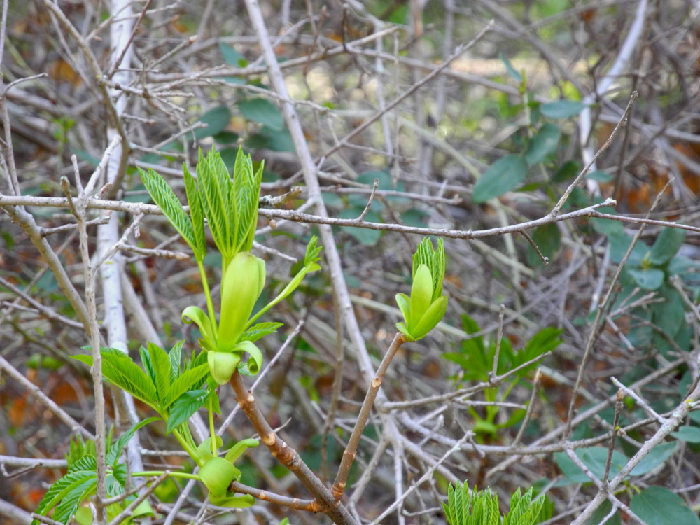 |
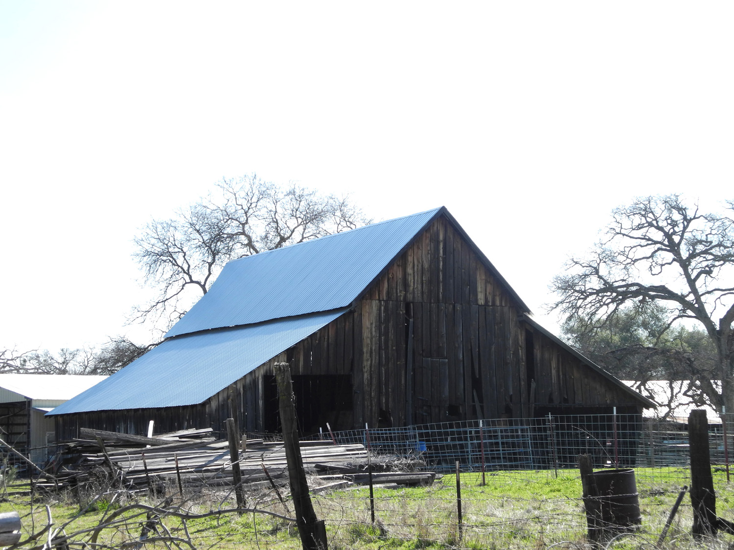
| A barn on Wellbarn road | Antique fire truck in Auberry | New shoots on buckeye tree |
 |
 |
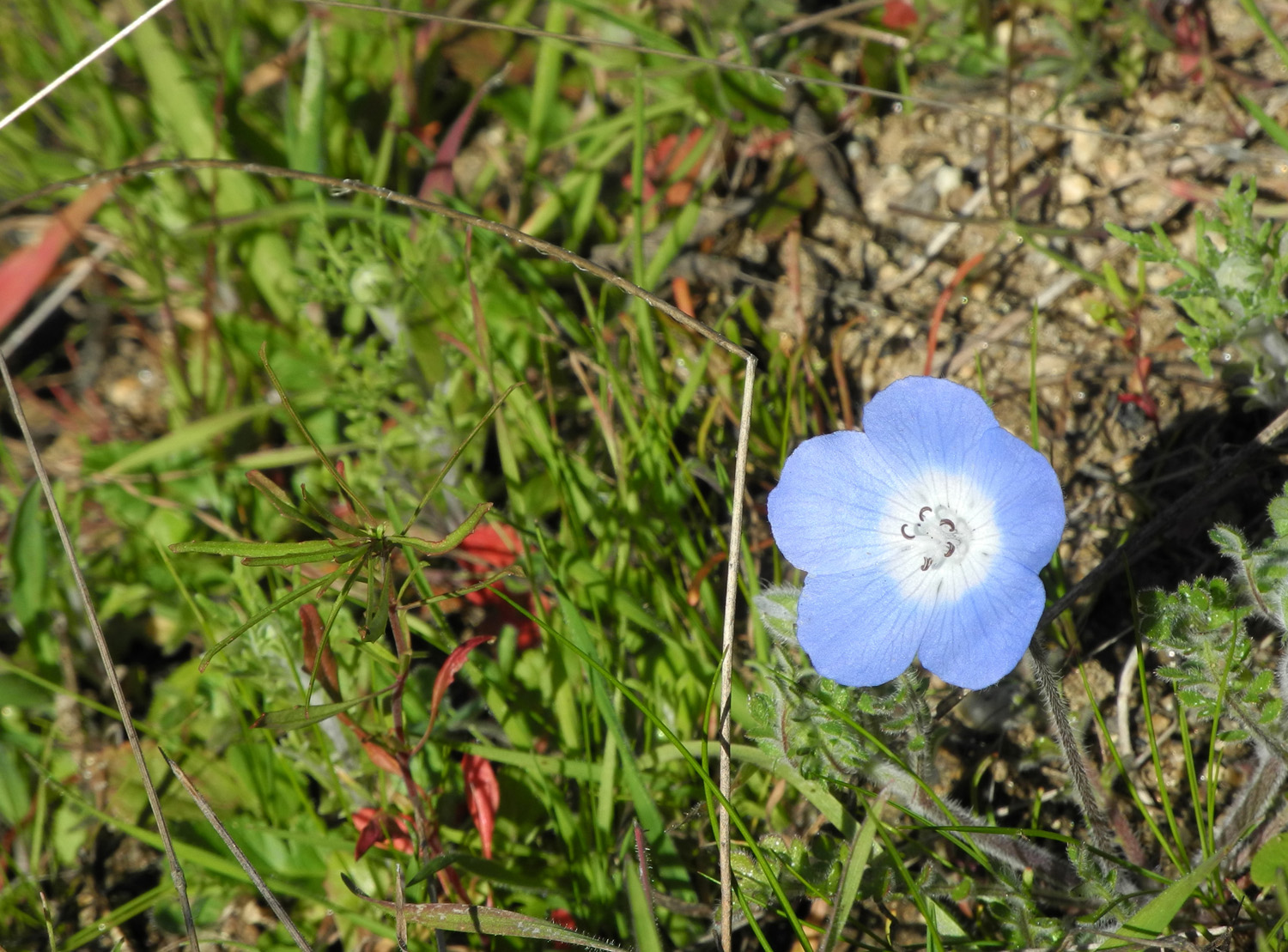 |
| Fuel for the next fire? | A study in shades of green | Baby blue eyes |
|
 |
 |
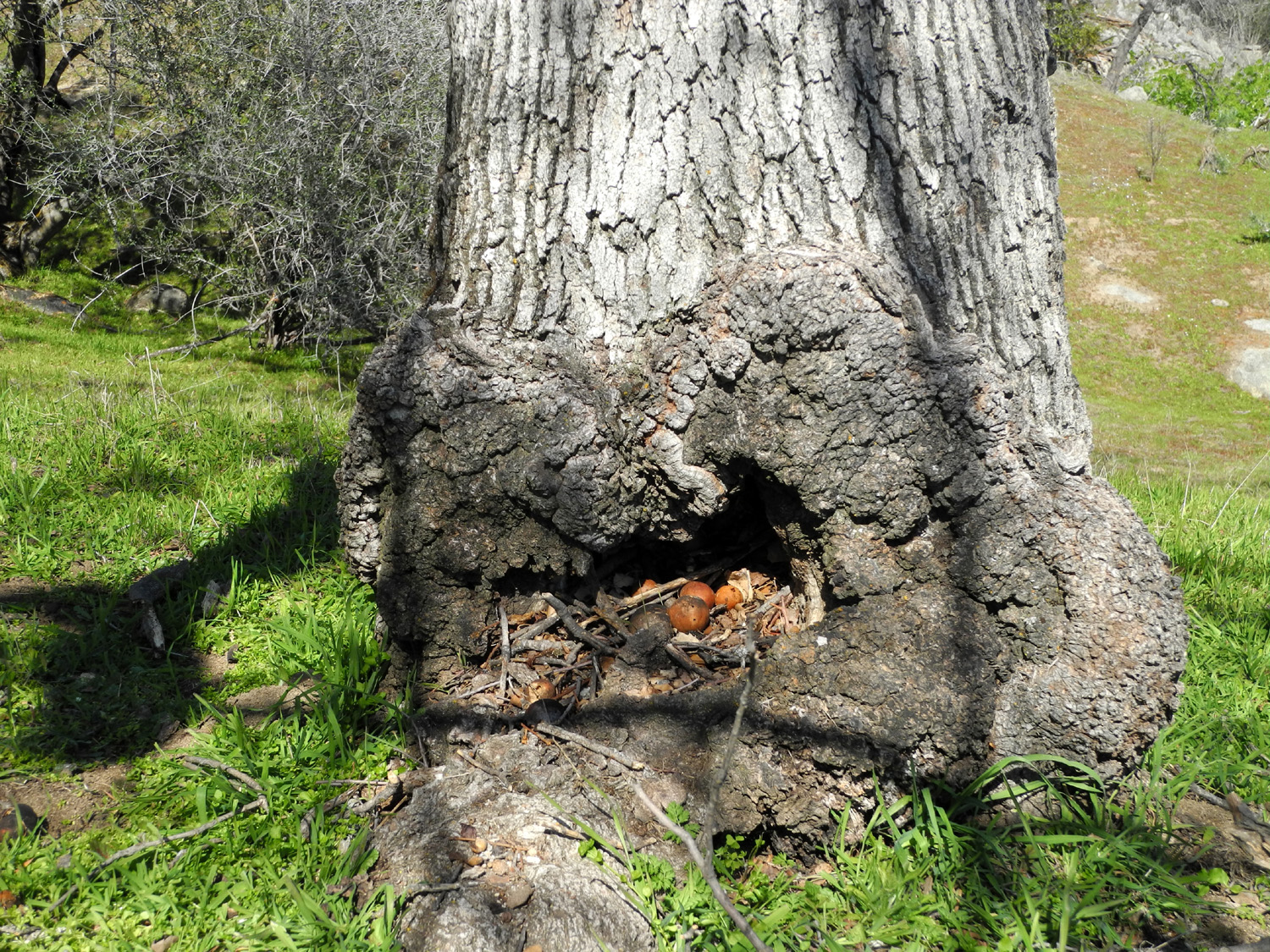
| Taken while standing on the bridge | A collection
of oak apples in the hollow of a blue oak |
Looking down
on the bridge from the ridge above |
 |
 |
 |
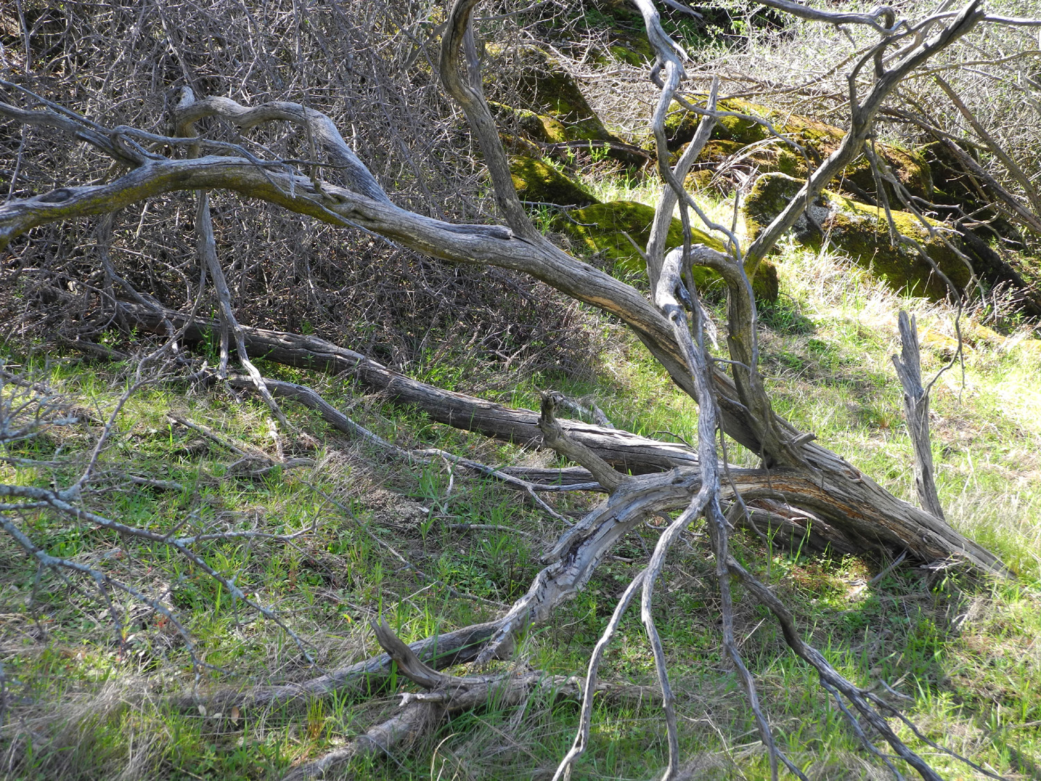
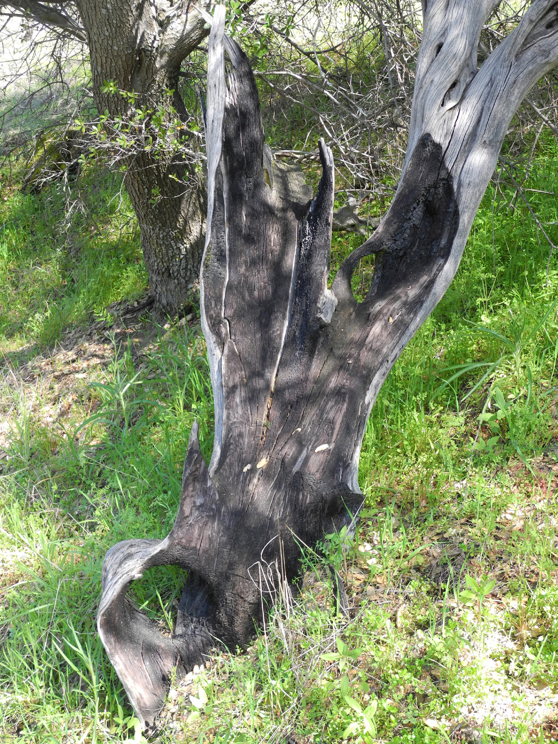
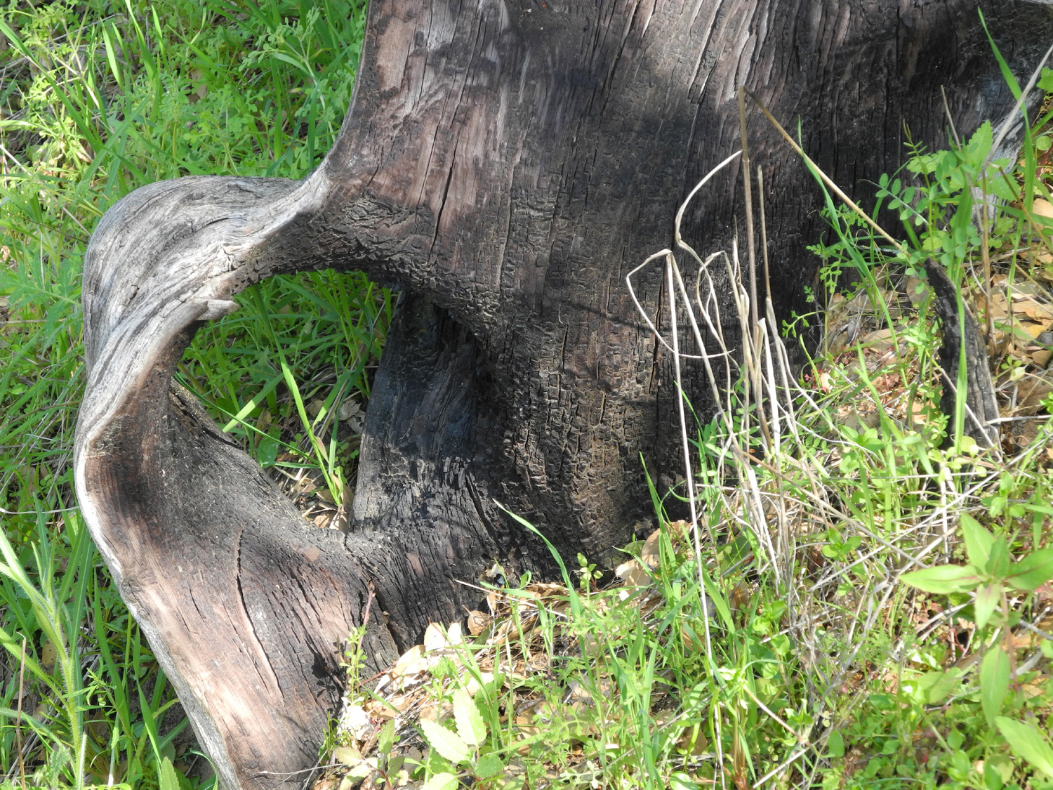
| Remains of a manzanita killed in the 1982 fire | Close up of the base | One of the
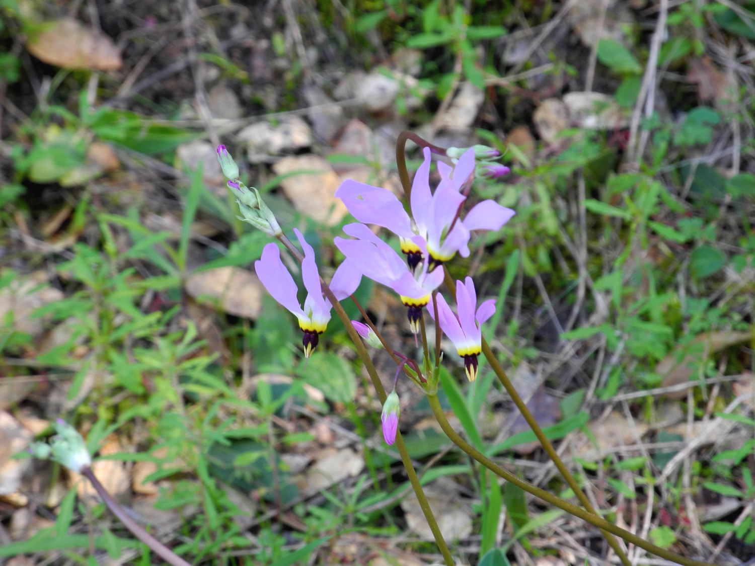
most dramatic wildflowers - shooting stars |
| Related Links | ||
| Millerton State Recreation Area | Prather, CA | San Joaquin Gorge Hikes |
| USFS | San Joaquin River | Hensley Reservoir |
| Fresno River | Red tail hawk | Federal Reservation System |
| San
Joaquin Gorge Special Recreation Management Area |
Wellbarn Road | San Joaquin River Trail |