
|
Dick's Adventures of 2020 - Part 6 |
|
| Photos Related Links More Travel Reports | |
| Adventures
of 2016 Adventures
of 2017 Adventures
of 2018 Adventures
of 2019
2020 Part 1 2020 Part 2 2020 Part 3 2020 Part 4 2020 Part 5 2020 Part 7 |
|
| Stargazer Rock Chilkoot Lake White Bark Vista Glacier Point San Simeon | |
| Stargazer
Rock 2020
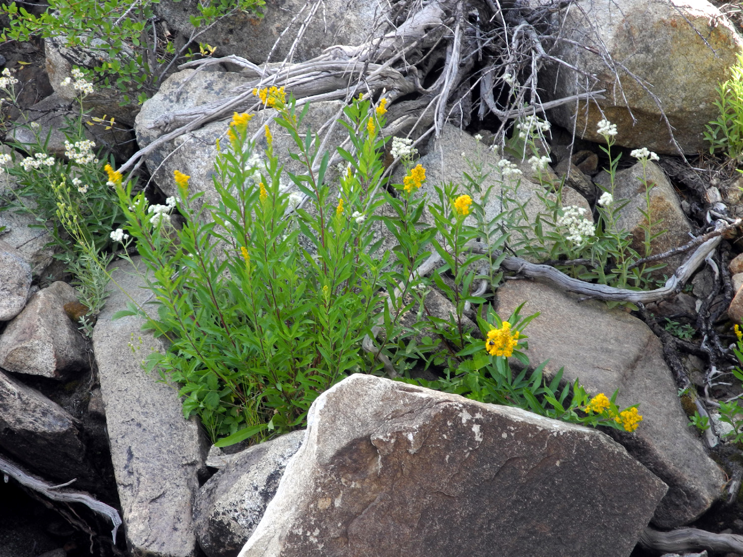
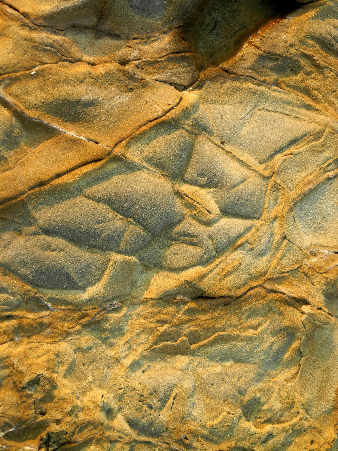
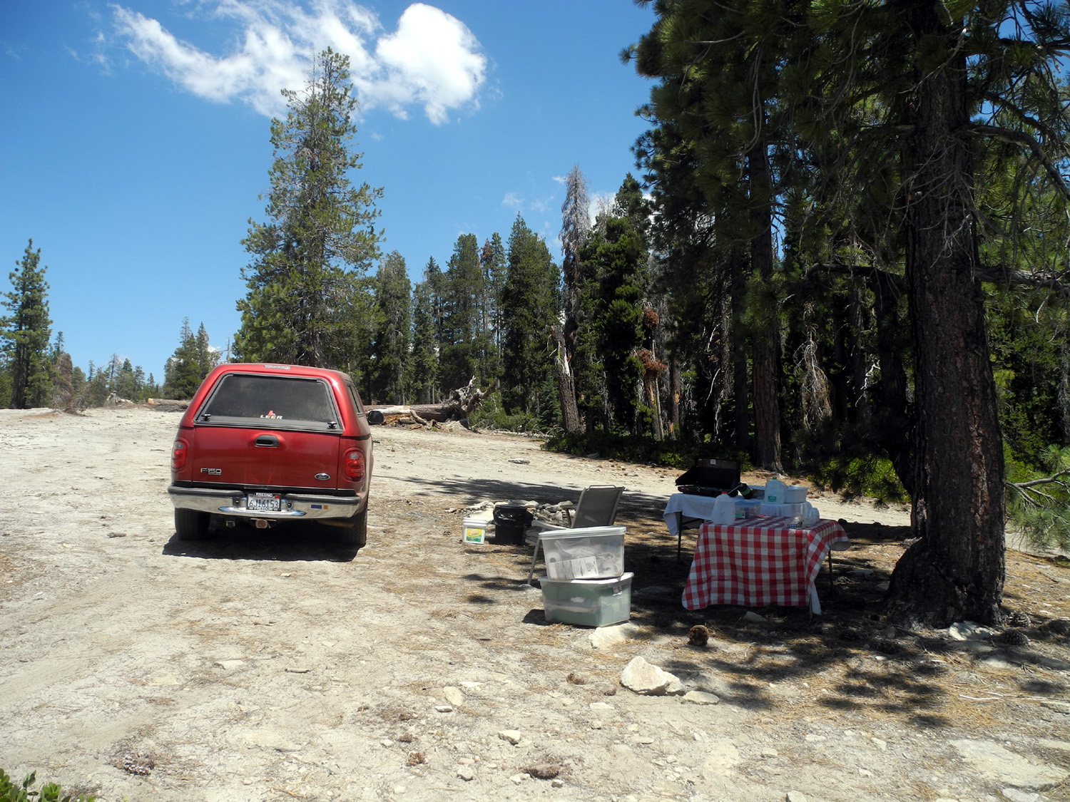
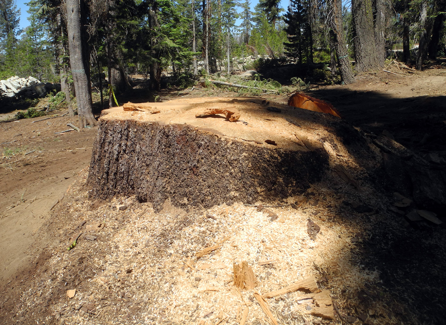
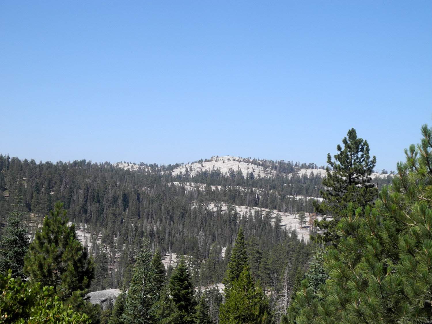
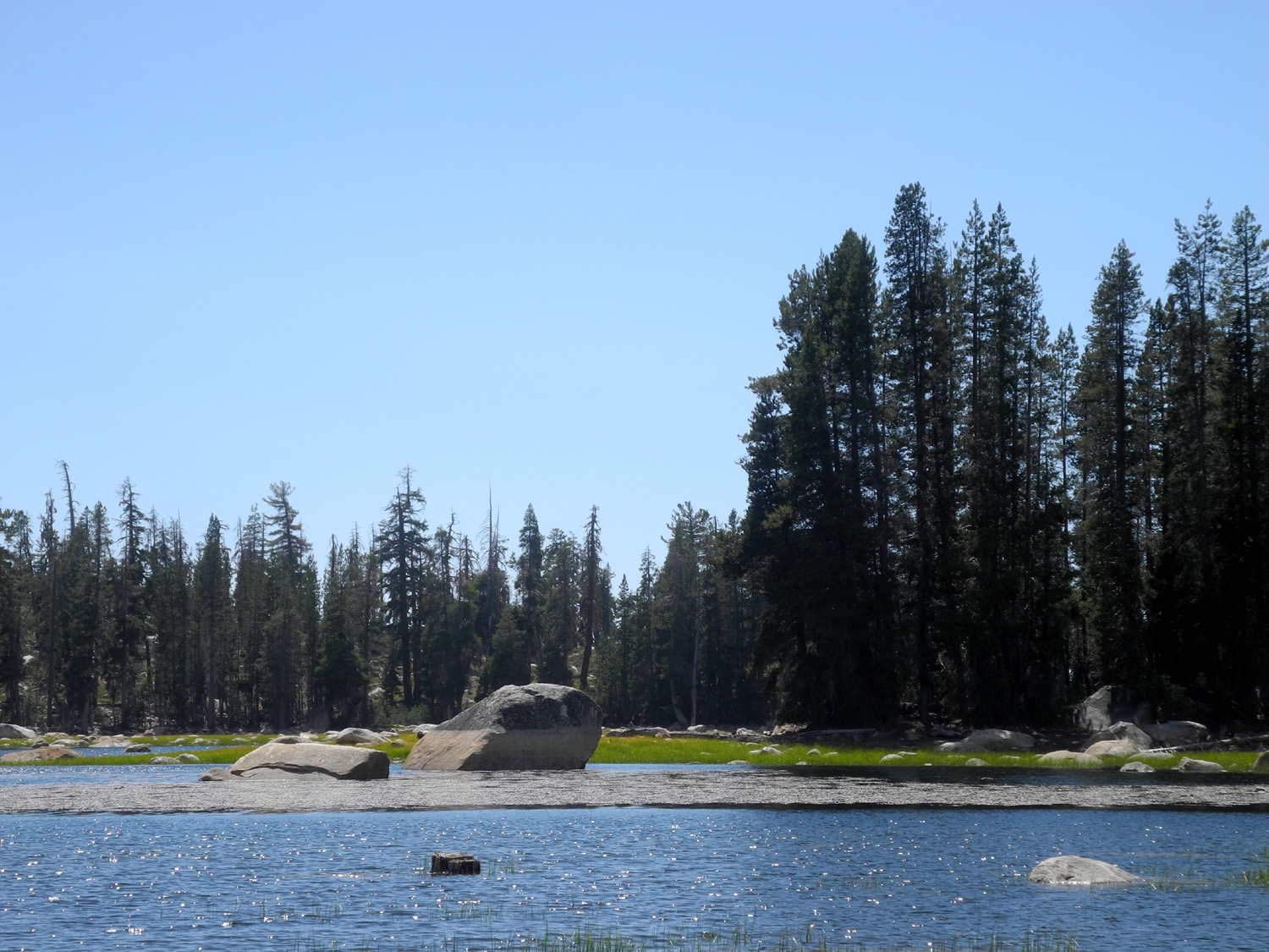
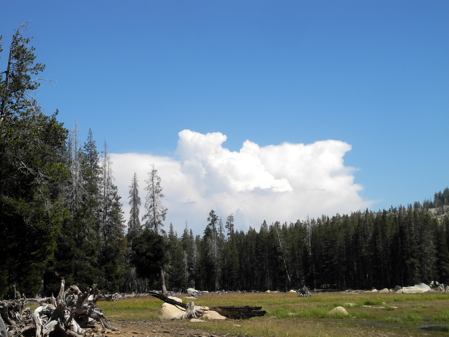
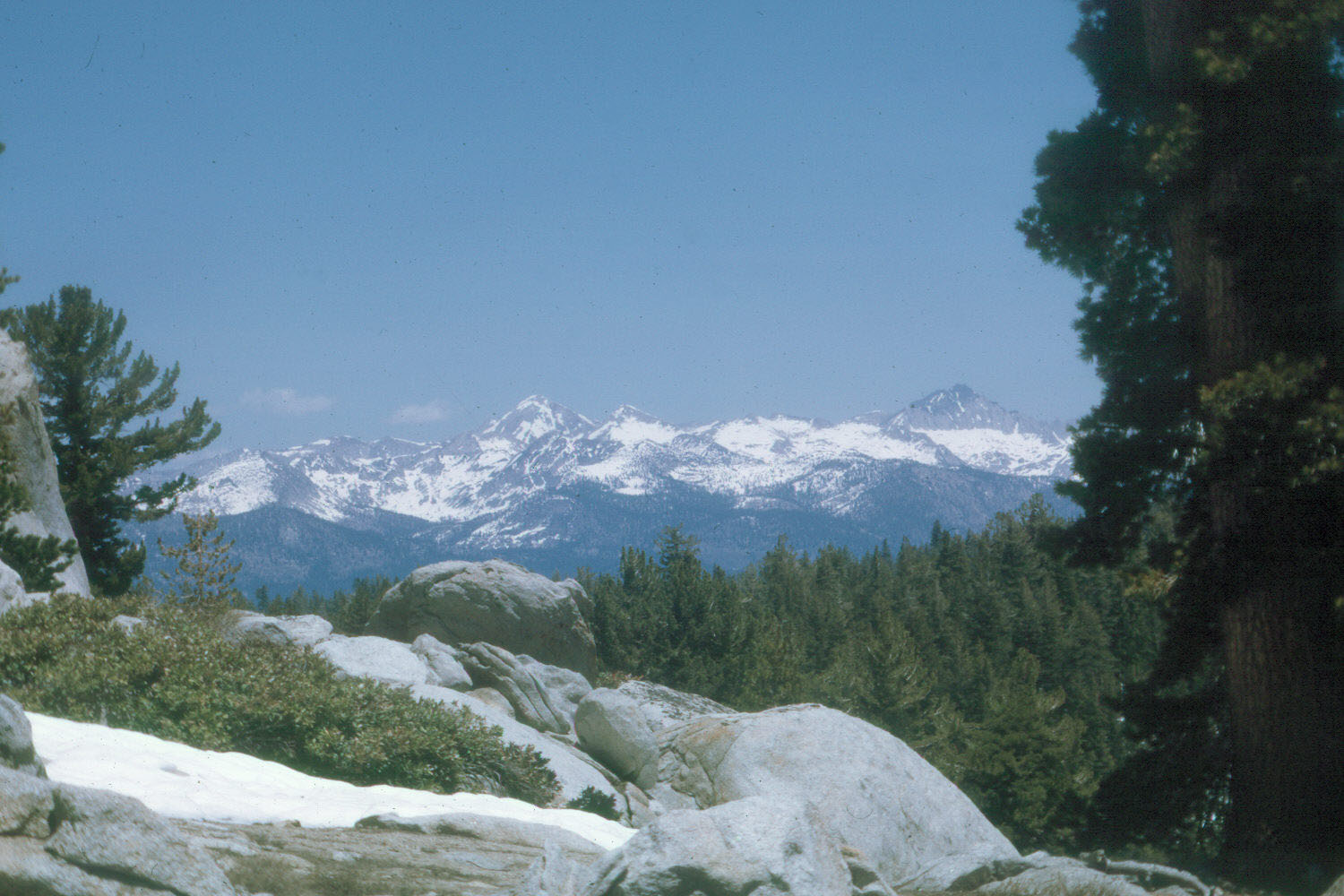
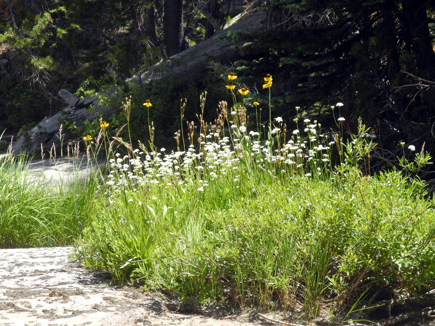
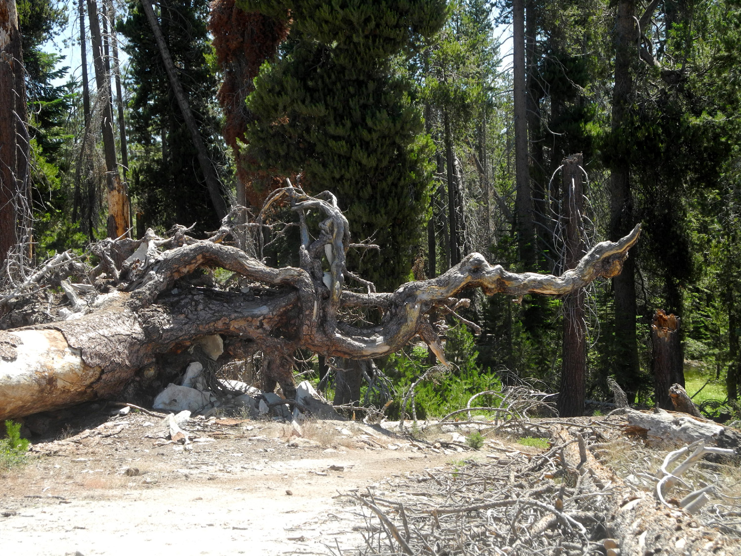
Stargazer Rock, officially the Bald Mountain Base Camp, is a large flat area half way between the Dinkey Creek Road and Highway 168 on the Rock Creek Road. It has a couple of large open areas with fire rings, groves of lodgepole, Jeffrey and sugar pine, red fir, and the usual Sierra Nevada brush, mostly manzanita and chaparral. There is also a large open area on a mostly flat rock, about 30 by 200 feet, which is perfect for observing meteor showers. It is not an official campground, although a toilet and a few picnic tables have been added in the last few years, probably paid for by various 4-wheel drive groups who use the location as a staging area for runs to nearby Bald Mountain. You can read about our own 4-wheeling experiences in this report from 2005. Our family has been camping here for many years, often with groups of ten or fifteen. Attendance fell off in the 20 'teens, and I had not been there since 2016. With many days of 100 degree plus temperatures in the valley, I wanted a place that would be cool and hopefully not crowded. In the past I have always had my trailer or motor home for camping at this spot, but I have gone back to a more "natural" approach. On July 27 I loaded up my pickup and drove the 60 miles to this favorite spot, coming in from the Tamarack Snow Play Area on Highway 168, a few miles above Shaver Lake. Along the first mile or so there had been a recent logging operation, and the road was chewed up, but still drivable. When I got to my destination, there had been extensive logging right by the camp. One of the two prime camping spots had a lot of scrap logs and slash right by it, and was not suitable for camping. There was a trailer as well as several pieces of equipment parked in the other prime spot. After driving around the area, I found a place along the 4WD road that goes south from the camp to Rock Creek. There was a fire ring, although it was mostly filled with dirt. Fires are not allowed this year, so that was not a problem (there are maybe 20 or more fire rings scattered around the area, since a big 4WD rally can bring twenty or thirty RVs and a couple hundred people to this spot). My chosen place had a couple of small level places to set my table and bed, and a few trees that provided shade part of the day. It also had a hazy but fairly decent view of the forest and mountains to the south. |
|
 |
 |
| My camp, still in the shade, but with the sun creeping in | View to the south of the camp area |
|
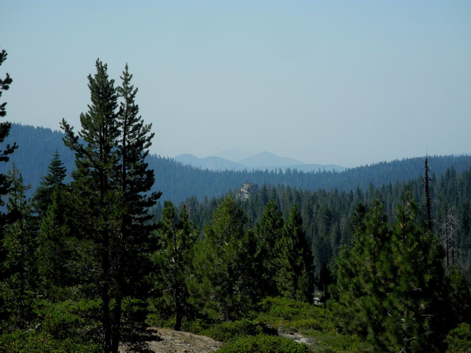
I got my camp set up and explored the immediate area, then did my "big hike" for the day. Beyond my campsite a rough 4WD road goes down to Rock Creek, then up a steep hillside. Eventually you can get to Bald Mountain this way, but my destination was the creek. Since water runs downhill, this route is mostly downhill, and uphill coming back, but only a little more than a mile and a quarter round trip. It was a sunny day, but at an elevation of 7,000 feet, fairly comfortable. Even so, I was glad to get back to camp and relax for a while. |
|
 |
 |
| From here Rock Creek drops down quickly in a series of cascades | The 4-wheel drive road across the creek |
|
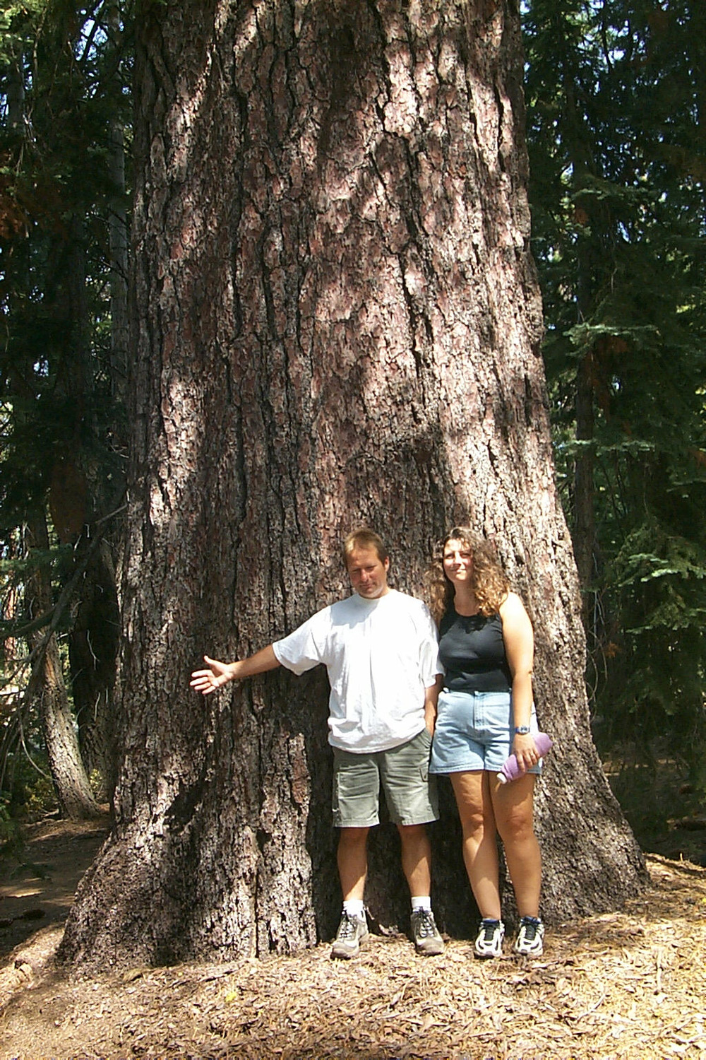
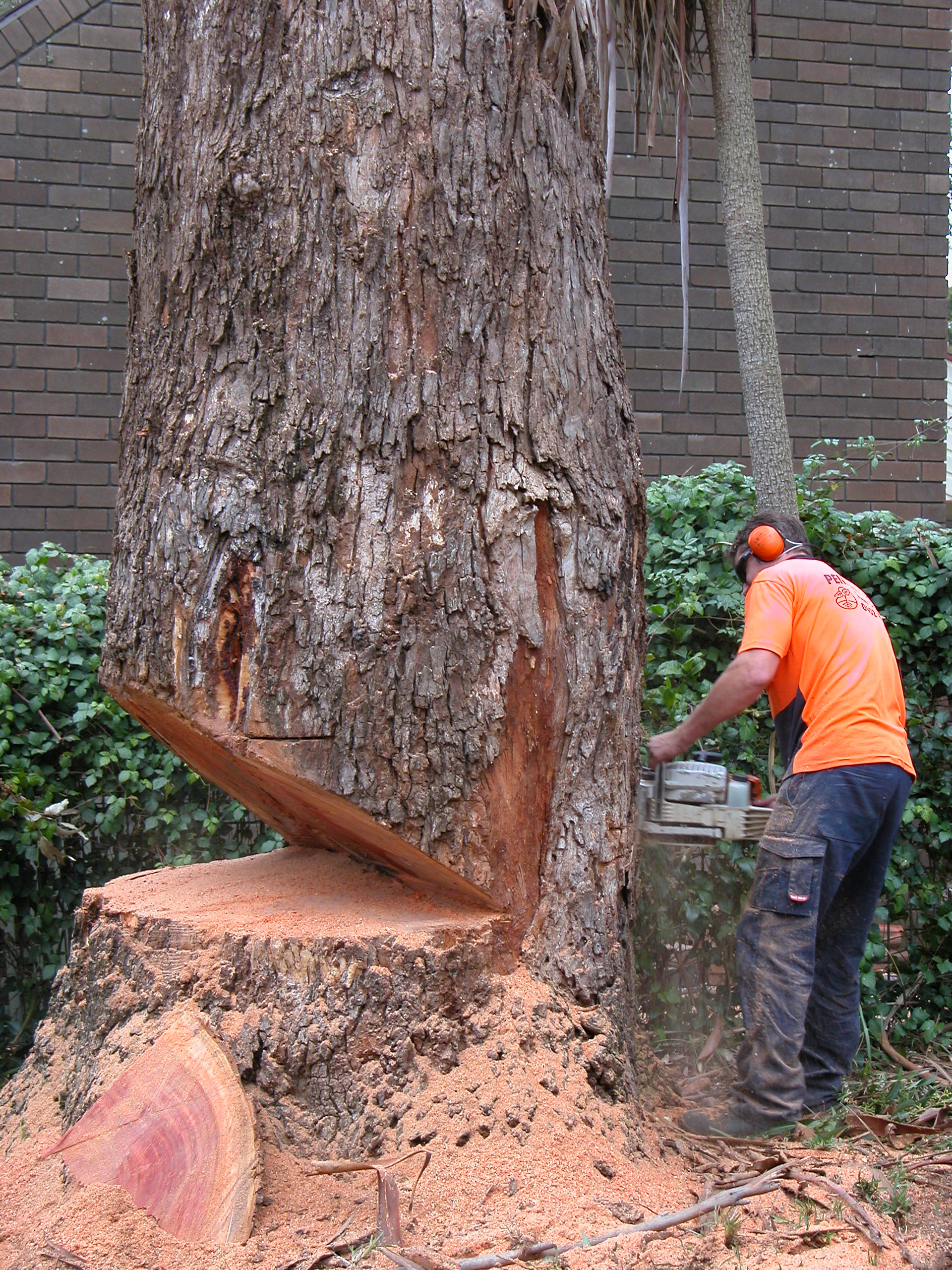
Early in our visits here, we had observed a gigantic sugar pine, probably a good eight feet in diameter near the base. During the last five years several campsites were developed under the tree, complete with picnic tables. It was a huge disappointment to discover that this tree had been cut down. I could not help but think that the contribution this tree made taking in carbon dioxide and giving off oxygen for several centuries was of greater value than the few boards it would produce. |
|
 |
 |
| Rod & Jennifer at the ancient sugar pine in 2002 | A crime against nature |
|
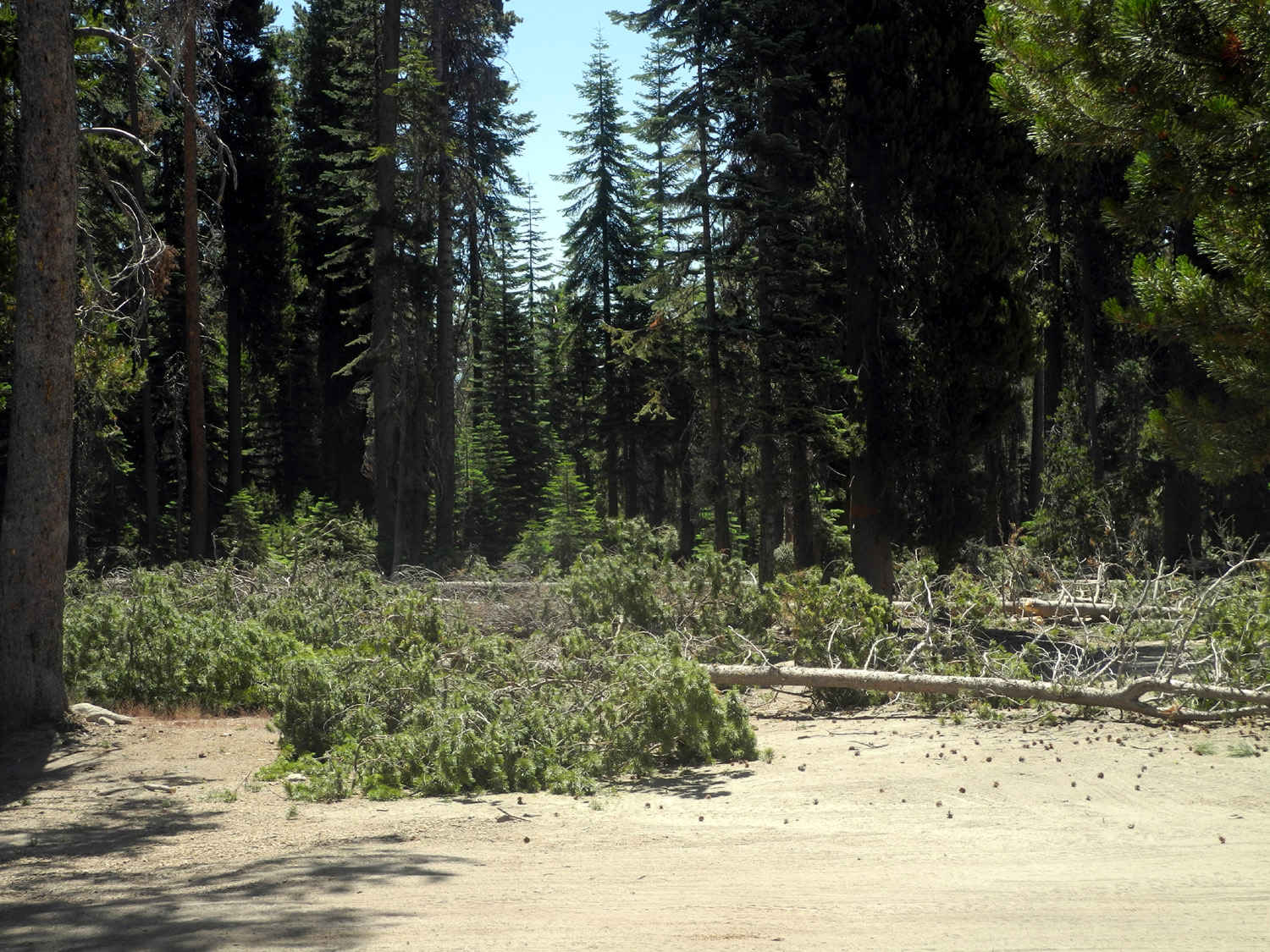
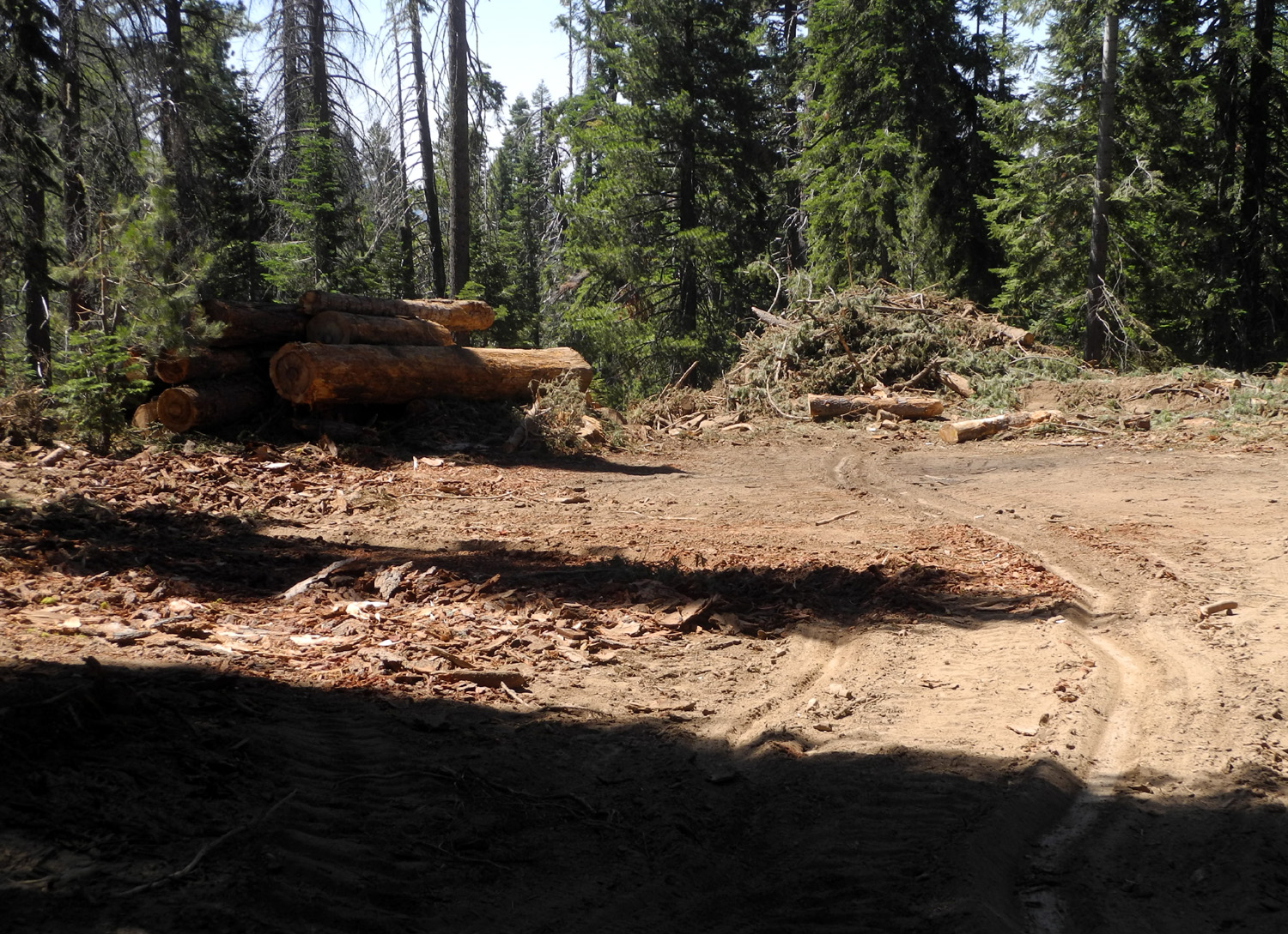
No fires were allowed, but it was not very cold, down to about 44 during the night, and I sat up reading a bit later than I would at home. The next morning I was awakened at 6 a.m. by the sound of machinery nearby. Soon I saw several trees fall in the woods that run along the south side of the main camp area. These were fairly slender trees, and apparently they were thinning the forest. I did not get close enough to see exactly what was happening, but it appeared that they were using a log loader that has large grips to pick up logs. I think the operator was gripping the trunk of the tree, then using a saw attachment to cut through it at the bottom. Several times I saw a tree lean way over to one side, then back to the other, before it finally fell. I believe the machine was being used to push the tree over as soon as it had been cut enough at the bottom. By the sound and by observation, they took down about 20 to 25 trees this way, most of them beyond where I could see. The larger trees that had been felled and removed previously appeared of have been cut in the traditional way, by making an undercut with a chain saw then using the saw to cut through from the other side till it fell. Later while walking on the road, I saw the machine dragging several trees along the road toward the camp. I did not see where they ended up. |
|
 |
 |
| Trees that were cut for thinning purposes | Dragging trees along Rock Creek Road |
|
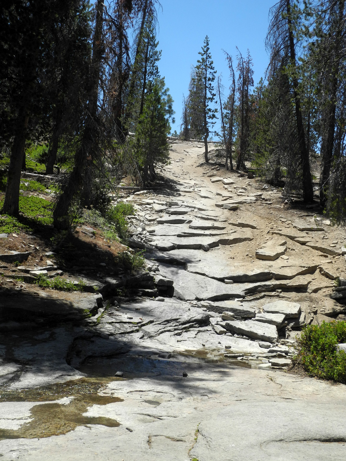
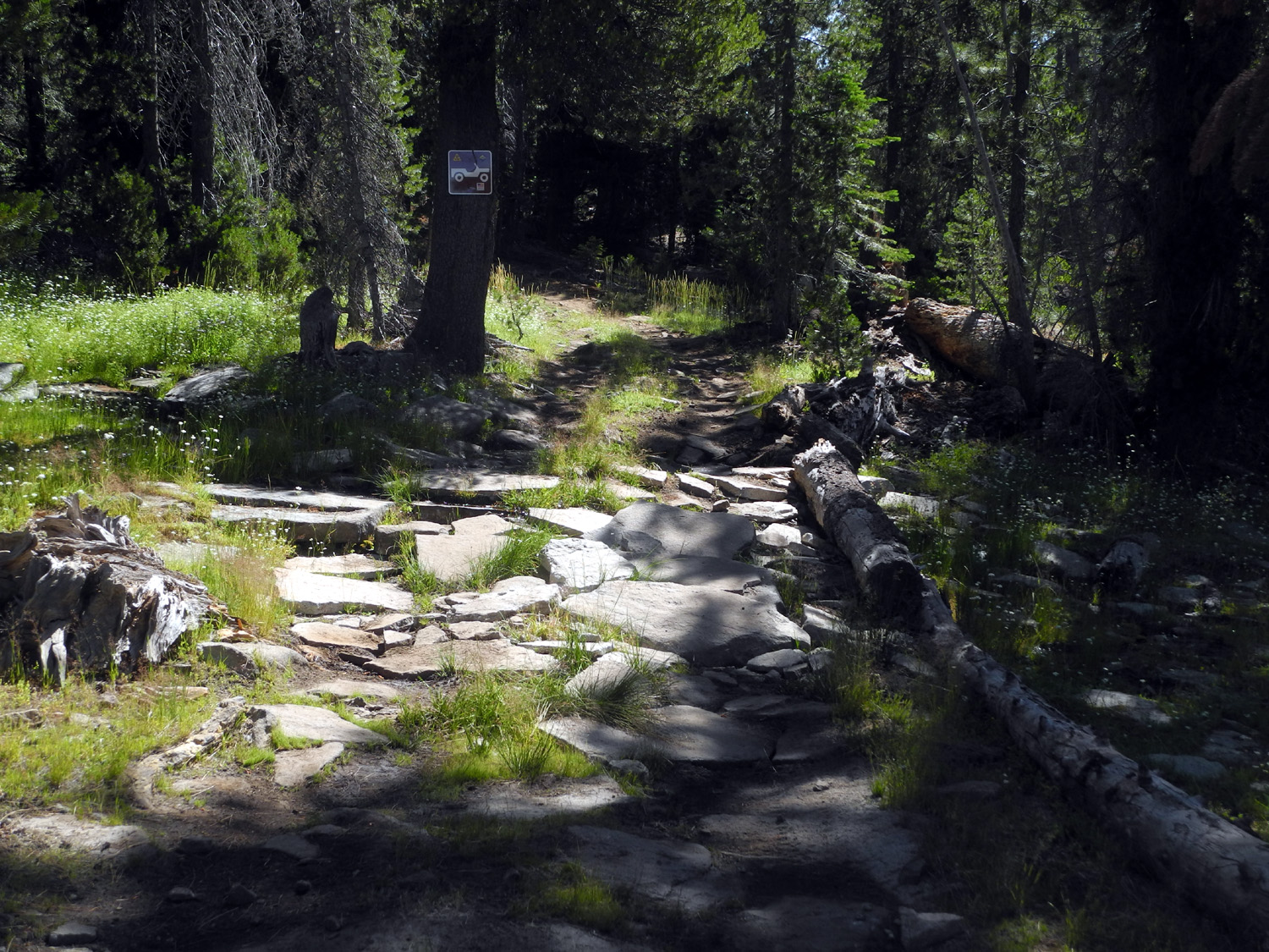
Once I realized the noise would continue and I could not get back to sleep, I got up and fixed breakfast. When I got ready for my daily "hike," I took a 4WD road that ran east from near my camp and out to the main road. At the beginning it went across a drainage that had a trickle of water. Flat rocks had been placed here to create a short stretch of "pavement." When I reached Rock Creek Road I went east to the place we call the Phone Booth. It's a place with a wide view of the surrounding terrain, and during our early visits we could get a cell phone signal at this spot. For whatever reason, this was only possible the first two or three years, so now it's just a good landmark to complete a two mile round-trip walk. |
|
 |
 |
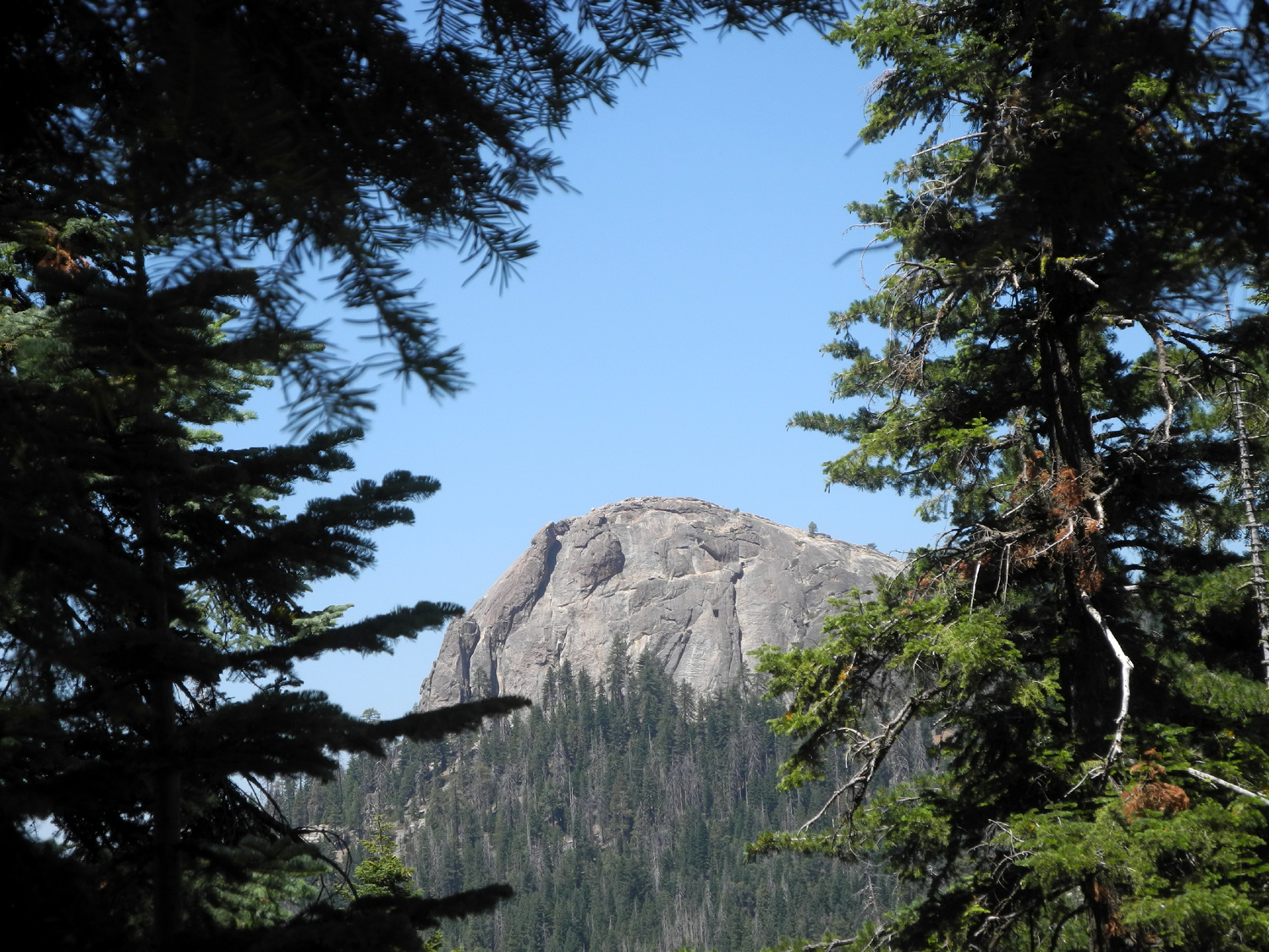
| A new concept in paving stones | Dome in the distance along the main road to Bald Mountain |
|
I did some other short walks, including directly down to the creek near the camp, a short but steep walk, and also along the main road and down some of the Jeep tracks that are common all over this terrain. It was a little early for the Perseids meteor shower which peaks around August 12, although meteors are possible any night of the year. I sat out in the open space next to camp for awhile during the second night, but saw no meteors. I took my usual relaxed approach to loading up the next day, and got home in the early afternoon, driving out the Rock Creek Road to Dinkey Creek Road. I enjoyed getting back to a favorite camping site, but was a little discouraged by the damage done by logging. Presumably the logging company will be required to clean up the slash and excess trees, and eventually the forest there will be in better health than before. On
the way home I saw a coyote crossing Auberry Road where it veers
away from Little Dry Creek and rises up from the creek basin to the
valley floor - about a mile from the edge of the first residential
development north of Clovis. --Dick Estel, August 2020 |
|
|
Chilkoot Lake
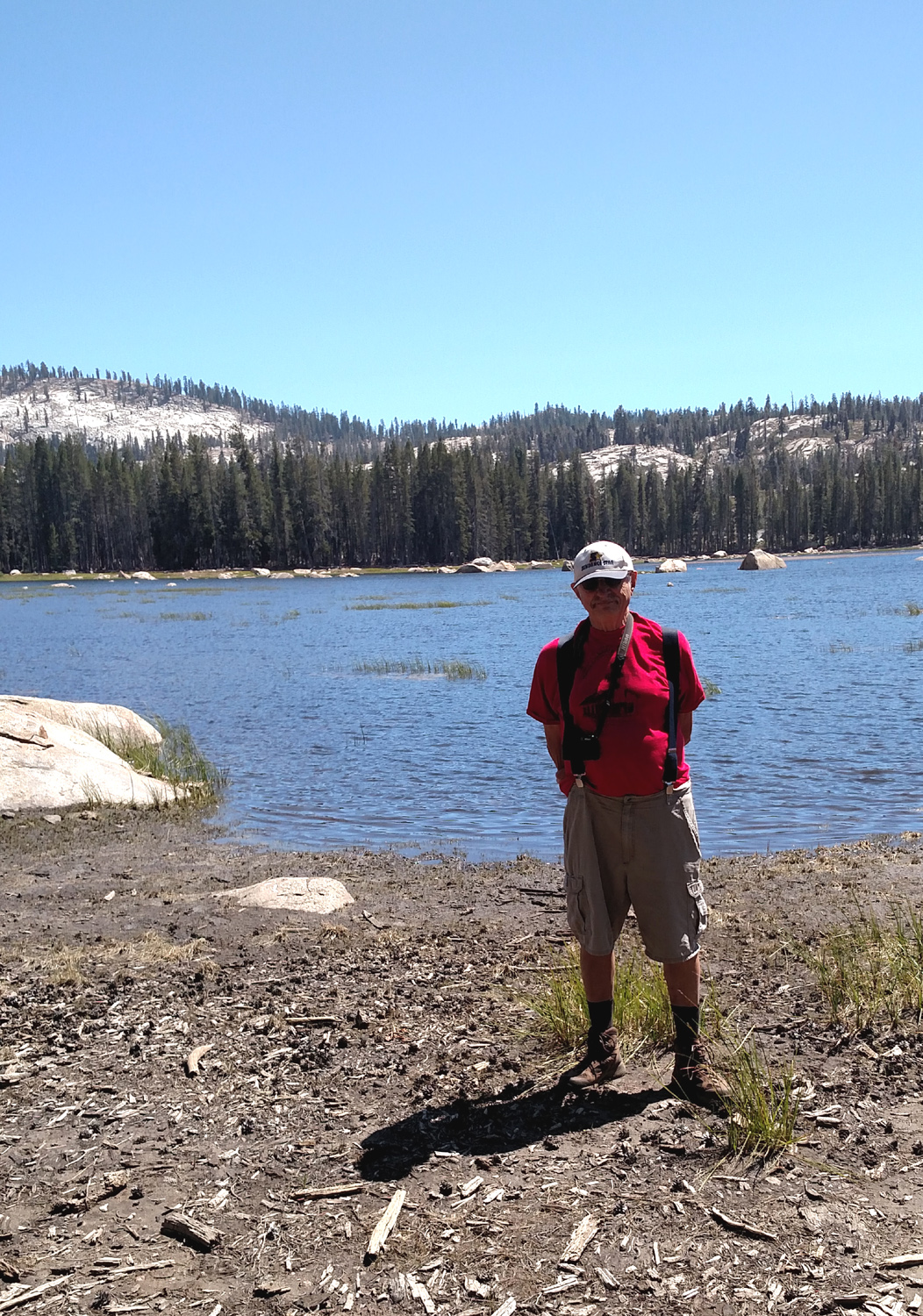
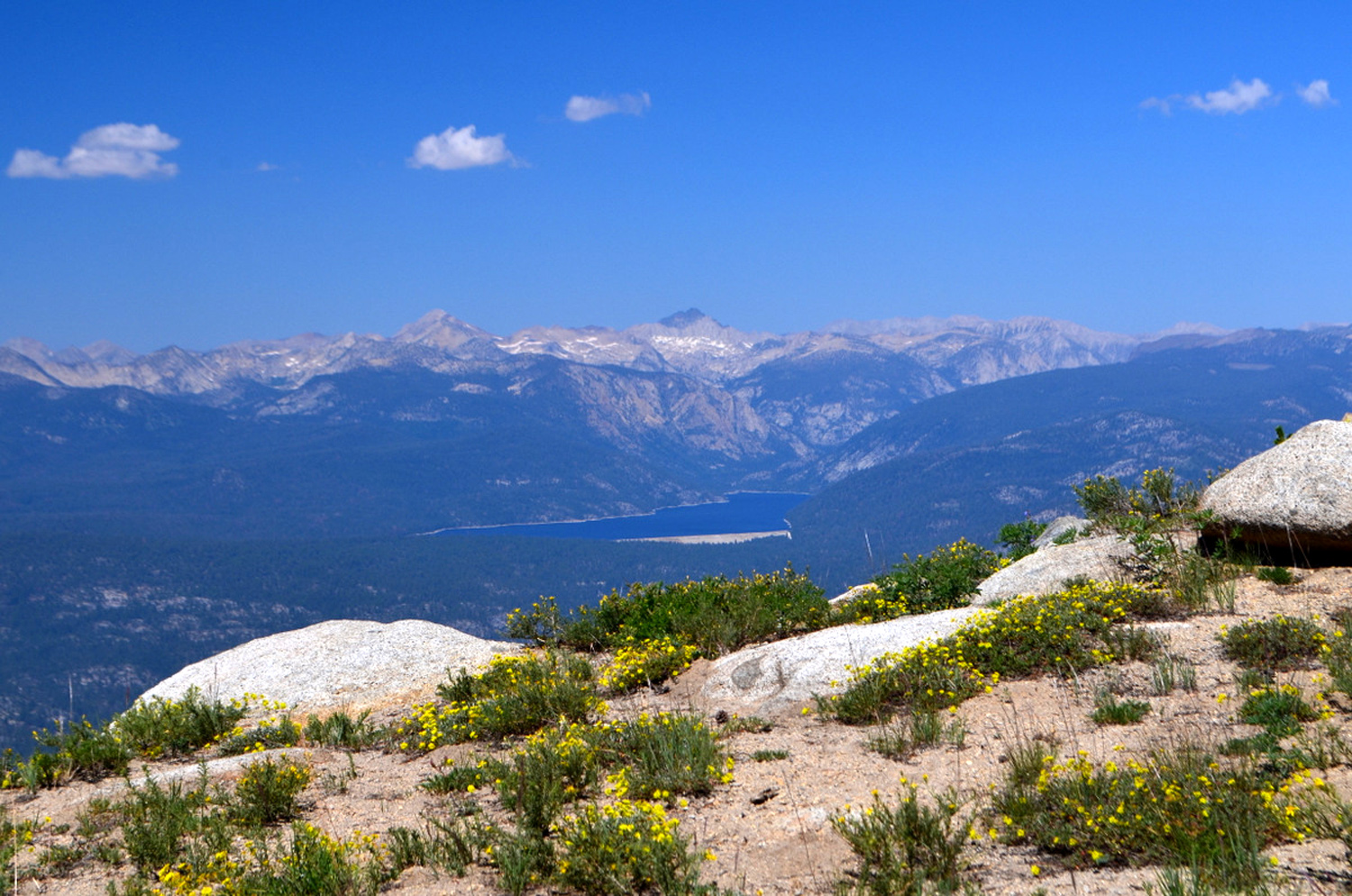
I had a very special birthday this year. About 45 years ago I tried to drive to Chilkoot Lake, which is near Cold Springs Meadow and Jones Store, deep in the Sierra Nevada above Bass Lake. I drove down several side roads, none of them paved, but never found the lake. Recently my friend from the Ramblers Hiking Group, Wes Thiessen, has gone there a couple of times, and younger daughter and son-in-law Rod and Jennifer Neely have also been there. On August 8 I went to the Neely's, five miles above Oakhurst. My older daughter Teri joined us, and we went in Rod's truck up Road 6S10, which leaves Highway 41 not far from the road to Neely's. Along the way, we had a great view of Fresno Dome from the eastern side. We reached a road junction where there is a rest stop with bathroom. From here a short walk of a hundred yards or so brought us to the edge of Cold Springs Meadow, a large expanse of green surrounded by evergreens. I had camped at this location in the past, but the campground is no longer in existence. |
|
 |
 |
| Fresno Dome from the eastern side | Clouds and evergreens set off Cold Springs Meadow |
|
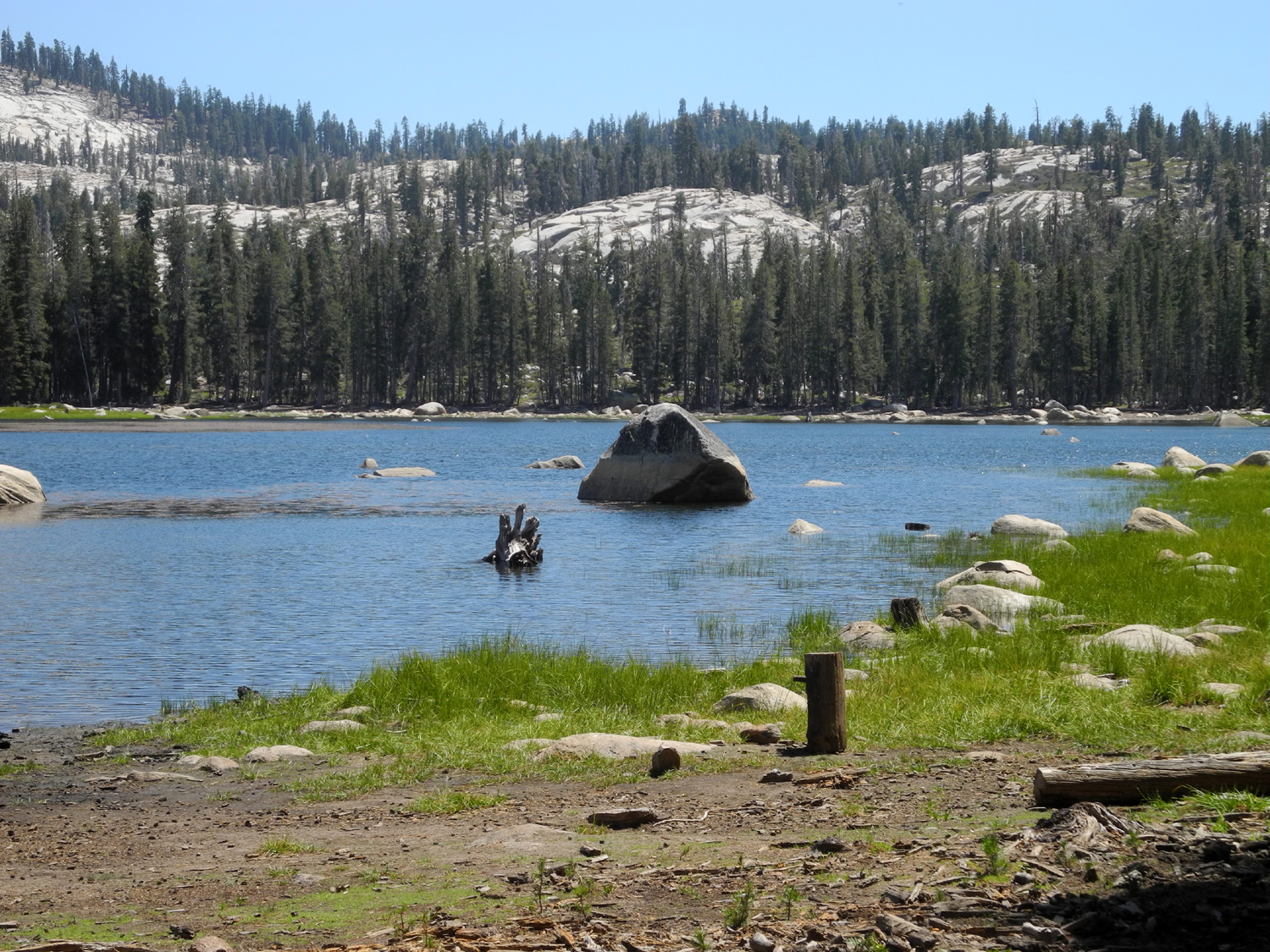
From this spot, we drove another mile or so to the trailhead. There were two or three other vehicles in the small dirt parking area. The trail is a actually a 4-wheel drive road. It's steep and rocky at first, but levels off, and it's only about a half mile to the lake. |
|
 |
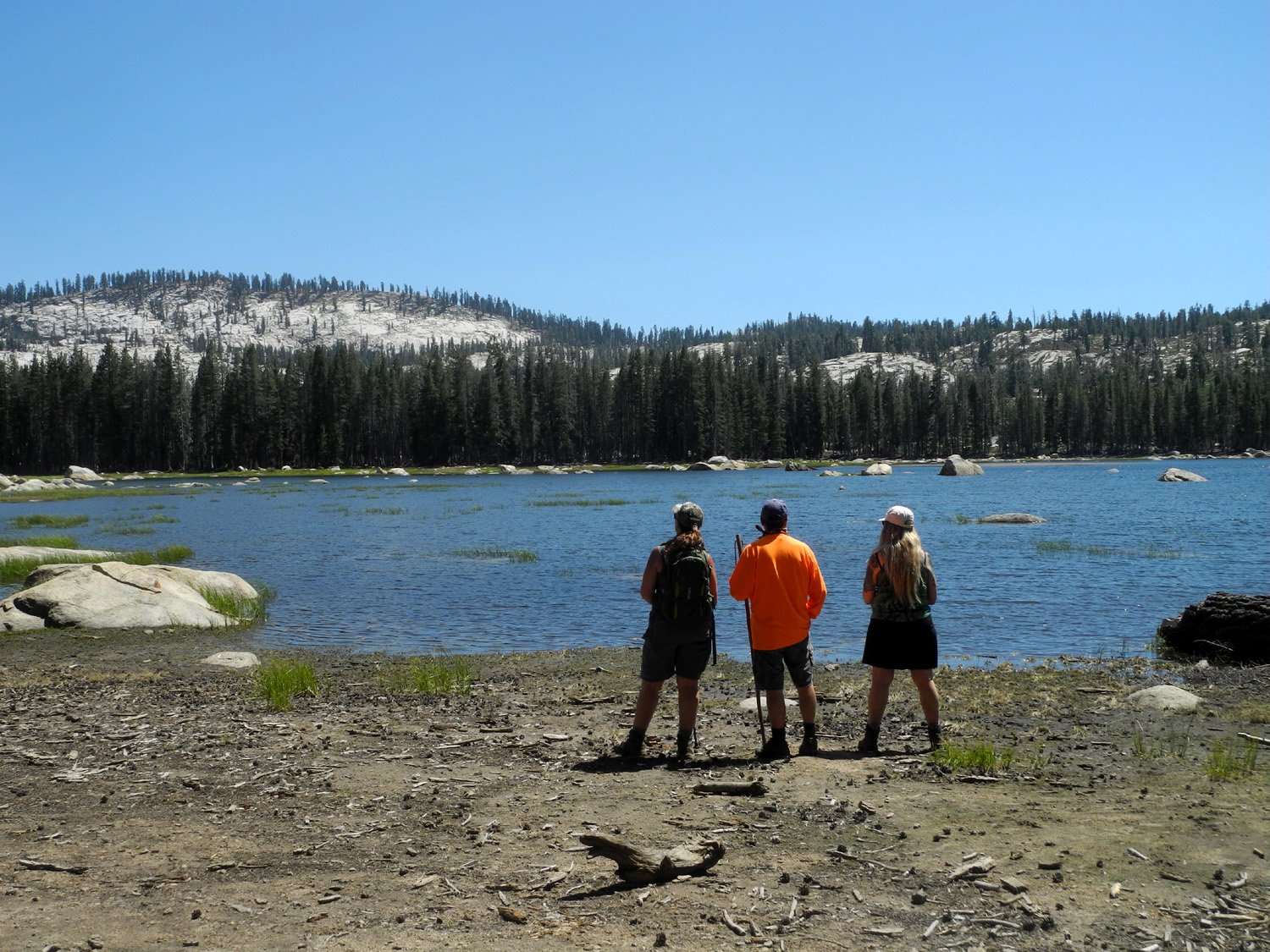 |
| Chilkoot Lake | Jennifer, Rod and Teri at the lake |
|
The lake is very shallow, and reportedly turns into a swampy meadow late in the season, but it still had plenty of water, and the surrounding forest and granite outcroppings made for some nice scenic views. |
|
 |
 |
| The southern end of the lake | This area is marshy, and sometimes covered with water |
|
When
we returned to Rod & Jen's, we had a low-key birthday
celebration, and Teri started for home. I stayed overnight, enjoying
a delicious enchilada dinner and the first breakfast burrito I've
had in years. It was a great weekend, and I've decided I'm going
keep on having birthdays indefinitely. --Dick Estel, August 2020 |
|
|
White Bark Vista
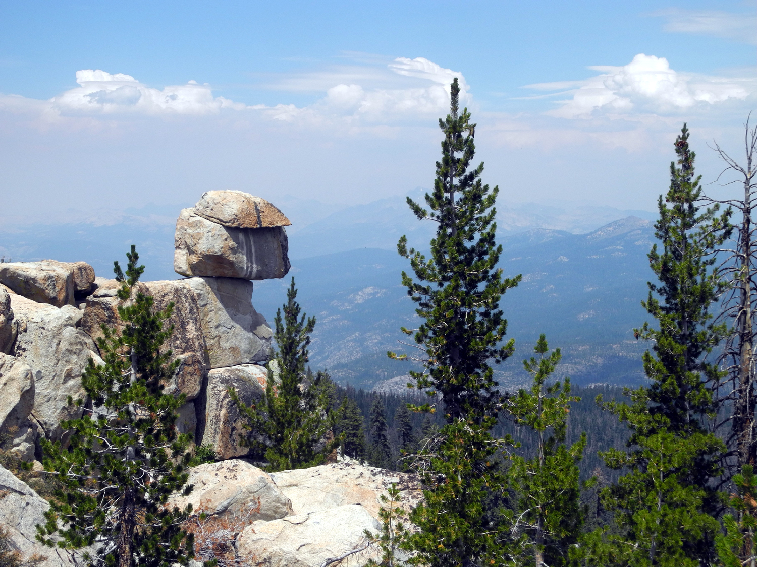
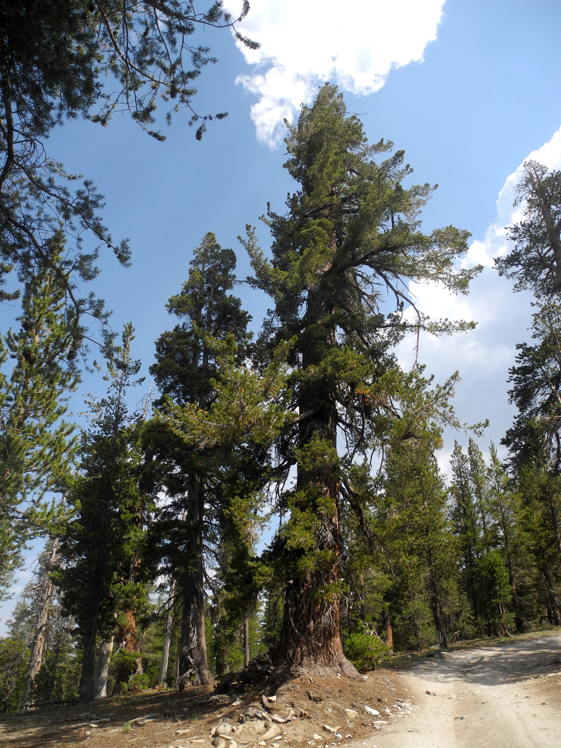
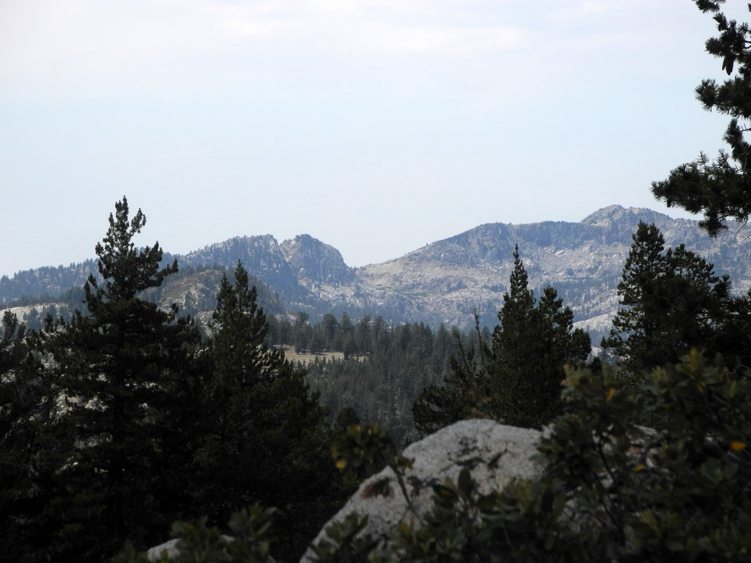
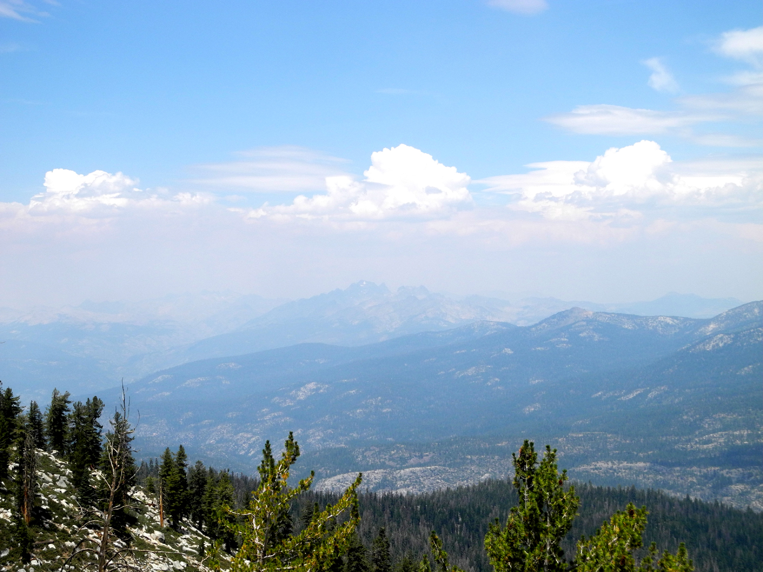
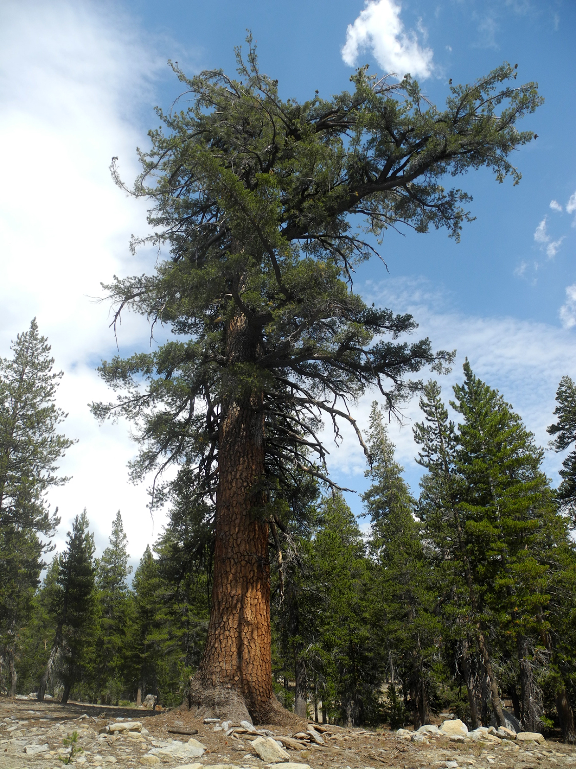
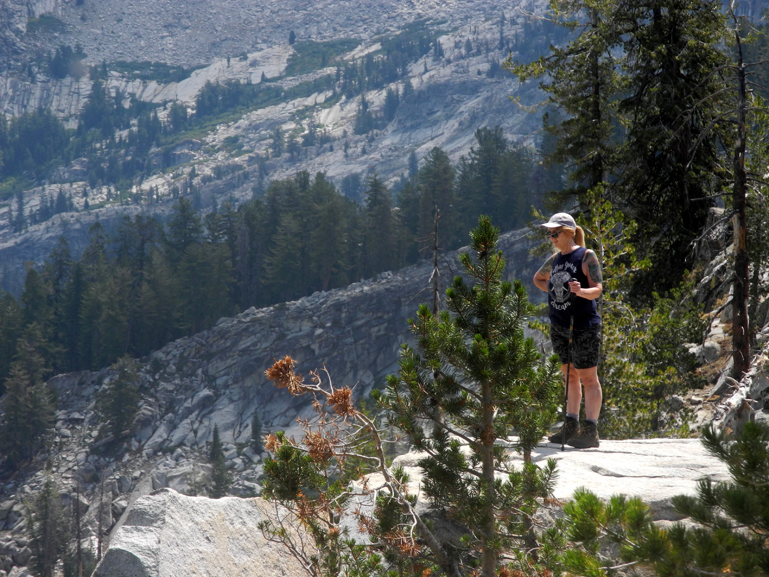
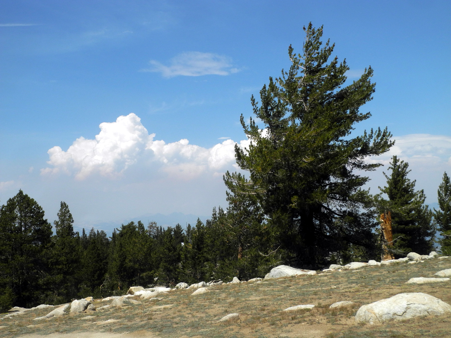
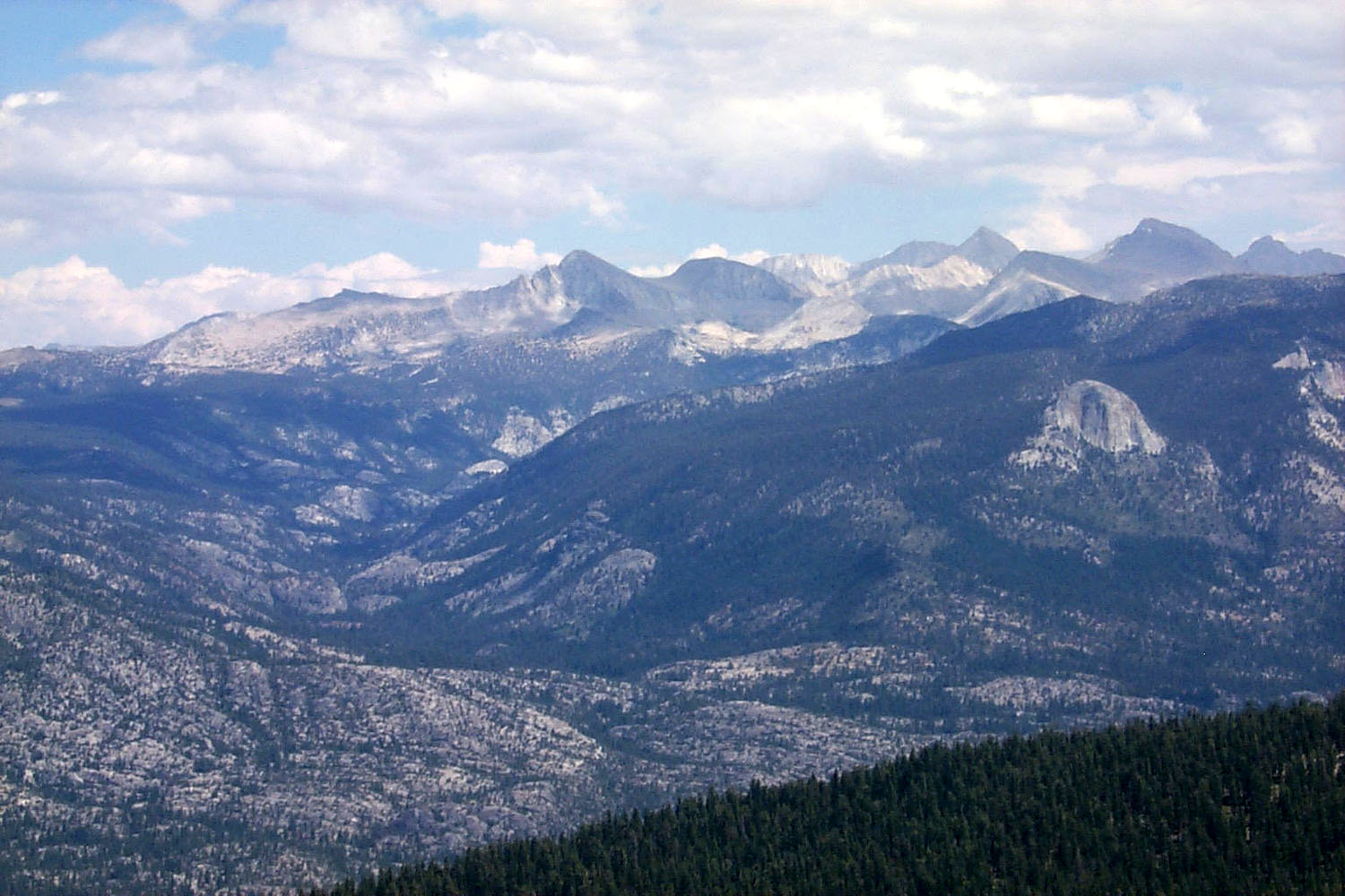
The high temperatures in the San Joaquin Valley had hovered around 105 each day for a week, with no end in sight. With a forecast of 109 for August 18, it seemed like a good time to get high - for example, 9,200 feet at Kaiser Pass, above Huntington Lake. My daughter Teri and her mother Jackie came to my house at 8 a.m. and we drove the 70 miles to our destination in my Honda CR-V. At Kaiser Pass a rough dirt road goes about one mile to the White Bark Vista, which we've visited many times over the years, always driving to the top. I made several trips in the last few years, and the road had become very rough, so we decided to hike the road, finishing up at the Vista Point. Driving the road, I had not realized how many western white pines there are along the road. This species grows to a large size, and when not damaged by severe weather, are a dramatic and stately tree. The needles are in bundles of five, and the cones are long and narrow, similar to sugar pine but much smaller. At the top, there are views in all directions, including Kaiser Peak and Ridge to the west. To the south from this location is the Dusy-Ershim Trail, one of the most difficult 4-wheel drive routes in the U.S. On our previous visits here we hiked a couple of miles on the trail to the top of a ridge where we had spectacular views in every direction. |
|
|
|
| Western white pine along the road | Kaiser Ridge and Kaiser Peak |
|
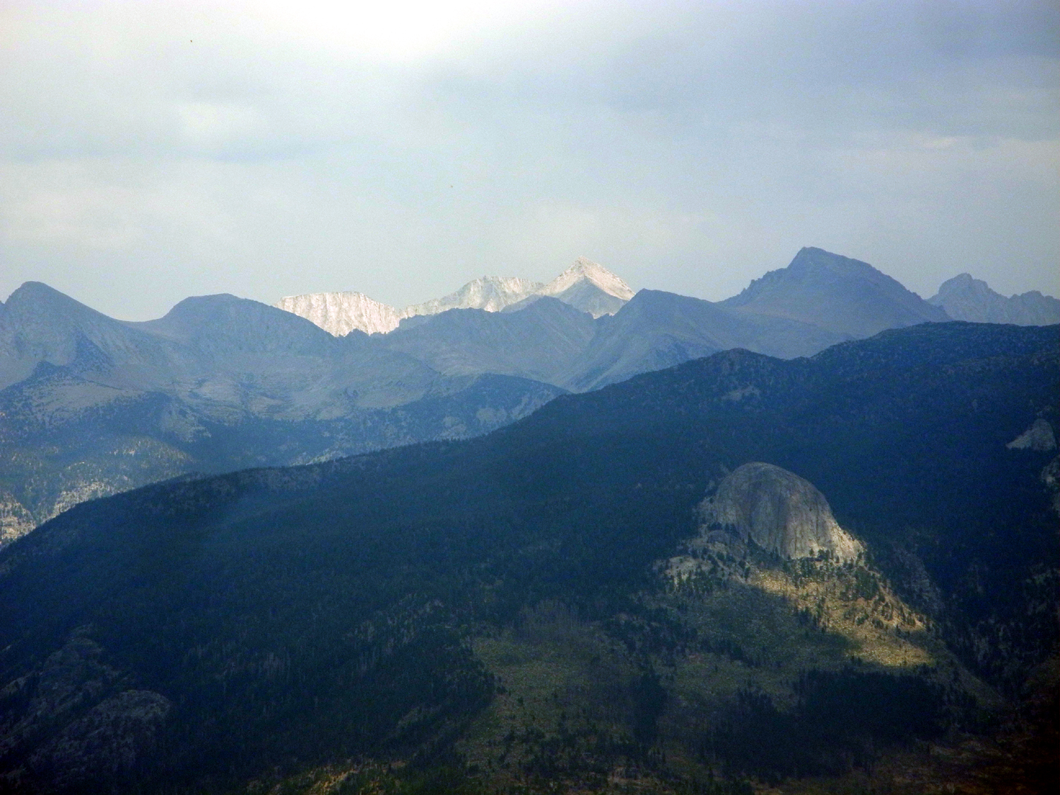
Although we could see most of the high Sierra peaks that make this one of the best vista spots in the mountains, it was very hazy and a lot of detail was lost. The first photo below shows what we saw, and the second one is from a visit in the 20th century. |
|

|
|
| Storm clouds gather over the Silver Divide | The divide in springtime, a long time ago |
|
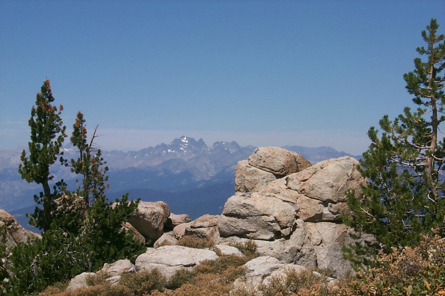
To the south (on a clear day) you can see Mt. Ritter, Banner Peak and the Minarets in the Ansel Adams Wilderness. This time we could recognize the distinctive shape of Ritter, but the Minarets were completely lost in the smoke and haze. |
|
|
|
| Mt. Ritter is barely recognizable through the haze | Mt. Ritter on a better day |
|
Despite the less than ideal viewing conditions, we had a nice hike of just under three miles. Although the elevation gain is only 300 feet, at 9,000 plus Jackie and I got out of breath easily and stopped to rest often. We enjoyed lunch at the top, admired more western white pines, and agreed that the road is not as bad as I thought, so next time we can bring my pickup. Or maybe a horse. |
|
|
|
| This western white pine stands tall against the sky | Heading for the back country |
|
We made our way back down the road to the car, stepping carefully at a few steep spots with loose soil. It was about 80 degrees when we left Kaiser Pass, the same at Huntington (7,000 feet) and Shaver Lake (5,000) feet. Once we started down the 4-lane section of Highway 168, which descends 3,000 feet in ten miles, the gauge started going up, and it was 105 back in the valley. Still, it topped out at 107, so we avoided the predicted high of 110. I
knew I had enjoyed a more difficult workout than usual when I realized
I had to go to bed an hour earlier than usual. --Dick Estel, August 2020 |
|
|
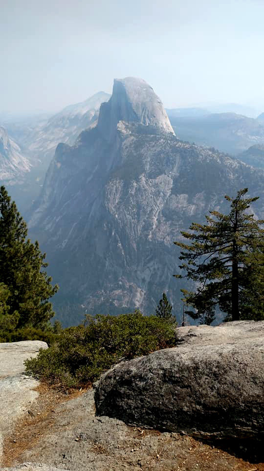
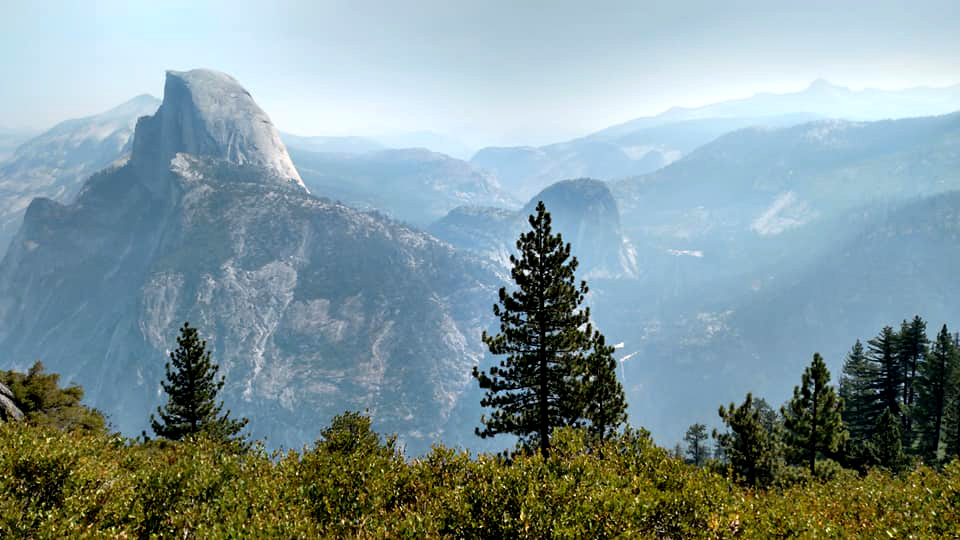
Glacier Point
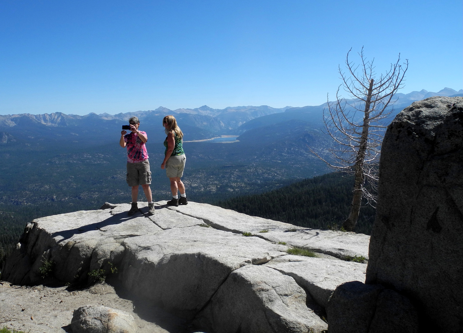
If the coronavirus pandemic can be said to have any silver linings, one of them is certainly the limit on cars entering Yosemite National Park. When my daughter and great grandsons and I tried to go to Glacier Point last September, we were thwarted by bumper to bumper traffic the last mile or so, and the obvious impossibility of finding a parking place. Since the park re-opened early in the summer, visitors are required to obtain an entry permit on line, and the number is strictly limited. When Teri and I went on September 1, the practical effects of this policy were clear. Traffic on the roads in the park was light, there were plenty of parking spaces, and crowds were small. At one of the vista points along the trail to the valley rim, there were only two other people enjoying the view. |
|

|

|
| Teri and Dick (Half Dome behind Teri) | The Merced River winds its way through Yosemite Valley |
|
Of course, nothing is perfect in these times. California has been dealing with hundreds of fires, large and small, and a good part of the state is affected by smoke. The San Joaquin Valley is a bowl with mountains on all sides, and an inversion layer traps pollution of all sorts. There are only a couple of small lightning-caused fires in Yosemite, which are being watched and allowed to burn as if they were planned But smoke from huge fires in northern California drifts into the mountains, and the views were hazy, We expected this, and considered ourselves fortunate to be able to get up to an elevation where we could no longer smell smoke. We could still see the major peaks visible from Glacier Point - North Dome and Basket Dome, Half Dome and Cloud's Rest, Mt. Starr King and Mt. Clark. The distant back country was mostly invisible. |
|

|
|
| North Dome and Basket Dome | Half Dome and a hazy view of Cloud's Rest and Mt. Clark |
|
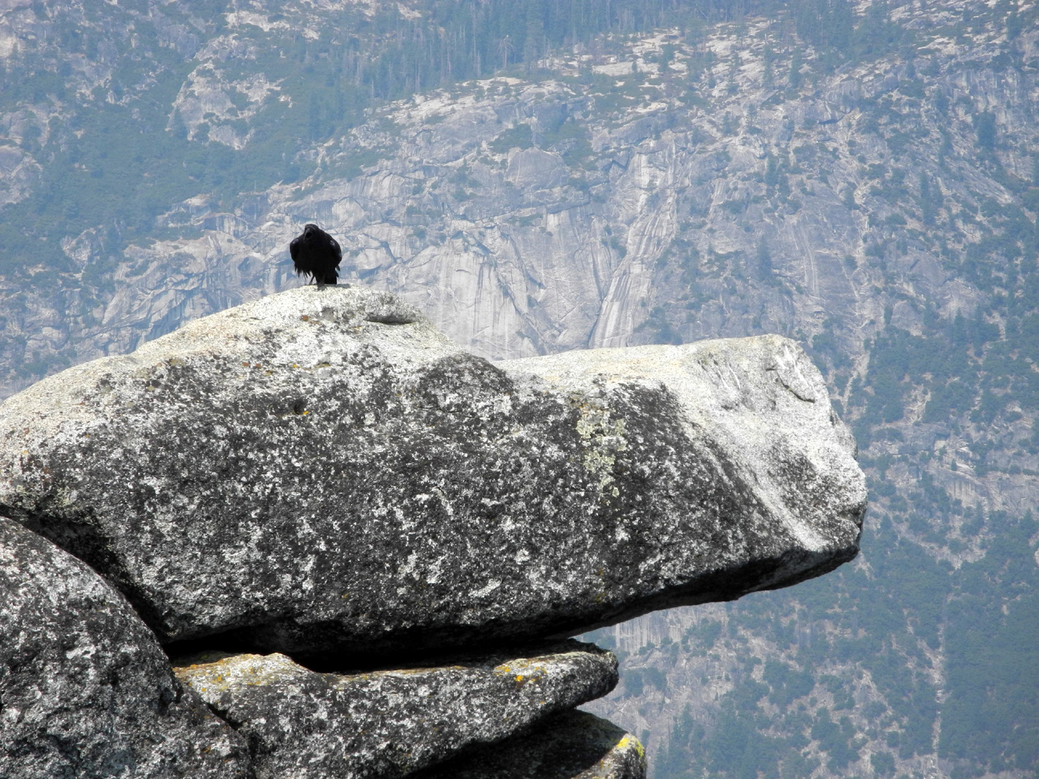
The views of the three great waterfalls was less satisfactory, mainly because the Merced River is down to a fraction of its normal flow, removing the majesty of Vernal and Nevada Falls. Yosemite Falls is completely dry, but the iconic shape of the fall, which water has etched into the cliff face for thousands of years, is still there. At the far edge of the point, a famous section of granite hangs over the valley. People have stood (and danced) on this feature as long as they've been visiting this area, but it's been fenced off for decades to try and save fools from their folly. A raven took advantage of the privacy offered there to catch the breeze. |
|
|
|
|
| The Overhanging Rock at Glacier Point | One creature who can safely sit on the rock |
|
Once we had enjoyed the views and the lack of crowds for as long as we wanted, we drove back down the road and stopped at the Mono Meadow trailhead. We found a shady spot and enjoyed our lunch. We then finished the 98-mile drive back to Fresno. Entry
permits are good for seven days, but you must arrive on the first day.
After that you can stay or return as much as desired. We discussed a
second trip, but agreed that even with entry limits, a Labor Day visit
was not something that interested us. --Dick Estel, September 2020 Note: Because I have so many photos taken in better "weather," I mostly left my camera in its case; most of the photos above were taken by Teri. Click here for my photos that were taken under better conditions. |
|
|
San Simeon
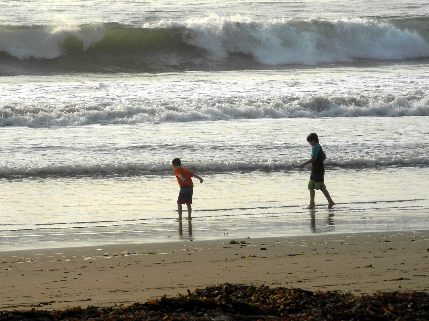
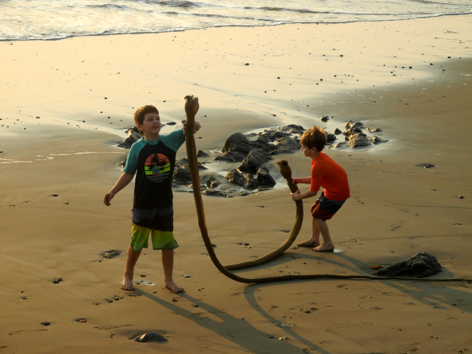
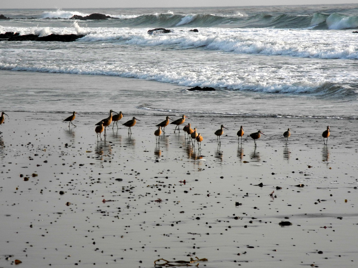
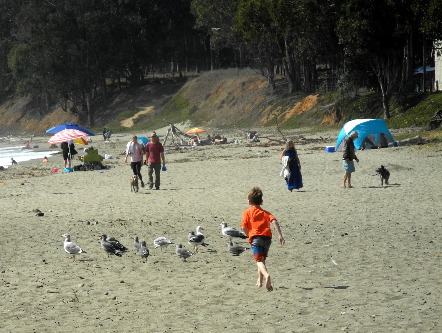
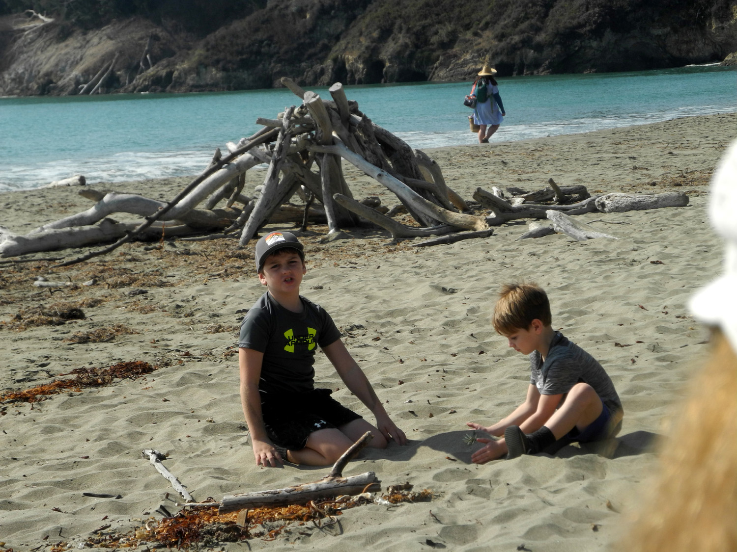
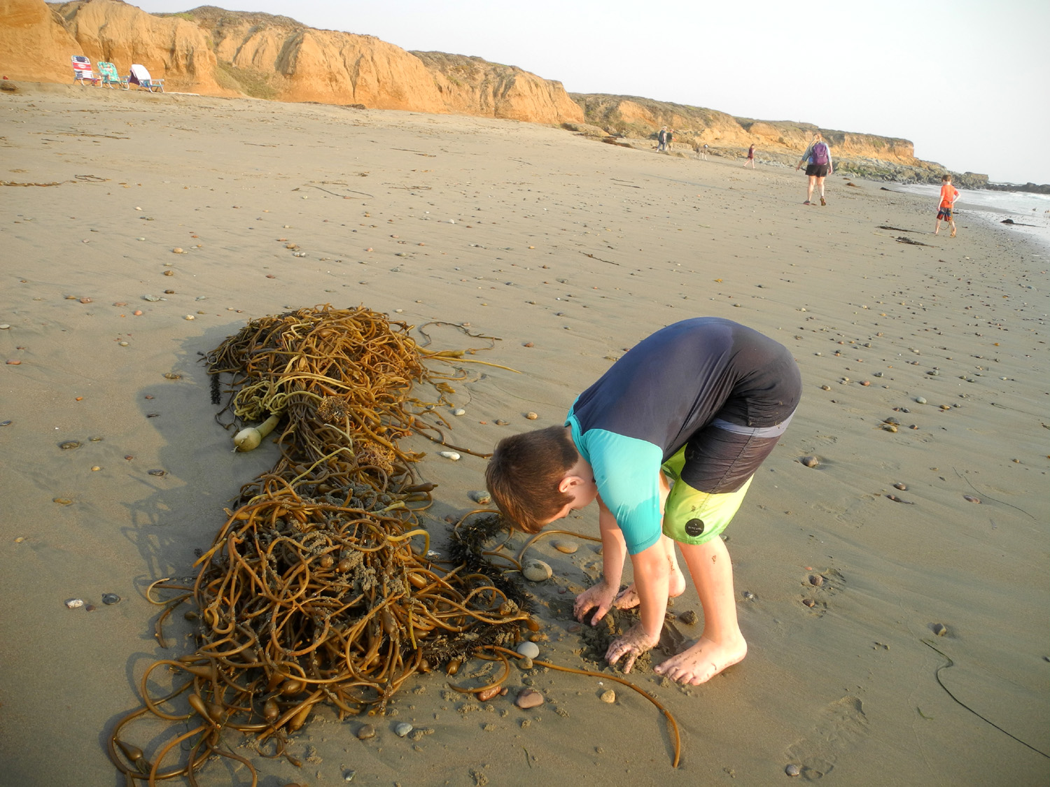
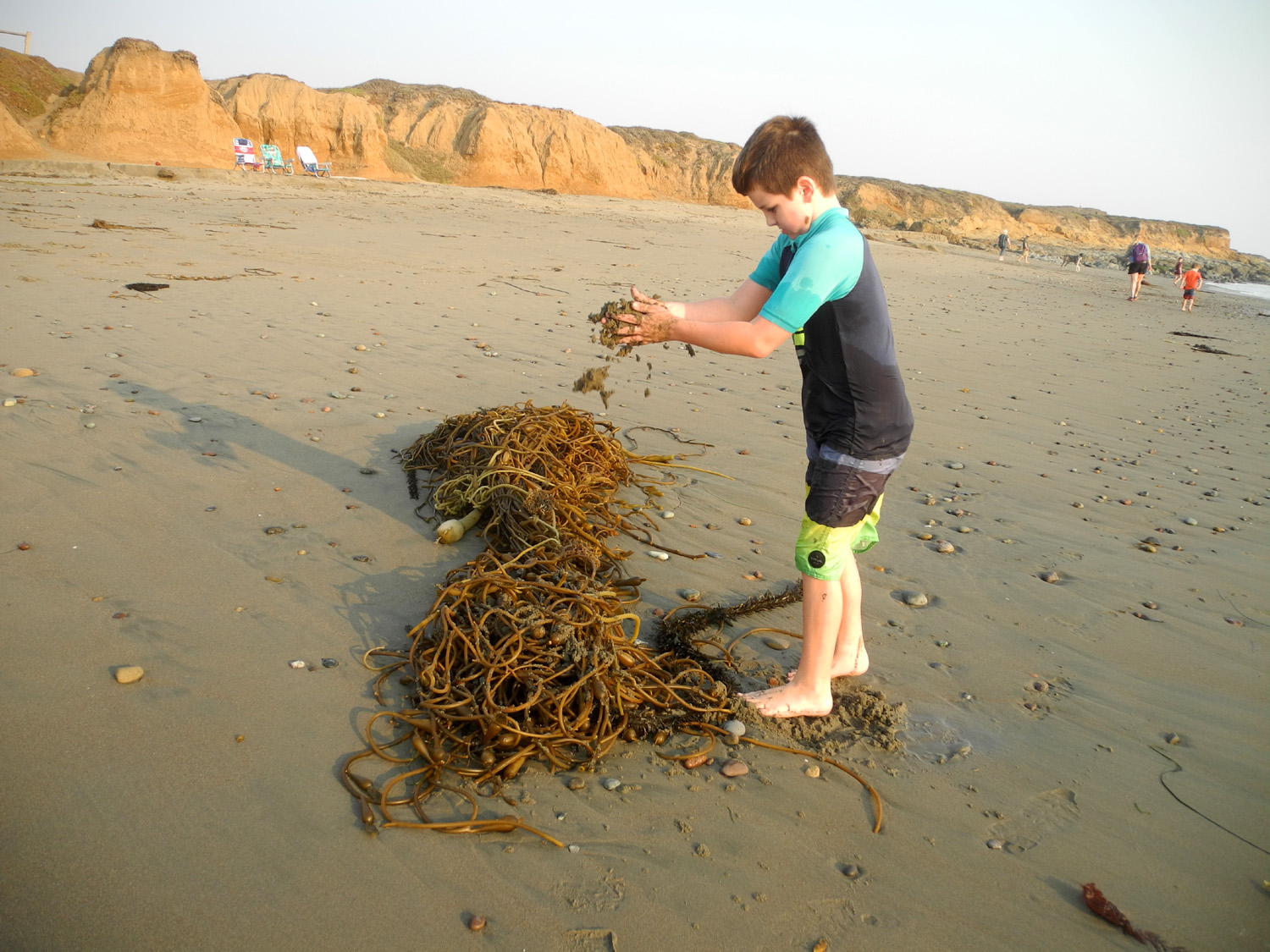
This was going to be a stay at Montecito Lodge near Sequoia National Park. Then came the Creek Fire in the mountains of Fresno and Madera Counties, and the SQF Complex Fire southeast of Sequoia. These huge fires, still burning after six weeks as I write this report, covered the mountains and valley in smoke, and triggered the closure of the Sierra and Sequoia National Forests, as well as the park. So it was time for Plan B - two nights at a motel in San Simeon on the ocean, with daughter Teri and grandsons Colton and Jack. Teri went over a day ahead of the rest of us, on October 1. The next day I picked up the boys after school and drove south and west on State Highways 41, 46 and 1 to our destination, the Courtesy Inn a few blocks from the water. They knew about Hearst Castle and that we would be near it. On the road from Paso Robles to Highway 1 there are a number of wineries in the hills, usually large fancy buildings. They immediately declared that they could see Hearst Castle. We met Teri at our motel and brought our stuff in. We had some lunch, then went to the beach, about a quarter mile away. The boys had a great time playing in the surf and dragging big branches of seaweed around, repeating something their Grandma Teri had done as a little girl in Mexico years ago. We walked down the beach a good distance to some tide pools, where we observed anemones, sea-sculpted rock, and a flock of sandpipers. |
|
|
|
| At the beach in San Simeon | The fascination of seaweed |

|
|
| Anemones in the tide pools | A flock of sandpipers patrol the waves for their dinner |
|
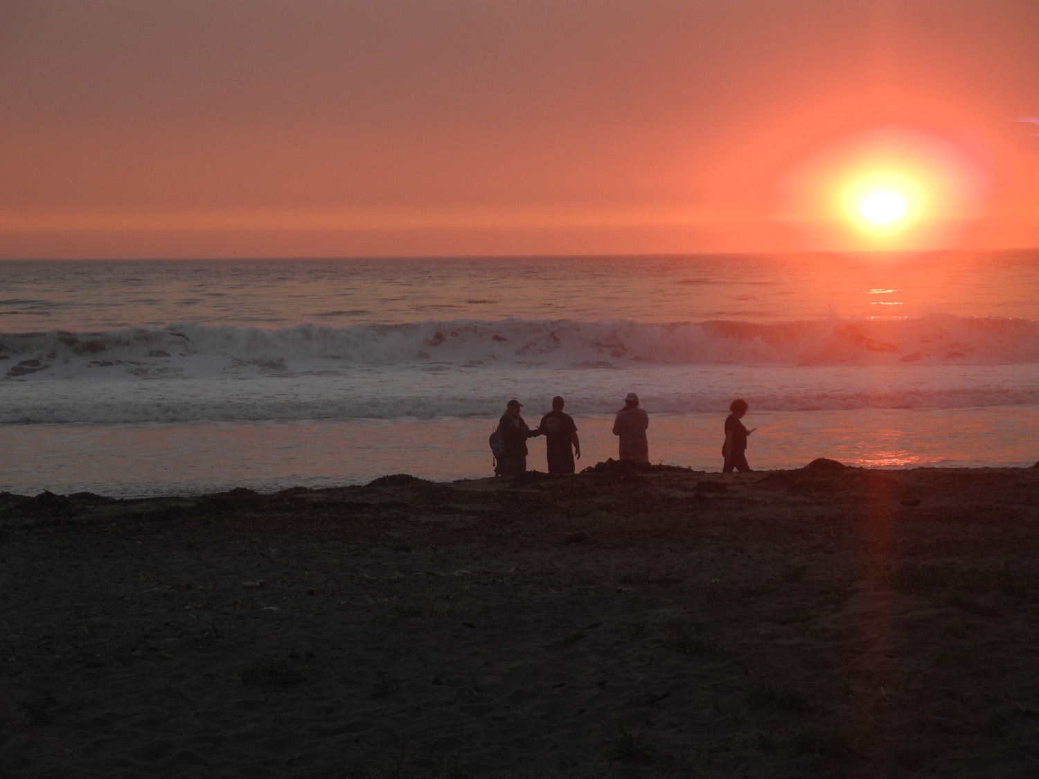
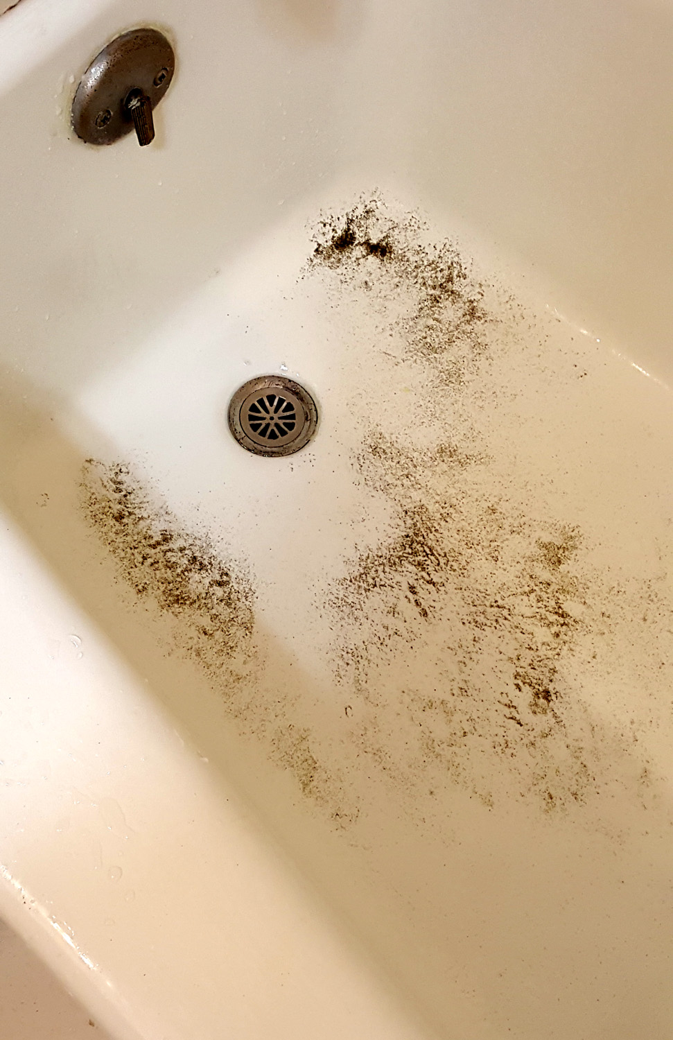
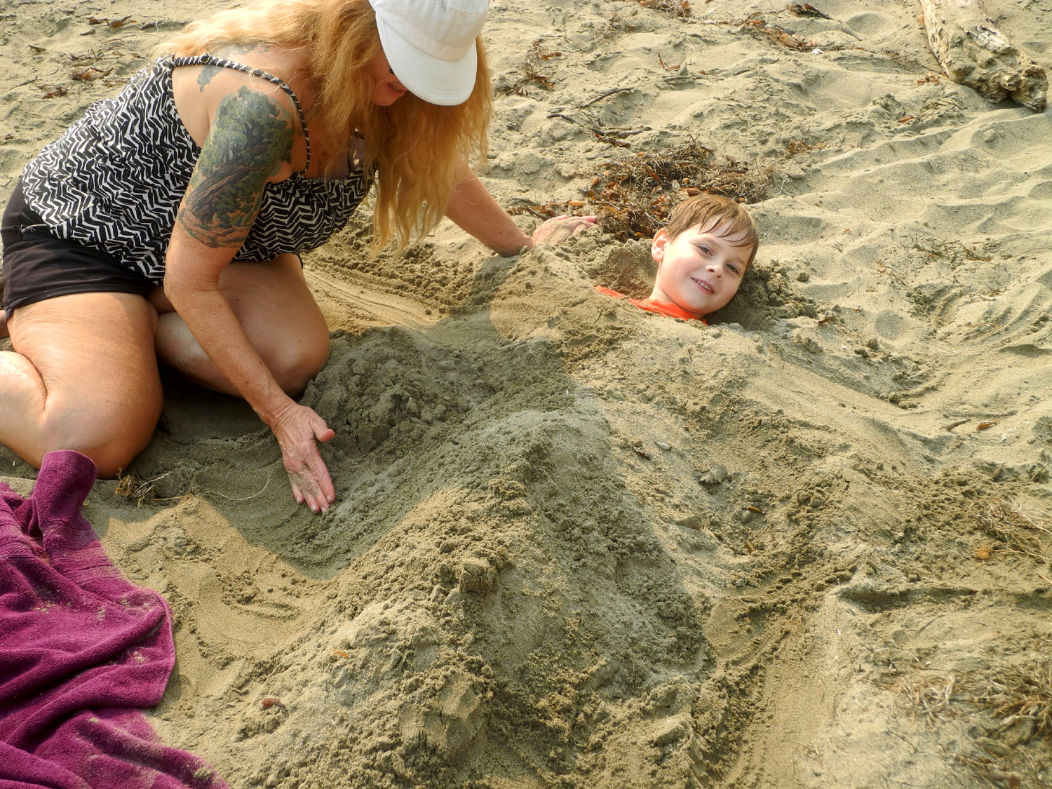
By the time we got back to the path that went up the bank from the sand, the sun was dropping into the sea. The boys took one last dip in the ocean, then lay down in the sand, with predictable results. Following a bath back at the motel, the bottom of the tub had a nice deposit of sand. |
|
|
|
| San Simeon Sunset | Dip two boys, 5 and 7, in the ocean. Roll in sand. Place in bathtub |
|
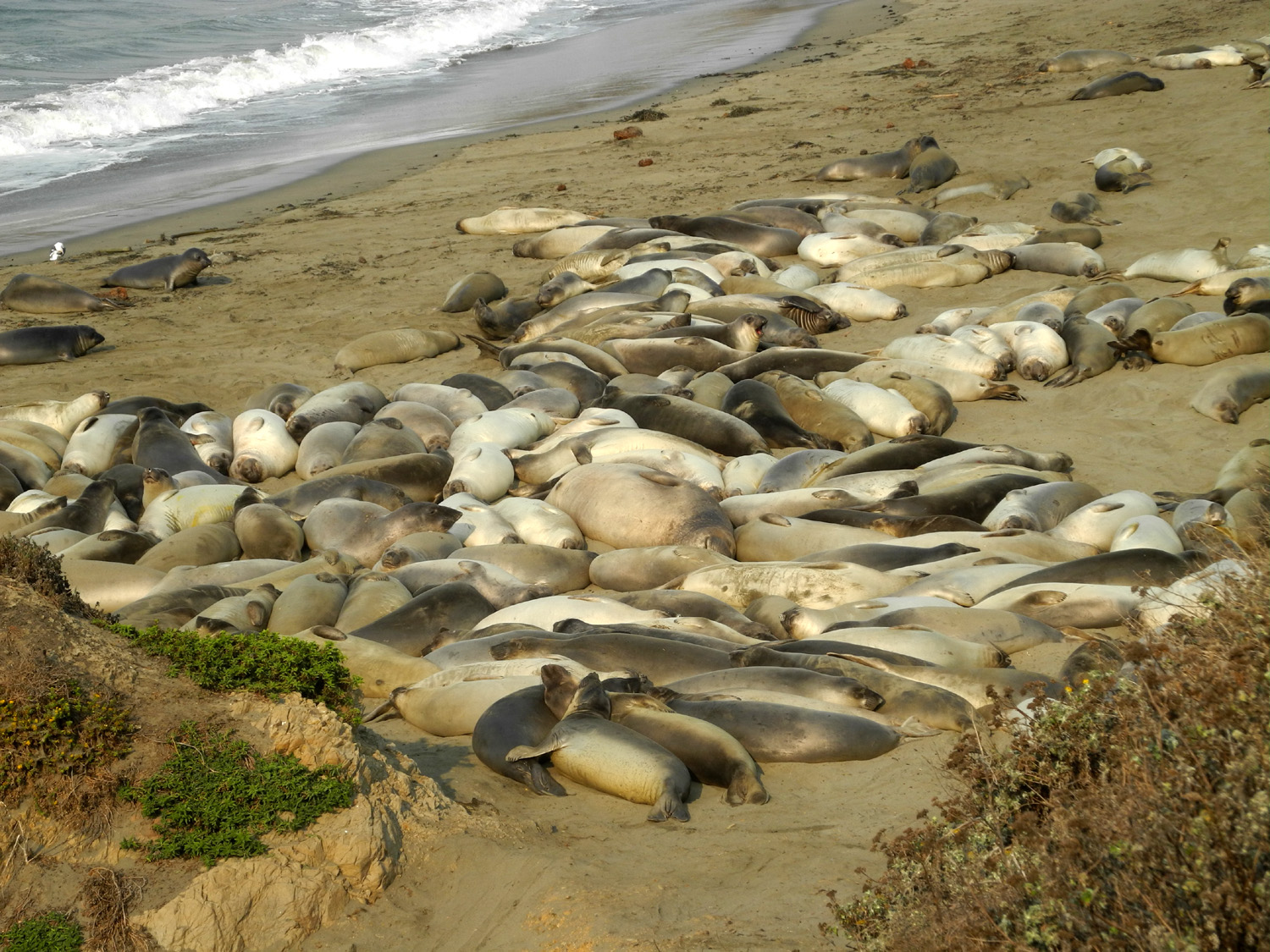
After breakfast the next morning we loaded the kids and some snacks into my car and drove north on State Highway 1, often called the Pacific Coast Highway. Our first stop was just a few miles up the coast, where a large number of elephant seals were occupying the beach. About 25,000 seals, 10% of the total world population, use the 7-mile Piedras Blancas rookery. Some days there is a docent on duty to provide information about these huge animals, and to discourage idiots from trying to get close to them. I picked up a brochure and learned many facts I had not known previously. Elephant seals come ashore three times each year, and do not eat or drink while on land. Once back in the sea, they remain there until it's time for one of their official visits - one for mating and birthing, one for molting, and the "fall haul-out," sort of a vacation from constant swimming. During our visit, the males had departed, so we were seeing females and juveniles. The babies start life at 70 pounds, but reach 300 after a month of nursing. An adult male weights 3,500 to 5,000 pounds and may be up to 16 feet long, while females are up to 1,700 and 12 feet long. There is much more, which you can read here. |
|

|
|
| A few elephant seals | A lot of elephant seals |
|
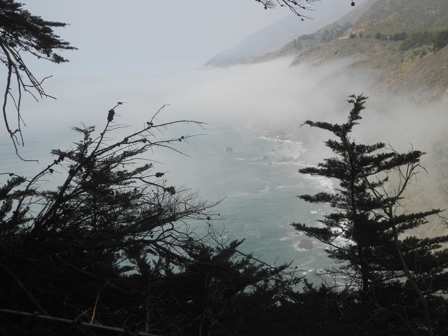
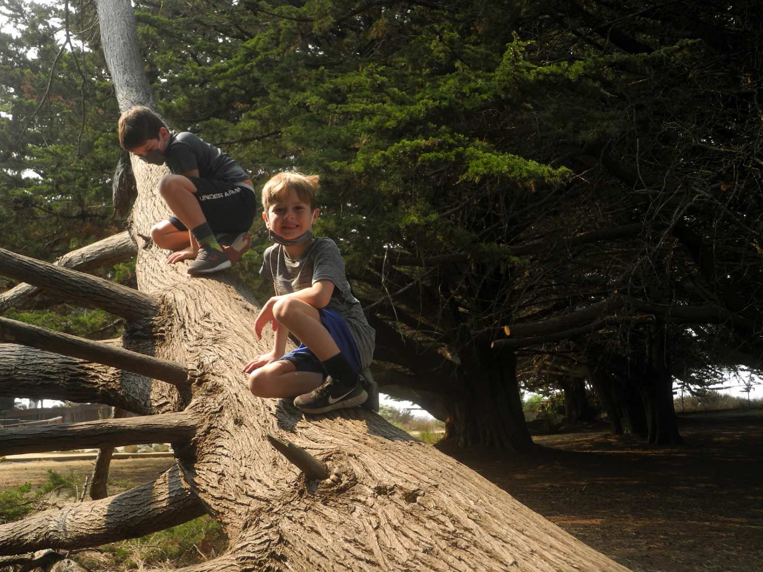
After enjoying these fascinating beasts, we continued north, planning to visit Limekiln State Park, located 15 or 20 miles into the Big Sur area. We passed a couple of small villages which we thought were beyond the park, and not finding it on the map, turned back. Later research showed that we were apparently still about 20 miles short, and that the park was closed due to a nearby fire. Instead we stopped at Ragged Point, the southernmost place in Big Sur. This location has a resort and snack bar, and a loop trail that goes out along the point and back, probably a half mile round trip. There is also a very steep, dangerous-looking trial down to the ocean, which I would never consider trying, nor would we allow five and seven year olds to try it. When you walk around the Point, the view of the ocean changes constantly as fog drifts in and rises up the slope toward the highway. The kids had fun climbing "up" a large living tree that was nearly horizontal, playing in a sand pile, and just being kids. It was long past breakfast at this time so we got sandwiches, fries and drinks and ate at a picnic table, well-separated from other patrons. |
|
|
|
| Fog drifts up toward Highway 1 at Ragged Point | An easy tree to climb |
|

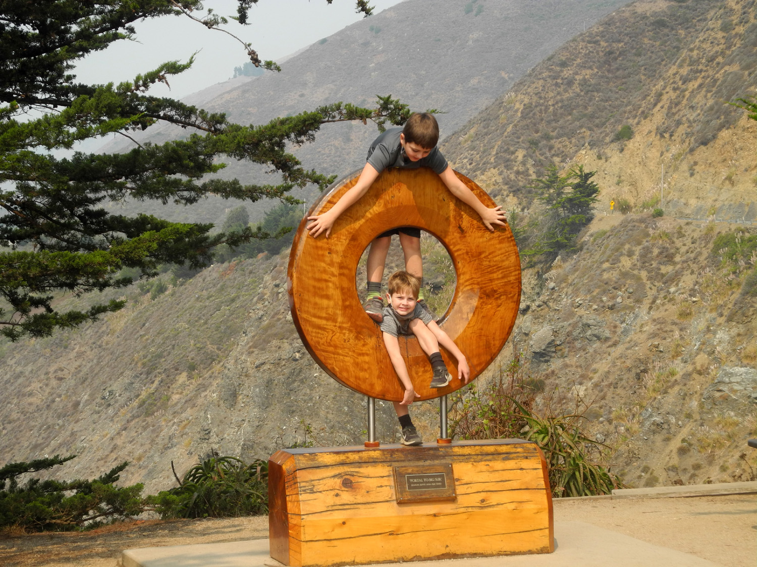
|
| This sculpture represents the gateway to Big Sur | Jack and Dick waiting for lunch at Ragged Point |
|
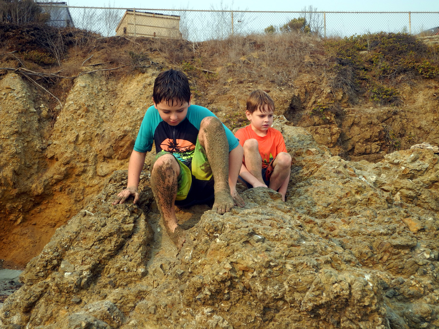
We started back toward San Simeon, but stopped at William Randolph Hearst Memorial Beach. Here we finally had a view of Hearst Castle, although like everywhere in California, the view was somewhat hazy. This did not matter to Colton and Jack, whose only interest was to get back into the ocean. This time they went out farther, not quite to where the waves were breaking, and would jump the final swell of the wave as it came in. Colton, who is sometimes dangerously fearless, seemed to instinctively understand the power of the sea. Every so often a wave would come in that was twice as big as the usual ones. He would be watching, and would back up toward the shore when a larger wave was coming. Although they got wet from head to toe, I didn't see them go down into the water more than once or twice. This beach was fairly crowded, with few wearing masks, but we went to the south side of the pier, where there were fewer people. More people came to that area as it got later, and we soon headed back to the motel, to wash more sand down the drain. Back in the day Hearst established a zoo on his property, and descendants of the zebras and other exotic herbivorous animals still roam the hillsides. Both boys were very skeptical when told that they might see zebras, but we were lucky enough to spot a herd at a distance. |
|

|
|
| Jack and Colton in the surf at Hearst Memorial Beach | Jack's having a great time getting buried |
|
On Sunday morning we ate breakfast, packed up and checked out of the motel. We were not ready to head home just yet, and returned to Hearst Beach. There is a hiking trail that goes out the headland on the north side of the beach. It's private property, but the owners have allowed access from the beach, and we made the entire two mile round trip hike out to the point. Along the way we saw huge pine trees draped in Spanish moss, and enjoyed views of the ocean and the castle. We returned to the car where Colton and Jack got into their swimwear, while Teri and I set up our chairs on the beach and watched them play. We finished the day with a picnic lunch, then got started for home around 2 p.m., in our two separate cars. |
|
|

|
| View toward Hearst Memorial Beach from the headland | Pine tree draped with Spanish moss |

|
|
| Colton and Jack on the trail | Jack makes sure the seagulls don't loiter |
|
I had to get gas before leaving the coast, and I paid $3.99 at Cambria, my punishment for not stopping earlier on the way over. We made one other stop on the way home, at Bravo Farms in Kettleman City, where Colton and I had ice cream, while Jack chose a Sponge Bob Pez dispenser with three packs of candy. Kettleman is divided into two distinct parts - an old farm town supported by agriculture and oil, and the newer section a mile farther south where State 41 crosses I-5. Once the Interstate was completed, nearly every conceivable gas station and fast food chain set up shop there, along with a couple of motels. Bravo Farms is fairly new and in a category of its own, and worth checking out. We continued our drive without incident, arriving at the Upshaw home at 5:30. As I came to a stop my phone rang, and I was sure it was Johnny calling to ask about our arrival time. Before I could answer he hung up, having seen us driving up. This
trip was during a time when big fires were going all over California,
including the huge Creek Fire that had given us a smoky overcast for
about a week. The smoke kept the temperatures moderate, although it was not
healthy to go outside and enjoy it. At the coast we had a slight haze,
with the last day being the clearest, but no smell of smoke. The
temperature was near 90 the first day, then cooled a little, but it
was always comfortable to be in shorts and t-shirt at the ocean. --Dick Estel, October 2020 |
|
|
Photos (Click to enlarge; pictures open in new window) |
||
|
Stargazer Rock 2020 |
||
 |
 |
|
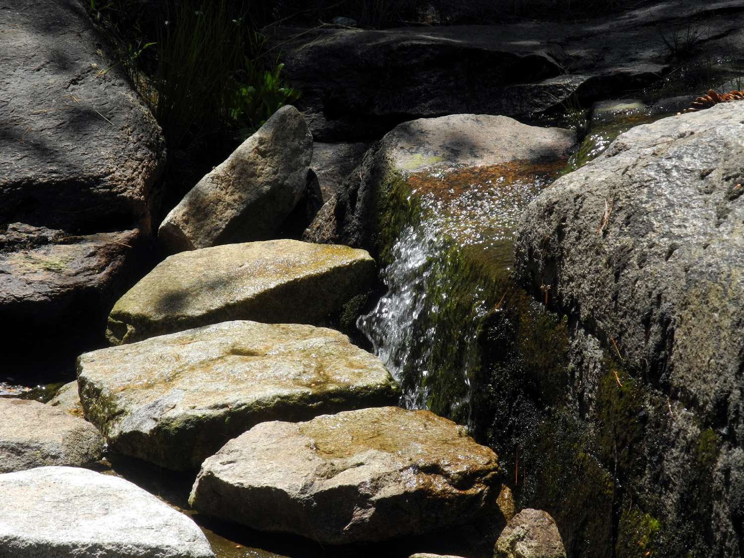
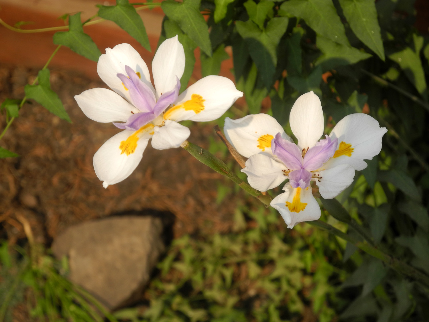
| A little cascade on Rock Creek | Flowers near the creek | Another nice bit of natural landscaping |
 |
 |
 |
| Red fir near the camp | This was a nice
alternative camp site until it was turned into a logging slash pile |
This big Jeffrey
Pine was leaning but not down in 2015 |
| Chilkoot Lake | ||
|
 |
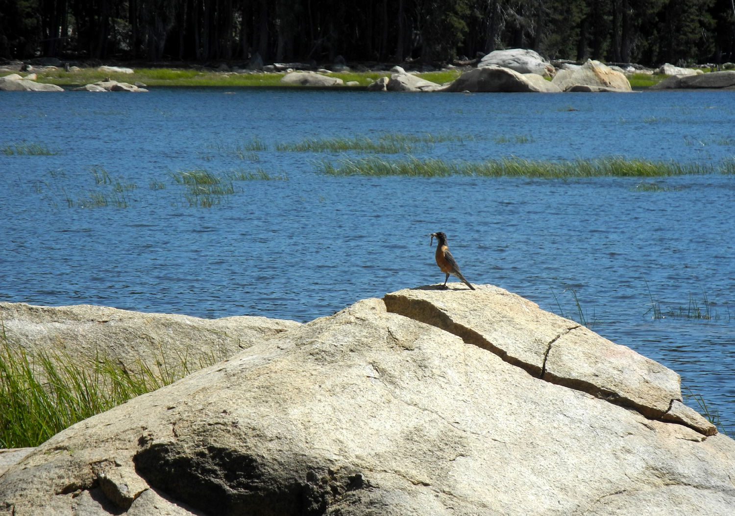 |
| Jennifer, Rod and Teri by the lake | The birthday boy | Robin having lunch by the lake |
 |
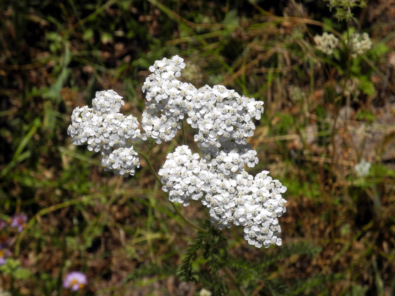 |
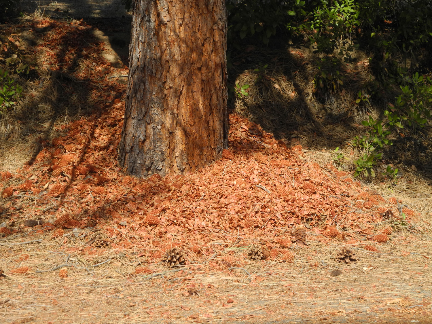 |
| Flowers at Cold Springs Meadow | More meadow flowers | A busy squirrel has
been chewing up pine cones by this tree near the Neely home |
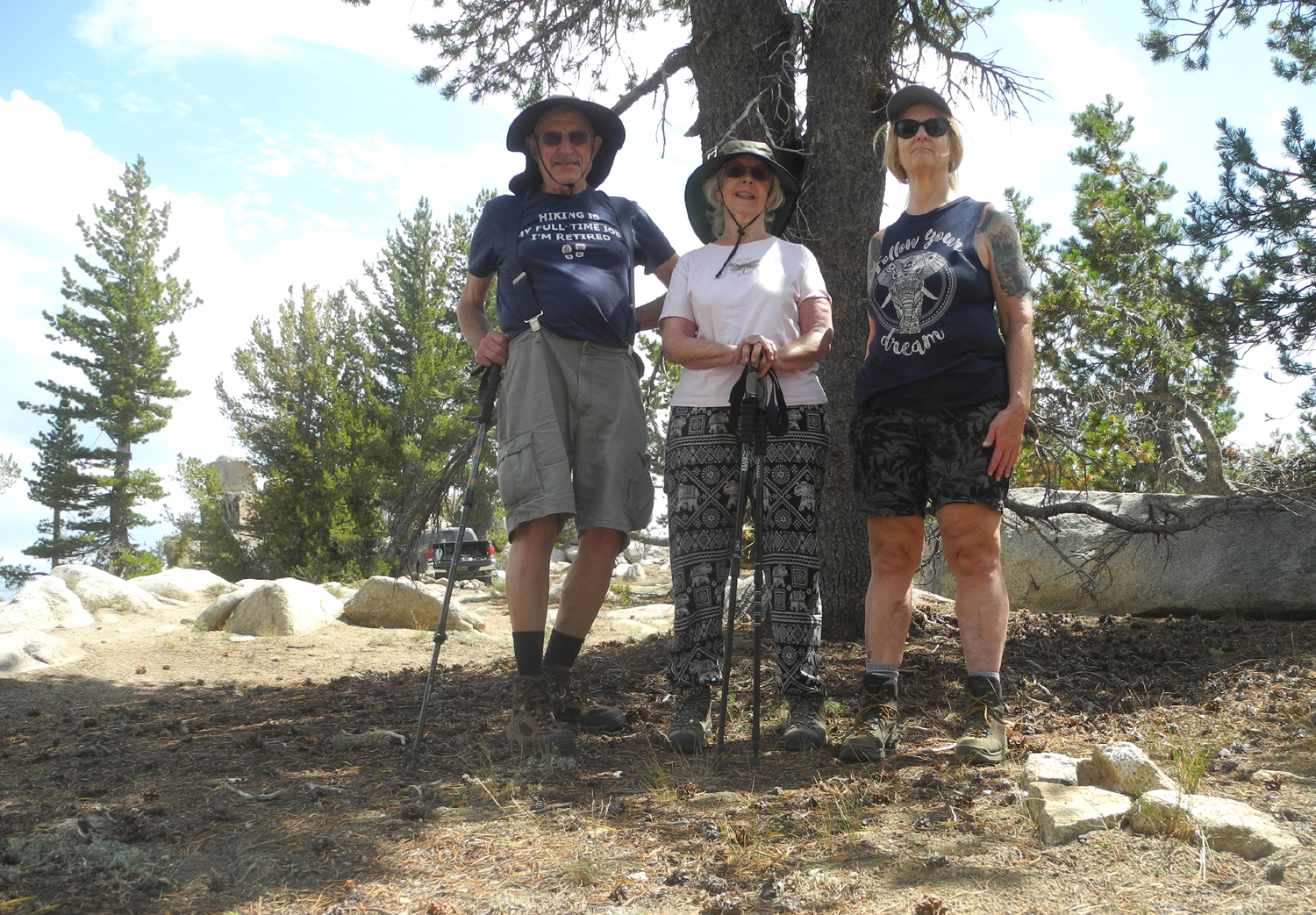
| White Bark Vista | ||
 |
 |
 |
| A cool rock formation near the start of the road | Dick, Jackie and Teri at White Bark | As we left, the view improved slightly |
 |
|
 |
| Teri contemplates the view | I have to photograph
this rock every time I visit White Bark Vista |
This one is for cloud-lovers |
 |
 |
 |
| Three older photos taken under better conditions | ||
| San Simeon | ||
 |
 |
|
| Fun with sand and seaweed | Rocks, sculpted by the tides | |
 |
 |
 |
| Unknown flower near the ocean | Fun in the sand at Ragged Point | Colton & Jack's sand castle, after Hearst |
 |
 |
 |
| Boys on the rocks | Colton and Jack near a driftwood structure | What you could get
for ten million dollars from the 1920s to 1947 |
| Related Links | ||
| Bald Mountain Trail | Bald Mountain | Jeffrey Pines |
| How to Fell a Tree | Perseids Meteor Shower | Cold Springs Meadow |
| Jones Store | Western White Pines | Huntington Lake |
| Kaiser Pass | Lake Edison | Mt. Ritter |
| Dusy-Ershim Trail | Silver Divide | Minarets |
| Yosemite National Park | Glacier Point | Dick's Yosemite Photos |
| San Simeon | Elephant Seals | Hearst Castle |
| William Randolph Hearst Memorial Beach | Ragged Point | Pacific Coast Highway |
| Bravo Farms | Cambria | Big Sur |