


Dick's Adventures of 2018 - Part 4 |
|
|
Adventures of 2016 Adventures of 2017 2018 Part 1 2018 Part 2 2018 Part 3 2018 Part 5 2018 Part 6 |
|
|
Wishon Domes & Sawmill Flat Fresno Dome New Stargazer Rock Courtright Camp |
|
|
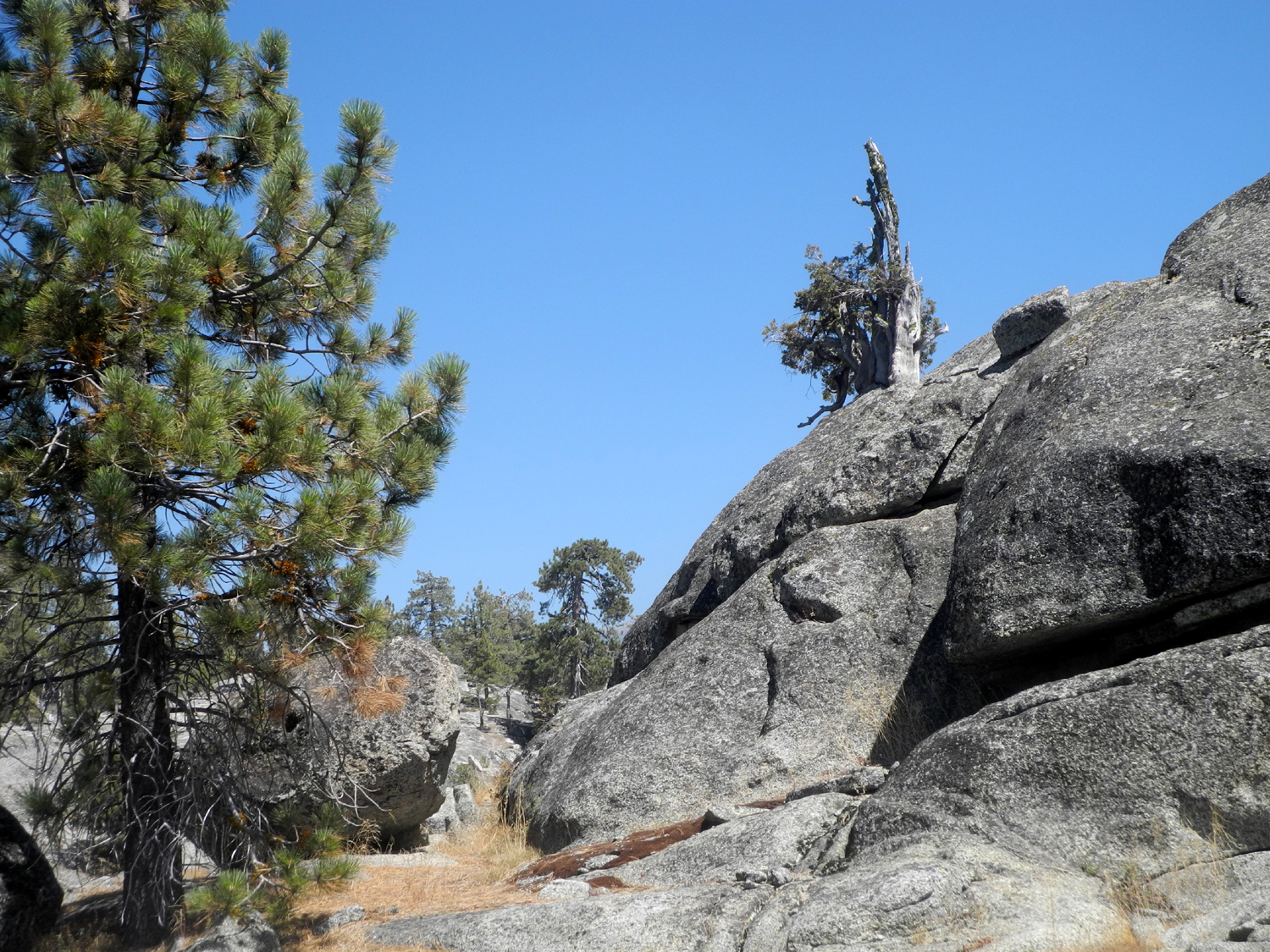
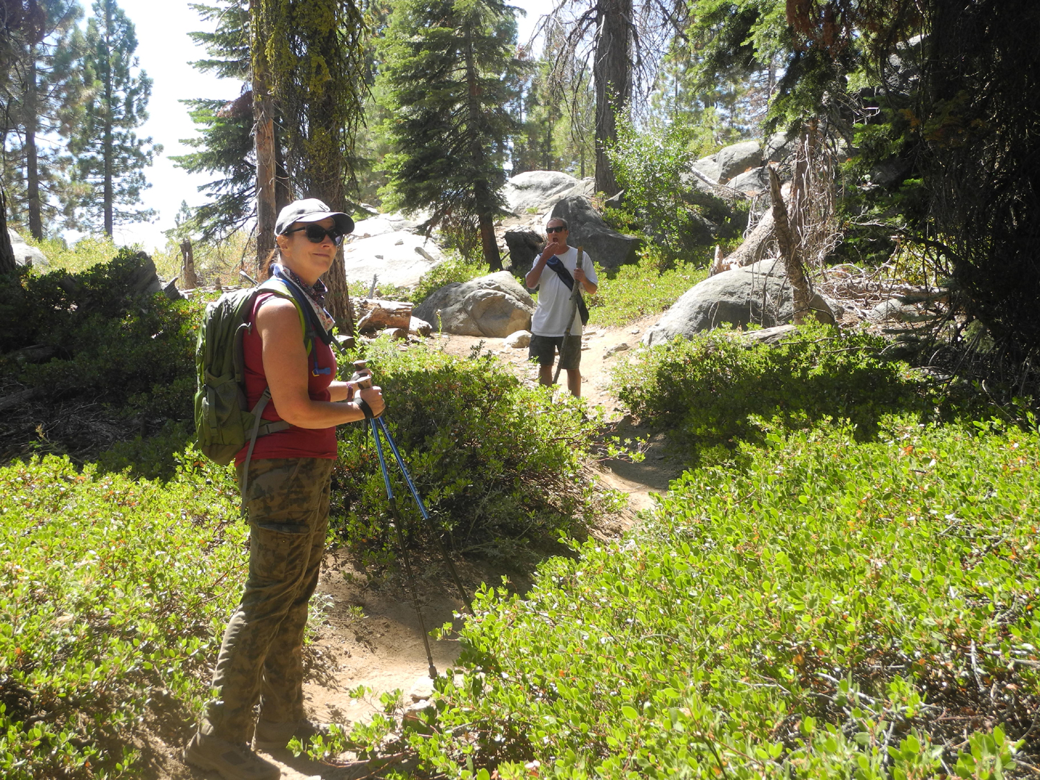
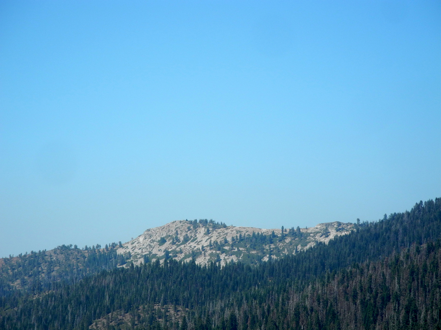
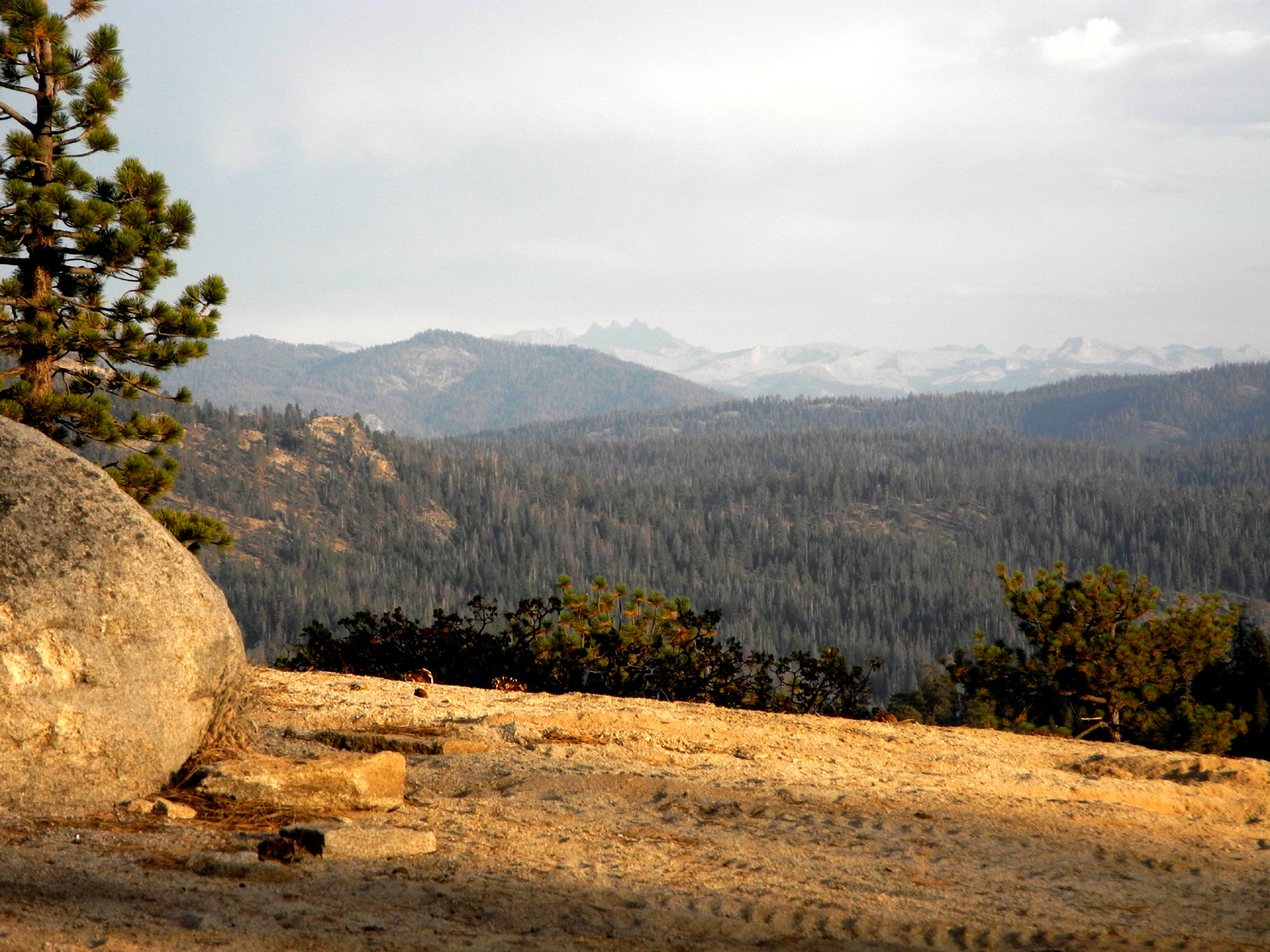
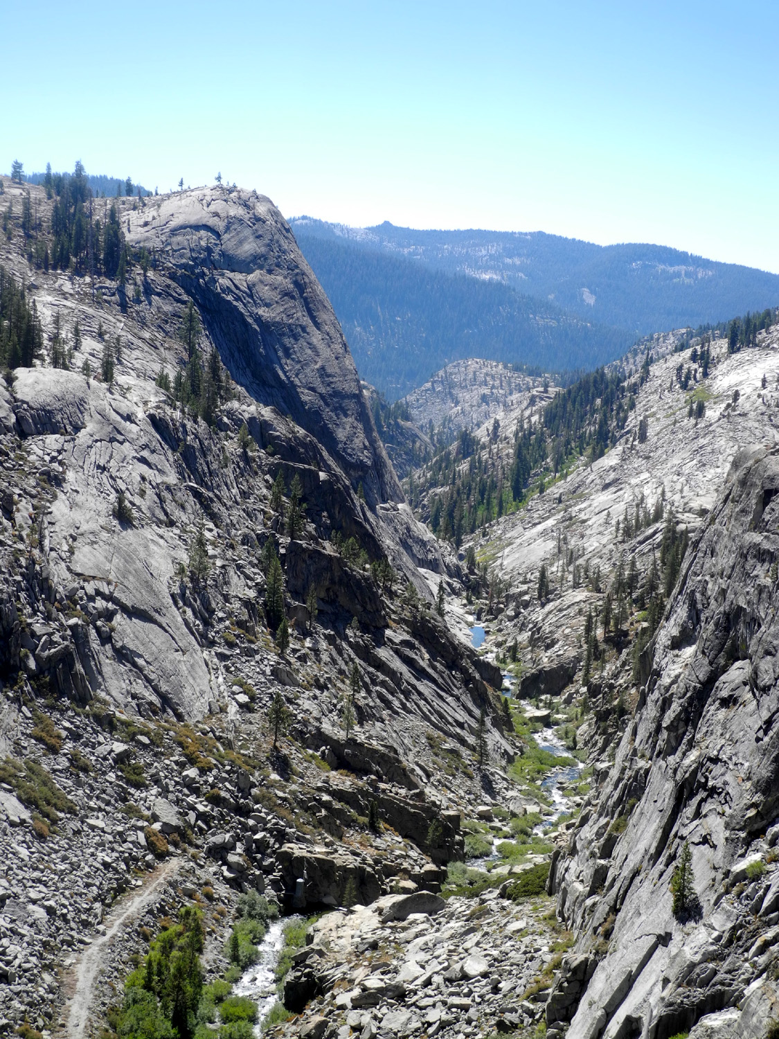
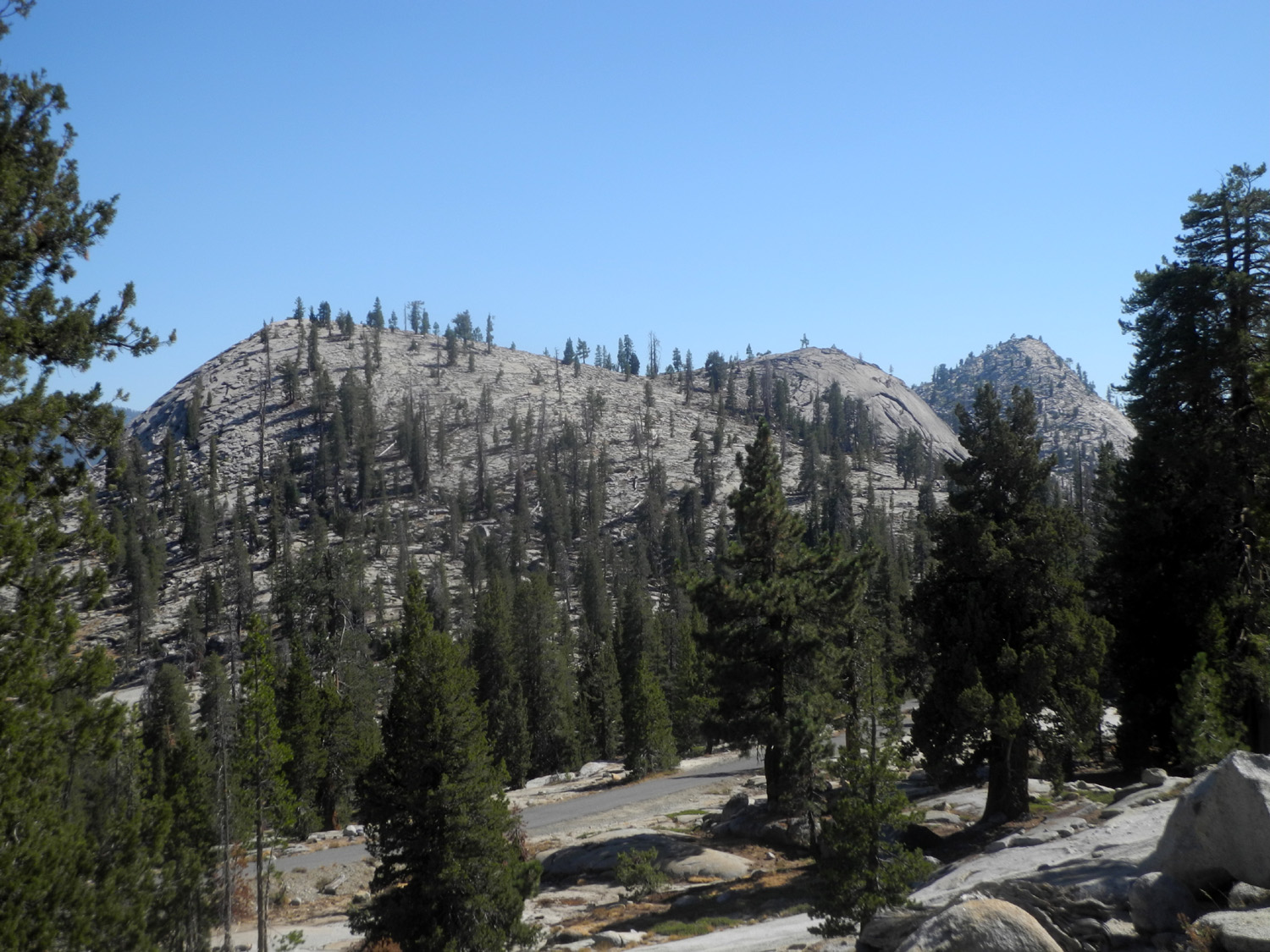
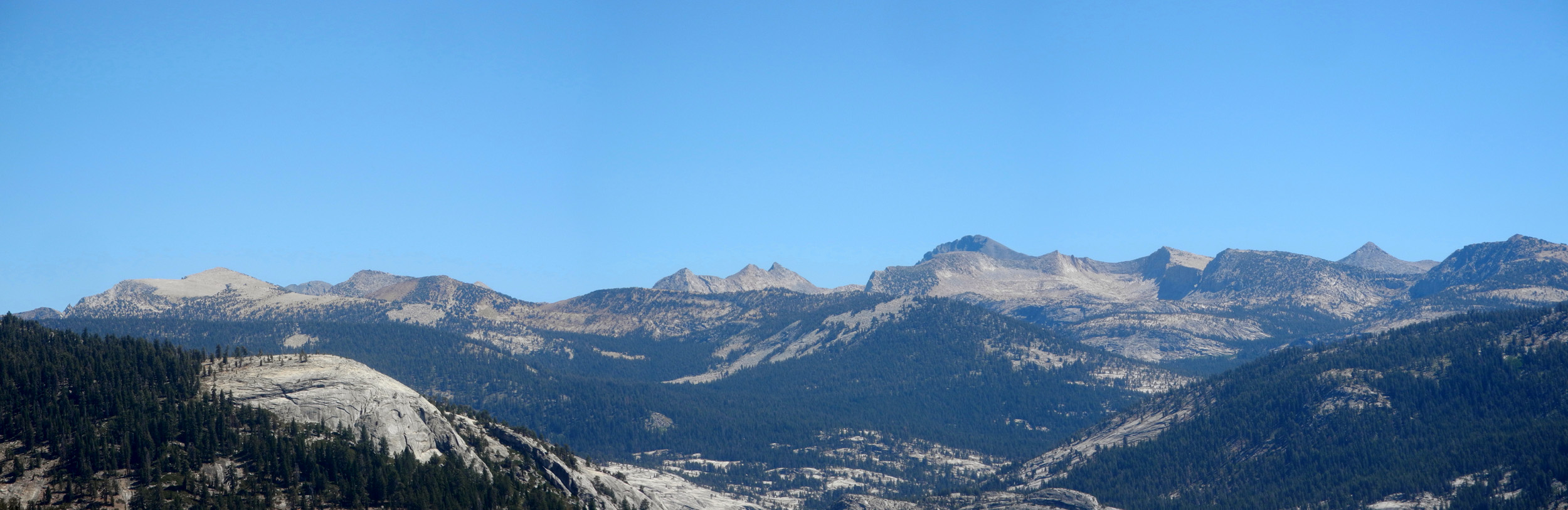
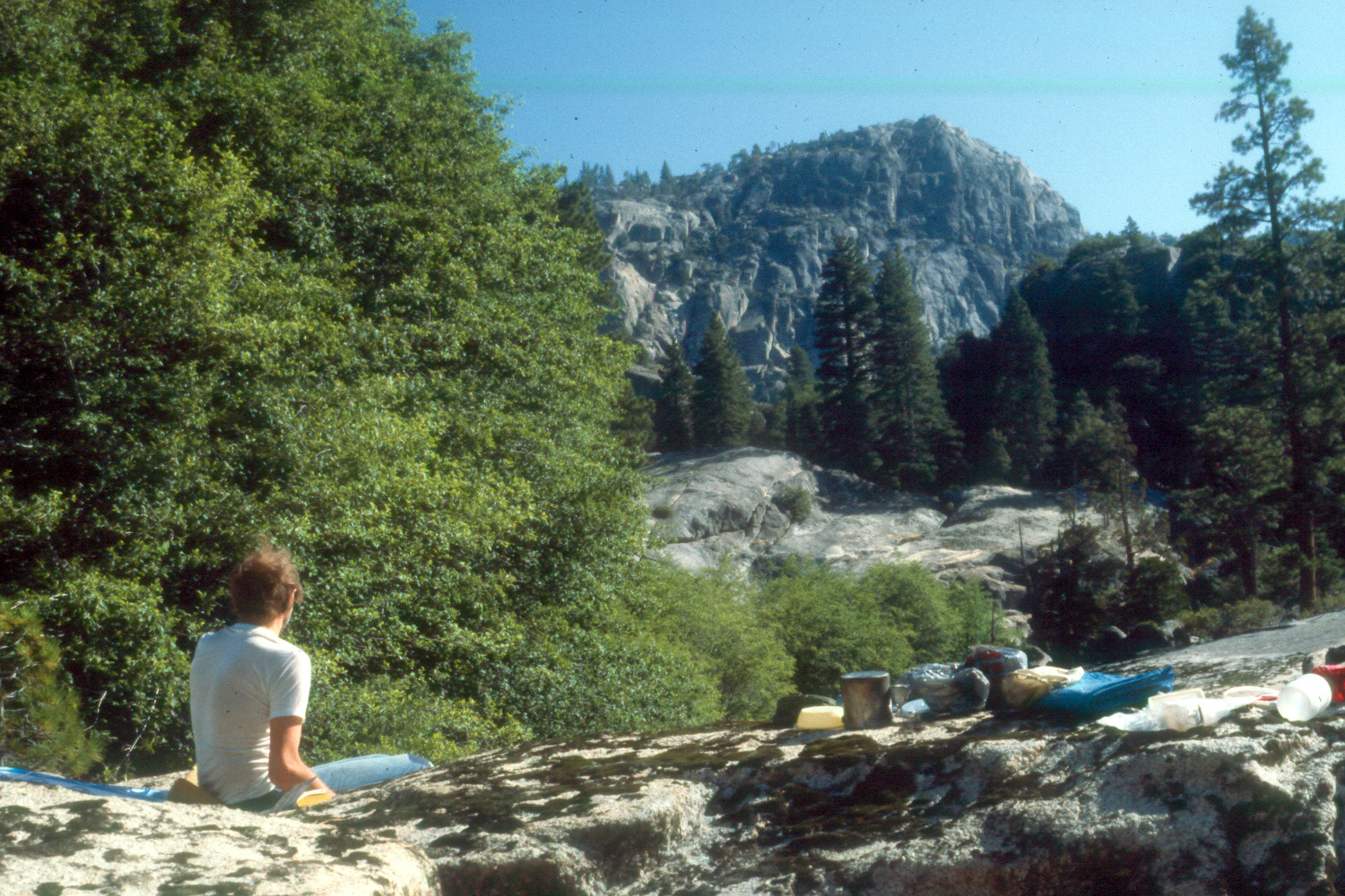
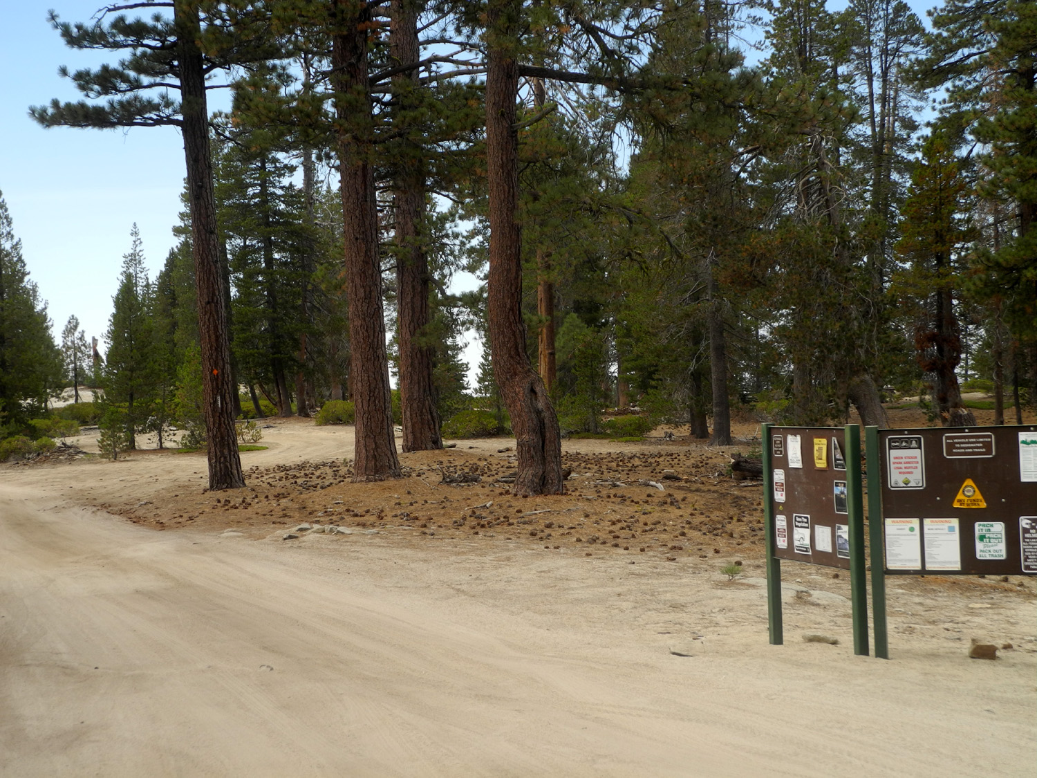
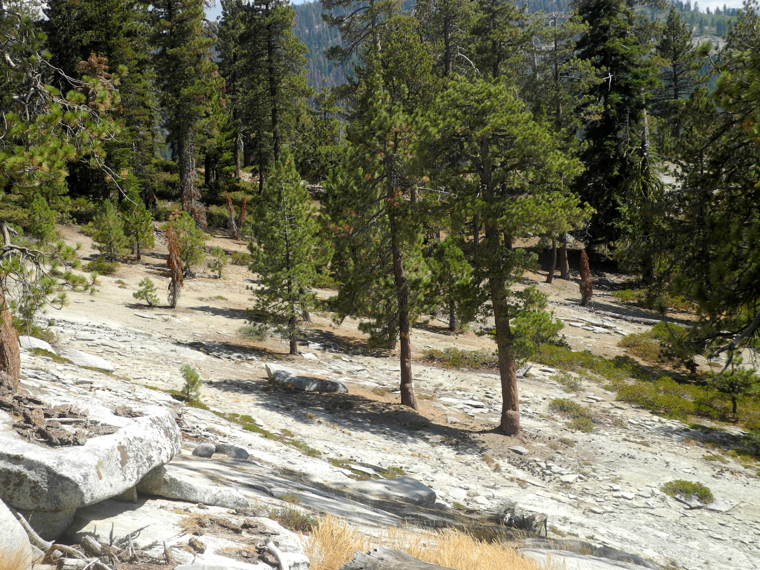
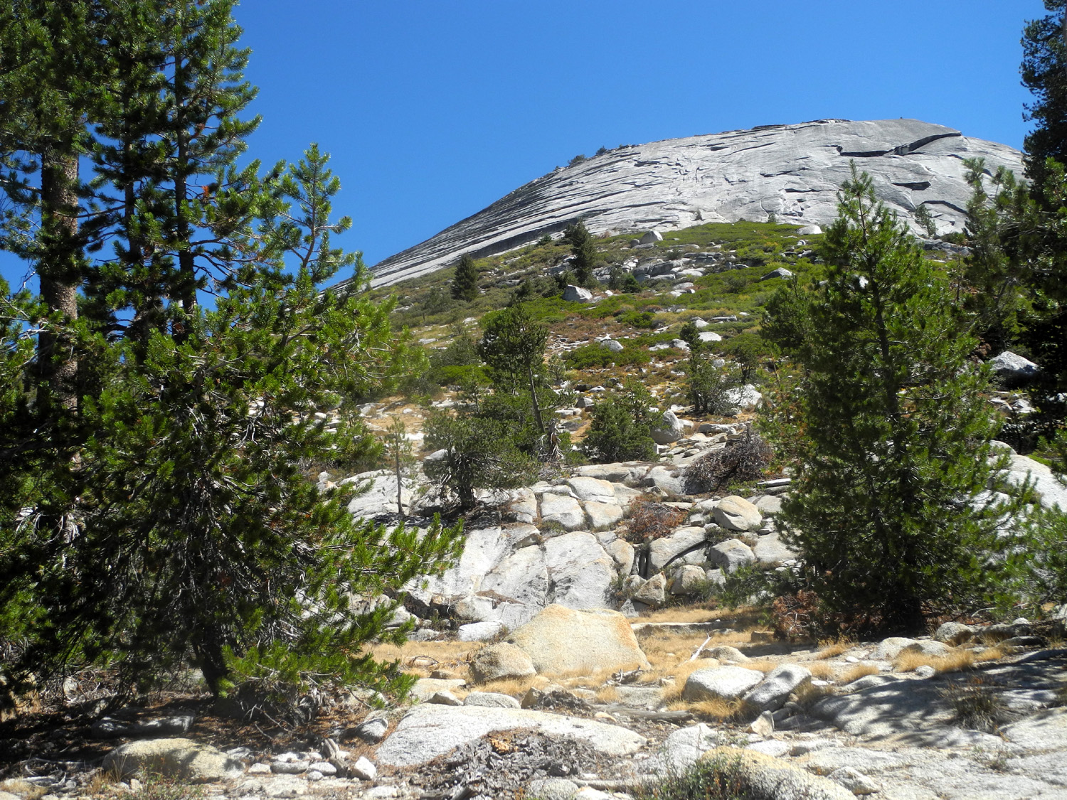
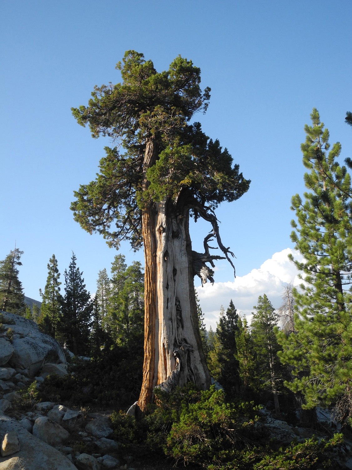
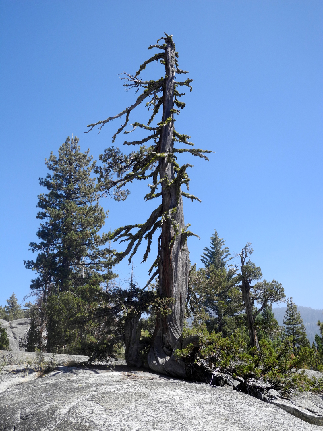
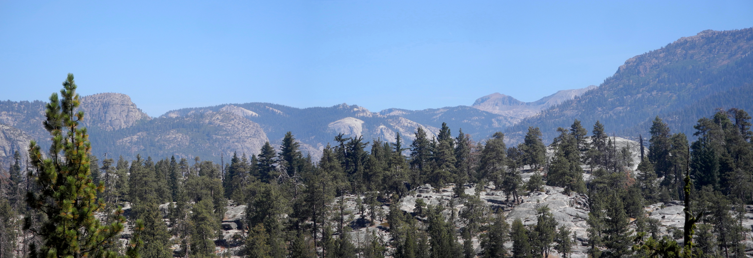
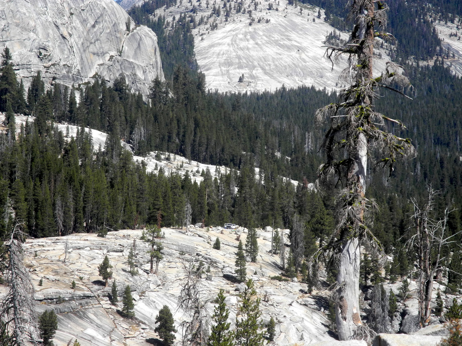
Wishon Domes & Sawmill Flat On August 27 through 29 I enjoyed another of my solo truck camping trips to a place I used to go to a lot, the last time in 1986. Although I ended up staying at Sawmill Flat Campground, my original destination was a place we call Wishon Domes. The
road to the campground goes from the McKinley Grove Road, about a mile before the turnoff to Courtright Reservoir. The camp is
three miles in, and the road then goes down to Black Rock
Reservoir and Balch Camp. A
half mile past the camp a mostly 4-wheel drive road goes toward Lake
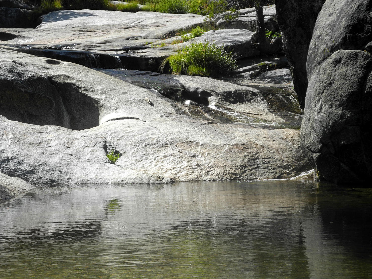
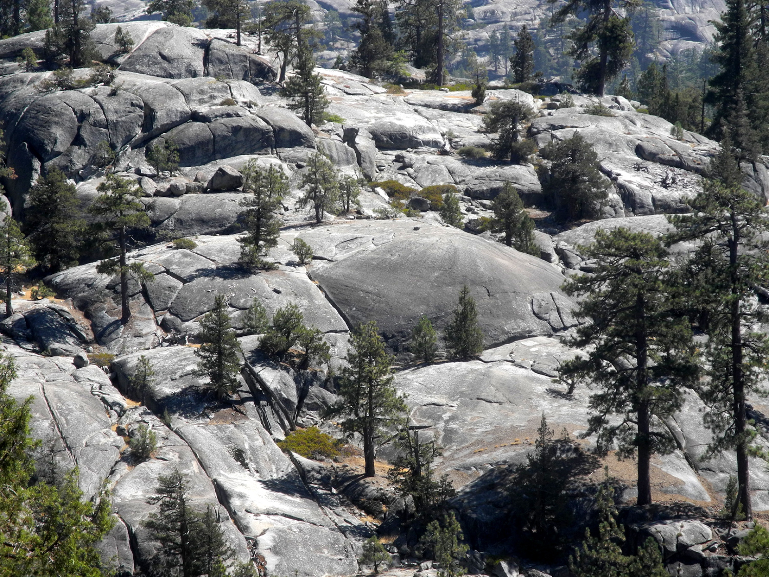
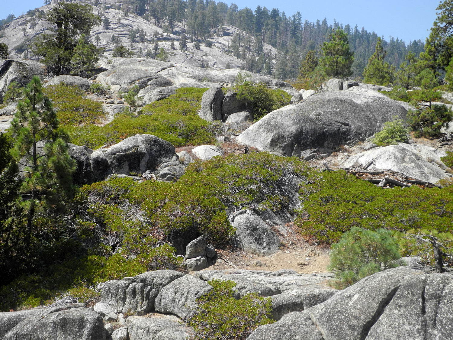
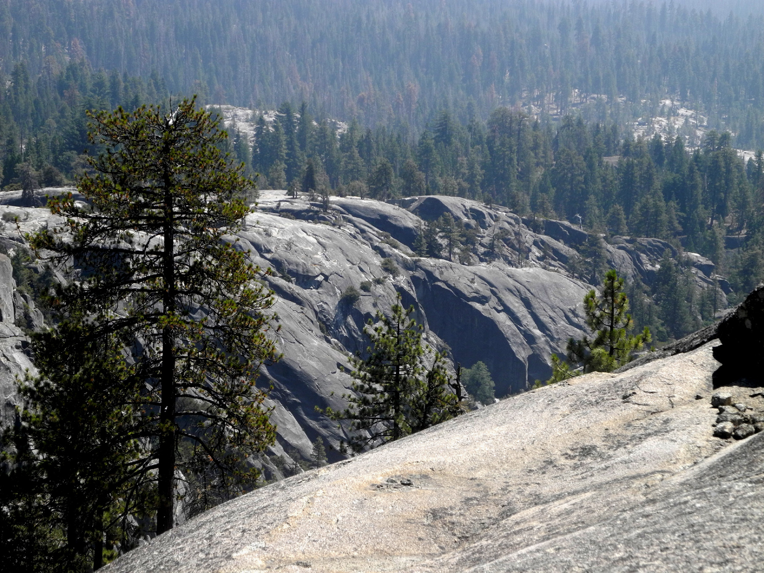
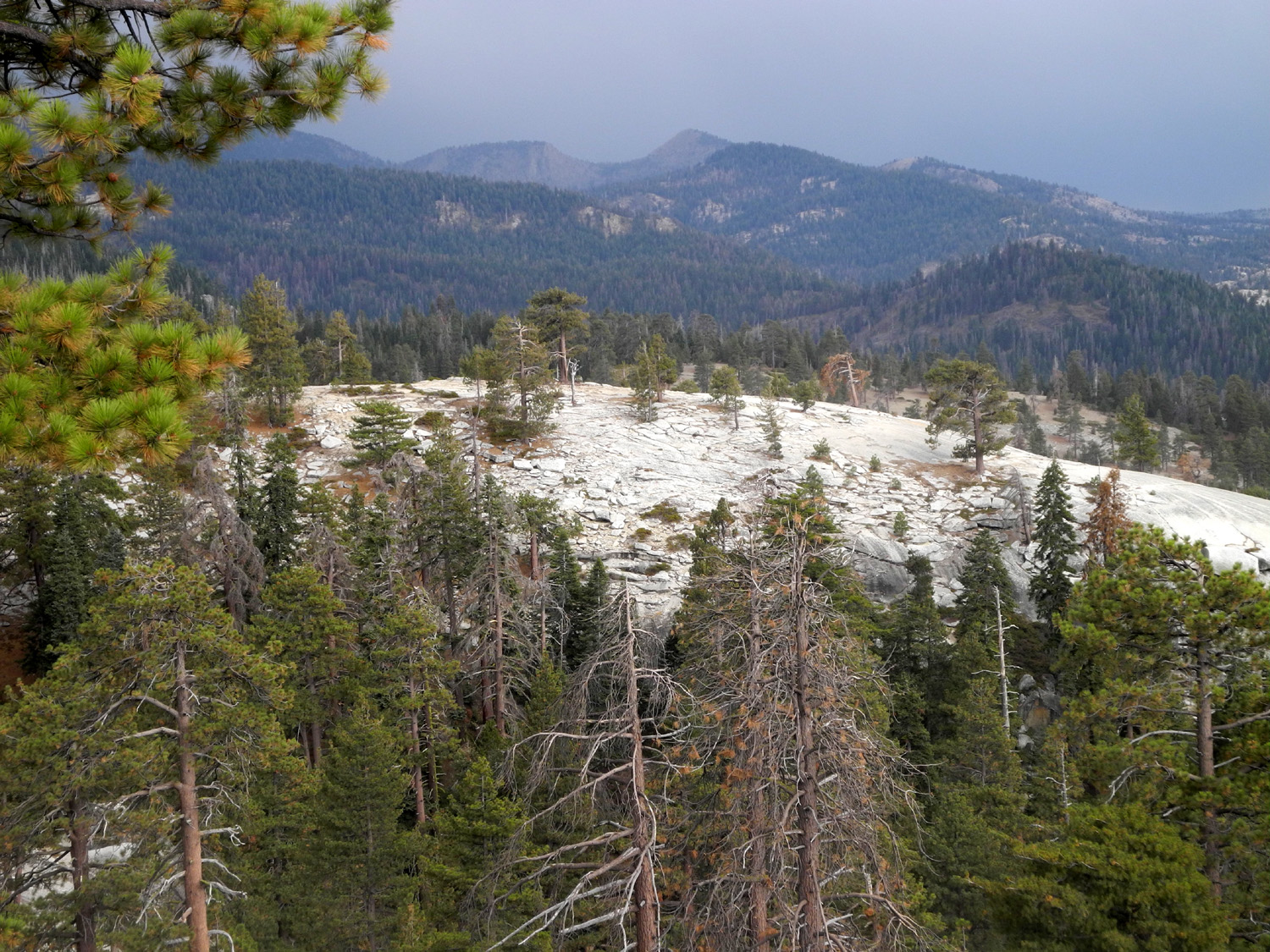
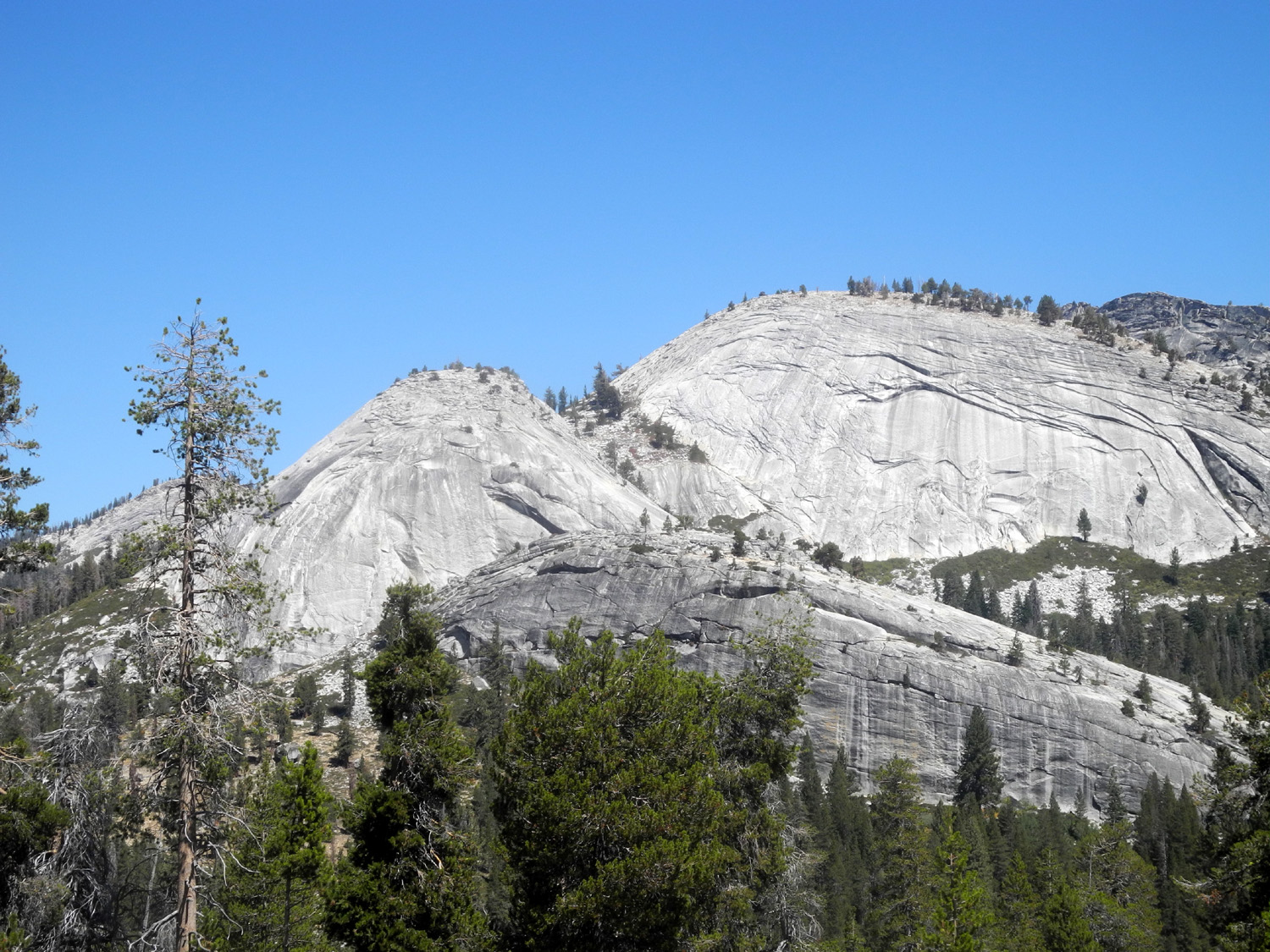
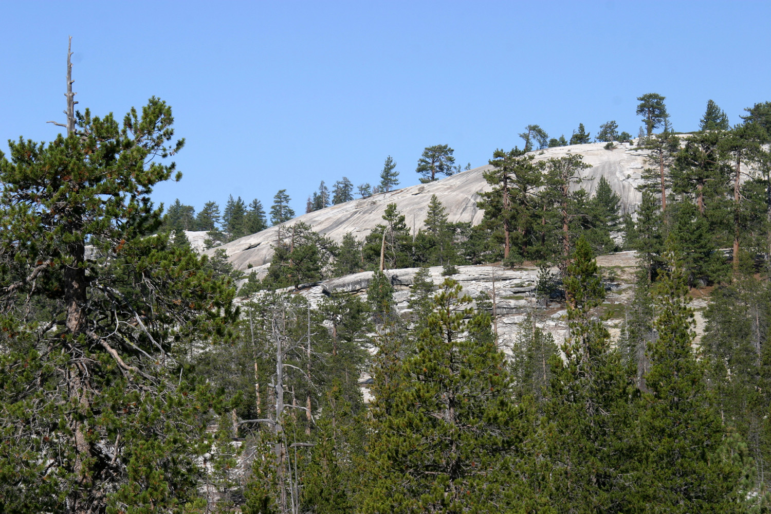
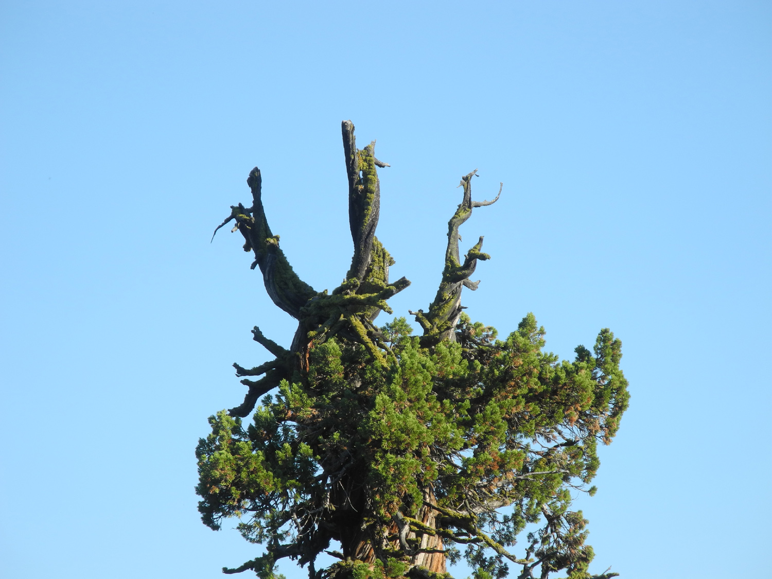
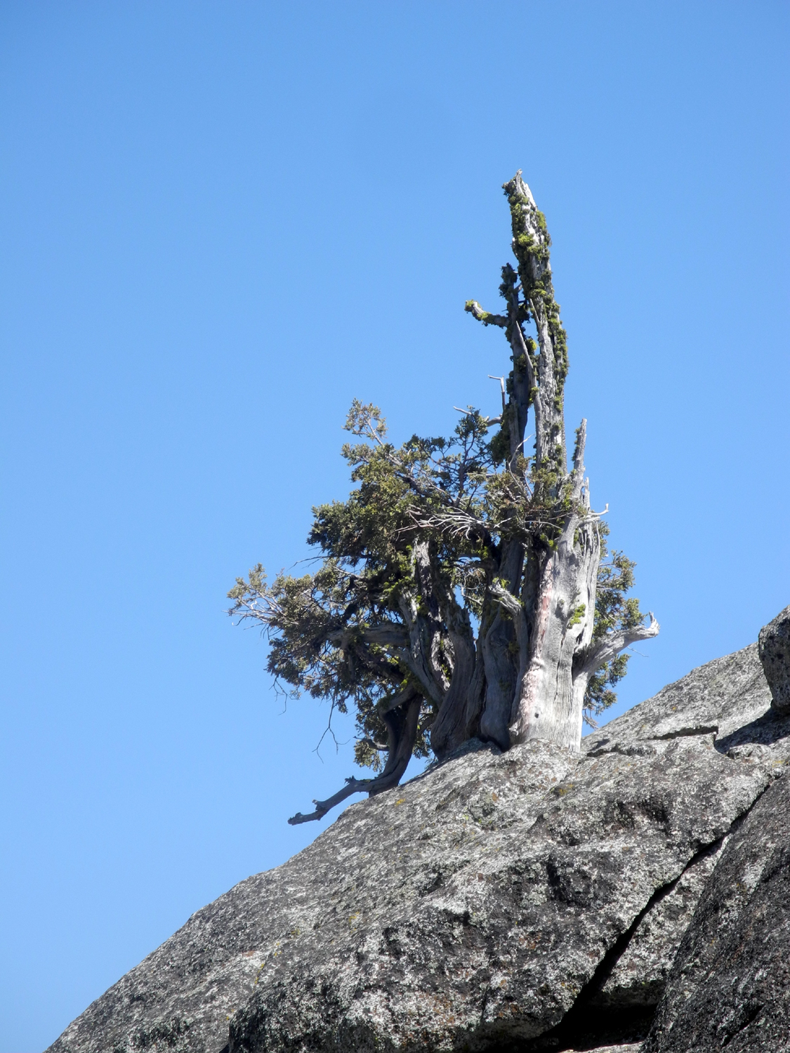
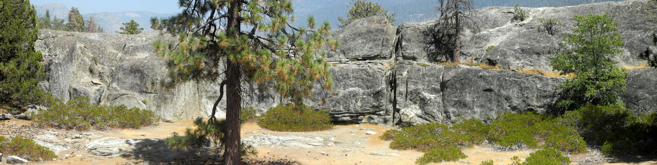
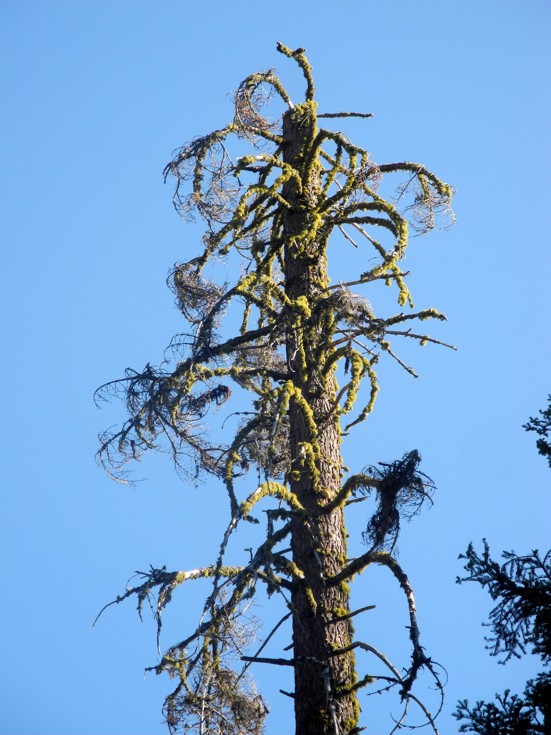
Between the road and the river a lot of the country is open, rounded granite – not classic domes like in Yosemite, but more like "domes in progress." Between the domes, cliffs and huge boulders, areas of soil support juniper and Jeffrey pine, and seemingly acres of green leaf manzanita. It is possible to make your way out through this terrain and look down into Granite Gorge, where the river flows below Wishon Dam. |
|
 |
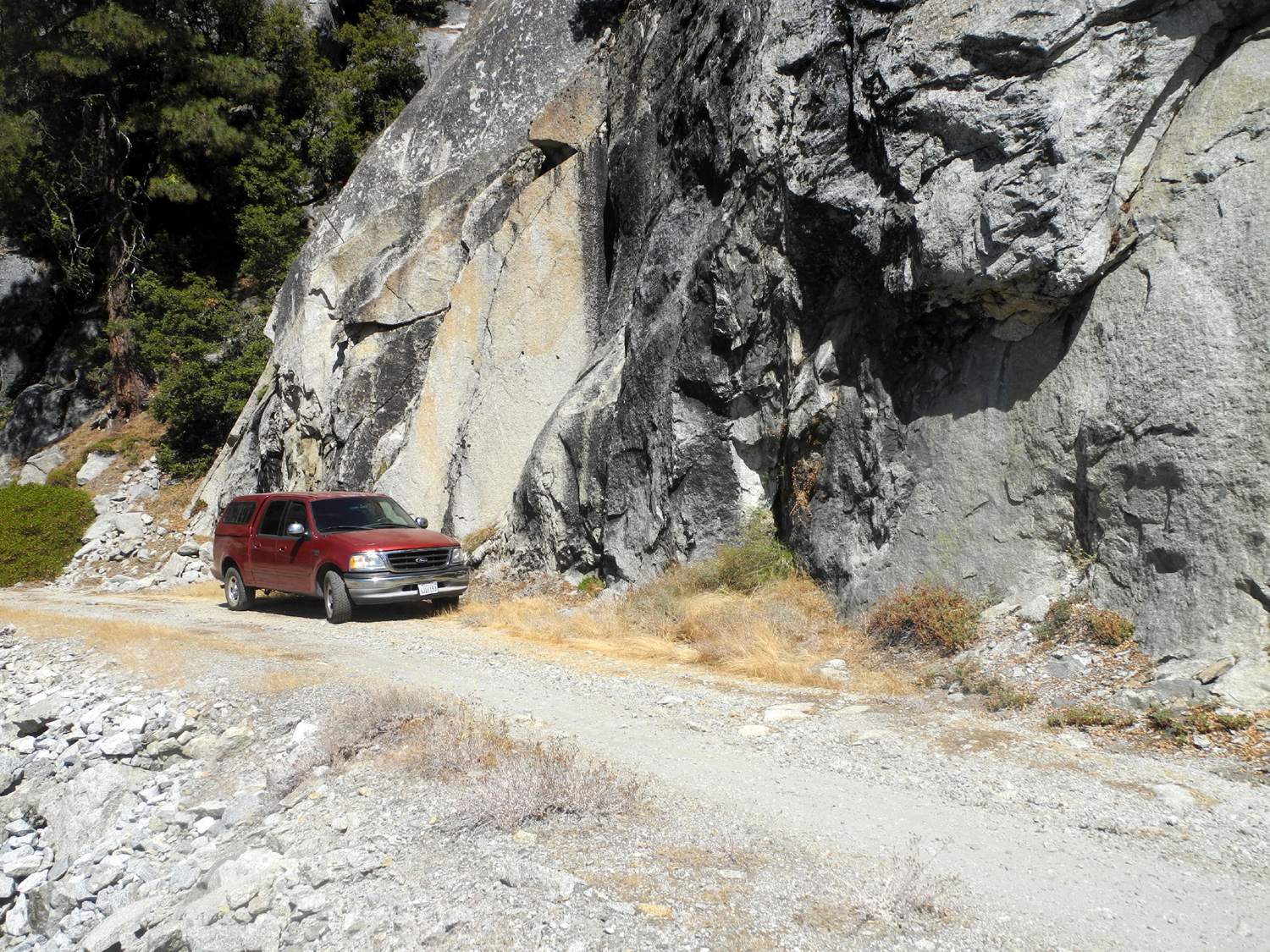 |
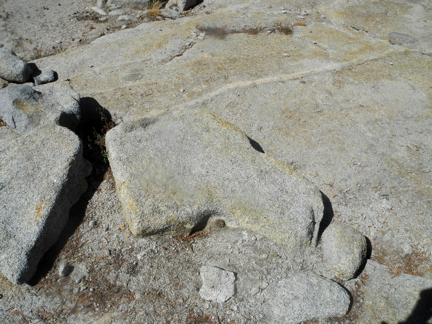
| The rounded granite of Wishon Domes | A nice smooth section of the rough road |
|
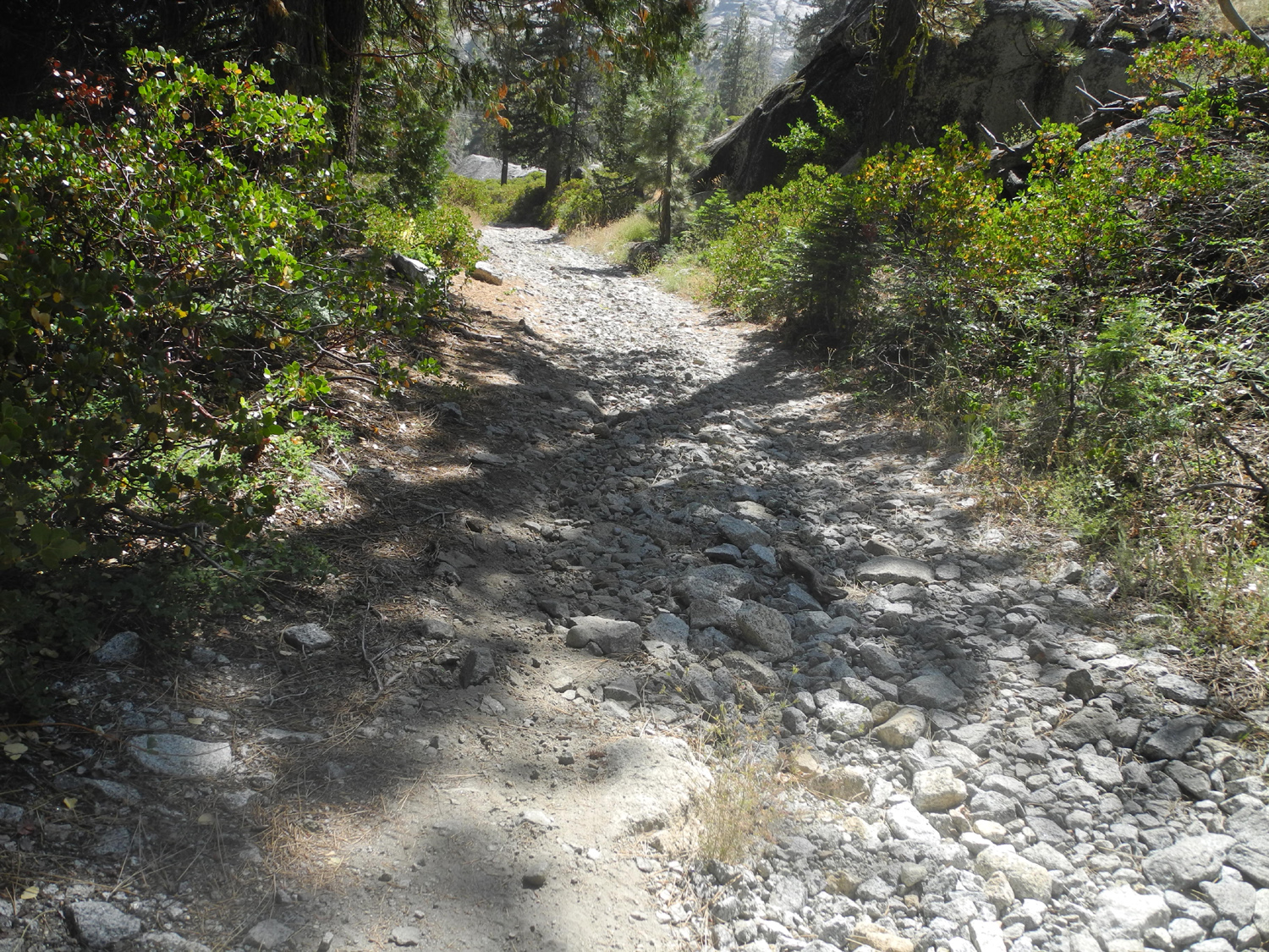
Just before the camp is a very rough creek crossing, which I had driven through with my Datsun pickup several times in the 1980s. However, my daughter had been there recently, driving her 4-wheel drive work truck, and said the crossing caused them to get out and take a good look at the best way through it before they proceeded. When I got close to Long Meadow Creek, I parked at a place where I knew I could turn around, and walked to the creek. My first thought was that it was washed out a lot more than during my earlier visits, and much more challenging. A
couple was at the campsite with a 4-wheel drive vehicle and a small
trailer, about the size of a VW Bug. The man said that his
grandfather started camping there in the 1960s. When he died he
wanted his ashes scattered there. Plans were made for all the family
to go there to camp when they did this, but some were concerned
about the lack of a bathroom, and primitive sleeping and cooking
facilities. They ended up bringing a small motor home, maybe 20 or 24 feet. At a place on the narrow road where you are squeezed between the vertical cliff on one side and a thousand foot drop on the other, they measured the width. Everyone got out, and the man’s father drove through this section, with his door open so he could jump out if the vehicle started to go over the cliff. They made it through successfully both ways and all was well. After further thought I decided I could probably make it across the creek, but the consequences of failure would be too great, so I put on my boots and set out across the boulders toward the river. |
|
 |
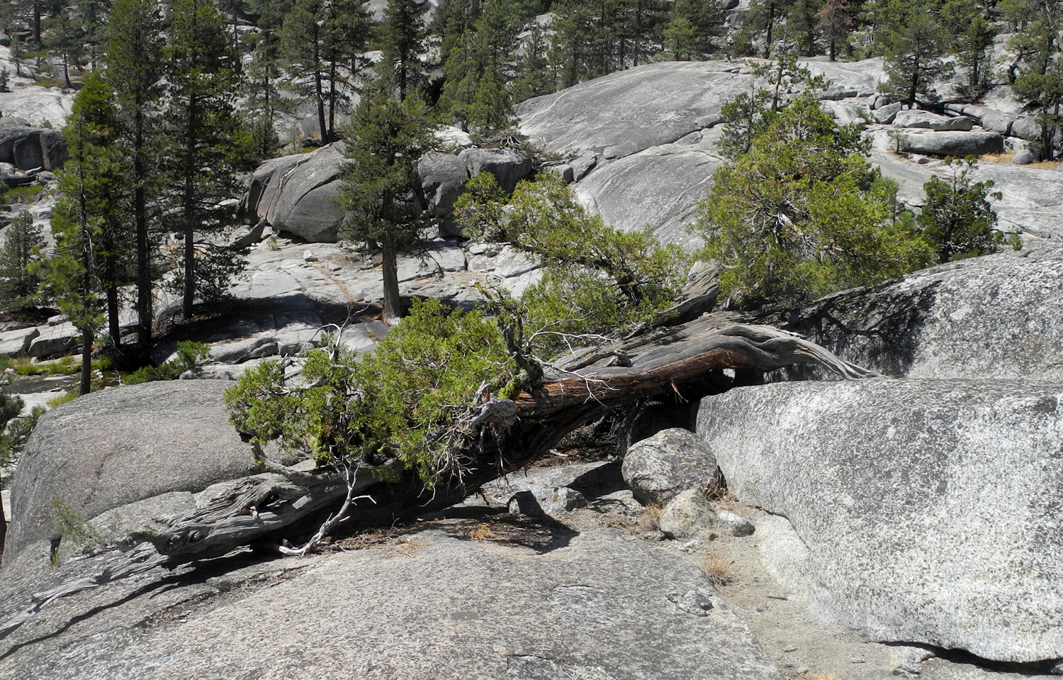 |
| The "official" Wishon Domes camp site | A horizontal juniper tree |
|
|
|
|
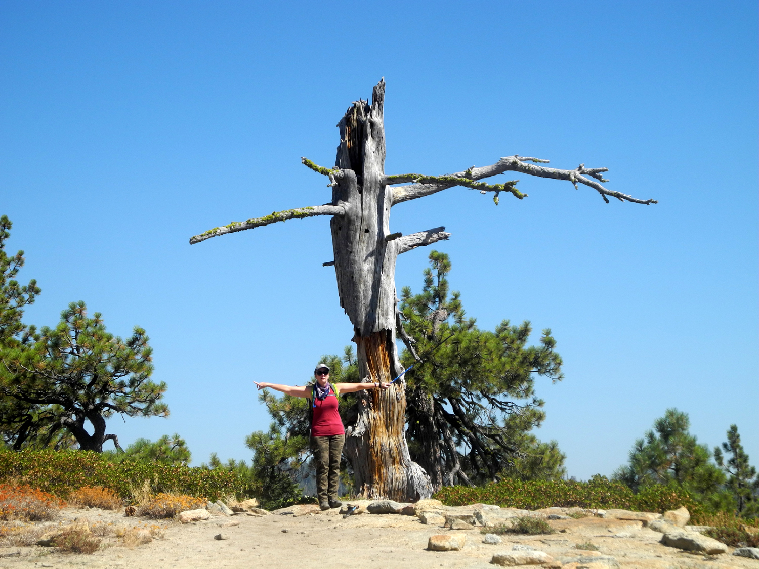
When I made a day trip to this spot in 2002, we walked out to the edge without going up or down much, and no problem with brush. This time I think I got too far to the north. It seemed I was always having to find my way up or down at some huge rock formation, and twice I had to walk through a patch of manzanita, an uncomfortable, leg-scratching experience that should be avoided at all costs. By this time I had used up half my energy, and realized I was not going to get out to the edge, so I had my snack, and took an easier route back. This path took my past a little pond hidden in the rocks that is full of grass and lilies, and surrounded by tall trees. |
|
|
|
| Going up and over rock formations like this was all just part of the "fun" | Green leaf manzanita sometimes blocked my path in every direction |
 |
 |
| Looking at the top of Granite Gorge | The little pond in the rocks |
|
When I got back to the truck I rested and had a snack, then walked up the road past the camp to a place where there is a large lily pond. Much of the road here was just a rock pile, cementing my decision not to go any farther in this direction. When I finished this walk I made the slow drive over more rocks out to the "main" road and into Sawmill Flat Campground. |
|
 |
 |
| The Lily Pond near Wishon Domes | The rough and rocky road to Wishon |
|
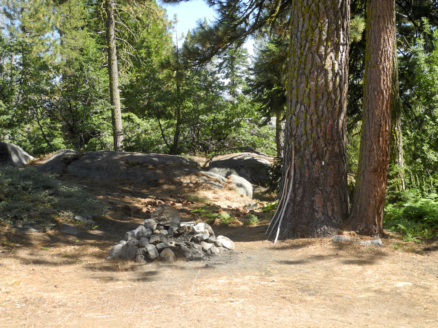
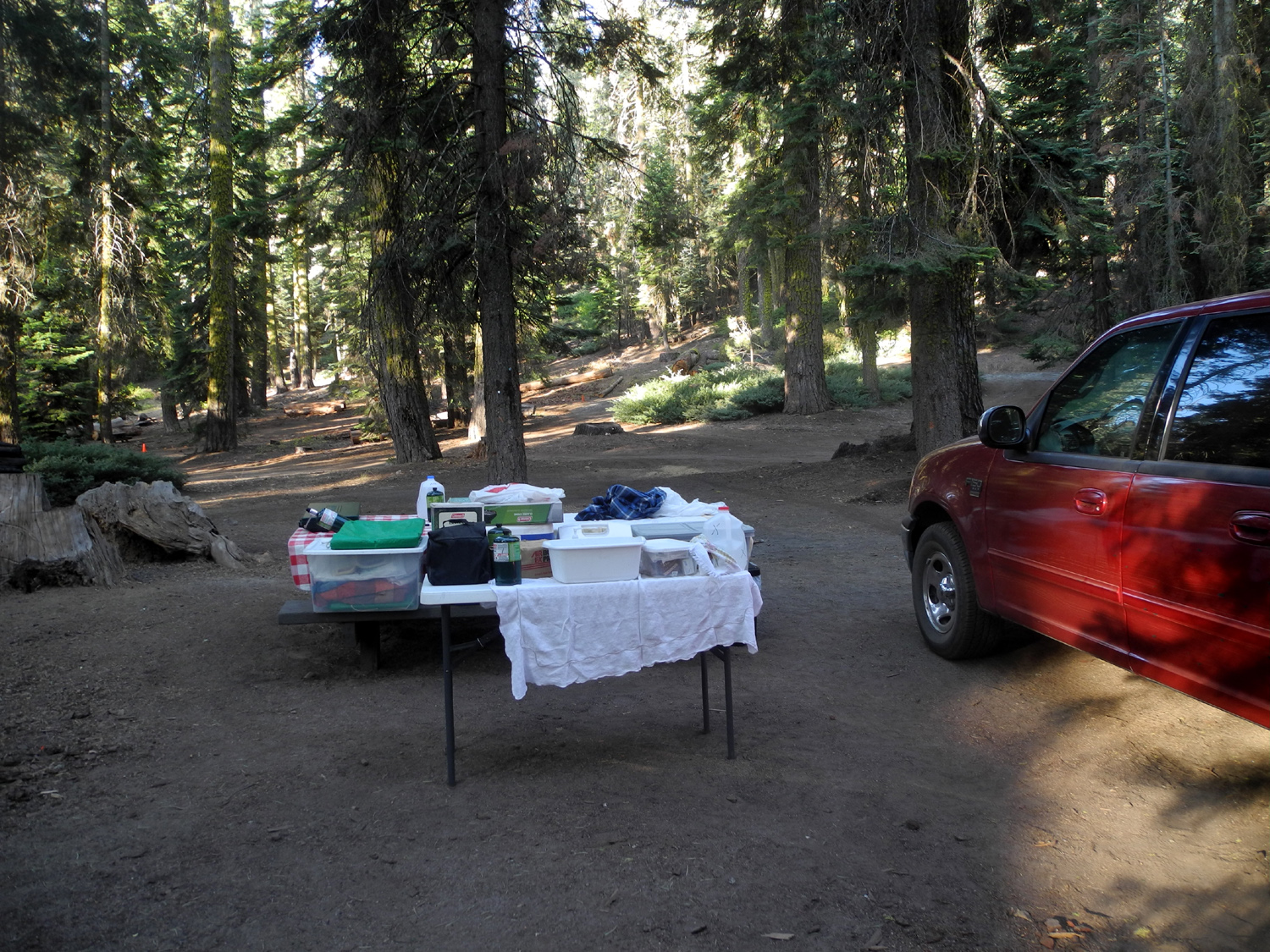
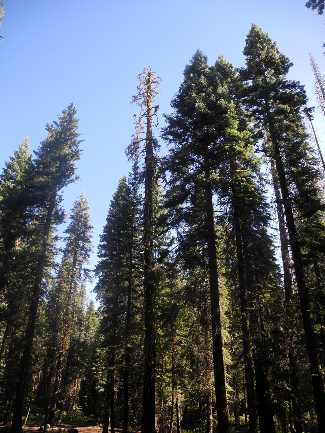
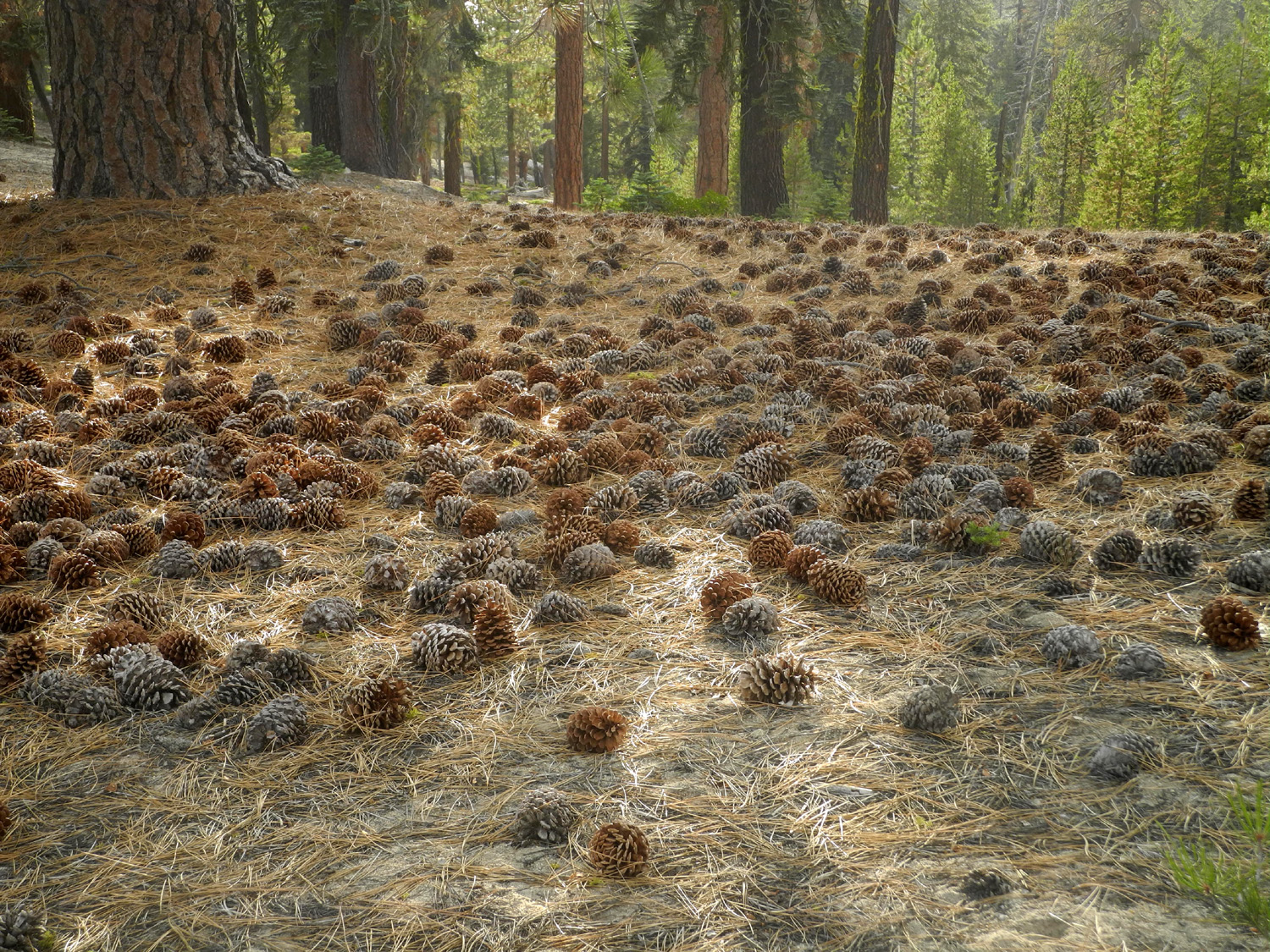
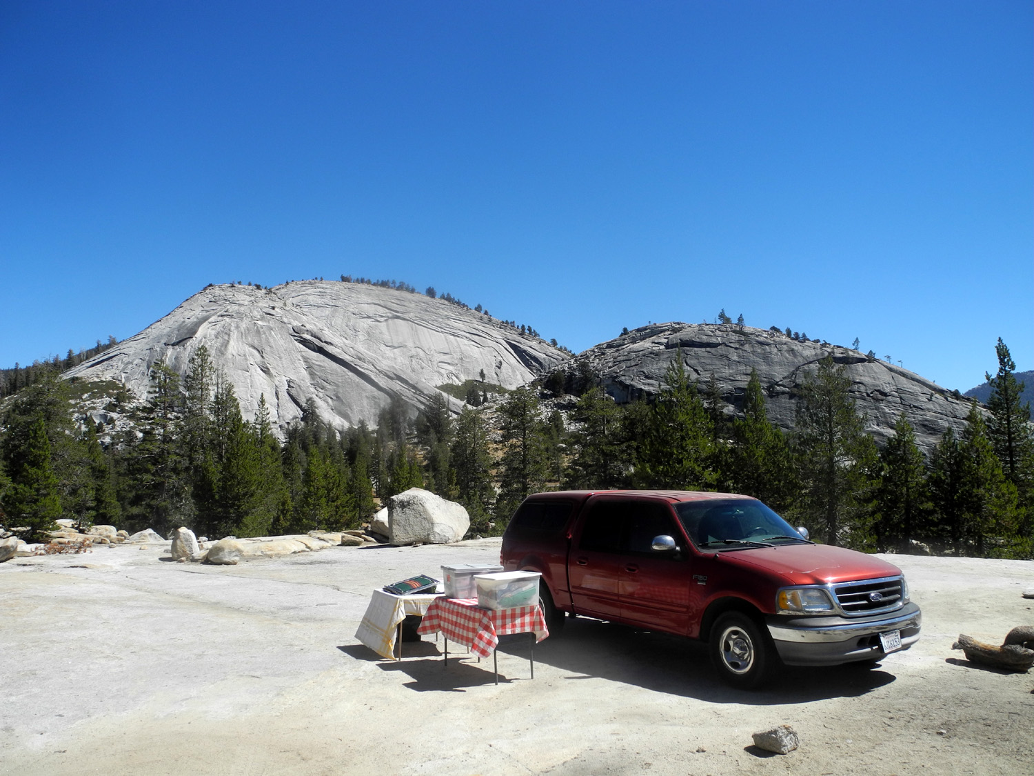
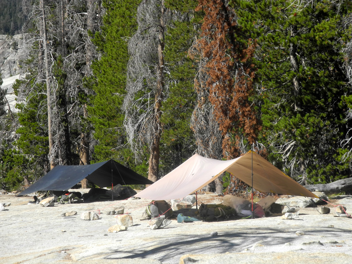
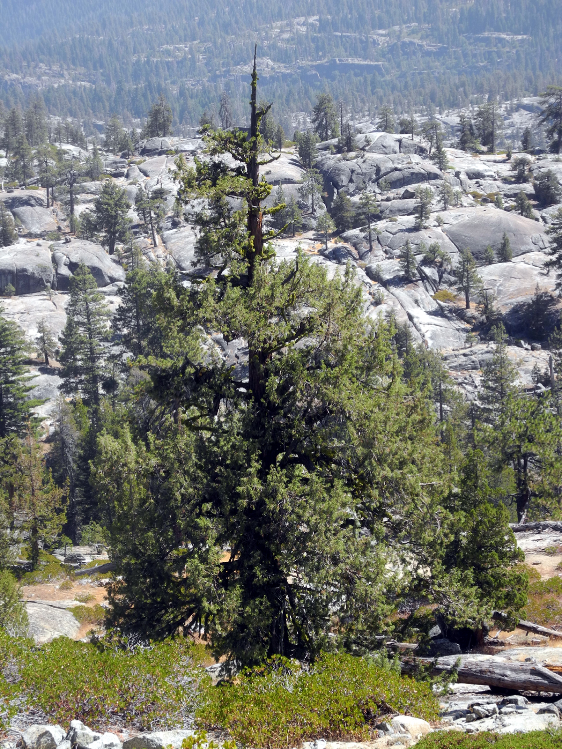
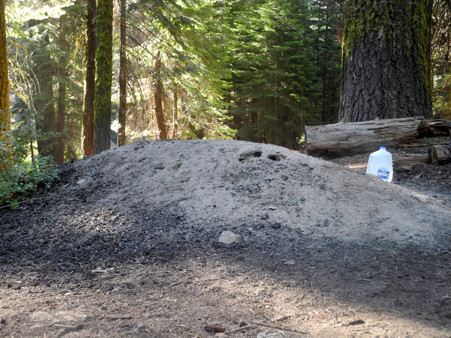
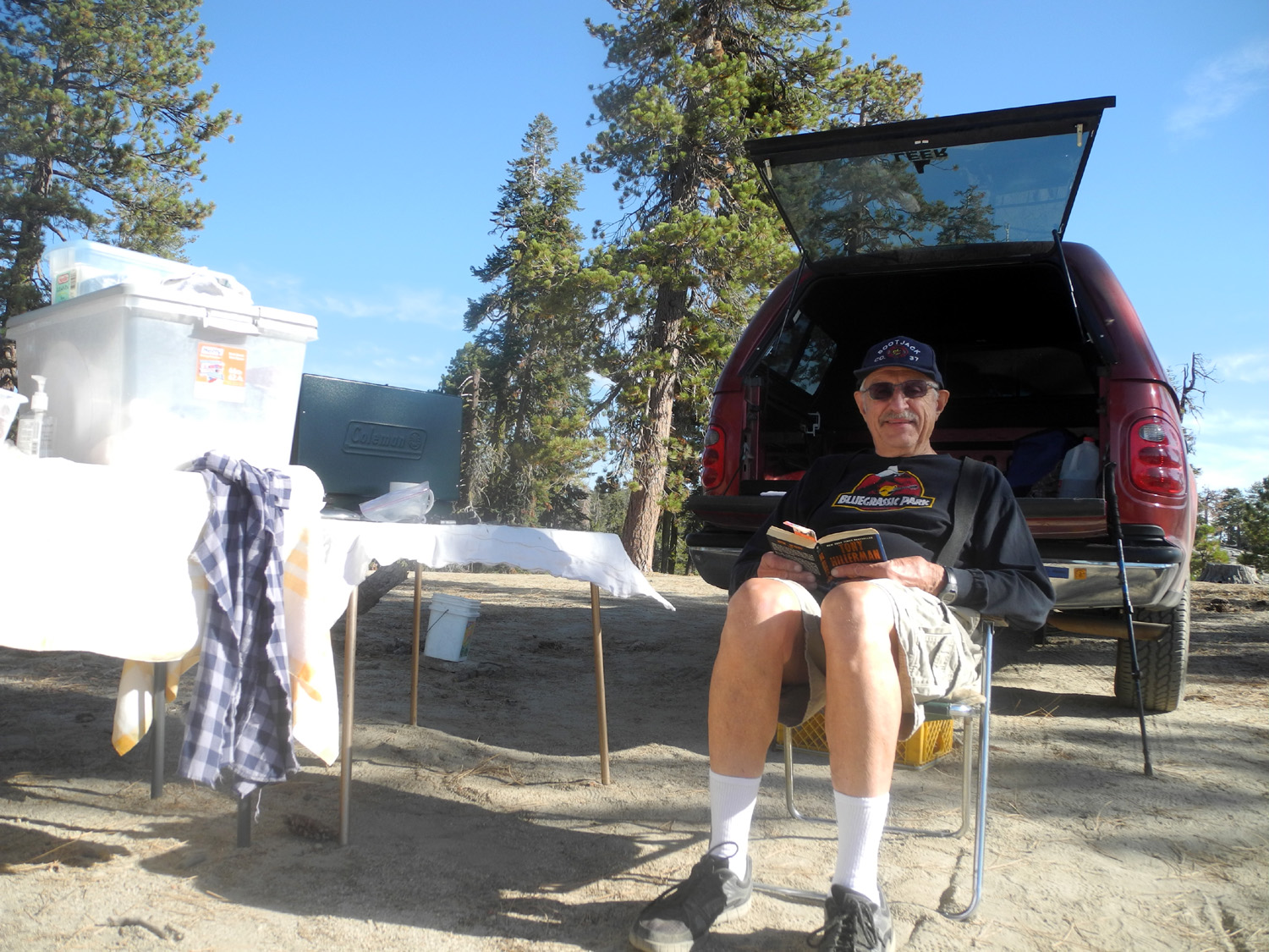
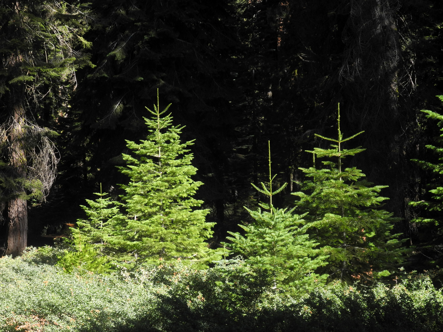
The campground has only three tables (but four restrooms), and doesn't really offer anything special. However, it is large, with lots of space between the three tables, and surrounded by tall pines and firs. It's very dusty, and there has been logging nearby so there are a lot of branches that were trimmed from fallen logs. The camp has been there for decades, and near my campsite was a huge pile of ashes that had been cleaned out of the fire ring over the years. The logging slash provided plenty of firewood, and there was more than enough privacy, since I was the only camper there. A few people drove in to use the restroom, and I talked to two men who had been bear hunting with bow and arrow. They and another hunter had shots at three bears, with the score so far, Bears 3, Hunters 0. |
|
 |
 |
| My campsite at Sawmill Flat | Tall pines and firs surround the camp |
|
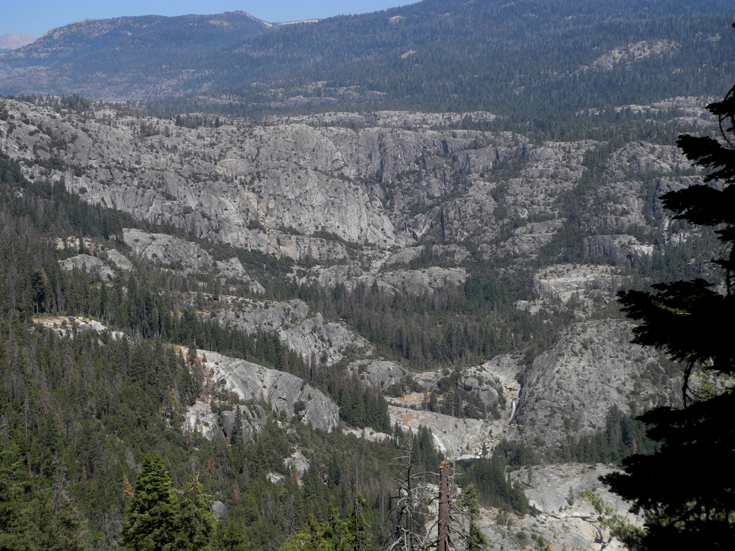
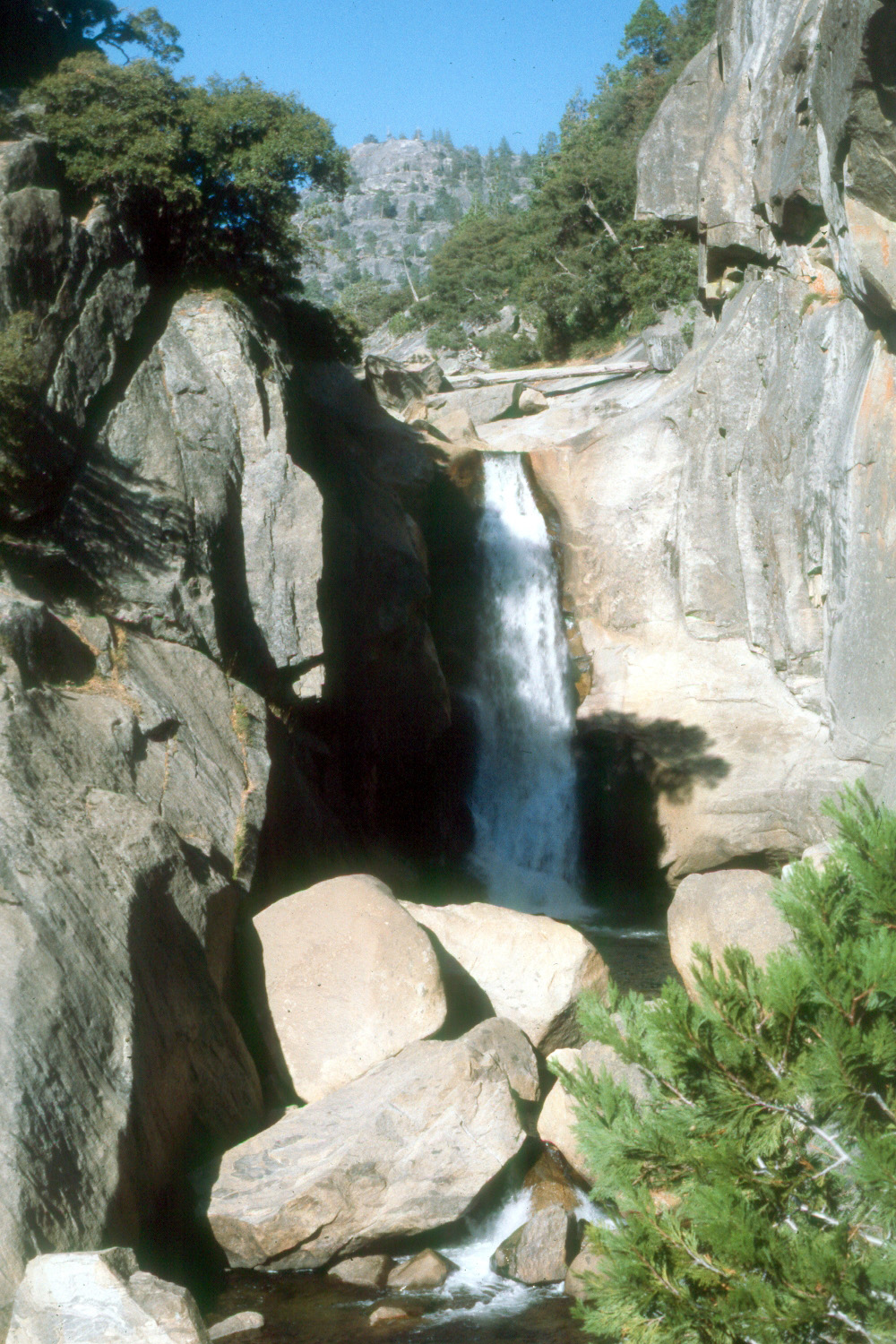
There
are no hiking trails in the area, but I had decided the next morning
to walk down the road to a place where there is a good view down
into the canyon. From here you can see a nice waterfall and a large pool on the river. I was not sure how far this was, but I knew it was fairly close to the junction with the road to Wishon
Domes. |
|
 |
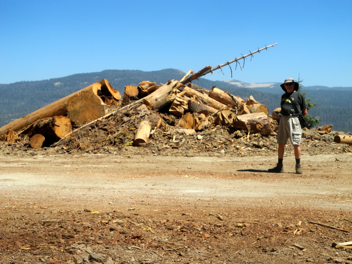 |
| Skid marks where logs were dragged down to the road | Dick stands by a super-size slash pile |
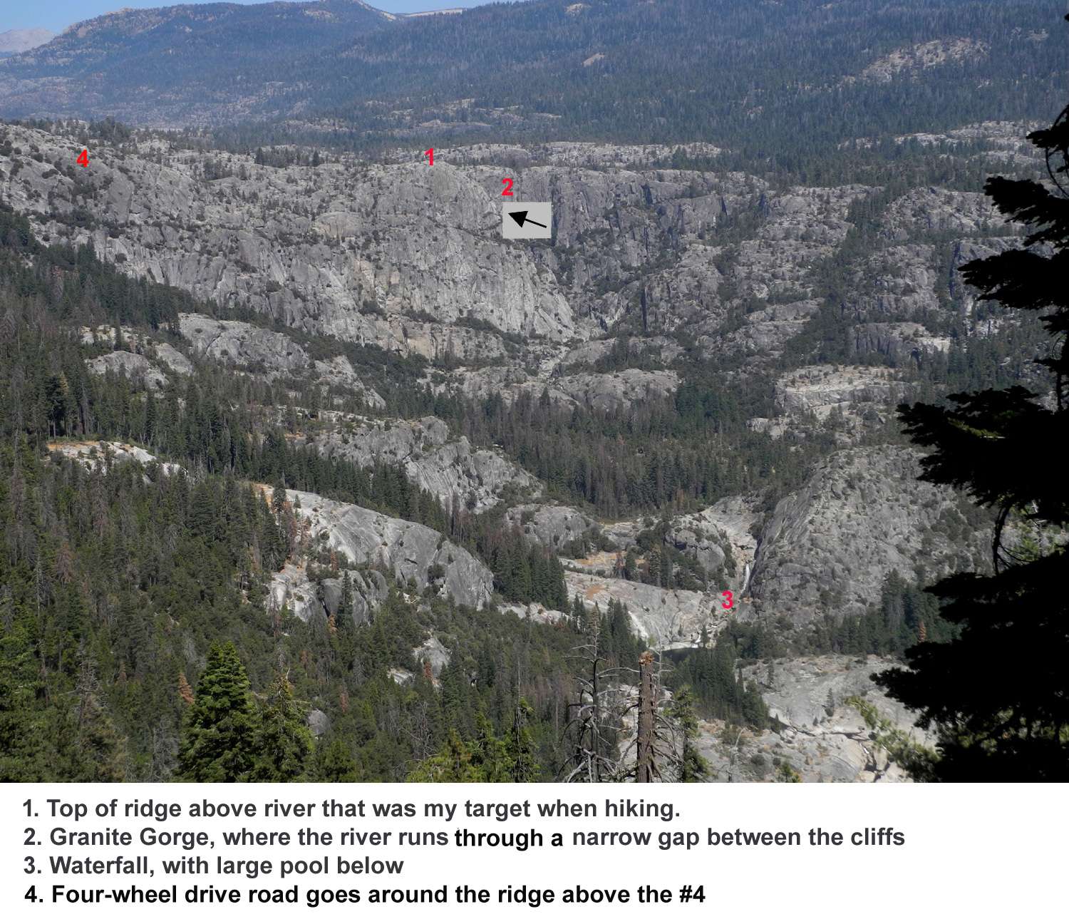 |
 |
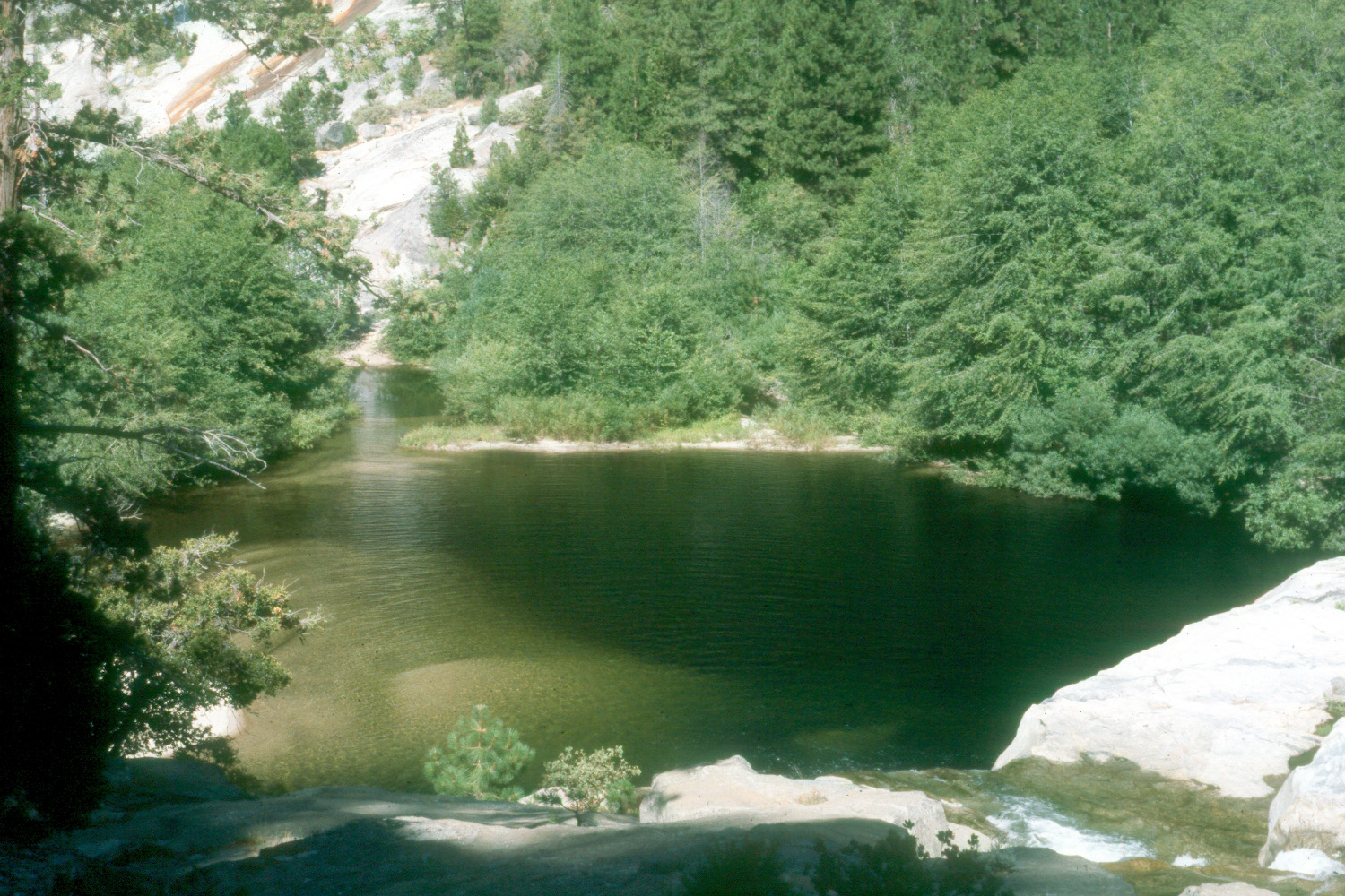
| Hell
Hole, below the mouth of Granite Gorge (large size photo is marked to show individual landmarks) |
Hell Hole Falls |
|
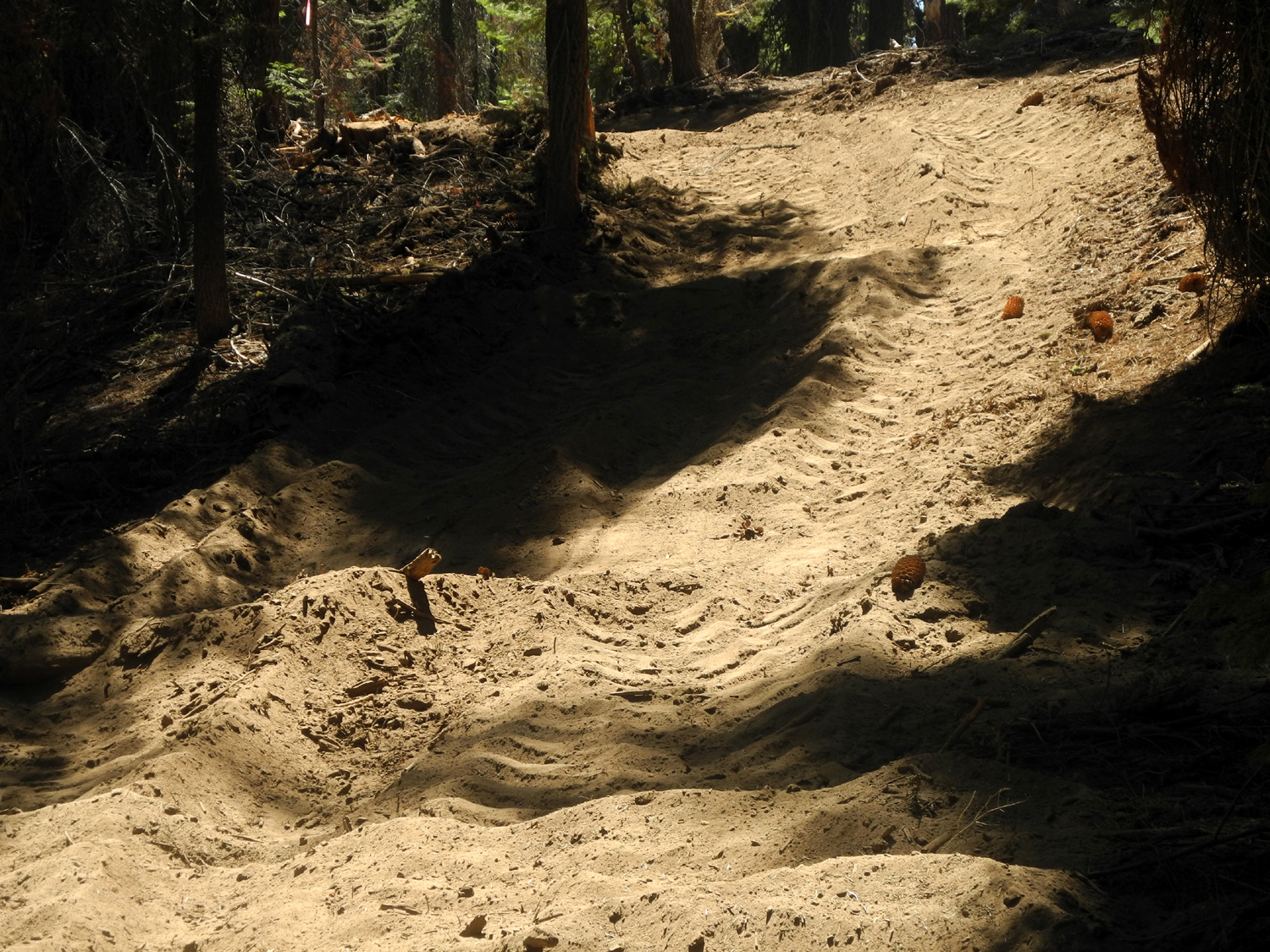
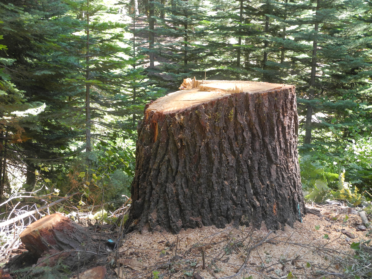
Each night when it cooled off I had a fire. The low temperature was about 40 degrees both nights, with a high of about 75. Driving out the final morning I came to the logging area just as a log truck was heading out, and followed it out to the paved road. I talked to the driver when he stopped to tighten the cables holding the logs, and learned that he was headed for Terra Bella, site of one of the last operating sawmills in the southern half of California. I decided I would probably not drive over the rough Wishon road again, and the lack of the type of recreational opportunities that I prefer will probably make this my last stay at Sawmill Flat. Miscellaneous data: Elevation at Wishon Domes Camp: 6,300; at Sawmill Flat 6,900. Temperature at 4:30 first day: 64 degrees; at 5:00 60 degrees; at 7:20 52; low after midnight 40 degrees; total miles driven 71.3.
|
|
 |
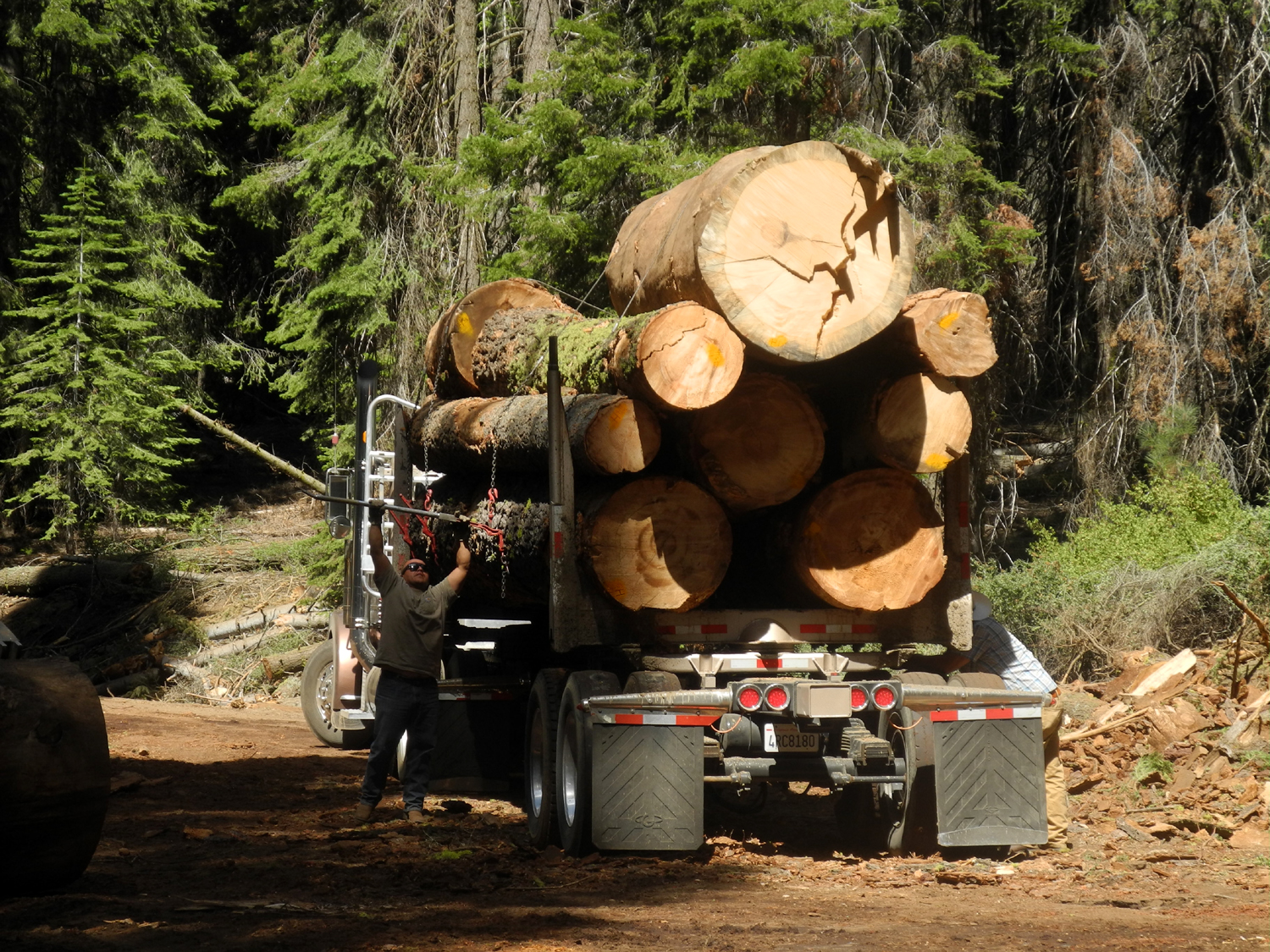 |
| Stump from newly cut red fir | Tightening the load |
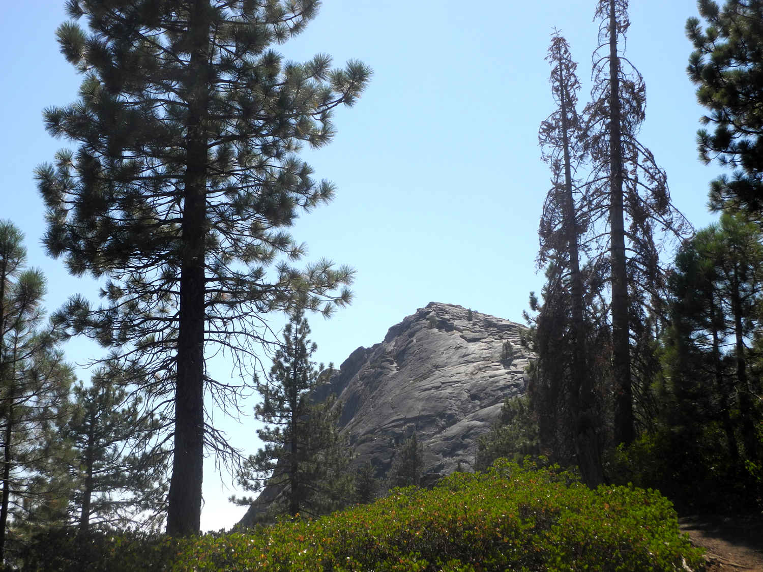
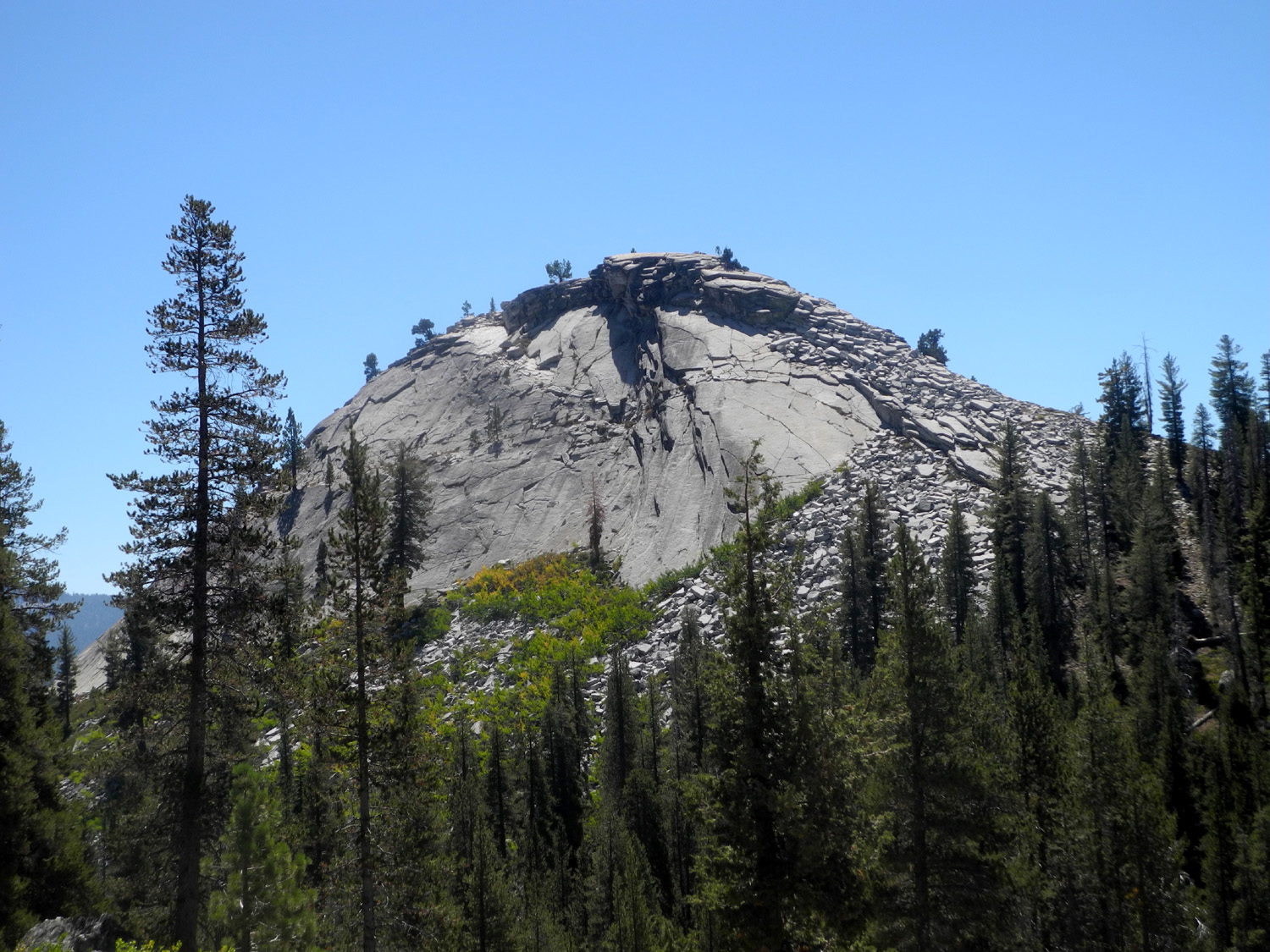
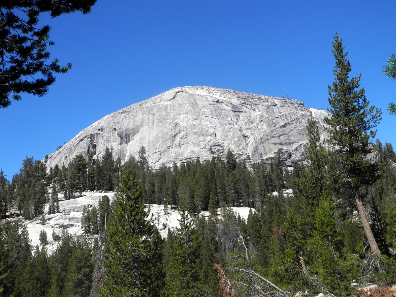
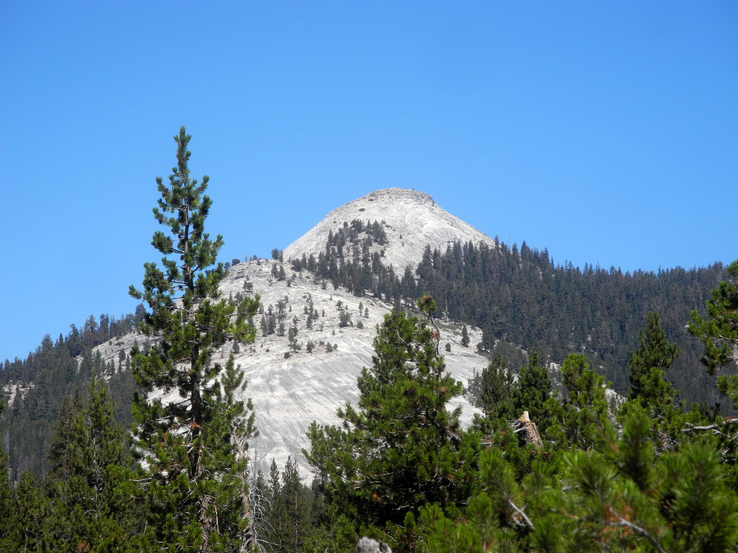
| Fresno
Dome
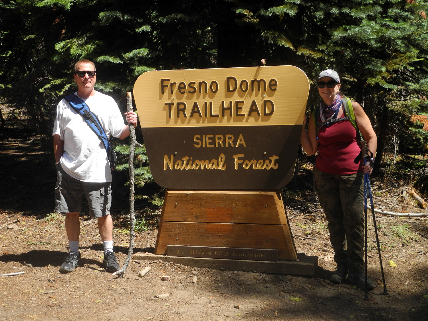
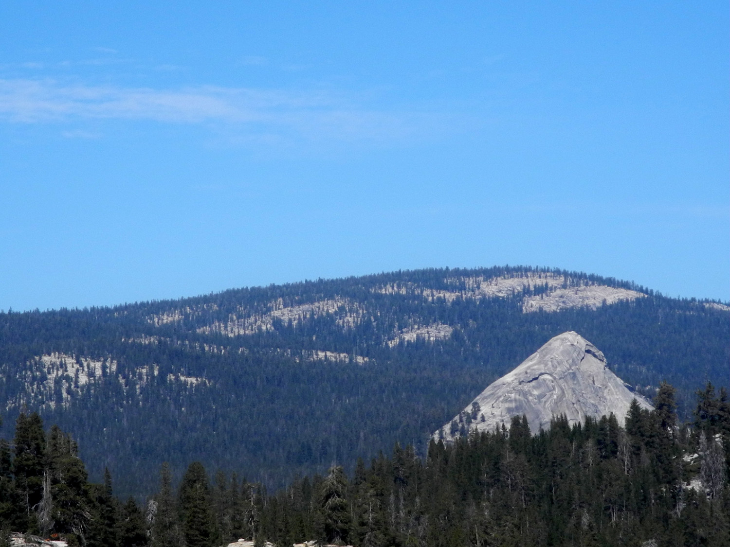
Fresno Dome is a small, isolated rock mountain in the Sierra Nevada east of Oakhurst, mostly surrounded by forested terrain. It's about 7,500 feet in elevation, and the top is accessible by a fairly easy trail with a few steep, rocky spots. I went to the top three or four times back in the 20th Century, but had not been there for about 35 years. I had mentioned to my daughter Jennifer, who lives five miles above Oakhurst, that I would like to go to Fresno Dome "one more time while I still can." We checked our calendars and made plans for me to drive up on September 1, do the hike, then have a birthday dinner for her and spend the night. When I arrived, her husband Rod was at the grocery store, but he soon returned and we got started, taking their Jeep. The route is via the Sky Ranch Road, which leaves Highway 41 a short distance from Road 620 where they live. Sky Ranch is a major access route to a number of campgrounds and recreation areas, including Nelder Grove. A few miles past the turnoff to Nelder, we left Sky Ranch, and soon had a view of the dome from the southwest. From this point on the road was dirt but in fairly good shape. As you drive past the north side of dome, you arrive at Fresno Dome Campground, but the trailhead is another two miles. Unless my memory is seriously faulty, the campground has been relocated since my trips to the area in the 1980s. The trailhead is well marked, with a small dirt parking lot surrounded by pine and fir trees, plus the usual mountain shrubs. Two women were coming out from the trail, and as we started to ask them about conditions, Jennifer recognized them as the sister and mother of one of her best friends, so they had a short visit. |
|
 |
 |
| Storm clouds over Fresno Dome in November 2016 | Rod and Jennifer at the trailhead |
|
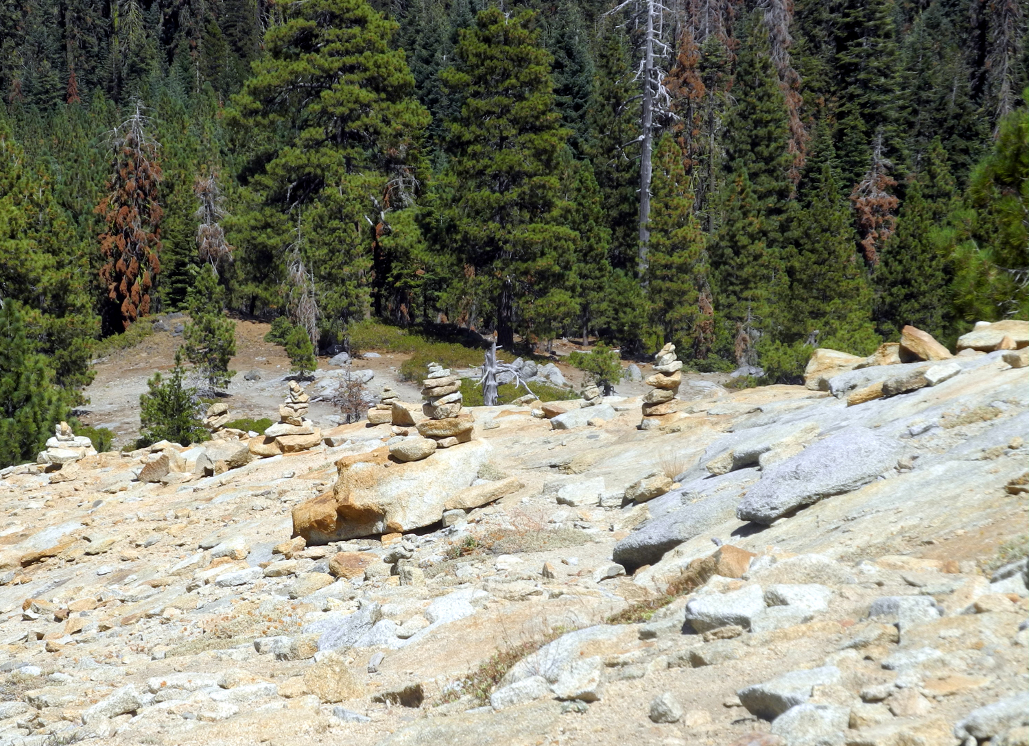
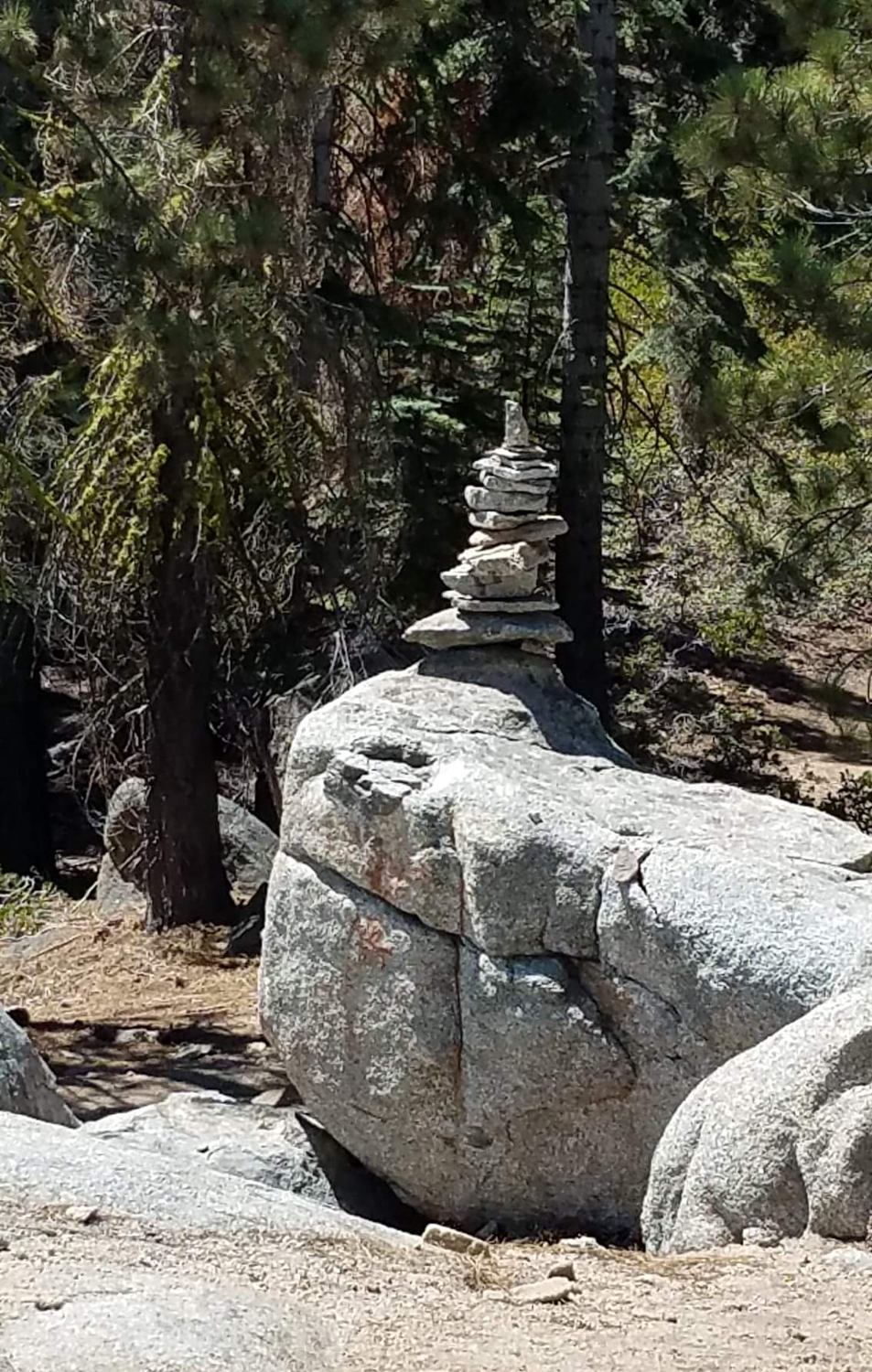
We got started on the trail, which crosses a meadow, then goes up gently through evergreens and the ever-present green leaf manzanita. In a few spots there seemed to be two choices for the trail. For the most part it's marked with rock cairns, but in some places people have created these piles for both choices. However, we made it to the base of the dome, and started up. Any ambiguous sections were clearly marked in this section, except for one short spur trail that lead out to a drop-off, but offered a spectacular view. Jennifer had knee surgery several years ago and it has been bothering her lately, so she decided not to attempt the final section of the trail. Rod waited with her while I made my way on up. |
|
 |
 |
| Jennifer and Rod, surrounded by evergreens and manzanita | First view of the dome from the trail |
 |
 |
| Cairns mark the trail through the loose rock at the lower part of the dome | A short spur trail leads out to this excellent view |
|
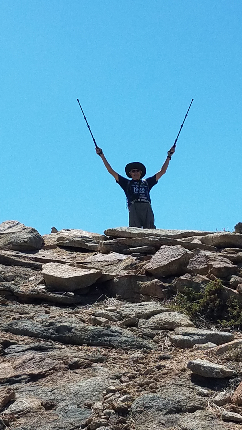
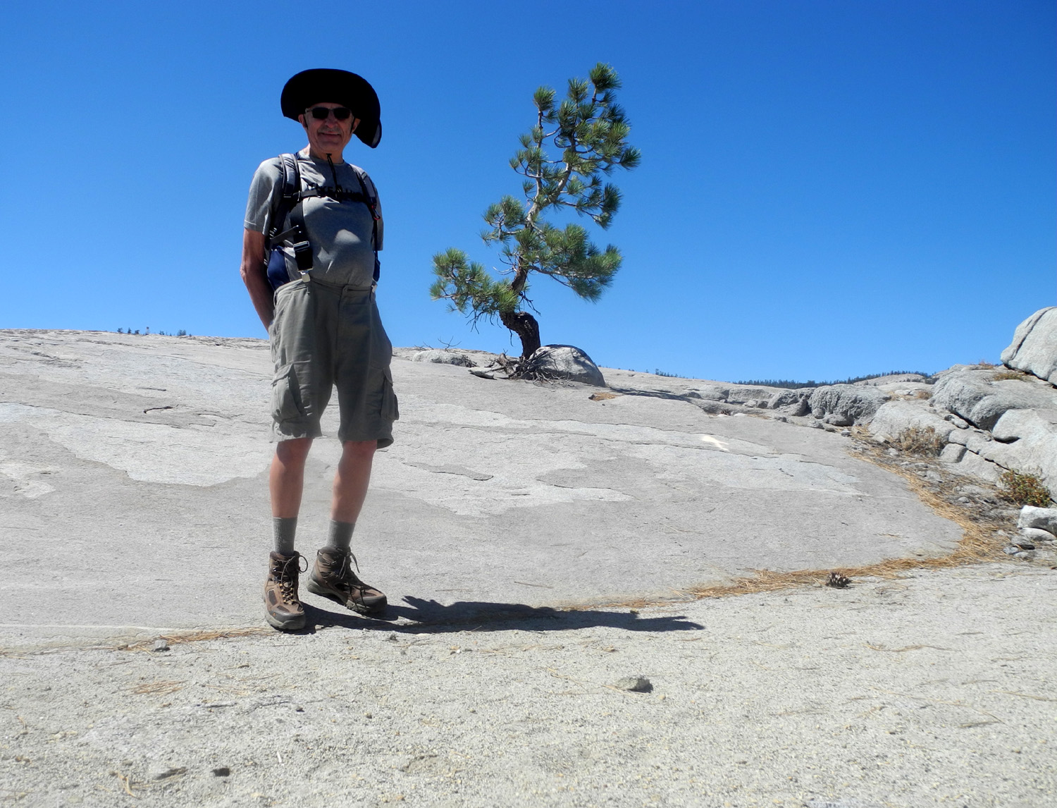
It was slightly steep in some places, but not particularly difficult. I used my hiking poles and walked very carefully, as I always do. When you can see the top, the trail ends but it's easy to make your way up the last hundred feet or so. On top I rested, took a triumphant selfie, and enjoyed the view. While you can see in all directions, much of it is forest land. There are some rocky ridges to the east, but the relatively low elevation and the isolation from higher country prevents a really spectacular view. There were three people resting in the shade of a huge boulder just over the top, having climbed up the steep southwest side of the dome using technical mountaineering equipment. |
|
 |
 |
| A rocky ridge to the east of the dome | "I still can!" |
 |
|
| Panoramic view of the rocks marking the very top of the dome | |
|
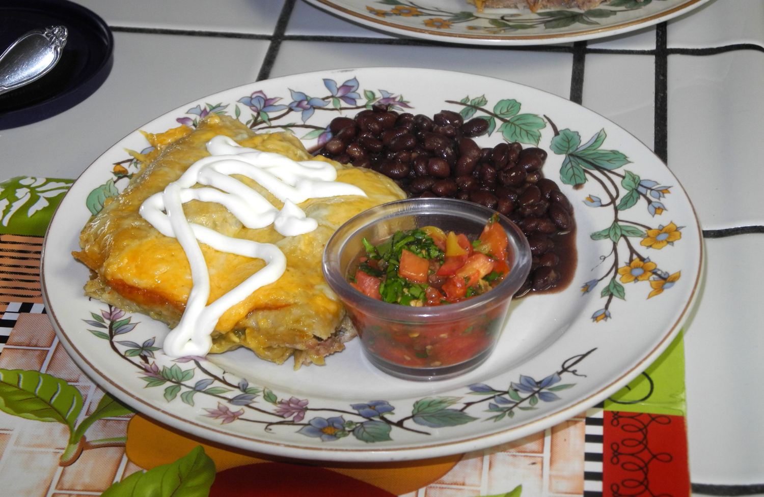
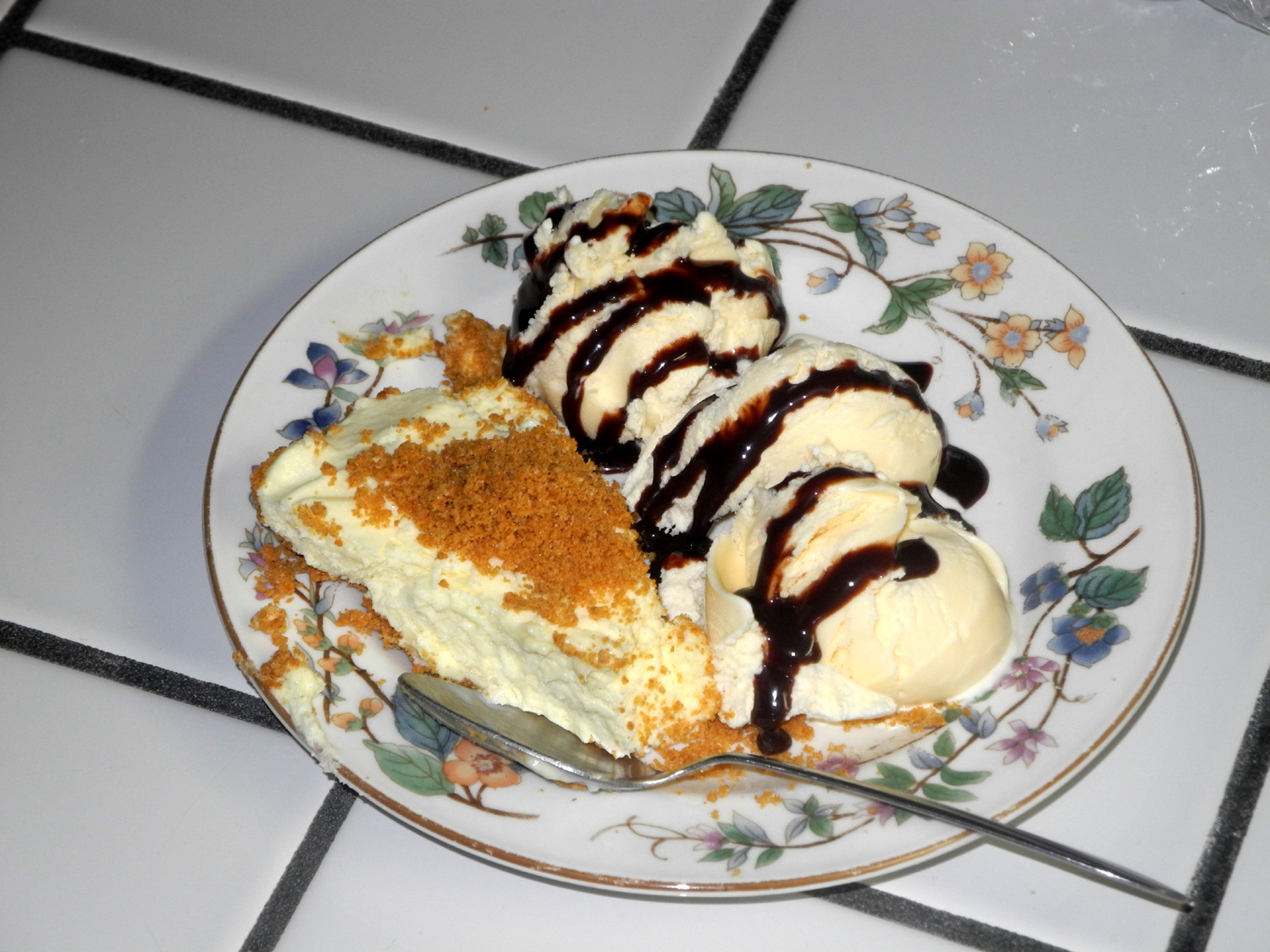
I made my way back down to where Rod and Jennifer were waiting, and we hiked back to their Jeep for the ride home. I was very happy to have made this hike, but the walk down from the top was difficult and required extreme care. I decided I would happily hike up five more times as long as I did not have to hike down. We had talked about going out to dinner for Jennifer's birthday, which was later in the month, but Rod decided to make pulled pork enchiladas, which proved to be delicious. For dessert there was cheese cake AND ice cream. Jennifer
had to leave fairly early for church the next day, so she and I had
a birthday breakfast at Pete's
Place, one of our favorite Oakhurst restaurants, highly
recommended for any meal. --Dick Estel September 2018 |
|
| New
Stargazer Rock
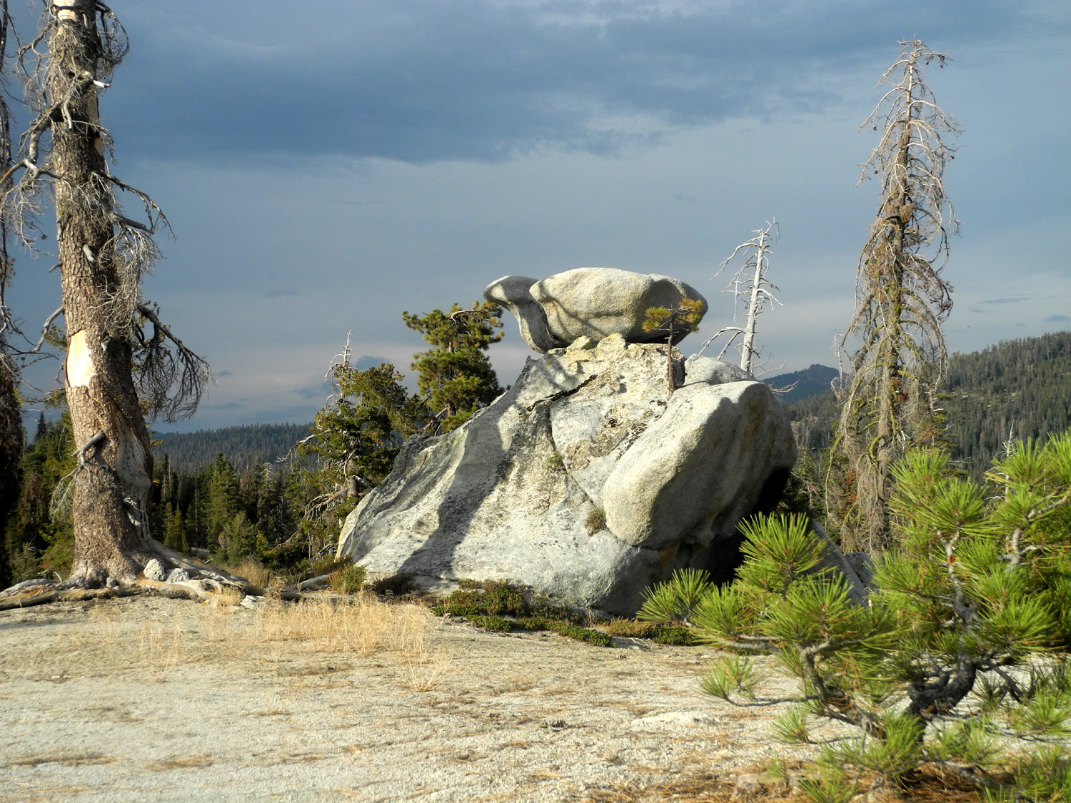
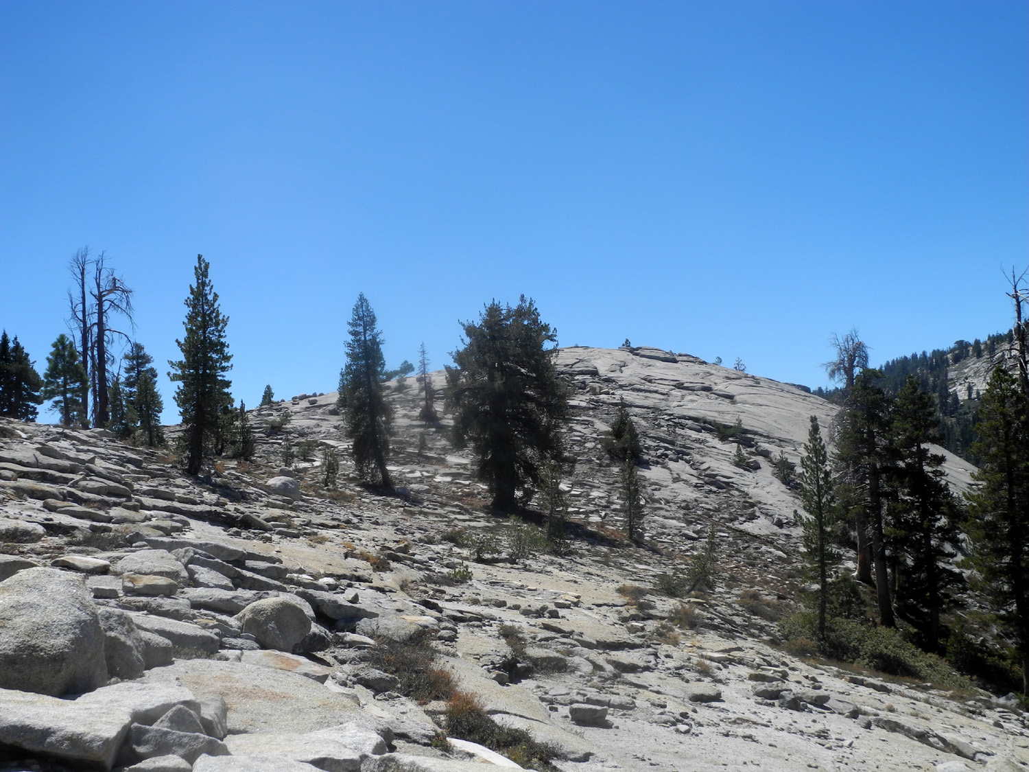
Our family has been camping at the place we call Stargazer Rock since around 2000. We couldn't find a date that worked last year, so I went in my truck to a nearby location that I have dubbed New Stargazer. It was such a great spot to hike and camp that I decided to return on September 4 and 5 this year. I have been doing so much camping lately that I hardly have time in between trips to write these reports. My daughter Teri says this is a good problem to have. You can read about where it is and other details in last year's report, so I'll just cover the highlights of my 2018 visit there. First off, the road seemed to be no worse, but certainly no better than last year. I drove in from Highway 168, a slightly shorter drive than the route I took last year. It required only five miles of dirt road driving (all rough), and took a little less than two hours from home. Once I got camp set up, I took a short walk, going mainly south and west from camp, and staying mostly on the big, level area there. At the extreme southwestern point of my hike I had view down at Shaver Lake. I also made a number of trips up to the top of the big dome-like rock right next to camp. I've given this formation the unimaginative name of Camp Rock. From the top you can see the mountains above the Dinkey Creek drainage, and also keep an eye out for possible storm clouds. |
|
 |
 |
| New Stargazer - Lonely and remote but beautiful | "Camp Rock," the big rock at New Stargazer |
|
Late in the afternoon, the sky got very dark, and there was thunder off and on for an hour or so. I covered everything with the tarps I always have in my camping boxes, but ultimately I had only about ten drops of rain. However, several hundred pine needles showered down on my truck and me. I did another walk out to the north, to the top of a nearby dome. I also went down across the shoulder of another dome that is a little lower and just east of the higher one, then made my way back to camp. For convenience of description, I'm temporarily calling these Upper and Lower North Domes. (After being visited by my great grandsons, they would become Colton's Dome and Jack's Dome.) I had considered having a fire in the evening, but open fires are not allowed at this season. However, it was not very cold, with the low getting down to 50 degrees, ten degrees warmer than my trip a week earlier to Wishon Domes and Sawmill Flat. |
|
 |
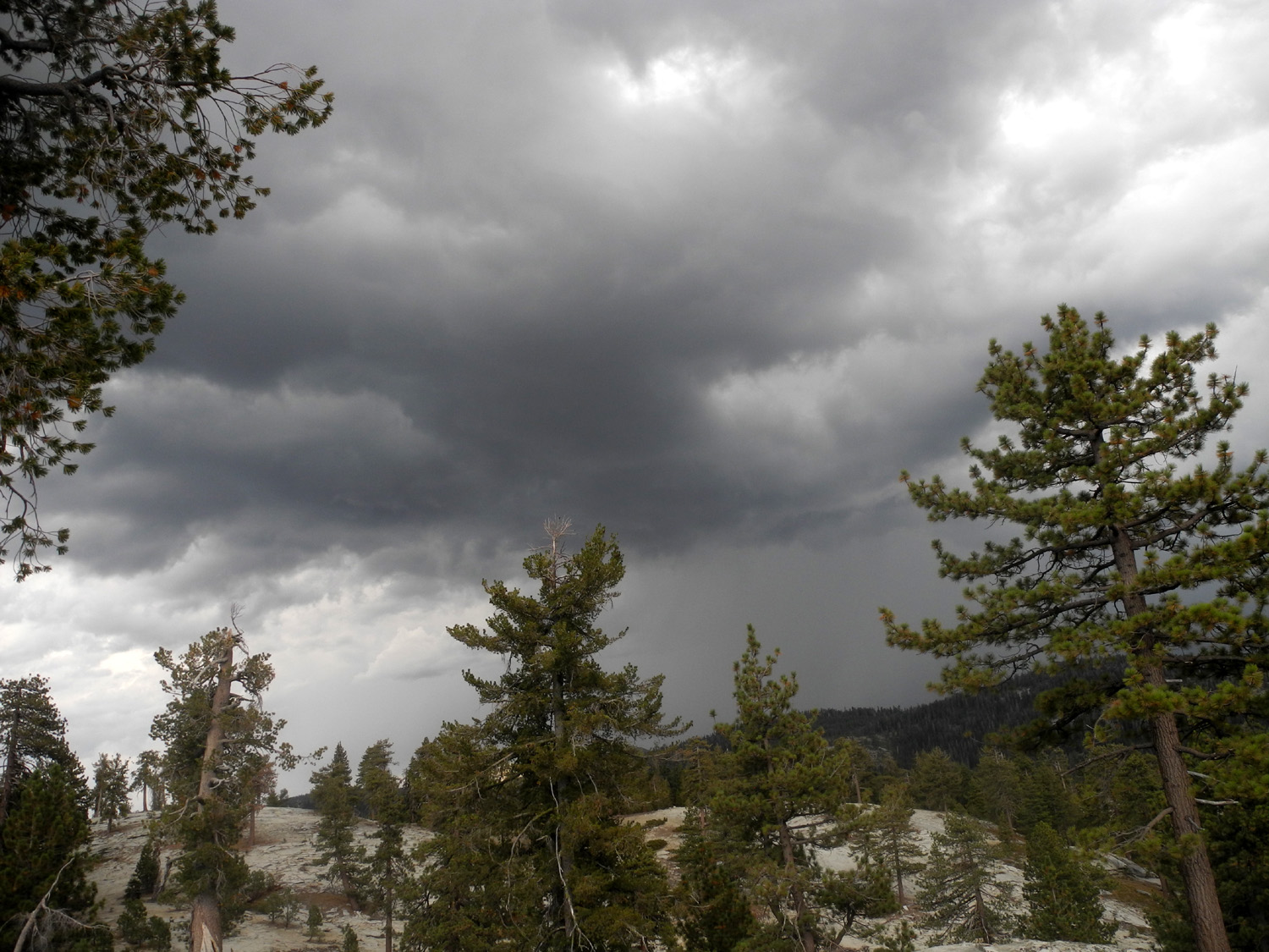 |
| Dark skies brought rain somewhere but not to me | The two domes north of camp under stormy skies |
|
The next morning I started the day with a bloody Mary, something I haven't done for quite a while. I don't like to hike right after drinking or eating, but I had decided to start the day's "big hike" at least an hour or so after breakfast. As I fixed and ate breakfast, then got things cleaned up and put away, I enjoyed the view to the southeast of a ridge of high peaks that I'm certain are part of the Kings Canyon National Park back country. This ridge is not visible much of the day, but the outline can be seen in the early morning, and on this trip, I also saw it late in the evening the first night. Last year, from the top of Camp Rock, I could clearly pick out the location of our original Stargazer camp. It looks like maybe a mile as the raven flies, but by road the two spots are four miles apart on challenging dirt roads. In between old and new there is a large dome, which I thought was probably Neely Dome. We have climbed up it a number of times from the earlier camp location. It looked like I could get to it from my new-found campsite by crossing the eastern shoulder of Lower North Dome, then going down into a drainage and up Neely Dome. This was the destination for my "big hike" on the second day. |
|
 |
 |
| Distant peaks in Kings Canyon National Park are visible in outline | Neely Dome, about half way between New and "old" Stargazer |
|
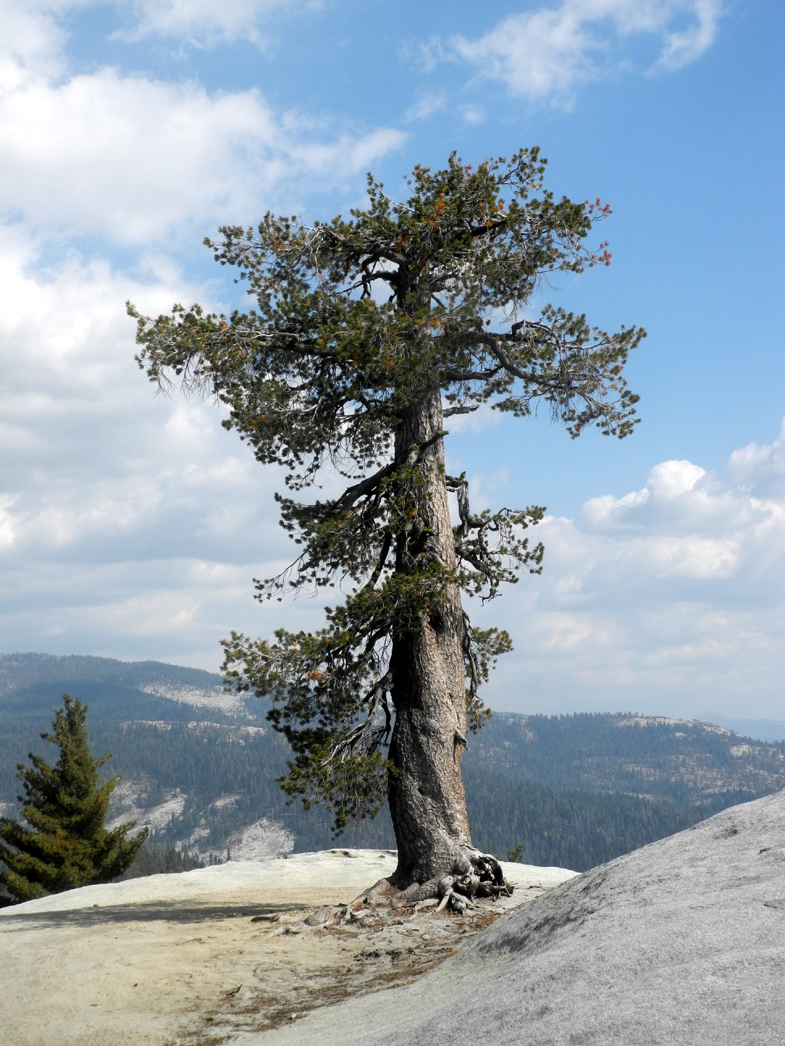
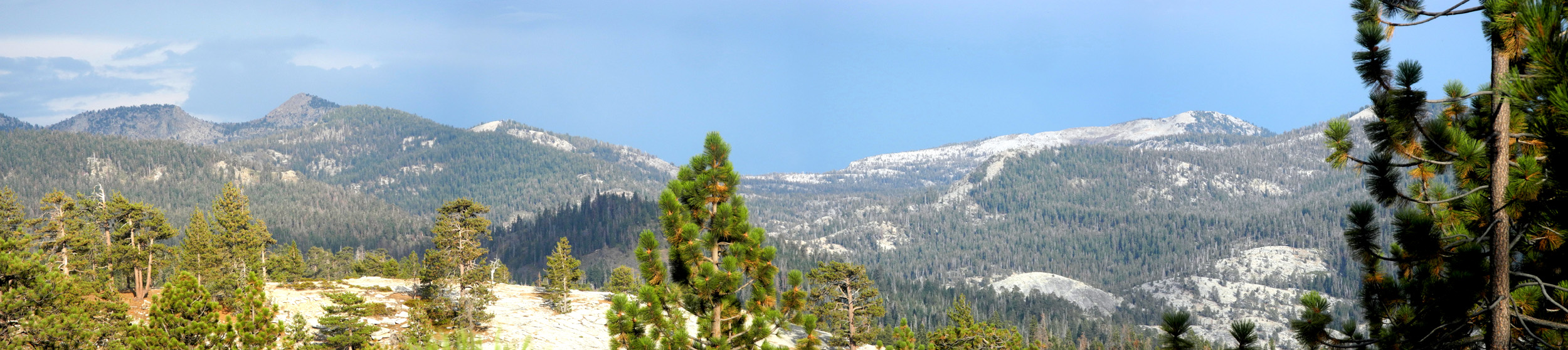
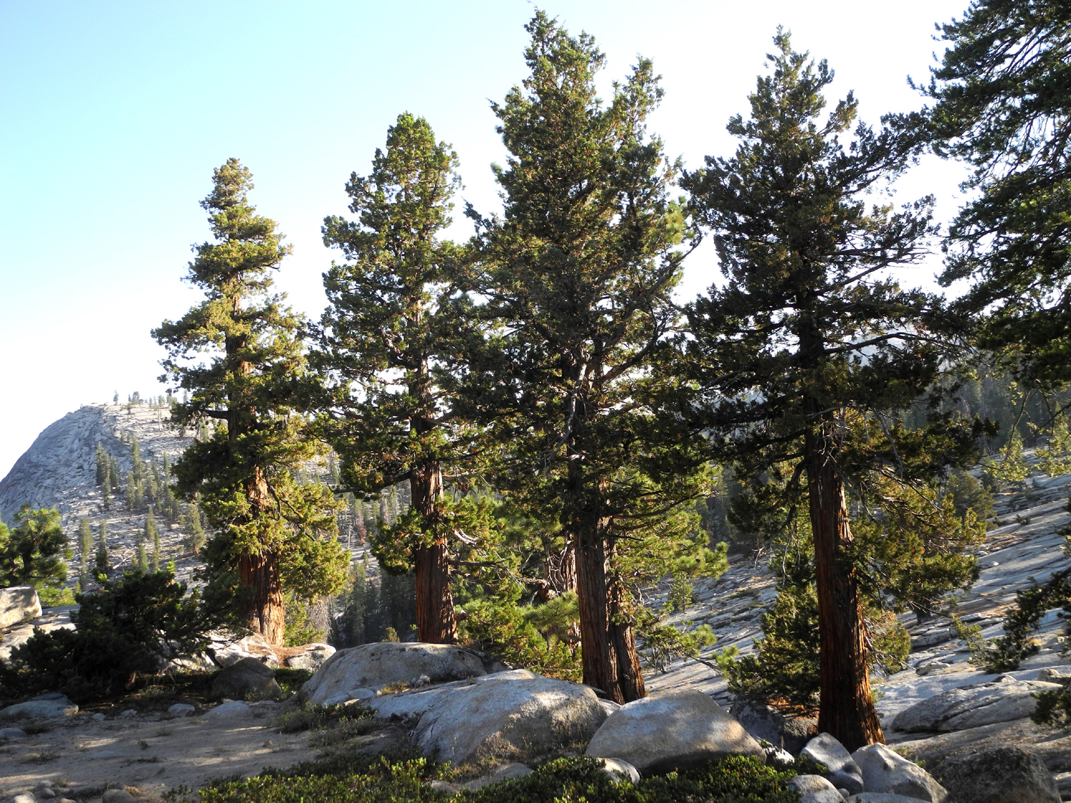
The first part of the route was obvious and fairly easy, since I'd walked across the lower north dome last year and this. Between this dome and Neely Dome the land drops down fairly steeply into a drainage, and I kept going farther up it, looking for a way down. When the distance to the crossing was reasonably close, I went down and across. Once I got past this barrier, it was just a matter of working my way up Neely Dome, going in a zig-zag pattern across the steepest parts, till I reached the top. I had some second thoughts about whether this was really Neely Dome, but a comparison of photos from east and west sides have convinced me it is. From the top I could clearly see the level rock ridge that is the actual Stargazer Rock, and a travel trailer at the far edge of it in a spot where we've parked a number of times. The route back was a little easier. I followed the ridge that went sort of north and west from Neely Dome, to a flat section that ran out sort of north and east from Lower North Dome, then made my way across the shoulder of the latter back to camp. I enjoyed lots of nice scenery, plus a variety of trees, including lodgepole pine, Jeffrey pine, western white pine, red fir and white fir. The shrubs in the area were limited to the low-growing pinemat manzanita, thick patches of green leaf manzanita, and a few chinquapin bushes. I was disappointed that there were no flowers, but late summer at this elevation is time for the plants to go to seed. |
|
 |
 |
| It's been a prolific season for Jeffrey pine cones | Granite rock formations, set off by manzanita and pines |
|
There
were some clouds the second afternoon, but no thunder and no threat
of rain. I passed the rest of my trip as usual, reading,
walking around near the camp, and going up on Camp Rock to check the
sky and the distant mountains. I got a leisurely start the next day,
having my tea, then breakfast, then somehow getting all the stuff I
had scattered around back
into the truck. I made it out the bad road and the almost as bad
road with no difficulty, and had a pleasant drive down from 7,500
feet back to the valley, where the temperatures have dropped below
100 degrees at last. --Dick Estel, September 2018 |
|
| Courtright
Camp
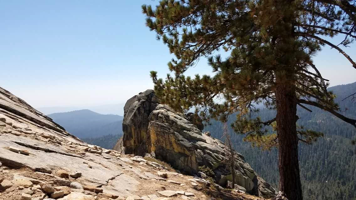
For my third camping trip in three weeks I went to a favorite place, the east side of Courtright Reservoir, September 10 - 12. The lake is not visible from our choice spot, but we are surrounded by domes, rocky ridges, cliffs of layered rock, juniper trees, and more domes. It's a big, sort of flat granite slab, surrounded by boulders, trees and views to die for. You can read about earlier trips here. The road to the trailhead and our camping area is single lane where it crosses the dam, but there is rarely any traffic. I stopped on the dam to take pictures of the lake and the Helms Creek Gorge downstream. |
|
 |
 |
| Courtright Reservoir, land of many domes (Courtright Dome at center left) | The canyon of Helms Creek, looking downstream from the dam |
|
When I arrived I was happy to see that no one was in "my" place, so I unloaded some of my stuff and started off on my first hike, north on the Dusy-Ershim Trail. About a third of a mile in this 4-wheel drive trail passes right by a little creek. During our campout here in June, grandson Johnny and I were speculating on where the creek goes from that point. From our campsite it looks like it would pass between us and the domes to the east, but this would require the water to run up hill through the Maxson Trailhead parking lot. The likely place, between Hopeless Dome and Double Dome, does not look deep enough. I decided I would try to follow the creek and find out for myself. There was no water in the creek, so I stepped across and up into a wide, semi-level section of dried grass, scattered trees, and boulders on the east side. I set an upward course parallel to the creek and up into the rocks at the base of Double Dome, and soon it was obvious that the channel ran between the two domes as we had speculated. I found some nice junipers in this area, and had a good workout going up, then carefully back down, across the creek to the trail and back to camp. |
|
 |
 |
| Our favorite campsite has plenty of domes to look at | Drainage between Double Dome and Hopeless Dome, looking southeast |
|
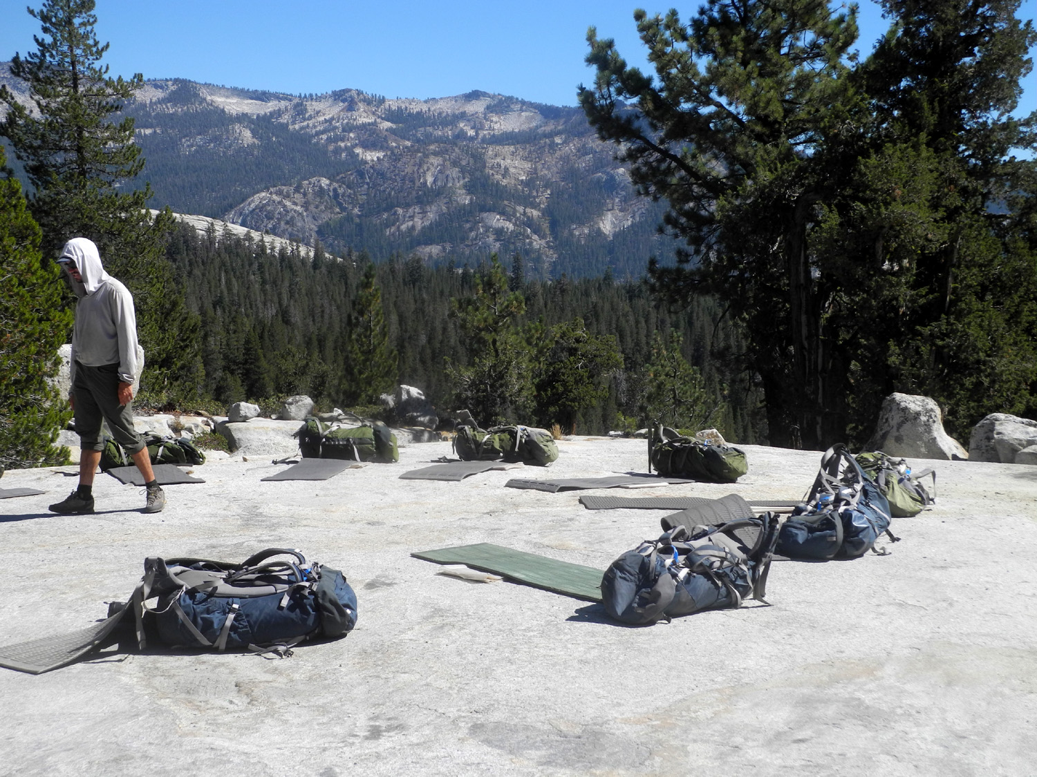
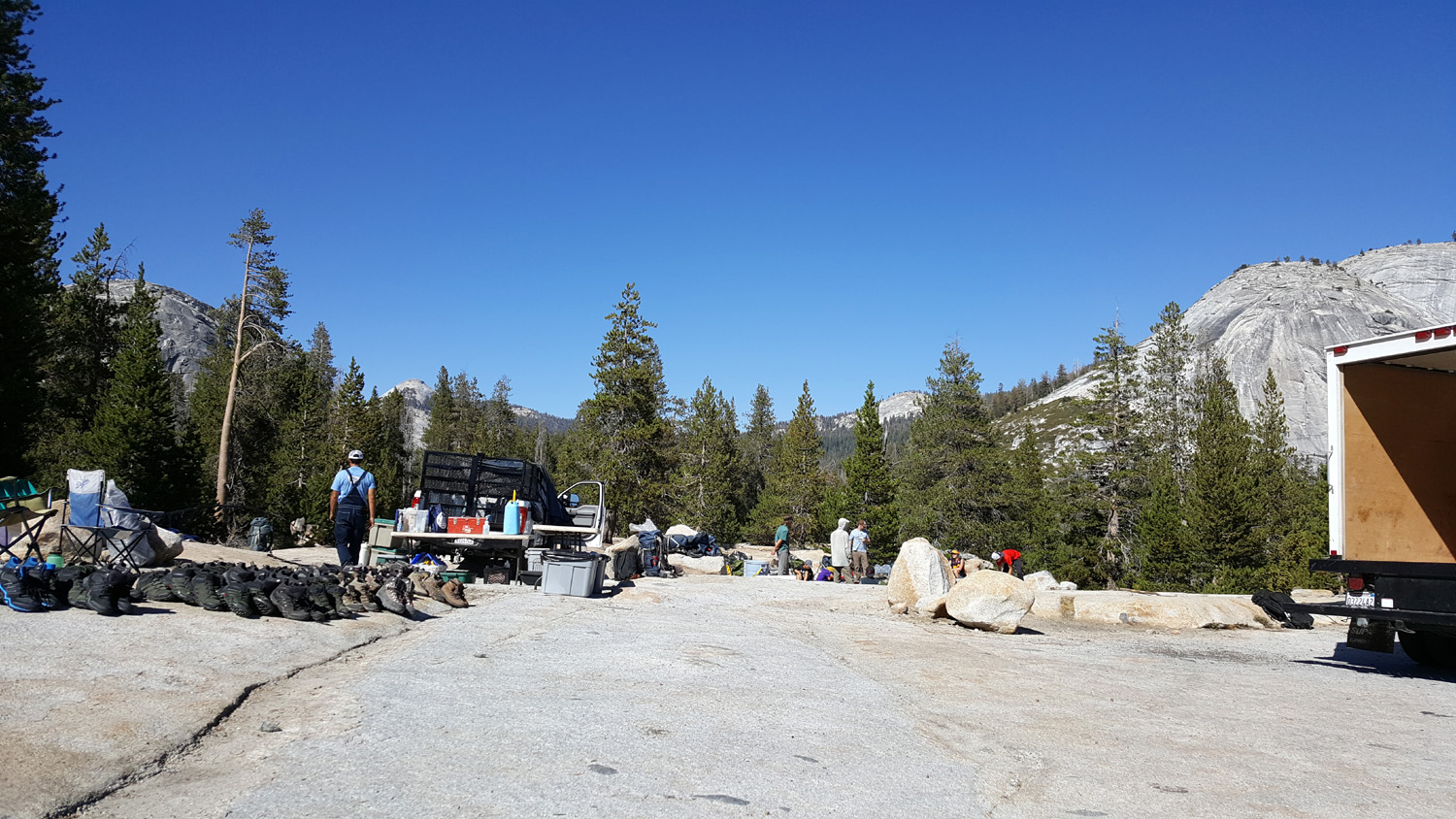
As I reached the last few hundred feet I could see that a large vehicle was parked in the camp area. The place is big enough for more than one party to camp, but too small for me to be comfortable with neighbors that close. Approaching the campsite, I could see all kinds of stuff scattered about - plastic garbage cans, storage bins, bear canisters, and tables, plus four or five people. Then I saw a circle of backpacks and about 50 pairs of boots laid out on the rock, and decided that people would be arriving and then going backpacking, probably leaving me alone. As often happens, a negative turned into a positive. One of the men came over to me, and let me know that a bunch of kids would be arriving, but would be leaving on a five-day outing by the end of the day. There would be four different groups, each going in their own direction. One group would ride a bus down to Lake Wishon and hike in from a trailhead on the opposite side of the Kings River's North Fork. This activity was sponsored by Outward Bound, a non-profit educational program which conducts all kinds of outdoor adventures, providing all the needed food and equipment and led by trained and experienced instructors. Kids in this group were twelve and thirteen years old. When they arrived, the leaders divided them into their separate groups, and I listened and watched the ones closest to me. The leader had them take everything out of the backpacks, one item at a time, explaining what it was and how it was used. He then had them dump out the personal items they had brought, and divided them into two piles - stuff to take and stuff to leave behind. Left behind - cotton shirts, deodorant; take along - tooth brush, underwear (3 pairs only). Although I did a lot of backpacking years ago, it was interesting and educational to hear this discussion. Boots were available for anyone who did not have their own. |
|
|
|
| Backpacks, packed and waiting for the hikers |
Some of the young men preparing to test themselves against the rigors of the Sierra Nevada |
|
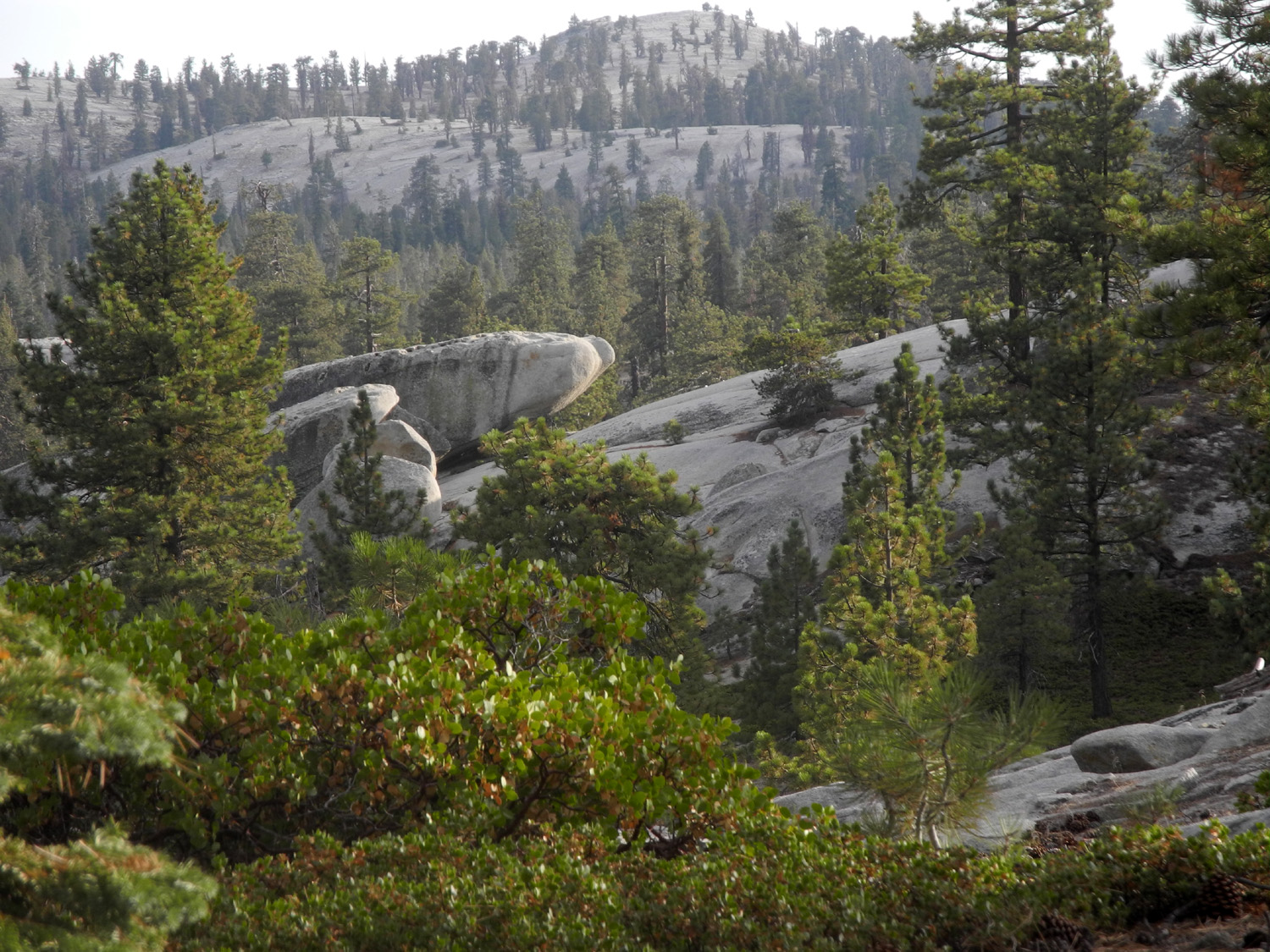
Meanwhile I went about my own business, fixing lunch, reading, and getting my camp set up for the evening. Before long all the kids had hiked off in various directions, and at the end of the day there were only two people left behind, along with a large truck. I talked with them and learned that they were meeting another group that was coming out the next day after ten days in the back country. This group would get a hot meal and be re-supplied, then go back out for another ten days, repeating this for a total outing of 30 days. This group was older, 18 and up, and arrived about the time I was finishing breakfast the next morning. The man who was meeting them turned out to be a climbing instructor, and again I listened as he talked and handed out equipment. Each hiker received two carabiners, a helmet, a day pack, and other items. They would leave their large packs at a base camp and take their lunch and equipment in the day packs as they went to climb the rocks. By the time I started my big hike for the day, they had headed town the Dusy-Ershim Trail. I drove my truck the opposite direction to a parking spot beside the road where I planned to go up on two domes that I had climbed with my daughter Teri and her friend Sandi in 2016. There is a geological exhibit by the road, and to the south are two rocky domes, which we named Sandi's Dome and Teri's Dome. Getting to the top is simply a matter of following a zig-zag route up through the rock slabs and boulders that cover the slope of the first dome. The top is fairly rounded and has a lot of solid granite, with a steep drop-off to the east. From Sandi's Dome I walked down to the saddle between the two features, and made my way up to the top of Teri's Dome which is slightly lower. It drops off very steeply into the Helms Creek Gorge on the west, and provides a spectacular view of many of the domes in the area, as well as the LeConte Divide to the east and of course the lake. It's location next to the canyon made it especially windy, and I did not say long on top. A short way down I sat on a rock shelf and had a snack, then worked my way across the other dome back to my truck and drove the short distance to camp. |
|
 |
 |
|
Sandi's Dome, left; Teri's Dome center, and a dome to be named later |
The strong breeze on Teri's Dome made me feel I
should be leaning like the Jeffrey pine in the background |
 |
|
| Left to right Constant Dome, Maxson Dome (on the skyline) lower Double Dome with Hopeless Dome below and upper Double to the right | |
 |
|
| The LeConte Divide, with Mt. Goddard just right of center | |
|
Later on, the climbing group returned and set up camp in a flat rock area south of me. They were mostly out of sight, completely unobtrusive, and totally quiet by the time I went to bed at 8:45. The next morning they left their big packs under a couple of canvas shelters and set off to the south for more rock climbing. My final hike the second day was a short evening jaunt to take a look at the Big Four, four tall, straight junipers in a row that look as if they were planted there. Nearby is the Bull Juniper, one of the most impressive specimens in the region. It is big, and has a number of twisted dead branches at the top. You can stand on the edge of a 40-foot cliff and look straight across at the top. I've hiked down to the base in the past, but did not want to try anything that ambitious late in the day. |
|
 |
 |
| Outward Bound climbers' base camp | Hopeless Dome from the slope below Double Dome |
|
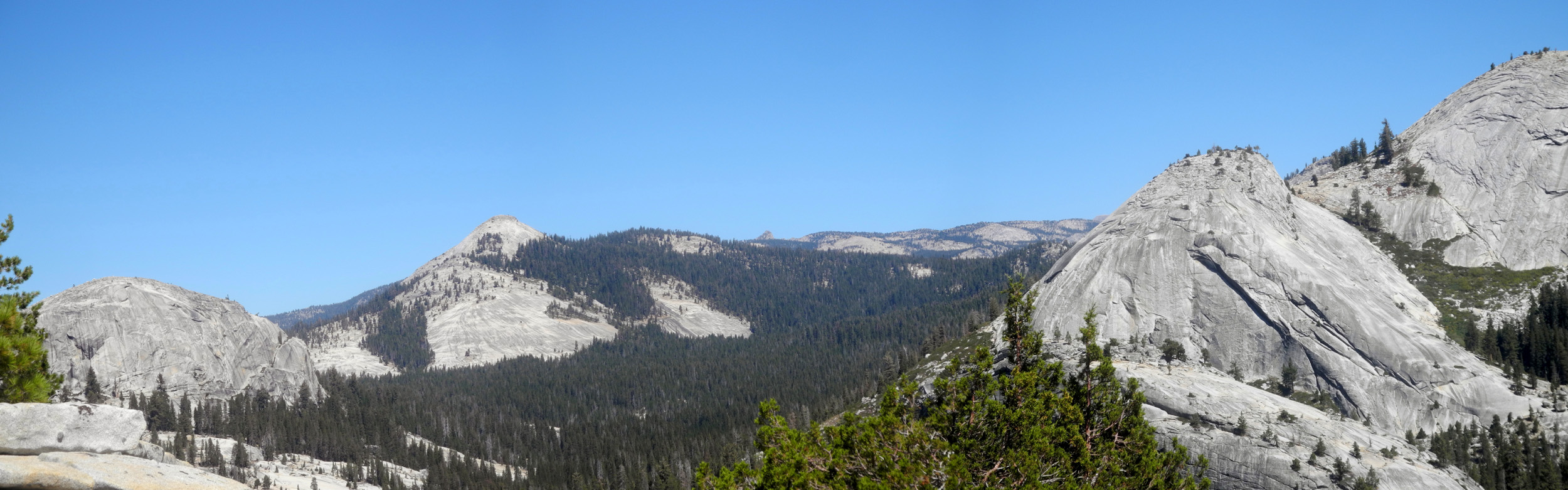
Before we say goodbye to this magnificent area, probably for the last time in 2018, a few words about dome names. As far as I can tell from the US Forest Service map, there is only one dome in the area with an official name, Maxson Dome north and slightly east of the lake. The other names I mentioned are those that I have made up. We have a rule that if you want your personal name applied to a dome, you must ascend to the top of it. So Sandi and Teri earned the right to their names on the domes that I went up on during this trip. One of the Outward Bound instructors told me the names of several of the domes visible from our camp, but he said he did not know that these were official either, just what the hikers who frequent the area call them. So the alternate names are as follows: Constant Dome, because it's almost constantly in view from the trailhead to the Big Granite Slope that usually marks the end of my hikes in that direction is Voyager Dome. Just west of our camp area is Hopeless Dome, which I named when it forced a retreat as I tried to climb it a couple of years ago; it's alternate name is Punk Rock (also appropriate). Double Dome, which looks like two domes from some directions and a single "stair step" dome from others is Dusy Dome (upper) and Penstemon Dome (lower). On this trip I applied a new name, Courtright Dome, to a small dome right by the northern end of the lake. It's not visible from camp, but stands out in the photo of the lake at the top of this report. Because my readers are used to them, I will continue to use my own names when discussing these features. |
|
 |
 |
| Constant Dome (AKA Voyager Dome) (click here for a slide show that demonstrates the many faces of this formation) | Double Dome (AKA Penstemon Dome and Dusy Dome) and Hopeless Dome (AKA Punk Rock) |
|
Both nights the low was 34 degrees, but as usual I was comfortable in my sleeping bag with a hooded sweat shirt, and an extra blanket. I had a fantastic view of the stars whenever I went out at night, with no moon to wash them out at any time. Until the final morning there was not a single cloud anywhere. My most interesting wildlife spotting was some bluebirds flying next to the camp area. In the
morning I had tea, then fixed breakfast, and started my usual slow
but steady breakdown of camp. And as I usually do, when I arrived
back in the city I rewarded myself with a Buffalo chicken sandwich
at the Colorado Grill. When I got home I took EVERYTHING out of the
truck for the first time since since I started truck camping in
2016, so I could vacuum it out and reorganize my camp boxes. It
should not surprise you to know that I already have my next camping
trip on the calendar for early October. --Dick Estel, September 2018 |
|


| Photos (Click to enlarge; pictures open in new window) | ||
| Wishon Domes & Sawmill Flat Fresno Dome New Stargazer Courtright Camp | ||
| Wishon Domes & Sawmill Flat | ||
 |
 |
 |
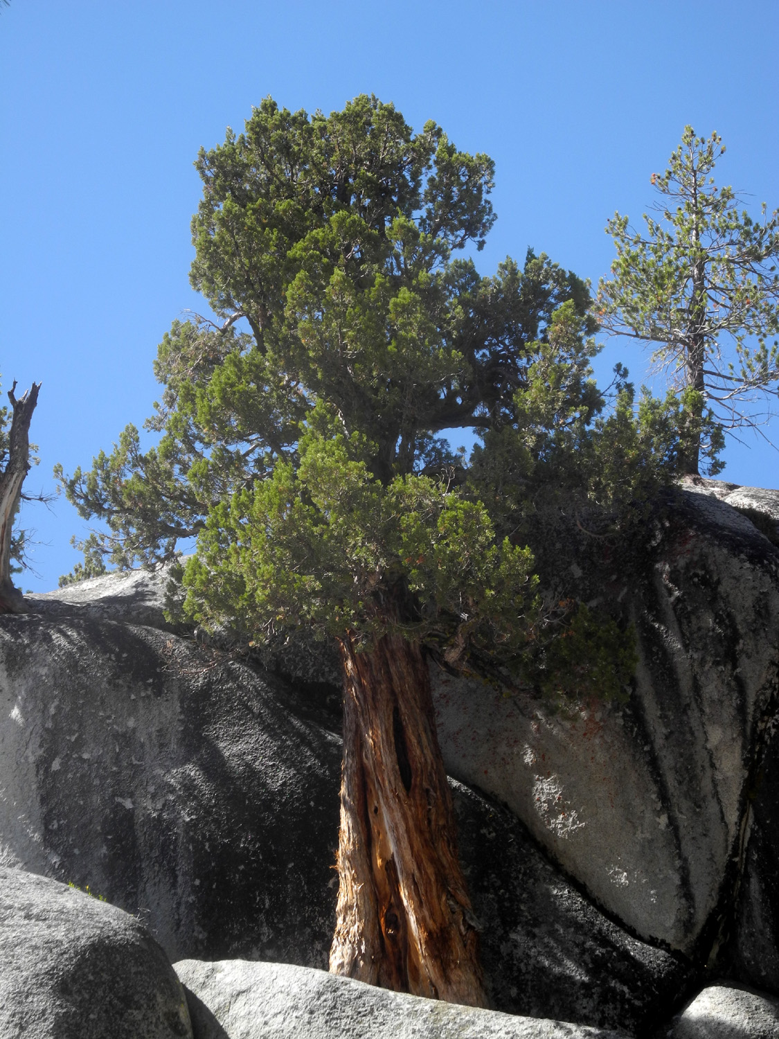
| A shapely juniper at Wishon Domes | Dead-looking but not actually dead juniper | Rugged little juniper on a rock cliff |
 |
||
| We call this spot "The Amphitheater" | ||
|
 |
 |
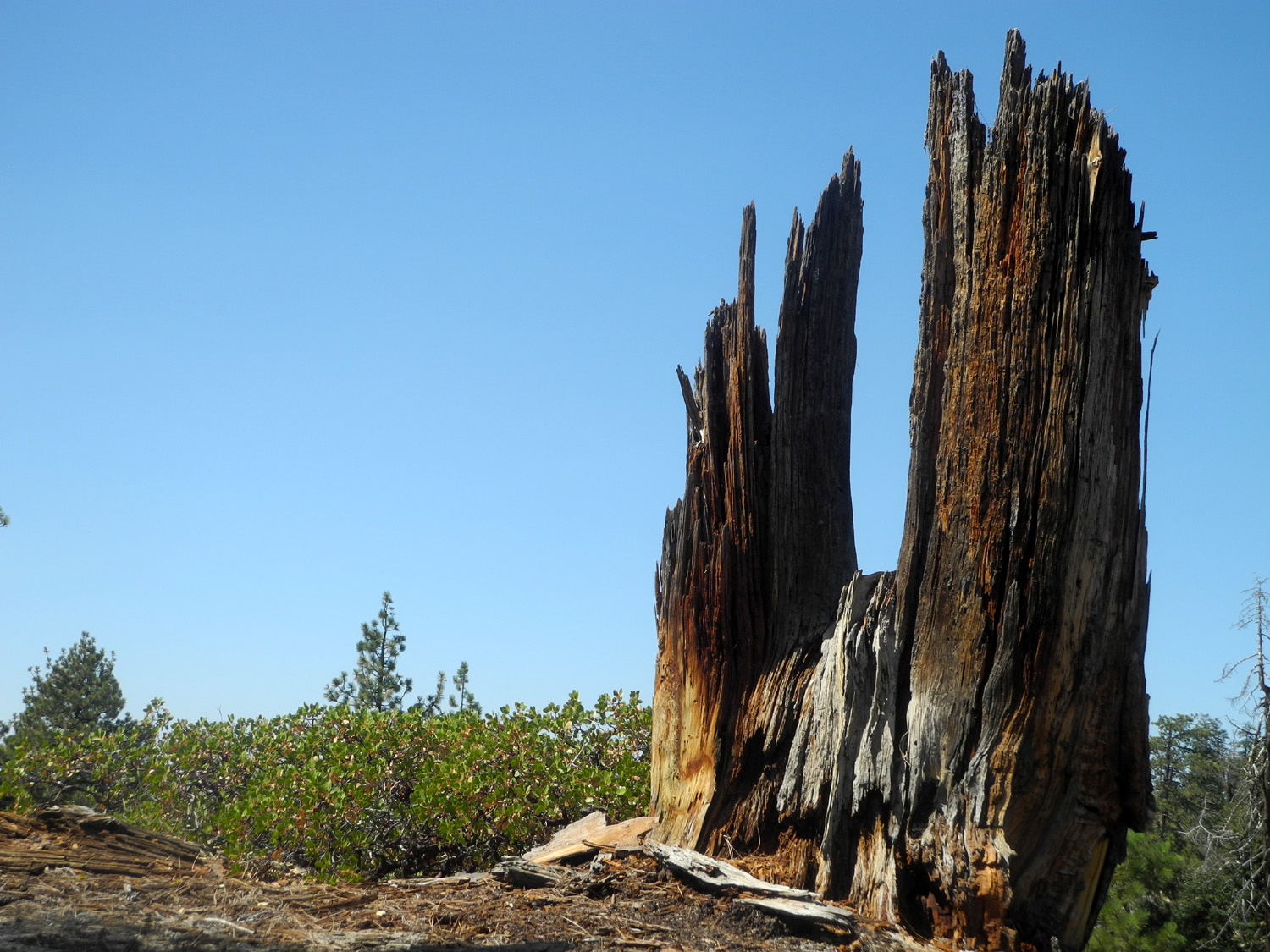
| Long Meadow Creek just above the rough road | Dead fir at Sawmill Flat Campground | Years of ashes cleaned out of the fire ring |
 |
||
| Looking up the drainage of the North Fork of the Kings River | ||
 |
|
|
| The only "deer" I saw on this trip |
White thorn, green leaf manzanita, chinquapin, firs and pines |
Young firs near camp |
| Fresno
Dome (Photos by Jennifer Neely & Dick Estel) |
||
|
|
|
| A selfie with Jennifer, Dick and a Jeffrey Pine | Leaving the forest for the rocks | This cairn gave ambiguous directions but we loved it for its artistic design |
|
 |
 |
| My triumphant descent |
Jennifer and a dead tree offer suggestions on which way to go |
Rod enjoys the view from where he and Jennifer rested |
 |
 |
|
|
Pulled pork enchiladas, black beans, and homemade salsa |
Cheese cake AND ice cream - not low-cal but high taste |
|
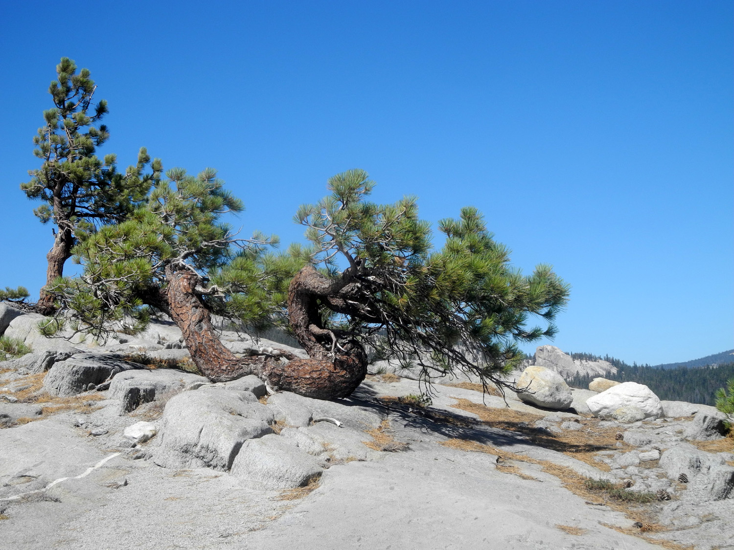
| New Stargazer | ||
 |
|
 |
| Doing what I do best | A western white pine on top of Camp Rock | Below my camp is a large, mostly flat area |
 |
|
 |
| A glimpse of Shaver Lake | The top of Upper North Dome | The route through the drainage toward Neely Dome |
 |
||
| A panoramic view to the east from my camp | ||
 |
|
 |
| Nature's sculpture in wood | Another dramatic wood sculpture | It all fits, more or less |
| Courtright Camp | ||
 |
 |
|
| Rocky slope below the base of Double Dome | Maxson Dome | These boots were made for backpacking |
|
|
|
 |
| A dome-side juniper | This one is about 100 yards west of the trail | On a rock shelf west of the road |
 |
|
 |
| An Outward Bound truck is visible just below the middle in this view from Sandi's Dome | Twisted Jeffrey pine testifies to the harsh life on top of Teri's Dome | Looking up to the top of Teri's Dome |
 |
 |
 |
| This natural arrow points the way up Sandi's Dome |
I named this dome at the north end of the lake Courtright Dome |
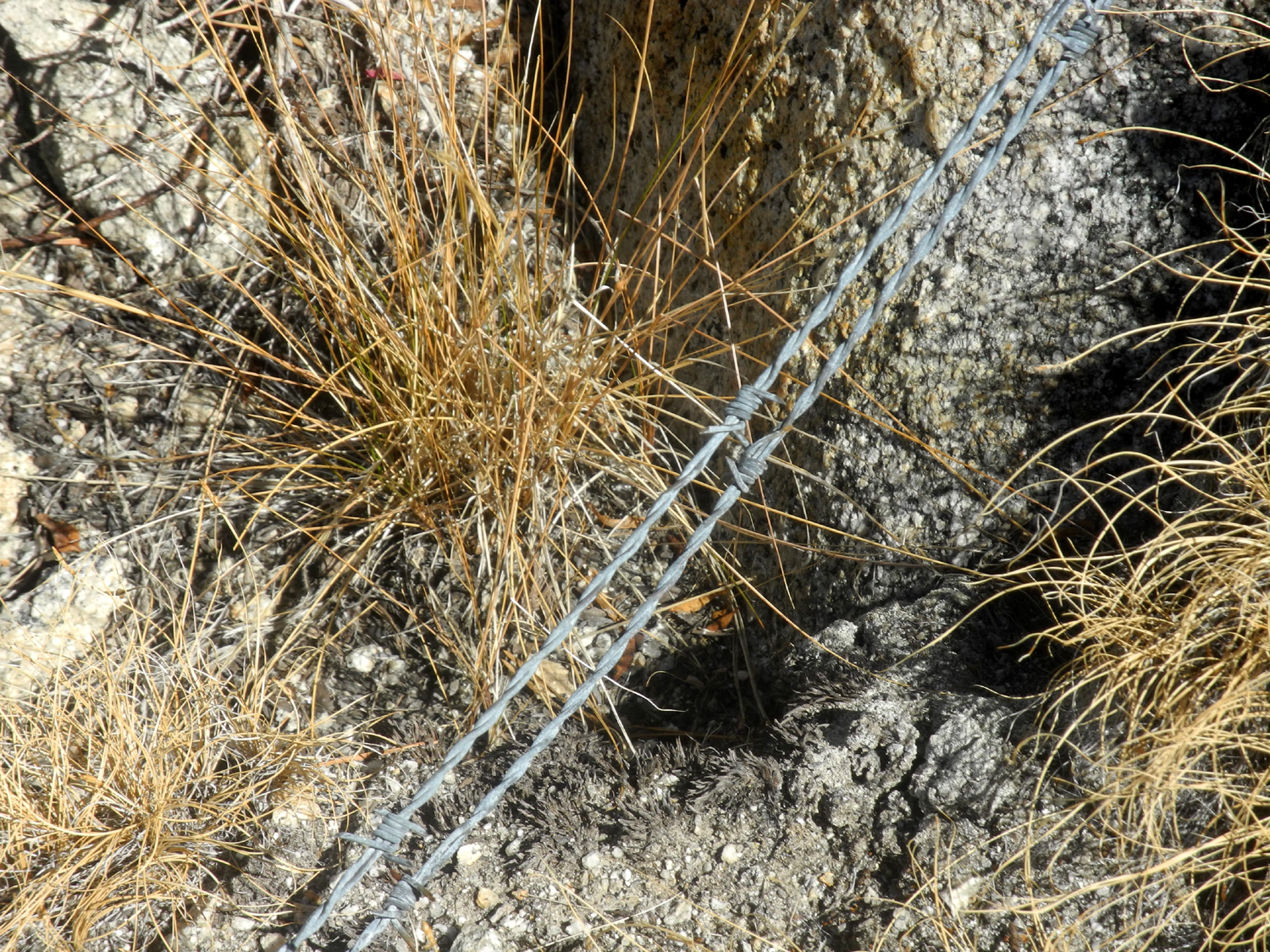
There is barbed wire in many places in the rock slopes along the Dusy-Ersim trail |
| Related Links | ||
| Sawmill Flat Campground | Wishon Reservoir | Granite Gorge |
| Close-up view of Hell Hole Falls from 1984 | Hell Hole Falls Video | Black Rock Reservoir |
| Fresno Dome | Fresno Dome Trail | Pete's Place |
| Dinkey Creek | Kings Canyon National Park | Shaver Lake |
| Constant Dome Slide Show | Courtright Slide Show | Juniper Slide Show |
| Dick's Juniper Photo Album | Courtright Reservoir | Maxson Trailhead |
| Dusy-Ershim OHV Trail | LeConte Divide | Mt. Goddard |
| Outward Bound | ||