

Two Short Camping Trips |
||
|
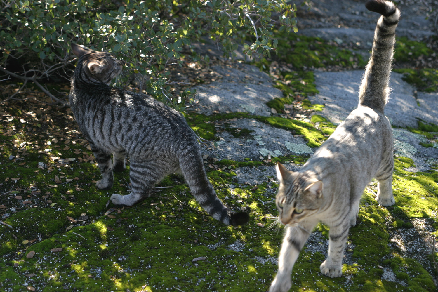
On August 7, I took the motor home to the home of my daughter and son-in-law, Rod and Jennifer Neely, near Oakhurst. They have a hundred-yard gravel driveway that slopes down at a fairly good angle, and I wanted to find out if I could get in and out. We had scouted the area at the bottom, in front of the garage, and studied the angles, and were pretty sure I could get in there, and I did so with no problems and a little help from Rod. They have constructed a short loop trail on their property, and we walked it a couple of times, usually accompanied by two to four cats. We also walked out to the main road (Road 600), where we picked wild blackberries to use for hurricanes later. We also had a nice dinner, and just hung out or looked around the property. The next morning I headed out for
a short camping
trip, to Chilkoot Campground on the
Beasore
Road. This road heads
east from the road that runs along the east side of Bass
Jennifer came up
to the camp around Jennifer and I walked down
the old road to the creek, but
the water is higher than usual (due to heavy snow and rain this
winter), and there was no good place to cross, so we headed back up
the hill. We barbecued chicken and had fresh Fresno
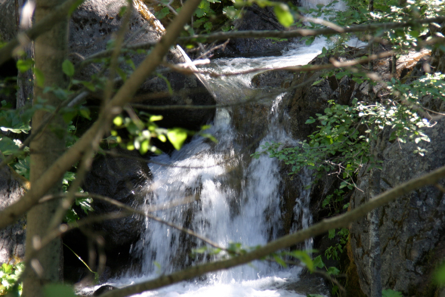
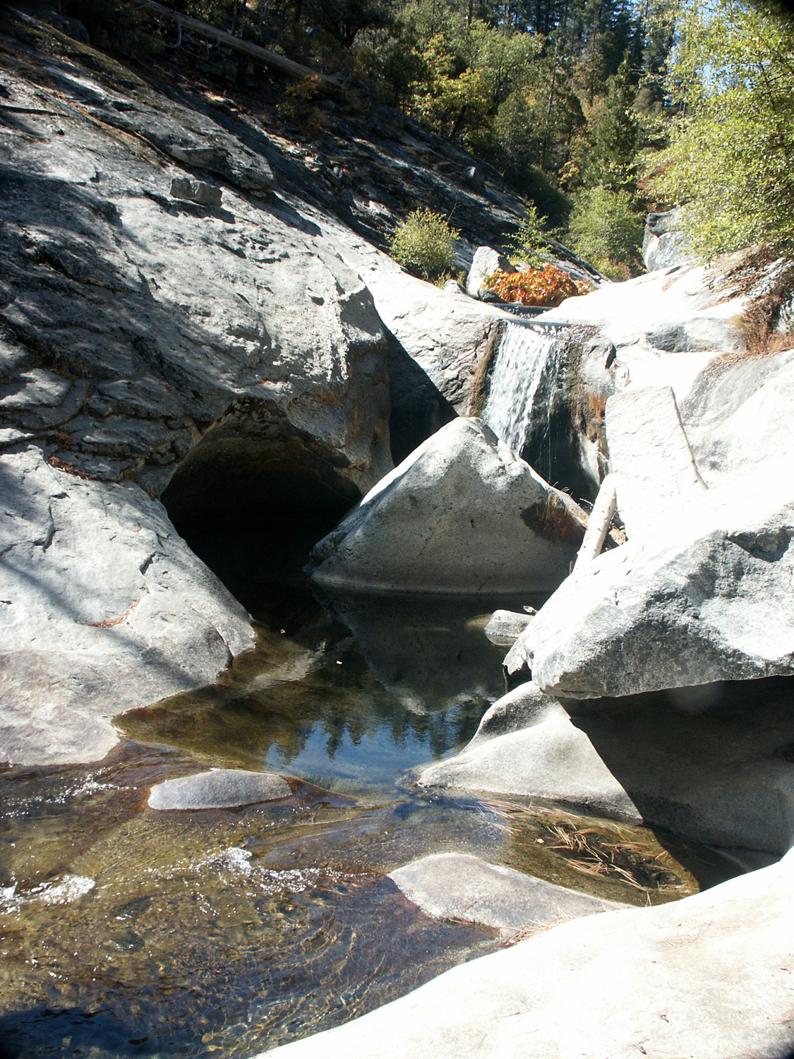
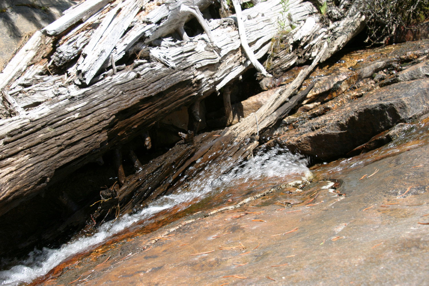
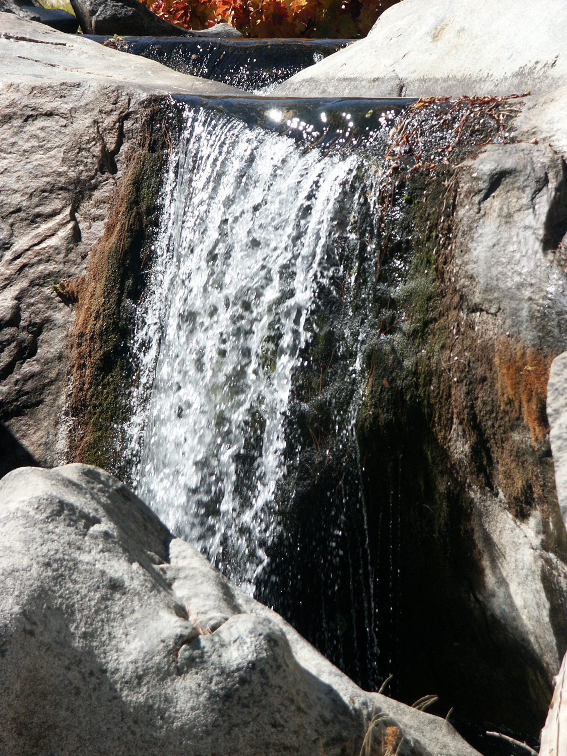
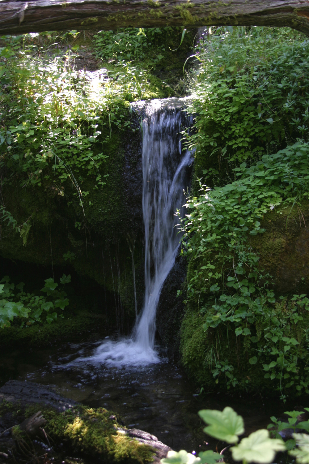
I stayed that night and the next, doing a bit of walking around the area. Right by the camp, but not readily visible, is a small creek that drops over a six-foot waterfall into a nice pool. It’s a bit of a scramble to get to the bottom where you can take a picture, but I managed and got some good photos. I also walked up the road to where Chilkoot Creek crosses. There is a nice small waterfall on the creek a ways above the bridge there. I got started home fairly early and was back in
Clovis
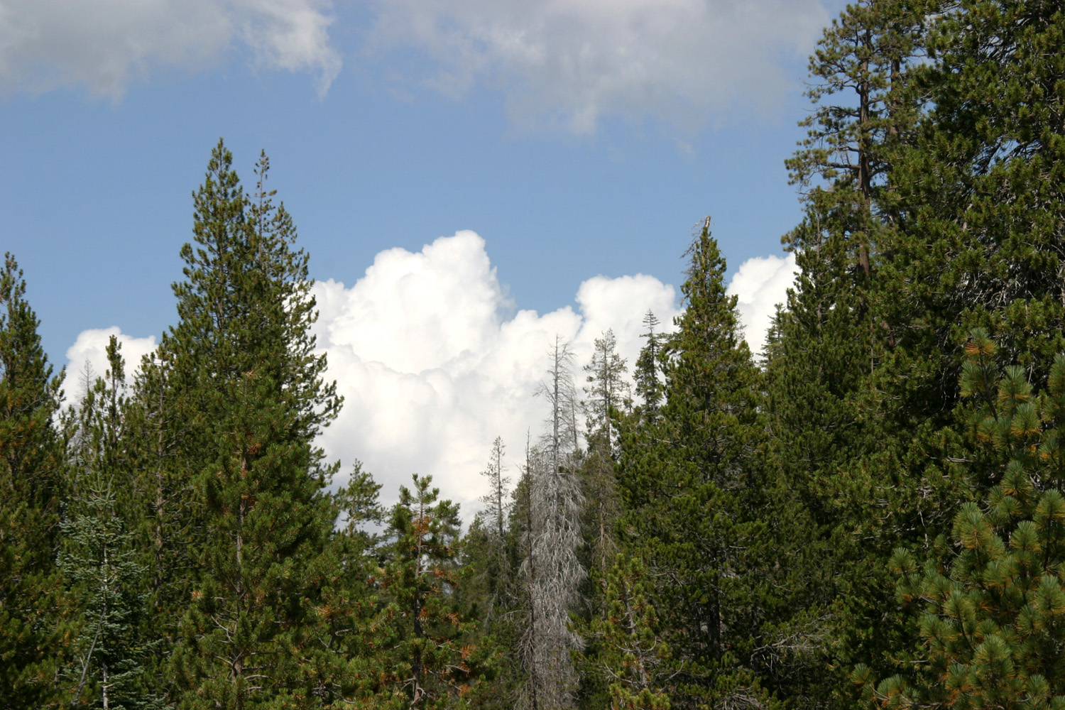
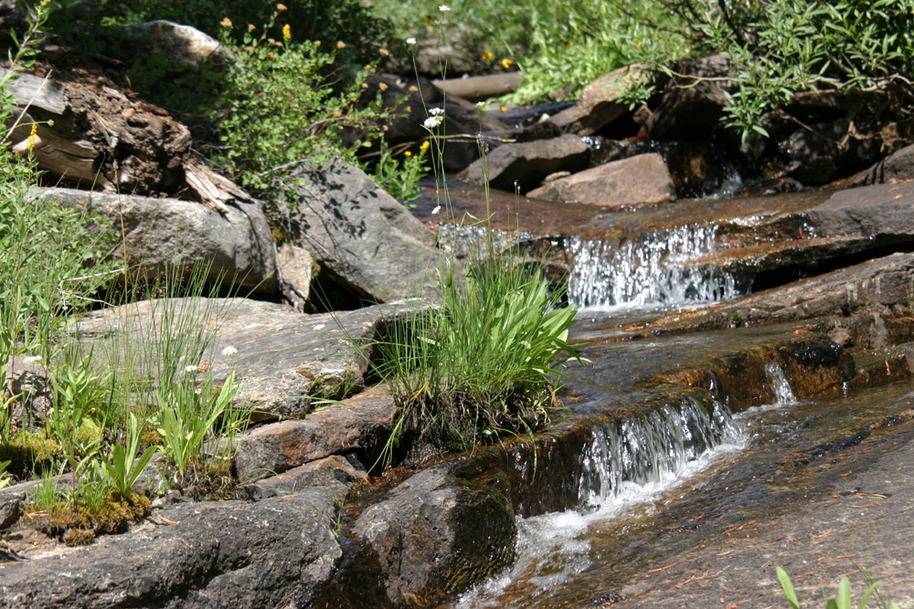
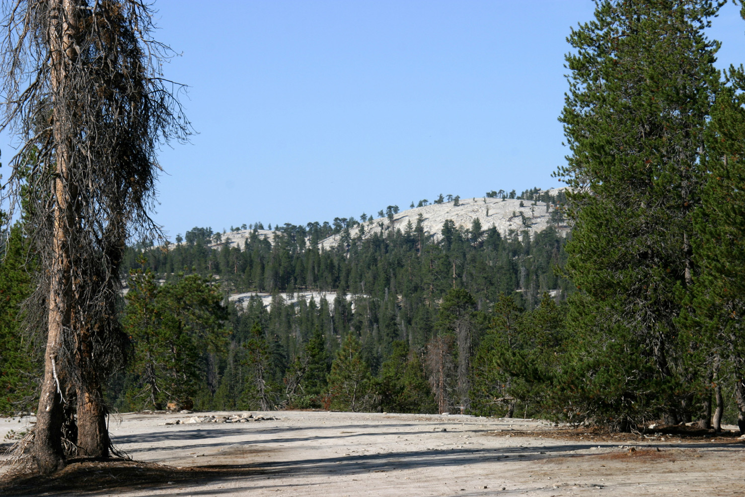
by September 12, 2011: There was no Stargazer Rock campout in 2010 - too many other things going on, and people unable to schedule a camping trip. However, I am back for 2011, although it is a solo trip. In the past we've had most of my immediate family, various friends and other relatives, with up to 15 people one year. Attendance has dwindled, and when they did come, people have been coming just for one day. For several years I did two Stargazer Campouts. After the big one in July or August, I would come up for a short trip, usually two nights, either alone or with grandson Mikie. These trips have all been in September or October, and it can get mighty cool above 7,000 feet in October. One year I had a fire in the daytime, and huddled next to it, but there was a cold wind, and it was never comfortable to sit outside. This time, September 12, it is cool but not cold, and the wind is a strong cool breeze. A few days ago there were scattered thundershowers predicted for the mountains, and we had some rain in the valley. There are a lot of big white fluffy clouds, but the forecast has changed to no rain, so it looks like it will be a nice trip. The fact that we had near record rain and snow last winter was proved by three things: 1. The meadows are still green. Many Sierra meadows, especially below 10,000 feet or so, get very dry and the grass often turns brown in late summer. 2. There are a lot of new, deep chuckholes in the road (it's paved, but fairly rough, and subject to weather damage every year). There were a lot of places where I had to creep through the pot holes, but most of the way I could drive 20 to 30 MPH on the narrow, winding road. 3. Rock Creek, a few hundred yards down the hill from where we camp, has water! Actually it always has a little water, but many years it is a tiny trickle, running under rocks with the water disappearing for a short distance, then reappearing as a trickle or a seep. This year it's running strong, there is water visible anywhere you look at the creek, and I could hear the water running from a hundred yards away. There are other changes - someone has installed four or five picnic tables and a couple of metal fire rings. The usable area (for camping) probably covers ten acres or so, divided into two levels; there are easy passages up and down between the two sections. I usually camp in one of two big clearings in the lower level, where there have been large, well-established rock fire rings for a long time. However, for my late summer/early fall camp, I prefer the west side of the area, which is more open, providing more sunshine on the motor home and campsite. It also a little higher and offers a good view of some of the surrounding hills and domes and the creek canyon. And, I need to walk only about 100 yards to reach the actual center of Stargazer Rock, instead of a quarter mile from the far side of the area. At Stargazer Rock itself you get pretty much a 360 degree sky view, with a few tall trees sticking up on the east side. It's remote and isolated and quiet here, especially on weekdays. Since I arrived there have been six vehicles passing by on the road, and three of them were a group of motorcycles. I left home around 9 a.m. and was pretty well set up by 11:30. I had a drink and did some reading, then walked down to the creek. When I got back, I tried to get my satellite to work. It's been close to two years since I had it put in, and it has worked twice next to my house, and at the RV service center, and nowhere else. I am on the verge of writing it off as a bad investment. In some places I think trees may have been in the way, so I wanted to give it a good test here where it's completely open. After I gave up on the satellite, I heated some pizza, ate it, and took a nap. When I got up I went for a bike ride up the main road beside the camp. And finally, I did something I almost never do when camping alone - I built a campfire. It was still light, but around 55 degrees. I sat by the fire and read and then enjoyed the view and the fire, finally letting it burn down shortly before dark. It's getting quite dark, but still with enough light to walk the 20 feet to the fire ring. It's almost completely overcast, but the clouds are not dark and heavy like rain clouds. The sun is still putting some orange light on to most of the clouds. It's 48 degrees, with absolutely no wind. Now I'm in for the night and ready to start the generator and watch some videos. At 8:30 the clouds had opened up enough to allow some stargazing, and there's a big full moon coming up. September 13: The low temperature was 38 degrees at 6 a.m. Throughout the night, the sky became mostly clear and the moon made enough light to walk around (the surface is very light in color, providing some reflection). Today was a lot like yesterday, mostly clear with big fluffy clouds and a light breeze. Late in the afternoon dark clouds appeared on the horizon, and they slowly took over the sky. After an hour or more of thunder, it finally started raining about 4:30. It's been a true thunderstorm, with hail and some hard rain. It slacks off now and then, and there has been no hail for 15 minutes or more, but it seems to come back full strength every time, as it just did. Fortunately, all the hailstones were tiny, one eighth inch ice particles. When I got up I did the usual stretching exercises that I do at home and took a walk, then had a bloody Mary and read for a while. Breakfast was a mix of blackberries and raspberries, and that was followed by a nap. I did a lot of walking around the immediate area, set up the tripod and took some pictures, and did a lot of reading. I also took a good bike ride, up the road in one direction for a ways, then down the road in the other direction. Both directions offer some hard uphill pedaling and some exhilarating downhill coasting. After the bike ride, I mostly sat outside and read, getting up to stretch now and then. At one point the temperature took a noticeable drop, so I wasn't surprised when rain arrived 15 minutes later. Now at 5:15, the rain has diminished to a light shower, although there's still thunder to be heard. At 5:30, 50 degrees, medium rain, constant thunder. 7 p.m.: The storm has settled into a steady medium rain, and the thunder seems to have died down. There was a period of about an hour of virtually continuous thunder, but I saw very little lightning, including the afternoon when it was still clear overhead but thunder was sounding regularly. Rain stopped about 7:35; now clearing and moon coming into view, so it was a full three hours of mostly hard rain. September 14: During the night the clouds cleared away, so I went out around 1 a.m. to check the stars. There were plenty of stars visible, but they were not as bright as usual due to the recently-full moon. In the morning it looked so nice I would have stayed another day, but I had told people I was returning on Wednesday, and I was well out of cell phone range. I took my time eating breakfast and getting ready to go, and got underway about 10:30, arriving home between 12:30 and 1. Opening the door of the motor home I was met with an unwelcome blast of warm air - going from a high of 70 made 90 seem like the peak of summer. --Dick Estel, September 2011 |
||
|
|
||
|
|
 |
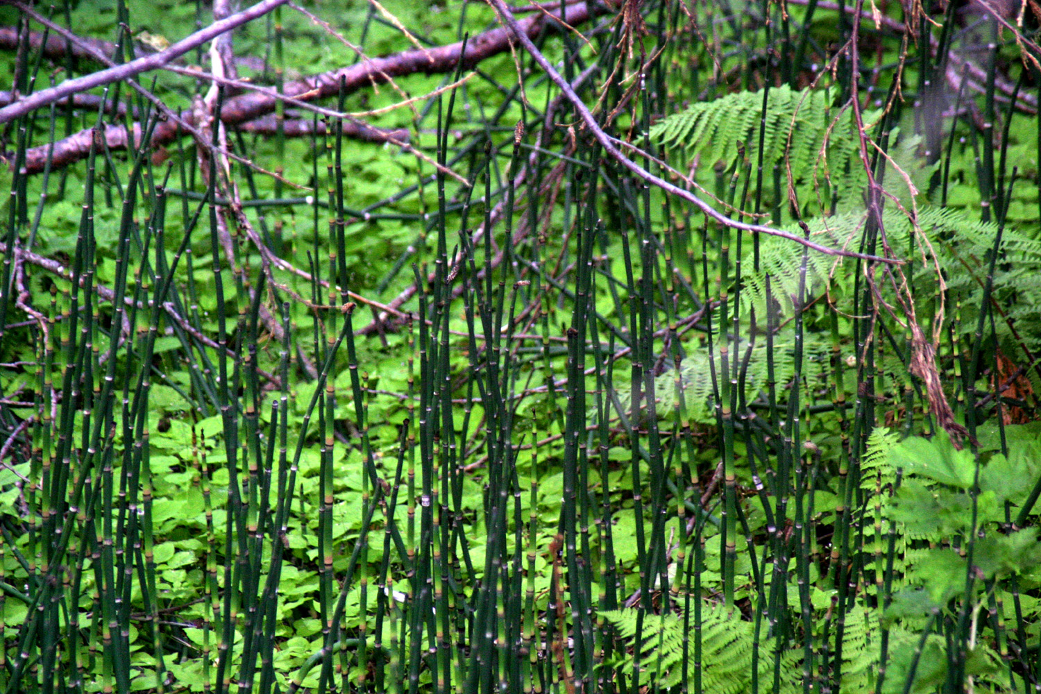 |
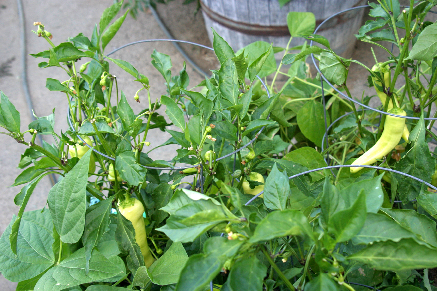
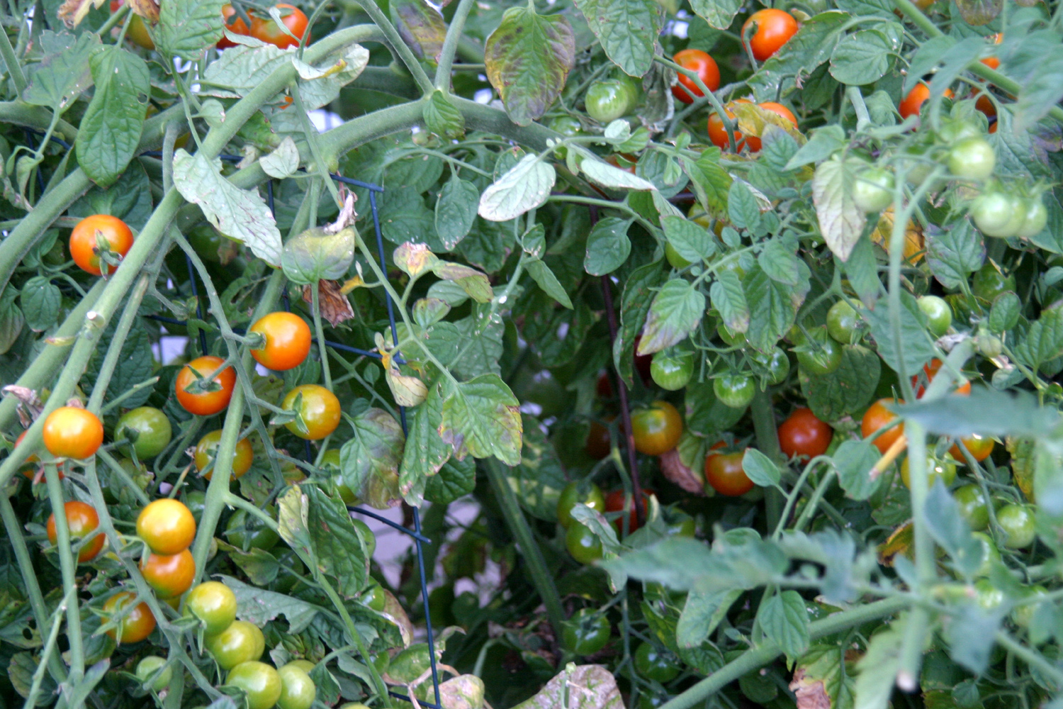
| The Neely tomato garden | Yummy yellow-green peppers | Reeds near Chilkoot Camp |
 |
 |
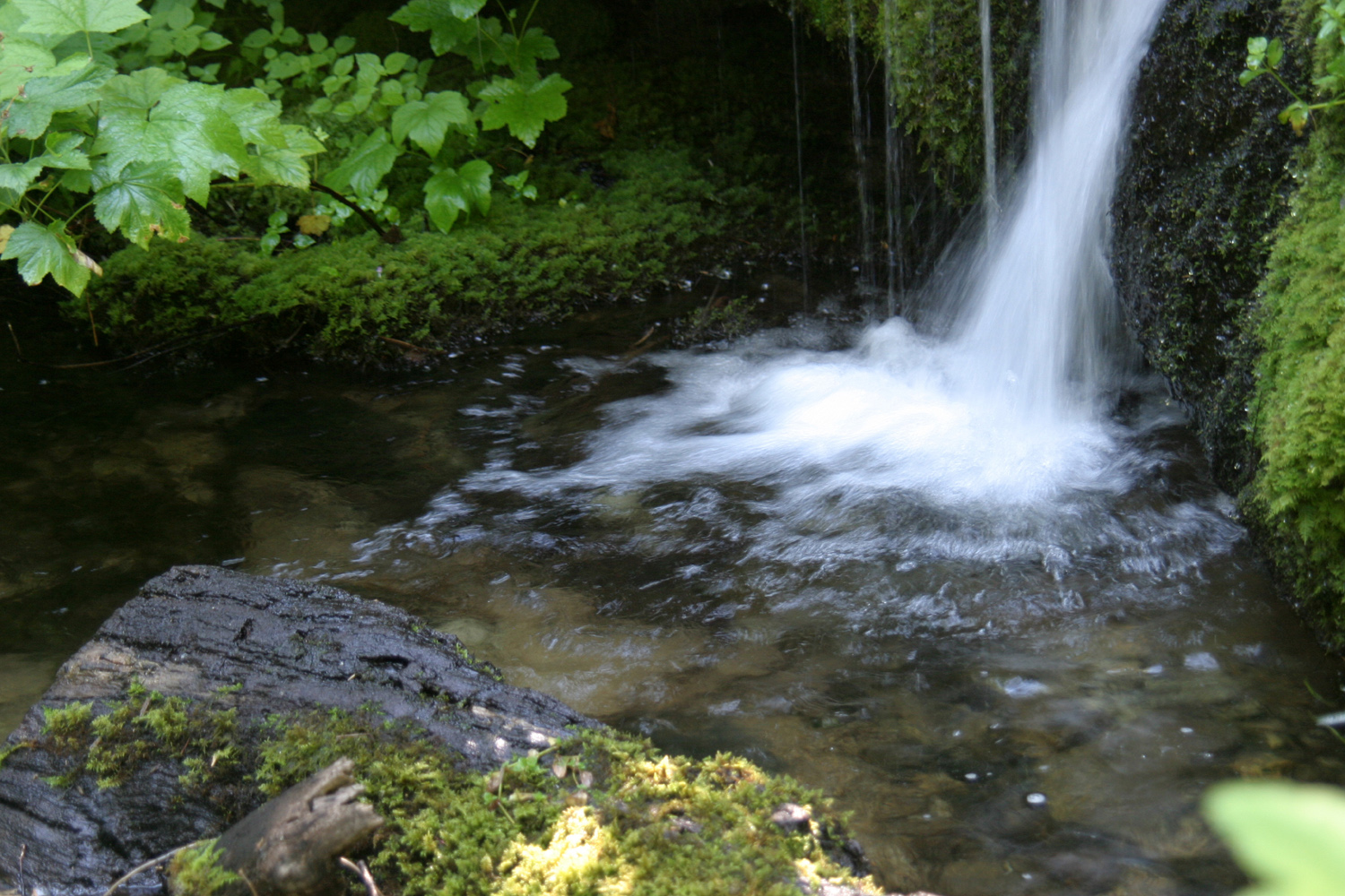 |
| The little creek, above the falls | Waterfall near Chilkoot Camp | Base of fall |
 |
|
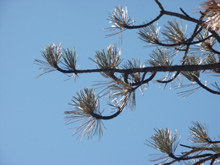 |
| Falls on Willow Creek | Close up of falls | Ponderosa pine branches |
 |
 |
 |
| Driveway 1, the eastern entrance to the camping area |
Looking toward the center of Stargazer Rock | The rock |
|
 |
 |
| Rock Creek | A mini-waterwheel falls | Black lichen spot on granite |
 |
 |
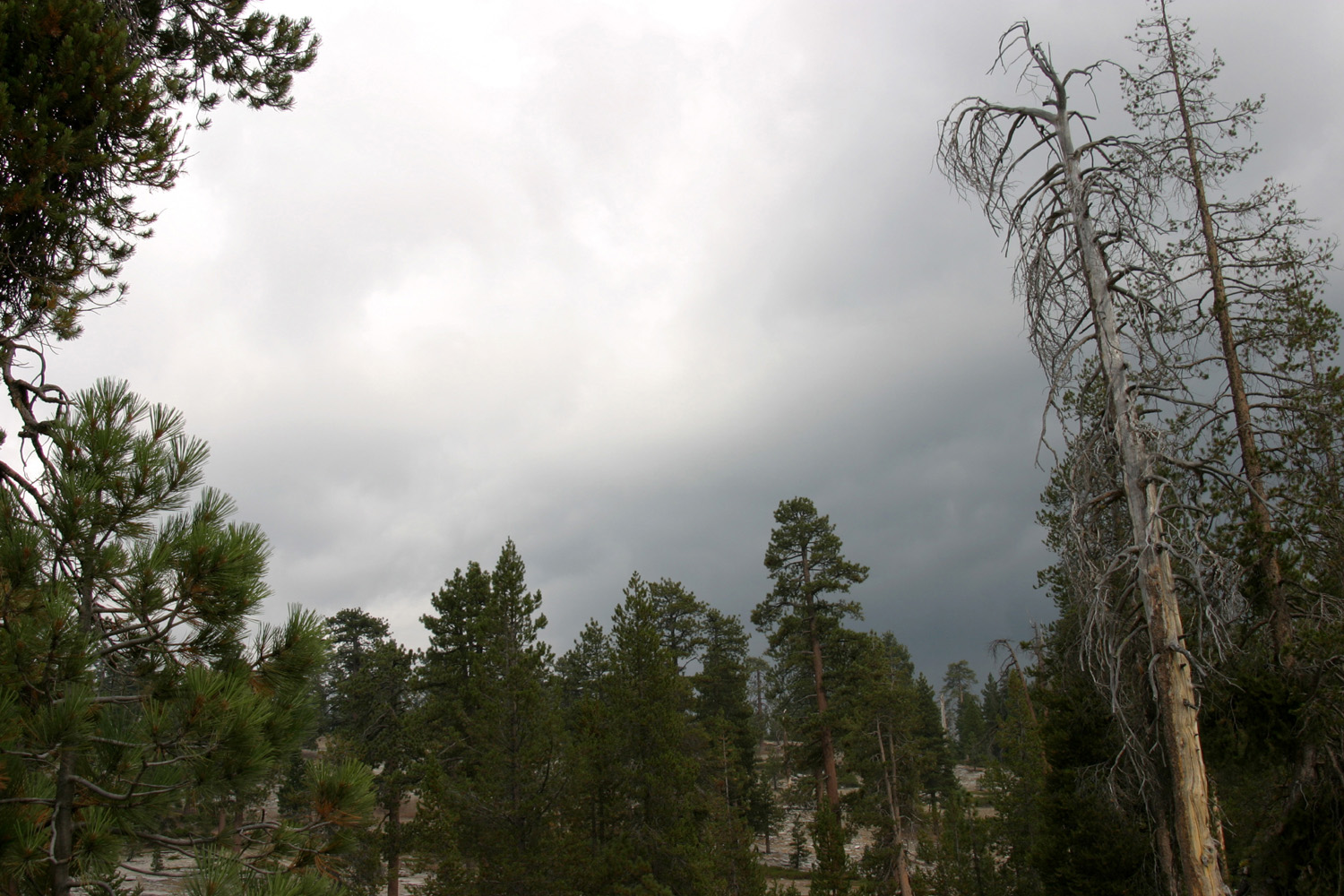 |
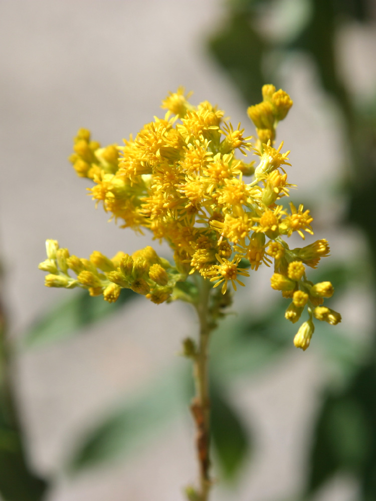
| Goldenrod | The white fluffy clouds of Monday | The dark storm clouds of Tuesday |
 |
 |
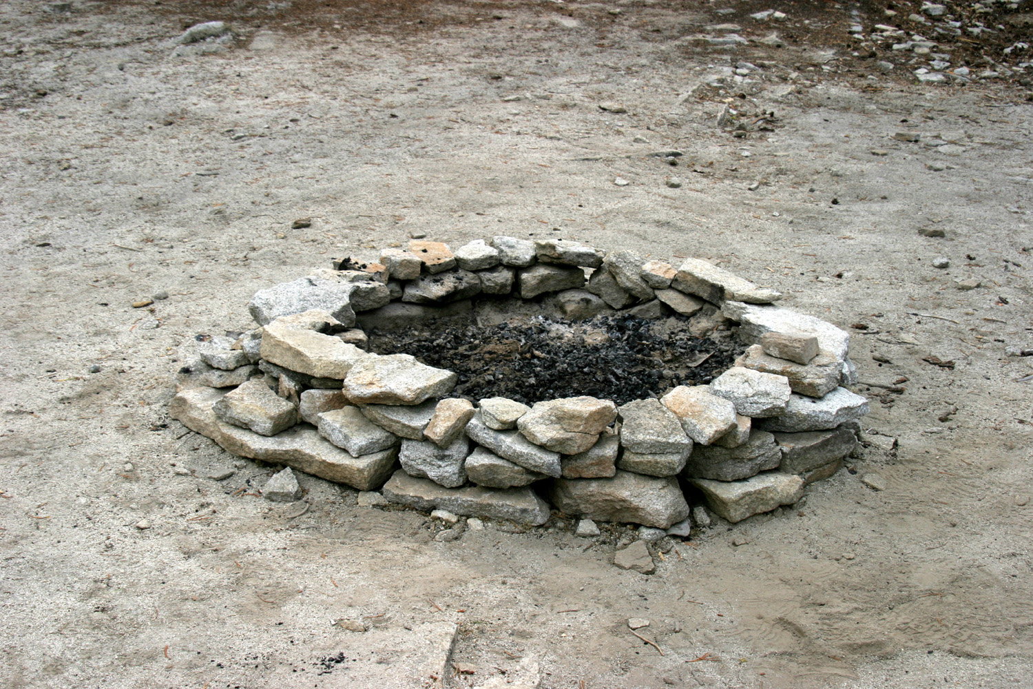 |
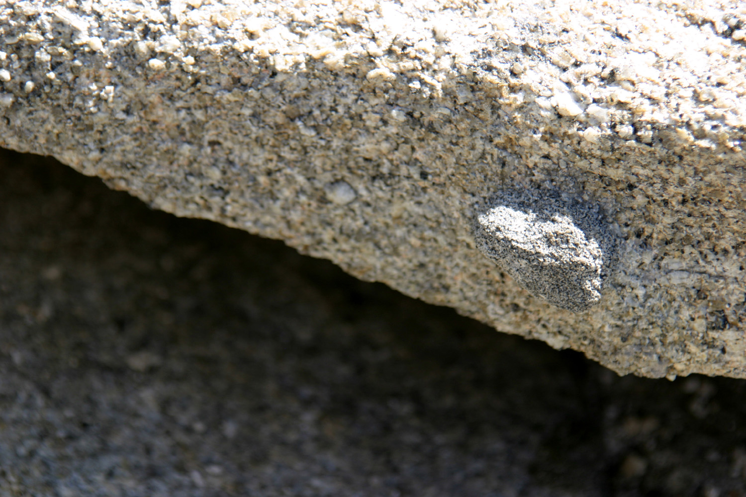
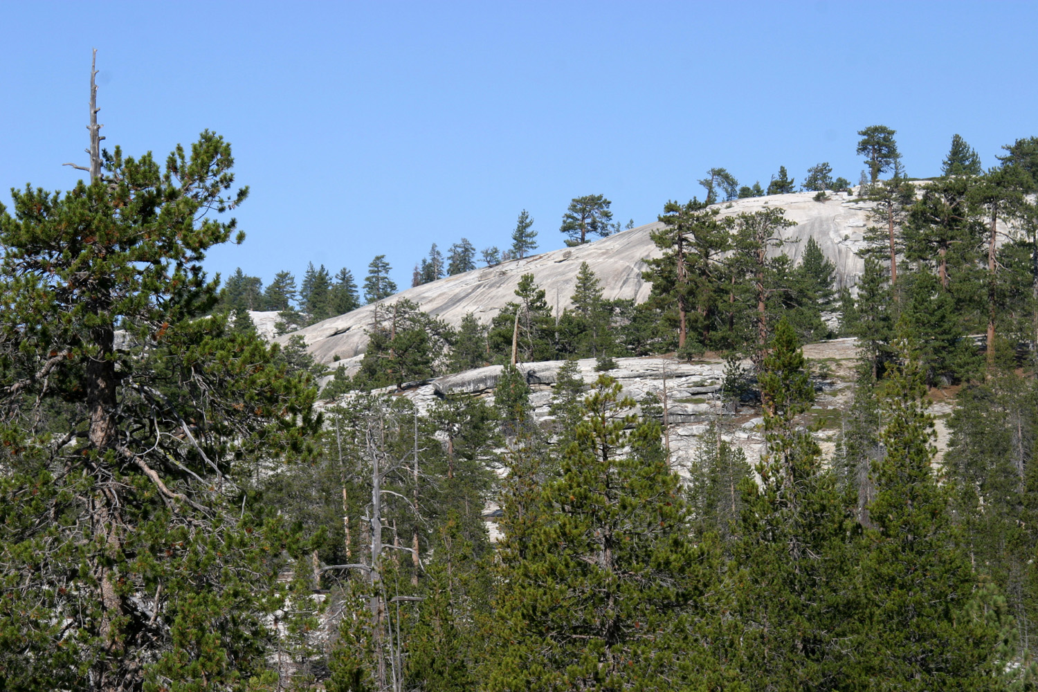
| The darker inclusion is harder then the surrounding rock, and protrudes from the face | Neely Dome | A neatly-made fire ring |
 |
 |
 |
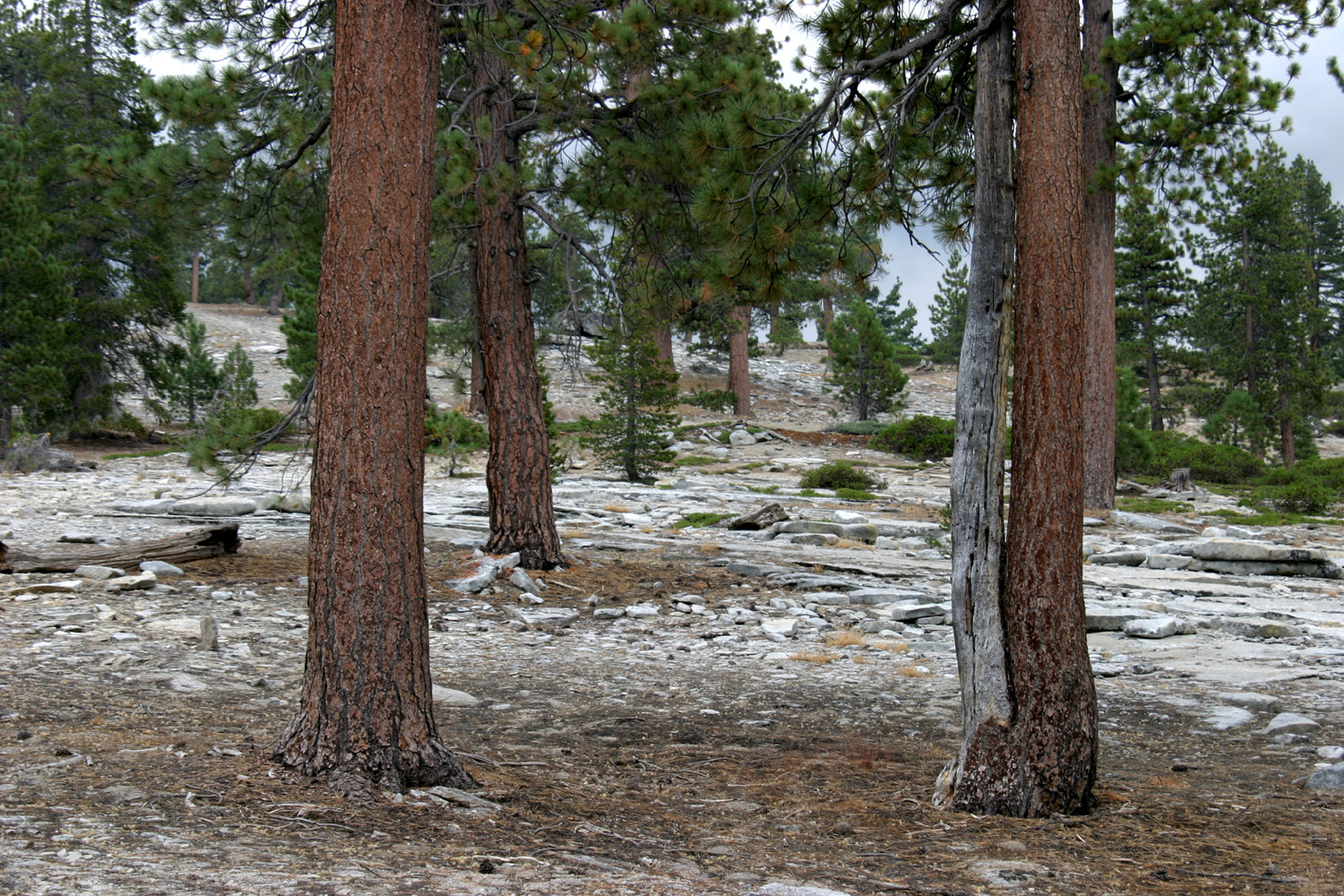
| Jeffrey Pine | Jeffrey Pines on slope across road from camp |
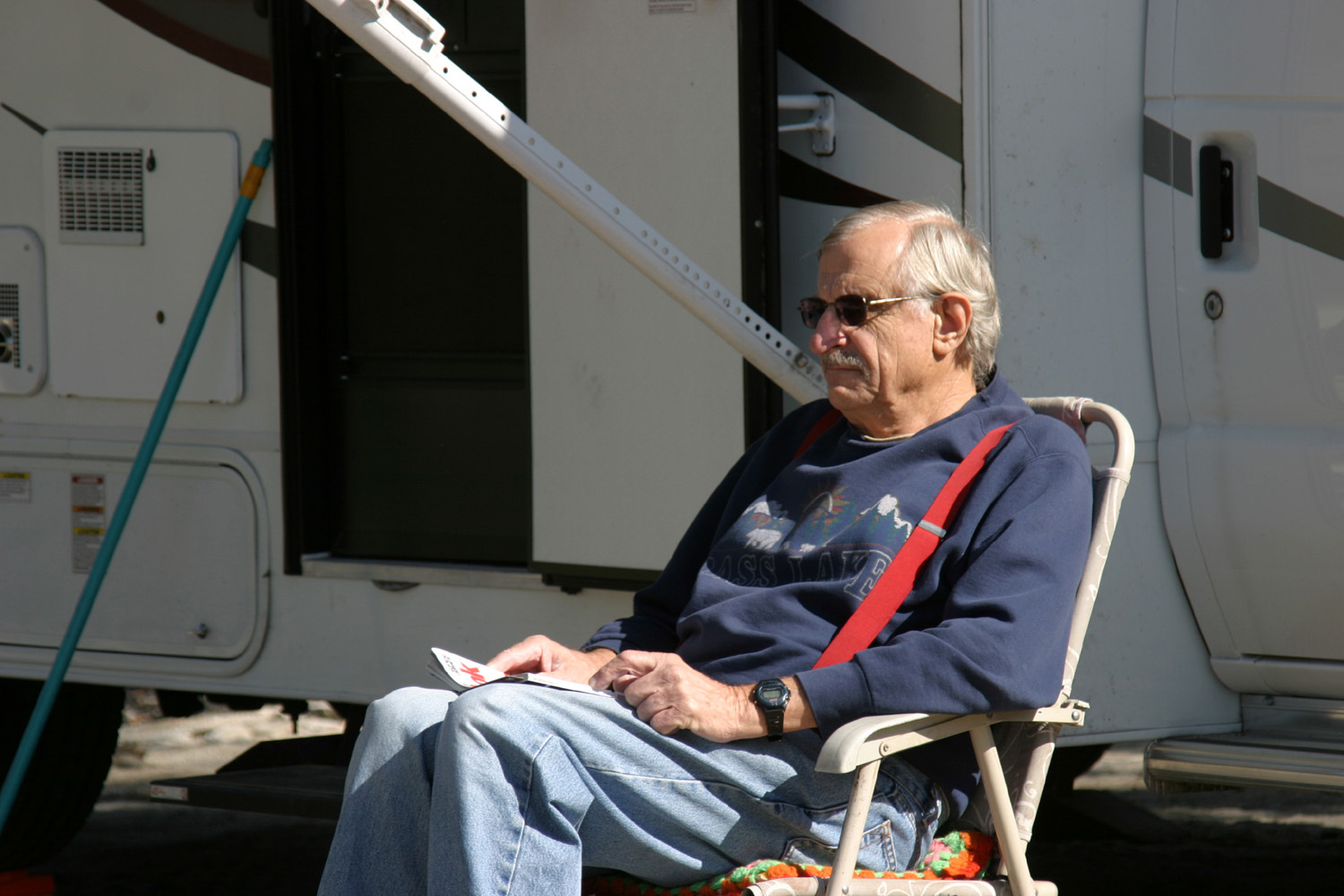
Old geezer sitting by his motor home |
| Related Links | ||
| Chilkoot Campground | Jeffrey Pines | Beasore Meadows Store |