
|
Dick's Adventures of 2019 - Part 1 |
|
|
Adventures of 2016 Adventures of 2017 Adventures of 2018 2019 Part 2 2019 Part 3 2019 Part 4 2019 Part 5 |
|
|
Back to Bear Wallow Dry Creek Drive Finegold North Mill Flat Camp Sycamore Creek San Joaquin Gorge |
|
|
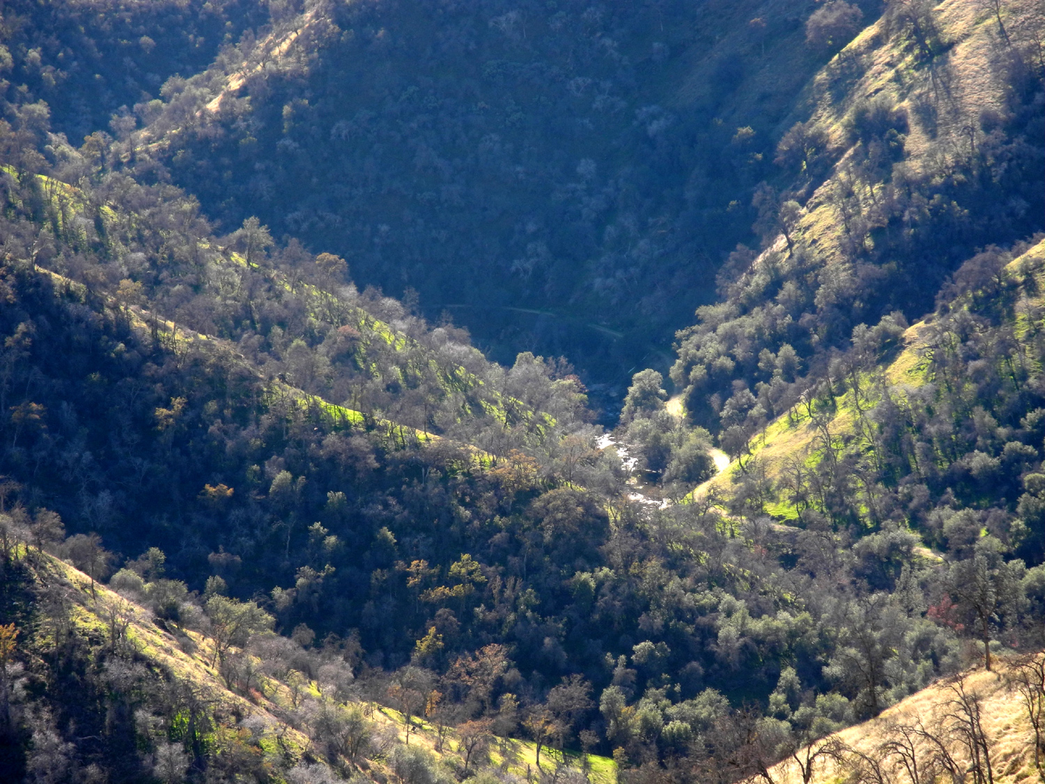
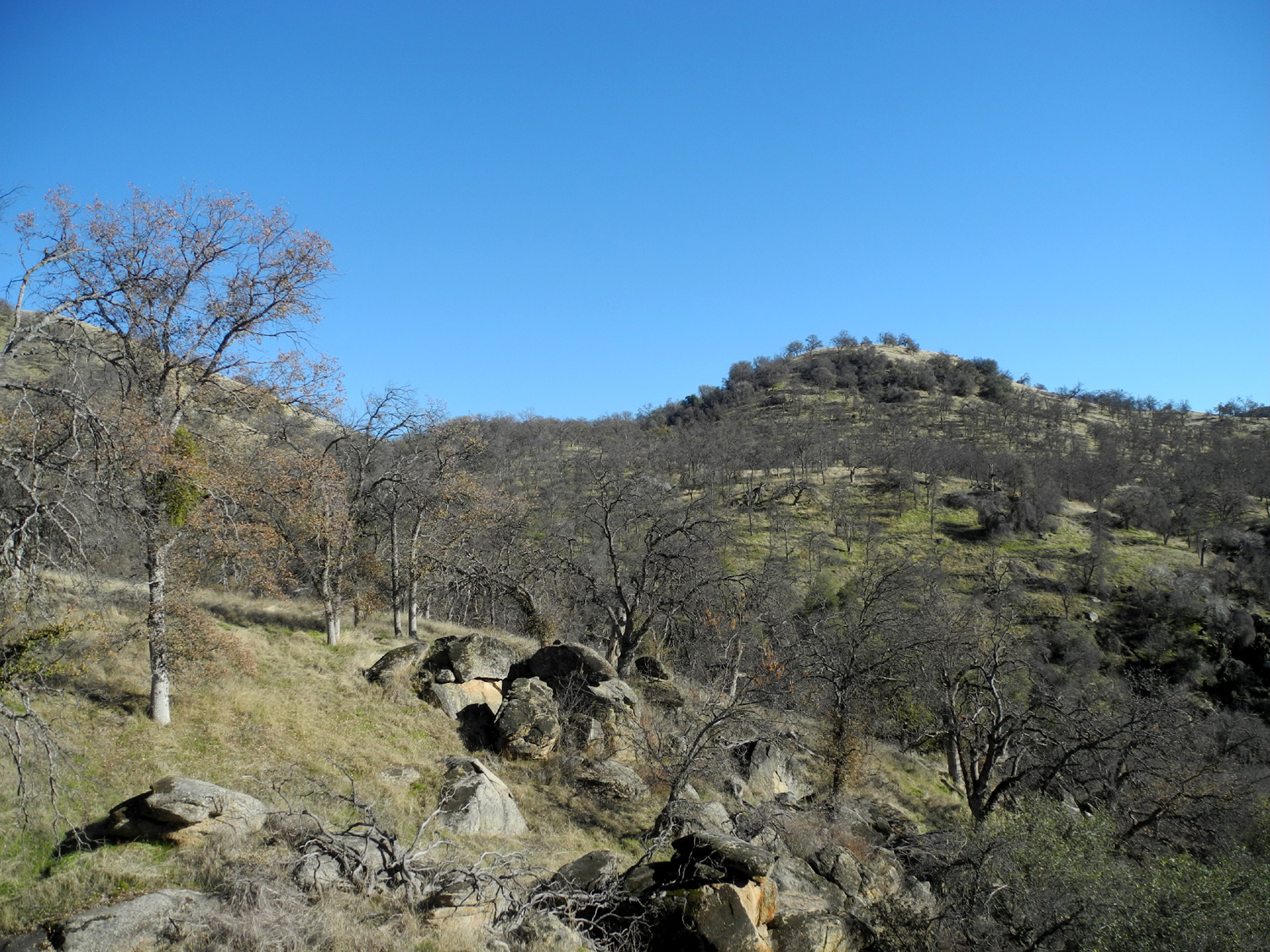
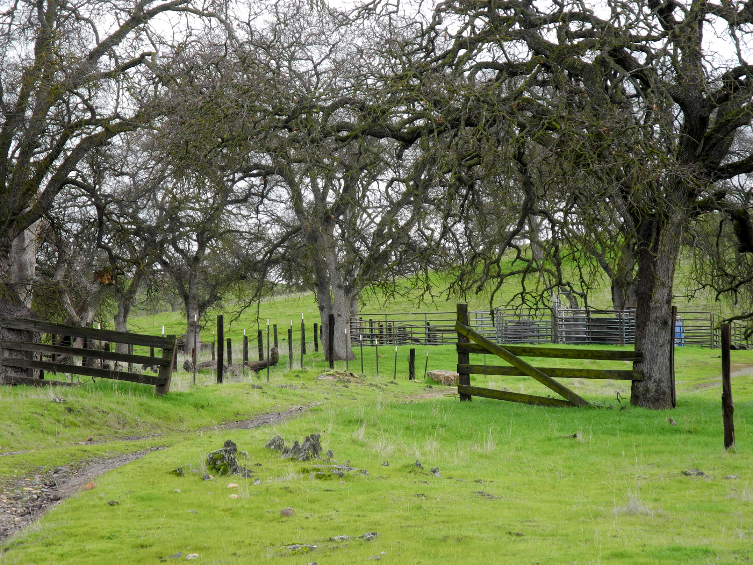
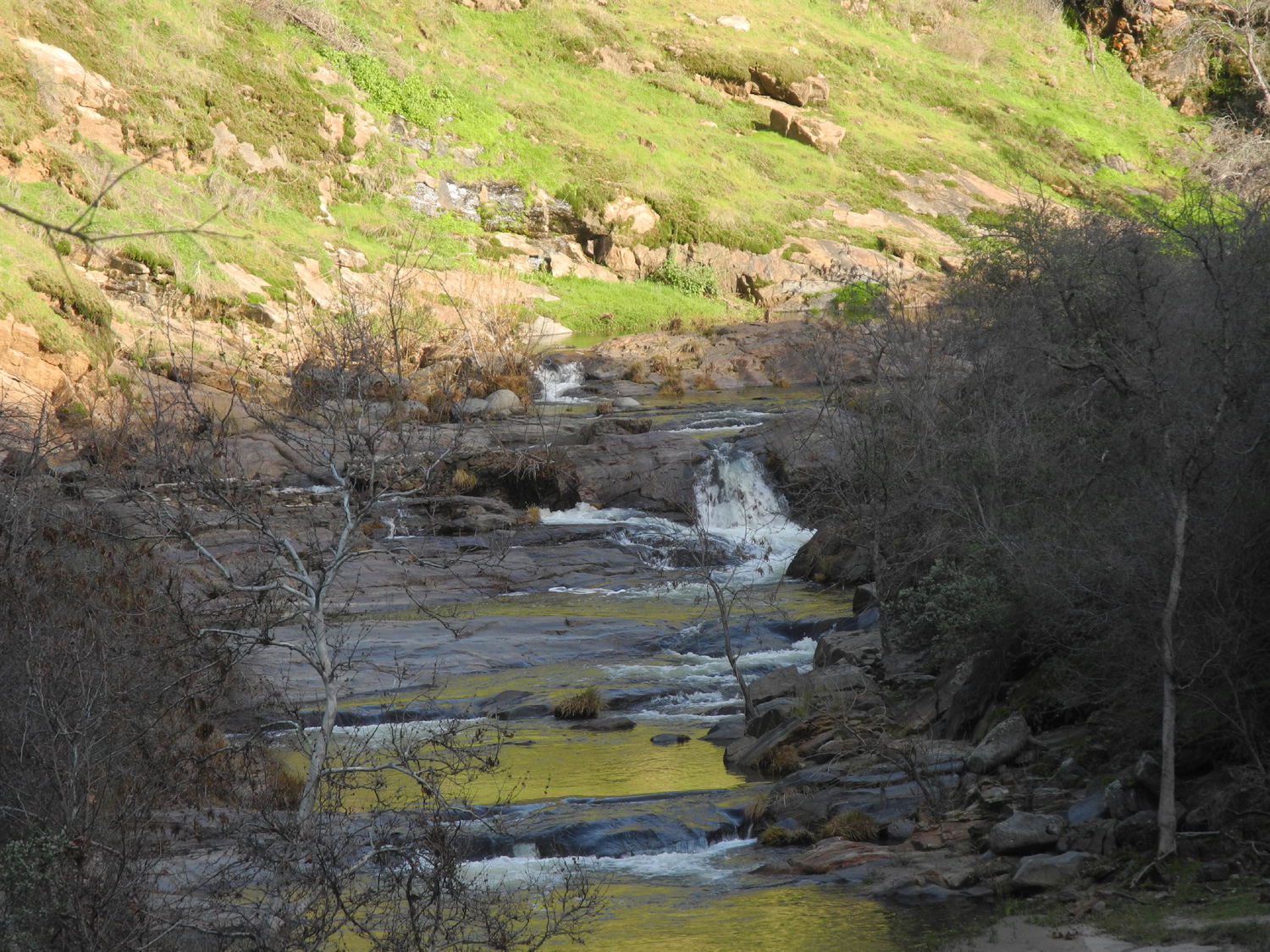
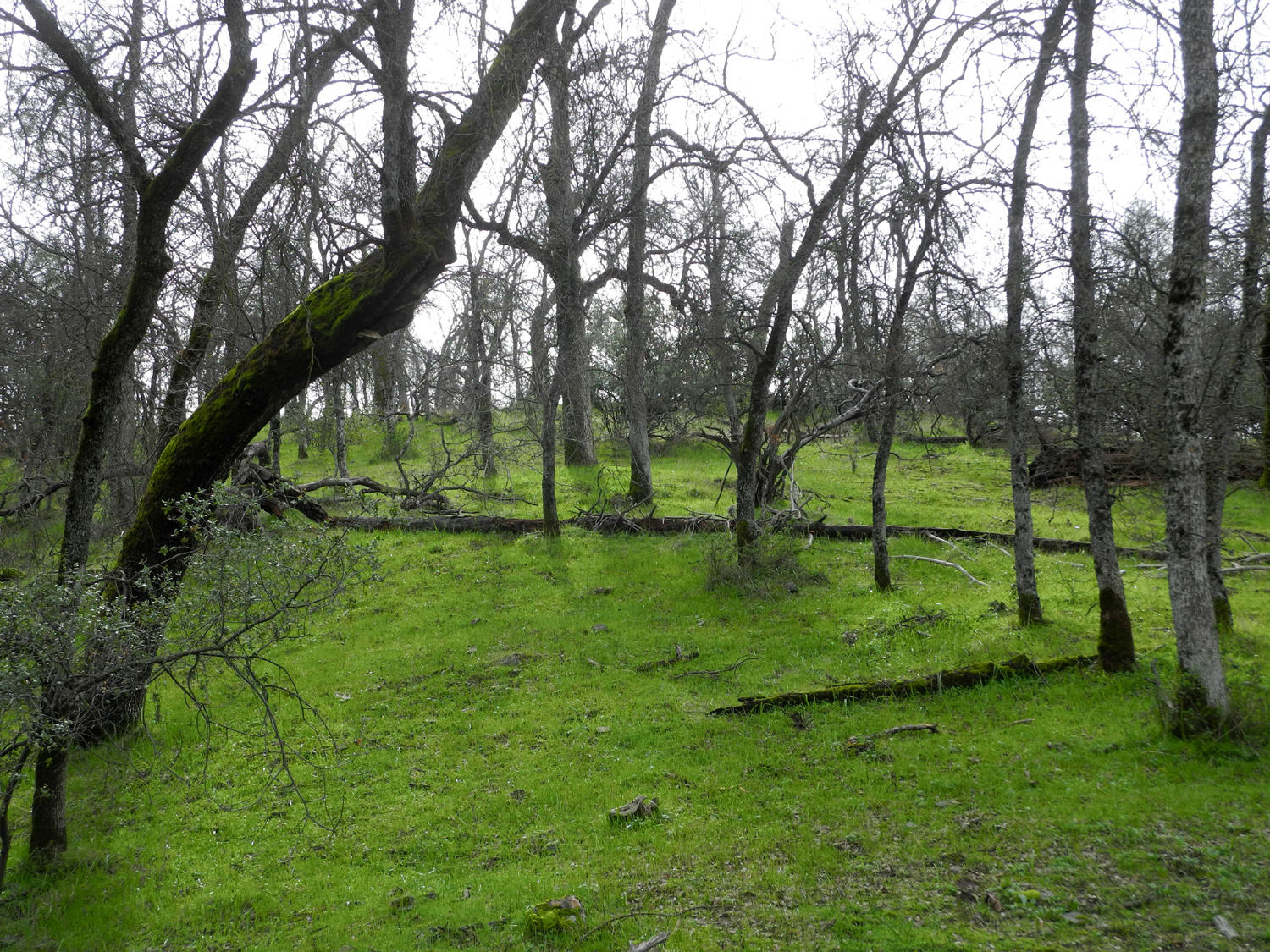
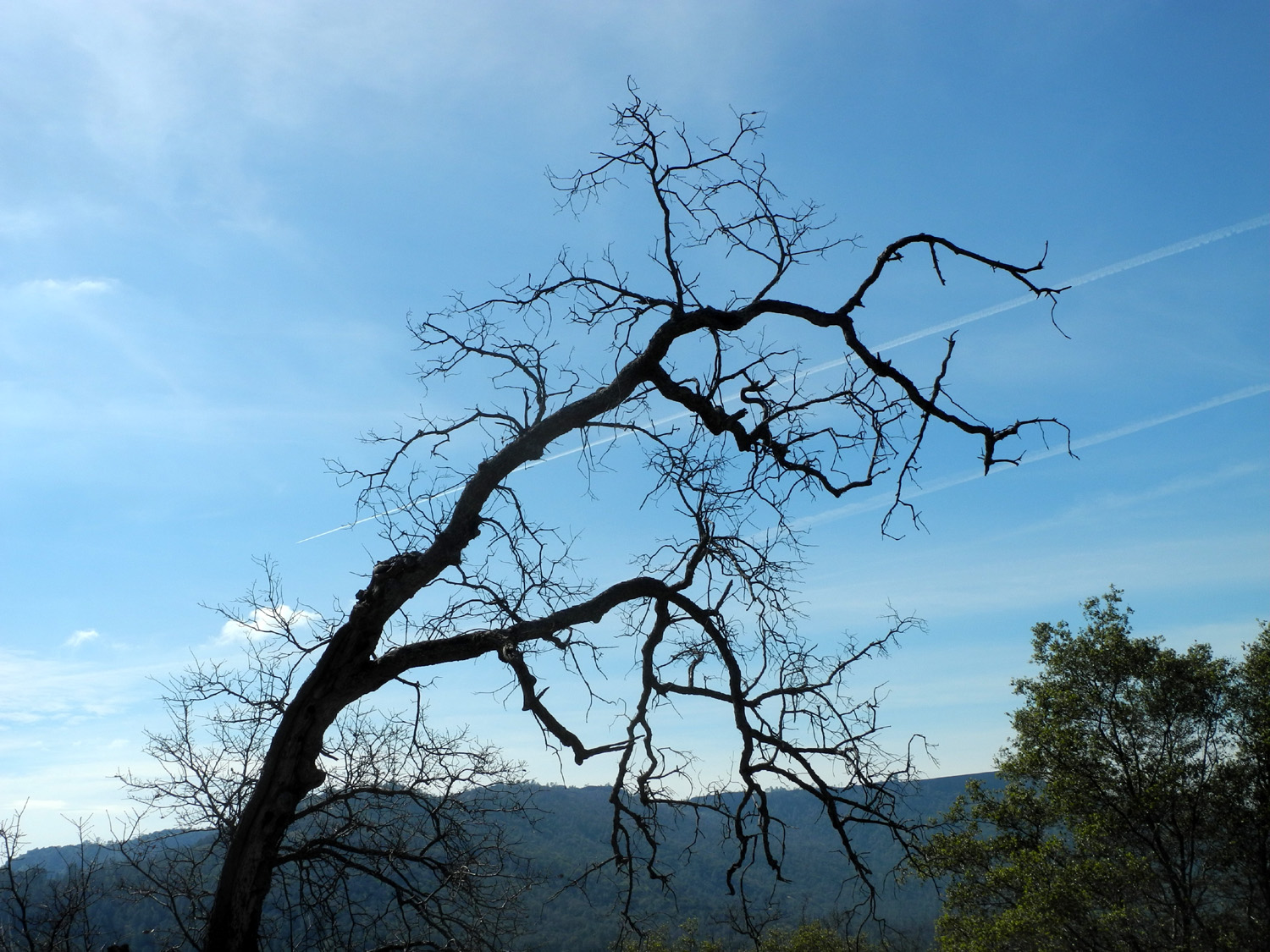
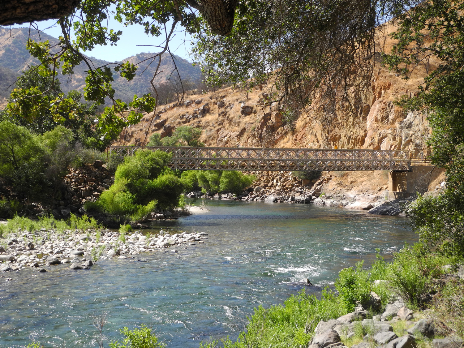
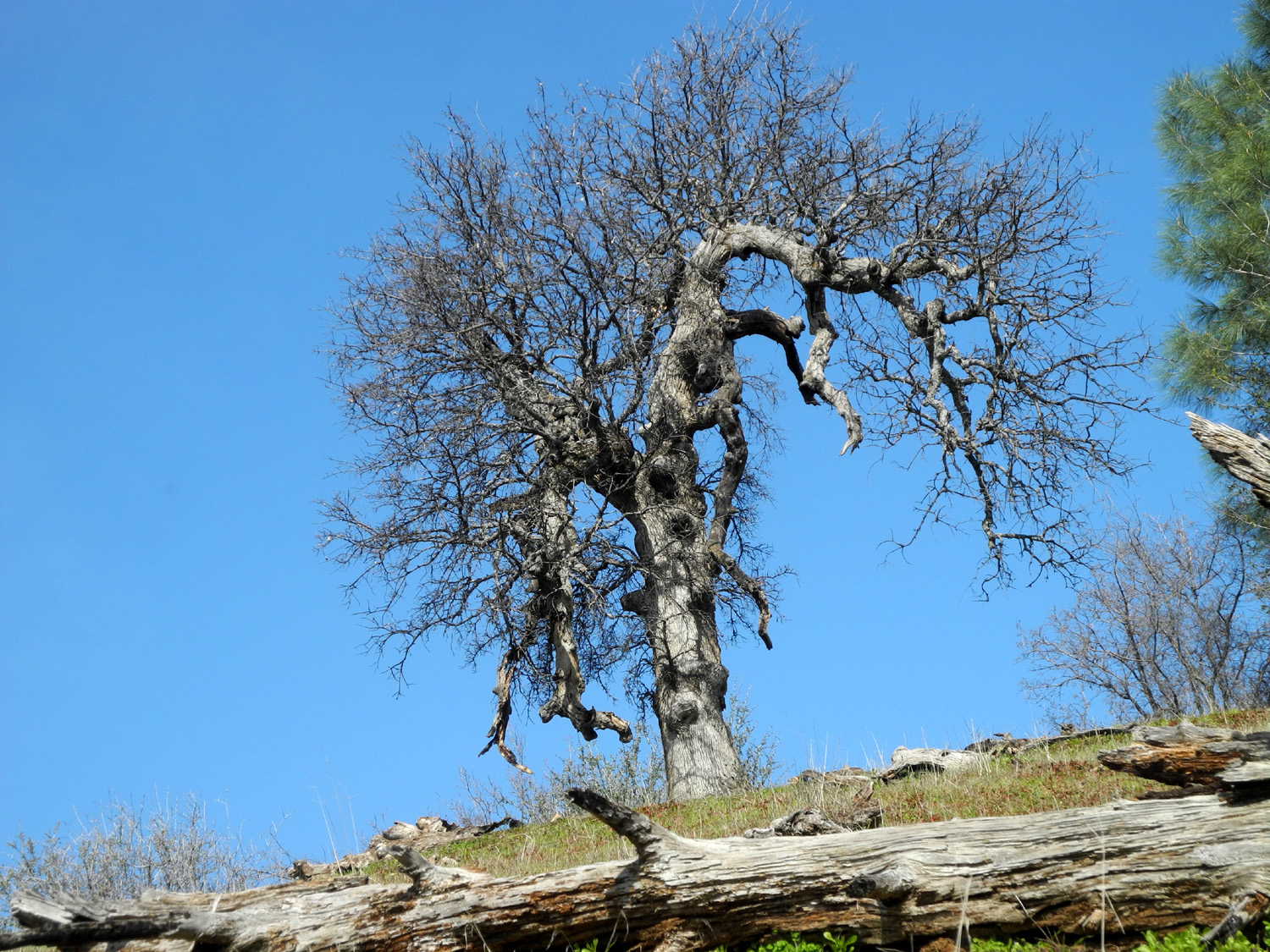
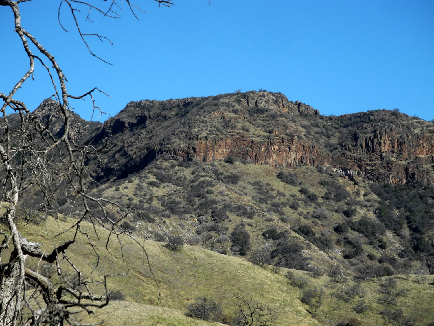
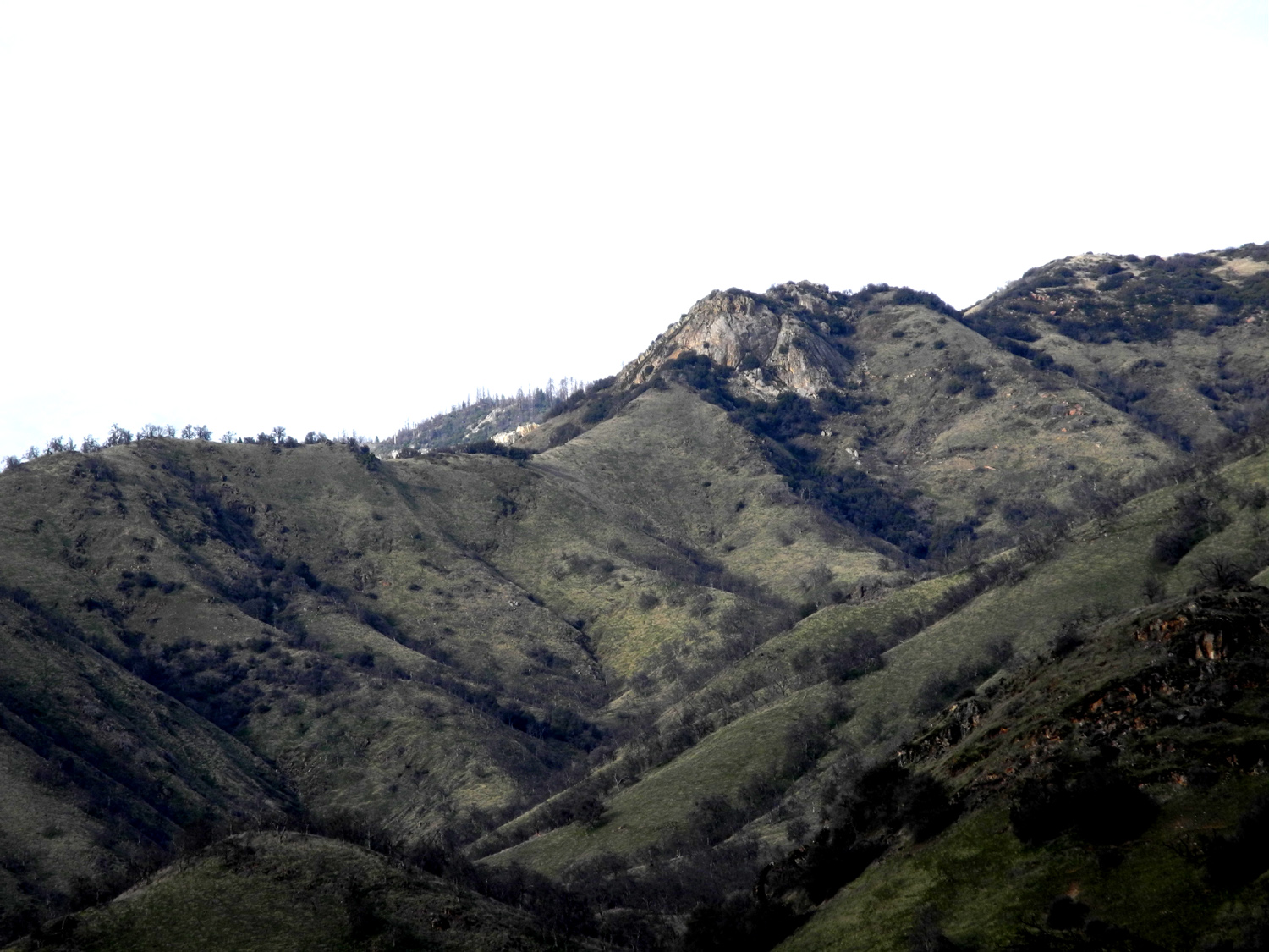
Back to Bear Wallow I camped and hiked at this location in January of 2018, but didn't finish the hike the way I wanted, so I made plans to return, having developed what I hoped was a strategy for success. This trip started on January 2, the earliest in the year for a first adventure since perhaps 1983. I left home at about 10:30, arriving at the Bear Wallow Group Camp a little over two hours later. With only three campsites and one picnic table, I'm not sure how this qualifies as a "group camp," but there has never been anyone else there during my two trips, so a "group" of one has plenty of room. The location is on the Garnet Dike Road on the north side of the Kings River, three miles up river from where Balch Camp Road joins Trimmer Springs Road. The camp is about 60 miles from my house, located at about 1,100 feet elevation, but deep into the mountains in the river canyon. This area is commonly called the Upper Kings, and is officially the Kings River Special Management Area. The weather was quite cool the first day, never getting above 50 degrees. Cold air flows down from higher elevations and sinks to the bottom of canyons like this, so I expected cold nights. In fact, the low of 23 was the coldest I've camped in since my hike to Devil's Postpile in 1980, when I slept on a foam pad in 22 degree weather (but warm inside my very good backpacker's sleeping bag). The first day I wandered around the area, collecting firewood and enjoying the views of the river and surrounding hills. I had borrowed my grandson's chain saw, but could not get it started, so I was limited to branches I could break off by hand and break into pieces, usually by whacking them on the trunk of a tree. Fortunately, there were some dead manzanita and bush lupines that are easy to deal with and make excellent firewood. I also had a box of commercial wood for each night. The sun sets early at the campsite, owing to its location in a narrow river canyon. The sun goes behind a hill across the river about 3:15, and the temperature immediately starts its downward run. By 5 p.m. it was 36 degrees, and I had my fire going. I cooked a Cajun sausage over the fire for my dinner, and spent the rest of the evening reading, checking out the stars, and keeping the fire going. As usual when solo camping, I got to bed about 8:30. |
|
 |
 |
| Hills above my campsite | A small section of the winding Kings River |
 |
 |
|
One of the many switchbacks on the Bear Wallow Trail is visible in the center of this photo |
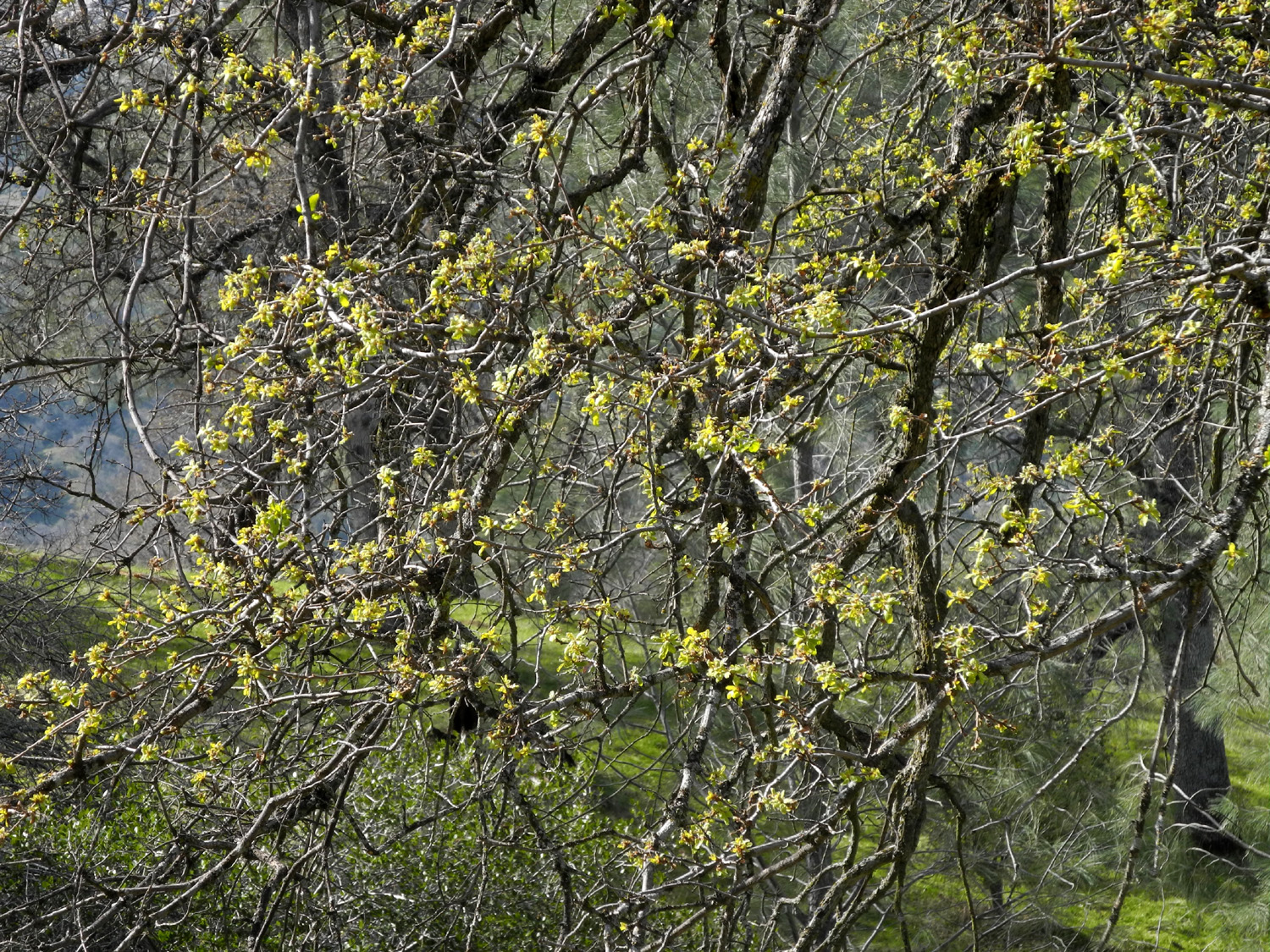
An endless forest of blue oaks above the river |
|
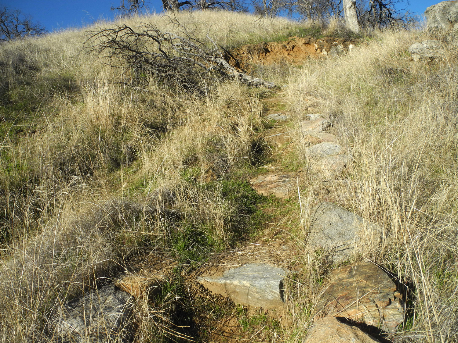
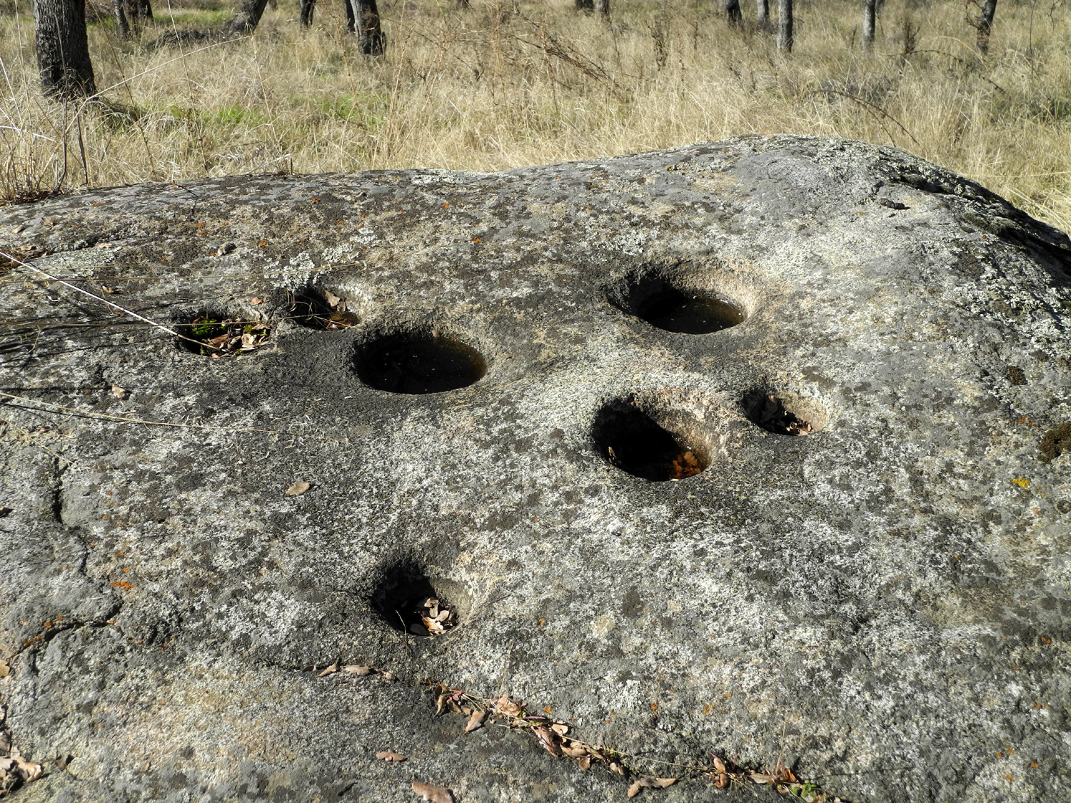
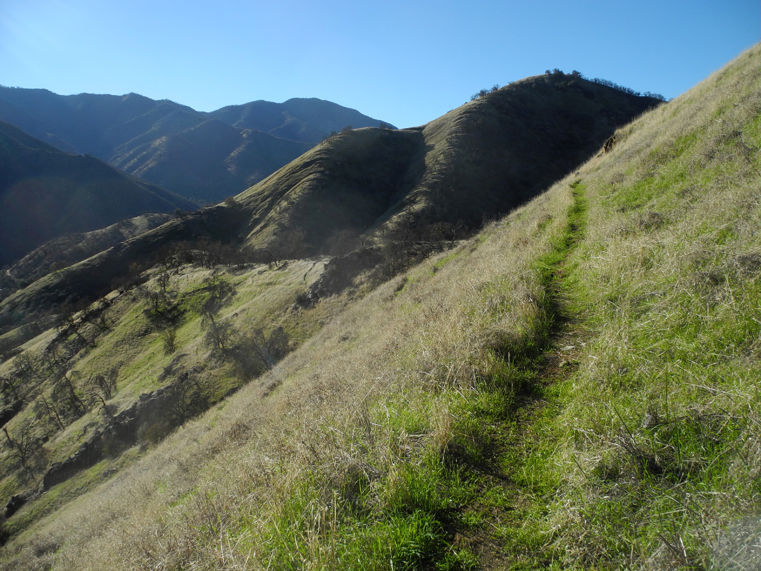
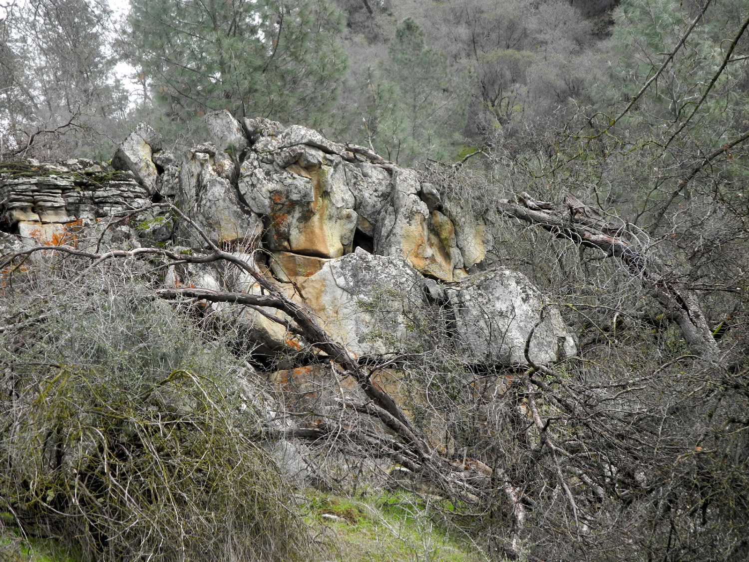
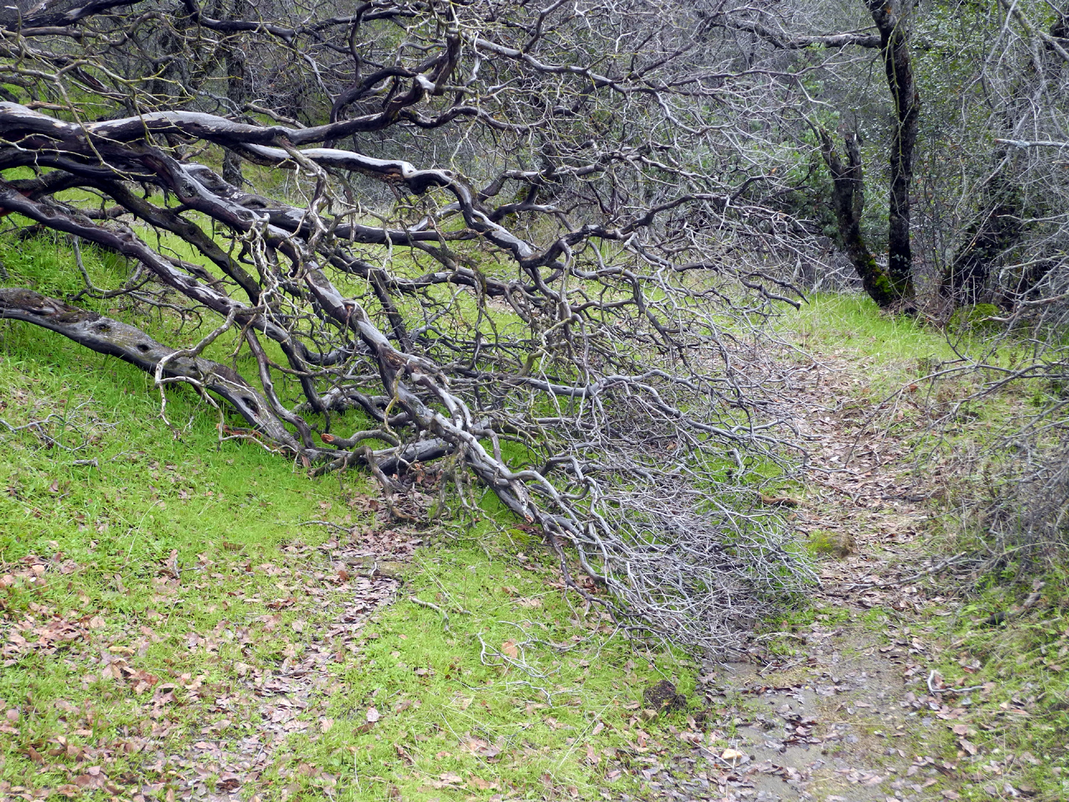
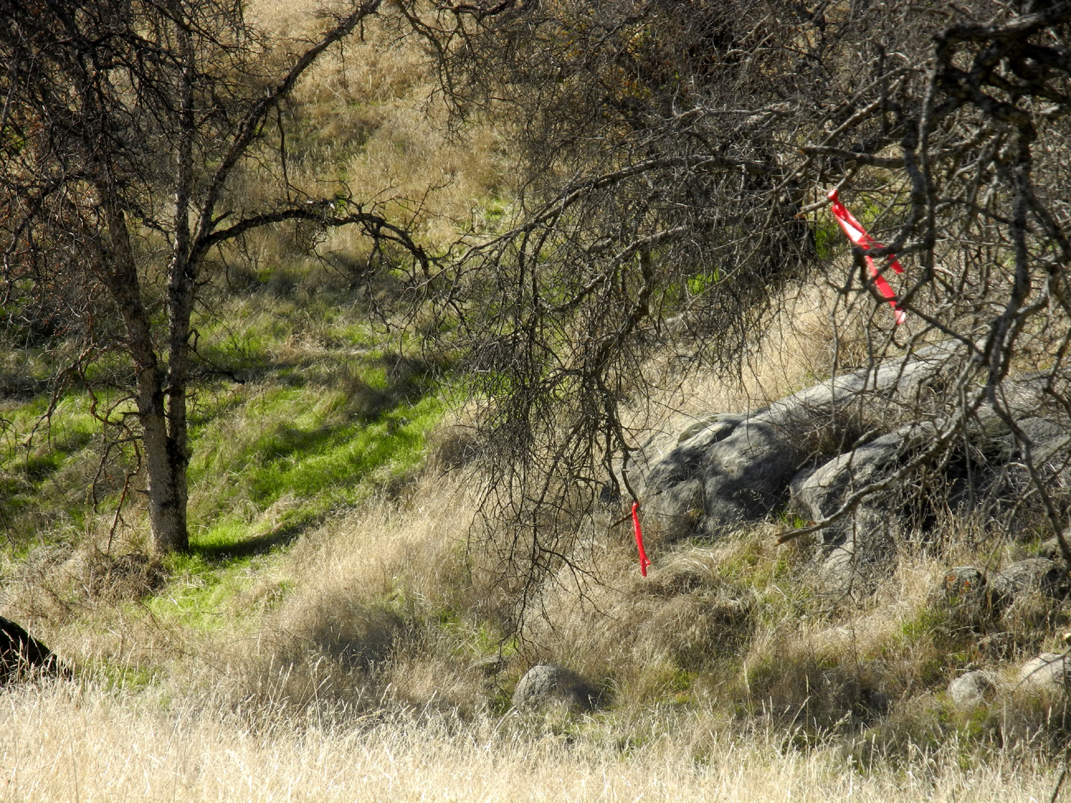
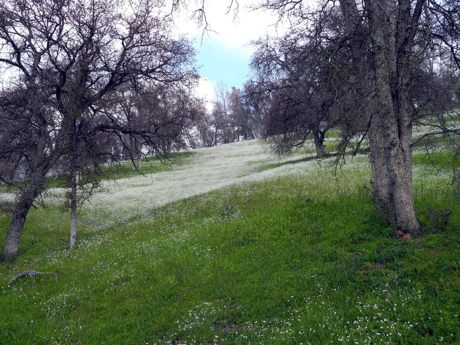
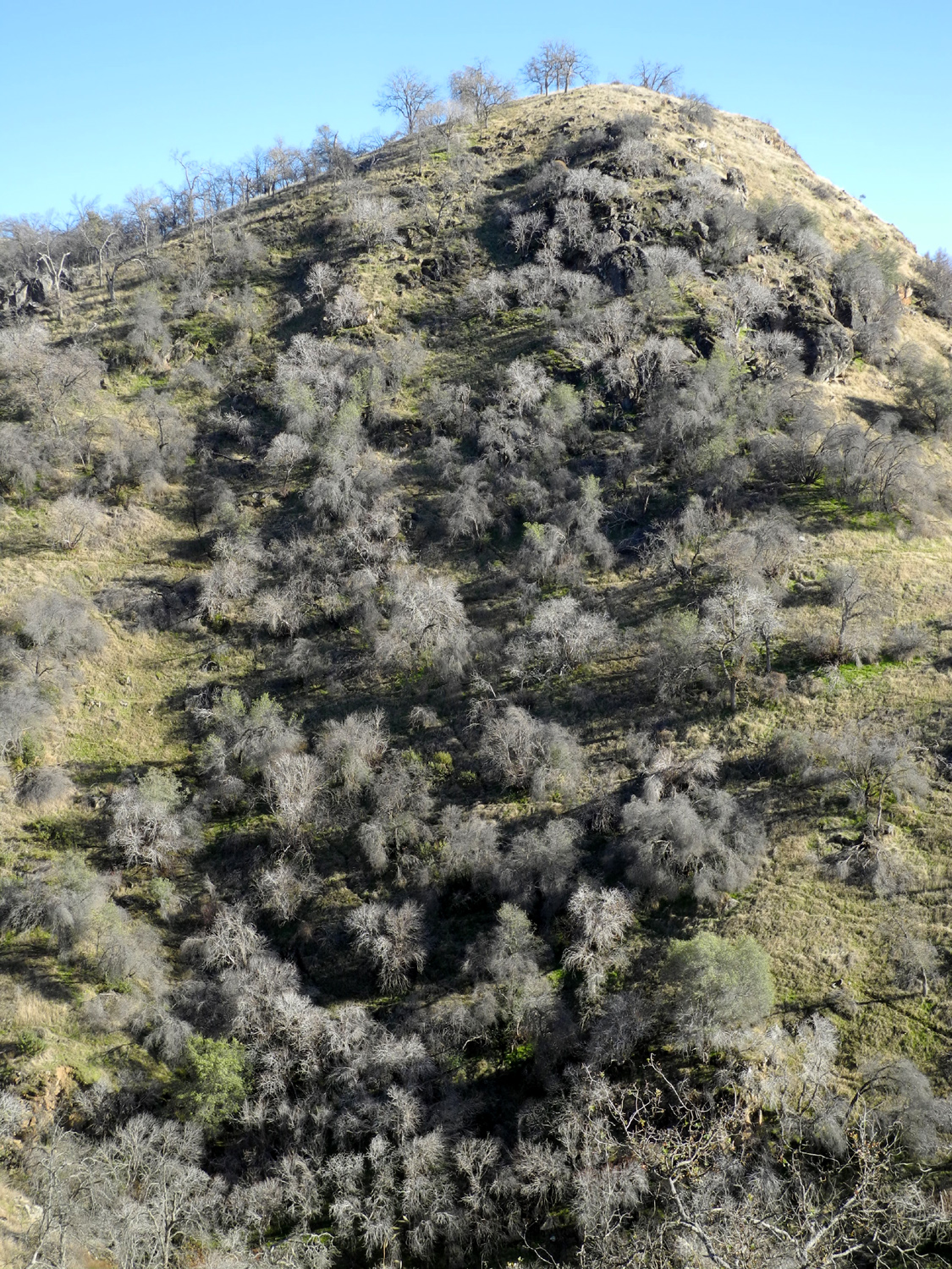
When I hiked the Bear Wallow Trail last year I got up and had tea, then a leisurely breakfast, and took my time getting started. This year my plan was to skip the tea and have breakfast as soon as I got up, so I could get an earlier start. It's not good to hike immediately after a normal meal, but preparations for the hike delayed my start the right amount. I made a peanut butter sandwich, cut up an apple and an orange, and packed a couple of candy bars, with the intention of having frequent small snacks to maintain my energy level during the hike. It seemed to work out very well. The trail is pretty much up hill for a long stretch, zig zagging up the steep hills on the north side of the river. When I reached the point where I turned back last year, I felt very good and capable of hiking another hour or so before heading back, so I was confident I could reach my destination. By this point the trail had leveled off somewhat, although I knew there had to be more climbing to get to a vista point. The trail went down through a drainage, then up and down toward another. Here everything went off the rails, or at least off the trail. As I approached a fairly steep drainage, the trail deteriorated into a dozen cow paths, with no clear indication as to which was the right trail. I walked up parallel to the drainage till I found a place I could get across, then worked my way up toward a ridge, following cow paths or just taking the easiest route. One bonus was that I came to a rock outcropping with bedrock mortar holes. |
|
 |
 |
| One of two groups of bedrock mortars (Indian grinding holes) |
I hiked up this trackless hill, dodging ground squirrel holes and pushing through the tall grass |
|
|
|
|
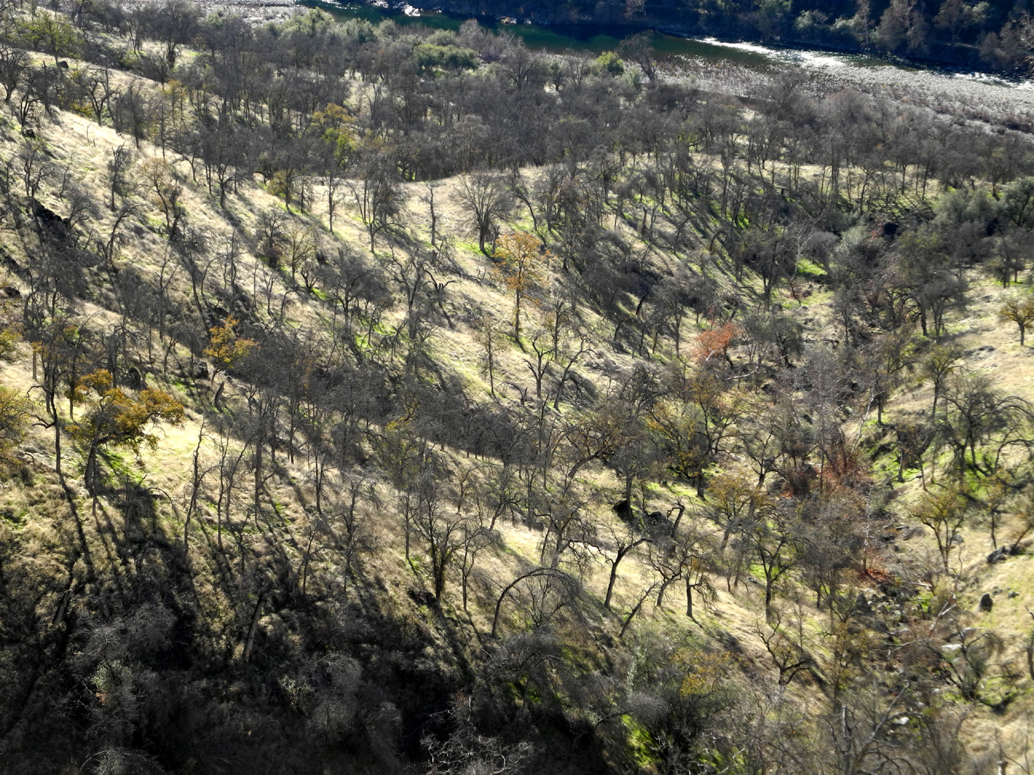
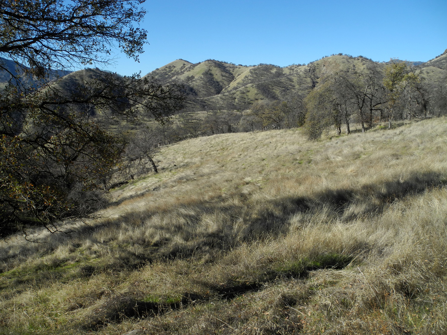
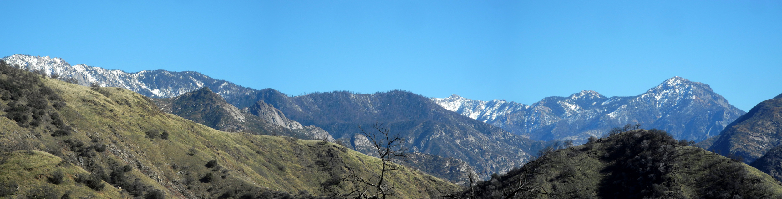
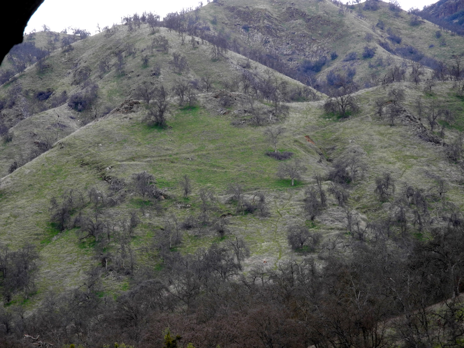
It looked as if I was getting to a ridge top where I could have a view to the other side, so I kept going up that way. Like many "tops," there was another top beyond what looked like the top, but soon I was looking down at the river and the hills and mountains upstream from my starting point. To the south was a small, round hill, and I decided to make my way to the top, again following cow paths and just walking along the contour when there was no path that led up. My hope was that the top of this hill would turn out to be the official vista point, and that I would see the main trail leading down hill from there. It did not work out that way, but I decided that if this was not the official vista, at least it was MY vista, and I had a good 360 degree view. This included a long stretch of the Monarch Divide that runs between the middle and south forks of the Kings River, and terminates in 9,500 foot Wren Peak, all with a dusting of snow. I also had long views of the river upstream from my campground, and across the canyon at seemingly endless hills and ridges, lit dramatically by the low winter sun. |
|

|
|
| The Monarch Divide and Wren Peak | The river upstream from my campsite |
 |
 |
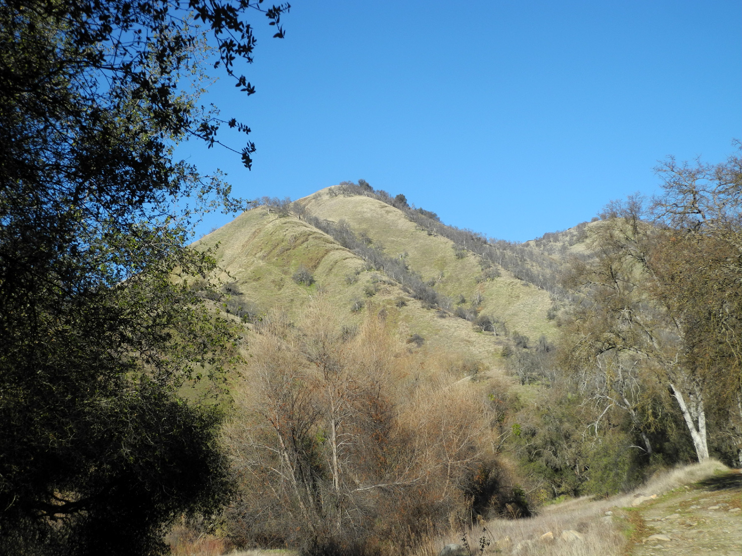
| Steep canyons and ridges of the Upper Kings area | The hilltop I climbed, seen from the trail |
|
Now it was time to head back down. I pretty much followed the same faint animal trails that had guided me up to the final hilltop. When I got back down to the saddle just below, I went down the ridge that led back toward where I had left the trail. To avoid crossing a steep drainage, I went a little higher up on the ridge than the route I had followed on the way up. As I made my way down, I saw what looked like a pretty good trail across a drainage to my right. I went down a steep section, up the other side via another cow trail, and arrived at the trail I had spotted. I should point out that, in this country, the difference between a cow trail, a "pretty good" trail, and a cross country route is fairly subtle. Almost everywhere I walked I had to beware of squirrel holes, holes made by cows walking the route when the ground was soft and wet, and tall, dead grass. However, I soon decided I was on the right path, when I spotted a section where red plastic ribbons were tied in the trees to mark the way through areas with lots of false trails. I arrived back at a point I recognized, where there was a wooden sign pointing to the "correct" trail. This was the sign that had guided me to the confusing mass of cow trails, and the fact that I arrived here on an alternate trail made me suspect that the sign is no longer reliable. From this point I was hiking back down on the same route that brought me up. It was pretty much all down hill, but there were some steep spots and places where the trail goes along a steep hillside. It's not a sheer drop-off, but the hillside is such that you could be seriously injured stepping off the trail. I walked carefully, using my poles, avoided this fate and made it safely back down to my campsite, arriving just in time to see the sun disappear behind the hills across the river. I don't know how high the temperature got, but it was above 60 when I got back, so it was at least ten degrees warmer than the previous day. This differential did not apply at night - it got down to 25 degrees. I rested a while, then spent about a half hour gathering wood, which required a number of 300-yard round trips in two directions. I had planned to fix a grilled cheese sandwich, but I ended up having a "backpacker's dinner" of cheese, peanuts, crackers, and vegetables, avoiding the need to fire up the stove. I postponed starting my fire as long as I could, but with darkness approaching by 5 p.m., the temperature again dropped into the 30s and I settled in next to the fire ring, reading and enjoying a couple of candy bars for dessert. I got to bed around 8:30, and again had a comfortable night's sleep inside the camper shell. The next morning I refused to come out of the camper until I saw sunshine getting close to my camp. It was probably about 8:15 when I got up, but it was still below freezing. As I had done last year, I moved my chair to a spot in direct sun about 50 feet from camp, and had hot tea before starting breakfast. |
|
 |
 |
| The narrow, overgrown Bear Wallow Trail | Sycamore tree in the drainage east of the trail |
|
On the final day of these short camping trips I usually don't do anything but eat breakfast and pack up, but I don't do it fast. After cooking and eating breakfast, and getting things loaded at my normal slow pace, I didn't get started for home till around 12:30, about an hour later than usual. It was a nice, sunny day, and I enjoyed the 60-mile drive along the river and lake and through the low foothills that mark the start of the Sierra Nevada range. I decided that I was done with the Bear Wallow Trail, although I would happily camp at that location again. I think I might bring more wood and sit by a morning fire till lunch time. --Dick Estel, January 2019 |
|
|
Dry Creek Drive
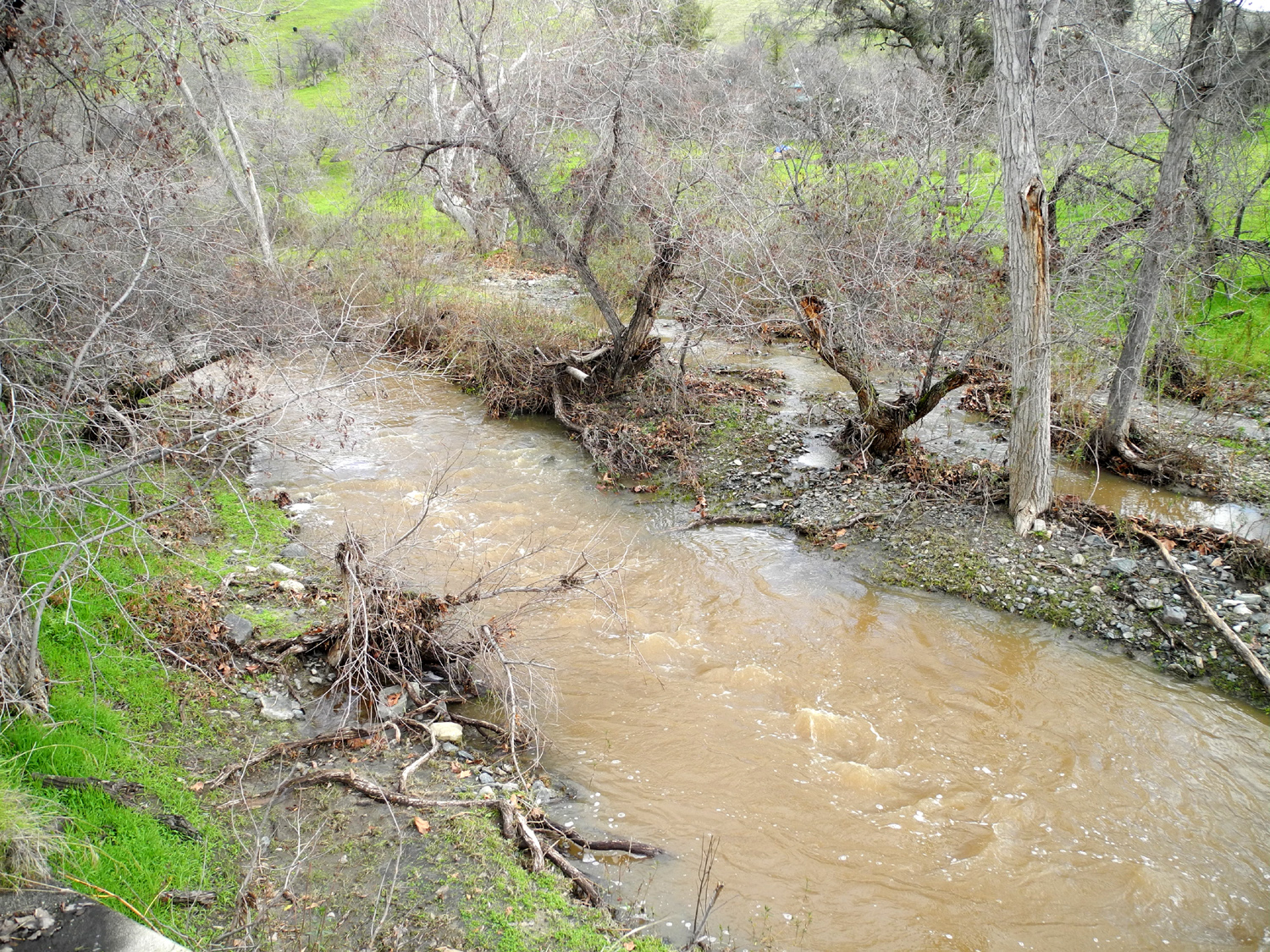
We've had a good series of rain storms, so on January 21 I took a short drive into the foothills to look at the new green grass and check out some of the local creeks. Heading northeast into the foothills from Clovis, Auberry Road crosses and runs along Little Dry Creek for a short distance. The creek had a moderate flow, but the water and the surrounding terrain offered many fantastic views. |
|
 |
 |
| Little Dry Creek along Auberry Road | Looking west at the first row of foothils |
|
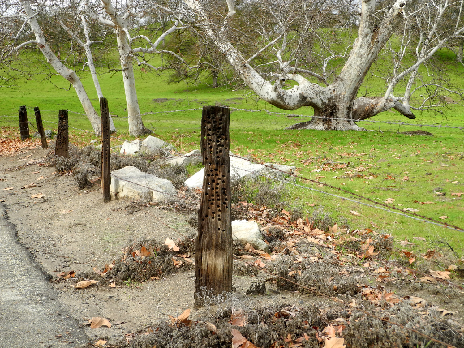
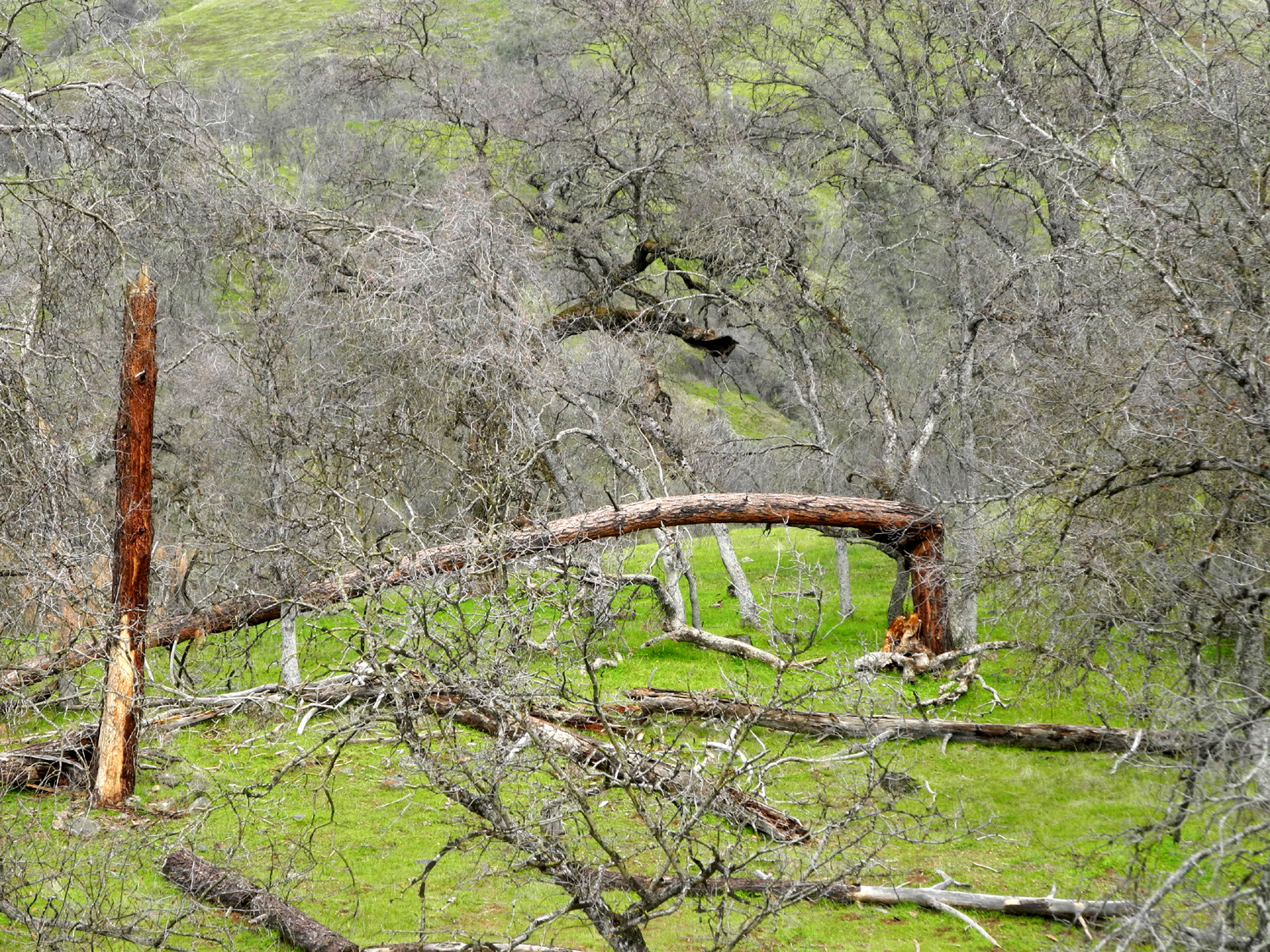
Where the road and the creek diverge there is a farm gate announcing the Fleming Ranch, established in 1875. The road continues through the hills, and connects with Millerton Road. Going left takes you to Millerton Lake and into the San Joaquin River bottom, while going right leads out to Highway 168. This section is a narrow, winding road, unencumbered by a center stripe, that passes through more ranch land and crosses Little Dry Creek and one of its forks several times. There are more views of the foothills, and a glimpse of the higher mountains beyond. |
|
 |
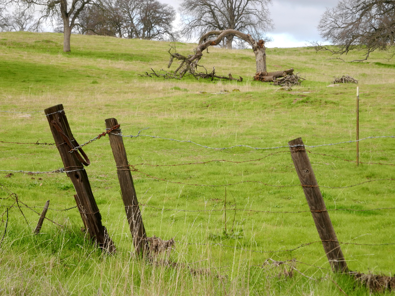 |
| Road leading into the Fleming Ranch | A dead blue oak forms an arch beyond this leaning fence |
 |
|
| The view looking east from Millerton Road, a short distance from Auberry Road | |
|
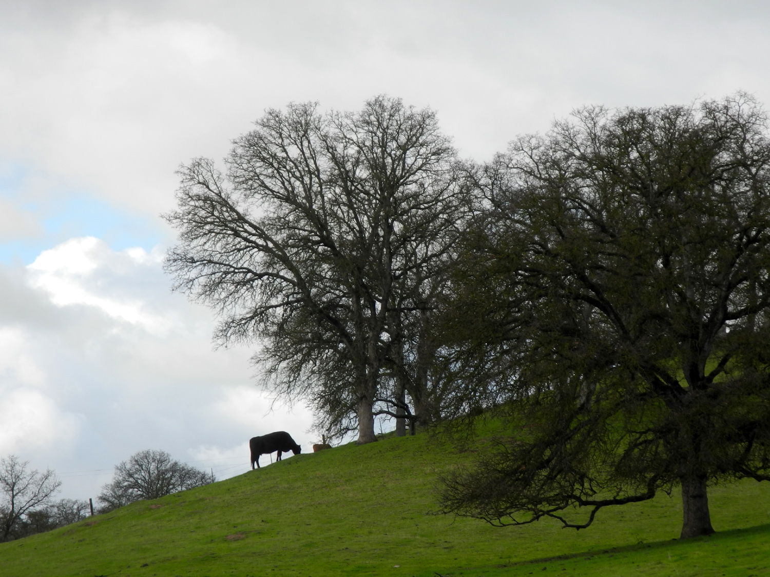
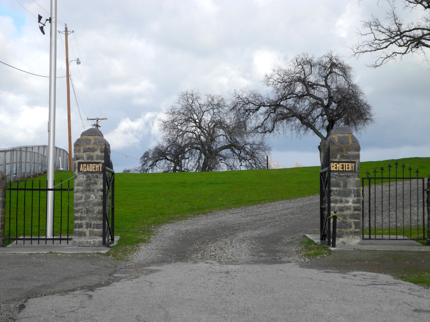
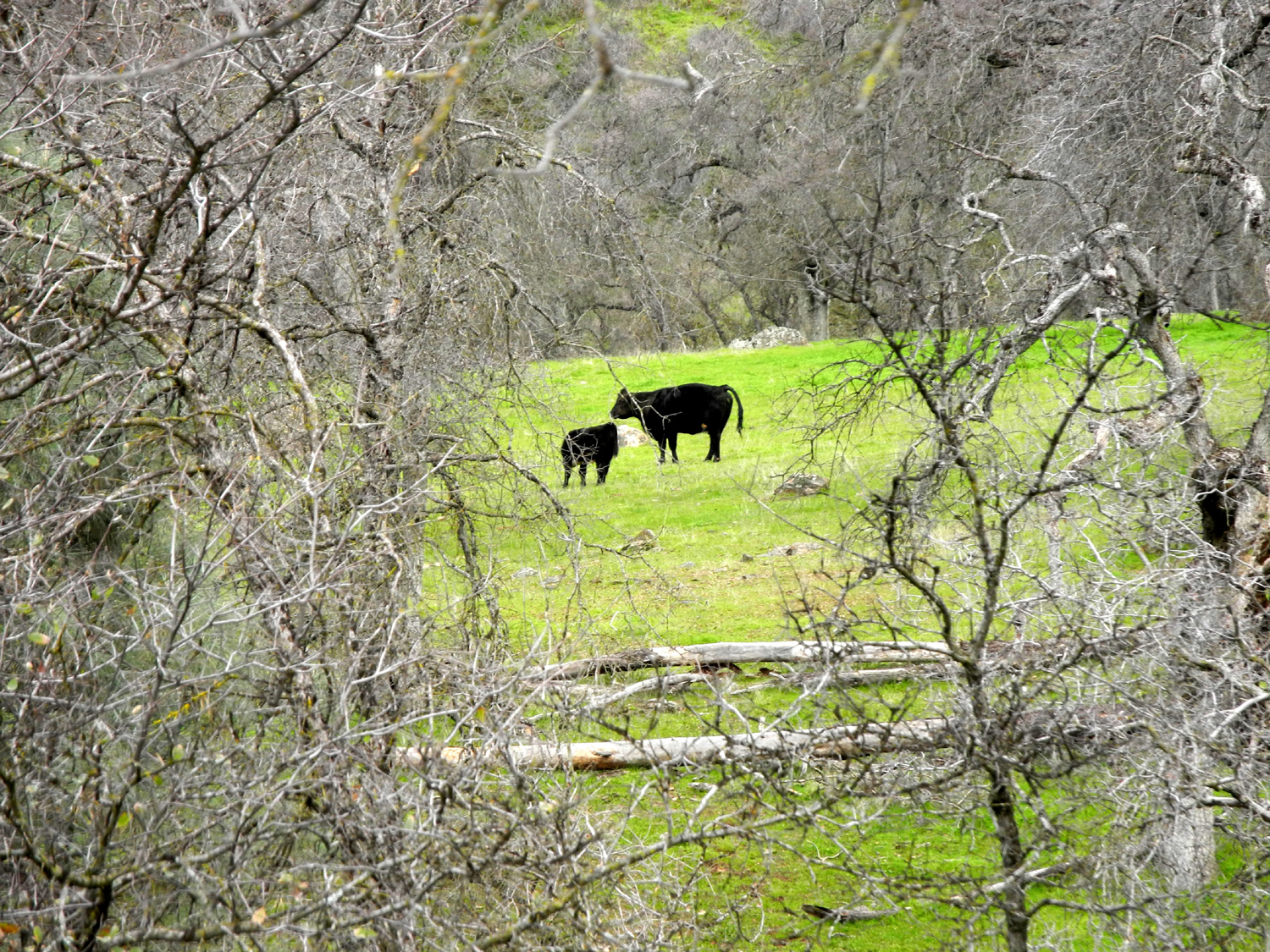
Big sycamores line the creeks, and cattle enjoy the green bounty brought by the rains. A few miles from the junction with Millerton Road, the highway crosses Big Dry Creek, which lived up to its name with a rush of brown water. Beyond here, the road quickly reaches the flat valley and continues into Clovis, where it becomes a freeway. I made one final stop at the Academy Cemetery, which has piqued my interest as I passed the turnoff many times over the years. It's about a mile off the highway, on an oak-studded hill with views in all directions. I
concluded my trip with a stop at my supermarket, having taken the
long way around to do my grocery shopping. --Dick Estel, January 2019 |
|
 |
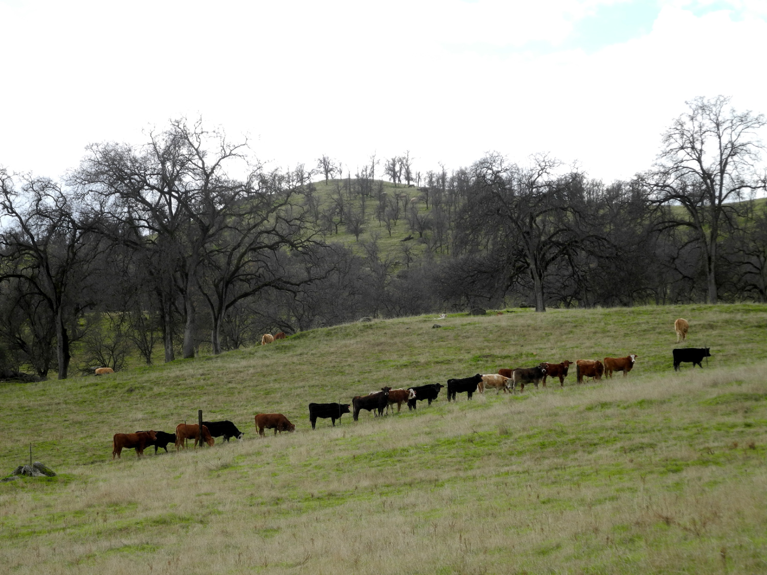 |
| This huge old sycamore is the most unusual example of its species that I've seen | Cattle line up to go...somewhere |
|
Finegold North Trail
This is an unofficial trail, part cow path and part abandoned road, on the north side of the parking area at the Finegold Picnic area by Millerton Lake. It drops down steeply from the parking area, runs past the upper end of a small inlet on the lake, and around a ridge that divides the inlet from the main lake. When I arrived on January 26, a Saturday, at least forty cars were parked along the road back into the Sky Harbor residential area. Since most people who come here go up the official San Joaquin River Trail, I was glad I had already planned to head in the opposite direction, where I saw only two other hikers. By going around the ridge and off the trail to the top of hill, I managed to get in a hike of a little over a mile and a quarter. I
hiked here last
March, and you can read more details about the area in that
report. For now I'll let my photos speak for themselves. --Dick Estel, February 2019 |
|
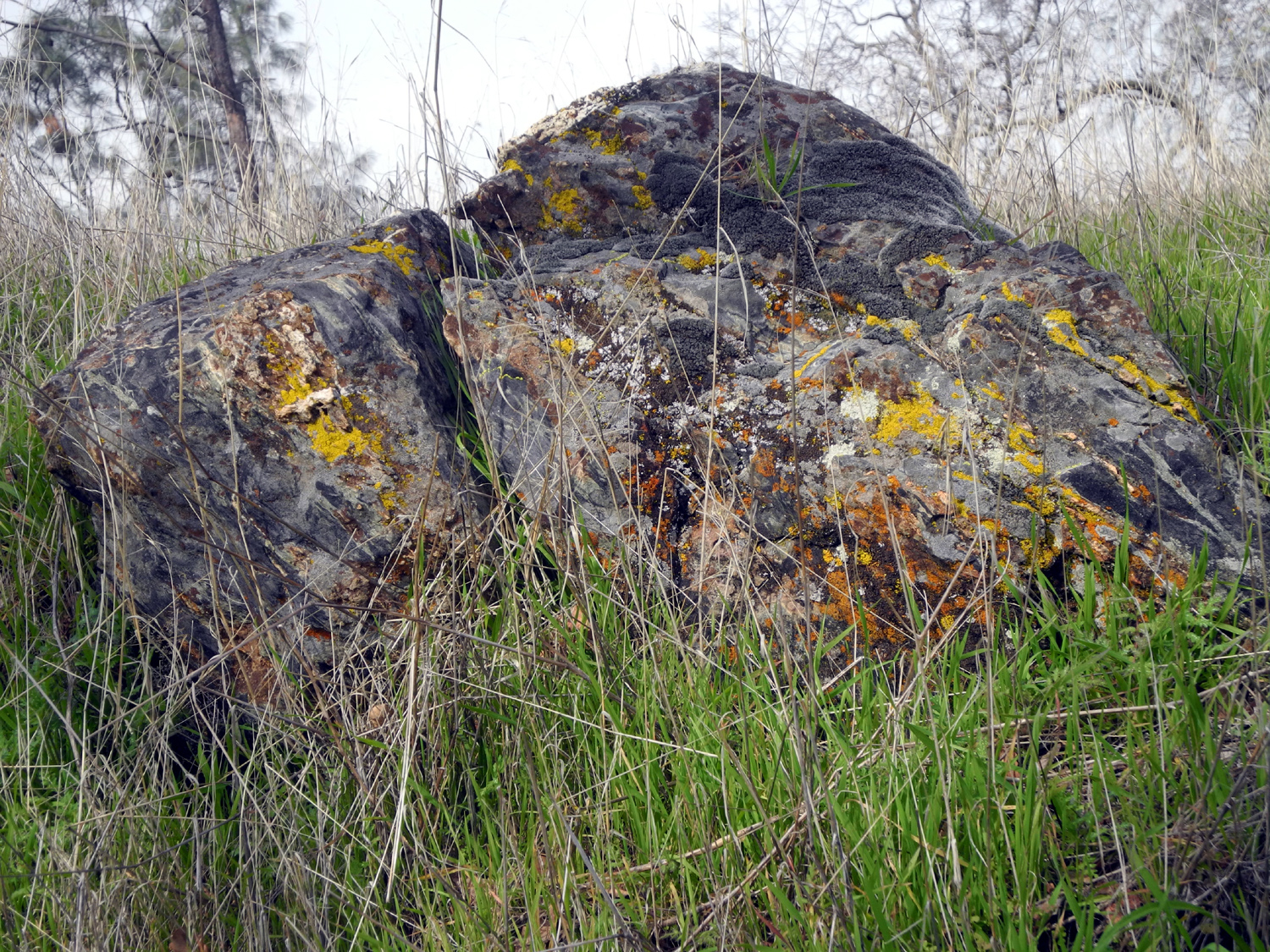
|

|
| Lichen creates a spot of red and orange amid the green | Mushrooms were out in abundance |

|
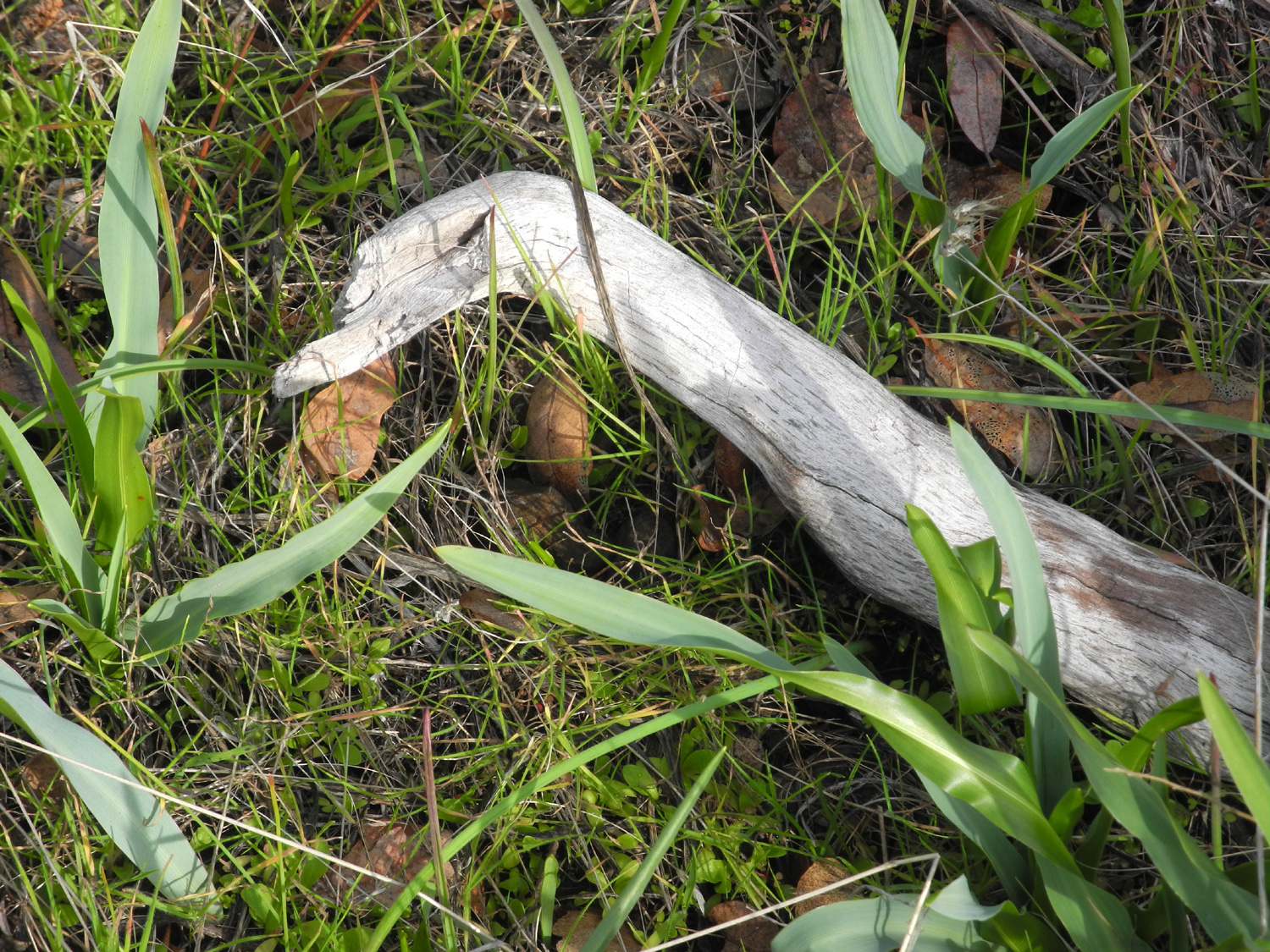
|
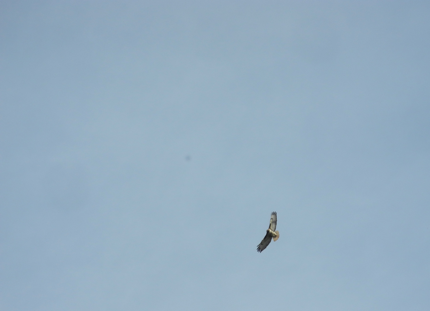
| Lake Millerton, looking west | A bird? A snake? |
|
|
| Cars parked on Sky Harbor Road are visible through the branches of this leafless blue oak tree | Hawks wheeled overhead near the lake |
|
Mill Flat Creek Camp
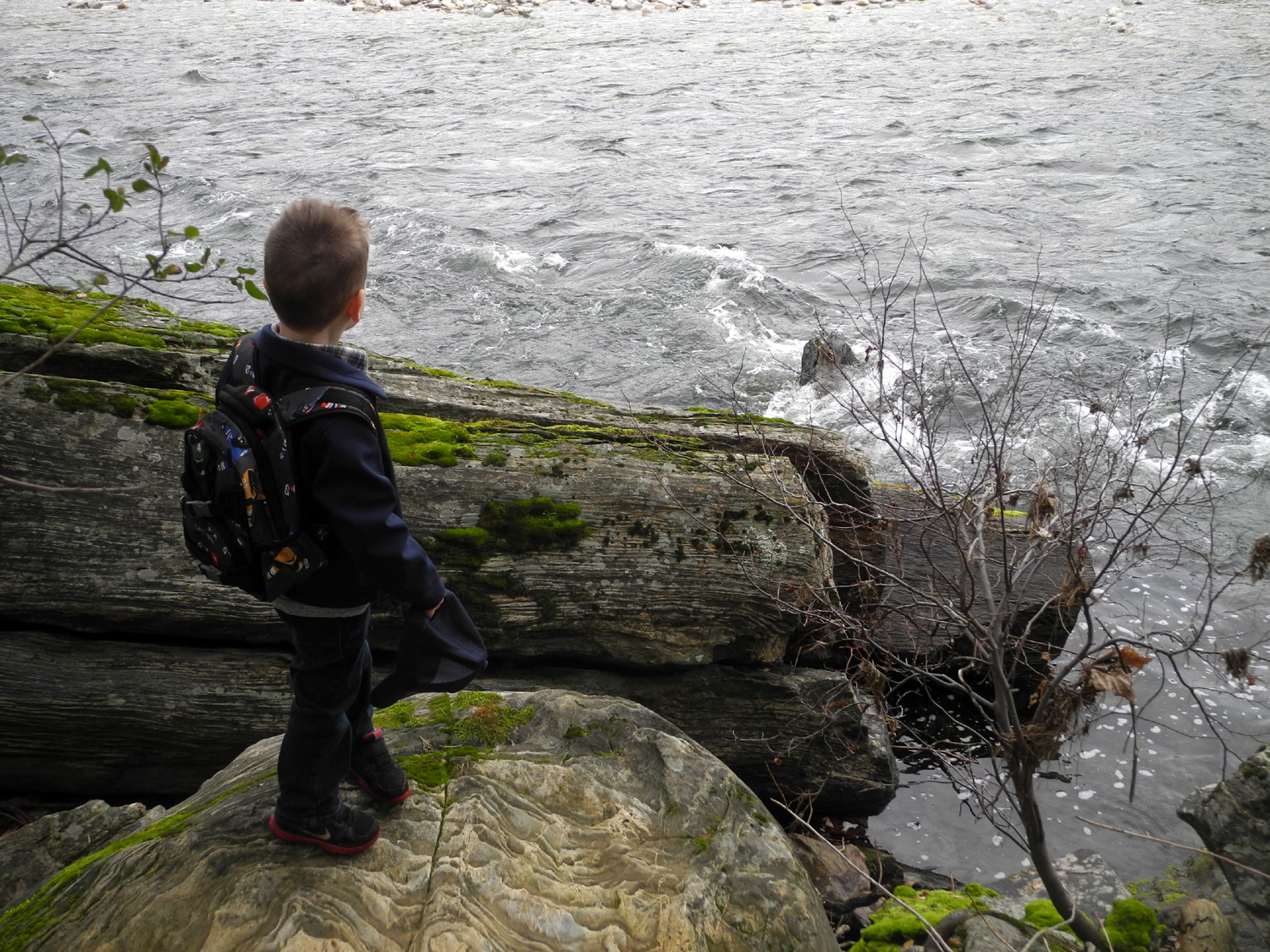
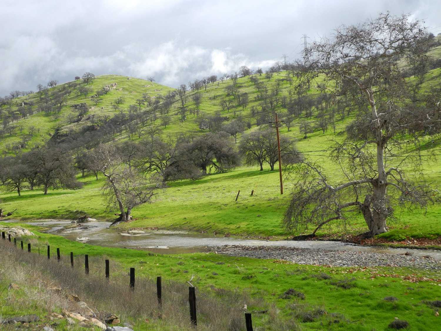
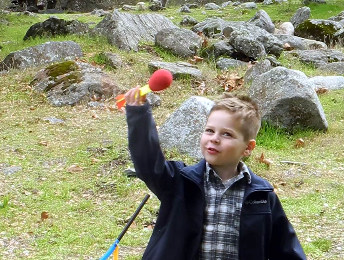
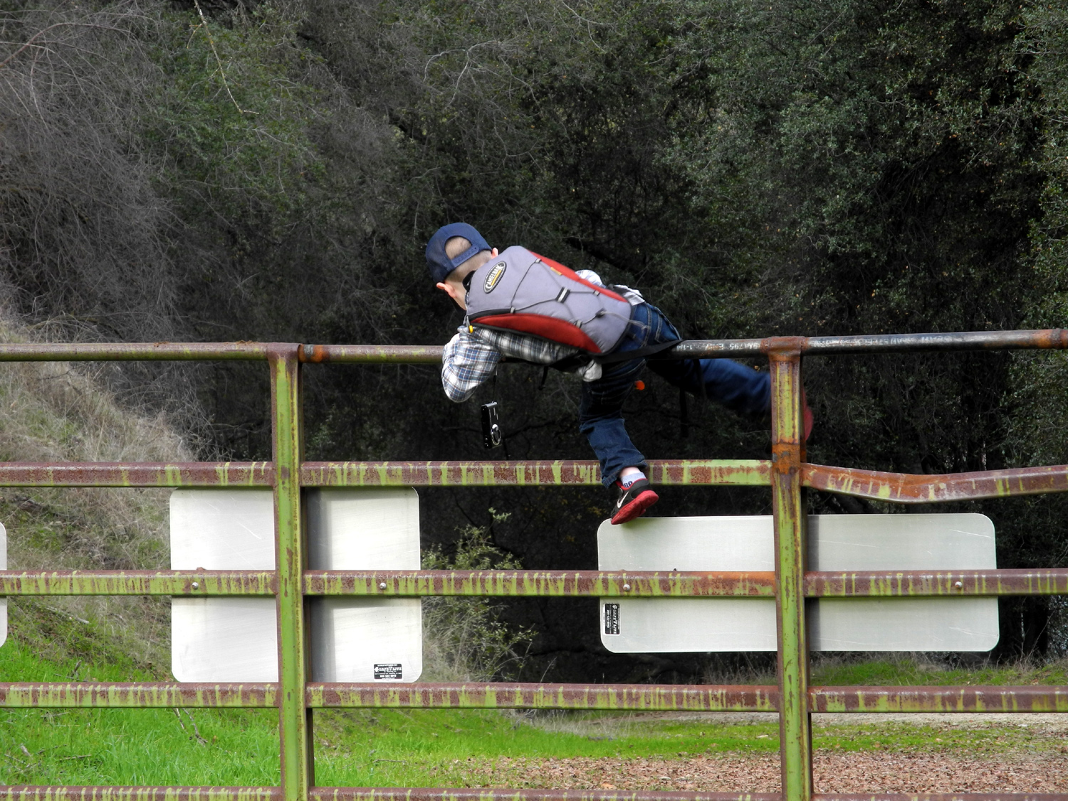
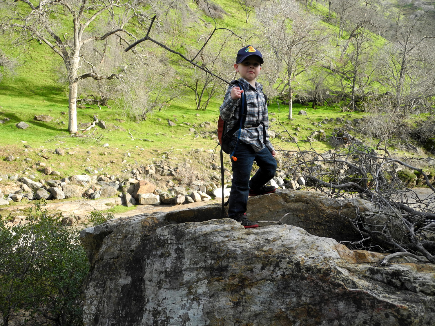
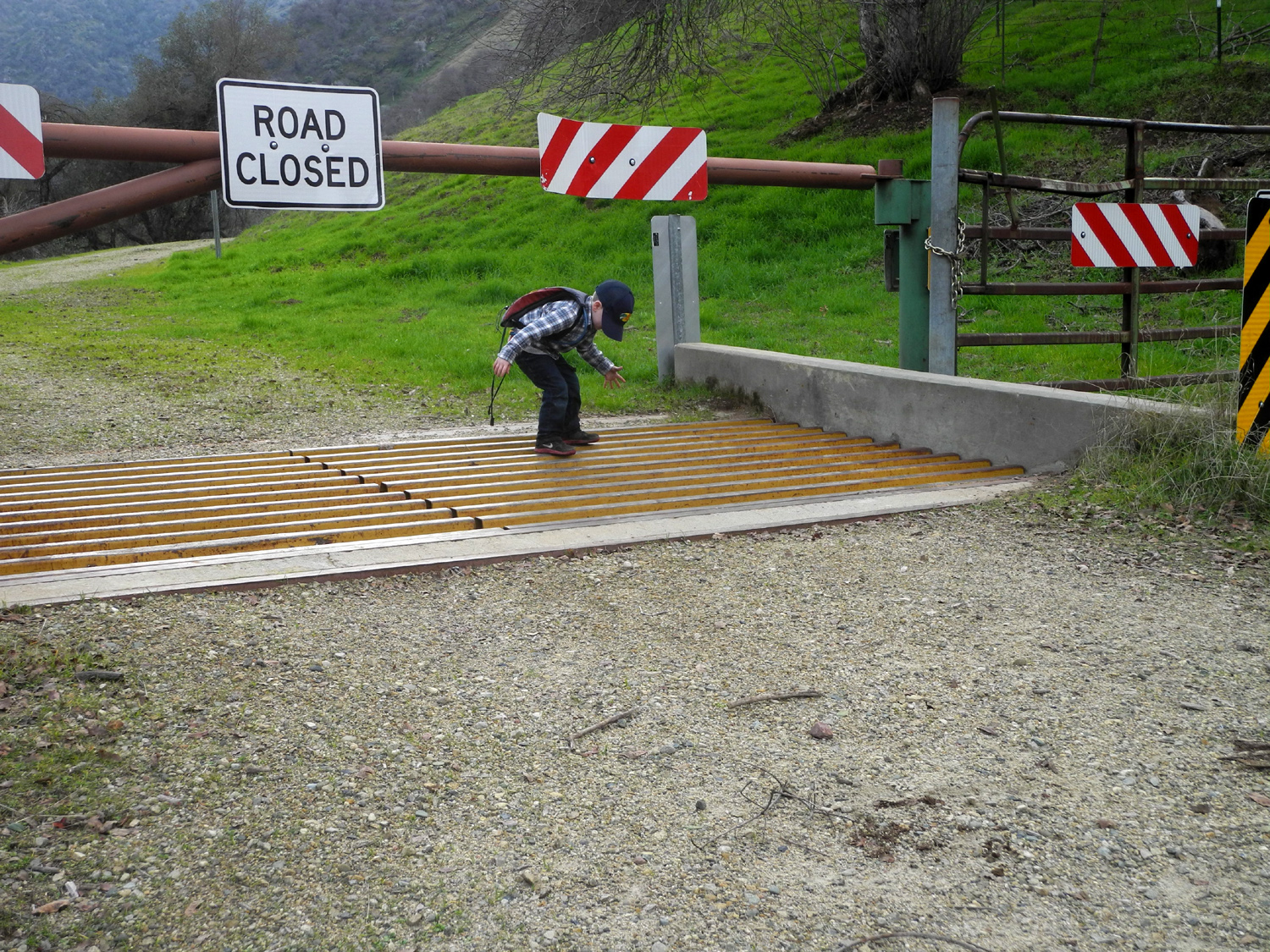
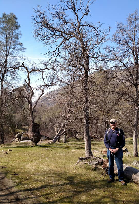
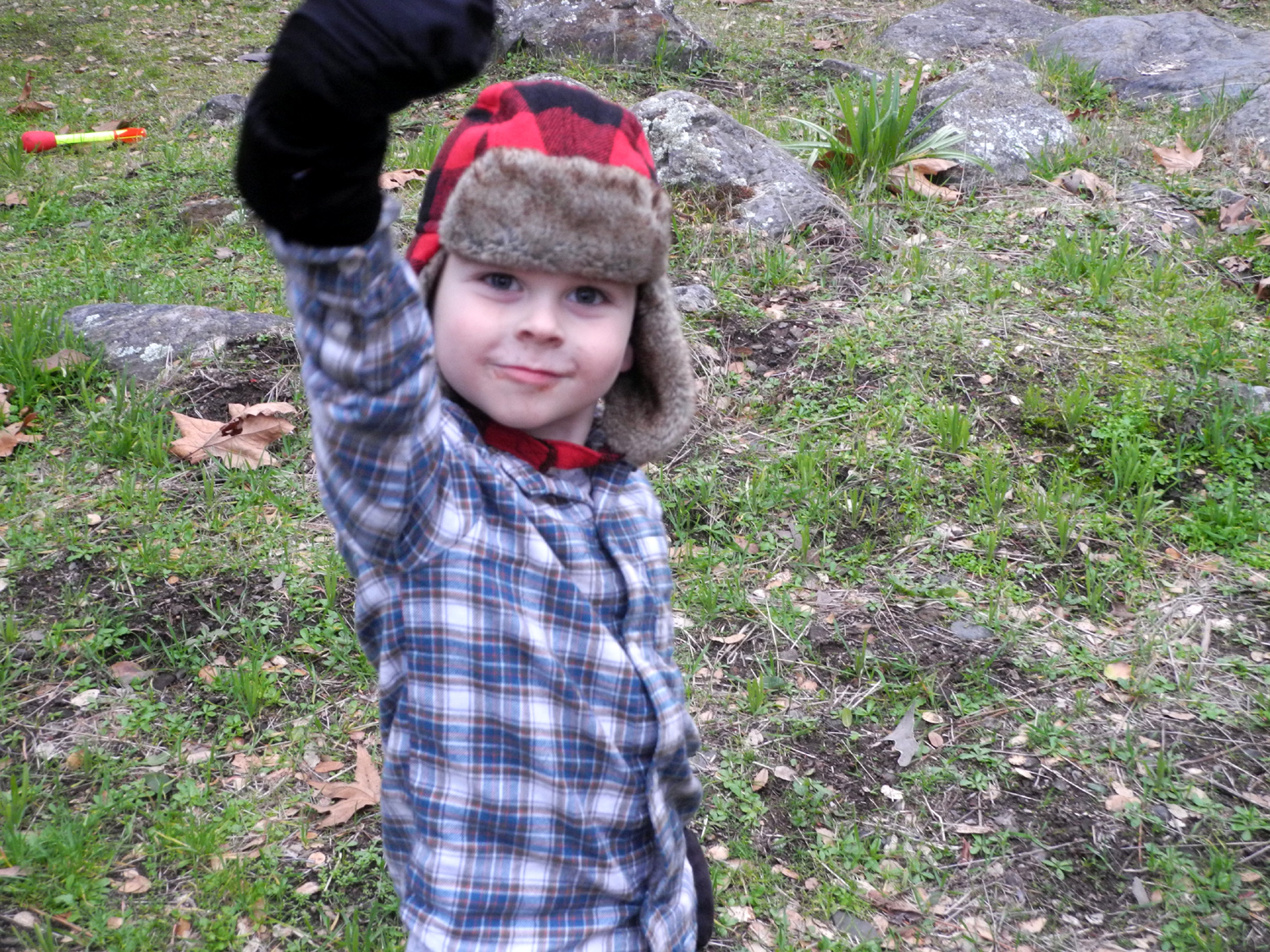
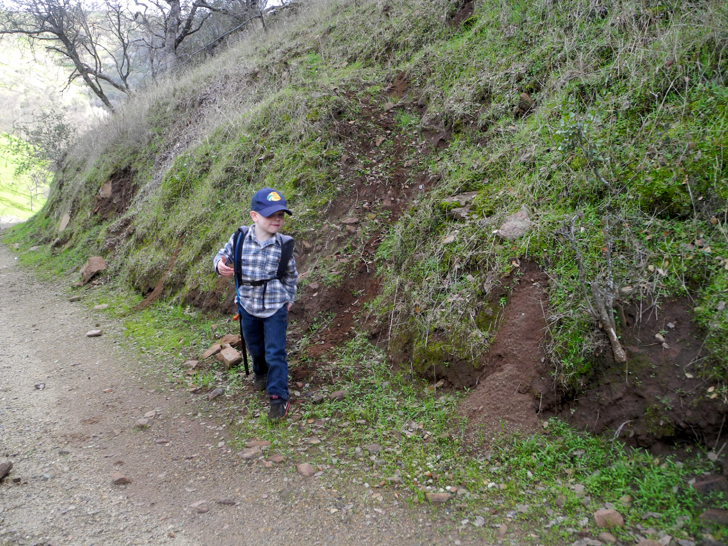
My second major outing of 2019 was a real adventure - solo camping with great grandson Jack, age four years and three months. He's spent the day at my house a couple of times, but this was our first time out in the "wilderness" with just the two of us. Jack is always ready for a campfire, and also ready to change his mind. His brother Colton was invited when I went camping early in January, but he didn't want to go. Jack immediately announced that he would go, then changed his mind two minutes later. I usually plan for two nights, but for this late January hike, Jack accepted for one. Then when his dad dropped him off at 7:30 a.m. on January 28 he said he would go for two nights. It only took till 3 p.m. for that to change back to one night. Our destination was Mill Flat Campground, three miles up a dirt road above Pine Flat Reservoir on the south side of the Kings River, where Mill Flat Creek runs into the river. We got started at 8:30 and made the two-hour, 60 mile drive under partly cloudy/foggy skies, with no rain predicted. Jack wanted to start a fire as soon as we arrived, but I explained that if we did that, we would be out of wood before dark. With various activities and distractions, and the temperature getting up to about 65, he forgot about the fire and just concentrated on being Jack. We set off on a short hike, just down an old road parallel to the river. We went down close to the river for a few minutes, then continued on the road, but after 100 feet he sat down on the ground, and was done with hiking. I had brought the Stomp Rocket, something the boys have been enjoying for several years, and he had fun achieving new records for distance and height. This used up the last of his energy, and he was ready for something to eat just before noon. I had eaten a normal breakfast, and usually would not have another meal till around 3 or 4 p.m., but I heated up some beans for myself and opened a Lunchable for him. He ate a couple of crackers and two or three turkey slices, as well as the Oreo cookies. As we ate, we discussed the "big" hike I had planned, and thought we would do after breakfast the next day. He decided he wanted to go the first day, probably realizing a hike in the morning would delay our departure for home. The road is closed just past the turnoff into the campground, but you can duck under the gate and walk across the cattleguard, or in Jack's case, climb over the adjacent gate. |
|
|
|
| Celebrating new height and distance records with the Stomp Rocket | A year ago he could not climb over gates like this without help |
|
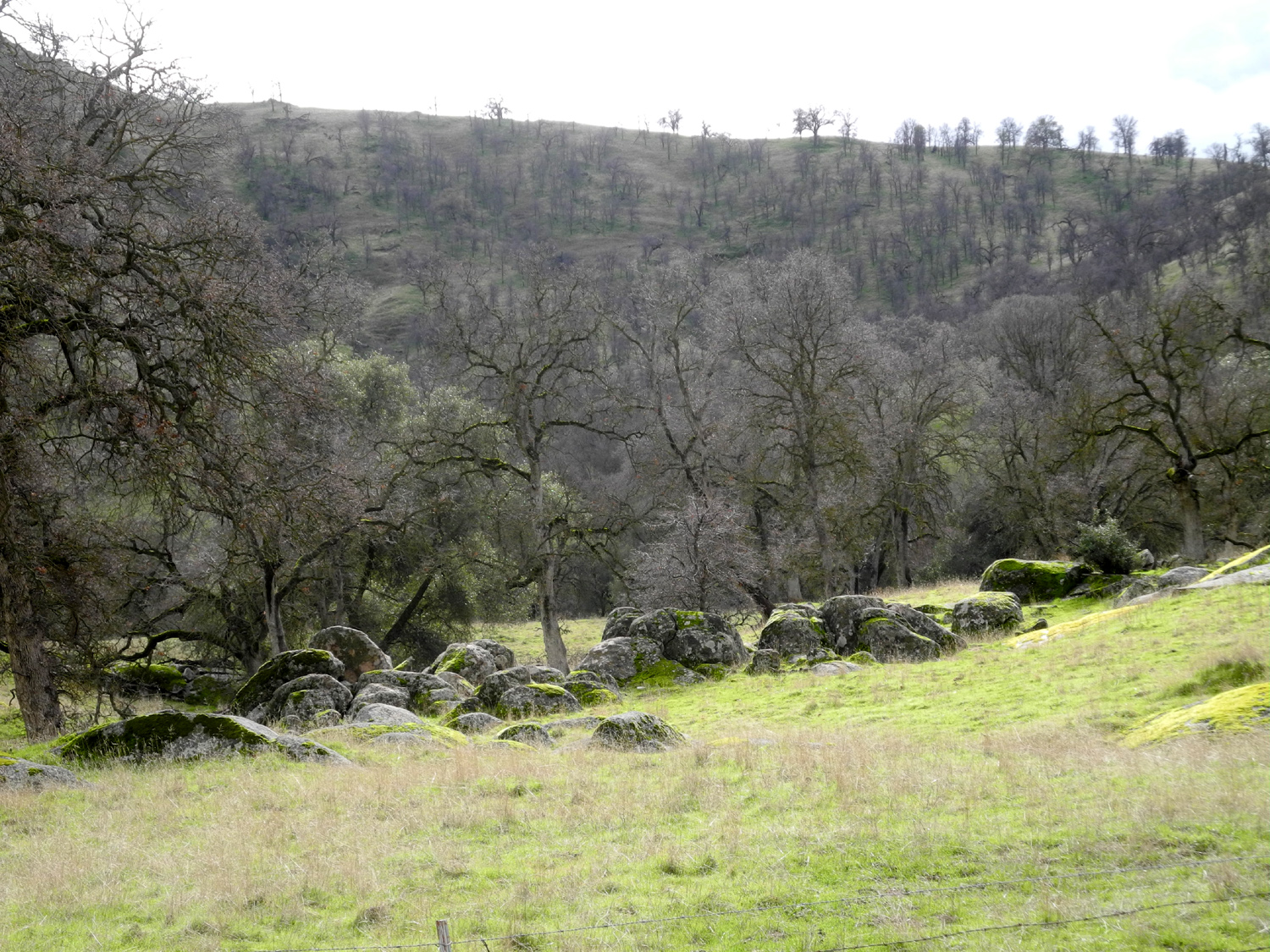
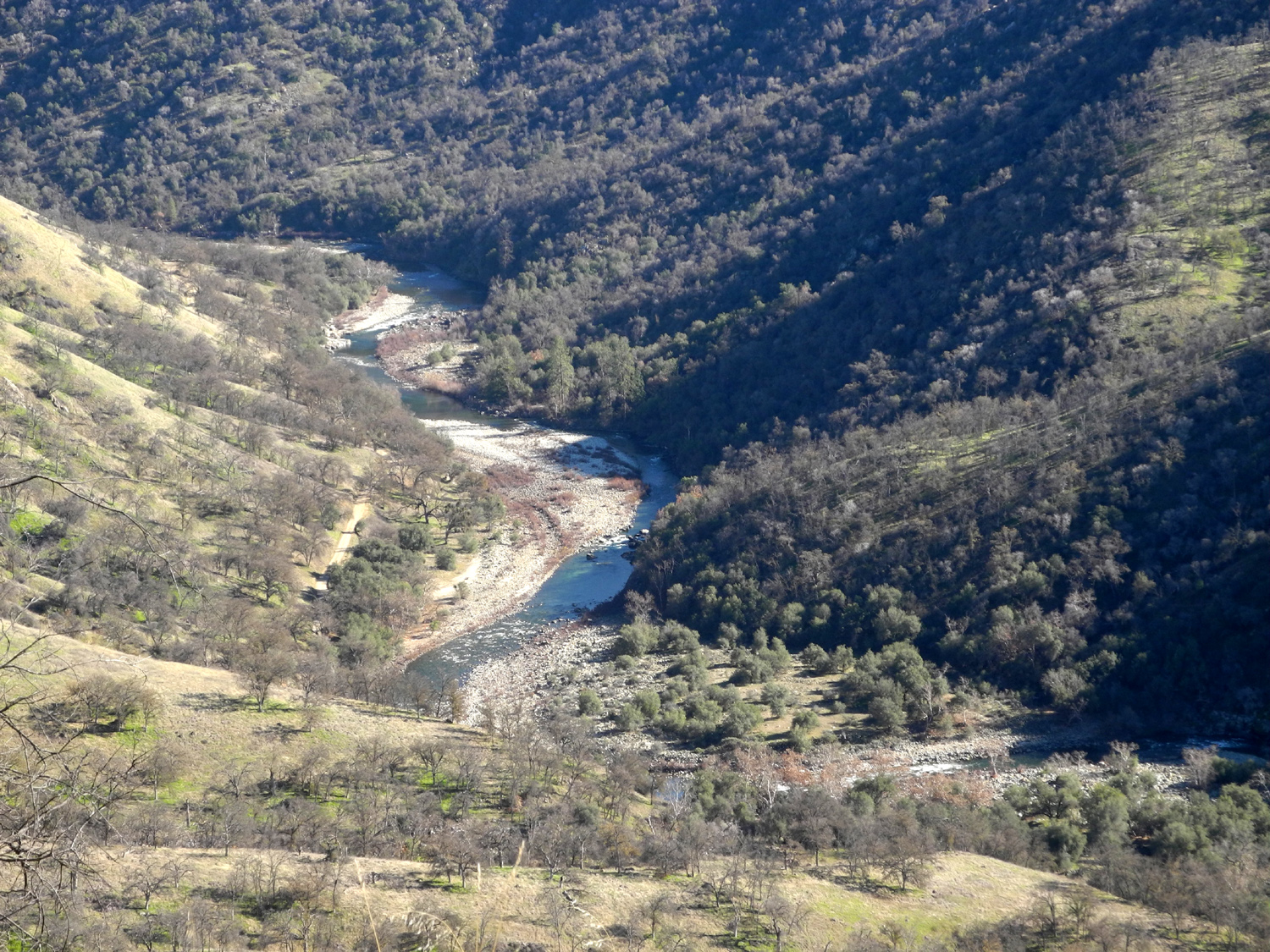
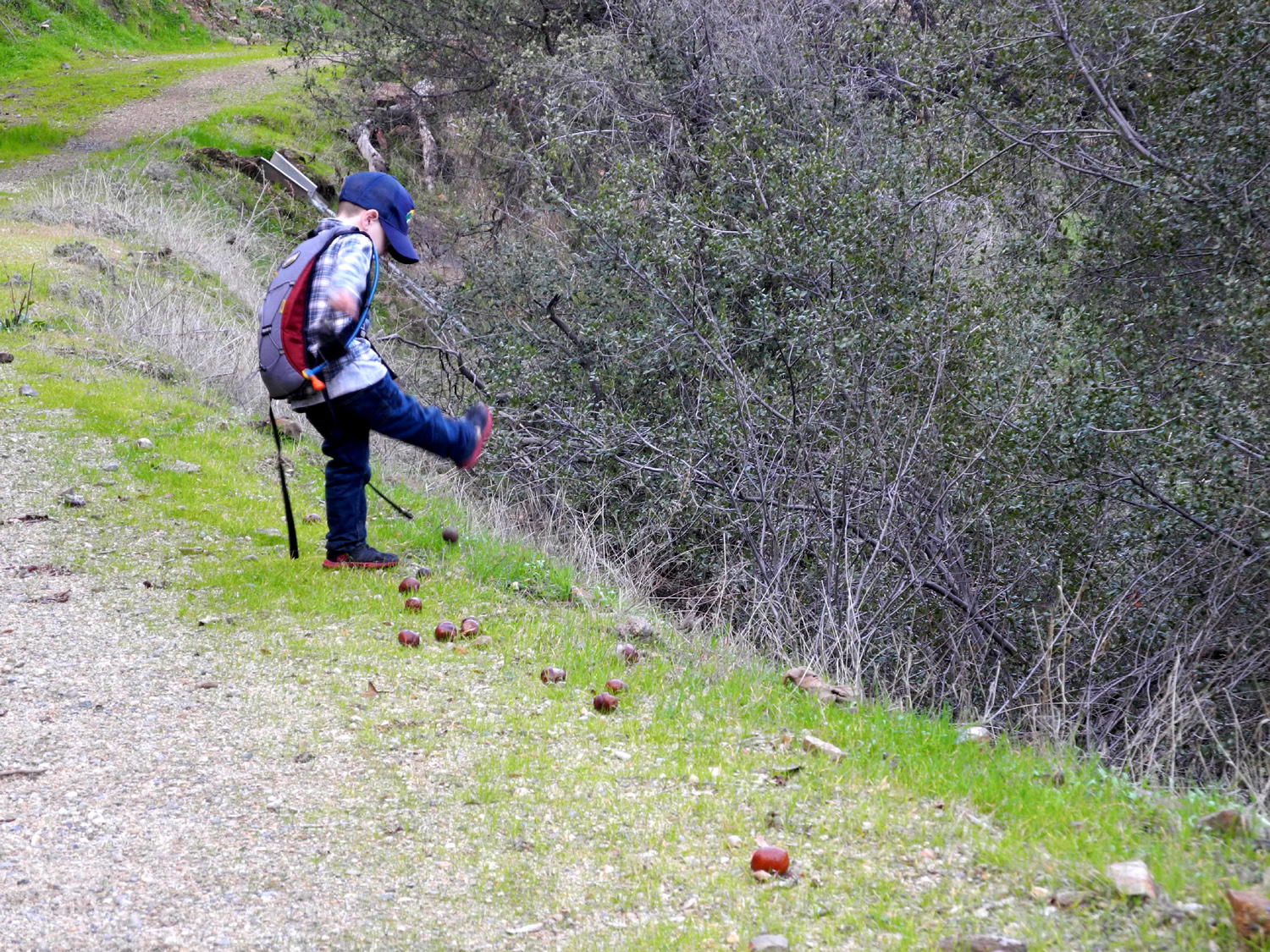
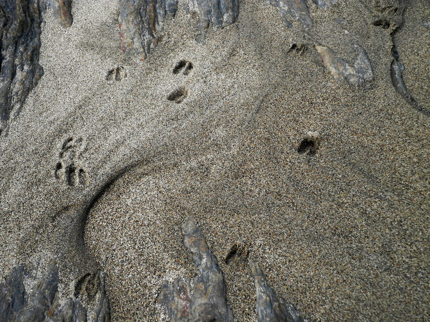
Once past the barrier you can go as far as you want, following the road along the canyon of Mill Flat Creek. Many years ago in this area we came to a place where the words "Goofy Smith Flat" were painted on the rock bank by the road. Across the creek was an old cabin, which I assume was where Goofy Smith homesteaded. I can't find any information about this person on line, nor from people familiar with Fresno County history, so I can create whatever legends I want. Hiking with Jack involves a lot of distractions. He probably spent ten minutes at one spot kicking buckeyes off the road and down the bank below. The road runs along the hillside 30 to 100 feet above the creek, with nice views across the creek and back down the road to the river canyon and hills beyond. If Jack enjoyed this aspect of the hike, he gave no indication, but when I suggested following a narrow, steep cow path down to the creek at one point he eagerly led the way. He attempted to climb a huge boulder, but I guided him to a more accessible one, which he easily achieved. Right by the water we discovered deer tracks in the sand, and Jack managed to get his shoes wet and sandy, and his jeans wet halfway to the knee. |
|
|
|
| At least twenty buckeyes had to be kicked over the bank | A little cascade on Mill Flat Creek |
|
|
| Jack on the rock | Deer tracks in the sand |
|
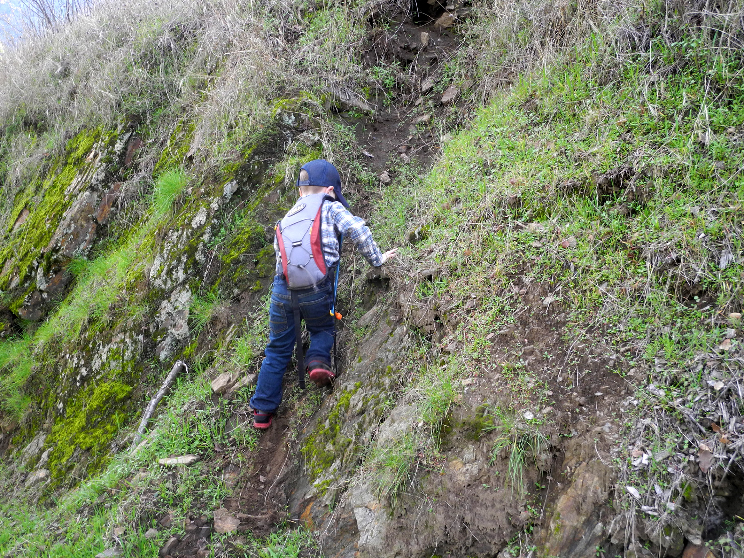
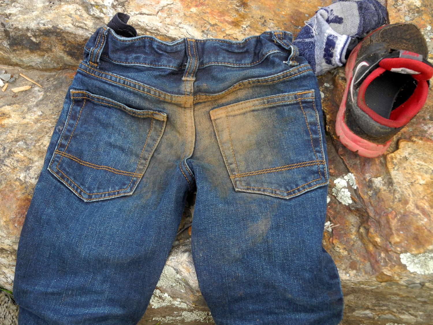
We did not make it to the cabin, since Jack sort of controls the agenda and decided we had walked a distance equal to my usual goal - half of far enough. On the way back I told him how his dad and a friend had climbed up the steep banks above the road many years ago, so he had to try this, never mind that Dad was a teenager and not four. Since he was missing pre-school for this trip, I told him he had to learn things to make up for it, and one thing he soon discovered is that it's easier to climb up than down. The first time he tried to climb down he ended up sliding down on his butt, so this became his go-to method for getting back down on the other two climbs he made. I told him it was his job to explain to his mother the condition of the seat of his jeans. |
|
|
|
| Where he learned that it's easier to climb up than down | Another trick that he's mastered in the last year |
|
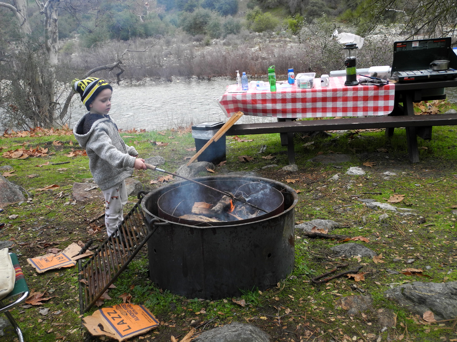
When we got back to camp it was cooling off, and time to start the fire (a necessity for cooking our hot dog supper). I had brought several boxes of commercial firewood, and we managed to find a few small dry pieces around the camp. As dinner was served it was getting completely dark, and Jack started asking for his dad. I think there is something in our DNA that kicks in when we are out in the wilderness in the dark, and makes us want to be in a safe, familiar place. After a few minutes he was fine, and we had our supper by the fire, with Jack's favorite food - Hershey chocolate bars - for dessert Like most boys, Jack wants to poke the fire and put wood on, although he does not yet understand the finer points of poking and placing wood for maximum effect. For the most part, he was content to "cook supper" over the fire. This consisted of stabbing dry sycamore leaves with the fire poker, and holding them over the flames. They were done in a matter of seconds, and fortunately crumbled to ash before they could be served. He probably burned up fifty leaves this way. |
|
|
|
| "Cooking" sycamore leaves over the campfire | Hanging garden along the road |
|
When it got to be bedtime, I had planned for him to sleep on the back seat as Colton had done before. We got his sleeping pad, sleeping bag, and snuggly blanket into place, and I explained to him that I would be inches away in the back of the truck. Jack's sleeping plans were different. As soon as I shut the truck door he gave out a wail, and we decided he needed to sleep in the camper with me. There's about 12 inches of room beside my sleeping pad, which proved to be plenty big for him, and he quickly fell asleep. Whenever I got up to use the restroom, he was still covered and sleeping soundly, and we were warm and cozy despite the low of 35 degrees. I usually don't build a fire in the morning, but Jack and I both liked the idea. Once we got warmed up and I had my tea, I fixed bacon and toast. Jack also had corn pops, of which he ate perhaps a dozen, and hot chocolate. For him, this is milk with Hershey's syrup, which he prefers to the real cocoa that I made at home and brought for myself. Following my usual practice, we loaded up the truck and got ready as if we were not in a hurry, which was in fact the truth. Here's where the difference between Colton and Jack really stood out. The older boy is able to give me a lot of help loading. He can get into the back of the truck where I can't reach and help pile things in. Jack is not quite strong enough to lift items such as my camp stove, and is also a little less interested in helping. When we got out to the paved road I drove across the river bridge there so he could see it, a truly unique bit of construction. We drove back across, and before we reached the next bridge less than a mile away he was asleep. He did not wake up till I pulled up in front of my garage. Despite
a few rough moments, I had a fantastic time with him. and hope to
repeat the experience. --Dick Estel, February 2019 |
|
|
Sycamore Creek Fire Road
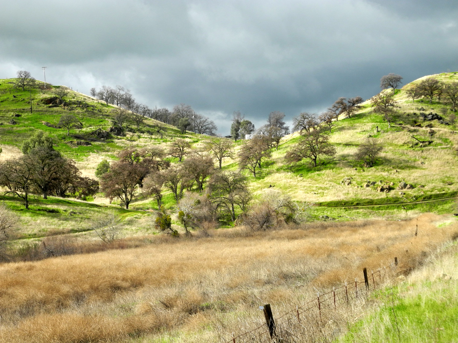
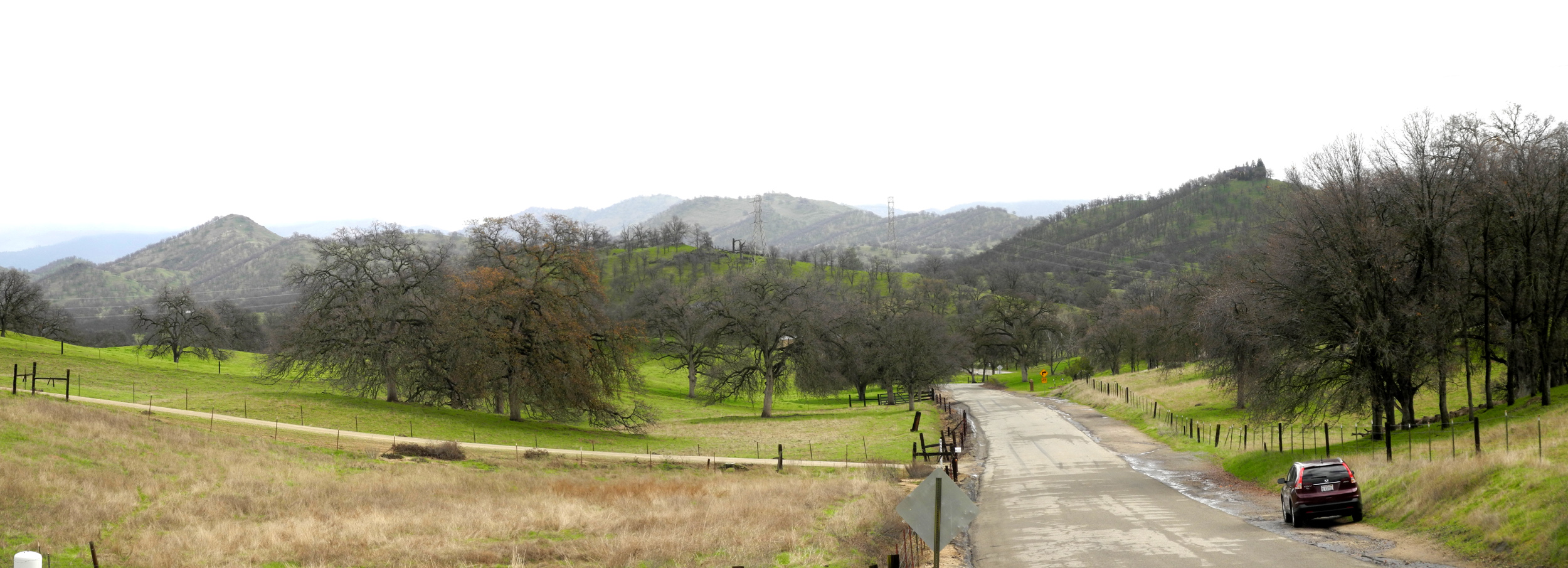
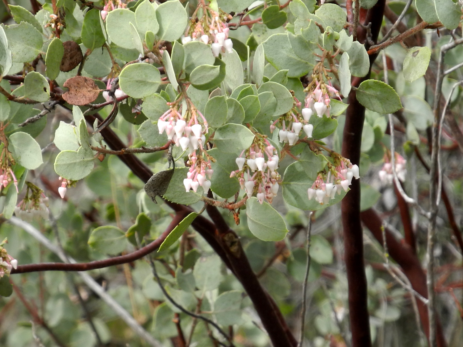
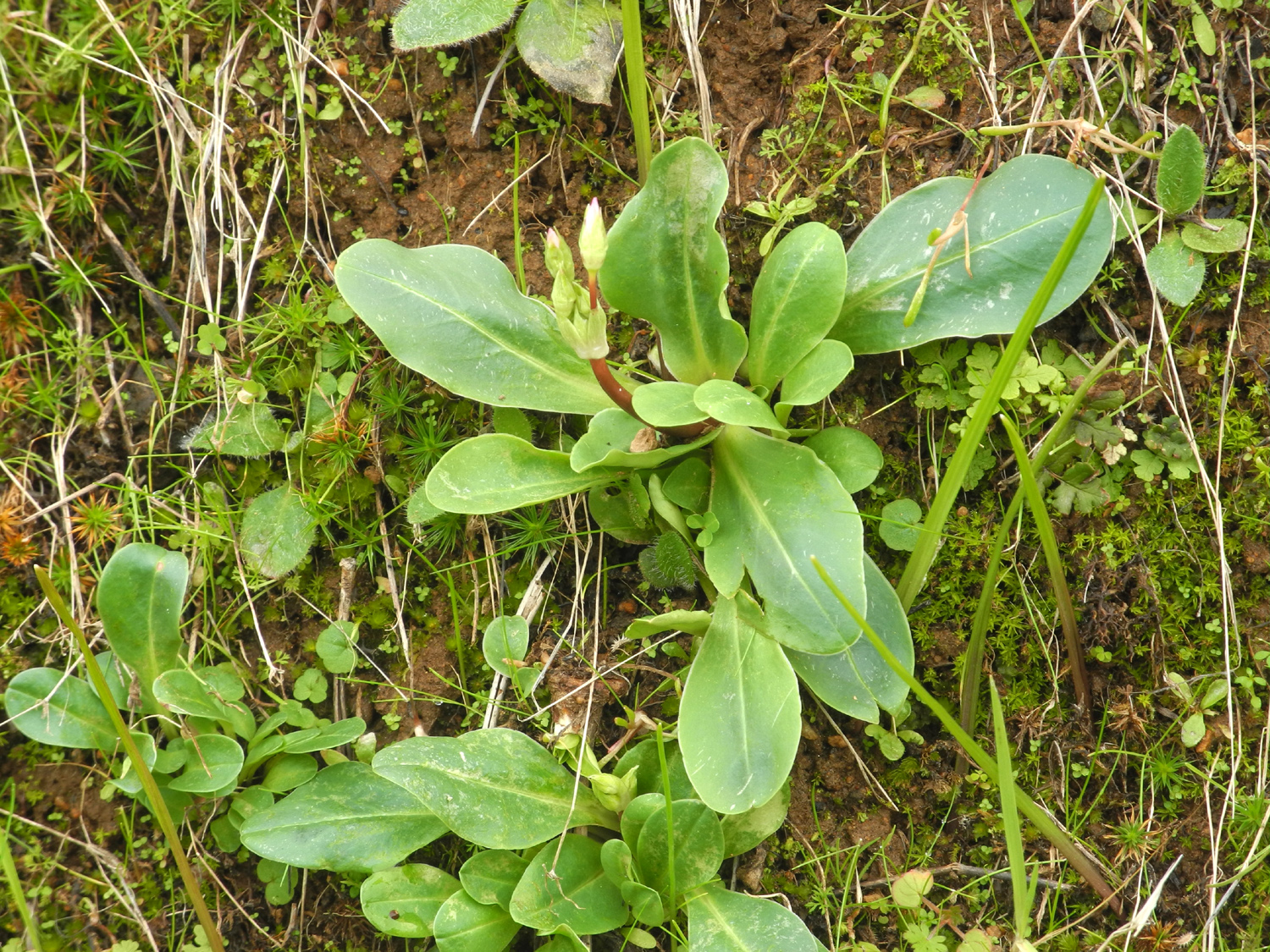
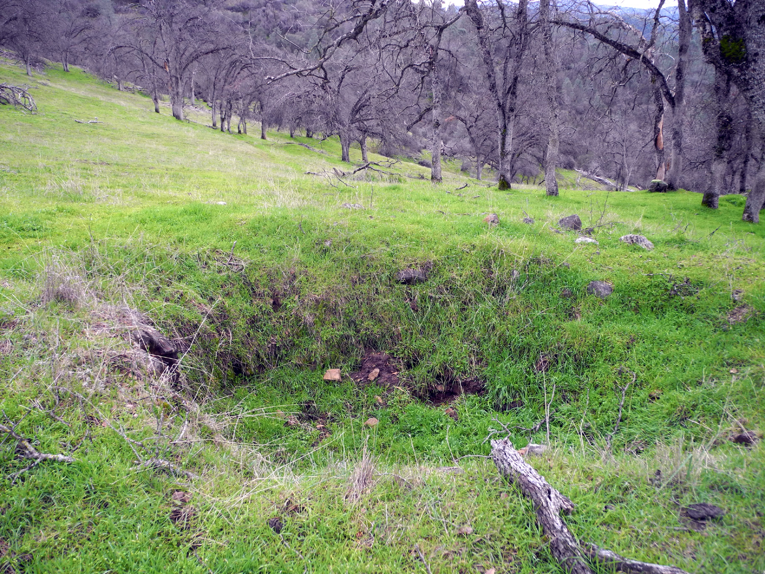
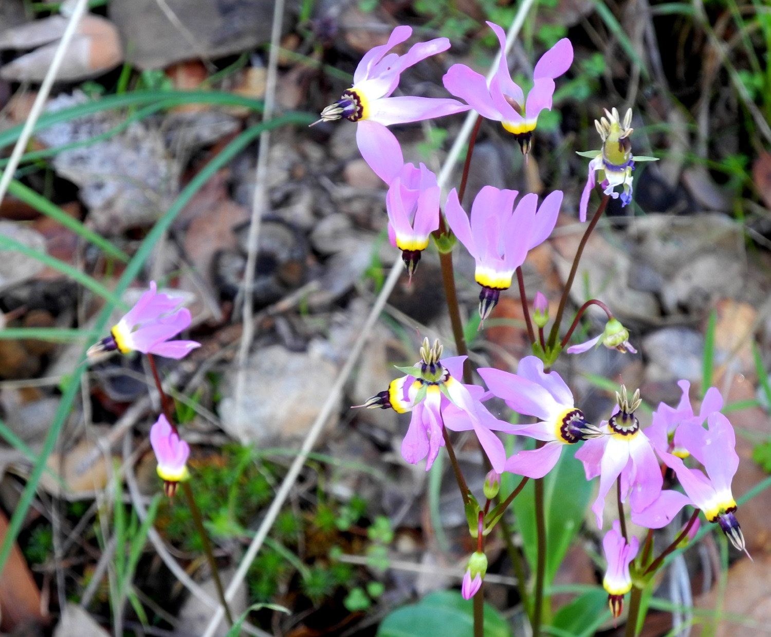
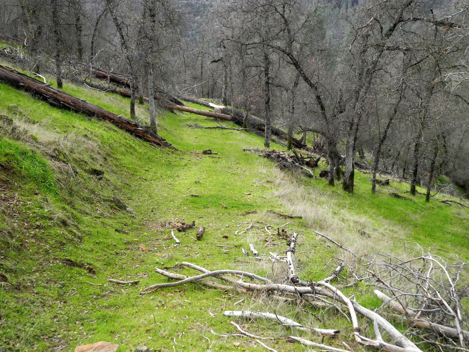
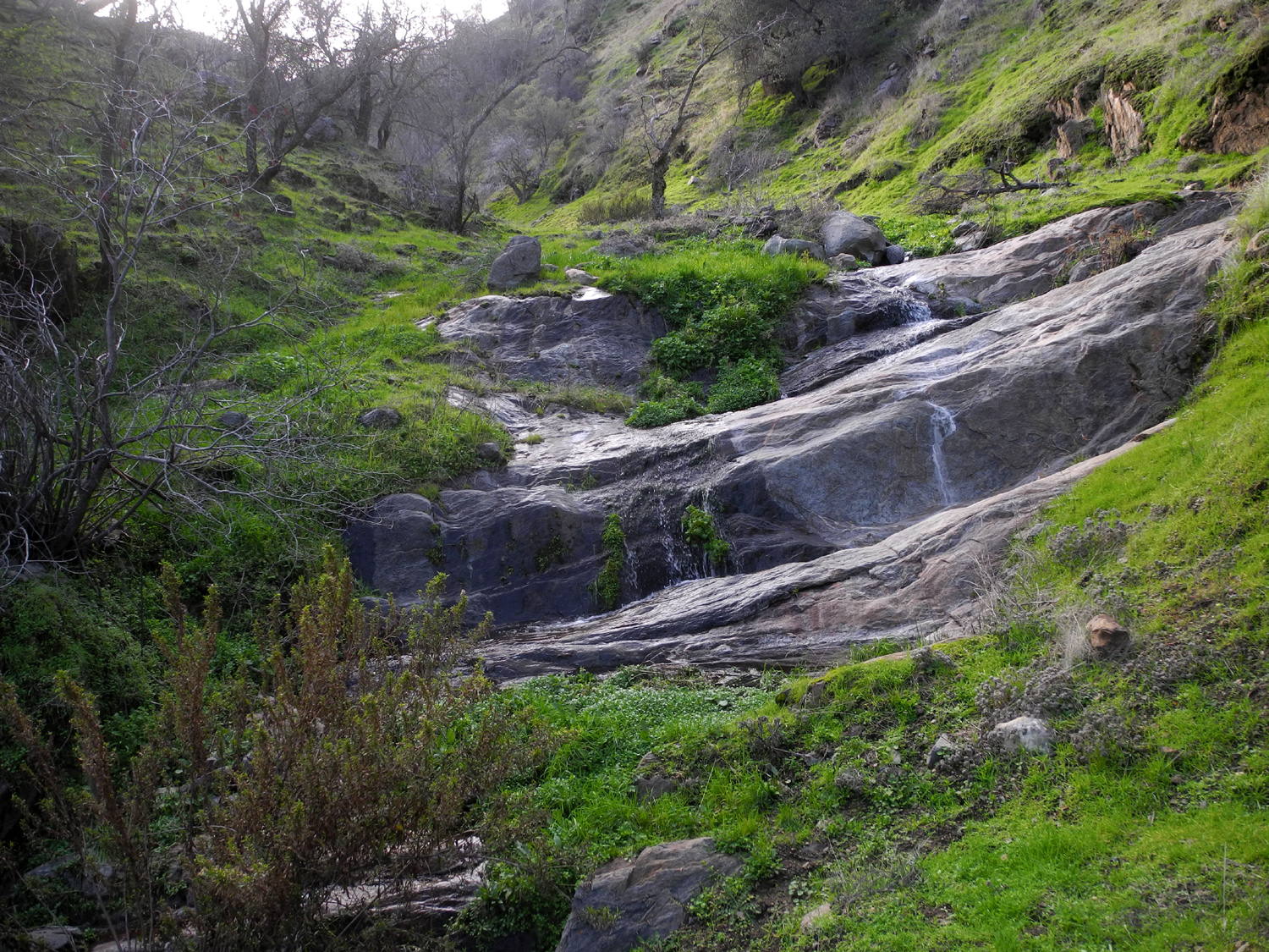
This is another place I've hiked and written about a number of times. It's not a road anymore, and is hardly a trail, but it's walkable for at least a mile. It goes in from Trimmer Springs Road, just past the Sycamore Creek Bridge by Pine Flat Lake. I left home around 9 a.m. on February 12, arriving at my destination about an hour later. The weather was very cool at the start, 42 degrees, but I resisted the temptation to add another layer, knowing how quickly you can warm up while hiking. We've had lots of rain, low elevation snow, and fairly cool weather in February, so I was prepared for lots of green grass and few flowers. The manzanita bushes are in bloom, and I saw some shooting star buds, but we need a week or two of warm weather to really bring out the wildflowers. |
|
|
|
| The distinctive bell shape identifies these as manzanita blossoms |
These plants will soon produce one of the foothills most beautiful blossoms, the shooting star |
|
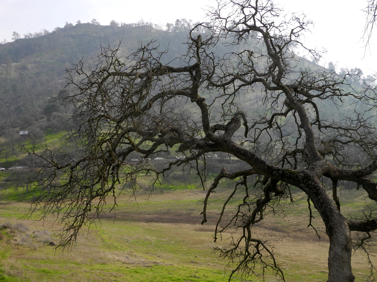
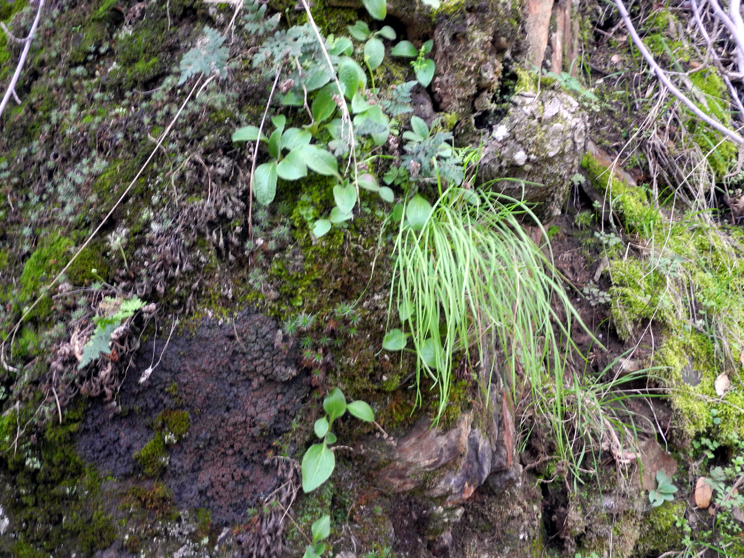
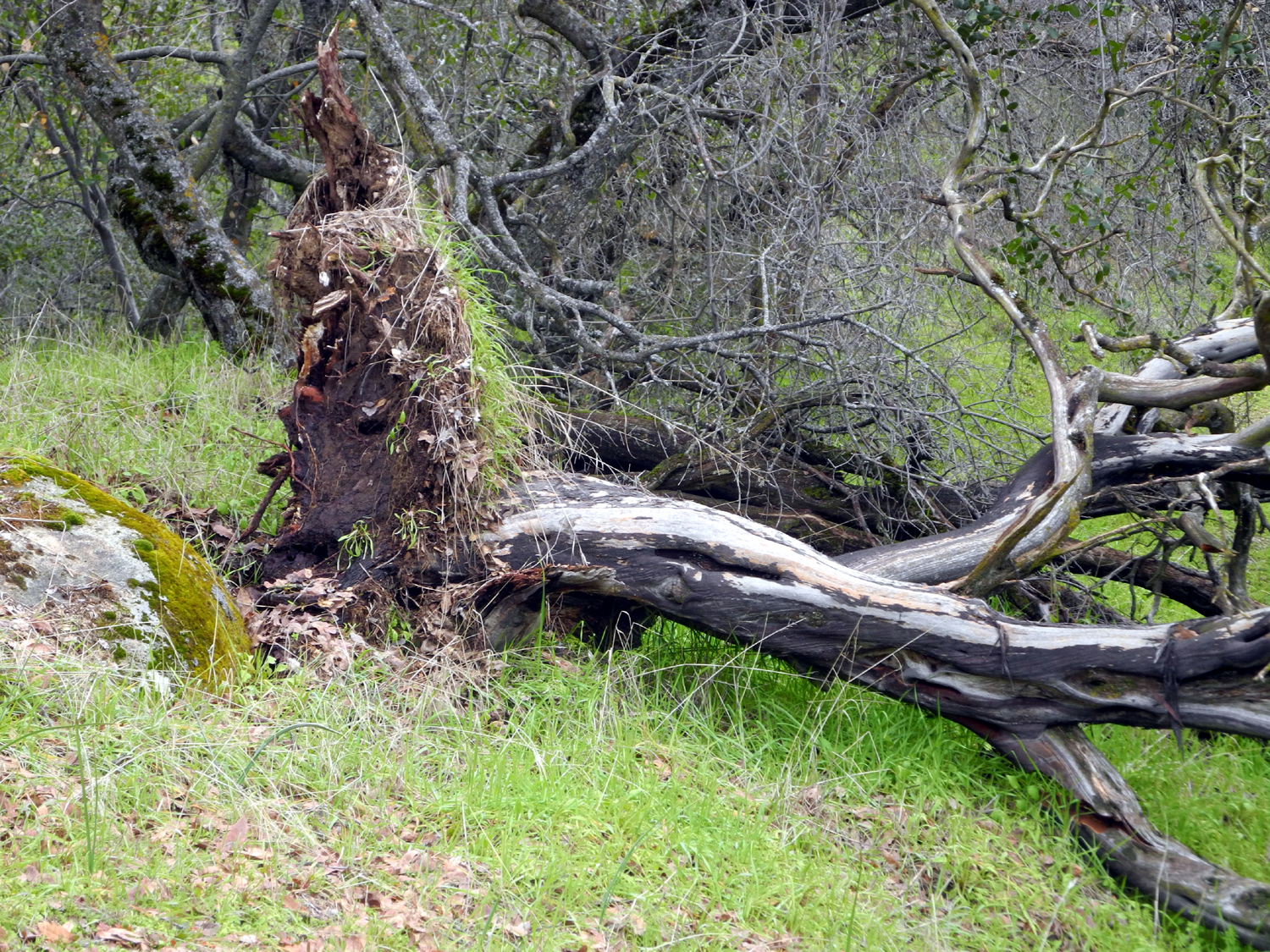
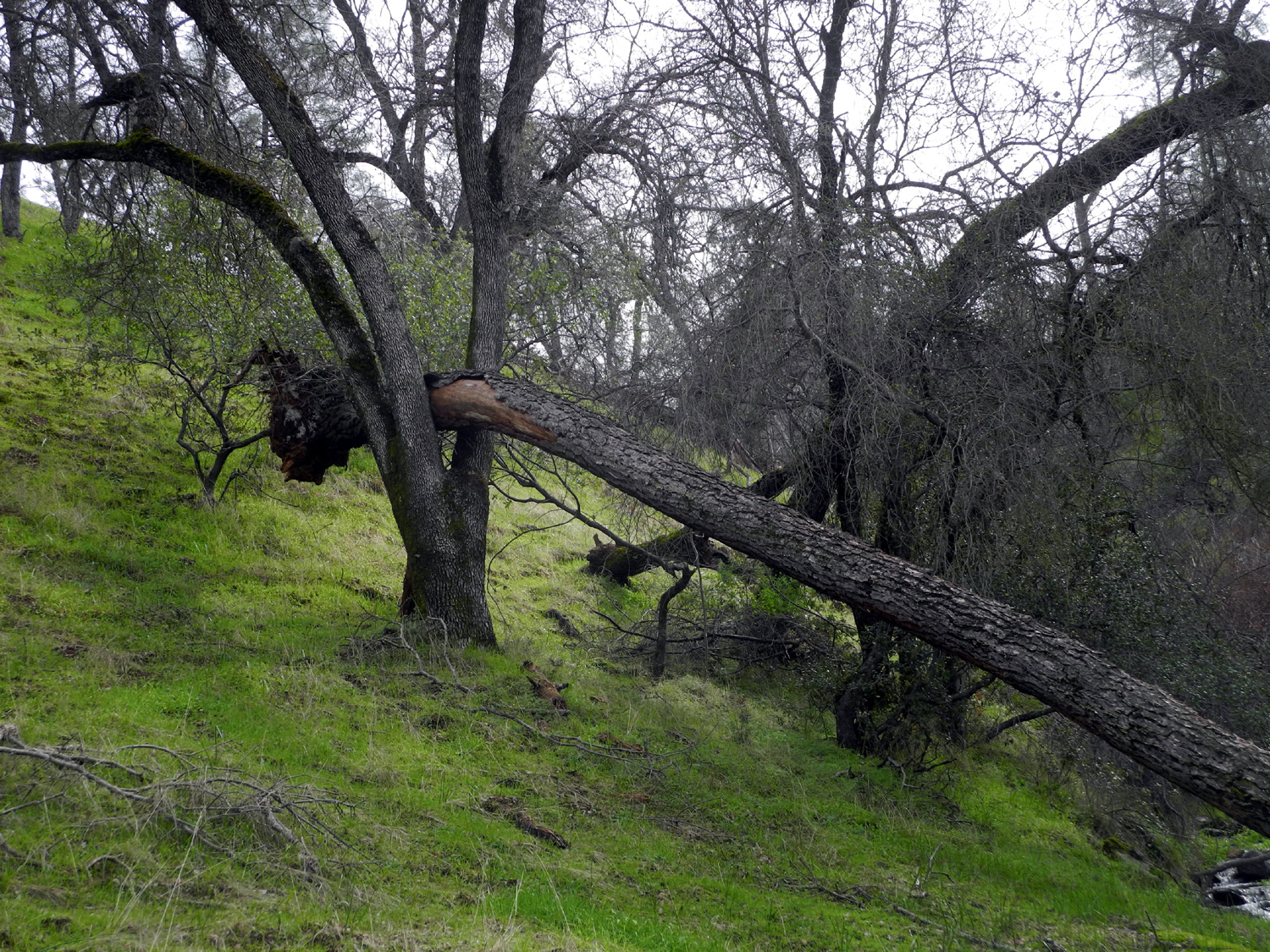
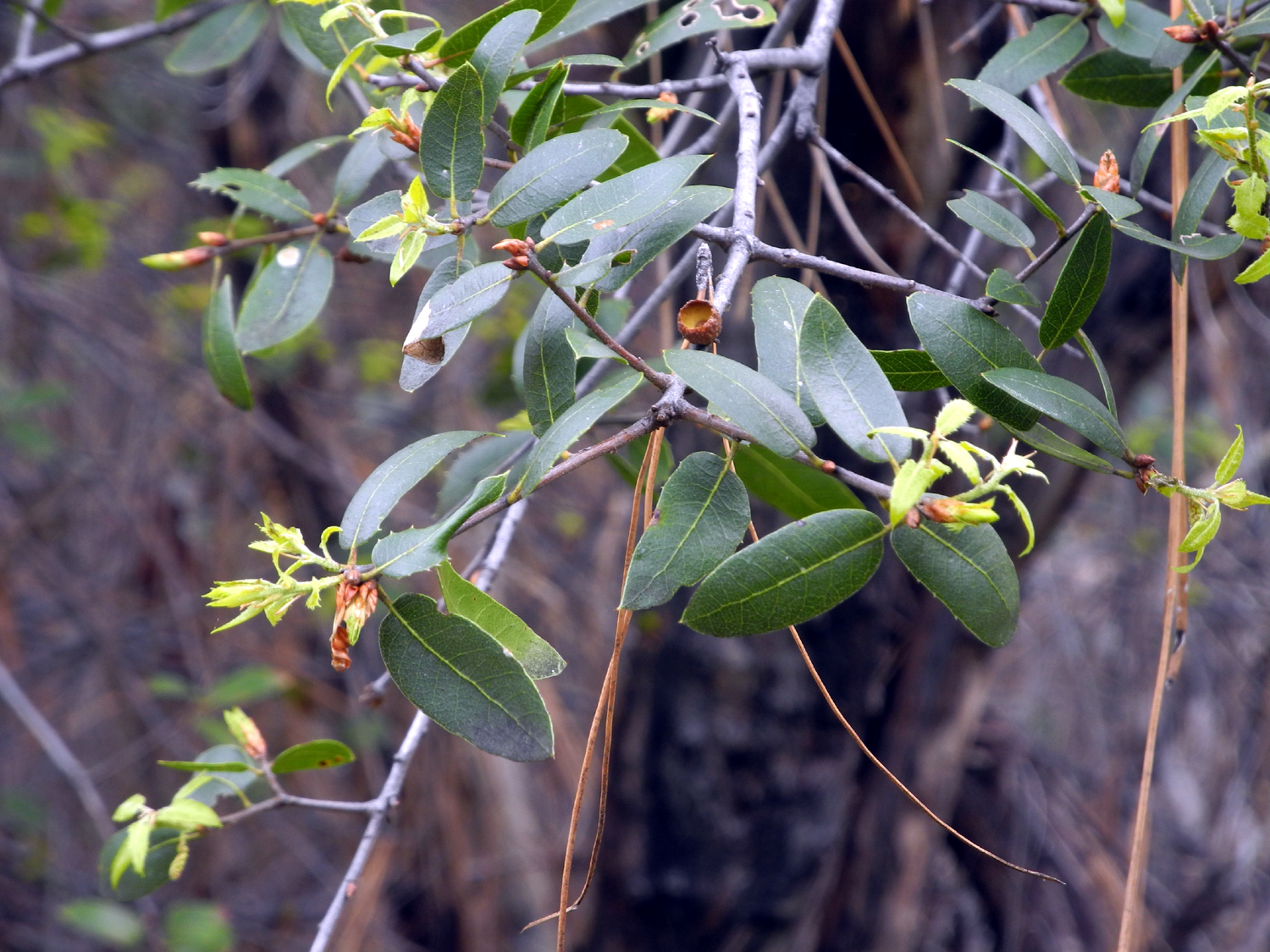
On the other hand, the trail offered plenty of nice vistas of blue oak, live oak, bull pines and shrubs, as well as moss-covered rocks, granite outcroppings and distant views of the foothills. One of the "fun" things about this hike is seeing how many new trees have fallen across the trail, and how much work is involved in getting past them. There was a dead blue oak across the trail, and I had to carefully step over the main trunk and a couple of large limbs. A big dead manzanita had fallen where the trail has two clear tracks, but the top of the tree blocked only one track. |
|
|
|
| The grass is growing, but these blue oaks have not yet leafed out | This big granite outcropping stands guard above the trail |
|
|
| Wind and water brought down this big dead manzanita | The top blocks only one half of the trail |
|
I ended this hike at the usual place, where the trail crosses Upper Creek. This is my name for it, since it's the farthest creek up the trail. There are a number of little seeps and drainages across the route, none of them flowing very much at this time, but capable of being real seasonal creeks worthy of the name. Upper Creek had a strong flow, and seems always to be the biggest one of the bunch. |
|

|
|
| Upper Creek cascades down a steep little channel into Sycamore Creek | It looks like this bull pine slid several feet after crashing into the crotch of a blue oak |
|
As always on my hikes there was something new to see, or in this case, something I had not noticed before. I've named the place where I stopped on my first hike Popcorn Flower Hill, because it was white with those blossoms. Just past the top of the hill the trail becomes a much more well-defined road (although blocked by a number of fallen pines). This time I noticed that there was a good, wide cow path going down from the hill into the valley of Upper Creek. By this time I was on my way back and didn't want to add any more time and distance, but I will definitely be exploring this trail on a future hike. When
I returned to my car the temperature had warmed up almost 20 degrees,
and I had been out for two and a quarter hours. Only 1:25 of that was
"moving time," and the mileage total was 1.69, but I felt I
had earned a stop at In 'n' Out when I got back to town. --Dick Estel, February 2019 |
|
|
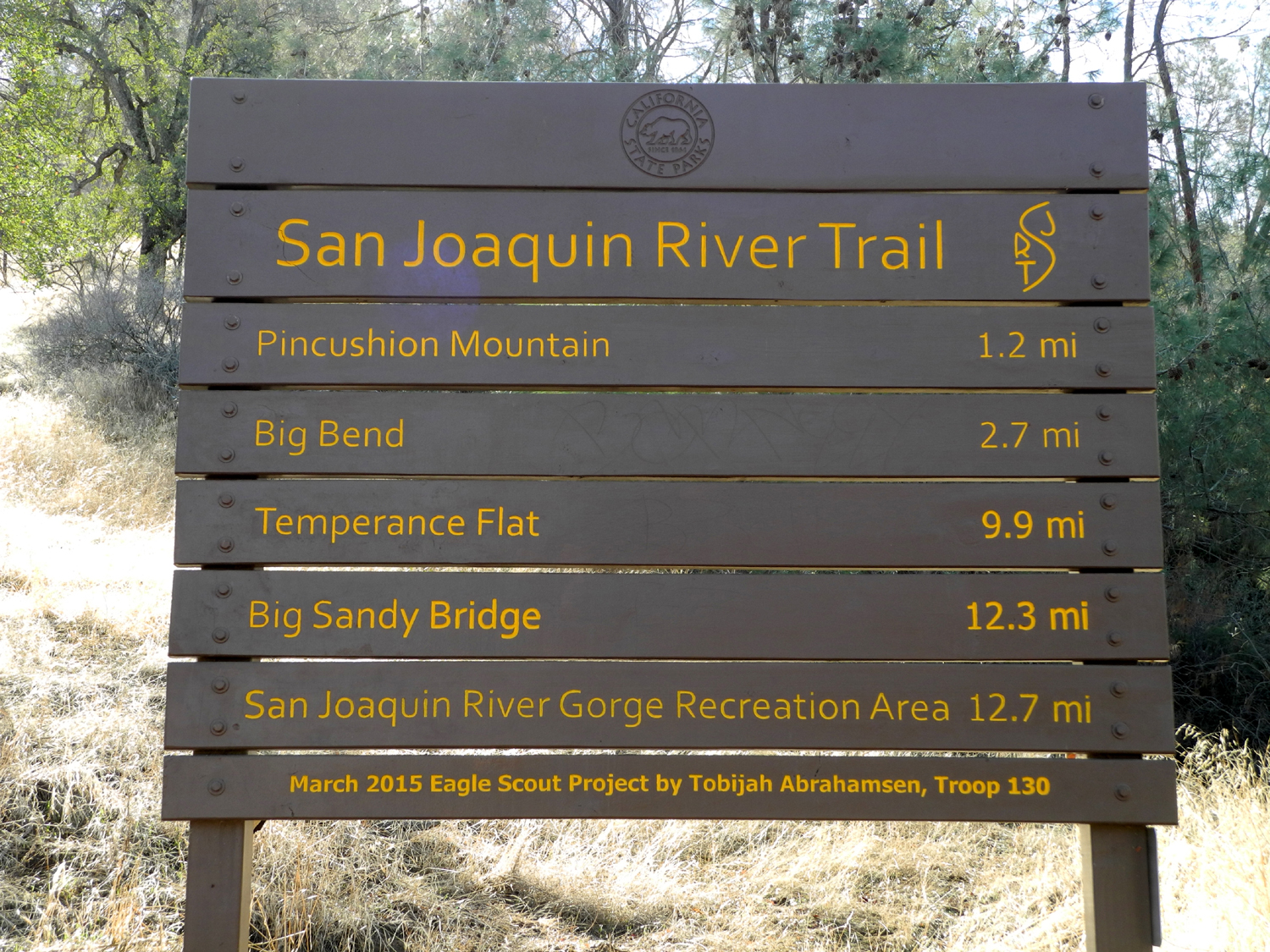
San Joaquin Gorge - San Joaquin River Trail
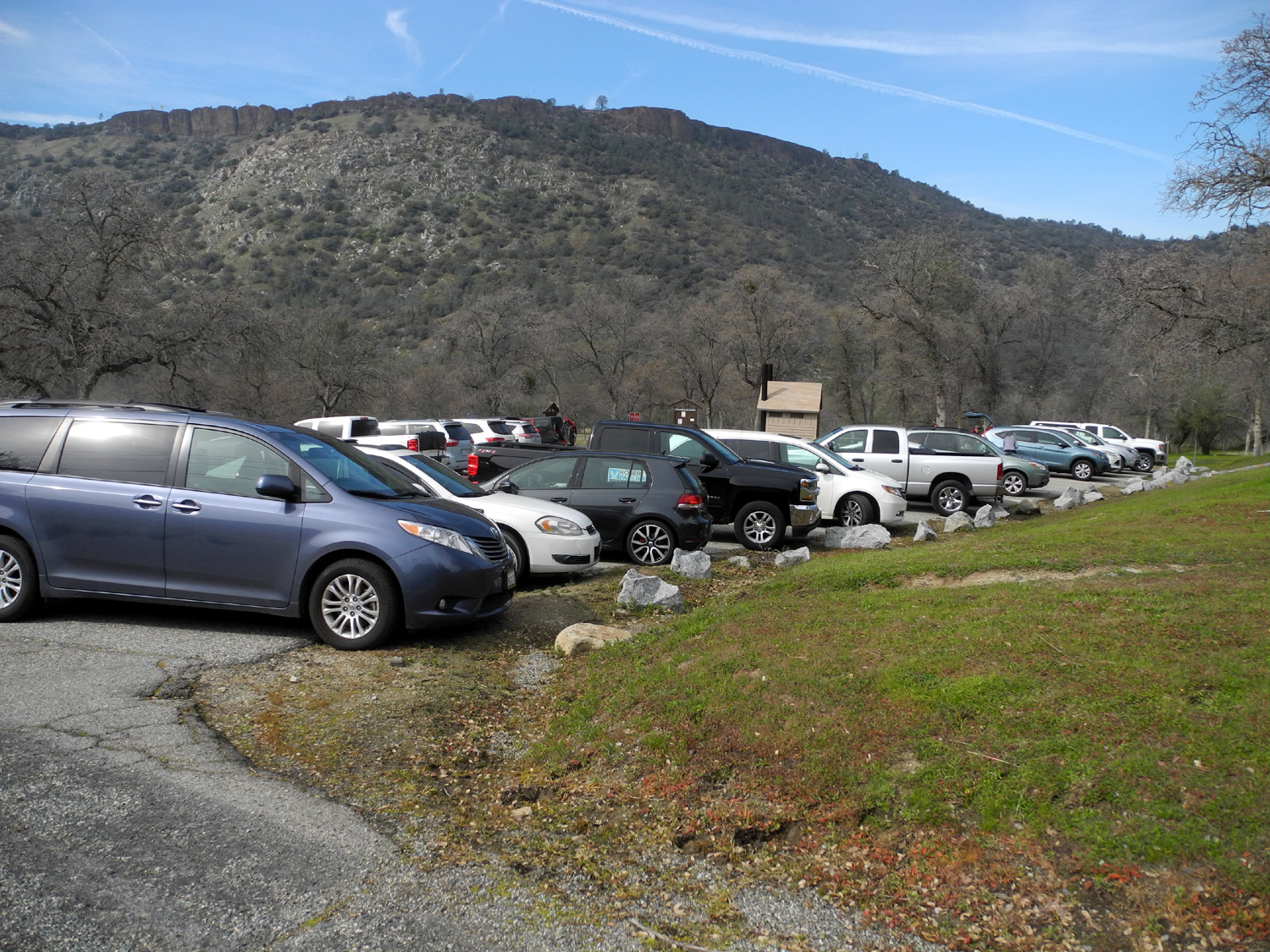
Here's another hike in a very familiar location, the San Joaquin River Trail at San Joaquin Gorge (formerly known as Squaw Leap). The vision for this trail is a walking route parallel to the San Joaquin River from State Highway 99 to the Sierra crest. So far it exists in a few sections, the longest of which runs about twelve miles from the San Joaquin Gorge to Finegold Trailhead near Sky Harbor on Millerton Lake. I hike only short distances from either end, and on February 23 my daughter Teri and I drove to the trailhead and set off to walk till we could see the river, or till I was ready to stop, whichever came first. There were many cars in the parking lots, and we got the last space at the group camp. By the time we were on the trail cars were parking along the road and in a dirt overflow lot a about two hundred yards past the main lot. However, it looked like most people were going down the Bridge Trail. Two bicycles passed us, and we shared the trail with a group of about eight, passing them when they stopped to rest, and being passed when we did the same. We saw no one else. |
|
|

|
| Lot full | Teri steps out on the trail |
|
|
|
|
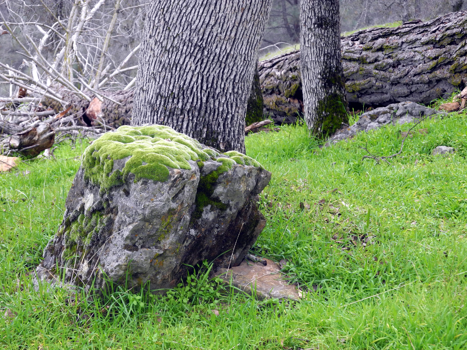
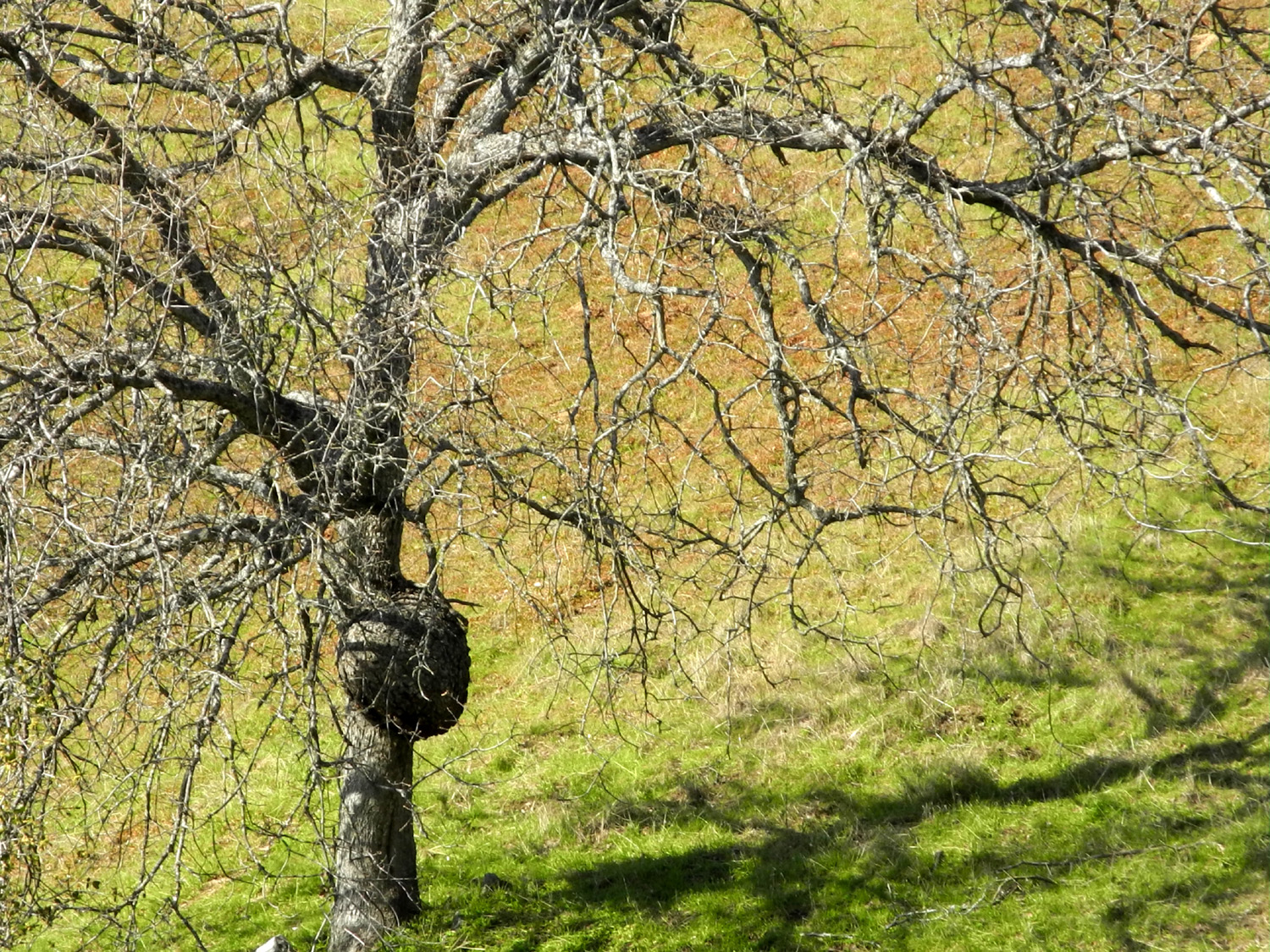
The first rest stop is a place with four things to recommend it - a nice log to sit on and rest, a blue oak with the largest burl I've ever seen, a rock with some Indian grinding holes, and the biggest creek along the trail. About a half mile past this point we spotted another blue oak with a smaller burl that I had never noticed, despite having walked past it a dozen times or more. |
|
|
|
| Dick at the Big Burl | A newly discovered Burl along the San Joaquin River Trail |
|
The day was partly cloudy, the temperature just right for hiking, and there was scenery everywhere we looked. The blue oaks had started leafing out, some just barely started, but a few covered in bright green. Some of them were in the "slow starter" group, either late or maybe just dead. With all the rain we've had it was no surprise to be crossing little creeks every two or three hundred feet. We counted 13 creeks with flowing water. Two were fairly big, some were just barely a trickle, and several were in between. We looked for wild flowers, but had decided we were not going to see any. Then on the way back out, I spotted a few popcorn flowers, and Teri called my attention to the bright magenta of some fringed redmaids. We
got in a good walk of almost two and three quarter miles, enjoying a
snack of orange slices and granola bars at our turnaround point.
Fortunately this did not impair our appetites for a tasty Mexican
lunch at Velasco's
in Prather, which has become an almost mandatory stop after hiking
at the San Joaquin Gorge. --Dick Estel, February 2019 |
|

|
|
| Blue oaks during their early spring green period | This one has seen better days |

|
|
| Tiny but brilliantly colored, fringed redmaids are just getting started | This dead pine fell this year, knocking loose big sections of bark |
| More San Joaquin Gorge Photos | |


| Photos (Click to enlarge; pictures open in new window) | ||
| Bear Wallow Dry Creek Drive Mill Flat Camp Sycamore Creek San Joaquin Gorge | ||
| Bear Wallow | ||
 |
|
 |
| Empty seed pods in the sun | Blue oak with the river below | Artistically-arranged dead brush |
 |
||
| The Monarch Divide and Wren Peak, from my vista point | ||
 |
|
 |
| Rocky cliffs high on Rogers Ridge | Looking down into the valley of Mill Flat Creek | Ribbons mark the trail |
 |
 |
|
| A close look at the hilltop vista point | A forest of leafless buckeye trees | These steps were steep enough to require extra effort |
| Dry Creek Drive | ||
 |
 |
|
| Woodpeckers have used every post in this fence for acorn storage | Bovine silhouette | Ancient artifact |
 |
|
|
| Blue oak triplets | Ranch gate on Millerton Road | Dramatic view in subdued colors |
|
 |
 |
| The rocks and the ridges | Big Dry Creek lives up to the "big" part of its name | The Academy Cemetery got it start in the 1860s |
| Mill Flat Camp | ||
|
 |
|
| It's hard to believe
this big, fast-moving stream is at its low water season |
Across the river, the Bear Wallow Trail, where I hiked in early January |
This little stream
runs into Mill Flat Creek from the west |
|
 |
 |
| Climbing the easy rock | Where he learned the fine art of sliding down | The results of several slides |
 |
 |
|
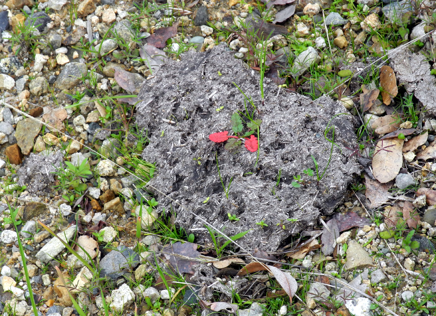
| Another thing we
learned - plants grow in cow poop |
Rocky hill top across the canyon | The living definition of a "Happy Camper" |
| Sycamore Creek | ||
|
 |
 |
| This
moss-upholstered rock is good for resting - but not right after a big rain |
Hole of unknown origin | The cows are extra-contented this year |
 |
 |
|
| The trail's origins as a road are obvious here | Another
tree that fell since my last visit - but not across the trail |
The live oaks are putting out new leaves |
| San Joaquin Gorge | ||
|
 |
 |
| Squaw Leap looms over the trail | A closer look at the Big Burl | Another gnarly old blue oak |
 |
|
 |
| Several
varieties of moss thrive in this little creek |
New blue oak leaves glow in the sun | Blue oaks lined up a long a drainage |
| Related Links | ||
| Bear Wallow Camp | Pine Flat Lake | Wren Peak Climb |
| Kings River Special Management Area | Academy Town | Academy Cemetery |
| The Dry Creeks of Fresno County | Millerton Road Map | Highway 168 |
| Stomp Rocket Video | Mill Flat Campground | Kings River Special Management Area |
| San Joaquin River Trail | Millerton Lake | Sky Harbor Hiking |
| Pine Flat USACE Site | Sycamore Creek | Pine Flat Map |
| More San Joaquin Gorge Hikes | San Joaquin River Gorge Special Recreation Management Area | Squaw Leap |
| San Joaquin Gorge Photo Album | ||
|
Previous Sycamore Creek Hikes |
||
| Solo April 2014 | With Carolyn February 2015 | Solo February 2016 |
| Ramblers April 2016 | Solo February 2017 | With Teri & Sandy March 2017 |