
|
Bluegrass in the Foothills 2007 |
||
|
My
cousin Don from I left
a little before 11 a.m., came up Highway 99, and took Highway 88 at If time
and circumstances permit, I like to go somewhere else in the area,
either on the “dead day” before the show starts, or after the
festival is over, or both. Music does not start till Friday, so I
will go somewhere tomorrow, and I have tentative plans for after the
festival. Rather than say what I might
do, I will wait till I have done it and tell you what I did. Setting
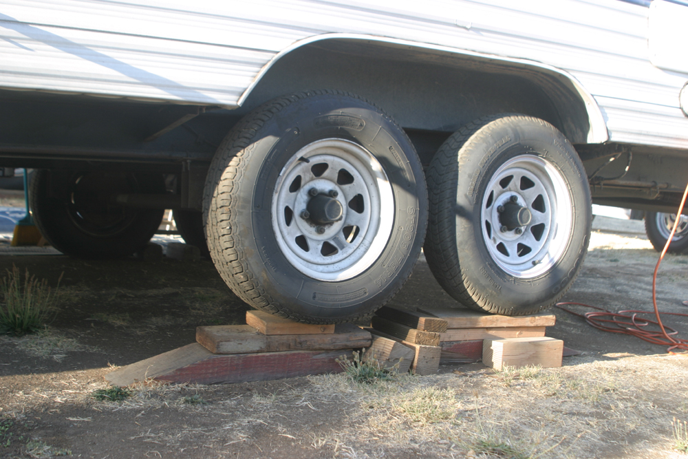
up required a little more effort than usual this time. I’m a bit farther up
the hillside than last year, so I had to block up the wheels on one
side. A 2 x 6 or a 4 x 6 are the most I’ve ever needed before, but
I had to put two more 2 x 6 boards on top of my 4 x 6’s to get the
trailer level this time. September
13: The other two times I was here, on the off day I headed
south on State Highway 49 to Drytown and Geography
lesson: State Highway 12 leaves US 101 at Santa Rosa, goes through
Napa, and heads west through the Central Valley north of the
Stockton Delta. It crosses Highway 99 at In a
few more miles, state highway 24 leaves 88 and soon passes through
the old gold rush town of Ione is
where I spent a couple of hours today, window shopping and
sightseeing. Actually, the first thing I did was check for a
wireless Internet connection, and I was able to get a free
connection and check my Email (there is an unreliable connection at I
walked around the three-block main business section of Ione, and
checked out the town park and a thrift shop. I only saw one antique
store, and it was closed. Next I ordered a pizza at the Pizza
Factory. If you ever find yourself hungry in a small town, look for
this franchise. With rare exceptions, they all provide excellent
pizza and good service. The population of the town is listed on the sign as 7,000, but it had the feel and appearance of a much smaller town – probably they are counting a lot of people in the nearby countryside. After passing through several much larger-appearing towns with populations of 2,000 to 4,000, I decided I must have misread the sign and Ione’s people number a little over 700. However, the California Department of Finance, Demographic Research Unit, lists Ione’s population as 7,617. I was
still full from breakfast when I got my pizza, so I brought it back
to The
weather has been excellent. It was 52 during the night, so it was
nice to snuggle down into the sleeping bag, quite a change from
sleeping without even a sheet all summer in They
are going to be showing a movie of a 1970s era bluegrass festival at
the stage area tonight, so I will probably wander over and check
that out, getting in the mood for serious bluegrass music for the
next three days. September
15: A day of music is behind us, with the second day starting in
about an hour and half. As always there were highs and maybe not
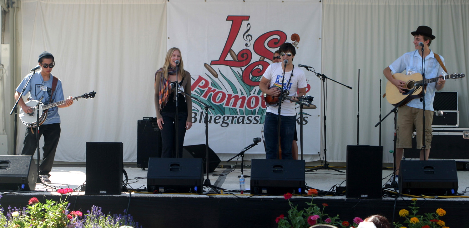
lows, but certainly mediums. The first four bands were part of the
“emerging artist” program – usually new young bands that play
for free. The reward for the winner is the opportunity to come back
next year and get paid, and to compete in the regional program at
the June Huck Finn festival for the chance to present a showcase at
the national IBMA convention in The
emerging bands were OK, some more than others. The best was the
Barefoot Nellies, who have played extensively in the Bay Area. The
one needing the most work was the Itchy Mountain Boys, four high
school seniors who have been playing together for only two years.
However, their female singer was the best female vocalist of the
whole bunch – she just did not sing lead enough. She could carry
the band until the others learn their instruments better. The
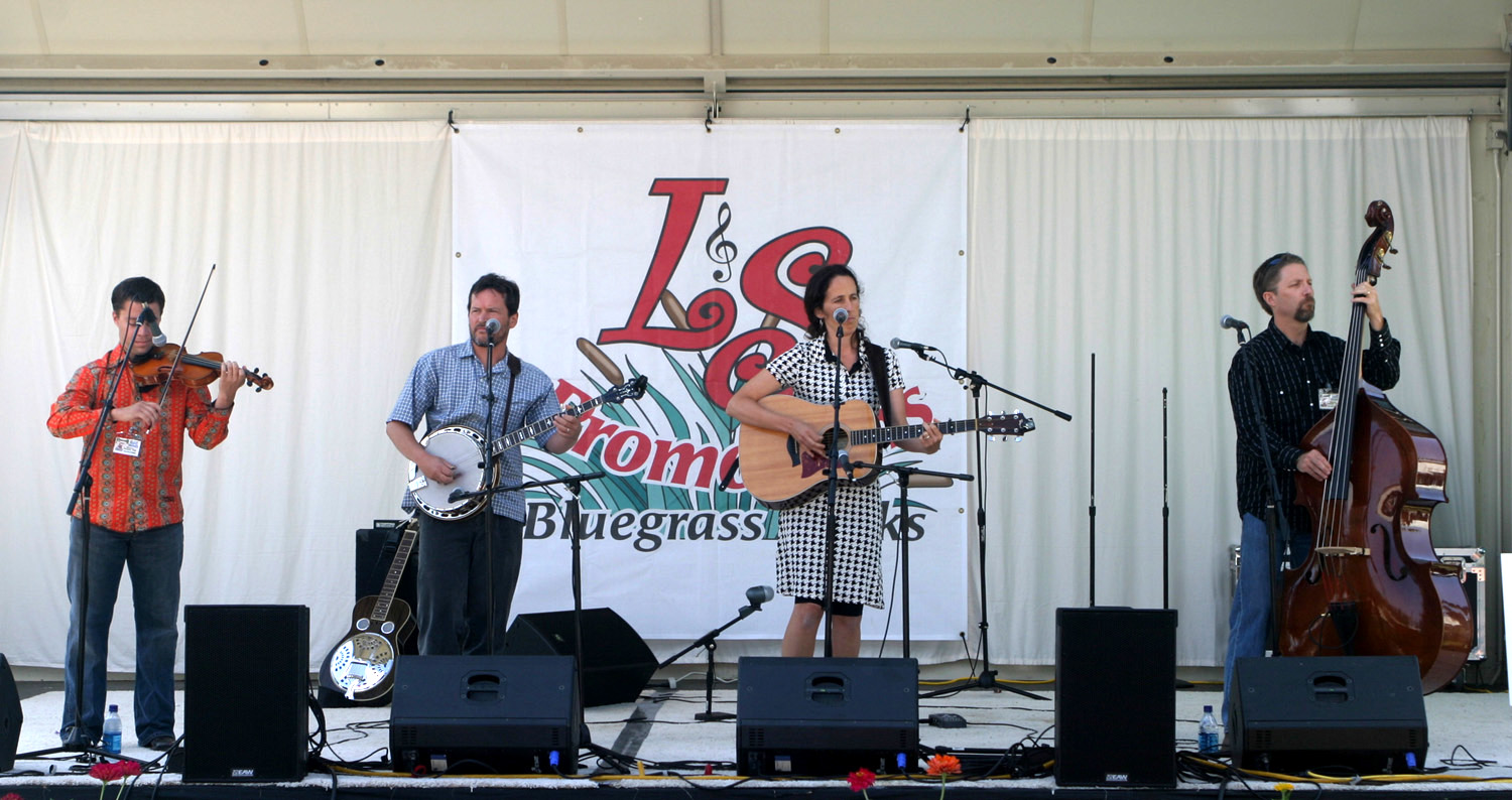
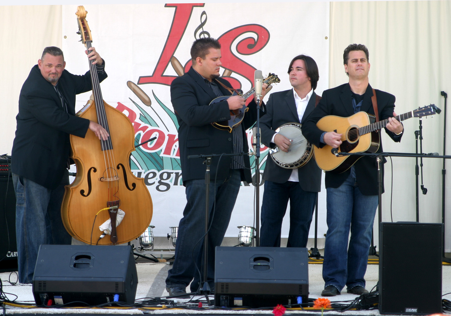
professional bands included some that were new to me and some I’ve
seen before. My favorite of the day was Nothin’ Fancy. I had read
about the band but had
not heard them that I know of (I have bluegrass on XM going in the
background a lot, but I’m not necessarily aware of what band is
playing). Anyway, they put on an entertaining show with music and
humor. Equally good was the Williams & Clark Expedition. They
are all long-time musicians, including a banjo player who worked
with Lester Flatt, and for ten years with Bill Monroe, and for a
number of years with Mike Snider. The
U.S. Navy Band was at the top of the pinnacle as always, although we
got some sad news – a couple of its members are getting ready to
retire. Hopefully, the second
best bass and guitar players in the Navy will step into their shoes. The
weather was cooperative, a bit warm during the middle of the day,
but with a good breeze all the time, and cooling off slightly by I’ve
been up long enough to shave, exercise and write this entry, now
I’ll have breakfast and be ready for much more music. September
16: It always seems I do pretty good writing every evening the
first couple of days, then get busy with the music, eating,
miscellaneous camping chores, etc., and don’t write again till the
festival is over. This time is no exception. Saturday started out
with The Mighty Crows, last year’s emerging artist winner. They
were good, nothing special. The new
bands for Saturday were The Bladerunners, IIIrd Generation, My favorite was
Sawmill Road, which includes several musicians I am familiar with. Lead singer
Steve Spurgin is a well-known singer-songwriter. Banjo player Dick
Brown was a long time member of one of my favorite bands, Today’s
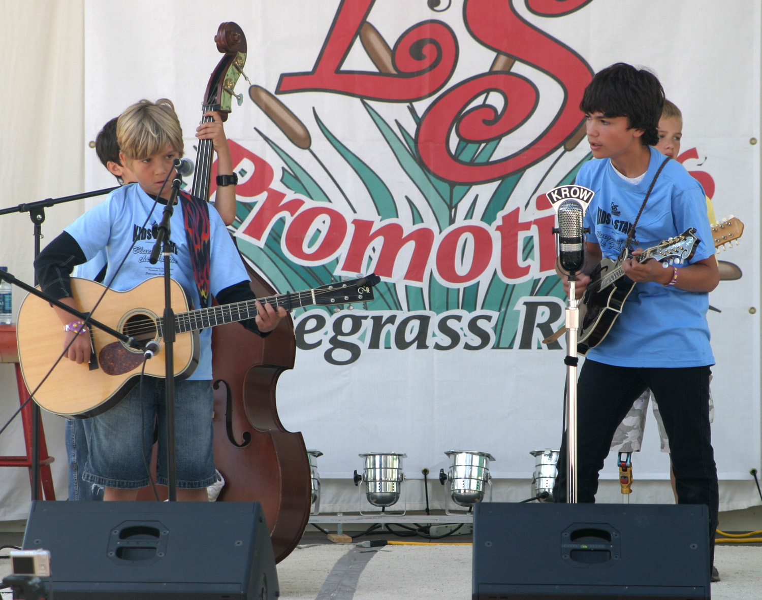
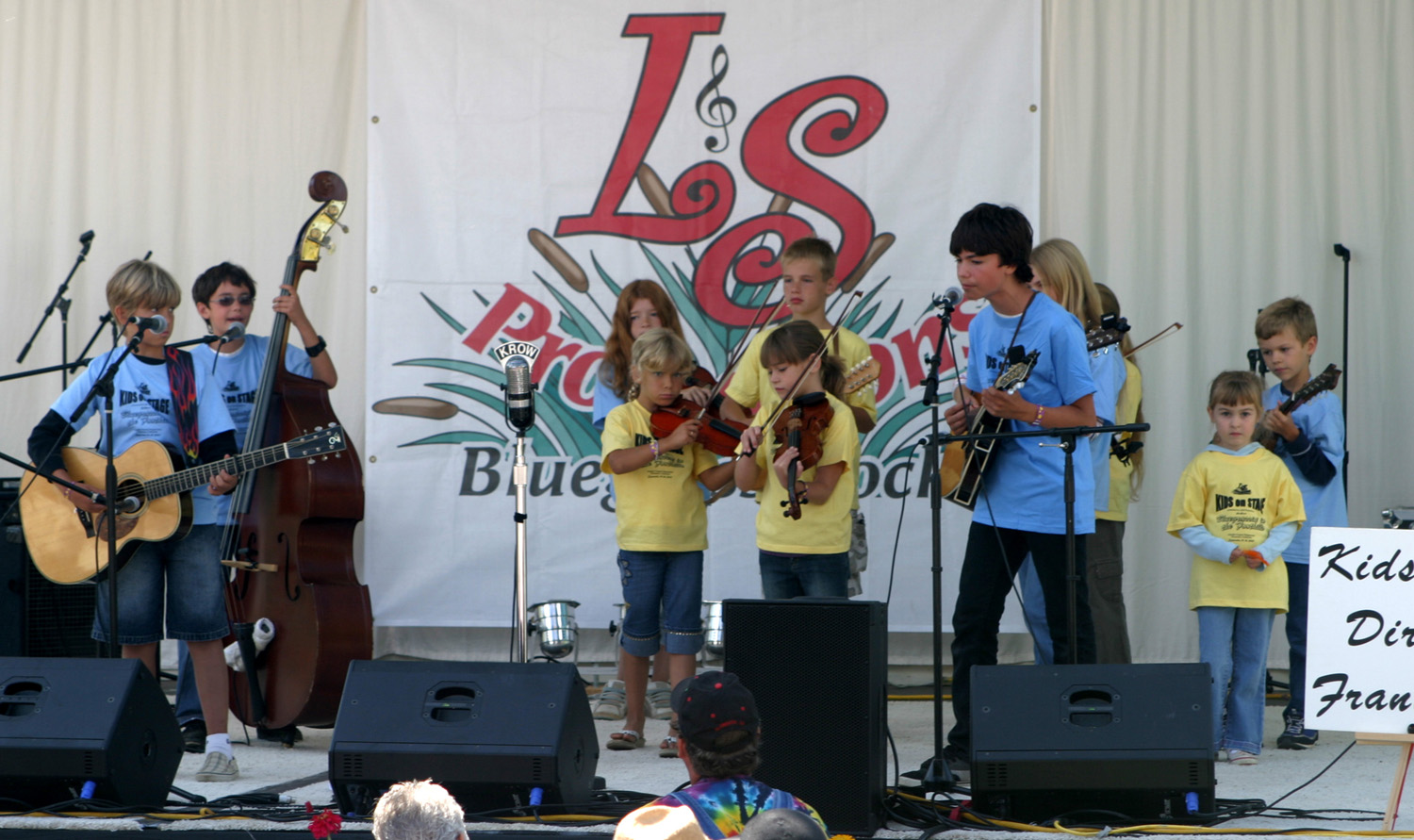
(Sunday) highlight was Kids on I
had a pleasant surprise yesterday. I was watching the morning show
when I heard my name called – and there was Bryce Green, a member
of my high school class. Like most of my classmates, I’d seen him
only once or twice over the 50 years since we finished high school,
but we’d talked briefly at a funeral several months ago, and
discussed bluegrass at our 50 year reunion in June. He and his wife,
Alma Rhoan Green, had gone to their first bluegrass festival in
February, and had a good time. I told them about this festival and
encouraged them to attend. Their schedule made it impossible to
decide in advance, and they were able to come only for Saturday. We
had a good visit, had dinner together, and agreed that we should
return next year. September
17:
More geography: California Highway 49 is known as the
Golden
Chain Highway,
and
also as the
Mother
Lode Highway.
It
more or less parallels the Mother Lode, which is a mile wide network
of gold-bearing quartz that runs from Mariposa, 120 miles north to This
area in the Sierra foothills produced millions and millions of
dollars worth of gold, starting with the I’ve traveled most of Highway 49, never all at once, and most of it not recently. Until about 1960 the southern terminus was Mariposa; at that time the road to Oakhurst was improved and became the final segment of the Golden Chain. Highway
49’s northern beginning is at Vinton on Highway 70 in
Plumas
Today
I went south on Highway 49 from
Plymouth
to
Columbia,
a
state park and one of the state’s best preserved gold rush towns.
Columbia
is
also not actually on the highway; it’s about two miles to the
northeast, and less than ten miles from
Sonora,
the
county seat of
Tuolumne
Before
arriving here I went through the
Amador
The
highway bypasses the main street of many of these towns, and there
is a new bypass that completely misses
Amador
I
stopped in Mokelumne Hill and walked down the old main street, but
this is pretty much a ghost town. I chatted briefly with an old
gentleman who seemed to be the proprietor of a junk shop; he and a
man working in his yard were the only citizens visible. There were
some men working with a backhoe, and a At
San Andreas I stopped and got lunch at a Subway, then drove on down
the road to a better stopping place to eat. I finished the day’s
drive, about 60 miles, just at After
getting set up, I drove the half mile to downtown
Columbia,
and
did the tourist thing for a couple of hours. There are several
eating places, souvenir shops, and a candy store now operated by
fourth generation owners, where I invested in some almond bark and
peanut brittle. I
made a few other purchases, mostly edible, had an ice cream while
sitting on a shady bench, visited the old school house (a half-mile
drive up a hill) then came back to the trailer for some reading, a
short nap, and work on this report. We have free wireless internet
access here, so I shall now go on line and delete the dozens of junk
Emails that have no doubt piled up since Thursday. September
18:
Today I continued down Highway 49 to Mariposa, where I’m camped at
the fairgrounds (they offer RV hookups when there are no conflicting
events). I was going to go home, then go to Mariposa from
Fresno
Thursday, but decided to come straight here and get in an extra day
of work in Mother’s house. Tomorrow my younger daughter and her
husband, Rod & Jennifer, will come over after work and we’ll
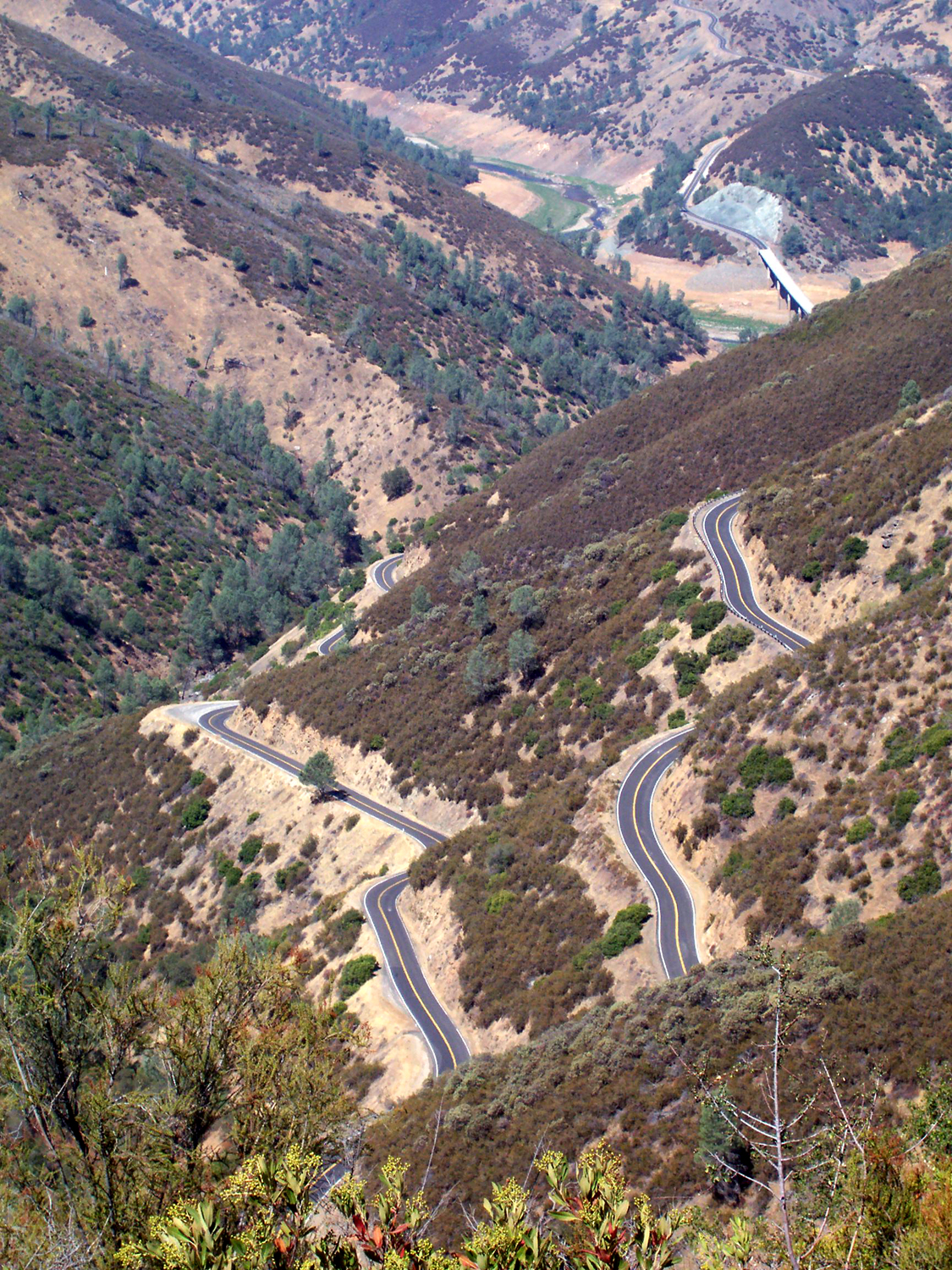
have Jennifer’s birthday dinner, five days early. Highway 49 is never a high speed road, but the middle part of today’s trip has the reputation of being exceptionally slow, narrow, and winding, and it certainly was that. Of course, I have driven over it before, but never with a trailer. Once
I left
Columbia
and
got past
Sonora
and
Jamestown,
I
went through the smoothest part of the entire trip as far as travel was
concerned – there is a stretch of about ten miles that goes
through a wide, rolling valley, with gentle curves and speeds of 55 However,
once the road descends to the
Tuolumne
This
was once a station stop on the long defunct railroad from
Once
the dam was raised, the old bridge was flooded out, along with what
little remained of the town, and a bridge now crosses high above the
water. It's impossible to even tell where the camping area was. On
the south side of the bridge is the start of
Bagby Grade, the steepest and most winding section of all, a few
miles up out of the canyon to
Bear
I
made a number of stops along the way, the most interesting of which
was near the top of Bagby Grade. When I was a kid I had been told
that there was a place on the grade where you could see into Since
my dad worked at that mine in the 1940's, I walked down the
weed-grown dirt road to the mine site to see what I could see.
Nothing remains but some concrete foundations and piles of dirt, but
in its day, it gave up a large amount of gold. It was originally
owned by John C. Fremont, who had his headquarters nearby at Bear
Valley. I
traveled the much straighter and faster final 15 miles or so to my
destination with no further stops, arriving around --Dick Estel, September 2007 |
||
 |
 |
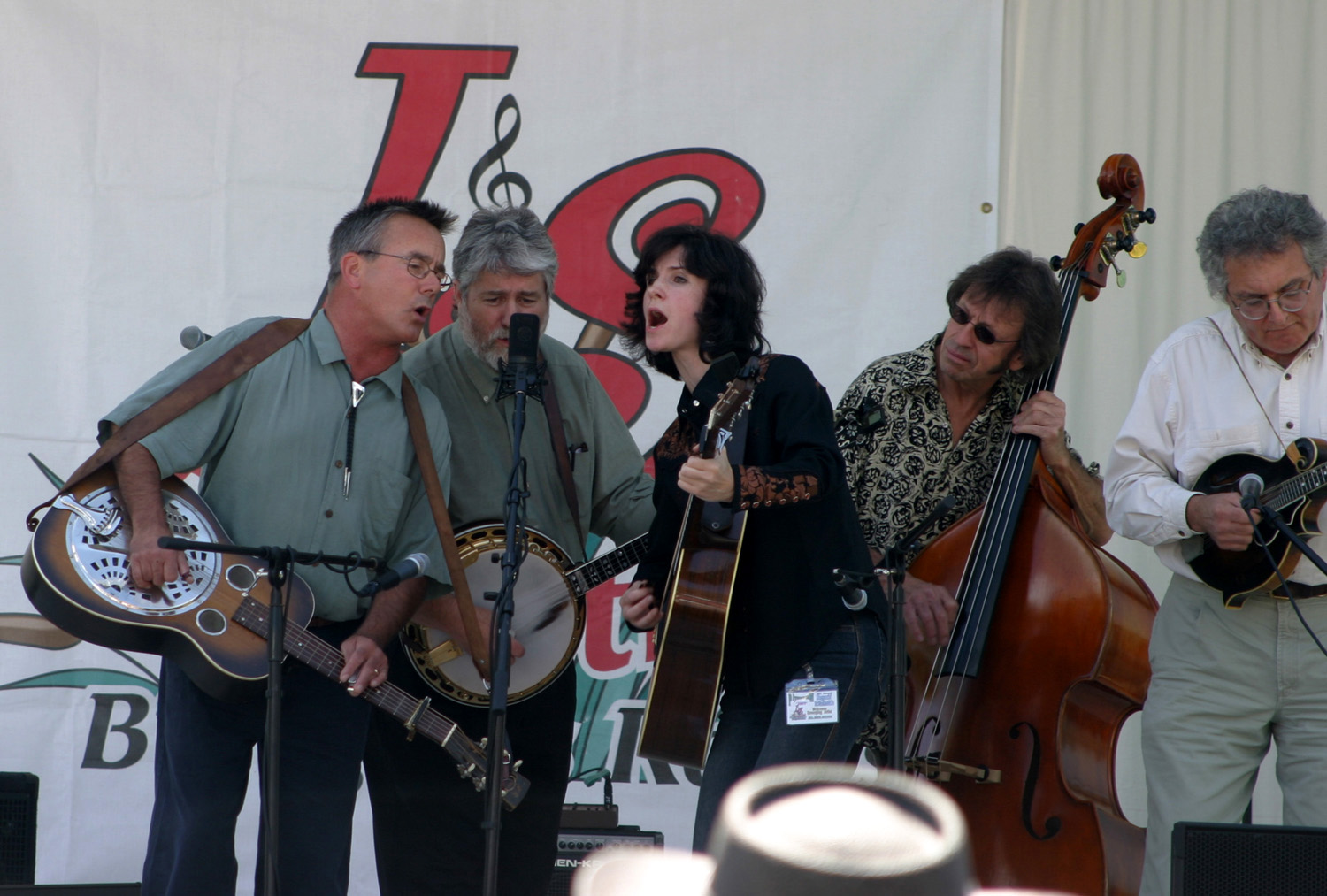 |
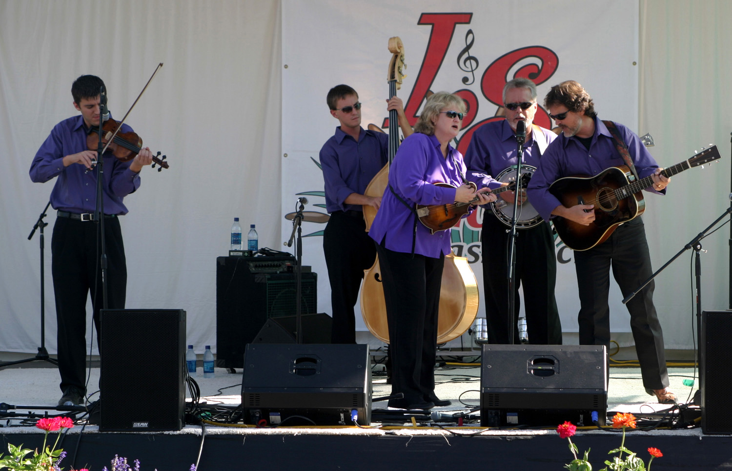
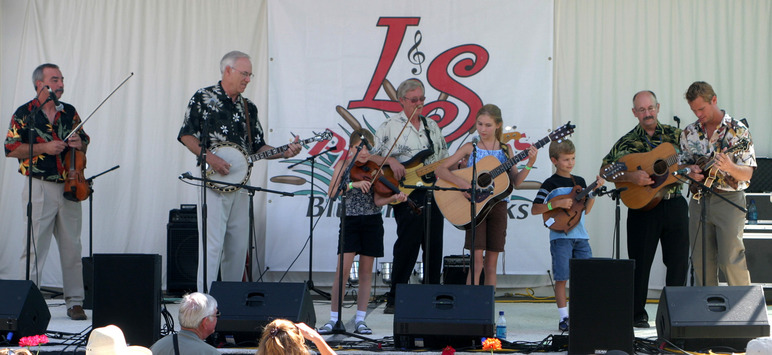
| Itchy Mountain Boys | Rita Hoskings & Cousin Jack | Julay Brooks & the Nightbirds |
 |
 |
 |
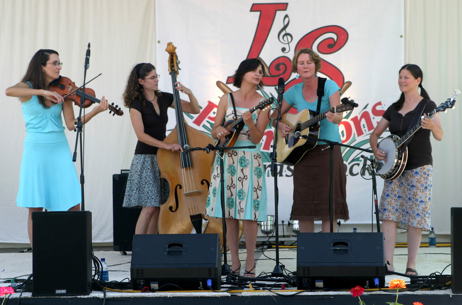
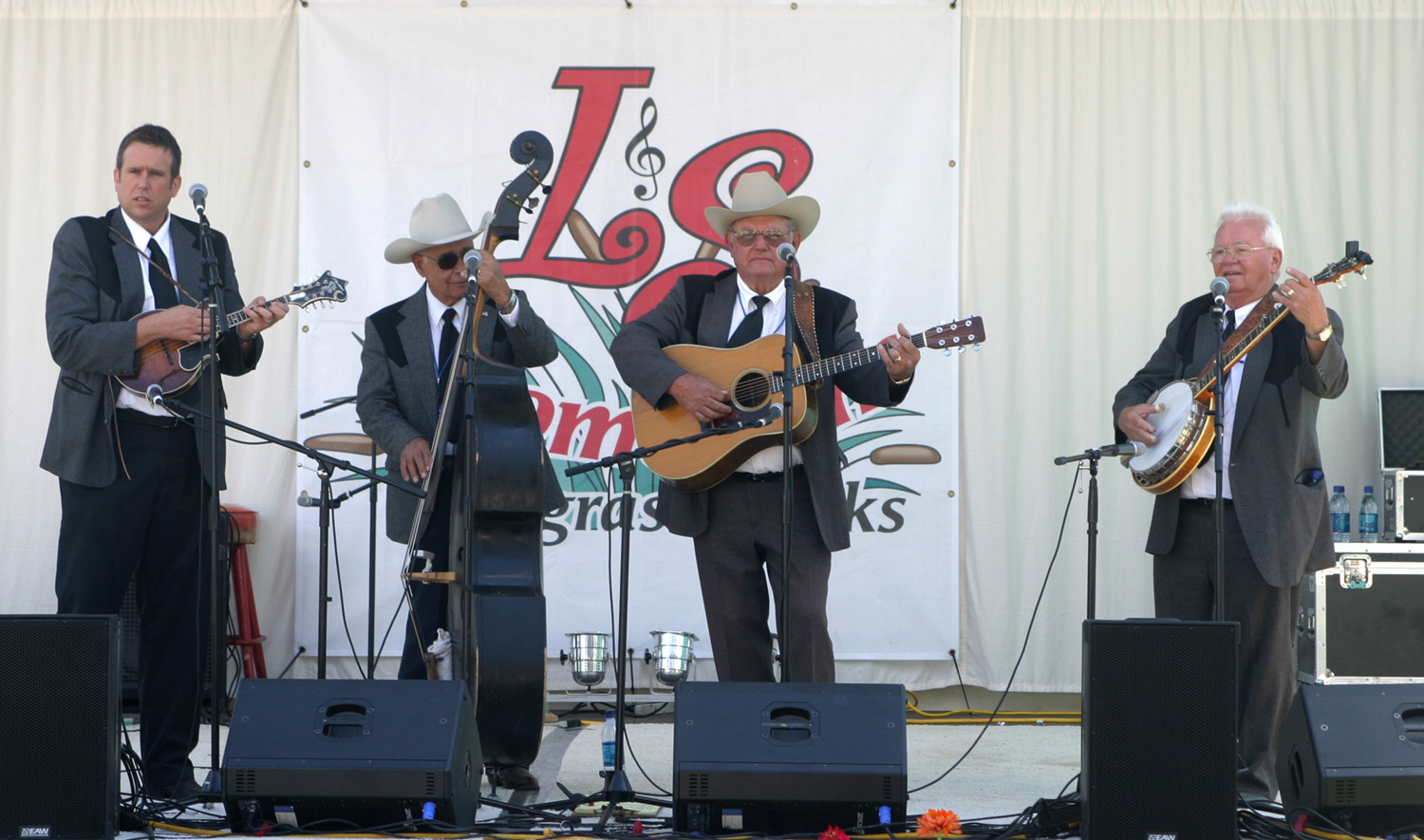
| Barefoot Nellies | Williams & Clark Expedition | The Mighty Crows |
 |
||
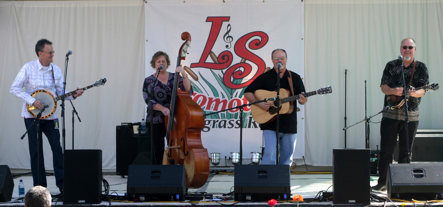
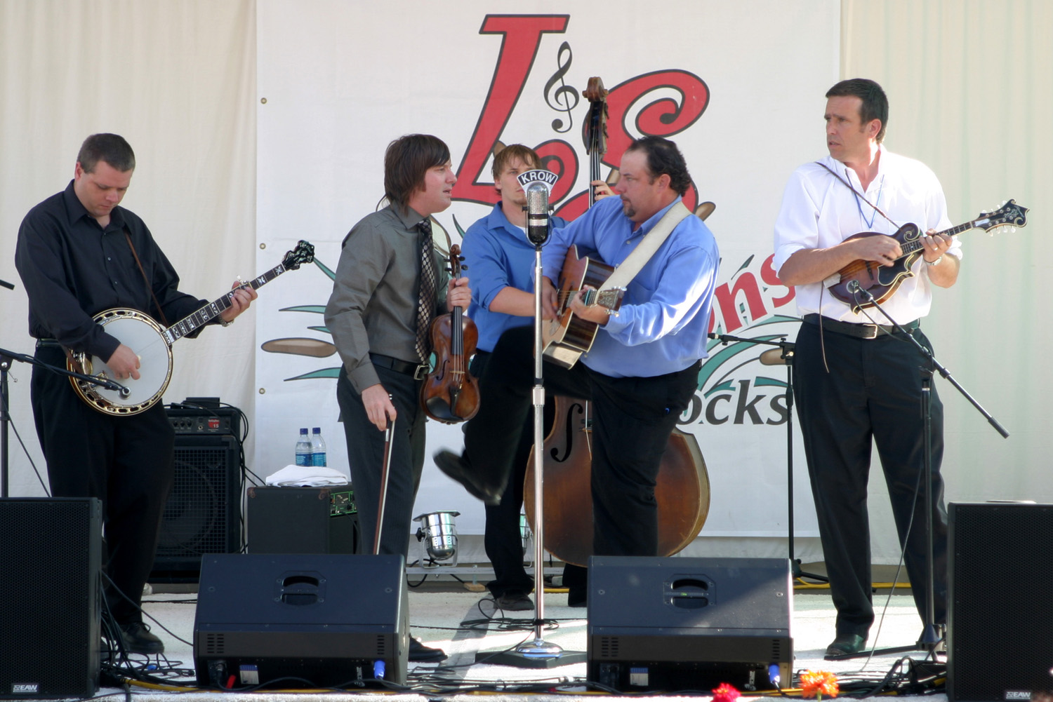
| Lorraine Jordan & Carolina Road | ||
 |
 |
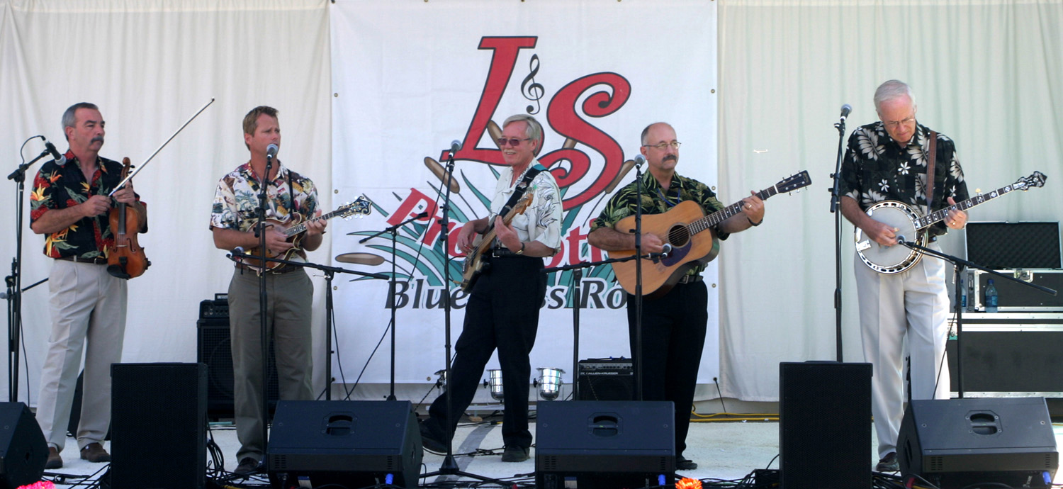 |
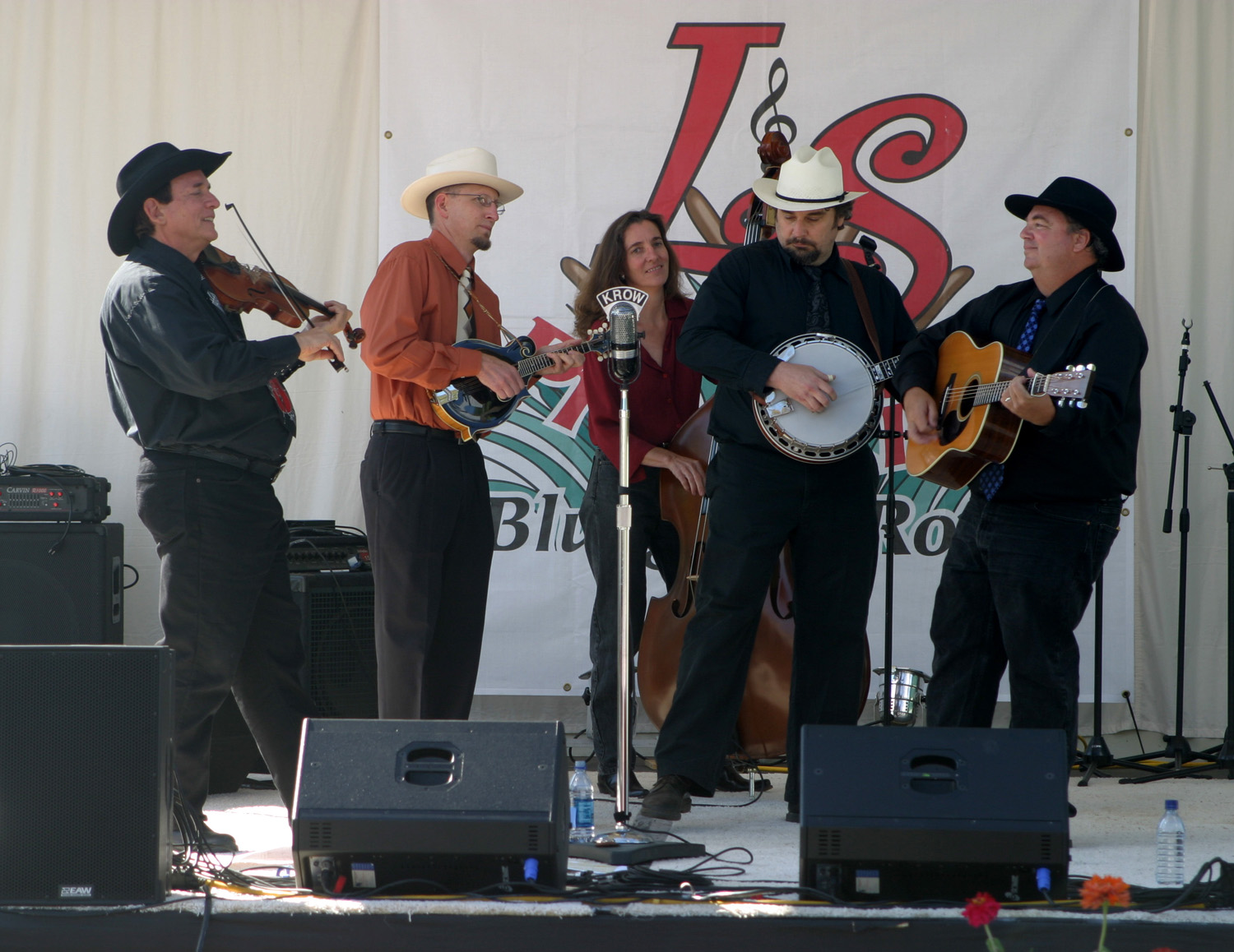
| Nothin' Fancy | Flint Hill Special | Sawmill Road |
 |
 |
 |
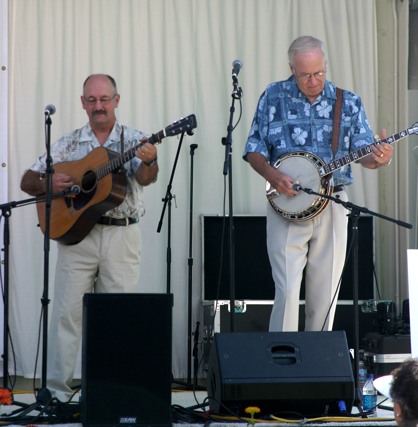
| Charlie Edsall & Dick Brown of Sawmill Road | Sawmill Road & the Anderson Kids | U.S. Navy Band |
 |
 |
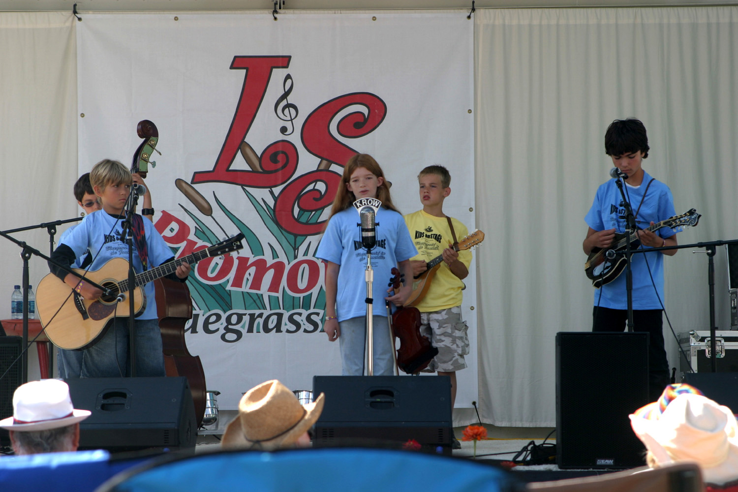 |
| Navy Band with Carl Spagter | IIIrd Generation | Kids on Stage (Meagan) |
 |
|
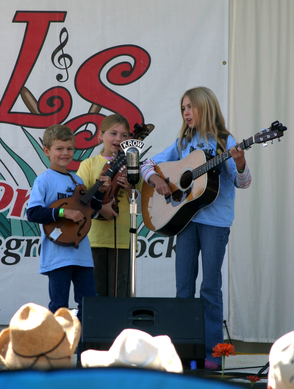 |
| Kids on Stage (Marty) | Marty & Nate tear it up | Anderson Kids |
 |
 |
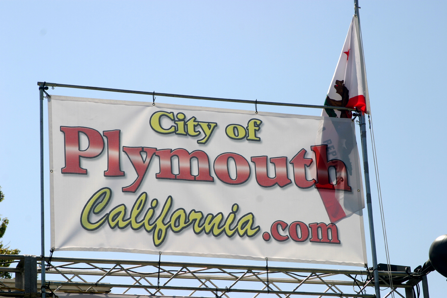 |
| Kids on Stage encore | The Bladerunners | City of Plymouth sponsorship sign |
 |
 |
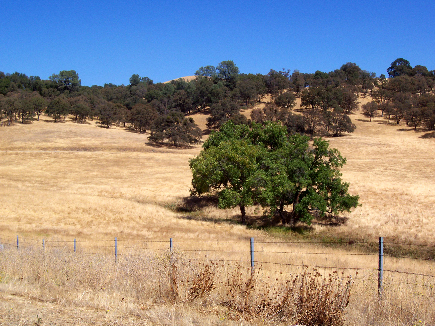 |
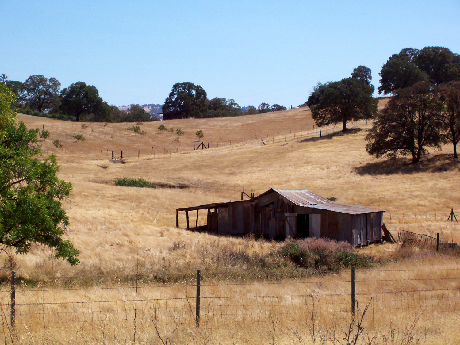
| Big Block Trailer | Old shed on Highway 24 northeast of Ione | Countryside between Ione & Plymouth |
 |
|
 |
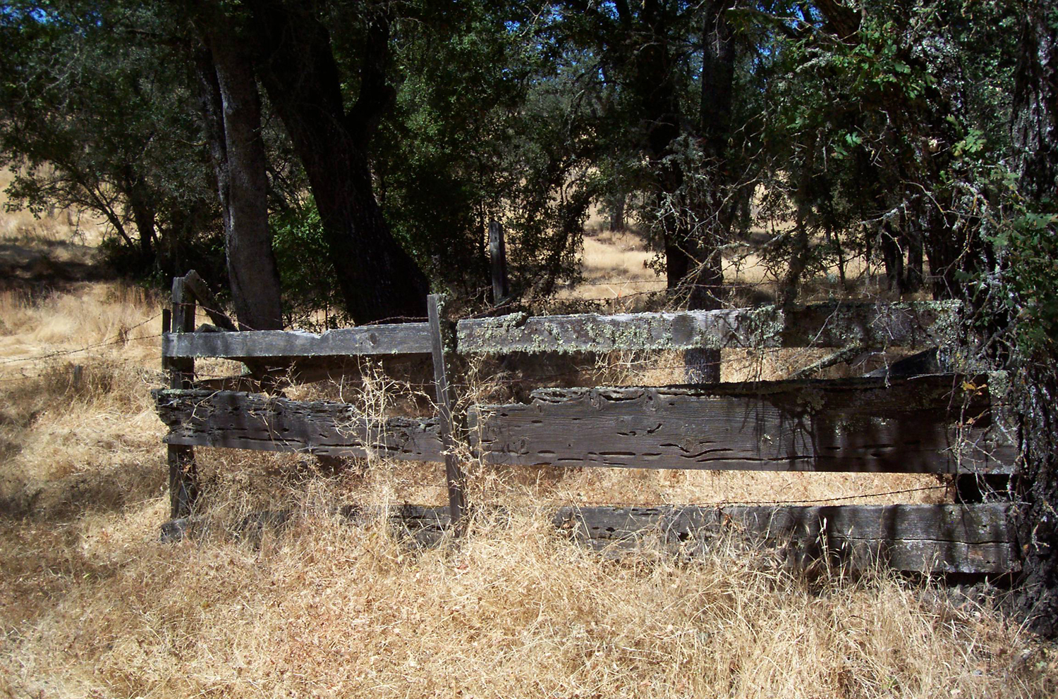
| Old fence at the edge of Plymouth beside Highway 49 |
Old Dodge Brothers truck finds the end of the road in Mokelumne Hill |
Columbia opts for a slower pace |
 |
 |
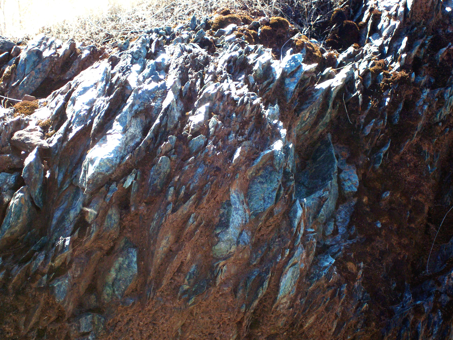 |
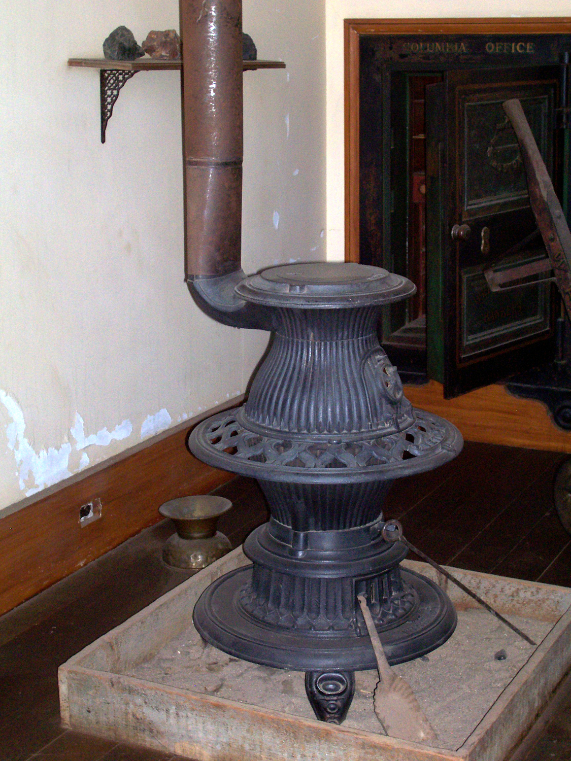
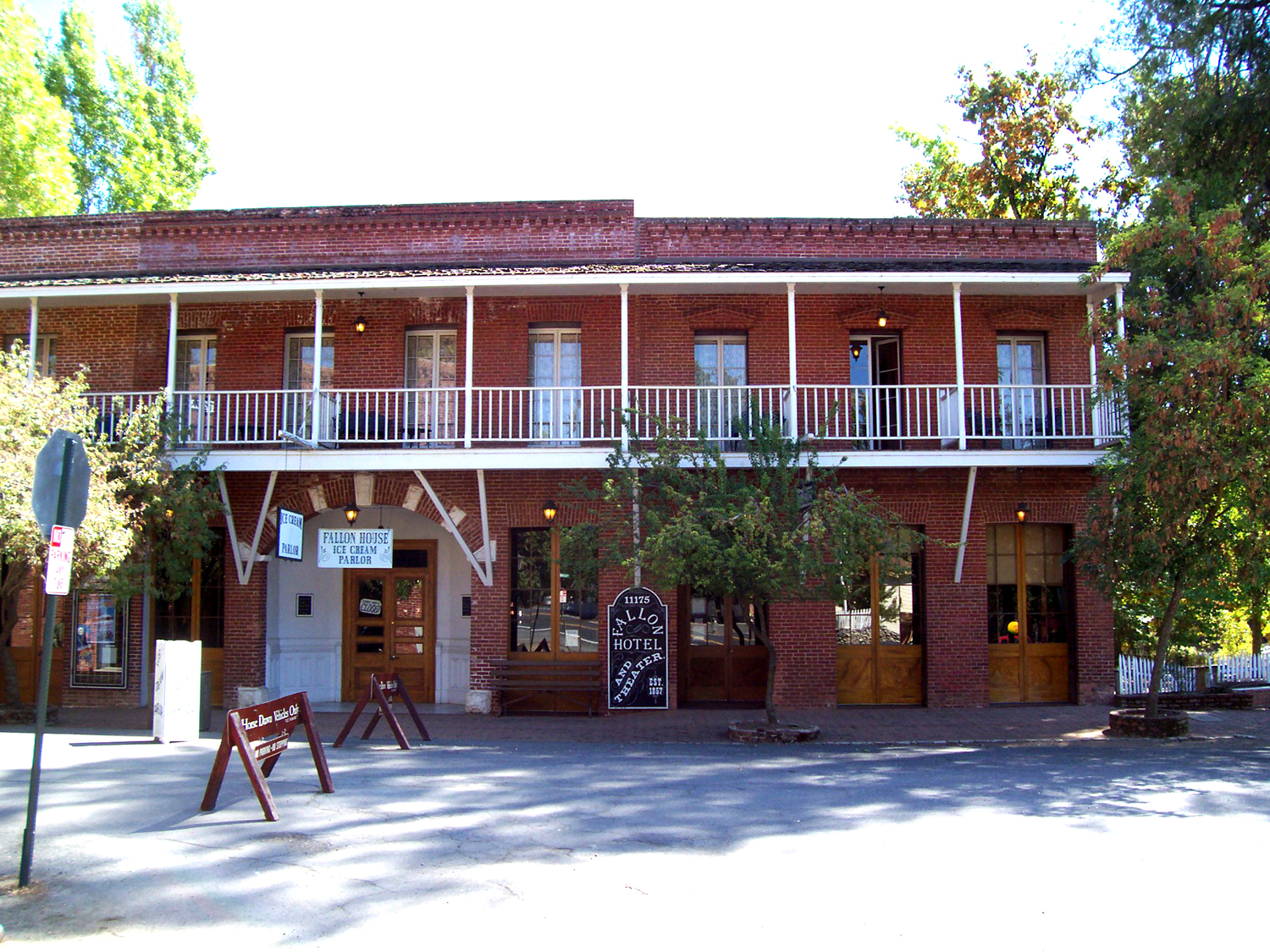
| Inside the Wells Fargo office in Columbia | The Fallon Opera House | Mariposite rock outcropping by Highway 49, between Coulterville & Bagby |
 |
 |
 |
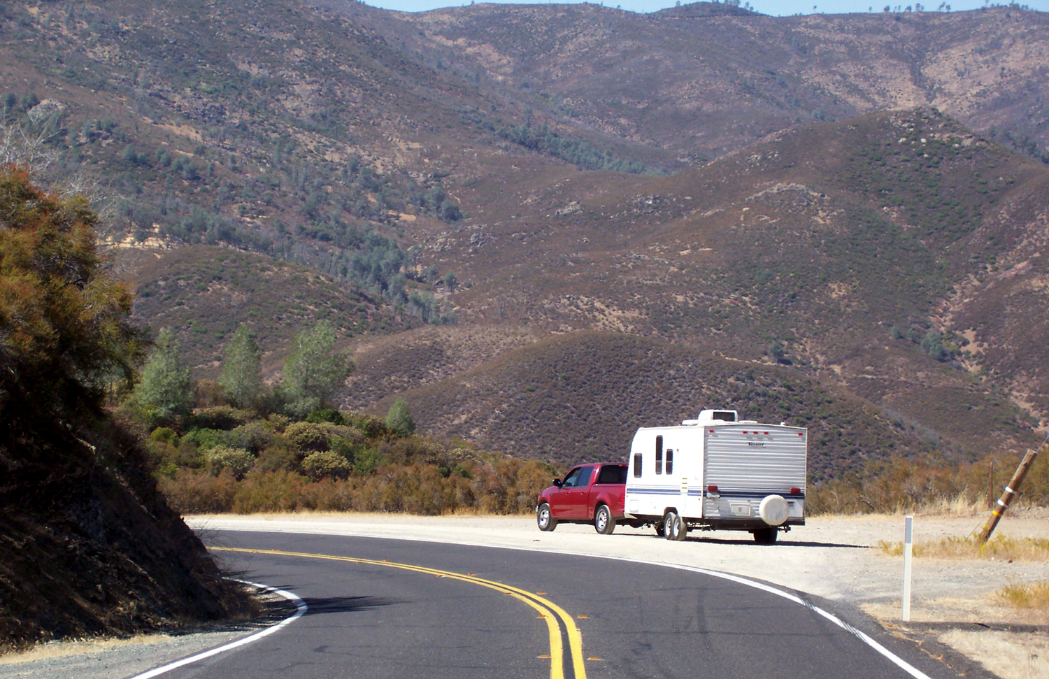
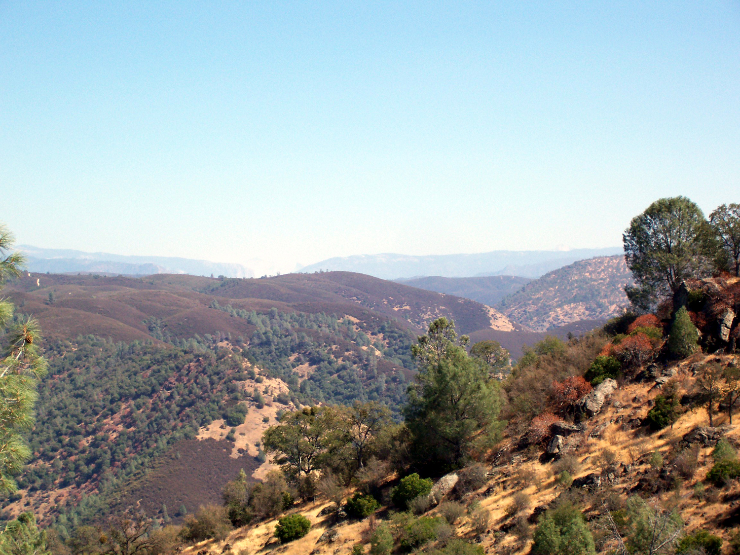
| Dick's truck & trailer by Highway 49 | View of the Merced River Canyon, Yosemite Valley in the distance |
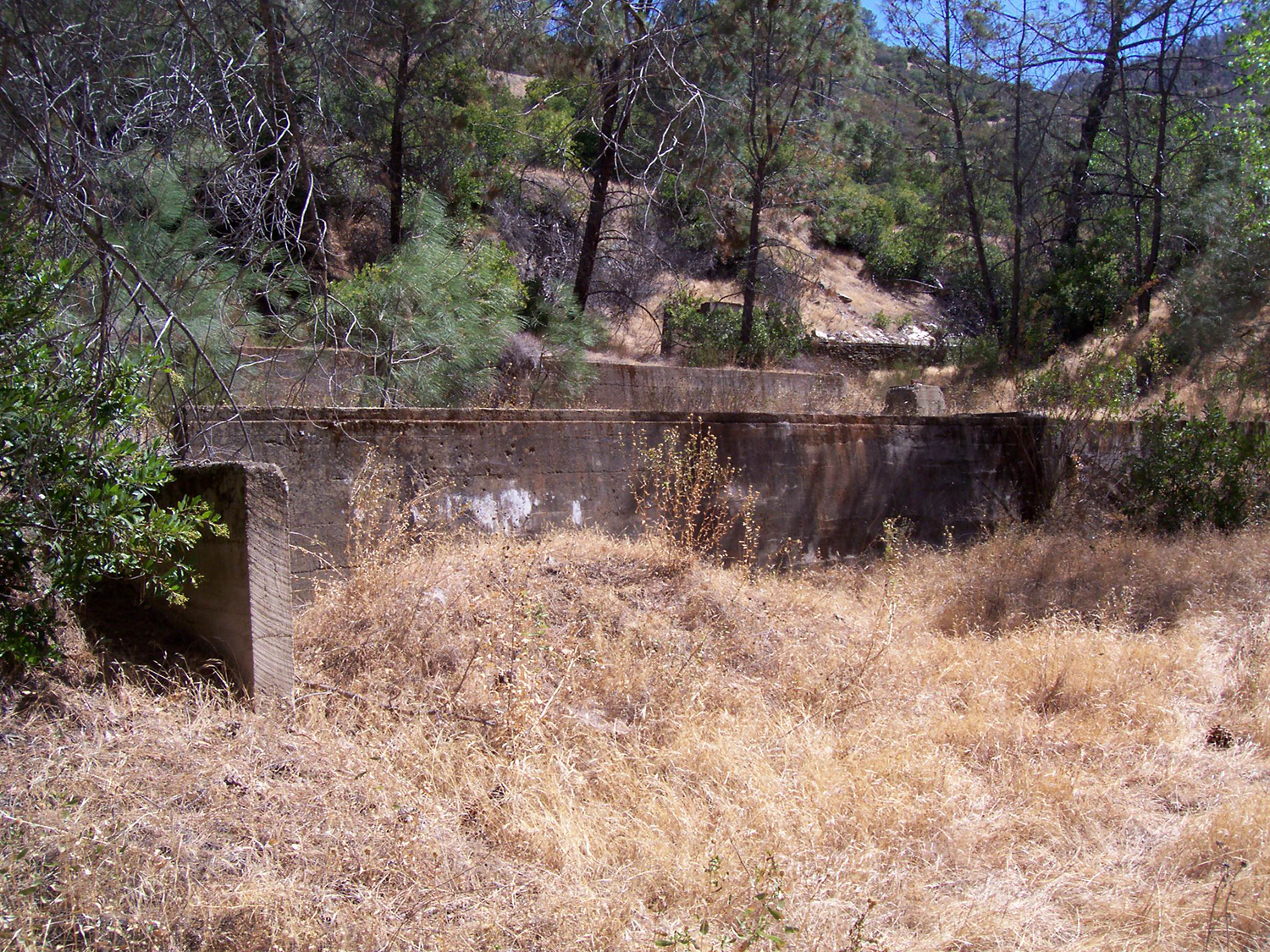
Concrete & rock work at the site of the Pine Tree Mine |
|
||
| The notorious Bagby grade; new bridge visible in the distance |
||
| Lorraine Jordan & Carolina Road | Williams & Clark Expedition | Nothin' Fancy |
| The Mighty Crows | Highway 49 | Mother Lode |
| Columbia | Columbia State Park | California Gold Rush |
| Plymouth | Mokelumne Hill | Jackson |
| San Andreas | Angel's Camp | The Celebrated Jumping Frog |
| Sonora | Jamestown | Mariposa |
| Dick's Bluegrass Links | Coulterville | Another Mariposa Site |
| Bagby | Bagby Again | More About Bagby |
| Yosemite Valley Railroad | More about the Railroad | |