Clovis Trail Walks |
||
| New photos here May 4 and here July 6, 2025 (captions in red) | ||
|
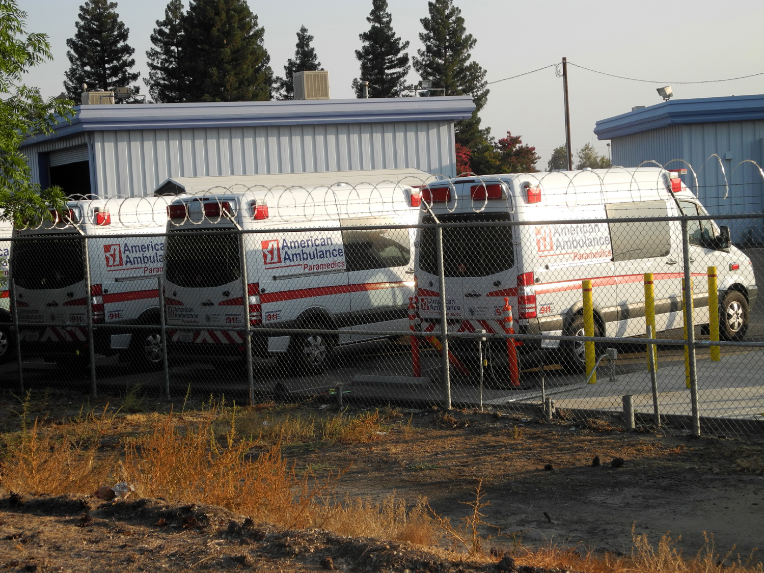
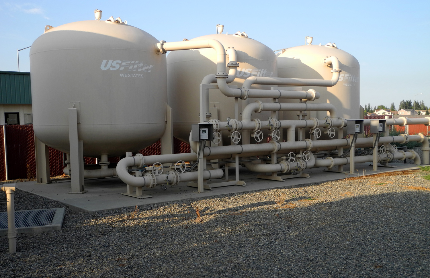
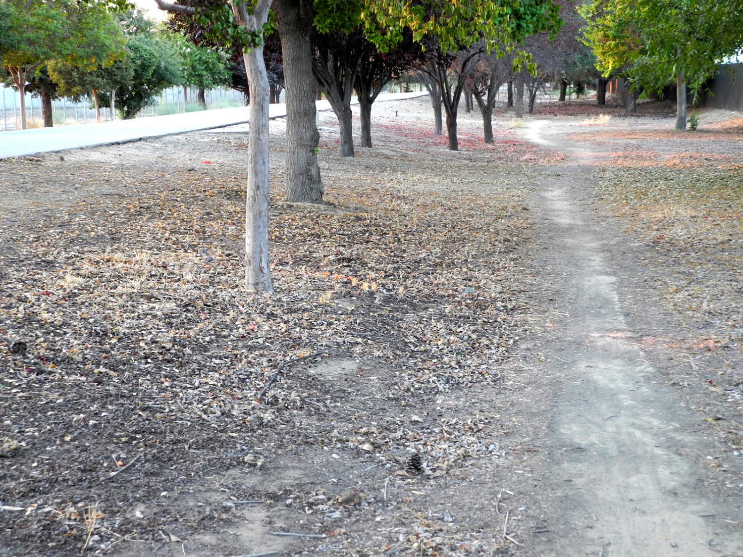
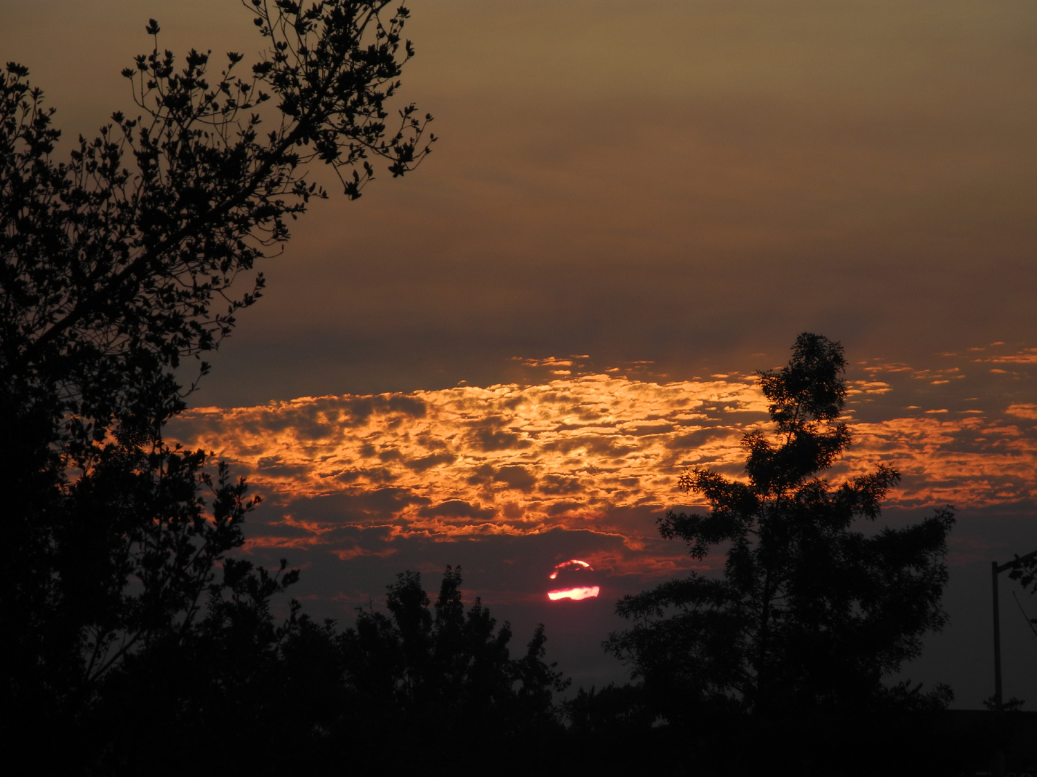
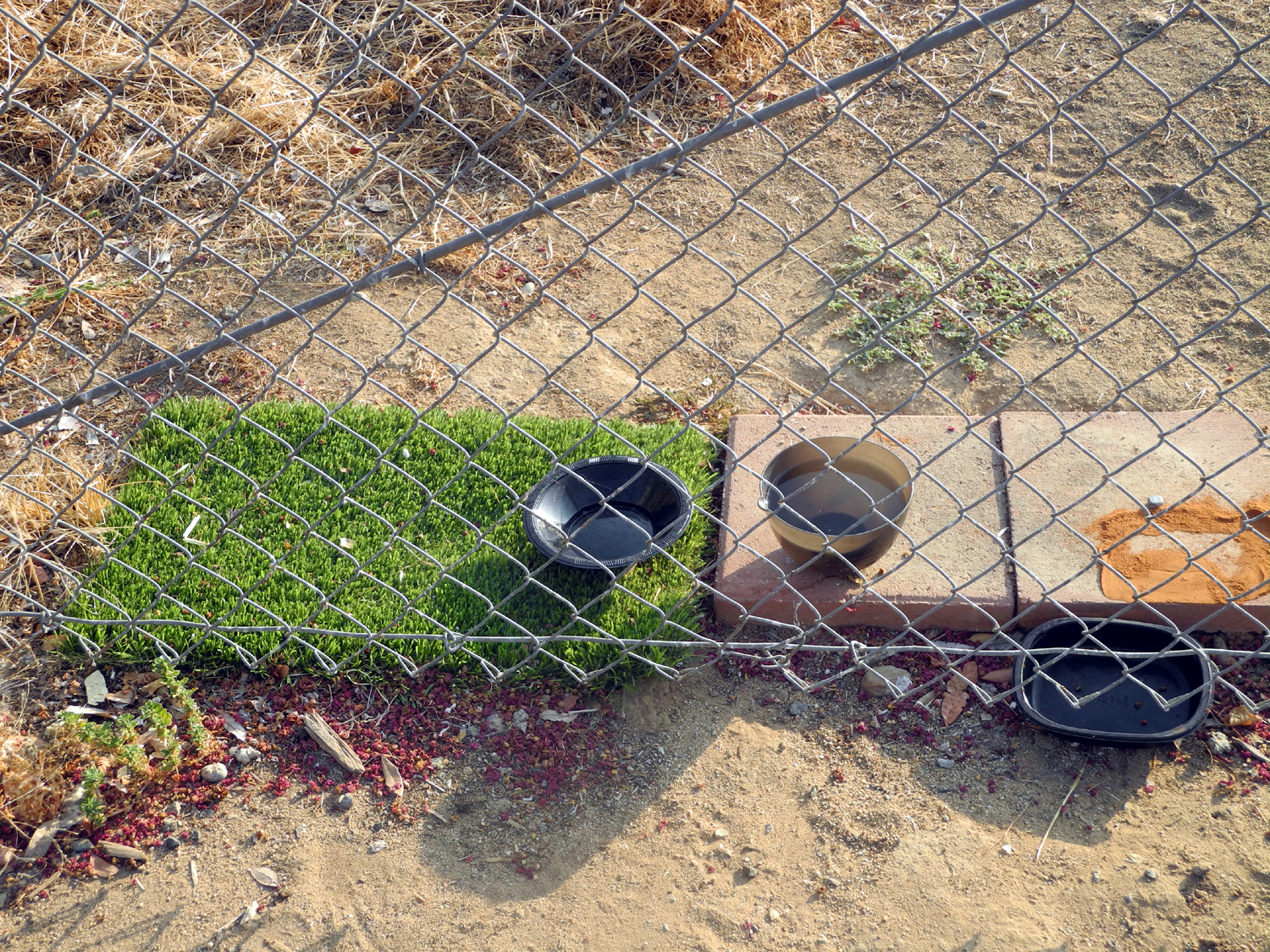
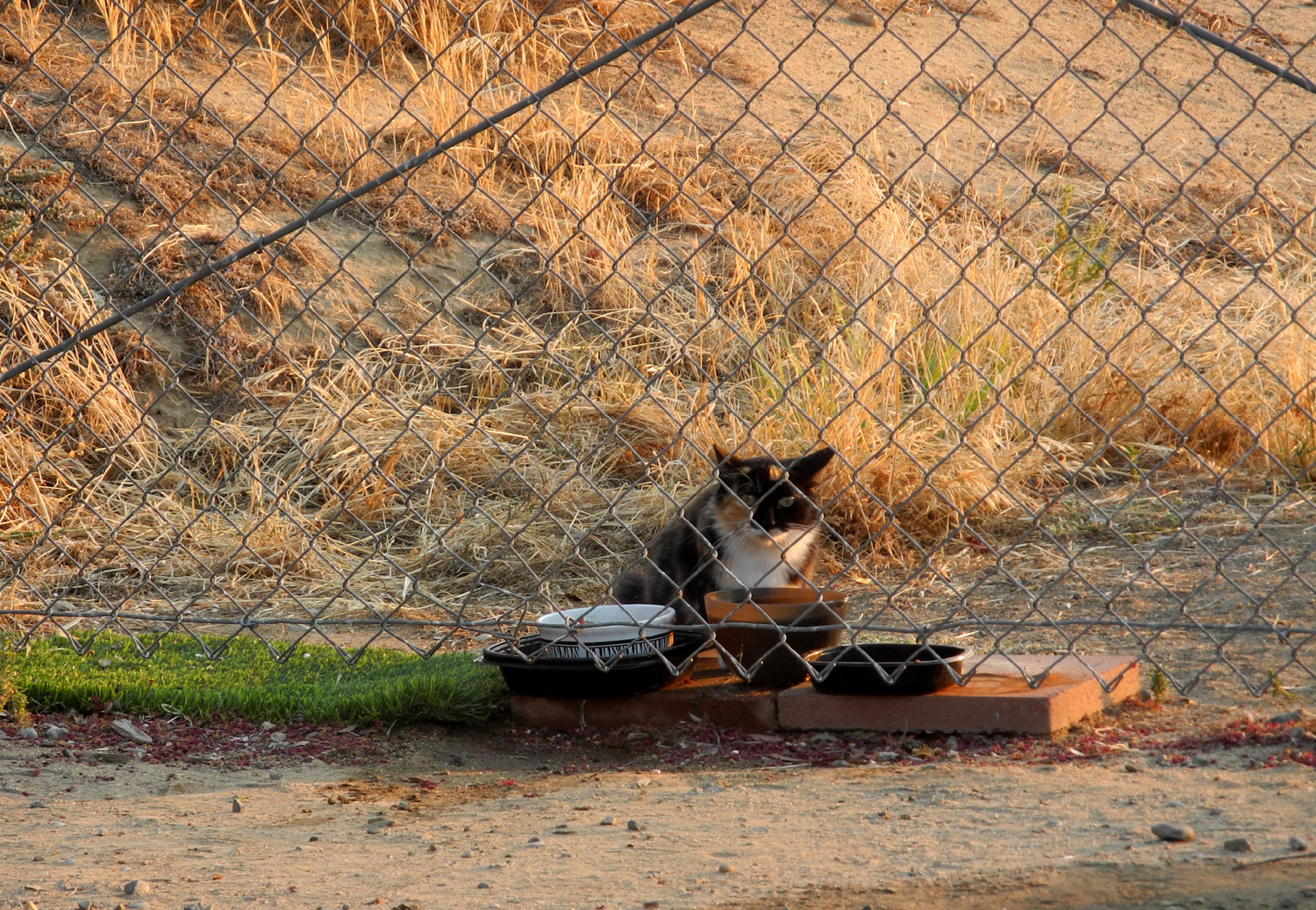
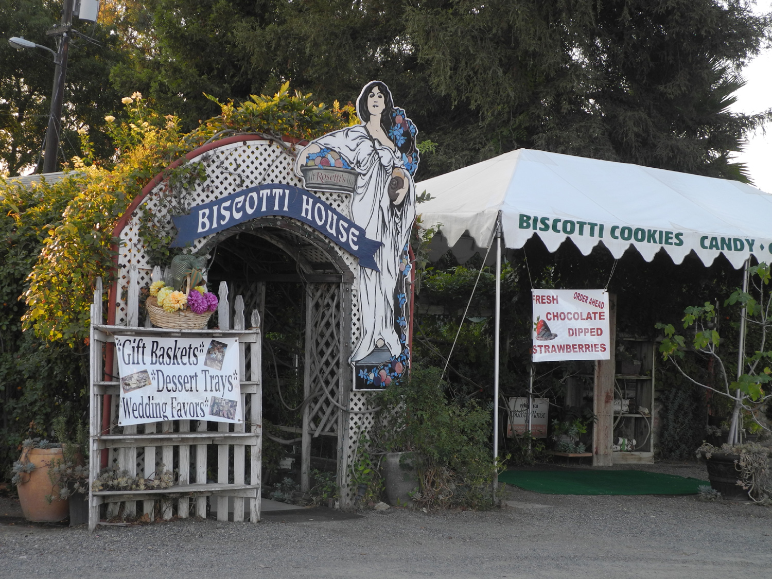
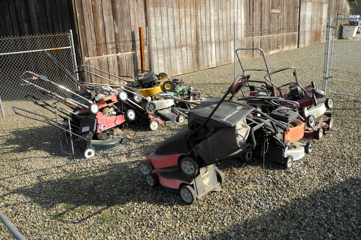
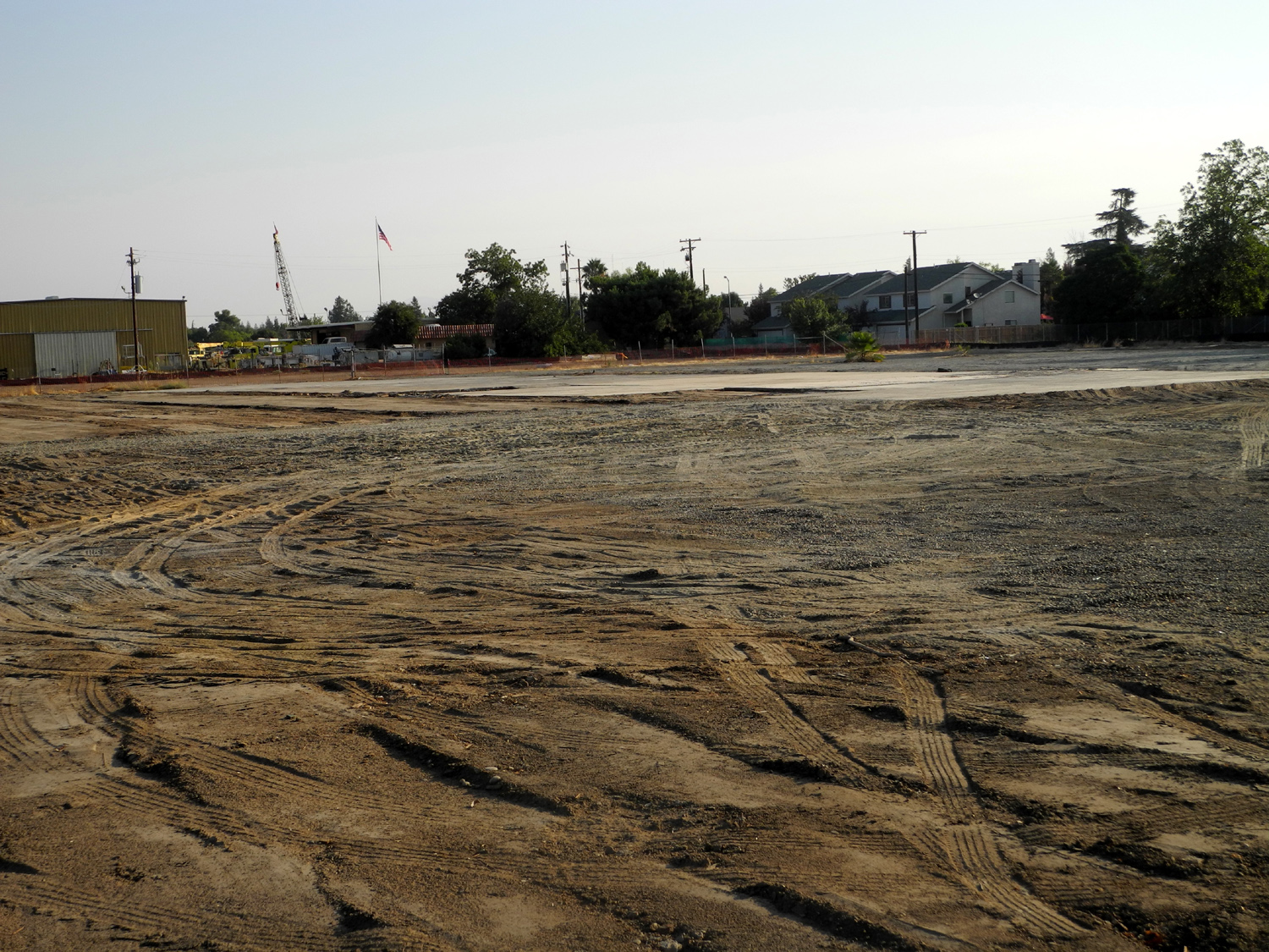
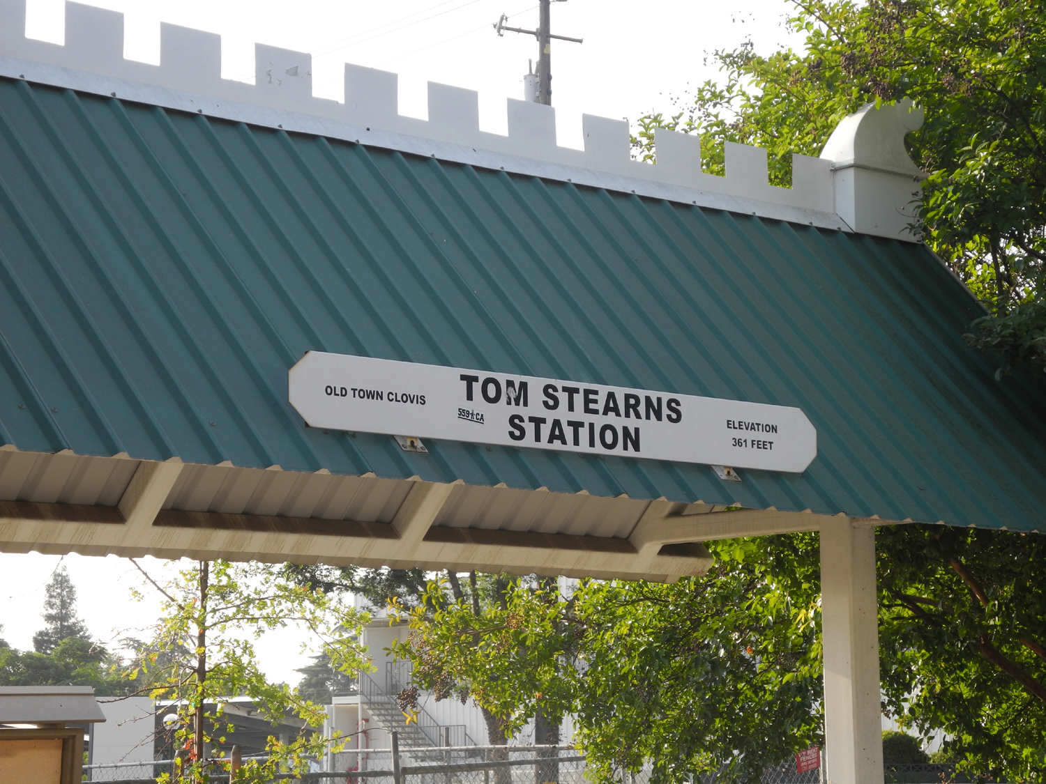
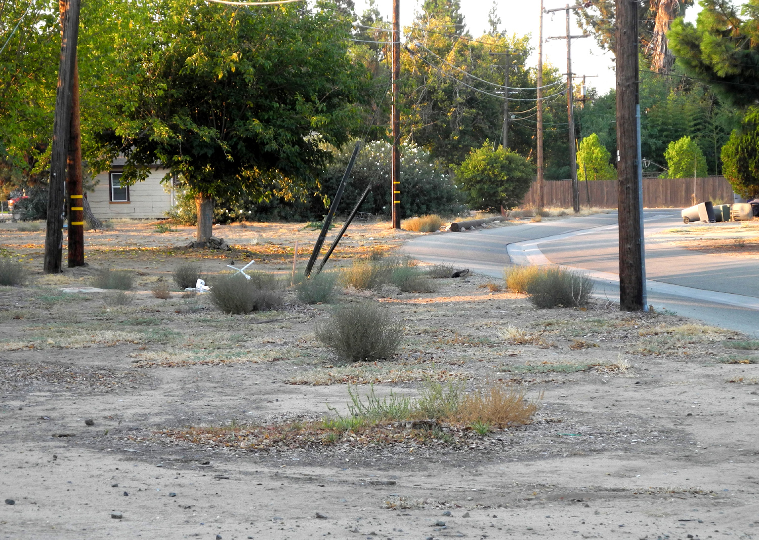
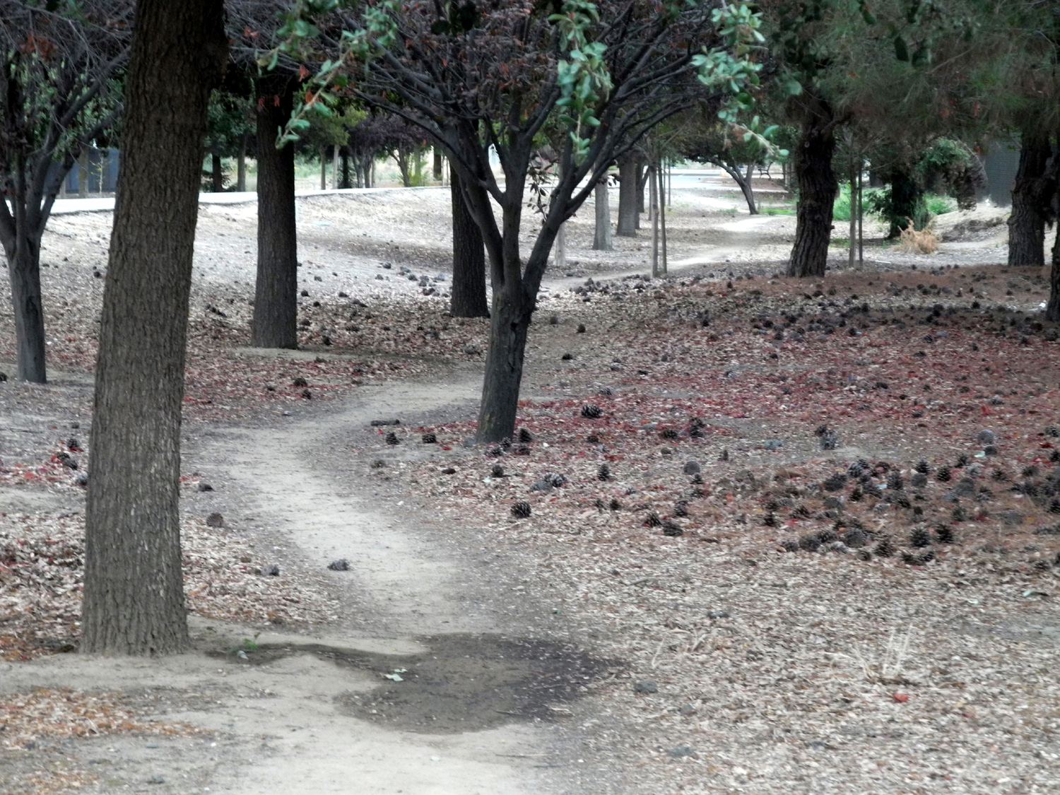
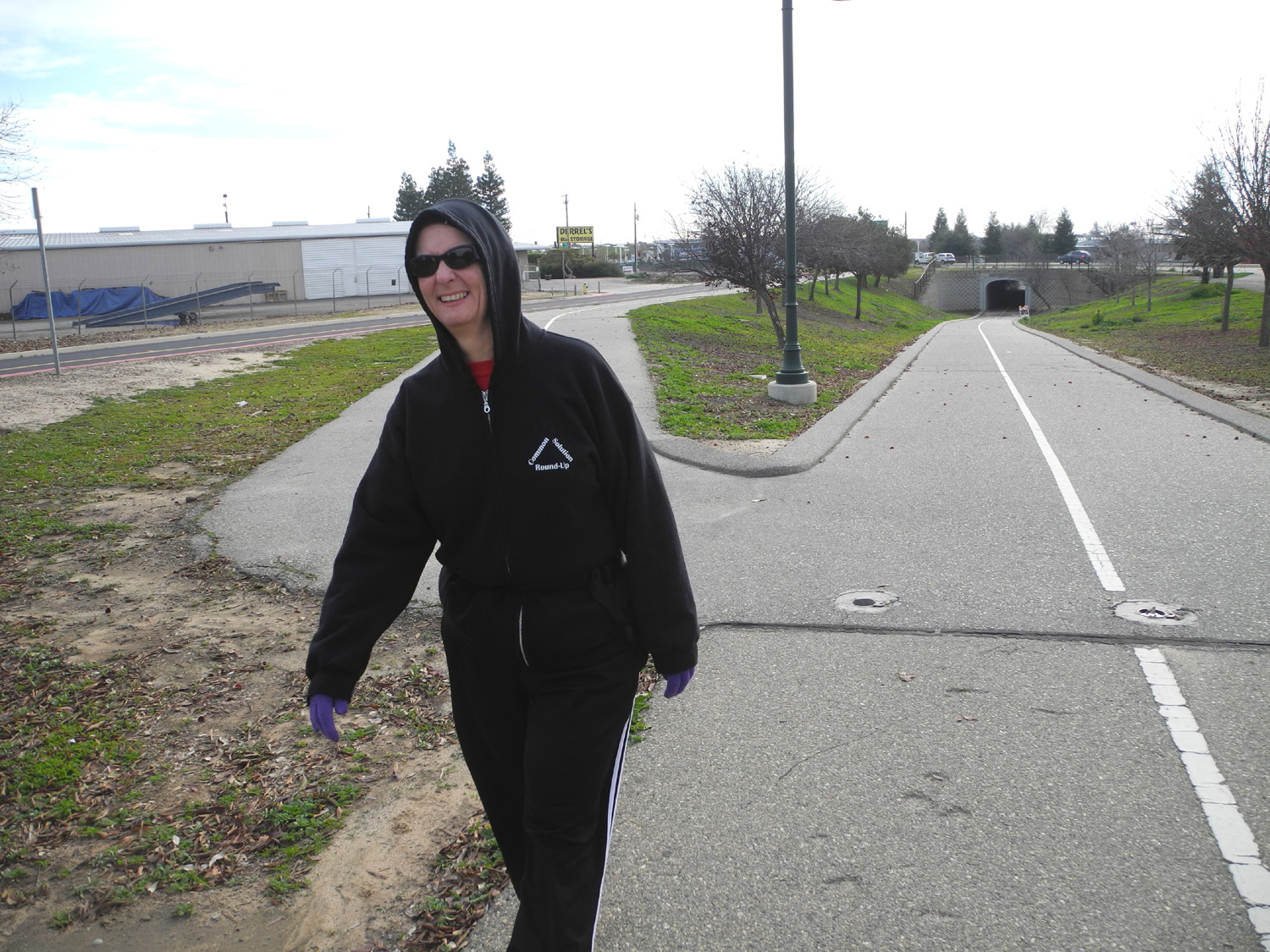
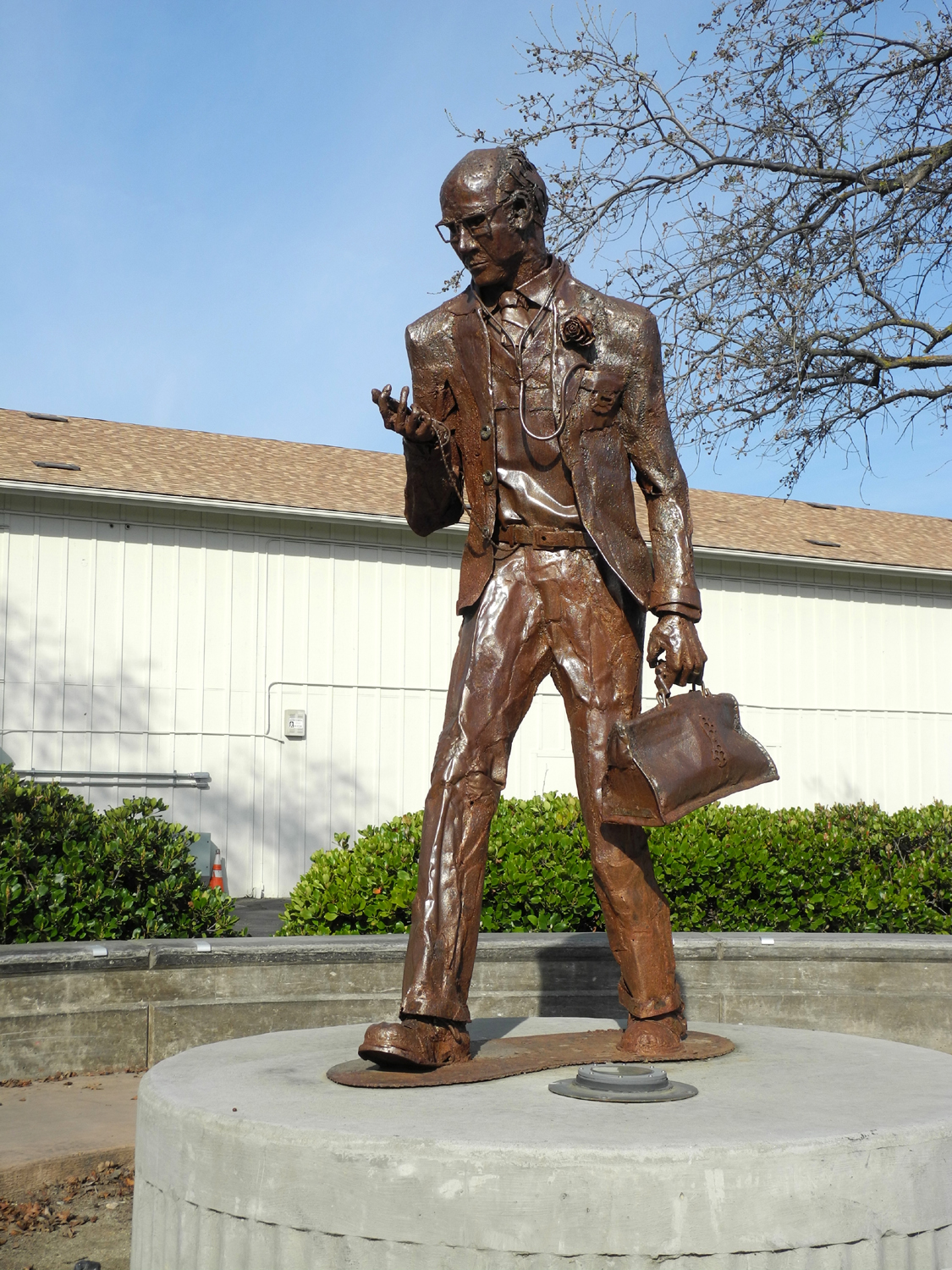
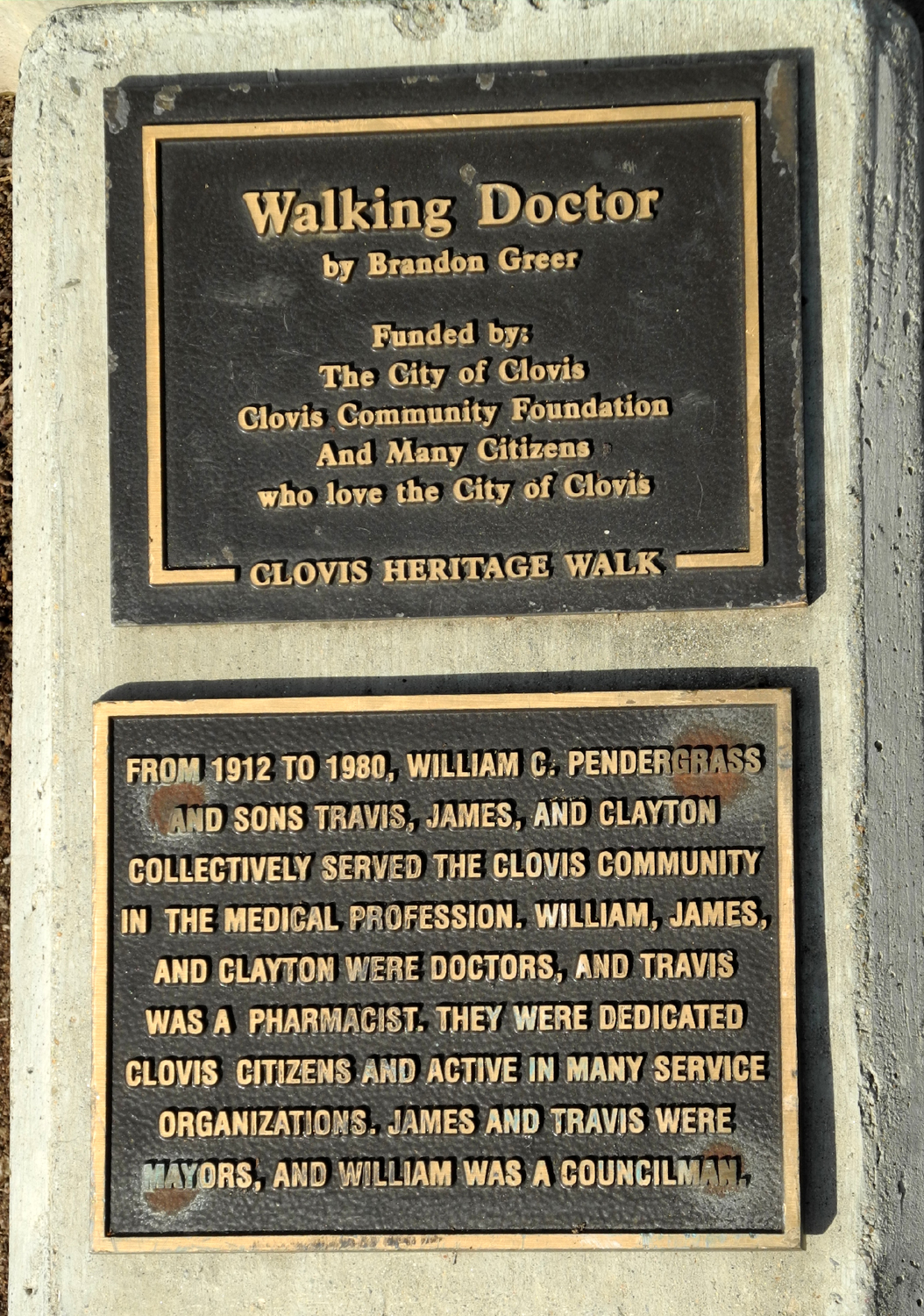
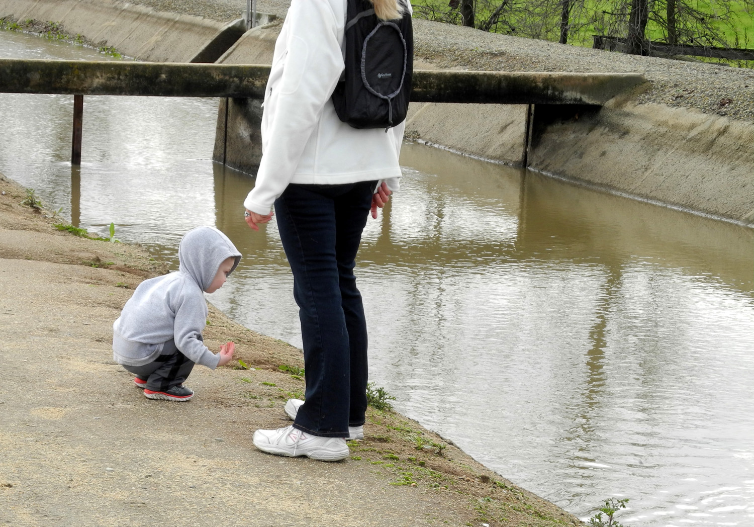
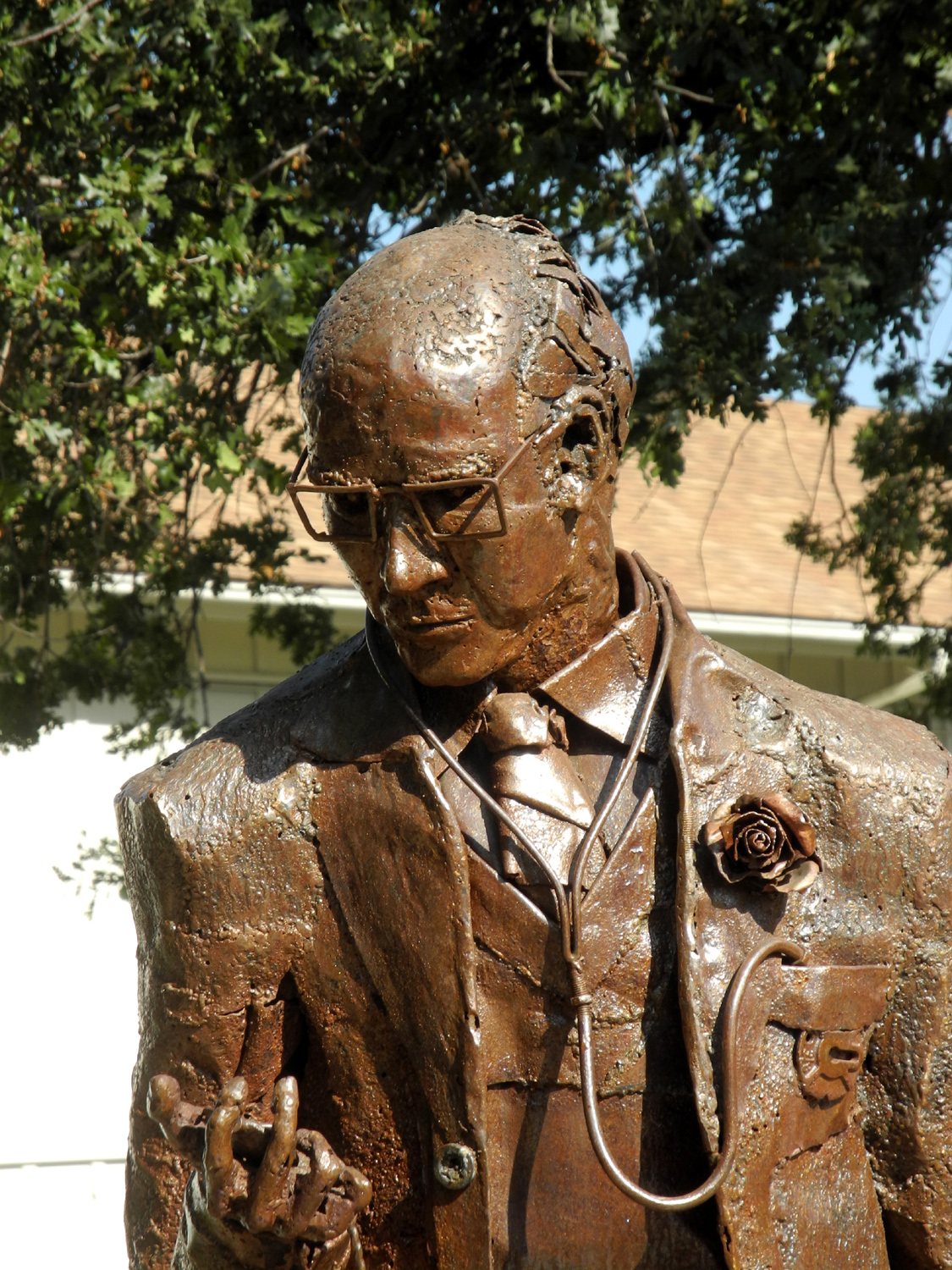
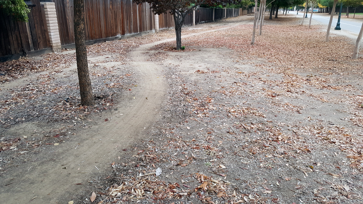
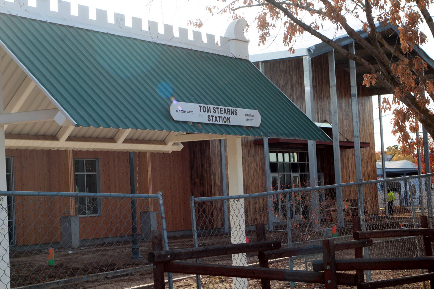
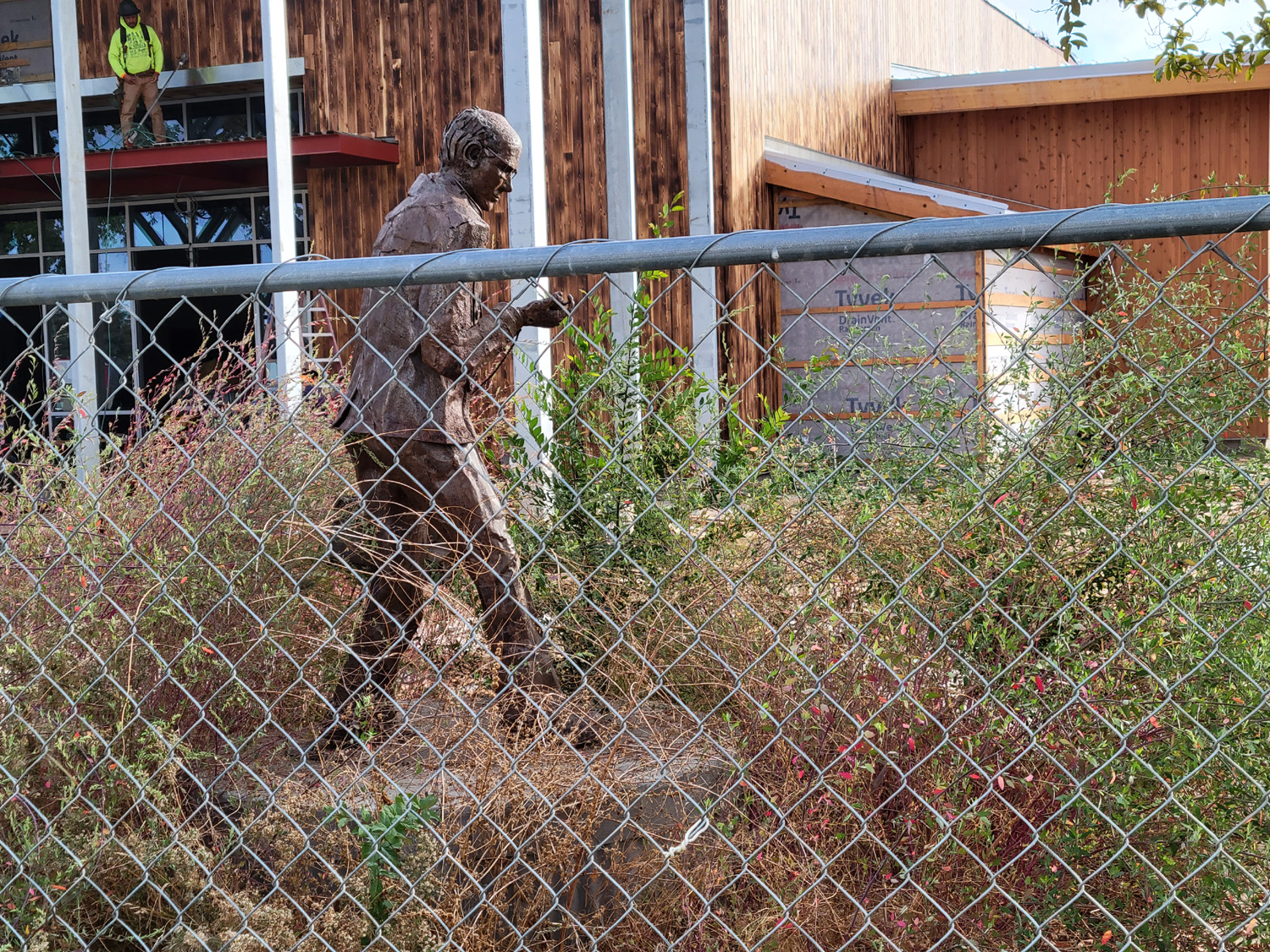
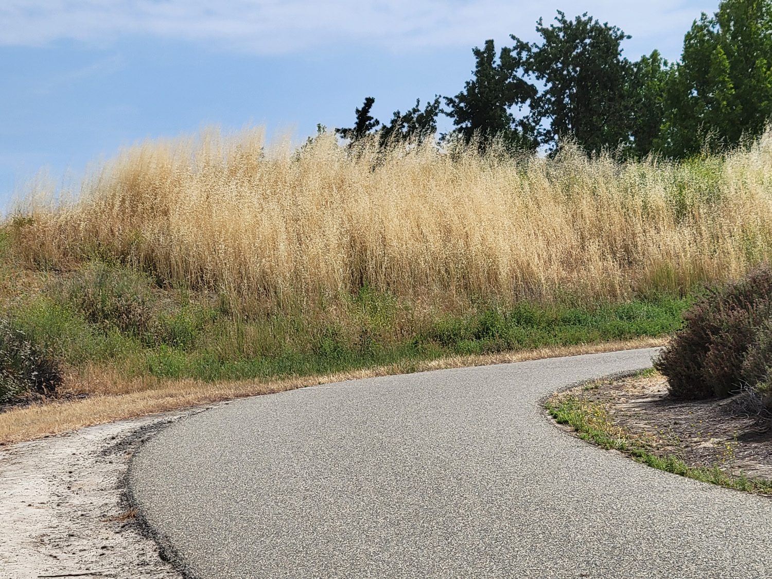
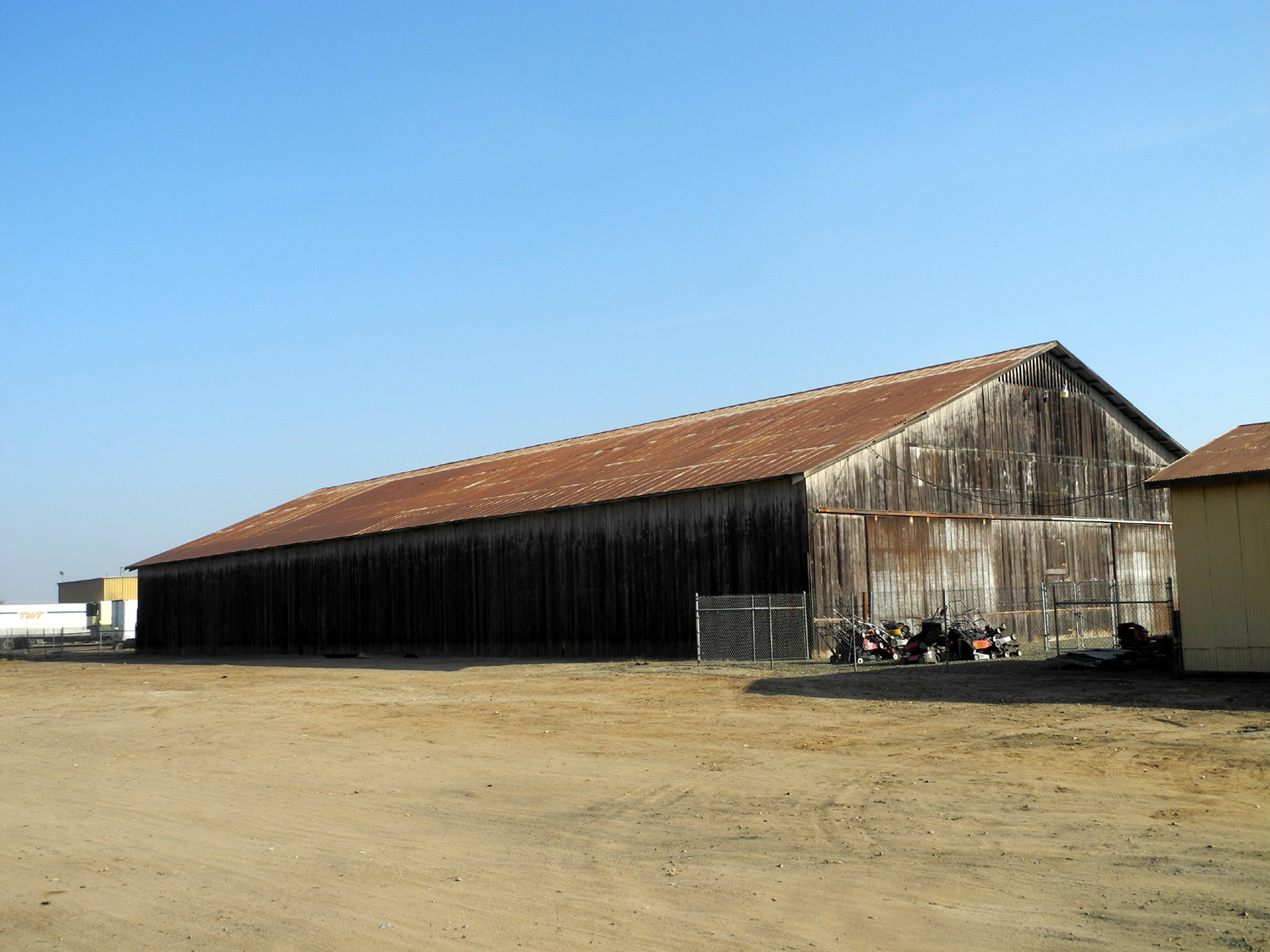
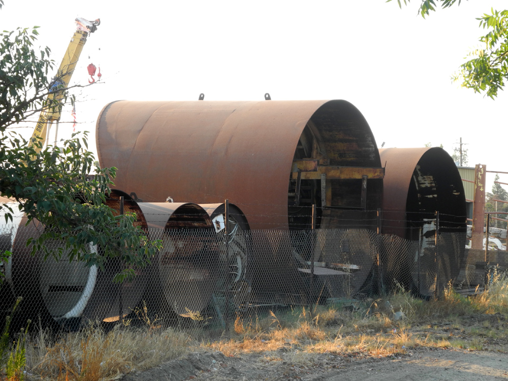
Clovis Trails (Updates are added to this section starting here; latest one here) In one of my many travel reports, In January and February of 2014 I wrote about walks on the Clovis trail system. I've put in a lot of miles on these trails since my last entry, but haven't really had anything new to report until now. I have mentioned in other reports that my daughter Teri and I are participating in the Thousand Mile Challenge, with Teri in charge of 700 of those miles. The Clovis trails offer plenty of opportunities to get in a walk of one to two miles, which is my normal daily goal. I also walk a lot on the canal banks, since both these routes offer a place to walk without the noise and fumes of auto traffic. Three times in mid-August 2015 I walked on the Old Town Trail from John Wright Station (JWS), near Herndon and Villa, to Tom Stearns Station, just east of Clovis Avenue at Third Street. The round trip distance is about two and a half miles, longer than any convenient canal routes, so I'm going to try to do it at least once a week. I have taken the liberty of dividing the trail into several zones, although there is a certain amount of overlap and in some areas the east side is one zone and the west is another. Just south of JWS the trail crosses the Dry Creek Canal, then goes through what I call the Industrial Zone on the east and the first Empty Zone on the west. That side of the trail is close to the Derrel's Mini-Storage where I keep my motor home, but most of the area is a large vacant field. On the east you will find the American Ambulance Training Center, the back lot of a VW dealer, and various other businesses. Soon after that the trail passes through a tunnel under Herndon Avenue, one of the metro area's busiest streets, mostly a divided six-lane roadway. Here the right side also becomes industrial, with a large water facility with multiple tanks and enough valves and pipes to keep a hydraulic engineer happy for days. After passing other businesses on both sides of the trail, you walk under an elevated section of California Freeway 168, which runs north and east from central Fresno to the far eastern edges of Clovis. This marks the Feral Cat Zone. Within a few feet of each other are several signs telling you not to feed the feral cats, several cats, and various metal food and water dishes. I'm pretty certain these creatures do not consider themselves feral cats; in fact, they don't even consider themselves "cats," which is a human description. They probably consider themselves kings and queens of all they survey, with a few handy servants taking care of their needs. In mid-August I saw four cats, three of them orange, quite possibly members of the same family. Their names were Will Feral, Feral Fawcett-Majors, Pharoahl Ramses II and of course, Free-Feral. That day I noticed two women approaching the trail beside the freeway from the east, an area that is blocked from the trail by a chain link fence. One woman came up to the fence and squirted something from a spray can or bottle on to what looked like a patch of Astroturf. After I went on I wished I had asked what they were doing, and vowed to check out the green patch next time I walked that trail. On August 23rd I returned to this area, and it was indeed a square of artificial turf. Next to it were two 12-inch square concrete paving blocks, with three or four food and water dishes on and beside them. I still didn't know if the lady was pro-cat and was providing water or cleaning the dishes; or anti-cat, and was spraying something that would repel the animals. On my third trip, this question was answered when I saw cats enjoying breakfast at this location. That same day a man was riding toward me from the south on a recumbent bike. He came to a stop on the other side of the trail, where there are several food dishes, also on concrete blocks, and at least two cats in attendance. I suspected that he was part of the notorious Feral Cat Feeding Crew. Although I did not see him actually serving food, when I walked back past that spot later, there was fresh dry cat food in one of the dishes, and I noticed that his bike had a cargo box behind the seat. Moving on past the cat zone, there is a large open field on the east, which is more of the Empty Zone; and houses and apartments on the west, beginning the Residential Zone. On the east side, a small ditch runs through the field, going into a large pipe and out of sight just before the trail. I can't find a name for this ditch and it does not seem to appear on the Fresno Irrigation District's map. It is possible to walk along this canal, although the bank is rough and narrow enough that I am not tempted. The Residential Zone on the west becomes single family homes as you approach the street crossing at Sierra and Clovis. There is a wide strip of land beside the trail, plus an alley of sorts, so you are never close to the houses. The east side also becomes residential to an extent, as you pass two large hotels that front on Clovis Avenue. When you cross the streets, the trail continues between various businesses on the west and several short zones on the left. First is the Shop Zone, which is only two stores long, highlighted by the Biscotti House. Then there is a Mini-Residential zone, which several small homes, of which this one is my favorite. This is followed by what appears to be a large scrap yard on the east with cranes and other large equipment in evidence. I call this the Junk Zone. The last part of this area, approaching Third Street, used to be part of that zone, with a pile of abandoned lawn mowers and a large barn-like building. These are gone now, and a large concrete slab has been poured, apparently in preparation for a more civilized sort of business. This supports my rule: Photograph it before it disappears. (In June of 2016 there has been no construction or further development on this site.) Later research revealed that the "scrap yard" is actually the Walter C. Smith drilling company, which provides horizontal drilling services for pipeline contractors and the like. My turnaround point was Tom Stearns Station where the trail meets Third Street. Here there are benches, a roof to keep out sun and rain, and a statue of "The Walking Doctor," William C. Pendergrass. Dr. Pendergrass, along with his sons, two of whom were also physicians, served the Clovis community from 1912 to 1980. Heading back to the starting point, the west side of the trail is the Business District. If you arrive here late at night, there are several motels where you can spend the night, and if you are really tired of walking, you can buy a used car. For some of my walks, I have been getting up way too early, sometimes by 6 a.m., to beat the heat. Therefore the sun is just above the horizon as I walk. One morning a man passed me, walking the same direction as I was. Near the freeway, he stopped and faced toward the rising sun, and put his hands together as if in prayer. I thought perhaps he might be Indian, since some tribes have a ritual of praying toward the rising sun, or at least greeting it. Along much of the northern part of the trail, there is a lot of "undeveloped" space beside the trail, 10 to 30 feet wide. Most of this is planted with trees, including what I call a pine forest in one spot. I usually try to walk on the dirt beside the trail, since it is more comfortable than asphalt. In one stretch there is a path worn in the trailside area for 200 feet or more. Since I'll be hiking on these trail for many years, I'll provide an update one of these days. --Dick
Estel, August 2015 |
||
|
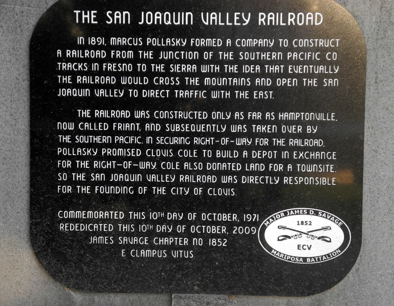
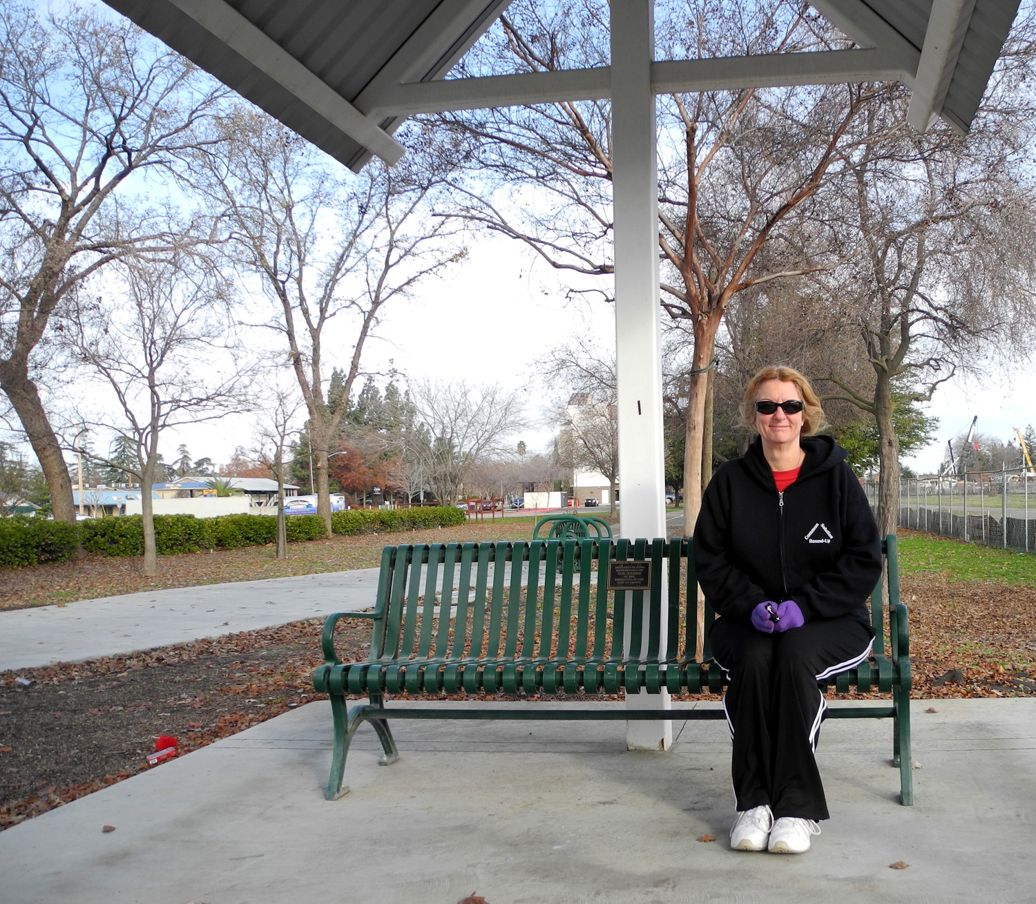
Clovis Trail Updates Update 9/1/15: Today I saw a member of the Notorious Feral Cat Feeding Crew in action. A woman was putting water and food into the dishes on both sides of the trail, and had a small hand cart with her to transport the illegal goods. I also saw two "regulars." First was a woman who uses a walker, one with wheels. I admire the determination it takes to keep walking the trail under those circumstances. I've seen her twice. The other was a young man who rides a bike; I've seen him three times, always on the trail between Sierra and Third. He stands out because he has a unique hairdo, a thick black mop that I mistook at first glance for a cap. Men my age would kill to have that hair. Where the trail reaches Sierra, walkers have to cross both Clovis and Sierra. Today I went across Sierra, but went into the small park on the southwest corner to check out a plaque, which commemorates the founding of Clovis. Then I walked down the sidewalk along Clovis Avenue to Third and over to the trail, where I took some pictures of an old man on the bench there. I also remembered that this hike is long enough that it's good to bring a little something to eat at this break spot. Last time it was a Cliff Bar, which was more than I needed; today it was half an apple.
A landscape maintenance crew was working on the trail near John Wright Station, with vehicles parked on or right next to the trail, and chain saws, weed eaters, and hedge clippers going. They were raising a dust cloud about 100 feet long, not too thick, but a little annoying. I understand the need to trim the trees and keep down the weeds, so no complaints.
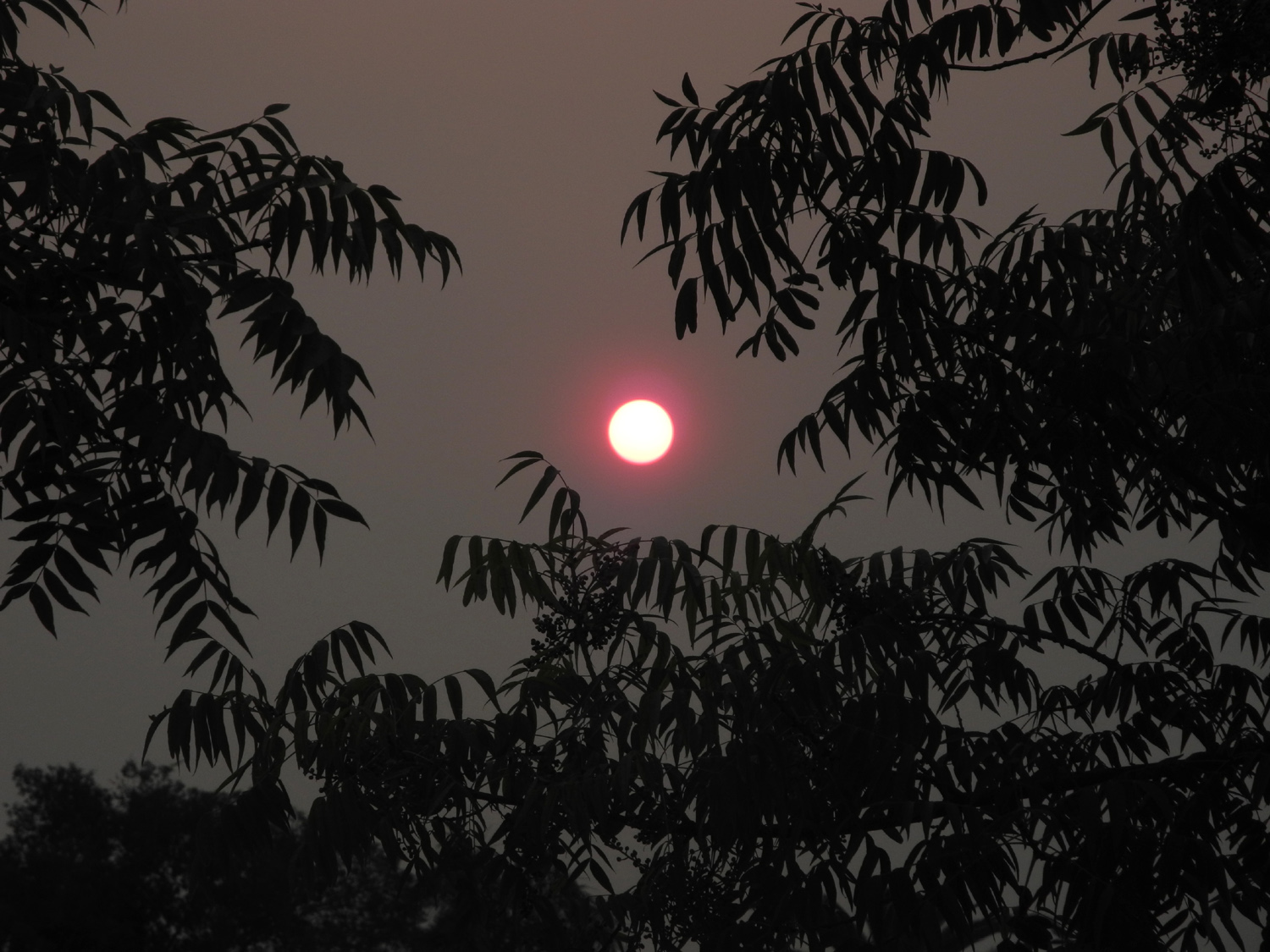
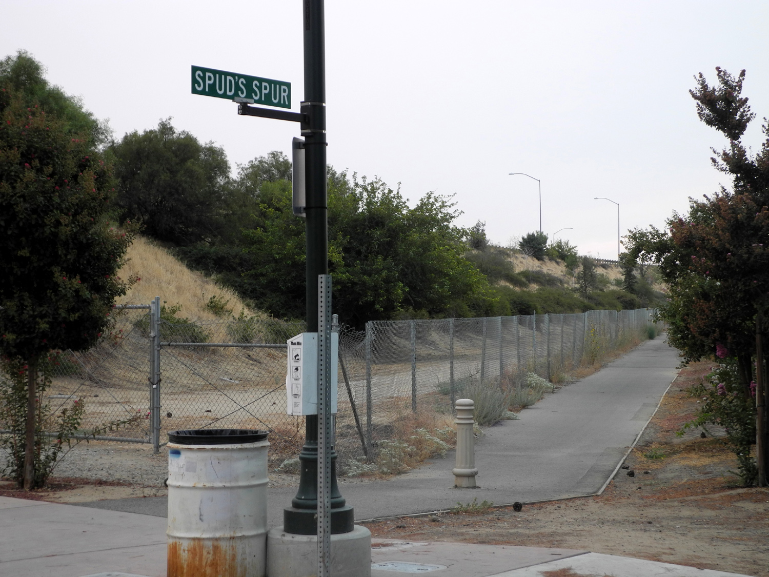
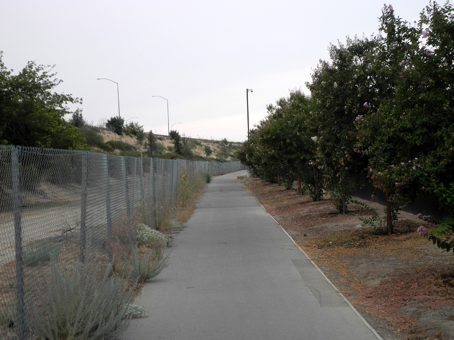
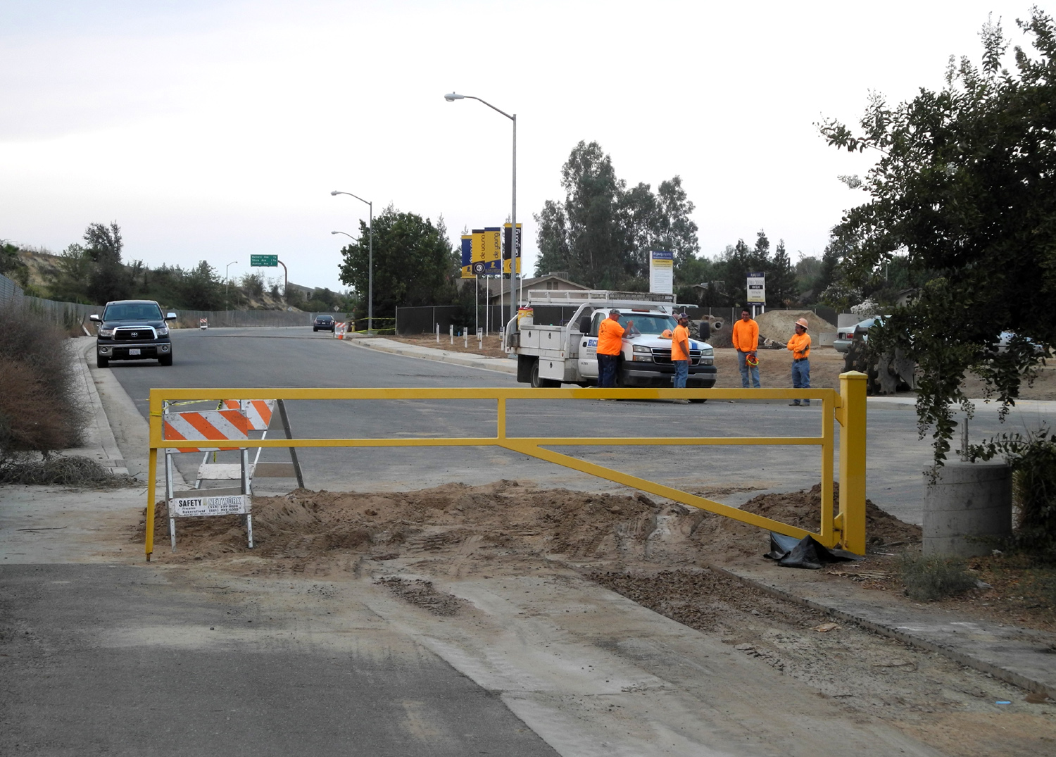
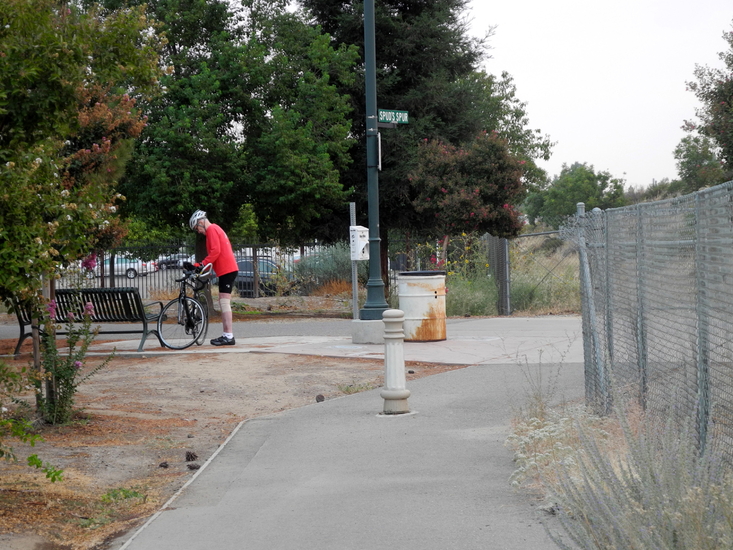
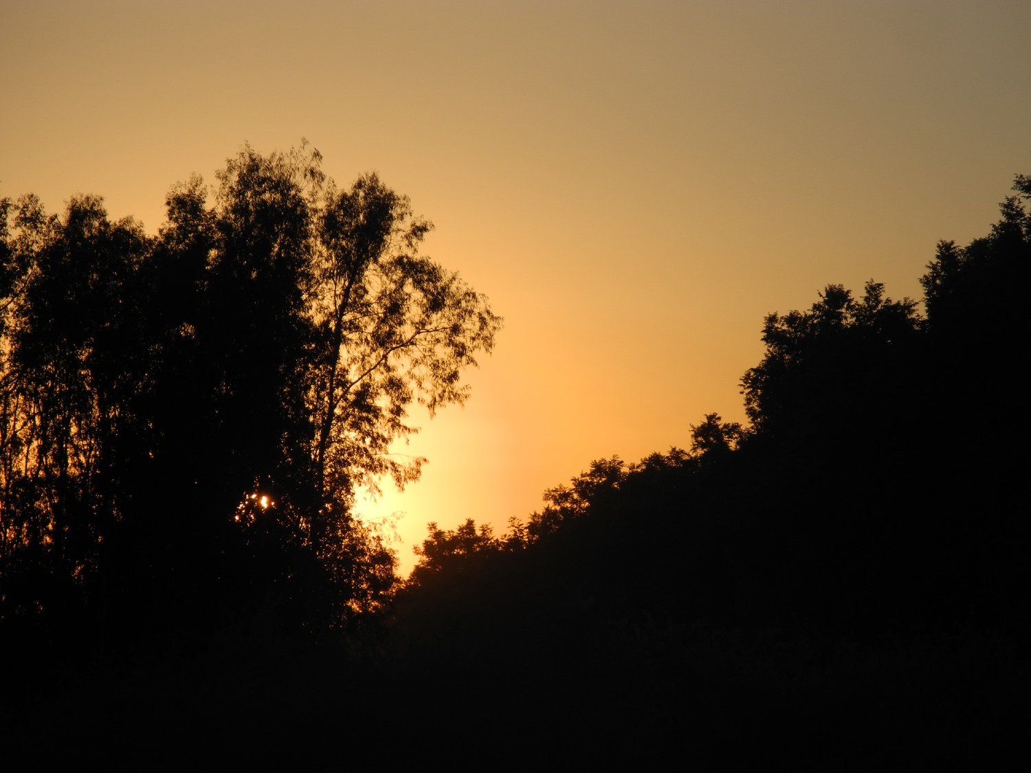
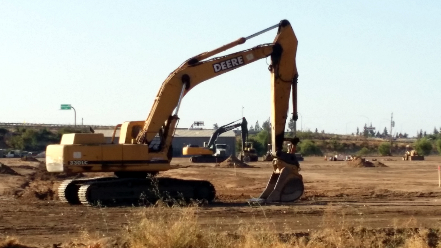
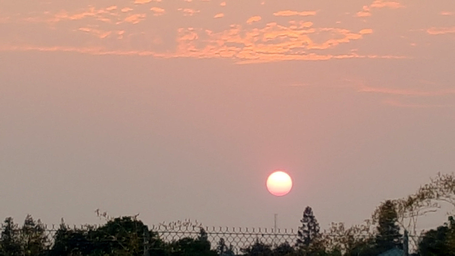
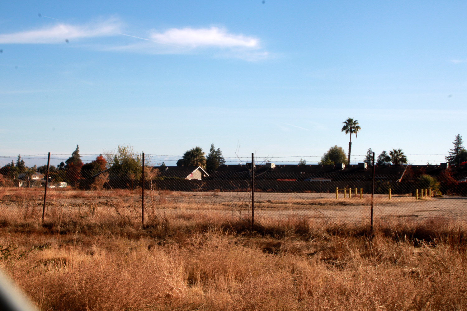
I walked this short path once before, but didn't remember any details, so I decided to repeat it today, taking my camera along. The reason for my forgetfulness, and possibly the lack of any recognition of "Spud" on the Internet, was immediately obvious. The trail is probably about two tenths of a mile, and runs between the elevated freeway and a huge vacant field where construction is underway. Most of the way the view opposite the freeway is blocked by a high fence. There's one opening where you can see heavy equipment, and it looks as if a trench was dug along the trail and in through this place. The Spur ends at a gate, although there is a little-used paved road beyond that probably goes out to Villa Avenue. At this point there were workmen in orange vests, trucks and equipment, and other signs of impending development. I suppose Spud would be proud. I was out very early, about 7:45, and although the sun was well above the horizon, I could look directly at it, thanks to smoke from the Rough Fire. This blaze started from lightning July 30 and has grown to nearly 100,000 acres in the Sierra and Sequoia National Forests and Kings Canyon National Park, mainly in the drainage of the Kings River. It has caused the closure of major areas of the park and forests, particularly around Hume Lake and the Converse Basin. It also caused me to change my hiking destination from the Courtright Reservoir area to Taft Pont on August 29, and will send the Ramblers to a backup location for our September 17 hike, instead of the Boole Tree Trail, which is pretty much surrounded by the burned area. On my morning walks I can see a huge bank of smoke along the entire Sierra, and the smell of it has invaded Clovis today and Sunday. It makes for a pretty cool photo of the big red sun, however. Heading southeast on the main trail, I turned back at Sierra Avenue instead of continuing on to Third. With the Spud's Spur side trip, my total walking distance was about a quarter mile less than my normal route.
On the 1.3 mile stretch that I walked, it goes through tunnels under two major streets, and crosses two other streets at grade level. Although traffic is not required to stop, most drivers are alert to pedestrian traffic in these locations and will yield the right of way. Since there was no clear-cut "ending" point, I checked my distance measurement app several times to make sure that I got in an amount of walking similar to the southern route. I found a good stopping point just past the tunnel under Nees Avenue, giving me just over 2.6 miles total.
They have a co-conspirator in the form of a state highway agency which shall remain nameless. The agency has given them keys to the fenced right-of-way beside the freeway (which is elevated at this location), so they can get in to "take care of business." At this point I realized that all the cat dishes and most of the time the cats are on the highway property, so no cats are being fed on the Clovis trails. The lady also said she asked the cats if they were feral cats, and took the lack of response as a negative. (Note to Clovis City authorities: None of the above is true; I just made it up as an exercise in creative writing. There are no feral cats and no one is feeding them if there are.) Just south of Sierra there was a photo session going on. The photographer had a large reflective panel, and a camera on a tripod. His subject was a young woman wearing black stockings above the knee, shorts, and a cape - not particularly revealing, but definitely sexy. Something was going on in downtown Clovis, with many more cars than usual parked where the trail reaches 3rd Street, and lots of people on the sidewalks. There were also more folks than usual on the trail. There were hot air balloons in the sky, and it was a delightful morning, clear and cool.
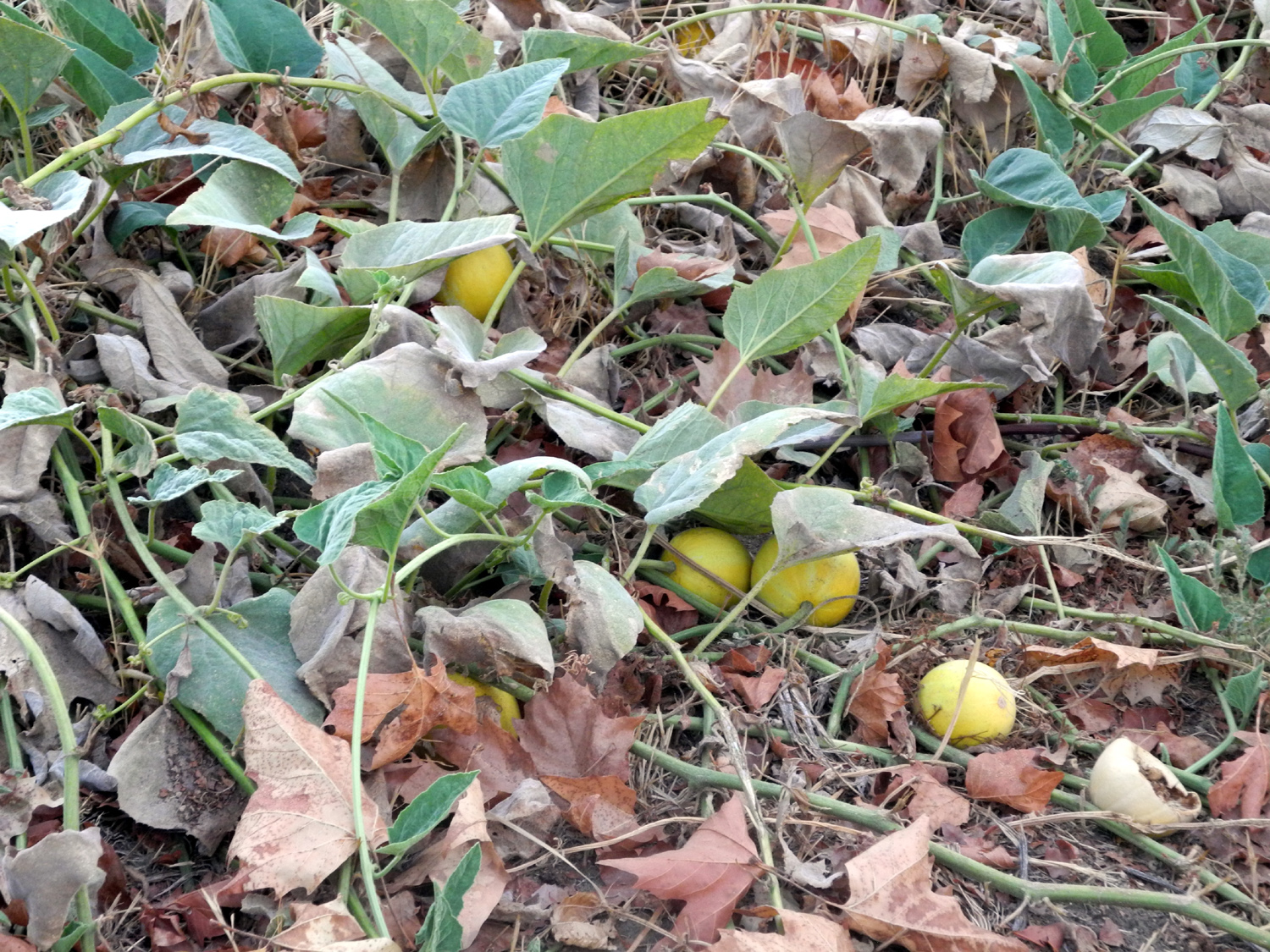
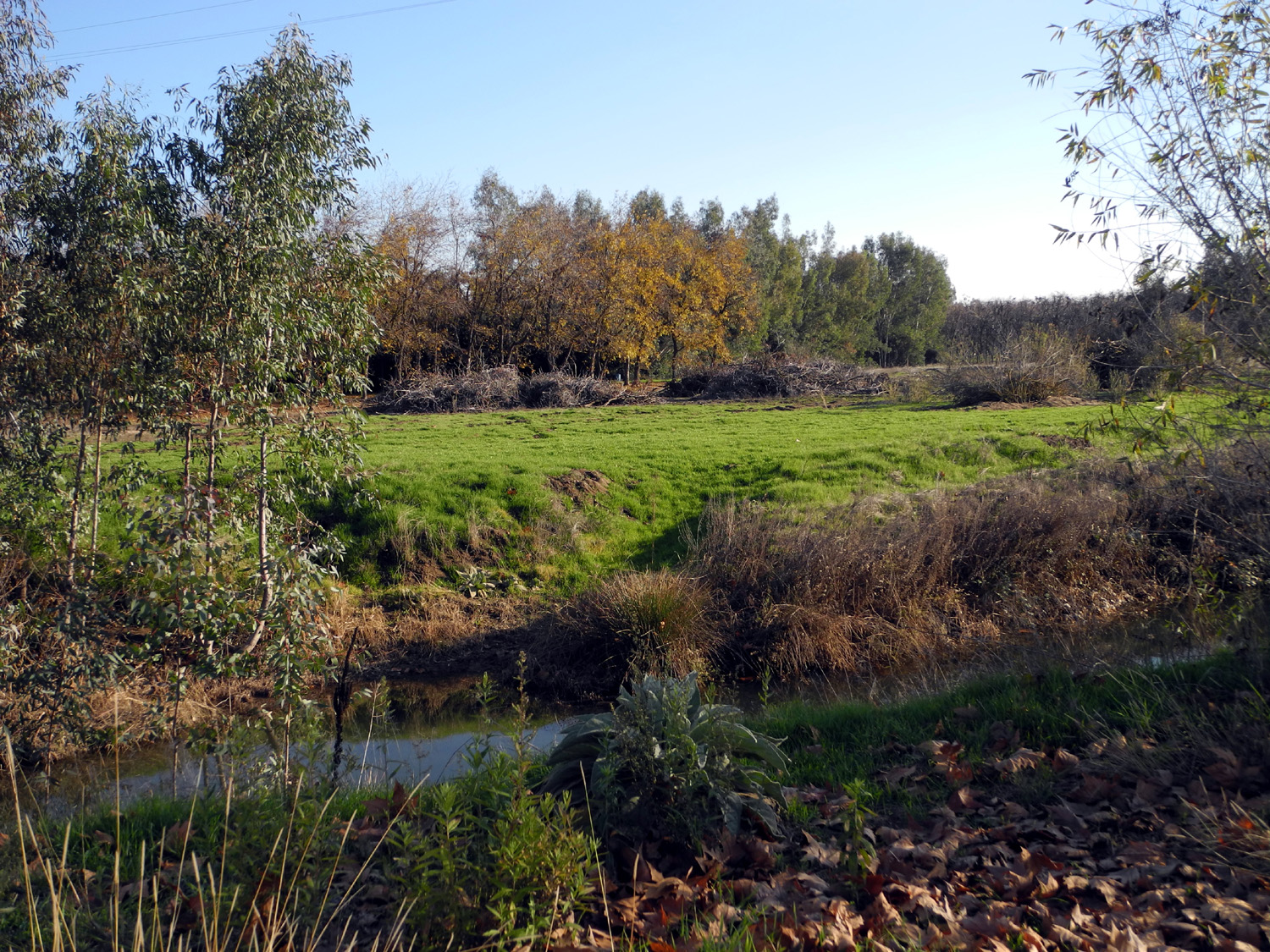
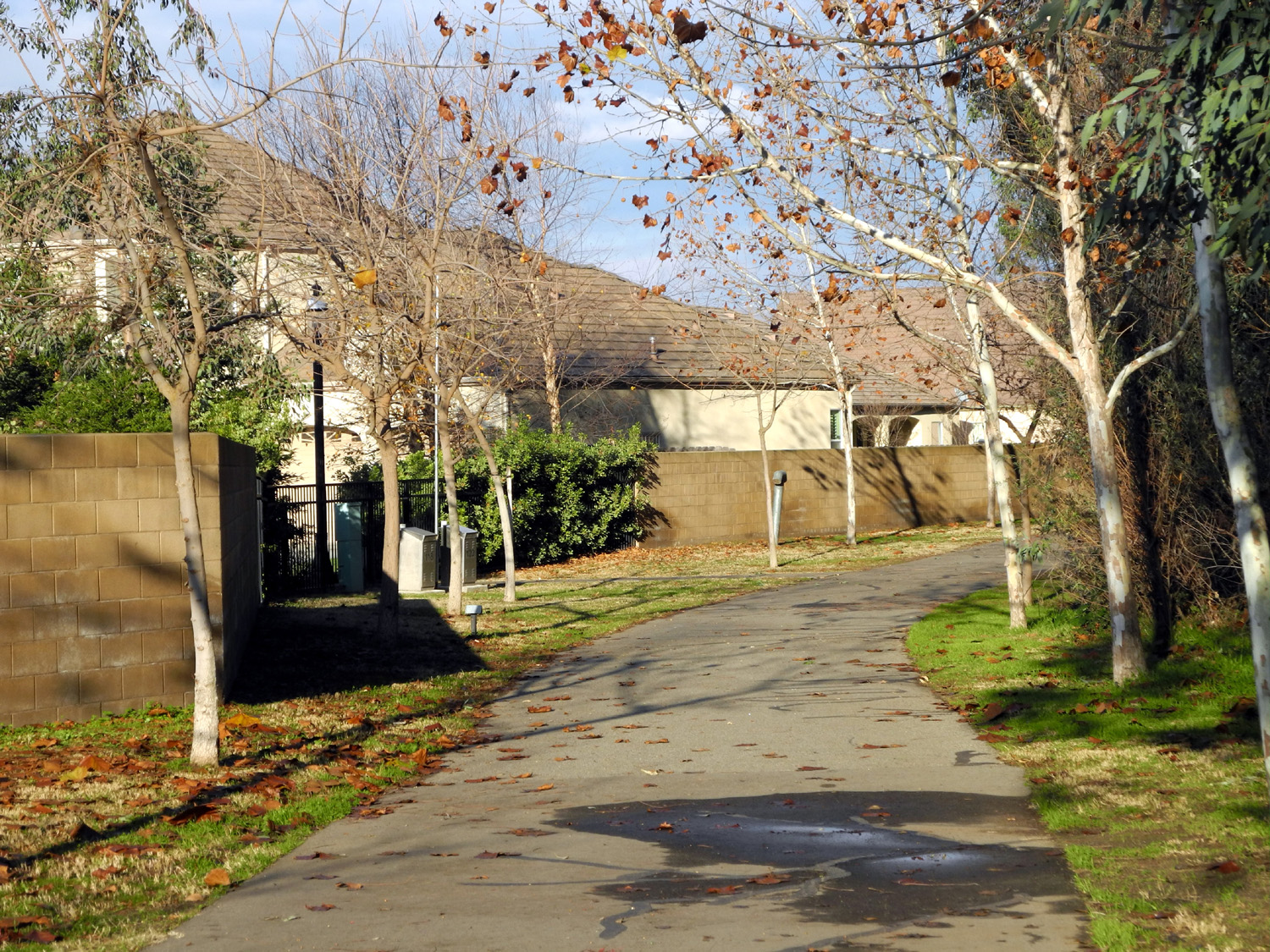
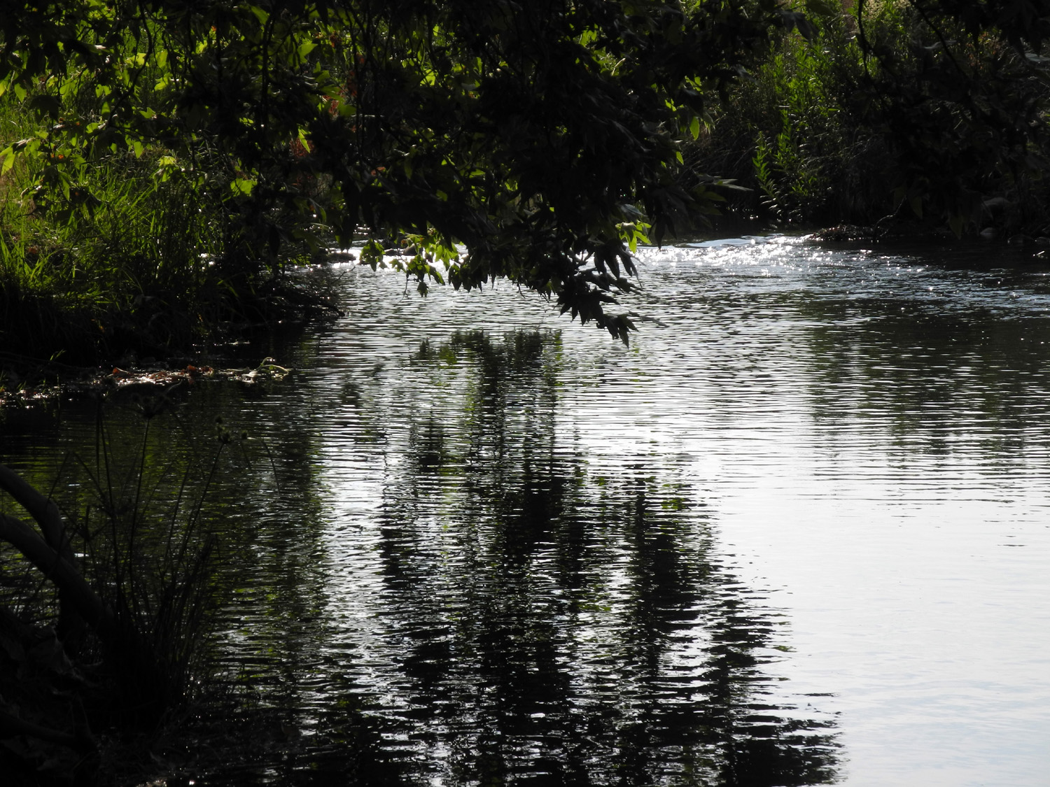
This could almost be classified as a canal bank walk, since the trail parallels the Dry Creek Canal as far as I went. However, it's a trail, not the bank of the canal, which is about 15 feet from the walkway and hidden by trees and brush much of the way. There are all kinds of weeds and plants growing between the trail and the creek, including gourds and mullein. The trail also runs beside Clovis Avenue much of the way, but far enough away from it that the traffic is not annoying, especially early in the morning. On my return walk, the number of cars had increased noticeably. The trail passes through a varied landscape on both sides, particularly the east. After a section of open fields, there are a couple of large, up-scale newer homes, some corrals, and a place that appears to be one large property, including a huge metal building, a fair sized house, and an area where there are a half-dozen old cars. All of this is shaded and mostly hidden in a grove of dozens of eucalyptus trees. The west side is all residential, but the houses are across the street and behind tall fences along Clovis Avenue for the first part. The trail then turns northeast, with the eucalyptus area on the one side and an upscale gated housing development on the other. The trail continues well beyond where I turned back, at the corner of Riordan and North Russell. This gave me a round trip walk of 2.85 miles.
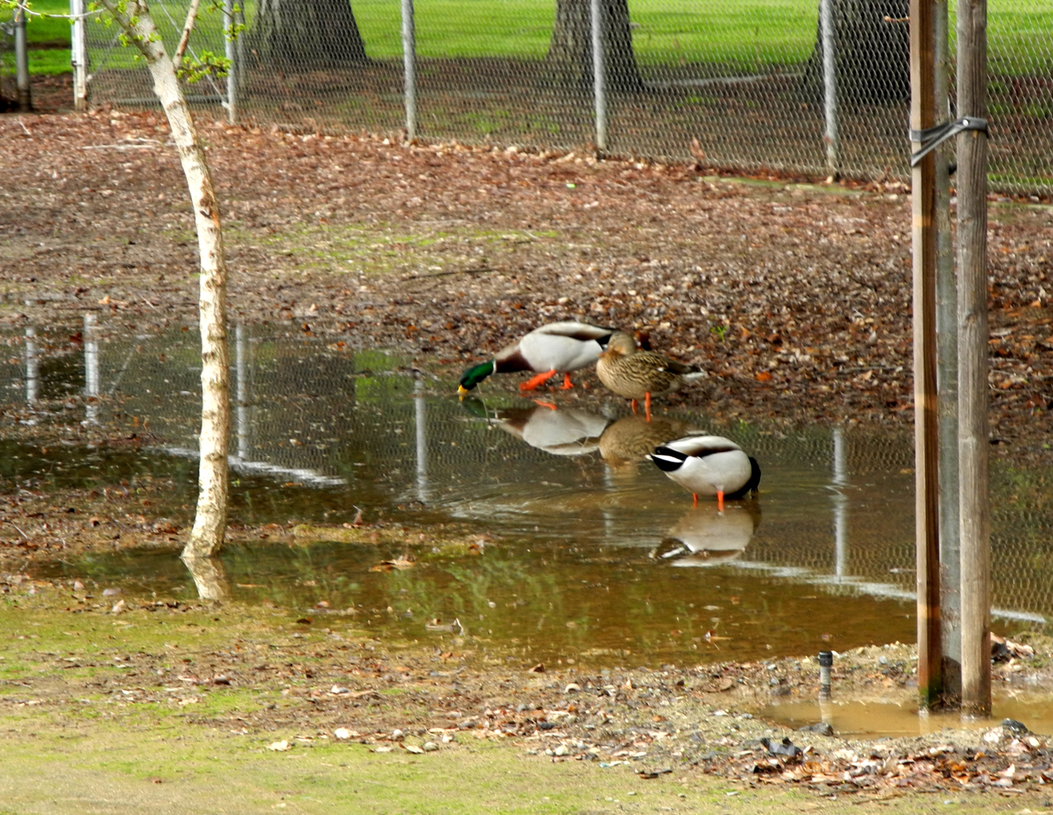
The weather was fine during our walk, quite cool but with clouds and sun. Carolyn had not been on any of the Clovis trails, and enjoyed this short introduction to the system. The canal is dry along that stretch right now, the sycamores that line the trail are losing their leaves, and we saw a few ducks on the flood basin, which has a small amount of water in one section. There was a short rain shower during the night, and another even shorter one later that afternoon, but we didn't get any significant rain.
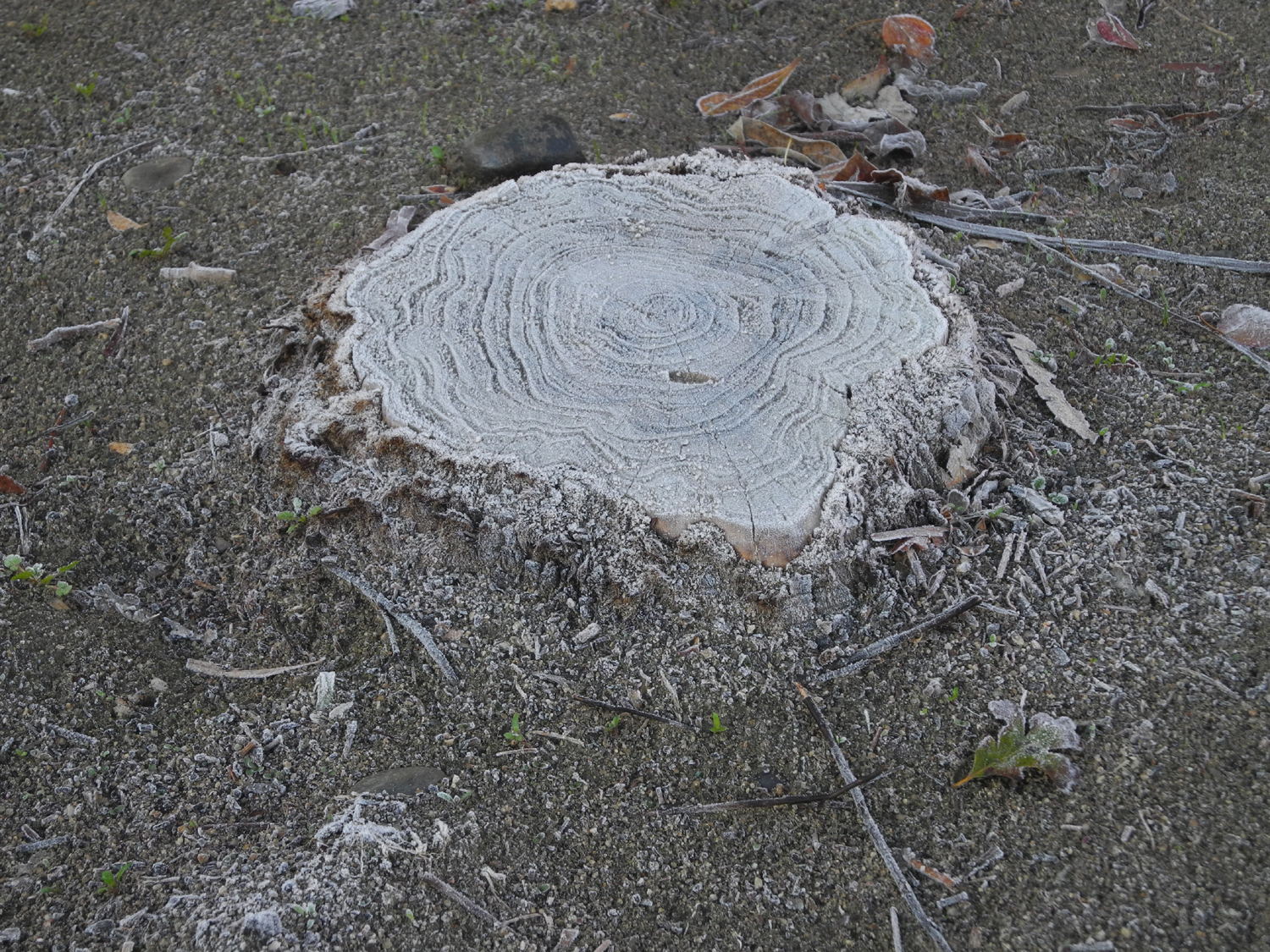
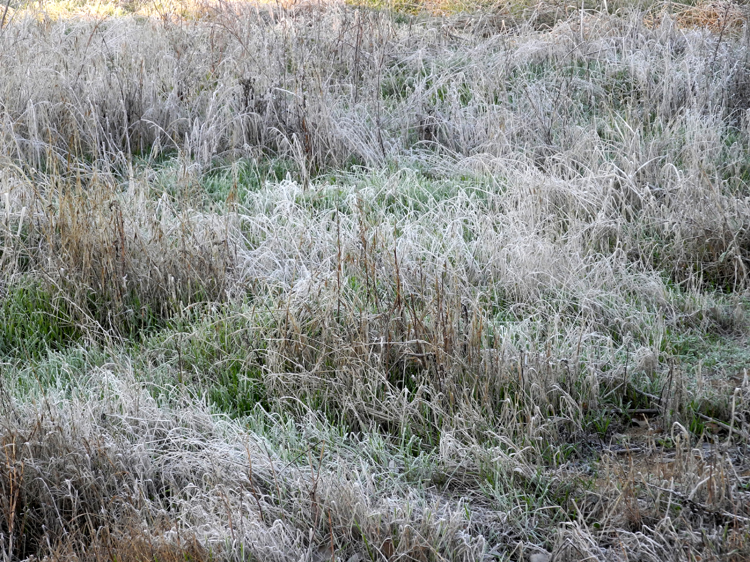
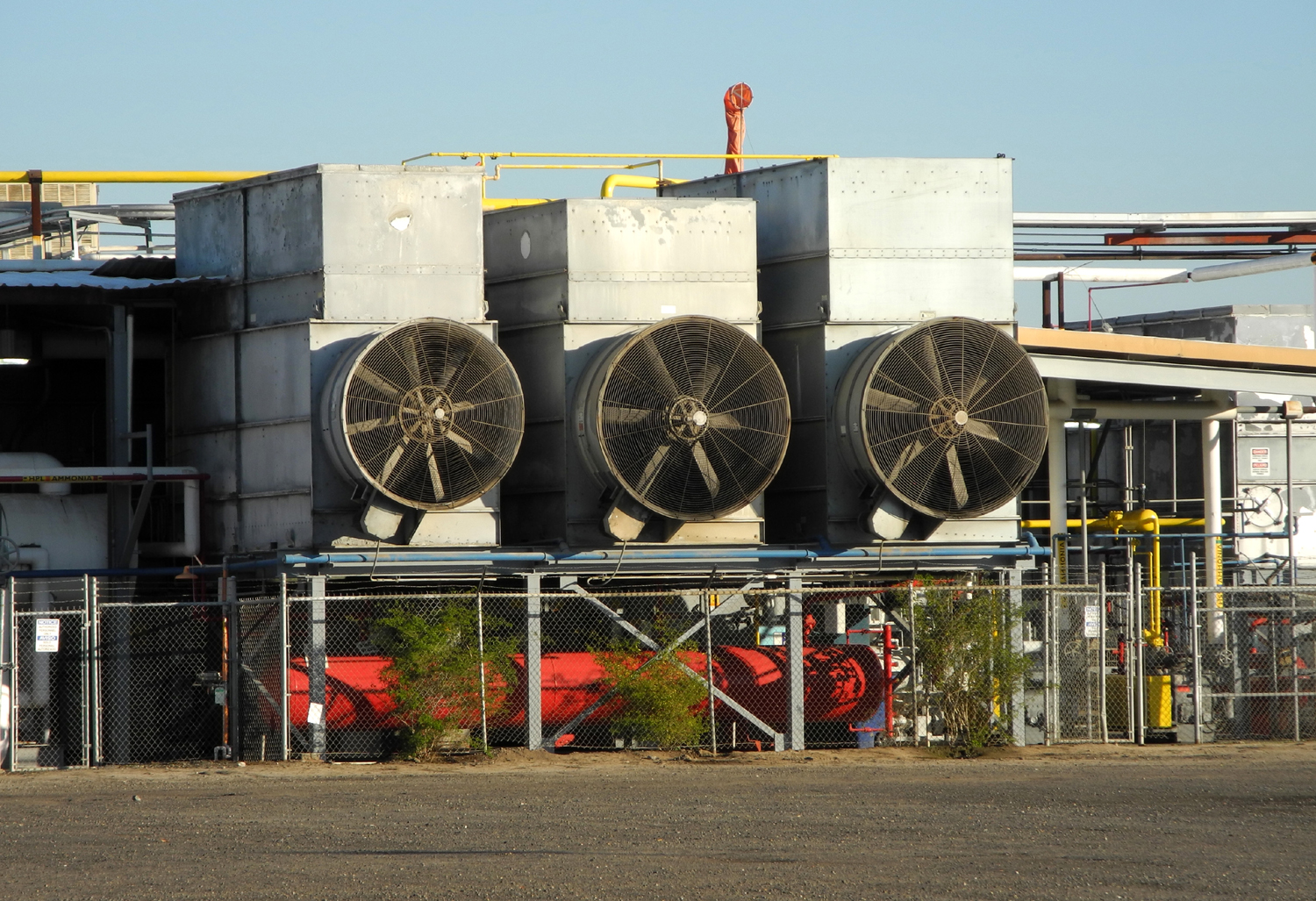
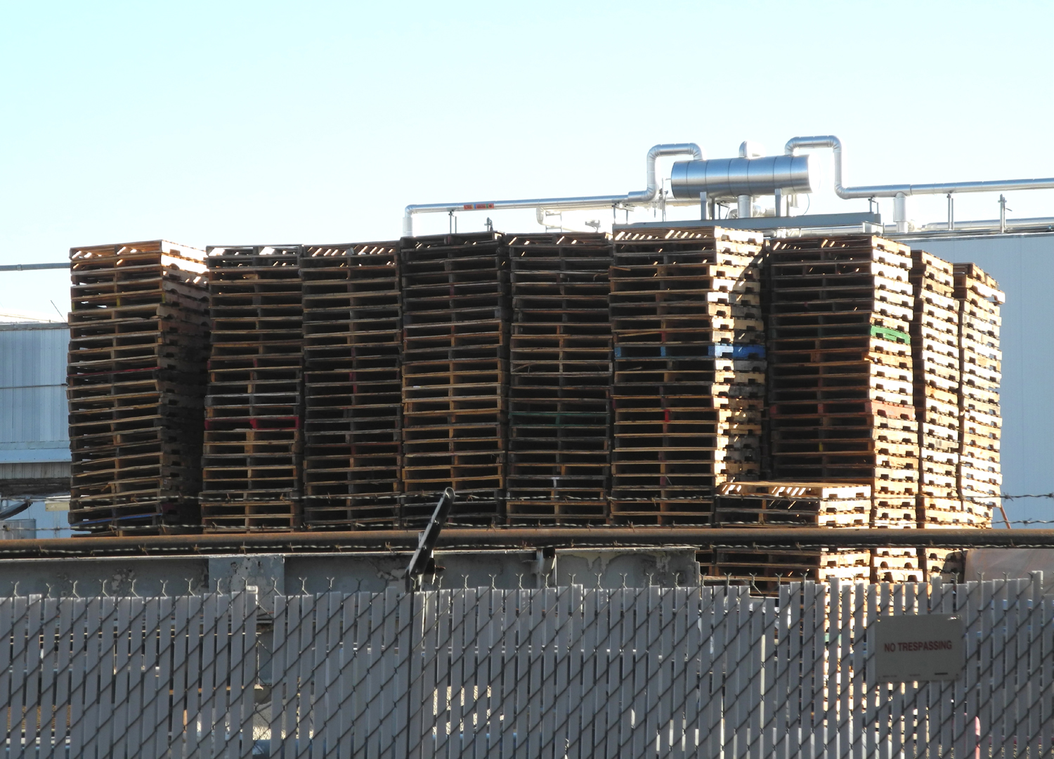
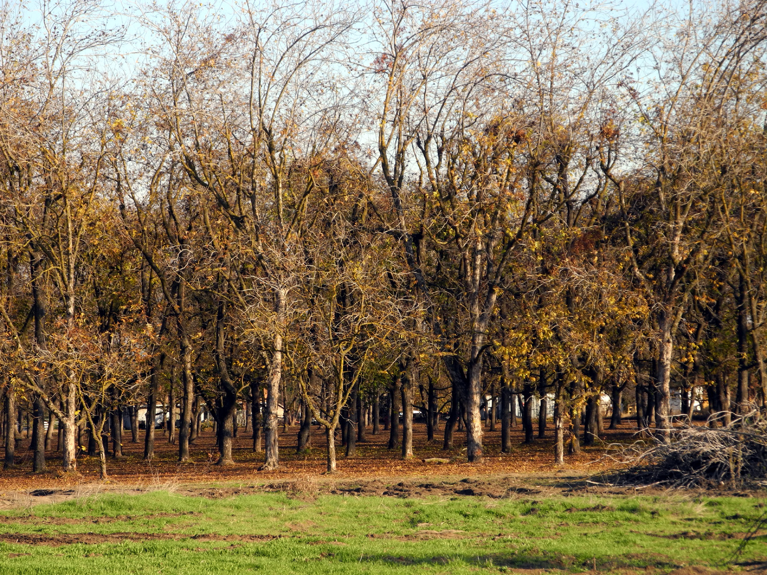
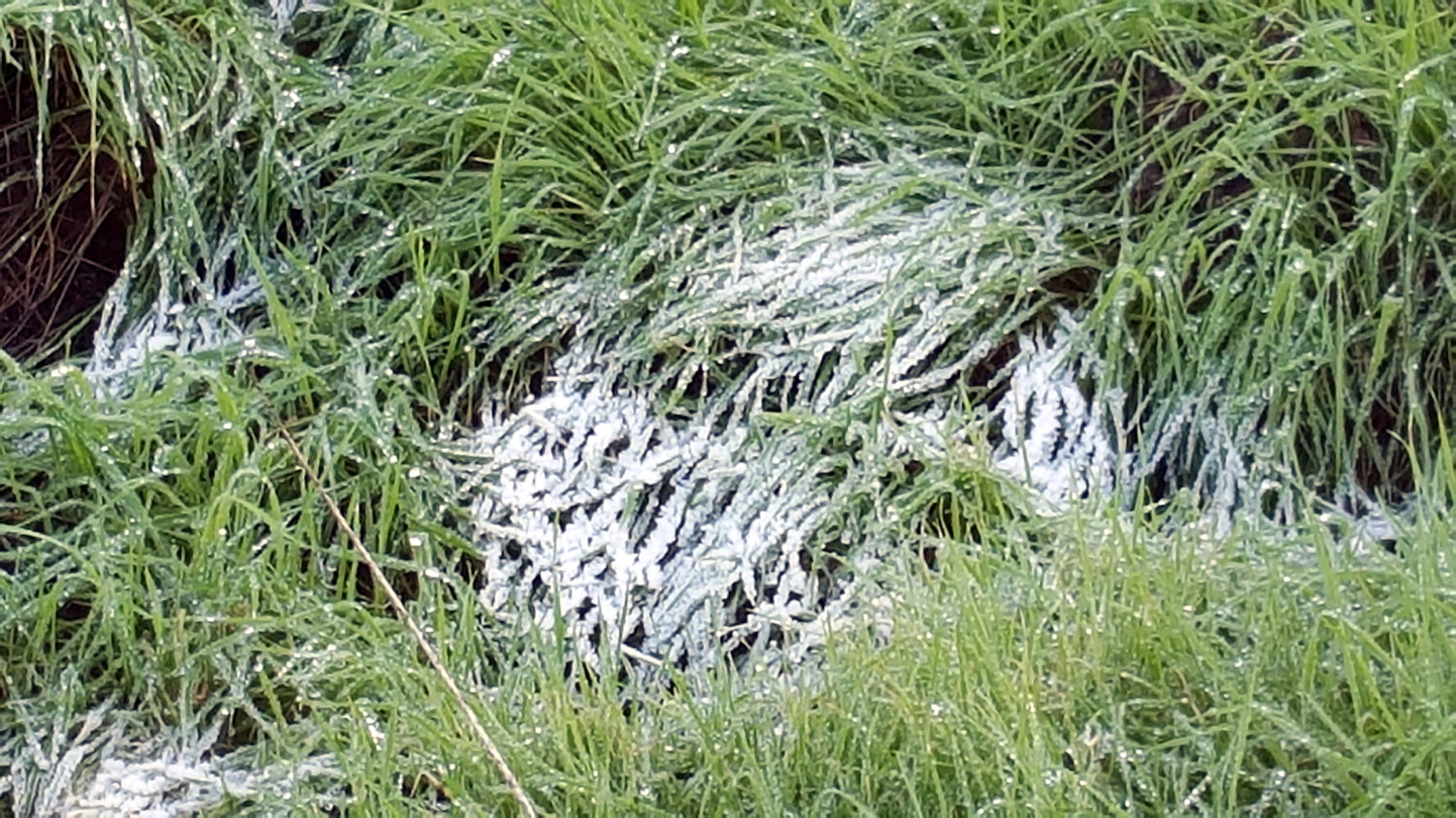
Update 11/29/15: I got on the Old Town Trail north from John Wright Station around 8 a.m. It's been pretty cold at night - down around 35 on my thermometer, but there's frost on the roofs, so it's colder away from the house. Today seemed like the coldest day so far, and there was a lot of frost along the trail, on the dry grass and on some stumps. I wear gloves pretty much every day, and wore a stocking cap over my billed hat, but still went with only two shirt layers, and was reasonably comfortable most of the time. The biggest problem lately is that the metal benches are wet, so there's no place to sit while I take my break. A short distance from the trailhead, there is a large industrial plant of some sort on the east side. In the summer the large dirt parking lot was filled with cars, but there were fewer in recent weeks, so I suspect it may be ag-related (it turned out to be the Wawona Frozen Foods processing plant). The back lot has lots of pallets and barrels stacked up. Returning to the trailhead, I took a side trip through the parking lot, hoping to get some hint of what it's for, with no luck. I did enjoy cutting through the edge of a peach orchard, where the fallen leaves formed a carpet on the ground.
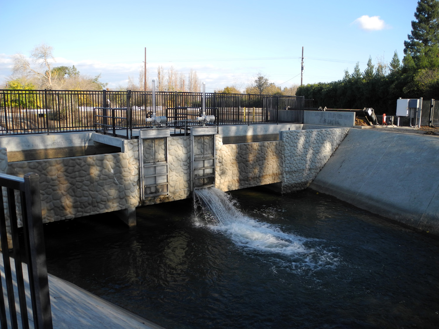
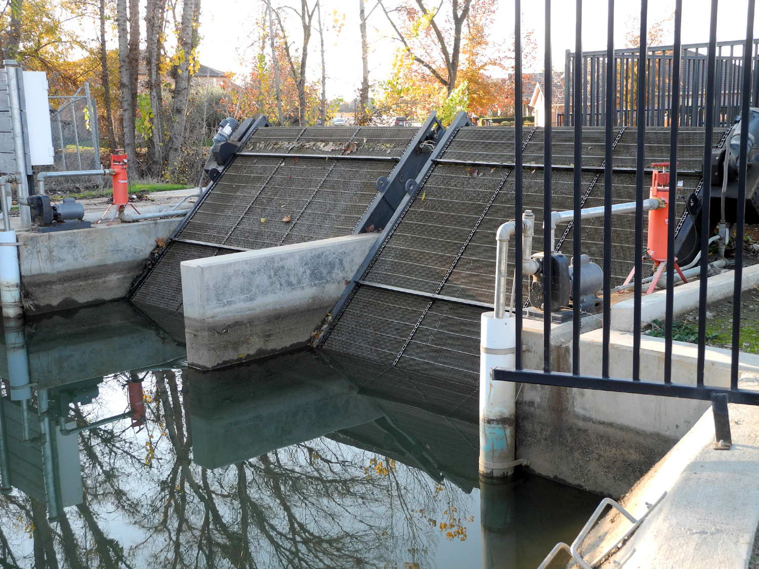
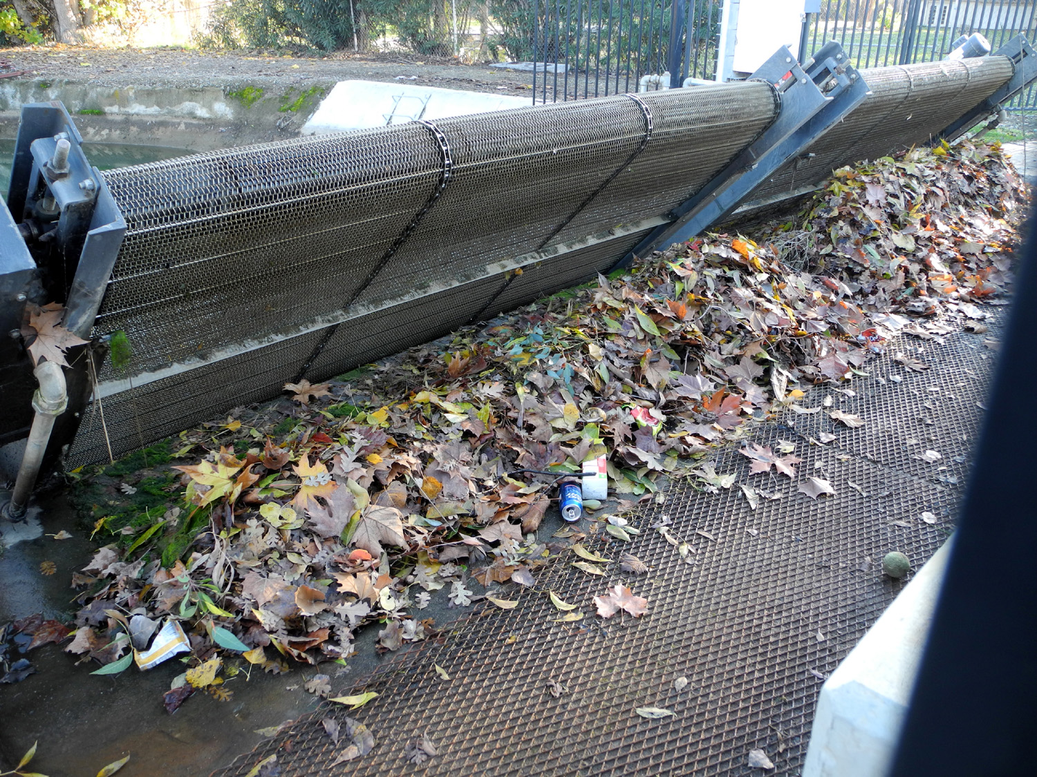
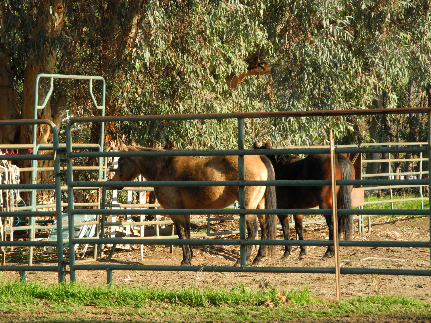
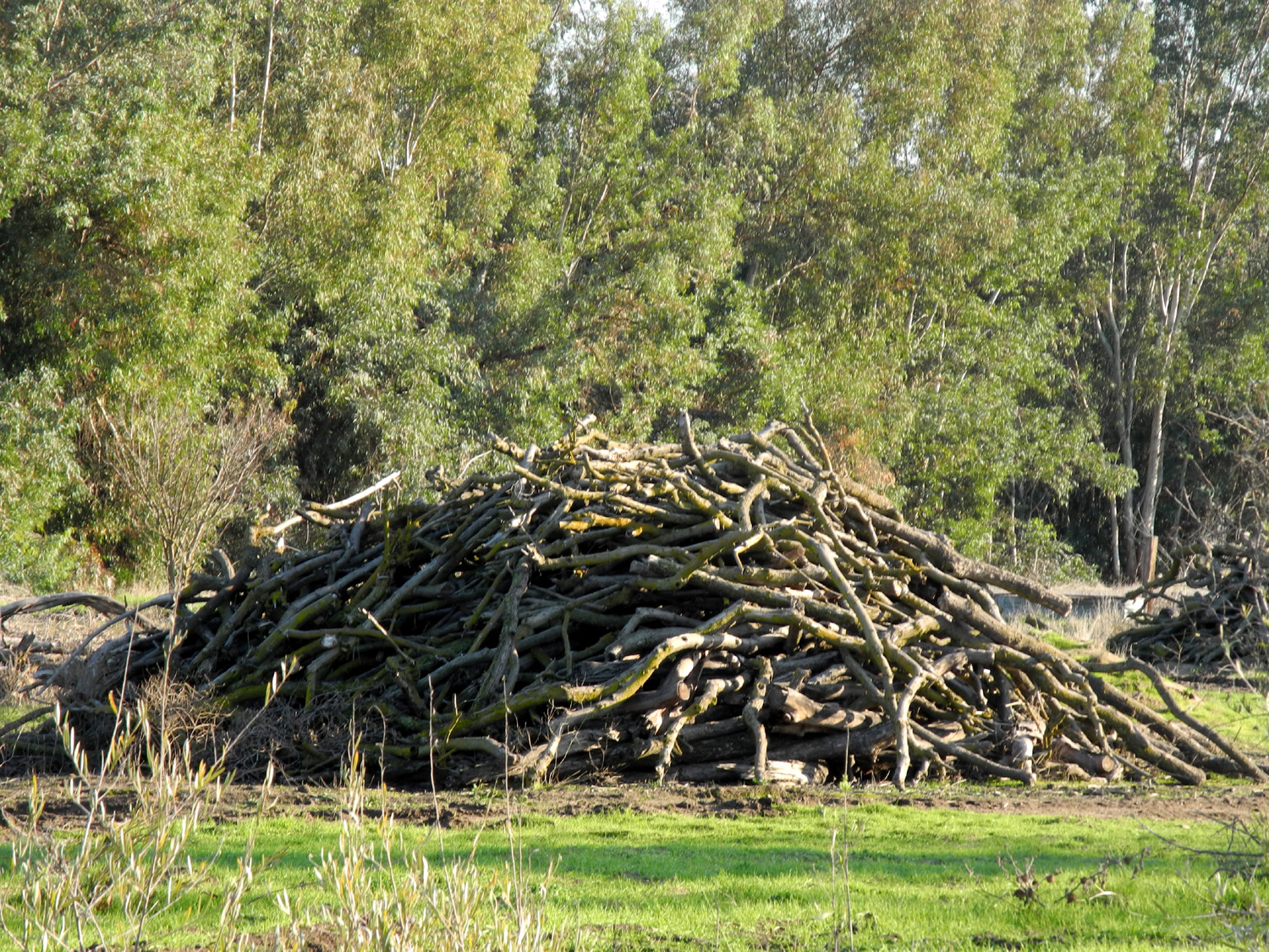
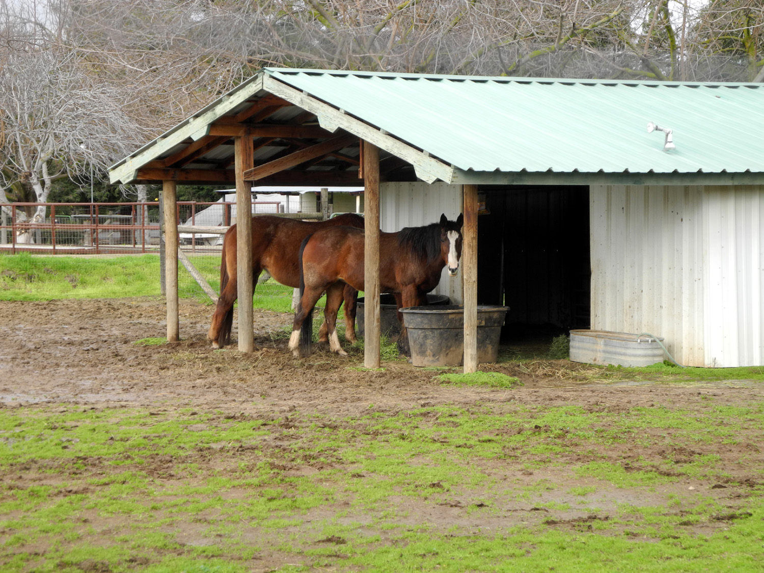
It's also the place where the Enterprise Canal crosses Big Dry Creek, and there are gates and valves that allow water to be sent down either one. Today there was a lot of water in the Enterprise, with a share of it going down Dry Creek. On the upstream side of the canal, before it enters the gates, there is a wide conveyor belt that pulls leaves and trash from the water and dumps them in a pile on a concrete and metal platform for later removal, no doubt to prevent clogging up the pumping equipment. The last time I walked from this location was with daughter Teri and great grandson Colton on April 14 of this year. At that time we were hoping to spot some mares and colts I had seen on an earlier walk, but they were gone. This time there were two horses, but no small ones. Because the day had started with frost on the roofs and the temperature in the mid 30s, I decided to do my morning walk in the afternoon, and drove to the trailhead. When I got out of the car I was in the sun, and I wore a long sleeve t-shirt over a thermal top. I decided I didn't need my flannel shirt, which I left in the car. In a short time, the sun went behind a cloud and the trail went into a heavily shaded area, and I wished I had the shirt. However, I eventually came out into the sun again, and was comfortable for the last three quarters of my walk, with the wind at my back through the shady section. This part of the trail goes past some large homes, including a gated community, with the Dry Creek Canal on the other side. There is a lot of green grass and other plants in the "wild" areas by the creek, lots of dead, dry leaves on the ground, and other interesting stuff. You can see Christmas decorations in front of some of the houses. I walked till the trail came out by a busy street, Clovis Avenue, took some photos of scenes across the canal, and headed back, covering a total of just under a mile and a half. By the time I got back to the car I was ready for lunch, and went to In-N-Out for a cheeseburger with fries.
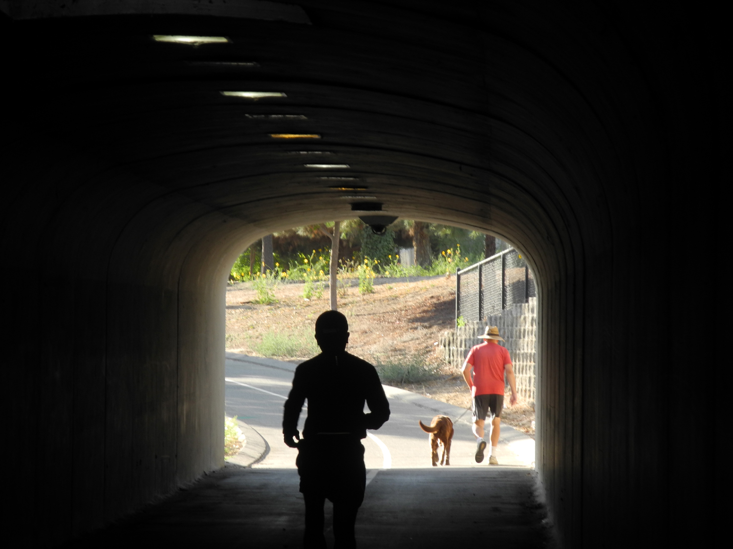
We had freezing temperatures overnight, but by the time we walked, the frost was gone. It was probably about 40 degrees, still plenty cold. To add to the "fun," we had a strong wind, but it was mostly at our back on the return walk. She enjoyed the walk, which goes through a lot of different areas, and we saw one cat in the Feral Cat Zone. As we started through the tunnel under Herndon on our return trip, we saw two workmen looking down into a hole beside the trail. I asked "What's down there," and one of them replied, "A pump." As we got closer, we saw that there was also a man in the hole, working in what Teri and I both agreed was very tight quarters.
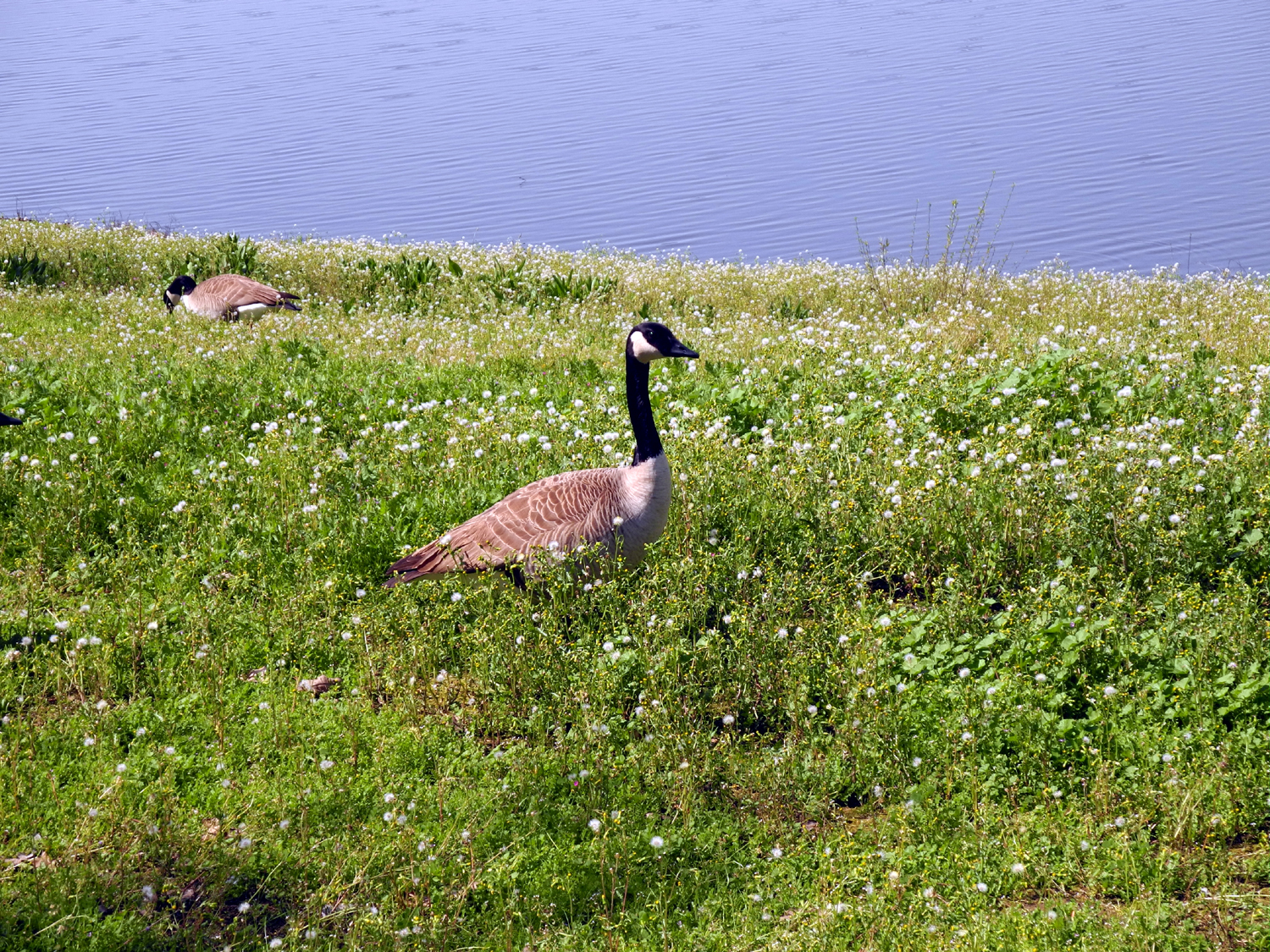
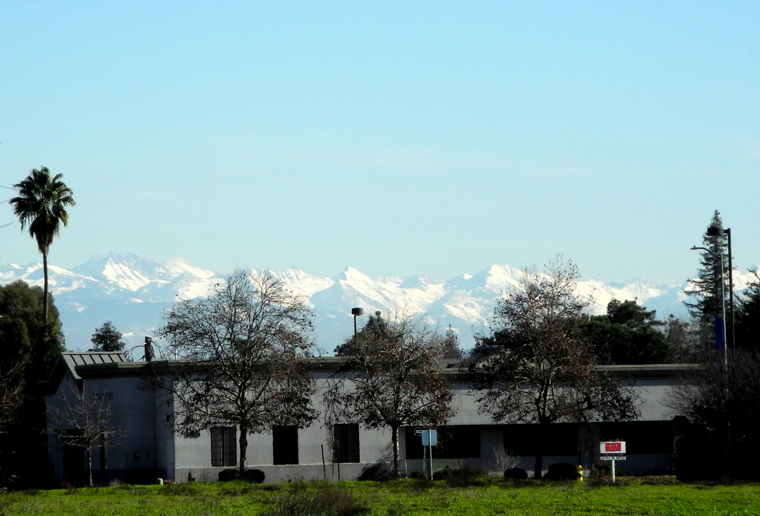
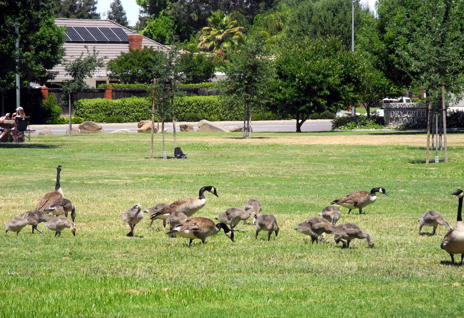
There were quite a few geese sitting on the bank on the west side of the flood basin beside the trail. Then I noticed even more geese in the plowed field to the south side of Dry Creek. Apparently there are Pond Geese and Field Geese. We had had a cold winter storm in the afternoon and evening the day before, and there were fantastic views of the snow-covered Sierra. At the intersection I walked down the sidewalk a short distance to the east to get a better view and could see that the snow level was down quite low. I already knew that there had been a good amount at my daughter Jennifer's at the 3,000 foot level above Oakhurst. It being Christmas, there were not many people out, though I saw at least a half dozen enjoying the cold, crisp, sunny day.
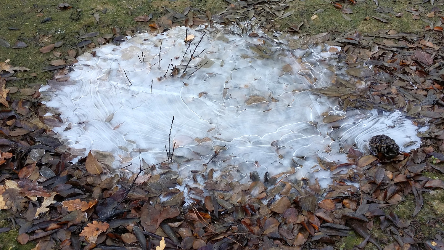
This morning it registered a low of 27 well before sunrise and there was a thin sheet of ice on a bucket of water I have there to collect recycled water in the summer. I went walking on the Old Town Trail north from John Wright station, and there was thin ice on some large and small puddles and pools that have collected from the recent rains. However, one 14-inch puddle was frozen solid. I suspect it may be shaded all day and has not completely melted, since we've had freezing temperatures for several days, and highs in the mid-40s. The walk in general was very comfortable, wearing three layers including a thermal top; in fact, I was too warm some of the time in the sun.
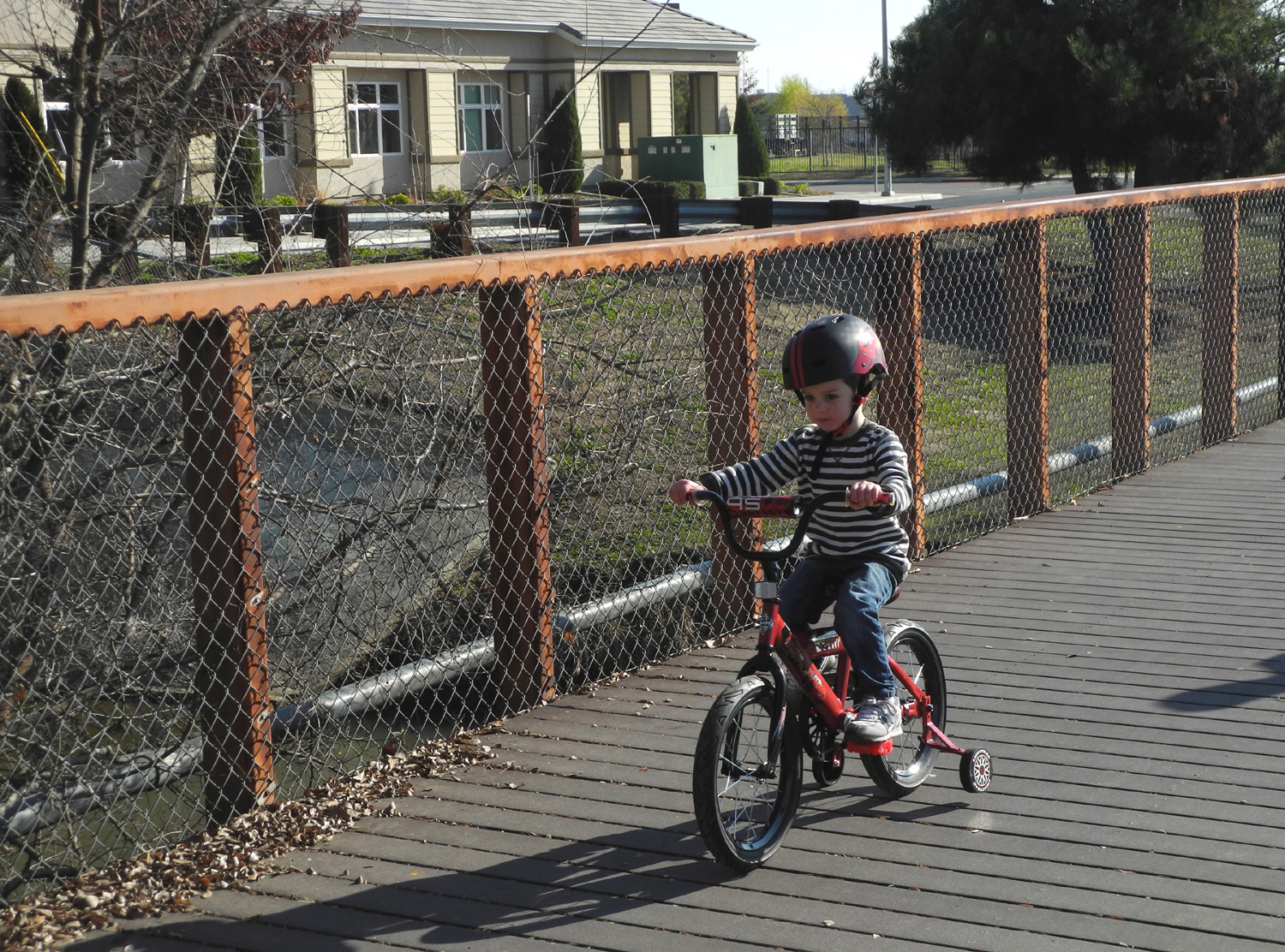
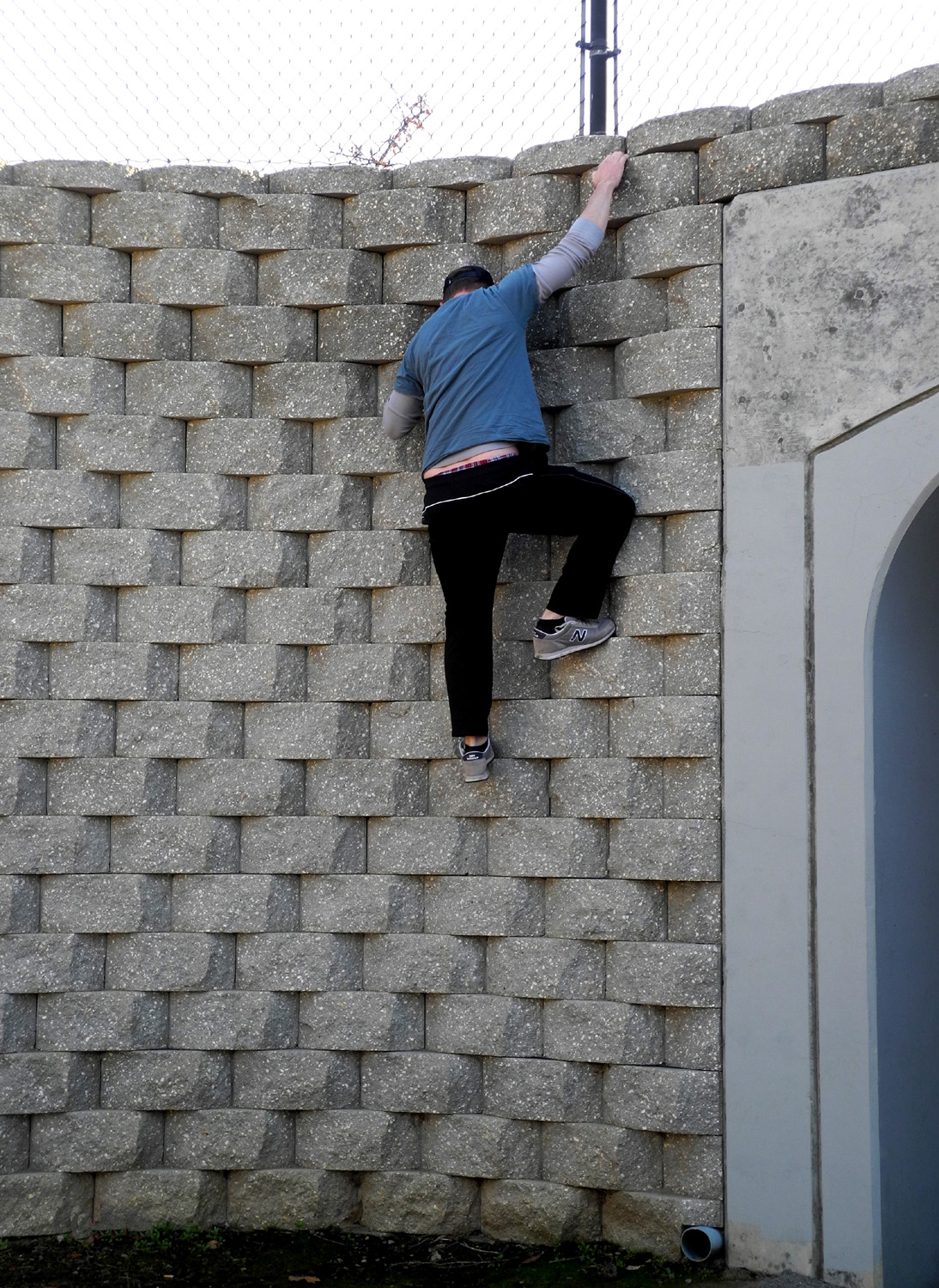
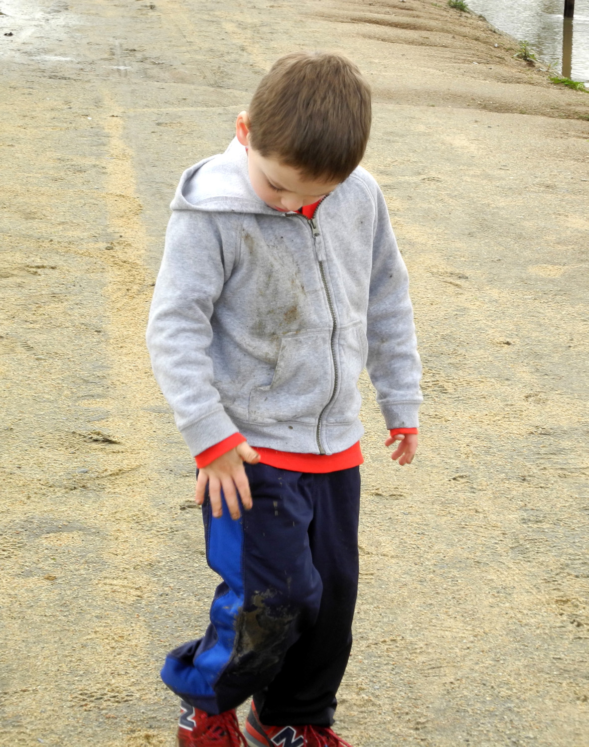
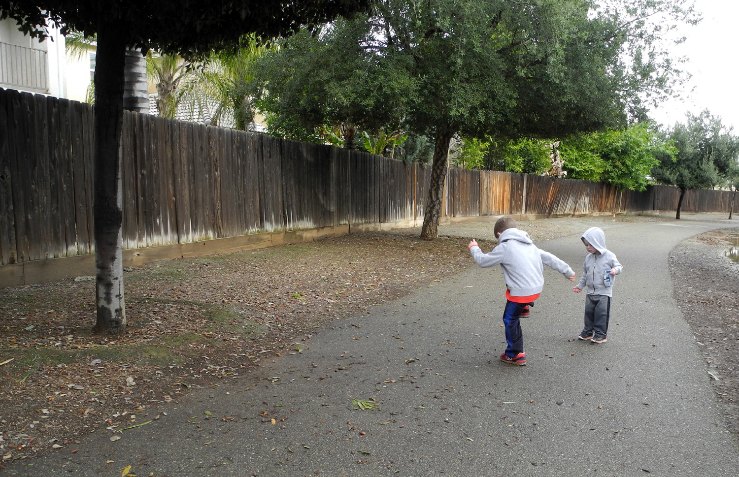
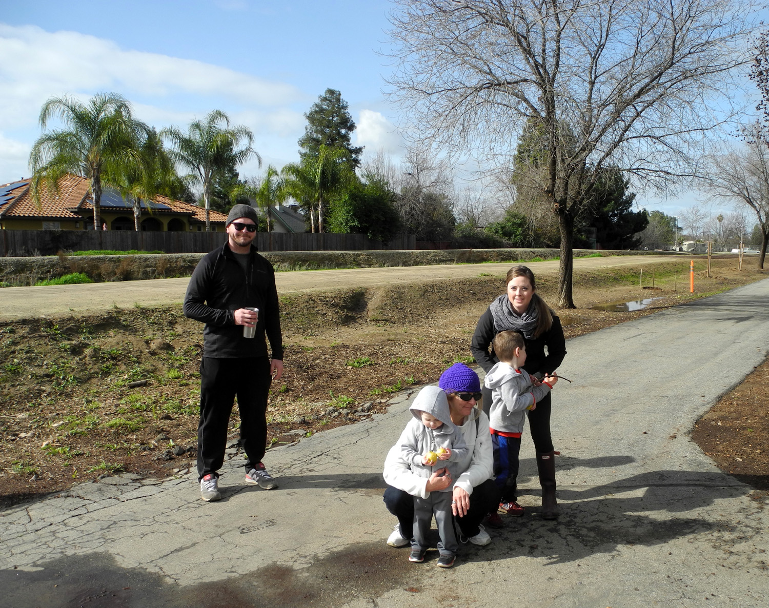
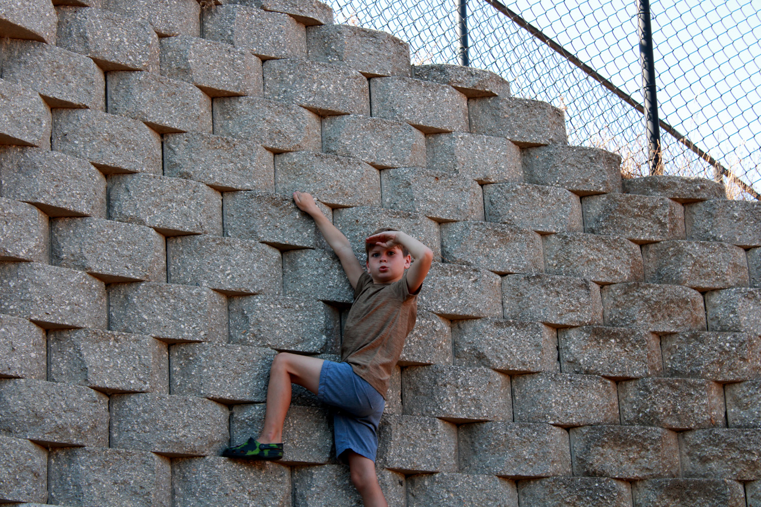
Colton brought his new 2-wheel bike (4 wheels for now), but we left it in the car at first and walked down the trail where it goes by the "junk yard." There are several cranes here, lots of huge sections of pipe, and various other unidentifiable items, all of which I thought would interest Colton. After we crossed the streets and got on the trail Johnny told Colton to follow the center line of the trail, and this made more of an impression than the cranes and other stuff. While the rest of us walked onto the dirt road by the junk, Colton continued down the trail, sometimes heading off into the trees on the far side. Jack was set free from his stroller, and had a good time just wandering around. Colton finally took notice of the cranes and stuff as we started back, but didn't seem to be particularly interested. We got back to the car and got his bike out, and he started up the trail. It didn't take long before he was 100 feet ahead of us, and Johnny later said he wasn't sure the bike was a good idea..."I feel like he's faster than I am now." Despite his fast riding, he always turned around and came back to let us catch up. Jack rode in the stroller most of the time, but when we stopped and he got out, his favorite thing was to get a handful of dry leaves from one side of the trail, walk over, and throw them down on the other side. We calculated it would take a few years for him to finish moving all the leaves. Jack walked a little, but rode most of the way. Colton rode his bike except for one brief exception I'll get to later. We went to John Wright Station, where I usually park, and rested on the benches there. Of course, the boys did not rest; Colton rode his bike around a cement circle that ran around the rest area, as well as back and forth on the trail a little. Jack decided to restore the leaves to their rightful place, dumping dried oak leaves onto small evergreen bushes. When we got to the bridge over the Dry Creek Canal, Colton did not want to ride across it, so he walked while Brittany pushed the bike. Later while we were resting he decided to try the bridge, and rode across it as slowly as possible. He decided it was safe and rode back at normal speed. Both boys enjoyed the tunnel under Herndon Avenue, Jack running down the road with mom in close pursuit, and Colton free-wheeling down with Dad beside him. He rode up the other side with no help. The retaining wall flanking the tunnel entrances looked like a perfect climbing spot to Johnny, so up he went. We walked a little over two miles, although Colton got in an extra quarter mile with his circle riding, getting ahead then riding back. Jack was sound asleep when we arrived at the cars, so we got hamburgers to go and went to their house to eat.
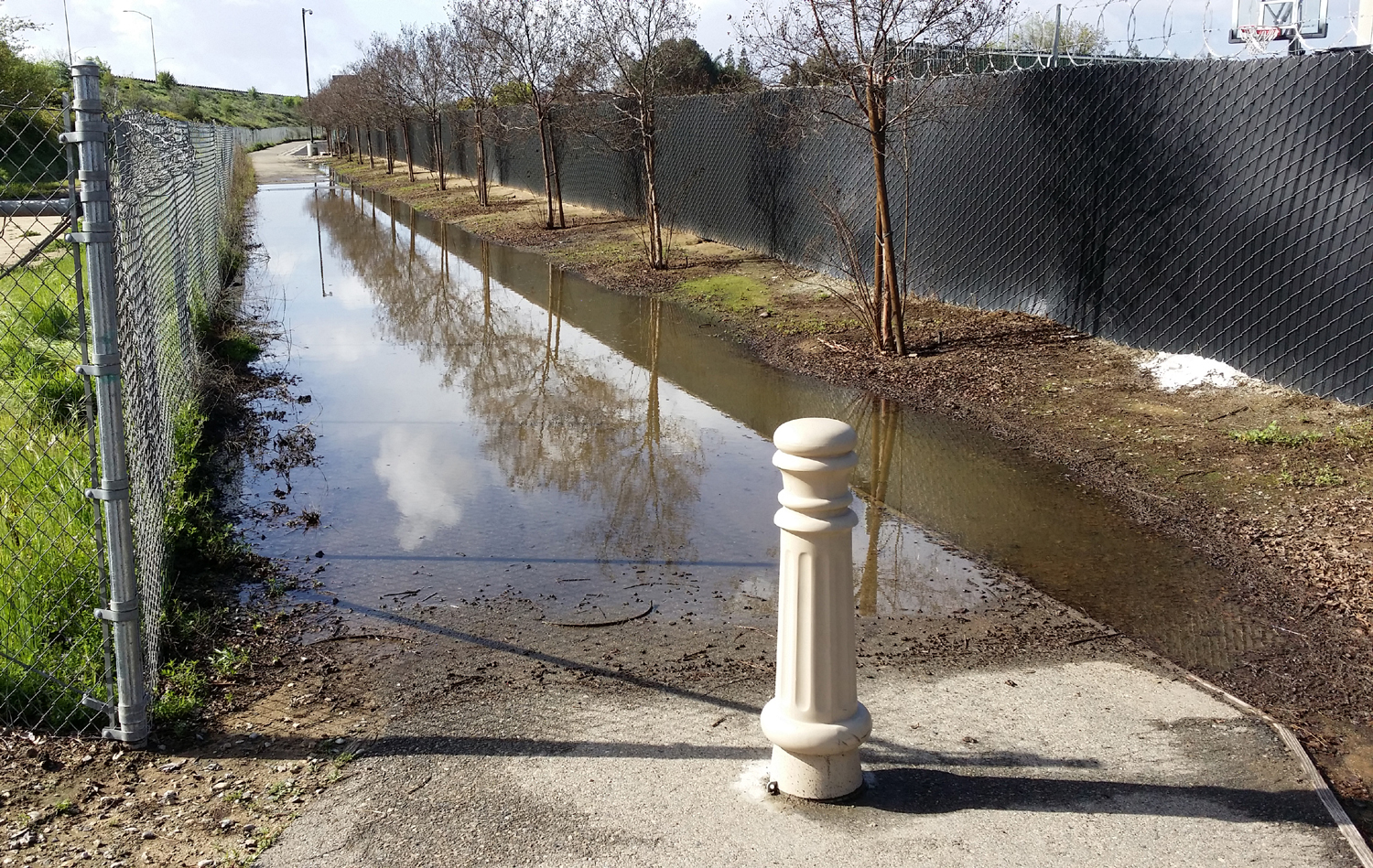
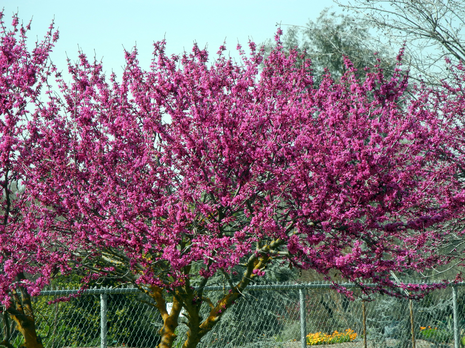
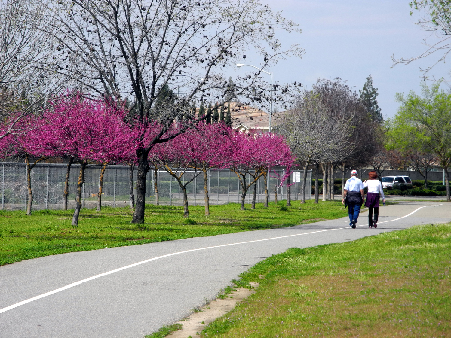
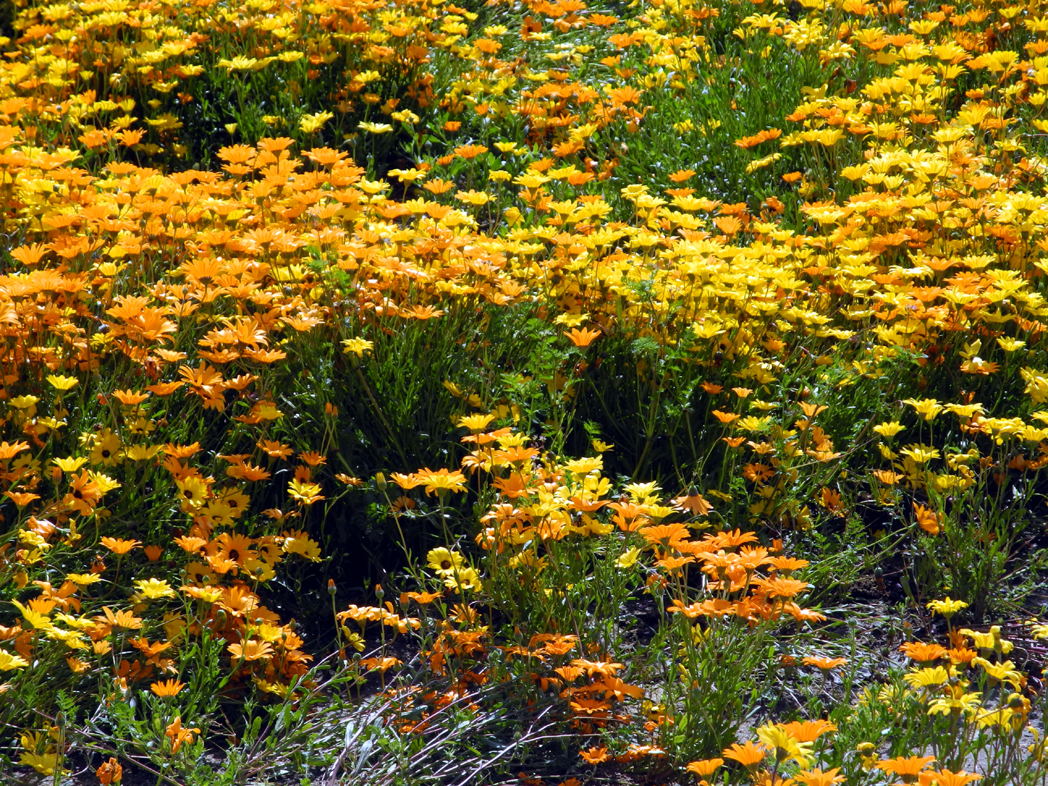
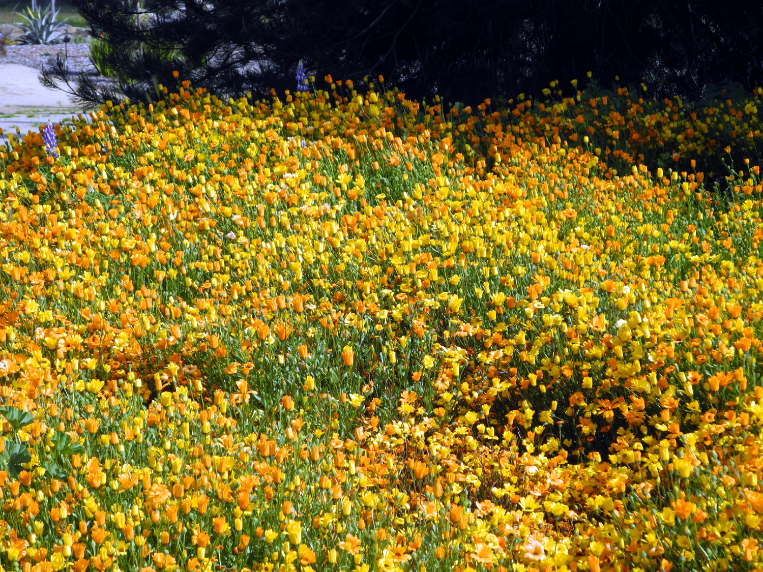
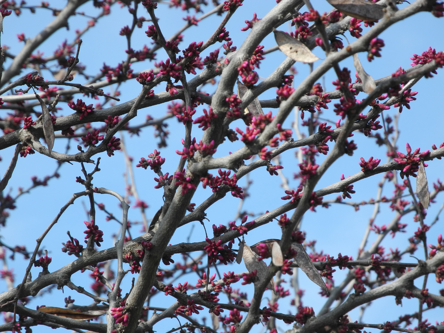
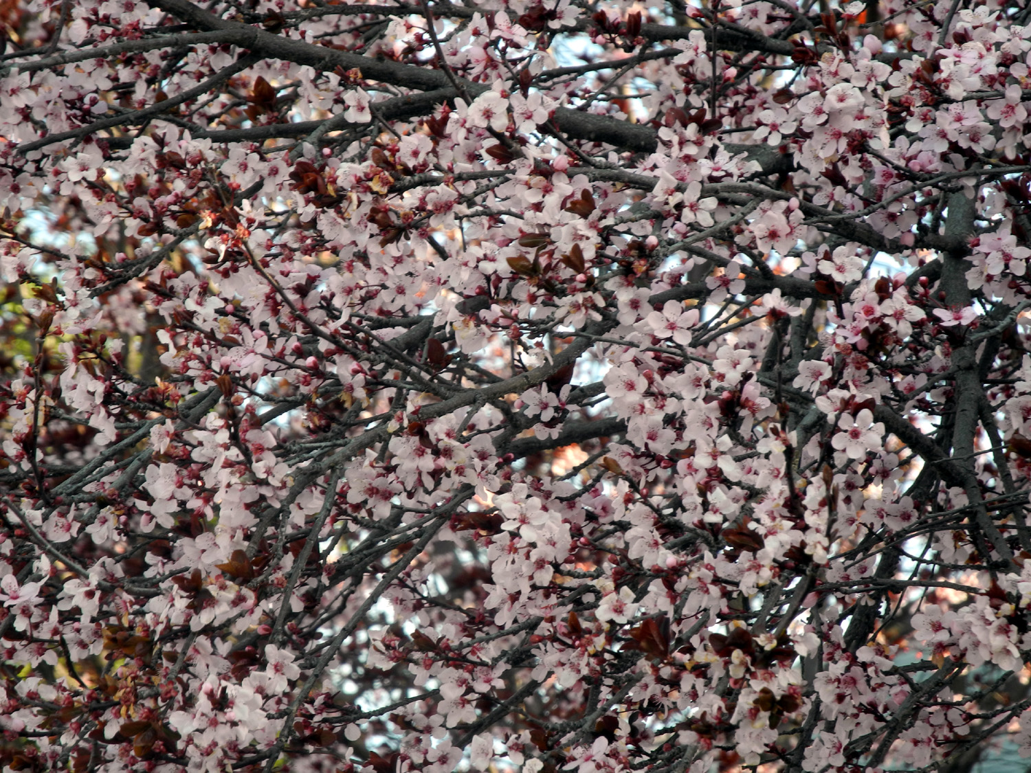
On the Dry Creek Trail north of Dry Creek Park, the city has planted a number of redbud trees, which are one of the more striking shrubs of the foothills. They do well in the valley, and they have been showing pink for a week or so. On March 5, Teri and I drove to John Wright, then walked the Dry Creek Trail along the canal to the park, and north past the redbuds to the first cross street. The redbuds were at their peak, and should be good for a week or so. As soon as we started walking, it started misting, but it was not enough to bother us. Later it became a light rain, which was annoying some of the time, especially when the breeze blew it against the side of my face. However, we made it back not very wet and well exercised. In the Botanical Garden next to the park there are massive plantings of some kind of yellow and orange flowers, species unknown to me, which create a dramatic splash of color not far from the park and the trail. When I walked today, there was mud that had been washed onto the trail in places. I had thought about hiking down Spud's Spur, but it was flooded, so I just kept going to the park at Clovis and Sierra Avenues.
My walk on March 12 was right after another good rain. I went north from John Wright, and there was a flooded area, about 25 feet long and 10 feet wide, which had attracted ducks. I also saw them in much smaller puddles, wading, not swimming. In addition, the geese are occupying the flood basins. Another day on the same trail I finally got the answer to a question that had intrigued me since last summer. There is a large industrial-type building not far from the trailhead, and during the summer the parking lot was filled. Of course, I was glad to see that there was a place providing a lot of jobs, but as it got later in the year, the number of cars decreased by about 80%. Finally I was able to stop and talk to a couple of workers who were taking a break at a picnic table beside the building, and found out that it is Wawona Frozen Foods. This company is owned by the Smittcamp Family, a long-time big player in agriculture and politics. Wawona Farms includes many acres of fruit trees, and the Smittcamp's donated land for Clovis' newest high school, Buchanan High.
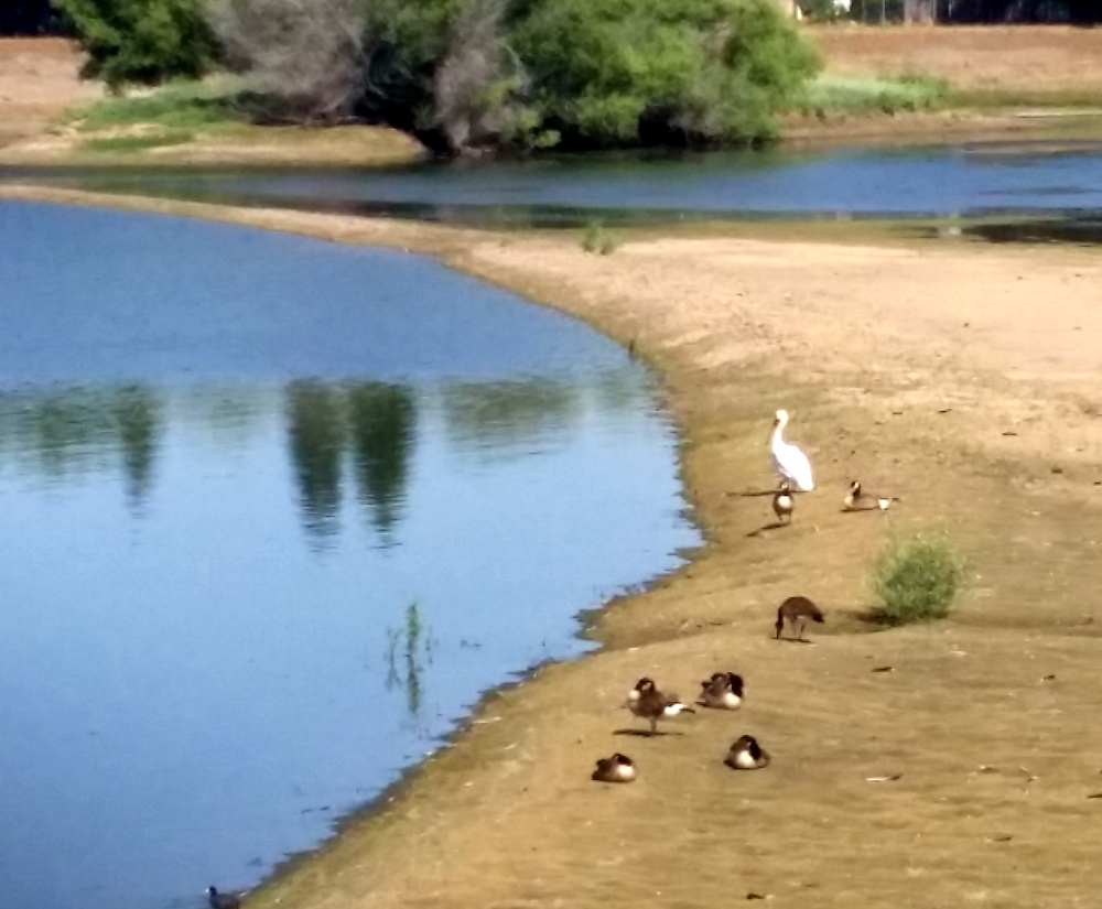
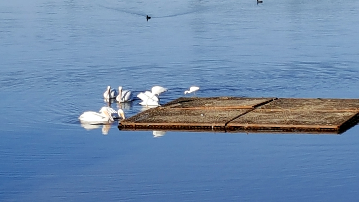
Two other hikers stopped and commented and we all agreed that this was a rare event, having never seen a pelican in the Fresno area before. Update: A week or two later I walked by this area again, and there were five or six of these birds. A few minutes later they were swimming across the pond, gliding in perfect formation without any visible movement of their bodies. (2021 Update: The pelicans have become regular visitors, and have been seen in other pond basins around Fresno and Clovis.)
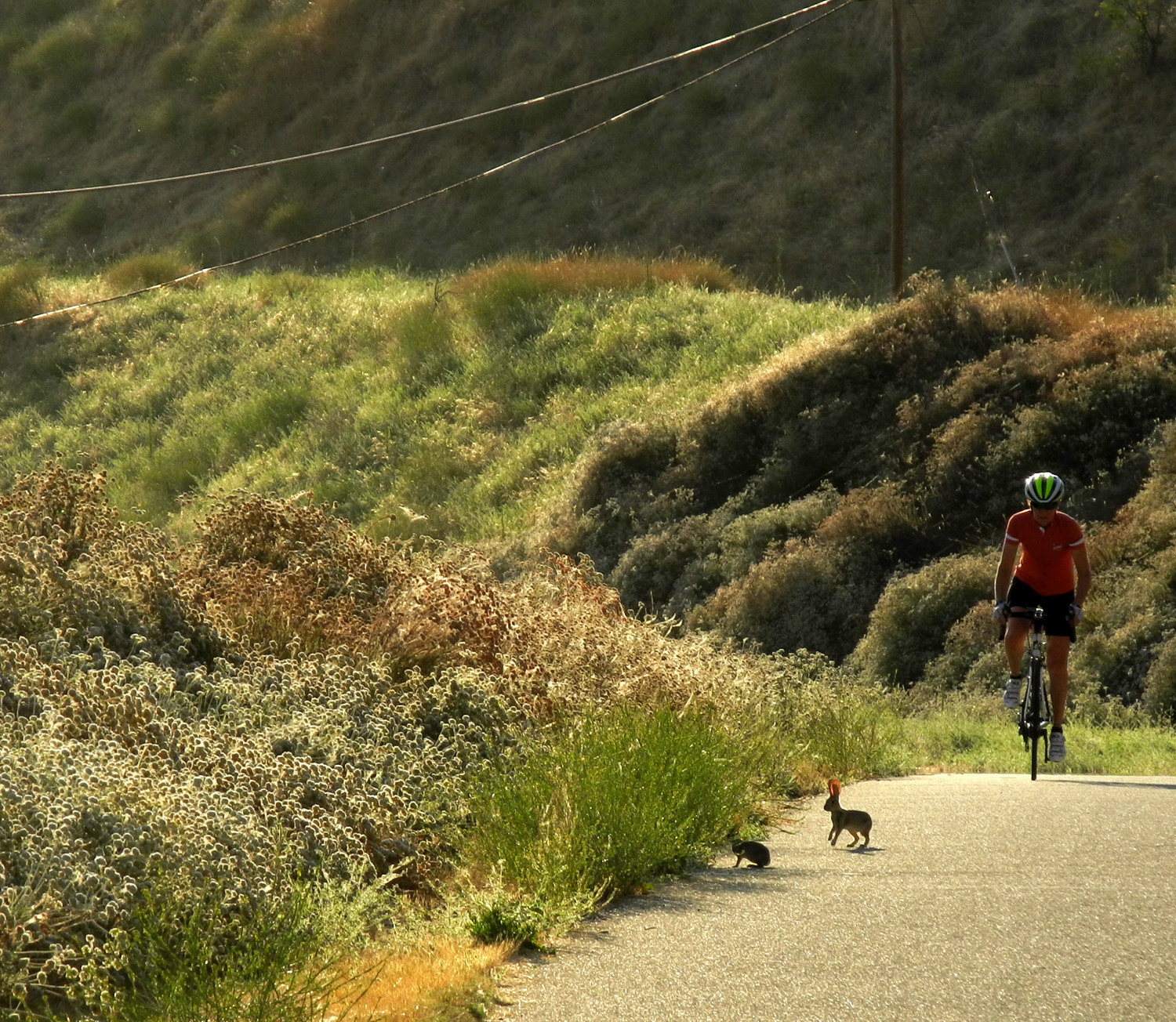
It's been very hot the last week or so. Getting out of the house before 8 a.m. recently, it was already 80 degrees, and the walk I did was very warm. I decided I would get up REALLY early and drive out Willow to Friant Road where there's an access point for this trail. I walked there for the first time in November of 2015. I went there again in December with fellow Rambler Carolyn Amicone and again in February of this year with my daughter Teri. You can read some background information on the trail at those links, so I won't repeat it here. I got up before 6 a.m., had a light breakfast, and was on the trail by 6:45. Even this early, it was quite warm, especially with my cap on. When there was shade I removed it, which gave some comfort. I walked all the way to the River Center, following the dirt path that runs all the way around a pond next to the complex. It was a good day for small wildlife - I saw at least a dozen each of rabbits and ground squirrels, several quail and lizards, other miscellaneous birds, and a feral cat. The first rabbit I spotted was heading for the bushes at the side of the trail when a bike rider came toward him from the opposite direction. This sent him in my direction just long enough for me to get my camera up and take a quick shot. When I looked at the photo at home, to my surprise there were TWO rabbits in the shot. There were a few flowers along the trail, most of which I could not identify. The most common was a small bush covered with white flowers. These started appearing along the sides of recently repaired roads about 20 years ago, and now are seen in a number of places along trails and roads. I'm 99% certain they have been planted as erosion control. The flowers give way to a beautiful russet seed head, and during my visit to this area, they were in transition. There were few other walkers, maybe six joggers, and a lot of bike riders. My total walk was 2.38 miles, which takes about an hour, including time to stop and look at scenery and take pictures. There is a Farmer's Market every Wednesday at the Kaiser medical center, on my route back home, and there is man there each week selling homemade apple butter. I had hoped that the market would be open by the time I finished my walk, but I needn't have worried; my vendor said he usually arrives by 6:30. I traded in my empty jars (getting a 25 cent credit for each one), and bought three more plus some bread and butter pickles. My light breakfast was just enough to sustain me through most of the morning, which ended with a trip to In-N-Out for a cheeseburger, fries and Coke at 11 a.m.
The park maintenance crew's ax is also not to be denied, and when I walked the trail today with my next door neighbors, Bob and Alice, we saw that the branches had been whacked off. This was their first time on this part of the trail, and they enjoyed it greatly. We had a slight breeze and temperatures that were comfortable if not actually cool.
A few days earlier, I had my longest ever walk on the Clovis Trail system. I had to take my car in for some minor work. They said it would take two hours, and they would be happy to give me a ride home. However, the trail I usually walk on runs behind the shop, so I thought if I felt up to it, I would just take a long trail walk while waiting. When I first got up I could feel every muscle used in my 4.5 mile hike to Tokopah Falls the previous day, but once I got moving around, I felt I could walk the trail OK. After dropping off the car, I walked a short distance to Herndon, then a few hundred feet to an access trail that joins the main trail south of where it goes under Herndon through a tunnel. I walked past my usual rest stop at 3rd Street, continuing to 5th Street. When I got back to Herndon, it had been less than 90 minutes, so I continued all the way to my usual starting point, the John Wright Station. About half way back to Herndon I got a call saying the car was ready. Ten minutes later I picked it up, having made a very productive use of my wait time with a walk of over three miles.
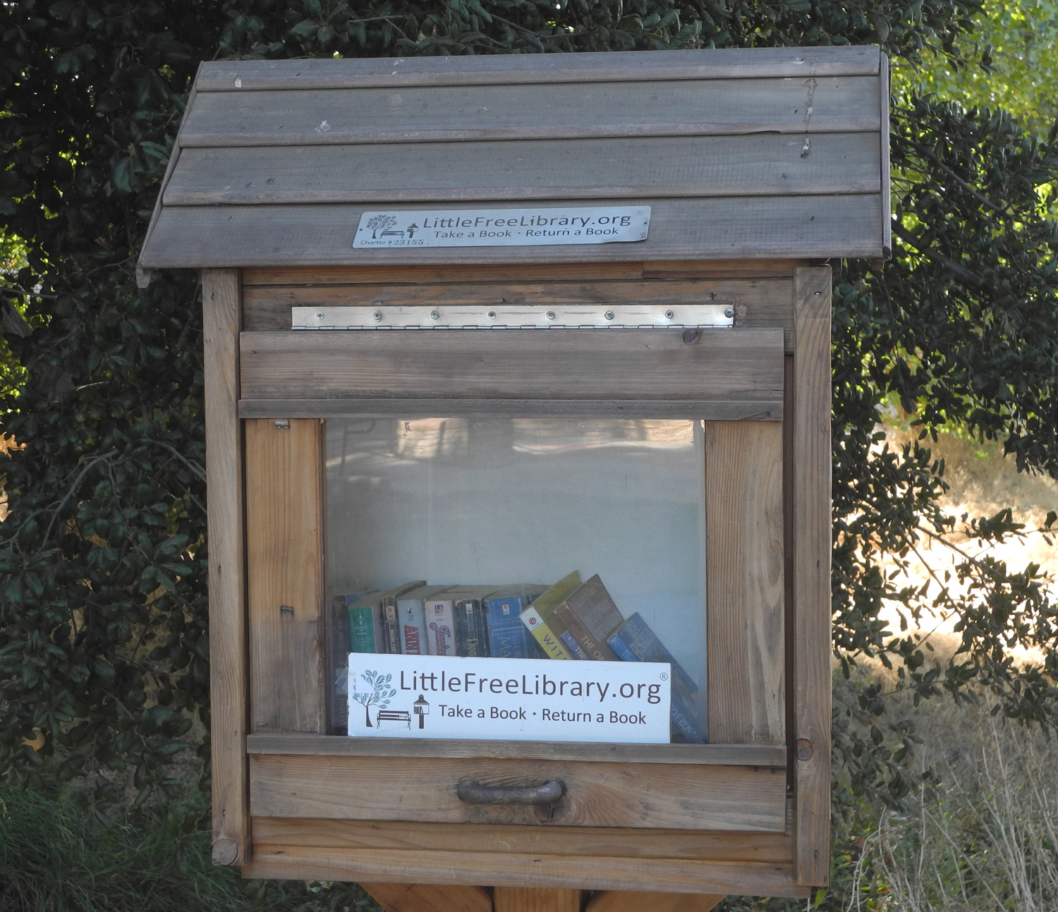
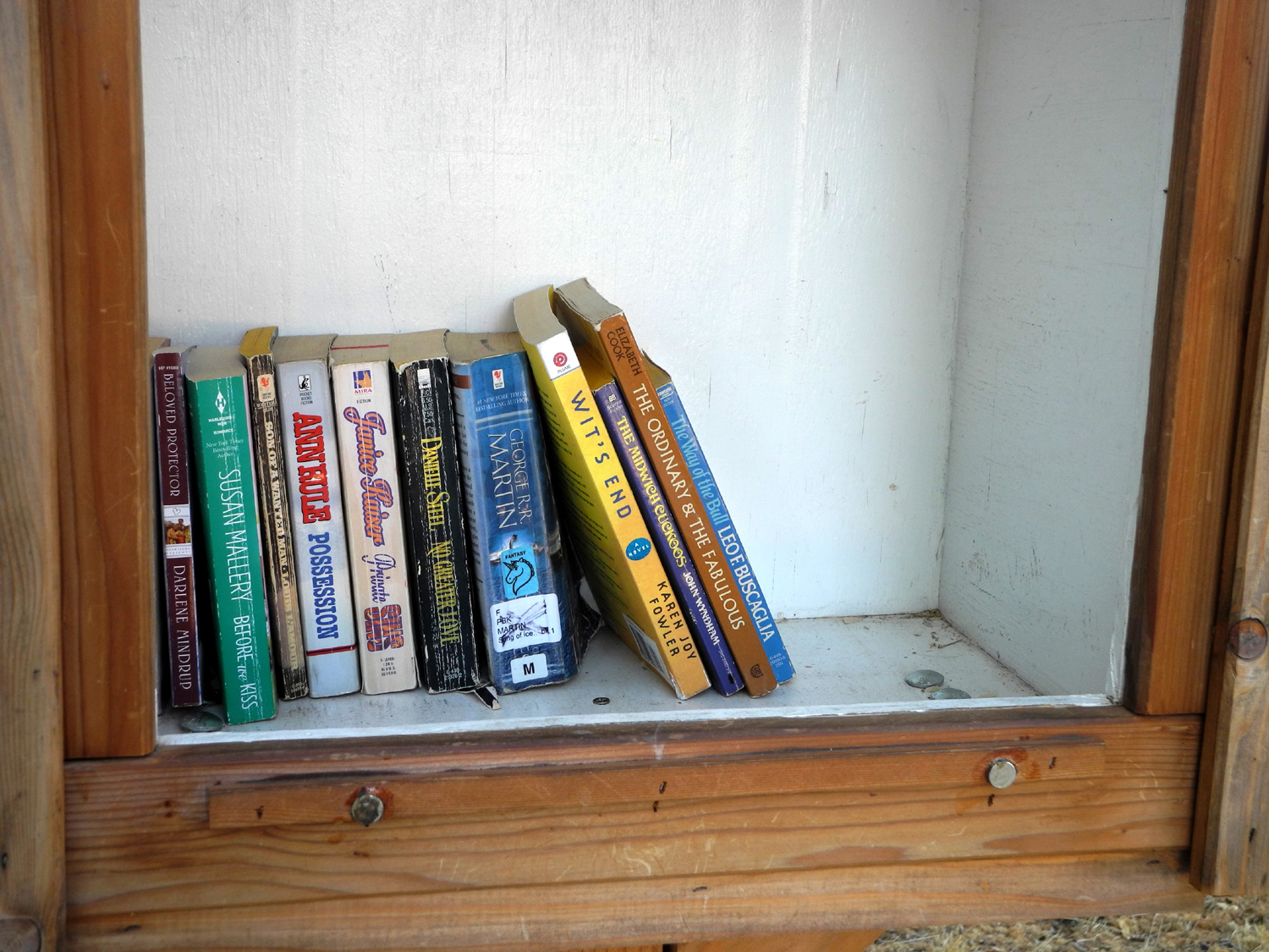
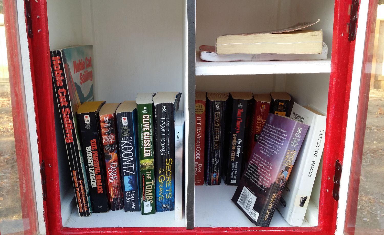
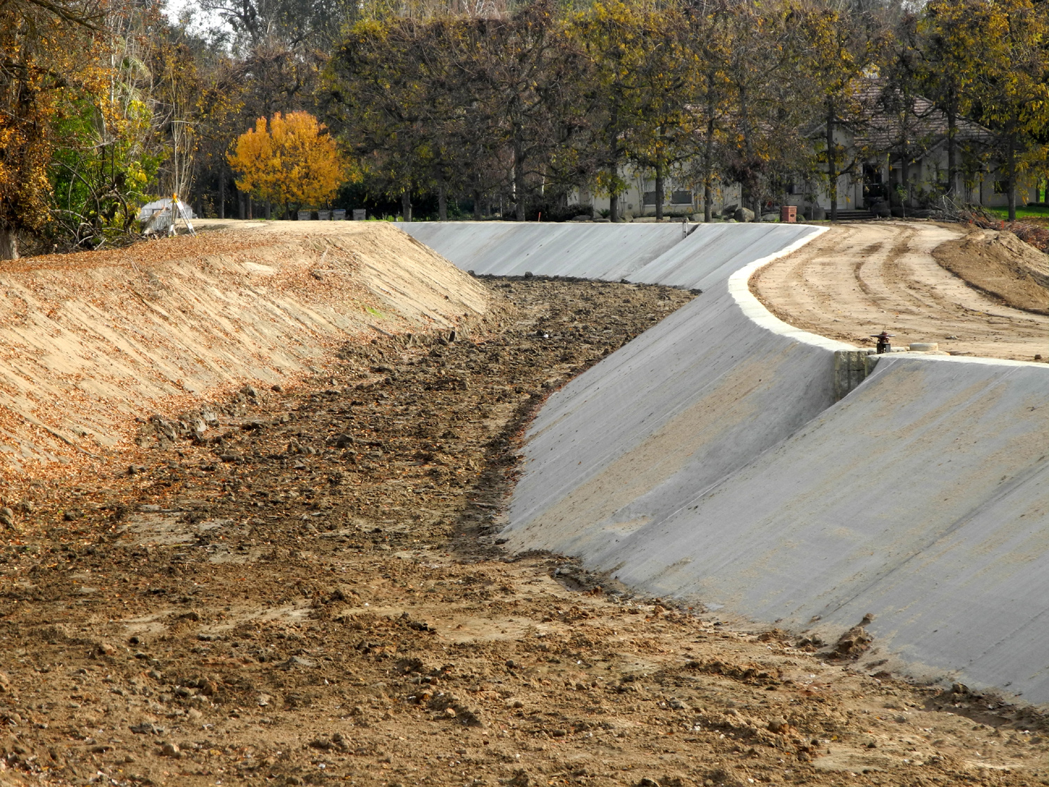
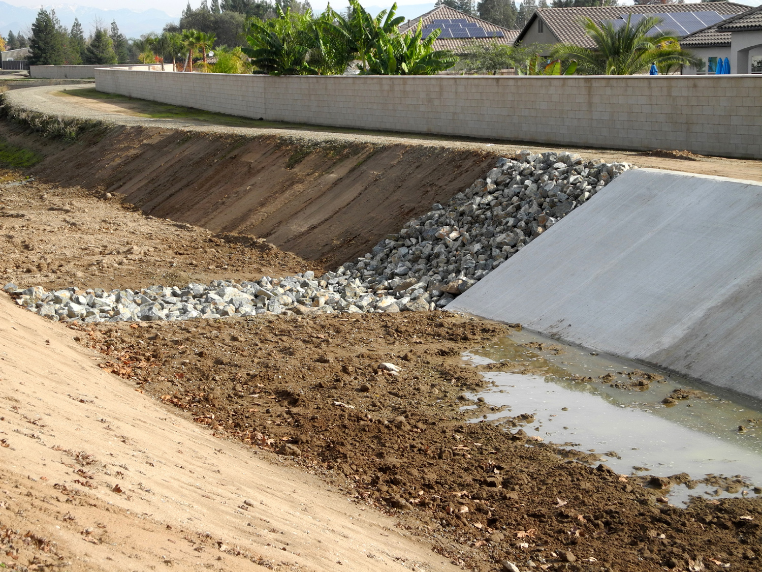
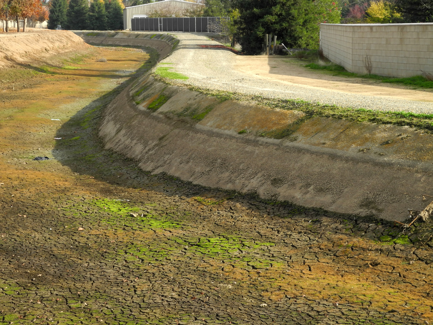
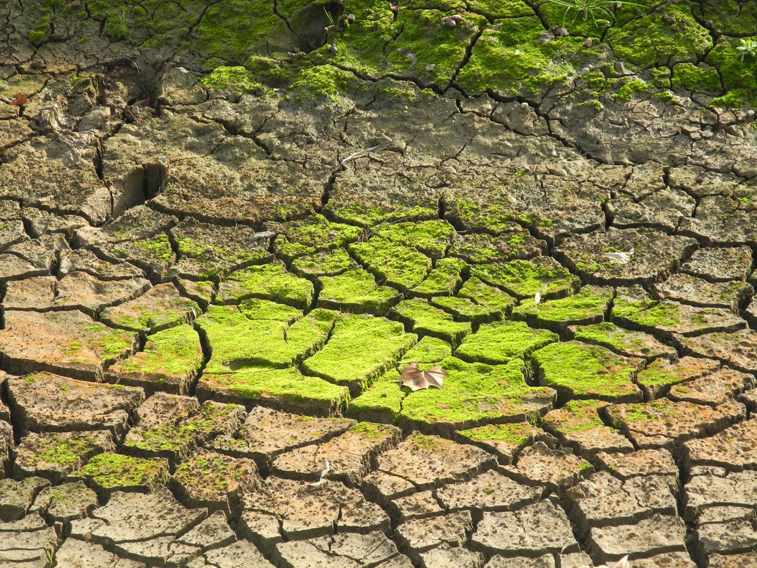
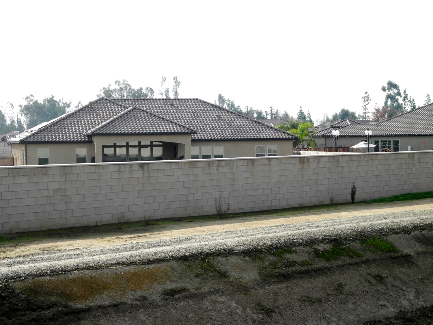
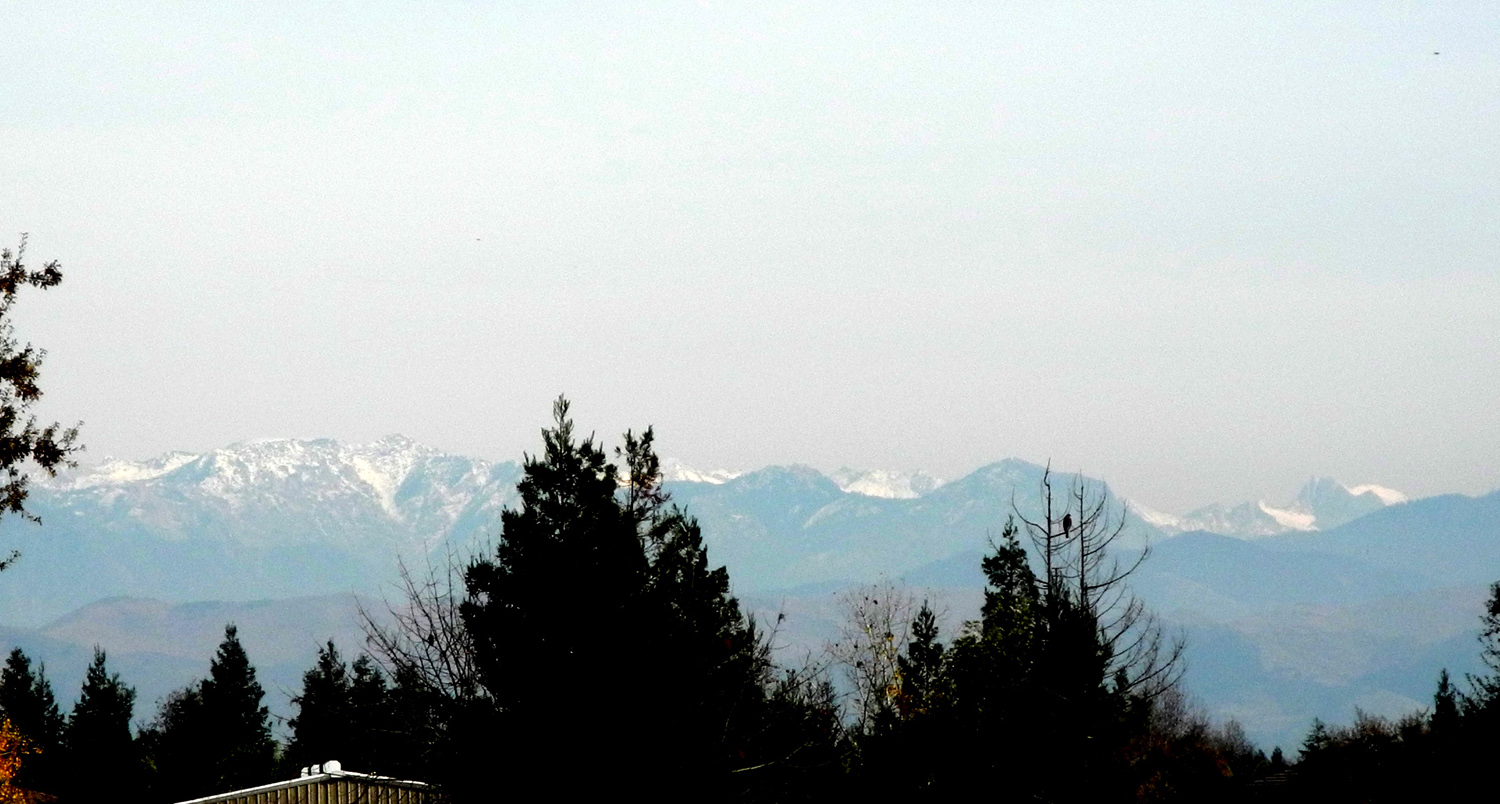
Update 10/22/16: I don't think I've ever mentioned anything about the libraries along the Clovis trail system. These are not buildings, but instead are small boxes, similar to a large mailbox, mounted on a post. Users of the trail can take a book, keep or return it, and add books as they see fit. There are always between ten and twenty books available, and I have taken home four or five of them, returning some and passing others on to people who are interested. There are two of these libraries, one by the Dry Creek Trail where it enters Cottonwood Park from the west (at Clovis and Alluvial). This one is sponsored by LittleFreeLibrary.org. The web site explains how to build and host a library. The other one is a short distance south of Nees on the Old Town Trail, and the sign describes it as "E and J's Little Free Library. It doesn't say so, but I assume it's part of the same organization. Both of these appeared within the last two years. They were an unexpected discovery, and they certainly add a unique touch to hiking in Clovis. (4/18/23 Update: These libraries can be found all over the country and perhaps beyond. Since they first appeared, there have been units added at Dry Creek Park and at the Old Town Trail junction with 3rd Street.) Update 12/14/16: I walked today on the Enterprise Trail, for the first time in at least a year or two. From the Dry Creek Trailhead at Shepherd and Sunnyside, the Dry Creek Trail to the south appears to be the only available trail. But a little cross-country travel takes you to the Enterprise Trail, less than a quarter mile away to the east. In fact, it's a stretch to call it "cross country," since it just involves crossing Sunnyside Avenue and walking on the bank of the Enterprise Canal to where the official trail starts. From there the trail follows the canal for at least a couple of miles, although I have never been to the end of it. I walk it so rarely I don't have an "official" turnaround spot like I do with most "in and out" trails, so today I turned back when I felt I had walked "half of enough." The first thing I noticed while walking on the canal bank was that the banks and the bottom of the canal had been graded. Then I realized there was a new cement lining on the south side of the canal for a considerable distance. This probably has something to do with the fact that a section of this canal bank collapsed in May of 2016, sending thousands of gallons of water into nearby neighborhoods. Burrowing ground squirrels were blamed, and indeed, I have seen large holes and dirt piles on canal and trail banks all around Fresno and Clovis. The new concrete and the grading of the opposite bank should keep the little creatures under control for a few years. On the other hand, the new bank work ends after about a mile, so who know what lies in store? The local irrigation district does inspect the canal banks on a regular basis, but with over 400 miles of canals, it's possible to miss things or not get to them in a timely manner. I DID see a couple of ground squirrels busily working on the next flood. I could not say for sure, but it also appeared that the bank on the north side, where I was walking, had been made a little higher than it used to be. The canal was dry, and the soil in the bottom of the section that had not been repaired had cracked into large, moss-covered sections. Another change I noticed was near the place where I turned back. The last time I was there a big tract of land south of the canal was being graded and streets laid out. Now most of the lots have large houses on them, a fence hides much of it from view, and another bit of countryside is gone forever. Anyway, I was there for hiking, not to study hydro issues or real estate development. I went at mid-day, and we had been having a spell of above average warm weather, so it was very pleasant. I arrived at the trailhead wearing a long sleeve t-shirt with a sweat shirt. I decided to leave the top layer behind, and within a short time, I was glad I did. There was a slight breeze in my face on the outward trip, but I never felt cold, and the wind was at my back on the return trip. Walking east on the canal bank I had some views of the Sierra Nevada. Most of the range is blocked by trees and houses, but at one point I could see a fairly nice section, with a brilliant white topping of snow. Where I turned back, I thought maybe I had not gone quite a mile, but it turned out my total walk was 2.33 miles. (Since the Enterprise Trail parallels the Enterprise Canal throughout its entire distance, this update also appears on the Canal Walk page.)
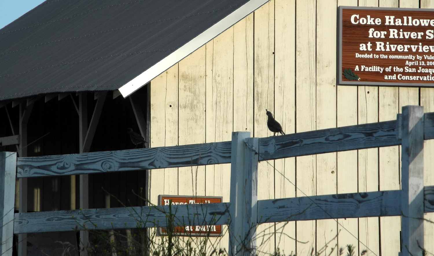
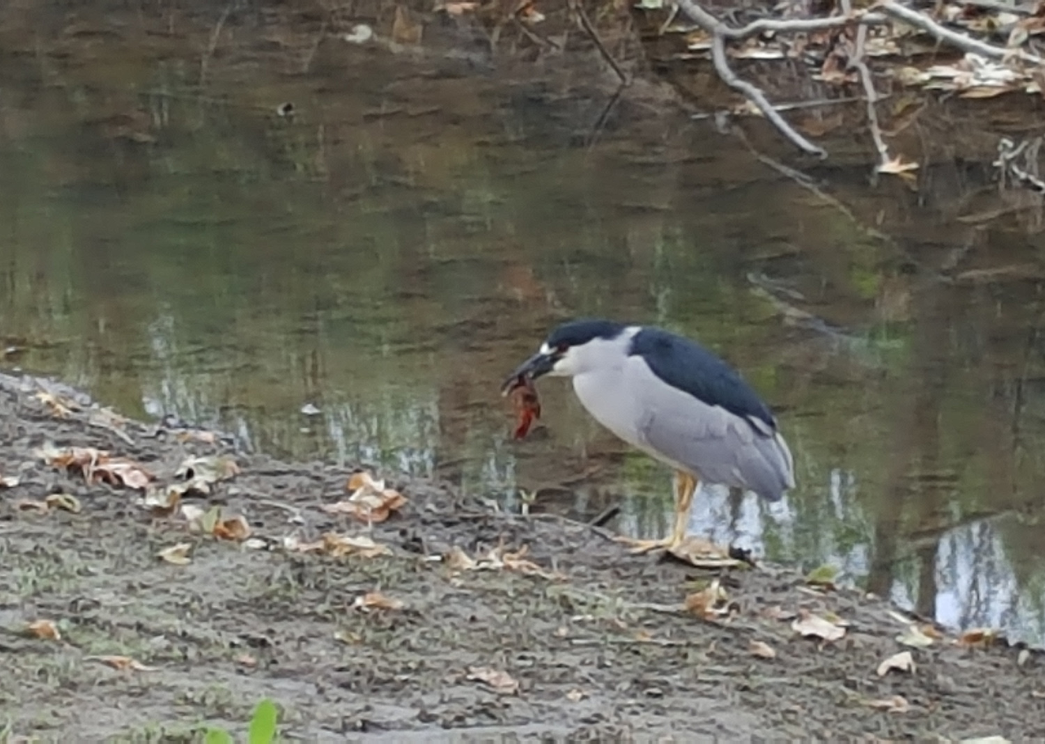
Update 12/28/16: On December 26 I followed a trail/canal combination route that I had never done before. Just south of where the Old Town Trail goes under Freeway 168, a small ditch goes east across a field. I had gone out in this field a short distance once before, to take photos of the Sierra Nevada with snow on the mountains. On this date I walked in the early afternoon, and the sun was far enough west to shine on the snowy mountains and provide a spectacular view. I took a lot of photos, ranging from Shuteye Peak above the San Joaquin River to the Great Western Divide between the Kaweah and Kern Rivers. The distance was too great to get really outstanding shots, but I got some that were at least fair. The ditch goes across to Clovis Avenue, where I went south on a little path at the edge of the field, then through the parking lots of a commercial building and a motel. The Old Town Trail runs behind the motel, so I got back on the main trail here and continued north back to the John Wright trailhead, a sort of loop walk of just over two miles. Today I drove out Willow Avenue to Friant Road and walked on the Lewis Eaton Trail. I reported on this area previously here and here, and although it's not actually a Clovis trail, I didn't feel this walk justified a separate report, so I'm providing a few words about it here. I saw several ground squirrels, a flock of quail, and a hawk. Where the trail ends at the Coke Hallowell Center for River Studies, it goes around a nice little pond where we've seen turtles and many birds. Today there were several large birds in trees next to the water, apparently black crowned night-herons. The river bed in this area is probably a mile wide, but the river itself is much smaller, and is never in view along this part of the trail. The route starts on the bank above the river, then drops down to the river bottom on the extreme south side. At one point I came to a place that was shaded by the high bank so that the low winter sun never shines there, and there was heavy frost on several patches of grass. I rested for a short time at the River Center, then returned to my starting point, covering just under two and a half miles.
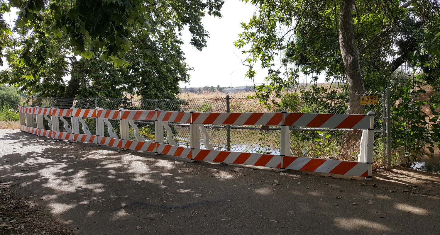
After finishing this short loop today, I decided to walk along the sidewalk on the north side of Alluvial for a short distance. Where the canal goes under the street, access to the bank is blocked by a fence. But not really. As I looked over the side of the bridge, what did I see but ANOTHER bridge, an orange metal walkway about two feet wide over the canal. To me, this was a clear invitation, and I went down, across the footbridge, and up along the canal on the east side. There is a narrow path that winds through the grass and trees, but soon I came to a place where further progress would have required pushing through low tree branches, so I turned back. My total walk was a little shorter than I hoped, 1.84 miles, but I felt the extra work of walking on the rough narrow trail made up for not being able to go my usual two-plus miles.
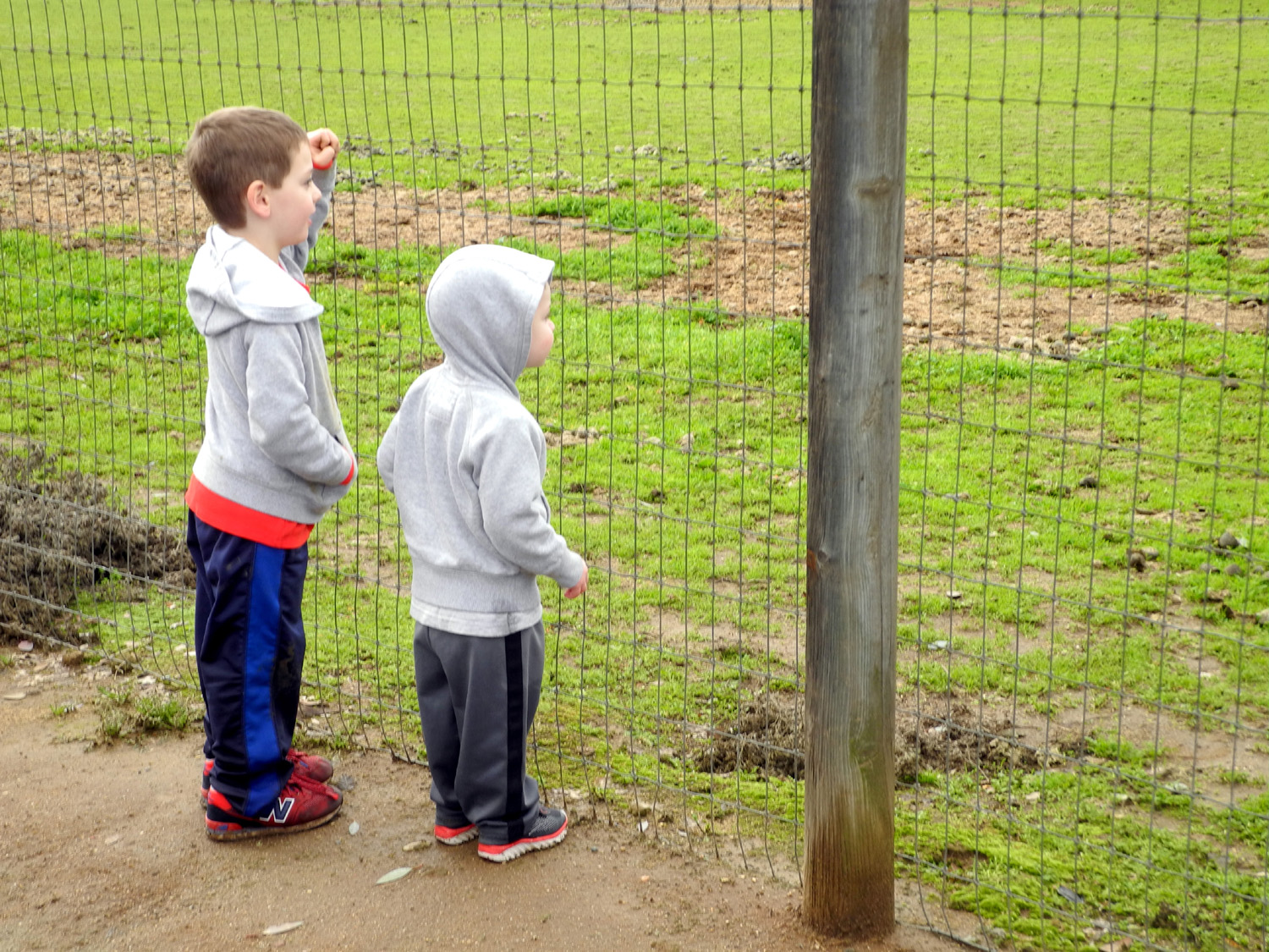
We drove to the Enterprise Trail, entering from a residential area near Nees and Temperance. This put us quite a bit east of my furthest point when I walked there on December 14. We walked west, which would have taken us to the "official" trailhead at Shepherd and Sunnyside if we had walked far enough. The trail is blocked by a gate for a ways along this stretch, probably to limit access to several large flood basins north of the canal. Since these were 20 or 30 feet from the trail, and the alternate route was along the canal bank only inches from the water, we had trouble understanding the thinking behind the gate closure. The canal had been dry in mid-December, but was now carrying a good flow of muddy water. The boys managed to find pebbles, small rocks and chunks of concrete to throw in the water. When there were none of these, they simply threw handfuls of mud. They also had a good time stomping shallow puddles, and in a couple of cases, running through deeper puddles. Before the walk was well underway it was clear that it would be laundry day when they got home. There are a few oak trees along the route, producing a lot of acorns, which seem to be a favorite of blue jays, who have to work hard to crack them. In an attempt to pass on wisdom to the younger generation, I showed them how to step on the nuts to crack them open and make it easier for the birds. Both boys took to this activity with great enthusiasm. At one point the trail goes by a pasture where two horses were in a shed eating from containers. Colton had been to this spot about two years earlier, when seeing horses was one of his favorite things. While his interest has moderated with age, both boys still enjoyed seeing the animals. This was especially so when one of them came over to the fence right by us. It took him about 30 seconds to realize that no one was offering apples or other treats, and he quickly returned to his regular meal. After we had walked far enough, we turned back and returned to our vehicles, having walked just over a mile and a half. Jack cheated a little and got carried most of the return trip, but he certainly got in his exercise running and jumping and throwing.
This section of the canal and the part that comes from the north and east where the canal begins still looks like a creek. Once it passes John Wright, it's clearly a man-made canal, even if it may follow the historic route of the creek. I don't know if it does or not.
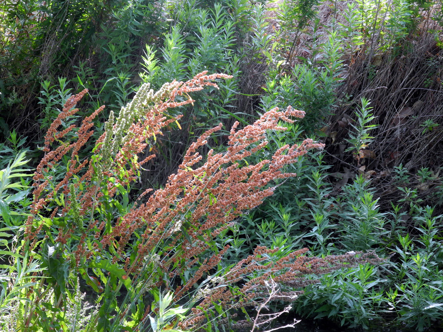
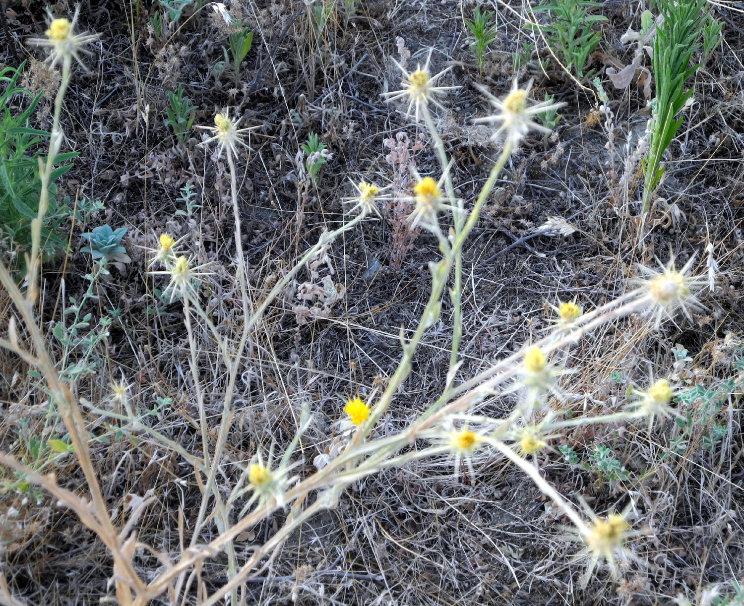
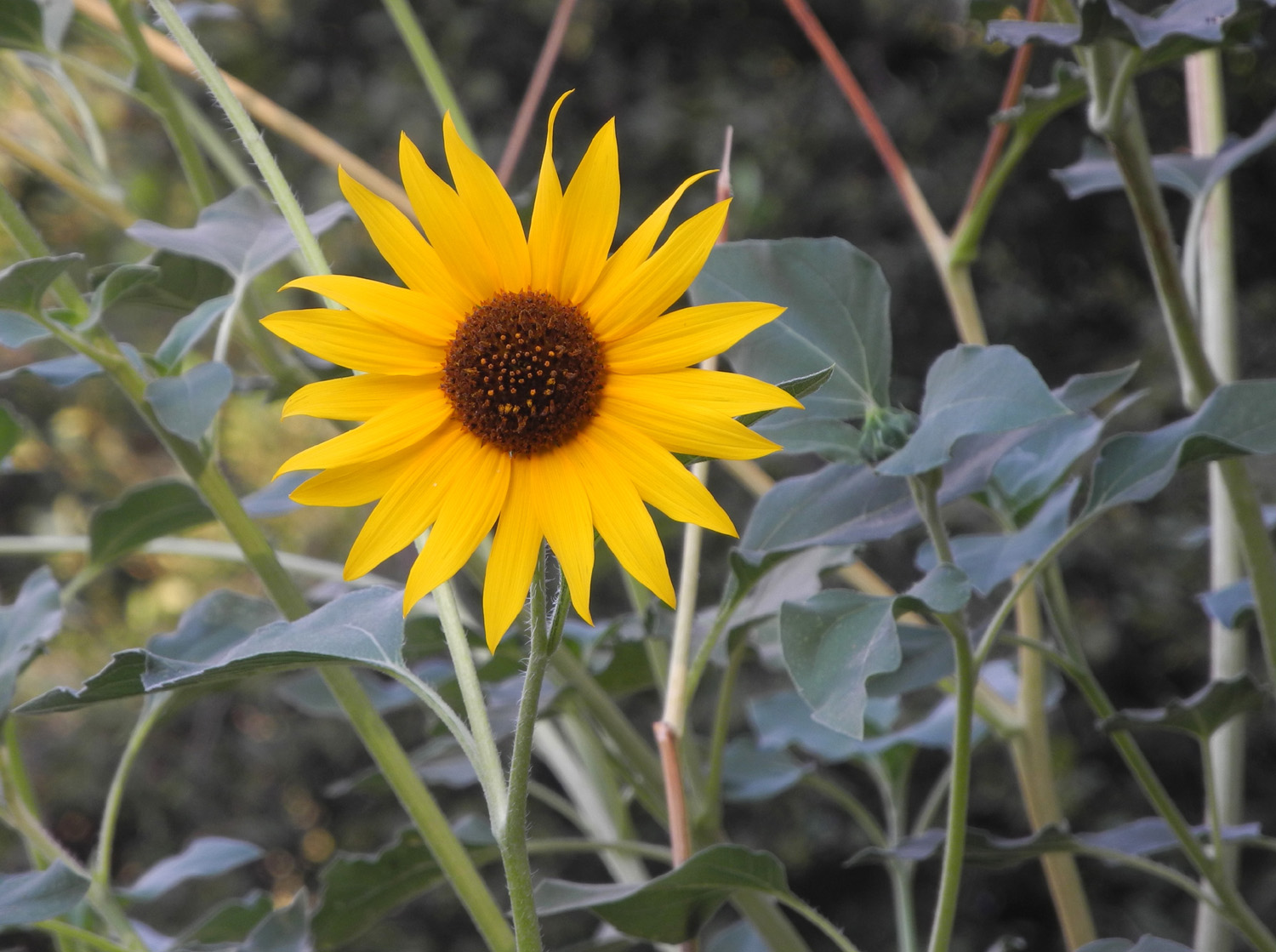
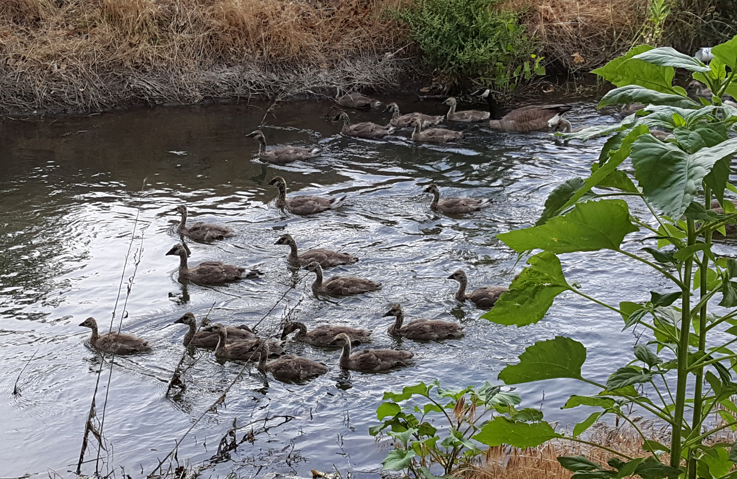
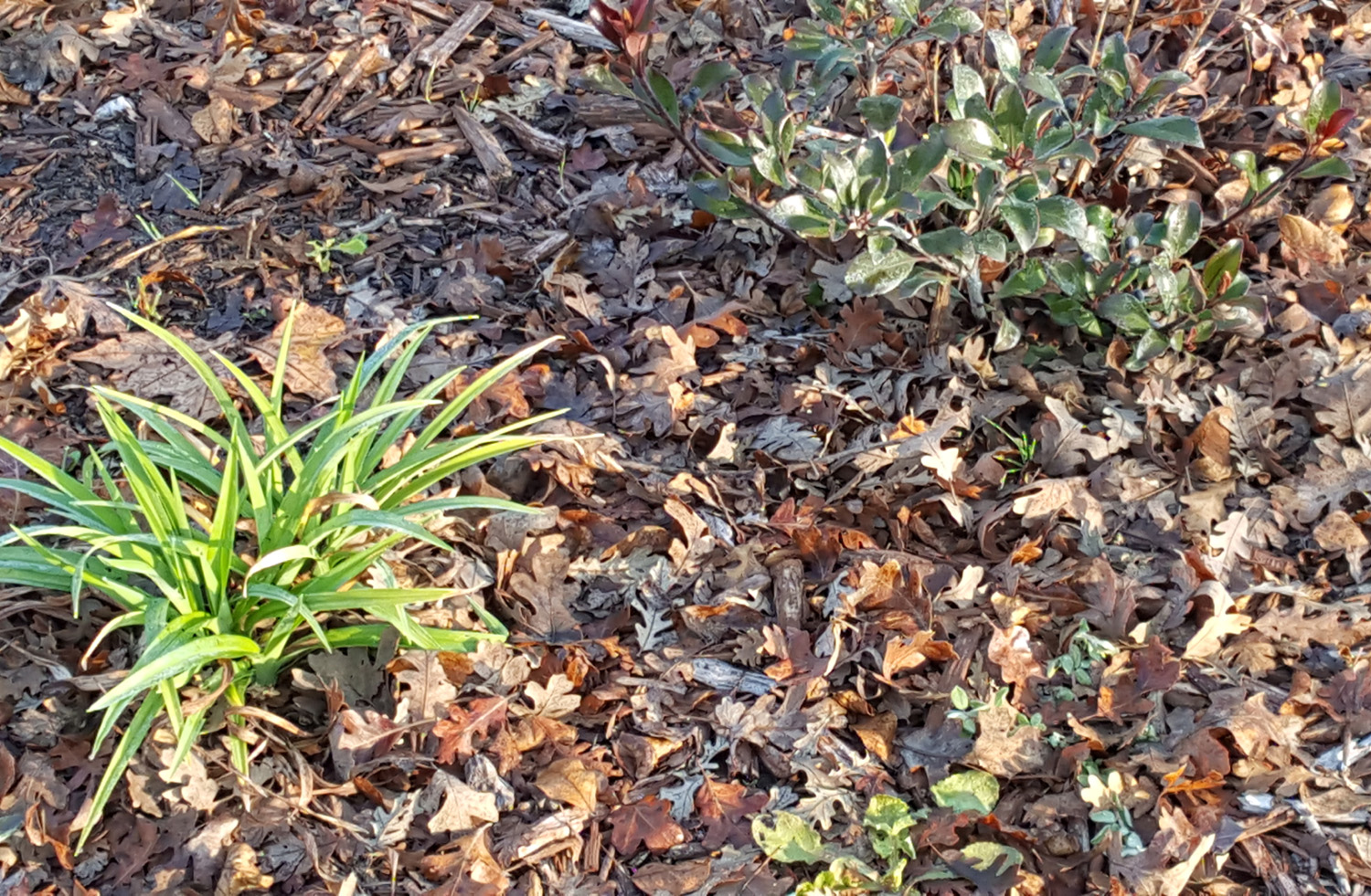
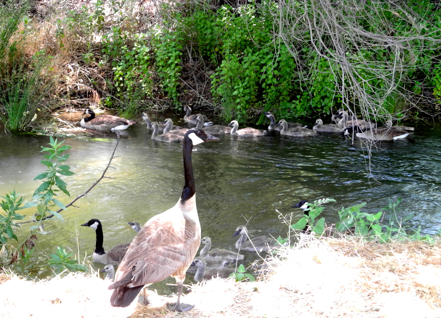
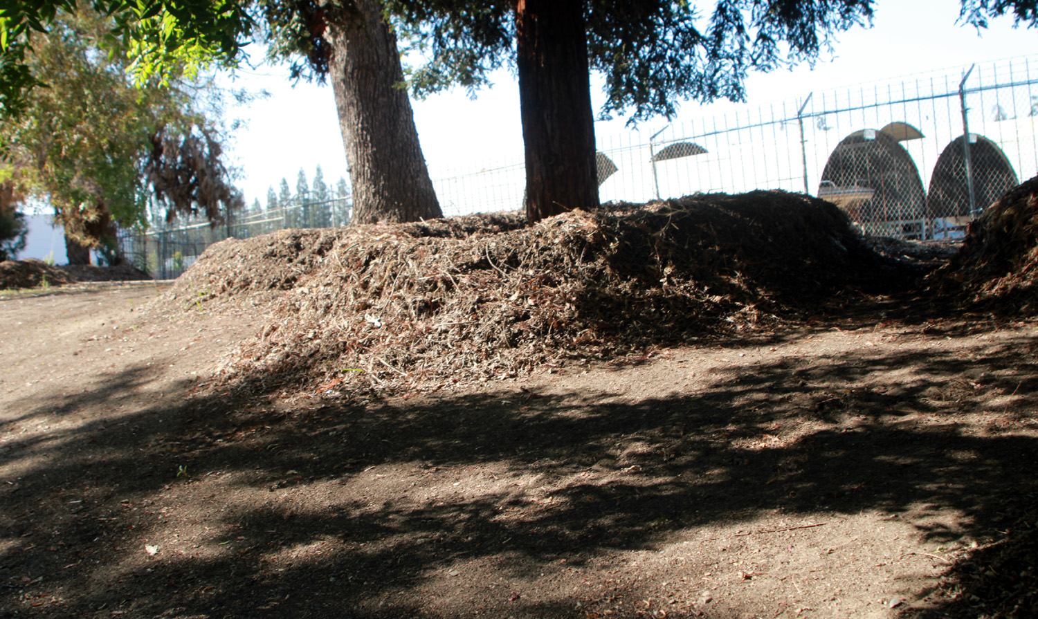
The copious rain this year has encouraged rampant growth of various plants along the trail, the most dramatic of which are sunflowers. These are a small variety of this plant, with flowers about two inches across. The plants usually range from two to six feet in height, but this year there were many above my head, as much as ten feet tall. There's a place with a small section of chain link fence where the canal has washed out the bank, undercutting the pavement slightly and leaving the concrete base of a post hanging in the air. Today I saw that the city had placed an additional large plastic barrier along the fence. Since it's been like this for at least three years, I could only wonder: Did a foolish adult or an unsupervised child start to fall through the opening below the chain link fence? Or did the city only now realize there was a hazard there and take steps to fix it? As I approached Cottonwood Park, at the southwest corner of Clovis and Alluvial, a family came walking toward me on the trail. I started taking pictures of them and the father, a Canada goose like the rest of the family, took a few steps toward me to remind me not to get too close. When I came back along that section, they were still on the canal bank, and there was an entire multi-family goose gathering swimming in the canal - three sets of parents, a bachelor uncle, and at least a dozen kids. On
a previous trail walk a few days earlier I had met Dan T., a man I
worked with for many years. He said that he's been walking the
trails several times a week for about three years. I've been doing
the same, but this was the first time we'd seen each other on the
trail. Today as I started my return walk, there was Dan coming
toward me. Perhaps we're fated to meet every few days now that the
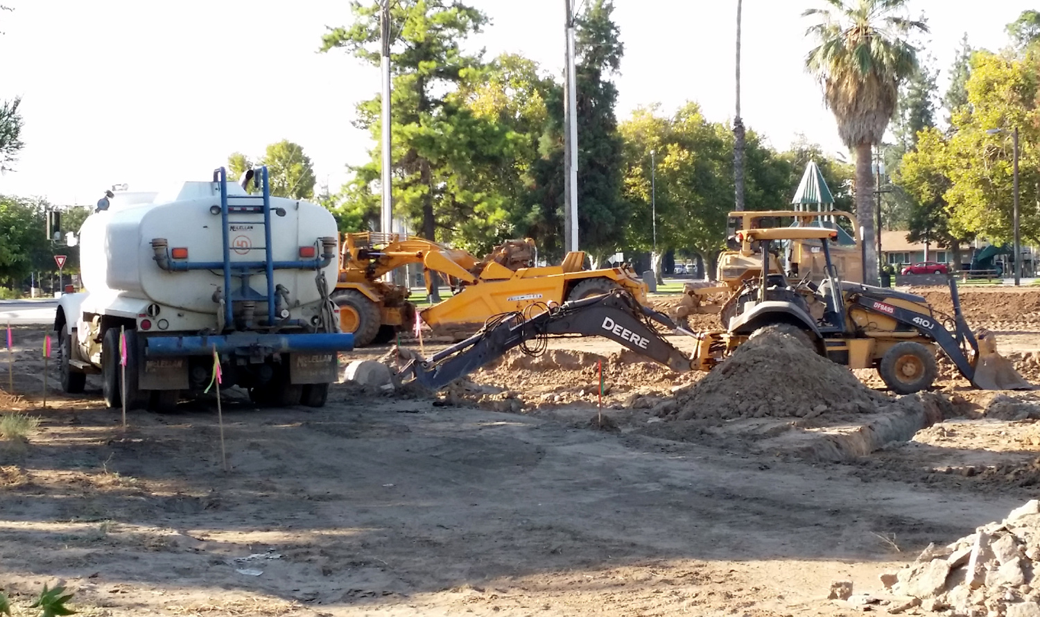
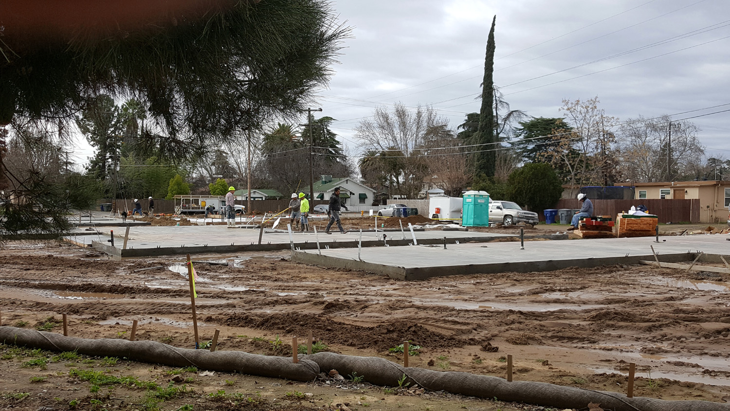
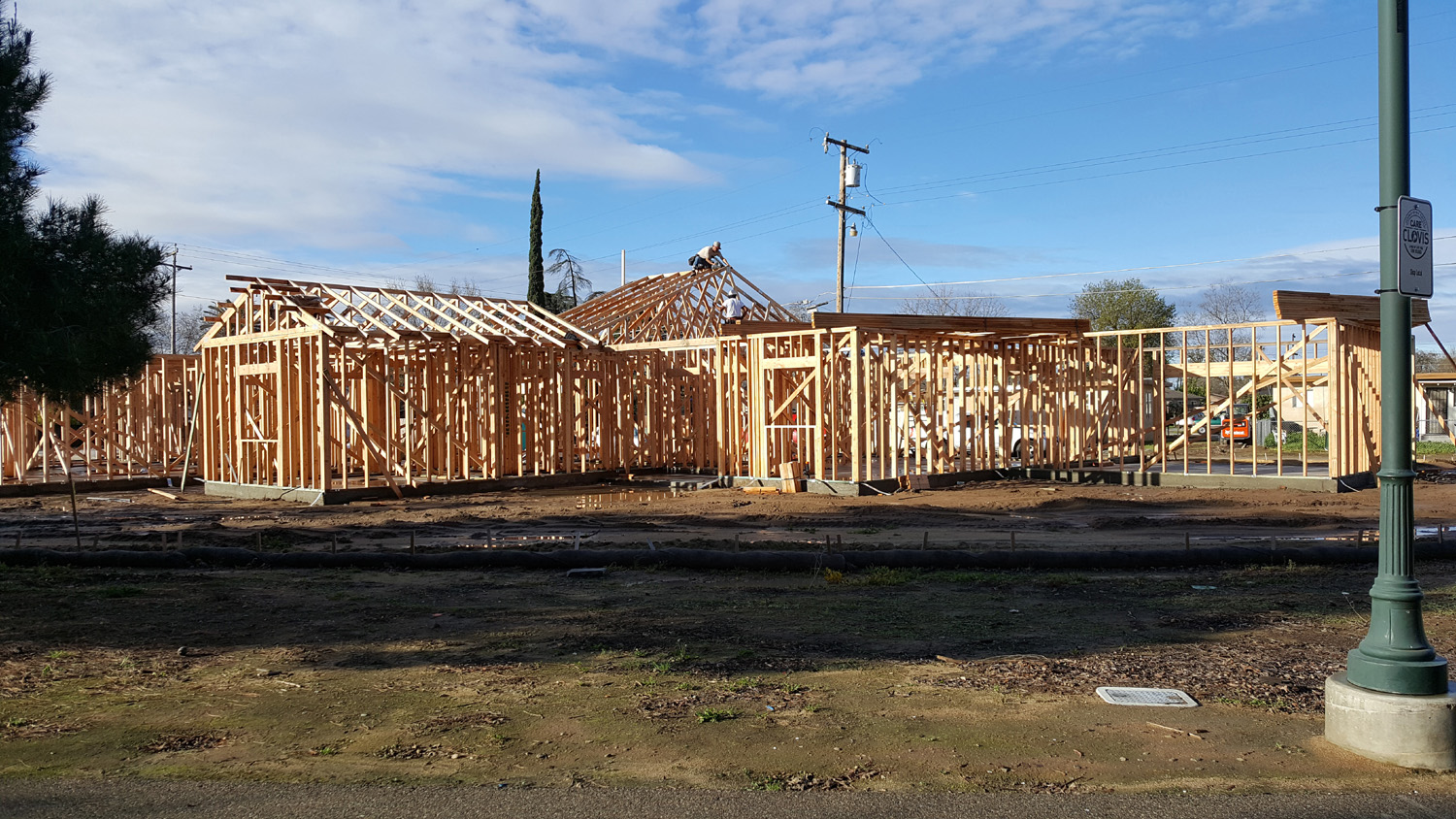
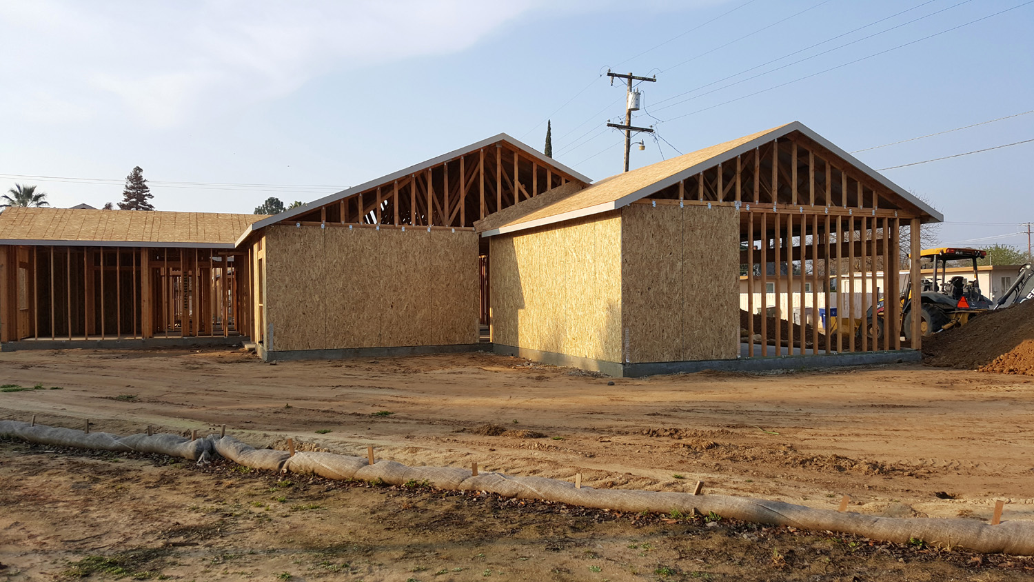
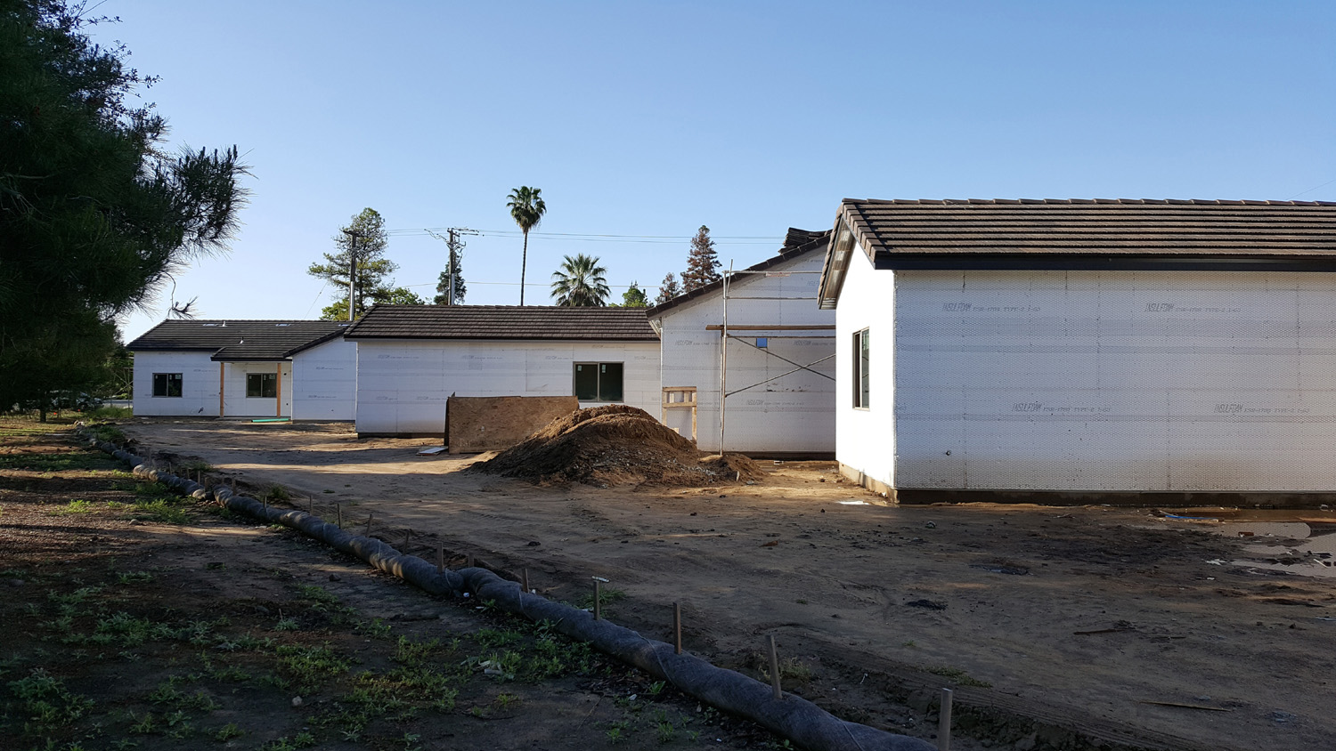
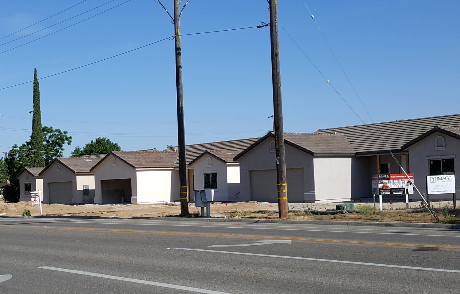
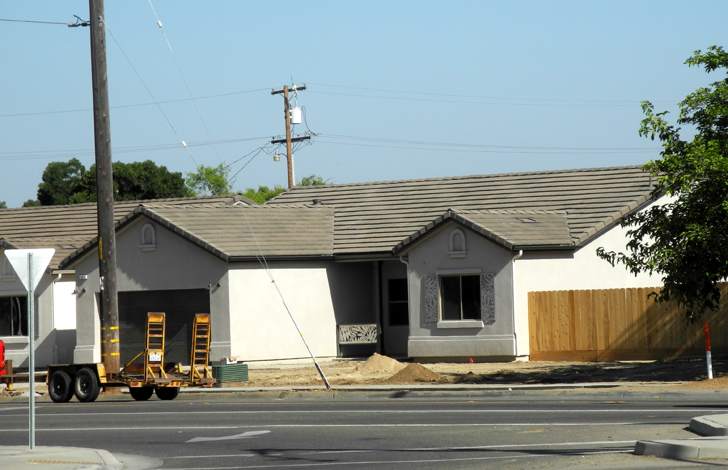
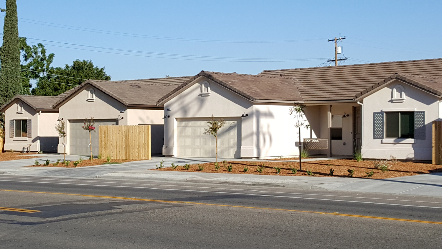
ice has been broken. Update 11/14/17: When I walked the trail north of John Wright station in October, I noticed that a path had been swept or otherwise created through the leaves and debris beside the trail. It winds around between the trees, and offers a little up and down, so of course, I walked on that route. I suspect it may have been created for a bike run (it was). I've photographed but not written about a construction project that has been underway at Clovis and Sierra Avenues, just west of where the trail crosses. Dirt movement started in late 2016, so I took photos as land preparation, foundations, framing, and finally walls appeared. In October I took what will be the last batch of pictures, with the houses finished and occupied. Update 2/20/18: The low at my house this morning at 5:30 was 27 degrees. No one in his right mind would go out walking on a day like that, so when I finally got up, I headed for the John Wright Trailhead and walked south to Sierra Avenue. This is not as far as I usually go on this route, but still a round trip of 2.08 miles. When I got on the trail it was 35 on my car thermometer. Going south I saw only two other people on the trail, plus a woman with a bike at the trailhead who was probably wondering if she really wanted to ride in that cold weather. Coming back the count got up to a dozen. The car thermometer registered 44 degrees as I drove home, but the thermometer on my back patio was still under 40. Along the trail I had a good view of the Sierra with a layer of new snow at the higher elevations. Shuteye Peak at 8,000 feet was well covered, and a friend got into snow at 2,000 during a bike ride yesterday.. It's still a very dry year so far. Update 4/28/18: We've had highs up around 90, but it has
cooled off the last few days. Even so, I was sure I would be
comfortable with just a light long-sleeve t-shirt this morning. I
was not. There was a strong breeze, which I should have discovered
before leaving home. I could have used another layer, and even
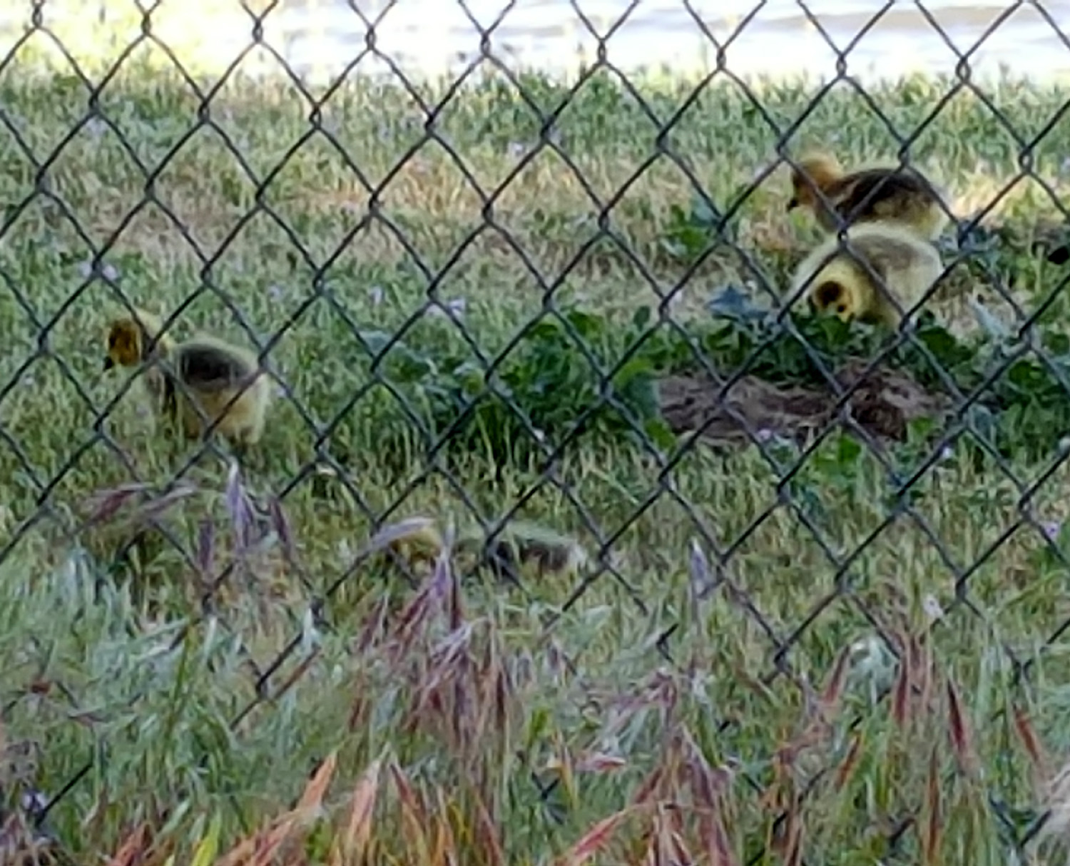
gloves. However, my discomfort was offset by seeing some baby
geese by the big flood basin near Cottonwood Park. On the way
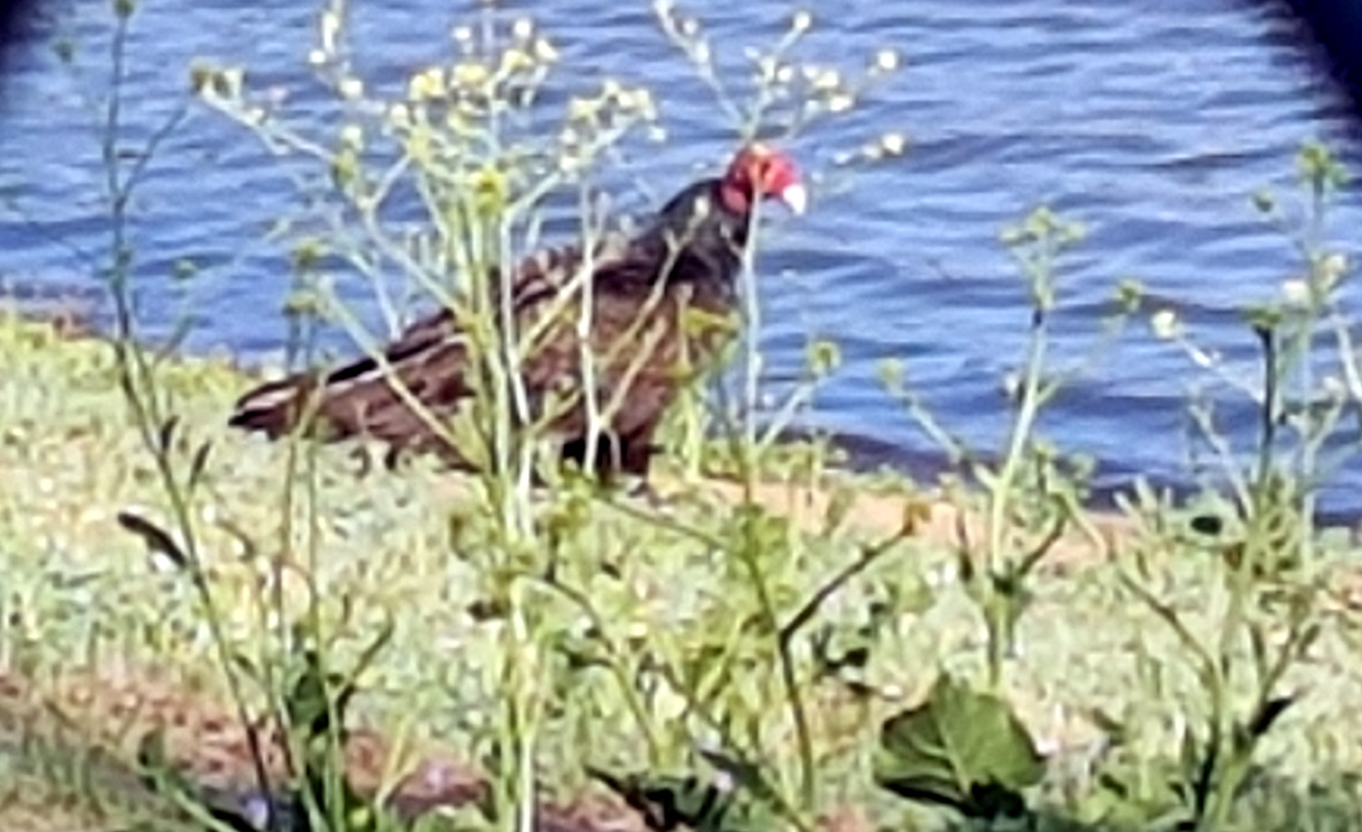
back I saw a large, black bird near the pond, obviously not a normal visitor to
this area. Close inspection revealed that it was a turkey
vulture. We have plenty of them in the mountains, and even over
rural parts of the metro area, but I've never seen one on the ground
within the city. Update 4/20/20: Today I walked from John Wright Station to Cottonwood Park, a flat trail of about a mile and a half. It was a good day for bird-watching. On the flood pond basin next to the park I saw pelicans, a species that has made brief visits to our area every year for the past five years or so. The "Canada" geese that have become permanent residents in the area were watching over several fuzzy babies. And on the shore of the Dry Creek Canal I saw a kingfisher struggling to swallow something long and slippery. Although I took photos with my cell phone, the geese and pelicans were too far away to get a decent shot. It
is the time of the coronavirus pandemic, so the park had a warning
sign about physical distancing. However, I much preferred this
one, on the wall between the trail and the adjacent residential
area Update 5/30/20: Today my daughter Teri and I walked on the Dry Creek Trail from the John Wright Rest Stop to the northeast corner of Dry Creek Park. This part of the trail runs beside the Dry Creek Canal, which at this location is more a creek than a canal. After three quarters of a mile, the trail arrives at Cottonwood Park, adjacent to a large flood control basin. We were treated to the sight of at least a dozen white pelicans swimming purposefully westward, not far from the bank nearest us. Crossing the intersection of Clovis and Alluvial Avenues took us into Dry Creek Park, where we found many geese occupying a large grassy area south of the playground. Several families of adults and juveniles slowly crossed the trail, and dropped down into the the canal, with several adults keeping watch from the bank. Near
the end of our walk the trail went past the Clovis Botanical Garden,
where we enjoyed a number of trees and plants showing off spring
blossoms. Our turnaround point was the northeast corner of the
garden, which gave us a total mileage of 2.43.
On
November 17 I walked from the John Wright trailhead east to
Cottonwood Park. In the area that my great grandsons and I call Tree
Star Bay, the ground is brown with sycamore
leaves (these are the tree stars). However, the many trees there
look as if they have not lost a single leaf. It made me glad I don't
have to rake sycamore leaves like I used to in Bakersfield. Update 1/3/2022: Early in my walks on the Old Town Trail
I noticed a small canal that ran between Clovis Avenue and the
trail. It was dry and overgrown with weeds, and apparently went into
a pipe where it met the trail just south of the Freeway 168
overpass. I assumed it was abandoned, but a year or two ago it had
water in it for a while. Today I noticed that it had been dredged
out, with weeds removed, the sides graded, and the top of the
bank smoothed off. There was just a little puddle of water, but stay
tuned for more updates. Update 8/16/22: My great grandsons, Colton and Jack (the Notorious Upshaw Brothers) were at my house today, and we walked on the Old Town Trail north from John Wright Station. I have a new camera, and they are always wanting to take pictures, so I let Colton carry it on the outward hike, and Jack took over on the way back. It's fascinating to see what kids choose to photograph, although there was nothing really outrageous today. I'm not showing the photo they took of the outhouse at the trailhead, or the drainage grate by the tunnel under Minnewawa Avenue. The photos I especially liked are displayed here. Several
years ago by this trail I observed the progress as a large building
was constructed. I naturally wondered what it was, and when it was complete
and a sign erected, I still wondered. The name,
"Defy," didn't offer much help, until a month or two ago
when I took the boys to one of their favorite spots, a trampoline
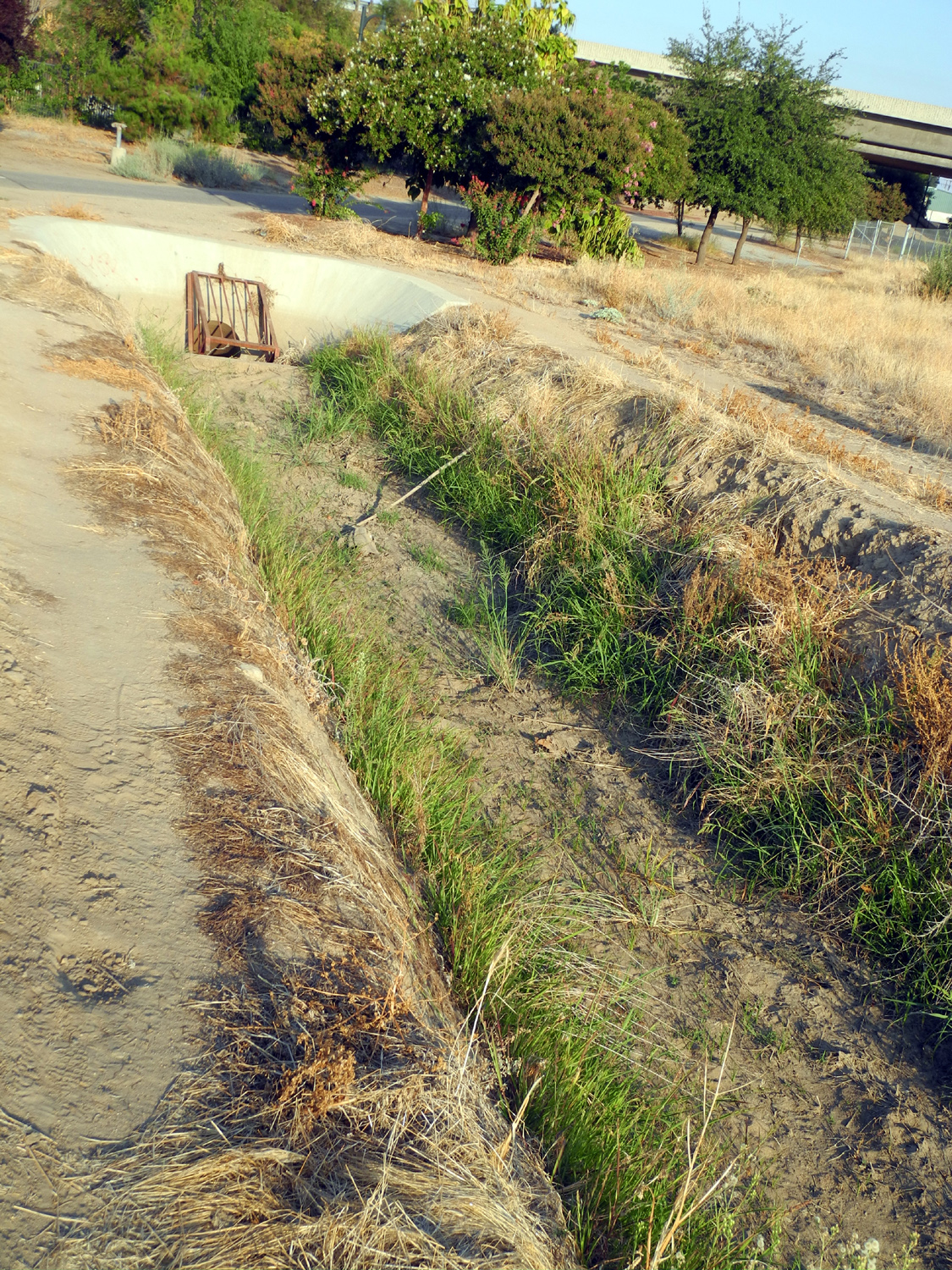
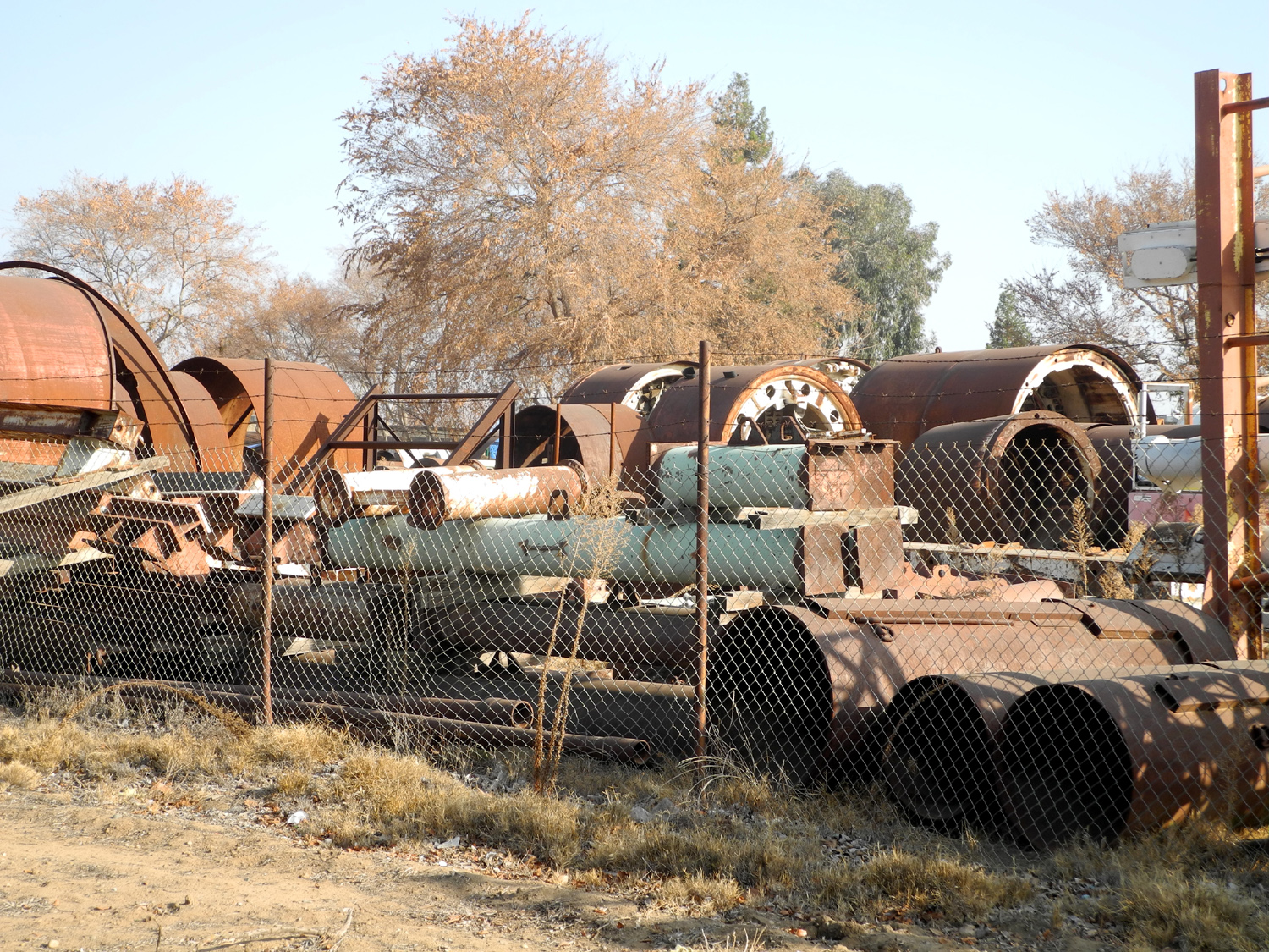
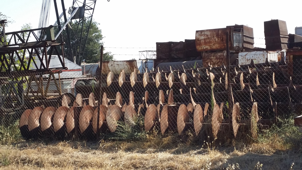
park. Ah! Defy gravity! Update 10/1922: I have been very lax about my morning walks this year, in fact, I have done almost none. I made an October resolution to get back to regular walking, and so far I have done pretty well. Being absent from the trail for a long time usually means that there is something new to see, and today was no exception. I went north on the Old Town Trail from the John Wright Station. As I approached Railroad Park, ready for a rest, I saw that a new bench had been installed on the west side of the trail. There has long been one on the east side, just about 50 feet beyond the new one. I went to where the trail crosses Peach Avenue, one of two street-level crossings and saw an unusual sight - a newspaper dispensing machine for the Fresno Bee. Once I examined it closely, I saw that it was what I surmised - a new "Little Library," re-purposing a ready-made container. I've walked from John Wright twice previously this month, once going south only as far as Spud's Spur by the CA 160 Freeway overpass, and once east on the Dry Creek Trail to Cottonwood Park. The latter trail parallels the canal of the same name, and is the most natural section of the trails I walk, with a lot of sycamore and other trees. Along this route, an old sycamore had fallen (or been cut down - it was not obvious which). It looked like it had a lot of rotten sections, especially near the base. Update 11/17/22: On this date I parked on Pollasky Avenue just south of Sierra and walked east on Sierra to the Old Town Trail. Here I turned south and walked along the area between Sierra and 3rd Street, a place I've walked many times. East of the trail was the Walter C. Smith Company, which did some type of drilling. On their property were a number of huge cylinders or pipes, and various kinds of equipment including several cranes. At the south end of this area there was a large barn-like building, but it was torn down at least eight years ago. Now every scrap of metal and every vehicle is gone from the Walter Smith property, and a building that was apparently a combination shop and office appears empty. The southern part of this property along Third Street has become the site of a new senior center, which appears to be nearing completion. The fence between the trail and this property has been moved west, eliminating a strip of open land along the fence. The Tom Stearns Shelter that offered a resting place where the trail met Third Street has been moved west and is not accessible, and the iconic Walking Doctor statue is surrounded by weeds. Presumably this area will be properly restored when the senior center is completed. I completed my walk by going west on Third and back north on Pollasky. At a house near Sierra I saw a remarkable sight, a truck with a license plate from the state of Sinaloa in Mexico. Update 6/14/23: On my recent trail walks I don't think I have seen anything particularly unusual. Since I walked on the Eaton Trail at the end of May, I could have forgotten. I've also walked on the Clovis Old Town Trail and Dry Creek Trail. Work is still not complete on the new senior center, mentioned last November, but it's getting close. I think the record rains this winter slowed and maybe even temporarily halted work. I've been making a much better effort to get out and walk, with nine "in town" outings in May, and five so far in June. The few photos I took tell what story there is, maybe 500 words worth. Update 7/1723: Walking on the Dry Creek trail between John Wright Station and Cottonwood park recently, I noticed a lot of strands of spider web strung across the canal/creek, from bank to bank. I had to ask myself, what kind of spider can build a web across an eight foot wide fast-flowing stream. I didn't get an answer. Update 12/4/23: Although in June I was making a "better effort to get out and walk," that didn't last. I've been very lazy the last few months, with only two trail walks in September through November. Of course, I did a lot of other walking, with seven miles total in September, over five in October, and ten in November. I've already done two trail walks this month, yesterday and today. Since my trail walks are shorter than they used to be, on December 3 I entered the Old Town Trail at Sierra in order to walk a section I have not reached lately, coming from the other direction. I thought I had somehow wandered on to Blue Jay Way. In a short stretch along the Old Town Trail between Sierra and where the freeway crosses, I saw 25 to 30 blue jays. They were not "flocked together" in a large group, but there were three or four in each tree, flying from tree to tree, or down to the ground and back to a tree. I've often see these birds, but never so many. I also had a good time kicking up the dry leaves that have collected, an activity I enjoyed long ago with my older grandson, and one which my older daughter also still indulges in. And there were some very brilliant red leaves on a couple of trees. Today I walked one of my most frequent routes, from John Wright Station to Cottonwood Park, where there is a nice bench to rest on just as I feel like I need a break. A coyote was recently filmed walking along this trail near the park, so I was on the alert all the time. The canal here is really more like a creek, with trees, bushes and plants filling the channel. I decided if I were a coyote, I would set up shop in that channel. There are plenty of places to hang out without being seen, there is water most of the year, and there are squirrels every day. There's also the chance to catch an occasional small dog that is allowed off the leash to go down to the water and drink or play. I saw four feral cats on the canal bank, another popular food source with coyotes. And you can go up or down the canal a mile or so in each direction with plenty of cover. Update 5/3/24: About a week ago I walked a familiar section of the Clovis trail system, along the Dry Creek Canal between Cottonwood Park and John Wright Station (a trailhead and rest stop). There was no evidence of coyotes, but the flood basin near Cottonwood had the usual assortment of ducks, geese, egrets and other birds. It's the season for baby geese, and although I did not see any in this area, I spotted some on the lawn of the Clovis hospital late in April. I saw a few photogenic scenes along the way. Since it was a Sunday there were a lot of walkers and bike riders out, and of course some walkers were being led by their dogs. The weather was nice, and I was reminded that I need to get out more often. Update 12/11/24: A walk on the Old Town Trail on December 11 revealed an unexpected sight. I went south (toward downtown) from the John Wright trailhead. About half way to Sierra Avenue, not long after the trail goes under the CA 168 freeway, there is a small canal coming in from Clovis Avenue to the east. It goes under the trail and from there I know not where. It rarely has water in it. On this date a construction crew was installing huge concrete pipe in the canal, apparently to cover it completely. I'll update this next time I get back there, but by the time I wrote this I had gone through a medical procedure that kept me from hiking or any strenuous activity, so it will probably be April or May before I can check out the project. Update 5/4/25: I finally got back to this trail on April 30. Apparently the work crew converted the canal to an underground pipe. The canal was completely filled in, and there were vent pipes sticking up at the end near the trail. I could no longer walk along where the canal was as I used to, because it was fenced off. |
||
|
All photos copyright © 2002-2025 by Dick Estel. Permission granted for personal use only; commercial use prohibited. |
||
|
Photos (Click to enlarge; pictures open in new window) |
||
|
||
 |
 |
 |
|
American Ambulance training center |
One of several auto
body |
Tanks and pipes |
 |
 |
 |
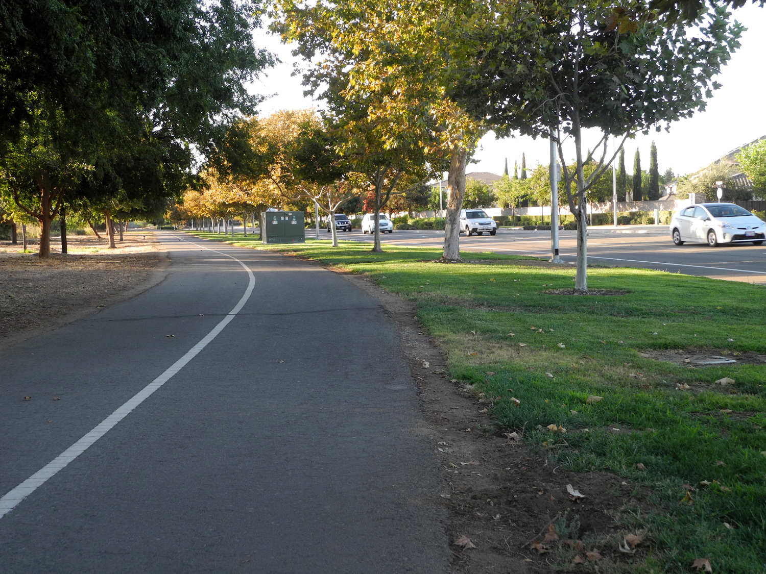
| The pine forest | The trail and the path | Blazing sunrise |
 |
 |
 |
|
Place for illegally
feeding feral cats |
Cat annoyed at having his breakfast interrupted | Wondering if there really
is such a thing as a free lunch? |
|
|
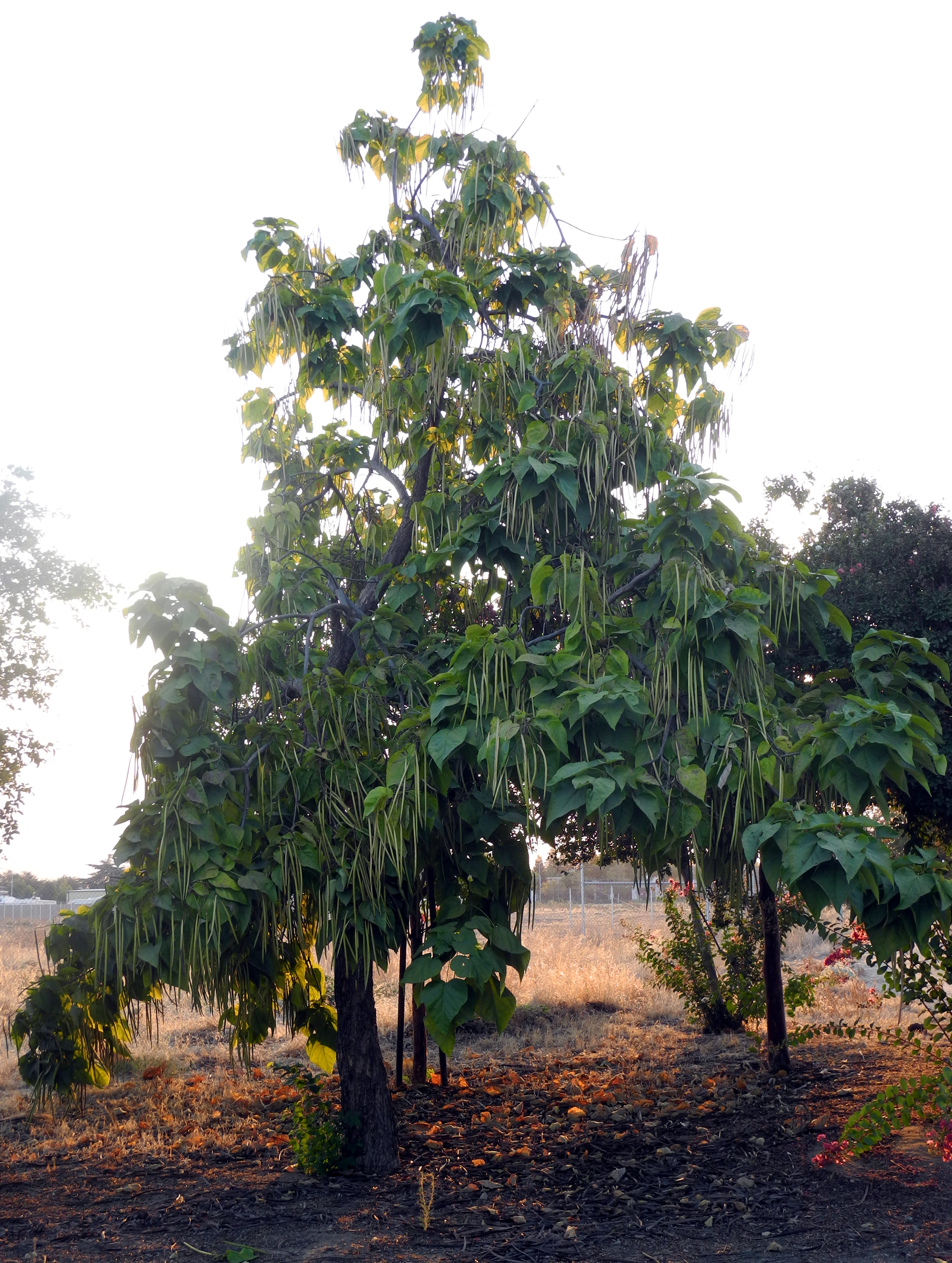 |
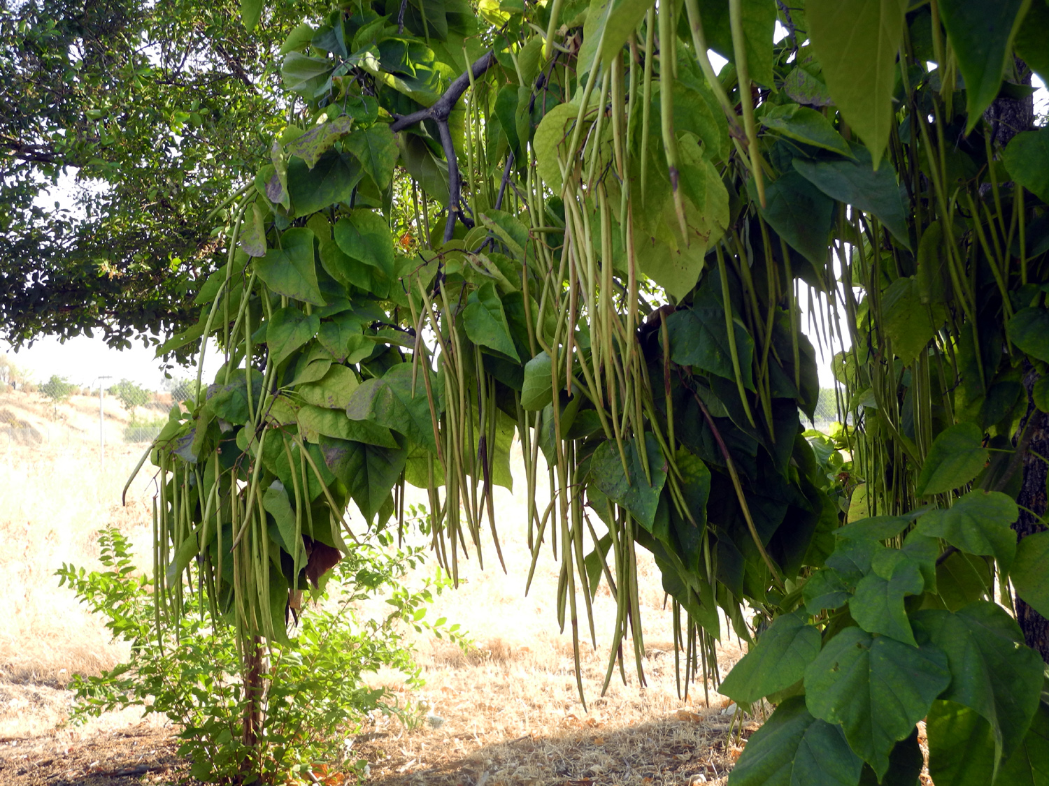
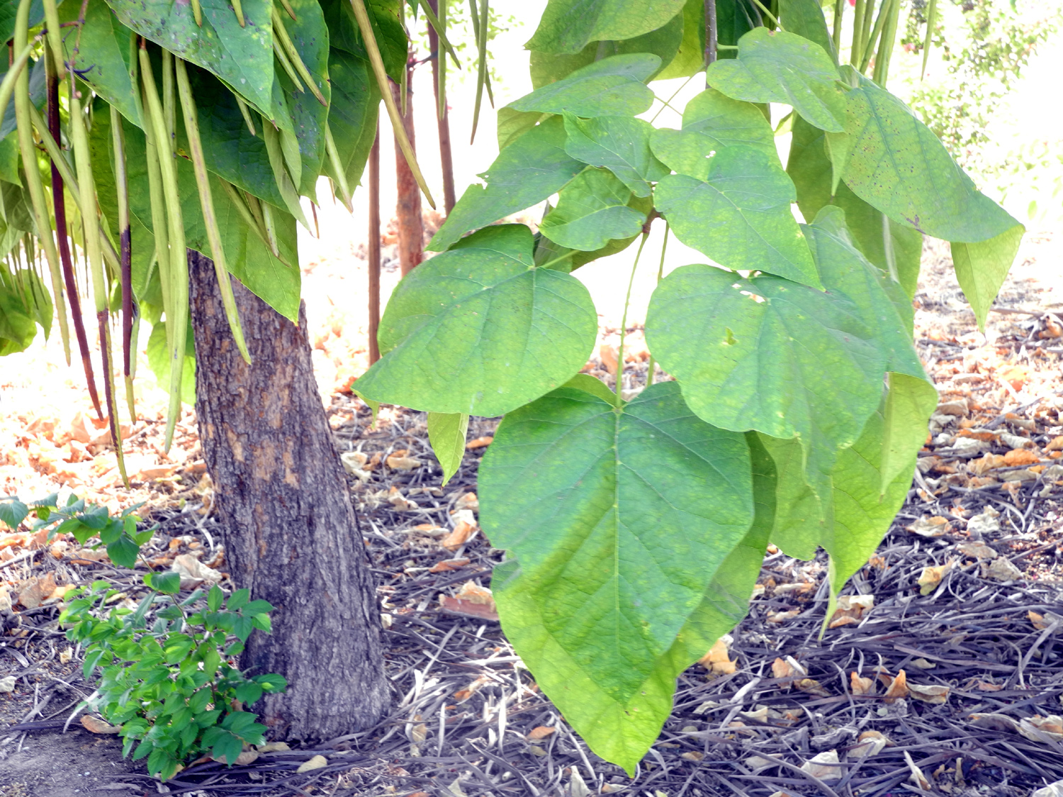
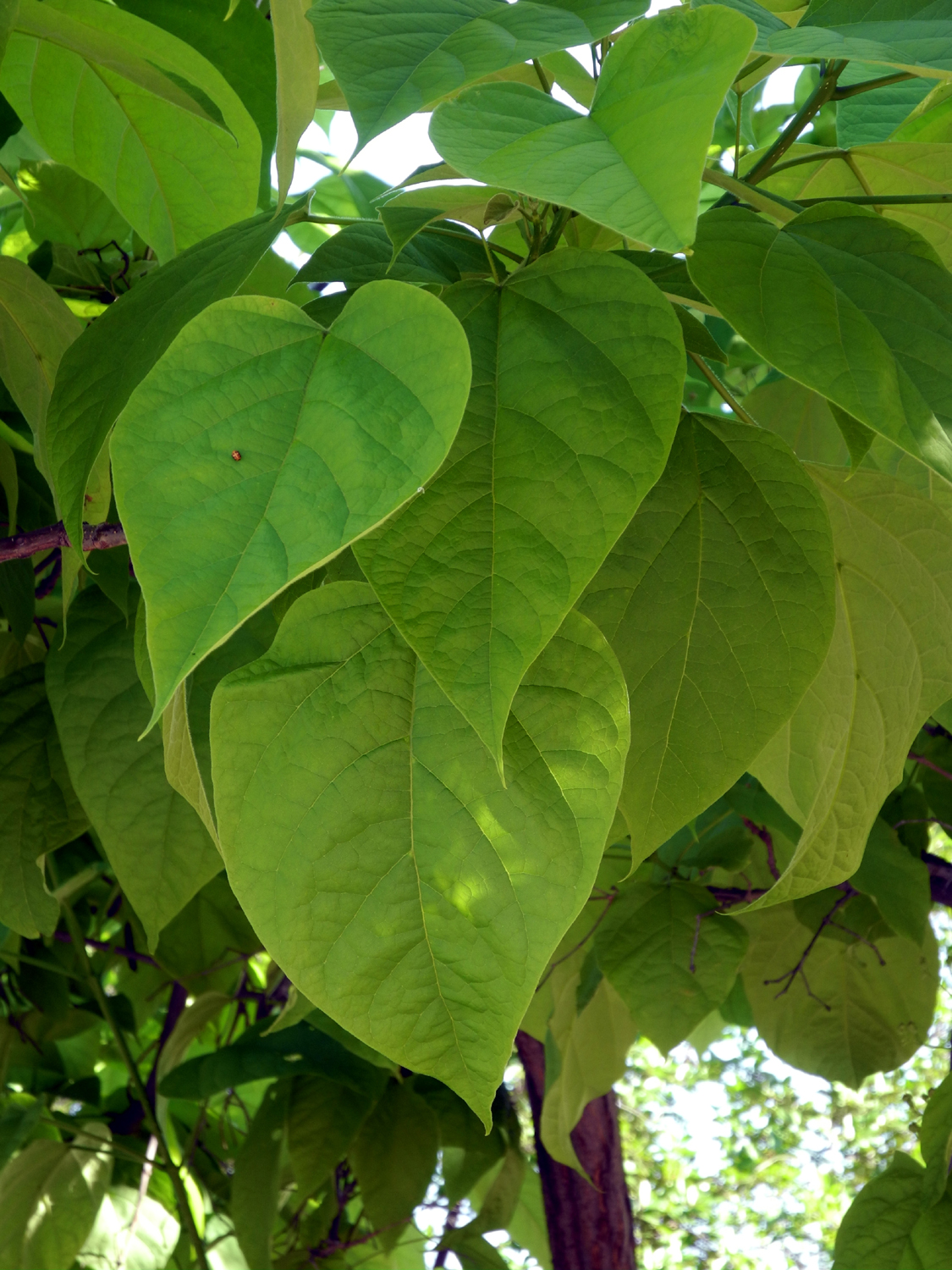
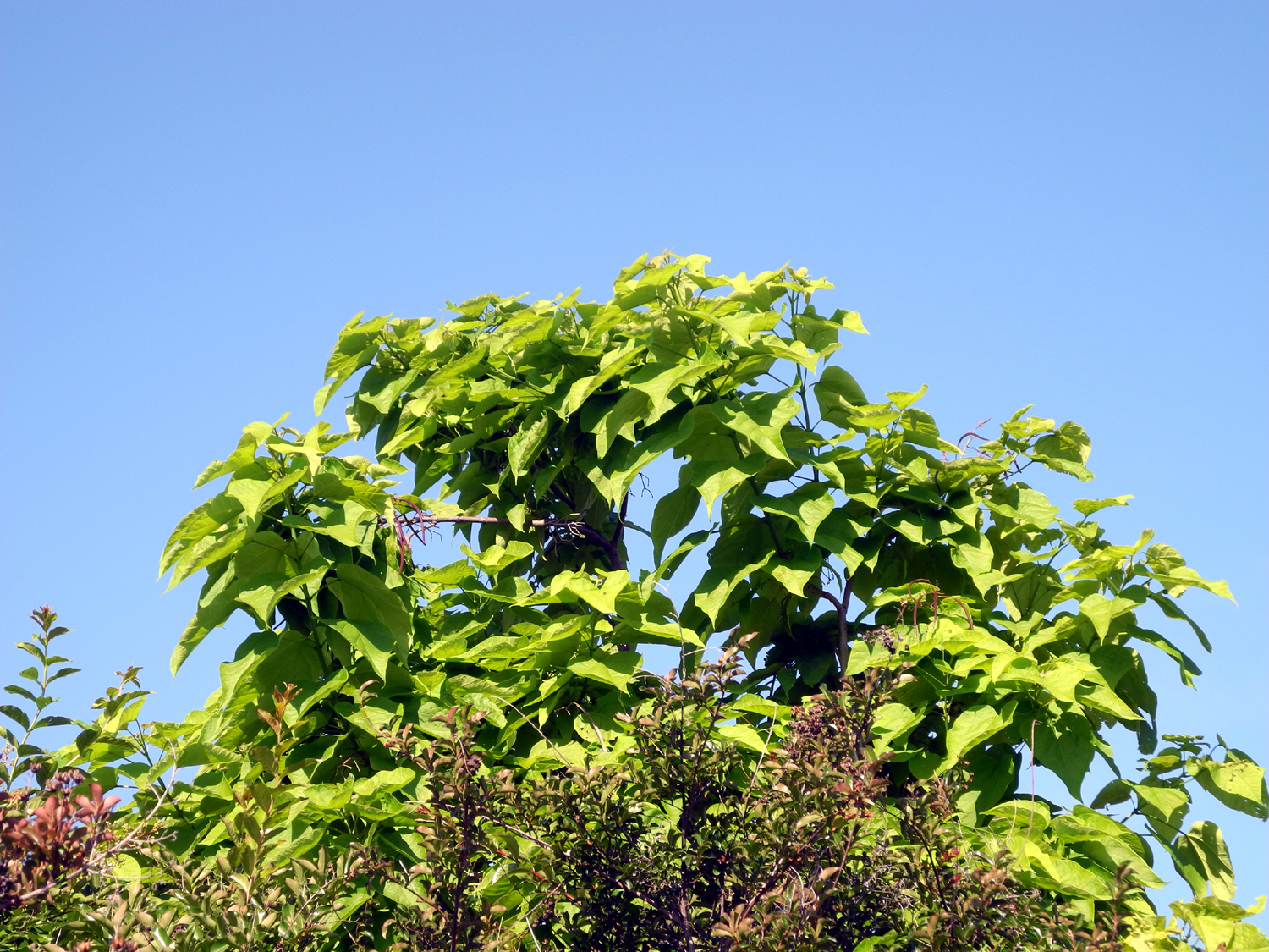
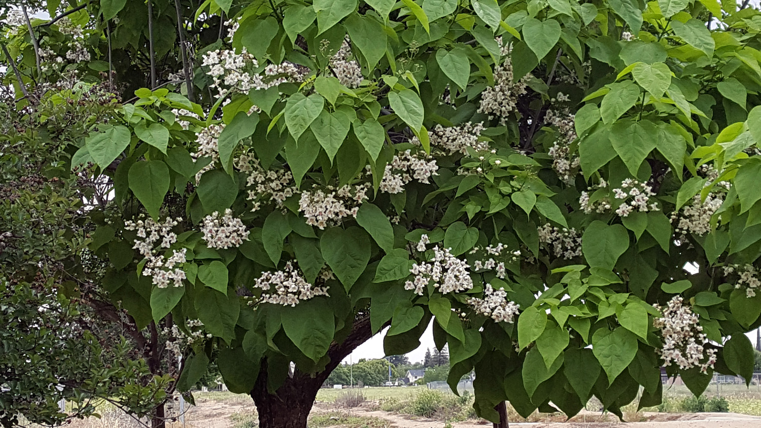
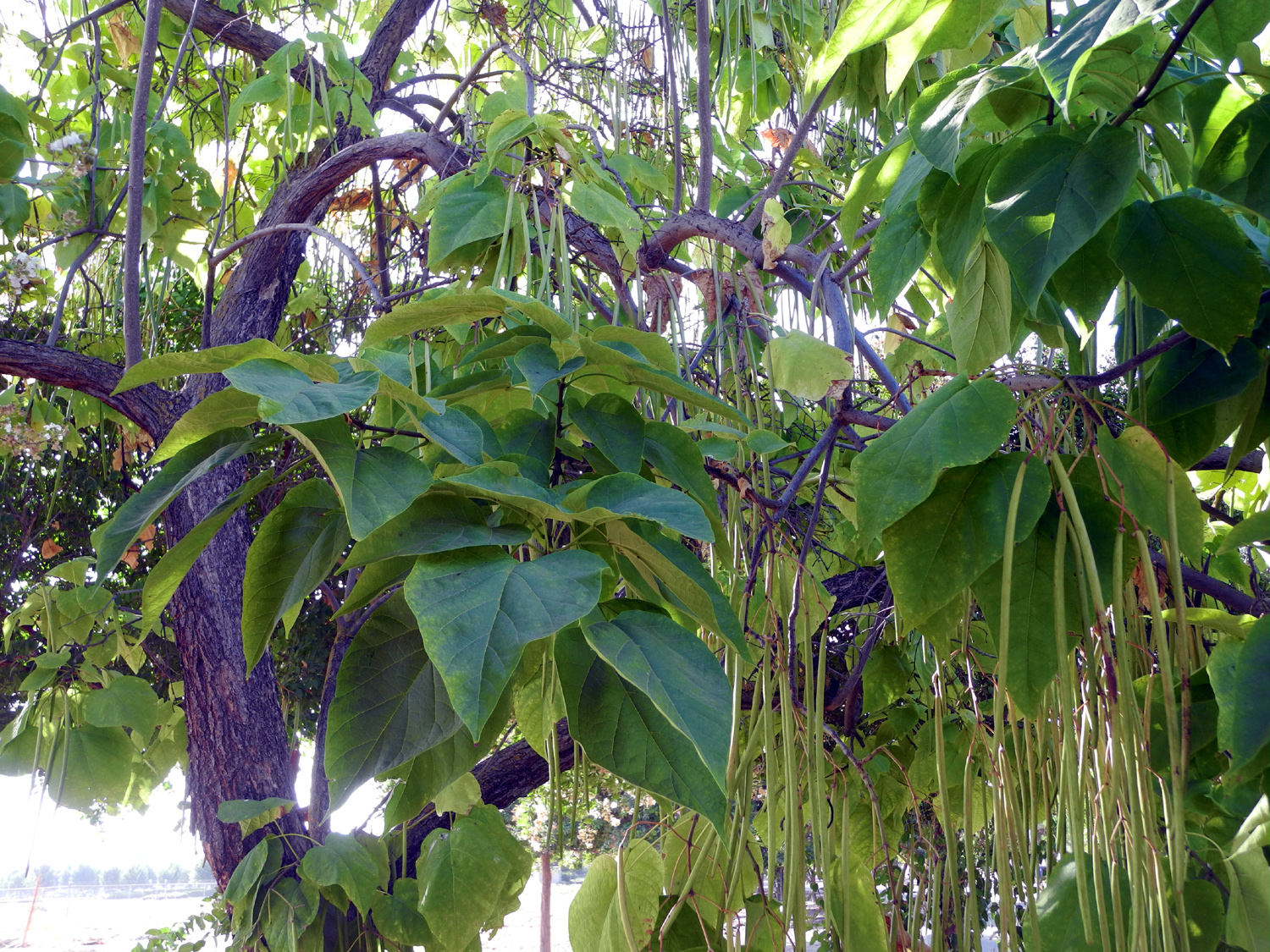
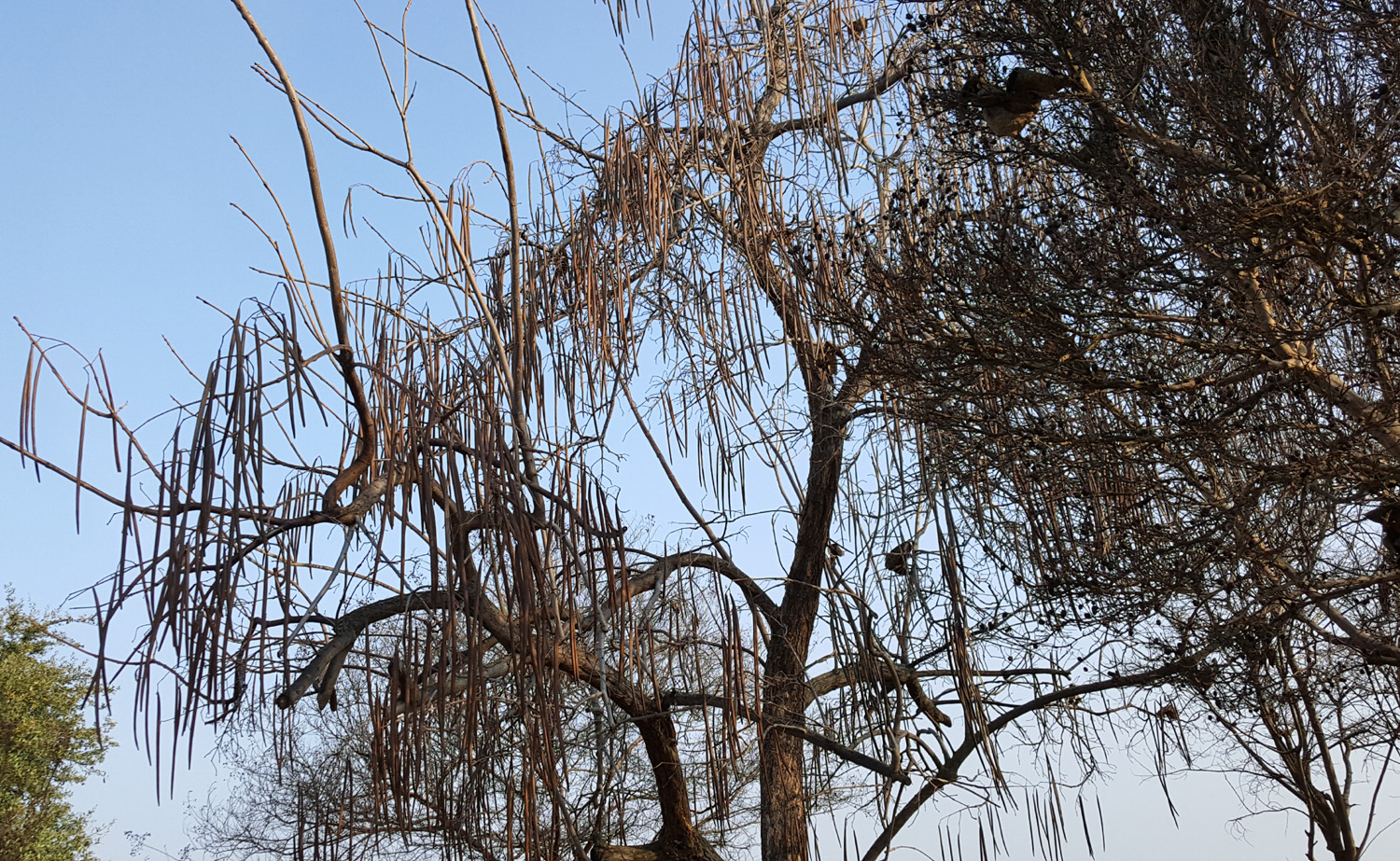
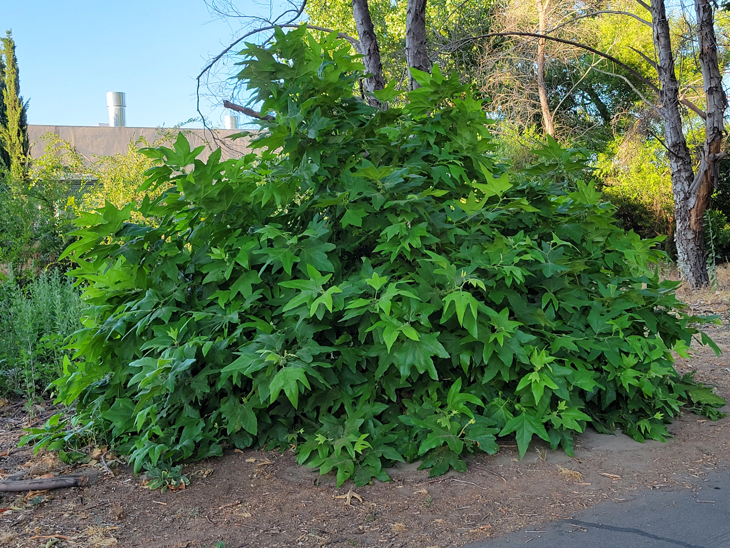
| We liked to call them bean
trees, but they are really catalpa |
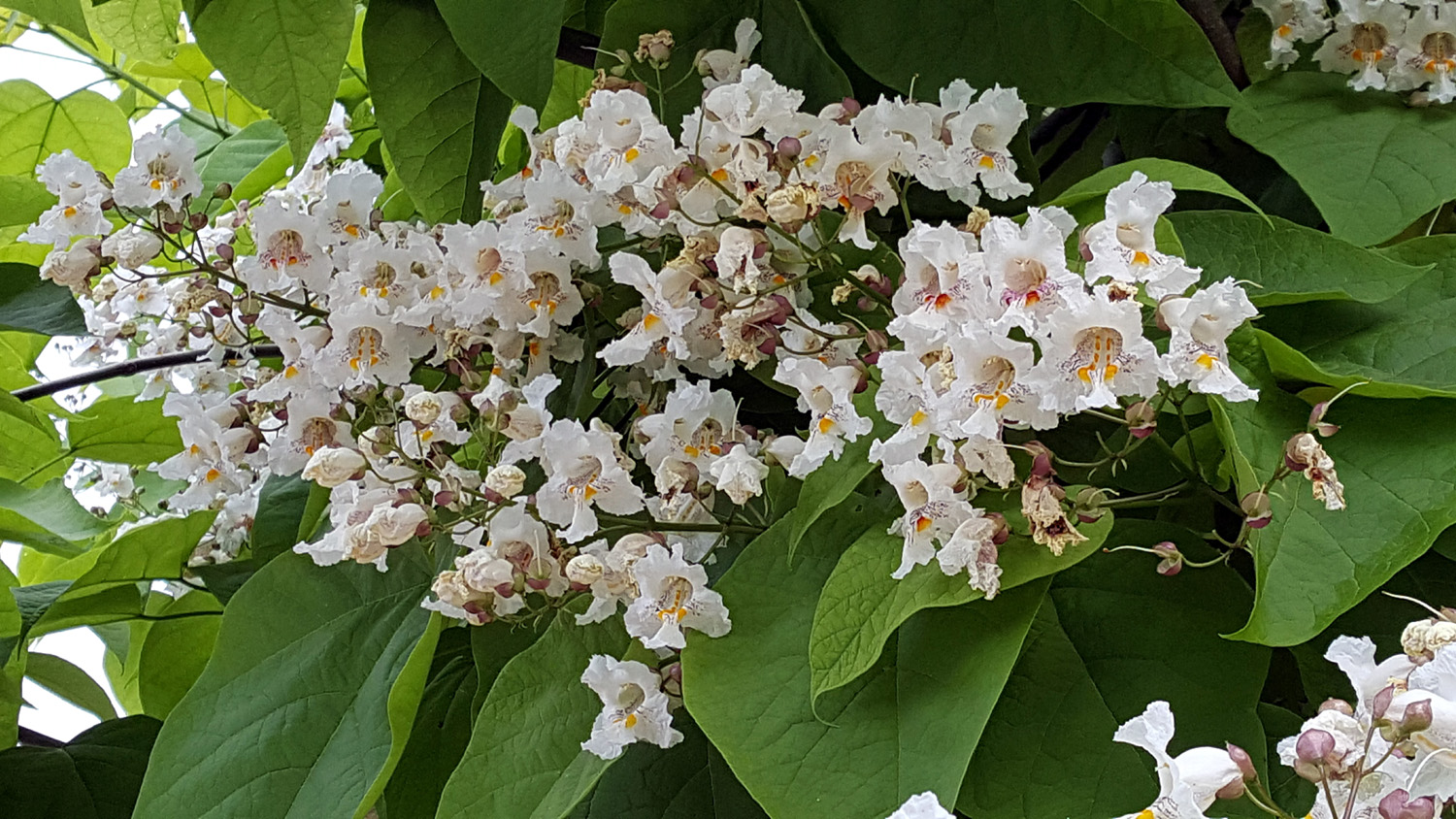
The leaves are ten
inches long, |
The whole tree |
 |
 |
 |
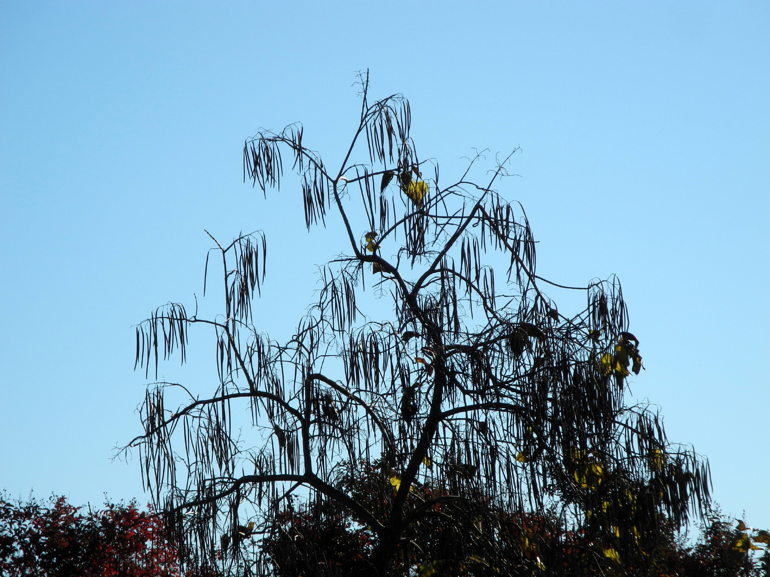
| Dried seed pods from last year | November
- leaves are gone, but there are still plenty of "beans" |
A sweet place to stop if you're hungry |
 |
 |
 |
| The mowers and
a large
building next
to them disappeared soon after this photo was taken |
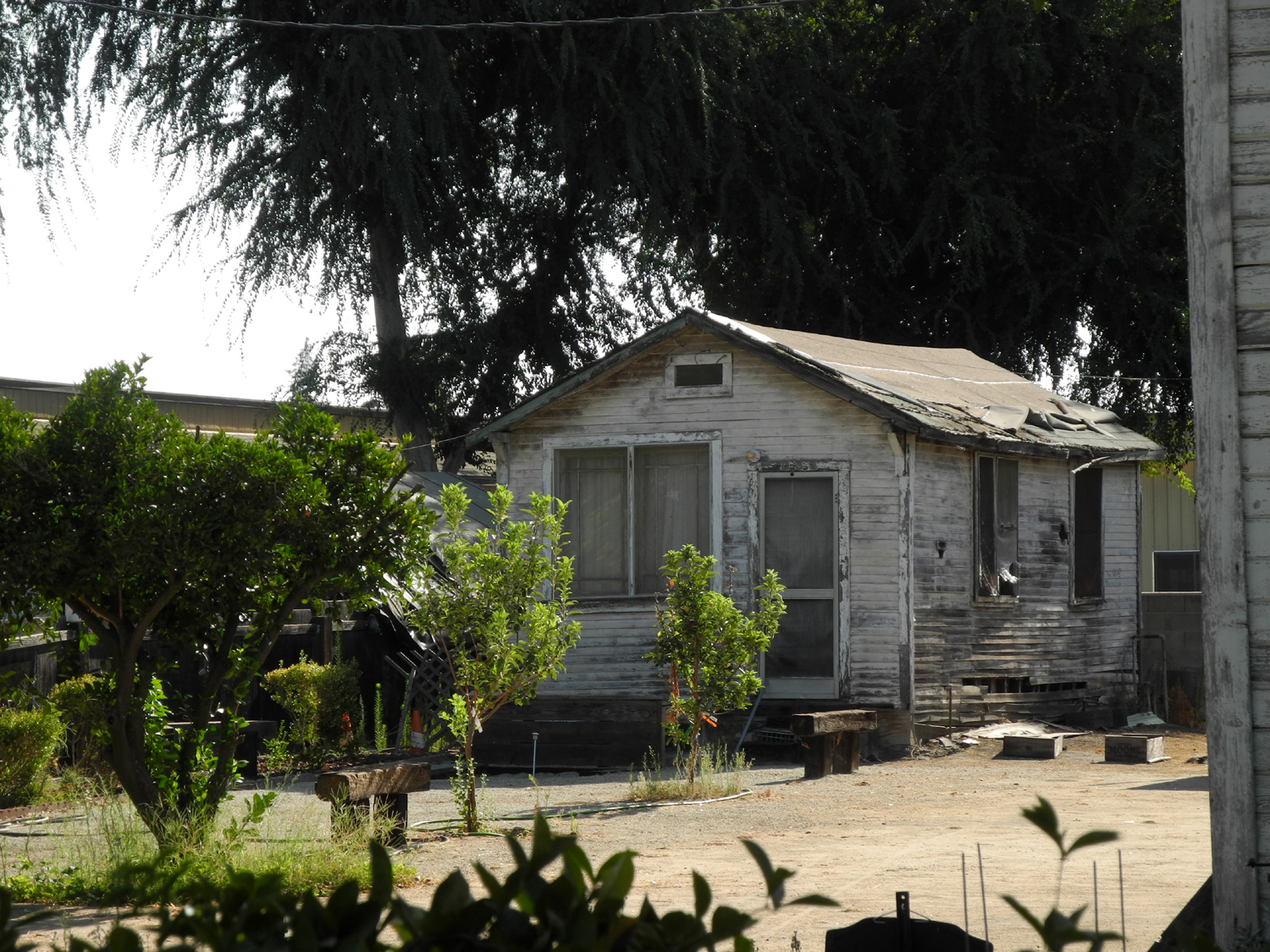
This is what the place looks like now | Trail walkers are always fascinated by this house |
 |
 |
 |
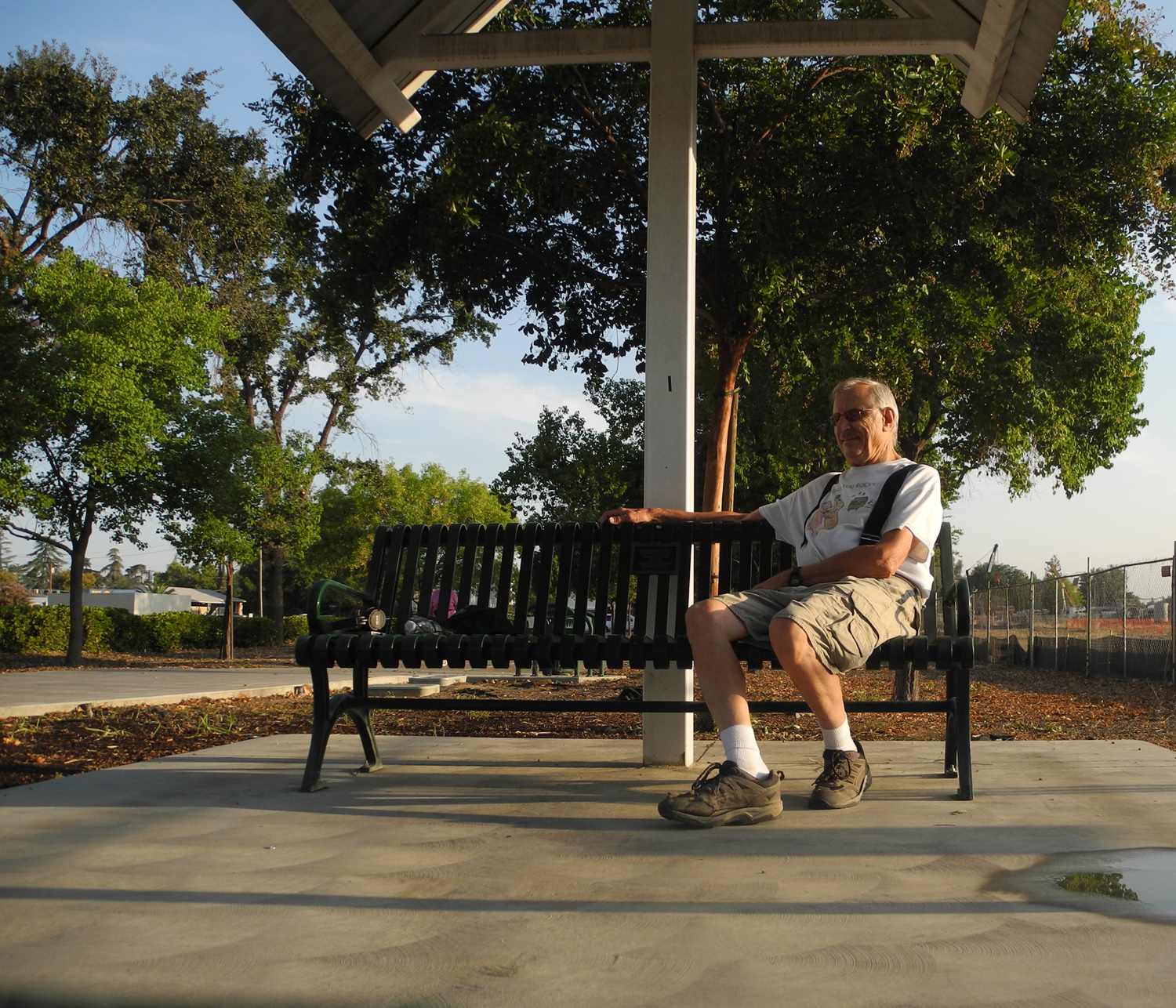
| The Tom Stearns Station | The Walking Doctor |
Frederic Remington's "Bronco Buster" |
 |
 |
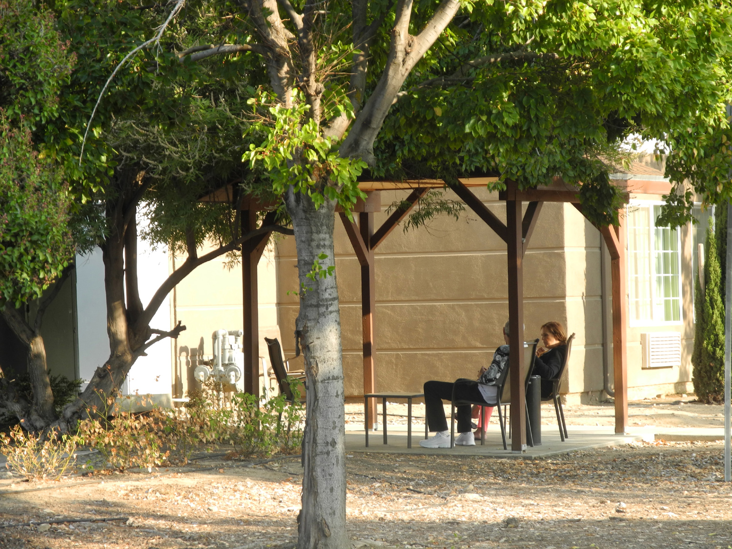 |
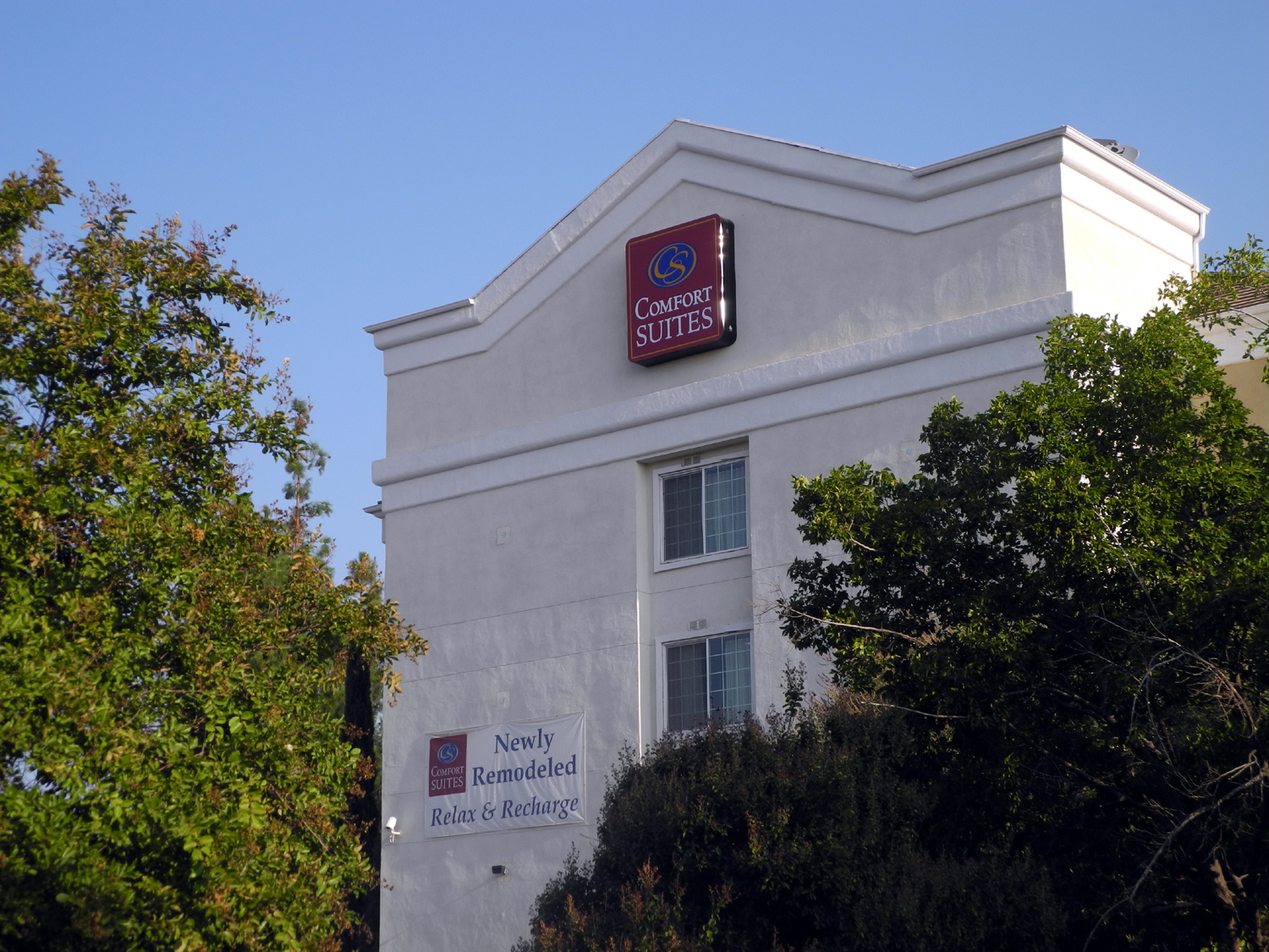
| Open space between the
trail, houses and Sierra Avenue |
The Comfort Inn | Couple being comfortable |
 |
 |
 |
|
Crane silhouetted against the morning sky |
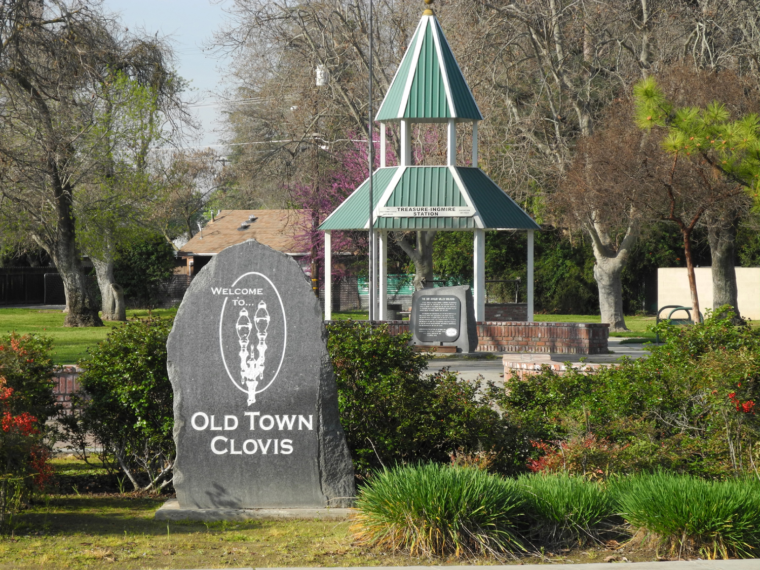
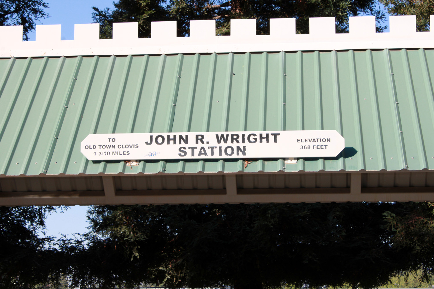
The official northern border of Old Town Clovis |
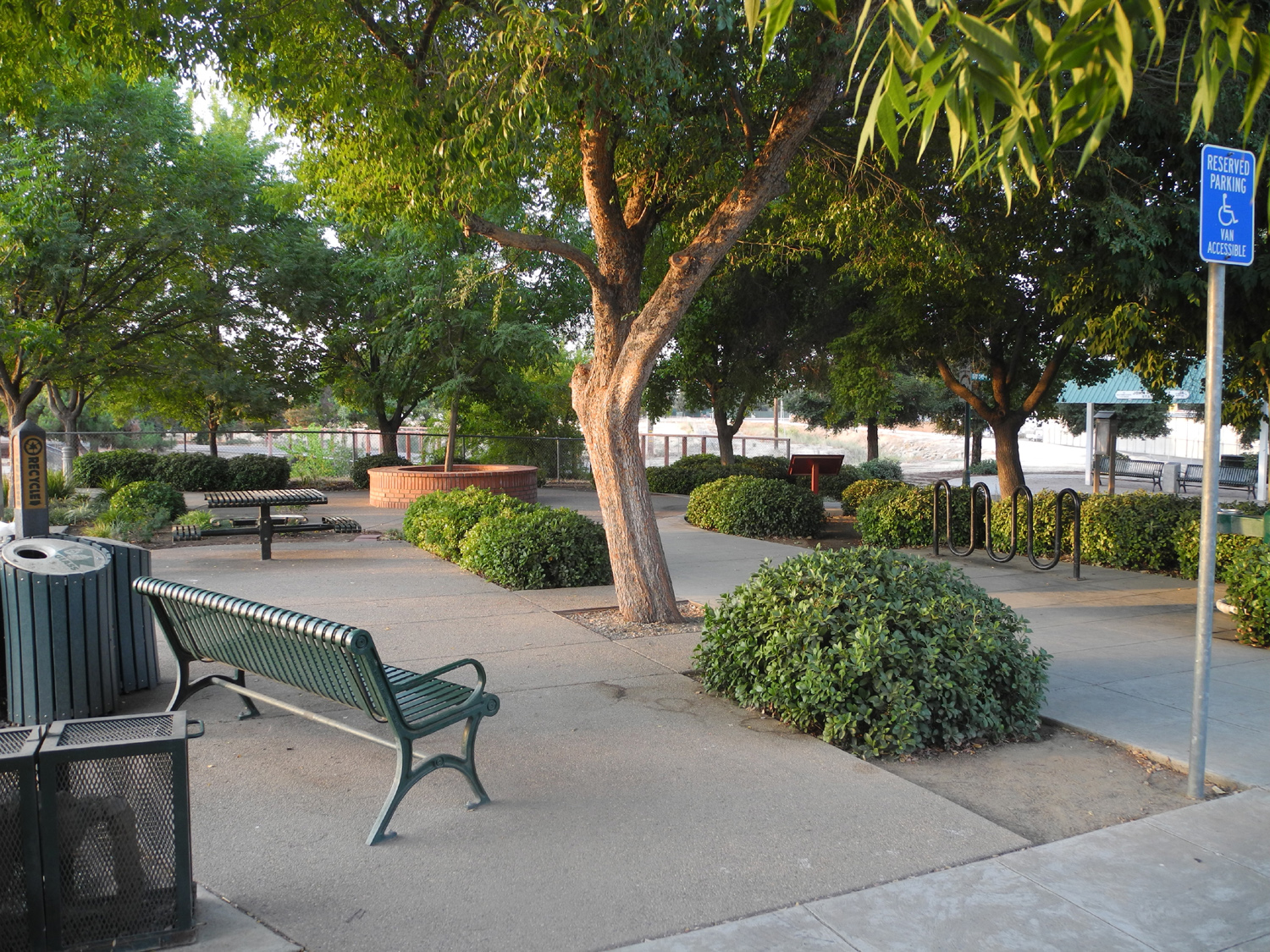
Shelter and bench in the park |
 |
 |
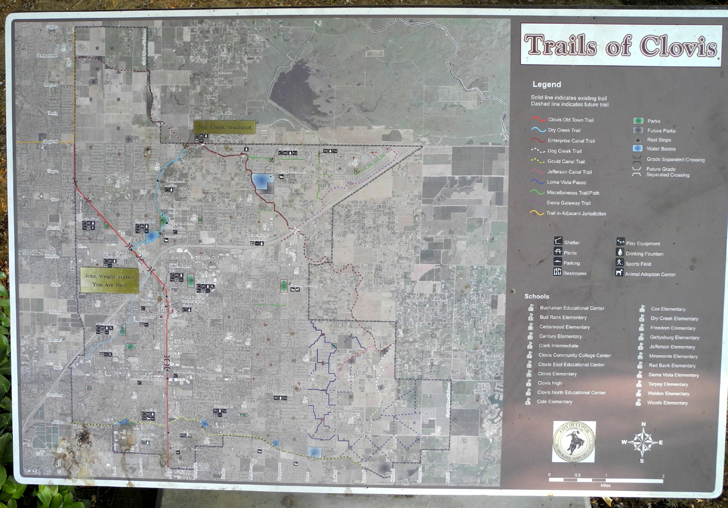 |
| How Clovis got its start | Benches at John Wright Station | Trail system map near John Wright Station |
 |
 |
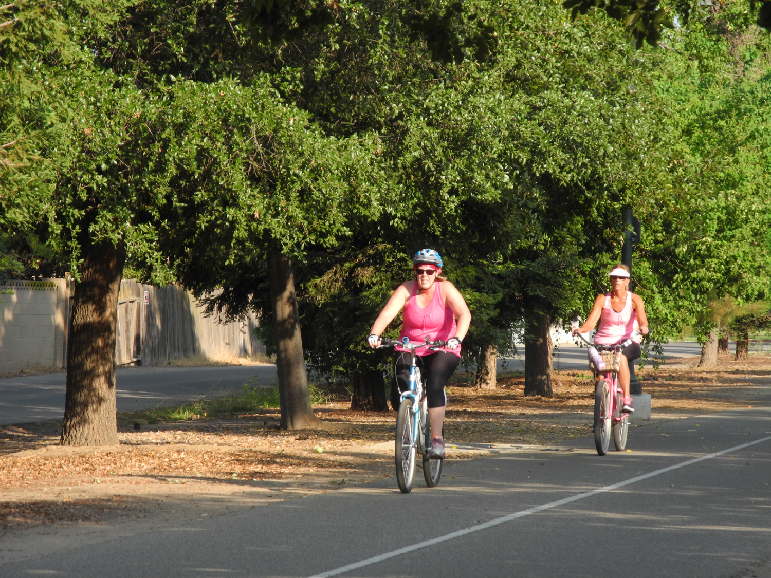 |
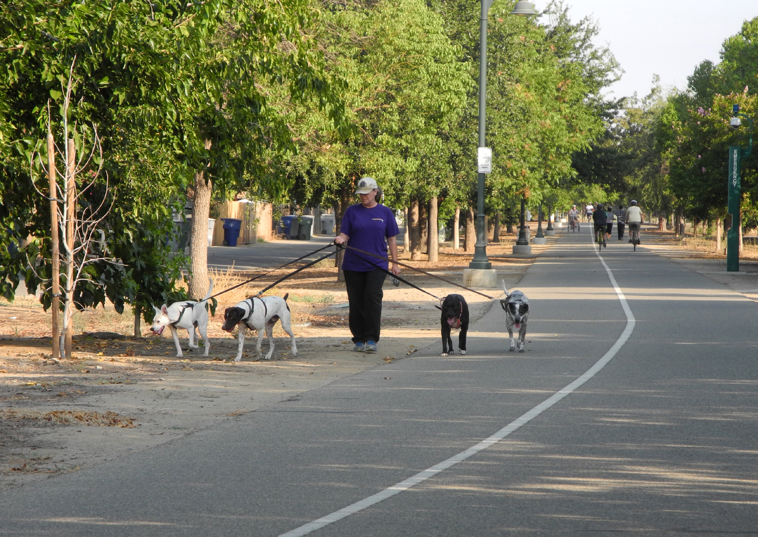
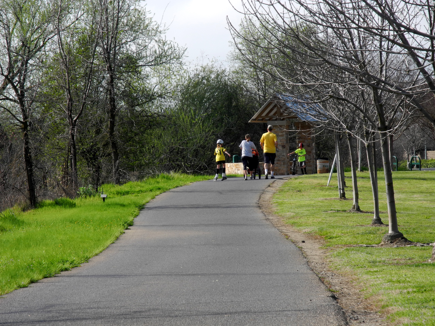
| People on the Clovis Old Town Trail | ||
 |
 |
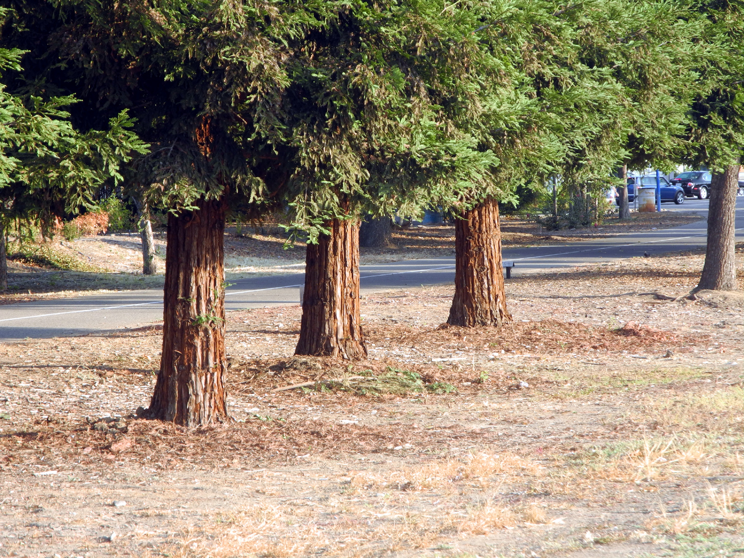 |
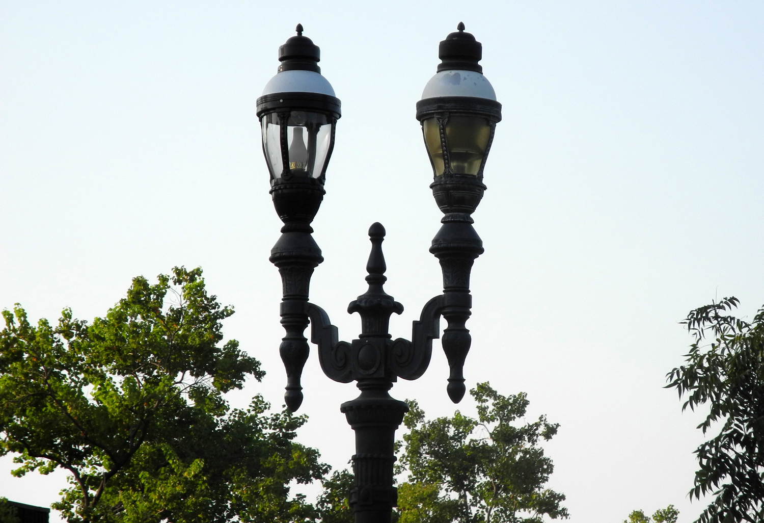
| Resting at Tom Stearns Station | Retro street lights on Third Street | Coast redwoods by the trail |
 |
 |
 |
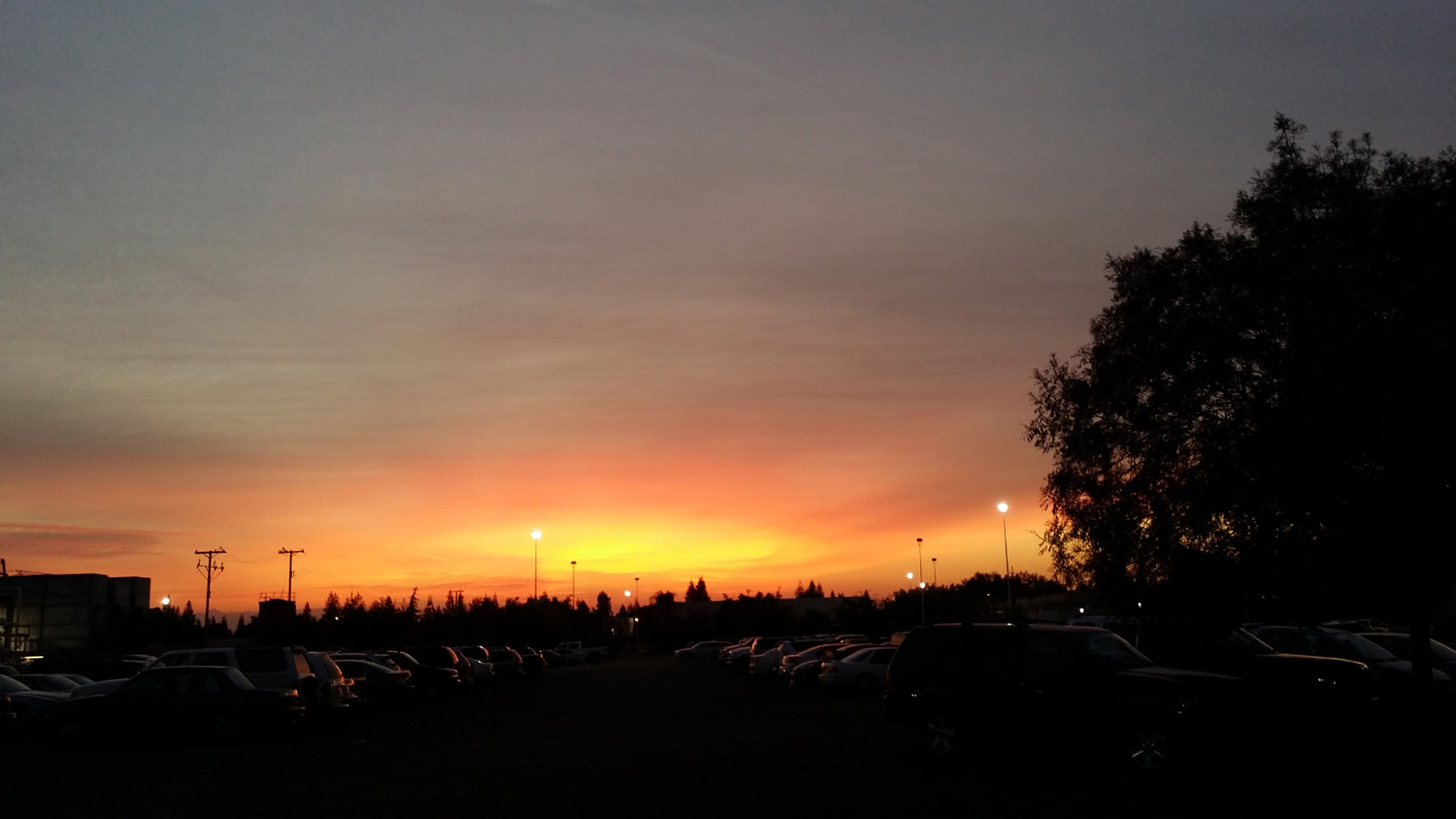
| The Rough Fire continues to provide red sunrises | The Wooded Path | Cat dismayed at being photographed |
 |
 |
 |
| A tempting side trip |
Not
as tempting once |
The
end of the trail and |
 |
 |
 |
|
View
returning to the main |
Care for Clovis - OR ELSE! | The history of Clovis is outlined in signs along the trail |
 |
 |
 |
| Unlike most of the metro area, drivers and pedestrians respect each other at trail crossings |
One of the parks along the Old Town Trail |
After days of smoke, some nice clouds and blue sky |
 |
 |
 |
| Apollo begins his daily journey |
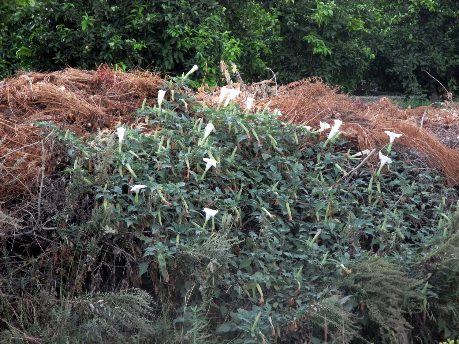
Gourds growing along the Dry Creek Trail |
Moon flowers on the creek bank |
|
 |
 |
|
The
lower leaves of this |
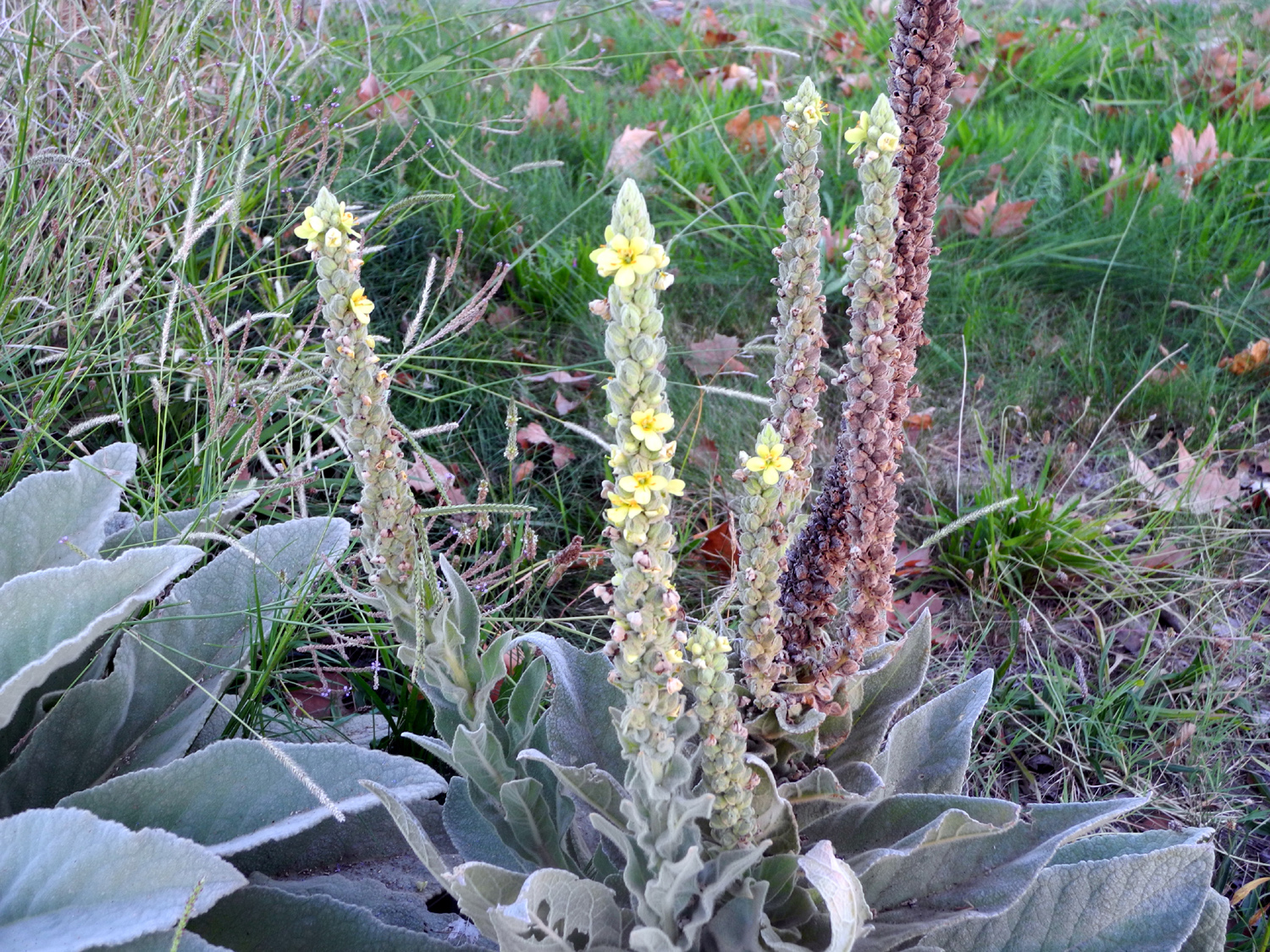
Mullein
blossoms confused |
The Dry Creek Trail and Clovis Avenue |
 |
 |
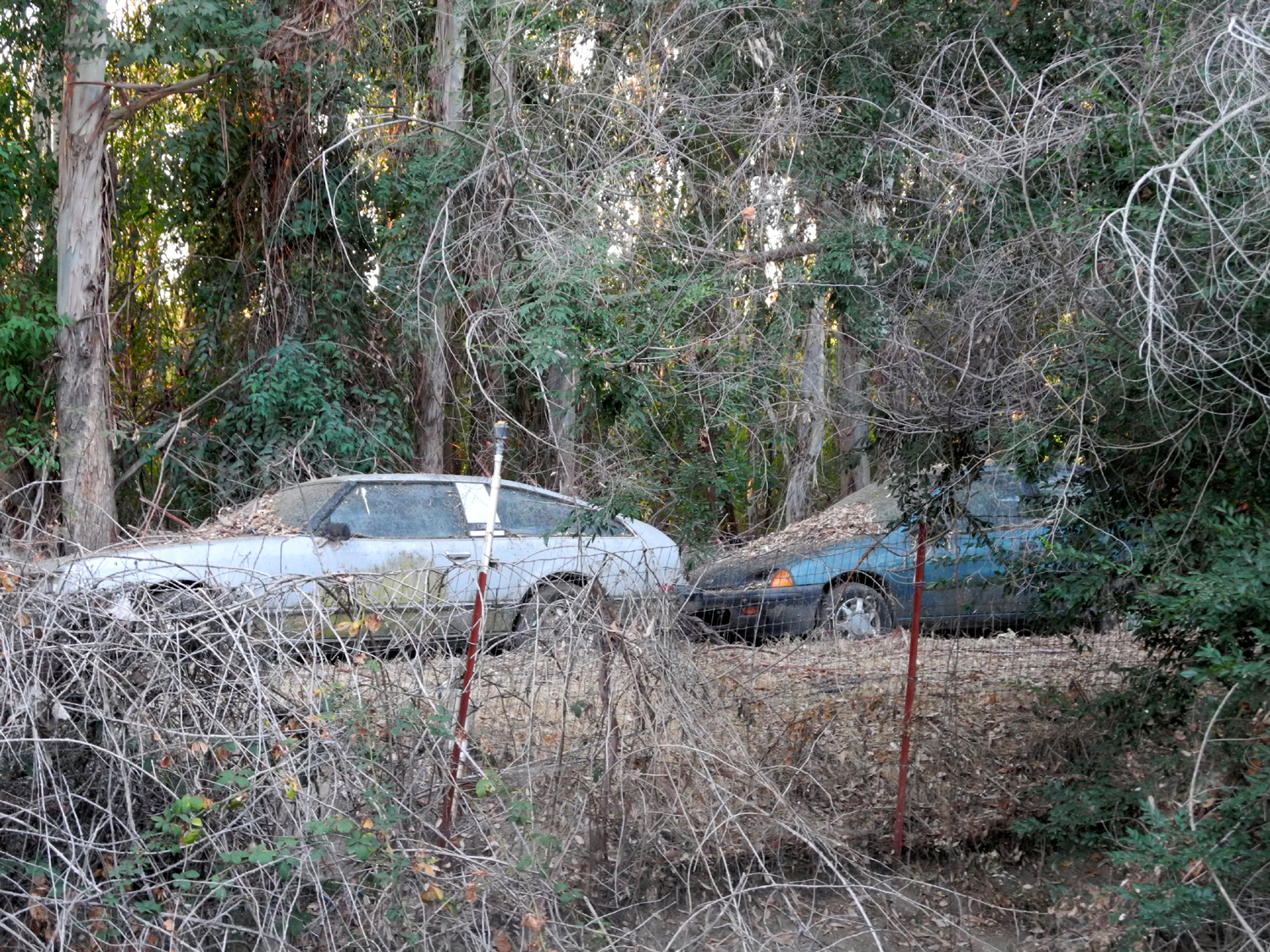 |
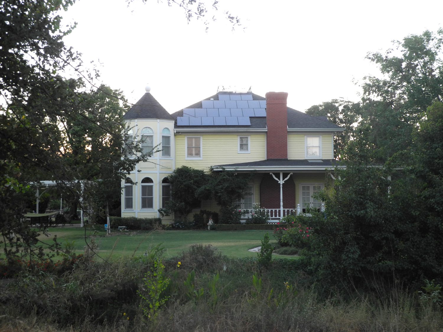
| Creek side house | Another house by the creek | Automobile graveyard |
 |
 |
 |
|
Sunrise
from Old Town Trail |
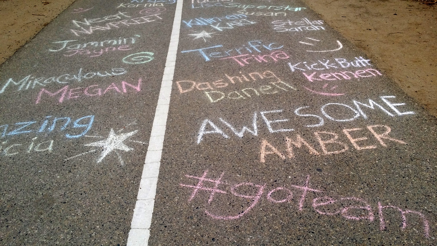
Immortalized in chalk | Multi-colored fall carpet |
 |
|
 |
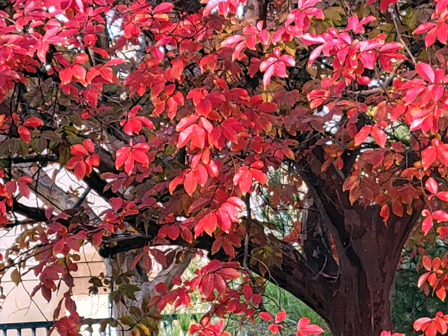
| Red leaves against the green | The
catalpa tree has lost its huge "elephant ear" leaves |
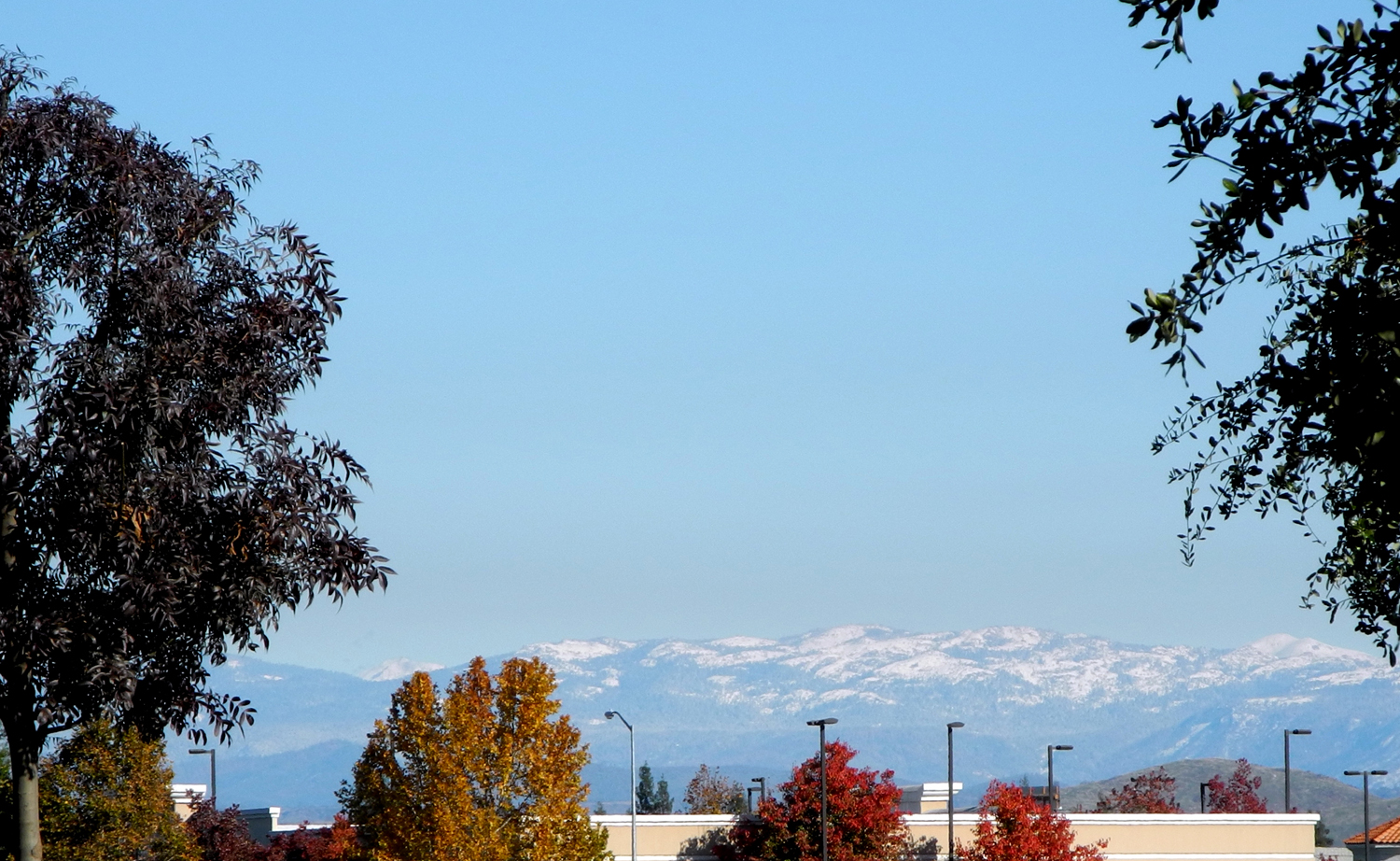
Snow on the Sierra |
 |
 |
 |
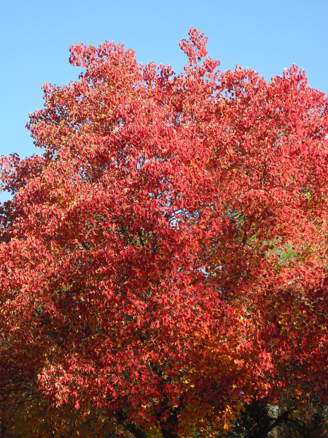
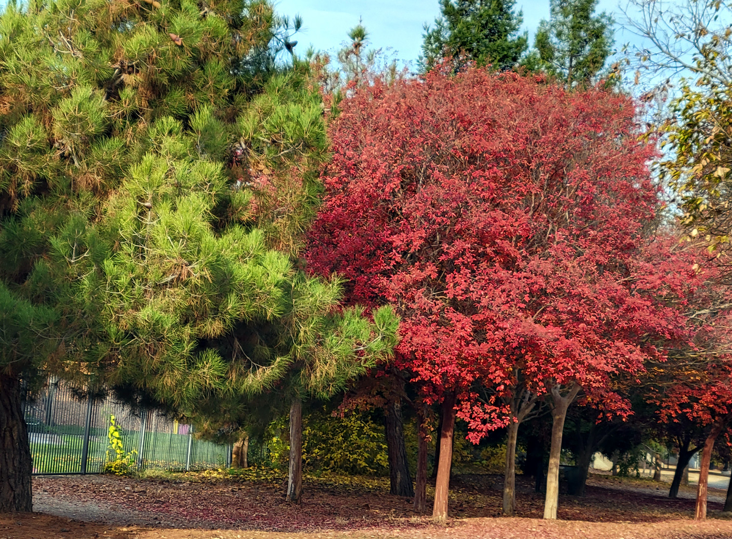
| Blazing red trees line the trail |
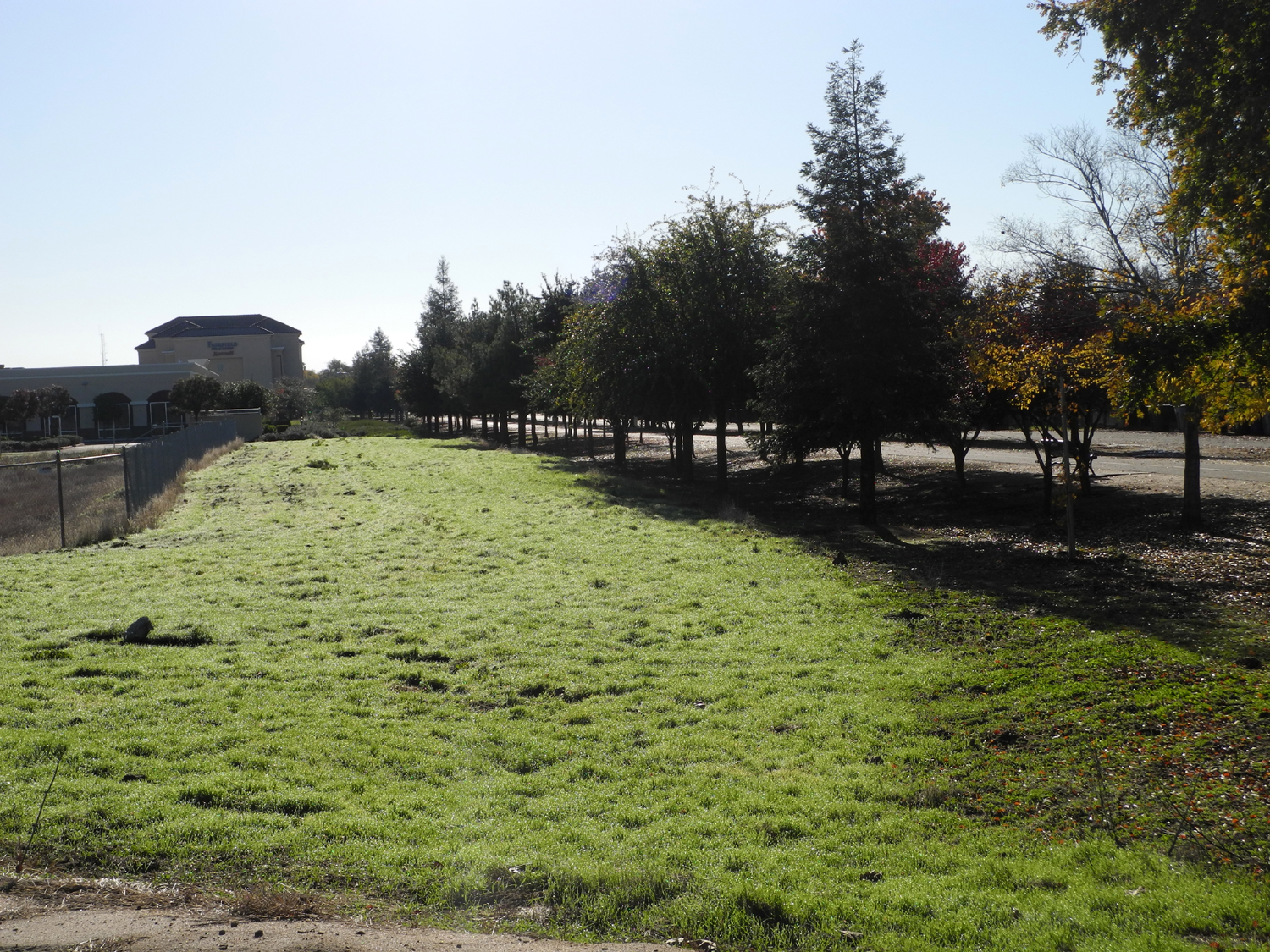
Green grass along the side of the trail |
Fall color against the evergreens |
 |
 |
 |
| Bright
orange leaves on the northern section of the trail |
A frosted stump | More frost |
 |
 |
 |
| Part of a large industrial complex | Pallets
and other stuff are seen in the back storage lot |
This guy
was sitting on the lamp post where I end my walk |
 |
 |
 |
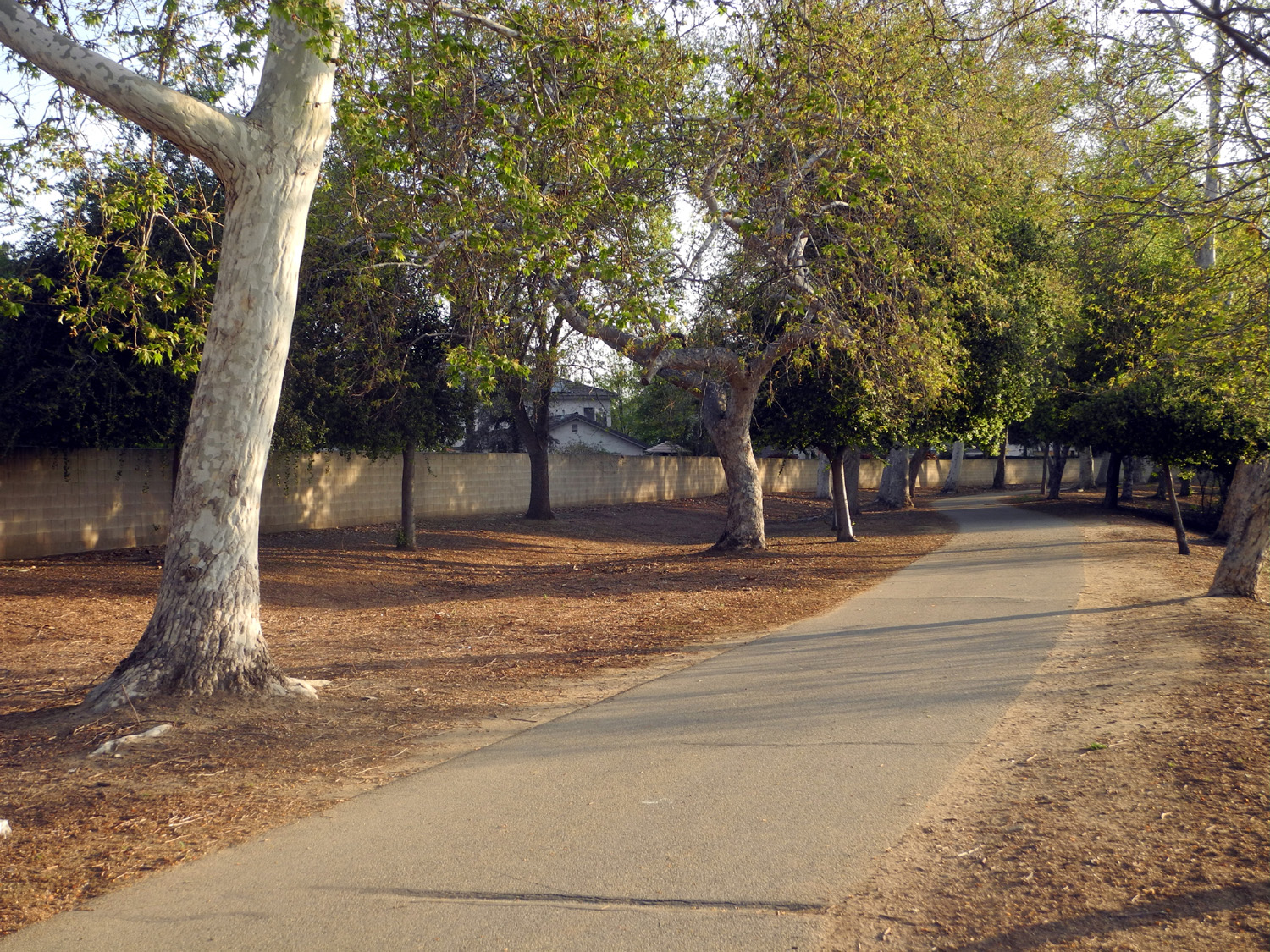
| A look up the trail | Peach orchard east of the trail | Dry Creek Trailhead |
 |
 |
 |
|
Control gates on the Enterprise Canal |
This is
a conveyor belt that removes leaves and trash... |
....and dumps them here for later removal |
 |
 |
 |
| Across
from a busy city street, a touch of the countryside |
Above average rain has everything green this year | A scenic pile |
 |
 |
 |
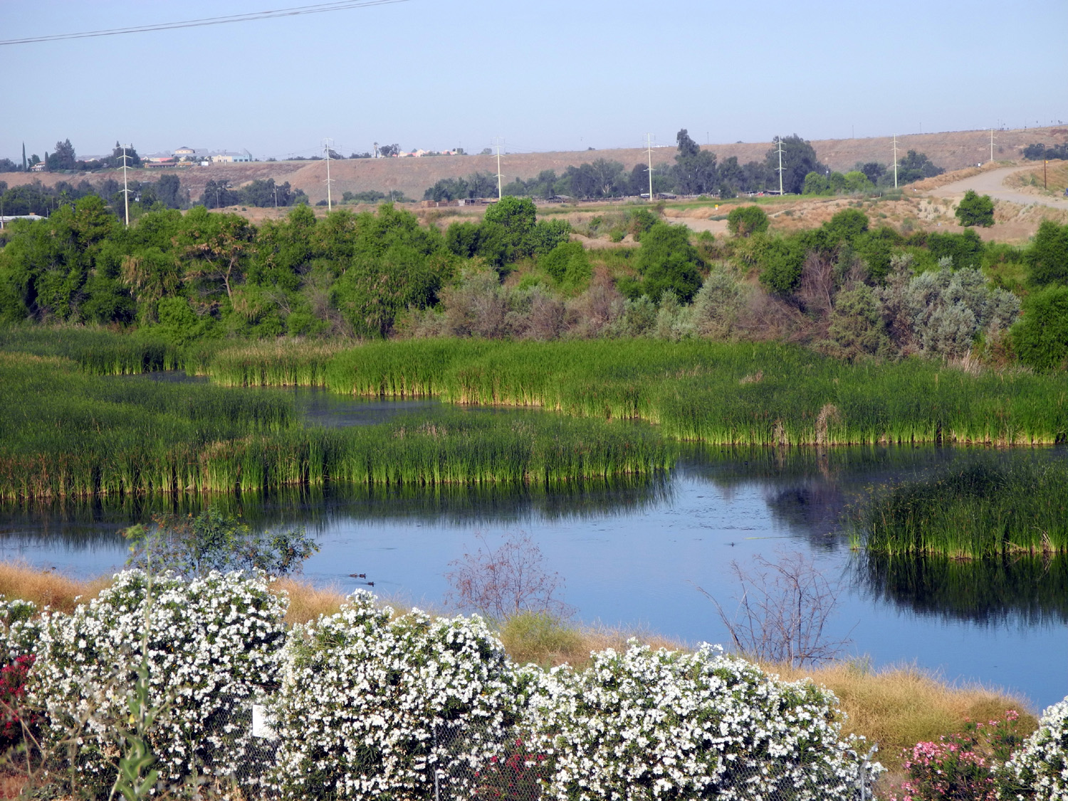
| Urban meadow and forest | Typical section of the Enterprise Trail | Decorations brighten the view |
 |
 |
 |
| Teri on the Old Town Trail | And at Tom Stearns Station | Frozen puddle |
 |
 |
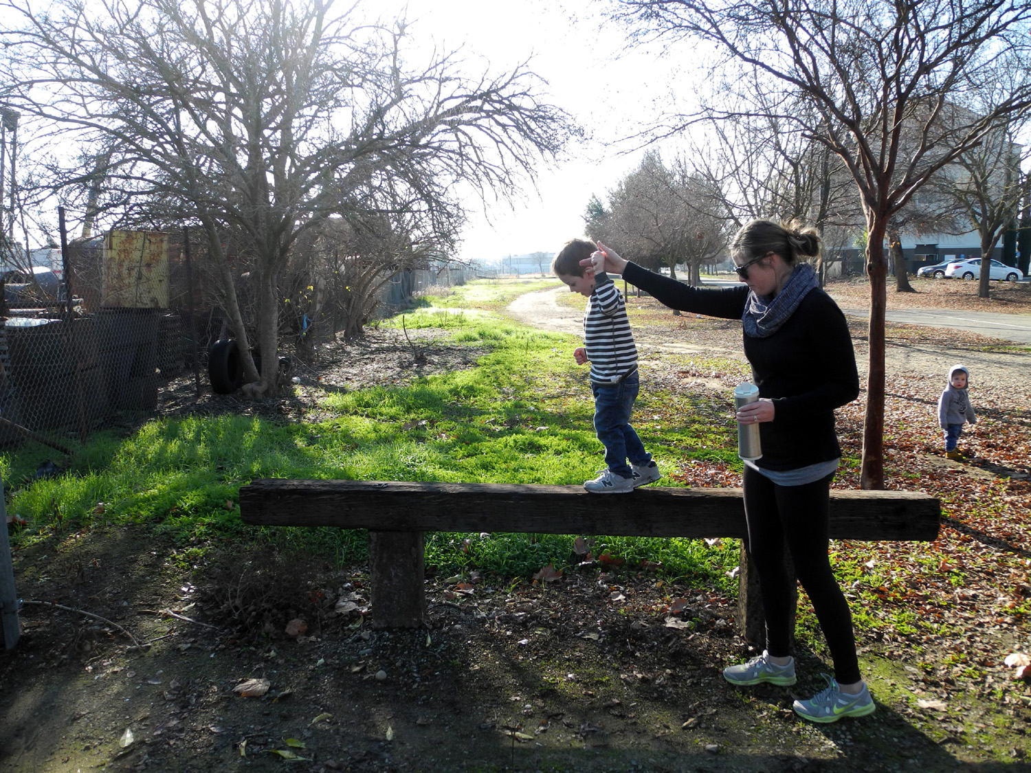 |
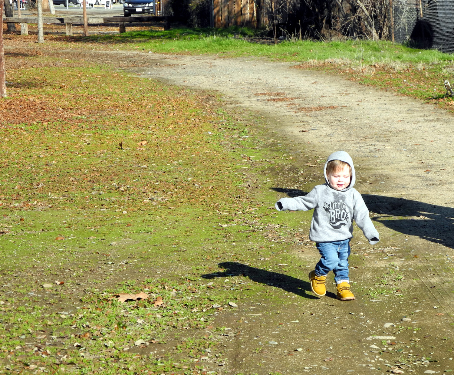
| Red seeds blanket the ground | Jack is ready to hike | Walking the beam |
 |
 |
 |
| Colton on the bridge | Johnny could not resist this de facto climbing wall | A work of art beside Spud's Spur |
 |
 |
 |
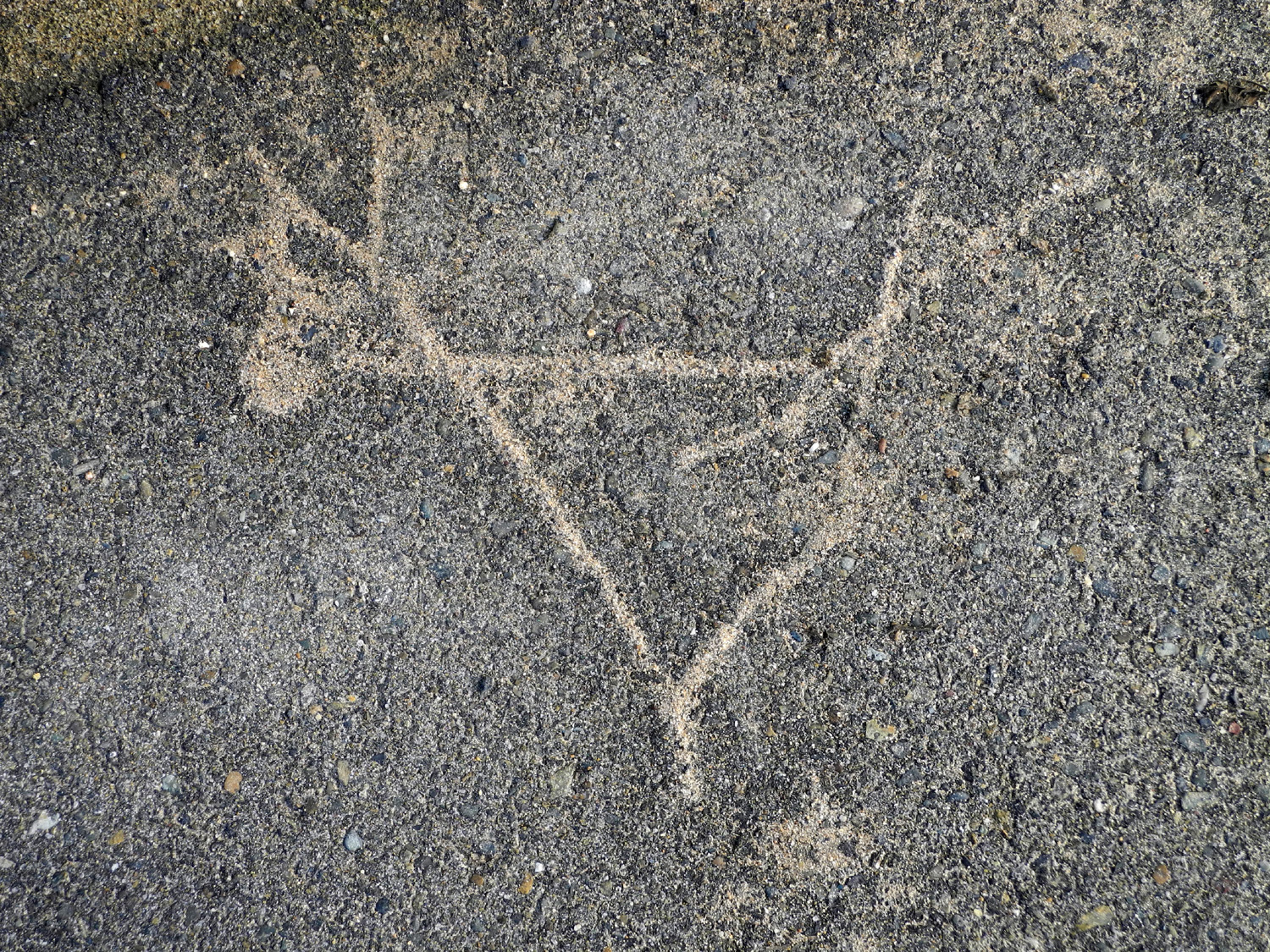
| Flowing rain water, sand and a fallen branch created this |
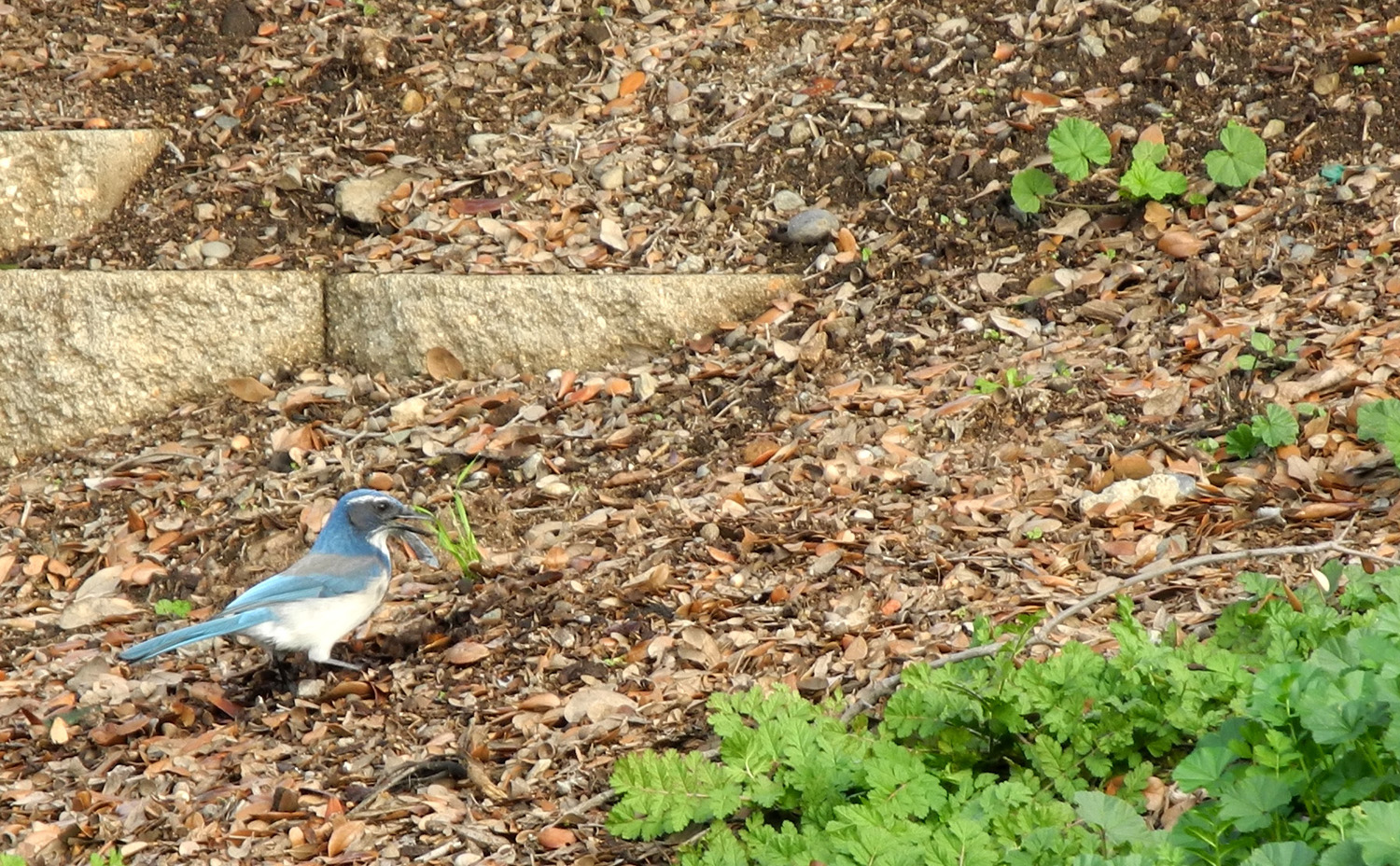
Blue Jay foraging by the Old Town Trail |
Lone tree above the trail |
 |
 |
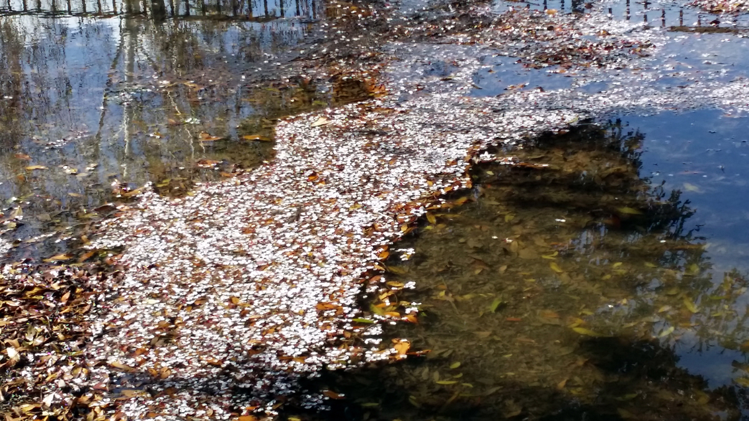 |
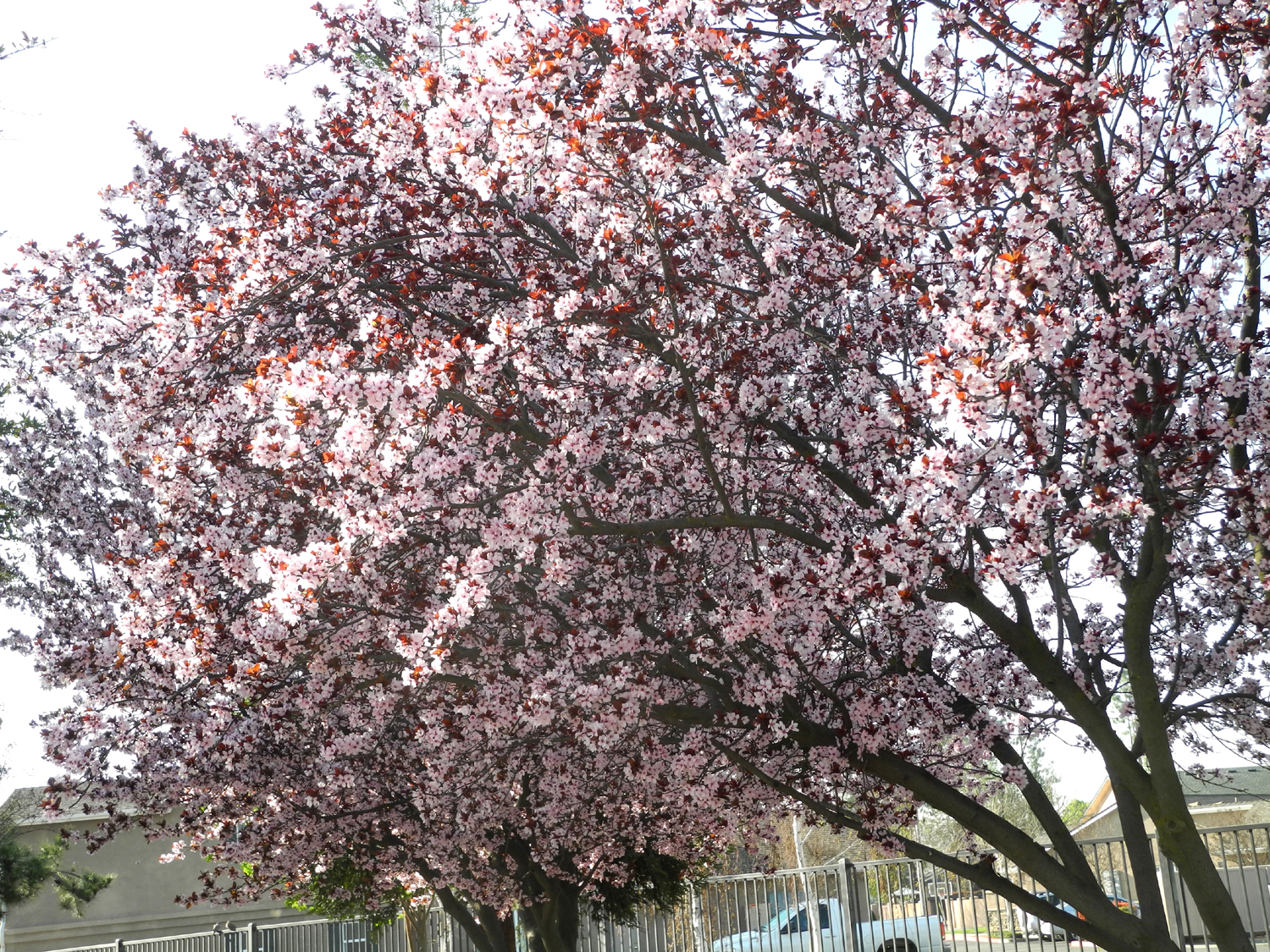
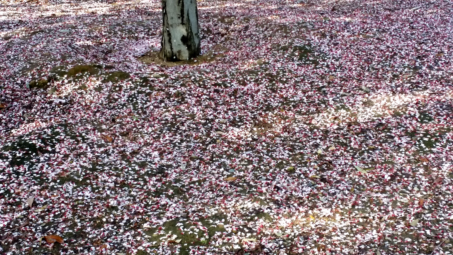
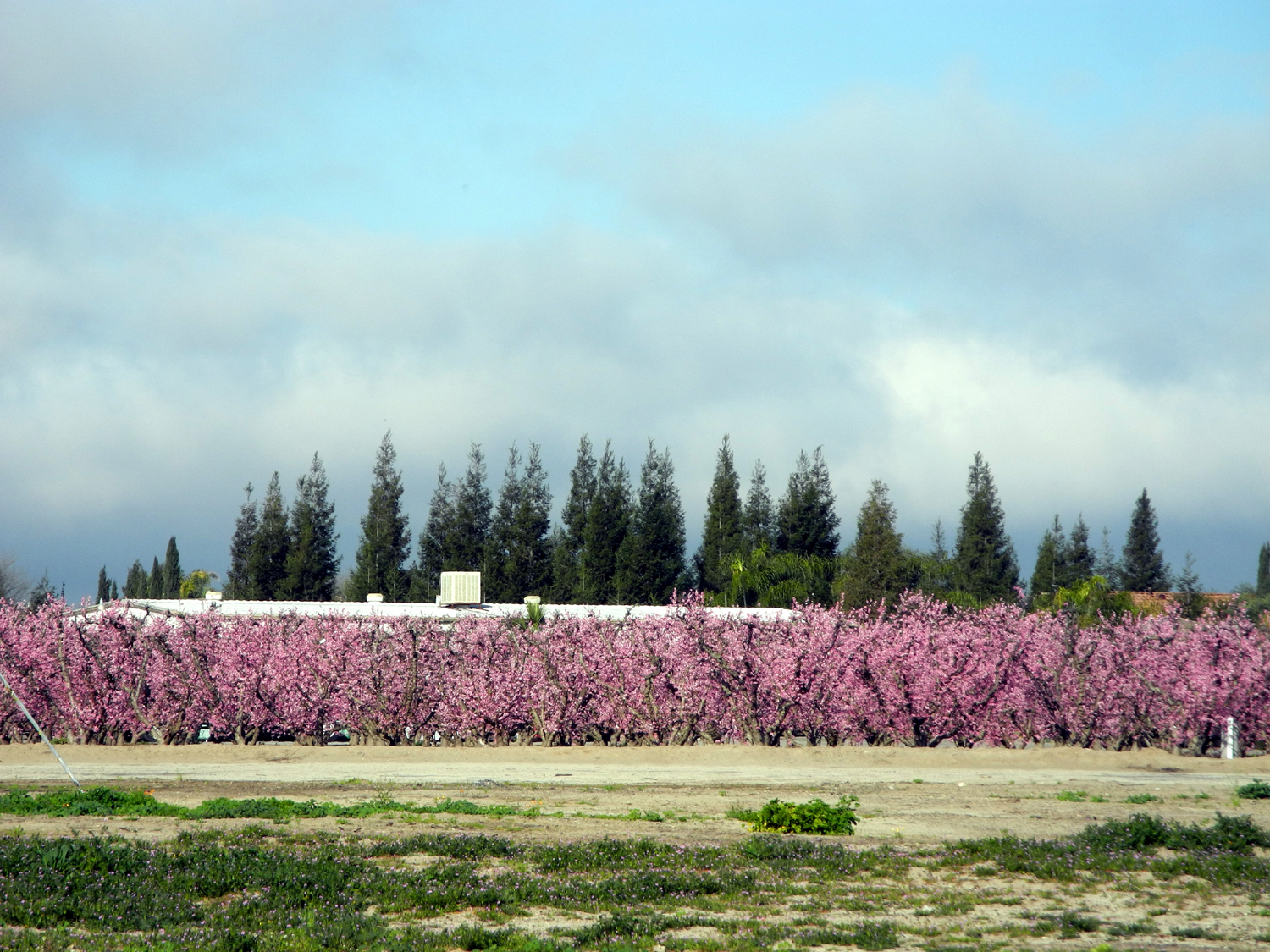
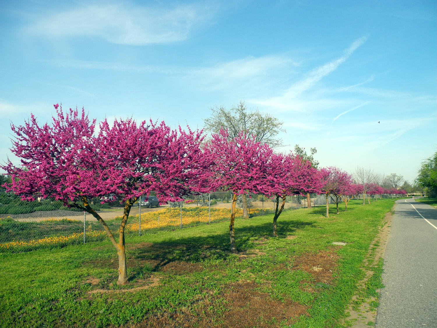
| Flowering plum | Fallen petals turn the ground pink | Pink float |
 |
 |
 |
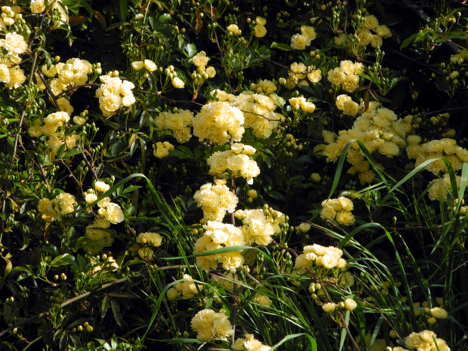
| Puffy yellow blossoms |
Water drops on the grass make it droop |
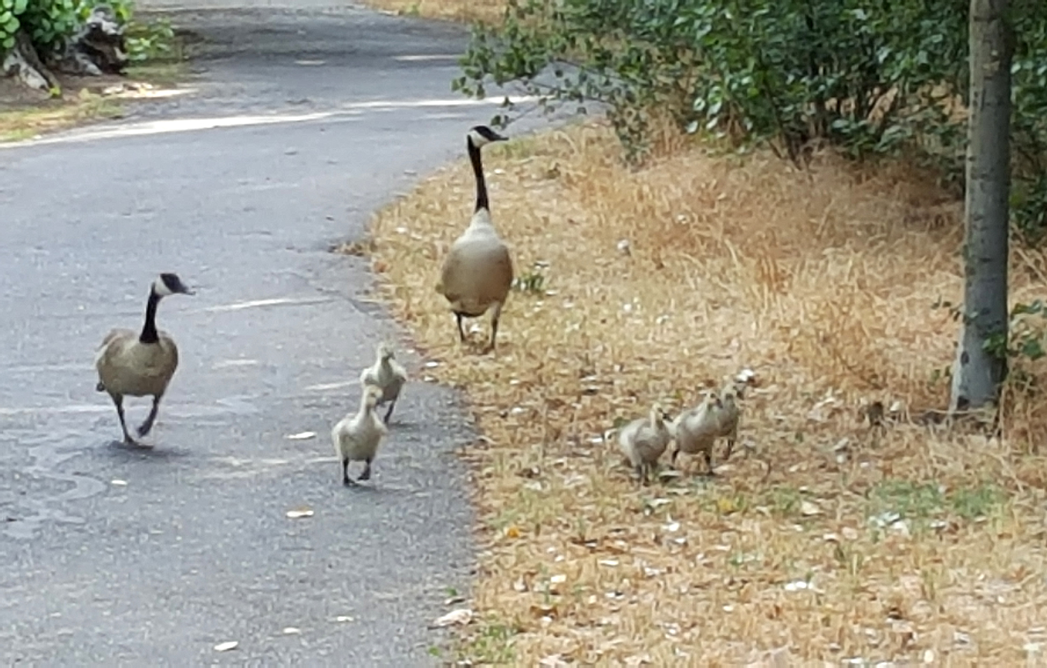
Ducks looking for a handout |
 |
 |
 |
| The Walking Doctor, where Old Town Trail meets 3rd Street |
The story of the doctor | New sycamore leaves beside the Dry Creek Trail |
 |
 |
 |
| Cranes at Walter C. Smith Co. |
This crane has become a flag pole |
Blossoms at John Wright Station |
 |
 |
 |
| Why I didn't walk on Spud's Spur | Redbud at it's peak | A close-up |
 |
 |
 |
| Enjoying the redbud trail | Massed flowers in the Clovis Botanical Garden |
Lots of rain = good weather for ducks |
 |
 |
 |
| The geese are happy too | Raindrops on red leaves | El Nino rains have brought every shade of green |
 |
 |
 |
| New live oak leaves | The catalpa tree was the
last to leaf out, but has the biggest leaves |
Huge leaves help identify Catalpa |
 |
 |
 |
| Massive
spring blossoms at the Clovis Botanical Garden |
A closer look |
Fruit
trees across the field |
 |
 |
 |
|
Walkers enjoying the Clovis trail system |
Redbud in bloom near Dry Creek Park |
A rare visitor to Fresno - a pelican in the flood basin |
 |
 |
 |
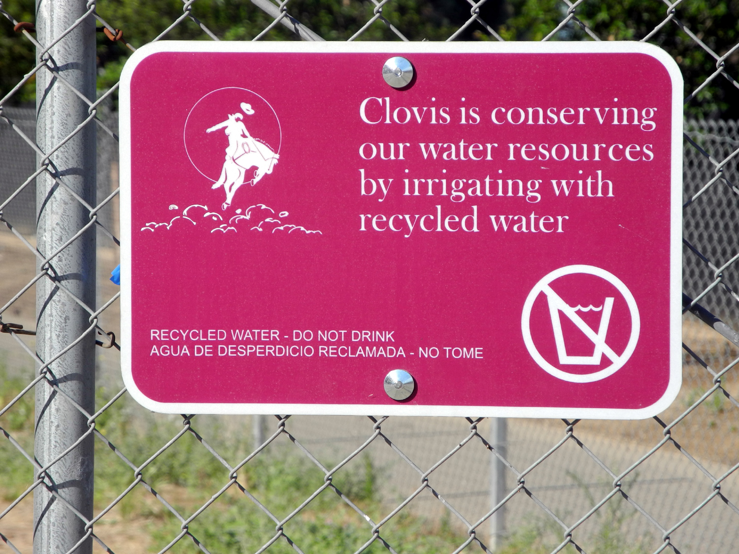
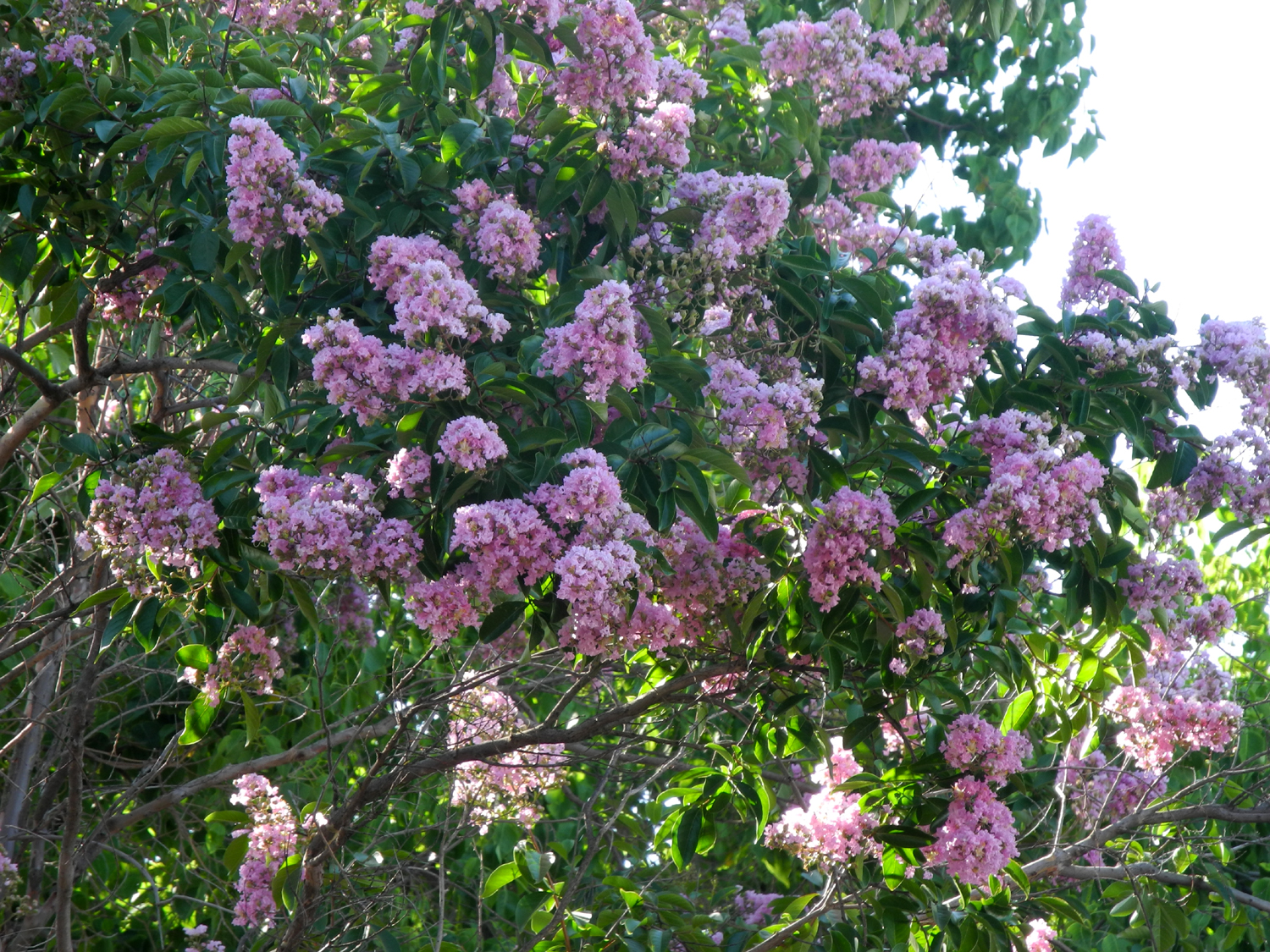
| Sign saying that recycled water is used for irrigation | Crepe myrtle decorates the trail | The
catalpa tree is nice and thick with new growth for 2016 |
 |
 |
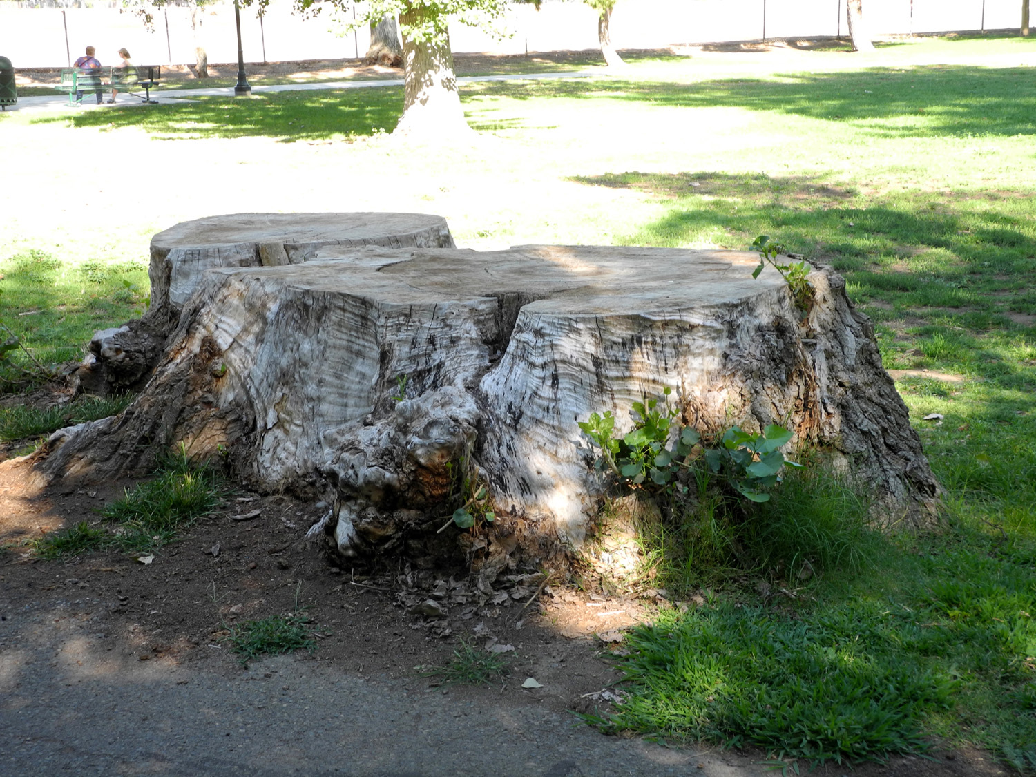 |
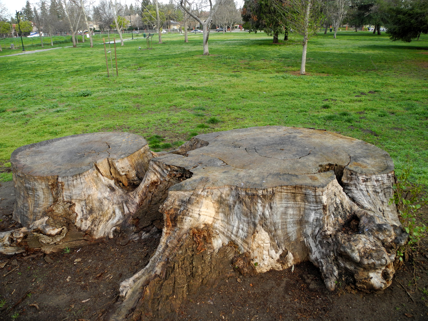
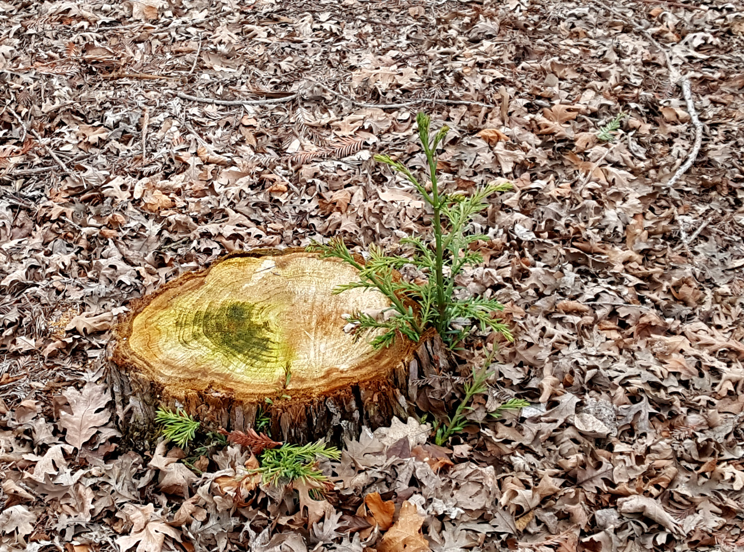
| This stump at Cottonwood Park looks ancient... | ...but
not too old to put out new growth in 2016 (In 2025 it has deteriorated extensively) |
Maintenance
crew cut the sucker growth down, but it grows back |
 |
 |
 |
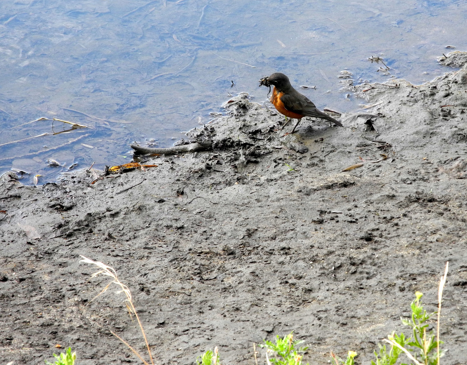
| Most folks call it a weed, but it has its own beauty | A robin finds something yummy beside the canal | I reached
this spot in two minutes (I started about 200 feet before it) |
 |
|
 |
| Table
tops and distant hills in San Joaquin River drainage |
Rabbits and rider along the Eaton Trail | Pond between the trail and river |
 |
|
 |
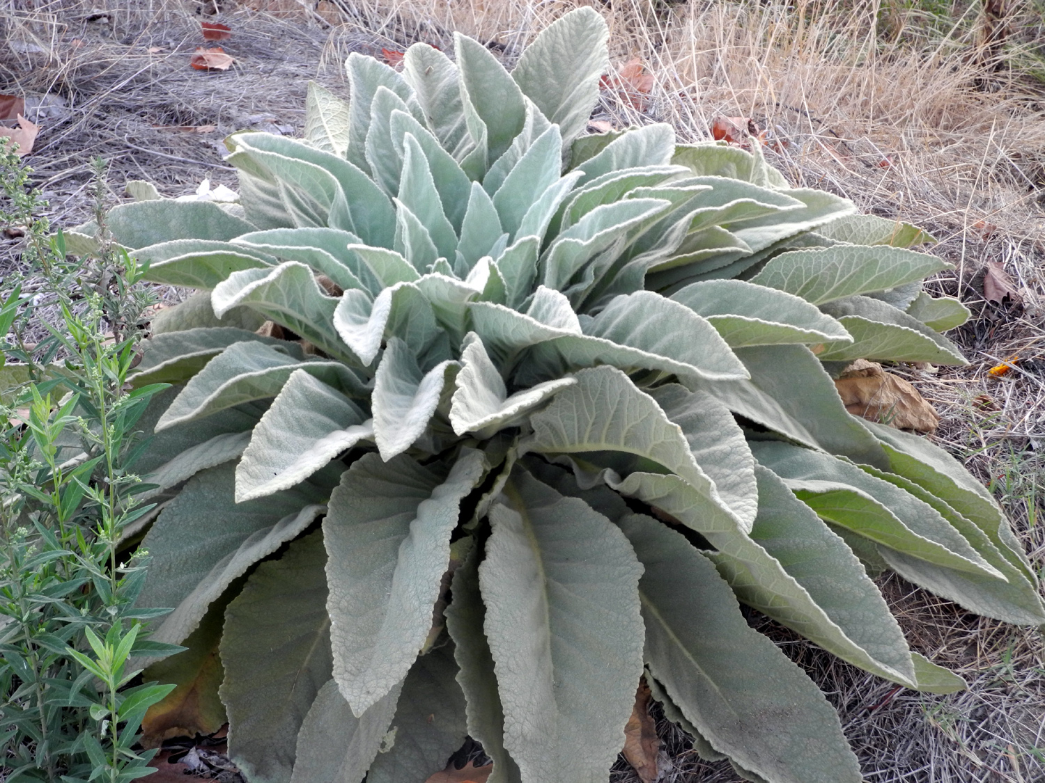
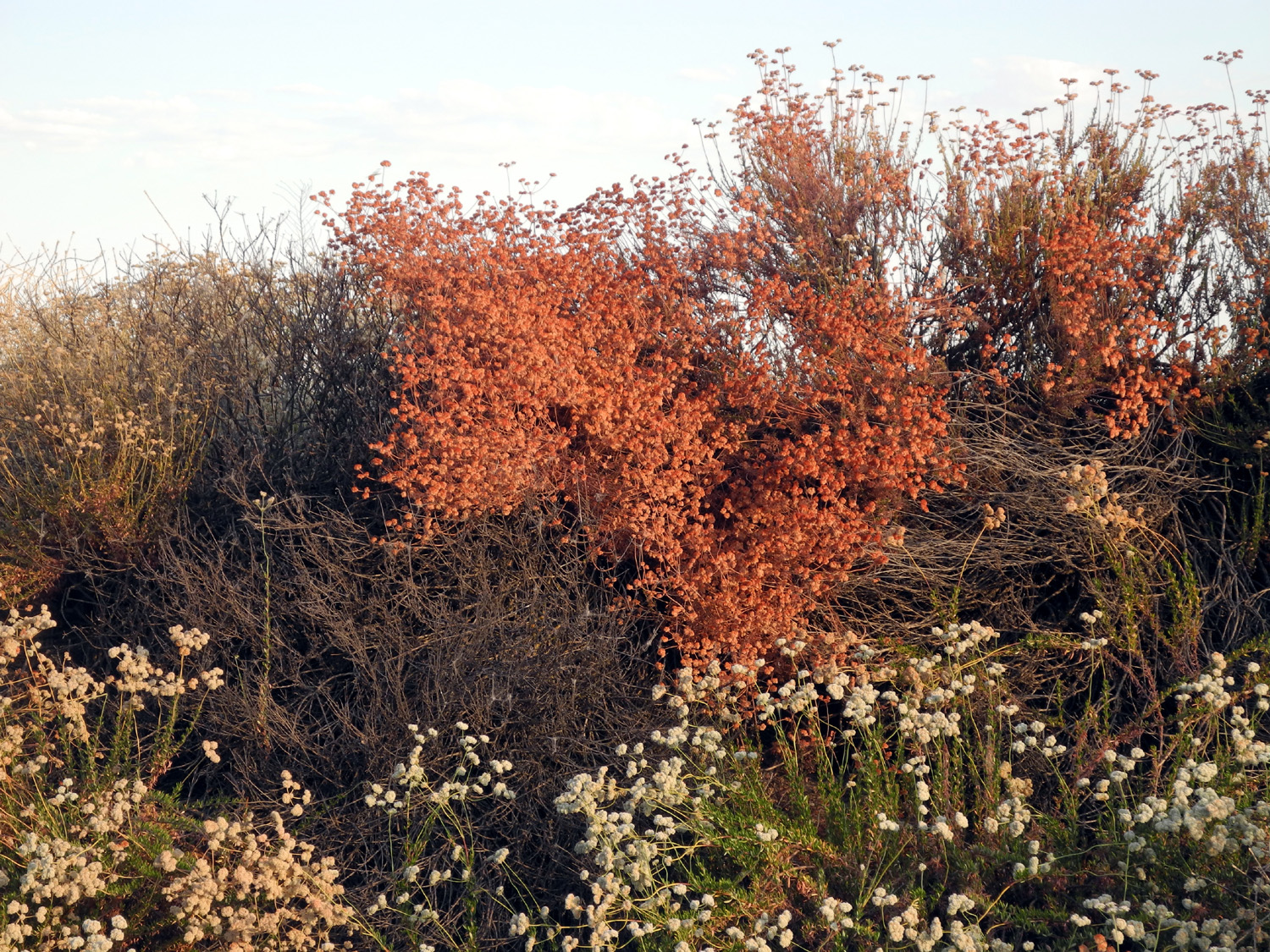
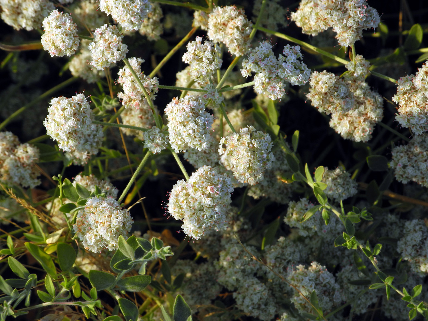
| These bushes are common along roads and trails | The white flowers turn to a rusty red seed head | This flower is well-defended by sharp thorns |
 |
 |
 |
| Quail on
the fence at Hallowell Center for River Studies |
One more in my collection of unidentified flowers | Crepe
myrtle with the blossoms at the bottom, Old Town Trail |
 |
 |
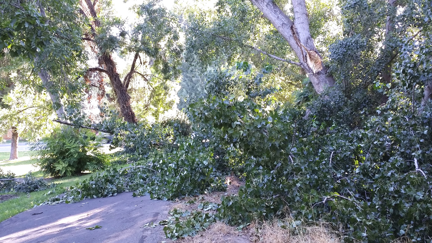 |
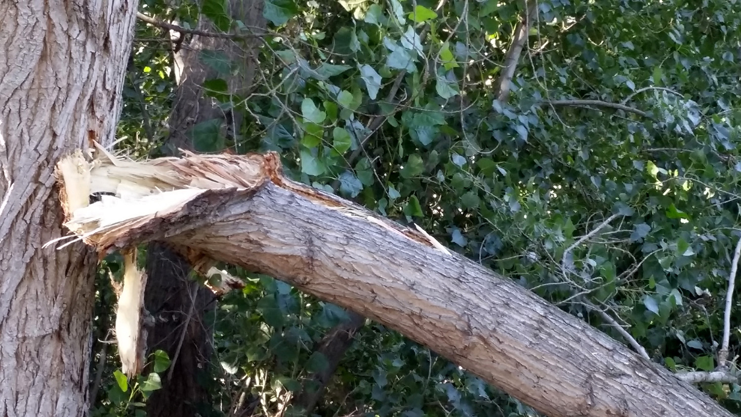
|
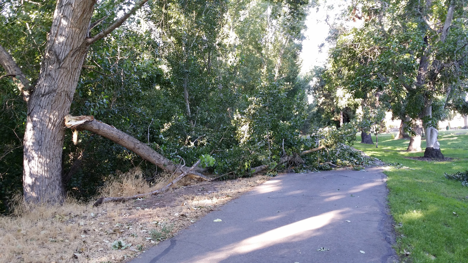
A big cottonwood branch
broke |
Bottom of the broken branch | The view from the other side, on the Dry Creek Trail |
 |
 |
 |
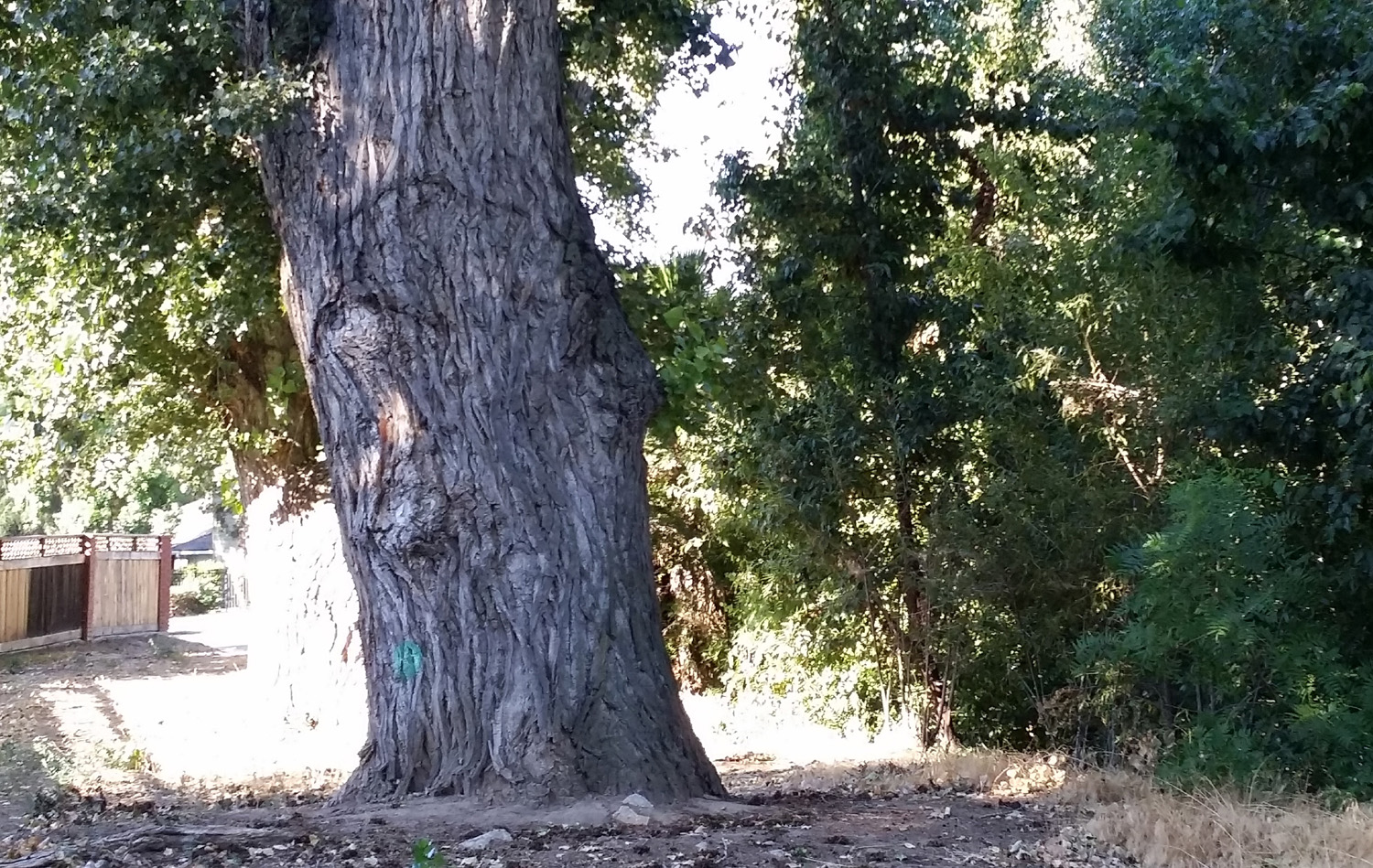
| White crepe myrtle | Huge cottonwood near the Dry Creek Trail | The John Wright Station |
 |
 |
 |
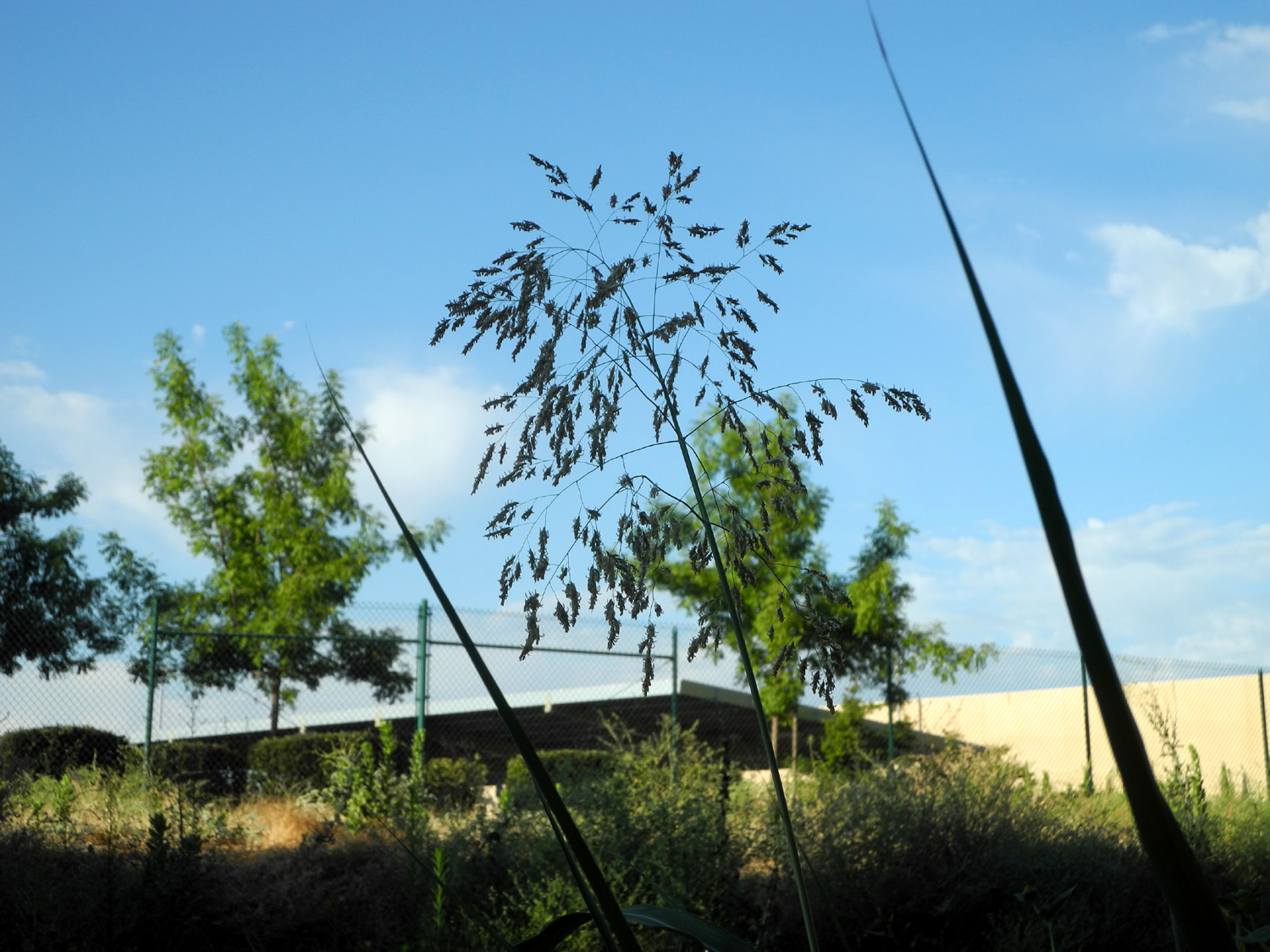
| Sunflower next to Dry Creek Canal | Slanted silhouettes | Grass near the canal |
 |
 |
 |
| Three giant cottonwoods | Library by Cottonwood Park | Close-up |
 |
 |
 |
| Library south of Nees Avenue | Close-up | A particularly scenic section of the Dry Creek Canal |
 |
 |
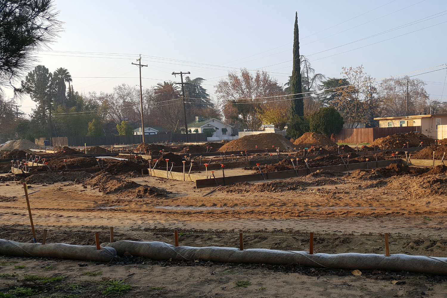 |
| Construction
project by the trail at Clovis and Sierra Avenues |
Who knows what will rise from this dirt pile? |
A progress report in December 2016 |
 |
 |
 |
| February 8, 2017 - the foundation is poured | Framing is up on February 18 |
Walls starting to appear on March 12 |
 |
 |
 |
| Looking more "finished" in late April | Exterior walls painted in May | Only a few more finishing touches needed |
 |
 |
 |
| The finished product - September 2017 | ||
 |
 |
 |
|
Enterprise
Canal with new |
Rock barrier at end of new concrete section | The "old original" bank |
 |
 |
 |
| Cracked
mud on the canal bottom with some bright green moss |
New development near canal | Distant snow covered Sierra |
 |
 |
 |
| Silk tree with its fall color | Construction by the Dry Creek Trail | Through
the Old Town Trail tunnel under Herndon Avenue |
 |
 |
 |
| Looking
toward the Kings River area from near Old Town Trail |
Great
Western Divide covered in snow in December 2016 |
Low
winter sun never touches this spot below the river bank on the Lewis Eaton Trail |
 |
 |
 |
| Such a tempting puddle! | Jack could not resist this one | Finding rocks to throw in the canal |
 |
 |
 |
| "I wonder how I got so muddy" | Stomping acorns for the blue jays | A
careful bridge crossing, with a nervous dad right behind |
 |
 |
 |
| Watching the horses | And being watched by one | A failed attempt at a group photo |
 |
 |
 |
| Water
outside the normal channel, giving a flooded appearance |
Water rushes through a narrow section of the canal | Big
tree reaches across the canal by Dry Creek Park |
 |
 |
 |
| New
blossoms along the Old Town Trail north of John Wright Station |
A close up | Parked
at a motel along the Old Town Trail in March 2017 |
 |
 |
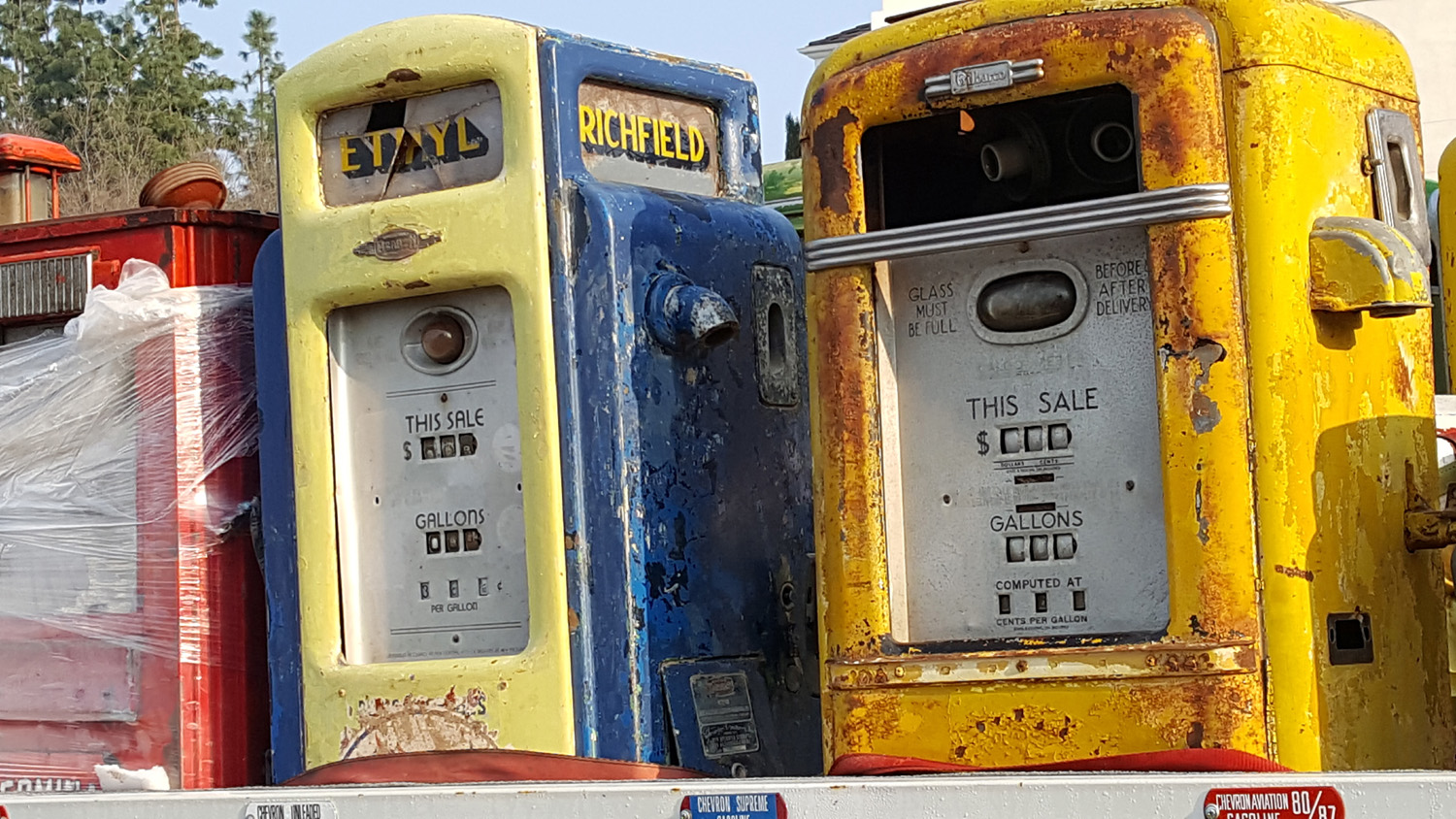 |
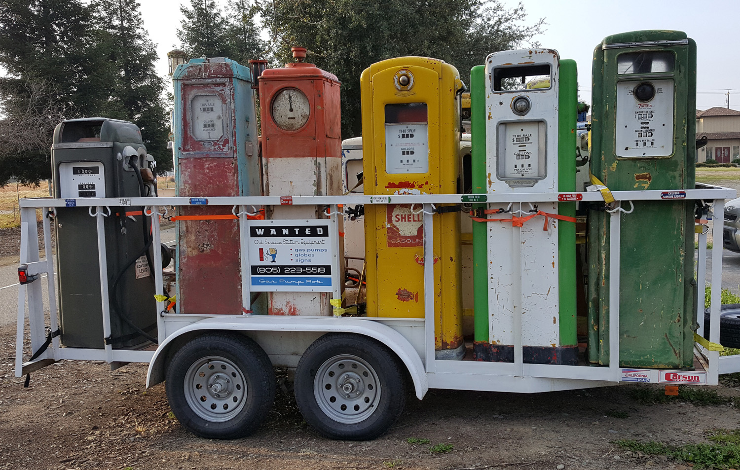
| The first gas I bought came from a pump like this | A couple of rare antiques | Richfield, ancestor of ARCO |
 |
 |
 |
| Redbud greets visitors to the Dry Creek Park | Along the trail just north of the park | Along
the trail frrom John Wright Station to Cottonwood Park |
 |
 |
 |
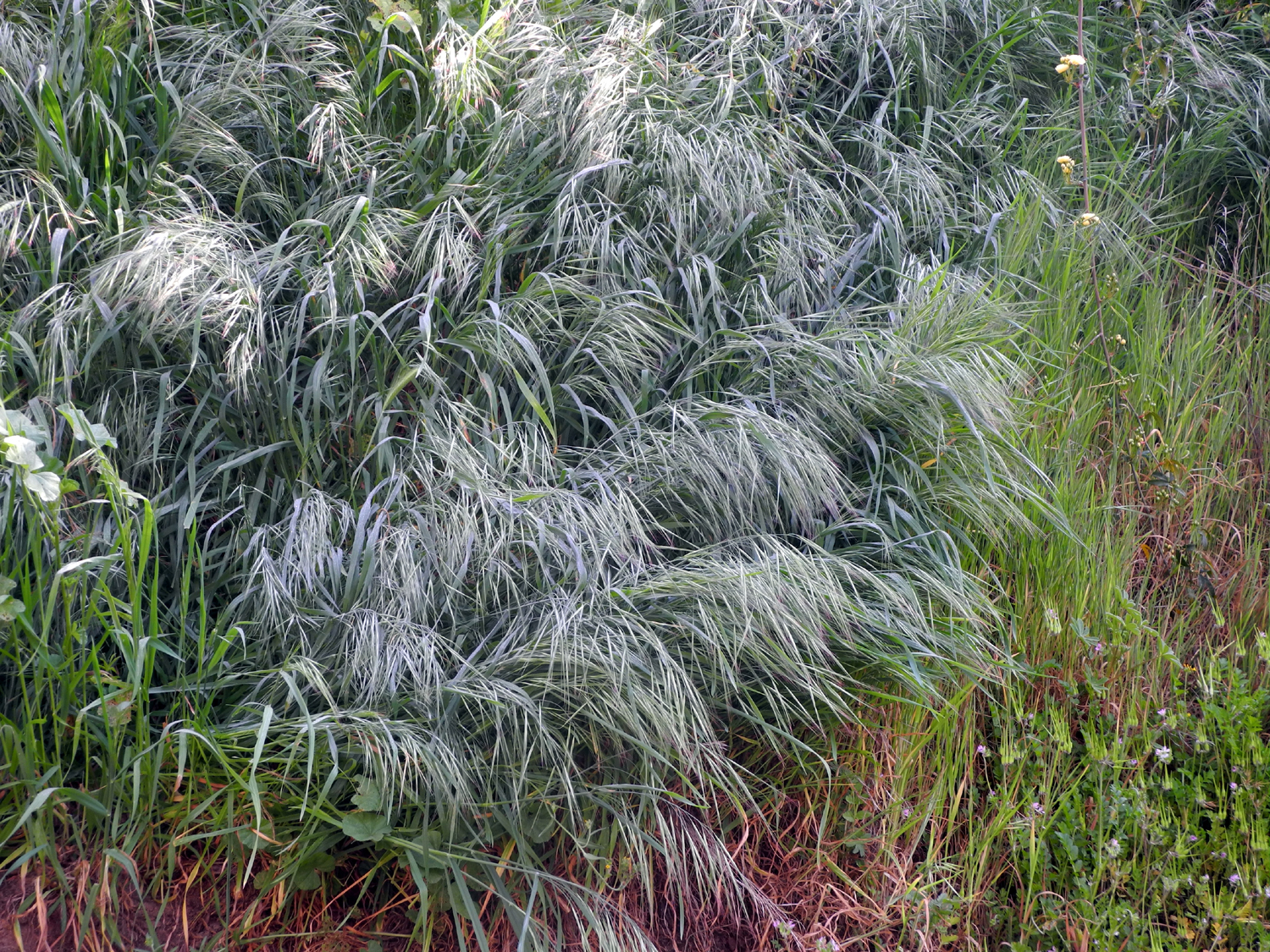
| New grasses along the trail |
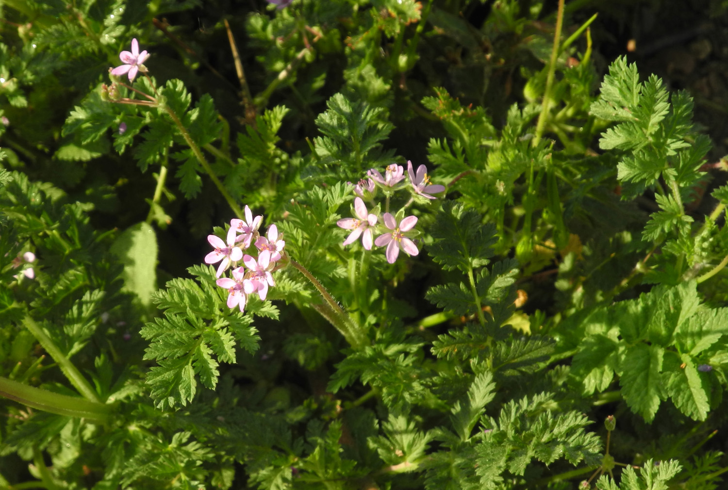
Filaree are common from valley to foothills |
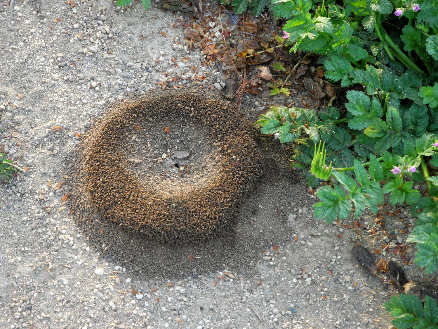
A very well designed ant hill |
 |
 |
 |
| The
catalpa tree by the Old Town Trail in bloom in the spring of 2017 |
A closer look | Silk tree in bloom by the Old Town Trail |
 |
 |
 |
| The Goose Family enjoys a walk on the trail | A major goose gathering | The
canal has undercut the trail here, so a second barrier was added in May 2017 |
 |
 |
 |
| A nice crop of "beans" on the catalpa tree | Clovis had tiny houses before they were a thing | The "Walking Doctor" enjoys the morning sun |
 |
 |
 |
| The path beside the trail | Hanging over a fence for the enjoyment of trail walkers | Smoke from the Railroad Fire near Yosemite creates a spectacular sunrise in September 2017 |
 |
 |
 |
| Leaves by the Old Town Trail in downtown Clovis | The catalpa tree along the traill | Insect galls on tree beside the trail |
 |
 |
 |
| Baby geese by Cottonwood Park flood basin | Turkey vulture - a rare visitor in the city | Pelicans
visit the flood basin at Clovis and Alluvial every year |
 |
 |
 |
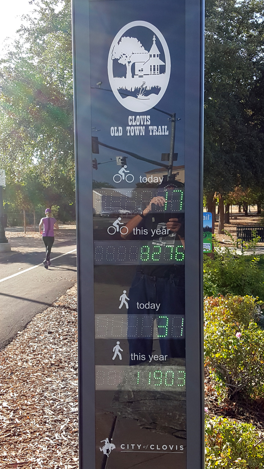
| Squirrel peaking over the fence at the pond | Newly installed device to count bikers and hikers | Coast
redwoods never die, they just put out new growth from the old stump |
 |
 |
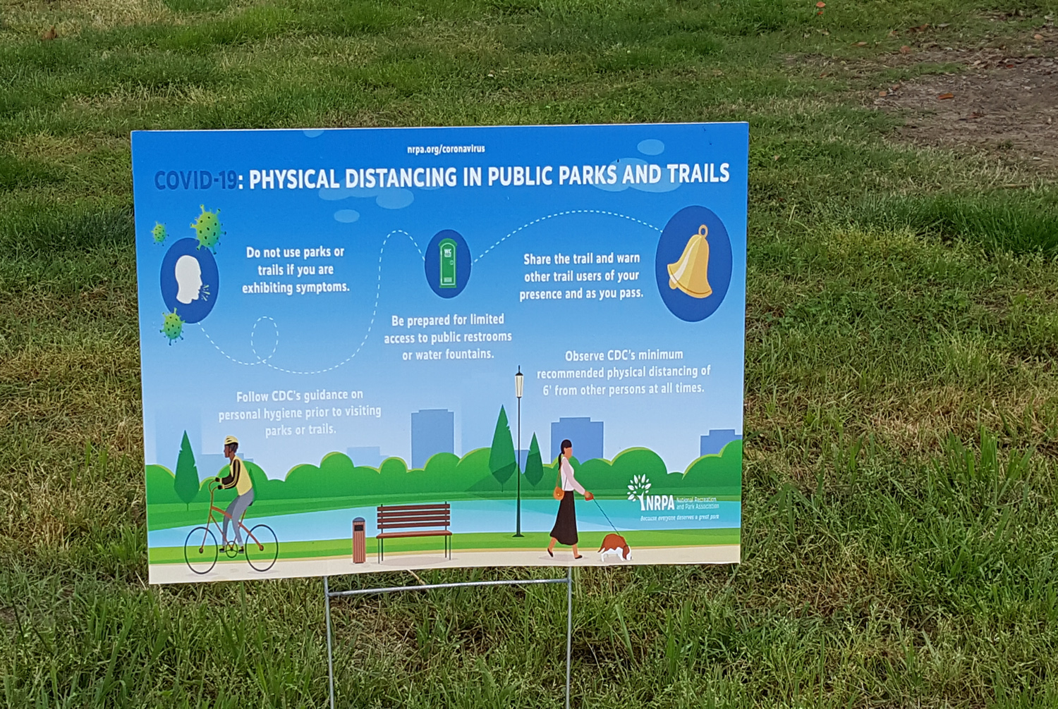 |
| Tree with catkins along the Old Town Trail | Kingfisher having breakfast | Signs of the pandemic of 2020 |
 |
 |
 |
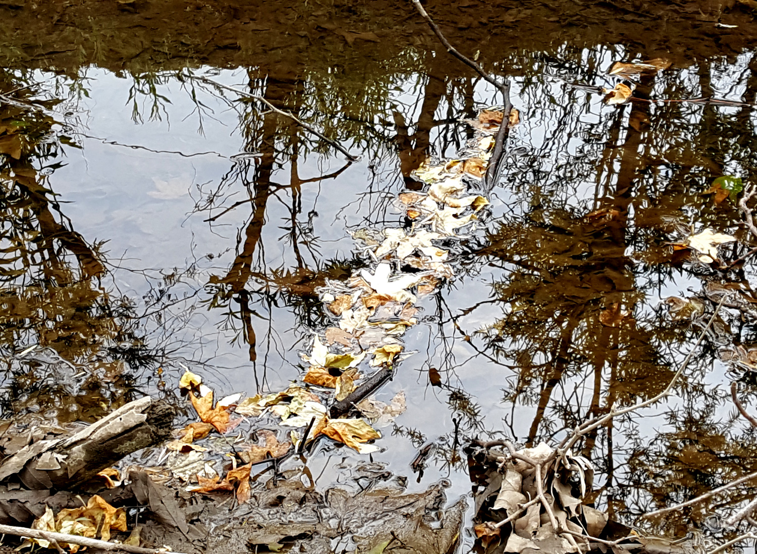
| Stick across the canal catches floating leaves | Forget
TV - get your news from the wall along the Dry Creek Trail |
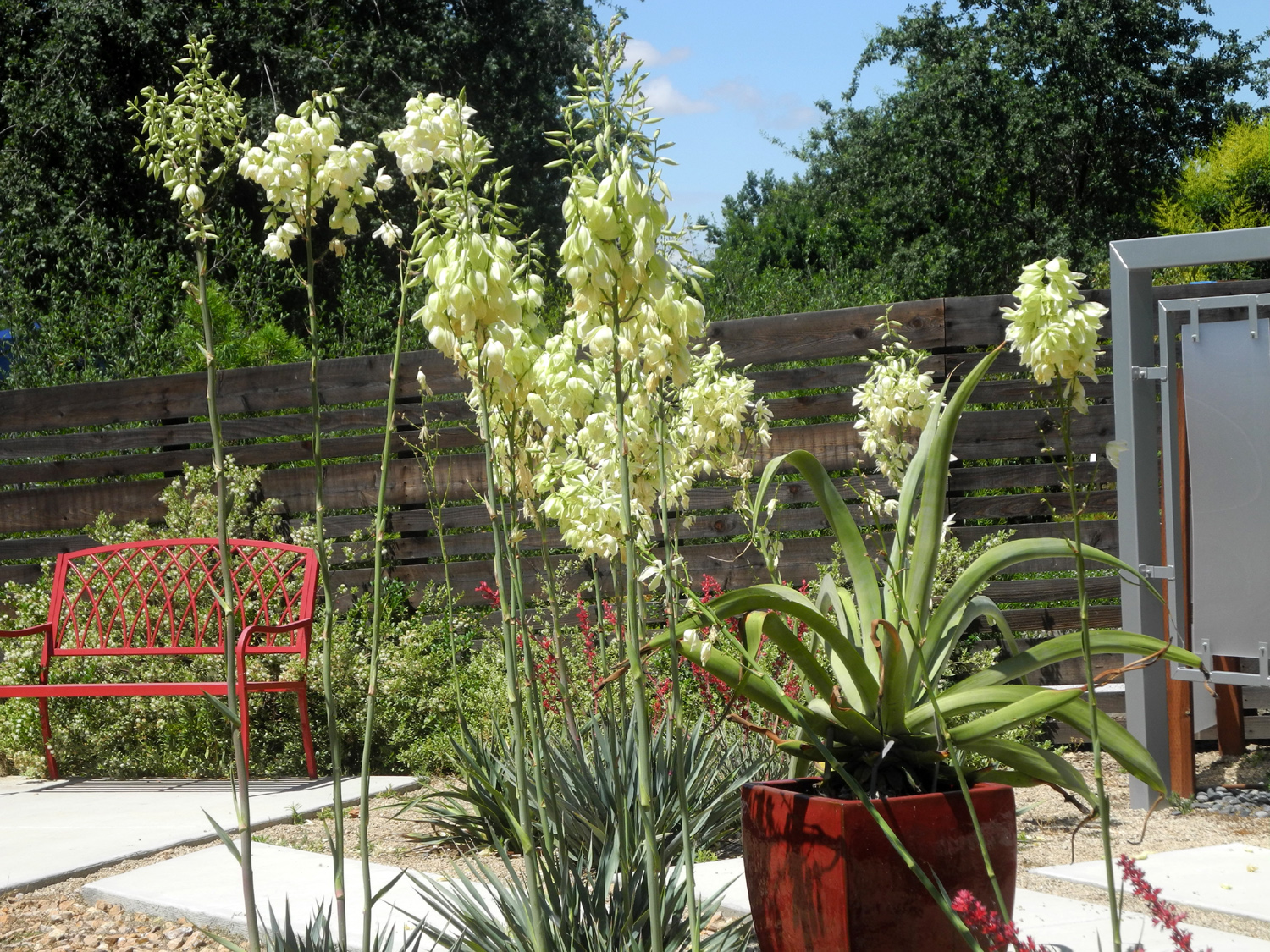
Yucca in the Clovis Botanical Garden |
 |
 |
 |
| Geese in Dry Creek Park | Geese in Dry Creek Canal | Sycamore
leaves cover the ground - with millions more still on the trees |
 |
 |
 |
| Newly-dredged
spur canal east of Old Town Trail in January 2022 |
Shelter
and sign at the trailhead near Herndon and Minnewawa |
Bowls raked up to aid in irrigation |
| Above right 2 and next 3 by Colton and Jack Upshaw | ||
 |
 |
 |
| Defy what? Gravity - it's a trampoline park | Jack
climbs the wall (His dad did it seven years earlier) |
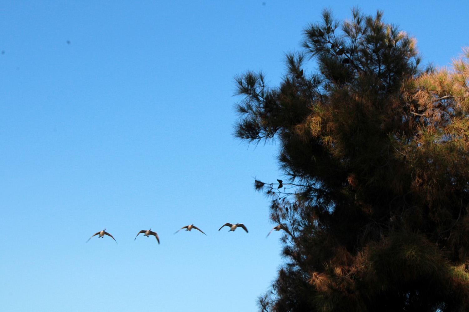
A flight of geese over the trail |
 |
 |
 |
| This
vacant area was once filled with stored equipment and vehicles |
The
rest stop shelter was moved out of the way during construction |
Weeds and brush surround the Walking Doctor |
 |
 |
 |
| Reflections
in the flood basin near Cottonwood Park |
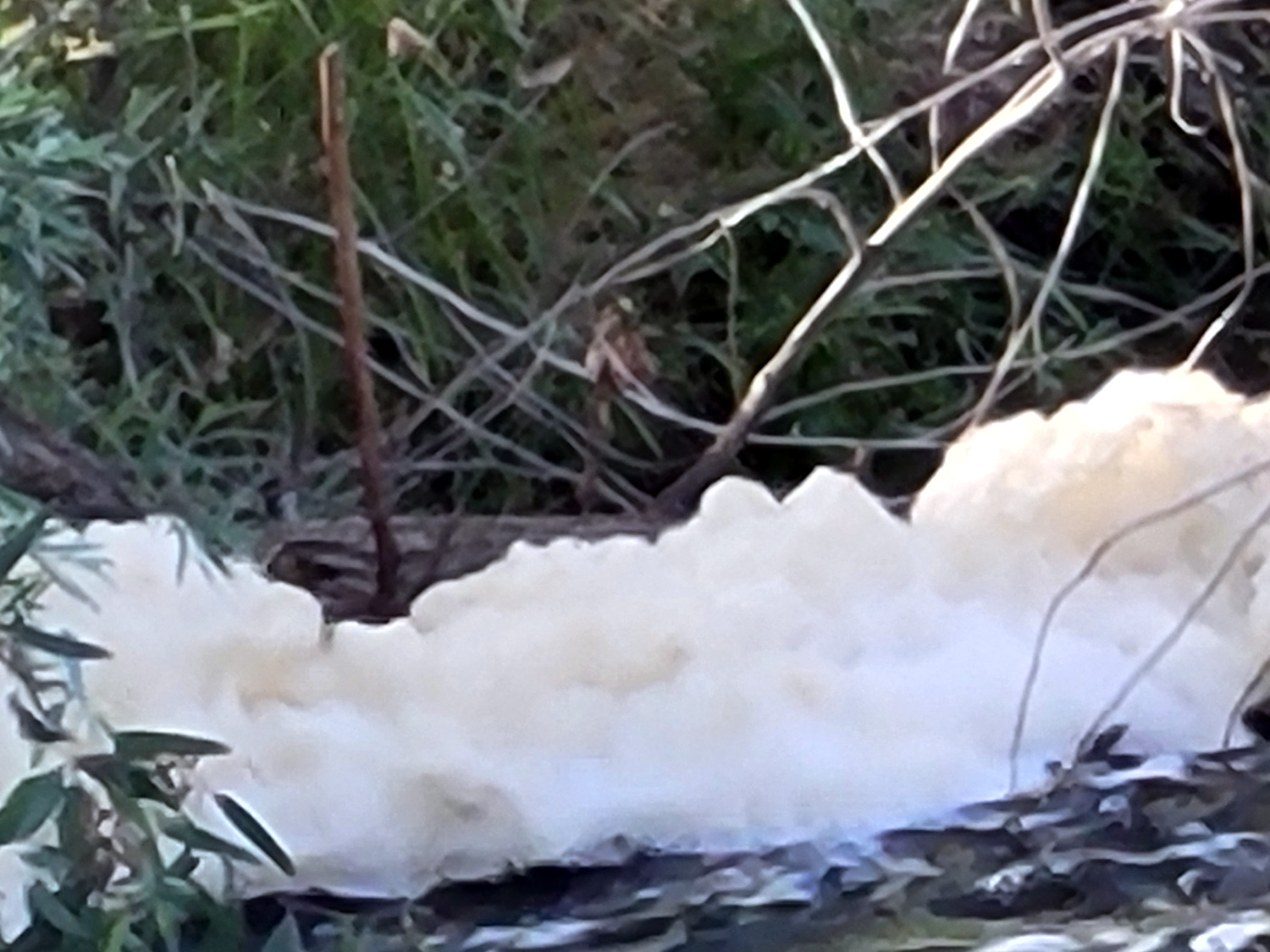
Foam on the Dry Creek Canal | Dry grass along the Lewis Eaton Trail |
 |
 |
 |
| Unidentified flowers along the Eaton Trail, May 2023 | ||
 |
 |
 |
| Sucker
growth from a stump has created this nice sycamore "bush" |
Brilliant
red leaves contrast with the green pine in fall 2023 |
A closer look |
 |
 |
 |
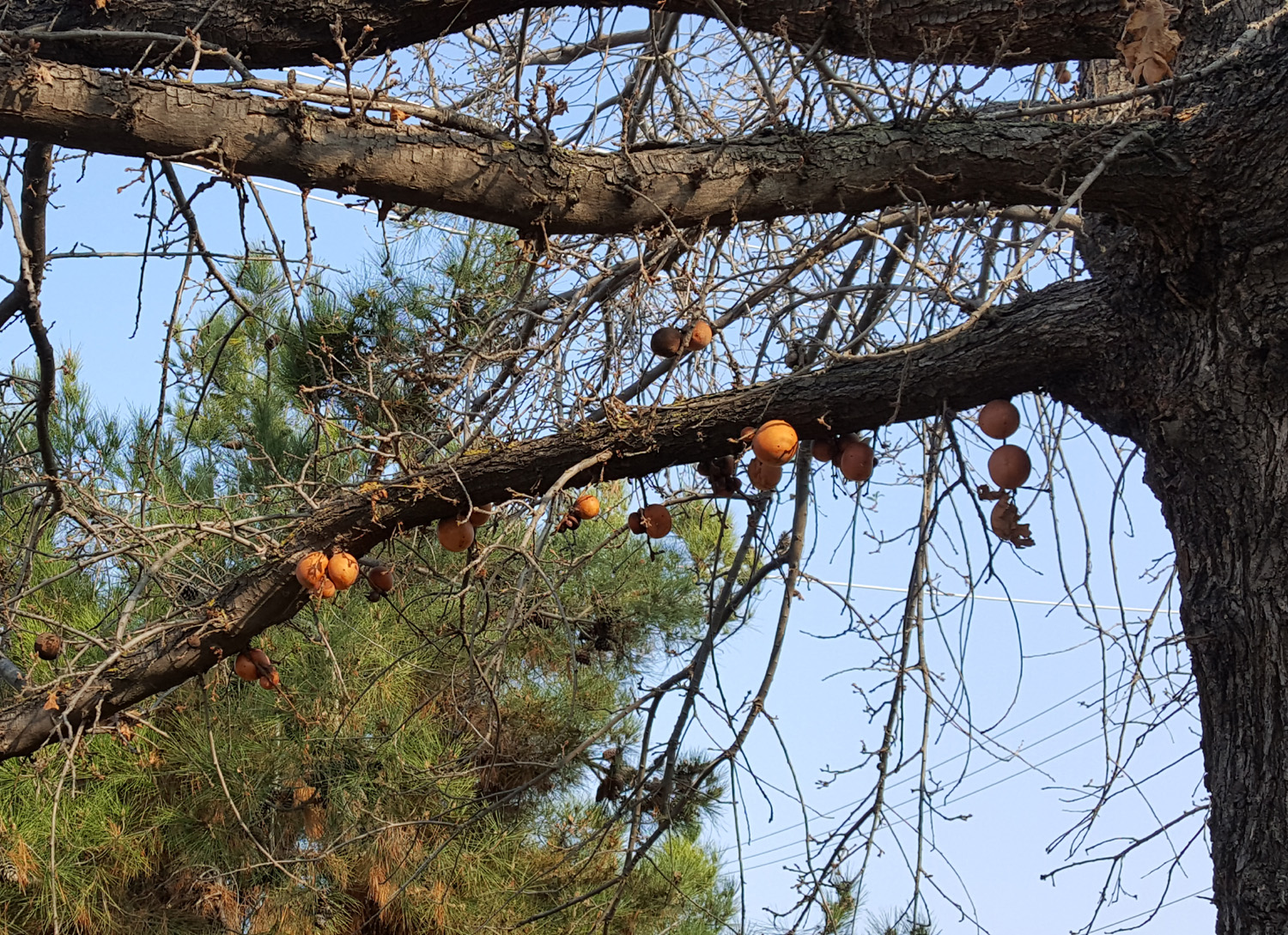
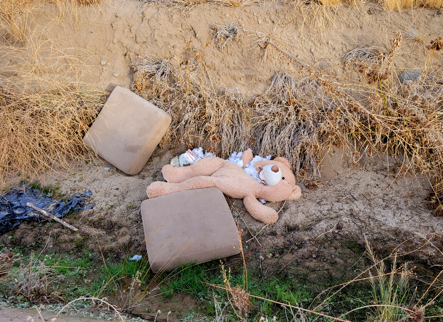
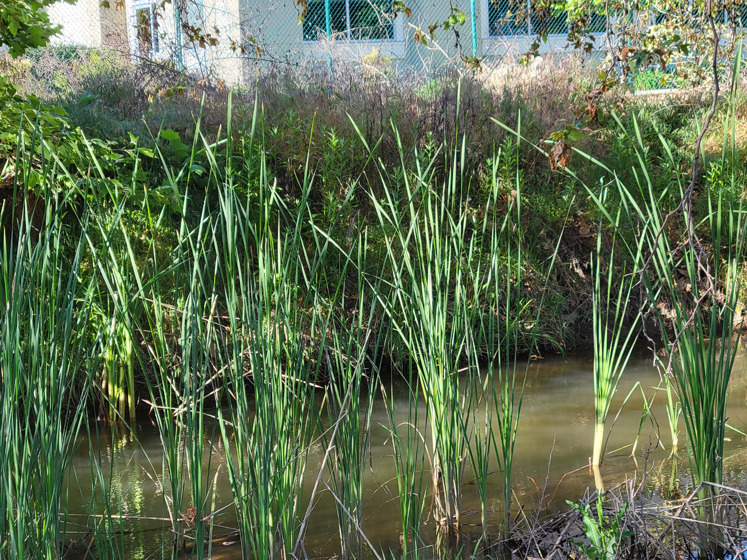
| Was this a Teddy Bear Mafia hit? | Young cattail plants in the Dry Creek Canal | Young willow trees |
 |
 |
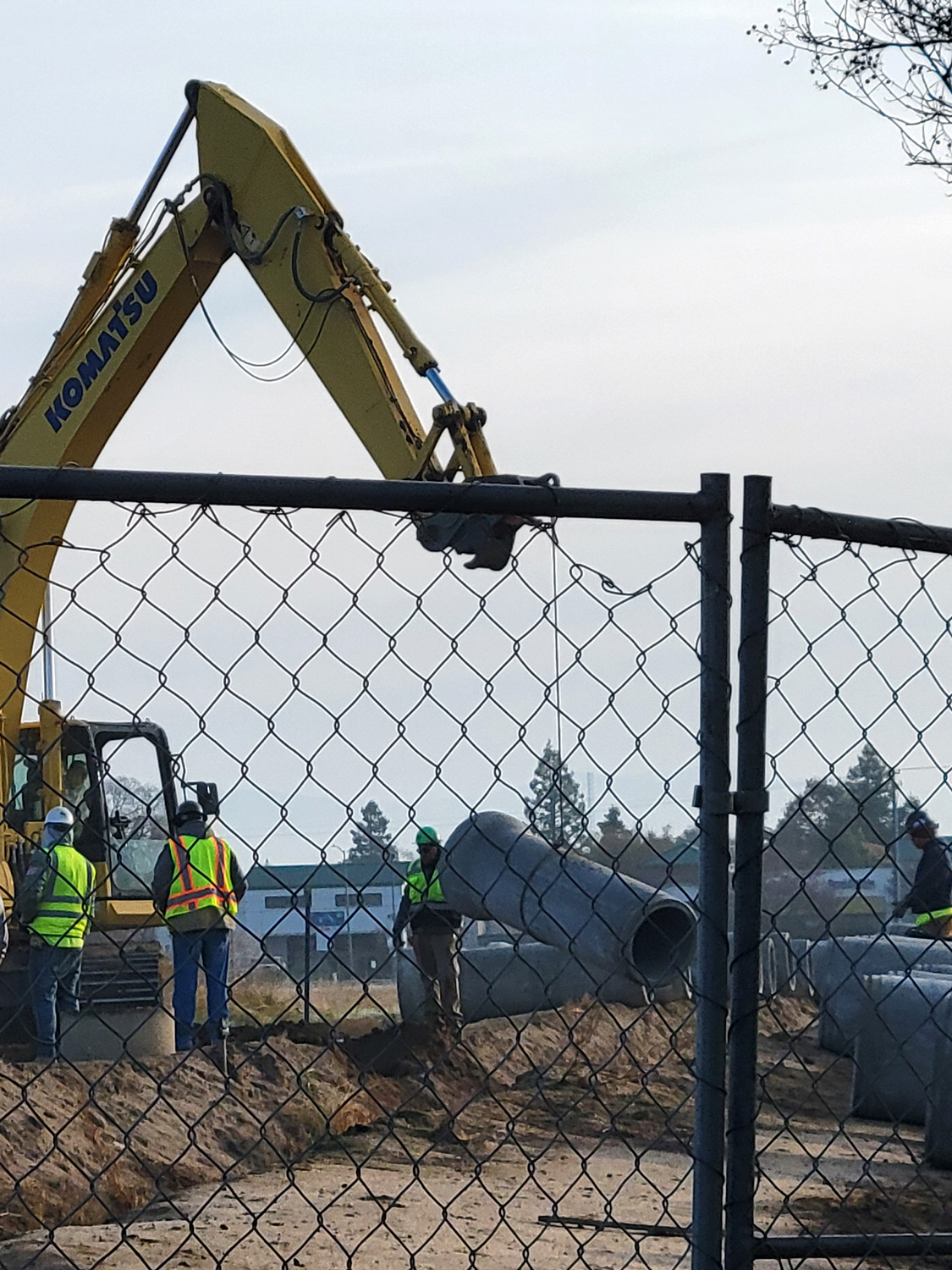 |
| A creek-like stretch of the canal | Large concrete pipe is being inserted into this little cana | |
 |
 |
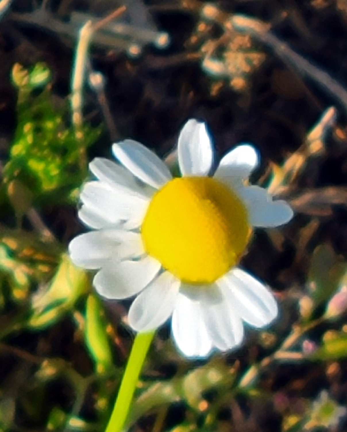 |
| The canal that ran here has been filled in | There are two of what appear to be vent pipes | Chamomile blossom |
 |
||
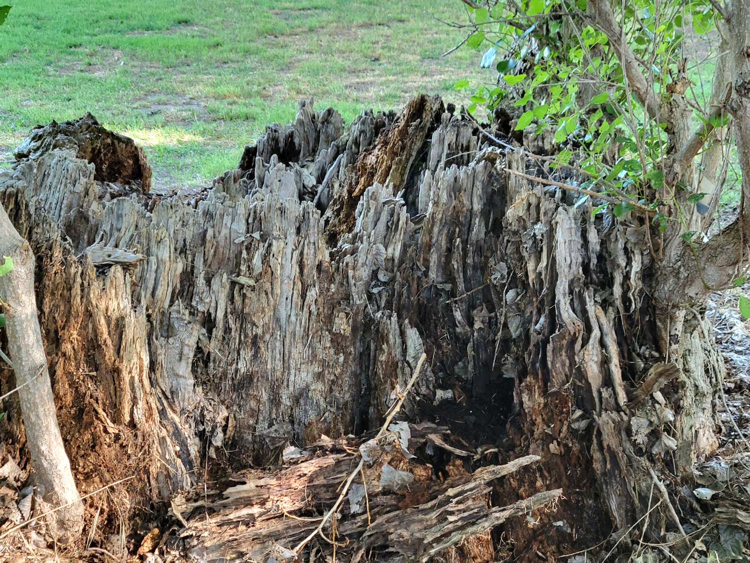
| This stump in Cottonwood Park has seen better days | ||
| Related Links | ||
| Clovis Trails | Dry Creek Trailhead | Canal Walks |
| Coke Hallowell Center for River Studies | San Joaquin River Parkway | Enterprise Canal Break |
| More about the break | Black Crowned Night-Herons | Lewis Eaton Trail |
| Railroad Fire | Dry Creek Trail | Canada Goose Invasion |