
|
Dick's Adventures of 2021 - Part 2 |
|
| Photos Related Links More Travel Reports | |
| Adventures
of 2016 Adventures
of 2017 Adventures
of 2018 Adventures
of 2019
Adventures of 2020 2021 Part 1 2021 Part 3 2021 Part 4 2021 Part 5 |
|
| Sycamore
Creek Sycamore Fire Road
San Joaquin Gorge Bridge Trail
San Joaquin River Trail at the Gorge Edison Point River Trail Again |
|
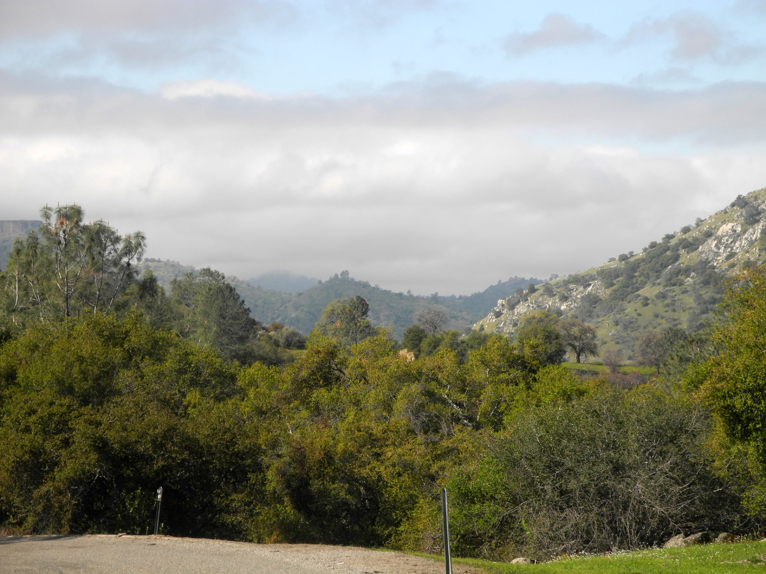
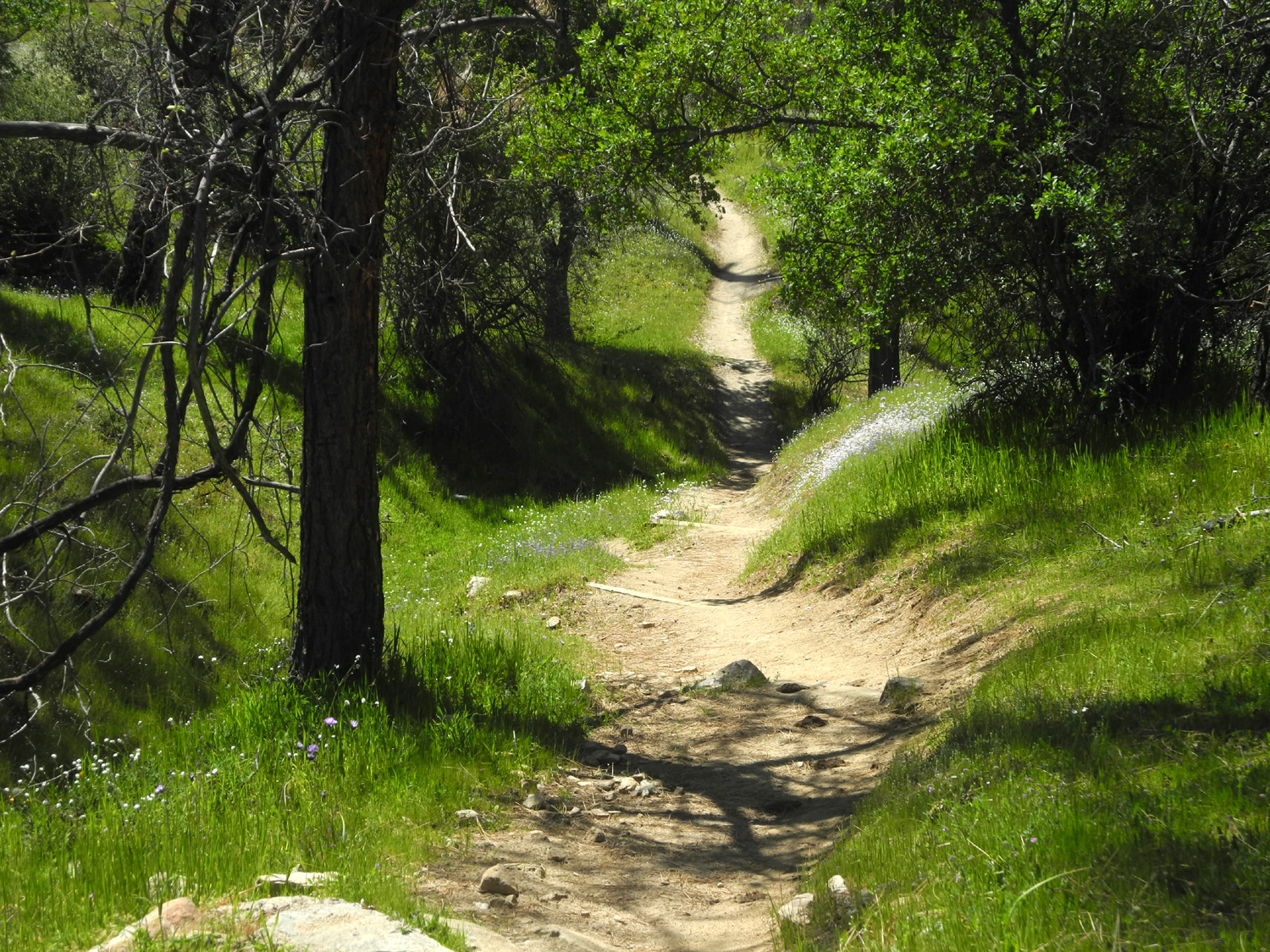
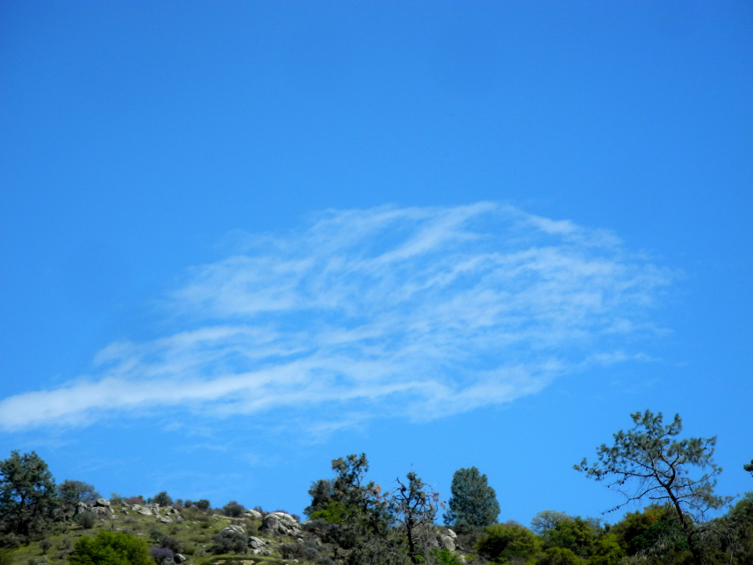
| Sycamore
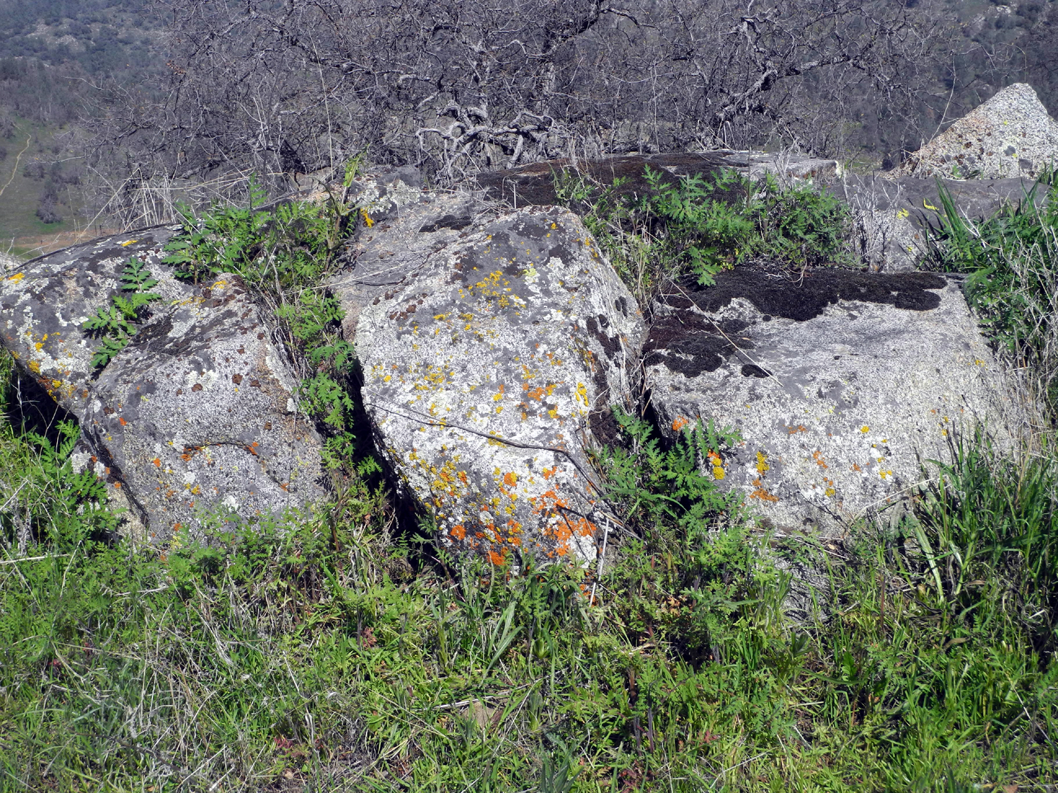
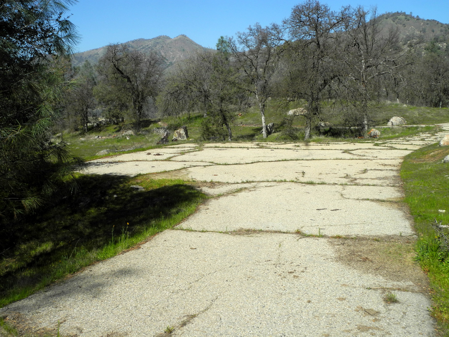
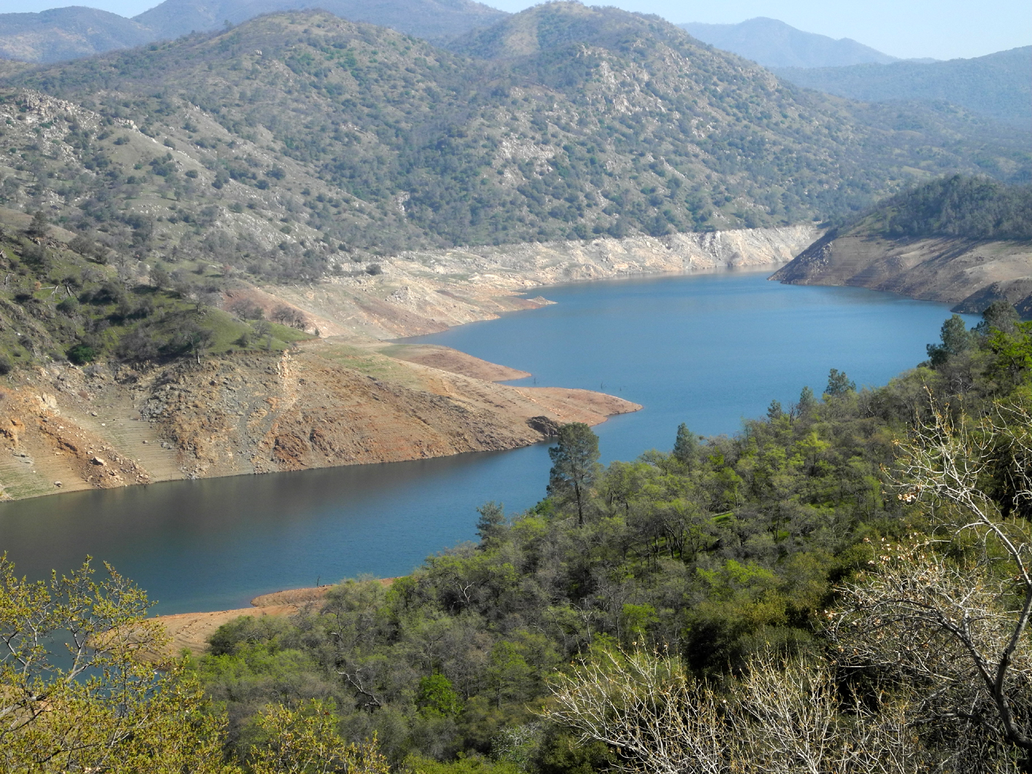
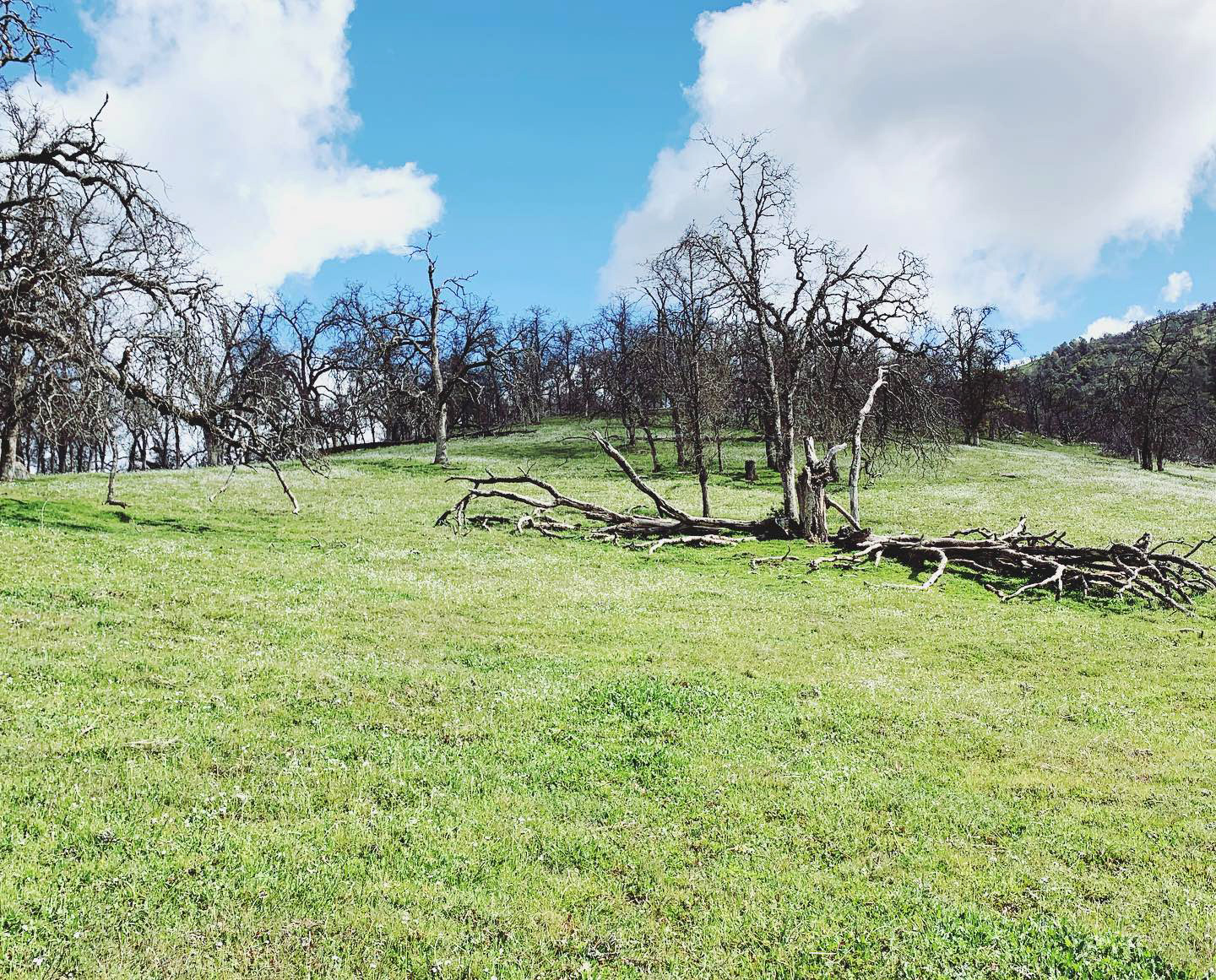
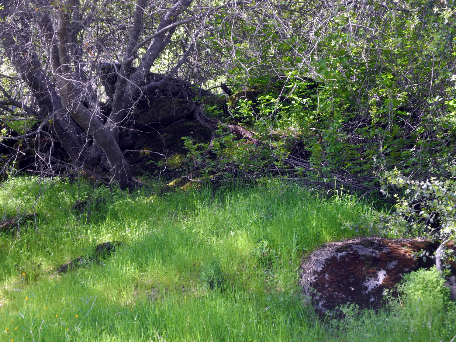
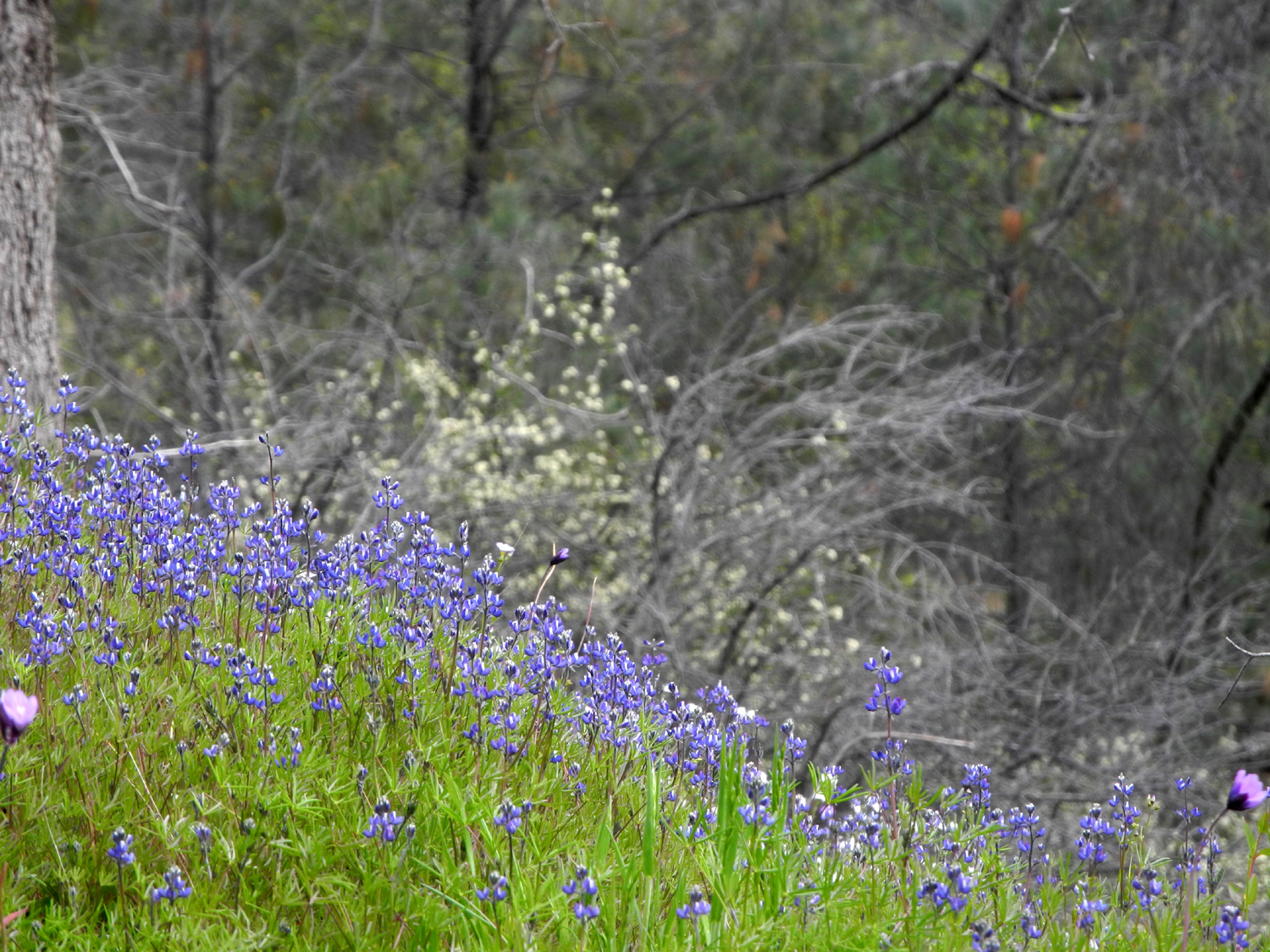
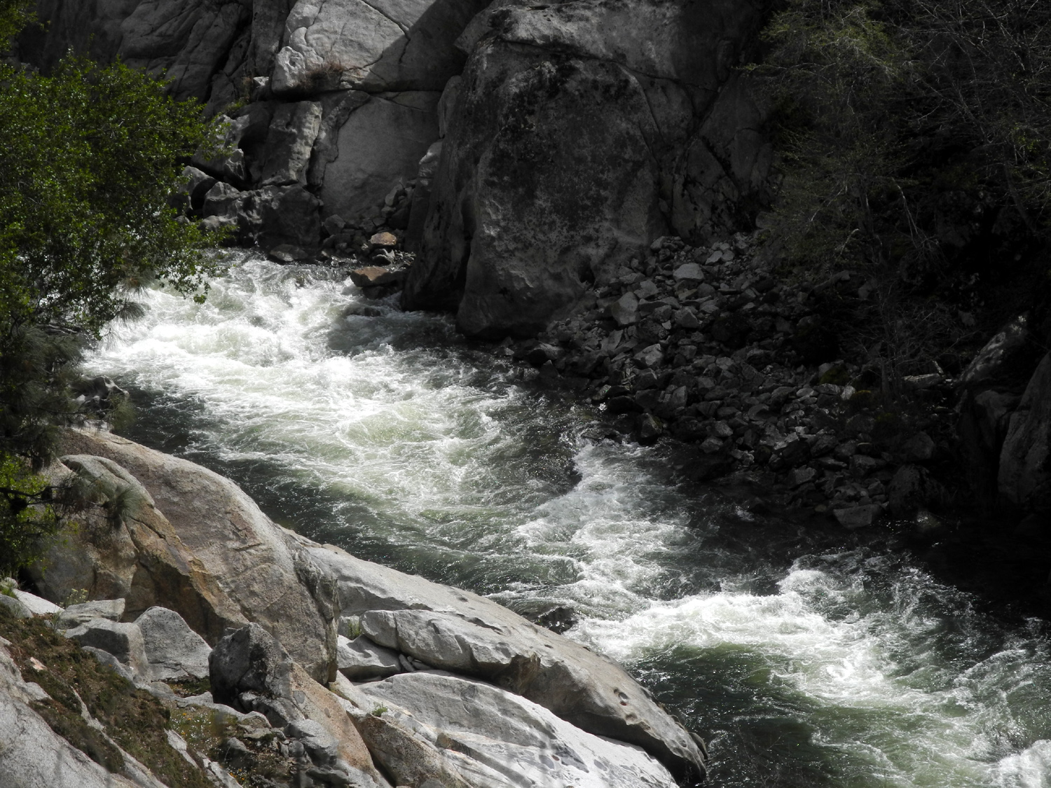
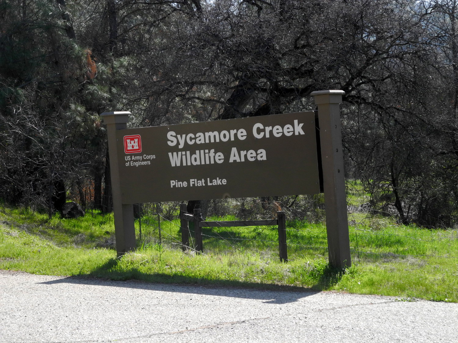
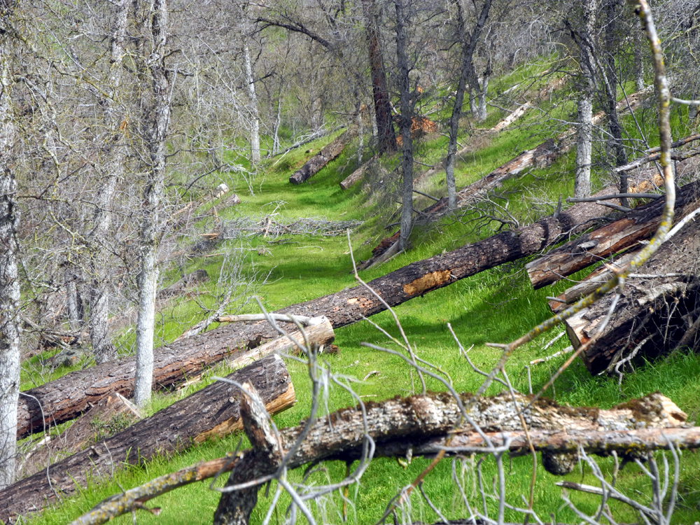
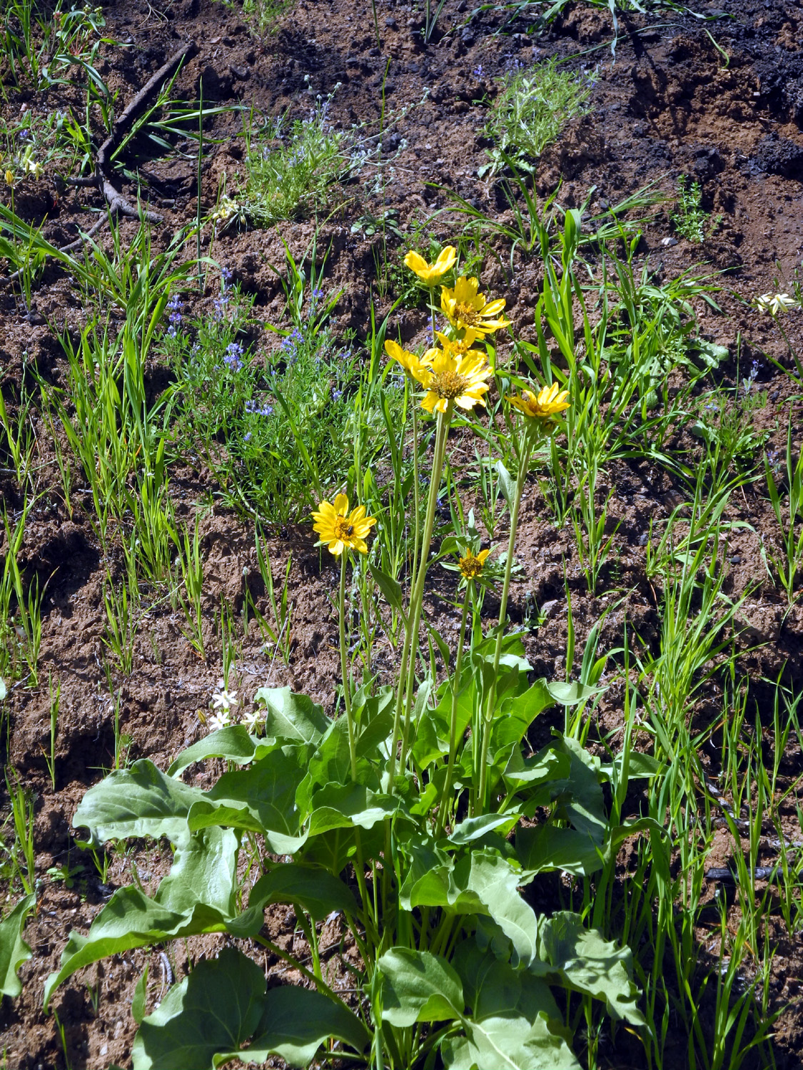
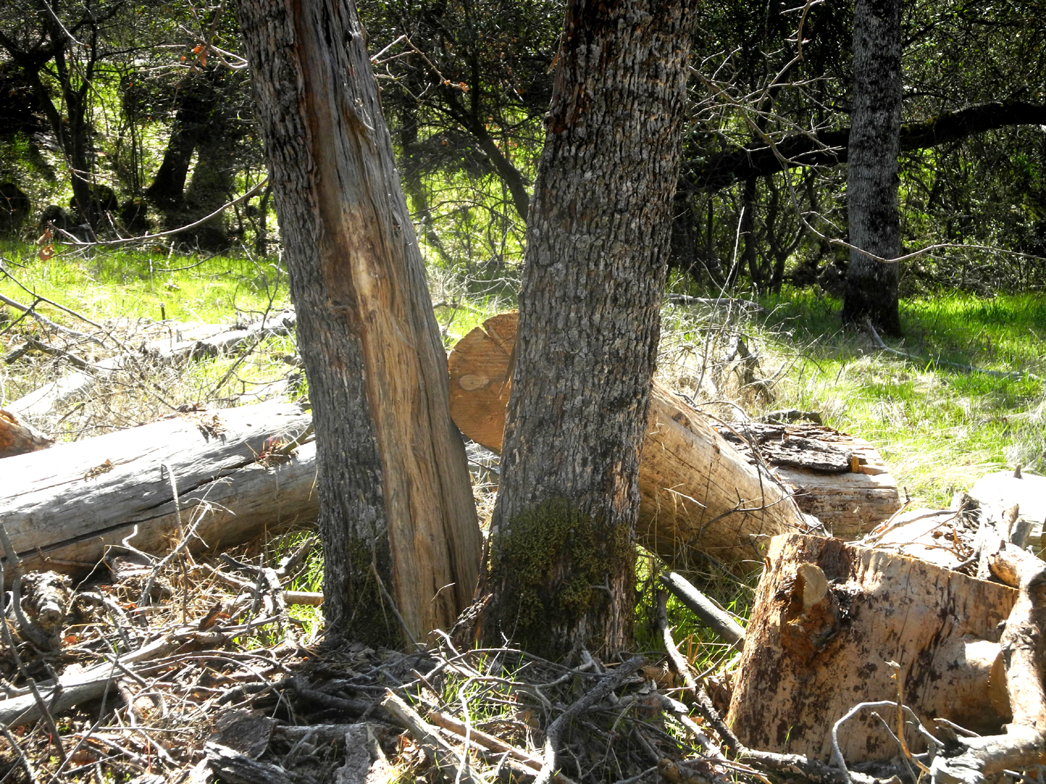
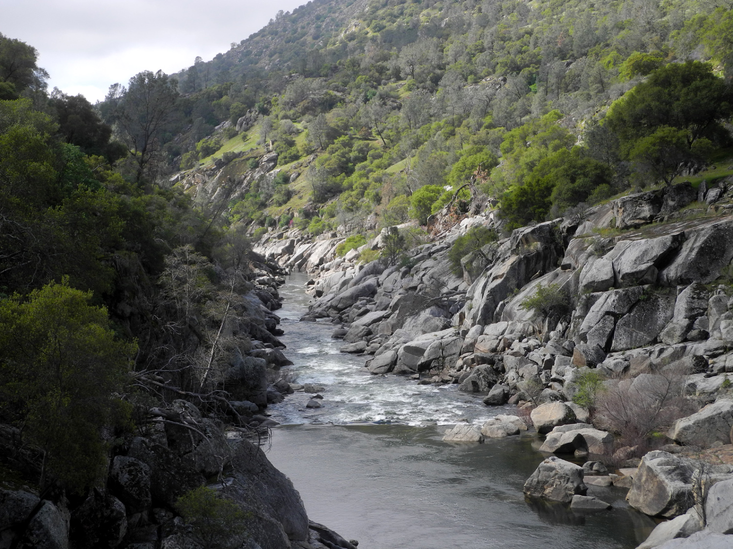
Creek I've called this area by several different names, probably confusing my readers as well as myself. Trimmer Springs Road runs along the north shore of Pine Flat Lake, and just past the place where it crosses Sycamore Creek there are four hiking places. None of them are official trails, but all of them provide mostly easy walking in the low foothills of the Sierra Nevada. These places are all located on the divide between Sycamore Creek and the main river channel. The first one is an old dirt track that runs north parallel to the creek but fairly high above it, and I have called it the Sycamore Creek Fire Road. It was probably used for ranching or mining activities, and did in fact serve as an access to the area during a fire late in the 20th century. The report on my first hike here, in 2014, gives a good description of this route. The other three hikes are through what were once two very nice low elevation campgrounds and a picnic area. We enjoyed camping there in the 1980s, but they have all been closed for over thirty years. The gates are designed with a bypass that allows humans, but not cattle, to get through. The pavement is still more or less intact in the campgrounds, with plenty of grass and even wildflowers growing up through cracks in the asphalt. The lake is not visible from the campgrounds, but the picnic ground road goes out along the top of the divide, so the lake can be seen on three sides at various times. A sign at the first campground identifies this as the Sycamore Creek Wildlife Area. |
|
 |
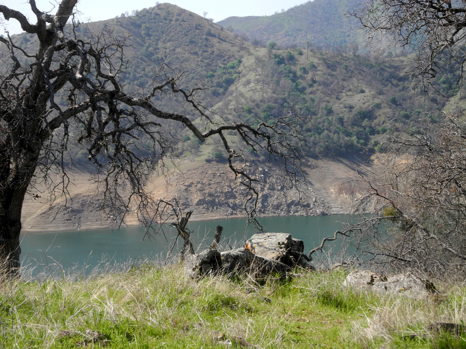 |
| Plants growing up through cracks in the pavement create a jigsaw puzzle | Sycamore Creek branch of Pine Flat Lake from the old picnic area |
|
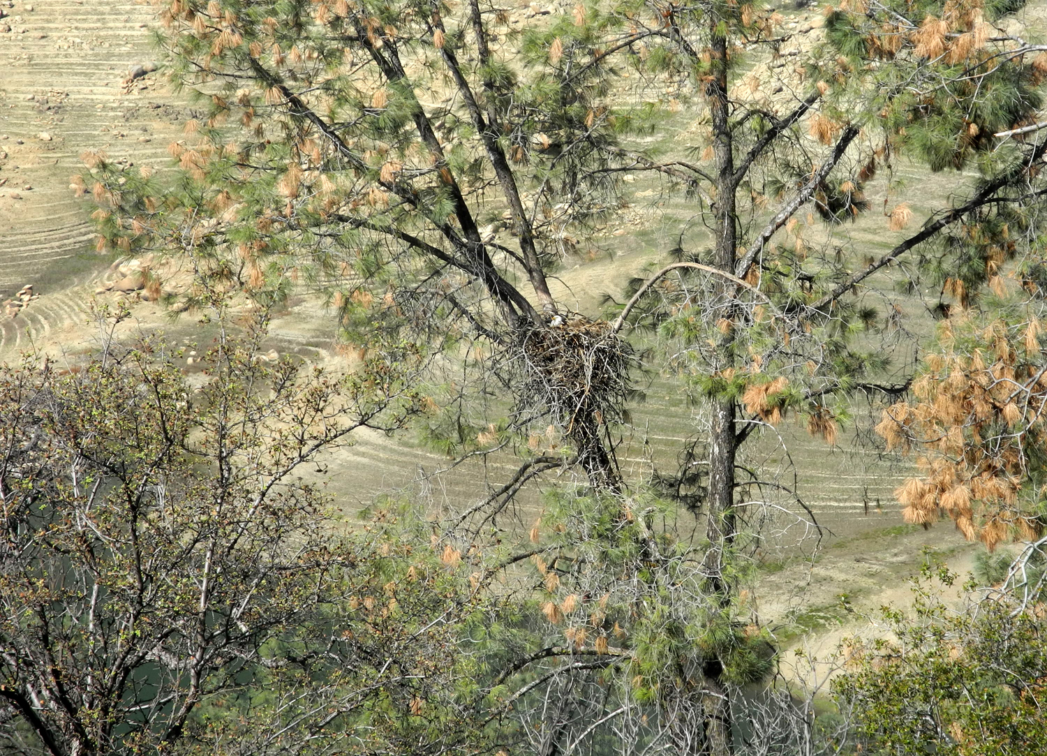
I went first to the picnic ground, and walked to the end of the road, then on past on a trail that goes to where the ridge drops off into the lake. This is the place we saw eagles several times last year, and here they were again. One was in the nest in a big bull pine, and the other was keeping watch from a dead pine about a quarter mile farther out on the ridge. I tried not to spend too much time looking at them, since it is stressful for them. |
|
 |
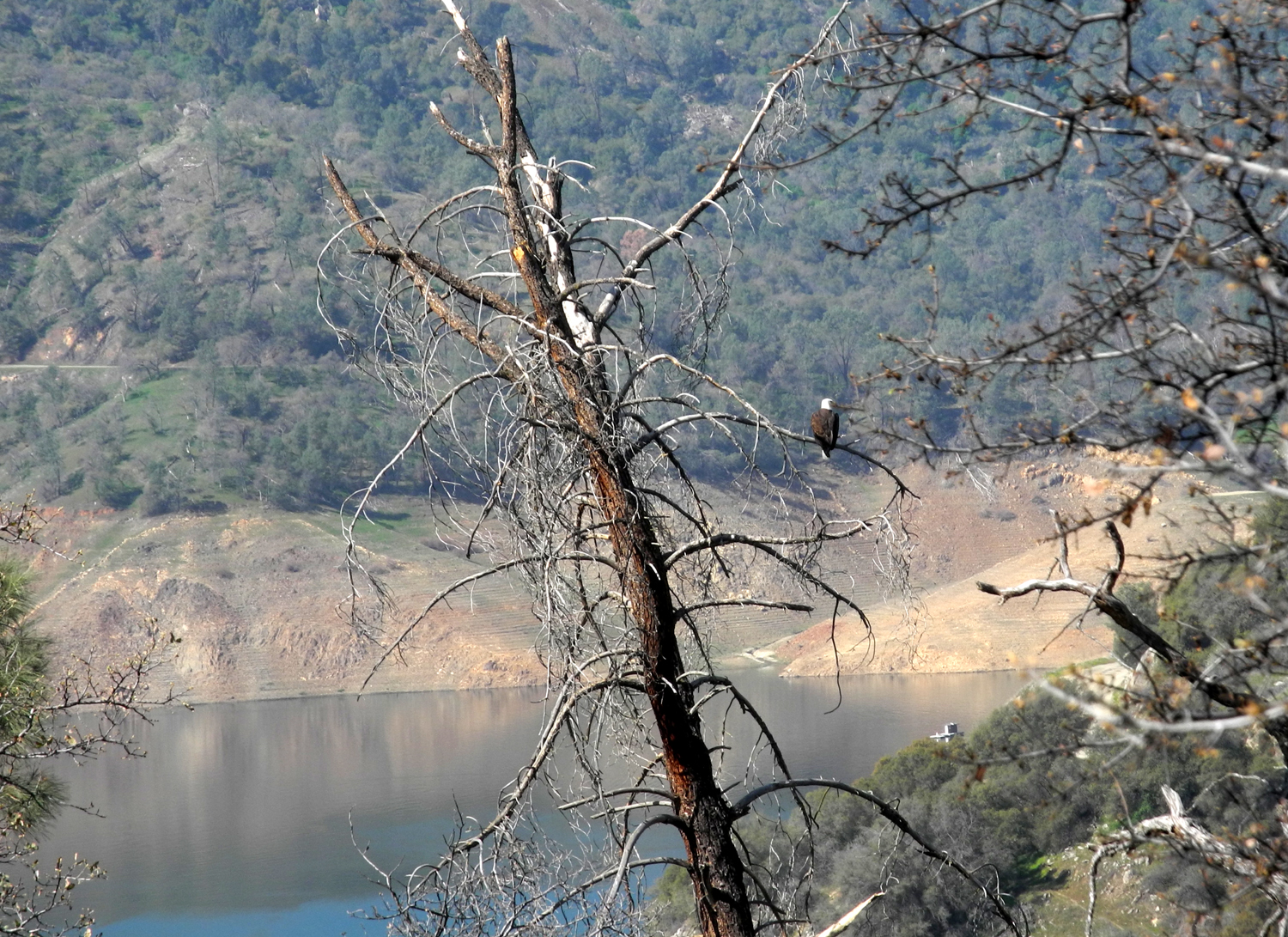 |
| The white dot in the center is Mrs. Eagle on the nest | Meanwhile, Dad stands guard a few hundred yards away |
|
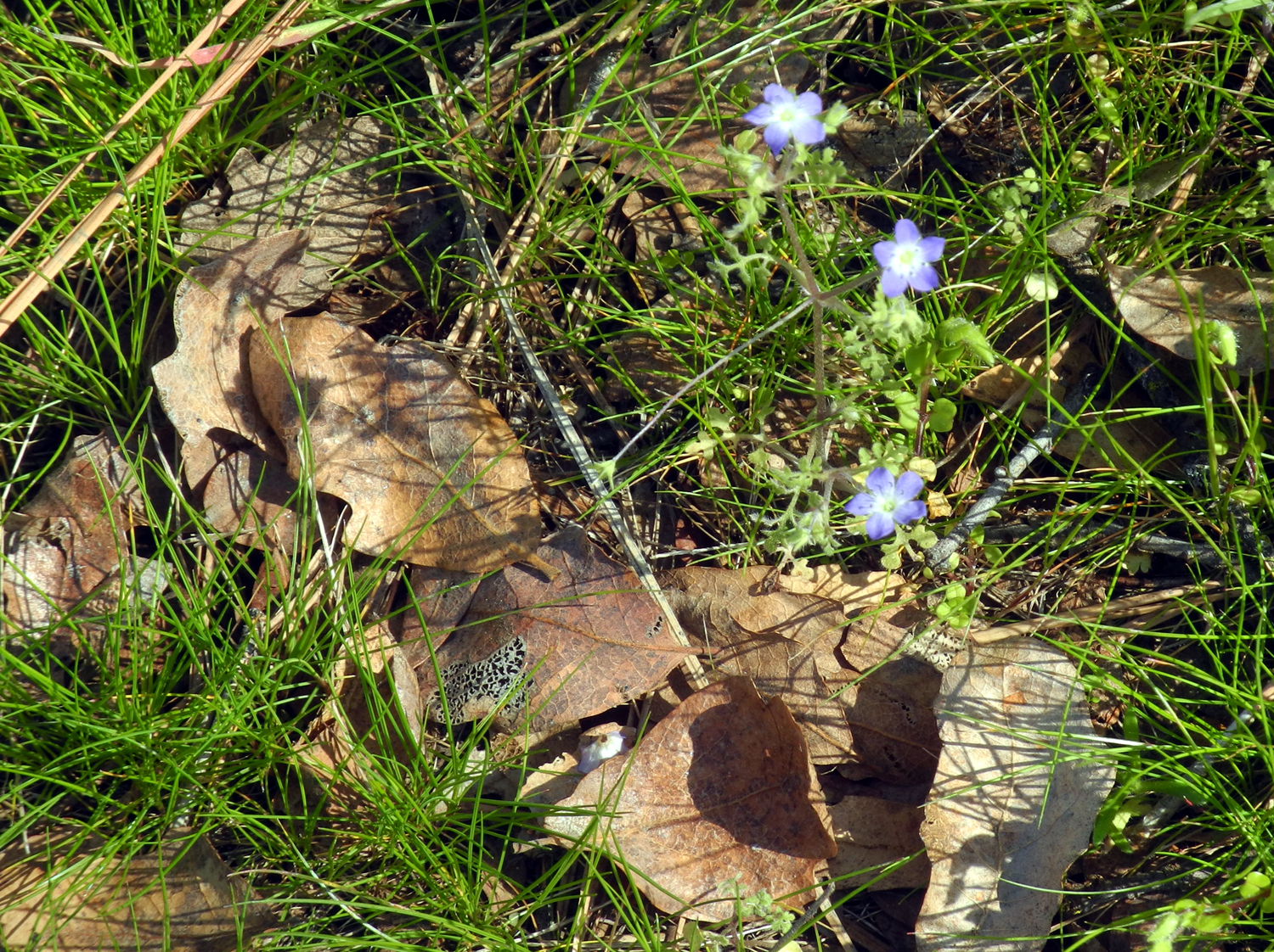
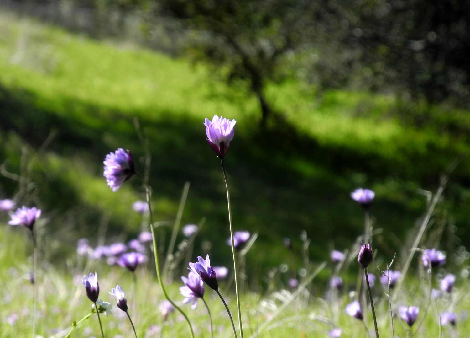
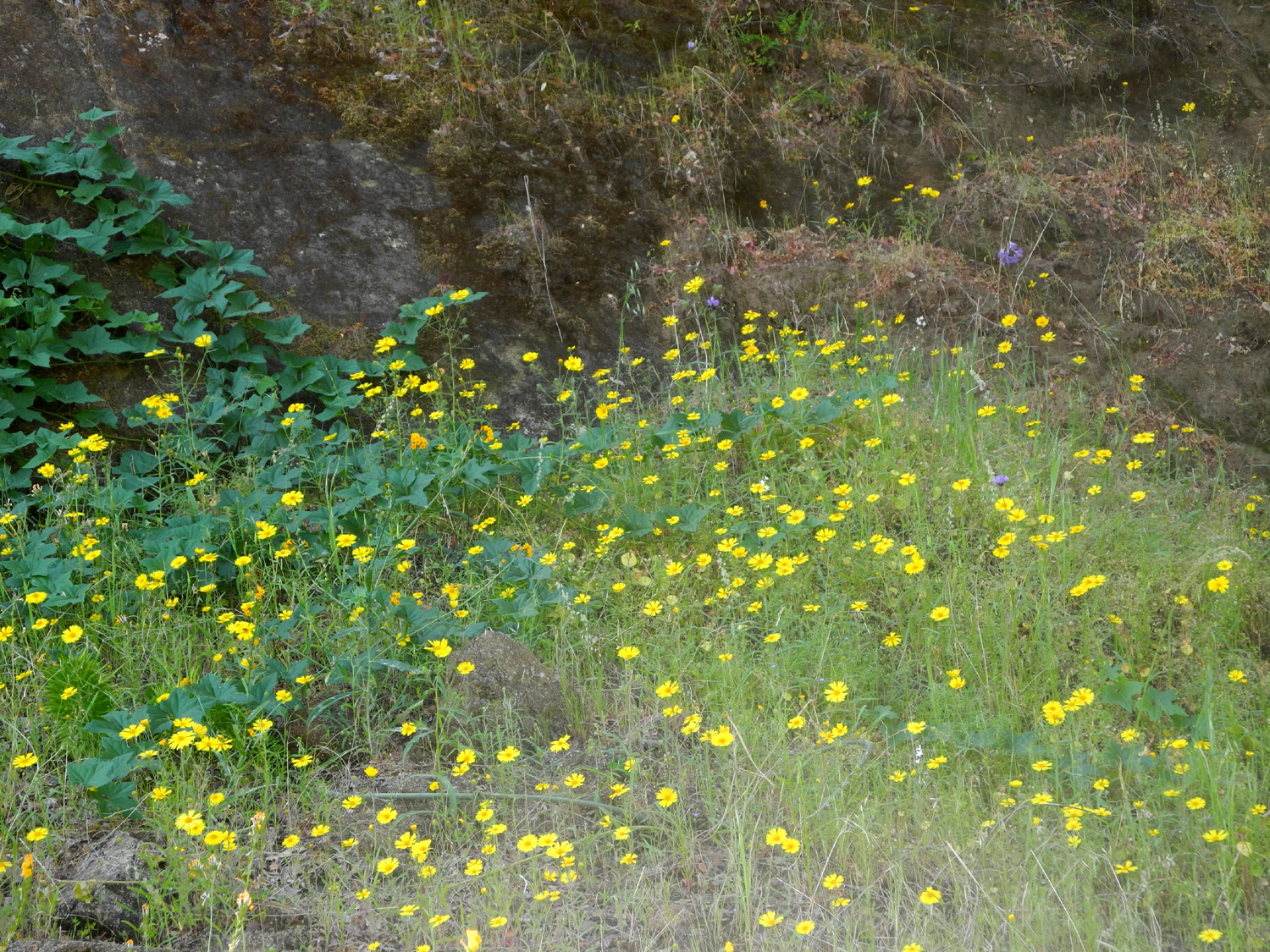
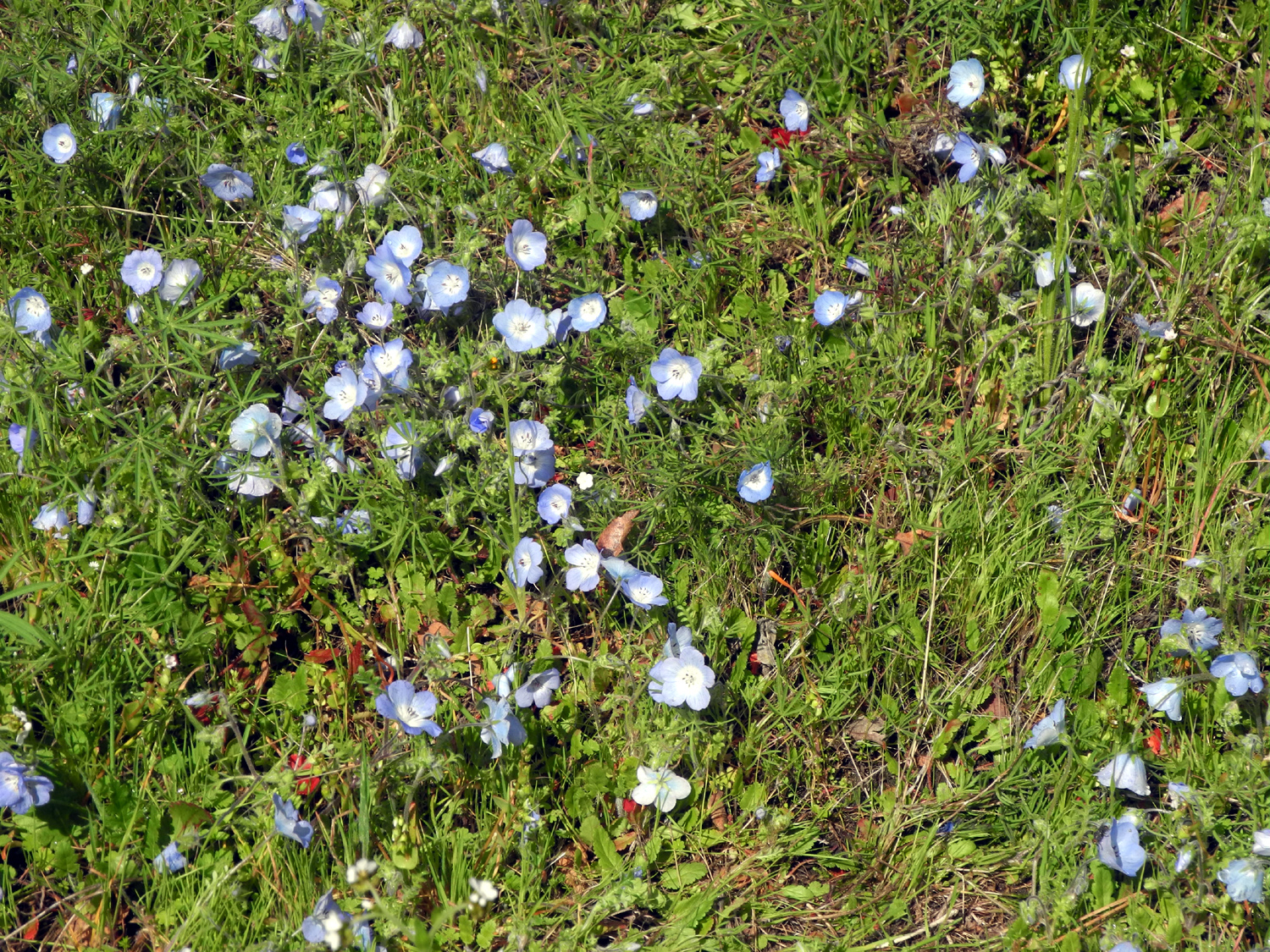
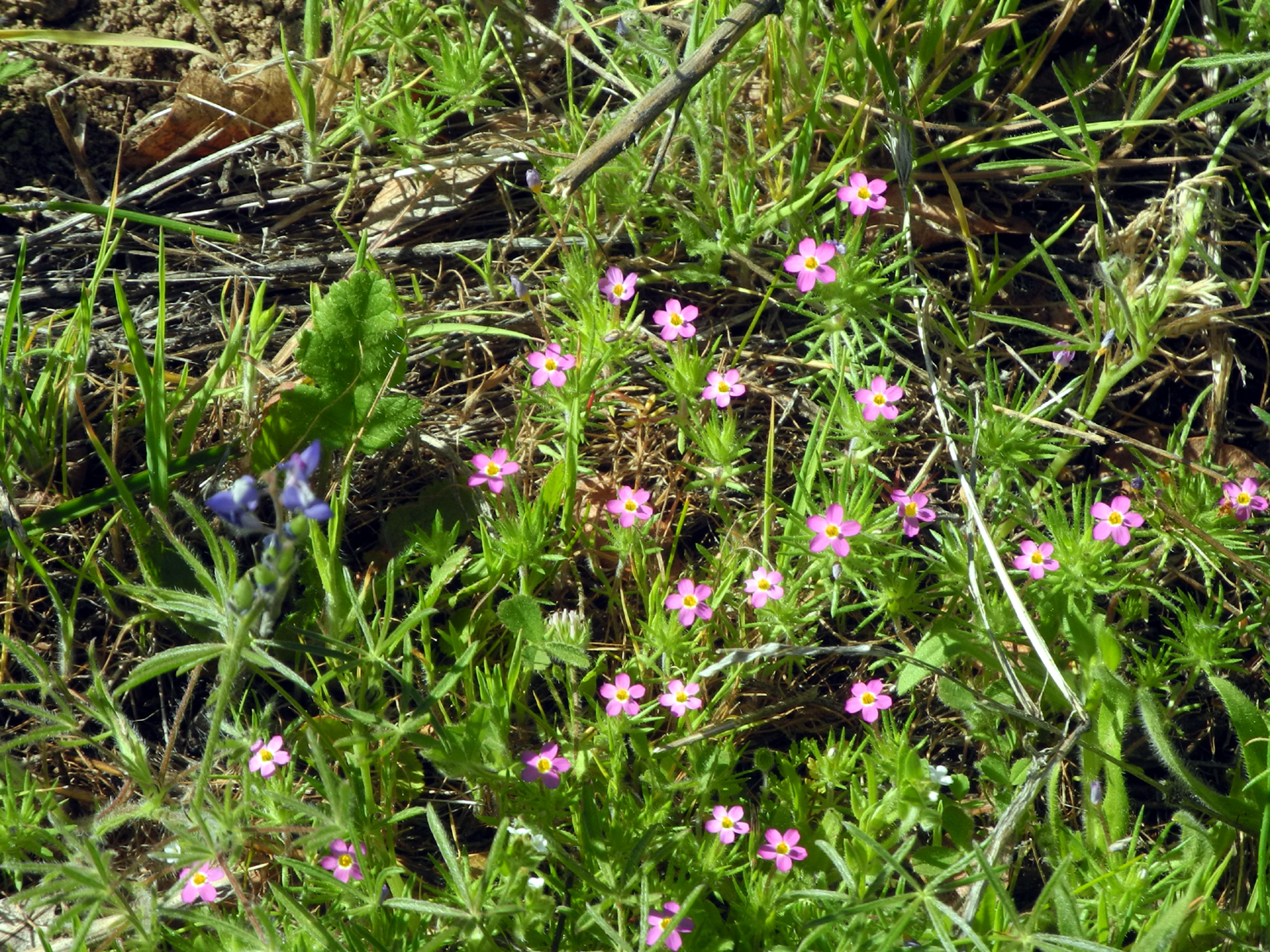
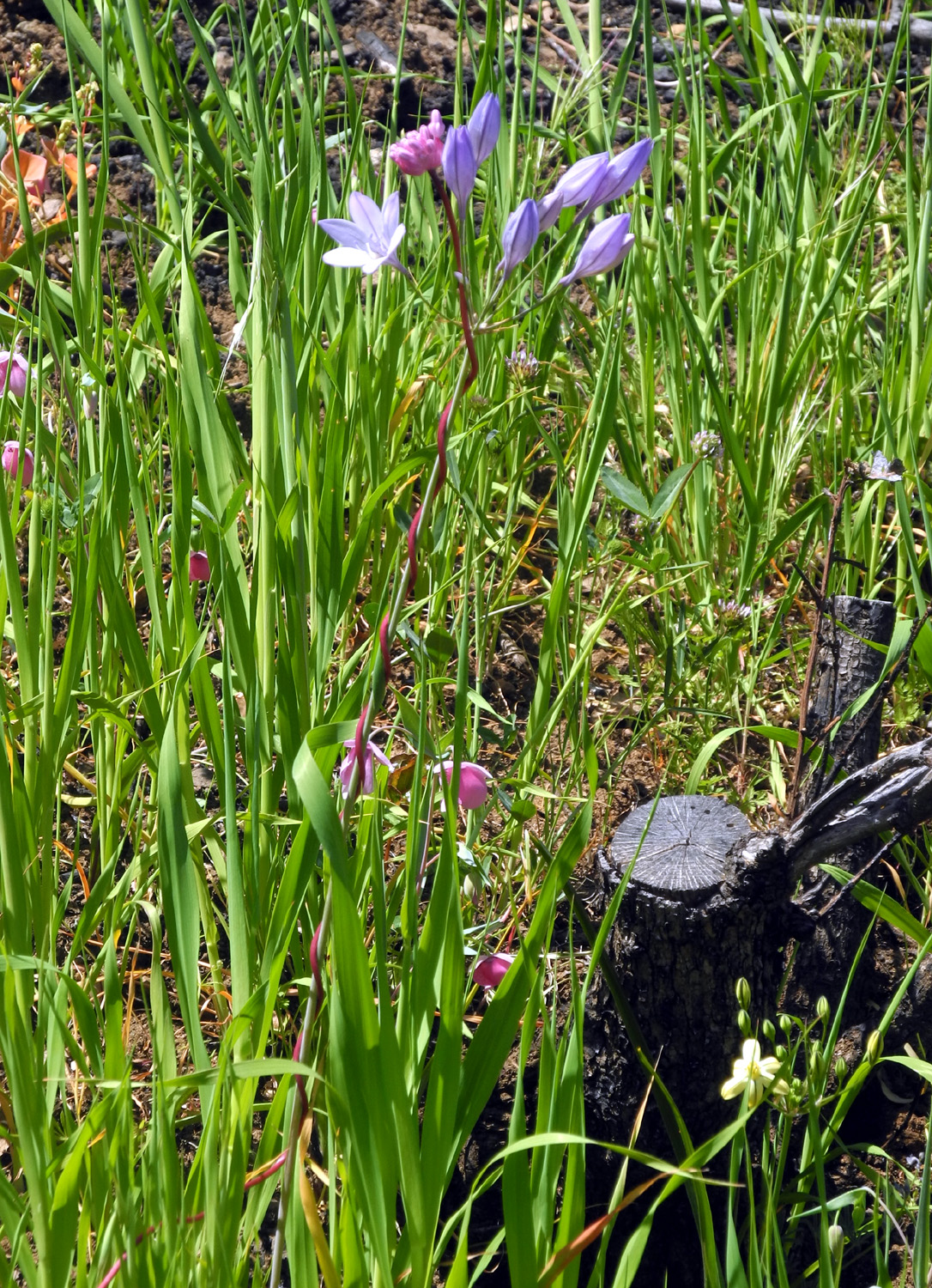
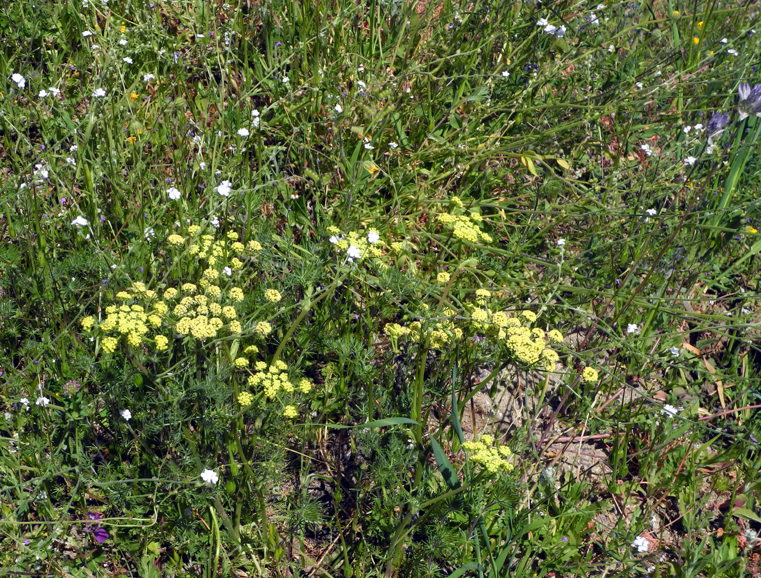
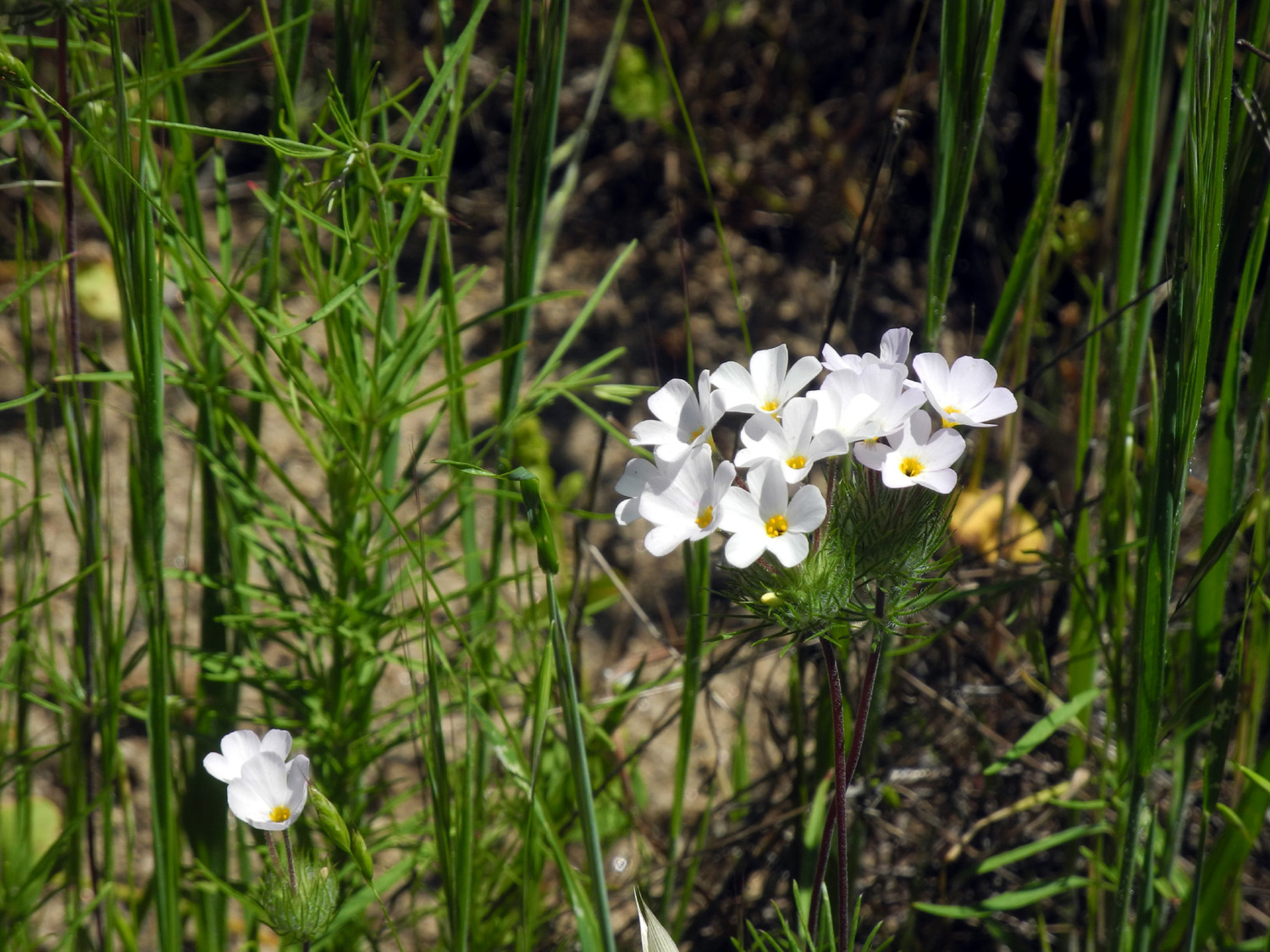
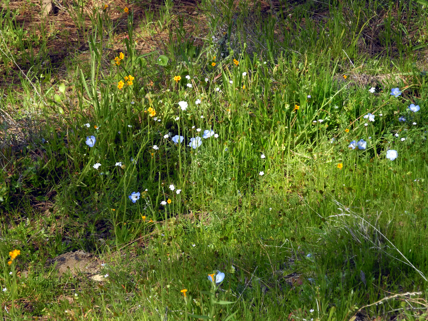
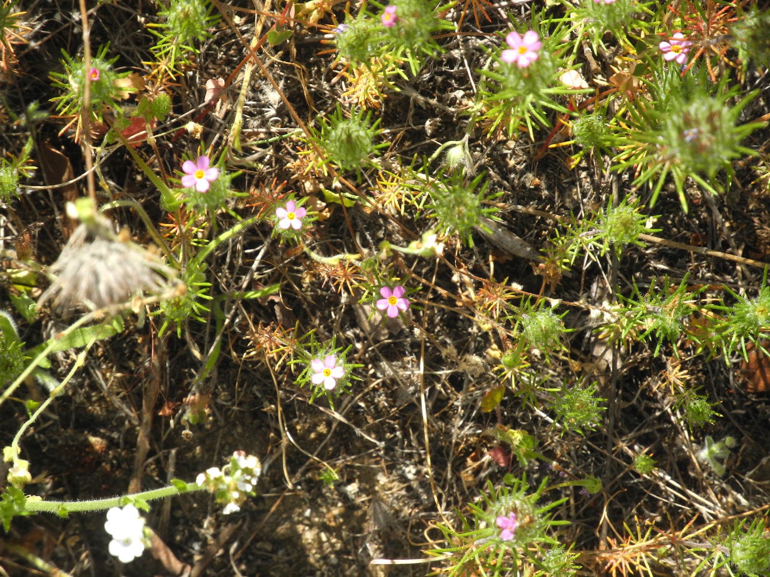
There were a lot of fiddlenecks in bloom in this section, and limited numbers of other flowers, including exactly one baby blue eye. I hoped I would see more in the campgrounds. It's only a few hundred feet between the three "trailheads," and when I returned from the first hike, I quickly drove down the road and started my second jaunt. There were more flowers here, including some fiesta flowers, which I had not yet seen anywhere this year. There were a few fringed redmaids here and there until near the end of this section, when I came to a place where there were several hundred in a six foot square area. |
|
 |
 |
| The season's first fiesta flowers | Several hundred fringed redmaids |
|
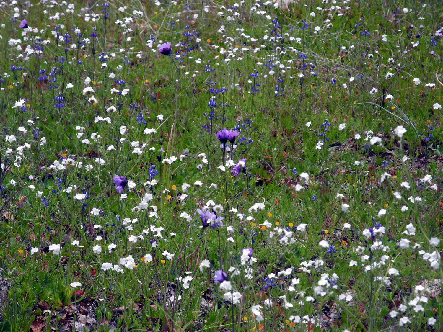
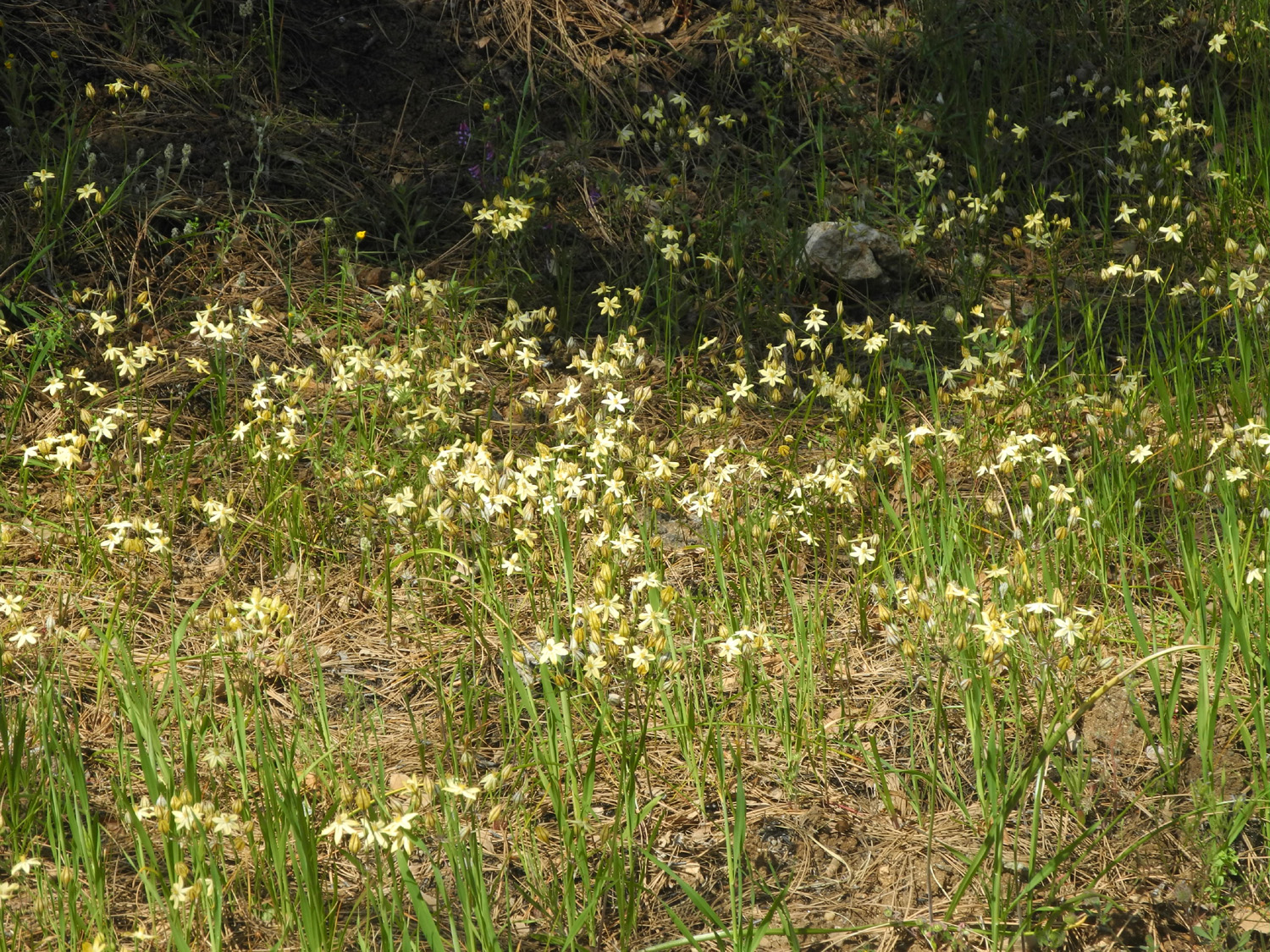
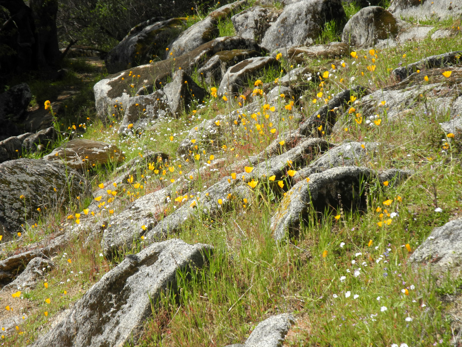
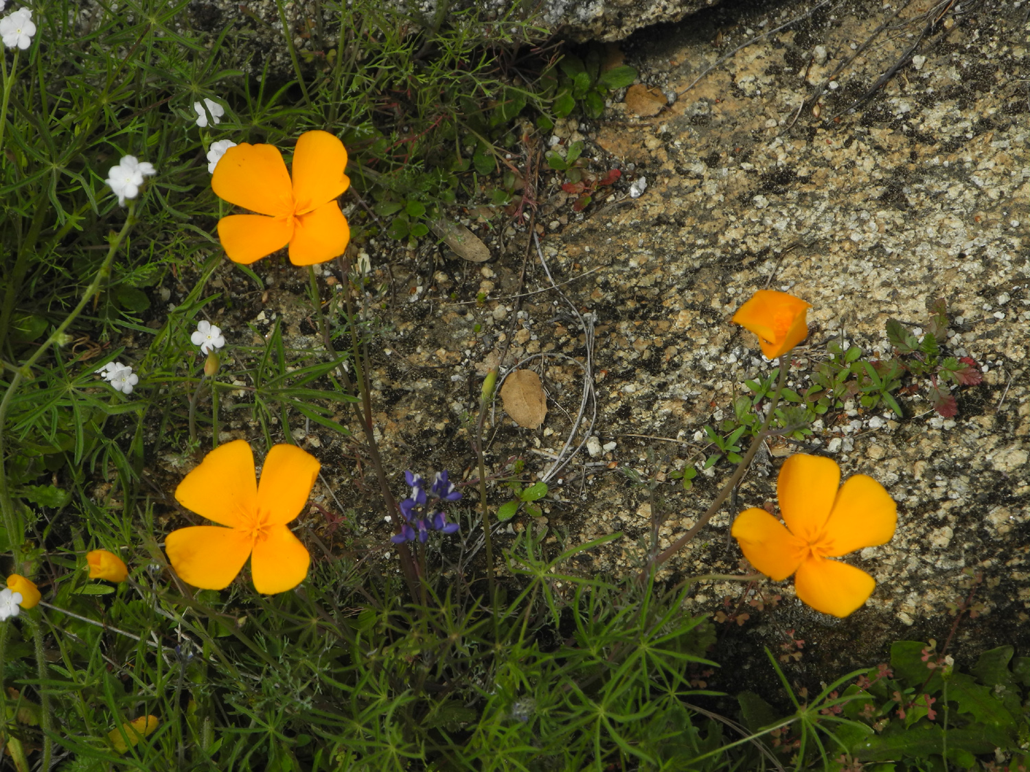
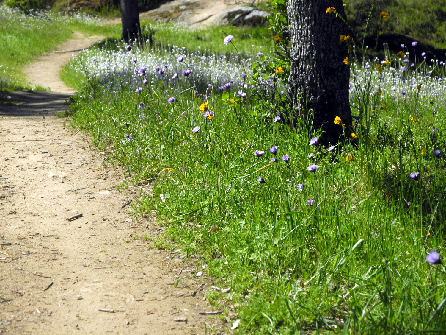
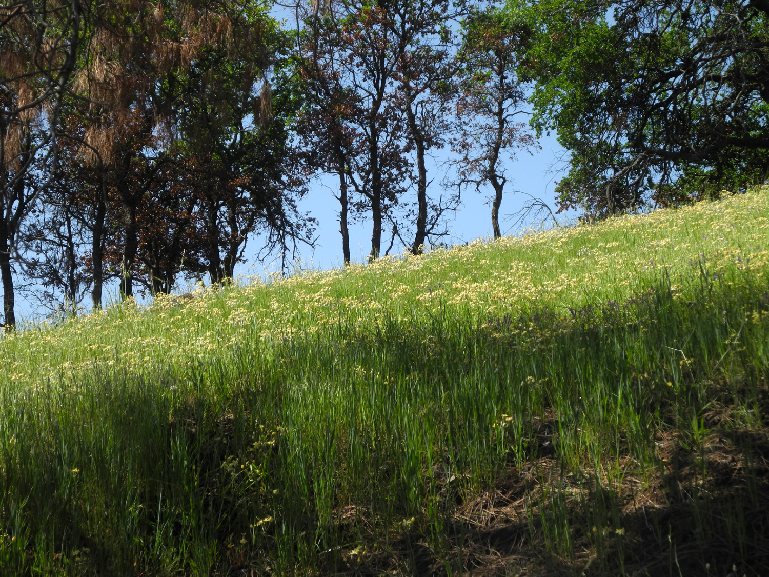
It was at the third stop that I finally found areas where the flowers were as I had hoped to see them. This section is particularly good for baby blue eyes, and they appeared throughout the camp, including in the old road. Along Trimmer Springs road the poppies were thick along the edge of the road, a big change from my trip here with Teri only five days earlier. The fiddlenecks had popped out in huge numbers in the lower elevation below the lake, but the bush lupines were still just getting started in most places. The lake is low, about 25% of its full storage capacity, and there are no signs that we will get sufficient water this season. With the snow pack around 60%, it's officially another drought year. Fortunately, limited rain is enough for wildflowers, if not for agriculture. |
|
 |
 |
| Fiddlenecks line the old road in the campground | Baby blue eyes were thick in the lower campground |
 |
 |
| Poppies appeared for miles along Trimmer Springs Road | Pine Flat Lake from the road |
|
I'm already thinking about my next foothill hike. The wildflower season should be good for another month or so, so I keep my poles and boots in the car, ready to go whenever the mood strikes. --Dick Estel, March, 2021 |
|
|
Sycamore Fire Road
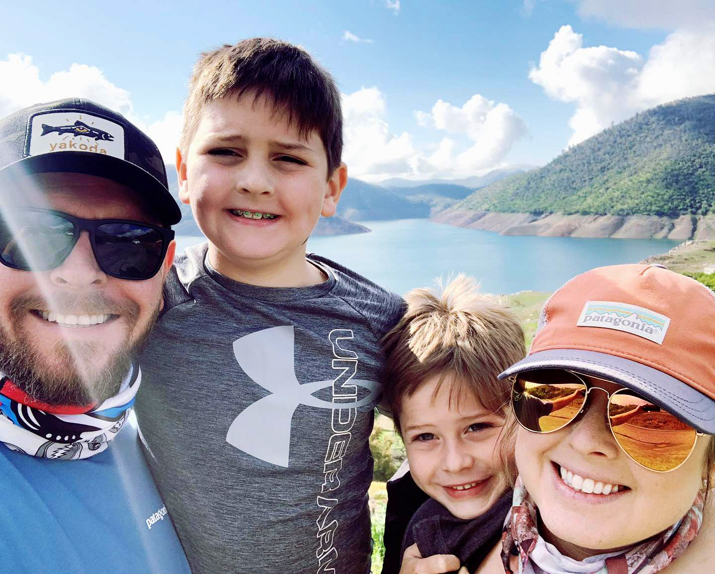
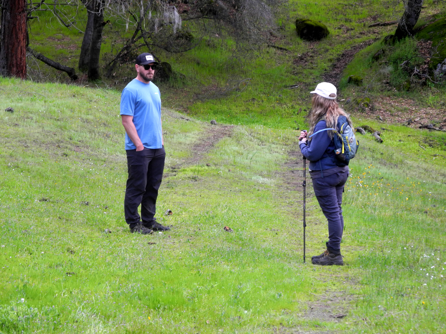
I celebrated the first day of spring, March 20, hiking with my daughter Teri, grandson Johnny, and his family - Brittany, Colton and Jack. Our destination was a place I've hiked at every year since 2014. It's actually an old two-track dirt road that is now pretty much impassible for vehicles, even with four-wheel drive, but it's deteriorated into a pretty nice trail through live oak, blue oak, bull pine, shrubs and wildflowers. Teri and I drove separately, and met the Upshaw's at Kirkman's Point, where Pine Flat Lake first comes into view from Trimmer Springs Road. On the way, all of us had seen wild turkeys not far from our rendezvous point. |
|
 |
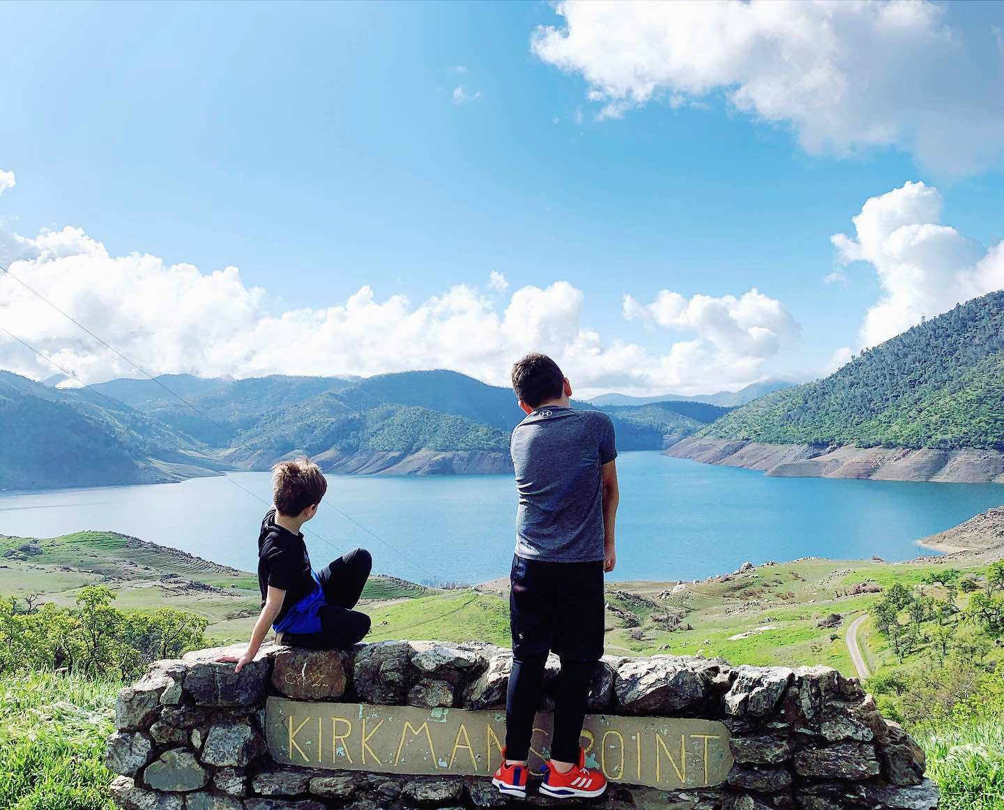 |
| The Upshaw's - Johnny, Colton, Jack and Brittany | The boys enjoy a view of the lake |
|
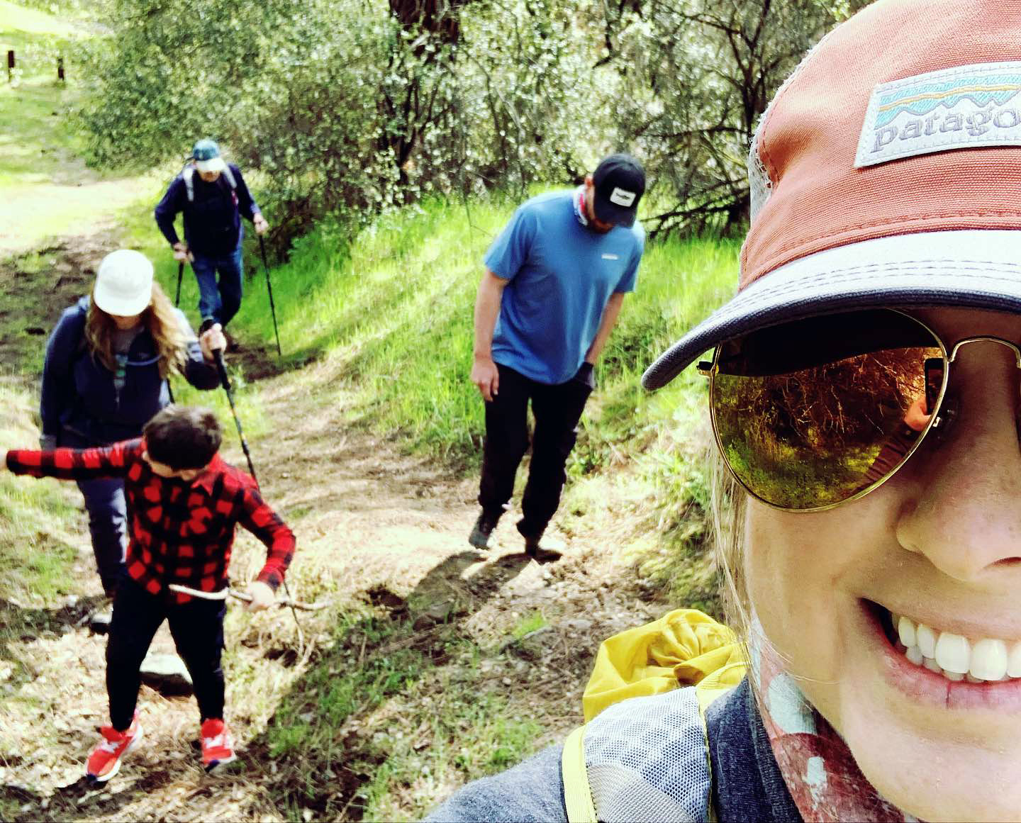
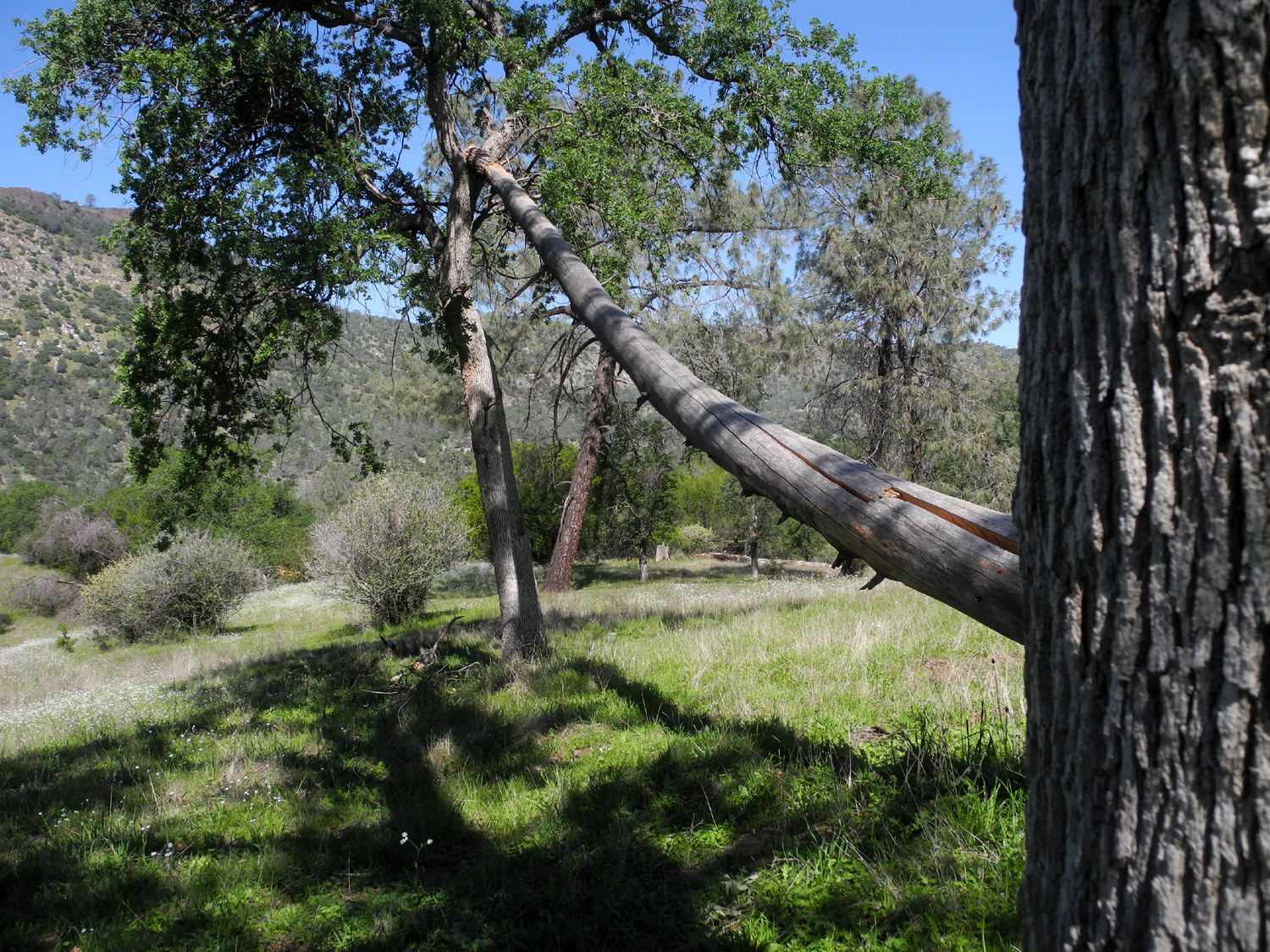
We caravanned to the trailhead, just past the bridge over Sycamore Creek. Like so many foothill streams in this very dry year, this one was not much more than a big trickle. There are four or five seasonal creeks that cross the trail, but none had water. The trail starts off with a very steep stretch of about 100 feet. Although even the young adults complained mildly about this part, Colton and Jack followed their usual practice of running up the hill and back down, then up again. After this daunting start, the road becomes a fairly easy route, with sections that go gently up and down. In accordance with the law of childhood, both boys made sure they had a stick in hand throughout the hike. Fortunately, there were hundreds to choose from, and they changed sticks frequently. |
|
 |
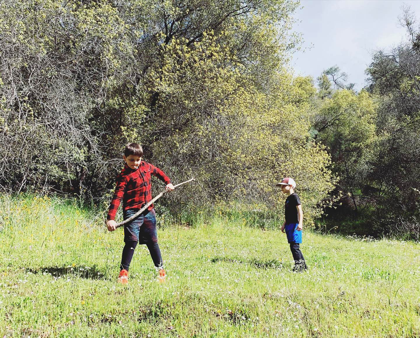 |
| Hiking up the first steep section | Colton wields an especially fine stick |
|
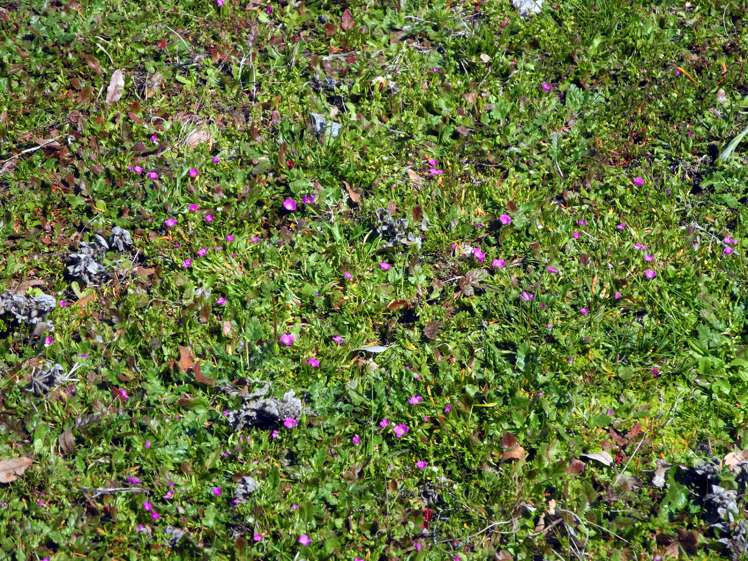
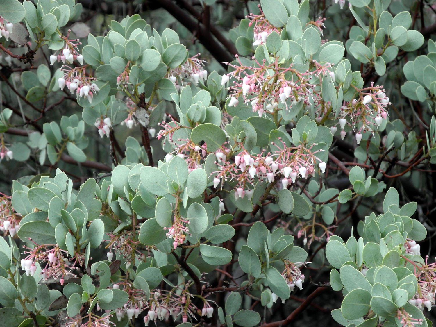
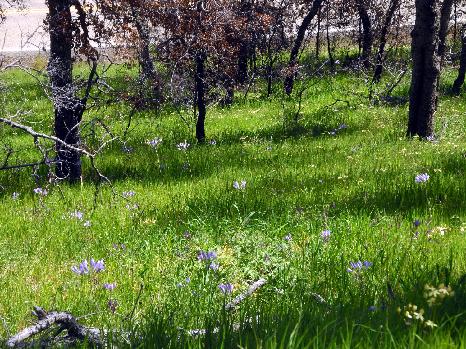
Of course, our hope was to see a lot of wildflowers, and in this we were very successful. The most common were fiddlenecks and popcorn flowers, which were also thick along Trimmer Springs Road. We also saw shooting stars, fringed redmaids, dove lupines, baby blue eyes, manzanita, and a half dozen more. |
|
 |
 |
| Mostly fiddlenecks and popcorn flowers | Fringed redmaids against a fallen log |
|
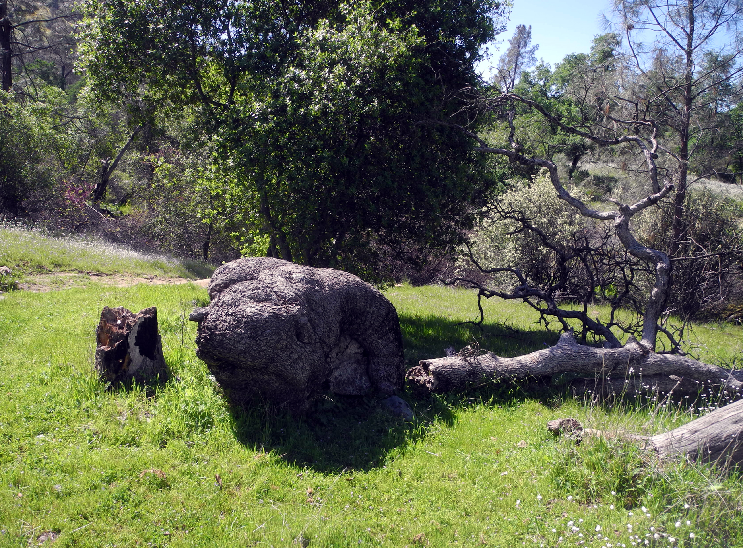
About a half mile in, at the top of a second steep section, the old road seems to fizzle out in a field of popcorn flowers. On my first few hikes I turned back at this point. Then one time I walked across the open, slightly sloping field, and spotted an obvious continuation of the road as it went up a small creek valley. It went a few hundred yards and met the creek, the biggest one by the trail. Across the creek it went up a final short steep hill that I have designated as "optional." By the time the rest of us got that far, Brittany and Colton had already gone up to the next level. We followed them, then rested and had a snack before turning back. |
|
 |
 |
| Crossing the original end point | Spring beauty |
|
Although it rained the day before, It was t-shirt weather and just right for hiking. Colton is working on being an 8-year old teenager, and always claims to be bored, but his actions say otherwise, and he and Jack clearly enjoyed the outing, as did the rest of us. --Dick Estel, March 2021 |
|
|
San Joaquin Gorge - Bridge Trail
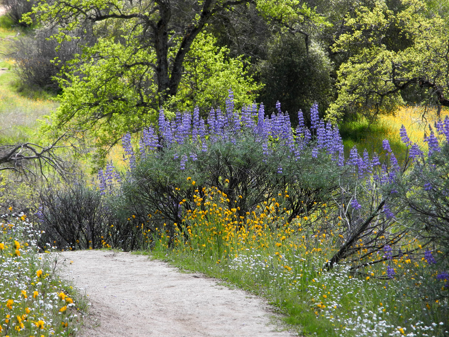
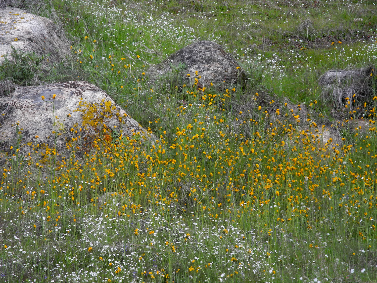
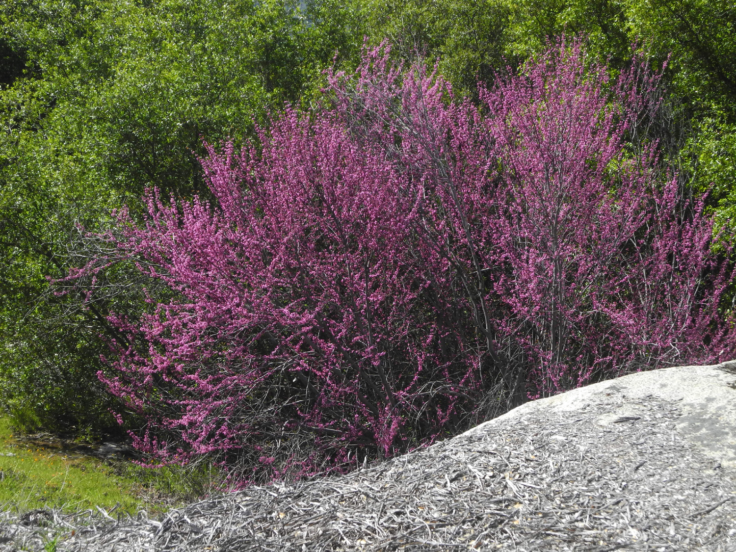
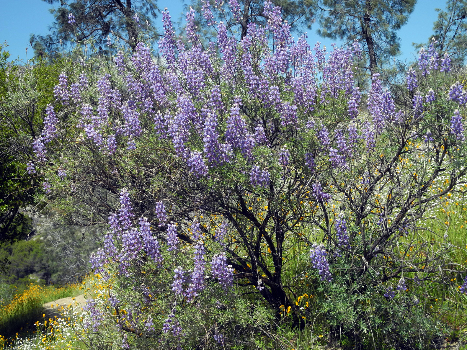
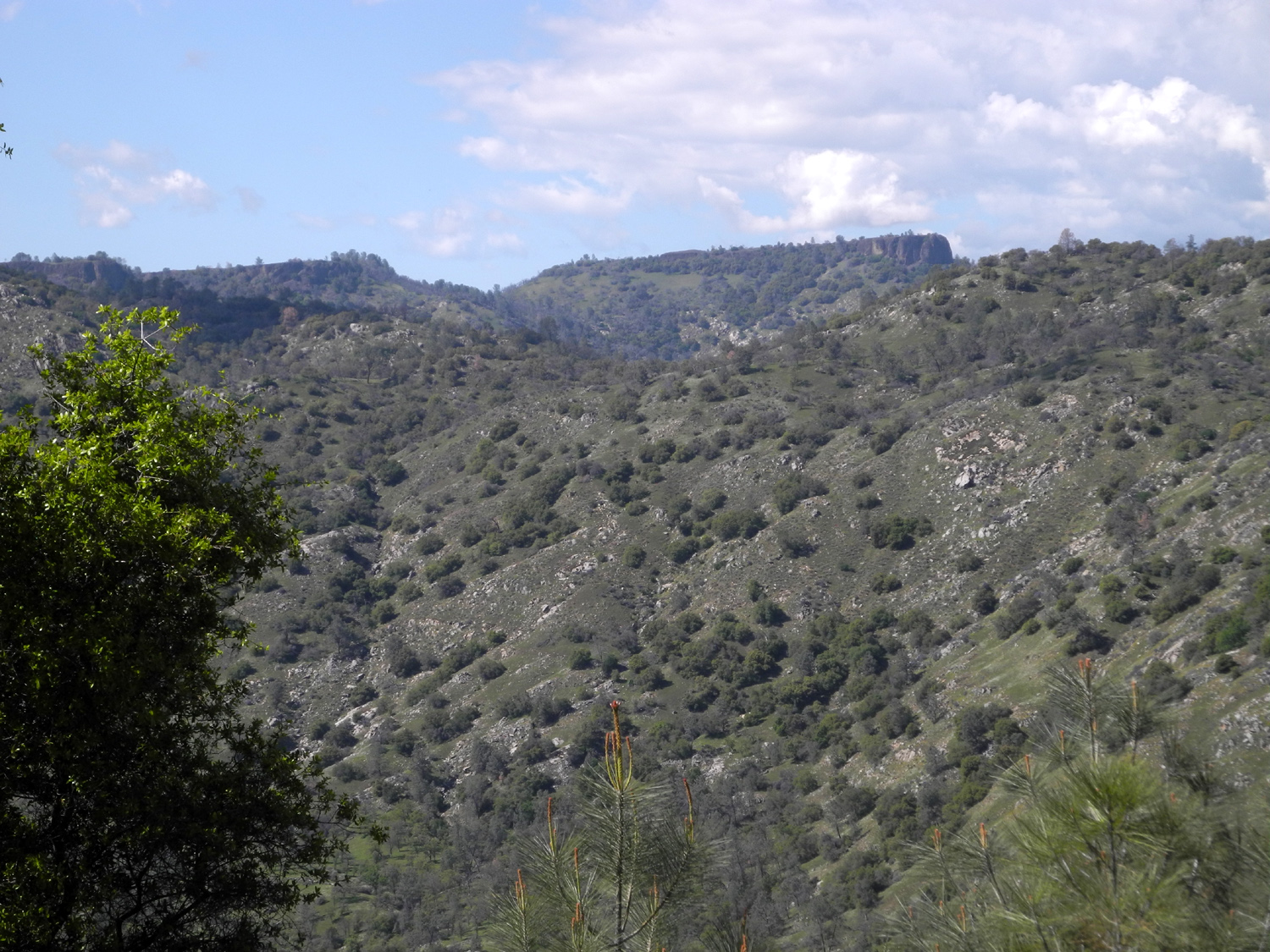
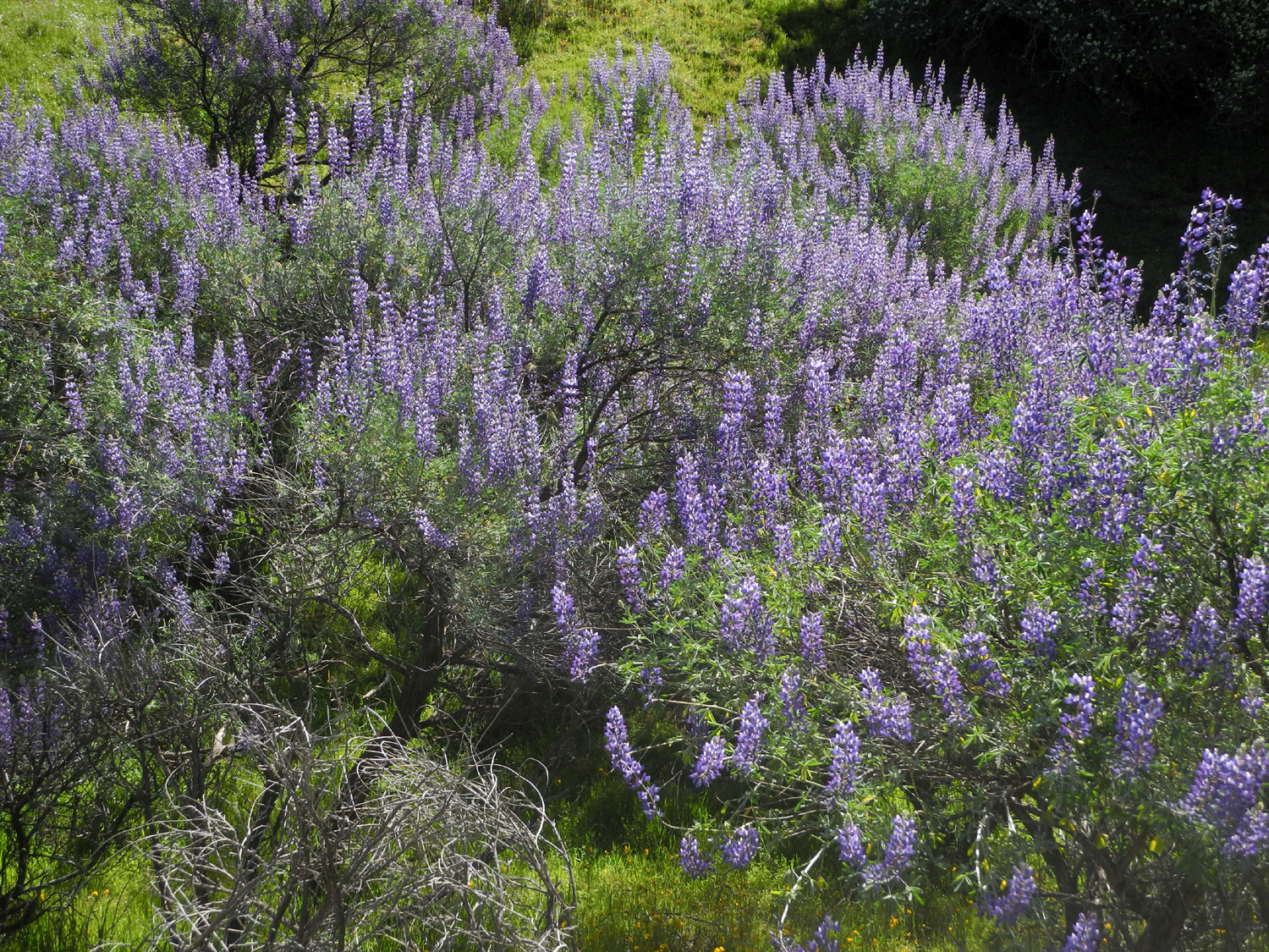
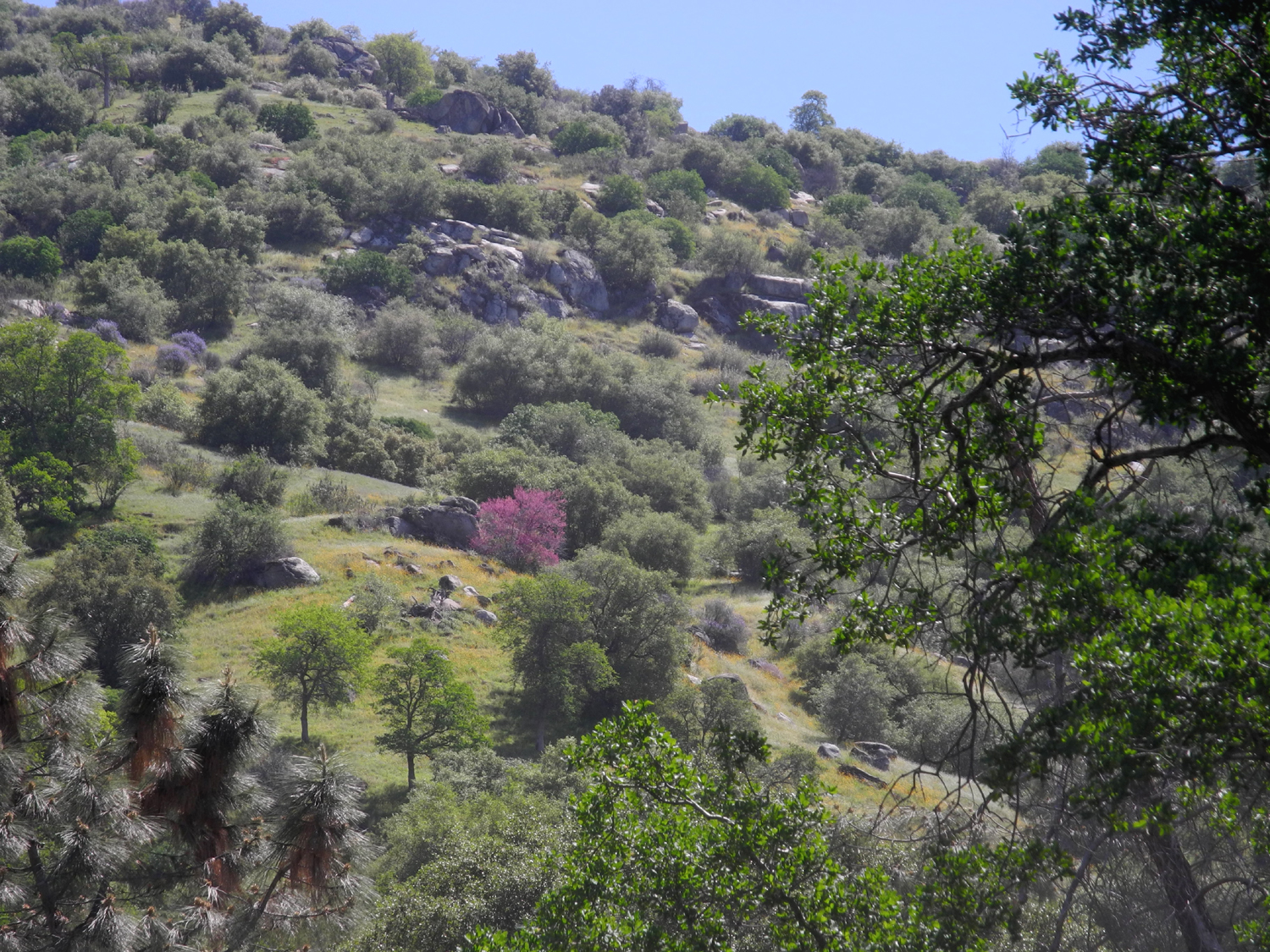
I know, I know - ANOTHER San Joaquin Gorge hike? How many times have I been there? Obviously not enough. I've hiked twice this year, but the wildflowers that often appear as early as January got a late start and there were none in evidence on January 21 or February 18. However, March 23 finally proved to be the right day for foothill wildflower viewing. The show started along Auberry Road, which starts north of Clovis and goes all the way to the town of Auberry and beyond. Where it parallels Little Dry Creek there was a riot of white, gold and green, with masses of fiddlenecks and popcorn flowers against the green hills. But it was along Smalley Road, the route into this BLM property, that the real spectacle began. A redbud bush, perfectly placed against bright green live oak, and set off by a nice granite outcropping, was at its peak. Beyond this there are several stretches with bush lupines along the road, and these were also at their best. |
|
|
|
| Redbud by Smalley Road | Bush lupines were at their finest |
|
The place with the redbud is a spot where I often pull off to check out the scenery. You can see down into the gorge, and across to some of the table top mountains that are a feature of the area. When I left home it was overcast and cold, to the extent that I considered not going. However, as I reached Prather the clouds and fog were breaking up and the foothills were bright and sunny. My view down the canyon showed that the lower country was still lost in fog. |
|
|
|
| View of Bug Table from Smalley Road | Looking down the San Joaquin River canyon |
|
I had decided to take a slightly different route than usual for my hike. As you approach the main parking lot there is a road to the right that goes to the Group Camp, Equestrian Camp, and visitor center. Before you reach the latter, a paved road goes down steeply to the PG&E power house adjacent to the river and just upstream from the bridge. Before you get to the end, a connecting trail goes from the road to the main trail, just a few hundred yards before you reach the footbridge. I have walked this road both up and down, and I knew it was much too steep for me to hike up, but I wanted to go down it once more. Like everywhere else, the spring greenery and flowers made it a pleasant walk. |
|
|
|
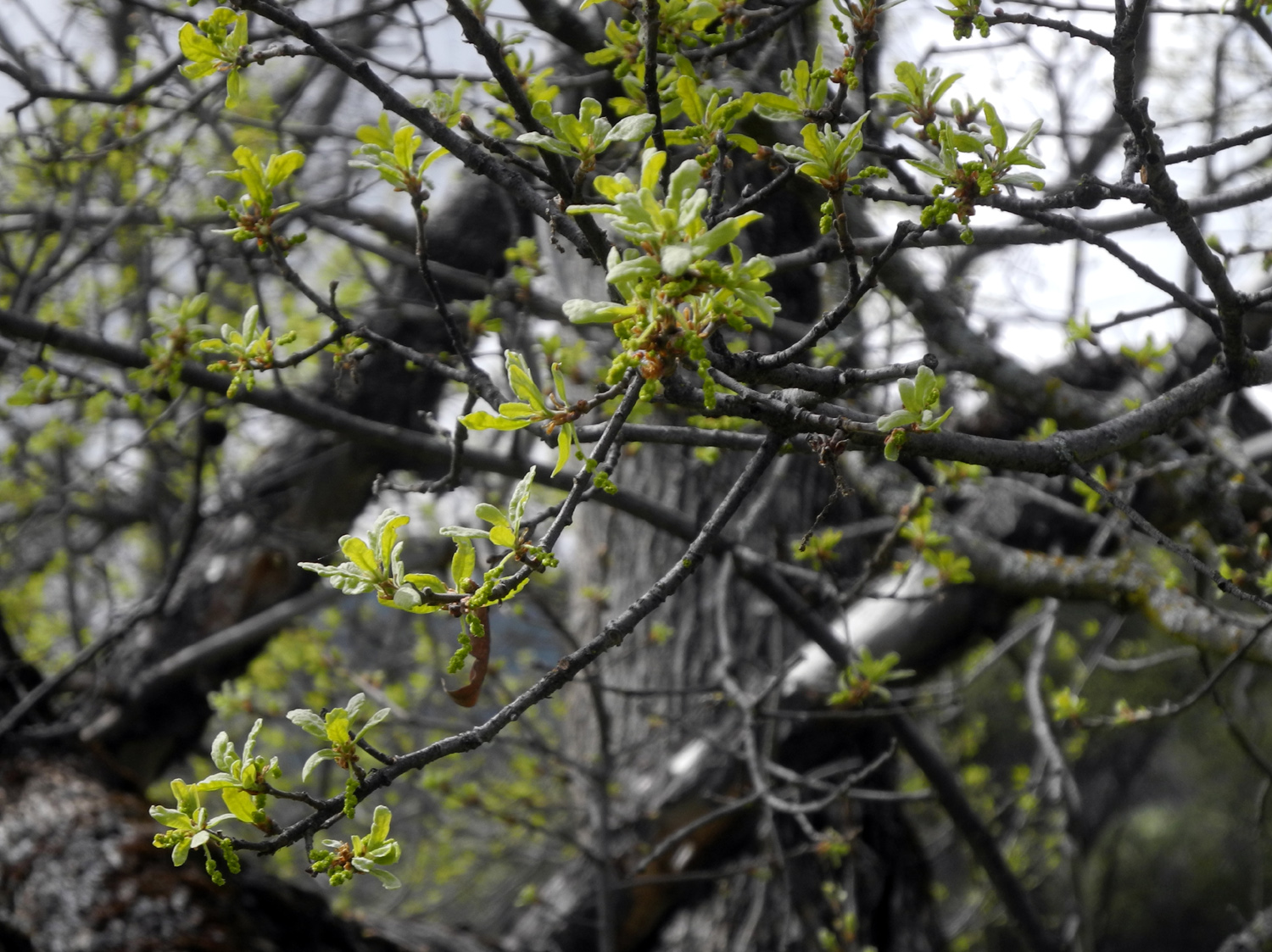
| Green scene along the PG&E power house access road | Blue oaks start the spring season with bright green new leaves |
|
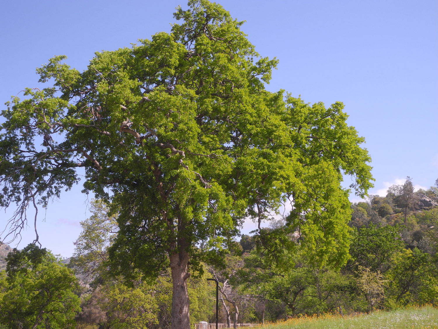
After a brief rest at the bridge I continued up a short, steep section of the trail to the junction of the Ridge and River Trails. You can do a seven mile loop from this point, and I have done so, with a night or two camping half way. (I was about 40 years younger then.) Now I just go a mile or so up and back on one of the trails, depending on how ambitious I am. This time I turned right and took the Ridge Trail. The first landmark on this route is the "famous" five-trunk blue oak, which I have to photograph on every hike. This area also offered some of the best flowers of the hike, as well as an old log where I sat and had a snack. I decided not to go any farther, and headed back toward the bridge. On the way back to the trailhead, I kept to the bridge trail, since the road I walked down on is made for vehicles and is much too steep for comfortable hiking. And of course, I did not want to miss out on the flowers and scenery along the way. |
|
|
|
| The five-trunk blue oak by the Ridge Trail | Dove lupines were thick this year |
|
|
| Blue dicks and popcorn flowers | Bird's eye gillia and an owl clover |
|
I had parked at the Group Camp lot instead of the main lot, meaning an extra quarter mile of walking to get back to my car. A few hundred yards from the main lot, there is a shortcut trail that goes uphill briefly and winds through the countryside to the Group and Equestrian Camps. It is routinely used by riders going to or from the latter. Since it was the end of a 2.6 mile hike, this stretch seemed longer than it is, but I was soon back at the car and headed for home. The weather was excellent and the flowers, while not as spectacular as some years, were better than good. It appeared to me that the river was running noticeably higher than usual. |
|
|
|
| Along the Equestrian short cut trail | The San Joaquin River upstream from the power house and bridge |
|
I never get tired of visiting this place, and you may expect a report on another hike there before spring is over. --Dick Estel, March 2021 |
|
|
San Joaquin River Trail at the Gorge
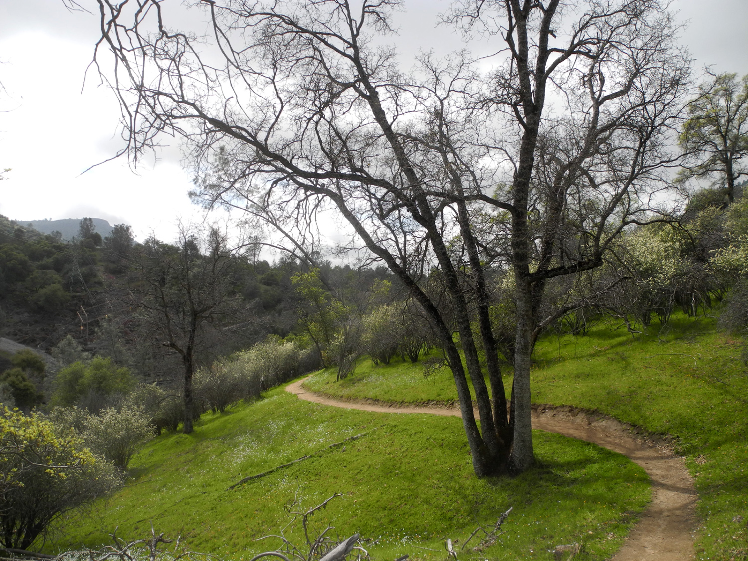
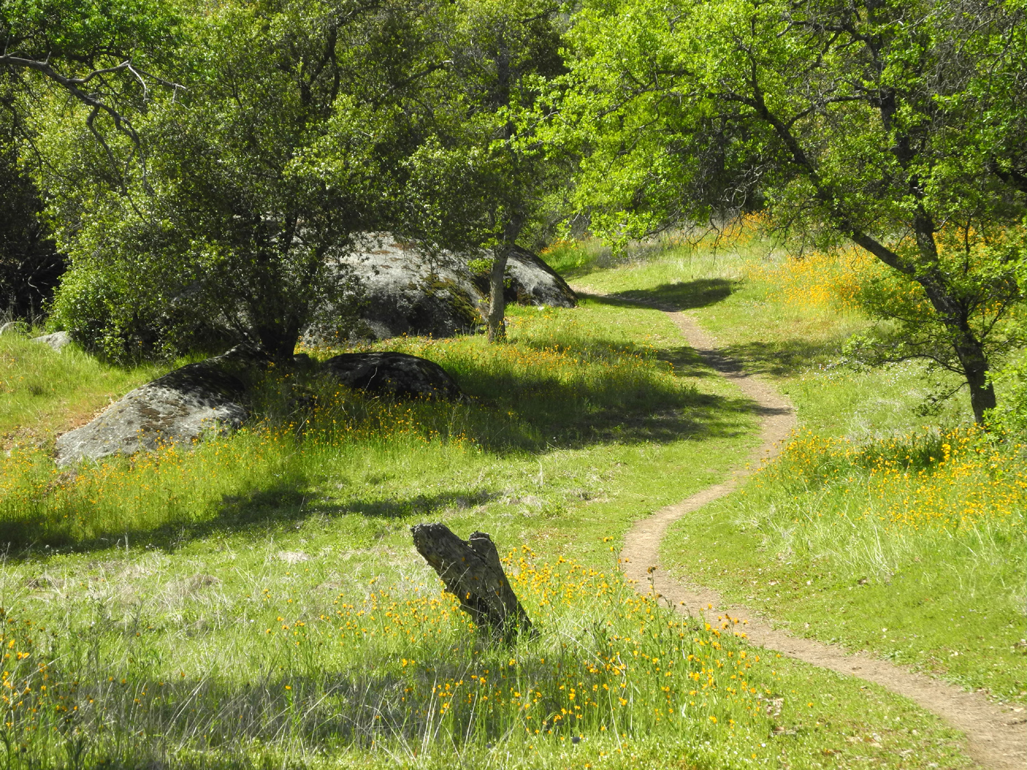
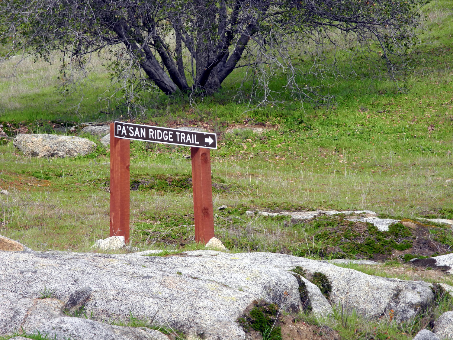
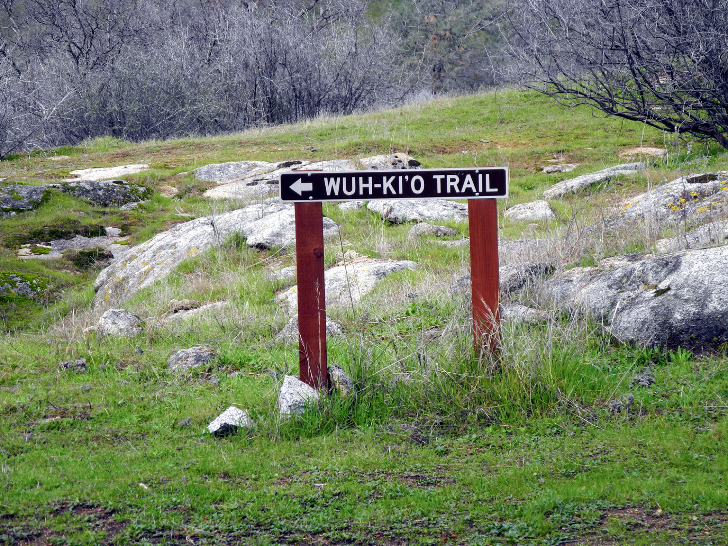
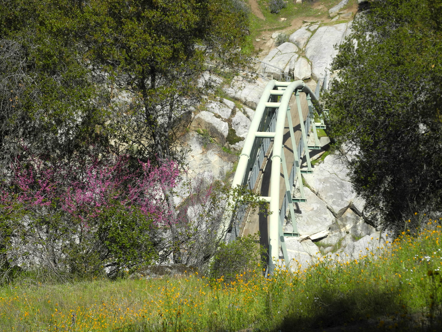
As promised, less than two weeks passed before I again went to the San Joaquin River Gorge to hike. In reviewing some of my reports from this area, I notice that I often refer to trail names without explanation - and some of the names are a bit confusing, even to those who are very familiar with the place. So before discussing the hike, we will have a brief review of trail names. There will not be a test. When I first visited around 1980, the only trail from the main parking lot went one mile down to a footbridge over the San Joaquin River. This is the Bridge Trail. A few hundred yards beyond the bridge, a junction offered two choices. The trail to the right went up the canyon, then climbed up along the ridge high above the river, and looped back around to join the other trail. The upstream route is the Ridge Trail, now identified by a Native American name, Pa'San Ridge Trail. The other trail, now the Wuh-Ki'o Trail, was originally known as the River Trail, and here is where confusion can arise. It's a hike of a mile or so, not down toward the river, but up toward the ridge, to the place where the Ridge Trail comes in. At this location the River Trail branches off parallel to the river downstream and eventually reaches Lake Millerton. In the early 1980s I hiked the entire Ridge Trail loop, about seven miles, but it was in connection with backpacking, so I camped two nights half way around. I have never hiked down the River Trail. There was a time when I did not visit the gorge for several years, and when I returned, I found that there was a new trail from the parking lot that went south then turned west and paralleled the river high up on the side of the canyon. This is part of the planned San Joaquin River Trail, which will go from State Highway 99 to the Devil's Postpile beside the Middle Fork of the San Joaquin. Currently this trail goes about twelve miles from the Gorge down to the Finegold Picnic Area, by Millerton Lake near Sky Harbor. I walk a mile or two on this trail from either end, then turn back. There is another new trail, probably less than a half mile, called the River Access Trail, that starts across from the "new" power house that was built in the 1980s and goes down to the river. I've walked down this trail a couple of times. Other minor trails include a short, well-maintained path that goes to the Bridge Trail from the paved road that leads to the old power house, and a short, unofficial but well-marked trail that leads from the Group and Equestrian Camps and joins the Bridge Trail, just a few hundred yards below the main lot.. I walked both these short trails on my visit in March. Finally, there is the Nature Trail, a short double loop back of the Equestrian Camp, which includes signs explaining the various trees and plants in the area. Now you know as much about the trails as I do, and are probably just as confused. |
|
|
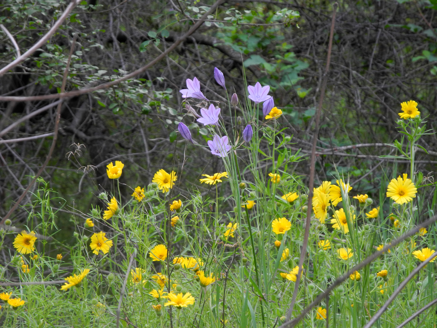
So anyway, on Friday, April 2, I braved the predicted 80-degree temperatures and hiked on the San Joaquin River Trail. When I arrived at the parking lot shortly after 10 a.m., it was full and overflowing. I went to the group camp lot, which filled up before I got on the trail. Fortunately it appeared that virtually everyone was hiking the Bridge Trail - I saw only one other hiker during my walk on the upper trail. Although heavy visitation is normal on weekends, it seemed like a lot for a Friday until I remembered it was the end of Spring Break. As I had hoped, the flowers were better than during my previous hike, with the lupines along Smalley Road being especially fine. Popcorn flowers carpeted the fields with white in many places, and the fiddlenecks again claimed their place as the most common species. |
|
|
|
| A big forest of bush lupines along Smalley Road | This scene greets you at the start of the trail |
|
Bird's
eye gillia and blue dicks were also out in large numbers, and most of
the other common species of the season were represented. They included
yellow
throated gillia, chaparral, dove lupines, filaree, golden brodiaea, phecelia, poppies, redbud, and tall ground lupines. Some
were along the roads, not on the trail. |
|
|
|
| Bird's eye gillia appeared in small, dense patches | Blue dicks got a late start but are looking good |
|
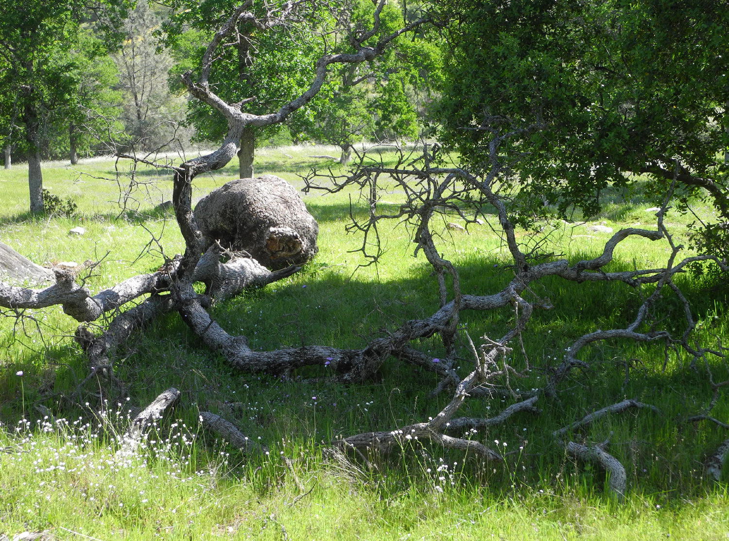
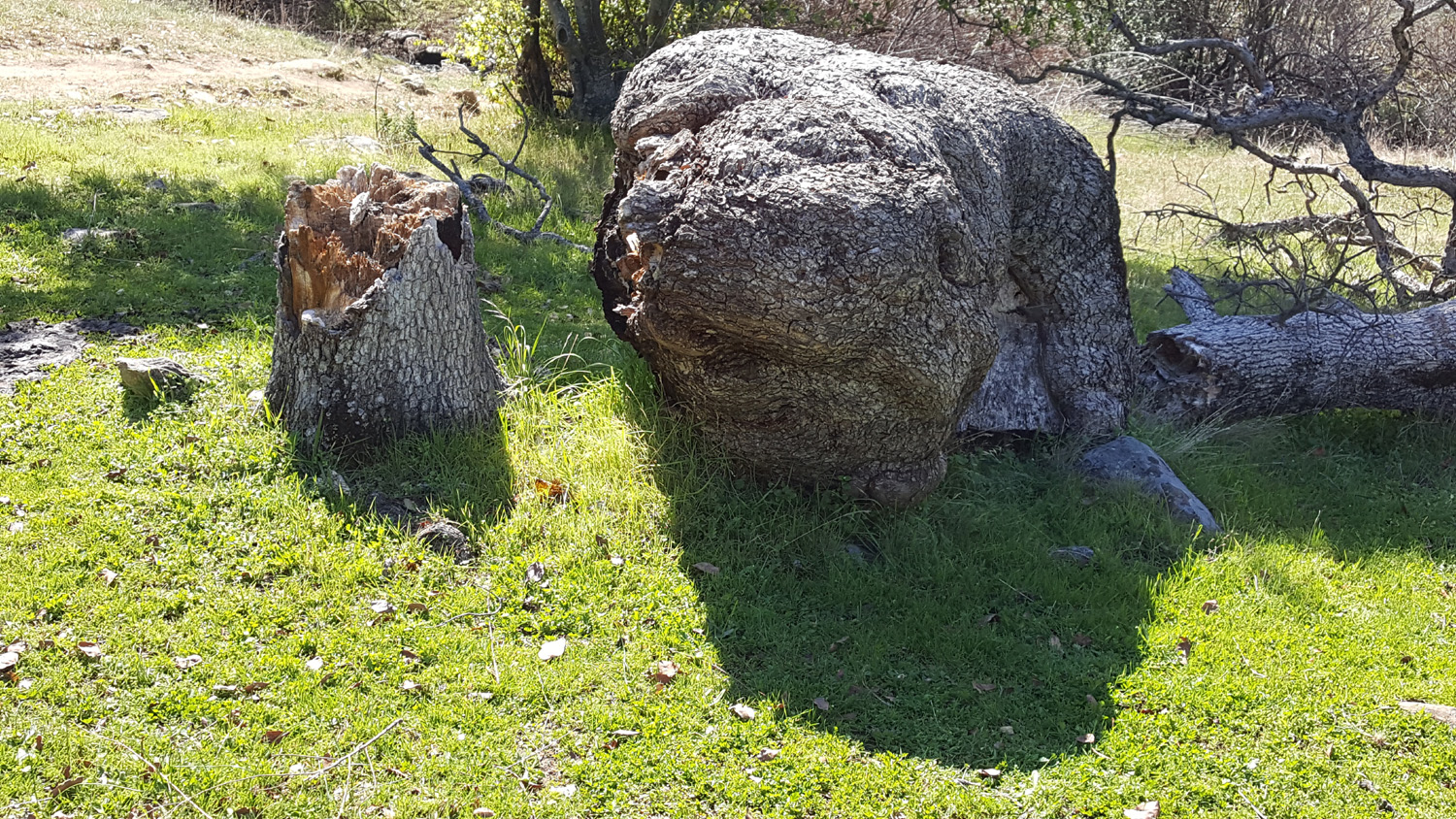
As usual, I had to take some new photos of the blue oak with the huge burl that fell down in 2019. |
|
|
|
| The giant burl on this blue oak was a favorite landmark | And it still is, even on the ground |
|
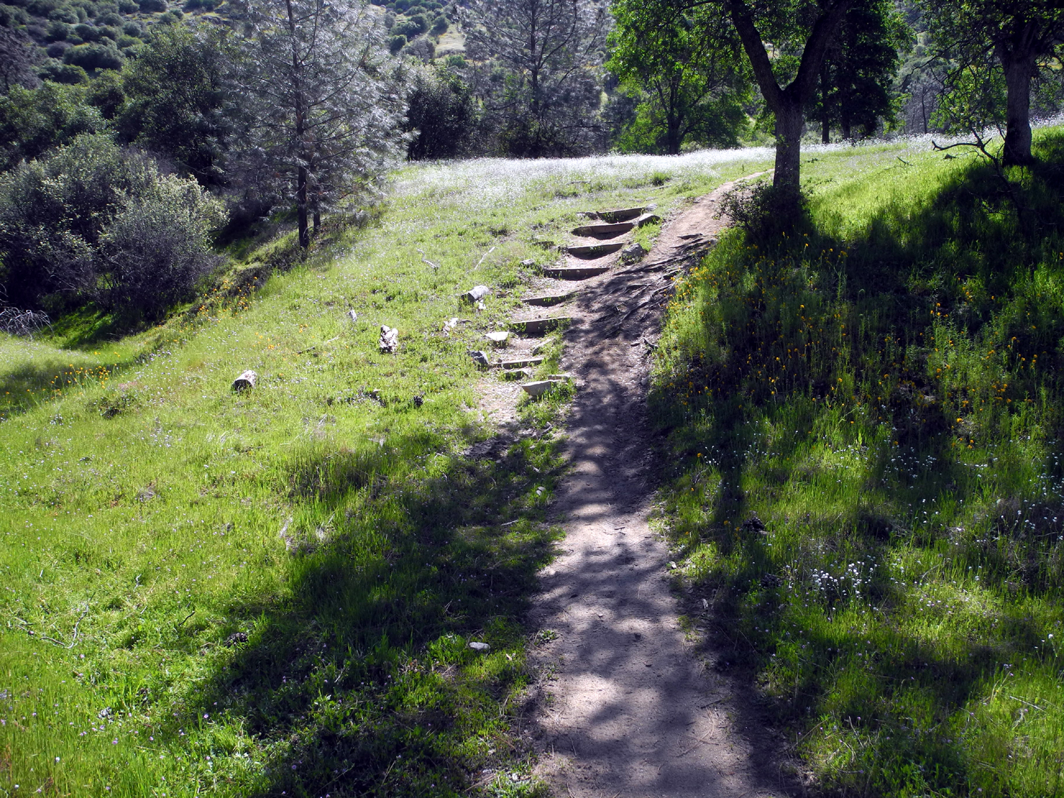
I've also been trying to document trail conditions at the two steepest spots along the first mile and a half. At the first one the trail rises up sharply from a creek crossing, and six by six timbers (water bars) have been placed in the trail to create steps. Due to erosion, it's easier and safer for me to go up the washed out route next to the steps, but on the return trip, the boards offer a safer walk. The other spot rises up from a drainage, with a narrow, steep "mini-canyon" on the south side. It's rough and rocky, but not a hard place to hike up or down. |
|
|
|
| Despite the steps, it's easier to walk to the right going up | The trail goes down beside a "mini-canyon" |
|
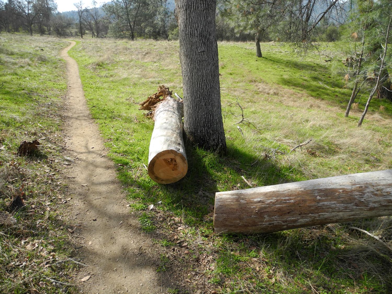
On my recent hikes I've been running out of energy sooner than I used to, and experiencing some leg pain (could that have something to do with being 81?). I reached the place where a dead bull pine fell into the crotch of an oak. The lower end was cut off and left against a standing blue oak by the trail, providing a fairly comfortable place to sit, leaning against the oak, so I sat there and had my snack before starting back. My round trip hike was a little over two miles. Will you be getting another San Joaquin Gorge hike report this spring? Probably! --Dick Estel, April 2021 |
|
|
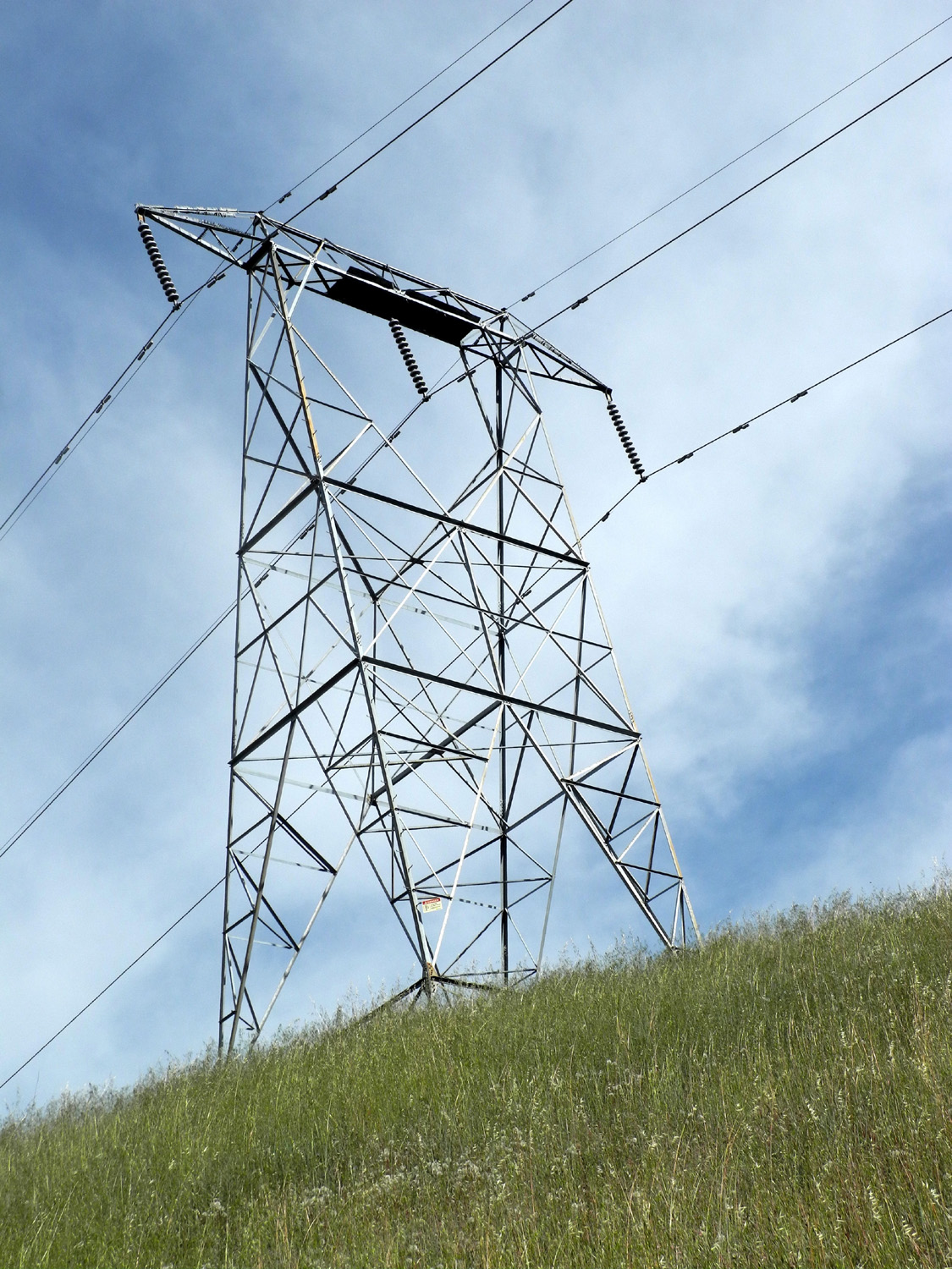
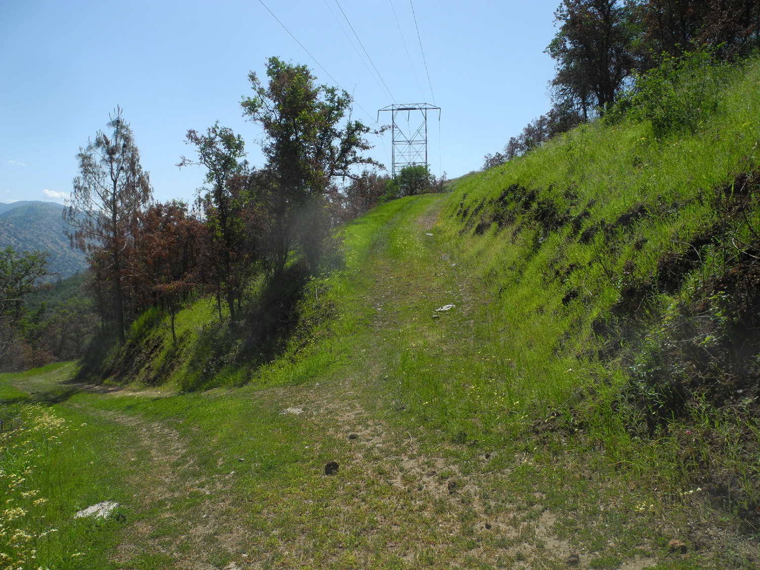
Edison Point
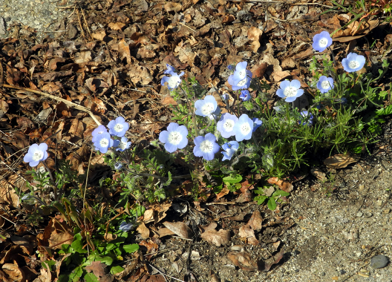
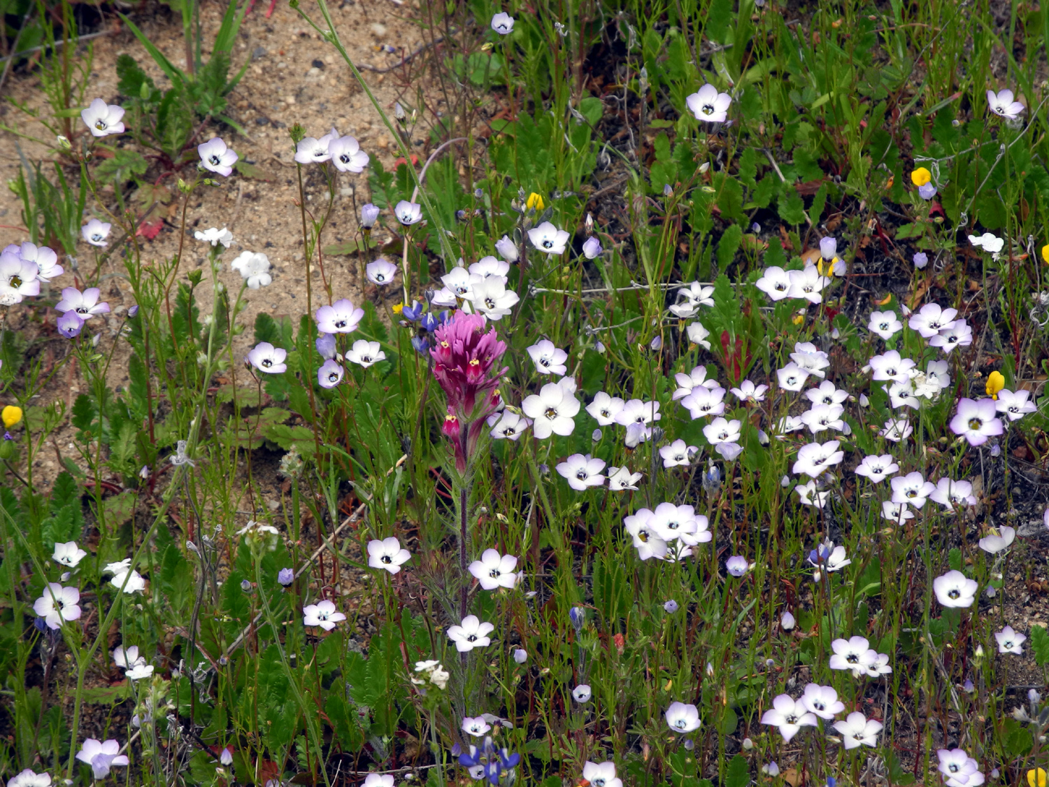
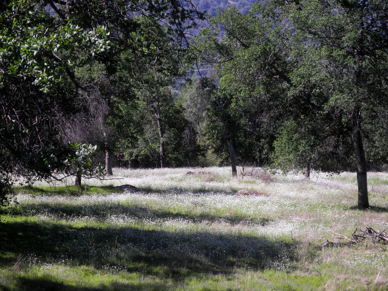
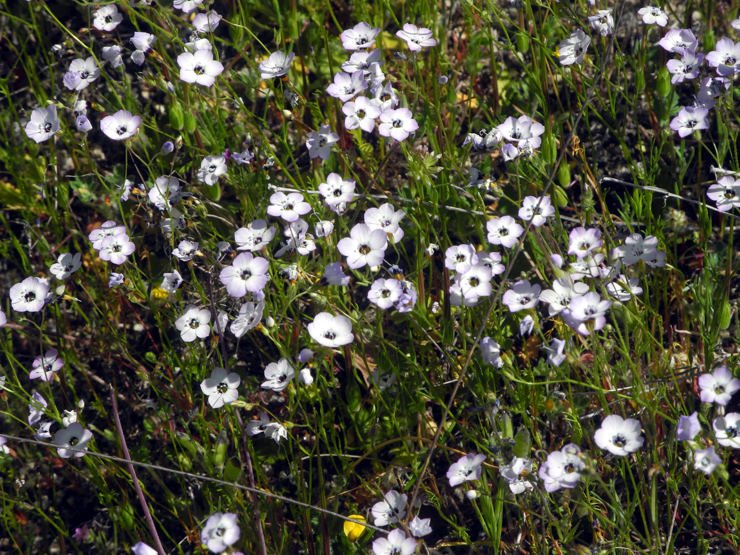
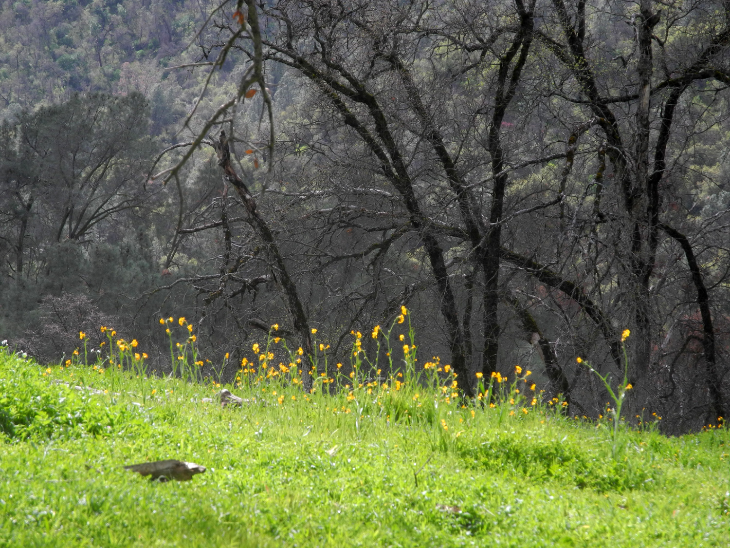
If you've been paying attention you know this location is adjacent to Pine Flat Lake. The first half mile of the 2.5 mile loop trail is a dirt two-track road that exists to provide access to the power transmission line that crosses the lake at this point. The service road also goes generally north on the opposite side of the main road, probably about five miles. I've hiked a short distance on this road a few times in the past, always after hiking out to the point on the other side. On April 13 I decided to hike the north side first, and try to go farther than ever before. As I left the valley floor and started into the foothills, I kept an eye out for flowers, but it looked like there were not many around. Then I noticed a patch of bright yellow common madea on a steep bank by a turnout 29 miles from home and pulled over. Here I learned the secret of this year's flower display - you have to get out of your car and walk around. In addition to the madea, there were Chinese houses, blue dicks, fiddlenecks, a few baby blue eyes and several other varieties. |
|
|
|
| Common madea by Trimmer Springs Road | Chinese houses like shaded banks by roads and trails |
|
The "get out and walk" rule held true when I began my hike. The view at the start of the trail did not look promising, but a short distance up the hill everything changed. The pale yellow golden brodiaea covered the hillsides above and below the road, and even created a floral "center line" down the middle of my path. |
|
|
|
| The start of the Transmission Line Service Road | Pale yellow golden brodiaea were the dominant flower |
|
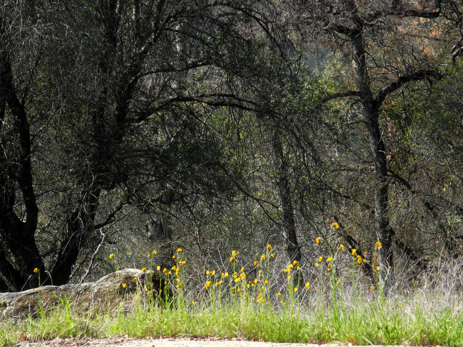
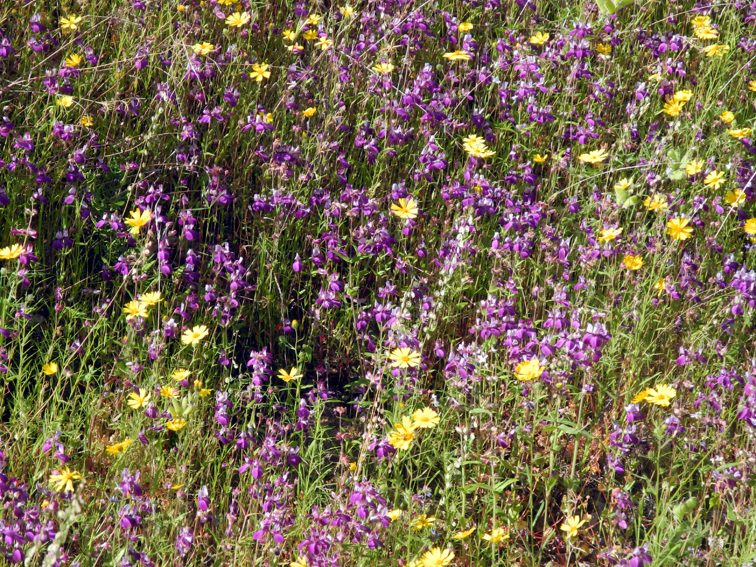
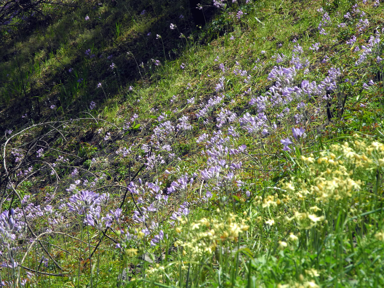
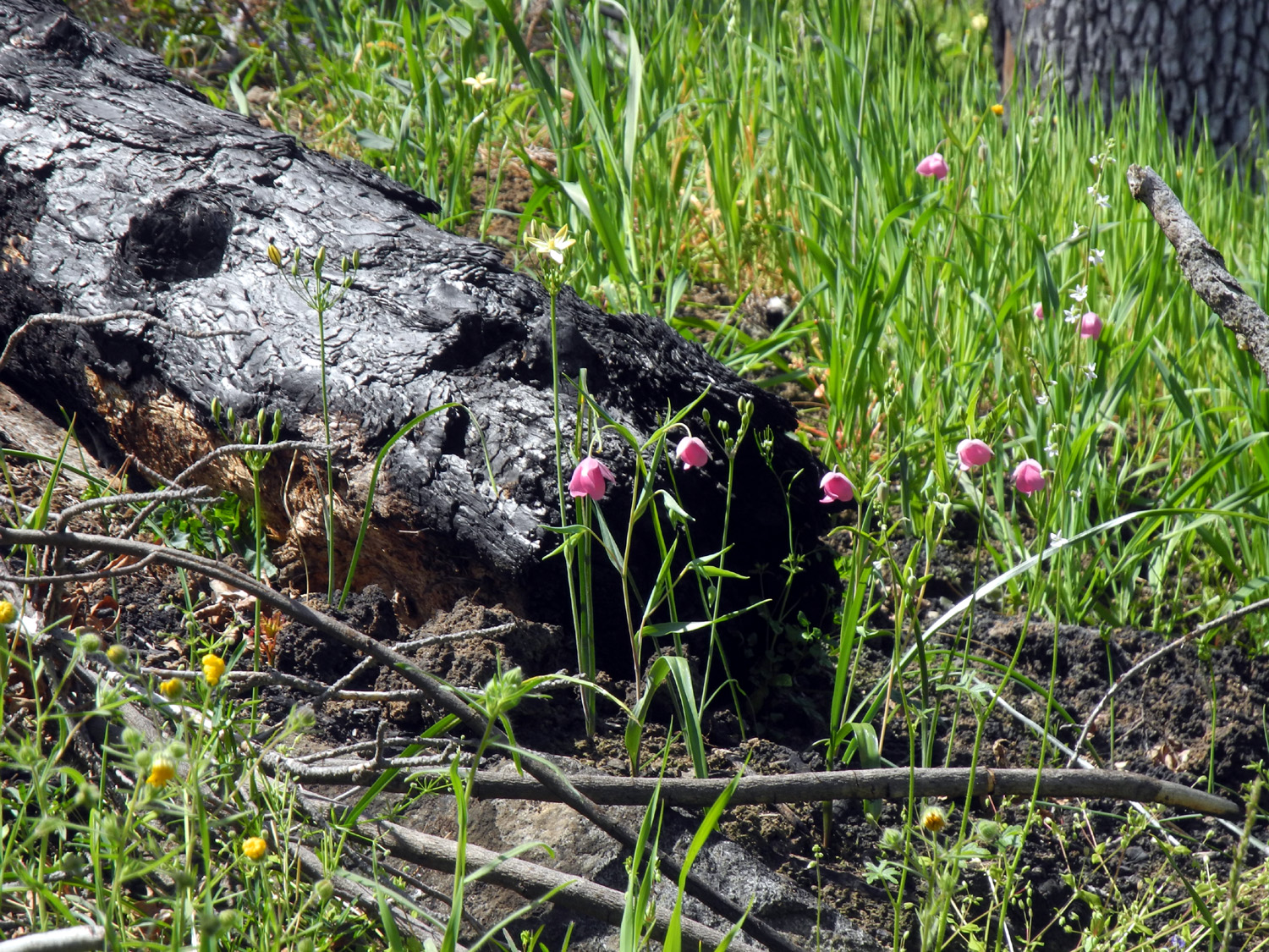
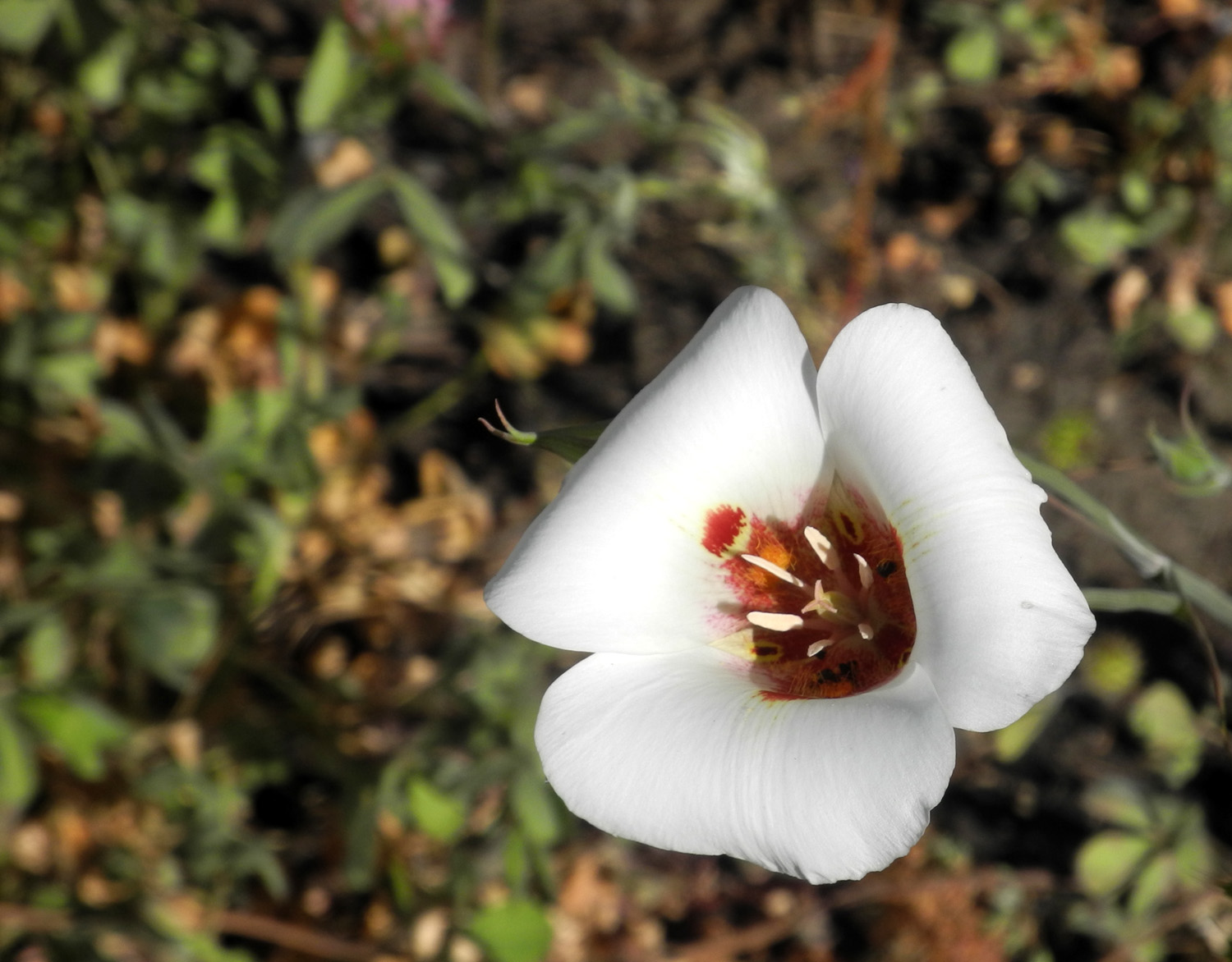
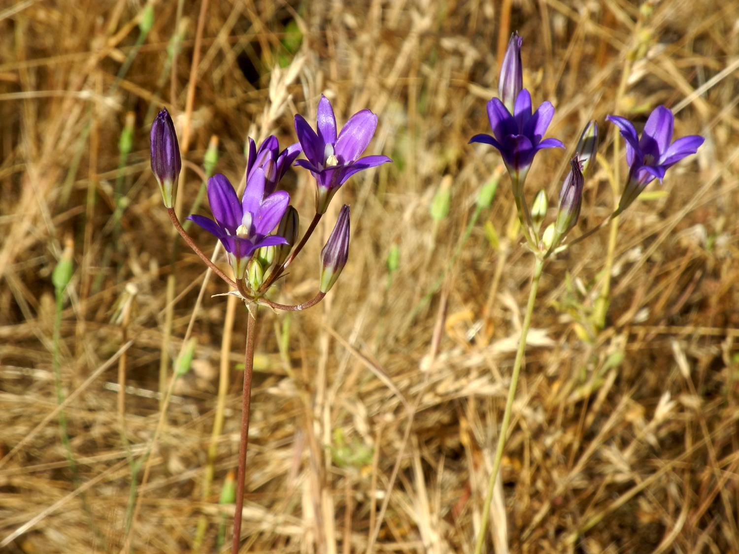
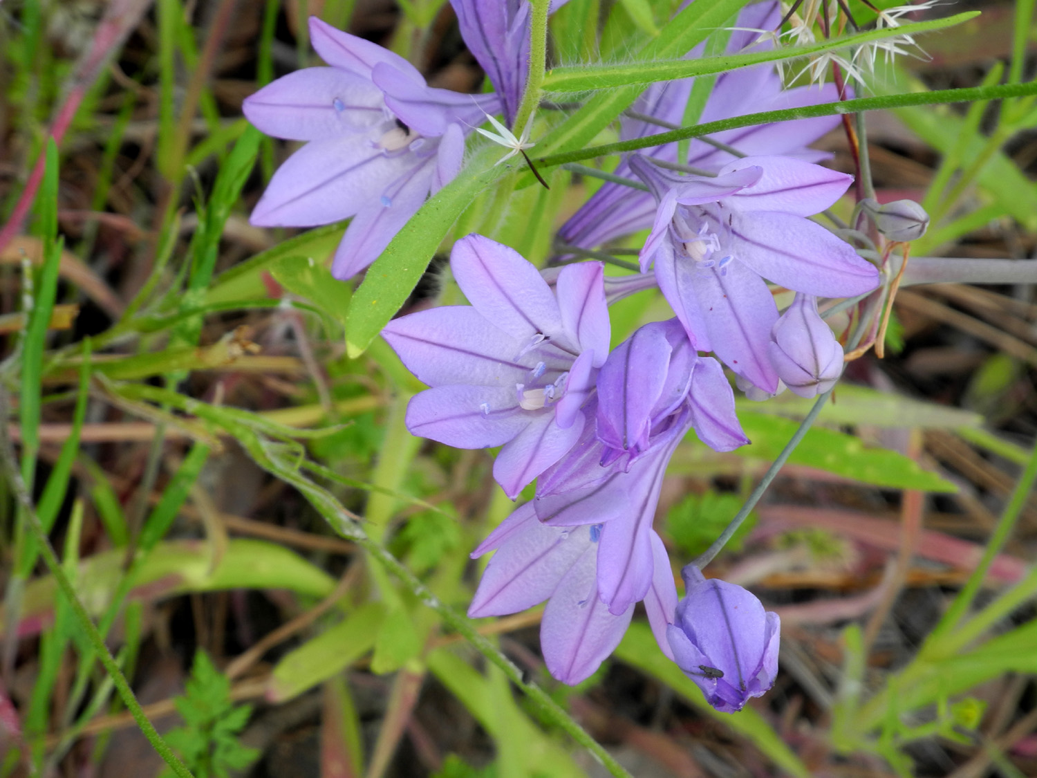
A short distance farther on another favorite flower appeared, the lavender colored brodiaea that I usually refer to as "purple." They had been very scarce this year. I saw two or three plants on my last visit to the San Joaquin Gorge, and a single plant where I stopped by the road earlier. Now there were dozens, and soon hundreds. They usually do not grow in the close, thick patches like their yellow cousins, but the display was more than satisfactory. Of course there were many other flowers along this hike. Delicate globe lilies, usually very few in number, seemed to be having a very good year, with plants appearing every ten or twenty feet. I also saw Chinese houses, mule ears, buttercups, climbing brodiaea, a few remnant popcorn flowers, and of course, that old favorite "unidentified." |
|
|
|
| There was a good display of purple brodiaea | Delicate pink globe lilies make a nice contrast with a charred log |
|
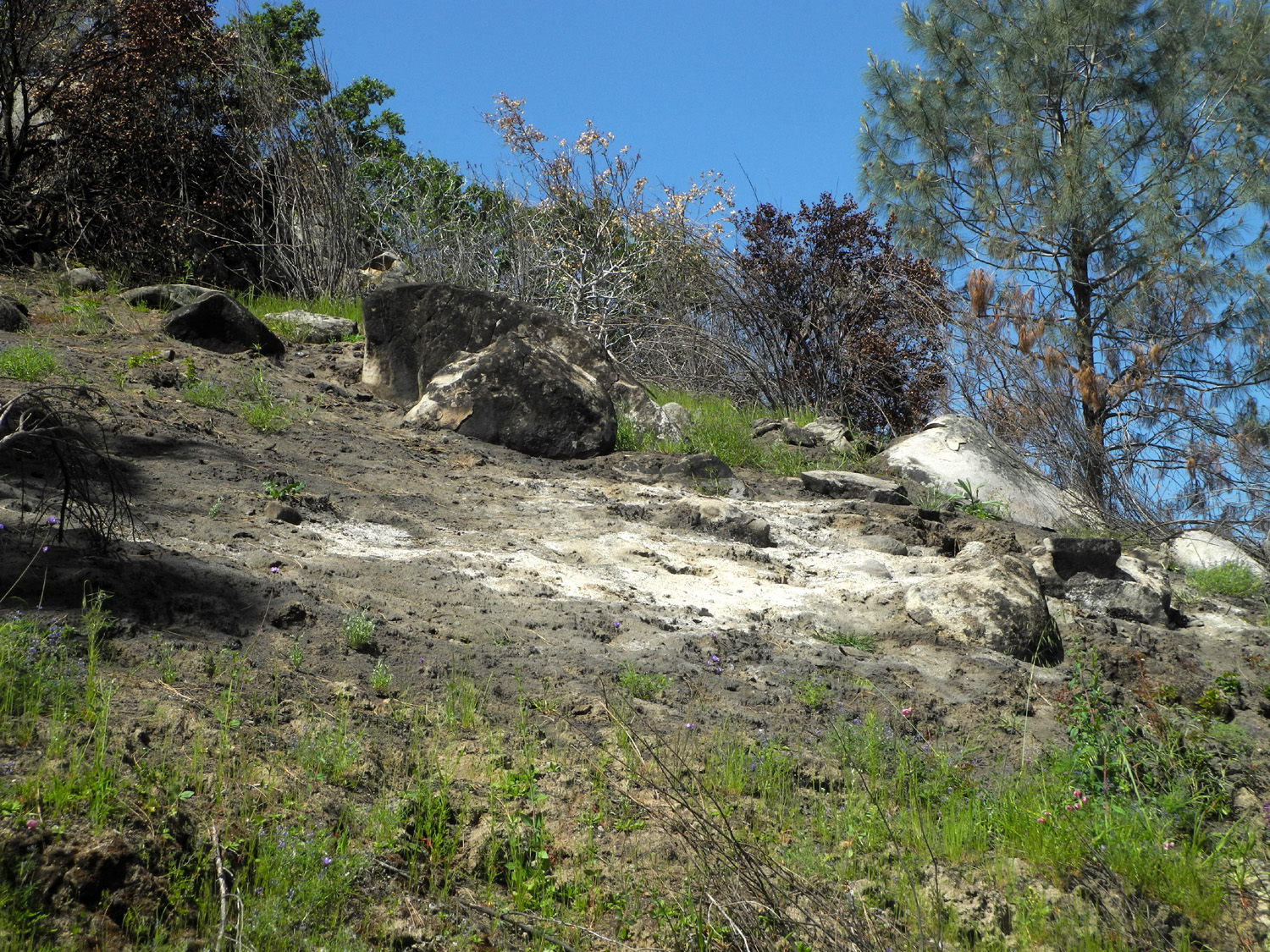
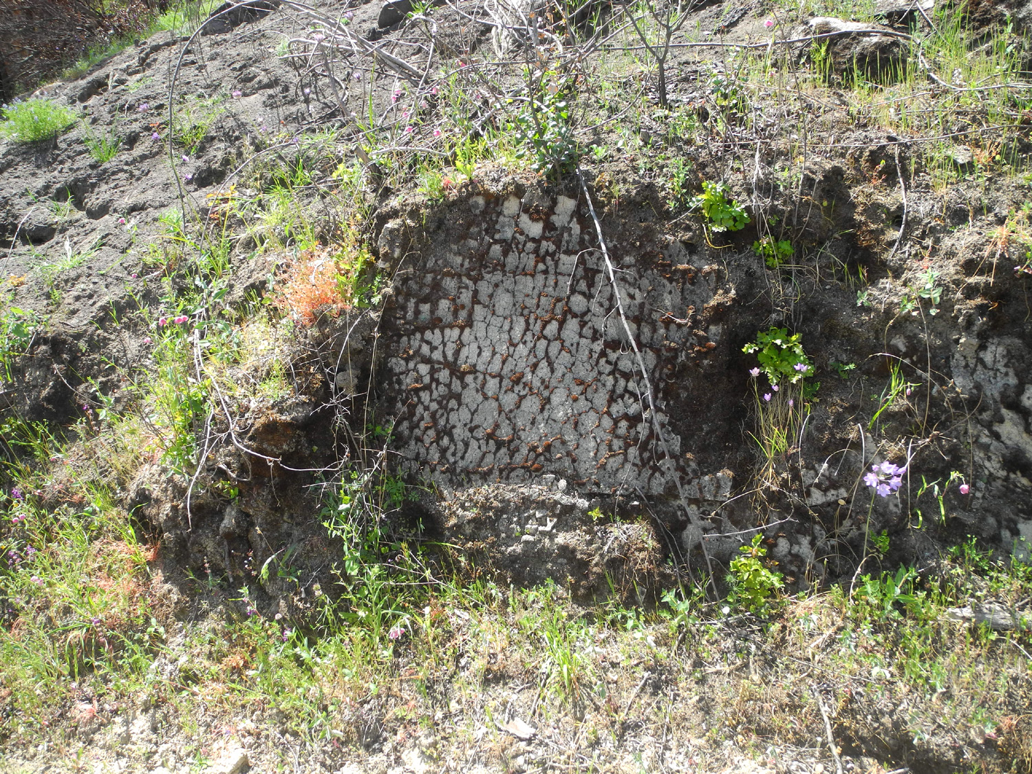
A small fire had burned through this area last year, scorching the lower leaves on the blue oaks and killing a few, but mostly just clearing out the old dead grass and fallen logs. These events generally encourage the growth of annual plants, and even in this year when rainfall has been about half of average, many wildflowers have done well. The brushy poison oak that grows along the lower side of this road was nothing but dead stems, but not to worry - dozens of new plants were springing up from the roots. I met my goal of going farther than I ever had before on this road, despite the fact that it was virtually all uphill, and offered no good rocks or logs to rest on. However, the trip back down was much quicker, and I enjoyed a rest in my folding chair when I got back to the car. I had not eaten breakfast, but stopped at a Subway Sandwich shop and picked up a foot-long sub as I left Clovis. I ate about a quarter of it before I started hiking, so I had fuel for the effort but did not feel overfull. I ate another quarter when I got back to the car, then went up the main Edison Point trail a short distance. |
|

|
|
| A few dead trees and lots of live ones above the lake | Most of the trees near this hot spot were untouched |
|
I had thought I might do the complete half mile walk, but after I came to a nice stand of Mariposa lilies, I realized I had enjoyed enough hiking for the day, and walked back down and drove home. Back in my dining area, I finished off the sandwich and then enjoyed a well-earned nap. Flower facts and fiction: My first grade teacher, Mrs. P., called the yellow brodiaea, "harvest brodiaea." Every internet search for that phrase turns up the purple variety, sometimes the lavender colored ones, and sometimes the deep purple Athurial's spear. Some flower ID web sites refer to the yellow ones as "golden brodiaea" or "pretty face." Mrs. P. was wrong about many things, and there's no reason to doubt that this was one of them. Then again, I was six or seven. She might have been pointing to a purple one when she said "harvest" and I was just not paying attention.. I referred to the brodiaea as annuals, but a web site I glanced at said they are perennials. This is probably correct, since they grow from a bulb. Another variety of brodiaea, blue dicks, have an edible bulb that we called "Indian potatoes." Flowers seen on this trip: Baby blue eyes, blazing star, blue dicks, buckeye, buttercups, Chinese houses, climbing brodiaea, common madea, daisy-like flowers, dove lupines, elderberries, farewell to spring, fiddlenecks, fiesta flowers, filaree, globe lilies, gold cup poppies, golden brodiaea, lacepods, Mariposa lilies, miner’s lettuce, mule ears, phecelia, popcorn flowers, poppies, purple brodiaea, purple vetch, Sierra star, tall ground lupines, white lupine, yellow throated gilia. --Dick Estel, April 2021 |
|
|
San Joaquin River Gorge - River Trail Again
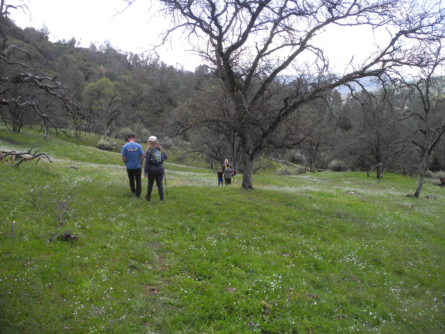
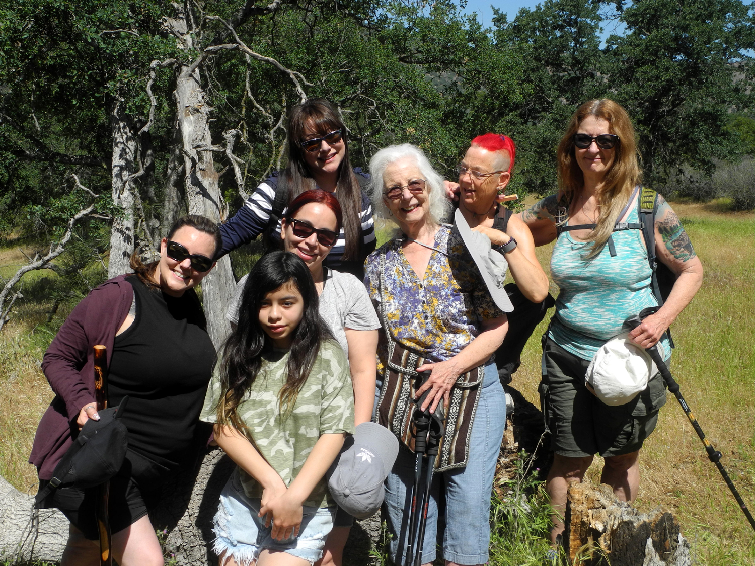
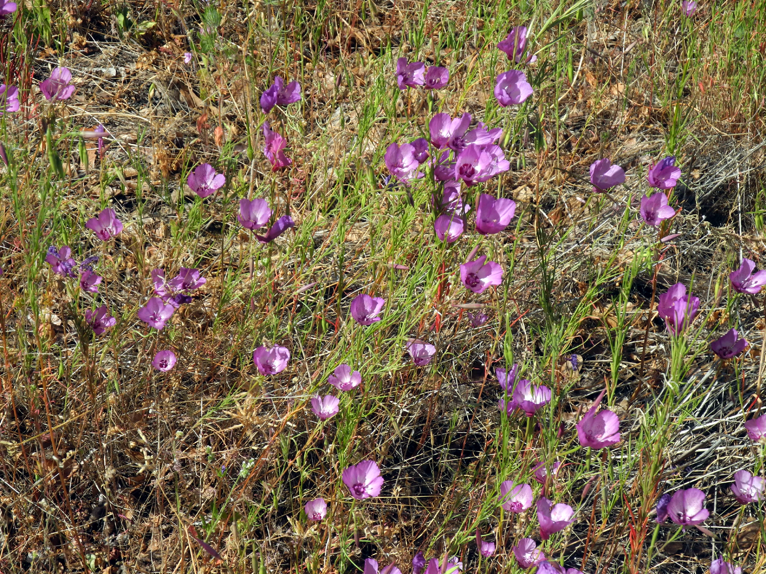
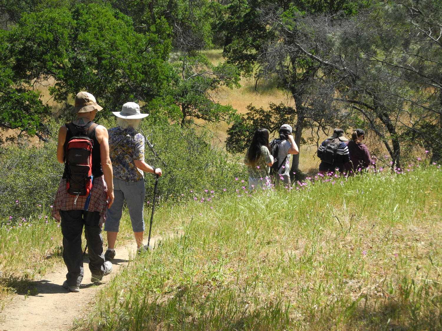
Only four days after my hike with the Ramblers, I was back on the San Joaquin River Trail at the Gorge again. With me this time were my daughter Teri, her mother Jackie, and five of their friends. Some of them had hiked at the Gorge, but it was the first time on the upper trail for all but Teri and Jackie. I was interested to see the changes in flowers in only four days. The previous day had been the warmest so far this year, in the mid-80s. The bright yellow common madea, which appeared along the road to the trailhead, had completely wilted. On the other hand, mustang clover, which I had not seen this year, was creating large patches of white along the road. The single stand of tall pink Farewell to Spring along Auberry Road had expanded to a quarter-mile display. |
|
|
|
|
Dila, Maria, Abby (in front of Maria), Rose (in back), Jackie, Kara and Teri |
Farewell to Spring start blooming about one month into the season |
|
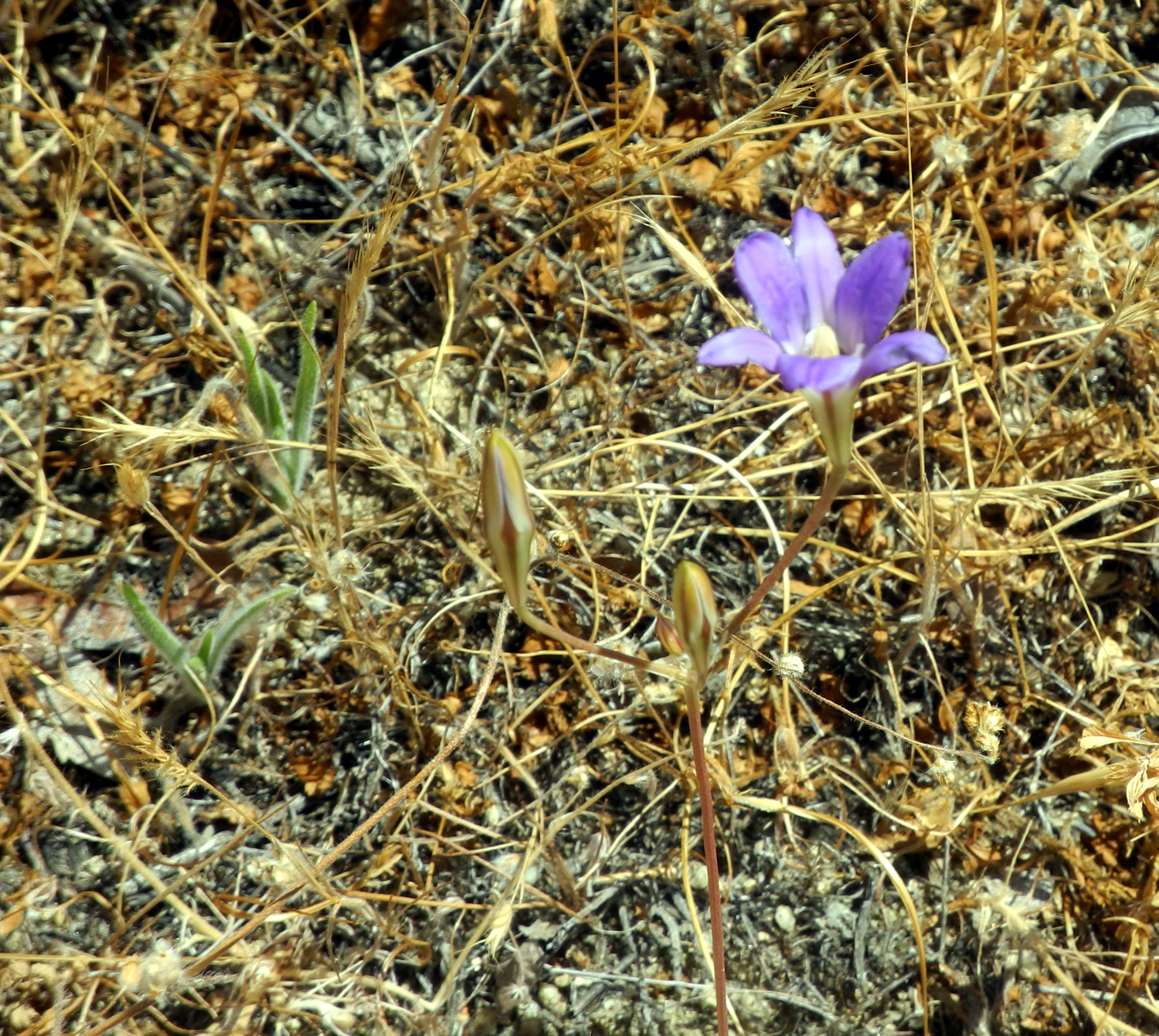
Also new along the trail this time was the brodiaea known as Athurial's spear, in small numbers. They made up for the fact that their violet colored cousins, which I just call purple brodiaea, were closed up and going to seed. The other noticeable floral change was an increase in Mariposa lilies. This is good, since they are one of the top five flowers in the state. |
|
|
|
| We saw only a few examples of Athuria's spear | The hikers on the trail |
|
Everyone enjoyed a stop at the fallen Big Burl tree, and some made their way through the drying grass to check out the bedrock mortars, AKA Indian grinding holes nearby. We continued on, going perhaps a quarter mile farther than I did earlier in the week, with no one feeling the need to turn back. When we got back to the parking lot, we got out the food each of us had brought and enjoyed a nice lunch and discussion about hiking, the outdoors, and life. NOTE: As sometimes happens, I did not take many photos. Most of those linked in the text are from earlier visits. --Dick Estel, May 2021 |
|
|
Photos (Click to enlarge; pictures open in new window) |
||
|
Sycamore Creek Sycamore Fire Road San Joaquin Gorge Bridge Trail San Joaquin River Trail at the Gorge Edison Point River Trail at the Gorge Again |
||
|
Sycamore Creek |
||
 |
|
 |
| This sign marks the first campground | Phecelia plants against the rock | Fiddlenecks, baby
blue eyes, miner's lettuce and popcorn flowers |
 |
 |
 |
| This tree has seen better days | A foothill report is
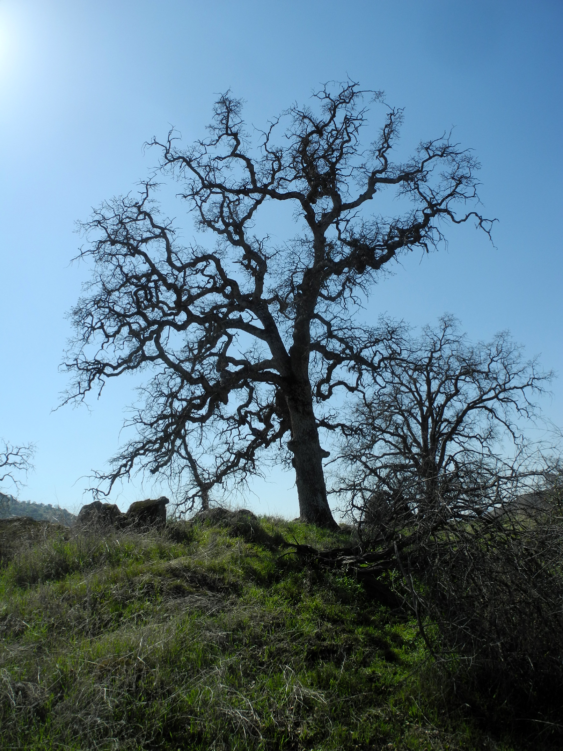
not complete without a leafless blue oak silhouette |
This tree appears to
have split in half but remained standing |
| Sycamore
Fire Road (Photos by Brittany and Dick) |
||
 |
 |
 |
| Baby blue eyes | Fiddle necks against a blue oak background | Baby blue eyes and fiddlenecks |
 |
 |
 |
| Manzanita | Brittany and Colton | Johnny and Teri |
 |
|
 |
| A hillside of popcorn flowers | The Mighty Jack | Colton on the log |
| San Joaquin Gorge Bridge Trail | ||
 |
 |
 |
| Frequent visitor at the entrance | A different view of
the bridge from the connecting trail |
Looking down river from the bridge |
 |
 |
 |
| New leaves on a blue oak | This rocky place
above the bridge is one of the few places in the gorge where poppies grow |
A closer look |
 |
|
 |
| Redbud in the rocky cliff above the river | We call this area Lupine Point | A few wisply clouds above the parking lot |
| San Joaquin River Trail at the Gorge | ||
 |
 |
 |
| Yellow throated gillia | A green scene by the trail | The falling pine was caught by an oak |
 |
|
 |
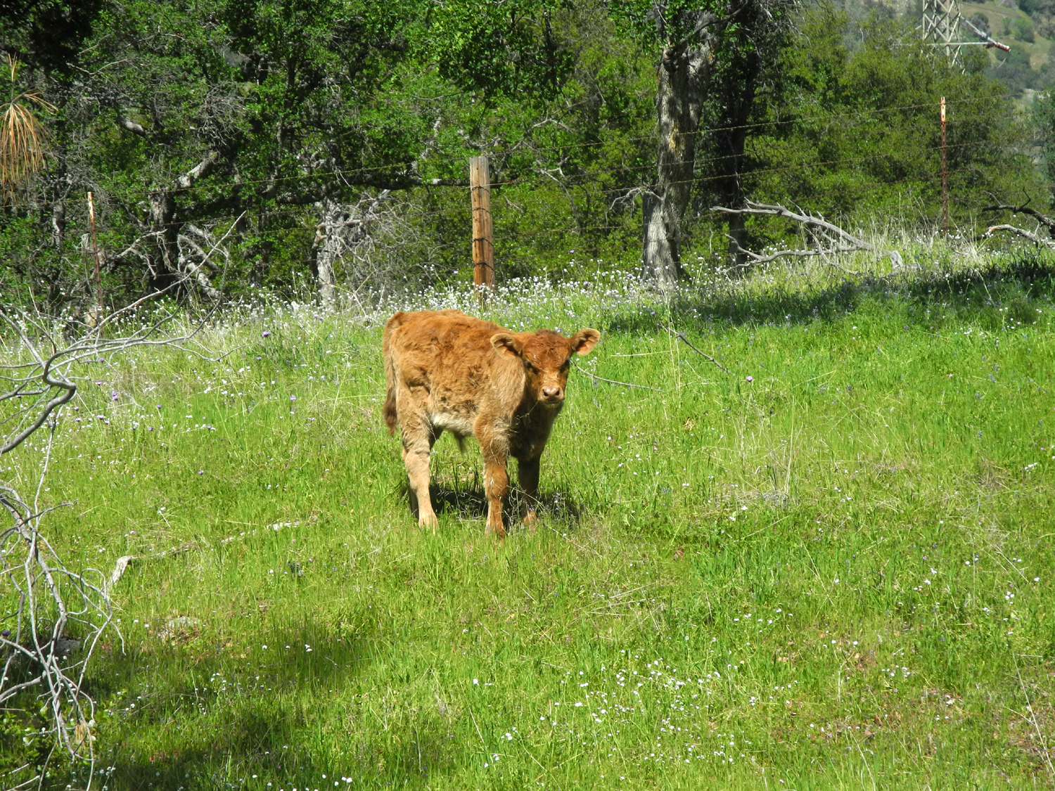
| Redbud on the hillside | The calf and I checked each other out | His mom and dad kept a watchful eye on me |
 |
 |
 |
| Ready for firewood | Fiddlenecks along Auberry Road | Colorful scene by Little Dry Creek |
| Edison Point | ||
 |
|
 |
| Tall ground lupines by the main road | "Daisy-like" flowers by the road | Golden brodiaea
grows on both sides and in the middle of the service road |
 |
 |
 |
| Golden brodiaea close-up | Massive field of golden brodiaea | Purple brodiaea and tall grass |
 |
 |
 |
| A spur road up to a transmission ower | Climbing brodiaea climbs its cousin | Mule ears and some dove lupines |
 |
 |
 |
| One more
unidentified flower, plus a few late popcorn flowers |
Moss mosaic on granite | Queen of wildflowers, the Mariposa lily |
| San Joaquin Gorge River Trail Again | ||
 |
 |
|
| Tiny yellow-throated
gilia were almost hidden among the drying plants |
In addition to
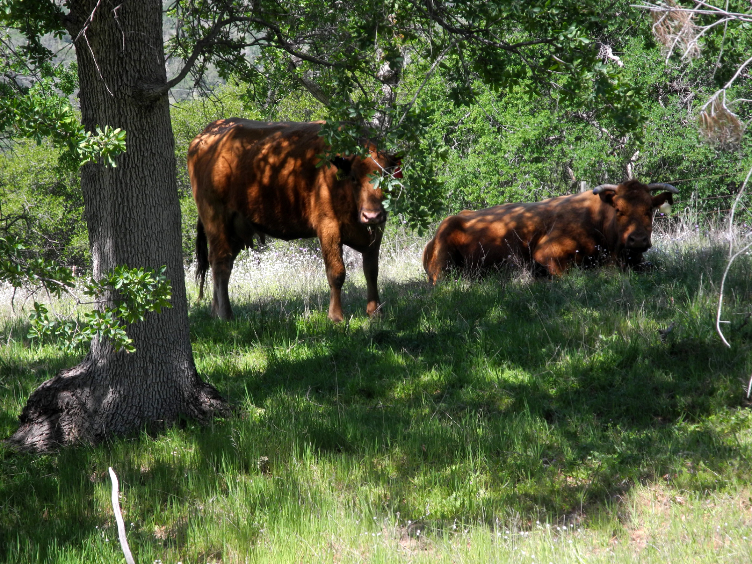
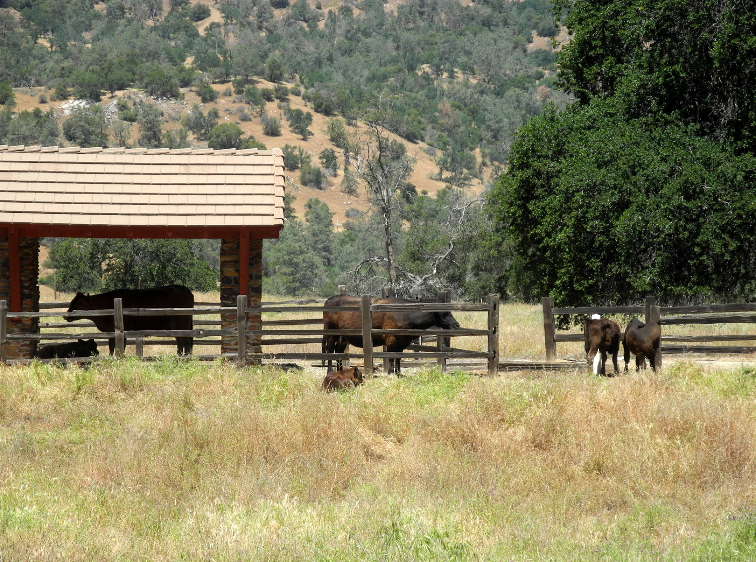
recreation, the area provides grazing for cattle |
|
| Related Links | ||
| Pine Flat Lake | Sycamore Creek | 2020 Sycamore Hike |
| San Joaquin Gorge Photo Album | San Joaquin River Gorge | San Joaquin River |
| San Joaquin River Trail | Yellow Throated Gillia | Devil's Postpile National Monument |
| Edison Point Trail | Pretty Face Brodiaea | San Joaquin Gorge Photo Album |