
|
Into Los Gatos Canyon |
||
|
About
34 years ago, when my kids were middle teenagers, we went on a road trip in western
Fresno
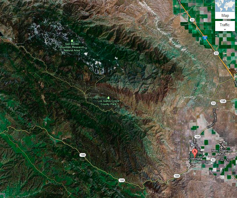
From Coalinga we headed north up
Los Gatos
We continued on, coming to a place where the road turned to dirt for a few miles. In this area there were signs along the road warning of asbestos in the soil, and many people riding dirt bikes (I assume a day of dirt riding is not as dangerous as working for Johns-Manville for 20 years). The road went up higher, became narrow and winding, and went past
the closed New Idria Quicksilver
Mine, then out into the valley through Mendota. During
part of this trip we briefly drove thorough a section of San Benito
In
recent months I have been wanting to go as far as the county park, to check it out
as a possible winter camping site, and to take some pictures of the
oil pumps. I had scheduled this trip twice, canceling both times due
to unsettled weather. I finally decided that Tuesday, December 11,
was the day. The temperature was predicted to be in the mid 60s,
with no chance of rain, so I got started about Although it was sunny
where I live in Clovis, I hit light fog as soon as I got on Highway 168 west, and it got
thicker as I continued farther west into the country via Highway
180. It was never as bad
as the worst of our winter fogs, but for quite a few miles I kept my speed
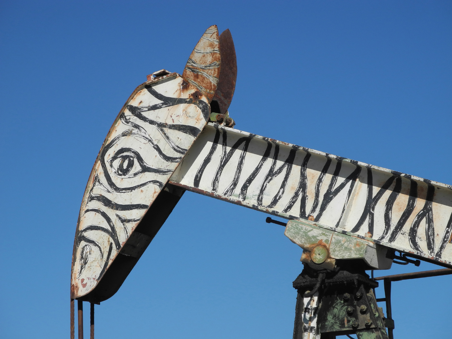
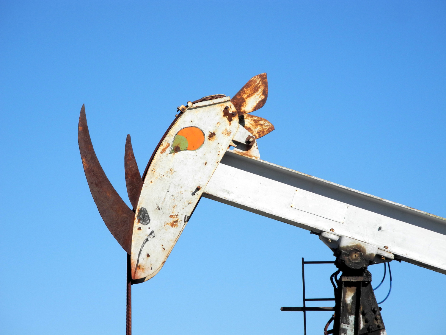
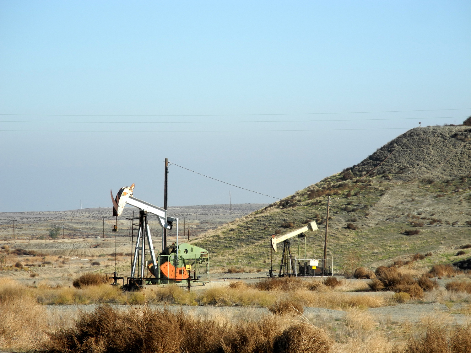
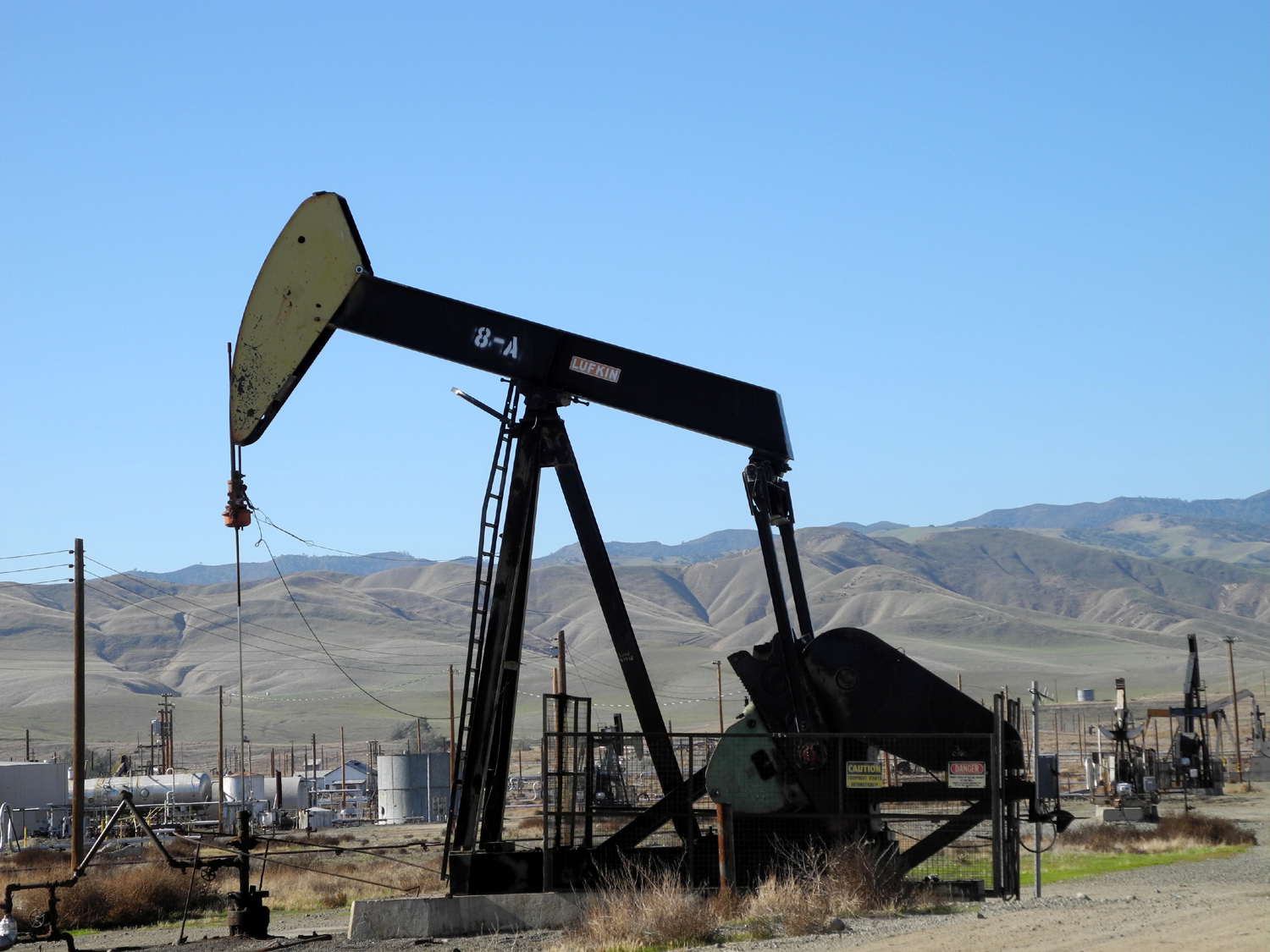
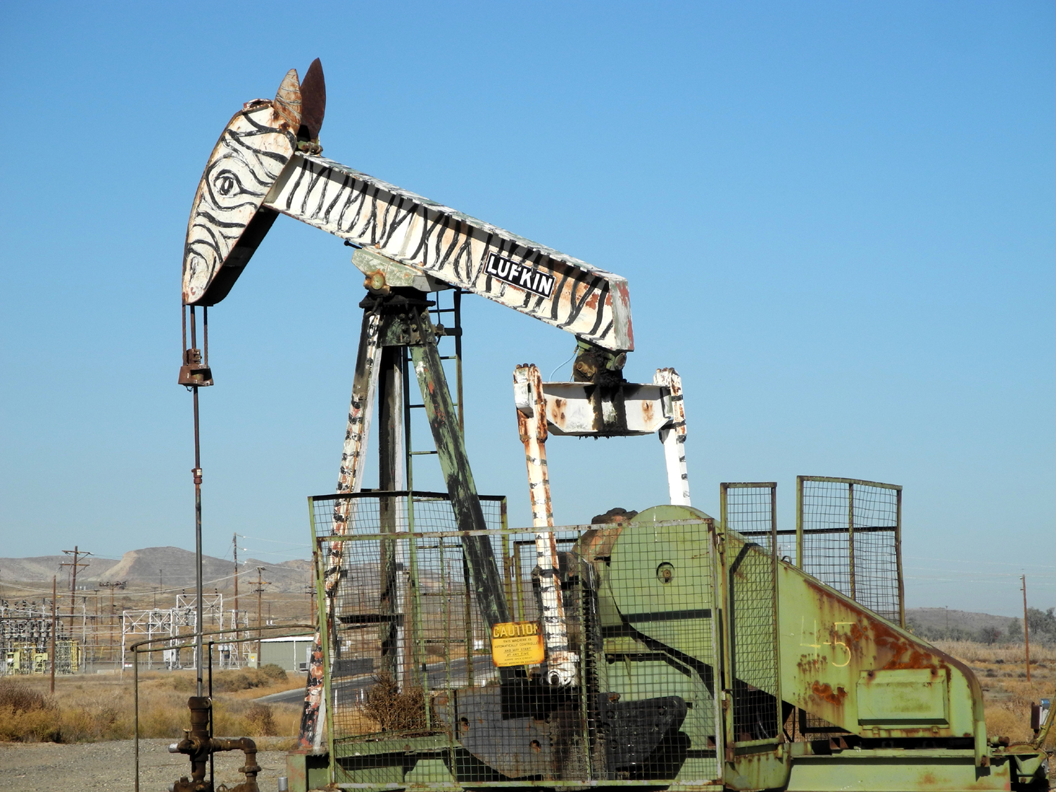
at 45 Eventually the fog began to burn off, and somewhere along McMullin Grade, visibility became normal – hazy, but no problem driving at full speed. Turning west at Five Points, I followed State Highways 145 and 33, known in this stretch as the Fresno-Coalinga Road, and soon after crossing Interstate 5, I came to the oil pumps. It looked as if some had been removed, and those that remain are rusted and faded, needing some new paint. Nevertheless, the animal markings were quite visible, and I got a number of good photos, walking into the oil fields on both sides of the road to get closer. I then continued on over the pass, observing that some light fog
lingered over Pleasant
After
the first two or three miles, the road into the canyon became winding and went up and down along the
creek, but it was in very good condition and reasonably wide. Most of
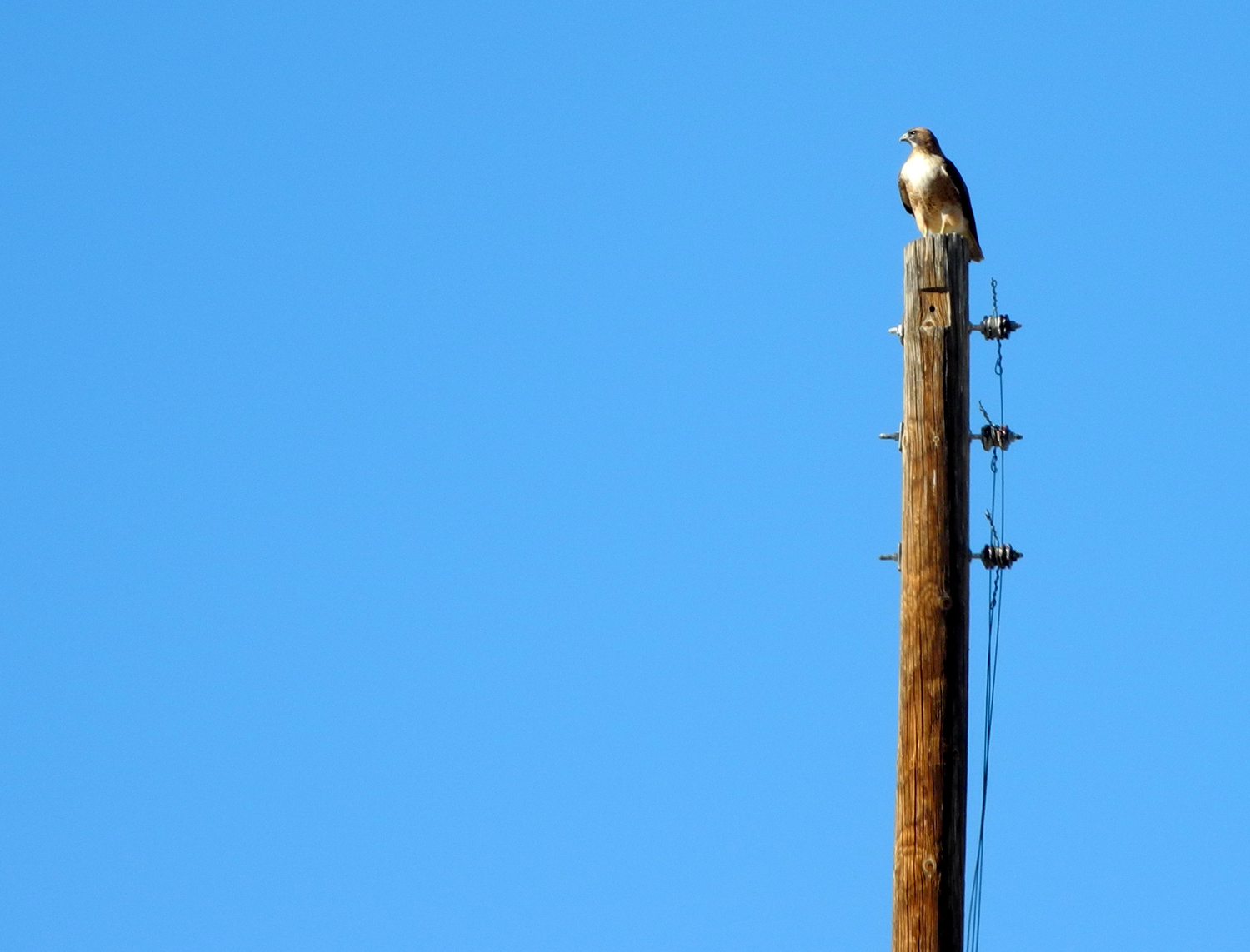
the time I could go 30 to 40 The vegetation is made up of typical coastal foothill species, much like the Sierra but with the addition of a lot of small juniper trees. During my trip I saw many, many hawks, including two who posed, one on a pole in the oil fields, one on a tree just outside the park fence. The park has lots of picnic tables, with garbage cans, BBQ pits, and
fire rings at most sites. There was one bathroom, filthy beyond
belief, in what I think is the overflow section. There is also a
backstop for softball there, with a field that is far from flat. The
price for camping is $18, but only $5 for seniors. There is plenty
of terrain that is open enough for walking. You could do a lot of
exploring outside the park, but it is fenced with stern no
trespassing signs. There are yuccas on the hillside, gone to seed at
this season. The first part of the park road is paved, then dirt with a muddy but easily passable section leading to the overflow section. There is no Internet/cell reception. On the highest part of the main campground there is a
dirt road
going up and around – not good for my Honda, mainly for quads and
dirt bikes. The park is not really RV friendly...no flat spots, and
low branches near every table. There is one pretty good spot. I
don't know if I would camp here. I would mainly go to eat, drink, and read,
and I explored most of the park during the time I was there. There was no one
else there. There was lots of trash around the
"overflow" sites, otherwise it was pretty clean. There is
a strong juniper smell as you walk around. It was cool with a breeze
some of the time, but a bit warm walking with a sweatshirt over a T-shirt. Sitting at a table right after I arrived, I could have used
a 3rd layer but I toughed it out. It was 83 miles from my house to the campgrounds. I spent about 45 minutes there, and having accomplished both my goals, headed home by the same route, enjoying clear, sunny weather all the way. --Dick Estel, December 2012 |
||
|
|
||
|
|
 |
 |
| The zebra oil pump | A closer look | Looks like a rhino |
 |
 |
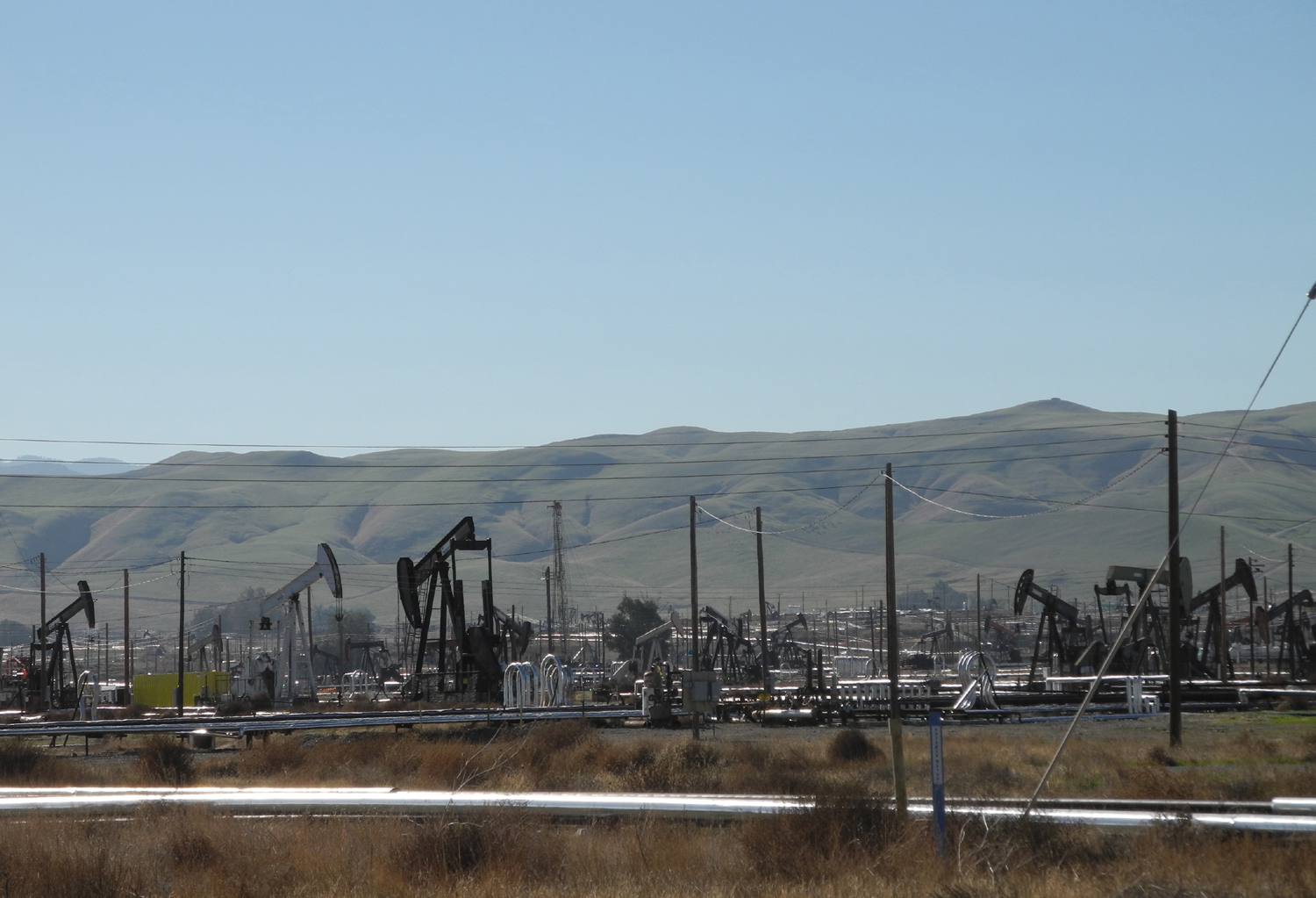 |
| "The Chief" wears a jaunty feather | Wider view of the oil field | Lots of pumps at Gale Avenue and Derrick Road |
 |
 |
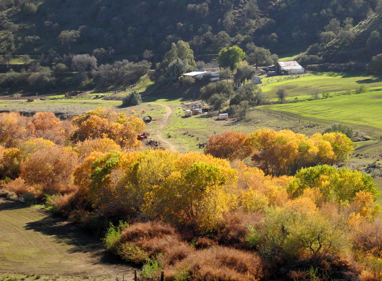 |
| A modern oil pump | Watching for dinner | Ranch along Los Gatos Canyon Road |
 |
|
|
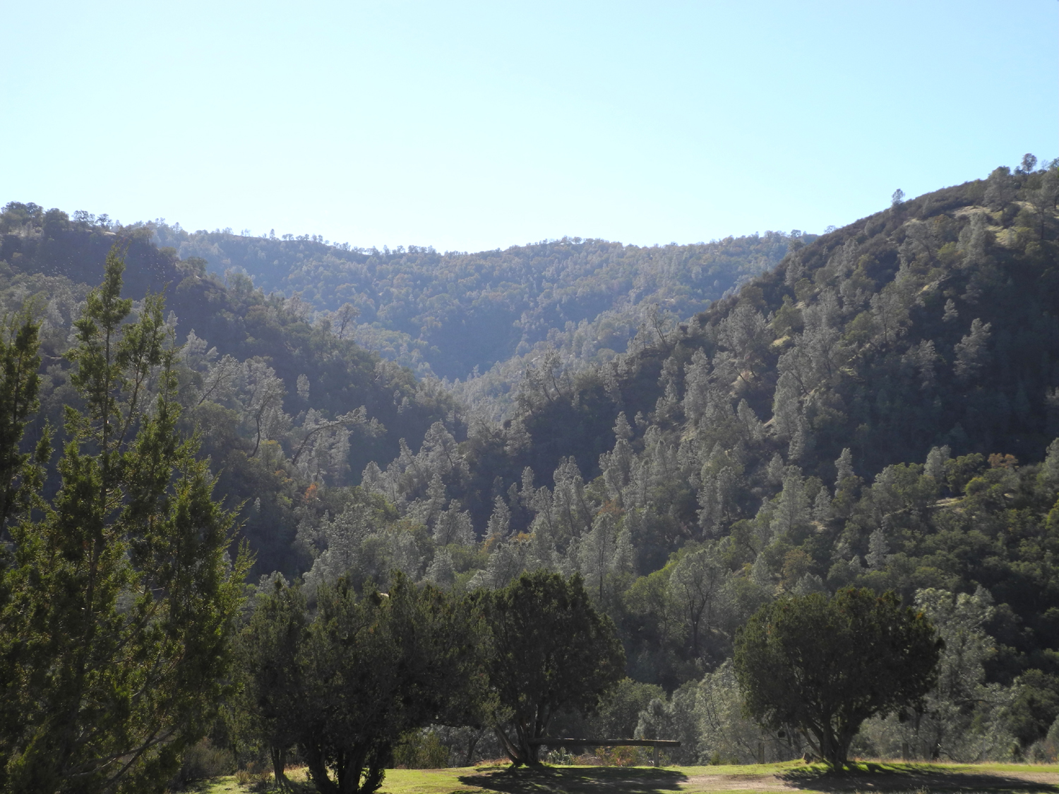
| Green hills along the canyon | A fixer-upper along the way | Looking west from the park |
|
 |
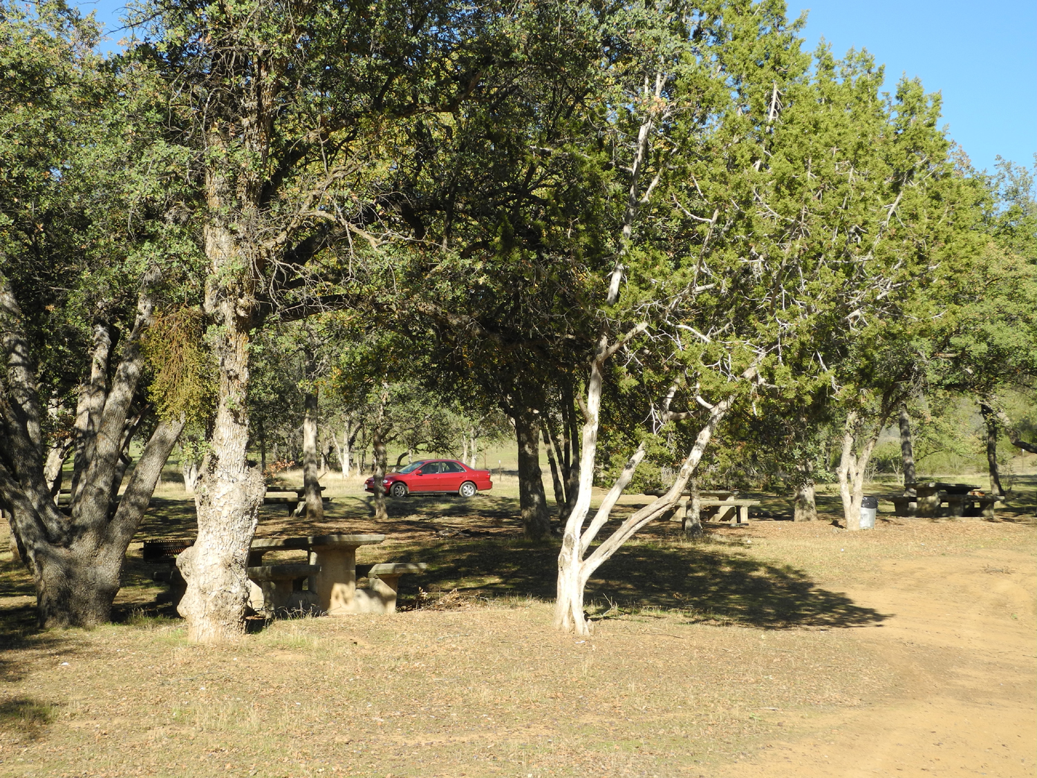 |
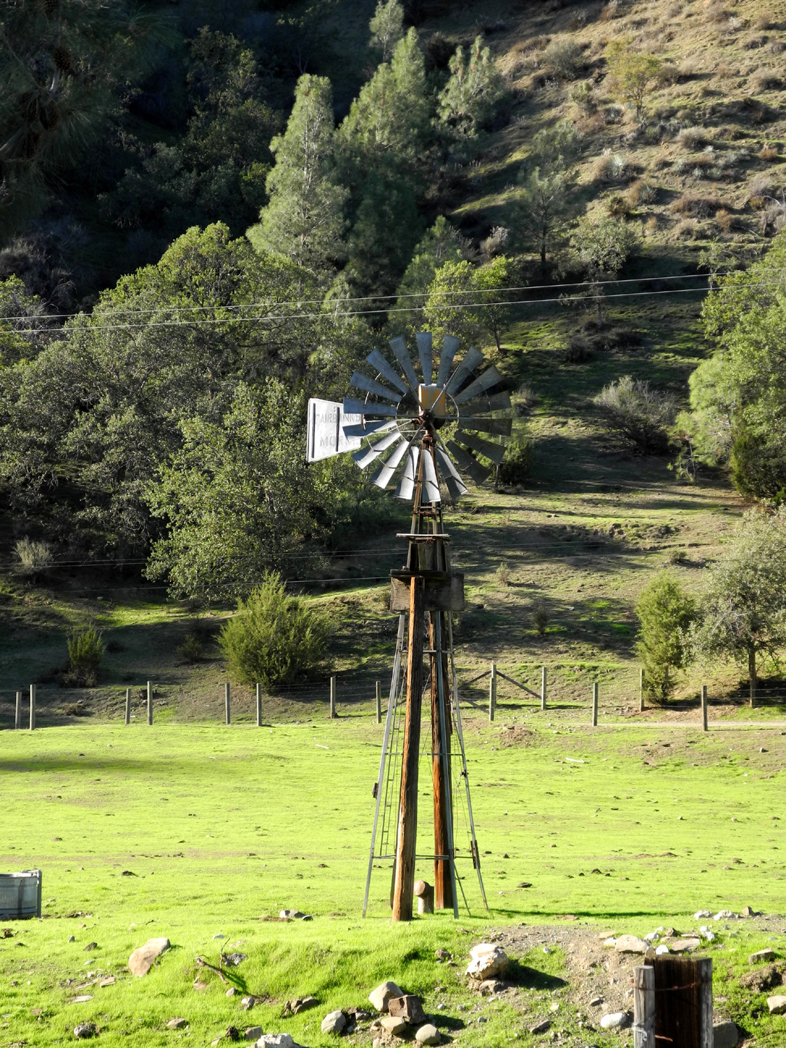
| Ranch next to the park | Ranch windmill along the road | Oaks
and Junipers in the park (Dick's car adding a spot of red) |
 |
 |
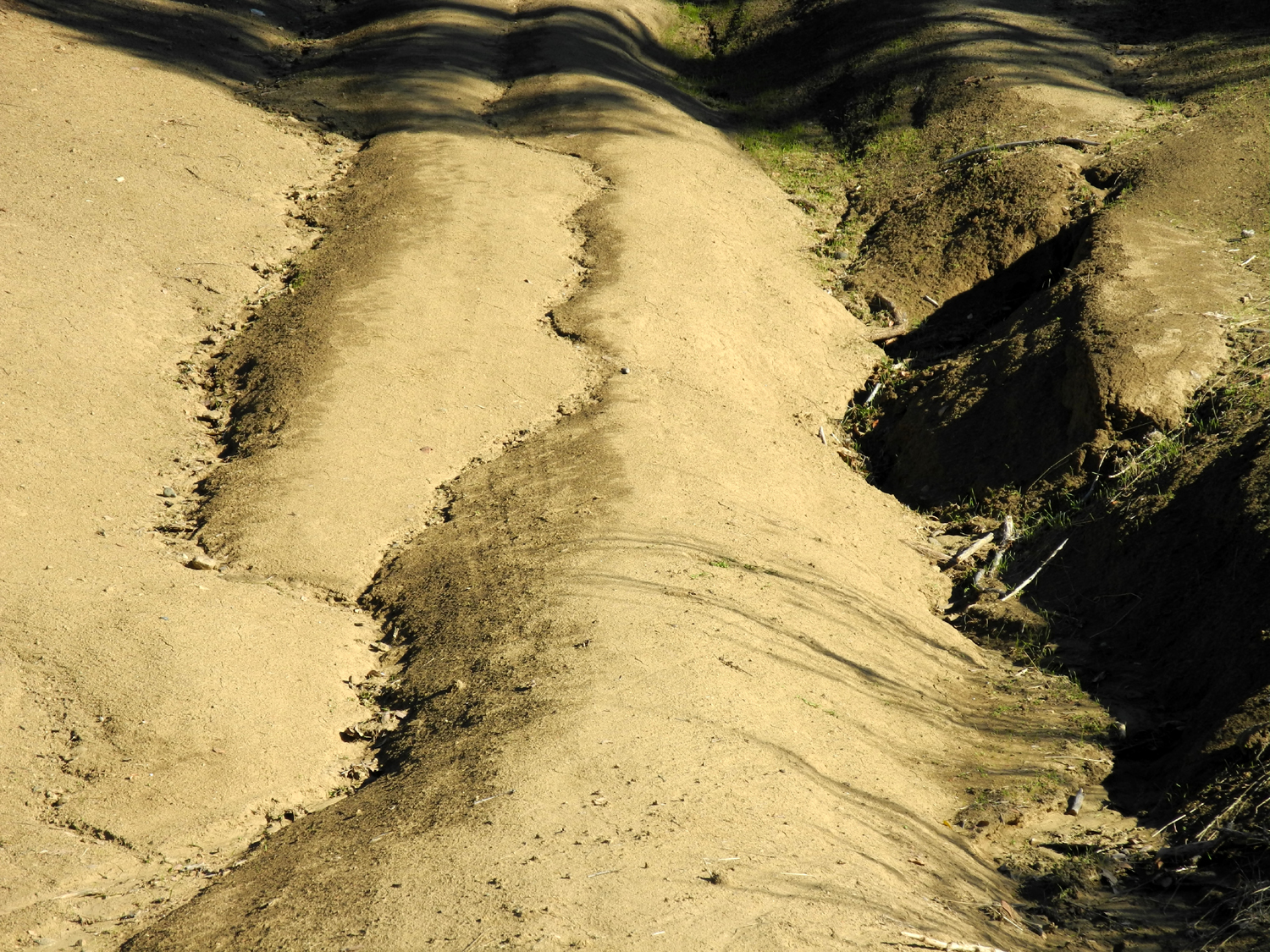 |
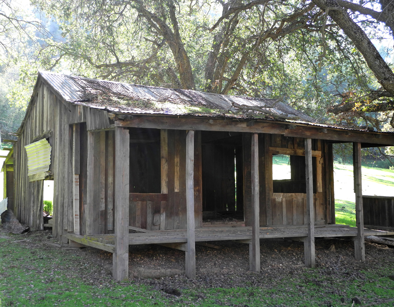
| Hugh burl on blue oak tree just outside the park | A closer look | Rutted recreation road in camp |
 |
 |
 |
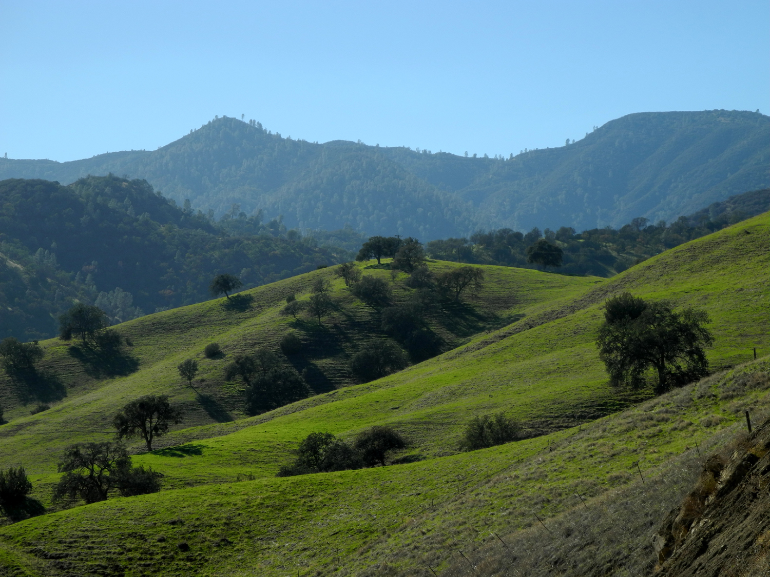
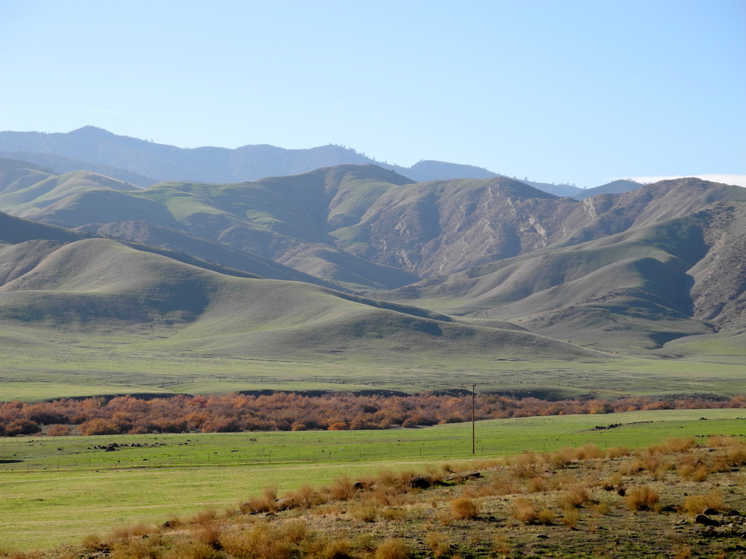
| Where the canyon opens out into Pleasant Valley |
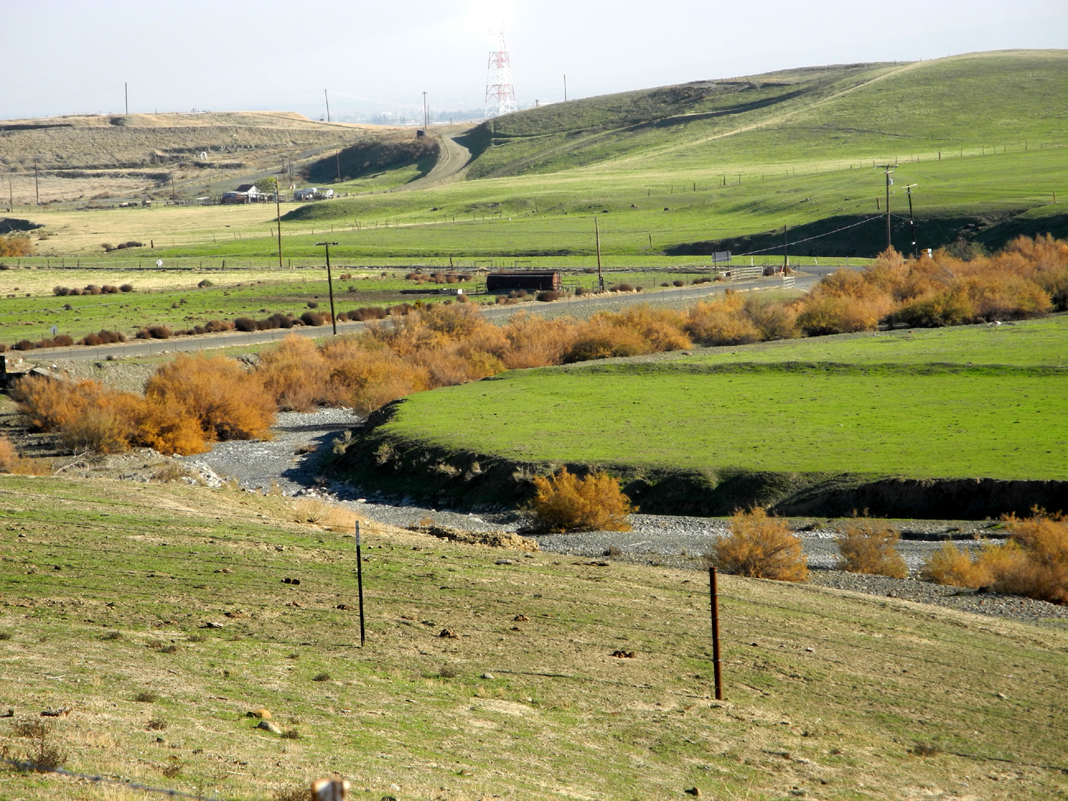
Los Gatos Creek | Coalinga, lower right; Los Gatos Park, center |
| Related Links | ||
| Los Gatos Creek Park | Coalinga | New Idria Quicksilver Mine |
| Coalinga Oil Field | ||
| Los Gatos Canyon Crash | Deportees Lyrics | Background on Deportees |
