
|
Dick's Adventures of 2020 - Part 1 |
|||
| Photos Related Links More Travel Reports | |||
| Adventures
of 2016 Adventures
of 2017 Adventures
of 2018 Adventures
of 2019
2020 Part 2 2020 Part 3 2020 Part 4 2020 Part 5 2020 Part 6 2020 Part 7 |
|||
| Eaton Trail San Joaquin Gorge Trail to Pincushion | |||
| Hiking
with the Upshaw's: Eaton Trail
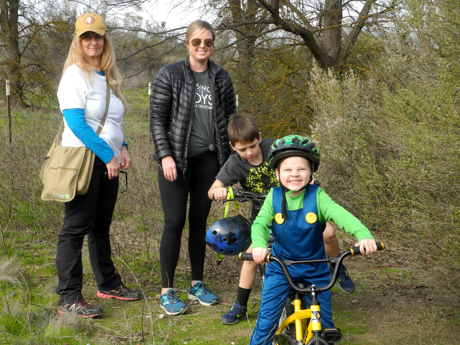
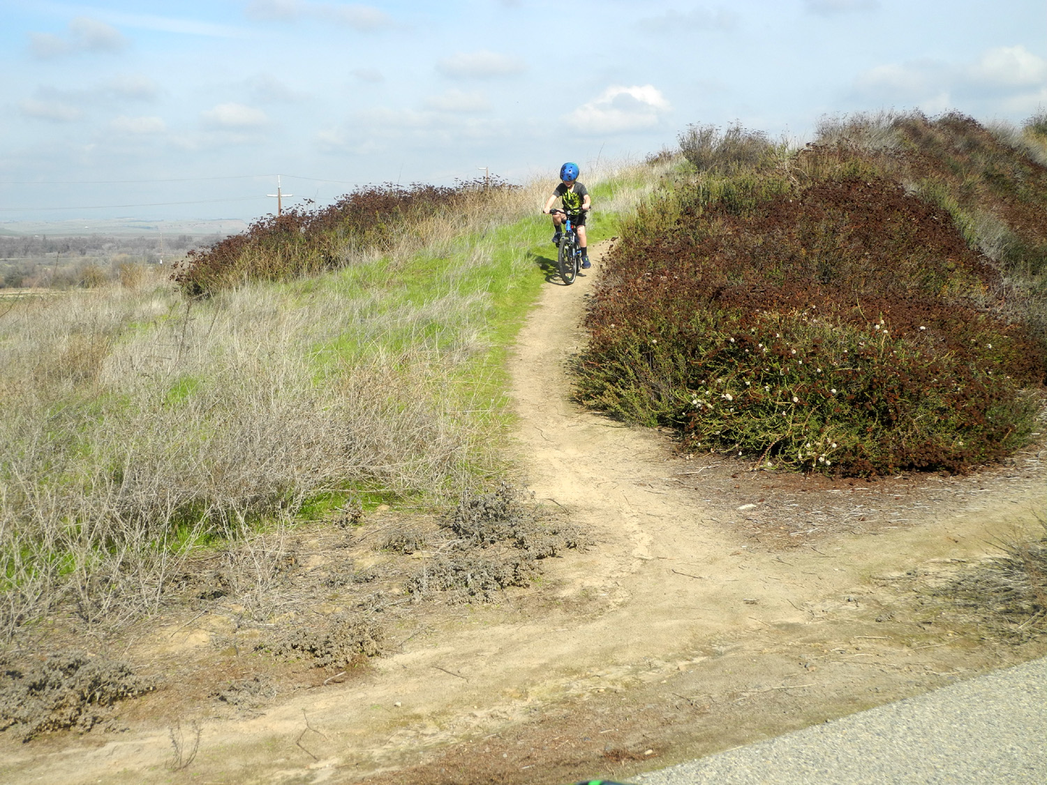
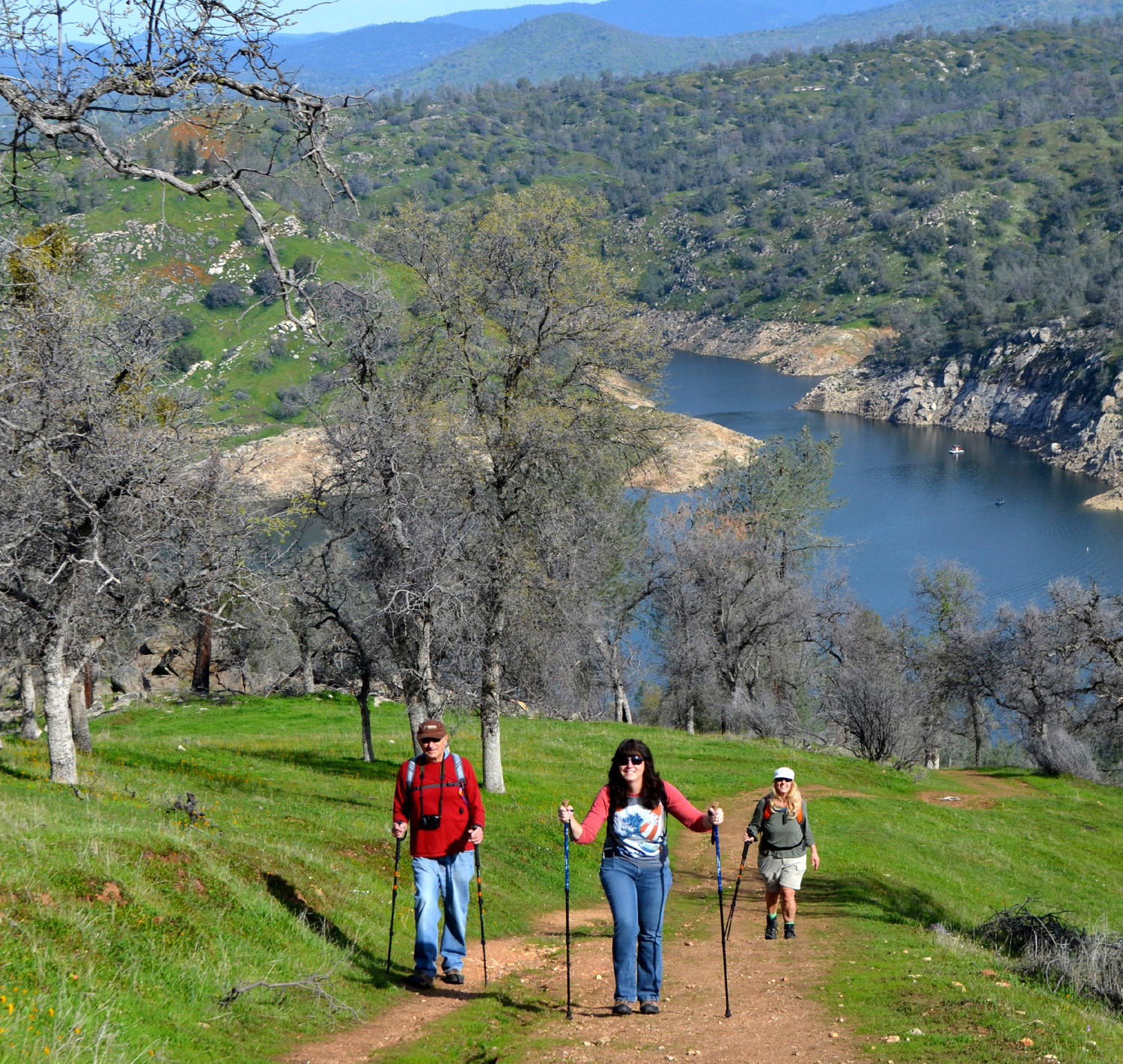
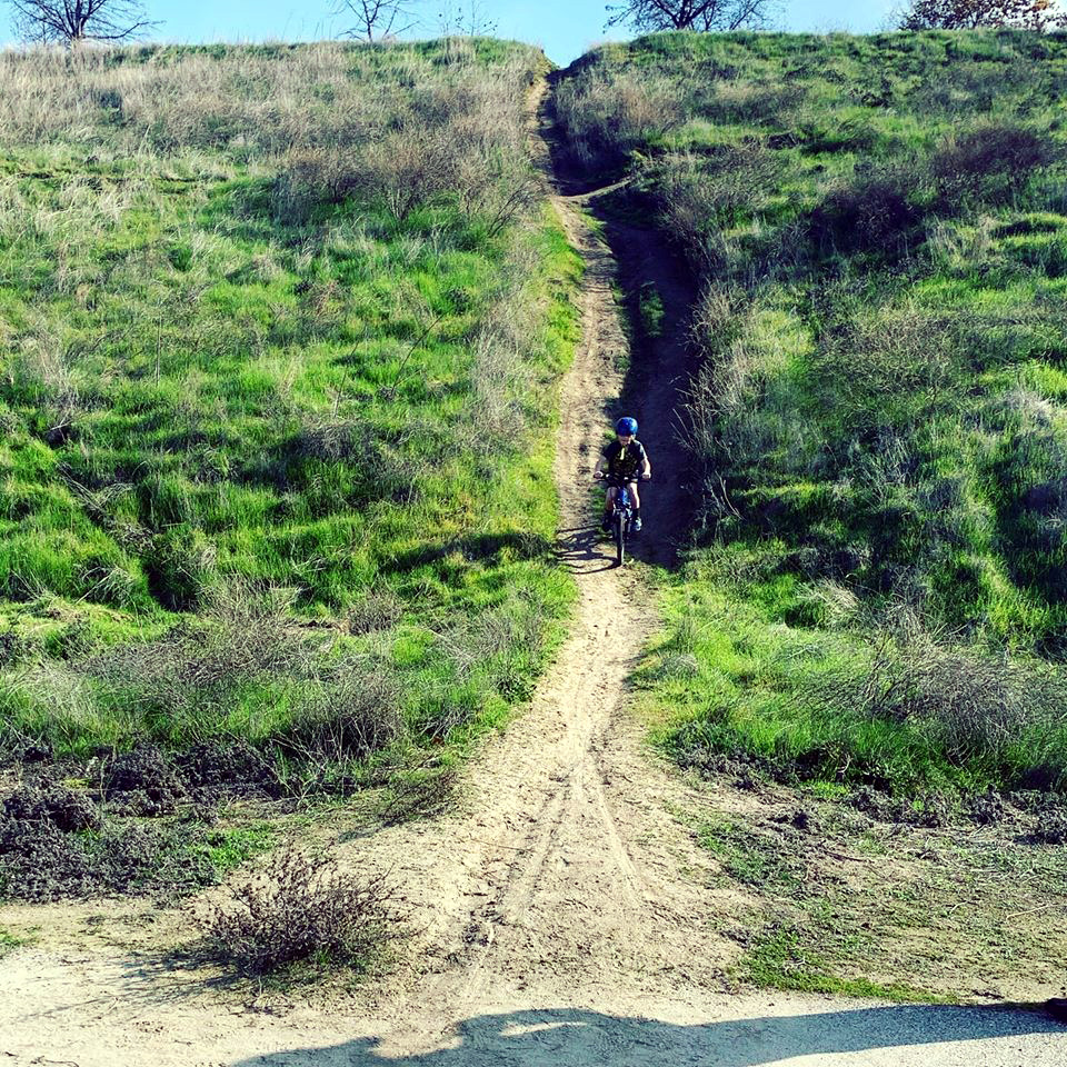
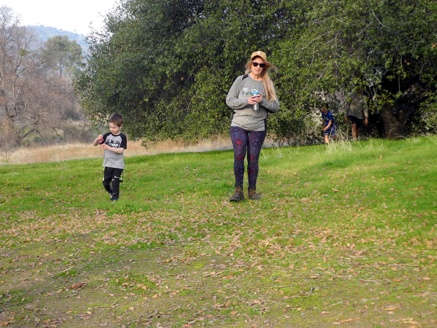
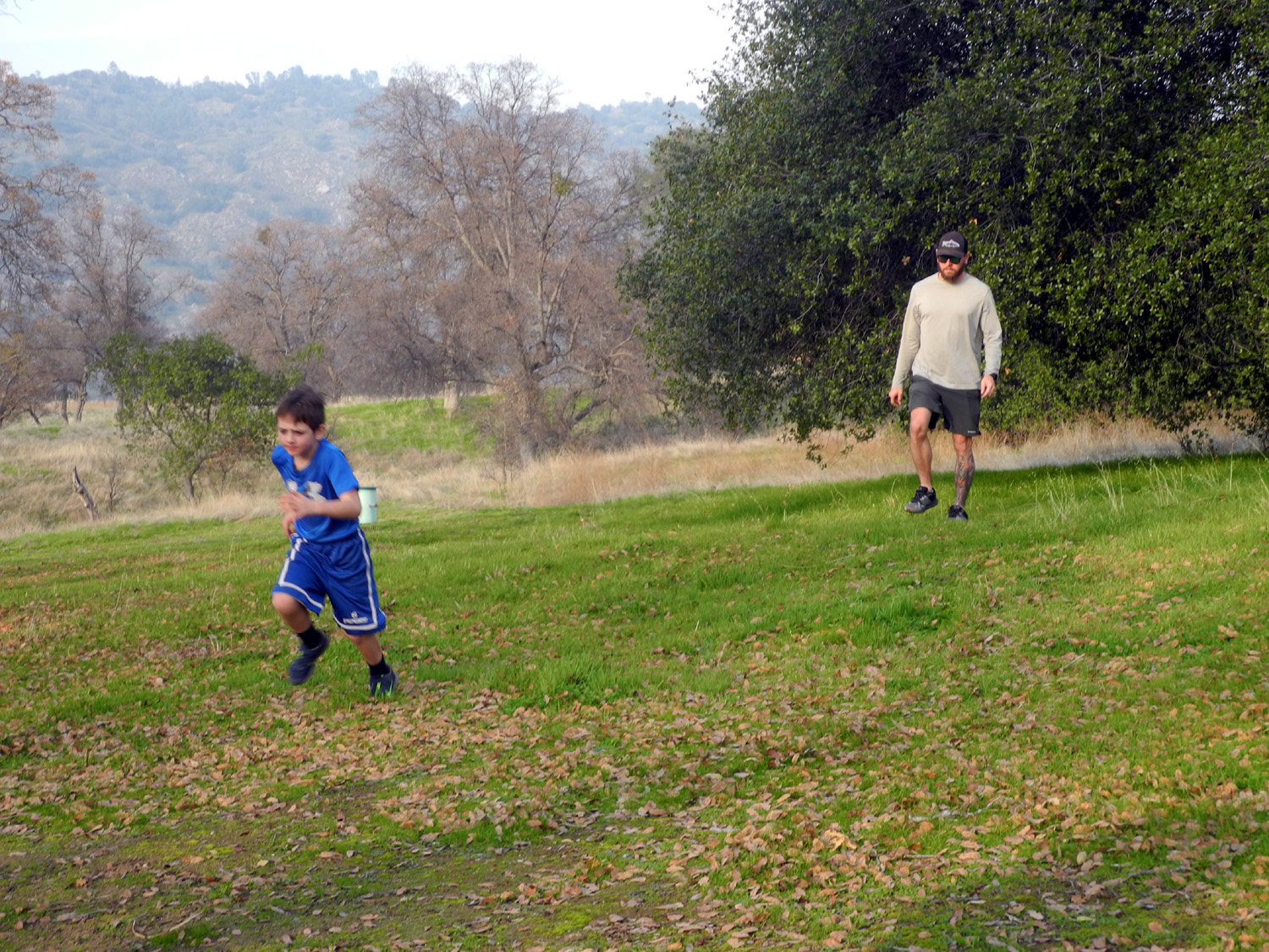
In January I enjoyed two hikes with my great grandsons, one of their parents, and my daughter Teri. On January 12 it was their Mom, Brittany, with the adults walking and the boys riding their bikes. Dad Johnny is training for a half marathon and was running that morning; he would join us for lunch after the hike. Our destination was the Lewis S. Eaton Trail, a popular walking and biking path that runs parallel to the San Joaquin River, and ends for now at the Coke Hallowell Center for River Studies. The trail runs along the top of the river bluff, then winds down to the river bottom. In the banks along the trail, people have created informal trails which provide a challenging uphill climb and a thrilling downhill ride. (Click here for more Eaton Trail reports.) |
|||
| Photos by Brittany Upshaw and Dick Estel | |||
 |
 |
||
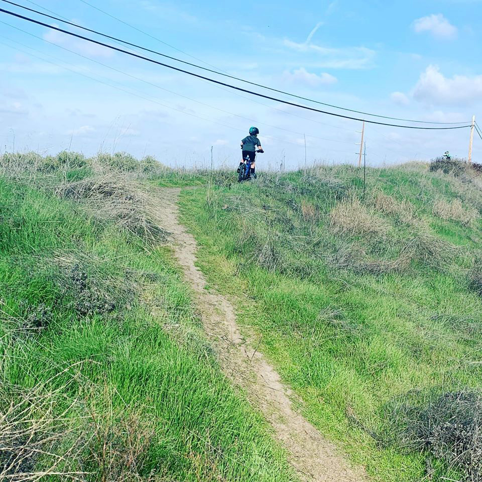
| Teri, Brittany, Colton and Jack | Gettmg all the way up this trail was a triumph for Colton | ||
|
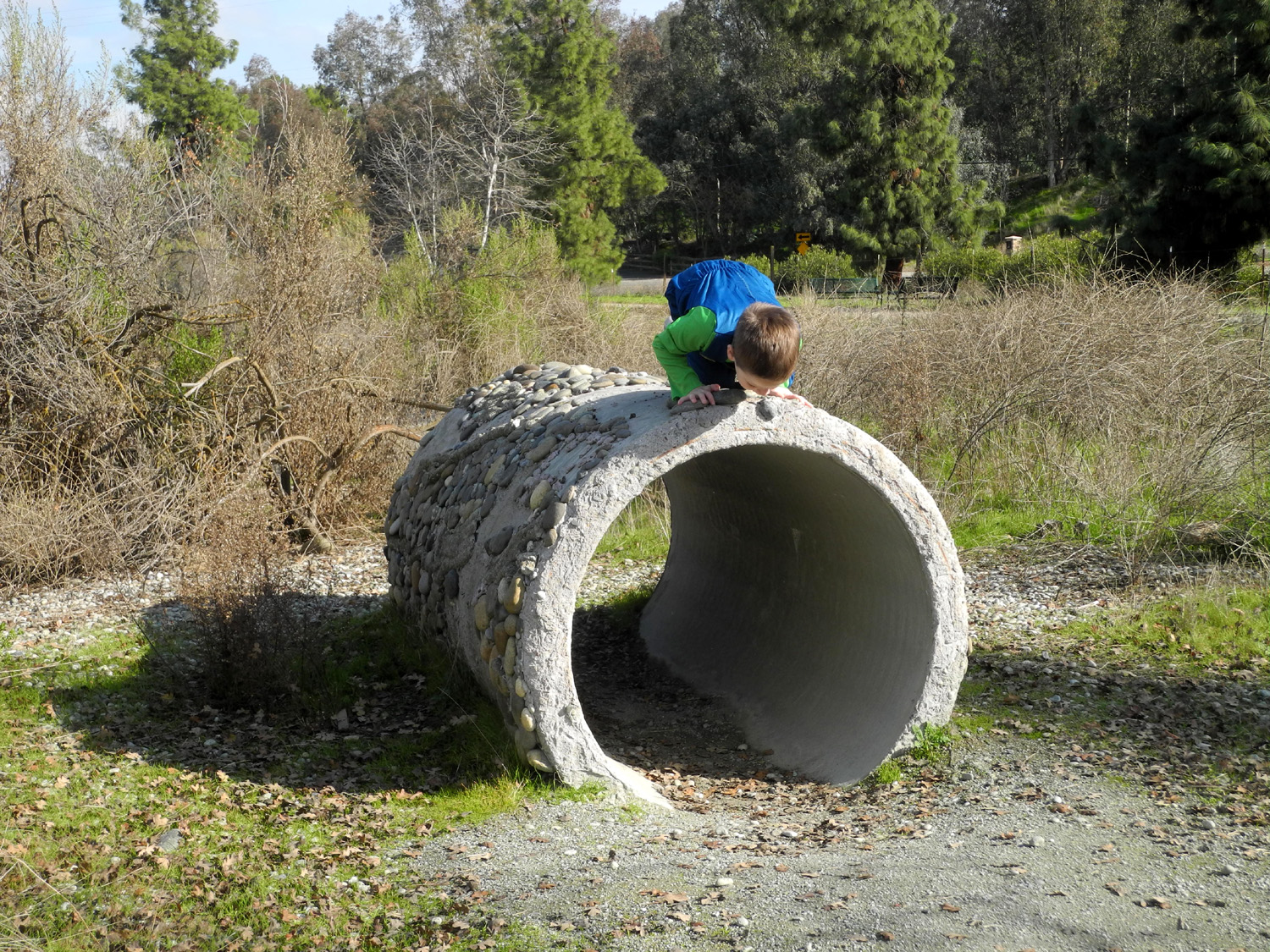
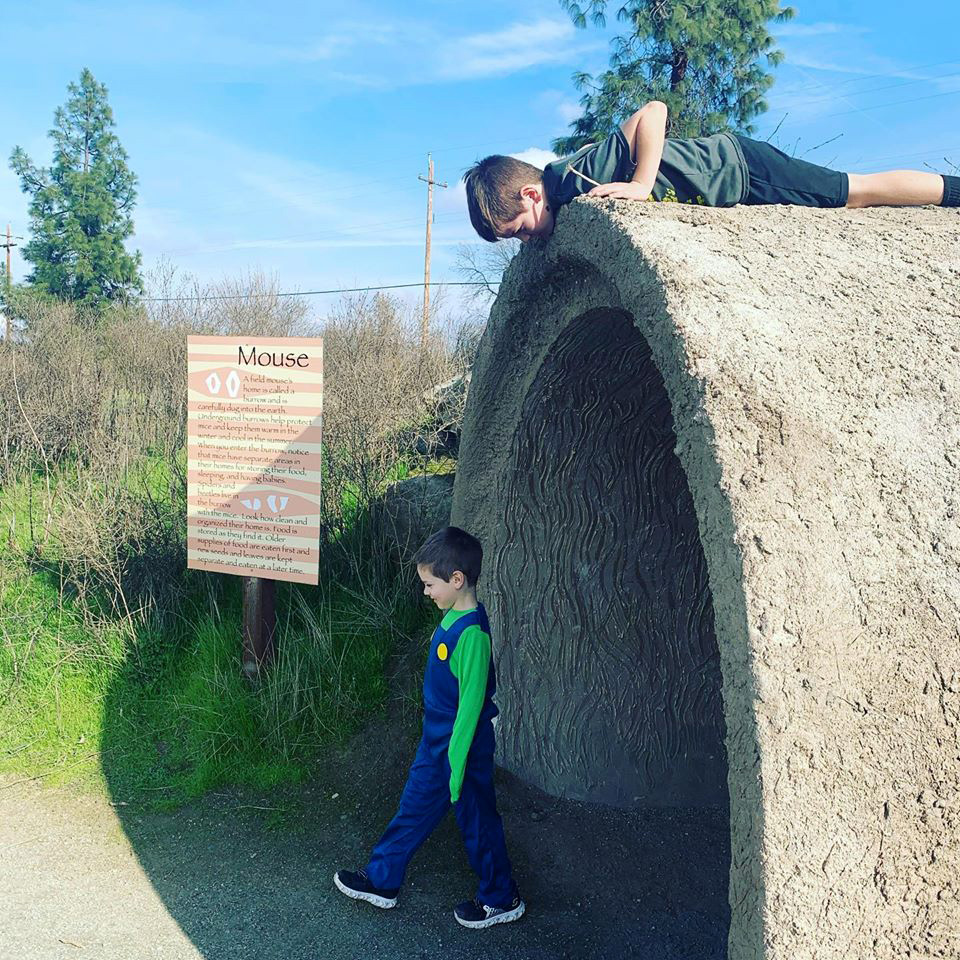
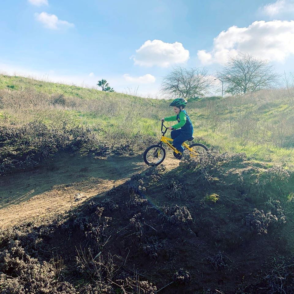
Colton and Jack went up and down several trails as the adults walked along. The favorite spot was a place where you can ride down the high bank, across the trail, then up a short trail in the bank on the opposite side. Other things they enjoy are the concrete replicas of animal "houses" along a dirt trail that loops around a nice pond next to the river center. The mouse house, big enough for Jack to walk upright, was a favorite. They left their bikes at the start of the dirt trail and we all walked around the pond, then back to the paved trail. |
|||
 |
 |
||
| Down comes Jack! | Exploring the Mouse House | ||
|
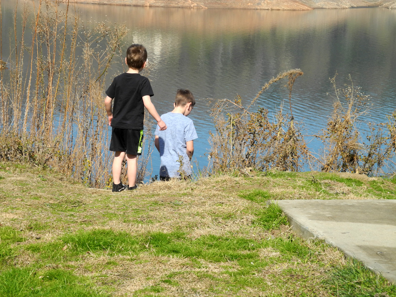
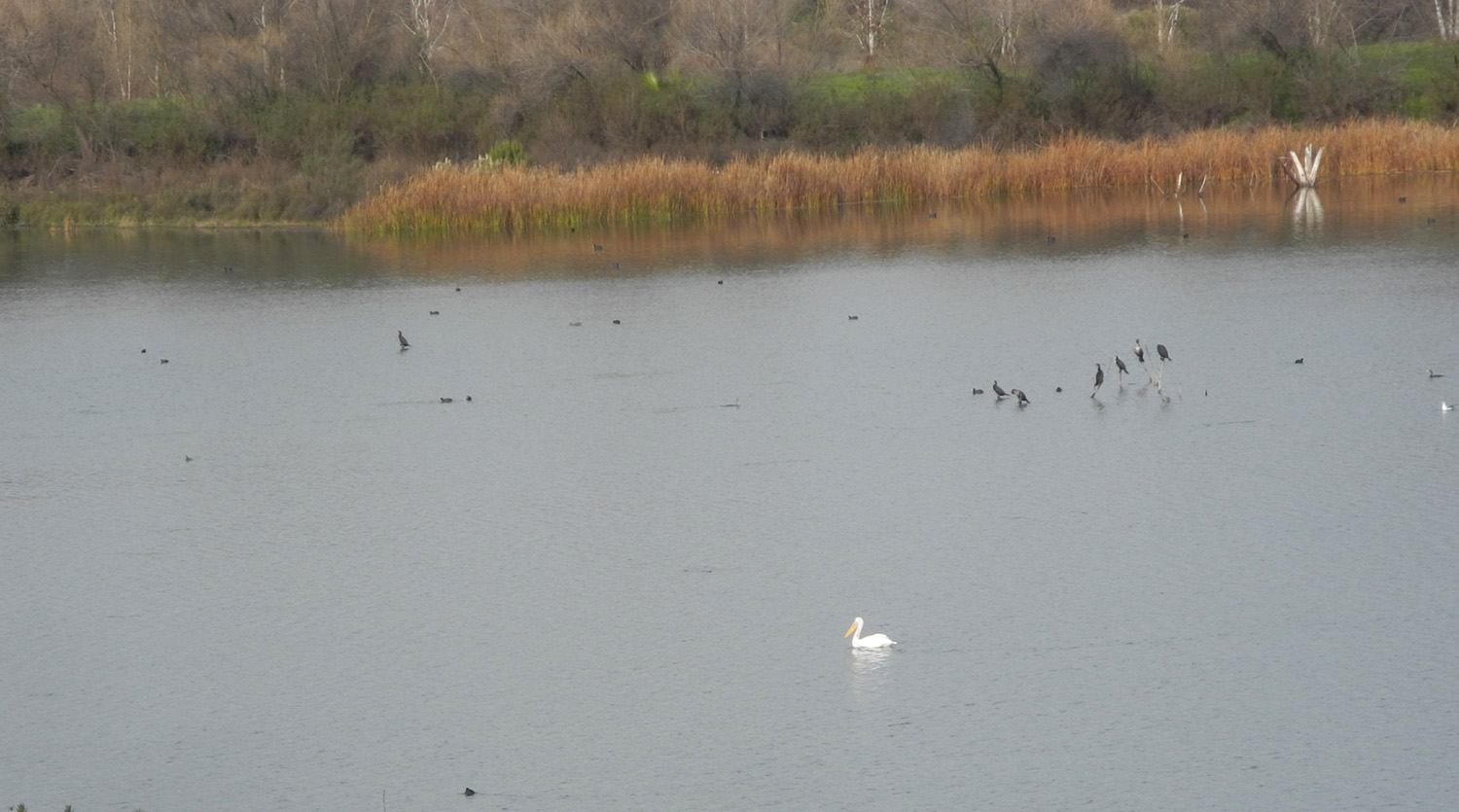
On our return the boys explored more of the dirt trails, and we all enjoyed views of the ponds along the river, created by gravel mining over the years. Ducks were common on the water, and we even saw a couple of pelicans, who have been making short visits to our area the last few years. |
|||
 |
 |
||
| This
trail rejoins the paved trail at the top of the bluff, and is a good alternative for walkers also |
Pelicans have been making short visits to our area the last few years | ||
|
The River Center is an old farm with a pre-fab house dating from the early part of the 20th century, and two barns. One of these was in poor condition when the center opened, but has been restored. There are also restrooms and a gift shop, which was not open during our visit. This facility offers educational events, including "eagle walks," and also serves as a venue for small concerts. Signs along the trail salute those who contributed to the development of this important community resource. |
|||
 |
 |
||
| Colton on the balcony of the old farmhouse | The pond next to the River Center | ||
|
After the hike, we met Johnny at The Habit, an excellent burger restaurant, the perfect ending to a great family outing. --Dick Estel, January 2020 |
|||
| Other Eaton Trail Reports | |||
| Eaton Trail Nov & Dec 2015 | Eaton Trail February 2016 | Eaton Trail June 2016 | Eaton Trail May 2017 |
| Ramblers Eaton Trail December 2017 | |||
| Hiking
with the Upshaw's: San
Joaquin Gorge
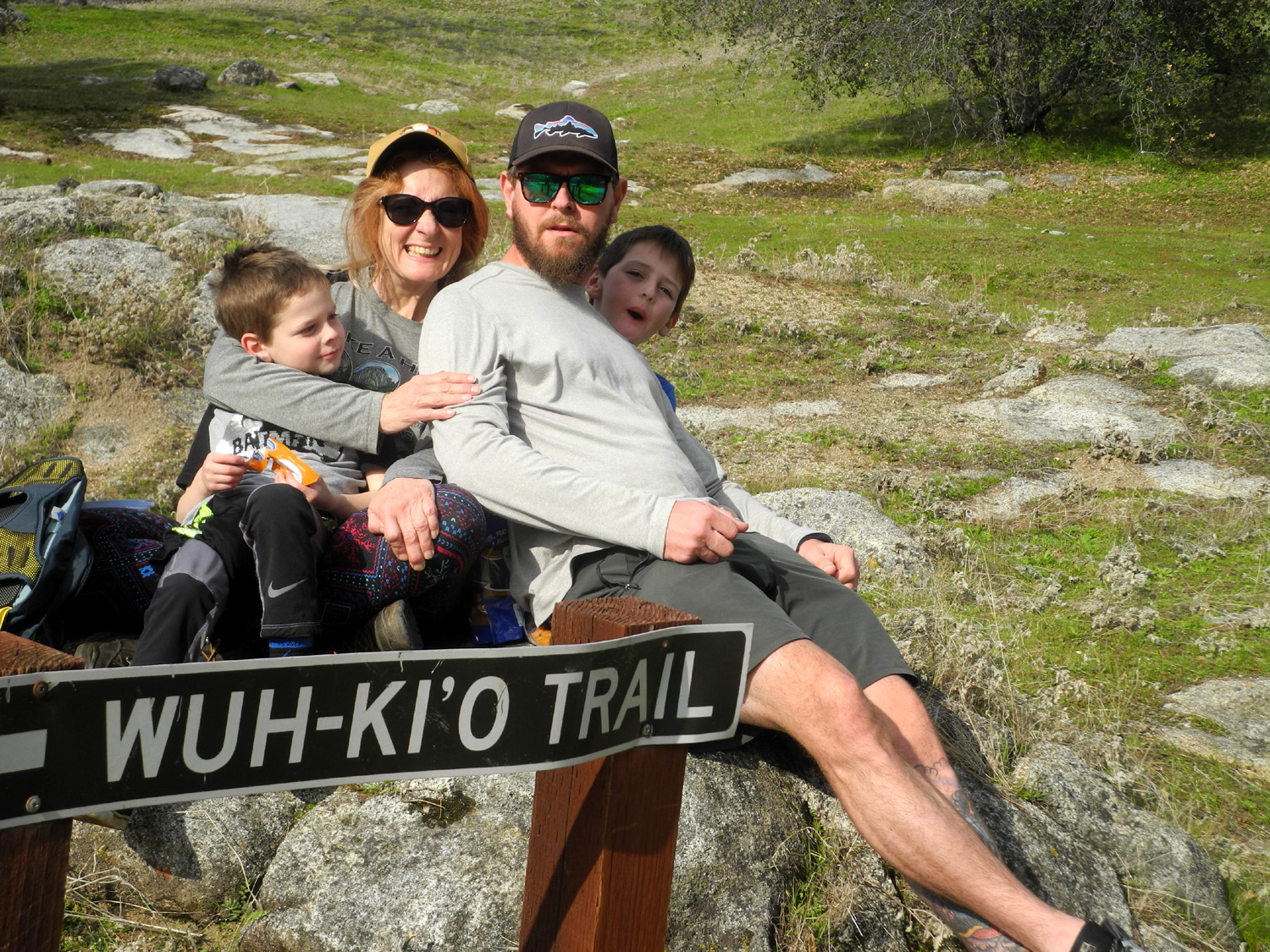
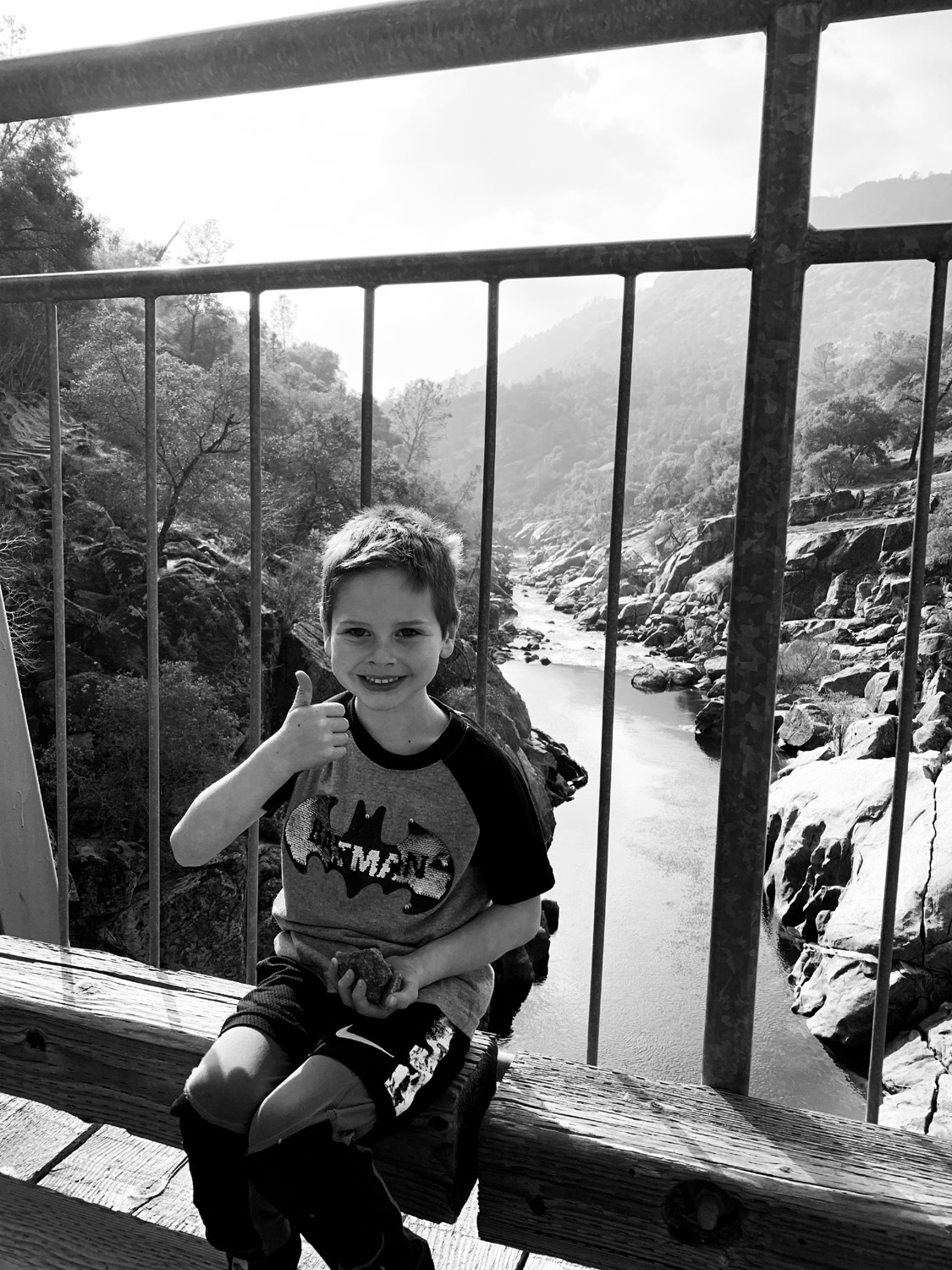
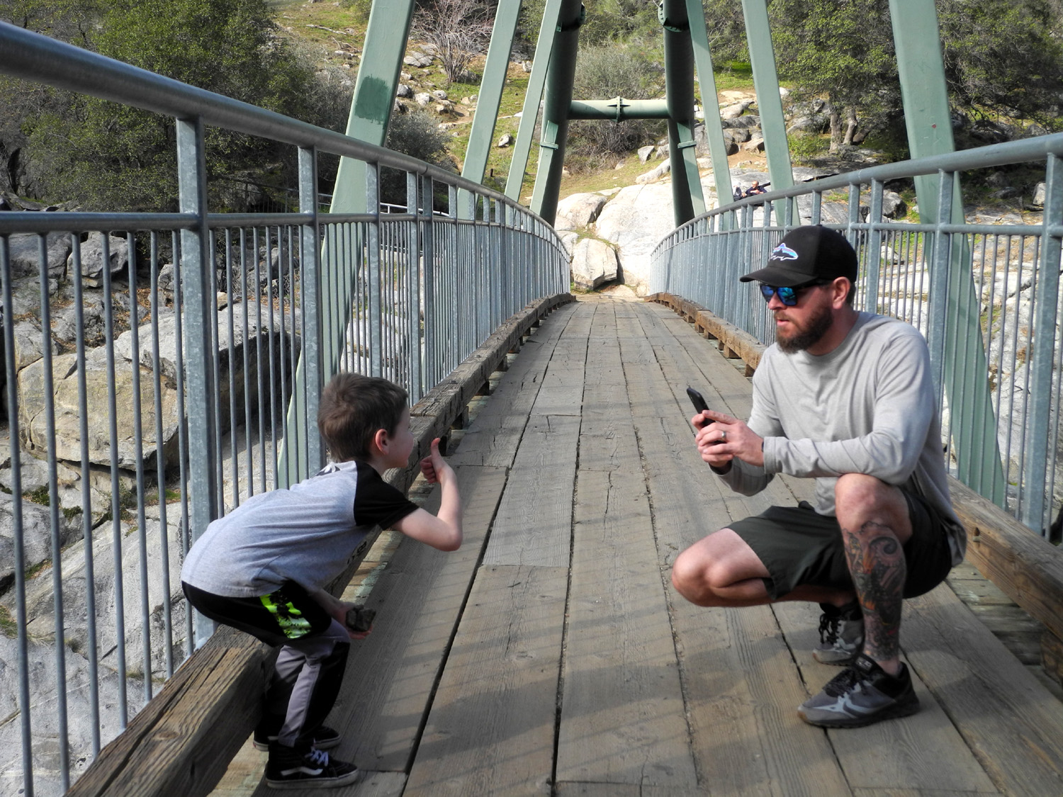
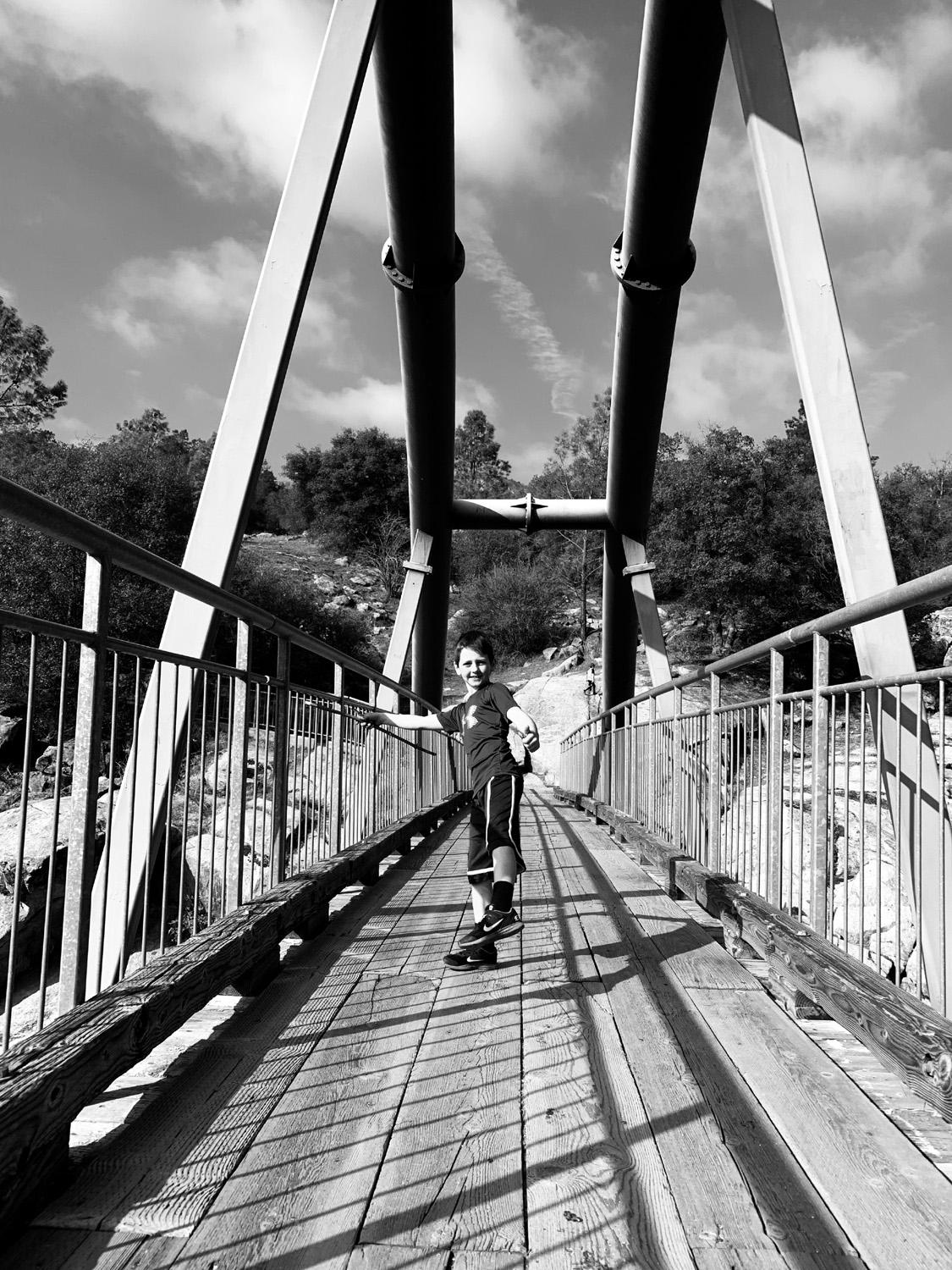
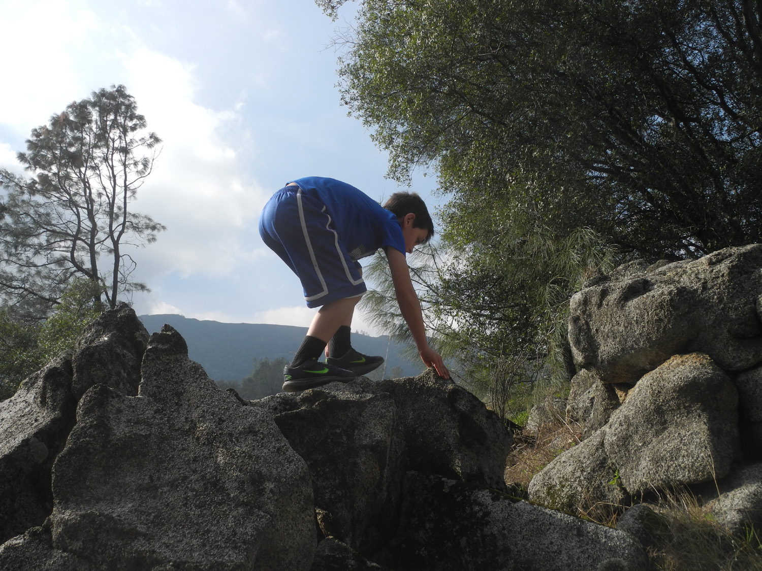
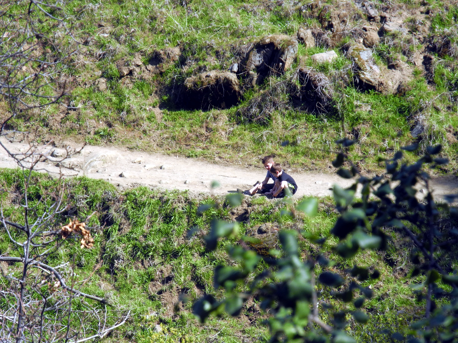
On January 25 Johnny was still running (well, running again), but would finish early. Teri and I drove to the San Joaquin Gorge and met the Upshaw boys there around noon. Brittany was not feeling well so did not join us. I had hiked down the Bridge Trail with Colton in 2017, but it would be Jack's first time. This route leads to other trails, including an 8-mile loop, but our route was just one mile, to a footbridge that crosses the San Joaquin River. In the past Jack has not been all that enthusiastic about hiking, but he and Colton started out running, and never lagged behind. In addition they went off the trail, climbing rocks and exploring enough to add another quarter mile to their total. As expected, both boys enjoyed the bridge, and as required by unwritten law, gathered rocks to throw into the river below. |
|||
| Photos by Johnny Upshaw and Dick Estel | |||
 |
 |
||
| Jack gives the bridge a thumbs up | Colton and Johnny | ||
|
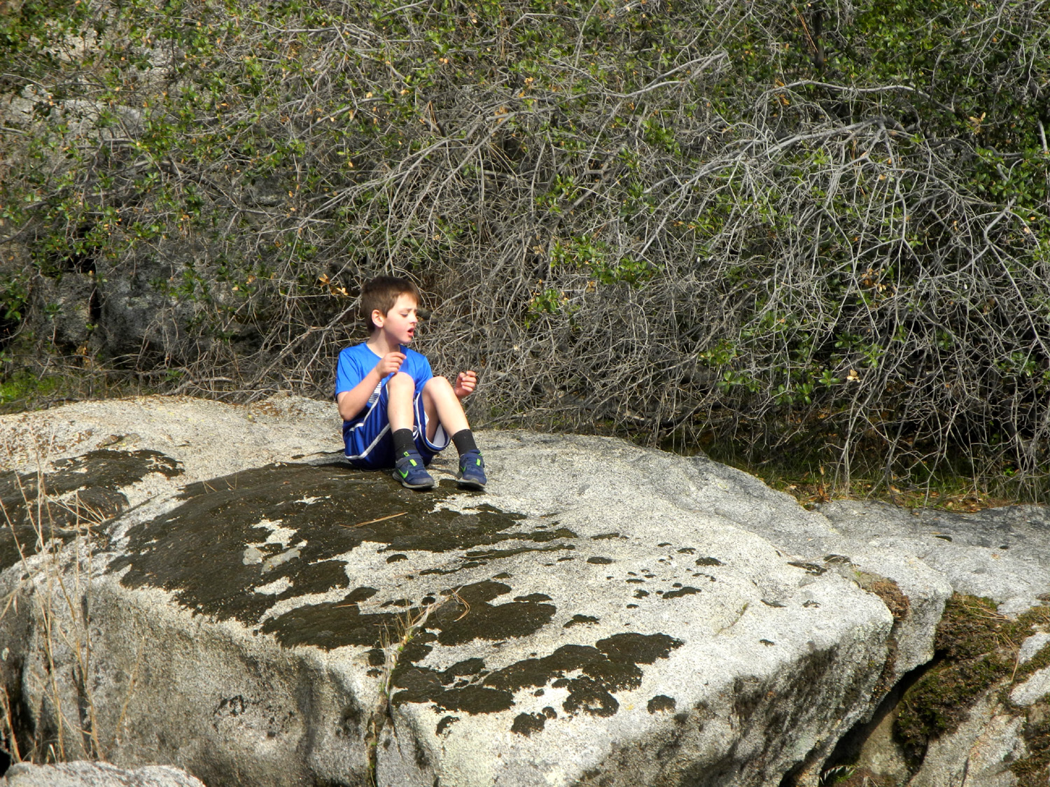
We had a short rest on the rocks on the Madera County side of the bridge, then continued a short distance to where the trail forks. To the left the trail goes north and west, and up out of the canyon. Another fork along this route leads to the upper end of Millerton Lake, while the main trail continues on and loops back around to the junction. This section is the Pa'San Ridge Trail, which eventually goes through a steep side canyon. However, the first mile or so, east and north from the junction, offers just gentle ups and downs. We had our snack at the junction. |
|||
 |
 |
||
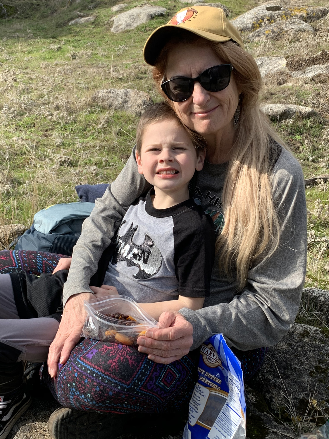
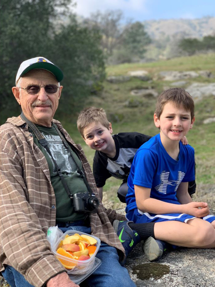
| Snack time - raisins for Jack | Colton preferred oranges | ||
|
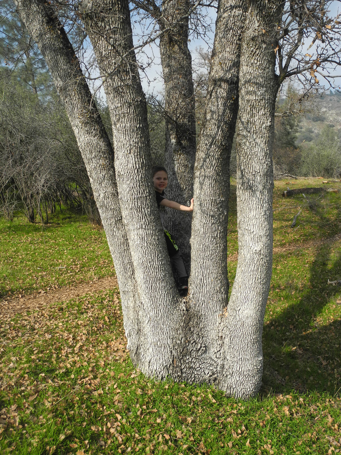
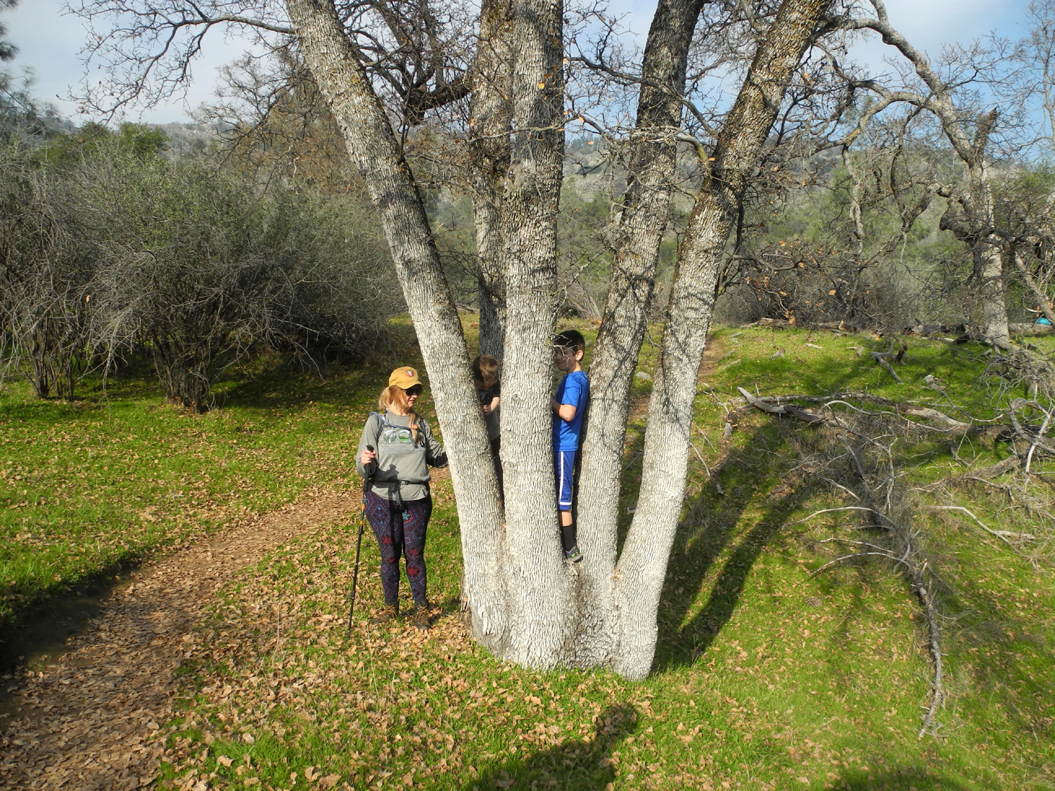
We then decided to go just a short distance on the ridge trail to the 5-Trunk Blue Oak, a remarkable specimen that I had spotted on one of my previous hikes, and which I have had to photograph every time. Jack and I were ready to go before the others, so I challenged him to a race to the tree. Of course, I have better sense than to run, so he easily beat me, hiding at several places along the way as he waited for me to catch up. |
|||
 |
 |
||
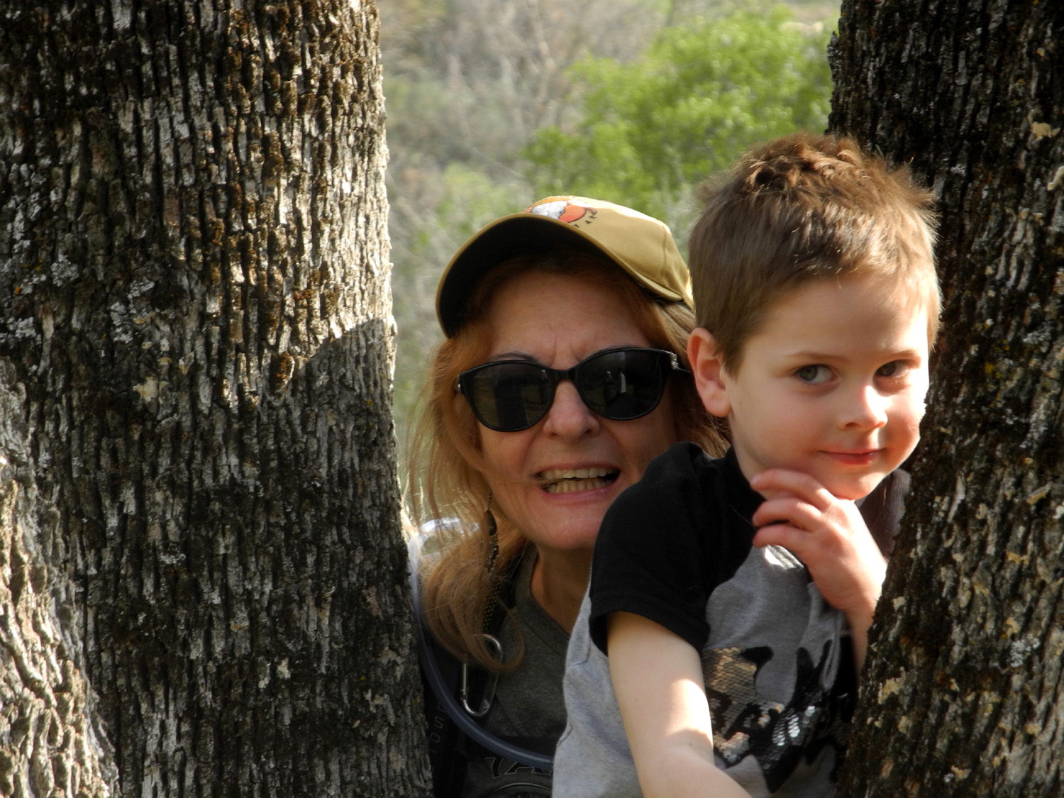
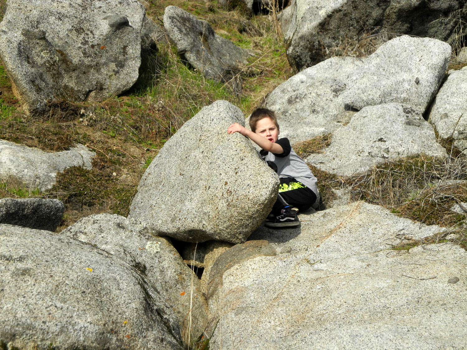
| Can you find Jack? | Still hiding | ||
|
When the others arrived, Jack was "lost," but soon popped out of the tree, and Teri and Colton joined him in climbing in between the trunks. As we started back, the boys began picking up rocks to throw in the river, with Teri and I drafted to help carry them. However, Colton found a rock at least six by eight inches that had to weigh five pounds or more, and carried it close to a quarter mile back to the bridge. |
|||
 |
 |
||
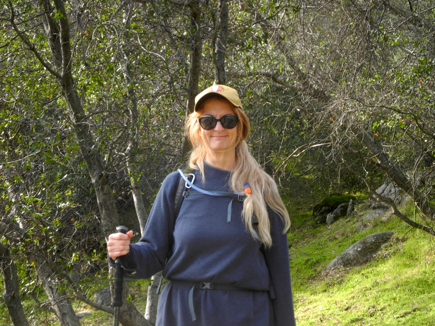
| Teri and Jack | Teri and the boys admire the 5-Trunk Blue Oak | ||
|
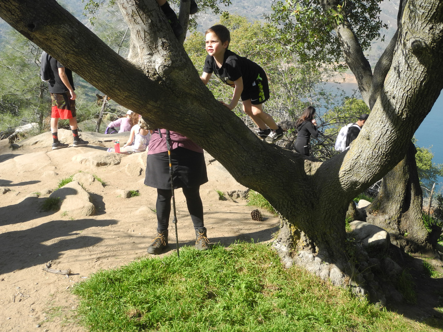
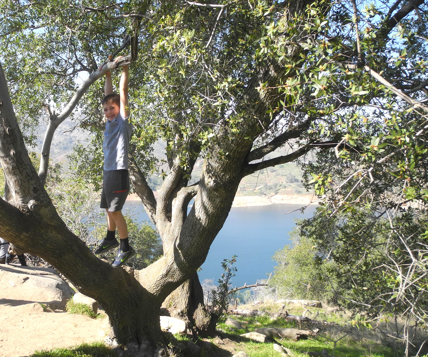
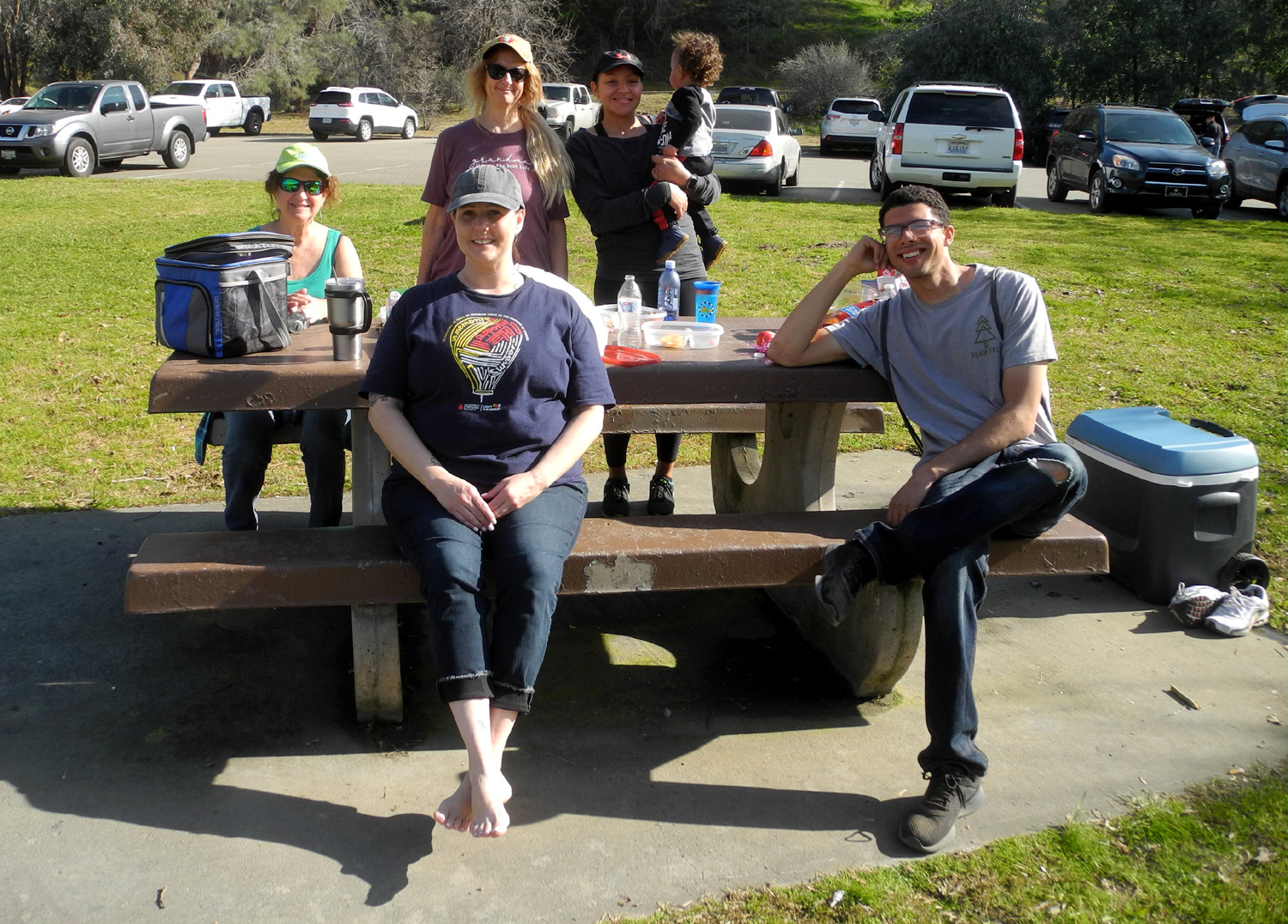
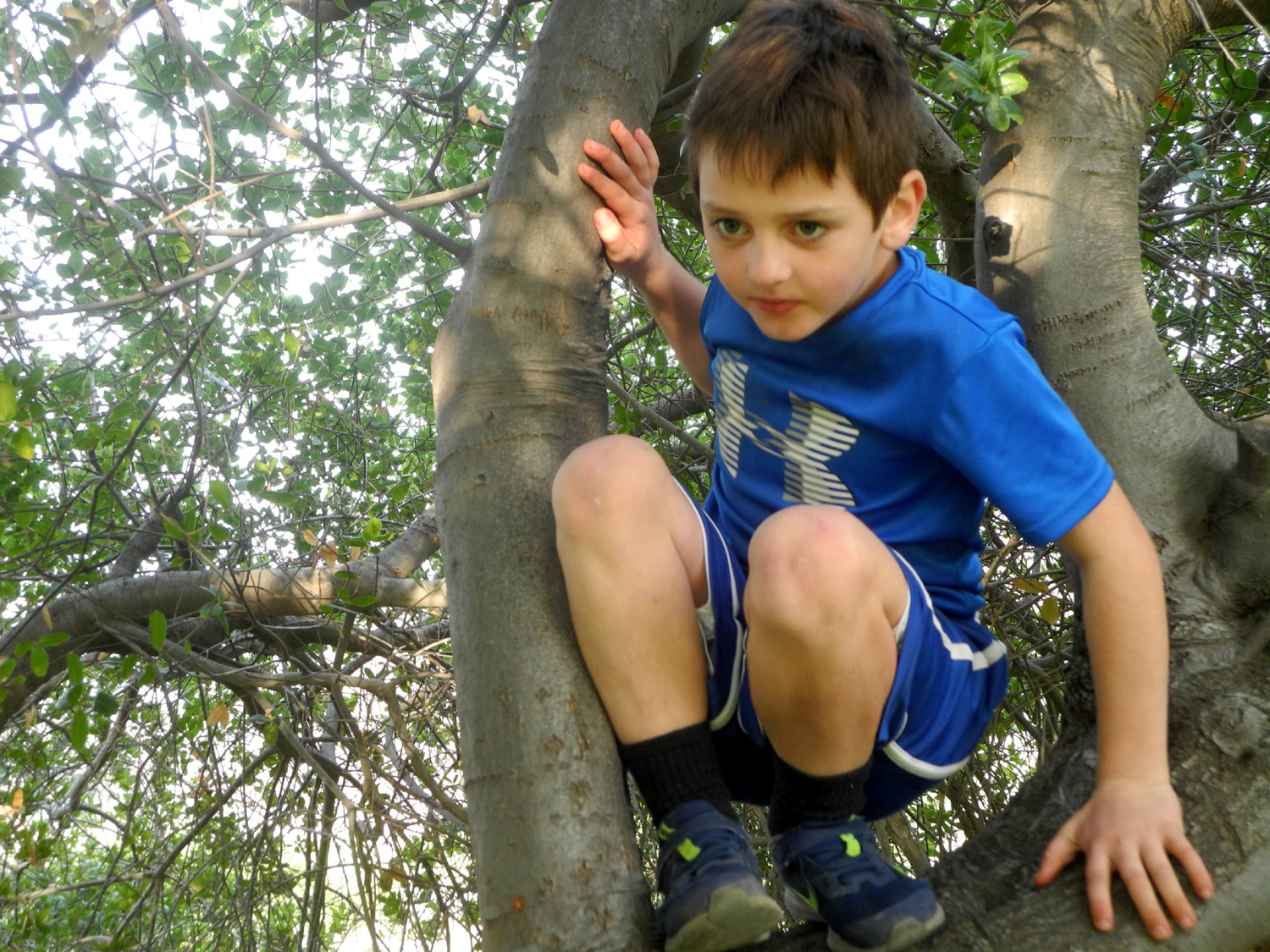
Johnny and the boys led the way back up the trail, while Teri hung back to keep me company. When we got back to the parking lot Johnny told us that Jack had been the front runner all the way back up the hill - a round trip total of two and a half miles, the longest he has ever walked. We had a light lunch at one of the picnic tables, and then watched as the boys played in a huge live oak that offered lots of climbing opportunities. Both boys struggled to get up one part of the tree, then after doing it successfully once, went down and back up with ease several times. |
|||
 |
 |
||
| A magnificent live oak offers great climbing opportunities | Jack in his perch | ||
|
Finally it was time to gather up our stuff and head for home. We enjoyed outstanding weather, and talked briefly with many other hikers enjoying a spring-like Saturday in January. --Dick Estel, February 2020 |
|||
|
Trail to Pincushion
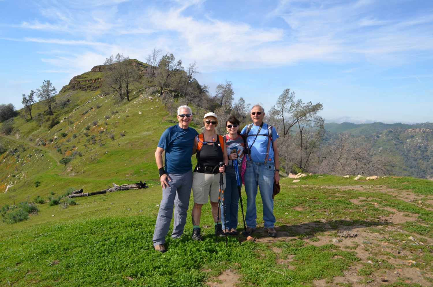
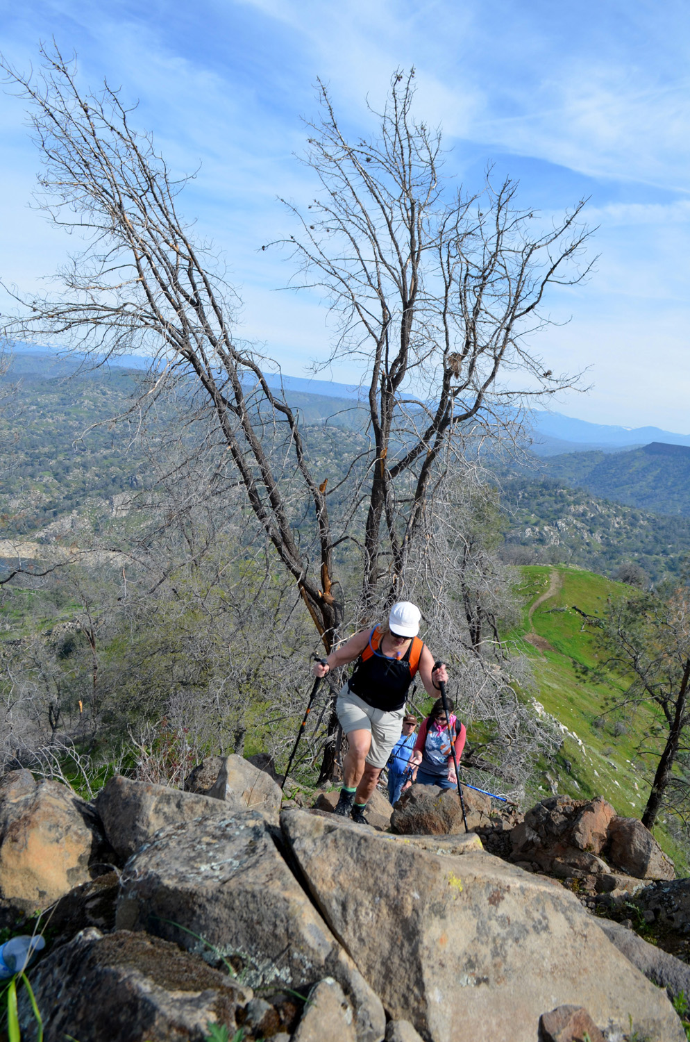
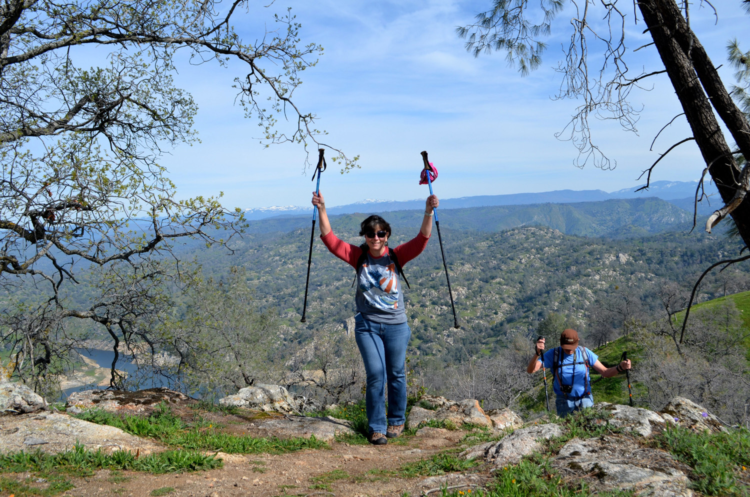
I have hiked up the western end of the San Joaquin River Trail, from Finegold Picnic Area near Sky Harbor, a number of times. And UP is the operative word. It is virtually all uphill for a mile, to where it crosses a saddle. After that it becomes a little easier, with ups and downs, but I have not gone more than a half mile past the saddle. However, those looking for a real challenge can take an unofficial trail that cuts off from the main route about half way up, and leads to the top of Pincushion Peak, a rounded hill topped with basalt rock. This trail rises up very steeply, to the top of knoll, down a short distance across a saddle, and up a challenging rocky path to the top. It's an elevation gain of close to 1,000 feet. I hiked to the top once, in 2016 with my daughters Teri and Jennifer, and my hiking friend Wes Thiessen. It was one of the most difficult hikes I've done in recent years, and I don't have to do it again. However, I wanted make one more climb to the lower knoll, which is difficult enough as I enter my 80s. |
|||
|
Photos From the 2016 Hike
Starting up the steep Pincushion Cutoff Wes, Teri, Jennifer and Dick on the lower knoll, with Pincushion beyond Teri, Jennifer and Dick on the "rock scramble" section of the trail Jennifer and Dick reach the top |
|||
|
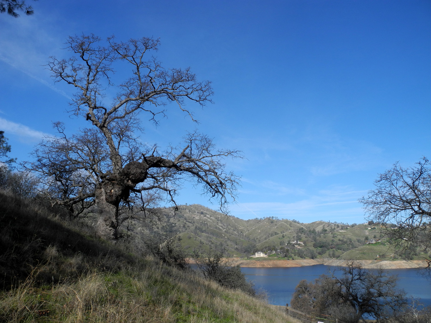
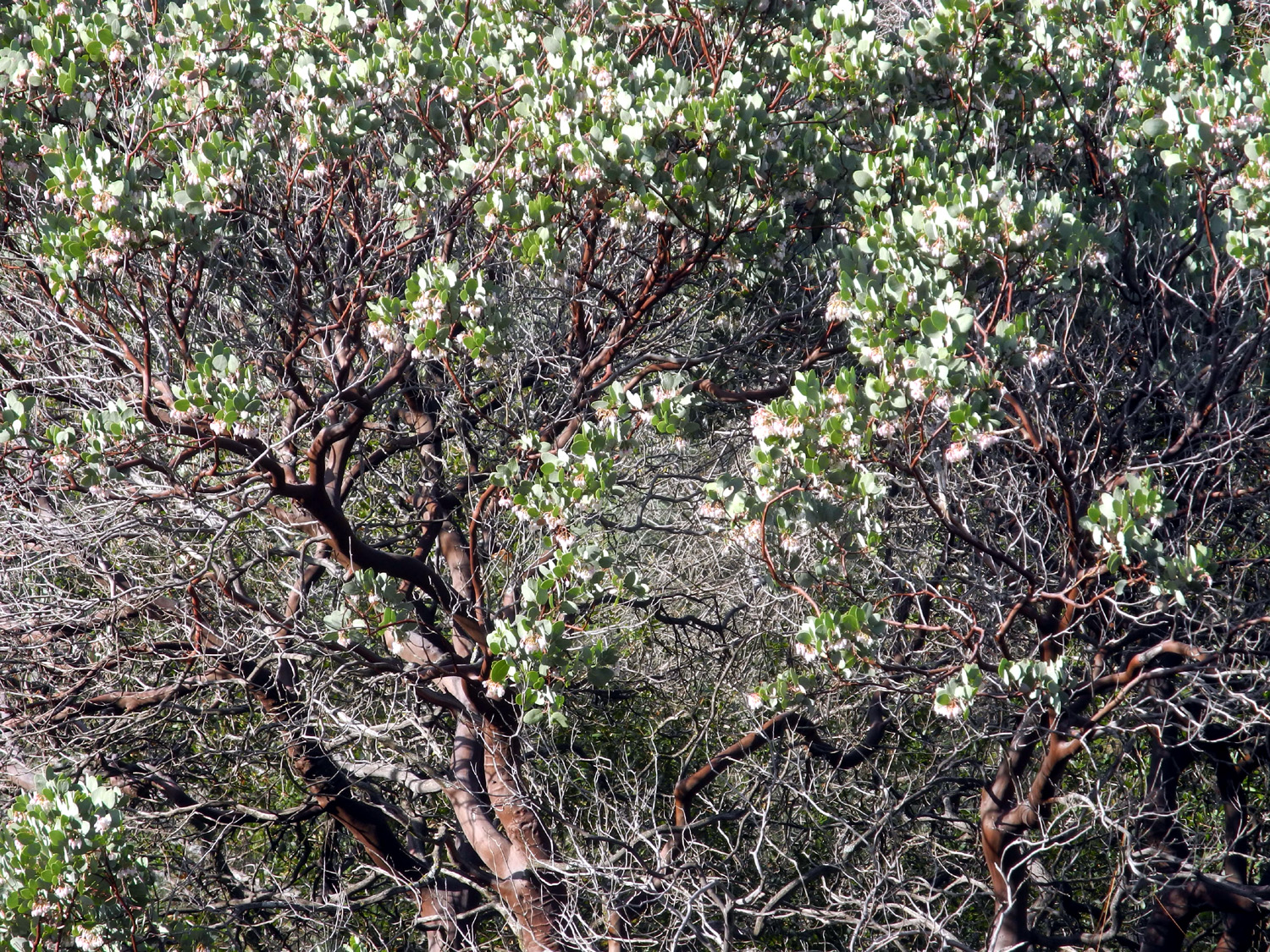
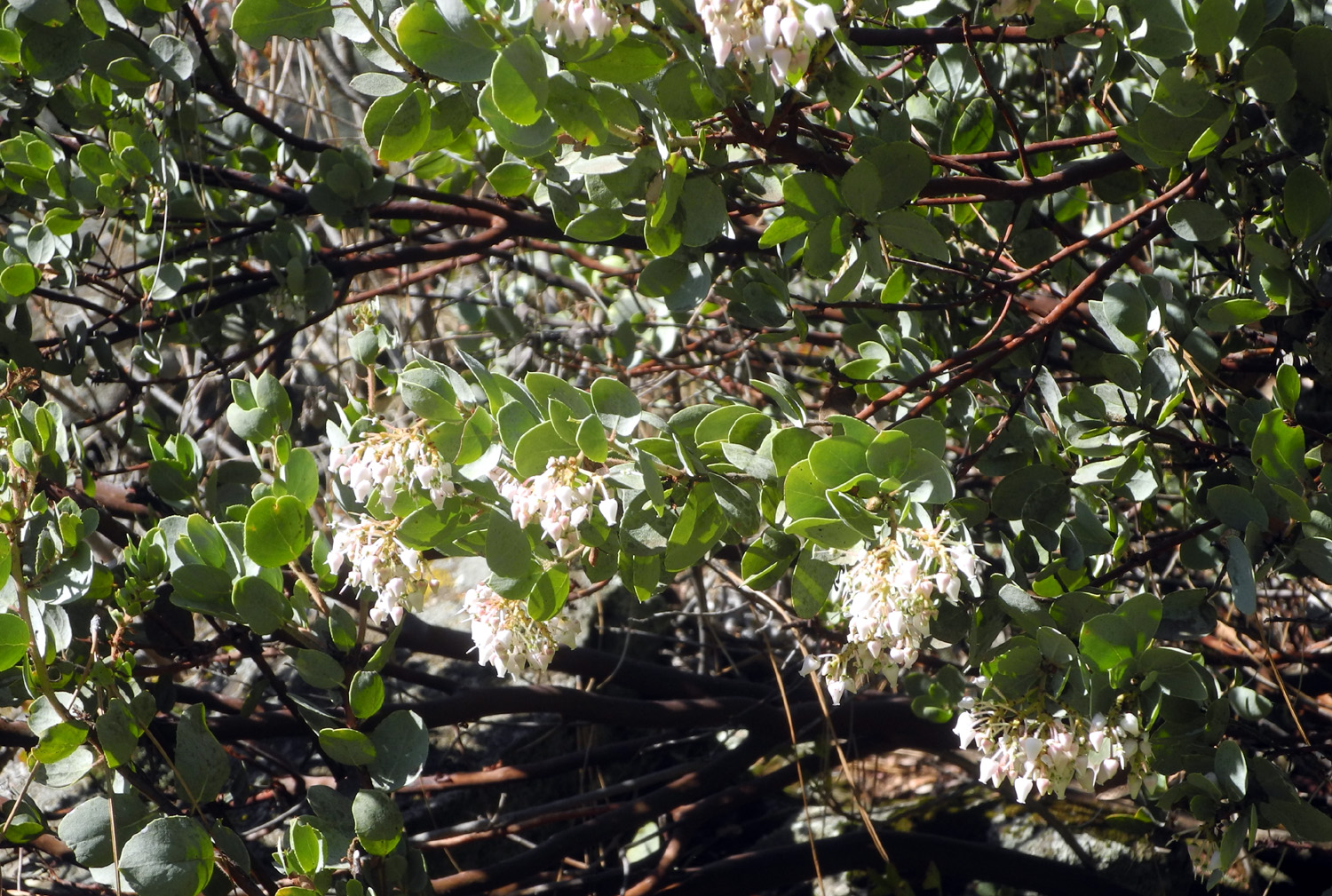
January 27 was a cool day, mostly sunny with a few clouds, and a little breeze. Along the main trail there are views of Millerton Lake and the branch that goes up Finegold Creek. As always I was on the lookout for wild flowers, but the rains were a little late this year and it's been cool, and the only flowers were on a manzanita bush, which I've observed blooming early on previous hikes. |
|||
|
|
||
|
The Finegold Creek branch of Millerton Lake (the main river takes a sharp turn to the right at this point) |
Early-blooming manzanita | ||
|
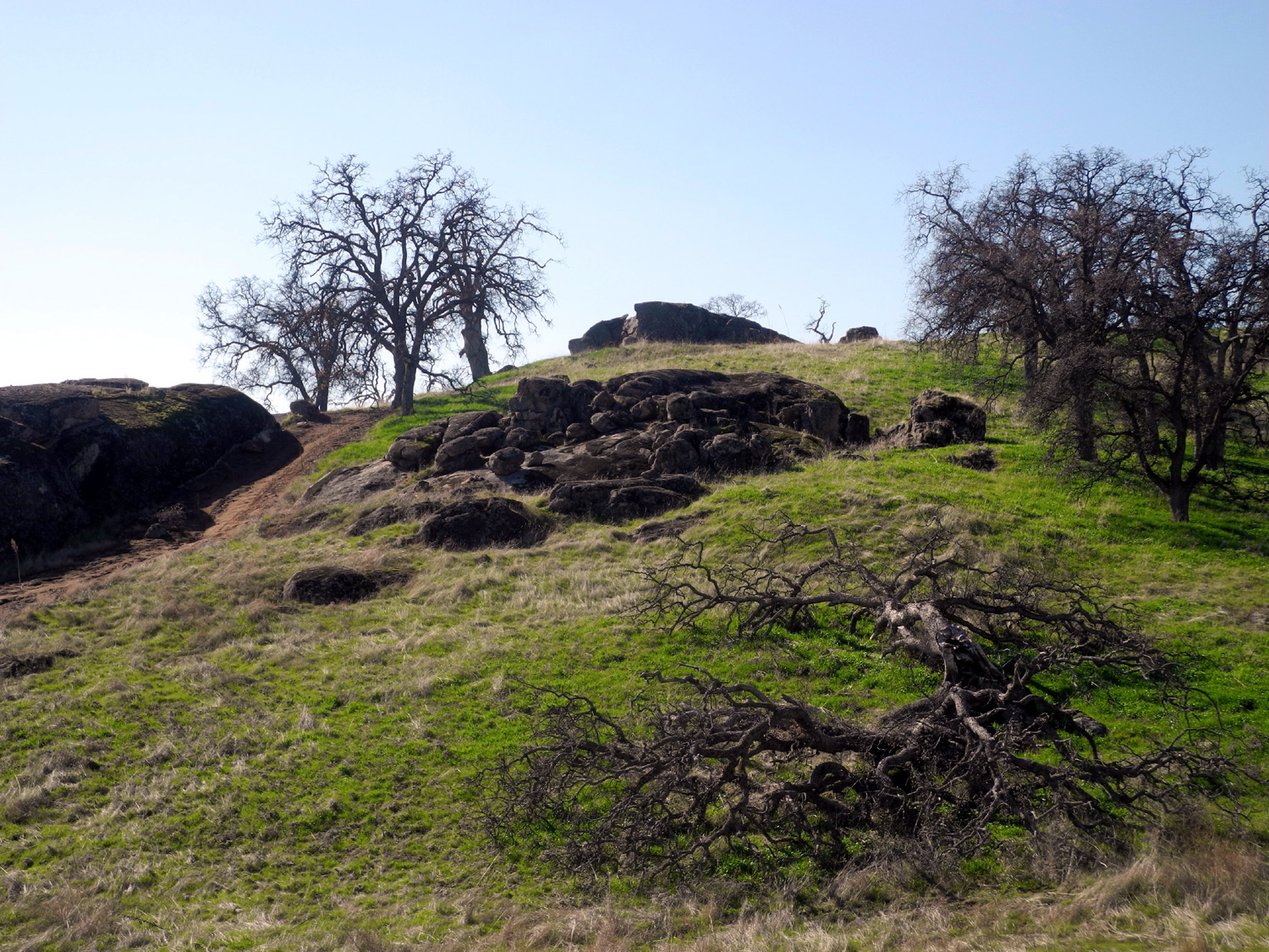
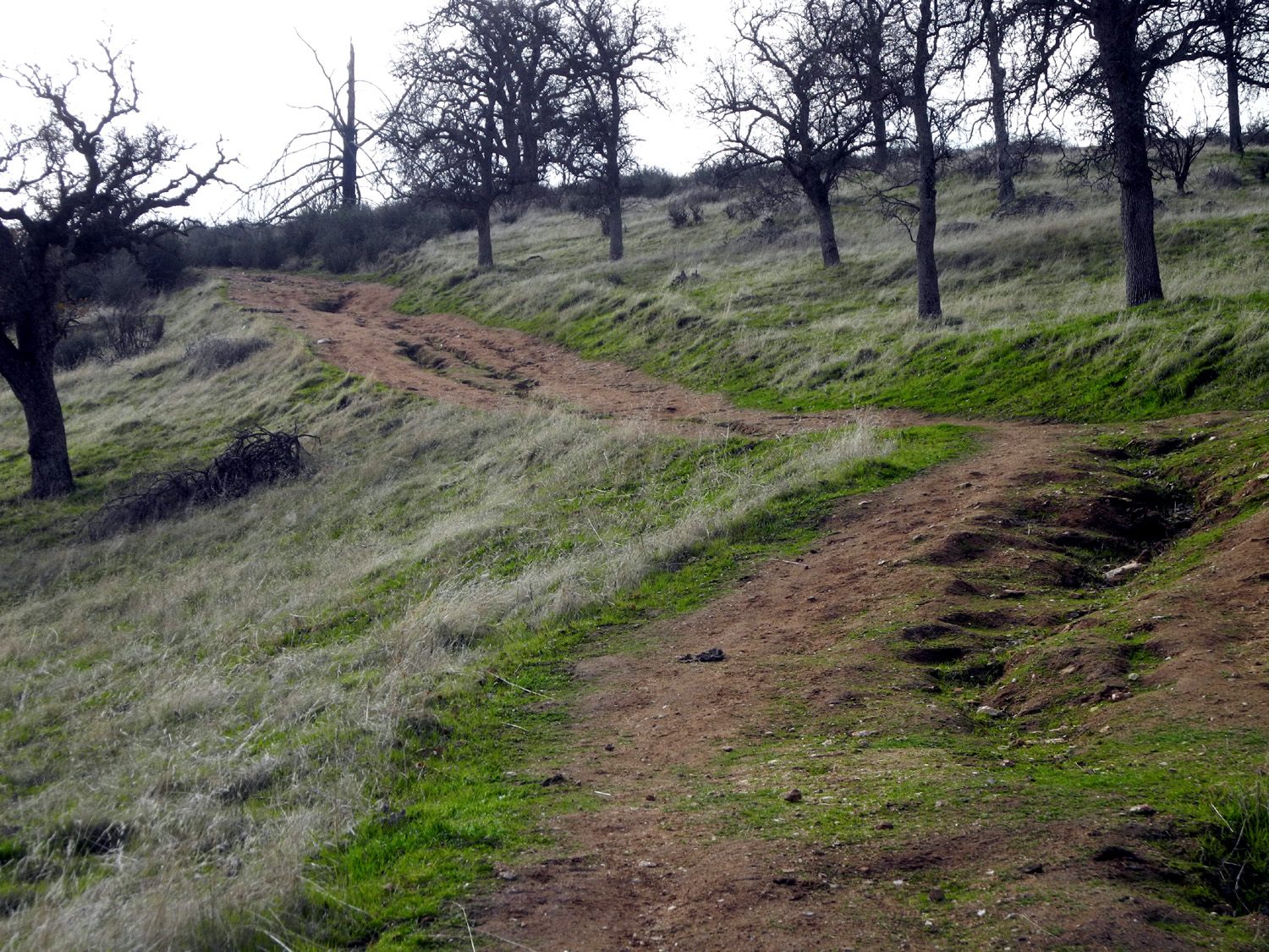
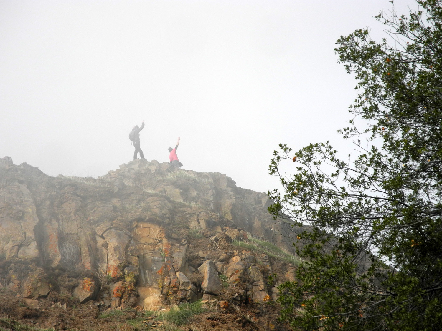
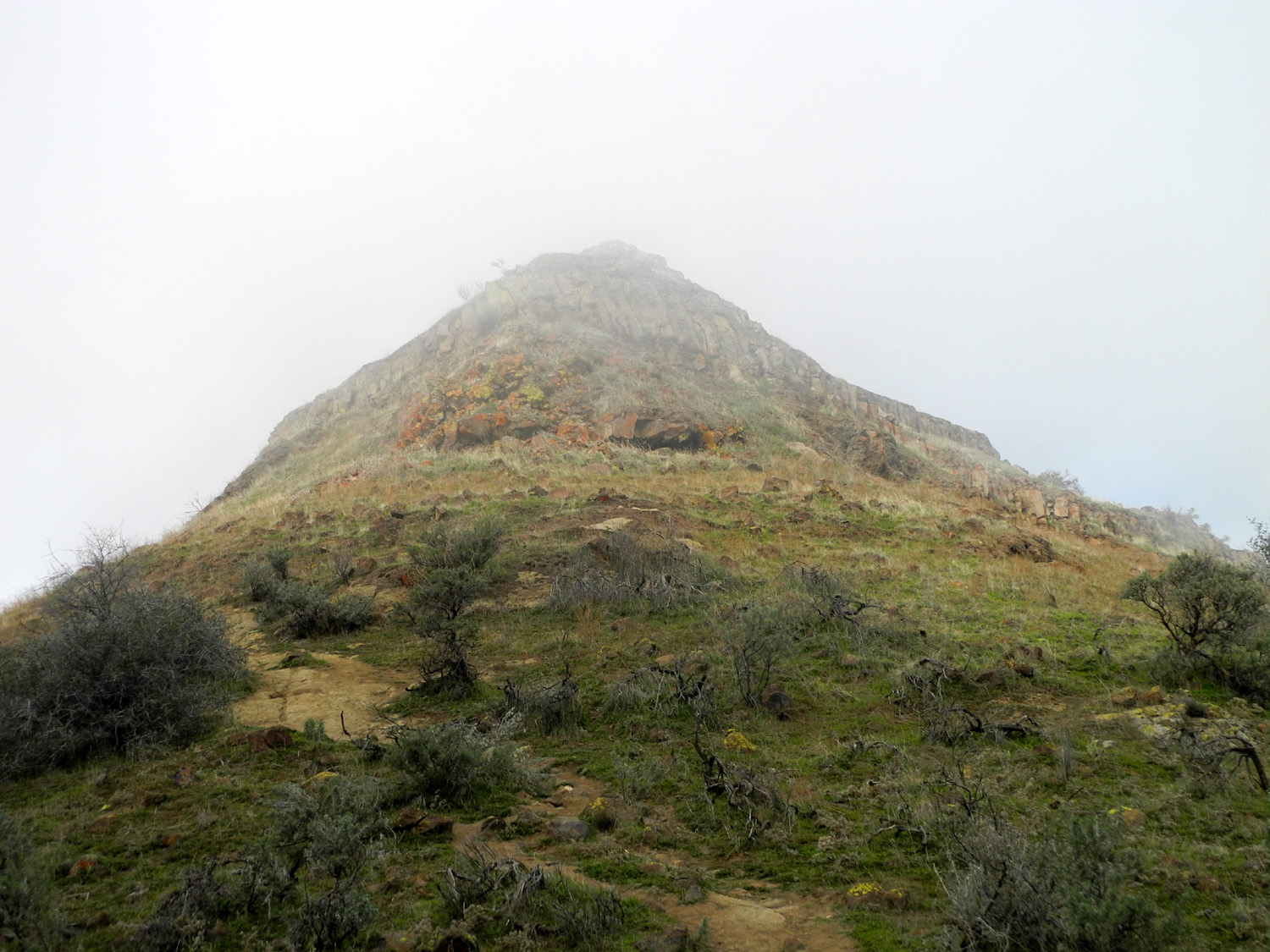
The Pincushion Cutoff Trail was as steep as ever and heavily rutted, although photos do not really show how steep is is. There were a lot of people hiking the trail this day, and I chatted several times with a couple visiting from Atlanta. They were with another couple who I think were local, and after resting at the first knoll, they went up to the top of Pincushion in short order. |
|||
|
|
||
| The trail is steeper than it looks in this picture | Visitors from Atlanta wave in triumph from the misty top of Pincushion | ||
|
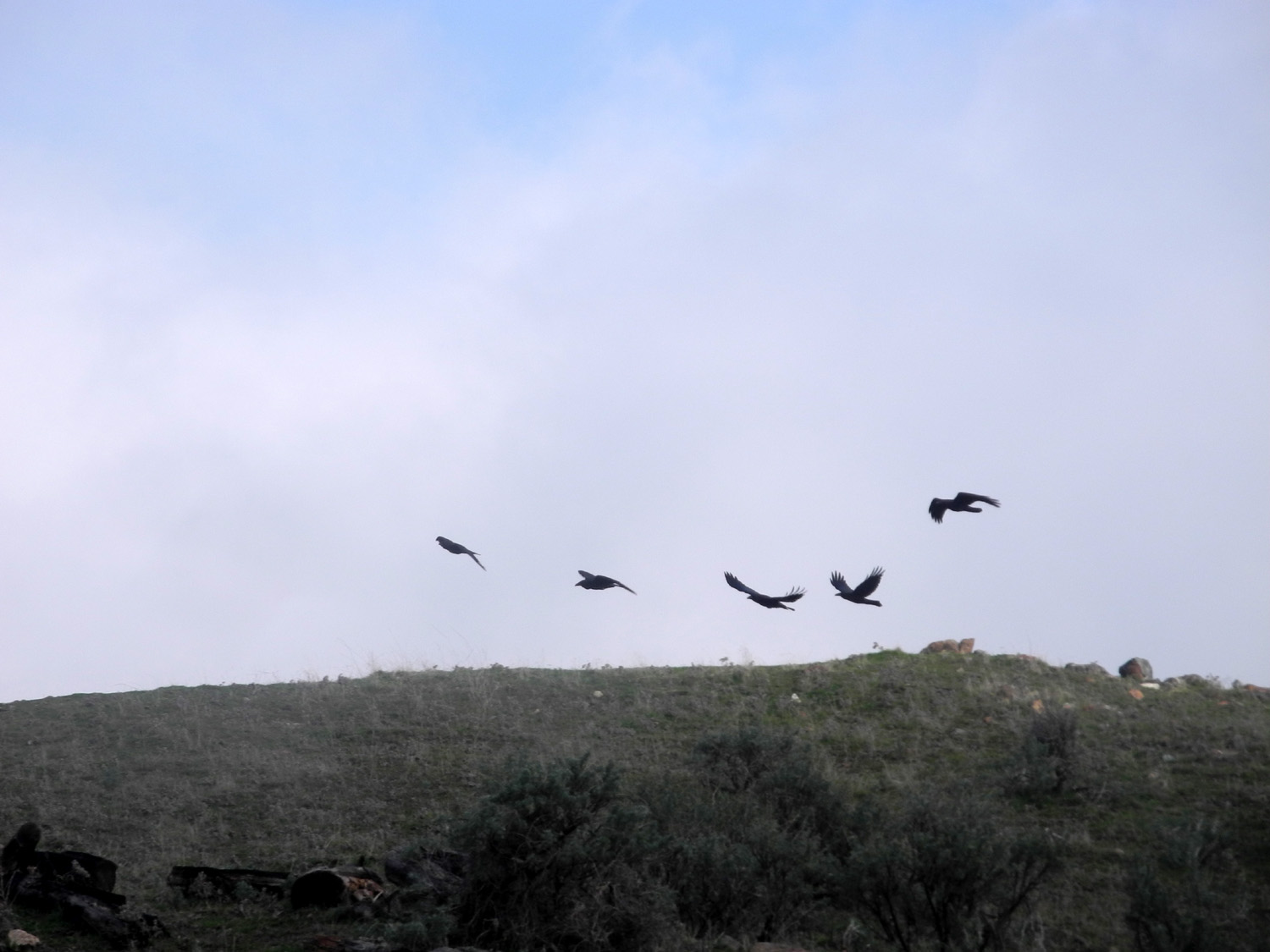
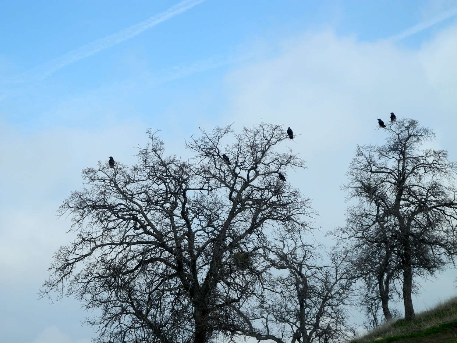
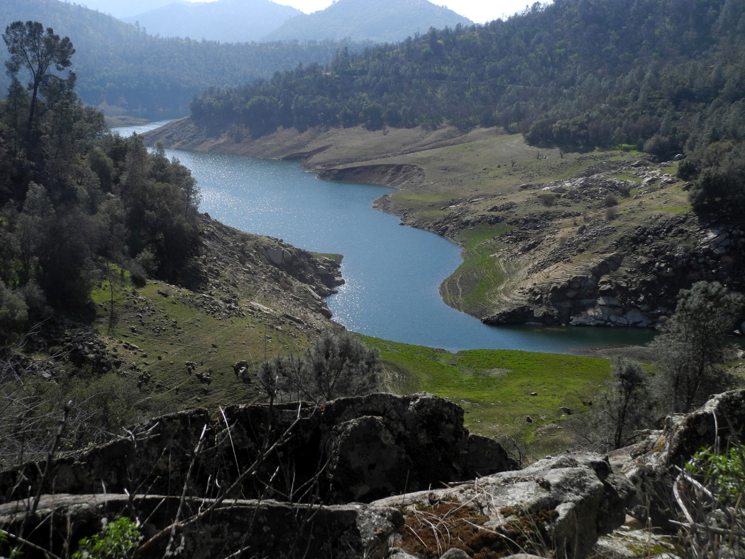
I went down to the saddle and around to the left or south side of Pincushion, on what looks like an old road. This route continues south on a ridge, and the other hikers informed me that you can follow it until it drops down to the main trail. I chose to rest and have a snack at this location, then head down to the saddle on the main trail, a route that is steep enough that I take great care and use my poles all the way. On the lower knoll I encountered a flock of about eight ravens, who flew up and landed in a couple of blue oaks. My route took me under these trees, and as I approached they flew off one by one - except for one which I dubbed the Head Raven, who stood his ground (or branch) even as I walked directly under him. |
|||
|
|
||
| A flight of ravens | Their landing place | ||
|
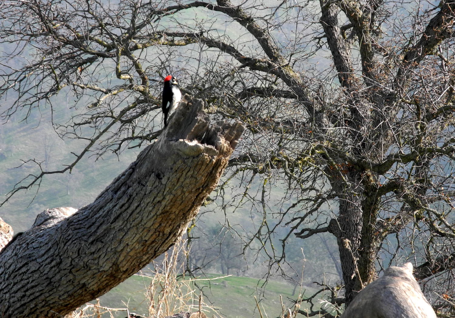
I also got a good close look at a red-headed woodpecker, one of many I heard but did not always see during the hike. Where I had my snack mist was drifting up from the lake and across the ridge, leaving Pincushion nearly invisible in the cloud. |
|||
|
|
||
| Red-headed woodpeckers were busy all along the trail | Pincushion, nearly hidden in the mist | ||
|
I made it back down the trail to the parking area without incident, sharing a few final words with the hikers from Atlanta as they passed me. My total hike was 3.35 miles, with nearly two hours of moving time. I deserved a reward, and had a late lunch at one of my favorite spots, the Colorado Grill. --Dick Estel, February 2020 |
|||
|
Hensley Lake Hike
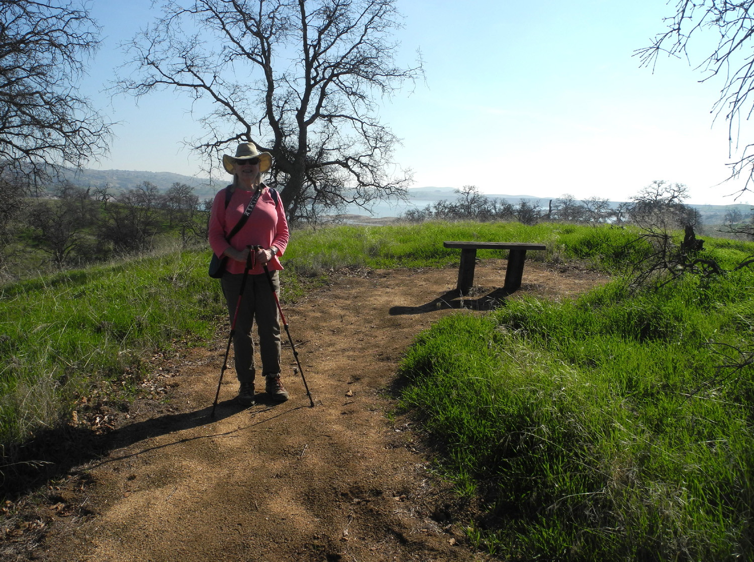
This outing was at a location I've hiked many times, the one-mile Pohonichi loop trail at Hensley Lake, 35 miles from my house. I was joined on February 1 by long-time friend, work colleague and fellow Rambler Carolyn Amicone. She has not been able to join the Rambler hikes lately; in fact, her last one was also at this location in February of 2019. We had excellent weather, warm enough to hike in a long sleeve T-shirt (with a flannel shirt in the back pack just in case). As usual there were no other hikers on the trail, but a couple came down on bikes as we were leaving. We saw a lot of deer tracks on the trail, but no wildlife until we drove through the campground. Here a number of suicidal ground squirrels ran across in front of the car, and we saw a cottontail rabbit hiding in the weeds beside the road. I don't know if it was because I've taken so many photos here before, or that I was concentrating on catching up with what Carolyn had been up to, but for some reason I took only three photos. At the end of this report I've provided links to my previous visits, so you can find plenty of pictures on line. When
we got back to town we enjoyed an excellent lunch at Sweet
Tomatoes. --Dick Estel, February 2020 |
|||
|
|
|
||
|
A typical Hensley scene with green grass, granite outcroppings, and leafless blue oaks |
Carolyn poses with a resting bench and the lake in the background | ||
|
Previous Hensley Reports
Dog Walk & Camping 2010 Camping April 2011 Camping February 2013 Camping November 2013 Ramblers Hike February 2015 Hiking February 2016 Ramblers December 2016 Family Camp January 2018 Tarantula Hunt 2018 Ramblers February 2019 |
|||
|
San Joaquin River Trail
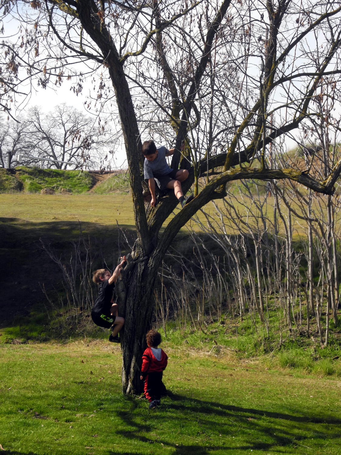
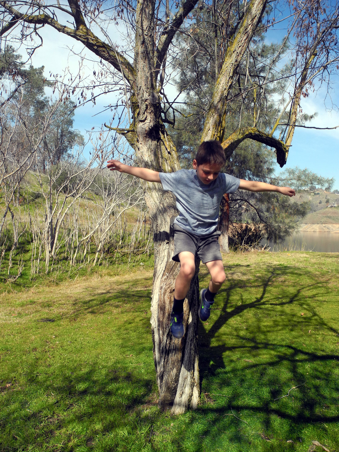
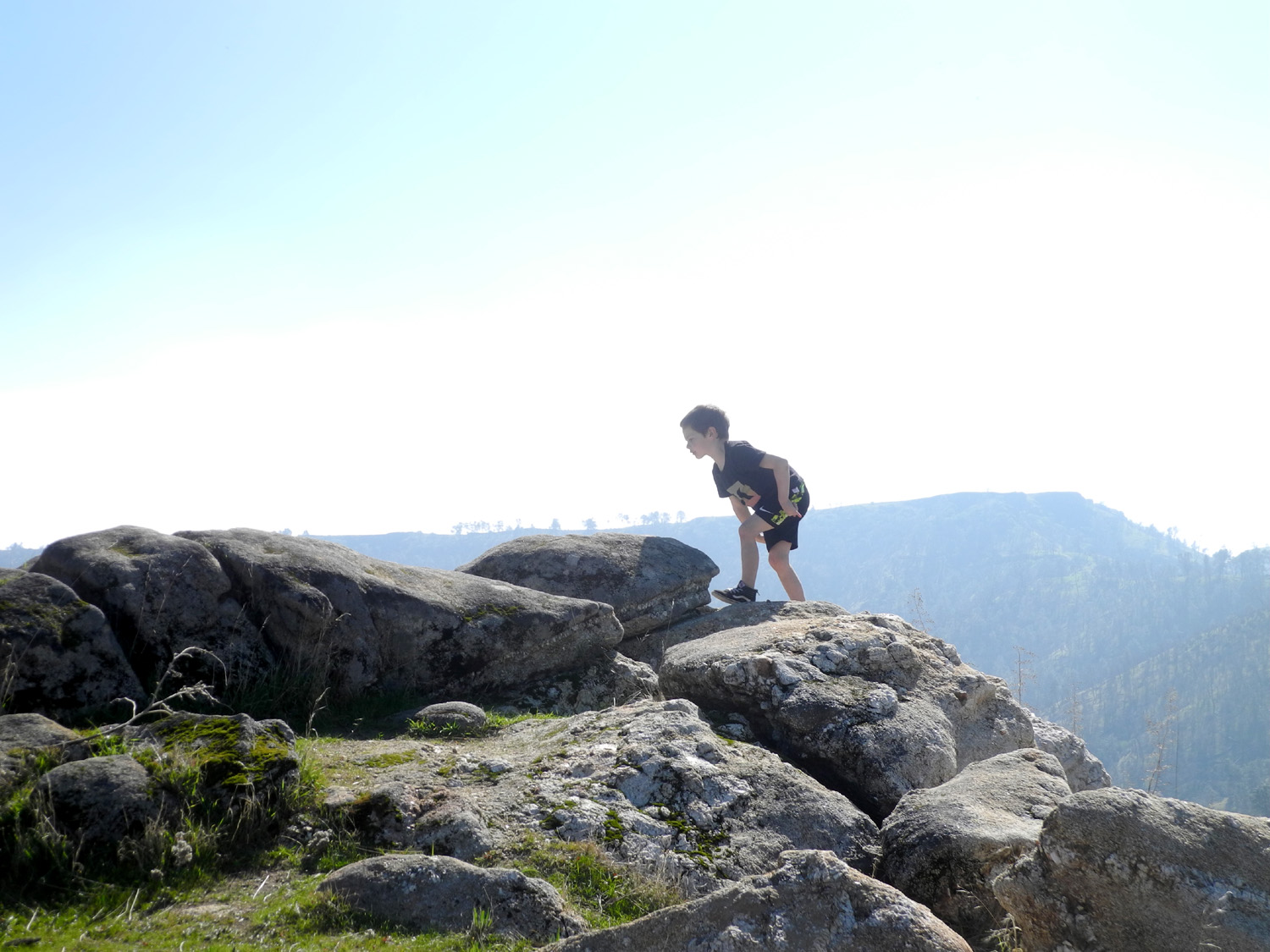
I hiked this trail in January by myself. On February 15 I was back, with a total group of ten - my daughter Teri, her grandsons Jack and Colton, and her friends Dila, Monica, Jackie, Shai and Juan, plus Jackie's 18-month old son Omni. It was a nice sunny day, not too warm, bringing out dozens of other hikers. Our destination was the saddle one mile up the trail (and it's nearly all UP), a hike that challenges the lungs and muscles, but offers views of Lake Millerton, the table top mountains south of the river, and the snowy Sierra beyond. Free parking is available along Sky Harbor Road, but cars were backed up a long ways, so we chose to pay the $5 parking fee at the picnic area. As soon as we were out of the car, Colton and Jack were climbing the trees there, while Omni looked on, no doubt looking forward to the day when he could match their efforts. |
|||
|
|
||
| Omni watches as Jack and Colton climb | Colton leaps down | ||
|
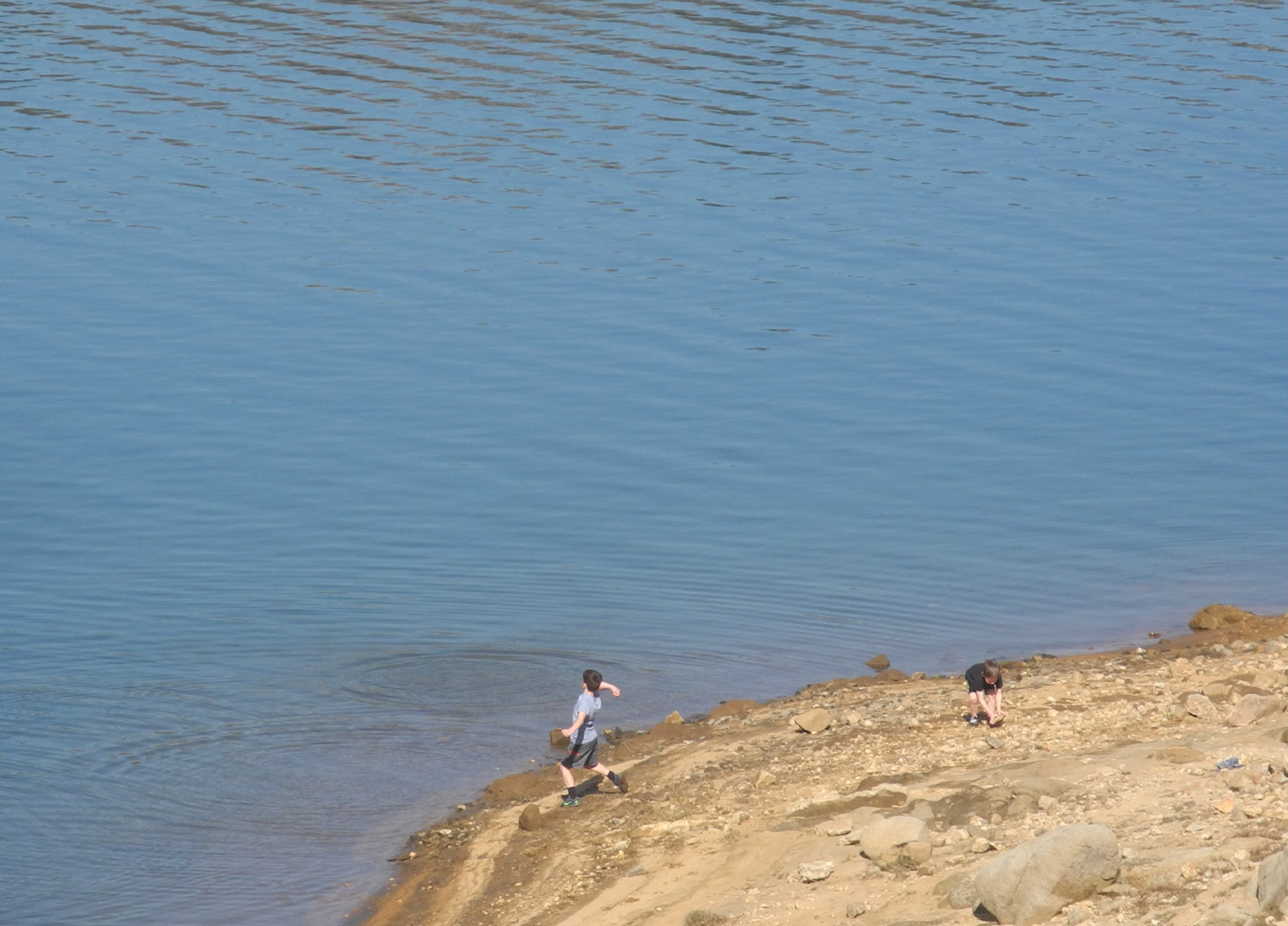
The older boys also went down to the lake to throw rocks, which is required by law whenever boys and water come together. Eventually everyone was ready to head up the trail. As expected Jack and Colton started off on a run, and seldom slowed down the entire hike, going off the trail and up the bank enough to add an extra quarter mile to their total. Omni walked a few hundred feet now and then, but rode in a child carrier most of the time. Half way up there is a nice resting spot, with rocks to sit on, and a nice live oak which of course had to be climbed. |
|||

|
|
||
| Where Jack's going, we don't need trails | A magnificent climbing tree | ||
|
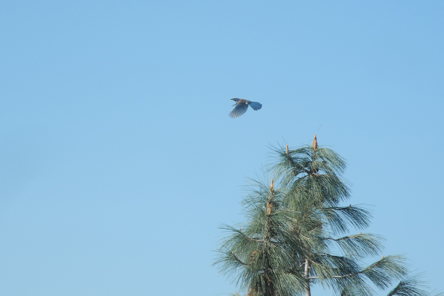
We made the saddle our final stop, although the trail continues on another dozen miles to the San Joaquin Gorge. Informal trails lead both ways off the main trail here, with the northern route going a few hundred feet to the top of a knoll. Going the other direction you can climb a much steeper route to a higher knoll, and from there finish the challenging hike to the top of Pincushion Peak. I've been to Pincushion once (enough), and to the lower knoll several times (also probably enough). We enjoyed a good rest and a snack at this point, and I took Jack and Colton up the short side trail, where there are plenty of rocks to climb on. During our hike we saw a number of birds, including a blue jay in the top of a pine tree who decided to fly just as I snapped his photo. |
|||
|
|
||
| Jack in the rocks | Blue jay in flight | ||
|
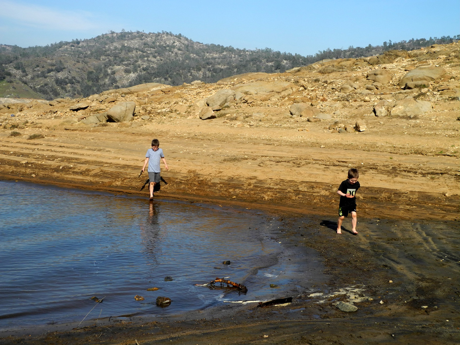
Eventually everyone was ready to head back down, with Colton, Jack and Shai, a 20-something, leading the way. Actually Jack and Colton ran a lot of the way, and arrived back at the picnic area well ahead of the rest of us. On the way they had to climb the big live oak again. We enjoyed a picnic lunch, after which my great grandsons went down to the lake again, this time shedding shoes and socks and braving the cold water up to their knees. I joined them, on the shore, not the water. |
|||
|
|
||
| Colton is just hanging out | Dila, Monica (front), Teri, Jackie, Omni and Shai at the picnic area after the hike | ||
|

|
||
| Colton and Jack in the lake | Where you can go from the trailhead | ||
|
Our
official mileage was 2.59 miles, with 96 minutes of moving time.
Everyone agreed that it was an excellent hike and a delightful day,
and more outings are sure to follow. ---Dick Estel, February 2020 |
|||
|
Sycamore Creek
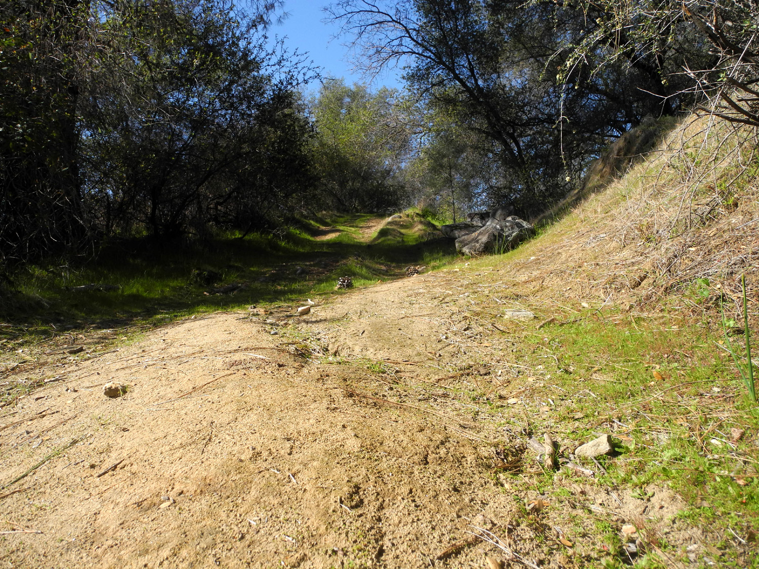
This is an area where I have hiked a number of times, so I won't get into a lot of description of the area, or how to get there. You can catch up on that aspect of it here, here, and here. On February 25 I made the 40 mile drive from my house to an old dirt road off Trimmer Springs Road, which winds around the north side of Pine Flat Lake. There are almost always one or two new trees down across this trail, but not this time. In fact, all but one of the many trees that actually blocked the trail had been cut apart and the sections moved out of the way. The remaining bull pine was not the farthest tree on the trail, so I don't know why it was left. In any case, it was fairly easy to climb over it. |
|||
|
|
||
| The steep, rutted start of the trail | This big live oak lay across the trail for several years until it was cut out in 2019 | ||
|
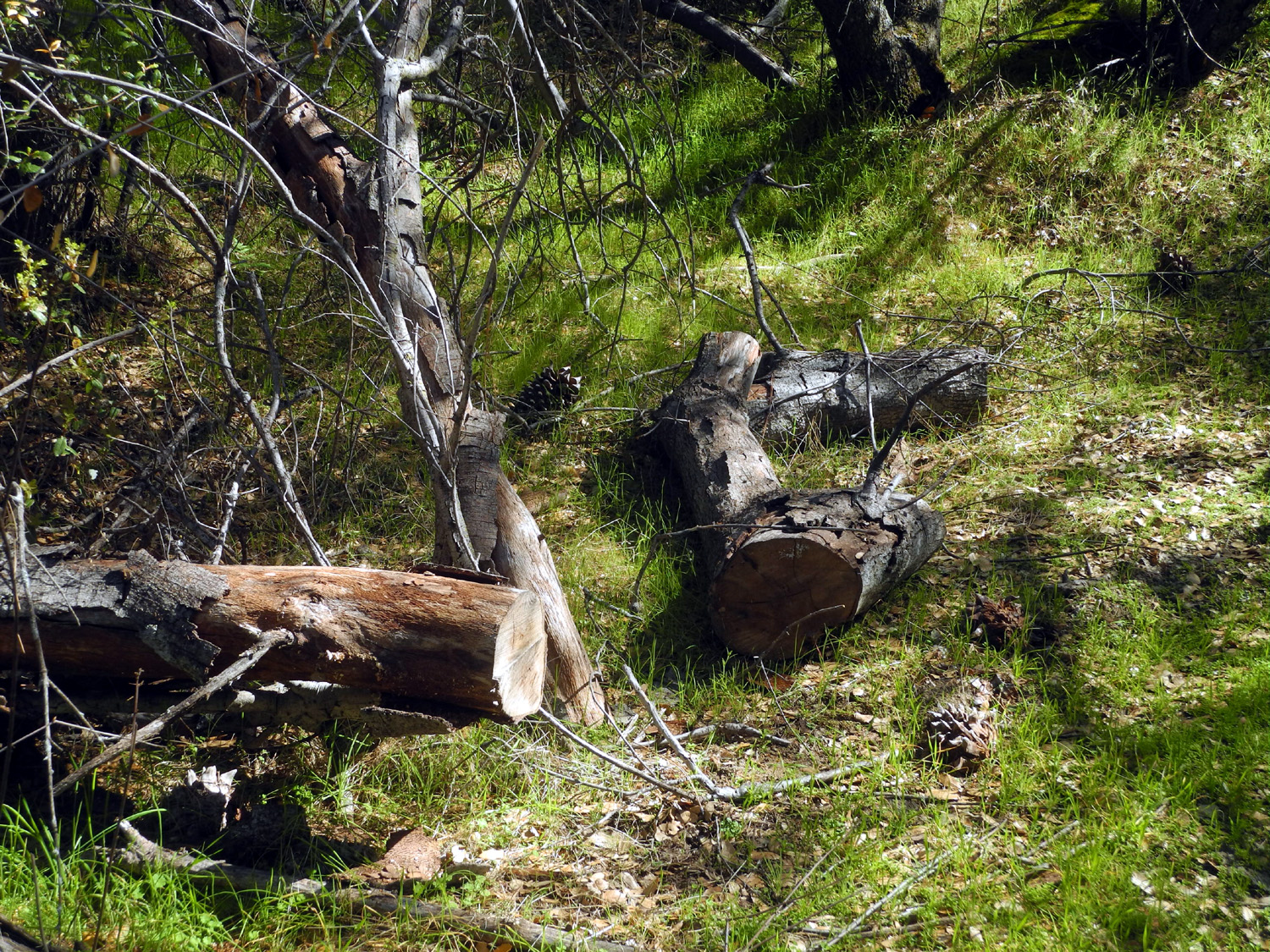
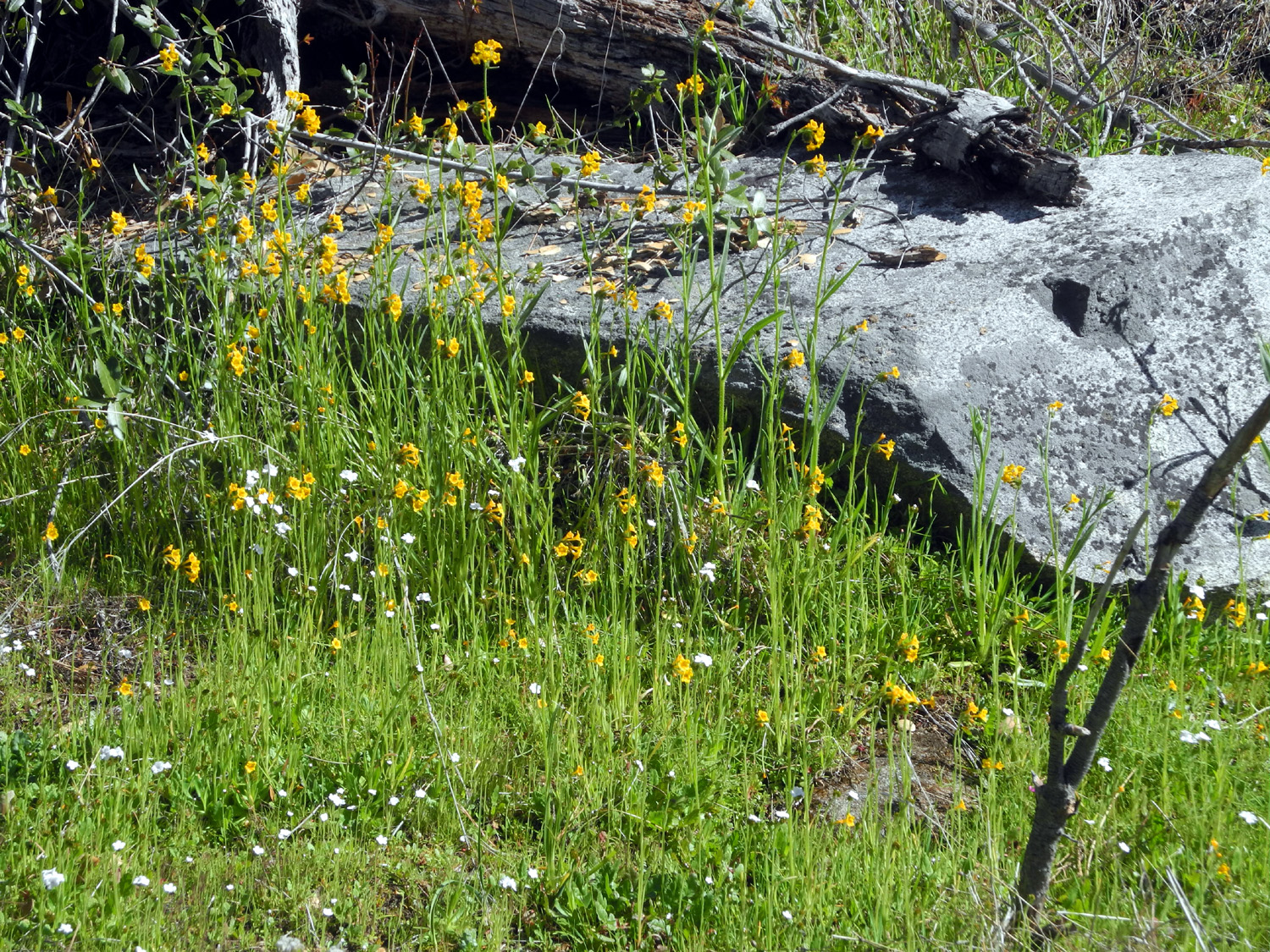
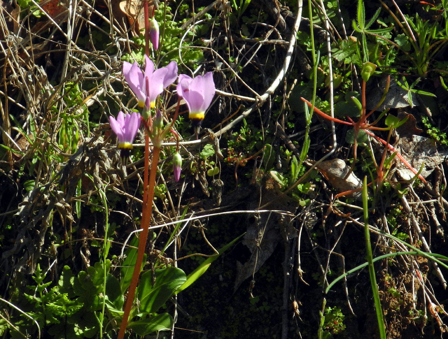
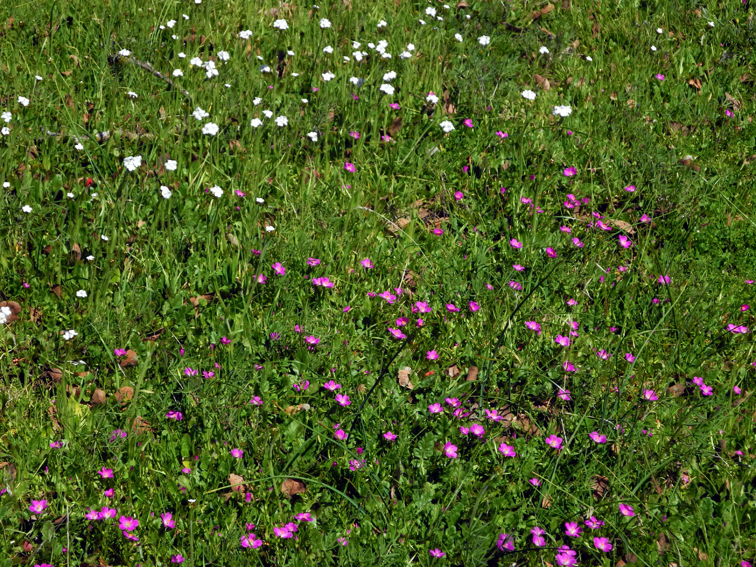
There was a big, dead pine that had recently fallen beside the trail. It had broken into four sections, and in one place, knocked down a large branch from a blue oak, sending a section of the pine several feet out of the line of the rest of the log. Yes, it made a sound when it fell. I went last year in February and in early May, and like this year, there weren't many flowers in February. With two full months in between, the second hike brought a different crop of flowers, with a few samples of the early species still hanging around. This year there were a lot of species, but not many examples of each - more like a sampling of the main foothill flowers. These included shooting stars, popcorn flowers, fiddlenecks, manzanita, chaparral, miner's lettuce, and various small, unknown blossoms. The most common flower at the upper area of the hike were fringed redmaids, a brilliant magenta flower about a quarter to a half inch across. I had never seen such a good display of this flower, although it appears in small numbers all over the foothills and at all elevations. |
|||

|
|
||
|
The power of this falling dead pine brought down a
huge blue oak branch and blasted the log into four pieces |
Fiddlenecks and popcorn flowers create a charming landscape | ||
|

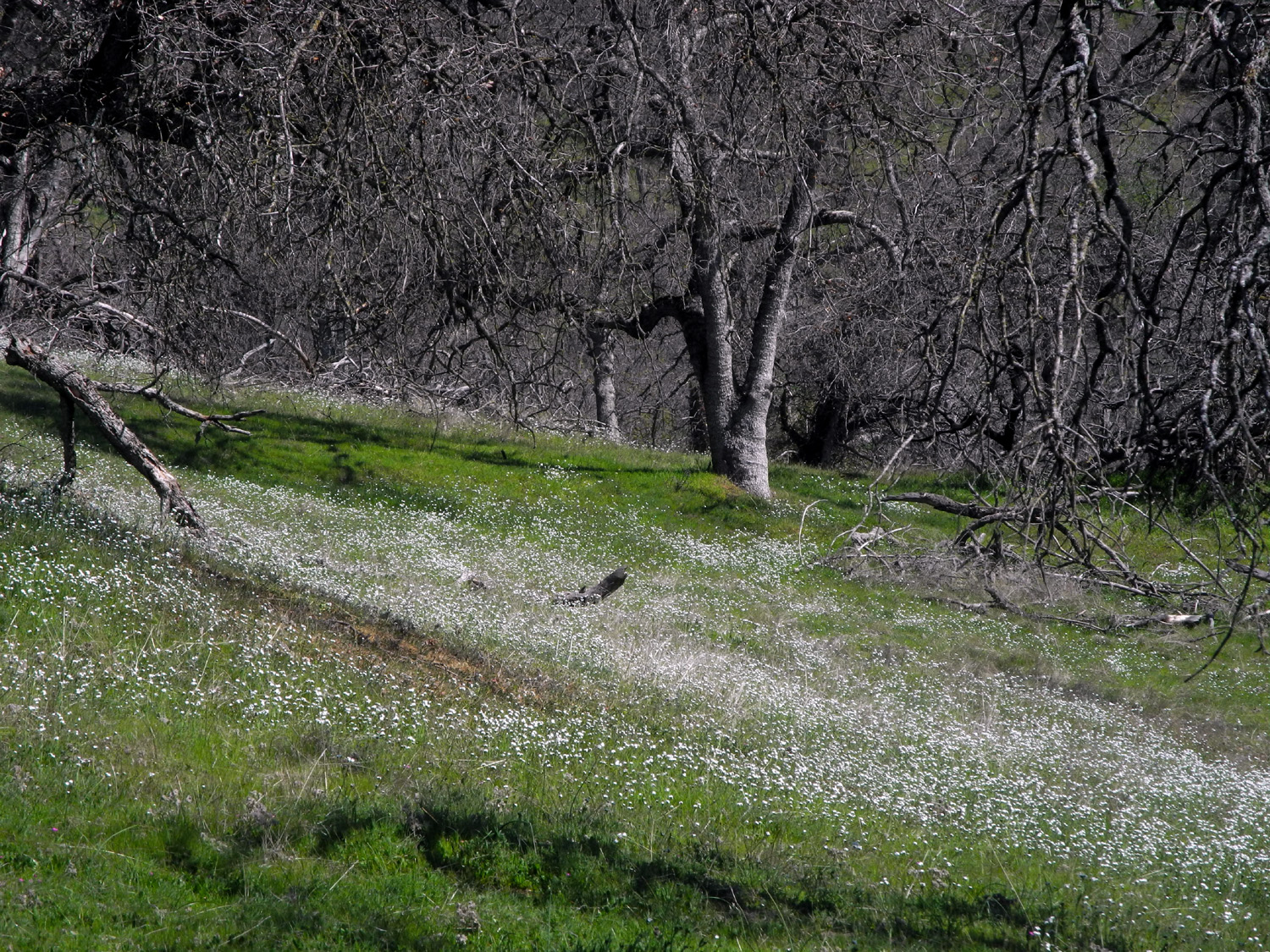
|
||
| Popcorn Flower Hill | The intense magenta of fringed redmaids dominate the upper hills | ||
|
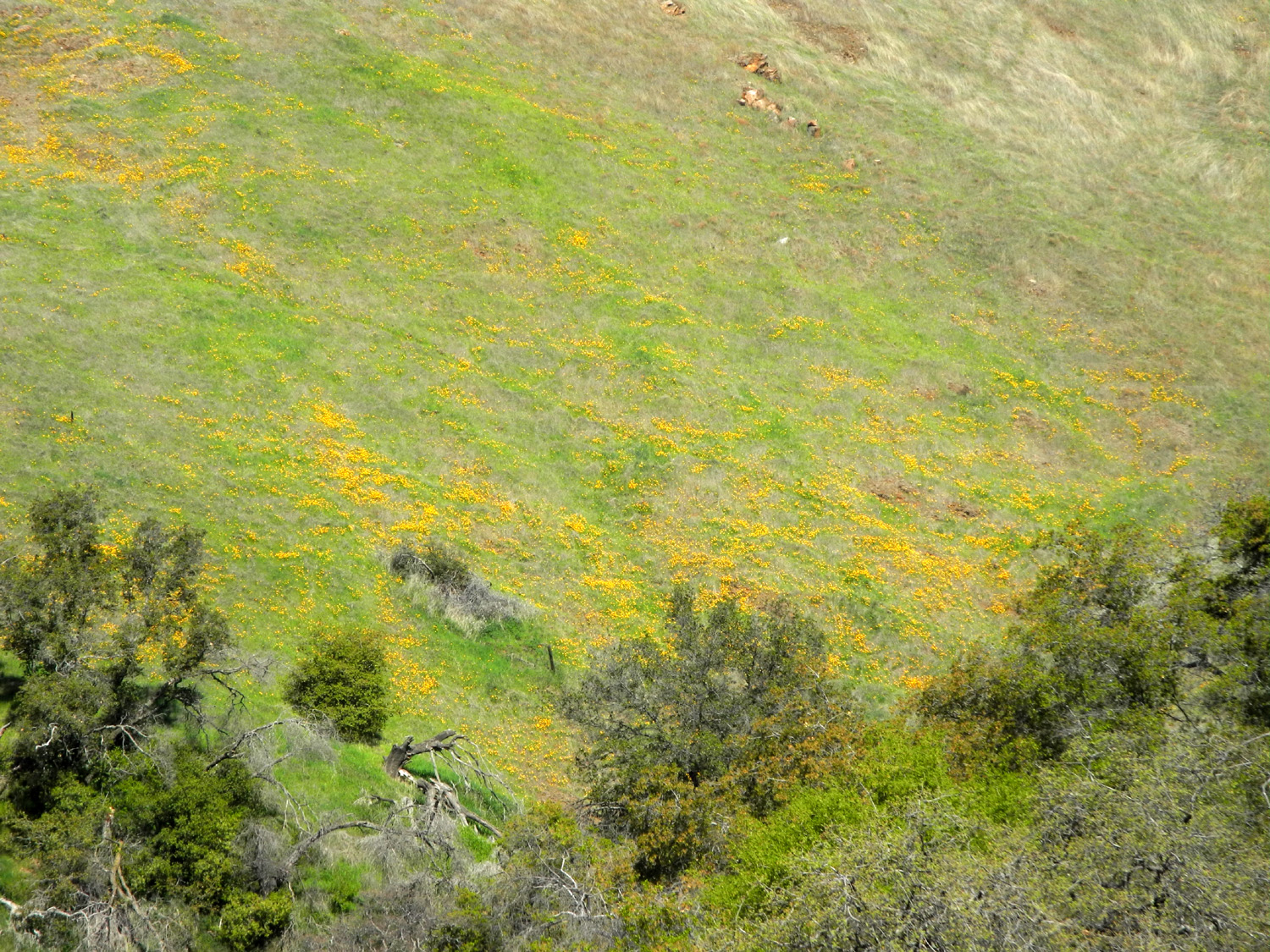
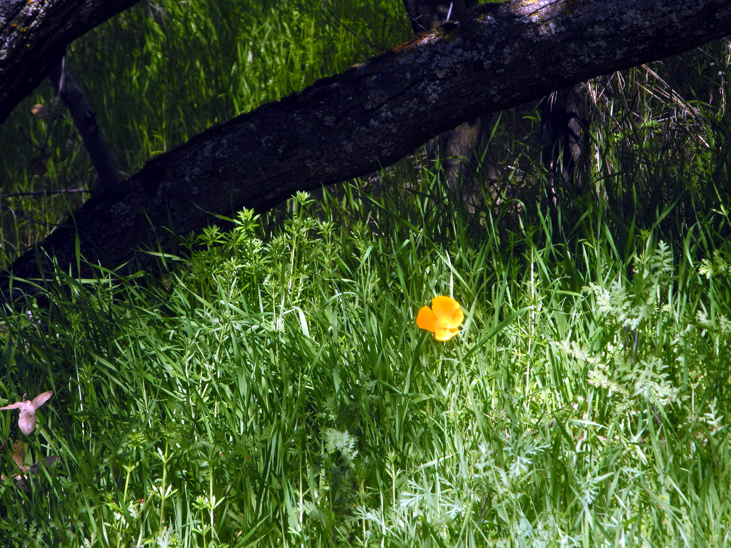
Along Trimmer Springs Road by the lake the small gold cup poppies were just getting started. I saw a single larger California poppy along the trail. A short distance from where the road enters the foothills, there's a flat area next to the river that has one of the biggest concentrations of bush lupines I've seen anywhere, and they were in full bloom. |
|||
|

|
||
| Small gold cup poppies are starting to paint the hills above the lake | Dozens of bush lupines make this a special spot along the river | ||
|
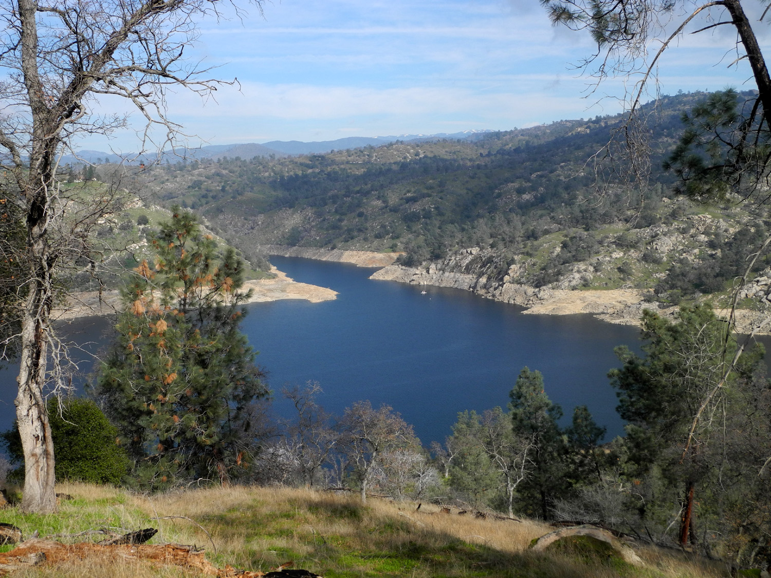
I followed the trail to my usual stopping point, just where a fairly good creek crosses the road. This is the last of about five creeks that cross the trail, but in this dry year, not a single one of them had water. This stopping point is at a place where the trail becomes a fairly level, smooth section of the old road. The round trip to this point and back was 1.82 miles. On my way back, I went off the trail where there is a good view down into the Sycamore Creek branch of the lake. Although the lake has a good amount of water, there is danger it will shrink down to a small pond as it did several years ago after three dry years in a row. |
|||
|
|
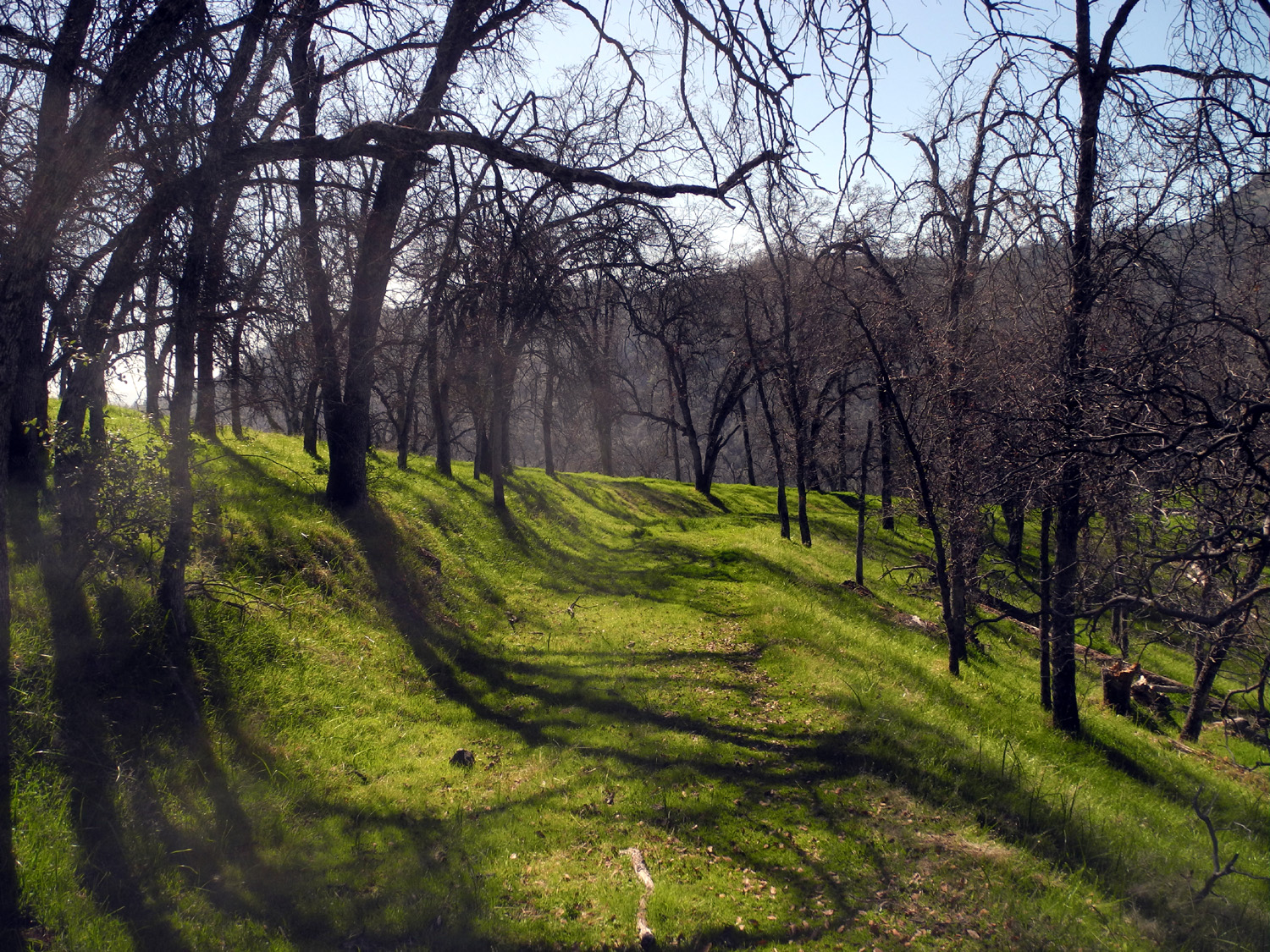
||
| Although covered with grass, the old roadbed is will defined |
A short walk off the trail provides this view of
the Sycamore Creek branch of Pine Flat Lake |
||
|
But
for now we've had enough rain to bring out the flowers, so I will be
making several more trips into the nearby foothills to see what the
crop is like. --Dick Estel, March 2020 |
|||
|
Photos (Click to enlarge; pictures open in new window) |
||
|
|
||
|
Eaton Trail |
||
 |
 |
|
| Colton at the starting point for a "down and up" | Jack rocks the Luigi outfit he got for Christmas | Peering into the mouse house |
| San Joaquin Gorge | ||
 |
 |
 |
| Colton on the bridge | An area of flat
rocks provide the perfect resting place just across the bridge |
Teri by the trail |
 |
 |
|
| Rocks contain a mineral that attracts boys | Colton exploring | Jack, Teri, Johnny and Colton at the trail junction |
 |
 |
 |
| Colton in the live oak | Heading back to camp - Jack and Teri... | ...and Colton and Johnny |
| Trail to Pincushion | ||
|
 |
 |
| Looking toward the lake near the start of the trail | A steep section about 1/ 3 of the way to the saddle | A perfect hollow log |
| Hensley Lake Hike | ||
|
|
 |
| The grass is green, but wildflowers aren't out yet | Carolyn near a resting bench at the trail's high point | A closer view |
| San Joaquin River Trail West | ||
|
 |
 |
| Heading down to the lake | The
inevitable result when you combine kids, rocks and water |
They didn't actually run ALL the time |
| Sycamore Creek | ||
|
 |
 |
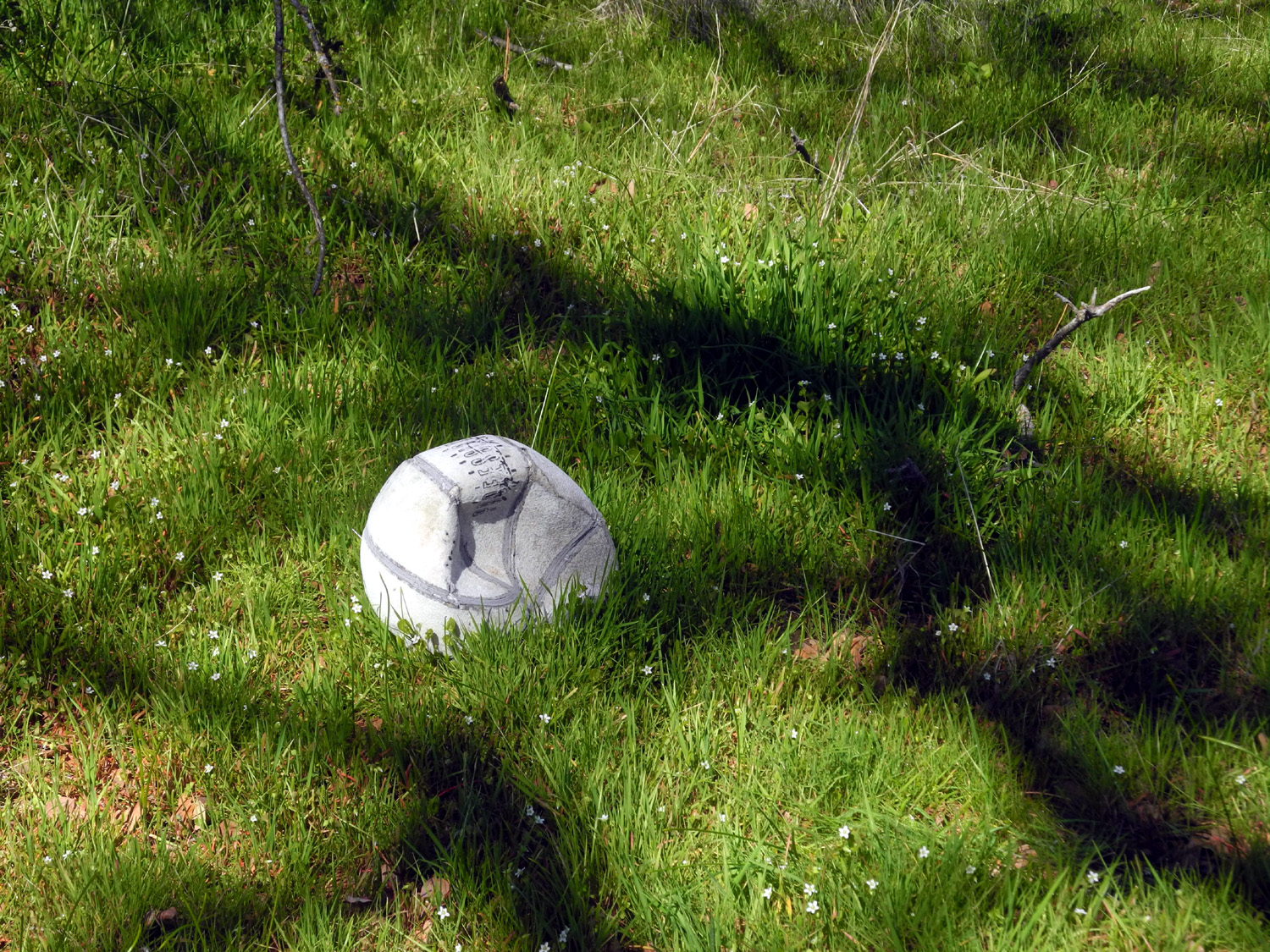
| Blue oak in its bright green spring attire | Apparently soccer really is played EVERYWHERE | Shooting star - my favorite wildflower |
 |
 |
 |
| The lone poppy | Pink bells mean manzanita | Popcorn flowers and fringed redmaids |
| Related Links | ||
| Coke Hallowell Center for River Studies | Lewis S. Eaton Trail | The Habit Burger Grill |
| San Joaquin River Gorge | San Joaquin River Trail | San Joaquin Gorge Slide Show |
| Millerton Lake | Colorado Grill | Hensley Lake |
| Sweet Tomatoes | Fresno River | San Joaquin River |
| Pine Flat Lake | Sycamore Creek | |
| Videos (Run from your Downloads Folder) | ||
| Drifting Mist Video | Colton & Jack at Lake Millerton | |