
Dick's Adventures of 2016 - Part 1 |
||
|
Adventures of 2016 Part 2 Adventures of 2016 Part 3 Adventures of 2016 Part 4 Adventures of 2016 Part 5 Adventures of 2016 Part 6 Adventures of 2016 Part 7 |
||
|
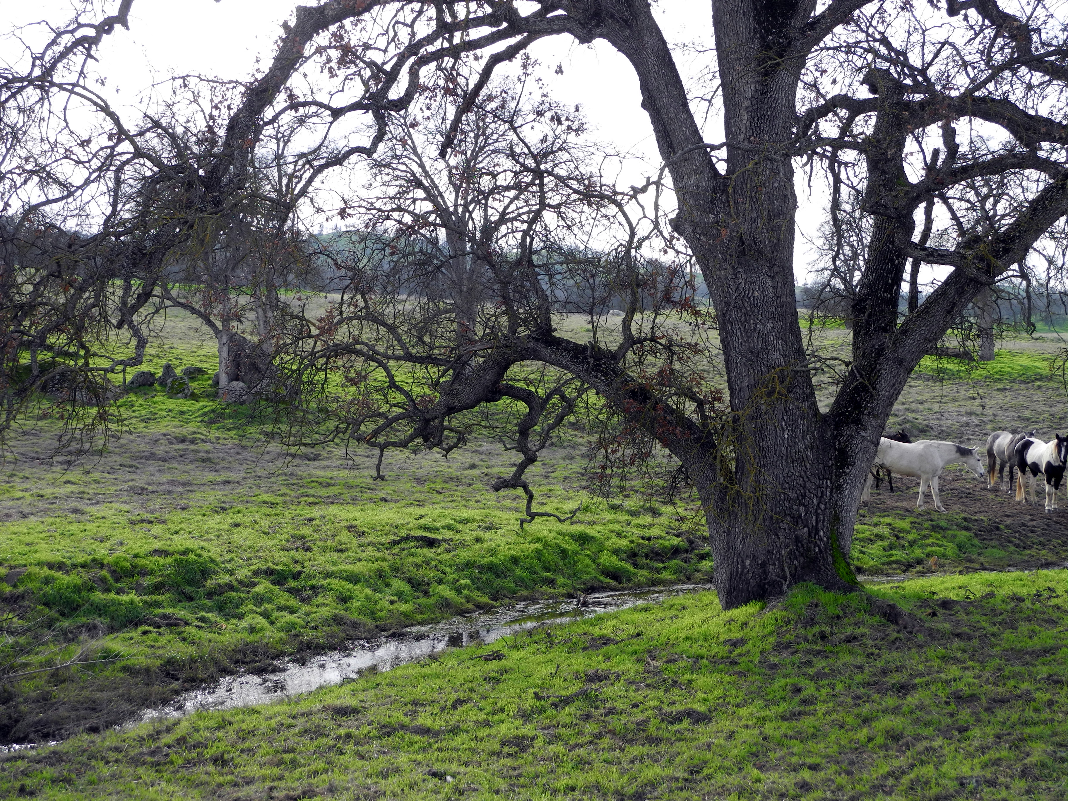
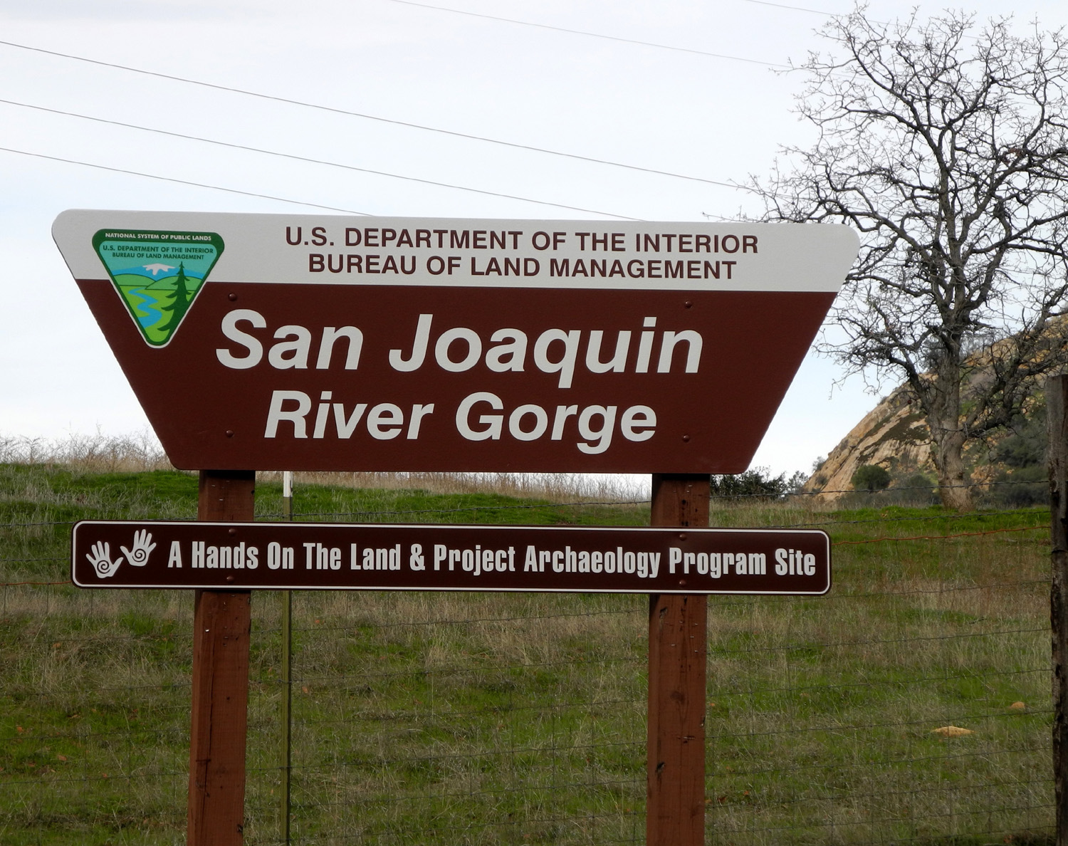
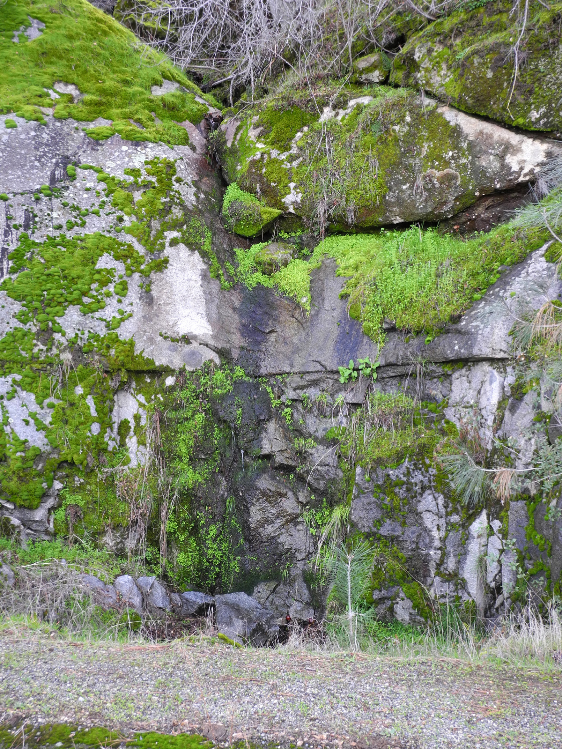
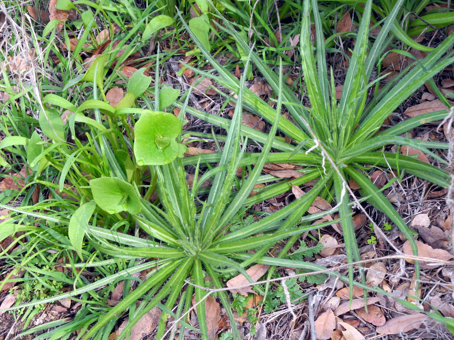
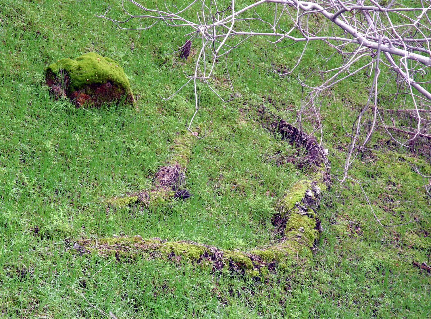
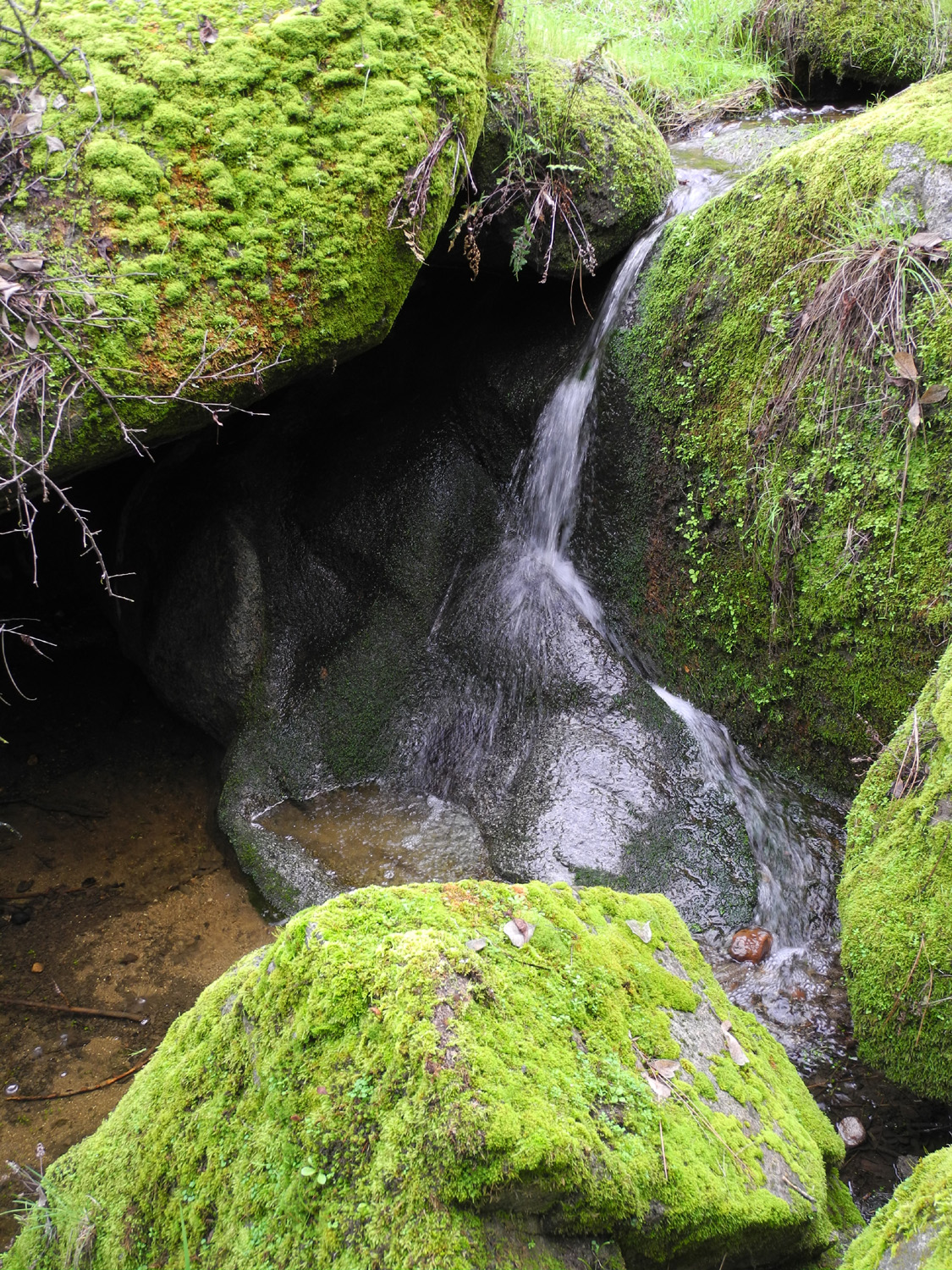
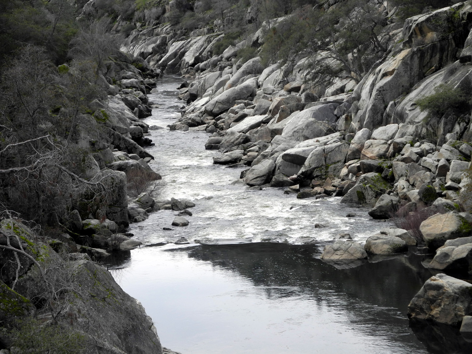
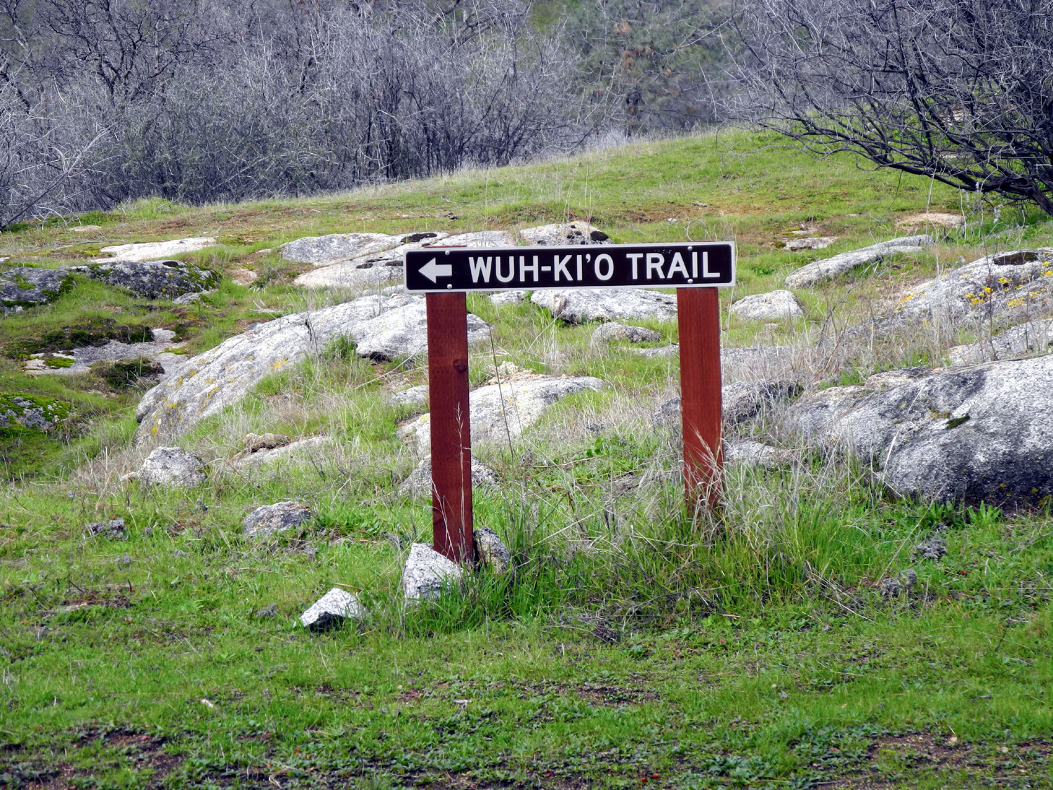
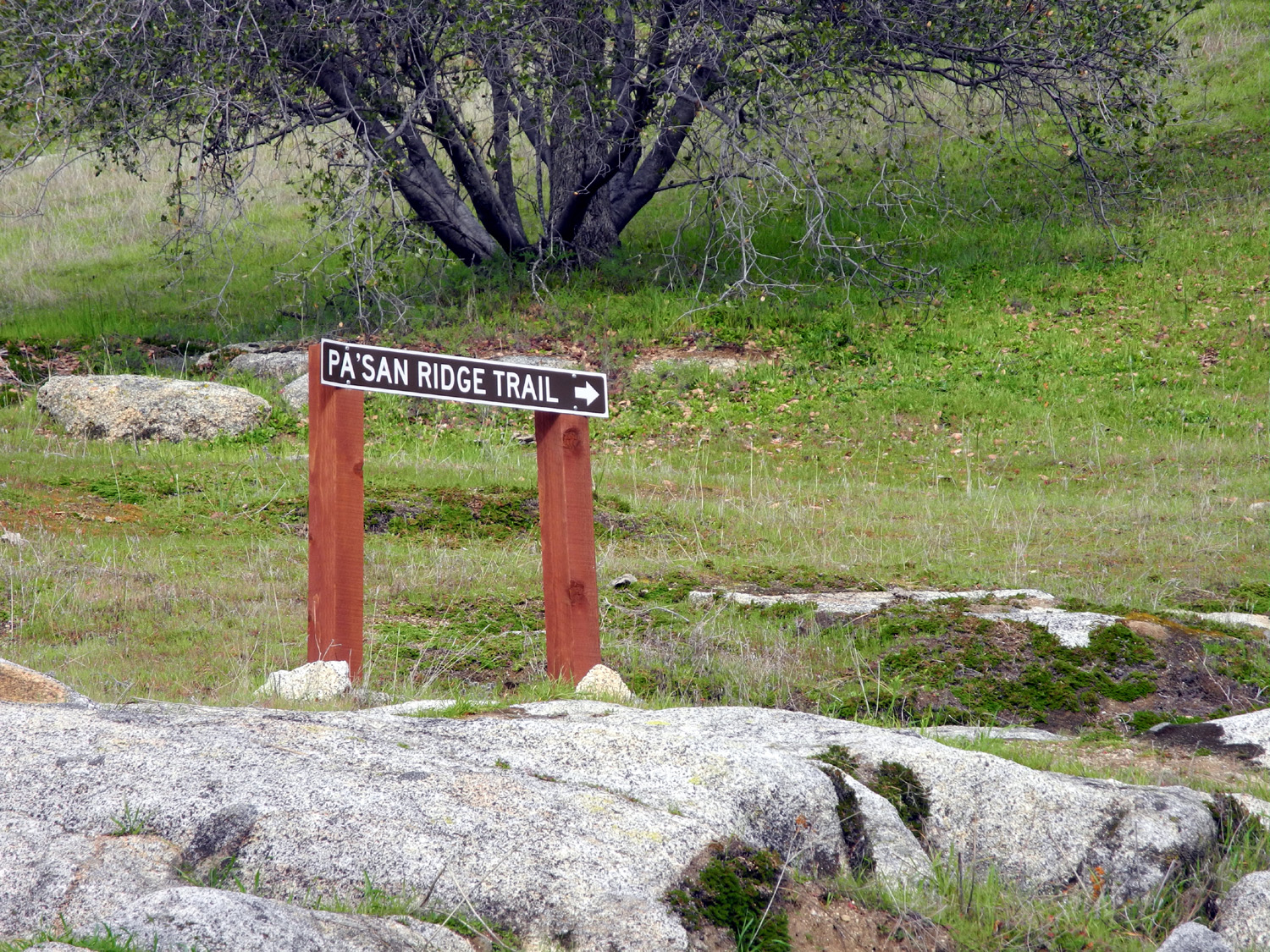
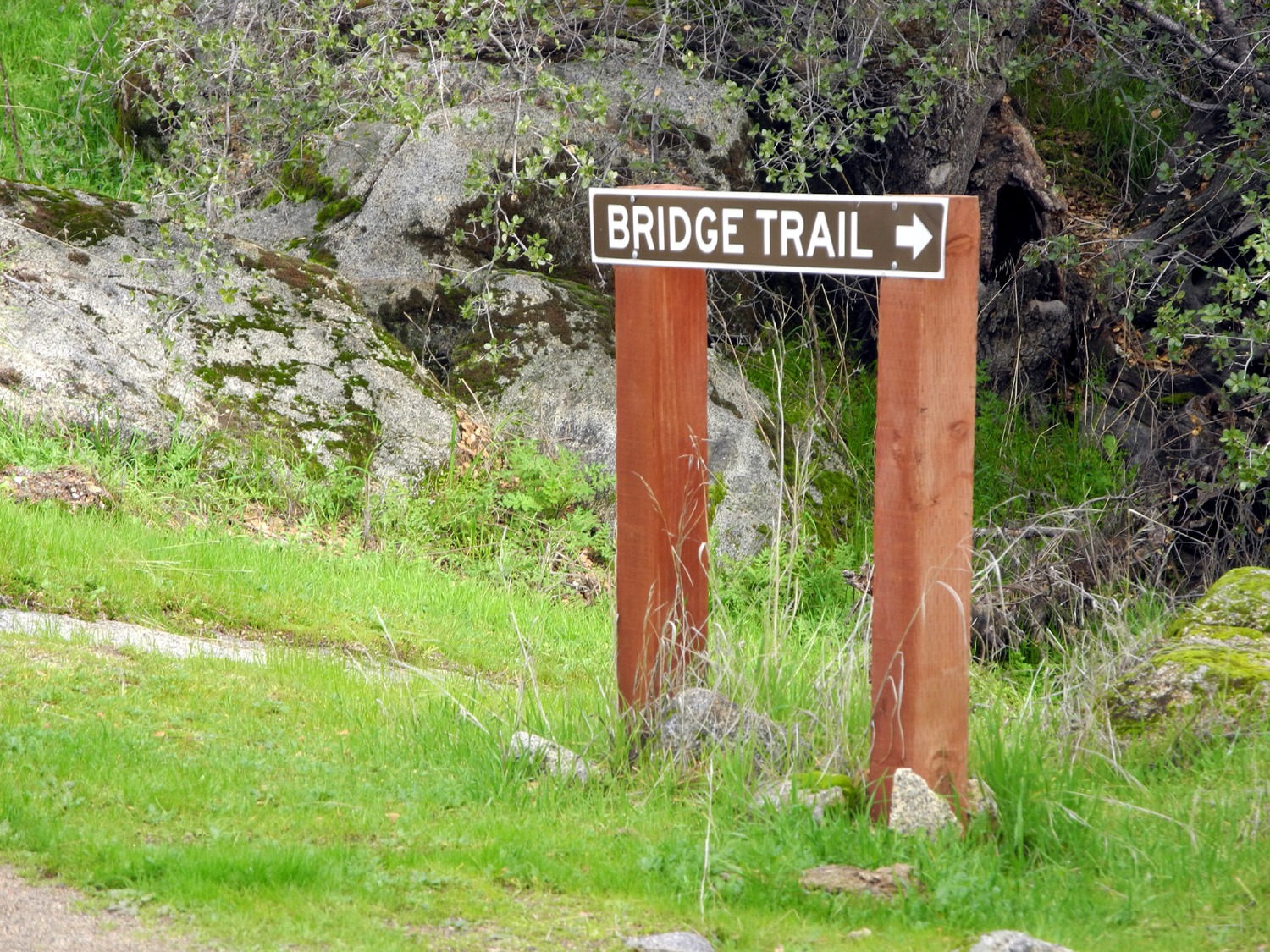
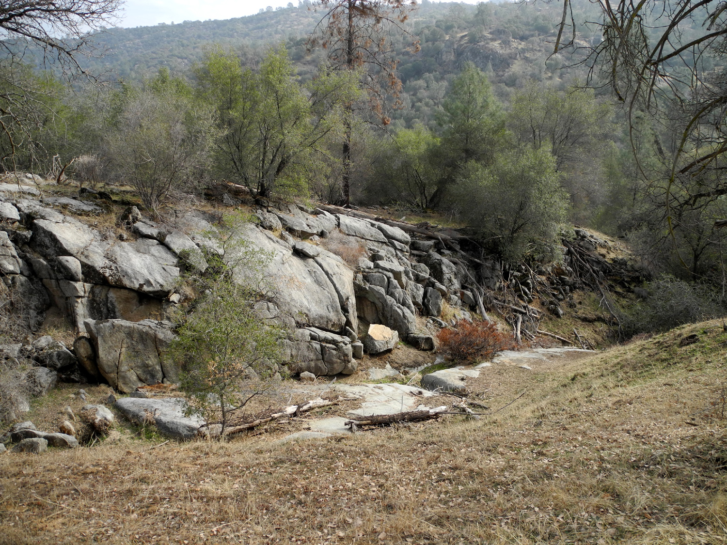
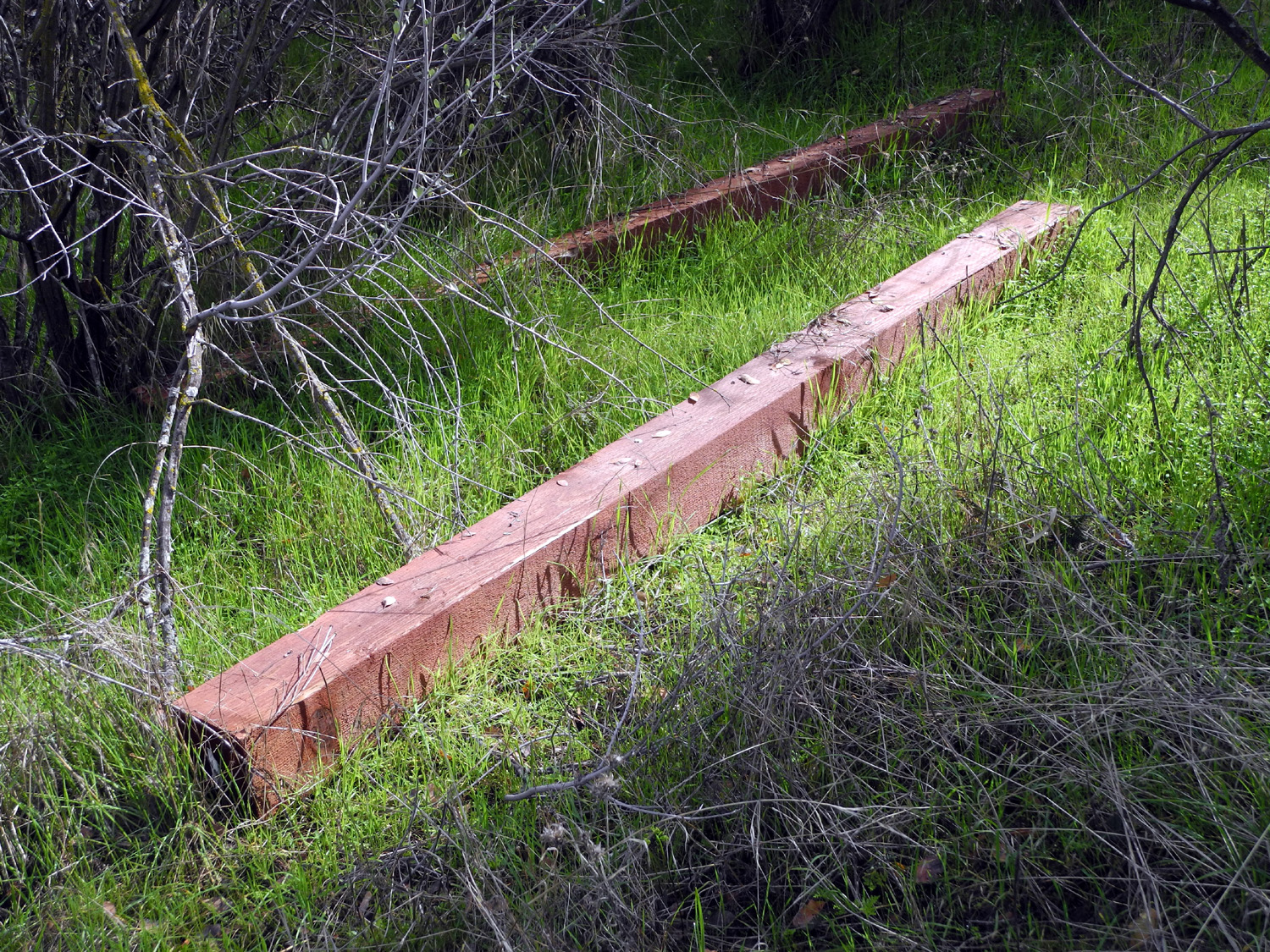
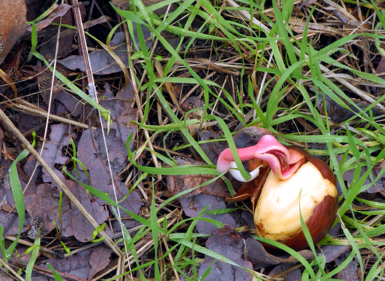
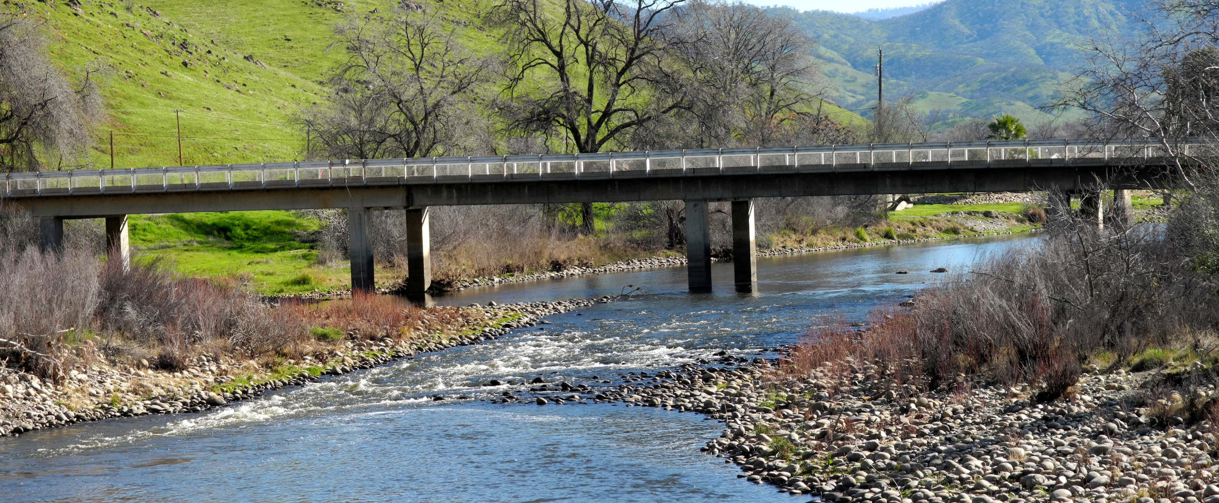
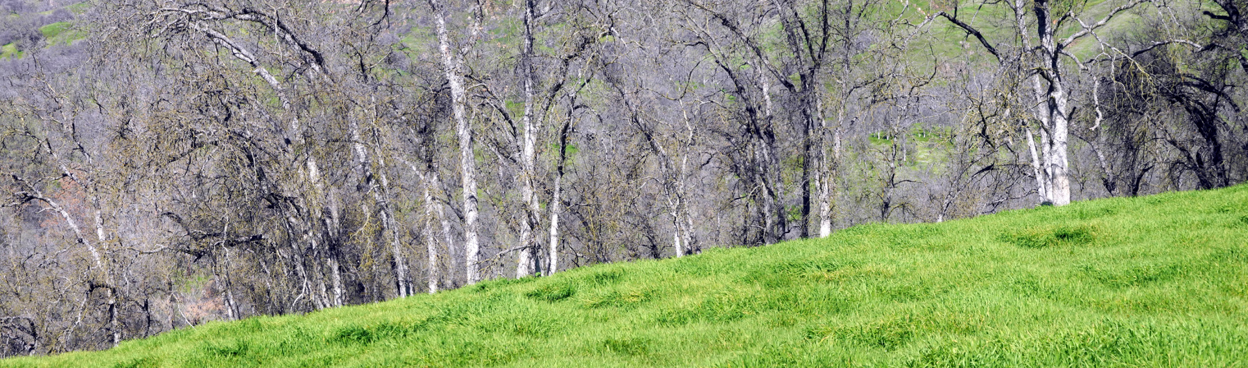
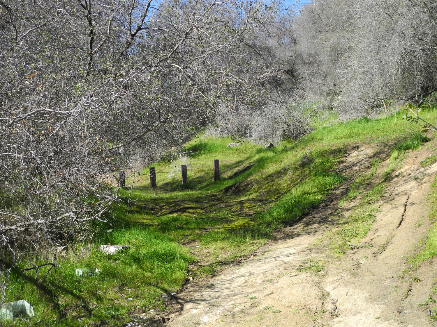
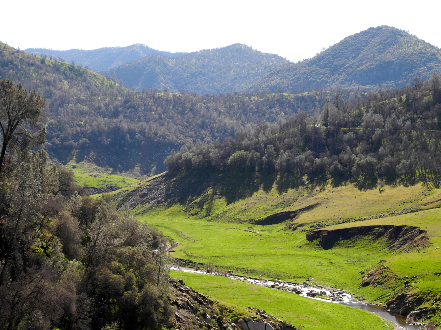
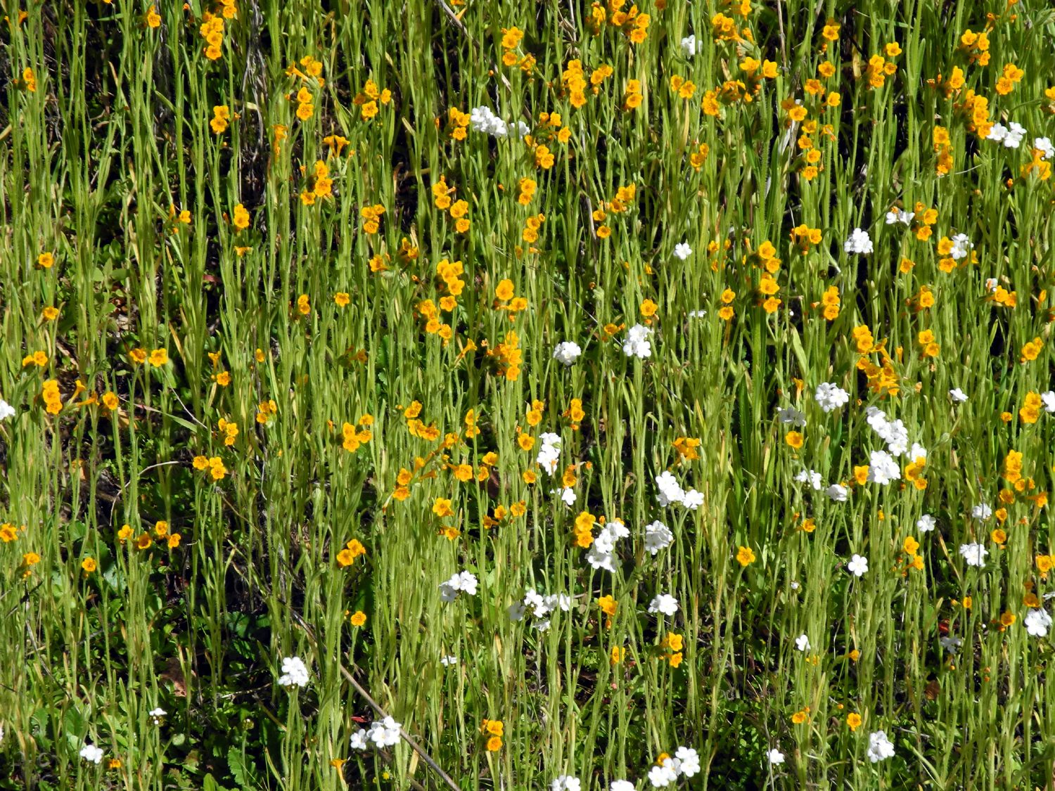
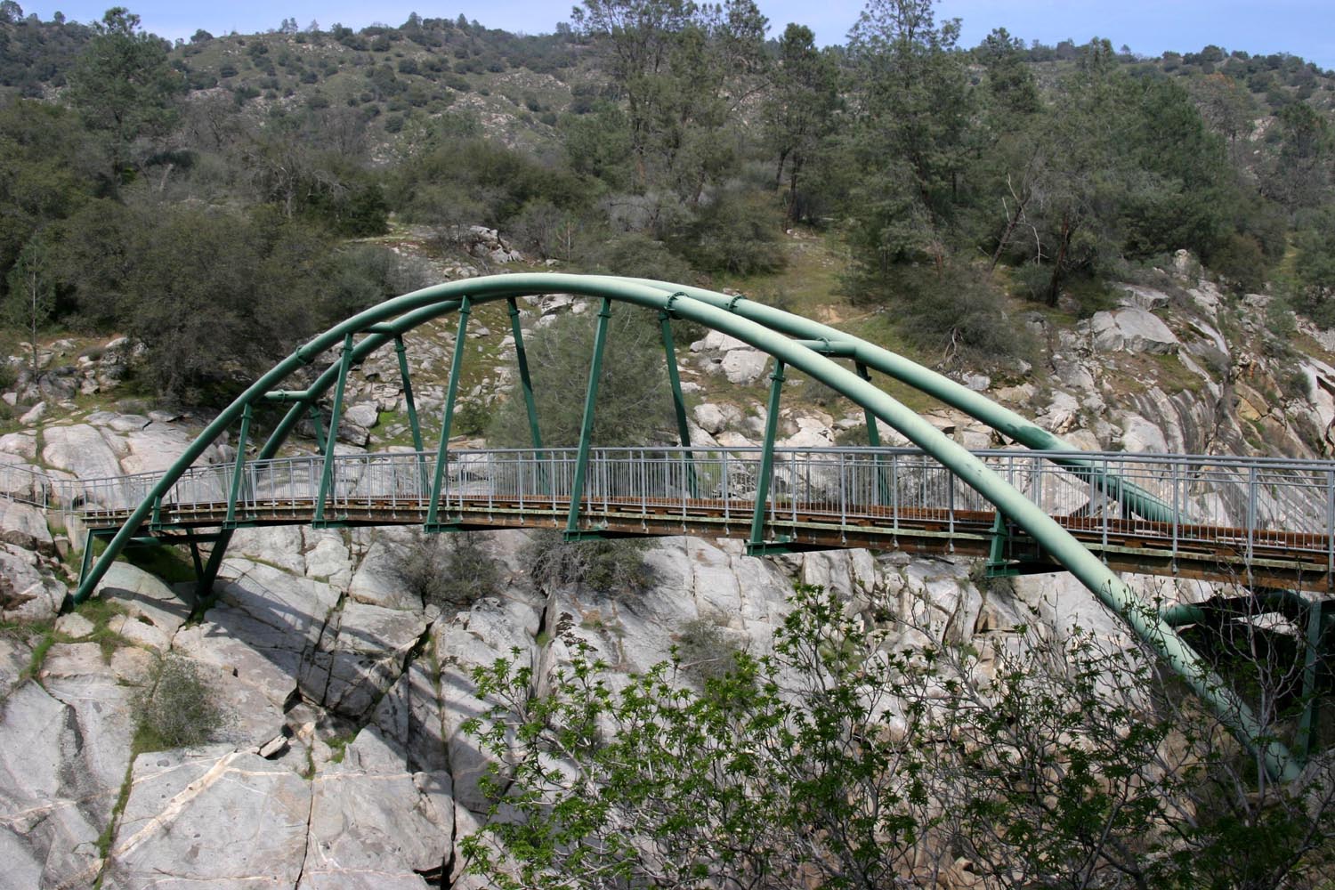
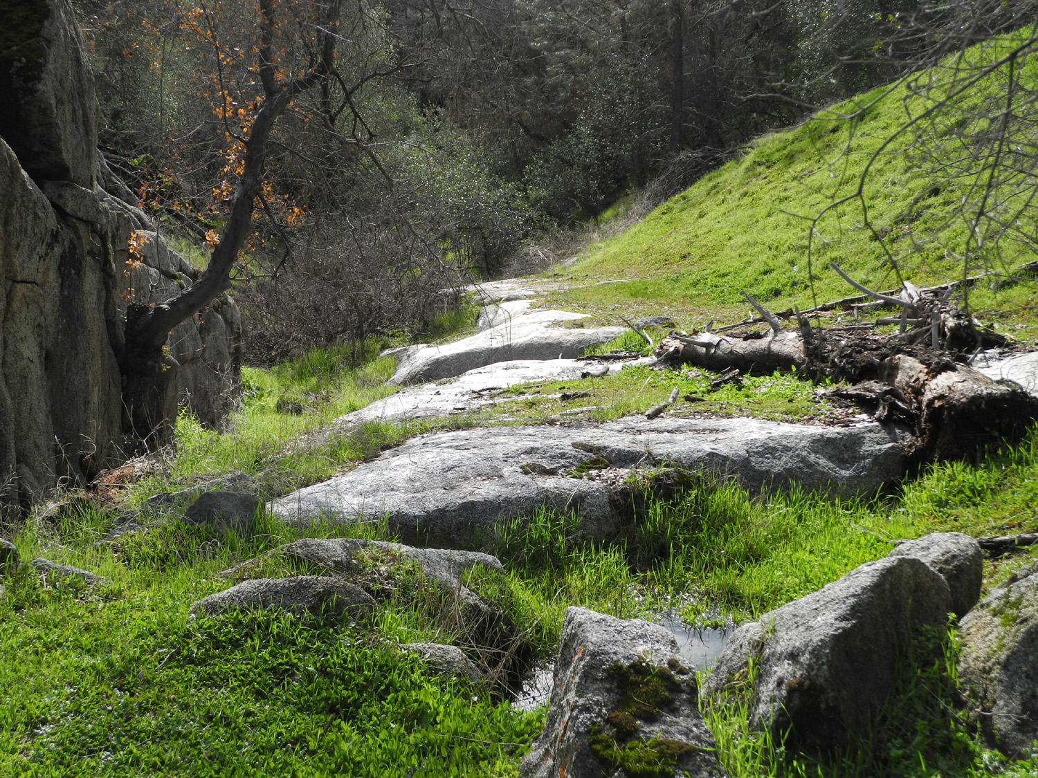
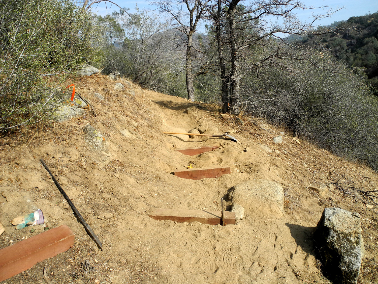
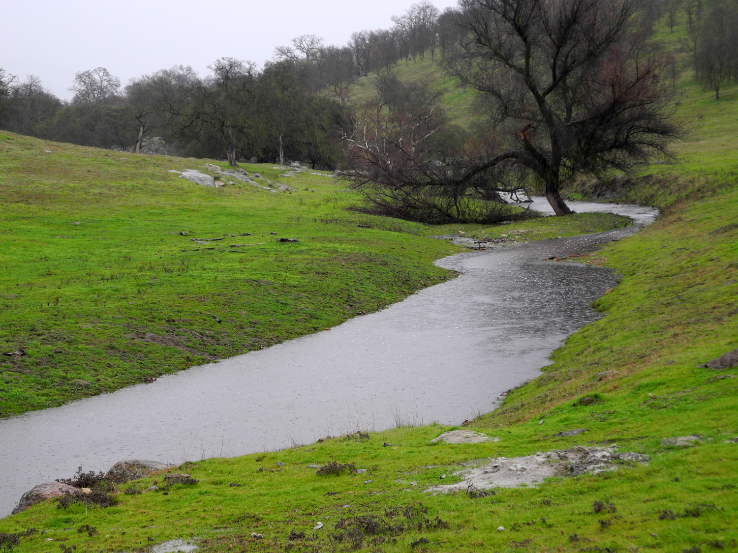
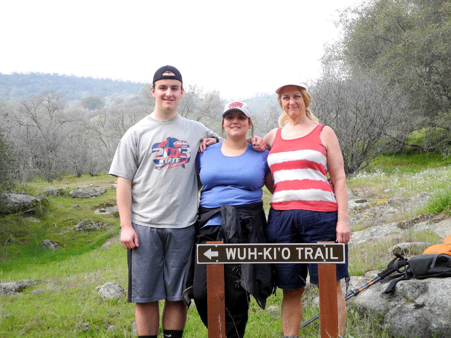
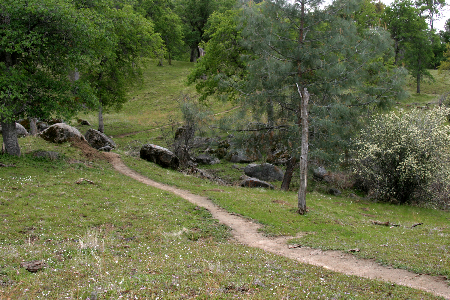
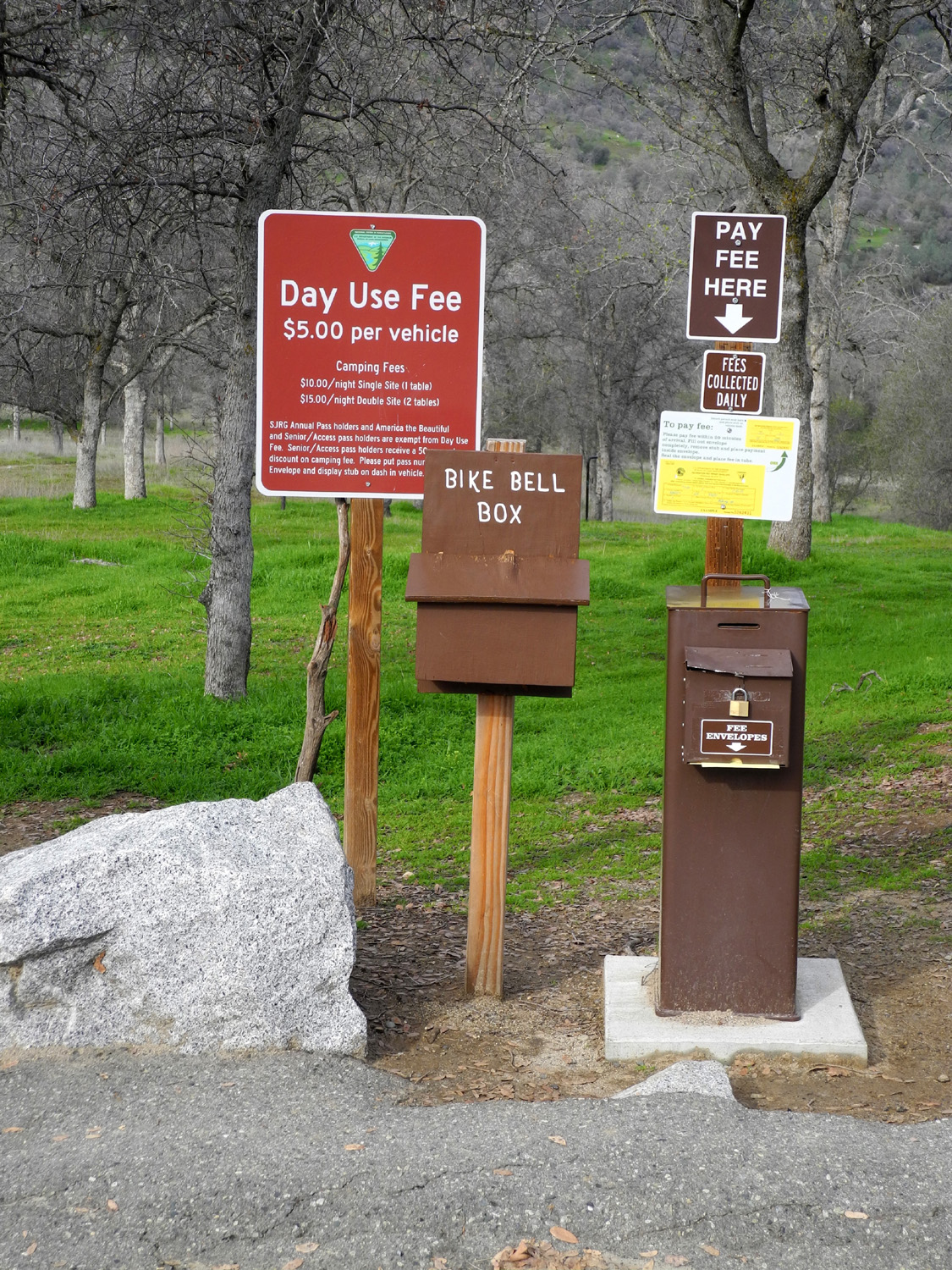
San Joaquin Gorge When I went with the Ramblers to the San Joaquin River Gorge in the rain January 19, I vowed to return as soon as possible, on a day with no rain, so I could enjoy the creeks and green hills close up and on the ground, instead of through the window of a car. On January 27 I put my hiking poles, pack and snacks in the car, and got underway just before 9 a.m. Little Dry Creek was still running good beside Auberry Road, but when I got near the Gorge, the seasonal waterfall we had enjoyed so much was gone. I expected this, and took some pictures for a before/after presentation. A close look proved that there was still a tiny trickle, but nothing anyone would call a waterfall. There was one other car at the parking lot, and its occupant went down the trail a few minutes before I did, the last I saw of him for the day. He was obviously a much younger, faster hiker, and I suspect he took one of the longer routes that are described as "strenuous" on the sign at the trailhead. A number of little run-off waterways that cross the trail still had a small flow of water, and there were a number of places where the trail was just a big mud puddle for a few steps. Best of all, a little more than halfway down, the biggest little creek on the trail was doing its best babbling brook presentation, the first I have seen water in it for at least three years. From the trail just before the crossing I could see where it ran down over some rocks in a tiny waterfall, but I could not get a good photo from there because of the brush in the way. Just past the creek I saw I could get down close to it across a path of mossy rocks and grass. Not a real path, but a "route." I enjoyed the creek at this spot for a few minutes, then saw a better place to look at the creek downstream. I had to go back almost to the trail and find a different route, but this led me to a place where I could cross and get down below the "waterfall" and get some good pictures. I saw that I could make my way back up to the trail on that side of the creek, before the crossing. It was steep, but people had walked there before, creating a vague trail. From here I continued my walk down toward the bridge, and soon had my first view of the river, running fuller than it usually has been in recent years. Hiking with the Ramblers in the spring of 2015, we had only gone as far as the bridge, but I had been wanting to go on past that point, so after resting and taking pictures at the bridge, I started up the trail on the Madera County side. A few hundred yards from the bridge, the trail divides. I've taken many hikes on the left fork, previously known as the River Trail, and now sporting a Native American name, Wuh-Ki'o Trail. This trail goes west and eventually divides again, with one fork going down to the river and the upper end of Millerton Lake. The other goes north up the ridge and joins with the Pa'san Ridge Trail, which is the other choice at the bridge junction. Over thirty years ago I had hiked the Ridge Trail all the way up and around to where it meets an old road coming in from above and then goes down to the River Trail. This route is described as "strenuous," and is also at least four additional miles, so I probably won't walk the entire route again. However, a short jaunt along the first part of this trail is delightful, and I had done that in 2014. Although that was in January, there were only a couple of small patches of green grass, no creeks, and it looked like a dismal year for wildflowers. On this latest hike there was green grass everywhere, wet spots on the trail, and water flowing in a creek that had been flanked by dry grass two years ago. On my previous visit, there had been a crew doing trail maintenance and installing water bars. This section of the trail now looks finished and well used. I noticed that a couple of the heavy, six foot long, six by six inch timbers that were not needed had been left beside the trail. Considering they had to be hauled in by hand a mile or so up and down steep trail sections, it was understandable that no one wanted to carry them back out. I went about a half mile beyond the bridge, close to the same distance I walked two years ago. My round trip hike was just under three miles. In the past I have hesitated about hiking down to the bridge, because the hike out always seemed so steep. In 2014, part of this was because I did some hard hiking before doing the Bridge Trail. Walking up this time I decided that most of the steepness of the trail is in my mind. Although I went quite slowly, it was a very comfortable hike. Along the way there was a spot where a number of buckeye seeds had fallen, and had started to germinate. Lying on the surface, they put out a shoot which finds its way into the ground and starts the root structure. You can take one of these germinated seeds home and grow your own buckeye if you desire, although they seem to survive only about three or four years in the valley. While I was going up the final part of the trail I met one bicycle rider, and was passed by a younger couple who reached the parking lot and were driving off by the time I got there. On my way back home along Smalley Road, I took a distant photo of the trail above the bridge, and also got a good shot of Bug Table, one of the table mountains across the river. I also stopped and took pictures at all the branches of Dry Creek, which are wet this year. More about this below. When I got back to Clovis I went to El Pueblito, one of several excellent Mexican restaurants close to my house, since a good walk relieves me of the obligation to prepare my own dinner.
--Dick Estel, January 2016 |
||
|
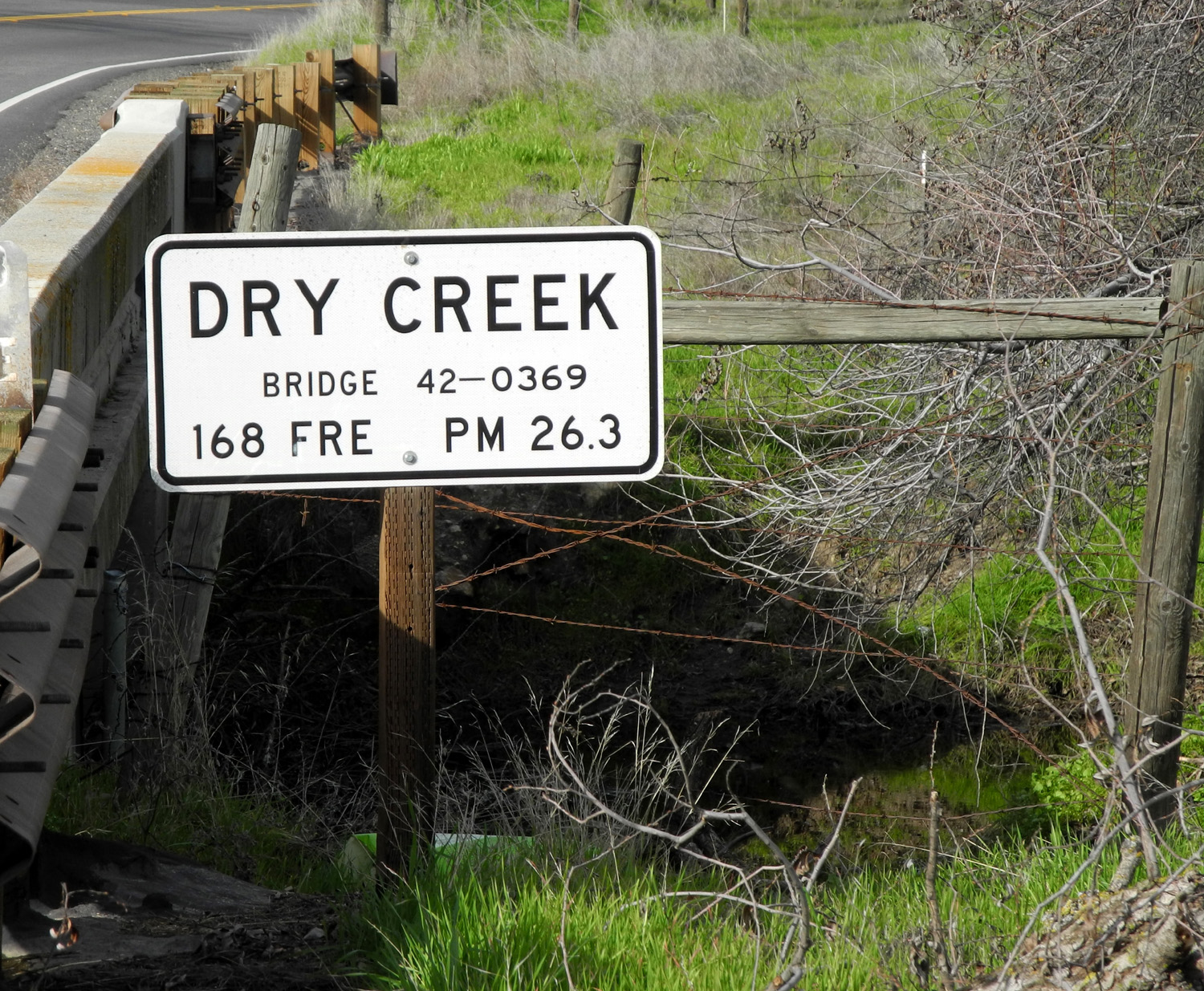
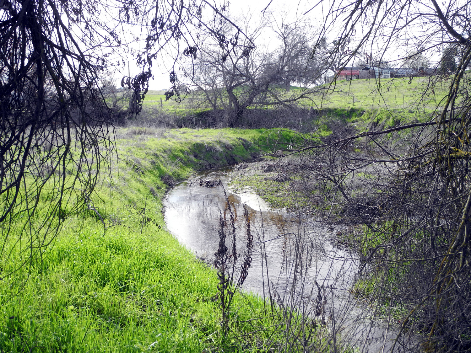
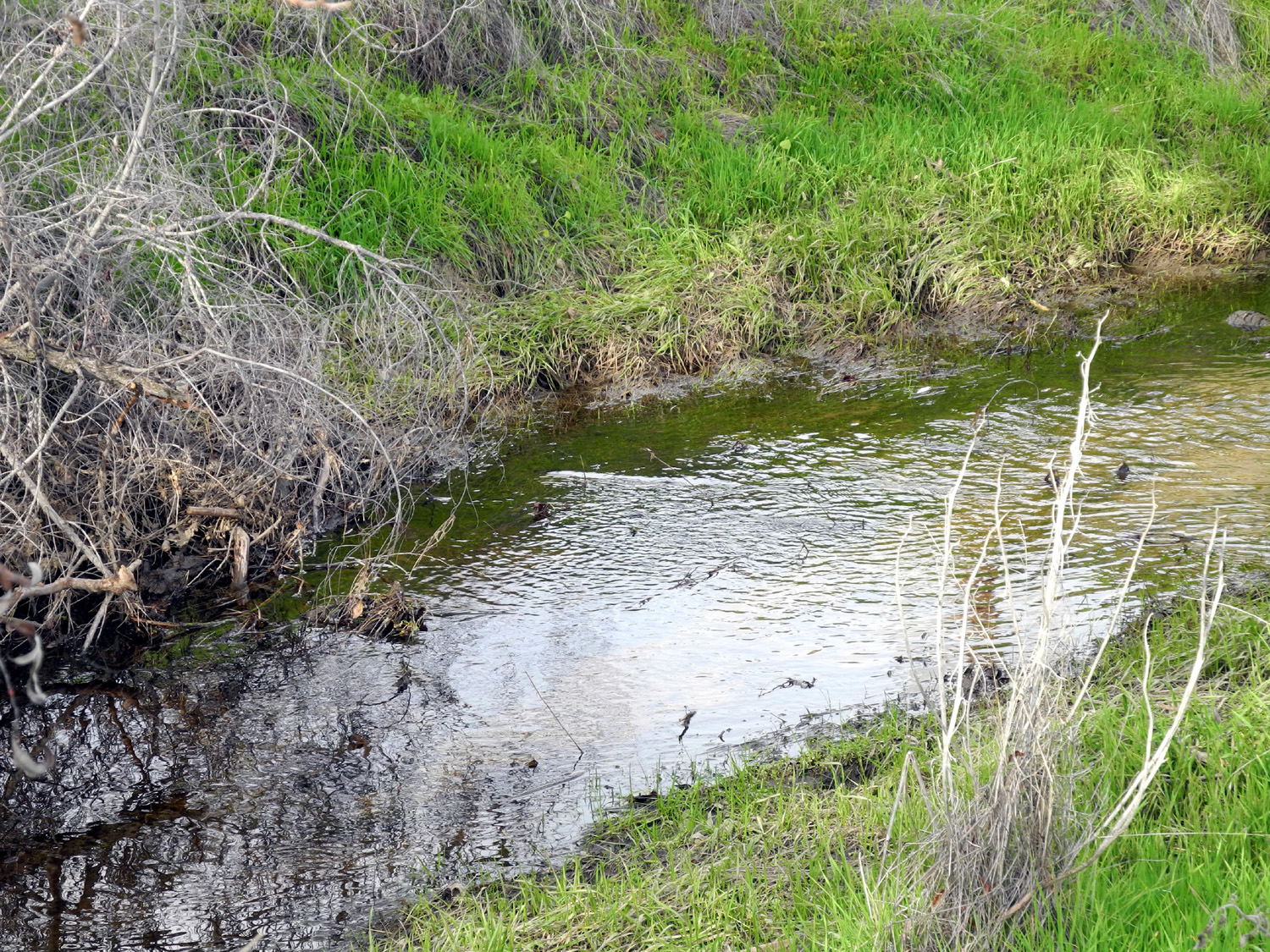
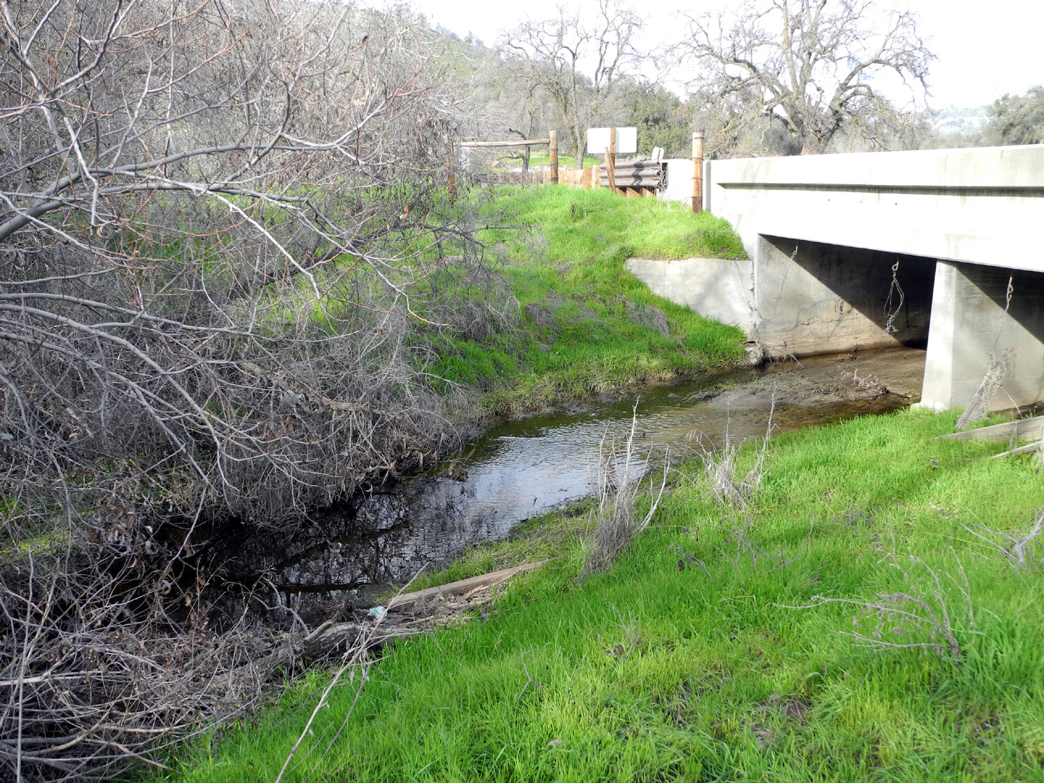
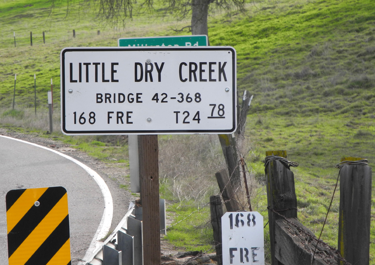
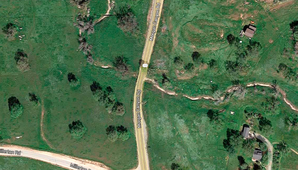
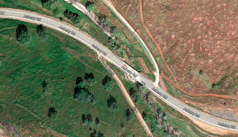
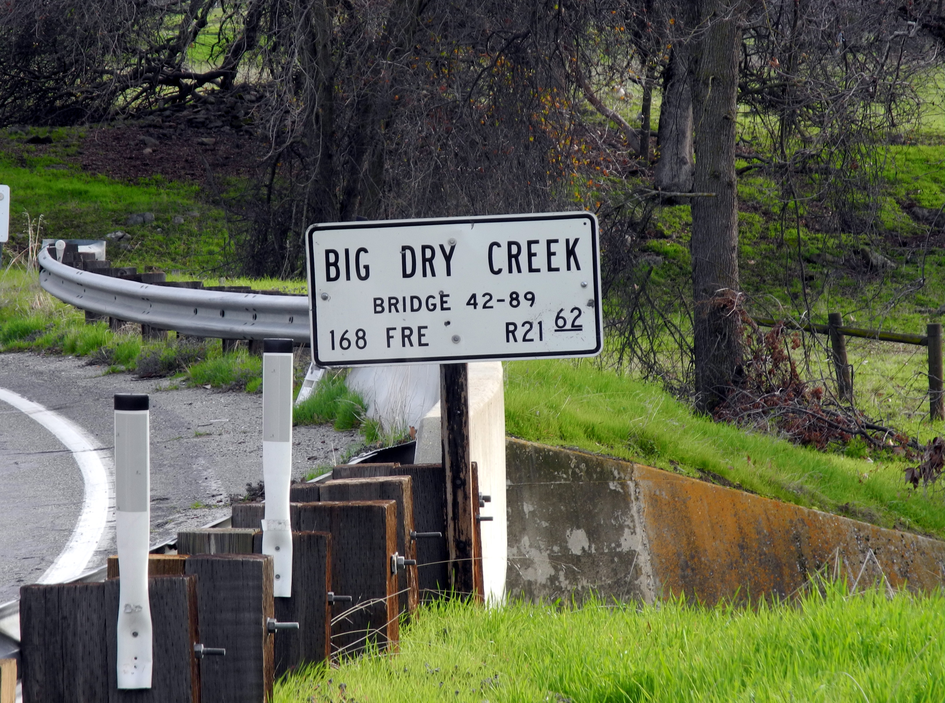
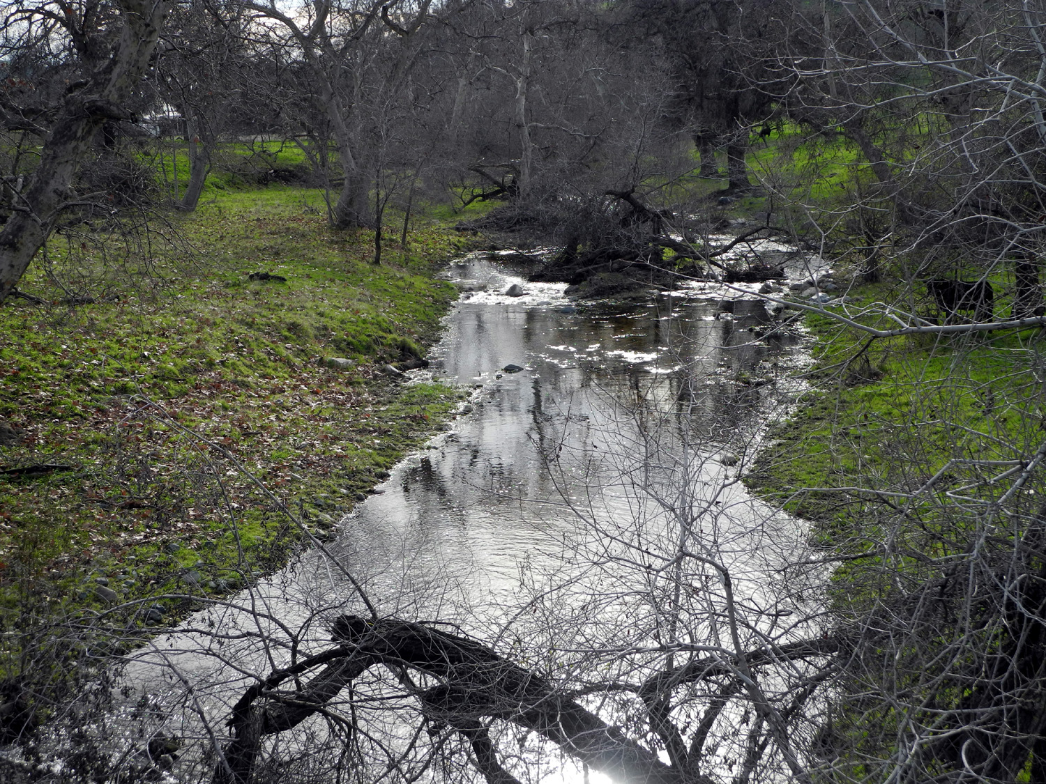
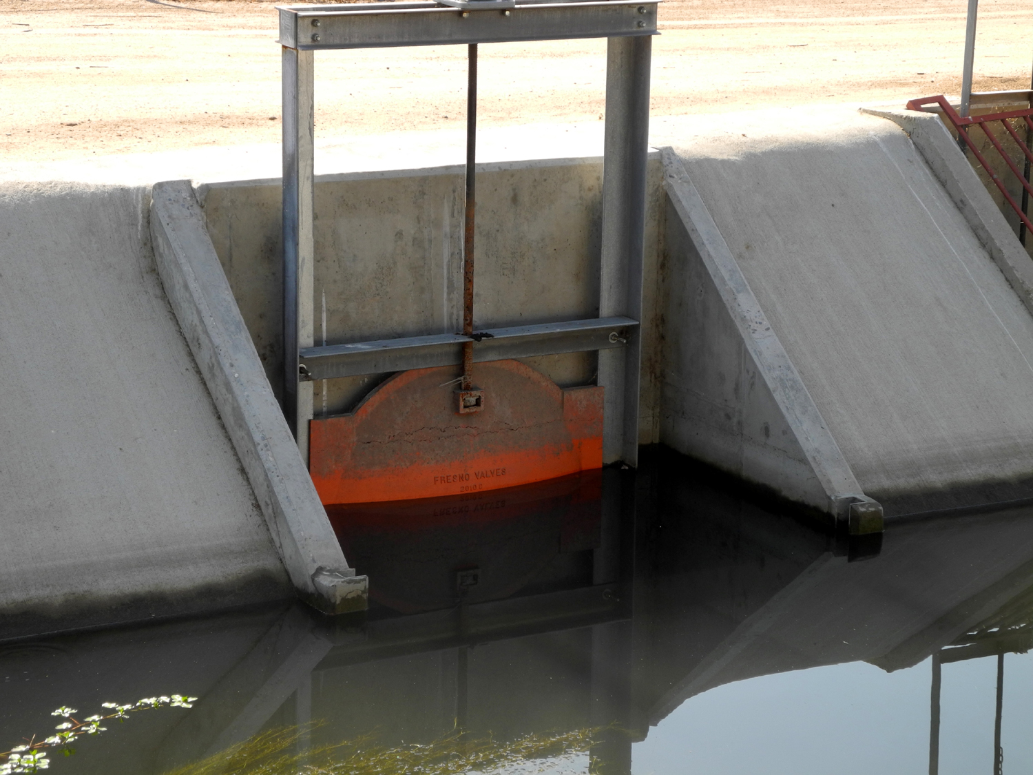
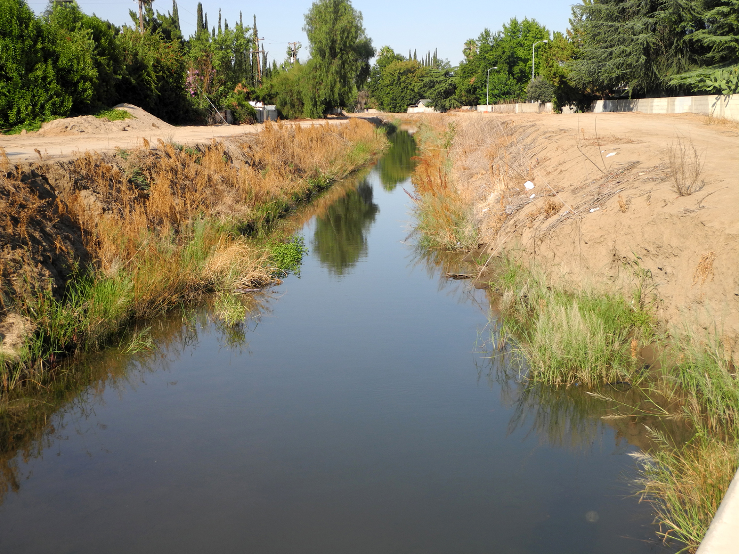
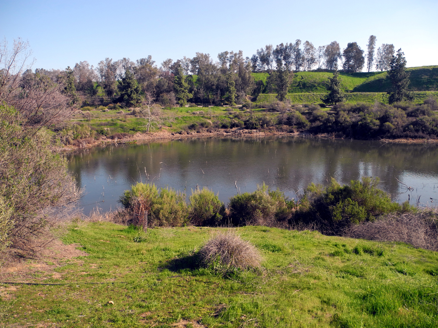
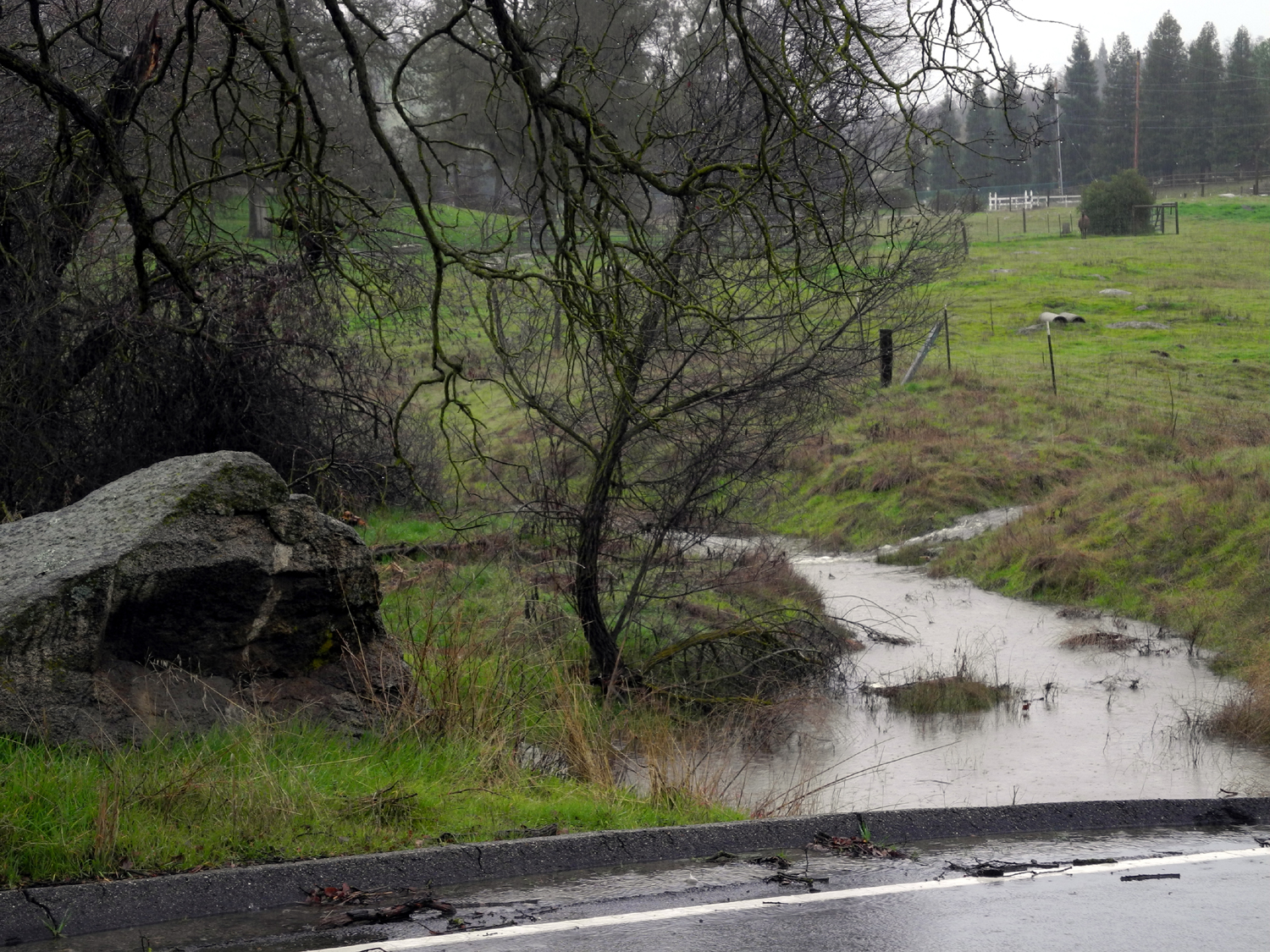
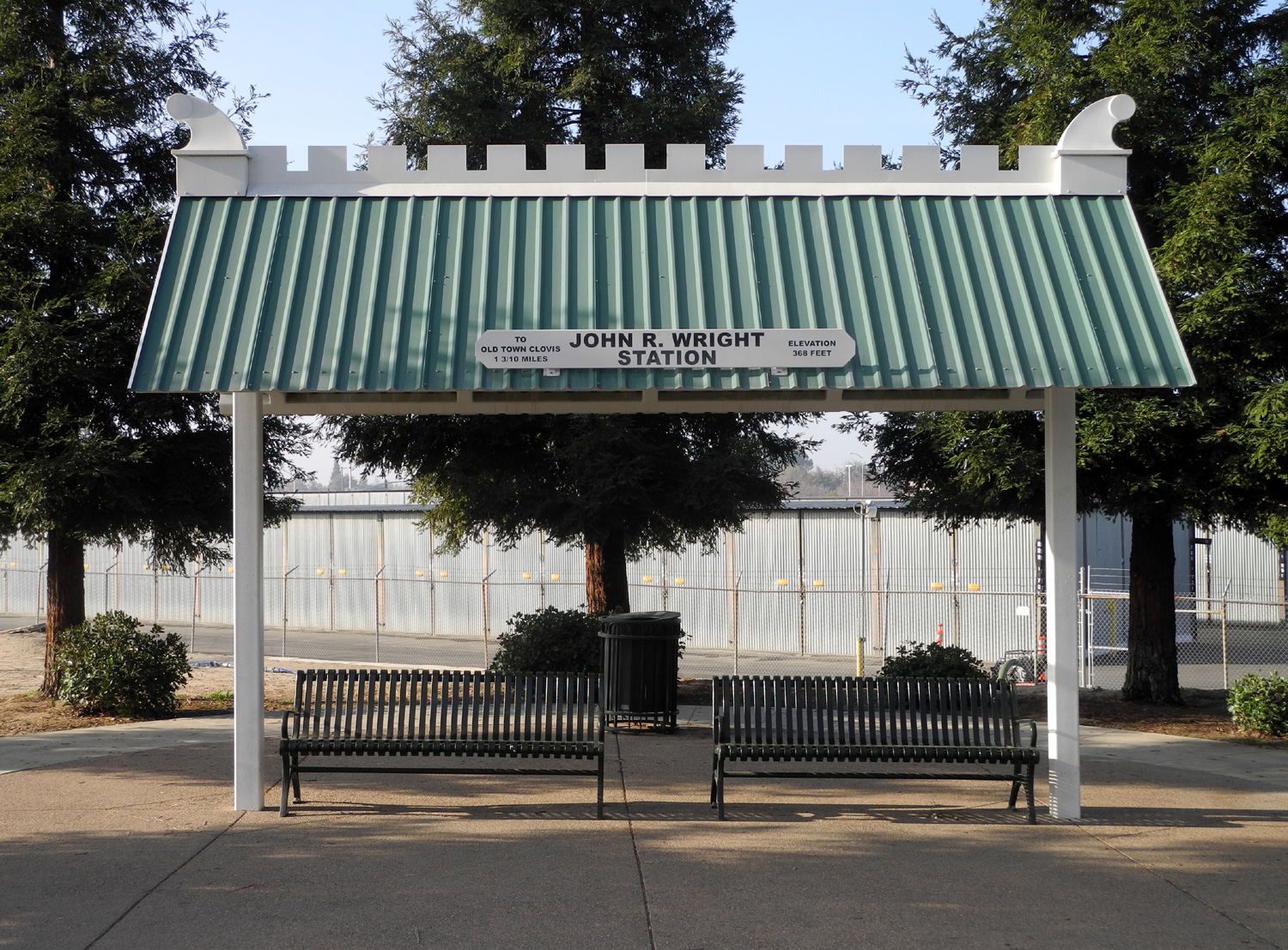
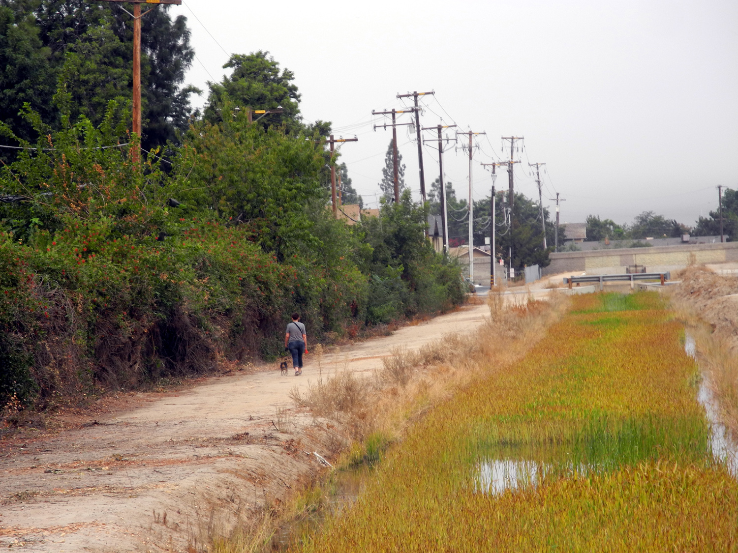
The Dry Creeks of Fresno County More an essay than a travel report... Driving out of the foothills toward Fresno on California State Highway 168, there are three intriguing creek crossings: Dry Creek, Little Dry Creek, and Big Dry Creek (after this I will sometimes abbreviate Dry Creek of any size to DC). For several years I've been walking on the Dry Creek Trail in Clovis and on the banks of Dry Creek, often called the Dry Creek Canal, so I was curious about the origin and location of this waterway. In November of 2015 I was driving up Highway 168 and noticed the bridge crossings for Big DC and Little DC, so I stopped and took photos. Both creeks were indeed dry, and had been for several years. On the return trip I also noticed plain DC, but did not stop. In mid-January of 2016 I rode up 168 with the Ramblers. We stopped several places to take pictures, but it was raining, so I was in and out quickly and didn't get the best views. I had a better chance when I drove up eight days later, and stopped at all three creeks for extensive photography. Results are below. Now, the question that has been in my mind for months: Where do these creeks come from, and where do they go? It's hard to track them on the map, and sometimes hard to even find them, but it seems clear that they all run out of the hills east of the highway, none of them originating at very high elevations. I could not find Dry Creek on any of the maps I looked at, but it has a bridge, a sign and water, so it definitely exists. From its location about a mile and a half north of Little DC, logic indicates it flows into the latter stream. Little Dry Creek is easier to track. It crosses the highway just north of the junction with Millerton Road. We drove this road on our trip in the rain, and crossed Little DC twice, stopping once for photos. The road goes up over a ridge and joins Auberry Road. Where this route comes down to the lowest elevations, Little DC comes in from the southeast, then crosses and parallels the road for two or three miles. The road climbs southwest up out of the creek valley to the level plain of the main San Joaquin Valley, and the creek flows mainly north a short distance, crosses Friant Road, and runs into the San Joaquin River several miles below Friant Dam. Where it crosses Friant Road it has a wide, flat channel, indicating that a great deal of water was carried through this drainage in years past. At the Highway 168 crossings on January 27, Dry Creek had noticeably more water than Little Dry Creek, but along Auberry Road, Little DC was flowing fairly strong, further evidence that it had collected the water of plain old DC. Appropriate to its name, Big Dry Creek had the most water on January 27. From the area of Little DC, the road goes up and over a ridge, dropping down to Big DC where it runs through a rather narrow, steep canyon. At this point, Tollhouse Road, the original route of the highway, forks off to the east. Three miles from Little DC the valley opens up where the creek crosses the highway. The best part of my stop at Big Dry Creek was hearing, although not seeing, frogs and a hawk. There are some nice hills on the upstream side, but below that the creek essentially runs into the gently rolling "toehills" that lead into the Big Valley. Its path beyond this area is a little hard to find on maps, but it runs into a small reservoir, built for flood control purposes in the 1940s and later enlarged. In the Fresno-Clovis metropolitan area, Big Dry Creek basically becomes a canal. I think it probably closely follows its natural course, but it has been dug out to improve the flow and reduce the possibility of flooding. In this area it seems always to be called just plain Dry Creek, although it is almost certainly not the plain Dry Creek that crosses Highway 168. From the edge of the city to the John Wright Rest Station (a major access point for the Clovis trail system), the creek still looks somewhat natural, with sycamore and cottonwood trees, lots of plants, and dirt banks most of the way. After this it has been lined with concrete in many places and fitted with water gates, and no one would logically think of it as a natural waterway. Whether enjoyed as a creek in the foothills, or as a pathway for walking in the city, Dry Creek in its various incarnations is an important and valuable resource to the area.
|
||
|
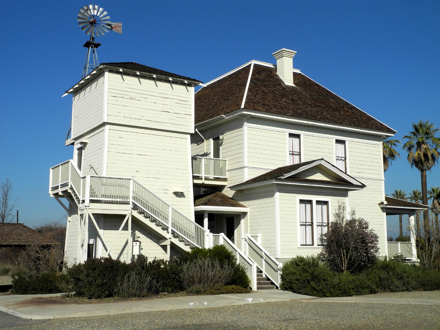
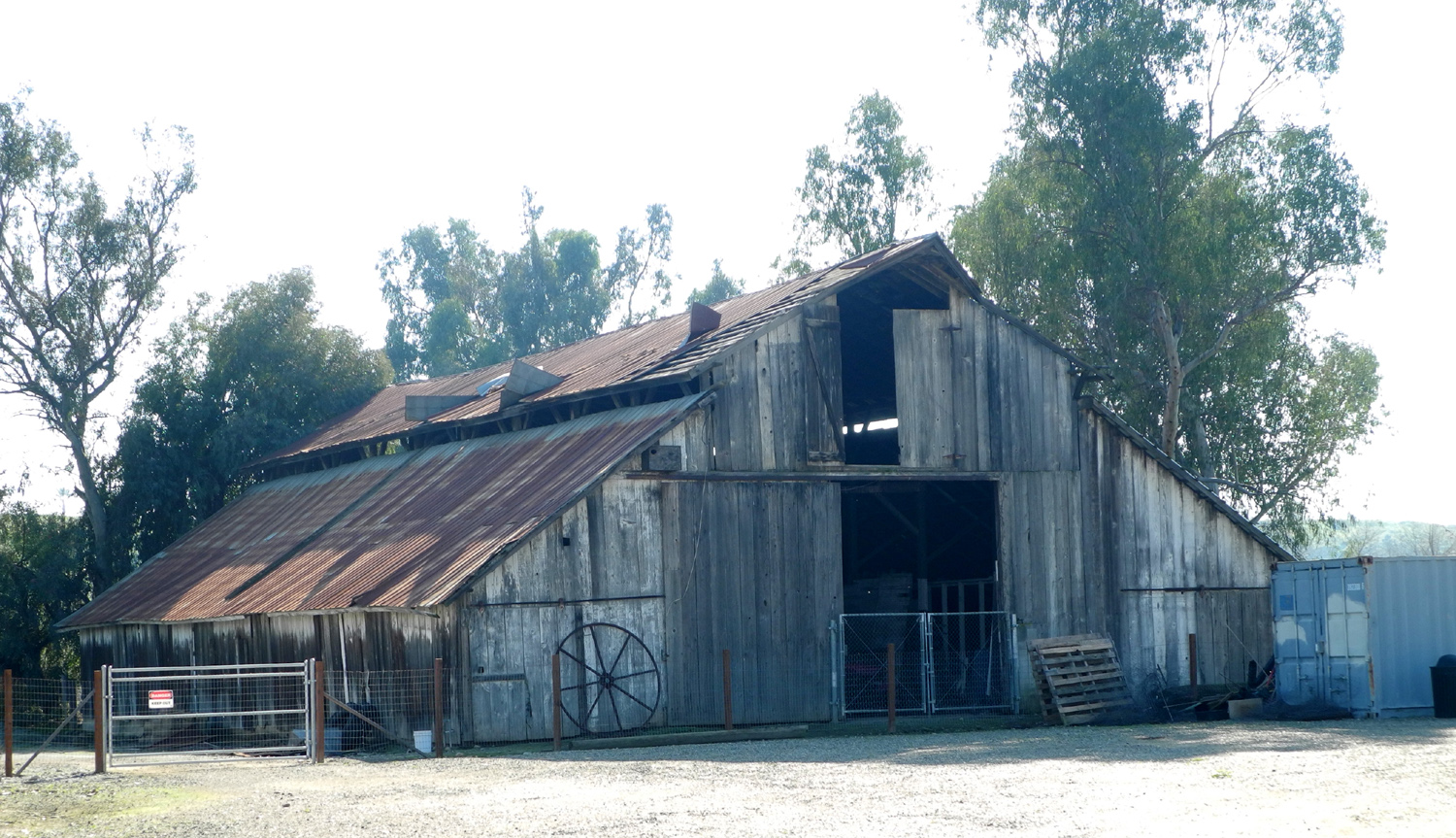
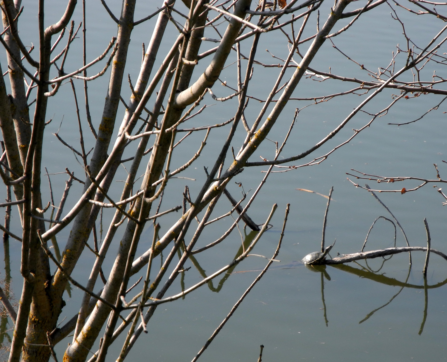
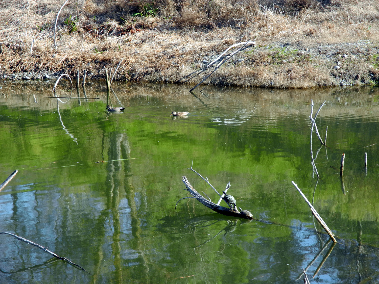
Lewis Eaton Trail For my third visit to this area on February 7, 2016, I was delighted to be accompanied by my daughter Teri. She has recently been hiking from Woodward Park on what I think is the beginning of this trail. About 15 years ago we walked out from Woodward a number of times, turning back at about the spot where we started this time, where the western end of Old Friant Road joins Friant Road. She had never been on this section of the trail. The trail is part of a planned San Joaquin River Parkway. The section that I walked on in November of 2015 and again in December with fellow Rambler Carolyn Amicone runs along the San Joaquin River, east or upstream from the road junction. It starts on top of the river bluff, level with Friant Road, but soon winds down through a natural drainage to just above river level. Here it crosses Old Friant and enters the Hallowell Center for River Studies. At this point you can continue on the paved trail to the visitor center, or take a path that goes close to the nice pond that lies between the trail and the center. We chose the path, and were rewarded with the sight of a turtle sitting on a partially submerged log. Teri greatly enjoyed her first time in the area, with the river scenes, wildlife, and the visitor center. There are a number of buildings there, but the most dramatic is an old farmhouse, which had been closed on my previous visits. This time it was open, and a friendly docent gave us a tour and some of the history of the building. It was built around 1890, and is believed to have been a Sears-Roebuck kit home. While in use, it was always a farm house, with the various occupants raising fruit trees, dairy cattle, and other products. On the back part of the property is an old dairy barn, which is beyond restoration, and will eventually need to be torn down for safety reasons. A replica barn sits behind the house and is used for various activities. There is also a gift shop and restrooms, as well as picnic tables. One room of the house, with a huge conference table, can be rented for meetings and other activities. (Researching "kit homes," I noticed that the dates they were first produced do not match up with the 1890 date, a subject for discussion at future visits to the center.) Once we had enjoyed this area for a while, we returned to the path and continued on around the pond back to the main trail. We saw three additional turtles at the western edge of the pond. During our outing we also saw many ducks and other water birds, a hawk, a rabbit, and squirrels. It was a warm, sunny day, and when we got back to the car we had added nearly two and a half miles to our walking totals, and I came to the realization that winter is over and it is time to break out the short sleeve t-shirts for walking. --Dick
Estel, February 2016 |
||
|
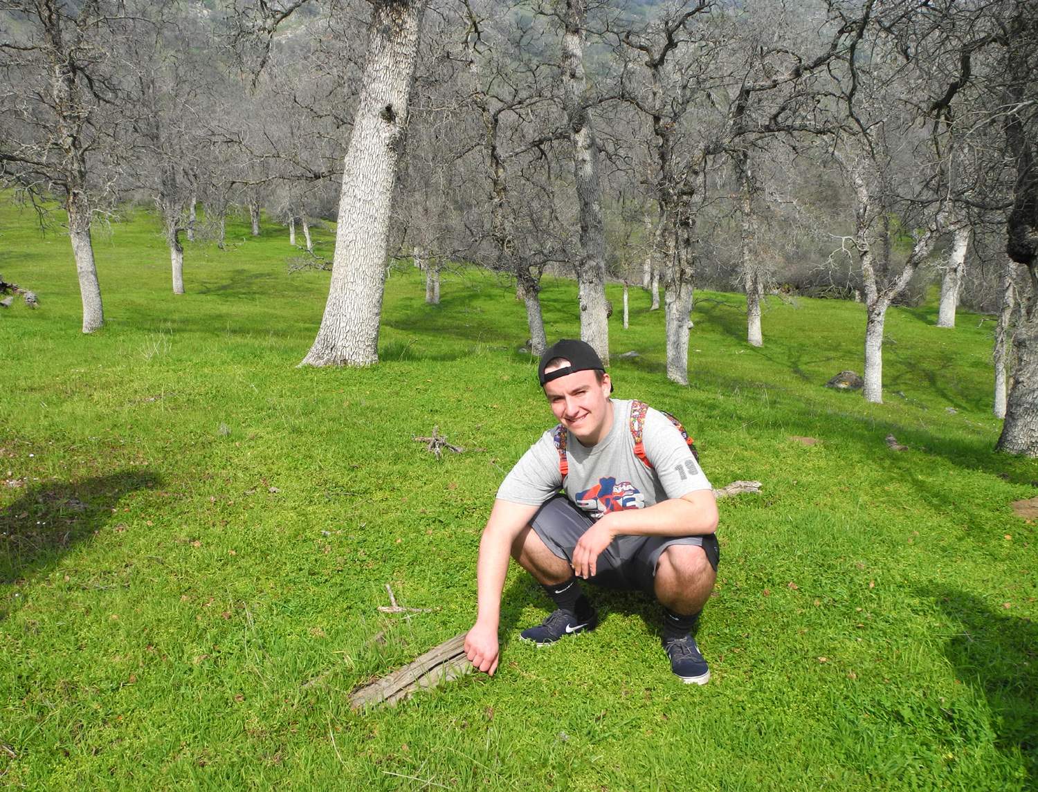
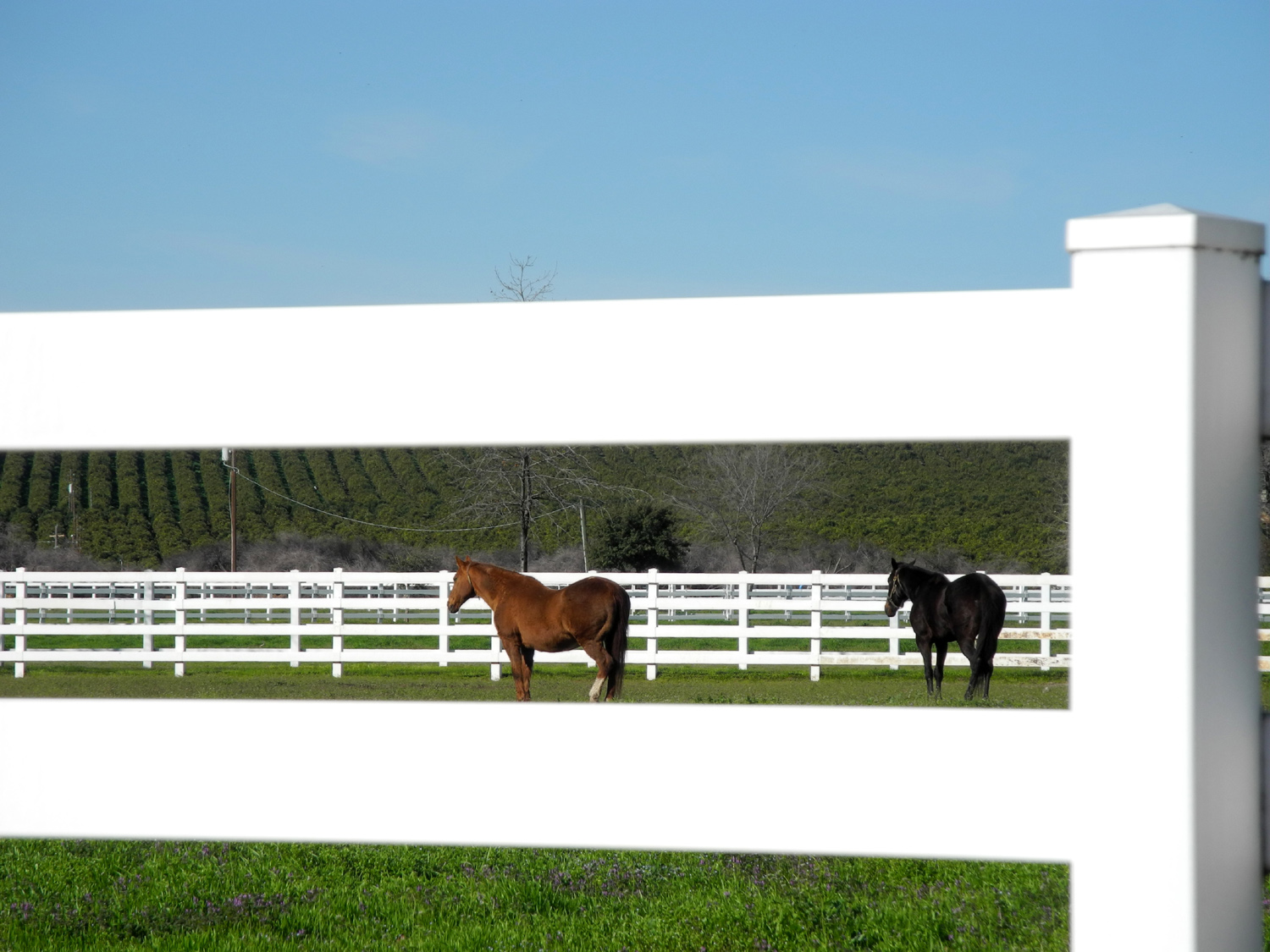
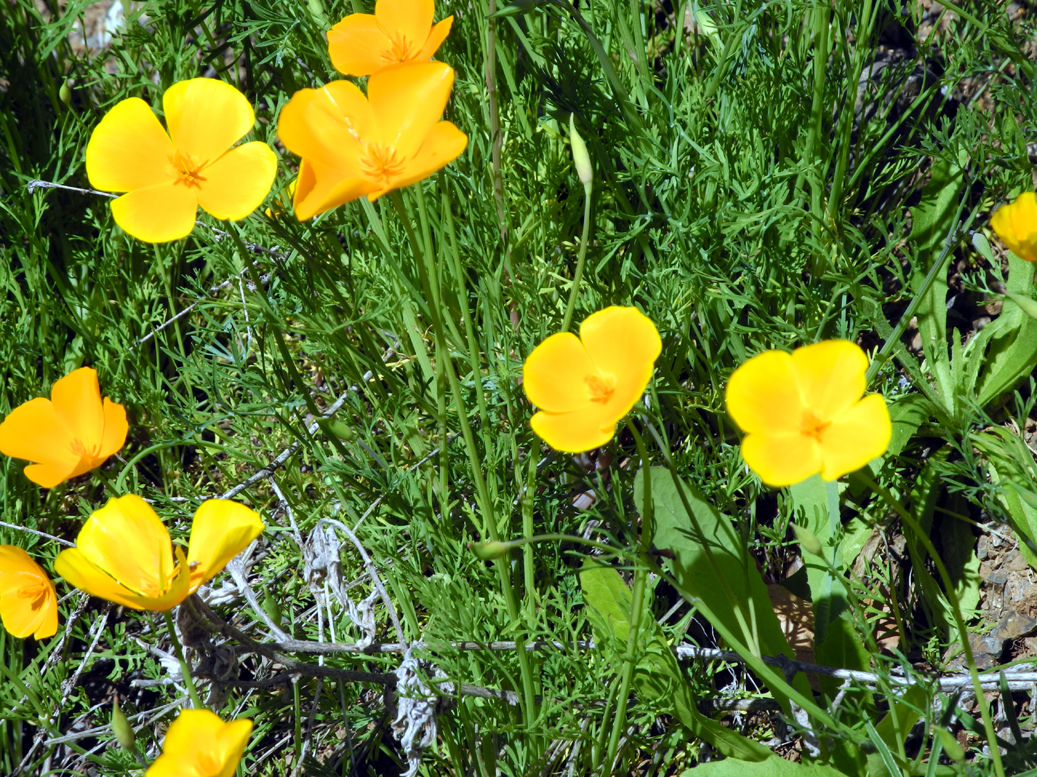
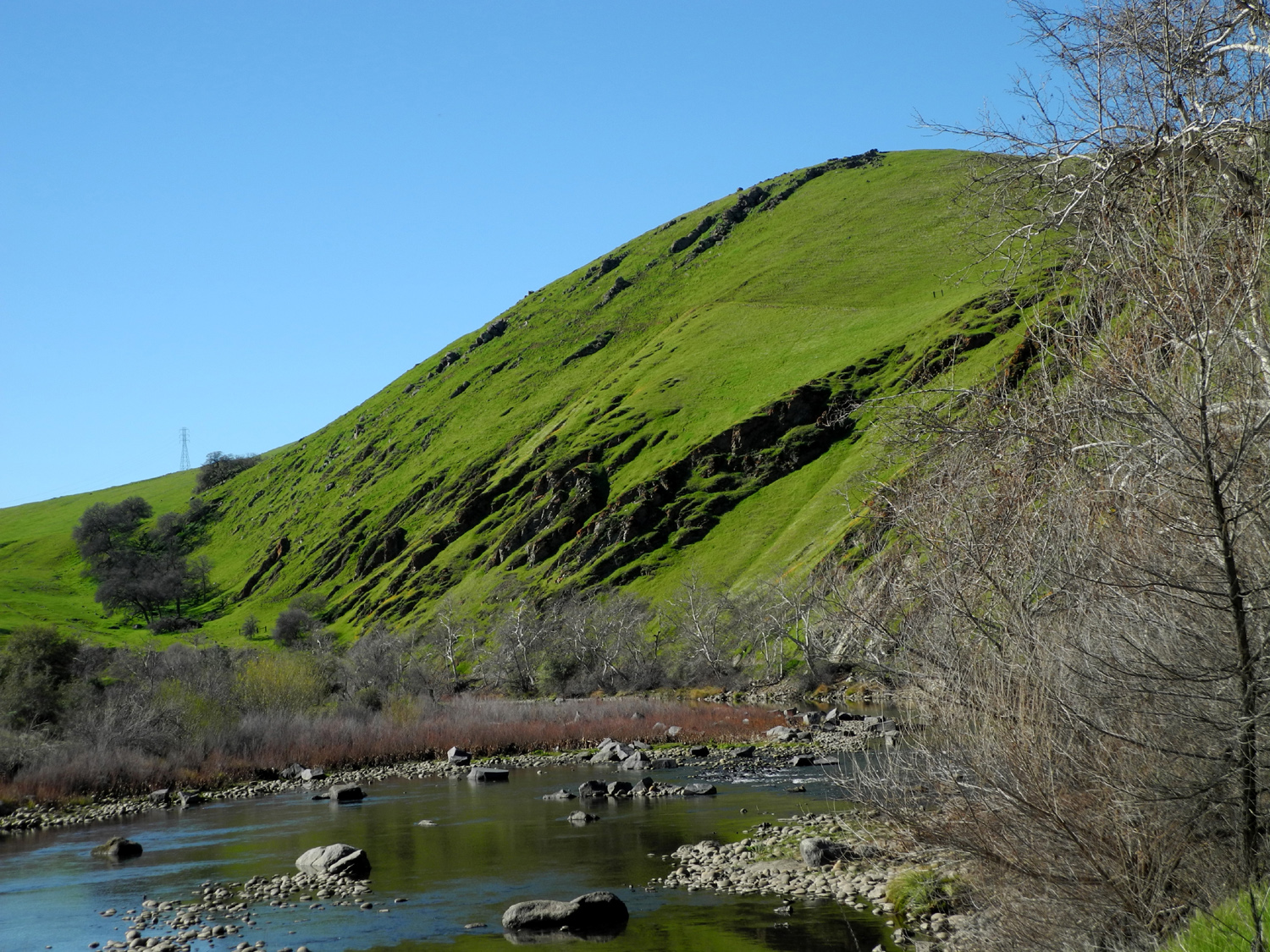
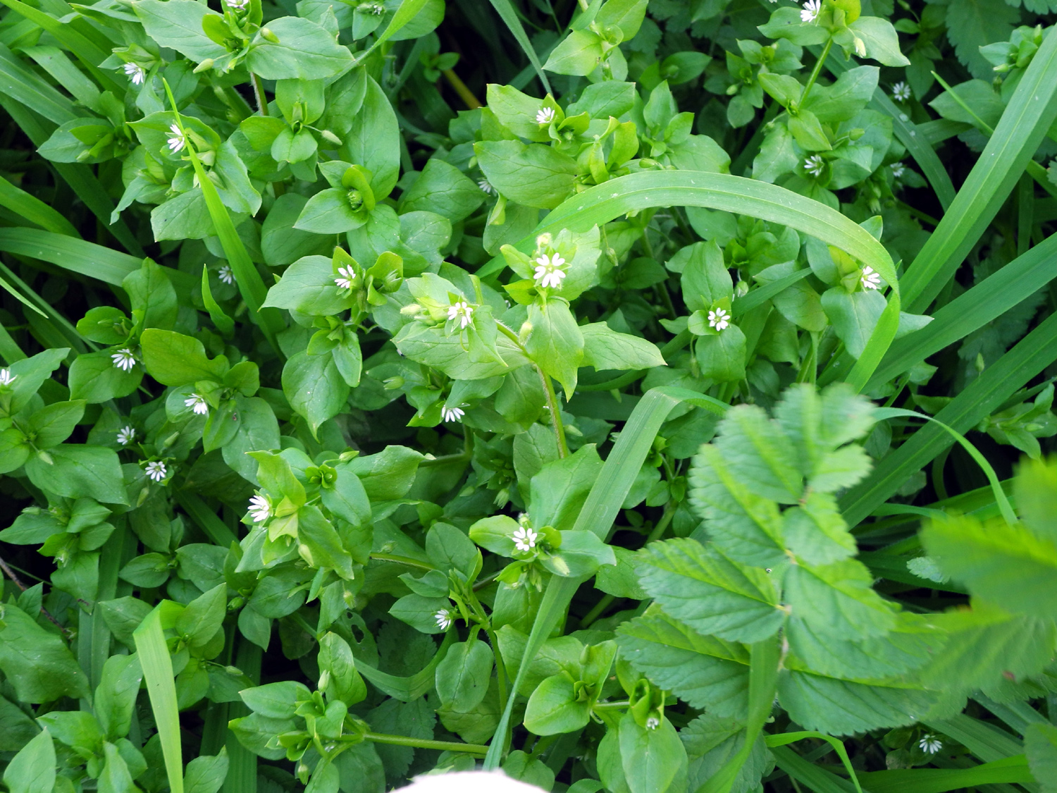
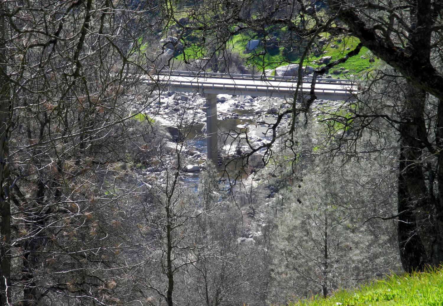
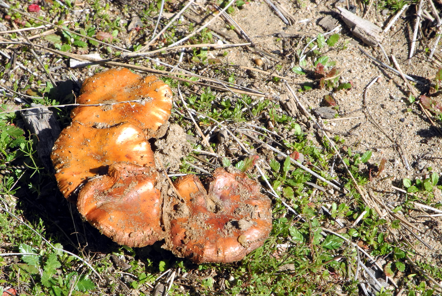
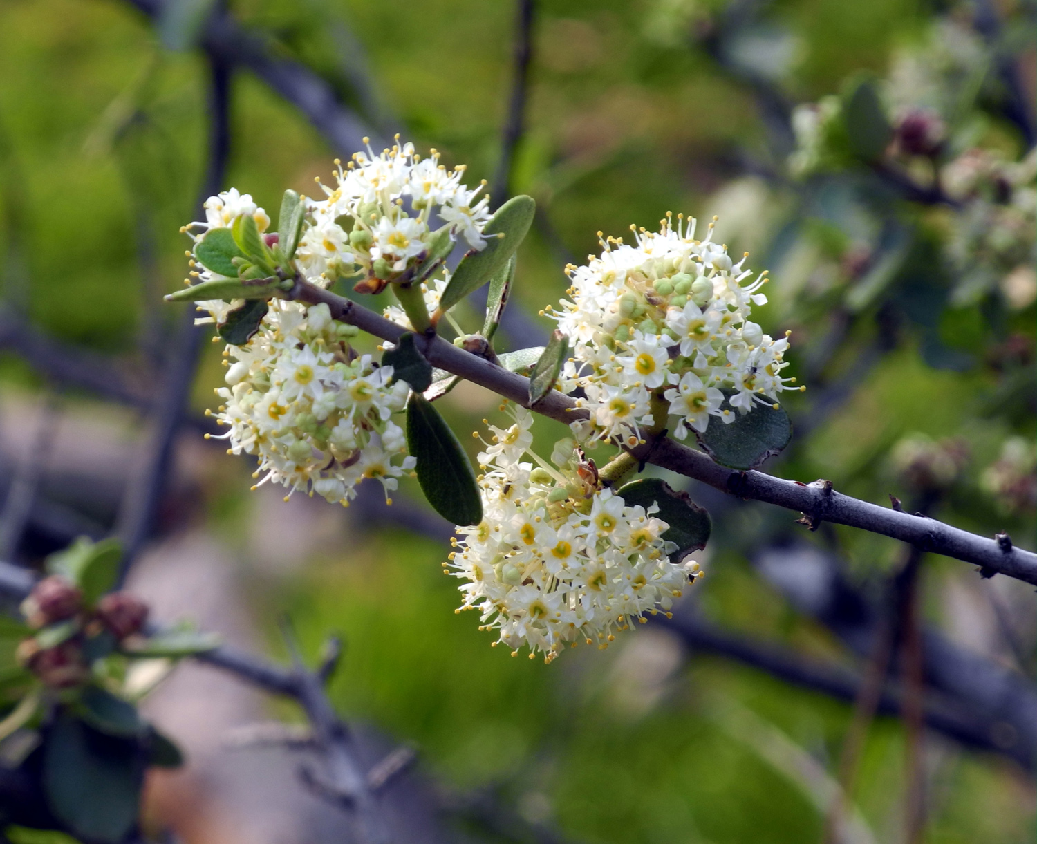
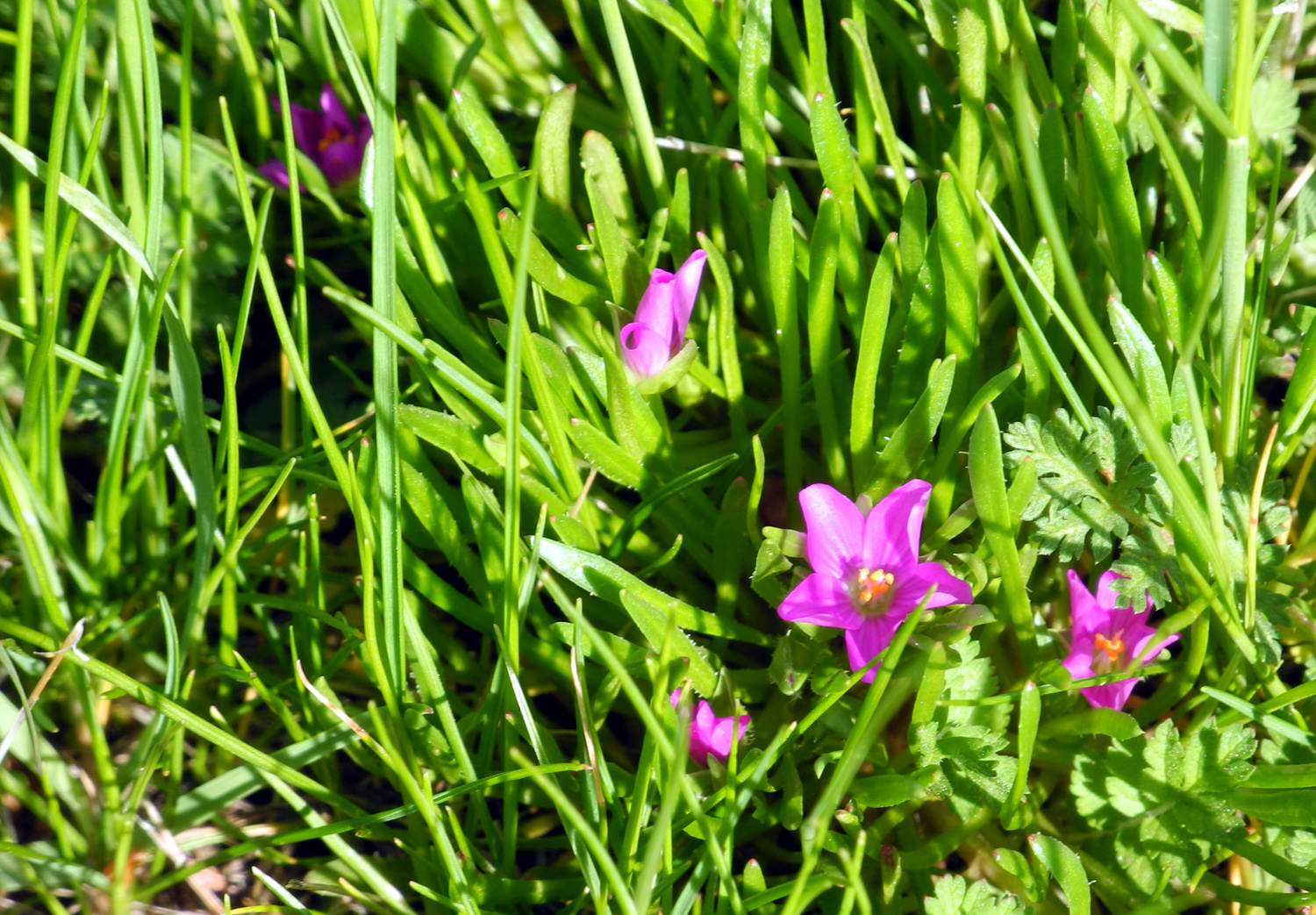
Sycamore Creek Fire Road You won't find Sycamore Fire Road on the map, and it's really a stretch to call it a road. However, it is an interesting place to hike during cool weather. I had first gone there in April of 2014, and went again about a year ago with fellow Rambler Carolyn Amicone. On February 9, 2016, I returned once more for a solo hike. To reach the area you go east on Belmont Avenue, which turns into Trimmer Springs Road, the road that follows the north side of Pine Flat Lake. As soon as you get on Trimmer you are close to the Kings River, although the river is not visible at first. Where the valley starts to give way to the first foothills, there is a large ranch on both sides, with white board fencing, and horses in one area. Below the dam, where the road rises into the foothills, there were some nice patches of California poppies, and where you first see the lake, there was a big splash of orange on a hillside nearby. When I got to where the road goes up the canyon of Sycamore Creek, I was happy to see that the water was a bit higher than last year. When full, the lake goes all the way to the bridge, about a mile up from the main river, but so far it was just a few hundred yards up the creek valley. The fire road is very rough, not maintained in any way, and could have been used by early day ranchers or miners. I call it a "fire road" because I think it was used about 25 years ago to get equipment in closer to a brush fire in the area. That was when I first walked on this road, but I only went up a short distance to cut firewood, and had never walked to the end until 2014. (2020 Update: "The end" is a fairly vague concept. In later hikes I went across the field where I had previously stopped, and discovered that the road continued past that point for an unknown distance. There may be even more old roadway past what has now become my new regular stopping place.) There are trees down across the road in several places, but there have been enough people walking in there to create detours around the blocked spots. Four-wheel drive vehicles have also made their own bypass routes. This time there were at least two new trees down, but there had already been enough foot traffic to create a visible path around them. It did not look as though anyone had been there recently in wheeled vehicles, and perhaps the road is becoming so difficult that drivers have given up on it. However, there were boot prints that had been made since the last rains in January. The road starts out with a very steep stretch of about 50 yards, but after that there is nothing particularly difficult except for getting around the obstacles nature has provided. At the top of that first hill I went off the road to the south, where you can look down on Trimmer Springs Road below and the valley of Sycamore Creek between the road and the lake. I saw that I could go down the hill toward the trail below where I had left it, and as I did so, I noticed that the way was blocked with a newly fallen tree, so I was on the new bypass without realizing it. Along the road I counted nine species of wildflowers,* but there were not many of each. We've had a lot of rain this year, and it's just warmed up, so the flowers should increase in number very soon. I also noticed a lot of trees, especially pines, that are badly stressed from years of drought, and some that are dead. Hopefully this El Nino year will allow those that have not died to recover. I walked to what I consider the end of the road, although it's possible that it once went farther. The tracks seem to fade out where the road goes up a grassy slope with a lot of blue oaks. In the past I had stopped before going up the slope, but this time I went to the top of a ridge. On top I discovered an overgrown, man-made hole, which could indicate mining activity. I also spotted the best resting rock ever, flat on top, the right height for comfortable sitting, and with a thick moss padding. After sitting there for a while, I made the return trip back to the main road. Since this was a fairly short hike, I did what I have done in the past, drove up the road a short distance to where there are two campgrounds and a picnic area that have been closed for decades. The roads are still in decent condition, good for walking, so I chose the picnic area, and walked to the end. I had camped here in the past, and where the road loops around to go back out, there was a path through the grass that goes out a few hundred yards to a knoll with a good view of the lake on both sides. The land drops off steeply here, so this was my stopping point, but it offered the opportunity for the obligatory "Dick on the rock" photo, as well as a resting place. When I got back to my car, I set up my lawn chair and had a snack and read for a short while, then made the 45 mile drive back home. *Flower species, for the record, were fiddleneck, popcorn flowers, manzanita, filaree, shooting stars, chaparral, miner's lettuce, and two that I could not identify, one light cream in color and one a deep magenta. (2017 update: I have now identified this flower as fringed redmaid.) --Dick
Estel, February 2016 |
||
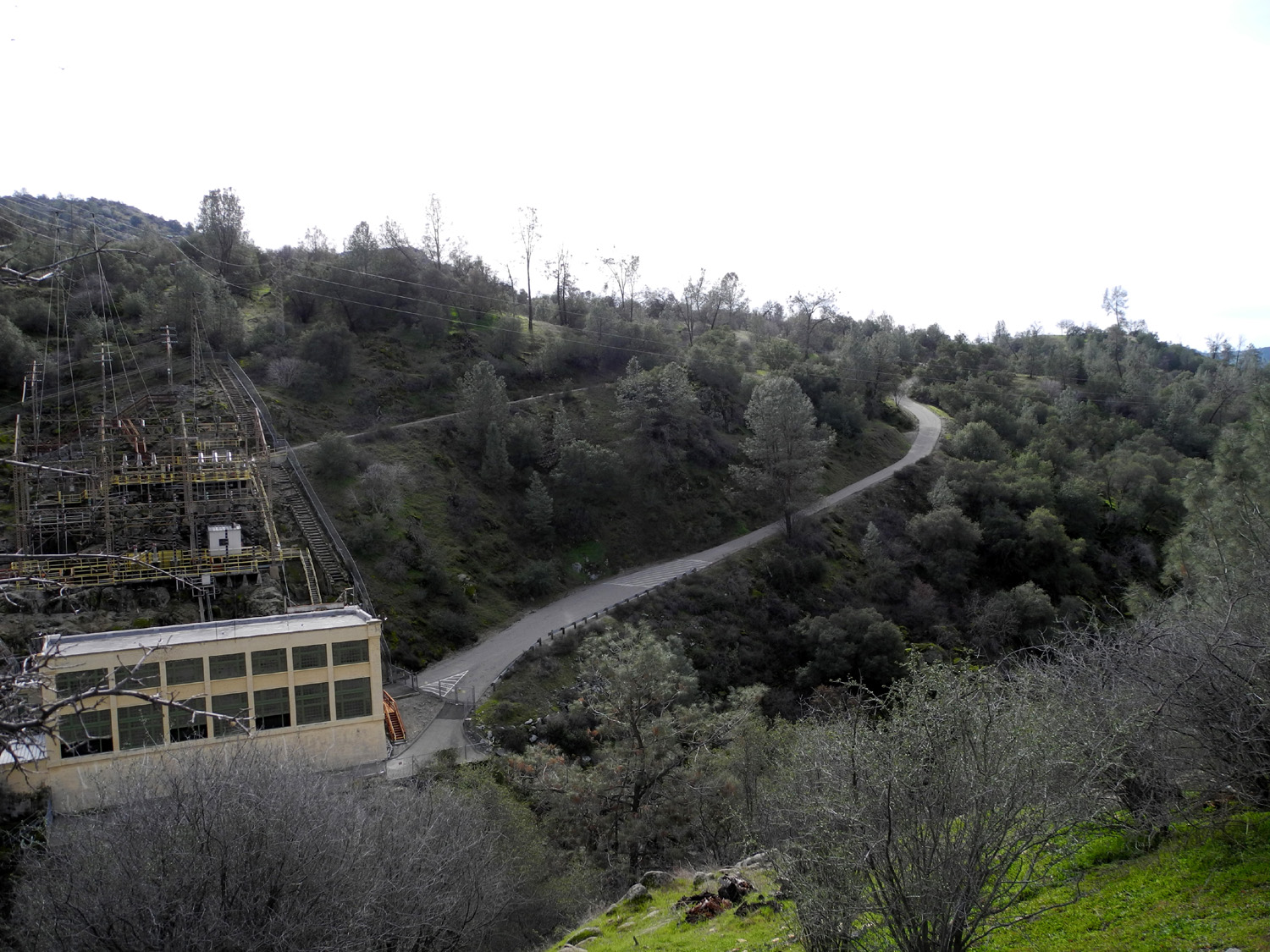
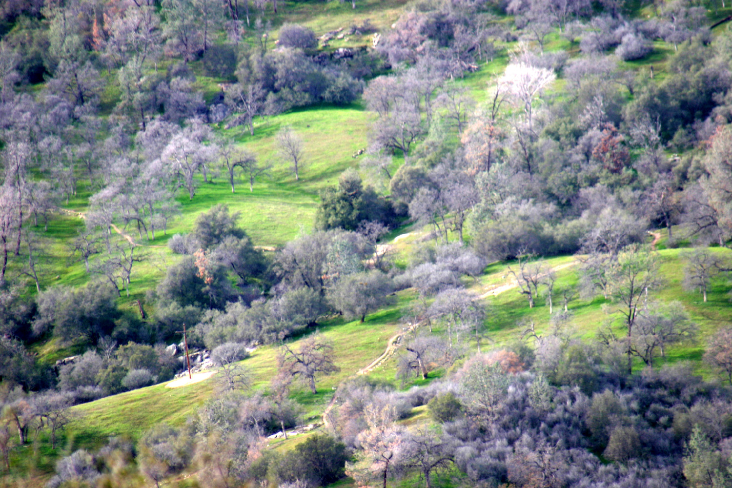
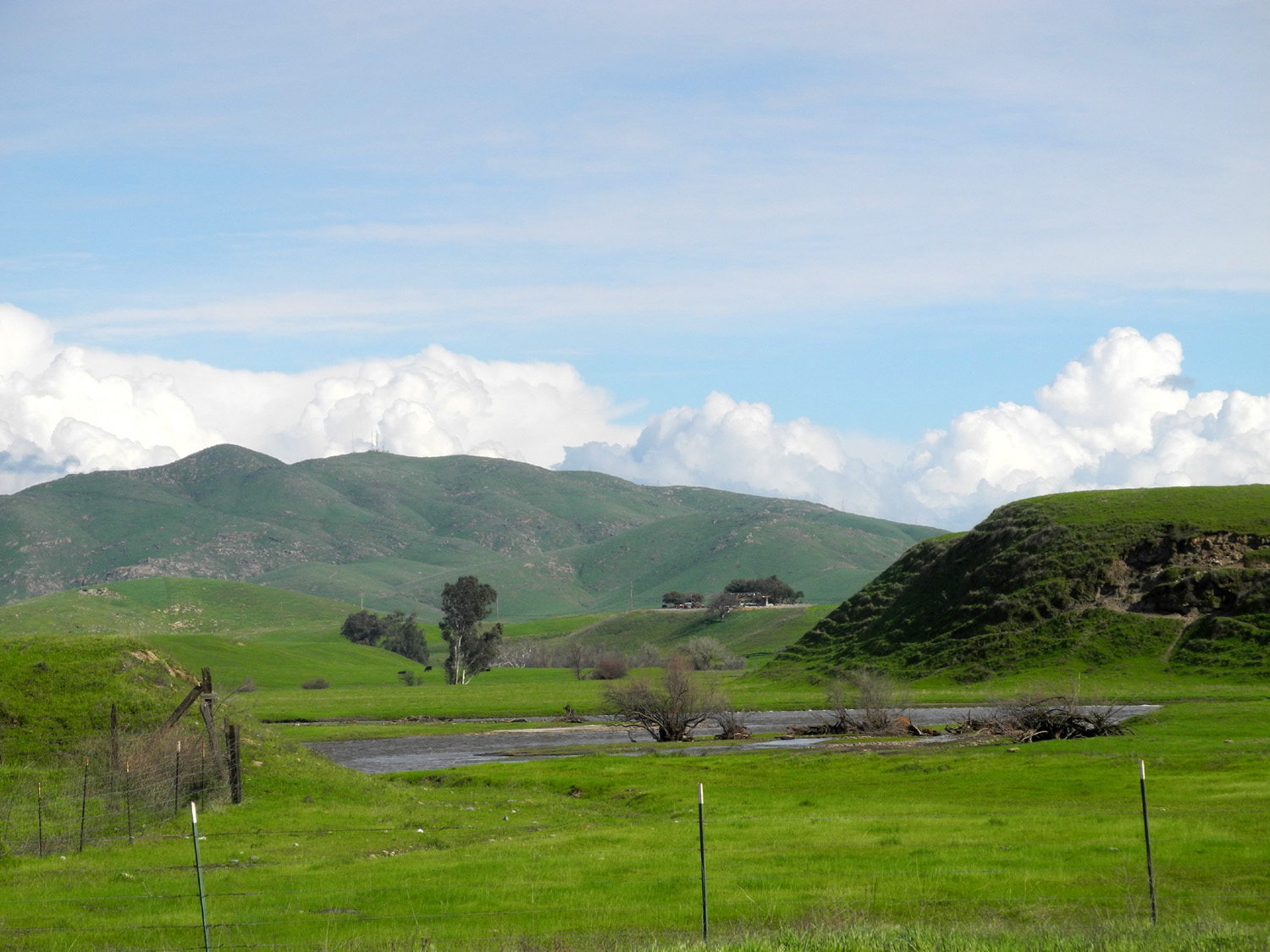
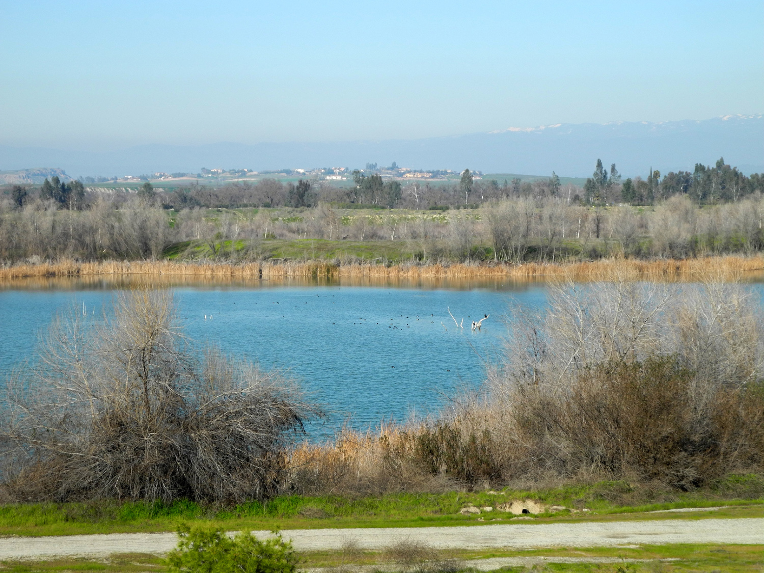
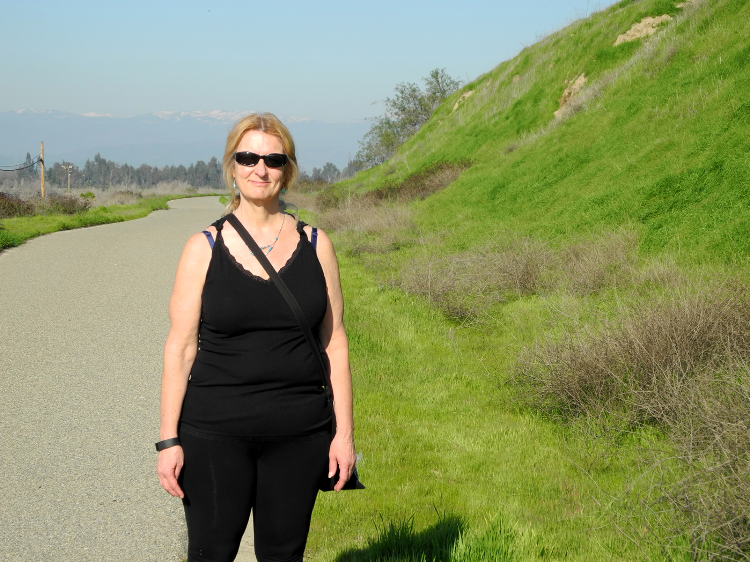
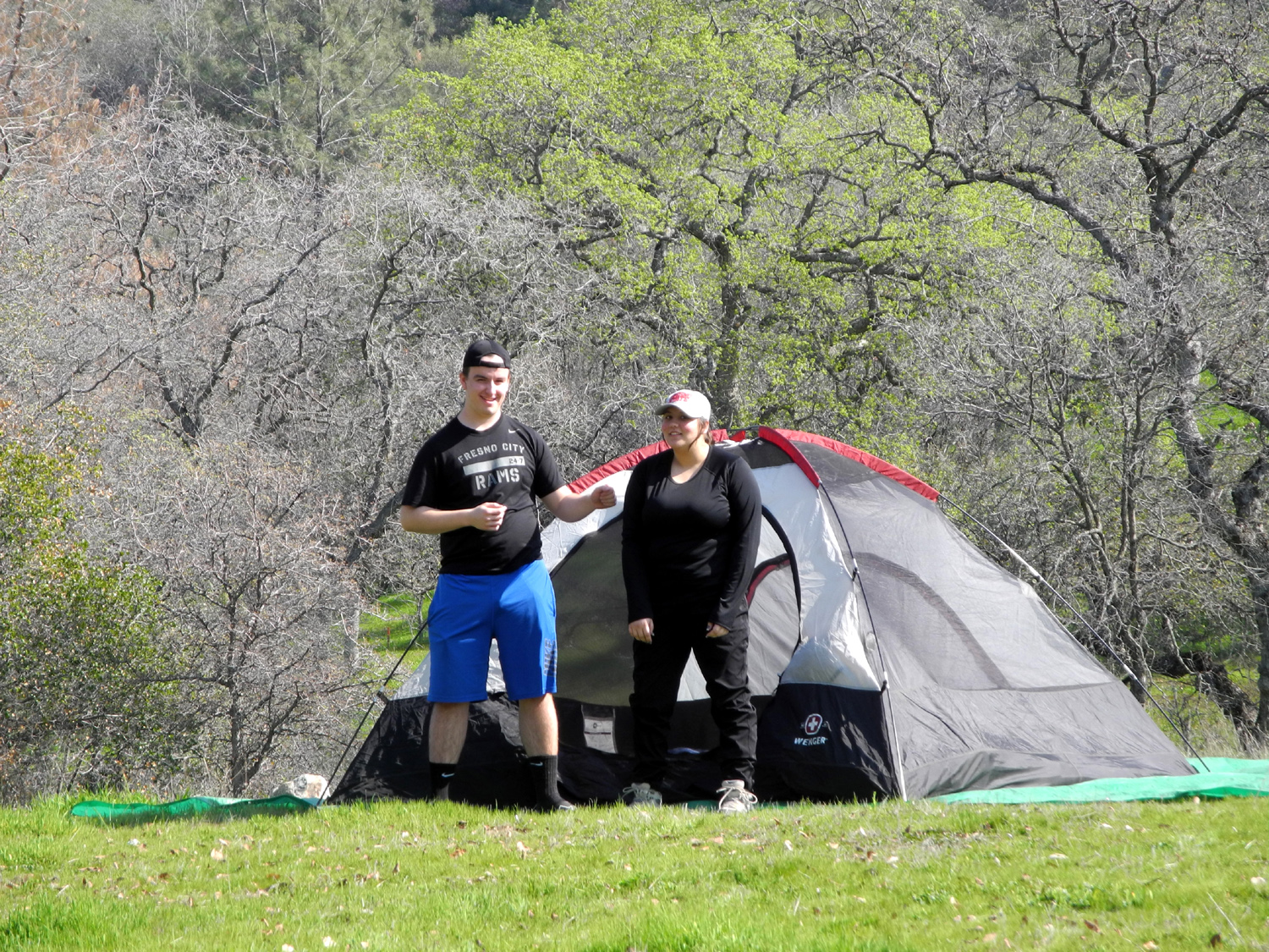
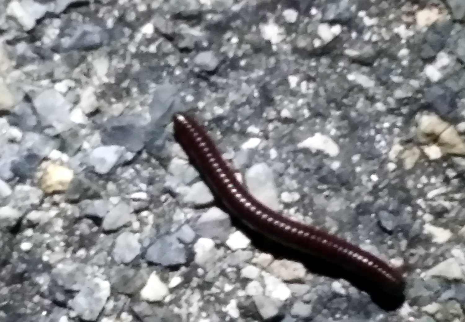
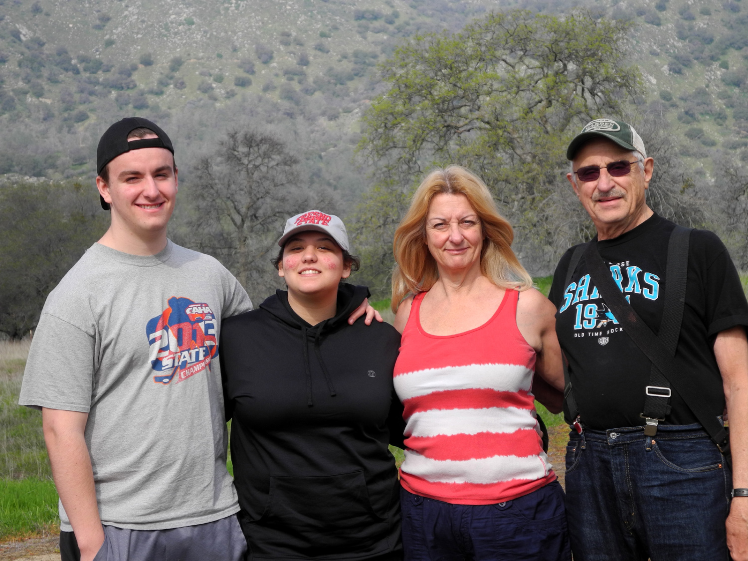
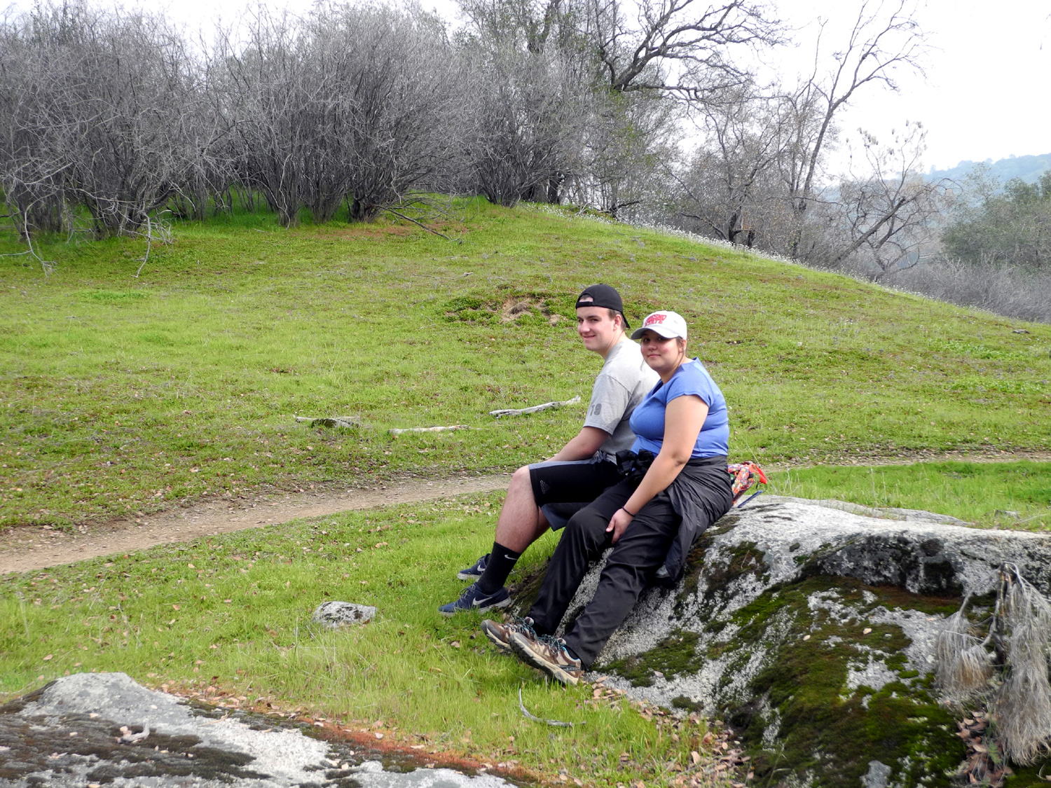
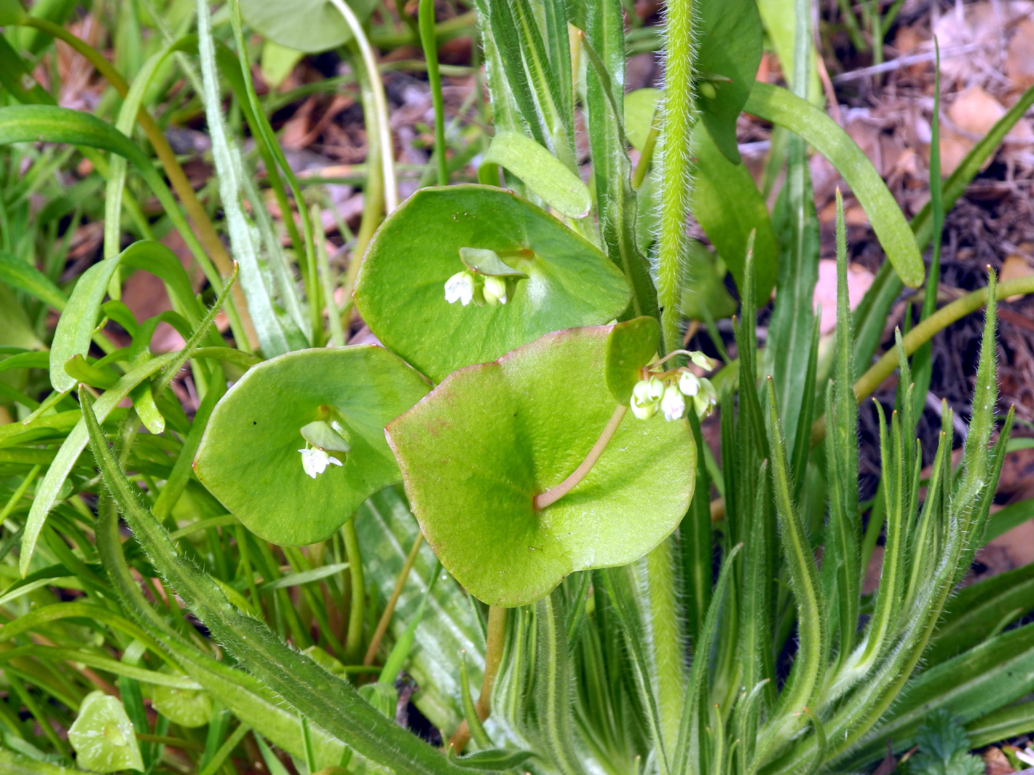
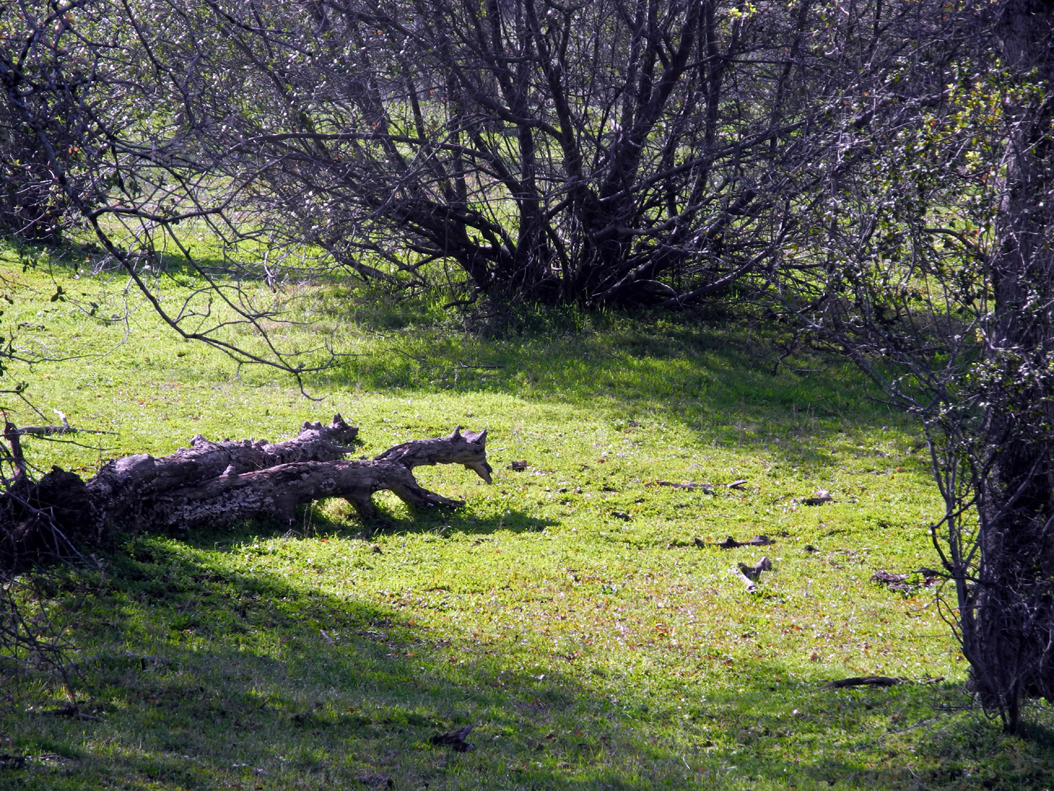
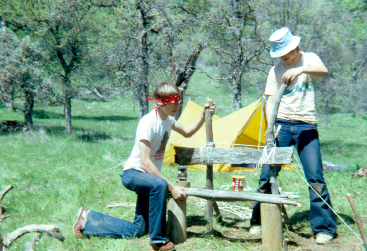
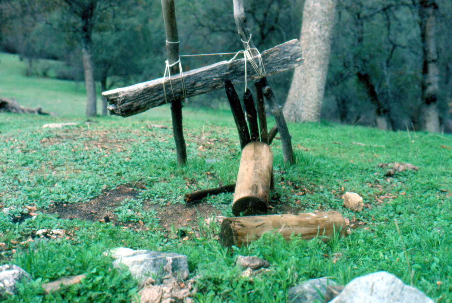
San Joaquin Gorge Camp Although I had hiked and backpacked at the San Joaquin River Gorge Recreation Area many times, it was not until January, 2014 that I first camped there with my motor home, and I enjoyed it so much I went again in March. Last year I did a lot of hiking there, but no camping, so I was ready to return for a longer stay. The area is not really designed for RV camping, but I have used the group camping area, first calling to make sure it is not reserved. This time I was with my daughter Teri, her son Mikie, and his girlfriend Lizzie. Teri had just acquired a used motor home and this was its first field test. I like to do my camping on weekdays, but Teri works and the kids are in school, so we went on President's Day weekend. Teri arrived at my house a little before 9 a.m. on February 13; we loaded my stuff and were on the way by 9:10. We enjoyed our drive through the foothills, which are brilliant green after the above normal rain we've had, and are being decorated with more and more wildflowers. At one point we saw a flock of wild turkeys crossing the road. They have a tendency to walk like teenagers, stepping into the road and assuming you will stop. About half had made it across, but when the others saw the motor home coming from one direction, and a bike from the other, they wisely waited their turn. We had been advised that although the area we wanted was available, there would probably be a lot of activity around the area. When we arrived about 10:30, the main parking lot was full, and the nearby equestrian camp was occupied by a dozen or so horse trailers. A large group of riders was just setting out on the trail. None of this interfered with our activities, and most of them left at the end of the day, with a small group spending the night in their area. The paved lot where we park the RV is not as level as I'd like, but I had brought along the leveling blocks I keep in my motor home, and with me guiding and Teri driving, we got her vehicle set up as level as possible. Meanwhile, Mikie and Lizzie set up a tent on a flat spot above the parking lot, in the middle of green grass and flowers, with a nice view across the area. Our plan was to do as much hiking as possible, so we soon set out on our first walk, heading to the short guided nature trail that begins back of the equestrian camp. Plaques have been set up here explaining the various types of vegetation, and there are photos of all of them on my San Joaquin Gorge photo page. The trail is essentially two loops, one within the other, with a lot of up and down walking. At one place a wooden foot bridge crosses a tiny stream. It had been dry on my previous visits, but this time it not only had water, but also a salamander which Mikie caught for brief examination, then released. When we finished the nature trail, we returned to the road and walked down to the visitor center. The Bureau of Land Management has created an excellent facility here. There are two highlights: First is a huge photo mural taken from the top of Squaw Leap mountain, showing the area up, down and across the river. It fills a wall at least ten feet by six. The other is an interactive topographical map, connected to a computer. Pointing at various designated spots on the map brings up an animated, panoramic photo of that area, giving visitors a look a places they might not get to otherwise. Back from our walk, we had lunch and rested. Mikie had worked and stayed up late the night before, so he and Lizzie fell asleep in the tent. They were still sleeping when Teri and I were ready for another hike, so we went down the San Joaquin River Trail for a round-trip trek of two and a half miles. Along the way we met a couple who had hiked the entire 14-mile trail from Finegold Picnic Area by Sky Harbor. They had a car at each end, and were very much ready to reach the end of their long trip. On our return walk, as it was getting fairly late, we heard a frog croak somewhere near the trail. This reminded us of the pond we had noticed below the equestrian camp. Mikie had already decided it contained frogs and planned to walk down there when they started croaking. This happened soon after we got back, so while Teri started dinner, the kids and I went down to the pond, with the sound getting louder and louder as we approached. We wondered if they would stop when we got close, but we had to walk up to the pond and along the edge for a while before they stopped croaking. They soon decided that we were not any danger, and started up again. Mikie got his feet wet trying to see frogs, with little success. However, after supper, with complete darkness, we all went to the pond again. Walking along with our flashlights, we spotted a millipede in the road. A few steps farther there was another. Then another, and another, and then three and then four. Thus began the Night of Ten Thousand Millipedes. We saw them every few steps, and had to take care not to squash them. We speculated that they might crawl on to the pavement due to the warmth, but when we turned off on the dirt road to the equestrian camp, we still saw them. They were also on the path to the pond, and in the grass. We realized that if we saw that many in the narrow strip that we traversed, there must be thousands of them in the surrounding countryside, doing whatever it is that millipedes do at night. At the pond, Mikie and Lizzie caught and released a couple of frogs, and we observed quite a few more. As we walked back to the motor home, Mikie counted just the millipedes that were on the main paved road. The final number was in the 70s, and walking near the side of the road, I saw some that I know he missed. We also saw them around the parking lot both nights. I had my iPad and did some research, learning that the creatures eat rotting vegetation, something that is certainly plentiful in the foothills. The next night Mikie and Lizzie saw them apparently munching on algae at the edge of the pond, and I counted 15 in the road just in the section in front of our parking area. In addition to our nightly frog serenade, we heard coyotes both evenings. Sunday was our full day at camp, so we had our big hike planned for that day. Many years ago Tim (Teri's husband; Mikie's dad) and a friend had camped on the Madera side of the area for a week (this adventure is recounted in my backpacking report). I wanted to hike down the Bridge Trail to the river, then up the Wuh-Ki'o Trail (formerly the River Trail) to the camp site of what had become known as the L/S Expedition (for Liddle and Scott). After a good breakfast of bacon, eggs, toast and fruit, we set off down the trail a little before 11:30. It was a delightful day, and there were quite a few more flowers than I had seen on my walk down to the river on January 27. Several small creeks that cross the trail were running for the first time in years, and the river was bigger than I've seen it for some time. Everyone had been down this trail at least as far as the trail junction above the bridge, but it had been many years ago for Teri, and it was ten years earlier for Mikie, when he was eight. Lizzie had backpacked in the area more recently, and of course I was there less than a month earlier. Beyond the bridge the trail goes east a short distance, paralleling the river. Then there is a trail junction, where you can take the long and sometimes strenuous Ridge Trail, or turn west as we did. The first section of this trail makes a fairly steep climb up to a ridge, then drops down and crosses two small creeks. Between the creeks we went north off the trail, and I was happy to find that the faint path to the camp site was still visible in places. I had been concerned we might have to scramble through brush, but it was fairly easy going. At the top of the knoll, the only remnants of our camp are two sections of fence post, which we had found a half mile or so up the hill, and hauled to camp to construct a rough bench. The bench was rendered useless by a fire in 1982. Over the years the remaining scrap wood has rotted or disappeared, except for the post sections. Mikie posed for a photo here, no doubt glad that he was not expected to follow in Dad's footsteps and spend a week there. After we had enjoyed our visit to this historic site, and walked around through the grass and flowers, we went down across the creek to the west, reversing the route that Tim, Scott and I had followed when we found the site 34 years ago. Past the creek, it's a short walk down to the trail, and we were soon heading back to camp. The rest of the day was spent resting, reading, wandering around the camp area, and eating. In the evening the kids went to the pond, caught more frogs and got a couple of good photos. We had a campfire, and did some stargazing. Throughout the weekend the weather was very pleasant, with some overcast. Each night it became fairly cloudy in the early evening, then cleared during the night, providing a spectacular star display. It was quite windy and cool at night, getting down to 41 Monday morning, but we were inside most of the time, and it didn't seem to bother the millipedes. On our final day of the three day weekend, Teri and I again walked the San Joaquin River Trail. To my surprise, instead of feeling worn down after three hikes in two days, I was able to set a new record for the longest walk I've ever done on that trail. This was definitely a good thing, since I had another hike scheduled with the Ramblers the next day. On our Monday hike, we left the trail briefly to explore an area where a log had fallen on a fence. Back on the trail, we kept going even where it went down rather steeply, knowing we would have an equivalent up hill walk on our return. We wanted to make this a full three mile hike, so we continued till my walking app showed 1.5 miles. However, exploring off the trail and some pre-hike walking in the camp made our outward route longer than the return, and we had to be satisfied with "only" 2.83 miles. Since the previous day's hike had been 3.32, and we did two hikes the first day, I was perfectly happy with our overall total of just over 10.5 miles. Along the trail and around our camp we saw quite a few wildflowers, although none were very thick yet except fiddlenecks. There were a few poppies near the bridge, shooting stars here and there, two baby blue eyes on the Bridge Trail, popcorn flowers in small patches everywhere, lots of filaree, and many tiny flowers whose names I don't know. Chaparral was in bloom, and the bush lupines were budded out but not blossoming; however we saw one in full flower along the road below Prather on our way home. Teri's motor home performed well on its first test. It is slightly smaller than mine, but better designed in most aspects. The exception is the bathroom, which is very small. There are only two sleeping areas instead of the three that I have, but if it had three, it would be longer, something Teri did not want. My bed was the fold-out couch, which was a bit short, but very comfortable once I figured out the correct angle to lie on it. This was the first time any of the others had camped overnight at the Gorge, and everyone agreed it was a great outing. I'm going to briefly document the trails in this area, since it took me a while to get the names straight, after they were changed from what I was previously familiar with. The San Joaquin River Trail starts across from the main parking lot, on the south side of the road. It goes about 14 miles to the Finegold Picnic Area, at the end of Sky Harbor Road by Lake Millerton. It generally parallels the river, sometimes high up on the side of the canyon, and sometimes close to the river. I've hiked short distances on both ends of the trail, but there is no likelihood I will ever hike the entire distance. At the north edge of the parking lot is the trail that goes down to the river and across the bridge. There is no name shown for this trail at the parking lot, but beyond the bridge is a sign designating it the Bridge Trail. I've been down this trail probably 30 times or more. A short distance above the bridge on the north (Madera County) side, there is a trail junction. To the right is the Pa'san Ridge Trail, which goes roughly east then winds around and up a high ridge to connect with the Wuh-Ki'o Trail. This trail is the other choice at the junction near the bridge, going more or less west for some distance. It winds up over a ridge, across some creeks, and up toward the ridge trail. Along the way, there is another trial junction, where you can go west down to the river and Lake Millerton. I have not been at this location for many years, but in the past, this trail was designated the River Trail. It probably has a new name now. I've never gone down this trail. There is also a short trail that starts at the end of the paved road near the new power house, and goes steeply down to the river. I've never walked it, and don't know if it has a name, or whether if continues down the river or just ends there. (I finally hiked down this trail in March 2016. It ends at the river, and is called the River Access Trail.) There's not much danger of getting lost on these trails, but you can certainly get confused.
--Dick Estel, February 2016 |
||
|
Photos (Click to enlarge; pictures open in new window) |
||
|
San Joaquin Gorge |
||
 |
 |
 |
|
Sign
at the corner of Power |
There
was a
waterfall |
Miner's Lettuce and
other plants promise spring flowers |
 |
|
 |
|
Moss
and time are reclaiming |
A
rainy year has brought |
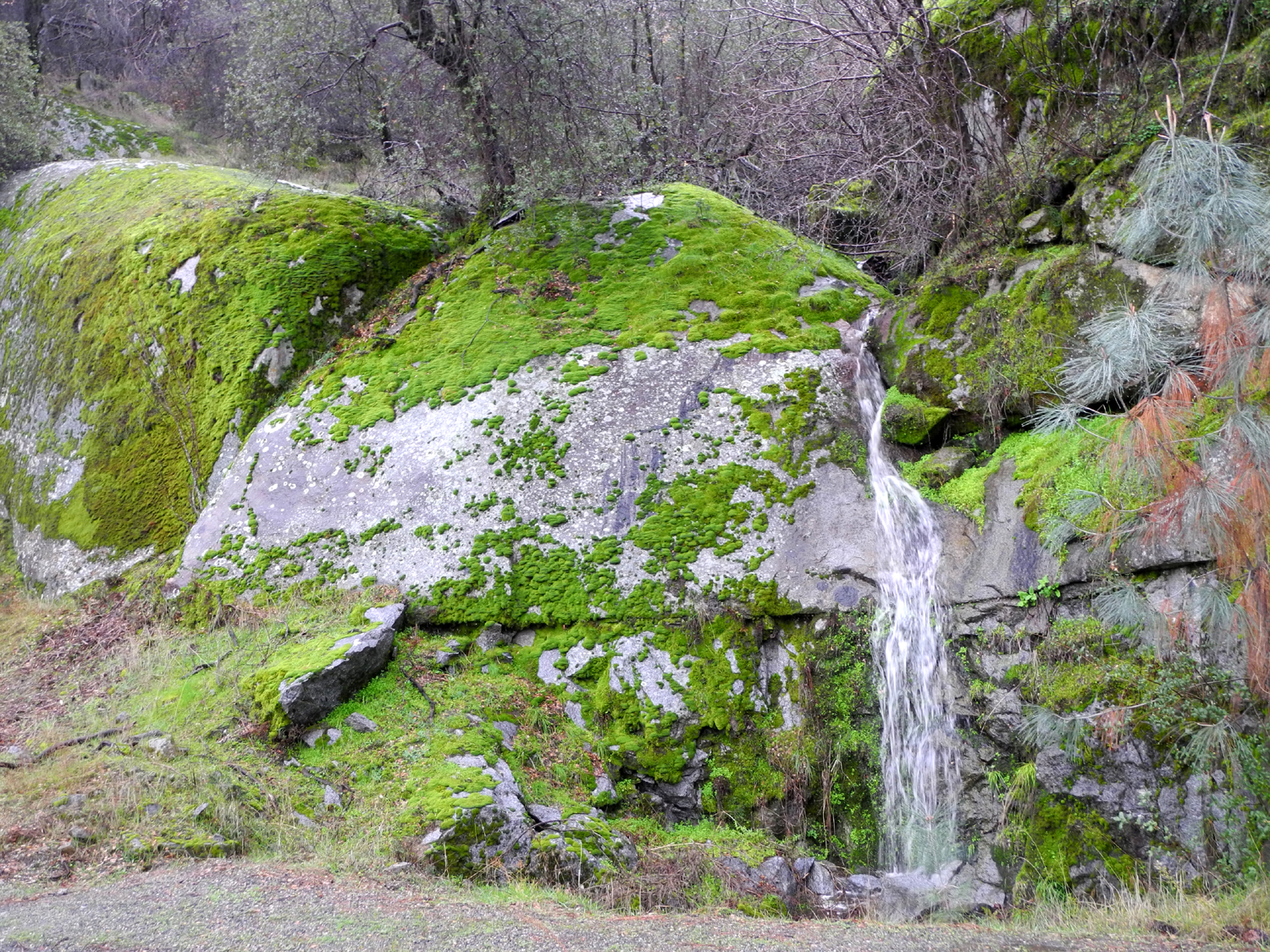
Cascade below the trail |
 |
 |
 |
| White water in the
river where there was barely a trickle last year |
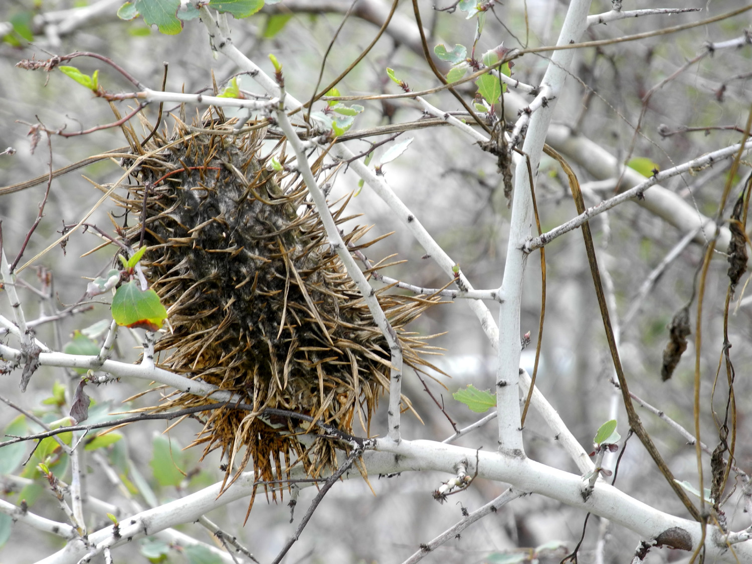
The river below the bridge | Dried seed pod of wild cucumber |
 |
 |
 |
| The trail fork near the bridge offers several choices | ||
 |
 |
 |
| Power house and road from the Madera side | Two years ago - brown grass |
The Year of El Niño makes a big difference |
 |
 |
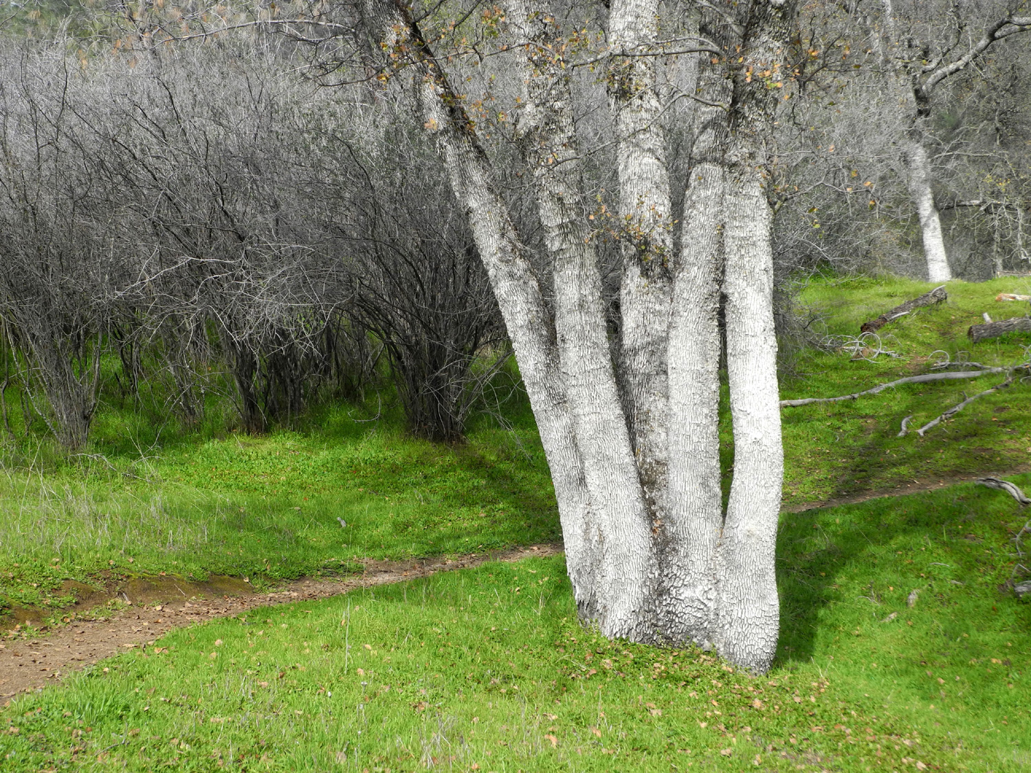
 |
| Five-trunk blue oak |
X marks the spot where I turned back |
Leftover timbers from trial maintenance project in 2014 |
 |
 |
 |
| Jagged leaves of spring growth | Germinating buckeye seed | The hillside and
trail on the north side from the road |
 |
||
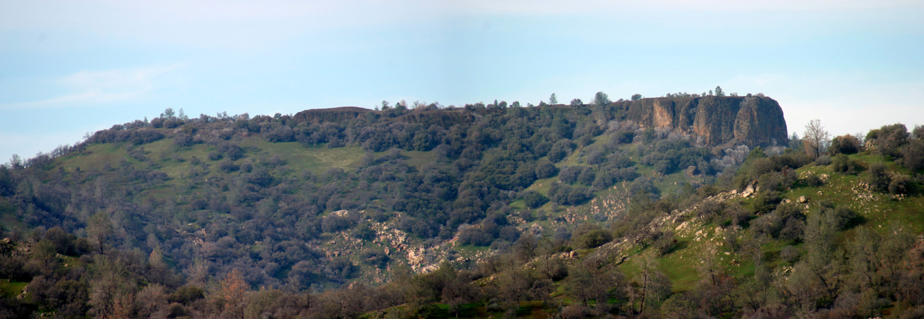
| Bug Table | ||
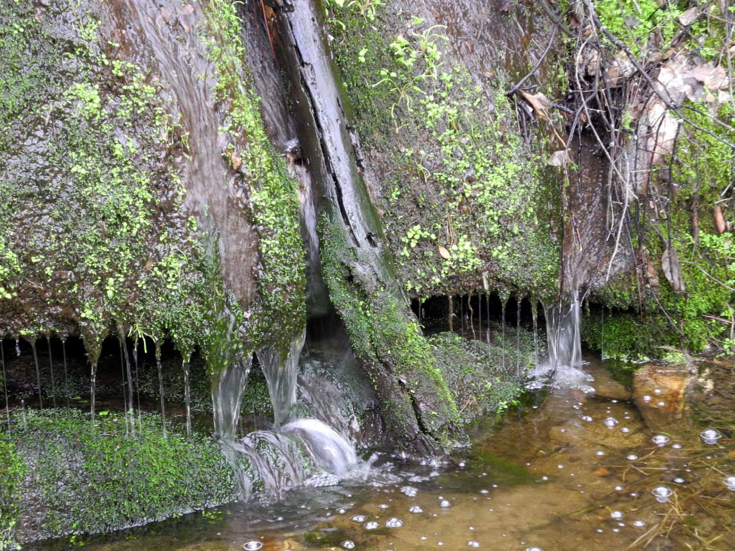
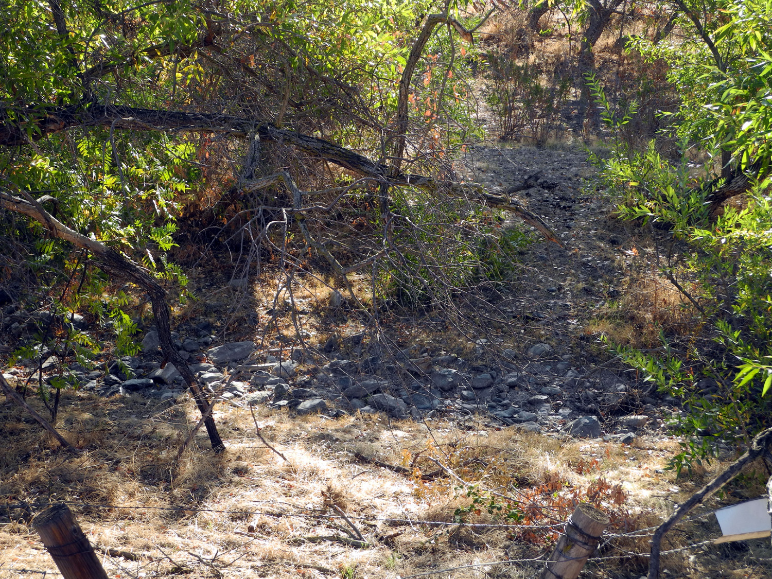
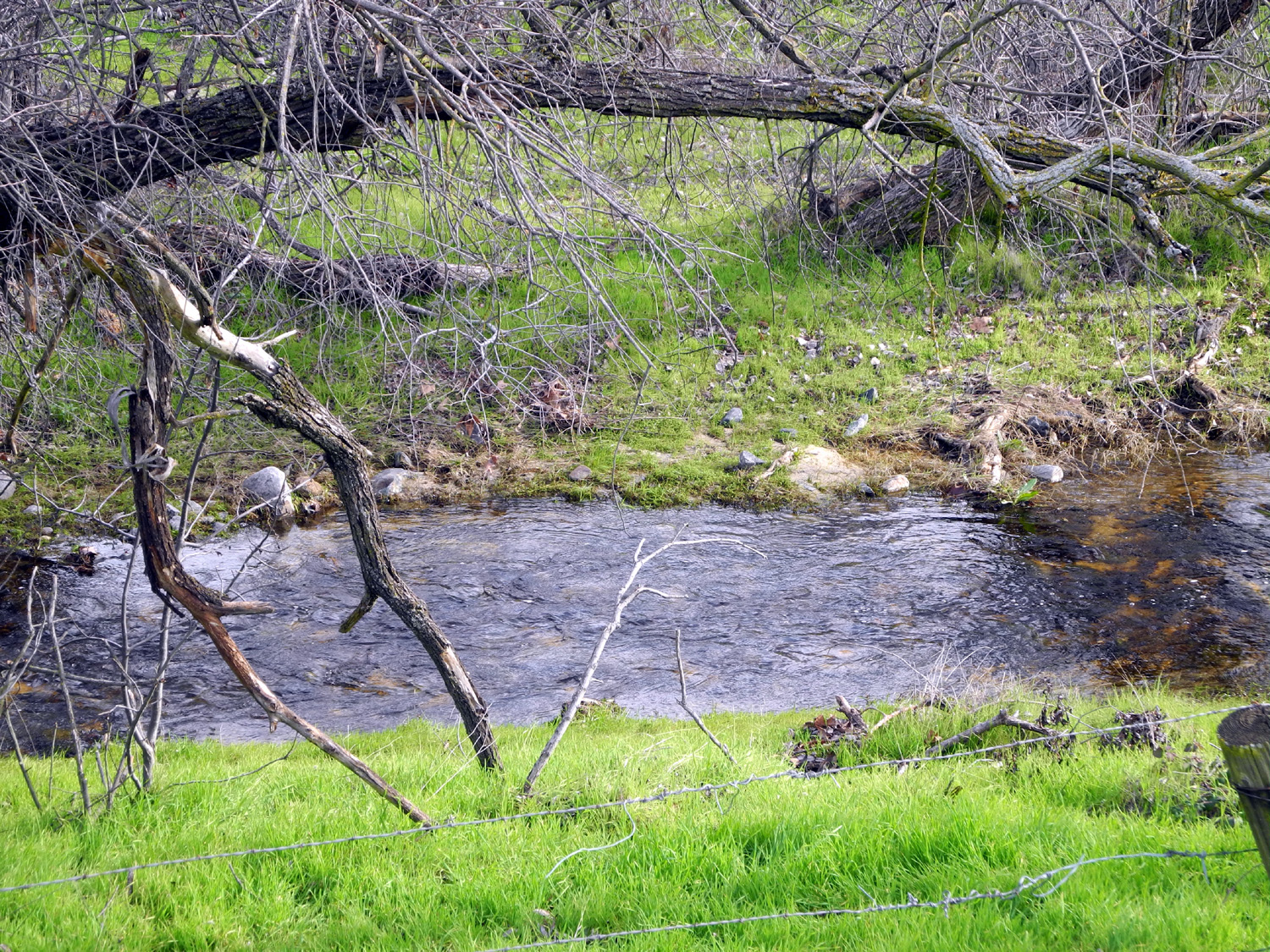
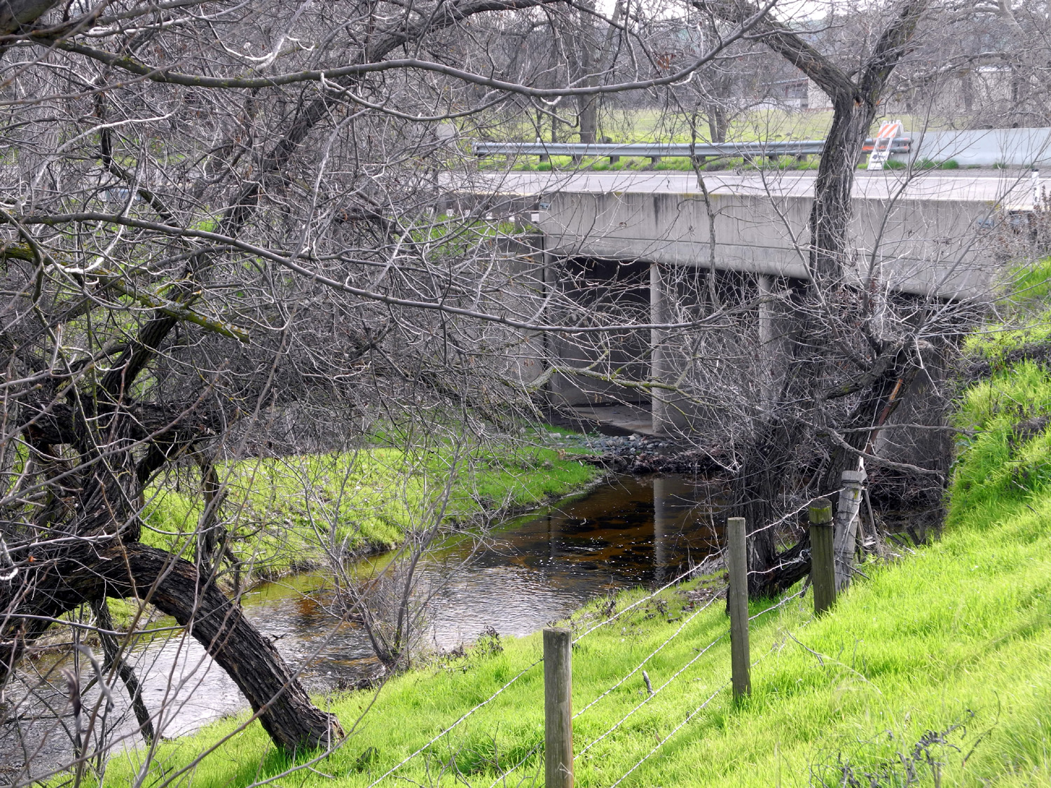
| Dry Creek, Little Dry Creek, Big Dry Creek | ||
 |
 |
 |
|
Dry
Creek crossing on |
Creek with farm buildings in the distance |
A closer look |
 |
 |
 |
| Water under the bridge |
Little
Dry Creek crossing |
Looking upstream |
 |
|
 |
| Little
Dry Creek, really dry on November 1, 2015 |
At the same spot, January 27, 2016 |
Google
Earth view of Little Dry Creek at Highway168 |
 |
 |
 |
|
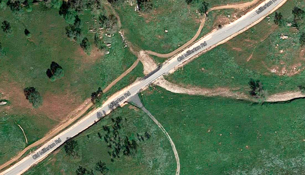
Little
Dry Creek at Millerton Road |
Millerton Road crossing from above |
Google
Earth view where Little Dry Creek crosses Auberry Road |
 |
 |
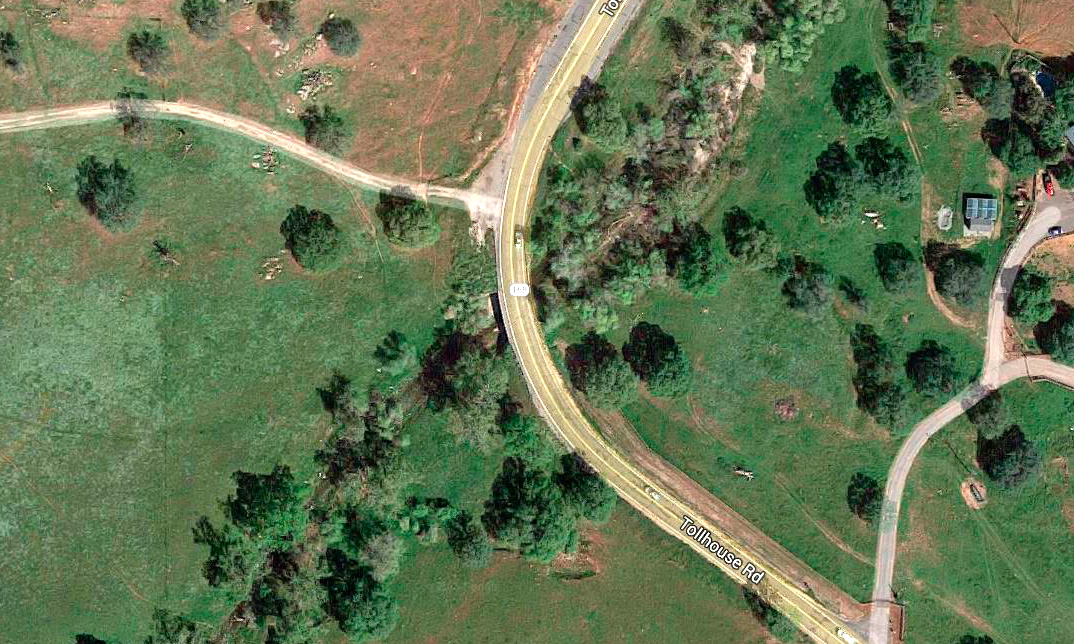 |
| Big Dry Creek crossing on Highway 168 | Looking downstream |
Google
Earth view, Big Dry |
 |
 |
 |
|
Big Dry Creek on November 1, 2015 |
At the same spot, January 27, 2016 |
Looking under the bridge |
 |
 |
 |
|
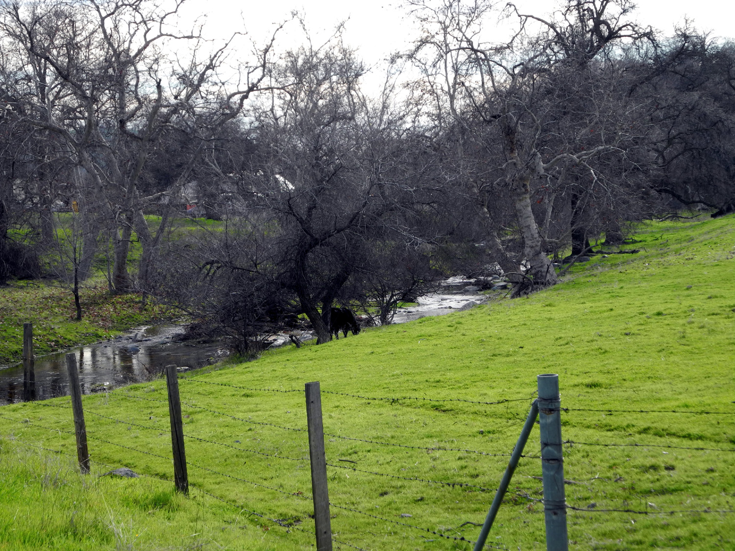
There's
a cow and farm |
Drainage
in the hills |
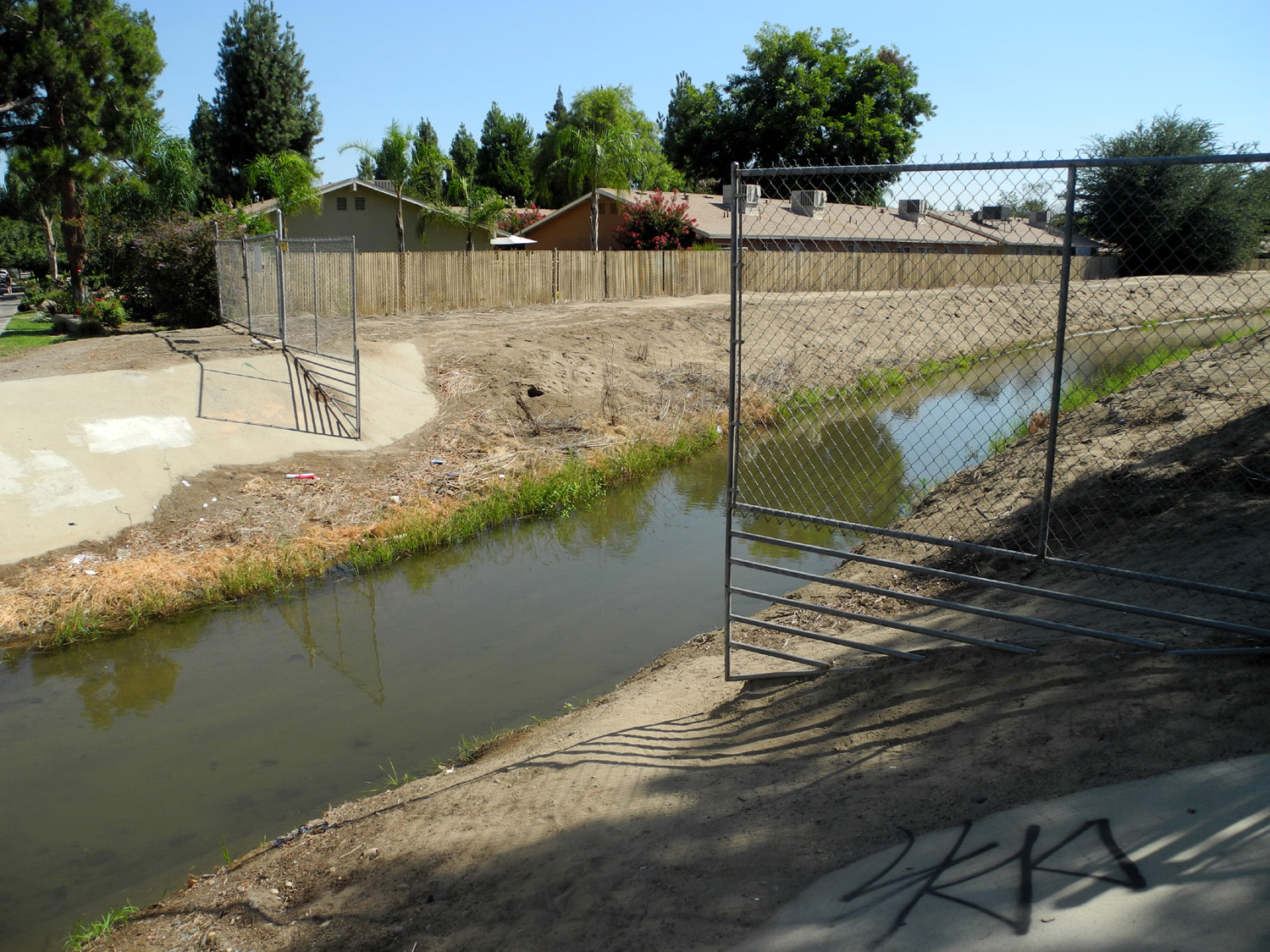
Dry Creek canal at Villa Avenue in Clovis |
 |
 |
 |
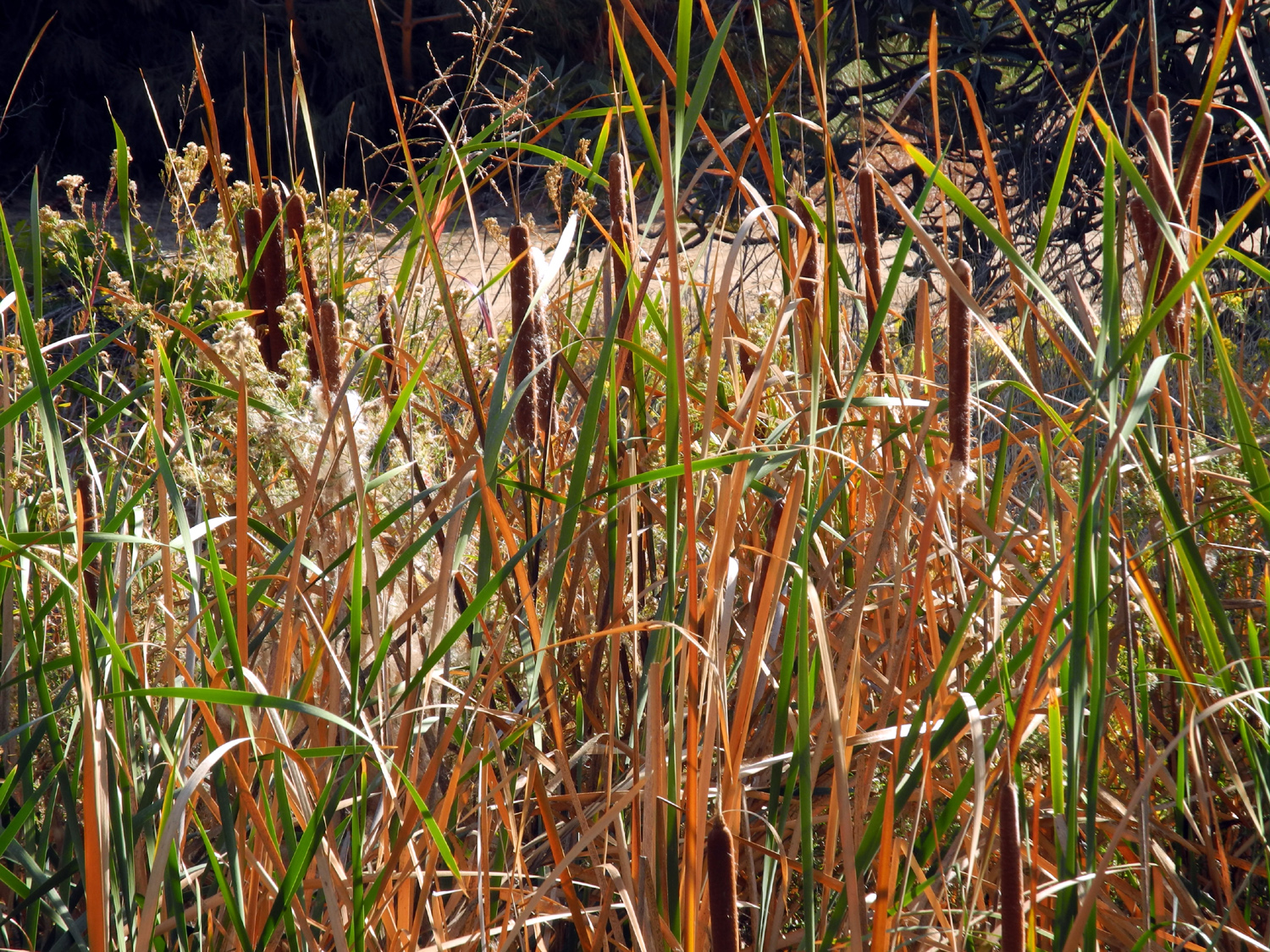
| Water gate on Dry Creek Canal | Cattails by Dry Creek |
Dry Creek canal south of Barstow Avenue in Clovis |
 |
||
| Where
Little Dry Creek crosses Friant Road, just before joining the San Joaquin River |
||
| Eaton Trail | ||
|
 |
 |
| The old house; the water
tower was not part of the original construction |
The old dairy barn | Turtle on a log |
 |
 |
 |
| The pond from the dirt path | More turtles | Another pond, away from the visitor center |
 |
 |
|
|
Teri enjoying her first |
Dick on the trail | |
| Sycamore Fire Road & Picnic Area | ||
 |
 |
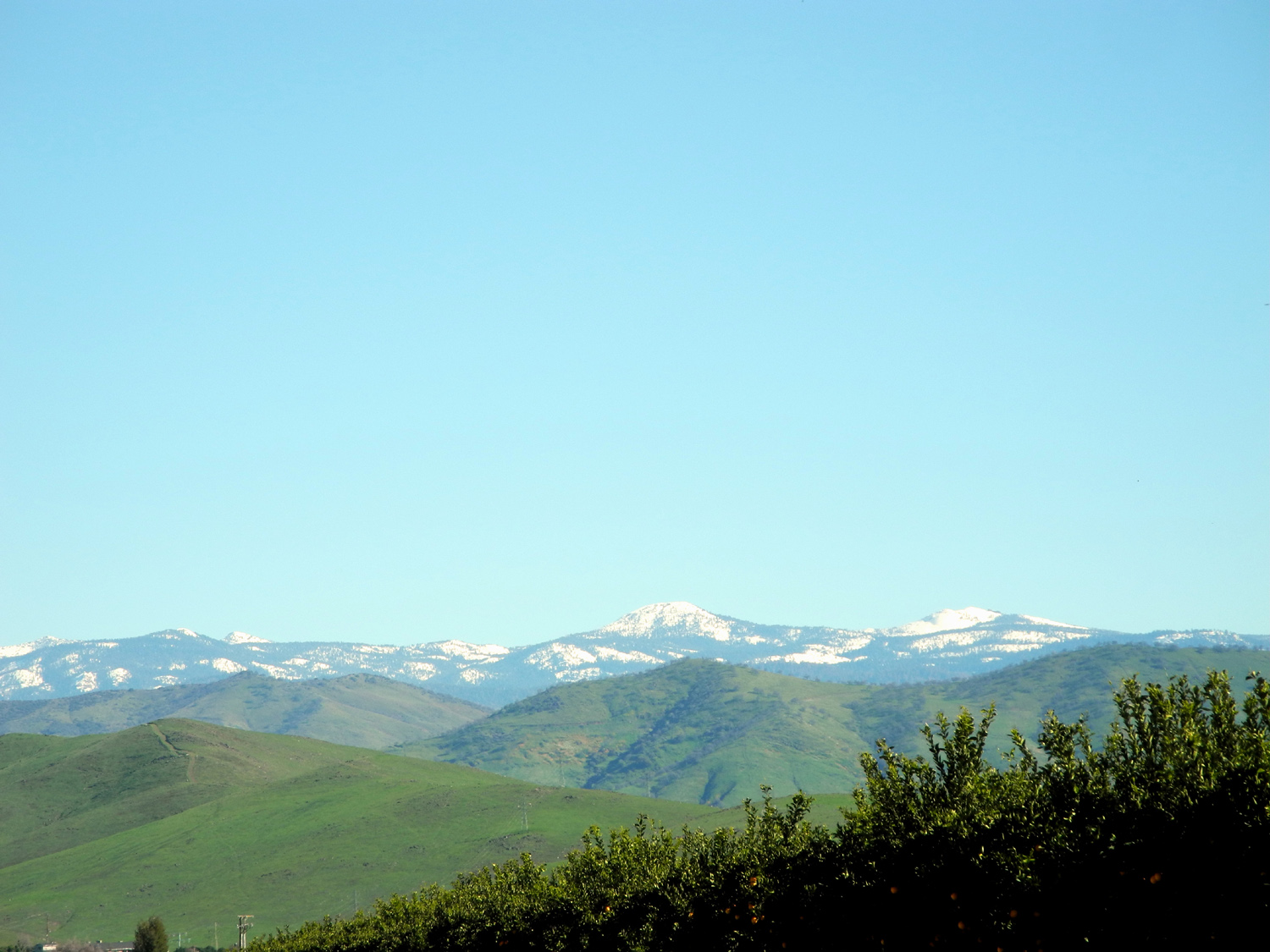 |
| Ranch on Trimmer Springs Road | Horses through the fence | Green hills make a perfect foreground for Sierra snow |
 |
 |
 |
| Poppies near Winton Park | The Kings River at Winton Park | Poppy-covered hill near the lake |
 |
||
| Piedra Road bridge over the Kings River | ||
 |
||
| Blue oaks on the hill at the end of Sycamore Fire Road | ||
|
 |
 |
| Pine Flat lake sparkles in the spring sunshine | Water goes farther up
Sycamore Creek this year due to lots of rain |
The start of the "trail" |
 |
 |
 |
|
Valley of Sycamore |
Fiddlenecks and popcorn flowers |
Here the road looks like a normal trail |
 |
 |
 |
| Tiny blossoms dot the greenery | Trimmer Springs Road bridge over Sycamore Creek |
A nice orange mushroom |
 |
 |
 |
|
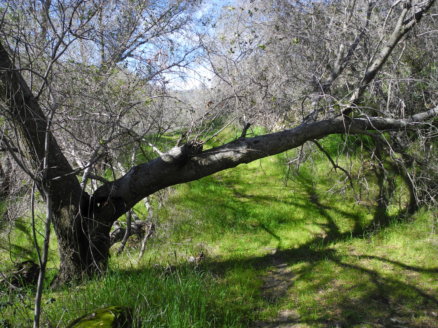
I had to duck going under this branch |
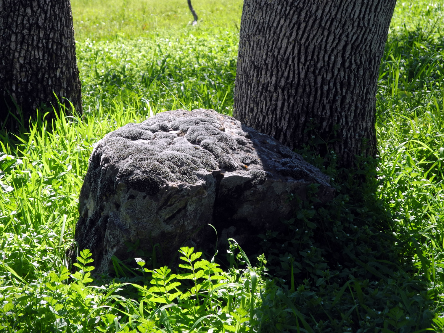
Cushioned resting rock |
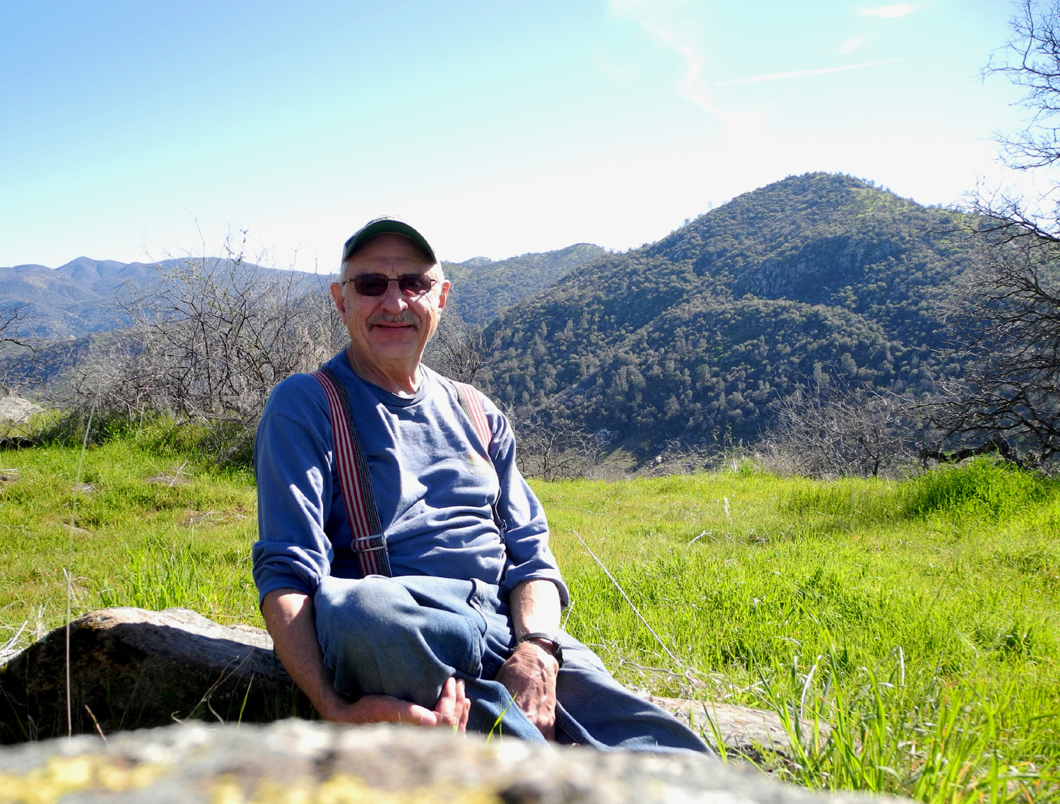
Dick on the Rock near the picnic area |
 |
 |
|
|
Knoll at the end of the |
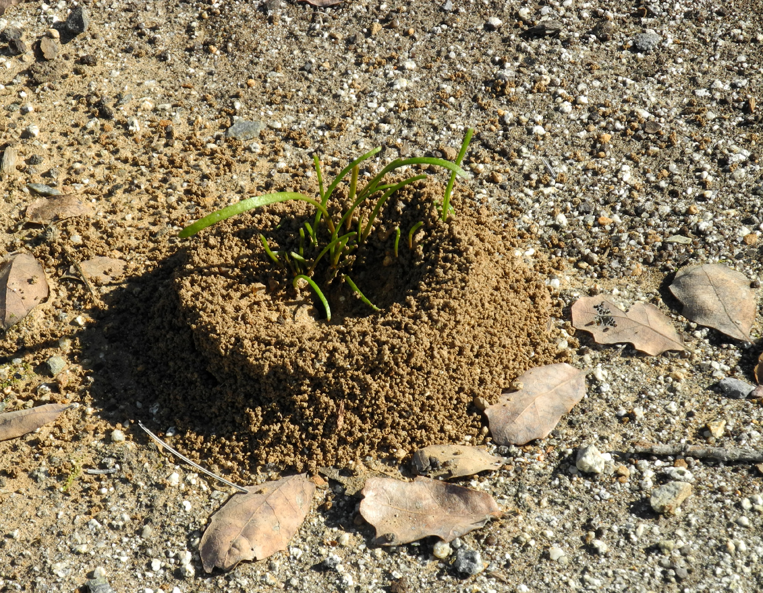
Ant hill with landscaping | |
| San Joaquin Gorge Camp | ||
 |
 |
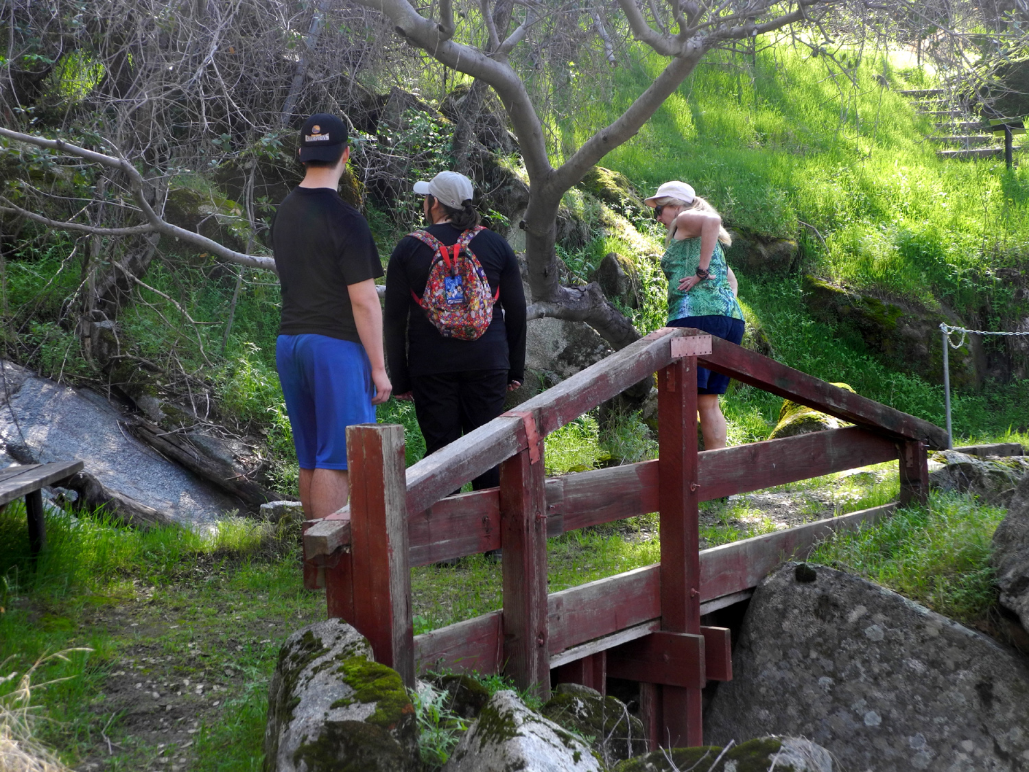 |
| A tent with a view | Teri relaxes in camp | Mikie, Lizzie and Teri on
the bridge on the Nature Trail |
 |
 |
 |
| Natural planter box | West? Wes? Wait? | Green, green, green |
 |
 |
 |
|
Teri's second hike on
the |
A drainage just up from the trail | Chaparral blossoms |
 |
 |
 |
| Rugged remnant |
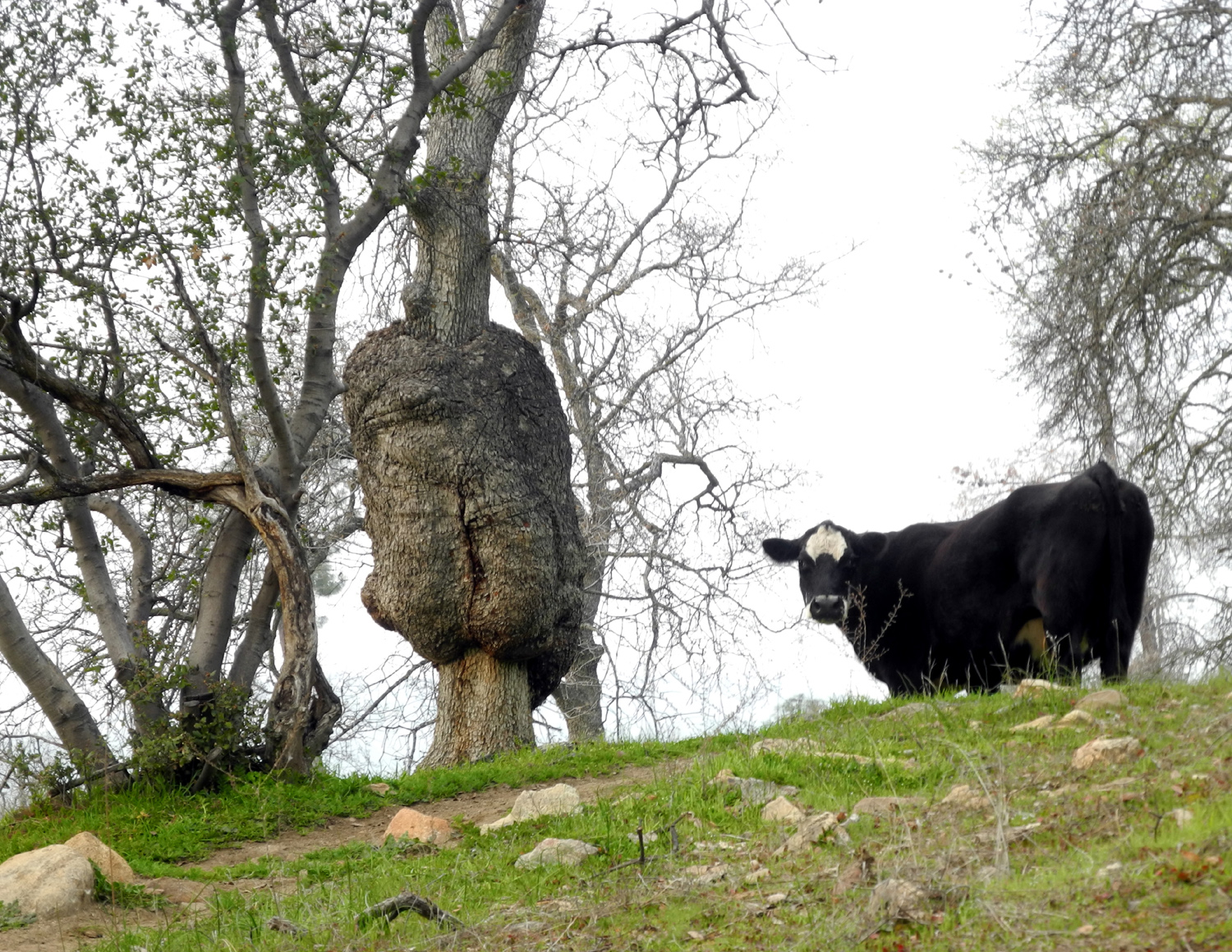
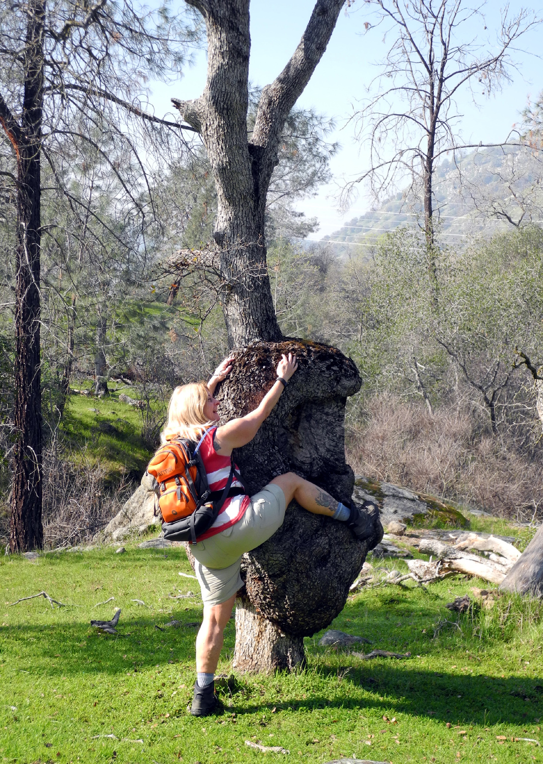
This time it's a cow posing by the big burl |
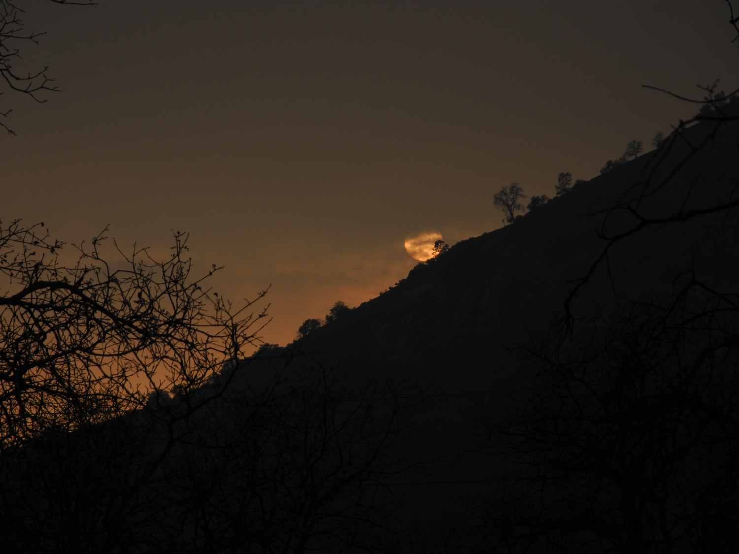
Sun going down into the fog |
 |
 |
 |
| One of at least two hundred millipedes we saw | Mikie, Lizzie, Teri and
Dick, ready for our big Sunday hike |
Rest stop |
|
 |
 |
| Mikie at the L/S Camp, where his dad spent a week decades ago |
Just up the slope from the camp site |
Miner's lettuce |
 |
 |
 |
| A creature tree | Teri tries a new pose by the burl | Posts reinforce the
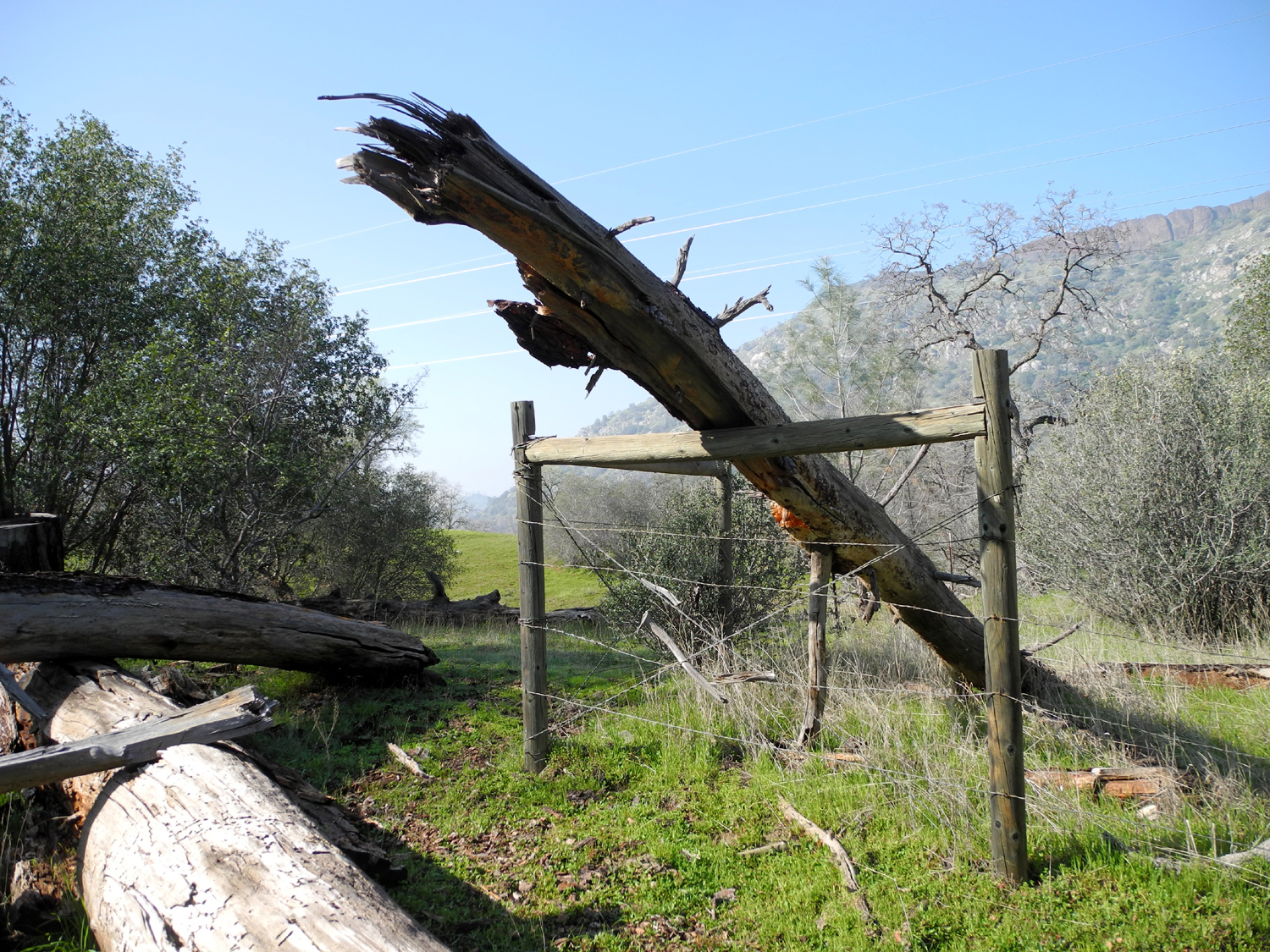
fence at a corner, and hold up a fallen pine |
 |
 |
|
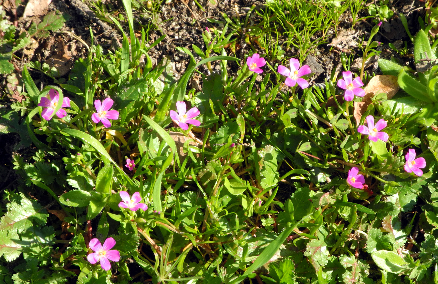
| These
bright magenta fringed redmaids were all over the areas we hiked |
Frog, surprised to be held aloft | |
| Related Links | ||
| San
Joaquin River Gorge Special Recreation Management Area |
San Joaquin Gorge Photo Album | Background
& History of San Joaquin Gorge Area |
| Four San Joaquin Gorge Hikes | El Pueblito | Fresno Irrigation District |
| Metro Flood Control District | Highway 168 | Big Dry Creek Reservoir |
| Canal Bank Walks | San Joaquin River Parkway | Center for River Studies |
| Kit Homes | Pine Flat Lake | San Joaquin Gorge Slide Show |