|
2023 Rambler Hikes Page 4 |
|
|
Rambler Hikes 2017 Rambler Hikes 2018 Rambler Hikes 2019 Rambler Hikes 2020 Rambler Hikes 2021 Rambler Hikes 2022 2023 Page 1 2023 Page 2 2023 Page 3 2024 Page 1 |
|
| Hensley
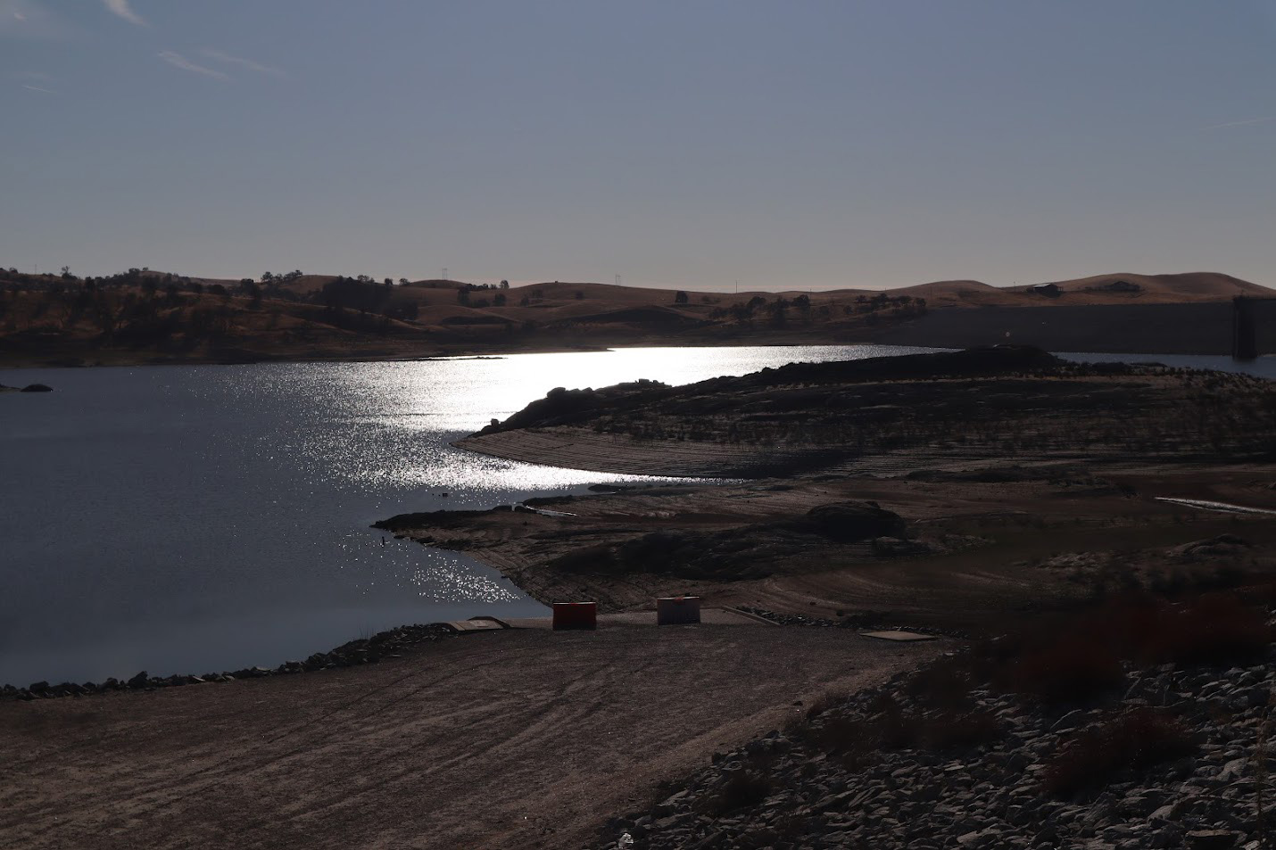
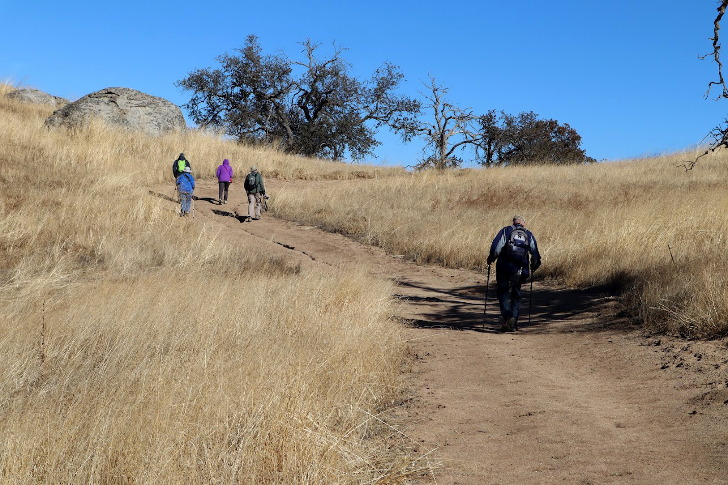
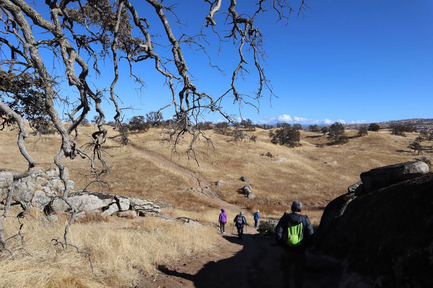
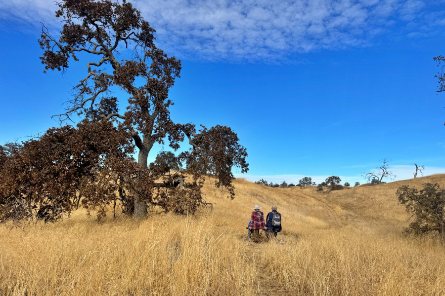
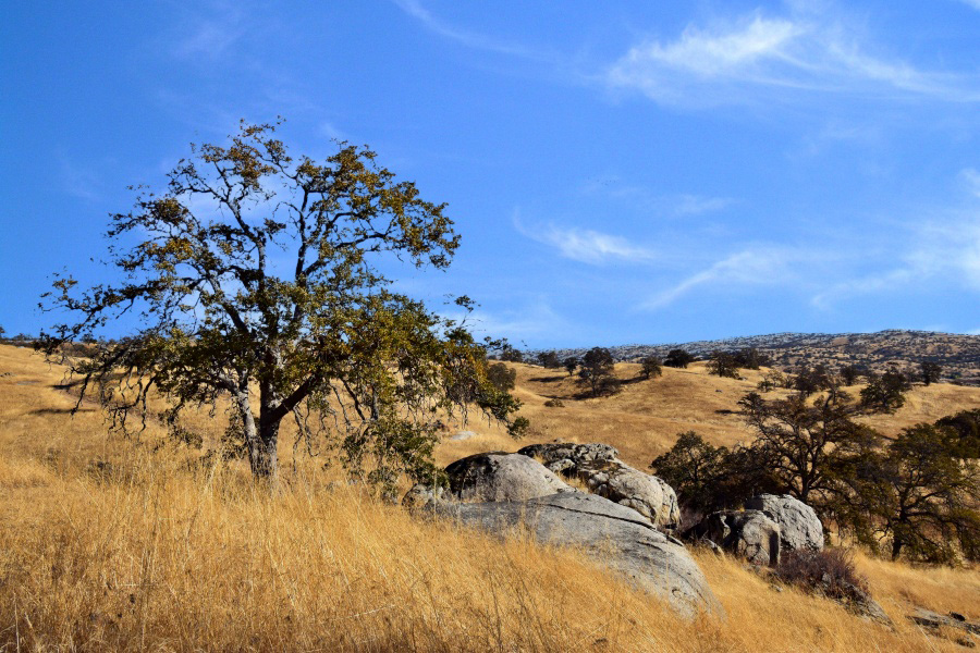
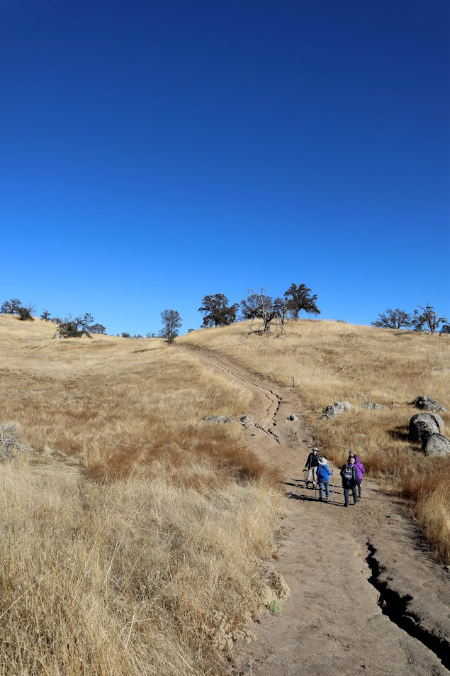
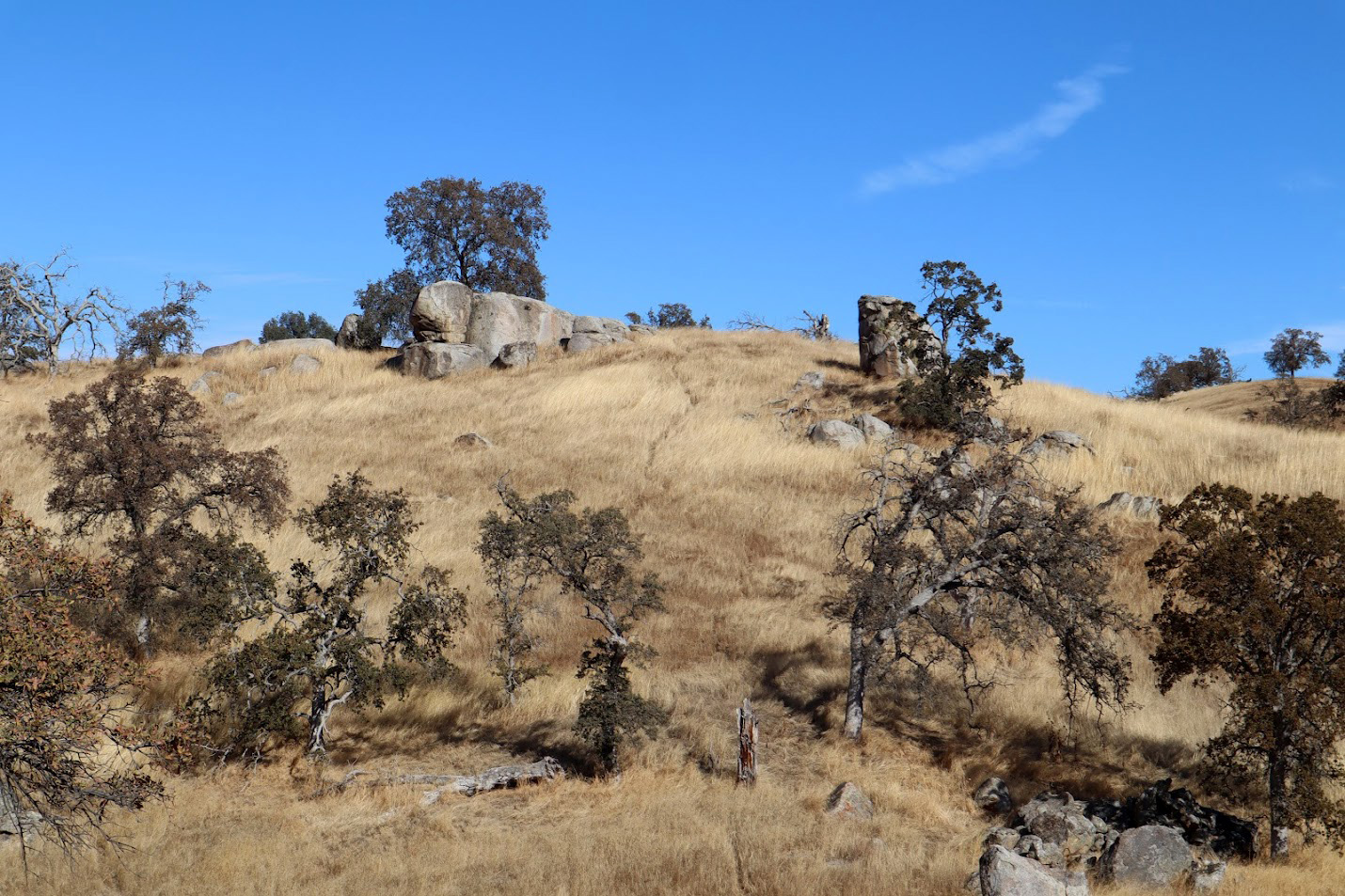
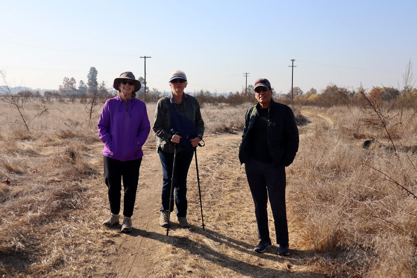
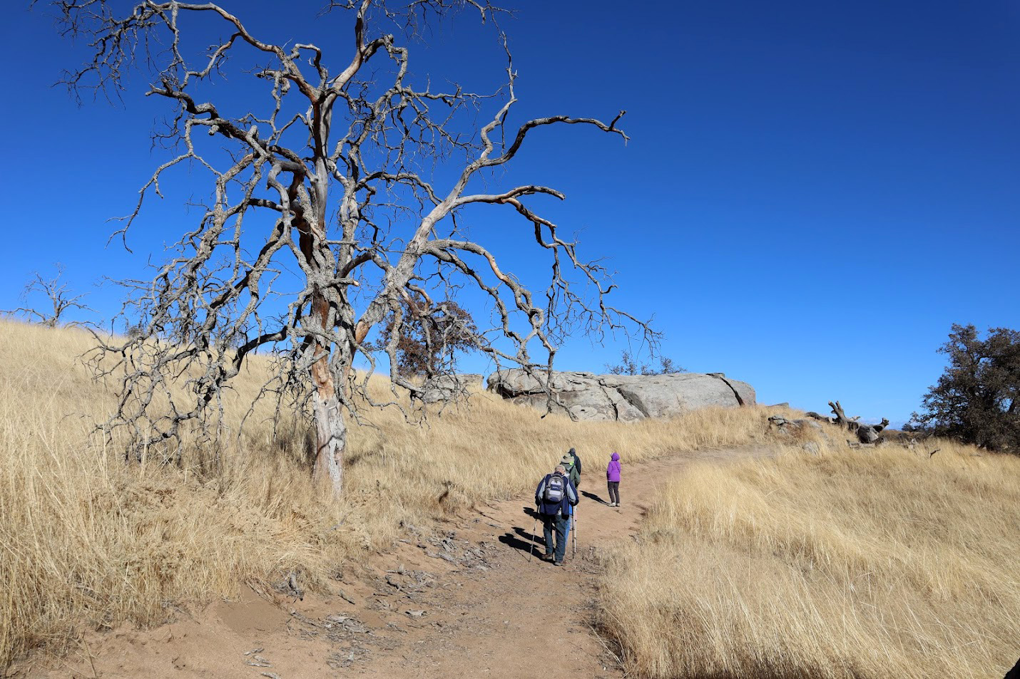
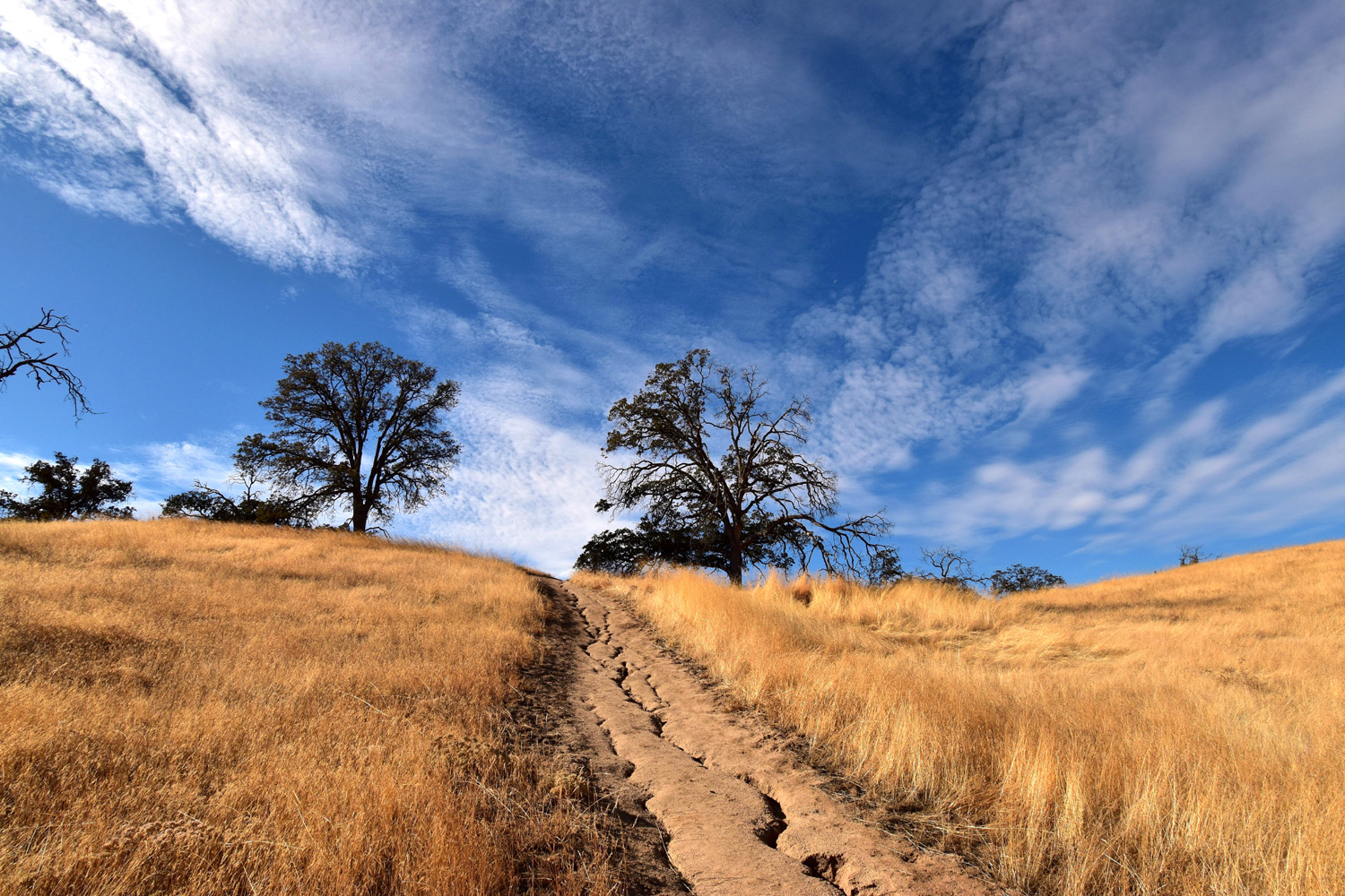
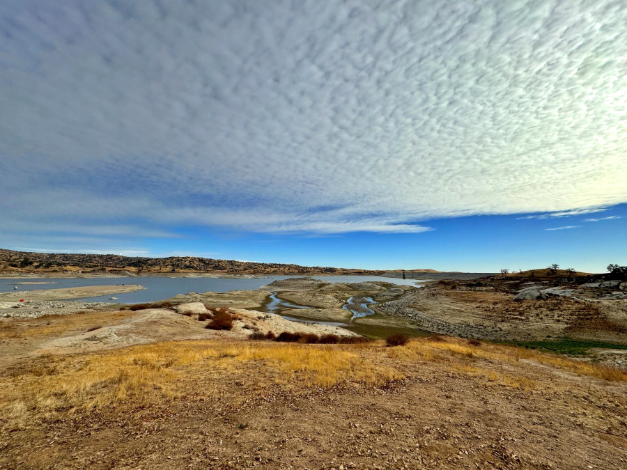
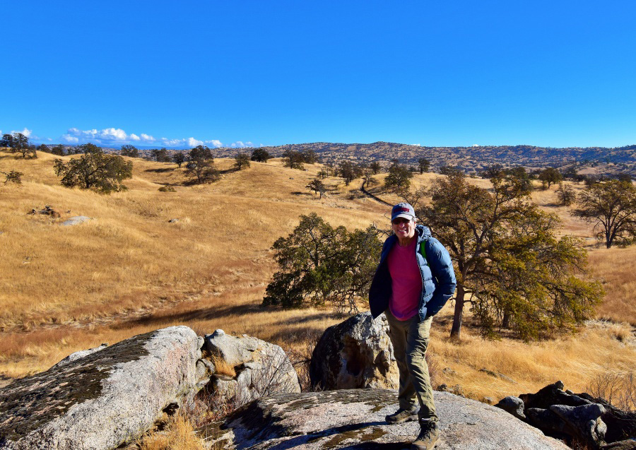
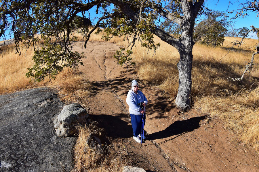
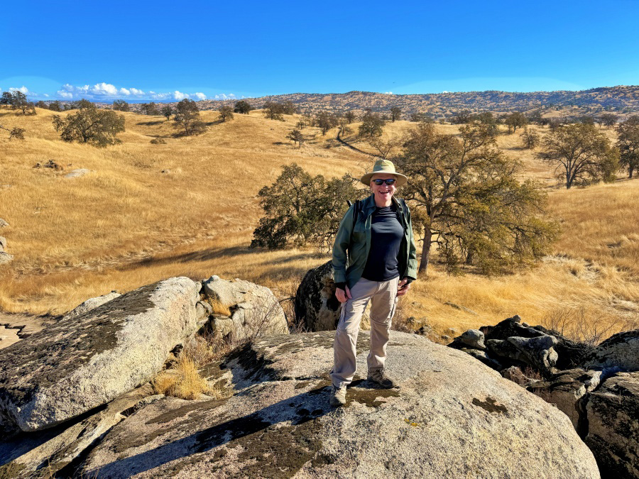
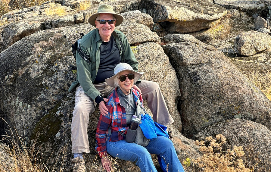
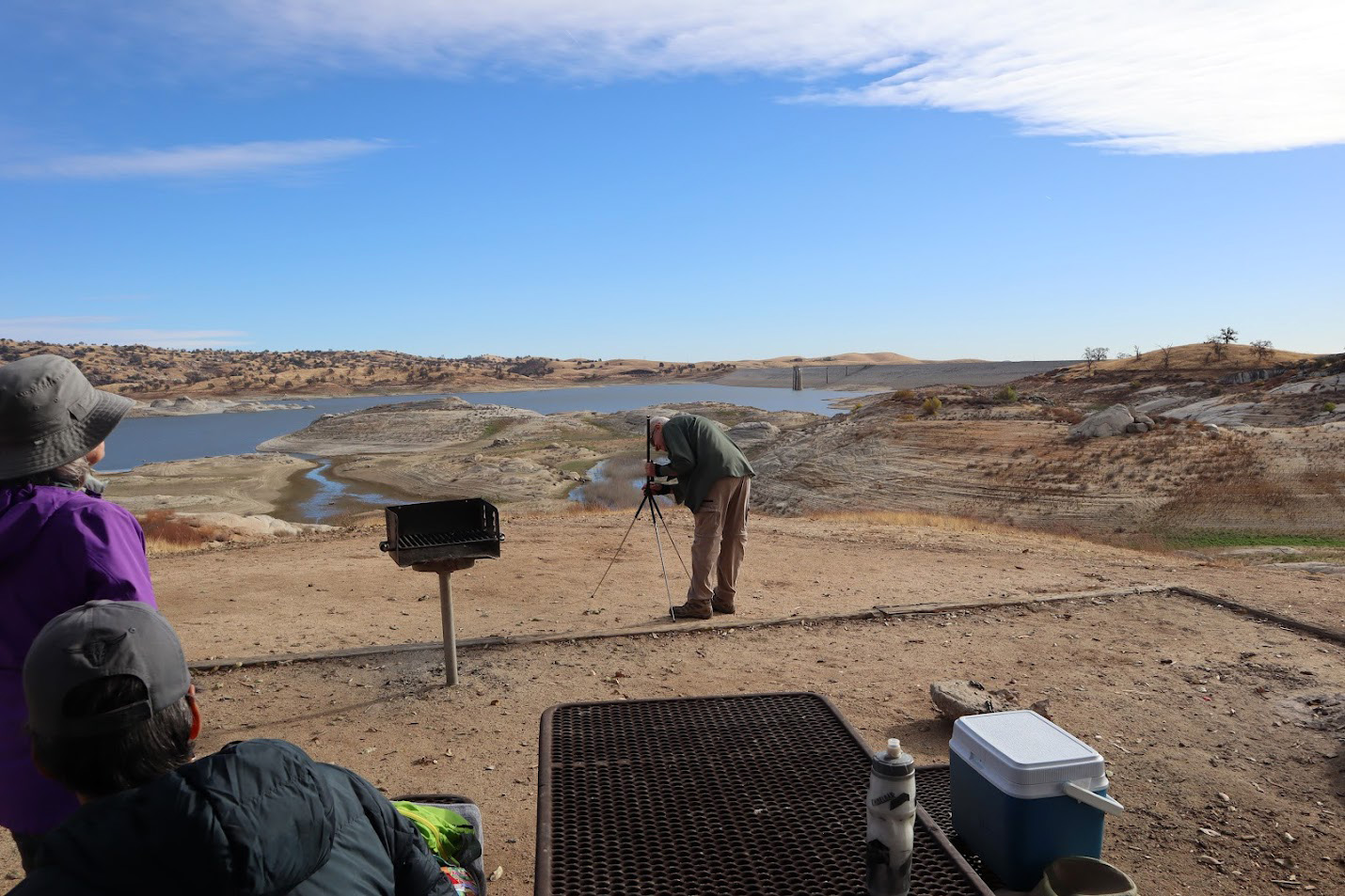
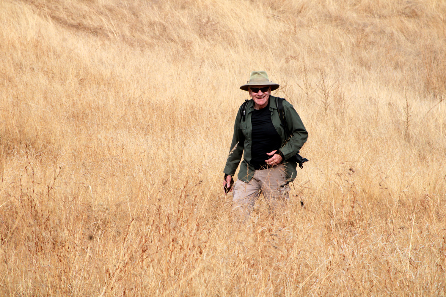
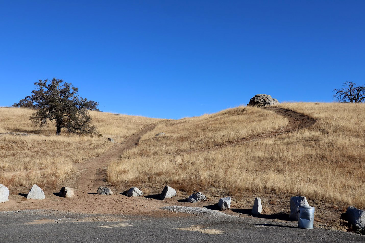
Reservoir (Photos by Wes, Dave and Dick) The Ramblers finished up 2023 with two hikes in December, one of which I missed due to a bad cold. We could not find a date that worked for everyone, so we decided to have two hikes, six days apart. This gave everyone a chance for an outing, and some were able to make both of them. Our first adventure was on December 7, with our destination the one-mile Po-ho-nichi Trail at Hensley Reservoir in the Madera County foothills. Six Ramblers met at the trailhead - Wes, Dave, Bruce, Susan, Jackie and myself. Wes and I were the only ones who had hiked here, at least in recent memory. This trail goes up, then down, then up, then down, repeat, repeat, repeat. It's a good workout for all your hiking muscles, and my claim has always been that just when you are tired of going up, the trail starts down, and vice versa. One of the best things about this trail is that there are several resting benches along the way. It's typical foothill country, with granite outcroppings, trees and at this season, dry grass. To be more specific, much of it is blue oak savannah. |
|
 |
 |
| Ramblers, heading up the first hill | The very welcome first downhill section |
 |
 |
| Jackie and Dick enjoying a resting bench | Blue oaks and granite outcroppings dot the dry hills |
|
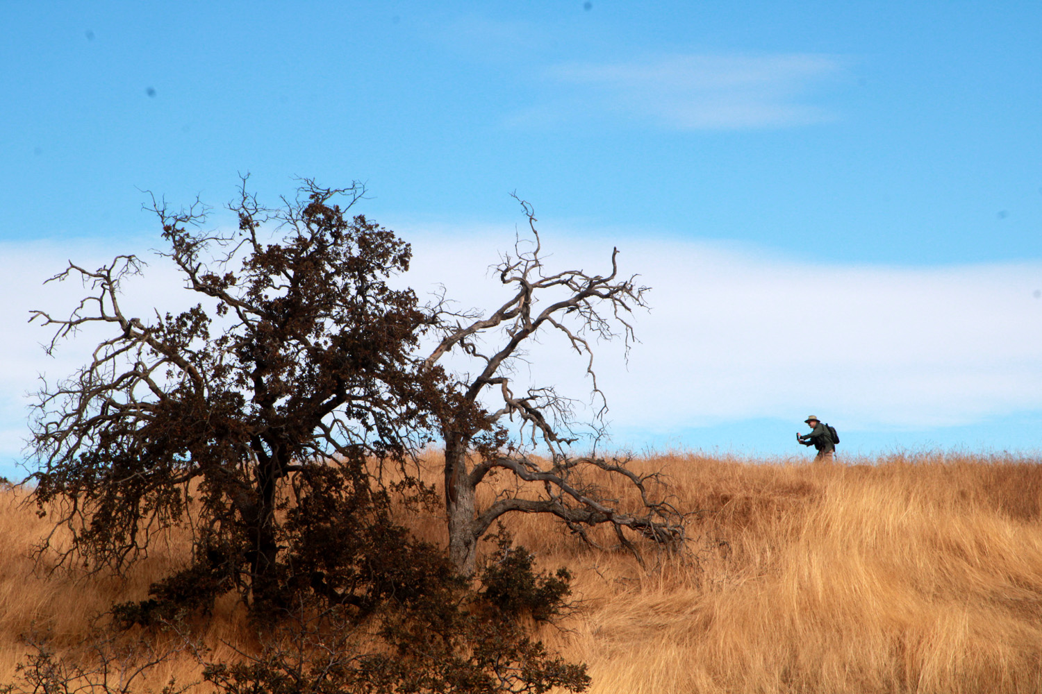
The trail is a loop that starts and ends at a parking lot a short distance from the park entrance. There is a day use fee, which is waived for holders of Federal recreation passes. The property is managed by the Army Corps of Engineers, who have never seen a place they did not think they could improve. Hence the planting of eucalyptus trees, when the native ones would do just fine. However, it is a great place to camp, with electrical hookups and water at many sites, and an RV dump station which is sometimes open. I've camped there a number of times with my trailer and motor home. Dave, Jackie and I plodded along, resting often and eagerly occupying the benches. Wes went off trail to get just the right photo, and Bruce and Susan took a side trip down by the lake, rejoining us when we were approaching the last hill before trail's end. --Dick Estel, December 2023 |
|
 |
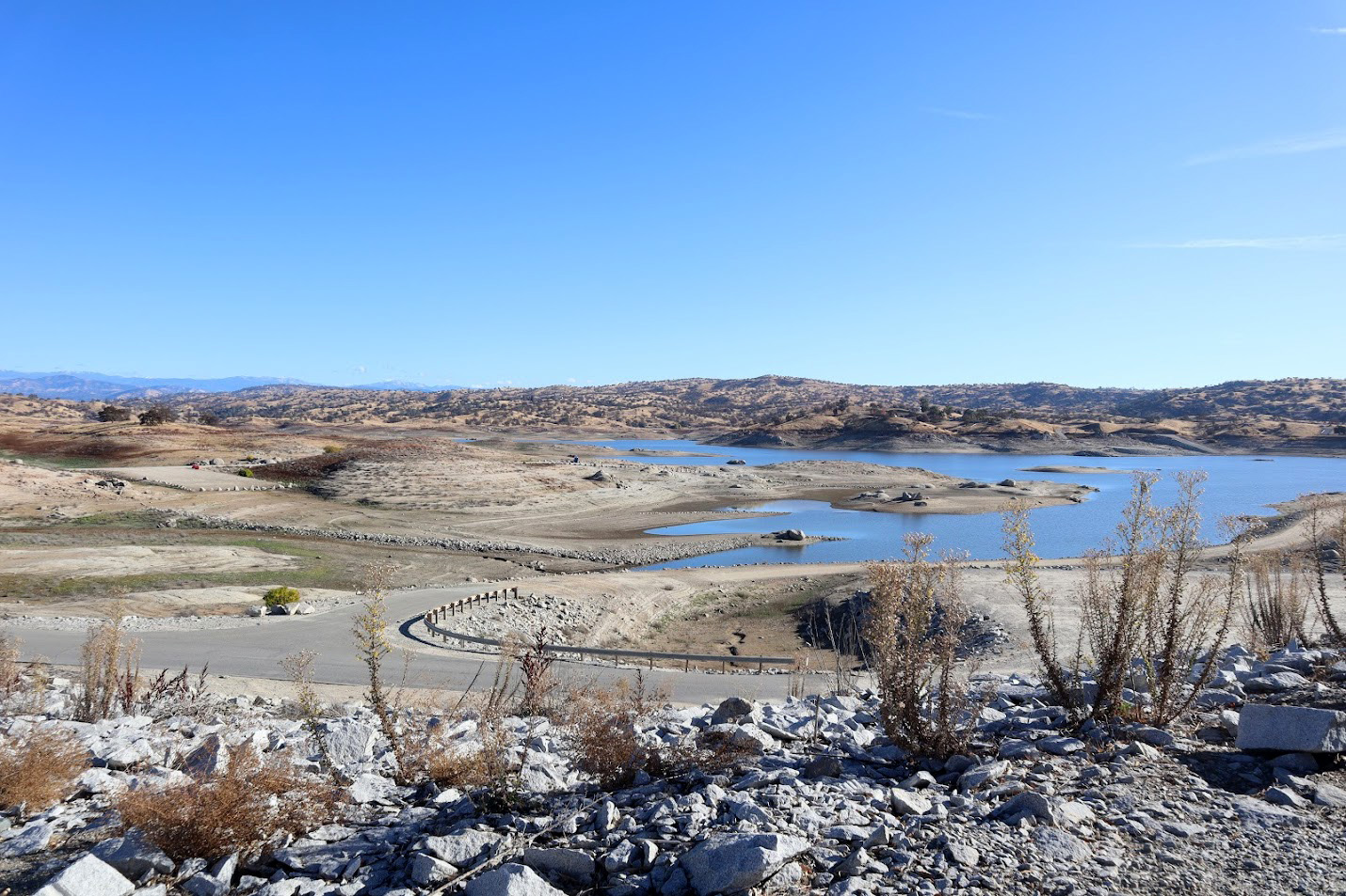 |
| There are deep erosion ruts in many places on the trail | Hensley Reservoir with low water level |
 |
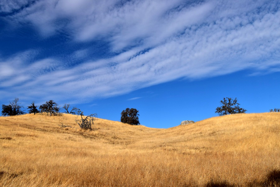 |
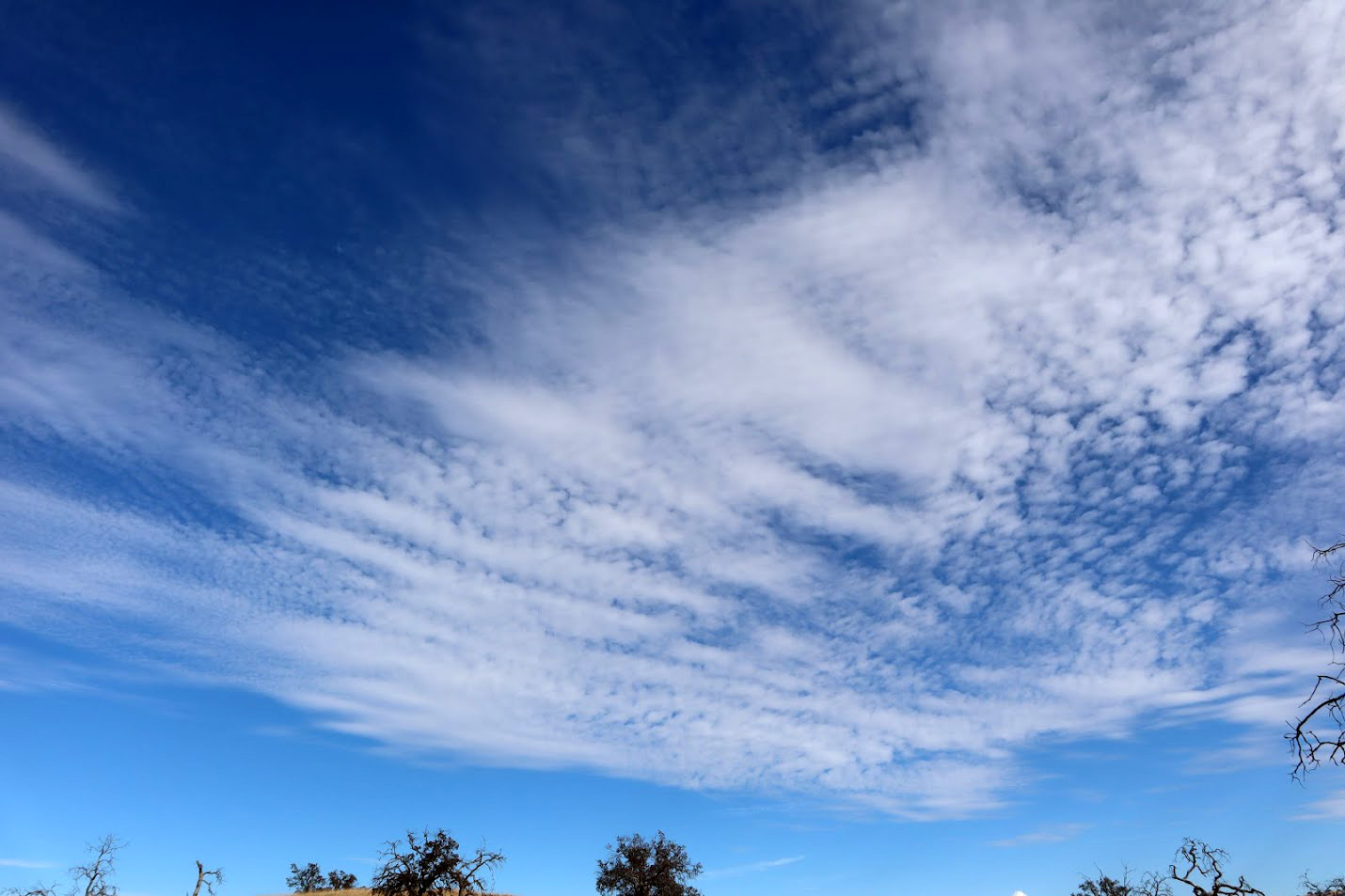
| Wes, searching for the perfect angle for his photo | We enjoyed fascinating cloud shapes |
|
And now a few words from Dave: As I have done in the past, I have put together another album of some of the photos taken on these hikes. This link will take you to my Google Photos account where they can be viewed. This hike was on the Po-ho-nichi Trail located at Hensley Lake. The day use fee was $10 but Wes found out that having a Golden Eagle Pass and placing it on your dashboard would suffice (according to a conversation he had with a worker). The hike was posted as being a mile, but with so many hills going up and then down, it felt much longer. This was one of the most difficult one-mile trails I’ve hiked lately (or it's just that I’m getting older), but the cool temperature did make it bearable. I strongly suggest avoiding this trail during the summer but suspect it would be enticing to visit during the spring. In any case, do not hike this trail without taking water with you. As always, we all gathered afterwards for a relaxing picnic lunch before returning home. You will see a lot of soil erosion of the trail due to the heavy rains in the past. By the way, I can never take enough photos of clouds, trees and rocks when I’m doing these hikes.
I would like to return to this lake in the spring as the area should be carpeted with all types of flowers and new growth. |
|
 |
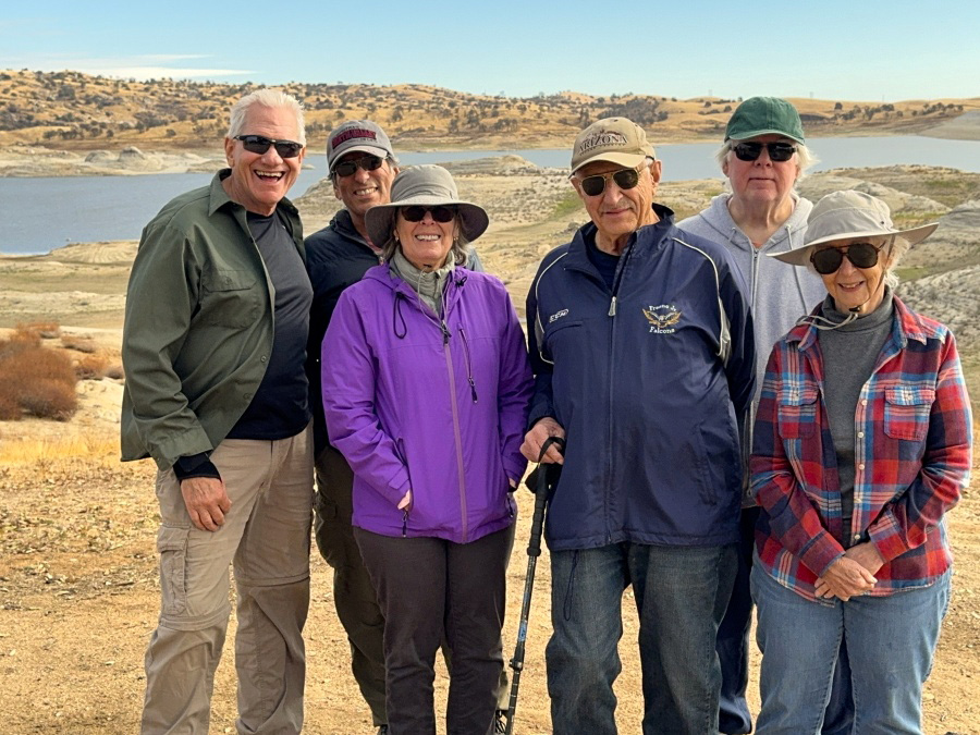 |
| A typical view east of the trail | Wes, Bruce, Susan, Dick, Dave and Jackie |
| San
Joaquin River West
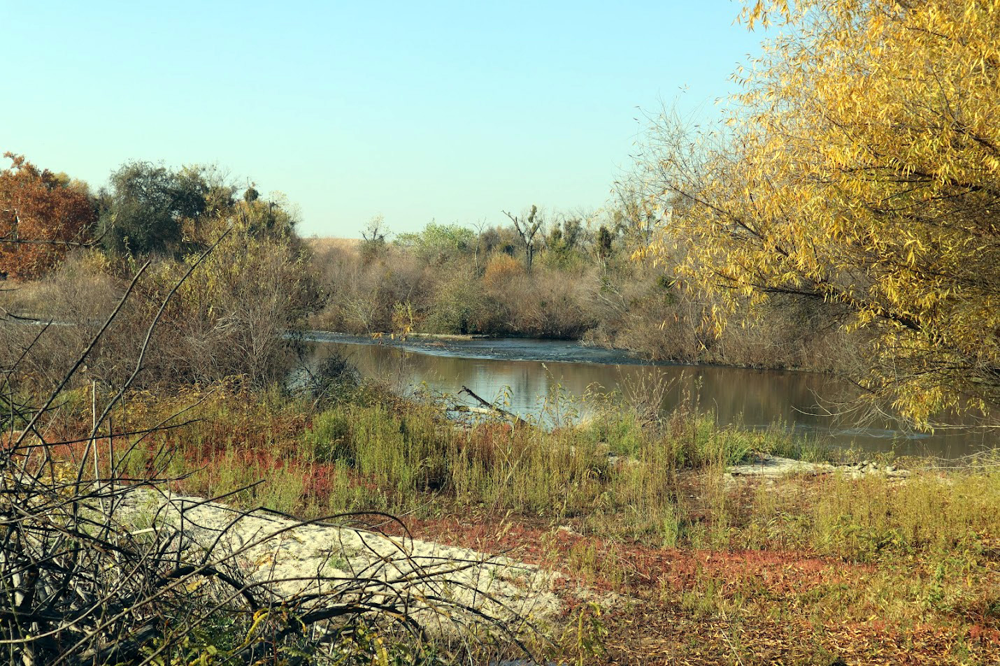
This was another hike I missed due to illness. Although I've hiked on several trails in the San Joaquin River bottom just north of the metro area, I have never gone in this way. Access to the starting point is via the Children's Boulevard off ramp from Highway 41 just past the river bridge. You then cross the river on the old (pre-freeway) bridge and go under the roadway to get to the hiking area. All hikes in the river bottom are part of the San Joaquin River Conservancy. |
|
|
|
| A quiet stretch of the San Joaquin River | Susan, Ardyss and Bruce |
|
The hikers were Ardyss, Bruce, Susan and Dave, who provided a short report, as well as a nice batch of photos. On Wednesday, December 13, we had our group hike to the San Joaquin River bottom at Highway 41. I had parked just before 10 a.m. when Ardyss pulled up and several minutes later Bruce and Susan arrived on foot, having decided to walk in from their nearby home. I didn’t see the email yesterday that Dick would not be making the hike due to illness, but we figured we wouldn’t get ourselves lost without him, at least this time. The walk was uneventful, giving us time for casual conversation and to get to know one another a bit more. Unlike the last hike at Hensley Lake, there were no hills to ascend which made me realize how out of shape I was. We avoided the trails next to the river as parts appeared to be somewhat washed out due to last year’s heavy rains. Fortunately, Wes had earlier noted that there was also a nearby dirt roadway/trail that we could take without any issues. Upon our hike back to the cars, we came across a young lady with two unleashed but very well-trained dogs as you can see in the photo. Believe me, we kept our distance even though one of the dogs decided to follow me just for a brief moment as we continued our walk. Overall, the hike lasted a little more than an hour. Thanks again to Ardyss, Susan and Bruce for taking time for this hike. --Dave Smith, December 2023 |
|
| Photos (Click to enlarge; pictures open in new window) | ||
| Hensley Reservoir | ||
| Hensley Reservoir | ||
 |
|
 |
| Steep hills allow
storm runoff to create deep ruts in the trail |
Ramblers hiking past a gnarly dead blue oak | The lake and some of the amazing clouds we saw |
 |
 |
 |
| Something new - Bruce on the rock | Dave on the tral | Wes claims he's
retired from rock climbing, but not 100% |
 |
 |
 |
| Wes and Jackie resting in the rocks | Wes sets up for a group photo | There could be lions
in that tall grass, but Wes is undaunted |
 |
 |
|
| Another dramatic cloud photo | The end of the trail, if you go clockwise | Late afternoon sun on the lake |
| Related Links | ||
| Oak Savannah | Dave's Hensley Photos | Ramblers Hensley Hike in 2019 |
| Hensley Reservoir | Dave's River Bottom Photos | San Joaquin River Conservancy |