
|
Dick's Adventures of 2020 - Part 5 |
|
| Photos Related Links More Travel Reports | |
| Adventures
of 2016 Adventures
of 2017 Adventures
of 2018 Adventures
of 2019
2020 Part 1 2020 Part 2 2020 Part 3 2020 Part 4 2020 Part 6 2020 Part 7 |
|
| Rancheria Falls Nelder Grove Buffin Meadow Hike Courtright Camp Yosemite Border Mariposa Grove | |
| Rancheria
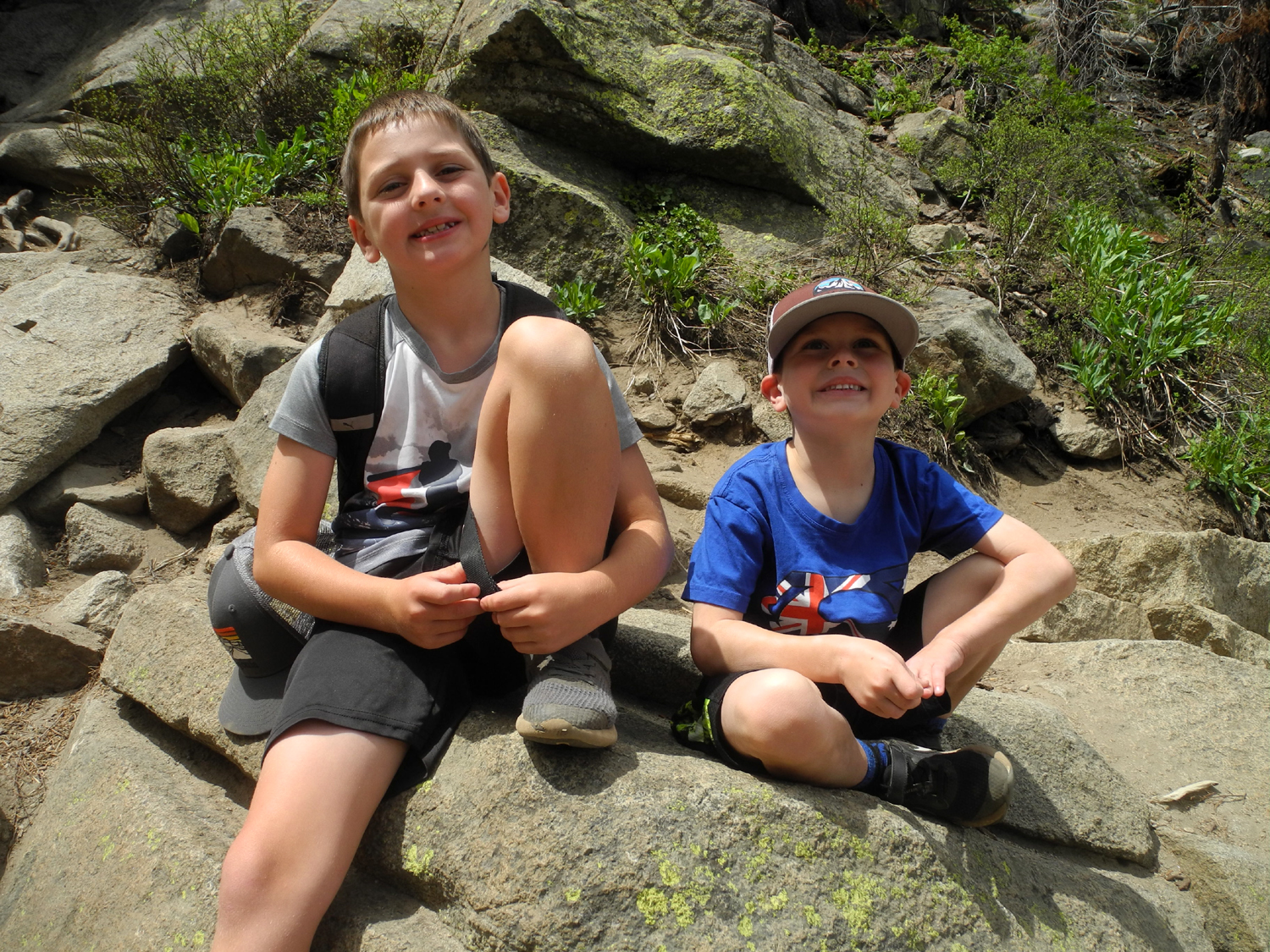
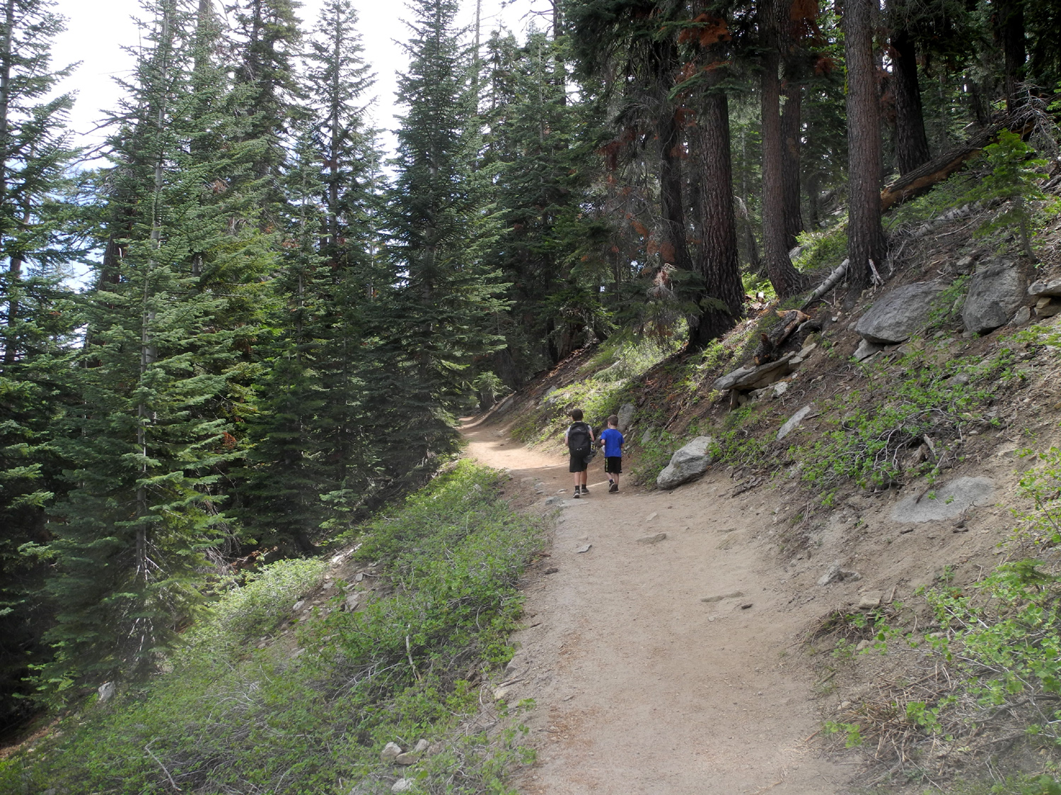
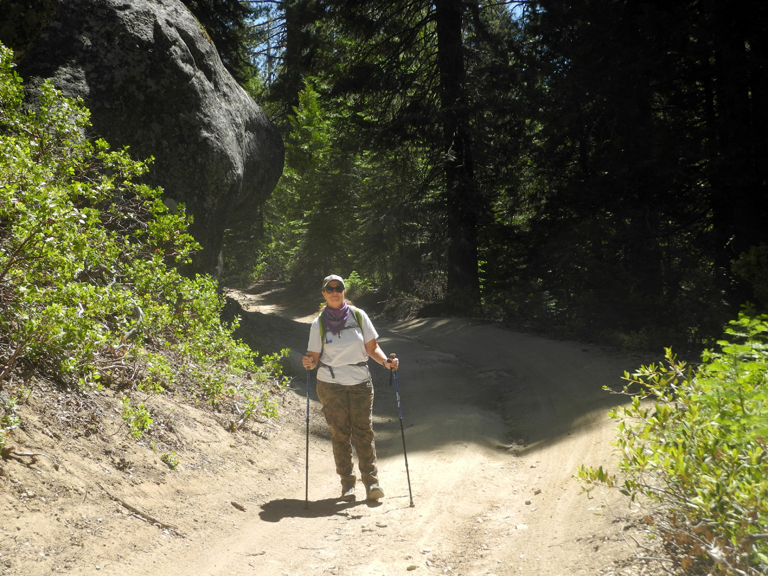
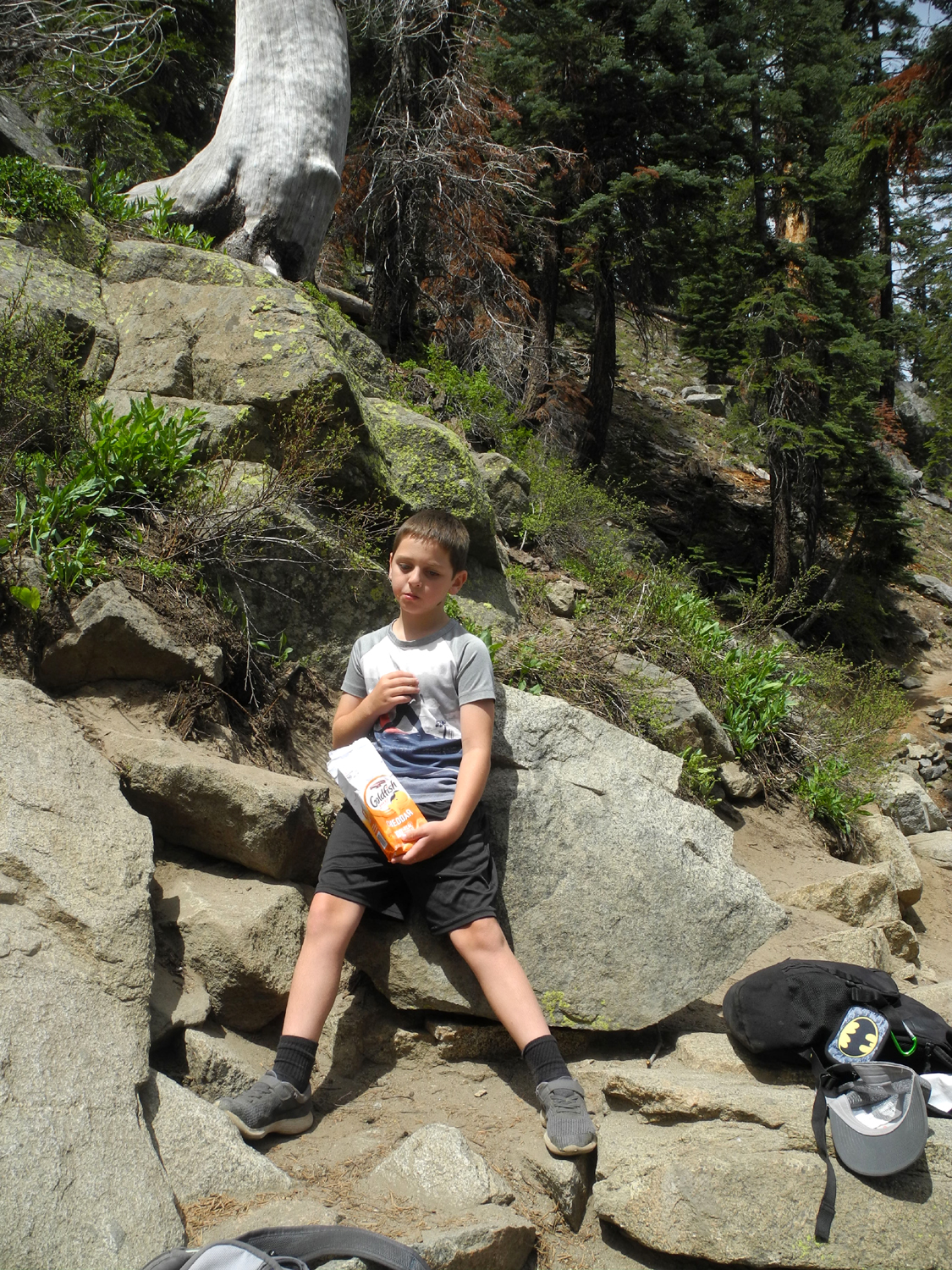
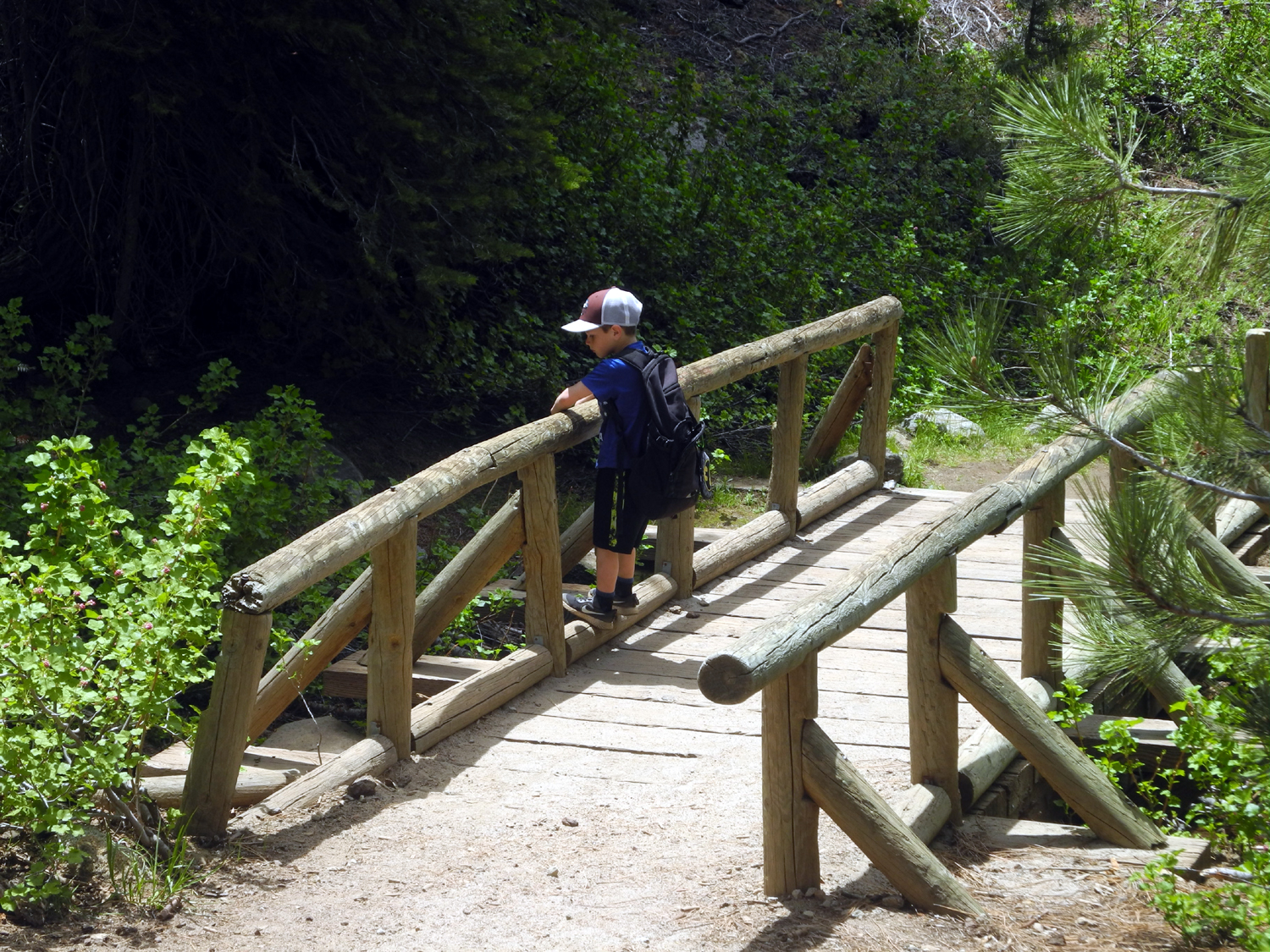
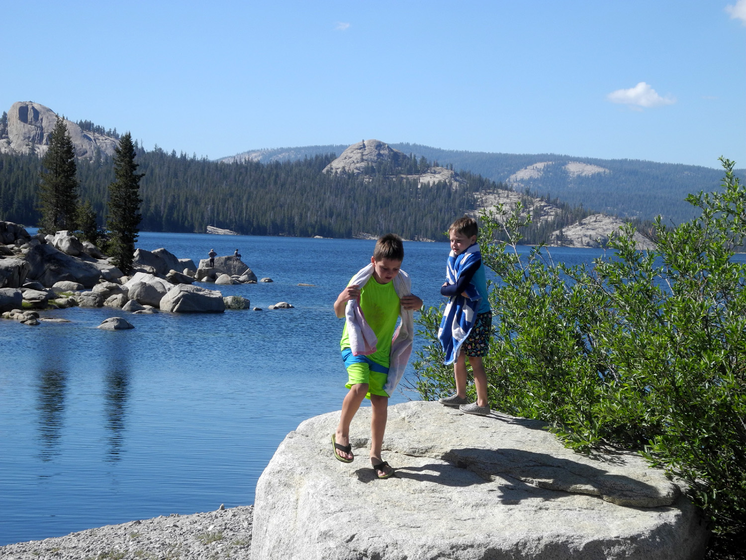
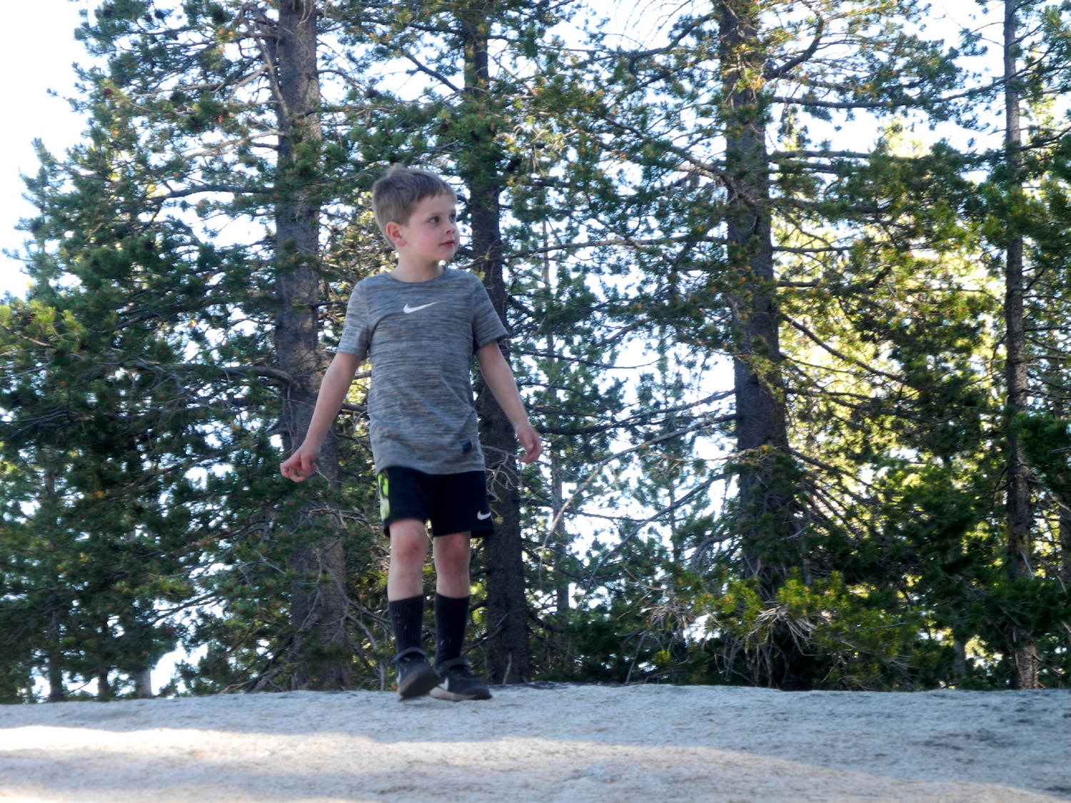
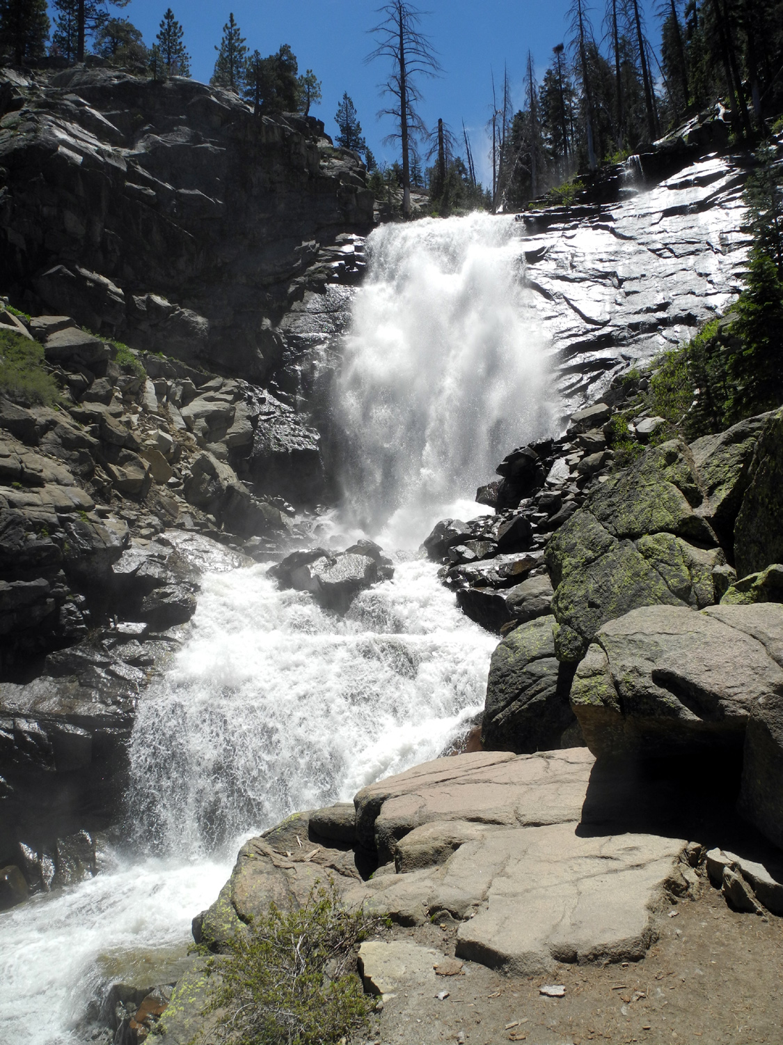
Falls This was my seventh trip to Rancheria Falls, Colton's second, and Jack's first. Getting to this impressive natural wonder requires a drive of a little over a mile on a rough dirt road off Highway 168 by Huntington Lake, and an easy hike of another mile. My grandson Johnny dropped the boys off on his way to work on June 2, and after a quick breakfast, we got in my truck and made the 63 mile drive to the trailhead. It was supposed to be around 100 degrees in the valley, but at 7,000 feet it never got above 70. Both boys have become good hikers, and kept up a steady pace, sometimes getting ahead of me, and sometimes stopping briefly to be silly. |
|
 |
 |
| The little hikers | Being silly and dramatic |
|
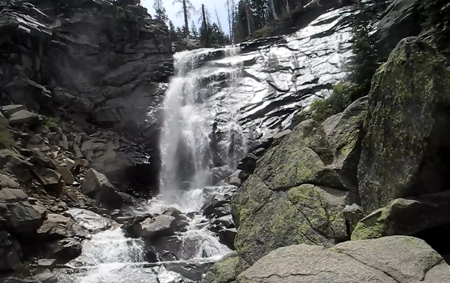
When Colton and I went in July of 2019, the falls was at full capacity, sending a lot of cold mist and a strong breeze at us. This time I brought sweatshirts for all of us, but the water flow was down and the extra clothing stayed in the bottom of my backpack. Even with a lower flow, this is a very impressive waterfall, and Jack enjoyed his first visit as we sat on the rocks at trail's end, enjoying a snack. After the main fall of 150 feet, the creek crashes its way down a steep canyon, with many lesser drops and cascades, making for a very spectacular view. |
|
 |
 |
| Rancheria Falls | Snack time for Jack |
|
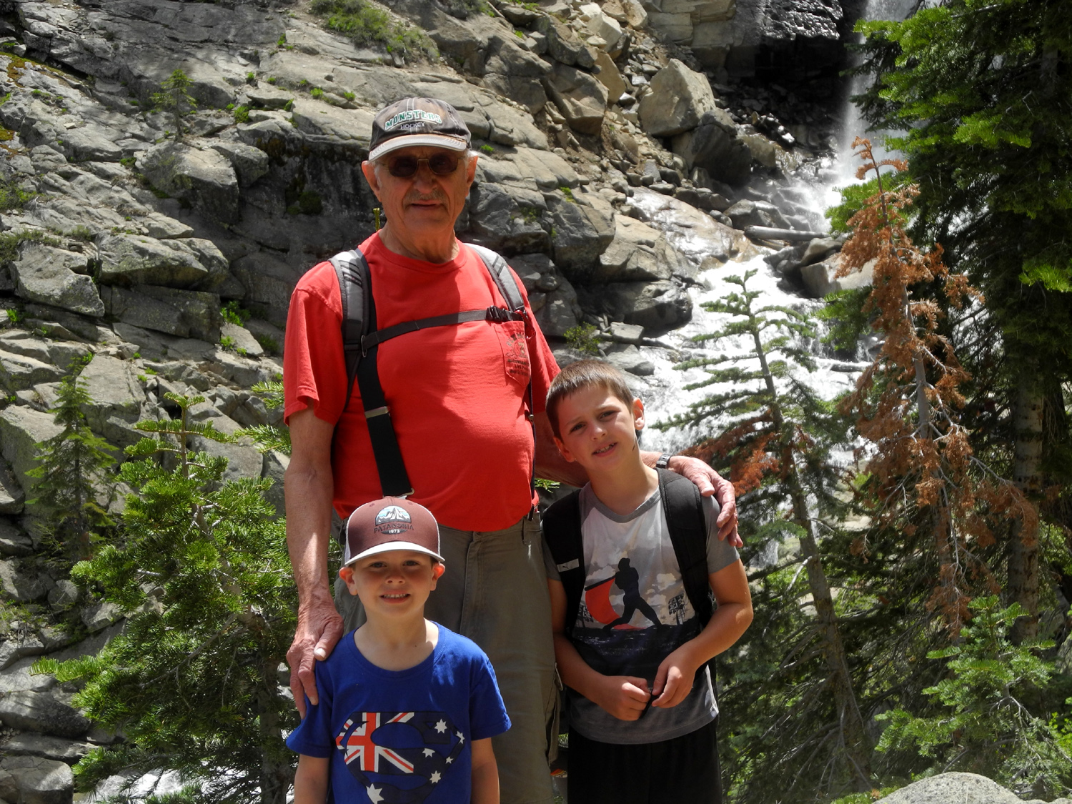
We probably saw at least 30 other hikers on the trail, including a nice lady who volunteered to take our picture. A large group was arriving, so we started back in order to share the limited space at the viewing spot. As we got started, Colton appointed Jack to be the "trail guide," literally picking him up and placing him by the path and extending his arm to point the way. Jack would hold this pose for a few seconds, then we'd continue down the trail, only to repeat the exercise several more times. |
|
 |
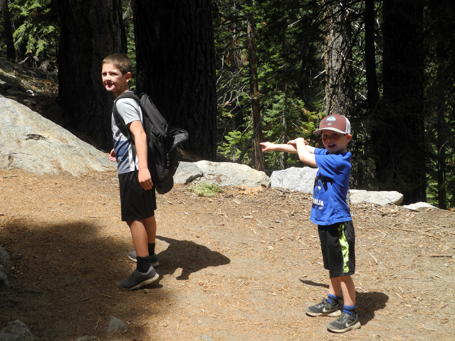 |
| Jack, Dick and Colton, with a bit of the falls in the background | Jack the Trail Guide also answered our questions about tree identification |
|
When
we got back to the truck, we set up our chairs and enjoyed a quick
snack before returning to Clovis. We would have made a stop for
pizza at Prather if we had not had a time limit - it was the final
day of school (such as it is), and the boys had to go in and pick up
their belongings before 3:30. However, we had a great time and
enjoyed getting out of the valley heat for a few hours. --Dick Estel, June 2020 |
|
| Nelder
Grove
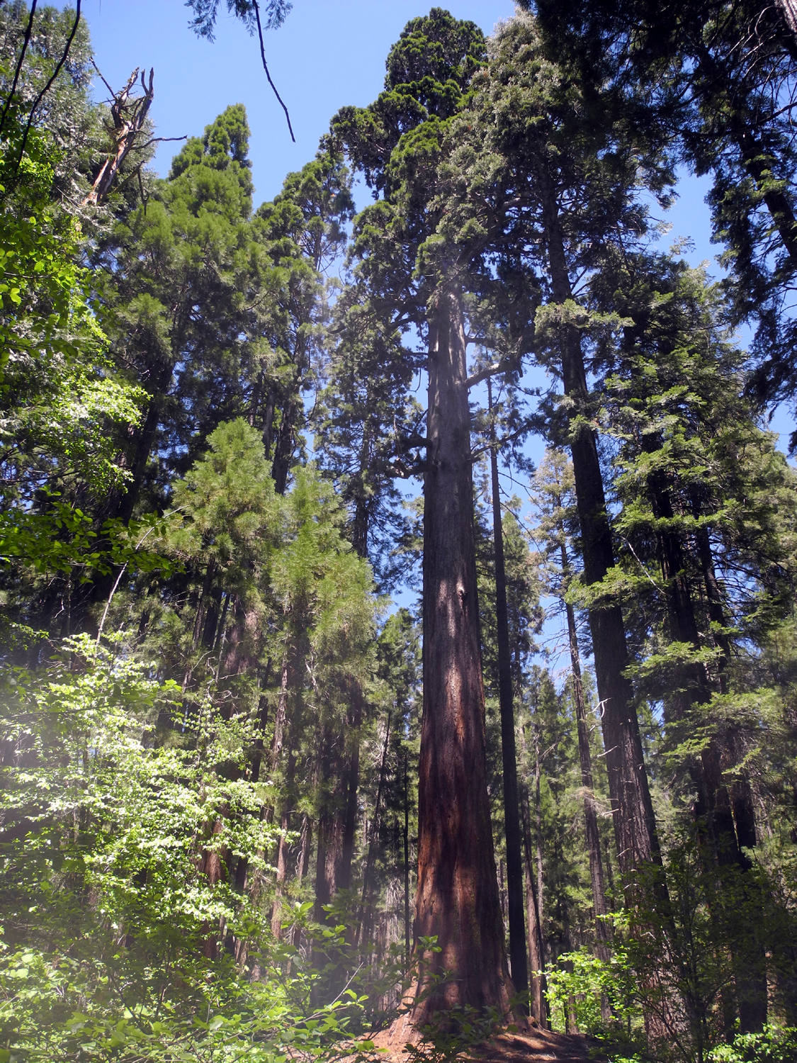
I would not begin to estimate how many times I have been to Nelder Grove - the visits started over 50 years ago! My daughter Jennifer was with me on that first visit, and many in between. For our most recent visit on June 9, I drove to Rod and Jennifer's place five miles outside of Oakhurst, and we took her Jeep to contend with the last few miles of dirt road into the area. The gate to the campground was closed, so we parked there and walked in, giving us about an extra mile of exercise. We first walked the short trail from the interpretive center to the Big Ed Tree vista. This trail previously took you to the base of the tree, where you had to strain to try to see the top, but in the last year or so the trail was routed up to a hillside across from the tree, giving visitors a full top to bottom view. |
|
 |
 |
| Jennifer's
Jeep (right) was first on the scene, but several others joined us |
The Big Ed is named for a former sawmill foreman |
|
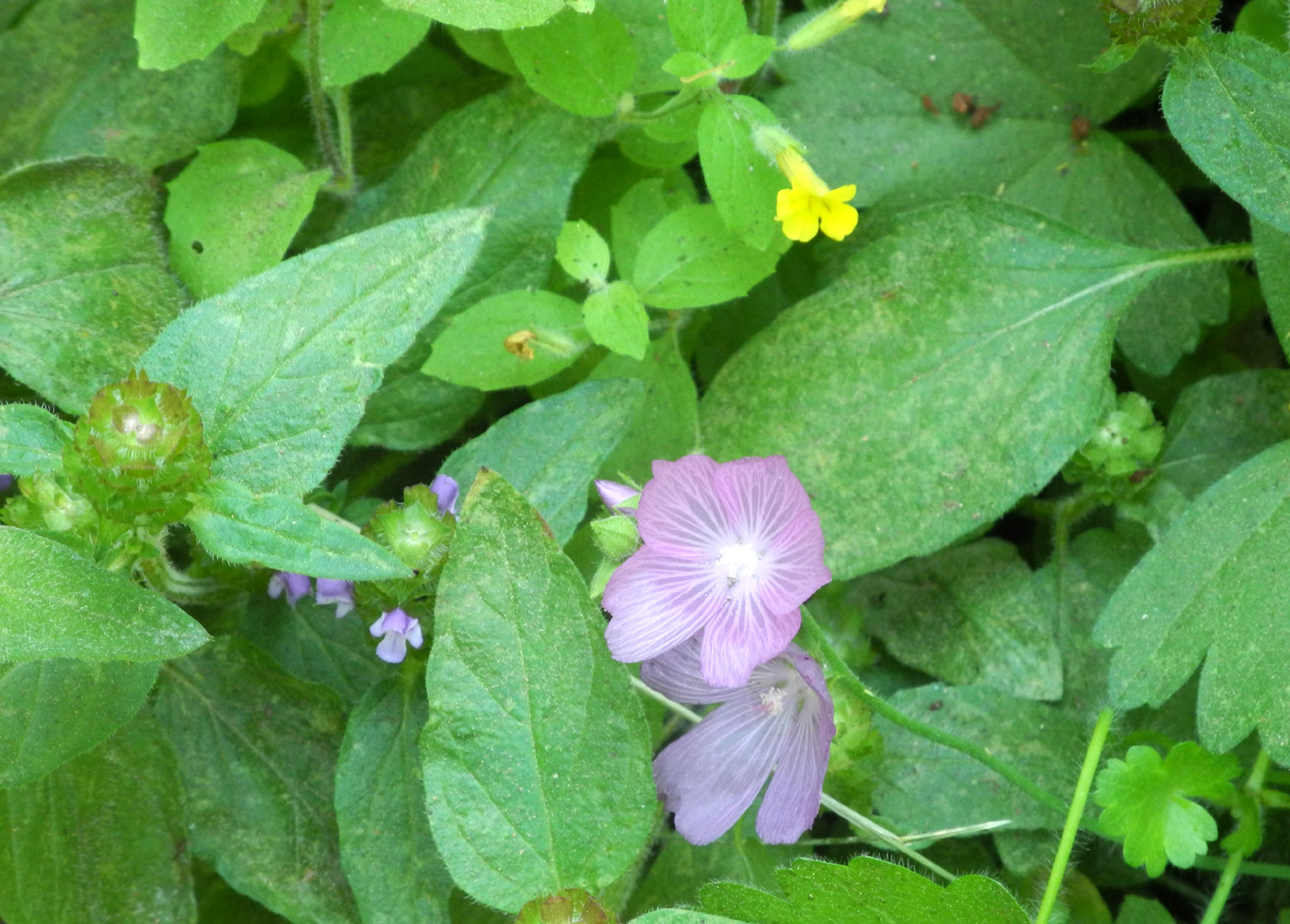
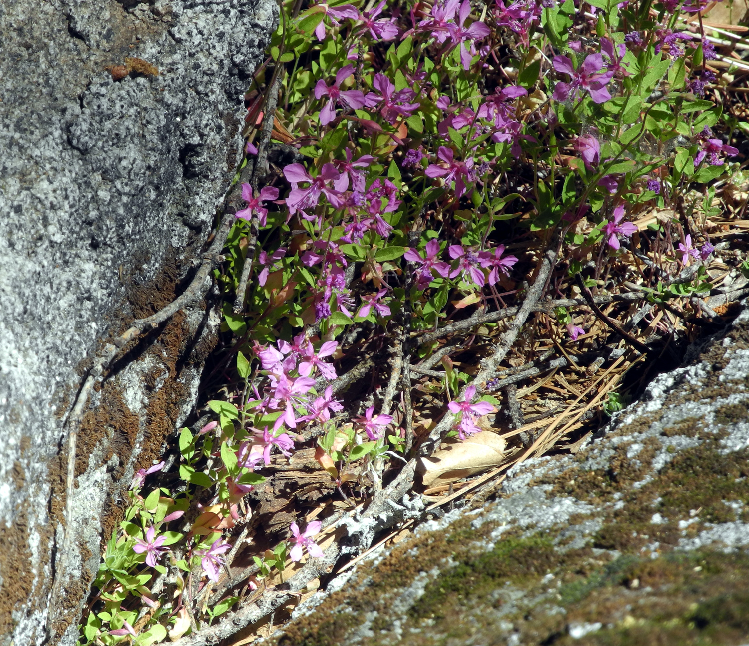
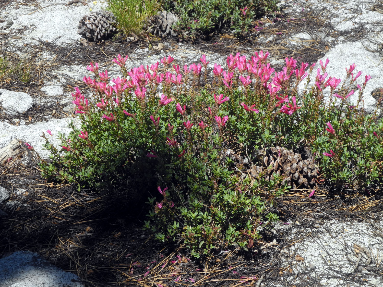
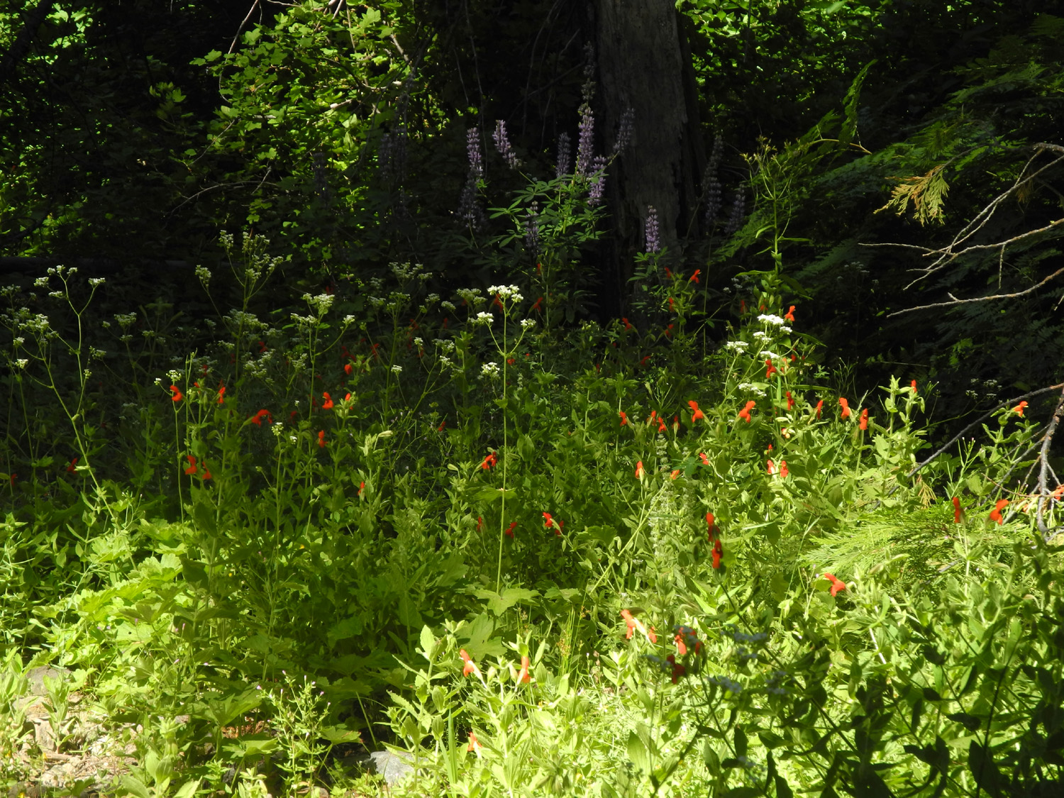
There are a few wildflowers blooming in the grove, including clarkia and the blue variety of chaparral, which is more commonly white, plus a number of species we could not identify. |
|
 |
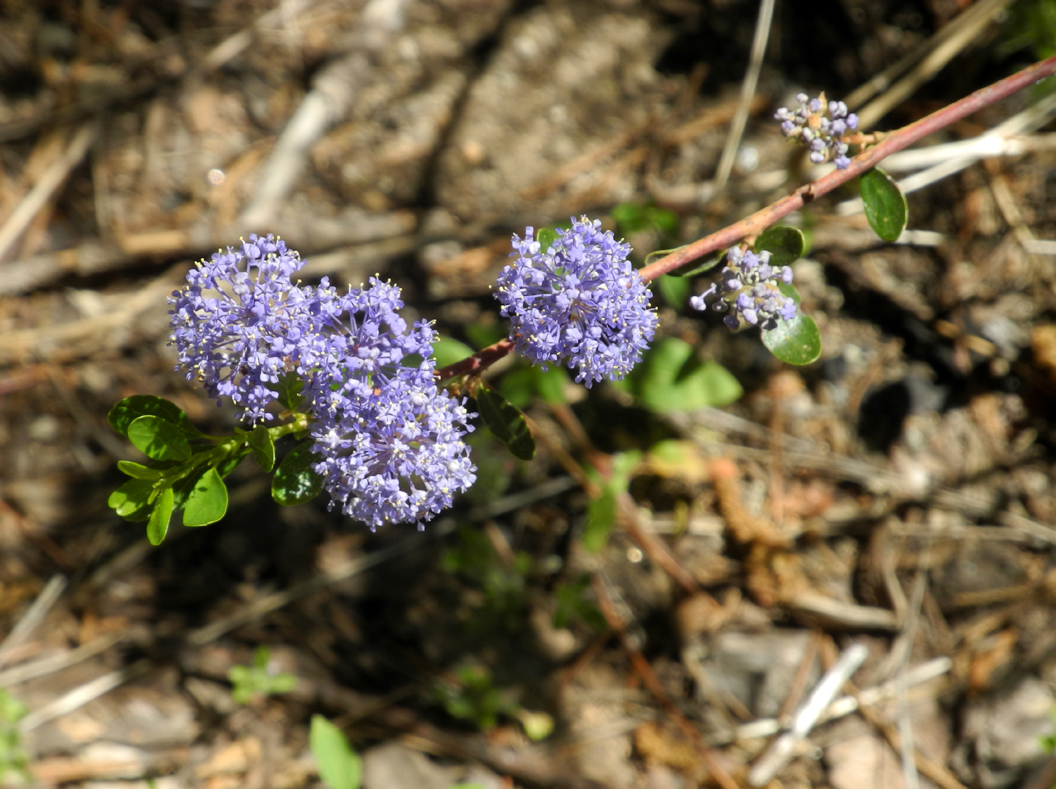 |
| There were examples of clarkia blooming in several areas in the grove | Chaparral is common throughout the Sierra Nevada |
|
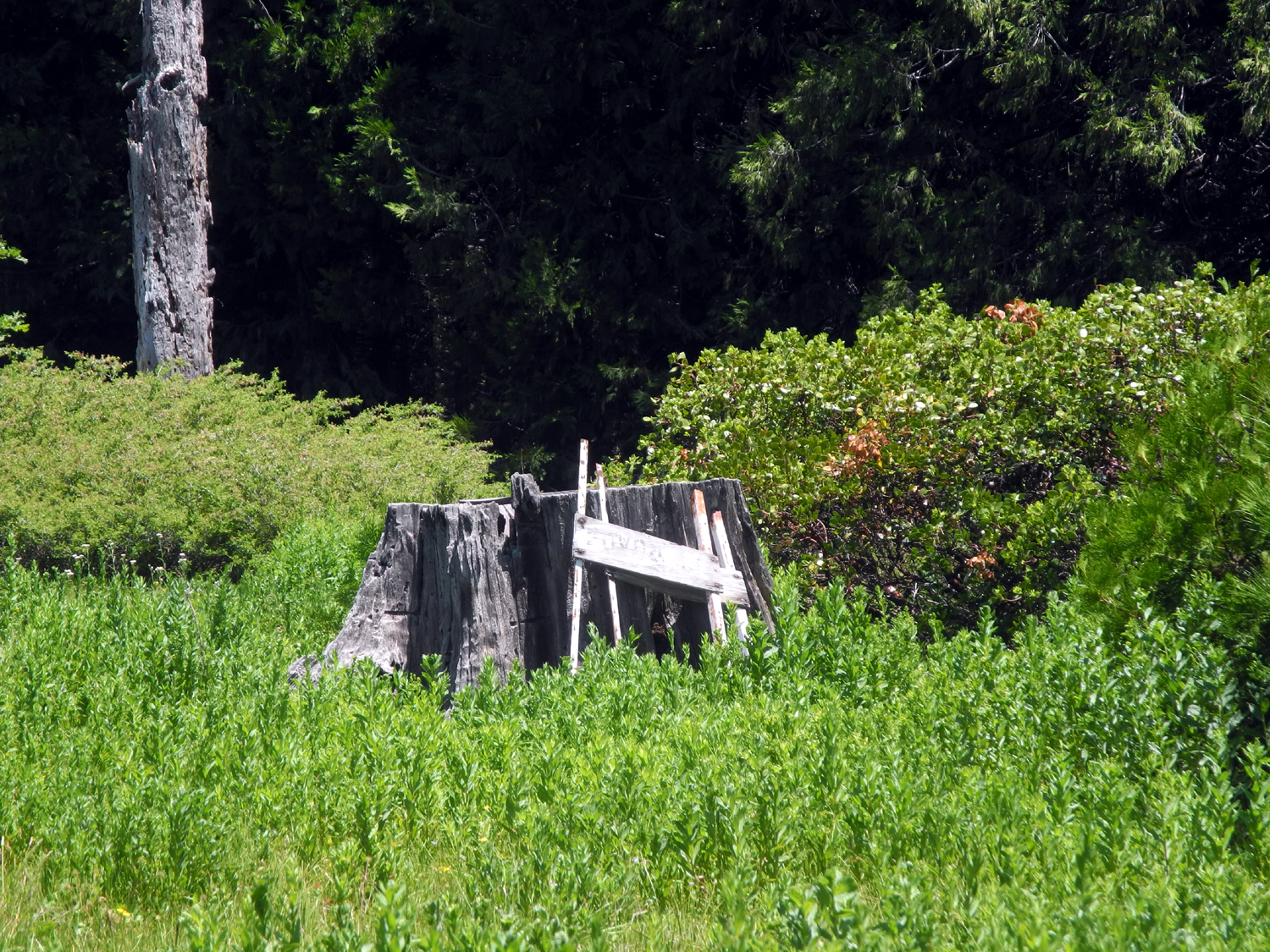
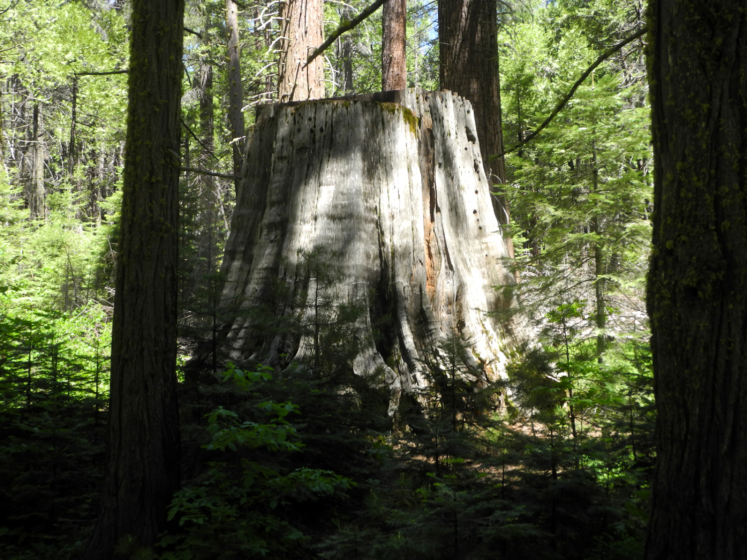
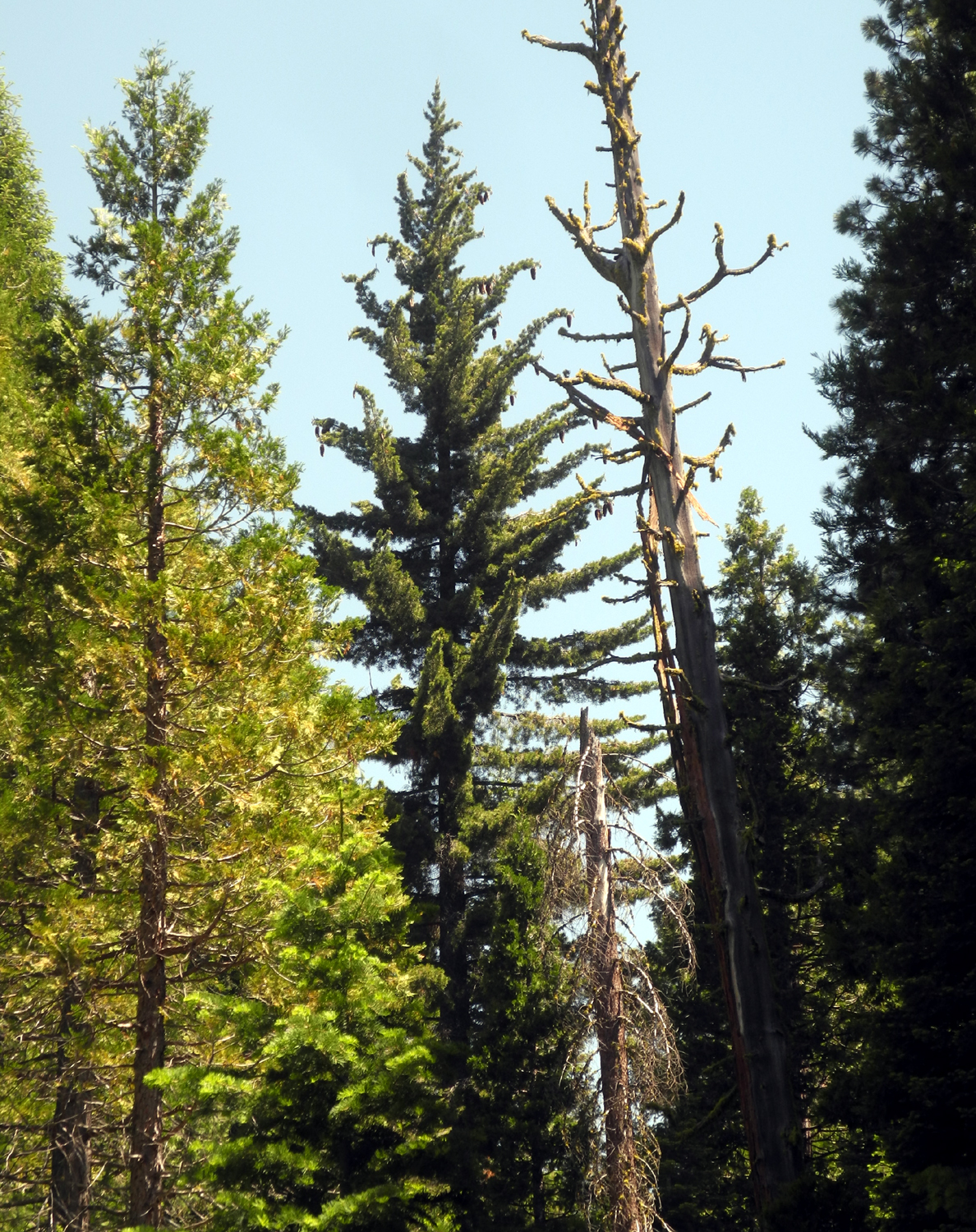
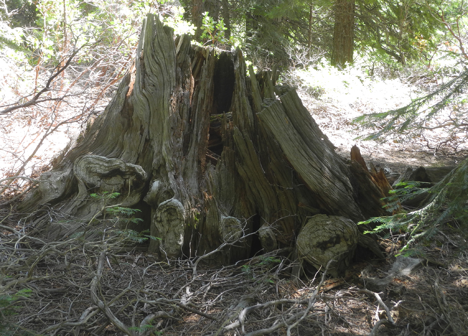
We took the Chimney Tree Trail, which starts just before you arrive at the campground, and goes gradually uphill parallel to but out of sight of California Creek. After passing the California Tree and the Chimney Tree, it curves around, crosses the creek, and runs out to the Bull Buck Loop Trail, staying close to the creek most of the way. There are numerous large sequoia stumps along the trail, testifying of the days when the grove was heavily logged. |
|
 |
 |
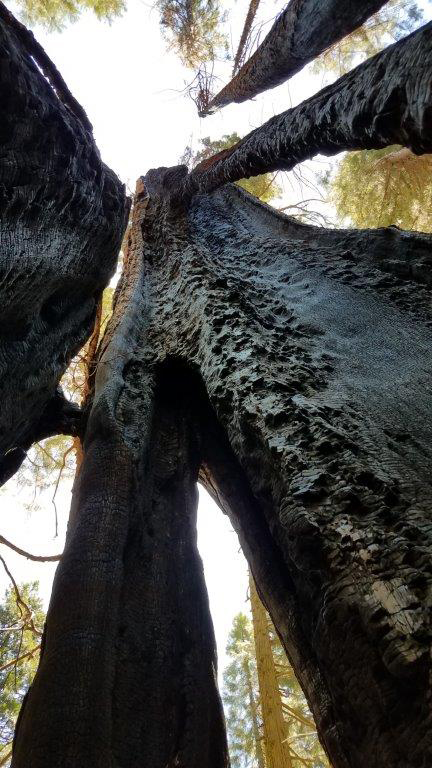
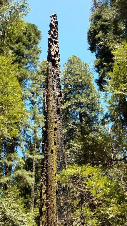
| Although
hollow and charred by fire inside, the Chimney Tree is still alive |
The California Tree |
 |
 |
| This bridge over California Creek is a favorite photos spot for hikers | One of 20 or so big stumps along the trail - 15 to 20 feet high |
|
Near the end of the trail Jennifer captured one of the best photos I've ever seen of The Obelisk, a long-dead sequoia snag that has been sculpted by fire over the decades. At the trail junction we turned left for the very short walk to the Bull Buck Tree, the crown jewel of Nelder Grove. If we had walked directly to this tree from the gate, it would have been a hike of a little more than a mile. But when you can drive in and park at the campground, the shortest part of the Bull Buck Loop is only a quarter mile, so the old giant gets a lot of visitors. This day we had it all to ourselves. Years ago a path was cleared through the forest and a primitive bench constructed where you can sit and enjoy a top to bottom view of the tree without any neck strain. We had our snack here before heading back to the car. |
|
 |
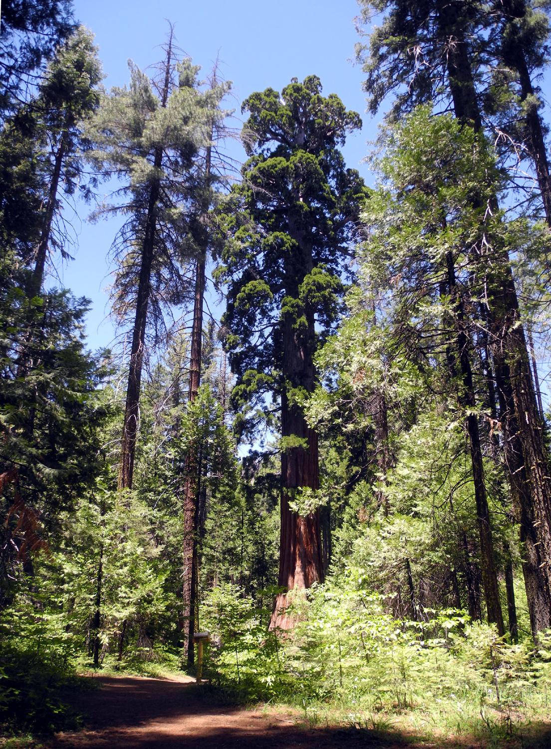 |
| Jennifer named this burned out snag "The Obelisk" | The iconic and majestic Bull Buck Tree |
|
We met two other parties on the trail. One of them, a family of six, had just moved to Oakhurst from North Dakota. When we first arrived, ours was the only car parked at the gate, but when we left there were five or six. We returned to Rod and Jennifer's where I picked up my car. Jennifer and I drove separately to Oakhurst and ate at the Pizza Factory. We had asked Rod to join us, but he was involved in a home repair project, so Jennifer got pizza to take home to him, while I enjoyed one of this restaurant's excellent sandwiches. We
said our goodbyes at the restaurant, already talking about another
hike in the area later in June. --Dick Estel, June 2020 |
|
| Buffin
Meadow Hike
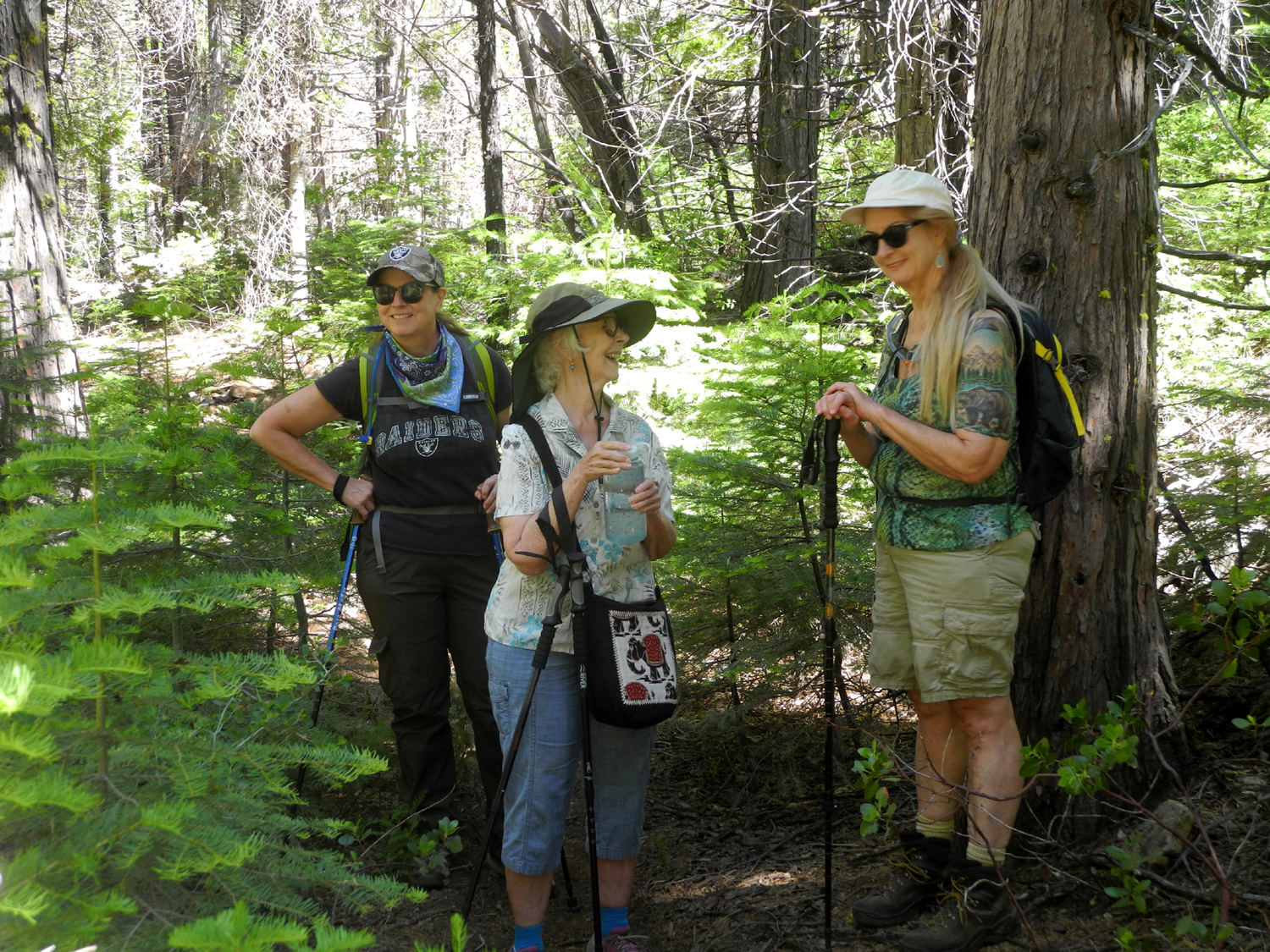
The Buffin Meadow area is a fairly new addition to my hiking locations, one I learned about only in June 2018. At that time, on a random exploration, I drove east from Fish Camp on White Chief Mountain Road. The road was very rough, and eventually met up with Mt. Raymond Road and a sign that read "Buffin Meadow Loop." I did not find the trail that day, but enjoyed walking into a flower-filled meadow. On subsequent visits I found the trail, and eventually explored it in both directions from the meadow. On June 27 of this year I made my 5th visit to Buffin Meadow. My daughter Teri, her mother Jackie, and I took my Honda CR-V to daughter Jennifer's, a few miles above Oakhurst, then went in her Jeep to our destination. We went just past the road junction to where a narrow track goes down to the meadow and hiked from this spot. |
|
 |
 |
| Jennifer, Jackie and Teri - ready to hike | Dick and daughters |
|
The meadow was green and filled with flowers, but we were able to find a dry path across. From the edge of the meadow, a few steps into the woods put us on the trail, where we turned right. It was a very warm day (105 in Fresno, and over 80 where we hiked), so we were happy to see that the majority of the trail is shaded by big pines, firs and cedars. |
|
 |
 |
| Crossing Buffin Meadow | Sugar pine with a nice crop of cones |
|
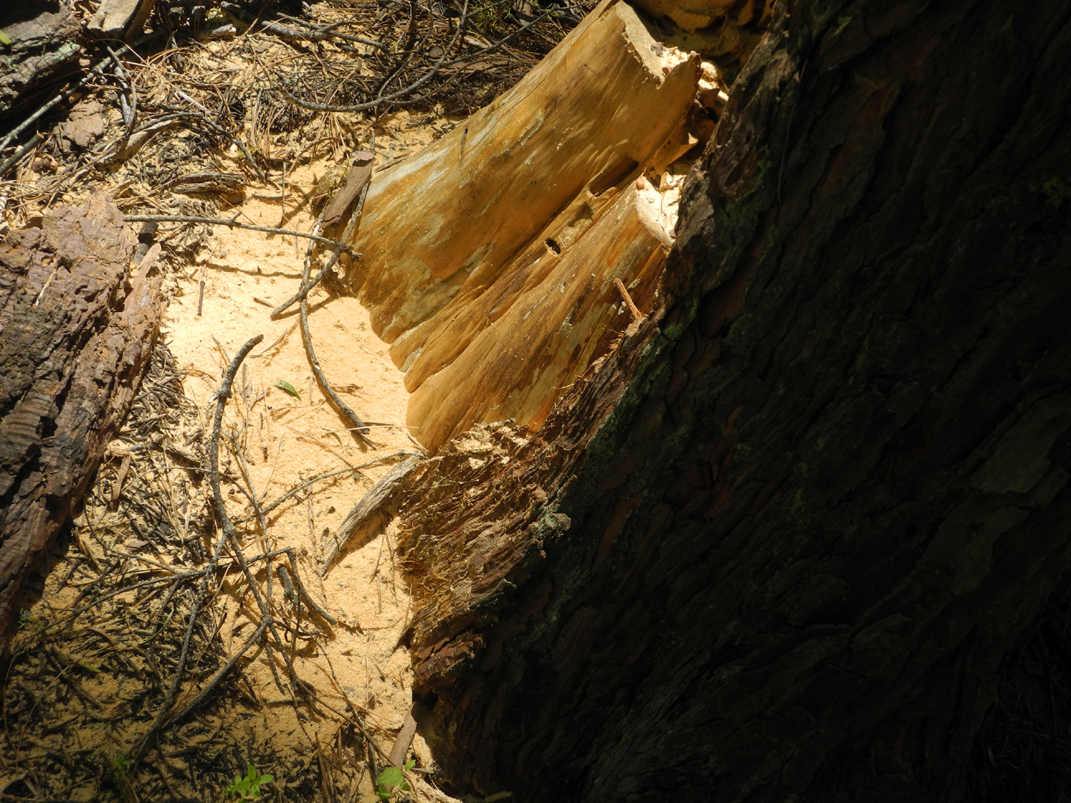
This area was logged heavily during the first third of the 20th century, so there are many old stumps in the meadow and along the trail. There are also abandoned sections of heavy cable that was used to drag logs out of the woods, often imbedded in the ground. |
|
 |
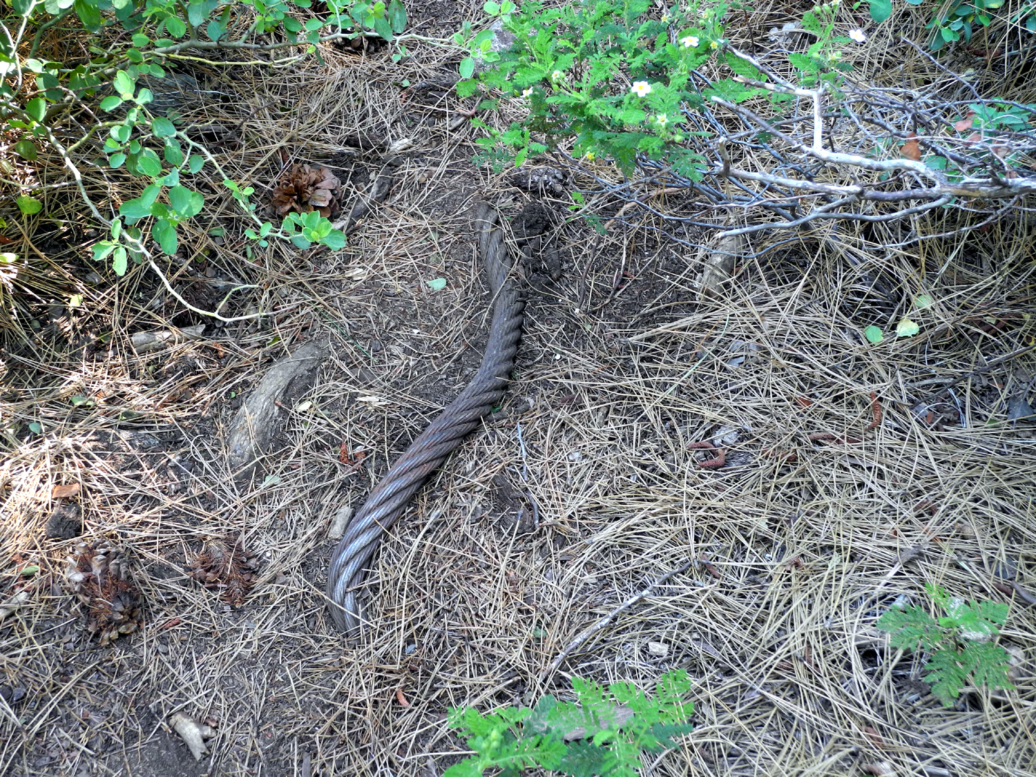 |
| Rotting old stumps testify to logging days | Sections of cable appear in several places on the trail |
|
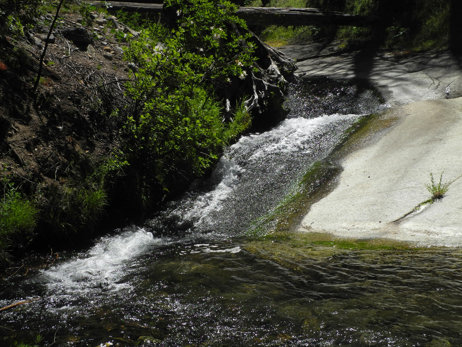
The trail goes down gently most of the way, then drops a little more steeply to Rainier Creek. At this location the main trail goes to the stables near Fish Camp, with a fork that leads to an old railroad grade. I had wanted to investigate this route, but this would have required crossing the creek. It was flowing enough that crossing would have required wading, which none of us wanted to do. Instead we had our snack break at this spot, enjoying the large number of western azaleas in bloom, as well as columbine and other flowers. |
|
 |
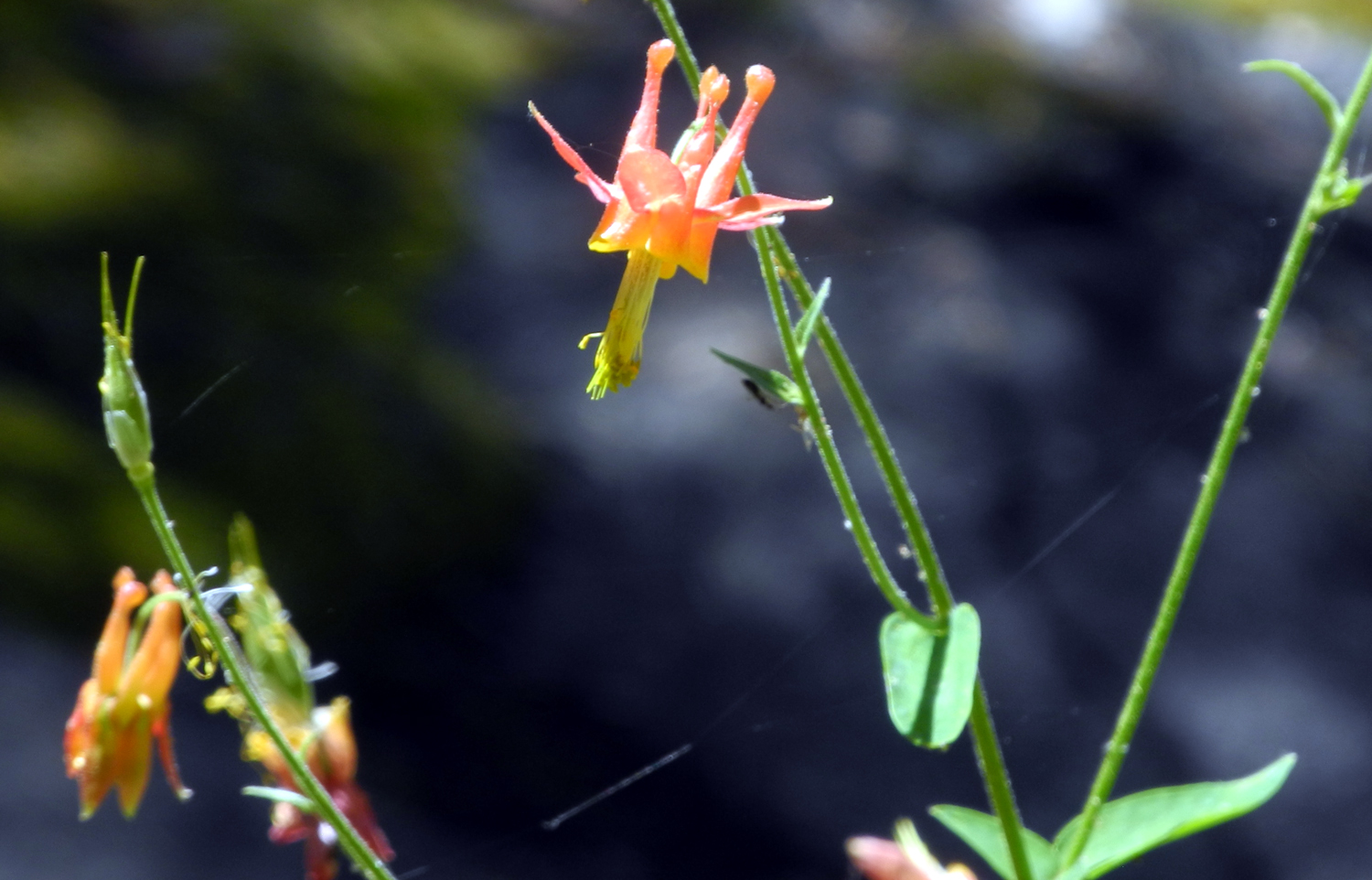 |
| Cascade on Rainier Creek | Columbine beside the creek |
|
After a nice rest, we re-traced our steps back to the meadow, across and up the old road to Jennifer's car. When we got back to her house, she and Rod had provided meat, cheese and vegetables, and we made sandwiches and enjoyed a delicious lunch before heading back down into the valley heat. |
|
 |
 |
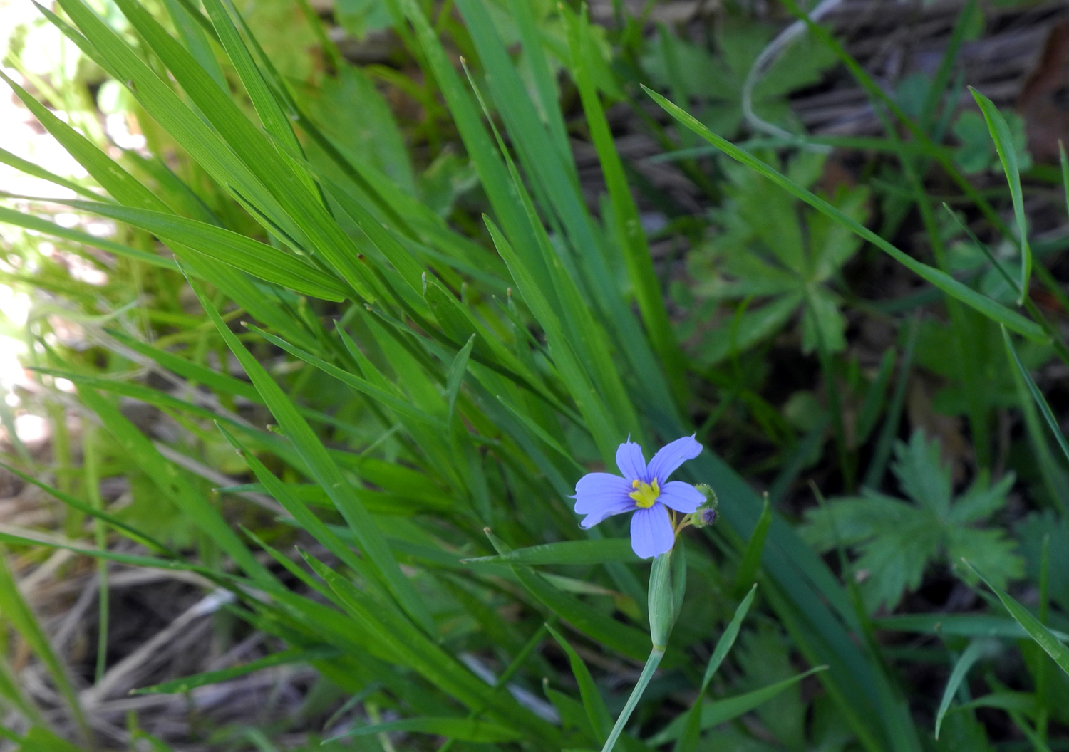
| Unknown blue flower in the meadow | The hike
was short but hot, and we were glad to reach the car and take off our boots |
|
I
still had not explored all of the trail in the opposite direction,
so I am thinking about doing that soon, but on a day when the
temperature is at least ten degrees cooler. --Dick Estel, July 2020 |
|
| Courtright
Camp
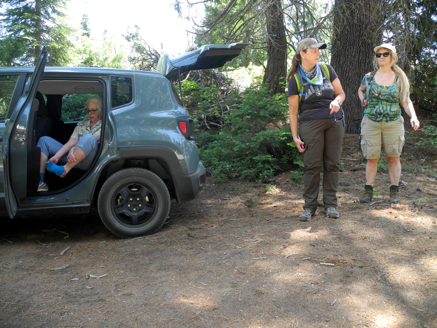
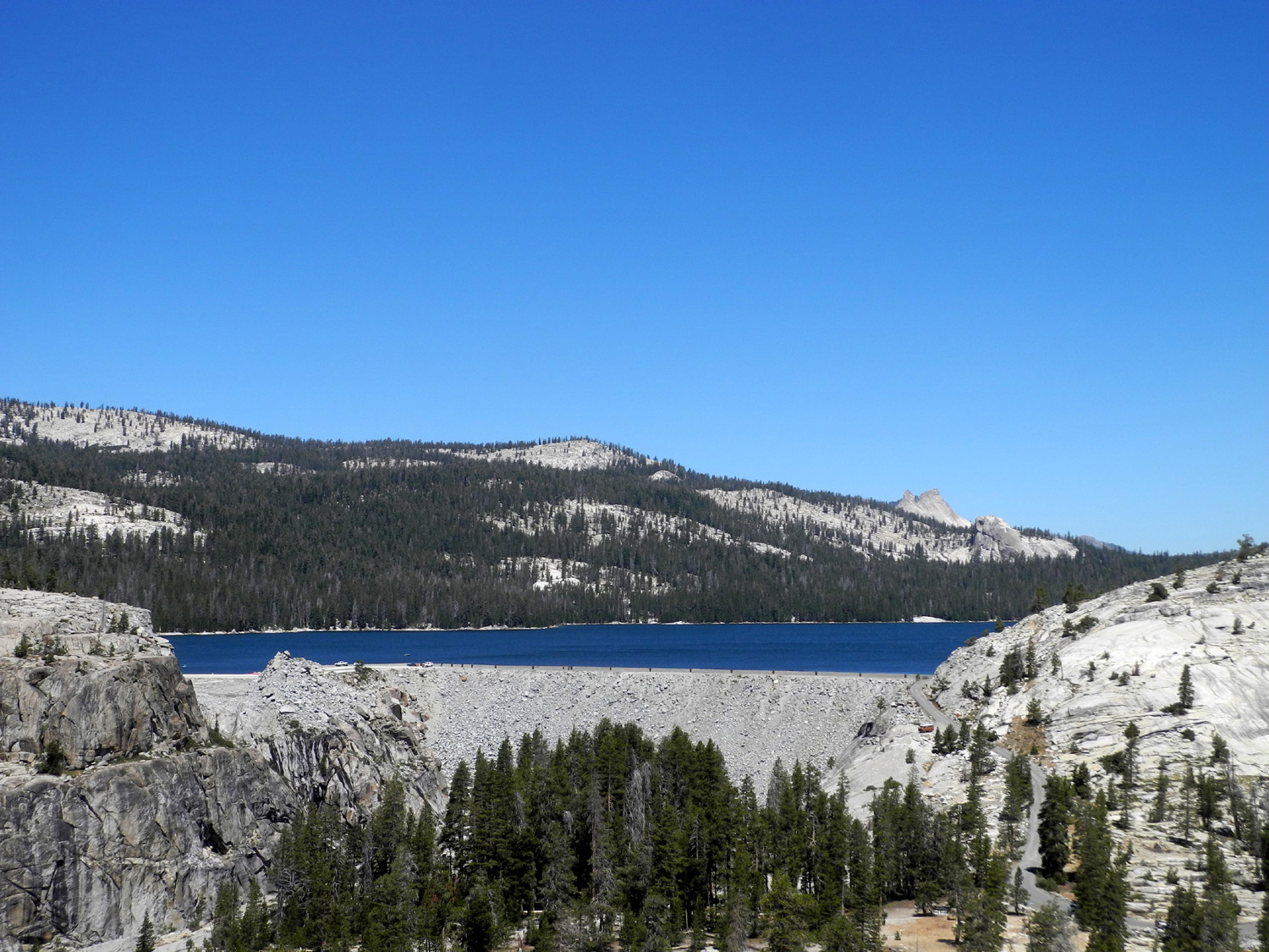
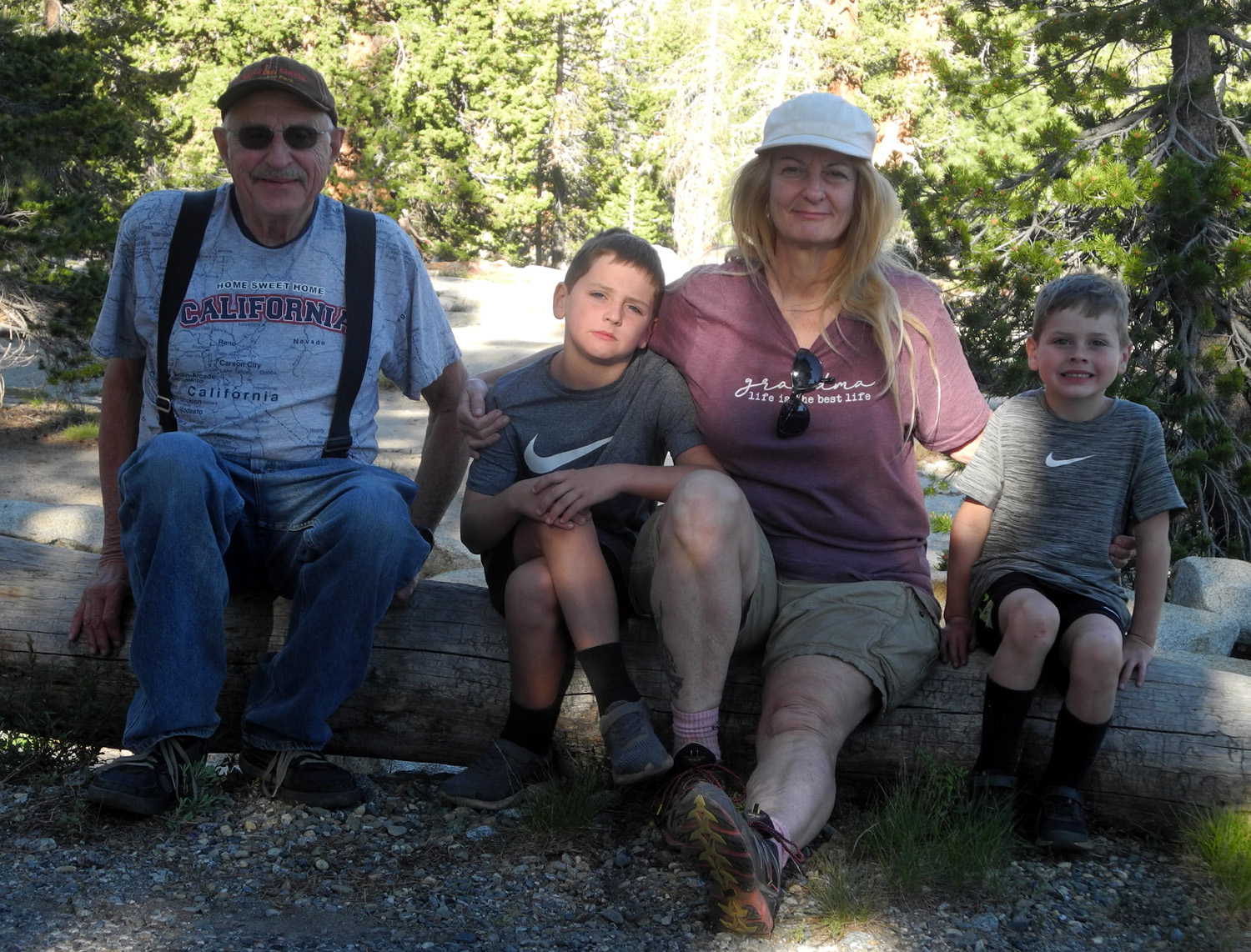
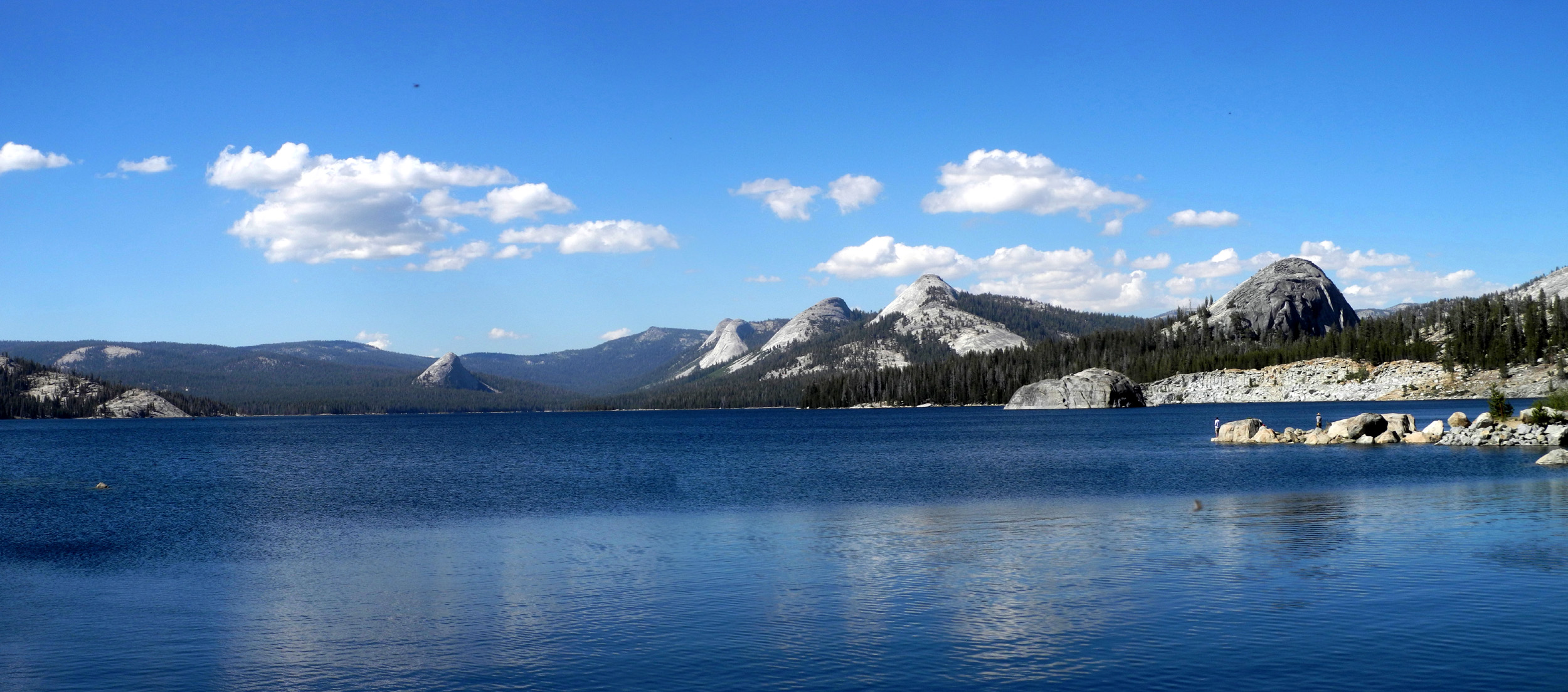
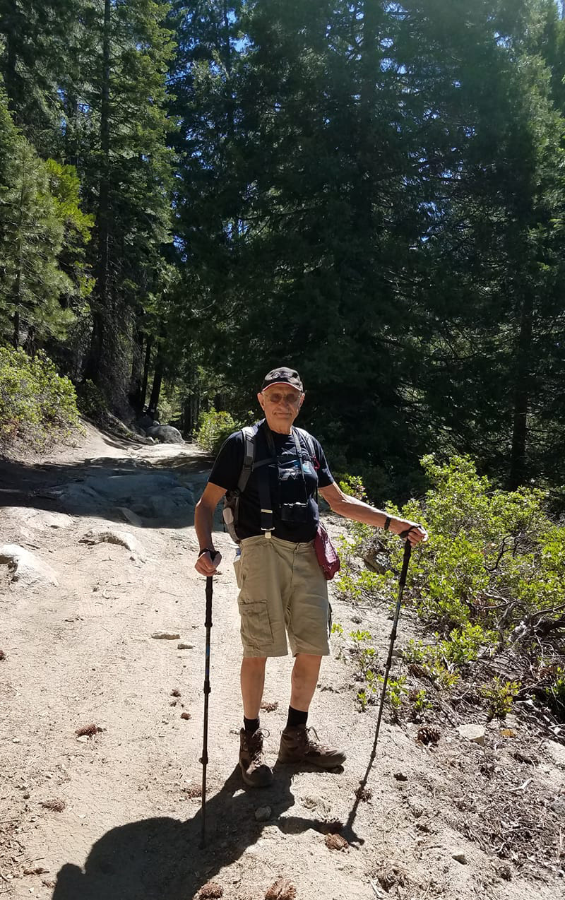
This has not been a good year for camping. Weather, other obligations, and a worldwide pandemic prevented my usual winter and spring camping. We managed a family campout in May, and finally another one July 1 - 3. My daughter Teri drove up to Courtright Reservoir on June 30, and I went up with Colton and Jack the next day. In the past we have always camped on the east side, out of sight from the lake, so we had hoped to find a spot on the west shore for a change. The campgrounds are closed, but we did not want to be in one anyway. Teri drove up the road on the west side, but there were really no suitable spots for dispersed camping. From this area, a one-lane road crosses the dam, and goes around a ridge east of the lake to a large parking lot that is the jumping off point for backpacking as well as the beginning of the Dusy-Ershim 4-wheel drive route. Just above the lot is a big flat granite slab where we have camped several times. After exploring the road to this point, and finding it occupied, Teri turned back and claimed the first good camp site on the road. I arrived with the boys around noon the next day, stopped at the lake parking lot and checked for a message on the sign board there. As we got out of the truck we spotted a marmot trying to get into a bag of garbage next to a dumpster. The lack of a message meant that our location would be on the east side, so we drove across the dam and down the very narrow passage to where the road turns north, where we found our camp. |
|
 |
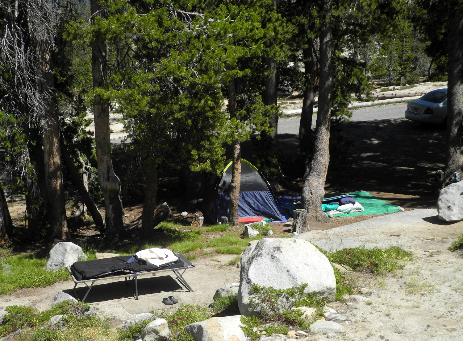 |
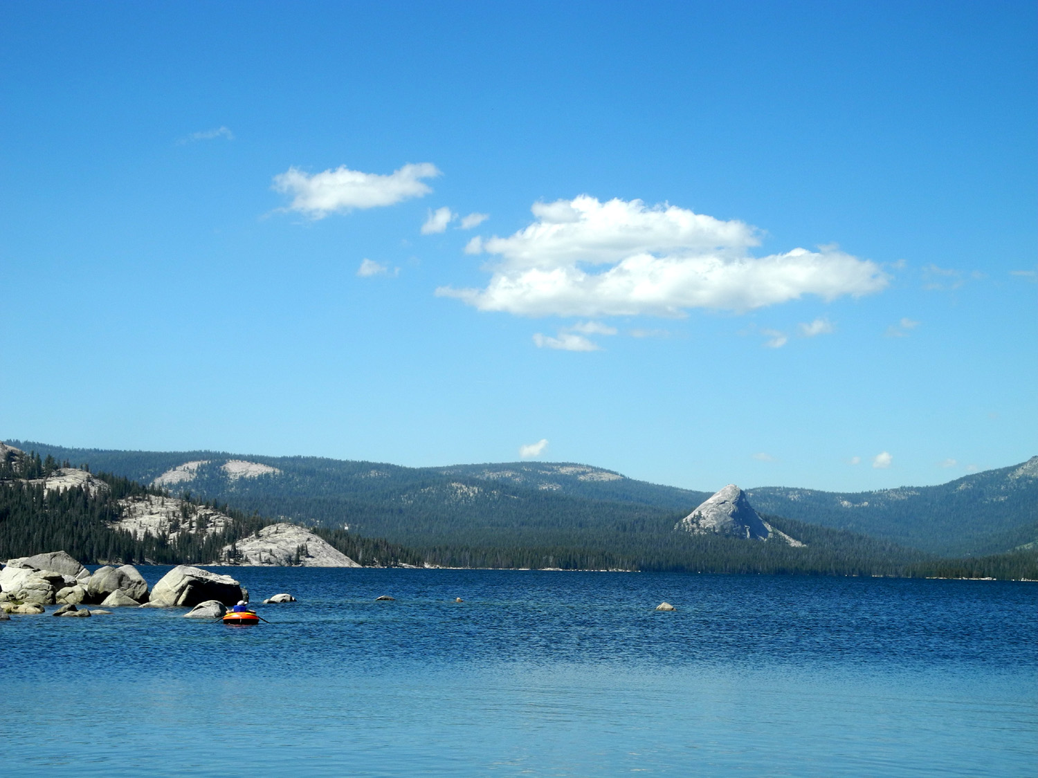
| Courtright, looking northwest | Our camp |
|
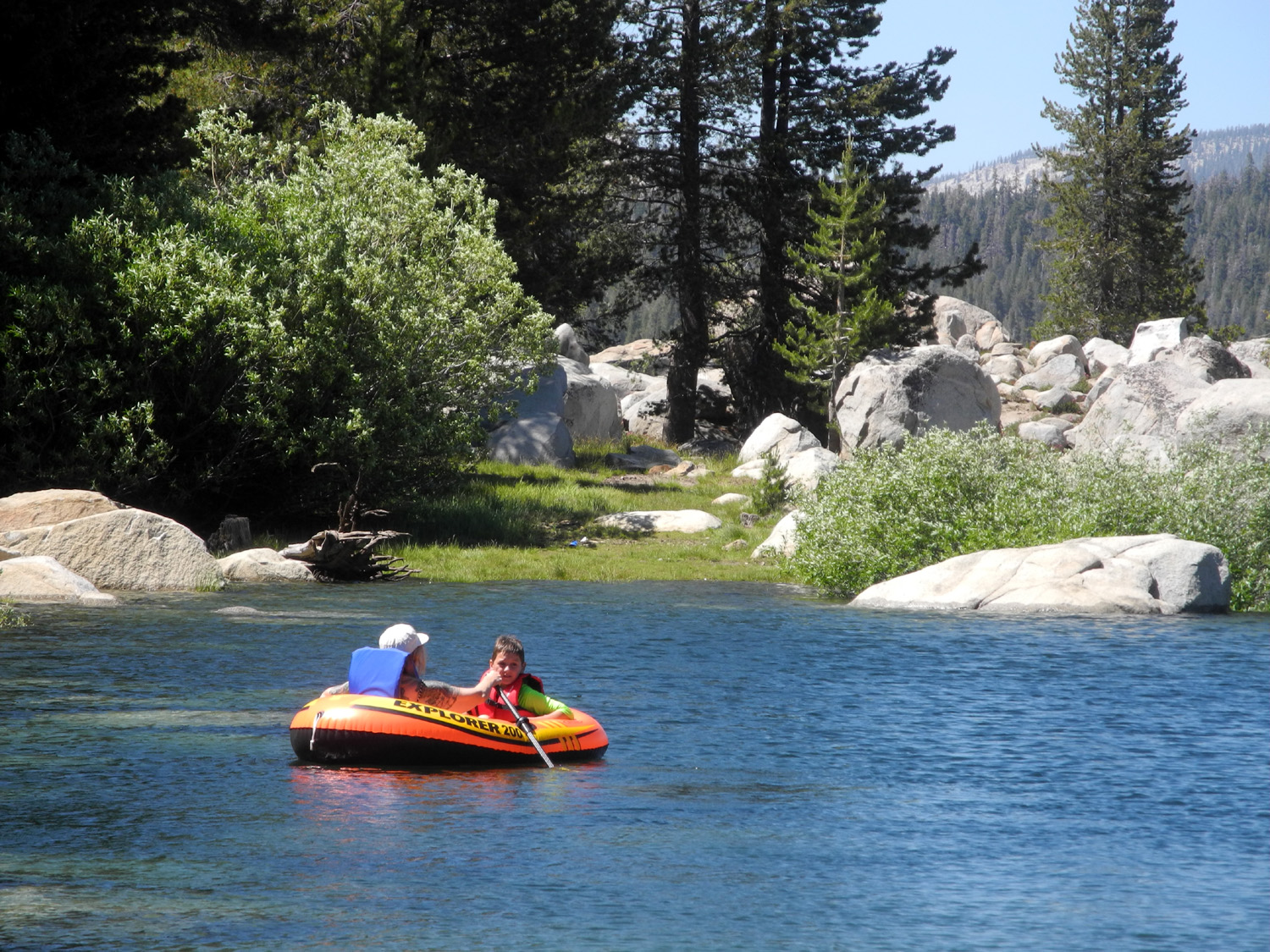
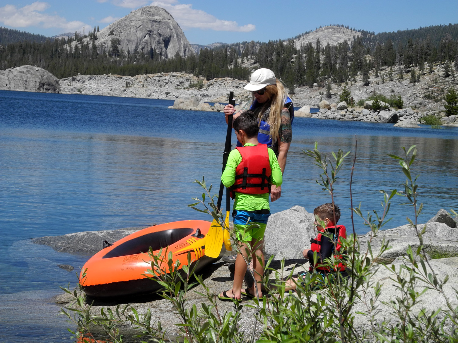
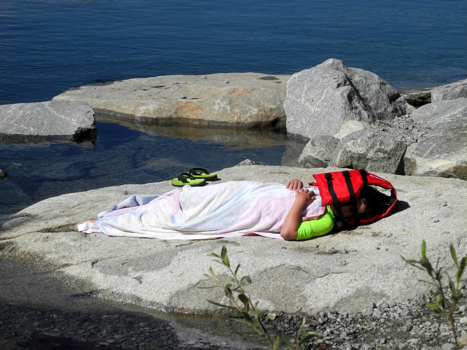
After unloading the truck and having some lunch, we drove back to the lake. Teri has an inflatable raft, designed like a rowboat, and the boys were eager to get out on the water. A couple of years ago at a different location they had both ridden in the raft with Teri, but it was obvious that they would now have to go out one at a time. At 8,000 feet the water was cold, and after getting wet, each boy stretched out on a flat rock next to the lake to warm up. The water level in this lake fluctuates, and when they went rafting the next day, their warming rock was under water. |
|
 |
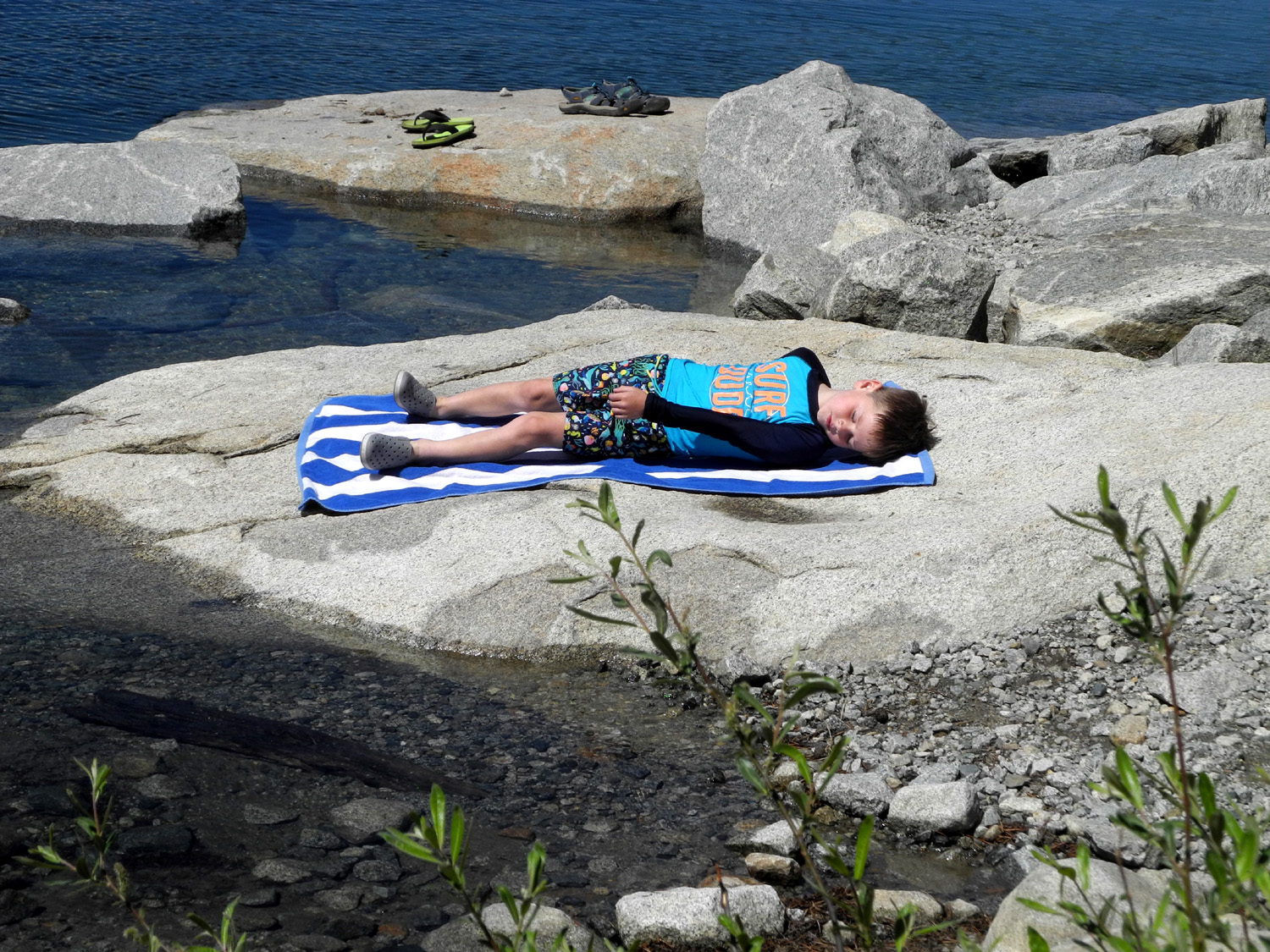 |
| Teri and Colton on the lake | Jack on the warming rock |
|
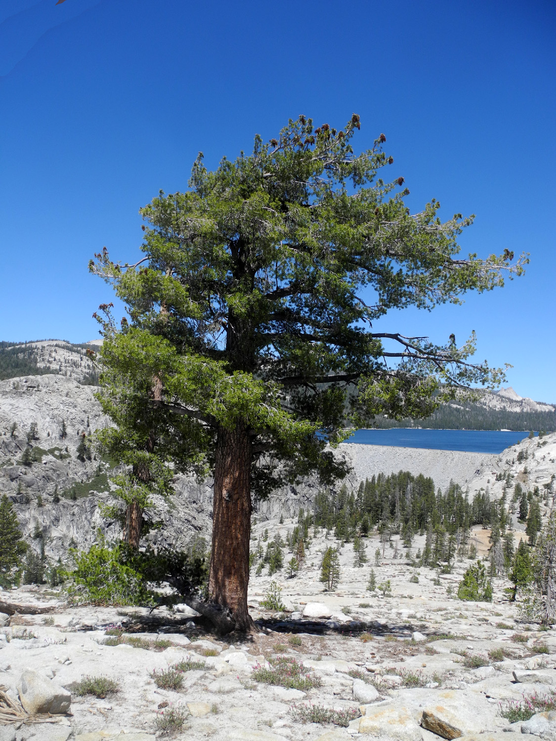
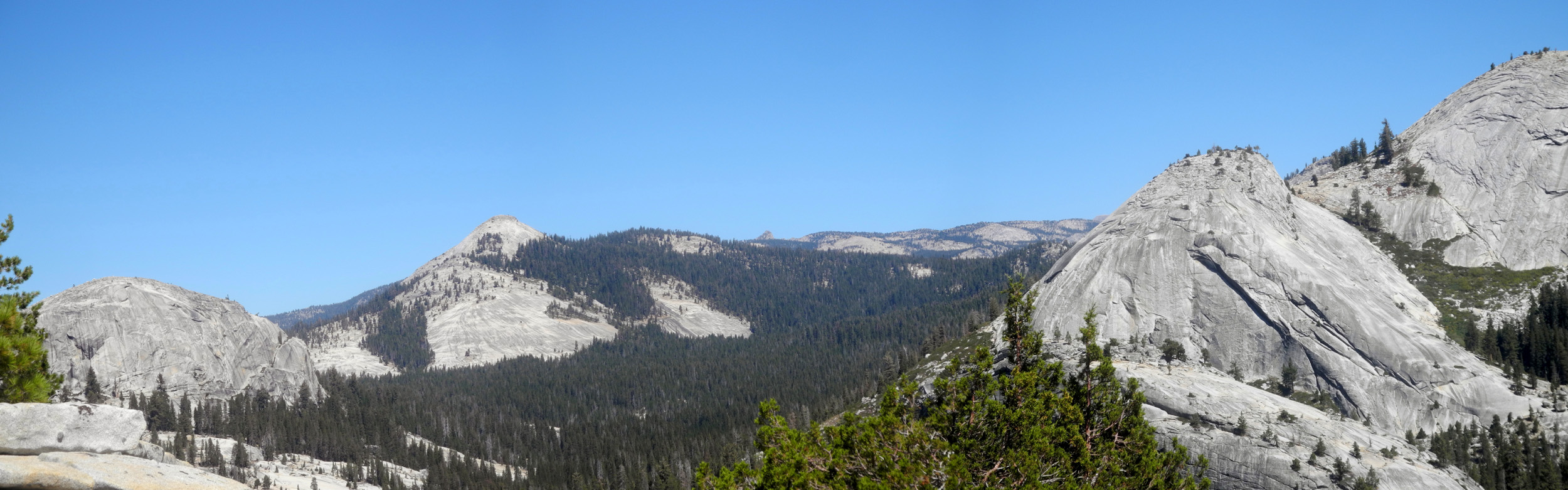
We enjoyed one more adventure late in the evening, walking the short distance from our camp to the nearby geological exhibit. In this one location there is rock of various ages and types, with interpretive signs explaining some of the phenomena seen here. From this spot we walked "out to the edge," a level route through the rocks and boulders that takes you to a place where the land drops off into the canyon of Helms Creek. We were careful not to actually go to the edge, since it starts to slope down and there is no safe place to look down into the canyon. However the western side of Teri's Dome was right in front of us, rising up a few hundred feet. We discussed going to the top of that dome and it's companion, Sandi's Dome, the next day, explaining to the boys that there is an easy route, and we would not be on that steep face. (NOTE: Some photos are from earlier visits.) |
|
 |
 |
| Lots of information about the surrounding area | Teri's Dome, above Helms Creek Canyon |
|
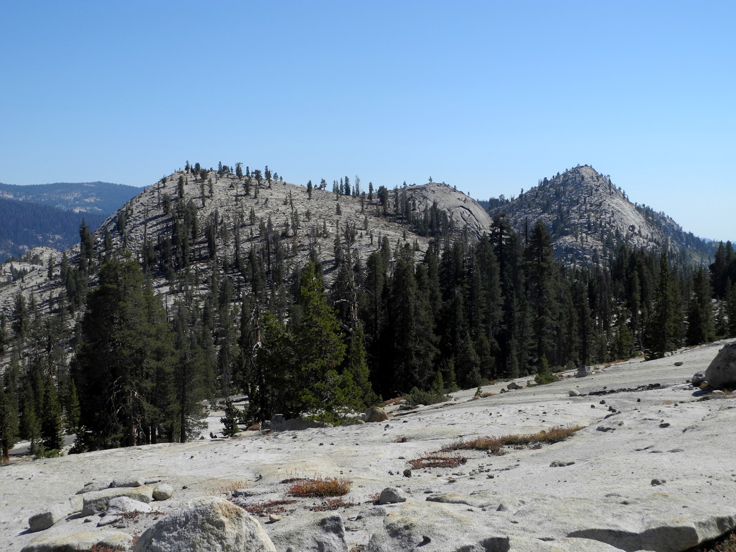
On Tuesday night Teri had slept outside in front of her tent, and the boys had been wanting to sleep "cowboy style" after hearing about it from their Dad, an enthusiastic backpacker. I had placed my folding cot on a flat spot a little above our camp, and Teri and the boys laid out their air mattresses and bags on two large tarps in front of the tent. It was their first time to sleep outside, and everything went well. As a bonus, when Jack woke up briefly during the night, he saw a meteor. The next morning I fixed bacon for myself and the boys, while Teri had a non-meat breakfast. Once the dishes were washed, we started out for the hike to the top of one or both of the nearby domes that Teri and I and her friend Sandi had climbed several times previously, and named for the two ladies. The route is past the geological exhibit, then up Sandi's Dome through the rocks and trees. After a short gain in elevation we had a nice view of the lake and dam. |
|
 |
 |
| Sandi's Dome, Teri's Dome, and a dome we haven't named yet | Dam and lake from the lower slope of Sandi's Dome |
|
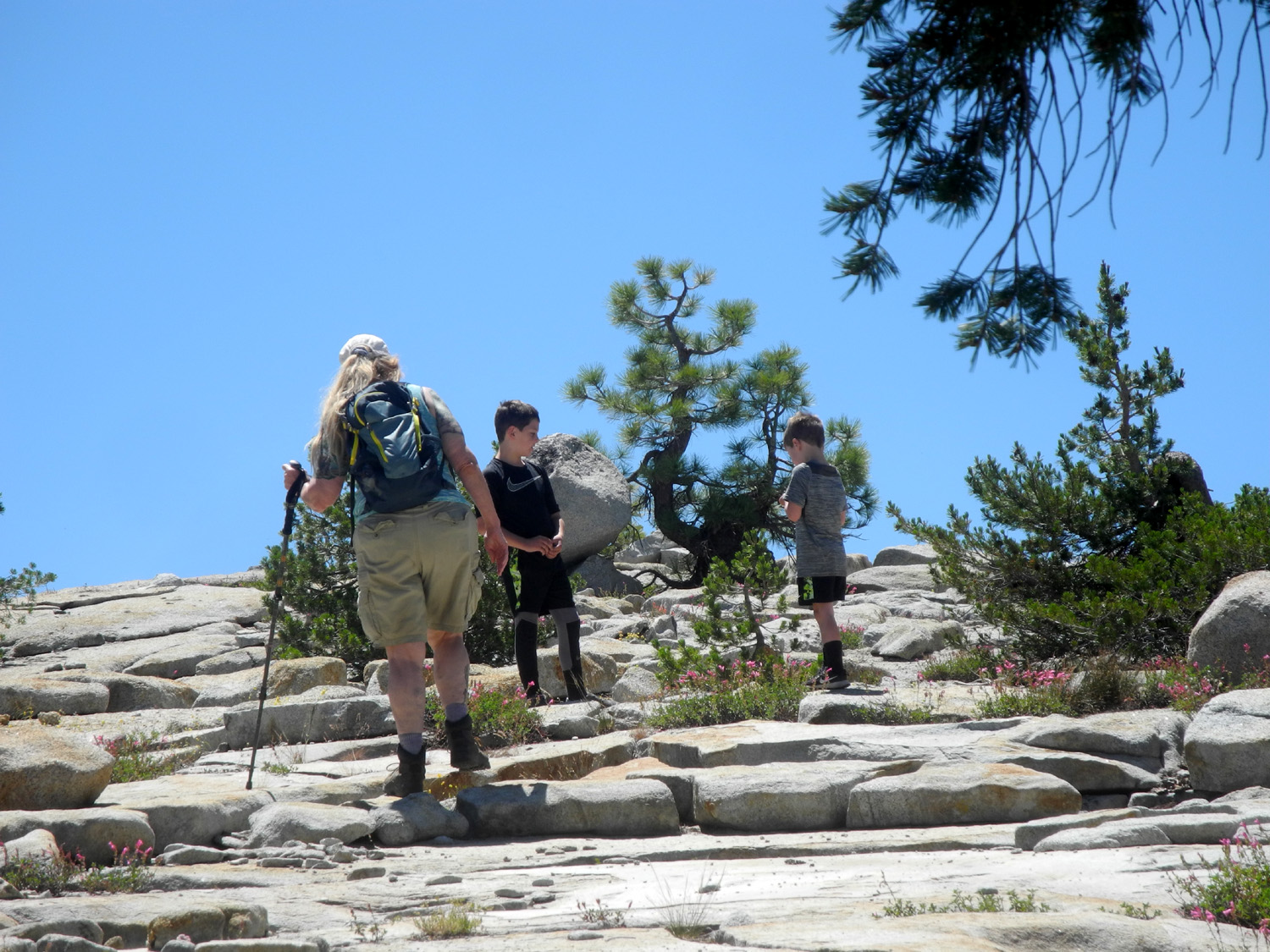
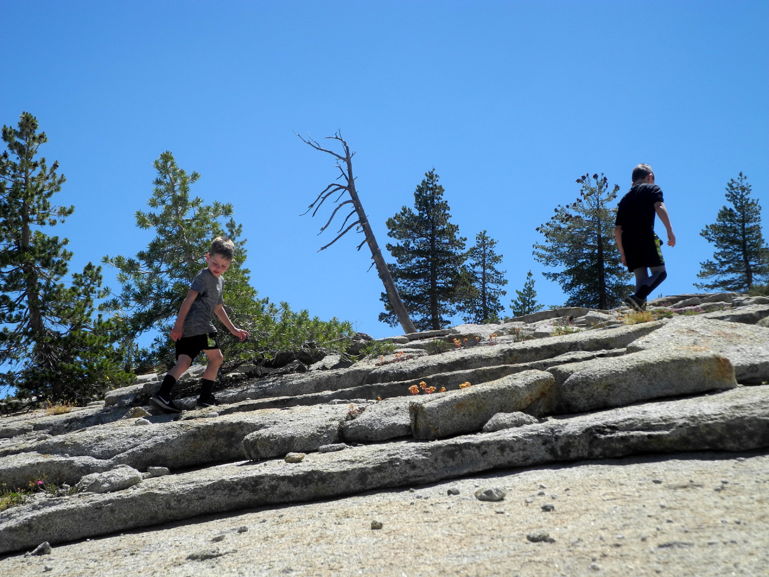
There is no trail, but it's fairly easy going. Like much of the terrain on this side of the lake you just have to work your way back and forth across the layers of exfoliated granite, avoiding steep steps up or down. Of course, I made a lot of stops to catch my breath, while Colton and Jack moved quickly, sometimes running up short stretches. Teri could keep up with the boys except for the running, but waited patiently for me to catch up. Sandi's Dome has lots of loose, decomposed granite, and supports quite a few trees. These included lodgepole pine, Jeffrey pine, juniper, and at the upper level, the less common western white pine. |
|
 |
 |
| Climbing up the dome | Western white pine |
|
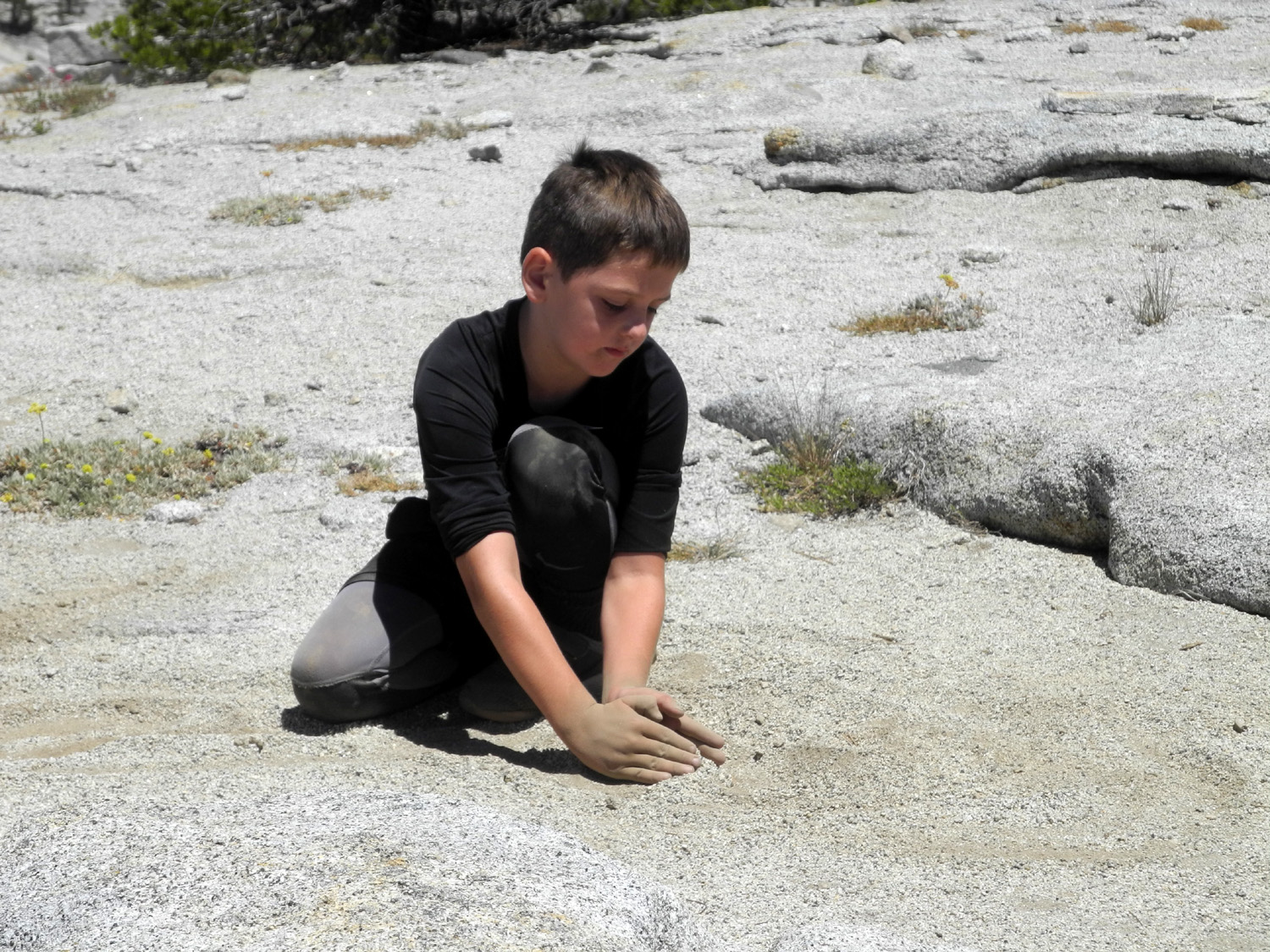
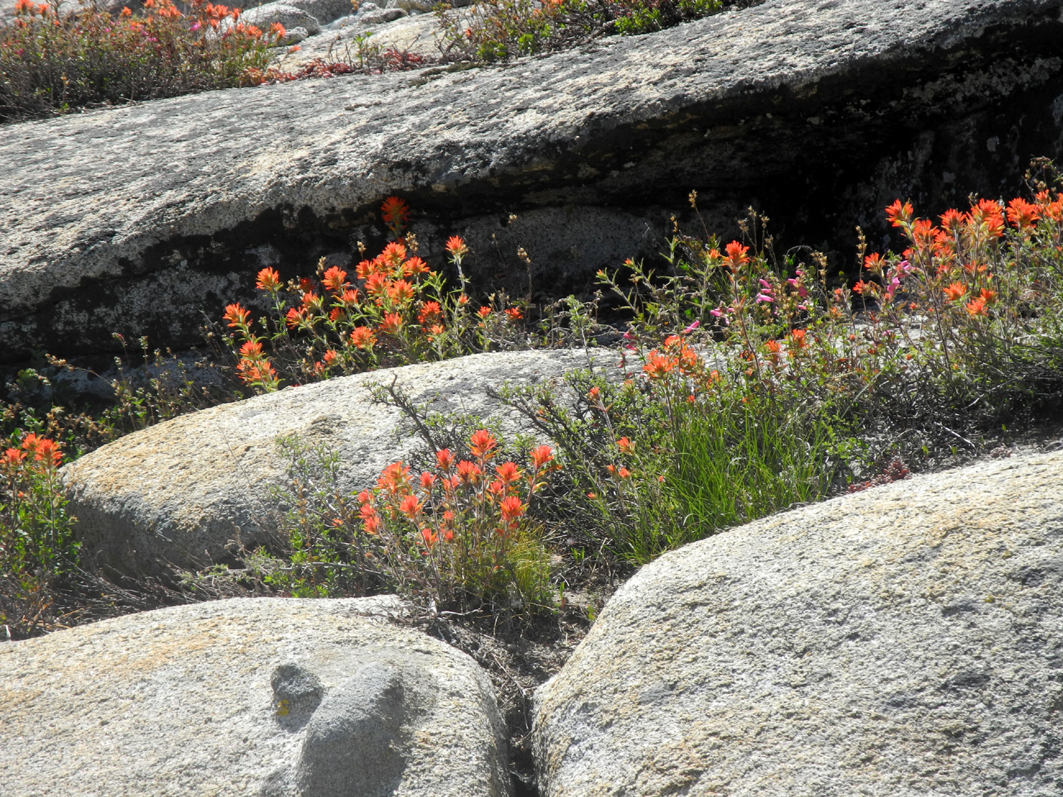
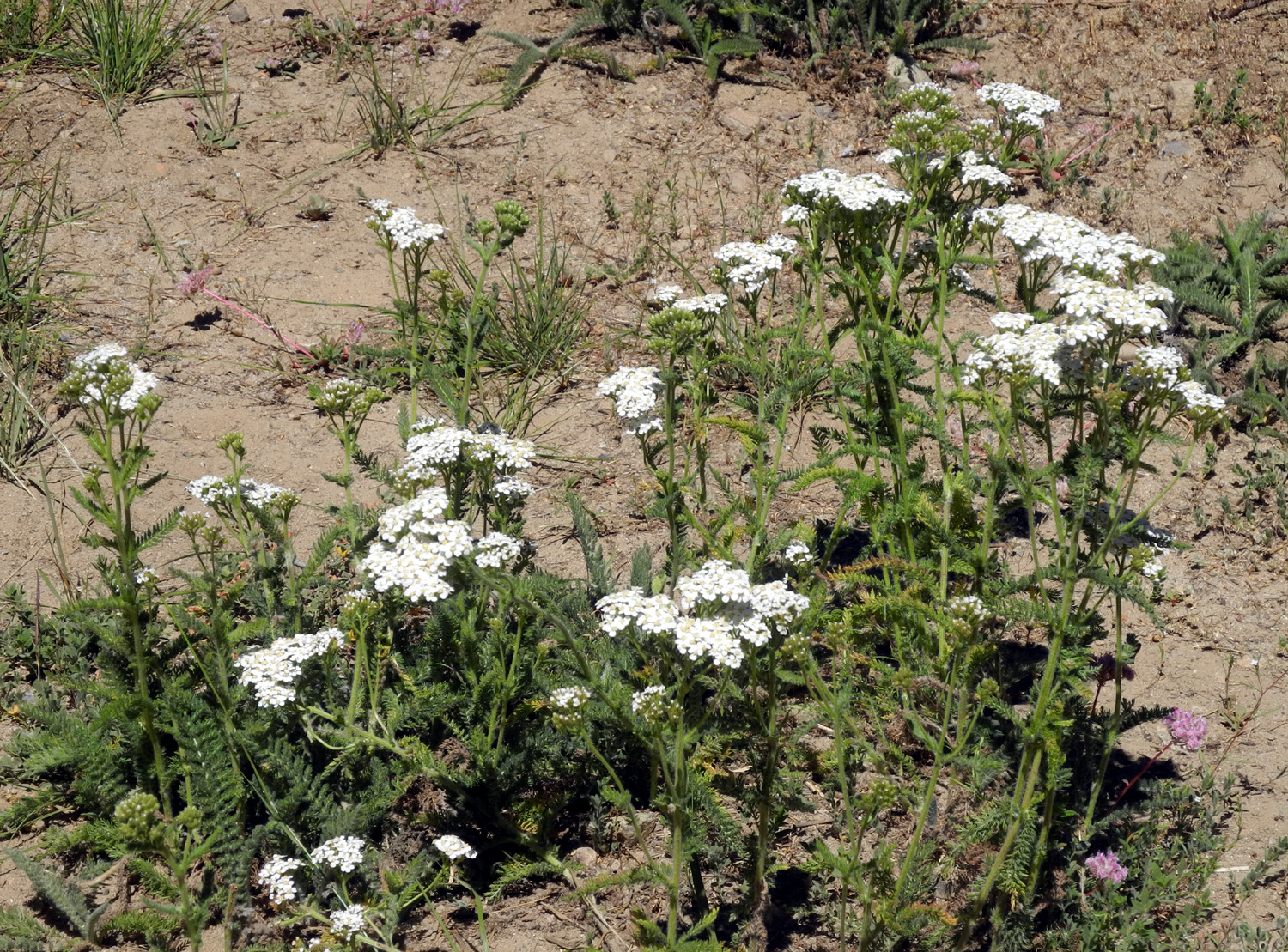
Colton and Jack were delighted to find what amounted to a sand box on top of the dome - fine decomposed granite. Teri and I enjoyed the many flowers growing in the cracks between rocks, dominated by pink penstemon and orange Indian paintbrush. We all enjoyed the view of the lake and over a half dozen domes in all directions, and had a much-needed snack. |
|
 |
 |
| Colton enjoys a natural sandbox | Penstemon flowers were everywhere in the rocks |
|
We considered going down the short distance to a saddle and up on Teri's Dome, but decided we had enjoyed enough rock scrambling for the day. We carefully made our way back down to the road and back to our camp. Next Teri, Colton and Jack went to the lake for more rafting. I stayed behind, took a short walk, an even shorter nap, and did some reading. Late in the afternoon we walked north from our camp to the point where the road drops down to the parking lot. There are five or six good camping places along this stretch, but we counted thirteen separate camps. We were happy that we could not see any other campsites from our spot, but that came to an end late that evening, with three groups setting up within sight of us. We were glad we had planned to leave the next day, Friday the 3rd. |
|
 |
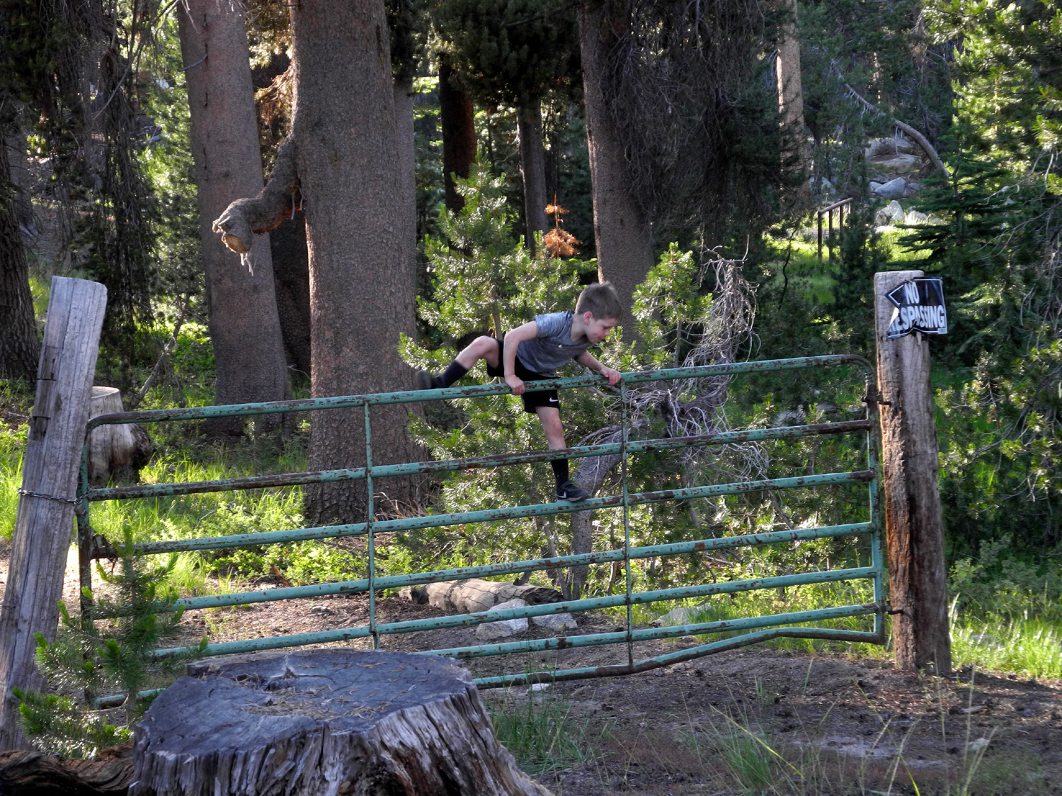 |
| Dick, Colton, Teri and Jack | Jack can't resist climbing gates |
|
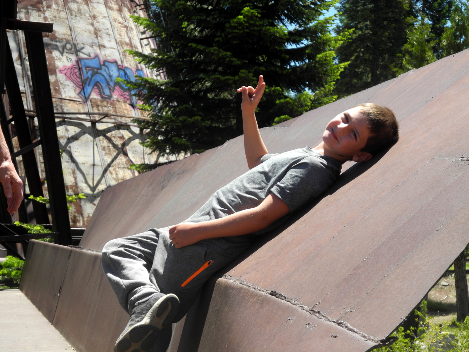
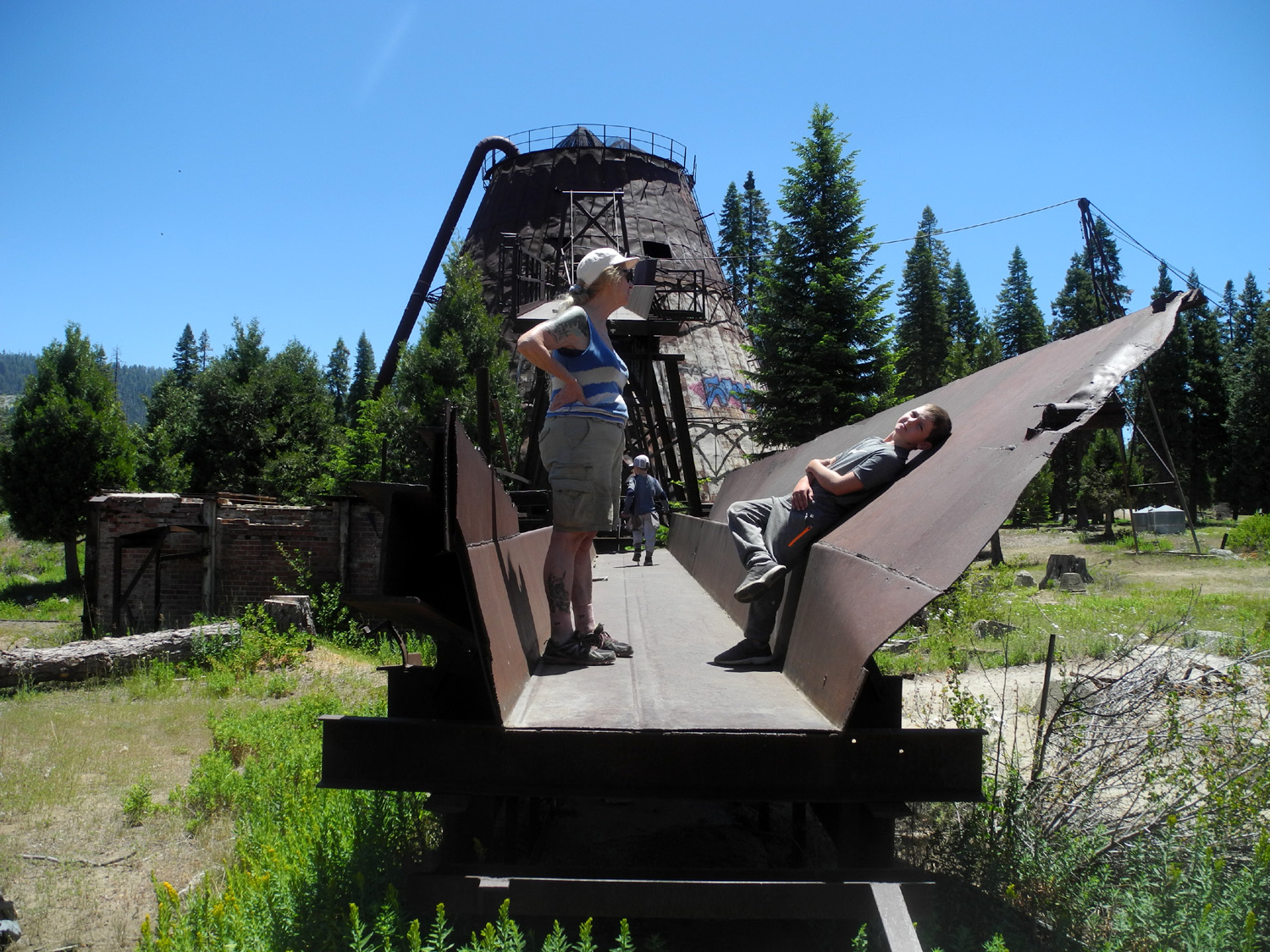
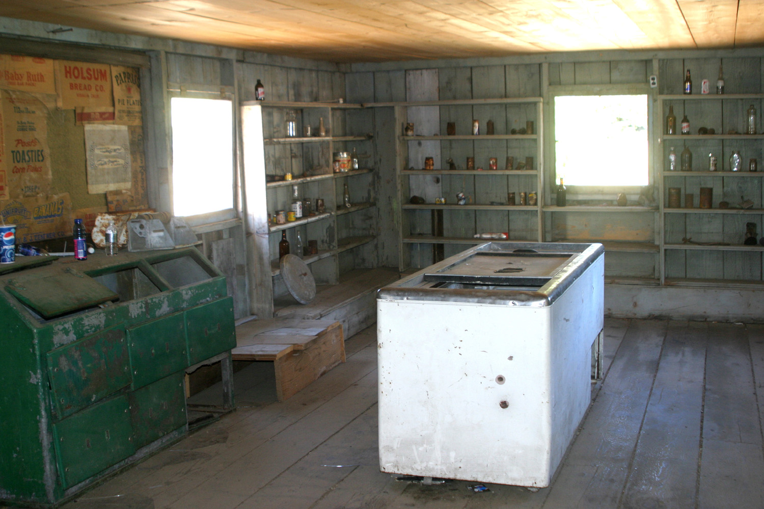
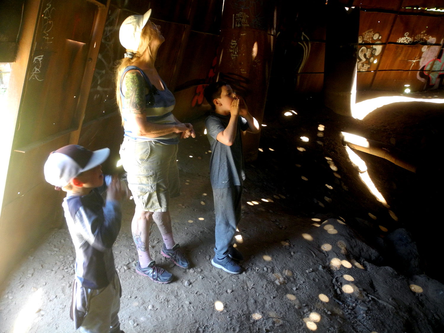
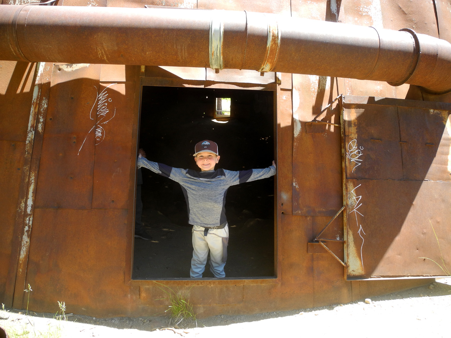
On the final morning, we followed our usual practice of gradually getting ready to go. Teri and I enjoyed hot tea out in the sunshine, then fixed breakfast and got things loaded up. For a bonus adventure we stopped at the Pine Logging Camp near Dinkey Creek. This enterprise operated from 1937 to 1979, and was a complete company town, with barracks for single workers, family homes, a store, offices and a schoolhouse. Many of the buildings have been restored in recent years and informational signs posted. The boys were particularly intrigued by the sawdust burner, which we could enter through several openings. They also went up on the conveyer platform that carried waste wood into the burner. They also enjoyed the school house, and when we went into a large house, Colton declared "I could live here." |
|
 |
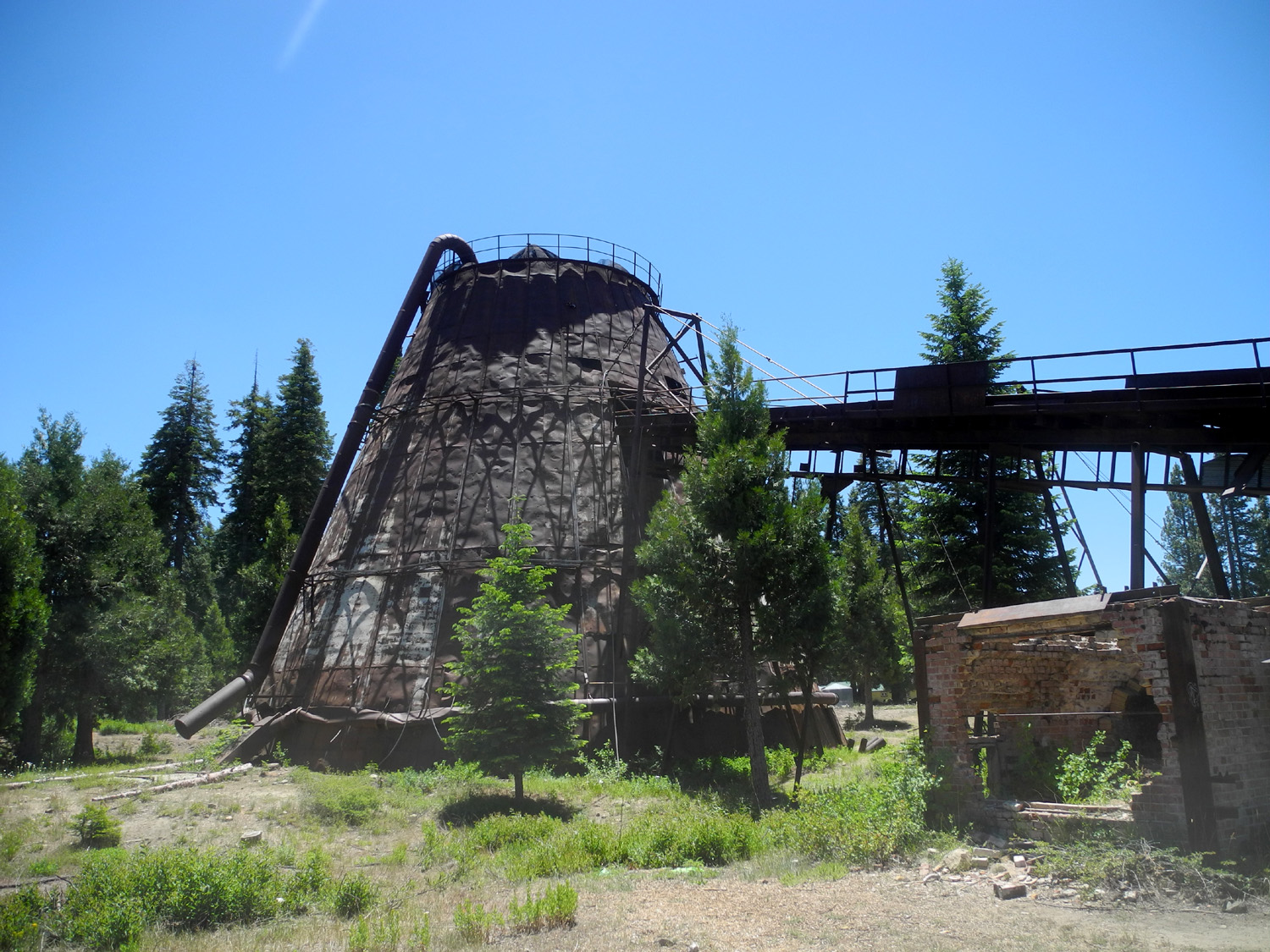 |
| Teri, Jack and Colton in the conveyor platform | Sawdust burner at Pine Logging Camp |
|
After
our tour of the sawmill site, we had a final snack, then continued
on down the road to Fresno and Clovis. We had excellent weather,
with very little breeze, clear skies, and lows of about 44, making
us think about another trip there soon. --Dick Estel, July 2020 |
|
| Yosemite
Border
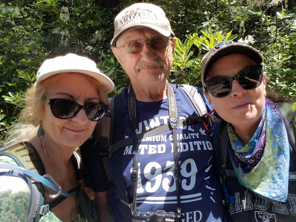
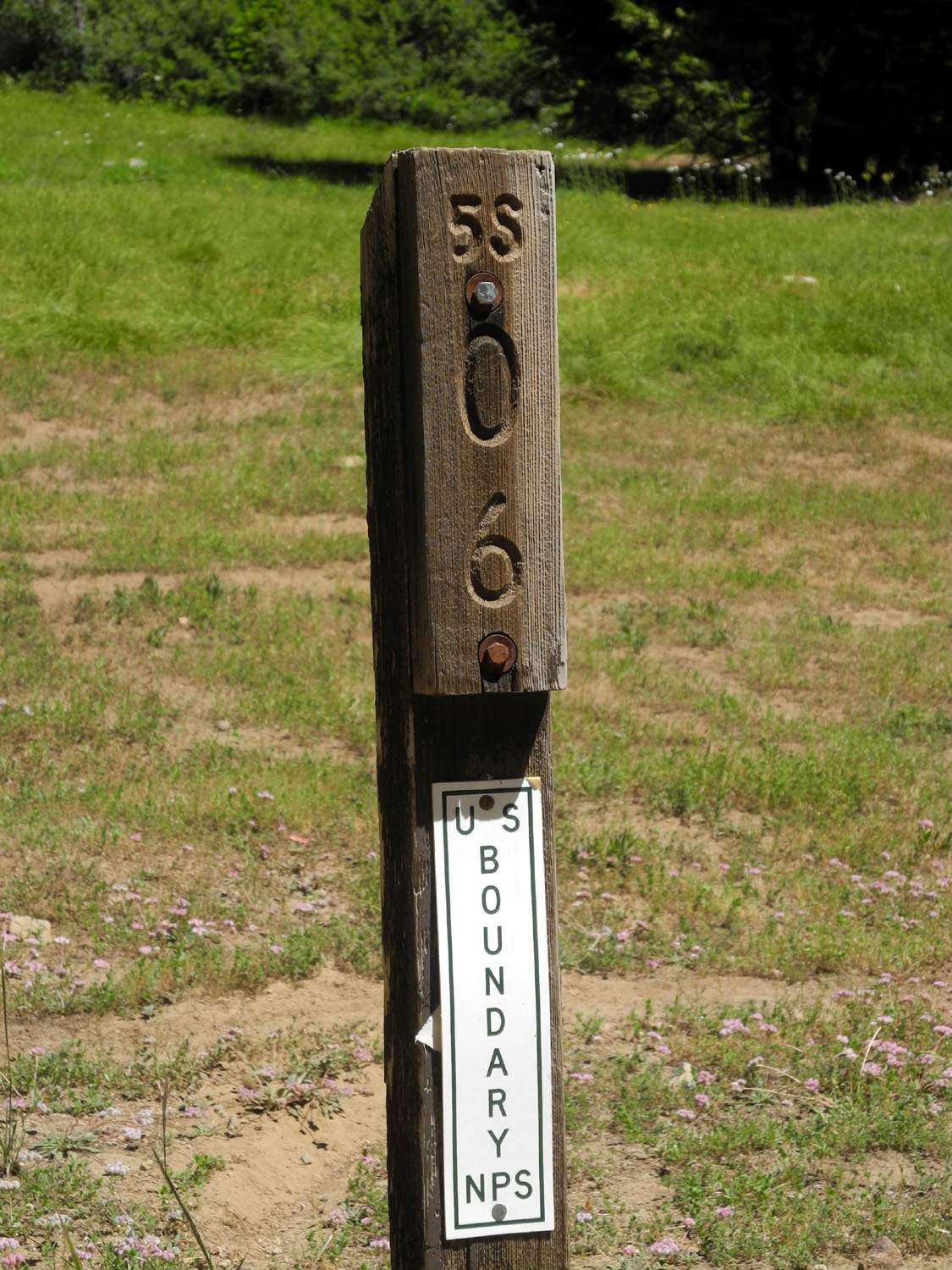
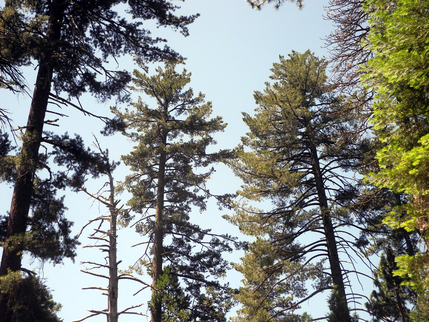
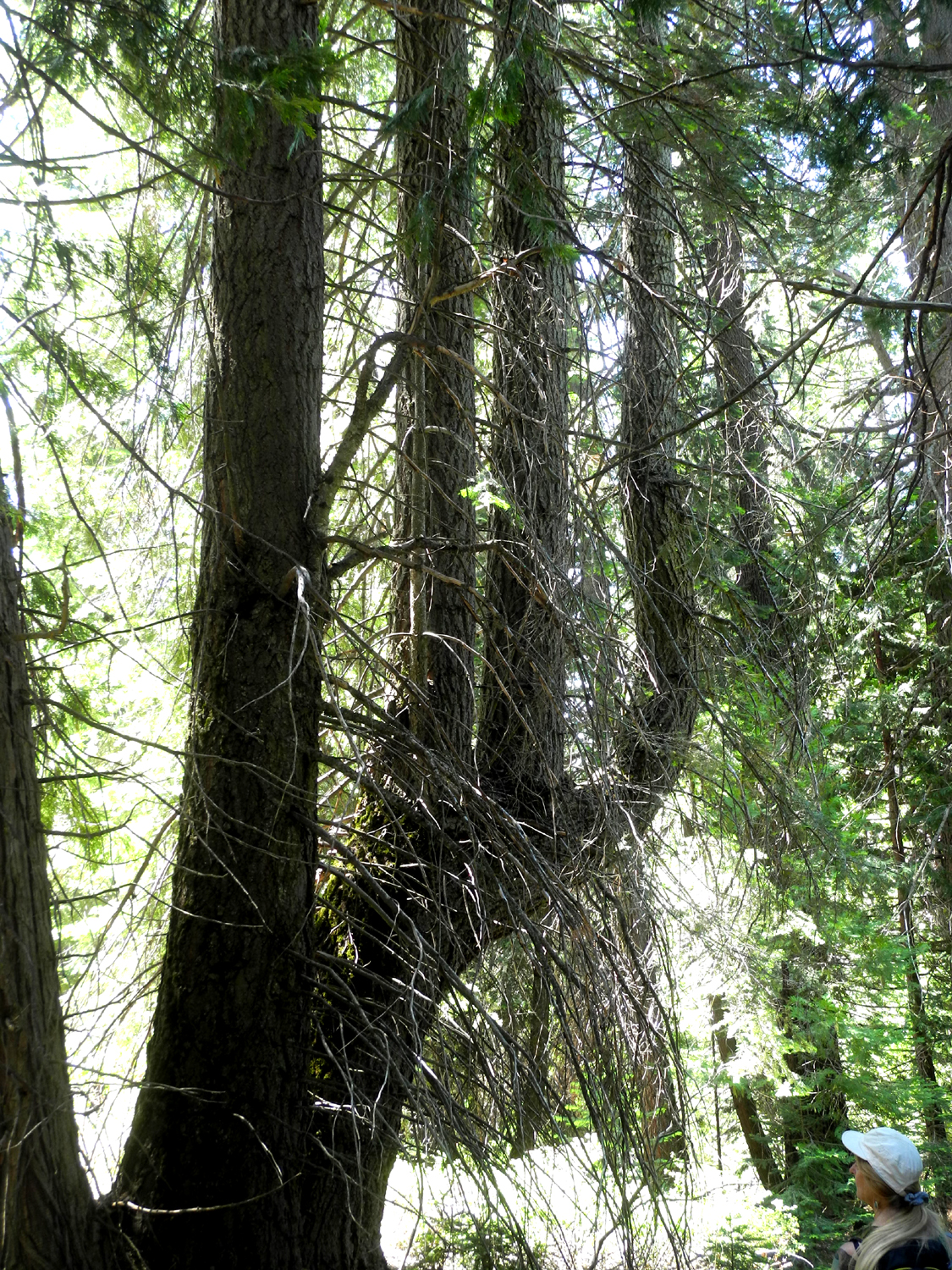
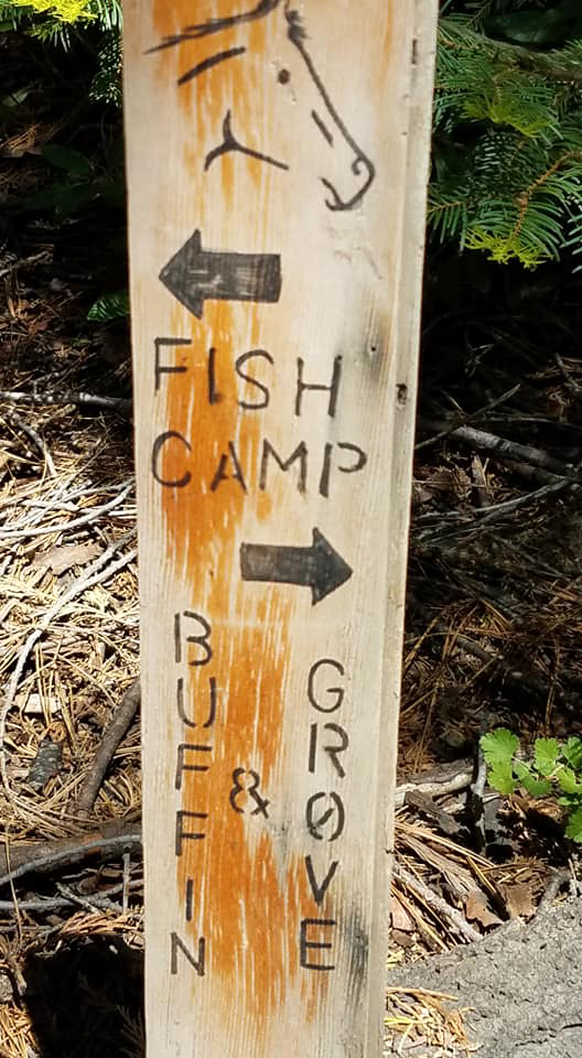
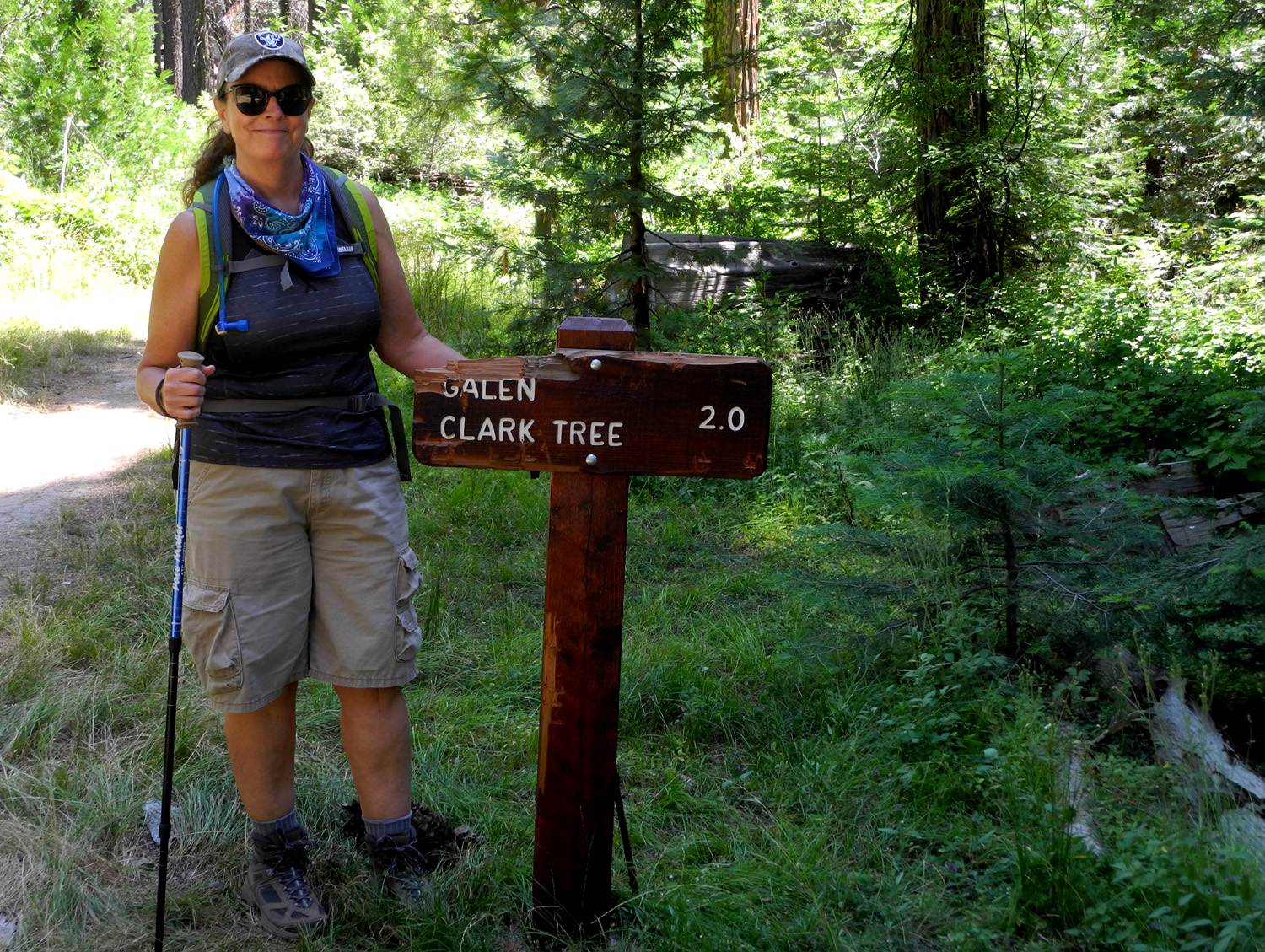
I struggled with a name for this report. We didn't get to our hoped-for destination, and "Road 5S06" just didn't cut it. We did pass close to and then just inside the border of Yosemite National Park, but not at any of the favorite tourist destinations. But first I need to go back to November, 2019. While camping near Fish Camp I walked on trails and roads that eventually led me to two interesting things: half a sign that said "....a Grove 1 mile" and a road to the left blocked by a gate that was the boundary of Yosemite National Park. I did not go any farther that day, but decided to return someday and explore the possibility of walking into Yosemite and the Mariposa Grove of giant sequoias. Advance reservations are required to drive into the park, but you can walk or bike in without one. On July 7, I drove to daughter Jennifer's above Oakhurst, then traveled with her in her Jeep to Fish Camp. Here we left Highway 41 on Mt. Raymond Road, AKA Road 5S06. After a couple miles this road is no longer suitable for passenger cars, but we had no trouble getting to the gate and sign. A short distance past this, the road had a lot of big rocks, a bit too much for Jen's low-clearance 4-wheel drive vehicle, so we parked and hiked up the road, enjoying the big evergreens, unusual plants, and granite rock formations along the way. |
|
 |
 |
| Jennifer on the road | Cedars, firs and sugar pines were the most common trees |
 |
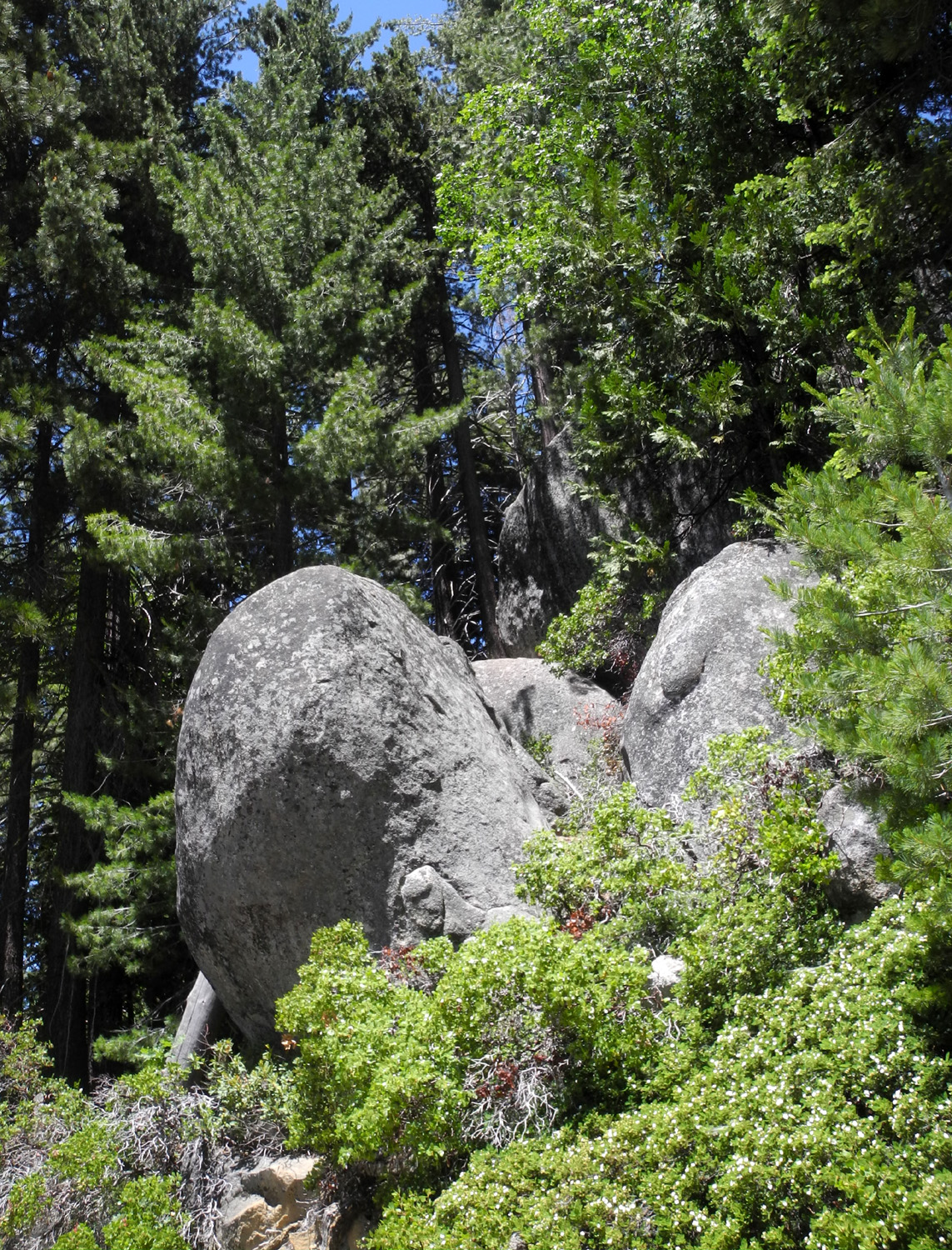 |
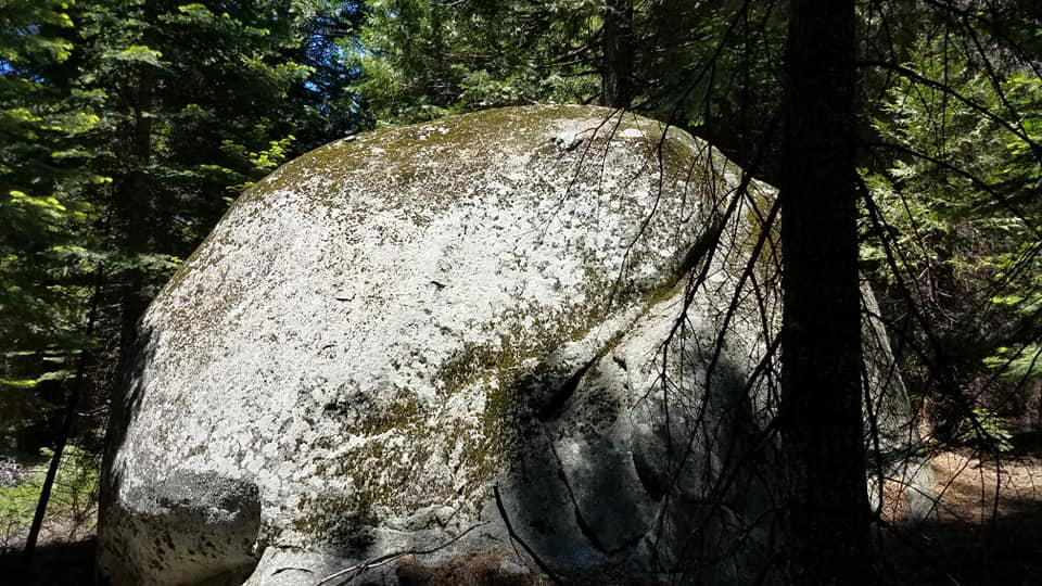
| A chlorophyll-free plant | Granite boulders along the road |
|
Eventually we passed a sign that indicated we were inside the national park, but despite constant wishing, we never came around a bend in the road to see a big sequoia waiting for us. We did reach a road junction and a beautiful meadow that was just inside the park boundary, where we rested and enjoyed our snack. |
|
 |
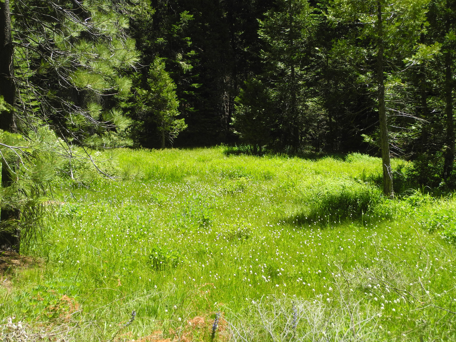 |
| No pay station at this "entrance" | This meadow is just inside the border of the park |
|
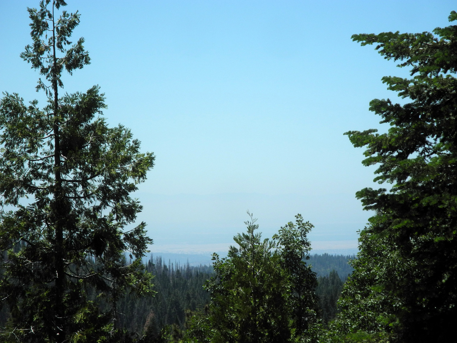
At this point we had hiked a mile and a half, and made the decision to start back. All of our hike was on a dirt road, and most of the scenery was trees, but there were a few views of mountains in the near distance, and one spot where we could see the flat land of the San Joaquin Valley. We also enjoyed huge patches of tall, violet colored lupines here and there along the roads. |
|
 |
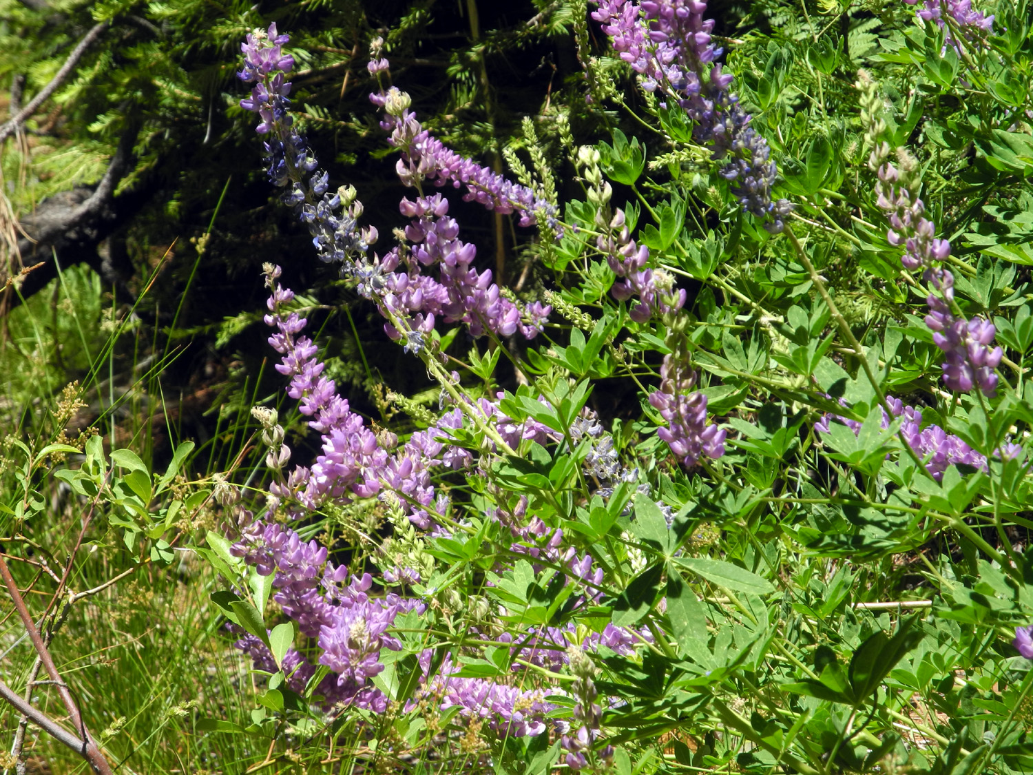 |
| The light tan section below the sky is the floor of the San Joaquin Valley | These lupine plants grow up to six feet tall |
|
Later
at home, after studying the Sierra National Forest map, I decided
that the broken sign had probably included an arrow pointing to the
left, and that we would be about a mile from the Mariposa Grove if
we went around the locked gate and walked north from there. As soon
as we have a day cool enough for hiking, we'll be continuing our
exploration of this area. --Dick Estel, July 2020 |
|
| The
Back Door to Mariposa Grove
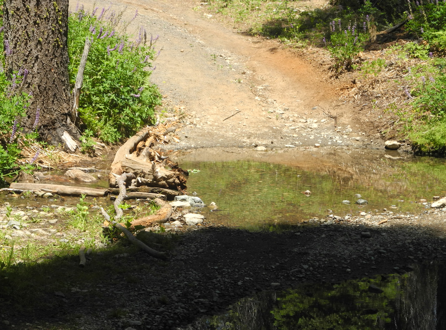
The Mariposa Grove of Giant Sequoias in Yosemite National Park is open, but the shuttle that takes visitors from the parking lot into the grove is not operating. This means a two-mile hike just to the edge of the grove, plus another mile or five to see the grove fully. During recent hiking and camping trips to the national forest area near Fish Camp, south of the entrance to Yosemite, I discovered what I thought was a shorter trail into the grove. I did not have time to explore it that first time, but made an unsuccessful attempt with my daughter Jennifer in early July. Studying the map after that hike, I realized where we had gone wrong, and scheduled another hike for July 25. A week or so before our hike, Jennifer and her husband Rod drove to the trailhead and walked in part way. They came to a creek that had some logs laid across it for a bridge. They were wet and appeared slippery, so they did not attempt to cross. Jen then started an email discussion with me about how to cross the creek. One thought was to place burlap or some other fabric on the logs, but since the creek was shallow, she came up with the idea of taking heavy-duty plastic grocery bags and putting them over our boots, held in place with masking tape. This proved to be the solution and we crossed with our boots dry except for a tiny leak in one of her bags. |
|
 |
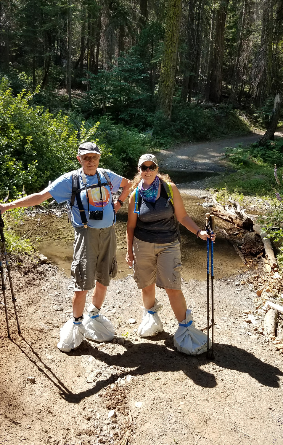 |
| Note the "bridge" of logs and stuff at the creek | These chic booties are the latest thing in hiking gear |
|
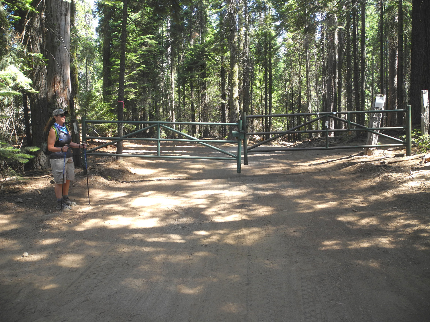
I had thought of this entry point as being virtually unknown, but there were three cars at the gate when Jennifer and I arrived, and she and Rod not only encountered other hikers when they went, there was salvage logging in progress along the route. Our visit was on a Saturday, and thankfully there were no crews or machines at work, but lots of stumps and logs. |
|
 |
 |
| The gate into Yosemite National Park | Results of salvage logging |
|
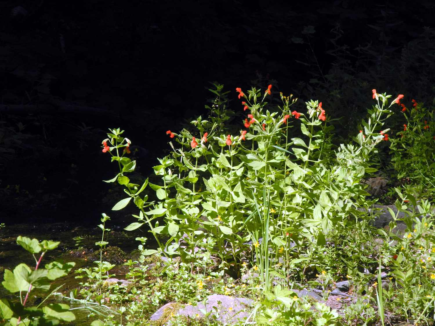
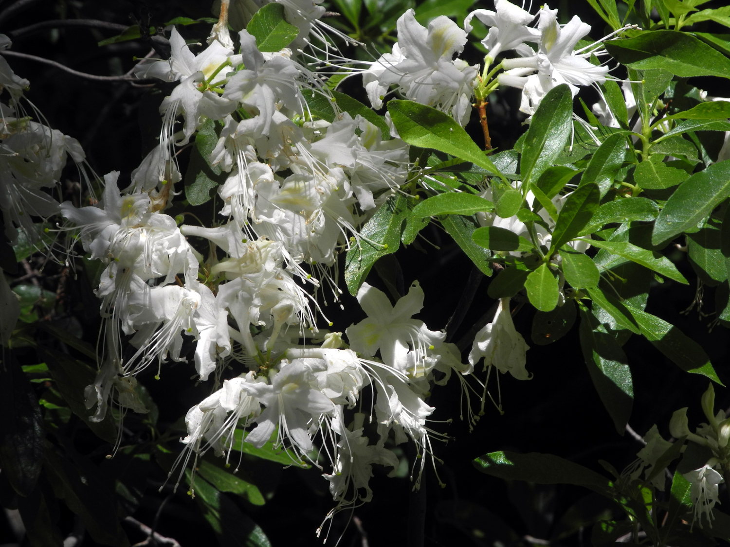
The route we walked is a road, in better shape than most of the dirt roads in from Highway 41, but closed to vehicle traffic. As soon as you go around the gate, you are in Yosemite National Park. Unlike visitors in vehicles, walkers and bikers do not need a permit to enter the park. Along the way we had views of tall firs, pines and cedars, and a variety of wildflowers, especially near the creek. |
|
 |
 |
| A
reminder that most of the millions of trees in Yosemite are NOT redwoods |
Flowers at the creek |
|
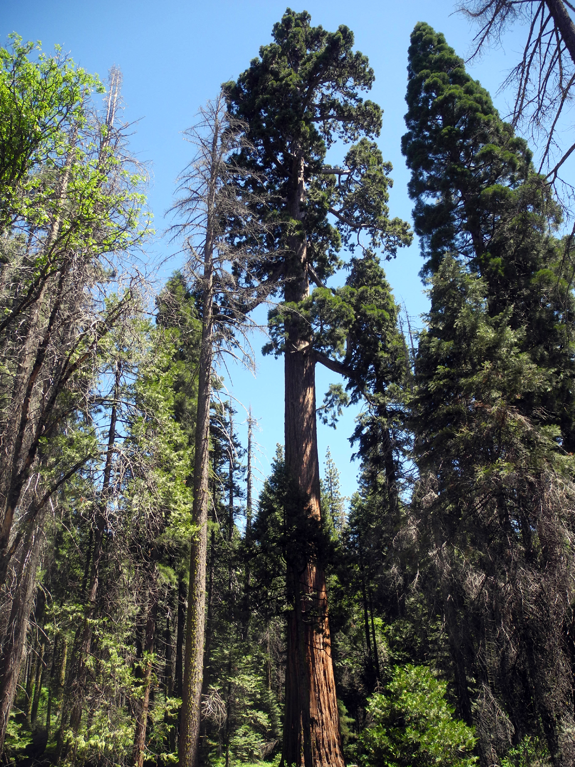
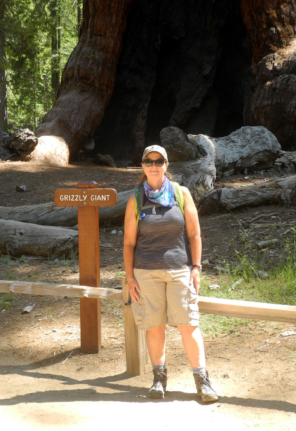
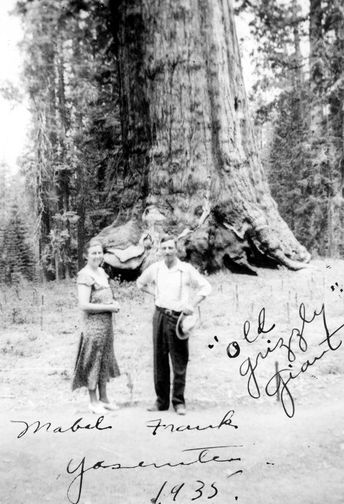
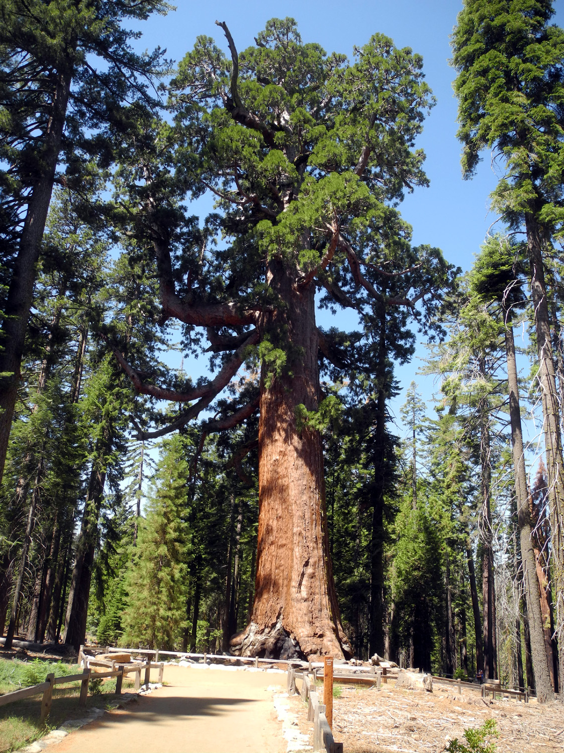
After a fairly easy hike of a mile, we arrived at a restroom and handicap parking lot, and a sign letting us know that we were less than a quarter mile from the Grizzly Giant, the oldest and second largest tree in Yosemite, and the 25th largest of all the giant sequoias. I have a photo of my grandparents posing in front the tree in 1935. It's said to be one of the fastest growing trees in Yosemite, but there's really no visible change in size since that time. I've been to the grove many times, mostly back in the days when you could drive right to the base of many of the larger trees. After the shuttle system was established, I visited the grove with fellow Rambler Wes Thiessen in July of 2018. In every case, there were crowds of tourists, so it was a delight and a bit of a shock to photograph the huge tree with only a half dozen other people visible on the trail at any one time. |
|
 |
 |
| The venerable Grizzly Giant | Jen and the giant tree |
|
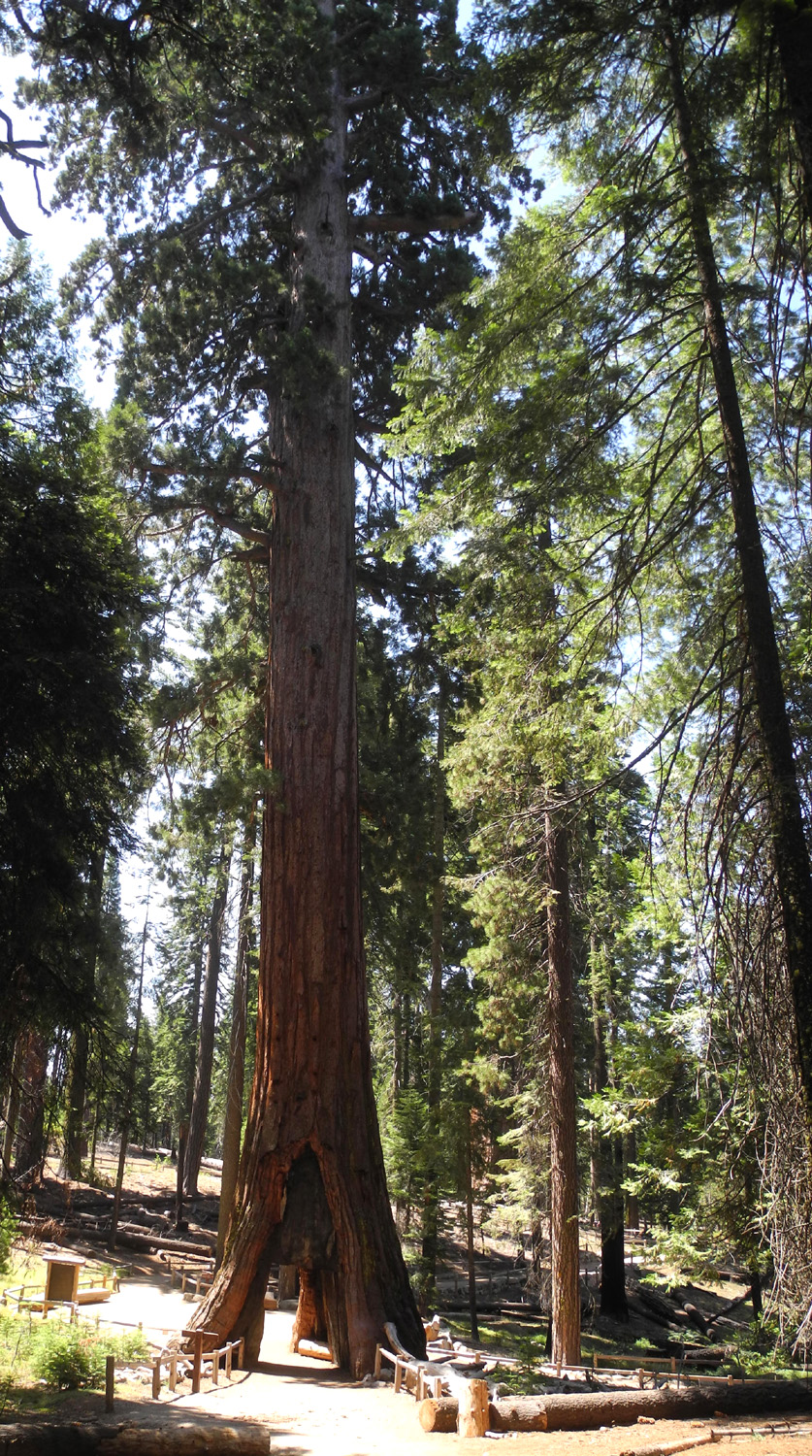
A short distance beyond the Grizzly Giant is the California Tunnel Tree, not to be confused with the famous drive-through Wawona Tunnel Tree, which fell in 1969. The California Tree's opening is too small for modern cars, although it accommodated horse-drawn vehicles back in the day. A review of the tree on a website reads, "Note, everyone wants a picture next to or within the California Tunnel Tree. As such, unless visiting first thing in the morning or near the end of the day, you can expect others to be in your photos." Even a world-wide pandemic has a silver lining - we had this tree all to ourselves for several minutes. |
|
 |
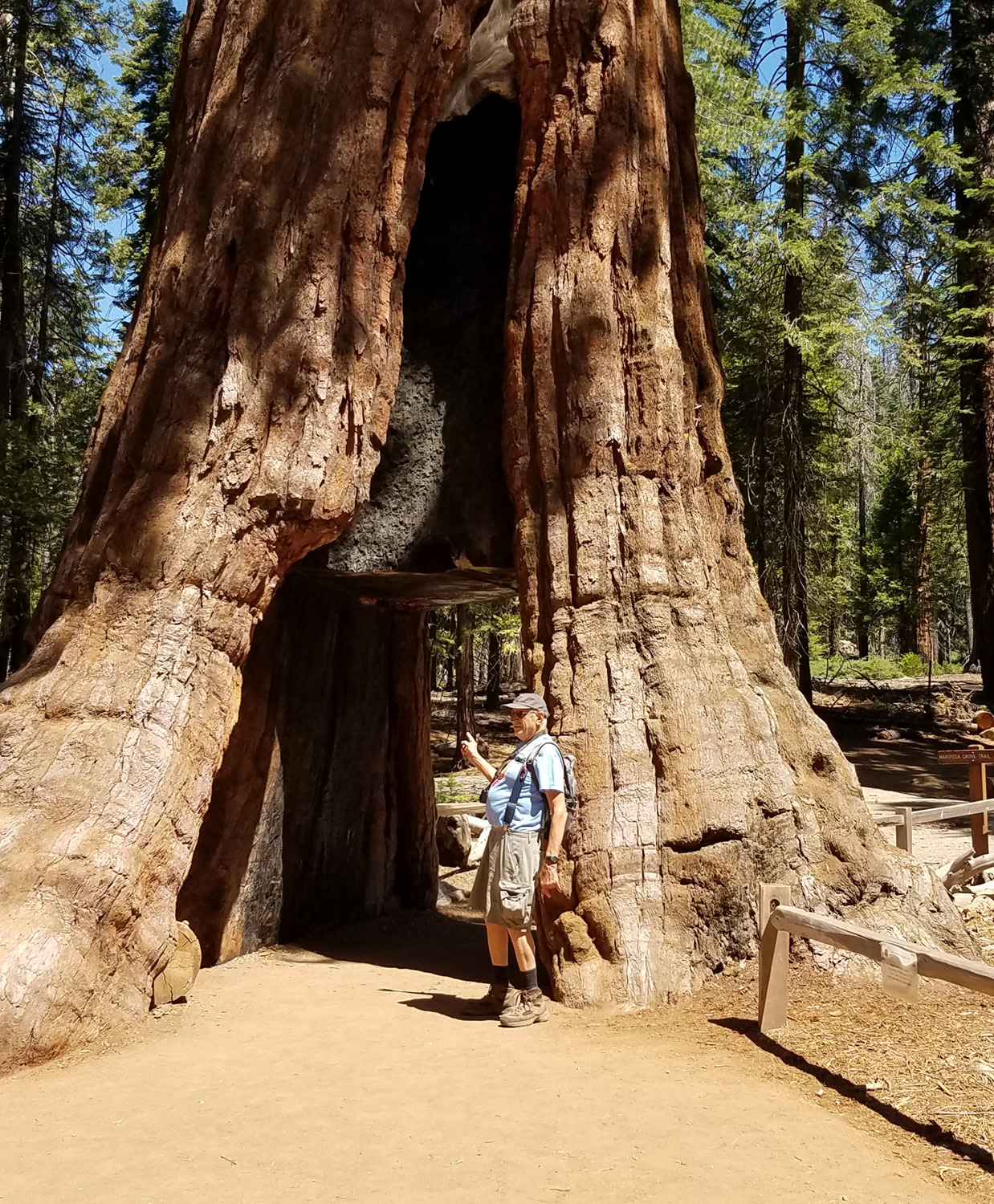 |
| The California Tunnel Tree | Dick at the Tunnel Tree |
|
There were only the two big trees near our location, and getting to places where there are more would have added a couple of miles to our walk, more than we wanted to do. There is an extensive network of trails in and around the grove, and after studying the map, we decided to take a short spur past the California Tree that would lead us to the Perimeter Trail. This route circumnavigates the entire grove, but we followed it for only about a half mile to where it joins the road we walked in on. Along the way we went through a damp drainage that supported thousands of tall lupine plants. The blooms were mostly faded, but enough were still good to make it an impressive sight. |
|
 |
 |
| This is about 15% of the total lupine garden | A closer look |
|
We arrived back at the trailhead with just under three miles on my phone's hiking app, and drove out the rough dirt road to Highway 41 and back to Rod & Jennifer's. During our absence Rod had barbecued tri-tip, then created delicious grilled sandwiches with cheese to restore our energy level. I'm hoping to make this hike with daughter Teri, taking a slightly different route that will allow us to see a few more of the 500 sequoias in Mariposa Grove.
|
|
|
Photos (Click to enlarge; pictures open in new window) |
||
|
Rancheria Falls Nelder Grove Buffin Meadow Hike Courtright Camp Yosemite Border Mariposa Grove |
||
|
Rancheria Falls |
||
 |
|
 |
| Colton snacks on Goldfish | Colton and Jack at the falls vista point | Jack on the bridge near the trailhead |
| Nelder
Grove Photos by Jennifer and Dick |
||
|
 |
 |
| The Old Forester
honors all those who have served as superintendent of the Sierra National Forest |
Busy insects of some
type created this unusual "sculpture" |
Wood dust at the base of the tree |
 |
 |
 |
| Sun shines through dogwood leaves | Shelton's violet | Western wall flowers |
| Buffin Meadow Hike | ||
|
 |
 |
| Illegible sign on an old stump in the meadow | This tree has some extra trunks | At the trail junction |
 |
 |
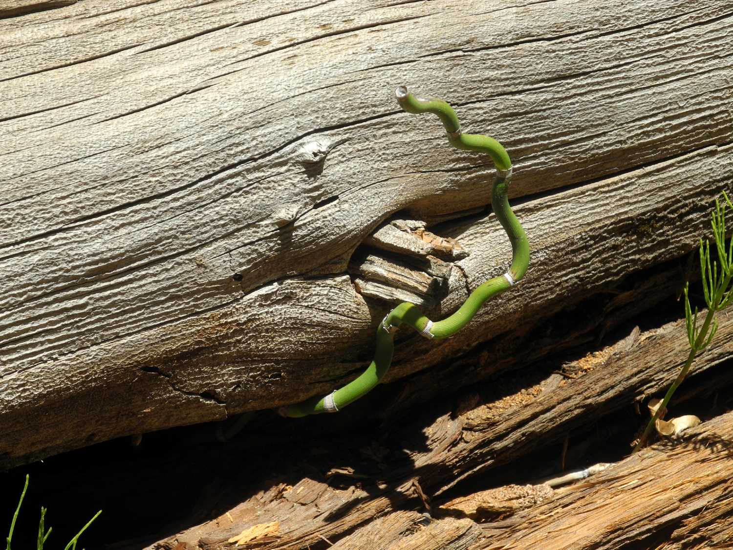 |
| Huge boulder along trail | Western azalea were plentiful | This determined reed
made its way out from under a big log |
| Courtright Camp | ||
 |
 |
 |
| Countdown to launch | A perfect place to throw rocks into the water | Colton is all wrapped up |
 |
 |
 |
| They ran up the
rocks saying "Grandpa, you can't catch us!" They were right. |
Always keep a few fruit snacks stuck to your face so you can eat them when you need energy | Jack on the rock |
 |
 |
|
| Teri and boys inside the sawdust burner | Jack at the door | Colton looks pretty relaxed |
 |
||
| Panoramic view of Courtright Reservoir, almost full to capacity | ||
 |
||
| The boys were interested to learn that their Dad recently backpacked over Hell for Sure Pass, near Mt. Goddard, in the middle of this photo | ||
| Yosemite
Border (Photos by Dick & Jennifer) |
||
 |
 |
 |
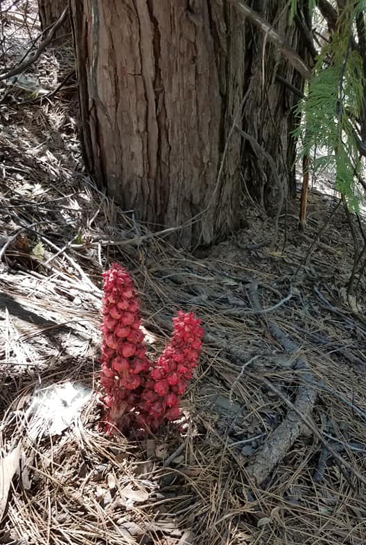
| It's
always a delight to spot a brilliant red snow plant |
Dick on the rocky road | This sign has seen better days |
 |
|
 |
| Rattlesnake plants | One of several meadows along the road | After
three miles of hiking, Jennifer is delighted to see an old friend |
 |
||
| Panoramic view of the Yosemite Border Meadow | ||
| Back
Door to Mariposa Grove (Photos by Dick & Jennifer) |
||
|
 |
 |
| An unknown but delightful flower | Flowers by the creek | At the junction with the Perimeter Trail |
 |
 |
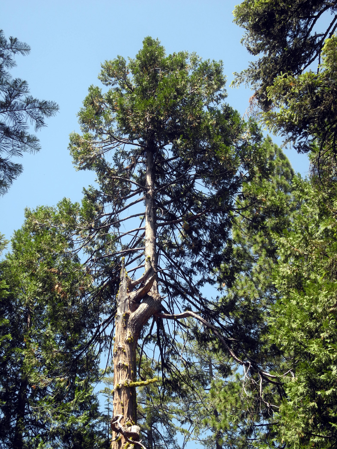 |
| The Grizzly Giant from the north side | California Tunnel Tree from the north | This cedar lost its top but started over |
| Related Links | ||
| Rancheria Falls Trail | Rancheria Falls in July, 2019 | Rancheria Video |
| Rancheria Falls | Friends of Nelder Grove | Nelder Grove Interpretive Area |
| USFS Nelder Site | Dick's Nelder Grove Page | Big Ed Trail |
| Fish Camp | Buffin Meadow Map | Courtright Reservoir |
| Helms Pumped Storage Project | Dusy-Ershim Trail | LeConte Divide |
| Pine Logging Camp | Exfoliation | Mariposa Grove |
| Raymond Mountain Road | Yosemite National Park | Grizzly Giant |
| Giant Sequoias | More About Mariposa Grove | Mariposa Grove Trails |