
|
2023 Rambler Hikes Page 2 |
|
|
Rambler Hikes 2017 Rambler Hikes 2018 Rambler Hikes 2019 Rambler Hikes 2020 Rambler Hikes 2021 Rambler Hikes 2022 2023 Page 1 2023 Page 3 2023 Page 4 |
|
|
Sycamore Wildlife Area Ahwahnee Hills Lewis Creek North Fork & Bass Lake Dam |
|
|
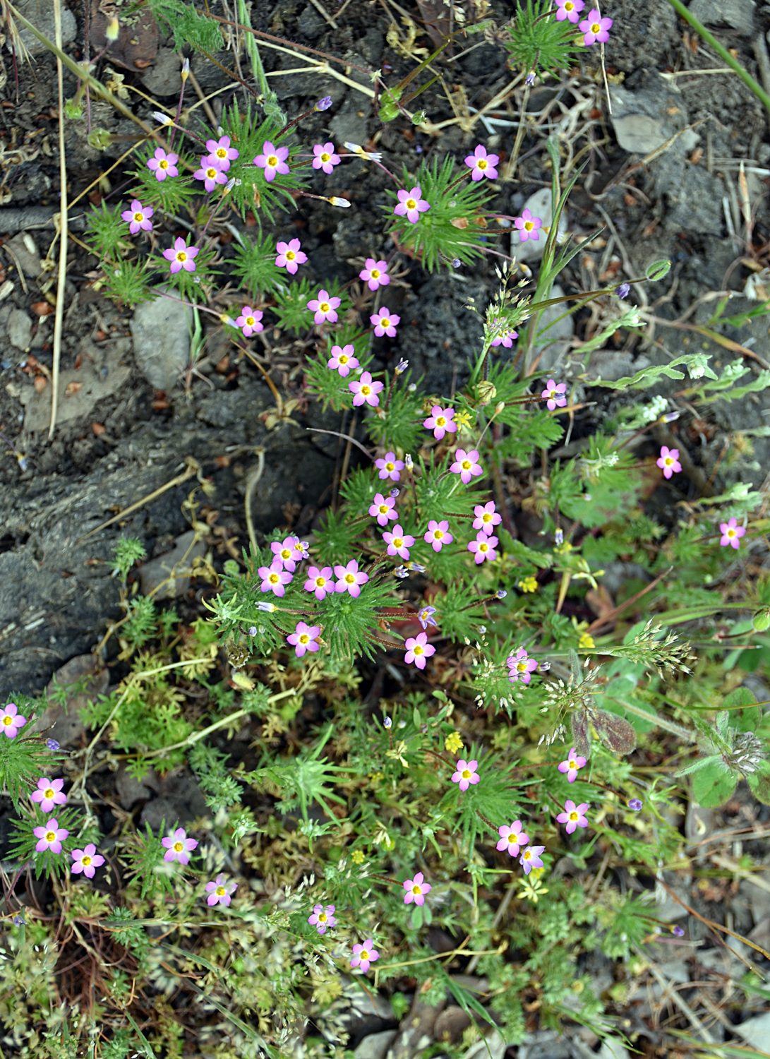
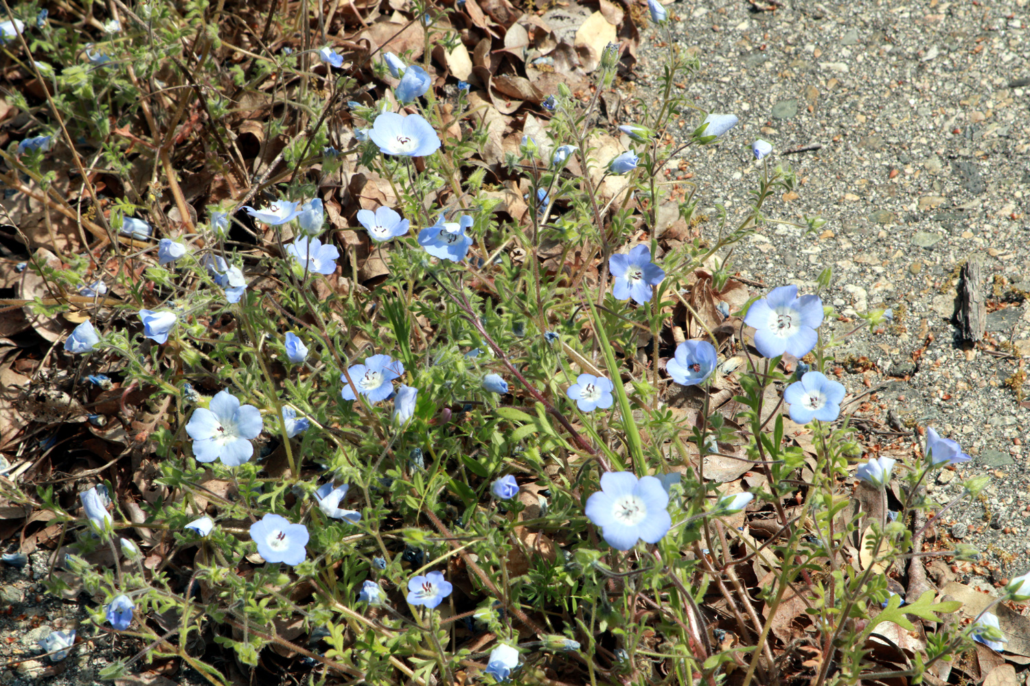
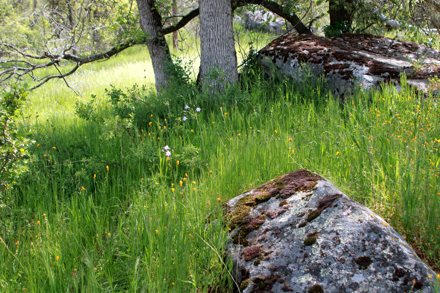
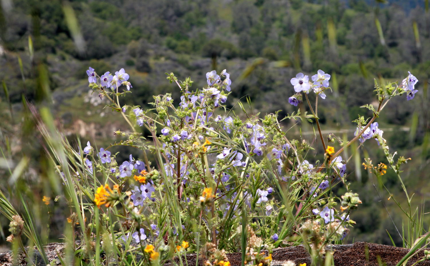
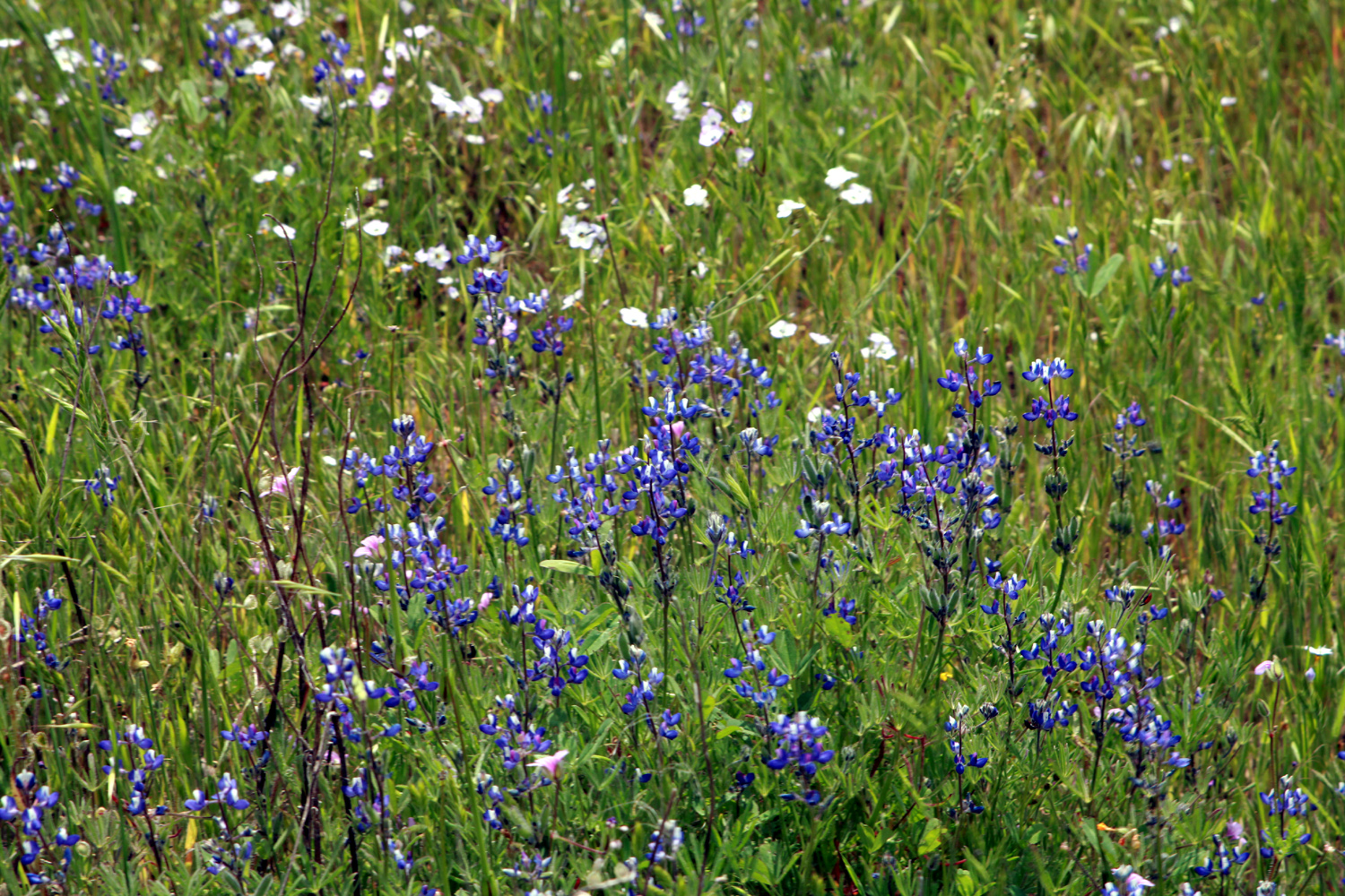
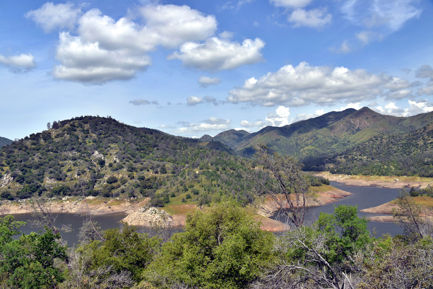
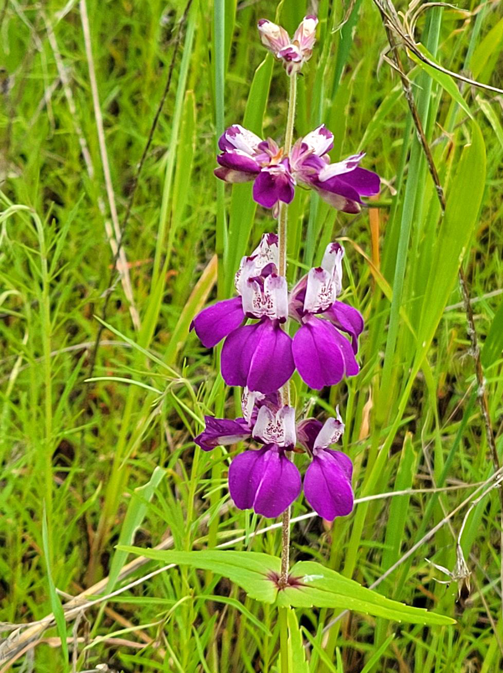
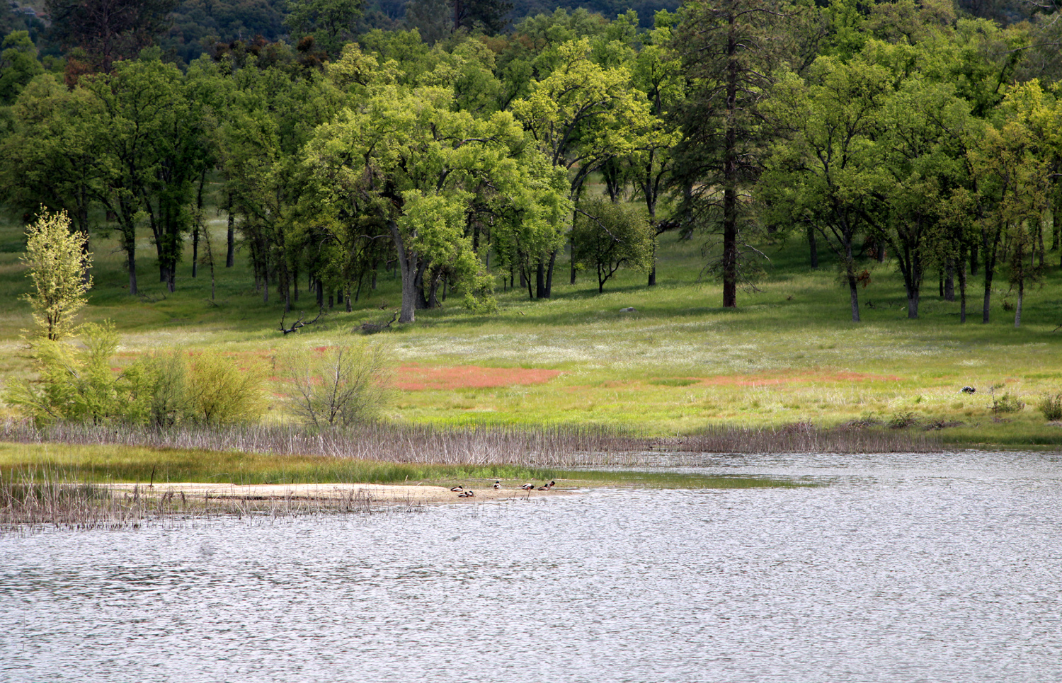
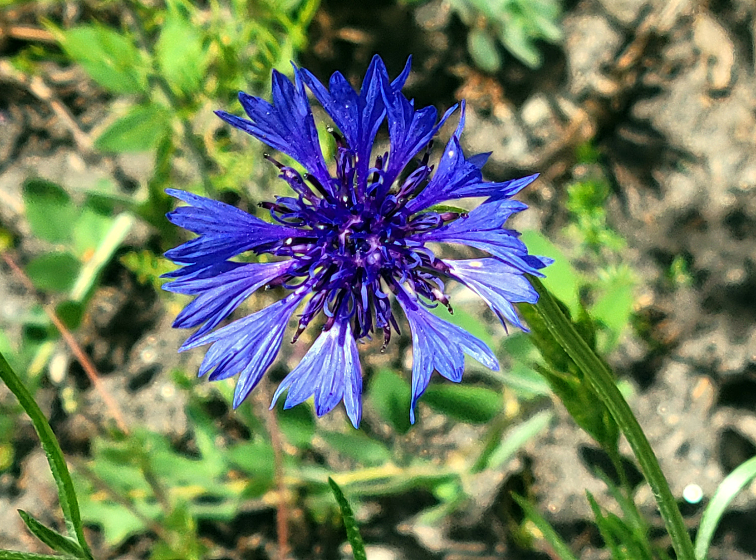
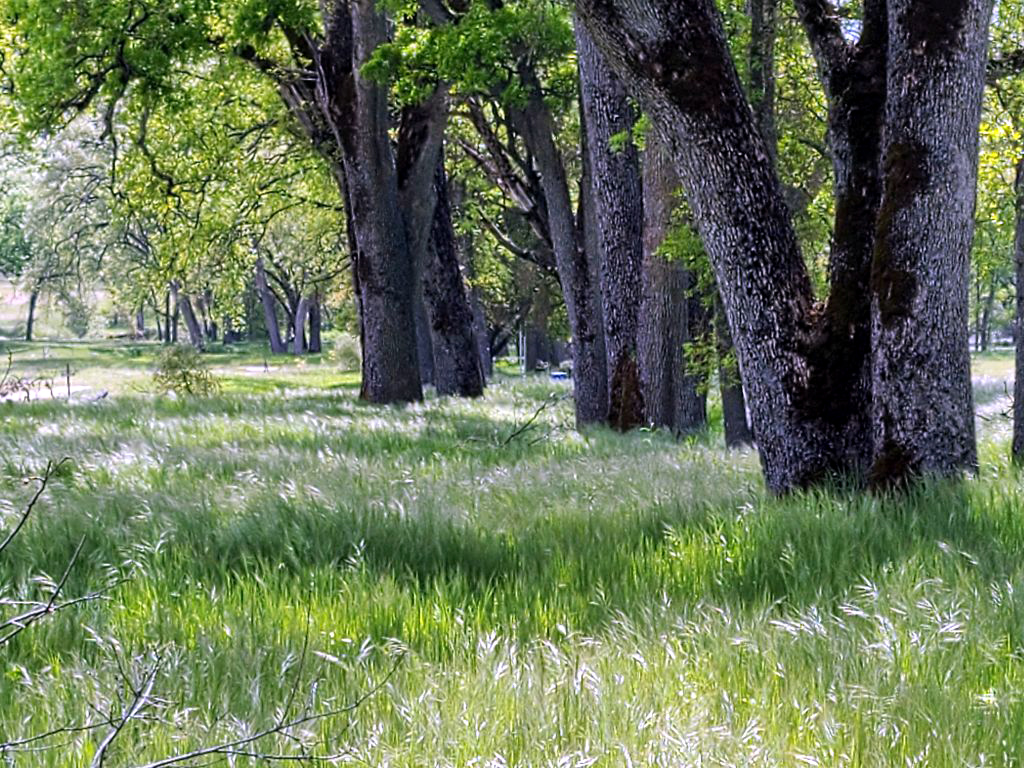
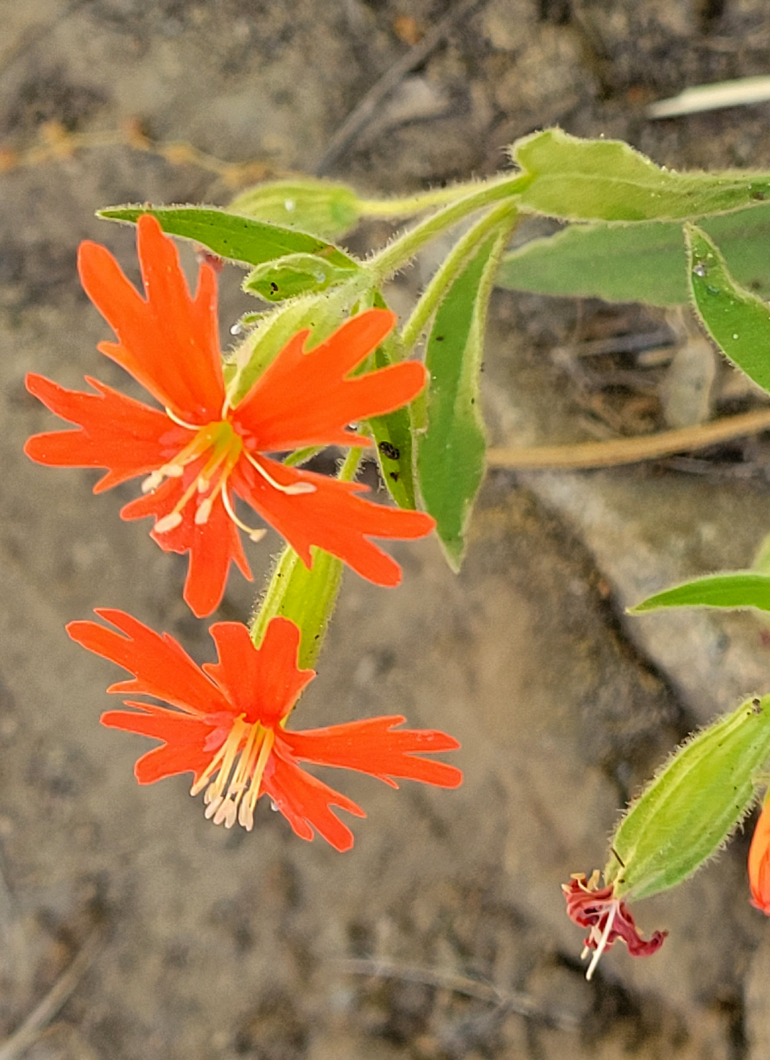
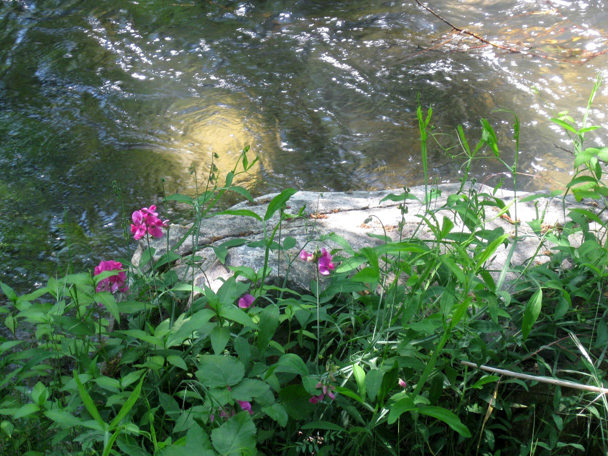
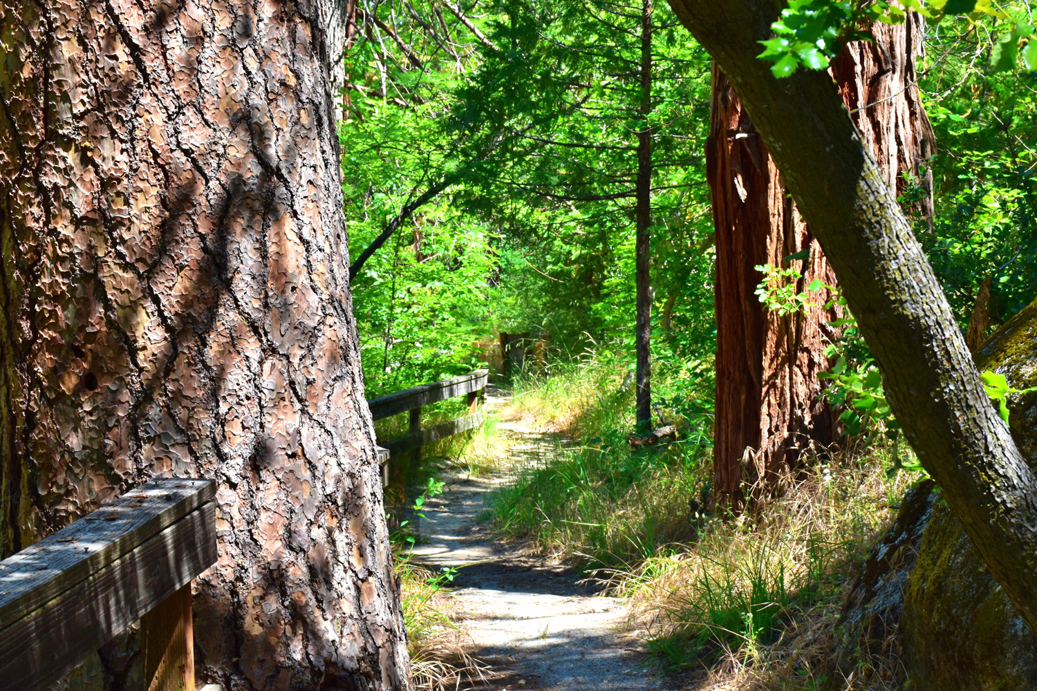
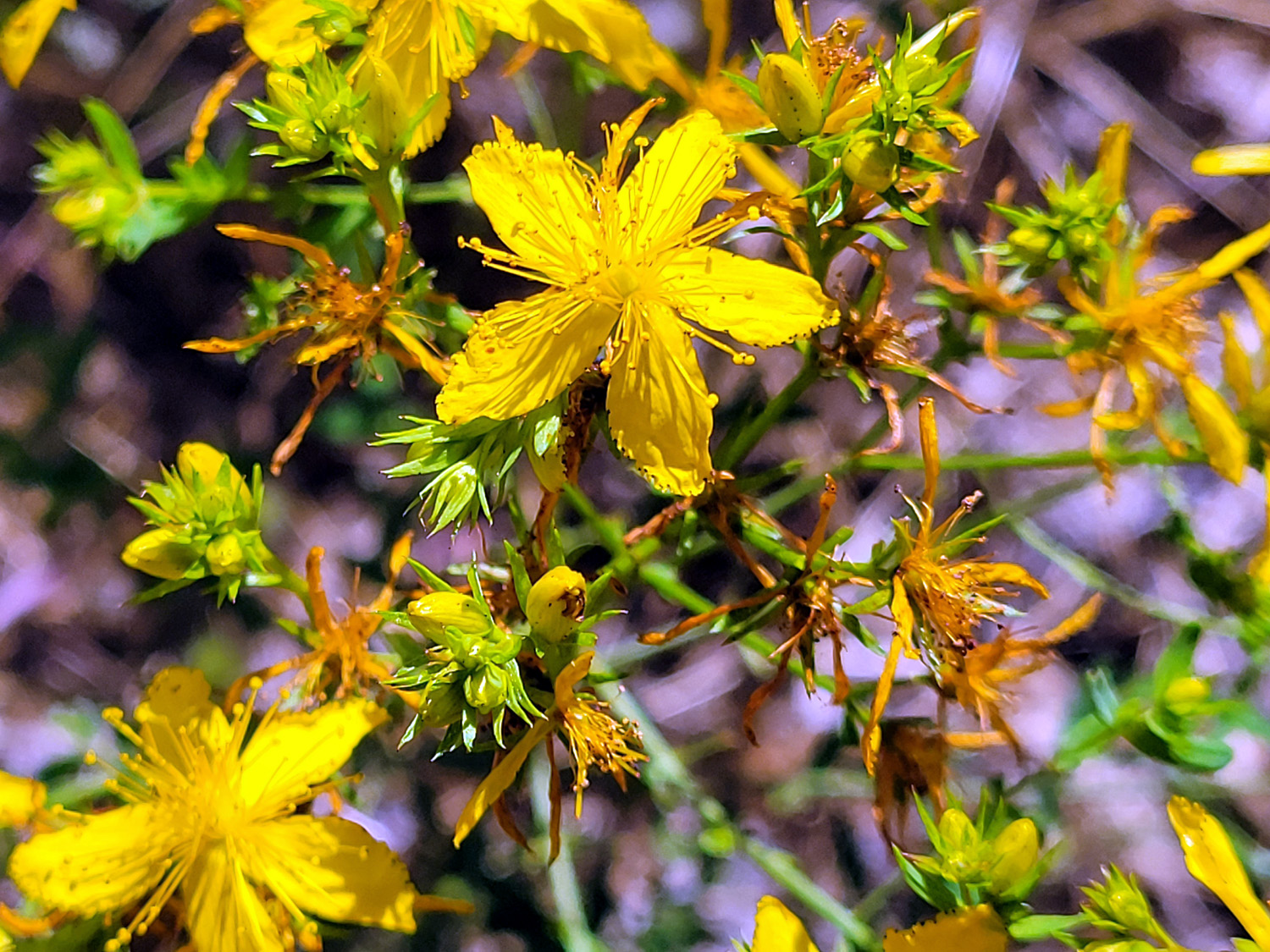
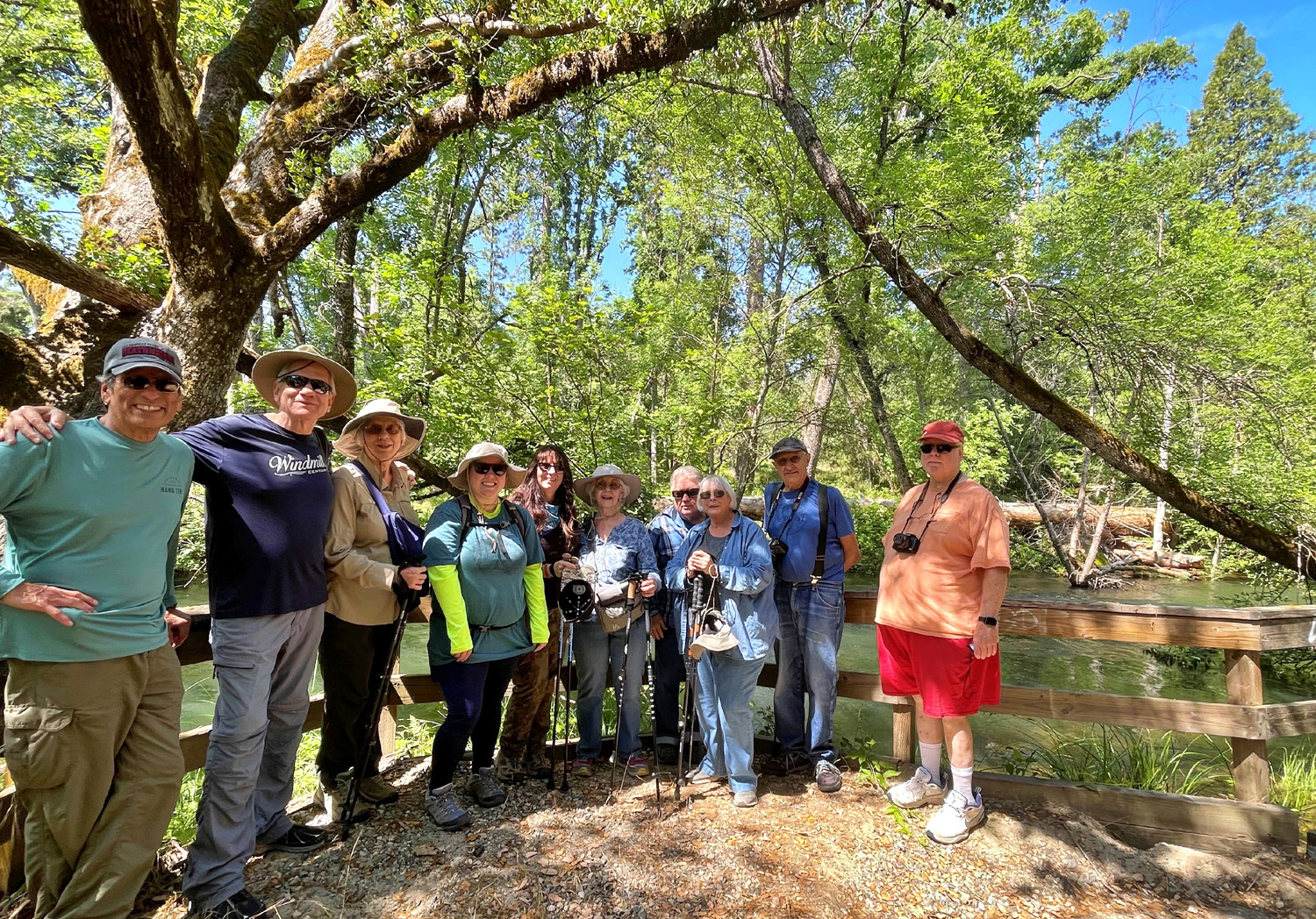
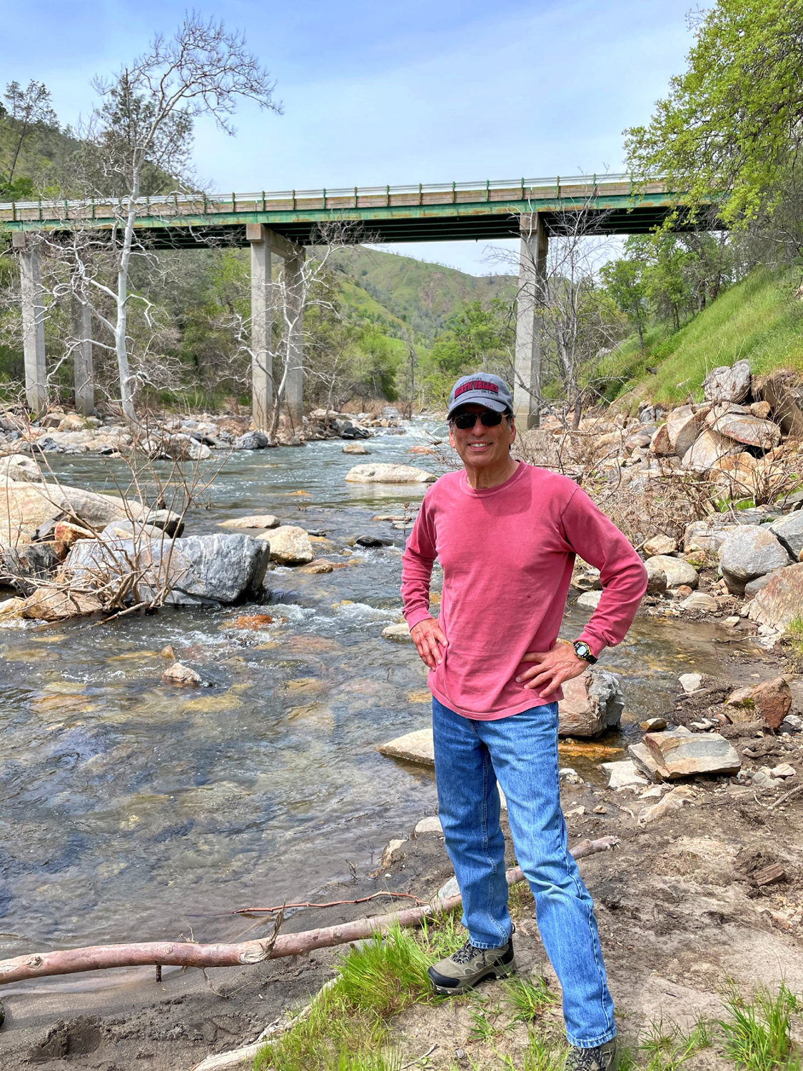
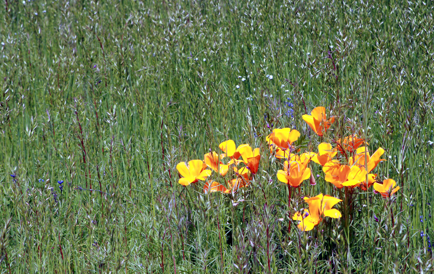
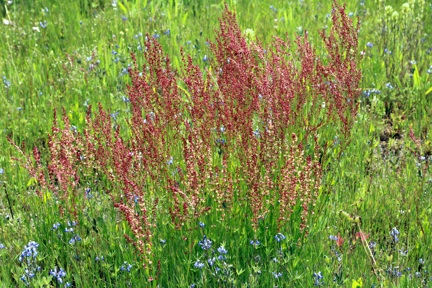
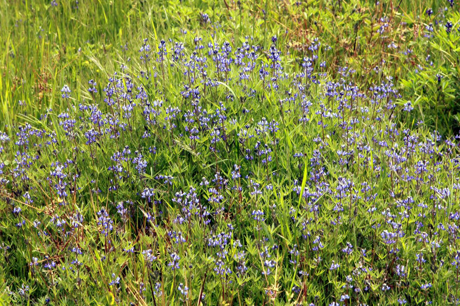
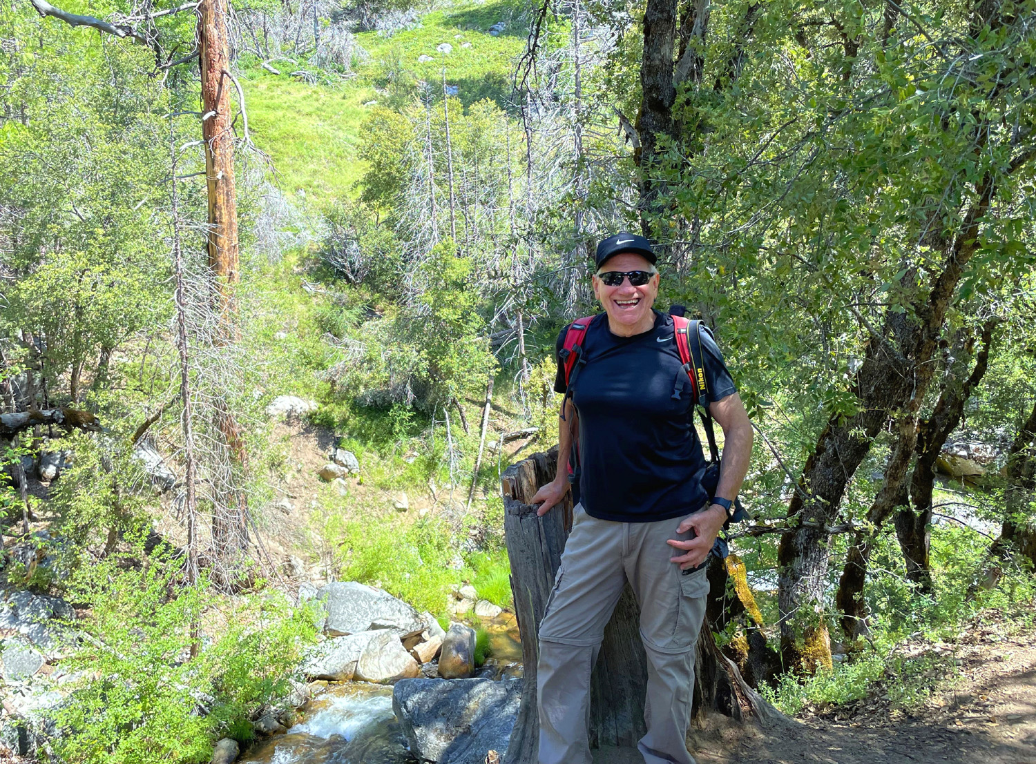
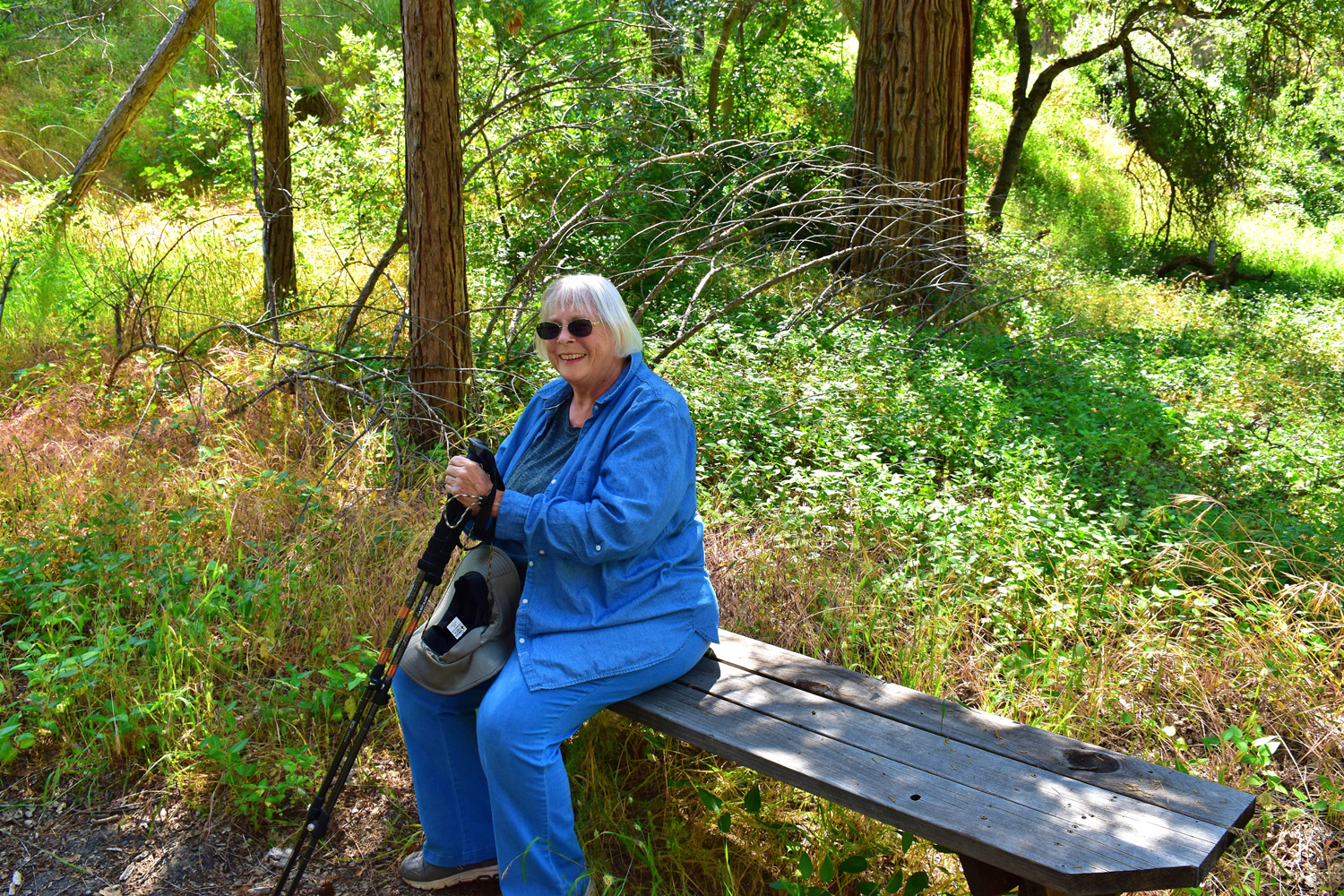
Sycamore Wildlife Area After two attempts (one with the Ramblers and one without), we finally got to hike at the Sycamore Wildlife Area by Pine Flat Reservoir on April 17. This location consists of three former campgrounds which have been closed for decades. The reason was reportedly hantavirus found in rodents there, but that is obviously long gone, since hiking in the properties is encouraged. So I ask, every time I go there, why not re-open the campgrounds? Our party consisted of Wes Thiessen, Ardyss Webster, Bruce and Susan Vasquez, and me (Dick Estel). It was a first time experience for Bruce and Susan, and a much anticipated return to a favorite spot for the rest of us. The old camp roads are still there, complete with parking spurs, making for pleasant and easy walking. The pavement is mostly intact, with cracks everywhere and some of it crumbling away at the edges. The paving is nearly gone in much of the third location. There are always flowers, many of them growing up through the cracks in the asphalt, and this year was no exception. We usually walk through two of the facilities, and this time we started with the first one. Despite copious rain, the wildflowers are a little bit fewer in number than we had hoped. But the variety is as good as ever. Flowers that bloom early are still in evidence, and we saw a few species that had not yet appeared during our earlier outings. The new grass throughout the foothills was as bright green as ever, and a little creek that had not flowed during the last few years had become a classic "babbling brook." About half way around the campground loop, we spotted a very large bull standing about 15 feet from the road, virtually motionless. Everyone else turned back, even though the two men were once country boys. Having hiked, camped and lived around range cattle all my life, I continued on, giving the beast a wary glance now and then. From experience, I know that cattle will usually do one of three things: Ignore you completely, watch you as you pass by, or drift away (and sometimes run) as you get close. When I started to pass Mr. Bull, he briefly turned his head to the left a few inches, then as I walked by, he turned to the right. Otherwise he remained still. Both of us understood the old rule, "Don't bother me and I won't bother you." When we finished our hike and drove up the road, we saw that he had laid down where he had been standing. We hiked some more and had lunch, and he was still in the same spot when we drove past on the way home at least two hours later. We did not keep a count of the flower species we saw, but they included filaree, fiddleneck, popcorn flowers, bird's eye gilia, yellow-throated gilia, dove lupine, tall ground lupines, buck brush, blue dicks, and fiesta flowers. Along Trimmer Springs Road, the bush lupines were still having a banner year, and we also observed foothill gilia, Chinese houses, farewell-to-spring, elderberry, and an unidentified flowering tree. |
|
 |
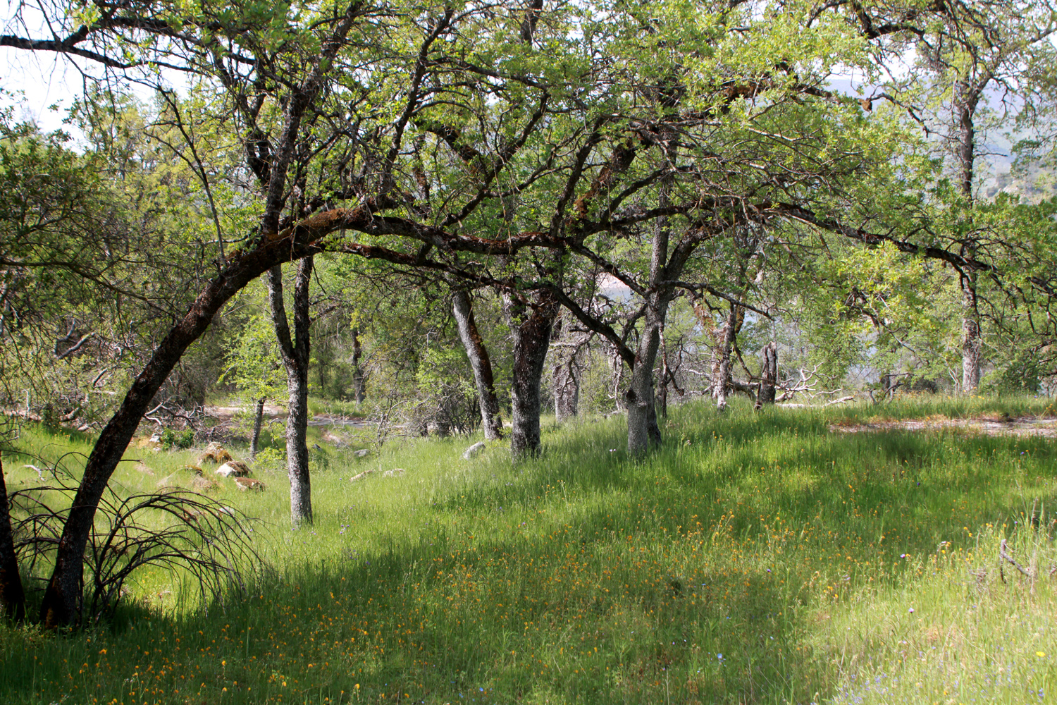 |
| The Ramblers at Sycamore: Bruce, Ardyss, Susan, Dick, Wes | Green grass and blue oaks dominate this area |
 |
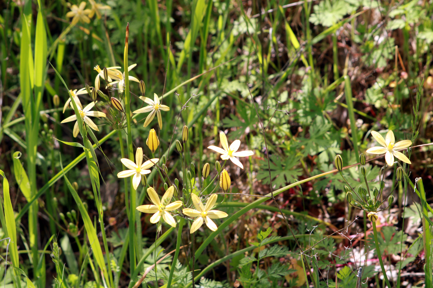 |
| Baby blue eyes thrive next to the old pavement | It's a good season for yellow brodiaea |
|
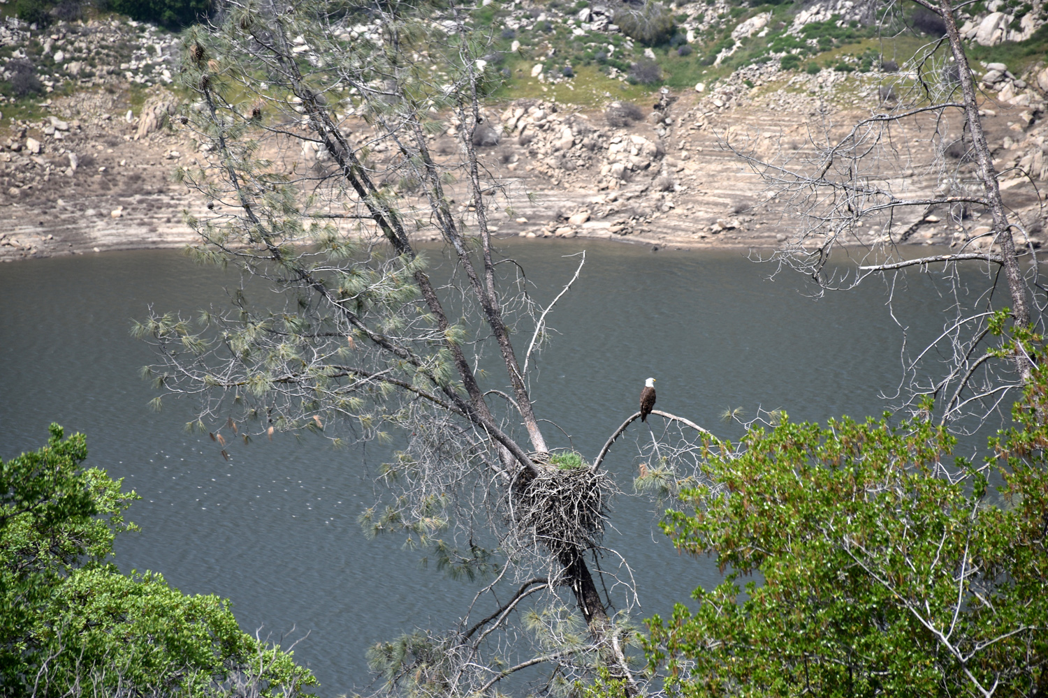
When we finished our walk around the first campground, we drove the short distance to number three. This was officially a picnic ground only, but I camped there back in the day without any problems. This is also the location where there is an eagle's nest, and where we have seen bald eagles several times. We started our walk in silence, to avoid disturbing the birds, although we acknowledged that they surely knew we were there as soon as we opened the car doors. It's probably about 300 to 400 yards to where we could see the nest tree, and the eagle was perched on a branch above the nest. He (or she) put up with us observing for 30 to 40 seconds, then flew off, and was not seen again. Looking at a close-up photo of the nest, we could see that there was grass growing in it. Heavy rain, organic material, and wind-blown seeds often result in plants growing in unexpected places. We could only wonder if this situation had made the nest unusable. There were certainly no visible birds in the nest. |
|
 |
 |
| Bald eagle stands guard over what appears to be an empty nest | There's no landscape artist finer than Mother Nature |
|
|
|
|
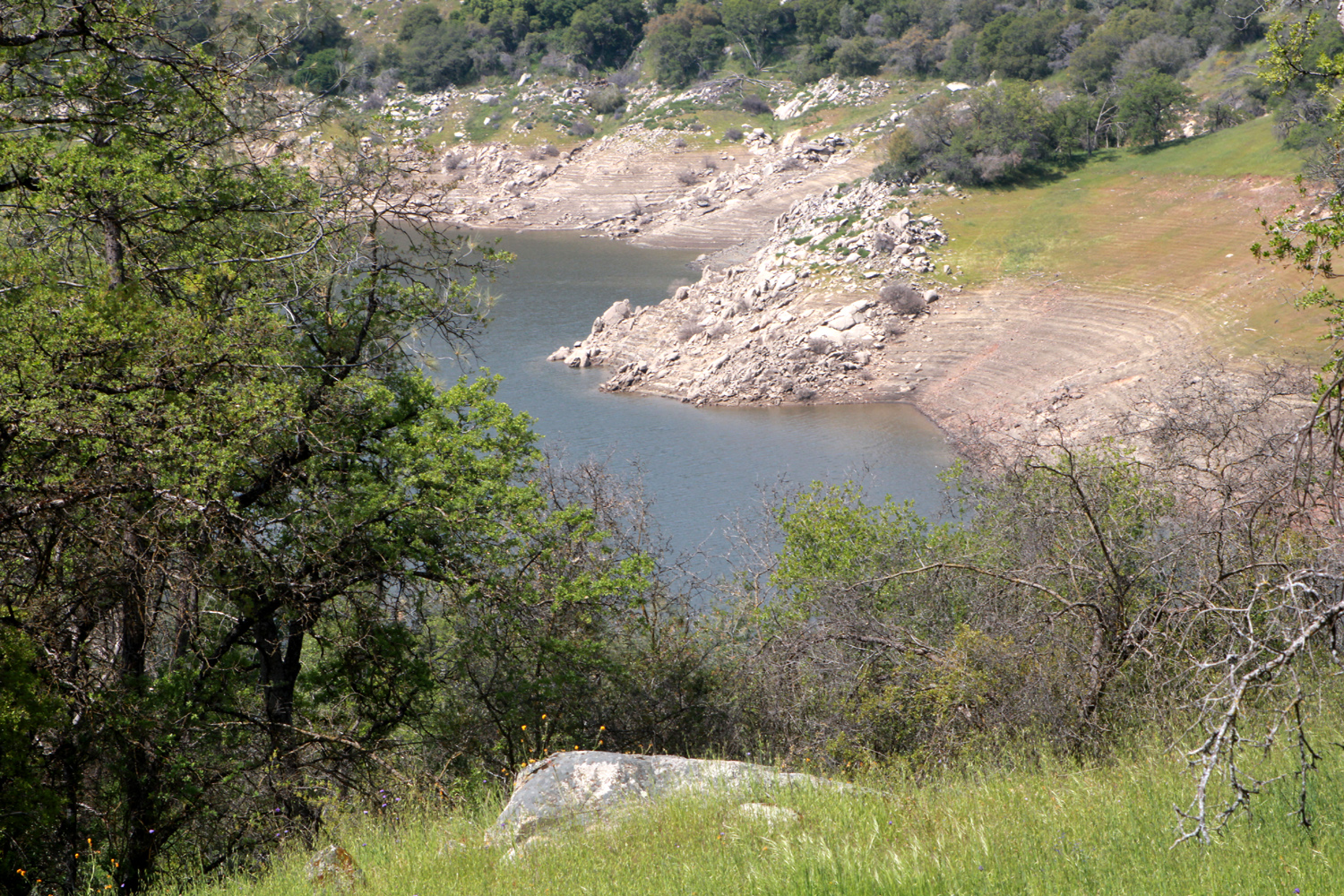
This facility is situated on a ridge that is actually the divide between Sycamore Creek and the main channel of the Kings River and lake. Where the camp road loops back around a hill, the ridge narrows, and there is an overgrown path out to the end, where the land drops off steeply down to the lake. We walked this trail, enjoying views of the lake on both sides of us, and taking note of the various flowers along the way. |
|
 |
 |
| Where the campground ridge drops down to the lake | Fiesta flowers and fiddlenecks make a nice color combination |
 |
 |
| Bird's eye gilia are thick everywhere in the foothills | Dove lupines and popcorn flowers |
|
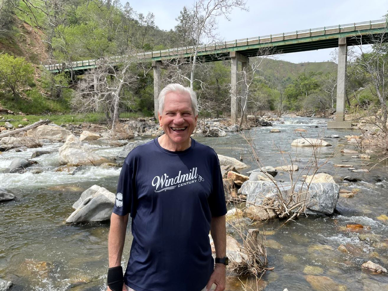
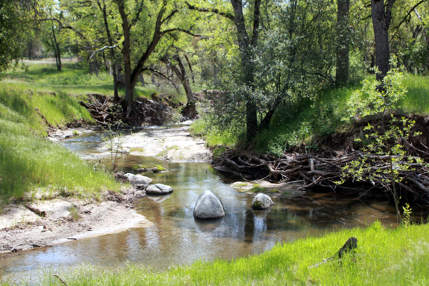
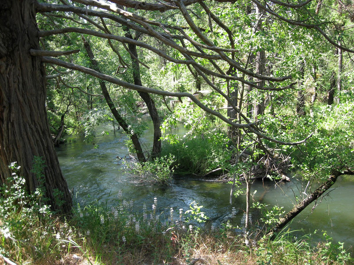
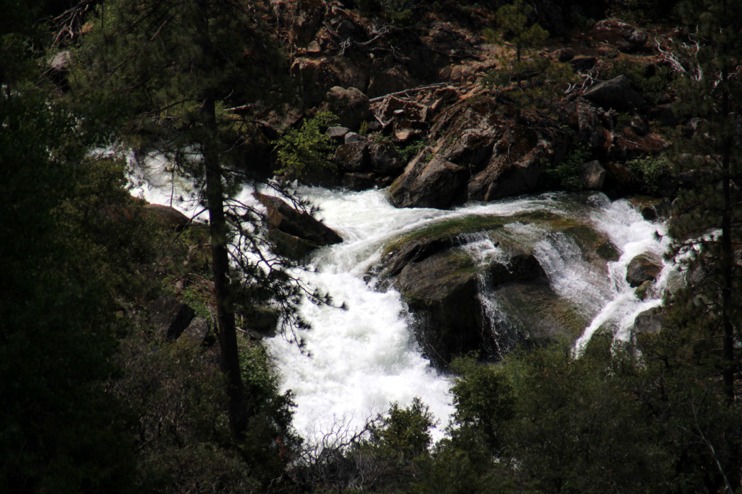
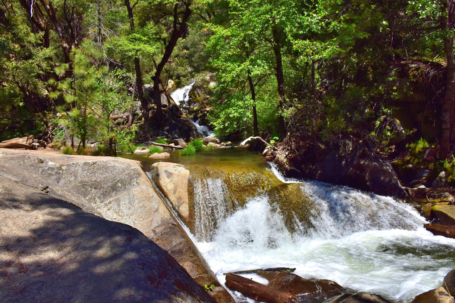
As we have done on most of our visits to this place, we drove up the road a few more miles to where Big Creek runs into the lake. We usually go a few hundred yards up the dirt road that parallels the creek to a nice flat spot where we can set up our chairs. Not surprisingly, this road was closed and we could see a slide that covered half the road just a few feet from the paved route. We drove across the bridge and parked by the road. Just below the road was a nice flat spot with views of the creek and everything else around, and we carefully walked down the rough track and established our lunch site there. This spot is about 30 or 40 feet above the creek, with a trail leading down, so Wes and Bruce made their way down to where they had a nice look at the bridge and the creek above it. |
|
 |
 |
| That's the Sycamore Creek branch of the lake on the right | Wes poses by the Big Creek bridge |
|
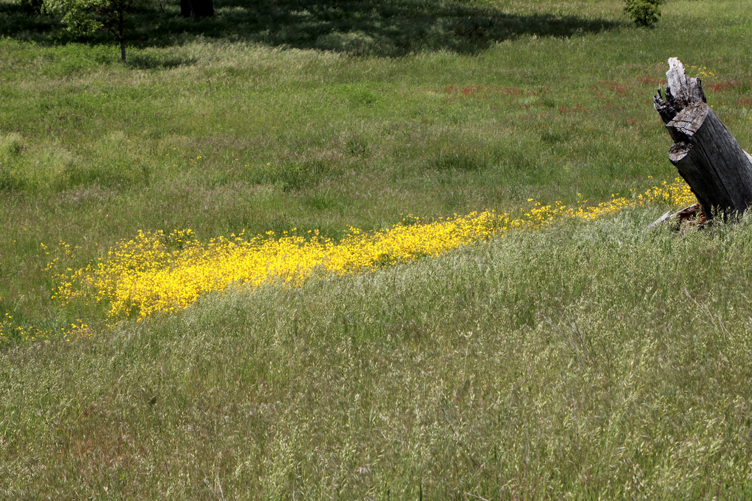
On the way home we made a stop where the road descends from the level of the lake's high water line to the river level below the dam. Along part of this route, where the descent starts, we are looking down into the valley of Hughes Creek and it's along this section that we usually see one of the more interesting spring wildflowers, Chinese houses. We were not disappointed, getting some good photos of a large stand of this intricate flower, growing as they often do on the road bank. We also found some variety of clover and the common madea, which lives up to its name by appearing in large numbers in a number of places along Trimmer Springs Road. |
|
 |
 |
| Looking down into the valley of Hughes Creek | Intricate and beautiful - Chinese houses |
 |
 |
| These colorful clover blossoms can be found in many foothill locations | Common madea are common every spring |
|
One final special event awaited us - during our drive home, we saw young bobcat run across the road and down the bank. This is at least the second, and maybe the third bobcat we've seen during Rambler hikes. Although our group was small, our enjoyment of the magnificence of the Sierra foothills was immense, and we all hoped we could make another visit to this area before the summer heat sets in, the grass turns brown, and the flowers go to seed. --Dick Estel, April 2023 |
|
| Ahwahnee
Hills
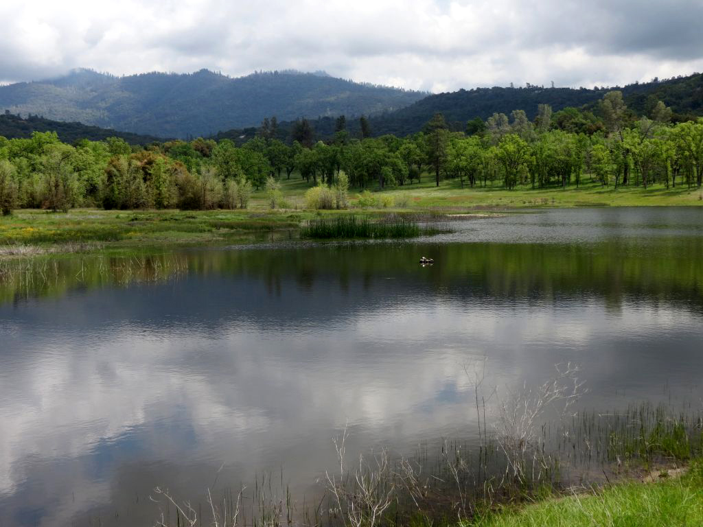
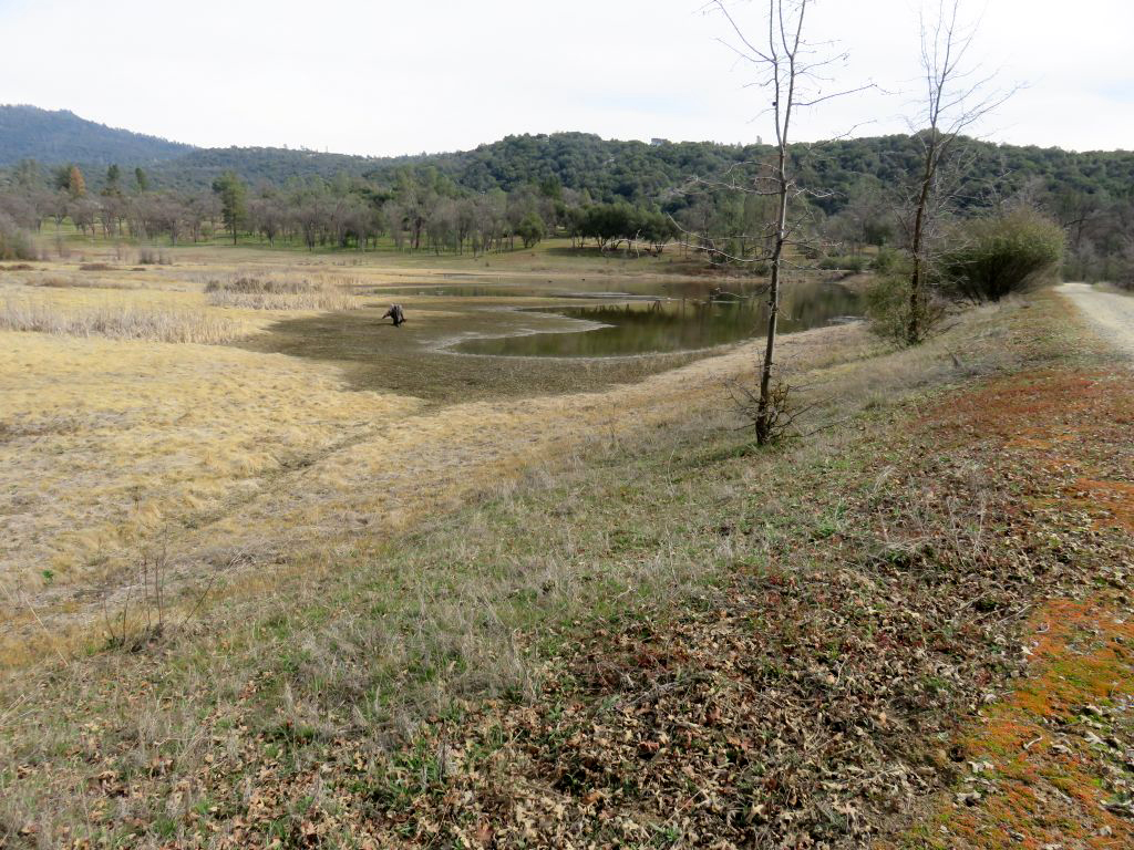
With spring weather drawing to a close, the Ramblers went once again to the Ahwahnee Hills Regional Park, a little above the 2,000 foot elevation level. It's a little higher than our usual spring hike locations, and the wildflowers bloom a little later. Our timing was close to perfect, with fluffy clouds in the sky and just enough breeze to make a light jacket comfortable. It was the fourth visit for the Ramblers, although I have hiked there several other times with family. The Ramblers' last visit was in March of 2022, and the difference caused by this year's heavy rains was stark - the pond had been nearly dry that time, and the grass was drying out. In 2023, everything was brilliant green, the pond was full to the brim, and the little creek had a good, strong flow. Below one of the bridges the sand glittered with specs of mica, sometimes called Fool's Gold. |
|
 |
 |
| The pond is full to overflowing | This little creek was still alive with spring runoff |
|
We were a small but select group. Sue Wirt and I drove up from the valley, while Susan and Andy Crandall of Mariposa met us at the park. They join us whenever our destination is in their general direction, and they have hiked with us on three of our four hikes at Ahwahnee. |
|
 |
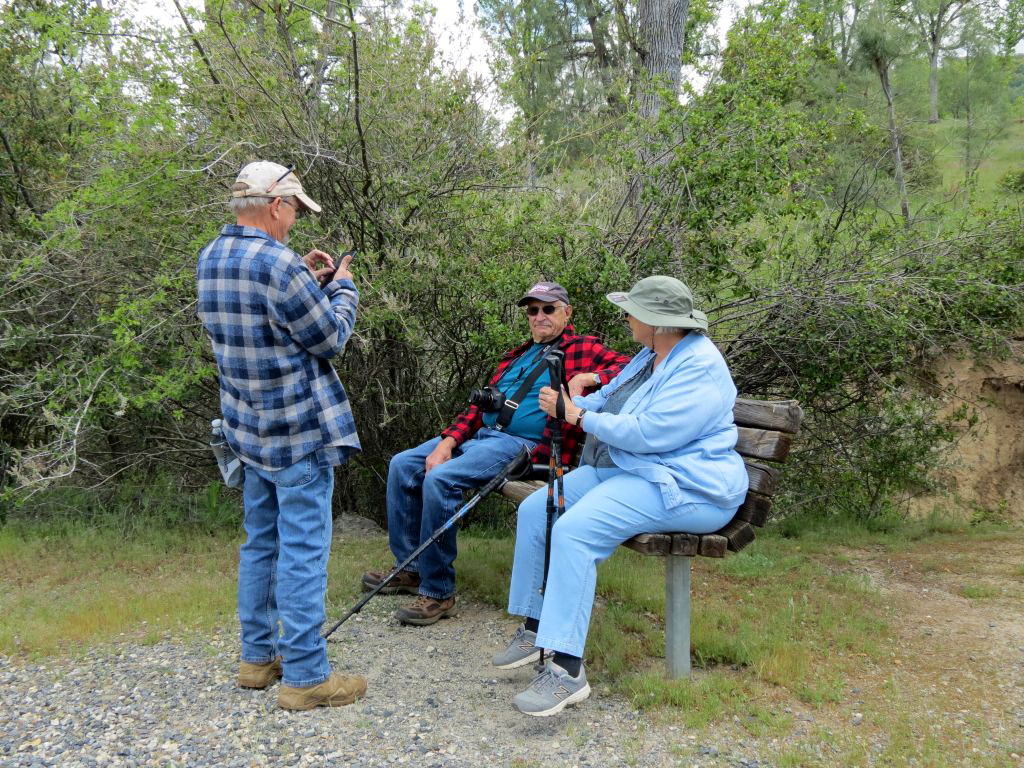 |
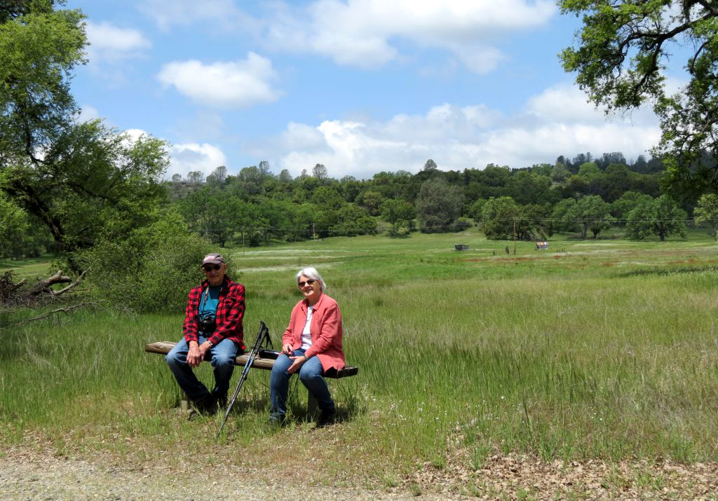
| Susan on the trail | Dick and
Sue take advantage of one of many resting benches while Andy works his phone |
|
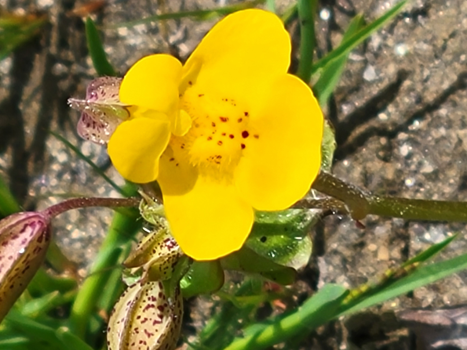
The wildflowers were not particularly thick, but there were some nice patches of what we believe were monkey flower, and some popcorn flowers, lupines, and even a few poppies. One interesting discovery was a few bachelor buttons. We suspect they had been planted when the area was a TB sanitarium, and had gone wild. The most common "plants" were the beautiful valley oaks which dominate the eastern side of the park and tower above the thick green grass near the creek. |
|
 |
 |
| Monkey flower | Bachelor button, once domestic, now wild |
 |
 |
| Stately valley oak at the edge of a meadow | More oaks, shading an area thick with tall grass |
|
After our hike, we finished the day enjoying lunch at the Hitchin' Post, a nice restaurant about a quarter of a mile from the park entrance. I believe it's not only Ahwahnee's best, but Ahwahnee's only dining location. Although it was nice and cool that day, the forecast and the normal progression of spring to summer tells us we need to start looking for higher elevations for our next hike. --Dick Estel, May 2023 |
|
| Lewis
Creek
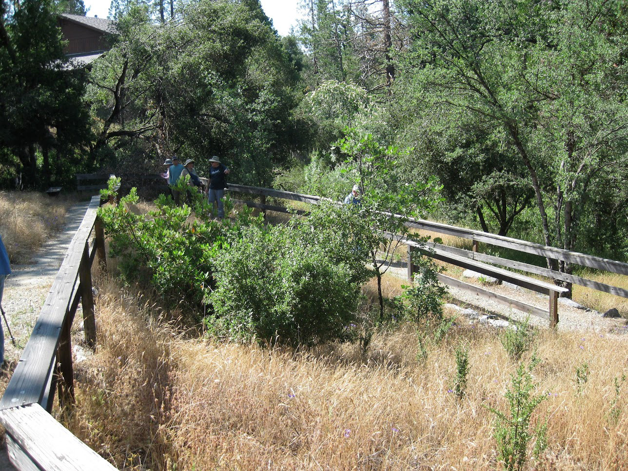
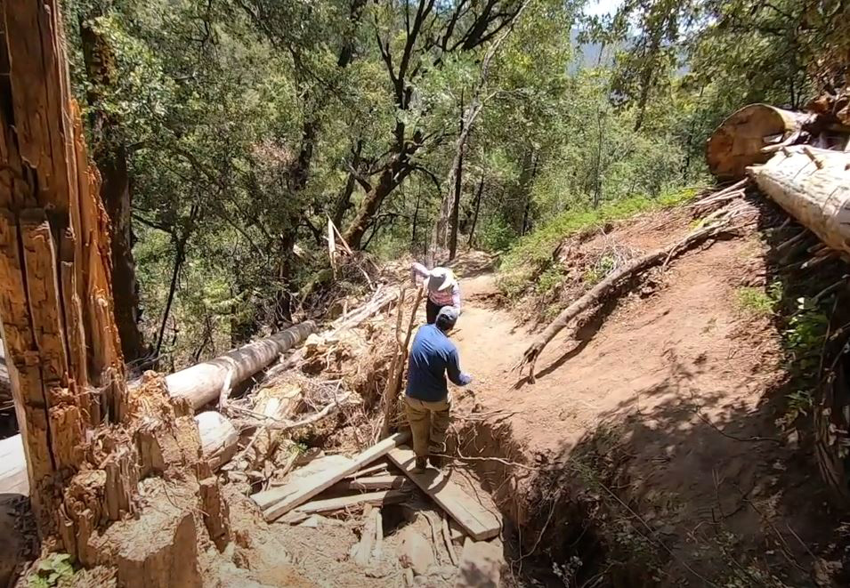
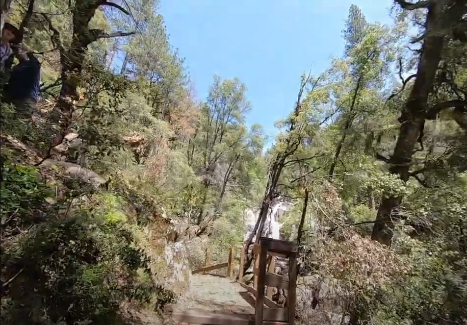
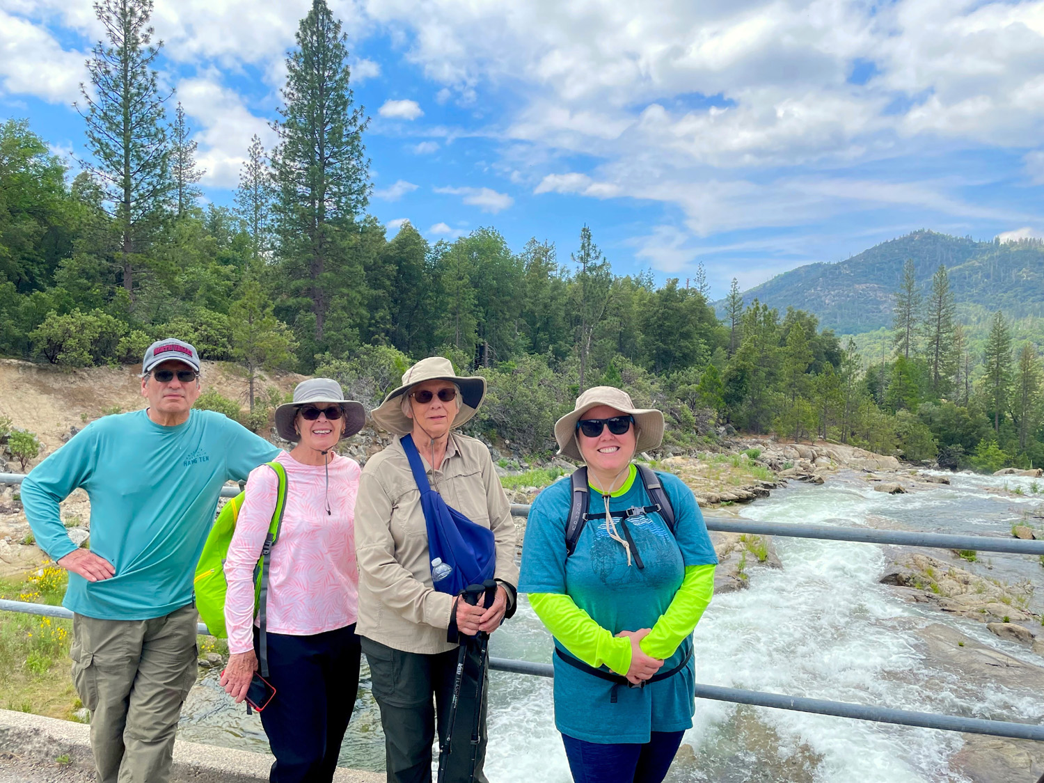
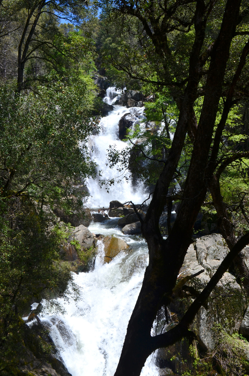
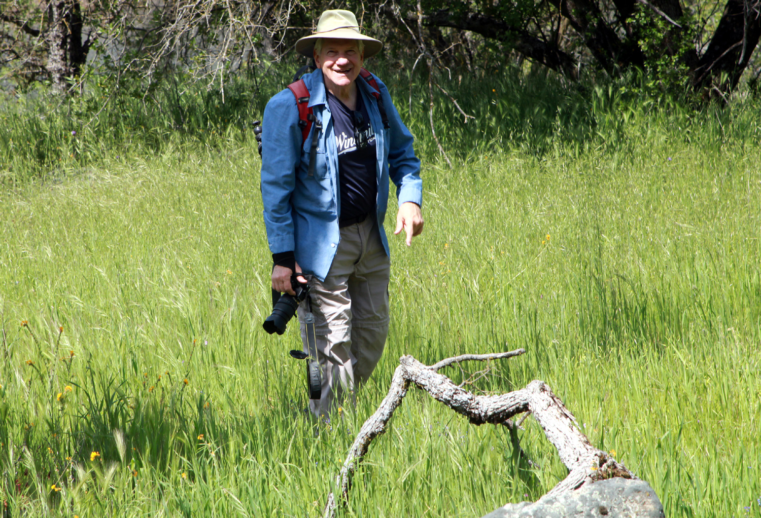
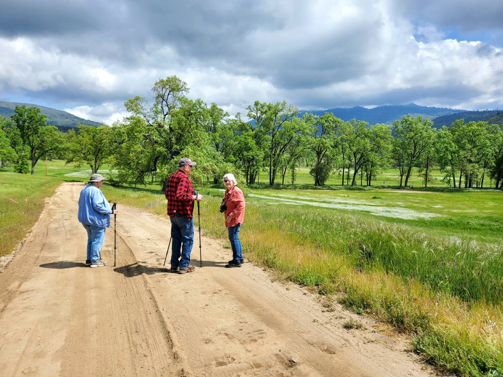
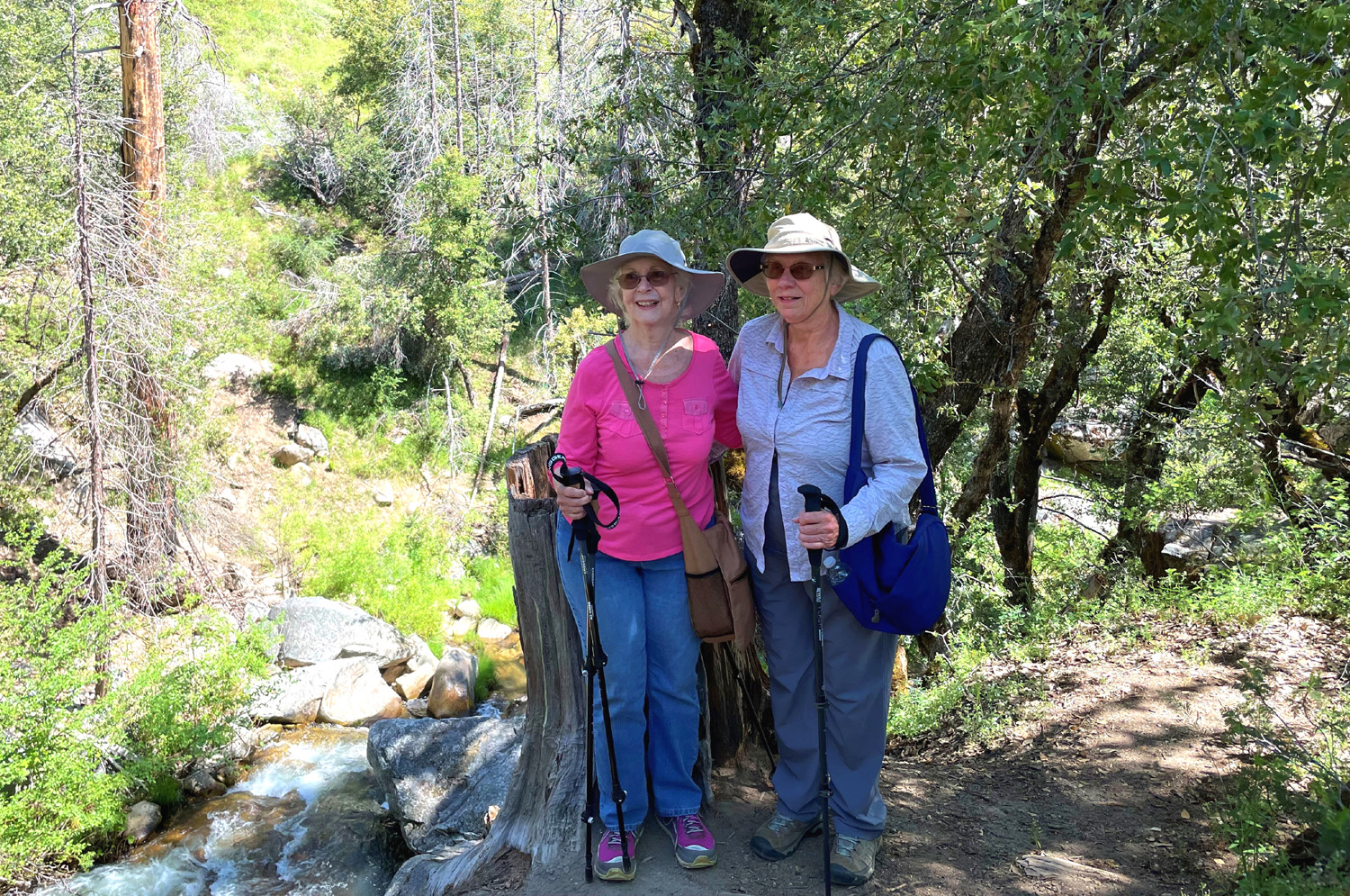
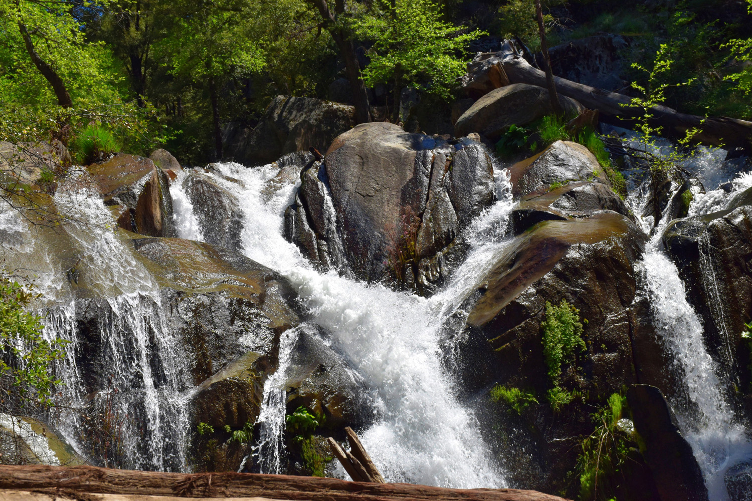
When hiking, even if you can't go where you planned, you can still go somewhere. This was the fate of the Ramblers on May 24 with our planned outing on the Lewis Creek Trail. This trail goes from Cedar Valley, about a mile from Highway 41 above Oakhurst, to Sugar Pine, about a mile from Highway 41 farther up the road. However, most people go in at a trailhead right off the highway about seven miles past Oakhurst. A few hundred yards down the trail you can take the right fork, which goes down to a viewing platform below Corlieu Falls and beyond to Cedar Valley, or left to a bridge across Lewis Creek, then upstream along the creek to Red Rock Falls and Sugar Pine. OK, now convert everything I just said to past tense, and you will know about our hike. We were a lucky group of seven - Jackie, Don, Wes, Bruce, Susan, Dick and Ardyss. We planned to hike upstream, but the bridge had washed out and the creek is much too strong for sensible people to try to cross on a log or rocks. (Read about the strange history of this bridge here, here and here.) No problem, we'll just go downstream and see the magnificent display of Corlieu Falls. This part of the trail becomes very steep, but we were sort of undaunted - until we arrived at a place where there was a washout in the trail ten feet across and shoulder deep. Wes, Bruce and Susan decided to brave the gap, either climbing down into it, or going above it, both options too difficult for Jackie, Ardyss and me. Don does not actually hike, but went on the first part of our exploration to the missing bridge, then relaxed at the parking lot. |
|
 |
 |
| Corlieu Falls drops in a series of cascades | Bruce & Susan brave the big washout |
 |
 |
| What's left of the viewing platform | Wes, Bruce, Dick, Jackie, Ardyss, Don, Susan |
|
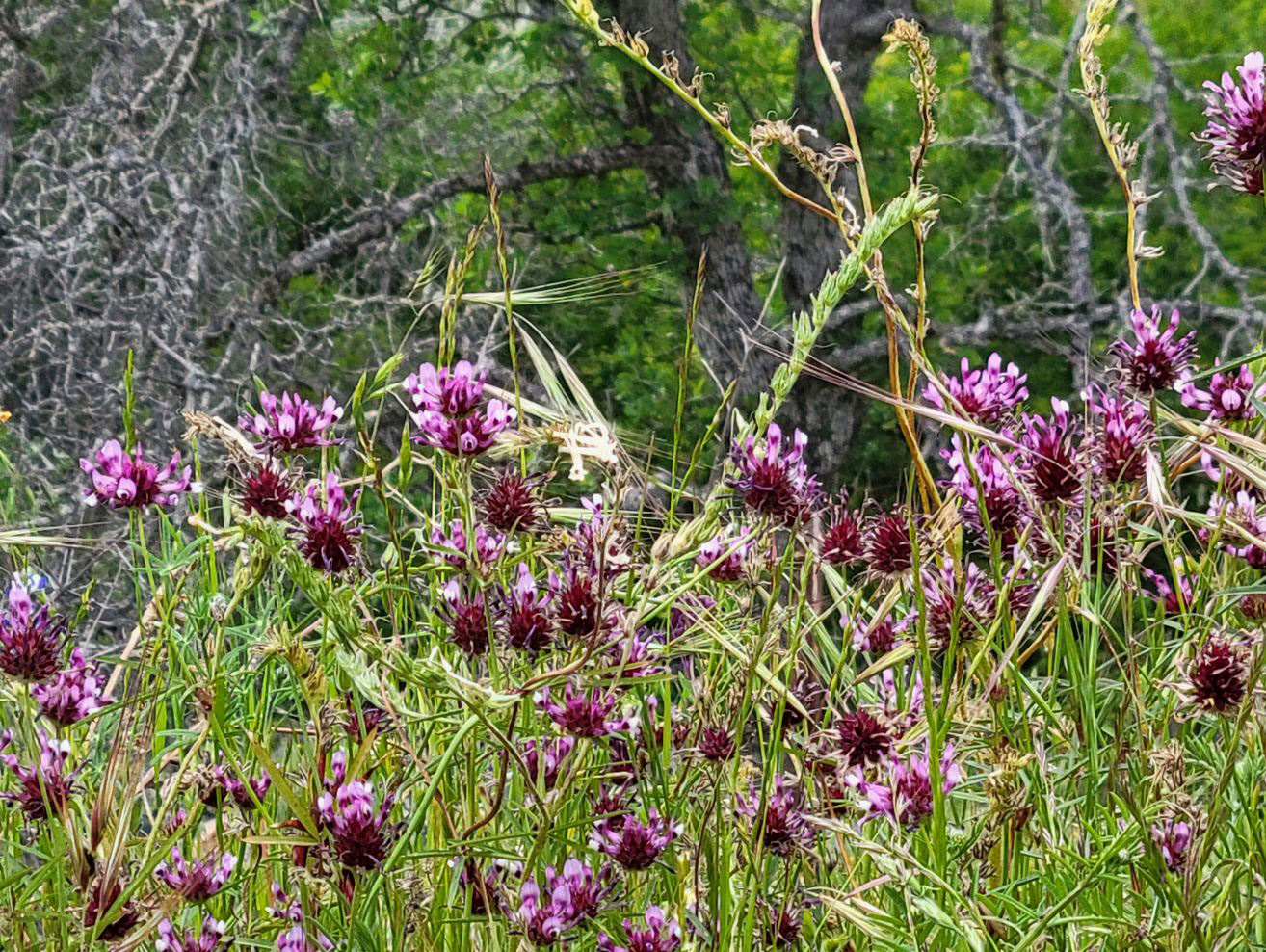
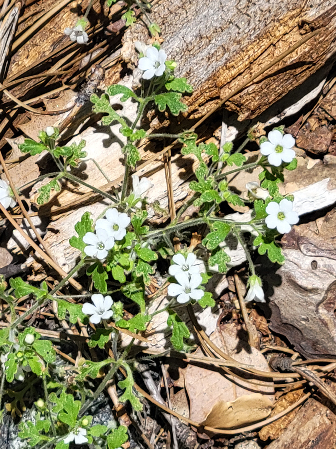
When they made their way down to the falls, our intrepid explorers discovered that falling trees had destroyed the viewing platform. They got some nice photos anyway, and went down to where the trail levels out. They also found that the trail was in even worse condition near the bottom. Meanwhile Jackie, Ardyss and I made our way slowly back up, stopping to photograph some of the nice mountain wildflowers that decorated the trail. The record rain this winter has been good for the flowers and grass, but soil has washed out around rocks in the trail, making it difficult most of the way and dangerous in a few spot. |
|
 |
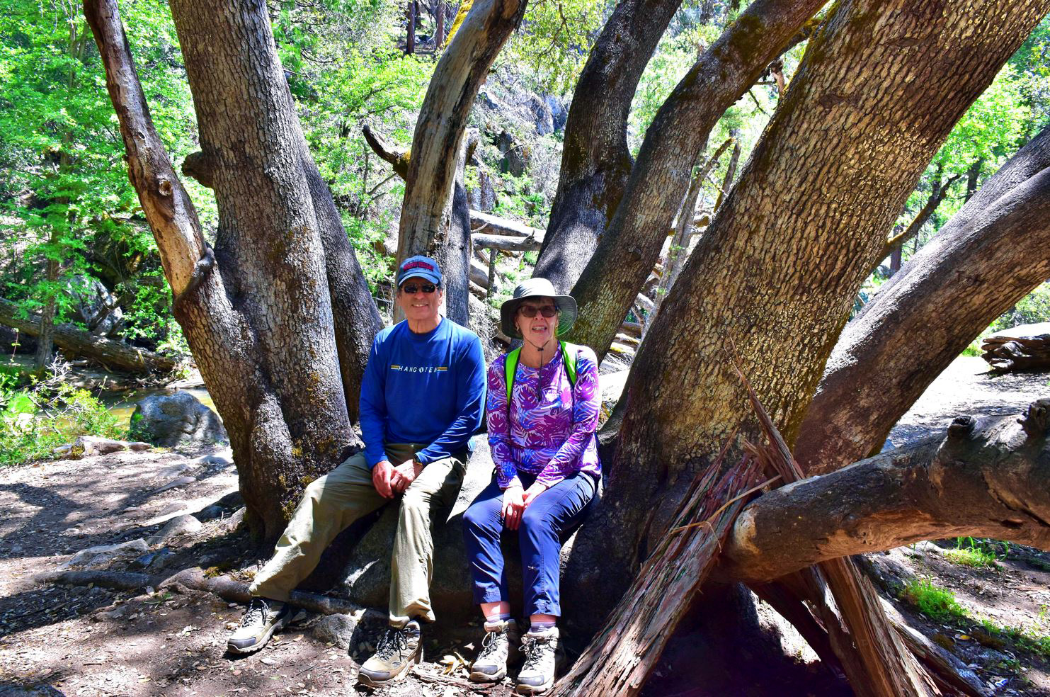 |
| Bruce at the base of the falls | Bruce & Susan resting in a big canyon live oak |
 |
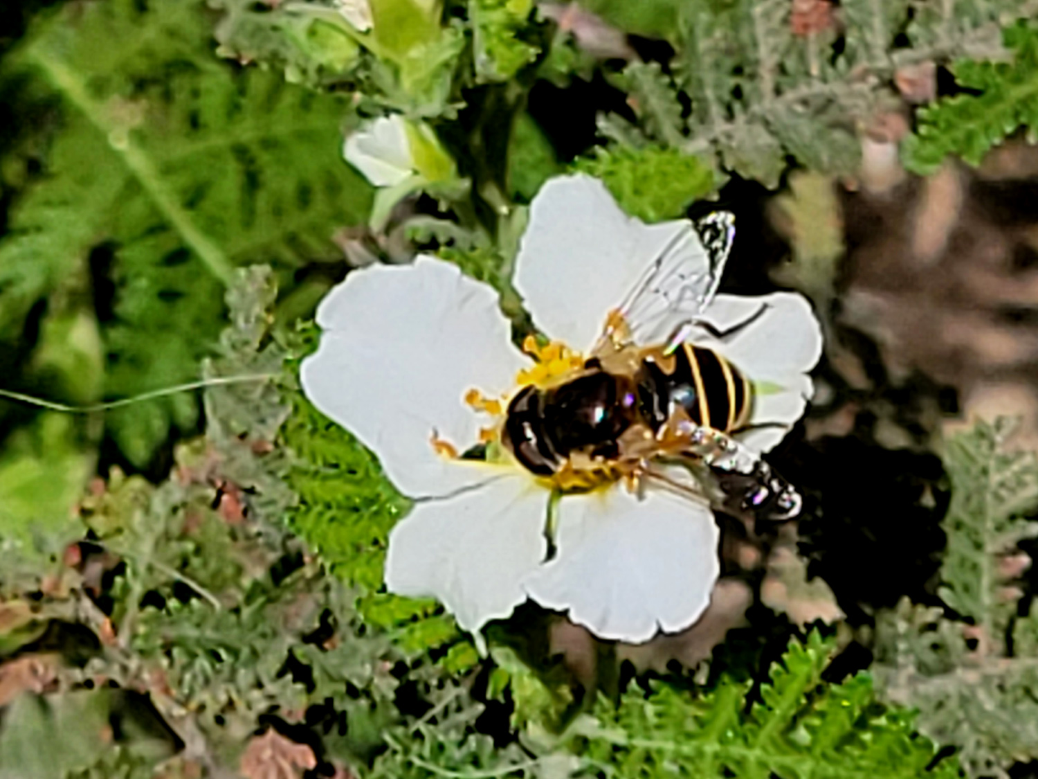 |
| Indian pink | Bee in a bear clover blossom |
 |
|
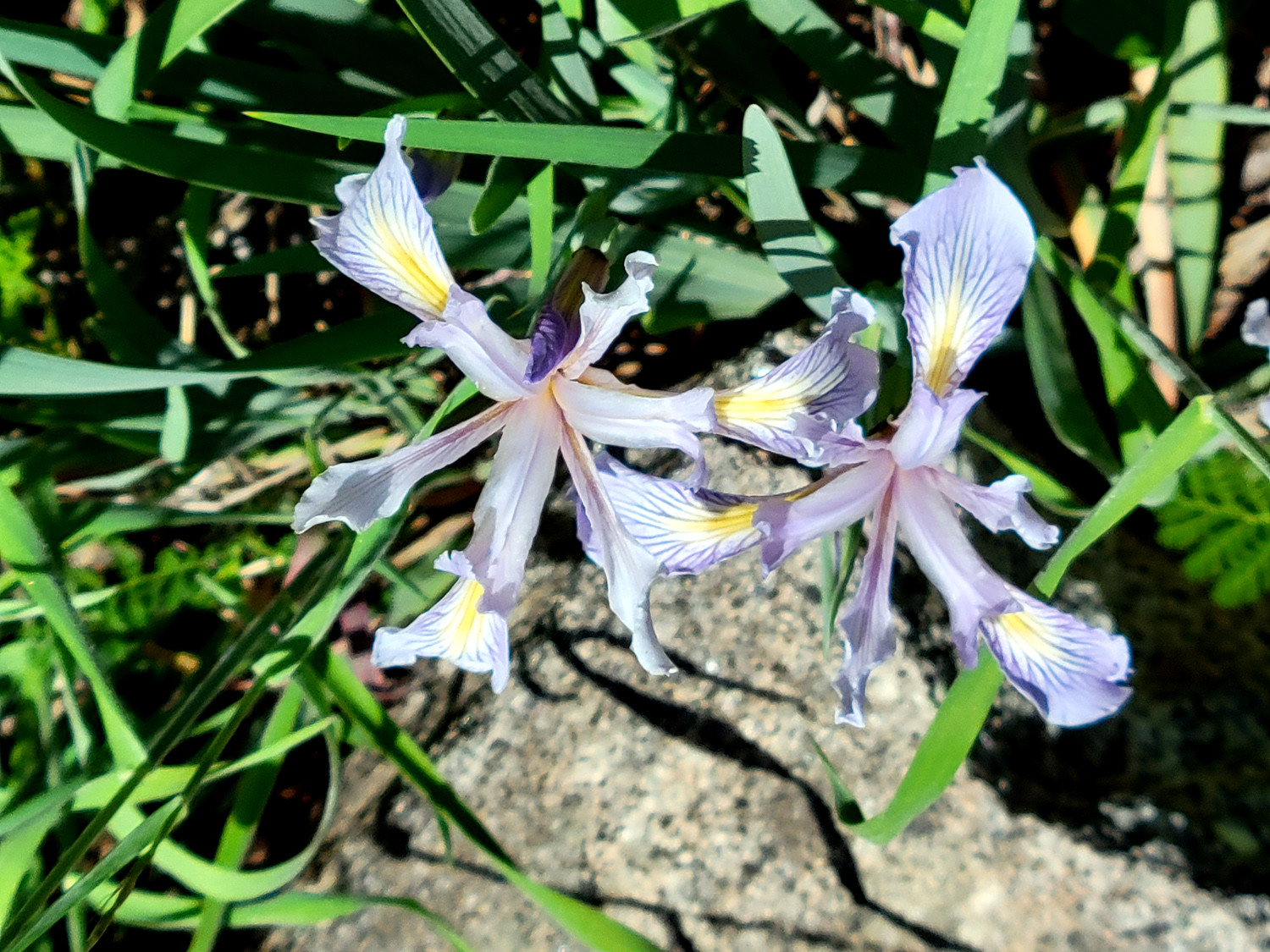
| Wild iris | These unknown blossoms are less than an inch across |
|
Despite the problems, we enjoyed the day. The weather was comfortable, we enjoyed the advantages of forest bathing, and finished the day with a great Mexican lunch at El Cid in Oakhurst. Join us in person or virtually for our next hike, which we promise will be on much flatter ground. --Dick Estel, May 2023 |
|
| North
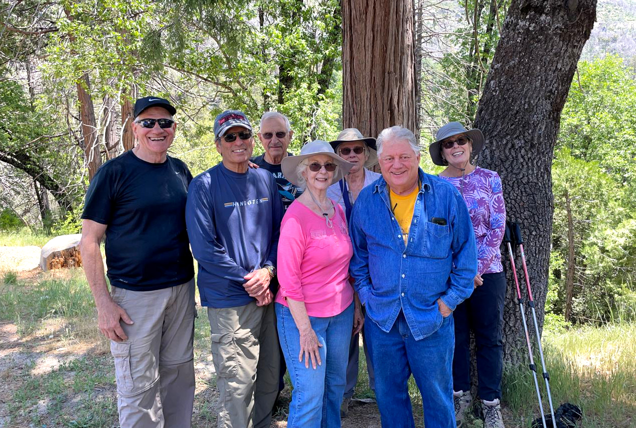
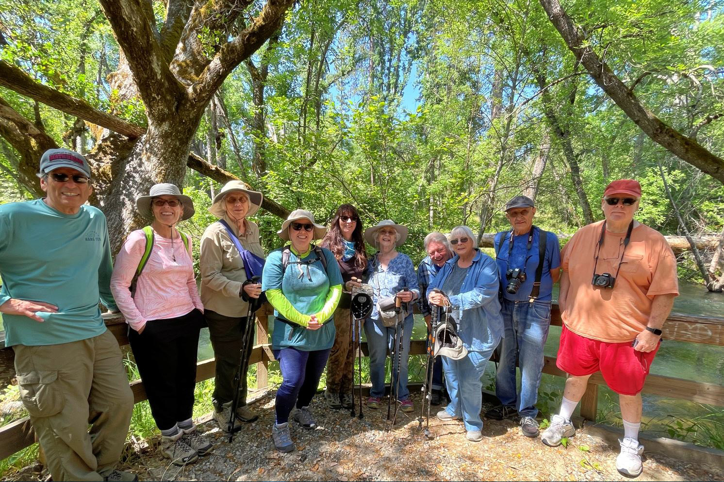
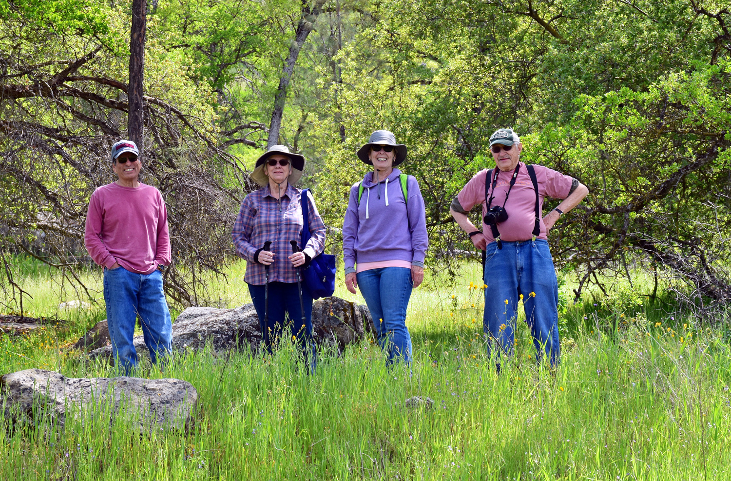
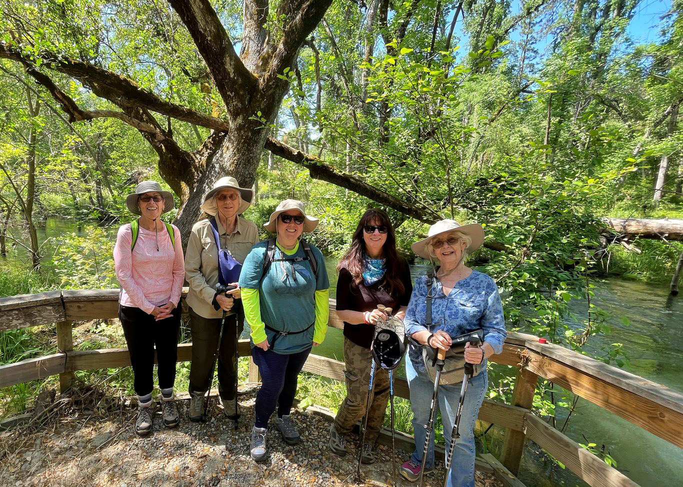
Fork and Bass Lake Dam (Photos by Wes, Dave and Dick) As the weather warms up, some wild animals and all Ramblers head for higher elevations. Having made our way up to 2,000 feet and then 3,000 on our last two hikes, it was time to reach the 4,000 foot level. On June 13 we did just that, first starting with a brief hike a little lower down at 2,600. We had a record number of hikers, eleven in all: Wes Thiessen, Don McClellan, Bruce & Susan Vasquez, Sue Wirt, Ardyss Webster, Dick Estel, Jackie Taggart, our daughter Jennifer Neely, Dave Smith, and his daughter Megan. We met first in North Fork, a small Sierra village about 20 miles off Highway 41. It was once a major logging town, and is the headquarters of the North Fork Rancheria of Mono Indians. It also has a ranger station, where a short trail goes through the cedars and oaks, and follows Willow Creek. Unfortunately, our harsh winter brought down many trees, blocking the trail in places and breaking the rail fencing that gives it extra character. We walked where we could, a little more than eight tenths of a mile. Despite these issues, there were lots of flowers, the creek was running full, and we enjoyed our outing. |
|
 |
 |
| Bruce,
Susan, Ardyss, Megan, Jennifer, Jackie, Don, Sue, Dick, Dave (Click for group photo with Susan out and Wes in) |
Flowers by the creek |
 |
 |
| Trees along the trail | Willow Creek |
|
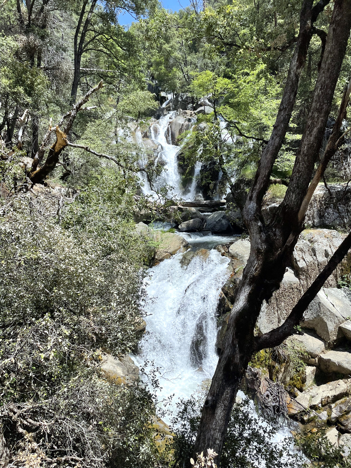
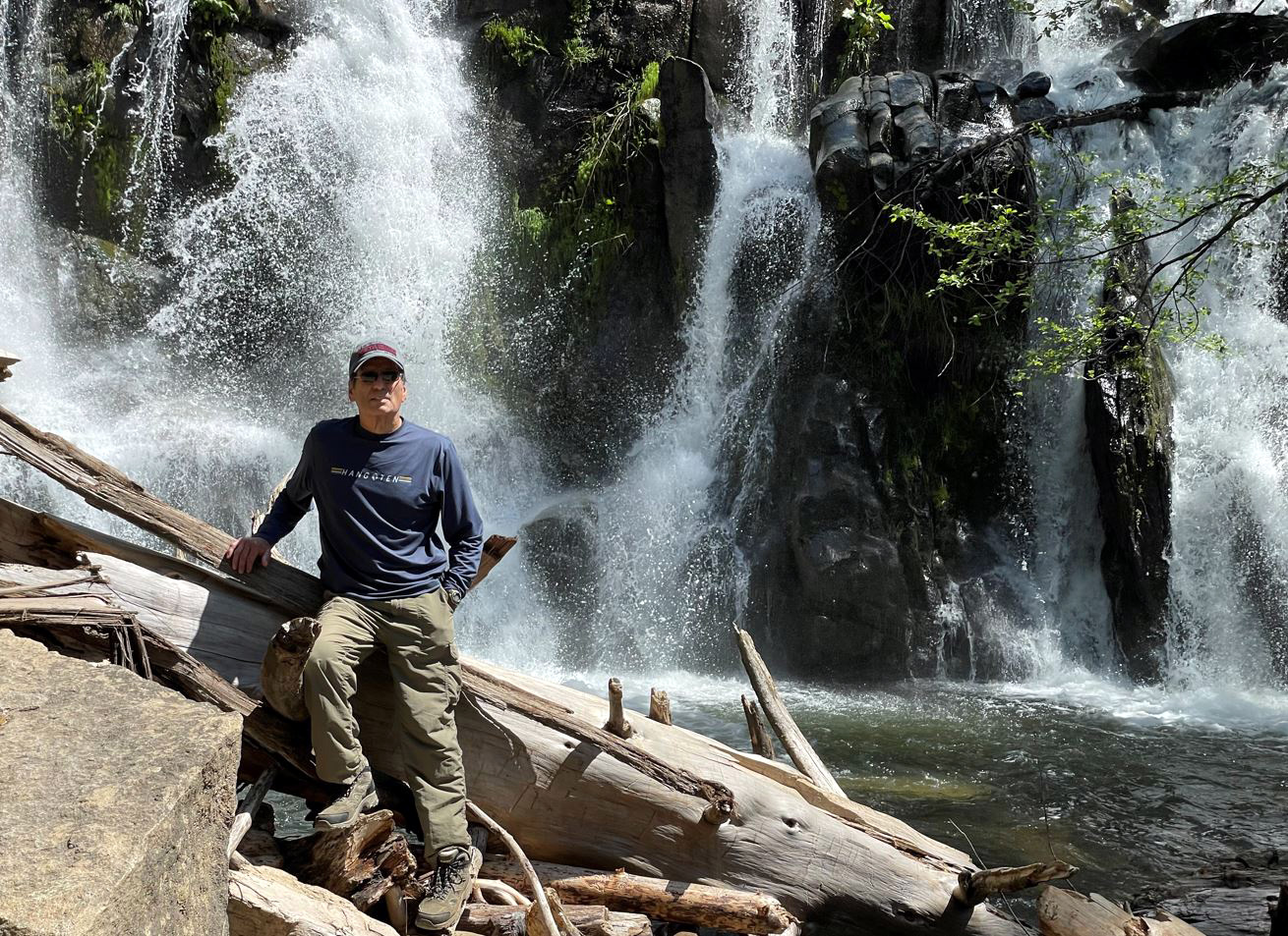
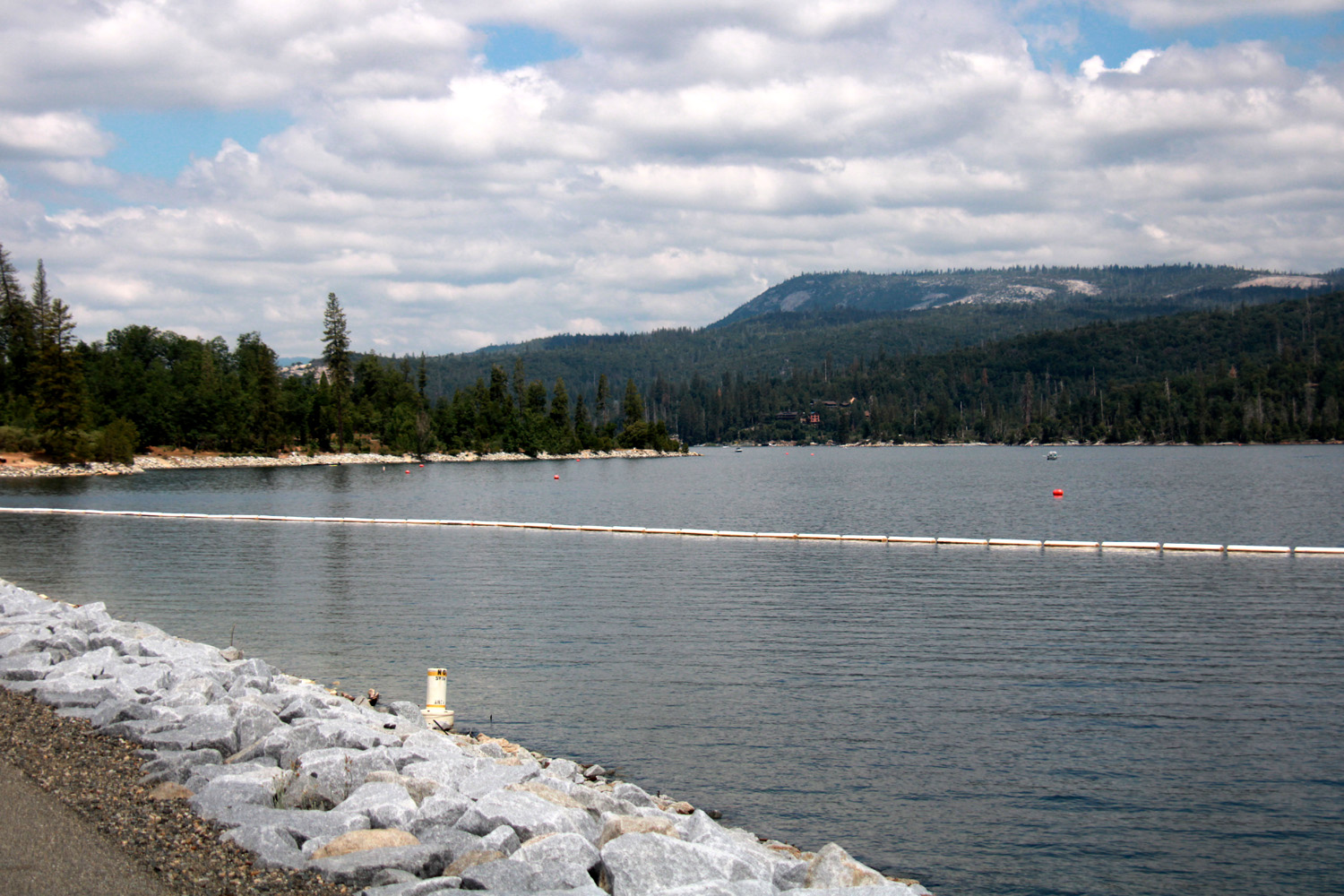
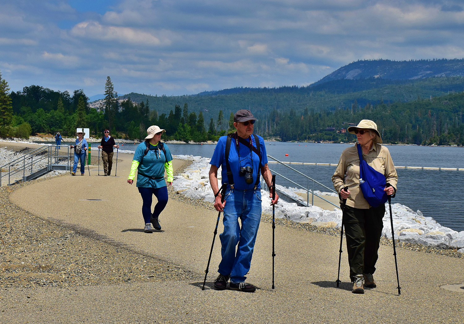
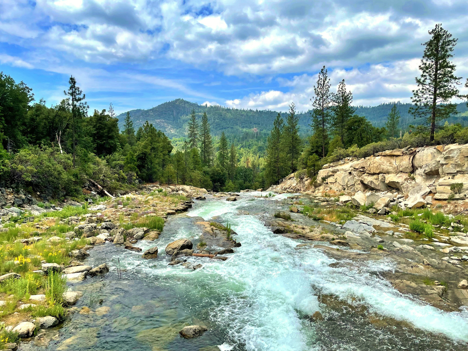
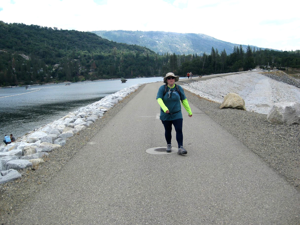
We then drove a short distance up Road 222 and parked at the Bass Lake Dam. A road goes across the dam and into the woods beyond. It's closed to public vehicle traffic, but makes for a good hike, with beautiful views of the lake on one side, and Willow Creek cascading down below the spillway. Our walk there was just under a mile and two tenths. |
|
 |
 |
| Bass Lake from the dam | Spillway cascade |
 |
 |
| Ramblers on the dam | Bruce, Susan, Ardyss and Megan |
|
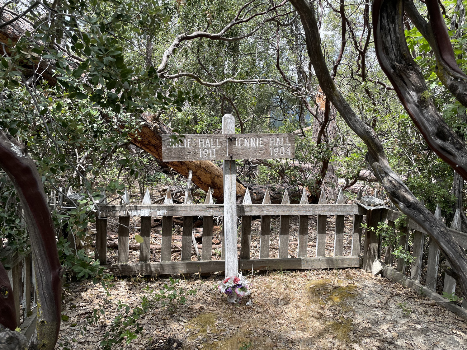
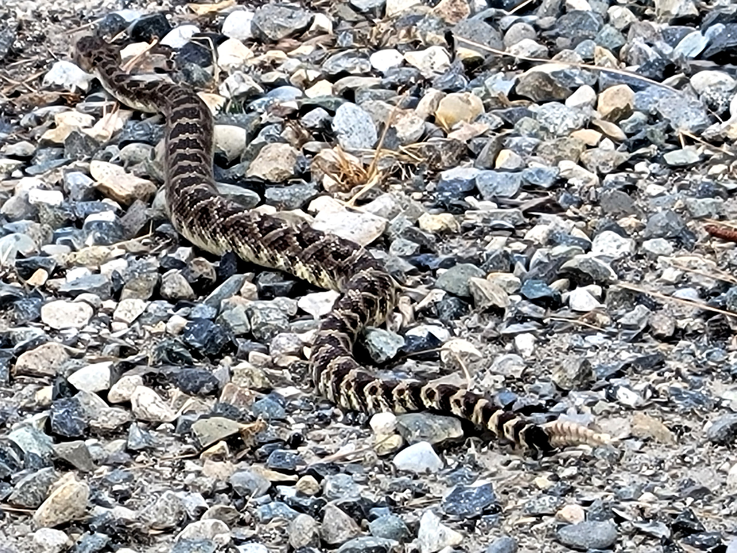
As is usual with large groups, we drifted into several smaller knots of hikers, so I don't know exactly what some of us did. Most of the group walked all the way across the dam and on to the bridge over the spillway, and then a short distance beyond. About 100 yards past the bridge, a path leads down a short distance to where two Native American women, mother and daughter, are buried. Their dates of death are listed, but their birth dates are unknown, and our research did not yield any more information. Jackie, Jennifer and I had lagged behind the rest of the group, and as we started back across the dam, we were fortunate to see a good size rattlesnake make his way across our path. He was very focused on his own business, ignoring us and neither speeding up nor slowing down as he reached the edge of the road and disappeared down the bank. |
|
 |
 |
| A tiny, two-person cemetery | A handsome three-footer |
|
Dave and Megan had a mid-afternoon obligation back in Fresno, so they were unable to join us for lunch. Jennifer, an Oakhurst resident for many years, led us over the mountains between the lake and town on a road that reached Highway 41 right at our destination, a new barbecue place that Jennifer had wanted to try. Unfortunately it was closed on Tuesdays, so we went to South Gate Brewing, a place I've been to a couple of times. It was jammed to overflowing, and a peaceful lunch seemed impossible, so we went to our old favorite, El Cid, the number one Mexican restaurant in the foothills. The lunch was excellent as usual, and it was fun having a larger group than usual. We've had cooler than usual weather so far, rarely over 90 degrees, but no one thinks that can continue, so in July we will be heading to a hike up at the 7,000 foot level. It's to a waterfall, which should be spectacular after this winter's massive rains. --Dick Estel, June 2023 |
|

| Photos (Click to enlarge; pictures open in new window) | ||
| Sycamore Wildlife Area Ahwahnee Hills Lewis Creek North Fork & Bass Lake | ||
| Sycamore Wildlife Area | ||
 |
 |
 |
| The Fantastic Four | Bruce by Big Creek | Wes goes on one of his off-trail explorations |
|
 |
 |
| Yellow-throated gilia | Sierra Star | Yellow brodiaea, sometimes called pretty face |
| Ahwahnee
Hills (Photos by Susan, Andy & Dick) |
||
 |
 |
 |
| A lonely poppy patch | Brown seed stalks tell us this is dock | Dove lupines were among the species we saw |
 |
|
|
| A splash of yellow monkey flowers | Late season popcorn flowers | View across the pond |
 |
 |
 |
| This
tree has been left high and dry by erosion of the stream bank |
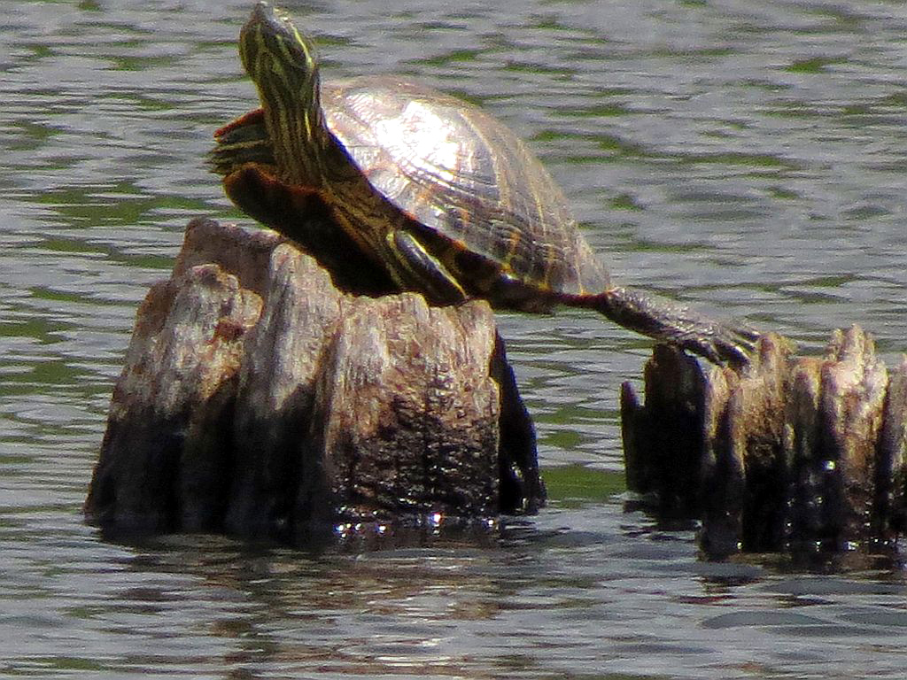
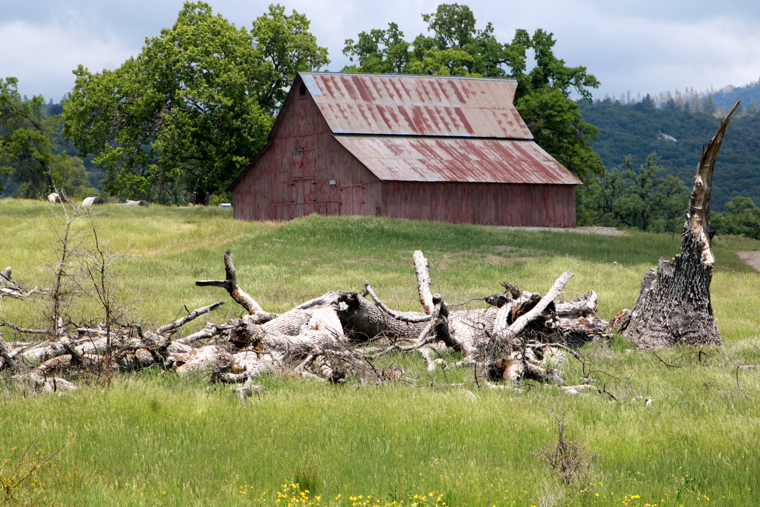
One of our favorite sights, turtles in the pond | The old barn, viewed across a long-dead oak |
 |
 |
 |
| Sue, Dick and Susan | Dick and Susan, resting again | Dick and Sue on the trail |
| Lewis Creek | ||
 |
 |
 |
| Don enjoying his short walk | Jackie and Ardyss | Wes in the forest |
 |
|
 |
| Cascade on the falls | Below the falls | These quarter-inch blossoms are "unidentified" |
| North
Fork & Bass Lake (Photos by Wes, Dave and Dick) |
||
 |
 |
|
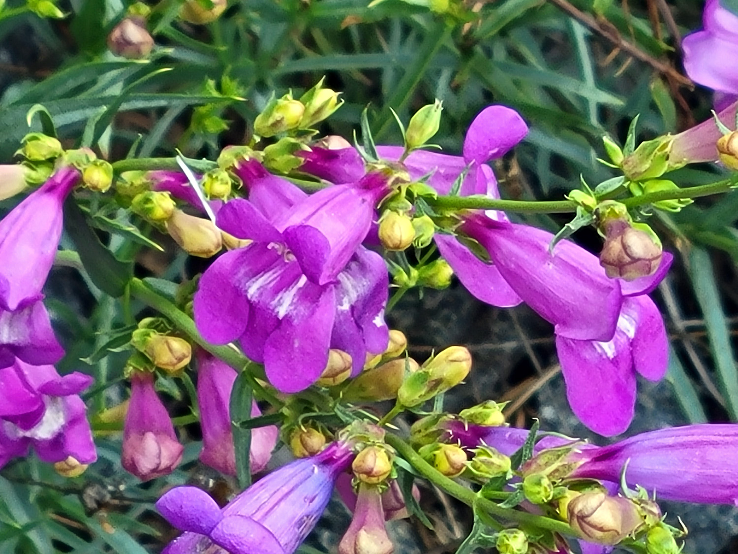
| Athurial's Spear | A lovely unknown | Penstemon |
 |
 |
 |
| Sue takes a break | Most of
the ladies: Susan, Ardyss, Megan, Jennifer, Jackie |
The spillway from the dam |
|
 |
 |
| Start of the trail in North Fork | Wes in his element | Megan finishing up the hike |
| Related Links | ||
| Bald Eagle Nesting Data | Pine Flat Reservoir | Wes's Sycamore Video |
| Mica | Fools' Gold | Ahwahnee Hills |
| Bachelor Buttons | Hitchin' Post | Red Rock Falls |
| Lewis Creek Trail | Corlieu Falls | Forest Bathing |
| El Cid | Lewis Creek Video | Lewis Creek Wanderer Video |
| Dave's North Fork & Bass Lake Photos | Willow Creek Video | North Fork Rancheria of Mono Indians |
| North Fork Lumber Mill | Bass Lake | Bass Lake Spillway Video |