
|
2021 Rambler Hikes Page 1 |
|
|
Rambler Hikes 2017 Rambler Hikes 2018 Rambler Hikes 2019 Rambler Hikes 2020 2021 Page 2 |
|
|
Kaweah Oaks Preserve San Joaquin Gorge Wawona Meadow Trail Big Stump Loop Trail Pine Logging Mill & McKinley Grove |
|
|
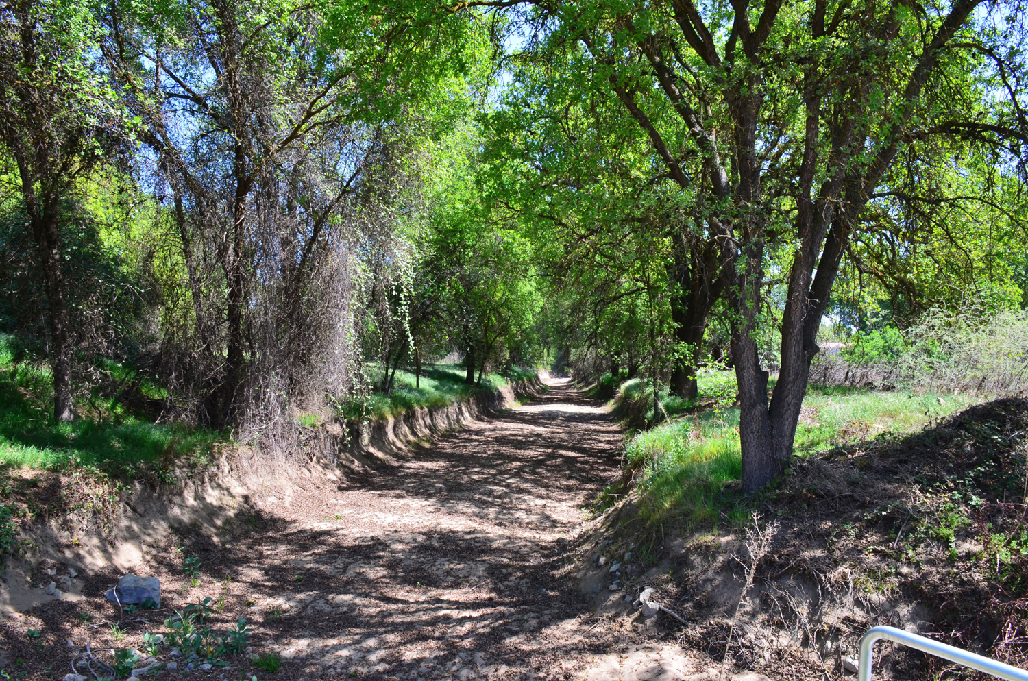
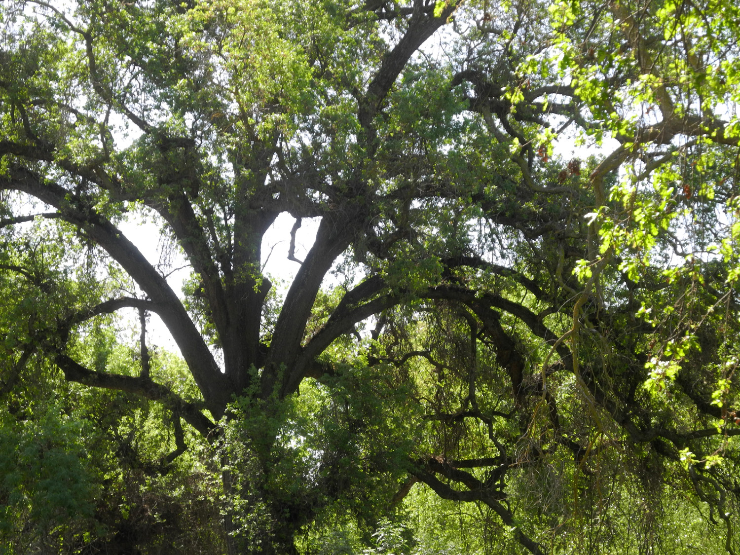
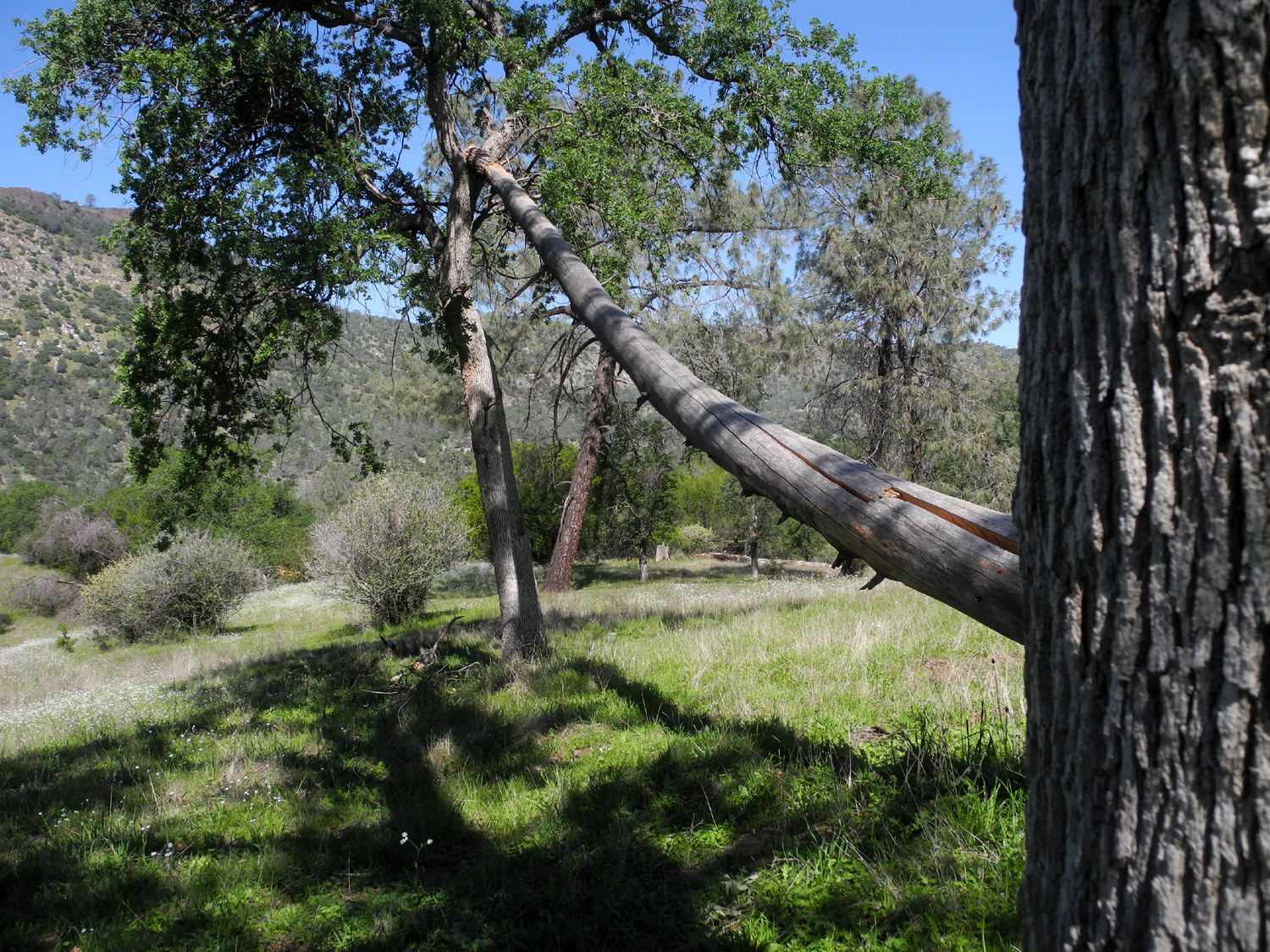
Kaweah Oaks Preserve After logging just two hikes in 2020, the Ramblers have been itching to get back on the trail, and we resumed our activities on April 6 with a visit to Kaweah Oaks Preserve, a short distance from Visalia. Prior to being converted to agriculture, the San Joaquin Valley was a land of marshes, lakes, rivers that flooded every few years, and countless acres of valley oaks. These magnificent trees now exist in scattered individual specimens, plus a few areas of an acre or two up to a few hundred acres, preserved and protected. Kaweah Oaks is one of these, lying about eight miles east of Visalia just north of State Highway 198. Sloughs and canals provide water, controlled by small dams and water gates. |
|
 |
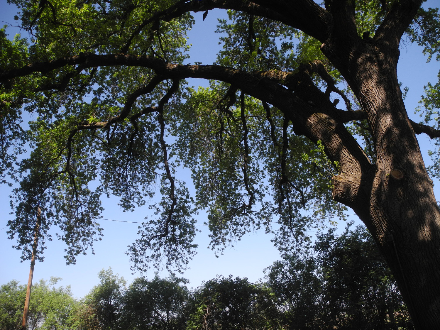 |
| A deeply worn trail | Valley oak hangs over the trail |
|
The Ramblers had stopped at the parking lot here for a quick look after our hike in the Dry Creek Preserve, a few miles east into the foothills, in February of 2020. That was our last hike before everything shut down, but we didn't know it at the time, and we vowed to return and hike through the oaks. We had no idea it would be 15 months before that happened, but on a sunny Tuesday Wes, Ardyss, Allen and Dick drove separately to the trailhead and headed into the woods. |
|
 |
 |
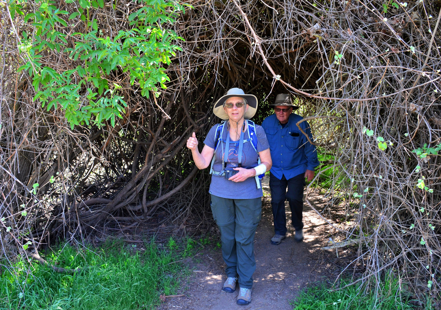
| Ardyss and Allen emerge from a "tree tunnel" | Wes heads into the woods |
|
|
|
|
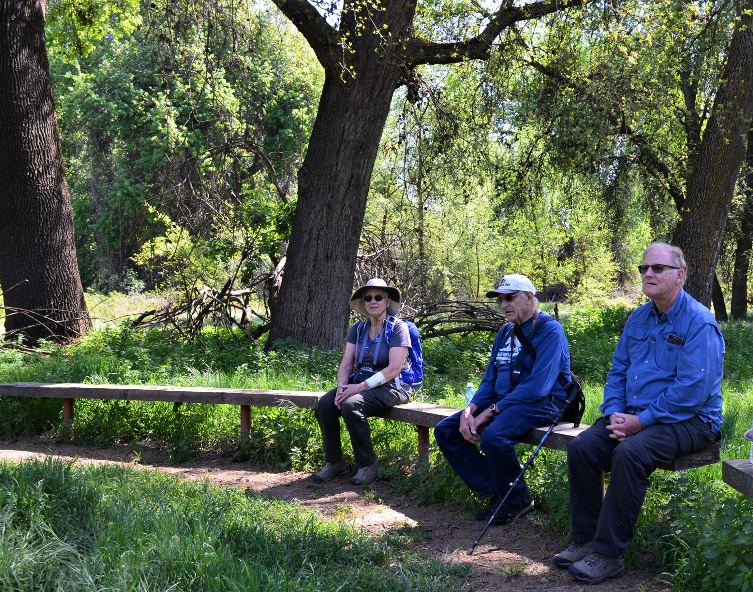
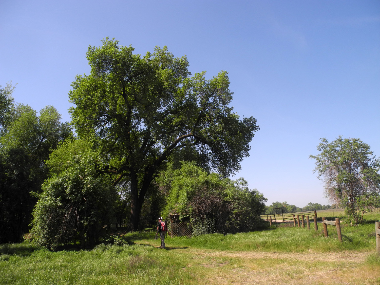
There are a number of named trails in the preserve, that branch off in various places and form loops, and I think we walked on at least four of them. North of the section we were in is a wide open space, with another grove and more trails beyond, but we did not venture that far. Wandering around the section we were in gave us a two-mile hike. At the end we sat on benches in the shade at the start of the trail and enjoyed our lunch. Hopefully we can soon get back to the tradition of eating in a restaurant after our hikes. |
|
 |
 |
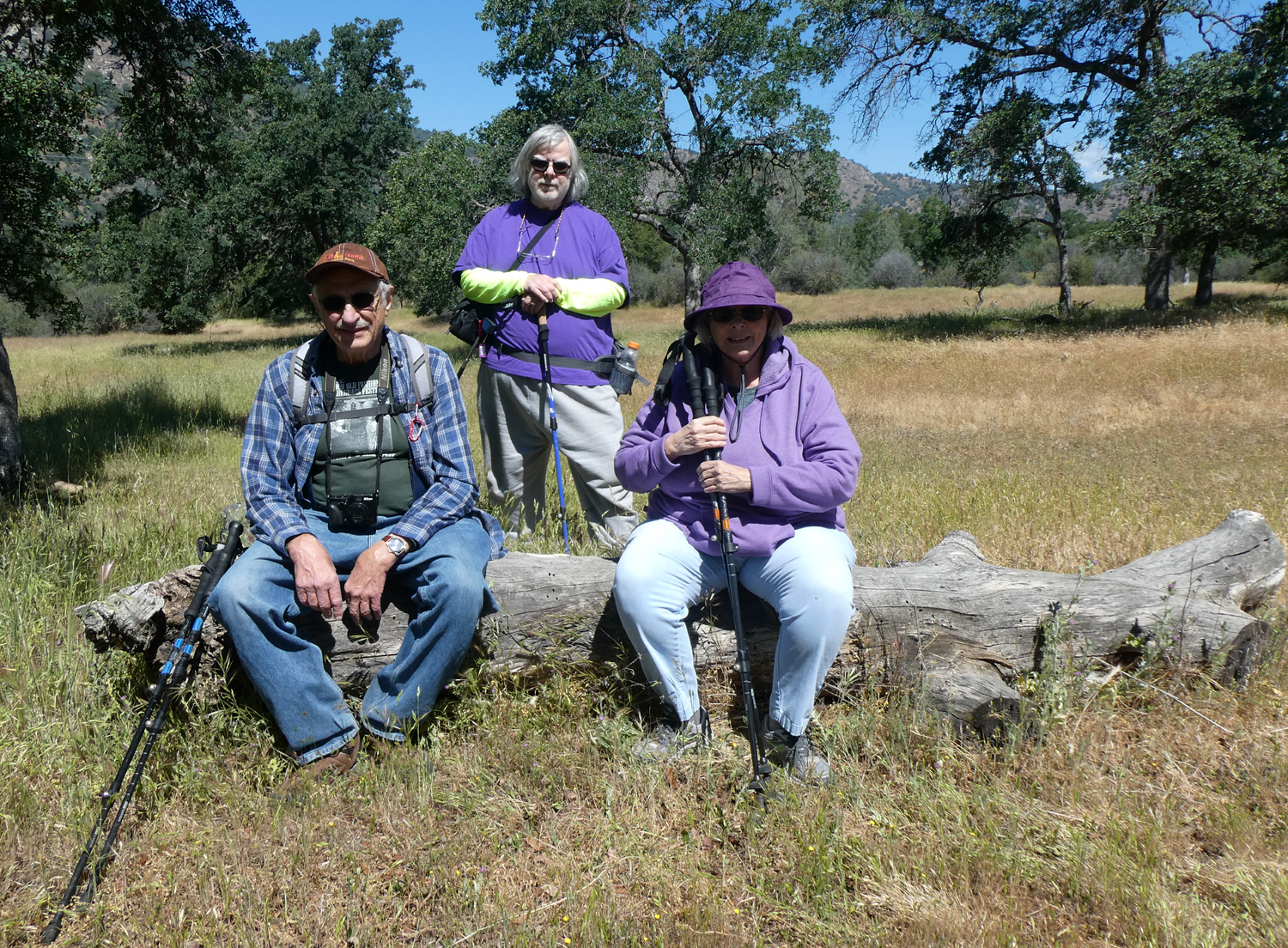
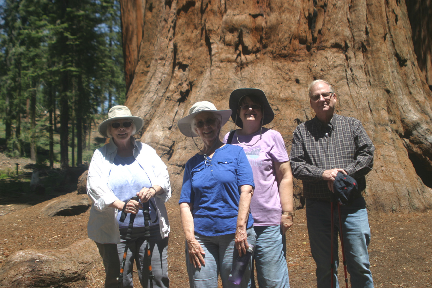
| The largest oaks are hundreds of years old | The Ramblers: Allen, Ardyss, Dick and Wes |
|
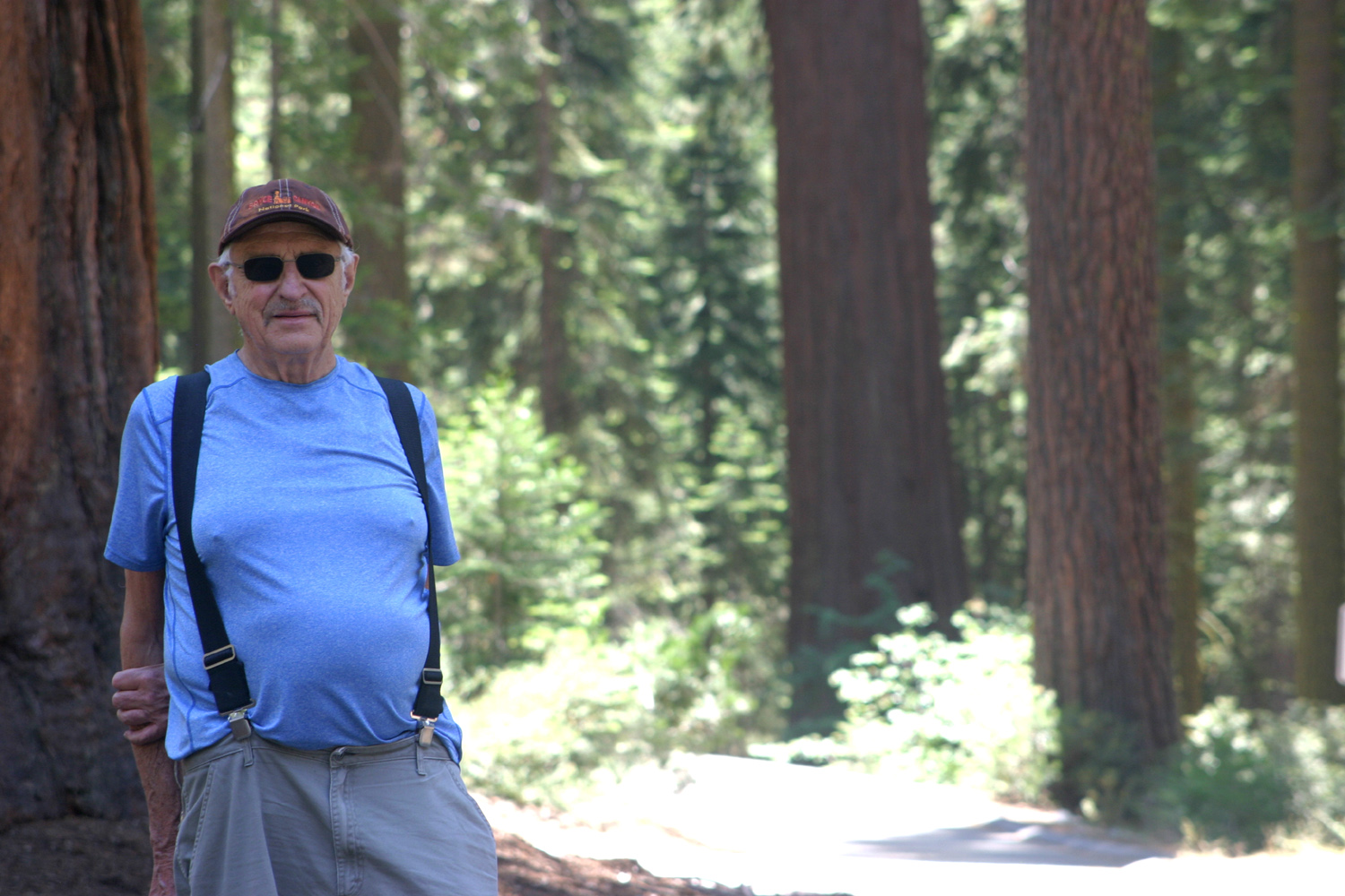
As usual, we close with Wes's post-hike summary: The Ramblers are back! After a year of "lock down" we have returned to the foothills and mountains of Central California. Sue selected the first hike at the Kaweah Oak Preserve which is located along Highway 198 between Visalia and Exeter. Since this hike is on the valley floor, it's best to do it in early spring. Unfortunately, Sue was called for jury duty and unable to attend. Four of us drove separately to the Preserve to enjoy these beautiful valley oaks. Ardyss read the stats on this Preserve which indicated there are 18 different hiking trails. We hiked four of those trails with a total mileage of just a little over two miles. We had so much fun it's hard to wait for our next hike. Dick has arranged for us to return to the San Joaquin River Gorge for one of the last springtime hikes in the area. Come join us. Blessings, Wes & Dick, April 2021 |
|
| San
Joaquin River Gorge
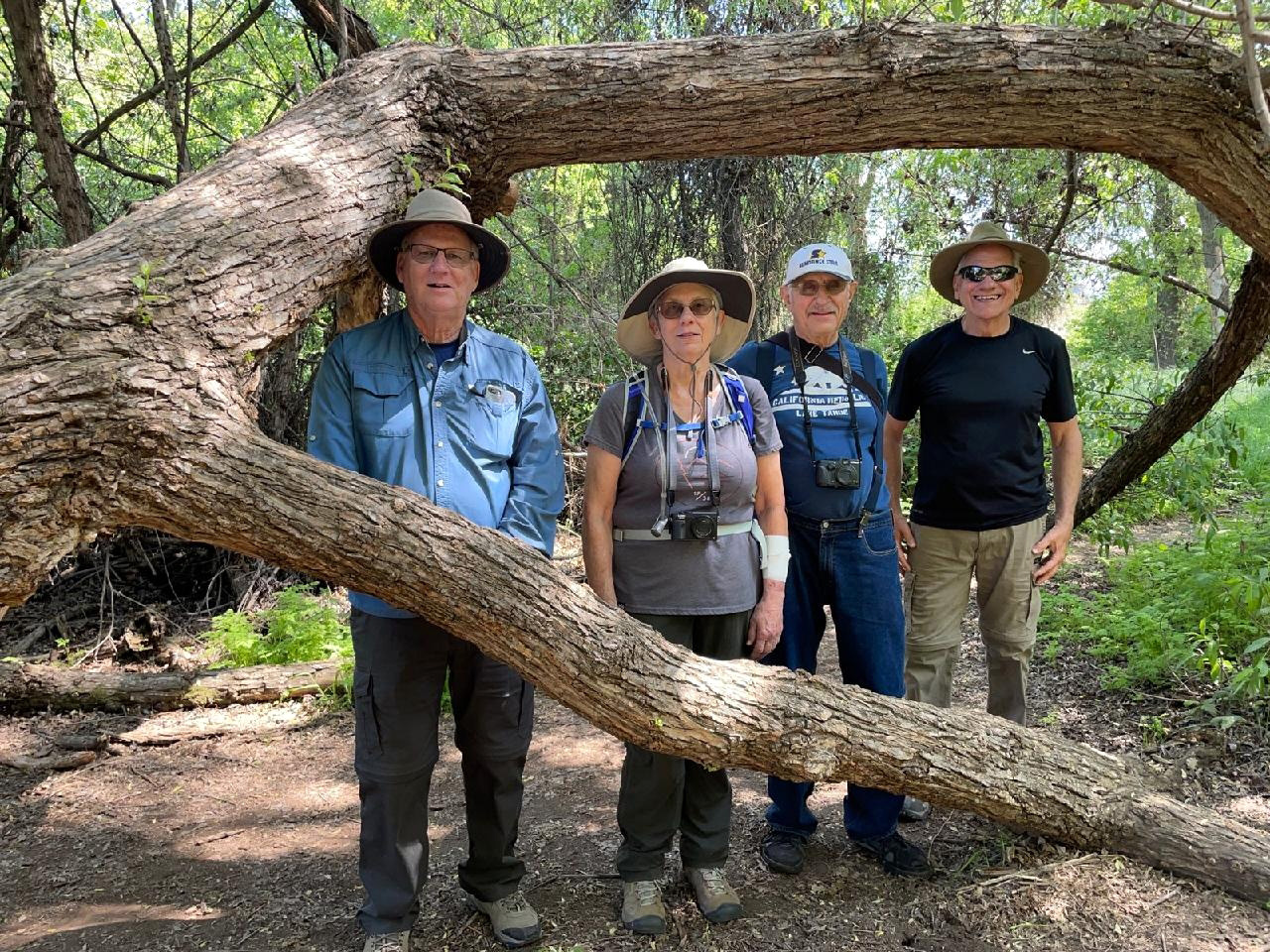
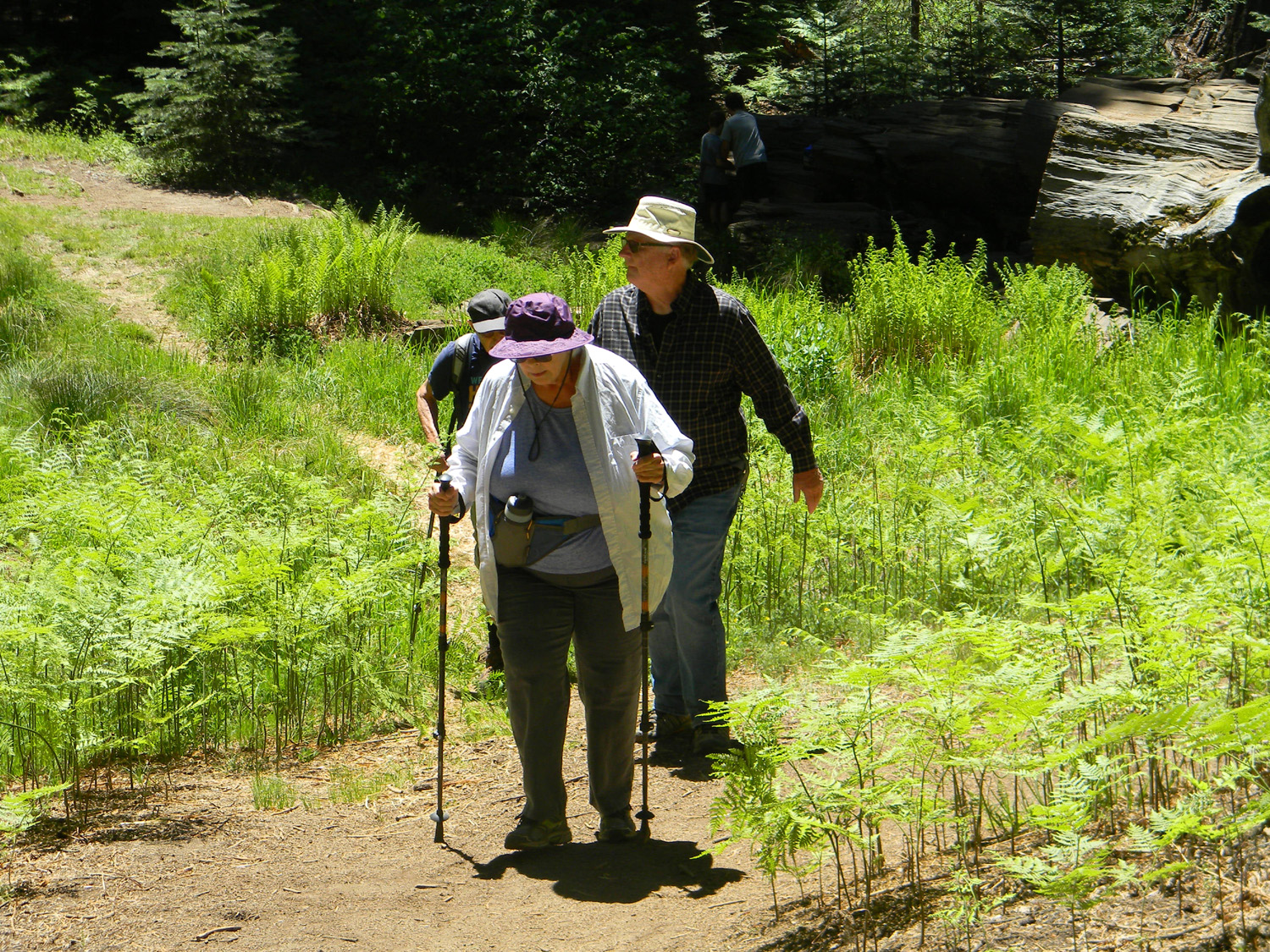
With the weather warming up rapidly, the Ramblers decided to seize the opportunity for one more foothill hike on April 27, and returned to a favorite destination, the San Joaquin River Gorge. For the very first time, Wes missed the hike, due to an issue that came up at the last minute. Our group included Ardyss, Sue, Dave and Dick (me). It was Dave's first visit ever to this Bureau of Land Management property that lies on both sides of the San Joaquin River above Millerton Lake. We took the upper trail, officially known as the San Joaquin River Trail. Sue and I had hiked it in the past, but Ardyss had only been on the Bridge Trail during her previous visit. Our hope was that we would still see a good number and variety of wildflowers, and we were not disappointed. Bright yellow common madea lined the main roads, and we saw golden brodiaea (AKA pretty face) by the parking lot and all along the trail. |
|
 |
 |
| A nice cluster of golden brodiaea | Ramblers on the trail |
|
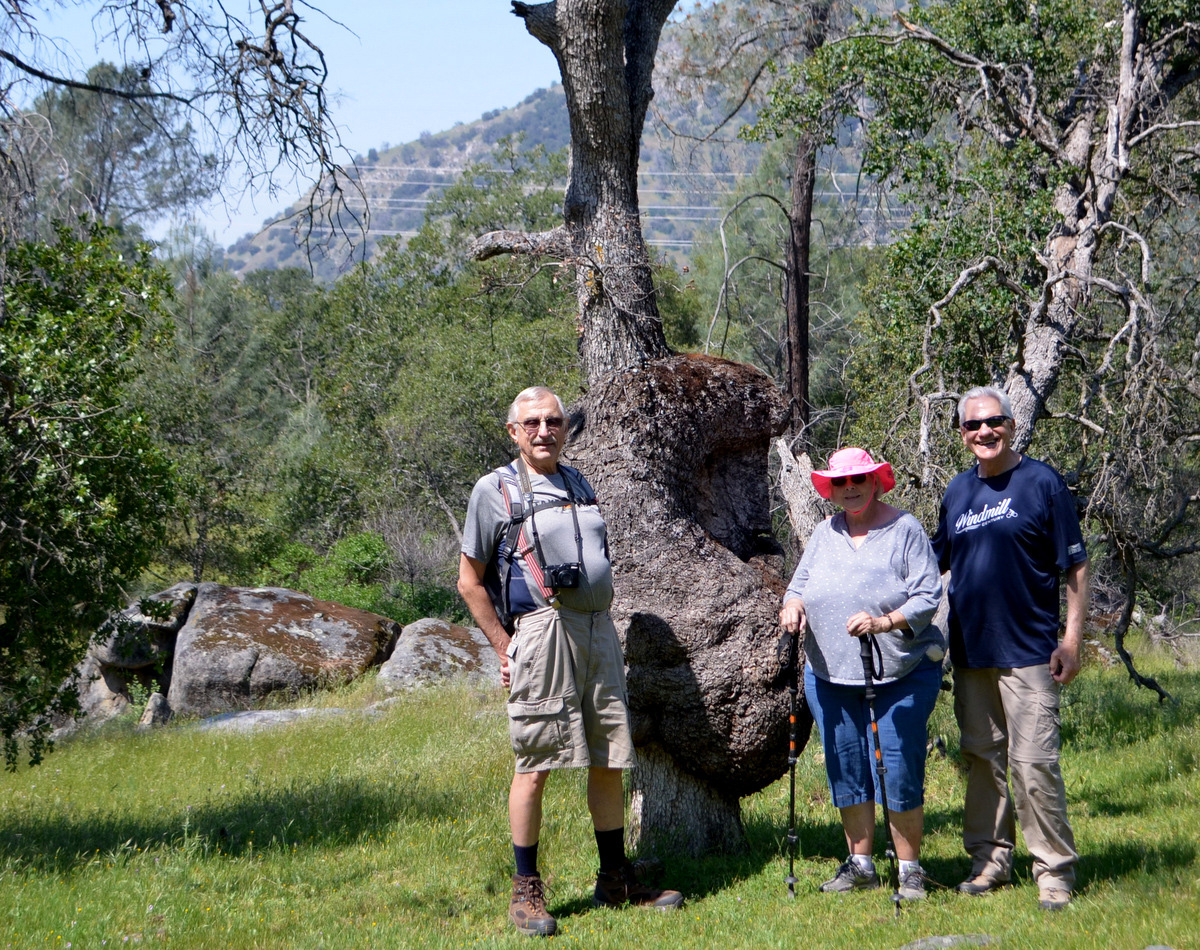
A half mile into the hike is a special area. There is a nice log to rest on, some Indian grinding holes, a creek, and a blue oak with the biggest burl I have ever seen. Sadly this tree fell in 2019, but it is still an impressive sight, and we chose it as the spot for one of our group photos. |
|
 |
 |
| Ardyss, Dave and Sue by the fallen Big Burl | Dick, Dave and Sue on the Resting Log (photo by Ardyss) |
|
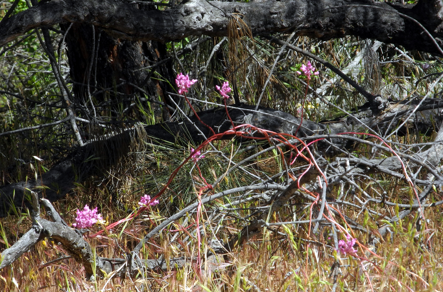
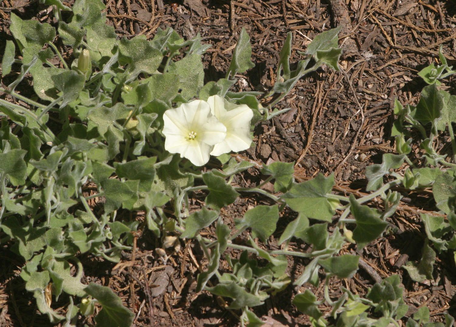
It was in this area that we saw a fair number of yellow Mariposa lilies, one of my favorite flowers. In recent years nearly all that I've seen have been the white variety, but there are also purple and yellow variations, and we have found the latter at this spot on previous visits. They don't grow in massive patches of color, but there were a few dozen flowers across from the log, and scattered individuals elsewhere along the trail. Another striking flower was in evidence in several locations, the pink-blossomed climbing brodiaea, which twists and winds around other plants, trees, or even itself. Along with late season flowers, some of the earliest blooming species were represented by a few plants. No flower exceeds fiddlenecks in numbers, with millions and possibly even billions of plants throughout the foothills from the valley floor to about 3,000 feet. A distant second, but still numbering the tens of thousands, are the plant that displays a cluster of small white flowers, giving them the name of popcorn flowers. The huge masses of these two flowers that start blooming as early as February are long gone, but we saw a few dozen of each, as if to remind us who was first and most. |
|
 |
 |
| A floral treasure - yellow Mariposa lilies | Climbing brodiaea, twisted and tangled |
|
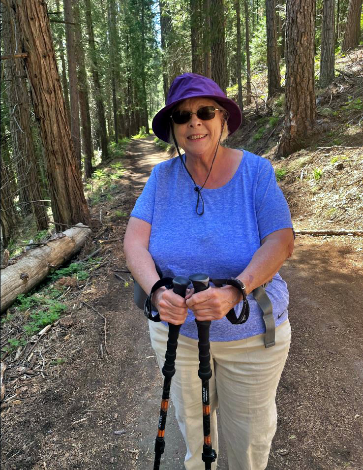
Beyond this stopping place, our group began to shrink. We have very few rules, but one of them is that no one has to hike any farther than they want to. Dave turned back after our time at the Big Burl. Sue stayed with us past the creek, but at the next drainage, there is a very steep section, with loose sand on granite. She was not concerned about going up it, but coming back down is a challenge for all of us, so she started back to the parking lot. Ardyss has been known to follow Wes up steep granite slopes at Courtright Reservoir, and this trail did not offer anything to slow her down. We went as far as the place where a dead bull pine fell into the arms of a blue oak, then started back. Our round trip hike would total 1.6 miles. We got back to the parking lot and found that Dave and Sue had occupied a picnic table, where we all sat and enjoyed lunch. Since we are not yet ready to have our post-hike meal at a restaurant, we are currently bringing our own food, in my case a Subway sandwich that I picked up in Prather, a small town about ten miles from our hiking destination. The weather was cool and breezy, enough so that I wore a long sleeve shirt over my t-shirt. By the time we finished hiking, I could have taken if off, but as we ate lunch in the shade the breeze came up, and we all kept our outer tops on |
|
 |
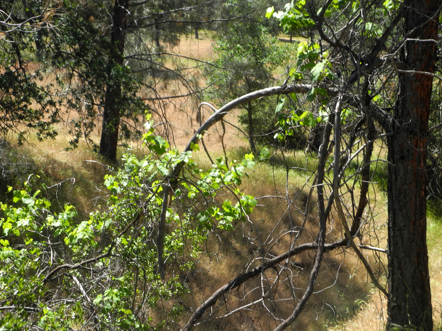 |
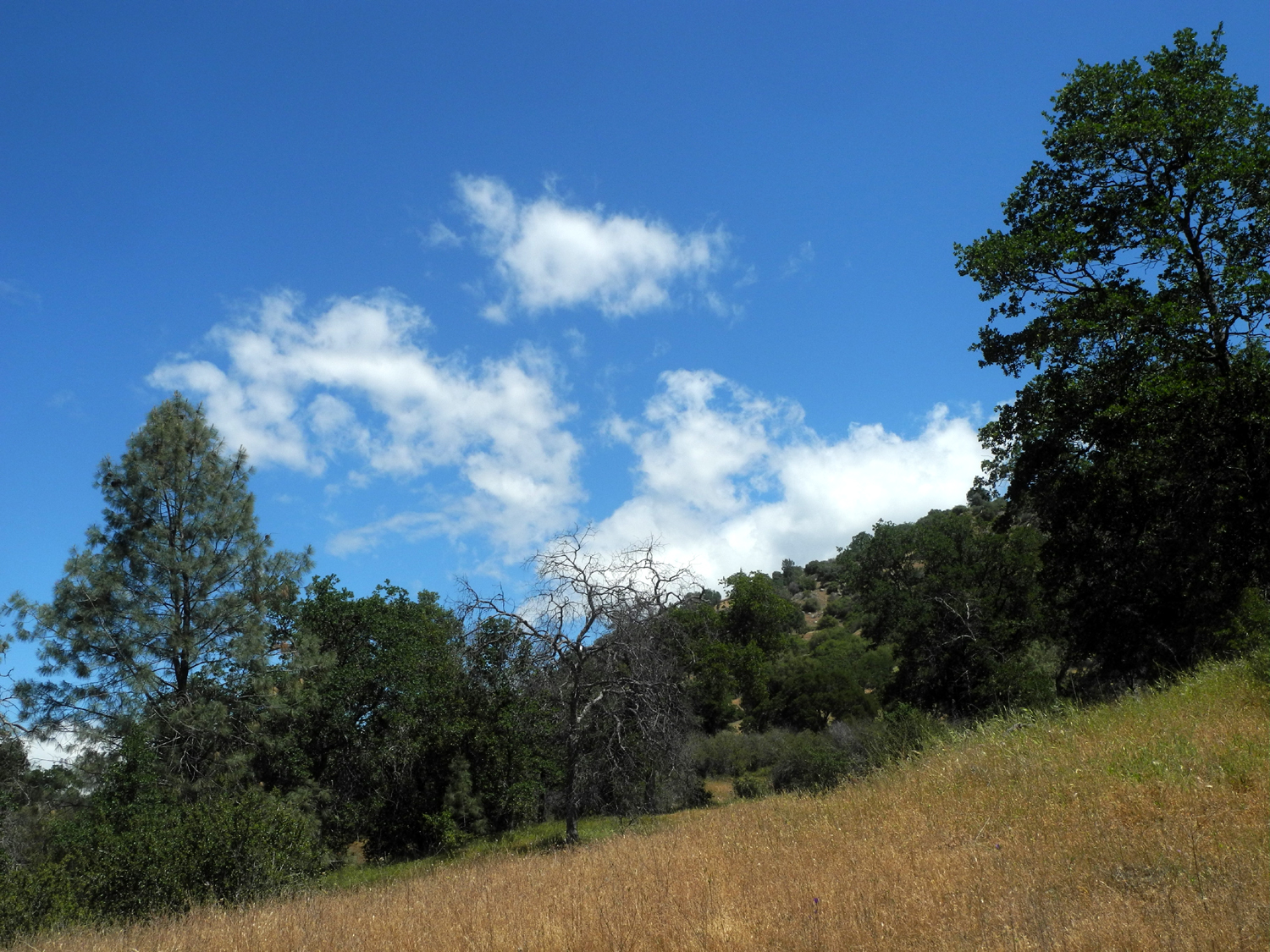
| Clouds to the east | Wild grape vine climbing a pine tree |
|
I was happy to see a number of flowers that had not been out during my earlier hikes at The Gorge, particularly purple and climbing brodiaea, as well as yellow-throated gilia, buckeye, and elderberry. I did not know it at the time, but I would be returning just four days later, hoping to see some of the blossoms that had not yet made their appearance. --Dick Estel, May 2021 |
|
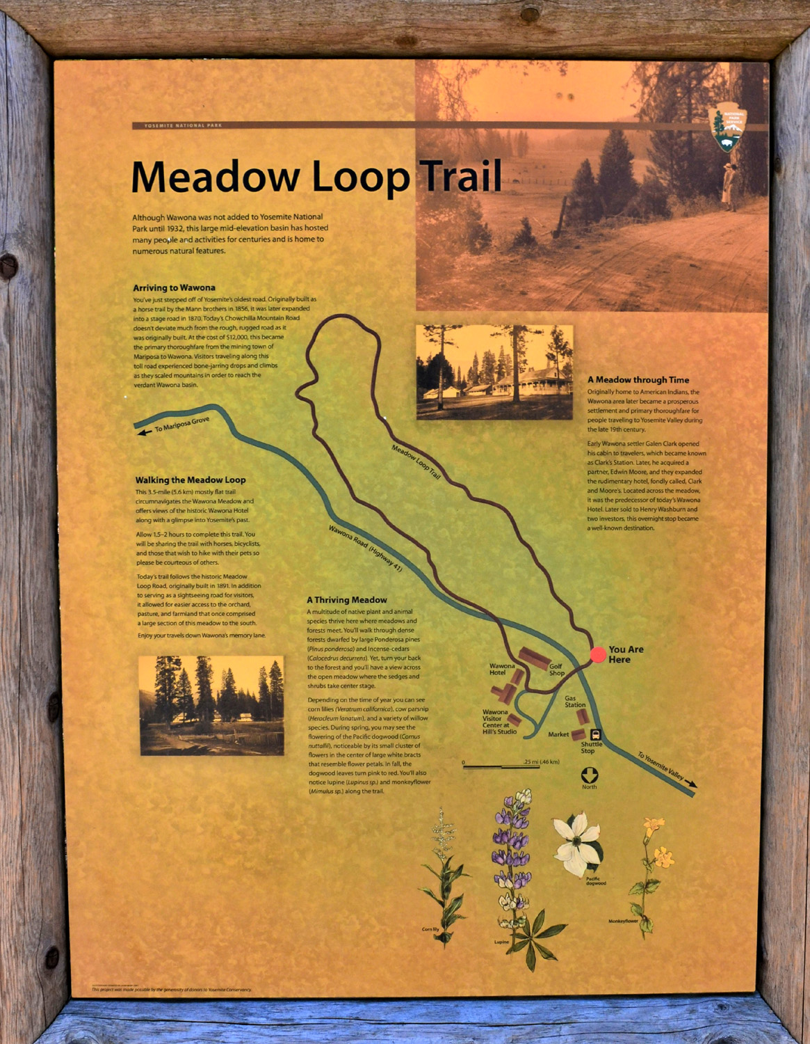
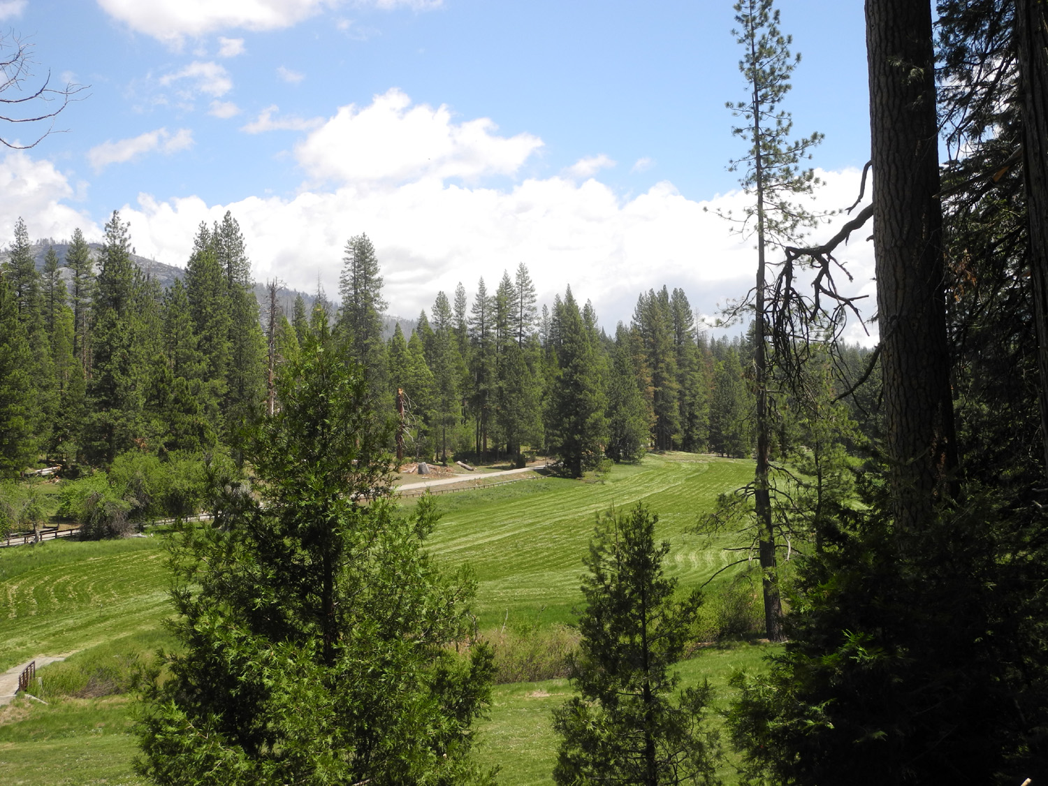
| Wawona
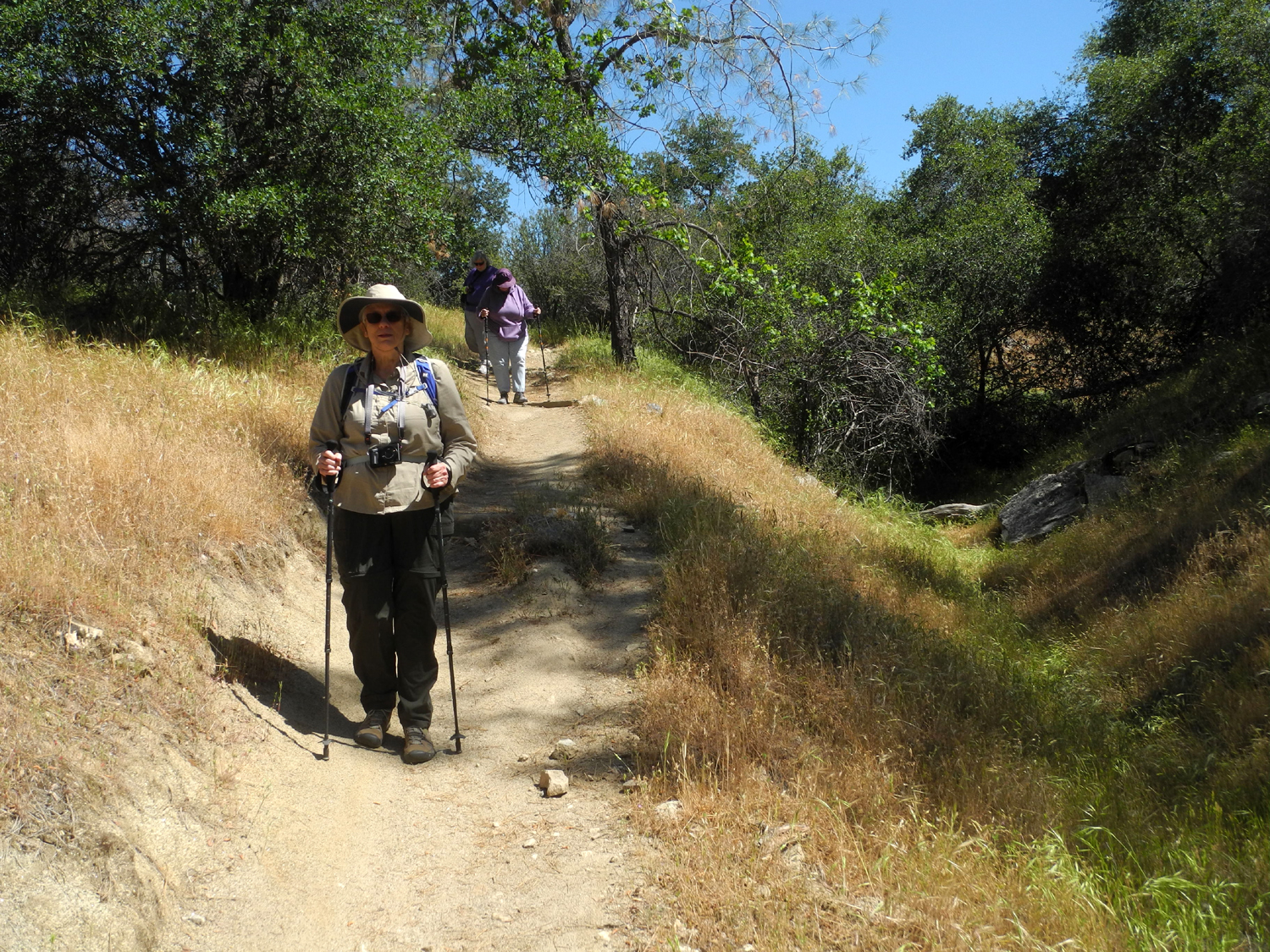
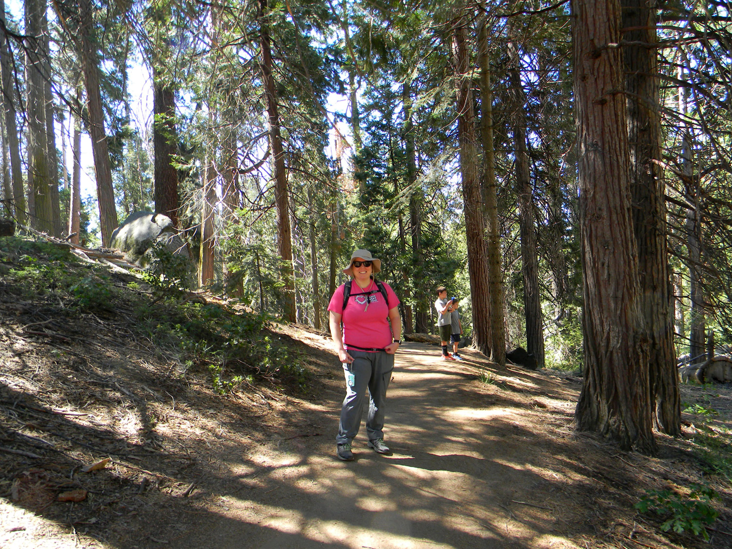
Meadow Trail by Wes & Dick The Ramblers are back on our "every month" hiking schedule, and we are all delighted. A scheduled hike at Wawona last year was canceled due to weather, so we decided on that location for a hike May 17. We drove into Yosemite National Park for a walk along the Wawona Meadow Loop Trail. Five hikers gathered near the trailhead. Unfortunately, Dave Smith was unable to participate due to an injury. While we hiked, he drove into the Valley for sightseeing. |
|
 |
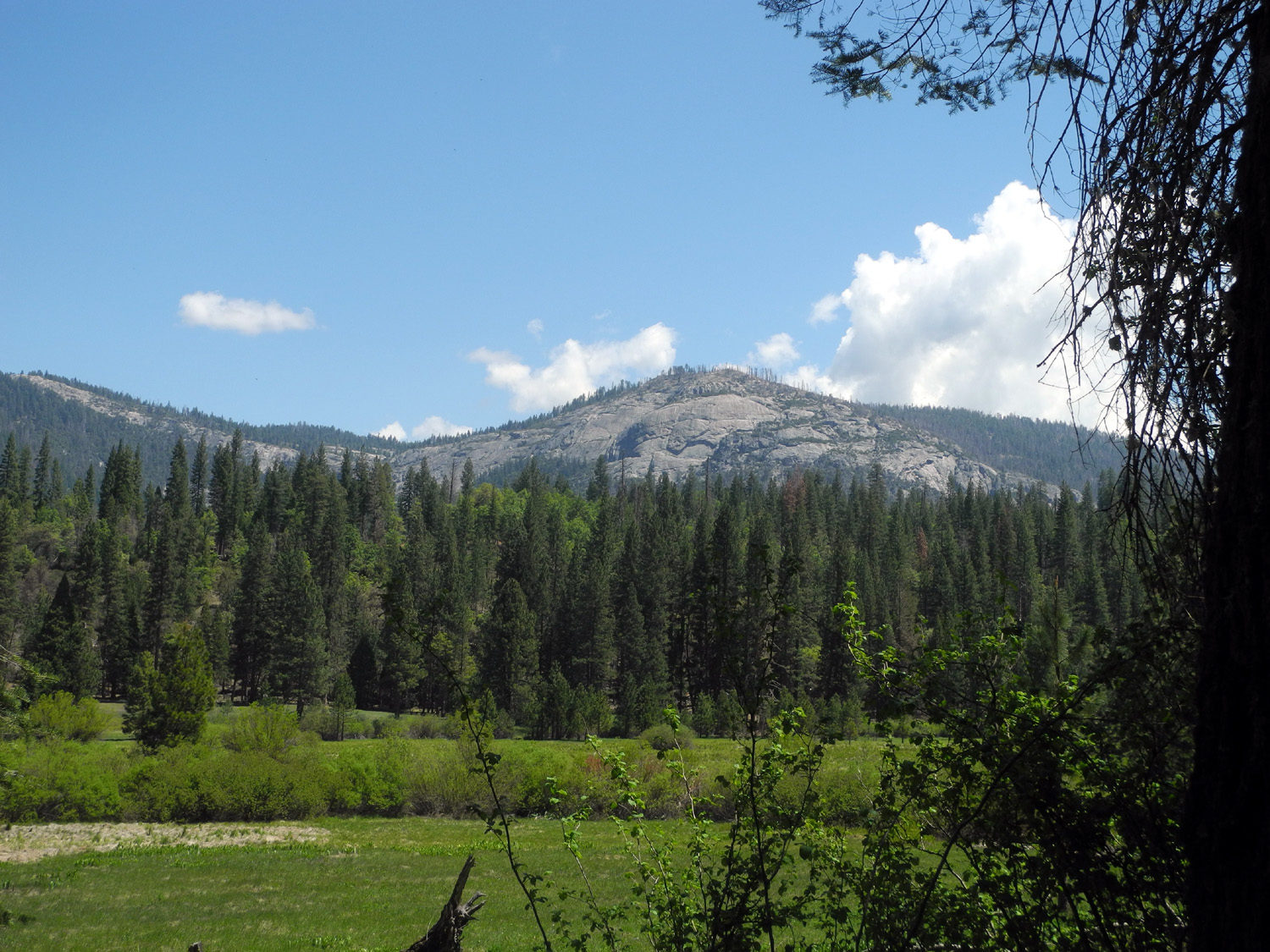 |
| Information and map for the trail | The view across the meadow |
|
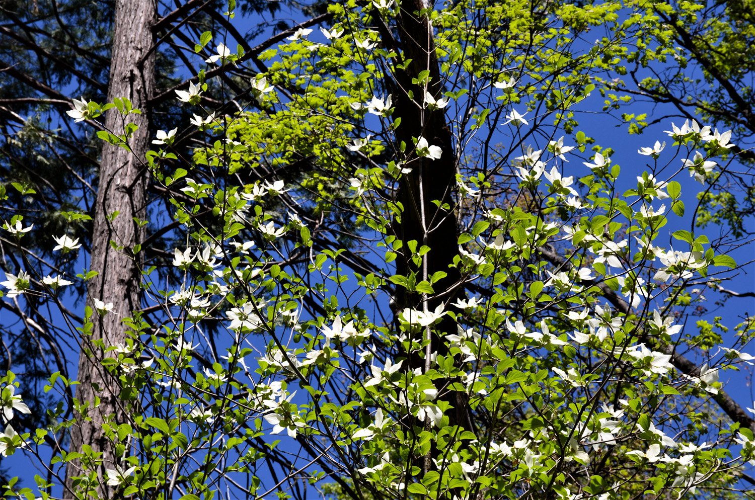
This trail circumnavigates the Wawona golf course and a long meadow in a 4-mile loop that took us into a deep forest with the last of the white dogwood flowers still in evidence. We also enjoyed the sight of new leaves on the black oak trees, which start out with a mostly red coloring then turn to a bight green in late spring. |
|
 |
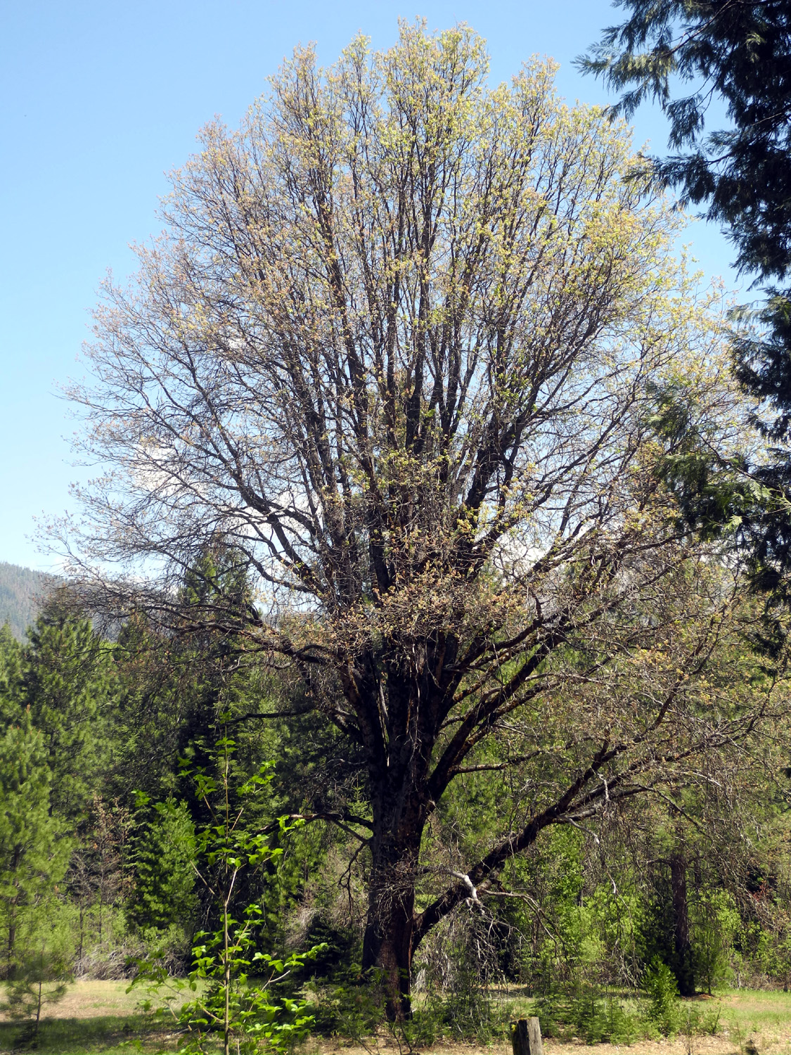 |
| Dogwood, nearing the end of its prime | New leaves in red and gold on a big black oak tree |
|
Our hiking group consisted of a new Rambler, my daughters' mother Jackie Taggart, plus Sue Wirt, Wes Thiessen, and me (Dick Estel). We've had a dozen or so people join us at various times, and hope to see them all again on our future hikes this year. The golf course looked kind of shaggy when we started out, but as we got back to the start of our route, we saw a huge mowing machine at work helping the course recover from the ravages of the winter season. |
|
 |
 |
| The Ramblers: Jackie, Dick, Wes and Sue | Lower end of the meadow, just across from the hotel |
|
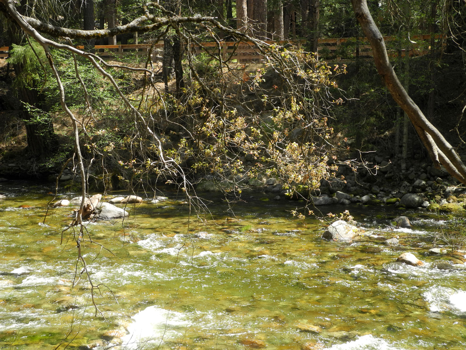
On our way from Fresno we stopped at Deli Delicious in Oakhurst and got sandwiches, and after finishing our hike, we got into Wes's Highlander and drove a short distance to Forest Drive and enjoyed lunch at a picnic table overlooking the South Fork of the Merced River. We were also glad to see that the historic name of the Wawona Hotel had been restored, after a dispute with a concession franchisee required a temporary name change. |
|
 |
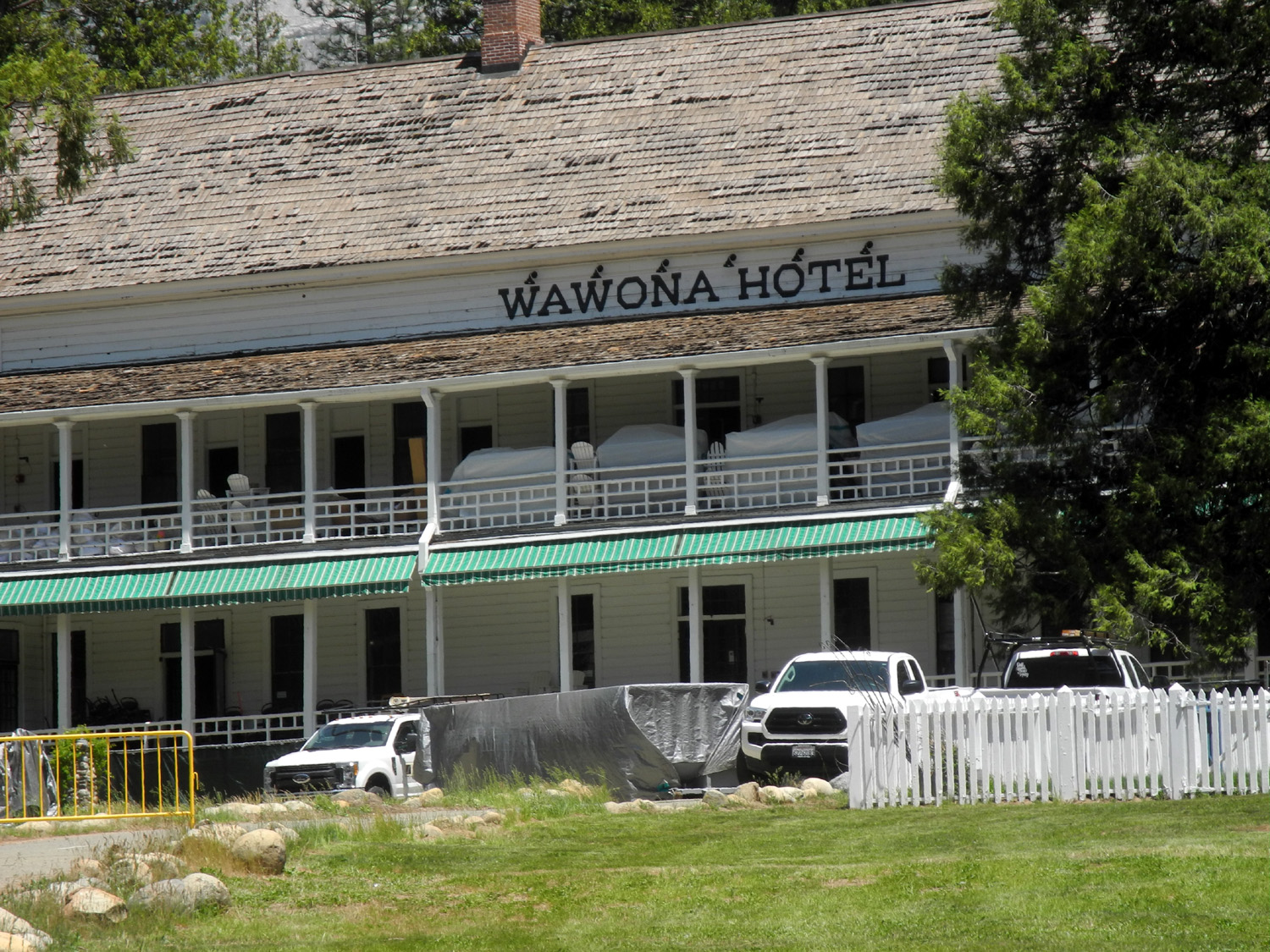 |
| The South Fork of the Merced River | The historic Wawona Hotel |
|
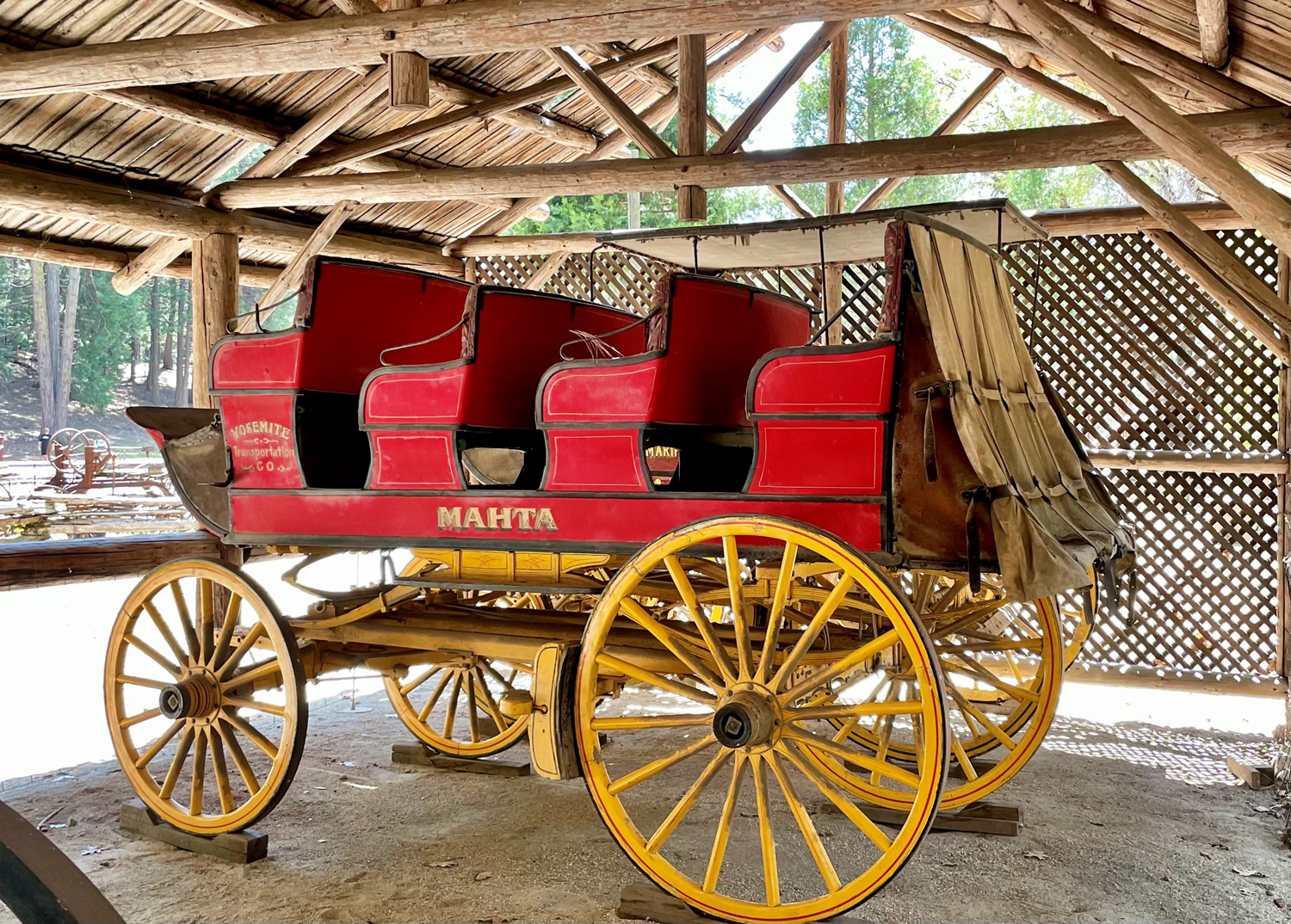
After lunch we walked across the nearby covered bridge and looked at the exhibit of old buggies and wagons near where we ate. As we were returning to the car, we met Dave, who had stopped on his way back from the valley. His day was not as good as ours - he spent much of the time in bumper to bumper traffic, but was at least able to enjoy the scenery through the window. A few days later, permits would be required to enter the park, and we speculated that people were trying to beat the deadline, and that the park might be less crowded after May 21. Of course, "less crowded" is relative and there are no summer days when the valley is not bustling with tourists. Although our group was small in numbers, we were enthused about getting back on the trail on a regular basis. The weather was pleasant, the scenery delightful, and we met only a few other walkers on the trail. We hope these good conditions persist for the rest of our hikes this year. --Dick Estel, May 2021 |
|
| Big
Stump Loop Trail
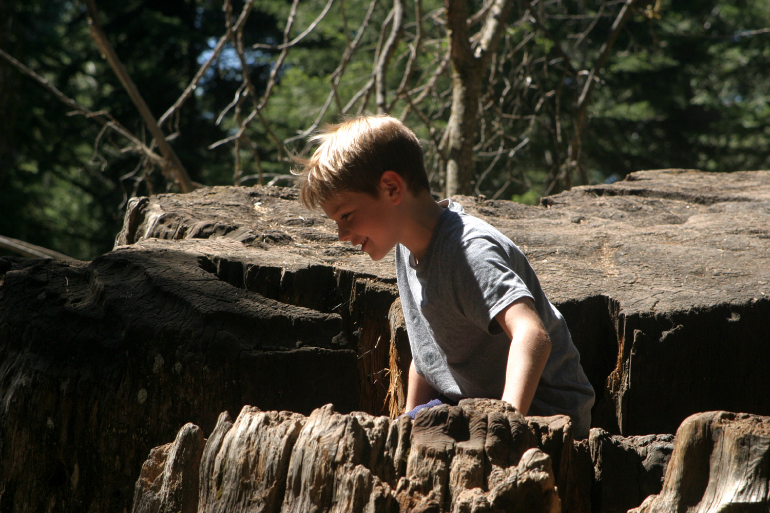
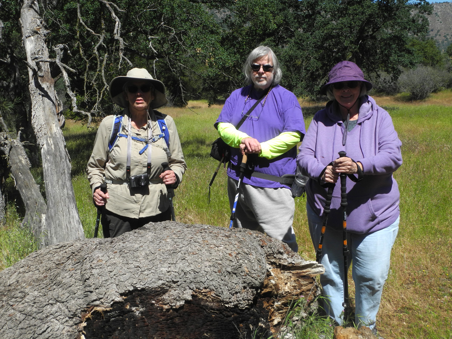
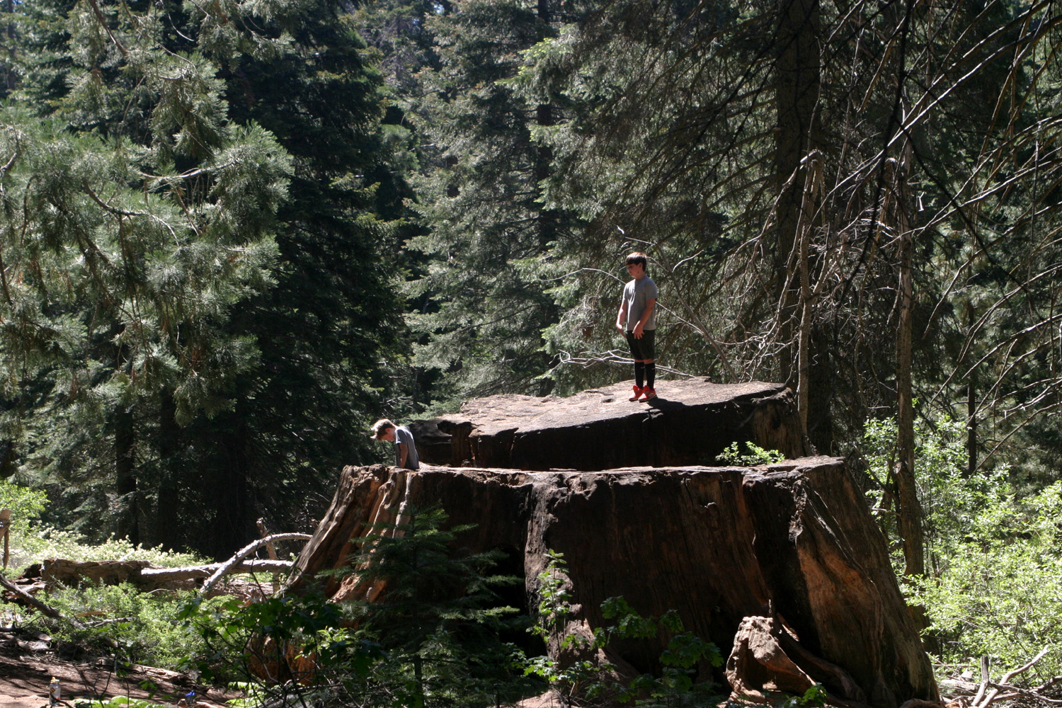
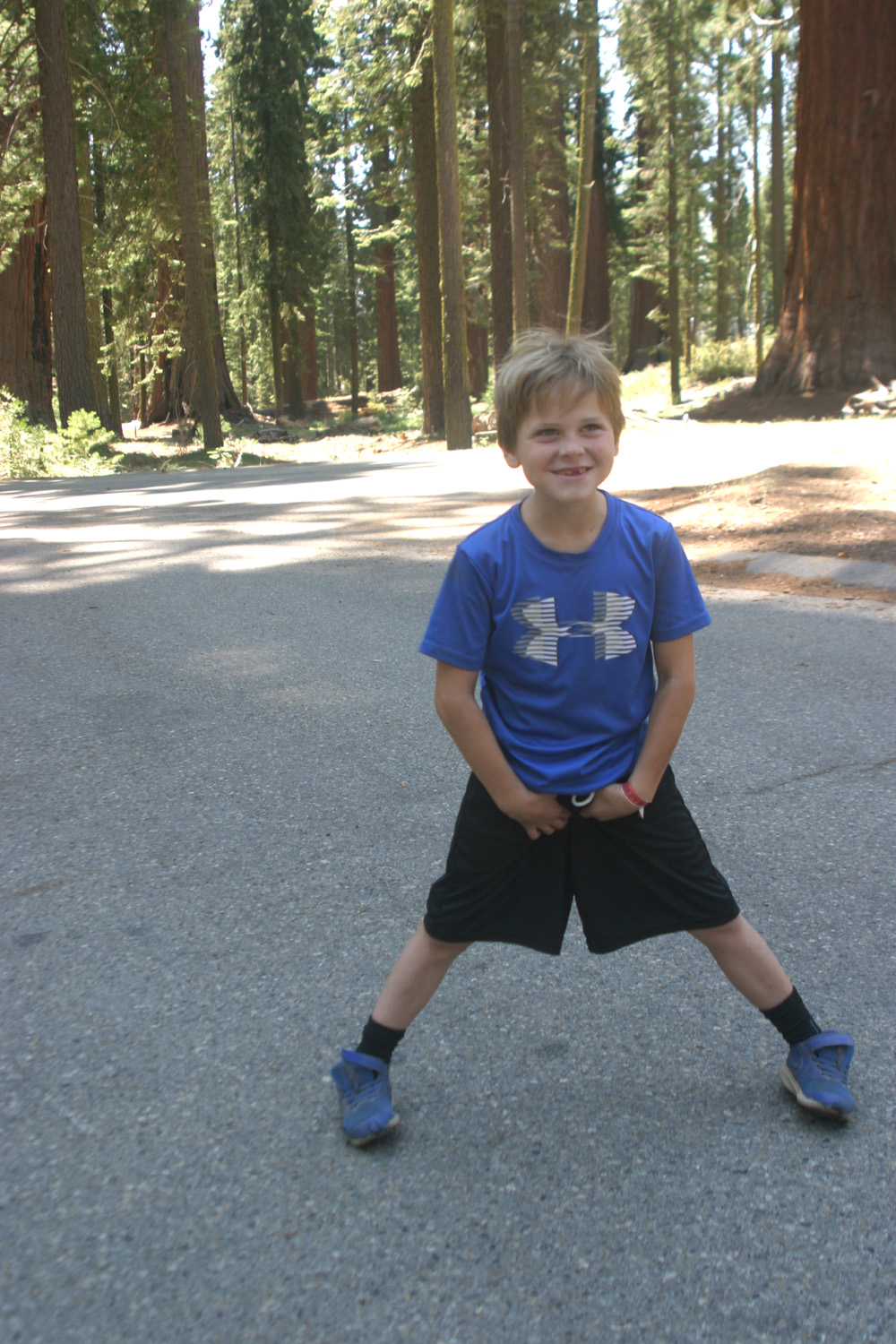
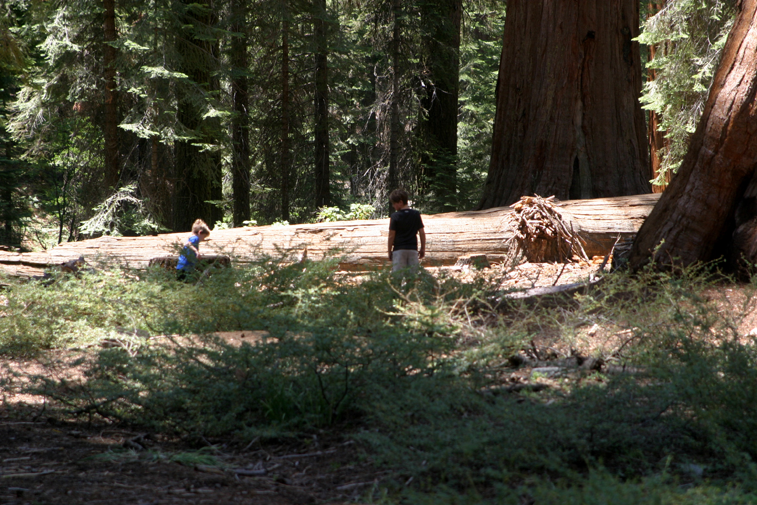
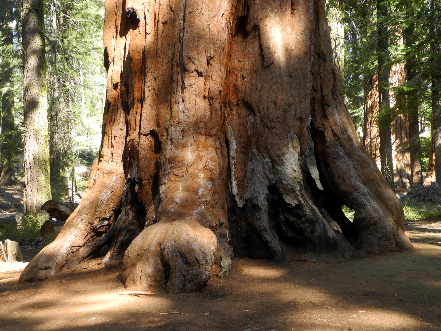
This is a place I've hiked with family and the Ramblers probably about a dozen times, dating back to the 1980s. On June 15 a varied group of regular and guest Ramblers drove up from the San Joaquin Valley to the big parking lot just past the Highway 180 entrance to Kings Canyon National Park. Our crew consisted of Dave Smith and his daughter Megan, Allen Ward, Sue Wirt, myself (Dick Estel), and my great grandsons Colton and Jack Upshaw. Once we got our boots and packs on, we stepped off on a short downhill stretch that leads to a basin that was heavily logged in the late 1800s. There are a very few big sequoias along the trial, with probably the biggest about 100 yards down the trail. |
|
 |
 |
| At the beginning | The biggest tree on the trail |
|
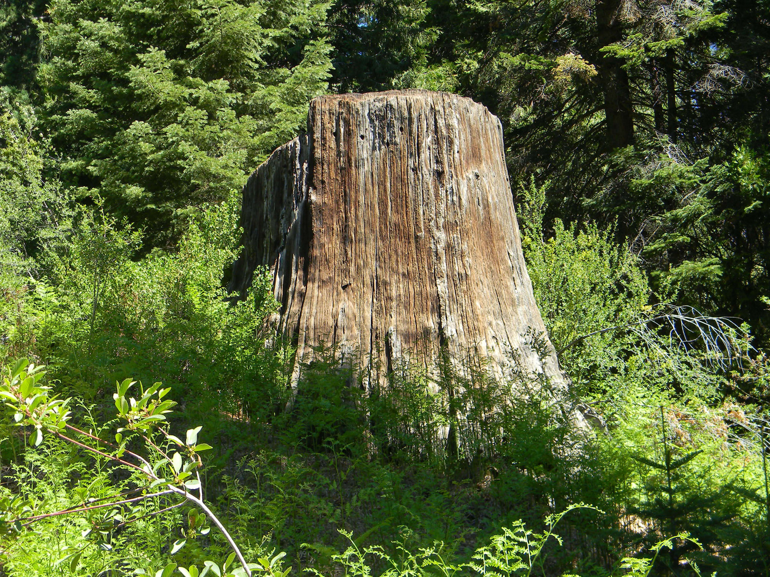
Beyond this there are many big stumps. The first one is fairly easy to climb on, and Colton and Jack did so. A little farther down the trail is perhaps the tallest stump in the area. Even if it could be climbed, it's surrounded by brush, mostly with small thorns, so we enjoyed it from a distance. There are many more stumps of various sizes, as well as sections of sequoia trees on the ground. These trees are very brittle, and many shattered when they fell, rendering them useless for lumber. Some of the wood was often recovered for use as shingles. |
|
 |
 |
| A most excellent climbing stump | This one, not so much |
|
Along the trail we passed the site of the Smith-Comstock mill, which operated from 1883 to 1885. The mill site is a meadow with partial logs and stumps, surrounded by forest. Perhaps most unfortunately, none of the companies that logged in this area made a profit. The story is well told in Hank Johnston's book, They Felled the Redwoods. It's one of several books he wrote about logging and railroads in the Sierra. They are often hard to find, but are sometimes available at forest visitor centers, and on line at Amazon and Ebay. (That last link also lists a number of books by a different Hank Johnston.) |
|
 |
 |
| Where the trees were turned into lumber | The mill site is quiet now |
|
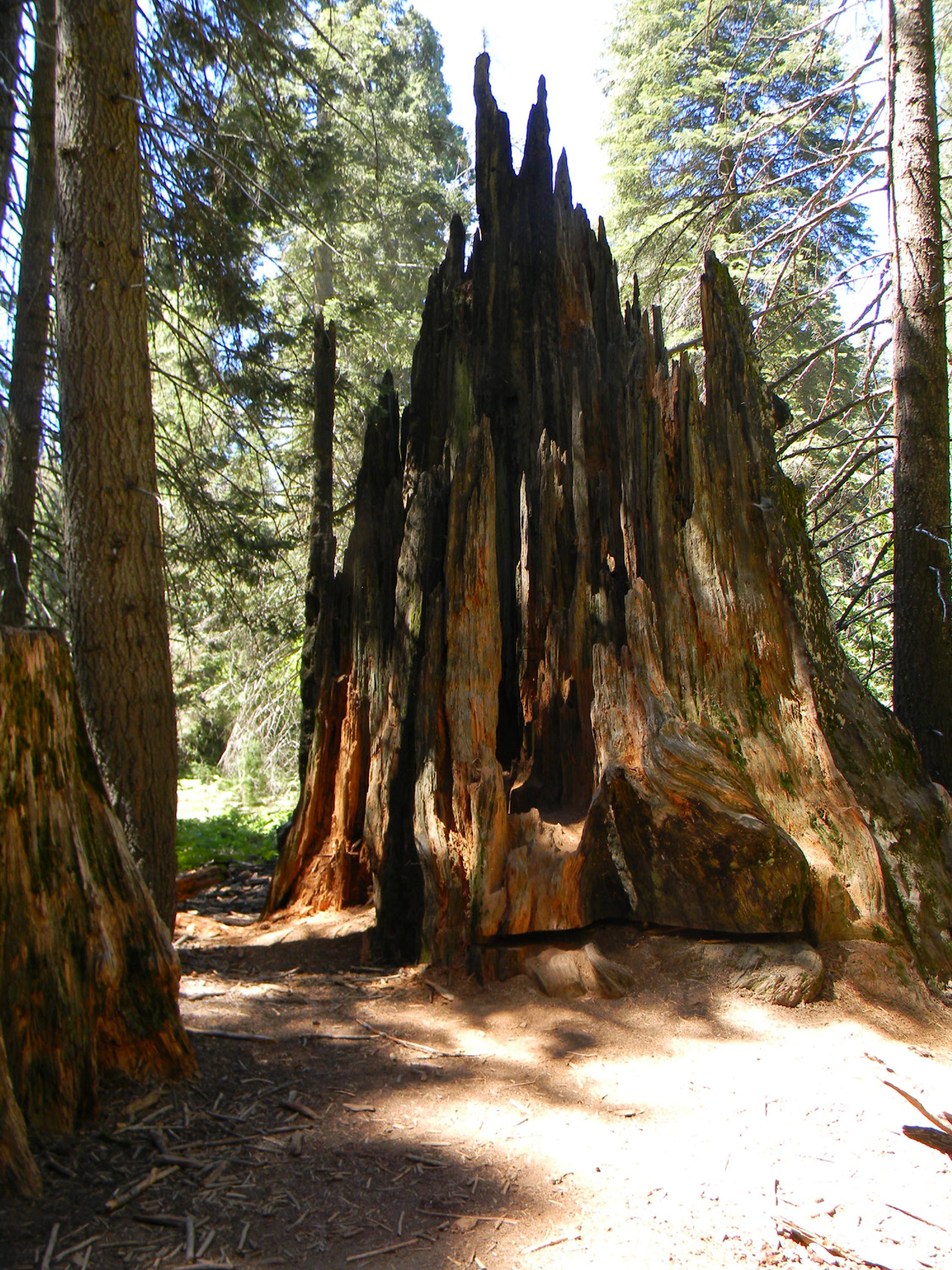
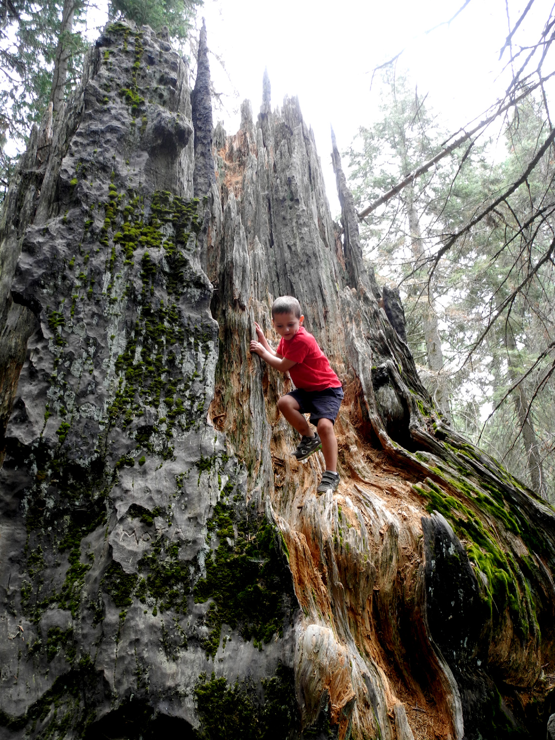
The next point of interest was "The Castle," a name bestowed by Colton several years ago to a huge jagged stump. It looks as if something broke off a huge sequoia, leaving not a flat-topped stump, but a cluster of spires. Such an event is pretty much unheard of, and the tree's history is unknown to me. Both boys have discovered they can easily climb up into the spaces between the spires. On his first visit, when he was not quite four, Colton reached heights that had me holding my breath. |
|
 |
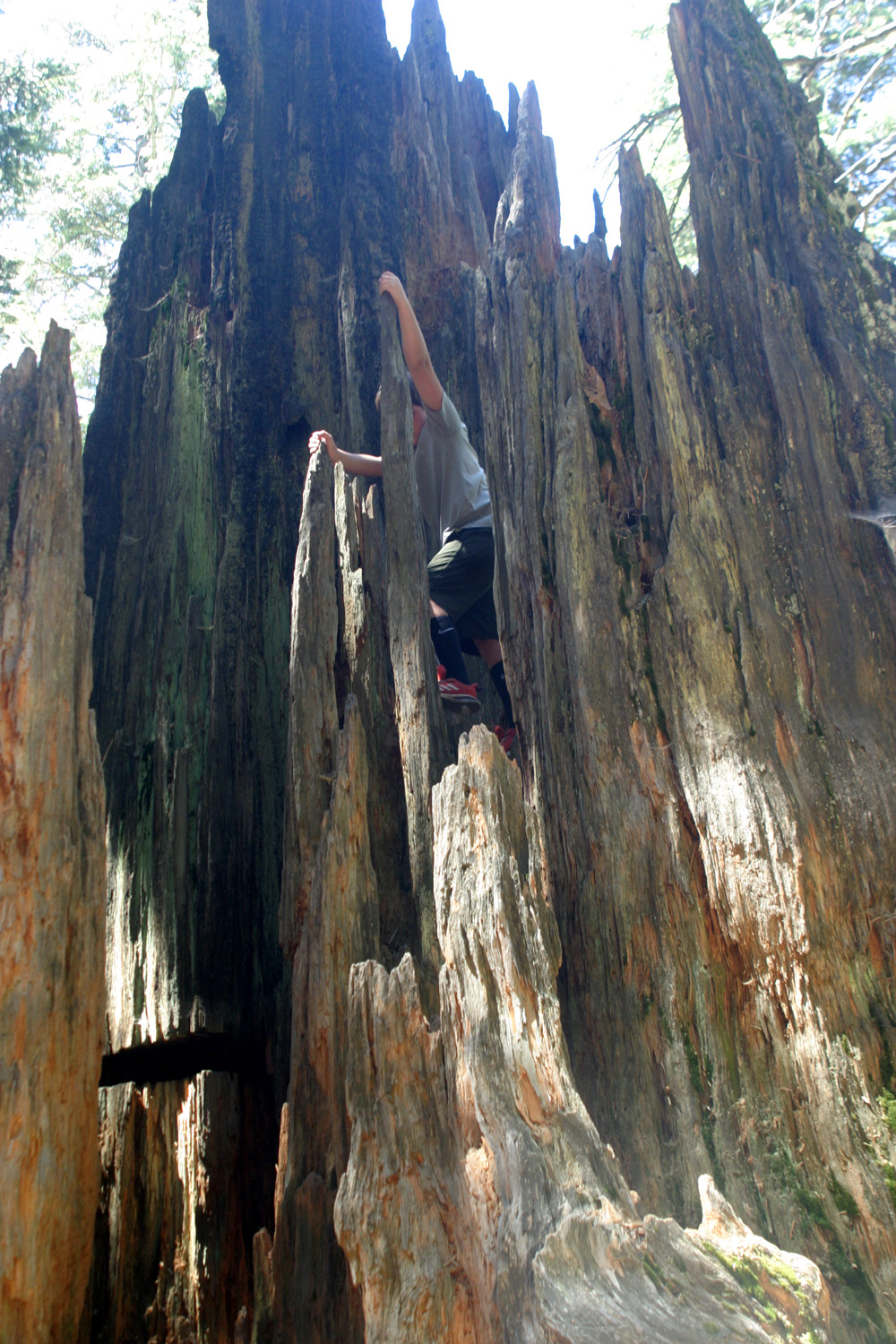 |
| "The Castle" | Colton reaches for the top |
|
Beyond this place the trail splits. Going to the right continues the loop; the left is a spur trail out to the Mark Twain Stump, the most dramatic evidence of our lack of respect for nature. In the 1800s it was decided to cut down this magnificent tree, cut it into sections, and display it to skeptical easterners, who doubted the claims of the sequoia trees' huge size. A plaque at the location shows the tree as it fell. The result was that the easterners remained skeptical, claiming the tree was a fake, and we were left with an interesting stump, but fewer and fewer giant sequoias. There are stairs that allow most people to visit the top of the stump, and Jack, Colton and I enjoyed a snack at the top. As we sat there, I recalled being there with their father Johnny when he was two. From the stump there is another branch of the trail that leads to the park entrance, offering a shorter walk for those who don't want to complete the 1.63 mile loop. |
|
 |
 |
| Sue, Allen and Dick amid the ferns | Upshaw Brothers on the Mark Twain Stump |
|
We made our way back to the main trail and continued our clockwise loop. Where the trail curves around to the north, it goes through the Shattered Giant, a fallen redwood that split into sections and provided a source for shingle makers. Recently a bypass has been constructed for those who don't want to walk the uneven stretch through the tree. Only the youngsters, Megan, Jack and Colton followed the original route. |
|
 |
 |
| The Shattered Giant | Megan makes her way through the tree |
|
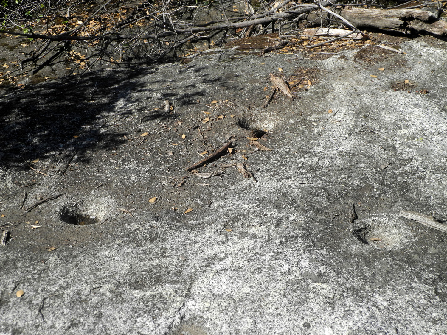
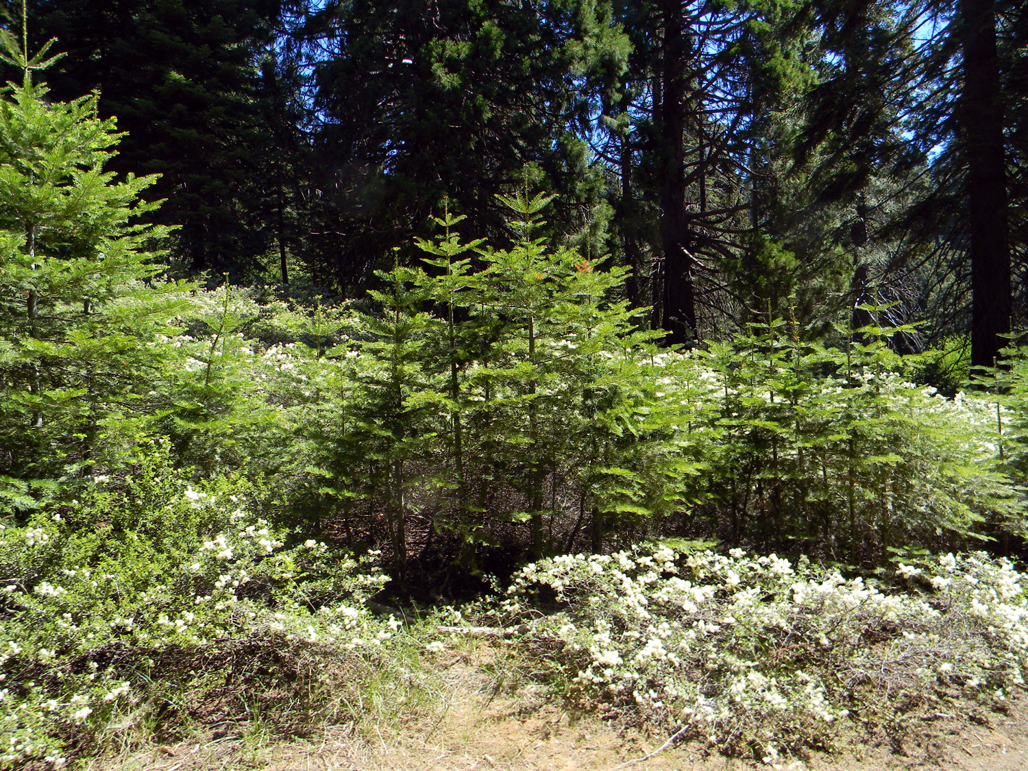
Along our way we enjoyed a number of wildflowers, including both blue and white chaparral, and pale yellow wild iris. There is also a place where two sequoias were planted about 1888. They are now well over a hundred feet tall. Another display along the trail is a "feather bed," where loggers laid down a thick layer of branches in the hope of cushioning the tree's fall. |
|
 |
 |
| The blue variation of buck brush (a member of the chaparral community) | Wild iris |
|
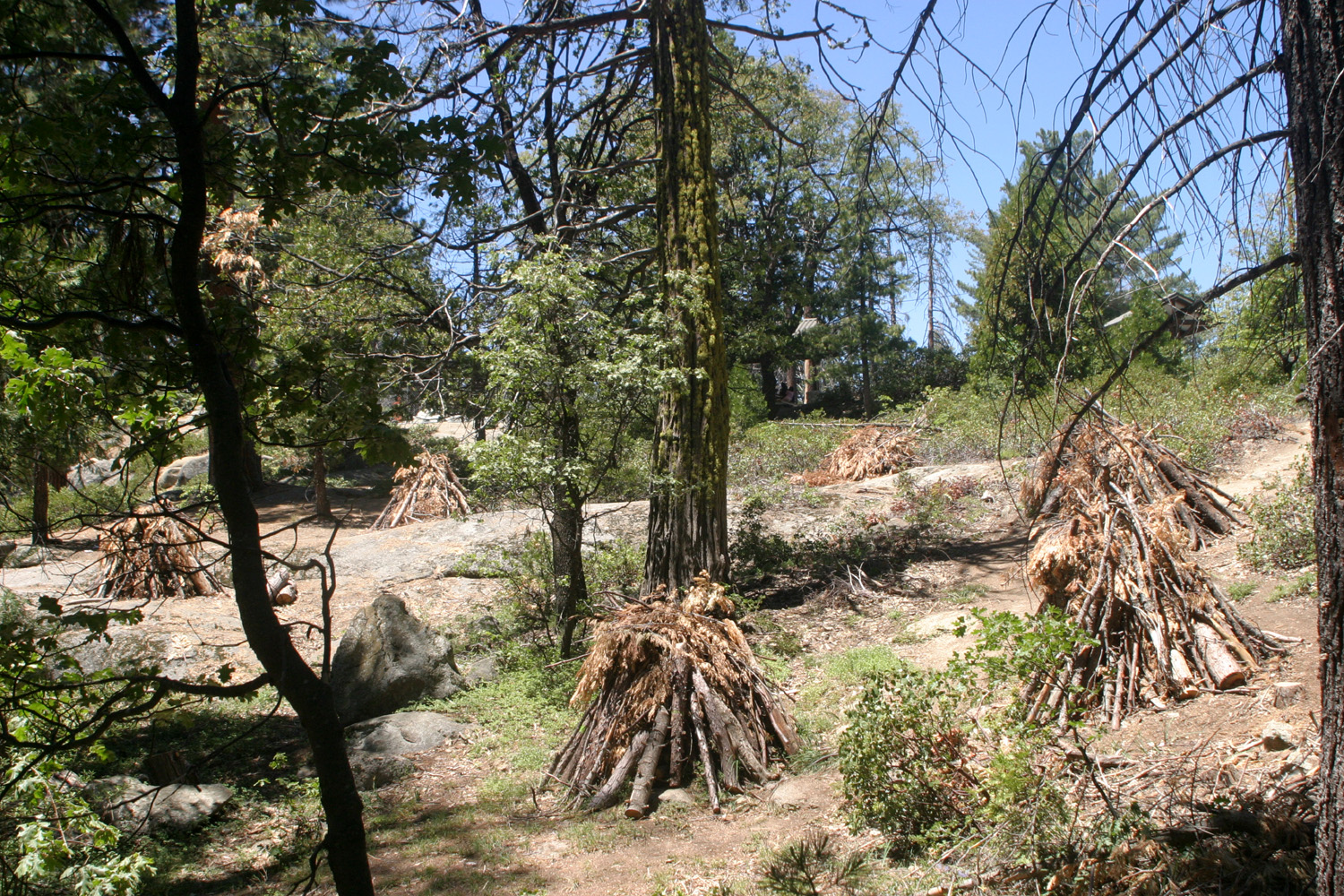
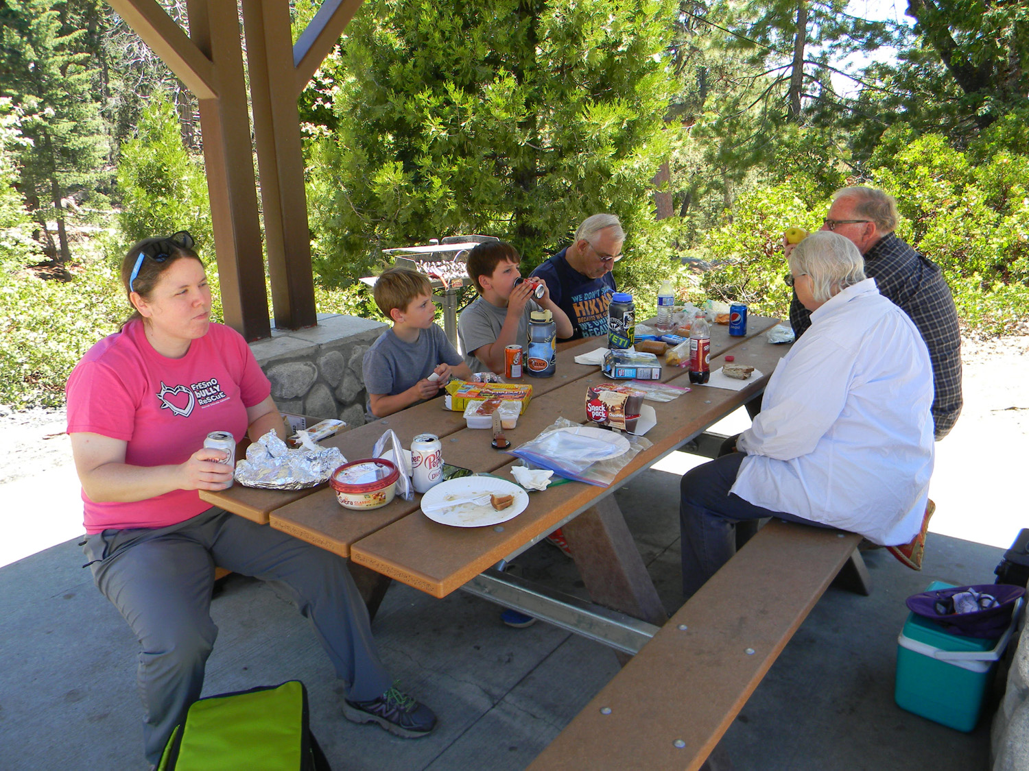
Along the trail we observed a number of brush piles, stacked up to be burned when the weather allows. We soon arrived back at the parking lot, and occupied a shaded picnic table. With restaurant service still limited, we had each brought our own lunches, and finished our outing catching up our other recent activities, and discussing our July hiking plans. --Dick Estel, July 2021 |
|
 |
 |
| Piles waiting to be burned | Clockwise from left: Megan, Jack, Colton, Dick, Allen, Sue |
| Pine
Logging Company Site & McKinley Grove
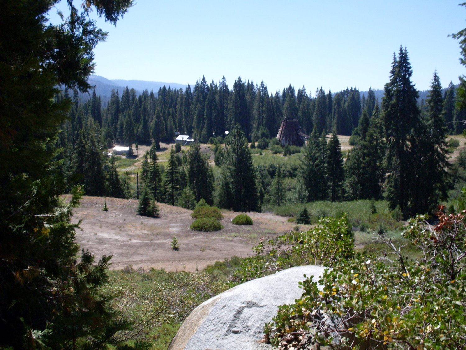
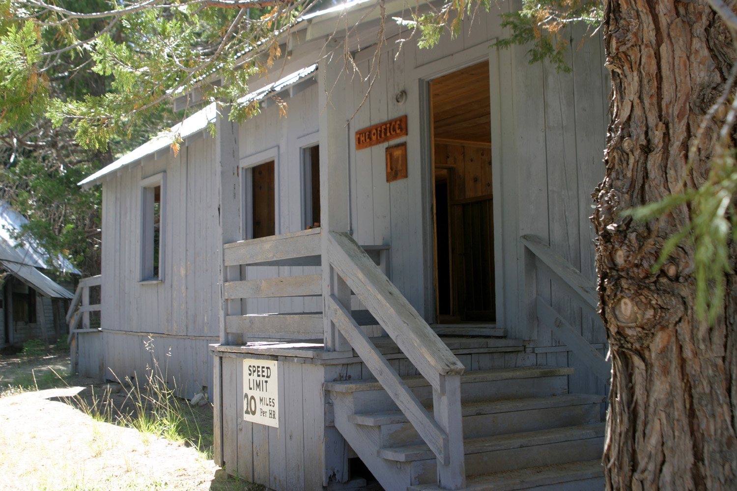
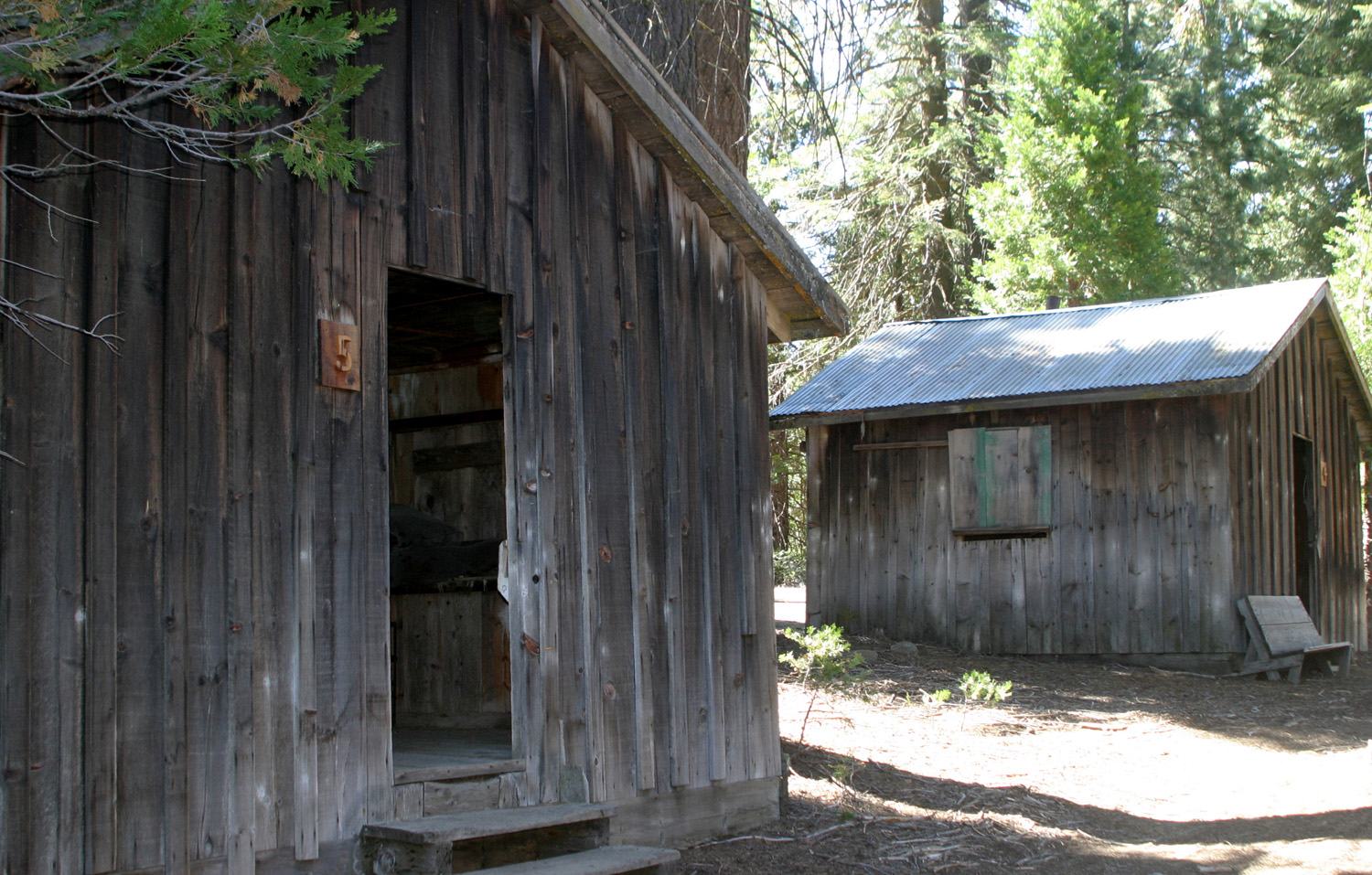
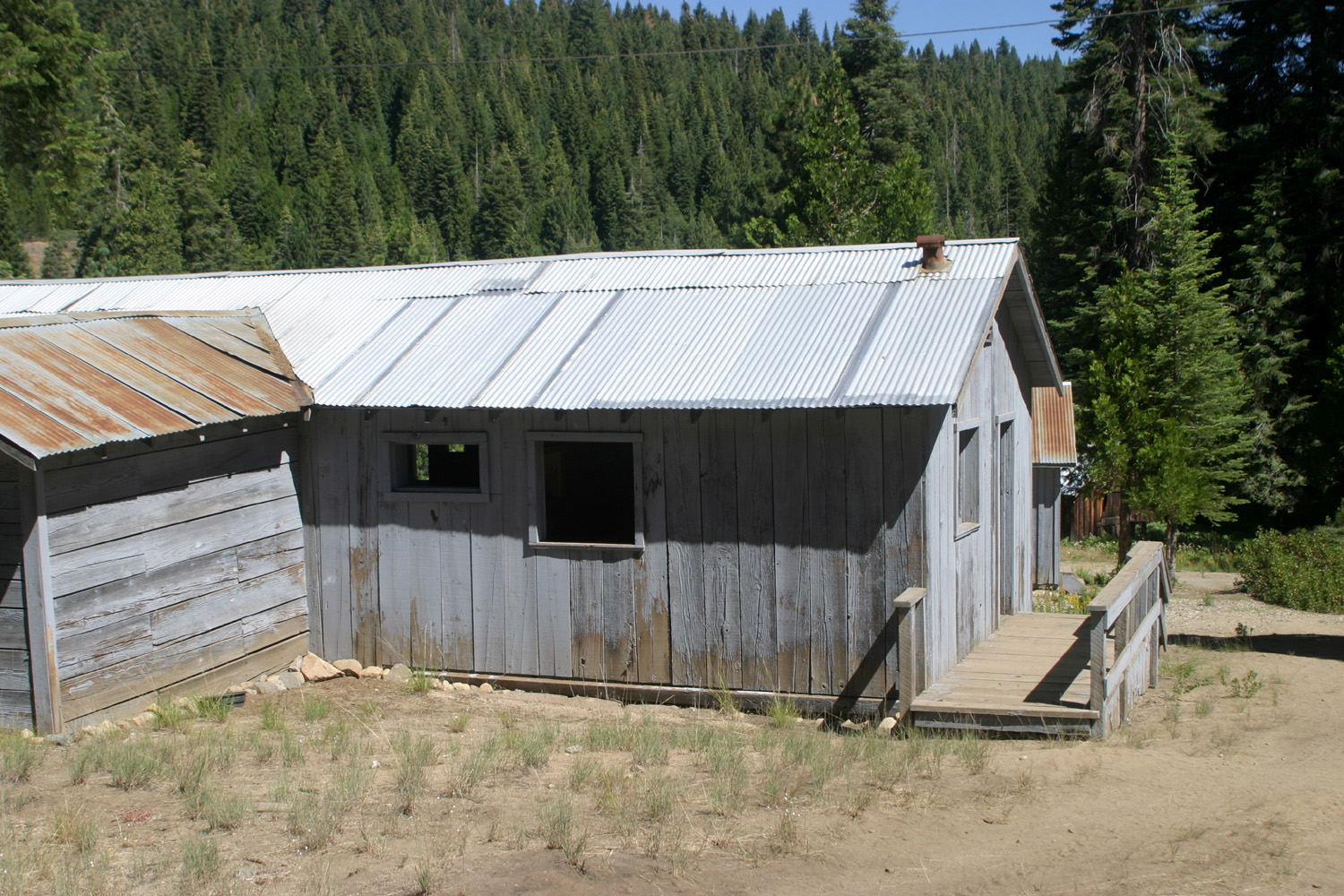
For the July Ramblers hike I wanted to suggest something that would be fairly easy for our members who have had some recent health challenges - including a heart procedure, knee replacement, and general mobility issues. The Pine Logging Company mill site is a mostly level area, so visiting it would be an easy walk, not quite a hike. From this location we would drive a few miles to the McKinley Grove of giant sequoias, where a short paved trail offers another low key stroll among the redwoods. I first "discovered" the mill site in 1998, when we used to camp along the Rock Creek Road, about a mile in from the Dinkey Creek Road. At this location a rough dirt road went southeast. It was a "wonder road," as in "I wonder what's down that road," so I drove down it a mile or so to where it ended at a creek. There had been a bridge there once, but it was long gone.. Across the creek I spotted the unmistakable signs of an abandoned logging and mill camp - a huge rusty sawdust burner, and at least 100 old buildings, in various states of disrepair. I walked over and explored the area. There were piles of old wringer washing machines and other vintage appliances. Receipts in the old store dated up to the 1970s. I returned several times with family members, and later learned that the mill operated from 1937 to 1979. More recently a US Forest Service fire station and work center were built near the mill site, visible from the Dinkey Creek Road. This allowed easy access via a short paved driveway. A historical society removed the trash and the worst of the buildings, and restored some cabins, the store, school house, office and other buildings. Informational signs have been posted. |
|
 |
 |
| Looking south from across the creek | Old buildings before the clean-up (2007 photos) |
|
Like last month, we had a group of seven - my great grandsons Colton and Jack, their great grandma Jackie, Sue, Allen, Julie and myself. We were delighted to have Julie with us for the first time since June, 2017. We drove up in three vehicles and met in a rest stop just east of Shaver Lake. From here we drove in a caravan to the parking lot at the forest service work center. The boys had been here earlier, and the thing of greatest interest to them was the sawdust burner, so we went there first. These devices were used in many mills up through the late 20th century to dispose of the tons of sawdust produced by a big mill operation. These days every part of a tree is used in some way, such as particle board from sawdust. There were steam-operated mills that sometimes burned the sawdust to heat water in the boiler, but for the most part, there was more sawdust than could be used this way. We all went into the burner through a small door on one side, which helped us appreciate the size of the unit. In fact, out of a half dozen burners I have seen at old mill sites, this is the biggest. The bottom is a sort of pit, with a narrow level area all the way around, and the boys ran down a little path to the bottom. Then we all walked around the outside of the burner, taking a look at the conveyor platform on one side that apparently carried the sawdust into the burner. |
|
 |
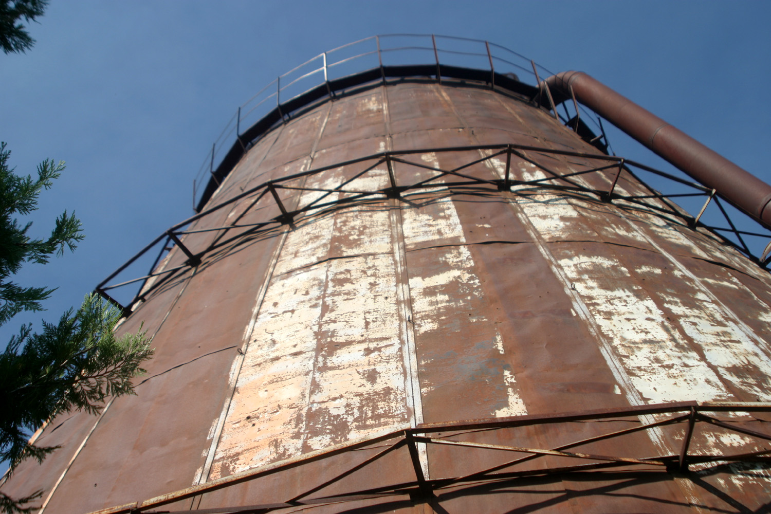 |
| The old sawdust burner | Close-up, looking up |
|
From the burner, we walked over to the restored buildings. "Restored" is a relative term; some of the buildings are in pretty good shape overall, but may have places where the floor boards are rotted or the stairs are only half there. |
|
 |
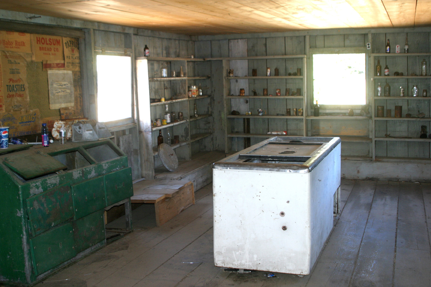 |
| The nicely restored office building (2008 photo) | As in the pandemic, there's a shortage of goods in the store (2008 photo) |
|
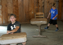
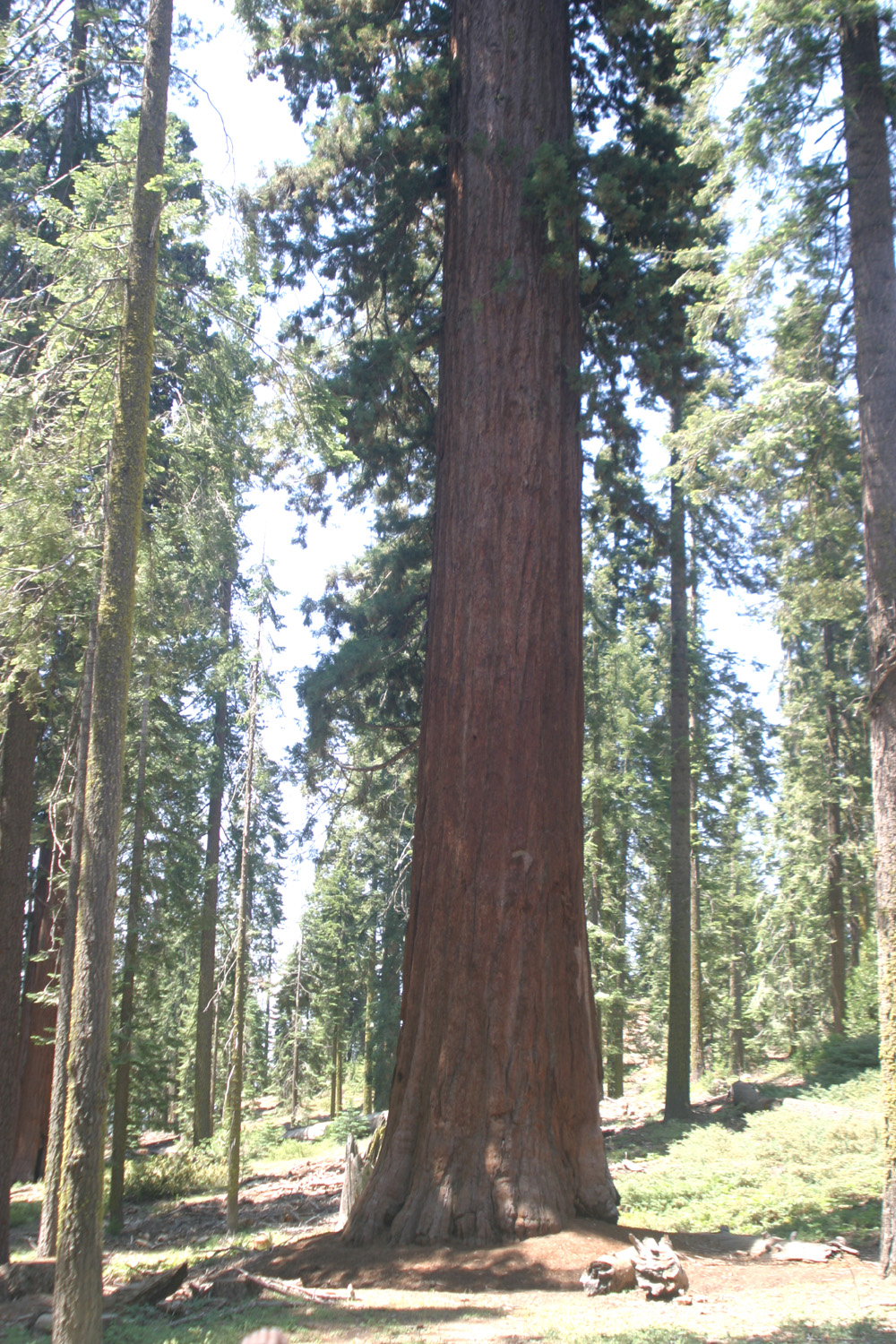
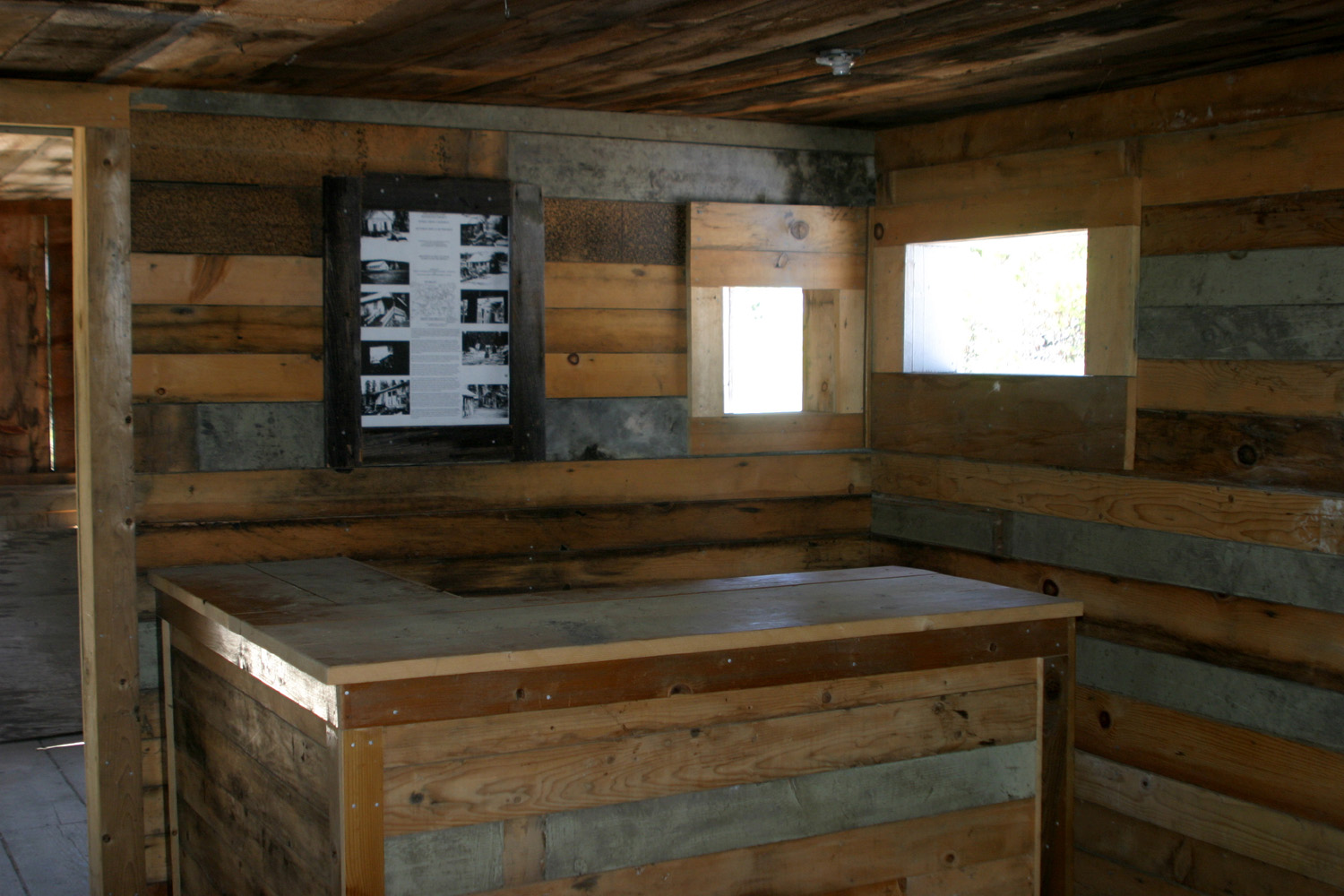
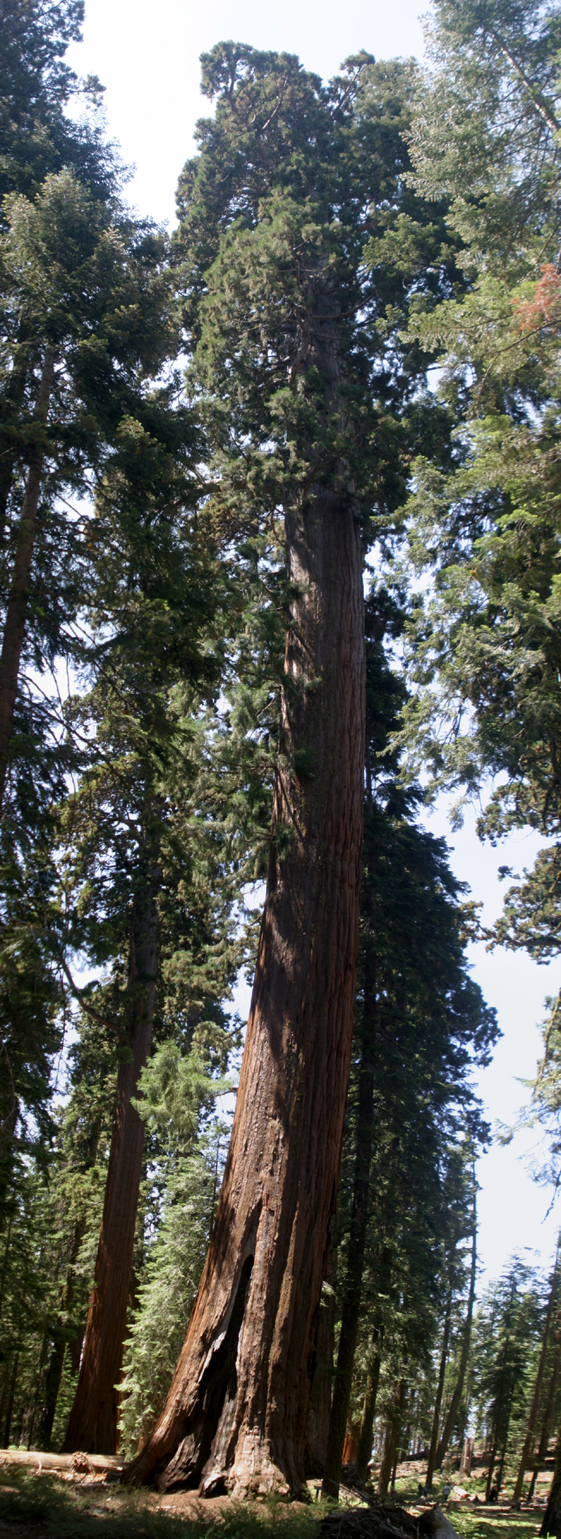
However, the restored buildings are mostly in pretty good shape, and all have signs explaining the building and other aspects of life at the mill. Like many such operations in the mountains, it closed down when winter snows made work impossible, and the workers and their families returned to lower elevations. The burner was not installed until the 1950's, and sawdust was originally placed in a large pile and set on fire, where it burned throughout the work season until doused by winter snows. We went into the store, the schoolhouse, the office, and one or two other buildings before returning to our cars and setting off for part 2 of our adventure. We drove the short distance to the junction with the McKinley Grove Road, and the few miles to the grove. Many of the big trees are visible from the parking lot, and there is a fairly large number of them for such a relatively small area. The grove saw only limited logging in the 1800s (one source says it was never logged), and it has been fully protected since early in the 20th century. |
|
 |
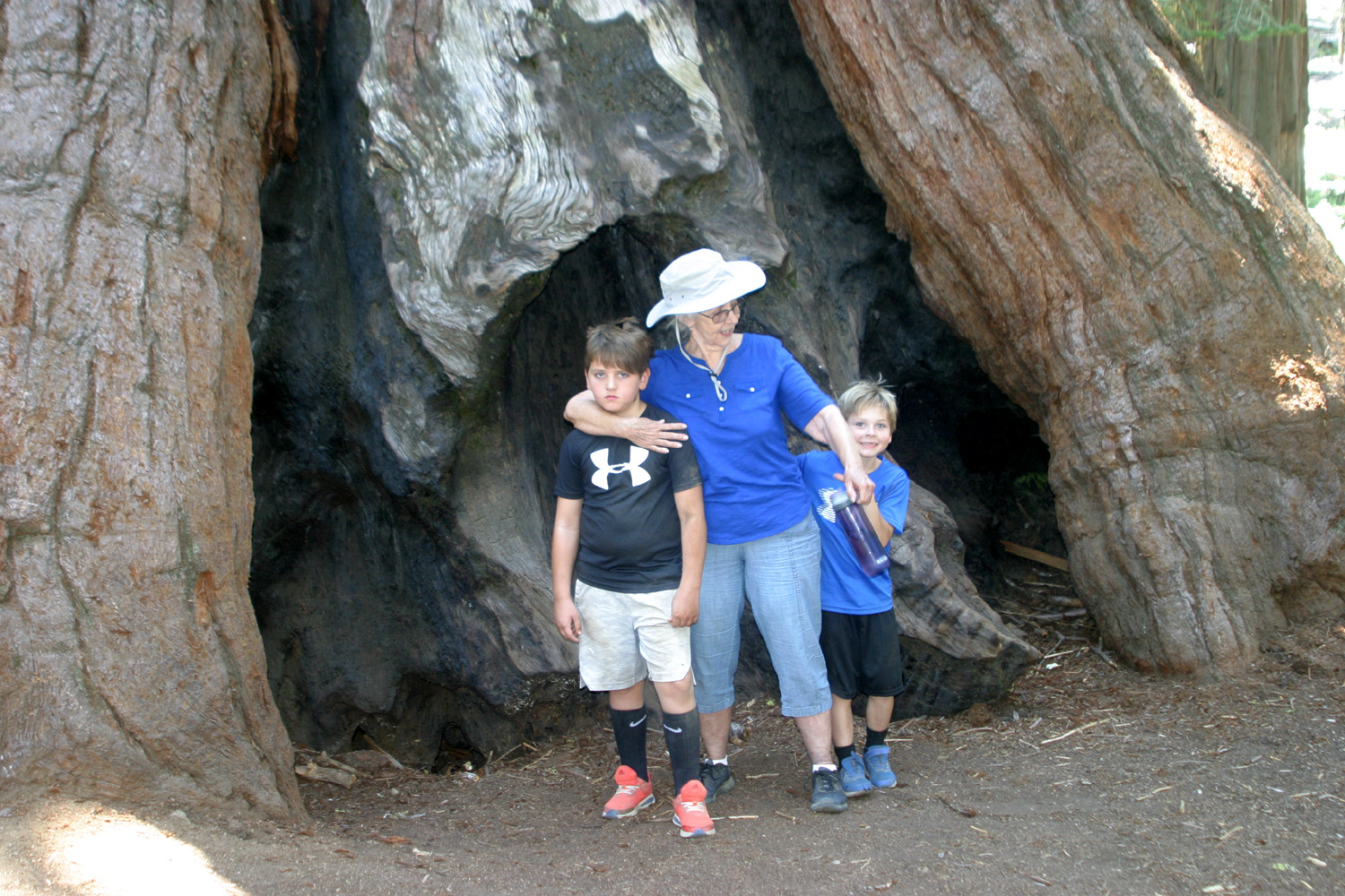 |
| Big sequoia in McKinley Grove | Jackie and her great grandsons, Colton and Jack |
|
While the adults strolled the short paved path at a sedate pace, Jack and Colton ran almost all the way around the loop, then came back to walk with us. When we got back to our cars, the boys took over the camera and took both serious and silly photos of the scenery and each other. |
|
 |
 |
| Some of the day's Ramblers - Sue, Jackie, Julie, Allen | Colton snaps Jack in a whimsical mood |
|
We had already scoped out a location to have lunch, the Pizza Factory in Prather. This chain, which focuses on locations in small towns, is one of our favorites, with excellent sandwiches and pizza. The boys were more interested in the game consoles, having brought eight one dollar bills, and eventually arrived back home with 50 cents and enough leftover pizza for their whole family that evening. A bit of an explanation is due here. My Nikon Coolpix camera, which I have used for nine years, recently died. I have an older Canon digital 35 mm format camera, but it's not taking very good photos, and it's too heavy to carry on longer hikes. I didn't expend much effort getting new photos since I've photographed these places several times. That's my excuse for using a number of old photos with this report. I'm hoping my new cell phone will work out as a regular camera. Stay tuned. --Dick Estel, July 2021 |
|


| Photos
(Click to enlarge; pictures open in new window) (Photos by Dick and Wes) |
||
| Kaweah Oaks Preserve Wawona Loop Trail Big Stump Loop Trail Pine Logging Site & McKinley Grove | ||
| Kaweah Oaks Preserve | ||
 |
 |
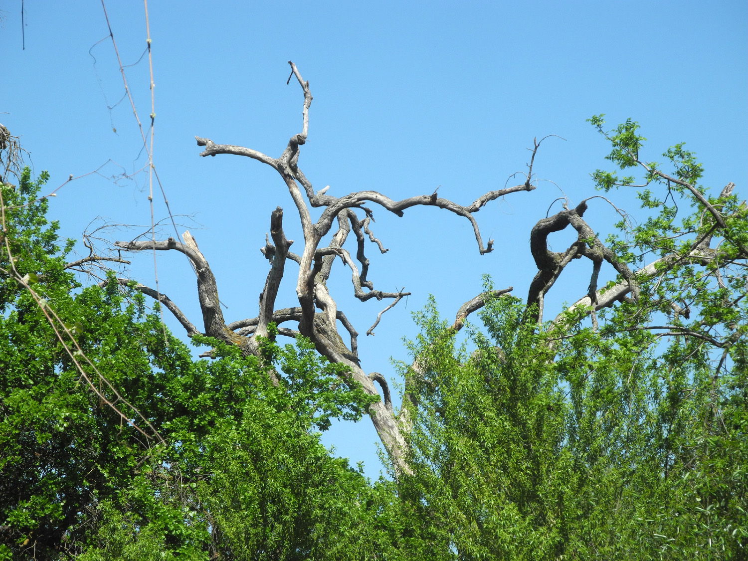 |
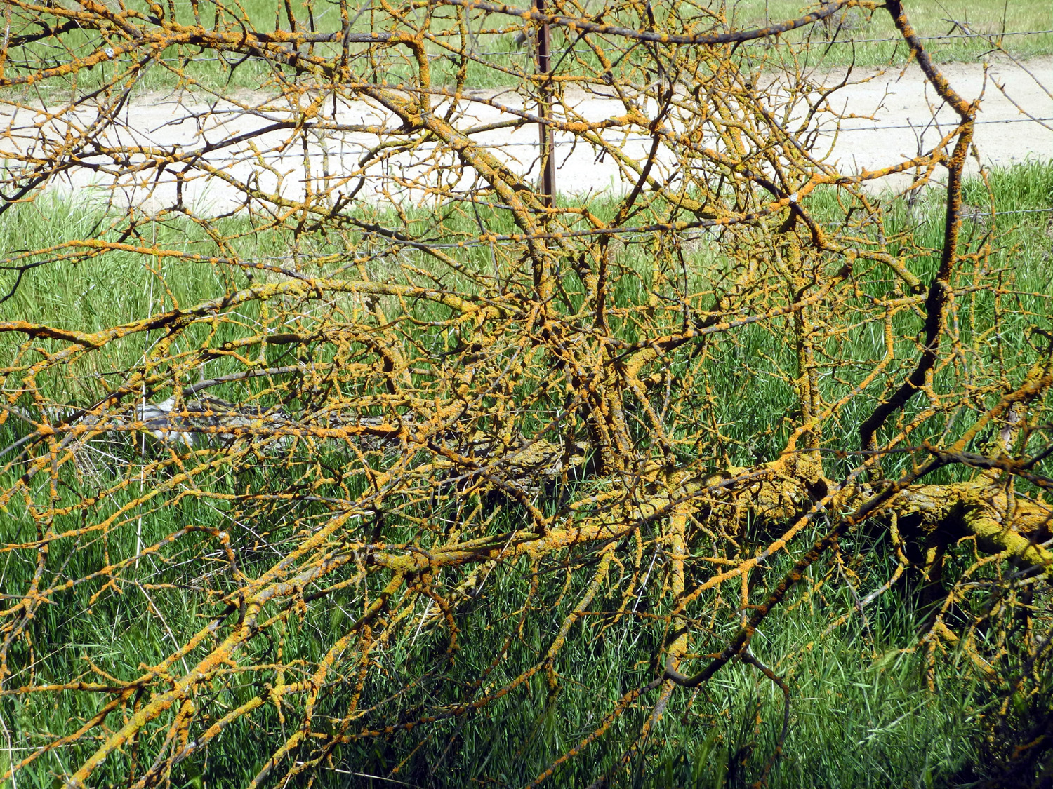
| One of the trails we hiked on | Rusty lichen on a dead branch | With no leaves, the branch structure is revealed |
|
 |
|
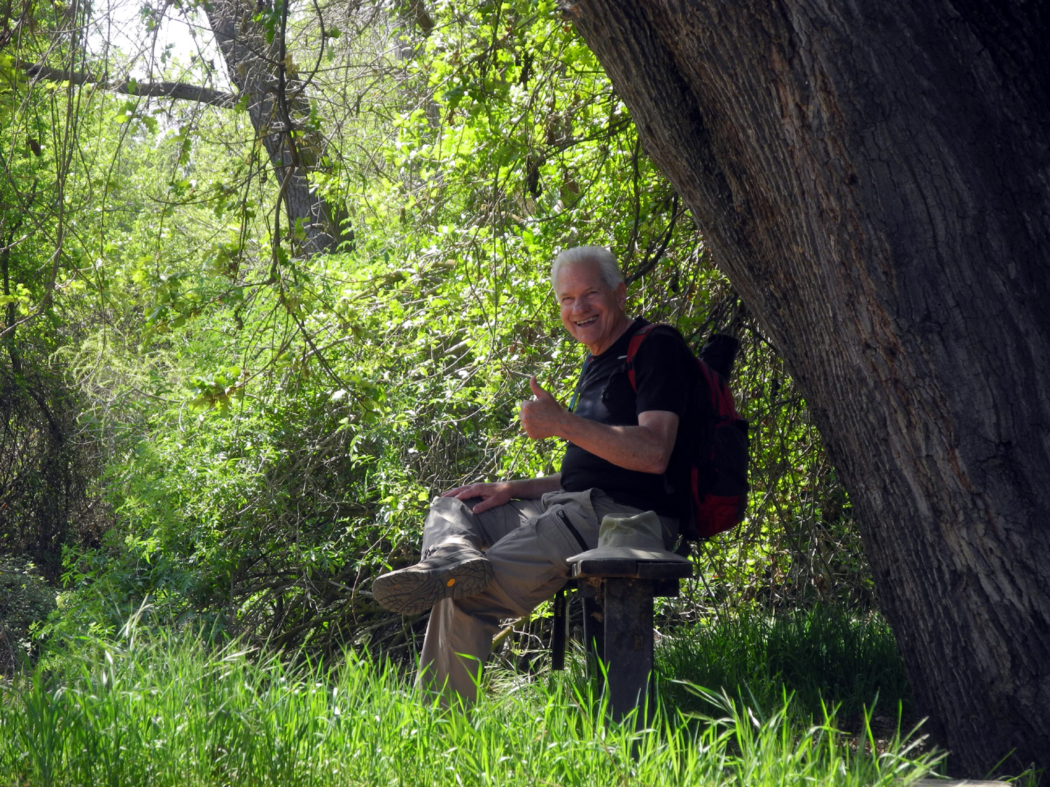
| Ardyss, Allen and Dick find rest | A shady bench for Wes | Vines throughout give the impression of a jungle |
| Wawona Loop Trail | ||
|
 |
 |
| A closer look at the dogwood blossoms | This huge black oak
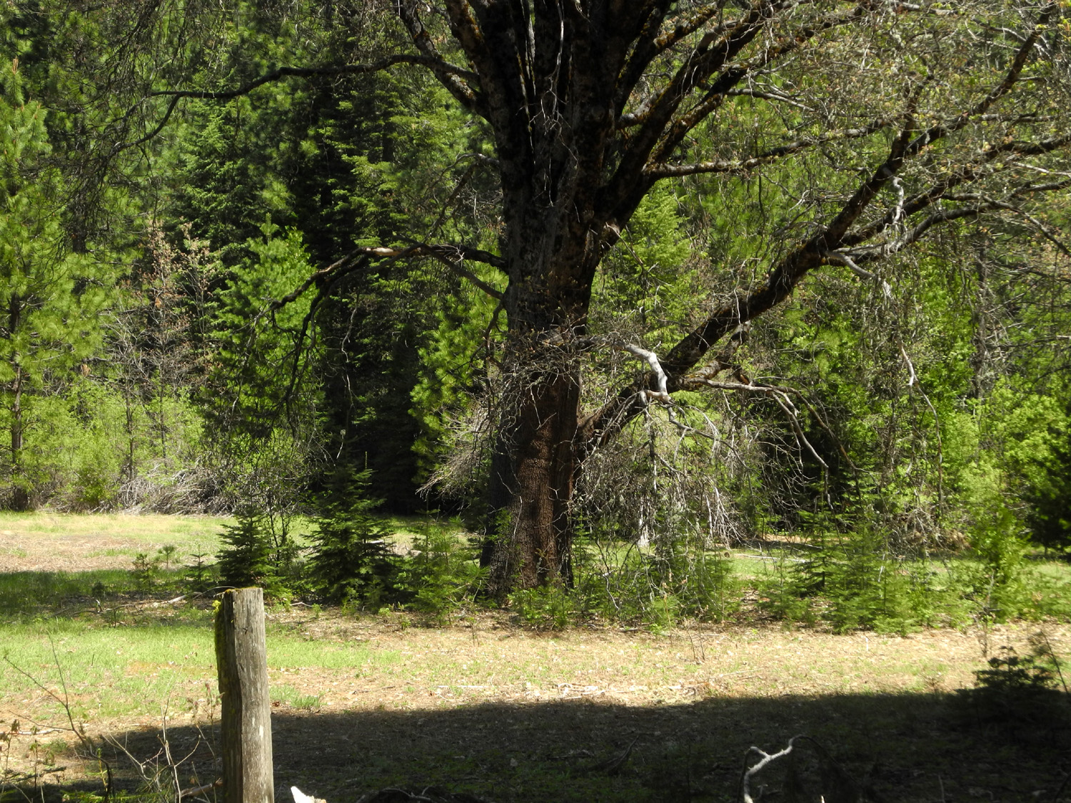
shelters a little forest of fir trees |
19th Century
visitors traveled by wagon to visit Yosemite |
|
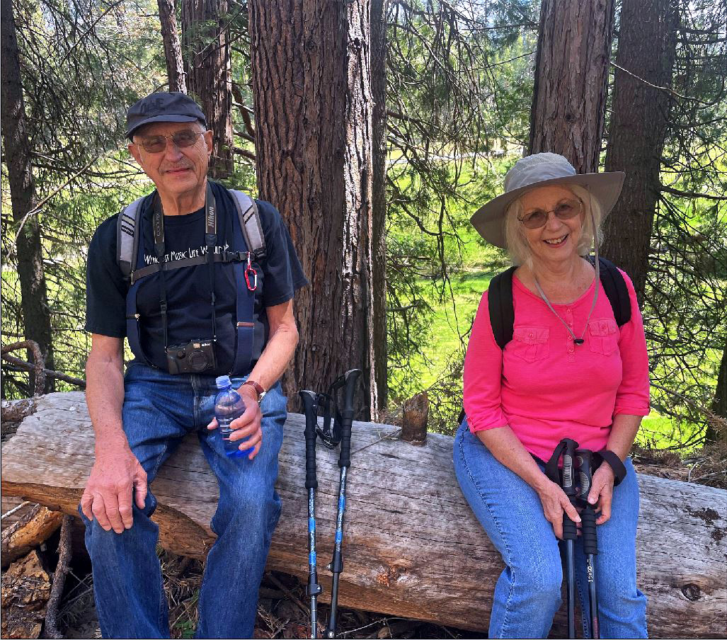 |
 |
| Before the hike: Dick, Dave, Sue and Jackie | Dick and Jackie found a perfect resting log | Sue on the trail |
| Big
Stump Loop Trail (Photos by Dave and Dick) |
||
|
|
 |
| Jack in the stump | Once a big sequoia | Unknown white flower |
 |
 |
 |
| Meagan on the trail | Chaparral, young firs, and mature evergreens | My grandson Johnny in 1986 |
| Pine
Logging Site & McKinley Grove (Photos by Dick, Colton & Jack) |
||
| (First three photos are from 2008) | ||
 |
 |
 |
| Restored cabins at the camp | The old store | Store counter |
 |
 |
 |
| This classroom never heard of Zoom learning | Exploring the conveyer platform (2020 photo) | About the grove |
 |
 |
 |
| Exploring the grove | Dick and sequoias | Jack being Jack |
 |
 |
|
| Lumpy base of a giant sequoia (2018 photo) | ||
 |
||
| Row of trees (2019 photo) | Composite photo to create a top to bottom view (distortion is caused by the camera) | |
| Related Links | ||
| Kaweah Oaks Preserve | Visalia, CA | Tulare County Treasures |
| Valley Oaks | Hike Video 1 | Hike Video 2 |
| San Joaquin River Gorge | San Joaquin River Trail | Prather |
| Wawona | Yosemite National Park | South Fork of the Merced River |
| Wawona Meadow Loop Trail | Big Stump Loop Trail | Kings Canyon National Park |
| Hank Johnston Books | Mark Twain Stump | Dave's Photos on Line |
| Pine Logging Camp | McKinley Grove | Pizza Factory |