


Dick's Adventures of 2016 - Part 7 |
||
Adventures of 2016 Part 1 Adventures of 2016 Part 2 Adventures of 2016 Page 3 Adventures of 2016 Part 4 Adventures of 2016 Part 5 Adventures of 2016 Part 6 San Joaquin River Trail West FINS Trail California Flat Shadow of the Giants San Joaquin Gorge Hensley Reservoir San Joaquin River Trail East |
||
|
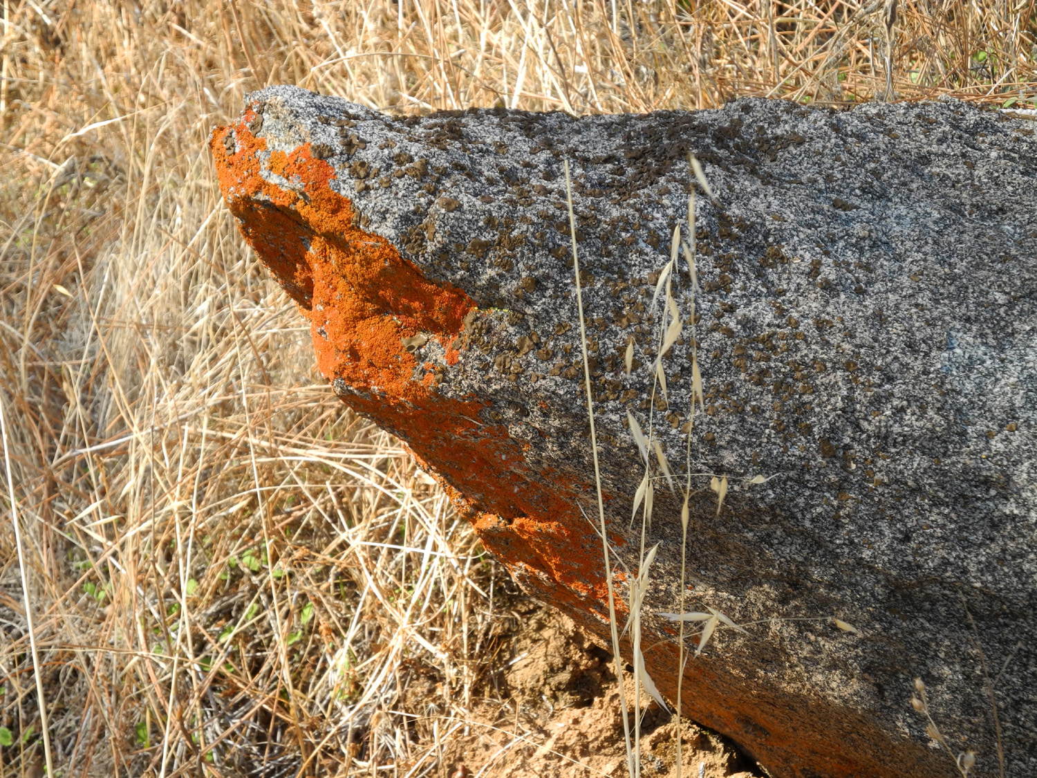
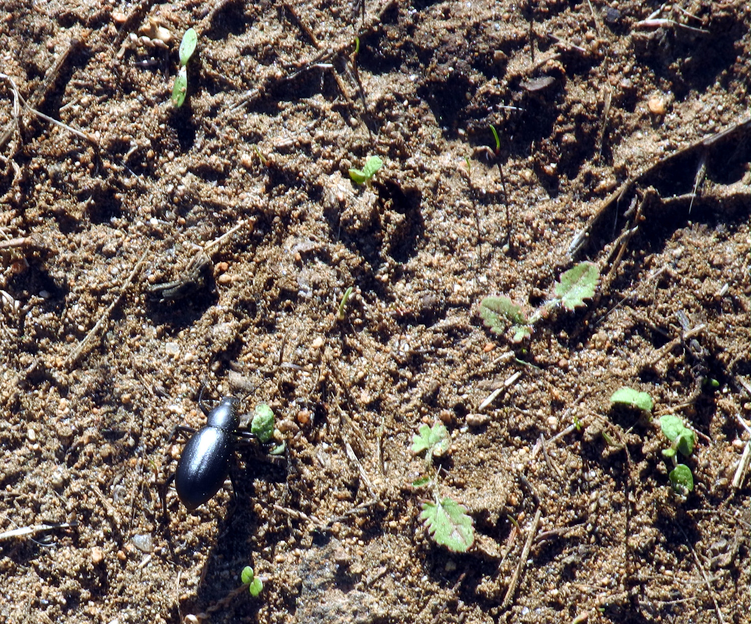
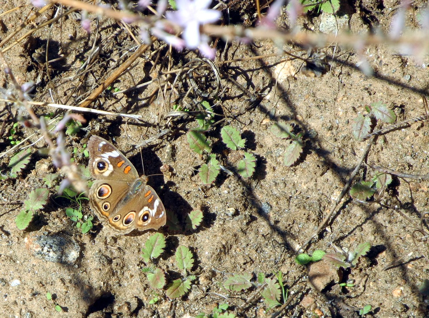
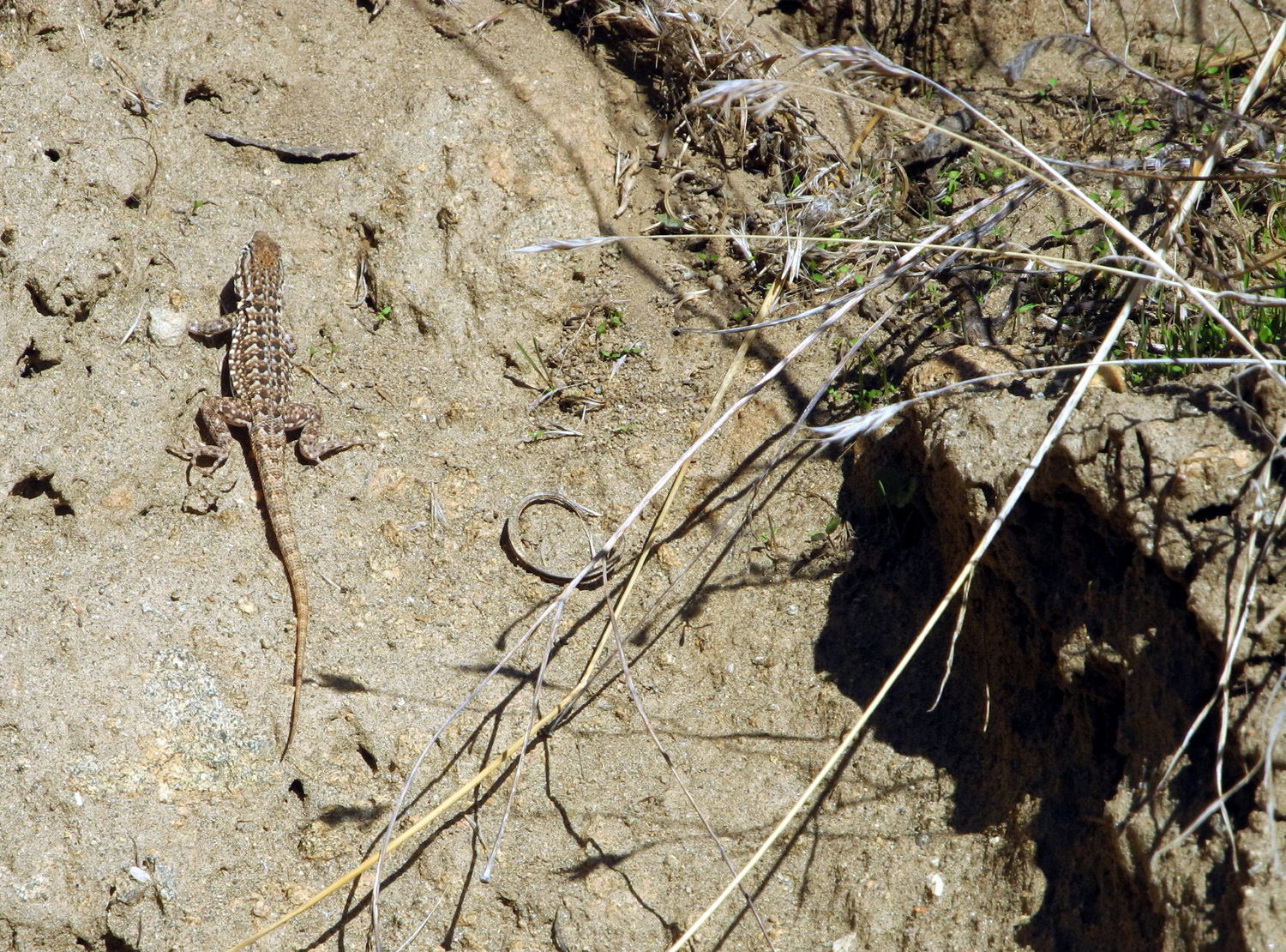
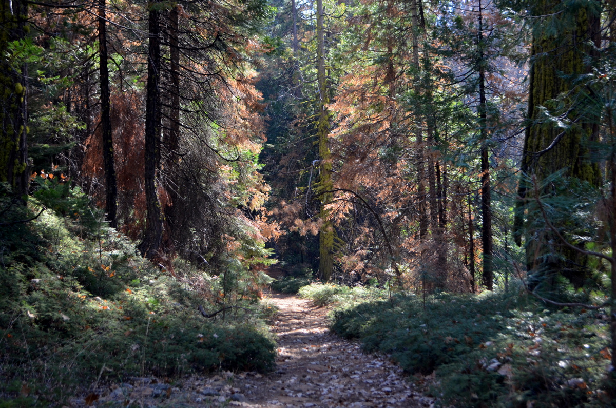
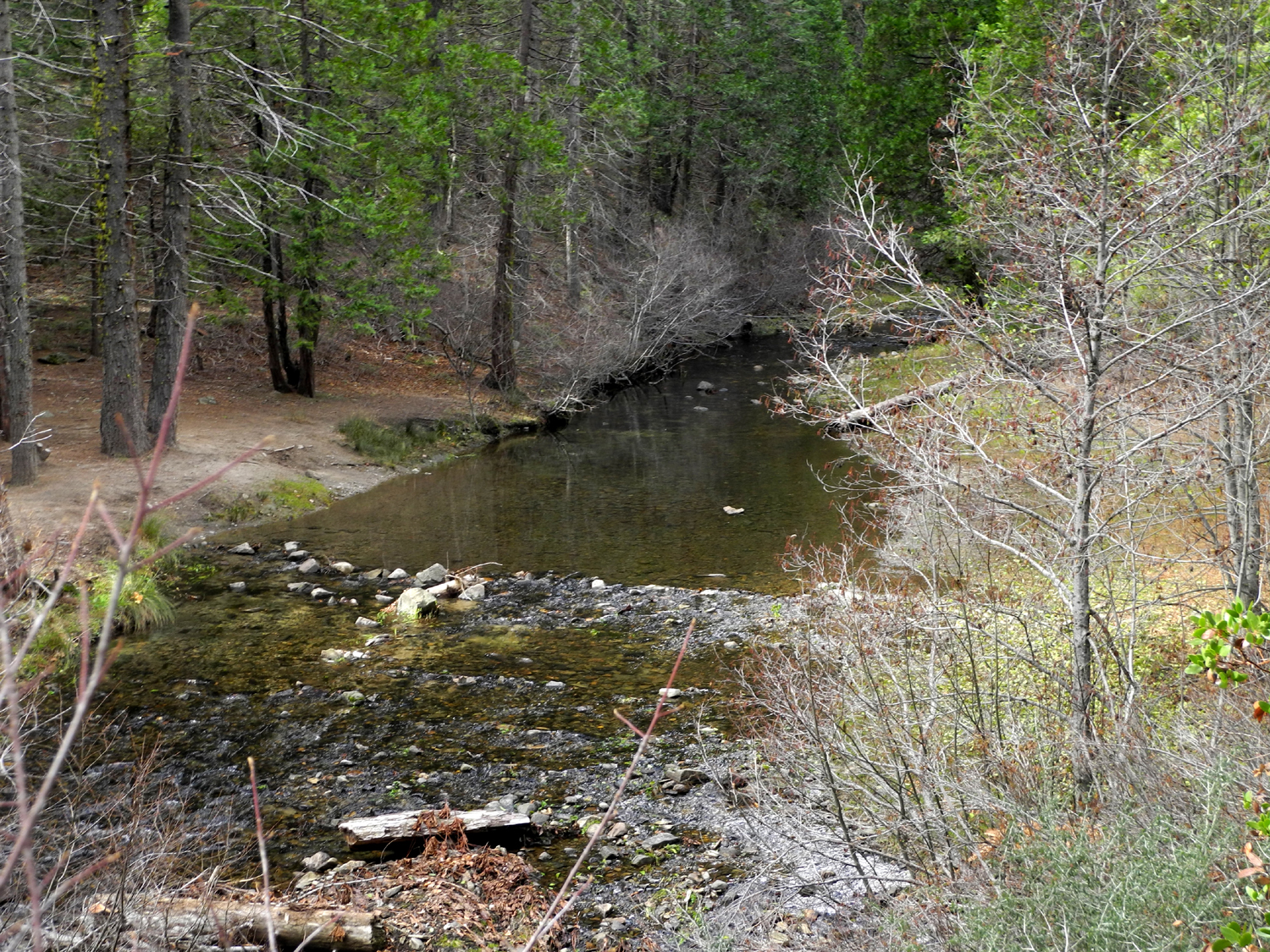
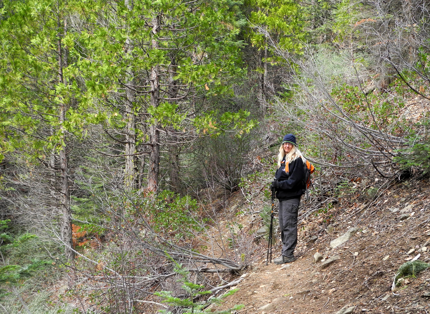
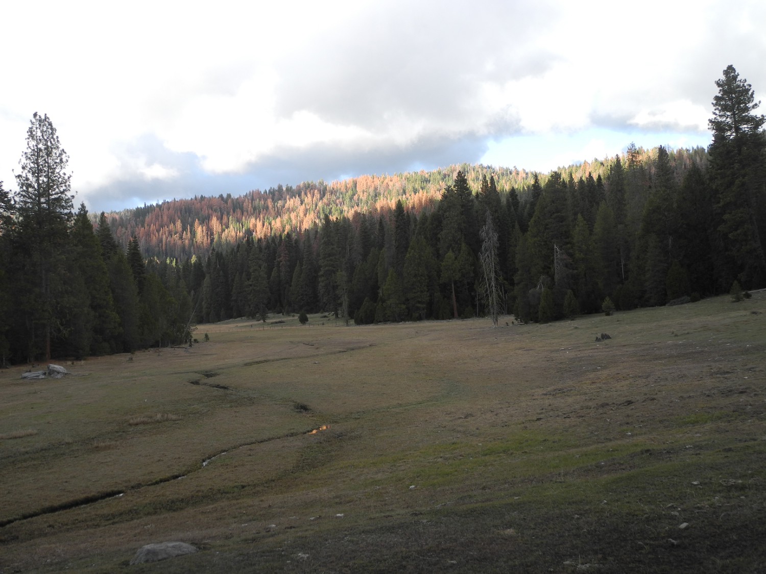
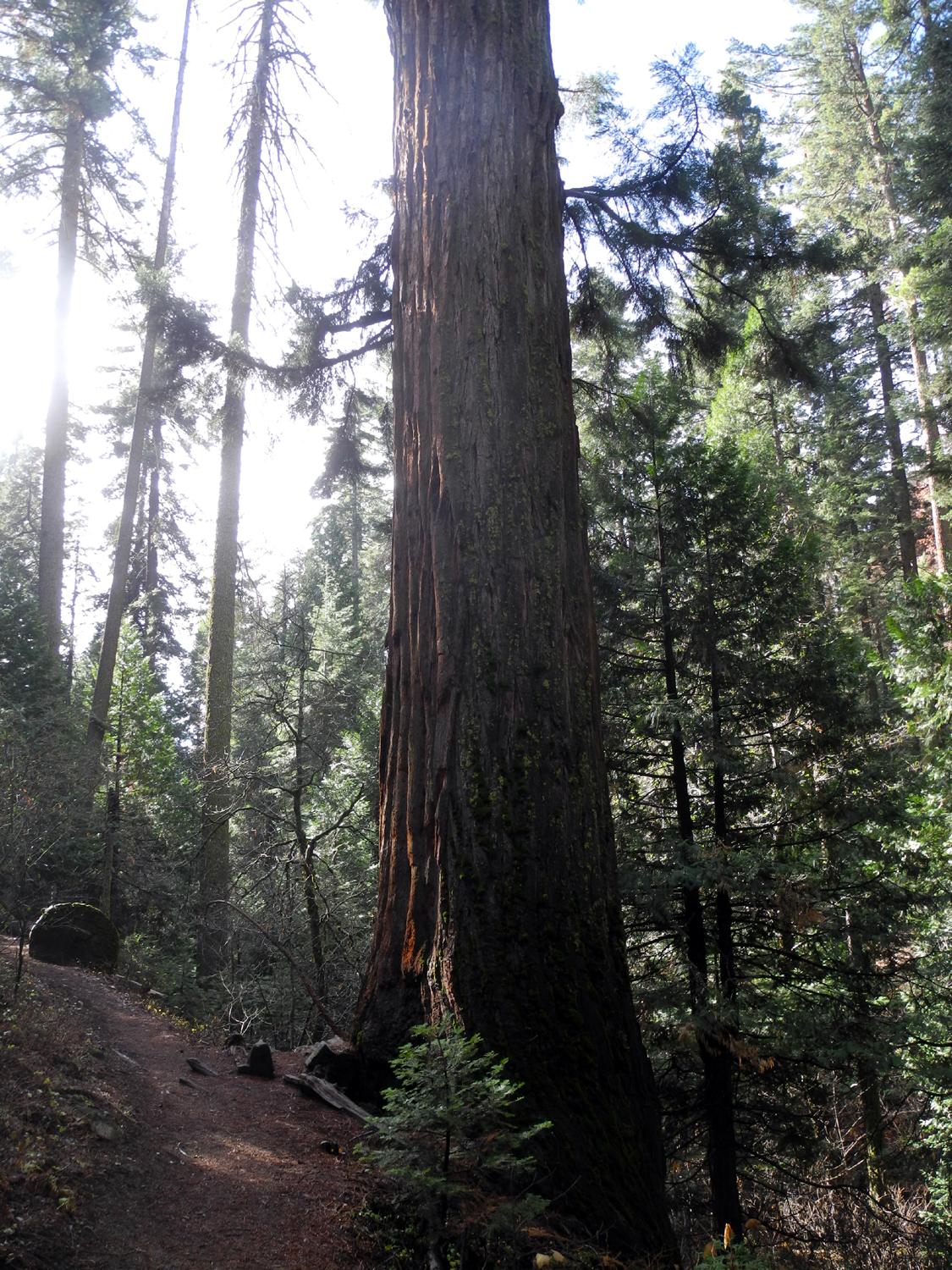
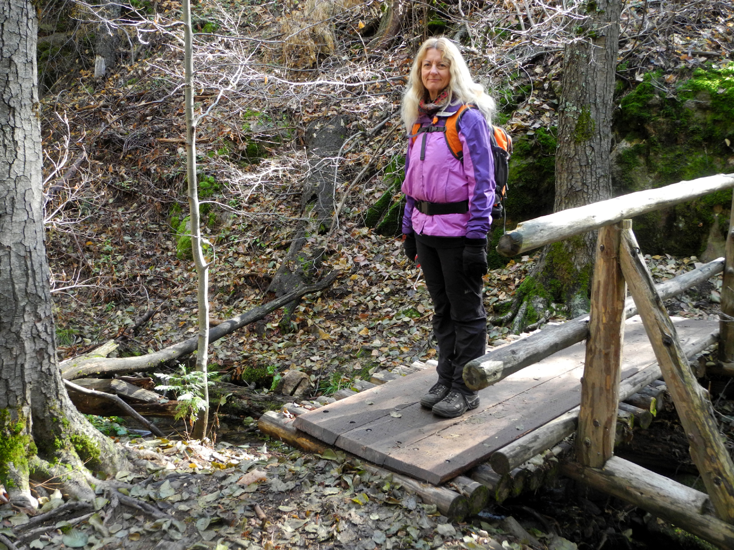
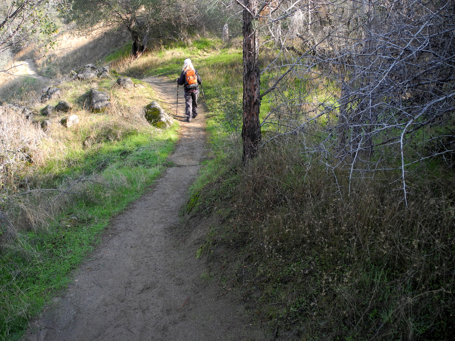
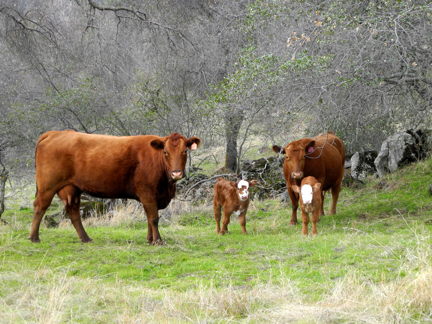
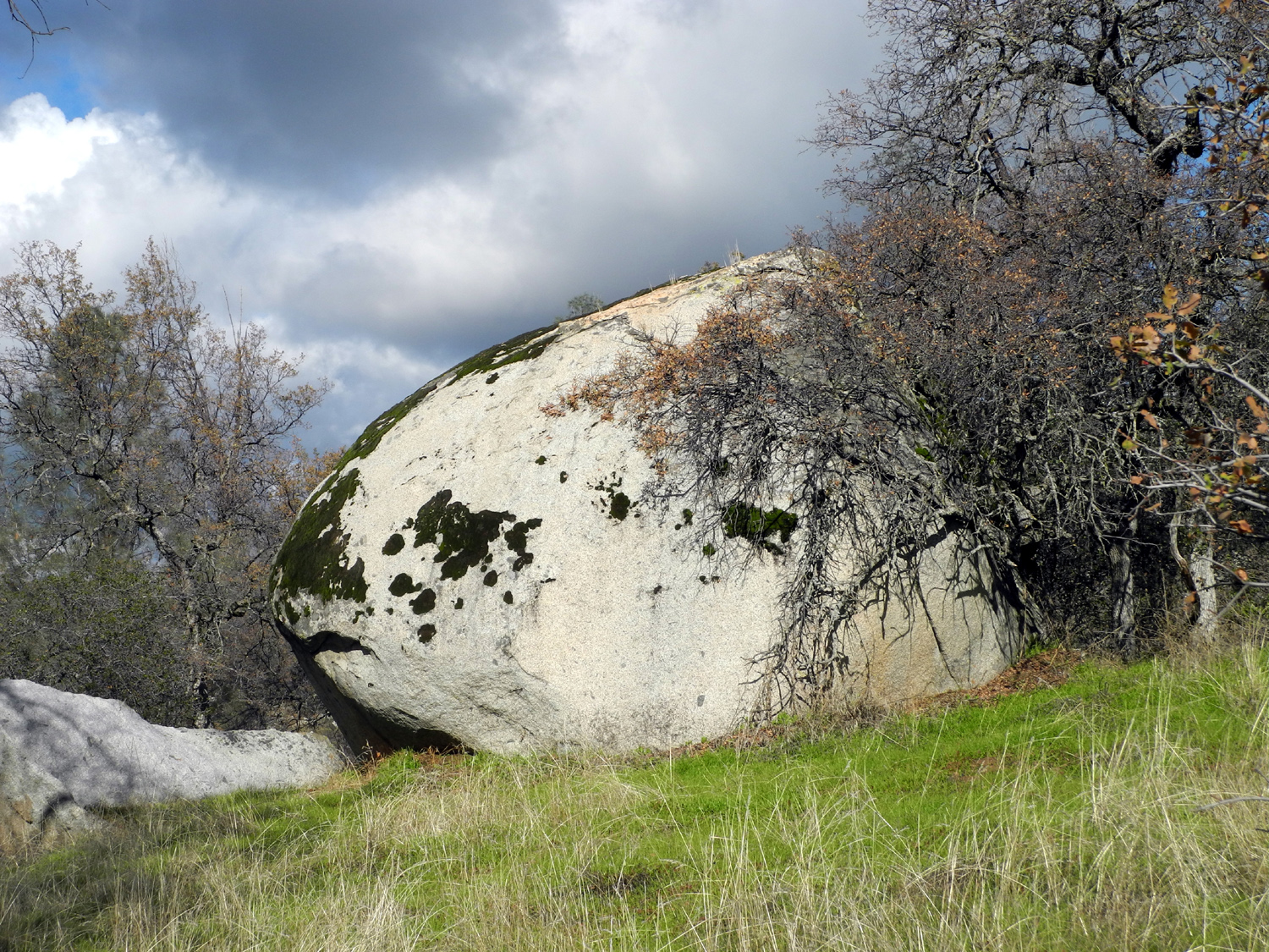
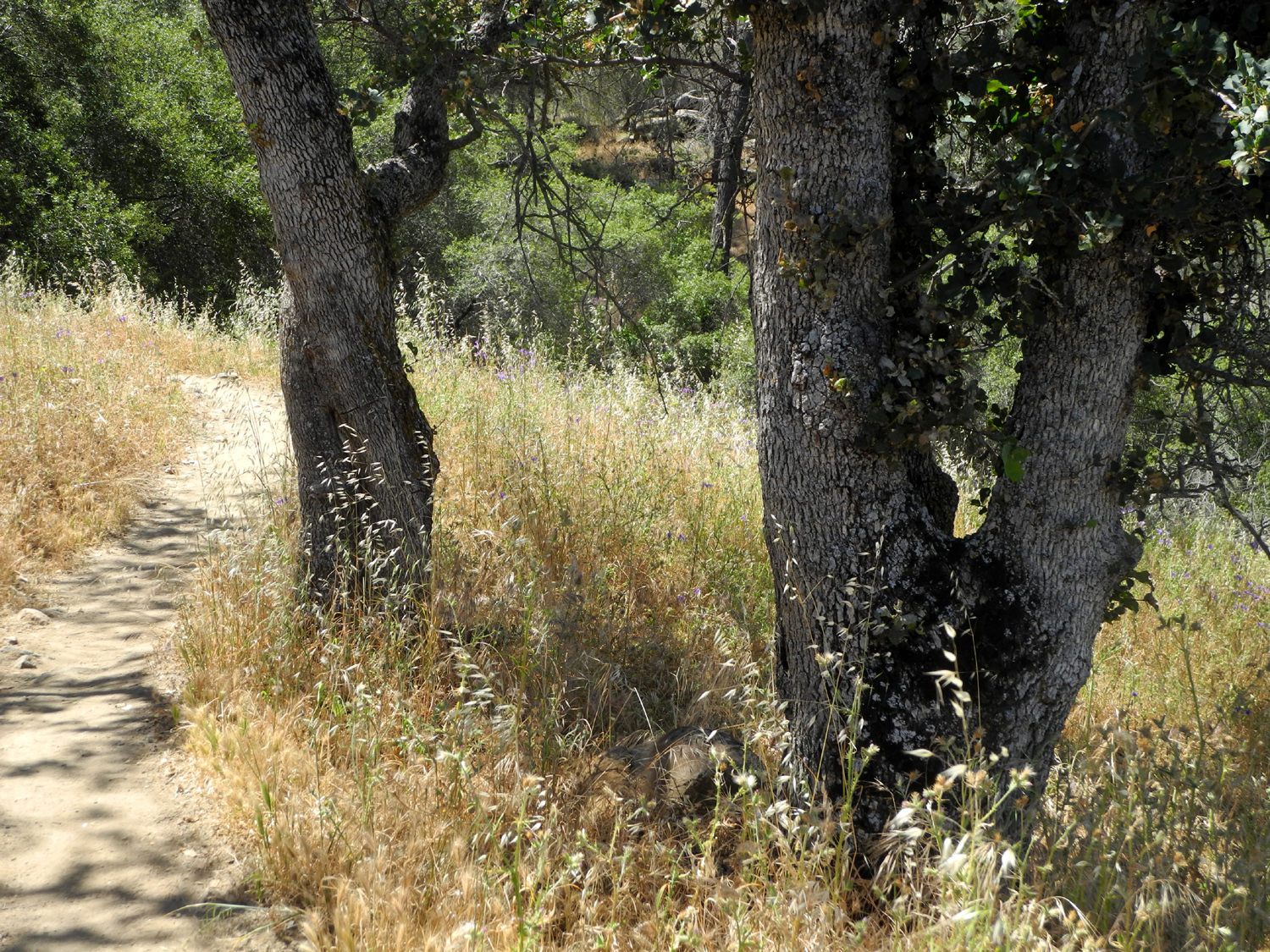
San Joaquin River Trail West I had four days free at the start of November, with no bad weather expected, so I knew it was time for a hike. I got in touch with my daughter Teri, and she was available on November 2. She came over about 10:15 and we drove out to the South Finegold Picnic area near Sky Harbor, on Millerton Lake. This is the start of the section of the San Joaquin River Trail that goes from there to the San Joaquin River Gorge (AKA Squaw Leap), a distance of about 12 miles. I walk both ends of the trail, but will not be doing the entire route until they invent a time machine. However, Teri plans to do it in a two-day hike some time in the spring, with me picking her up at the upper end. We had excellent hiking weather, with very few clouds, only a slight breeze, and the temperature about 60 when we started out. It warmed up considerably during the four hours that we were gone, but never so warm as to be uncomfortable. This end of the trail starts off with a long stretch that is mostly uphill. There are short level spots, and one downhill section into a deep drainage, but the overall impression is that you are going up all the time. As the trail rises up, distant foothills and high Sierra mountains come into view. We saw snow on the highest peaks in two locations, and had a good view of Shuteye Peak, an 8,000 foot dome with a fire lookout east of Bass Lake. Eventually you come to a saddle, where the trail continues on to a long section of up and down, parallel to the river. At the saddle, a path leads up to the top of a small knoll to the east, where you can see that the lake makes the start of a a big "S curve" through a narrow channel. Another path goes west up to a higher, steeper knoll, and beyond that is the infamous Pincushion Peak, which I hiked earlier this year with my daughters and Wes Thiessen. This saddle was my stopping place the first few hikes, except that I did go up to the west knoll a time or two. This year I set a goal for hikes that are "out and back" of going a little farther each time, so in February I continued on past the saddle for a moderate distance. This time Teri and I went up the low knoll to the east and had a fairly long rest and a snack, then set off to go farther than ever before. The temperature had warmed up, we got a later start than we like, and when we reached my previous farthest point, it felt like I had gone as far as I wanted. In order to accomplish our goal, we walked about 50 feet past this point, then came back, had another rest and snack, and started back. It's most enjoyable to hike in this area in the winter and spring, when it's green and there are lots of flowers. However, we did see four different wildflowers on this trip, and several recent rainstorms have given the grass and broadleaf plants a good start. Wildlife was mostly the six-legged variety. We saw several types of butterflies, but most of them were brown with orange spots. We also saw a lot of the small black beetles we call stink bugs, which apparently are properly called pinacate beetles. There are web sites devoted to a species called stink bugs which are quite different from the ones we saw, but there are 120 species of pinacates in the western United States. I've seen them in the foothills all my life, and they were out in force on this date, hurrying along the trail on important beetle business known only to them. There were quite a few birds, most enjoyably a woodpecker working on a dead bull pine, ignoring us even though we were only a few feet from the base of his tree. A few lizards also ran across the trails and into the rocky banks along the way. Near the very end of our hike we saw a tarantula, a bit late for the fall mating march, but making his way with undaunted determination. One thing we didn't see much of was other people. There was a couple and two women finishing their hike as we started out, and we saw one other hiker on the trail itself. Starting early was probably a good choice, since it was 59 degrees when we left home, but a rather warm 72 as we arrived back at the car. Since I started hiking at this location I've gone back at least twice every year, so prepare yourselves for still more reports, hopefully when the spring flowers have made a good start.
|
||
|
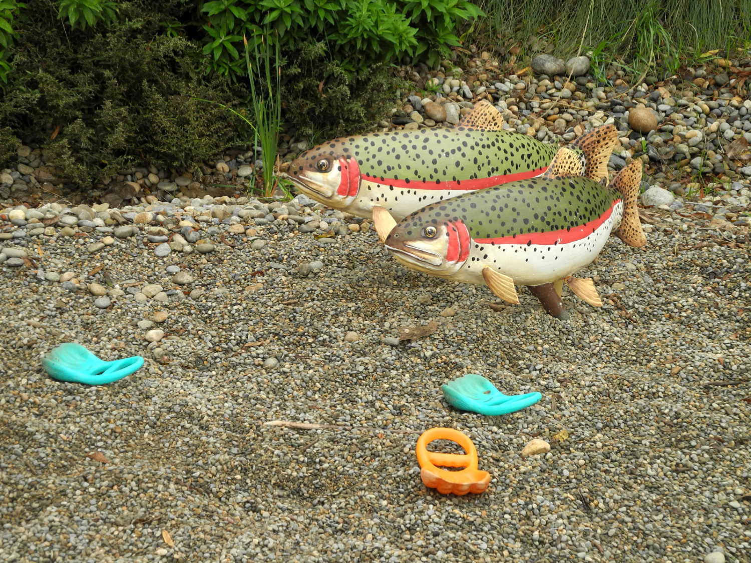
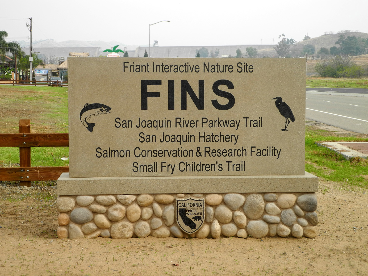
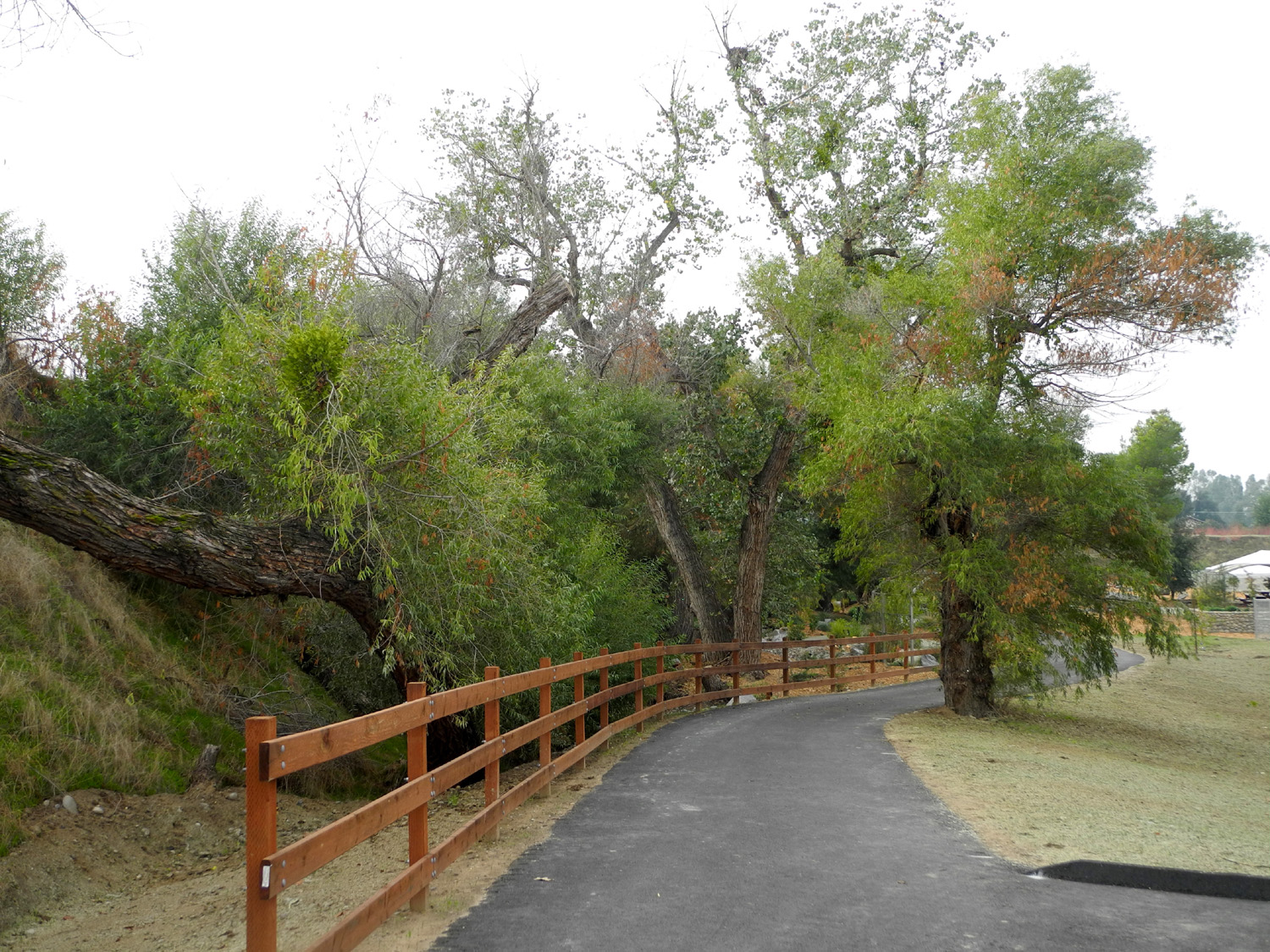
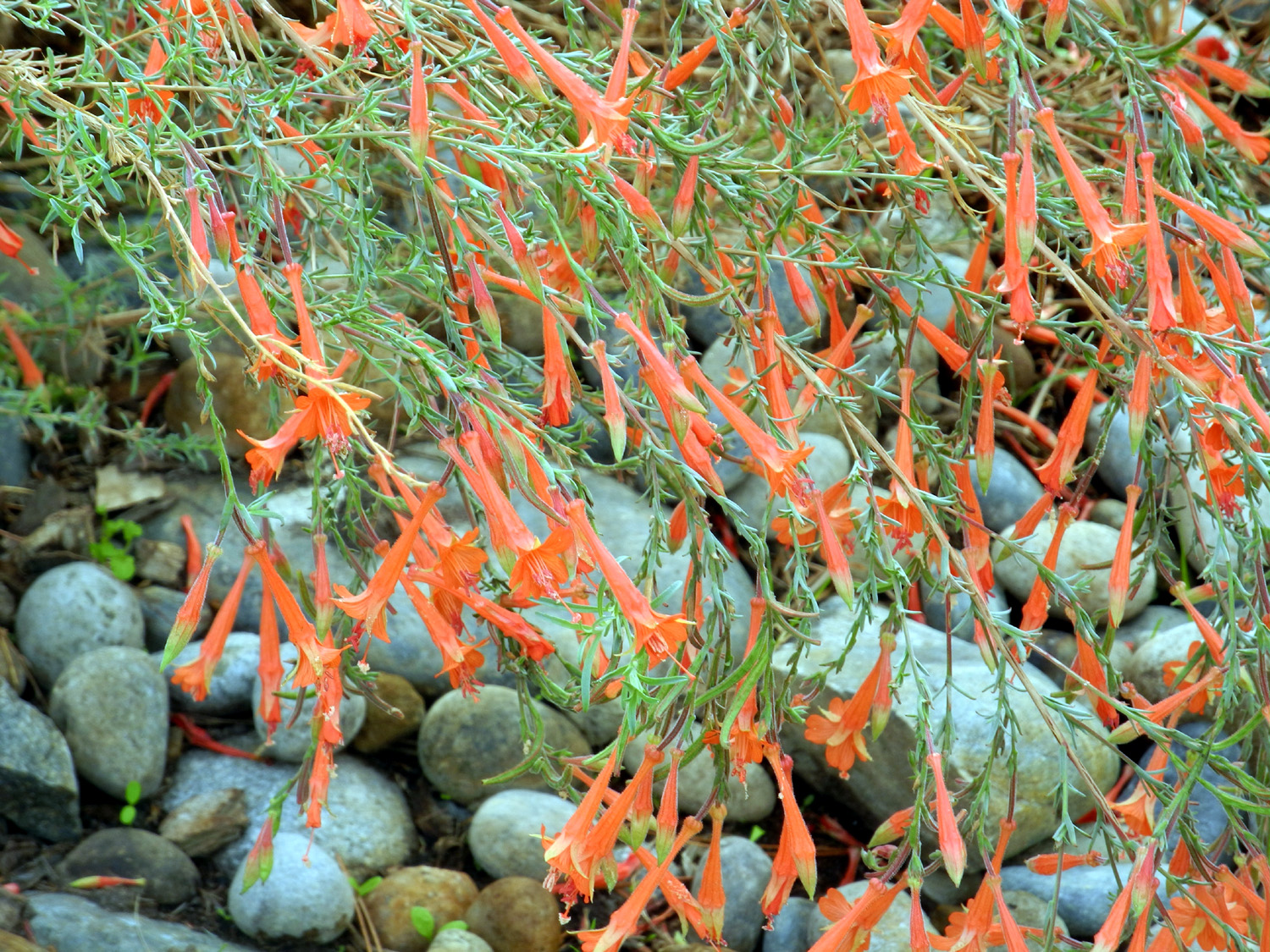
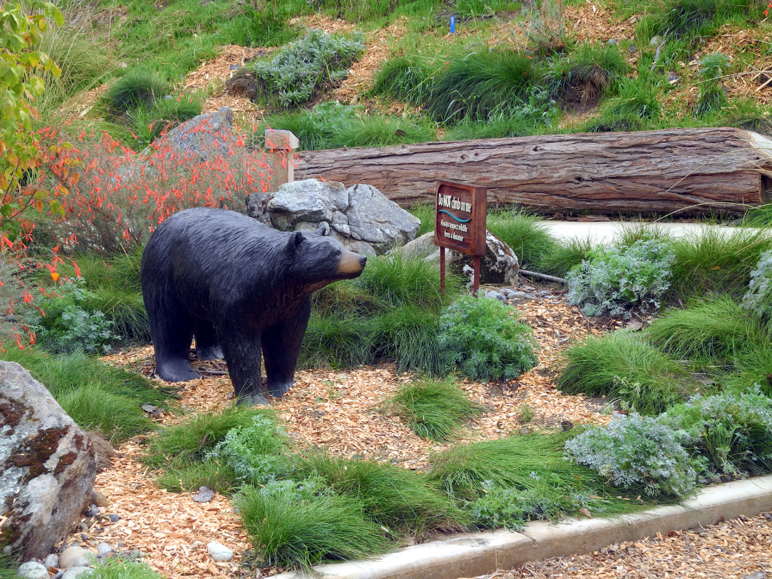
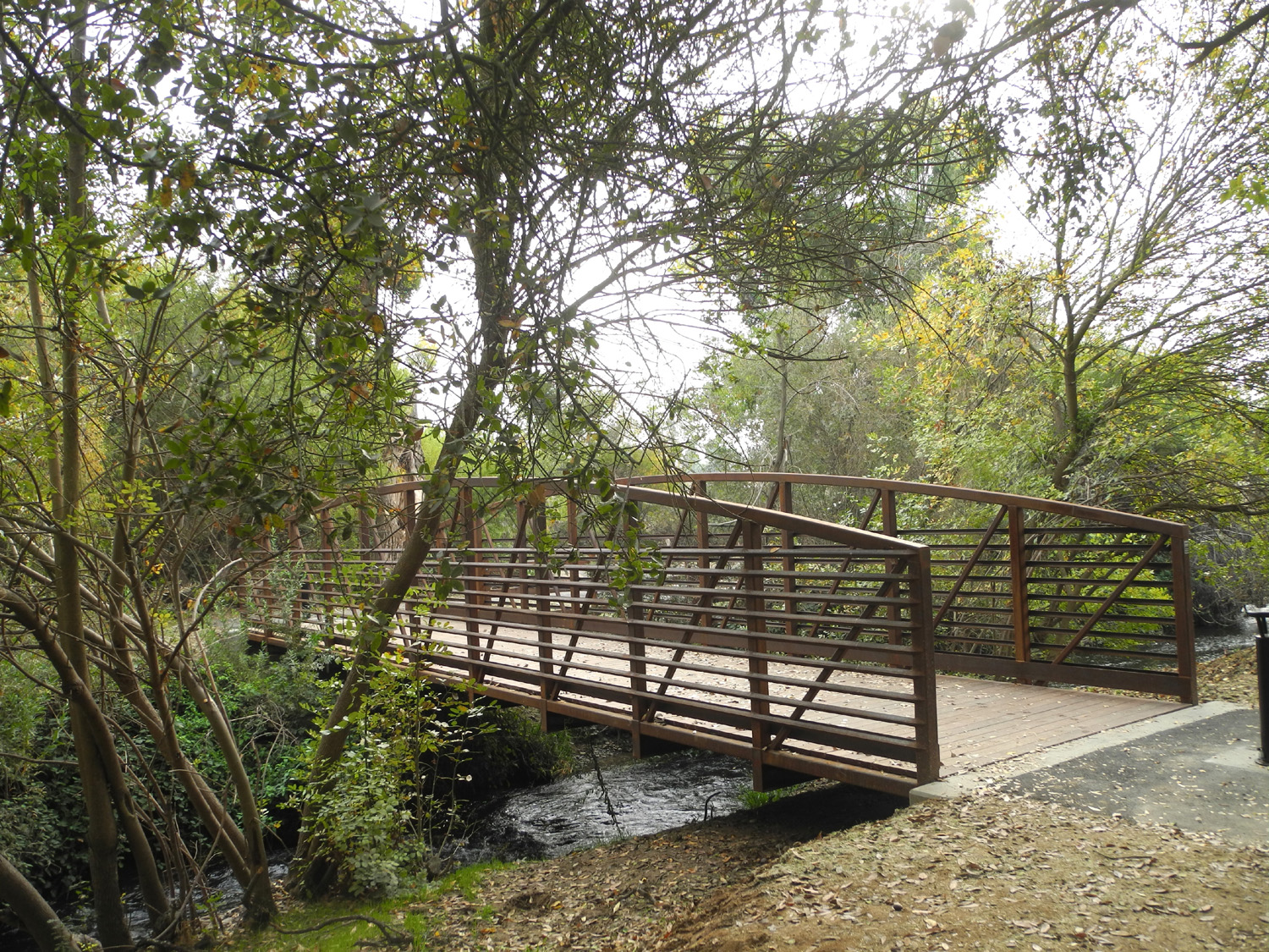
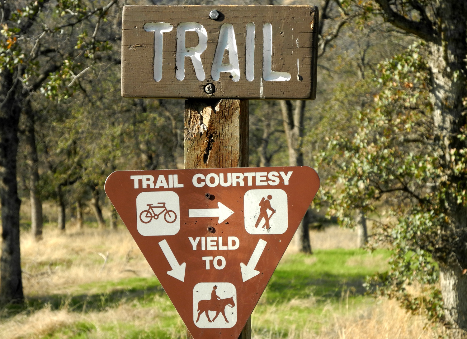
FINS Trail (Friant Interactive Nature Site) This was a short hike, so I'll try to make it a short report. Recently I heard about a new trail that just opened along the San Joaquin River. It starts by the San Joaquin Fish Hatchery in Friant, a small town on the river that is the border between Fresno and Madera Counties, and goes to nearby Lost Lake Park, a county park that has been in existence for decades. November 6 was the day of a marathon in Fresno and Clovis, and the road to my usual hiking trailhead was closed for the event, so I thought I would drive out to the new trail and avoid the runners. This was not entirely successful, since it turned out the route ran along the side of Willow Avenue, the most direct route from my house to Friant Road. The runners were on a part of the Clovis trail that parallels Willow, and some of the cross streets were closed, but Willow was open, with very long waits at a couple of traffic lights. I made it through the congestion, turned east on Friant Road, and arrived at the trailhead a few minutes later. The trail is part of the Friant Interactive Nature Site, which includes the hatchery. But the most interesting part of the area is the Small Fry Trail, just off the main trail. It shows the development of trout from egg to big lunker, and has lots of fun stuff for kids. There are several animal and fish models, a beaver dam, a slide, other play areas, two bridges (no water now), a raft, a canoe, and a bed of pea gravel, simulating a place where small trout hide, with shovels for people who like to dig in the dirt. I walked through the trail, which had no other visitors, but skipped the gravel dig. The main trail continues on through typical riparian terrain, with many big trees, lots of shrubs and several cattail ponds. As always there were a few wildflowers in bloom, and the recent rains have given the green grass a good start. There is a bridge that goes over a branch of the river with a good flow of water. A short distance from this the paved trail abruptly ends at the edge of Lost Lake Park, which is closed for campground reconstruction. This trail is the newest segment of the planned San Joaquin River Trail, which when fully completed will extend from near Highway 99 to the Devil's Postpile National Monument on the eastern side of the Sierra. My round trip walk was a little over 1.5 miles. Once Lost Lake is open, a hike could be extended through that area, adding another mile or two, something I will do one of these days.
|
||
|
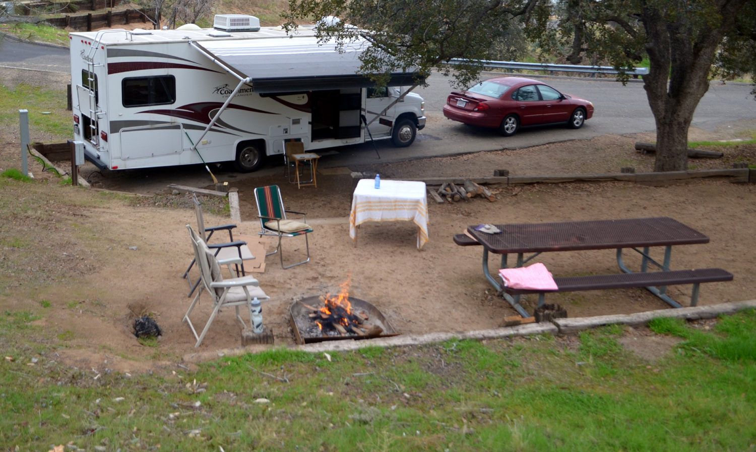
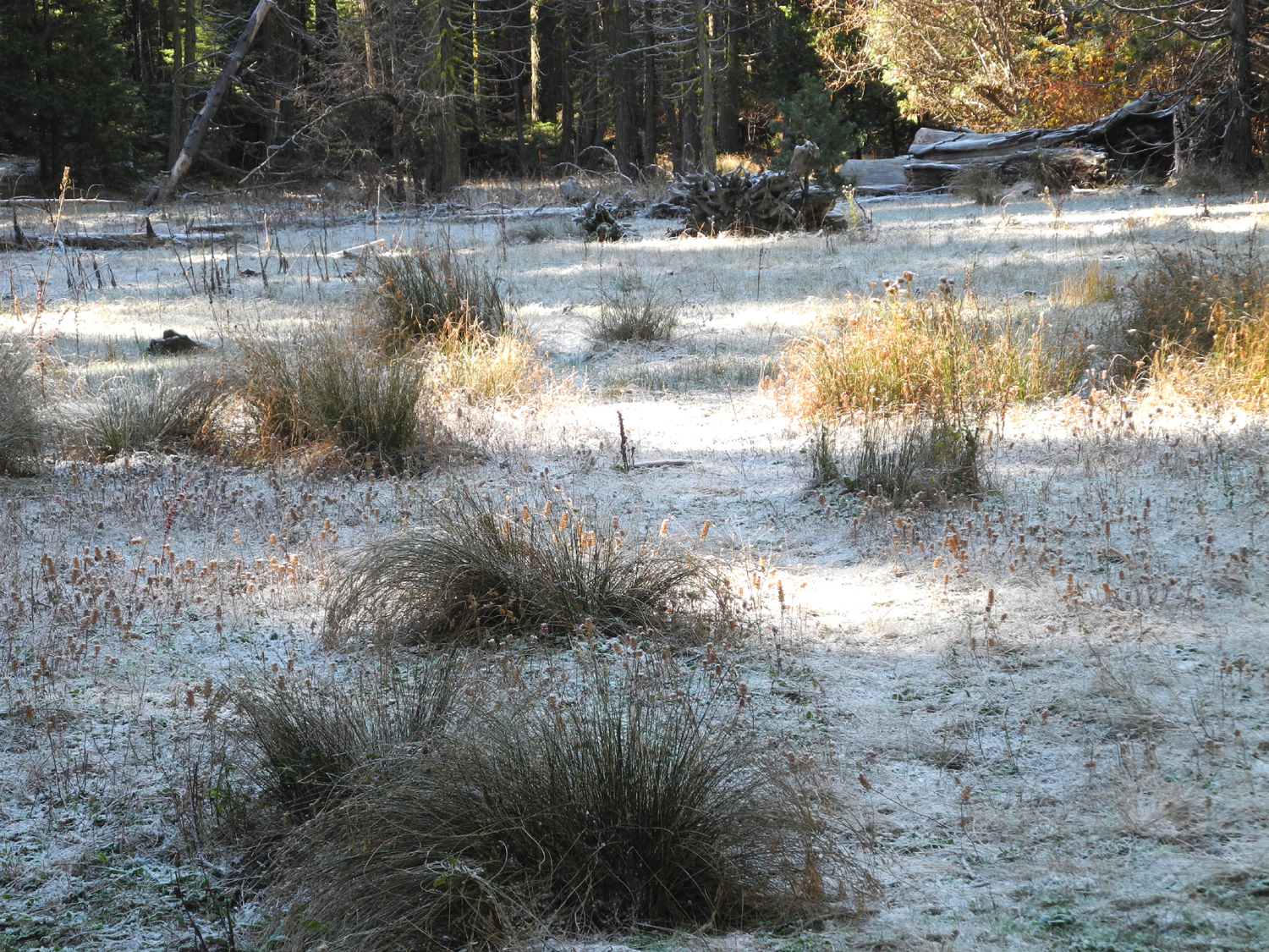
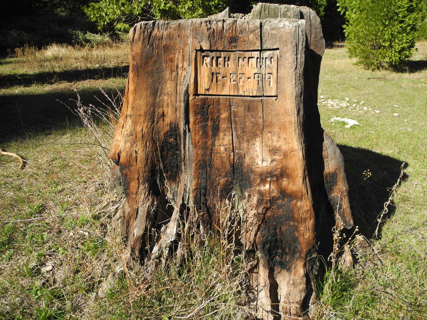
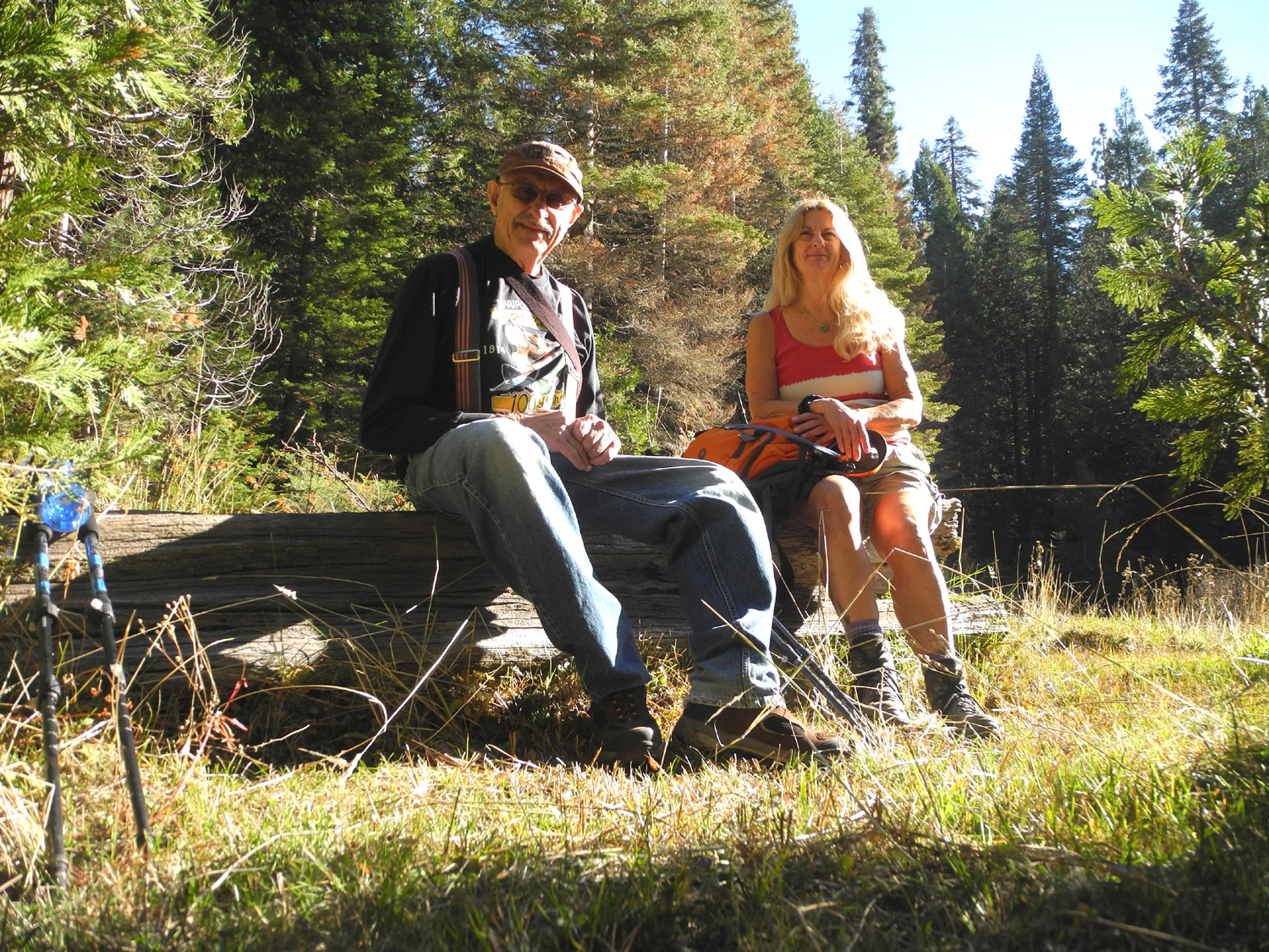
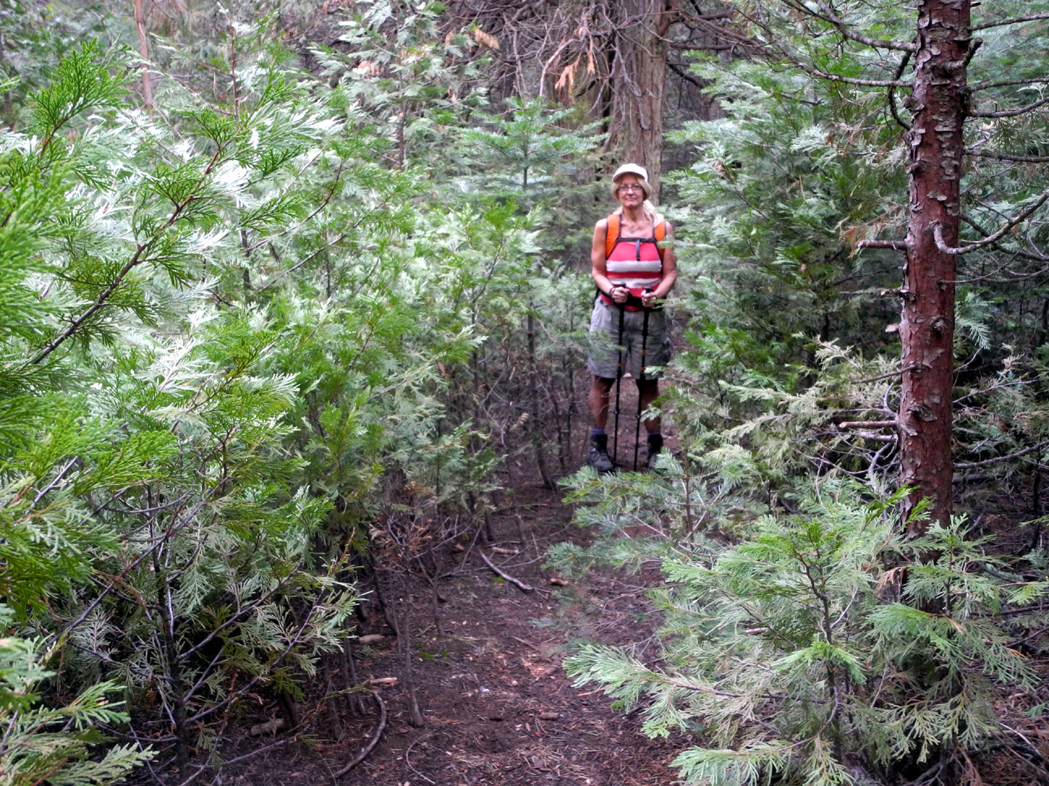
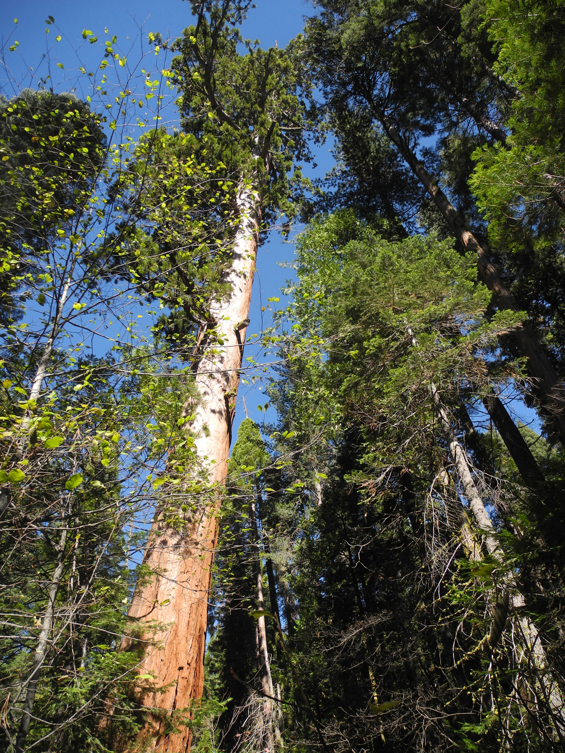
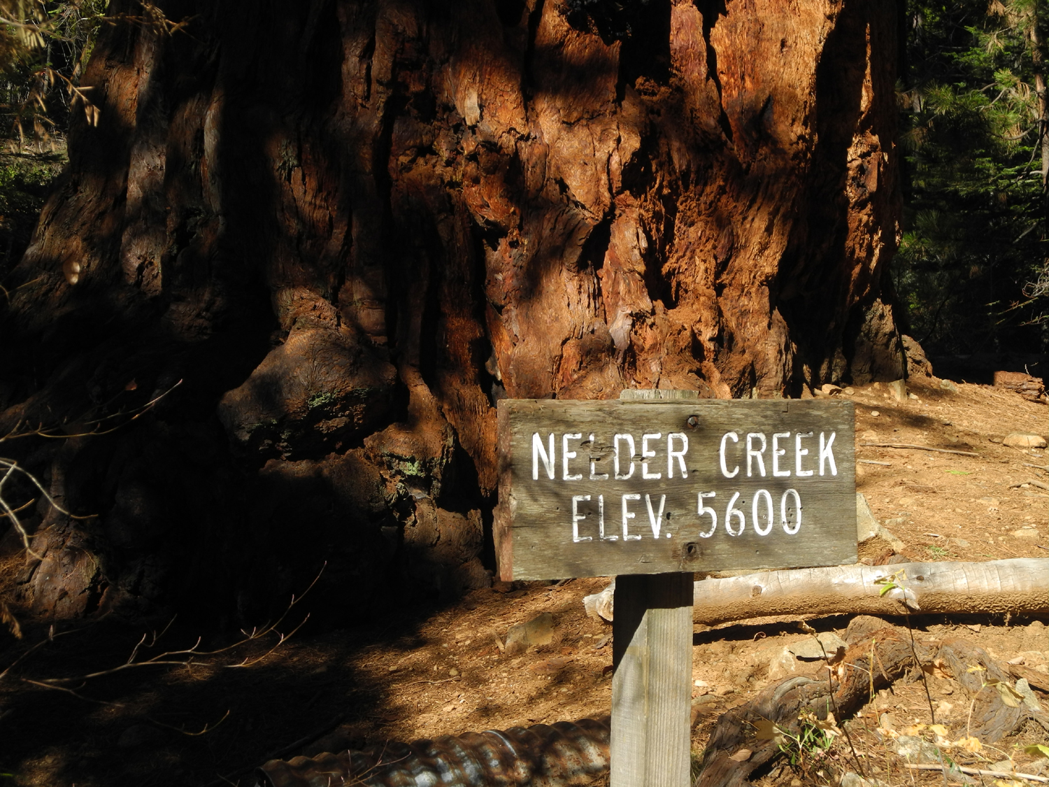
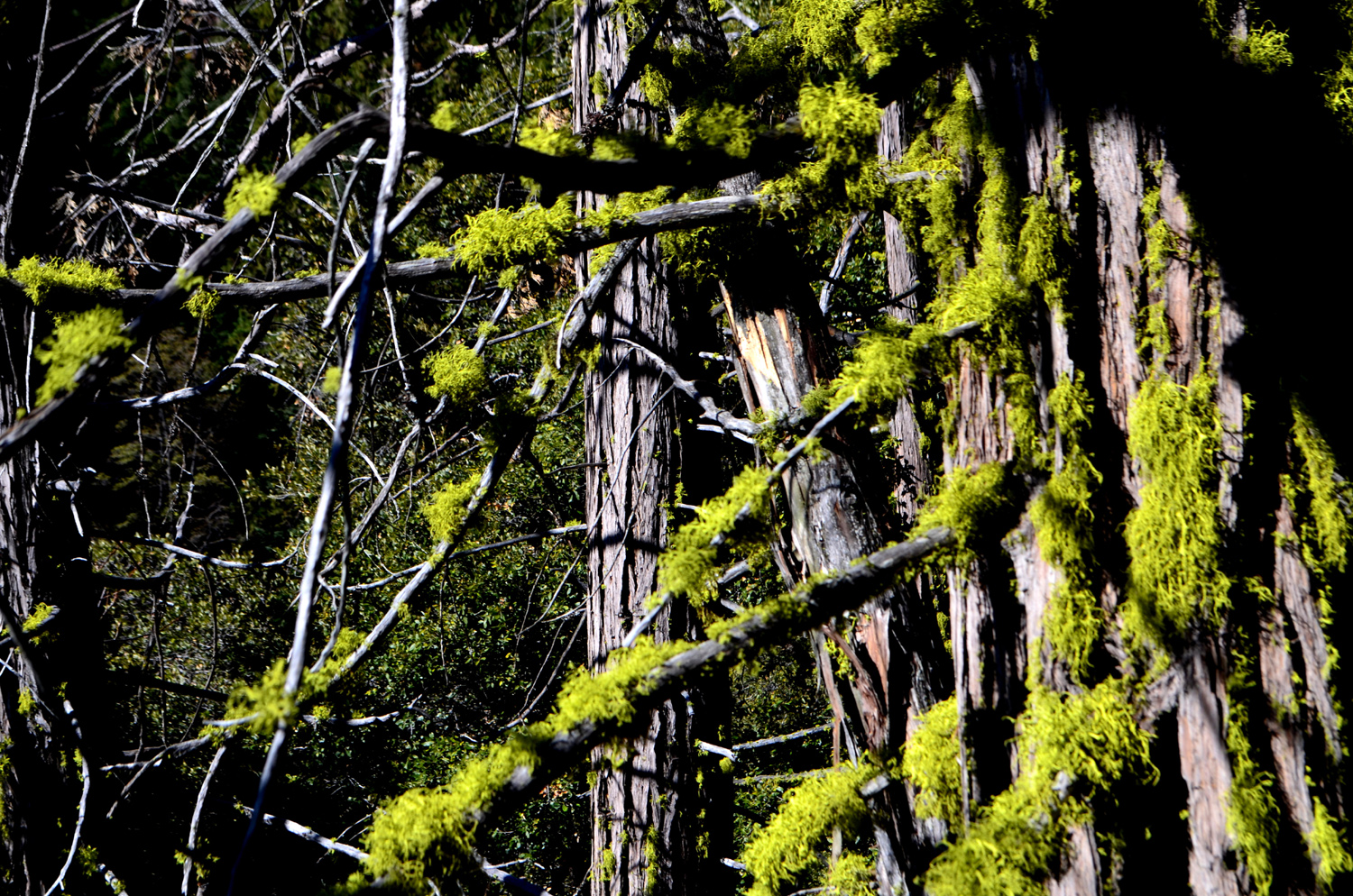
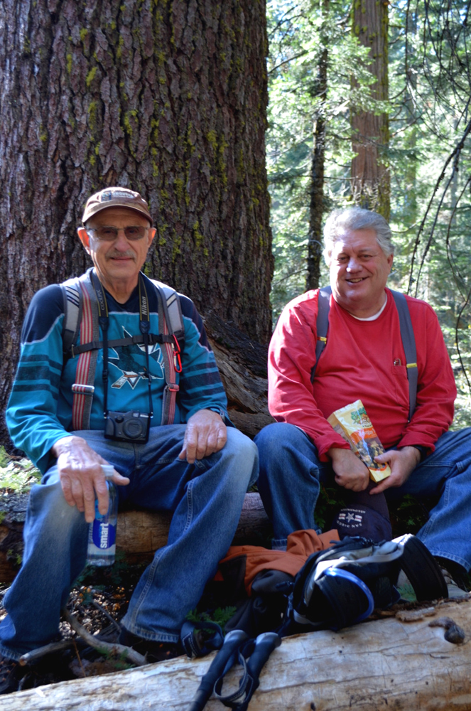
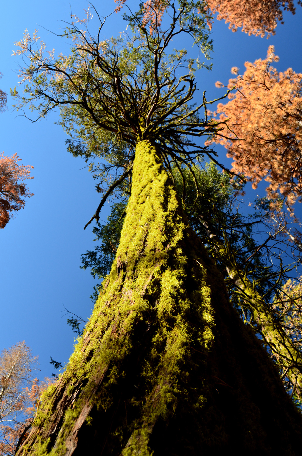
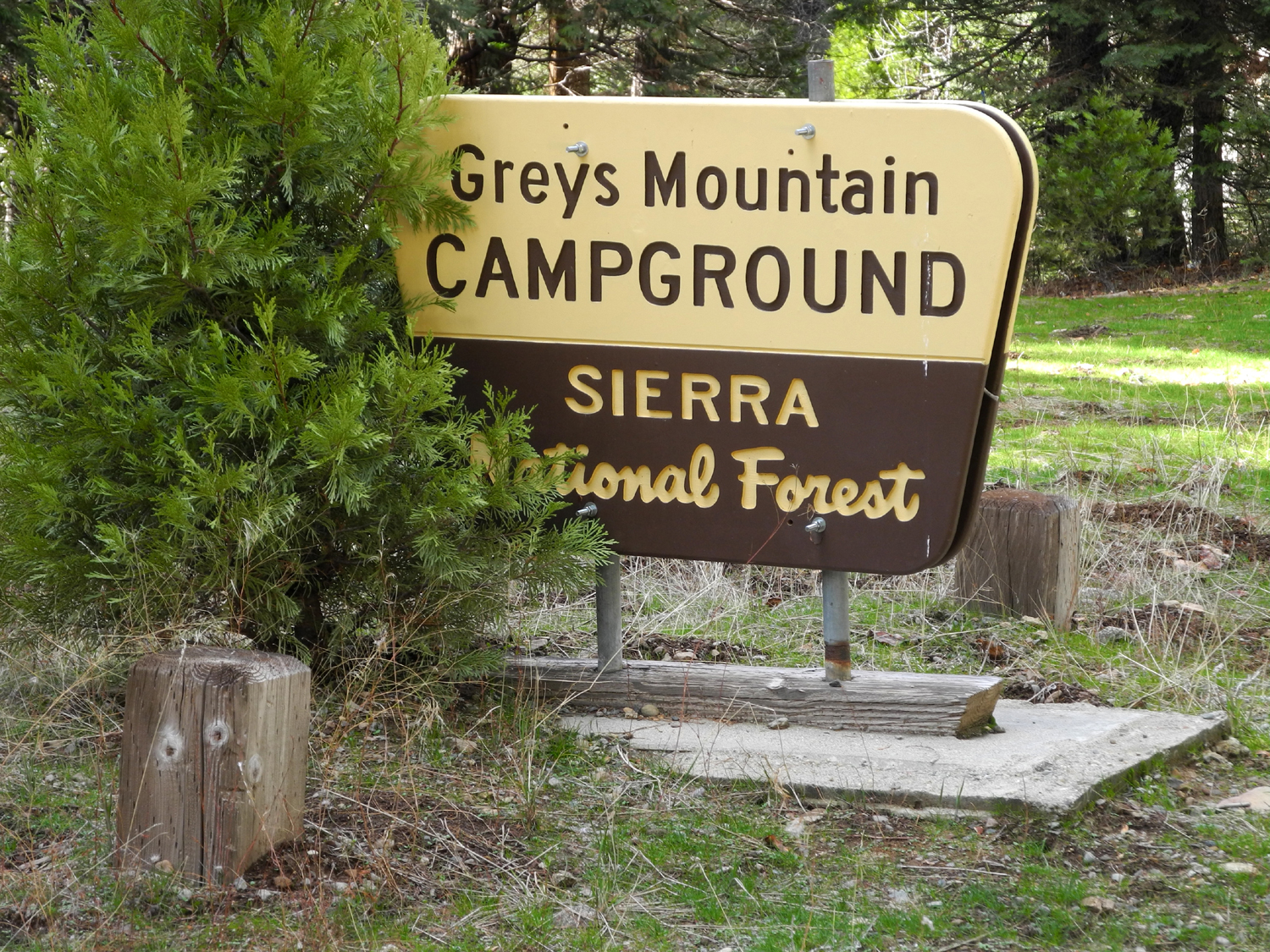
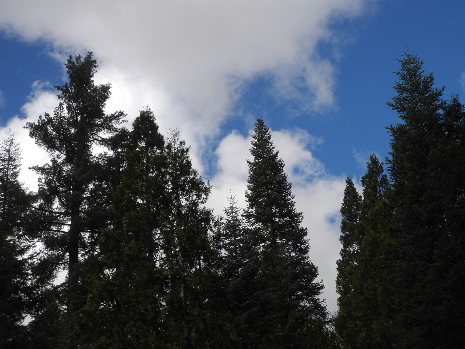
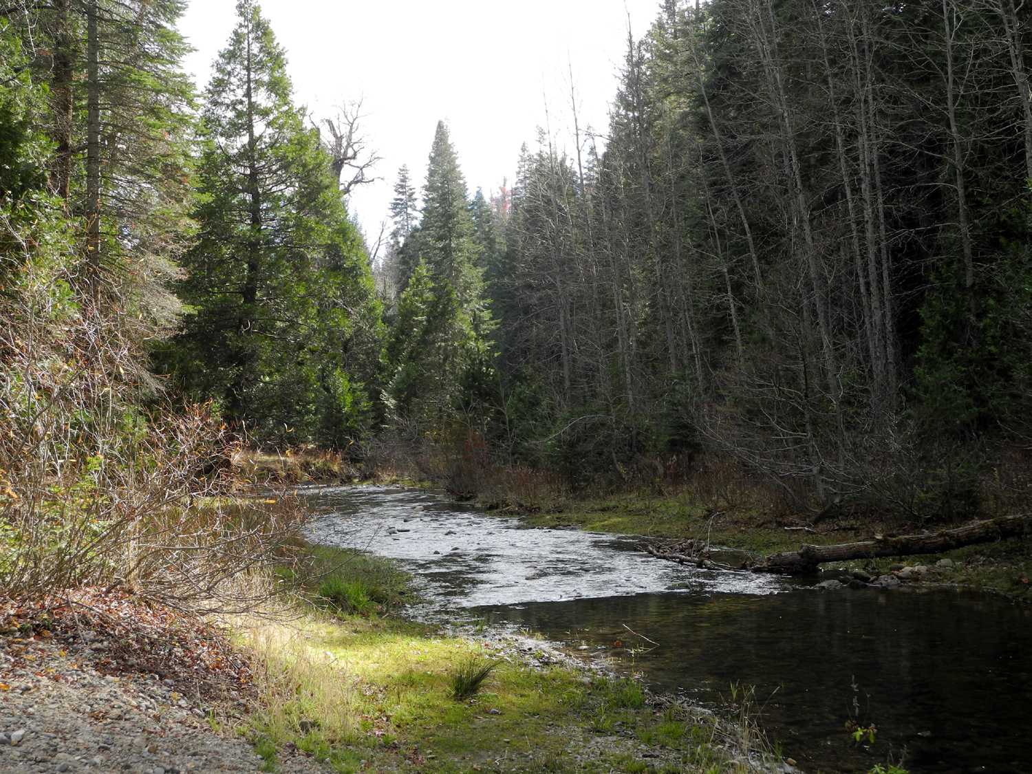
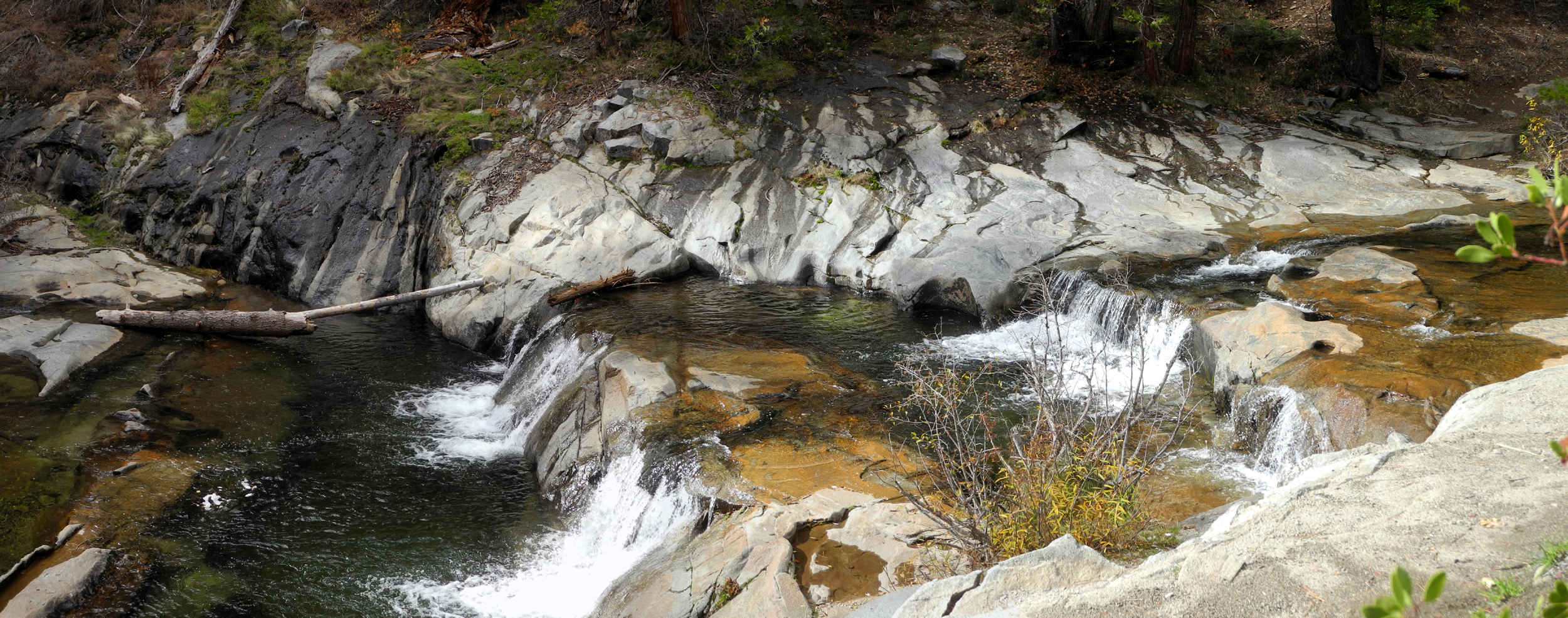
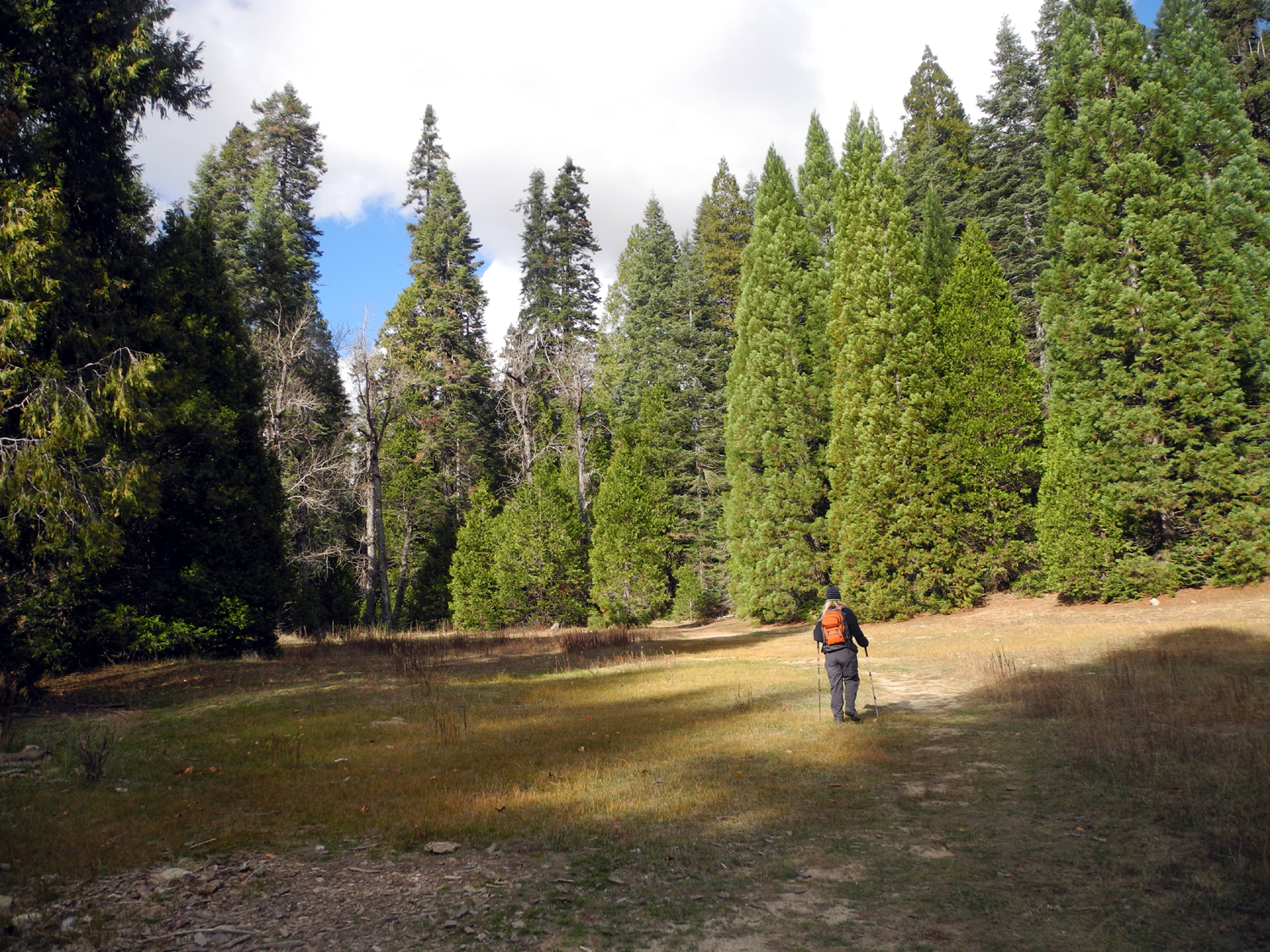
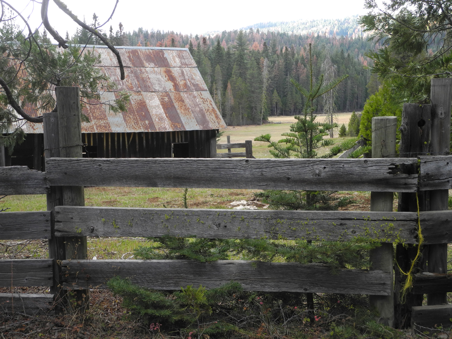
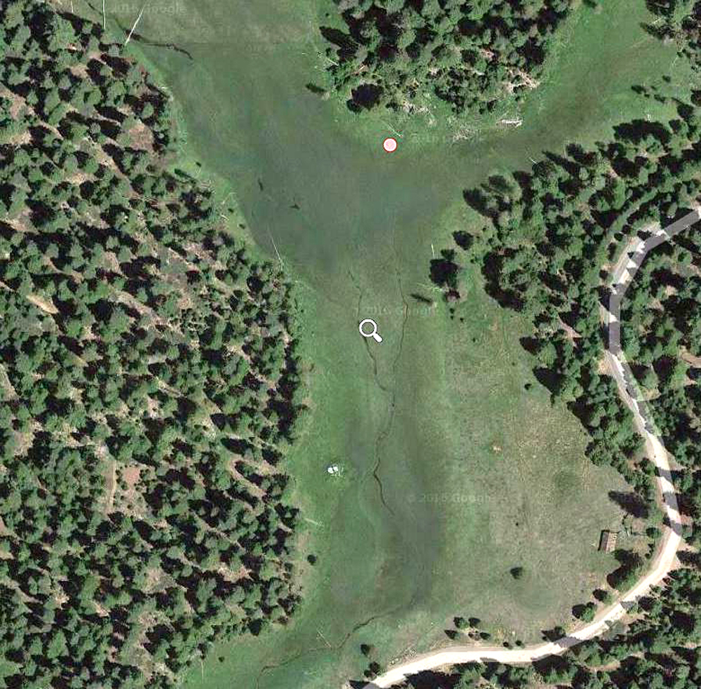
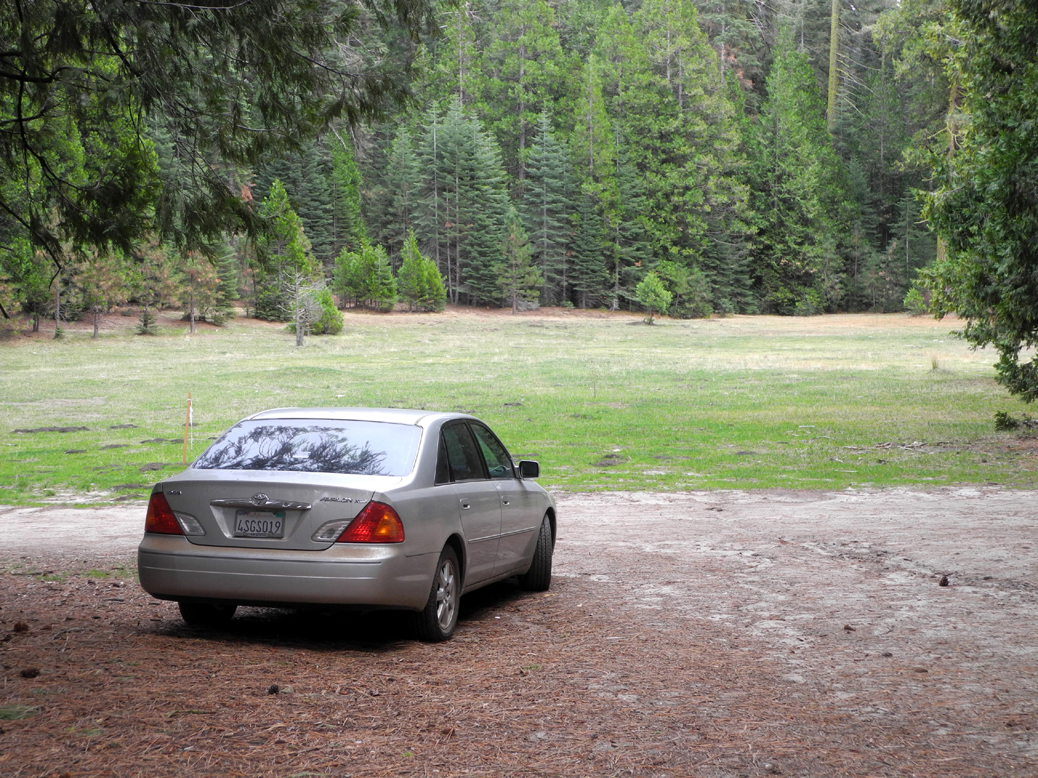
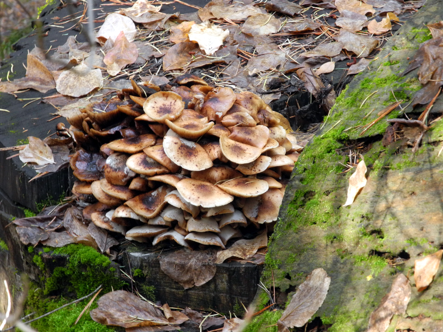
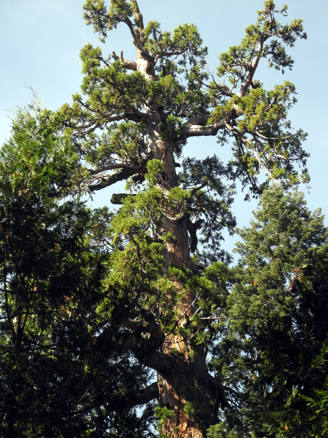
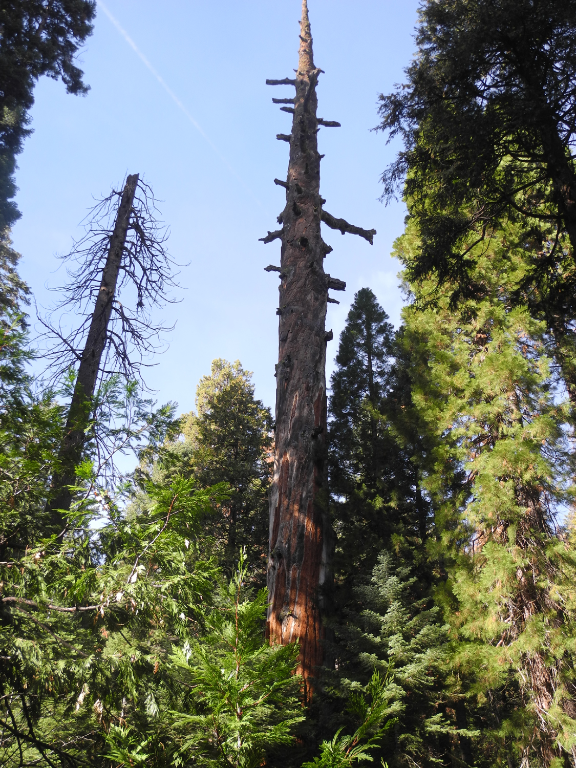
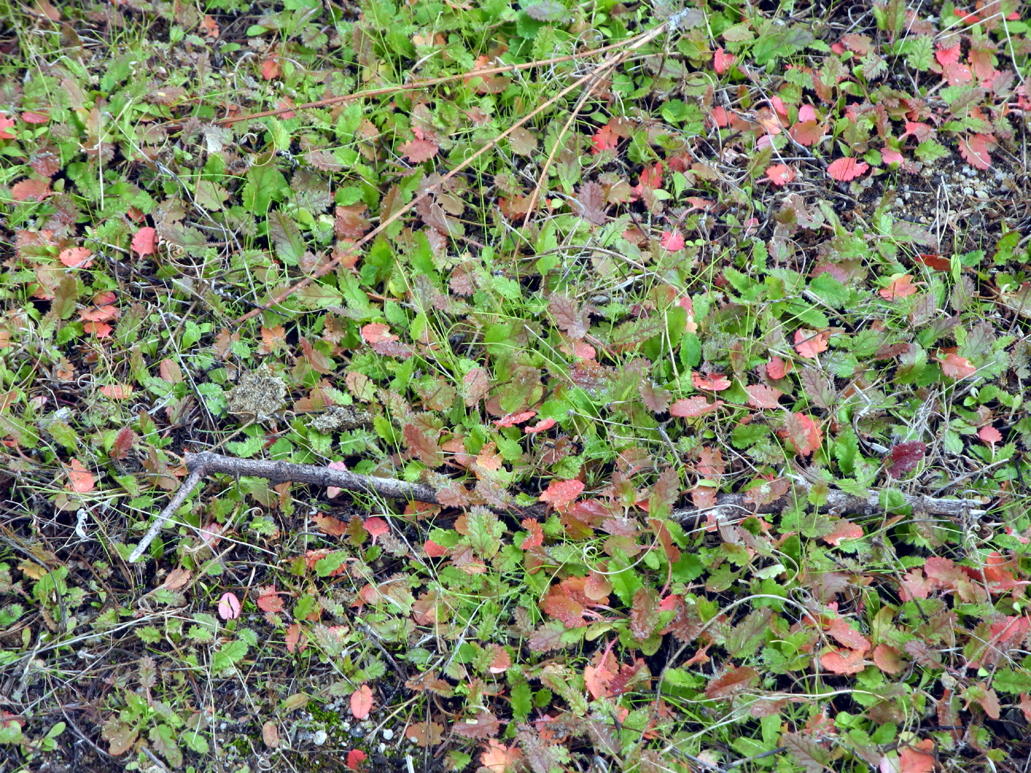
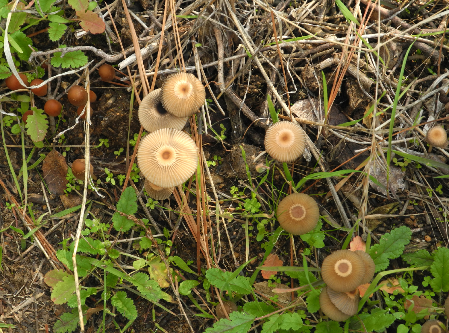
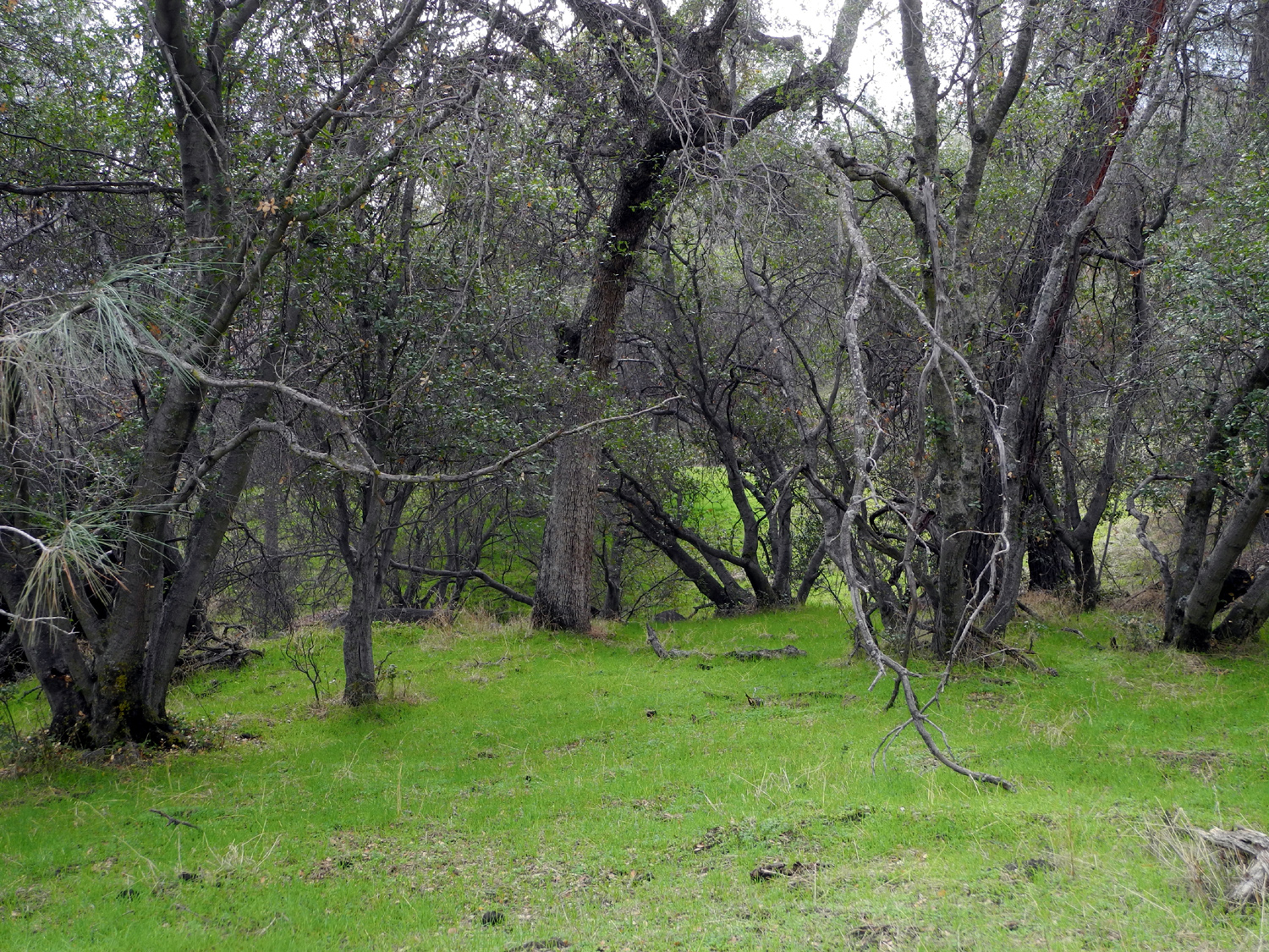
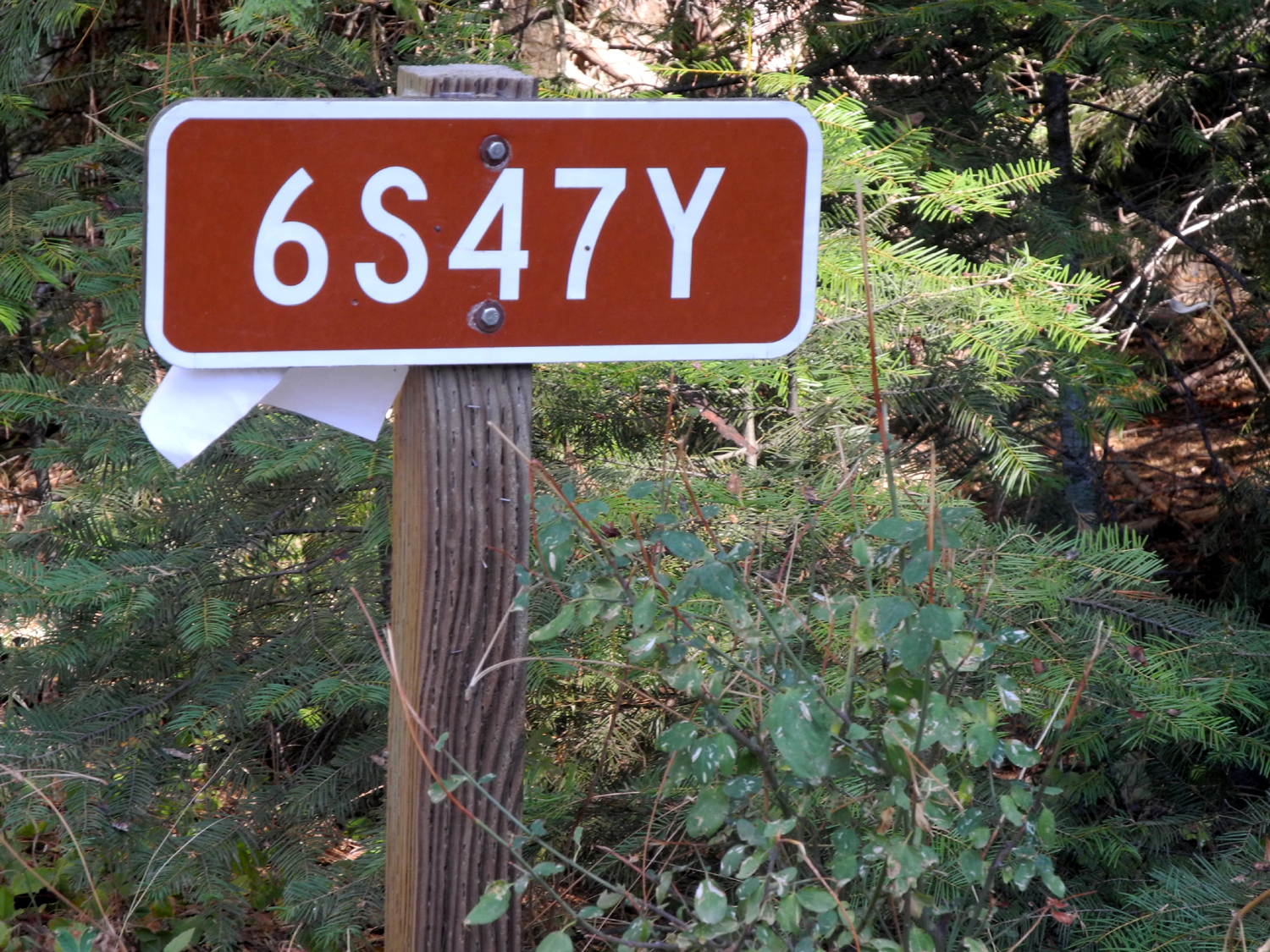
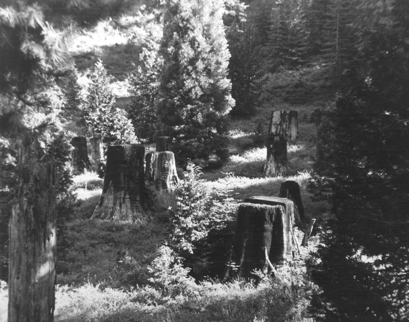
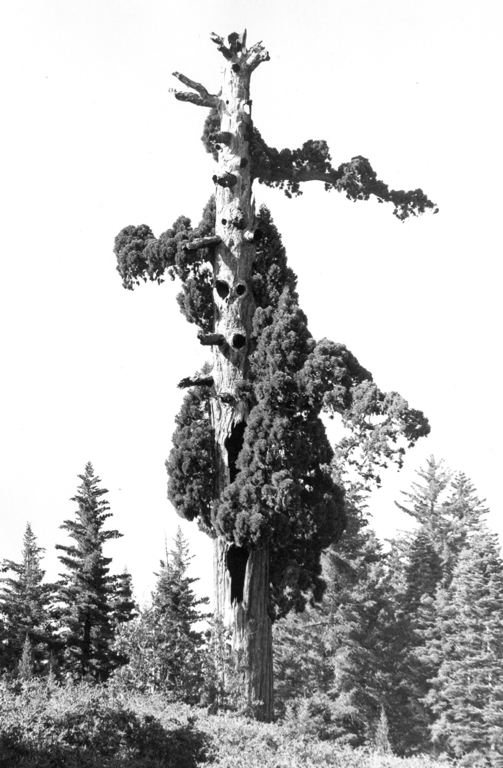
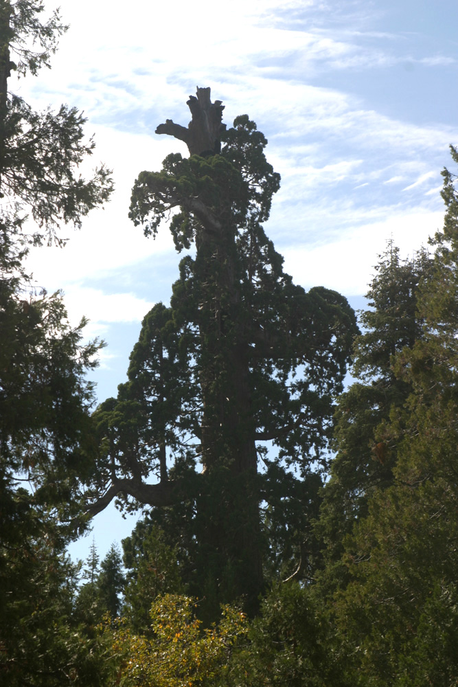
California Flat Camp & Ramblers Second Nelder Hike In February of 2015 I camped at Hensley Reservoir, and the Ramblers came out for hiking one day. I have been wanting to do another camping/Rambler hike combo trip, and hoped to do it when we went to Nelder Grove October 25. This did not work out because of the weather, but I had several days free in the middle of November. My daughter Teri was available for camping the 14th through the 17th, and the Ramblers were ready to hike on the 15th, so I kept an eye on the weather forecast, planning to camp at California Flat, about two miles from the grove, then meet the Ramblers at the campground for hiking. This location is where Road 6S47Y crosses California Creek between Forest Highway 10 and the road that comes in from Sugar Pine. The junction with the Sugar Pine road is only about a quarter of a mile from the road into Nelder Grove Campground. I had camped with my motor home at this spot just over two years earlier, but without an extra vehicle, I did my hiking close to camp. This time I would drive the motor home and Teri would bring her car, so we could drive to Nelder, as well as other places on the other days of our outing. This site is not an official campground, just a place where people have camped many times over the past few decades. There is a short "driveway" down from the main dirt road to a somewhat level spot, with room to turn around, and a fire ring. Down a short track from this spot is the level area along the creek that caused me to name the place California Flat, where there are a few more fire rings. This section is not accessible to a motor home the size of mine, but can be navigated by truck or SUV with no difficulty. I got started around 9 a.m., completing the 55 mile drive in a little under two hours, with a gas stop in Coarsegold. Along FH 10 there are some burned over areas, the result of the Sky Fire in the summer of 2015. This was a relatively small fire, only 500 acres, but it blackened virtually every tree in some areas. When I got to the camp site, I got the motor home partially set up, but waited about 15 minutes for Teri to arrive, so she could guide me in driving the RV on to leveling blocks. With that accomplished, tables and chairs set out, and some leftover firewood brought up from the campsite down by the creek, we were ready for our first hike. When I camped here last year I had hiked up an old road along the creek to two meadows. I also went to the first meadow with the Ramblers in October of last year. Getting to California Meadow, the first one on the route, is pretty straight forward. A big log blocks vehicle access to the old road, but it's an easy hike. Just past the log is the "land of confused thistles," where warm weather late in the season has caused some of these plants to start new growth and even put forth blossoms. Trees have fallen across the road in places, and hikers have developed detours. The last third of the way is pretty much a trail that completely bypasses the old road. It is necessary to cross California Creek to get to the meadow, but there are a couple of places where this can be done, stepping on rocks and using hiking poles for balance. There are lots of old boards and pieces of scrap lumber in the meadow from fences and possibly other structures from long ago, and last year most of them were covered with ladybugs, clustering together for the winter. We saw a few places like that this time, but it was a warm day, and there were also many of these insects flying around. The most interesting aspect of this meadow is a stump where someone has carved a memorial to a woman who died in the 1980s, as well as other names. Of course, this carving had not been done when I first visited this spot in the 1970s. After observing the stumps and the ladybugs, we re-crossed the creek and started up the trail to the second meadow, known as Nichols Meadow. I had some trouble getting on the right trail in 2015, but eventually arrived at my destination. This time we had even less success, never actually reaching the meadow. The trail we were on seemed to veer off to the west more than I had remembered, and before long we were struggling cross-country, following brief sections of game trails and old roads that looked promising then disappeared after a few feet. I finally concluded that we had taken the wrong route, and were probably past the meadow, so we made our way down to the creek, following it downstream and eventually crossing it till I spotted an open area through the trees. We were delighted to have finally reached our destination, only to realize that we had come back into California Meadow from a slightly different direction. We made the best of it, exploring parts of the meadow we missed earlier, and getting some good photos of leaves that were changing color. The extra work of hiking this route, including stepping over logs and balancing on piles of dead branches as we made our way, left both of us feeling much more stiff and sore than we are used to from "normal" hiking. However, I vowed to someday find the right trail and again visit Nichols Meadow. Since our hike had been relatively short despite its difficulty in spots, we decided to take another shorter walk before supper. On the other side of the creek from our camp an old dirt road goes into the flat area, through a meadow, then starts down hill into the forest. I'll call this The Meadow Road, since it will come up again in this report. Just past the meadow is a "crossroads," where a lesser quality road goes in both directions. We turned right, and soon arrived at a nice campsite next to the creek. At this spot the level area ends, and the creek drops down over some rocks in a series of cascades. From here we went back out through the meadow and back to our camp, adding another mile to our daily total. Not long after we returned from this hike we were ready to start fixing dinner. We also did something I rarely do when camping with the motor home, built a campfire. Teri had her propane camp stove and prefers to cook outside, so while she started fixing pork chops, I brought out a 2008 newspaper I've been keeping for a few years, piled on the kindling we had picked up, and lit the fire. Unfortunately the kindling and the wood we had gathered from a nearby site were slightly damp from the rain that fell in late October, and it took a long time to actually have a fire that would warm us up. Nevertheless, we ate outside, and by piling wood chunks next to the fire, we got them dry enough to finally give us a proper campfire. As often happens at camp, bedtime came earlier than usual, and after reading inside the RV for awhile, we got to bed about 8:30. This time is fairly normal for Teri, but about an hour early for me. The next day was to be our hike with the Ramblers, so we made sure to eat a good breakfast to provide energy for the nearly 100% uphill hike that was in store. Teri had invited a couple of her friends to join us, and they were going to meet us at the Nelder campground. There was some confusion over whether Wes and company were meeting us there or at our camp, so we went to the grove and they went to our camp, but eventually we got everyone together and ready to hike part of the longest, hardest trail in the area. To fully explain this trail I need to go back in time a bit. When I first started coming to Nelder Grove in 1969, there was a road that went uphill from the campground. It crossed Nelder Creek and continued up and around the side of the mountain, where it leveled off for about a mile. Rounding a bend, I saw a small basin with six or eight sequoia stumps of various sizes, blackened from a fire. They were surrounded with low brush and young trees. Just above the road to the right there was a dead sequoia, broken off about 100 feet above the ground and completely devoid of bark. Another similar snag rose up below the road, and another dead redwood, with no foliage but still with a few top branches, stood guard at the lower side of the stump basin. There were a couple of good size giant redwoods, and a number of young sequoias. Up a dirt track from the road, there was a top to bottom view of the most rugged and impressive living sequoia I had ever seen, known as the Old Granddad. This road has been closed to vehicles for decades, and I walked the three miles one way to the top in 2008, only to face massive disappointment. The firs, pines and cedars had grown up so thick and tall that I was walking right by the upper snag before I realized I had reached the area. The stumps were almost impossible to see, and only the top of the Old Granddad was visible. There does not appear to be any plan to thin the excessive growth and restore the view, so for now, this hike is not worth the effort. The area has been named the Graveyard of the Giants, and this name also applies to the trail that has replaced the road. After the first mile, the road crosses Nelder Creek, where there are several nice sequoias close to the trail, and this was our destination. Our group included regular Ramblers Wes Thiessen, Carolyn Amicone, and Dick Estel; Don McClellan, a sort of "Rambler in training," Teri, who is a "Rambler when she can be," and two of Teri's friends Sandy and Yvette. Julie Hornback was unable to be with us for this outing. Teri and I had hiked with Sandy several times, but it was my first time meeting Yvette. The trail goes uphill most of the way, with a couple of short level spots. It was warm enough that everyone was shedding a layer by the time we got to the top, and we looked for shade for our rest stops. After the creek crosses the trail, it drops down through a fairly steep canyon, and big sequoias are visible along the slopes. Where the creek levels off again is the Shadow of the Giants Trail which the Ramblers have hiked and which I've written about a few times. As you approach the creek, you are looking down the canyon, and ahead, right by the road, is the Leaner Tree. This big redwood is about 10 degrees off the vertical, and since I've never seen another sequoia like it, I'm pretty sure it used to be straight. Probably a year of heavy rain softened the ground around it enough that it started to lean, but the roots held, the ground dried out, and it appears to be anchored firmly in place (for now). Everyone rested, hydrated and wandered about a little at our turnaround spot. Teri and her friends continued up the trail a short distance to another big tree, while Don, Wes and I followed a trail a short distance up the creek toward Nelder Basin. Due to time considerations, we did not go as far as we could have, but I suspect that we could not have gone much further. However, I hope to make another trip up there and prove or disprove that theory. A final look at Nelder Basin would be a special experience. We started back down, mostly an easy walk. There is one stretch near the top that is very rocky, and we had to be careful in order to safely navigate this part. Once past this section we just enjoyed the fall leaves, big evergreens, and the companionship. From the trailhead we drove to our camp, where I had pizza waiting to be heated in the microwave. Wes provided a green salad, making for a very nice and well-deserved lunch after our 2.31 mile hike. After lunch, our guests departed, and Teri and I soon decided to take one more short hike, so we went to the Meadow Trail again. This time we turned left at the crossroads. As we expected, this route took us to Road 6S47Y, only a few feet from where it joins the paved road. Walking back to camp from there gave us a total of a little over one additional mile for the day. Both days by the dirt road near the meadow we noticed some weird mushrooms, with tall, skinny stems. The second day they had bent over in the middle so that the tops were touching the ground, and the area around them was stained with some sort of black substance. We concluded that these were unlikely to be edible. That evening we had a much better fire. I used the Hot Wood I had bought at the supermarket, and had a nice warm fire very quickly. We dried out some more of the local chunks beside the fire, and everything we put on it caught fire and worked out fine. When we were ready to go inside, we let the fire die down, then started the generator and the heater, and watched part of a Ken Burns documentary on DVD, Lewis & Clark - The Journey of the Corps of Discovery. I had had this DVD for a number of years, but never got around to watching it, and knew that Teri would enjoy it. It is four hours long, so it could be watched in segments over the three days we were there. Before our trip the weather forecast had consistently predicted highs in the 60s, and lows in the 40s - for Monday and Tuesday. For Wednesday, it was expected to be 20 degrees cooler, with a chance of rain and snow. As usual, we were undaunted. Another weather source said the snow level would be 7,000 feet, 2,000 feet above our location, so we weren't really worried about the white stuff. If it rained, we could sit under the awning, with hot tea for Teri and a bloody Mary for me. Tuesday night we put away the extra chairs and table I had brought for our large lunch gathering and moved everything except a TV tray with the thermometer under the motor home awning. The low Wednesday morning was around 40 with no rain or snow, but we decided to have our tea and bloody Mary inside the motor home, with the heater running, and watching some more of the Lewis and Clark special. After allowing the temperature to warm up a little, we had breakfast, and set out to drive to some nearby locations where we could walk around. The roads in this area fork, wind around, and come together again, passing by several official forest service campgrounds. We ended up going to Greys Mountain Campground, which stretches a half mile or so along Willow Creek. I knew that friends of mine used to camp there, and spoke of a nice swimming hole downstream from the camp. Of course, we had no desire to enter the water, since the high temperature for the day reached only 45 degrees, but we walked down to the creek, and found a path through a meadow along the stream. Where the bank became steeper, the trail went up slightly, coming back down to the creek where there was a series of cascades, which we later learned are called Soquel Waterfall. The water drops about four feet in two channels, runs down some rocks, and falls another six feet into what appeared to be an ideal swimming hole. In addition to the falls, this area presented an unusual jumble of rocks up on the creek bank, some venerable old cedar trees, and dramatic clouds over the meadow. After enjoying these views, we walked back to the road, crossed over, and went through the upper section of the campground, noting that there are 24 sites, spread out so that you could camp here without being close to any other campers. We also discovered on the web site that there is a fairly steep price for this privilege, given that that services include only one restroom, and no water or garbage service. Of course, with no host on duty at this season, we could have camped here for free in November. In the creek near the various campsites people have placed small rock dams across the creek to create a series of wading pools, or maybe just to satisfy the human urge to change nature. From where we were parked, the road continues on and connects with the Baesore Road that comes in from Bass Lake. Another fork leads to Texas Flat Campground. From the map, this appeared to be a dead end road with no outlet past the campground, about a mile away. (Later I learned that this is a horse camp.) We went back on the road we came in on, and spent a few minutes driving through Soquel Campground, where the sites are all close to each other, then turned on a road that led to Soquel Meadow, Fresno Dome, and farther into the mountains. Although Soquel Meadow is private, fenced land, it is very photogenic, with a picturesque old barn complete with a board fence and a tumble-down cattle loading chute. As you arrive at the meadow you get a nice view of Fresno Dome, rising to 8,000 feet above its surroundings. There is a trail to the top, and I hope to make that hike at least one more time someday. After taking a series of photos at this location, we turned back, and made our final stop at what my younger daughter's in-laws have always called "The Meadow." If it has a name, I can't find it on the map. We drove in on the rough dirt road a few hundred feet, parked and walked into the meadow. By this time the sun was getting low, the wind was increasing, and the high temperature of 44 was well in the past, so we did not stay long. Throughout the day I wore four layers, and never felt too warm. We had already decided that we would not bother with a fire this final night, but would stay inside with the heater going, dine on chili that Teri had made, and finish watching the Lewis & Clark special. About 5:30 we were sitting at the table when we heard a pounding on the roof. "The rain has finally arrived," we said. It slacked off, then pounded some more, then stopped. I decided to step out and check the temperature. When I opened the door, we saw that the ground, the fire ring, Teri's car, the motor home, and the TV tray containing the thermometer were all covered with hail. It was still coming down lightly, so I got my camera and took a few flash photos. During the night I checked the temperature at 3:15 a.m. - it was 25. However, it cooled off before we got up, to 23 degrees. Needless to say, the hail had not melted. Teri was sleeping in the deck above the cab and there was frost on the inside of the upper window in front. We had our breakfast, washed dishes and got most things ready to go, then set out for a final hike. Again we took the Meadow Trail, passing the crossroads where we had explored both left and right branches, and continued down the hill to a little past the farthest point I walked to in 2014. We came to a very faint road to the left, and thought it might come out on the paved road, so we turned that way. The road soon became a trail, not an official maintained trail by any means, but a clear path that led along the side of the hill, through trees and bushes, and eventually up to the road as expected. We were about a mile from our camp, so we got in a two mile hike on our last day. For the first part of this hike we were wearing all the layers we had, including down jackets, although I took mine off when we got to the paved road. When we got back to camp we finished up the last minute details for departure, said our goodbyes, and departed for warmer territory. It was 12:30, and most of the previous night's hail was still in place.
Final Thoughts: For those who aspire to love Nelder Grove as I do, I have updated my Nelder web page. It includes a short essay I wrote in 1969, along with several updates over the years. A portion of this report, with slight variations, can be found on the Ramblers page. Long time readers may have noticed a subtle (or maybe not so subtle) change in my camping activities. I used to get the RV set up, then fix a bourbon and soda. I would spend much of my time sitting and reading, interspersed with short walks and hikes near my campsite. Now after initial set-up, my first activity is usually a fairly long hike, with a backpack, lots of water, and a snack. I had a $20 pair of boots from Payless that were just showing signs of wear after ten years, so I recently bought a new pair, much better quality, much more money to the store and the boot maker. At the time I realized that I had done more hiking in the last two years than in the previous ten or fifteen. I think the explanation is simple. I'm older, but wiser. I have more aches and pains each year, but keeping the body moving is the best thing I can do to keep it moving even longer. And I have to admit that I look forward to the more challenging treks much more than I did to sitting in a chair reading, something I can do at home without the work of loading up the RV and driving 50 miles or more.
|
||
|
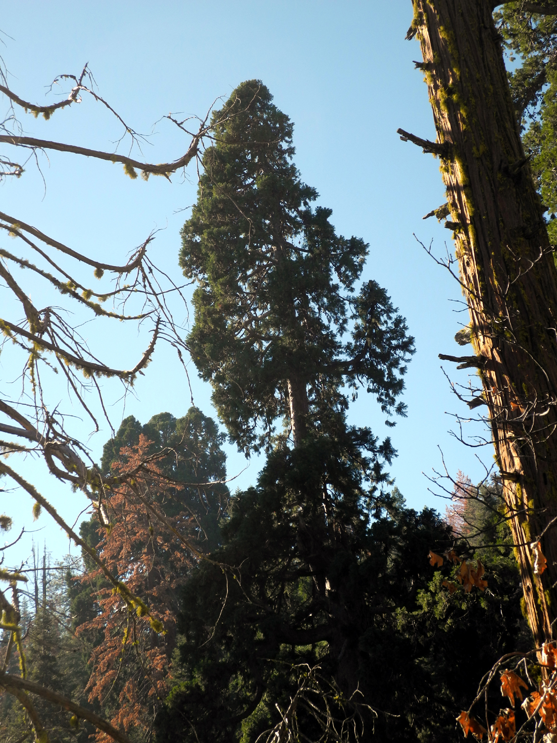
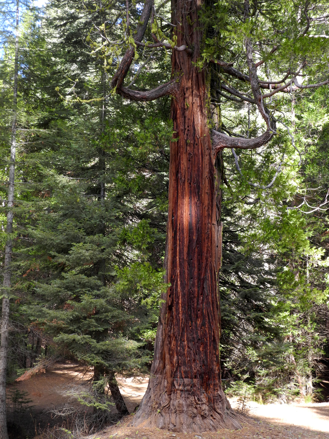
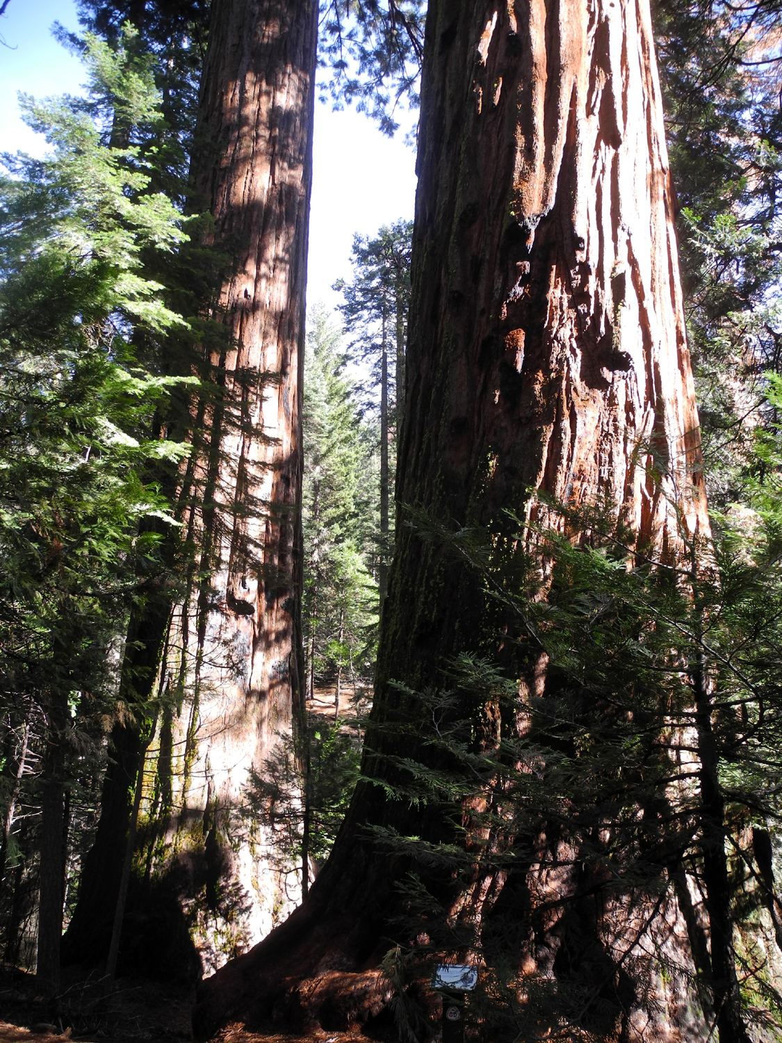
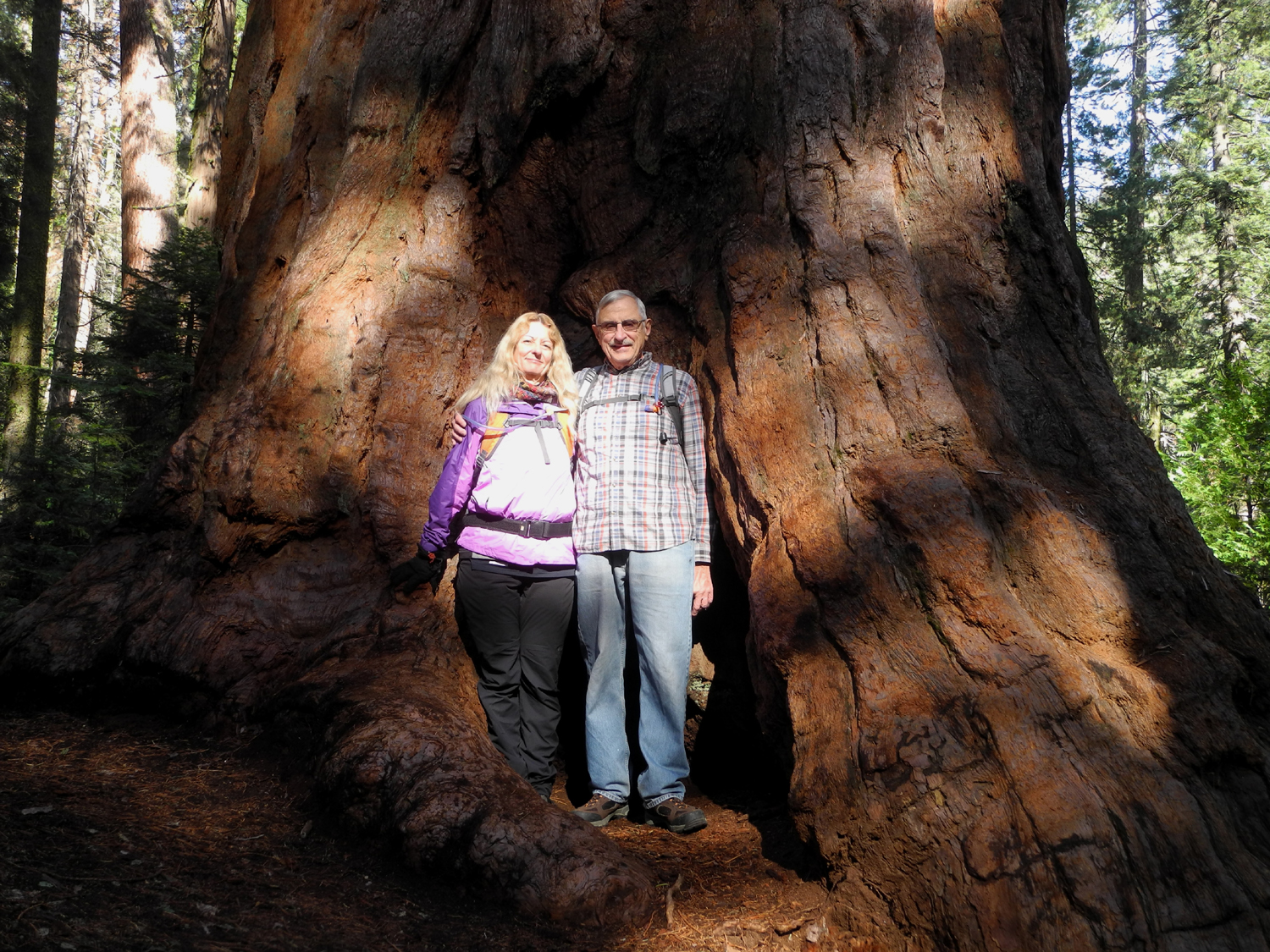
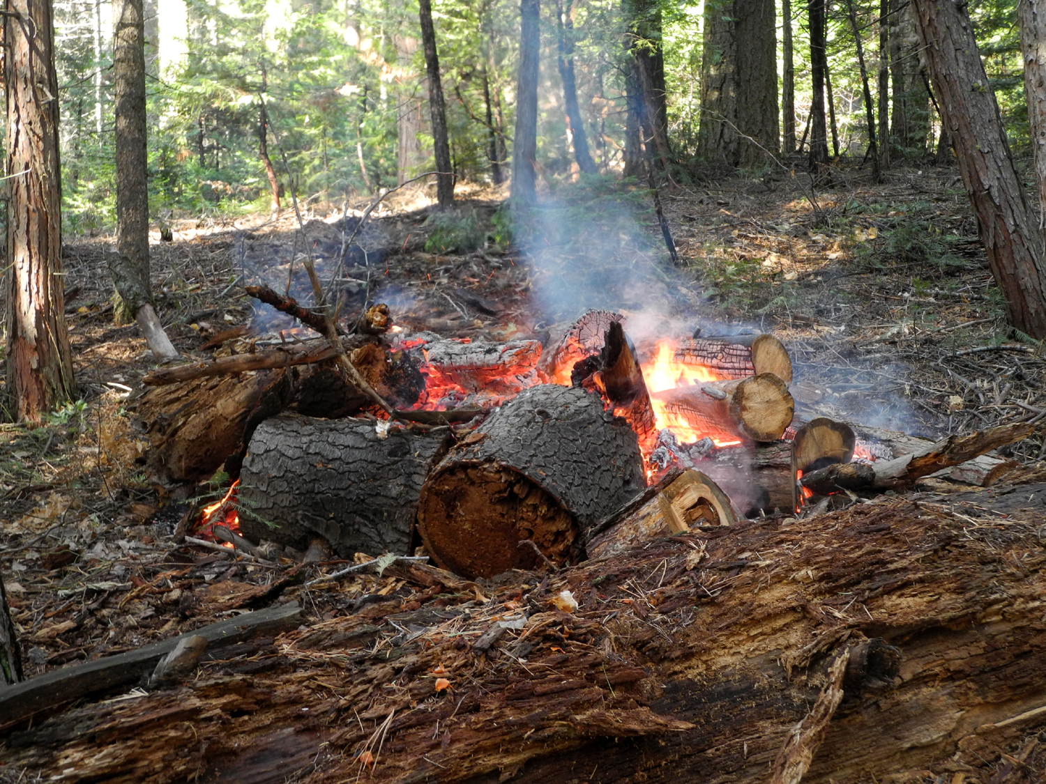
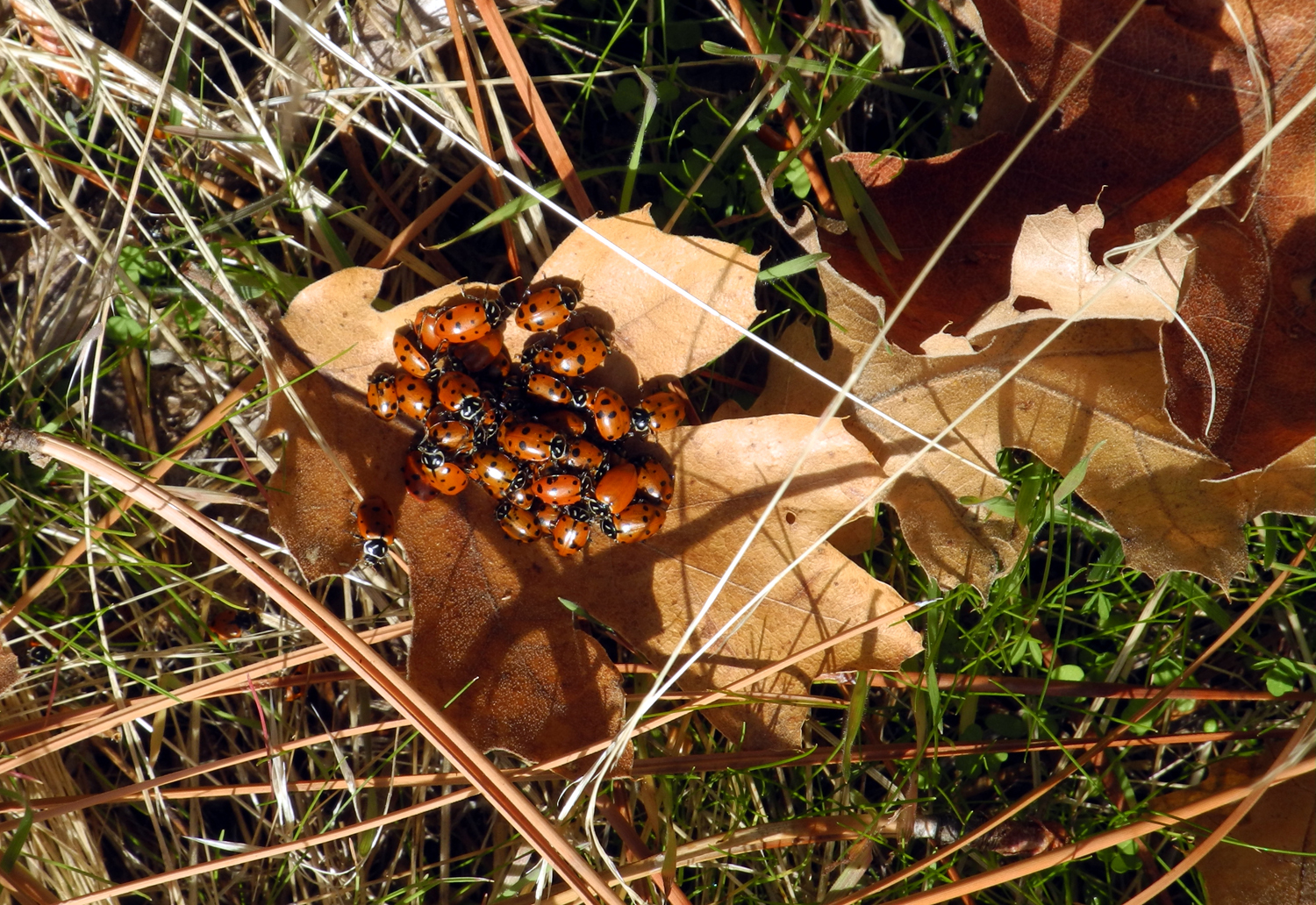
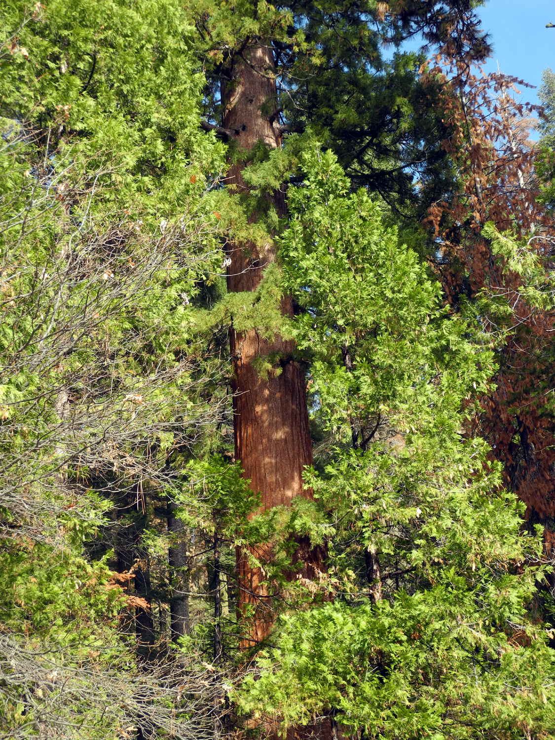
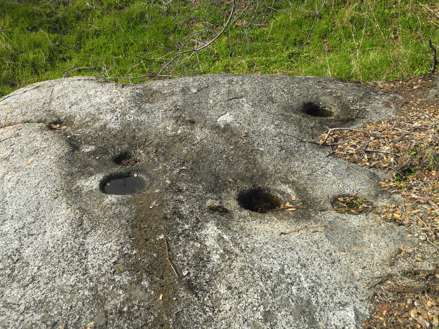
Shadow of the Giants Trail I've written about this trail twice in recent years, so I'll just note that it is about a mile from the Nelder Grove Campground, and is a loop that runs up one side of Nelder Creek and down the other, with a number of giant sequoias along the way. In fact, during this hike I realized that this trail offers the largest number of big trees that are close to the trail and easily seen of any trail in Nelder Grove. At one point you can see three at the same time within a 150 foot stretch. The Chimney Tree Trail has several large trees, but most of them are partially obscured by the smaller trees and are away from the trail. My daughter Teri was cat-sitting at her sister's house above Oakhurst, and since the duties mostly involve keeping the food and water bowl filled, she took advantage of being in the mountains to do some hiking. She went with her mother to the Wawona Meadow Loop on November 21, and the next day we planned to hike in Nelder Grove on the Shadow of the Giants Trail. Jennifer's house is about two miles off Highway 41, so I picked Teri up and drove the 15 or so miles from Jennifer's to the trailhead. There was one car there, but by the time we started up the trail, there were four. There was also a sign warning of a control burn, with a phone number to call for information. We did not smell or see any smoke, so we assumed it was some distance off the trail. During our total 1.5 mile hike, we met or saw at least eight other parties - more people than Teri had seen on the Wawona Meadow Loop the day before, despite this location being over ten miles off the highway, partly on dirt roads. After a little thought, we came up with the probable reason: The Mariposa Grove in Yosemite is closed for road and trail work, so rangers are probably telling people who want to see redwoods that there is a nice grove only five miles south of Yosemite. Of course, that's as the crow flies or John Muir walks, so it's quite a bit longer by road, but people who see it for the first time are invariably delighted. We were seeing it for something like the 30th time, but we were also delighted. There are still a few fall leaves on the deciduous trees, and of course, the big sequoias are always spectacular. There are also quite a few big stumps and sections of redwoods on the ground from logging days in the late 1800s. During the last half mile or so we started smelling smoke, so we knew we were approaching the control burn area. Sometimes it was fairly strong, and at other times the breeze carried it away from us. As we neared the trailhead, we saw that at least a half dozen of the burn piles we had noticed earlier had been set on fire and were burning nicely. It was cold enough that we were wearing three layers, and we took advantage of the impromptu "camp fires" to stop and warm up for a minute. We also chatted briefly with one of the firefighters there setting the fires and watching to see that they did not spread. There was little worry about that, since there had been another recent rainfall in the area. The U.S. Forest Service had a fire truck and a pickup stationed there, with a hose running out from the truck, so we were comfortable that everything really was under control. Teri had brought sandwiches for our lunch, but before eating we walked down the road from the trailhead to look at a large redwood on the other side of the main road, the Sierra Beauty. Below this nice tree we saw a sloping granite outcrop in the sun, and decided that would be a good place to be once we were no longer keeping warm by hiking. We drove down and parked in the small space by the road, found a perfect log to sit on, and enjoyed our lunch. While we were sitting there, we noticed that there were thousands of ladybugs clustered on fallen leaves and an old dead log nearby. On some leaves they were piled up a half inch deep or more. Many of them were active, no doubt due to the sunny weather in their spot. We also found several bedrock mortars, also referred to as Indian grinding holes, in our granite slab. There were only about three of them, and they were quite shallow, indicating this was probably not a place of residence, and got relatively little use. Eventually we had to say goodbye to this magical spot, but you can be sure there will be more reports on this trail and other parts of Nelder Grove in the future.
|
||
|
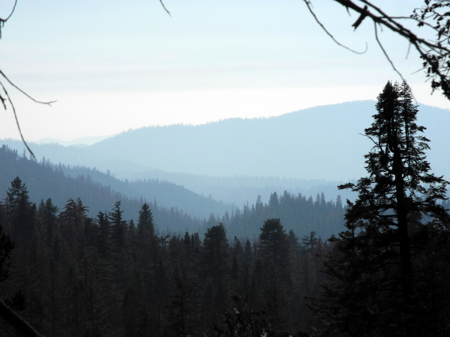
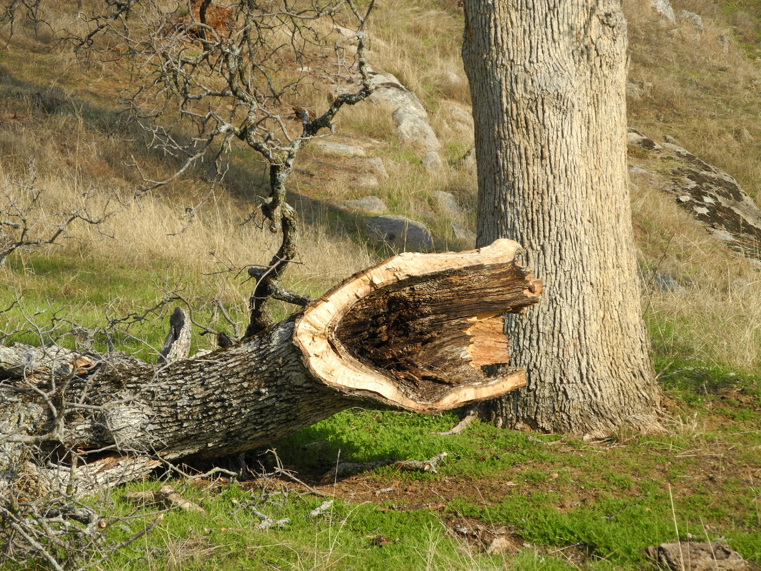
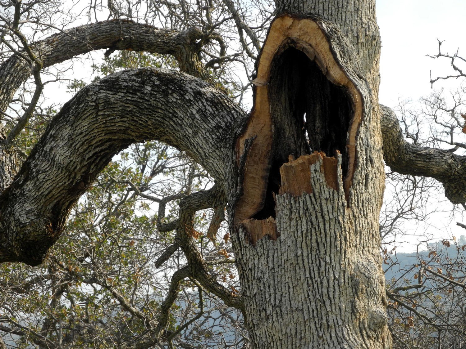
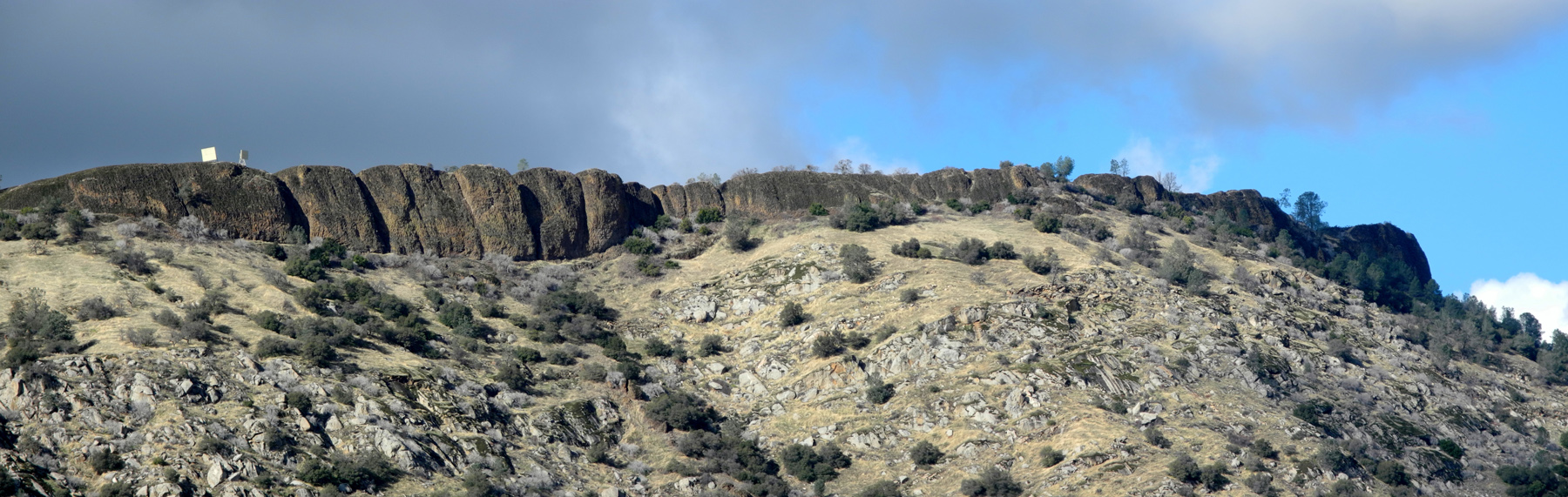
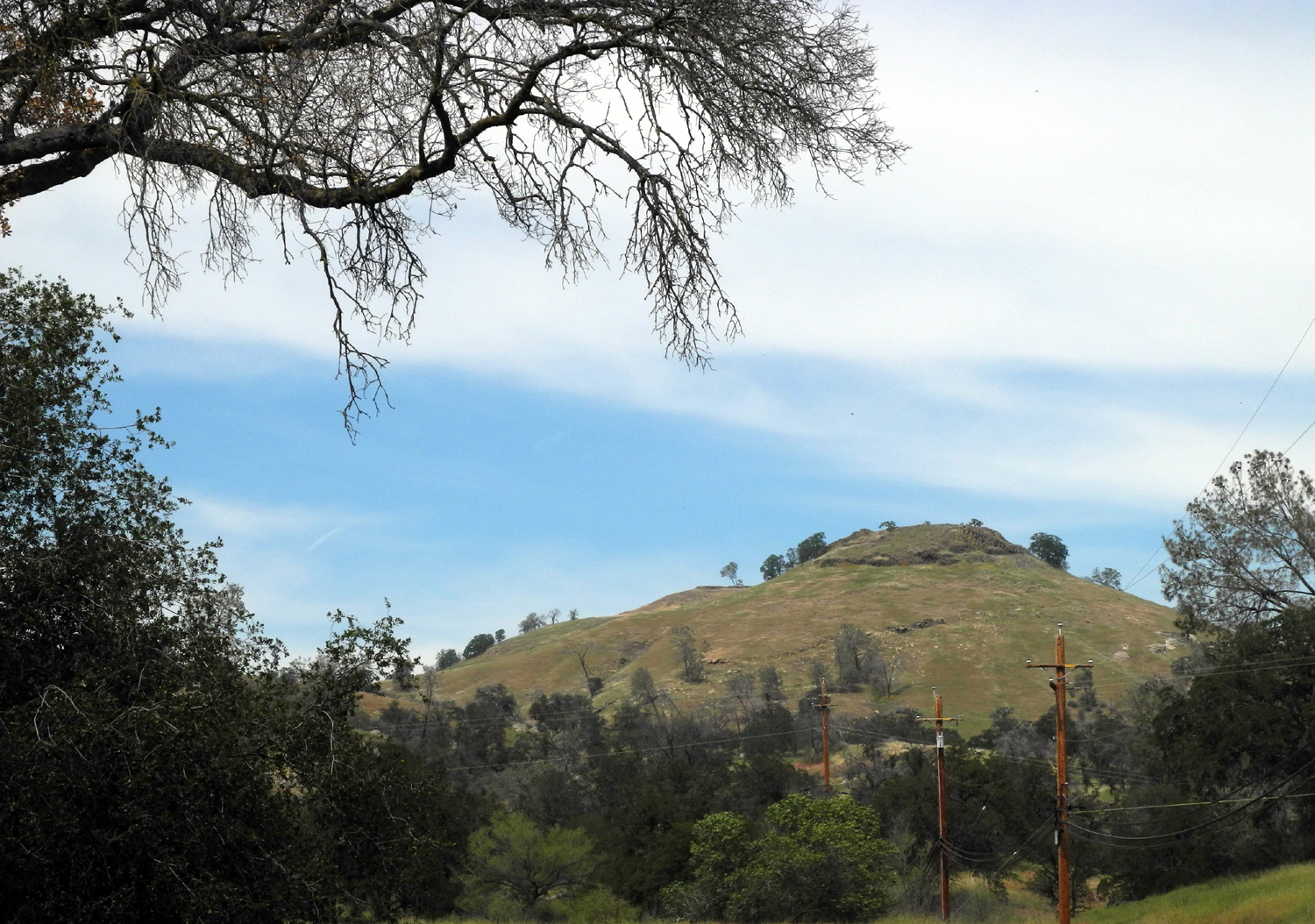
San Joaquin Gorge This is probably my 50-something visit to this area. Aren't you glad I didn't start writing about them till 2002? After a summer of freedom, my daughter Teri was preparing to start a new job December 5, and was trying to get as much hiking in as possible before that date. Never mind the fact that her job will probably involve walking an average of five miles daily. Those miles will be where her employer chooses. The hikes over the summer and right up to the starting date are her own choosing. We decided to go to the San Joaquin Gorge (AKA Squaw Leap), one of our favorite late fall/winter/early spring hiking areas. The elevations range from 700 to 1,200 feet, which on December 1 put us just above the fog that was covering the San Joaquin Valley. There are a number of trails there, and we chose what I call "The Buzzard Road," which is a combination of three official trails and an old roadway on the north (Madera County) side of the San Joaquin River. From the main parking lot it's one mile down to the footbridge over the San Joaquin River. Just past the bridge, there are two trail choices, the Pa'San Ridge Trail and the Wuh-Ki'o (River) Trail. About a quarter mile up the latter trail, an old dirt road leads off to the right, going generally north at first. Eventually it goes west up a steep hill, then levels off, and walking through this spot a number of years ago I came upon a dozen or so buzzards in the road. I haven't seen any there since, but they are frequent flyers over the foothills, so I named that old route Buzzard Road. The Ridge trail goes about five miles in a loop to join the River trail high above the gorge, while the River Trail climbs steadily up the rolling hills of the area's western section before heading west to Lake Millerton. Teri came to my house and we got on the road in my Honda about 8:45. As soon a we started gaining a little elevation, around the junction of Millerton Road with Auberry Road, we drove up out of the fog into sunshine with a few high clouds. We got on the trail just before 10 a.m., dressed for cool but sunny weather, with an extra shirt in our backpacks "just in case." The first part of our hike was one we'd both made many times, from the main parking lot down to the river on the Bridge Trail. A foot bridge was built here around 1980, and we've often gone just past the bridge, then returned. This time we rested here for awhile, having warmed up enough to take off a layer and hike in t-shirts. We continued to the fork and up the River Trail, to where the old road comes in at the top of the first hill. It's actually not accurate to say the road "comes in" there, since you can't see any evidence of the road until you go off the trail about 100 feet, but I know where to turn, and we quickly spotted the faint pathway that in 1982 was churned up by trucks and bulldozers brought in to fight a major grass fire. Our route went gradually uphill, then leveled out on a sort of rounded plateau. Trees had fallen across the old road, and of course there is no maintenance, so in this area the road disappeared. Normally cows help keep trails like this visible, but in this area they can easily wander anywhere, so no clear path has developed. Our route was going up gently toward the steep ridge on the north side of the BLM land, and I knew we would see the old road before reaching the hill, and soon we were back on track. The rest of the way the route was at least visible, and in some areas very obvious due to road embankments along the side. When I visit places I haven't been to for a few years, I usually find that I do not remember exactly what they were like, and that was the case here. The steep section up to "buzzard flat" actually was three steep sections, each one leveling off, then starting up again. We finally reached the highest point, at a location where I camped with my grandson Johnny (Teri's son) on my last backpacking trip in 2001. This is a big, grassy area, mostly level, with a little creek that was not running this day. We looked around here, then continued up the road to the top of a rise, where we spotted a perfect lunch spot - in the sun, with good rocks to sit on. It also offered views of interesting rock formations, trees and plants. It was still sunny and relatively warm when we started eating lunch, but as we sat there, the fog began drifting in above us. At one point it looked so dark to the east that we thought it might be rain clouds. We had both brought our ponchos, and both left them in the car. However, we soon saw that we were looking at drifting fog and did not need to worry about rain. However, the temperature dropped, a breeze came up, and we both put on another layer as we departed. We continued on the old road, and very quickly came to the wide, very obvious and well worn trail. This was a section of the Ridge Trail where it starts down hill, and not far from where we joined it, we saw the River Trail leading off to the west. Another thing that I did not remember about this trail was how far it is from where we joined it down to the bridge. As soon as we started down a steep section I expected it to level off near where we established a camp in 1981, but the trail went on and on, most of it fairly steep, with places where it leveled off or went up hill briefly through a drainage. However, eventually we got to the section I was looking for, where two creeks cross the trail close together. Just up the ridge between the creeks Teri's husband, Tim, and a friend camped for a week when they were 18. From here the trail goes up a short steep section, then makes its final downhill run to the bridge. Although I knew this hike was going to be longer than anything I've done recently, I was surprised to find that I felt very good going back up the last mile from the bridge. When we reached the car, we had gone just under five miles. The last time I did that was approximately this same hike with Johnny, his wife Brittany, and their German Shepherd Sidney, in February 2012. I guess it's time to challenge myself a bit more. We also had a fair amount of elevation gain and loss. The trail from parking lot to bridge descends from 1,000 feet to 700. The highest point on the upper part of the hike was 1,200 feet. So we went down 300 feet, up and down 500 feet, and back up another 300 feet. There were no other people on the Buzzard Road part of our hike, but on the official trails we saw thirteen other people and three dogs. Heading back down the road to home, we stopped in Prather and enjoyed an excellent Mexican dinner at Velasco's, a favorite stop on previous hikes with the Ramblers and others.
|
||
|
Hensley Reservoir This camping trip included a Ramblers Hike, so I have put the report on the Ramblers page. |
||
|
San Joaquin River Trail East Earlier I wrote about the San Joaquin River Trail West, so if you're confused about the name or location of this trail, don't feel bad; I have to stop and think about which end of the trail I'm writing about. Eventually it's supposed to be part of a much longer trail, but for now I'm just concerned with the 12-mile stretch from Finegold Picnic Area near Sky Harbor (west) to the San Joaquin River Gorge Special Recreation Management Area (east), which we often refer to by its previous name of Squaw Leap. Since 12-mile hikes are not in my repertoire, I hike the two ends of the trail, going between one and two miles in, then turning back. My daughter Teri and I planned this hike for Friday, December 23, until the weather forecast called for rain all day, all over Fresno County. We rescheduled for Monday the 26th, but when we woke up to sunshine on Saturday the 24th, we decided to follow the Ramblers' Rule, "carpe diem," which roughly translates as, if you're free, and it's a nice day, go hiking! By the time we left my house around 9, fog and clouds were drifting in, and it looked cloudy over the mountains. However, we arrived at the trailhead a little after 10 a.m. to find it sunny but cold, with some fog down in the river canyon. Our direction was up and away from the gorge itself, and it looked like we would have mostly blue skies above us. Although the temperature was in the 40s, by the time we had gone a half mile I was ready to take off my flannel shirt, and I was comfortable most of the rest of the hike with a t-shirt and sweatshirt. The place I stopped to "cool off" was what I call the "triple feature" stop on the trail. It has an old, weathered log just right for sitting, a blue oak with a massive burl, and a level section of granite bedrock with several Indian grinding holes. The trail starts at around 1,000 feet elevation, and goes up and down through drainages, first crossing a gentle slope below the table top mountain known as Squaw Leap. After a mile or so, it clings to the fairly steep side of the upper canyon, but the trail is designed for comfortable walking, with no really difficult places. At one point there is sort of a rocky cliff above the trail, and the land drops off very steeply on the other side. In keeping with my plan to go a little farther than the last hike on each trail I hike, we continued past the two-trunk blue oak that was my stopping place when I hiked here last spring, so that I got to see some new vistas and new areas along the trail. We reached a place that had a bunch of small granite rocks, mostly rounded off due to decomposition, and made this our turnaround point, resting place, and snack stop. Since we had fairly heavy rain the day before, we expected to find lots of wet, muddy spots on the trail, but there were very few of those. It's still early in the season, so the rain is probably still soaking in, and none of the little streams were running. There were several spots where there seems to be a spring feeding a little trickle of water on to the trial, and one spot about ten feet long pretty much covered in puddles, where we had to go off to the side of the trial. On the way in the resting log at our first stop was too wet to sit on, but the top of it had dried off by the time we returned, so we had a final rest there. It was quite sunny where we turned back, but our trip back out was much cooler than we expected, because the upstream breeze came up fairly strong, and the fog drifted over us from time to time. Right from the start of our hike and throughout the day we saw more bike riders than I have ever before encountered on this trail, probably because the cool weather made for greater comfort on the long, uphill stretches they had to power through. As far as wildlife, we were limited to one sighting of a hawk, who gave his trademark screech to protest our incursion into his territory, and flew off to a distant power pole, where we saw him again ten minutes later. When we returned to the car, we had logged a respectable 3.42 miles, and agreed that it was a fantastic way to spend the day before Christmas.
|
||
|
Photos (Click to enlarge; pictures open in new window) |
||
|
|
||
San Joaquin River Trail West FINS Trail California Flat Shadow of the Giants Trail San Joaquin Gorge San Joaquin River Trail East |
||
|
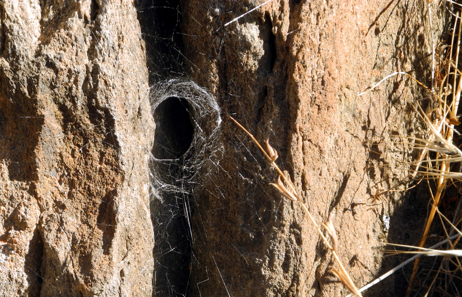
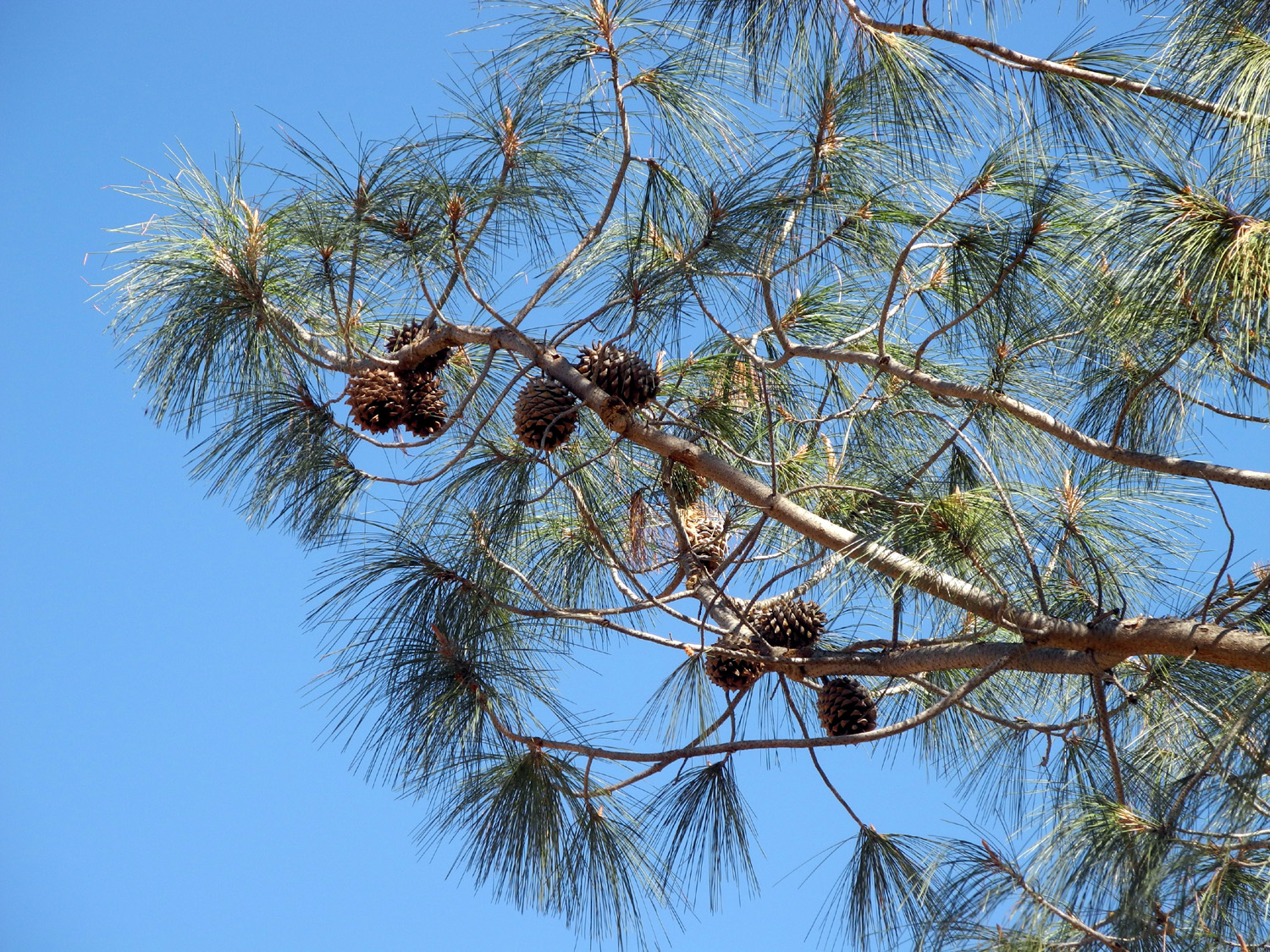
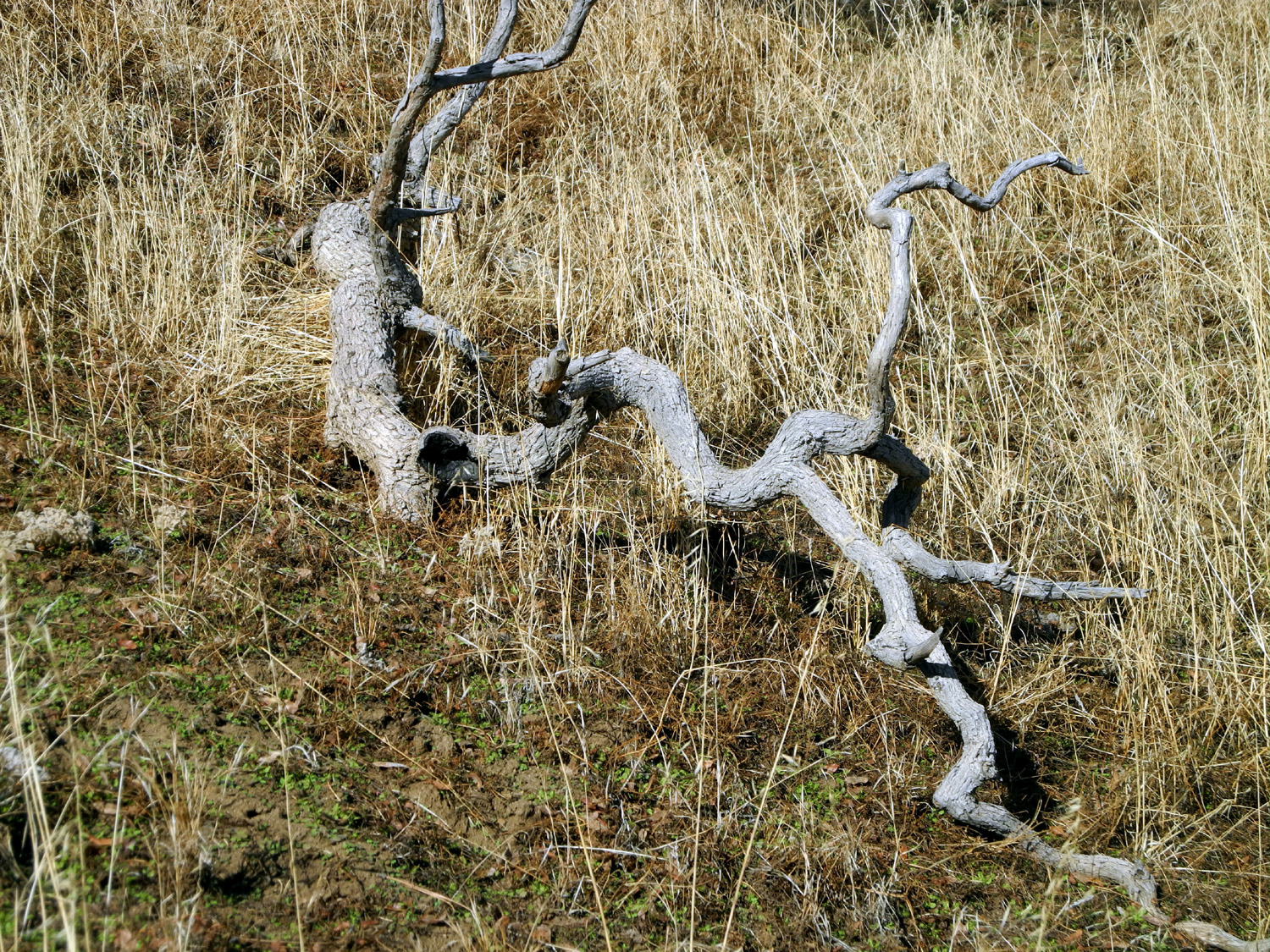
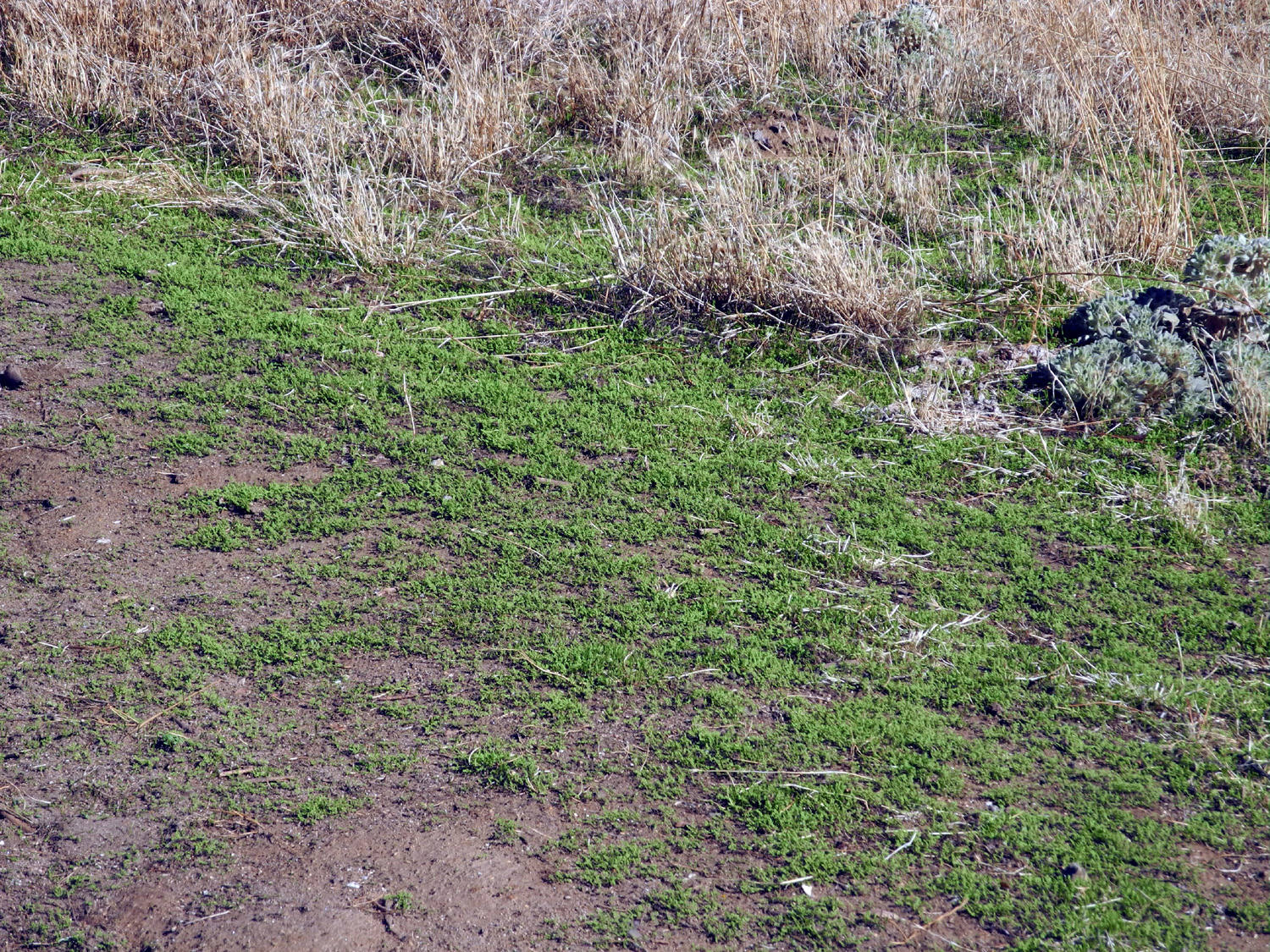
San Joaquin River Trail West |
||
|
|
||
 |
 |
 |
|
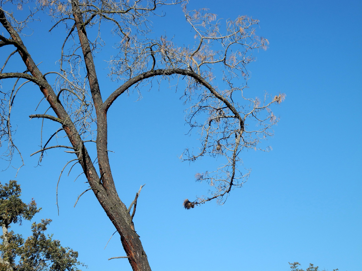
Bull pine branch curling back on itself |
The
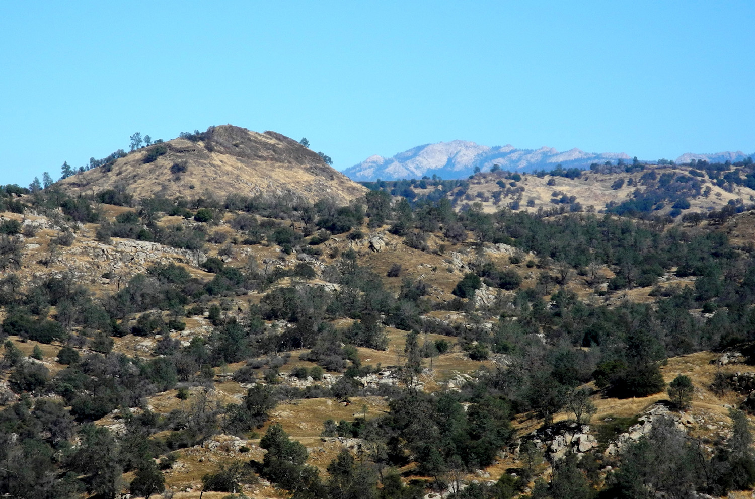
distant rock mountain is Shuteye Peak, 8,000 feet elevation |
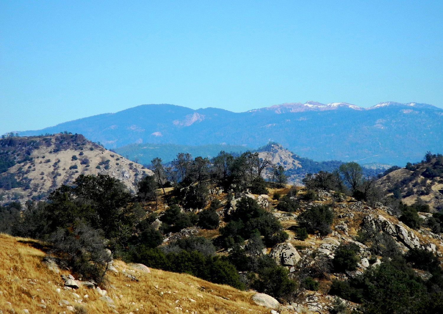
Snow on the distant Sierra peaks |
 |
|
 |
| Ripples
on Lake Millerton, seen from the knoll above the saddle |
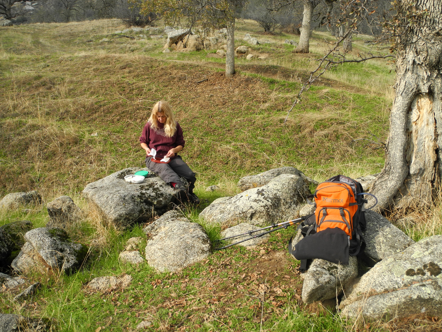
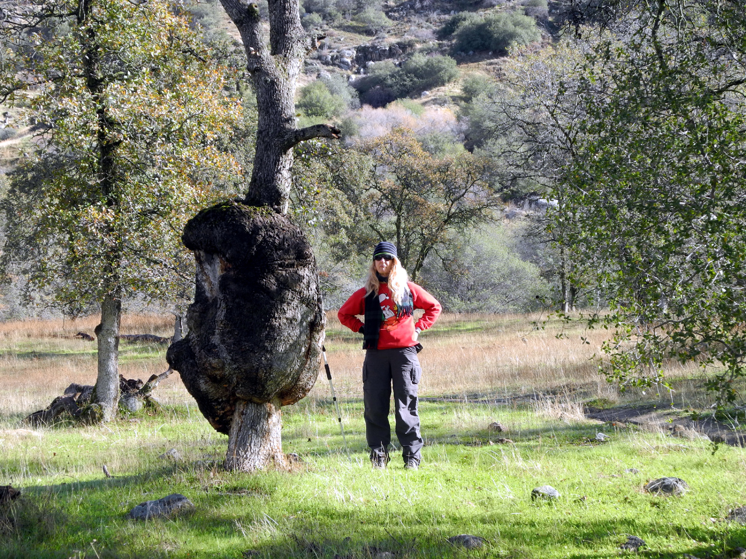
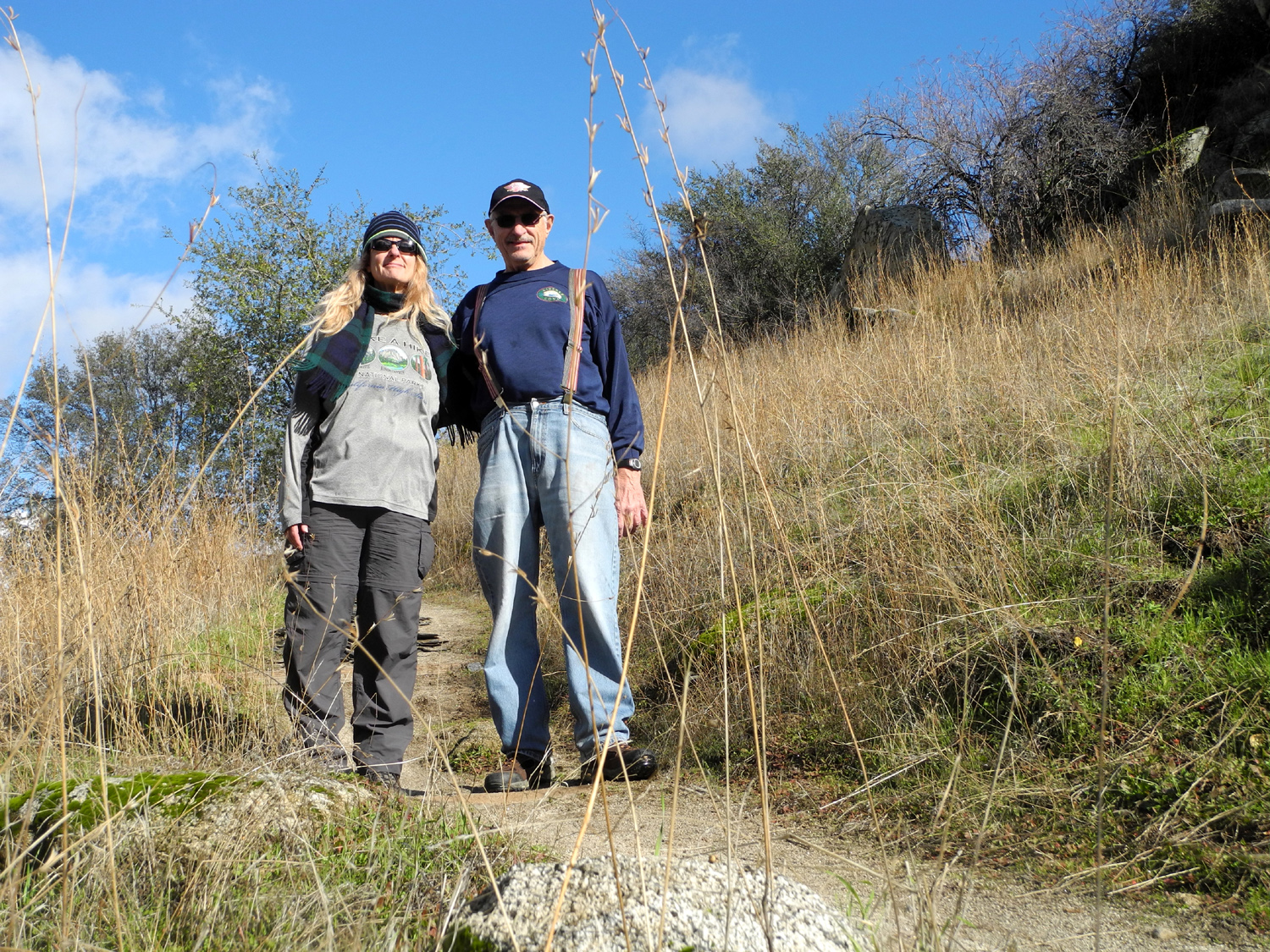
Teri
and Dick on top of the knoll, east of the saddle |
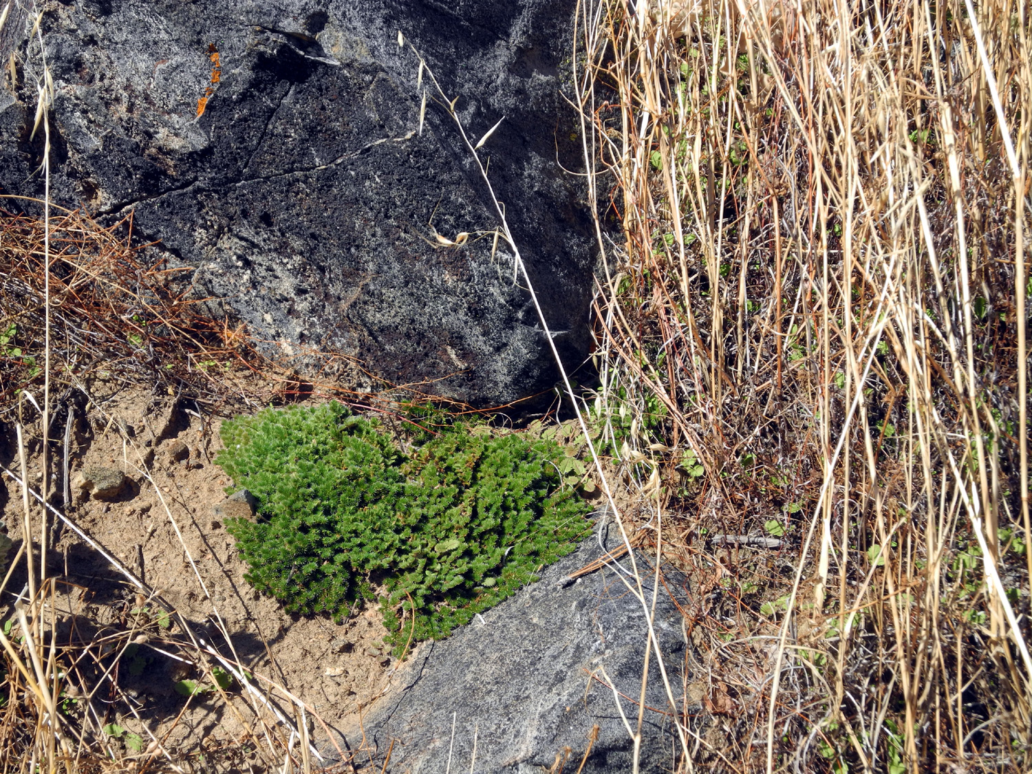
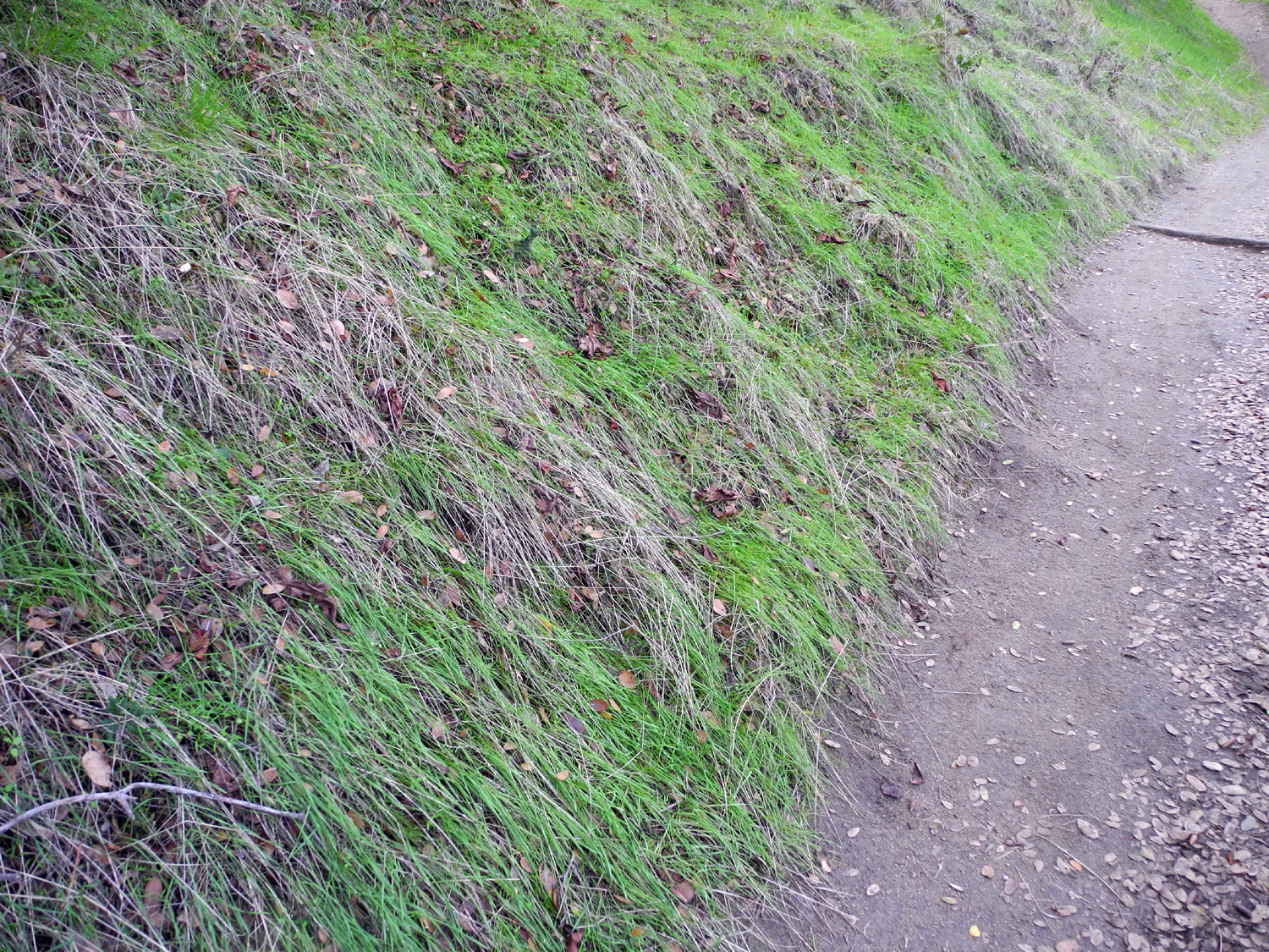
A spot of bright green among the brown grass |
|
 |
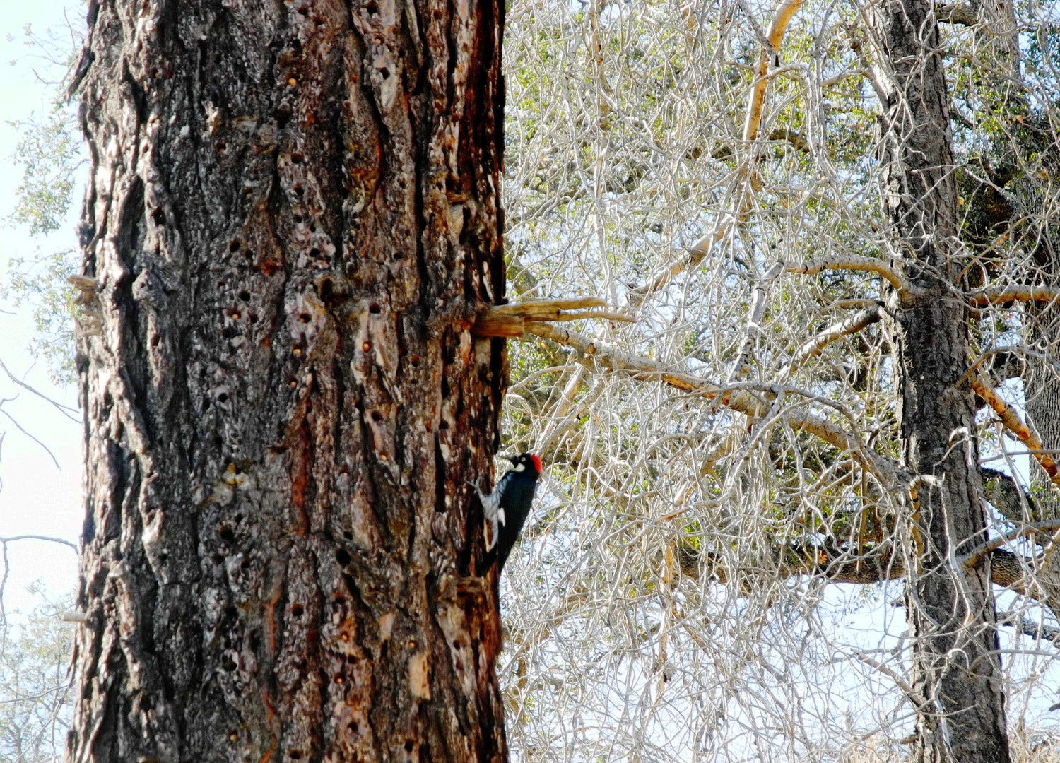 |
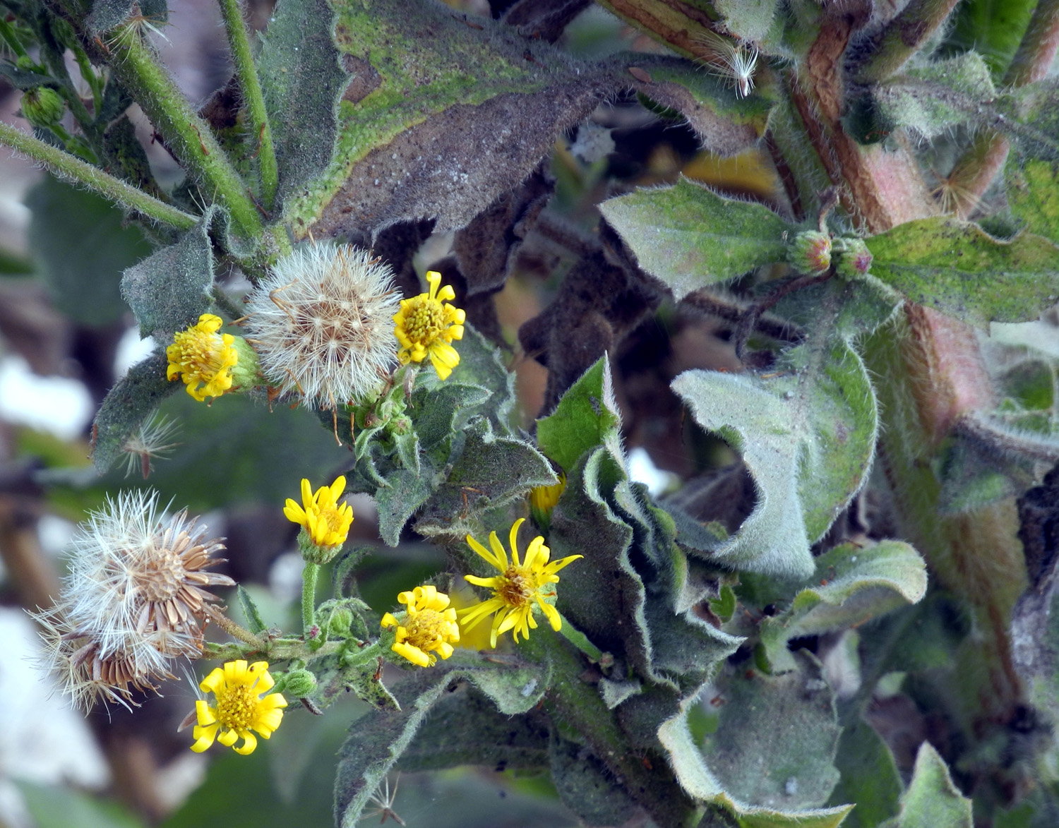
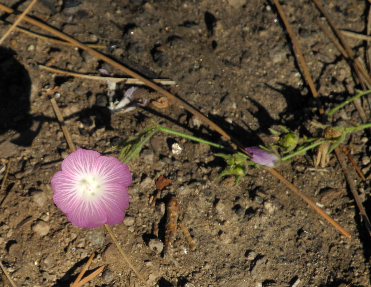
| Orange lichen on granite | One of several wildflower species | Woodpecker busy storing acorns for the future |
 |
 |
 |
| Pinacate beetle, AKA stink bug | These butterflies were seen all along the trail | One
of several lizards that were active when it warmed up |
 |
 |
 |
|
This
tarantula is out a bit |
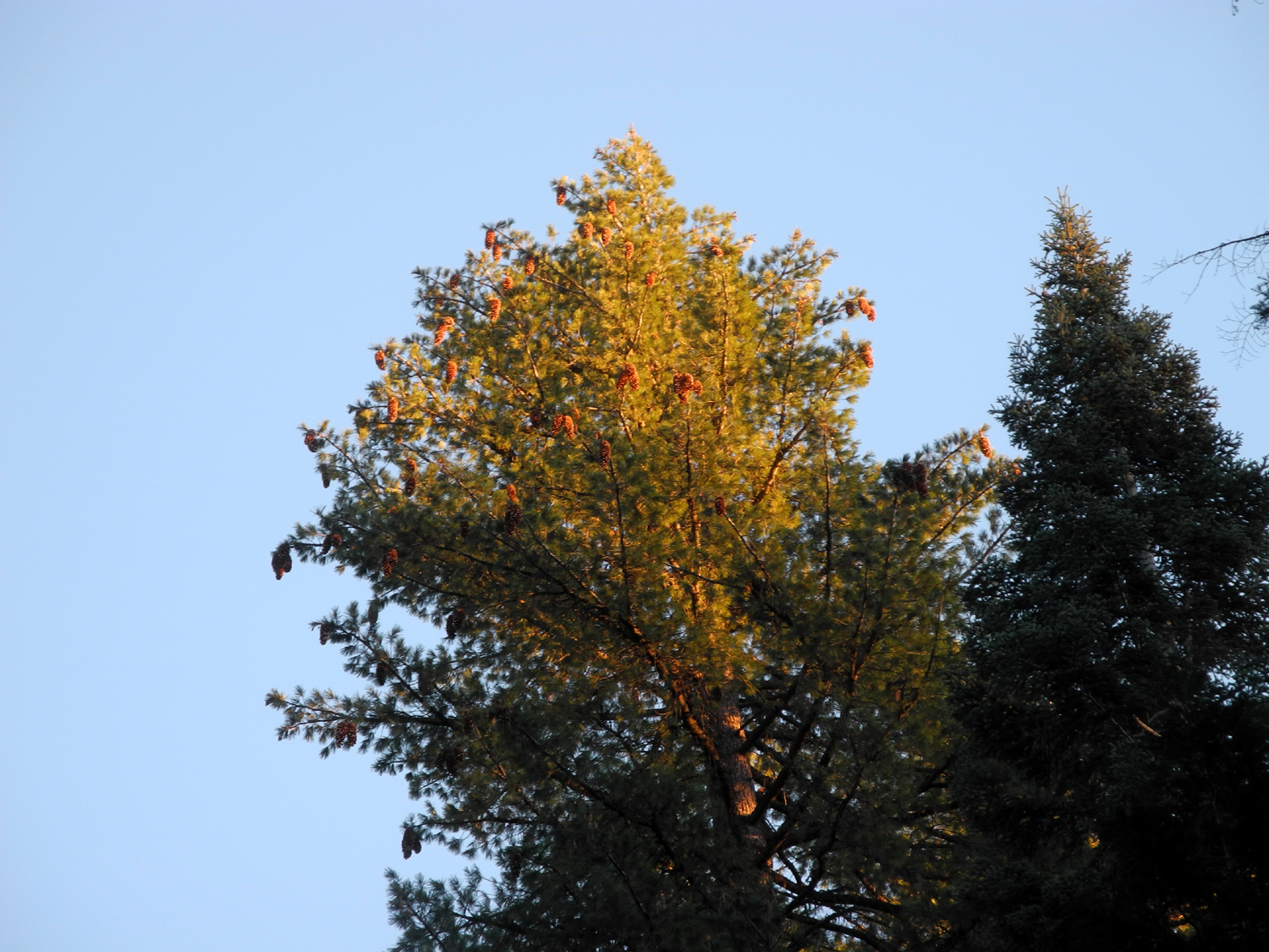
All insects welcome | Lots of cones on this bull pine |
 |
 |
 |
| A fallen blue oak branch |
The promise of a green winter and spring |
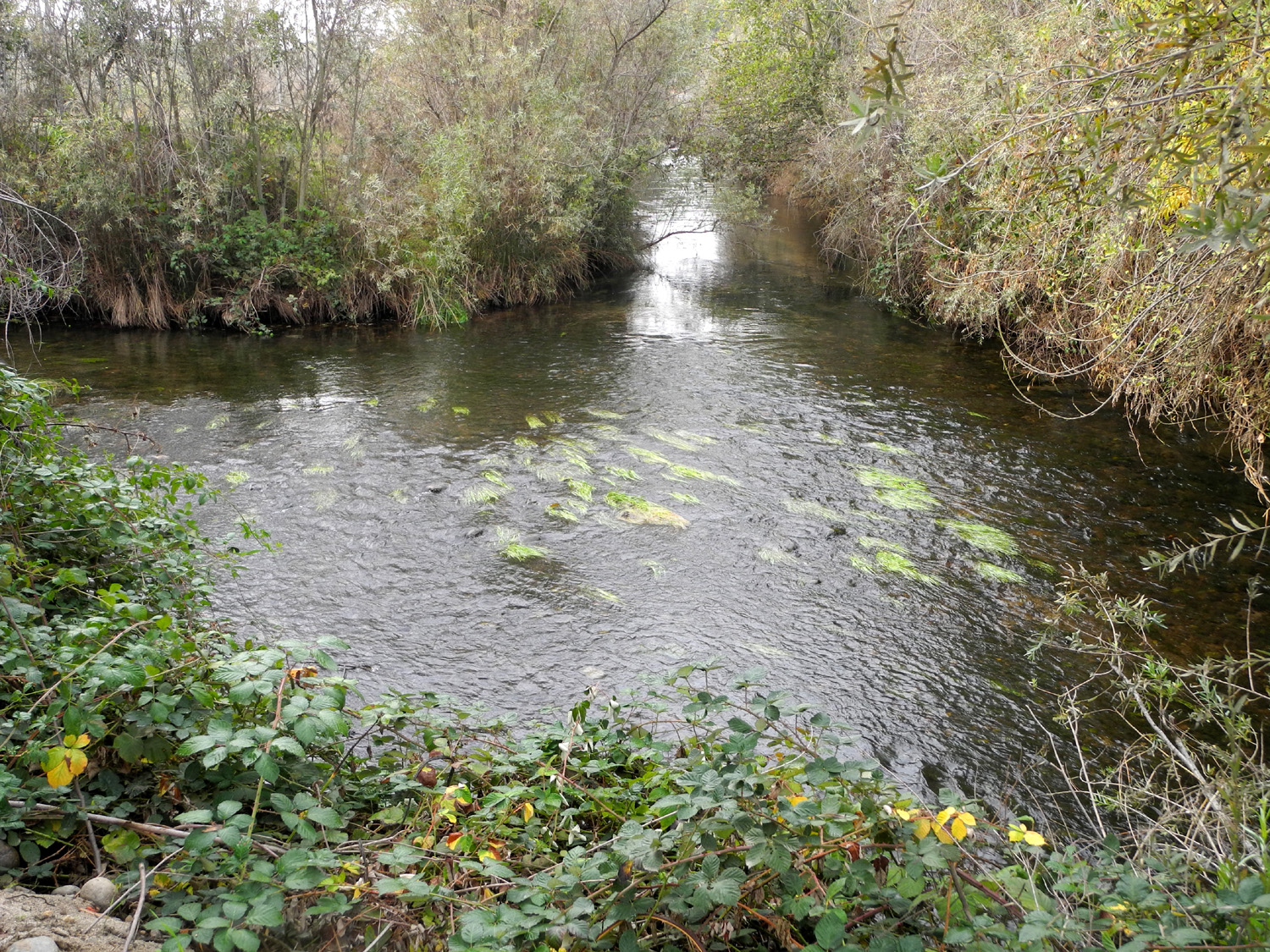
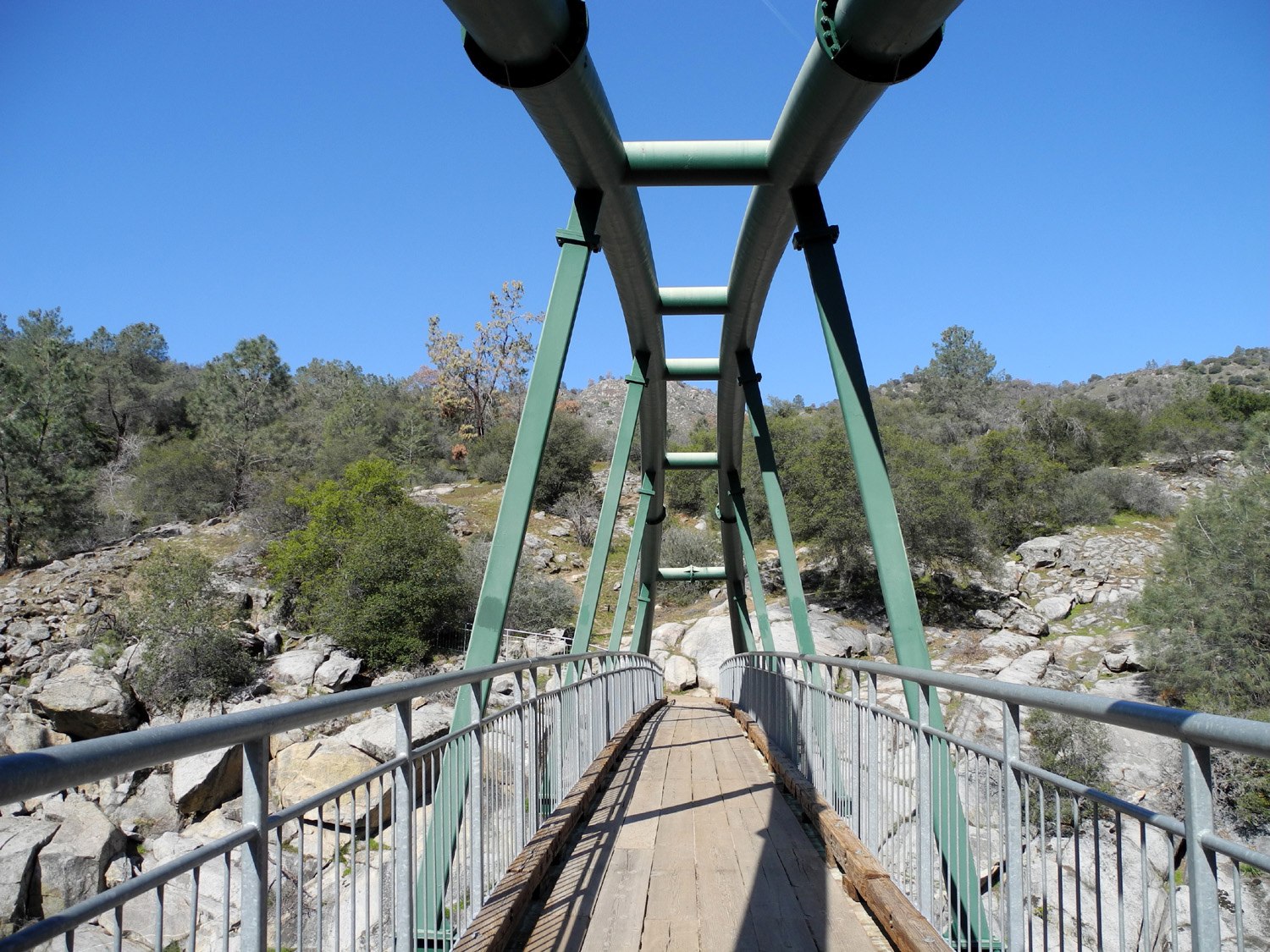
Where Finegold Creek runs into Lake Millerton |
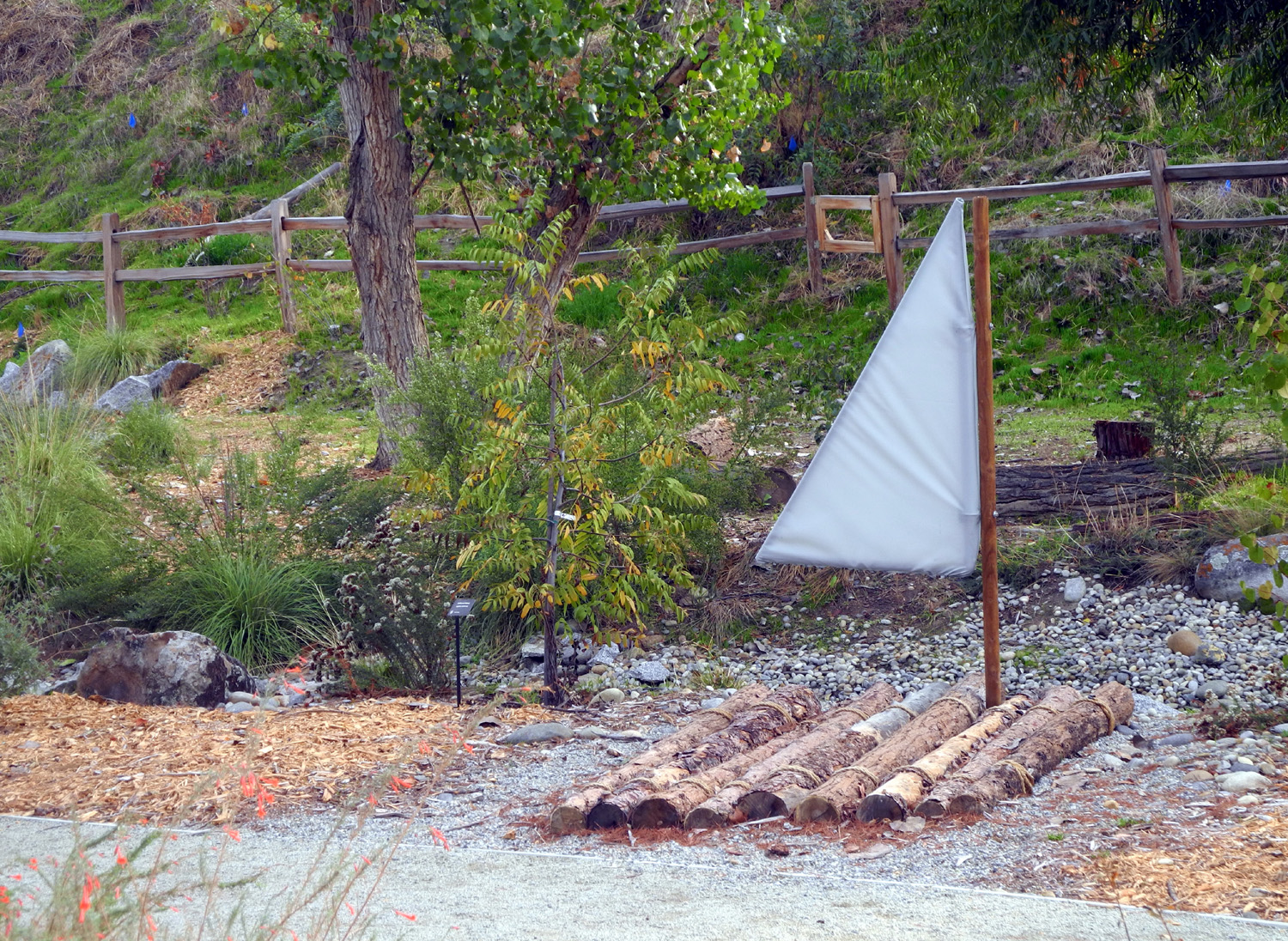
| FINS Trail | ||
 |
 |
 |
| Entry to the parking lot | The
trail drops down a short distance to flood plain level |
California fuchsia |
 |
|
 |
| A fun place for kids | You can dig in the gravel next to these big fish | A black bear stands guard |
 |
 |
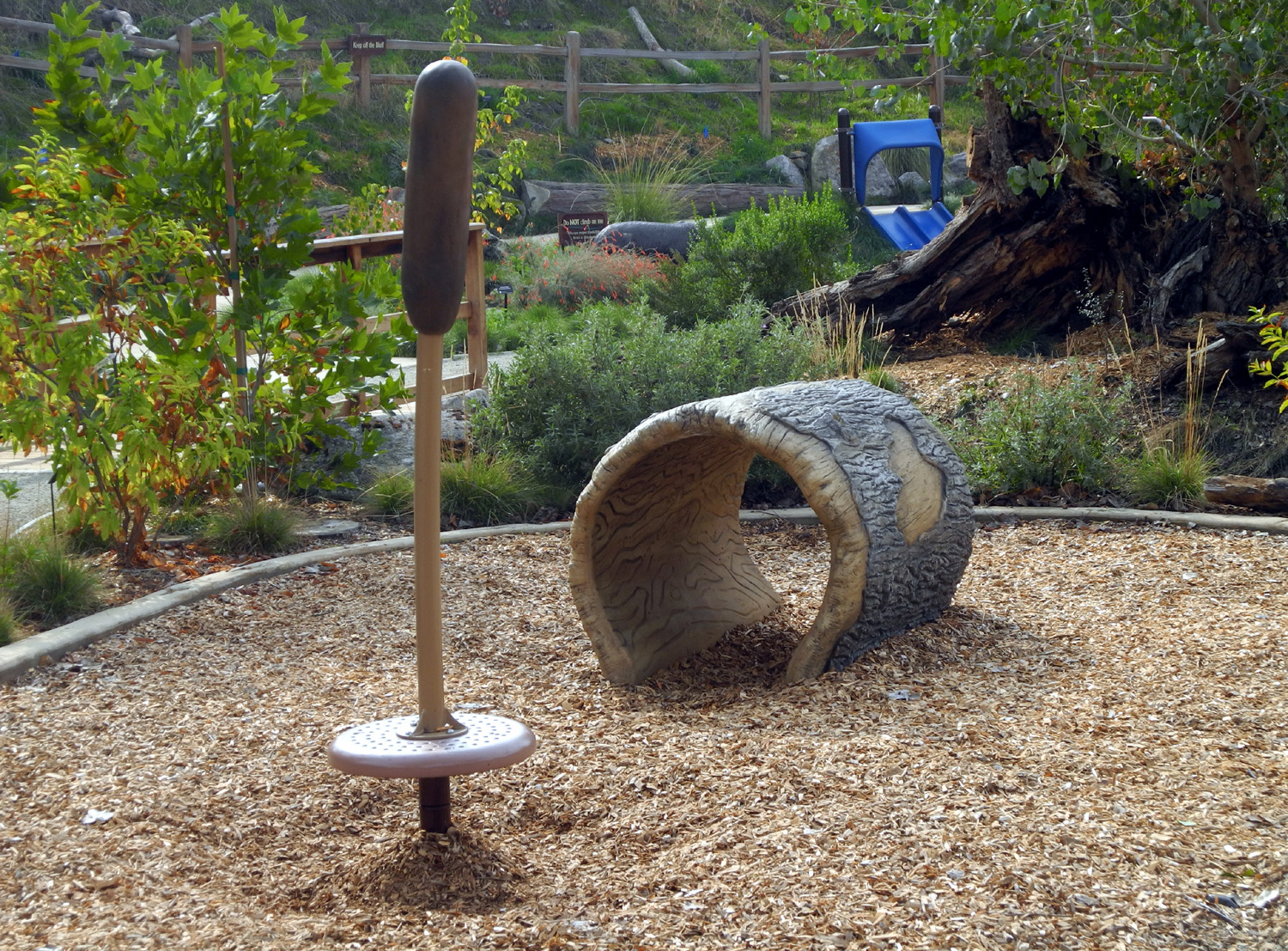 |
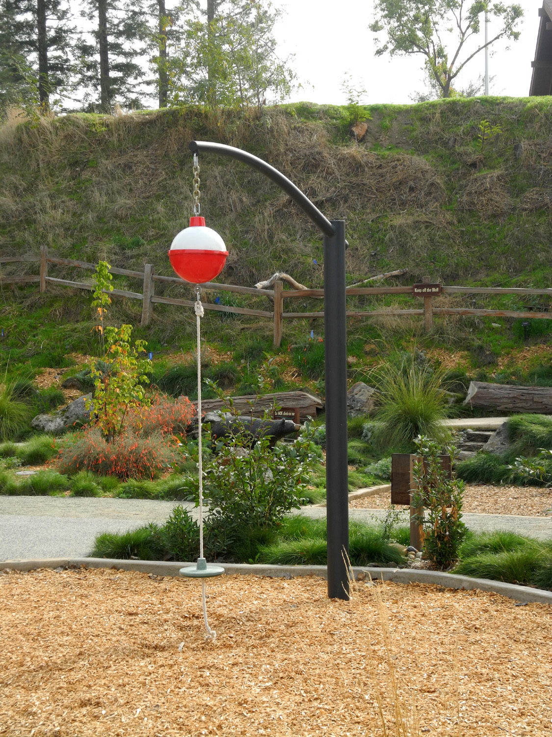
| Was Huck Finn here? | Get "caught" below this fishing bobber | A tunnel and a cattail climbing toy |
 |
 |
 |
|
Bridge over a small branch of the river |
Berry bushes line the bank | There are still wildflowers |
|
 |
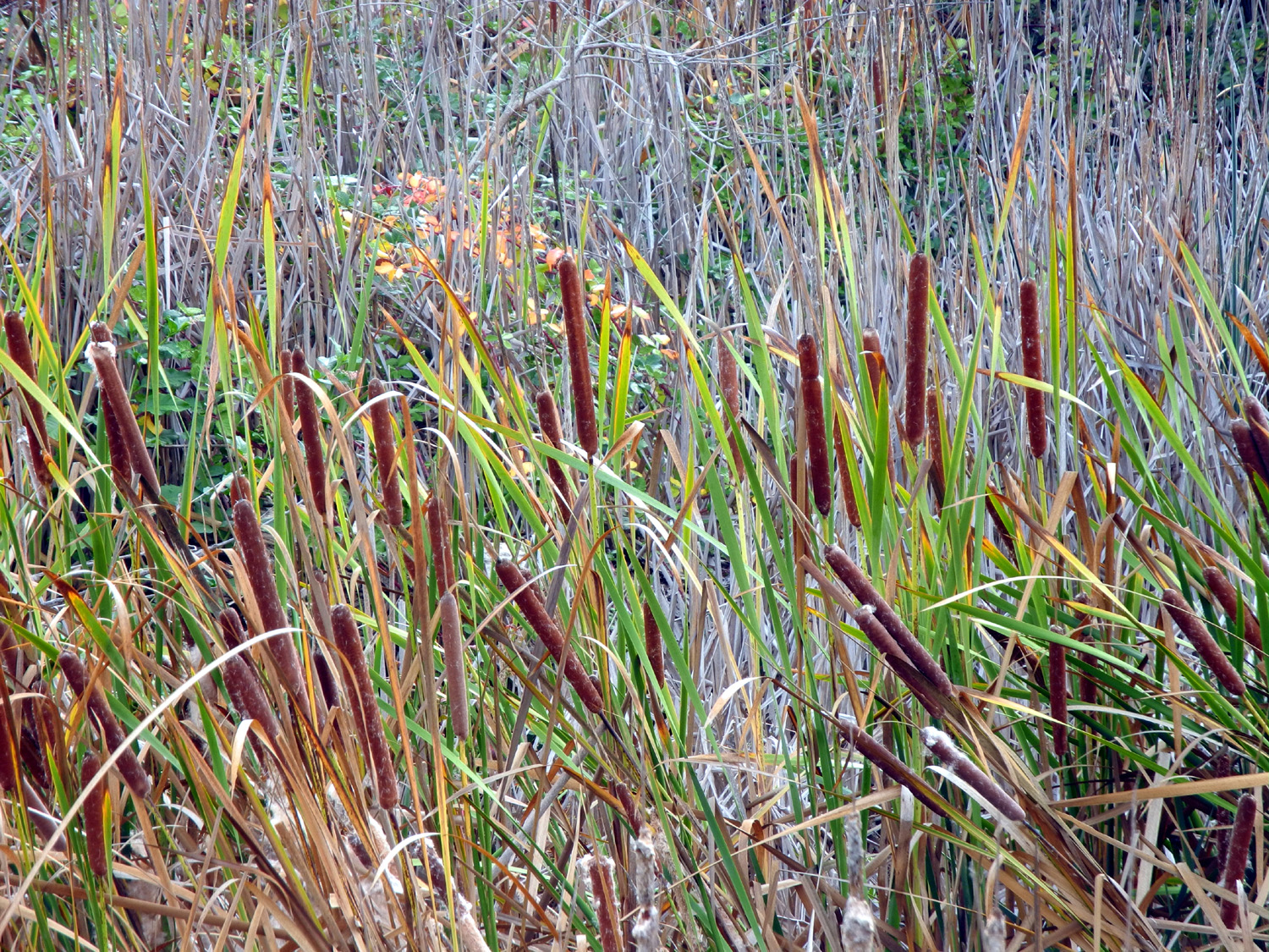 |
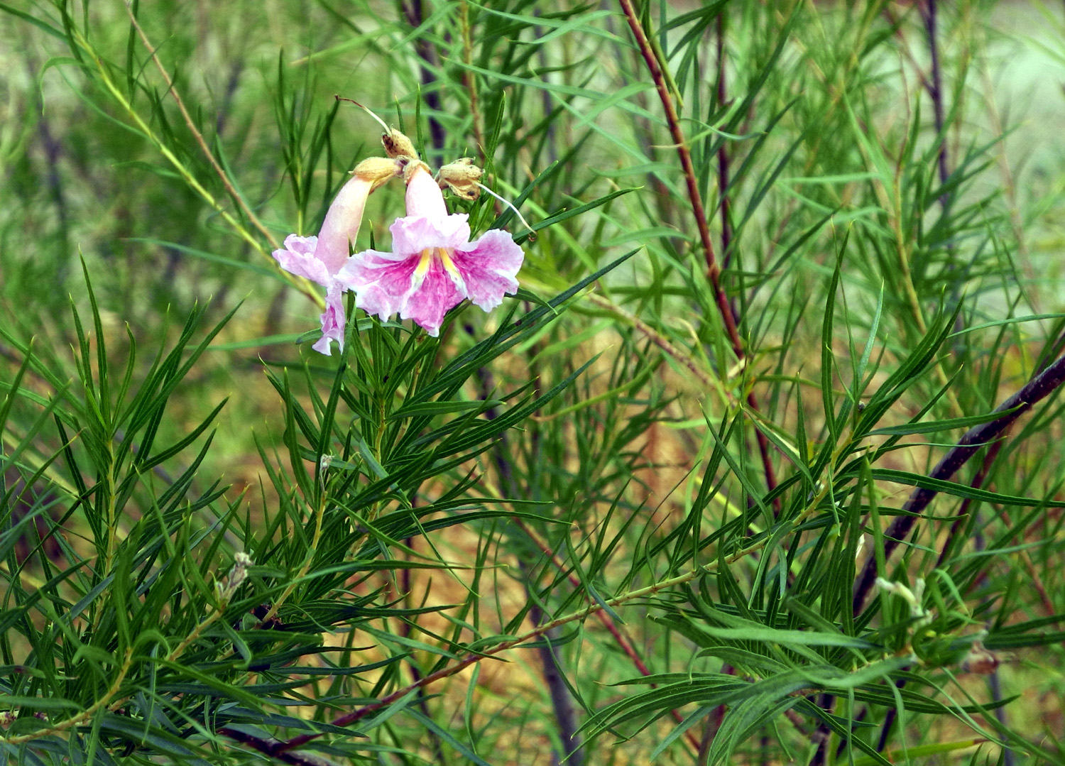
| Fall color along the trail | Desert willow | One of several cattail ponds |
 |
||
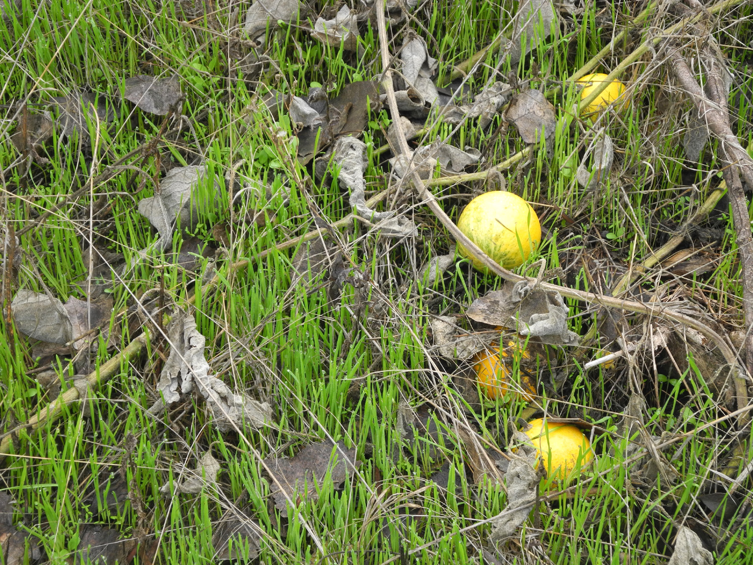
| Gourds in the green grass | ||
| California Flat Campout | ||
 |
 |
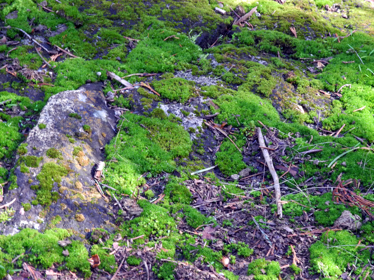 |
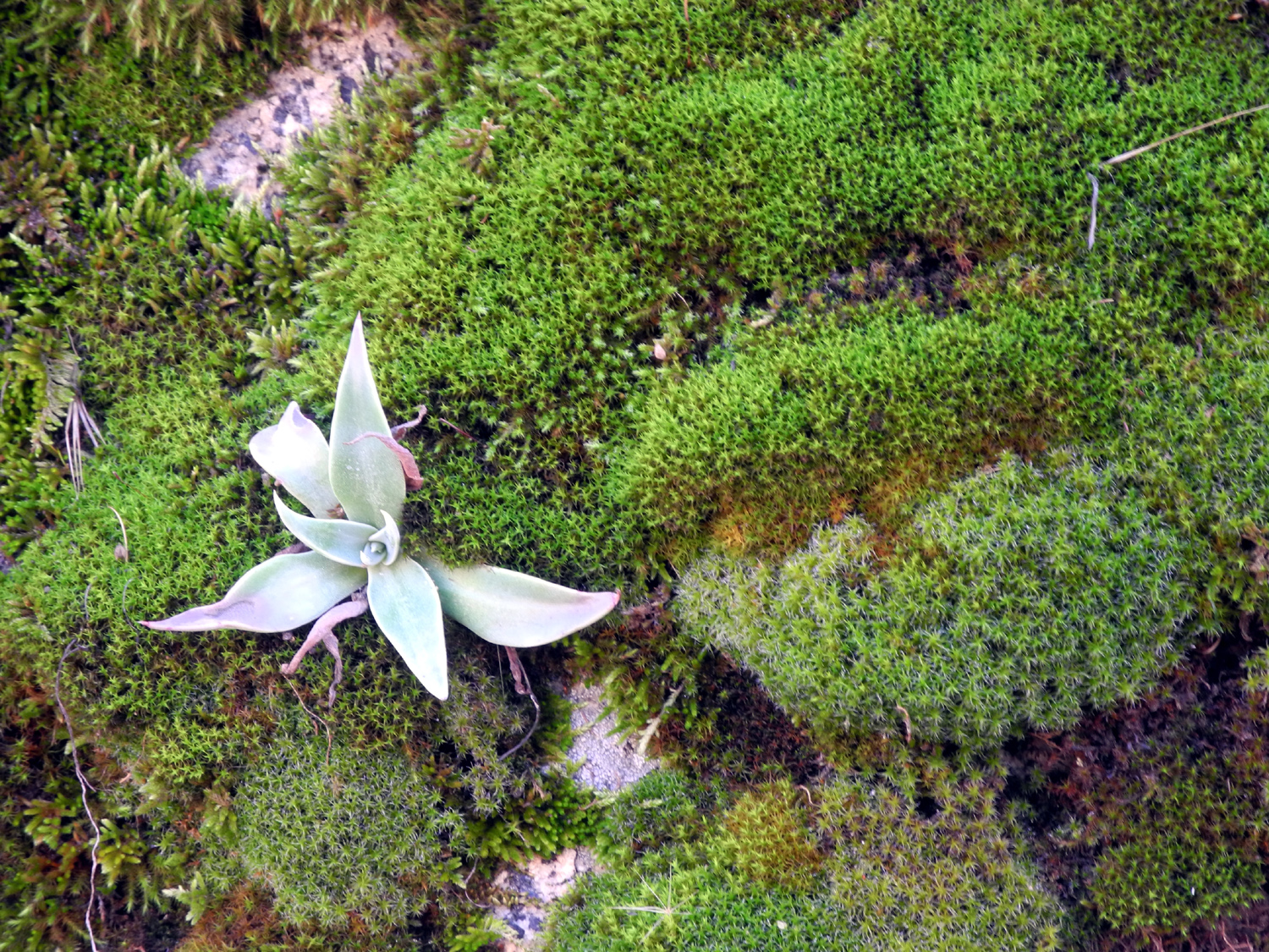
| Area burned over by the Sky Fire | Flowers bloom next to the burn zone | Moss by the trail to California Meadow |
 |
 |
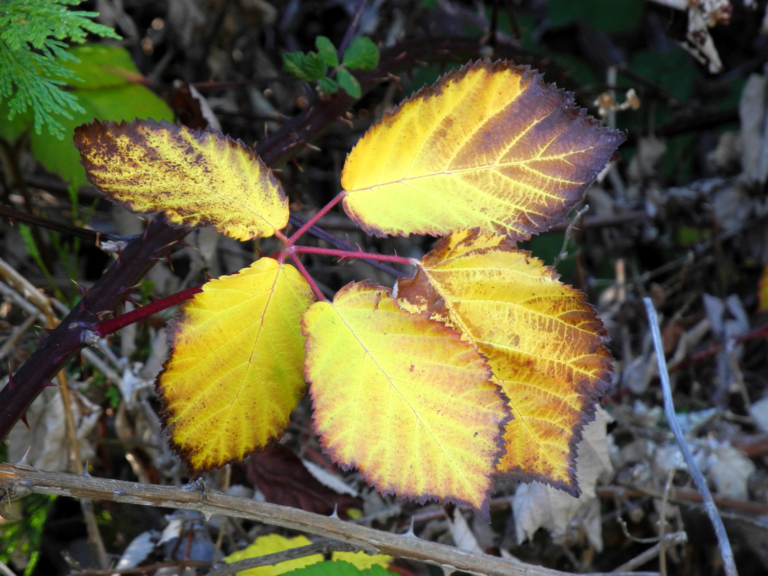 |
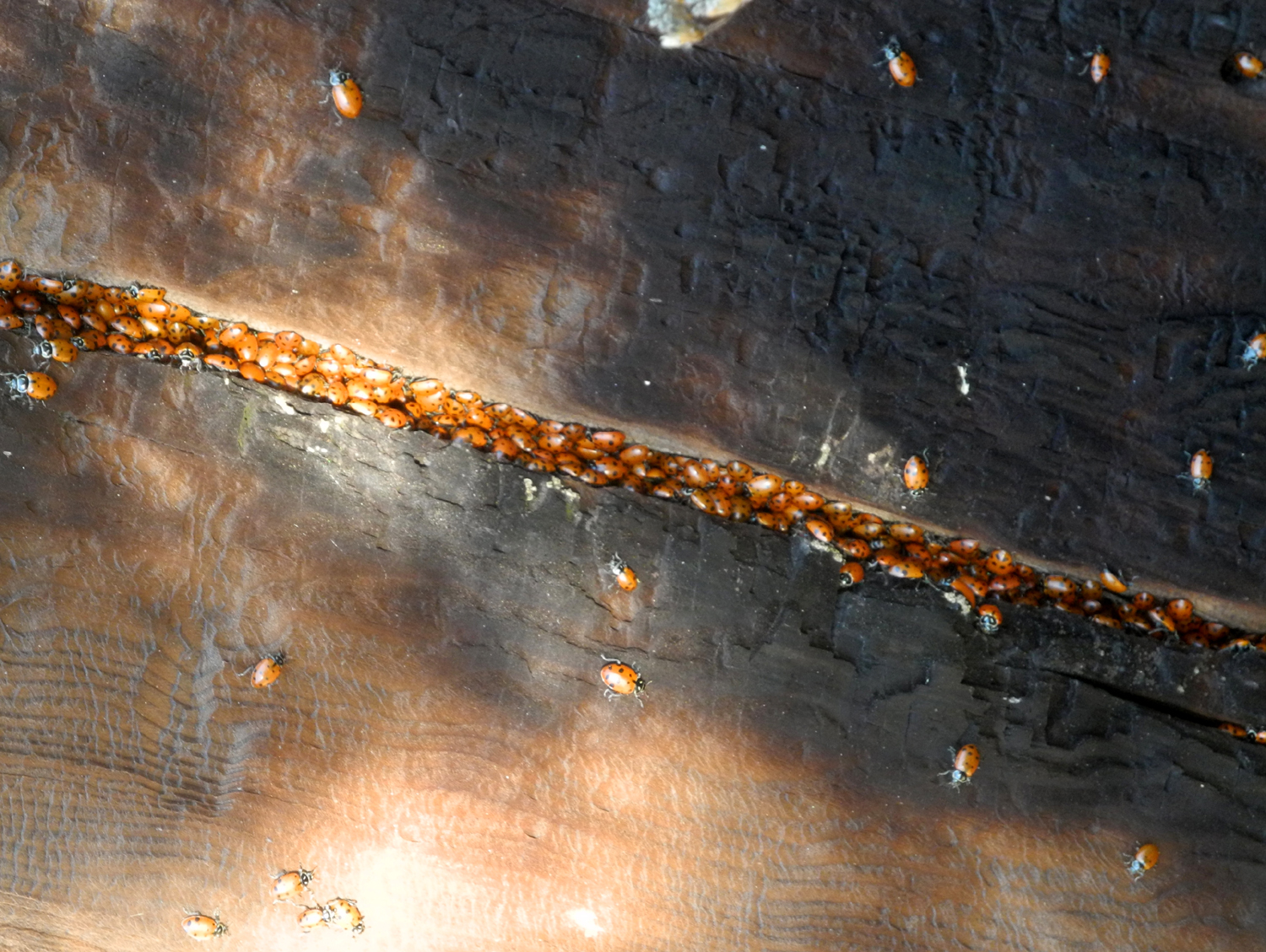
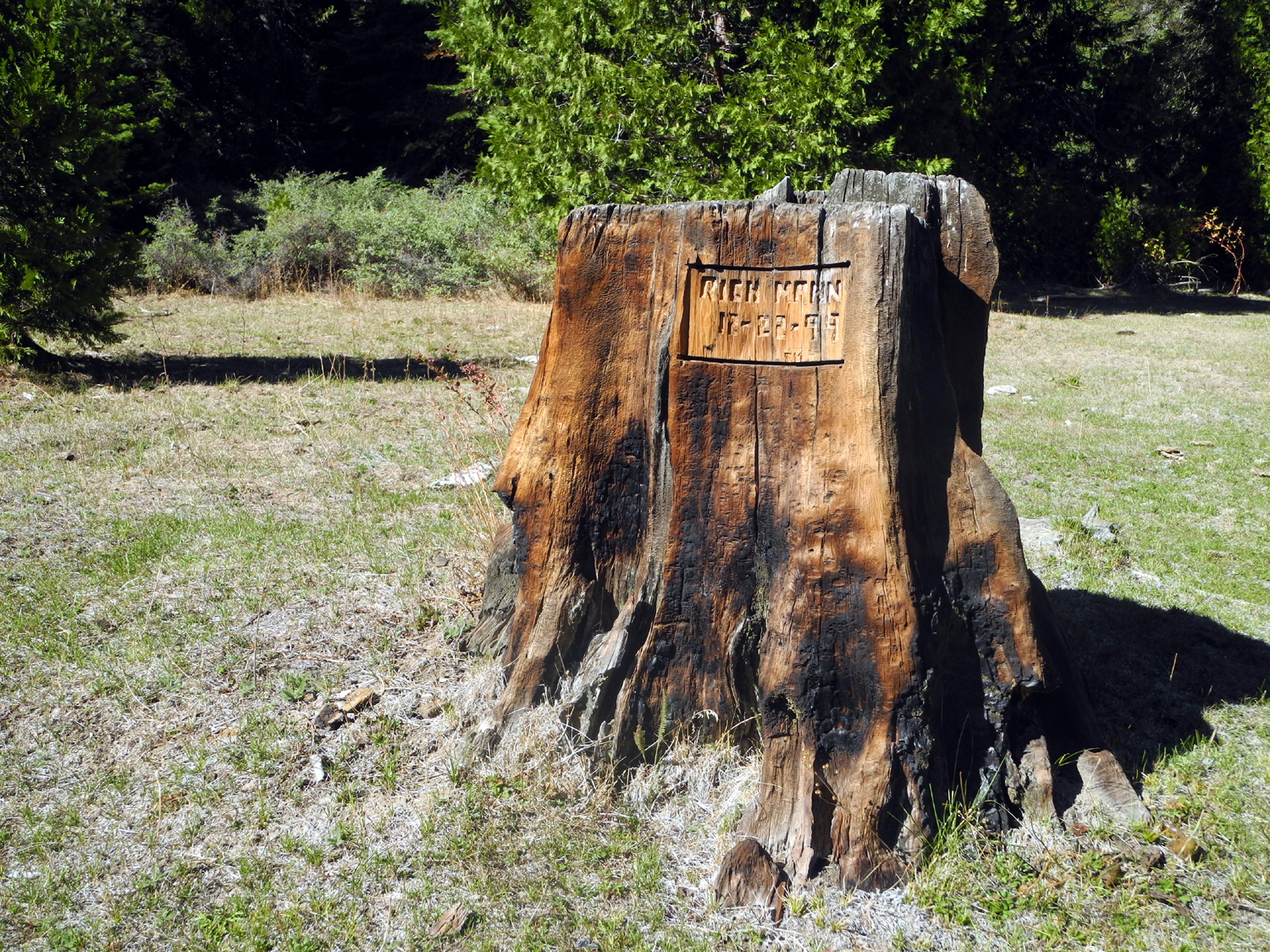
| Carved stump in the meadow | Ladybugs preparing for winter | Berry leaves turn gold, tinged with purple |
 |
 |
 |
| Dick and Teri in California Meadow | The trail is lined with many young cedar and fir trees |
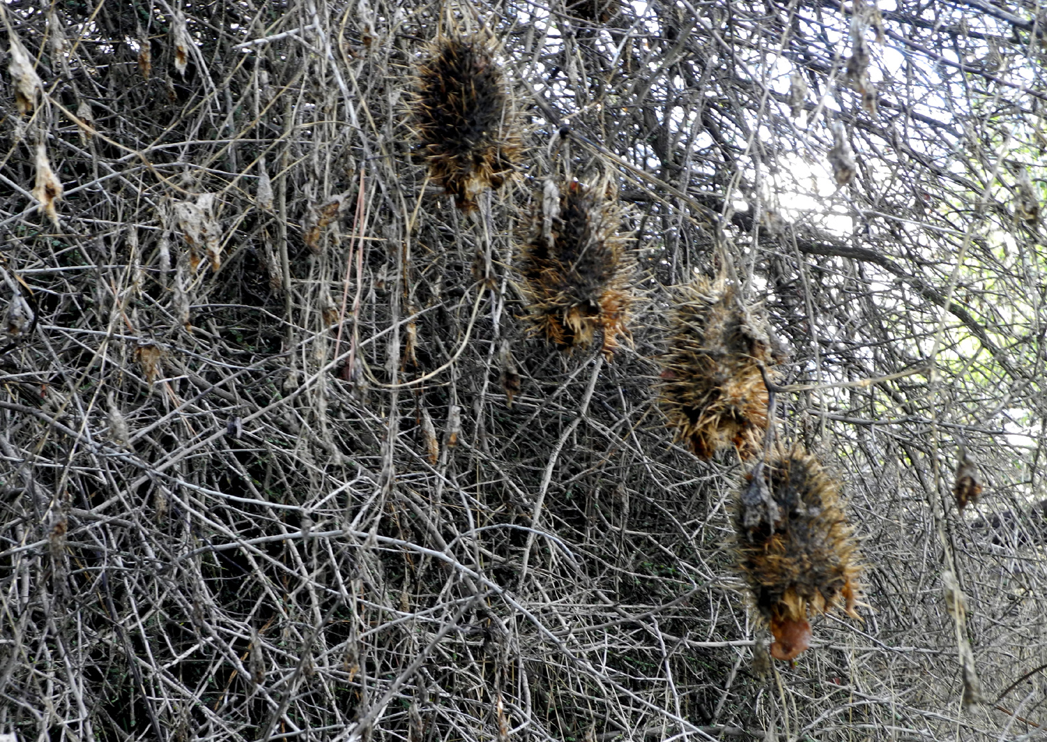
Confused thistle, blooming in November |
 |
 |
 |
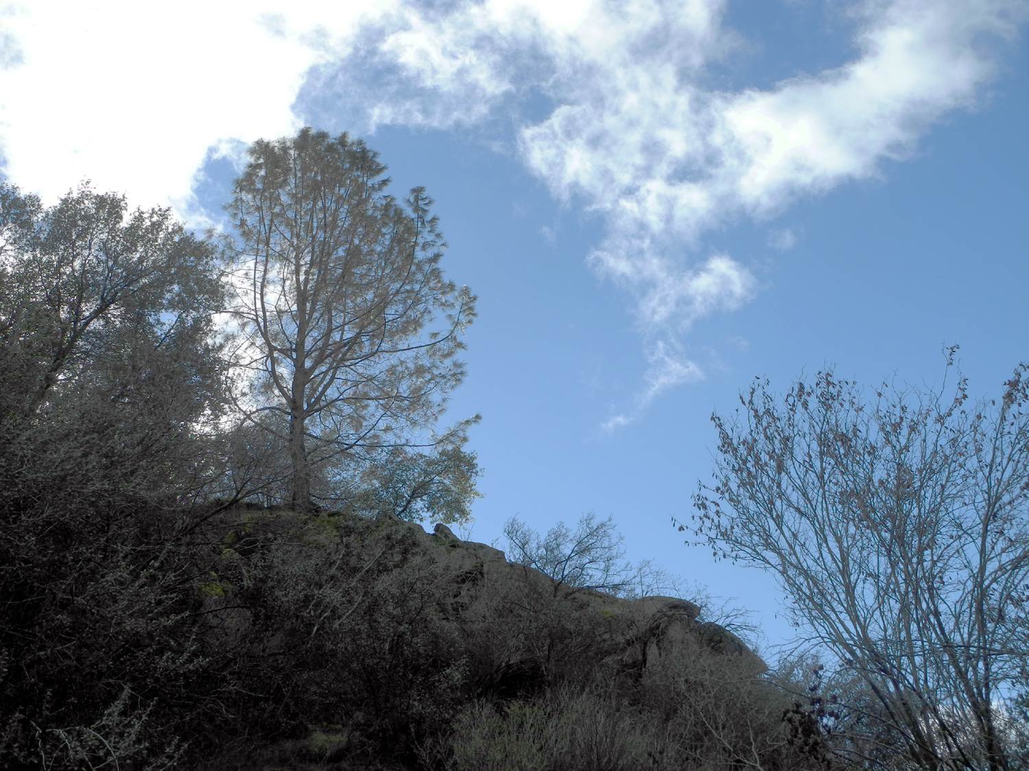
| Top of a sugar pine catches the late afternoon sun |
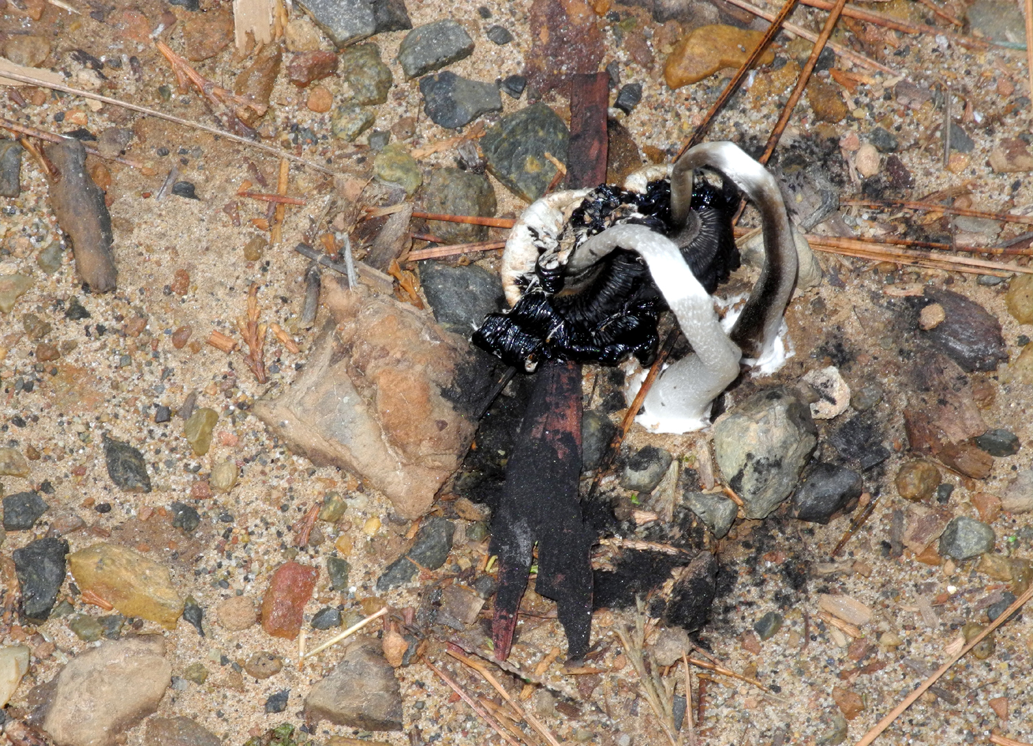
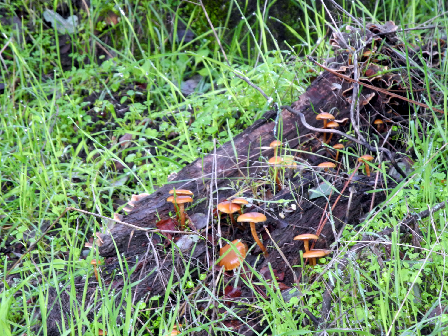
"Some kind of mushroom..." | A few dogwood leaves remain in Nelder Grove |
 |
 |
 |
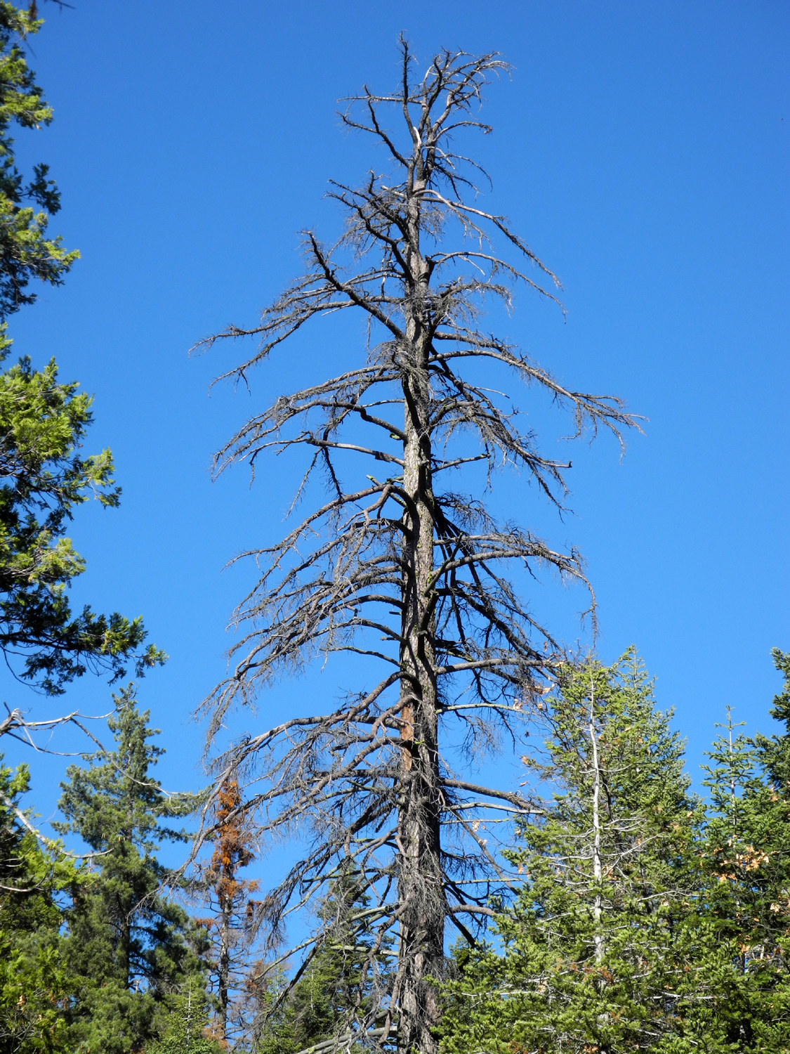
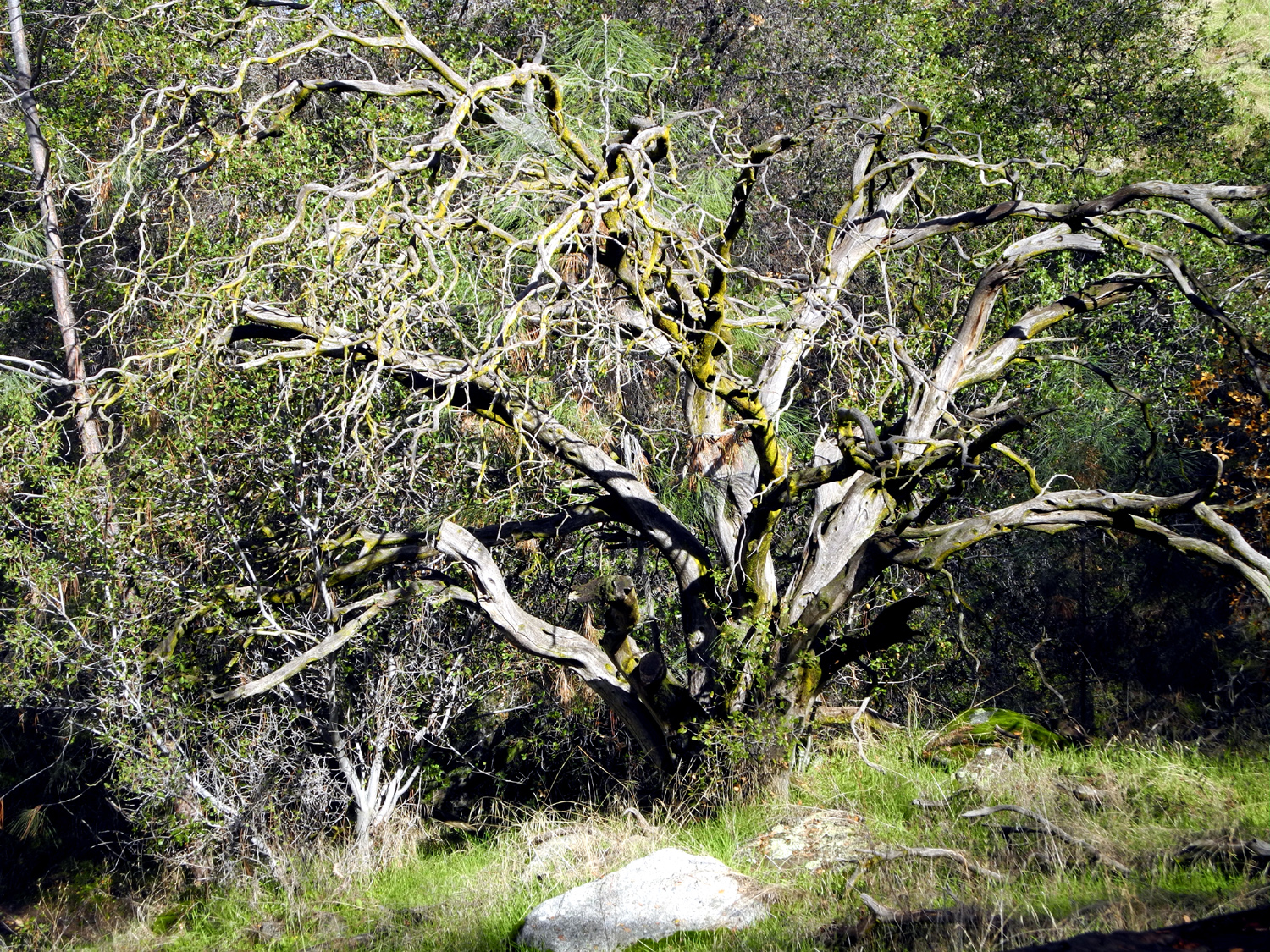
| Dead fir on the Graveyard of the Giants Trail | The Leaner Tree | Top of another big sequoia |
 |
 |
|
| Our hiking destination; we started at 5,000 feet | Looking down the canyon of Nelder Creek and beyond |
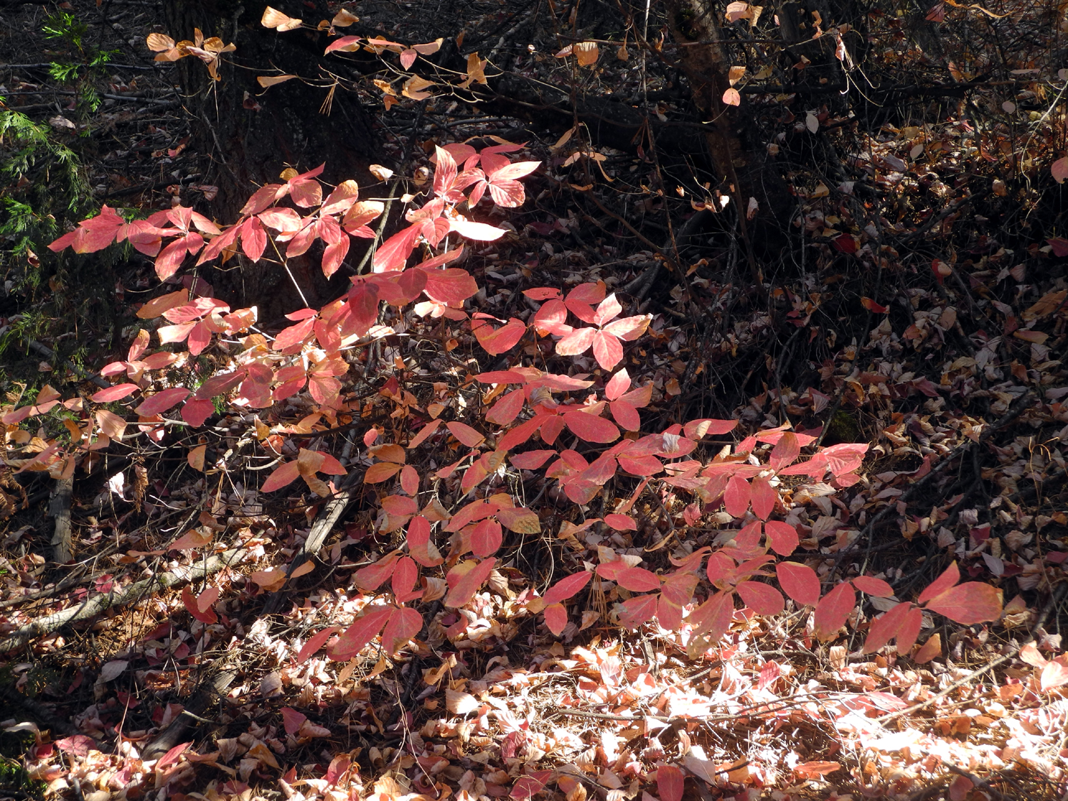
The last of the black oak leaves |
 |
 |
 |
| The Graveyard of the Giants Trail | Even in fall, moss remains bright green | Dick and Don resting |
 |
 |
|
| Moss grows all the way up the trunk of this tree | Don, Yvette, Dick, Carolyn, Teri, Sandy, Wes | |
 |
 |
 |
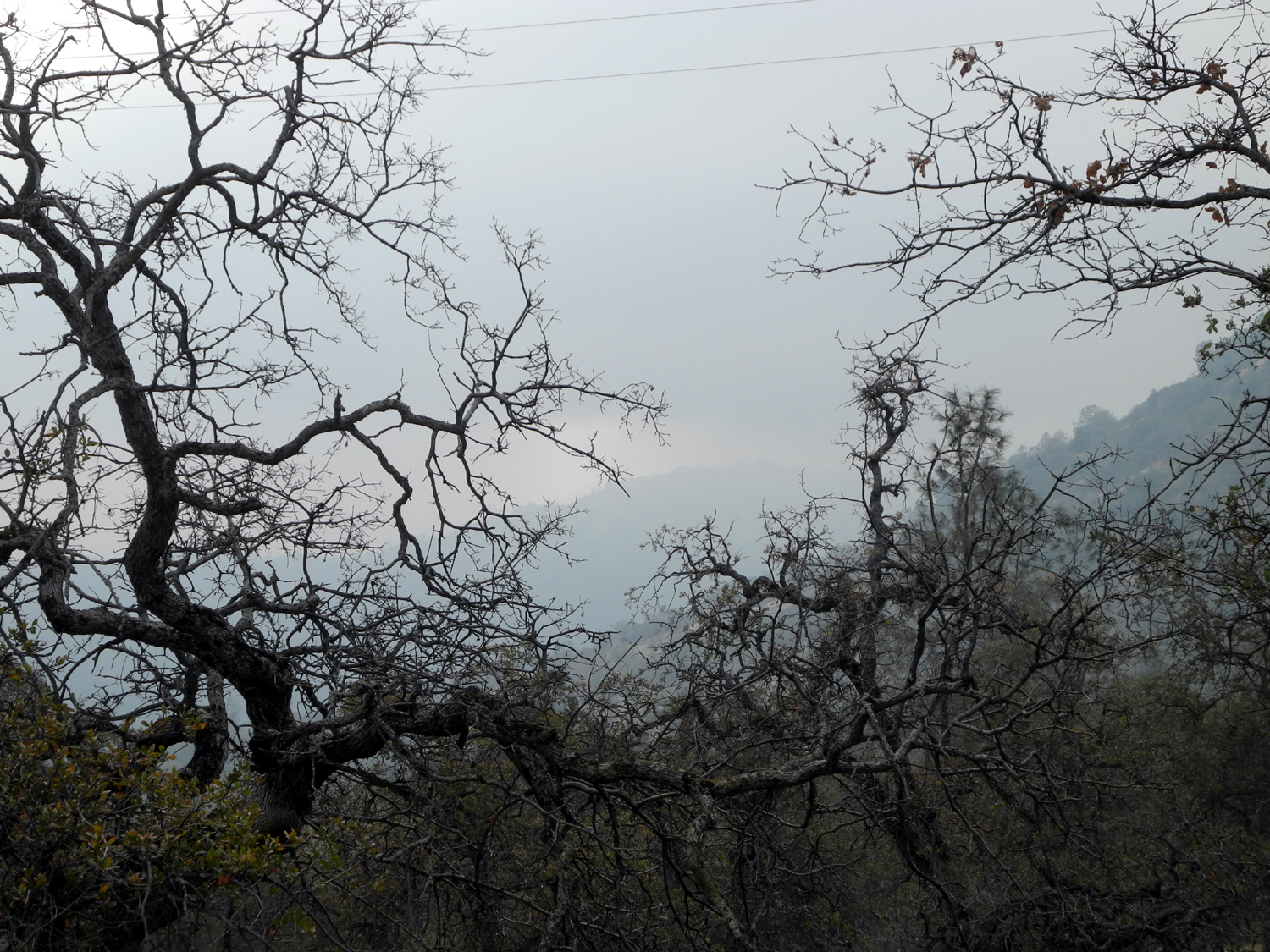
| The starting point of our "big hike" on Wednesday |
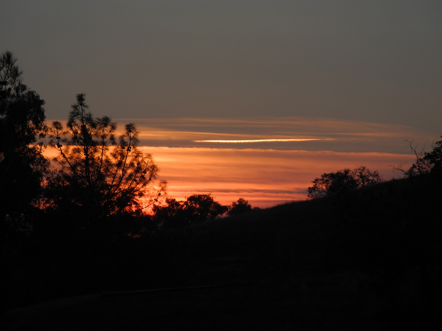
A perfect fall scene: Evergreens, white clouds, and blue sky |
Willow Creek by Greys Mountain Campground |
 |
||
| Panoramic view of Soquel Falls on Willow Creek | ||
 |
 |
 |
| The lower fall and swimming hole | One of many rock dams
where the creek runs by camp sites |
Golden leaves of a black oak |
 |
 |
 |
| Unique rock formation above creek | Teri on the trail by the creek | Through a small meadow
near Greys Mountain campground |
 |
 |
 |
| This log across the trail comes with instructions on how to get past it |
Venerable cedar in the meadow | Fresno Dome with approaching storm |
 |
 |
 |
| Soquel Meadow | Old barn at the meadow | View over the fence and past the barn into the meadow |
 |
 |
 |
| Satellite view of Soquel|
Meadow with old barn in lower right |
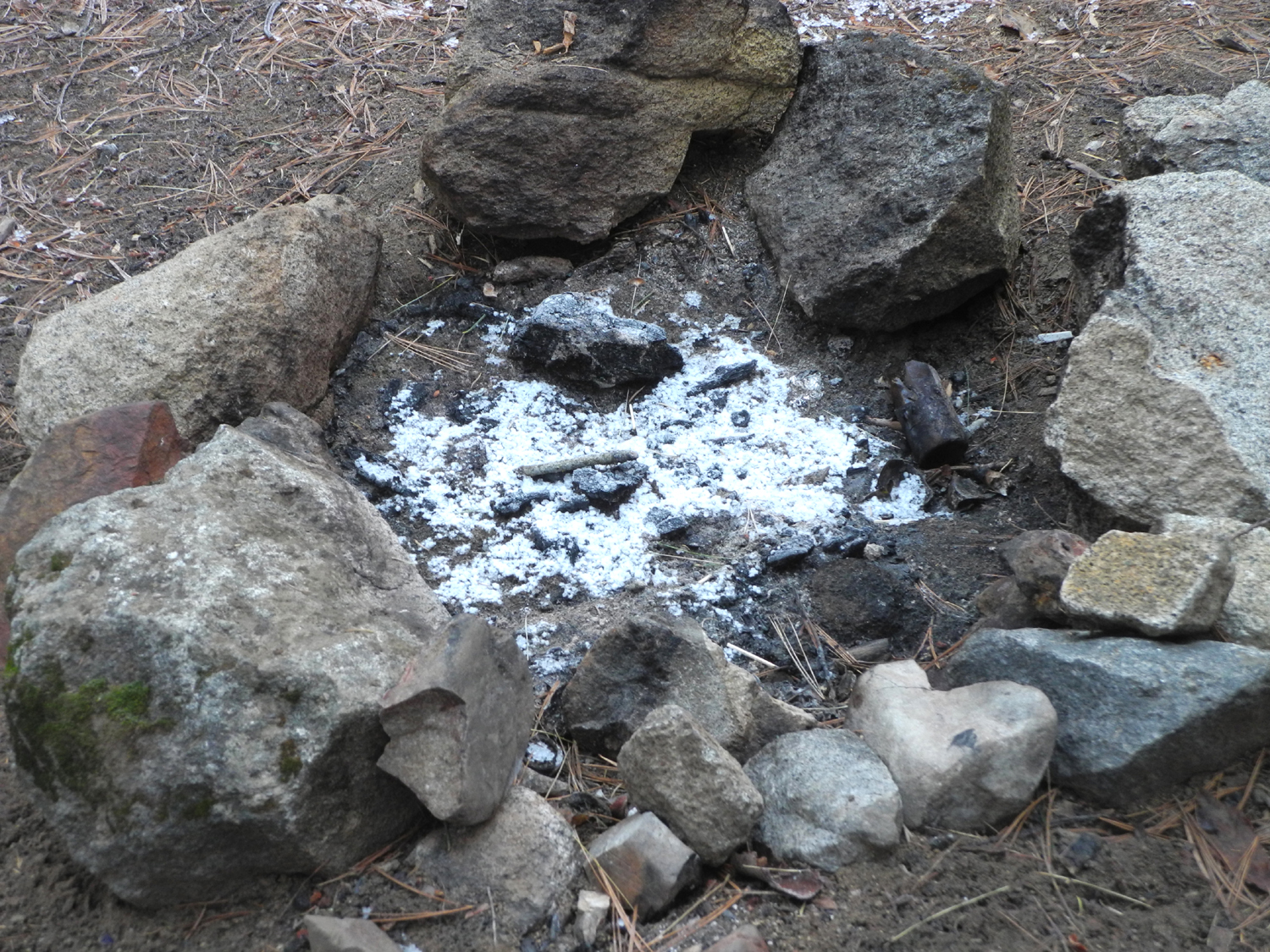
Teri's car at The Meadow | A short, powerful hail storm left this scene in our camp |
 |
|
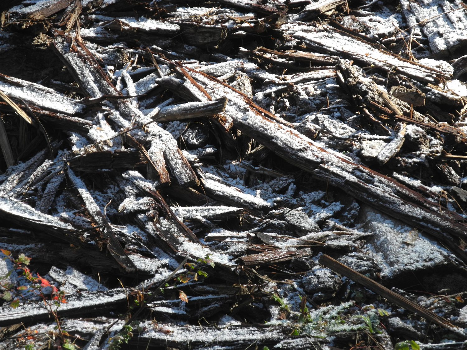 |
| Always make sure your campfire is out cold | Meadow by Road 6S47Y near our camp | Hail on a pile of cedar bark |
 |
||
| Decorated for Christmas | ||
| Shadow of the Giants Trail | ||
 |
 |
 |
| A shadowy section of
the Shadow of the Giants Trail |
One of the giants | Fascinating fungus |
 |
 |
 |
| Typical top of a giant sequoia | This tree had its day long ago | Teri on the bridge over Nelder Creek |
 |
 |
 |
| Two giants close
together on the west side of the creek |
Father-daughter day on the trail | A good place to stop and warm up |
 |
 |
 |
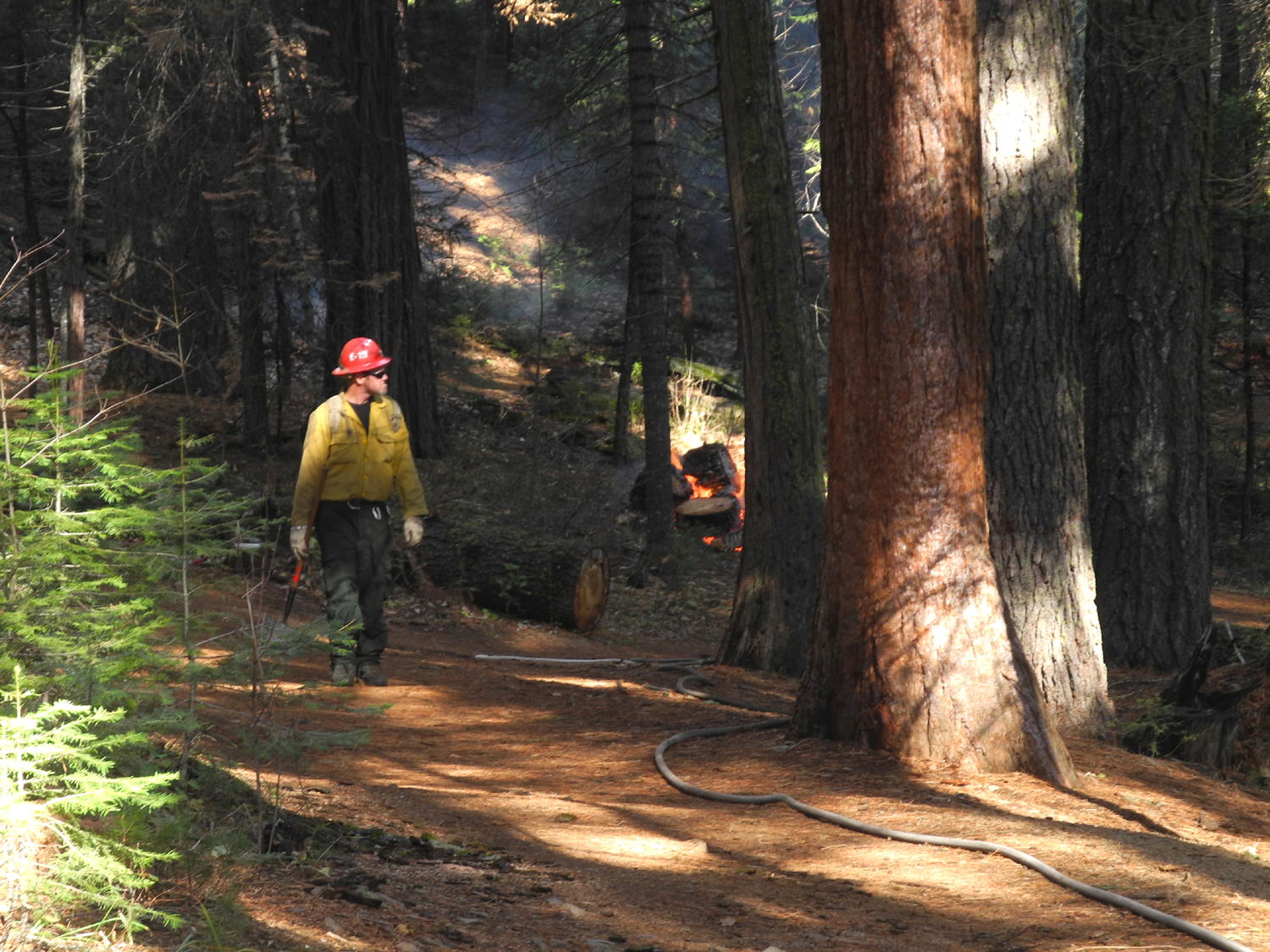
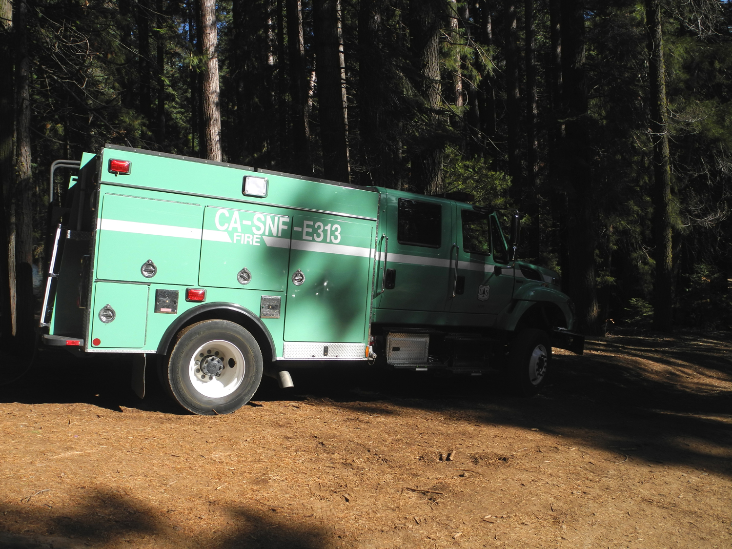
| One of several USFS
fire fighters watching the fires |
Forest service fire truck | A big pile of ladybugs |
|
 |
 |
| Even more ladybugs | The trunk of the Sierra Beauty | Bedrock mortars just below the Sierra Beauty |
| San Joaquin Gorge | ||
 |
 |
 |
| The "rock paper scissors" rule of the trail | Grape vines turning color in the fall | Old dead limbs and new
green grass make a nice picture |
 |
|
 |
| Teri on the Bridge Trail | Succulent in the moss on a rocky bank near the bridge |
New growth of green and red |
 |
 |
 |
| A big limb from a blue oak | Where it fell from | Cows kept a wary eye on us as we passed their grazing spot |
 |
 |
 |
| Perfectly designed mushrooms |
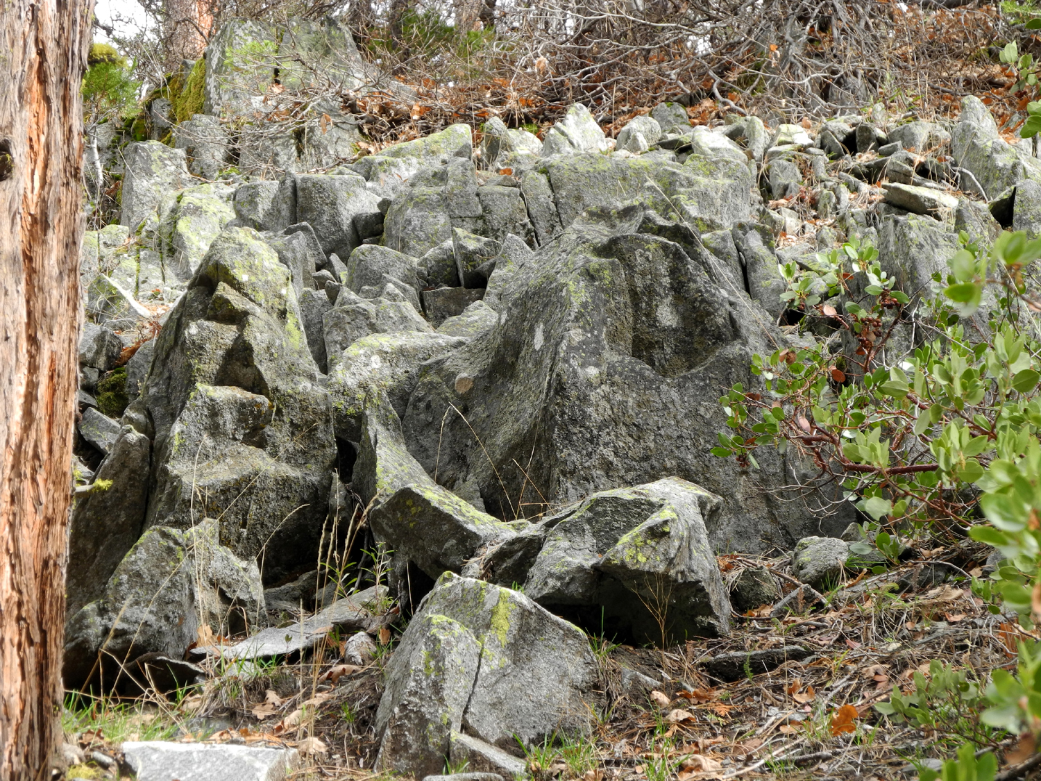
Bedrock mortars along the Buzzard Road |
A green grassy hilltop where I made my last backpack camp |
 |
|
 |
| Teri at our lunch spot | The fog started drifting in
as we at lunch near this spot |
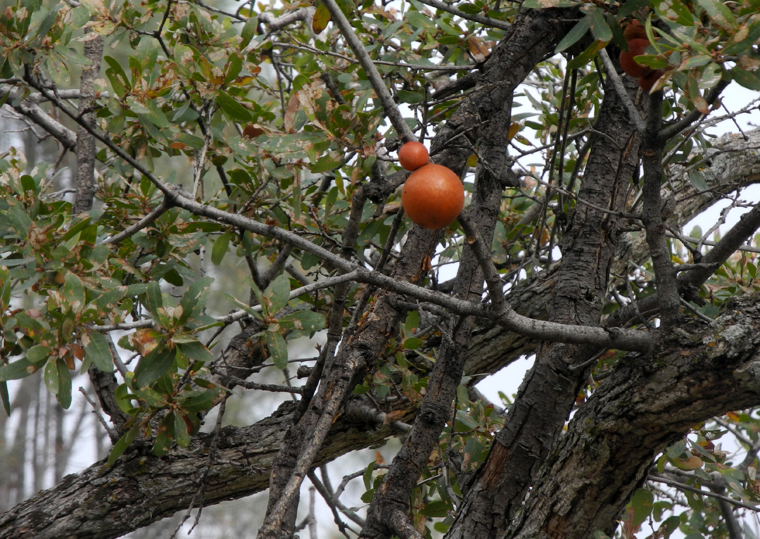
Bright red "oak apples" in a blue oak |
 |
 |
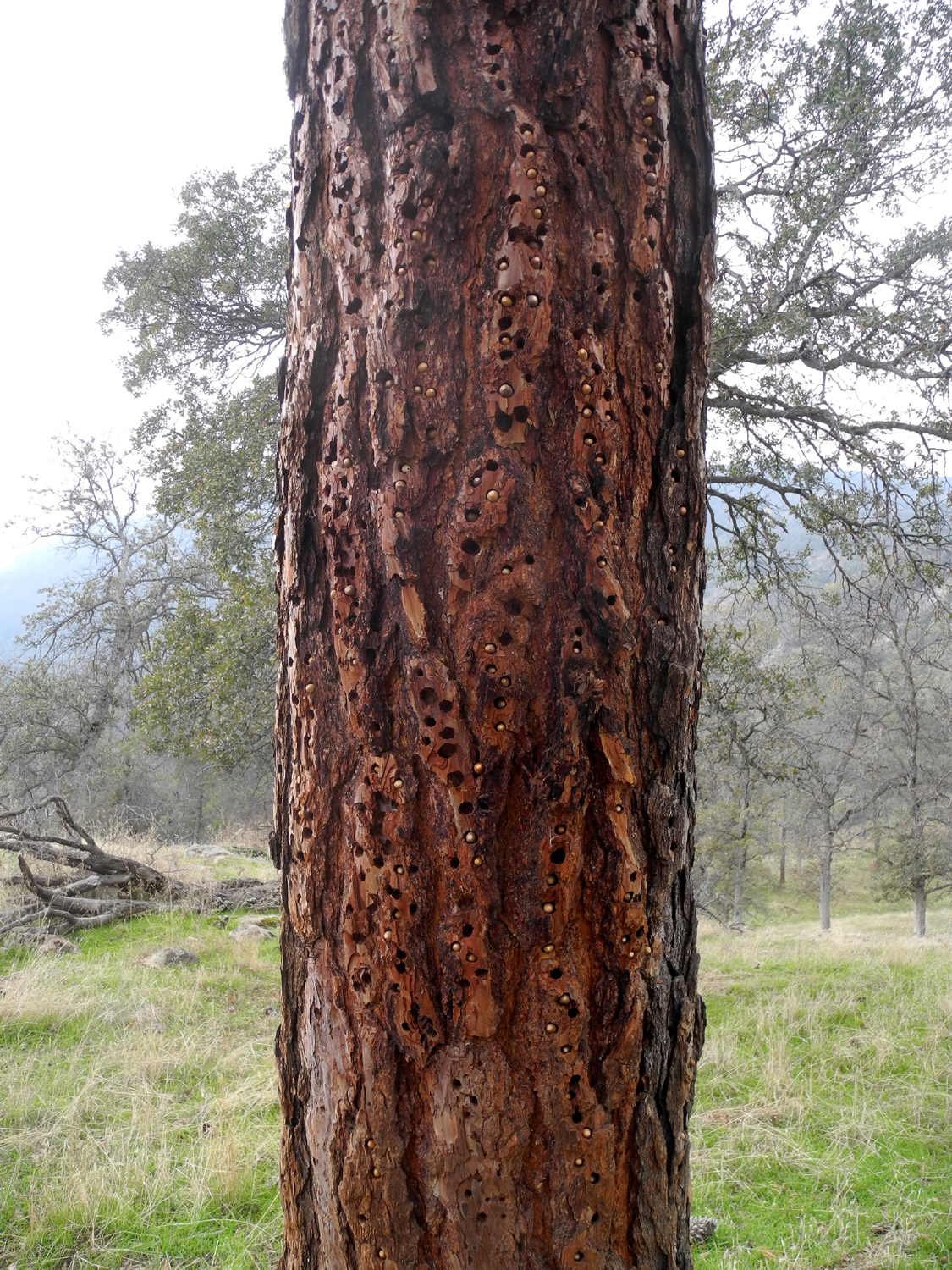 |
| A rugged and colorful granite outcropping | It has a hole through it | The woodpeckers have laid in a good supply of acorns for the winter |
 |
 |
 |
|
A steep, rocky section of the River Trail |
The trail just below the junction with Buzzard Road |
New grass shows evidence of being flattened by heavy rain |
 |
 |
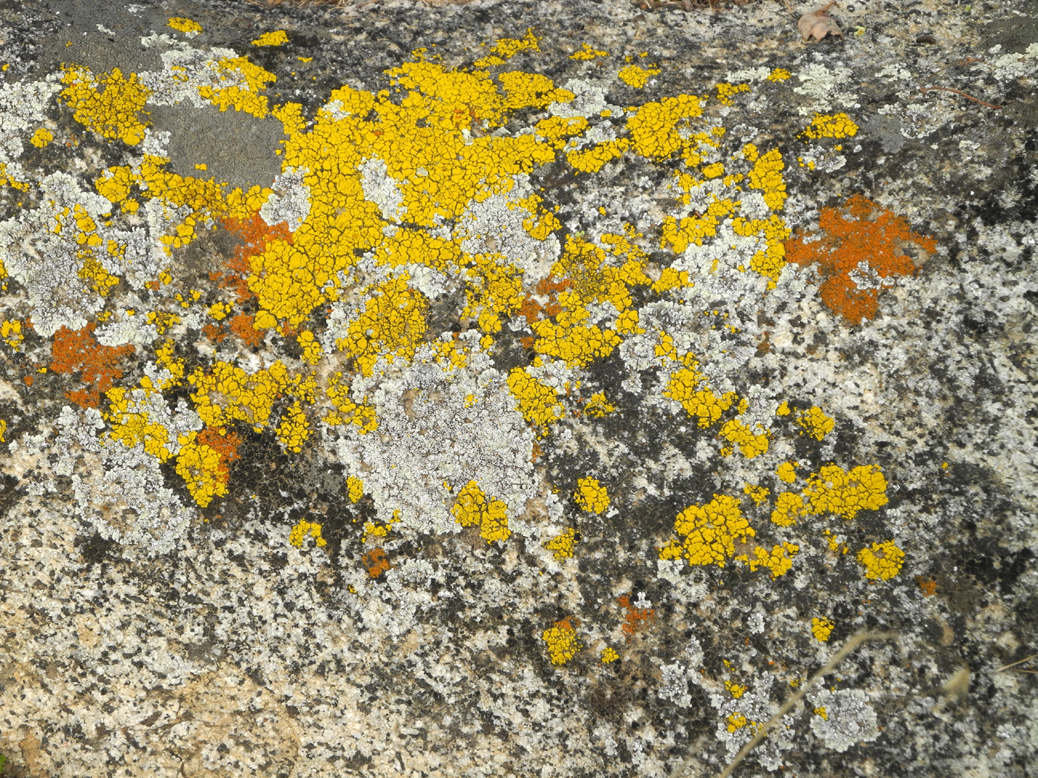 |
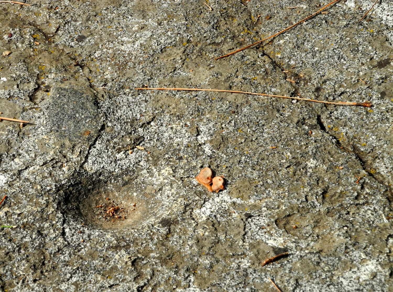
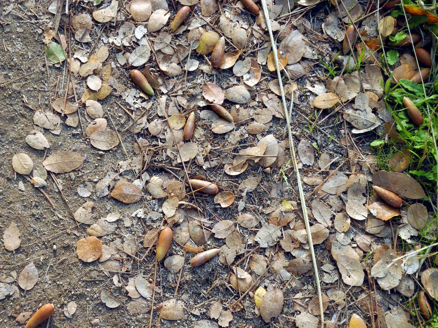
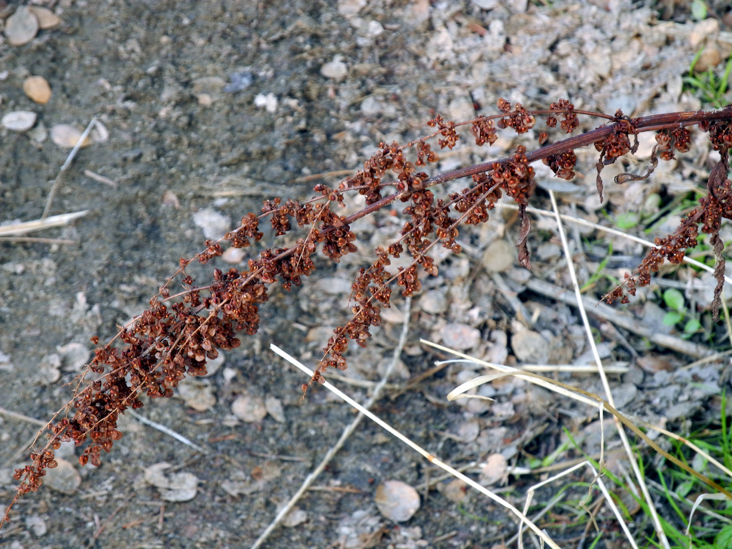
| It's a good year for acorns | Rust red dock seeds | Colorful lichen on granite |
| San Joaquin River Trail East | ||
 |
 |
 |
| Teri by the Big Burl | Bedrock mortar near the burl tree | Sun catches the moss on this gnarly blue oak |
 |
 |
|
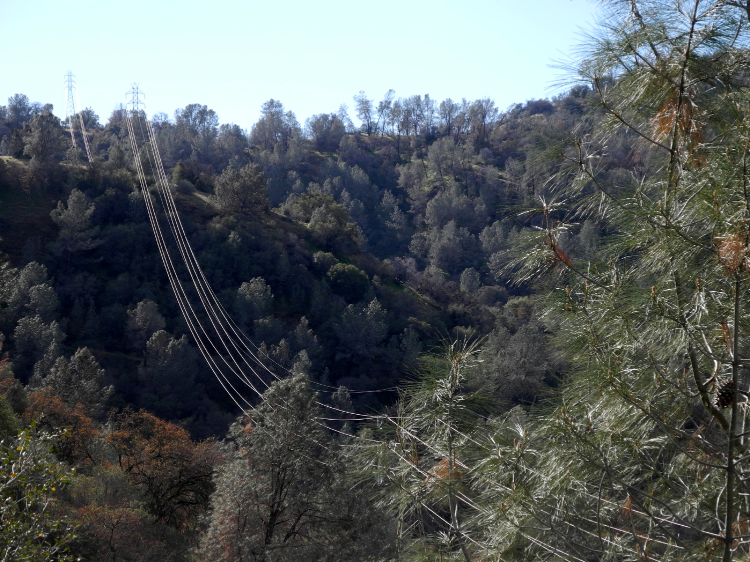
| Pine tree on cliff above the trail | Power lines remind
us that this area has two PG&E power houses |
Sculpted decomposing granite |
 |
 |
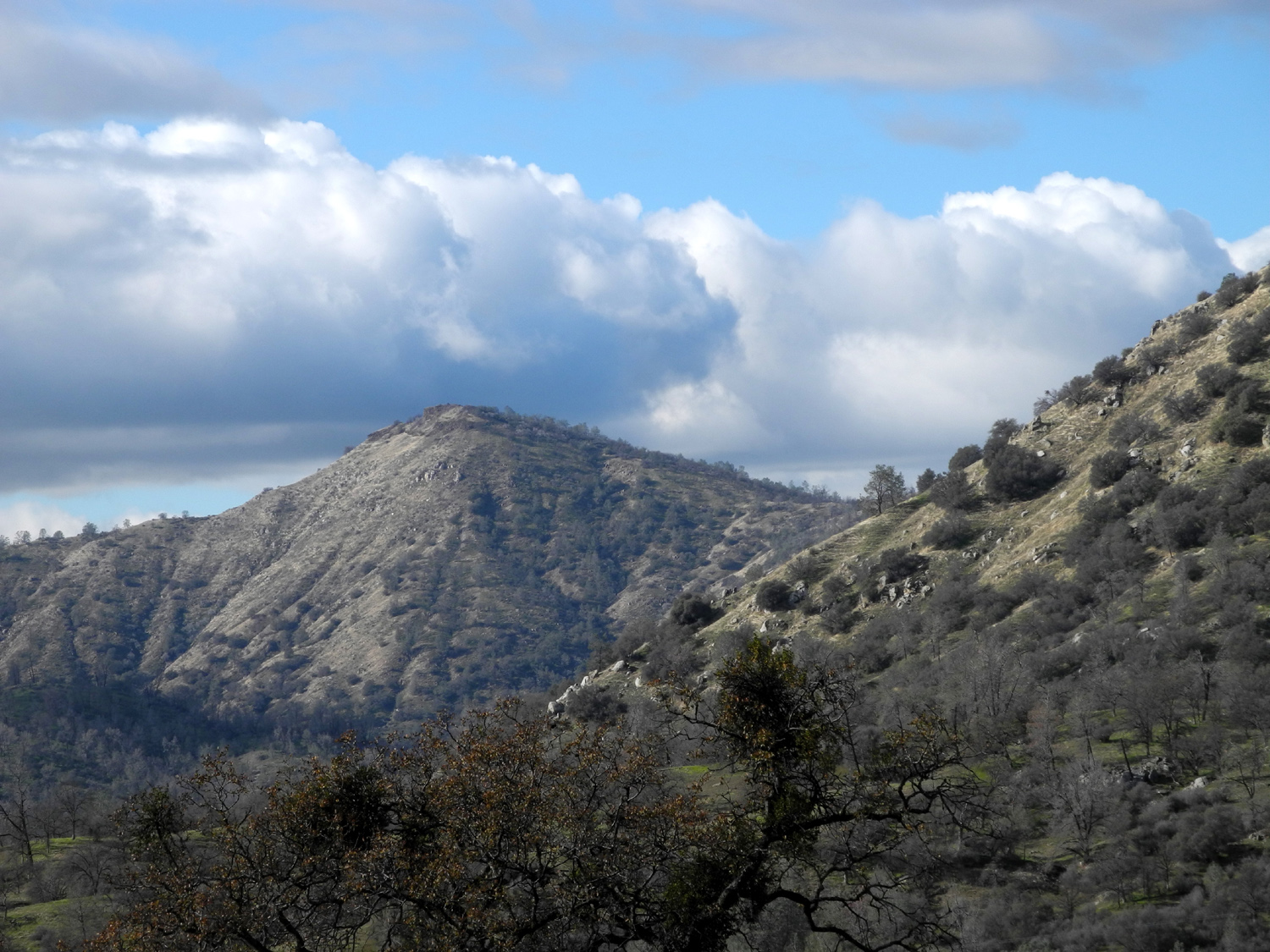
 |
| Mountain and clouds to the west | Teri and Dick on the trail | Dried wild cucumber seed pods |
 |
 |
 |
| Mushrooms on a rotting log | Dramatic dead manzanita | Is there a face here? |
 |
||
| Panoramic view of Kennedy Table, on the north side of the San Joaquin River | ||
 |
|
 |
| Squaw Leap table top from way down the trail | Clouds lit by the afternoon sun | With enough rain, water will flow in this green grassy drainage |
| Related Links | ||
| Millerton Lake | San Joaquin River Trail | San Joaquin River Gorge Special Recreation Management Area |
| Pincate Beetles | The other kind of stink bug | FINS Trail |
| San Joaquin Fish Hatchery | Lost Lake Park | Nelder Grove |
| Sugar Pines | Nelder Grove Campground | Grays Mountain Campground |
| Soquel Campground | Fresno Dome | Fresno Dome Trail |
| Soquel Meadow Map | Soquel Falls Video | More Nelder Grove Photos |
| Shadow of the Giants Trail | Mariposa Grove Restoration | Friends of Nelder Grove |
| More About Nelder Grove | Brenda's Nelder Grove Book | San Joaquin Gorge Slide Show |
| Other San Joaquin Gorge Hikes | More San Joaquin Gorge Photos | Background
& History of San Joaquin Gorge Area |
| Bedrock Mortars | Oak Apples | Velasco's Restaurant |
| Burls | ||