
|
2020 Rambler Hikes Page 1 |
|
|
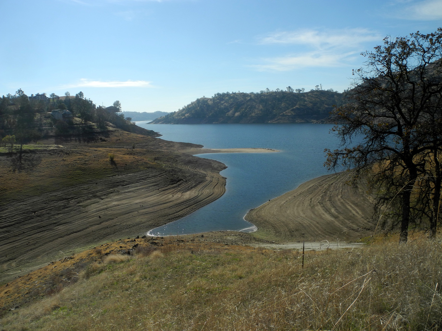
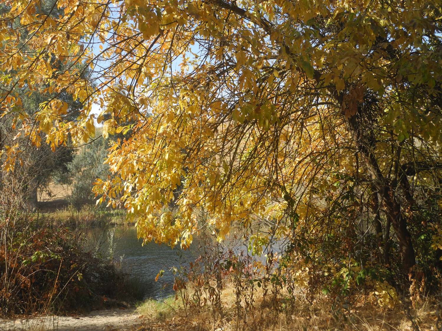
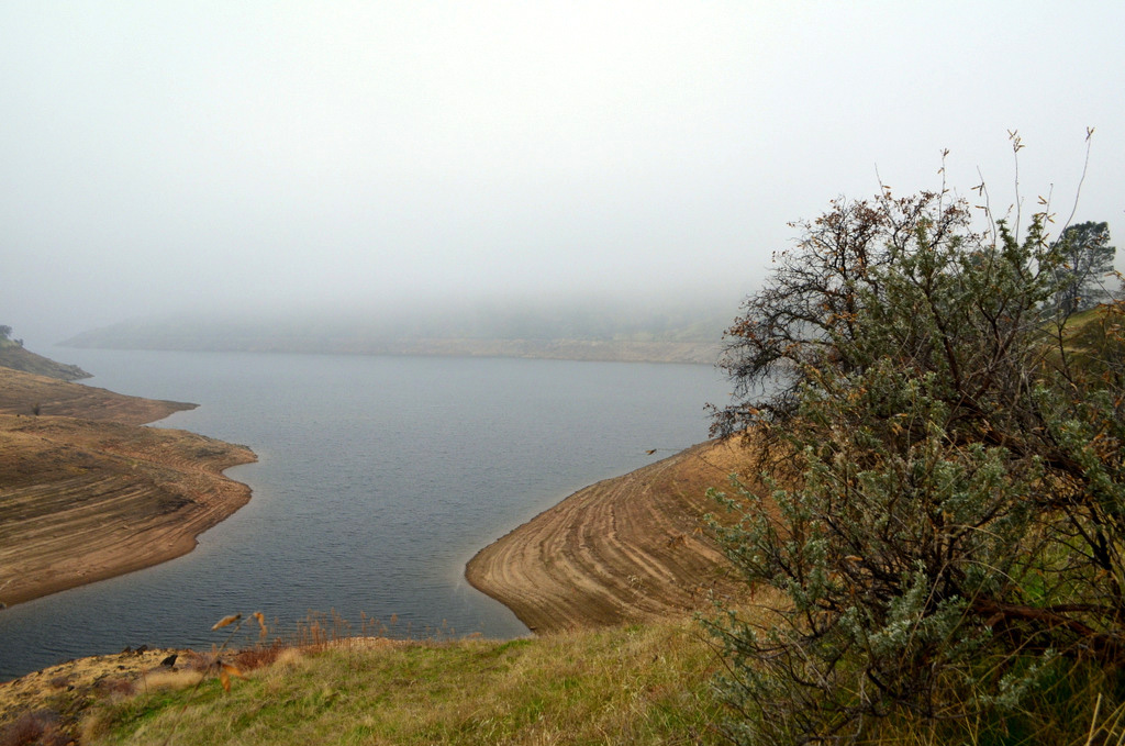
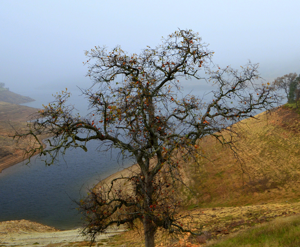
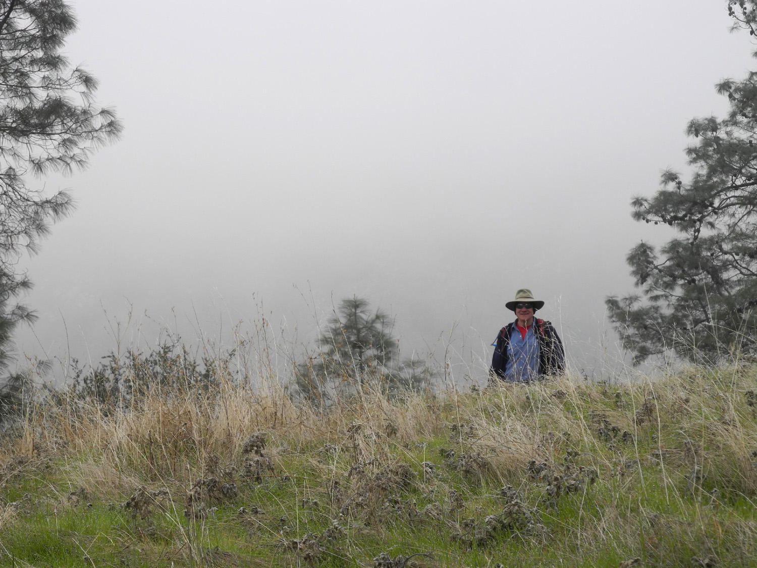
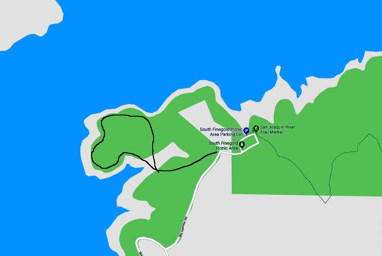
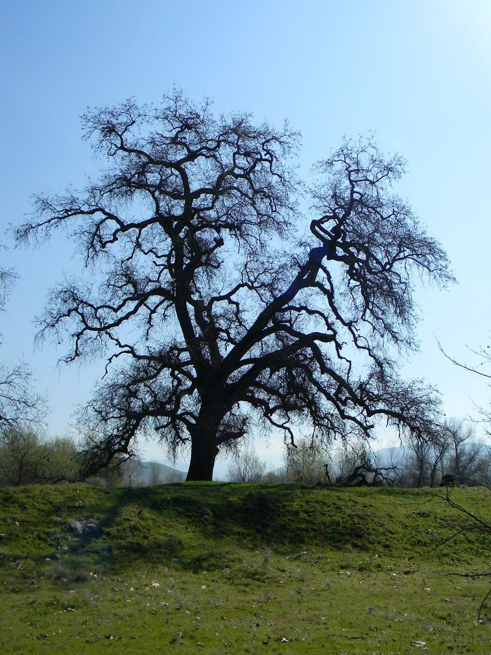
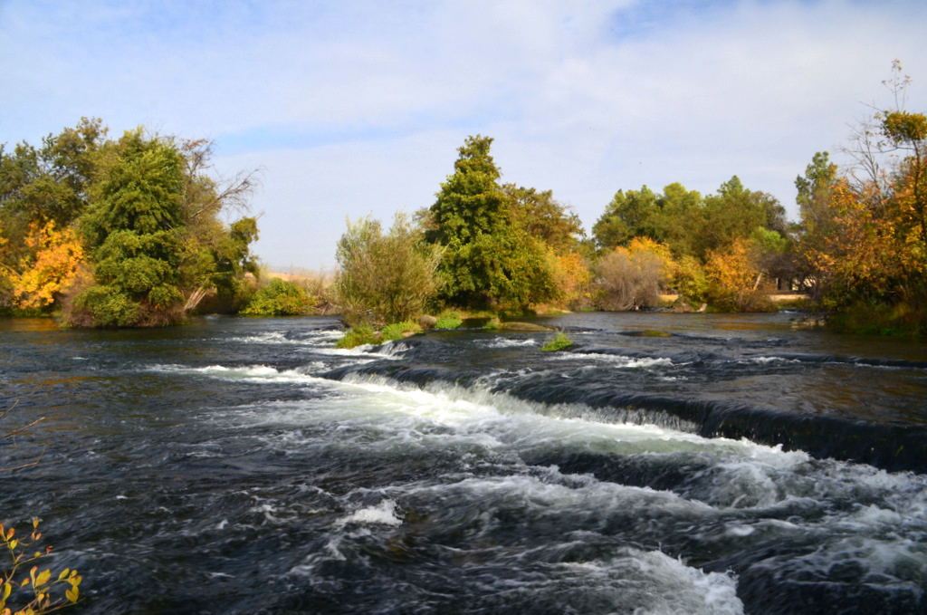
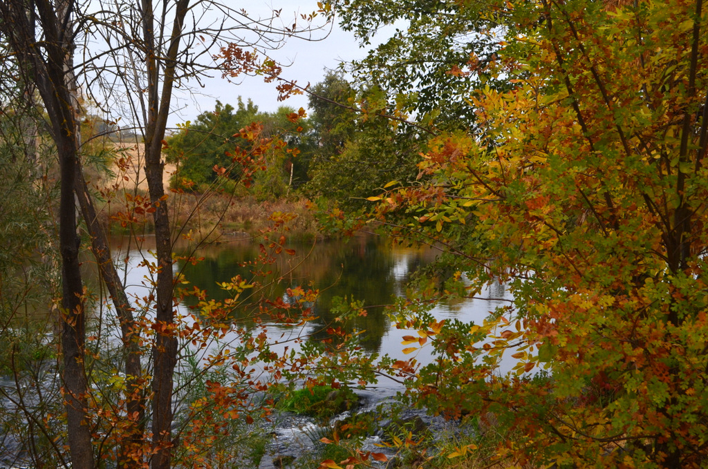
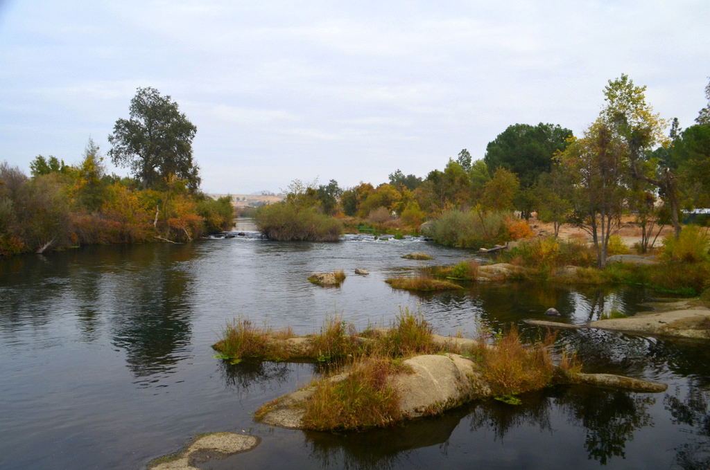
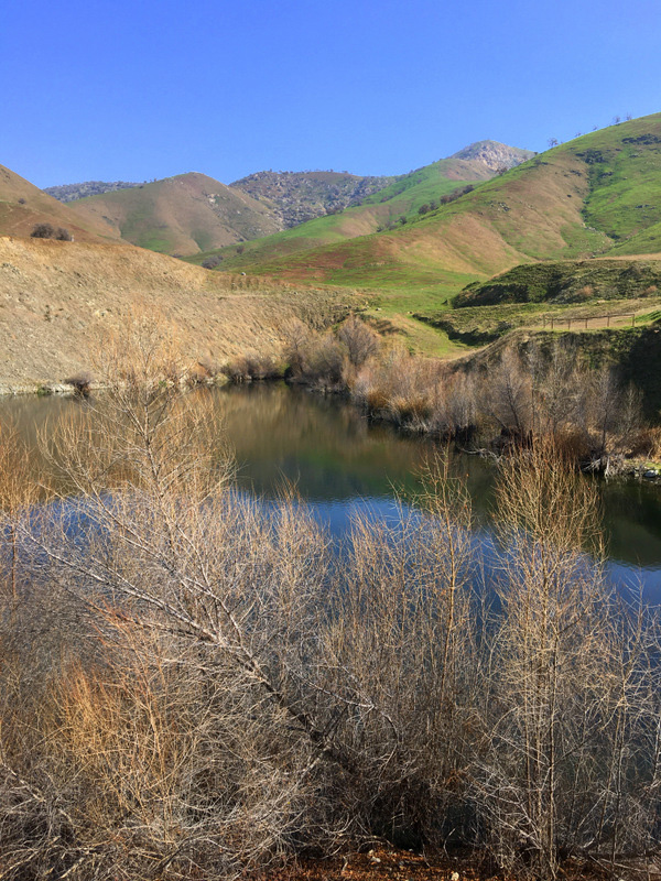
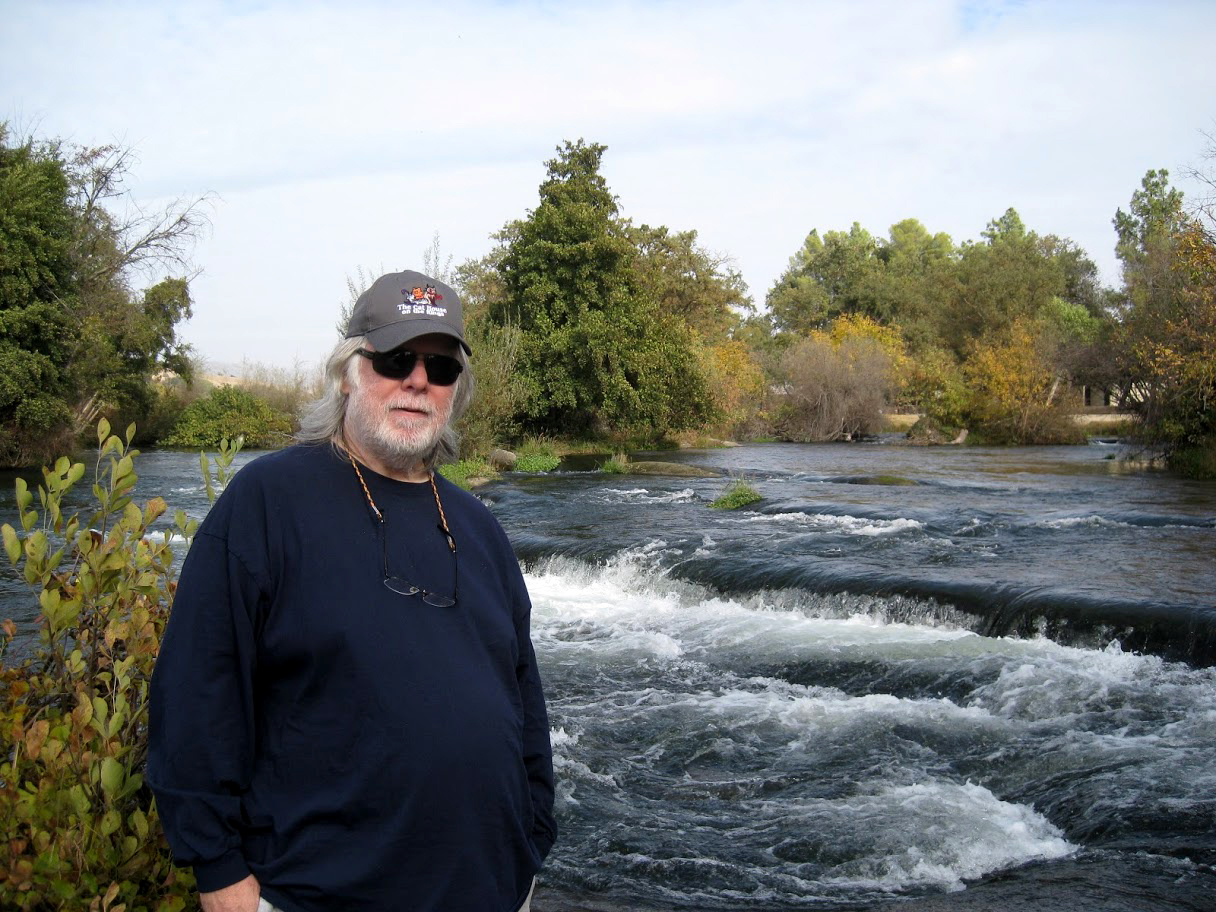
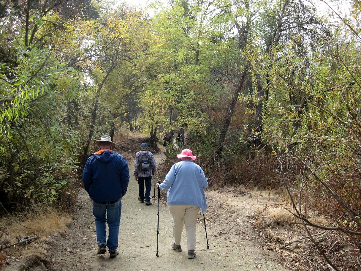
Sky Harbor Dick: To kick off 2020 the Ramblers enjoyed a short, easy hike near Sky Harbor beside Millerton Lake. I had made this hike twice recently, in November and December, and some of the photos here are from those earlier hikes. The "trail" is actually a combination of cow paths, fishermen's trails and an old road. From the parking area it goes down by the water and around a low ridge that divides the main lake from a small cove. Our numbers were small - just Wes, Sue, Gloria and Dick, but our enthusiasm was high and our enjoyment all we could ask. (The San Joaquin River Trail also starts at this point, but goes in the opposite direction.) Wes: In the winter fog, Dick took us on a short hike at the end of Sky Harbor Road. Many of our members stayed home due to illness including cold and flu. But four of us were determined to set a new year's pace of one hike each month. So we wrapped ourselves in multiple layers of coats and gloves for a one-mile hike to a vista point overlooking Millerton Lake. The fog bank restricted our vision to the immediate area of the water's edge. It was a stark beauty we saw with the fog adding an element of mystery. |
|
 |
 |
| Finegold Bay | Dick, Gloria and Sue on the trail |
 |
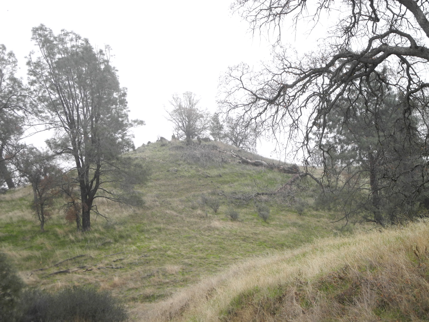 |
| A gnarly blue oak above the lake | A misty hilltop |
|
Dick: Near the start of the trail a dead blue oak had fallen over the trail, creating an easily navigated "tunnel." When I hiked in November, this tree was still standing. Of course, we had to take a photo here. When we checked our mileage at the end of the walk it was just over a mile. We were moving for only 32 minutes, but we spent an hour and a quarter in total. |
|
 |
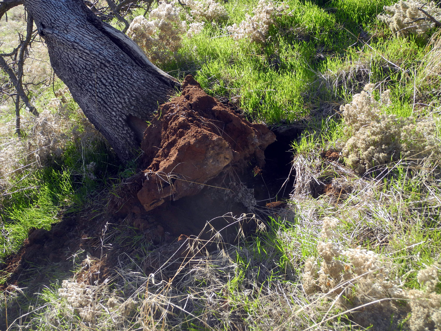 |
| Dick, Sue and Gloria at the tree tunnel | The base of the fallen tree |
|
|
|
|
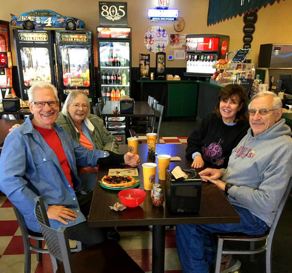
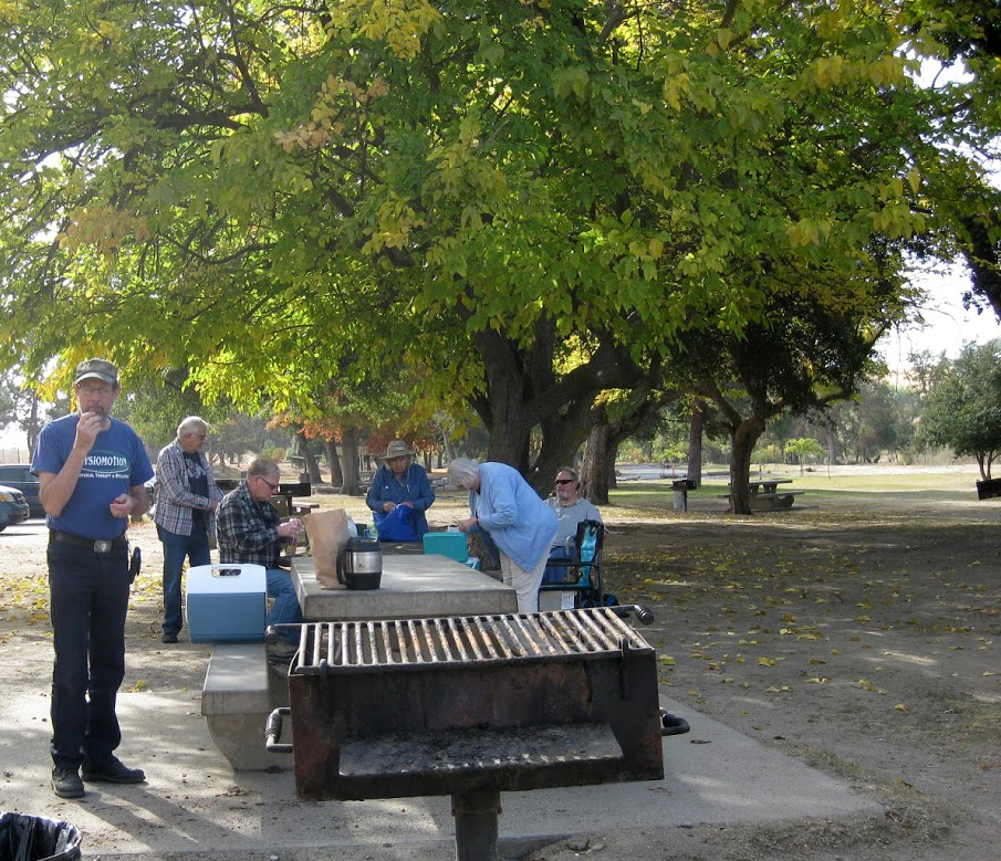
Wes: We were in good spirits as we completed our walk and decided to celebrate over lunch at the Pizza Factory in Friant. Along the way we visited the native cemetery at Table Mountain Rancheria and talked with a county worker checking the wastewater treatment plant at Sky Harbor. After 31 years of service, he was looking forward to joining us in retirement. |
|
 |
 |
| Like a ghost, Wes appears out of the mist | Wes Thiessen, Sue Wirt, Gloria Jackson, Dick Estel |
 |
|
| Our trail is the black line on the left | |
| More photos | |
| Dry
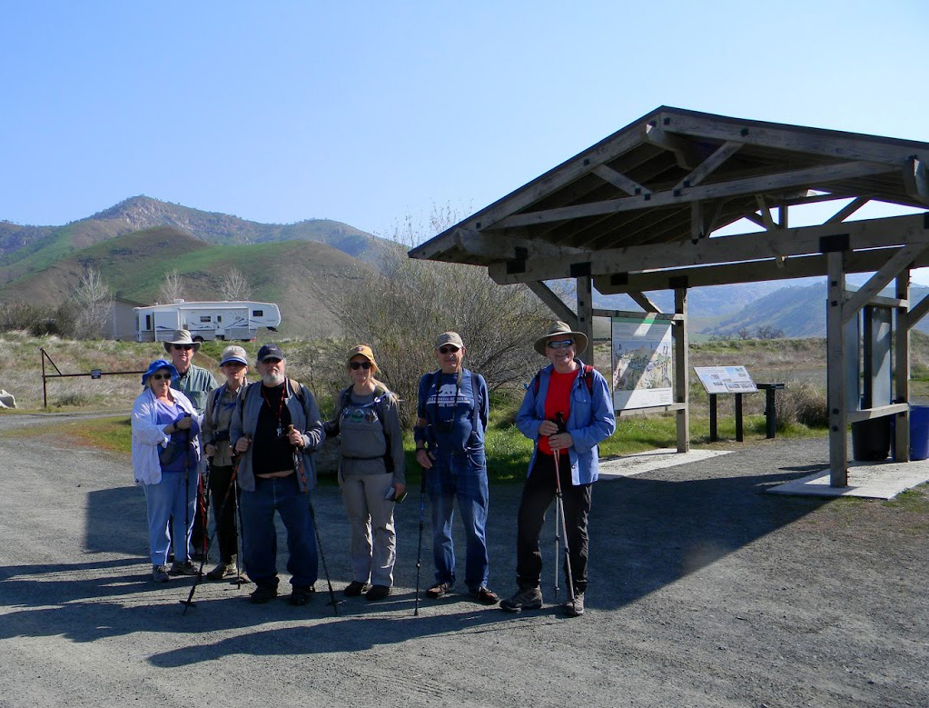
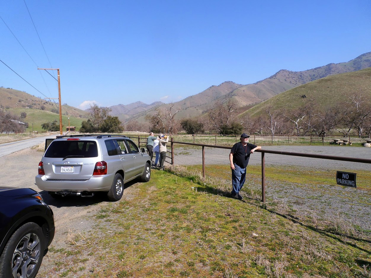
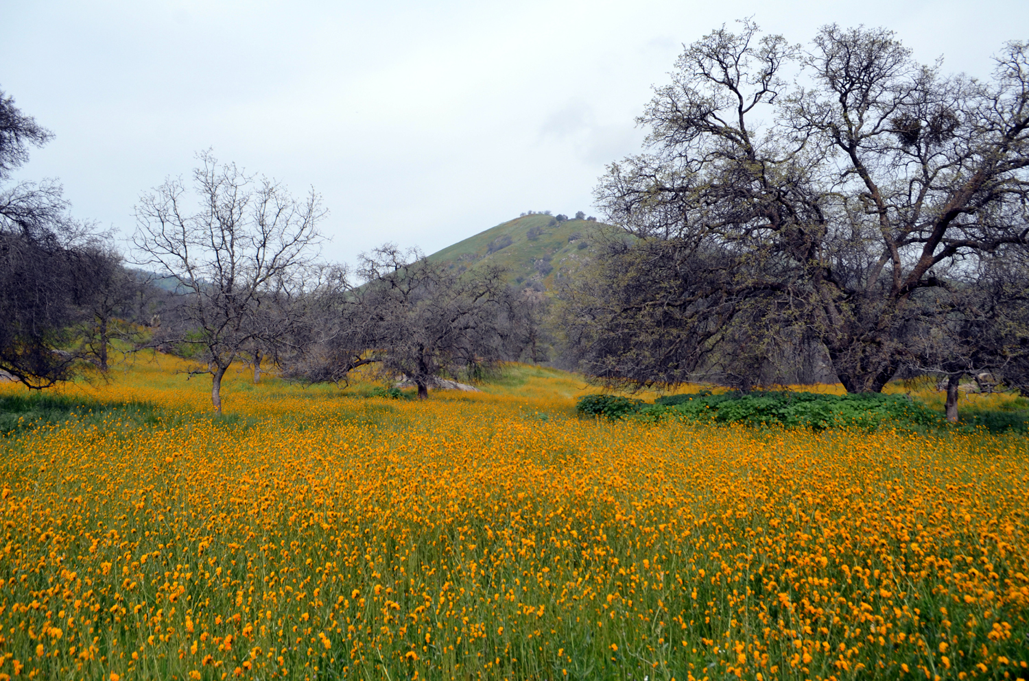
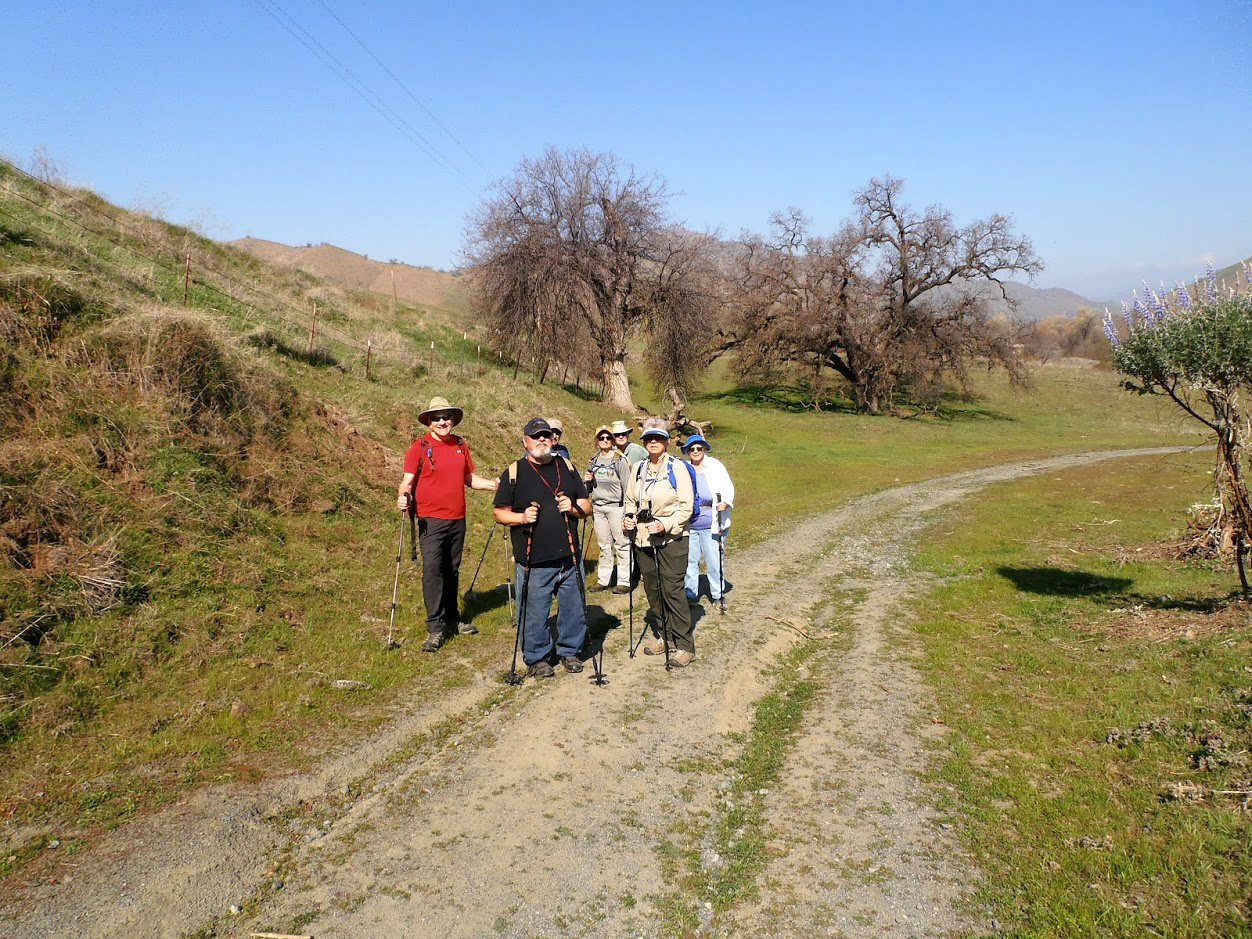
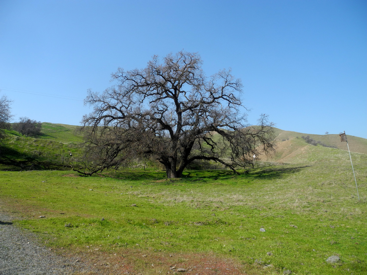
Creek Preserve (Photos by Wes, Ardyss, Dave & Dick) We had a good group of Ramblers for this short hike that followed a long drive. Four years ago Wes and I drove to Visalia and the hamlet of Lemon Cove, then followed a road up Dry Creek, a tributary of the Kaweah River. We stopped and did a short hike at the Dry Creek Preserve, but our main goal was to drive along the creek, enjoying the copious fields of fiddlenecks, poppies, and other flowers. The flowers are late this year (and rain has been mostly absent), so the floral display was nothing like our previous trip, but we did a longer walk through the preserve. We had a group of eight - regular Ramblers Wes, Sue, Ardyss, Allen and Dick, my daughter Teri, an occasional Rambler, and Dave and Jeff, people I have known for many years through the Fresno Commodore User Group. |
|
 |
 |
| Sue, Allen, Ardyss, Jeff, Teri, Dick, and Wes at the trailhead | Wes and Teri |
|
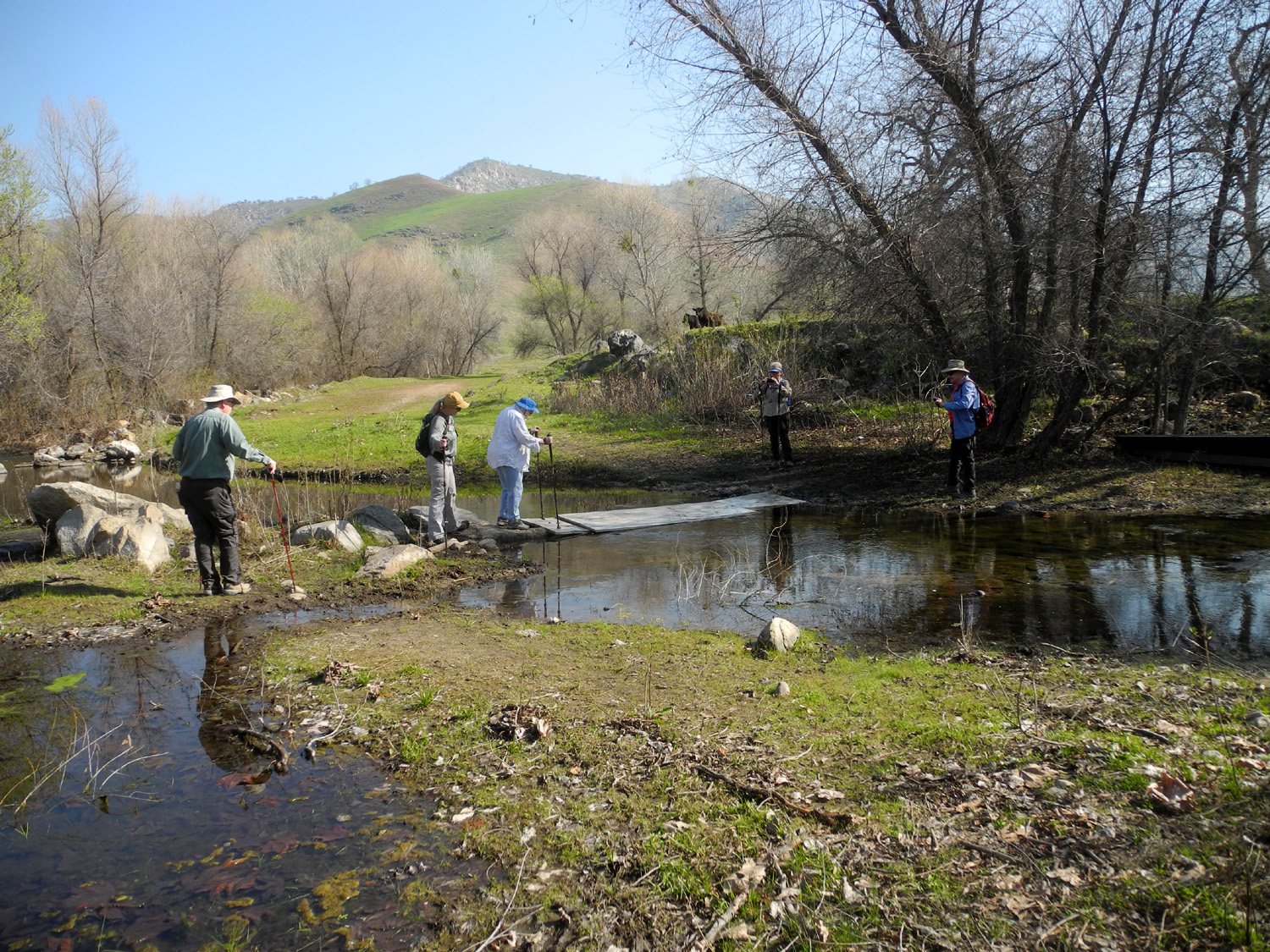
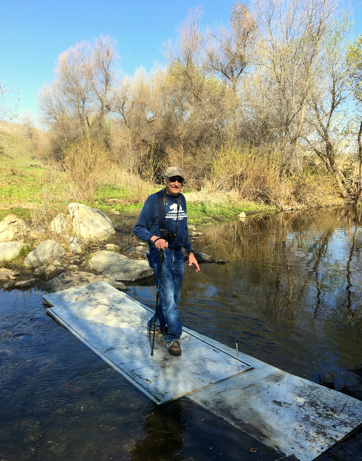
From the parking area the trail winds down to the creek, a short distance past an unlocked gate. There is a sort of bridge across the creek, consisting of a long panel laid more or less on the water. Once through the gate we were sharing the land with a herd of cattle, who kept a watchful and curious eye on us. This land is a reclaimed gravel mine, and beyond the creek crossing the trail went past a pond, home to several ducks. We also heard frogs in the creek and pond several times during our hike. |
|
 |
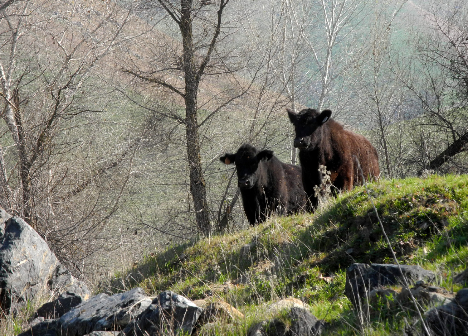 |
| Crossing the creek | Cows keeping a watchful eye on the hikers |
|
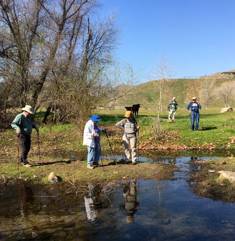
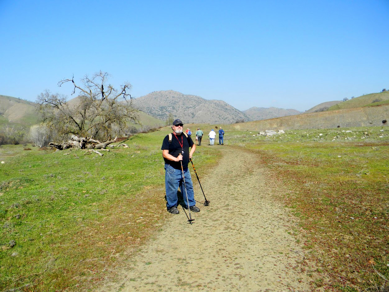
The trail went away from the creek, but ran parallel to it for a ways, then crossed back on another, slightly more stable bridge. A final short uphill stretch took us back to our start point, after a total of 1.64 miles. Jeff has had some recent mobility issues, and Dave has not hiked for a number of years, but this was a mostly level trip, and gave them a good chance to see what they can do. Both passed with flying colors and will soon be regular Ramblers. |
|
 |
 |
| Allen, Sue, Teri, Dave and Dick at the creek | Cows headed somewhere important |
 |
 |
| Sue crossing the bridge | Dave, Jeff, Allen, Sue, Dick, Ardyss and Teri on the 2nd bridge |
|
We drove up the road a mile or two to the Homer Ranch Preserve, another hiking area along Dry Creek, but it was not open, so we turned back, enjoying a few fiddlenecks and poppies that had opened up as the day warmed. On our way back to Visalia we stopped briefly at the Kaweah Oaks Preserve, a 350 acre section that protects one of the last remaining valley oak riparian forests in the San Joaquin Valley. The walking distance into the actual preserve was longer than we wanted to tackle this date, but we hope to explore it someday. Allen lives in Visalia, and we had met him there, sparing him his usual 45 mile drive. As a bonus, he led us to the local Black Bear Diner, one of our favorites, where we enjoyed a fantastic lunch. |
|
 |
 |
| Homer Ranch Preserve | Teri, Allen and Sue at the Black Bear |
 |
 |
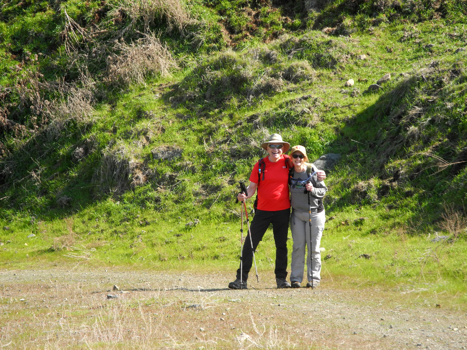
| The area was dotted with big valley oaks | Wes on the trail |
|
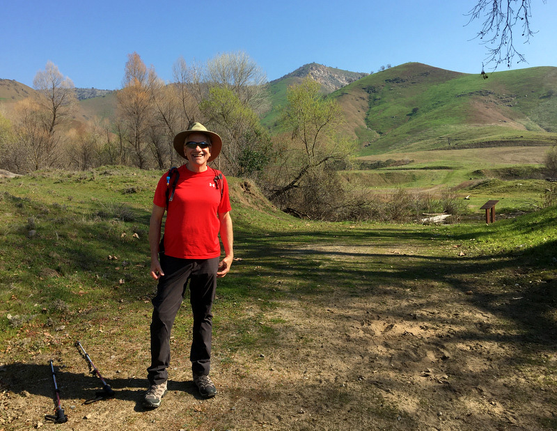
As usual, Wes had some final words: It's still winter but almost spring. On February 19 the Ramblers traveled to Tulare County in search of the first signs of wildflowers. On the drive, we saw fields of white flowers of the almond trees. We also saw a few fields of pink flowers on the peach trees. But as we drove east out of Visalia, we saw only the beginnings of the fiddleneck flowers. We arrived at the Dry Creek Preserve near Lemon Cove. In years past, these foothills were covered with California Poppies, popcorn flowers and lupine of various varieties. Not so this year. The hills were green but almost devoid of wildflowers. We enjoyed a mile and a half hike in the preserve along Dry Creek. It was a beautiful day and great company. but few wildflowers. We welcomed new Ramblers including David and Jeff, who added insight and joy to the journey. We all look forward to foothill hikes next month where we may see more of those elusive wildflowers. After lunch we said our goodbyes and headed back to Clovis and Fresno, looking forward to the three spring hikes we are planning to do in March and April. --Dick Estel, February 2020 |
|
| Lost
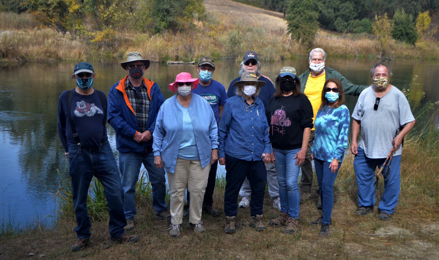
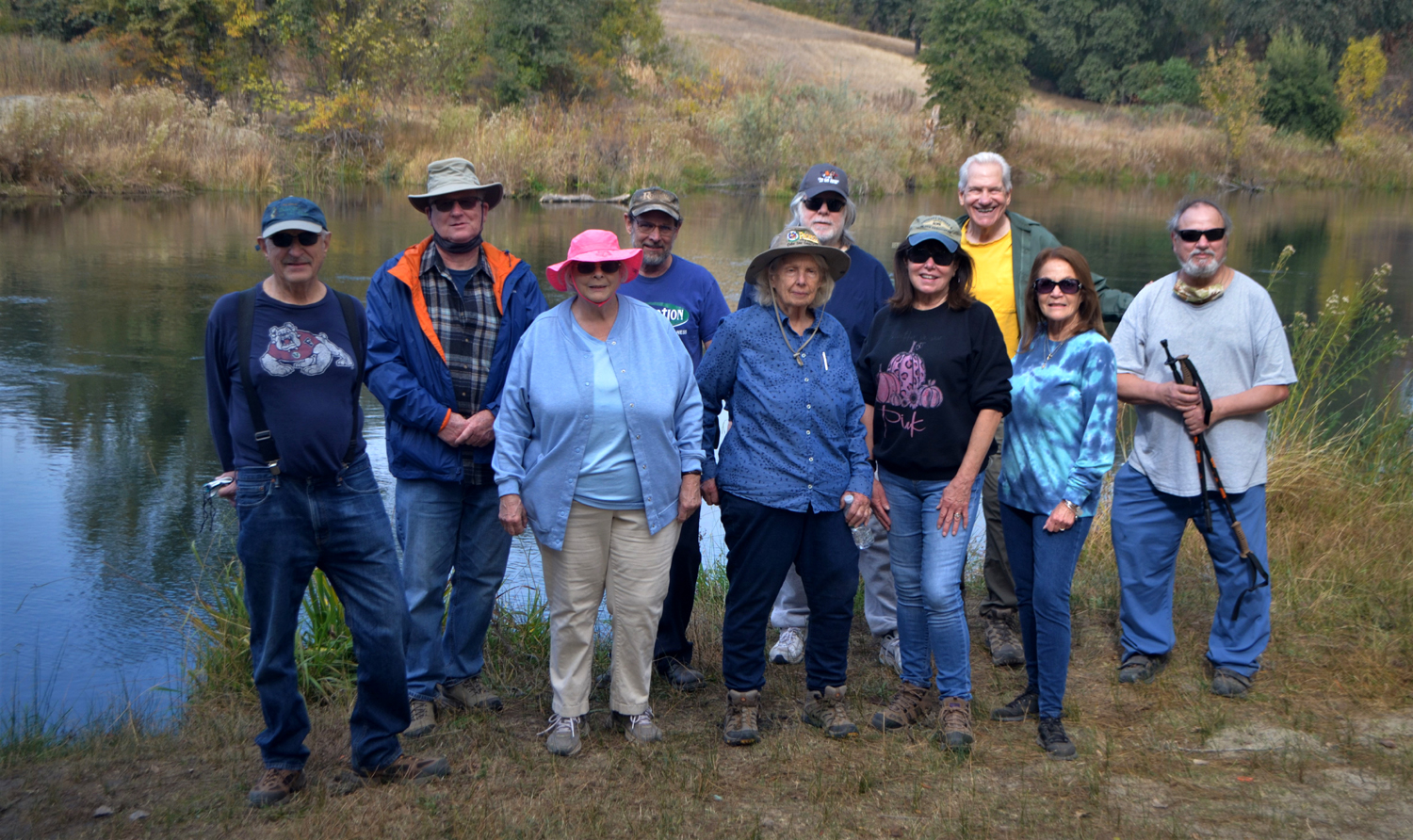
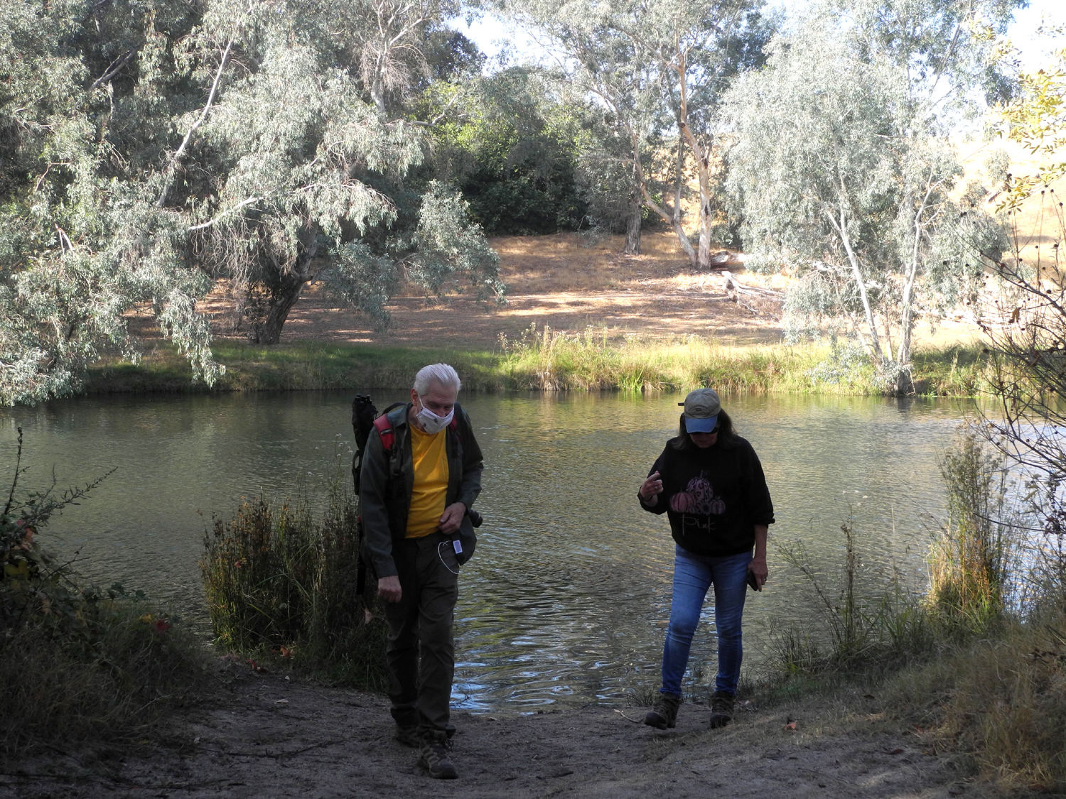
Lake (Photos by Dave, Wes and Dick) The Ramblers are back on the trail after a hiatus of nine months. As we became aware of the seriousness of the worldwide coronavirus pandemic in mid-March, we cancelled that month's hike. It soon became apparent that we needed to cancel ALL hikes till further notice. During this time some of us hiked and camped, mostly solo or with a very few immediate family members. But we missed our rambling family, and after several discussions by email, decided to resume our hikes in November. For the most part, everyone would travel in their own vehicle, we would wear masks, and easiest of all on the trail, maintain proper social distancing. When ten people showed up at 10 a.m. November 13 at Lost Lake County Park on the San Joaquin River, it was clear that we were all eager to get out into nature again. We had two first-timers: Ann Lamb is a close friend of Sue and a colleague from the Department of Social Services. Keith Sohm is a friend and landlord to Jeff, and a long-time member of the Fresno Commodore User Group, whom I've known for 30 years or so. The others were Wes Thiessen, Dick Estel, Dave Smith, Jeff Adolph, Allen Ward, Sue Wirt, Gloria Jackson, and Pati Soto. |
|
 |
 |
| Dick
Estel, Allen Ward, Sue Wirt, Keith Sohm, Ann Lamb, Dave Smith, Gloria Jackson, Wes Thiessen, Pati Soto, Jeff Adolph (Click for an unmasked verision) |
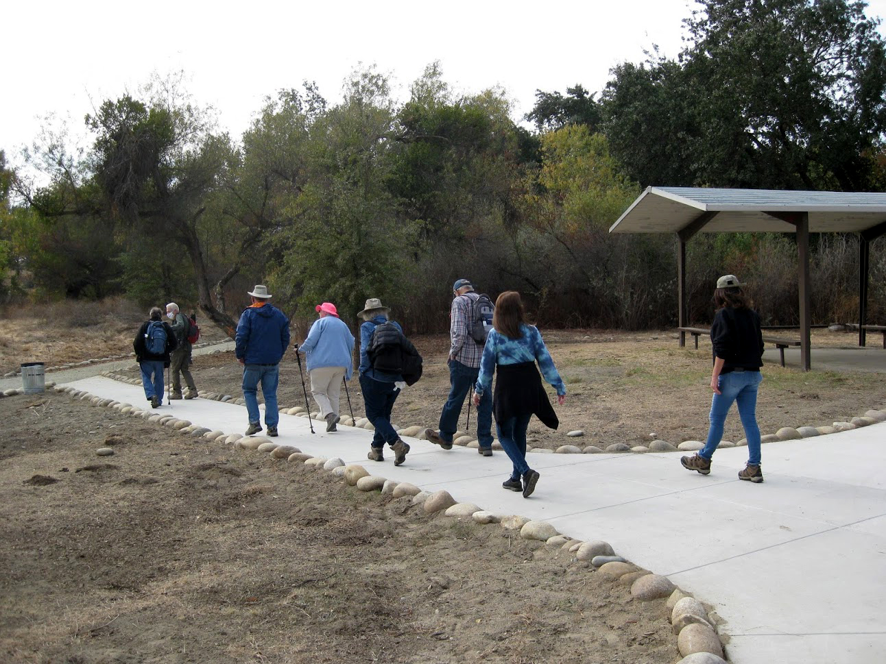
Heading out on the trail for the first time since February |
|
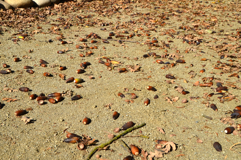
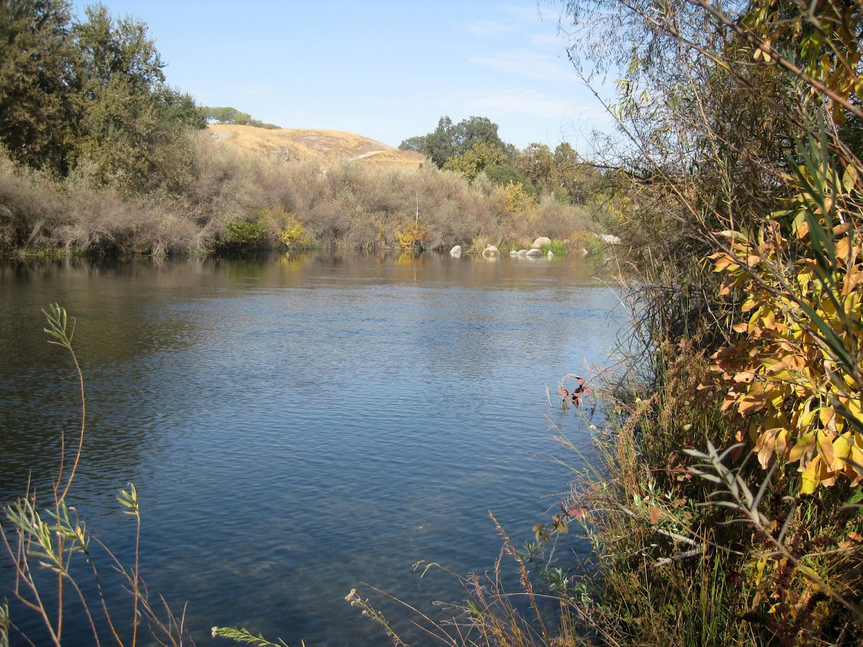
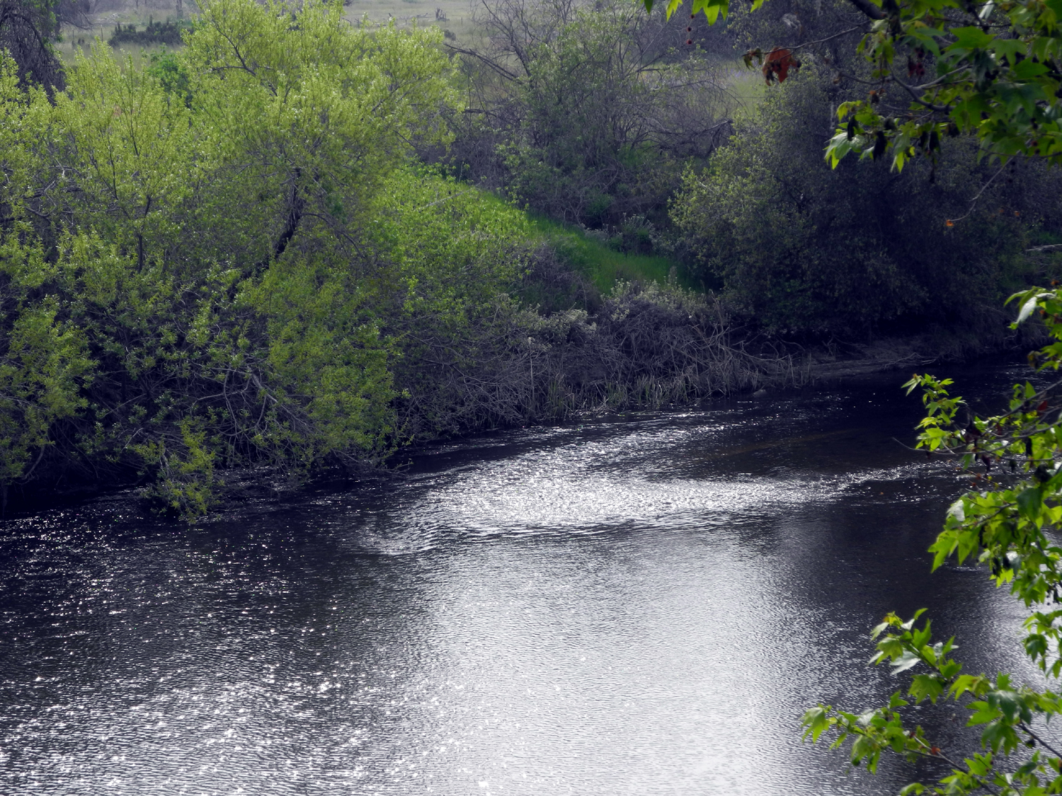
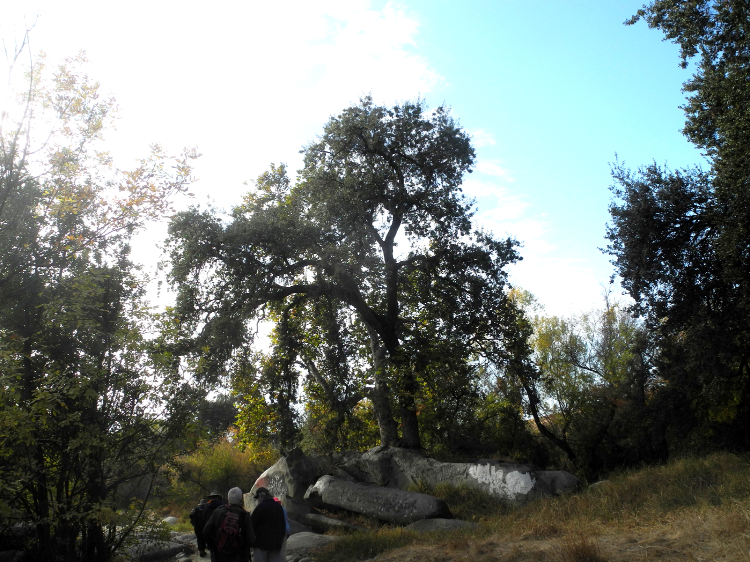
The "lake" is a gravel pit a short distance south of the river, created in the 1930s to obtain material for Friant Dam, just up the river from the park, and may not have water at this time. All our hiking was next to the river, so don't quote me on that. There is a good flow of water in the river, and lots of fall color. In addition to the usual willows, sycamores and other riparian trees, there are plenty of valley oaks, and it was clearly a good acorn production year. In places we would hear a loud CRUNCH with each step. I visited this location last summer, and since that time the county has done an extensive trail improvement project, creating a smooth path lined with river rock. We were all glad we had behaved ourselves and not becomes part of the inmate crews that probably did the heavy lifting. |
|
 |
 |
| A gentle rapids near the start of the trail | Peaceful water and fall color |
 |
 |
| Valley oak acorns, food for human and animal alike | The newly upgraded trail with tons of river rock along the side |
|
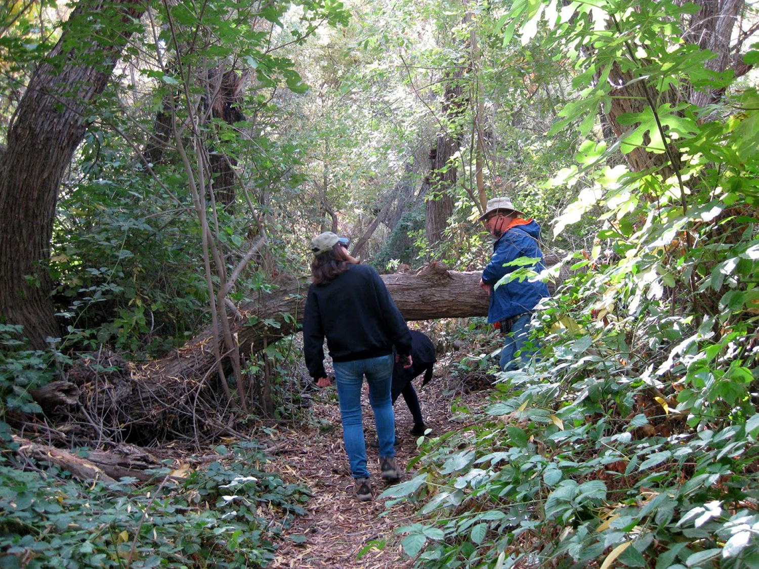
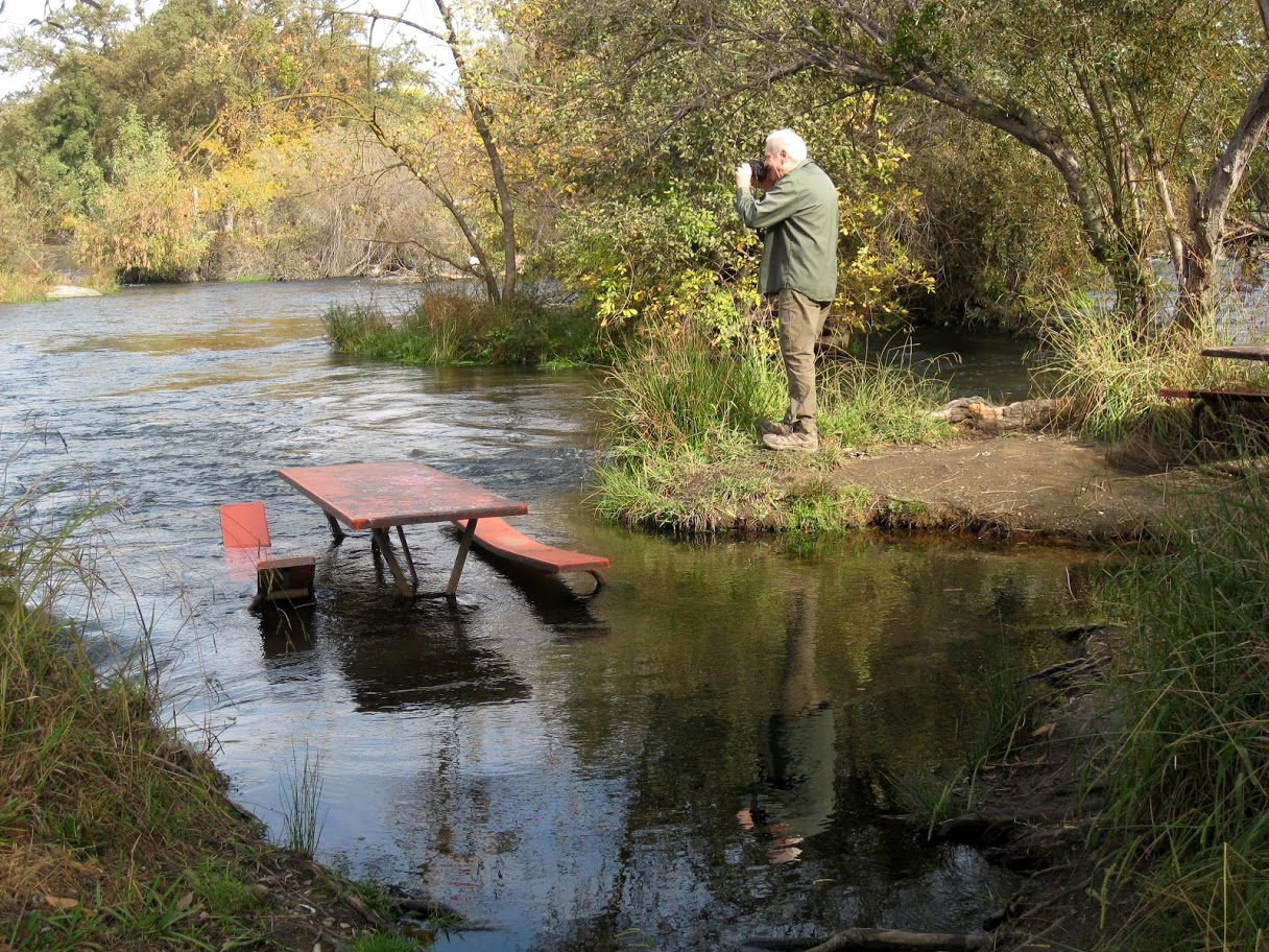
Where the upgraded section of the trail ends, the old, slightly rougher trail continues several hundred yards farther. Eventually we arrived at a place where a large tree across the road made continued hiking more of a challenge than we wanted. We made the short hike back to our cars and drove to a spot where the river runs over rocks in a sort of rapids, and there were two picnic tables. With some of us in our own folding chairs, we enjoyed a socially distanced lunch. |
|
 |
 |
| Only the most intrepid hikers go beyond this point | Lunch time |
|
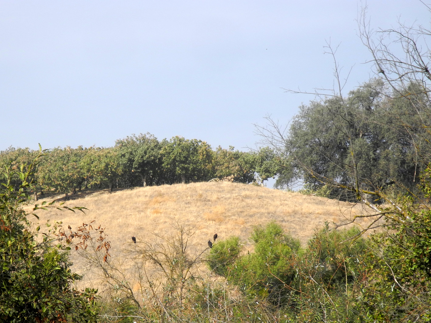
During our lunch, were treated to the sight of as many as ten buzzards flying around near us, Some settled into trees across the river. While scoping out additional photo opportunities, Wes spotted a blue heron across the river, patiently waiting for his own lunch to swim by. |
|
 |
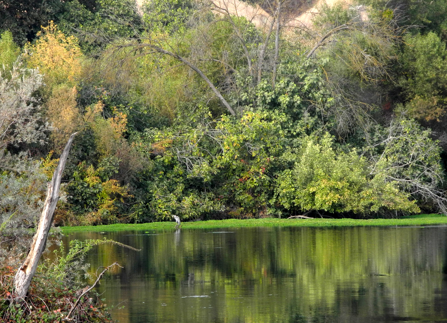 |
| Buzzards perch in a leafless tree | Hard to spot, the heron is on the green strip a third of the way from the left |
|
With lunch finished, most of us walked up to where we could see the heron, and enjoy more views of the river and surrounding countryside. Then is was time to say our goodbyes, with everyone happy to have finally resumed our regular hikes. For our next hike we plan to go to the Kaweah Oaks Preserve near Visalia. --Dick Estel, November 2020 |
|
 |
 |
| Looking across to Madera County | Colorful trees and bushes decorate the scene |


| Photos (Click to enlarge; pictures open in new window) | ||
| Sky Harbor Dry Creek Preserve Lost Lake | ||
| Sky Harbor | ||
 |
|
|
| An artistic design in dried grass | Lake Millerton in early December | Wasp galls, commonly called "oak apples" |
|
Dry Creek Preserve |
||
|
 |
 |
| Heading up the final hill | Dick steps with care | A lone valley oak |
 |
|
 |
| Jeff enjoys his first outing in a long time | The view to the east | Gravel mining
operations scooped out a place for this little pond |
|
Lost Lake |
||
 |
 |
 |
| At the beginning of the trail | Huge oaks tower over the start of the trail | Dick in front, with Allen and Sue |
|
 |
 |
| Golden leaves | Wes and Gloria by the river | The improved trail ends with this loop |
|
 |
 |
| Dave of the San Joaquin | Wes is NOT photographing the sunken picnic table | The gang, briefly unmasked for a photo |
| Related Links | ||
| Lake Millerton | Dick's November Hike | San Joaquin River Trail |
| Kaweah River | Dry Creek Preserve | Visalia |
| Lemon Cove | Homer Ranch Preserve | Kaweah Oaks Preserve |
| Black Bear Diner | Dave's Lost Lake Photos | A Go-Pro Camera Ride on the Lost Lake Trail |
| Lost Lake County Park | ||