

|
Rambler Hikes 2026 Page 1 |
|
|
Rambler Hikes 2017 Rambler Hikes 2018 Rambler Hikes 2019 Rambler Hikes 2020 Rambler Hikes 2021 Rambler Hikes 2022 Rambler Hikes 2023 Rambler Hikes 2024 Rambler Hikes 2025 |
|
|
Edison Point Sycamore Creek Wildlife Area San Joaquin Gorge Bridge Trail River Trail |
|
|
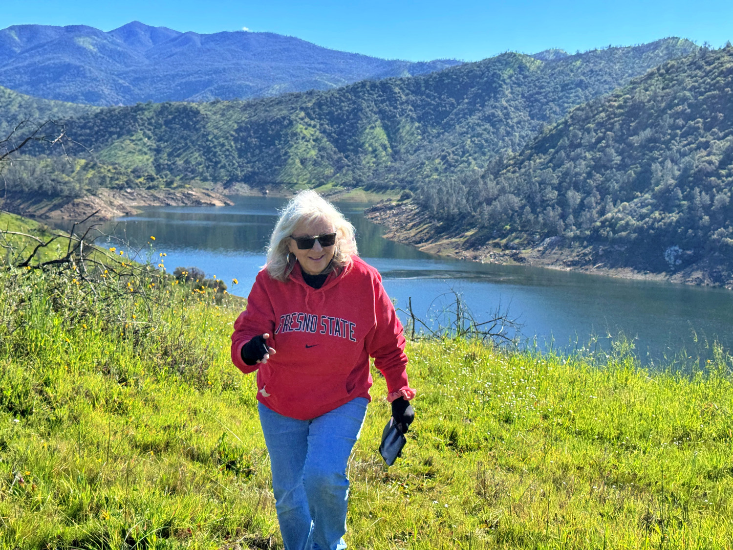
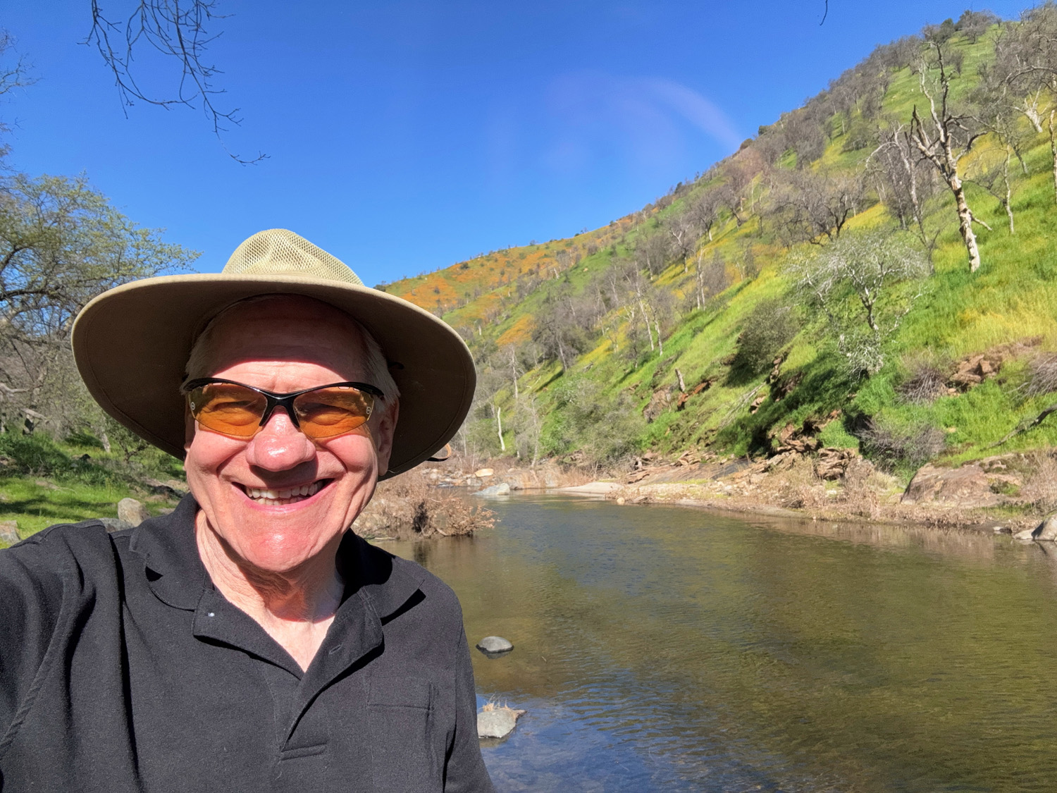
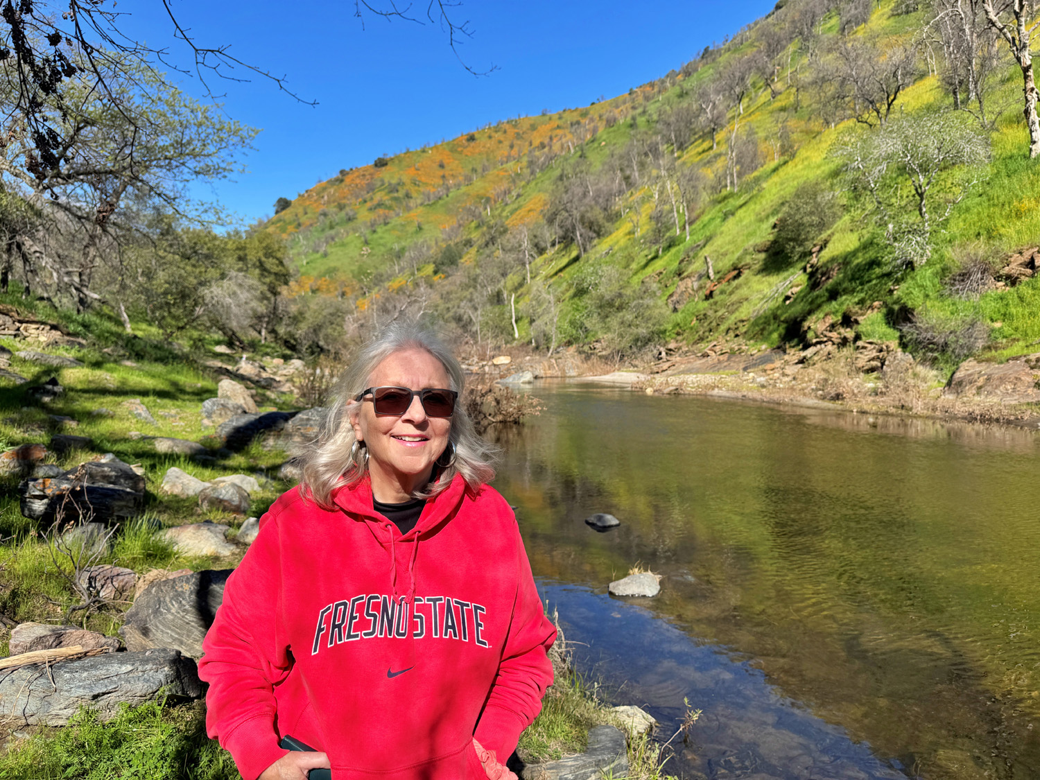
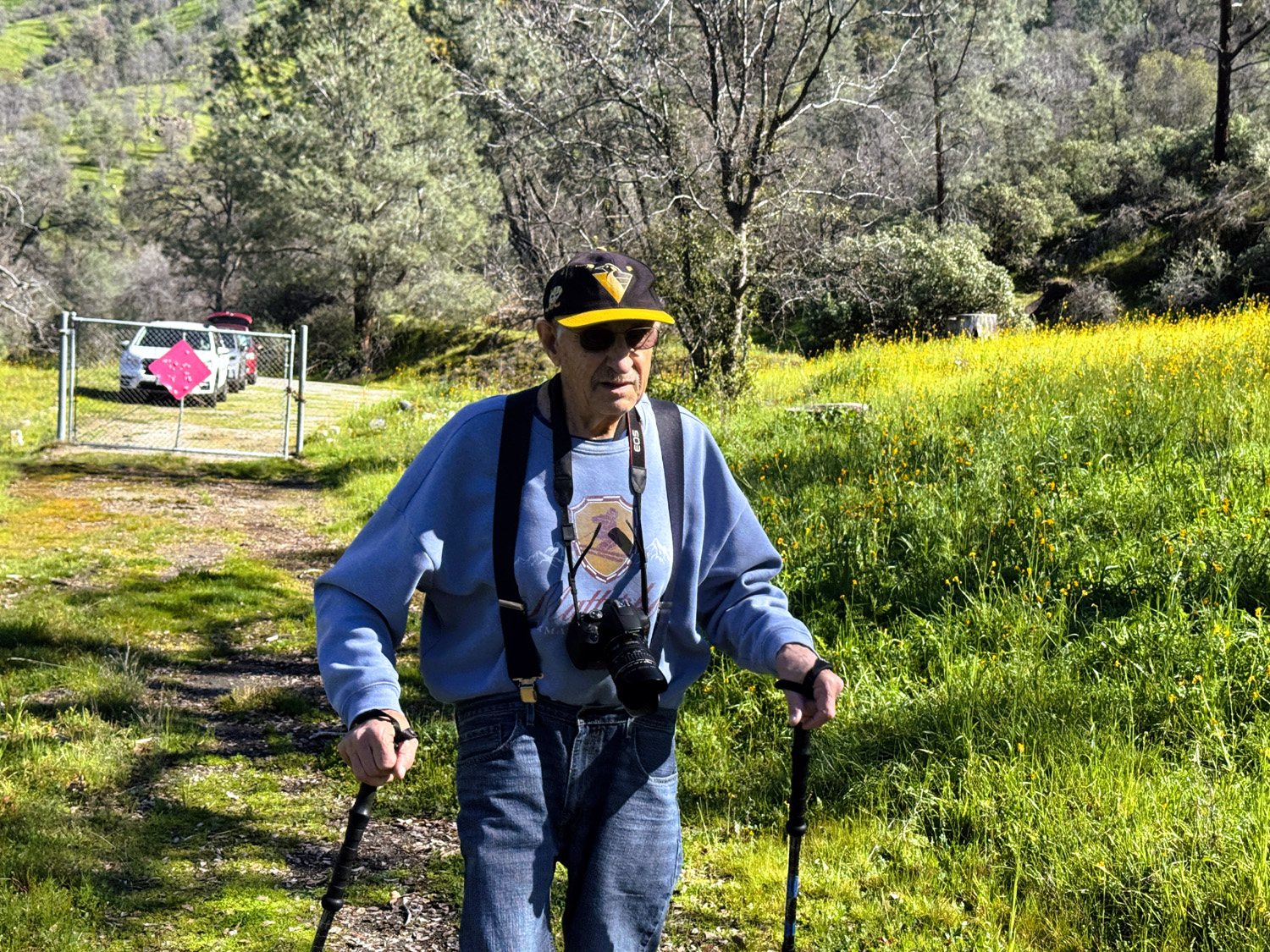
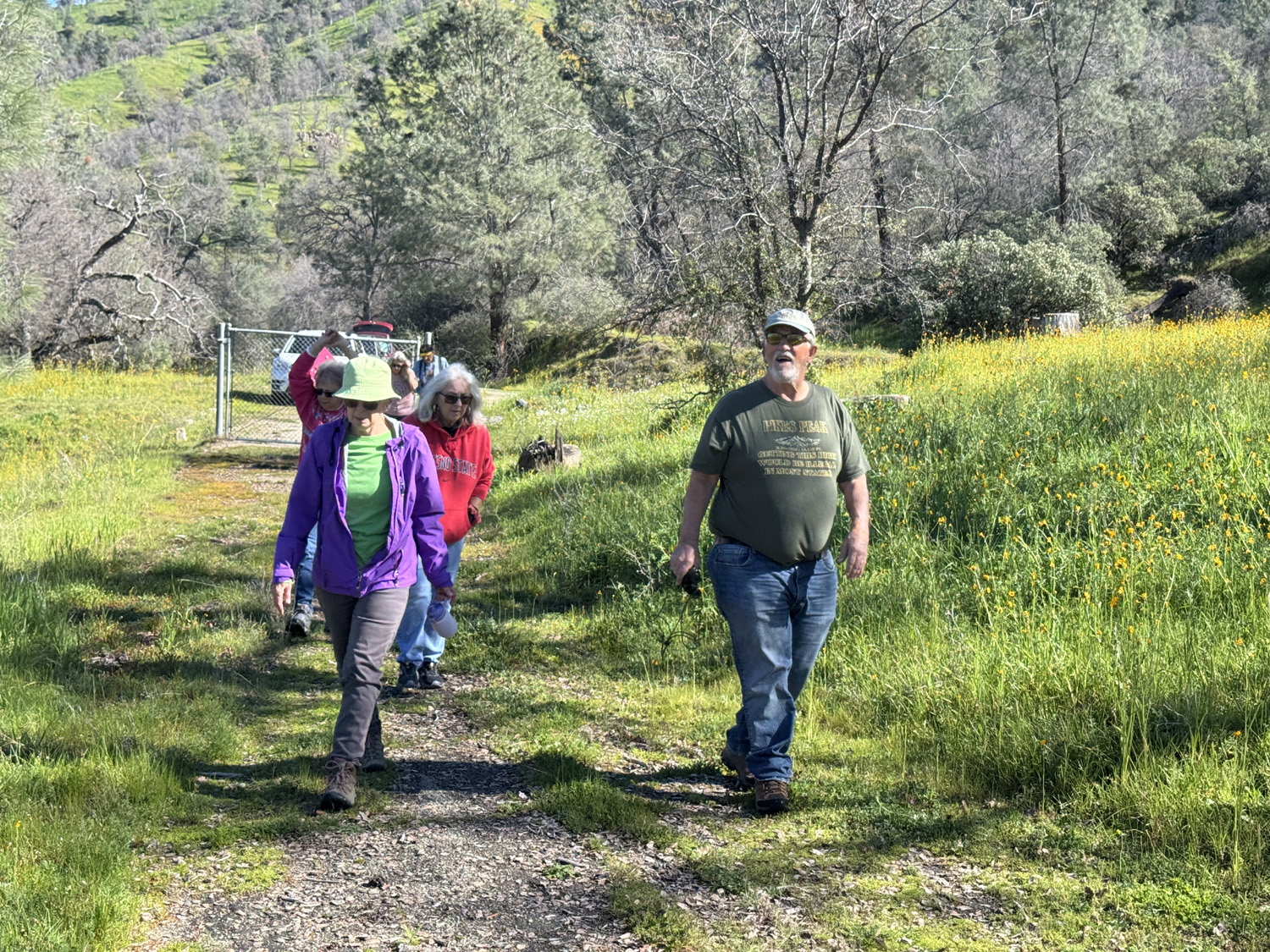
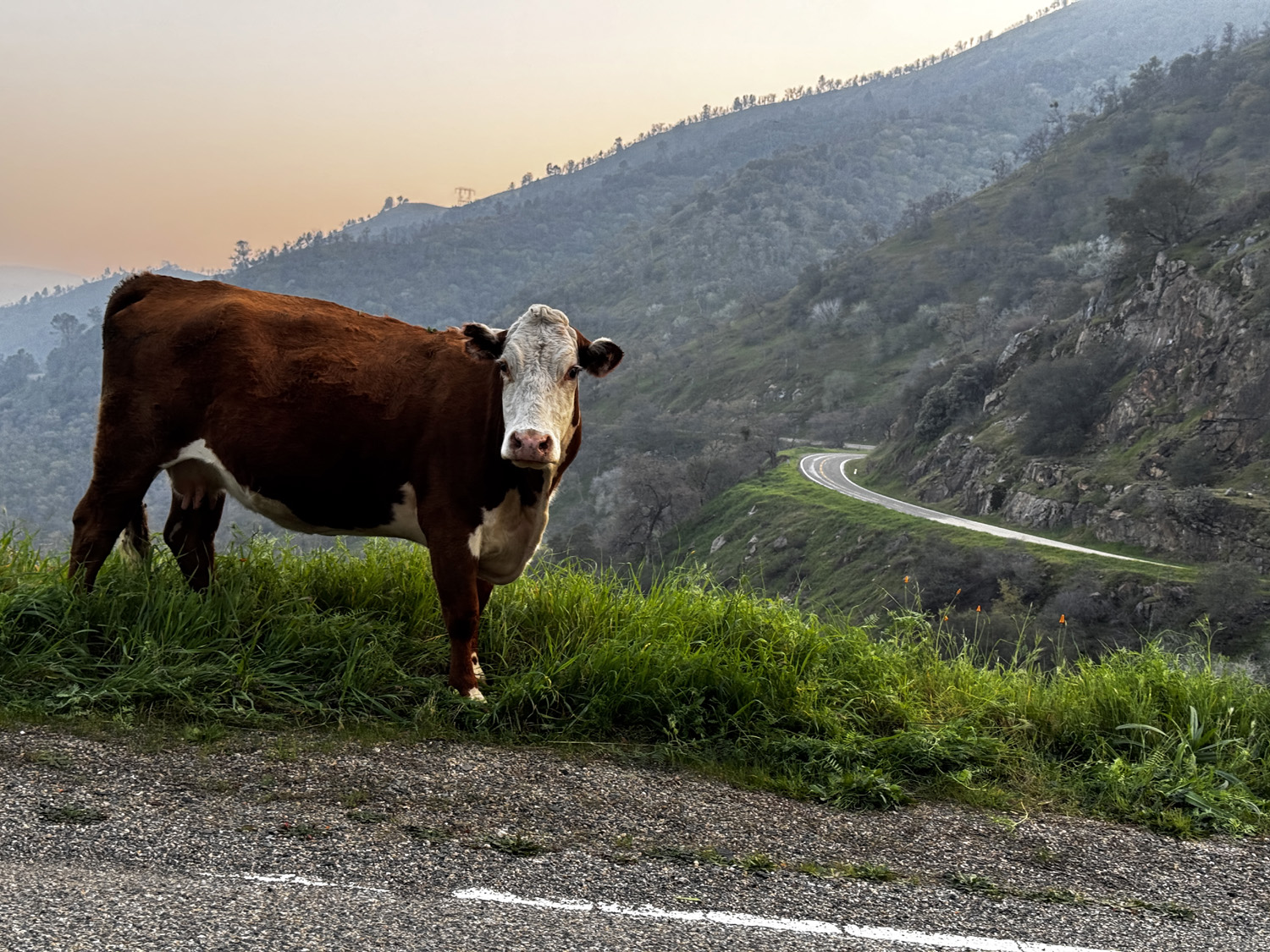
Edison Point Another year of Rambler hikes kicked off on January 13. By my count, this was our 140th hike. Our destination was a familiar one, Edison Point at Pine Flat Reservoir. We had ten hikers, all regular members of the group: Wes, Don B., Bruce N., Bruce V. Elsa, Pam, Laurie, Susan S., Patrice and Dick. |
|
 |
 |
| Bruce
Nieman, Pam Frazier, Elsa Sweeney, Patrice White, Dick Estel, Bruce Vasquez, Laurie Fitzgerald, Don Bandoni, Susan Silveira, Wes Thiessen (front) |
The Ramblers heading out from the trailhead |
|
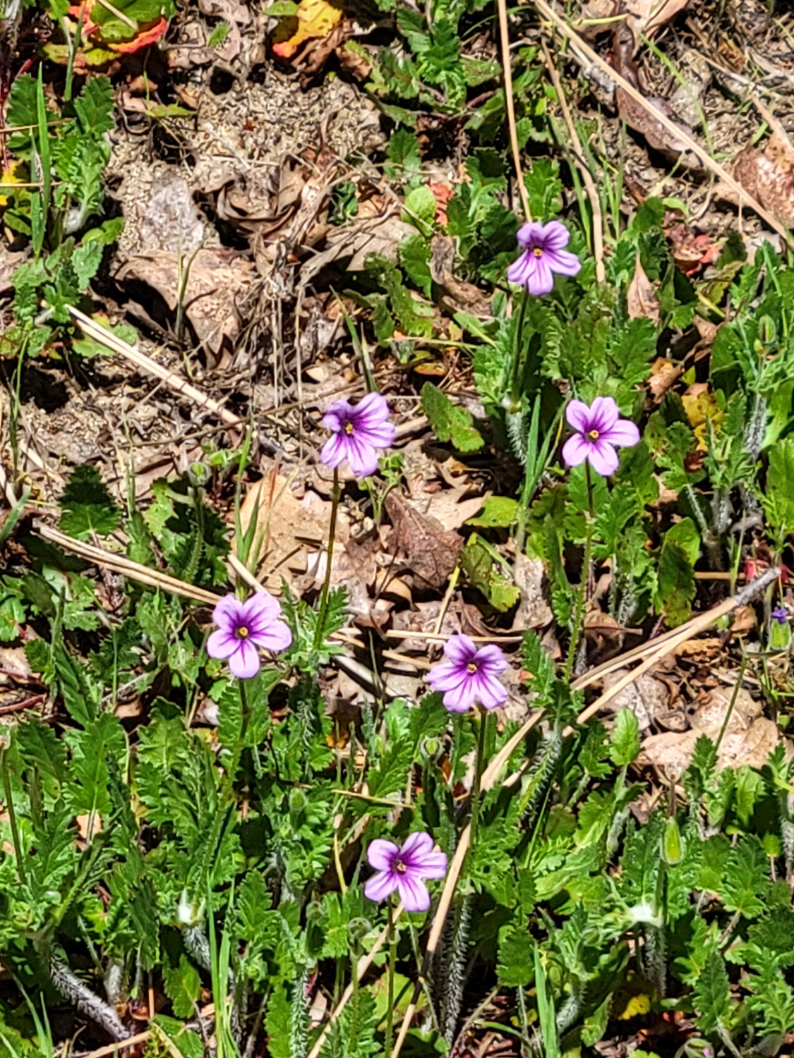
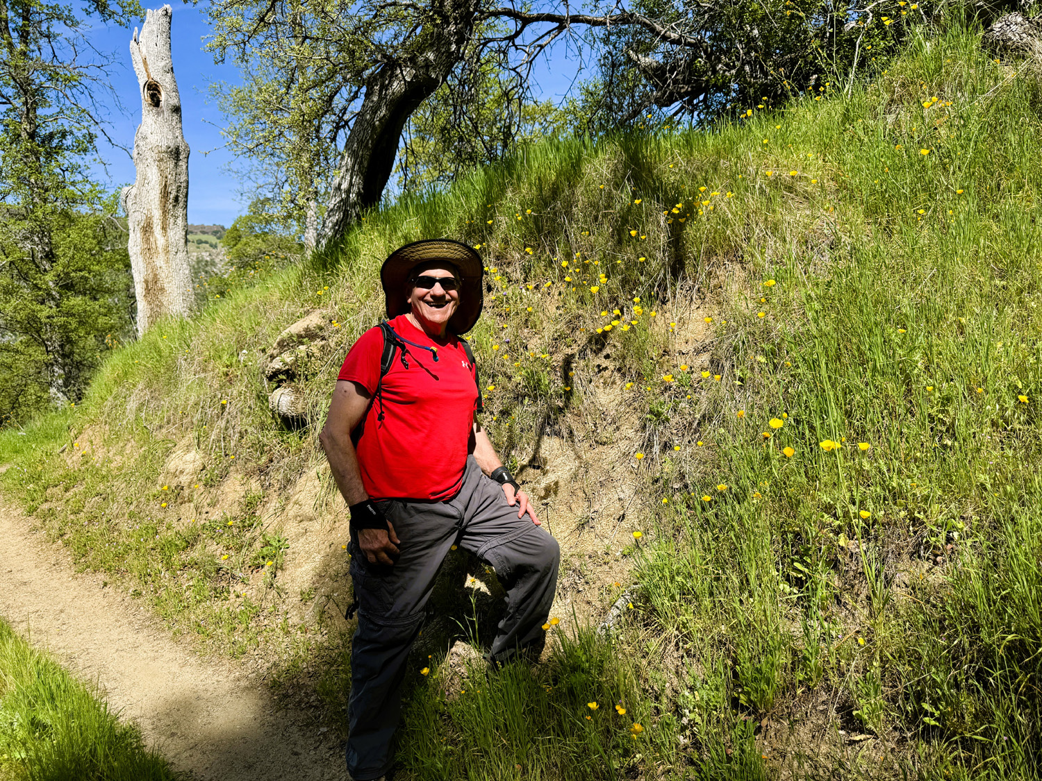
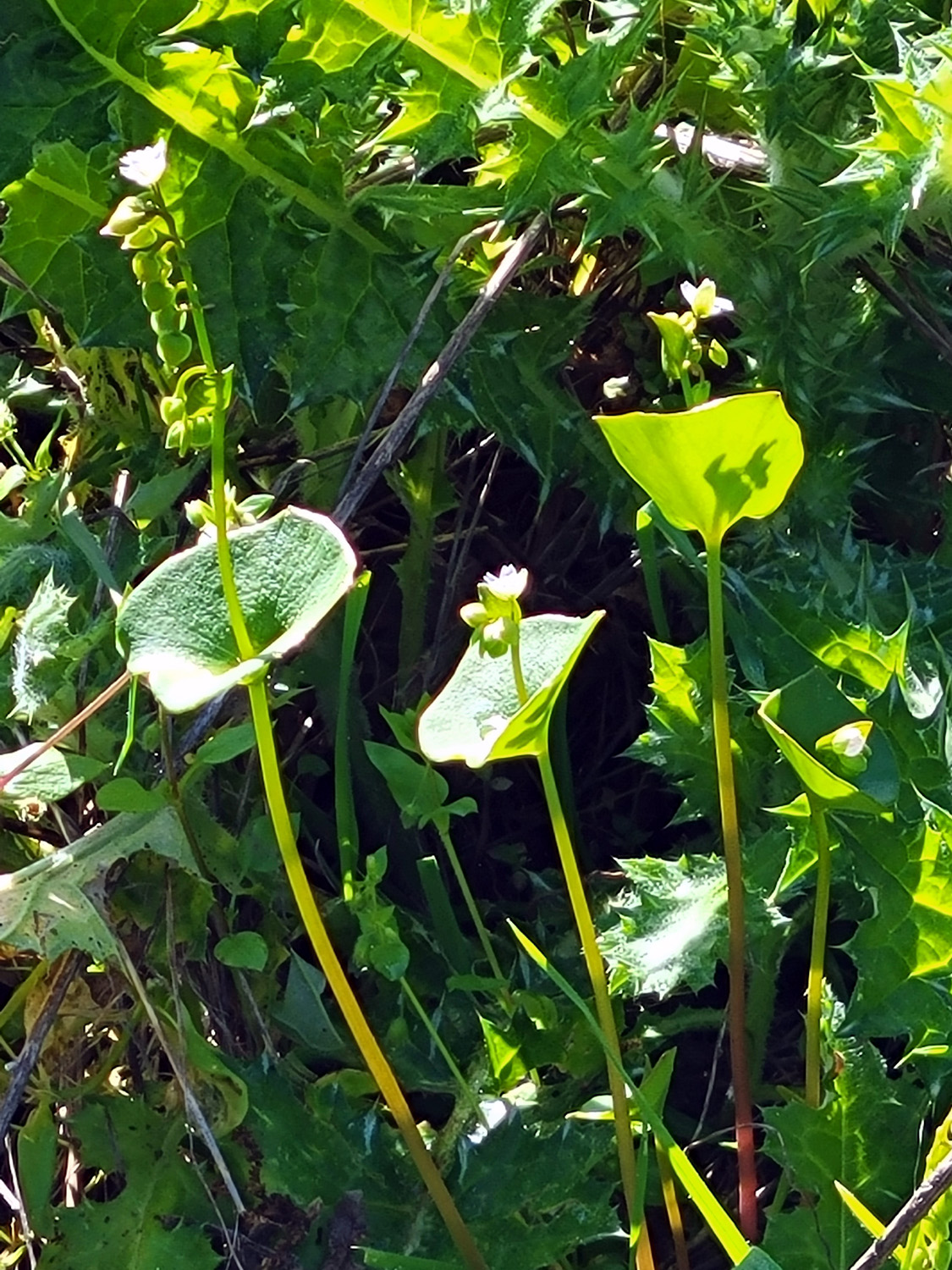
The weather was excellent, cool enough to wear a sweatshirt, warm enough to consider taking it off by the end of the hike. A friend of Wes had told him that poppies were getting started at Pine Flat, but we thought it was a bit too early. We actually started seeing a few as soon as we came to the lake shore, and in the course of our hike, we also spotted phecelia, blue dicks, fiddlenecks and chaparral. The numbers were small, but as we departed, we noticed that quite a few more poppies had opened. We will return to this area next month, and we expect there will be wildflowers in much greater numbers. |
|
 |
 |
| Susan and Laurie where Trimmer Springs Road meets the lake | Pine Flat Reservoir, in January spring weather |
 |
 |
| Blue dick, one of several wildflowers we saw | Ramblers enjoying the green hillsides |
|
|
|
|
This is a loop trail, but walking the entire route is a major challenge for most of our group. The first part of it is actually an easy dirt service road for the electrical transmission line in the area. After a half mile the trail descends very steeply to a bench just above the high water line, then zig zags back to the parking area. This second part is barely another mile, but seems much longer to old folks like me. Seven of us were content with the out and back walk along the road, while Wes Thiessen, Bruce Vasquez and Bruce Nieman completed the full loop. |
|
 |
 |
| Bruce and Bruce at the low point in the trail | Tall green grass, the lake, and surrounding hills |
|
Although the less than magnificent seven had a shorter, easier return route, we were only about ten minutes ahead of the more ambitious trio, who had obviously avoided any lollygagging. Thus reunited, we drove to the intersection of Shaw and Academy Avenues, right on our main route, and enjoyed lunch at the Red Caboose Cafe. This is an enterprise that operated in the city of Clovis for a few years, but moved out to this rural location about eight miles from town 15 years ago, followed by most of their loyal customers. We were sorry our absent members missed out, but are hoping for an even better turnout in February. In the spring months (February through April in this part of the world) we do two hikes a month, because one is simply not enough for all the wildflowers we expect to see. --Dick Estel, January 2026 |
|
| Sycamore
Creek Wildlife Area (Photos by Wes and Dick) |
|
|
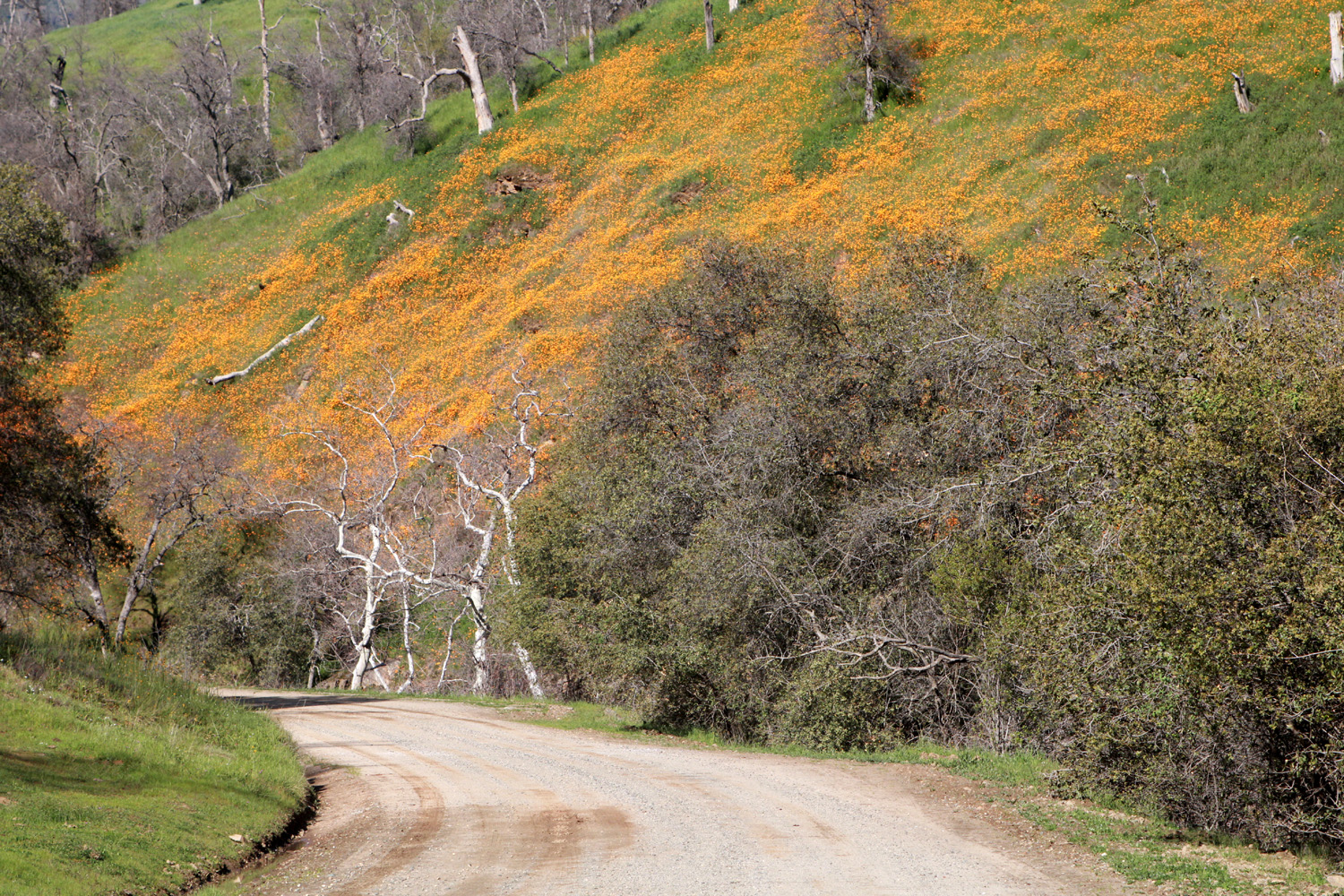
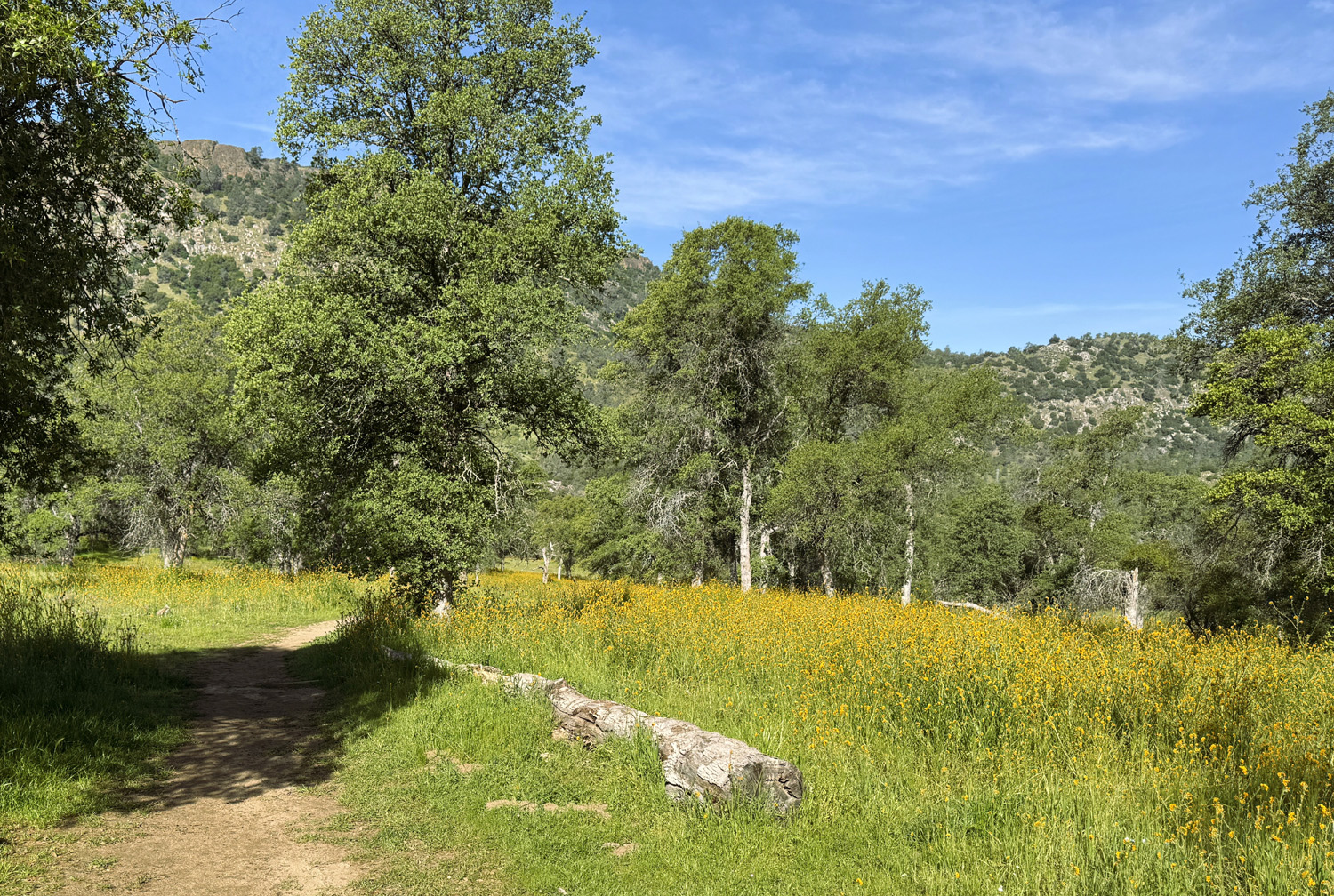
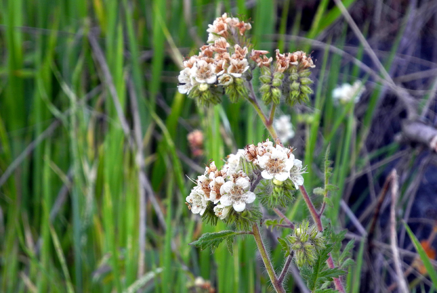
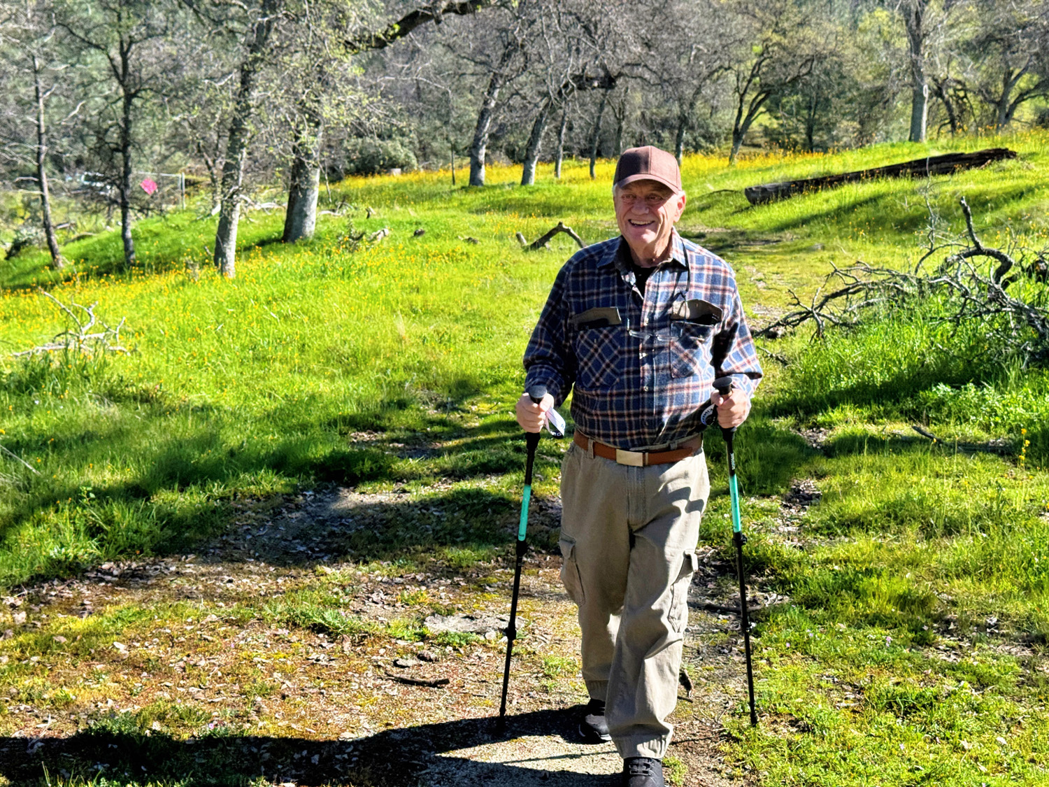
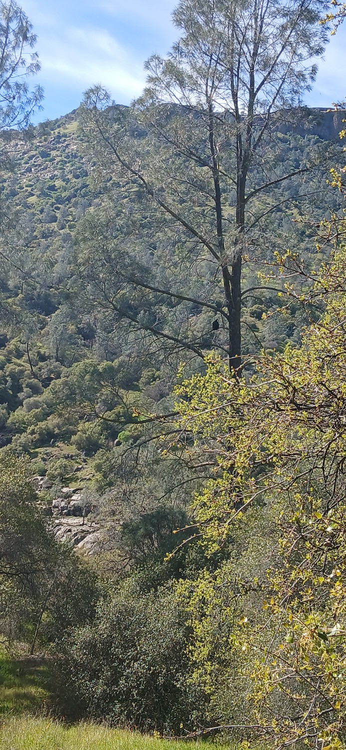
This is another location with which the Ramblers are very familiar, although some of our group was making their first visit. Trimmer Springs Road runs along the north side of Pine Flat Reservoir, close to the lake most of the way. There are two large tributaries running into the lake on this side, Sycamore Creek and Big Creek. The road goes up hill and away from the lake over the divide between the two creeks, and along this stretch there are two campgrounds and a picnic area. At least there USED to be. They have been closed for decades, with locked gates across the entrances. However, they are accessible for walking, and the location is officially designated the Sycamore Creek Wildlife Area. The old roads through the camps are still there, with grass growing up through the cracks in the pavement. Each one is an easy walk with abundant wildflowers in season. The Ramblers first hiked there in 2015 and try to go every year. This year nine of us met up at the trailhead on February 12 and walked into the first camp. We had been watching the weather reports closely for a week or more, because there was a possibility of rain on our hike day. The forecast changed and we had sunshine and blue skies throughout the day. We were also delighted to see that poppies were out in good numbers and many other spring wildflowers were blooming. The event was made special for me by the fact that my older daughter Teri was able to join us. |
|
 |
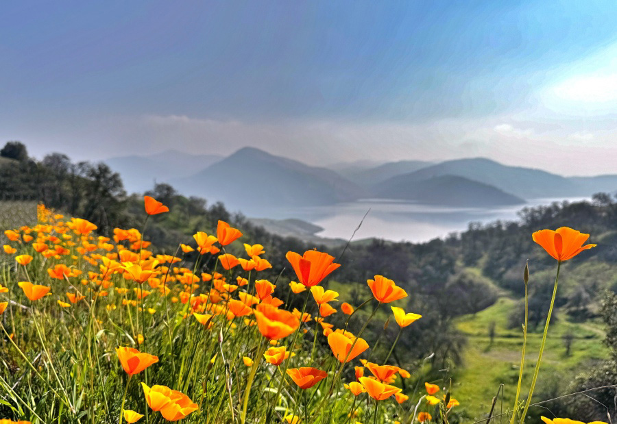 |
| Poppies on the hills above Big Creek | The poppy bloom this year is excellent |
 |
 |
| Baby blue eyes had some of the biggest blossoms we've seen | Fiddlenecks
grow so profusely throughout the foothills that they must number in the billions |
|
In addition to the blossoms pictured, we saw fringed redmaids, blue dicks, shooting stars, filaree, popcorn flowers and buck brush. With early rains late last year we have very tall green grass everywhere, and in some places the blue oaks were leafing out. In central California, we laugh at the groundhog and his additional weeks of winter. It's de facto spring in the Sierra foothills. |
|
 |
 |
| Blue oaks leafing out behind the fiddlenecks | Pine flat sparkles in the spring sunshine |
|
Each of the three hiking areas is fairly short, maybe a half mile. In the first two, the roads all go a short distance then make a loop. It did not take us long to complete walking through the first location, so we climbed into our cars and drove the short distance to the third location, which was a picnic ground rather than a camp. It differs from the other two in a couple of important ways. It is basically on top of the ridge between the Sycamore Creek branch and the main lake, so in some places there is water on two sides. The pavement here has deteriorated to the point where the road is more a trail. Although there is a loop, we skipped it because it's blocked by a large fallen blue oak. Where the pavement ends, a rough trail continues out the ridge until it drops steeply down to the lake, and most of our group walked out to that point. Having hiked that section many times, I was not required to do it again, and Teri also stayed back to keep me company. |
|
 |
 |
| Out on the point, beyond the "pavement" | Susan S with the Sycamore Creek branch of the lake in the background |
 |
 |
| Where the trail leaves the road | Don B, Laurie, Susan S, Susan & Bruce V, Don M |
|
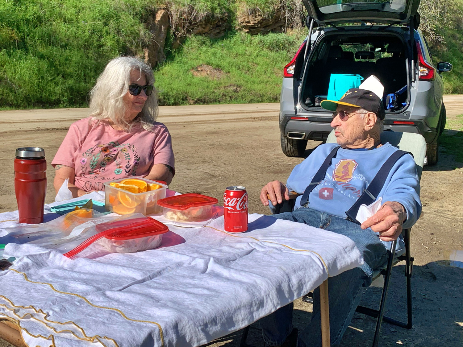
Soon our adventurous companions began returning from their excursion into the "wilderness," and it was time for lunch. Since it's such a long drive to the nearest restaurant, we had brought our own lunch. We drove another mile or two up the road to where Big Creek runs in, and up the dirt road along this creek to a flat, open place that has become our semi-official lunch spot for hikes in this area. We set up a card table and chairs; Bruce and Susan laid out a blanket on the grass, and we all relaxed and enjoyed our food within sight of Big Creek. Wes and a few others took a rough track down to the creek. |
|
 |
 |
| Wes beside Big Creek | Susan S enjoys a visit to the creek |
 |
 |
| Our lunch spot (notice many desserts on the table) | Bruce Vasquez, Wes Thiessen (kneeling); Susan Silveira, Dick Estel, Teri Liddle, Don Bandoni, Don McClellan, Laurie Fitzgerald, Susan Vasquez |
|
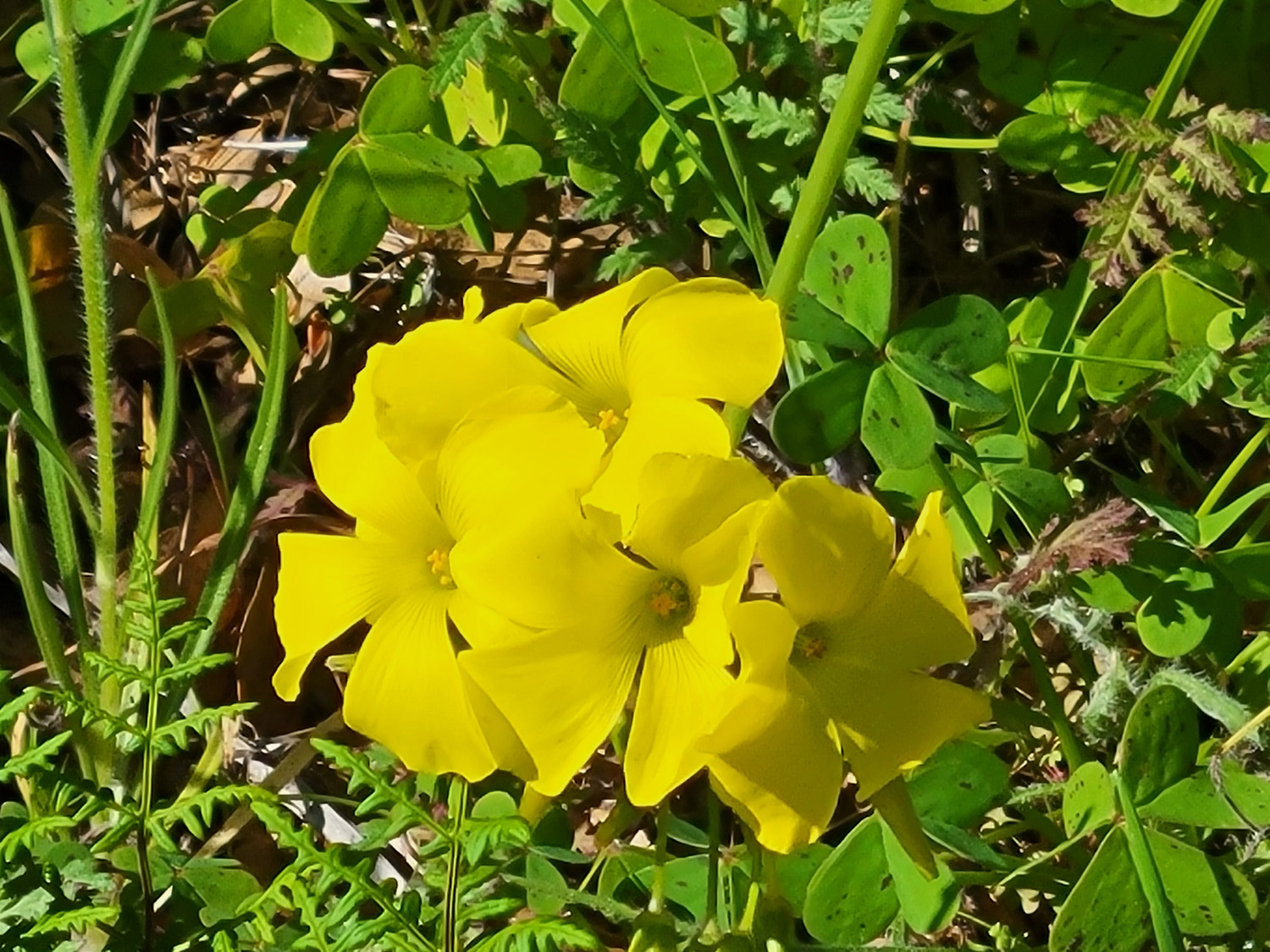
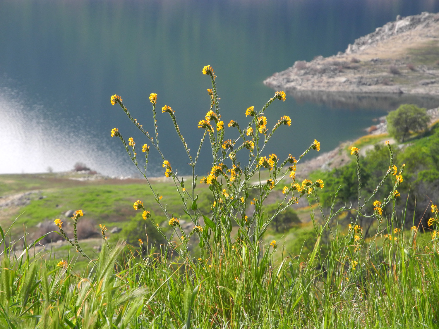
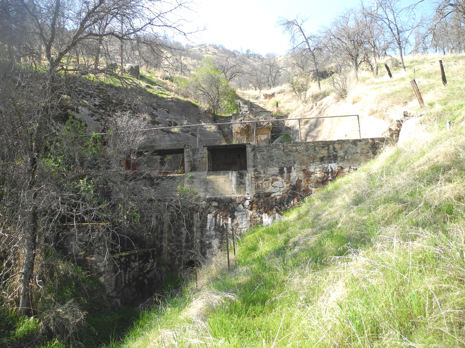
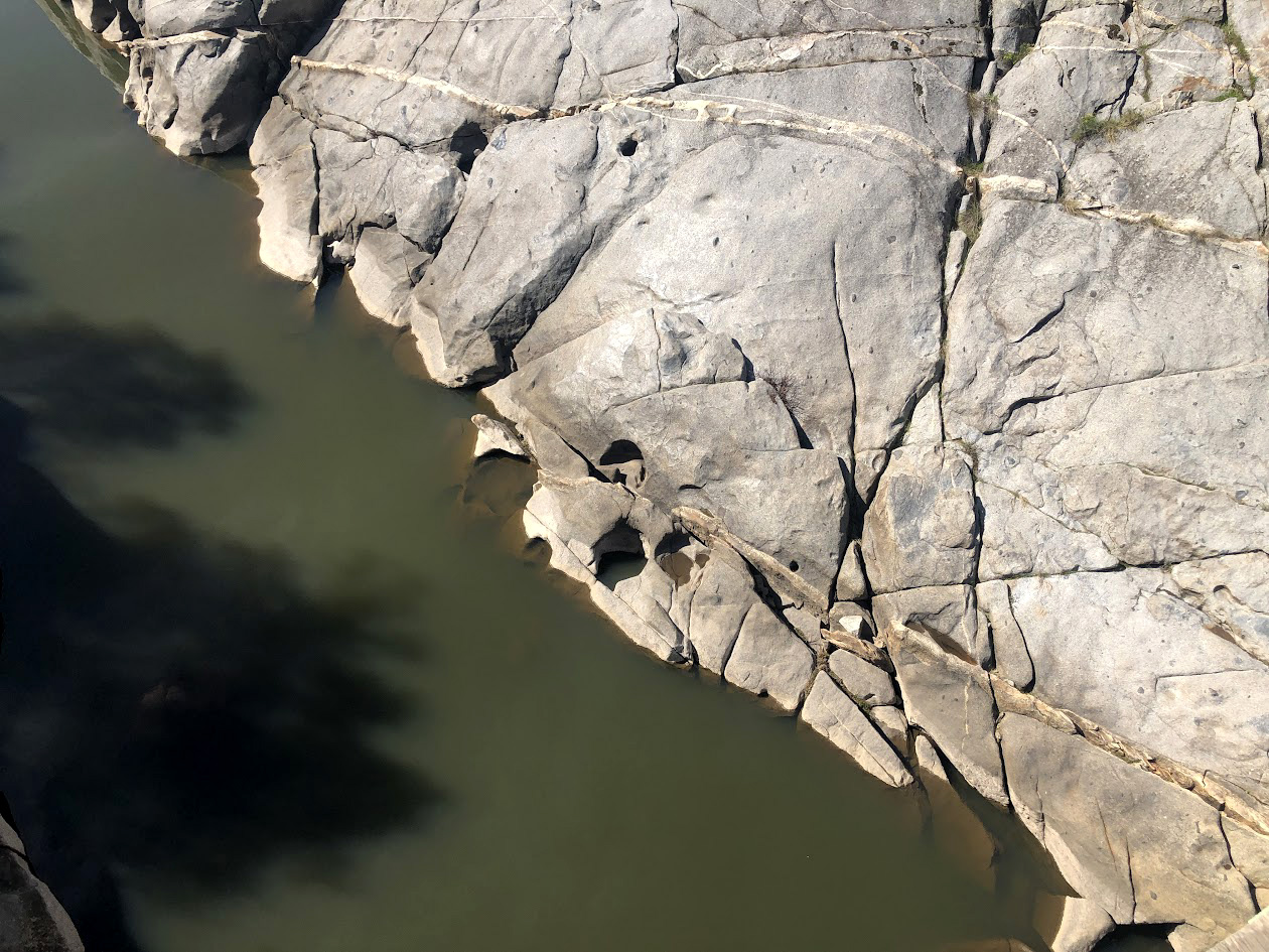
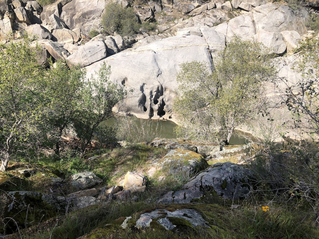
In this area, along the main road and the Big Creek Road, there are four man-made structures. They are located in drainages, and all of them consist of a small dam or weir across the waterway, various valves and gates, and what look like guard houses. All are made of rock and concrete, and it is pretty well confirmed that they were used to measure runoff before Pine Flat Dam was constructed. Narrow, very steep deteriorating concrete steps lead up the hillside to the structure, and some of us have been up these stairs in the past. Today only Bruce elected to make the climb since he had never been in this location before. Bruce made it up to the dam and walked across it (there's a railing), and soon made it safely back down. We took our group photo and packed up to leave. Teri and I drove up another two hundred yards or so, knowing that just past the lunch spot the poppies were usually thick on the hills above the creek. We were not disappointed. When we got back by the Trimmer Recreation Area, we turned right on Maxon Road, a route we like to follow every so often. It dead ends at Watts Valley Road, which we followed all the way out to Ashlan Avenue in the valley. This route goes through scenic foothill country, with narrow canyons, open areas with ranches, several creeks, and lots of wildflowers. On my visit to Sycamore Creek earlier this month I had photographed some big yellow flowers that I had never seen before. We were delighted to come to a place on Watts Valley Road where they were thick on a hillside above and below the road. A few days later I showed a photo to fellow Rambler Bruce Neiman and he was able to identify them as Bermuda Buttercup, a plant native to South Africa, and considered an invasive species elsewhere. Despite this, they were beautiful to see. |
|
 |
 |
| Invasive or not, Bermuda Buttercups are spectacular | The hillside was covered above and below the road |
As we finished our journey, we were thankful for the excellent weather, and looking forward hopefully to our second February hike, with a week of storms predicted to make that outing doubtful. --Dick Estel, February 2026 |
|
| San
Joaquin Gorge Bridge Trail Photos by Bruce, Keith and Dick
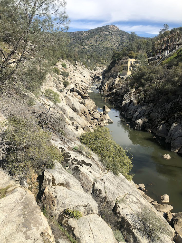
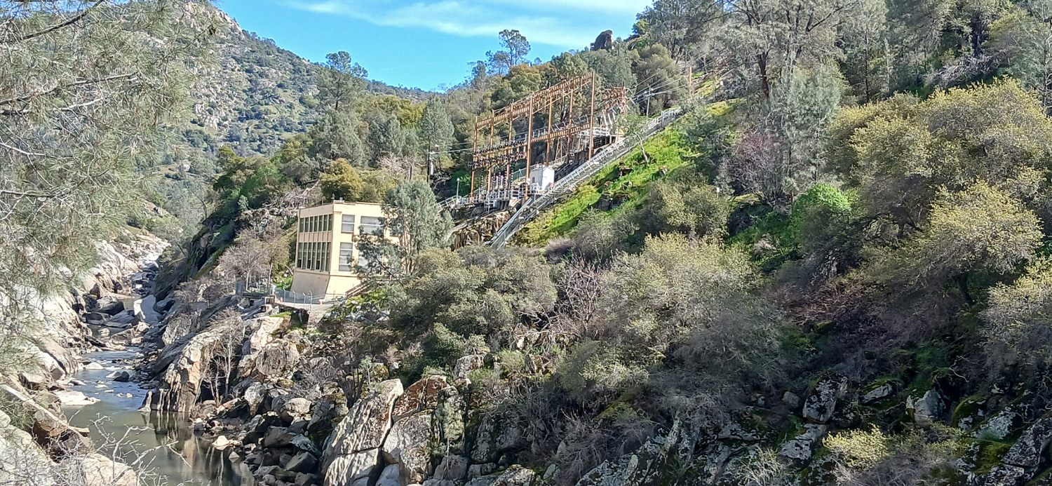
As usual we had been watching the weather forecast for February 24, and it fairly consistently showed possible rain. The day before looked a little better, and we made a late schedule change. The five of us were delighted with the result - blue skies throughout the day, although in the end, it was equally nice on our original date. The trail goes one mile down to the San Joaquin River, where there is an impressive footbridge and a powerhouse, one of the oldest in the PG&E system. More about that at the end of this report. |
|
 |
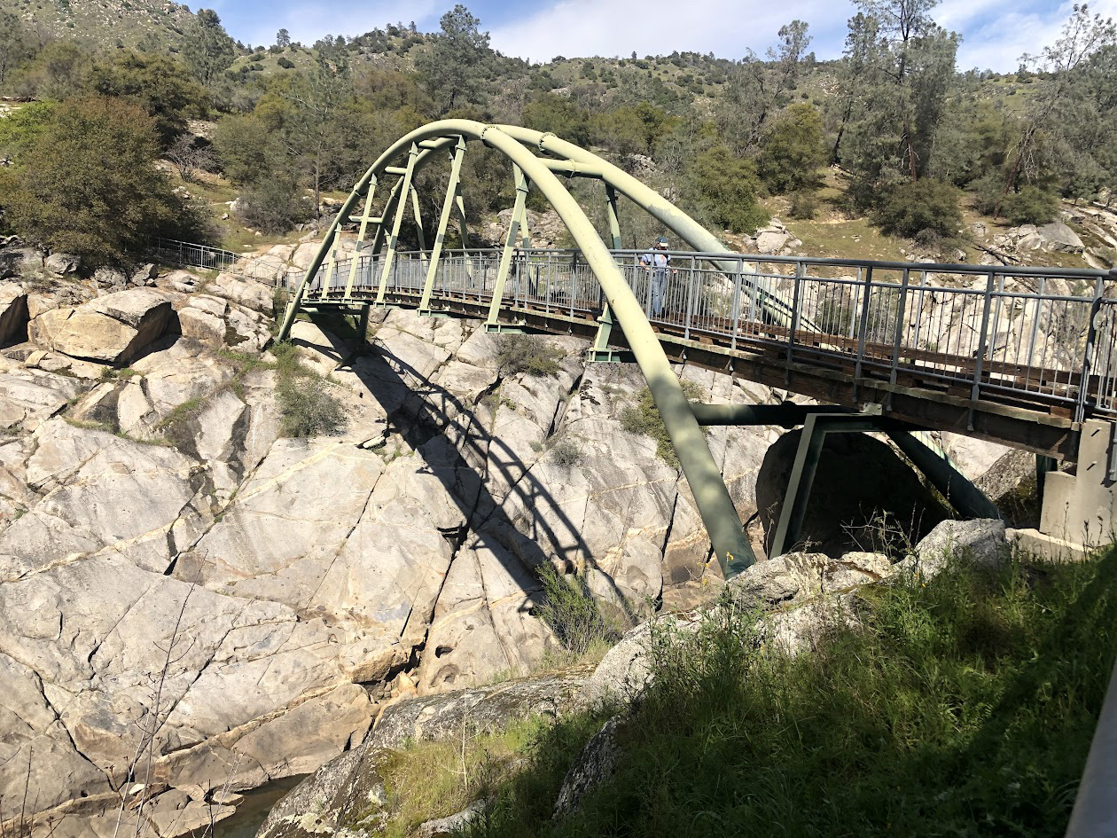 |
| PG&E Kerckhoff 1 Powerhouse (built about 1920) | The iconic green bridge |
|
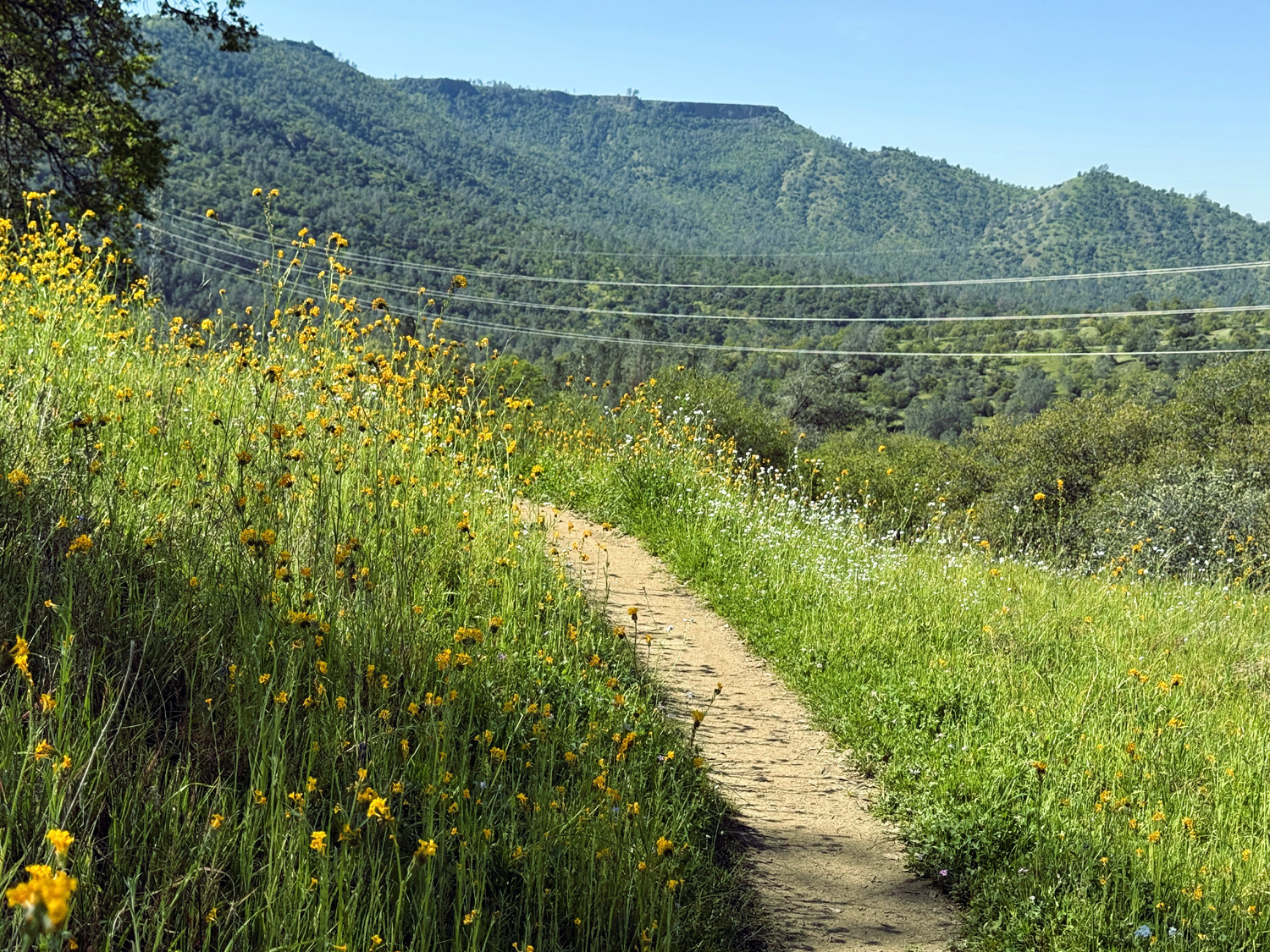
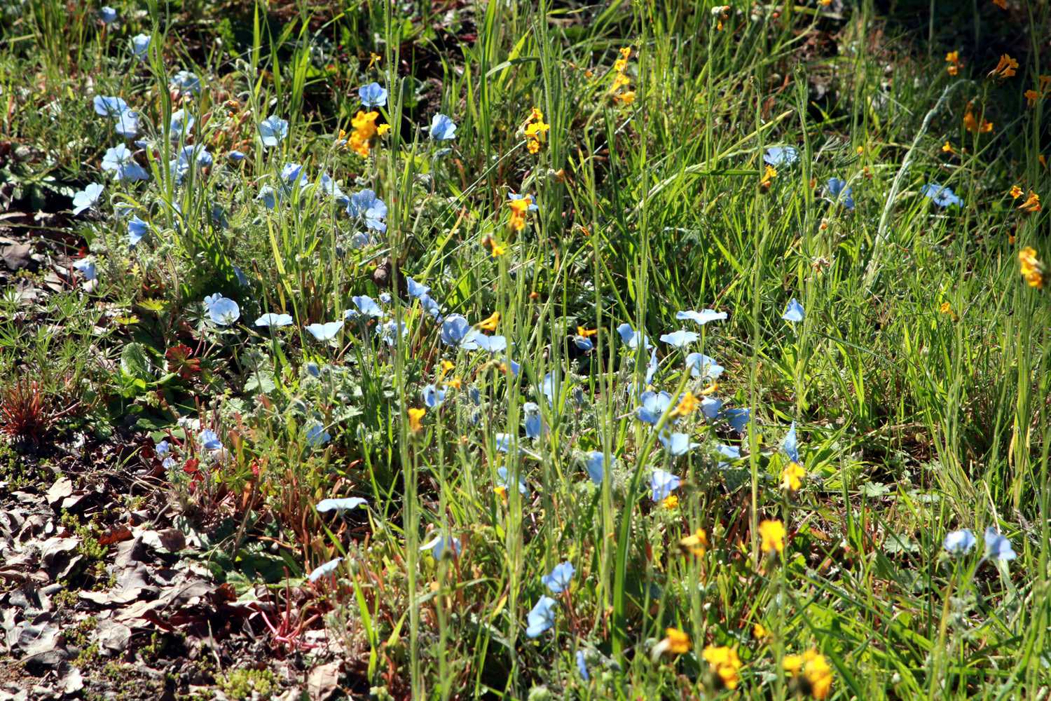
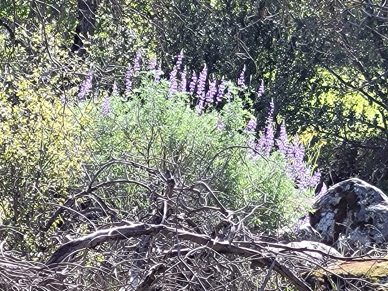
This route is generally downhill, but there are a number of places where the trail levels out, or even goes up for a short distance, allowing different muscle groups to get in on the action, and making the walk much more pleasant. The vegetation includes bull pines (AKA digger pines), blue oak, wild grape, manzanita, chaparral, buckeye, and other typical foothill trees and bushes. Of course, any foothill hike is a quest for wildflowers, and there were moderate numbers of the usual species. There have always been one or two places along this trail where we see baby blue eyes, but on this hike they appeared on both sides of the trail through probably half the total way. We also saw bush lupines, tall blue ground lupines, fringed redmaids, fiddlenecks, phecelia, popcorn flowers, shooting stars, Sierra stars, and I think the first few common madea blossoms. |
|
 |
 |
| Phecelia in the rocks near the bridge | A horizontal buckeye trunk is putting up a couple of leaders |
|
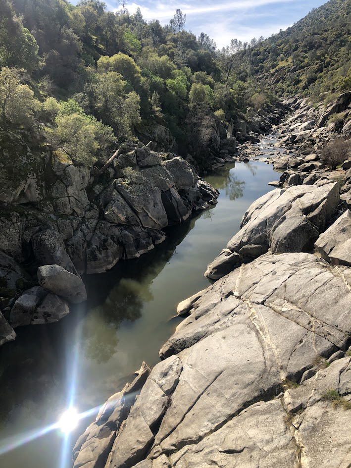
Just across the bridge are some perfect sitting rocks with a nice river view, and this is where we turned back, after a good rest. The river is low and sluggish, but with a heavy snowstorm in the Sierra a week or two earlier, it will be flowing strong when the weather warms up. In fact, as we began the mostly uphill hike back to our cars, we felt that it was already plenty warm. However, cooler weather is in the forecast, a good thing since we don't want an early snowmelt. The trail continues on past the bridge in a six-mile loop. About 100 yards past the bridge, up a very steep section, the trail divides. To the right it is high above but parallel to the river for a mile or so, then turns north and goes up a ridge. The left fork goes up fairly quickly, and the two branches come together about two miles up. Along the way there is another trail that goes down to the upper end of Lake Millerton. I have hiked in both directions, but not the Millerton Trail. It's unlikely that I will go pas the bridge again. |
|
 |
 |
| Ramblers resting on the rocks | Looking downstream from the bridge |
|
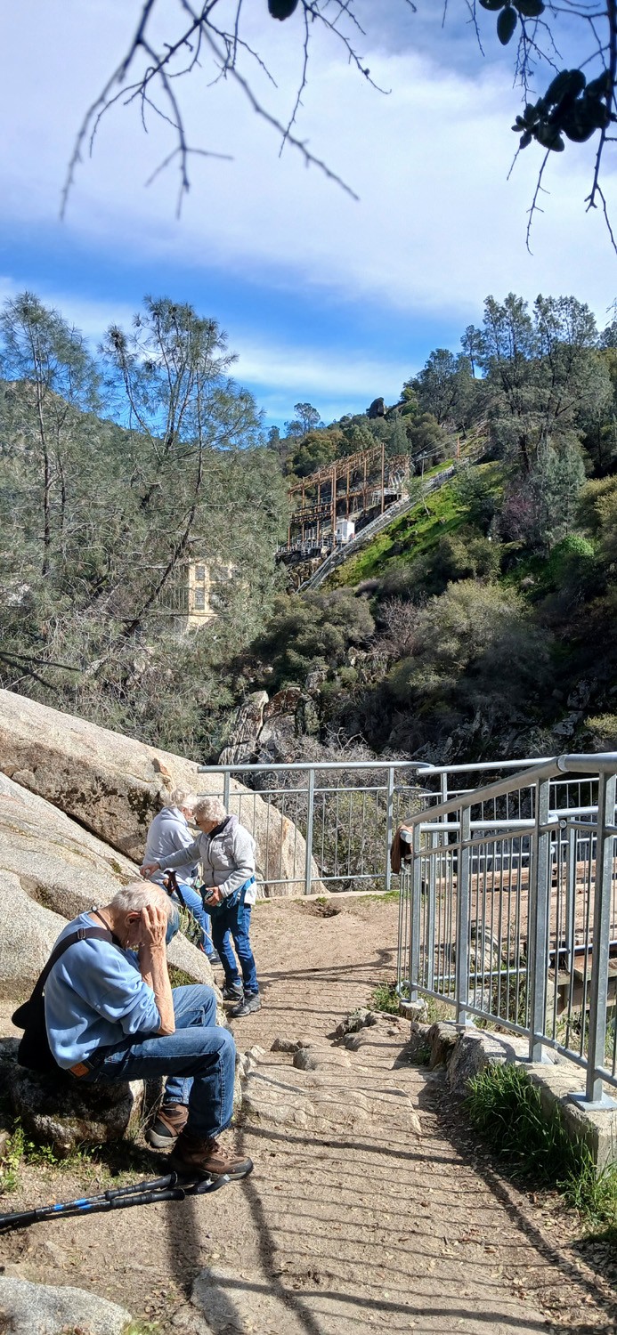
With a short but quite steep stretch where you head back up, I was going very slowly. Susan, Laurie and Bruce set a lively pace, while Keith held back and stayed with me. By the time we reached the parking lot, the others had departed, but Keith and I had brought our lunch, and enjoyed the excellent weather and good conversation. A week earlier I was wondering if our plan to have two hikes each month in the spring would be foiled by the weather, but so far we are on track, and looking forward to more wildflowers, green grass, and spectacular foothill hiking in the next two months. --Dick Estel, February 2026
PS: A paragraph or two about power projects on the San Joaquin: In the early 20th Century, people quickly saw the potential for power generation through the significant elevation drop of the San Joaquin River. Southern California Edison's Big Creek Hydroelectric Project was first in 1911, and Edison continues to dominate in the San Joaquin drainage, with Florence Lake, Lake Edison, Huntington, Shaver and other smaller water impoundments. However others soon got in on the act, with several small companies evolving into Pacific Gas & Electric (PG&E), which dominates power distribution in northern California. To the best of my knowledge and from what I can glean via the Internet, their earliest endeavor was the Kerckhoff Hydroelectric Project, which includes the powerhouse above the bridge at the San Joaquin Gorge. This was their first powerhouse, built around 1920. It is apparently no longer used for power generation, but remains open and used for "miscellaneous" activities. In the mid-1980's PG&E built a new underground powerhouse about a mile downstream from the original. The road to the trailhead continues on to this facility. During construction, the areas that are now the group camp and equestrian camp had equipment and mobile homes to support the project. Smalley Road, which leads down from Powerhouse Road to the parking lots and powerhouse was significantly improved. Today's visitors might think the road is narrow and winding, which it is, but MUCH less so than when I first drove it around 1980.
The Kerckhoff project also includes a small dam and reservoir on the San Joaquin. Like all these projects, water is delivered from the lakes through tunnels and penstocks to the turbines that generate the power. Part of the requirements for approval of the new project was that PG&E would create campgrounds and parking lots when construction was completed, and we are now able to enjoy the results. --DE |
|
| San
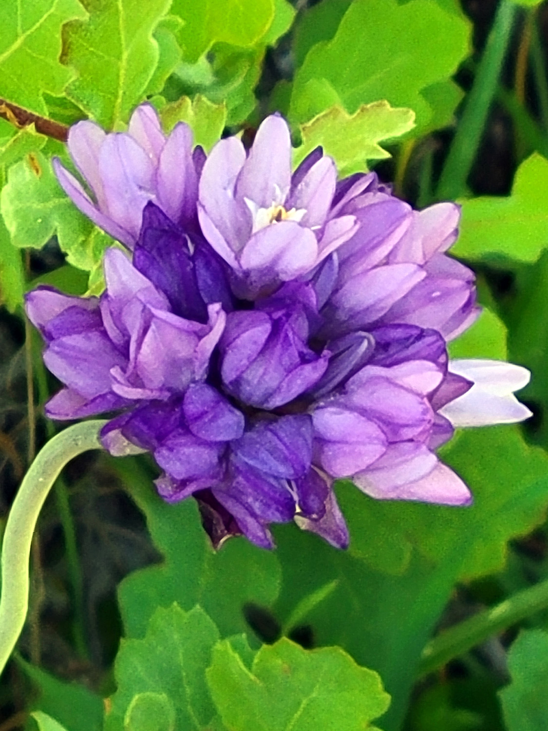
Joaquin Gorge River Trail Photos by Wes and Dick On March 10 a very small group of Ramblers hiked on the San Joaquin River Trail (upper trail) at the San Joaquin River Gorge. The hikers were Wes Thiessen, Bruce Vasquez and me, Dick Estel. Don McClellan almost hiked with us - more about that later. This trail runs parallel to the river, high up in the hills above it and you have to go around three miles before you get a glimpse of he stream. What you do see are bull pines, live oaks, blue oaks, buckeye, redbud, buck brush and many wildflower species. Other than fiddlenecks, flowers are not out in great numbers this year, but many varieties are represented. We saw popcorn flowers, filaree, poppies, lupines, redbud, miner's lettuce, harvest brodiaea, blue dicks, daily-likes and a few others. Still to come a bit later in this area are birds eye gilia, Ithuriel's spear and mustang clover. |
|
 |
 |
| Blue dick | Filaree |
 |
 |
| Harvest brodiaea, sometimes called pretty face | Popcorn flowers |
|
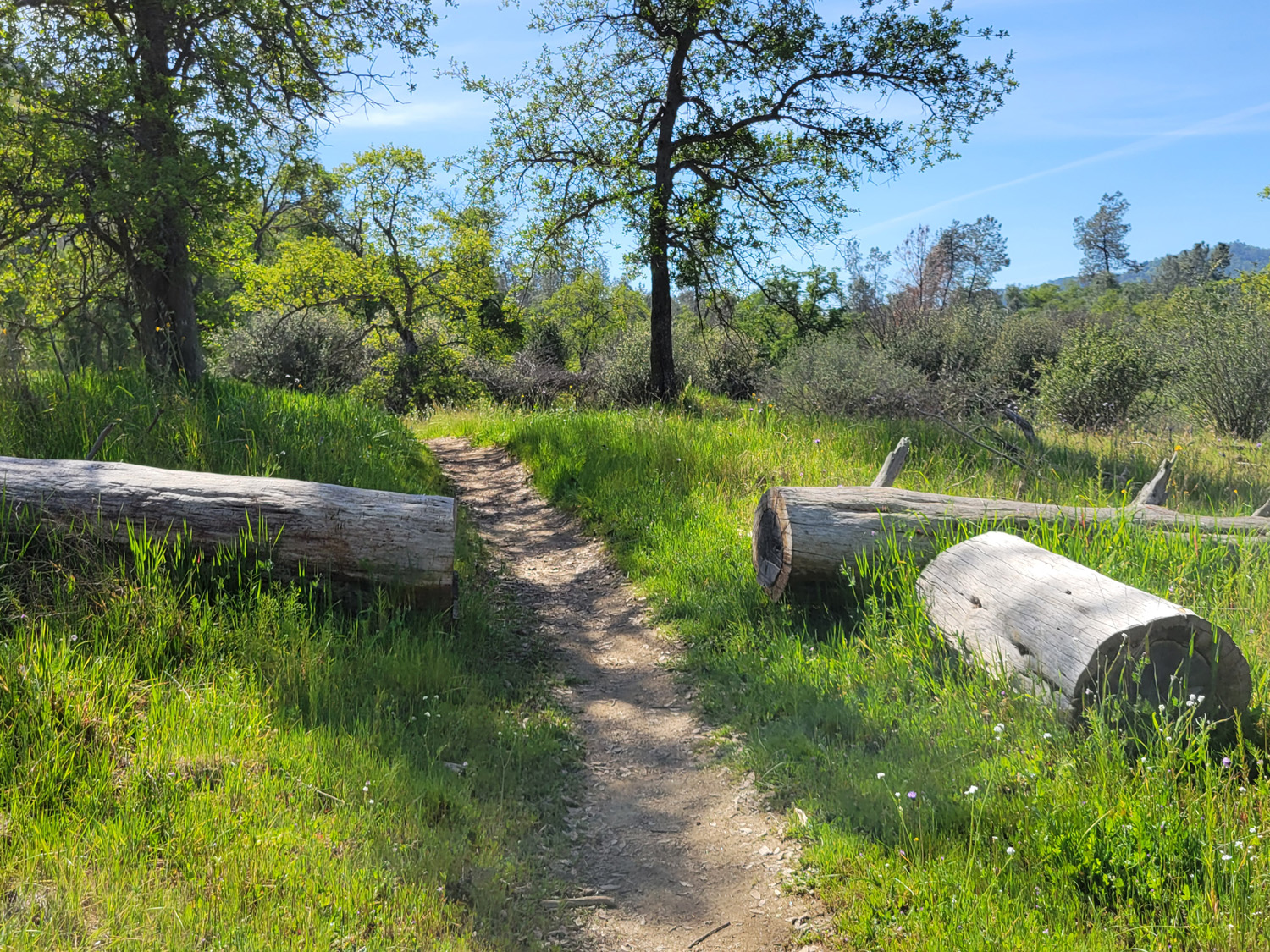
This is an easy trail, with two or three very short steep spots. Even those spots are easy for Wes and Bruce; I had to step very slowly and carefully, especially at one very short downhill stretch that I felt was close to being dangerous. However, I made it in and out without mishap. We reached that famous place where I had gone "half of far enough," and rested on a fallen log. Wes and Bruce had already gone ahead and were out of sight, but I knew they planned to go around another half mile. |
|
 |
 |
| The bottom part of this log is good for sitting | Typical trail scene beyond Dick's stopping point |
 |
 |
| Wes and the only poppies he saw | Bruce saw them too |
|
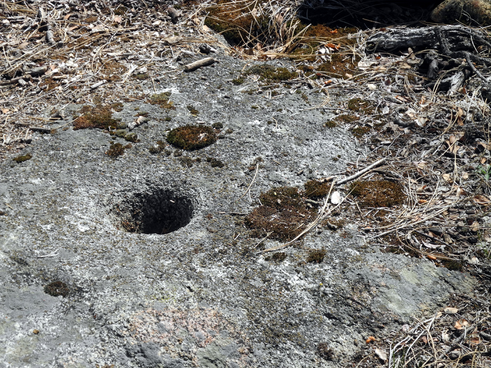
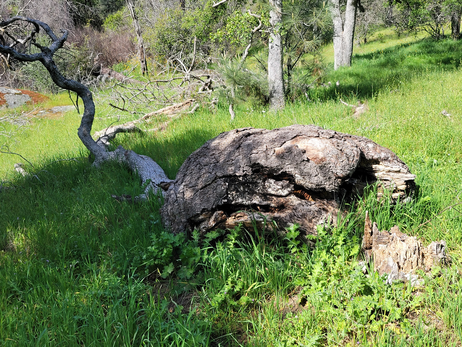
I rested for close to ten minutes, then started back, knowing the "youngsters" would probably catch up to me before I got back to the trailhead. This is indeed what happened, although I had time for another short stop at what I have called the "Official Resting Log." This is where there was a blue oak with the biggest burl any of us have ever seen, a few Indian grinding holes, and an old log that fell in a level, easily accessible spot. Alas, change is constant. A few years ago the burl tree fell down. Branches and thick grass make access to the grinding holes difficult. At least the resting log is still usable. |
|
 |
 |
| The iconic Resting Log | Dick found another place to sit |
|
Eventually I heard Wes and Bruce approaching behind me, and we completed our hike together. As to Don, when we got back to the parking lot, he was there, chatting with Kham Hamilton, a woman we had worked with at the Department of Social Services. She was there hiking with her yoga instructor. The Ramblers had planned to met at ten, and the previous day Don had said he would be there. We waited till 10:20, then set out. We left a note on the back window of my car, which is easily identified by the personalized license plate, telling when we left and where we went, but he did not see it. He filled the time by going to the excellent visitor center, about a half mile from the parking lot, and enjoyed the scenery around the trailhead. |
|
 |
 |
| Wes, Don, Bruce and Dick | Kennedy Table looms over the area |
|
We drove down the hills to Prather, where we enjoyed an excellent lunch at the Pizza Factory. The hills are green all the way and bush lupines are getting a good start along Auberry Road. When we repeat this hike April 11 we expect to see all the flowers that were not yet out during this trip. --Dick Estel, March 2026 |
|

| Photos (Click to enlarge; pictures open in new window) | ||
| Edison Point Sycamore Wildlife Area San Joaquin Gorge Bridge Trail San Joaquin River Trail | ||
| Edison
Point (Photos by Wes, Pam & Dick) |
||
 |
|
 |
| The trailhead is easy to spot | Looking back toward the marina | This view shows how steep the terrain is |
 |
 |
 |
| Patrice and Bruce V lead the way | Dick can find a resting "bench" anywhere | Laurie
takes advantage of Don's desperation to "clean up" |
| Sycamore Wildlife Area | ||
 |
 |
 |
| Teri
near Kirkman's Point, where we usually stop to check out the flowers and the water level |
A very
unusual growth pattern for popcorn flower stems |
Baby blue eyes and fiddlenecks |
 |
 |
 |
| The only shooting stars we saw | Dick heading out on the picnic ground trail | Ramblers on the old picnic ground road |
 |
|
 |
| Don M is delighted to be out hiking | So are
Don B, Bruce & Susan V, Susan S and Laurie |
These steps are definitely NOT ADA compliant |
 |
|
 |
| Enjoying salami sandwiches and orange slices | A thick patch of poppies above our lunch spot | These
"officers" patrol the road to remind you to slow down |
| San
Joaquin Gorge Bridge Trail Photos by Bruce and Keith |
||
 |
|
 |
| Bull pine rises over the new leaves of a blue oak | Looking upstream from the Madera side | There's
controversy over whether this warning is adequate |
 |
 |
|
| Water
and time have sculpted the rock in the river bottom |
A lone
fiddleneck adds a spot of orange to this scene |
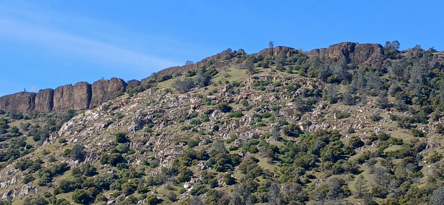
Basalt
cliffs mark the edge of Kennedy Table, about 1,200 feet above the river |
| San
Joaquin River Trail Photos by Wes and Dick |
||
 |
 |
 |
| Dove lupine | Fiddlenecks, plus a few filaree and blue dicks | Miner's lettuce |
 |
 |
 |
| Redbud | Scrub live oak at the base of a blue oak | Young thistle plant |
 |
 |
 |
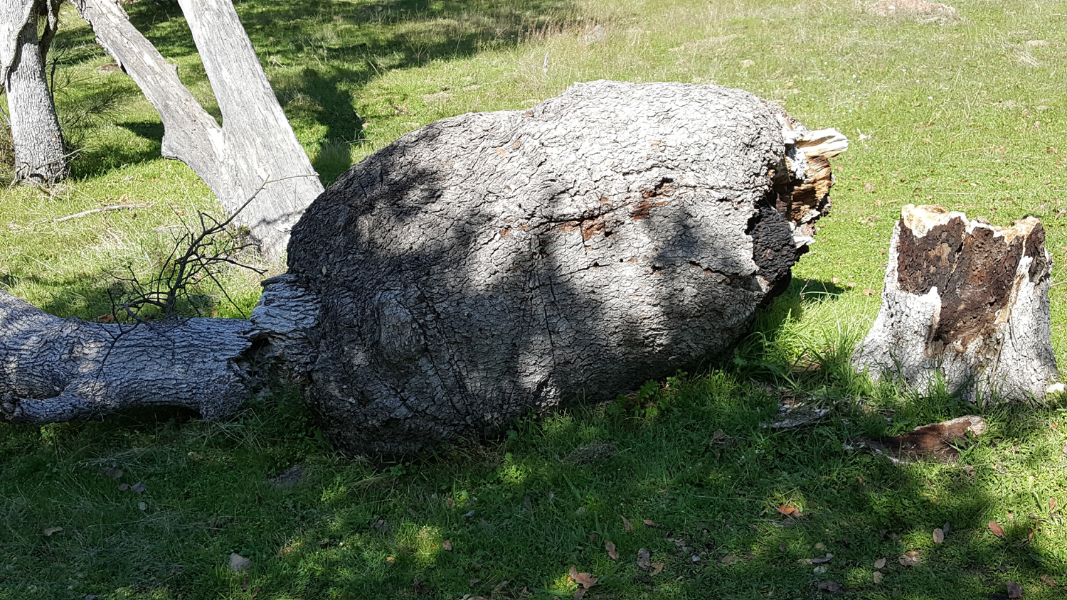
| Bush lupines | The
fallen burl tree and its stump are starting to decompose |
The
trail maintenance crew was here with a chain saw |
|
|
|
| Fiddlenecks above the trail, popcorn flowers below | Wes and Dick | |
| Related Links | ||
| Pine Flat Reservoir | Red Caboose Cafe | Edison Point Trail |
| Bermuda Buttercup | Sycamore Wildlife Area | Fiddlenecks |
| Big Creek | Changes to PG&E Kerckhoff Project | Smalley Road and Powerhouse History |
| Kerckhoff Hydro Project | San Joaquin River Gorge | San Joaquin Gorge Photo Gallery |
| San Joaquin River | Re-licensing Application | Wild & Scenic Status for Temperance Flat |
| San Joaquin River Trail | Pizza Factory | |