

Fall Hikes: Finegold Trail; Bower Cave |
|||
|
Finegold Trail When my
friend Janell and I hiked at San
Joaquin Gorge (Squaw Leap)
in the spring of 2012, we
realized that the new trail that runs south and west from the trailhead
apparently goes all the way to Sky
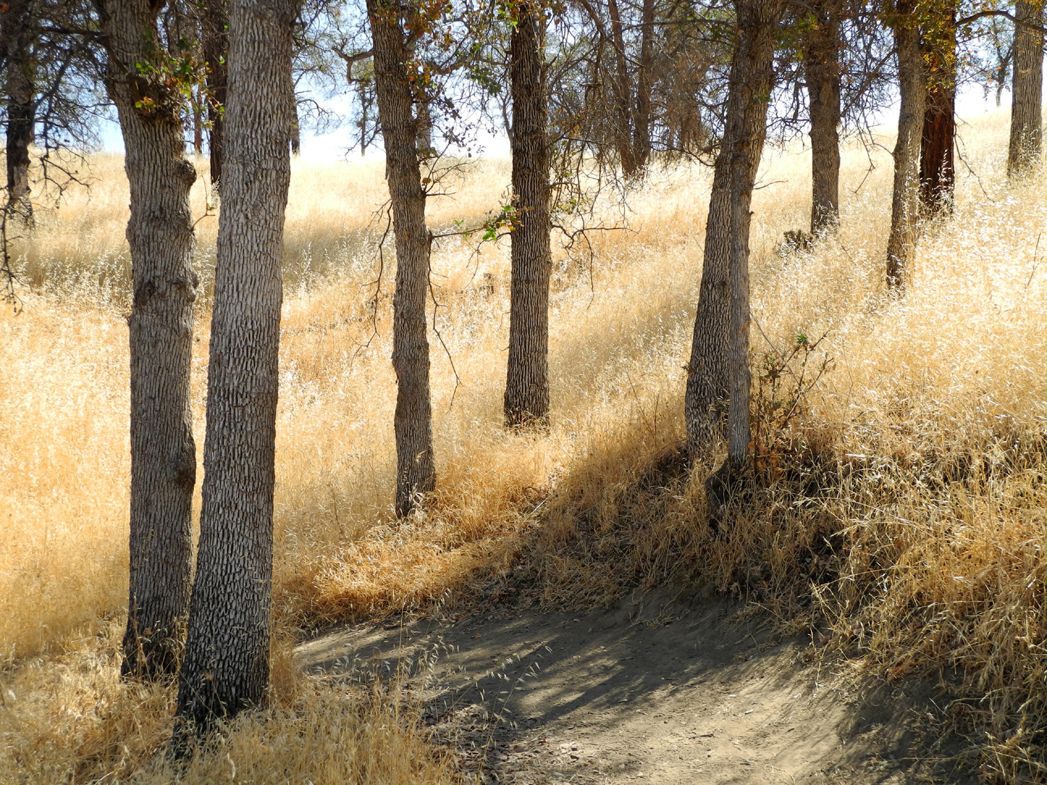
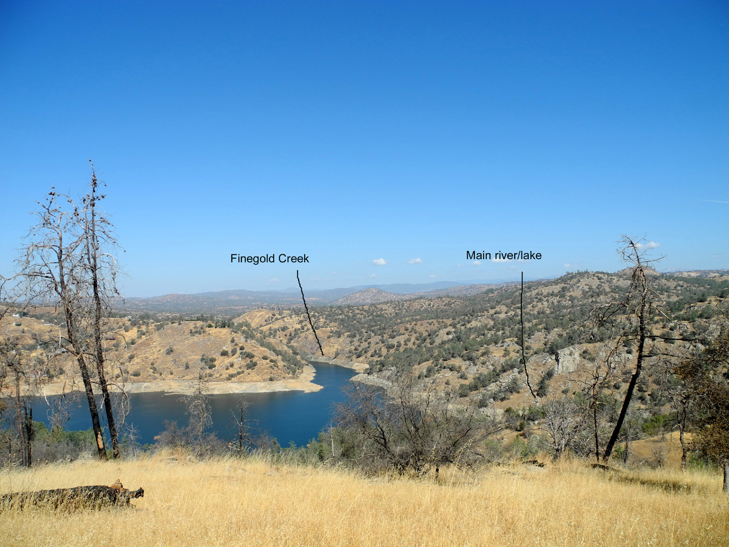
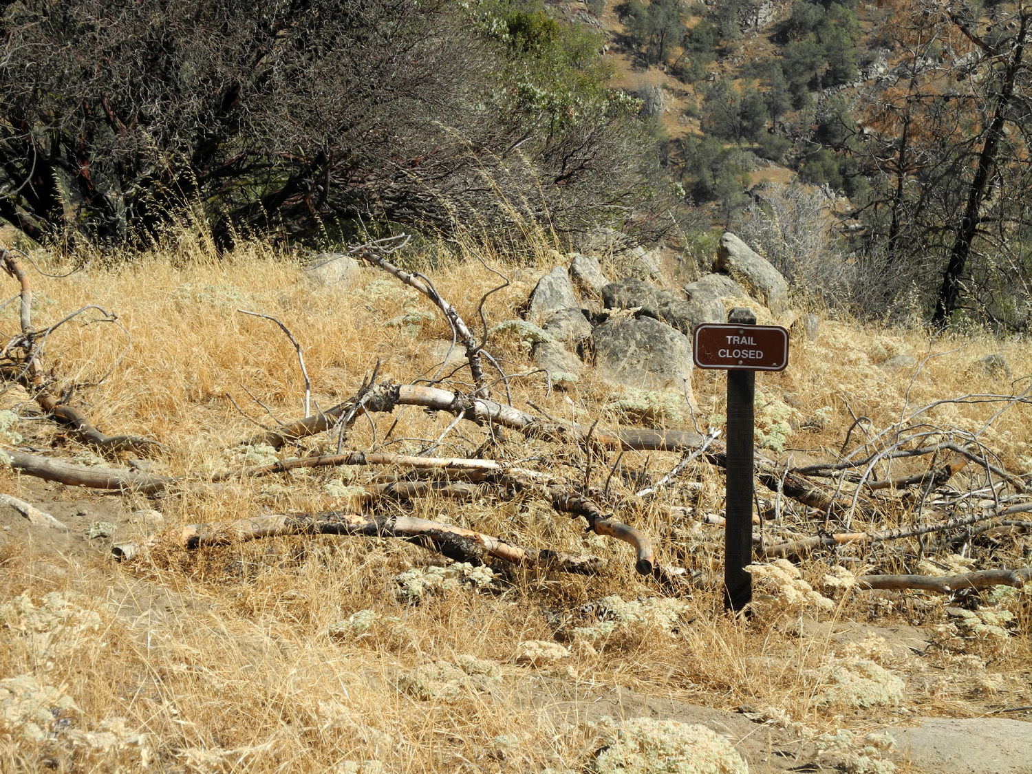
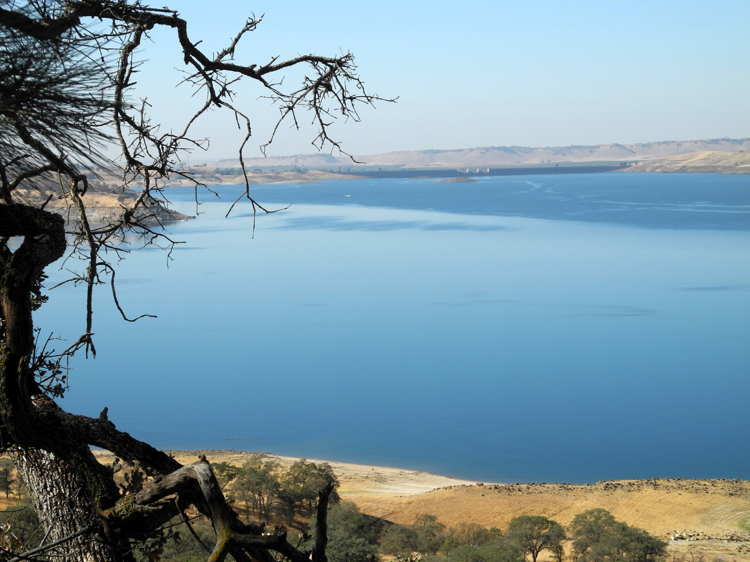
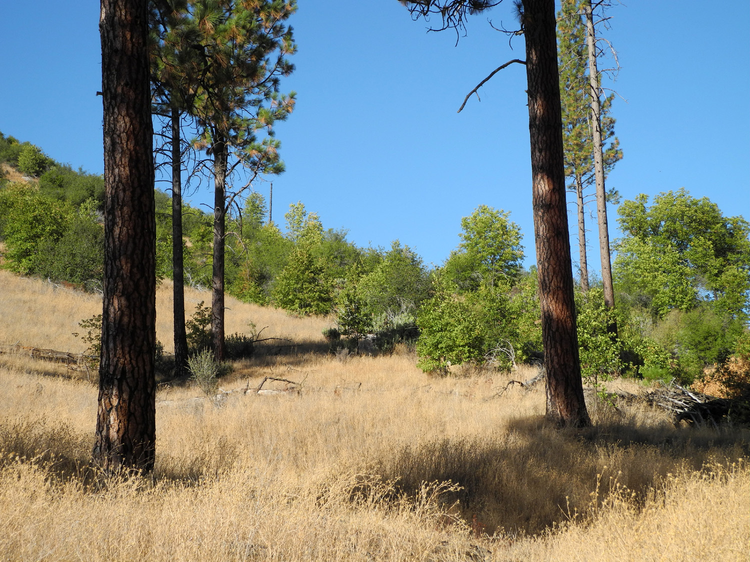
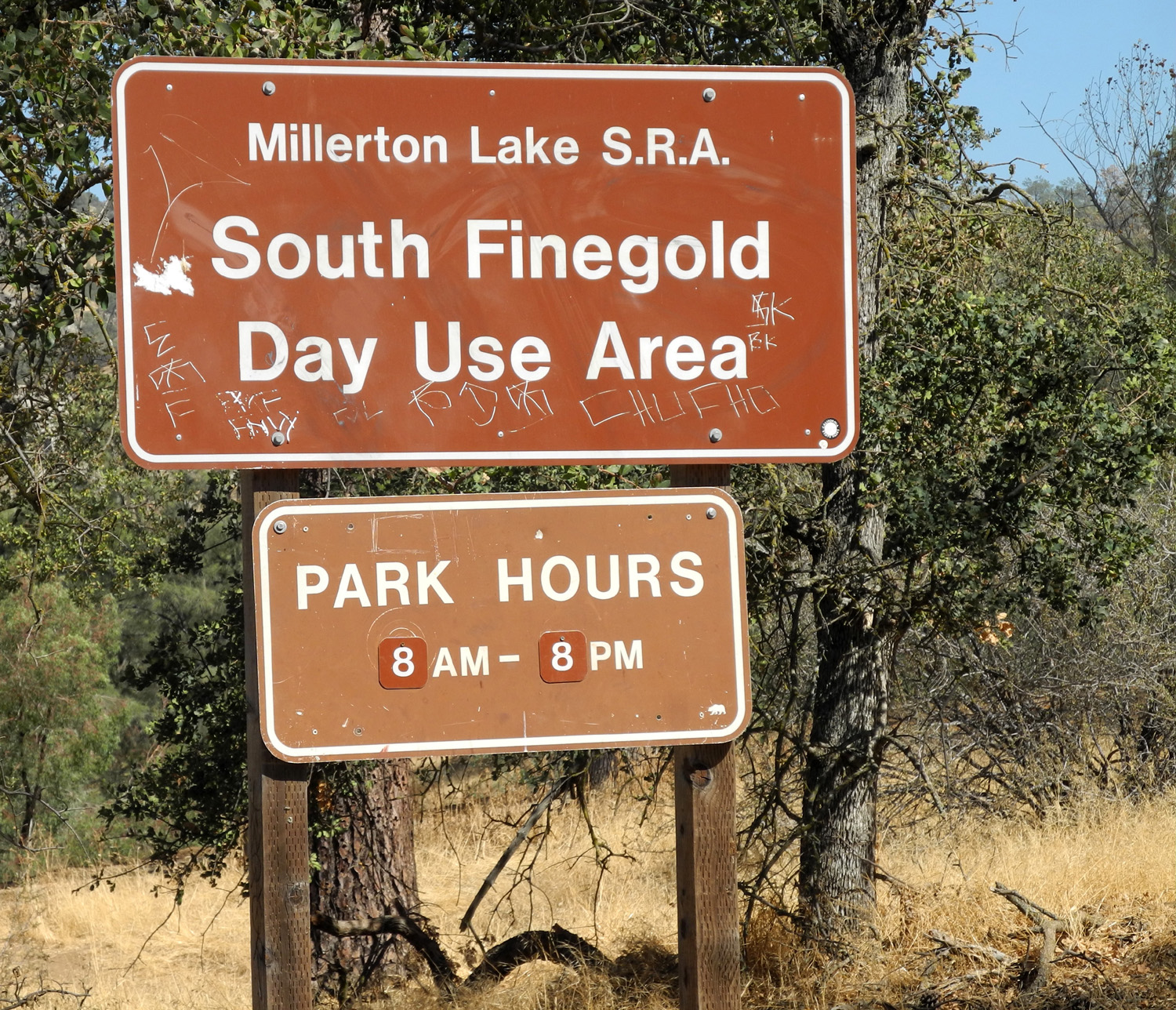
I had already researched this trail and learned that it is 14 miles from the Finegold trailhead to the San Joaquin Gorge trailhead, meaning there is very little likelihood that I will ever hike the entire trail (some sources say 11 miles, still beyond my capacity). The recommended way to do this route is to have a car at each end, and hike from the Gorge to Finegold, which gives you more downhill hiking. On October 8, 2012, I made my first hike from the western end of the trail. The beginning of the trail is quite steep in places, and the section that I walked was almost all up hill. Once I got settled in, which I define as “my leg pain is distracting me from my back pain,” it was fairly comfortable walking. Of course, I stopped a lot of times to rest and take pictures. Eventually I reached a saddle where there were trails going in five different directions. I expected the trail to more or less parallel the lake, but what looked to be the main river turned abruptly north, and the main trail turned abruptly south. There appeared to be a small creek entering the lake from the south. Two of the “trails” were just narrow paths to a viewing place, and the other went east up to the highest point of the ridge. At this location there was lake on both sides of me, so it was obvious that if the ridge trail kept going, it would go into the water. I thought that the water on the east and south must be the Finegold Creek branch of the lake, but a look at the map revealed that what I thought was the northern section of lake was actually the creek. I continued up the ridge to a “trail closed” sign where I could see that that the water did indeed go through a very narrow gorge on the other side, east of the trail junction. I spent quite a bit of time here, since the main trail started down the other side of the ridge, and I did not want to do anymore uphill hiking on the way back. I did get a lot of exercise at this spot trying to take a self-timer photo of myself. With no tripod, I set the camera on a rock, but it took about five tries to get it aligned so that I could trip the shutter and walk briskly up to the spot where I wanted to stand. The first four photos showed the surrounding terrain, but I was either outside the frame, or only partly in it. The trail is steep and rough enough that going down requires careful walking, so it was almost as much effort as up hill, but a bit easier on the lungs. The weather has been nice, and it was between 70 and 80, with a nice breeze a lot of the time. The terrain is very steep and rugged, but the trail is wide and does not present any danger to hikers who exercise normal caution. The vegetation is dried grass with lots of blue oak, bull pine, and some live oak, plus the usual shrubs and small plants. Although I did not see any wildlife except birds and squirrels, there was plenty of evidence of larger animals on the trail, another good reason to watch your step. The trailhead itself is a day parking area with a boat ramp, picnic
pavilion and restrooms, with a $10 fee for parking. However, the
gate was locked, so I parked along the road just outside the gate,
adding a few hundred yards to the walk. The Sky
When I got back to the trailhead I was a bit disconcerted to realize that the sharp bend in the lake that marked my farthest point was about two minutes by motor boat from the parking area. What I missed in horizontal distance I made up in elevation change. According to the Millerton Lake topographical map, the elevation is about 600 feet above sea level at the start, and 1,200 where the trail crosses the ridge. This is a fall and spring hiking area; walking it on a 100 degree summer day would be an invitation to heat stroke and dehydration. On the
way home I stopped at a produce stand and got some grapes. When I
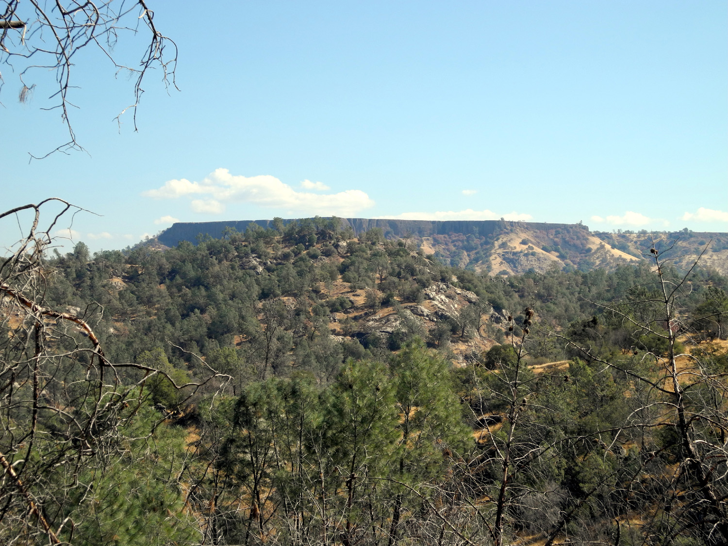
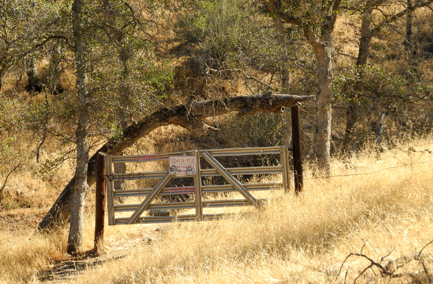
arrived back in More Finegold Hiking As often happens when I discover a "new" recreation area, I returned to this location two more times in the next few weeks. On October 29, a day even warmer than my day of hiking at the beginning of the month, I drove out to the trailhead. I did not plan to do any serious hiking; instead I walked over to the picnic pavilion, about a quarter mile from where I parked, and sat there reading for a while. The path to the picnic area had a fork going up the hill, so I decided to explore that. First I went down into the upper part of the lake bed and across a drainage, then up the bank where I picked up a trail heading up away from the lake. It went through a fence where there was a gate, but I did not go any further this day, instead returning to my car via a trail that went back to the picnic area path. I came back again on November 5 with the intention of going through the gate to find out where this trail led. I suspected that it was a "fisherman's trail" that would generally follow the lake shore, and allow access to the water at various locations. This was correct up to a point, but after a short distance, the trail turned up hill away from the lake. Actually the first part of this hike had a lot of up and down, but the trail became increasingly hard to follow, and there were any number of "competing" trails that looked almost as good as what I determined to be the "main" trail. Eventually I started up a wrong fork, since the best-looking trail was blocked by fallen trees and brush. This trail completely disappeared in a short distance, so I accepted the need to clamber over logs and through brush, and made my way to the clearer trail. This followed the drainage up hill, and at this point I began hoping it would connect with the "real" trail so I would not have to return by the same route. As I got higher up the hill it became more and more obvious that I was reaching the top of the ridge that the main trail crosses, so when I had to choose between a fork that continued up hill and one that seemed to follow the contour of the land, I chose the steeper trail, and eventually came to the "opposite" side of the "Trail Closed" sign that marked my farthest travel on the first hike. A few hundred feet more took me to the top of the ridge, about a hundred yards from the saddle where the main trail comes in. I enjoyed the view and a nice rest, and tried out the panorama feature on my new camera, getting a couple of good scenes of the lake and table top mountains above it. These table tops parallel the river, and I've seen them many times from the opposite side, driving up Auberry Road, so it was nice to get a different perspective. As it turned out, this latest hike of the season was also the warmest, with unseasonable highs in the low to mid 80s the first few days of the week. A big cool down was predicted, and indeed took place, with the high four days later topping out at 62. On my way down the trail I encountered one of my favorite foothill creatures, a tarantula. When my grandson Mikie was younger, he and I would go out every fall and look for tarantulas, and he would take one home. These days are behind us, but we both still enjoy encountering one of these delightful spiders. Bower Cave I remember reading in the Mariposa Gazette In 1953 about Jon Lindbergh (son of the famous pilot) and a diving exploration he made of Bower Cave, in northern Mariposa County. The cave contains a large waterway of unknown dimensions. Lindbergh did not go very far into the cave, since he had no diving partner, and was not fully familiar with the Aqualung, which had been invented only ten years earlier. That was probably the last I heard of Bower Cave until some time in the last year or two, when Caroline Wenger Korn, a friend who was in my high school class, mentioned something about "trying to protect Bower Cave," either in an email or a newspaper article; can't remember exactly now. I had some vague memory that her family had owned the cave at one time, so I sent an Email asking about it. Her answer provides more information about the cave than I ever knew and probably more than I can remember: Caroline:
Thank you for asking about the Cave. Like you, many people have
heard of Bower
Cave
but have had no chance to see it. My family owned 860 acres
surrounding the Cave, an American Indian sacred site known as Ootin
(pronounced Oh oh tin), since gold rush times. My uncle and aunt
remained on the ranch and continued as guardians and guides to the
cave into their 90s, even after it was sold upon the death of my
grandmother. I spent summers there with them and with my father
helping them. An
agreement in 1991 among the Linkletter family who then owned it, the
US Forest Service, the Conservancy for Public
Finally
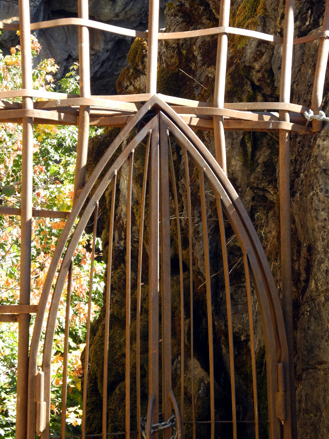
last fall the Forest Service, working with us (Friends of Bower
Cave) and the Mariposa Indian Council, installed a barrier gate at
the Cave entrance. That has a good chance of keeping irresponsible
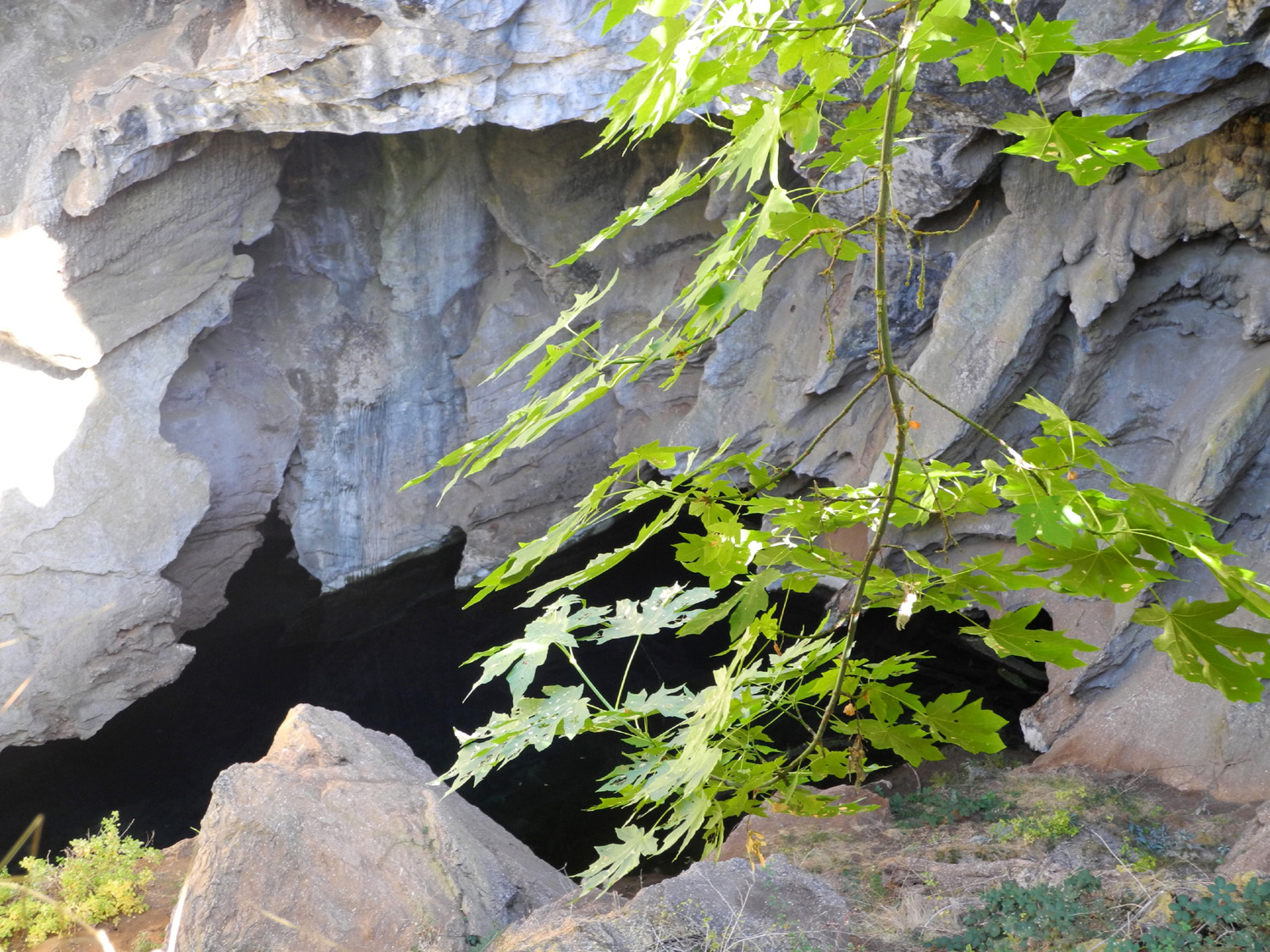
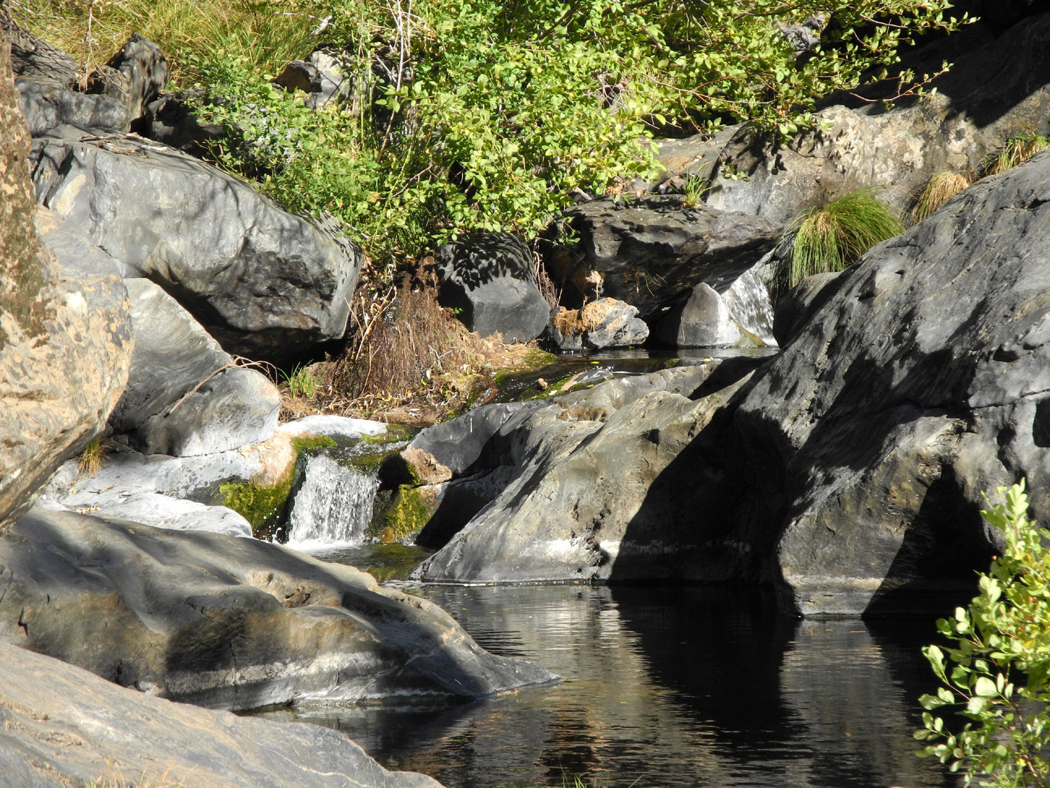
people out. But it is such a beautiful and important site. It may be the most extensive underground waterway in the western United States. Our next goal is a set of interpretive signs that explains why it is sacred to American Indian people and is of scientific and historic concern. And, because it belongs to all of us it's important to cherish and protect it. However, unless people can visit the Cave, they have shown that they resent being kept out and react. The stairway into the Cave should be replaced, an unobtrusive way for elders and others who can't use the stairs should be found to provide a way to experience being in the heart of the earth, surrounded by a garden of ferns and wild flowers and the cascading song of canyon wrens. An ideal would be an interpretive center with 24/7 presence and Forest Service docents. What a career opportunity for Miwok young people--to serve as guides and interpret the Cave. The
whole Bower Cave Special Interest Area is unique. Diana Pool, a
short walk from the Cave, is a beautiful site to swim with a
waterfall and nesting water ouzels. If you ever have time I'd like
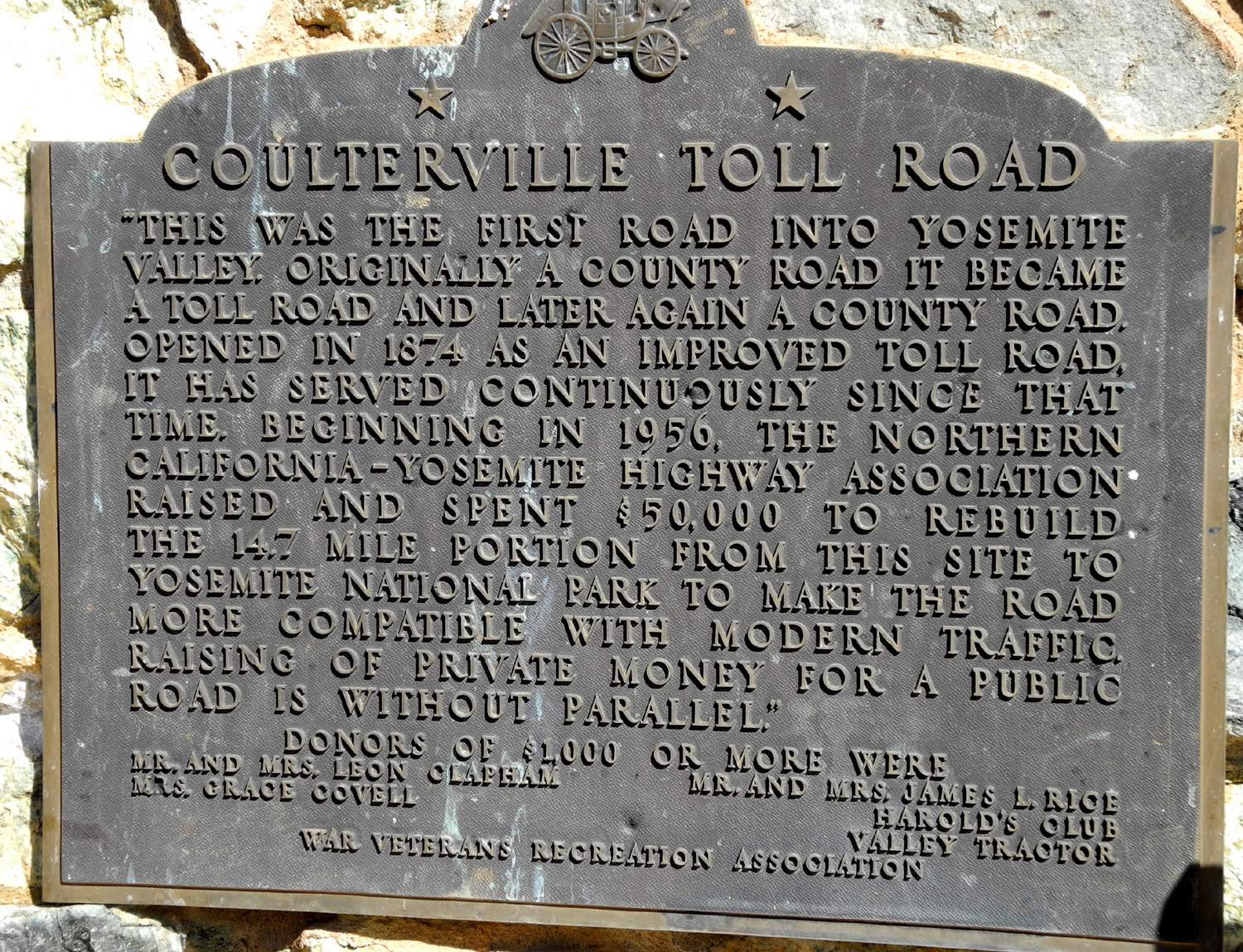
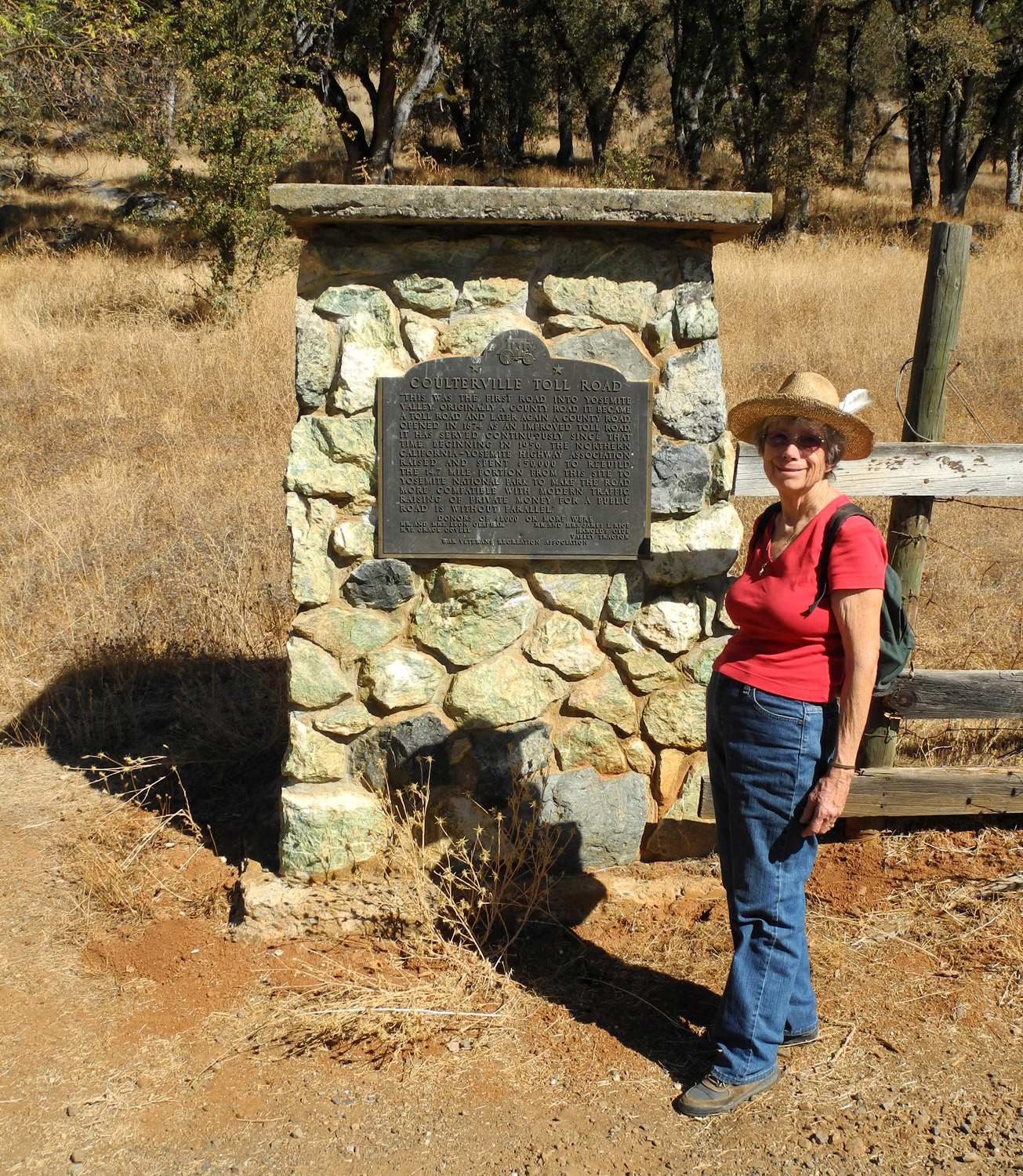
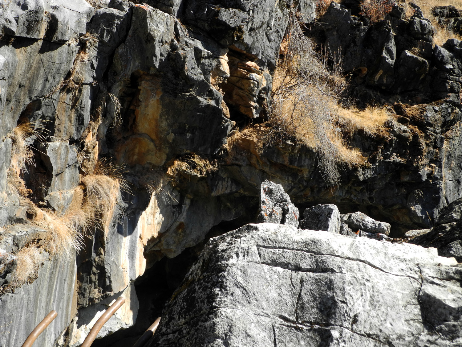
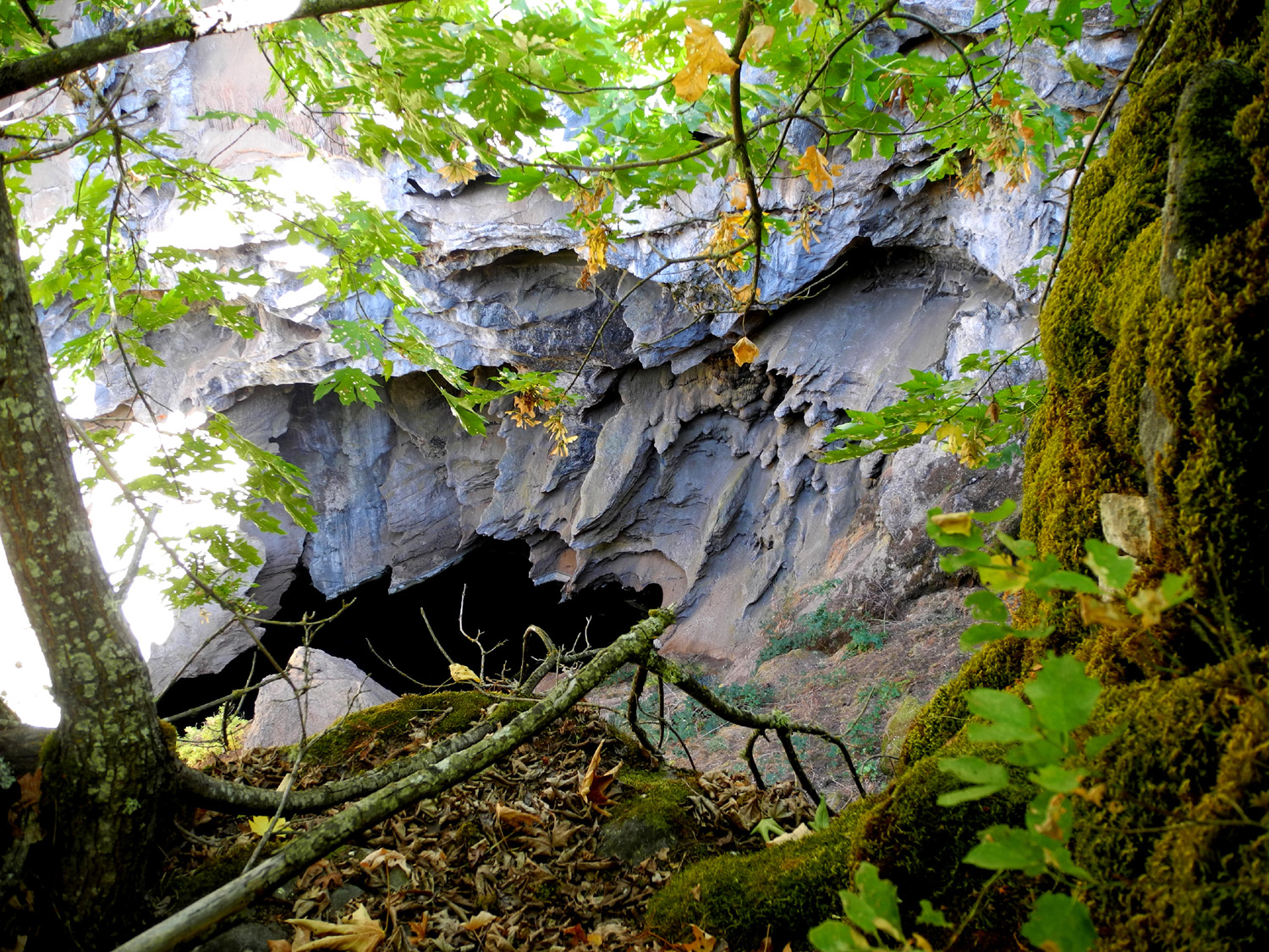
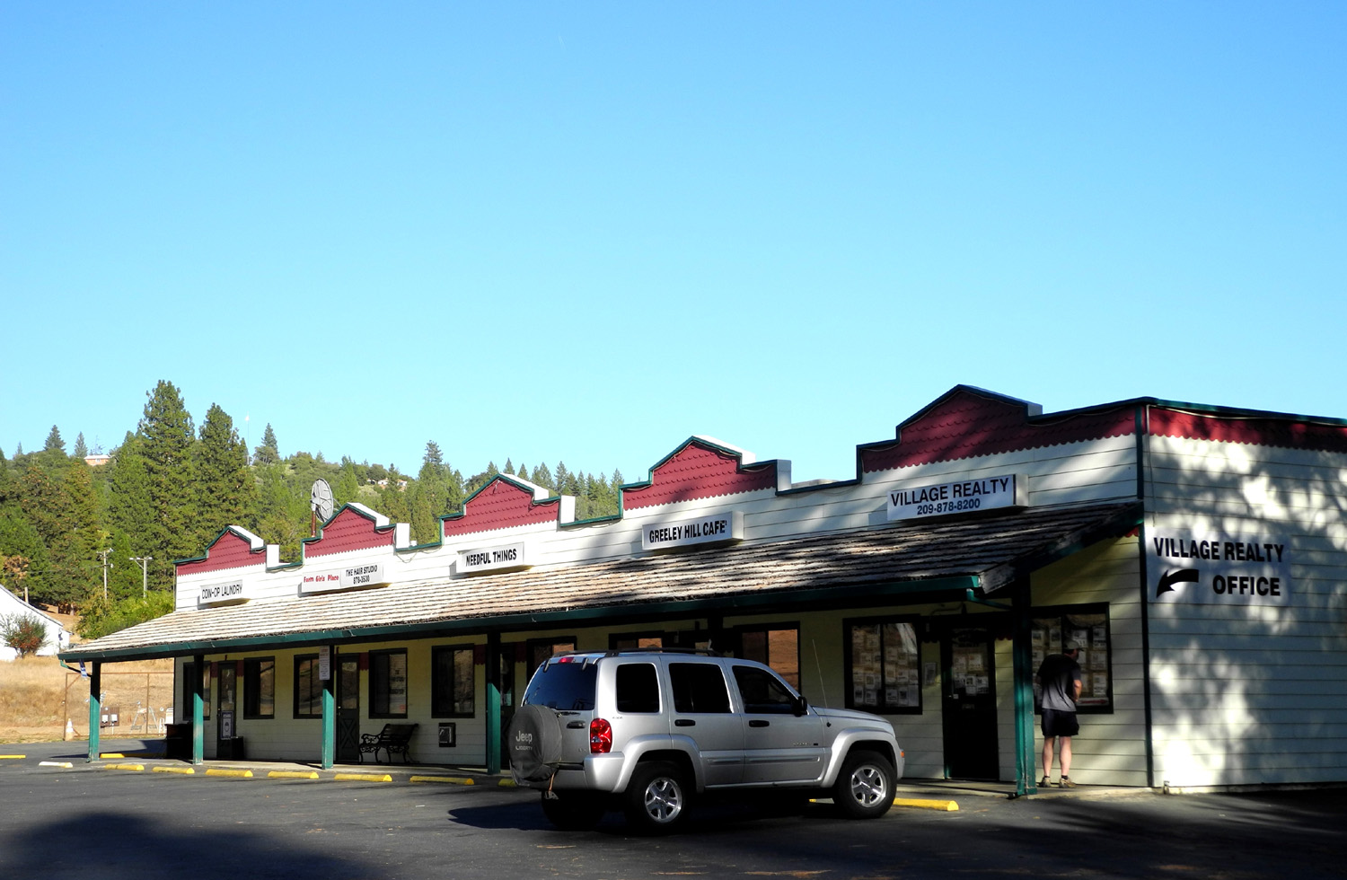
to take you to visit the Cave and the Diana. After discussion at the Alumni Breakfast in September and several Emails back and forth, we agreed on October 17 for our visit, since it should have cooled down quite a bit by then. I left home about 9:30, drove west across Fresno on Herndon to Highway 99, and then to Plainsburg Road, which connects State 99 to State 140 at Planada. From there it's a fairly short distance to the Mariposa County line, where the hills begin. With construction causing a big slowdown the last five miles or so of my trip, I arrived at Caroline's in Cathey's Valley about 11:10. She brought a picnic basket and we took my Honda farther up Highway 140 to the Agua Fria Road, which cuts across to State 49, bypassing the town of Mariposa, but passing right through "downtown" Mt. Bullion. A few miles beyond the road goes through Bear Valley, drops down to the Merced River and the upper end of Lake McClure, then climbs back over another pass and down to Coulterville, a once-thriving gold rush town that is the business and social center of northern Mariposa County. After this point I was traveling roads I had never been on in my life, and paid my very first visit to Greeley Hill, about six miles from Coulterville. Some distance beyond this, on a back road that leads off another back road, we came to a stone monument with a plaque commemorating the Coulterville Toll Road, the first road into Yosemite Valley. Near the plaque, without benefit of any kind of sign or marker, is a narrow trail that goes up hill a short distance to the entrance to Bower Cave. The elevation in this area is probably about 3,500. There are ponderosa pines, but also a lot of brush and dry grass. We had a warming trend in mid-October, and it was about 85 degrees there. Even without the gate, it would be dangerous to enter the cave. The entry area is basically a hole, with no easy way down. And of course, the cave is partially filled with water whose extent is unknown. Caroline said we would go to a spot where there was a better view down into the entrance, asking "how are you with poison oak?" I think I am resistant to poison oak; haven't had any for decades, but of course, I don't deliberately touch it. Our route to the better view was a short scramble through some rocks and brush, some of which was poison oak, but it was easy to avoid most of it. And the prize was worth the effort - much better views of the water and some typical cave features on rock that has caved in during recent times. You have to see the pictures to understand. We had rocks to sit on along with our view, so we stayed there a while, discussing the work that had gone into protecting the cave (the chain link fence is several hundred yards long and goes up and down steep hills covered with trees and brush). Since the site is holy to Native Americans, they have considerable say about what goes on there, and they have indicated they would not object to a mechanical stair that would allow elders to enter the cave once more. When we were ready to move on, we went back down the trail to the road, then down hill away from the car, to the stream that crosses the road there. This proved to be the North Fork of the Merced River, and was carrying quite a bit of water considering how dry it was last winter. We followed a trail down to the Diana Pool, a large, deep natural swimming pool with a small waterfall running into it. We ate lunch here, and just sat and enjoyed the beautiful surroundings. We made our way back to the car and started back home. While we walked Caroline talked of spending time at the family home as a child; and her aunt telling how they used to keep meat in the cave, which is a constant temperature of about 47 degrees. There is nothing left of the house now except a small corner of the foundation. Since it was my first ever visit to Greeley Hill, we stopped there and took a few pictures. Just for the record it was a 60 mile trip from home to Cathey's Valley; 228 total round trip. --Dick Estel, November 2012 |
|||
|
Photos (Click to enlarge; pictures open in new window) |
|||
Lower Finegold Hike |
|||
|
|
|||
|
|
 |
 |
|
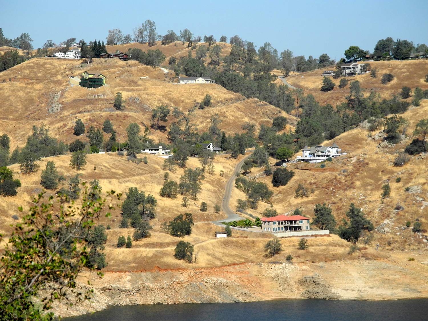
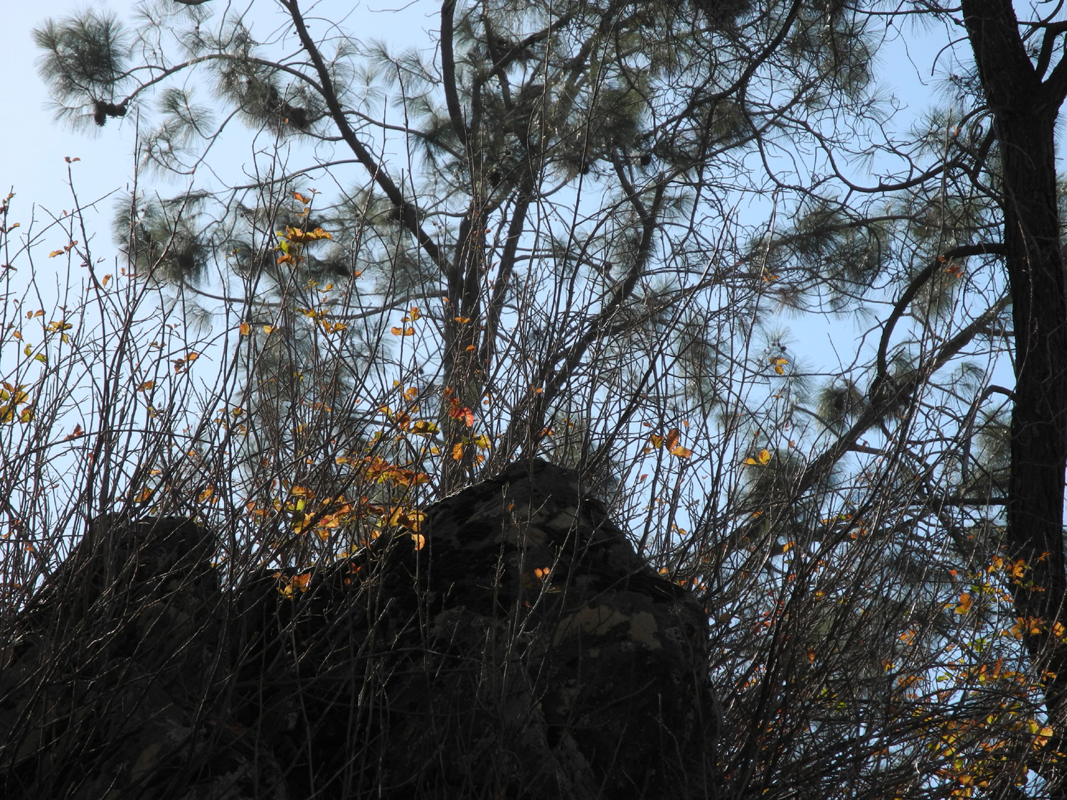
| Entrance to the picnic area | Houses across the lake | Fall leaves against a bull pine backdrop | |
 |
 |
 |
|
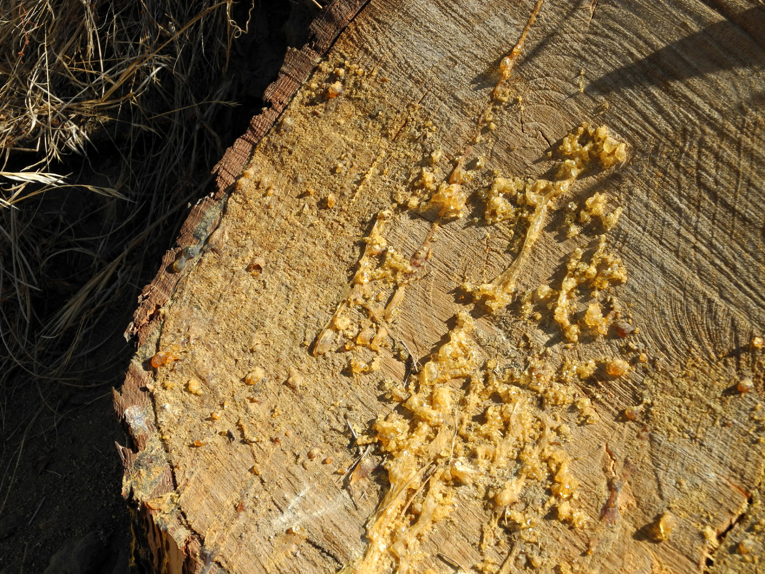
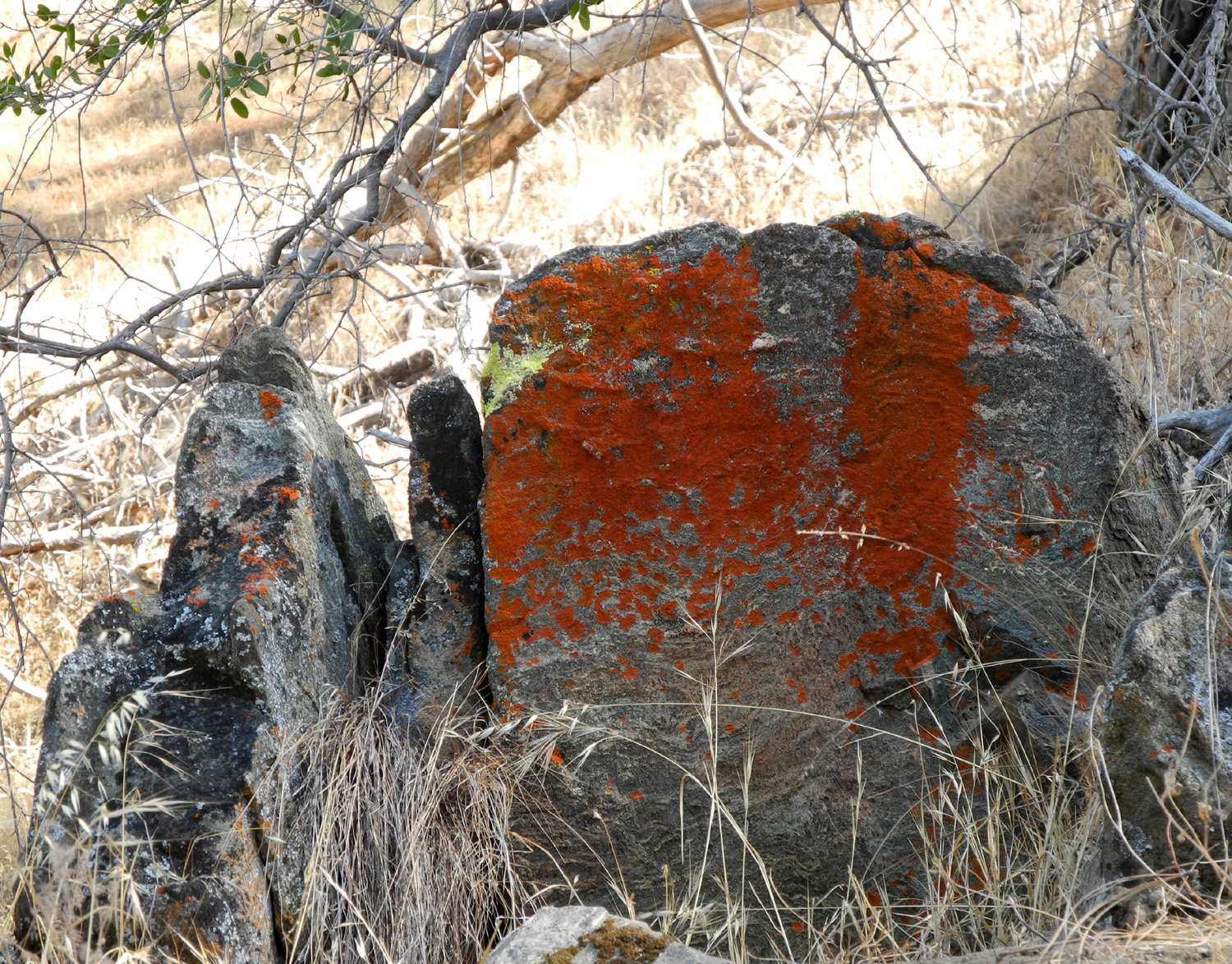
| Pitch oozes from a pine stump | A common foothill sight -
rock covered with orange lichen |
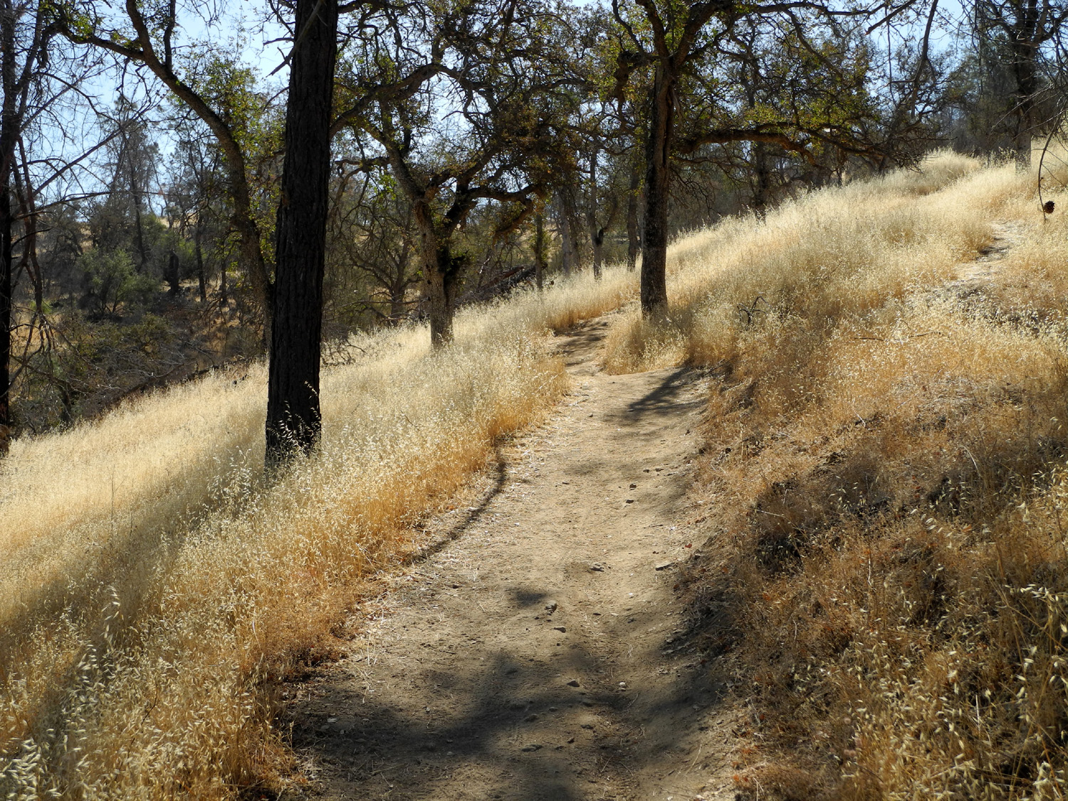
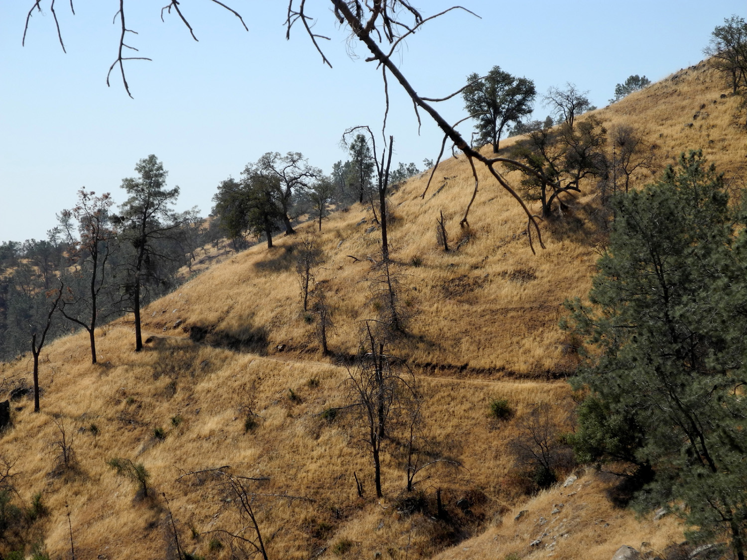
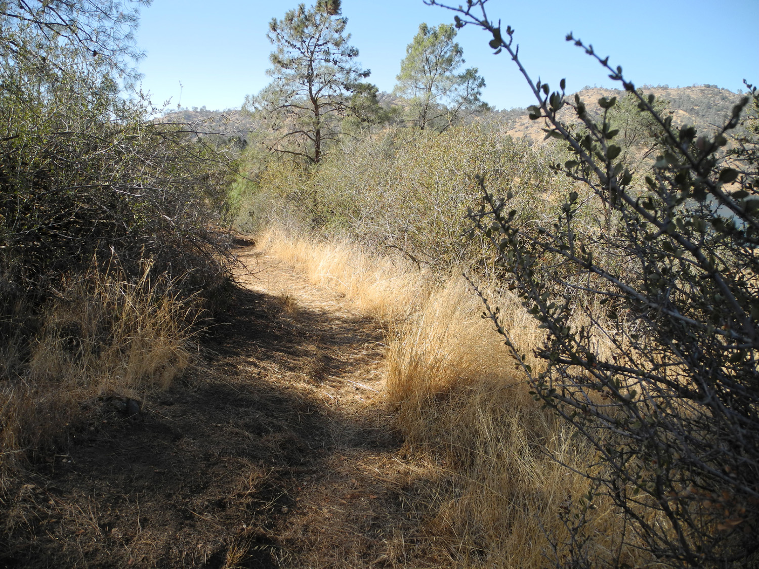
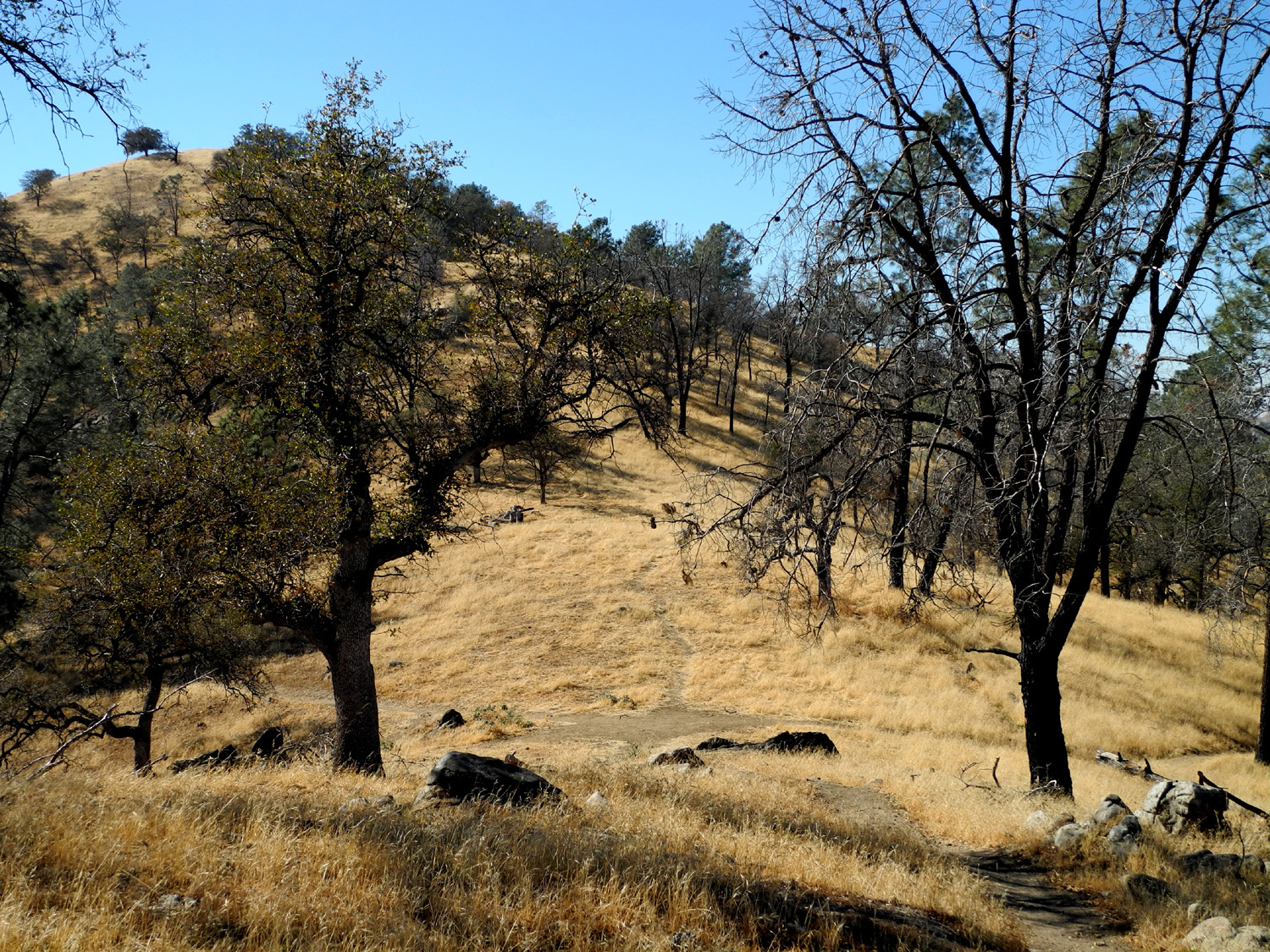
Looking up the trail | |
 |
|
 |
|
|
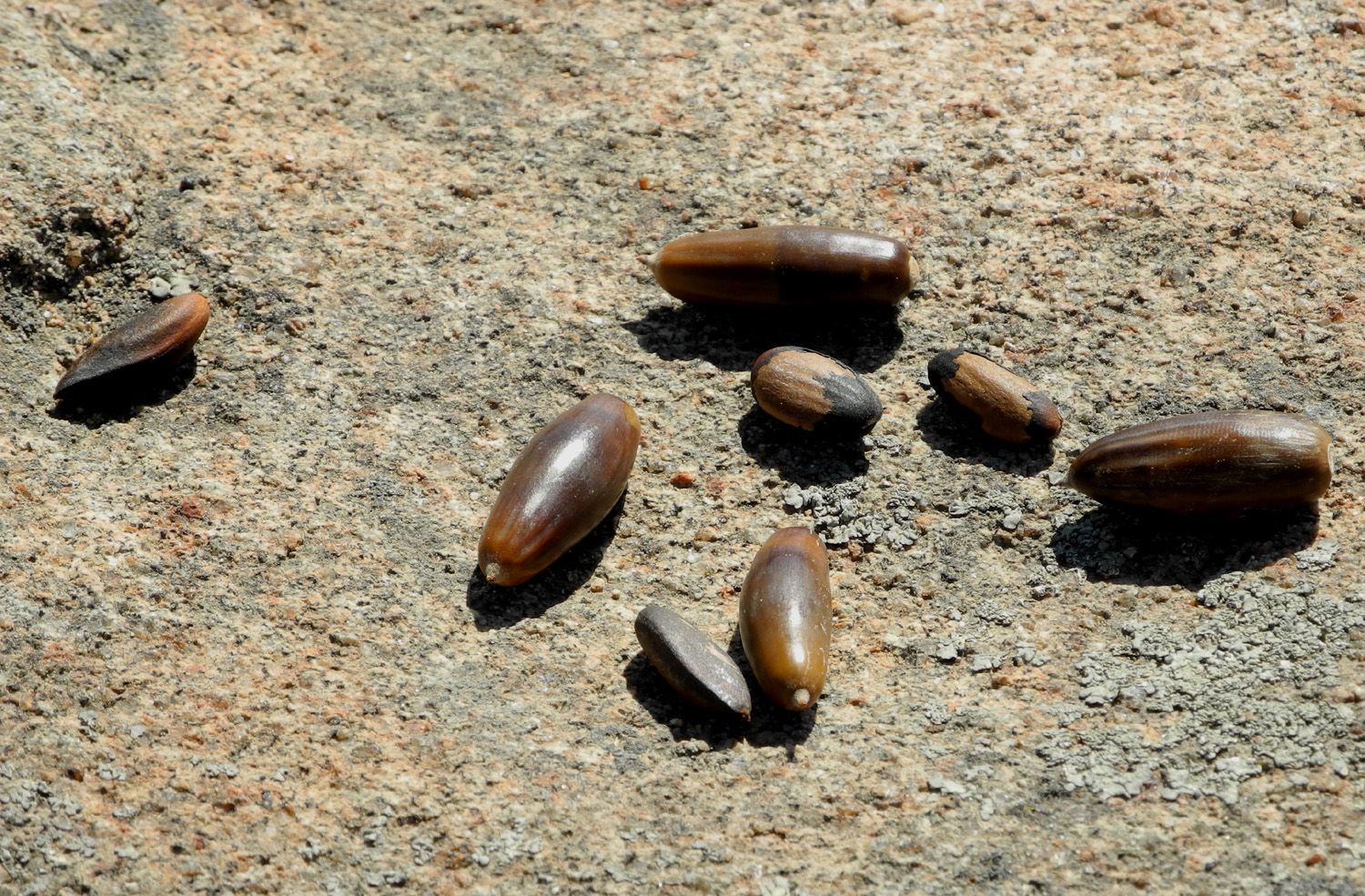
Acorns and pine nuts |
Small grove of blue oaks guards the trail |
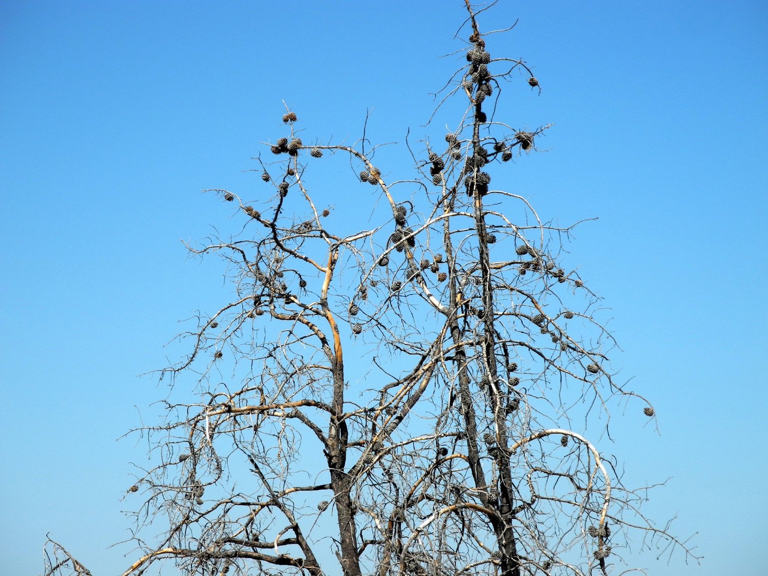
Cones on a dead bull pine | |
 |
 |
 |
|
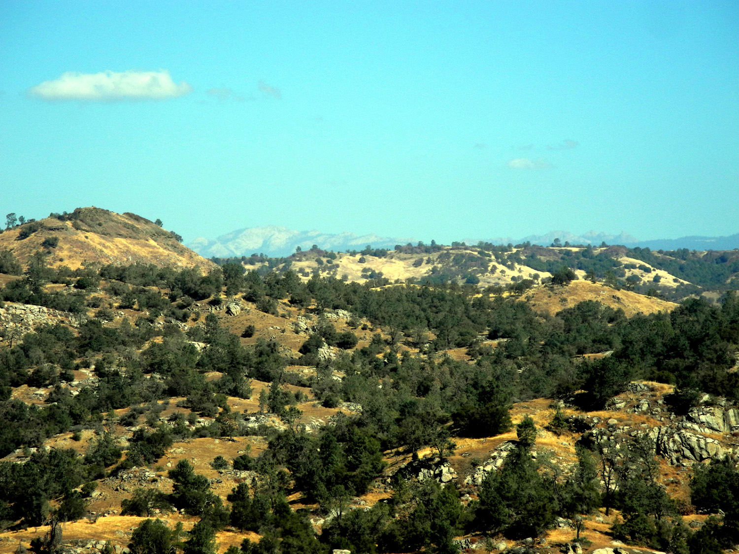
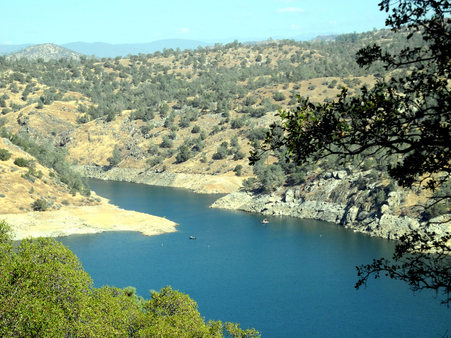
| Table mountains parallel the river in this section | Shuteye Peak in the distance | Millerton Lake and Finegold Bay | |
 |
 |
 |
|
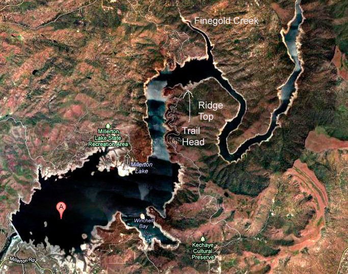
| A closer view of the bay | Lake from atop the ridge | Satellite map of the lake | |
 |
|
 |
|
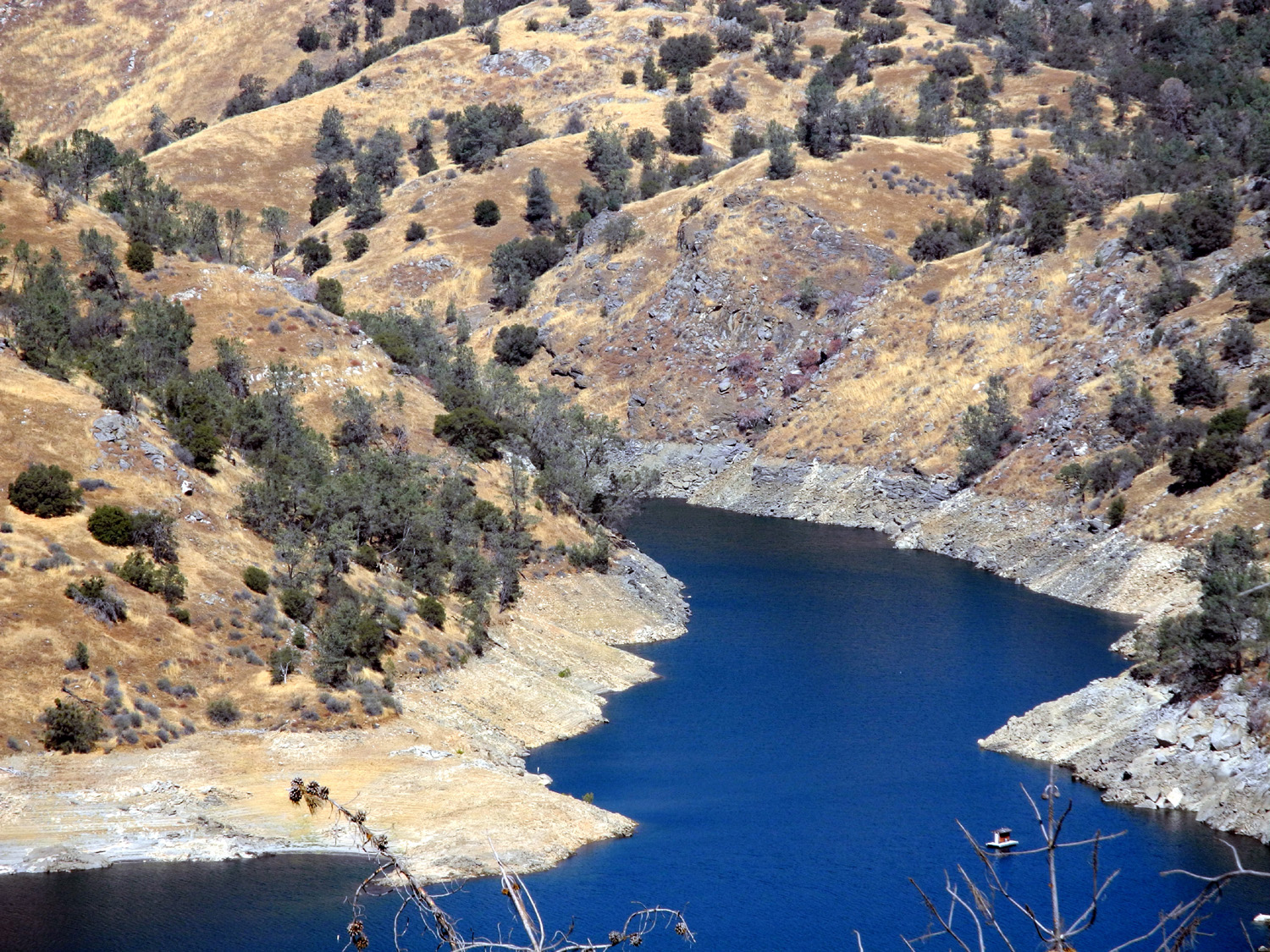
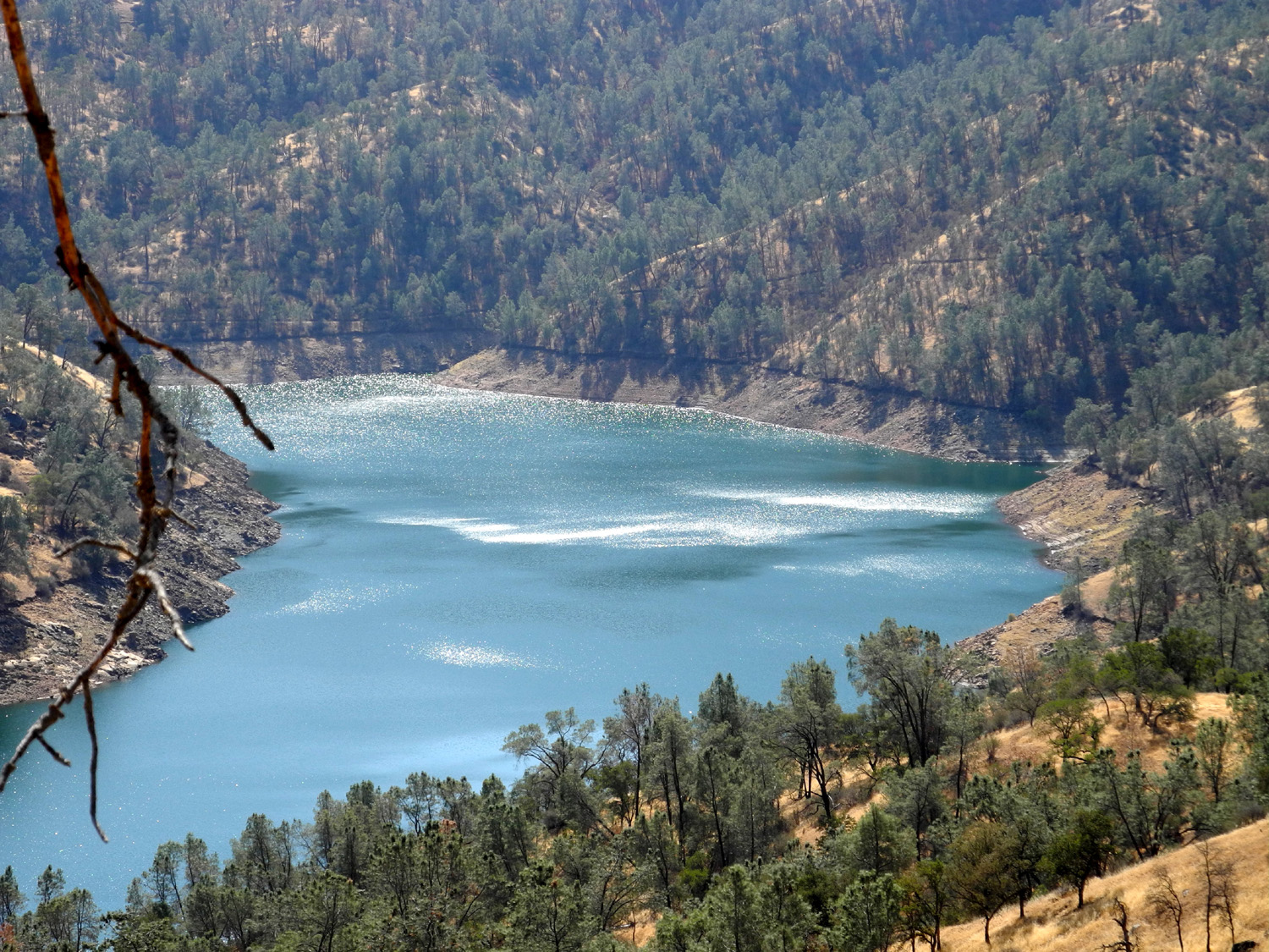
| Horseshoe Bend section of lake, south of the ridge |
Boat rounding Horseshoe Bend |
|
|
 |
 |
 |
|
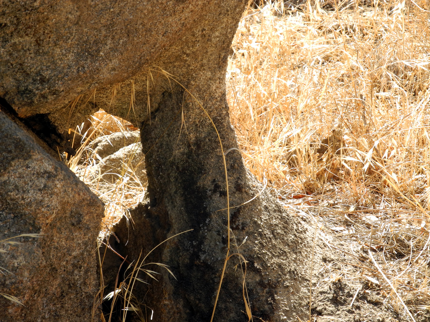
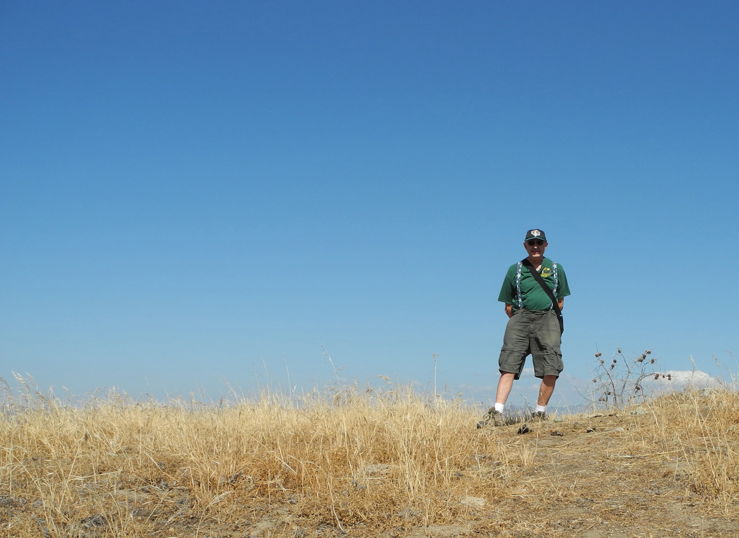
| Hole in the rock | Closed, but you can sneak in from the other side | Dick on the ridge | |
 |
 |
 |
|
| Start of the San Joaquin Trail |
|
The picnic area path | |
 |
 |
 |
|
|
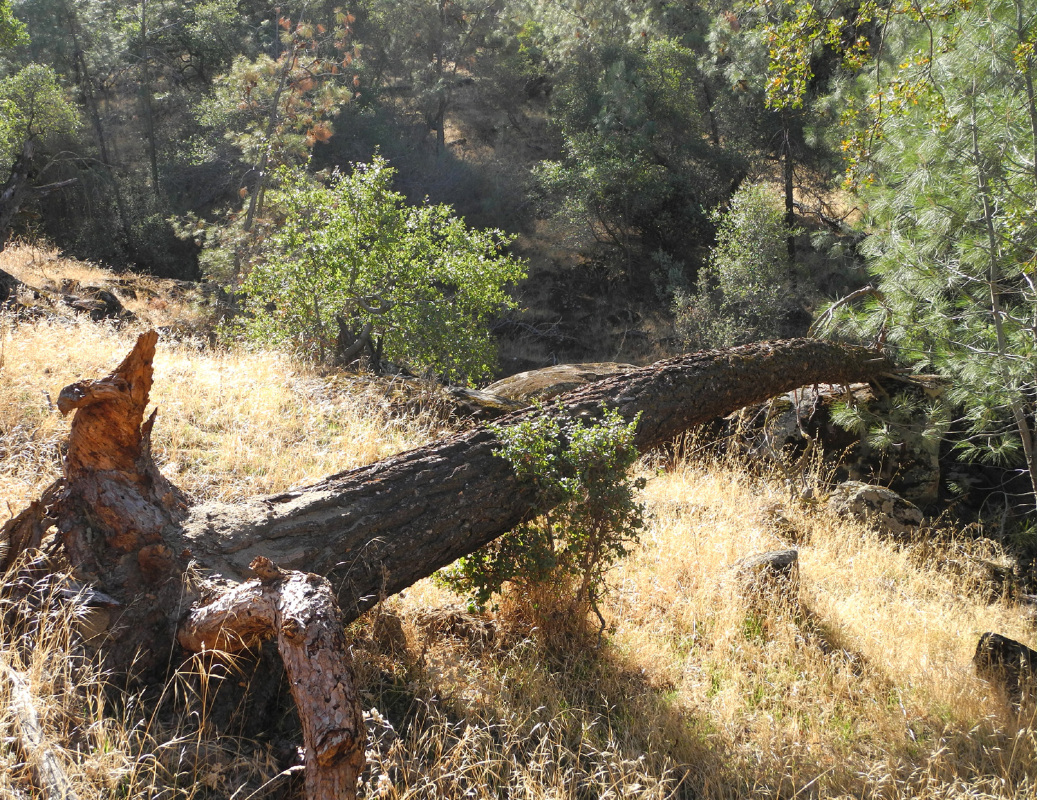
Fallen logs present a hiking challenge |
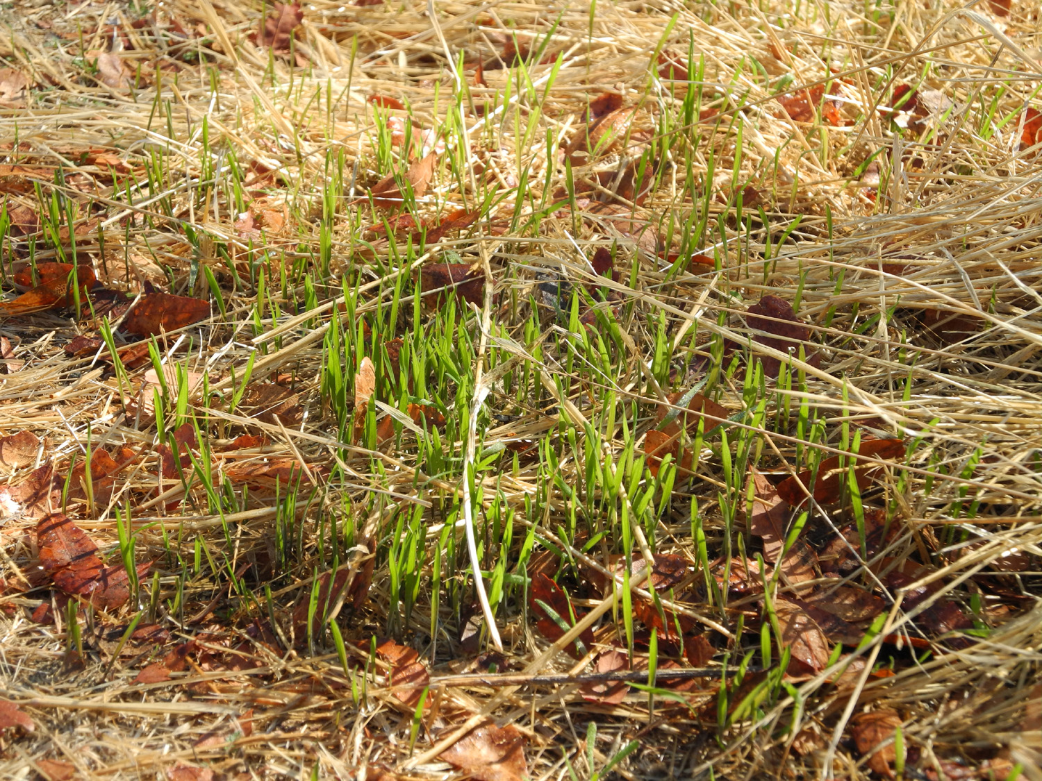
Recent rain started the new grass growing |
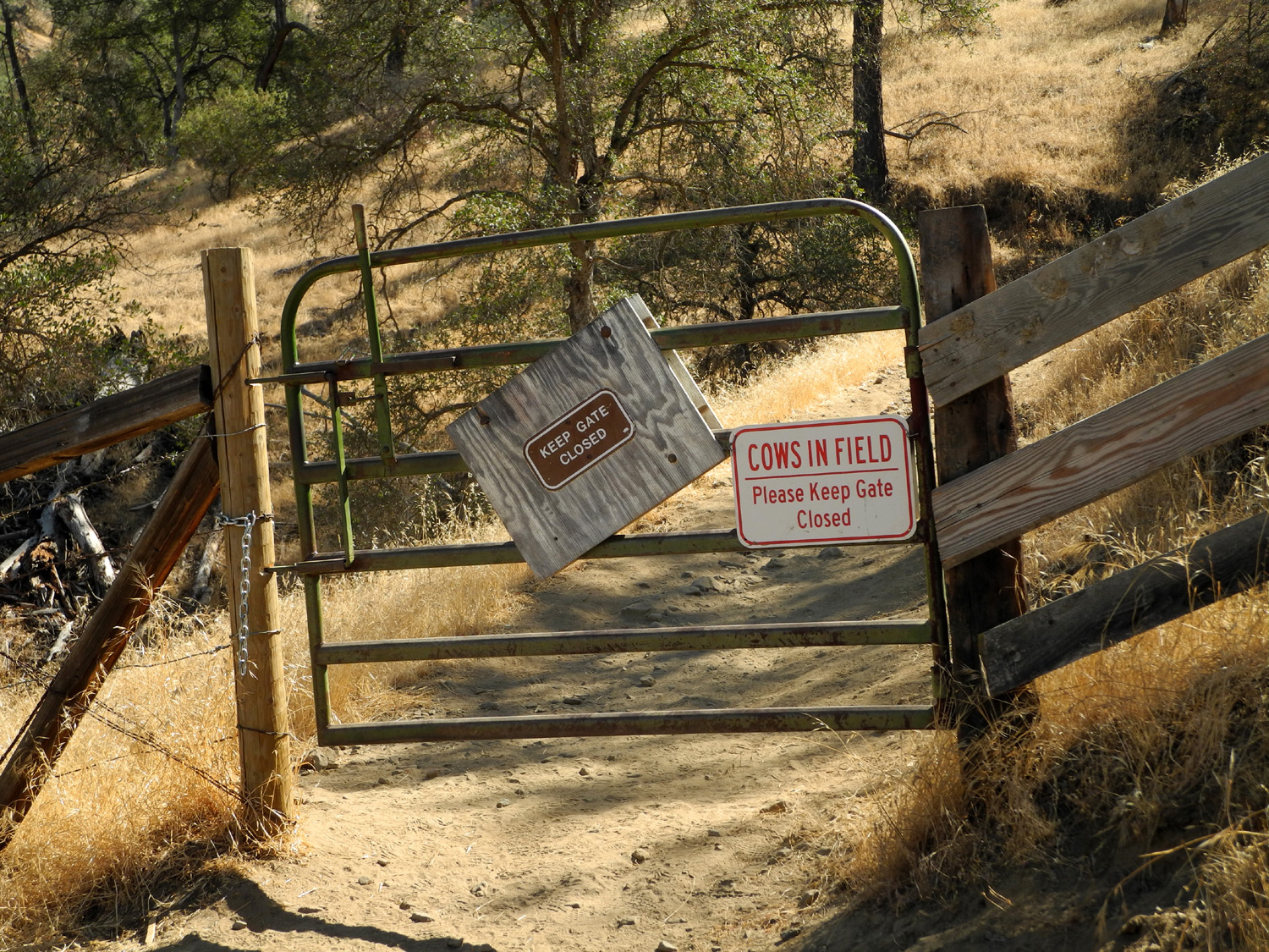
Gateway to a rough, steep climb | |
|
 |
 |
|
| Tarantulas go forth in the fall in search of mates |
The saddle where the |
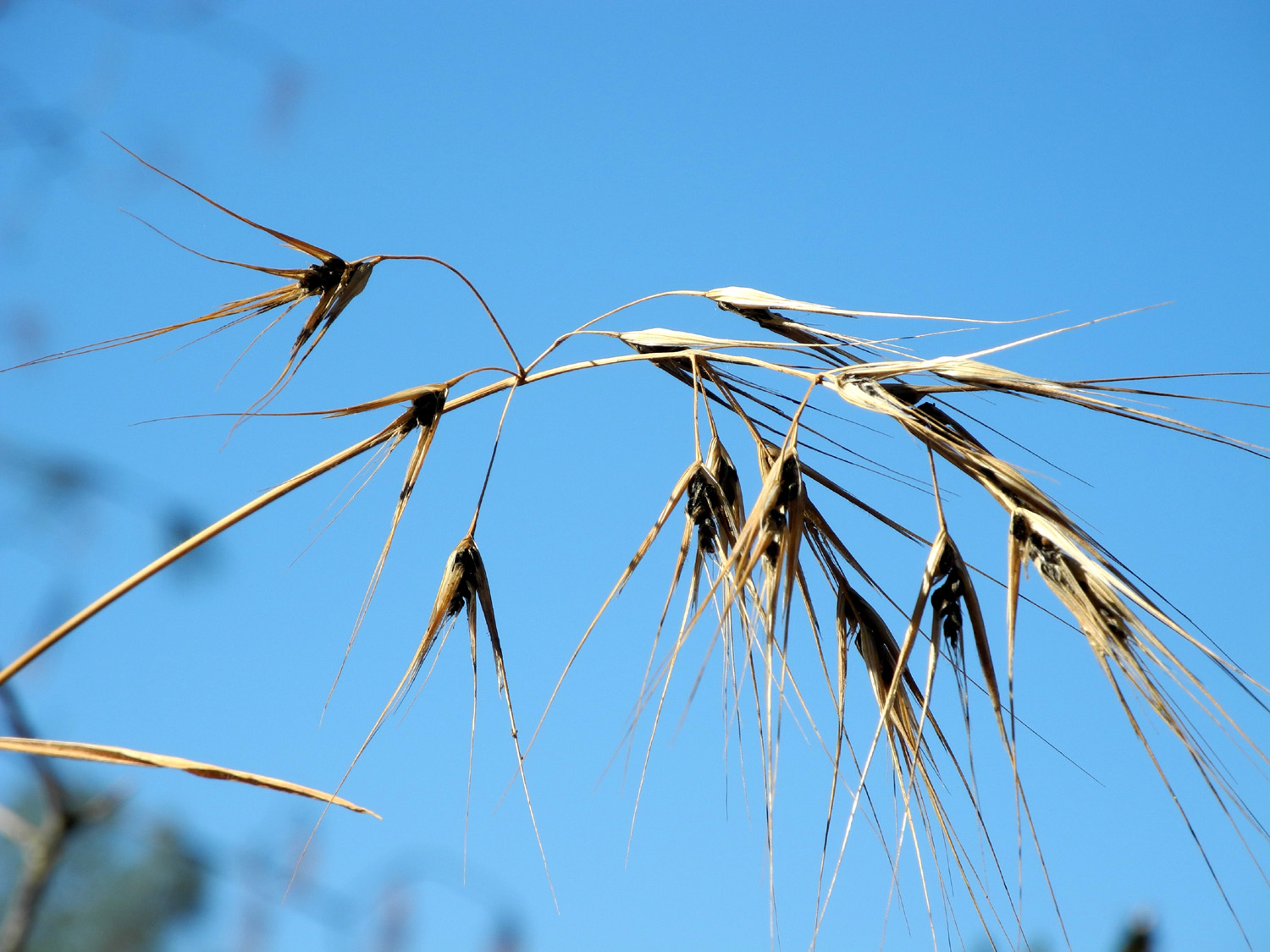
Wild grass seed | |
 |
 |
 |
|
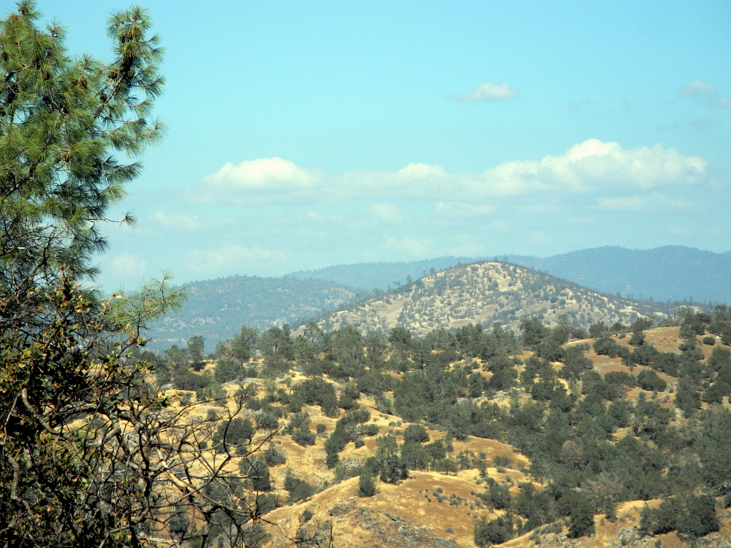
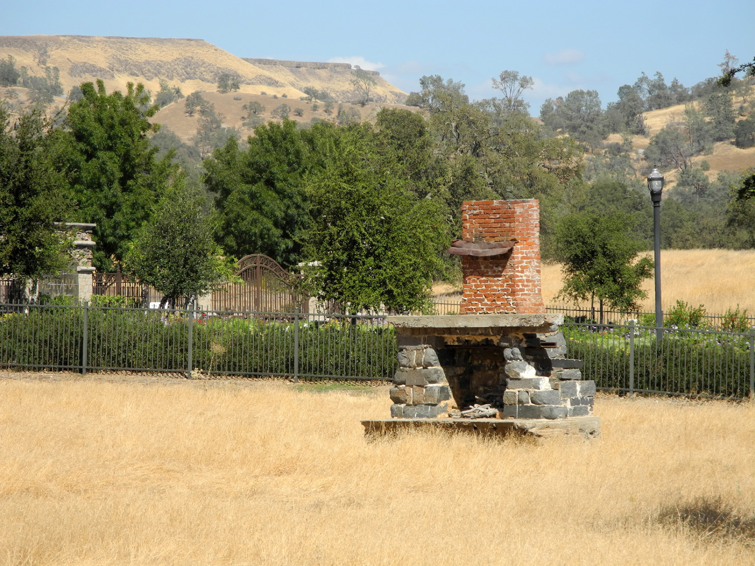
| Blackhawk Mountain | Old fireplace on Auberry
Road, surrounded by new development |
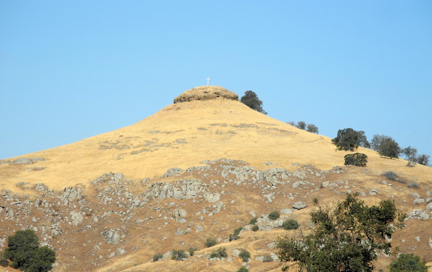
Basalt toped peak next |
|
 |
|||
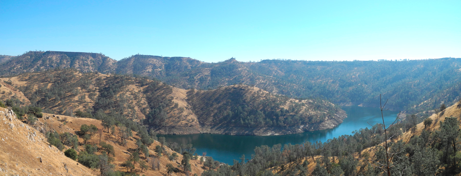
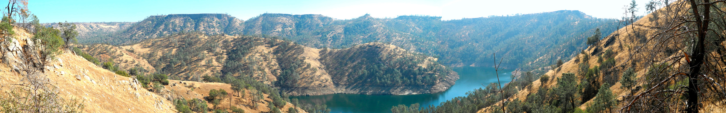
| Panoramic view of the lake and table mountains beyond | |||
Bower Cave |
|||
 |
 |
 |
|
| Coulterville Toll Road marker | Caroline at the marker | Cliff above the cave | |
 |
 |
 |
|
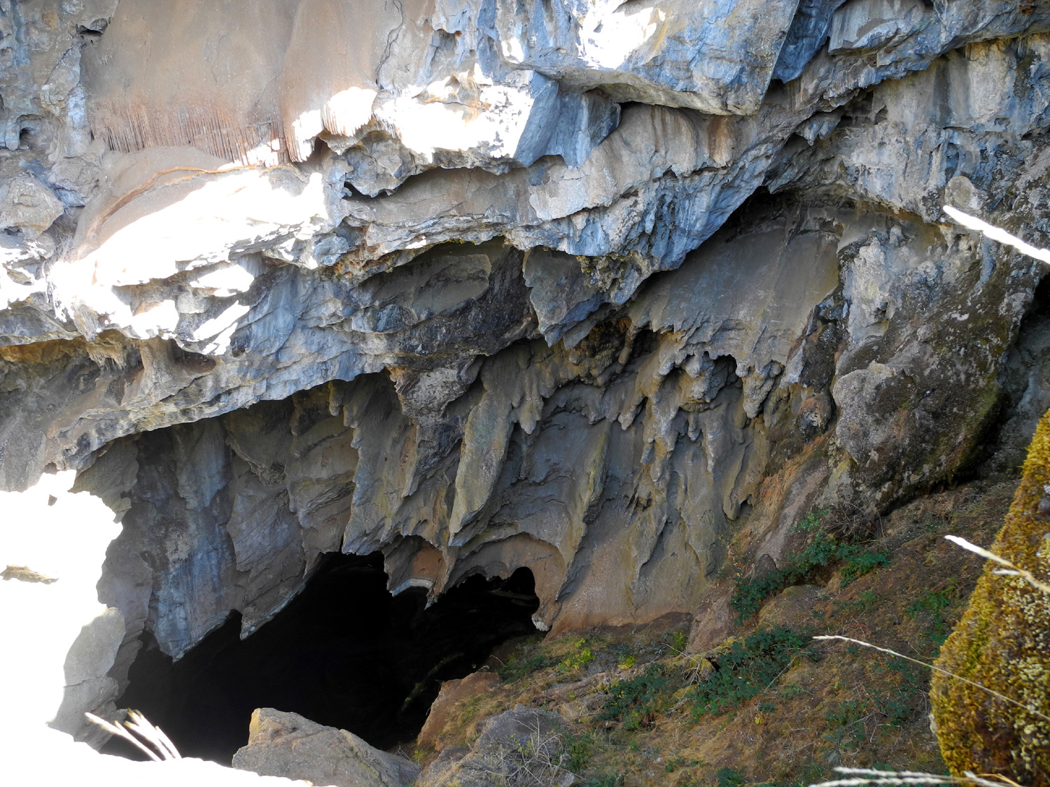
| Cave entrance gate | Looking into the cave | Cave and the water | |
 |
 |
 |
|
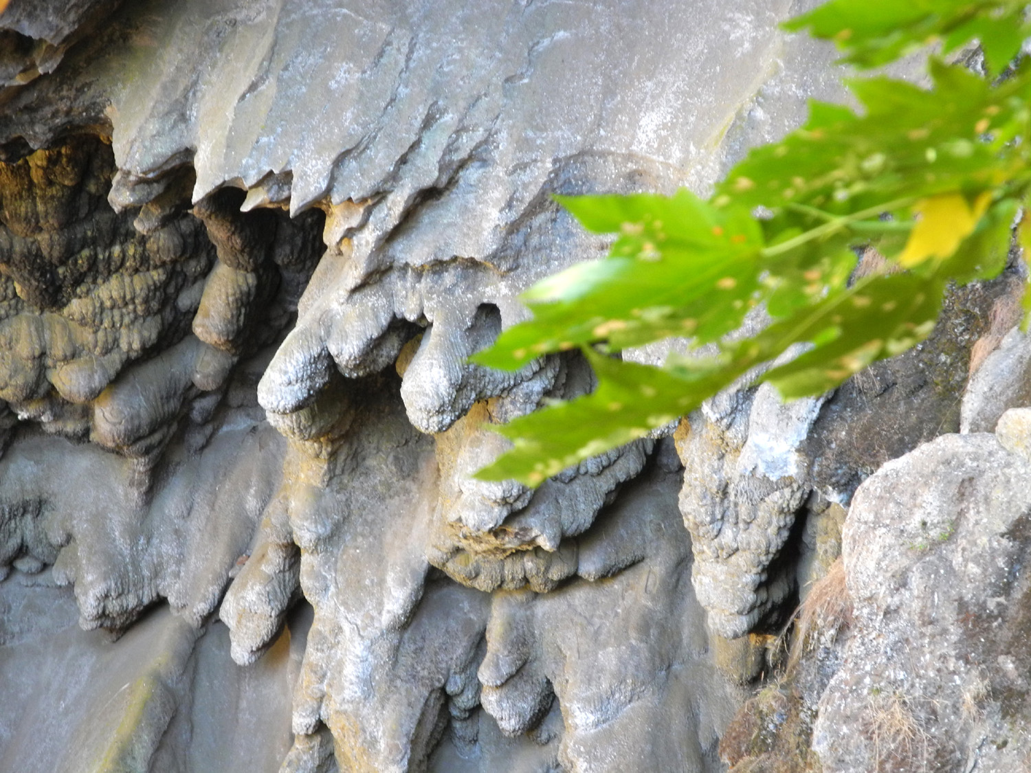
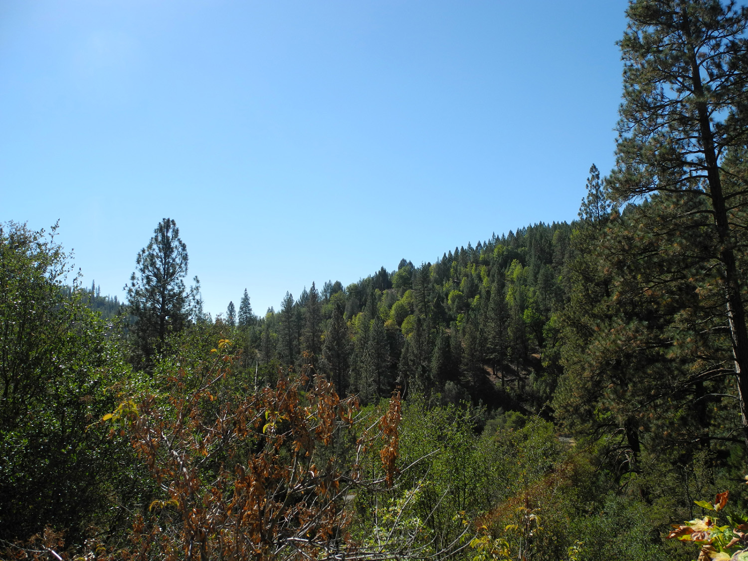
| Cave formations | A closer view | Area surrounding the cave | |
 |
 |
 |
|
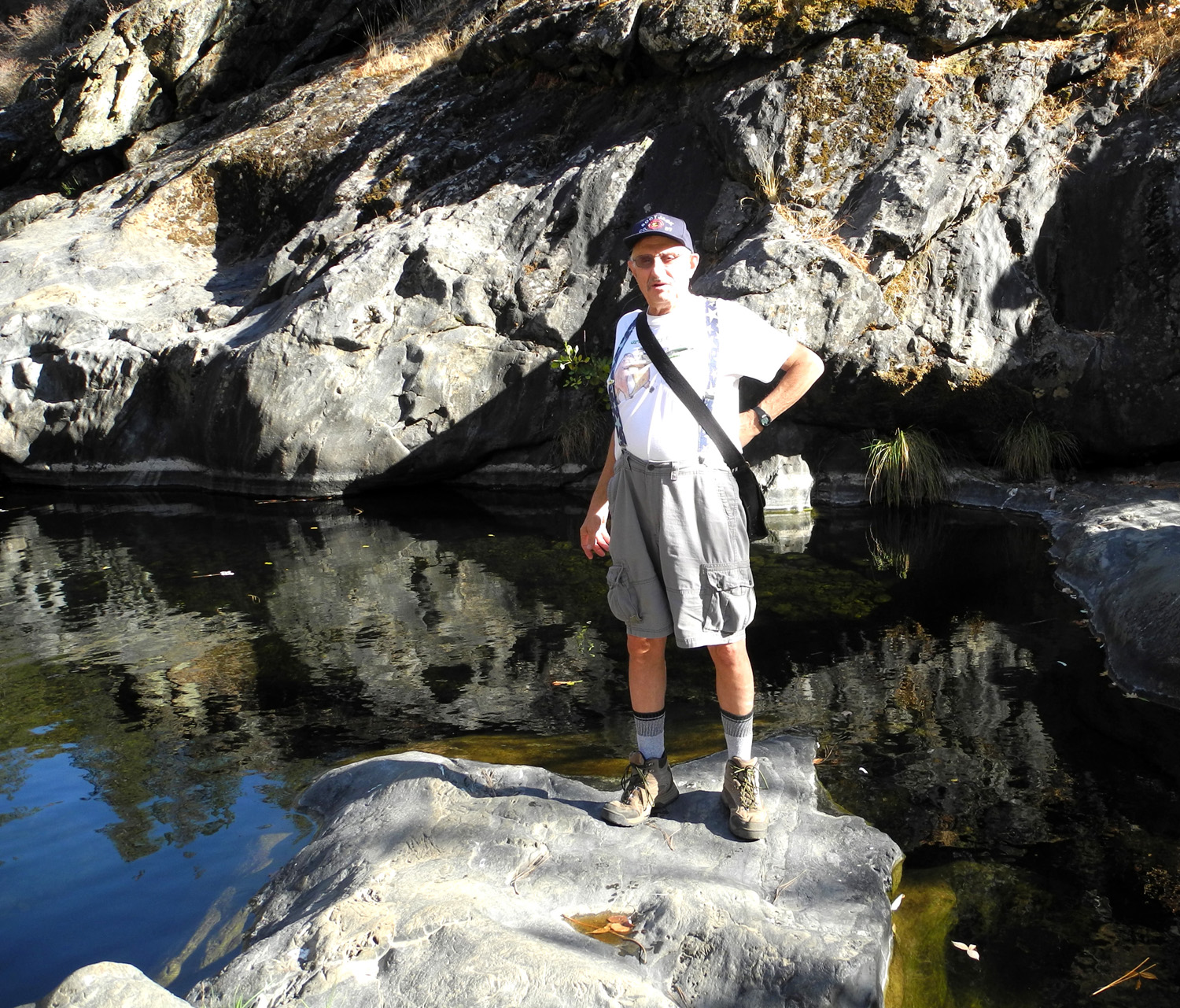
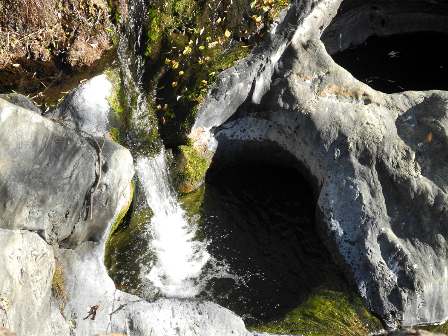
| Diana Pool on the Merced River, North Fork | Dick by the river | A small waterfall | |
 |
 |
||
| Along the trail to the pool | Downtown Greeley Hill | ||
| Related Links | |||
| Bower Cave History | North Fork of the Merced River | Jon Lindbergh | |
| Lake McClure | Coulterville | Greeley Hill | |
| Lake
|
Millerton State Recreation Area. | San Joaquin Gorge | |