|
Part
1
October
26, 2009: One of the things I had in mind when I switched
from a trailer to a motor home was that I would be able to take off
for short trips on short notice. In early October I vowed to put
this plan into action, and intended to go on the 12th. However,
there was a forecast for 100% chance of rain the next day, so I
decided to wait. This was a wise decision, since we had an unusual
amount of rain, over 1.5 inches, and foothill and mountain areas
received between 3 and 10 inches.
I
rescheduled my trip for the following week, and on October 19, with
minimal advance planning and loading only a few items, I started out
to go camping in the Sierra Nevada mountains near Bass Lake,
about 65 miles from home.
There
was a 30% chance of rain predicted for that area in the evening, but
the next day was supposed to be nice, and it looked as if I could
get settled in before any rain arrived.
However,
it was already cloudy when I left home about noon, and as I drove
north from Fresno on State Highway 41, the clouds seemed to be
getting lower. I usually have a back-up destination in mind in
situations like this, so about 20 miles from town I turned west for
a few miles on State 45, then followed county roads to Hensley
Lake, an Army Corps
of Engineers project, a little over 30 miles from home.
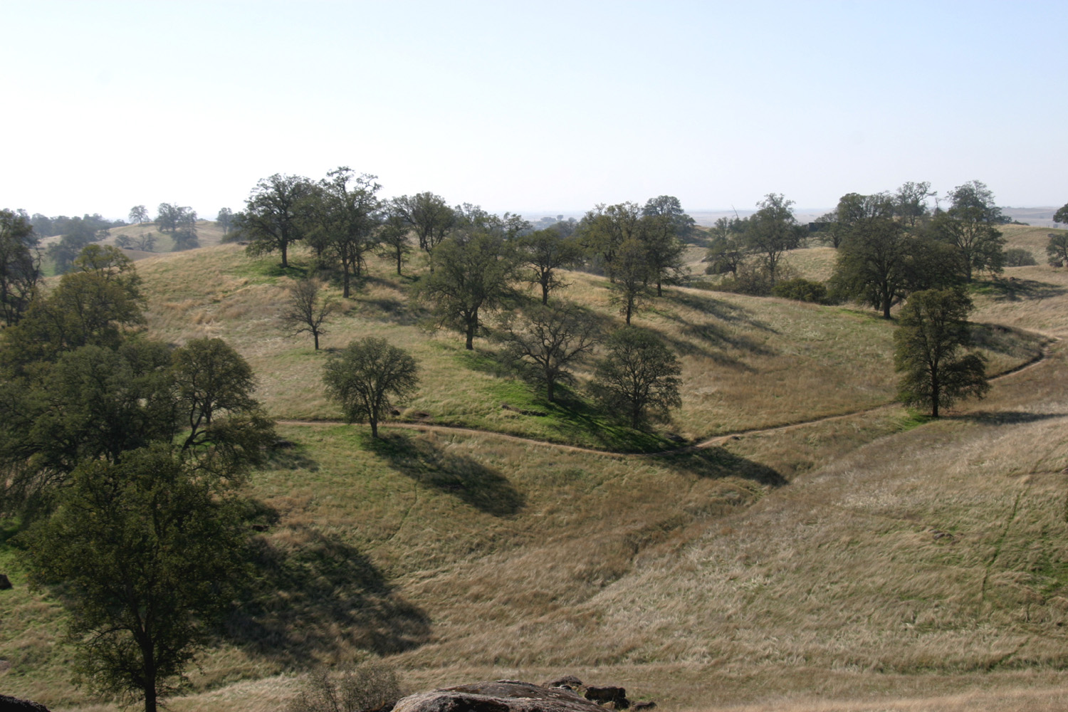
This
location is in the low foothills, probably about 1,000 feet in
elevation, so it's a nice camping choice for late fall through early
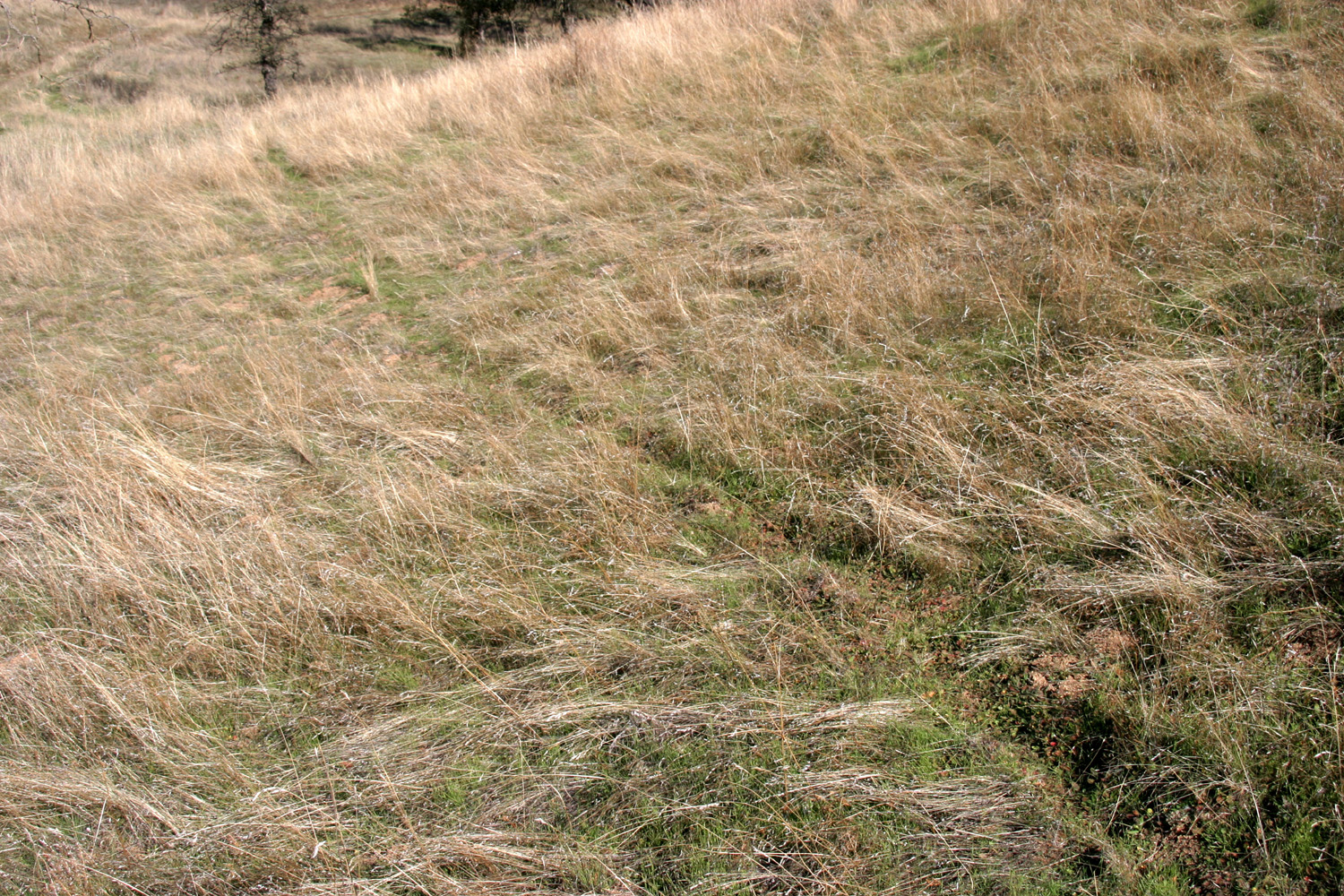
spring. Most of the area is blue
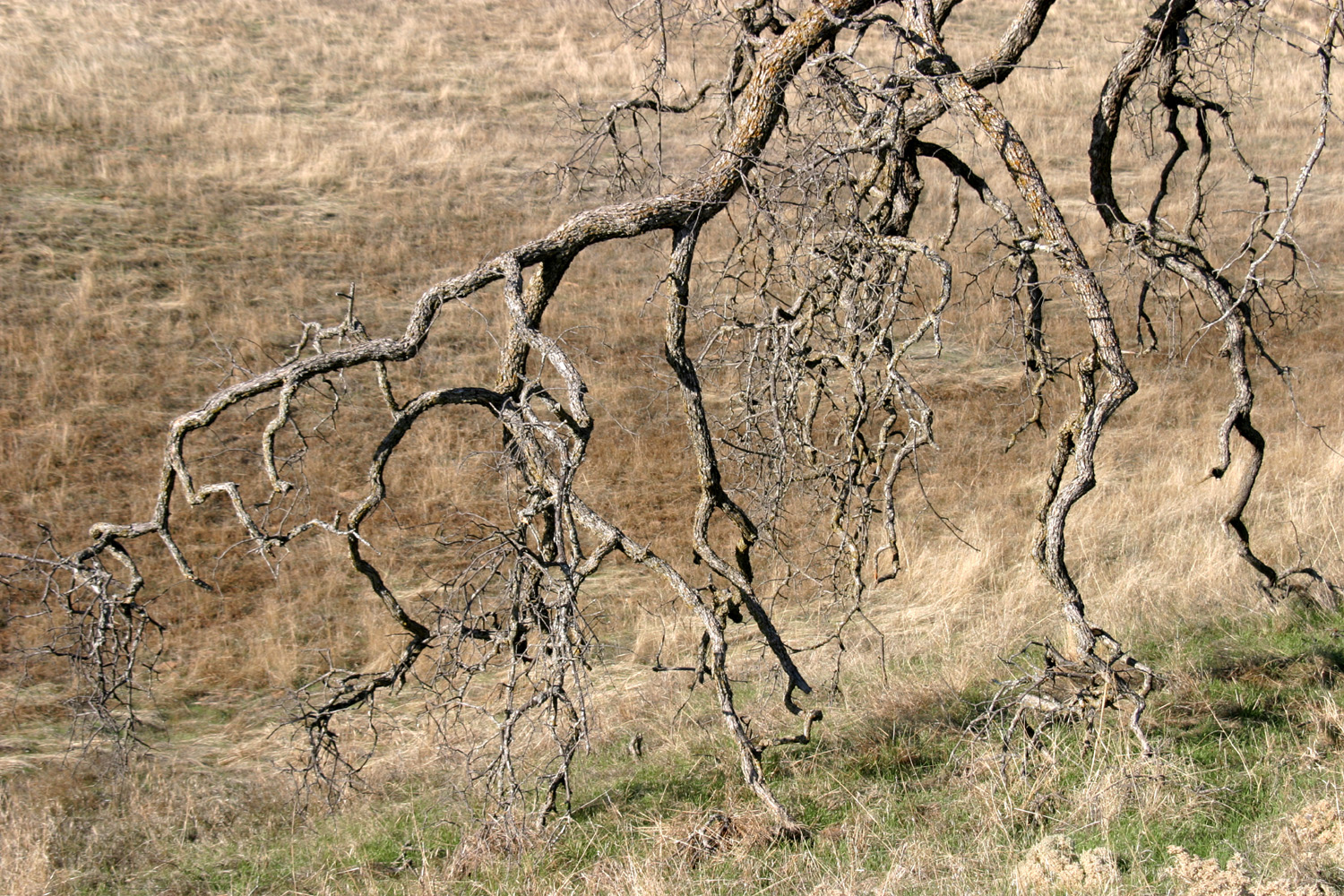
oak savanna,
which is marked by open, grassy hills and fields, with very little
brush, and lots of blue oaks. There are also a few digger
pines, more commonly called bull pines by local residents. As
often happens in developed, heavily maintained campgrounds, a number
of non-native trees have been planted, probably in a misguided
attempt to "improve" the surroundings.
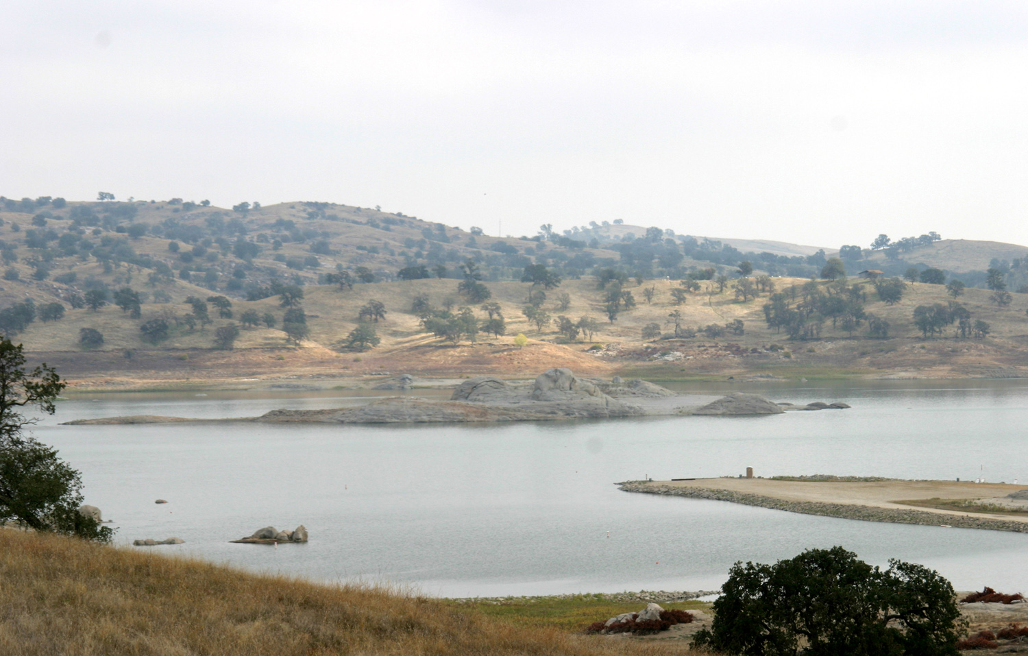
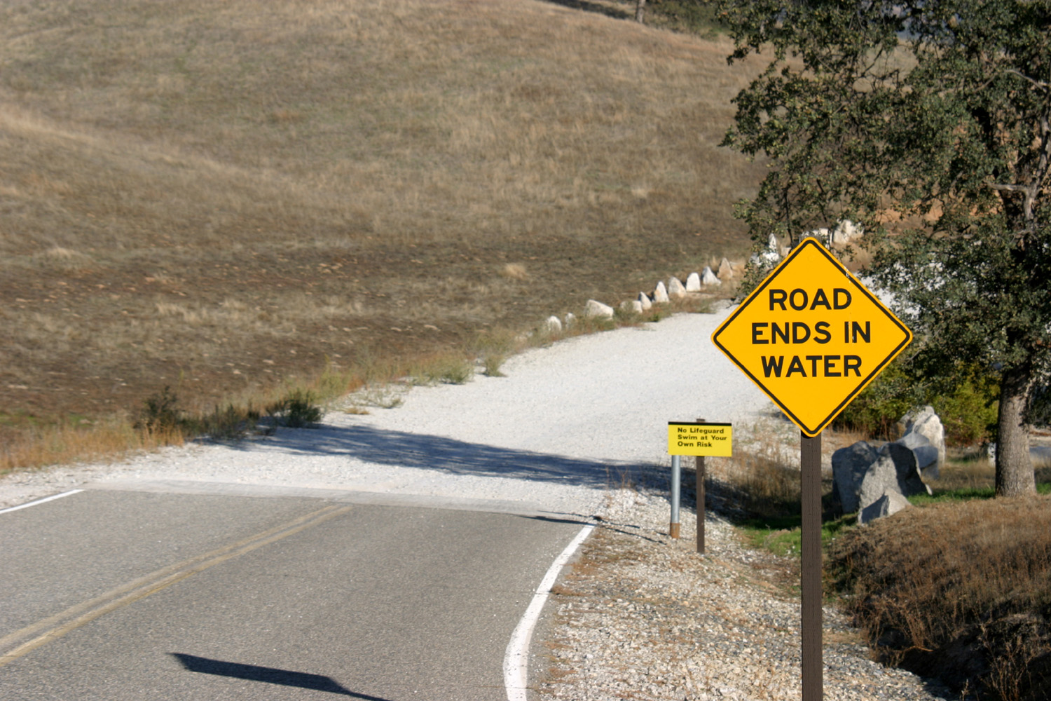
The lake
itself is formed by Hidden Dam, a mile long earth and rock dam
across the Fresno River.
Interestingly, this river never touches Fresno County; it rises and
flows mostly through Madera County, entering Merced County briefly
far downstream just before it joins the San
Joaquin River. Madera
County was carved
out of Fresno
County in 1893, no doubt accounting for the seemingly
misplaced name.
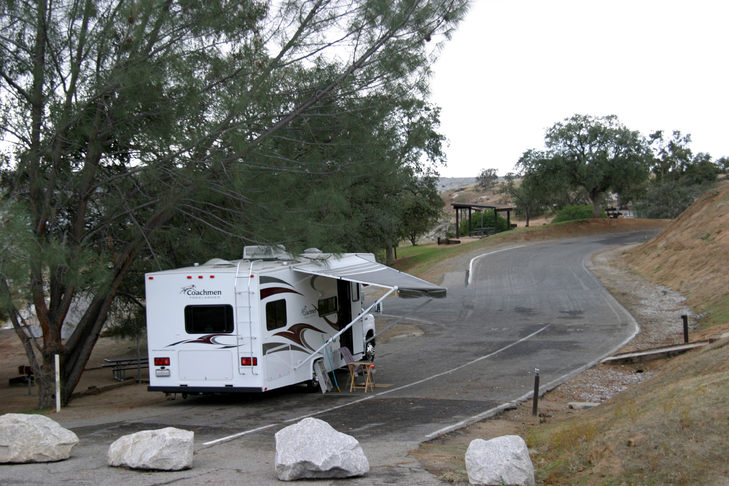
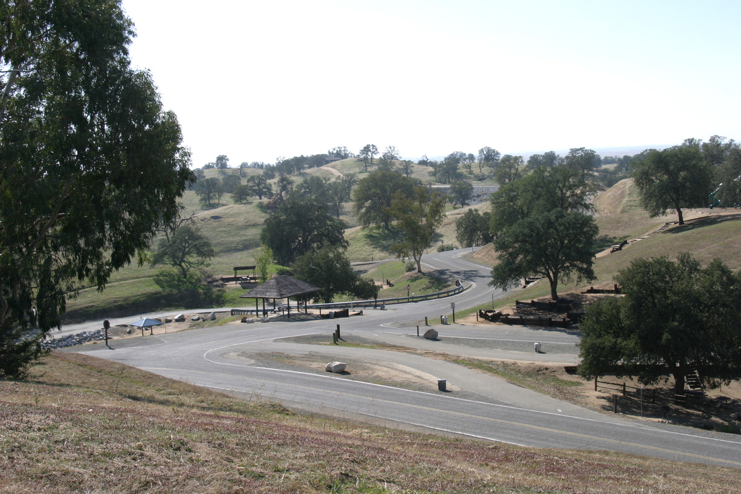
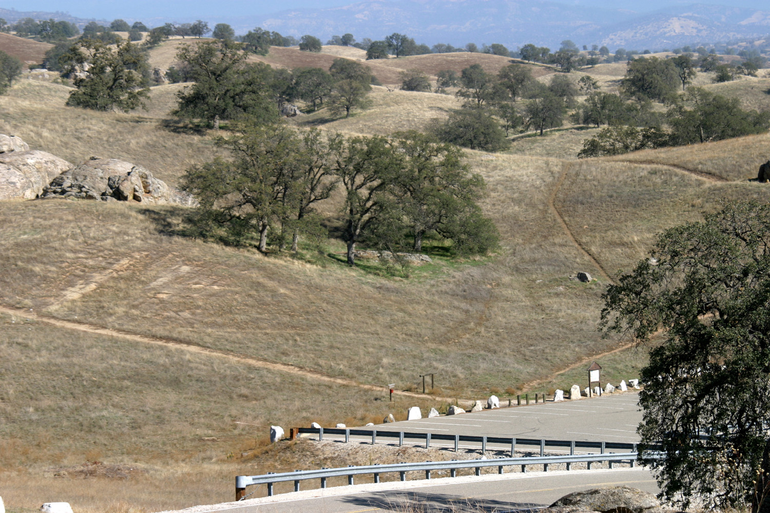
Good
paved roads wind around through the hills in the main campground,
which has dozens of campsites, many with electrical and water
hookups. The price is quite reasonable, $22 per night, but half
price for holders of a Golden
Age pass.
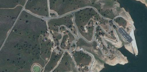
There
are actually four separate camping areas, but I always go to Hidden
View, which has a lot of sites, along with lots of parking for
boaters and fishermen. Since it was a weekday there were few people
there, and I had no trouble getting a good spot with electricity,
which meant I did not have to run my generator in the evening to
watch TV, or to make toast or use the microwave.
I've
been there at least twice before with the trailer, and since the
camp roads are good for bike riding, I was unhappy that I had not
brought my bike.
However,
it started sprinkling after I got off the highway, so I was not
thinking of bike riding when I arrived. The rain had stopped before
I got there, but it remained cloudy, so I got set up and put up my
awning, so I could sit outside and stay dry if it rained again.
Not
long after I got set up, it started to rain, and continued for a
half hour or so - a very light rain, but enough to wet the pavement
all around my little dry rectangle under the awning. I sat outside,
having a drink and getting a nice amount of reading done.
Since
it was so damp after the rain, I did only a couple of short walks
near my campsite, then fixed dinner. I sat outside again till about
6, by which time it had cooled down quite a bit, and went in for the
evening.
The
next morning there was a bank of fog across the lake, but it soon
spread out and covered the entire area, keeping the temperature
quite low, along with my enthusiasm for walking around.
I sat
outside and read a while, then had breakfast and watched a movie,
hoping the fog would clear by the time I finished. There was still
high fog over most of the sky, but I set out to walk in an area of
hills north of the camp, dressed for cool weather. Of course, as
soon as I got too far to go back and change, the fog started to
break up, and it got quite warm.
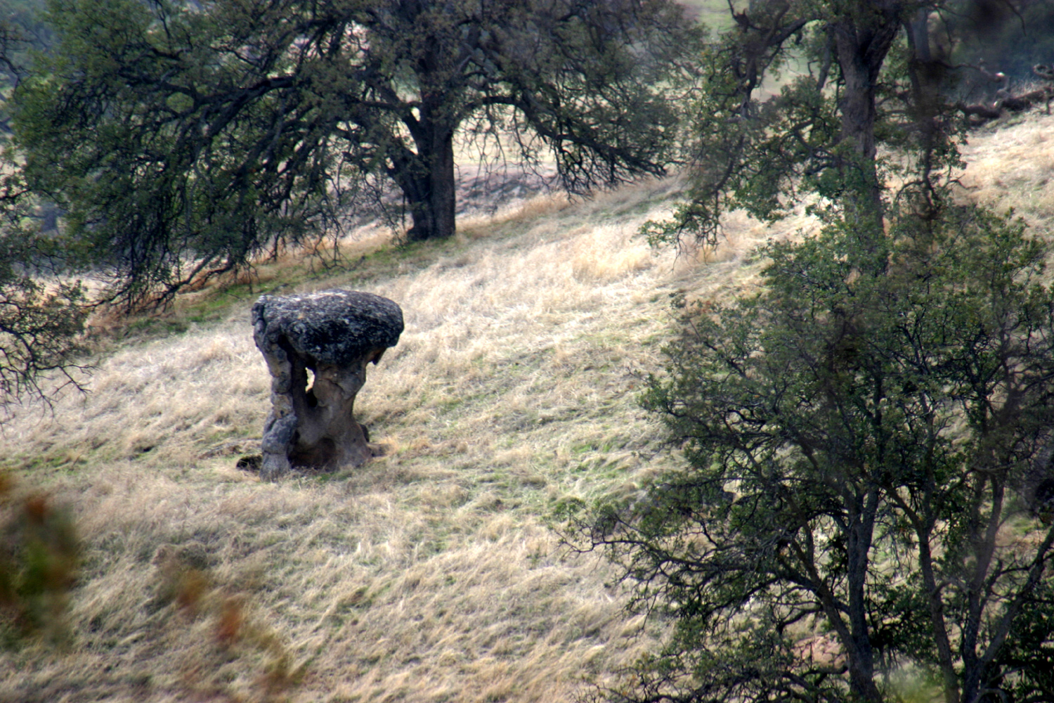
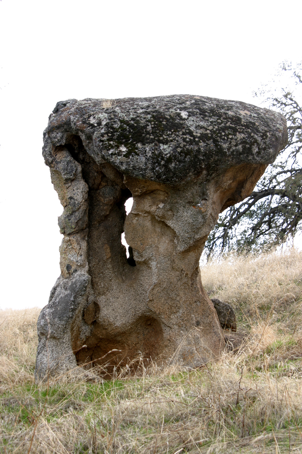
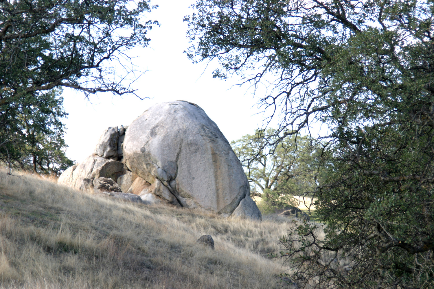
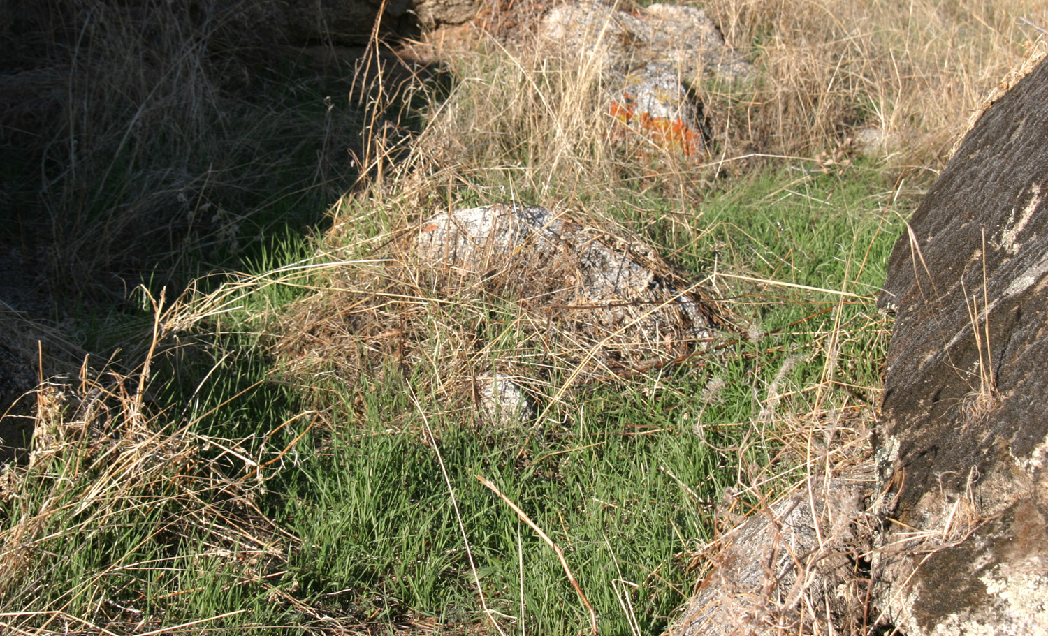
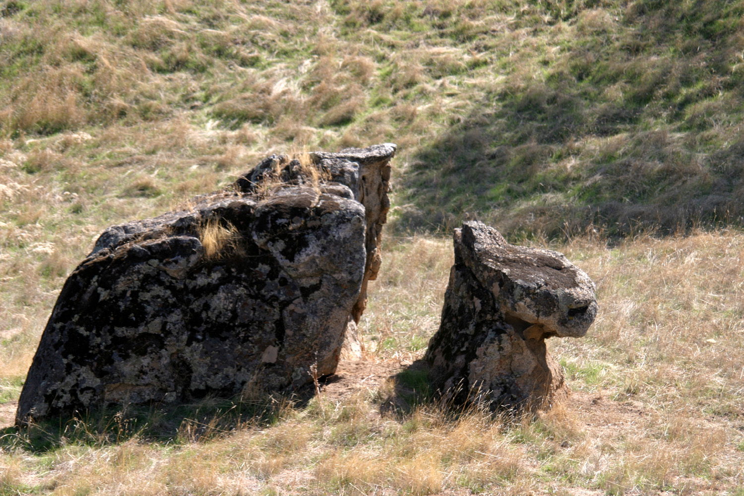
The
previous day I had noticed an interesting rock formation, and that
was my destination, although I never quite got there. Instead I came
across a trail, obviously man-made, and decided to follow it. It had
numbered posts, indicating that it was a guided trail, but of
course, by joining in the middle I missed out on getting a copy of
the trail guide. It took me up and down hills, and at one point I
noticed a mushroom
shaped rock, on a ridge above a section I had walked through
earlier. I determined to take a side trip to the rock on my way
back, but not long after that the battery in my camera ran down, and
I realized I would have to take a second hike later in the day.
The
trail came out at a parking area about a quarter mile from my camp,
so I picked up a trail guide and headed back to the motor home.
I had
lunch, read a little bit, changed the battery in my camera, and set
out for another good walk. I went back to the "official"
trail head, but walked the trail in the opposite direction of the
guide post numbers. I had a fairly good idea of where I should leave
the trail to find the mushroom rock, and I hit it right on target.
Rocks like this are not unusual, and are the result of erosion
around the base of a rock that happens to have a slightly harder
material on top.
With
the two long walks and a number of short ones, I estimate I walked
between four and five miles over the two days.
In the
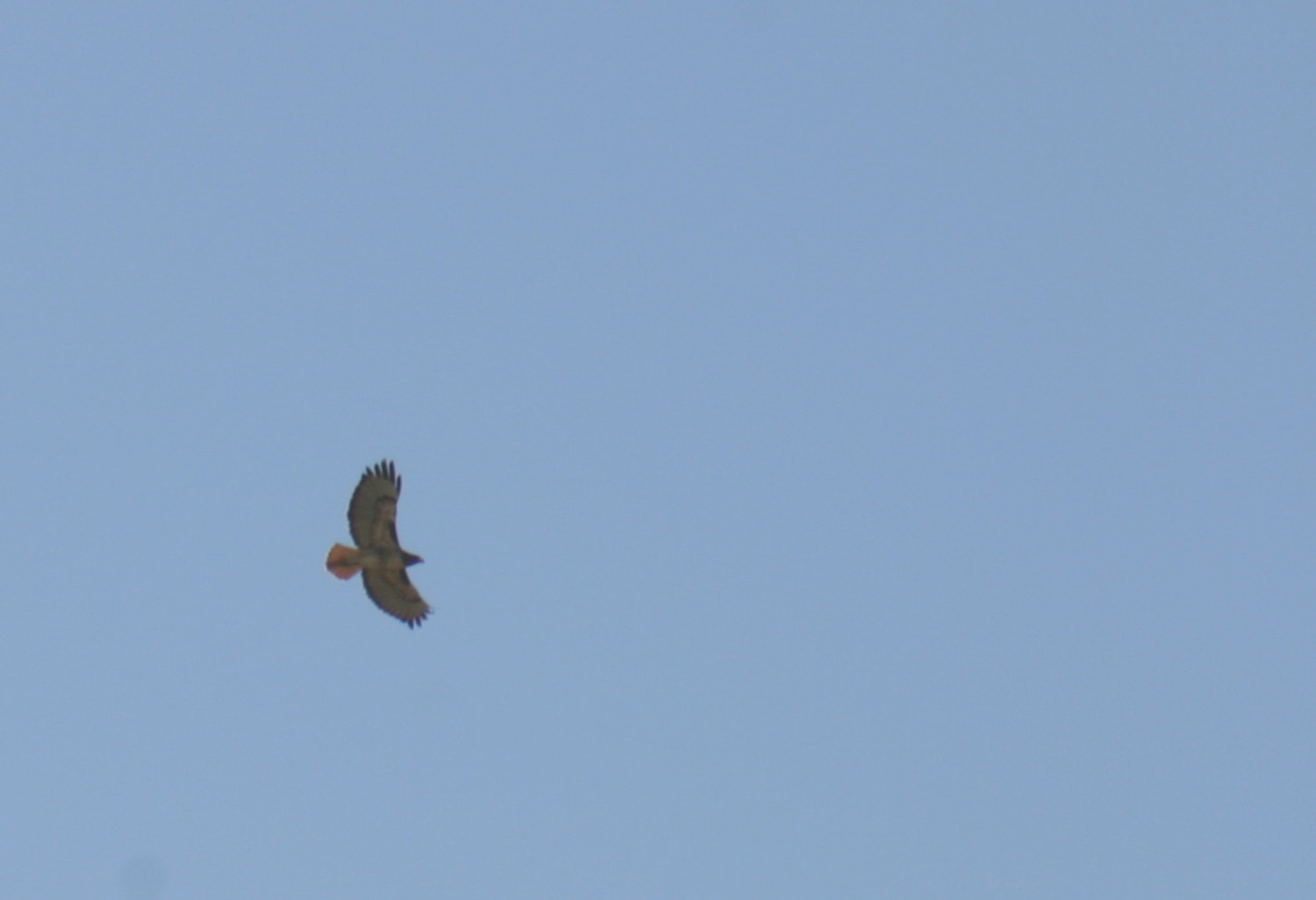
course of my various walks I saw a lot of animal life. Cottontail rabbits
are common in the area, as are their enemy, the red
tail hawk. When I see rabbits there, they are invariably racing
from one hiding place to another, and if it's more than a few feet,
they will run in a zigzag pattern, the better to elude predators.
Blue herons
also stalk majestically around the area, and the two that I saw were
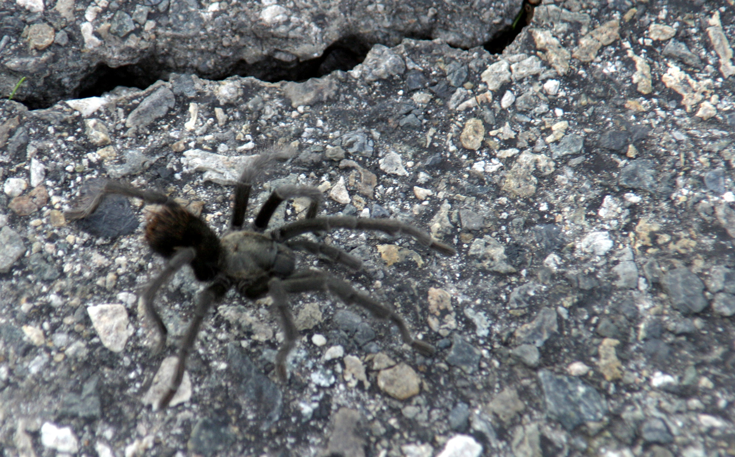
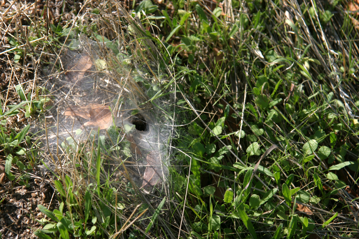
well away from the water. On the trail I saw three tarantulas, all
within 20 feet of each other, two on the first walk and one on the
second. I also saw one the last day, crossing the paved camp
road.
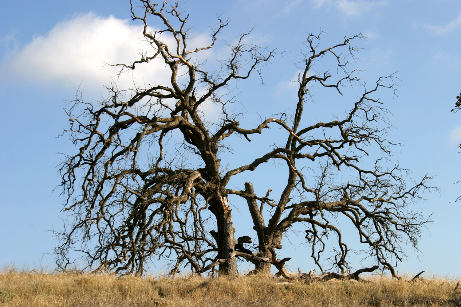
Although
the many rock formations in the Sierra foothills are a normal
habitat for lizards, I saw only one during this trip. Heard but not
seen each night was an owl who had set up his evening observation
post in a tree not far from my camp.
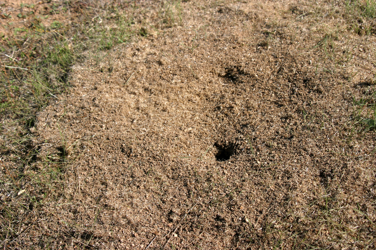
Speaking
of animals, this area has some interesting habitat for small
creatures. Since the main activity of the Army Corps of Engineers is
to rearrange nature, they have even carried this so far as to create
brush piles where squirrels and rabbits can take cover. The first
ones I saw, several years ago, were piles of local brush that had
been wired together, to keep them from being hauled off to a
campfire. Now they are spreading piles
of unsold Christmas trees around in various parts of the area.
The newer ones are a bright, reddish brown, while older ones have
lost their needles completely, but can be readily recognized as
small fir trees, something that does not grow naturally at this
elevation.
The
final morning I got up late, had a bloody Mary and read my book, had
a leisurely breakfast, and made the short drive back home, arriving
about 1 p.m. I enjoyed the trip so much that I am going to try to
squeeze in another visit there before bad weather sets in, so there
may be a part 2 to this report.
--Dick
Estel, October 2009
Part
2
November 2, 2009:
Here I am, back at Hensley Lake once again. I enjoyed my outing here
two weeks ago so much that I decided I should return before wet,
foggy weather sets in.
A
number of things are different this time. First, I am older and
wiser. At least, I know for sure I get older every day, and I like
to think I may also get wiser.
Although
it's November, it is much warmer, with temperatures predicted to be
in the high 70s. On my walks today there was no thought of wearing a
long sleeve shirt, and in fact, I would have been comfortable in
shorts. On the second walk, I had to put on a dry T-shirt when I got
back.
The
grass, which got a good start from our big rain three weeks ago, and
a boost from the small rain two weeks ago, is growing
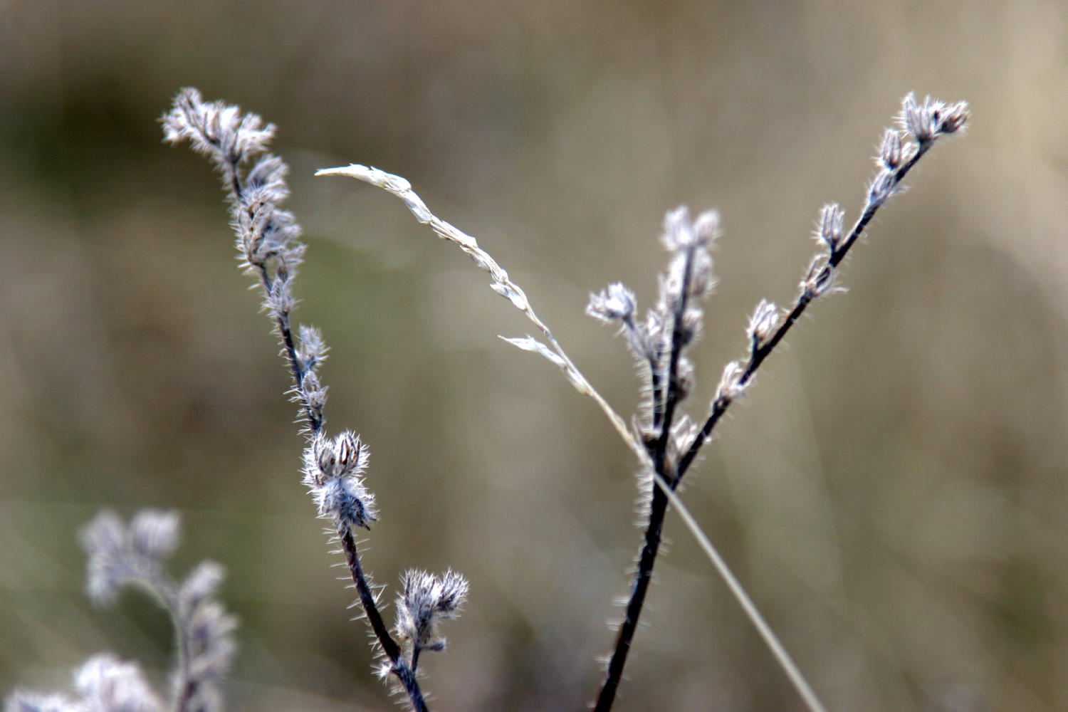
and starting to take over from the dried stems of last year's crop.
Last
time I went outside several times at night, and had a dark sky
filled with brilliant stars. Now the moon is full, and many of the
stars are washed out, although the moon makes it bright enough to
walk around without a flashlight.
Daylight
Savings Time ended yesterday morning, so last night it was too dark
to read outside by 5 p.m. This makes for a long evening, but I have
my computer, my guitar, my DVDs, and my current books and magazines,
so I have more than enough to fill the time.
Despite
all these changes, one thing remains the same - the owl is still on
duty, and greets me with a inquiring "whooooo whooooo"
when I step outside.
I left
home around noon Sunday, and got here around 1 p.m., but didn't do
any serious walking yesterday. I had eaten a light breakfast and
went to my grandson's baseball game, so my main interest was dinner,
which consisted of pizza I picked up before leaving Clovis.
The
rest of the day was spent in reading, a couple of short walks, and
my indoor activities, with plans for a couple of long walks today.
Last
time, when I stopped at the dump station to empty my holding tanks,
I noticed another marked trail that takes off from that area, so
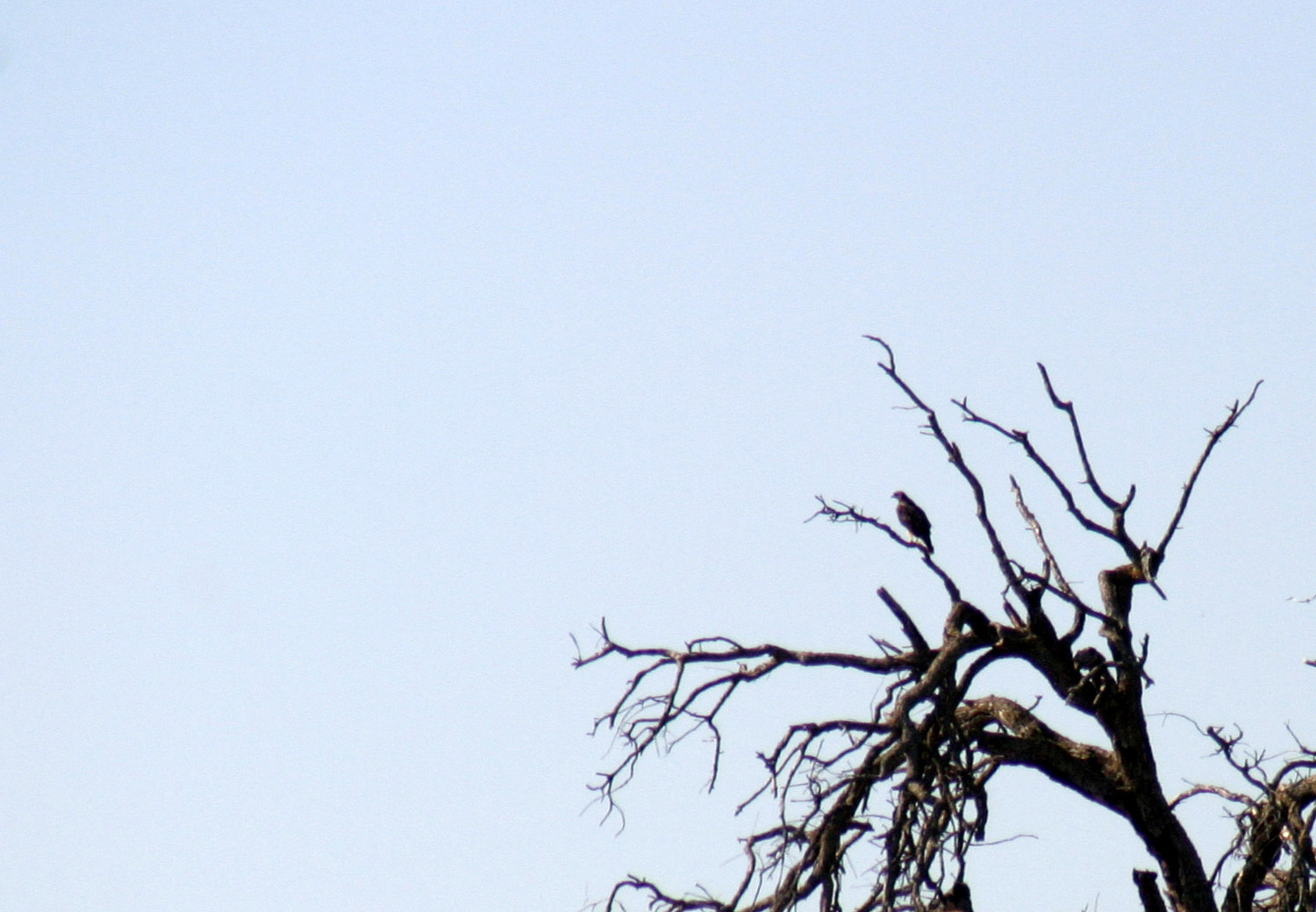
that was my first destination. This trail, known as the Shaw'-Shuck
Trail, is probably a half mile or less, and essentially just goes up
a hill, around the top of it, and back down. The name is the Miwok Indian
word for hawk, and there he
was, sitting in a tree right by the start of the trail. As I
approached he gave out his characteristic screech and took off for
another tree a few hundred yard distant.
Despite
the short distance of the trail, I spent a fair amount of time on
this walk, got very warm, and took a lot of pictures. Since the
trailhead is at least a quarter mile from my camp, I did get in a
pretty long walk.
Back
at camp I read a while, took a nap, then set out for a long walk.
This time I rode my bike to the Pohonichi
Trail, the one I walked twice last time. (This is another name
for the southern Miwoks.) This time I walked the trail in the
"right" direction, clockwise, heading toward signpost #1
and following the entire trail with only one brief detour. This is a
much more interesting trail, going up and down over several ridges,
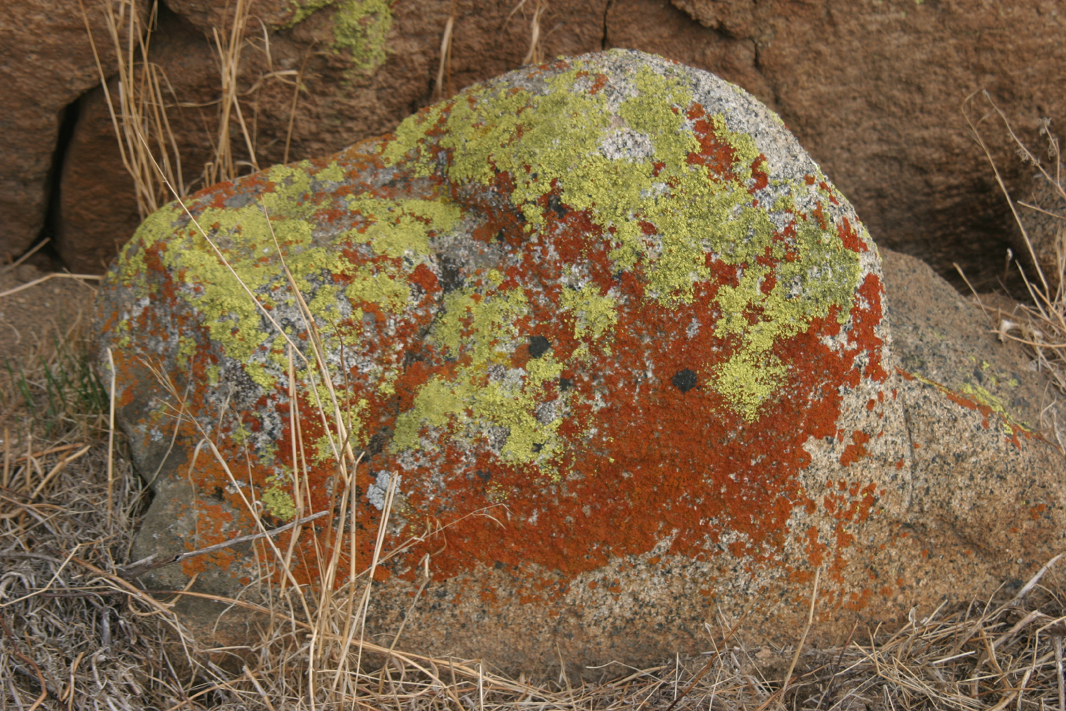
winding through little valleys, and passing a number of granite rock formations
and the ubiquitous blue oaks. Along this trail, and in a number of
areas in the camp there are good views of the Sierras, including
7,000 foot Signal Peak, which was visible from the hill back of my
boyhood home in Bootjack, and 8,000 foot Shuteye
Peak, above the San Joaquin River in Madera County.
I saw
one rabbit and a lot of lizards, as well as one or two more hawks,
but no tarantulas this time. I believe the warmer weather brings out
the lizards, but keeps the tarantulas hidden.
I got
back to camp in time to have about an hour of outside reading time,
then came in for dinner, guitar-playing, DVD watching, and writing
this report.
November 3: The
good thing about camping less than 40 miles from home - on the last
day you can loaf
around, do a few more camping things, and still get home early.
Usually on the "going home" day, I get up, eat breakfast,
pack up, and leave. Today, however, I started the day off just like
yesterday - exercise, a bloody Mary and some reading, and breakfast.
After
breakfast I got things ready to go in a leisurely way, drove to the
dump station, and emptied the holding tanks. Then I drove the few
hundred yards to the Pohonichi trailhead, and did another good walk.
I had wanted to take a detour up on a ridge on the far side of the
trail, and thought about doing it yesterday, but I had already had
plenty of walking for the day.
I
thought it might be closer to go in the "wrong" way
(counter clockwise on the loop trail), but I realized it was pretty
much at the mid-point of the trail, so I re-traced my footsteps from
yesterday, then headed cross-country to make my way up the ridge.
Although
there are only two "official" trails, there are lesser
trails all over the area. Most foothill country has cow trails,
which are usually at least a foot wide, but this land has been off
limits to grazing since the 1970s. There are still lots of little
game trails, which tend to be about four inches wide. They don't
necessarily follow the easiest route, but they are a slight
improvement over wading directly into the weeds, and they are easy
to spot if you're used to looking for them.
With
my side trip up and over the ridge, I probably did at least a mile
and a quarter today, much of it uphill. It was close to 80 degrees,
and when I got back to the motor home, I had to change into dry
clothes. Then I headed back to Clovis, very glad that I had taken
this second trip to Hensley.
--Dick
Estel, November 2009
|


