|
2022 Rambler Hikes Page 1 |
|
|
Rambler Hikes 2017 Rambler Hikes 2018 Rambler Hikes 2019 Rambler Hikes 2020 Rambler Hikes 2021 2022 Page 2 2022 Page 3 |
|
|
Tesoro Viejo Sycamore Creek Wildlife Area San Joaquin River Gorge Ahwahnee Hills Edison Point |
|
|
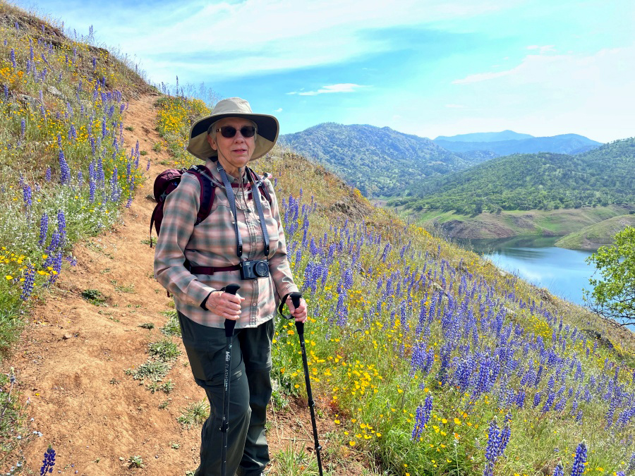
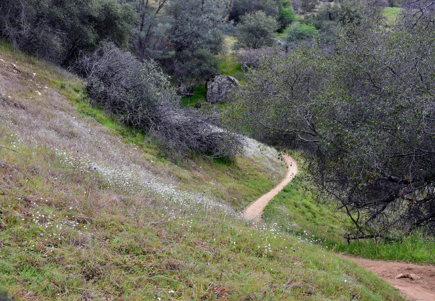
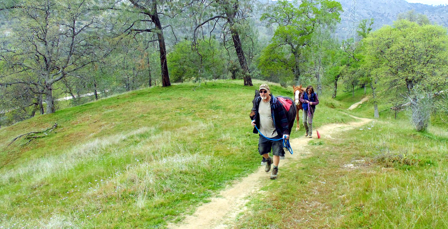
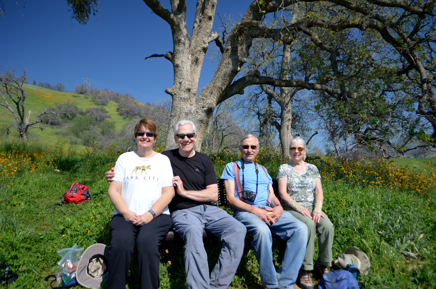
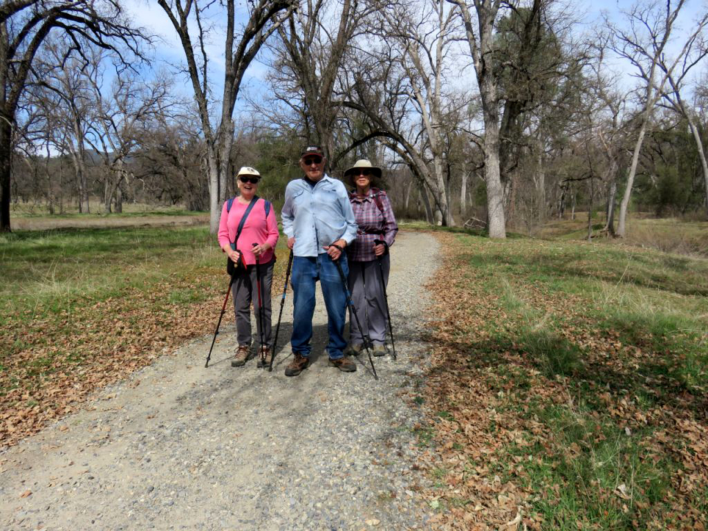
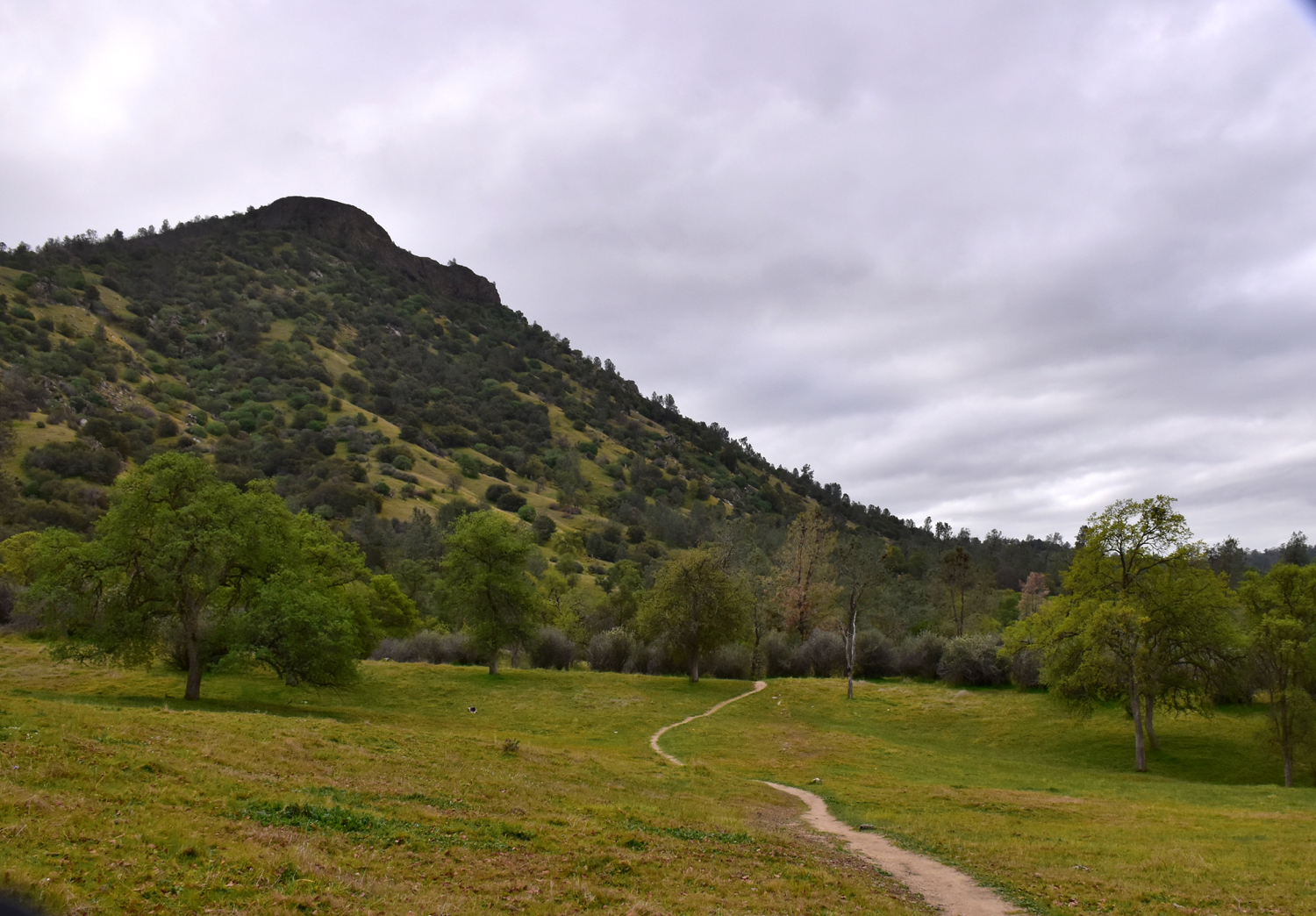
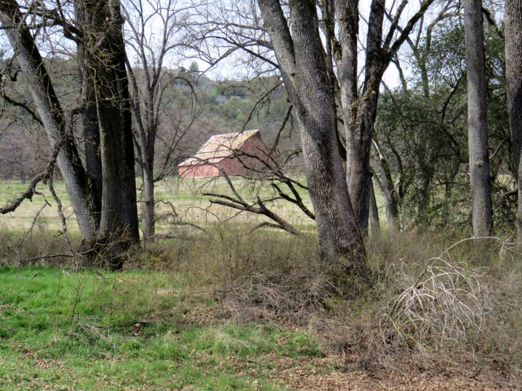
Tesoro Viejo In January Wes and I did an exploratory hike in this area, to see if was suitable for older Ramblers (like me). I had no problem with the short steep sections on this walk, so we scheduled the first Rambler hike of 2022 for Tesoro Viejo. This is an upscale housing development in former ranch land in Madera County, about six miles north of the Fresno-Madera County line, on the east side of Highway 41. Part of the requirement for approval of the project was to provide many miles of public hiking and biking trails. The location was more convenient for several members to drive their own cars, so the group leaving from my house on January 24 consisted of Wes, Jackie and me. At the Town Center we met Sue and Allen, each in their own vehicle. We then loaded into Wes's Highlander and Allen's truck, and headed for the starting point for our hike. Our
hikes offer various types Not a quarter mile into our walk, Wes was off the trail, looking for a different angle on things. |
|
 |
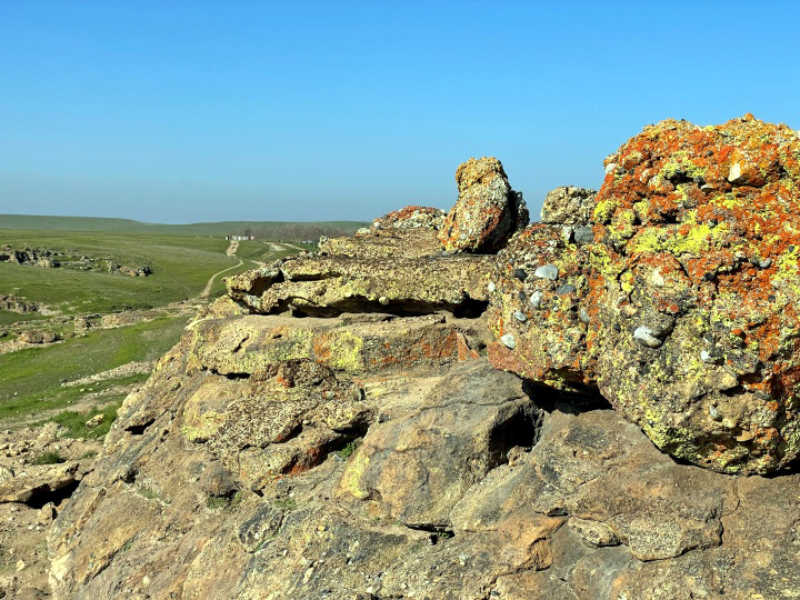 |
| Wes goes off-trail | Colorful rock formations stand out among the bright green |
|
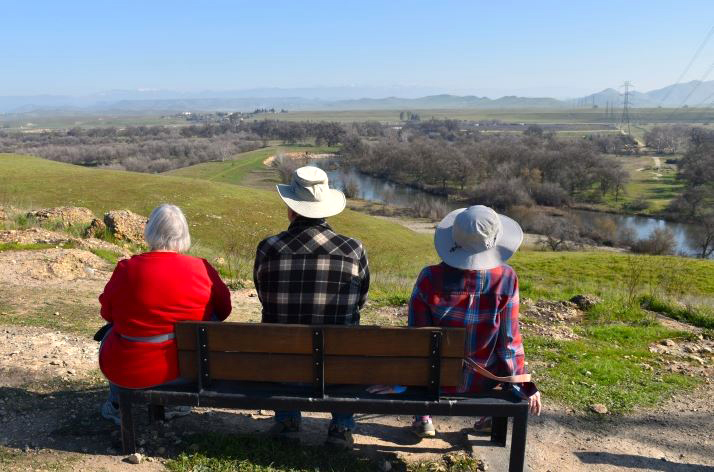
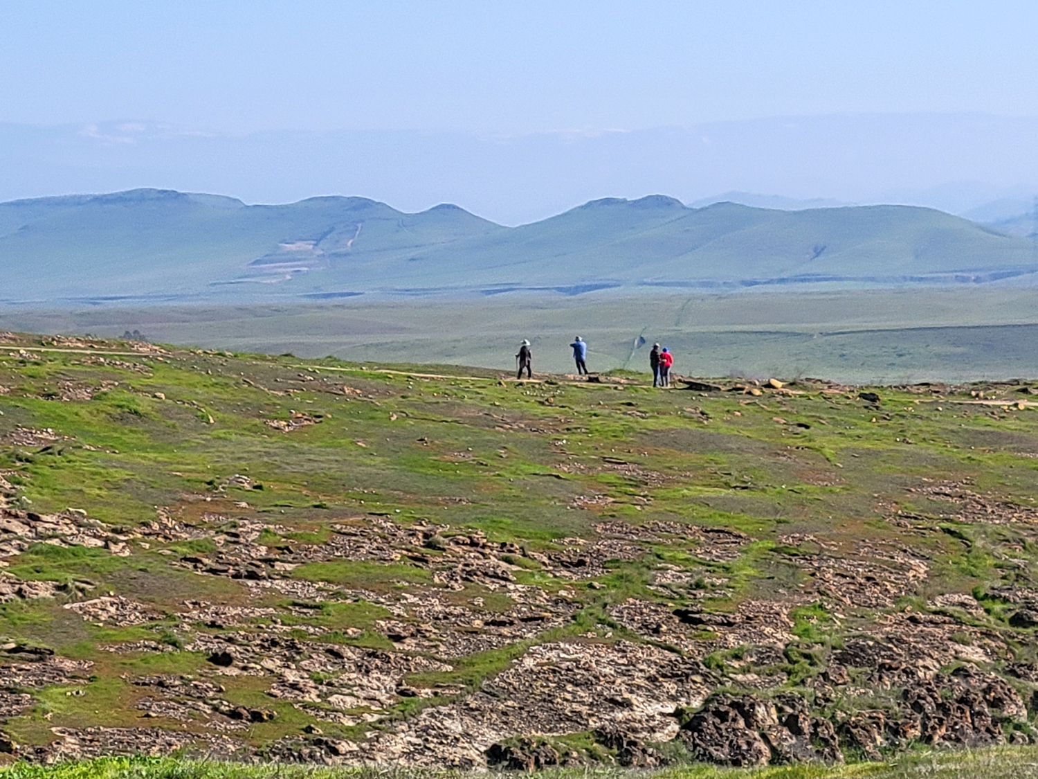
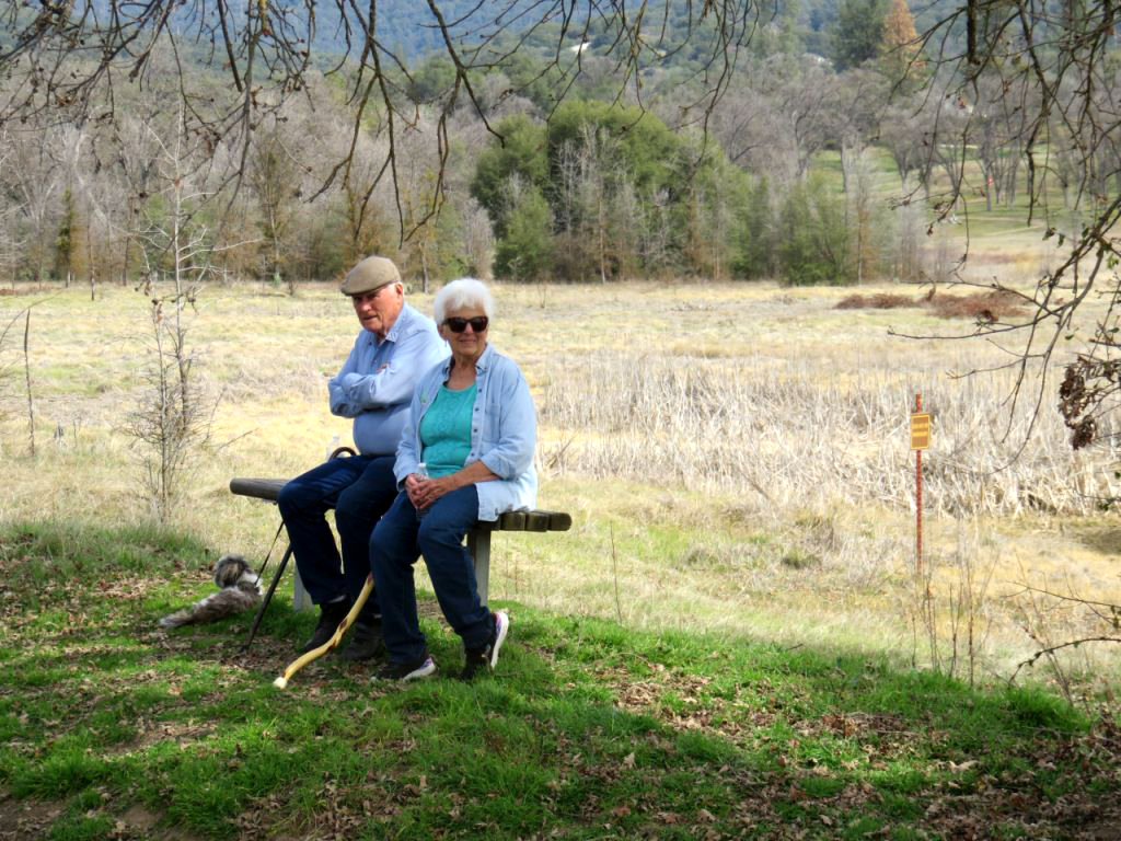
We continued to the farthest point where Wes and I had hiked previously, going past a couple of places where we had to walk carefully up short, moderately steep places. I was drawn to the bench at this location, and stayed there while the others explored a little farther. They went to a point where the trail starts down steeply to the San Joaquin River, but stayed in the "highlands." I walked around my own personal stopping point, where I could see across the river to the place where Willow Avenue drops down from the city to Friant Road on the Fresno side of the river. This view included the river bottom and a cement plant where gravel is mined. |
|
 |
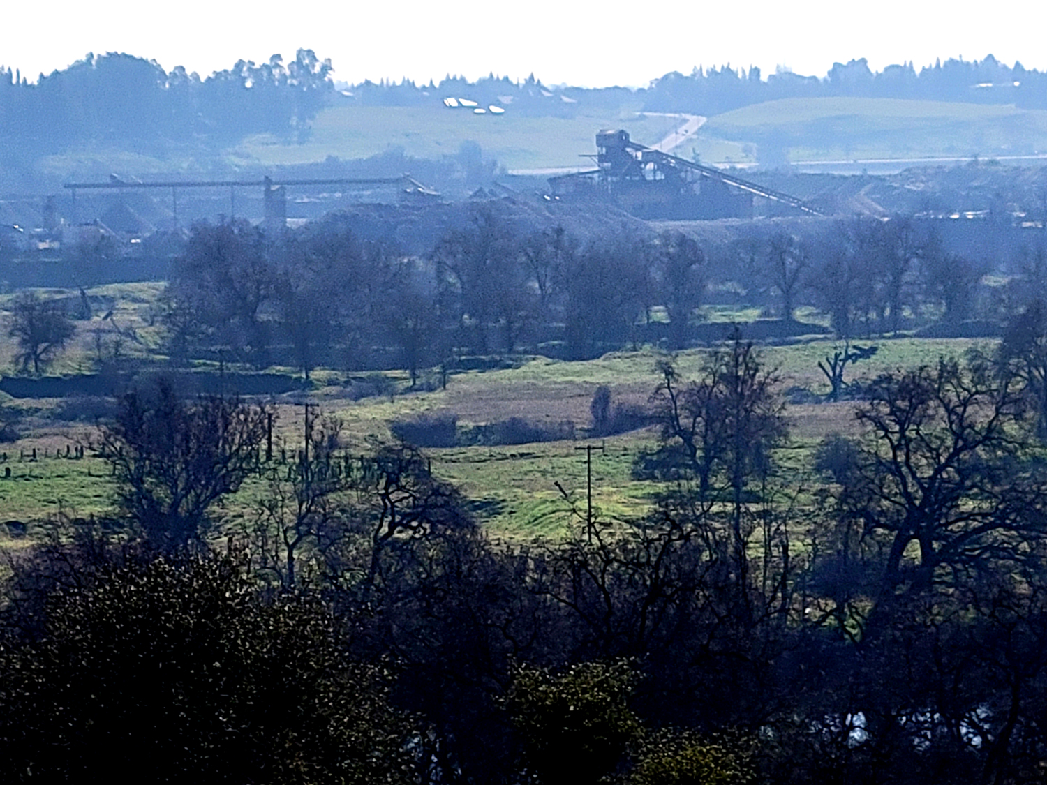 |
| The rest of the gang, way over there on the edge of the bluff | The river bottom and a cement plant |
|
|
|
|
We had encouraged a couple of members who are not up to hiking to join us for lunch at the AXIS Coffee Bar & Eatery next to where we had parked. We were happy to receive text messages letting us know that Don and Julie were both waiting for us. |
|
 |
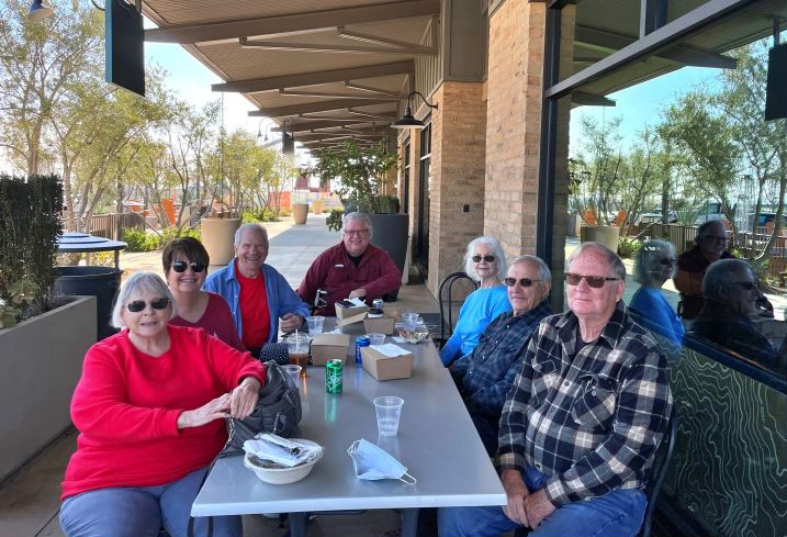 |
| Wes captured this view of the river and adjacent vegetation | Sue, Julie, Wes, Don, Jackie, Dick and Allen at lunch |
|
We made it back to the Town Center, enjoyed a good lunch and even better conversation, and decided on a destination for our next hike - the Sycamore Creek Wildlife Area near Pine Flat Lake. --Dick Estel, February 2022 |
|
| Sycamore
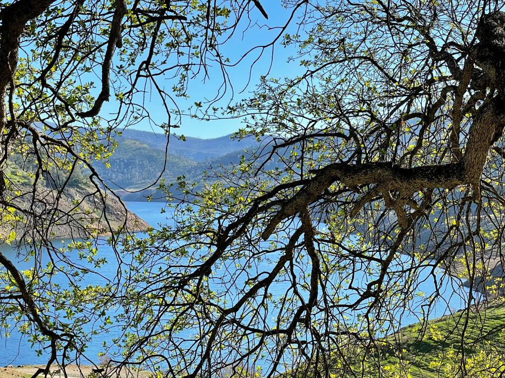
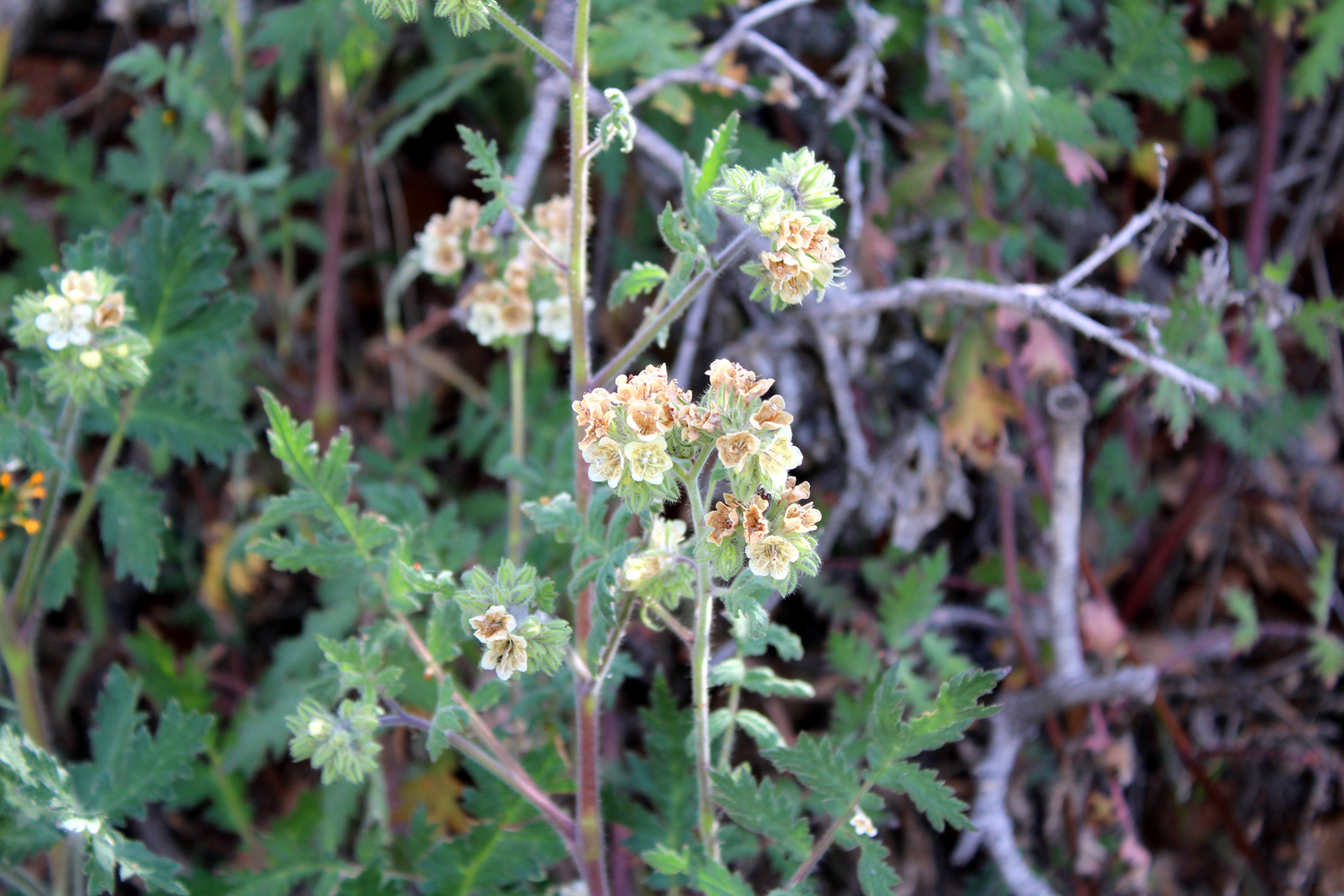
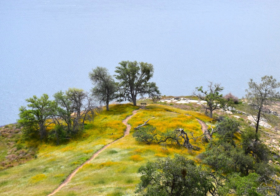
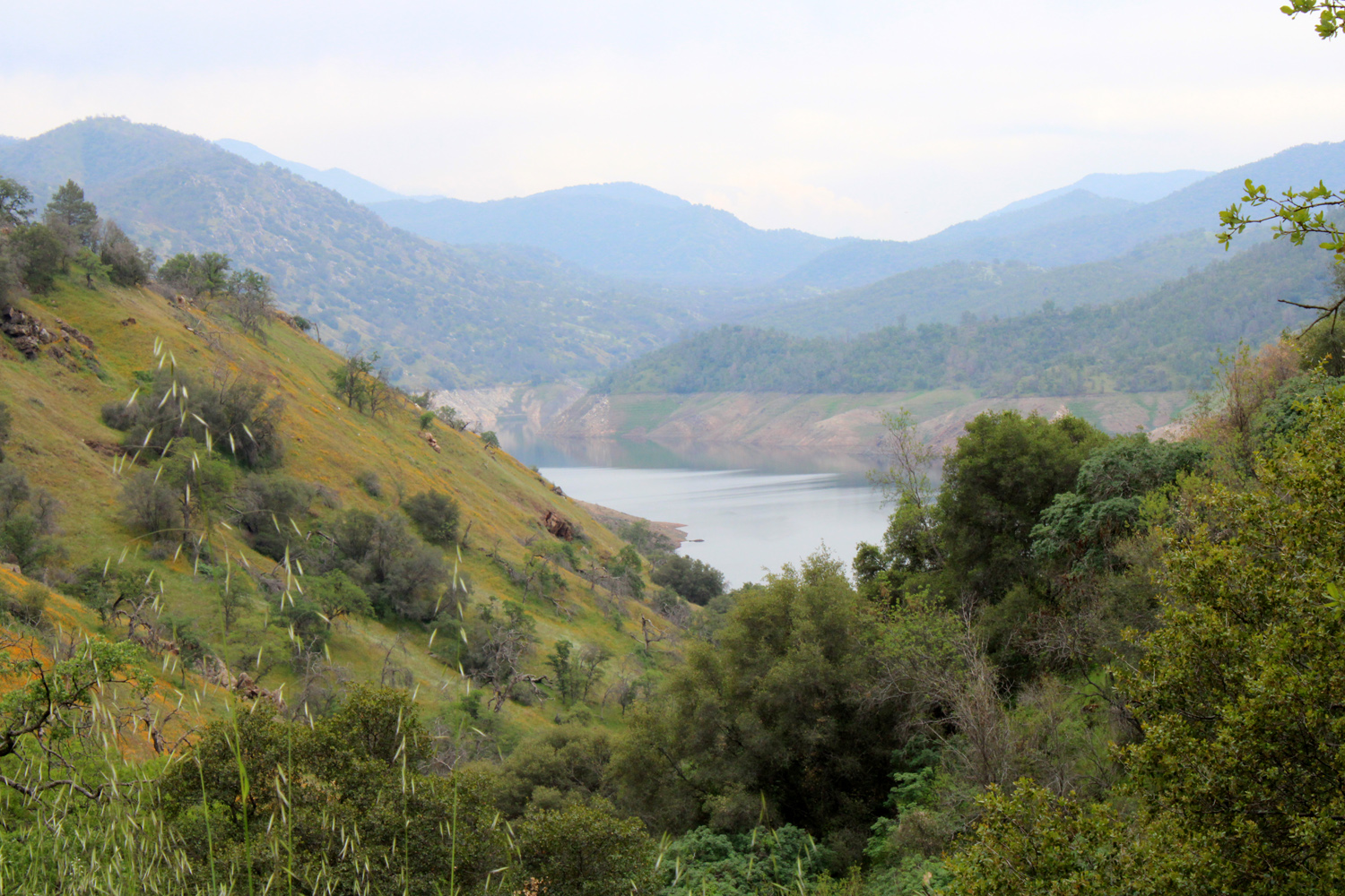
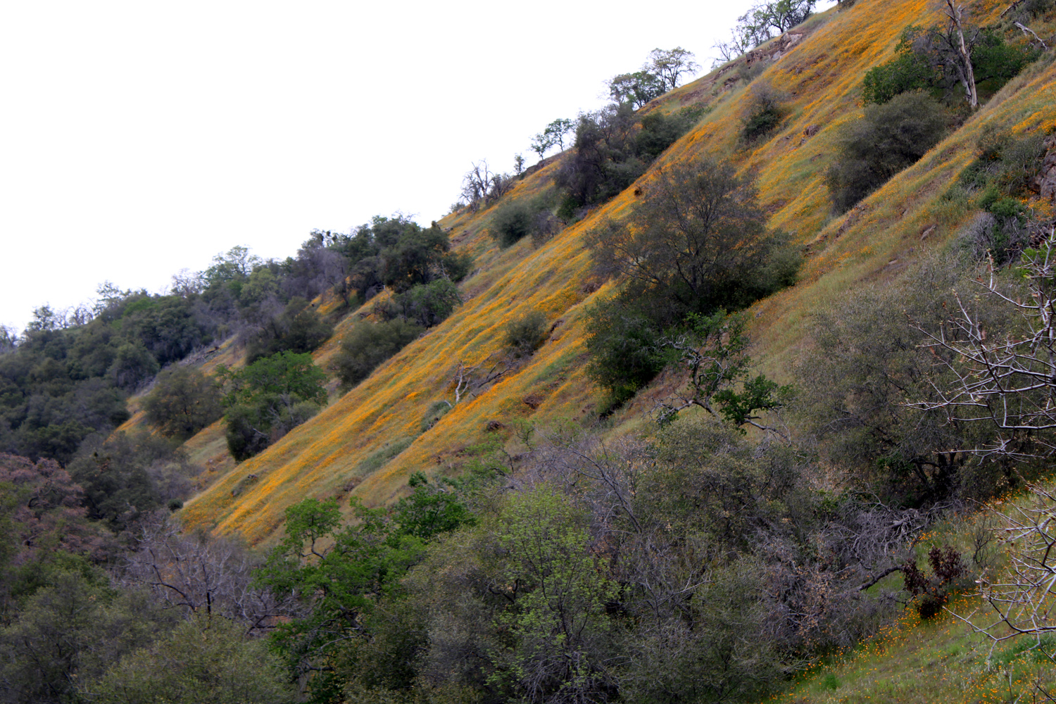
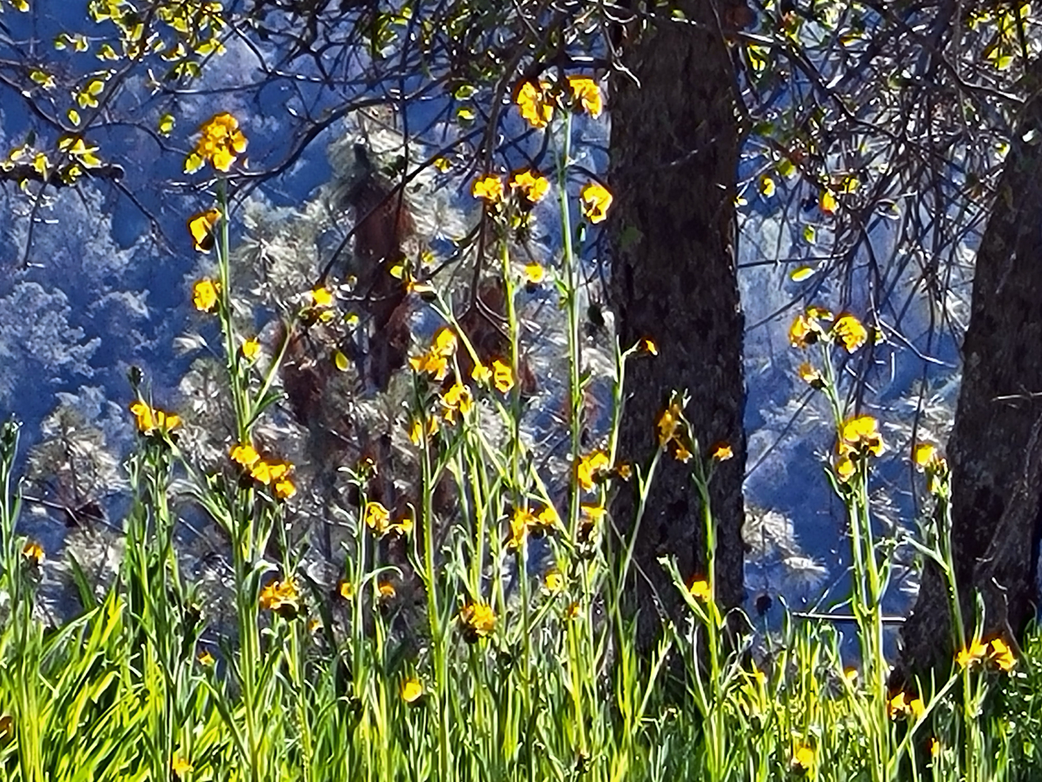
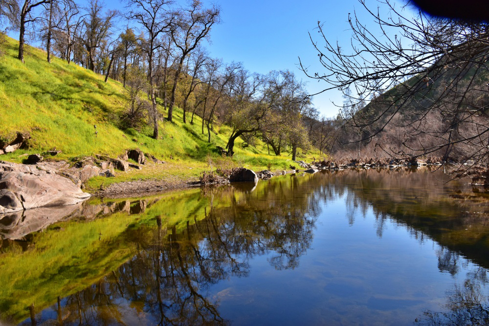
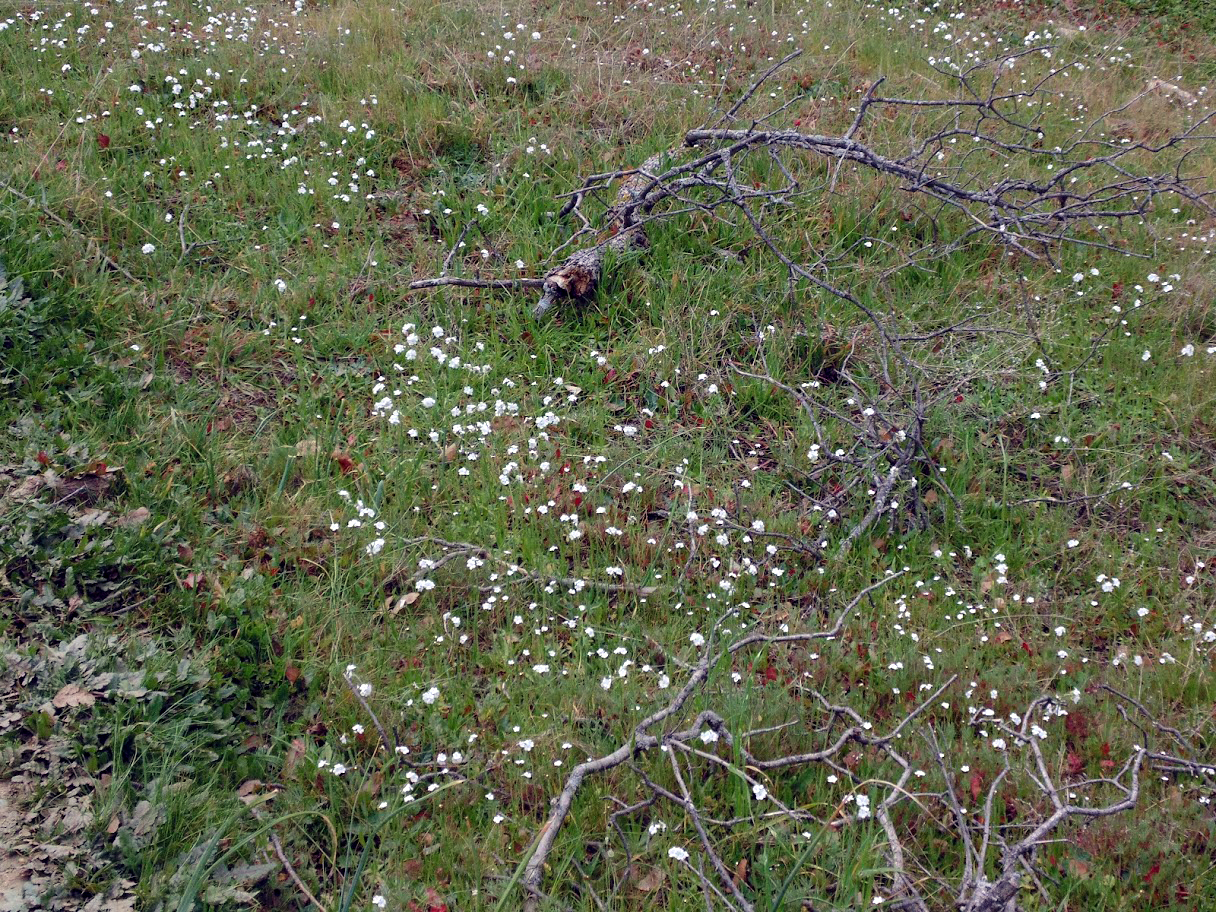
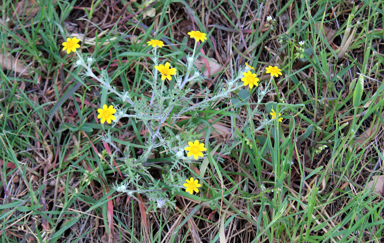
Creek Wildlife Area (Photos by Wes, Dave & Dick) Several years ago the Ramblers realized that the spring wildflower season was too short for just three hikes (February, March and April). OK, I realize that some of you think that February 7 is the middle of winter, but in central California, especially with changing weather patterns, flowers start blooming in January. So it has been my goal to get this group out on the trail twice a month during prime wildflower season. This year seven of us started with a hike at the Sycamore Wildlife Area next to Pine Flat Lake on February 7. This is actually three short walks in three former campgrounds which have been closed for close to 30 years. Access for walking is encouraged, and the "trails" are actually the old, weathered asphalt roads, which are in surprisingly good shape. It's a hike we have done several times before, most recently in March of 2019. We always hope for carpets of wildflowers, but experience tells us we need to wait a little later in the season for that. Instead we take delight in the green grass on the hillsides, the blue of the lake, and the early blossoms that we do see. |
|
 |
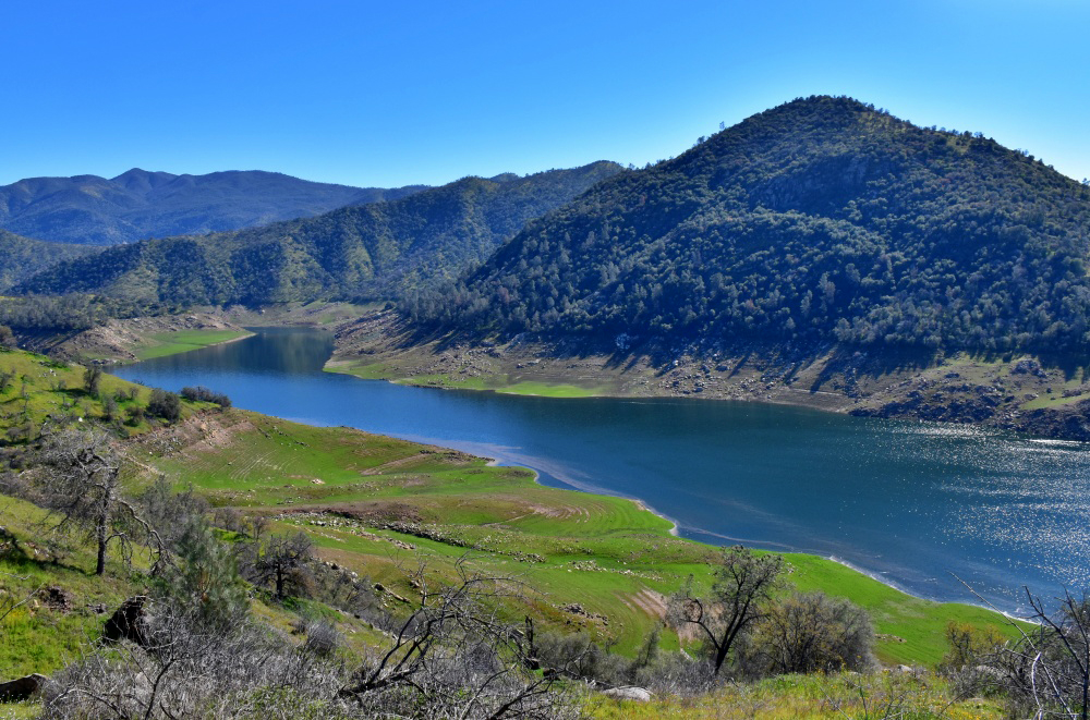 |
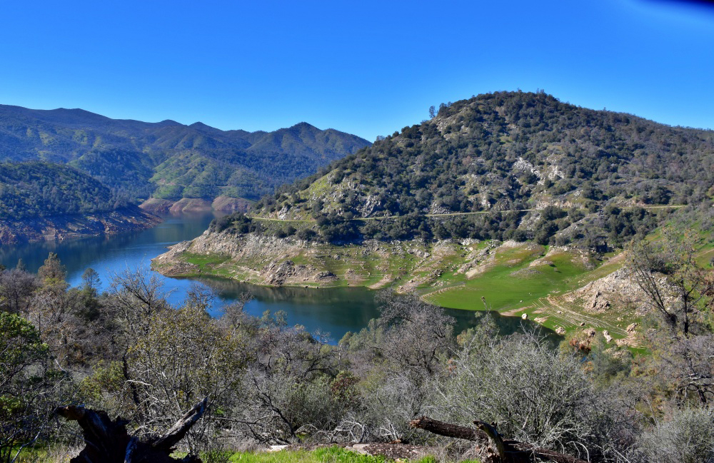
| Looking down the channel of a small tributary | The lake from the Trimmer area |
 |
 |
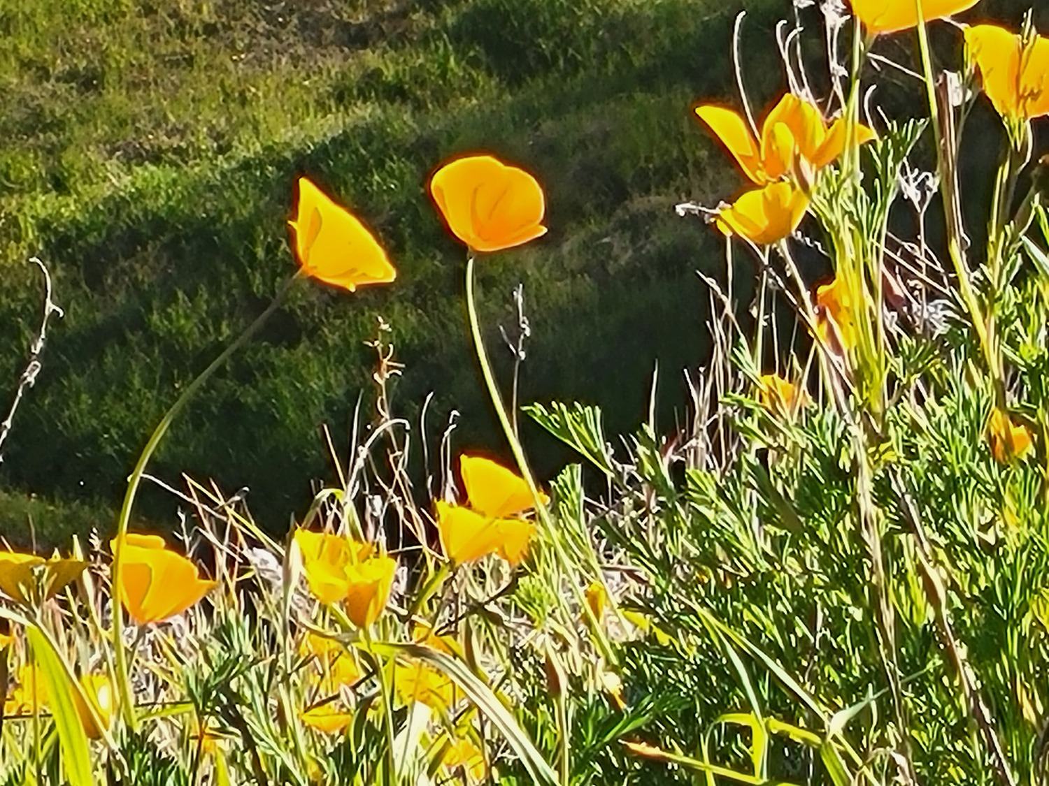
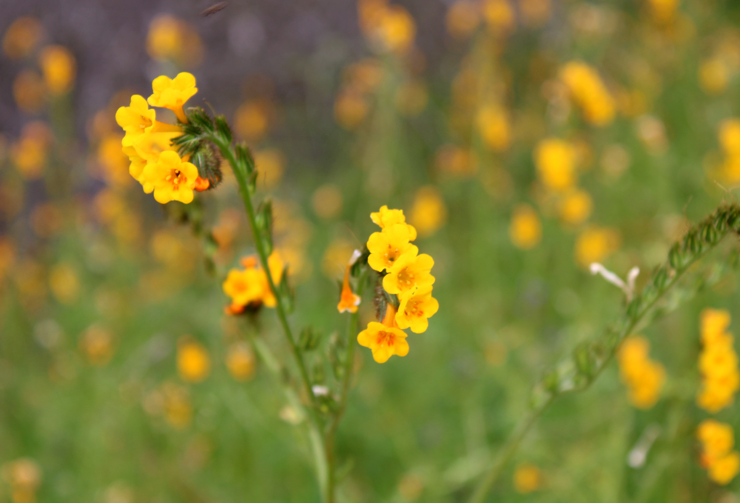
| The crown jewel of California wildflowers - poppies | Fiddlenecks - the most common spring flower |
|
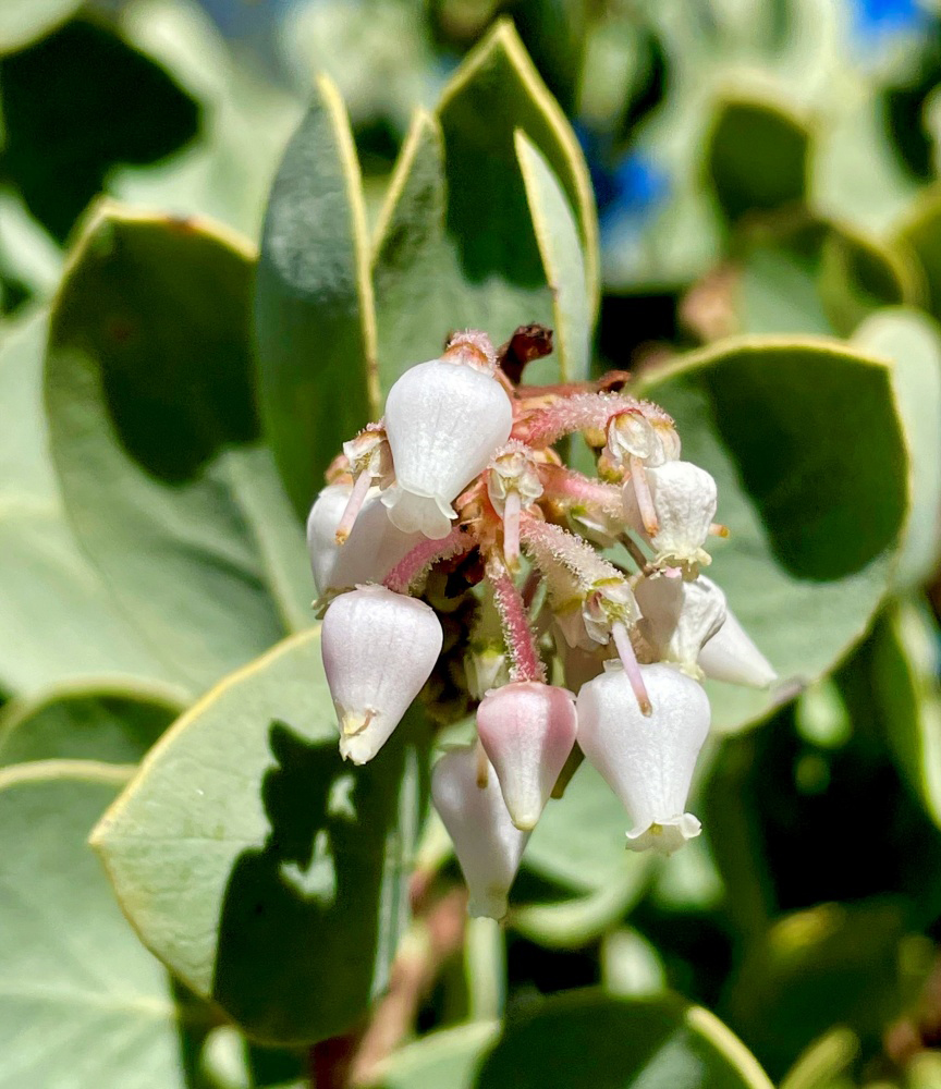
Jackie, Wes, Carolyn, Ardyss and Allen met at my house, and traveled in two vehicles east on Belmont Avenue and Trimmer Springs Road. About a mile past where Sycamore Creek, the first large tributary crosses the road, is the first old campground, where we found Dave waiting for us. We squeezed through the opening next to the gate and walked the short loop through blue oak woodland, noting the large number of fiddlenecks and the smaller numbers of baby blue eyes, popcorn flowers, manzanita, and a few we have never been able to identify. Using a special app on his iPhone, Wes took what is absolutely the best photo of manzanita blossoms I've ever seen. |
|
 |
 |
| Incredible close-up of manzanita blossoms | Always a delight - baby blue eyes |
|
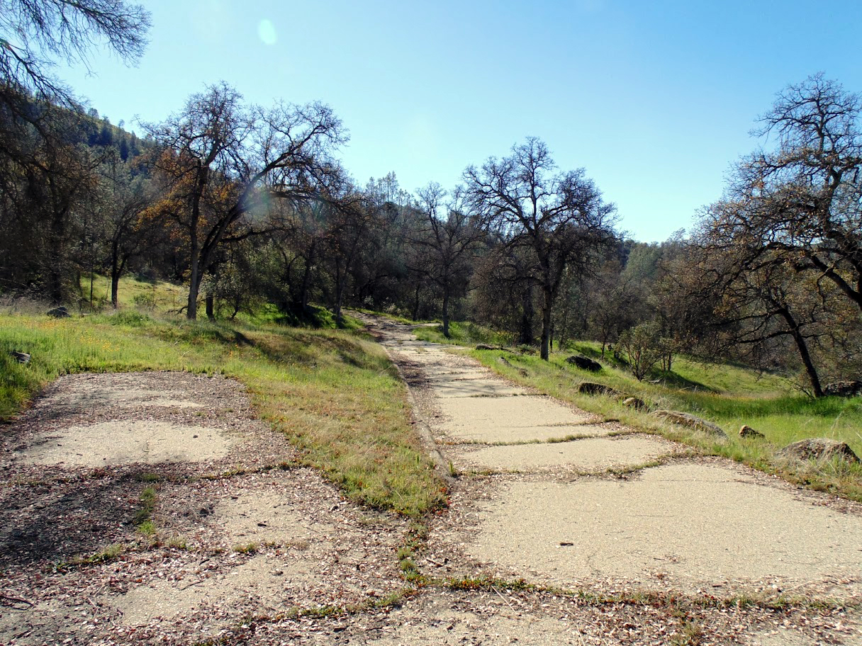
The next campground brought pretty much the same experience with flowers. Like the first one, the old pavement is cracked, providing extra places for grass and flowers to grow, but it looks like it would be very easy to remove the branches and dirt and rehabilitate the site for use. There are two problems with this (actually three). Restrooms would have to be rebuilt, probably at an outrageous cost. Wes informed us that the places were closed because of bubonic plague, probably in rodents. And it seems unlikely that the government agencies in charge of the area would ever have the will to do any restoration work. |
|
 |
 |
| Road and parking spur in abandoned campground | Blue oaks and boulders by a small drainage |
|
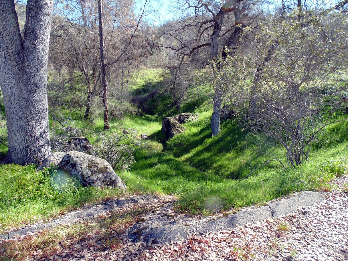
We moved on to the final section of our hike. This part was actually a picnic area, although I camped there a time or two. The road here is in worse shape than the others, with a lot of dirt washed down over the pavement. By this time, some of us began to run out of steam. Dave elected to stay at the entrance and set up his lawn chair. Wes set off at a good pace, leaving the rest of us to bring up the rear. We went about two thirds of the way to the end of the road, at which point all of us but Ardyss turned back. She went on and joined Wes, not only completing the loop on the paved road, but walking out on an old cow trail to a vista point at the end of the ridge that divides Sycamore Creek from the main body of the lake. I've been to that point a number of times, and it offers some nice views of the lake, as well as delightful trailside scenery. |
|
 |
 |
| Wes on the divide between Sycamore Creek and the lake | The lake and road from the old picnic ground |
|
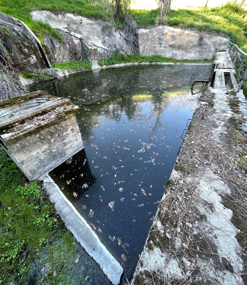
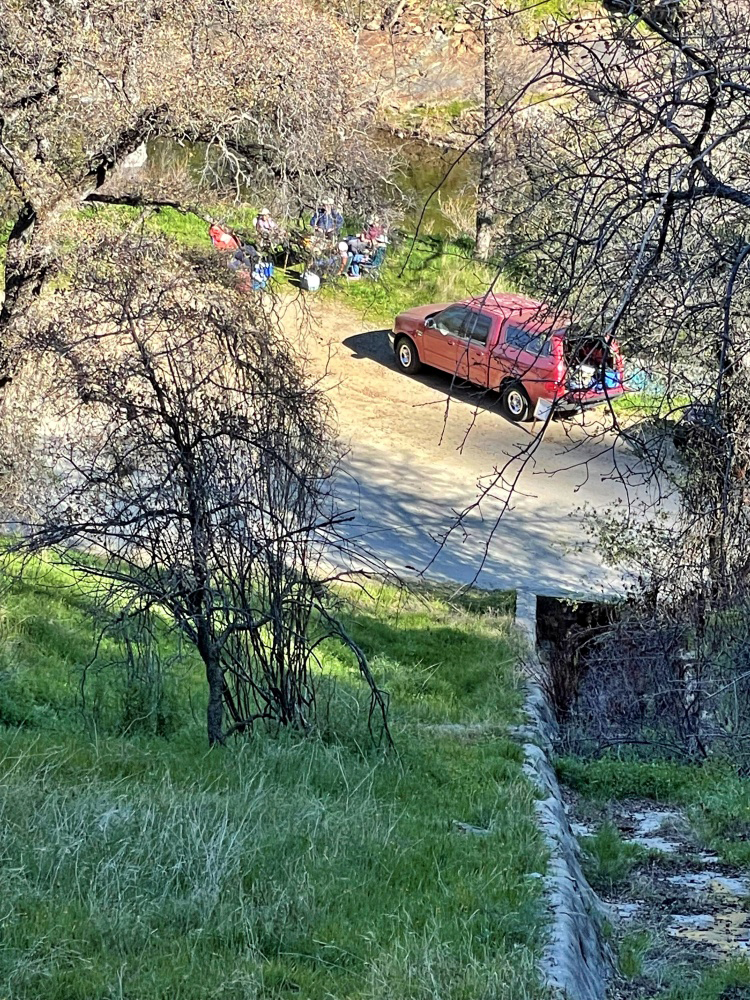
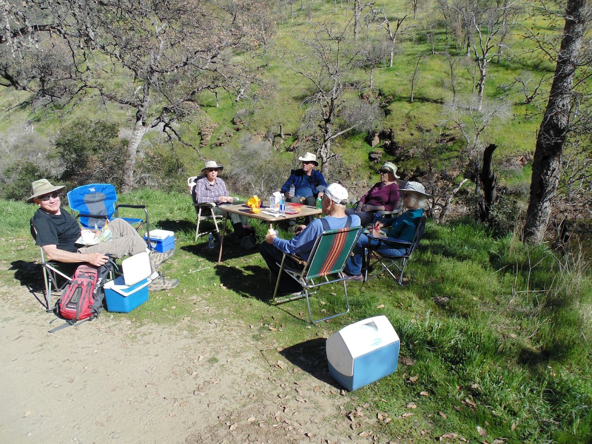
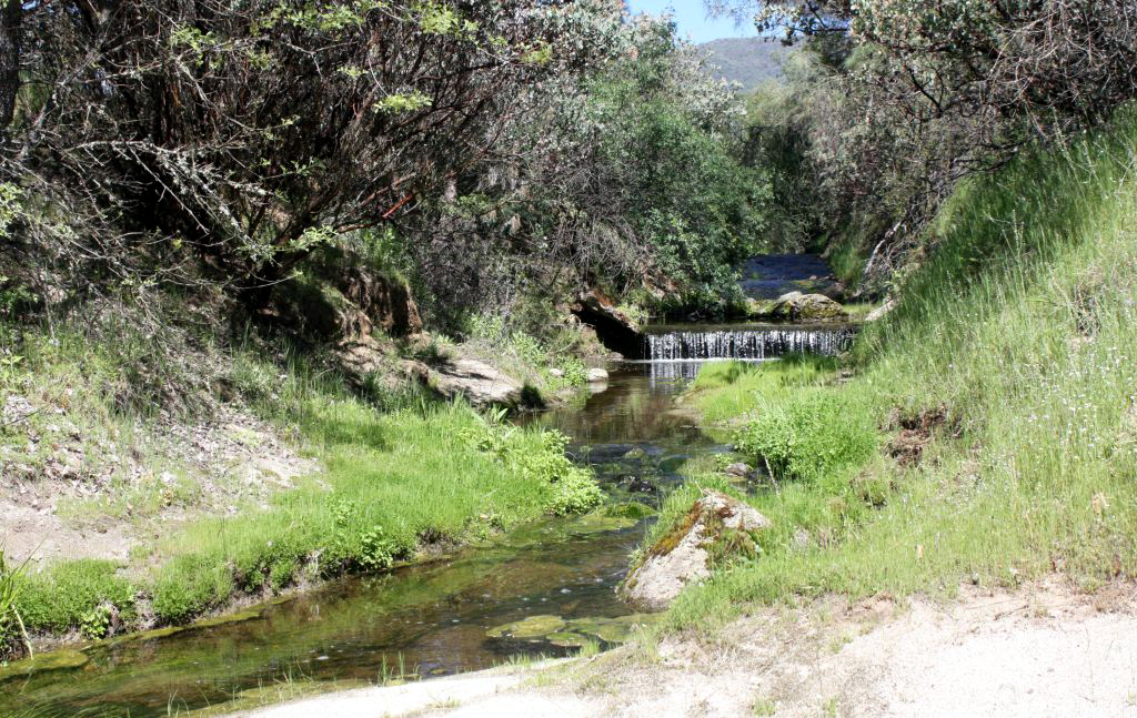
Having finished our hike, we drove a few miles to where the road crosses Big Creek, the other large tributary on the north side. A dirt road goes up along the creek, eventually coming out to Highway 168 below Shaver Lake. There's a nice flat spot a quarter mile in, where we set up a card table and our chairs in the shade, and enjoyed the sandwiches we had brought. Across the road is a small, steep drainage which has a rock and concrete structure that includes a dam or weir across the creek, with assorted valves and gates, and a rock-lined channel that carries water down and under the road. There are three similar, smaller artifacts along the road in this area, and I've been told they were used to measure run-off before Pine Flat Dam was built. A steep set of stairs, with rounded edges, leads up to this "waterworks," and I've been up there many times. This time only Wes and Ardyss were interested in climbing up, and after a closer look at the stairs, covered with slippery leaves, she returned to our dining area. Wes went up alone, crossed over the dam, and took some photos, so everyone was able to get a vicarious close-up look, including a birds-eye view of my truck and our table. |
|
 |
 |
| Runoff from December rains fills the pond at the "waterworks" | Looking down from the "waterworks" |
|
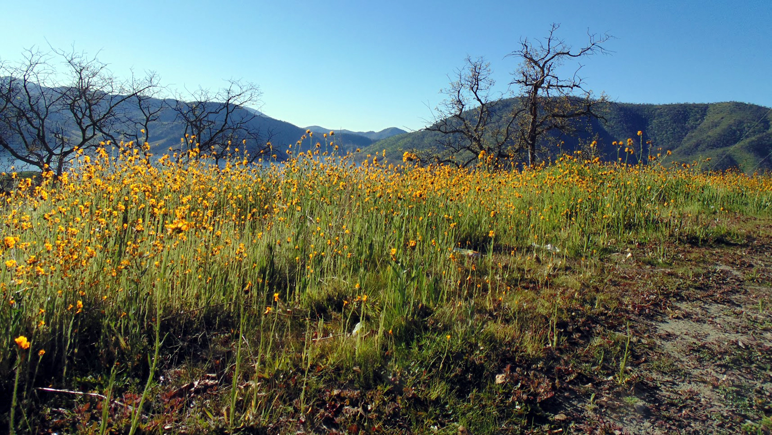
As usual, Wes had a few final words: The Ramblers have been at it again! On February 7 our group explored several closed recreational areas around Sycamore Creek along Trimmer Springs Road. We were in search of seasonal wildflowers. In fact we wanted to see hillsides carpeted with one specific flower: Poppies. We did find a few patches of that beautiful flower. But these flower patches were few and far between. The dominant wildflower in this area is fiddleneck. Its bright yellow color is beautiful, but not the poppies of our dreams. Still we enjoyed three short hikes in warm weather with blue skies and the sounds of silence. We had hoped to see the majestic eagle flying in that blue sky. It was not to be. We did spot an eagle's nest in one of the bull pine trees. On our third hike, I almost stepped into a pile of "cow pie." It reminded me of that classic song: "Grazing in the Grass." Walk with us a few minutes listening to that tune. During lunch we discussed our next hike, which is only two weeks after this one. Stay tuned! --Dick Estel, February 2022 |
|
| San
Joaquin Gorge
Before we get to this latest hike, I'd like to tackle the question that is on almost no one's mind: Who are these "Ramblers" you speak of? It started out unexpectedly with a fortuitous meeting. In early 2014, I was attending one of six annual lunches sponsored by the Retired Employees of Fresno County (REFCO). One of my former colleagues, Don McClellan, asked if I remembered Wes Thiessen. I did, although I did not know him well. He was a social worker, while my area was eligibility, and we had a few phone conversations. He left the department a few years after I started, and I had not seen or spoken with him in the subsequent 30 plus years. I sat next to him for lunch, and the conversation eventually got around to hiking, an interest we had in common. Wes suggested that we hike together on the Hite's Cove Trail, which follows the South Fork of the Merced River upstream from where it runs into the main river. I had been to this area in my childhood, and knew a little about Hite's Cove, a mining area, but didn't know about the trail. To shorten what could be a story longer than our latest hike, we enjoyed each other's company. I learned something I didn't know about my home county, and we decided we should do more hiking. At some point we decided to invite a couple of other retired county employees to join us, and the first Ramblers hike took place in May 2014, to Buena Vista Peak in Kings Canyon National Park. Julie Hornback and Carolyn Amicone had a good time, and agreed that we should try to schedule a few more hikes in the coming months. We only got in three more hikes that year, but we started 2015 with the intention of hiking every month, and we have missed very few months since. We gave ourselves the lame, temporary name of the County Hiking Group. It fell to one of our beloved colleagues, the late Regina Wheeler, to name us the Ramblers. Although she was no longer able to do this kind of activity, she was with us vicariously, and enjoyed the series of reports that Wes and I put together after each hike. |
|
 |

|
| The first Rambler hike: Wes, Julie, Carolyn and Dick | Ramblers
and Scramblers 2019: FRONT - Berdie Beier, Gloria Jackson, Sue Wirt, Dick Estel; BACK - Ardyss Webster, Elsa Sweeney, Allen Ward, Teri Liddle |
|
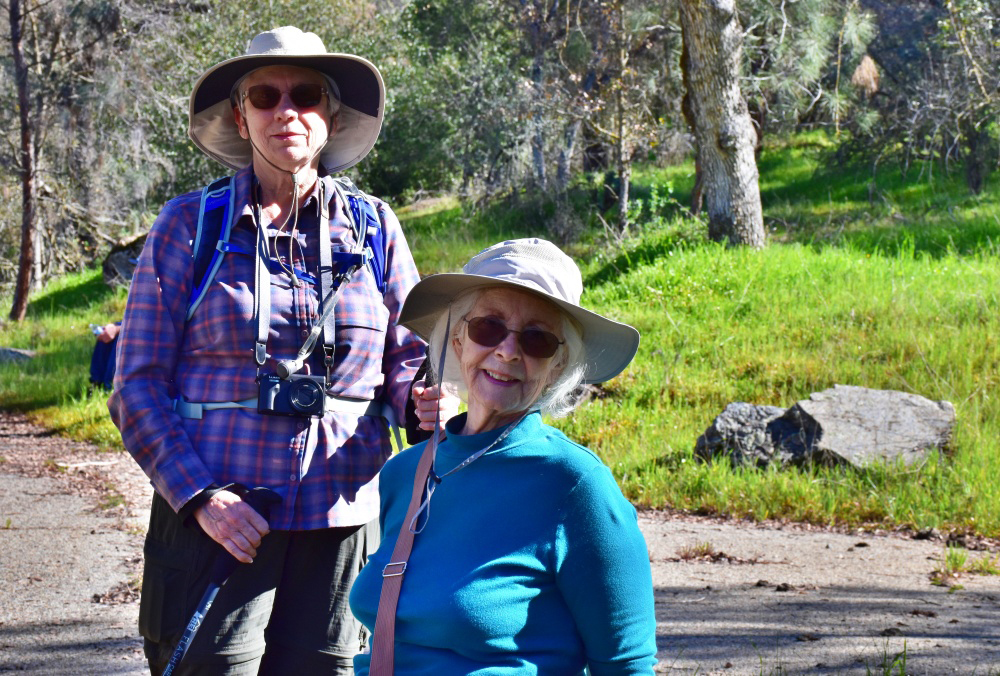
Membership remained at four through 2015, at which time we started having guest hikers. The first two were Susan Crandall of Mariposa, and my daughter Teri. On a recent hike her sister named these additional people "Scramblers." The first person to be officially declared a new Rambler was Don McClellan, who had brought Wes and me together at that fateful lunch. A number of people hiked with us a few times, but have not been seen for a while. Those who are fairly regular hikers now include Sue Wirt, a friend of hers from high school, Allen Ward; another friend Suzie Tellier, Ardyss Webster and Elsa Sweeney from the county retiree family, Dave Smith, a friend from the computer club I belong to, and two semi-regulars, Jeff Adolph and Keith Sohm, who both Sue and I know for different reasons. The designation of "official" Rambler is somewhat subjective, and we have no rules. If you didn't see your name here and want to be considered a Rambler, join us on at least two hikes in 2022. Even that requirement is subject to negotiation. |
|
| And
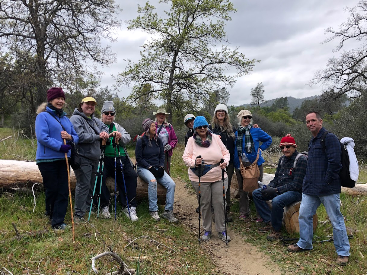
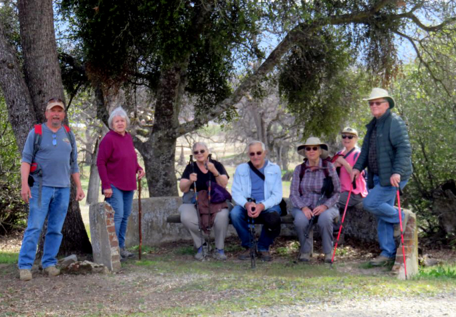
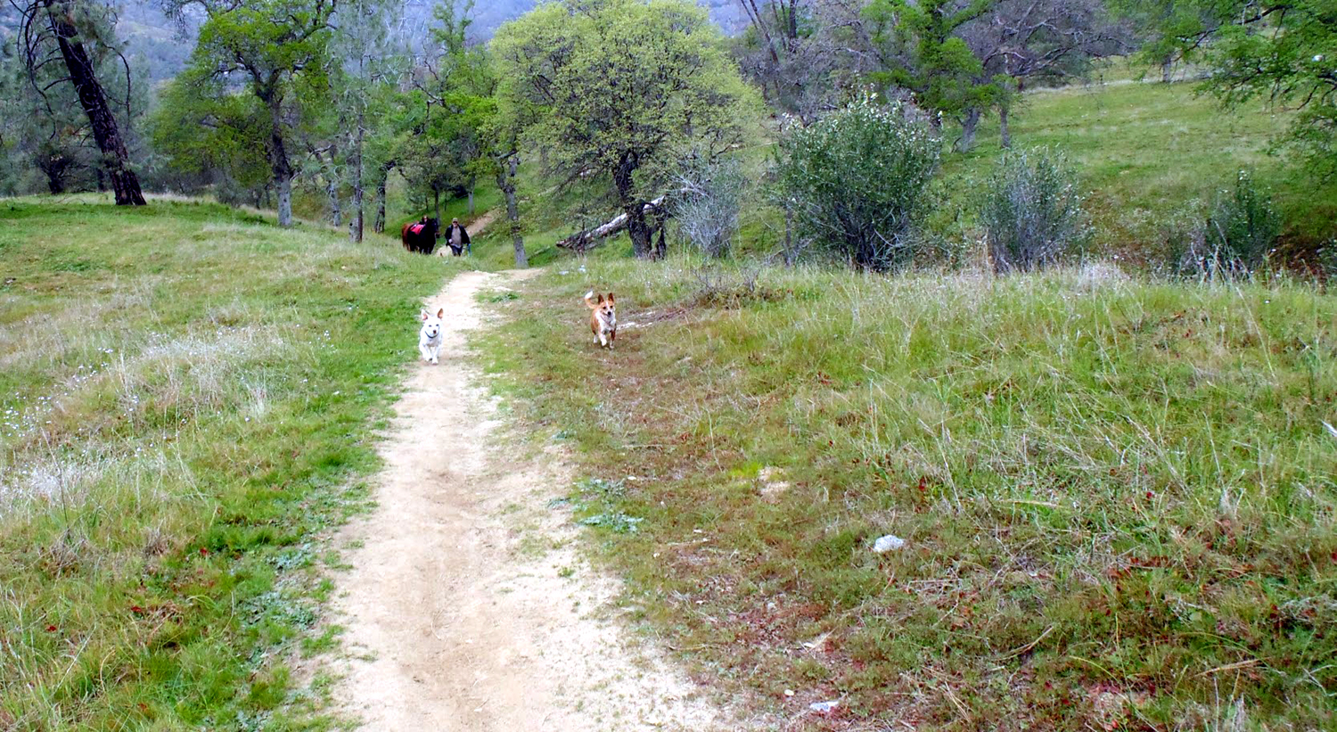
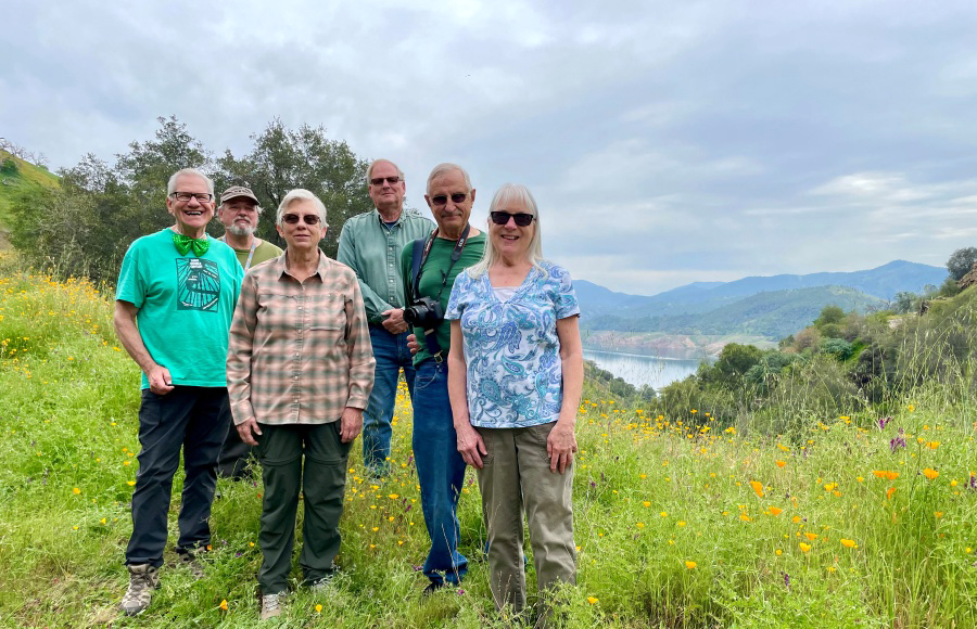
Now for the Rest of the Story (Photos by Teri, Sarah, Wes, & Dave) With plans to hike twice a month in the peak wildflower season of February through April, the Ramblers had a wide choice of low-elevation locations. So why not choose one we've already visited at least nine times, the San Joaquin River Gorge. With a group that totaled 15 hikers, we arrived at the parking lot in six cars on the morning of February 21. This was the Presidents' Day holiday, so a number of others had the same idea, and the parking lot was filled to overflowing. Our group included eight Ramblers - Wes, Jackie, Sue, Dick, Carolyn, Allen, Suzie, and Dave, plus seven "Scramblers - Dave's daughter Megan, Dick's daughter Teri, Wes's brother-in-law Jim, and Teri's friends Bobby, Kara, Sarah and Maria. |
|
 |
 |
| STANDING:
Wes, Carolyn, Jim, Allen, Dick, Teri, Jackie, Sue KNEELING: Maria, Bobby, Kara, Suzie |
Sarah, Dick, Jackie, Kara, Sue |
|
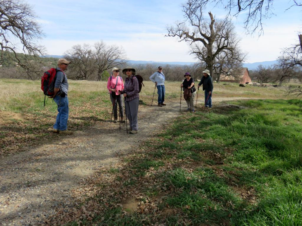
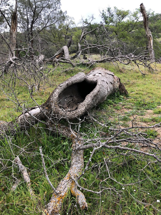
Most of the other people there were taking the Bridge Trail down to the river, but our plan was to hike a mile or two on the San Joaquin River Trail, which goes about 14 miles along the upper canyon of the river down to Sky Harbor on Millerton Lake. The section of this trail that we usually walk is high above the river, which is not visible till about three miles in. It goes up and down, offering exercise for all muscles. A few sections are quite steep, but very short (they seem to be steeper each year). Along the way, we were surrounded by green grass, oaks and pines, various shrubs, and a limited number of wildflowers As we've seen in other locations, there's a good variety of wildflowers getting started, but there are no massive carpets of color yet, except for fiddlenecks along the road driving up. We did see that flower, plus popcorn flowers, shooting stars, blue dicks, filaree, buck brush, bush lupines, and something I thought was Sierra Star. On further review, I found I was wrong about this, and I have not been able to identify it. |
|
 |
 |
| Blue oak newly leafed out | A typical section of the trtail |
 |
 |
| A
lot of fiddlenecks in this photo, plus blue oaks with their bright green new spring leaves |
Not a Sierra star, so what is it? |
 |
 |
| The
basalt cliff in the center is still known as Squaw Leap, but that name is likely to change soon |
Megan on the trail |
|
Our group has few rules, and they are all unwritten. One that we adhere to is that no one has to hike farther than they want to. A couple of people turned back fairly early, and a small group went quite a bit farther than the rest. About five of us, including myself, came to a point where the trail went down hill for along ways. It was not particularly steep, but we asked ourselves, "Do we want to hike back UP that long stretch?" The answer was no, and we stopped for a long rest. In fact, we rested long enough to see Wes, Jim, and Allen sauntering up the long hill to join us during our return walk. One of the good things about this trail is the large number of places to sit and rest. There was a bull pine that had fallen across the trail since my last visit, with a large section cut away and moved off the trail, providing seating for several people. Another fallen pine has been down two or three years and is almost as good. |
|
 |
 |
| A new rest stop along the trail | This fallen pine has been providing a place to sit for about three years |
|
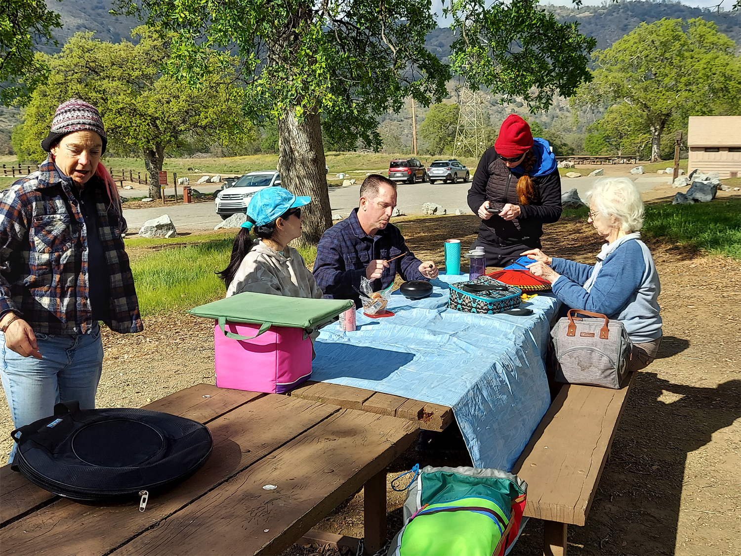
At this point, a few words from Wes: What a better way to celebrate Presidents' Day then a hike on public lands. President Truman signed the legislation in 1946 that created the Bureau of Land Management. On February 21 the Ramblers traveled to a strip of public land managed by that agency: The San Joaquin River Gorge. We hiked several miles on a trail that runs above the river. This is a multi-use trail good for horses, bikes, joggers and hikers. And we saw folks engaged in all these activities. It was a cold day with an overcast sky. We warmed quickly as the trail meandered up and down these foothills. This was an "out and back" hike that allowed each of us to go at our own pace before turning back. I recorded some of this hike with my GoPro camera. Sue helped me select background music by mentioning the name, Jay Unger. I listened to several selections before settling on "The Mountain House." Walk with us for a few minutes while listening to Unger's fiddle. The Ramblers are a small hiking group. With the holiday, we doubled our usual number with younger friends and relatives joining the fun. We were actually two hiking groups: The Ramblers and the Scramblers. We split up at hike's end with the Scramblers enjoying a picnic lunch next to the group camp and the Ramblers driving down to Prather for pizza. |
|
 |
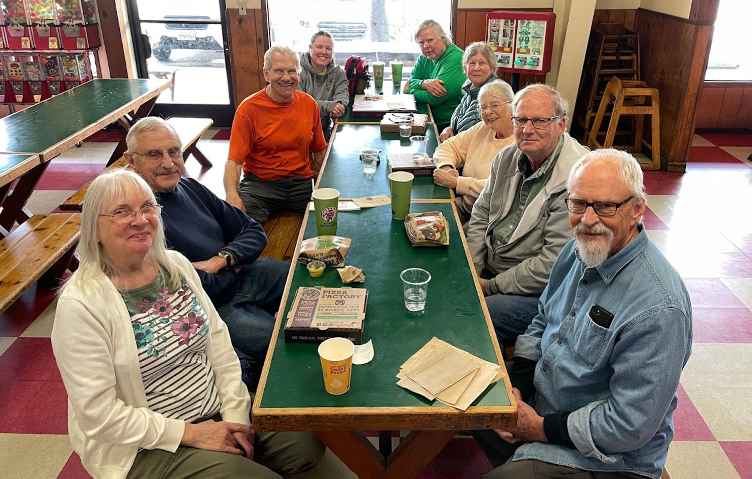 |
| The sun came out in time for the Scramblers' picnic | Ramblers in the Pizza Factory |
 |
 |
| These horses got to enjoy the walk without riders | Dick and Carolyn by the fallen Big Burl Tree |
|
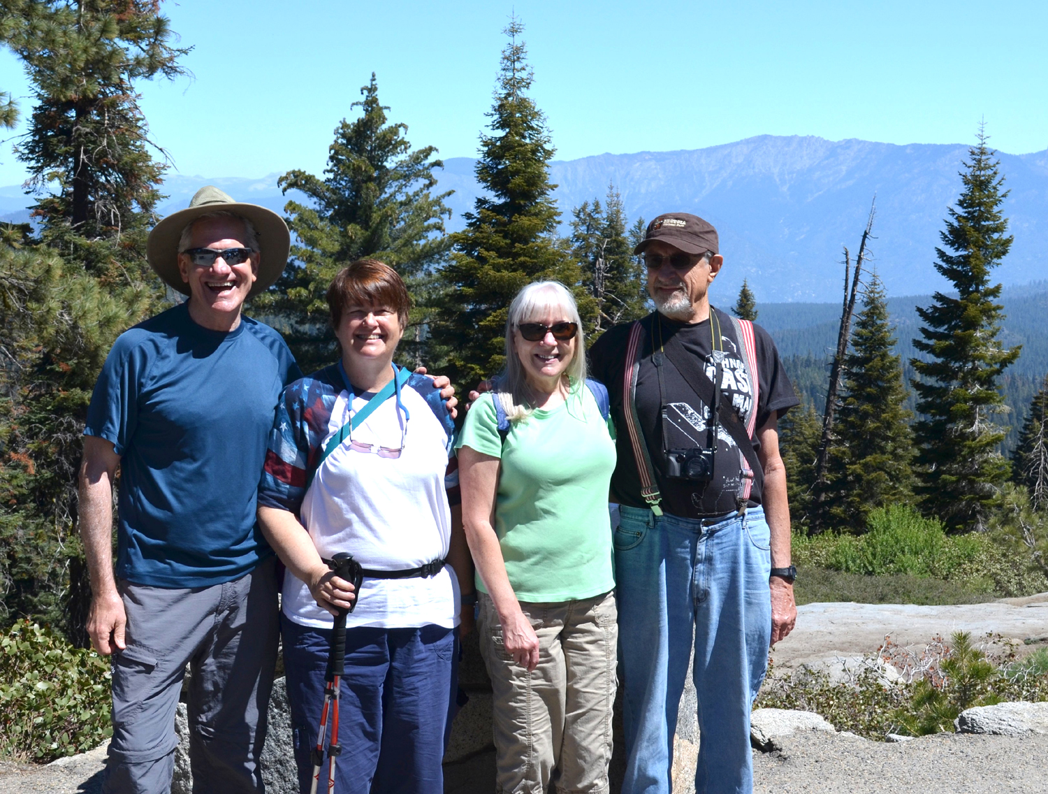
Dick again: With hiking trails beckoning us from north, east and south, we had to choose our next destination. For the convenience of friends who live in the Madera and Mariposa County foothills, we will be going to Ahwahnee Hills on Highway 49 about five miles west of Oakhurst. Join us in person, or vicariously with our next report. ---Dick Estel, February 2022 Wondering who took which photo? Place the cursor over the photo, and the file name will appear, probably in lower left of the screen. The file name includes the name of the photographer. This works on my desktop computer; other platforms may not provide the same results. |
|
| Ahwahnee
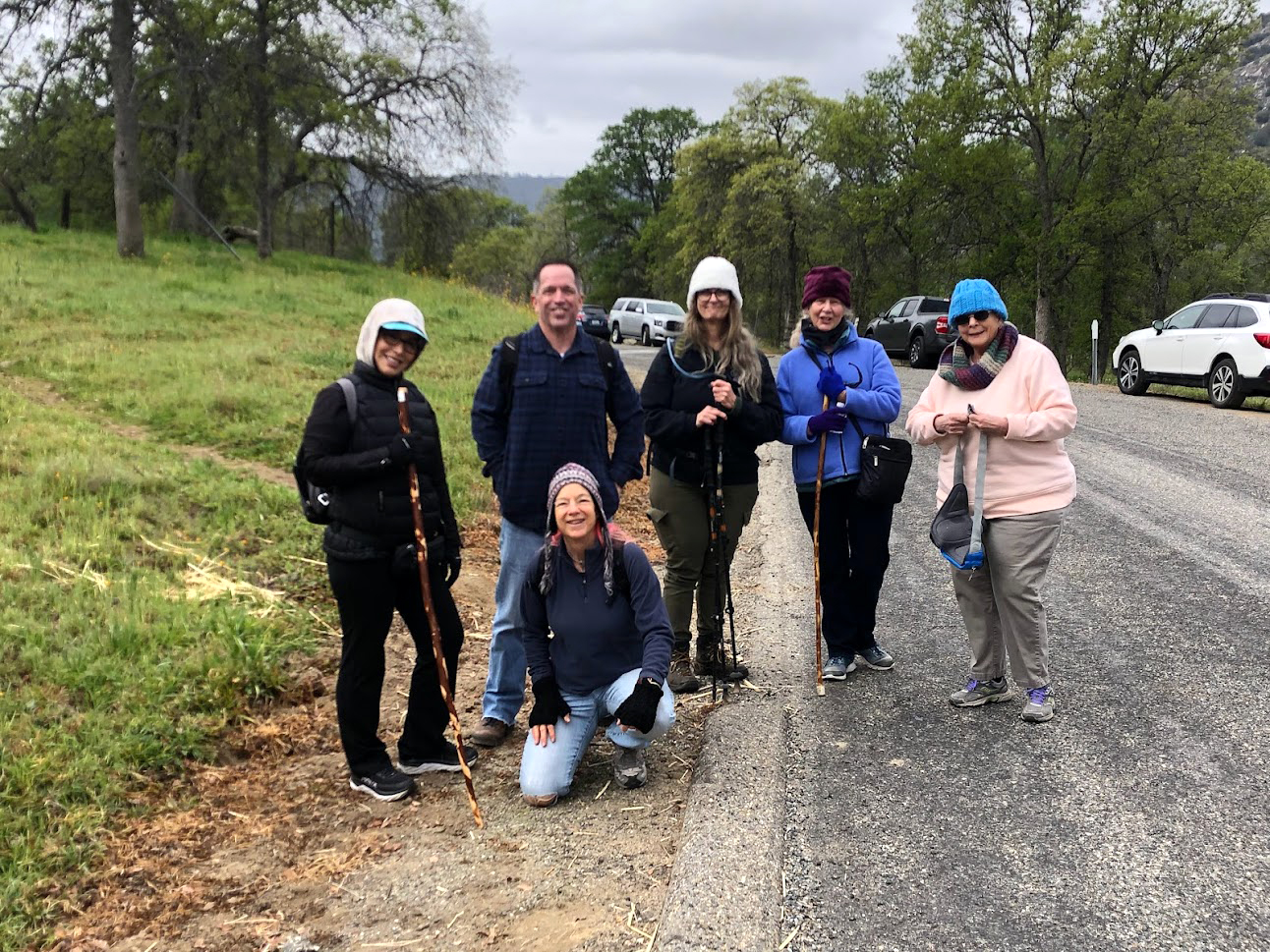
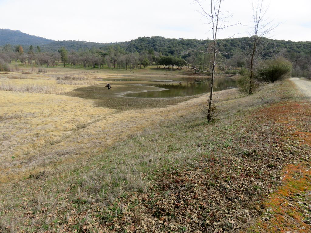
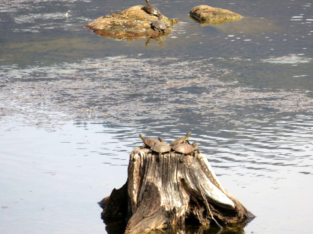
Hills (Photos by Susan & Andy Crandall) Ramblers gotta ramble, especially during the peak wildflower months of February through April, when we try to do two hikes each month. March got off to an early start on the 3rd with a trip to Ahwahnee Hills, a bit over five miles west of Oakhurst on State Highway 49. Five of us, Sue, Allen, Ardyss, Carolyn and myself drove up from the city. At the parking lot we met up with Susan and Andy, old friends of mine from Mariposa, and my high school classmate Bev and boyfriend Bob who live in Ahwahnee. We had visited this place several times previously, starting in May of 2017, and the report on that hike provides some of the history of the property. The parking lot is on a small hill, and the trail goes down in two directions, creating a nice loop route. In the past we have always gone counter-clockwise, ending the hike with a short but rather steep climb from the mostly level basin where the trails lie. Somehow we had finally gained wisdom in our old age, and went clockwise so our final steps would be up a much more gentle slope. A short distance along the trail, it crosses an earth dam that creates a small pond. It was nearly dry, but there was still enough water for the turtles - we saw at least a half dozen of them sitting on stumps and rocks. |
|
 |
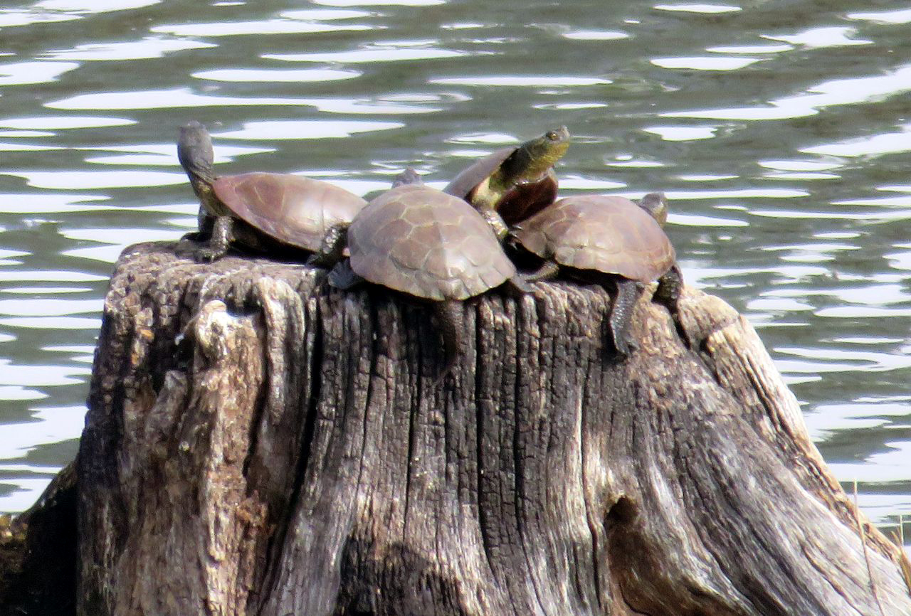 |
| The pond is nearly dry; it SHOULD look like this | There's enough water to satisfy the turtles |
|
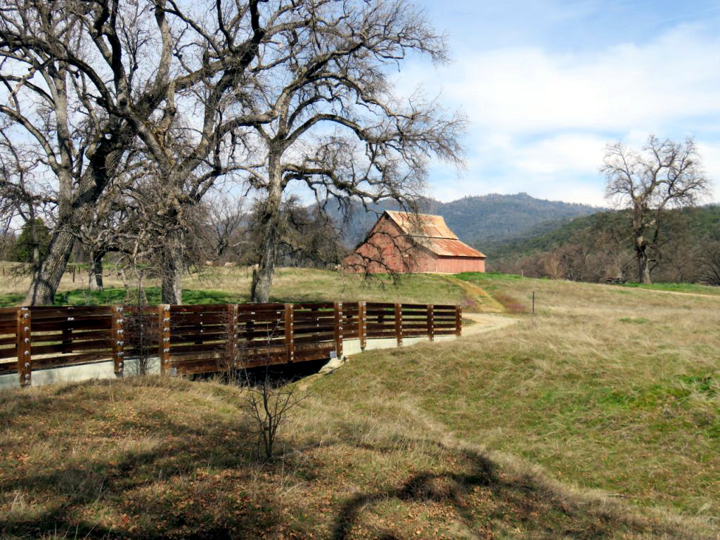
The terrain consists of open fields, which were sadly lacking any significant numbers of wild flowers, and oak savannah, mostly valley oaks. The seasonal creek that runs through the park was mostly dry, with some stagnant pools in one area. Not far from the parking lot is an old barn, which has been reinforced inside with modern hardware and framing. |
|
 |
 |
| The trail winds through a grove of valley oaks | The barn and one of several bridges |
|
There are seven miles of pedestrian trails, but hiking the entire distance would not be a ramble, it would be a grueling and punishing ordeal for our group. Many of those miles go around the pond and on the opposite side of the creek, close to where we walked, so our 1.85 mile walk allowed us to see most of what the park has to offer. There is also a place where a trail provides a shortcut back to the parking lot. Bob and Bev took the shorter route, but he gave us something to aspire to, doing this hike at age 92. For once I was not the oldest person in the group! |
|
 |
 |
| Bob and Bev | Andy, Susan, Sue, Dick, Ardyss, Carolyn and Allen |
|
The rest of us finished our loop hike and drove about a half mile to the Hitchin' Post, an excellent restaurant in "downtown" Ahwahnee, where we had eaten once before. Despite the lack of significant flowers, the park is a relaxing and scenic place, with green grass and views across to the distant mountains between Oakhurst and Bass Lake - a great place to spend a few hours in the spring. |
|
 |
 |
| Ramblers on the trail | Using a recently-acquired app, Wes turned this photo into a painting |
|
Why no final words from Wes? It was a rare absence for him, required by a routine visit to his doctor. At least he got to contribute an artistic touch to one of our photos, and you know he'll be back and speaking out at our next hike. --Dick Estel, March 2022 |
|
| Edison
Point
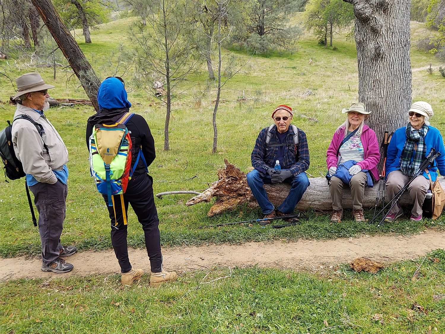
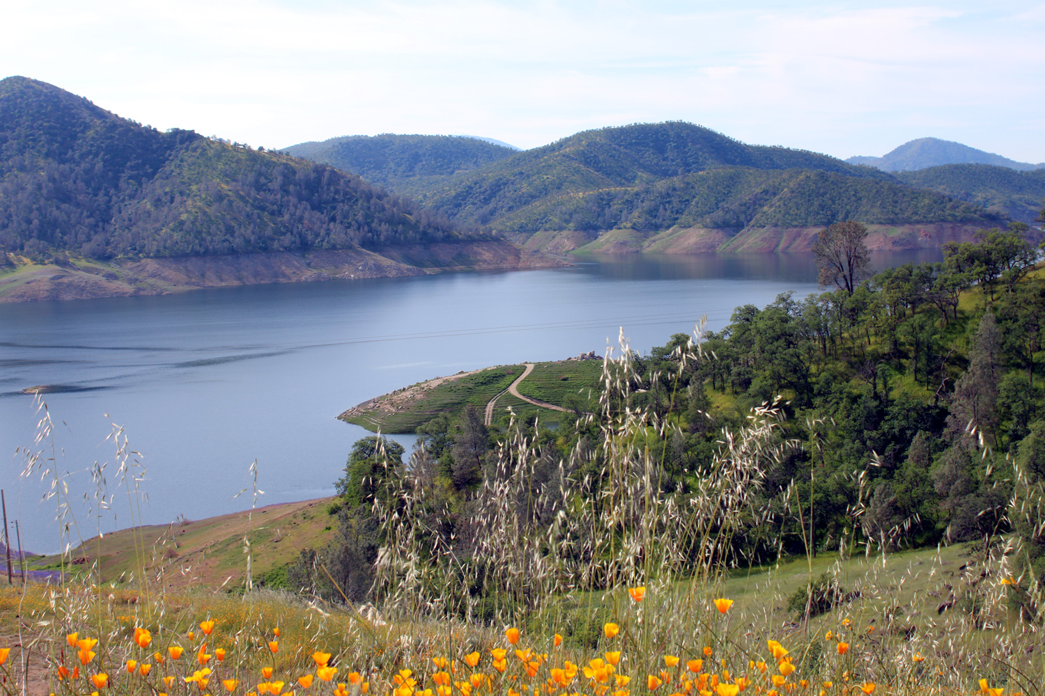
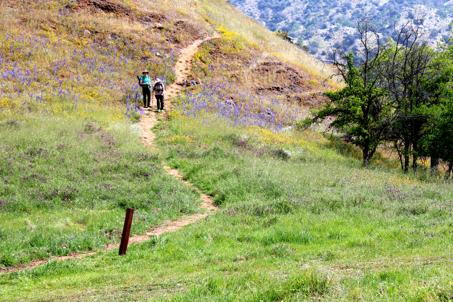
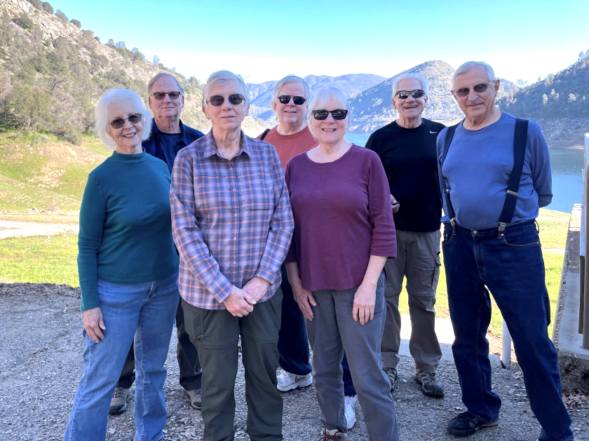
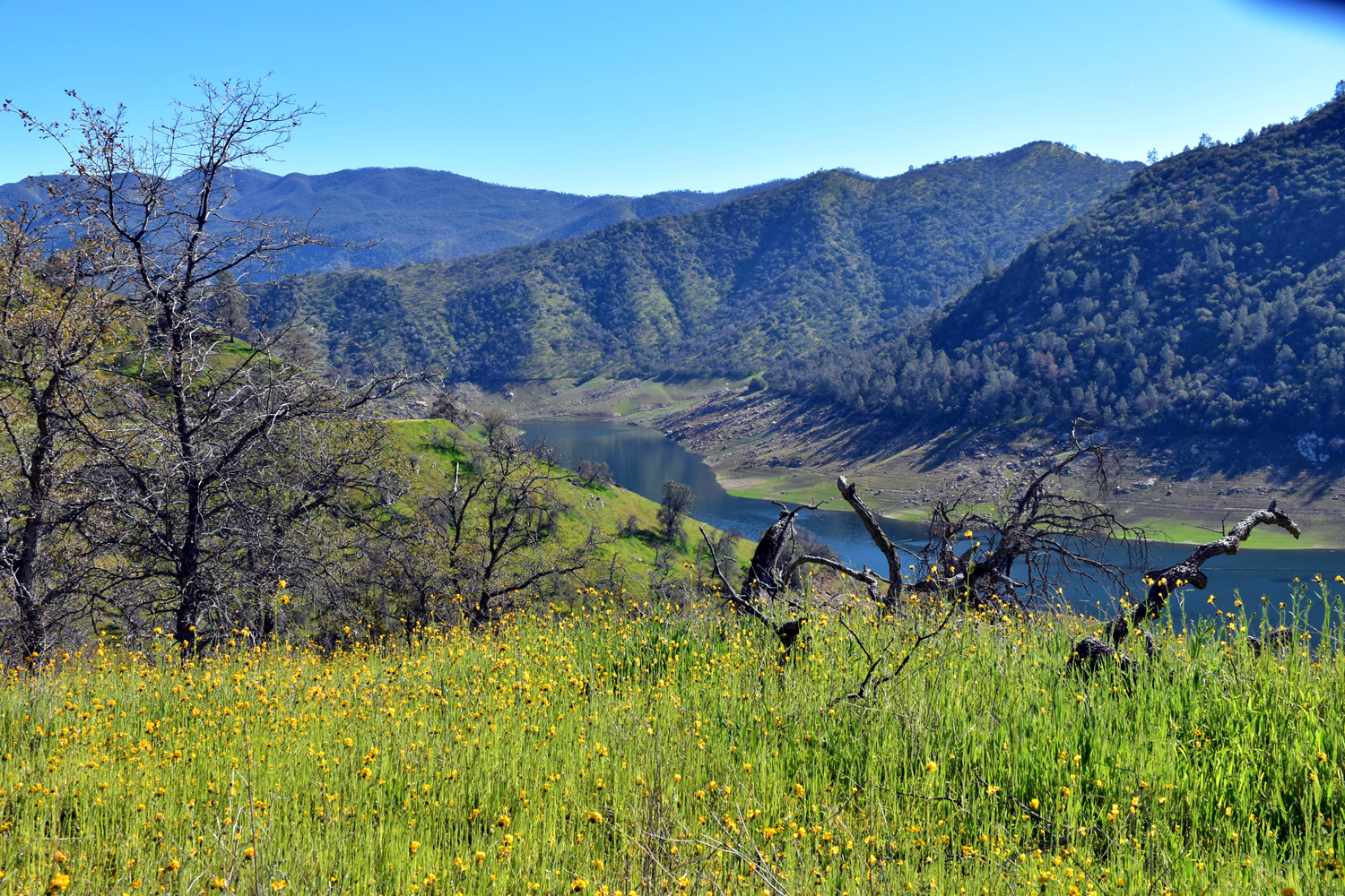
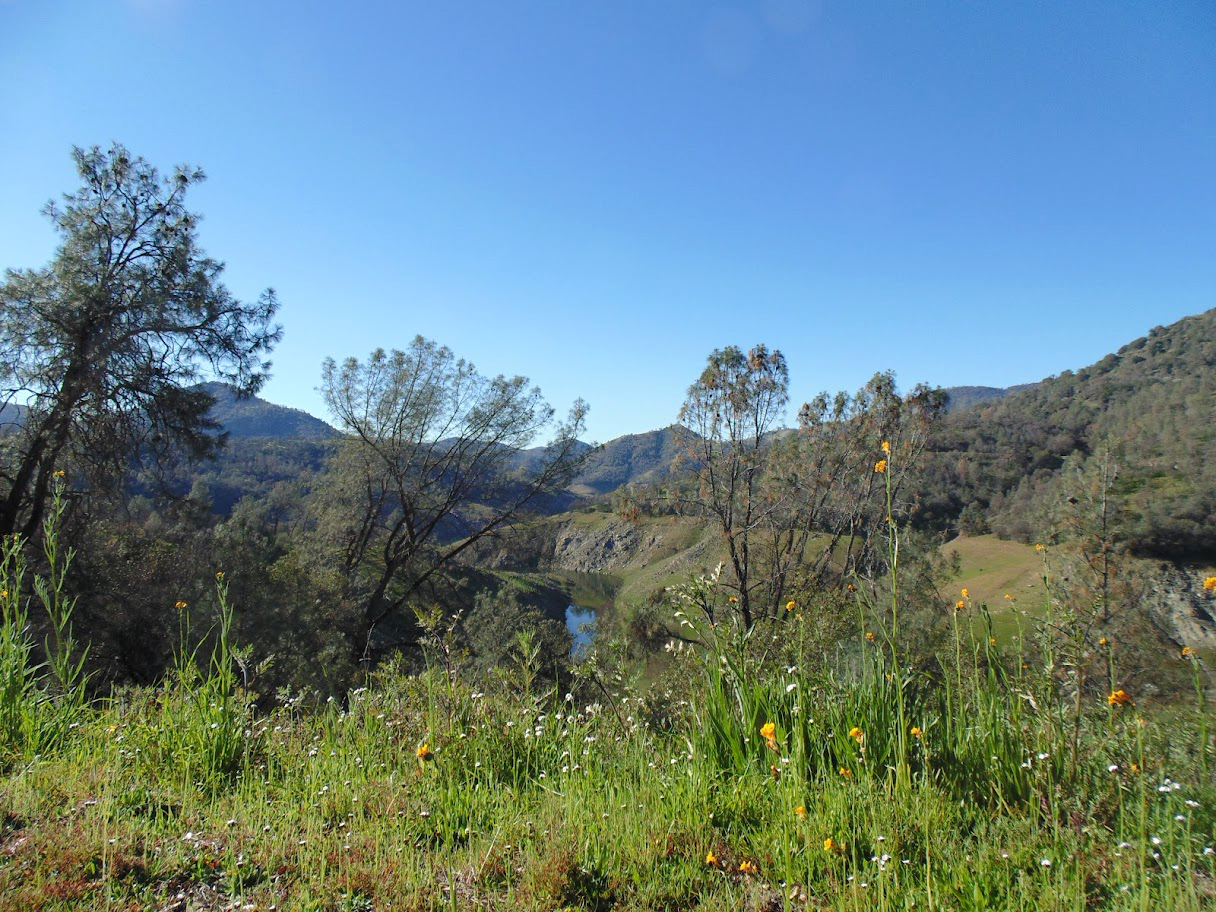
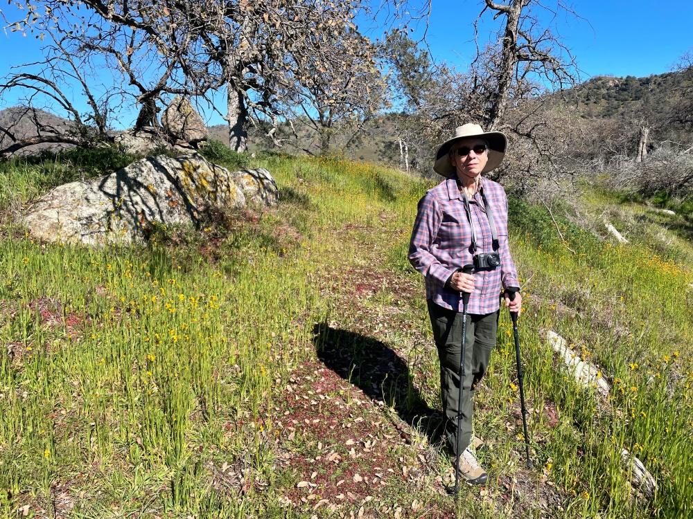
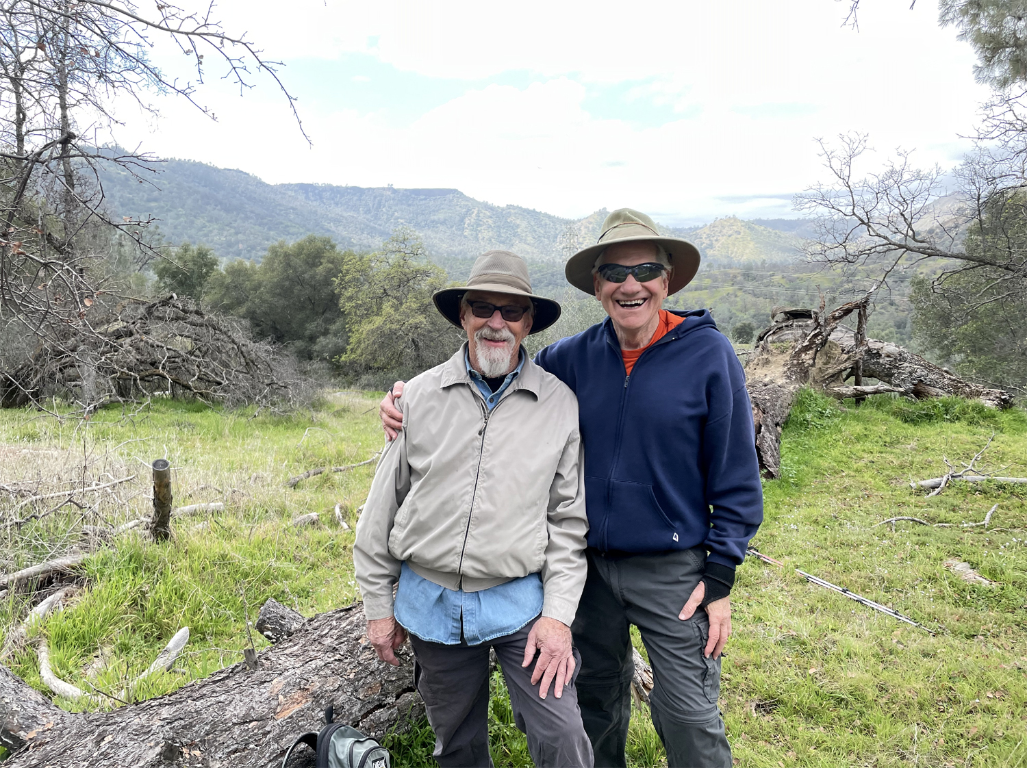
On St. Patrick's Day the Ramblers, all wearing green to avoid getting pinched, drove into the green hills around Pine Flat Lake to hike at Edison Point. It's a destination we've visited several times; the first time was in March of 2015. This can be a short and easy hike or a long, difficult one, depending on your inclination and physical condition. The trail is a loop that goes along the side of a hill on a dirt service road that provides access to the electrical transmission towers in the area. At the tower out on the point, the trail goes steeply down to the lake, with some very long switchbacks, then up through several little drainages back to the parking area. The Ramblers took this long route one time, and I did it two other times, but the last time the trail was blocked by many fallen trees, and essentially impassable. So we've just done an "out and back" to the point on our more recent outings. Wes, Ardyss, Allen, Carolyn and I arrived in two cars, and spotted a bearded old guy sitting in his pickup. We soon realized that he was in fact the youthful Jeff Adolph, an official Rambler, who had made his decision to hike just that morning. |
|
 |
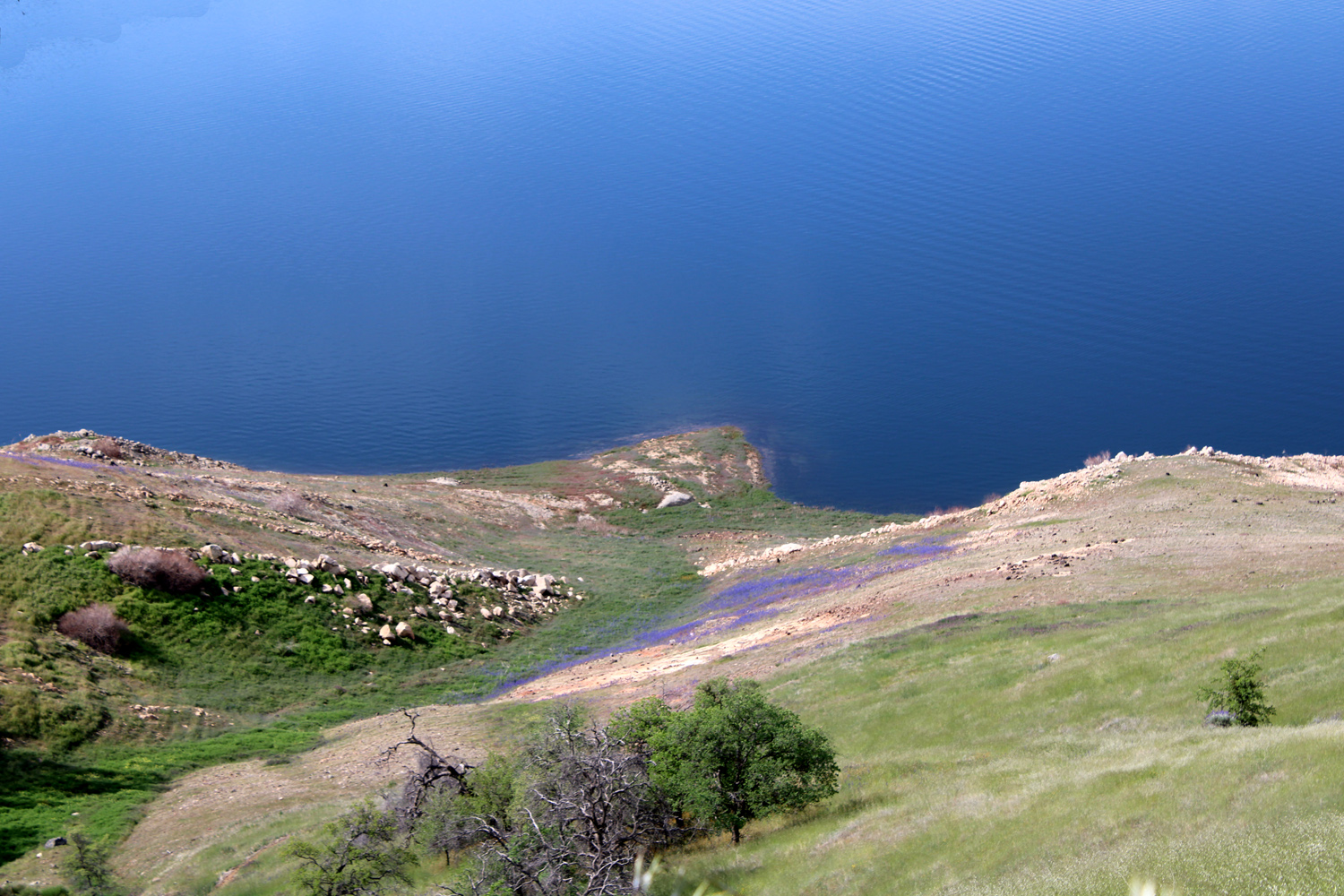 |
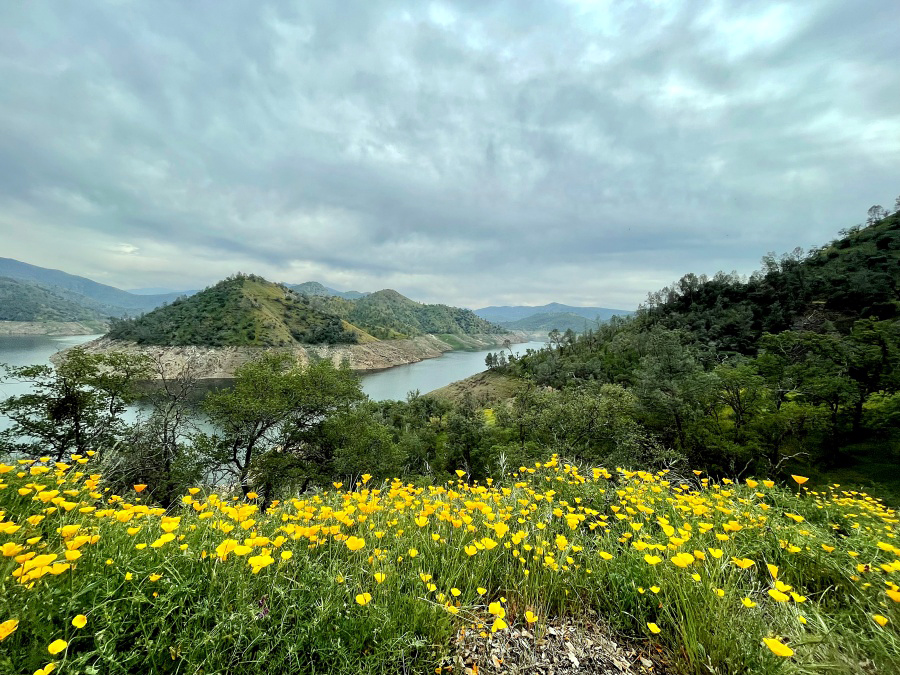
| View of
Pine Flat Lake; like many such scenes this season, it includes poppies |
Blue patches of lupines appear in many places along the lake shore |
|
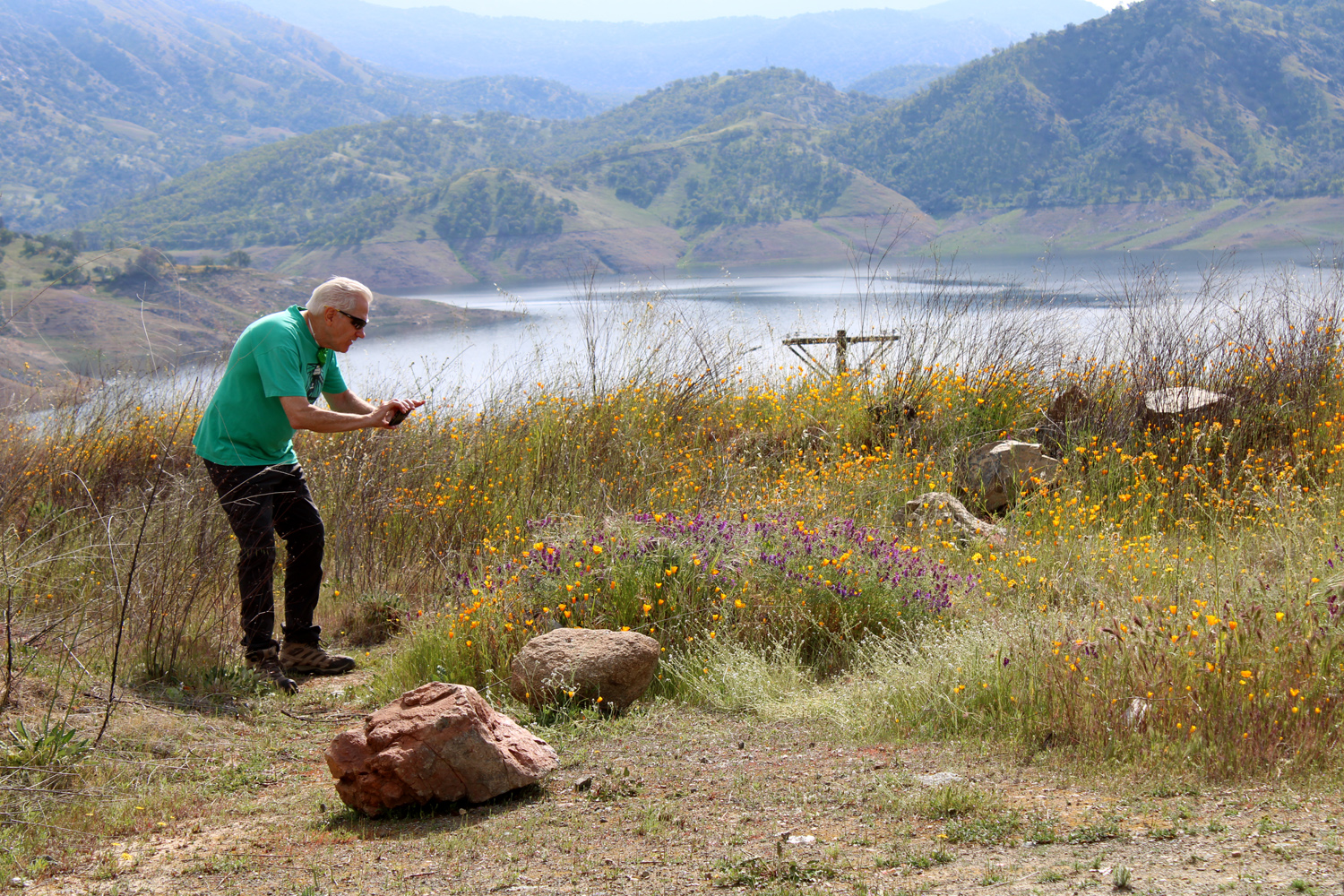
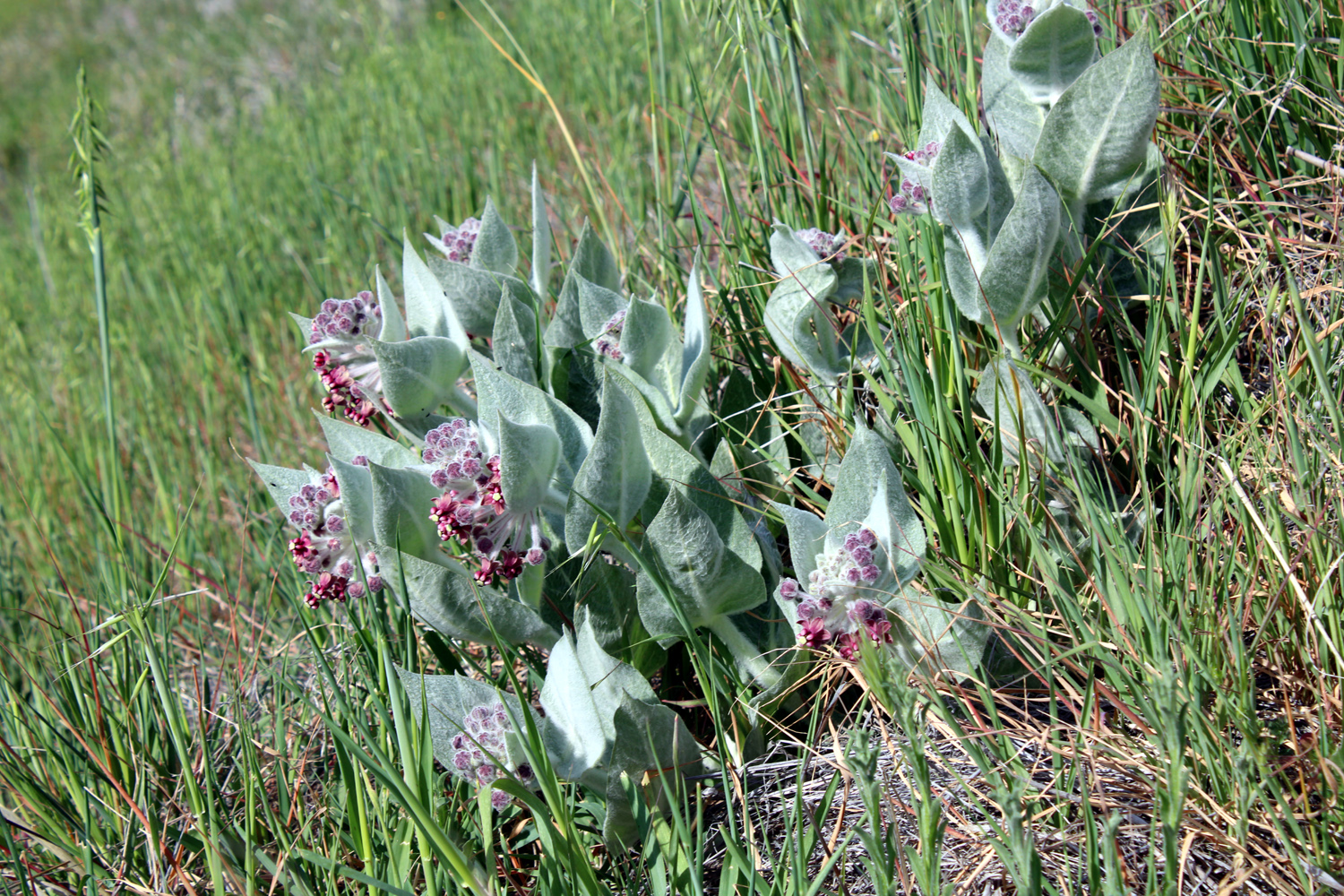
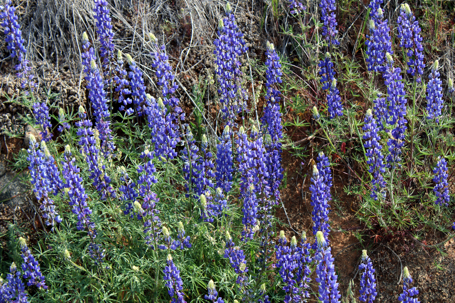
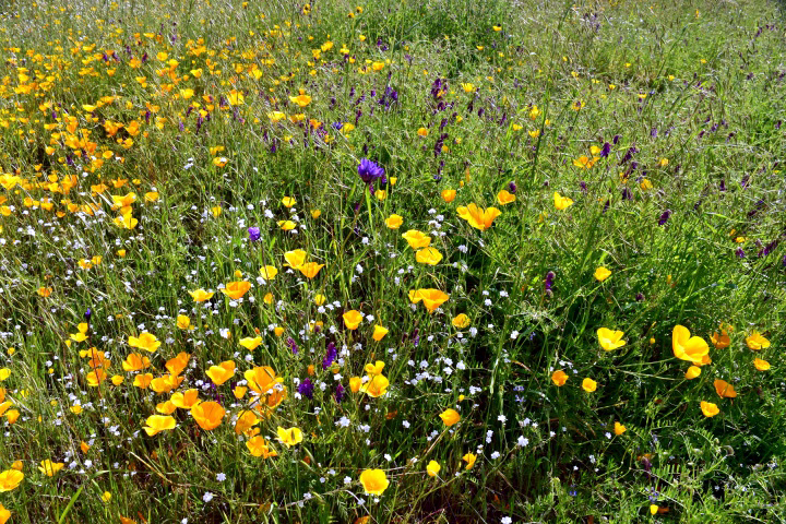
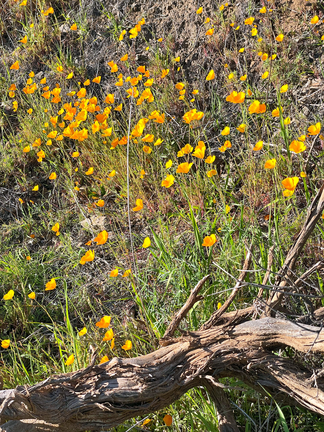
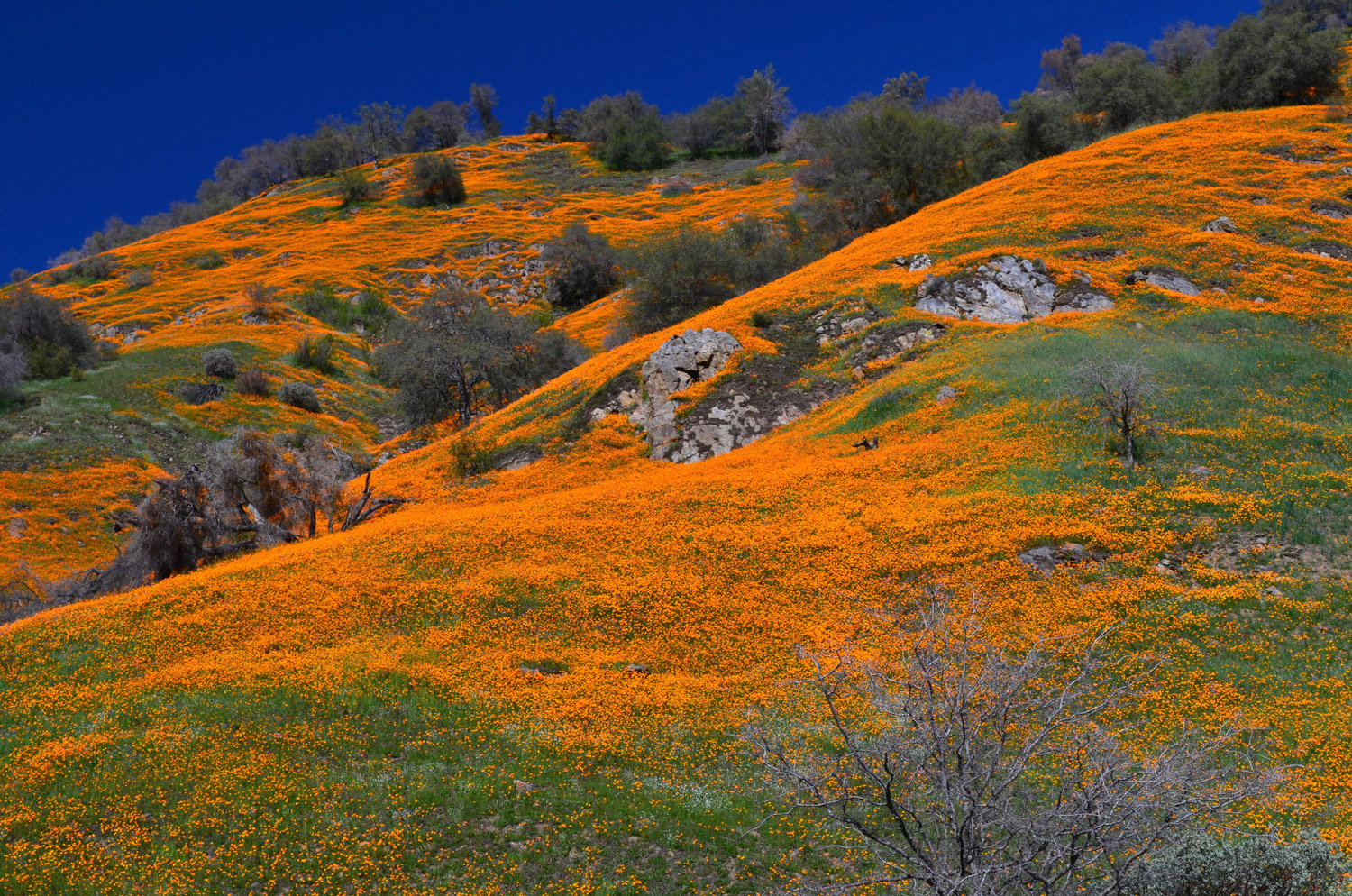
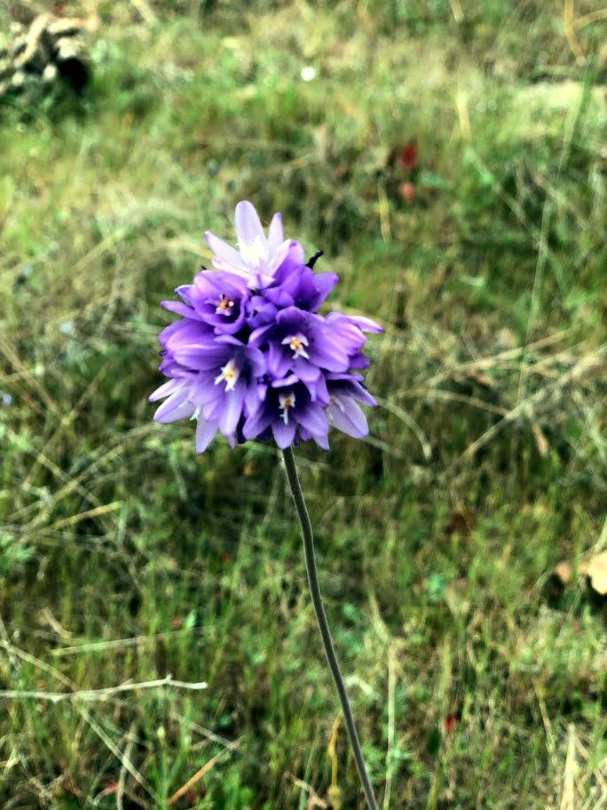
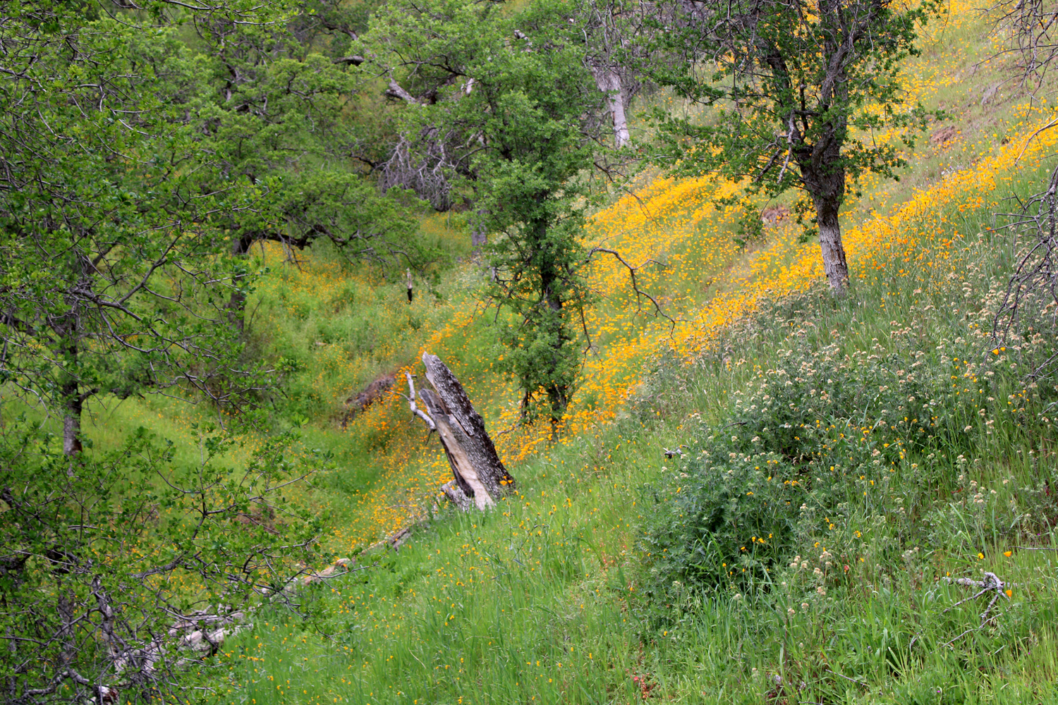
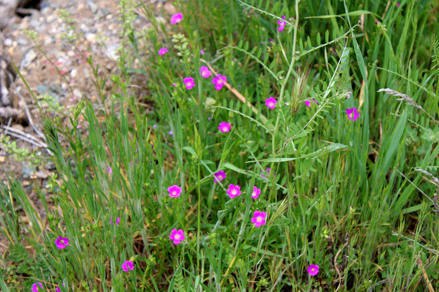
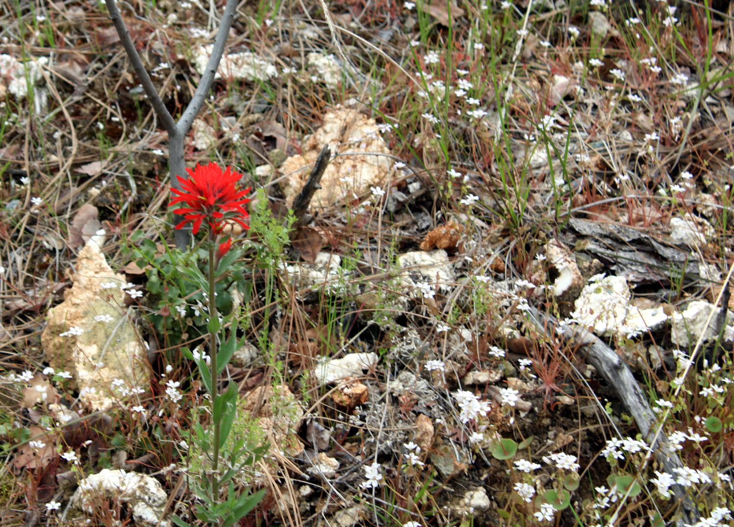
Even before reaching the trailhead, we had stopped to look at the poppies and other flowers along the road. There were not many out when we hiked here in February, but this time we were not disappointed. We did not see massive fields like in 2015, but they were very satisfactory. We saw lots of tall ground lupines along the road as well as bush lupines, finally looking their best. Fiddlenecks were the dominant flower along the road. On the trail we encountered big patches of poppies, more fiddlenecks, and a few purple and yellow brodiaea. Purple vetch, popcorn flowers, milkweed, and daisy-like blooms rounded out the floral display. At both ends of our hike we saw that some badly-needed maintenance work had been done on the sections of the trail that are not part of the dirt road. |
|
 |
 |
| At last, Wes finds poppies to photograph | Milkweed along the Edison Point Trail |
 |
 |
| The tall ground lupines are putting on a good show this year | Close-up of phecelia |
|
The alignment of the trail from the point down to the lake had been changed slightly, and a few of our members went down a short distance. Unsurprisingly, Wes went the farthest, to where he could see a bench near the edge of the lake where we had rested on our loop hike on Leap Day 2016. On the other side of the point, a new, narrower trail went out along a steep hillside. Wes and Ardyss explored this route, and reported that it was labeled the Turkey Trail, and continued on out of sight around the hill. |
|
 |
 |
| The bench is visible under the tree in the center of this photo | Wes and Ardyss return from exploring the Turkey Trail |
|
When we got back to the parking lot, our adventures were far from over. We had previously decided to bring our lunches, so we drove a few miles up the road to Trimmer Camp Ground and ate at a picnic table, with a nice view of the lake. We had inadvertently occupied a reserved site, and the legitimate campers arrived before we finished eating, so we moved 50 feet to a different table. Along the road between the camp and Edison, we had spotted some good poppy fields, as well as other sights worth checking out. Our drive home was slowed by four or five stops along the road to take in different views. |
|
 |
 |
| View of the lake looking down the valley of Little Salamander Creek | One of many poppy-covered hillsides |
|
As promised after our last hike with No Wes, he had some good comments this time: March 17 was a perfect day for a hike on the Edison Point Trail along Trimmer Springs Road. The temperature was mild, allowing the flowers of the poppy to spread their petals. As we drove to the trailhead, we saw entire fields covered with the white blossoms of popcorn flower. Other fields were carpeted with the yellow fiddleneck. But we were in search of a special flower: And we found that flower at every turn. By the time we started our hike the temperature had warmed and it seemed that all varieties of wildflowers were smiling at us. Take a close look at the bouquet below and count the different flowers. After the hike, we enjoyed a picnic lunch at the Trimmer Campground before heading home. But the fun wasn't over. We made several stops along the roadside to take in nature's display of wildflowers and water vistas. |
|
 |
 |
| In answer to Wes's challenge above, "At least five" | Another great view of poppies and the lake |
|
At the stops on the homeward journey, we saw white shooting stars, various daisy-like flowers, fiesta flowers, fringed redmaids, Indian paint brush, and the ever-popular "unidentified." Photos of these, as well as the group, will appear in the photo gallery below. --Dick Estel, March 2022 |
|

| Photos (Click to enlarge; pictures open in new window) | ||
| Tesoro Viejo Sycamore Creek San Joaquin Gorge Ahwahnee Hills Edison Point | ||
| Tesoro
Viejo (Photos by Wes and Dick) |
||
 |
|
|
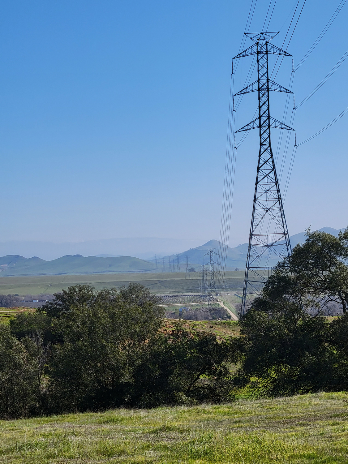
| Our "neighbors" near the trail | This transmission
line carries power from Sierra hydro projects to the valley and beyond |
Sue, Allen and
Jackie, enjoying the view and the bench |
| Sycamore
Creek Wildlife Area (Photos by Wes, Dave & Dick) |
||
|
 |
 |
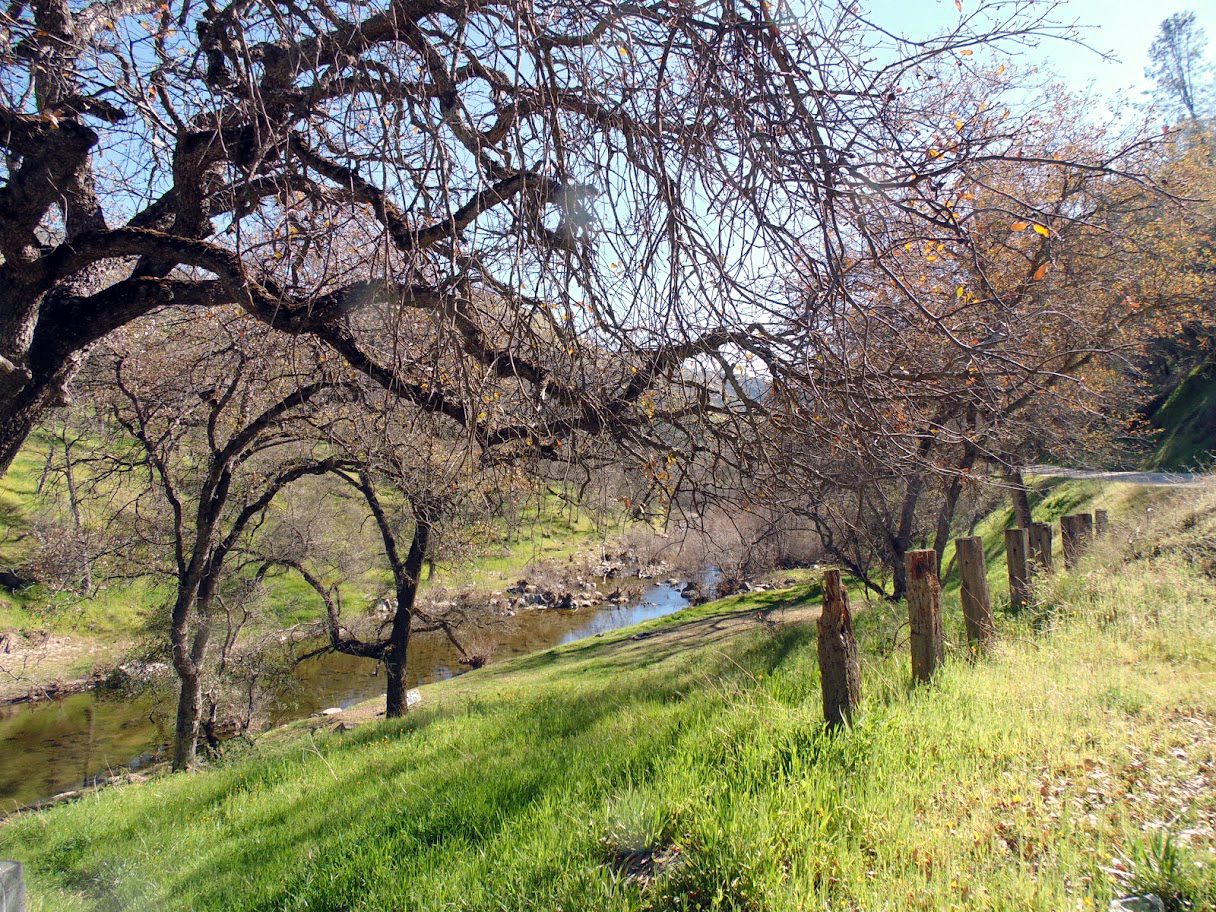
| New leaves on the blue oak | Spring beauty | Along Trimmer Springs Road |
 |
 |
 |
| A few popcorn
flowers and fiddlenecks above the lake |
Fiddlenecks against dark tree trunks | Dave unleashes his inner Ansel Adams |
 |
 |
 |
| Ardyss and Jackie in the old campground | Ardyss on the divide between creek and lake | A quiet stretch of Big Creek |
|
 |
 |
| Big Creek from our lunch spot | Ramblers at lunch | Jackie, Allen, Ardyss, Dave, Carolyn, Wes, Dick |
| San
Joaquin Gorge (Photos by Teri, Sarah, Wes, & Dave) |
||
 |
 |
 |
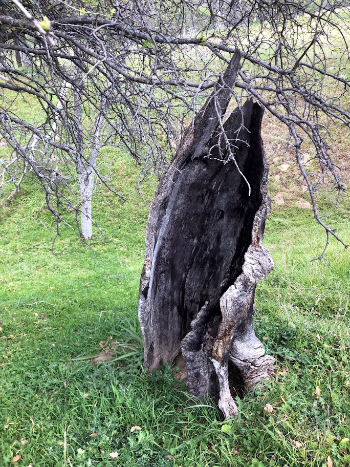
| We saw a good number of blue dicks | This
burned stump always fascinates photographers |
A scattering of popcorn flowers |
 |
 |
 |
| A scene of natural devastation | Mushrooms
grow in the rotting base of the fallen Big Burl Tree |
Sarah tries walking up a tree |
|
 |
 |
| Maria,
Bobby, Teri, Suzie, Sue and Kara (kneeling) |
Once
upon a time, dogs and horses would have signaled a cattle drive |
Jim and Wes stray off the trail |
|
 |
 |
| Looking
across the river canyon as clouds start to clear |
Squaw Leap under an overcast sky | One of those steep sections of the trail |
| Ahwahnee
Hills (Photos by Susan & Andy Crandall) |
||
|
 |
 |
| Carolyn, Dick and Ardyss on the trail | Bob and Bev | Andy
explores the dry creek bed (Click to see the creek during better days) |
 |
|
 |
| Six turtles, and we saw more | Typical view at the park | Valley oaks and the barn |
| Edison Point | ||
 |
 |
 |
| This flower is unidentified | A cool
drainage with blue oaks, poppies and phecelia |
The bright magenta of fringed redmaids |
 |
|
|
| Fiddleneck close-up | Ardyss on the lupine-lined Turkey Trail | A mutant white variety of shooting star |
 |
 |
 |
| Indian
paint brush provides a nice change from the dominant orange and yellow colors |
Another unknown blossom | Wes, Jeff, Ardyss, Allen, Dick and Carolyn |
| Related Links | ||
| Tesoro Viejo | San Joaquin River | Tesoro Viejo Trail Guide |
| More About TV Trails | AXIS Coffee Bar & Eatery | Dave's Sycamore Photos |
| Ramblers at Sycamore in 2017 | Wes's Go-Pro Video | Dave's San Joaquin Gorge Photos |
| San Joaquin River Gorge | San Joaquin River Trail | Ramblers First San Joaquin Gorge Hike |
| Pizza Factory | Ahwahnee Hills Park | Hitchin' Post |
| Edison Point Trail | Pine Flat Reservoir | Trimmer Campground |
|
Disclaimer: The Trimmer Campground link originally stated that Kings Canyon National Park is "near" Trimmer, and that Azalea Campground in the park is 21 miles away. This is incorrect and could have sent visitors over difficult and dangerous back roads. This information has apparently been removed. To go safely from Trimmer to Kings Canyon Park you must drive back down below Pine Flat Dam, drive across five miles or more to Highway 180, then about 45 miles up to the entrance to the National Park. |
||