2018 Ramblers Hikes Page 2 |
||
|
The Ramblers are Carolyn Amicone, Julie Hornback, Wes Thiessen, Don McClellan, Sue Wirt, Elsa Sweeney, Ardyss Webster, and Dick Estel, former colleagues at the Fresno County Department of Social Services. Every month or so we get together for a short hike, good conversation, and lunch. |
||
|
Photos Related Links More Travel Reports 2017 Hikes 2018 Part 1 2018 Part 3 |
||
|
Nelder Grove Rancheria Falls Big Stump Basin Courtright Reservoir & McKinley Grove |
||
|
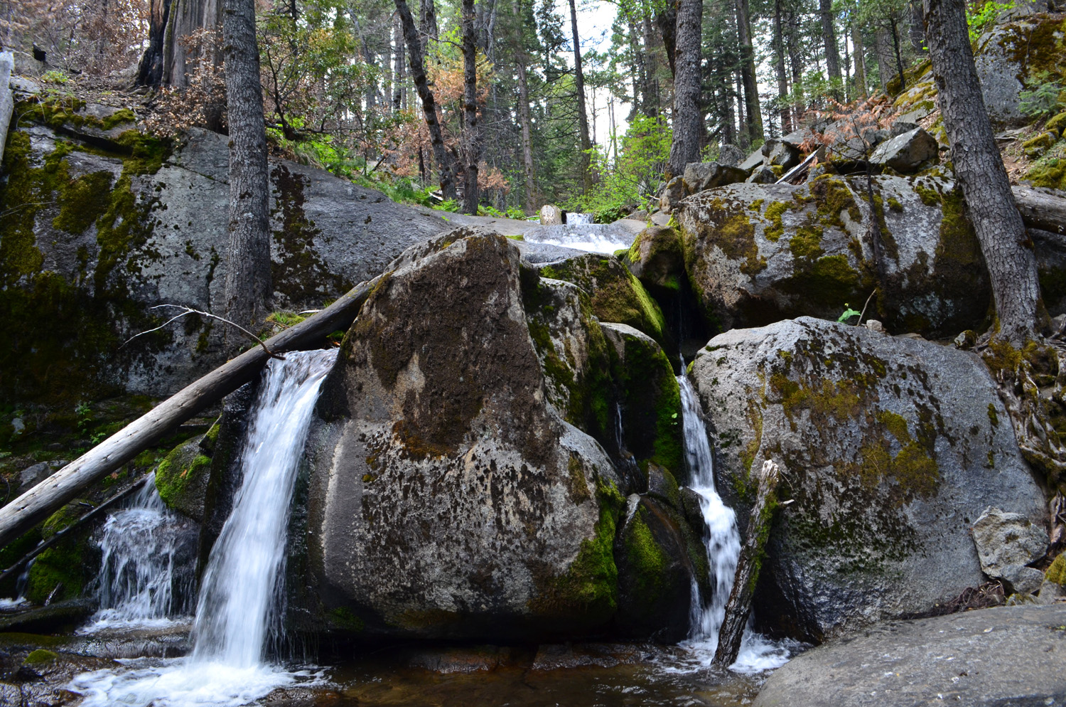
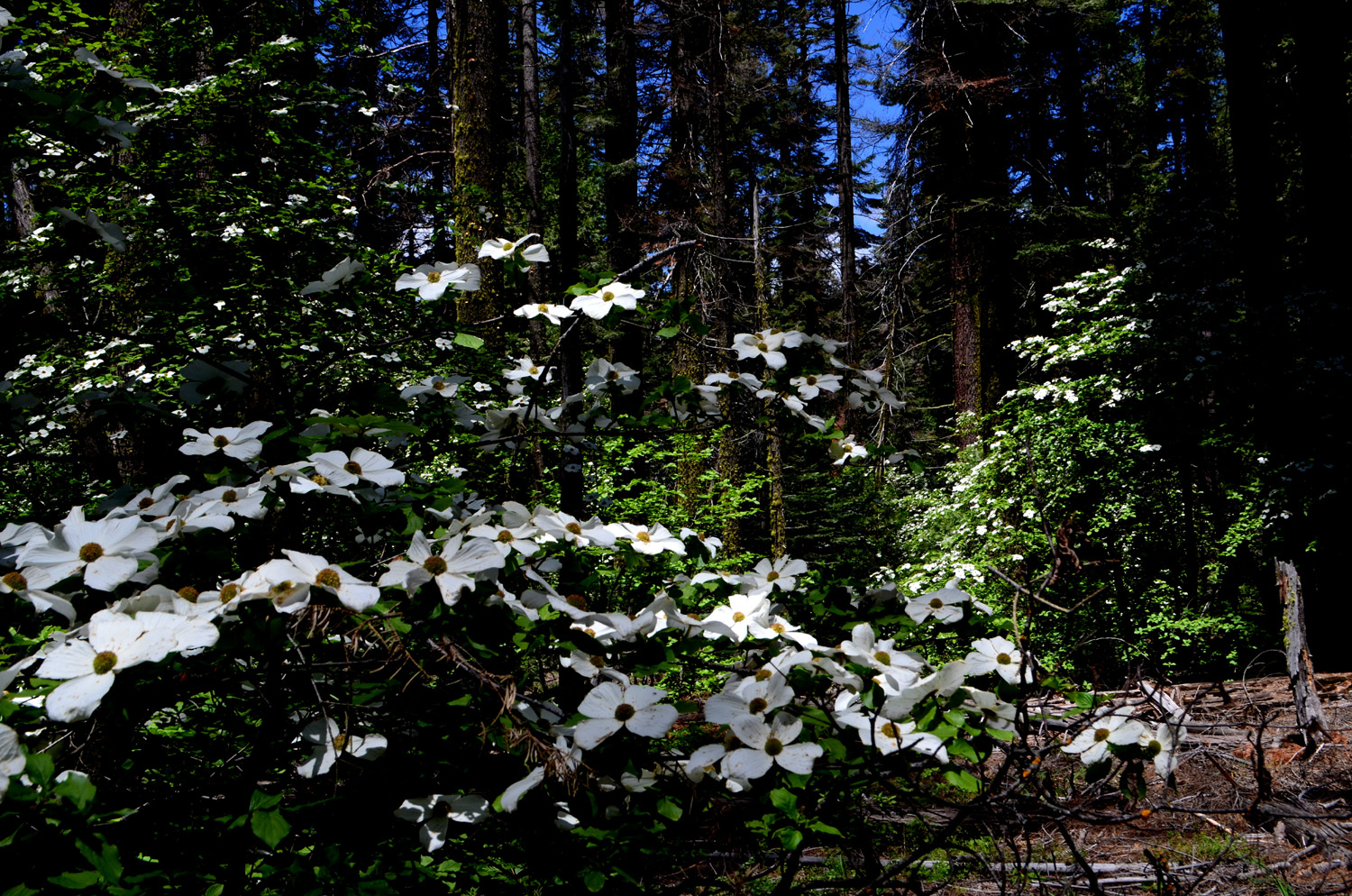
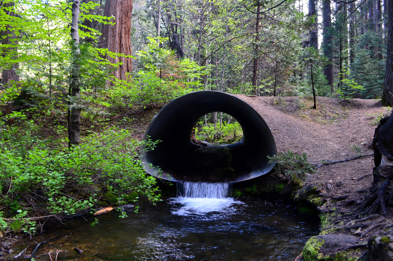
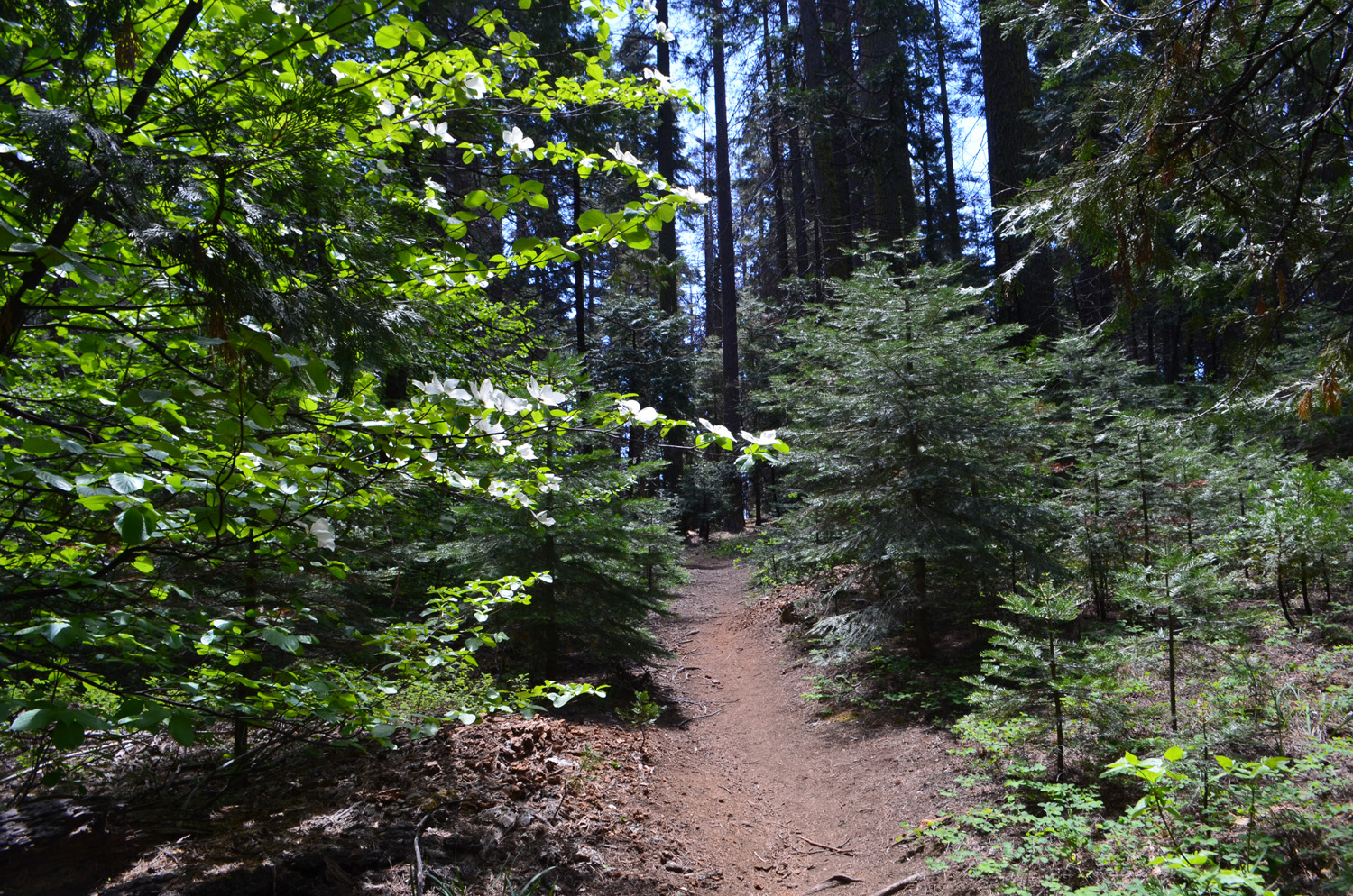
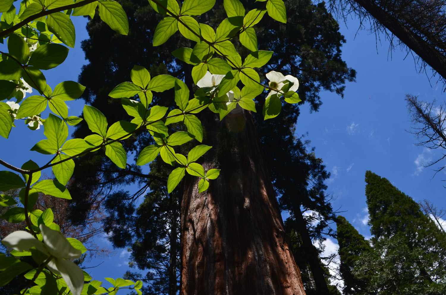
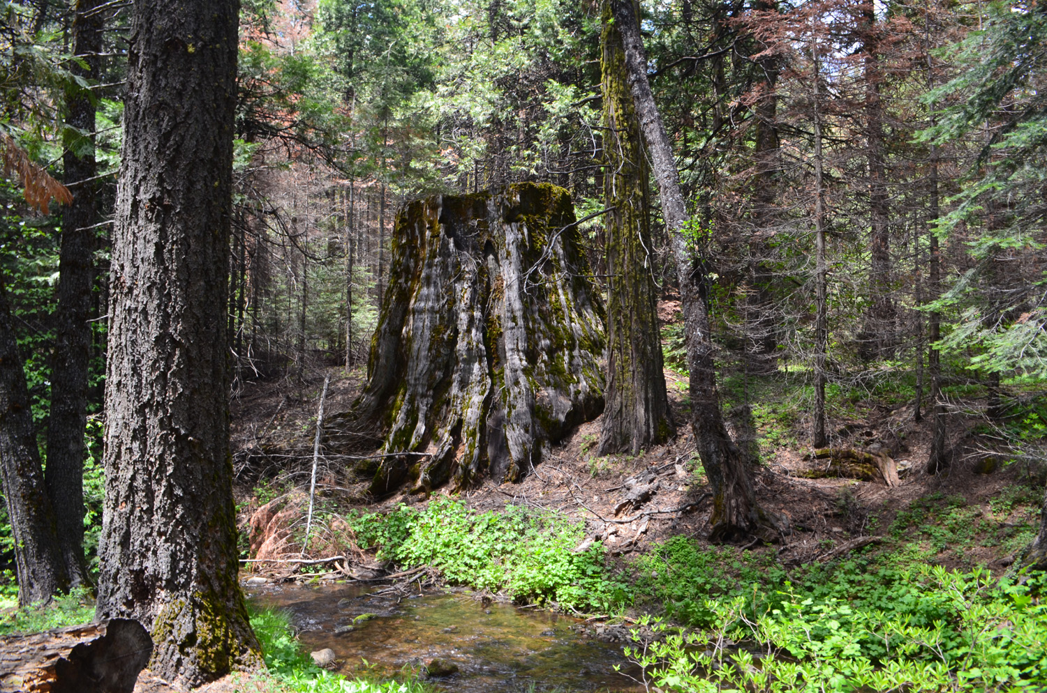
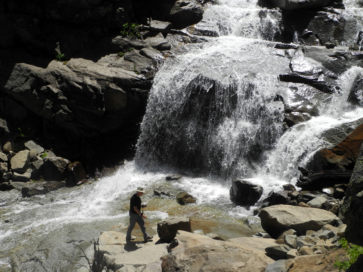
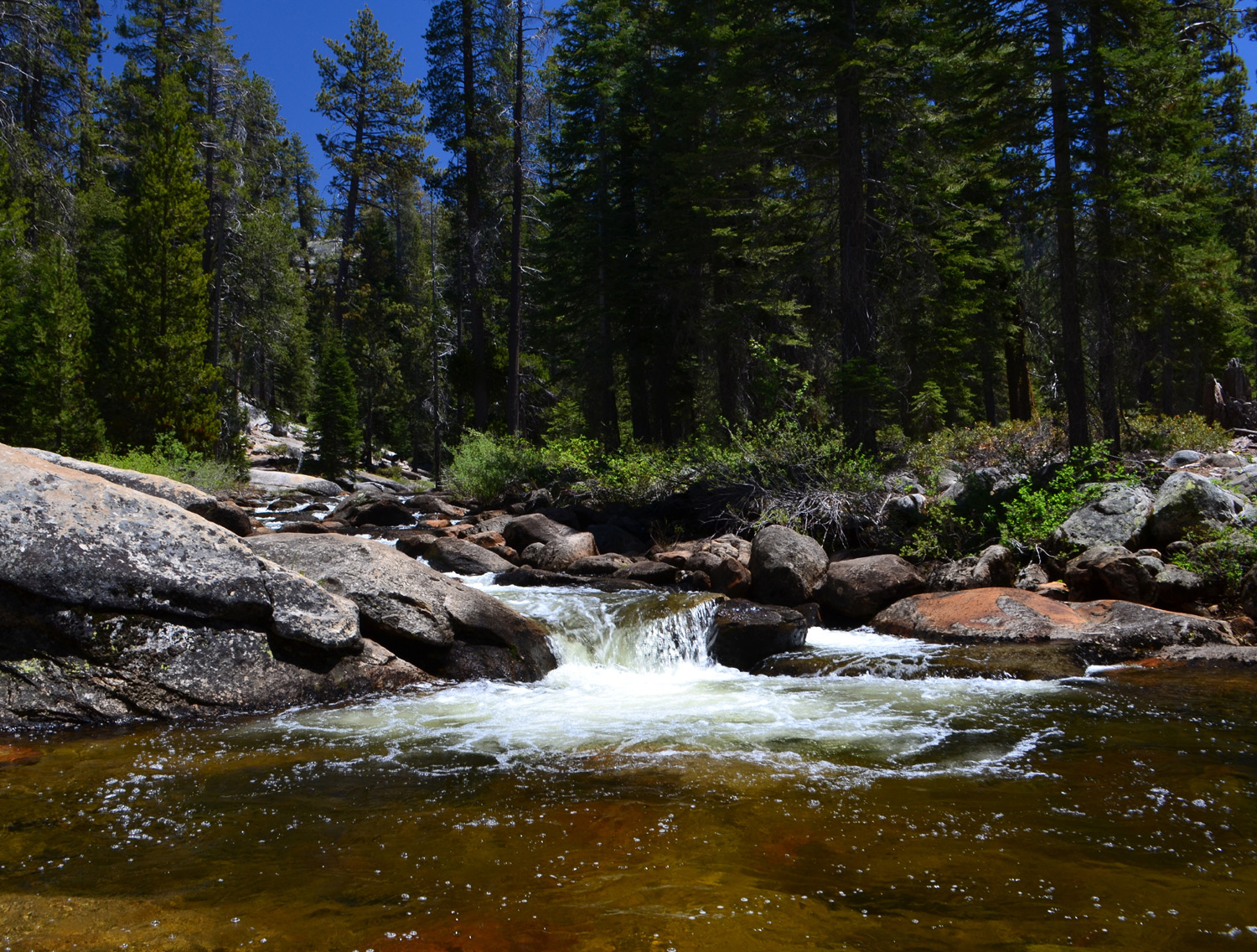
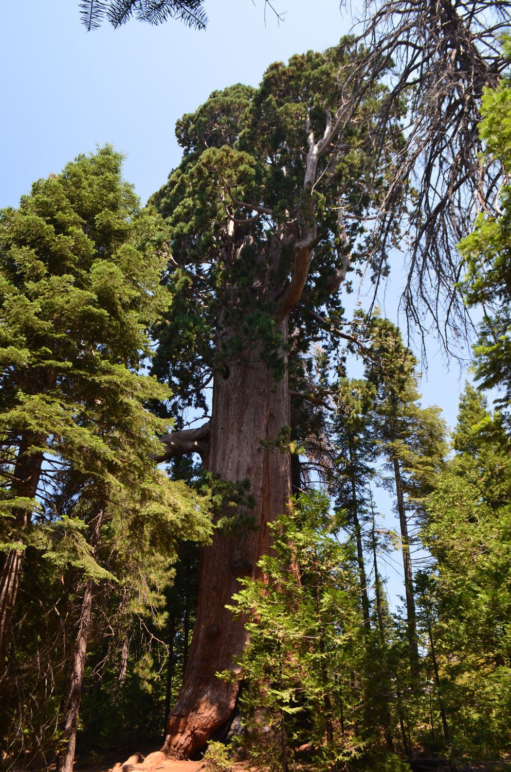
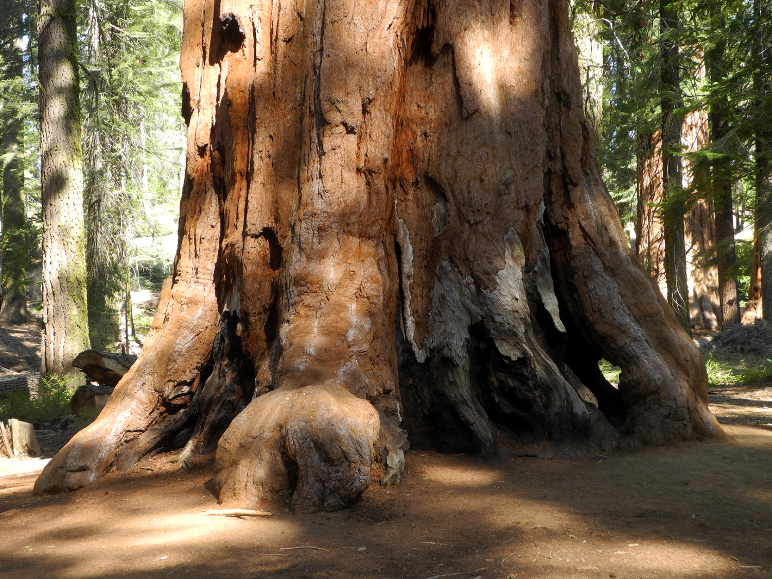
Nelder Grove The Ramblers seem to be a little beat up these days. Two of our members are awaiting surgery. One is using a walker until further notice. Another has a lot of personal matters to deal with. This left us with just Sue, Wes and Dick for our May hike in Nelder Grove, one of our favorite destinations. Wes and I have done Rambler hikes there several times, most recently in November of 2016. Sue started coming to Nelder Grove around the same time that I did, in the 1960s, but had not been there for fifteen years or more. We met at my house on May 28 and took my pickup, stopping in Oakhurst for sandwiches from Raley's. We started our hike around 11:30, choosing to take the Bull Buck Loop Trail counter-clockwise. This leads the hiker through a half mile of pine, fir and cedar forest, set off by great numbers of dogwood trees in bloom. If you know where to look, the Bull Buck Tree reveals itself gradually, the top visible above its lesser companions, then the huge red trunk glimpsed through the forest. A few more steps and you are in the area cleared by a former campground host to provide a top to bottom view of this amazing sequoia, from a distance of about 100 yards. To give an idea of what a delight this is, when I first saw this tree it was surrounded by brush and smaller trees, and there was no full view except standing at the base and tilting your head WAY back, with very unsatisfactory results. I like to claim that on our hikes in California, there are always some flowers any time of the year. This is late spring in the mountains and on the calendar, and the trail was lined with yellow violets and wild iris. We saw patches of lupines here and there, and the large white blooms of dogwood along the roads and trail. The big round orange blossom clusters of western wall flowers were evident along the roads and trail. Many other visitors were taking advantage of the excellent Memorial Day weather (high 70s), and we saw perhaps a dozen vehicles parked in various parts of the trail access area. Three groups were camping there. On the trails we met and talked with five or six groups. We finished the loop by walking down the old road from the Bull Buck back to the campground, where we set up a table and folding chairs, and enjoyed our lunch accompanied by the sight and sound of California Creek. The creek flows south from the campground for several hundred yards. It crosses the main road about a quarter mile past the turnoff to Nelder Campground where it drops over a short waterfall. Starting in the lower part of the campground there is a path, not an official trail, along the east side of the creek. The trail ends at the top of the falls. If my memory is correct it is impossible or at least dangerous for sensible people to try to get down to the road from this point. I had not gone down this path for many years, so when we had finished eating and put away our chairs and stuff, we decided to walk down it a ways. About two thirds of the way to the end we came to a place where the creek dropped down fifty or sixty feet in a series of cascades ending in a nice ten-foot waterfall. There were three young people down in the creek bed below the falls taking photos, so Wes, the youngest person in our group, decided he would make his way down also. Sue and I continued a short distance to where we could see the bottom of the little falls and keep an eye on Wes. He made it safely back up to the trail, and we returned to my truck and started for home. Wes provided his usual post-hike summary: This Memorial Day, the Ramblers hiked the Bull Buck Trail in Nelder Grove, a short drive above Oakhurst. It wasn't the length of the hike but the beauty of those giant
sequoias. The Grove was touched by the Railroad Fire of last year. But it remains a magnificent stand of giant trees. When we completed the trail, we ate delicious sandwiches a la
Raley's. We then hiked along California Creek to enjoy its unique waterfall. In short, it was a great day with three friends who
were lost in the natural setting. We got back later than expected with smiles on
our faces. It was way too good! We all agreed that the photos below
are a poor representation of what we really saw. It's the best we can
do. --Dick Estel, May 2018 |
||
|
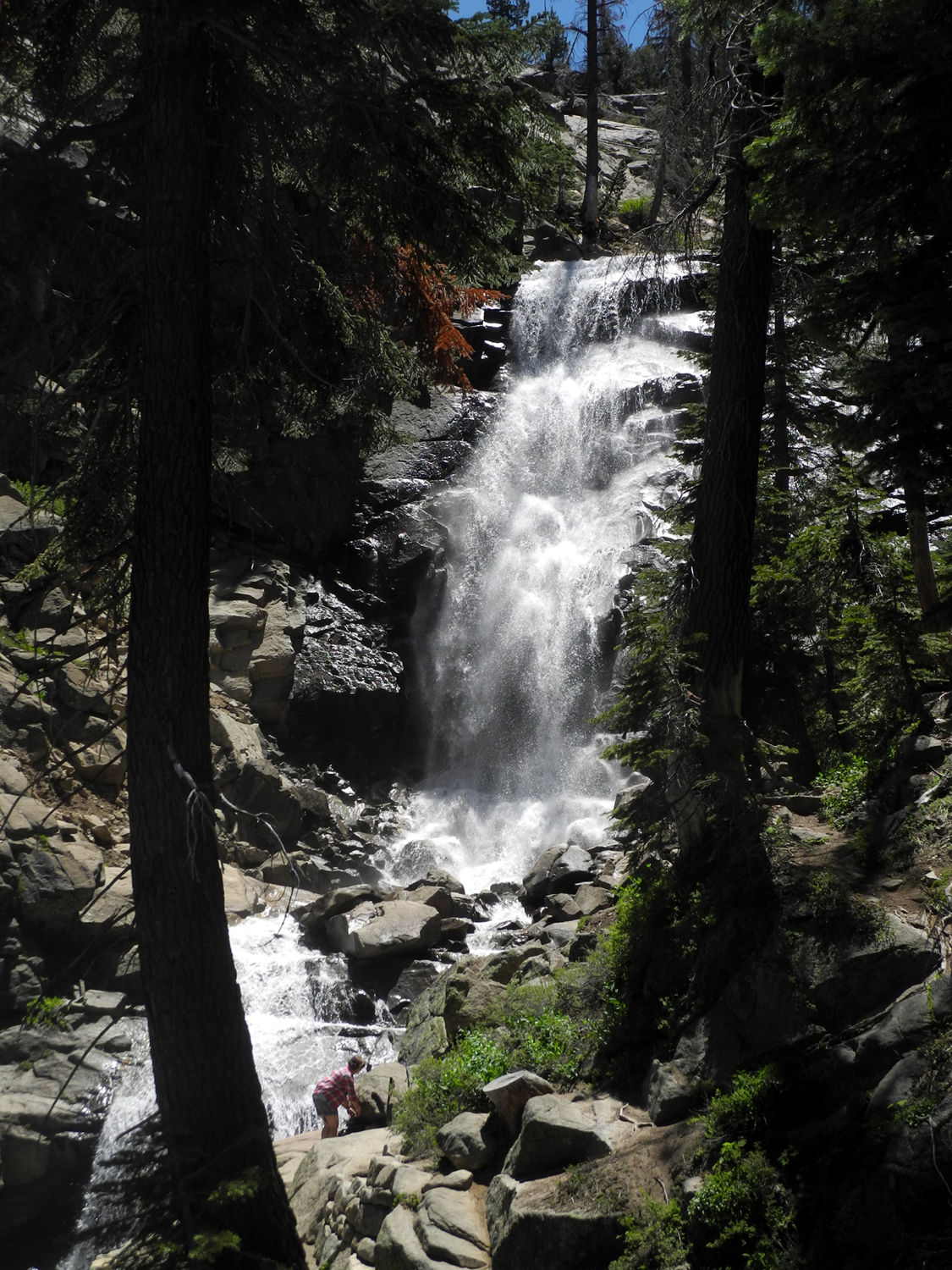
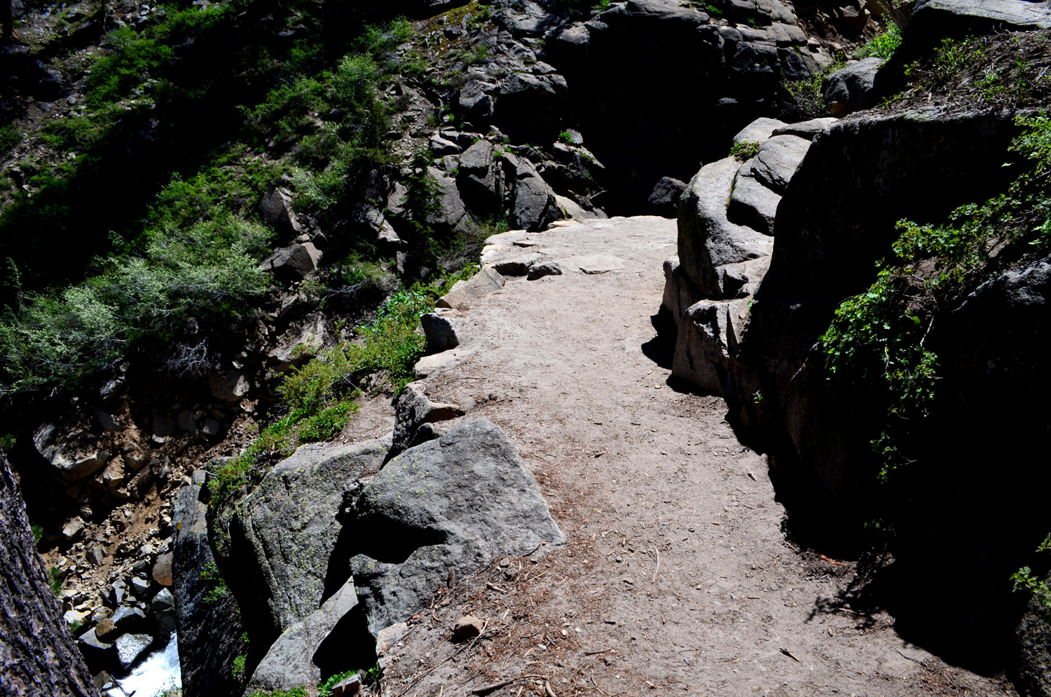
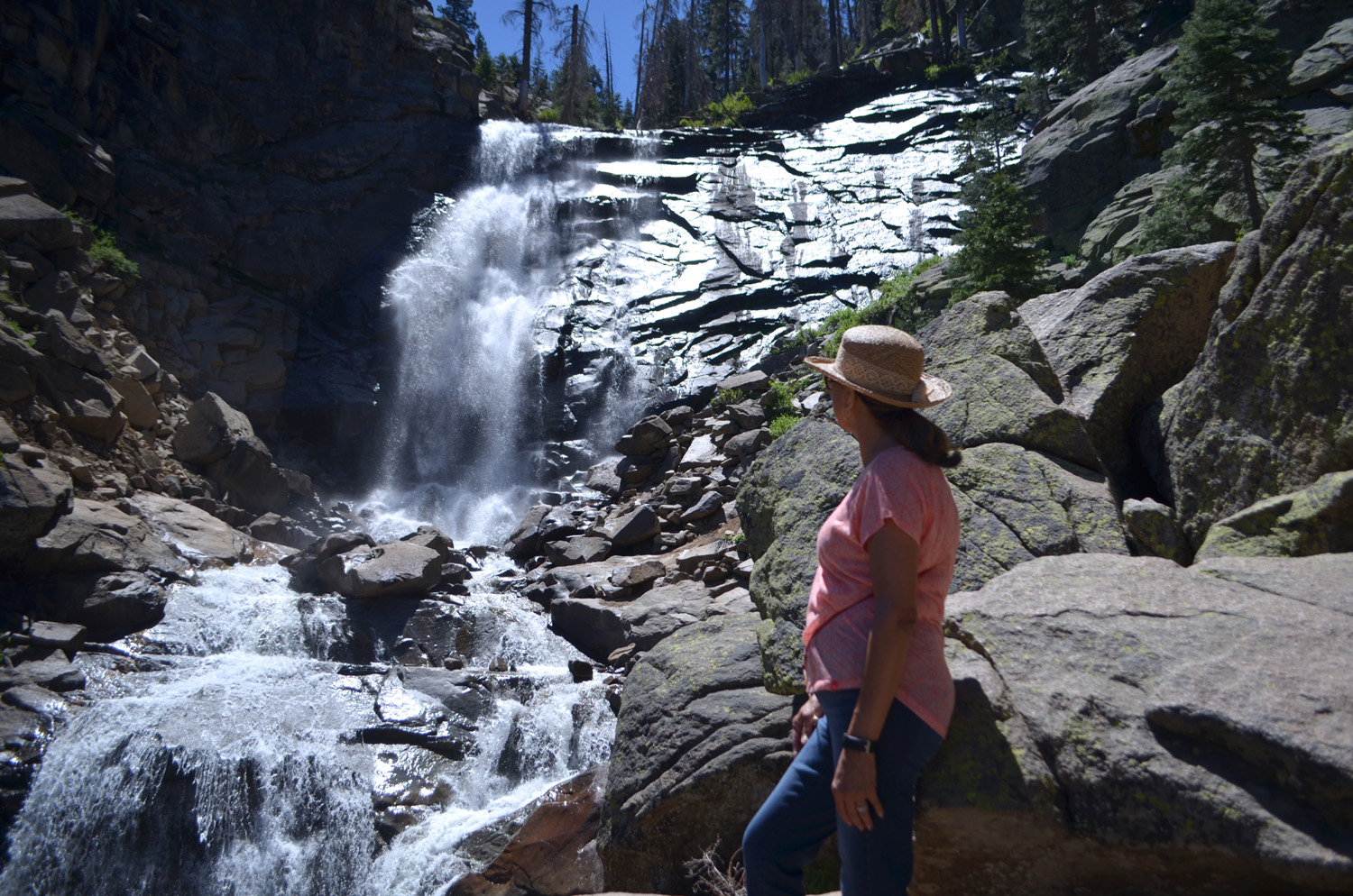
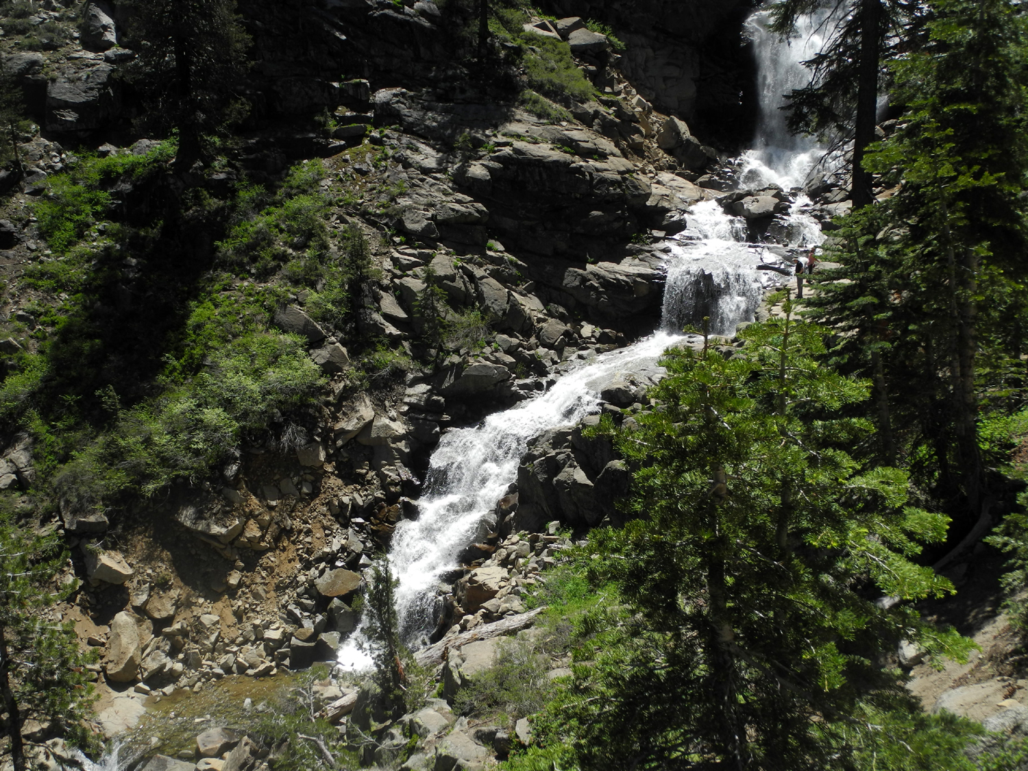
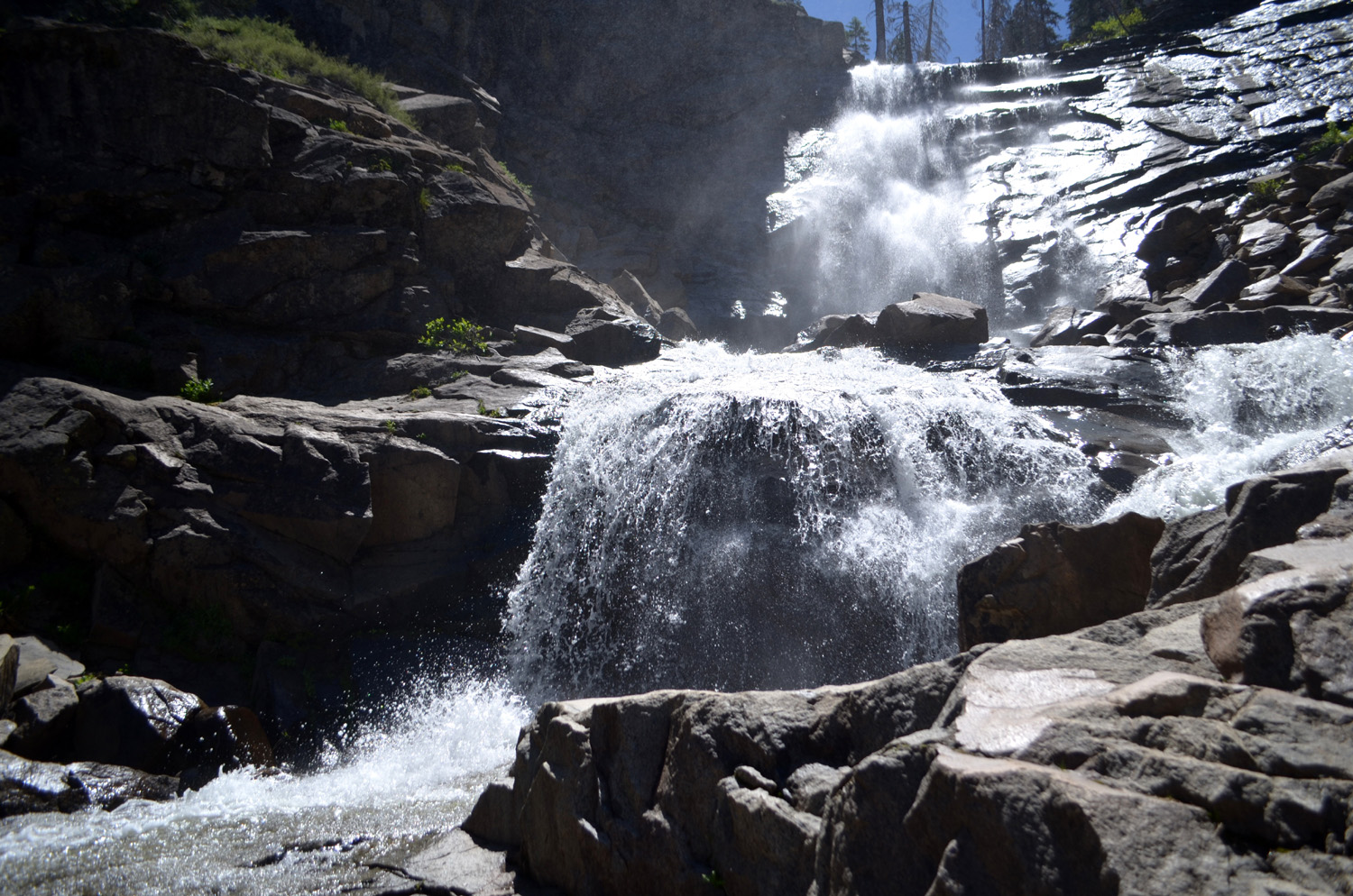
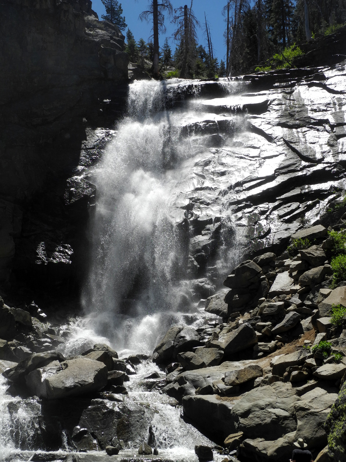
Rancheria Falls The destination for our June hike was to a place that has become a favorite, Rancheria Falls near Huntington Lake. Our first visit to this spot was two years earlier, and we returned again in June of 2017. The trailhead is reached via two miles of fair dirt road off Highway 168 at the east end of the lake. The hike is less than two miles round trip, but the surroundings are fantastic, and the falls is one of the best I've seen outside the national parks. As it turned out, this year's group was identical to 2017. On June 13 Wes, Elsa and I drove up to the Park & Ride where the highway begins a steep rise, and my daughter Jennifer drove there from Oakhurst to meet us. The trail is lined with flowers, most of which we could not identify, and is shaded by huge evergreens, with red firs dominating. The flow of the falls was slightly less than when we first saw it in 2016, but was still a delight, with it's straight drop of 150 feet and another two or three hundred feet of lively cascades below. So enticing was the scene that Was had to make his way down into the gorge beside the lower cascades to get some photos. We probably spent a half hour or so at the falls, taking pictures and just enjoying the majestic beauty of falling water. There were a lot of people on the trail, but not so many as to make it crowded. Since our hike had been so short, when we got back to the highway we drove a short distance toward home and turned in at the China Peak Ski Resort parking area. At the very back of the property a trail follows Big Creek upstream to some large swimming holes known as Indian Pools. We had visited this location last year as an alternative to Rancheria when that trail was still closed. This hike was very short, just over a half mile round-trip, but the creek was flowing well, and we were able to enjoy a slightly different forest environment, dominated by Jeffrey pines. Wes provided his usual post-hike summary: Today the Ramblers traveled to Huntington Lake to hike two trails including Rancheria Falls and Indian Pools. These are short hikes with magnificent waterfalls. We found there was less water flowing over the rock formations when compared to last year. But any water forced down by the pull of gravity is worth seeing. With the lower levels, I was able to climb into the water channel and take photo images of the water flow. My companions were worried (not for me) because I had the car keys in my pocket (ha!). As we walked back to the trailhead, Dick and his daughter, Jen, gave us an "inservice" training on the difference between the various fir trees we encountered. Elsa and I were mystified by their lecture. All we could see is the beautiful bright green foliage that had come out since the year past. It is beautiful to see. I trust our photo images captured that beauty. We returned to the car and drove down the hill to Shaver Lake, where we searched for a place to have lunch. Out of several choices, we first went into a barbecue place, but they were out of most of the limited menu, and directed us to another location under the same ownership. We enjoyed excellent sandwiches at the Pub & Grub, which is located off the road a short distance, and out of sight behind other buildings. It's worth seeking out. When
we arrived back at the 2,000 foot level where Jennifer's car was
parked, we experienced a bit of "heat shock" as we opened
the door. After all, we had spent much of the day above 7,000 feet.
However, this prepared us for the even warmer temperatures when we
stepped out of Wes's air-conditioned vehicle at my house in Clovis.
We vowed to head for the high country for another outing as soon as
we could schedule it. --Dick Estel, June 2018 |
||
|
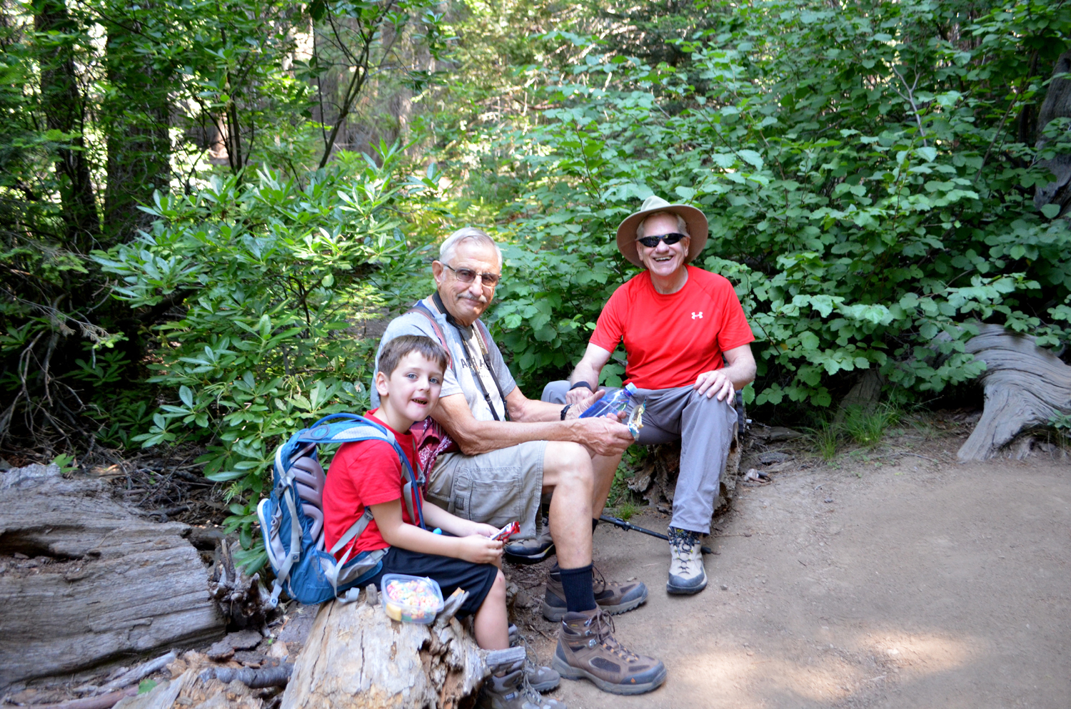
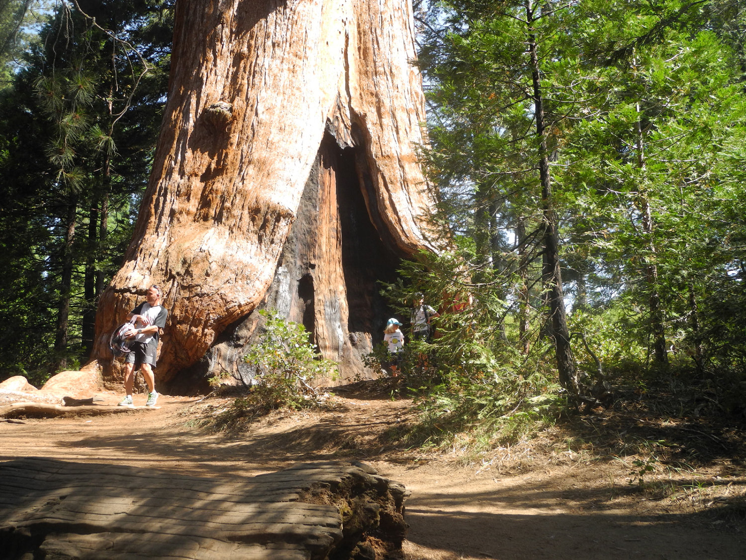
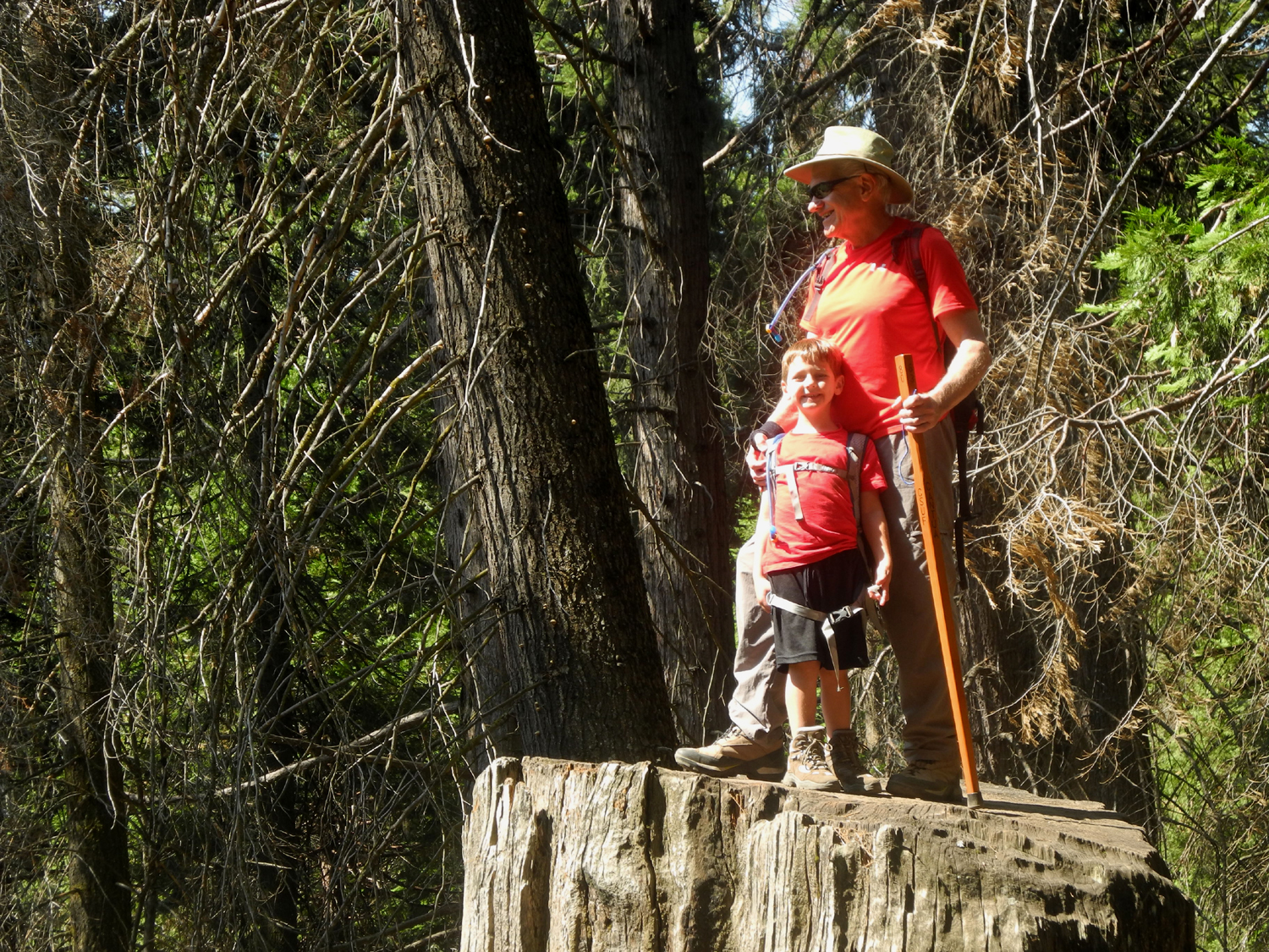
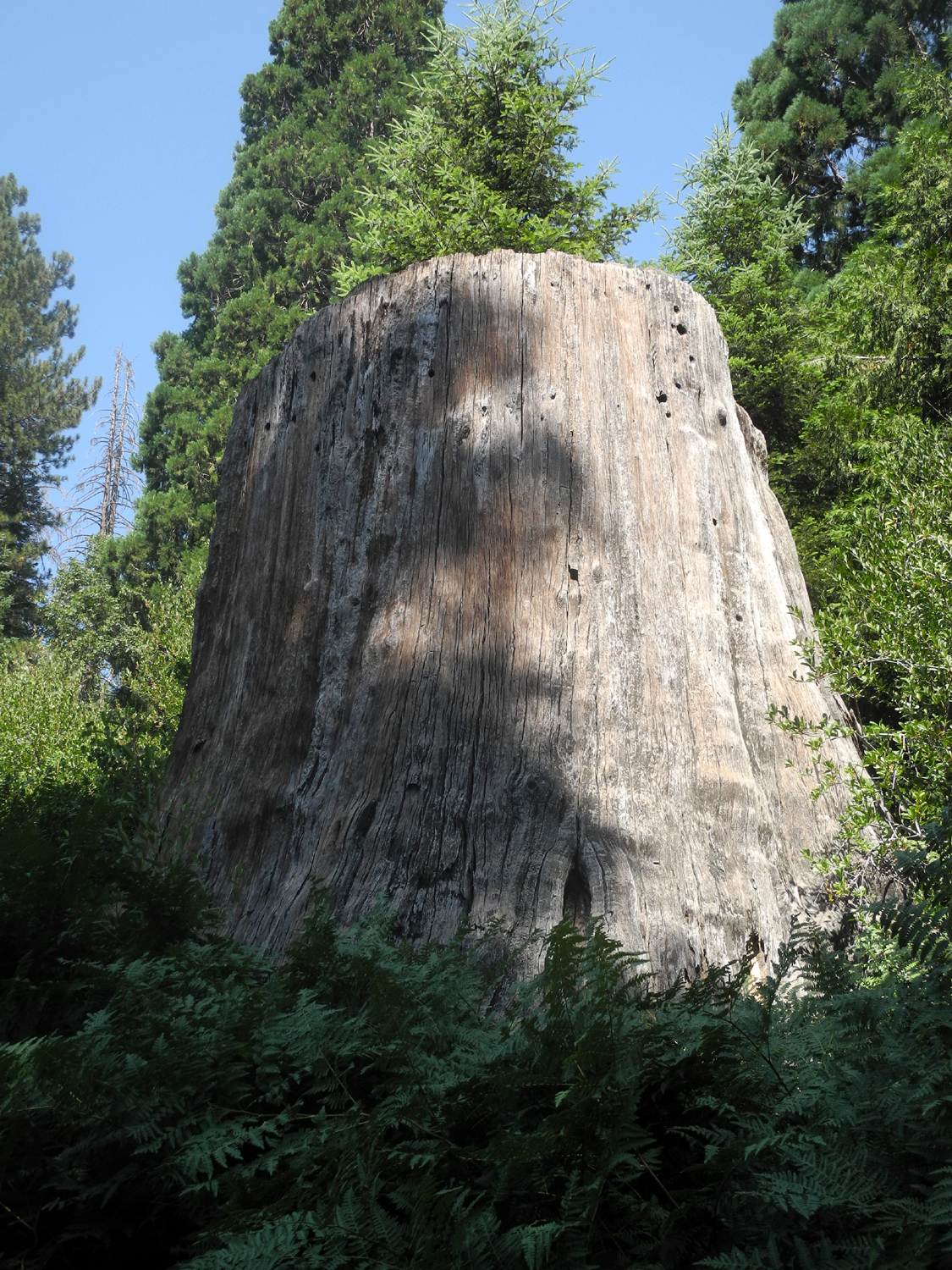
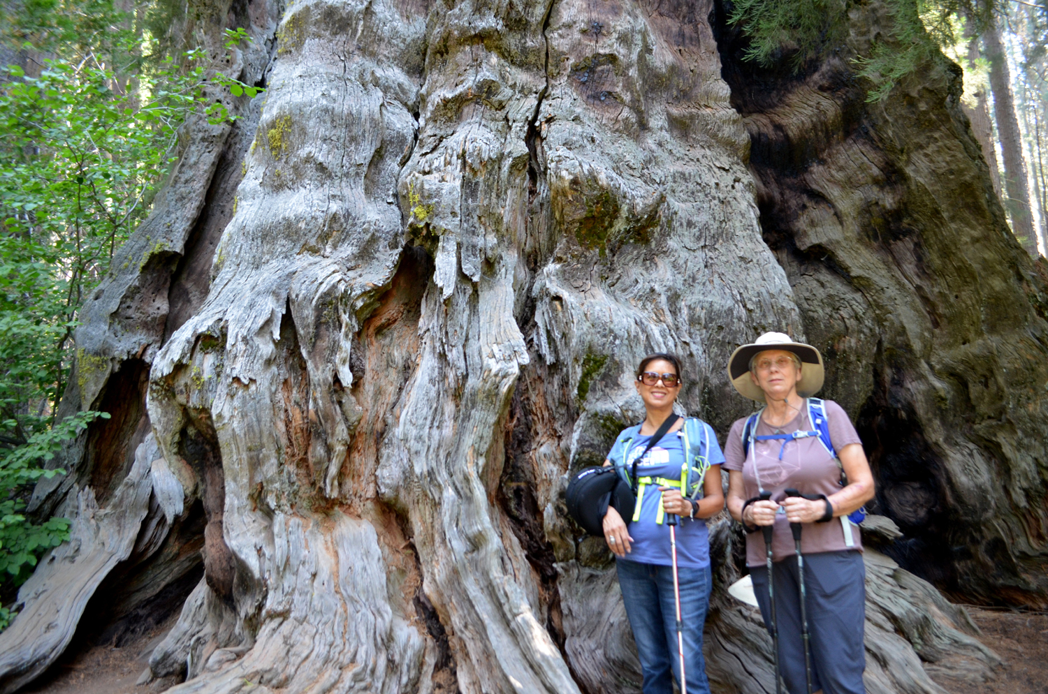
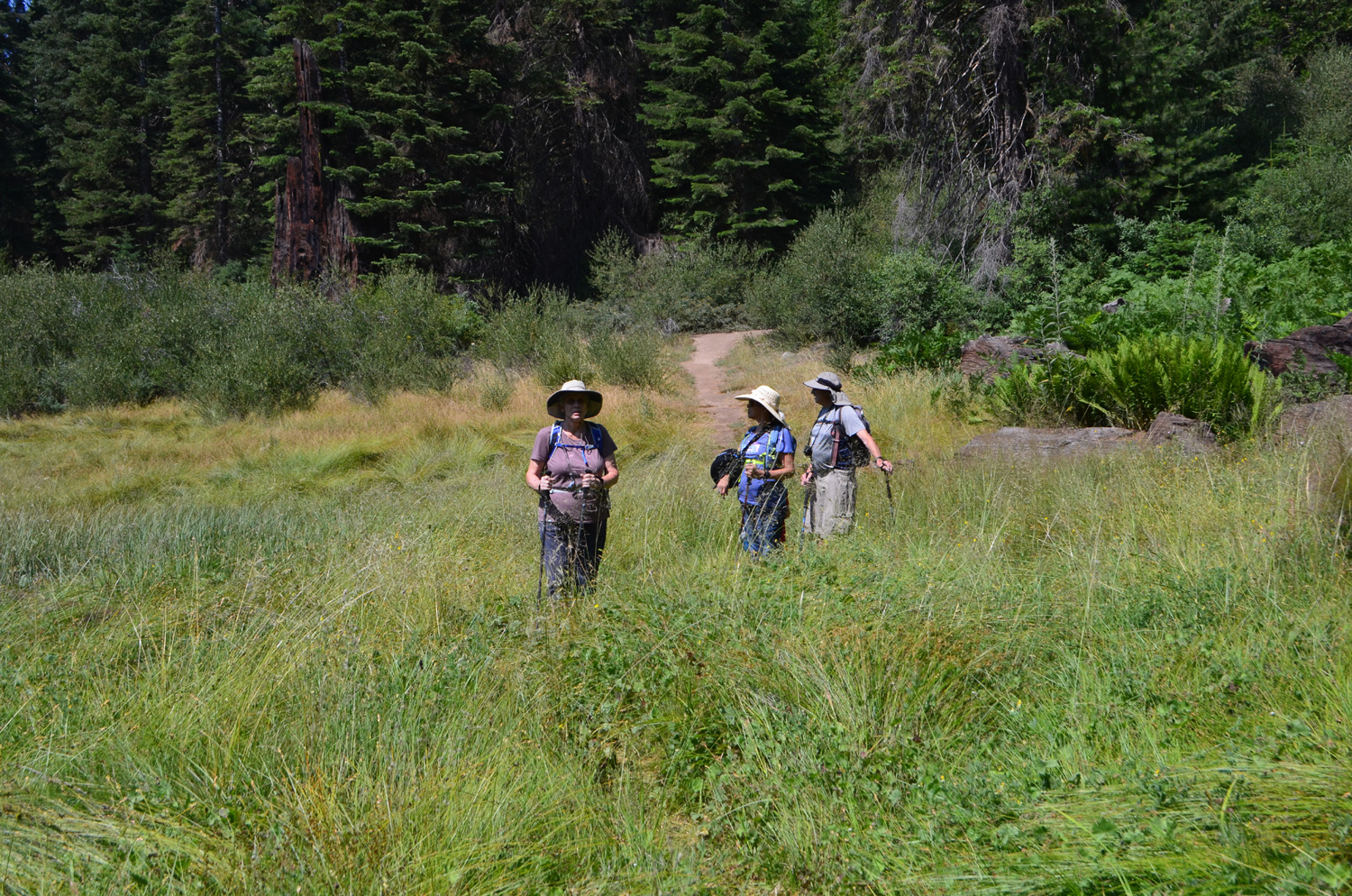
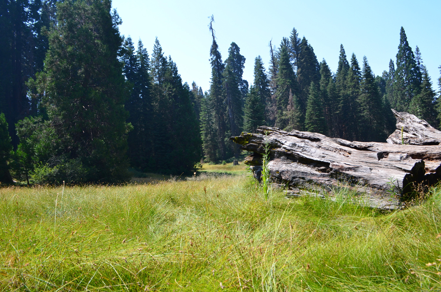
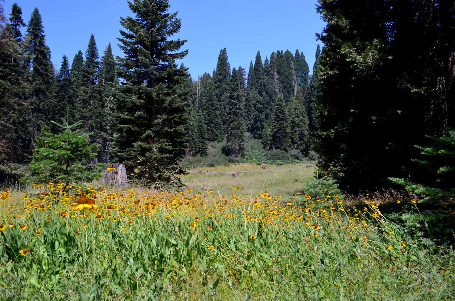
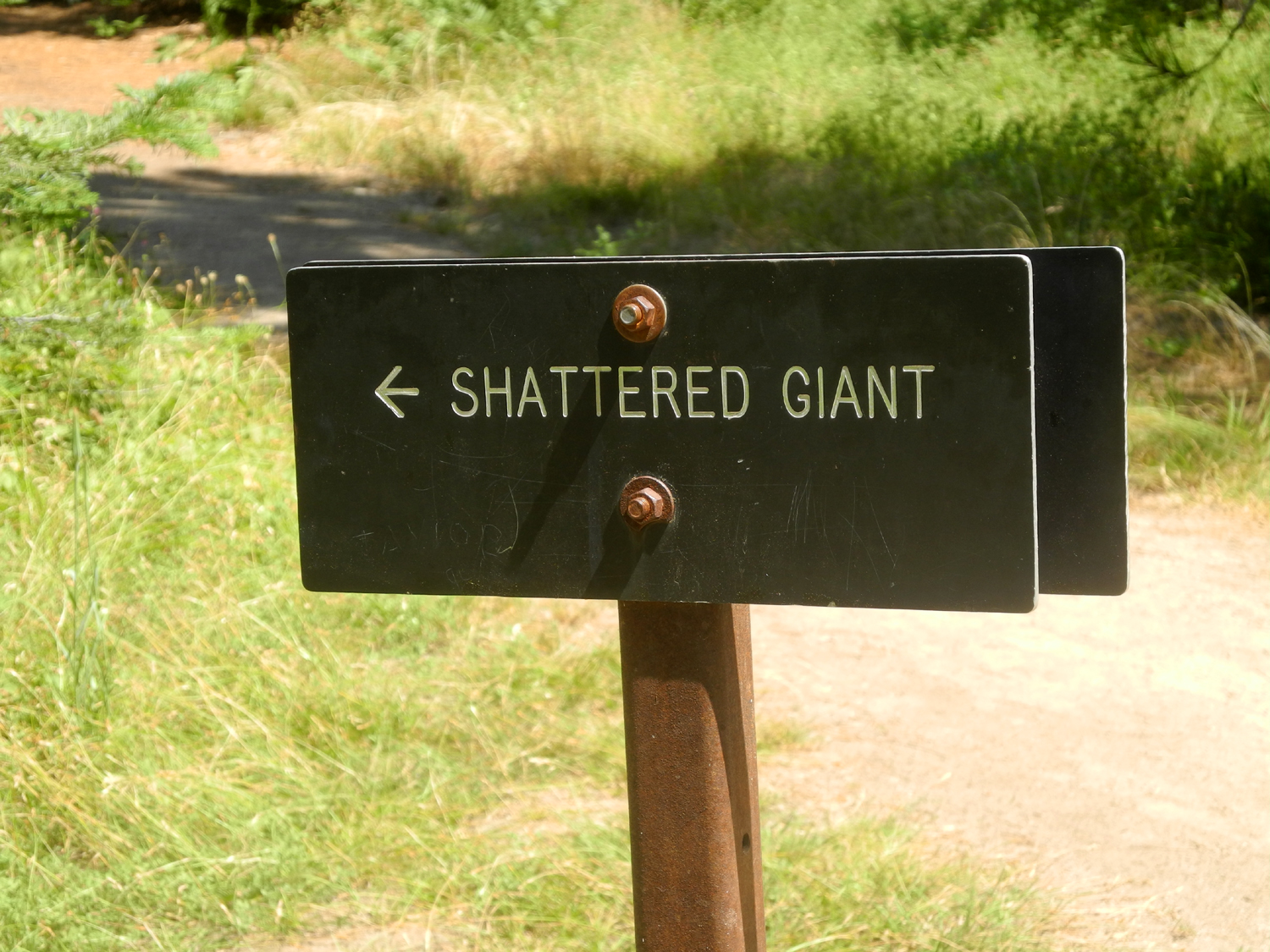
Big Stump Basin The Ramblers welcomed a new member for this July 31 hike, Ardyss Webster, another retiree from the Fresno County Department of Social Services. She proved her commitment to hiking by buying boots and hiking poles before the event. We also welcomed my older great grandson, Colton. He's a good hiker and can keep up with everyone, but insists on controlling the rest and snack stops. Also present were Elsa Sweeney, Wes Thiessen, and Dick Estel. Our destination was the Big Stump Basin Trail, just inside the entrance to Kings Canyon National Park. As we drove up Highway 180 from Fresno, we were concerned about parking problems and crowds. We knew that the large parking lot at the trailhead was closed for maintenance, and much of Yosemite was closed due to a fire, sending many extra visitors to Kings Canyon and Sequoia. However, there was only one other car parked along the road when we arrived, with room for several more. Smoke from the Ferguson Fire near Yosemite and several other blazes is drifting all over the state, and we had some haze during the drive up, but it was pretty clear with no smell of smoke where we hiked. I have hiked this trail a number of times and Colton and I did it last September. However, it was the first time for the others. It's a short loop hike that passes a few large sequoias, a number of big stumps from 19th century logging operations, and a large meadow filled with flowers. Our first side trip was a fairly low stump that both Wes and Colton were able to climb. Farther on a spur trail goes a short way off the loop to the Mark Twain Stump, where a huge sequoia was cut down in 1891 so that sections of its 16-foot diameter trunk could be displayed in New York and London, partly to prove that such huge trees did in fact exist. A photographer captured the felling of the tree, and the photo is displayed on a plaque near the stump. Stairs have been built to allow easy access to the large top of this stump. A short distance from the Mark Twain is "The Castle," Colton's name for a huge, broken-off sequoia with jagged spires, and plenty of easy foot and handholds for climbing. This is probably his favorite part of the hike, although he did less climbing this time than he did a year earlier. Heading back toward the start of the trail on the rest of the loop takes you across the "Shattered Giant," a big sequoia that broke into pieces when it was cut, a common happening due to the brittle character of the wood. Many sections of such trees were split into posts and roofing shakes, and the Shattered Giant shows evidence of such work. All the "newcomers" enjoyed this mile and a half walk. During our hike we talked with visitors from China, France, Belgium and Austria. Some of them had planned to visit Yosemite but had to content themselves with this lesser-known but still delightful park. After we returned to the cars and changed out of our boots, we went to the Grant Grove Restaurant, where the international flavor or our day continued as we were seated by a host who hails from Russia. We enjoyed our lunch as well as a nice view from our window table of a flower-filled meadow below. As always, Wes provided a spot-on post-hike review: This morning, five brave souls left this smoke filled valley for greener pastures. We drove to Kings Canyon National Park and found sunshine and blue sky over the 6,000 foot mark. Our goal was to walk the Big Stump trail just inside the park entrance. We found ourselves walking in a deep green forest with wild fern plants all around. We welcomed Ardyss Webster on her first of many hikes to come. She was quite the sport. And the veteran hiker, Colton, was true to his reputation: strong and fast on the trail. Of course I brought my camera which I focused more on our people than the landscape. I trust you will enjoy seeing our intrepid crew in some of the images on the web page. Despite the elevation of around 6,000 feet, it was a fairly warm hike. We plan to head up another 2,000 feet higher in August.
|
||
|
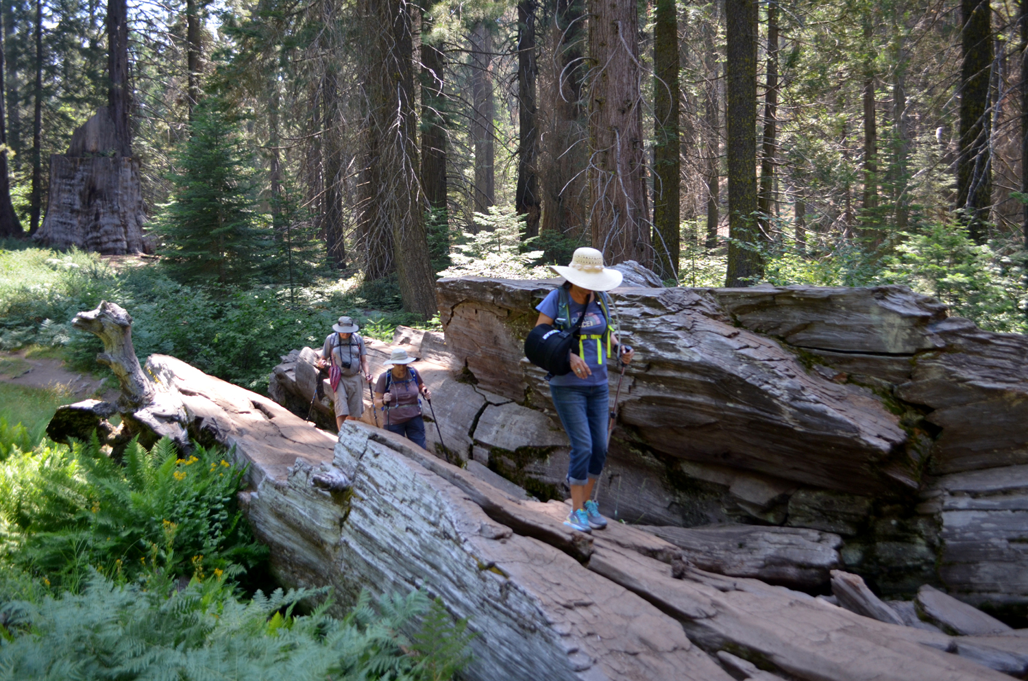
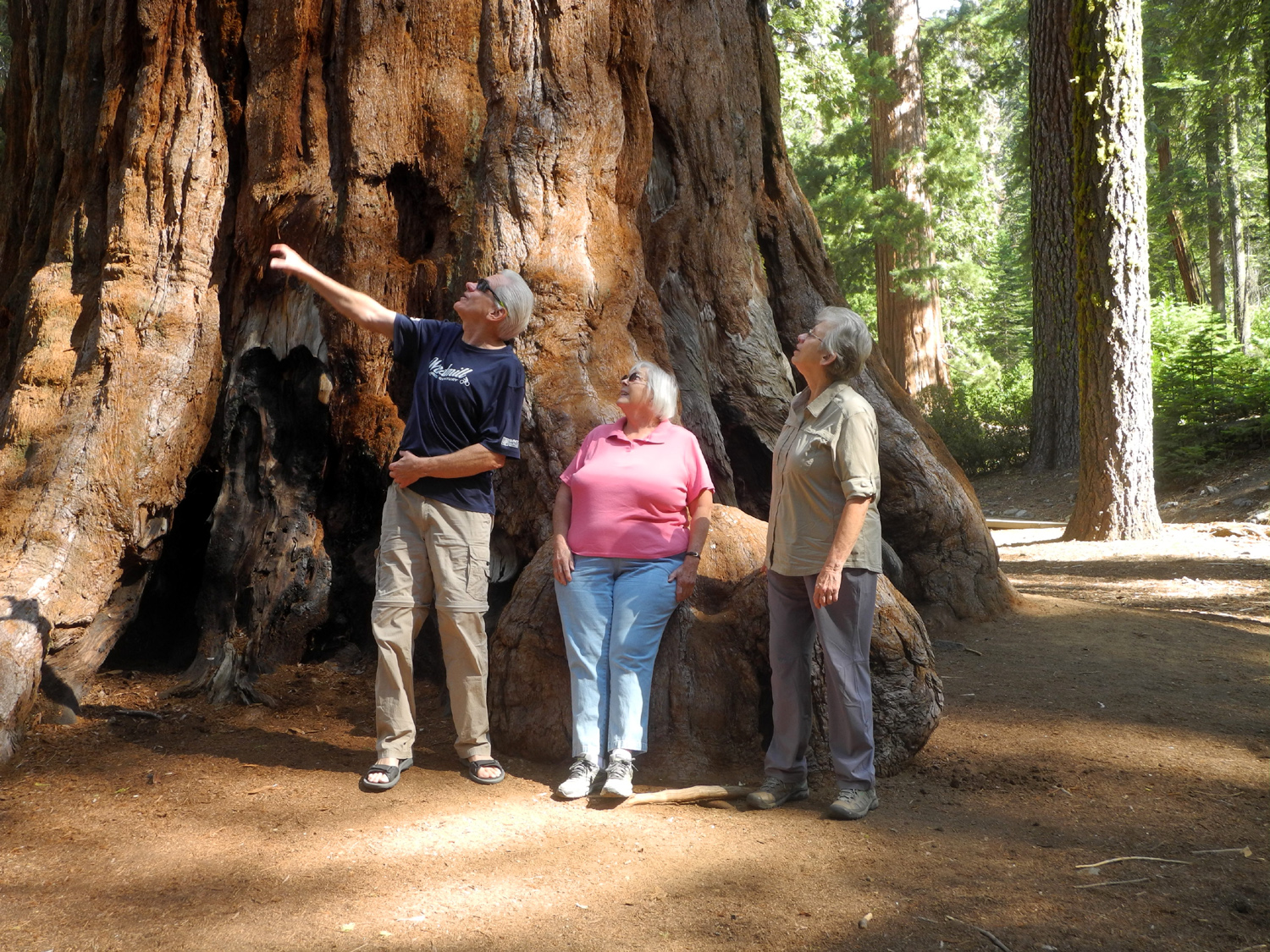
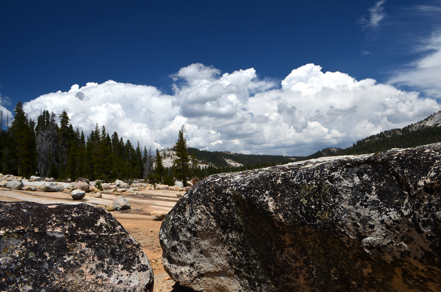
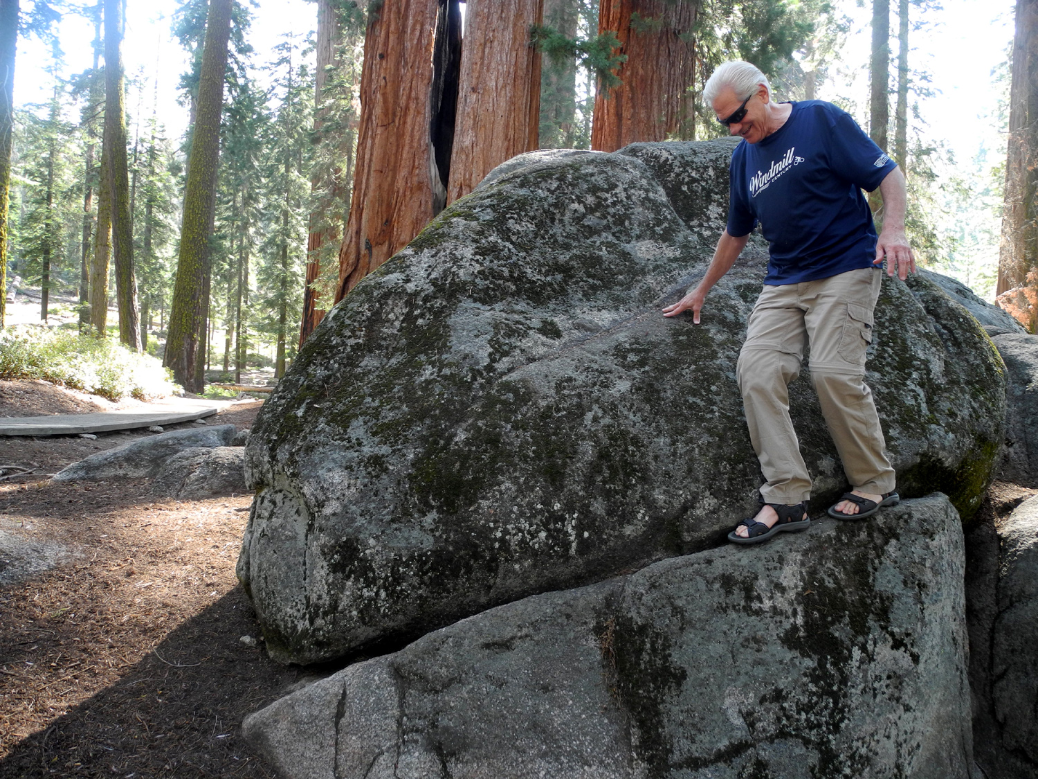
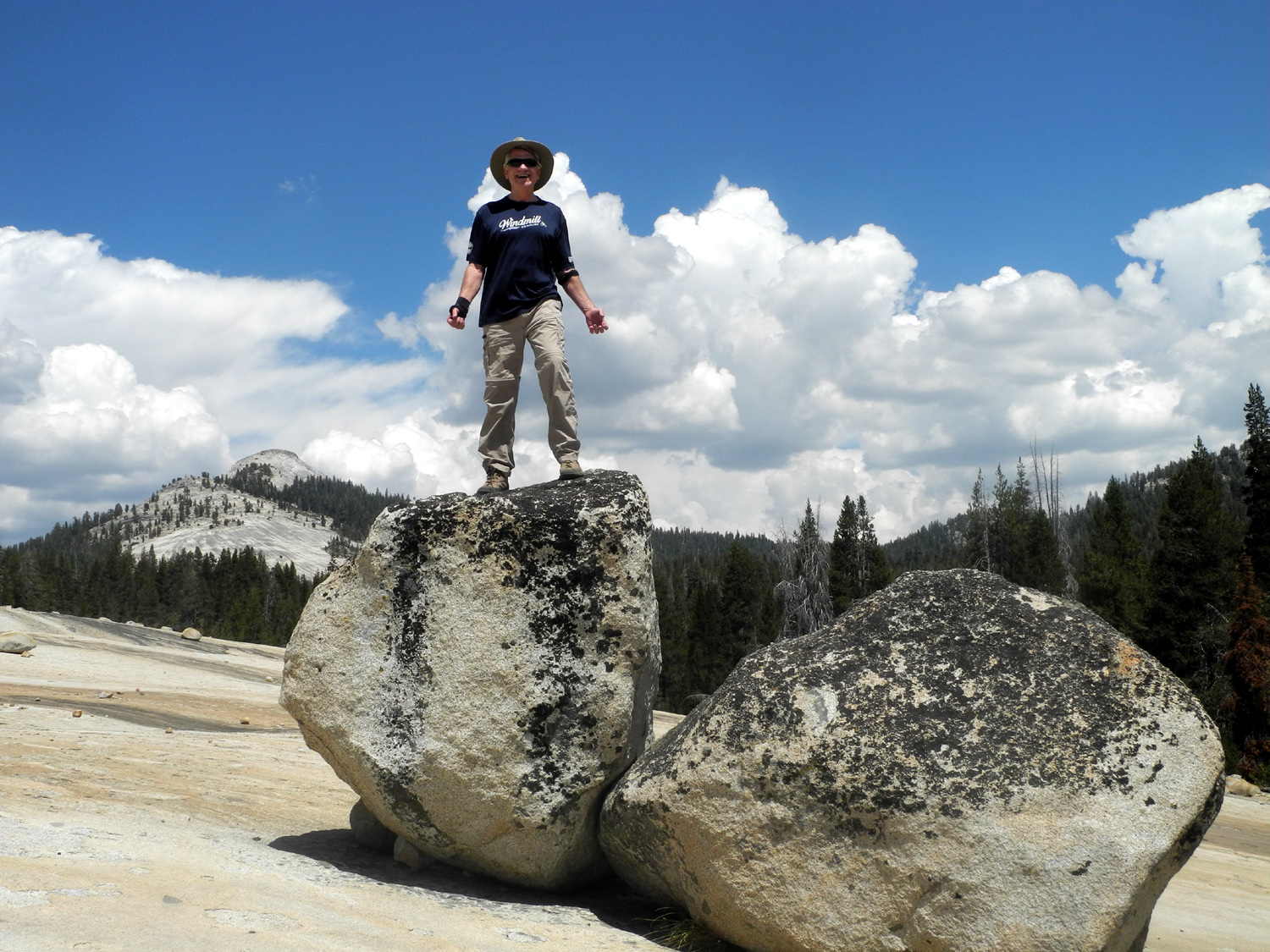
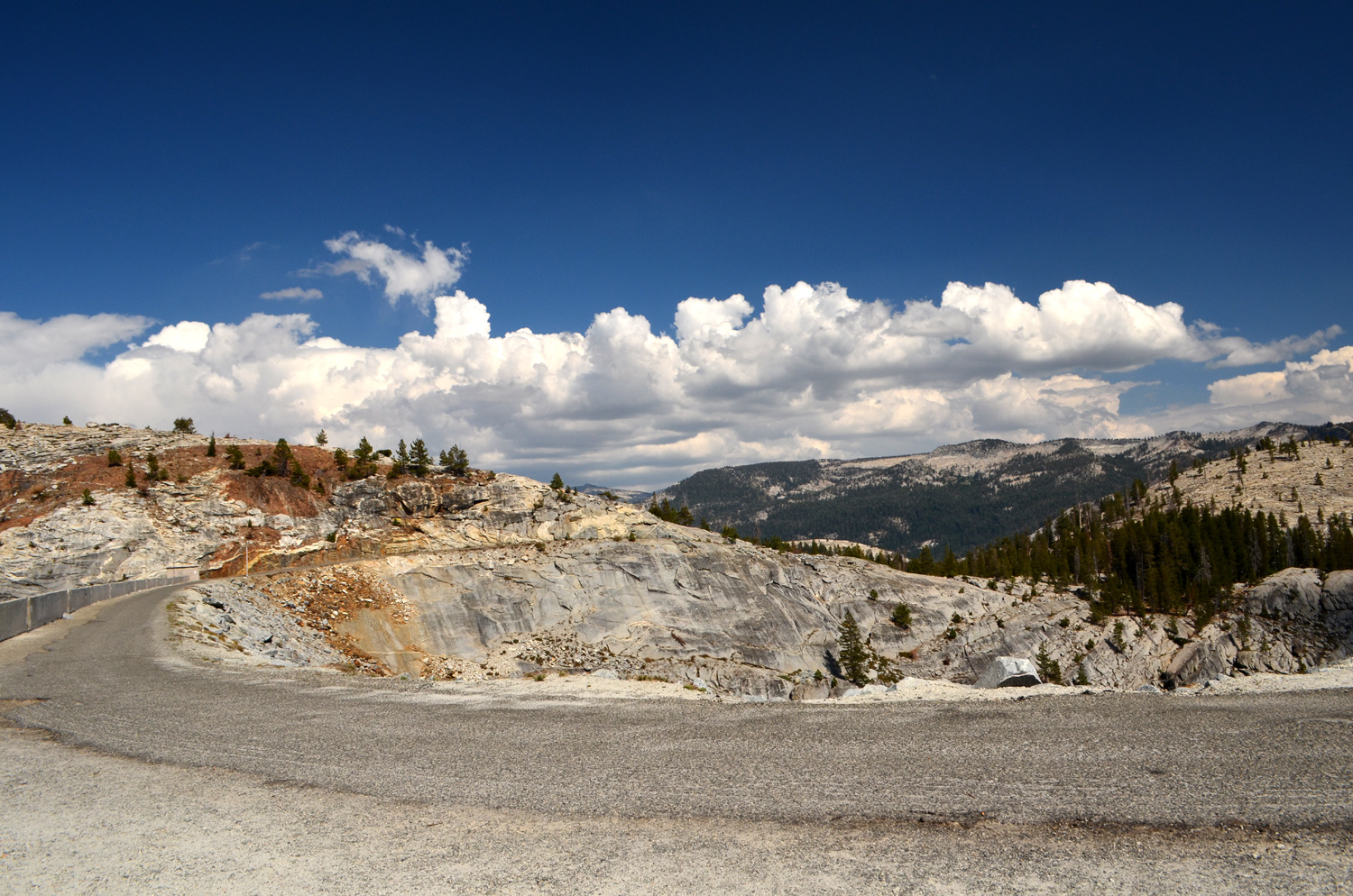
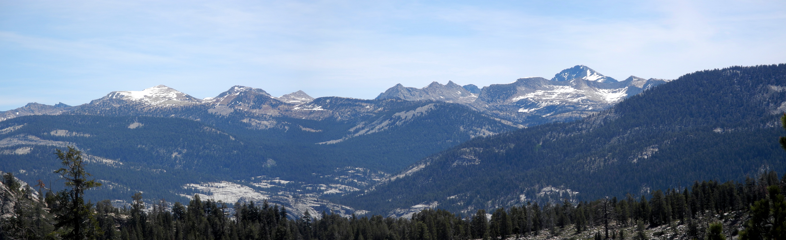
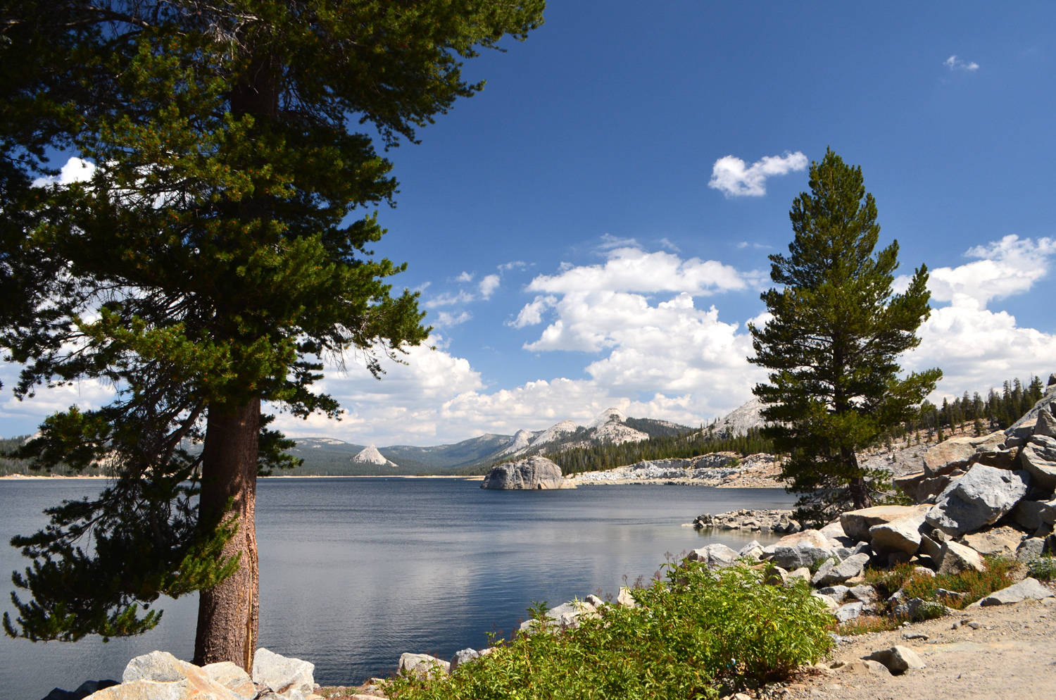
Courtright Reservoir & McKinley Grove The ever-changing mix of Ramblers sought relief from triple digit temperatures at the 8,000 foot level on August 15. The always intrepid hikers on this trip were Ardyss, Sue, Wes and Dick. Since it's a long drive, we got started around 8 a.m., and made a few stops to look at attractions along the way. The result was that we didn't get on the trail till 11:30 a.m., but we still had time to do our hike and enjoy lunch surrounded by the pines and junipers near the parking lot. Before we got to the turnoff to Courtright, we stopped at McKinley Grove, a small but very nice stand of giant sequoias a few miles east of Dinkey Creek on the McKinley Grove Road. Although the grove is not very big, the trees there are impressive, averaging 15 feet in diameter and 250 feet in height. A short, paved trail winds through the approximately 20 big trees. Just up the road is Gigantea Campground, with about 10 spaces. A few miles farther the road forks, with the right fork going to Wishon Reservoir, and the left to Courtright. Both routes are about eight miles. The Courtright road rises steadily, getting up above 8,000 feet, dipping down, and back up at the lake. Along the way there is a vista point offering a spectacular view of the LeConte Divide and the drainage of the North Fork of the Kings River. Mt. Goddard stands above everything on the divide, rising above 13,000 feet. We also had a couple of delays at places where dead trees are being removed. The longest was about 10 minutes, so we got and enjoyed the shade of the red fir forest. After these stops, we continued on to the lake, driving across the dam. This gives you a heart-stopping view down the canyon of Helms Creek, with a nearly vertical drop of over 200 feet from the crest of the dam to the bottom. It's about a mile from here to the Maxson Trailhead parking lot, where we left Wes's vehicle and started north on the trail. This is a route I've taken and written about numerous times, but it always offers something new. Wes and I have hiked this trail several times, but McKinley Grove and Courtright were all new to Ardyss, and Sue had not been to Courtright for over 40 years. One of the great joys of our hikes is seeing familiar places through the eyes of friends who are enjoying them for the first time. As we were sauntering along, we heard a vehicle approaching, heading out. We talked with the two occupants, and learned that they were going out to get ice and make a phone call, then were returning to join several others the next day to start the 35-mile, 2-3 day drive to Kaiser Pass on the Ducy-Ershim 4-Wheel Drive Trail, considered one of the most challenging in the U.S. Their Jeep was clearly up to the task, with a high short wheel base, heavy duty tires, and other added features that are a necessity for this route. They also told us that one of their companions had a bag of medications that was snatched by a raven, and asked us to be on the lookout for it. Later we calculated the odds of recovering booty from a raven were pretty small. About 3/4 of a mile in, the route separates, with the 4-wheel drive route going left, and the foot trail entering a wet area where the trail is a boardwalk for several hundred feet. The boards are actually small native logs, and because they have deteriorated considerably, the ladies took an alternative foot path around this spot. Wes and I forged ahead, but decided we might prefer the detour next time. Just past the end of the boardwalk, we went west off the trail to the place I have named the Giants' Marble Game and also the Big Granite Slope. The second link leads to a good discussion of this feature, so I won't repeat it here. The large boulders scattered across this granite base offer endless opportunities for the traditional Wes on the Rock photo, and this time I also captured video of Wes getting OFF the rock, which is at least as important as getting on. We had a snack here, took a group photo, then followed the rock cairns and blue reflective dots that mark the 4-wheel drive trail across the slope, and made our way down a somewhat challenging section of that road. We all agreed that we would not care to drive on the trail in any kind of vehicle. We made our way back to the trailhead, which requires a fairly steep uphill climb for the last 100 yards or so. You can go up the rough jeep road, or a rocky foot path, and we chose a combination which seemed to take in the best parts of each option. As always, Wes had a few things to say as he sent out some of his photos from the hike: The Ramblers are back in business after a prolonged period of smoke filled skies. Today Dick, Wes, Sue and Ardyss traveled to the high country to find blue skies and white cotton fluffy clouds. Our destination was Courtright Reservoir, a hour's drive east of Shaver Lake. We made frequent stops along the way to enjoy the big sequoias at McKinley Grove and marvel at the LeConte Divide at the top of the Sierras. We hiked a trail on the east side of the dam to study unique rock formations. It was an amazing adventure and we all came away with a sense of awe at the natural beauty. The images on the web page can show you only a small piece of the beauty. We had our lunch sitting on rocks by the parking area, and started back down the mountains, getting home a bit over ten hours after our departure.
|
||
|
Photos
(Click to enlarge; pictures open in new window) |
||
|
Nelder Grove Rancheria Falls Big Stump Trail Courtright Reservoir & McKinley Grove |
||
|
Nelder Grove |
||
|
|
||
 |
 |
 |
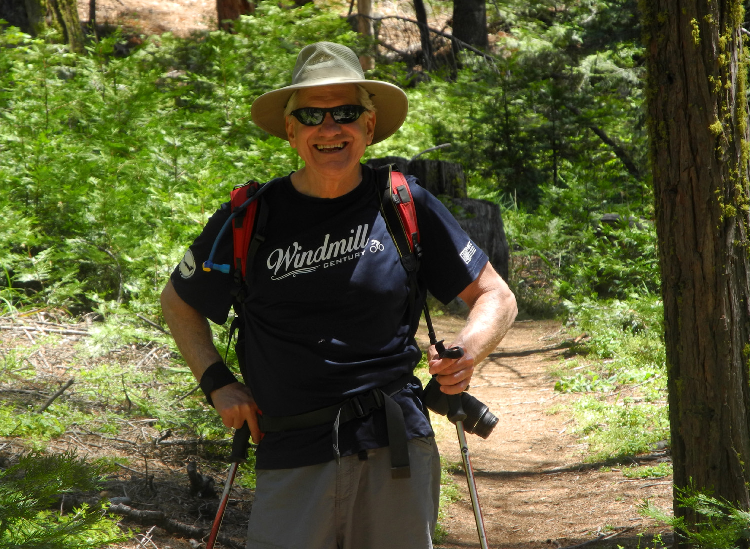
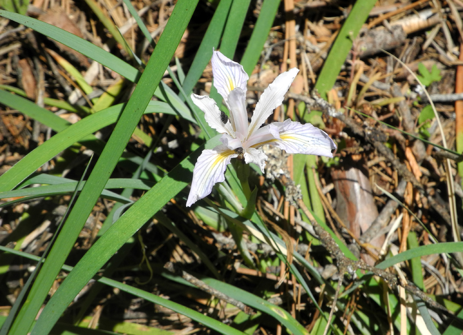
| Wes on the trail | Wild iris | A patch of western wall flowers |
 |
|
 |
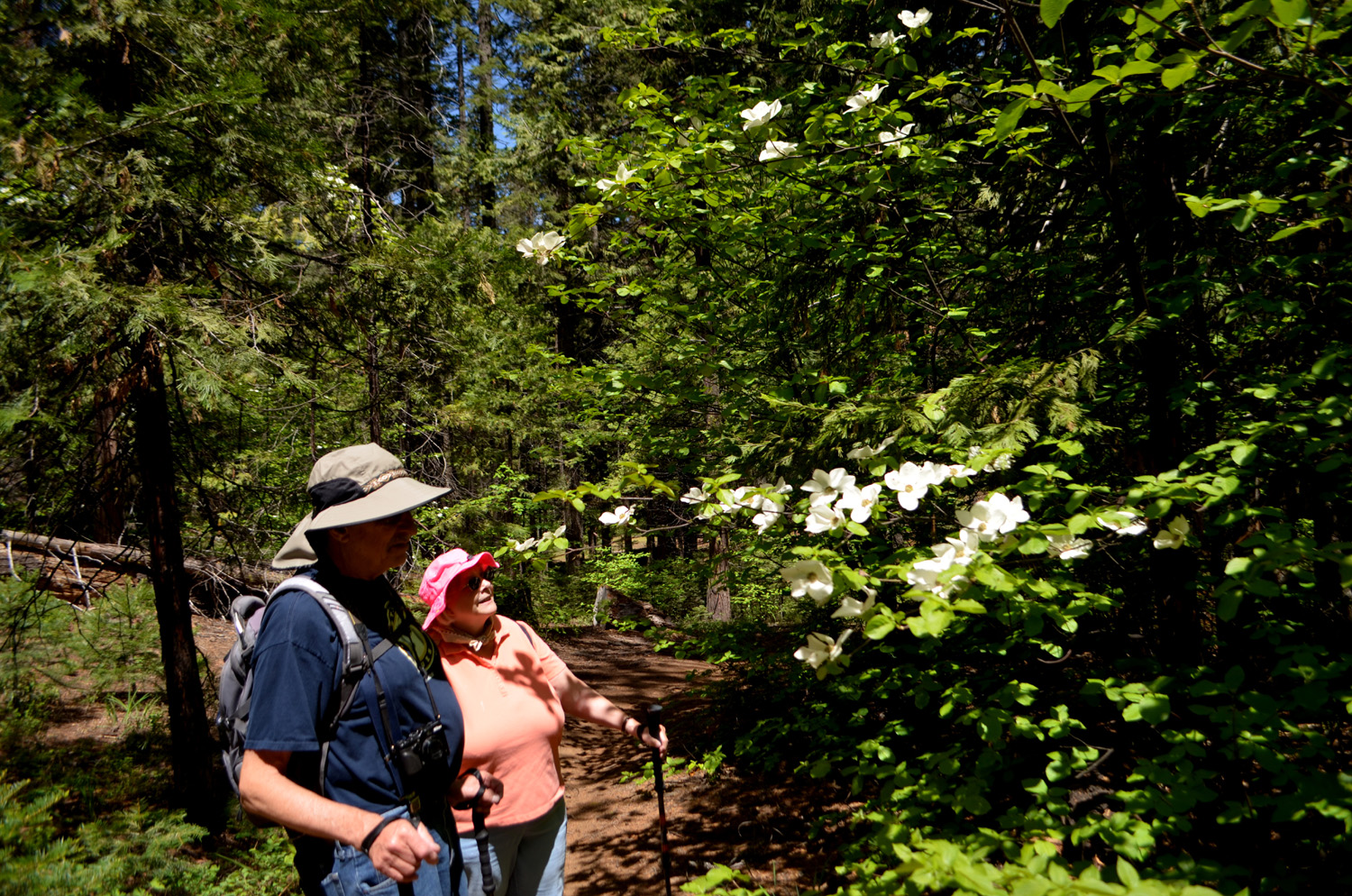
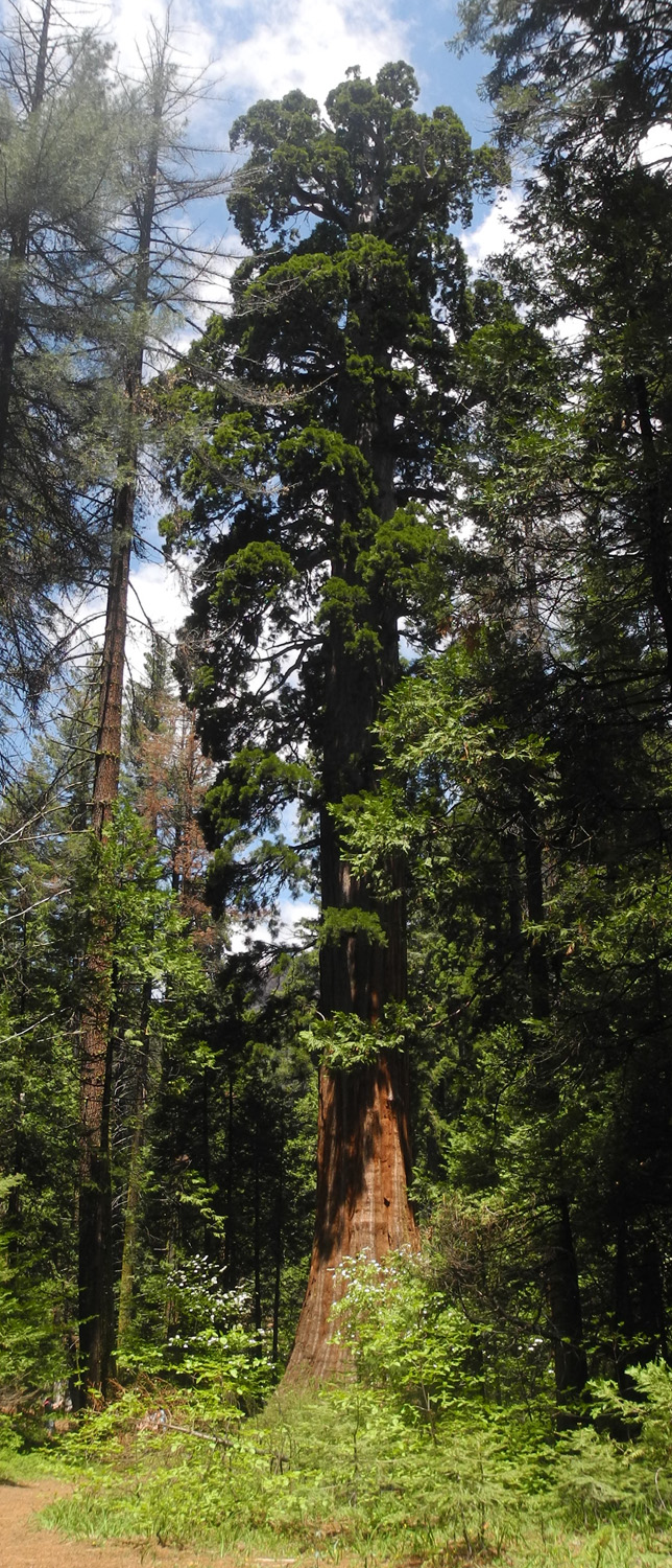
| Dick and Sue inspect a dogwood | An excellent dogwood blossom display | The top of the Bull Buck |
 |
 |
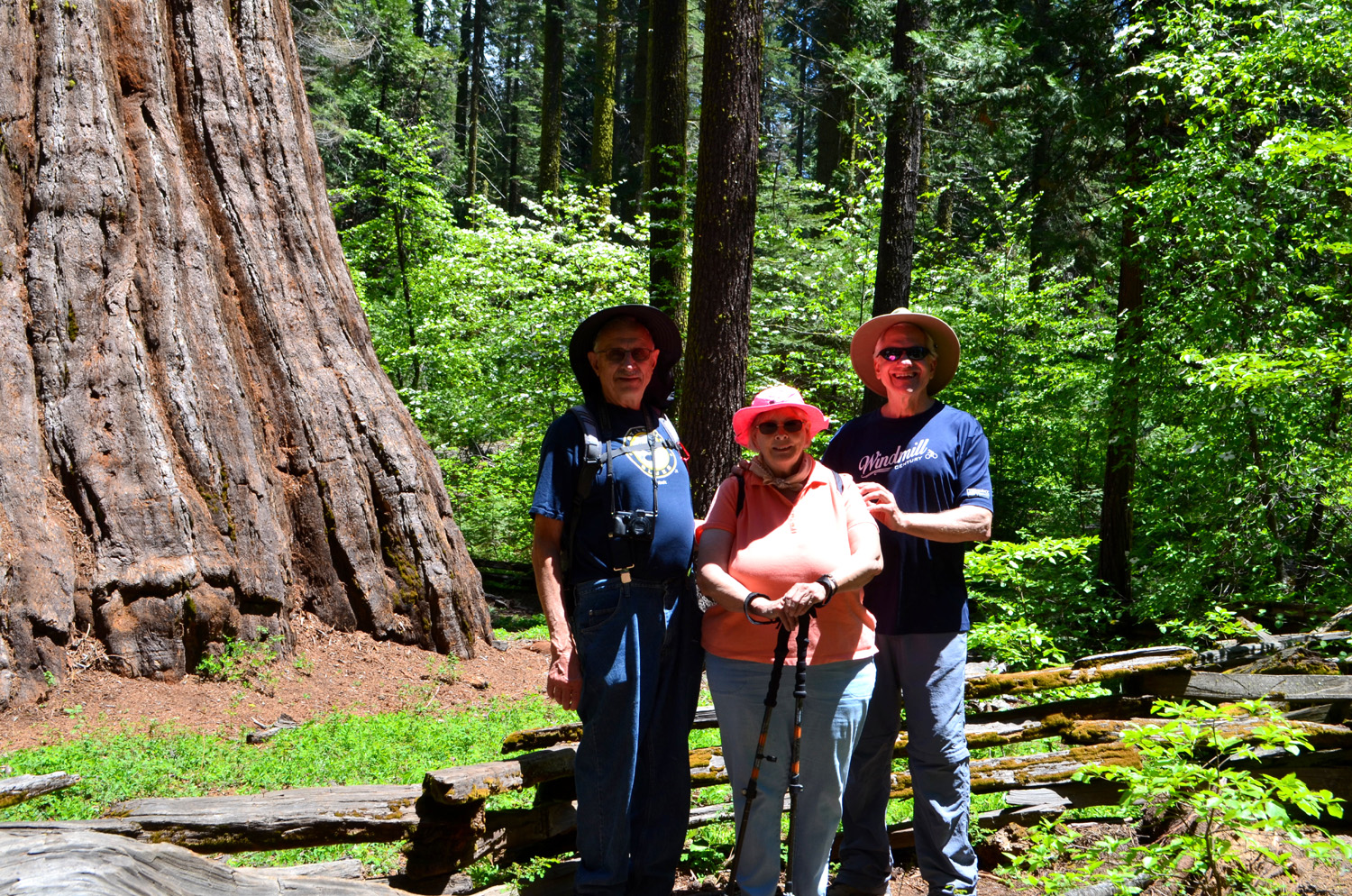 |
| Top to bottom view of the tree | The base is surrounded by dogwood | Dick, Sue and Wes - the Ramblers at the Bull Buck |
 |
|
 |
| California Creek runs under the camp road | The upper falls on California Creek | Another cascade on the creek |
 |
 |
 |
| Trail through the trees | Dogwood blossoms by the Bull Buck | Big stump and the creek |
| Rancheria Falls Hike | ||
 |
|
 |
| The trail where it approaches the falls | First view of the falls from the trail | Elsa takes in the amazing view |
 |
 |
 |
| Long cascade below the falls | Wes down in the gorge | The view Wes enjoyed |
 |
 |
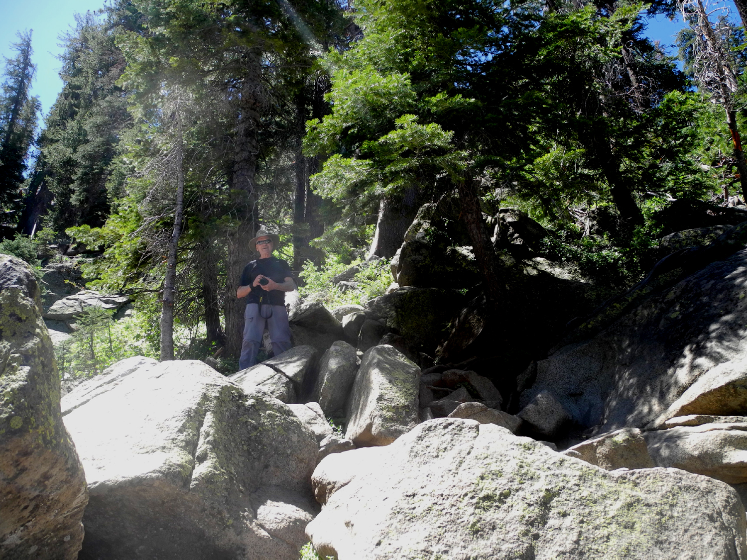 |
| A wide angle view from down in the gorge | Rancheria Falls | Wes had to climb up to climb back down |
 |
 |
|
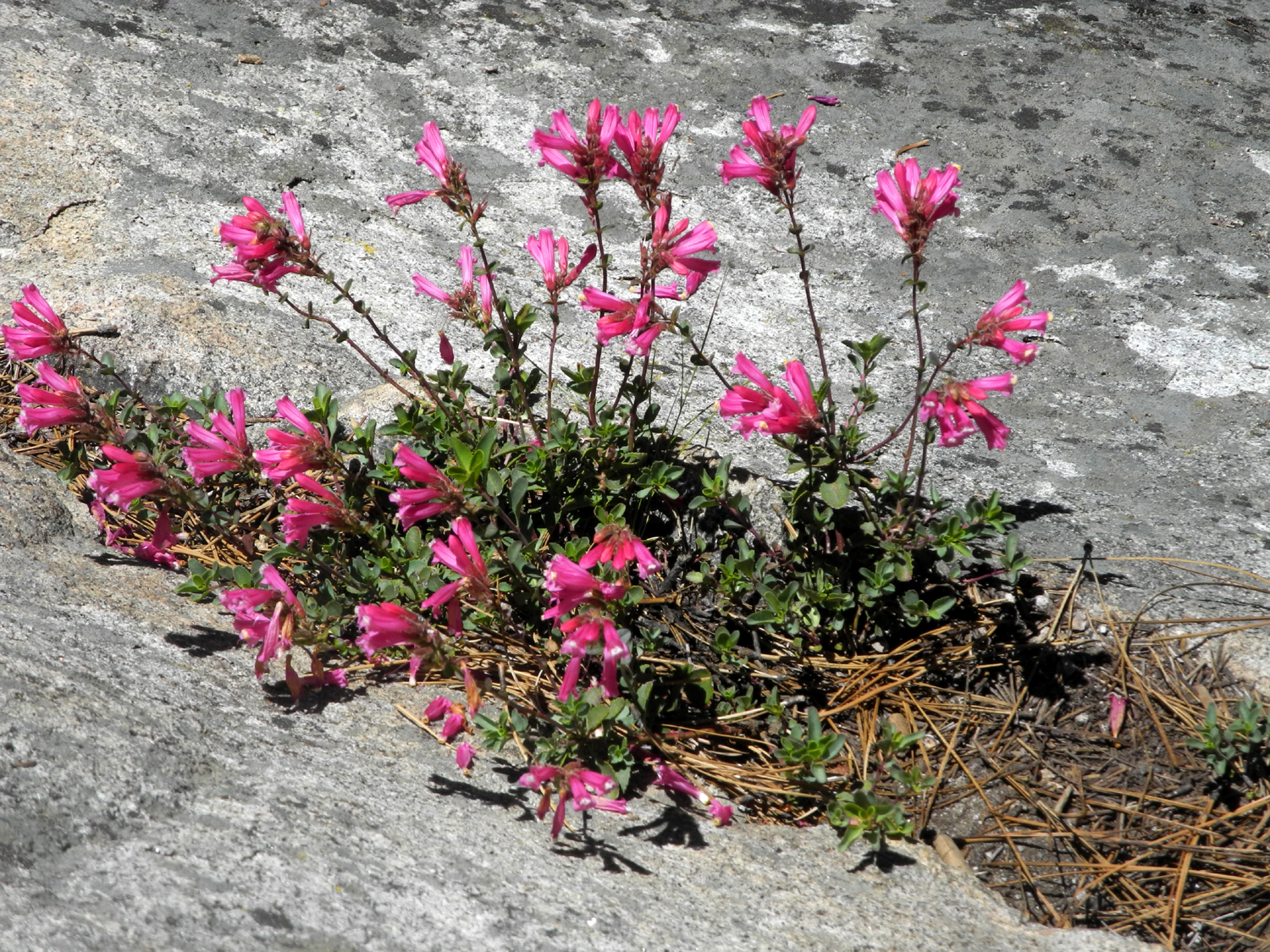
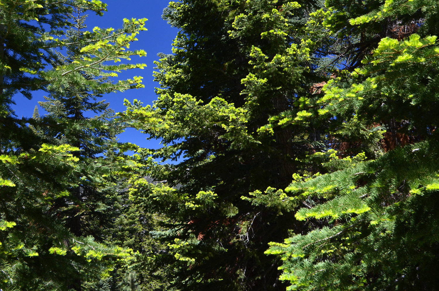
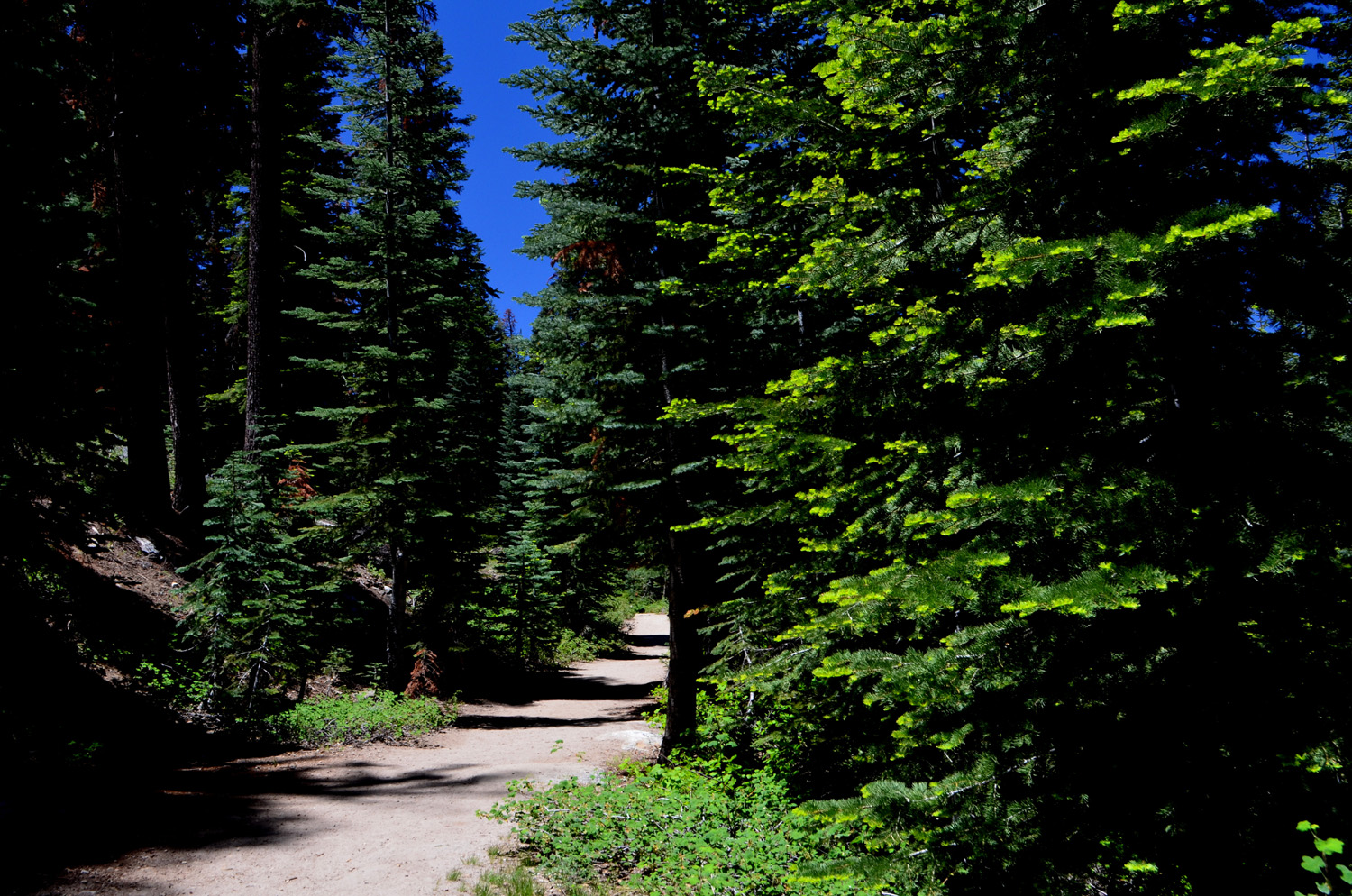
| New growth on fir trees | Trail through the red fir forest | Mountain pride penstemon |
 |
 |
 |
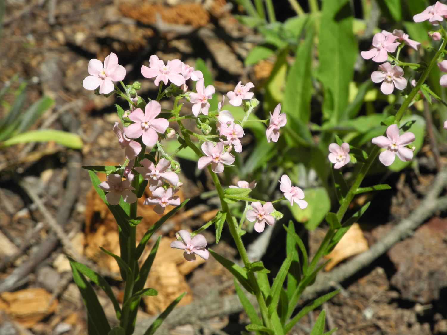
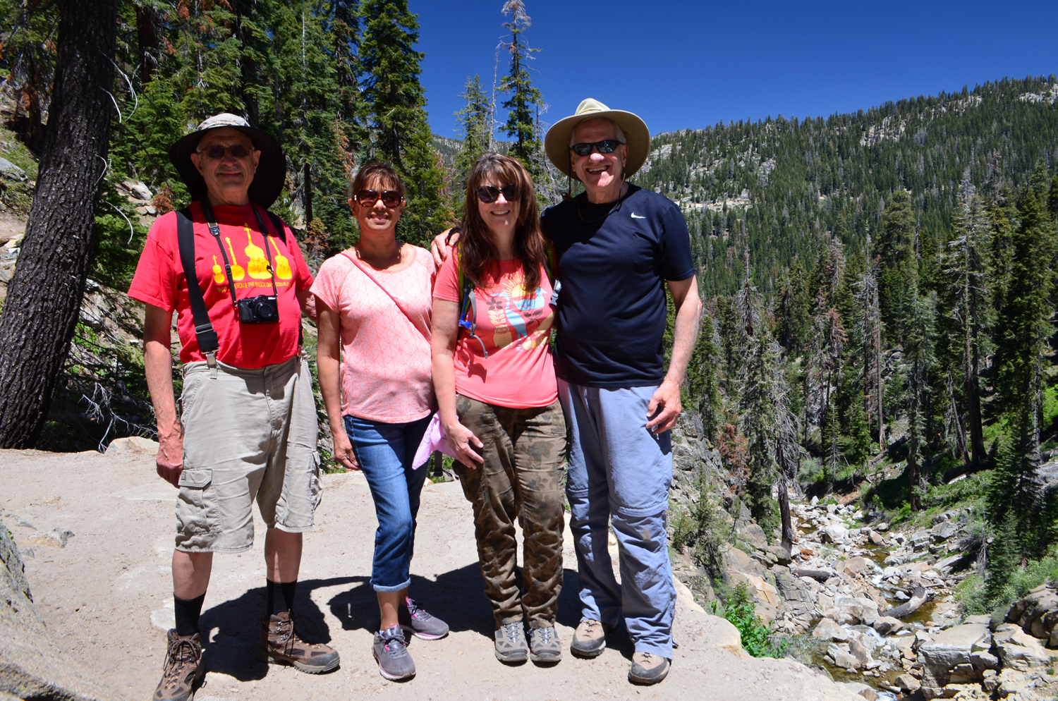
| These unknown flowers were thick | Dick, Elsa, Jennifer, Wes | Big Creek, east of China Peak Ski Resort |
| Big Stump Basin Trail | ||
 |
 |
 |
| Ardyss, Elsa, Colton and Wes, ready to hike | The big sequoia near the start of the trail | Young and old alike can climb this stump |
 |
 |
 |
| Colton and Wes on the stump | This tall stump looms over the trail | Elsa and Ardyss were not tempted to do any stump climbing |
|
 |
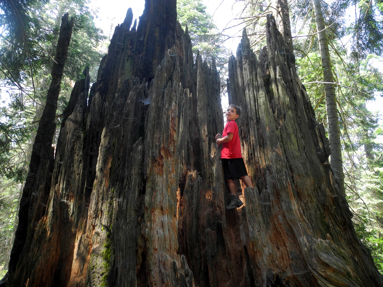 |
| Colton, Dick and Wes at our snack stop | A green stretch of the trail | Colton on the "Castle" |
 |
 |
 |
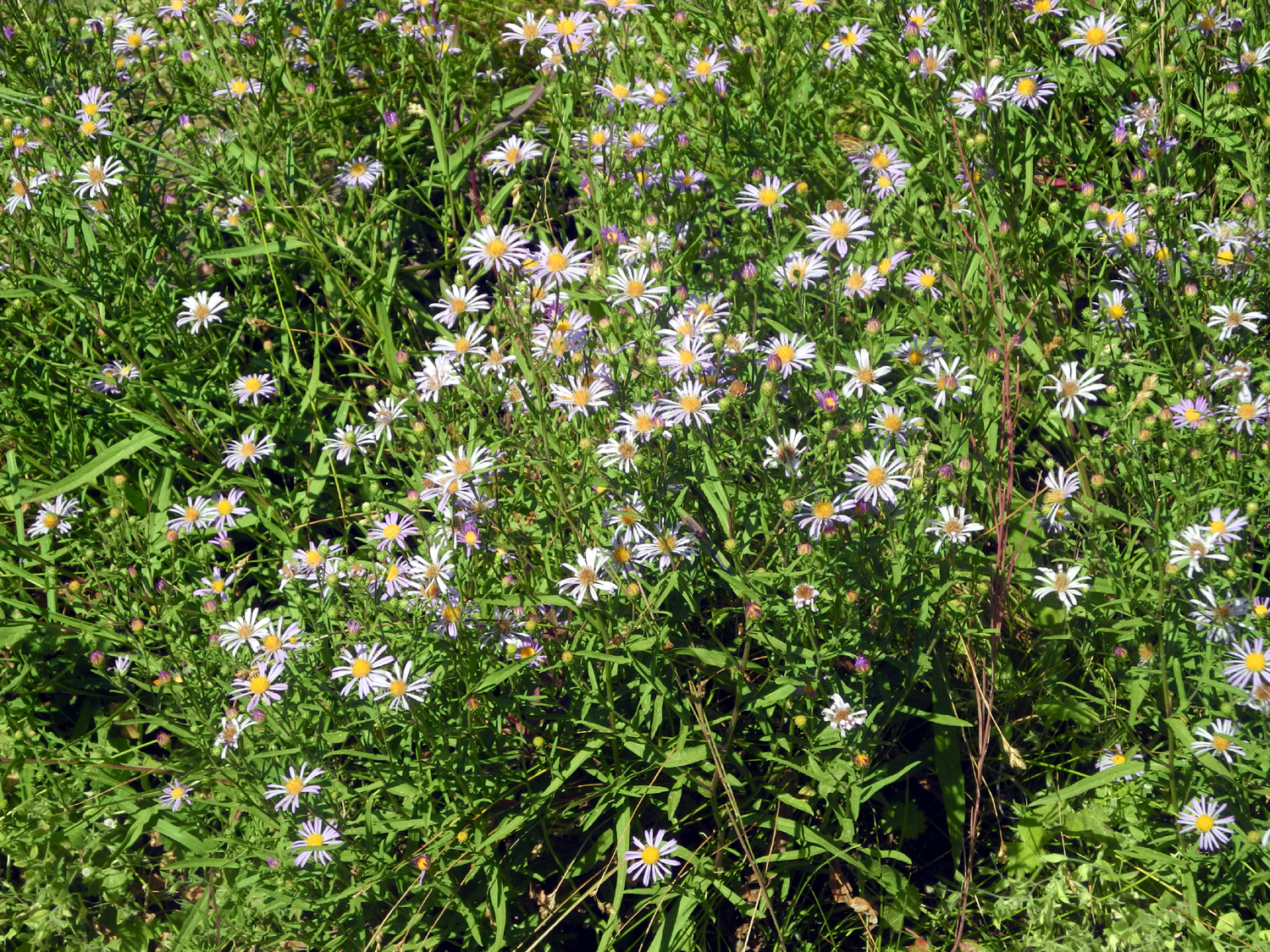
| Ardyss, Elsa and Dick at Smith Comstock Mill site | Evidence of logging from the late 19th Century | A patch of yellow against the green |
 |
 |
 |
| Western asters | An earlier photo of the Mark Twain Stump | Colton at the Mark Twain Stump |
 |
|
 |
| The beginning of the last leg of the trail |
Dick and Elsa make their way across the Shattered Giant |
Big tree that escaped becoming a big stump |
| Courtright Reservoir & McKinley Grove | ||
|
 |
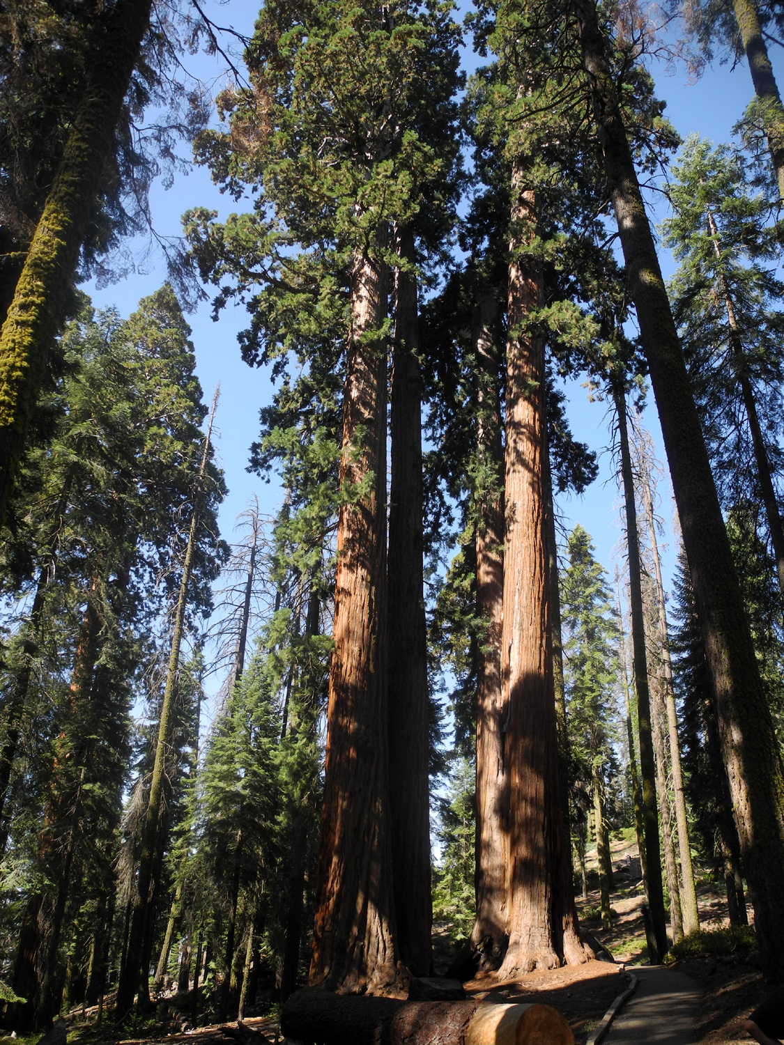 |
| Wes, Sue and Ardyss marvel at a huge sequoia | Base of the giant | The grove has a number of very tall specimens |
 |
 |
 |
| Once on the rock, Wes must also get down | A classic view of Courtright Reservoir | Wes on the rock (click for a video of him getting down) |
 |
|
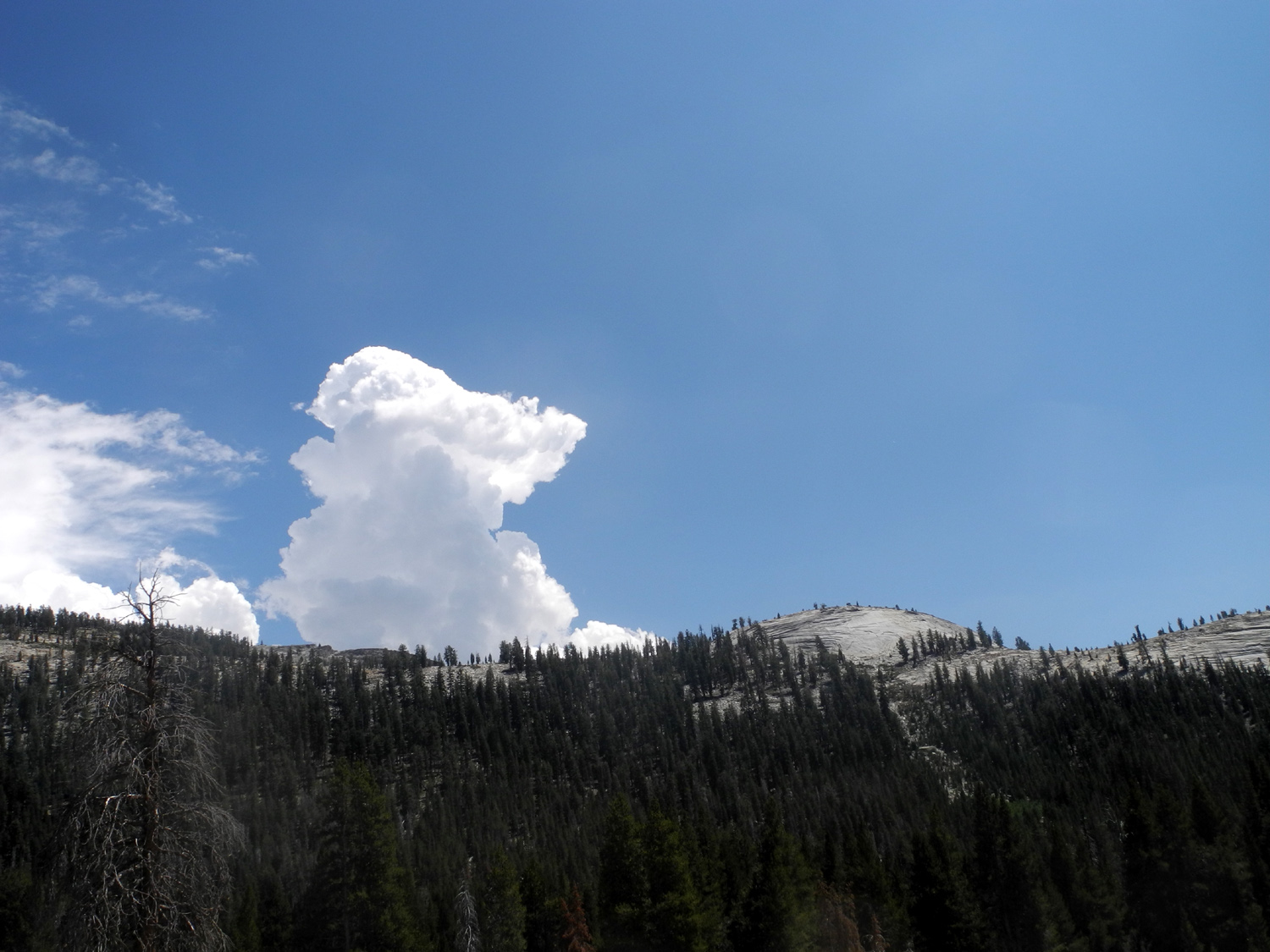 |
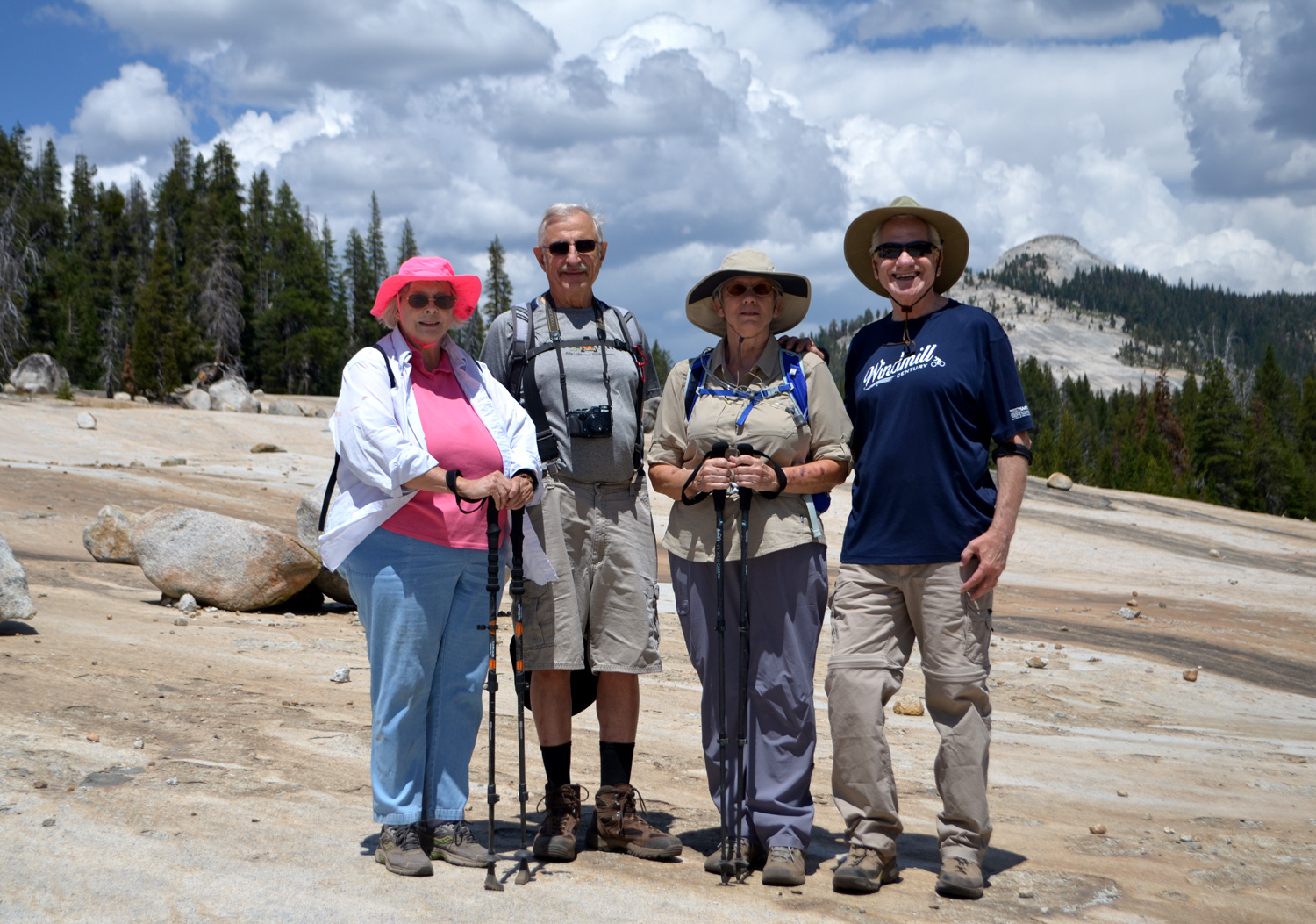
| The Ramblers: Sue, Dick, Ardyss and Wes | It was one of those days with beautiful cloud formations | More clouds over a distant dome |
 |
 |
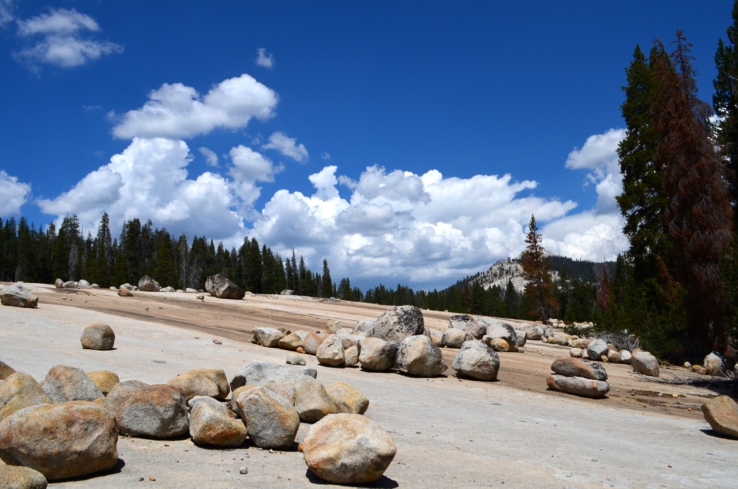 |
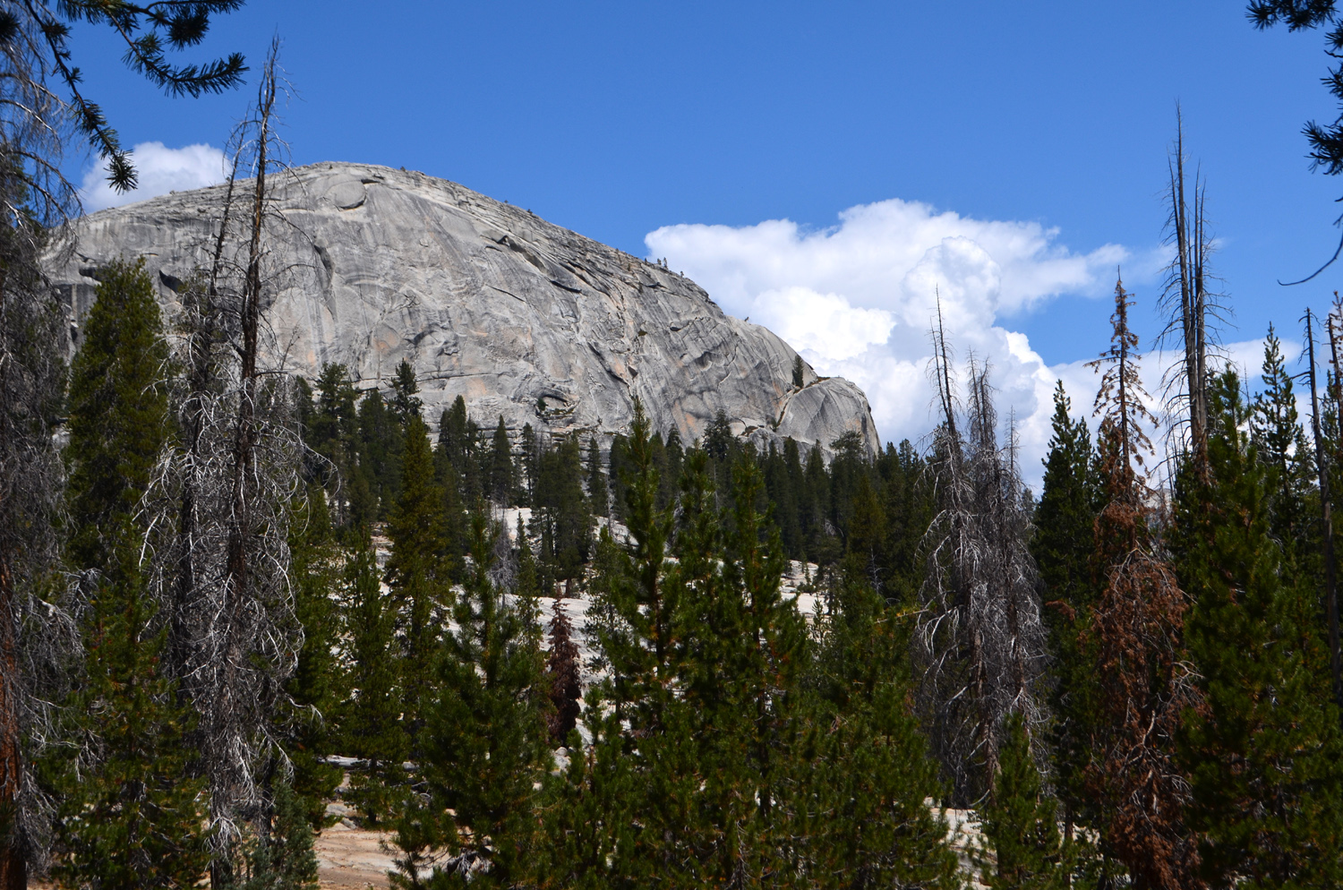
| Wes on another rock | Constant Dome, between the trail and the lake | The Big Granite Slope, with nice clouds |
 |
||
| The road across the dam | ||
 |
||
| The Big Granite Slope at the end of our hike | ||
|
Related Links |
||
| Shadow of the Giants Trail | USFS Nelder Site | |
| Bull Buck Tree | Bull Buck Loop Trail | |
| Other Nelder Grove Visits | A Hike in Nelder Grove | |
| Rancheria Falls | Huntington Lake | Pub & Grub Shaver Lake |
| Kings Canyon National Park | Big Stump Basin Trail | Felling the Mark Twain Tree |
| Saving the Sequoias | McKinley Grove | Courtright Reservoir |
| Ducy-Ershim Trail | LeConte Divide | The Ramblers First Courtright Hike |
| About the Big Granite Slope | Video - Wes off the rock | Previous Courtright Trips |