|
Lake Almanor & Mt. Lassen National Park |
||
| Photos Related Links More Travel Reports | ||
|
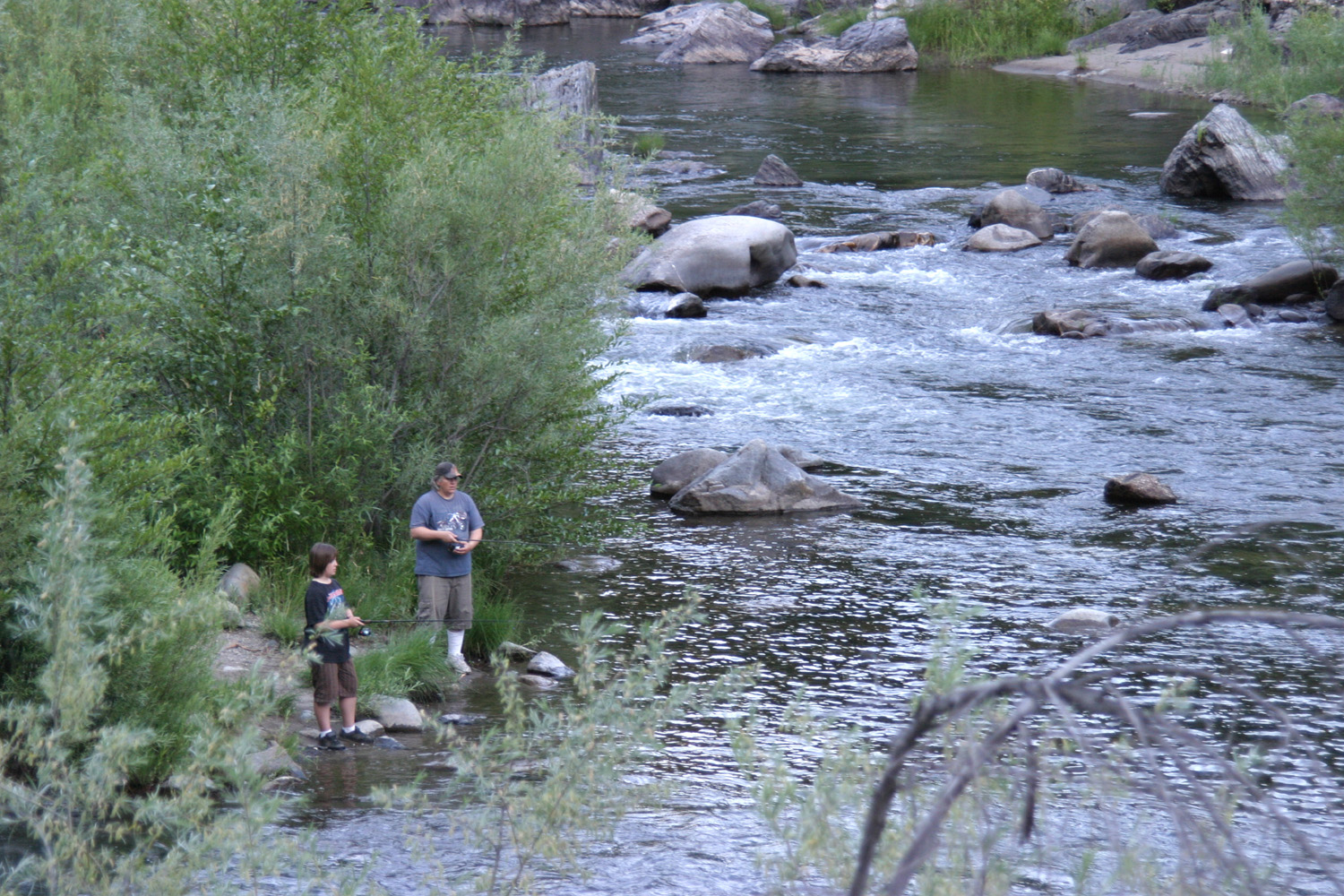
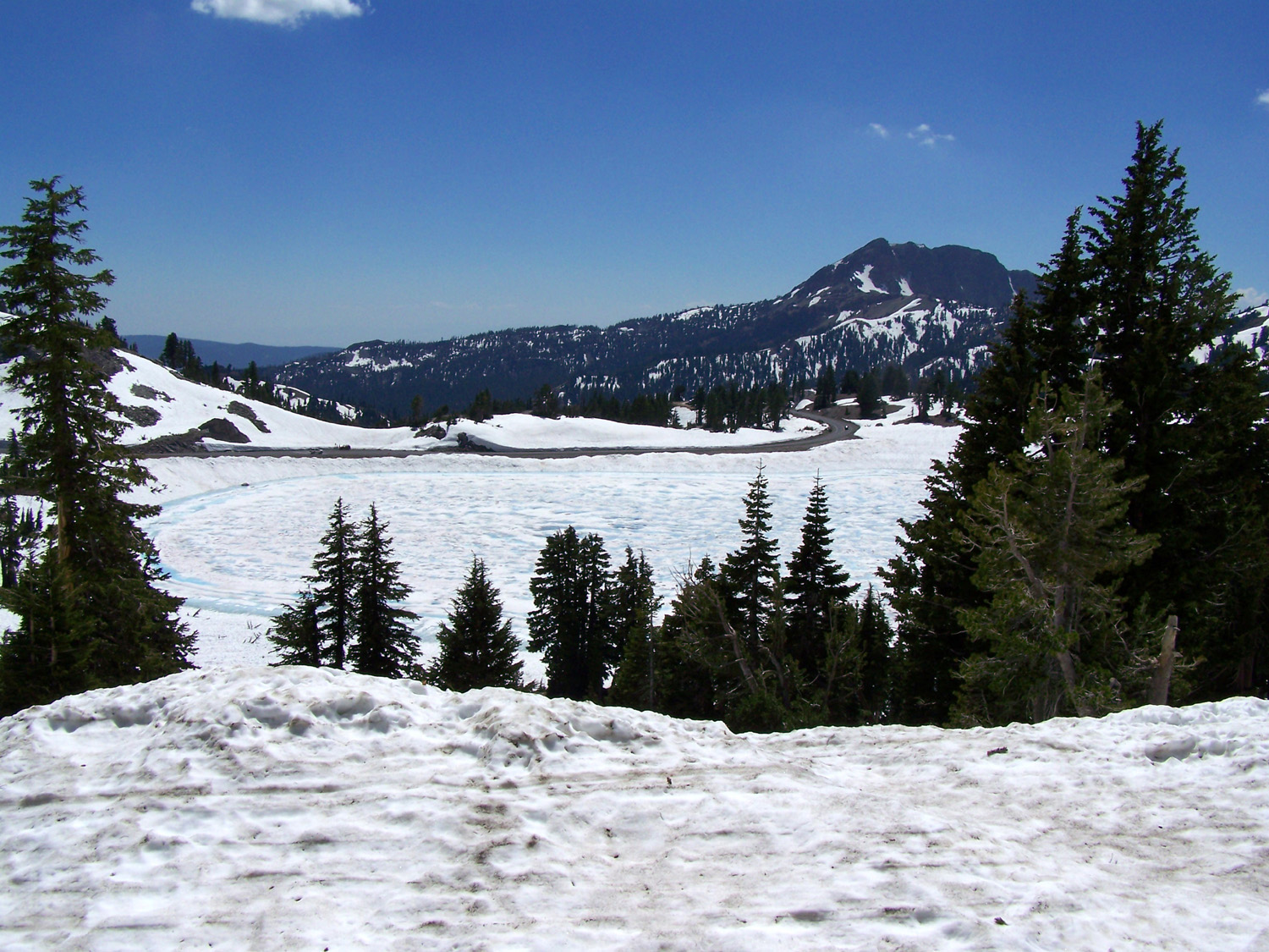
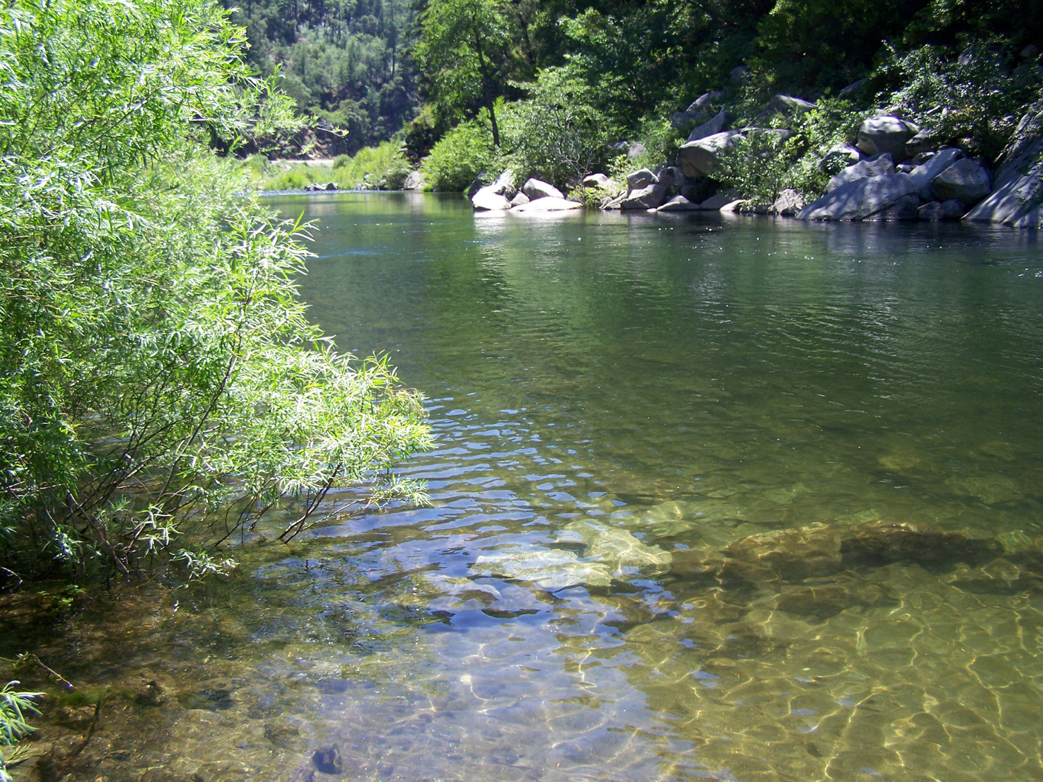
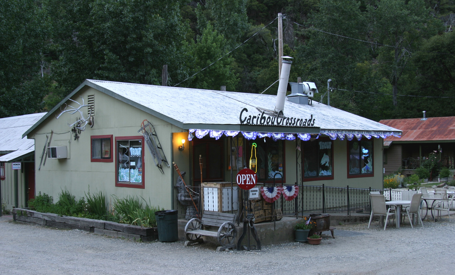
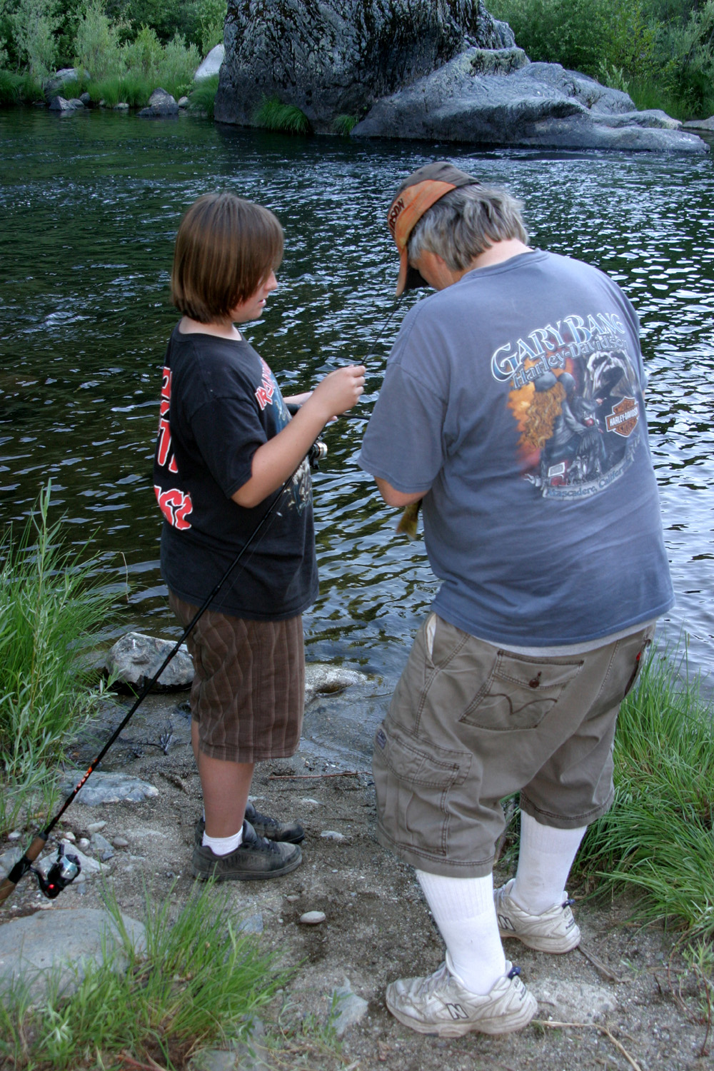
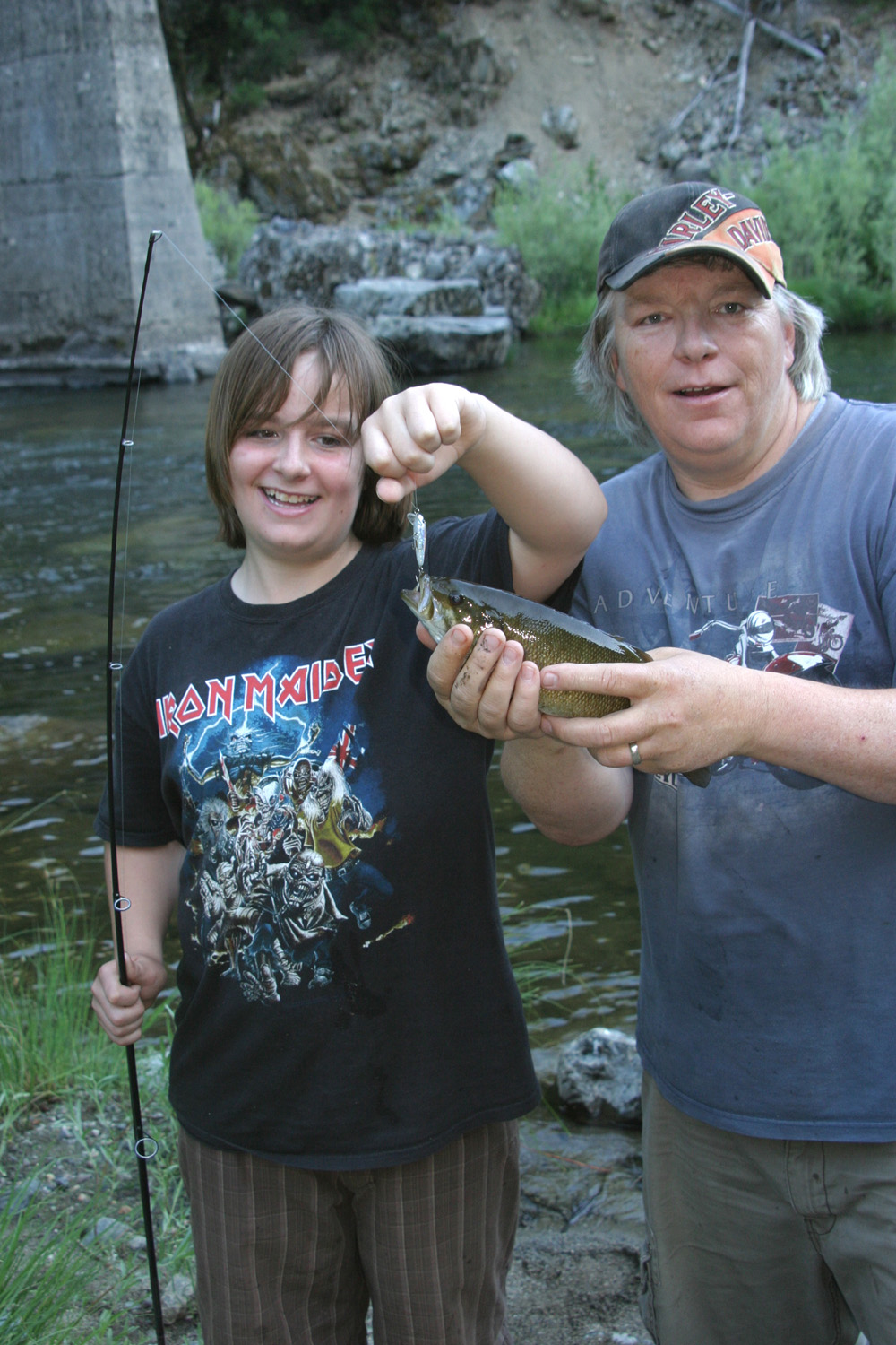
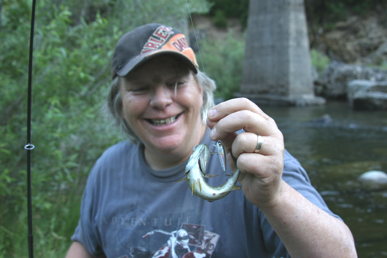
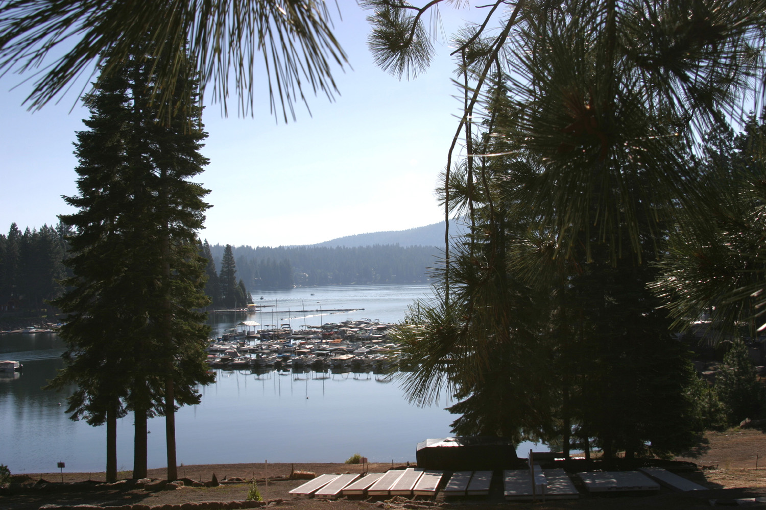
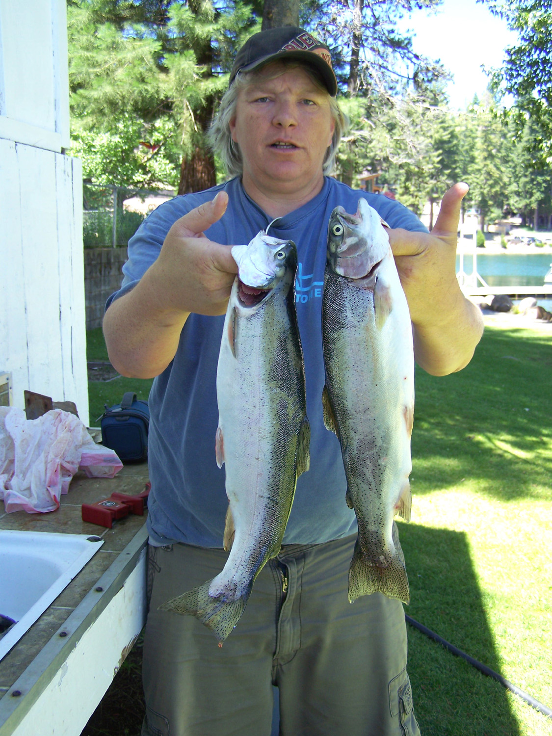
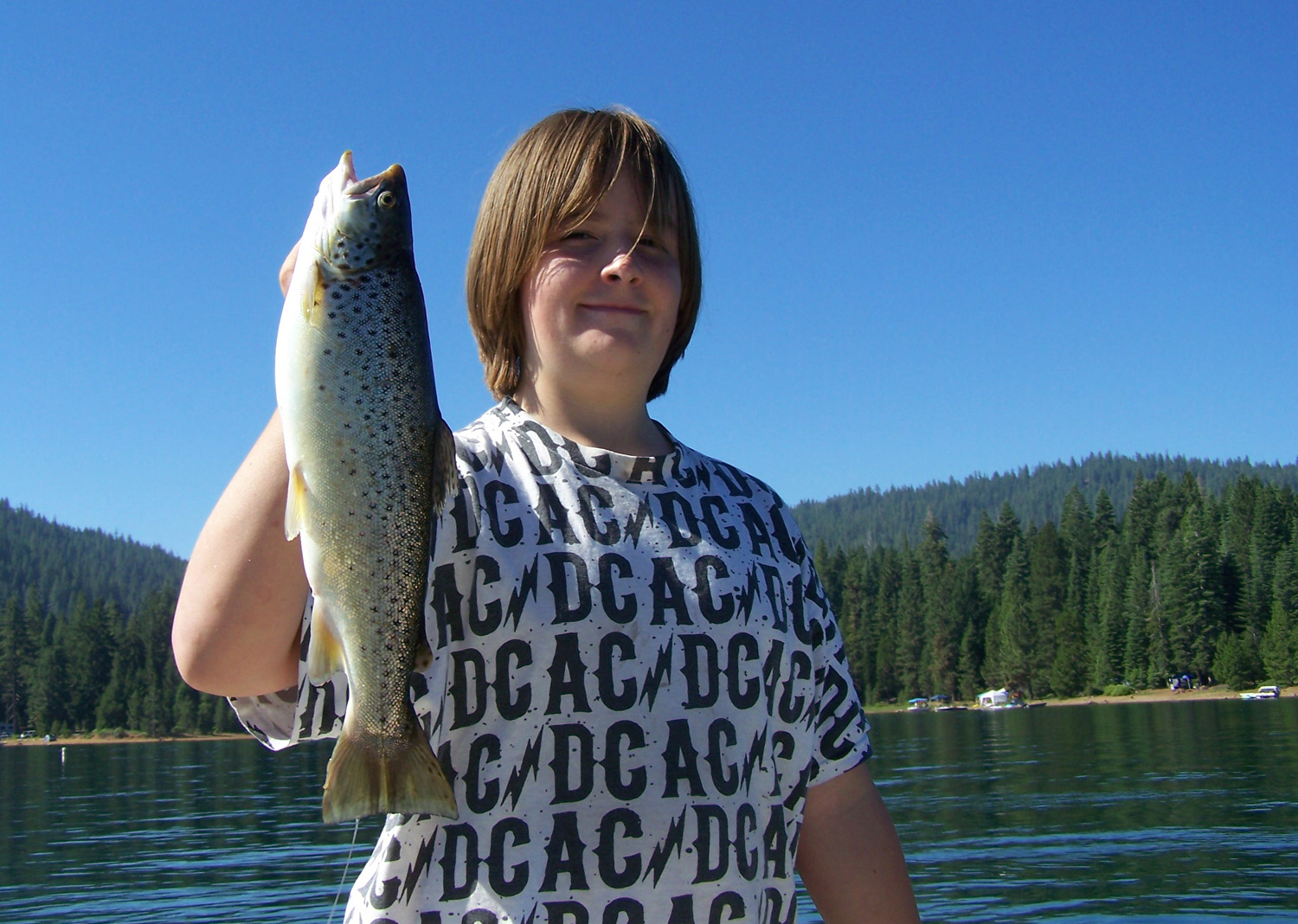
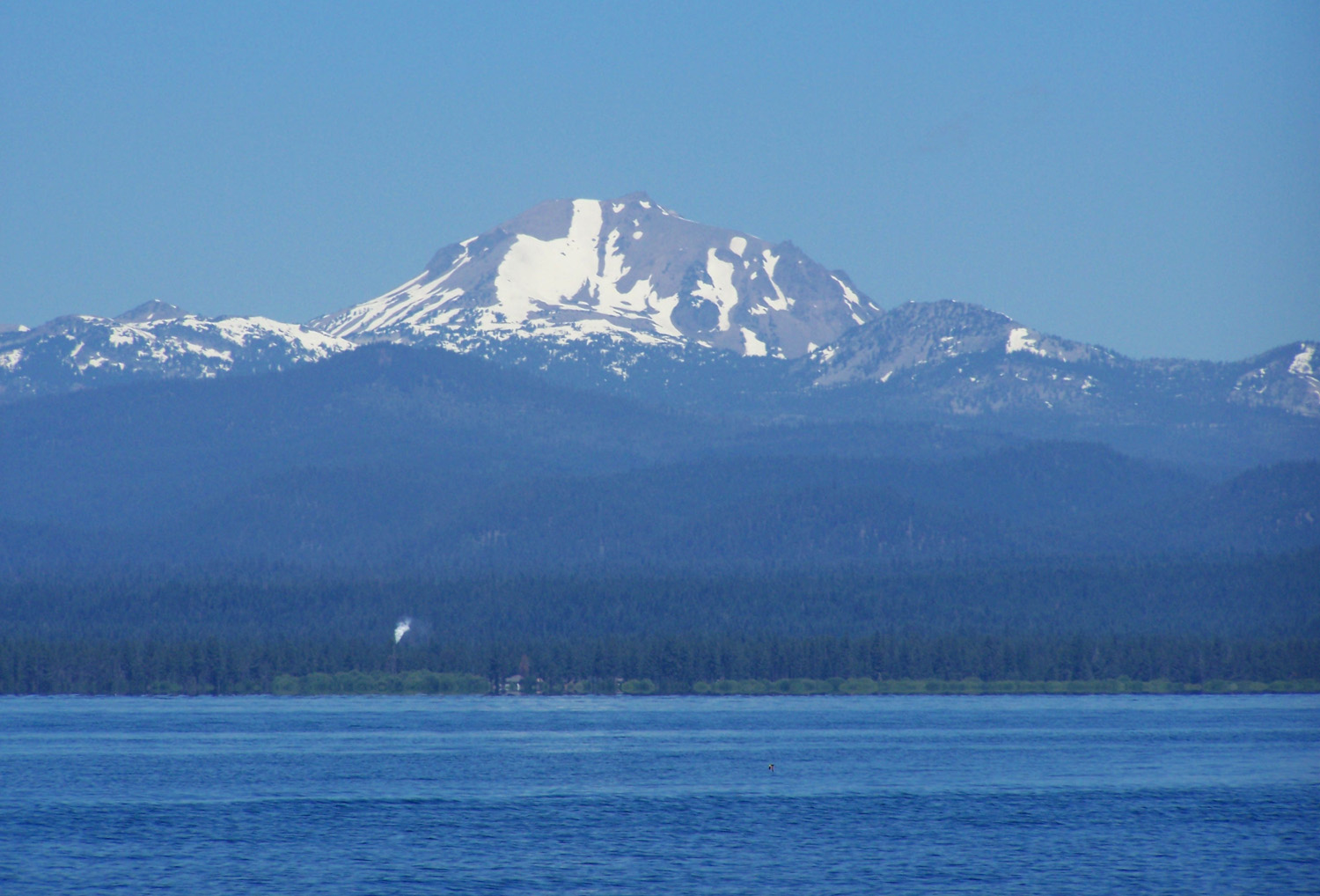
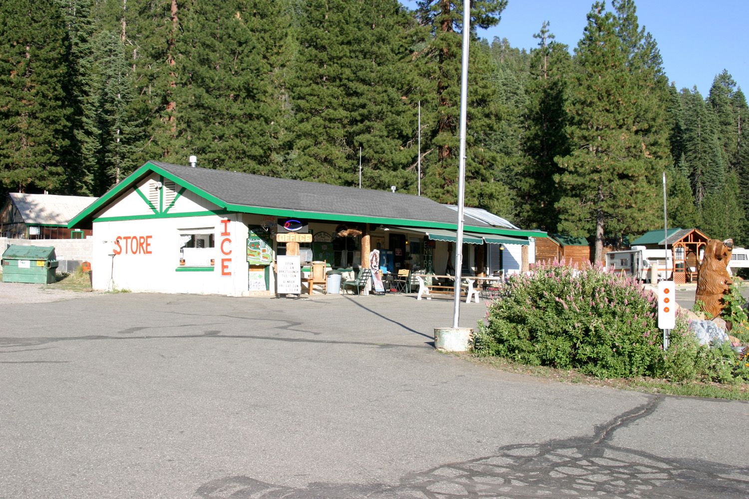
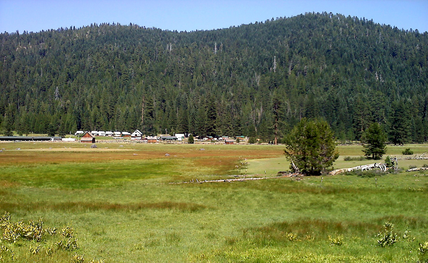
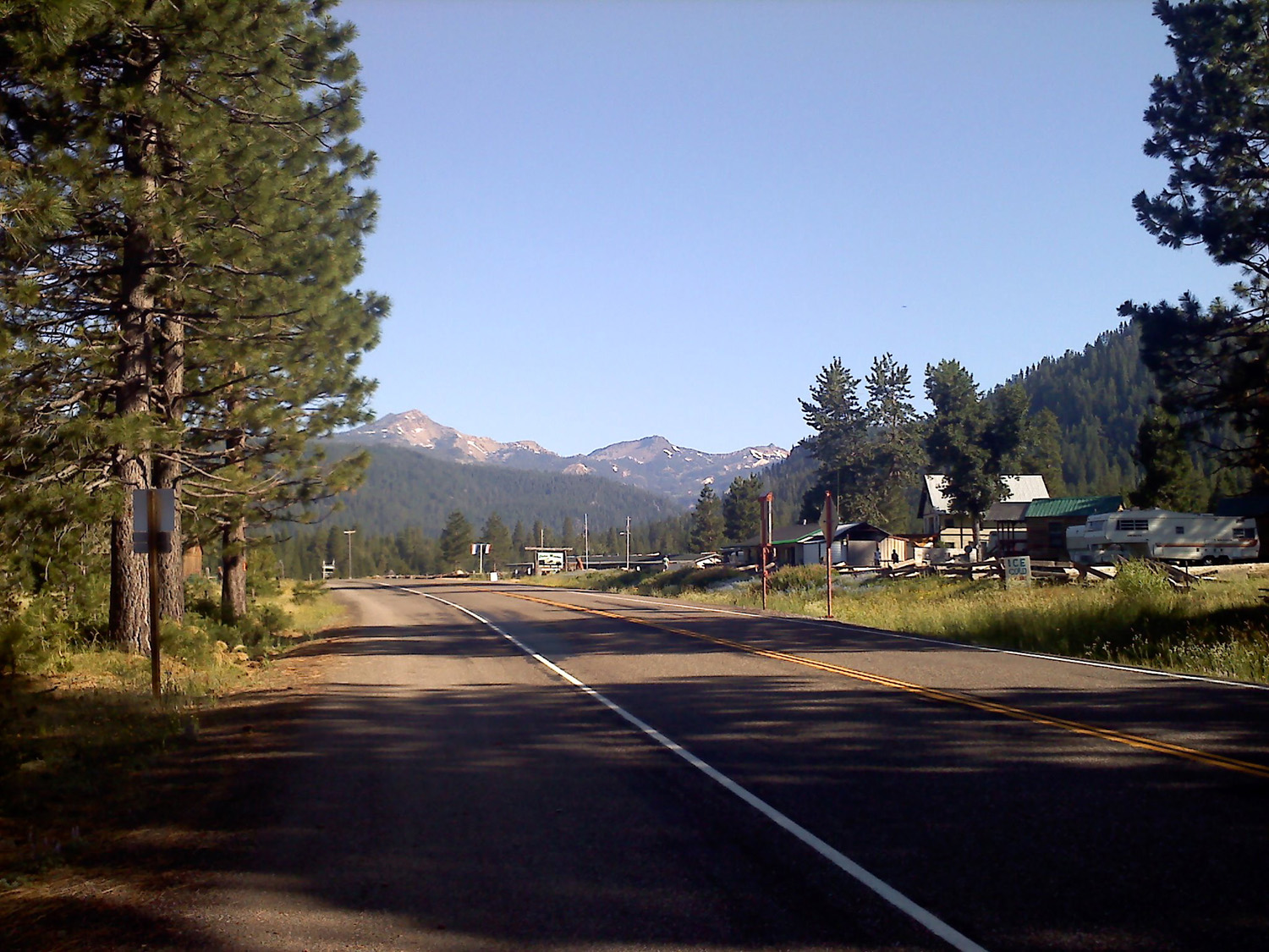
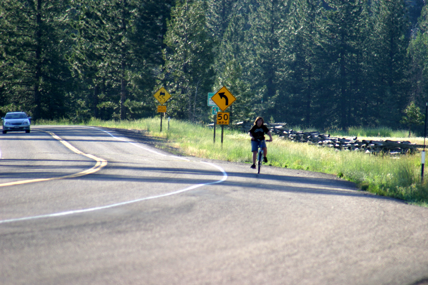
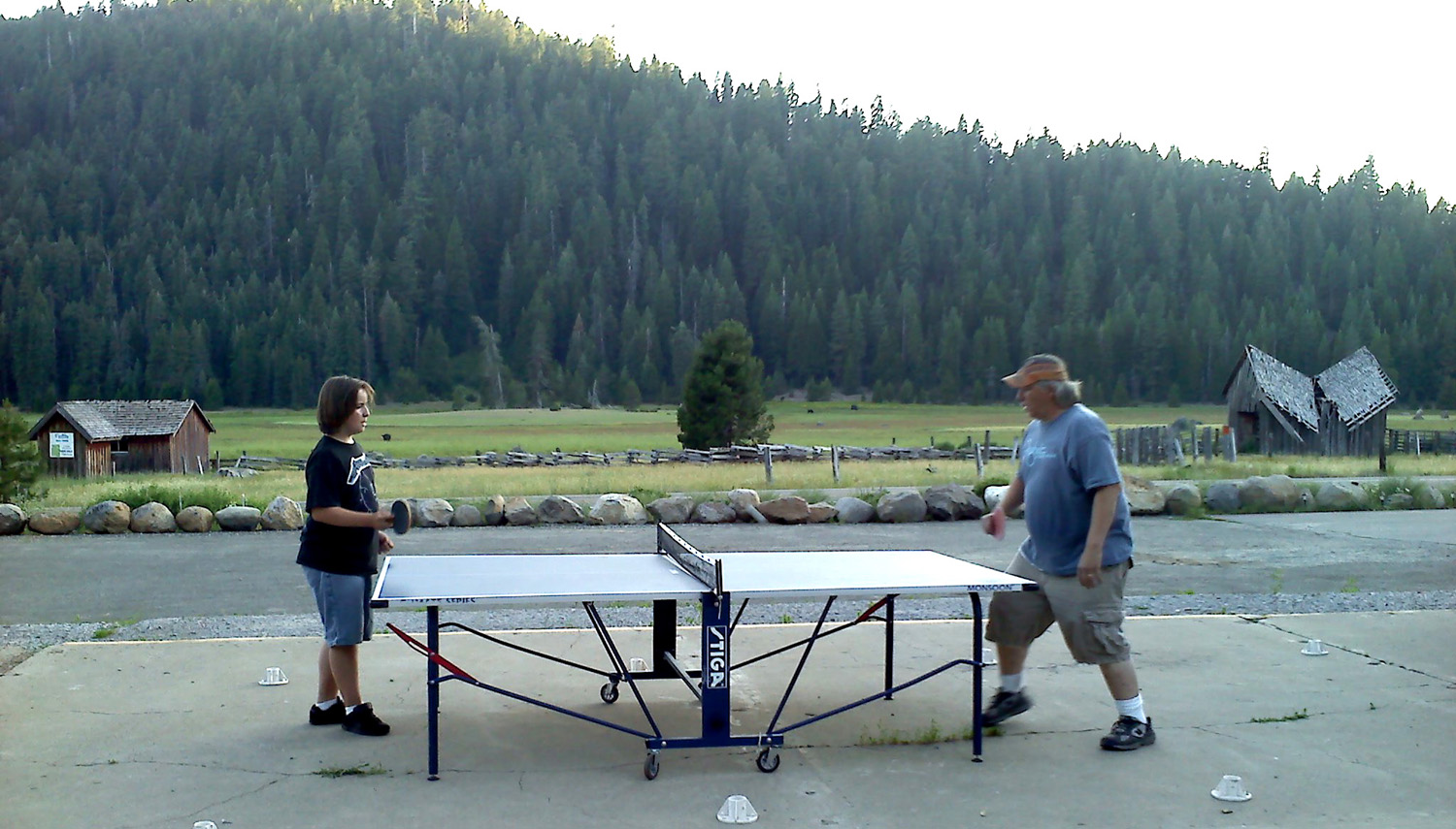
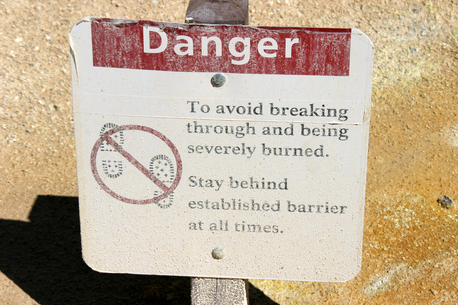
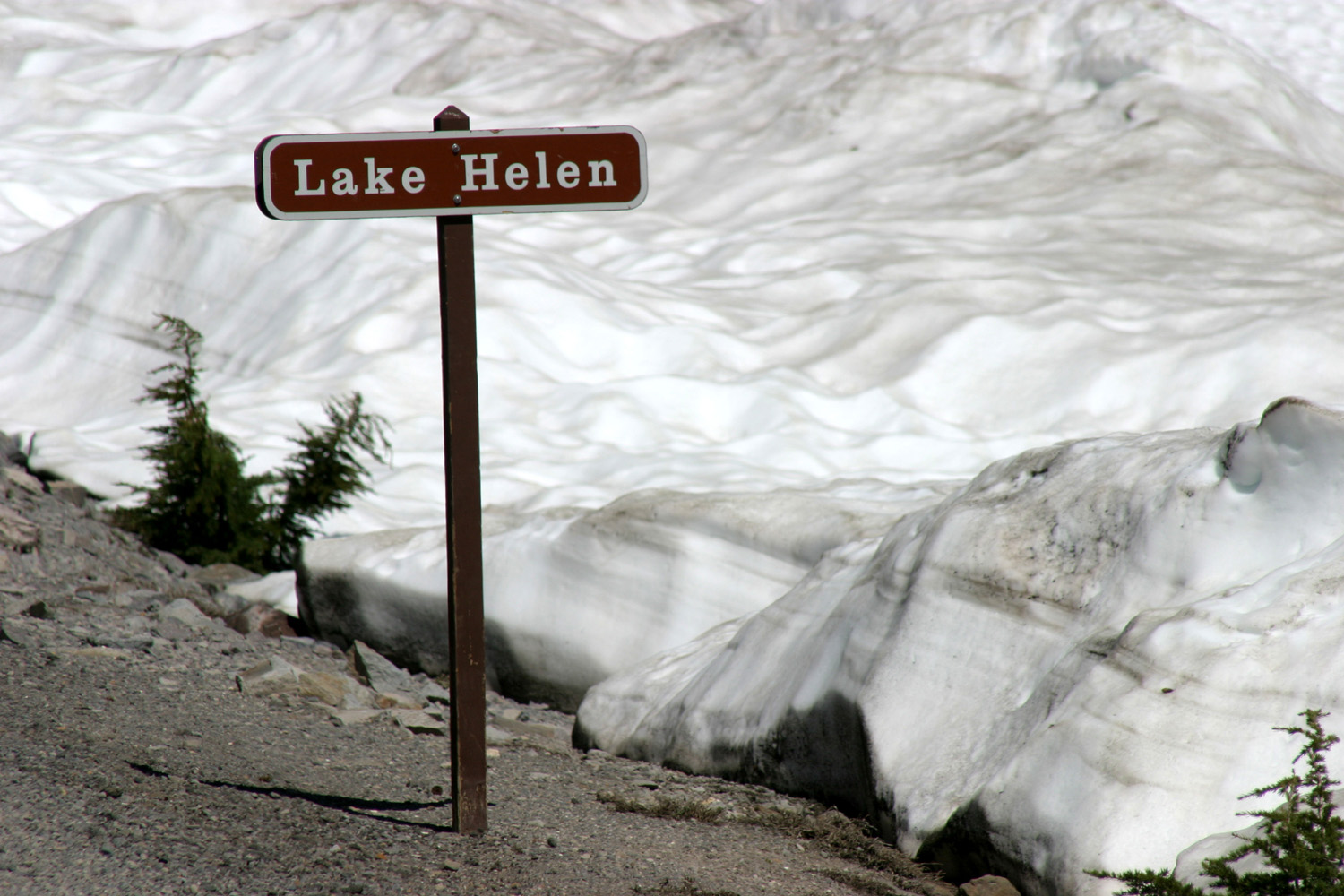
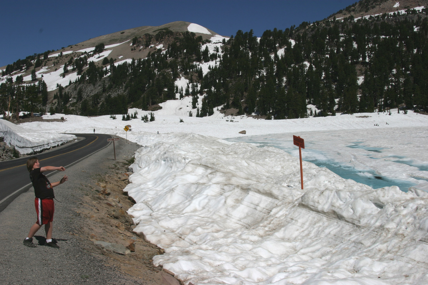
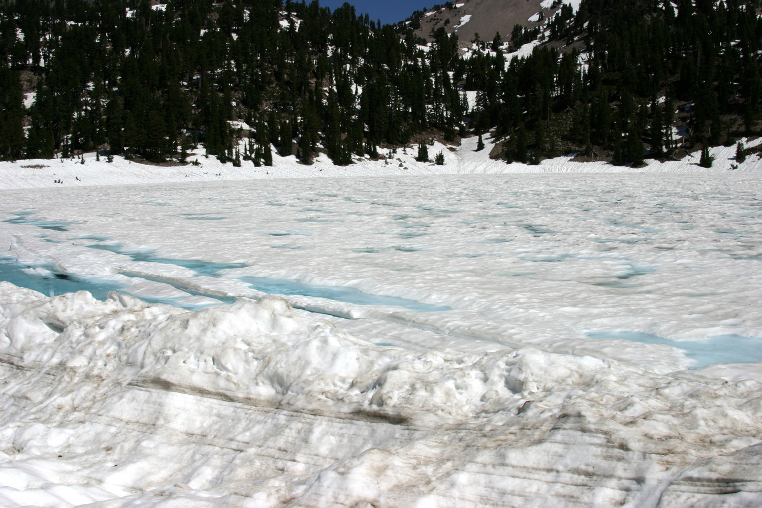
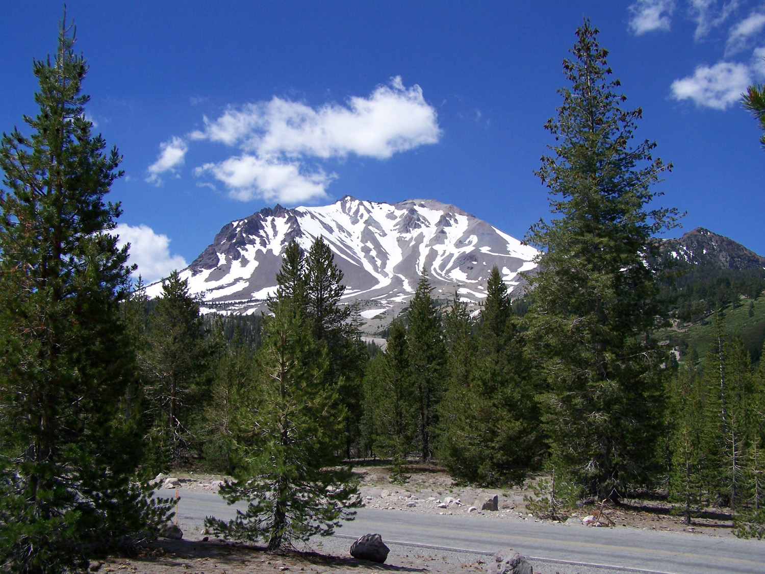
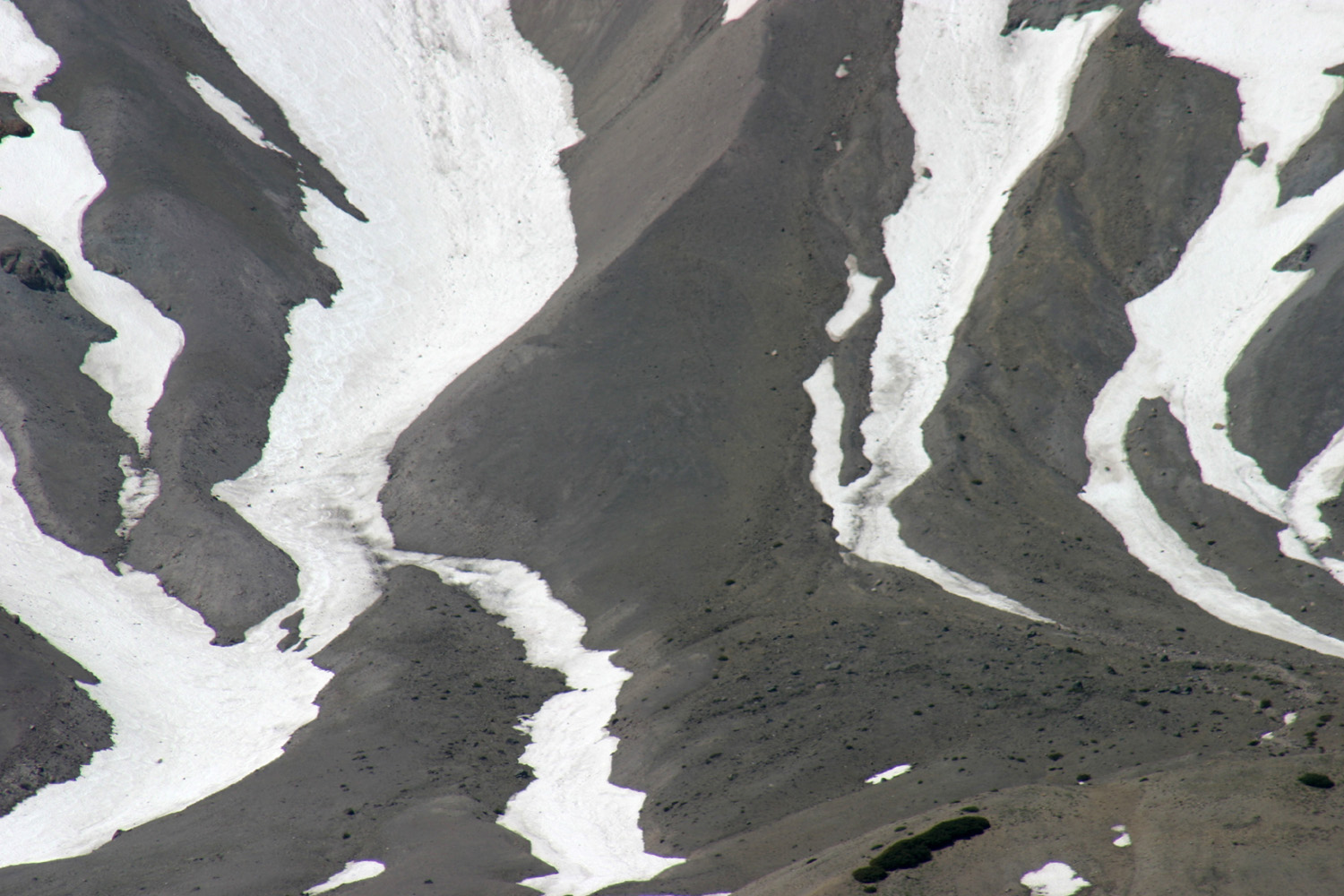
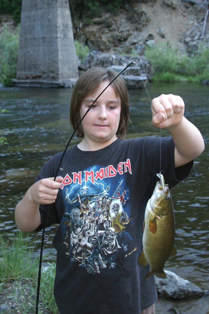
In the 1990s, my oldest grandson, Johnny, and I visited Lassen Volcanic National Park and nearby areas twice. I have always wanted to return, and also to share the experience with the rest of my family. We stayed both times at Childs Meadow Resort, an RV park with cabins and a motel, and my hope was to rent a cabin to supplement the sleeping space in my motor home. We managed to find a date that would work for my older daughter's family, but no one else could make it. Between her pickup camper and my motor home, we had sleeping space for everyone, so we didn't need a cabin. At the last minute, Teri had to cancel due to other obligations, but my grandson, Mikie, his father, Tim, and I headed out early on the morning of July 12, 2010, for a trip that would include fishing, sight seeing, and extensive loafing. I wanted to repeat part of the route Johnny and I took on our first trip, so we traveled up state highway 99 through Sacramento, then on state 70 through Marysville and Oroville and northeast into the Feather River Canyon. They say that getting there is half the fun, and if not always fun, it can at least be counted on to provide some surprises and challenges. State 99 used to be US 99 and was the main inland north-south route from Mexico to Canada. North of the state capitol it goes up the east side of the valley, but with the development of the Interstate Highway System, I-5, a new route farther west, became the main artery. North of Sacramento State 99 goes through many small towns without benefit of freeway bypasses, but it's still a heavily used and important route for the east side of the Sacramento Valley. At a place where several highways meet, 99 turns west for a few miles before heading north out of Sacramento, but the signs are not clear, and after a few miles I realized I was heading northeast on I-80, approaching the suburb of Roseville. I was familiar with this area, and figured there was a highway heading north from that area. Serving as navigator, Tim directed me to take State 65 northwest just past Roseville, since it ran directly into 70 after a few miles. This proved to be a less congested route than the one we "should have" followed, and soon we were on state 70, heading for Oroville. Just past this city, 70 turns to the northeast and follows the Feather River deep into the Sierra. In 1993 Johnny and I had stopped for the night at a flat spot along the highway, but I knew finding it again would be a challenge - time and development could have eliminated it or turned it into a lemonade stand. When we saw a small RV park called Caribou Crossroads where two branches of the river meet, we decided this was the right place for our first night, and were soon parked in a shady spot just a short walk from the water. When traveling, Mikie's sole purpose in life now is fishing, so following the suggestion of the clerk in the office, he and Tim headed down to the point where the two streams flow together. On his first cast, Mikie caught a 12-inch smallmouth bass. I was just getting ready to join them (without fishing of course), when Mikie came running up. "Grandpa! Bring your camera!" I followed him back down the path under the highway and through the willows, and snapped some pictures of his first catch. He threw out his line and immediately caught another one, following this with a total of three fish on four casts. Tim soon had one, and they caught a total of ten, five each. Tim caught the biggest, but it was a "trash" fish, not good to eat. He also caught the smallest. The next day we continued on our journey to Lake Almanor, a huge lake in Plumas County where we had reservations at Big Cove Resort, on the peninsula that juts into the lake from the northeast. Tim had already done some research on the fishing conditions there, and knew that the best catches were being made while trolling. When we checked in, there was a young man working on a web site, who proved to be a valuable source of information. The son of the resort's owner, he had been fishing the lake since he was a child, and suggested a guide who was reliable and knowledgeable. He also said that he could take Tim and Mikie out on his boat, but could not officially charge a fee since he was not a licensed guide. Tim called the guide, Duncan McIntyre, and set up a fishing expedition for the next day, starting at 5:30 a.m. Of course, my plan was to get up about two hours later than that and just take it easy. Early the next morning Tim and Mikie set out, and I got up about 7:30, did my morning walk, and continued my somewhat regular camping routine of having a bloody Mary, reading a book, and fixing breakfast. Since Tim is an excellent chef, both at the stove and at the barbecue, we expected and got some better meals than I usually fix for myself. I don't recall what we ate when, but I know that the menu included hamburgers and pork chops, both fixed on the grill. I had brought some homemade spaghetti sauce which we fixed one night, and during my morning walk on Wednesday I checked out a small restaurant across the road from the resort. The menu looked promising, so I suggested that as a place for dinner that evening. The fishermen returned before 1 p.m., reporting good success. They caught a combination of rainbow and brown trout, with Mikie claiming the biggest numbers (5-2), and Tim the biggest fish, but only by a fin. Most of the fish weighed in around three pounds, and the guide service included filleting them, so we soon had two plastic bags of ready to cook trout in my freezer. For the remainder of the day we just took it easy, wandering around the lakeside, reading, goofing off, etc. Mikie did a little fishing from the shore, with no success. That night we made the short walk out to the main road and about 100 yards up to the restaurant. Tim and I both had fried chicken, and were surprised to find that it included a half chicken, plus a large serving of vegetables and steak fries, preceded by a salad that was well above the typical pile of lettuce you get in some places. We were well satisfied with both food and service. That evening, as always, when it got dark we fired up the TV and DVD player and watched some shows. I had tried to get the satellite going so we could watch baseball, but our location was apparently blocked by trees, and there was no signal. Most of the time we watched episodes of The Big Bang Theory that I had recorded from TV. I had shown a couple to Mikie at my house, but it was Tim's first look at the show, and they both became instant and enthusiastic fans. I highly recommend this show, which returns in September on CBS. (2020 Update: It ended in May 2019 but is available on DVD and various streaming sources, and worth re-watching.) Tim and Mikie had a discussion about whether to go out on the lake the next day, with the answer changing back and forth, but the final decision was to go out with the young man who greeted us the first day. This trip, also starting at 5:30, yielded three good-size trout, with Mikie again taking the lead 2-1. Tim claims another fish that got away only because of a technical problem with netting it at the last minute, so it will go into the record books with an asterisk. Their travels on the lake also yielded dramatic views of Lassen Peak. Since we had to check out by noon, they returned around 11 a.m., and we got everything loaded for the trip to Child's Meadow Resort near Lassen Volcanic National Park. On the way we stopped at the town of Chester on Highway 36 to get a few groceries, and arrived at our destination around 3 p.m. The current owners took over about the time I was there 15 years ago, so I expected some extensive changes, but it is pretty much the same. It has a motel, some rustic cabins, tent camping sites, and RV sites. They have upgraded the electrical and water hook-ups, and added a few small mobile homes with wood siding. As with the older cabins, these can be rented by the day, week, or month. Besides the usual setup chores, I did some exploring on my bike, going down dirt roads that lead in both directions from the highway. The one that leads to the west proved to be the more interesting, going into the woods just below and then behind the huge meadow that lies opposite the resort. Tim and Mikie discovered a horseshoe pit, and Mikie had his first experience with that game, losing but wearing his dad out in the process. There are a couple of roads that go into the Lassen Park and end at trail heads. Highway 36 runs by the resort, east to Susanville and west to Red Bluff and beyond. About 10 miles from Child's Meadow, Highway 89 goes north through the park, the only road that goes all the way through. I had planned to make this trip with my daughter's pickup, but we had no choice but to take the motor home, so we unplugged, got the rig ready to travel, and set out the next morning. It proved to be a better choice, since someone would have had to ride in the back of the truck and would miss most of the scenic view. However, we were sorry that Teri could not be with us. Lassen Volcanic National Park ranges from 5,800 feet to over 10,000 at the top of Lassen Peak. The road through the park rises to over 8,500 feet, and the combination of elevation and northern latitude means summer visitors will almost always see some snow. This year there was much more snow remaining than I had seen on my two previous trips - areas that were still covered in several feet, as well as two lakes that were still partially frozen and had snow on the ice over much of the surface. Snow does not mean cold. With the clean air of the mountains, the sun was reflecting heat off the snow, and we were comfortable in shorts and T-shirts even in the snowiest areas. Our first stop was the visitor center, followed by the Sulfur Works. This area has a few steam vents, and a vigorously boiling mud pot. More dramatic thermal activity can be seen at Bumpass Hell, but this requires a hike of several miles across a mostly snow-covered trail. We also skipped the more challenging five mile round trip trail to the top of Mt. Lassen. It also had significant snow, and we later learned it was closed that week for maintenance. In our visits last century, Johnny and I did both of those hikes. After passing the smaller of two icy lakes, we stopped at Lake Helen to get a good look at the sight of ice and snow on its surface in July, plus a little snowball tossing. Our last stop was the Devastated Area, where a short trail with explanatory signs goes through a section that was swept bare when the volcano last erupted in 1915. Hot magma and ash flowing out melted the snow and created an avalanche which carried car-size boulders several miles, and swept down the mountain and over a low ridge. The area has recovered significantly, with small trees creating a new forest, but evidence of the event is obvious, especially with guidance from the interpretive signs. Since this event was so recent, a number of good photos are available of the mountain with a huge plume of smoke rising from the top. A little beyond this area we encountered nine miles of construction, with pilot cars guiding vehicles through. Tim and Mikie hoped to do some fishing at Manzanita Lake on the park's northern border, but this area proved to be crowded, with no good place to fish from the banks, and we realized we should have turned back after our last stop. We repeated the nine miles of smooth but alternately dusty and muddy construction road, and made our way back over the pass and out of the park. We did stop for lunch and fishing at Summit Lake just north of the pass, but mosquitoes drove the would-be fishermen back to the motor home. We had already learned at the visitor center that the best fishing outside the park was in Battle Creek, so at the junction of Highways 89 and 36 we turned west, stopping at the tiny town of Mineral for a few groceries and information. Another two miles took us to a forest service campground on the creek, and Tim and Mikie headed through the willows to the water, while I set up my chair and relaxed in the shade. For the first time, Tim won the "fishing derby," catching three rainbows to Mikie's one. These fish all were returned to their homes, and we headed back to camp. Saturday, July 17 was our final day, and we just stayed around camp. Tim and Mikie enjoyed several spirited games of ping pong, and we did some hiking around the area. Mikie also rode the bike down the dirt road on the opposite side of the meadow, to where there is a gate across the road, at least a mile or more each way. We got some packing up done, I did a bunch more reading, and of course, we had our evening TV watching. In the morning we had a light breakfast, finished getting ready to roll, and headed west on Highway 36. This drops down from the 5,000 foot level through the foothills towards Red Bluff, below 1,000 feet. Along the way, we had a good but distant view of Mt. Shasta. At Red Bluff we turned south on I-5, and started planning an early lunch stop, due to the limited size of our breakfast. We had all enjoyed eating at the Black Bear Diner chain, but not together, so we punched that into my GPS and found one about 30 miles down the road at Willows. Although we arrived at 11 a.m., the place was busy, but the service was good and the food was excellent, as we have found at other locations. We continued south to Stockton, where a short jog east on State Highway 4 gets you over to California 99, and started the final leg of our journey, arriving in Fresno about 4:30. As we expected, the temperature was near 100, and we could not help thinking longingly of the snows of Lassen. --Dick Estel, August 2010 |
||
|
|
||
|
Photos |
||
 |
 |
 |
| The Feather River | Howell Bridge | Caribou Crossroads |
|
 |
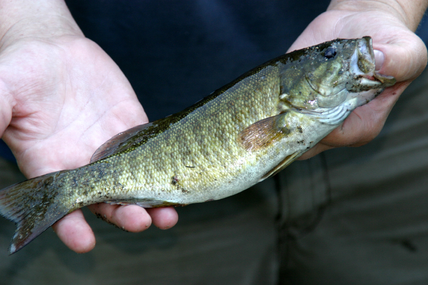 |
| Mikie & Tim fishing at the Crossroads | Landing another one | A nice bass |
 |
 |
 |
| Just keeps catching 'em | Tim, the baby fish-killer | Lake Almanor at Big Cove Resort |
 |
 |
 |
| Big trout from Almanor | Mikie and his big one | Lassen Peak from the boat |
 |
 |
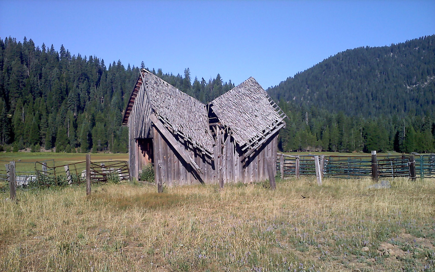 |
| Another Lassen view | Childs Meadow Office | Seen better days |
 |
 |
 |
| The resort, from across the meadow | Looking north on Highway 36 toward Lassen Park |
Mikie (5'6") shows how big the tree was |
 |
 |
 |
|
Mikie coming back from a long bike ride |
An intense ping pong match | Sign of danger |
 |
 |
 |
|
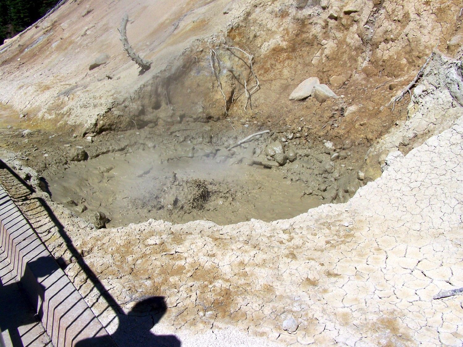
Bubbling mud pot at the Sulfur Works |
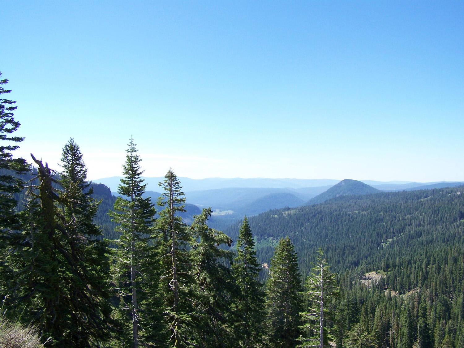
This watched pot DOES boil | Looking south from a high point on the Lassen road |
 |
 |
 |
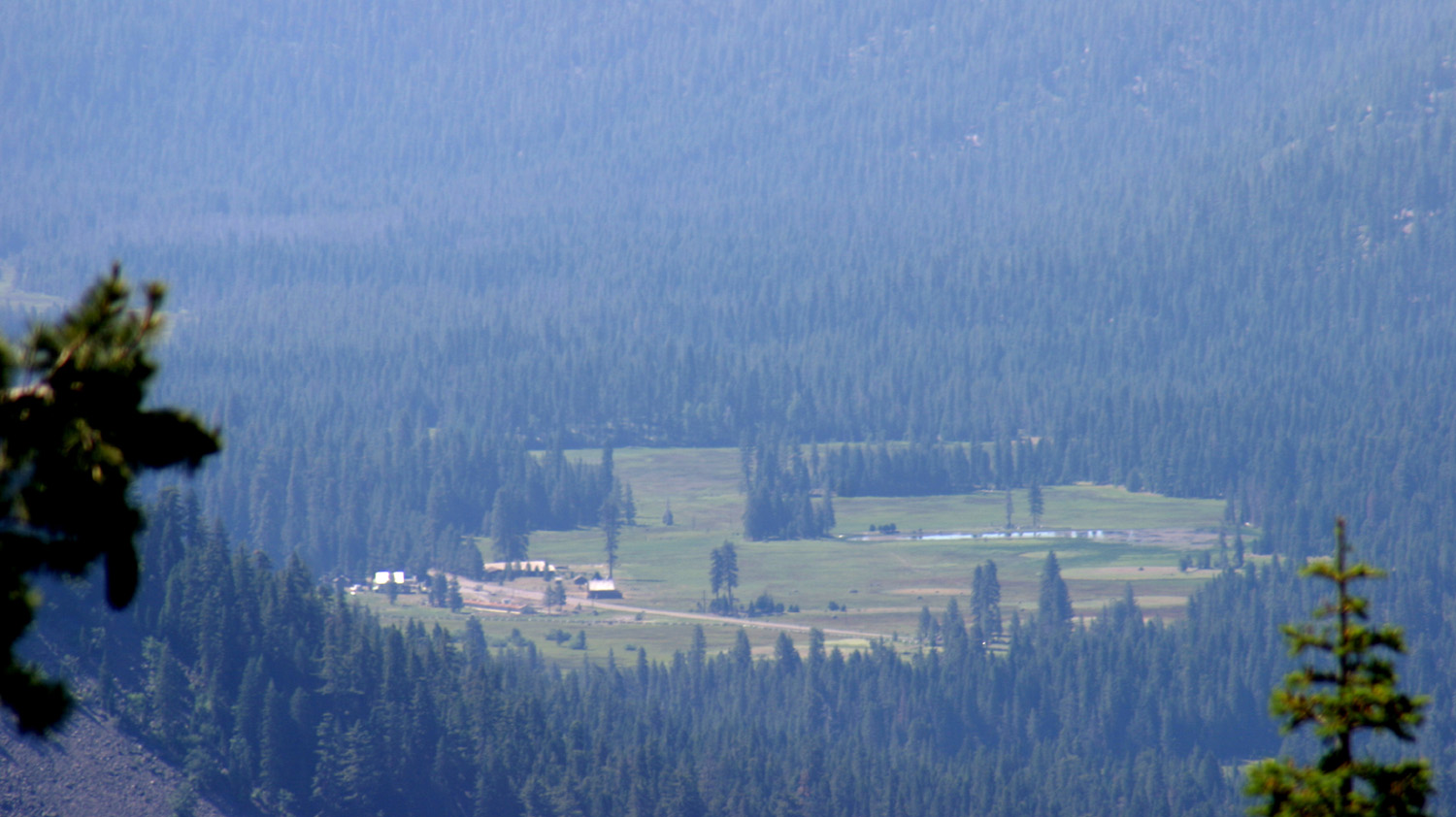
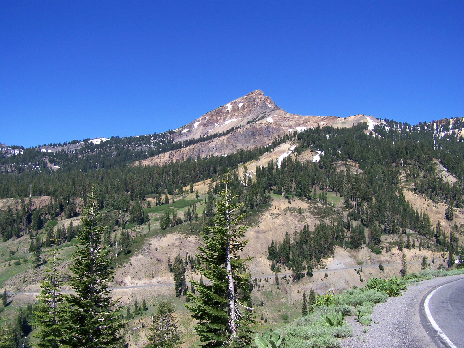
| Childs Meadow from Lassen Park | Broke-Off Mountain (remnant
of a huge volcano of the past) |
Close to Lassen Peak |
 |
 |
 |
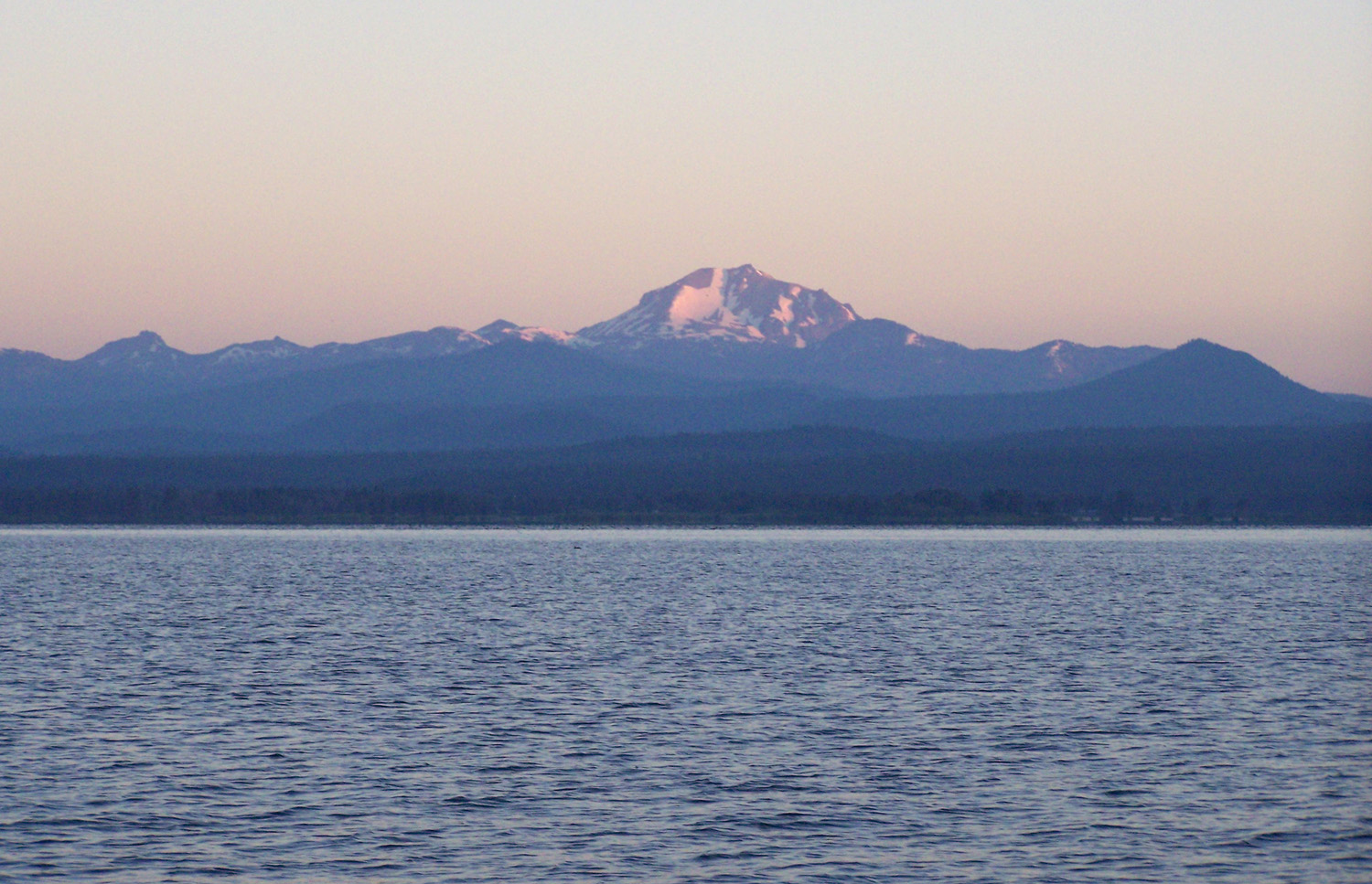
| Lake Almanor in the distance |
No swimming or fishing in this lake |
Mikie, like all kids, throws rocks into the lake |
 |
 |
|
| A little water, a lot of ice and snow | July snowball fight | Lake Helen from above |
 |
 |
 |
| Lassen from the Devastated Area | Close up of where the
avalanche came down in 1915 |
A last look at Lassen Peak |
| First Lassen Trip | Second Lassen Trip | Feather River Canyon |
| Lake Almanor | Big Cove Resort | The Big Bang Theory |
| Lassen Volcanic National Park | 1915 Eruption | More about Lassen Park |
| Black Bear Diners | Other Lassen & Almanor Trips | US Highway 99 |