


Dick's Adventures of 2018 - Part 6 |
|
|
Adventures of 2016 Adventures of 2017 2018 Part 1 2018 Part 2 2018 Part 3 2018 Part 4 2018 Part 5 |
|
|
Thanksgiving at Nelder Nelder Basin Hike & Fish Camp Area Hikes The Great Tarantula Hunt Searching for Sunshine San Joaquin River Trail West San Joaquin Gorge Bridge & Ridge |
|
| Thanksgiving
at Nelder Grove
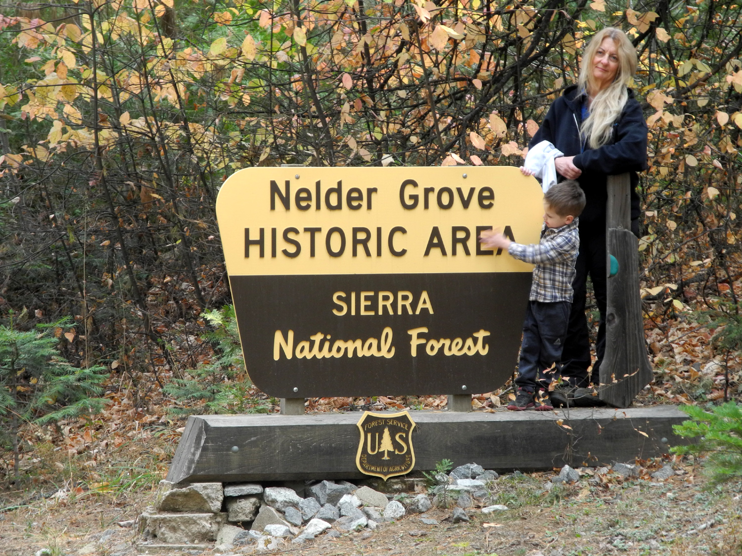
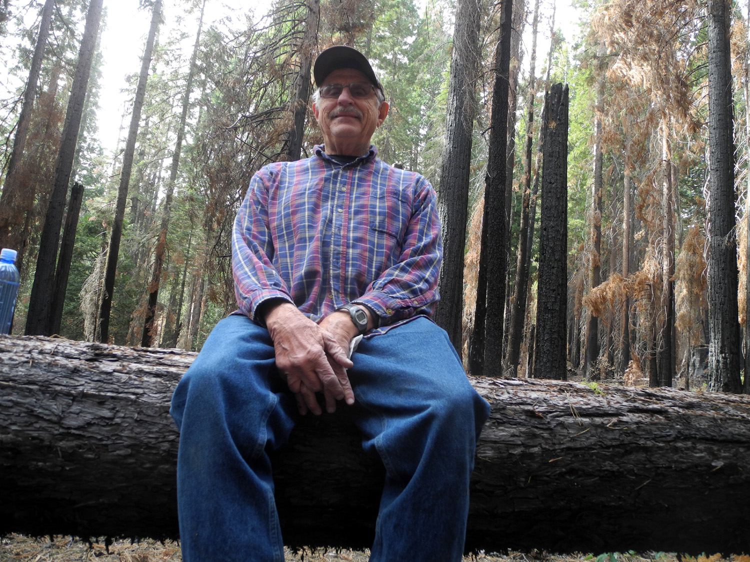
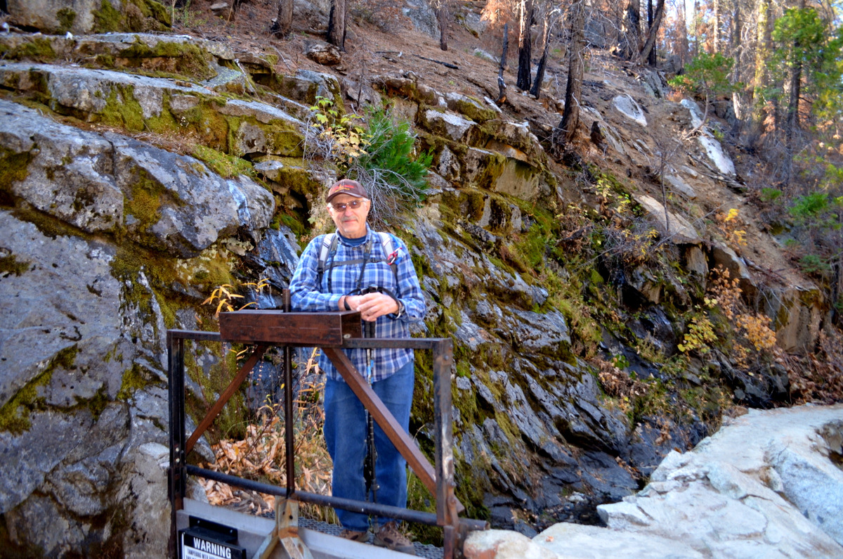
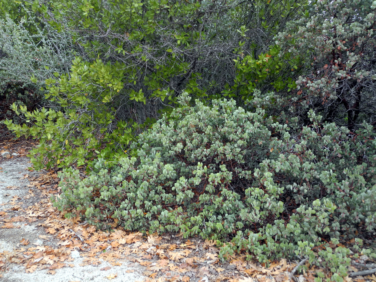
We've been trying to have our family Thanksgiving at Nelder Grove Historic Area for three years. In 2016 it was too cold and wet, and in 2017 the area was closed due to a recent forest fire. Finally in 2018 everything came together, and we did a combo camping trip/Thanksgiving celebration November 9 - 11. Daughter Teri drove up on Friday in her motor home with grandson Jack, while I picked up his brother Colton from school around noon and followed in my pickup. The four of us would camp that night, and the others would drive up the next day. Then Teri and I would spend one more night. The last half mile into Nelder Grove Campground is far too rough for a motor home, so our camp was an unofficial site about a mile away that has been used by many campers in the past. It's at the junction of roads that come in from the south and west (Roads 6S47Y and 6S90), and at the border of the official historic area. There is a nearly flat spot for a motor home, and room to park several other vehicles. The only campfire ring is about 100 feet from the parking spot, down a rough track. I was able to drive down there to unload wood and jugs of water for fire control. |
|
 |
 |
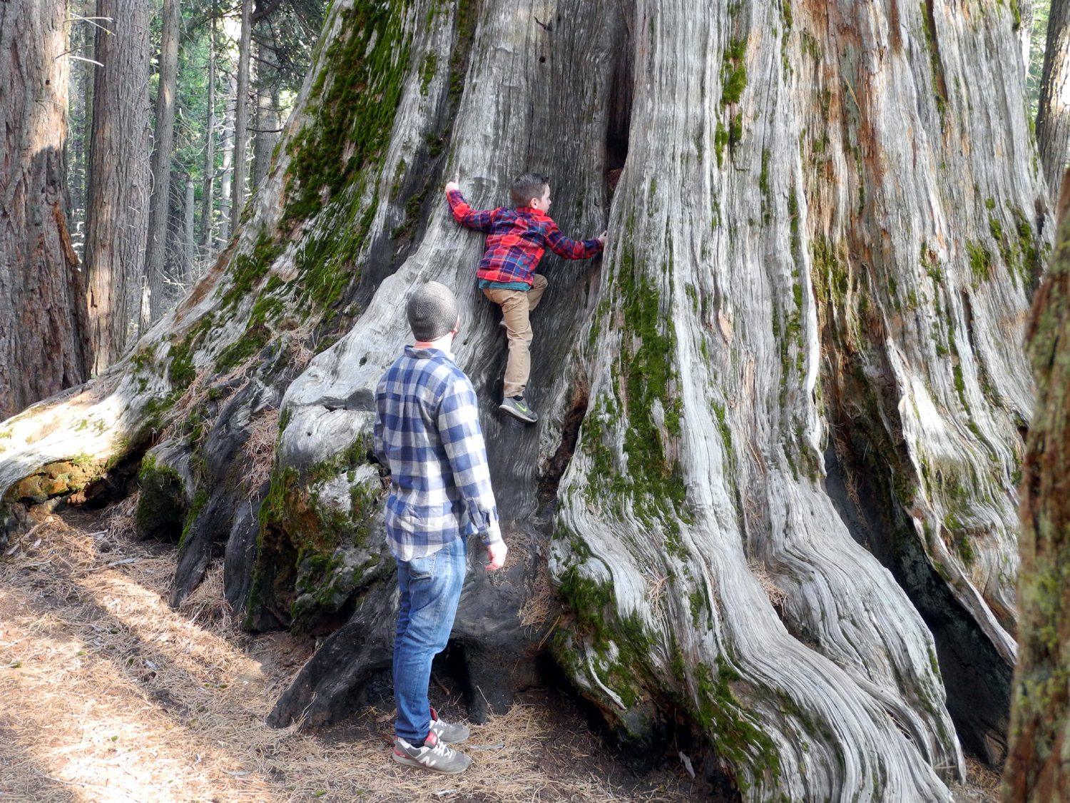
| Jack and Teri at the Nelder Grove sign | Checking out a cedar tree |
|
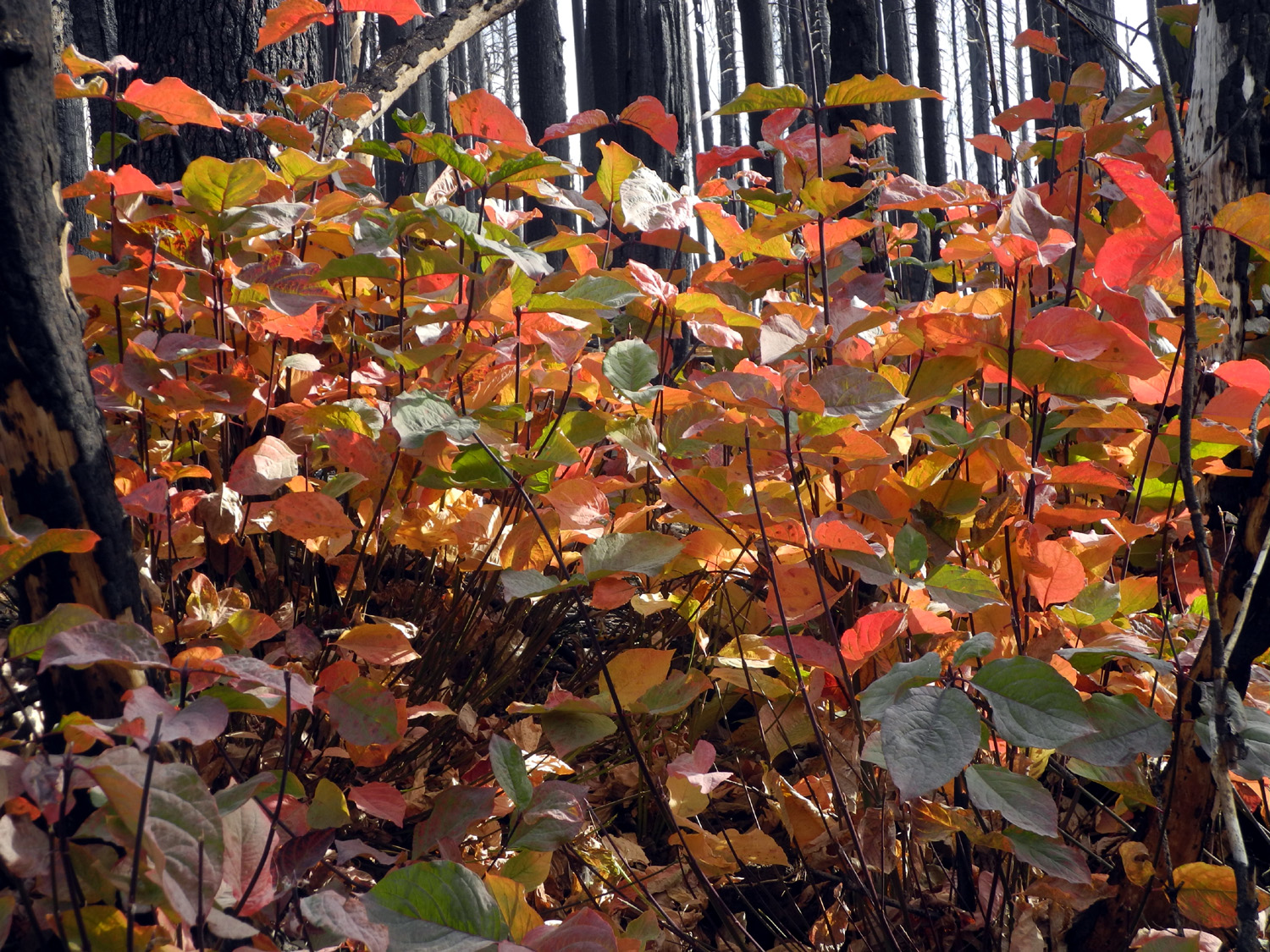
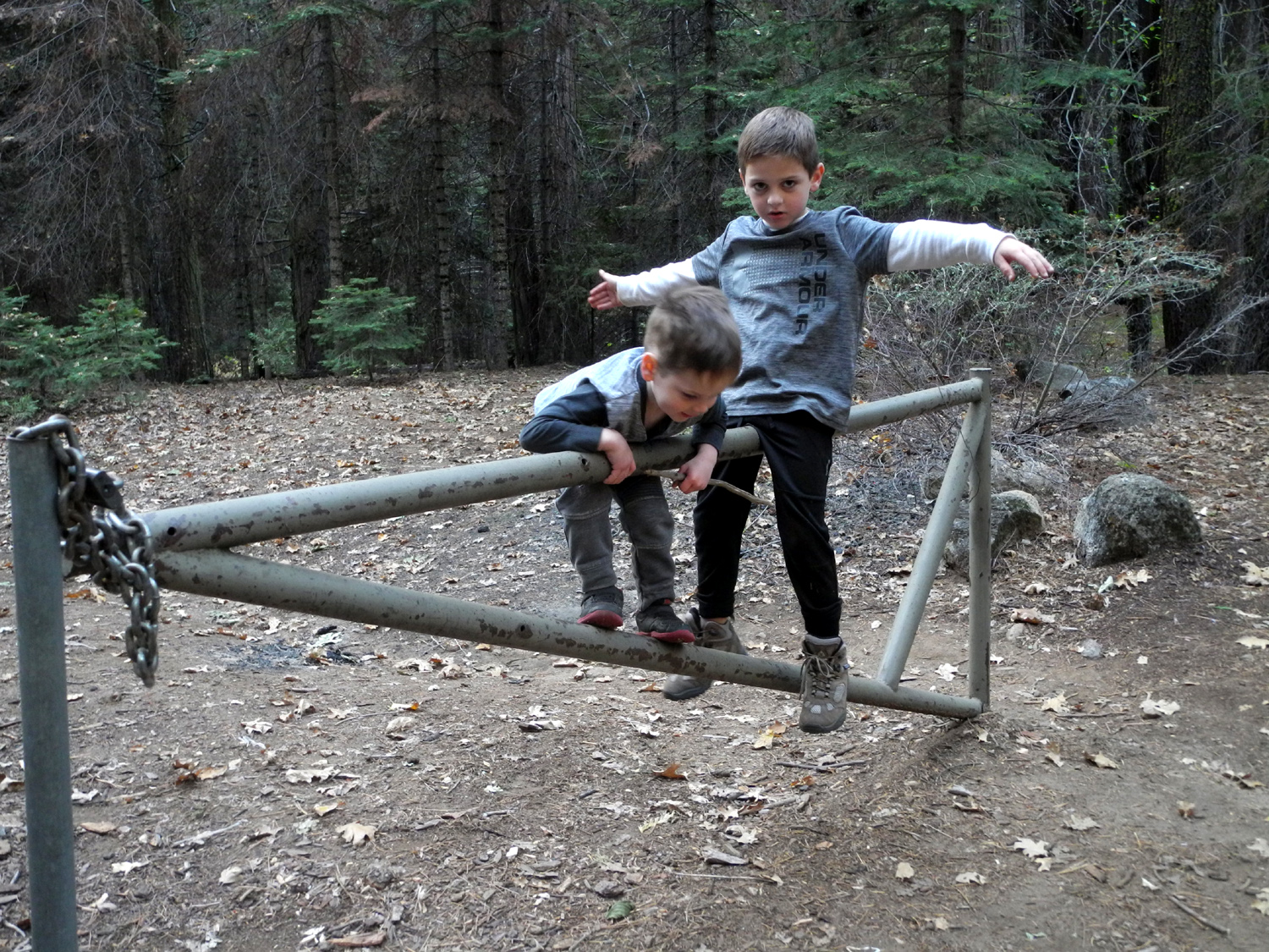
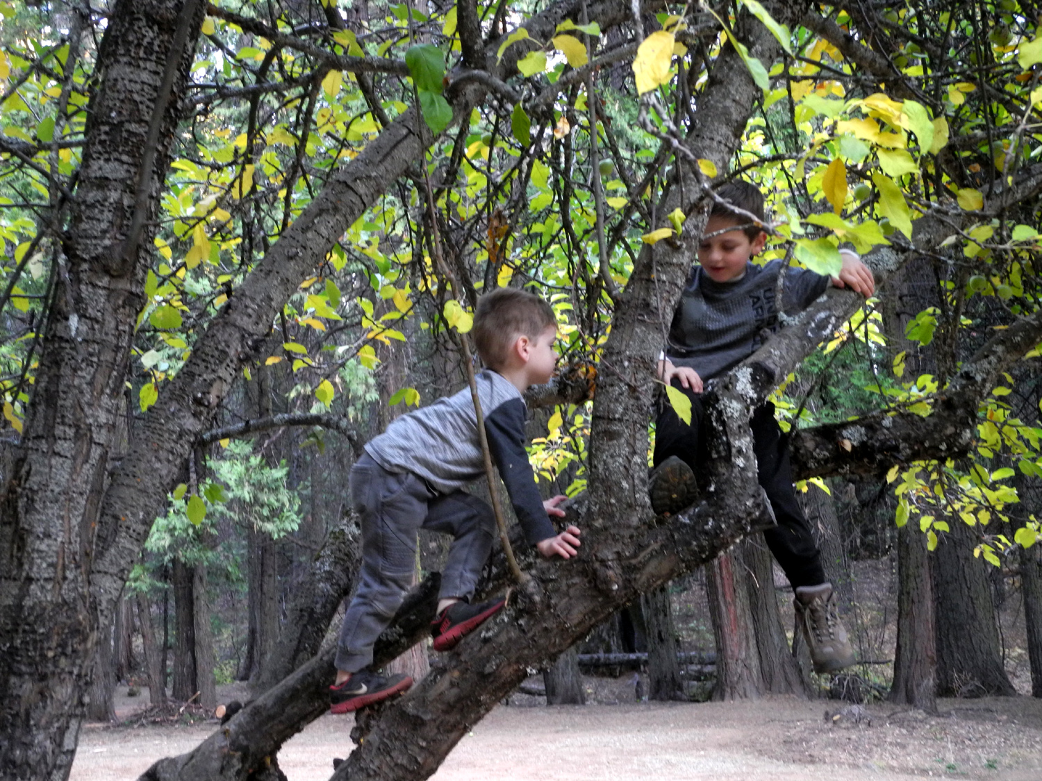
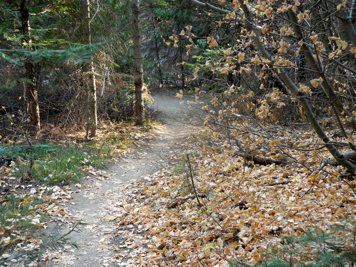
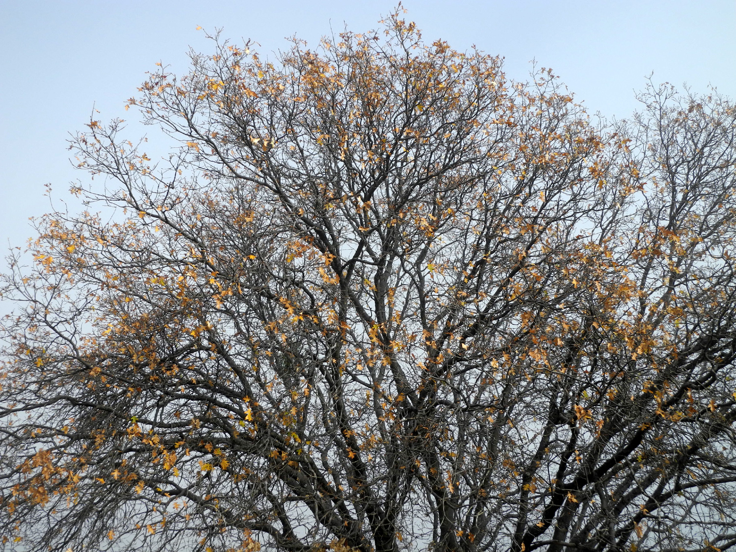
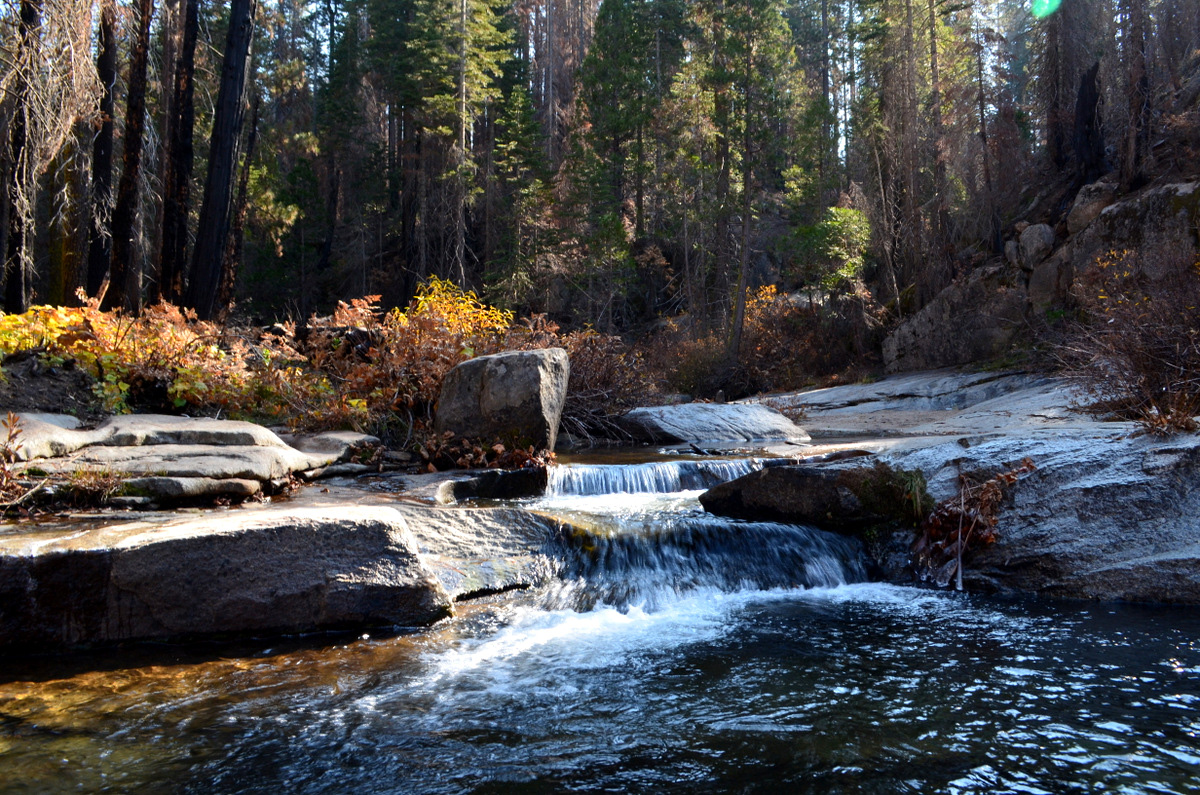
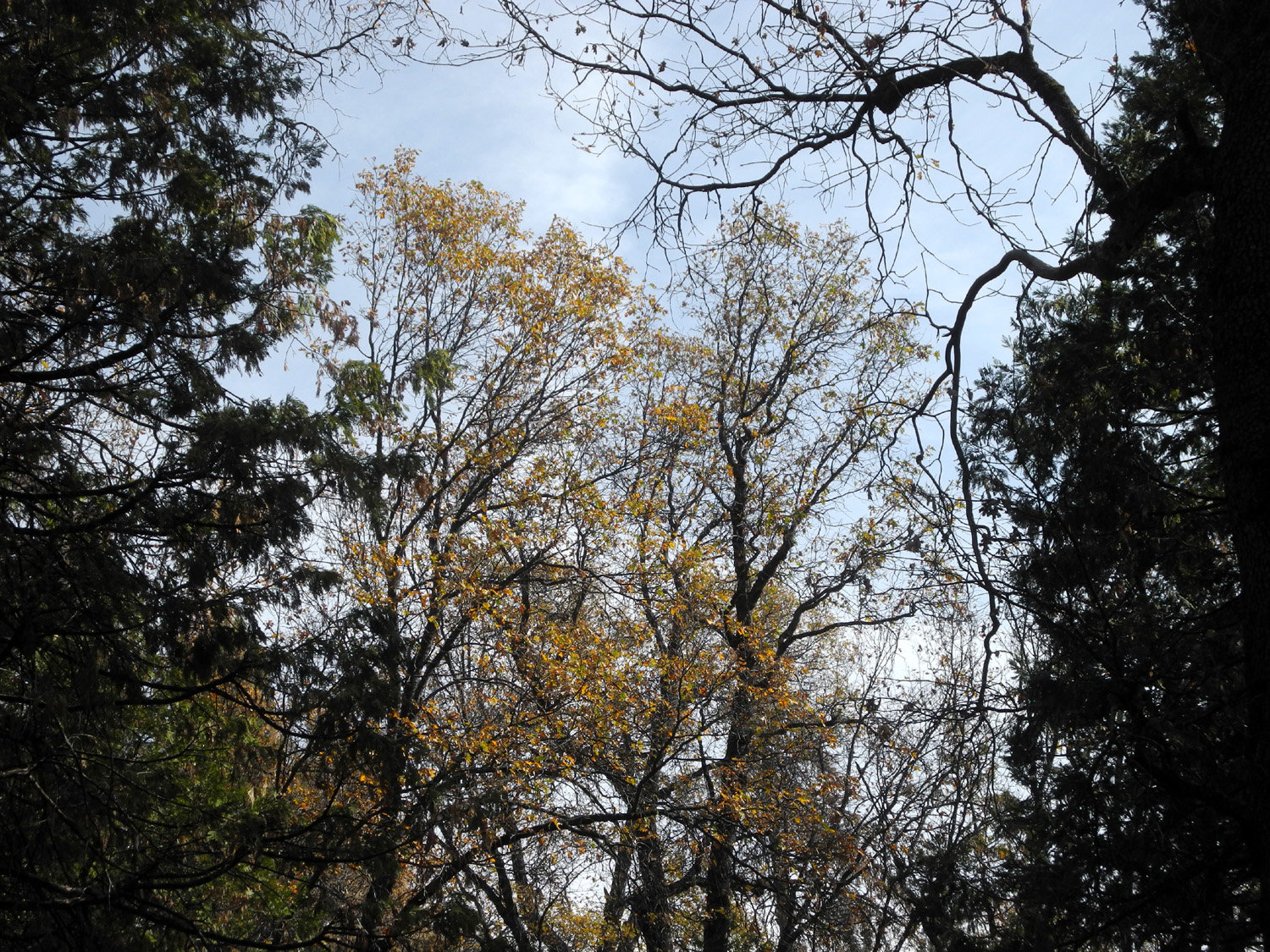
After a light lunch we got in my truck and drove into the Nelder Grove Campground, for a hike along the east side of California Creek. This is not an official trail, but it's a well-used path that follows the creek past a series of cascades and small waterfalls, and eventually meets the road that goes from our camp spot past the campground turn-off and comes back to the Sky Ranch Road. The boys had a good time climbing over a gate, which is designed to keep out vehicles, and has plenty of room to walk around. They also enjoyed jumping over logs, whacking bushes, and watching out for the "Canyon Monster," which they suggested lived down in the creek where it drops down well below the trail. (The real monster is a miss-step that could send the careless hiker off the narrow trail and down the steep bank.) We went till we could see we were almost to the road, then turned back and went into the campground, where there are two apple trees. They were planted in the 1930s when there was a church camp at this location, and are still producing. The boys climbed into the tree, and we brought back a half dozen, mostly very small, but sweet and tasty. By the time we finished our hike and got back to camp it was cooling off quickly. We went in the motor home and discussed whether to start a fire. Jack had spent the night at Teri's and they woke up at 4:30, so she wanted to get to bed early - but not at 4 p.m. Meanwhile, it was obvious the boys still had much more energy than could be tolerated in the small confines the motor home, and we headed to the fire ring and soon had a nice fire going. I had picked up pizza on the way to camp and we enjoyed our supper next to the fire, followed by stories, running around, and just enjoying our surroundings. When it got close to bedtime, we went into the motor home for ice cream, and Teri got things set up for sleeping (I would sleep in the back of my truck). It was too early for me to go to bed and I wanted to read for a while. I returned to the fire, which had burned down to a few coals. We were using pitch-covered sugar pine cones for kindling, and three of those on the coals soon got the fire going good again. When I left the motor home it was 7:30 p.m. and 33 degrees. I am prepared for cold weather camping, and was comfortable in my sleeping bag, with thermal underwear and a hooded sweat shirt. It was 31 degrees when I went to bed at 9 and I checked the thermometer each time I got up to use the bathroom. It was 28 degrees at 3 a.m., and a low of 27 at 6:30 a.m. when I got up. By 9 a.m. it got up to 35. We had hot tea inside but ate our breakfast at the card table outside, with the sun finally hitting our camp. |
|
 |
 |
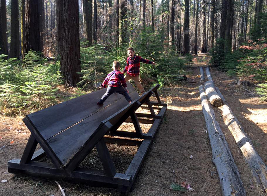
| Gates are for climbing | So are logs |
 |
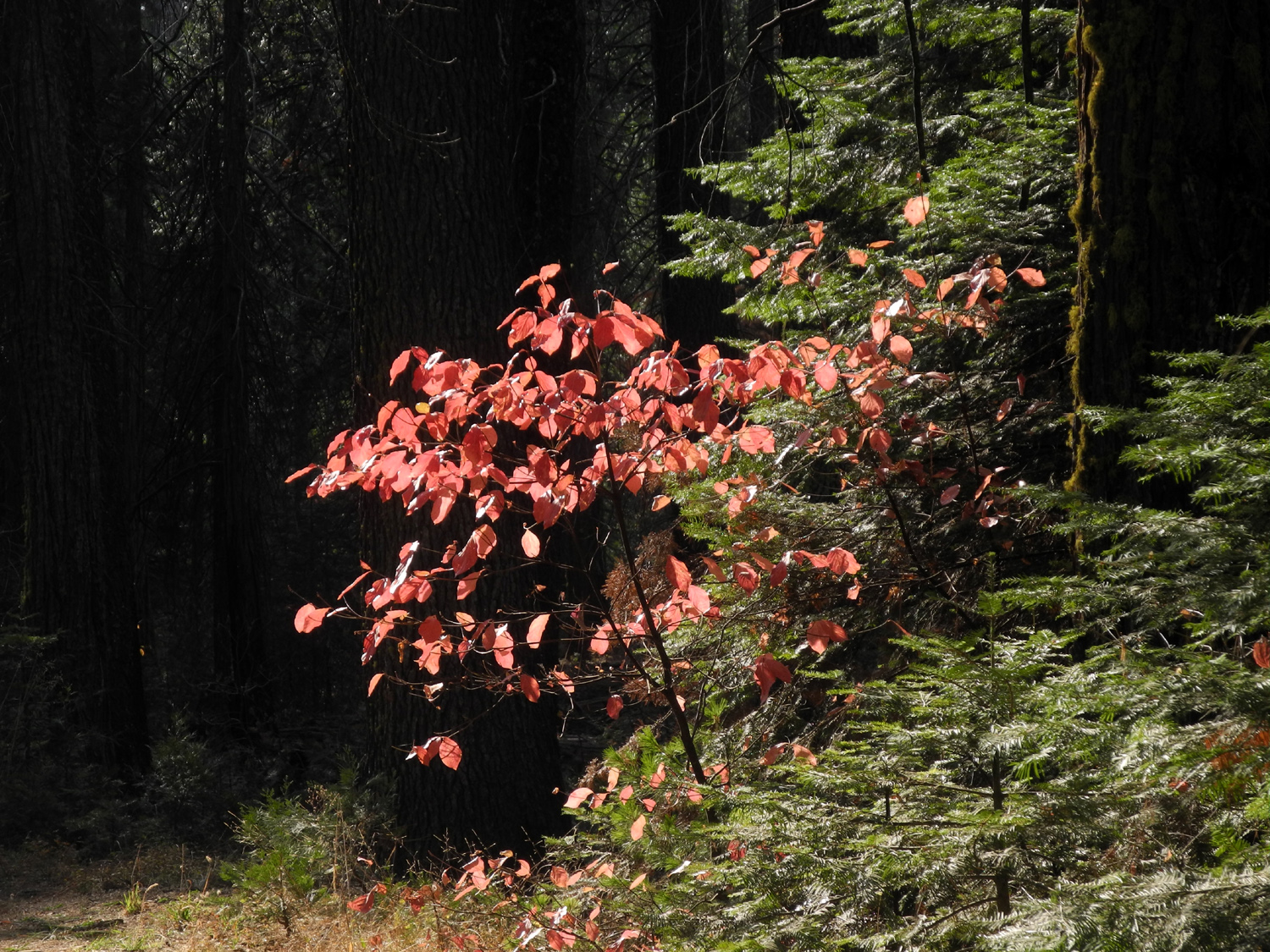 |
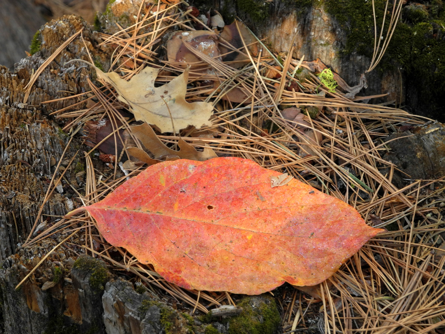
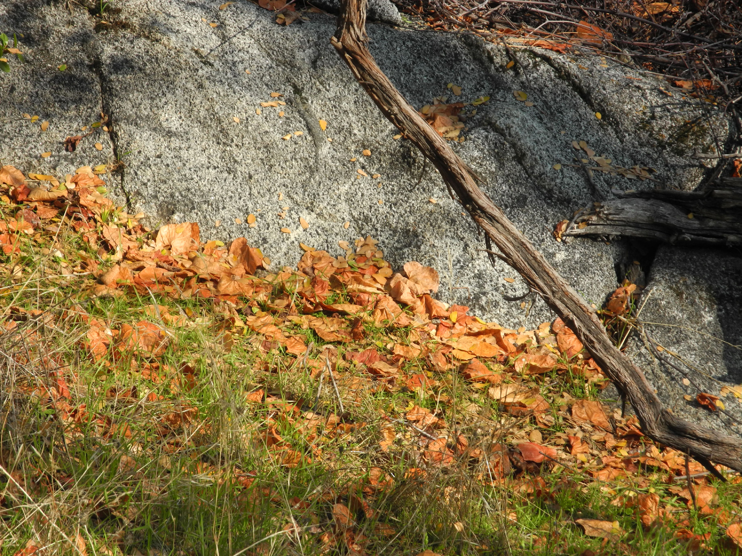
| In the 80 year old apple tree | A benefit of cold weather - brilliant red dogwood leaves |
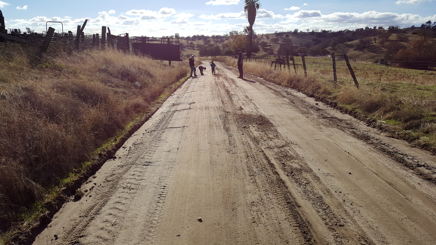
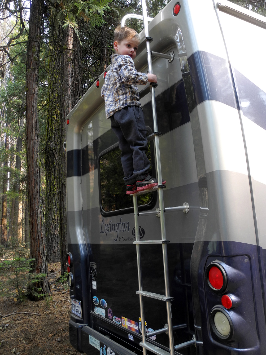
We were hoping that Johnny and Brittany would arrive by 10 a.m., giving us time for a short jaunt to the campground before the others arrived around noon, but first we walked down the road, thinking we might meet the boys' parents coming in. This was not to be, but we had a nice walk of about a half mile each way. The unique event on this hike was Jack's decision to gather up small rocks and put them down the back of his shirt, allowing them to fall out (he said he was "pooping rocks"). Back at camp, the boys passed the time with toys they had brought, and a major Play-Doh project. Teri had bought a machine that presses the dough through various attachments, creating "spaghetti" and other concoctions. They also both climbed the ladder on Teri's motor home, with Jack going high enough to see the top of the unit for the first time. Colton had been on top on another trip to rescue an errant Stomp Rocket, so it was a repeat climb for him. Jack had decided he wanted pumpkin pie immediately, although he'd never tasted it before. Finally Teri put a small piece in a dish, and he got some on his finger. I was afraid after all the fuss he had made that he might not like it, but I was wrong and he enjoyed the rest of the piece. |
|
 |
 |
| Only Jack would drop rocks down the back of his own shirt | Construction project |
 |
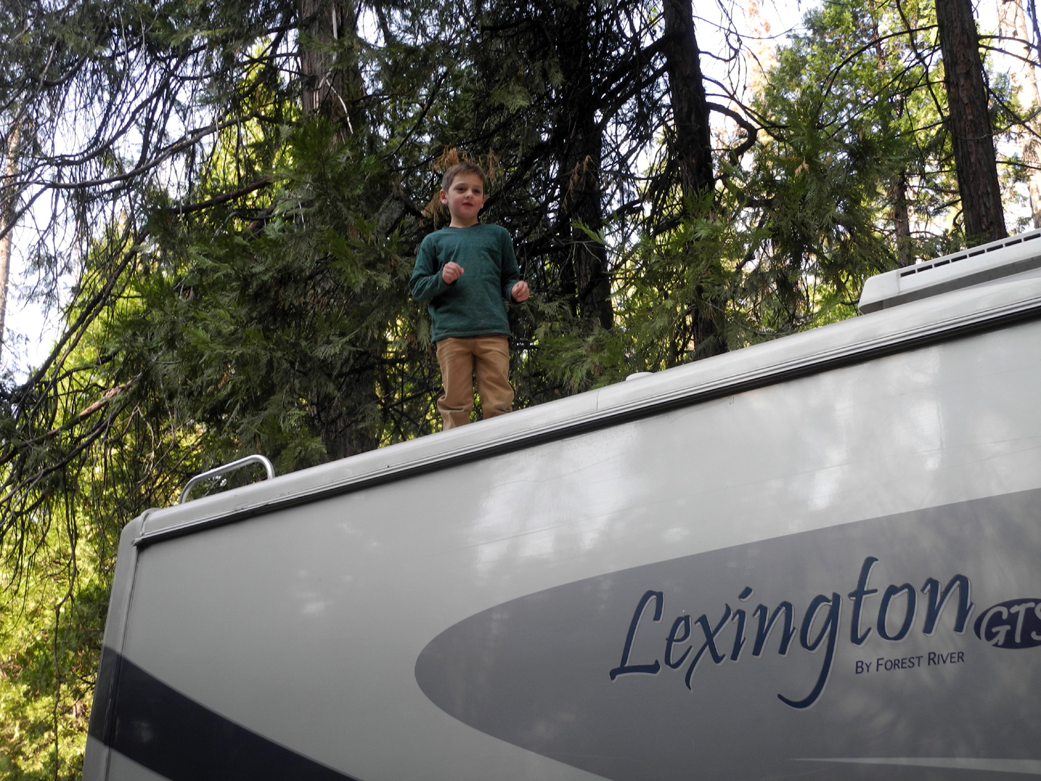 |
| Jack reaches new heights | Colton attempts to give his parents a heart attack |
|
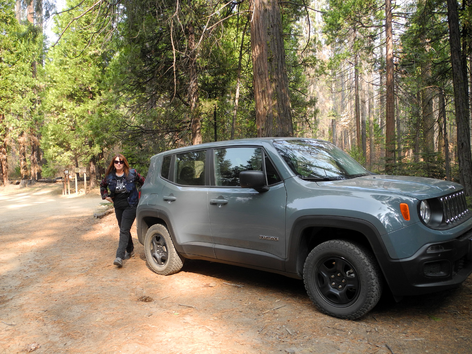
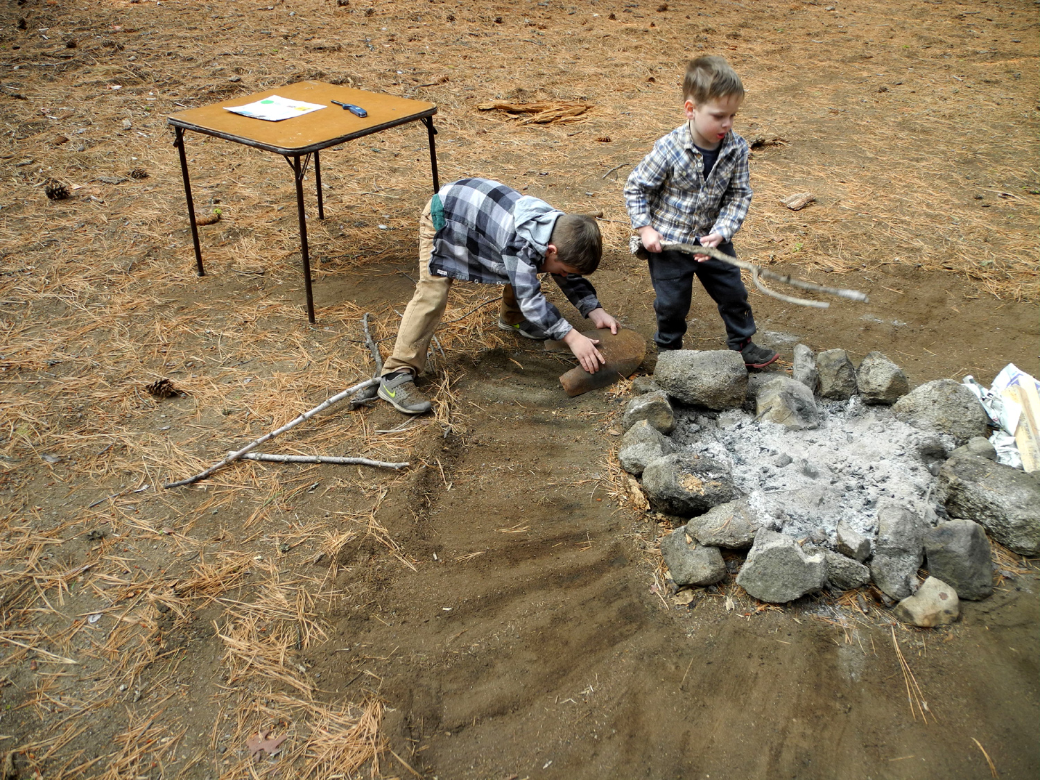
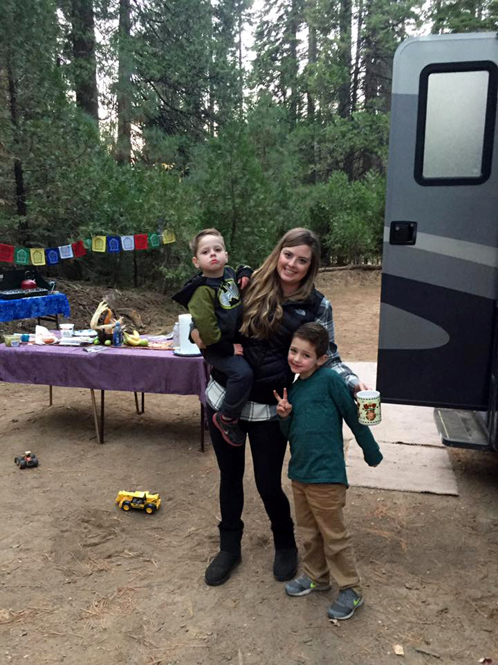
I also gave Colton a a job. There was an old, rusted shovel blade near the campfire ring, and I asked him to scrape away the pine needles and other flammable material around the fire ring. He tackled this task with enthusiasm, and did an excellent job. Daughter Jennifer arrived around 10:30, and Jackie, the girls mother, and Teri's son Mikie drove in before noon. Johnny and Brittany were the last to arrive, bringing the total to nine. Jennifer's husband Rod had to work, and Teri's husband Tim was helping his mother. |
|
 |
 |
| Jennifer and her fairly new Jeep | Clearing a safety zone around the fire ring |
|
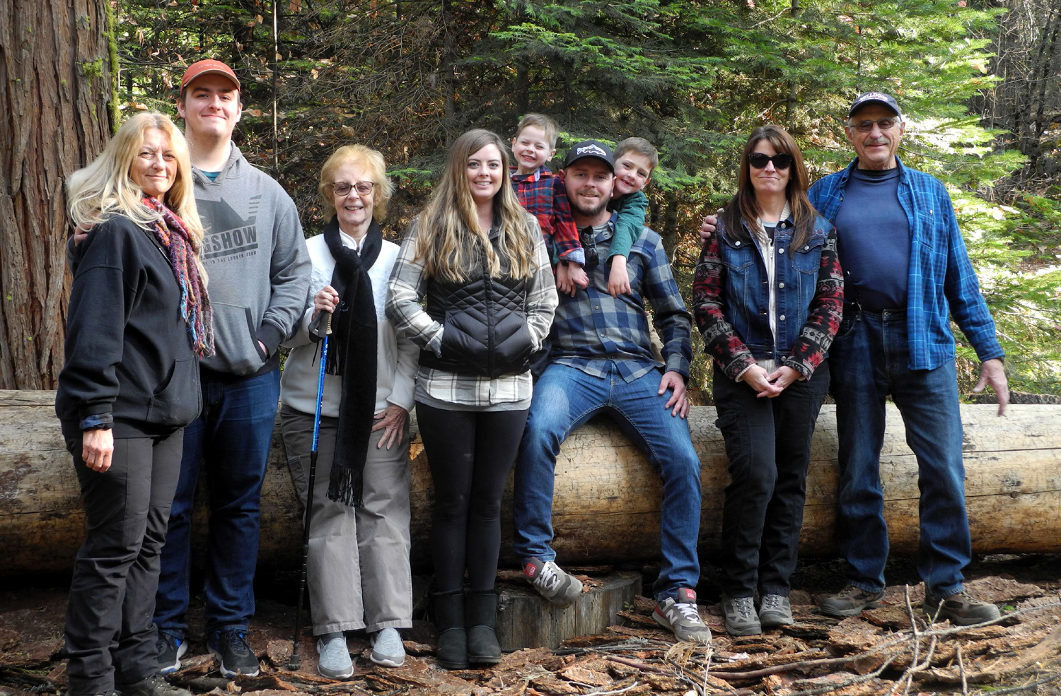
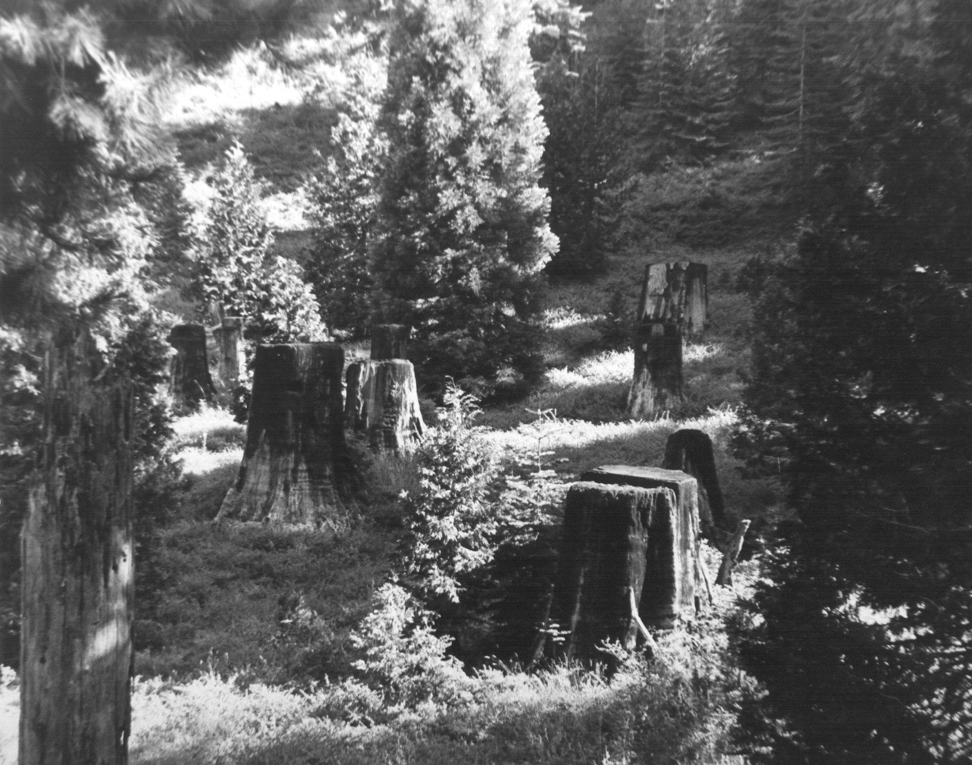
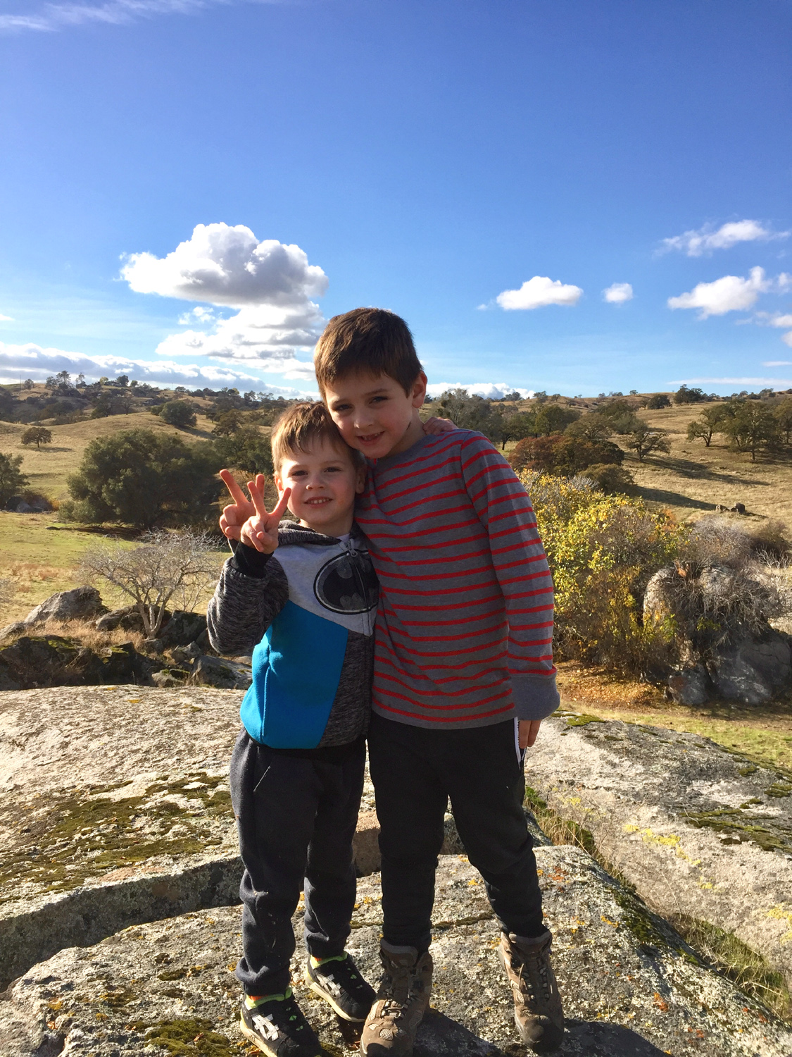
We got everyone together for a group photo, and managed to catch all nine of us looking good. The Upshaw's wanted to take a family photo for their Christmas card, so they drove to the campground, followed by Mikie and me in my truck. We made the short walk from the Interpretive Center to the Big Ed Tree, and Johnny, Brittany, Colton and Jack posed for about 20 pictures. For some reason, four and six year old boys are not good at this sort of thing, so many of the pictures had three people looking good, and one being goofy or admonishing someone for being goofy. We also took photos by a big stump and by some small fir trees, and ended up with about four good possibilities. We also took time to explore the Interpretive Center, where there are replicas of the flume and other items used in logging days. These and the nearby stumps proved to be a good play area. When we returned to camp, it was time for dinner. The food was served next to the motor home, but we carried our plates to the fire ring and enjoyed a nice camp fire while we dined on chile relleno casserole and tamales.. Of course, Jack got his second helping of pumpkin pie, and everyone else chose from that or blueberry. Not long after dinner Jennifer, Jackie and Mikie left. Knowing the boys would fall asleep in the car, Johnny and Brittany wanted to wait so they would arrive home close to bedtime and the boys could go right to bed. Experience had taught them that if they got a long nap too early in the day, they would not go to sleep at their normal bedtime. We kept the fire going as the temperature dropped, but eventually the Upshaw's said their goodbyes and started down the mountain, leaving Teri and me to enjoy one final night of camping. I stayed up till about nine, then put a bucket of water on the fire, since there was a breeze and we had seen some sparks pop out earlier. With the kids gone, there was room for me to sleep in the motor home, where it was about 20 degrees warmer than the outside. The low that final morning was 26 degrees. |
|
 |
 |
| The whole gang: Teri Liddle, Mike Liddle, Jackie Taggart, Brittany, Jack, Johnny and Colton Upshaw, Jennifer Neely, Dick Estel | Merry Christmas from the Upshaw's: Jack, Brittany, Johnny, Colton |
 |
 |
| Fun on the flume | Watching Colton climb |
|
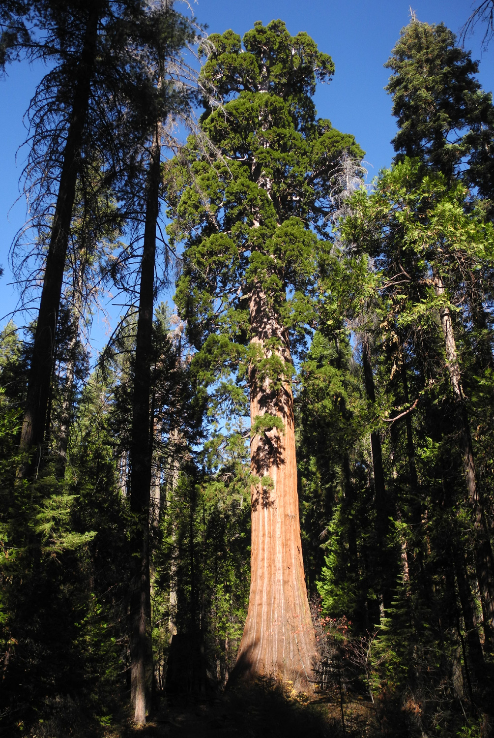
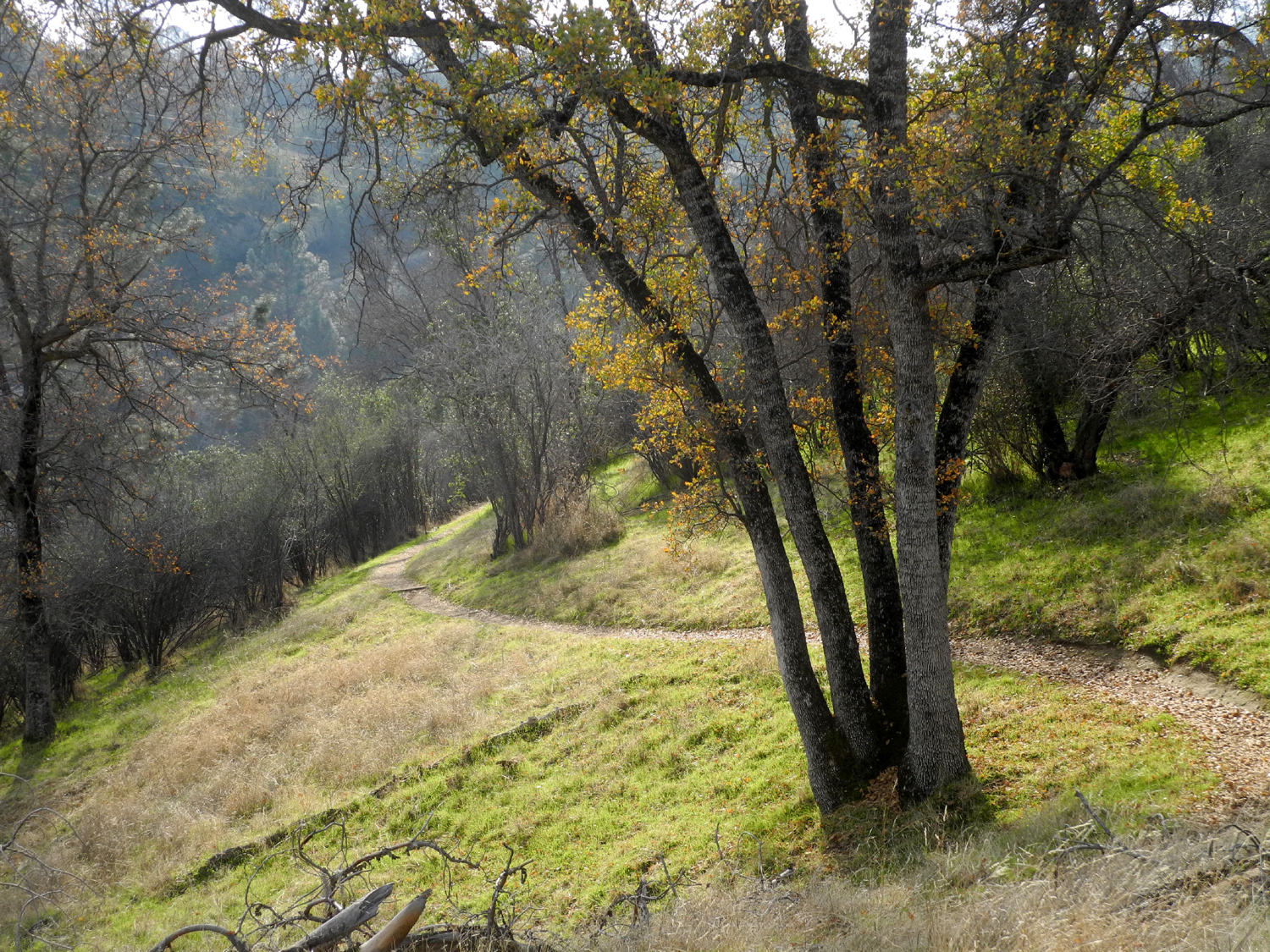
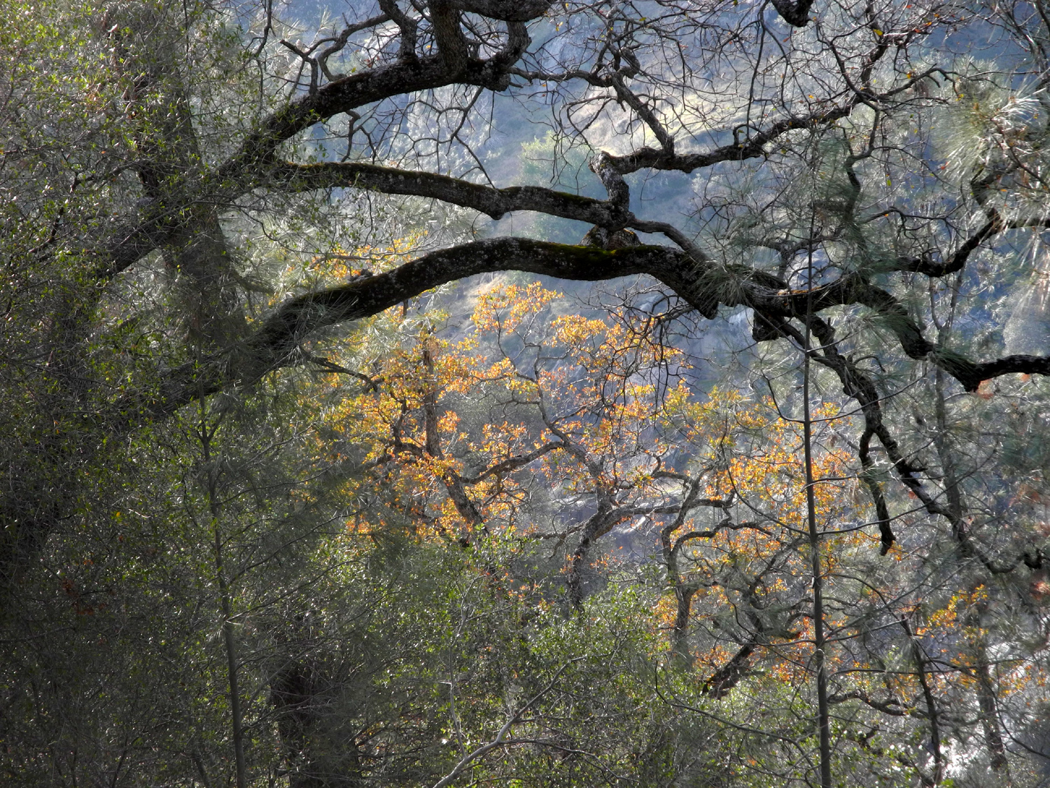
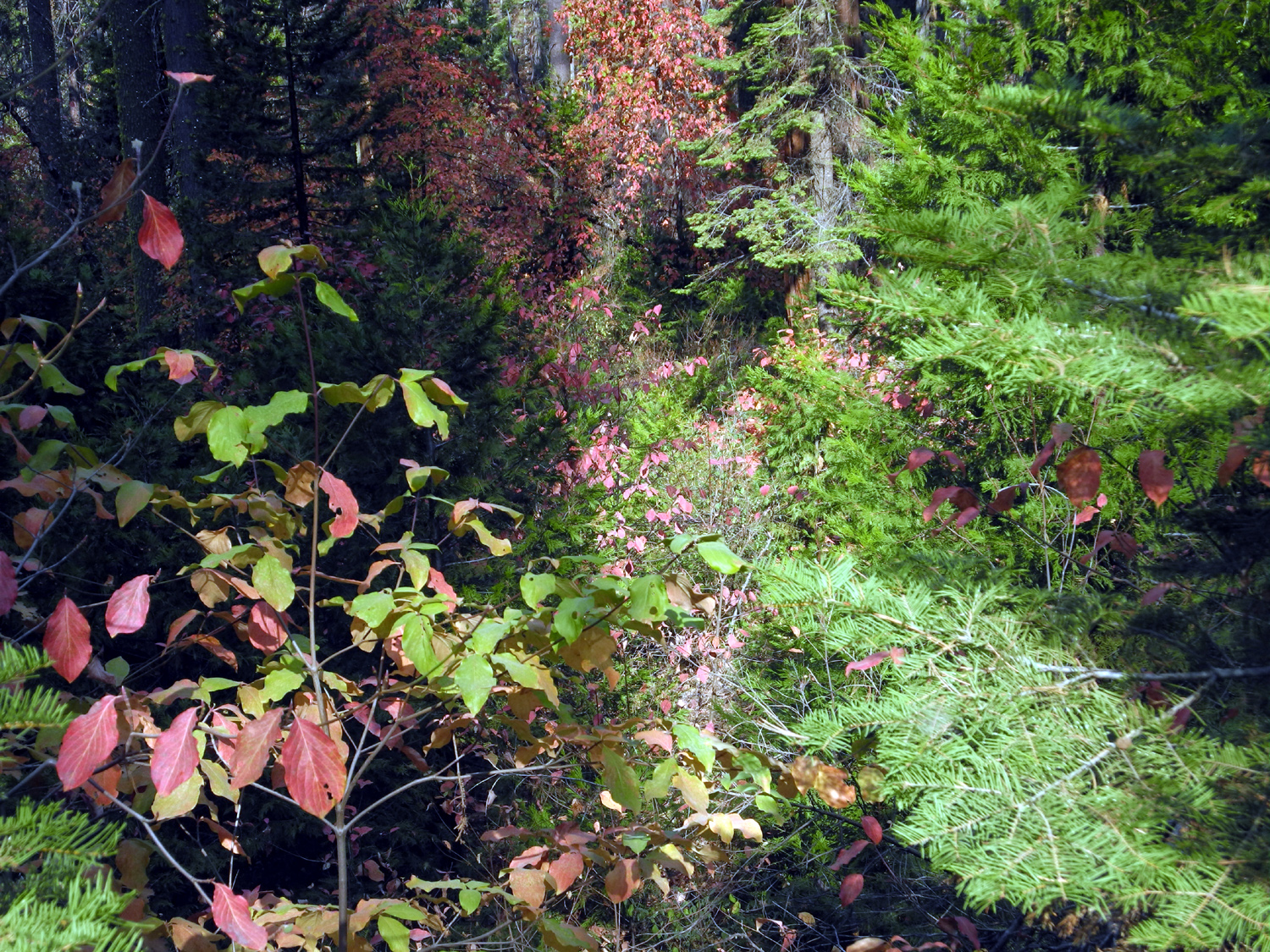
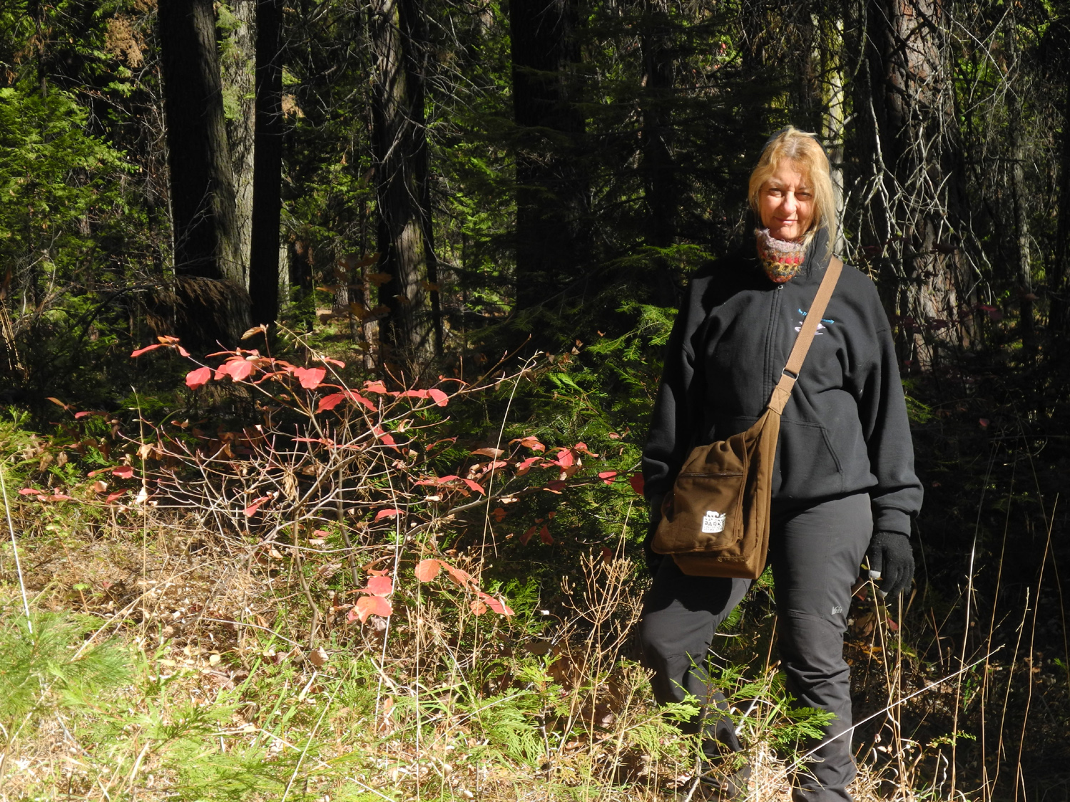
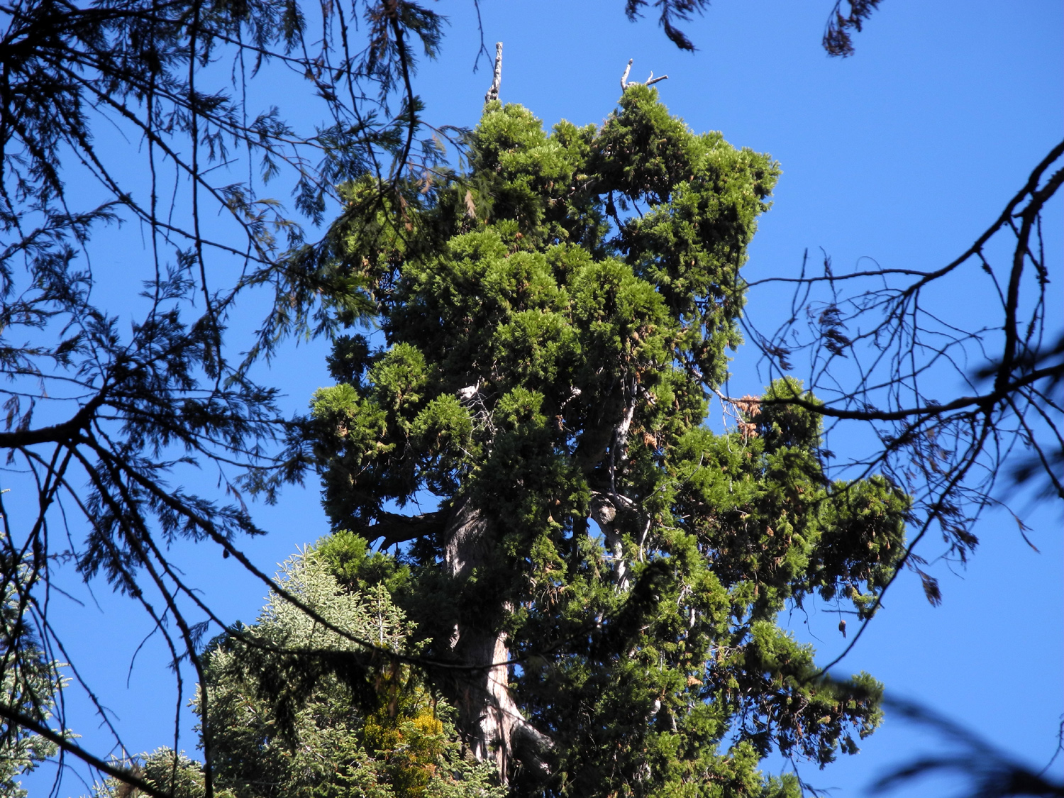
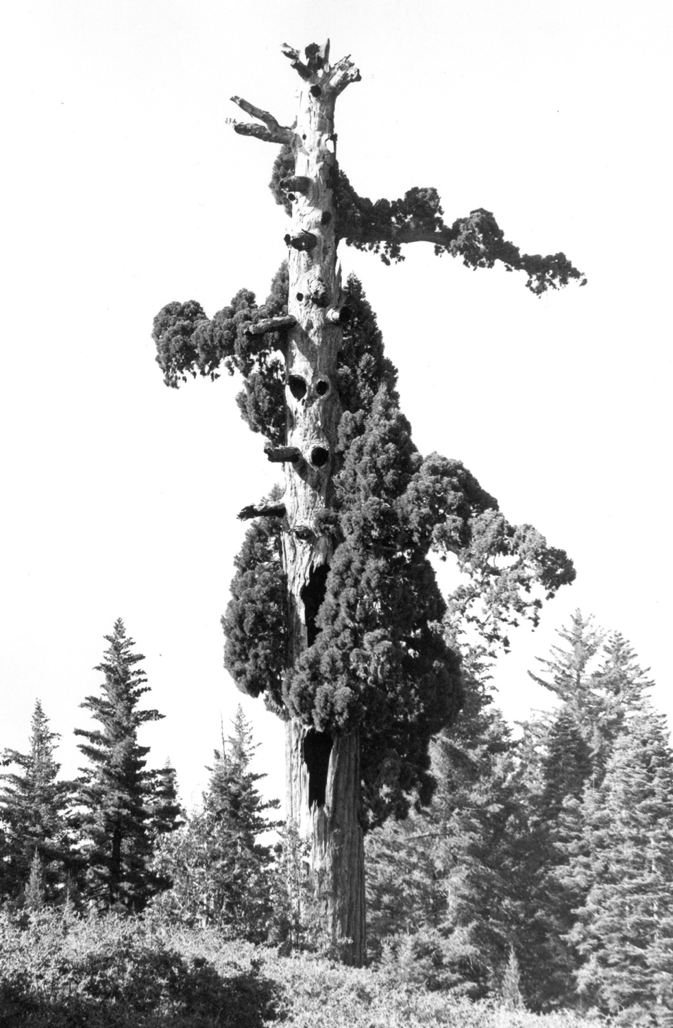
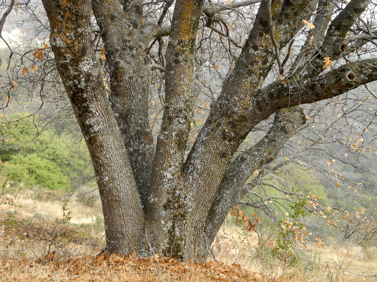
The next morning Teri and I started the day with tea as usual, inside the motor home. With the temperature warming up, we ate breakfast outside. We had decided to do a short walk from the campground, but we first got nearly everything ready for our departure. We drove to the campground in my truck, and hiked the Bull Buck Loop trail, starting with the section that is a half mile to the tree. This is a delightful walk through pine, fir and cedar, with plenty of dogwood showing fall color, and ending dramatically as the Bull Buck appears through the trees. Although I have visited this tree many times, it always impresses me. It's not the largest tree in the grove, but it is one of the most perfectly shaped. It has a bigger than usual flare at the bottom, giving it the largest circumference at ground level of any tree there (100 feet). It is also not the tallest, but the hundred yard path where small trees and bushes were cleared by the forest service gives visitors the best top to bottom view of any tree in the grove. Over the years I have photographed my daughters, grandsons and great grandsons next to the tree, and I never get tired of seeing it. After some time with the Bull Buck, Teri and I walked a few hundred feet up the Chimney Tree Trail for a look at the Old Forester, at 299 feet the tallest tree at Nelder Grove. Like many ancient giants it has a dead top. Although the view is partly obscured by smaller trees, you can get a fairly good look at its entire height, and a nice view of the top along the final stretch of the Bull Buck Loop heading back to the campground. |
|
 |
 |
| Extra-large dogwood leaf - about six inches long | One more photo of the Bull Buck Tree |
|
We
reluctantly took our leave of the grove and returned to camp, where
we finished loading up and got underway back to the valley. Although
it took three years before we were finally able to enjoy our
Thanksgiving here, it was worth the wait, and hopefully we can
continue this tradition, with the missing family members joining us
next year. --Dick Estel, November 2018 |
|
| Nelder
Basin and Fish Camp Area Hikes
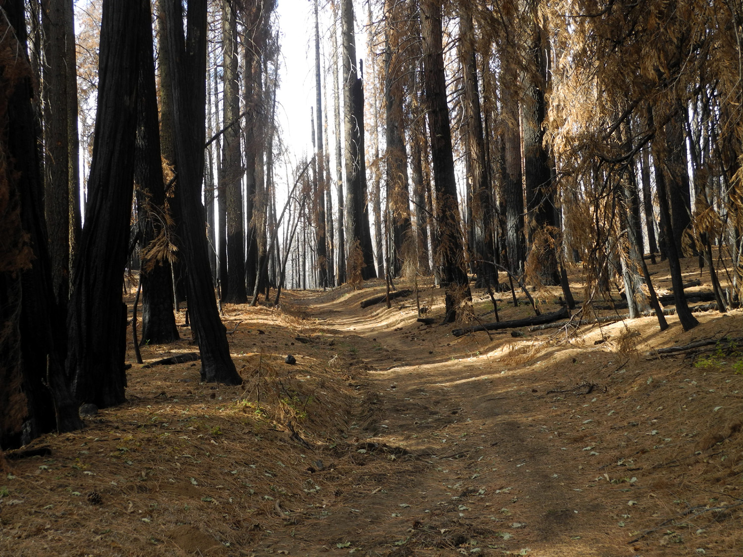
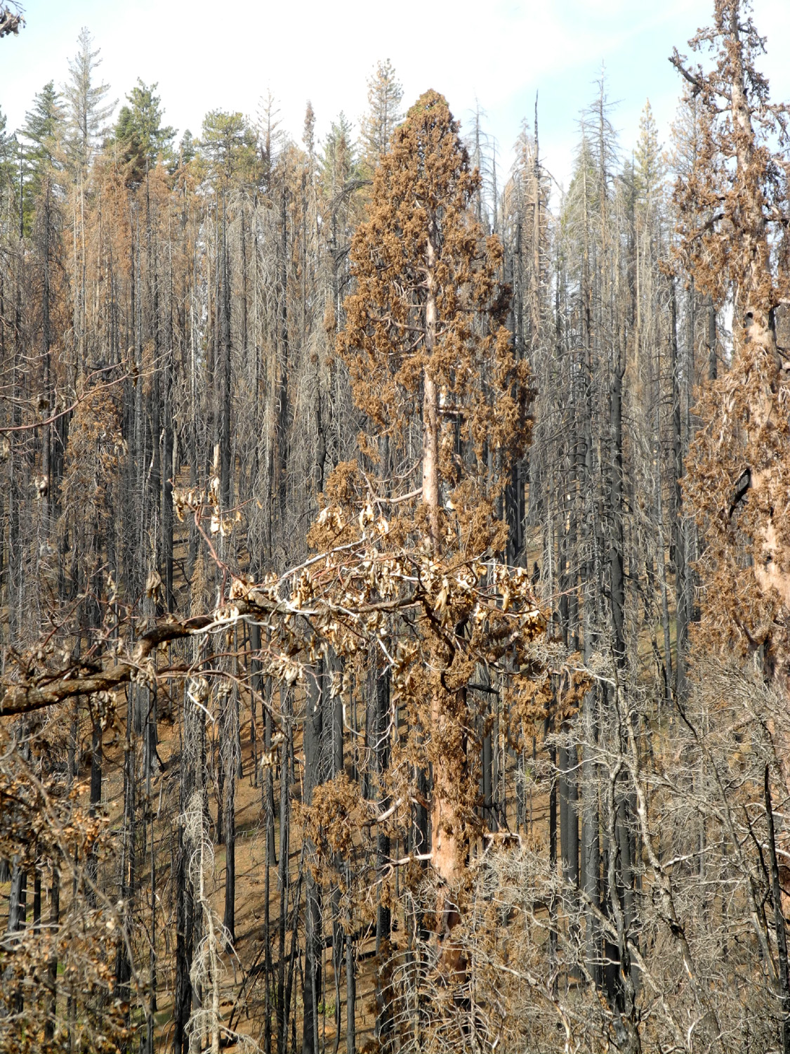
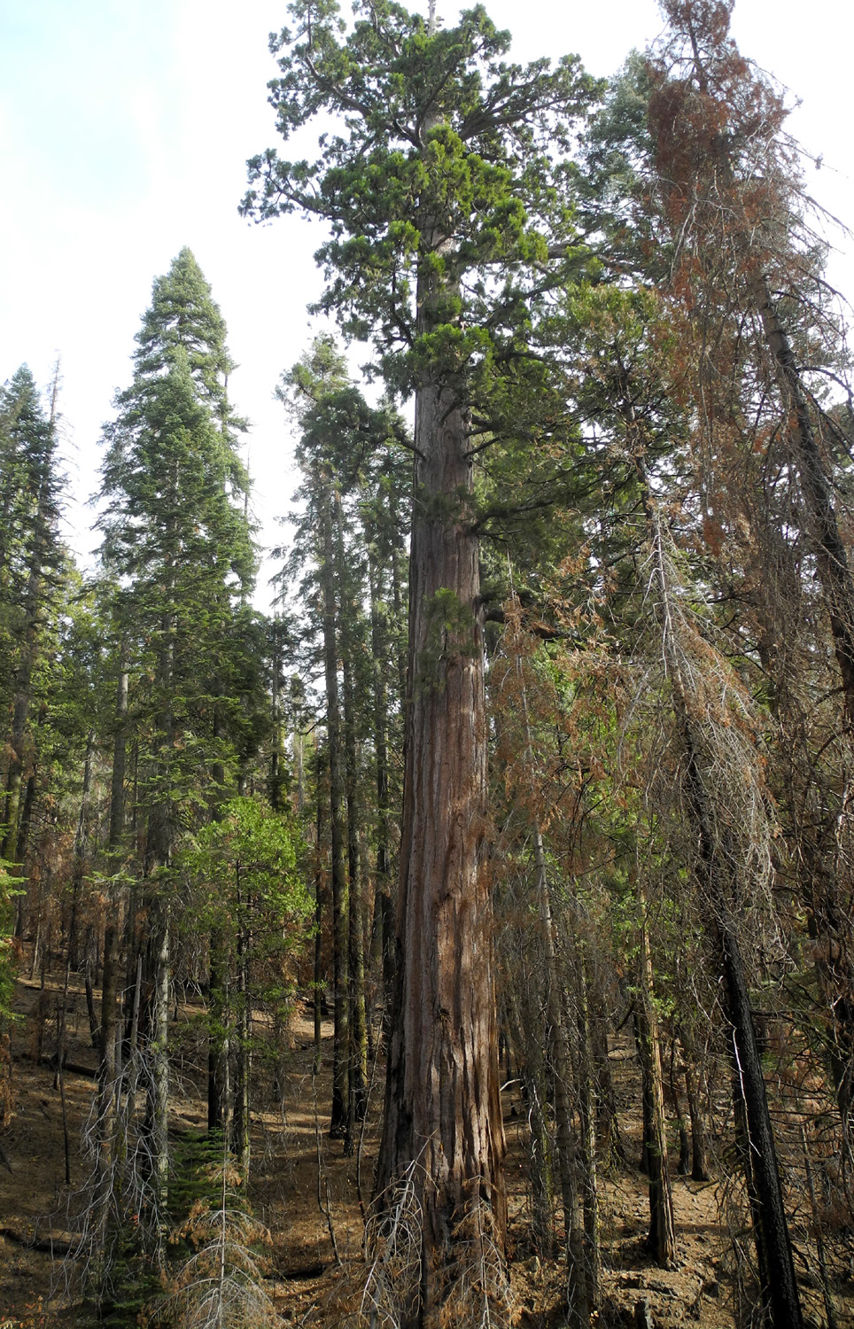
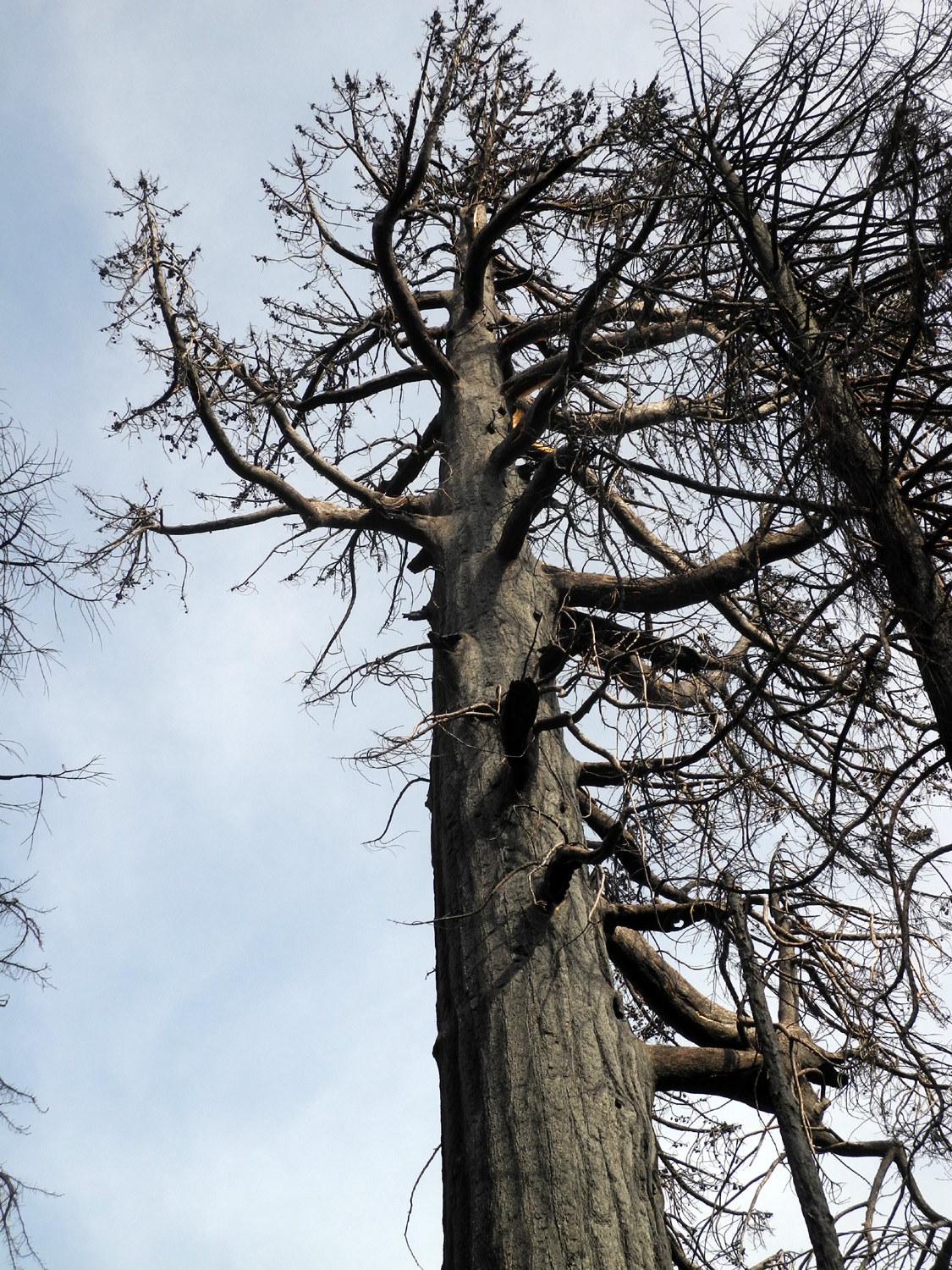
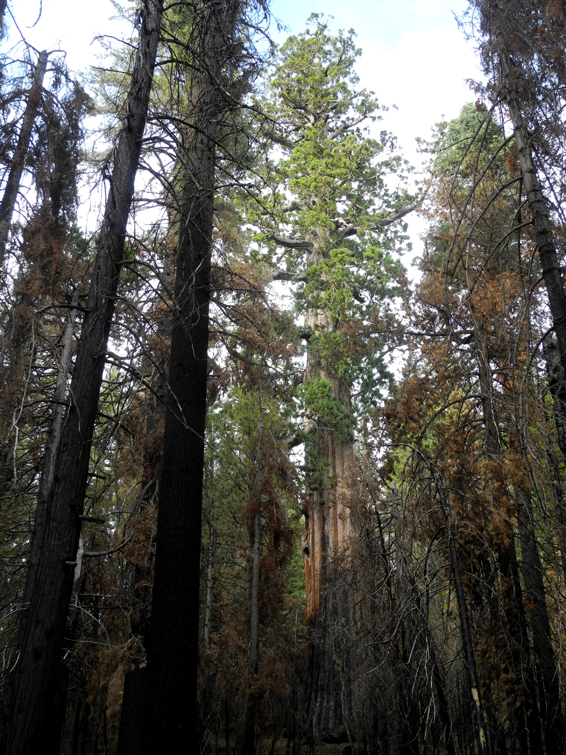
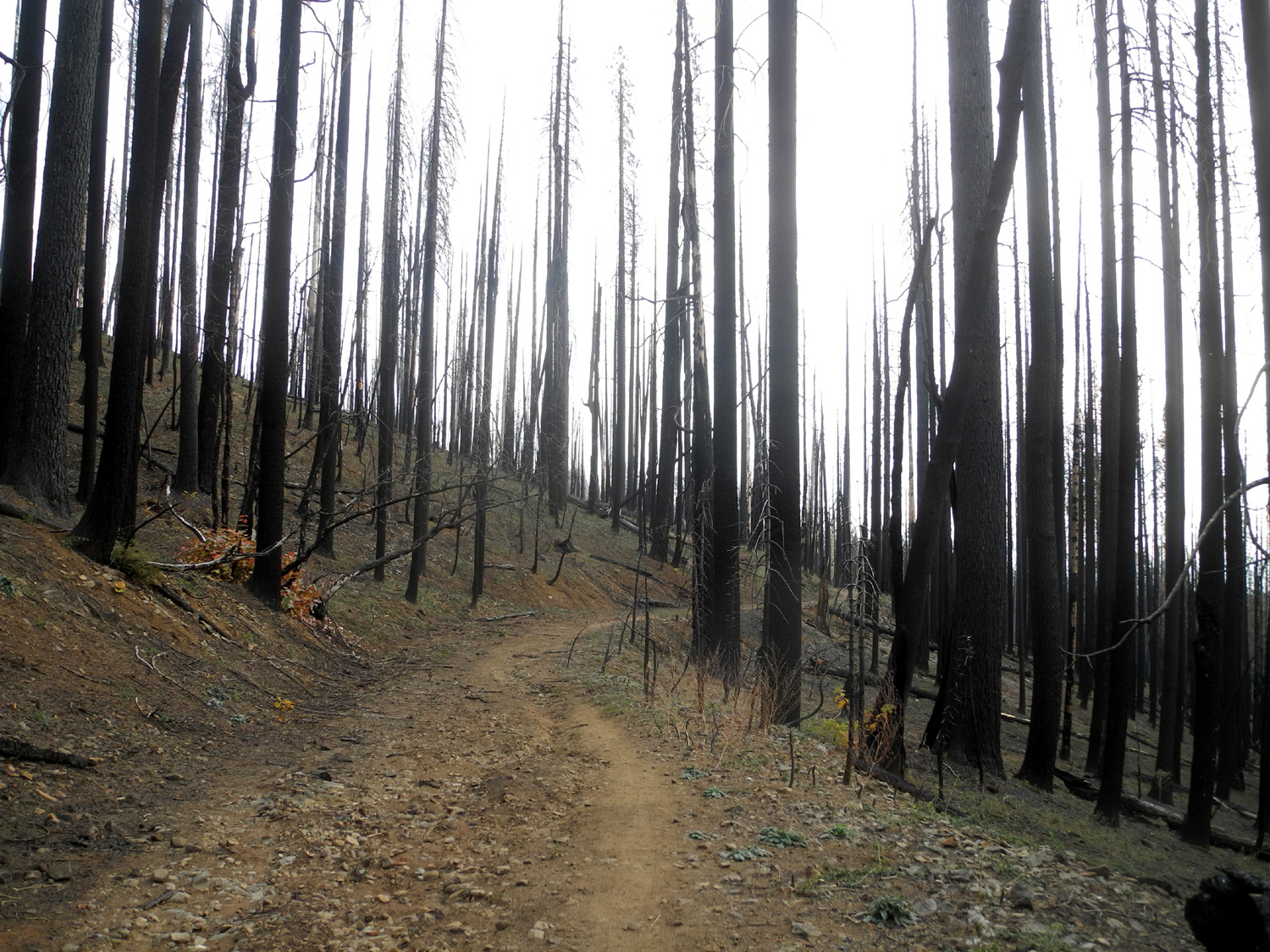
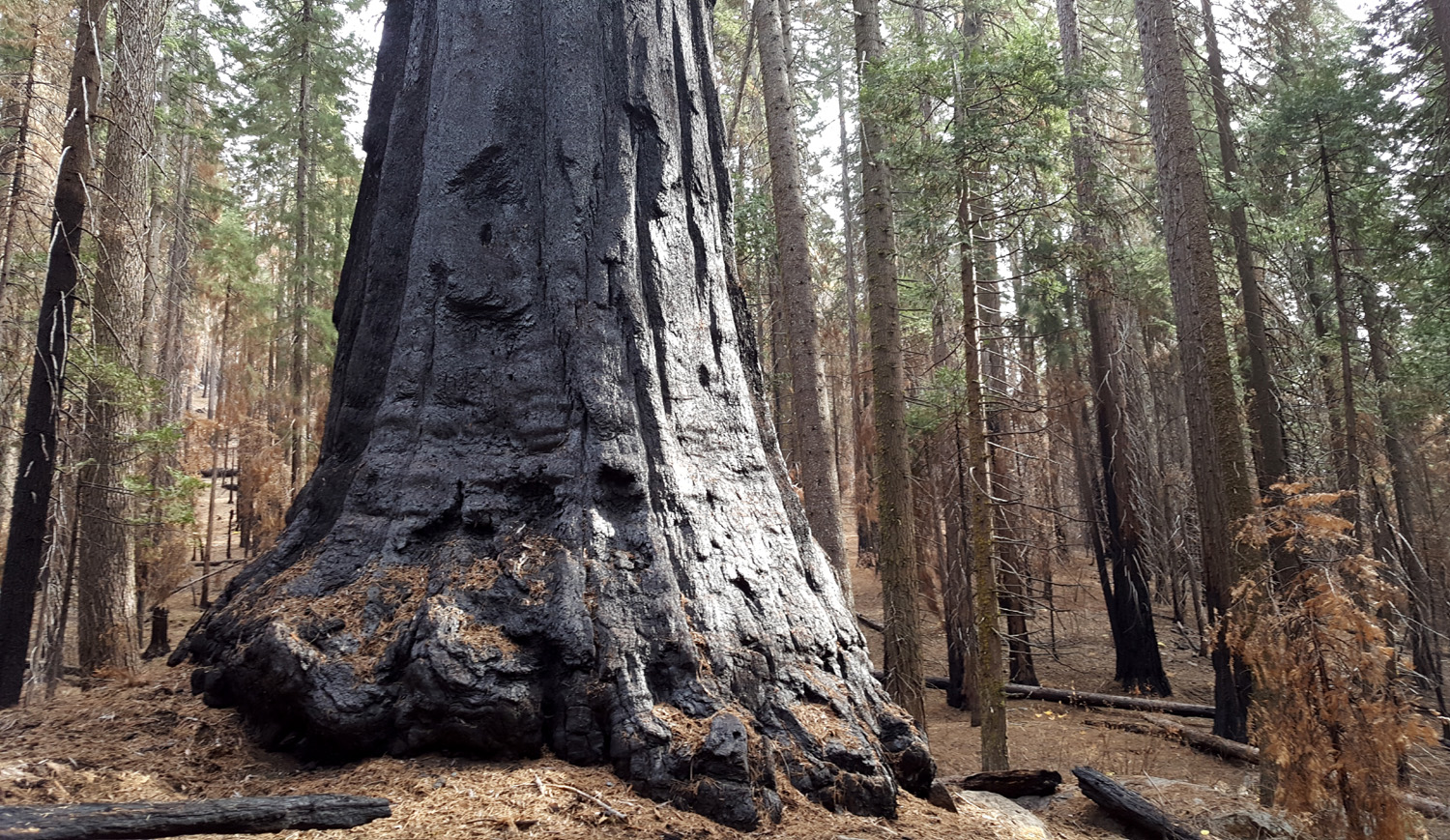
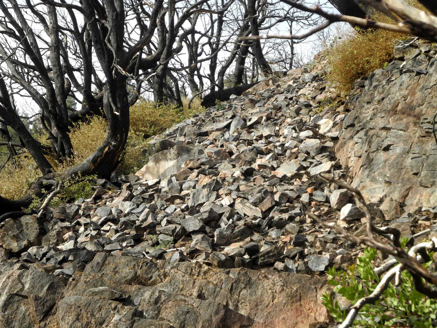
Just before Thanksgiving I had a cat-sitting assignment at the home of my daughter and son-in-law above Oakhurst, while they went to Tahoe. I spent the night with Jennifer and Rod on Saturday November 17, and got up in time to tell them goodbye as they left at 7 a.m. The duties of this job are fairly simple - make sure there is food and water, empty the litter box, let the cats in and out, and remove any "gifts" of dead rodents or birds. I consider the rest of the time as an opportunity to go hiking in the nearby mountains. For example, it's only 15 miles to one of my favorite places, Nelder Grove, instead of the 60 mile drive from home. I walked around the property and along the nearby roads Sunday morning, but saved my major hikes for the following two days. The first hike would be to an area of Nelder Grove that used to be easily accessible. When I first started visiting Nelder, a road went up in a generally western direction from the campground, leveled off about two miles up at the top of Nelder Ridge, and continued around the mountain to one of the more fascinating areas in the grove. Three large dead sequoia snags, a half dozen big stumps, a few large living trees, and a venerable monster tree known as the Old Granddad marked the location of the Graveyard of the Giants. About a mile up from the campground the road crossed Nelder Creek. A rough but drivable track led in a few hundred yards to an area of large trees, which I called Redwood Glen, but which I later learned is properly known as Nelder Basin. The road has been closed for decades and is now the Graveyard of the Giants Trail. The little side road into the Basin has been choked with brush for years. Jennifer and I tried to walk in there about six or eight years ago and had to give up. However, I knew that it was possible to get there if you didn't mind a bit of bush whacking. In addition, I had step by step directions to the Nelder Tree, the grove's largest, from Brenda Negley's book on the area. It was near this tree that former gold miner John Nelder built a cabin in the 1800s, and it was at that location that he was visited by John Muir. I started up the trail about 9:45 on Monday the 19th, only to realize that most of the forest on both sides had been pretty much destroyed by the Railroad Fire of 2017. Blackened dead snags lined the trail starting a few hundred yards in, and continuing to the top where the road levels out. At the creek crossing there were several giant sequoias just downstream from the trail as well as one up the hill a short distance that had been turned black most of the way up their trunks, and the foliage was brown and dying. The prognosis is that these trees will not recover. |
|
 |
 |
|
Damage from the Railroad Fire gives new meaning to "Graveyard of the Giants" trail |
Brown foliage does not portend a good future for this big sequoia |
|
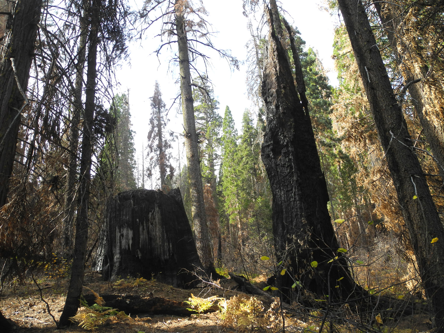
At the creek I turned right, following a rough path and then what is left of the old road. The going was much easier than I expected, presumably because the fire cleared out the small trees and brush that blocked the way previously. Brenda's directions told me to turn right before reaching the meadow, but the meadow looks nothing like it did 30 years ago, and I was stepping in swampy ground before I realized I was there. I managed to make my way across to higher ground, where the going was again easier than expected. I had to look out for branches and pine cones on the ground and detour around a few logs, but I was able to walk up into the area along the creek and see six giant sequoias within about a hundred yard radius. I do not believe I found the Nelder Tree, but I was perfectly happy with the "big six." |
|
 |
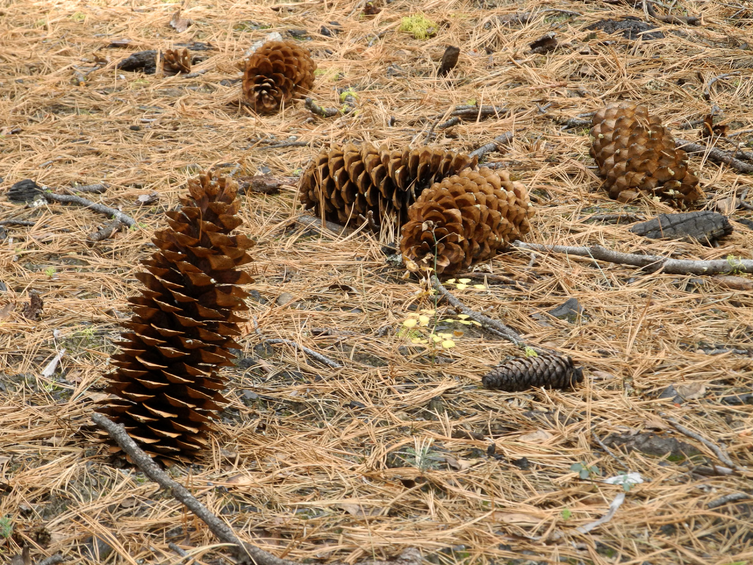 |
| The entrance into Nelder Basin | This sugar pine cone apparently drove its stem into the ground when it fell |
 |
 |
| Two of Nelder Basin's fine sequoias | |
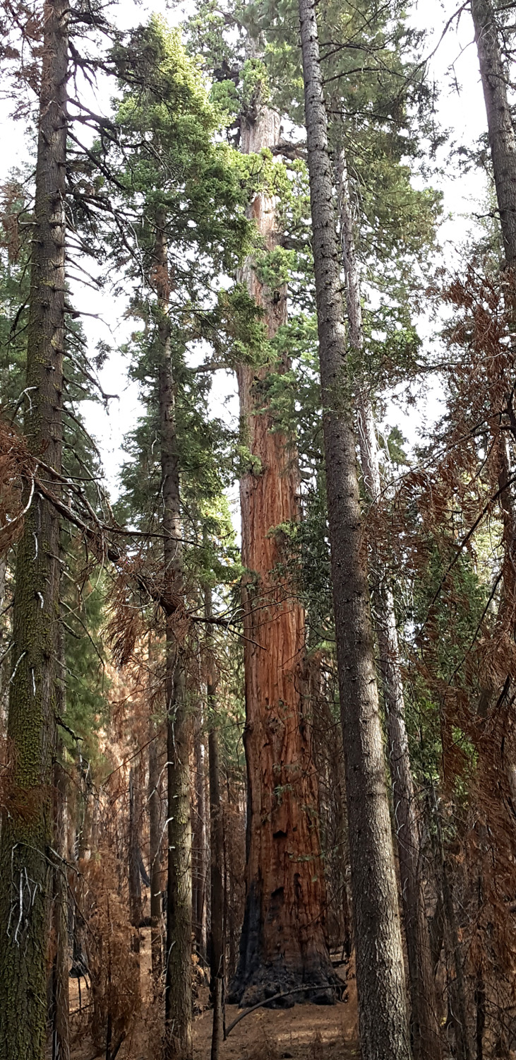
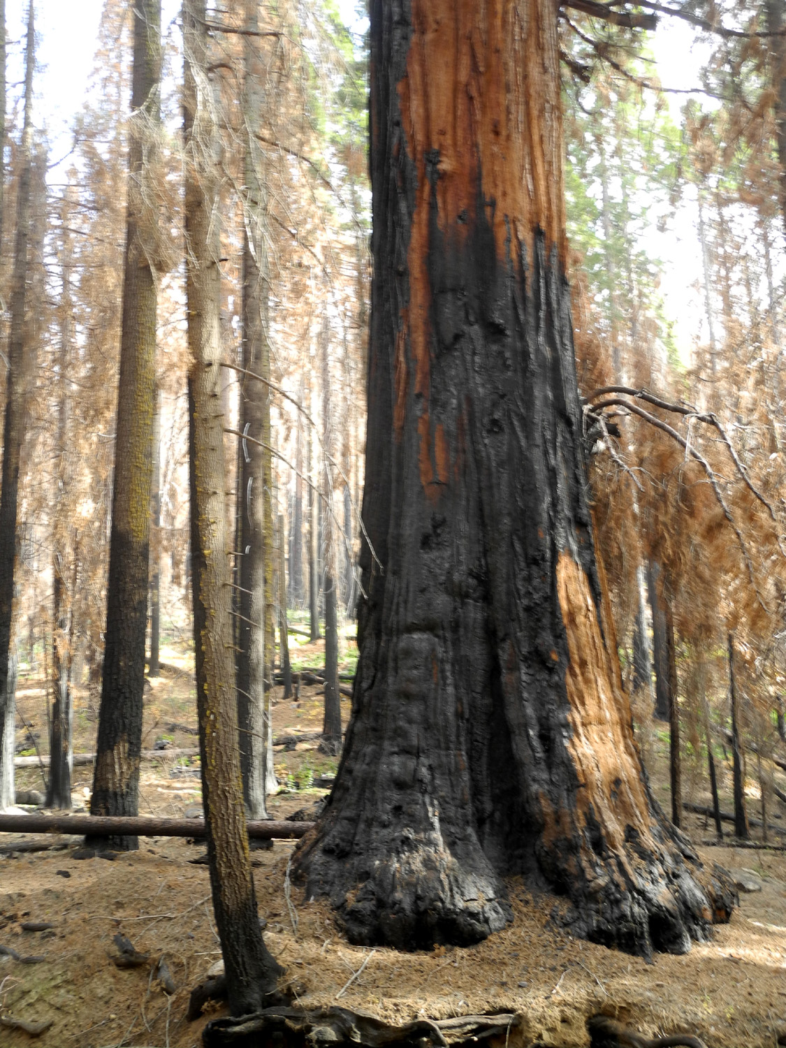
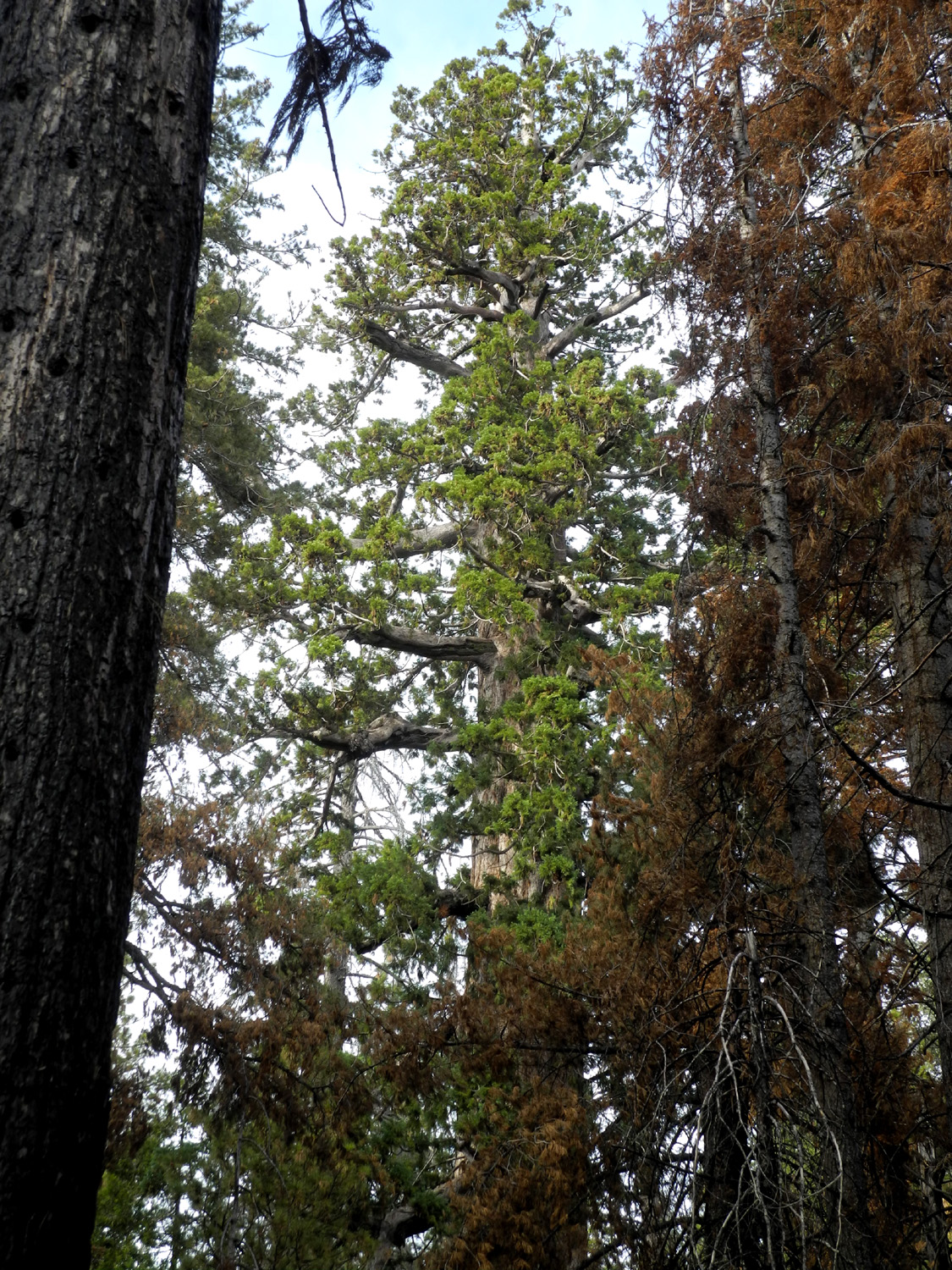
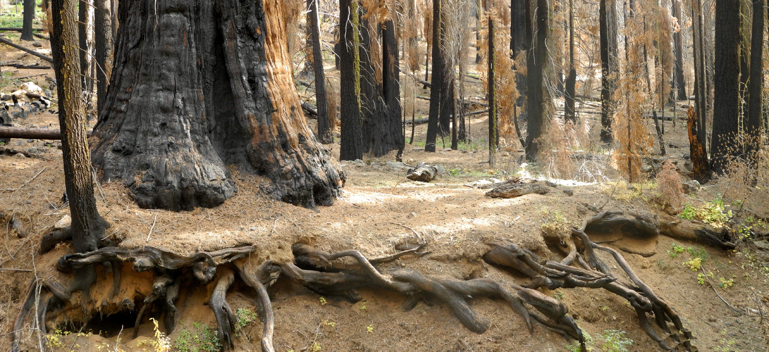
Most of these trees were blackened at the bottom, but there was no damage to the foliage. I think these burn scars may be from a small fire in the early 2000's, caused by a careless camper. |
|
 |
 |
| Most of the sequoias in Nelder Basin have blackened bark at the base | However, the foliage remains green and healthy |
|
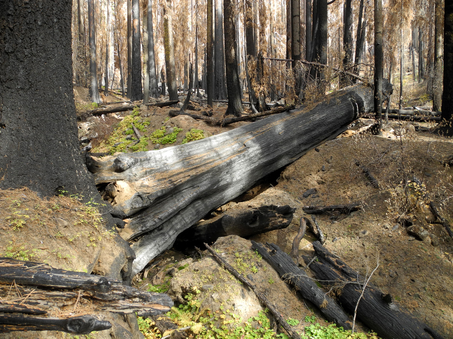
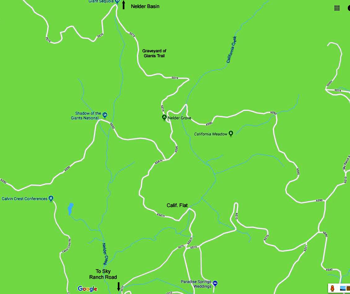
Some of the trees were on the other side of the creek, which runs through a deep gorge at this point, but I was able to get up close to those on my side. I also saw a long-dead tree that had fallen because it grew close to the creek, which eventually undermined the roots. After exploring the area thoroughly, I found a fallen cedar that was the right size for sitting, although most of its surface was also blackened from fire. I ate part of my peanut butter sandwich here, then walked down the slope and found an easy place to cross back over to the old road. My excursion into Nelder Basin was short in distance, about a half-mile total from the trail and back, but consumed nearly two hours. This map shows the area around Nelder Grove and the location of Nelder Basin. |
|
 |
 |
| A common sight - giant sequoia undermined by an adjacent stream | I looked for an unburned log to sit on, but had to make do with this one |
|
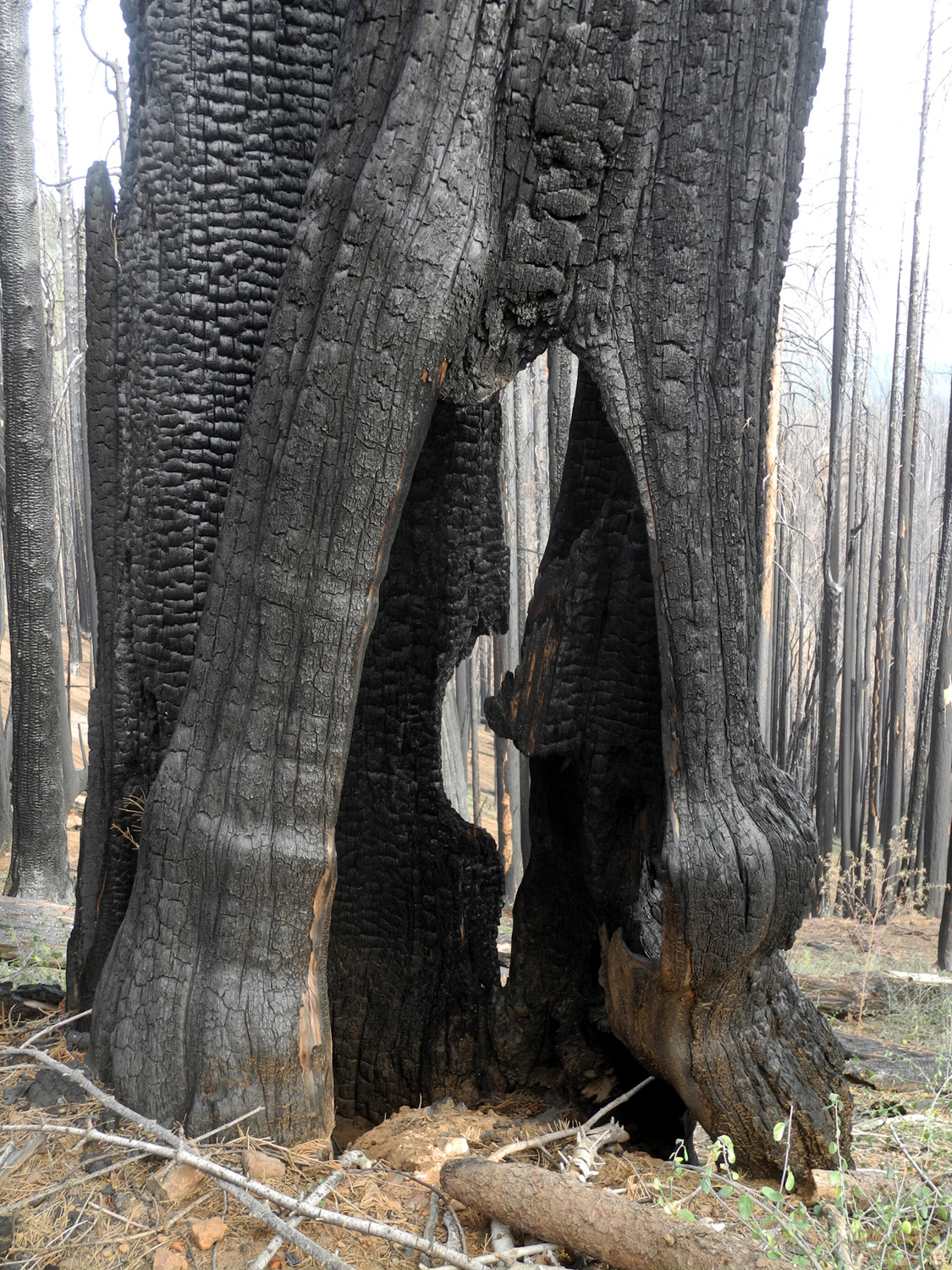
When planning this hike I had decided if I could not get into Nelder Basin, I would continue up the trail, at least as far as the big sequoia right by the trail about 200 yards past the creek. Then I would continue on as long a I felt up to it. This first tree had suffered the most damage of any that I saw. There was virtually no foliage, green or brown, and the trunk was black from top to bottom. Although the burn did not go deep into the bark, with no green foliage, there is no photosynthesis, and death is the only probable outcome. |
|
 |
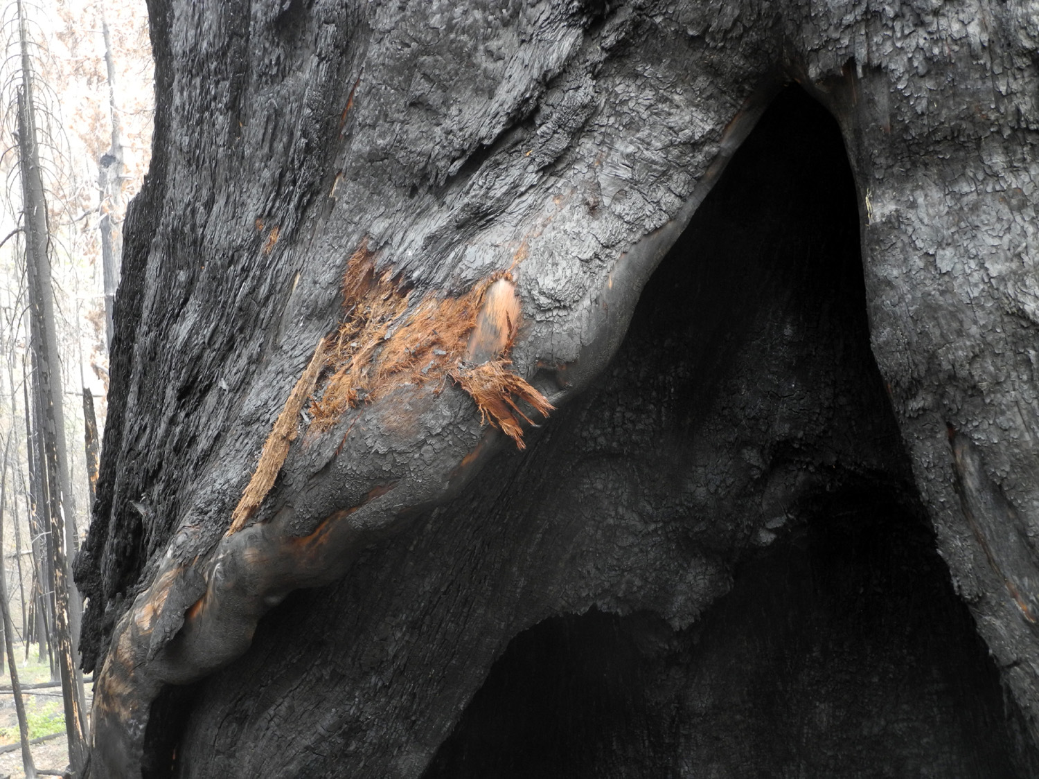 |
| This tree by the trail near Nelder Creek is burned from bottom to top | Someone investigated how deep the burn goes |
|
After this I began a series of self-challenges in which I decided to see what was around the next bend, then continued to repeat that quest time after time. I knew if I continued on to the top of Nelder Ridge, where the trail levels off, I would have a total hike of close to five miles, which is about 25% more than what I consider my limit. However, each time I was tempted to turn back at the "next bend," I told myself, "I've come this far, and I may never get up here again, so I should stick with it to the top." Along the way I tried to spot a sequoia I had named the Canyon Tree. This was a good-looking specimen with an unbroken live top that was about 100 feet up a drainage, clearly visible from the road back in the day. I had been unsuccessful in finding this tree when I hiked up to the Graveyard with Rod and Jennifer in 2008, and I did not see it on the way up this time. Despite the temptation to turn back, I kept going until I reached the level point. On the uphill side of the road here, we camped in the late 1960s after driving up in in our VW Bug. Across the road to the west and down hill a short ways there was a big sequoia, not one of the real giants, but a very attractive tree with lots of foliage. Thankfully I took a photo back then, since I could barely see a small section of the tree's trunk on this trip. I found a good log for resting and enjoyed being at a spot that I went through regularly in the 20th century, but only twice in this one. When I started back down, I kept an eye out for the Canyon Tree, and was able to spot the top from the trail. I went off the trail and up close to it, then had an easy walk back down the drainage to the trail. Once I knew where to look, I realized I could see it from the trail, and could get a good look with just a short walk up the drainage. |
|
 |
 |
| The elusive Canyon Tree | It's actually quite visible if your know where and when to look |
|
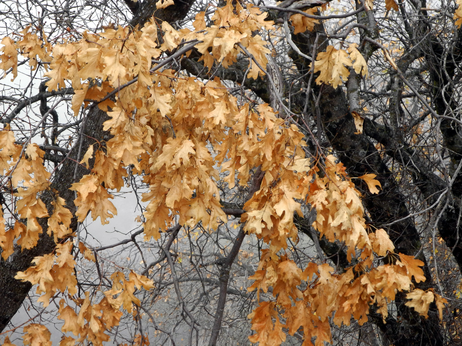
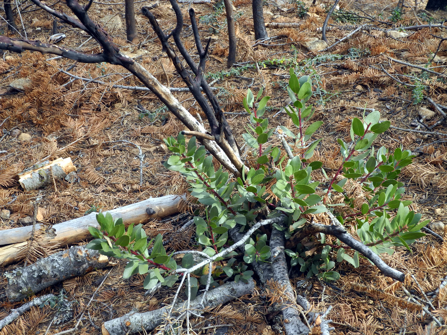
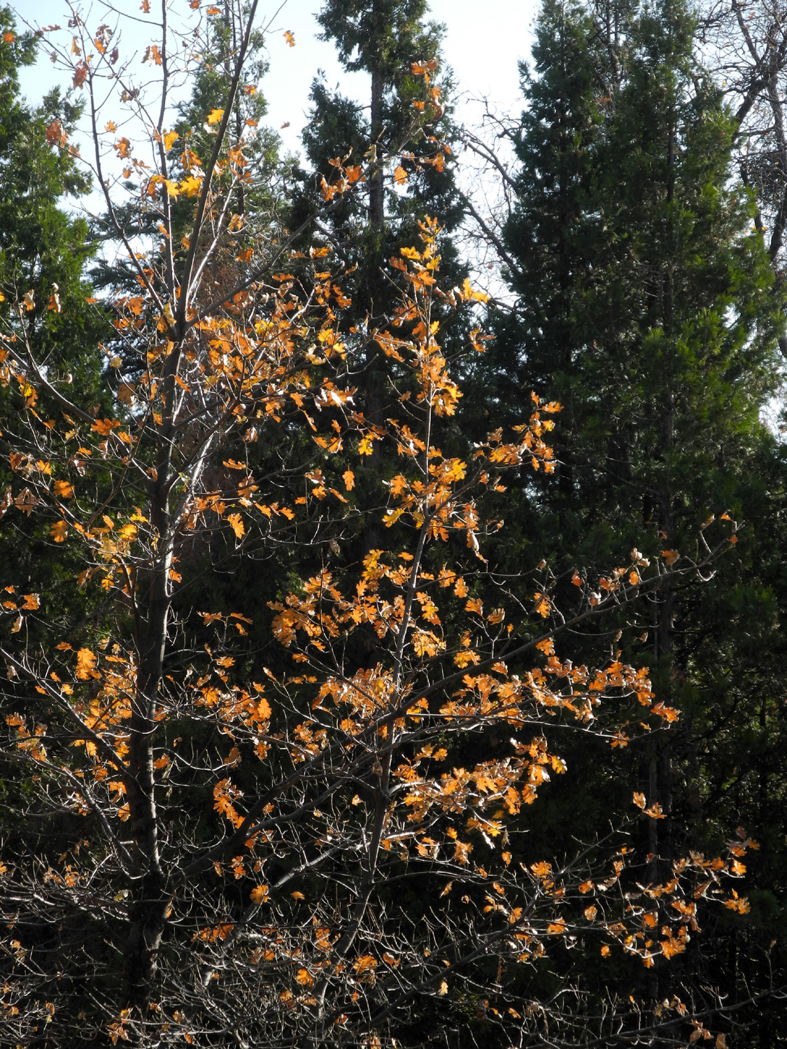
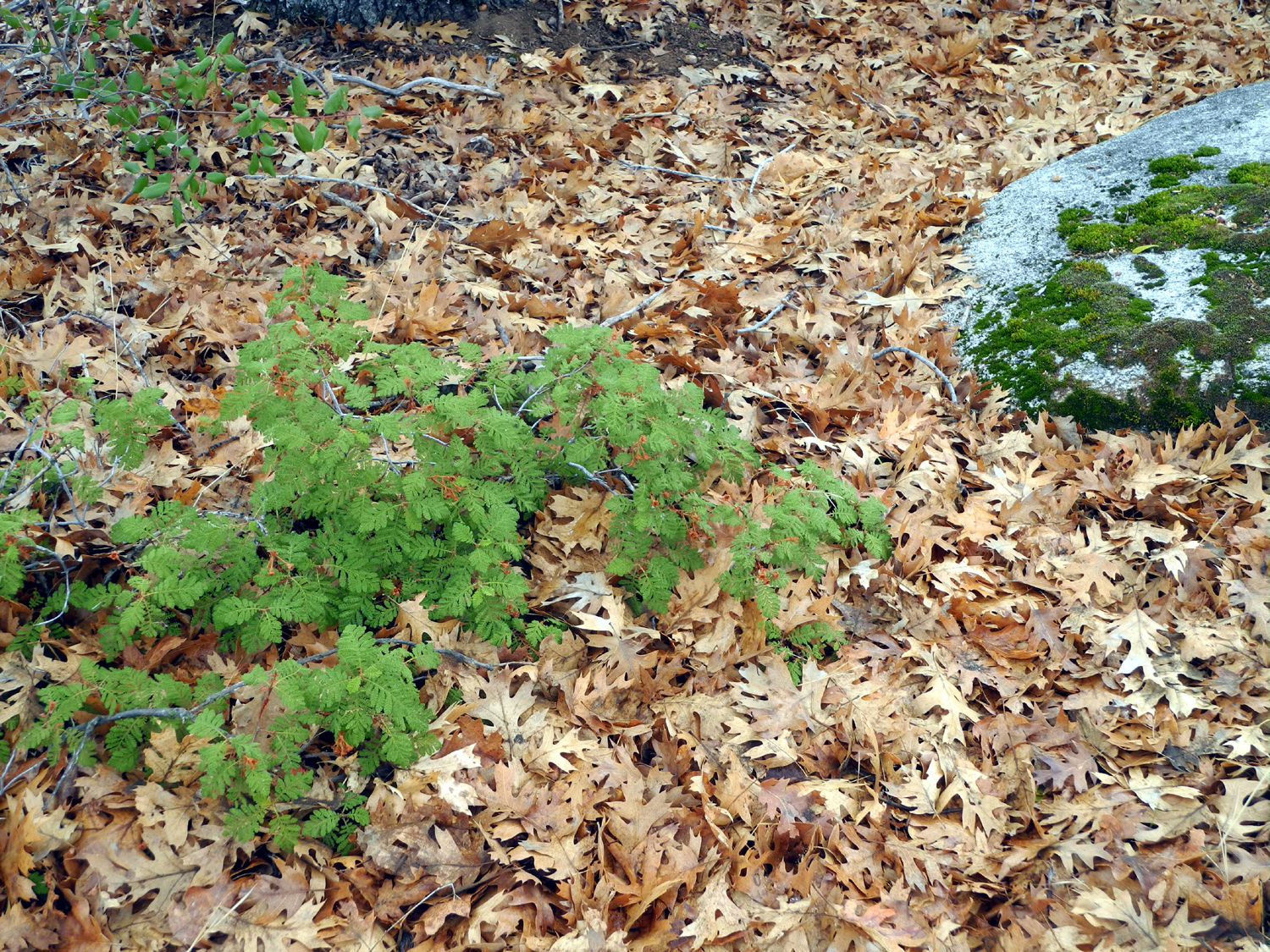
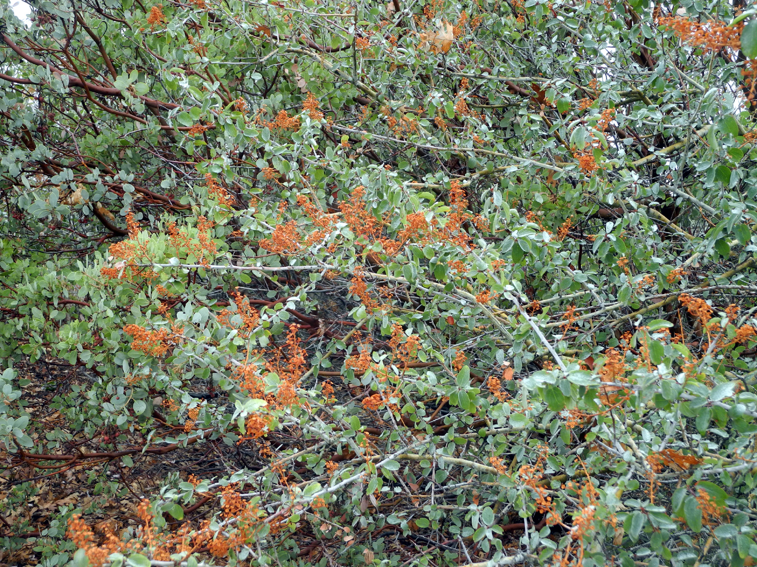
During my walk through the burned over areas, I was glad to see that the smaller bushes and trees were already making a comeback. All the branches of small manzanita, black oaks, and dogwood appeared to be dead, but new shoots had grown during the spring and summer of this year, and the latter two species had the usual fall color. There were also a few wildflowers, mostly those that bloom in the spring, apparently confused by the changes in our weather. This has been a frequent observation the last few years. |
|
 |
 |
| The original bush is dead, but this manzanita put out new shoots from the roots | This little black oak is also making a comeback |
|
I made it back down to the truck, tired but not as much as I had expected. When I checked the cell phone app I use to record hiking distance, I found that I had walked a total of 4.85 miles. The total time from start to finish was five hours and 35 minutes, with three and a half hours of moving time. This was by far the most ambitious hike I have completed since I walked nearly five miles at the San Joaquin Gorge about two years ago. I sat by the truck and ate the last part of my sandwich, then started for my temporary home. I
had thought about driving into Oakhurst for dinner, but I decided i
would just fix something at the house and rest up for the next day's
adventures. --Dick Estel, December 2018 |
|
| Fish
Camp Hikes
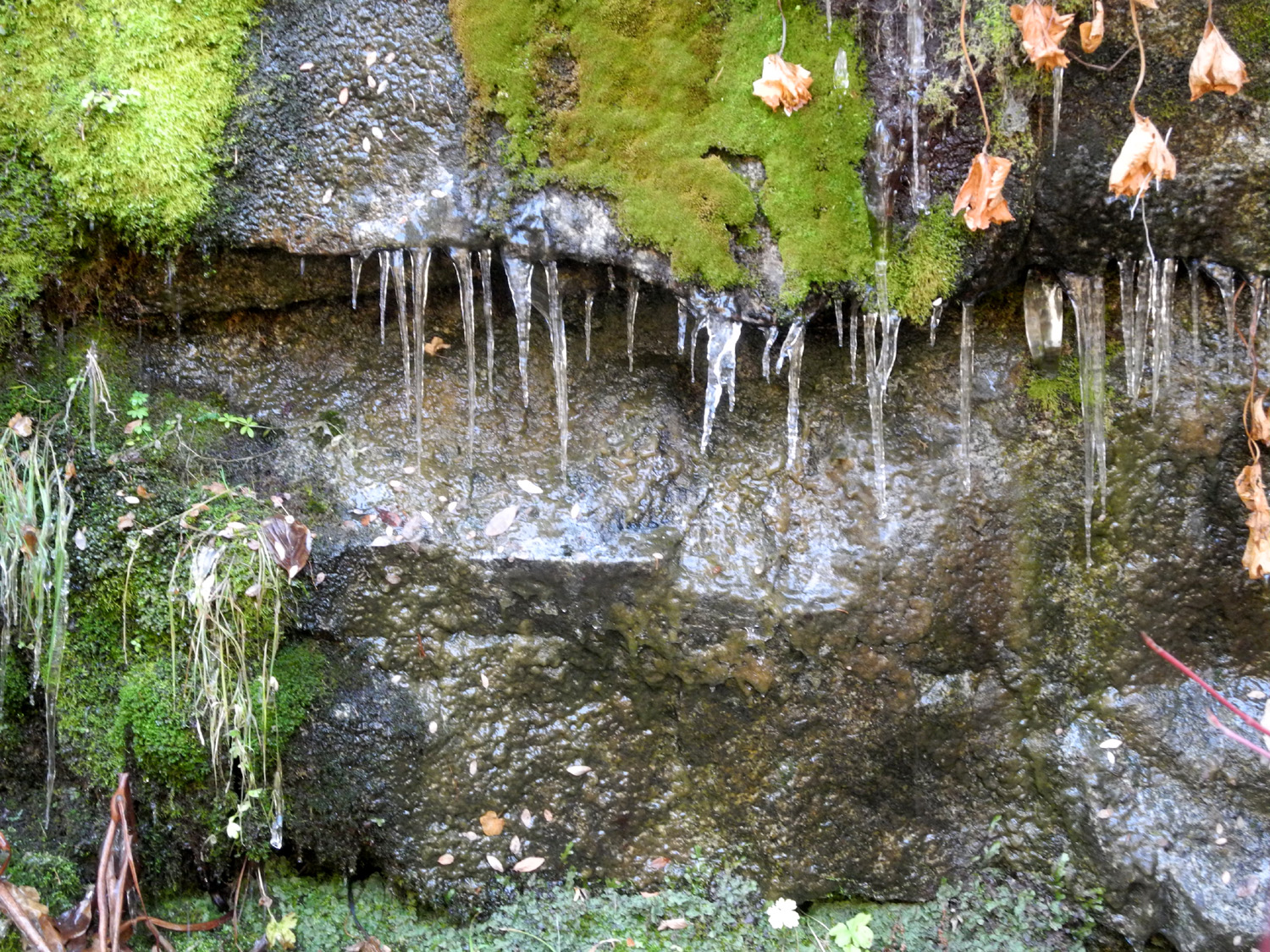
When I am cat sitting, I invite my friend Wes Thiessen to join me for one of my hikes. In July we went to Sentinel Dome and the Mariposa Grove of giant sequoias in Yosemite. This time I had promised to show him two hiking areas that he was not familiar with. In fact, I had just discovered them myself in June of this year. Both hikes are fairly short, and start on dirt roads that leave Highway 41 near Fish Camp. Although both the roads can be navigated by a passenger car, I had brought my truck for greater comfort while bouncing along mountain roads. Wes arrived a little after 9, and we drove out Road 620 to the highway, for the twelve mile drive to Fish Camp, where we turned east on Jackson-Big Sandy Road. A few miles in, a water diversion ditch crosses the road, and there is a trail along the ditch on the north side. The water comes from Big Creek, which eventually crosses the highway at Fish Camp and flows into the South Fork of the Merced River. We were not able to find any information about when or why the ditch was constructed, or where the water goes. When I was there in June the ditch had a good flow of water, but this time it was dry for the first two thirds of the way. Of course, this inspired Wes to go down and walk in the ditch a ways, seeking the best photo opportunities. |
|
 |
 |
| Even without water, the ditch is still a place of beauty | After all those times on the rock, Wes finally descends into the ditch |
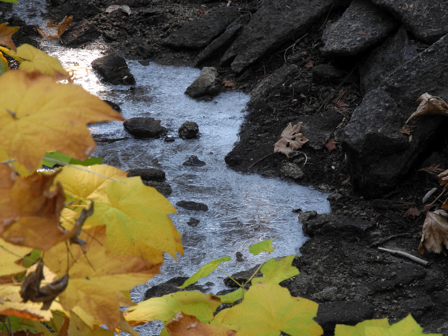
This is a short, easy trail, about a mile and a quarter round-trip. At this season it's lined with fall color in some places. Since it parallels a man-made waterway, it's fairly level, although the path is narrow in a couple of spots. At one point, where water oozed out of the bank across from us, we saw a delightful display of icicles. |
|
 |
 |
| Black oak leaves provide color and cover the ground in places | In a spot that stays shaded all day, icicles will last till warmer weather |
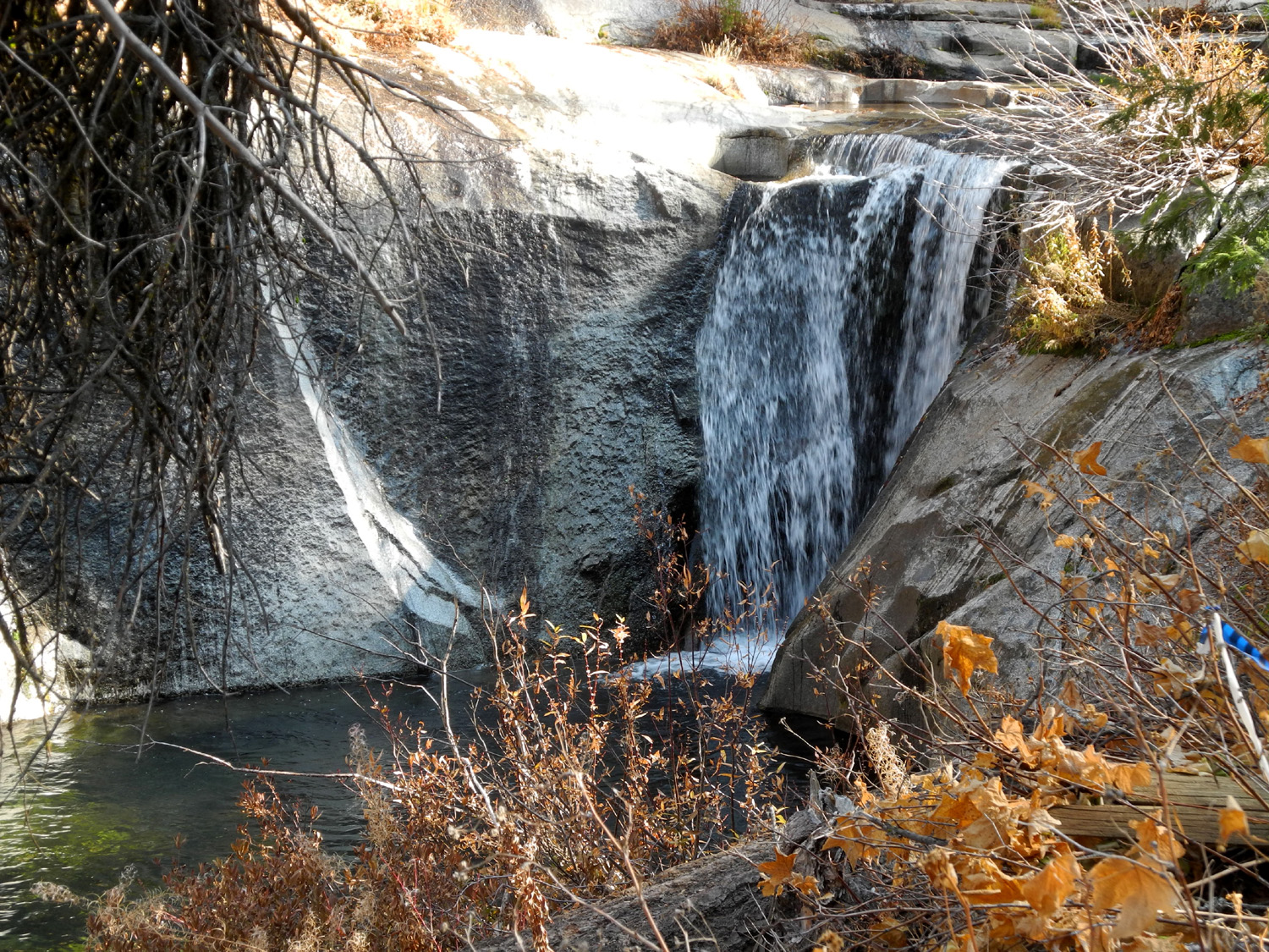
The trail ends where the ditch meets the creek, which drops over a nice waterfall at this point. There's a small diversion dam across the creek, and a water gate to control the flow into the ditch. Wes crossed the dam and observed that there is no real trail beyond that point, although people were crossing and making their way upstream "cross country" in June. There was water in the ditch along the upper third or so, and a winter wonderland display of ice on the rock along the upper bank of the creek, and in the ditch itself.. |
|
 |
 |
| The waterfall on Big Creek | Wes on the dam |
 |
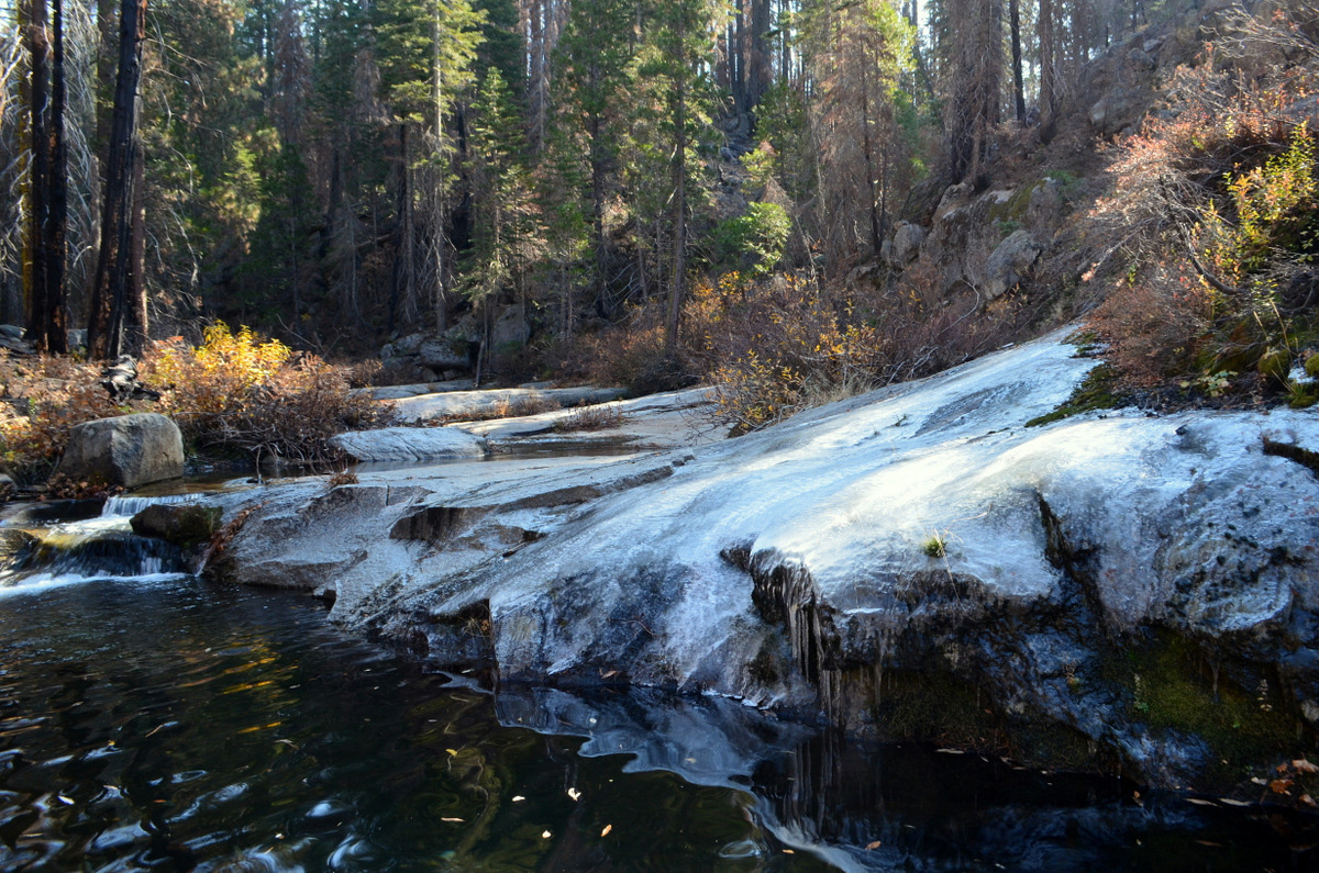 |
| Dick relaxes by the water gate | A thin layer of ice covers the rock slope above the creek |
We returned to my truck, drove back to the highway and through the tiny village of Fish Camp. About a mile past the town, just at the Yosemite Park border, Mt. Raymond Road goes to the east. A few miles in there is a road junction and an ancient sign reading "Buffin Meadow Loop Trail." In June I could not find any evidence of a trail at this location, and we had no better luck in November. As I had done on my earlier trip, we parked and walked down the road a short distance, then took a narrow, brush-lined track a short distance to Buffin Meadow. The green grass and flowers of spring were long gone, but dry weather provided a bonus discovery. I had not been able to cross the meadow due to swampy ground, but we had no such problem this time. On the other side of the meadow, we came to a trail, narrow and not heavily traveled, but easy enough to follow. We only went a short distance before turning back, but we decided we might well have seen a segment of the elusive Buffin Meadow Loop Trail. The fall season also provided colorful black oak leaves, and a ground-level plant with brilliant red leaves that I think were wild strawberries. |
|
 |
 |
| Ancient stumps are scattered through Buffin Meadow | Wes captured a true work of art with this shot |
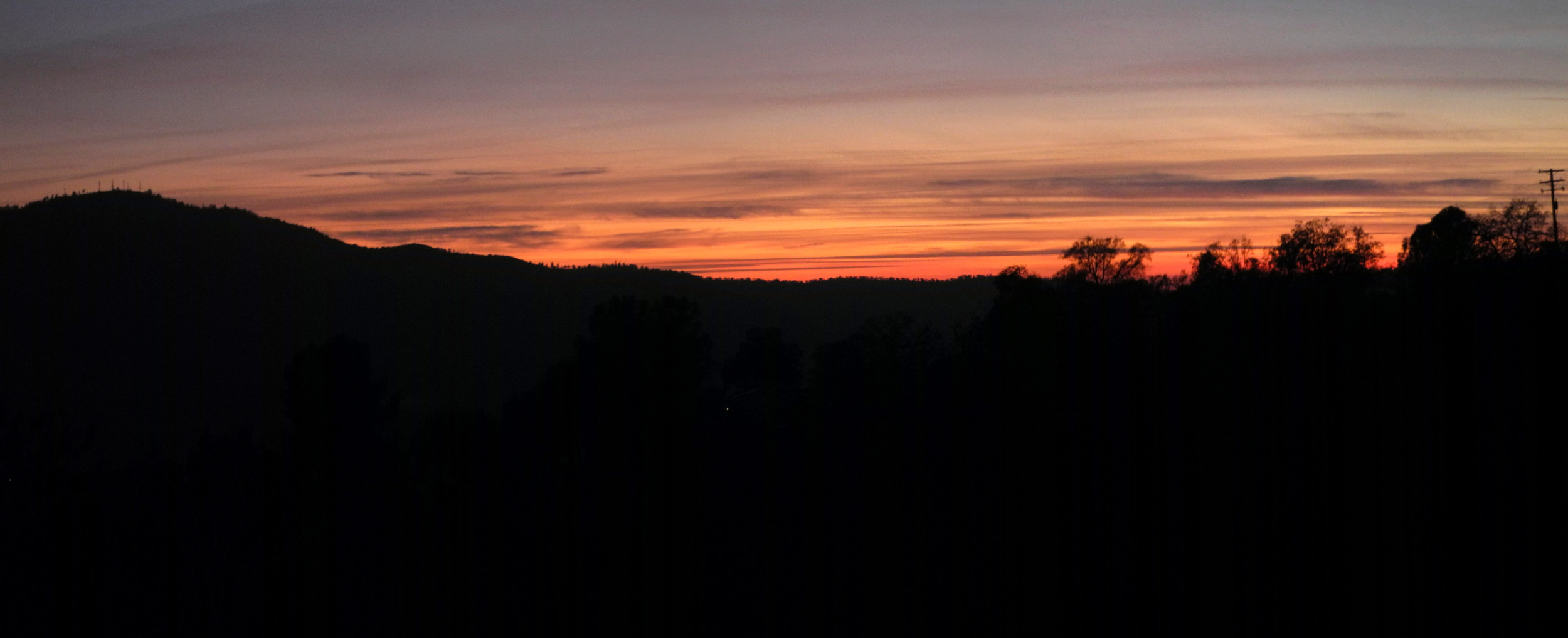
I'm going to let Wes have most of the final words in this report: In this season of thanksgiving, I want to shout out a big "thank you" to Dick Estel for introducing me to several of his favorite hikes around Fish Camp near the entrance to Yosemite National Park. His daughter, Jennifer, has been on holiday with her husband Rod, enlisting Dick to provide care for their four cats in the Oakhurst area. I joined him on November 20 to hike two interesting trails. The Big Creek trail head is located several miles east of the Tenaya Lodge off Highway 41. We followed a dry canal for about a half mile to a waterfall on Big Creek. The colors of fall were still quite vivid along the trail. This high altitude hike was quite cold with ice and frost evident on the rock formations near the water. Dick stuck to the trail while I jumped into the dry ditch bed from time to time to capture some interesting photo images. Later we traveled closer to the park entrance to hike a short distance to a fascinating meadow. Although the meadow was dry and devoid of green grass, I was able to capture fall colors on vines at ground level. We finished our hikes with a Thanksgiving lunch south of the border at El Cid in Oakhurst, using the gift certificate Dick received as payment for cat duty. Returning to Rod and Jennifer's house, Dick pulled out pumpkin pie for us to enjoy "al fresco" on the patio watching the sun set to the west. As I drove home, I noticed a cloud formation to the west creating a colorful sunset. Of course I had to pull to the side of the road to capture those colors. |
|
 |
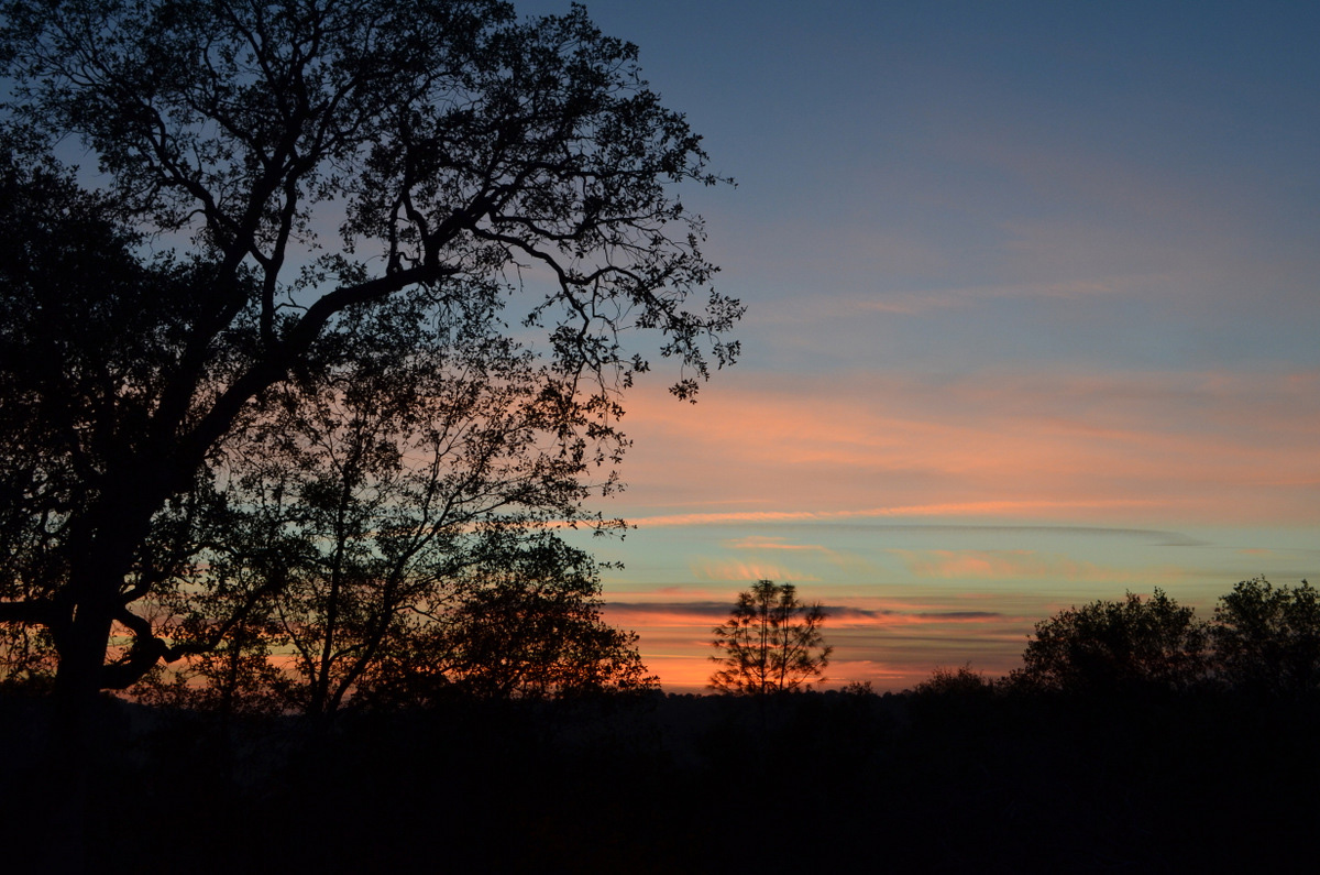 |
| Black oaks provide a great color display at the 5,000 foot elevation | Sunset view from Highway 41 south of Oakhurst |
|
After
Wes's departure, I was also inspired by the sunset, and captured a
few more photos from
the patio. After this there was nothing left to do but to start
a fire in the wood stove and enjoy the antics of the two younger
cats, while reading, relaxing and watching TV. --Dick Estel, December 2018 |
|
| The
Great Tarantula Hunt
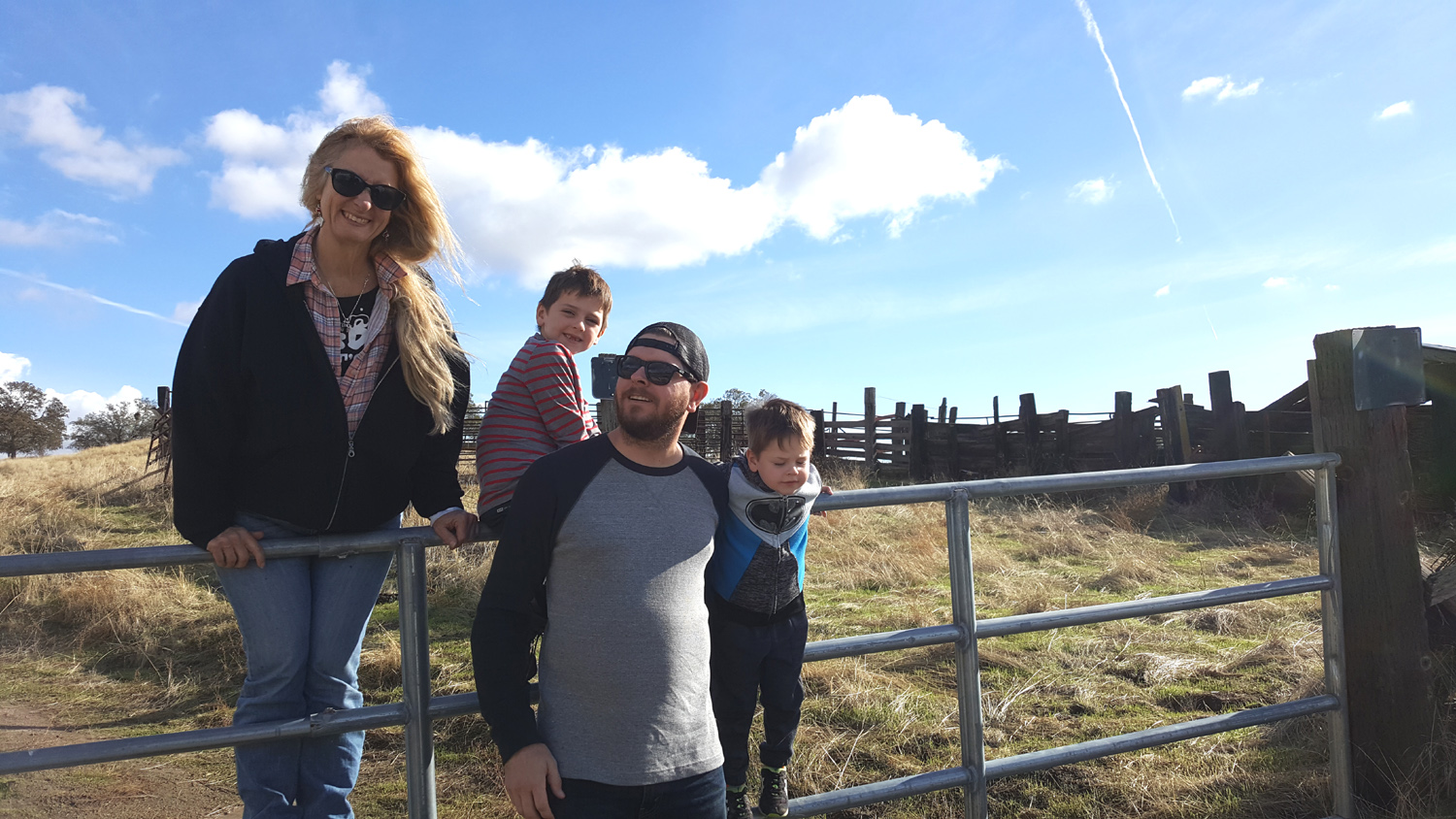
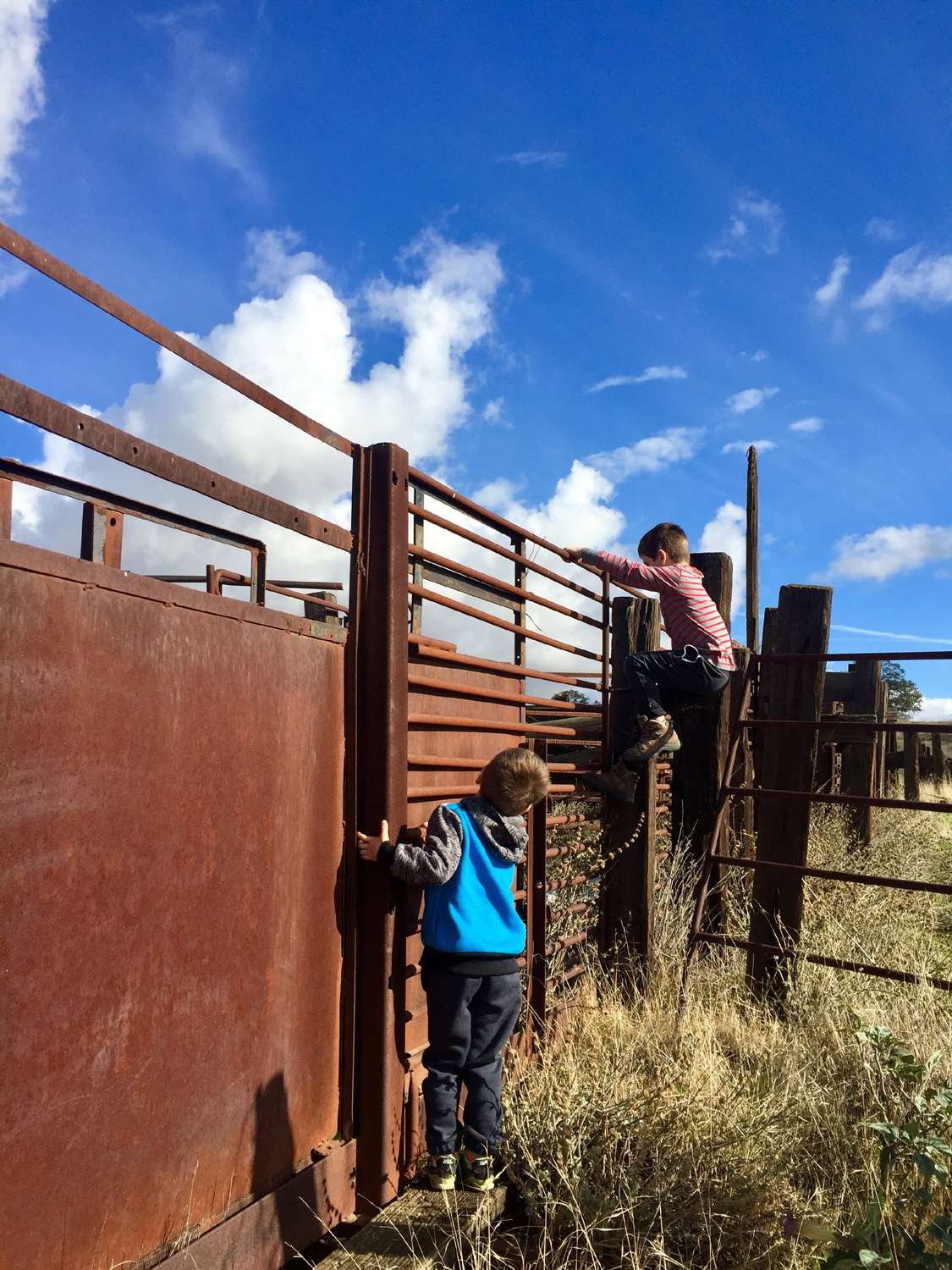
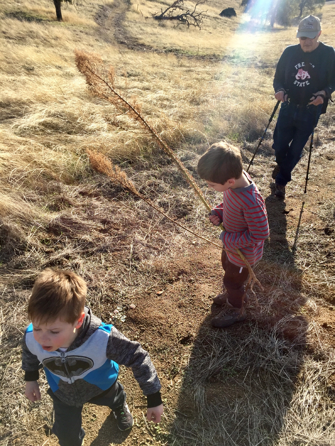
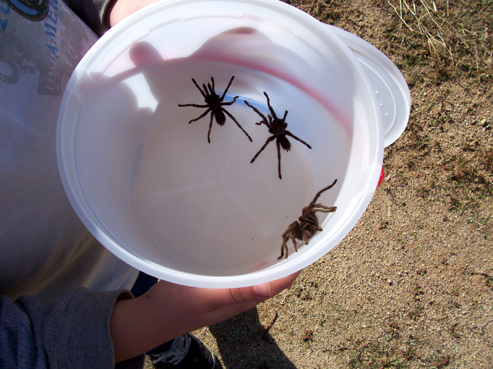
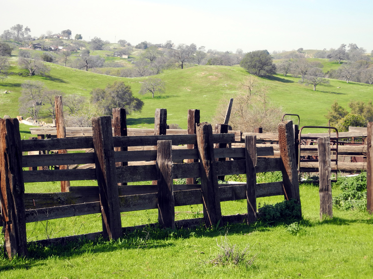
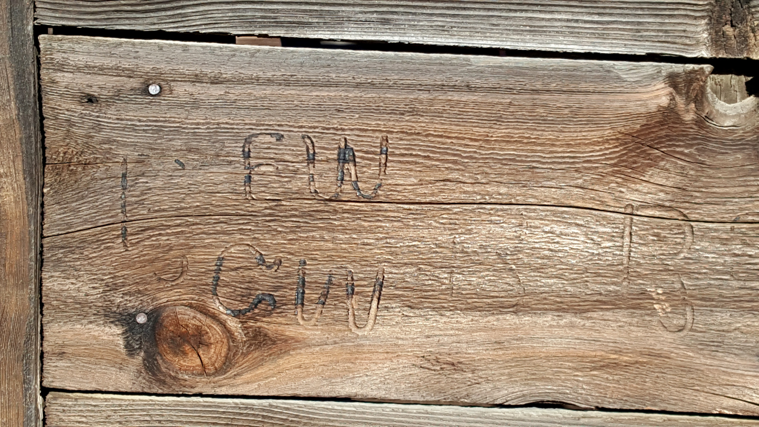
When my younger grandson Mike was a child, he was a big fan of reptiles, amphibians and arachnids, and at various times had some of each in captivity. For several years we would go out in the fall and hunt for tarantulas. We were almost always successful, and the unlucky one found himself living in an aquarium for the next few months. The best hunting time was mid-November, so I wanted to take great grandsons Colton and Jack on a tarantula hunt, with plans to observe and photograph only, and leave any we found to continue their quest for love and food. We were finally able to schedule this outing for November 30, with daughter Teri and grandson Johnny joining us. I believe it was Theodore Roosevelt who said, "You can hunt for any animal, any time, anywhere. Finding is a different matter." I already realized we were probably too late, but we could still enjoy a trip into the foothills, to one of the best tarantula spots, the area around Hensley Lake in Madera County. We took an indirect route, following county roads off State Highway 41, and stopping first at an old corral I discovered on a hiking trip to Hensley in 2016. On the map this area is vaguely referred to as Bates Station, and Road 406 is also known as Bates Station Road. The only thing the Internet has to say about Bates Station is that it is "a cultural feature (locale) in Madera County." So maybe the corral was part of Bates Station and maybe not. What is certain is that we were indeed too late for tarantulas. The lack of tarantulas was forgotten as the boys had a great time climbing over a metal gate, and up on the old cattle chute. We didn't go too deeply into this artifact, since it offers endless ways to injure yourself. Inside there was a wooden wall with brands burned into the boards. |
|
 |
 |
| There's no age limit for kids to climb the gate | We've just got to see what's over there! |
|
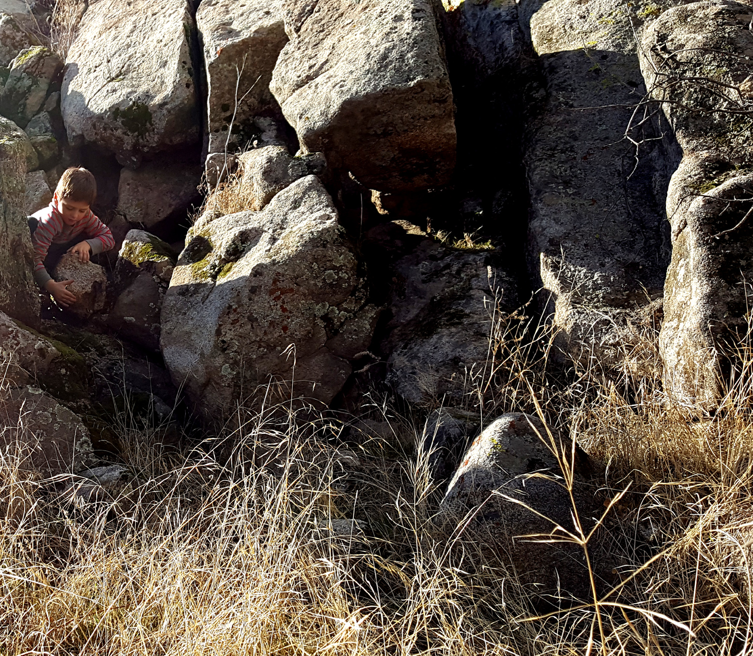
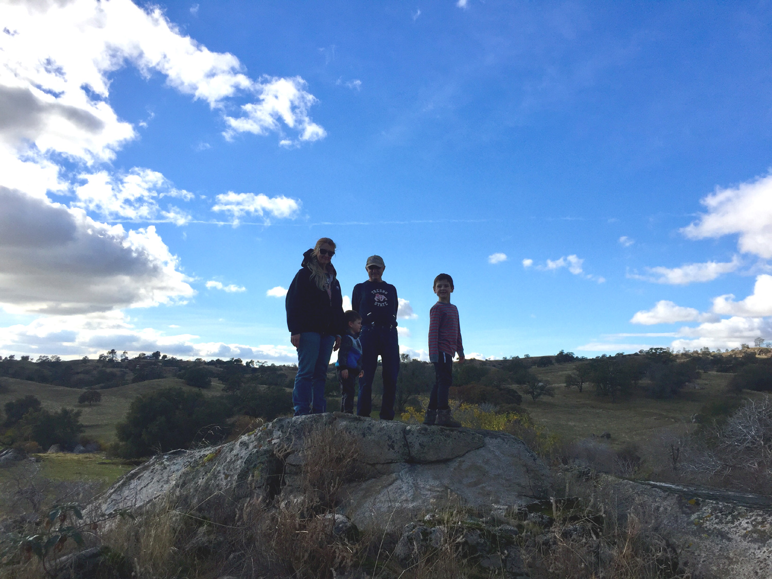
Across the road there was a big rock outcropping. The land was fenced, but the fence stopped on both sides of the rock, since it was steep enough to keep cattle from passing. However, it was nothing for the Upshaw boys and their grandma Teri, who made their way up through the dead grass and began climbing to the top. Johnny and I joined them, and we spent another 15 minutes exploring this area. Colton tried to lift a small boulder that outweighed him, and he and Jack kept the rest of us busy watching them and wanting to cover our eyes as they jumped from rock to rock. |
|
 |
 |
| Climbing the big granite outcropping | Colton vs. the giant boulder |
|
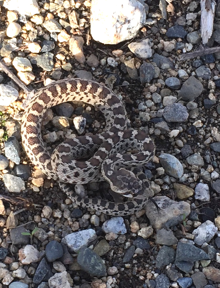
Finally we got back in Johnny's 4-Runner, managed a U-turn on the narrow dirt road, and headed toward Hensley. You can read the details of our route in the report from 2016, but it led us through tree-covered foothills, down to open farm land, and back up to the Fresno River, Buchanan Dam, and the start of the Pohonichi Trail north of the reservoir. Our disappointment at the lack of big, hairy spiders was greatly reduced by the experience of finding a baby rattlesnake right next to the vehicle when we got out. There was some debate as to whether it was really a rattler, since it was too small to have rattles, and we could not get a good luck at the tail to look for the tell-tale button. However, the head was the right shape, and when Johnny attempted to move it to a safer spot off the pavement and into the grass with a hiking pole, it repeatedly coiled and struck at the pole. It ignored our explanation that we were trying to save it from the danger of being run over. With our rescue mission accomplished, we started out on the trail. This is an excellent place to exercise various muscle groups. The trail is short, only a one mile loop, but it goes up and down at least five times. |
|
 |
 |
| This guy welcomed us to the Hensley trailhead | Starting up the Pohonichi Trail |
|
The terrain is what is known as oak savannah, with blue oak and occasional shrubs scattered all over the hills. Ground squirrels were common, there were some hawks overhead, and we had views of the lake in several spots. The boys got additional exercise, running up and down the trail ahead of us, and had way too much fun. |
|
 |
 |
| Jack and Colton at one of several benches along the trail | Dick and great grandsons on a hilltop |
|
We
made it around the loop to the last hilltop, where we could see the
car and the lake. Despite instructions the boys ran down the trail
and waited more or less patiently as we adults made our way down
more cautiously. Our scaly friend was nowhere to be seen, probably
having realized that a parking lot was not the best locale for him.
We made the return journey on the paved roads leading to Highway 145
then out to Highway 41, and back home having enjoyed a great outing
on a cool sunny day. --Dick Estel, December 2018 |
|
| Searching
for Sunshine
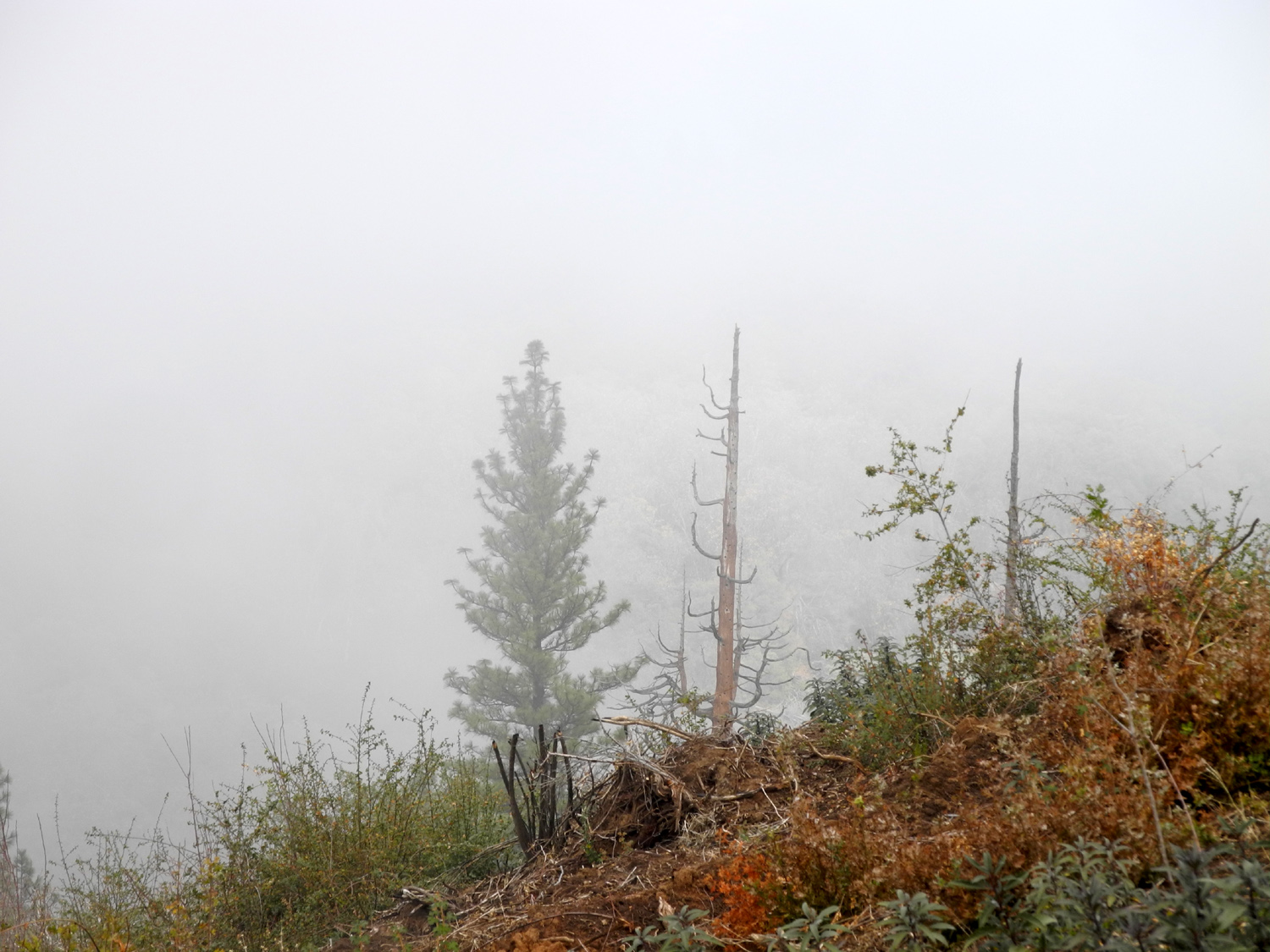
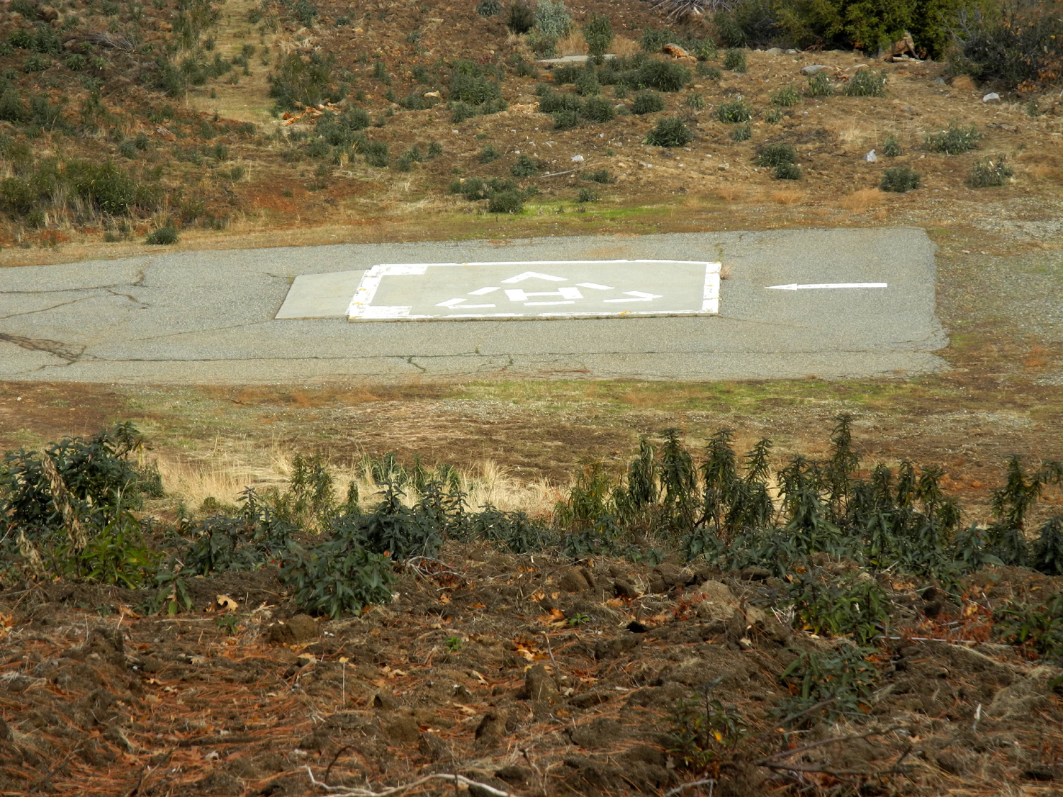
We had a good rainstorm near the end of November, followed by a few days with showers. In the San Joaquin Valley, the natural consequence of this is often several days of fog. It's usually not on the ground, but it's cold and gloomy night and day, and soon the need for sunshine kicks in. We can usually drive up into the hills, reach the level of the fog, and drive through it into sunshine. After nearly a week, I had had more than enough of dark days, so on December 11, I decided to drive up into the foothills and do a little hiking. I went up Highway 168 which leads to Shaver and Huntington Lakes, at 5,000 and 7,000 feet in elevation. I did not want to go that far, so I decided to stop and hike where a road leads off the highway to the Buckeye Helipad, just below the 4,000 feet level. As it turned out, this was also the elevation of the fog bank, so I ended up hiking in thin fog with occasional glimpses of the sun as it tried to break through. It was quite comfortable despite the 37 degree temperature. It was only about 200 yards to the landing zone, but beyond this, a rough dirt track went up hill to the southwest. My route led through a large grove of black oak trees, with most of their leaves on the ground, but a bit of fall color still on some of them. |
|
 |
 |
| A grove of black oaks on the hill above the landing pad | Just enough leaves left on this tree to add a bit of color |
 |
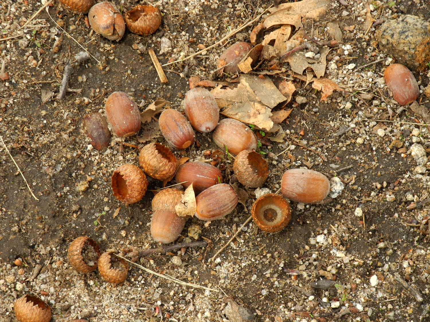 |
| Bear clover surrounded by oak leaves | The fat acorns of the black oak |
|
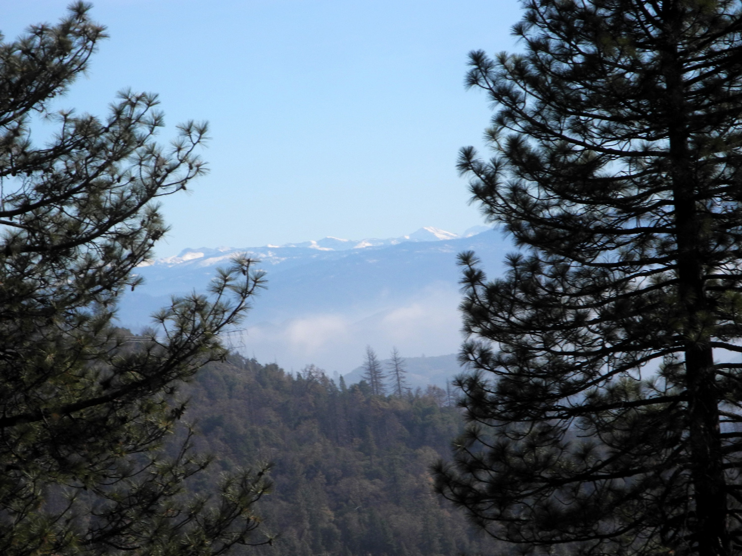
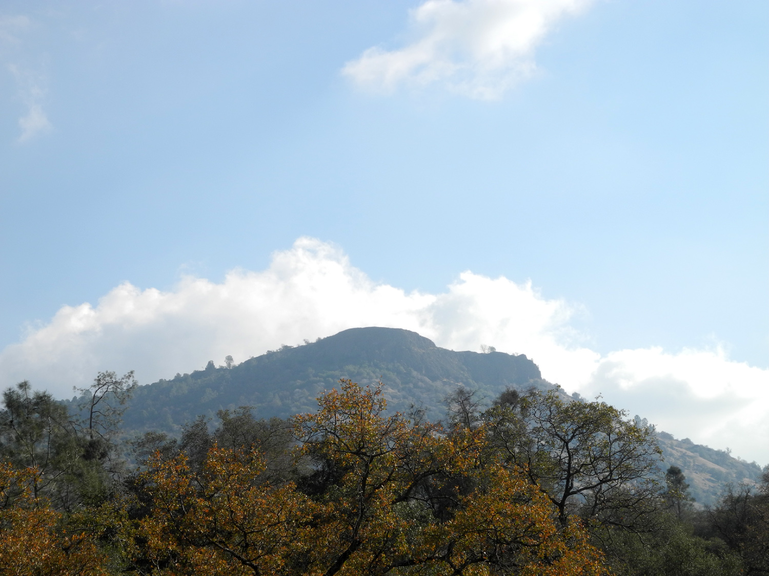
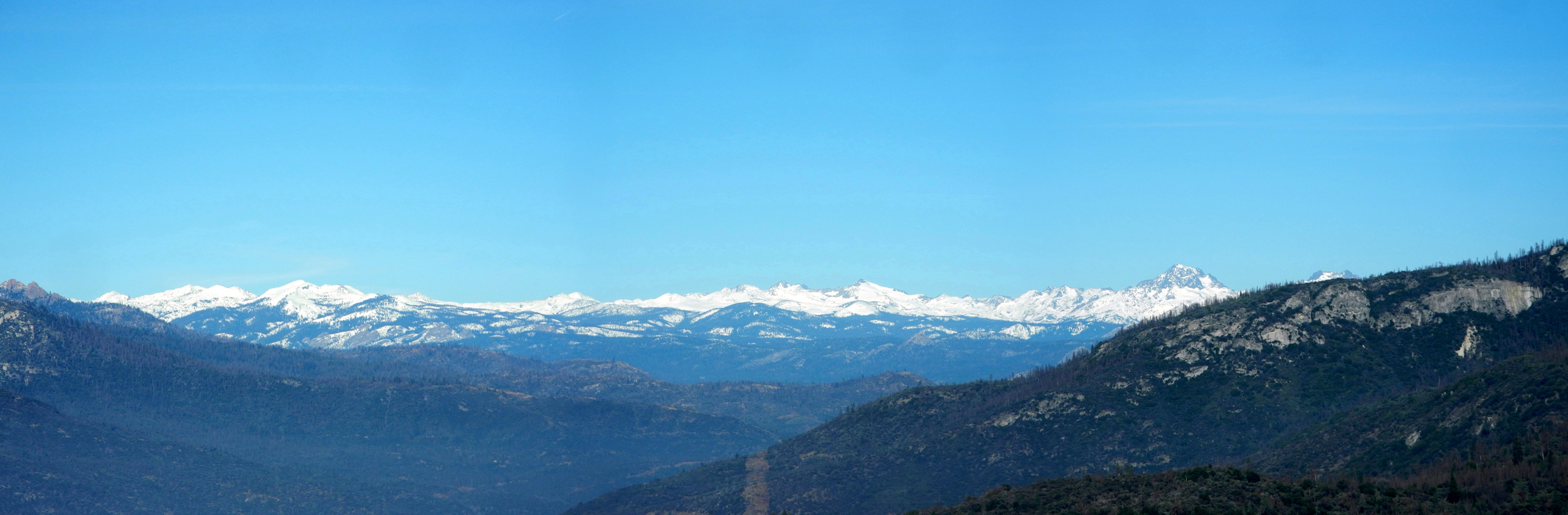
The road was fairly steep for a ways, leveled off, then went up a little higher to a hilltop, just above 4,000 feet. While the oaks dominated, at the top I saw some cedar trees, ponderosa and bull pine, manzanita, chaparral, and bay leaf. I went down the road a short distance on the far side of the hill, but it was quite steep and every step down would be a step back up, so I didn't go far. As I returned to the car, the fog was breaking up and I finally had sunshine and blue skies. I drove up the highway a short distance to the end of the 4-lane section, where there is a vista point. All summer the mountains that should be visible from here had been blocked by haze and smoke, but on this day I had a spectacular view of the snow-covered peaks in the Kings Canyon National Park back country. |
|
 |
 |
| Where the road goes down the hill beyond the landing pad | Manzanita and bay leaf |
 |
 |
| Color contrast is provided by dried stems that once held chaparral berries | The mountains of Kings Canyon National Park |
|
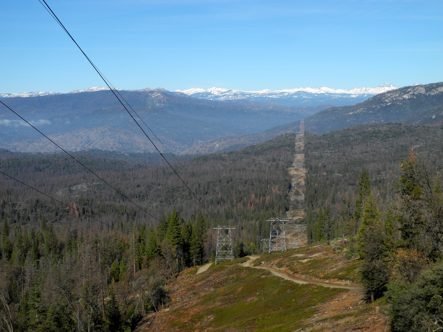
At this location Tollhouse Road, the old route of Highway 168, joins the highway. I considered going home that way for a change of scenery, then I noticed the sign for Alder Springs, which is on the upper stretch of Auberry Road. This route goes over a ridge and down to the town of Auberry, and I remembered having some good mountain views when I drove it in 2015. In less than a half mile I pulled off the road and was treated to an even more spectacular view of snow-covered peaks. Because my daughter inspects power lines for tree growth that might create a hazard, I was intrigued by the wide path that had been cut through the forest for a major transmission line that crossed the road and went over the ridge at this point. A short distance farther I had an even wider view of the high Sierra peaks. I was later able to determine that the high peak in the middle of my photo below is Banner Peak, part of the Ritter Range, in the Ansel Adams Wilderness. The mountain to the right is almost certainly Mt. Ritter. |
|
 |
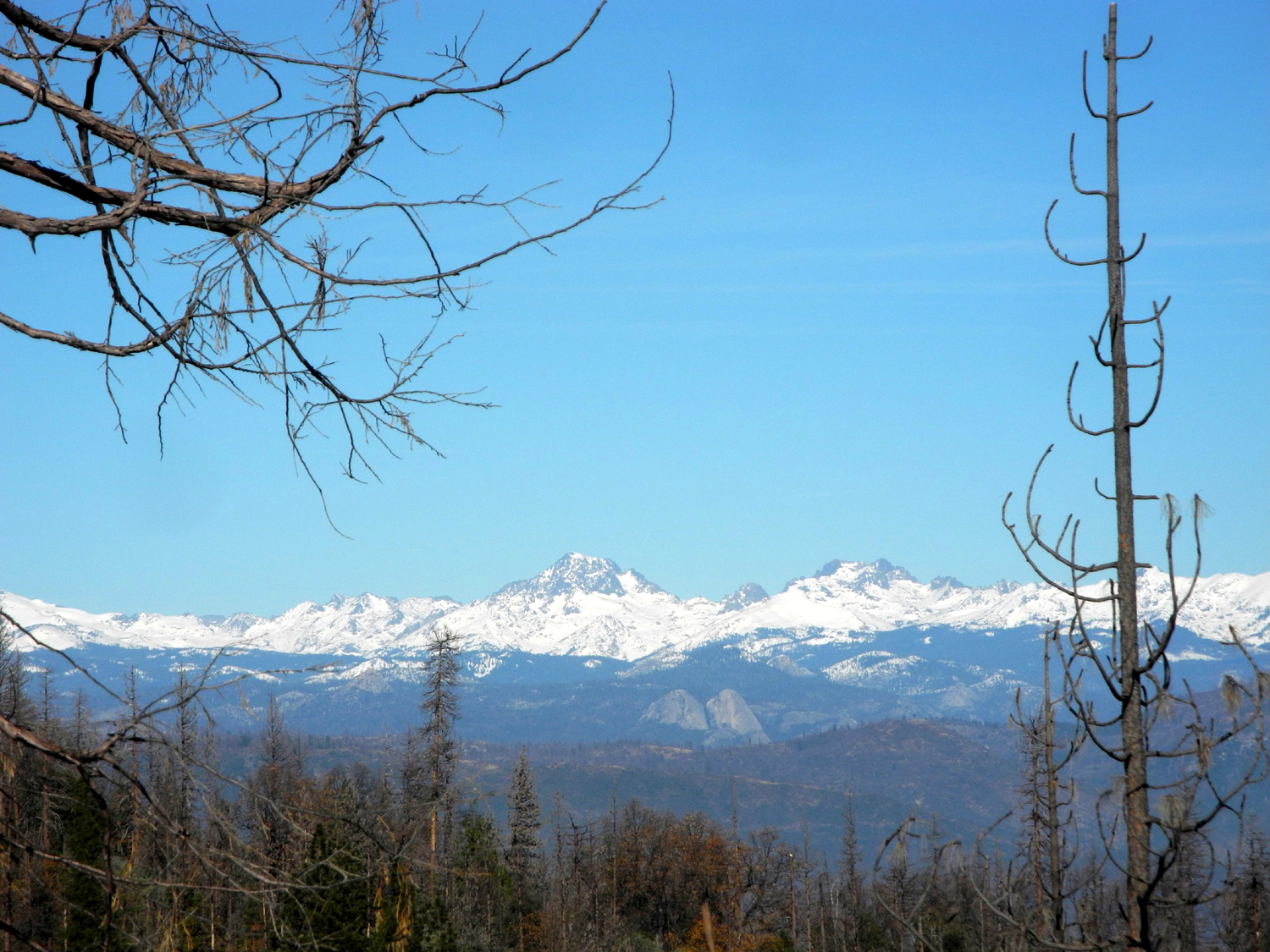 |
| A path through the forest keeps this transmission line safe | The Ritter Range - Banner Peak in the middle, then Mt. Ritter, with the Fuller Buttes in the center just below the snow line |
|
Beyond this area, the road descended continuously, taking me back under the cloud layer. From Auberry it was a familiar route out to Highway 168, through Prather, and back on Auberry Road for the journey down to the valley. --Dick Estel, December 2018 |
|
| San
Joaquin River Trail West
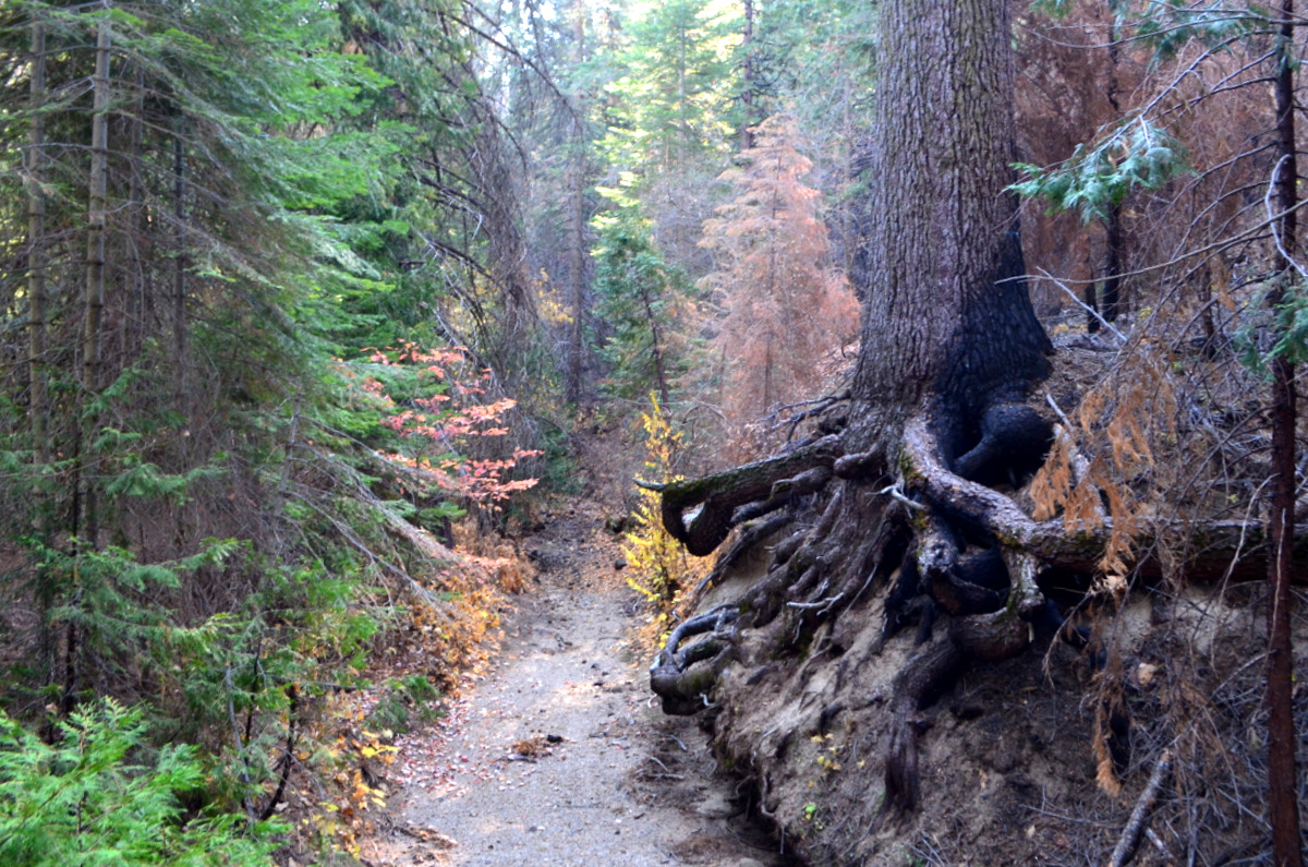
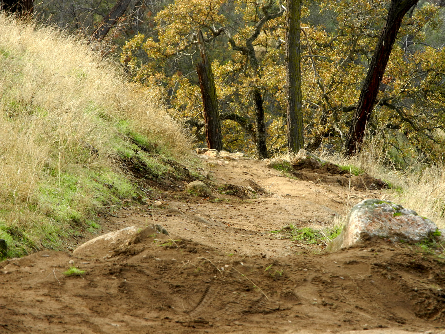
I've been hiking this trail since 2012, and you can find my previous reports here, so I won't go into details that I've already covered several times. I was feeling the need to get out on the trail somewhere, so on December 20 I slept late, had a good breakfast, and left home about 10 a.m. No need to rush on a cold winter day!. I started up the trail about 10:30, wondering if I was dressed warmly enough, but about two thirds of the way up I had to take off my outer layer, and I was comfortable with just a long-sleeve t-shirt the rest of the hike. This trail is steep and very rocky in places, and I think there are more washed out places since my first visit, although I saw that some maintenance had been done recently. This mostly consisted of filling in some of the ruts and creating little dirt dikes to channel water off the trail. |
|
 |
 |
| A rocky section of the trail | A drainage channel has been constructed to carry water off the trail |
|
We've had some rainstorms, and the new green grass is getting a good start. The blue oaks are changing color, but have most of their leaves. Millerton Lake, visible most of the way along the trail, has a fair amount of water, but obviously has room for what the winter may bring in the way of rain and melted snow. In fact, the lake was at 57% of capacity the day I was there. There were no flowers, but some colorful mushrooms appeared in a damp, shady spot. |
|
 |
 |
| The trail winds up hill constantly | Back-lit blue oak leaves make a nice holiday decoration |
 |
 |
|
The lake level appears close to the top, but the 213 million square foot surface of the lake means there's room for as much additional water is it now holds |
These delicate half-inch mushrooms offer some color contrast to the surrounding brown and green |
|
As you get near the place where the trail goes over a saddle, there is a nice view of some of the snow-covered peaks. The saddle marks the one-mile spot, and is the place where I turned back on my first visit here. Since then I have gone maybe another half mile or so father several times, as well as up on a knoll to the west of the saddle. In February of 2016 I hiked with my daughters and a friend to the top of Pincushion Peak, higher up from the knoll, but that was one of the hardest hikes I've done in recent years, and I don't plan to repeat it. On this day I went up in that direction about a hundred yards, then followed a cow trail that went down to them main trail about 500 feet beyond the saddle, adding just a little extra distance to my total hike. During my hike I saw perhaps a dozen other hikers, some heading for Pincushion, and some just enjoying the view from the hill east of the saddle. |
|
 |
 |
| Peaks of the high Sierra store snow for future irrigation use | Hikers on the ridge east of the saddle |
|
I
enjoyed a snack and a rest at the saddle, then began the descent
back to my car, and back to Clovis for a late lunch at the Colorado
Grill. --Dick Estel, December 2018 |
|
| San
Joaquin Gorge Bridge and Ridge Trails
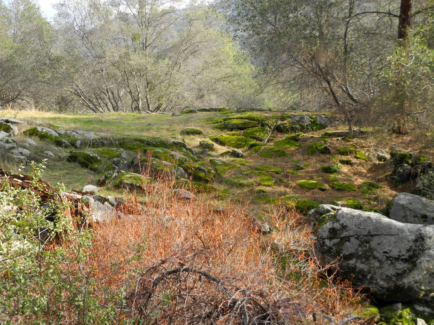
I have hiked at this location more times than I can count, so there's not much new to say. For the most part, I'll just let my photos put in their thousand words. Daughter Teri and I went to the San Joaquin Gorge on December 28, getting on the trail about 10 a.m. in 44-degree weather. It was mostly sunny with no wind, and it was very pleasant hiking, with enough exercise to warm us up nicely, especially on the mostly uphill return hike. The theme of the day was blue oaks - some nearly bare, some with most of their leaves, foliage golden brown in color, and often lit dramatically by the low winter sun. |
|
 |
 |
| I always have to photograph this 5-trunk blue oak | Fall color and the low sun combine to produce dramatic views |
 |
 |
| Twisted branches of one blue oak frame another | Squaw Leap table top, with blue oaks below; clouds and sky above |
|
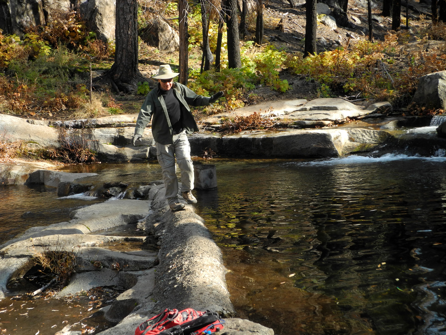
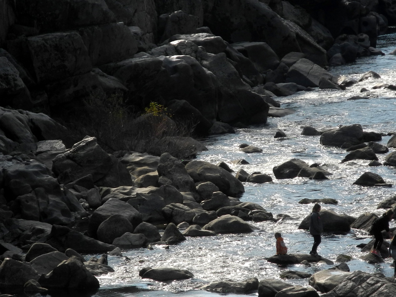
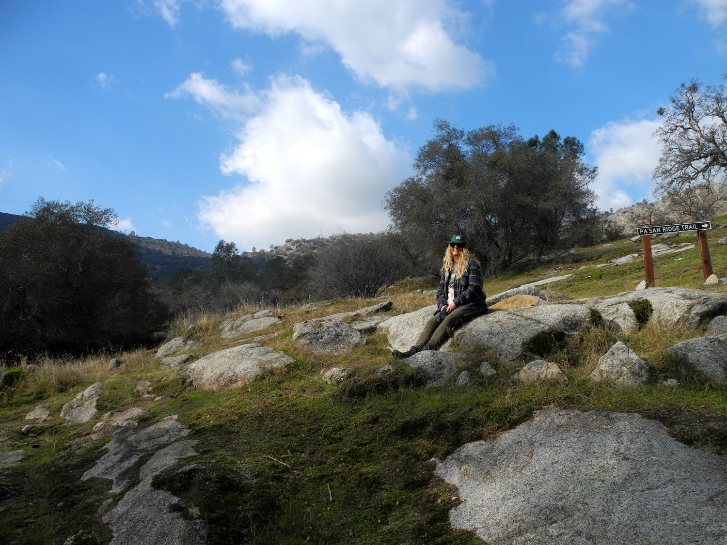
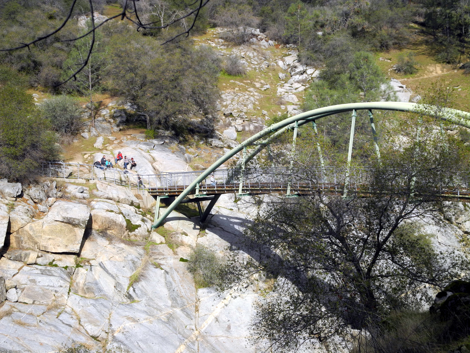
We hiked down the Bridge Trail, then up to a nearby trail junction. If you go left, the trail goes up into the hills on the north side of the river, then branches off on a route that leads to Millerton Lake. A right turn takes you onto the Ridge Trail, which winds up the side of a ridge and eventually joins the other trail. The full loop is around eight miles, and I hiked it once around 40 years ago, but now I just go a half mile or so. Teri had never been on the Ridge Trail, and she was duly impressed with the 5-trunk blue oak that is one of my favorite landmarks on this path. We continued on to where the trail winds around to cross above a steep, rocky drainage, and enjoyed our snack on a big granite rock above the trail. There were a dozen cars at the parking lot, and we met or were passed by at least 20 other hikers and bicyclists during our nearly three-mile walk. All in all, it was pretty much a perfect day for an outstanding hike. |
|
 |
 |
| Hikers take advantage of the low water flow to explore the river | Another example of nature's perfect landscaping ability |
|
--Dick Estel, December 2018 |
|


| Photos (Click to enlarge; pictures open in new window) | ||
|
Thanksgiving at Nelder Grove Nelder Basin Fish Camp Trails Hensley Outing Buckeye Helipad and Sierra Vistas San Joaquin River Trail West San Joaquin Gorge Bridge Trail |
||
| Thanksgiving at Nelder Grove | ||
|
|
|
 |
| The Notorious Upshaw Brothers version of bush whacking | A large, but far from giant, sequoia in the campground | Jack with rocks to throw in the creek |
|
|
 |
|
| Fall forest colors | Jack's first-ever taste of pumpkin pie | Doing pushups in the flume |
 |
 |
 |
| Brittany and sons at camp | Teri on the Bull Buck Trail | The 299-foot top of the Old Forester Tree |
| Nelder Basin | ||
 |
|
|
| Below the burn scar, black oaks still thrive | Burned off dogwood makes a comeback | Despite the blackened base, the top of this tree appears to be green and healthy |
 |
 |
 |
| A section of broken rock by the trail | This is actually two cedar trees | Near the top of the trail, devastation is complete |
 |
||
|
Area around Nelder Grove; Nelder Basin at top, left of center |
||
 |
||
| Erosion at the creek bank reveals part of the sequoia's extensive root system | ||
| Fish Camp Trails | ||
 |
|
|
| Big Creek above the waterfall | A layer of ice in the ditch | Cedar tree near Buffin Meadow |
 |
 |
 |
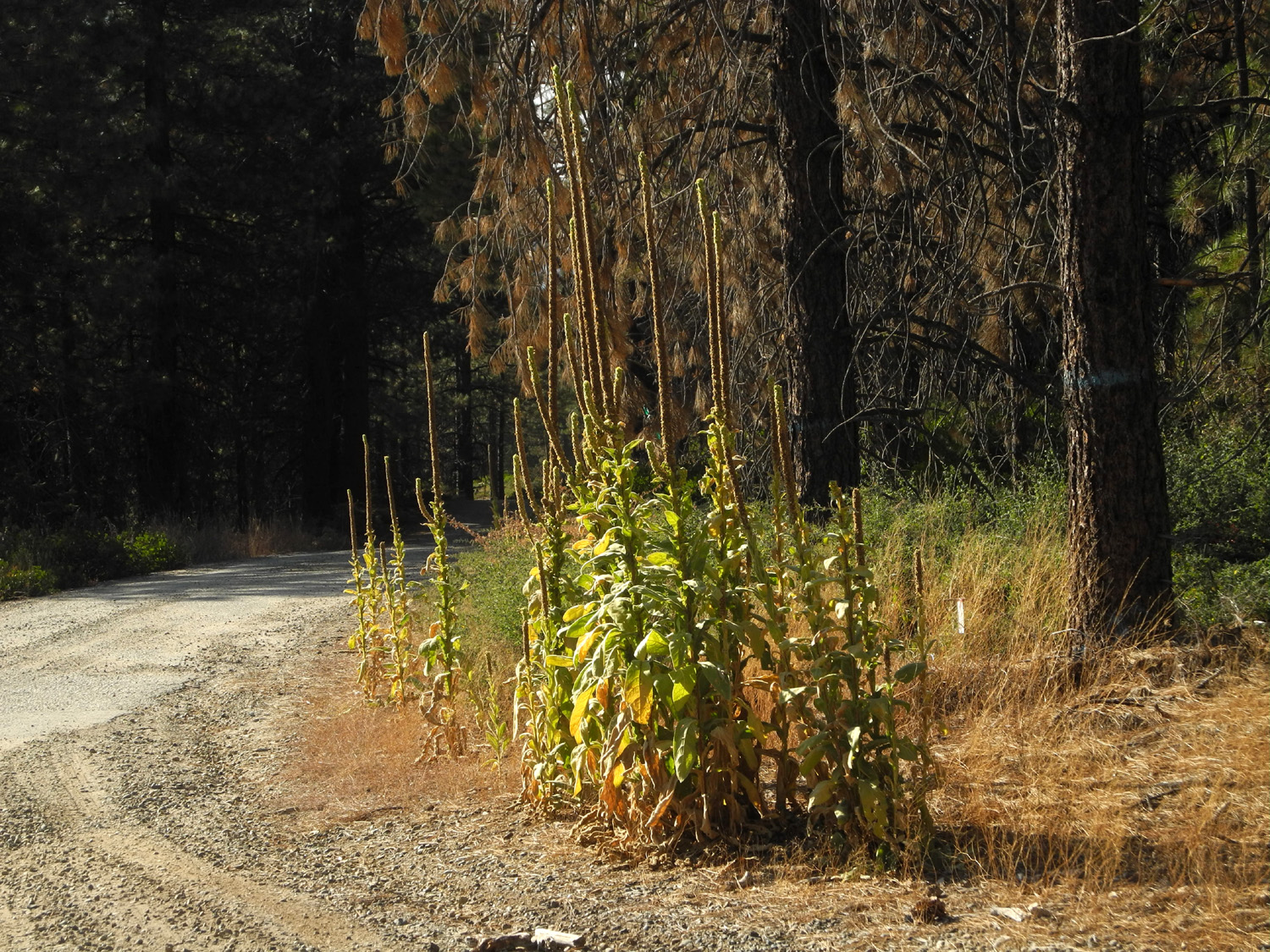
| Ancient stump, now horizontal | A stately row of mulleins | Stryper looks for a chance to pounce on Polly |
 |
||
| Sunset panorama from the Neely patio | ||
| Hensley
Outing (photos by Johnny Upshaw & Dick Estel) |
||
 |
|
 |
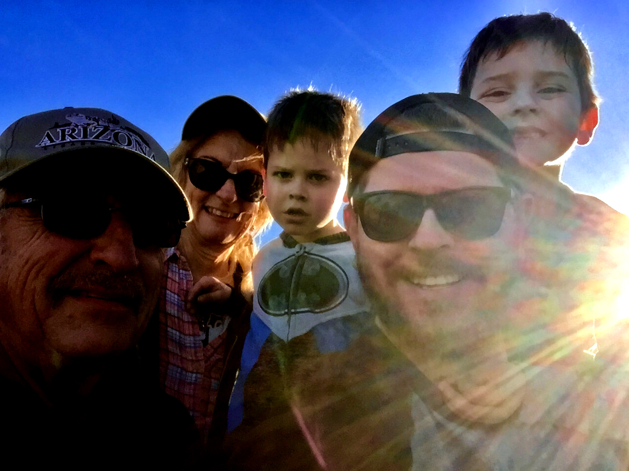
| Brands on corral wall | On a country road | Grandma Teri, great grandpa Dick and the boys |
|
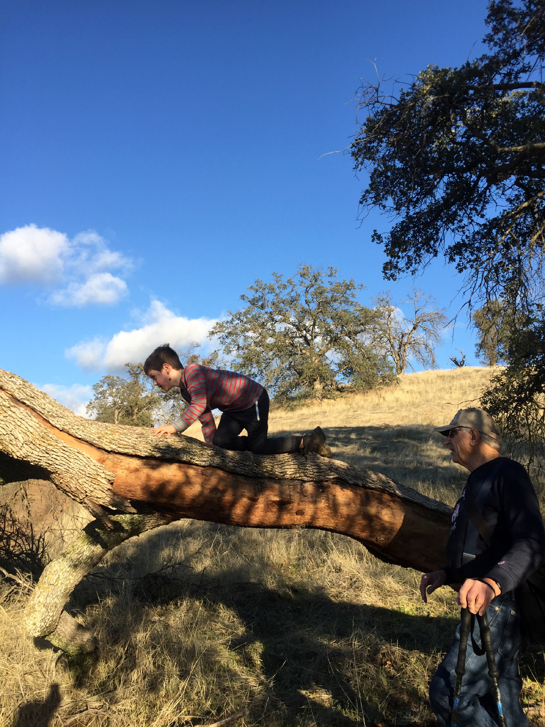 |
 |
| Jack and Colton | Climbing a horizontal tree | Four generations: Dick, Teri, Jack, Johnny, Colton |
| Buckeye Helipad, Sierra Vista Points | ||
 |
|
|
| The landing zone, for medivac and fire supression use | A few trees still had a branch covered with leaves | A big multi-trunk black oak |
 |
|
|
| When you can look at the sun, you know it's foggy | Ponderosa pine and dead cedar on a foggy slope | In the fog, droplets of water cling to this shrub |
 |
||
| The Ritter Range in the Ansel Adams Wilderness | ||
| San Joaquin River Trail West | ||
|
 |
|
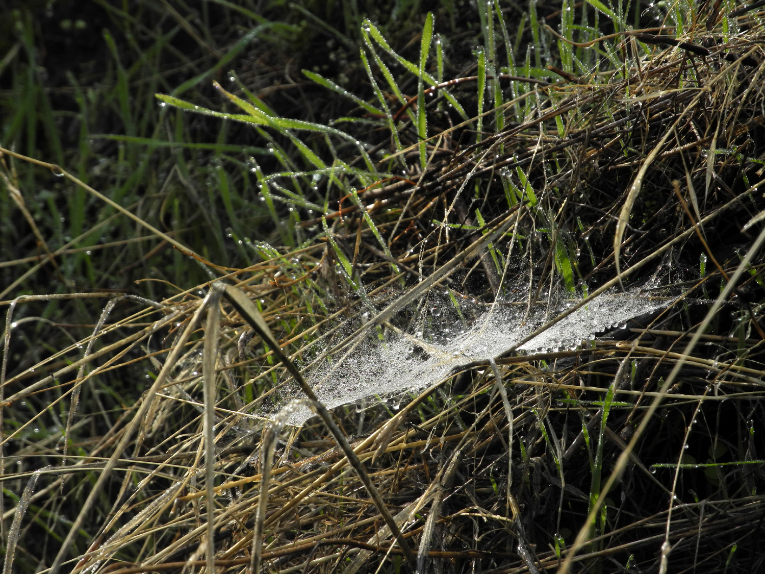
| A double-burled blue oak | Spider web sparkling with dew | Light clouds and blue sky above the pines |
| San Joaquin Gorge Bridge & Ridge Trails | ||
 |
 |
 |
| Hikers rest on the rocks on the north side of the bridge | Teri at the trail junction | The east bank of the rocky gorge |
 |
 |
 |
| The moss seemed to be a brighter green than usual | Fungus on a rotting log | Teri and Dick at the resting rock |
| Related Links | ||
| Friends of Nelder Grove | Dick's Nelder Grove Page | USFS Nelder Site |
| Redwood Photos | Nelder Grove Campground | Nelder Grove Hikes |
| Nelder Photos | Graveyard of the Giants | Graveyard of the Giants Trail |
| Fish Camp | El Cid | Oakhurst |
| Falls on Big Creek (video download) | Big Creek Reflections (video) | Hensley Lake |
| Madera County | Highway 145 | Oak Savannah |
| Ansel Adams Wilderness | Ritter Range | Colorado Grill |
| Millerton Lake | San Joaquin River Trail | Hiking the Trail |
| Other San Joaquin Trail Hikes | Pincushion Peak | Dick's Photo Albums |
| San Joaquin Gorge Recreation Area | San Joaquin River | San Joaquin Gorge Slide Show |