|
June
1, 2002: About a year or so ago, my parents told me they
were going to go to Ohio in the summer of 2002, and spend a few
months in the area where they grew up, visiting family and friends.
Since I would be retired by that time, I decided to go back there
also, and spend some time with them visiting relatives. I would then
go up through
Michigan and across the northern part of the
U.S., taking my time and seeing the sights. Although they were going to
stay in motels, I planned to take my travel trailer, and stop in
campgrounds across the country.
My planned departure time
was 8 a.m.
on May 29. However, the night before, I discovered a flat tire on
the truck, so I had to take the tire to a shop, have it repaired,
come back home and replace it, and I did not leave
Fresno till 10:30. I didn’t have much breakfast, so I was hungry by11:30
and stopped south of
Merced to have some crackers, coke and vegetables. Then I was sleepy so I
stopped around
Modesto and napped a bit. It seemed to take forever to get past
Sacramento. It was hot, about 98 degrees, and the sun was burning my left arm
despite the A/C. I was looking forward to turning east on Interstate
80 so the sun
would be at my back, but no! The road out of
Sacramento goes north and northeast, so I still had the sun on my left side
(remember that 99 runs northwest). In
Nevada a lot of the trip till I got to Winnemucca (2nd day) was
as much north as anything; and the rest northeast.
I
saw lots of trains going up Highway 99, over
the Sierra, and everywhere I’ve been so far. In the valley, I saw
a tractor pulling a railroad car, just like old times with horses pulling
barges on the canal, moving along side the track. It looked like it
was having a tough time.
Going over the Sierra was a beautiful drive;
there's a fair amount of snow left on the higher mountains and a few dirty
patches along the road near Donner Summit. Coming down to
Nevada was nice, along the
Truckee River, which runs east out past
Reno quite a ways. One surprising sight was a man riding a bicycle on the
freeway. I assume it’s not legal, since I never saw anyone else;
just one guy deciding to play “ground squirrel.”
The land turned to treeless desert just past
Reno, then I saw a scenic view sign. It turned out to be a view of the
first trees east of
Reno, but it was a nice scene, with grass, trees and a farm along the
river.
I drove till a little after 8, and stopped in
Lovelock NV, a small dying town with few lights and a good view of the stars.
Weather was still very warm (80 most of the day across
Nevada).
I got started early the next morning
(May 31),
leaving about 7. After the first two or three hours, I figured out
that my average speed is about 45 miles per hour, and getting to my
original destination of Green River WY today was unrealistic (even
if I’d got started as I wanted to Thursday). I drive 60 mph most
of the time, slowing down to 55 when the road is rough, or in a
strong wind or heavy rain. I stop to eat lunch, use the restroom,
and take a nap as needed (I’m retired and I don’t hurry!)
I decided to aim
for West Wendover, just inside of
Nevada at the
Utah line, so I could get there in time to set up and watch game 7 of the
National Hockey League conference finals between the Red Wings and
Avalanche (that was hardly worth the effort; it was a blowout
by the Wings). It was another
hot day, but this time I remembered to use the air conditioner in
the trailer. I normally camp with no power, or just a generator or 15
amp service, so I am not used to using the A/C (every place I’ve
been on this trip has 30 amp service).
Much of
Nevada is sage brush and desert-like, but there are nice snowy mountains in
several places, not least of which is near Wells, where we camped on
our trip to
Ohio in 1973.
Getting back on the freeway after a gas stop in
mid-Nevada I noticed a bunch of large bugs of some kind on the
on-ramp. They were also on the freeway and along the sides, and very
thick on some off ramps. I pulled over and opened the door to see
what they were, and closed it quickly. They were very large, fat
brown grasshoppers!
(June
2023 update: Based on our experience in Dinosaur National
Monument in
2023, I now believe these were Mormon
crickets.)
West
Wendover is a town of interesting contrasts – casinos with flashing lights,
and roosters crowing next door to the RV park. Coming down the hill
toward town it looks like there is a visible line at the
Utah border, with salt flats beginning right at the line. The view also
includes snow-topped mountains.
Utah Photos
My travel distance for the third day was just
under 200 miles, since I was stopping to see Carolyn and Jerry
Amicone in
Green River WY. Carolyn was a clerk in the Intake
section of the welfare department when I first worked there as an
eligibility worker. Later when I was a supervisor, she was my lead
worker for a while. She met Jerry while traveling, and
they were married in 1999. She retired to move to Green River
in that year.
They were at church when I got there, so I did
a few things in the trailer, then set up my lawn chair on the lawn
and had a drink and read the Hockey News. After about a half hour a big wind came up and the sky got dark,
so I moved into the trailer. We had about five minutes of hard rain
and wind.
The next day
I went with them to the Flaming Gorge dam and reservoir, down
the river from where they live. It is over the border in
northwestern Utah. Although Wyoming along Interstate 80 was much like Nevada (rolling
country with sagebrush), just over the first ridge to the south
there are tree-covered mountains, beautiful gorges with sandstone
strata, and lots of nice views, camping spots, and places to see
wildlife. We saw a number of pronghorn antelope (mostly in the sage
brush area, which is their natural range), but no other animals.
On Monday morning I decided to stay another
day, so while Jerry went to work Carolyn and I hiked up a dirt
road/trail area above town where she likes to hike. We saw a
cottontail rabbit, four deer, one antelope and a chipmunk, and had a
good hike. You get a good view of the town, which is along and above
the river below cliffs and buttes.
That evening we went out to dinner at Don
Pablo’s, a Mexican restaurant near their home.
It is amazingly
dry in
Nevada and
Wyoming. Carolyn and Jerry mentioned that they have dry skin problems and
have to use a good quality lotion. I noticed it when I used my
kitchen sponge, and found that it was dry and hard barely an hour
later.
I got started
about 8:30
Tuesday morning (June 5), planning to go to Potter,
Nebraska, which was just about exactly my standard 8-hour distance of 360
miles. As I got closer, I decided to keep going a little farther to
Sidney, where the RV park has cable. This time watching hockey was
rewarding, as
Carolina upset
Detroit in overtime to take a one-nothing lead in the Stanley Cup finals.
Driving across
Wyoming I saw quite a few antelope, in groups of two to eight. The first
half of the drive was through the usual sagebrush country that
I’ve grown used to, then just past Rawlings it turned to extensive
green fields, with rolling hills and small mountains, plus a few
snowy mountains in the distance.
The interesting things I’ve seen on
Interstate 80 through Nevada, Utah, and Wyoming include signs saying
“I-80 closed when light is flashing; return to Cheyenne” (or
whatever the previous town is). Just past the signs were gates that could
be closed when the snow blows across the plains and creates a
blinding storm.
Approaching
Cheyenne, I got into a rainstorm, with some heavy downpour part of the time
(requiring full speed windshield wipers), plus one flash of
lightning followed very closely by thunder.
I got out of the rain, but it stayed partly
cloudy the rest of the way, and I got into very heavy rain for a few
miles just before Potter. It looked like I was just staying ahead of
the storm, and it sprinkled a little while I was setting up and
rained pretty good for about a half hour, then stopped. The country
in the east of
Wyoming and western
Nebraska is dry grassland. This is a very nice campground (Cabela’s) which
includes a huge store featuring outdoor sporting goods (hunting and
fishing, clothing, etc.) I did not have time to look at the store
because I wanted to get set up before the game (and the rain), but
will probably check it out tomorrow morning.
June 5, 2002
: Had a cool night, about 49 degrees during the night, but it was
mostly clear and warming up fast in the morning. I emptied the
holding tanks for the first time on this trip, then went to get gas while still
unhitched. I also stopped at the store (hunting, fishing and outdoor
per the sign). They have a huge selection, including clothing, and
the most dead animals I have ever seen in one place. They are nicely
mounted, and some are set up in dioramas, including one that reaches
to the ceiling with mountain sheep perched on the side of a
mountain. Got a good close-up look at pronghorn antelopes. There
must be 100 or more mounted heads, and easily 50 complete stuffed
animals, including an elephant.
The RV park is probably the nicest I have seen
outside a resort area, with crushed red rock roads and parking
areas, and grass in between. Each site has cable, water, sewer and
electric, plus a picnic table and barbecue, all included in the
basic price. The company has several other stores and parks around
the country.
I got away without buying anything at the
store, though I was tempted, and got on the road about 9:20. Around milepost 100 I crossed
the South Platte River
and followed its valley for a long ways (it is near the Interstate
most of the rest of the way through
Nebraska). From that point on the scenery was green with lots of farming and
livestock. At first it included rolling hills with an occasional
bluff, then it became mostly flat.
I stopped for lunch at a McDonalds, having not
had my weekly allotment of grease. I made one early stop where I
napped in the truck for a few minutes, and a number of rest stops.
There was a long slowdown about 25 miles west
of
Lincoln, at least two miles of one-lane with traffic from 5 to 30 mph, then
about 200 yards of actual roadwork. I arrived at
Lincoln a little after 7 and am in a very nice park that is too close to the
freeway. I had hoped to get farther, but I did not want to drive any
more.
June 6, 2002
: This was my longest day in terms of distance, but I stopped
earlier than some other days, around 6 p.m.
I’m at a very nice campground in
Geneseo
IL, several miles off the freeway. Before entering
Illinois I stopped at the
Iowa Welcome Center in
Davenport for a view of the Mississippi River.
I got started from
Lincoln just after 9, crossing the Missouri River
between
Omaha and
Council Bluffs, Iowa. You don’t get a good look at rivers of any kind zipping across
on high bridges at 60 MPH. I had remembered
Iowa as being pretty flat, but in fact it was continuously rolling
country, with lots of creeks and rivers where you drop down, then
climb back up.
This, plus driving a little faster, contributed
to a lower gas mileage. I am keeping track of mileage for each tank
plus overall:
|
Location
|
Date
|
MPG
|
Overall
MPG
|
|
Donner
|
5/30/02
|
10.95
|
10.95
|
|
Nevada
|
5/31/02
|
11.46
|
11.21
|
|
Wendover
NV
|
6/1/02
|
11.59
|
11.32
|
|
Evanston WY
|
6/1/02
|
11.65
|
11.39
|
|
Rawlings WY
|
6/4/02
|
10.99
|
11.31
|
|
Sidney
NE
|
6/5/02
|
12.47
|
11.51
|
|
Lexington
NE
|
6/5/02
|
12.75
|
11.64
|
|
Minden
IA
|
6/6/02
|
11.99
|
11.69
|
|
Coralville
IA
|
6/6/02
|
9.90
|
11.47
|
The miles going to Donner of course included a
climb of nearly 7000 feet.
Nevada and
Wyoming had lots of hills;
Nebraska was flatter.
Much of the route through
Iowa was marked by farmland, mostly corn. On the slopes where it’s a
little too steep to plow there are lots of trees, mostly broadleaf.
I saw a row of wind turbines in
Wyoming, and also saw two in
Nebraska and one in
Iowa, but I think they were part of a restaurant/motel complex and maybe
just for show or testing.
I
got stopped by the Highway Patrol as soon as I
entered
Illinois. I drove 55 to 60 until yesterday, when I decided to try 65 when
the road was smooth (the speed limit was 65 to 75 with no lower
limit stated for trucks or trailers). Despite the excellent road
across the
Mississippi into Illinois, the speed limit here for trailers is 55, something to
remember tomorrow. I got a warning only, no ticket.
I expect to arrive at my eastern destination,
the KOA campground in Swanton
Ohio, tomorrow evening, and will get together with Dad and
Mother, who
are staying in
Holland, OH, on Saturday.
There's
no cable TV here so I will have to call my
daughter or buy USA Today to see how tonight’s hockey game turns
out. After today the rest of the series is on network TV, so I may
be able to use the antenna.
June 7, 2002
: Got a little earlier start, about 8:25, and continued across
Illinois. It’s flatter than
Iowa, but still has a lot of dips and rises through creek and river
valleys. There is lots of corn, just about two or three inches tall. The
Interstate bypasses
Chicago, but there is a tollbooth about 8 miles before the
Indiana border which took half an hour to get through. Toll collection is
part of it, but the traffic spreads out to six lanes or so, then has
to go back to two. There is a major division in the road, so people
who paid on the right side are trying to get over to the left
division and vice versa. A slow construction project immediately
after the division did not help.
After that it was smooth traveling except for a
few very short slowdowns for construction all across
Indiana. A lot of the countryside bordering the Interstate is hilly and
covered with trees, but there are some open, flat areas with
farmland also. It cost 60 cents to travel the last few miles in
Illinois, and $4.60 to cross
Indiana.
When I entered
Ohio I left the Interstate before the first
Ohio tollbooth and went down two-lane state highways to Swanton, then
south a few miles to the KOA. My space has no sewer connection, so I
will have to move; and I may try to find another campground. This
one is nice but there is no modem connection, and KOAs are all
overpriced. Every other camp I’ve stayed in was cheaper and nicer
than the KOAs, or offered more services.
Since it was after 7 when I got in,
Dad and Mother and I decided to wait till tomorrow to get together. The
place they are staying is 20 miles away or so, in Holland OH.
June 8, 2002
: Dad and Mother came over around 10, and we went to look at another
campground about three miles away, near Whitehouse. It seemed nice,
lots of shade and they had monthly and weekly rates, so I signed up
for the month and moved over there.
About 90% of the people here
at the campground are
locals, here
for the summer. Nearly all of them are from the
Toledo area and spend their weekends here. Most are young and still
working. Saturday was busy and noisy and smoky, with people coming
and going all day, dozens of kids of all ages, and lots of
campfires, even in the daytime. There was a luau and pig roast, with
a DJ playing loud music till 11 p.m., but it got quiet immediately after that.
(Weekdays proved to be quiet and peaceful.)
I
watched the hockey game with very fuzzy reception, but since I had
to get up early, I went to bed after the first overtime. The games
start at 8 p.m.
eastern time, so it was nearly 11 when the first OT got under way. I
got up to go to the bathroom and turned on the TV just as the 2nd OT
ended; then got up again in time to turn it on and see the winning
goal. If
San Jose or LA were in the finals, their home games at 7 would start at10 p.m.
here, so it would be hard to watch even the regular games!
June 9, 2002
: I got up at 6:30
so I could make it to the Vaughan Breakfast at 8. The Vaughan
siblings (Dad’s
cousins on his mother’s side) and whoever else is around and wants
to come gather for breakfast at 8 a.m.
every Sunday, and no excuses for being late are accepted. We had a
nice gathering with Ralph and Doris Jean Vaughan,
Aletha Schmidt, Dad and Mother and I.
I spent most of the day at
Dad and Mother’s
motel, and went out for dinner at a Mexican restaurant. It was good,
although they need some help with their salsa recipe.
After I got back to the park, I got acquainted
with several of my neighbors. Everyone is very friendly; it’s like
being at the bluegrass festival with less organized activity and no
picking in the camp area.
June 12, 2002
: For the next month or so, this report will probably slow
down, get boring, and seem repetitious. On Monday, June 10, I went
over to Dad and Mother’s about noon. Dad and I went to get their car washed, and
Mother fixed dinner at
the motel. We watched the hockey game (at least I watched and Dad
sort of watched).
The next day I went to the nearby town of
Whitehouse to do laundry, and Dad and Mother came over in the afternoon. I
fixed dinner. After they left I read, watched TV, and got acquainted
with some neighbors across the way who have a little artificial pond
with one tiny turtle, two big frogs, and a bunch of little frogs.
They are all captured from the surrounding area, and the big frogs
at least could leave if they wanted, but seem happy and well fed
there; they have been in the pond about six weeks. There are plenty
of bugs in this country for them to eat.
June 13, 2002
: Yesterday we toured cemeteries, looking for ancestors. We
went
to three different cemeteries, places where Mother and Dad have been
before, and knew who was buried where. Only one of them has
disappeared, moved or else we couldn’t find it. At
Kline Cemetery we saw the headstone of John Lumby Clifton and wife Elizabeth
Burnham, the first of the Cliftons to come to
America. At
Ayers Cemetery we saw the headstone of Carl (aka Karl and Charles) Gashe, the first
in the Gashe line, as well as his son George and spouse Catherine
Honeburger. George Gasche and John L. Clifton are the grandfathers
of my father’s mother, Mabel Clifton Estel. (Click
here for more genealogy connections.)
Aletha Vaughan Schmidt went with us. She is a
daughter of Grandma Mabel’s sister, Marjorie.
Today
is Dad’s birthday (88). We are going out to dinner, along with
some of his cousins, Alfreda, Jeanette, and Spike, all children of
Grandpa Frank Estel’s brother, John.
June 14, 2002
: I washed the truck yesterday at a do-it-yourself place (they won’t
allow washing at the RV park). It came out OK, but not great, since
I was working under the (water) gun to try and get it done before
time ran out.
Had a
good time at dinner. We went to a place that gives the birthday
person a cake, plus a % off his dinner based on age – pretty good
deal for an 88-year old.
This morning I went to Oak Openings, a large regional park where
they have preserved the original woods environment that once covered
all this area. It is predominantly
oak forest, although there are maples, ash, and many other species of trees
and bushes. There are also several areas of pine and other
evergreens that are not native to the area. I went on a short loop
trail that goes through deep woods, fields of ferns, and into an
open area of small sand dunes. The entire park is about 3,600 acres,
and has a 17-mile hiking trail that winds around the outer edge of
the park. There are separate trails for horses and bikes, so it is
very pleasant walking. There are also a number of other short loop
trails, about one to three miles long.
Later
today we went to a graduation reception for Zack Kemp, one of Bill
Vaughan
’s grandsons.
Temperatures:
I have always been interested in weather, and make a note of
temperatures at various times and locations (skip this if your
interest in weather is limited to “do I need an umbrella
today?”)
Central valley
(California) May 30, about 98 degrees.
June 4, rain west of
Cheyenne, sometimes hard. Temperature 58 most of day, but down to 51 at the
summit east of Laramie; up to 54 at the bottom of the hill; then 49
on entering rainy area; 62 in eastern Wyoming; 53 in the rain in
western Nebraska (very hard rain west of Potter; light rain after
setting up camp at Sidney NE).
Sidney
NE (western edge of the state): June 4, 9 p.m.
51 degrees; June 5, 1:30 a.m.
47 degrees
June
9, Twin
Acres Camp near Whitehouse OH, 85 degrees
at 4 p.m.
June
14, 11:15 a.m.
69 degrees.
June
15,
2 a.m.
65 degrees; 6:30 a.m.
65 inside trailer; 3 p.m.
72 degrees outside.
June
16, 7 a.m.
56 degrees; 11 a.m.
68 degrees.
Time zone changes: An interesting aspect
of travel is the time zone changes. When you drive, you have a
chance to get accustomed to the change. The second night I camped in
eastern
Nevada within a few feet of
Utah, where Mountain Time begins. In the morning I switched my watch,
truck clock and my mind to Mountain, and did not notice the change.
I spent three nights in
Wyoming, and the first day back on the road, I was still in MDT in western
Nebraska.
When I crossed into Central Time in the middle
of
Nebraska, it was suddenly an hour later, and it did not seem that I had made
much progress for the day. Getting used to the changes has been no problem, but
there is a psychological effect when it’s suddenly an hour later.
I entered Eastern time at the Indiana/Ohio
border, barely an hour before my trip ended, so that adjustment was
no problem. The worst part has been the hockey games starting at 8 p.m.
instead of 5. This was only a problem in the game that went into
three overtimes…it was around 11:30
when the first OT period ended, and I could not stay awake.
June 16, 2002
: Yesterday we had another high school graduation reception, for
Ralph and Doris Jean Vaughan
’s granddaughter Lindsey. She plays softball and has a scholarship
at a college in Adrian MI. I believe her high school team won a
state championship. I told her if they are not nice to her in
Michigan, we have a good program at
Fresno State.
We had the
Vaughan breakfast this morning. We went to Charlie’s Restaurant, not far
from here, because the regular place (Valleywood Country Club) did
not have their normal menu for today. We had a bigger group than last
week - Ralph and Doris Jean Vaughan, Aletha Schmidt,
Bill
Vaughan, Chet and Dorothy Sedowski (not related),
Dad and Mother and I.
Today we went to the Brown family reunion. One
of Mother’s dad’s sisters, Winona Mason, married Lloyd Brown,
and they had thirteen children (of which 12 grew to adulthood), so
it has grown to be a fairly large family. There were probably 50 to
60 people there, of which I had previously met only four or five.
There was a lot of food and I enjoyed talking to various relatives of
different degrees. Nine of the twelve Brown children are still
living, ranging in age from 66 to 91, and all were at the reunion.
The Commodore Connection:
June 17, 2002
: For a number of years I have been in charge of exchange
newsletters for a computer club, the Fresno Commodore User
Group. We
had received a newsletter from the
Toledo, OH, group off and on, but that group had seemingly disappeared. Then one day I
got a copy of their newsletter, with a message from the new editor, Rob Snyder. He
mentioned that the club was using his mailing address, in Metamora
OH. This got my attention, since this is where my mother grew up.
(Metamora is a tiny town about 30 miles west of
Toledo.)
Eventually Rob began sending the newsletter by
Email, and by return Email, I started asking him about his
background, to see if my mother knew his family. Questions like
“what was your mother’s maiden name, and your wife’s
mother’s maiden name,” eventually elicited the response that his
wife Annette Snyder was descended from the Smiths of Raab’s
Corners. I asked Mother if she knew this family, and she said that
we are distantly related.
Additional inquiries revealed that my mother
and Annette are both descended from Gardner B. Mason (1829 to 1897).
Gardner’s first wife died shortly after giving birth to their only child.
This child grew up, married Sylvester Smith, and started a long and
widespread family of descendents, of which Annette is one.
Gardner
remarried, and had several more children, one of whom is my great
grandfather. My genealogy program says that Annette and I are half
3rd cousin once removed.
Today we visited
Rob and Annette, and their
three children. They proved to be the kind of people you are glad to
discover are related to you; nice and friendly and helpful in
filling in blanks in the genealogical record. The kids are cute,
smart and polite. We had dinner there, watched Helena (age 7) and
Jacob (age 3) set up their model zoo, and enjoyed seeing 1 year old
Catherine try to take a few steps.
Rob’s
Commodore set-up includes a C128-D, two
1581’s, two 1571’s, hard drive, CD-ROM player, and a C64 that
can be switched in. He also has an Amiga and an SX64. Annette has an
Apple laptop to round out the collection.
June 20, 2002
: On June 18 we visited more relatives, Marion and Evelyn
Lehman. She is the daughter of my maternal grandmother’s brother,
John Clifton. We had dinner there, and enjoyed the view of fields and
woods from their house. One of their daughters, Janet, and her
husband stopped by while we were there. I added some more names of
Marion’s ancestors to my genealogy.
Yesterday I went for another hike in Oak Openings. Most of this was
through evergreen forest, which is non-native. In one area they have thinned the trees, and
it was sunny and warm, but most of the walk was through deep shady
woods.
Then I went to
Keene Cemetery and took pictures of the headstones of George
and Laura
(Blake) Richardson (parents of my mother’s maternal grandmother,
Tillie Watkins); and Richard and Camilla (Eddy) Blake, Laura’s grandparents.
I
also washed my truck again. So far there's been no rain,
just the usual layer of dust that seems to be universal.
Dad and
Mother came over in the late afternoon
and I fixed dinner for us.
Today we had dinner at the home of Don and
Margaret (Biehl) Porter. Margaret was Mother’s childhood playmate.
They lived within half a mile of each other south of Metamora.
Margaret still lives in the same house, originally occupied by her
grandparents.
June 21, 2002
: Today was a quiet day; I went to Dad and Mother’s motel and did laundry;
then we went out to dinner. There is a very good Mexican restaurant
across the highway from where they stay. The cooking is a little
different from what we’re used to in
California, but still quite acceptable.
Rest Stops: A cross-country trip gives
the opportunity to study rest stops. Most states have nicer ones
than
California, and they are much more frequent in most states. Most of them have
separate rest stops on each side of the freeway, but there are other
approaches also. Some rest stops are one-side – you exit, and
cross over or under the freeway to the other side (assuming you’re
not already on that side).
In addition to standard rest stops,
Wyoming has what they call “parking areas,” which are like rest stops
with no facilities, except maybe a trash can. These seem to be used
mostly by trucks, but they make perfectly good rest stops for those
of us who tow our bathroom behind us.
In
Iowa, a number of rest stops were closed, so you had to take that into
consideration when the sign said “rest stop one mile; next stop 42
miles.” It might turn out to be 84 miles! In one place (don’t
remember which state) the sign said “primitive rest area,” which
meant porta-potties. The really good rest stops have information
about the area, maps (both posted on a bulletin board and available
for the public), and clean flush toilets. More of them meet these
criteria than not.
June 24, 2002
: Yesterday we went to see my cousin Nancy and her husband, Harry Teets
at Devil’s Lake
in
Michigan, about 50 miles away. They have a very nice house with direct access to
the lake. We had dinner there, then went out on their boat for a
tour around the lake. It is surrounded by very nice homes, probably
in the neighborhood of 700 houses or so right on the lake, plus a
second row behind some of them. They get a nice breeze on their side
of the lake, but on the other side, trees block the wind, so we had
to go faster to create our own wind. It was about 90 degrees, but
nice on the lake, and air-conditioned in the house. The lake is
relatively shallow; there are a couple of sandbars where people
anchor and play in the water; it’s shallow enough for kids to
stand up and have their heads above water. The average depth is 15
feet, and the deepest point about 65 feet.
Today we went to the
Fulton County History
Museum.
It has several rooms set up with old artifacts, such as a
Victorian era parlor. They also have the county genealogical society
records there, including a map showing all the land ownership in
1890-1910. Dad’s grandfather, John F. Estel is listed, as is Frank
Merrill, Roy’s father. Dad was looking at old tax records,
which also has information on the Estel farm.
After that we stopped by
Dad’s cousin, John
(Spike) and Marilyn Estel’s. I got their genealogical records up to
date. John’s father is my grandfather Frank Estel’s brother.
June 26, 2002
: Yesterday we went to visit my mother’s only two cousins
on her father’s side that we had not yet seen (we have not yet
seen any of the cousins on her mother’s side; most are scattered
across the country, although a few live in this area). These we
visited were
Donelda and Nina, two sisters whose mother was my grandfather George
Mason’s sister. They, the nine Browns, and my mother and Aunt June
are the only ones still living of more than 50 grandchildren of
Charles and Emily (Bell) Mason. My mother had not seen these two cousins since before she
got married in 1938, so there was a lot of catching up to do.
Then we went to Berkey Cemetery, and
photographed the headstones of my great, great, grandfather Gardner
B. Mason, his wife Sarah Potter, his first wife, Harriet van Orman,
his parents, Ira Mason and Saphrona Baker, and Sarah’s mother
Abigail Lewis. Actually there is no headstone for Sarah but we
believe she is buried next to
Gardner.
We had dinner at a
Bob Evans, a very nice chain
restaurant.
It had started raining when we were visiting
the cousins, and kept it up off and on through dinner. About the
time I left Dad and Mother’s motel to come home, it started
raining hard and kept it up for about two hours, so overall we got
the best rain since I have been here, one that was badly needed for
the corn and soybeans.
Today I went for my third, longest, and
probably last walk in the woods at Oak Openings. I covered a
little over three miles, on a trail that has lots of information on
the various kinds of trees; informational signs have been placed by
the local Boy Scouts.
June 29, 2002
: After my hike Wednesday I did some chores around camp -
checking wheel lug torque, opening and checking out a ramp I bought
to load the generator, housecleaning, etc.
Thursday was a lazy day;
I went over to the motel
and just stayed around there reading and talking; and went out for
dinner at a nice restaurant.
Friday we went to
Waterville and Grand Rapids OH. These are towns opposite each other on
the Maumee River, where early settlers in this area first came. The
Erie & Ohio Canal, which went from
Toledo to
Cincinnati then into
Indiana, runs along the river part of the way. One of the
metroparks by the
river has an old canal boat, a working lock, and other historical
items. There is a low dam across the river, about six feet high, but
probably 300 feet or more across. There is no spillway; the water
flows over the dam all the way across. Large birds stand in the
water just below the dam waiting patiently for a fish to be washed
over.
We had dinner at a restaurant in
Waterville, then came back to my trailer. I had made salsa, and introduced the local
residents to
California recipe salsa, although it was not really anything new; salsa is now
the most popular condiment in
America This is partly, as Jerry Seinfeld says, because we love to say
“Salsa!”
Today was laundry day, after which we went to a
few stores without finding what I was looking for. Mother fixed
dinner at the motel. I came home early to try and rest up for the
Vaughan Breakfast (
8 a.m.
sharp), which will be followed by a 50 mile drive into
Michigan.
The Merrill/Estel
Connection: When my grandfather was young (8 or 10), his father
had a farm north of Ai (it’s not on the map, but it’s a little
bit north of Swanton). Across the road was the Frank Merrill farm,
and grandpa’s best friend was their son, Roy Merrill. This
friendship continued into their adulthood, even though Roy, his
wife, and their two young sons moved to
Florida, then to
California, in the mid 1920’s.
When my father,
then age 21, and his parents
first came to
Californiain 1935, they stayed with my grandfather’s cousins in
Pasadena (that family had moved to
California around 1910). During their stay in
Pasadena, they traveled up to Mariposa, about 80 miles from
Fresno in the Sierra foothills, to visit
Roy and his family.
A few months later,
Roy stopped to visit them in
Pasadena. He was on his way to
Long Beach to look at equipment for a sawmill he wanted to start. He told my
Dad and grandpa he would give them jobs in the mill if he got it
going.
Although my
Dad and his parents returned to
Ohio for the winter for several years, they came back to stay in 1938,
along with Dad’s new wife. They had already helped
Roy construct the mill, and this marked the beginning of their permanent
stay in
California, and the reason I grew up in Mariposa.
(Click
here for more about the mill.)
Although Roy, his wife, and their youngest son
are gone, the families remain close. Dad and Mother visit back and
forth with the other son and his wife; and their daughter watches
Dad and Mother’s house while they are gone. Another of
Roy’s granddaughters is one of the leading real estate agents in
Fresno, and recently helped Dad and Mother sell my grandparents house on
West Avenue.
Back here in
Ohio, we have driven by the old Merrill ranch, the house where their two
sons were born, and visited
Roy’s parents’ grave.
What it’s Like in
Ohio: Probably the most striking thing
is the massive display of greenery everywhere. Since summer rain is normal,
something grows everywhere unless it is cut down. There is grass
along all the roadsides outside cities and towns, and it is
regularly mowed, either by the adjacent property owner, or in many
locations, by the government. This is true pretty much everywhere
east of the Central Time Zone line that runs through Nebraska,
as well as northern plains
states. In some areas they even bale the cuttings. Everyone who has
more than a tiny lot has a riding mower (usually a small tractor)
and mows along the road by their yards.
Most of this part of northwest
Ohio was heavily wooded swamp land before the arrival of European
settlers. Would-be farmers drained the swamp, cut trees and brush,
and turned it into farmland. Since the native trees were largely
huge, straight oaks, they turned them into barns and houses, and oak
timber is still a small but viable commercial crop.
The land is as flat as
California's San Joaquin Valley; in other words, a few dips and rises, but mostly
level. Unlike the
west side of the valley, where you can see for several miles across
the farm land, the view here is broken by patches of woods. Most
early day property owners retained a section of woods, where they
could harvest lumber and firewood. If farmland is left untended, the
native plants, bushes and trees begin to grow, and in twenty years
it will revert to woodland.
There are quite a few pines and other
evergreens, but they are not native to this area (they grow
naturally not too far north in
Michigan).
From descriptions posted by the Boy Scouts,
these are the principle trees in the
Ohio woods:
Black oak: Dark bark, prickly lobes on the
leaves
White oak: Whitish gray bark, rounded lobes
Pin oak: Smooth bark, small leaves with deep
lobes
Scarlet oak: Like black oak but leaves are
smooth instead of having a dusty/sticky covering
Bur Oak: Large leaves, lobes not deep
Red Pine (AKA Scotch)
White pine: Both similar in general appearance
to Ponderosa. One has 5 needles and one has 3; don’t remember
which
Hemlock: Fine, lacey needles
All the oaks are tall and straight, and don’t
branch till about 40 feet up. The black oak is clearly different
from the California Black Oak, although the leaves are similar.
There are a few open, uncultivated, unmowed
areas. These are knee deep with grass and other plants. It’s
always green when I have been here, but folks say it does dry up in
the fall.
Except for the central residential areas (and
probably inner-city
Toledo, which I have avoided), residential lots are typically large. Even
in towns, most lots are much bigger than what is usual in
Fresno. There are no fences between the front yards, and back fences
tend to be chain link or decorative, not private. This gives many
residential areas the appearance of a large park.
In the country, lots are even bigger, often with
20 or more good size trees, surrounded by lawns. Some lots may have
a few acres of thick woods behind the area that is maintained as a
yard. Most houses are set back from the road (even many in town),
some of them completely hidden by woods that front on the road. Many
homes in the country have ponds, which they stock with fish and use
for swimming. These are dug out, and sometimes the bank is lined
with pea gravel, but often it is just natural.
Country houses fall into two categories. First
is the old farmhouse, usually of wood “clapboard” construction
with the boards running horizontally. They are nearly always white
or gray, although some are light brown and a few have become more
adventurous. Some are made of a type of large brick (the size of
cement blocks, but with a “ripply” surface), usually painted
white or gray. Many have been enlarged and/or modernized inside.
Newer houses may be of wood, brick or stone. I
have yet to see a house with a stucco exterior finish as is normal
in
California. Many, even the more modest houses, are two story, and some newer
homes are downright fancy with stone or brickwork and several dormer
windows in the attic. Nearly all houses have cellars.
There is usually a road every mile throughout
the country, though some will come to a dead end at a cross road.
They are mostly straight and quite narrow; some have no shoulder at
all, and few have a shoulder wider than two or three feet. Unless
the road drops off directly into the ditch, there is often room to
pull off in the well-mowed grass area. Most of the roads are in good
condition.
Towns are much closer together than in rural
California; it is hard to drive ten miles on any main road without coming to
at least a village with a few stores and houses. In my normal
travels, visiting relatives, and touring cemeteries in two counties,
we have been in Delta, Swanton, Metamora, Assumption, Berkey,
Whitehouse, Waseuon, Pettisville, Winnimeg, Perrysburg, and
Waterville.
Holland, where my Dad and Mother are staying, along with
Sylvania and
Maumee, are large suburbs of
Toledo, although they are incorporated towns in their own right. There are
over 80 counties in
Ohio (compared to 56 in
California), so they are considerably smaller than most western counties.
Smoking is still allowed in restaurants. In
some places, the non-smoking section is simply the row of tables
next to the smoking section. I suggested that we should sit in the
smoking section; that way there would be at least one smoking table
with no smokers.
Traffic lights are suspended from wires across
the middle of the intersections instead of being on posts at the
corners or on an arm sticking out from posts. The position of the
light, in the middle instead of the edge of the intersection, can be
confusing. They are also too high, and hard to see when you’re
close.
The main crops are corn, soybeans, and wheat,
and from my observation, the acreage devoted to each ranks in the
order I have listed them. Planting in some areas was delayed by
unusually wet and cold weather during May, and when I arrived the
corn was two or three inches tall, and the beans were just coming
up. The corn is now knee high or more in most areas, and the beans
are eight inches or more. Wheat is planted in the fall; it was tall
but fully green when I arrived, and now is turning or completely
brown. Harvesting will begin early in July. The wheat is cut and run
through a combine that separates the grain from the chaff, which is
left on the ground, then later baled as straw.
There is a 15-mile stretch of the old Wabash
Cannonball railroad route that has been paved across
Lucas County for use as a bike lane.
Gas prices seem to fluctuate with more purpose
than in
Fresno. Prices go down early in the week, and up as the weekend nears. Gas
at one Shell station was 148.9 on Friday, 147.9 on Sunday morning,
146.9 on Sunday evening, and 144.9 on Monday morning. Most nearby
stations were the same.
Ohio Photos
June 30, 2002
: We had a fun day today, visiting my second cousin Nancy
Dzierzawski (pronounced just like it’s spelled, as long as you
speak Polish). She and her two sons, in their early 30’s, are the
kind of relaxed, informal, fun-loving people I like to be around.
She shares my enthusiasm for genealogy and has collected much more
information than I, so we shared information and computer files.
They live on
Wampler's
Lake in
Michigan, so we had another Sunday boat ride, with a very nice breeze,
following a good dinner.
July 1, 2002: I got my oil changed today; stopped
by at Dad and Mother’s for a while, then did some shopping. They
are attending a funeral this afternoon; the widow of one of the late
Brown siblings. I have started getting ready for my departure next
Sunday.
July 2, 2002
: Dad and I went to the barber shop to get
haircuts this morning. This is only my 3rd haircut in 28
years that has not been done at Esquire Barber Shop on
West Avenue in
Fresno.
In the evening we went out to dinner with
Dad’s cousins, Jeanette and Alfreda.
July 3, 2002
: I saw fireflies for the first time on this trip last night.
I have always been here in late July, and stayed with people who
lived next to cornfields, which the fireflies seem to like, so I
have been used to seeing lots of them. Someone
in the camp mentioned seeing a massive amount of fireflies the night
before in the cornfield next to their house, and I was complaining
about the lack of them here in the woods. Only a minute later one
flew right over my head, and in the next half hour I saw a couple
dozen more.
Yesterday we went out to eat with some of the
Browns: Emily, her friend Marilyn who lives with her, and two of her
sisters and their husbands. Afterward we went to Keith and Ruth
Brown Shelt’s for ice cream with home grown raspberries.
July 4, 2002
: Today we went to Aletha Vaughan’s in Swanton, then over
to her son Bobby’s to watch the 4th of July parade. His
house is on
Main Street, right on the parade route (it’s all residential where he lives).
Then we had lunch at Aletha’s, and came back here. Dad and Mother left about 4:30, and I
continued to get ready for my departure this Sunday.
We had a quick thundershower today (I knew we
would since I washed the truck yesterday). Just as we drove into the
camp the wind blew up a big cloud of dust, then it rained about 10
minutes. I was able to wipe off the truck with some wet towels and
dry it and get it pretty clean.
July 6, 2002
: Friday was a day to finish getting ready to go. I went to Dad
and Mother’s motel and did laundry, then we went out to lunch
at Ventura's, a Mexican restaurant recommended by the people at camp. The food was good, but we agreed we still like Don Pablo’s
better. It has a better menu and better salsa (but not great), and
less smoke in the non-smoking area.
Friday evening I sat around with the people I
have made friends with at camp. They had been participating in a
horseshoe tournament from 11 to 6, so they did not stay up very
late.
This morning we headed for
Angola,
Indiana, about a 75-mile drive, for Phil Nott’s wedding to Karina Vice.
It was very nice; a full bore all-out fancy wedding followed by a
buffet dinner at a lodge in a nearby state park. Phil is a deputy
sheriff and lots of his co-workers were there, a few in uniform, so
everyone was well behaved. I got to see a number of Watkins cousins
and 2nd cousins, as well as Greg and Tami Nott’s two
little sons.
More fun with time zones: When we left
for the wedding Saturday, we debated when to leave, and finally
dashed off at 10 a.m.
for a 1 p.m.
wedding 80 miles away. We wanted to stop and eat after we got there,
so went into a restaurant about 11:45
Ohio time. It was jam packed, and as we were discussing going someplace
else Dad said, “you know, it’s a quarter to one in
Indiana.”
I was unhappy with myself because I had not
thought of the time difference; and we agreed there was no time to
eat, and left for the church. A nearly empty parking lot immediately
told us something was not right, so I asked one of the guys going
into the church what time it was. His reply: 11 a.m.
Of course, I know very well that it gets earlier going west, not
later, but standing in the crowded, smoky, restaurant, with an
annoying woman telling us to shut the door because of the air
conditioning, our brains were not functioning well.
We went to a different, nicer,
un-crowded
restaurant, had a good lunch, and still got to the church over a
half hour early. We discussed whether all of
Indiana was on central time (my opinion), but Mother thought some was on
eastern time. Asking our relatives who live there was fruitless;
they were not sure either.
Later I consulted the Rand McNally atlas, which
shows that all but a small corner in the northwest
part of the state is eastern time. Apparently the residents of
the northeastern part are not aware of this, and I will swear that
northeast
Indiana was on central time when I last visited in the 1970’s.
July 7, 2002
: I went to the
Vaughan breakfast this morning, then came back and got ready to go. Dad and
Mother came back with me to say goodbye. I got started about 10:30, and headed for Devil’s
Lake
in
Michigan, where I had a nice but short visit with my cousin’s daughter
Molly and her husband David.
It is a tradition that all of Grandma Mason's
granddaughters, and now great granddaughters, great great and so
forth, have their picture taken in her old baby dress, which dates
back to about 1890. I picked up the dress to take it to
Oregon so we can get a picture of my cousin Don’s granddaughter.
From Devil’s
Lake
I followed US 223 then 127. The latter is freeway most of the way to
where I am tonight, a few miles east of
Mt. Pleasant. The non-freeway part was four lane, so I had pretty good roads
most of the way. There was very heavy traffic on the southbound
side, apparently people returning home from a holiday weekend in
northern
Michigan. At times the traffic was bunching up and people were having to
slow down, but northbound it was clear sailing all the way.
The
weather was hot and sunny, 90 degrees most of
the day on the truck thermometer. I stopped for lunch at a
McDonald’s in Mason MI.
Southern Michigan
is fairly hilly, but north of
Lansing it flattens out again. There are more woods, and the crops are
mostly soybeans and wheat, with not as much corn as
Ohio.
The last two miles of local road to this camp
are horrible dusty washboard gravel, some of it requiring speeds of
less than 10 miles per hour to keep from shaking the truck and
trailer apart, and a top speed of 15 mph. Needless to say I won’t
be back here. After Twin Acres this camp leaves a lot to be desired,
although I have a little more privacy – no one on either side of
me for 100 feet or more, and no one in front or behind. I get sand
in my shoes and my trailer instead of little rocks, and the
mosquitoes are numerous and vicious. The woman who runs the
registration office is not actually rude, but she will never be
asked to enter, much less win, a Miss Congeniality contest.
July 8, 2002
: I crossed the Mackinac
Bridge, the world’s third longest suspension bridge, at Mackinaw
City and arrived in the Upper Peninsula of
Michigan in gloomy rain. It started raining a couple of hours
before, and rained off and on all but the last hour or so of my
trip, which ended today at the Big Cedar Campground in
Germfask, MI (on MI 77 north of US 2). This is a very nice camp, and in keeping
with how things work is the cheapest one yet.
I went through a lot of flat farm country in northern central
Michigan, north of Clare, and also a lot of hilly areas. For a long time
there were no visible fields with crops and no barns, then I saw a
few, with some corn and grain. There were a few oil wells in the middle of
cornfields. North of Clare there were a lot of evergreens and
aspens, although I still saw some stretches that were primarily oak
(even a little in the UP). Most of the UP is level or gently
rolling, with lots of evergreens, mostly not very tall. I saw very
few trucks on US 223, I-75 or across the UP, except for log trucks.
These contain pine logs cut short and loaded crosswise, mostly not
very big around (no doubt headed for the paper mills).
Weather early in the day was in the mid 80’s,
then dropped as low as 74 at the Cheboygan cutoff in the rain.
It’s cloudy with a lot of sunshine now, but humid enough to work
up a pretty good sweat if you do anything physical (which I try to
avoid).
I've
been sending sections of this report via email every few days to a
number of friends and relatives, but could not send anything today. This camp
has a modem hook-up but I could not dial out on it. Every camp I
stayed at west of the
Mississippi had hookups, and none of them on the east have until I got here.
Actually the first place I stayed at may or may not have; the office
was closed when I arrived and when I left. But so far there were
three with on the west and four without on the east.
You know you’re in the north and/or the
western side of the time zone when it’s 9:15 and the sun has not
yet gone down (this location is both). At 10:15
it was still so light that the only visible sky objects were Venus
and Arcturus; and there was a little light in the sky yet at 11.
July 9, 2002
: Big Cedar Camp at Germfask had a service I have never
encountered before – set your garbage out in front of your camp in
a bag and they pick it up. The “garbage men” were two little
boys about 6 and 10 who went around with their wagon.
Today’s drive took me through some of the
best scenery since the Sierra Nevada. From Germfask MI I followed MI 77 north to 28, and then 28 and US
41 to Baraga where I took MI 38 to Ontonagon. Munising was my
favorite spot, with a nice harbor on the southern side of Lake Superior,
and Grand Island
offshore just a little ways. I had
views of the lake several times throughout the day, and will follow it for a few miles tomorrow on
MI 64 before heading south to pick up US 2 into Duluth.
Rocks have been scarce since I left
Utah – big rocks, that is. From
Nebraska on there have been no places where the road had to be cut through
hills, but I went through some today, and there is indeed rock under
all those trees. I even saw a couple of rocky hills, but with trees
and bushes growing thick all over them.
Most of the scenery was woods with a lot of
swampy-looking areas and lakes, mostly flat the first half of the
drive. I went by some small cornfields and saw a couple of barns,
and the last half of the drive was mostly hilly, and mostly through
evergreens. The town and campground are on a large river that is
brown with clay due to the recent rains (hard rain the last two days
– glad I missed that!)
It was sunny but cool – 64 at Munising, and
up to 73 inland at Champion. It was warm when I first got here, but
cooled off quickly. It was in the low 70s with a good breeze around
6:30, but now at 9 it is in the 60s and not quite as windy.
Finally got a phone hookup for the computer
here. It cost $2 but runs right into my trailer and gives me
unlimited use.
It was 59
at 9:30 p.m.
at River Pines Campground in Ontonagon, then 48 at 4 a.m., and 72
at 11 a.m.
Wildlife and Death: I saw quite a few
pronghorn antelope in
Utah and
Wyoming, and one sheep. In
Ohio we had squirrels all over the campground. They call them gray
squirrels, but they are a little on the reddish side – not as red
as the little almond eaters that infest
Fresno, but not as gray as the ones in the Sierra. There are obviously a
lot of raccoons in
Ohio, all dead. Every day I would see two or three newly killed ones
along the roads, but never saw a live one. I saw a few live
woodchucks (I think they are the same thing as marmots), and quite a
few rabbits. They are small, apparently cotton-tails, a slightly
mottled brown in color.
There are lots of deer in this country, and
people continually warn you about them when driving – deer vs. car
encounters are very frequent. However, I saw only one live deer in
Ohio, and she was minding her own business and having lunch in the woods
where she belonged. I did see three dead ones along the roads in
Ohio and
Michigan.
Michigan
Photos Wisconsin Photos
July 11, 2002
: I had another scenic drive across the last part of upper
Michigan, northern
Wisconsin, and into
Minnesota.
I arrived at Linda and Anne’s in
rural Duluth in mid-afternoon, after one wrong turn that took me down a dead end
road where there was no place to turn around. I had to back up over the
sidewalk onto the grass in a public park. It was good practice for maneuvering
my trailer into place in Linda’s yard, which is big but not big in
terms of trailer parking.
Their home is on a gravel road, with the
nearest neighbors about a quarter mile away in each direction. The
opposite side of the main road is public land, and it is all wooded,
so it is very private and “real country living.” They mow paths into the woods, but if they don’t mow for a
year, the growth is chest high. There are a lot of maple trees, from
which they make prize-winning syrup.
When I unhitched the trailer I discovered that
the part that holds the leveler bar chain had come loose, slipped
and was bent. Fortunately I was able to find a replacement at an RV
supply here. I’m glad it happened as I arrived at a fairly large
city (85,000); might be hard to find these parts in North Dakota or northern
Montana. (Actually I ended up going to a large RV repair shop in
Minot ND, for an unrelated matter; and they would probably have been able to
help me with this type of problem also.)
On my trip to get the part, I also went to the waterfront
on Lake
Superior/St. Louis River and went through a museum run by the Army
Corps of Engineers. I washed my truck in the afternoon, since they
say they need rain (it’s wet and green and seems to be plenty
watery to me).
July 12, 2002
: Today Linda and I took a walk through their property to a
pond in the southeast corner. Most of the way is a mowed path, then
it turns to an open strip that used to be drivable with a 4-wheel
drive vehicle. Since they have not kept it mowed and cut, it has
waist high bushes and plants. It is all very green and damp and nice
to look at, with no stickers and no worry about rattlesnakes.
Tent Caterpillar Report:
Northern Minnesota
has been attacked by forest
tent caterpillars for the second year in a row. They eat most or all
the leaves on the broadleaf trees, gather in huge messy gobs on
porches, sidewalks, walls, etc., and generally make themselves
hated. Eventually they spin cocoons all over the place.
At the time I arrived they had finished most of
their eating. This year’s infestation was not as bad as last year.
This year: Linda and Anne had to sweep them off
the porch regularly during their prime time. They did not eat nearly
as much as last year, leaving most trees with some leaves or at
least parts of leaves (many of the trees leaf out again, but with
smaller leaves).
Last year: You could not step out the door
without stepping on caterpillars. Linda and Anne had to hose off the
porch regularly. They ate so many leaves it looked like fall in
June. At their peak, you could hear a sound like gently falling
rain, which was really gently falling caterpillar poop. No pictures
will be placed on line, although Linda and Anne have photographic
proof.
July 14, 2002
: Yesterday Linda, Anne and I drove up the north
shore
of Lake Superior. It is beautiful scenic country. We stopped at
Gooseberry Falls, where a river makes a couple of 20- to 25-foot drops, and also at
Palisade Head. This is a high cliff above the lake where people (not
me) climb. There were climbers there when we stopped. It is pretty
much straight up and down, and probably about 100 feet high or so.
Then we went on to a state park, and walked around a little. The
Baptism River flows into the lake here, and there was a wedding going on at the
sandbar between lake and river.
We ate lunch at a nice restaurant with a beautiful view of the lake,
and stopped for one of the famous pies from Betty’s Pies at Two
Harbors.
This morning I had more problems with the
trailer. A small water leak which could have been ignored turned
into a big one when I tried to mess with the plumbing. We were able
to temporarily fix the big leak, but there is a medium leak whenever
the water pump is on. I need to turn it off except for when I am
actually using water.
Nevertheless,
I got started in mid-morning, and after going through Duluth, headed
west on US 2, which I plan to follow most of the way to the
western states.
Tonight I wanted to stay at a non-commercial
campground, so I headed down a road off US 2 at a sign that said
"Leech Lake Camp,” in the
Chippewa National Forest. After three miles, I noticed a clear spot beside the road, so I
decided to go for a private and primitive camping experience. There
is a road on the other side of the main road that leads in to a tiny
cemetery. The flies and mosquitoes are terrible here, but I was able
to sit outside for several hours after spraying myself a couple of
times. However, if I went out to the road or up the road on the other
side, huge flies attacked me in great numbers. So I stayed near the
trailer, and now as it gets dark at 8:35
I am inside.
The woods around me include the ever-present
white oak, black oak and maple, plus some pines, a few firs of some
kind, what is probably a spruce, and some trees I think are
basswoods. There are many low bushes, and in the “clearing” lots
of grass and broadleaf plants.
Today’s scenery included a lot of flat land
with many evergreens, the usual mixed broadleaf and conifer woods,
and a fair amount of farmland, which seems to be mostly hay. I passed through
Grand Rapids and will be going through
Bemidji tomorrow. I crossed the Mississippi River, which is a small, meandering stream up here a few miles below
where it starts.
Minnesota Photos
July 15, 2002
: I got an early start today, around 9, probably in a hurry
to get away from the flies and mosquitoes. The woods soon gave way
to the prairies, although there are still wooded sections, much like
Ohio. I saw wheat, corn, some possible soybeans, and what I think were
either potatoes or sugar beats. The land is mostly level, although
the valleys of streams are fairly deep; even a little creek may have
a valley 50 feet across at the top. It was a fairly straight,
smooth, uneventful trip, about 230 miles to a camp on Devil’s Lake, a huge natural lake in the mostly flat
country of North Dakota. The camp is about
five miles off the highway, on a good but dusty gravel road. No
stream is marked on the map; apparently the lake collects water from
small runoff channels. It’s hot and slightly humid, but there is a
very strong breeze.
Road and Weather
Report: The roads through Michigan, Wisconsin,
Minnesota and now North Dakota have been mostly very good – smooth
and wide, and usually with very little traffic.
Michigan has a specialty I call Michigan Roller Coaster – concrete road
sections with some other material in between, probably to allow
expansion in cold weather. This road construction creates a constant
“WHUMP! WHUMP-WHUMP!” With a trailer you get an added “BOUNCE!
BOUNCE-BOUNCE!” Other states have some seams in the roads, but
none are as bad as
Michigan. Fortunately there was not much of it, even in
Michigan, and most of the road surface has been good to excellent.
From
Bemidji MN on, US 2 was a four-lane divided road (not freeway). There were only
a couple of construction areas, and these did not slow me down; just
switched over to two-lane road for a few miles each time.
Weather has been good, with no rain since I
entered
Superior WI on July 10. Nights were cold and cool in
Duluth, below 50 one night, but around 60 the next day. Highs were around
80. When I left the woods at 9 a.m.
today it was about 76, then moved slowly up, with mid-80’s most of
the day, and 90 by the time I reached North Dakota.
July 16, 2002
: I headed west on US 2 as far as
Minot ND, then went south on US 83 and west on ND 23 to New Town. The
scenery turned more and more to open country, with trees mainly
along waterways. There are lots of flat stretches, but lots of
rolling country too. There are quite a few ponds and marshy areas.
It’s all green and very scenic, although the flatland gets
repetitious, like driving through the
San Joaquin Valley for 150 miles. Weather was warm, 84 to 90 and it’s real hot in the
trailer right now at 7:15.
I stopped at George’s RV Repair in
Minot, and they were able to fix the water leak with a minimum of fuss,
time and cost. The plastic tubing had become brittle and cracked.
The land sloped up at the back where I was parked at Linda’s, so I
may have hit the ground backing up; however, I did not notice the
leak till the last night I was there. In any case, it is fixed, and
I was there less than two hours total.
I am parked (I won’t say camped) next to a
little city park in New Town. I plan to stay here unless someone
chases me out, which seems unlikely. I have seen no sign of law
enforcement, and nearly everything was closed by 5 or 6. Even the
first restaurant I went to closed at 5, but I got a pizza at another
place. Everyone I have dealt with has been very friendly; people you
meet in the street often say hello.
When I get home I need to be locked in my room
and watched closely. As if messing with the water hose was not
stupid enough, I locked my keys in the truck tonight. I went to a
gas station (which was closed), and the young man there opened the
door for me. He said there was no locksmith in town, but he knew
someone to call, and that someone showed up about 15 minutes later
and quickly got the door open. So far I have luck on my side, which
is helpful when your brain shuts down.
Trying to keep the trailer clean, if I spot a
bit of lint or crud on the carpet, I pick it up and put it in the
wastebasket. When I did that tonight, I found I had blood on my
fingers and on the carpet. After repeating this experience, I
realized the crud I was trying to pick up was some kind of bug,
apparently some slow-moving mosquitoes. I picked up the rest of them
with the Shop-Vac, and was able to get the blood off the carpet with
a wet cloth (it was just a very tiny spot, of course, about as much
as a mosquito can hold).
July 17, 2002
: The storm started with a gentle rain. I got up and closed
the vents, and went back to bed. Soon the rain stopped, and I
thought that was it. Then the real storm began. I got up and stepped
outside and watched the light show – big lightning flashes that
lit up half the sky, with big horizontal bolts, and thunder nearly
non-stop. When the rain started again, the drops were much bigger.
Then it got harder…and harder again. There were several thunder
crashes that sounded very close and shook the trailer. It rained
enough to wash the dust from the
Devils Lake road off the truck and trailer. When I started to wake up around 7,
there was a little bit more rain and thunder, just a brief encore.
I did not get chased out, so I left on my own
around 8:30, driving through more rolling farmland. Trees became more and more
scarce except along waterways. Some of the smaller drainage valleys
had brush that looked a lot like chaparral. My trip took me across a
narrow section of
Lake Sacagawea, a huge lake on the
Missouri, formed by Garrison Dam. I followed ND 23 to US 85, which took me
back to US 2 near Williston SD.
Here I took a side trip to
Fort Union, the site of a fur trading post established by John Jacob Astor’s
American Fur Company in the 1800’s. The parking lot was in
Montana, but the fort itself is in
North Dakota, overlooking the Missouri River
valley, not far from where the Yellowstone
River comes in.
North
Dakota Photos
The rest of my trip today continued parallel to the
Missouri; sometimes high up on the north side, sometimes down in the upper flood
plain. I stopped at
Wolf Point, which is about 30 miles downstream from
Fort Peck Dam. The weather
is hot, but there is a nice breeze, and it’s pleasant to sit in
the shade, or in the trailer with the cooler going.
I’ve seen quite a few oil wells in ND and
Montana. Saw a crop duster plane today working on a field which was uneven
in both directions (NS/EW); quite a challenge to fly low and
parallel over land
like that. A lot of the county roads off the highway in
Minnesota, ND and
Montana are gravel.
Montana
is big: Nearly every state I have been in, except
California, has mileposts to mark every mile along state and federal highways.
If the first one is number one, then the count goes up, and you know
how far you have driven across the state. If the first number is a
large one, then it’s a countdown – how many miles until the
highway you are on reaches the other side of the state.
Nevada
and
Wyoming both reach counts above 300. Indiana and
Iowa are a little smaller, and
Nebraska just barely goes over the 400 mark. Entering
Montana, the first milepost was number 664. To put it another way, I
entered
Montana around 1:30
on July 17; I will have to drive another 60 miles on July 19 to
reach the halfway mark. Of course, the road is not straight, but the
state is still mighty wide.
July 18, 2002
: Today I really felt like I am back in the west, with the
appearance of sagebrush along the roadside, and a browner look to
the wild grasses. There is a lot of green, cultivated land, probably
irrigated. The Missouri River
turned southwest, and the road turned northwest then west to follow
the
Milk River most of the day. Tomorrow I will go through
Fresno, a town too small to be listed in the Rand McNally Atlas population
chart. However, there is a Fresno Dam on the
Milk River, with the Fresno Reservoir and Fresno Recreation Area.
I also saw real mountains for the first time,
apparently the
Bears Paw Mountains, northeast of the Missouri Breaks.
I am in a campground about 10 miles east of
Havre. The couple that operate it are from
Santa Rosa, CA. It was very hot today, close to 100, and there is not a tree anywhere
on the grounds. However, the air conditioning is working, and it’s
cool enough to sit out right now, as long as the bugs cooperate.
(After looking around, I have to report that
there are two trees – both about 18 inches tall and both dead.)
I have mentioned that the roads are generally
good – however, they are narrow with not much shoulder. I’ve
seen lots of things I wanted to photograph, but there was no place
to pull off. On roads with a shoulder wide enough to get off, it’s
usually not a good idea (for example, on the major interstates,
where traffic is whizzing by at 75 mph).
Trains: For the last few years, when
you’ve seen trains, you’ve asked, “Where is the caboose?”
I’ve located several of them on my trip so far:
Green River WY,
Swanton OH,
Wauseon OH,
Glasgow MT,
Shelby MT, West Glacier MT, and
O'brien
OR; and somewhere I can’t recall (so I guess that one’s lost
again). Most of the time the highway I’m on is near a railroad
track, and it is a rare day when I don’t see a train or two. One
just went by here, and three or four went by where I camped last
night.
In
Ohio we saw trainloads of coal going in both directions…apparently
Colorado and
Wyoming coal is needed in
Pennsylvania and vice versa. In the
Duluth area you see hopper cars carrying taconite, which is best explained as
the last dregs of iron ore from the
Iron Ranges put into pellet form for further processing. A lot of it is also
loaded on ships at the Duluth/Superior harbor. In
Wyoming a lot of the trains were completely made up of stock cars.
July 19, 2002
: Mountains at last! I’ve been in
Montana (which means “mountain” in Spanish) three times, without finding
very many mountains. Today as I left Cut Bank in a light rain, a row
of snow-covered, or maybe glacier covered, mountains rose up out of
the prairie, misty through the rain but lit by the sun.
It was nice weather all day, about 73 when I
left Havre, and never over 80. I had rain off and on for about 10
miles, nothing too bad. US 2 takes a wide arc to the south around
Glacier Park, but goes through the mountains, along two branches of
the Flathead River on the western side. Although the mountains from
a distance looked as rugged as the Sierra crest, up close they have
a gentler look – there is a lot of green on the slopes, and not
much open rock. What there is looks like it’s volcanic, not
granite.
I arrived in the town of
West Glacier, just a mile from
Going-to-the-Sun Road, which goes through the park, and paid for two nights at a large RV
park in the forest. It’s covered with aspen, pine, cedar and hemlock, with thick
woods on the edges, and trees and bushes separating each camp site.
There is a group here from the
University
of Georgia, camping together in tents on a big grassy area next to the
playground. Like most RV parks, this one has cabins for rent, and they
were all full when I got here.
My grandson Johnny and I wanted to drive
through Glacier Park on our way back from Banff in 1998, but the
road is too narrow and steep; they don’t allow vehicles over 21
feet in length. So tomorrow I will leave the trailer behind and
drive into the park for the day. Pictures will go on line when
possible, but it’s hard to do much uploading. At RV parks,
everyone who wants to connect has to share the same line, so they
don’t like you to be using it very long at a time. And of course,
not all parks have a connection available.
Fresno
MT proved to be a bust – a grain elevator and three mobile homes
(I’m guessing; there was no sign, and no mileage sign outside the
previous town). At least there was a sign for the Fresno Dam.
Water: Despite the sales of bottled
water,
Fresno has very good water. This is not universally true. The water at Twin
Acres in
Ohio was undrinkable. It had a strong sulfur taste. I used it for
washing, and brought drinking water in bottles from Dad and Mother’s motel. When I left
Ohio, I still had a third of a tank from wherever I filled up (I think
in western
Nebraska), but I wanted to dump that and fill up at my first stop.
Experience taught me to taste the water before doing so, and it was
rusty-tasting (this was at Mt. Pleasant MI). Fortunately there was
good water at my next stop, in
Germfask, MI. Since then the water has been mostly good, although there is some
water with a slight “off” taste. I notice a lot of residue in my
glass after I have a glass of water and it sits a while. I suspect
it might be from
Devils Lake. The water here at Glacier is perfect, so I may empty and refill
the tank. At least I will fill some water bottles.
School Sports Championship Signs: Nearly
every town in Ohio, Michigan, and many in other states I’ve been
in have signs at the city limits bragging on their local sports
team’s championship record (example: Muskegon – home of the
Wildcats, 1999 Bantam State Hockey Champions). This example is made
up, but it’s typical. Usually it is for a high school team.
July 21, 2002
: One of the places on my “where to go list” has been
Glacier National Park. I almost made it in 1998, and yesterday I finally went there.
Neither my words nor my pictures can do it justice – I highly
recommend a visit. It is a land of glacier carved valleys,
spectacular mountains, thick forests, and water running out of the mountain everywhere, including some
nice waterfalls.
There are very few glaciers remaining (down to
30 from over 100 in the 19th century), but there is a lot
of snow left. This area had 250% of normal precipitation this
winter, and over six feet of snow in some areas in two big storms
after May 15. The road through the park is kind of the
Tioga Pass road of this area – buried in huge snowdrifts, plowed and opened
in sections as weather permits. The final part of the road has only
been open a little more than three weeks, the second latest opening
in history.
The rule against vehicles over 21 feet is a
good one. Most of the road is OK, narrow and winding but nothing
that unusual. About 10 miles of it is what they call an engineering
masterpiece – hacked out of and tacked onto steep, almost vertical
cliffs of sedimentary rock. There are lots of places to pull over
and enjoy the view, since driving while looking is very dangerous.
For a truly spectacular sight, stop at Sun
Point. Don’t be misled by the great view from the parking lot.
Take the trail from the southeast corner of the main parking lot, go
left when it forks, and up on a little hill. This is less than a
quarter mile, and gives you a view of some of the most dramatic
peaks, with a beautiful lake in the foreground. Large, deep glacial
lakes, filling space left when the glaciers melted, mark each end of
the
Going-to-the-Sun Road. On the west side, the road from one end to the other of
McDonald Lake is nearly 10 miles.
I turned back at Sun Point, only about 15 miles
from the eastern side of the park, since I knew the lake on that
side was essentially the last main attraction. If I had gone all the
way through, I would have gone around the park on US 2 again, an
extra 37 miles, instead of back over that road.
Today I went on a hike guided by a
ranger-naturalist, through some old-growth forest, and across and along McDonald Creek, which runs into the western
lake.
I did not take a lot of pictures, instead
relying on the pros by buying a book and some postcards.
I reaped another of the rewards for reaching my
advanced age, buying a Golden Age passport. For $10 it gives me
lifetime entrance to all national parks, and discounts on camping.
The minimum cost for entering Glacier was $10 for a seven-day pass,
so every park visit from now on is gravy.
July 23, 2002: I left US 2 yesterday, probably for good, and came south on
US 93 to
Missoula MT. I will stay here again tonight. It’s pretty nice; the park is
about ten miles from town, with views of tree-covered mountains in
all directions. I went into town this morning and got my oil changed
and did some shopping. I also went to the US Forest Service Smoke Jumper Base visitor
center.
Last May at
the bluegrass
festival in Parkfield there were a couple of bands from
Montana. I asked the players if there were any festivals in
Montana in July, hoping I might be in the right place at the right time.
Ivan “Uncle Slosh” Rosenberg, the dobro player, told me that
there is bluegrass every Tuesday night at the Top Hat in Missoula,
so that is where I will be tonight.
July 24, 2002
: Last night’s bluegrass excursion was interesting and
enjoyable. The Top Hat seems like a typical Montana dive (don’t
think moose heads and cowboy hats, but mostly young people in shorts
and T-shirts, lots of beer signs on the wall, smoke, talking, and
four pool tables constantly busy). The jam session prior to the
“official” band was actually more enjoyable than the scheduled
group. Ivan “Uncle Slosh” Rosenberg, who directed me to the Top
Hat when I talked to him at Parkfield, was there. He said he’s
told a lot of people about Tuesdays at the Top Hat, but I’m the
first to actually show up. He played with a changing group of about
ten people. As always at jam sessions, there were people there who
had never been there before, including a young couple from
Portland who both sang very well. And as usual, everyone jumped in and played
like they had rehearsed for hours.
The official band did not start playing
till 10:40. Unlike the jam session, they used a sound system, so up close was
too loud, and back a ways there was too much noise from patrons. The
sound system was not very good either. I didn't stay for their
entire set, but all in all I was glad I went,
especially for the jam session.
I enjoyed another scenic drive today, part of
it declared so by the
United States government. Not far out of
Missoula, on south
US 93, I turned off on US 12, which followed Lolo Creek up to a
5,000-foot pass that marks the Montana/Idaho border. Give or take a
couple of hours, I left
Montana a full week after I entered it. US 12 for much of its length more or
less parallels the journey of Louis and Clark, which will have its
200th anniversary next year.
Montana
Photos
After descending from the pass, the road
followed a Wild and
Scenic River corridor along the
Lochsa
River. This is joined by the
Selway
River, and then runs into the
Clearwater. This route is Louis & Clark’s
Northwest Passage, with the
Clearwater running into the Snake at
Lewiston ID. If you follow the Snake, it of course runs into the
Columbia, and if you follow that, you arrive at the
Pacific Ocean, and you’ve discovered the west.
The Wild & Scenic section ran through a
heavily forested canyon, with many cedar trees (different from the Incense Cedars
in the Sierra), as well as pine, fir and possibly hemlock. There
were many lively small creeks running into the river, especially on
the south side, opposite the road. At one place, I saw a dead tree
snag with what was obviously a large nest on top of it (made mostly
from sticks). The canyon then opened up a little, with some volcanic
rock in the canyon walls and river bed, then granite, then more
volcanic rock approaching
Lewiston.
I am camped at
Hells Gate State Park,
right on the banks of the Snake, with
Washington across the river. We had a brief thunderstorm, with more thunder
than storm, right after I got here. This is a lot farther south than
where I’ve been, and it is getting dark a little after nine - too
dark to read outside, but still light enough to walk around. Also I
am on Mountain Time, but I think this area may actually be on
Pacific. For sure it will be Pacific when I cross the river
tomorrow.
Idaho Photos
Washington Photos
July 25, 2002
: The river here is wide and smooth, and before I left, I
asked the clerk at the campground store which way the water flowed.
After she told me, her coworker asked her, “Does it always flow
that way?”
I crossed
the Snake River
to
Clarkston WA, then followed the river for a short distance after it turned west.
The highway left the river and climbed up a pass, then went through
sections of volcanic rock with sage brush, and lots of farmland,
mostly wheat. As I went through
Walla Walla WA, I noticed quite a few grape vineyards, and a little ways beyond
there were signs for wine tasting.
I left US 12 on US 730, which immediately began
following the Columbia River. This led to Interstate 84, when took me west for about 70 miles to
The Dalles
(pronounced DALZ).
This was some of the most unpleasant driving of
the entire trip, with a strong headwind coming up the
Columbia. The truck kept shifting down, even on level sections, and I
finally took it out of overdrive. I suspected that my mileage would
suffer, and so it did. My mileage today was 10.47 mpg, third lowest
day on the trip (the others were days when I drove fast). Overall
mileage is 12.38, including non-towing miles, with over 6,000 total.
Finally I turned south on US 197, and stopped
at a very nice park in the tiny wheat farming town of
Dufur. It is still windy here, but was not so bad driving the 12 miles
from the Interstate to here.
There is a
sizable forest
fire northwest of here. After I arrived, between 5 and 6 p.m.
the sky nearly filled with smoke, the sun turned into a bright red
ball that you could almost look at, and ashes drifted down. I later
learned that the fire grew from 200 to 5,200 acres in a short period
this afternoon. I could smell the smoke strongly when I turned off
the Interstate, but it seemed to stay high here at the camp and
there is no detectable smoke odor. The sky is nearly clear now, and
the smoke has blown off to the west and northwest. There is another
fire south of here, but I don’t think we’re getting smoke from
that one; the wind is from the opposite direction.
July 26, 2002: Today’s scenery fell into two main
classifications: First, rolling hills covered with wheat (slope
permitting), sage brush and juniper, marked with gorges and gullies,
and one truly spectacular river crossing, the Crooked River, running
through a 300-foot deep gorge with vertical walls. Second, after
passing through
Bend, Oregon, heavily forested mountains, featuring mainly ponderosa pine.
In southeastern
Washington and north central
Oregon, most of the wheat is grown on hilly lands. This creates some
interesting patterns, as they plant as far up on slopes as possible;
then the growth changes to wild grass or sage brush. In
Oregon at least, they are doing “no till” planting – the land is not
plowed. This allows four passes over the land, including planting
and fertilizing, instead of seven, a significant savings in time and
money.
I came down Highway 197, which then joins 97.
This is the volcano road. From I-84 a few miles outside of
The Dalles, from Dufur, and from several places along the highway to the
south, there was a good view of
Mt. Hood. Since it rises over 11,000 feet, it dominates the landscape.
Traveling throughout the day, I had views of a number of the Cascade range
volcanoes and other peaks.
My destination was
Diamond Lake and its RV camp, about 20 miles
from Crater Lake. I’ll stay here two nights, visiting the park tomorrow. This is a
large camp with lots of trees, nearly all lodgepole pine. The lake
is a large natural lake, about two miles across, but is suffering
from an algae growth, common in this area, which prevents swimming,
water skiing or any other contact with the water. The warning notice
advises that the drinking water in the camps comes from wells and is
safe.
It’s cool here – elevation
5,280, and 62
degrees at 8 p.m.
I’m thinking of putting on another shirt inside the trailer,
something I’ve done maybe twice on the entire trip.
There is a square dance festival going on at
the nearby resort, so I’ve been treated to the sight of several
couples in full square dance regalia on their way to tonight’s
event.
I set a new record low for mileage, 9.57 MPG.
Lots of up and down hill driving, climbing over a 2,500-foot pass,
then a 3,500-foot pass, then a 5,900-foot pass. Lots of driving with
overdrive off.
There are about 16 fires in
Oregon. The nearest one last night was probably about 18 miles from me. I
was 15 miles south of The Dalles, and the fire caused evacuations
three miles SW of that town. Driving down US 97, I came to the town
of
Maupin, on the
Deschutes River. There was a fire above town, probably a mile or two from any
buildings. Actually the area closest to town was already burned
over, with smoke rising in two or three “hot spots,” with heavy
smoke further away. This fire has now grown to 20,000 acres.
There is one fire about 20 miles from here, and
another around the same distance in the opposite direction. There is
a fire about seven miles from my cousin’s house, where I’m going
Sunday, near O’Brien, about 5 miles from the California Border on
US 199.
A group of fire fighters had to take cover
under their shelters yesterday, (according to the next day’s
paper, the need to use shelters was disputed; two nearby crews
walked to safety). In the “shelter” crew, two had burns and a
number of others were treated for symptoms of smoke inhalation –
all minor. There is one fire in a steep canyon that is too dangerous
to attempt to stop it, so they’re concentrating on other fires.
July 27, 2002
: Since I have neglected temperature reports for some time,
I’ll start with that. Mostly it has been warm. Wednesday it hit
100 in parts of
Idaho. It was cool when I left the Snake River area Thursday morning,
about 72 degrees, but got up to the mid-80’s during the day.
Friday was about the same. Here at
Diamond Lake I recorded the following:
Fri
7/26,10:30 p.m.
55
Sat
7/27, 4:15 a.m.
41
Sat
7/27, 8:00 a.m.
45 (57 inside the trailer)
Sat
7/27, 9:15 a.m.
53
Sun
7/28, 6:30 a.m.
38
I wore long pants and a flannel shirt when I
left this morning, but took the shirt off after the first stop or
two at Crater Lake. It was windy in some places. I would have been comfortable in
shorts most of the day, but did not change till I got back. Now at 6 p.m.
Saturday it’s getting pretty cool outside (72 degrees).
The RV park is occupied by about five golden mantle ground squirrels per human camper. They look like
chipmunks and race around doing
Chip & Dale imitations, posing for photos, and looking for food.
When I toast muffins, I set the toaster outside, since it always
sets off the smoke alarm. Sometimes it’s on a folding table, but
if I’m in a place for a short time, I just put it on the trailer
steps. This morning I set the toaster outside with muffins still
sticking up, as I have done often. When I went out to put them down,
a squirrel had made off with half the muffin.
My visit
to Crater Lake
was all I expected and more. A great deal is made of how blue the
lake is, and indeed that is one if its striking features. I took the
34 mile rim drive all the way around. The lake is not always
visible, but when it is, each view offers something different. There
is a place where you can see
Mt.Shasta, over a hundred miles away, and
there are good views of
Klamath Lake and the
Klamath Valley.
The elevation at the lake surface is above
6,000, and the highest vista point accessible by road is 7,900. It is
the deepest lake in the
US (nearly 2,000 feet), and one of the deepest in the world. The only
direct access to the water is by a one-mile trail that descends 700
feet. Boat tours around the lake are available.
July 29, 2002: I left Diamond Lake
yesterday morning late, and drove to Cave
Junction, on US 199
between Grant’s Pass OR and Crescent City CA. After setting up in
an RV park just south of town, I drove down the road 10 miles to
O'Brien to visit my cousin Don and his wife Diana. They live up a
dirt road about a mile off the highway. I stayed there for dinner,
then came back to the camp for the night.
The big topic of conversation at their house
and here in the camp is the fire situation, with two large fires
west of here. Depending on who you talk to today, O'Brien has already
been evacuated, and this area is under 48 hour notice. No one seems
to be able to explain what that means. Does it mean get out within
48 hours? Or some time in the next 48 hours we’ll be asked to
evacuate? Information posted at the local US Forest Service office
is at least a day old, which in a fire evacuation situation is not
very helpful. Apparently the meaning is, when you get the notice,
you have 48 hours to evacuate. This time period was later shortened
to 12 hours, but the fire was eventually controlled, with limited
evacuations required at the north end, in Agness on the Rogue River.
Right now no one is making any effort to get
out of here. Don is scheduled to come by tomorrow after work (early
afternoon), so we’ll decide what is next after he stops by.
July 30, 2002
: Don came by right after noon
and we went to a local meat market/deli and got sausage sandwiches,
which we ate in his shop in Cave Junction, where he has a
refrigerator stocked with beer. We drove around looking at the
property he owns in town, then headed for his brother John’s house in
Tekilma, about five miles away. Just out of town we met John (Herbie
J) so we stopped and talked for a minute; he was on his way to the
dentist.
Next I got my truck and we headed for
O'Brien.
No one at the store/post office/gas station had evacuated, so we
went on to Don’s. We took a ride up the ridge on his property and
walked around, trying to get a view of the smoke. Places that used
to have a view have grown up since he thinned the area, so there
weren’t many vista points. We did not see anything alarming, just
smoke over the hills to the west.
That evening Don, Diana, their son-in-law Kin
and I went out to dinner at a Mexican restaurant. Afterward, we
drove up US 199 about two miles north of Cave Junction where we
could see a red glow in the sky through a gap in the hills. We could
also see a little tiny red glow on the ground, possibly a smoldering
log that flared up and died down in the wind. The night before Kin
had been able to see flames from that spot, but in both cases the
actual fire was at least two ridges away.
Due to the unsettled situation, I decided to
leave the next morning (today), so we said our goodbyes and they
returned to their still unevacuated mountain. The official word by
this time was that all of the
Illinois Valley (from
Selma to O'Brien along US 199) was on 24-hour evacuation notice. According
to the campground manager, this means be ready to go whenever they
tell you to.
I was going to go south on US 199 through
Crescent City, but that highway has been closed at the California
border since Sunday, so instead I went back north to Grant’s Pass
and down Interstate 5. Starting at
Medford there was smoke all around, and it was smoky all the way to
Redding, CA. The smoke no doubt comes from fires northeast of
Medford as well as the Cave Junction fires. I was unable to see any view of
Mt.Shasta, which is usually visible just after you enter
California, and off and on throughout the drive to
Redding and beyond.
I am in a campground at Orland, about 270 miles
from home, so I will be home late tomorrow afternoon. I am ready for
this trip to be over.
Oregon
Photos
August 1, 2002
: It is hard to motivate myself to finish this, since there
are now many distractions that did not exist on the road. I’ve got
a lot of work to do unloading the truck and trailer, a bunch of work
to do in the yard and house, a trip to Mariposa to see my parents,
going back to work (two days a week), and another camping trip (our
annual week in the Sierras). However, I will do this and a
concluding chapter to make a nice round twenty.
I got an early start
yesterday, 7 a.m., only the second time I started that early on the whole trip, and
arrived home about 3 p.m.
My daughter Teri and grandson Mikie came over right after that, and
in the evening her husband Tim and my other grandson Johnny came
over. We went out to dinner, along with his girlfriend Brittany.
I did not do much unloading last night; just
brought in the T-shirts I had got for all of them on my trip, and
the few things I needed for the night. The trailer is hooked up and
the refrigerator is working, so there is no rush. Plus some things
will stay in there for the next trip.
A few statistics:
Total miles driven: 7,239
Total gallons of gas purchased: 541.5
Average cost of gas per gallon: $1.49
Average mileage: 12.29 MPG
Best and worst mileage on a tank: 13.36 and
9.57
Longest time in one state other than
Ohio: 7 days in
Montana
Total campgrounds stayed in: 20
Travel
is supposed to be educational. Here’s what I learned:
Two months is too long for me to be away from
home.
One month is way too long to spend in one place
on a trip like this.
People have some very different ways of doing
things from place to place, but the people are very much the same in
general philosophy, dress and attitude.
There are way more nice and friendly people
than the other kind.
You can find casino gambling in virtually every
state.
Trees are not fairly distributed throughout the
United States.
I can live much more simply than I normally do
at home (but I don’t want to all the time).
Even in two months you can’t see everything
along the way that you’d like to.
People in small towns often say hello when you
meet on the street. People along quiet country highways often wave.
Interstates are fine if you want to see trucks.
To see
America, use state and US highways. Most of the time, they go right through
the middle of every town and village.
Californians must have dirty butts. Outside of
California, the public restrooms rarely have toilet seat covers.
Prairie dogs run and hop when they cross the
road, just like…well, prairie dogs.
To all the people I visited, met for the first
time, or spent time with on my trip, my thanks for adding to my
enjoyment of the experience. At Twin Acres Campground in
Ohio, I looked for a place to park my trailer and spend my nights, and
instead found a community.
2021
Update: As might be expected, many of the older relatives I
visited have passed on. I saw most of them again on a visit in 2004.
When I went back in 2014 most were gone, but the young and lively
Snyder family had added three more boys. The three older kids are
now adults, and even Mark, who was new in 2004, is 18. The younger
boys, Luke and Dominic, are 13 and 11.
I
spoke with Aletha Vaughan Schmidt within the last year, and she is
still going strong at 98 (she died in January 2022). At that time Marion Lehman was 100 and
still doing a little work on the farm. Although I've lost touch with
many of them, I know that about half the various cousins we saw in
2002 have died, as have my parents and all the Merrill family of
their generation. Johnny and his girlfriend have been married since
2008 and provided me with two great grandsons, now 6 and 8. Somehow,
I myself have reached the age of 82.
|
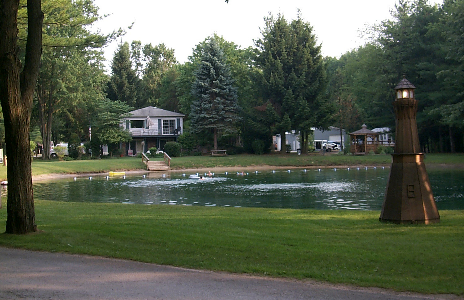
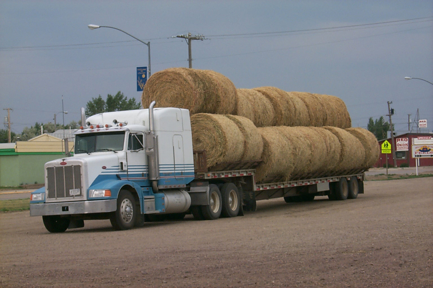
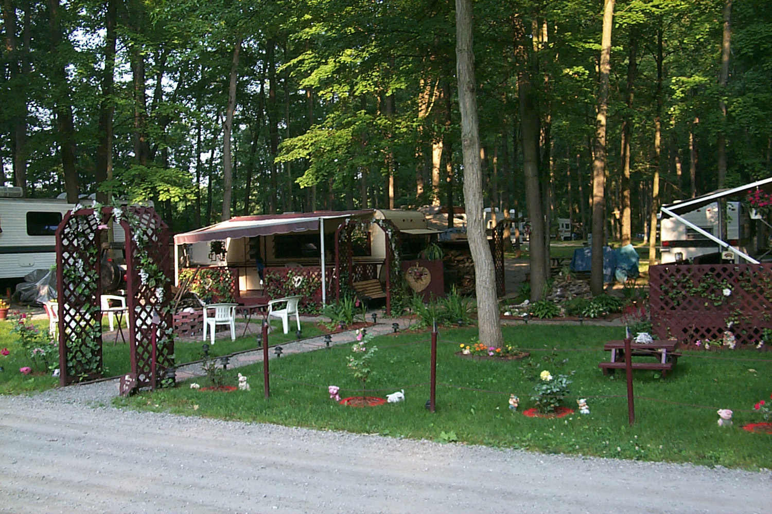
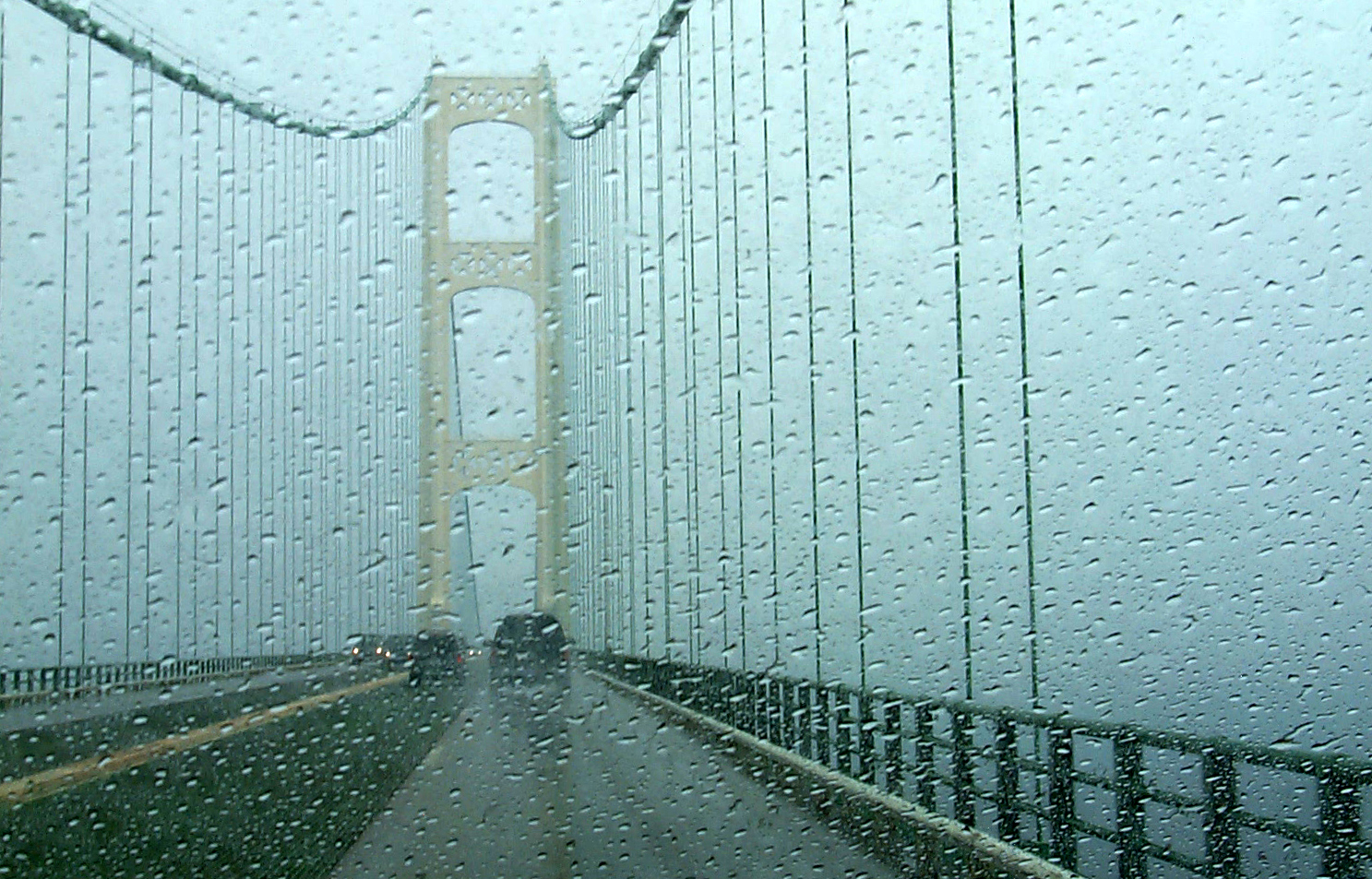
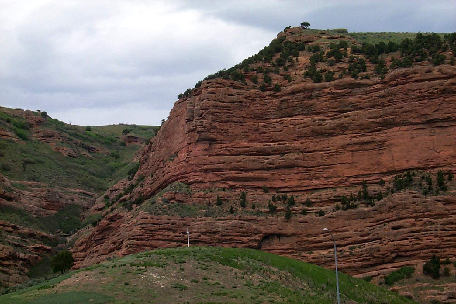
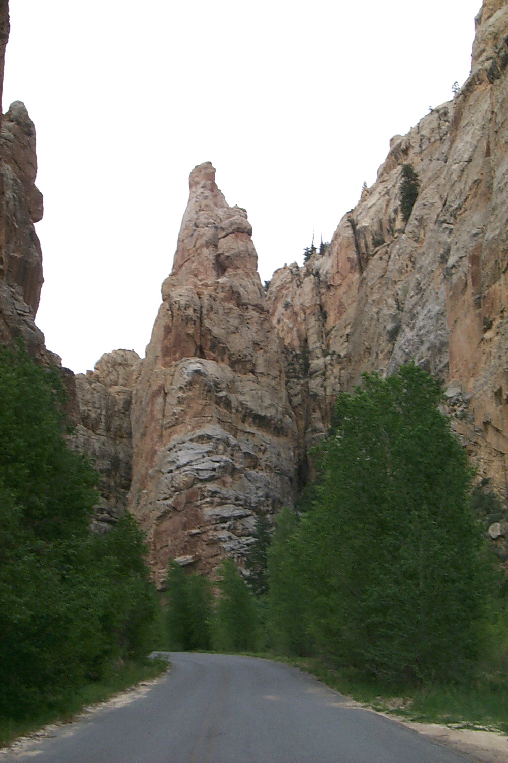


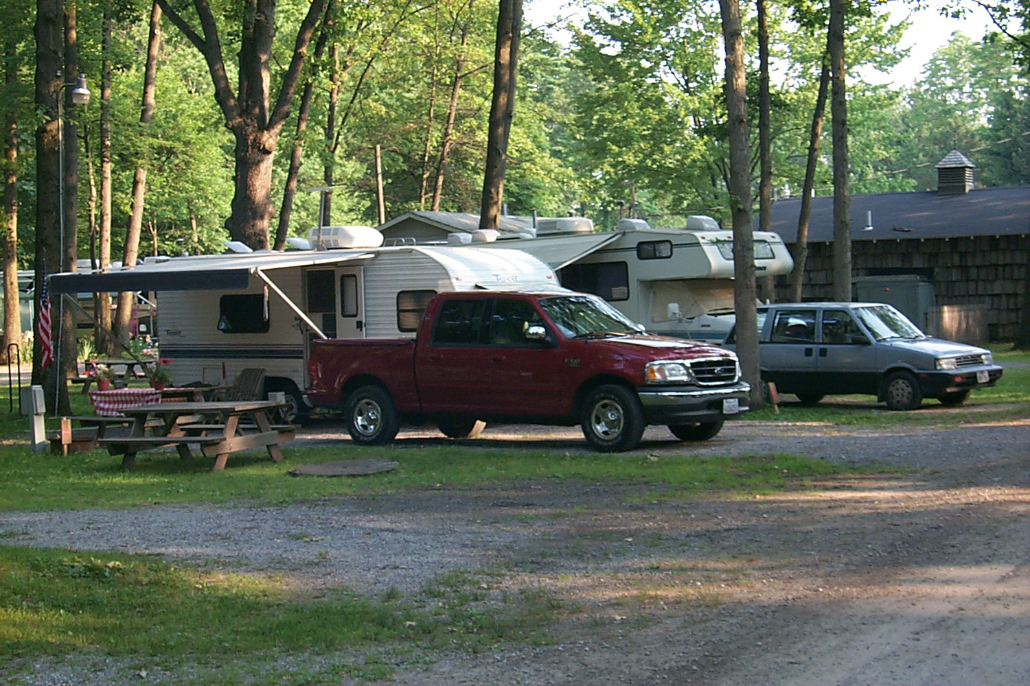
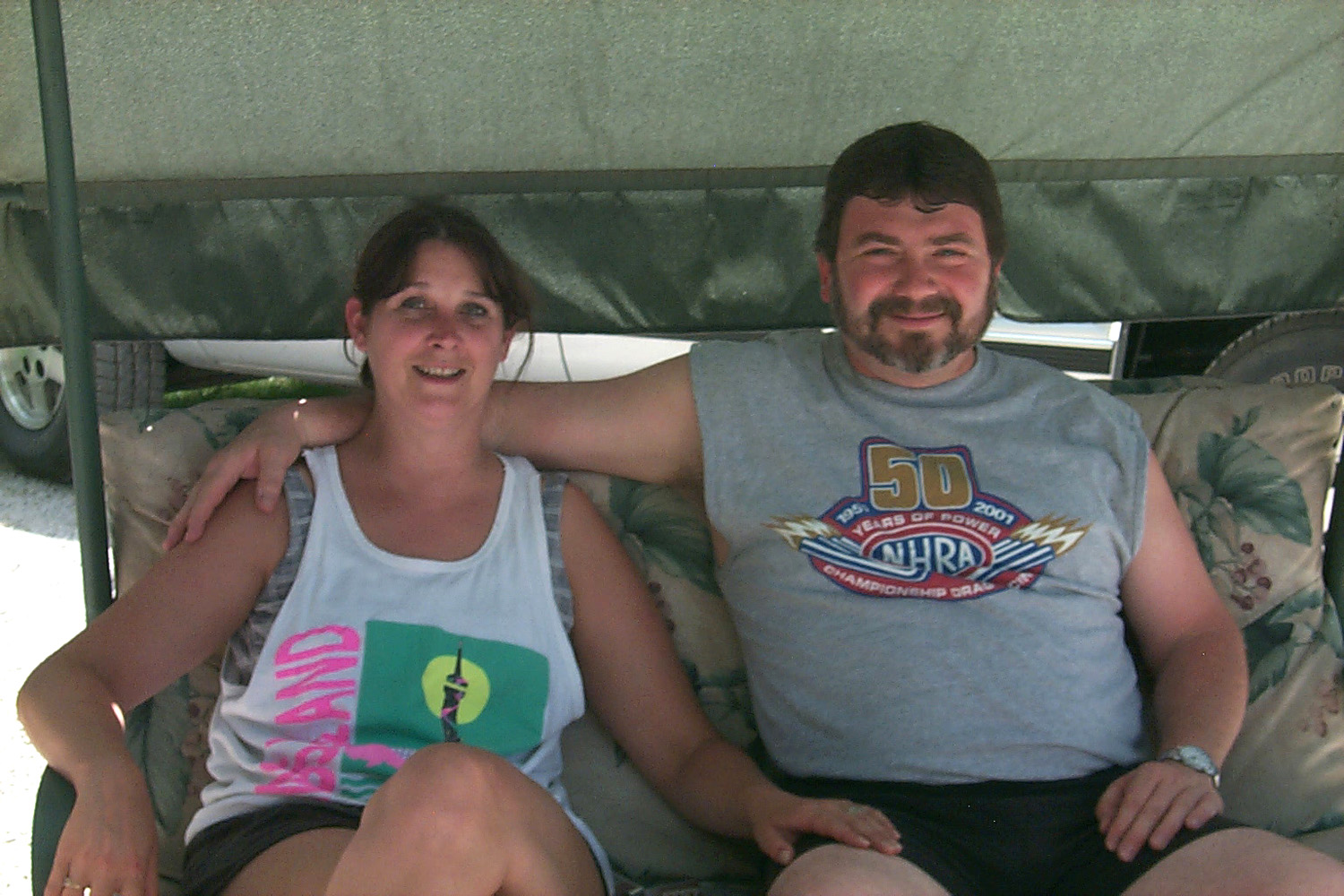
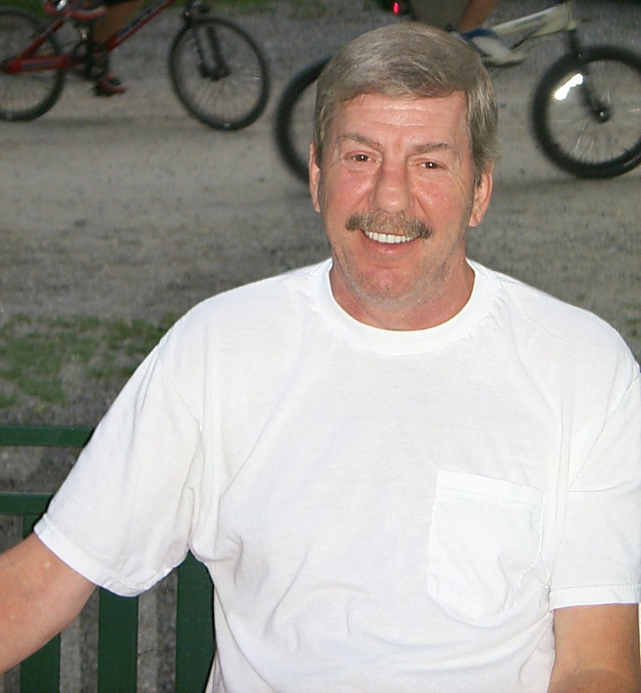
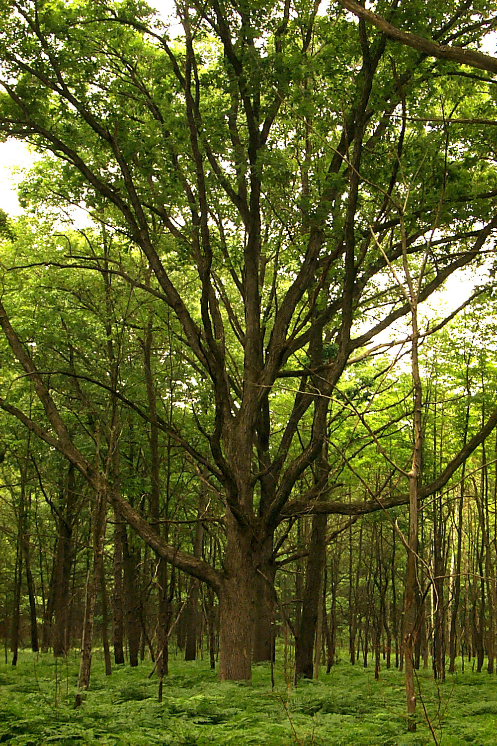
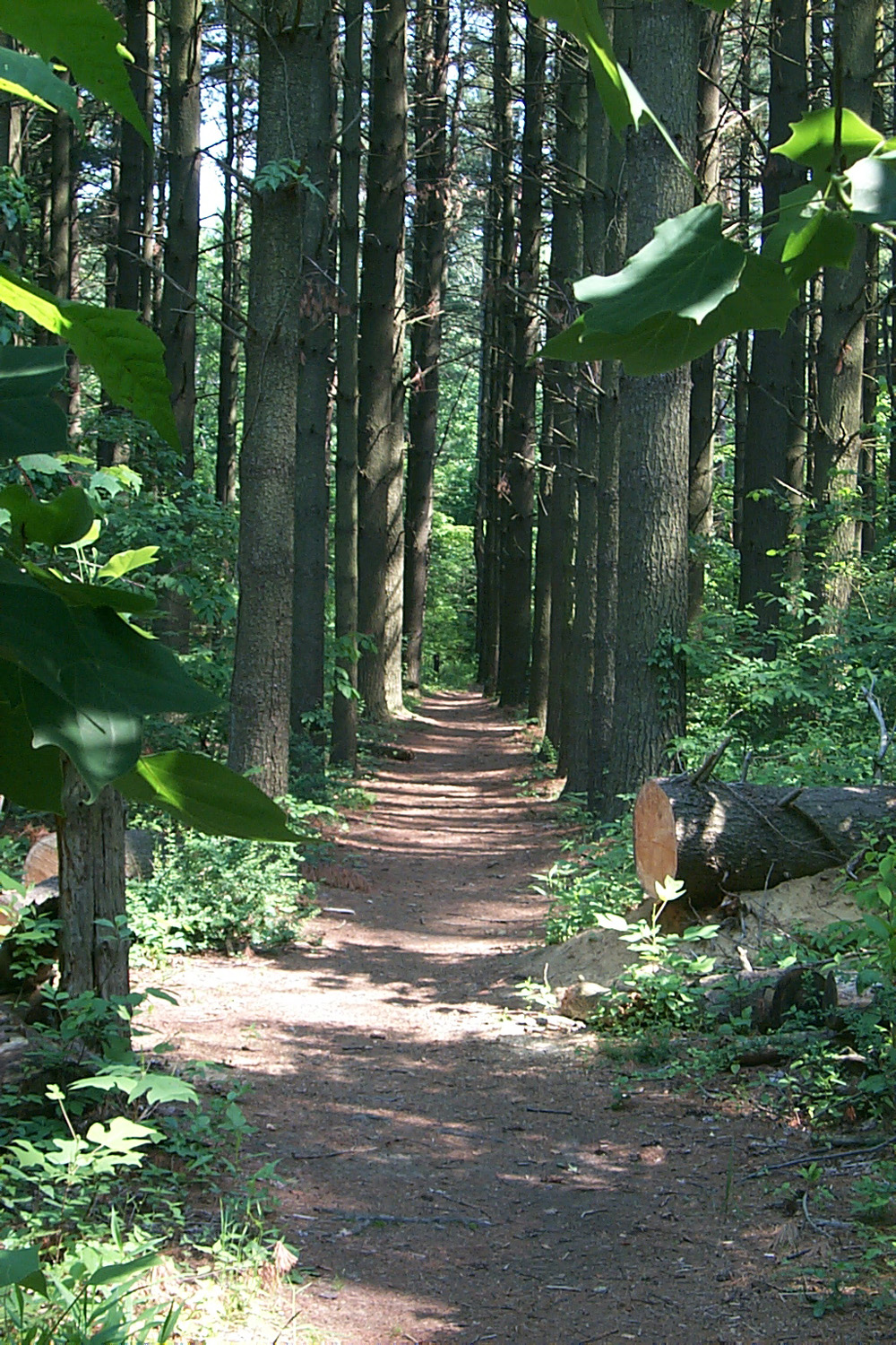


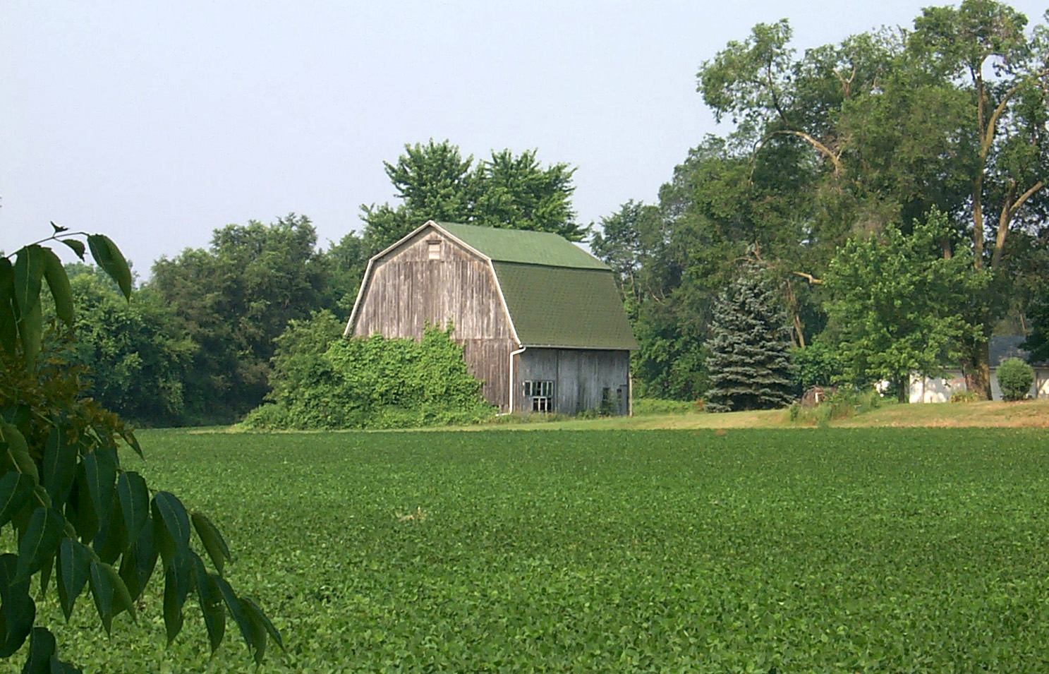
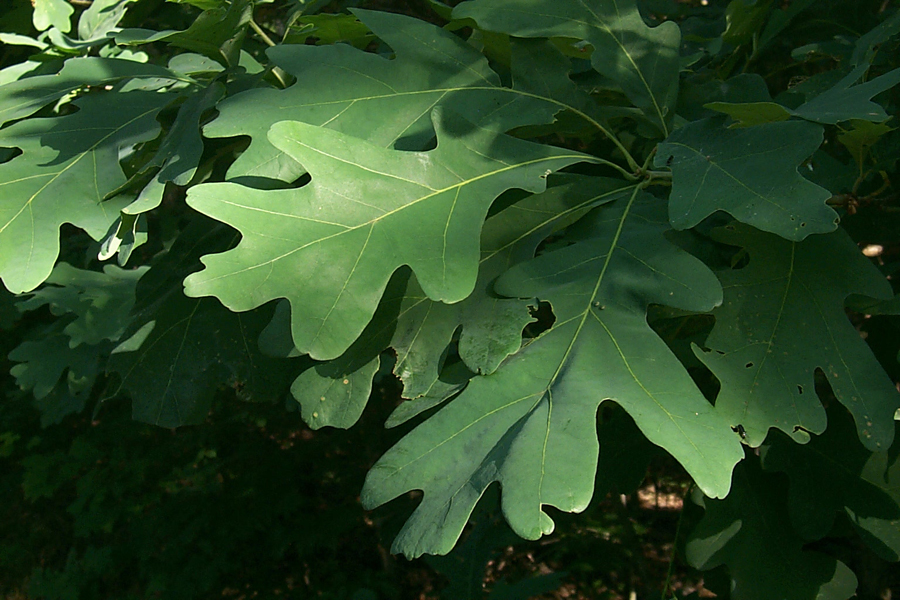
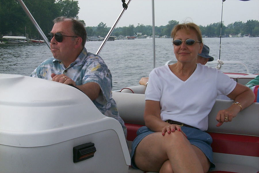

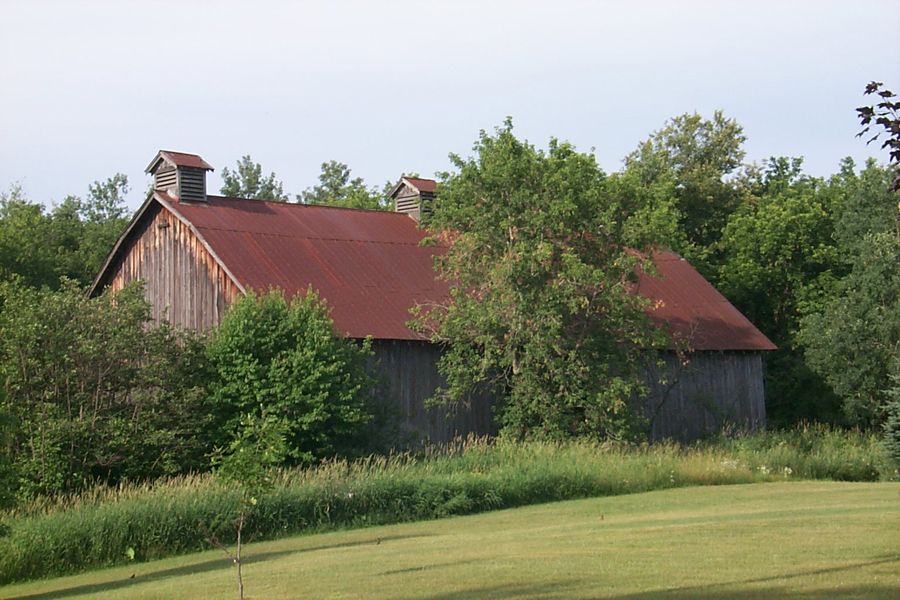
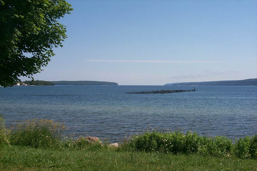
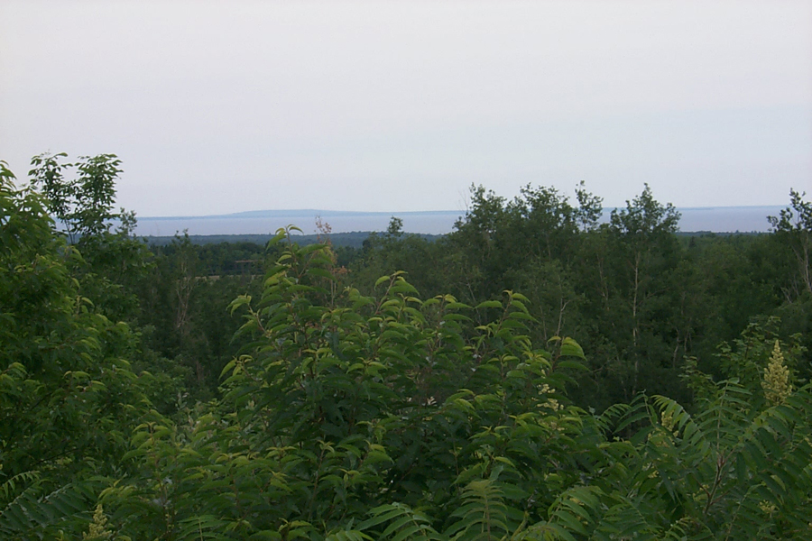
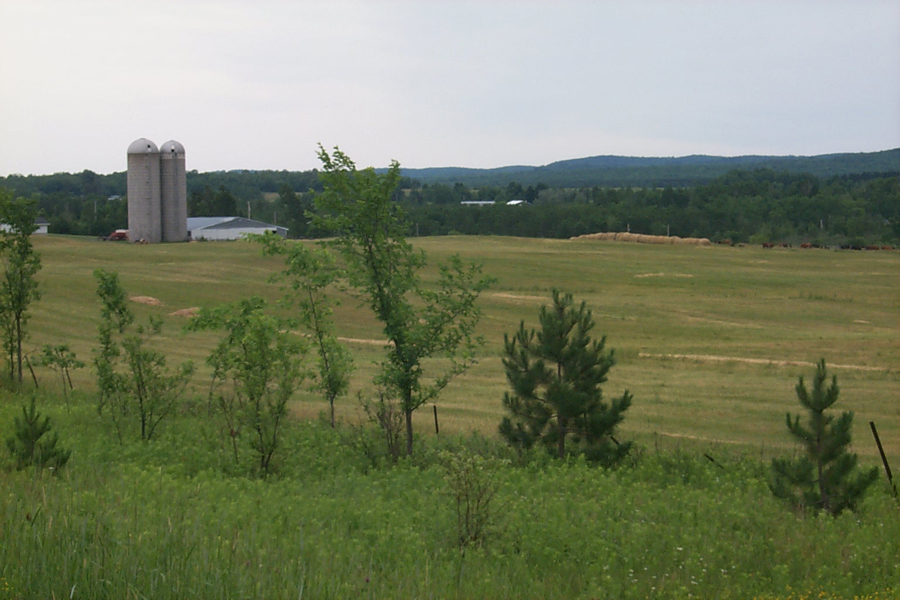
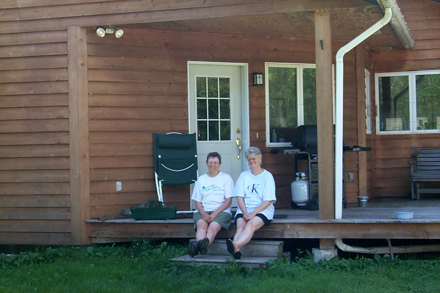
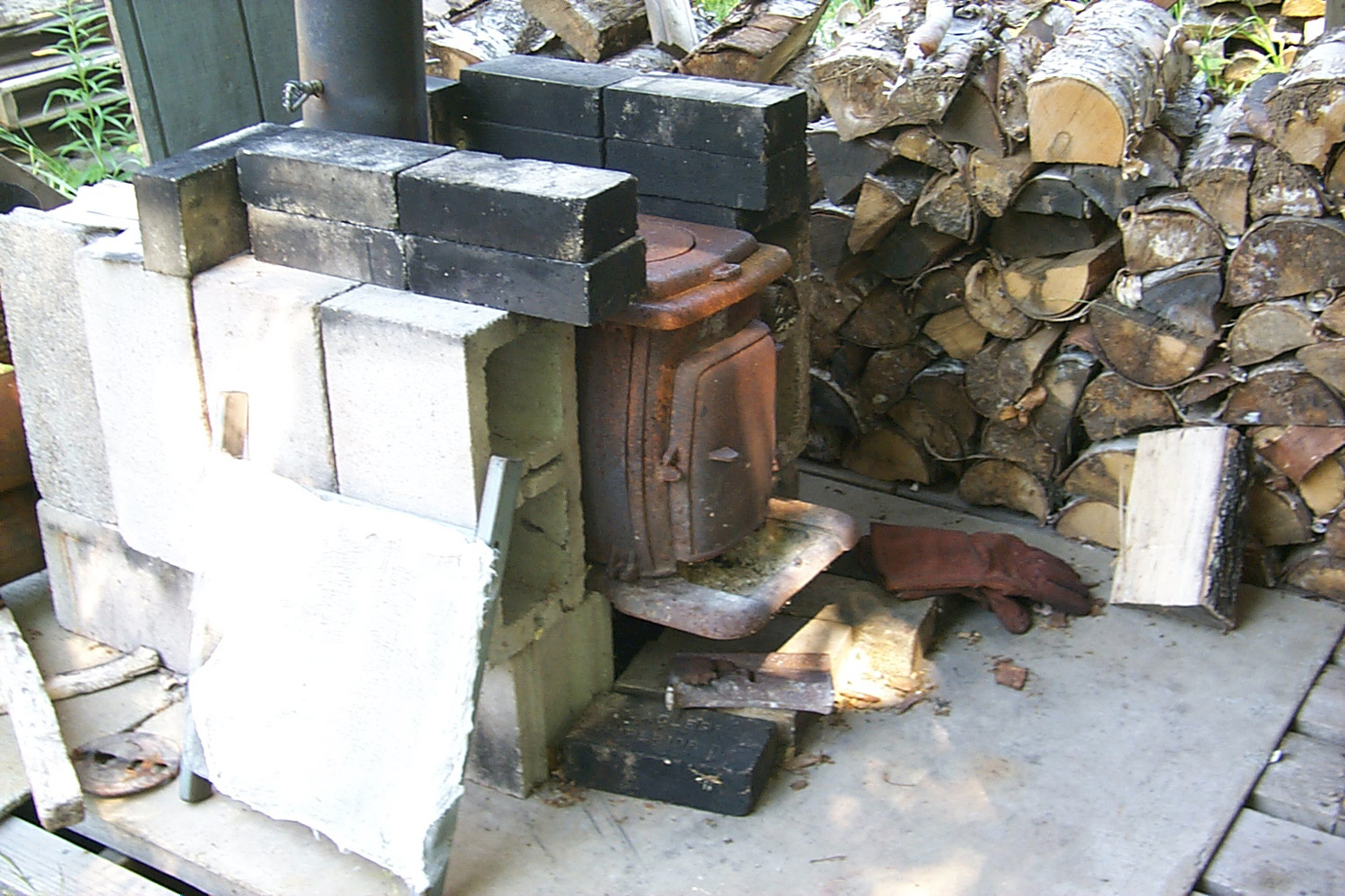

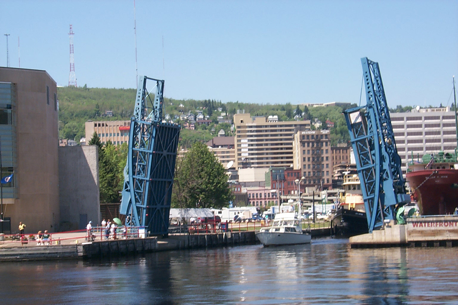
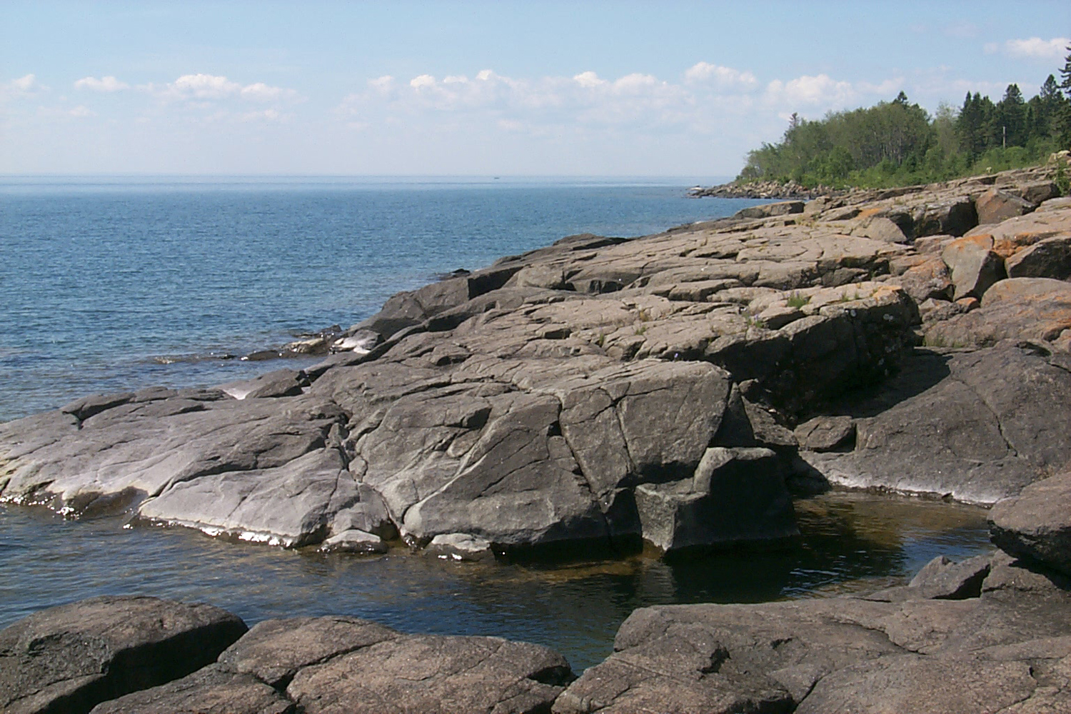
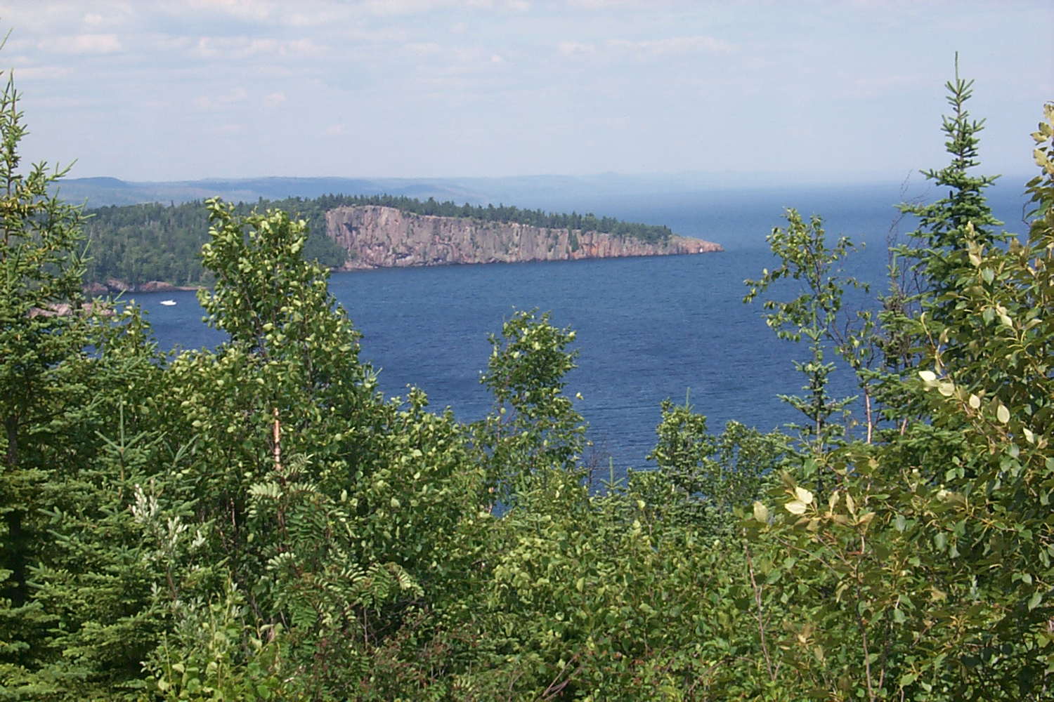
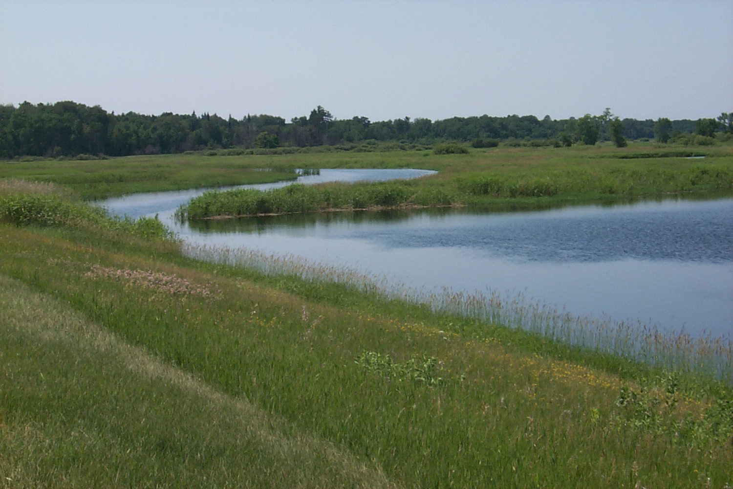
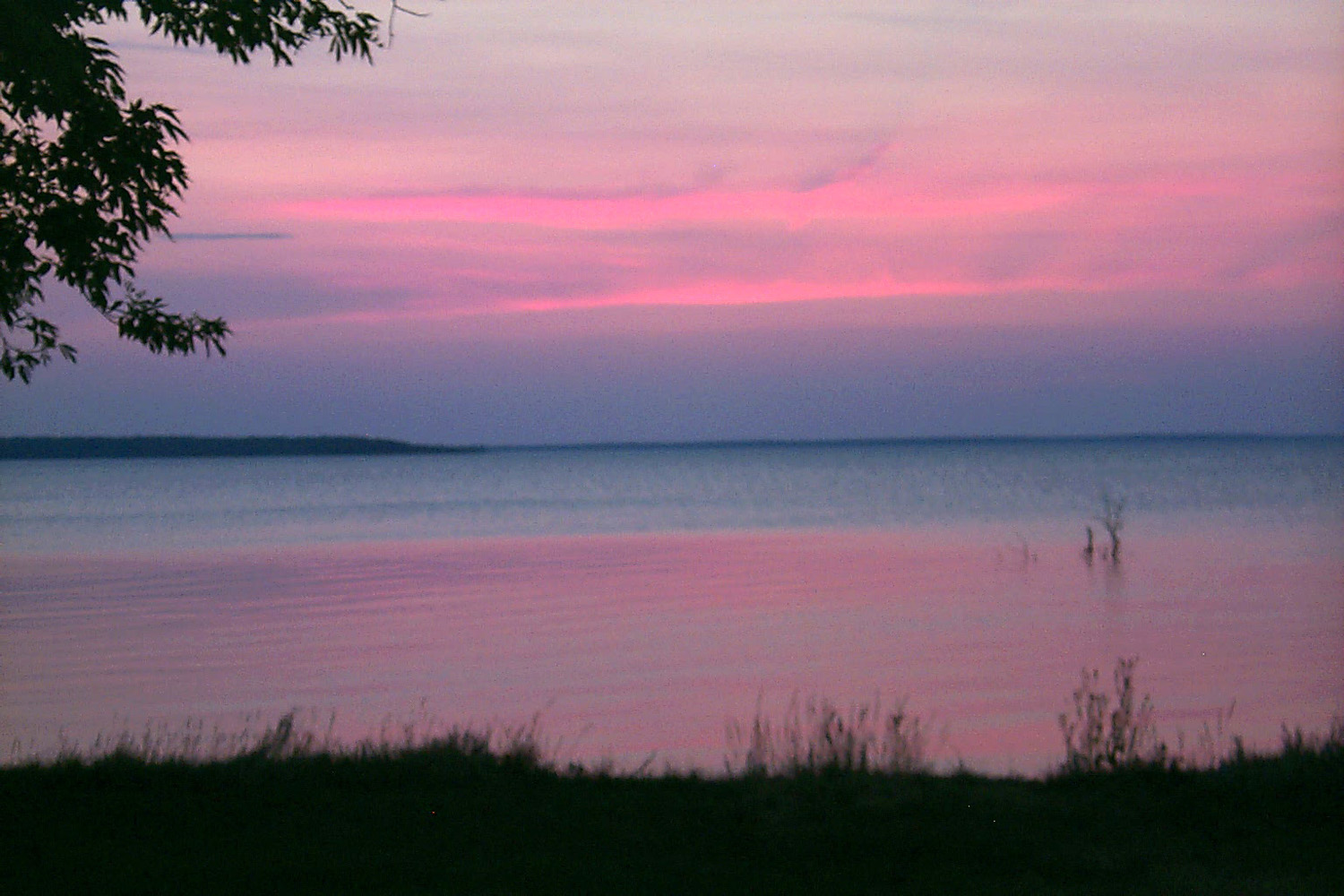
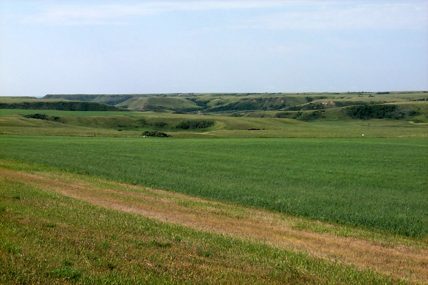

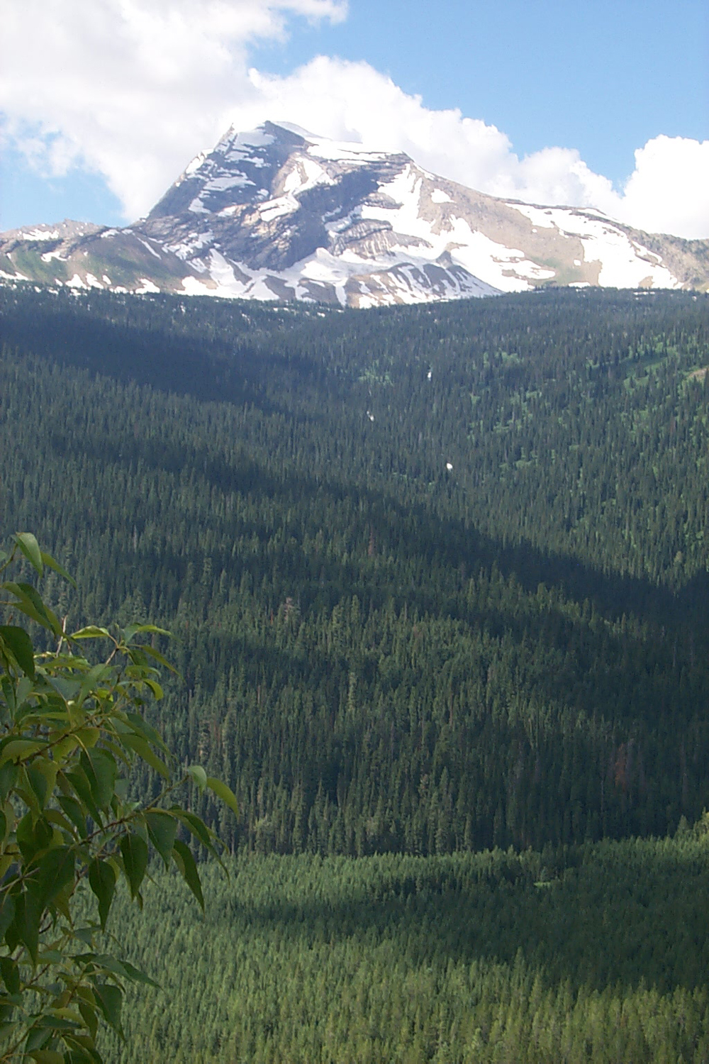
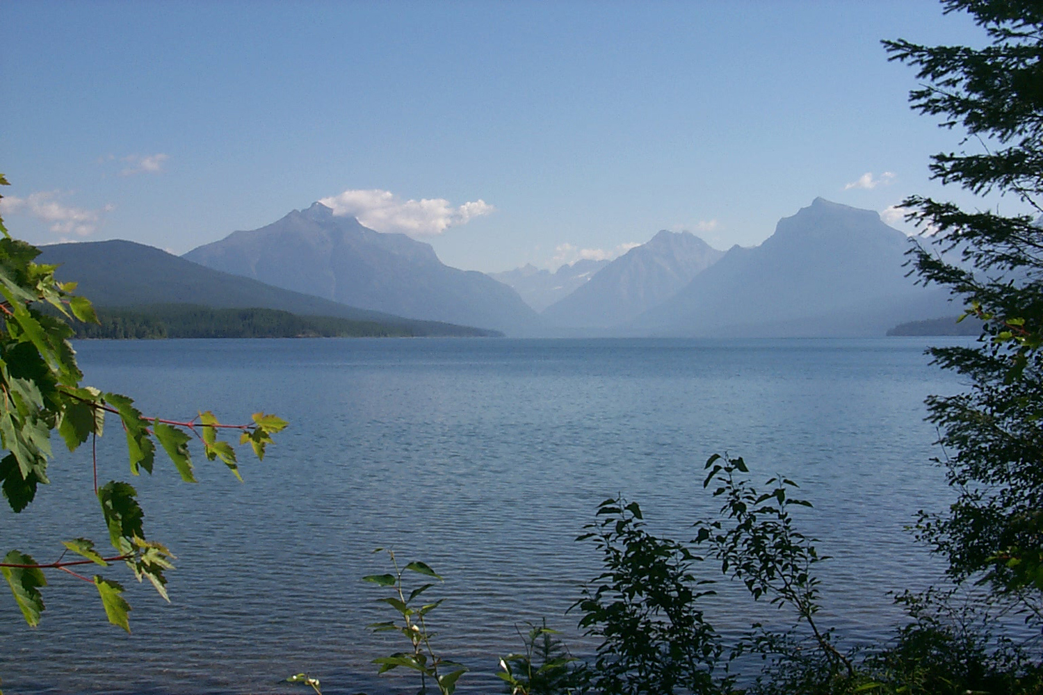
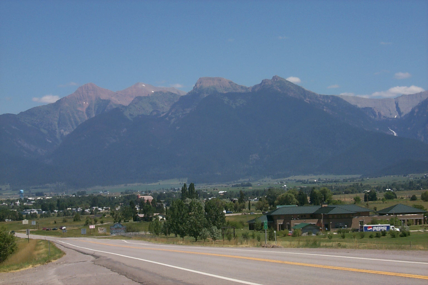
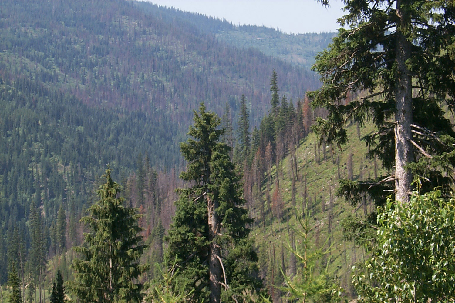
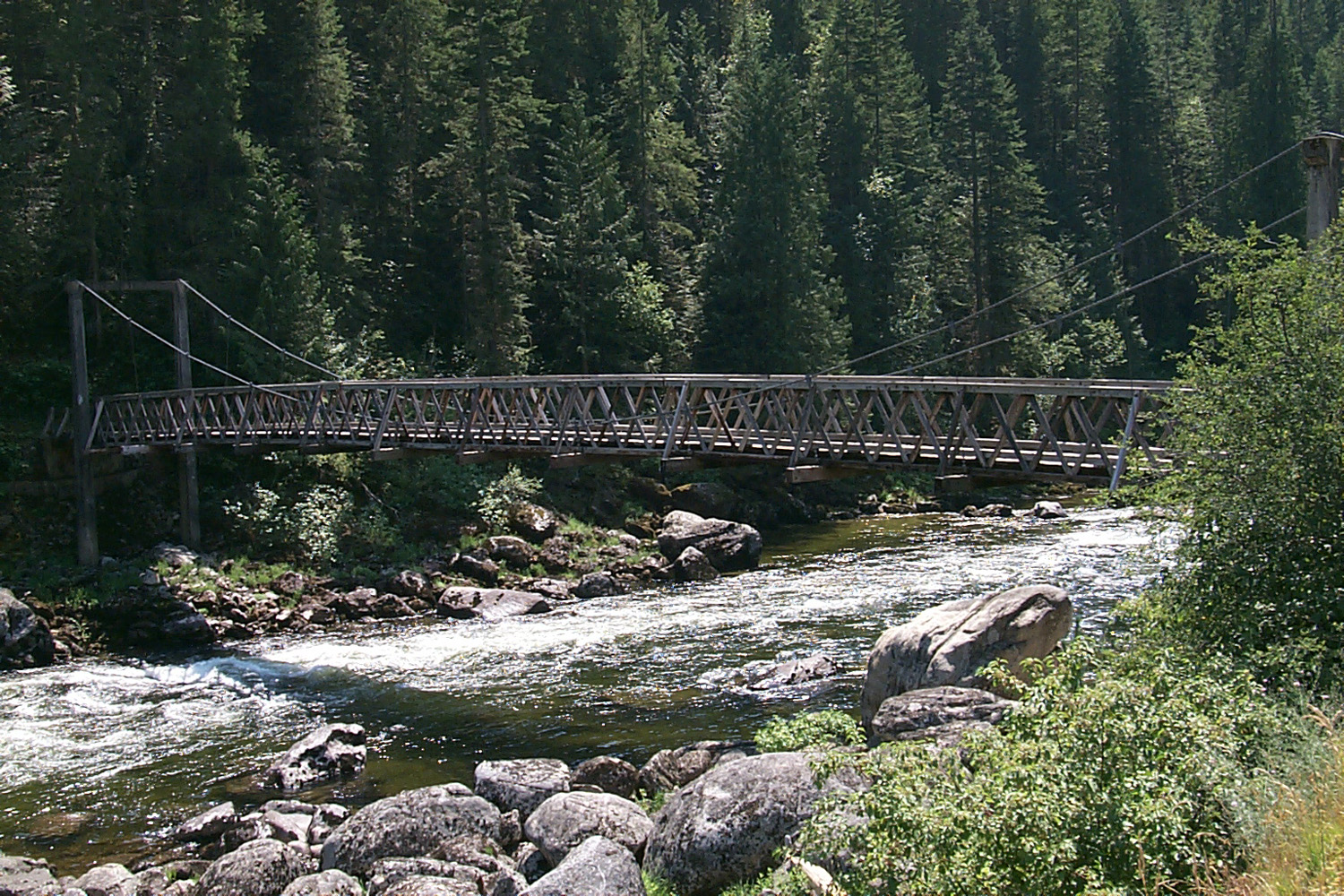

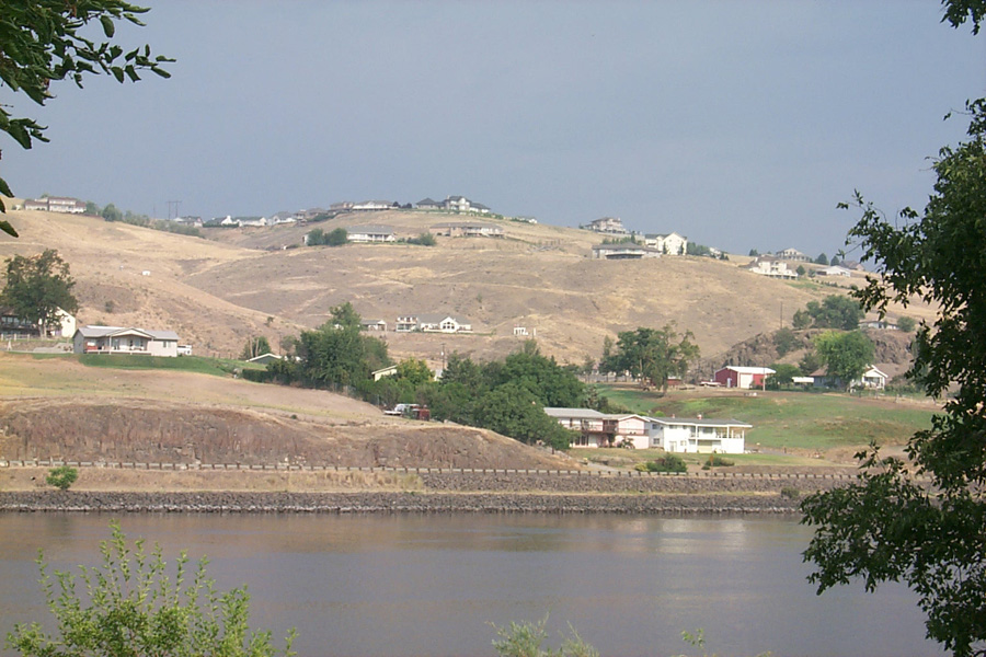
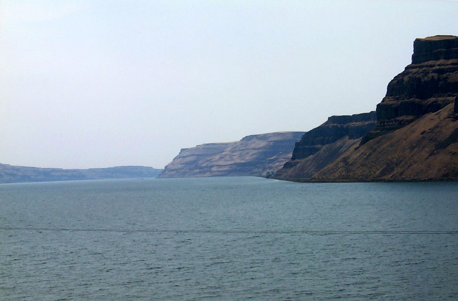
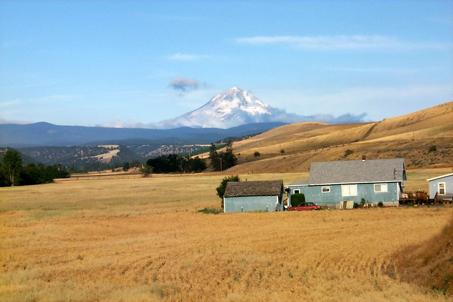
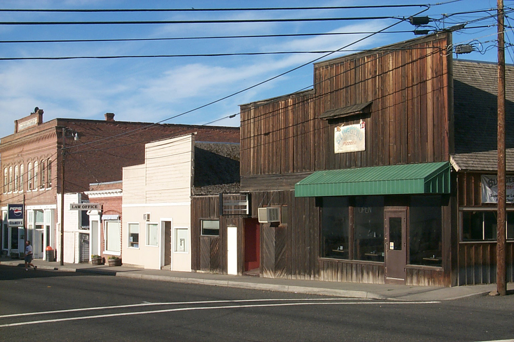
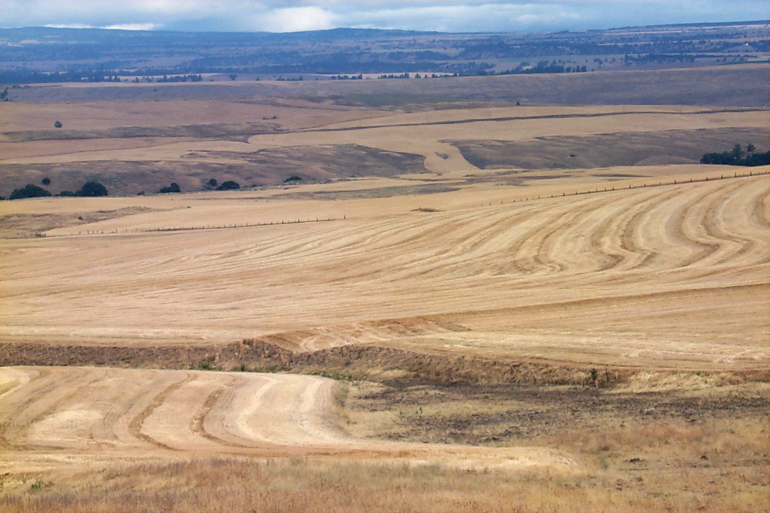
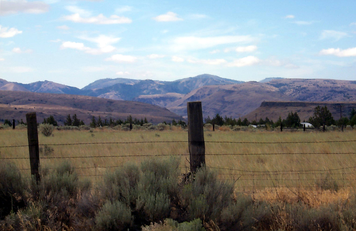
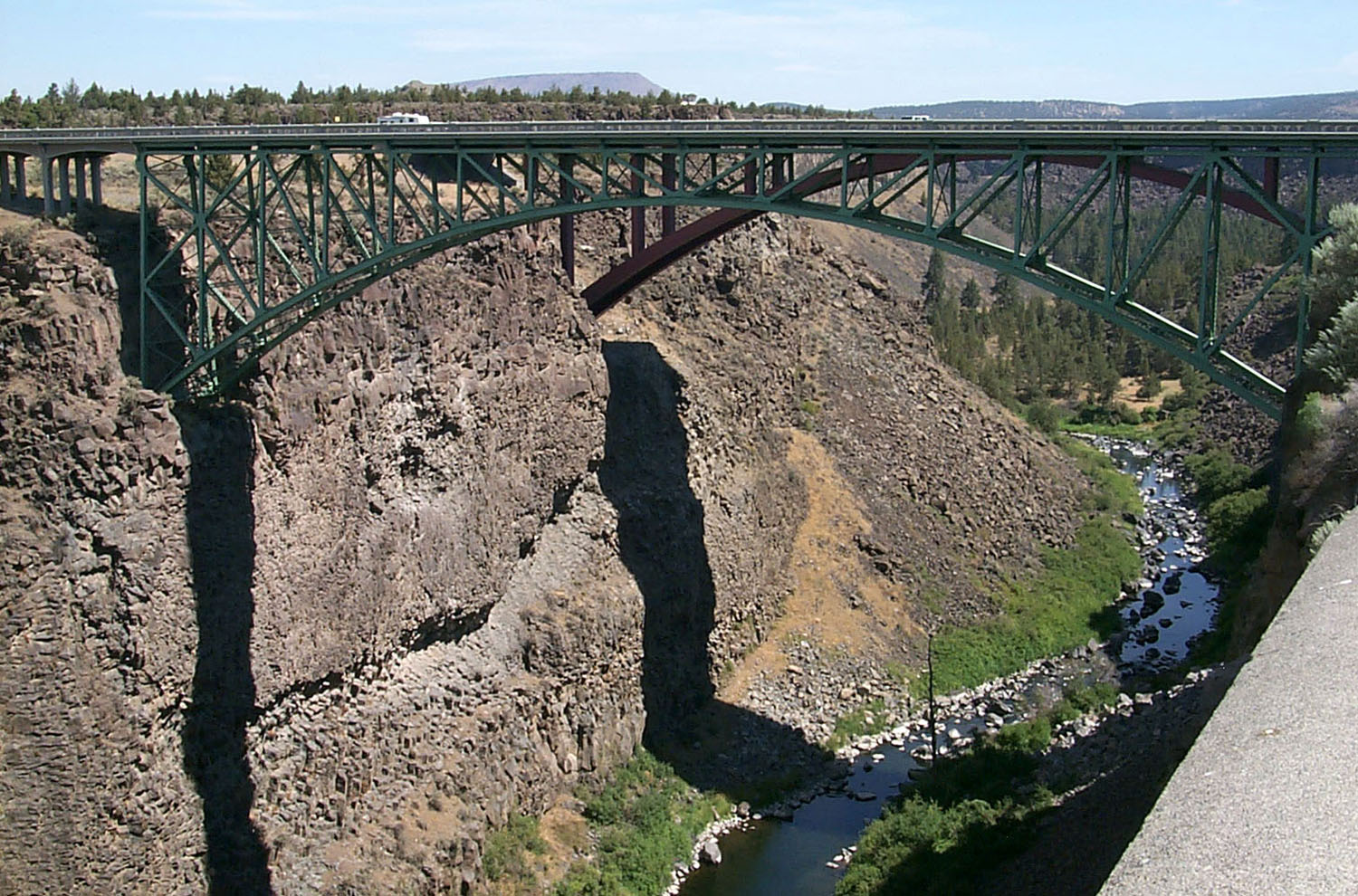
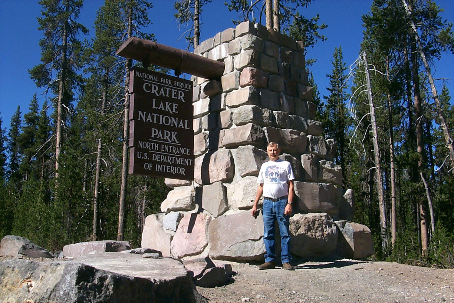
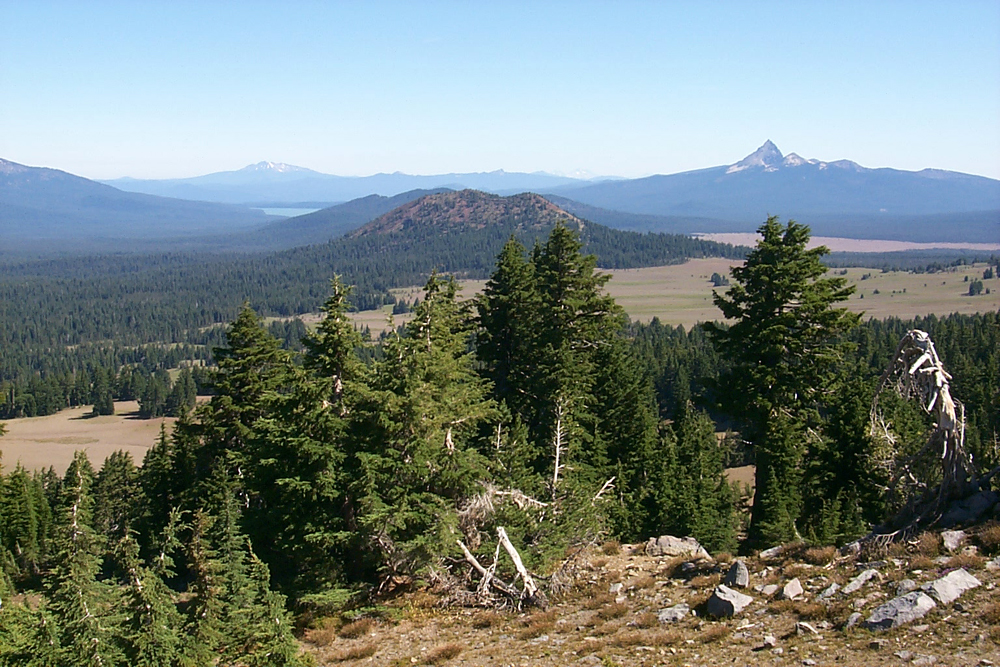
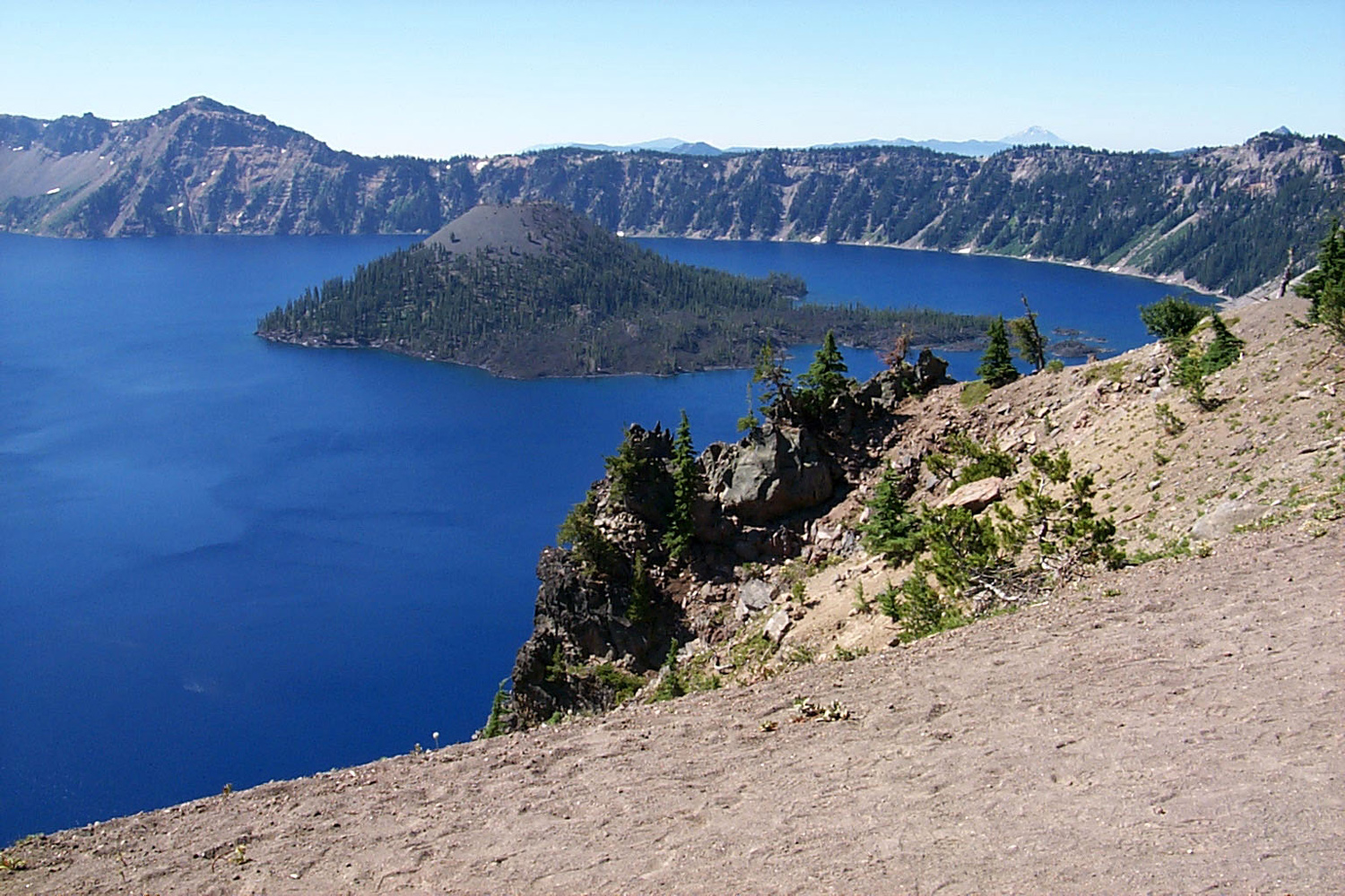
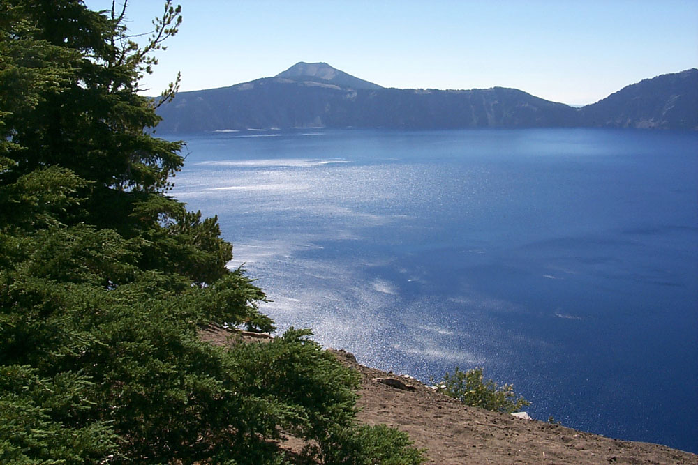
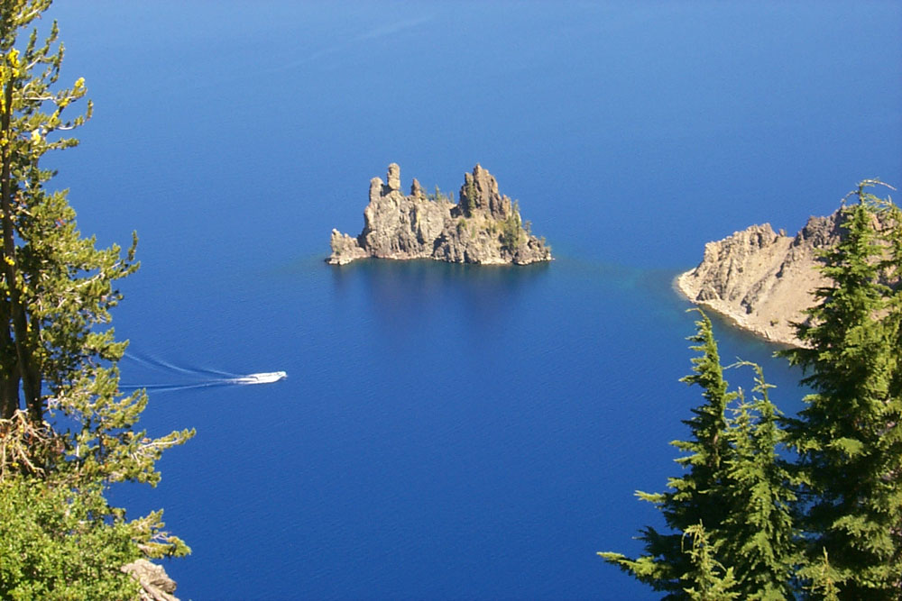
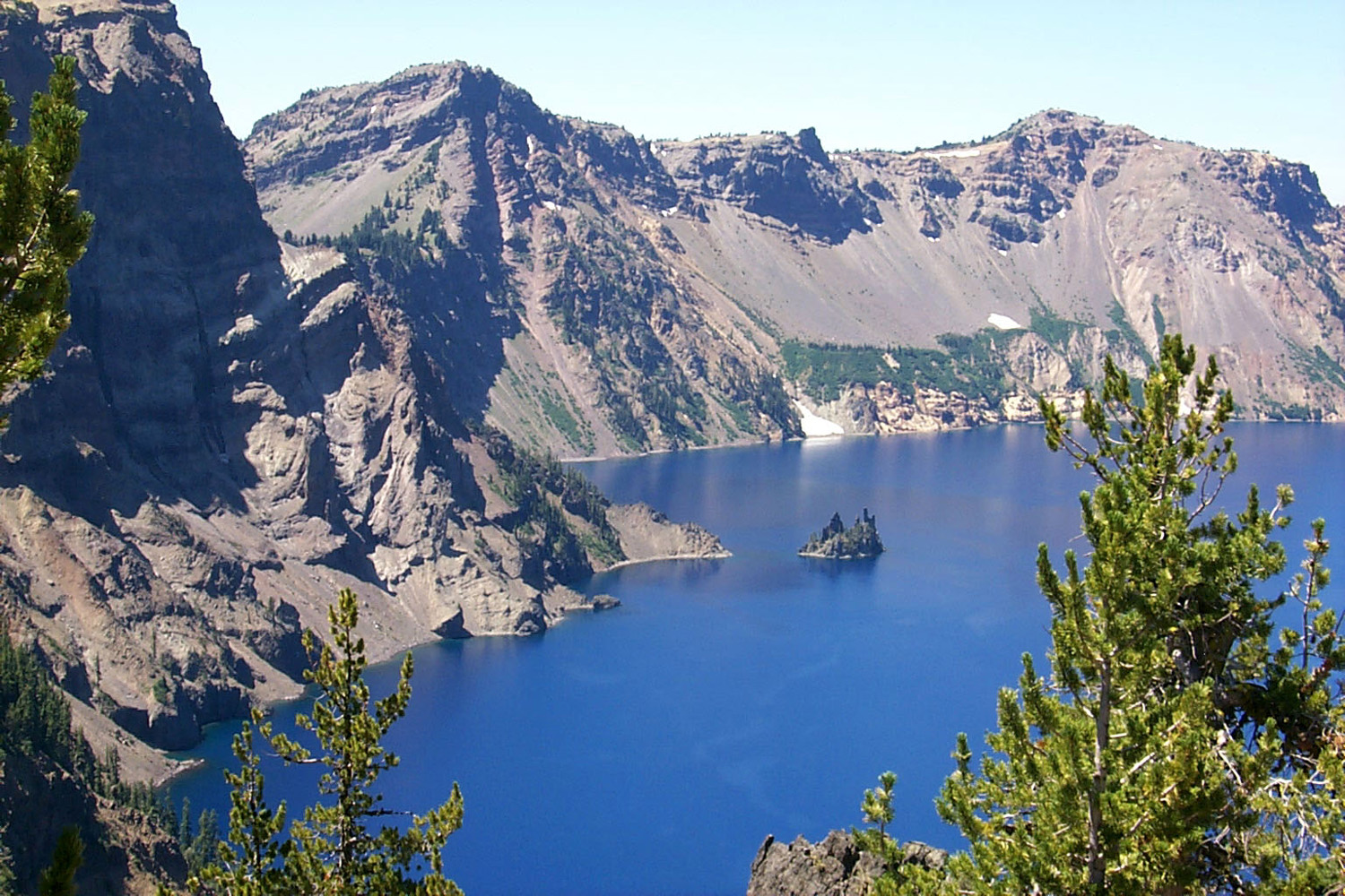

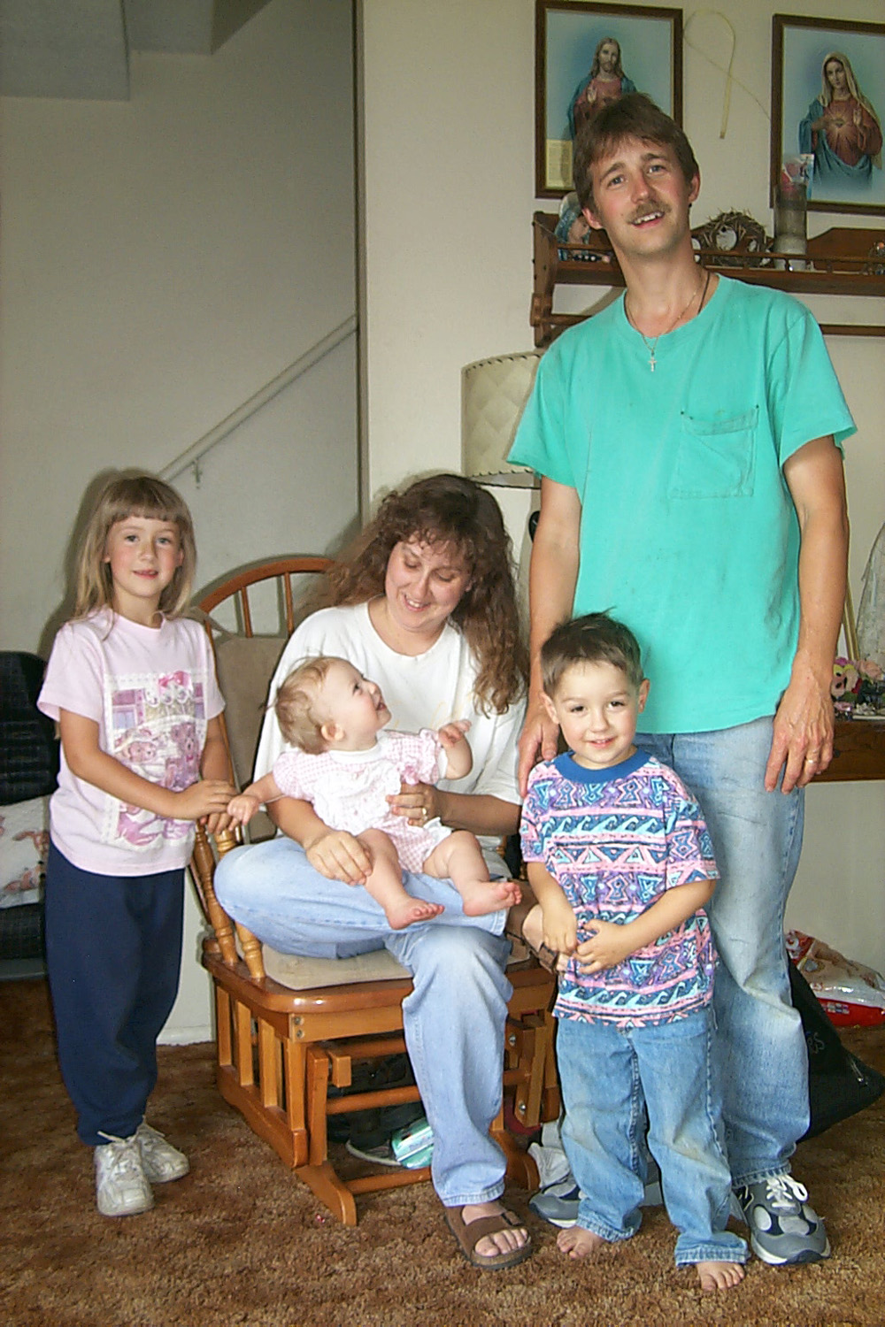
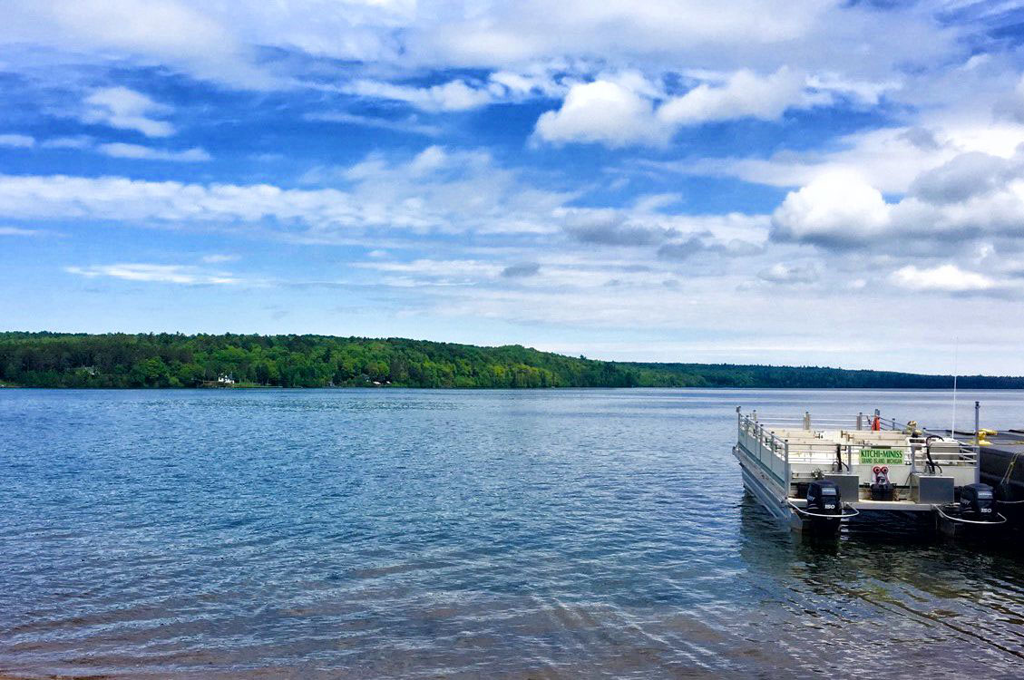