
| Dick's 2009 Travel Round-Up | ||
| Photos Related Links More Travel Reports | ||
|
|
||
|
Over the last few months vast numbers of people, possibly as many as two, have asked me why I haven't sent any reports on my travels recently. The truth is, I have not done much traveling lately, but I thought I would combine several short trips into a single roundup report.
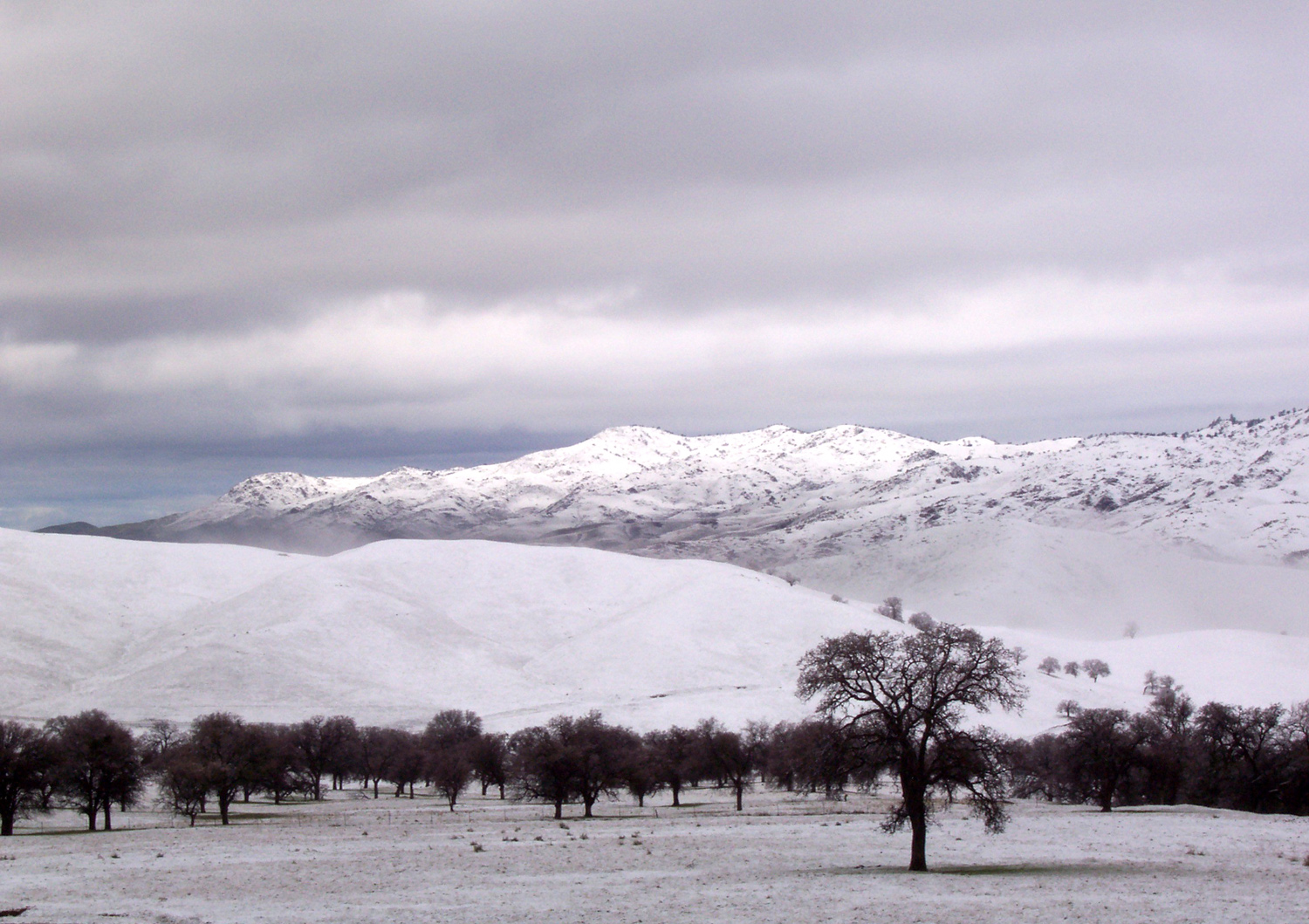
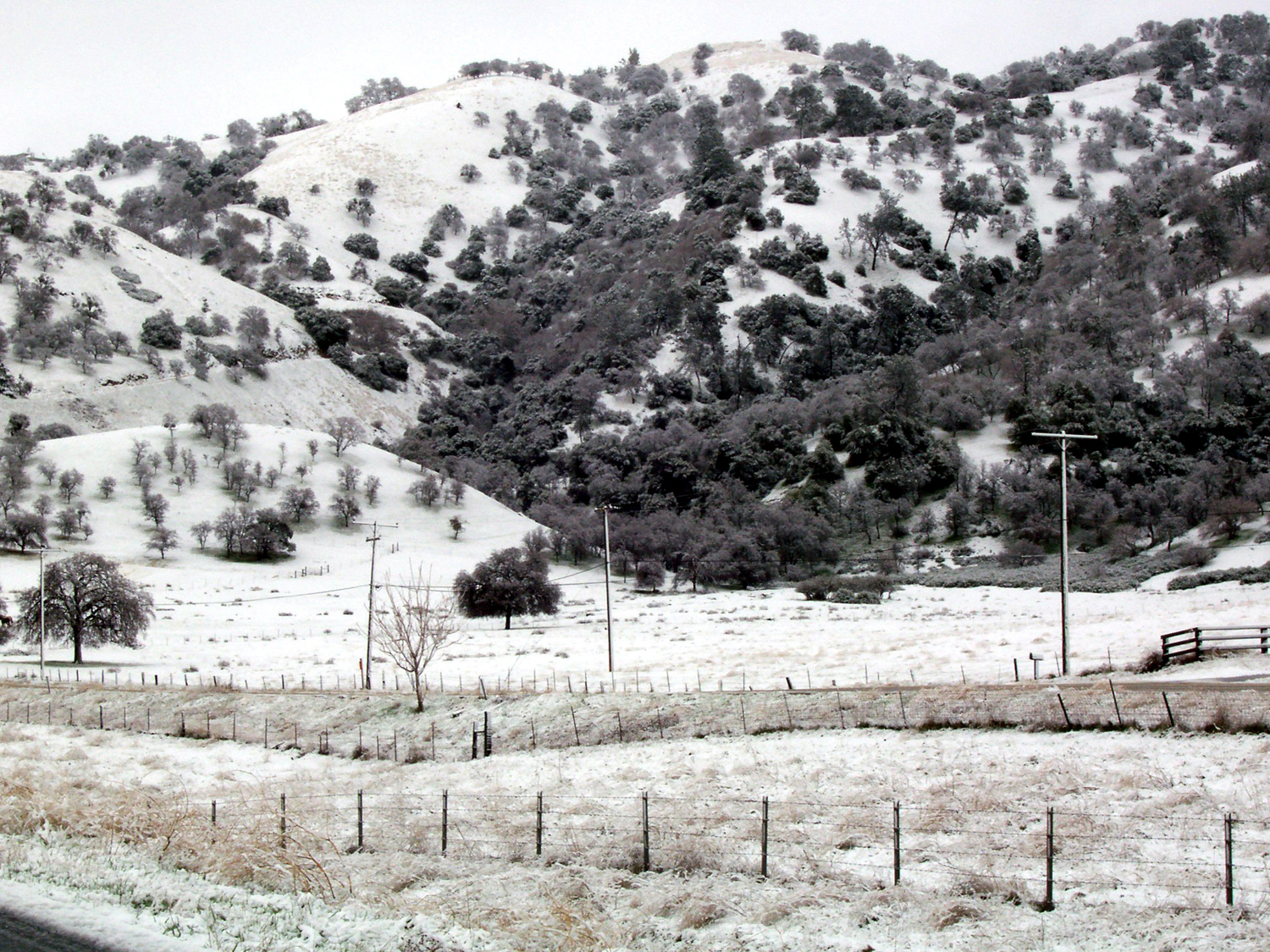
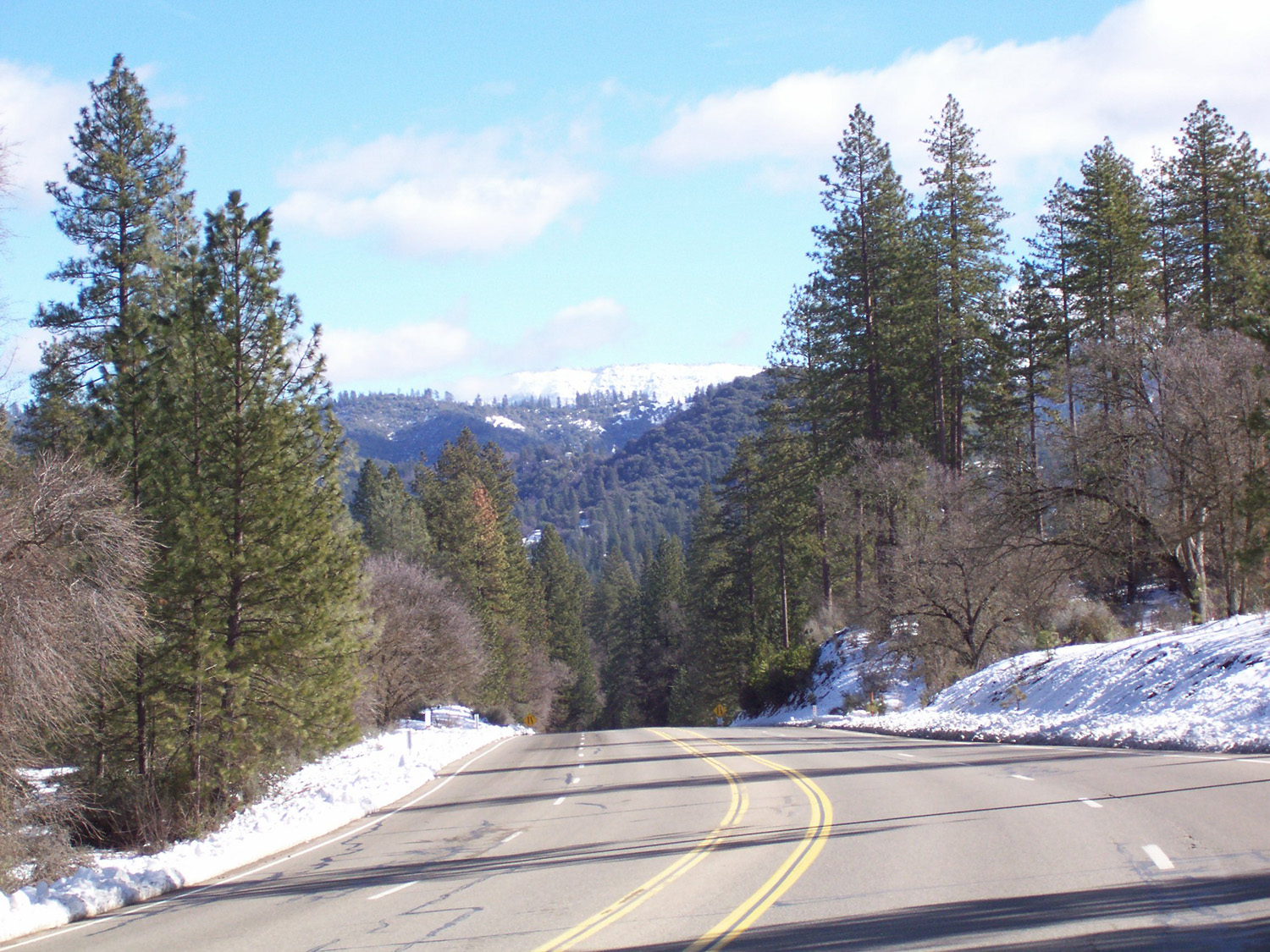
Snowy Trip to Vegas The first trip was the longest and also the most "adventurous," although not the good kind of adventure. My grandson Mikie's hockey team had a tournament in Las Vegas over President's Day weekend, February 13-15. Tim, my son-in-law, had to work, but Mikie, my daughter Teri, and I got started about 9:30, expecting to make the 400 mile trip in about eight hours, with the usual stops for gas, lunch, etc. It was pouring down rain, and driving conditions on the State 99 freeway were somewhat like going through a car wash. Since the route goes over 4,000 foot Tehachapi Pass, I wondered about snow, but my daughter had called the road information line and there were no closures or delays. However, that was then, and things change. Our first traffic jam was getting off highway 99 onto highway 58 at Bakersfield...an accident had traffic at a crawl in the right lane and the ramp; it probably took us a half hour to get going again. Our mostly flat valley slopes up very gently as you approach the mountains on all sides, and Highway 58 starts to rise noticeably about 20 miles east of Bakersfield. As soon as we started uphill, we got into snow. Traffic slowed to about 30 MPH but was moving steadily for several miles, then came to a stop about two miles below Keene. For the next two hours, we moved about a half mile, in increments of 50 to 100 yards at a time. It snowed off and on, with some rain, but did not build up on the road, and I think we could have gone through OK except for the cause of the stoppage, which turned out to be a truck jackknifed in the road. On the positive side, we were in wooded foothills, and the scenery was great, with snow covering everything. A small group of horses trotted across a distant meadow several times, as if posing for a postcard. Also, Mikie handled the delay fairly well, having reached a point in life where he recognizes the uselessness of complaining about a situation over which you have no control. He did suggest we go up the shoulder, after we saw an emergency vehicle do so, but we explained that eventually we would get to whatever was stopping traffic, and the other unhappy motorists would not be thrilled about letting us back into the traffic lane. Eventually the CHP and CalTrans workers on the
scene determined that the road would be blocked for hours, and had
everyone turn around. I already had an alternate route in mind, and
just below where we turned around, we took Highway 223 southwest to
the small town of Arvin, where we had a 4 p.m. lunch and got gas. We
then continued on to I-5 and over the Tejon Pass, also about 4,000
feet but free of problems, then headed east on State 138, north on
State 14, and finally joined highway 58 again, a little short of the
half way point on our original route. By this time it was nearly
dark, but we plodded on, getting to Las Vegas around 10:30, a twelve
hour trip. Other than a brief traffic back-up at Kramer Junction
where US 395 crosses 58, we had no further problems. There was a
little snow along the road at Other team families were luckier - Teri texted some of them, and they took the I-5 route directly, skipping the two-hour delay. Others took the route through Lake Isabella over Walker Pass, which was clear, and still others left late enough in the day that highway 58 was open, although they were escorted slowly over the pass by the CHP. The hockey tournament was not as successful as
we would have liked, but we had a good time anyway. Mikie and
various team members played hockey in the hallway for long periods
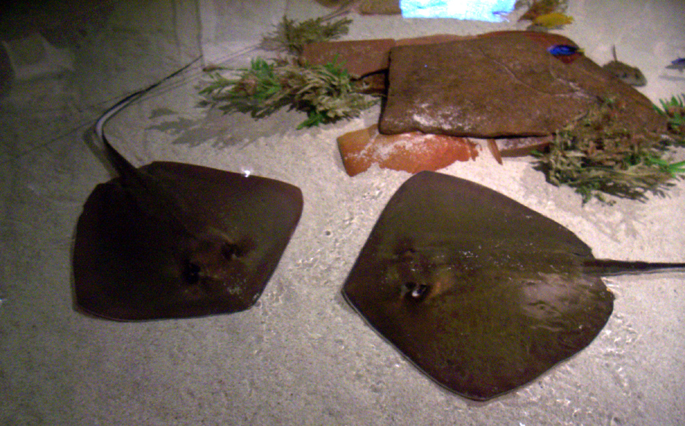
every day, and were even joined by several kids from the On Sunday between games we went to Shark Reef
at Mandalay Bay Hotel/Casino. Despite my advanced age, it was my very
first visit to an aquarium, and it was a great experience. I was
especially impressed by the jellyfish, rays, and sea turtles, along
with lots of sharks, sawfish, and many other fish. Another storm was predicted
for Monday, but the on-line Weather Channel
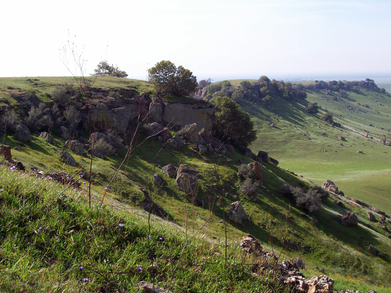
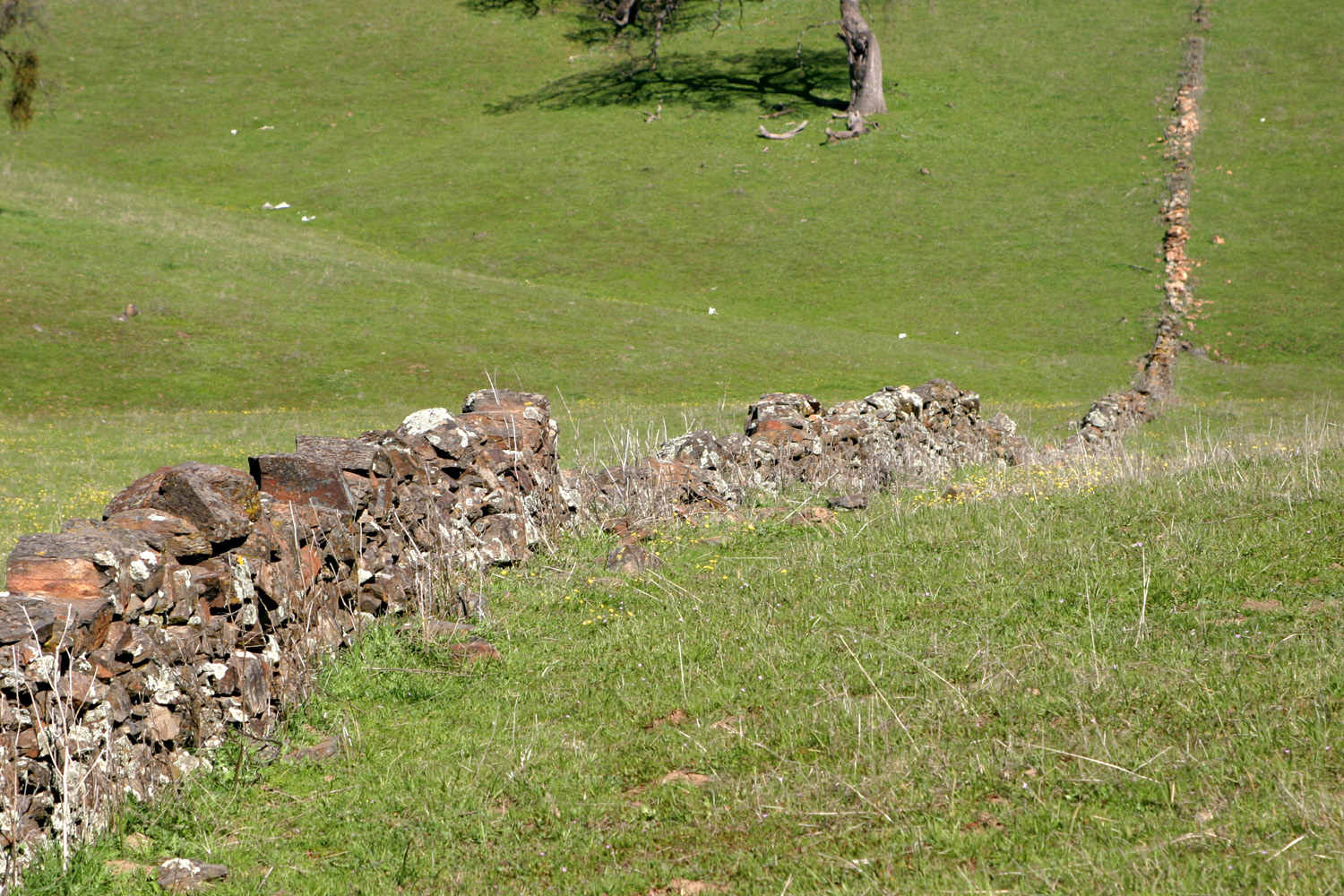
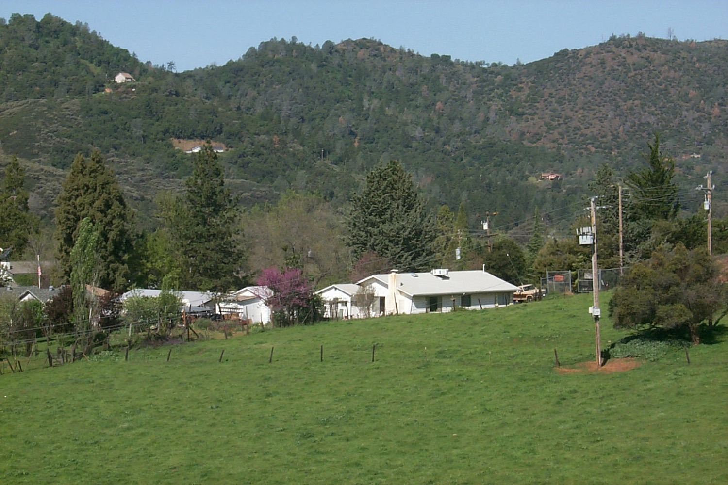
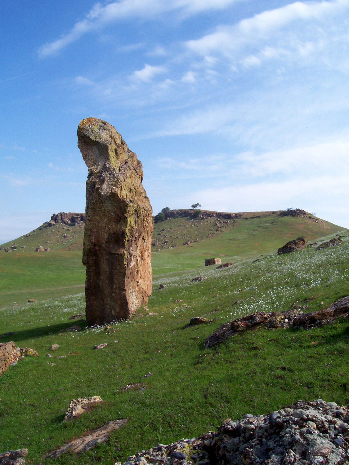
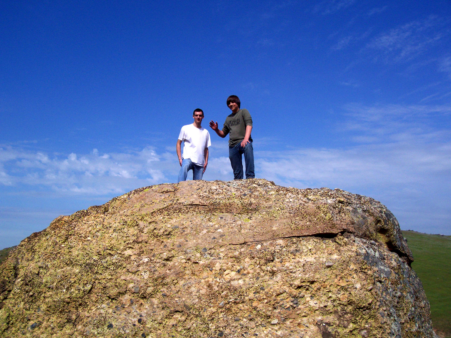
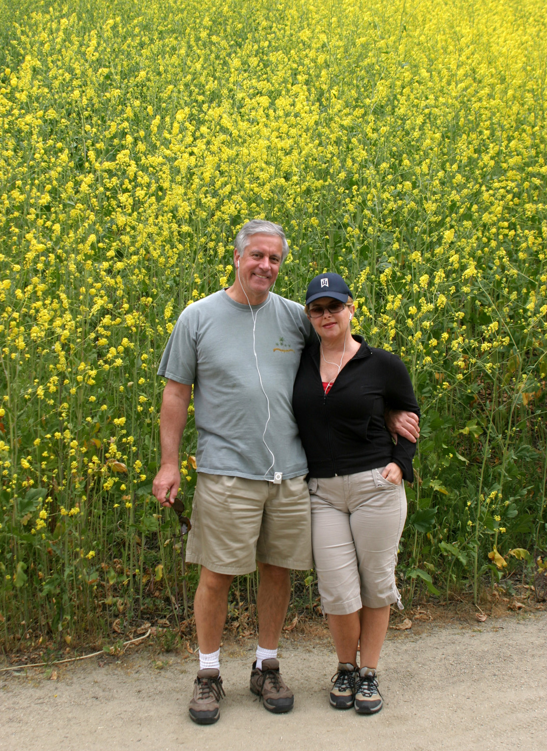
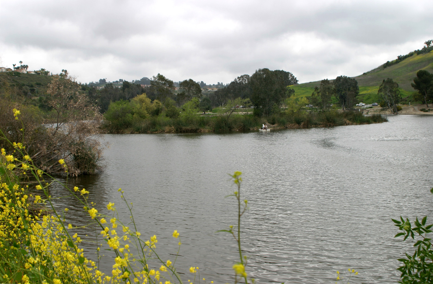
showed that the worst of it would be late, so we got up at Day Trip to Mariposa My friend Janell Sidney, who lives on a five acre plot in Madera, decided she could use it, and on February 24 we went up there to get it, and to have lunch and check out some of the many interesting shops. Once again, I was driving in rain much of the way. We went through Raymond, a tiny town in Madera County, whose main claim to fame is being the location of a large granite quarry that produced stone blocks for banks and other buildings in San Francisco and throughout the west. Despite the clouds and obstructed view of the mountains, it was a beautiful drive, with every little drainage running as a creek, and the trees and grass a bright spring green. Once in Mariposa County, the route passes the historic Quick Ranch, which has been in the same family since Gold Rush Days. The ranch is marked by long stretches of rock walls, which the original owner had built, using Chinese labor. In Mariposa we had lunch at the Miner’s Inn, home of the wonderful "goldpanner spuds" (like potato chips, but thick and crispy). We did some shopping, then drove up to Midpines Summit, about two miles and 1,000 feet in elevation above town, where there was still quite a bit of snow from previous storms (but melting in the rain). In the 1970s my parents purchased seven undeveloped acres on Carlton Road, so we drove past there. We had wanted to get out and walk around, but it was too wet and rainy for that. We finished up by loading the roto-tiller, and headed home down state highway 140, then through the farmlands of Merced and Madera Counties through LeGrand back to Janell's place. Table Mountain Hikes North of Fresno, where State Highway 145 crosses State 41 in Madera County, there is a series of low table-top mountains. Similar land forms appear on both sides of the San Joaquin River adjacent to and above Millerton Lake, a distance of probably ten miles or so from first ones (known generally as Little Table Mountain). I think the first time I went to the top of Little Table was when my daughters were teenagers. I've been in the area with various friends and my grandsons over the years, and had wanted to make the hike this year. The table tops are actually the bed of the ancient river, and are caused by a basalt flows ending about 10,000 years ago. Over time, the surrounding country eroded away, but the volcanic rock protected certain spots, forming areas topped with basalt cliffs ranging from 10 to 70 feet high. Little Table Mountain is somewhat different. This structure was at the bottom where the receding waters flowed and each layer of sediment gives an idea of how much water was flowing by the size of rocks held in the individual layer. In addition to the table tops, the area is notable for large boulders of basalt that were either left behind after the erosion, or tumbled down from the cliffs. One such boulder is tall and narrow, and we've given it the name "Stonehenge." On Saturday, March 14, I set out with my friend Janell, her grandson Mark, and my daughter Jennifer. It was a very nice day, sunny but not too warm, and the wildflowers were starting to bloom. Unfortunately Mark got sick before we reached our destination, so he and Janell waited while Jennifer and I went on to the top. From there you get a nice view of the snow covered Sierra Nevada mountains, as well as nearby Friant Dam and Millerton Lake. We had planned to go out to eat after our hike, but Janell wanted to get Mark home, so we agreed to do a "make-up" hike in the near future.
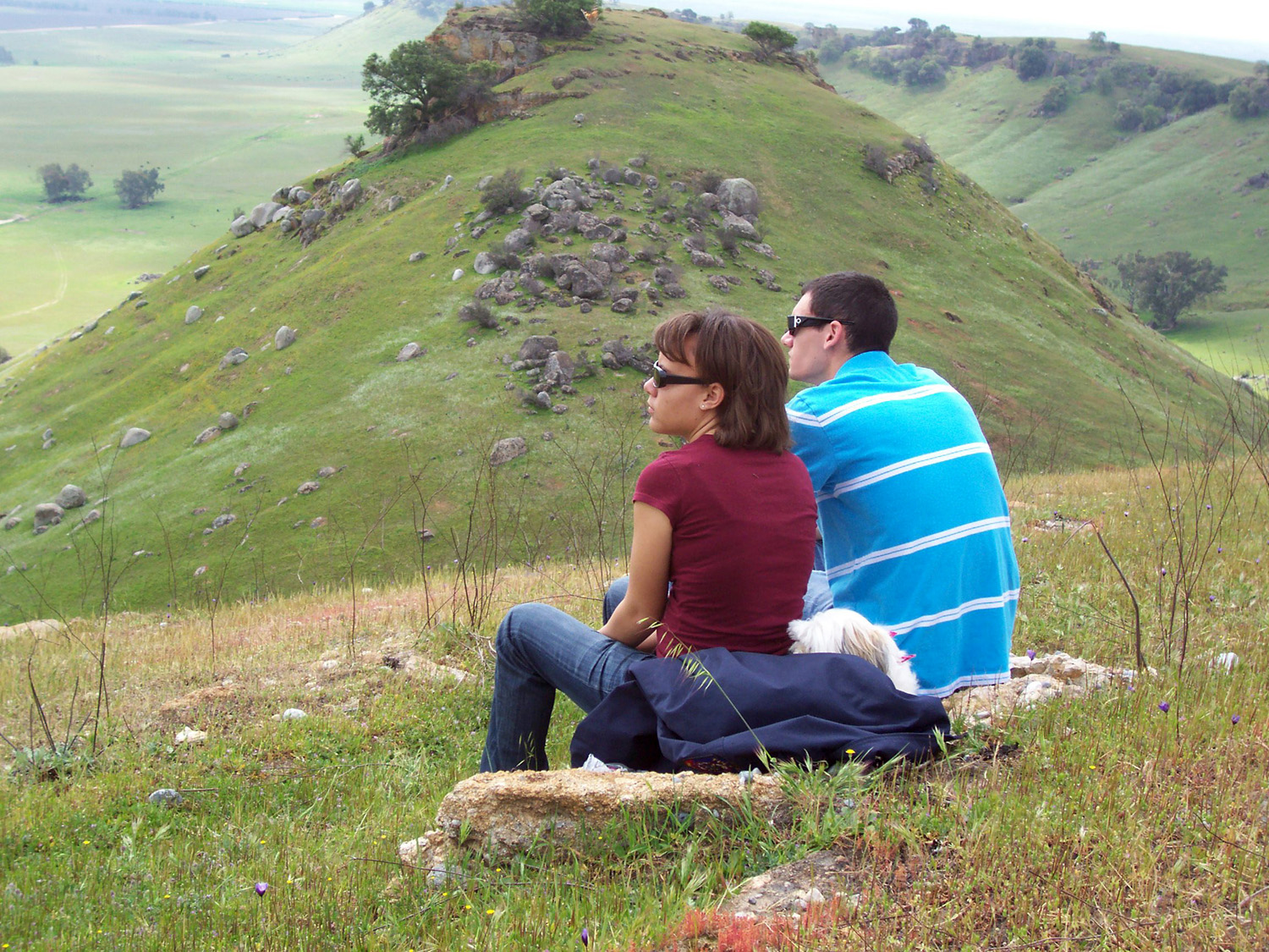
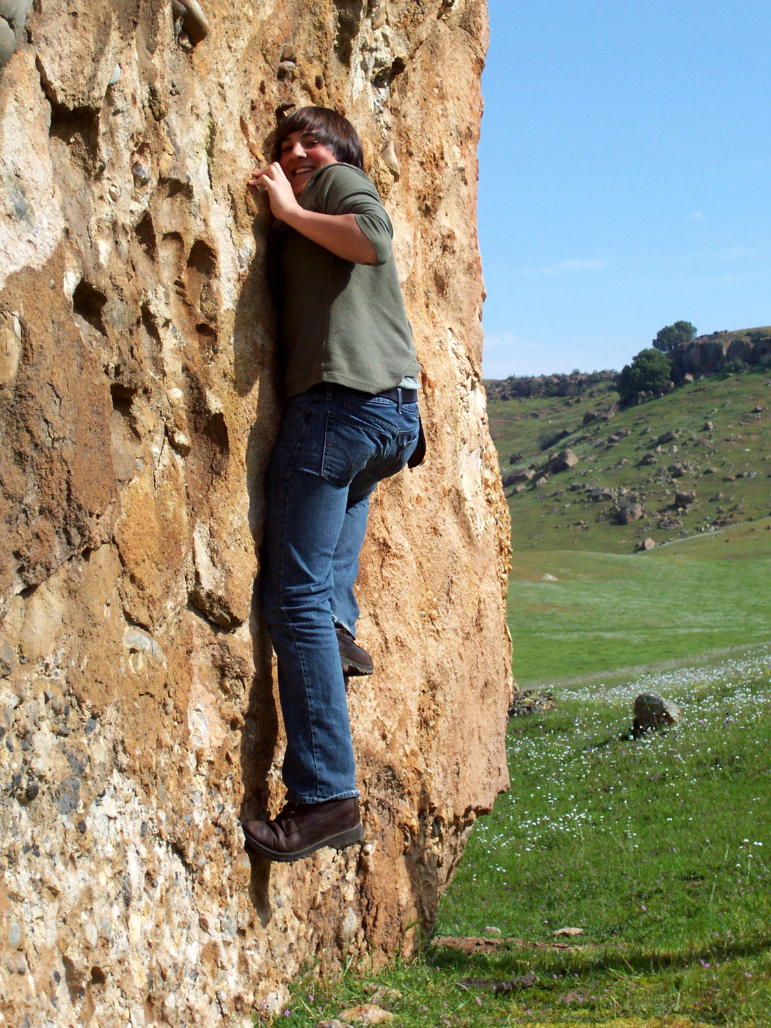
We scheduled our next hike for the following Saturday. It turned out that Jennifer and Mark could not make it, but Janell and I were joined by my grandson Mikie and her twin daughters, Nichole and Jessica, and their boyfriends, Dominick and Kyle. We went first to "Stonehenge," where the boys had fun attempting to climb the rock (pretty much impossible without special equipment). Then we went up to the top of Little Table Mountain. There is a large metal cross that once stood on top of the hill, but which has been down since the early 1980s. People have been applying their names and graffiti to it ever since, so the boys carved their names and girlfriends' names into it. The weather was perfect again, and we saw lots of buzzards, who seldom flap their wings, but instead drift up and down on thermals. Although it was green and there were maybe even more flowers, the vegetation was noticeably dryer than the week before. After
our walk we ate at the
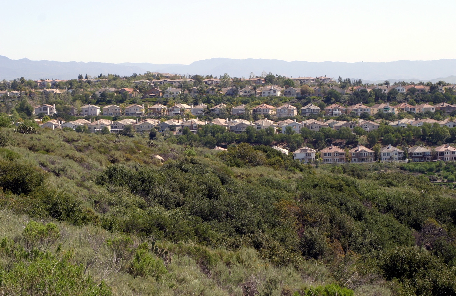
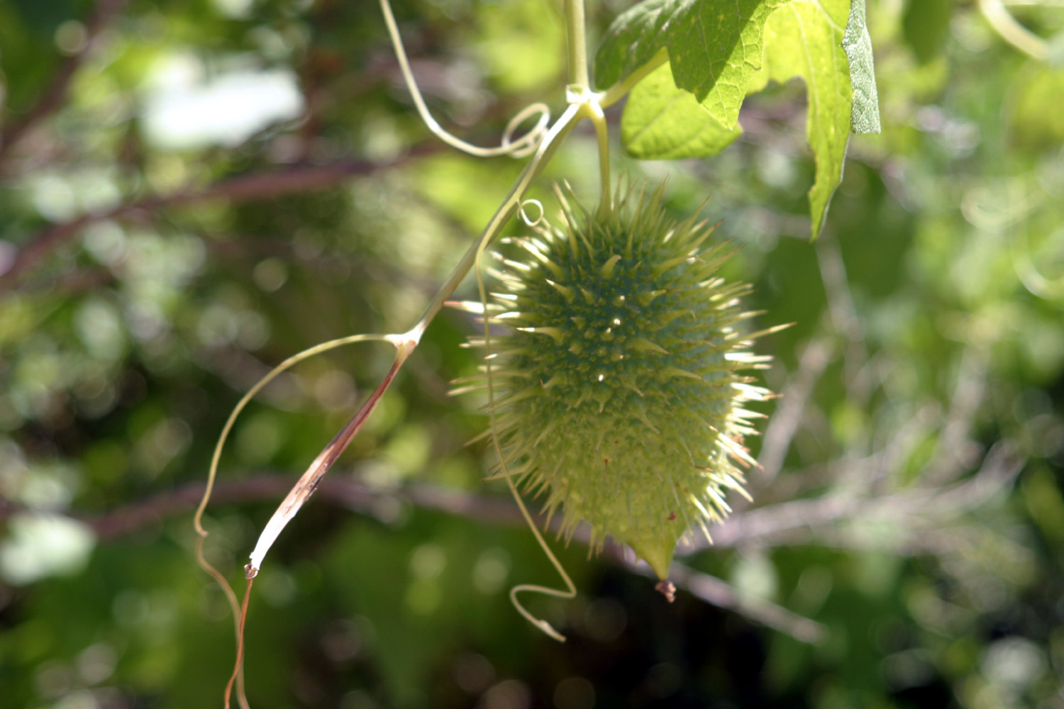
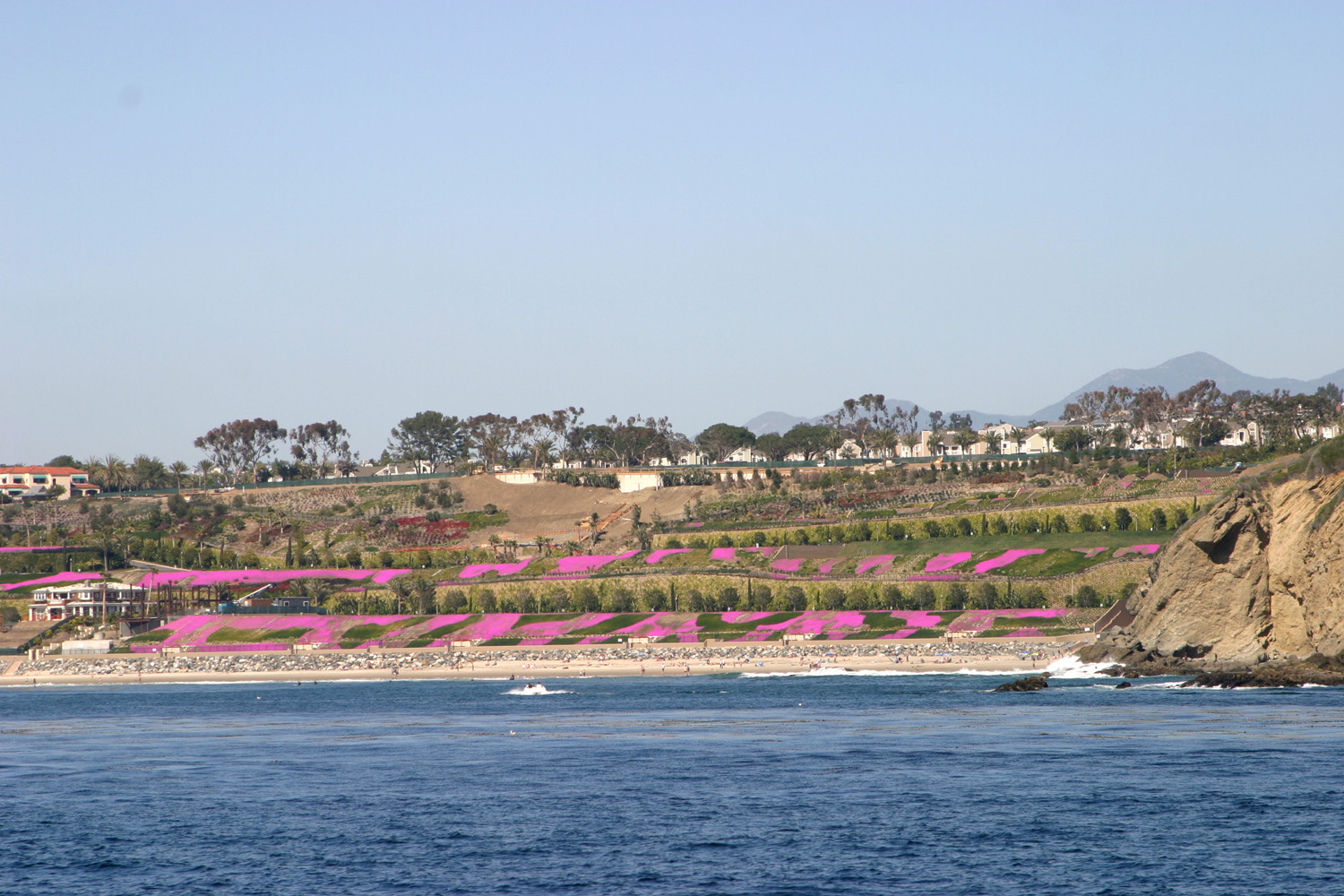
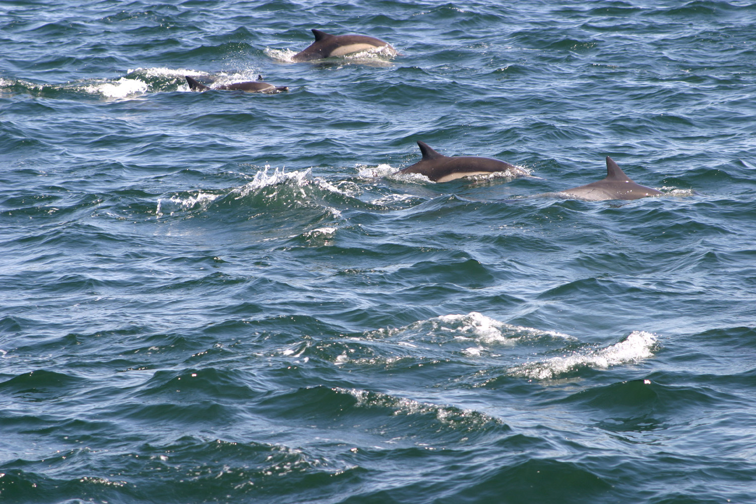
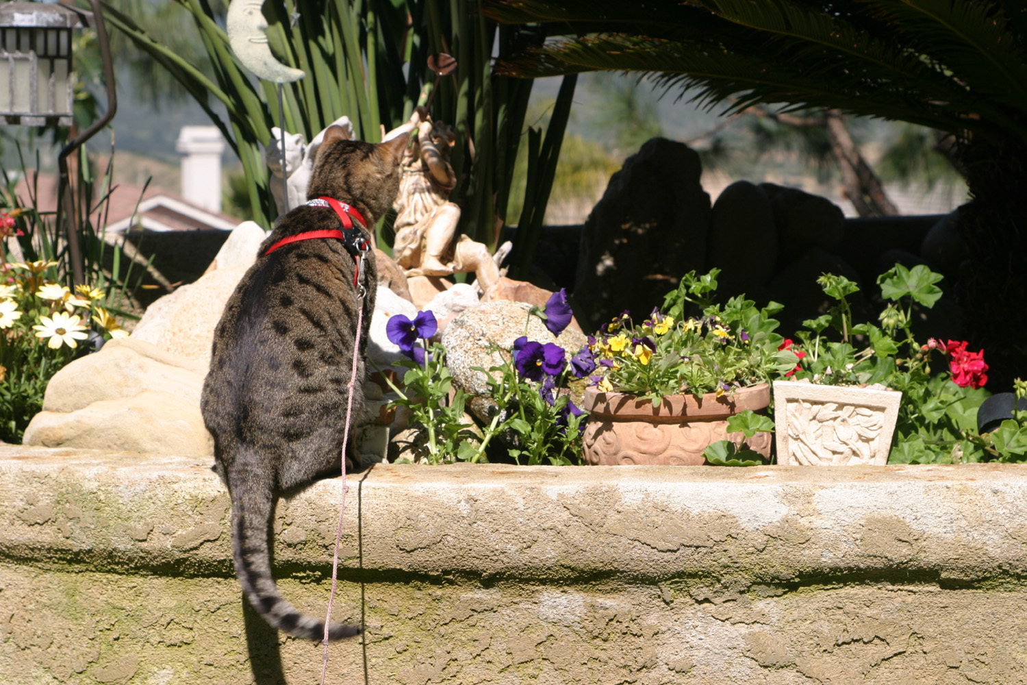
Dolphins, Hiking and Dining in Orange County My cousin, Katie Leary, and her boyfriend Chuck Calanni live in Aliso Viejo in Orange County. I wrote about my last visit to them in 2006. I had tried to schedule a visit as part of some of my other Arizona and Southern California trips, but finally decided that the best approach was a visit devoted strictly to them. I left home a little after 9 a.m. on March 27, and had a good, fast trip down State 99 and I-5, with a lunch stop in Valencia, home of Magic Mountain. The fast part ended when I reached the northern part of Los Angeles, where traffic slowed to a crawl. For about one hour it was stop and go traffic, seldom going faster than 10 MPH. The next hour, we achieved speeds up to 20 and sometimes 35 MPH, then finally near Knott's Berry Farm, traffic cleared up and I was able to go at a normal pace till I got to my exit. I was arriving a little early (around 3:30 p.m.) so I was concerned that no one would be home, but I learned that Chuck and Katie now work out of their home. They have both been in information technology for a long time, and now have a credit card processing business. They do have to go out to see prospective clients or attend meetings, but many days they can work without leaving home, a definite plus in the LA/Orange metro area. Katie's daughter Shauna lives and works in nearby San Clemente, which is on the ocean and on the border between Orange and San Diego Counties. Not long after I arrived we drove to her place, which she shares with two roommates. We then went to a restaurant on the San Clemente pier, where they feature not only happy hour drinks, but a nightly happy hour dinner plate for $3. This time it was a Chinese dish, and very good. By the time we finished dinner, the sun had set, putting on a nice show as it disappeared into the Pacific. This area is one of the prime surfing spots in southern California, so while we waited for a table, we strolled out part way on the pier, watching the many surfers ride the waves. Saturday a full schedule was planned. While Chuck ran an errand, Katie and I drove a short distance to where a hiking trail begins. Despite being in a metro area of millions, there is a large tract of undeveloped land, including Aliso & Wood Canyons Wilderness Park, which has miles of hiking trails. We followed a trail that went uphill, mostly a very gentle slope, to a place where we could see the ocean. Nearby is another trail that goes down through a canyon all the way to the ocean; and the area offers a wide variety of easy to difficult hikes. It's also a popular spot for mountain biking, and we saw a number of riders during our walk. Southern California has had a fairly good amount of rain this year, and the trail is lined with many species of wildflowers, along with prickly pear and a few examples of other cactus. In the afternoon we went to Dana Point to go out on a whale watching boat. We did not see any whales, but shortly after we left the harbor we began seeing dolphins. Over the next half hour or so we saw literally hundreds of dolphins, some right by the boat. Often there would be anywhere from two to ten of them breaking the surface at the same time. The staff on the boat said they feed mostly on sardines, and the fish also draw hundreds of birds, including lots of pelicans, cormorants, and gulls. When we got back to shore, we headed to Olamendi's Mexican restaurant, on the Pacific Coast Highway in Laguna Beach, where we had an excellent dinner. We then drove down to the shore and walked through Heisler Park, which features a paved and beautifully landscaped pathway that follows the edge of the cliff above the sea, with a number of beach access trails leading off from it. Sunday was a little more relaxing (although all our activities count as relaxation for working people). We went to the nearby Laguna Niguel Regional Park and took a walk around a fair sized lake, about two and a half miles total. The park was crowded, which was a surprise to Chuck and Katie, since they normally go on weekdays when it is virtually empty. The trail is lined with wild flowers, including huge patches of wild mustard, as well as a yellow-flowering tree that we could not identify, and the usual southern California favorite, eucalyptus. The rest of the day was fairly quiet and relaxing, hanging around the house. In the evening Katie's daughter Shauna and two friends came over. Chuck and Katie did an excellent barbecue, and we had a great visit. During my time there we were entertained by Ebee, their Bengal cat. She loves to be outside, but can't be out alone, and they put her on a long tether when she is out. Despite being in a metro area of more than 15 million people, the area is visited by raccoons, hawks and the occasional coyote. Chuck and Katie were both doing something, and I was sitting outside reading when I heard Ebee meowing inside the house. Then I heard a loud scratching sound on the window screen and realized I had better bring her outside before she clawed through (indeed, they have had to replace the screen). Once outside, Ebee spends most of her time keeping an eye on the many birds that are attracted by feeders and an extensive flower garden. When I went inside, I brought her in. She protested loudly, but did not struggle at all; it seems she's learned that resistance is futile, but that freedom of speech does indeed extend to cats. Inside, she has a ping pong ball she plays with. If you toss it up the stairs five or six steps, she will leap up before it can roll down, and attack it as if it were a dangerous killer mouse. Katie had an early meeting and was up and gone by about 7 a.m. Monday. Chuck had to visit a client, but did not have to leave till around 9, so I had breakfast with him, and was ready to get on the road a little after 9. Following Chuck's advice I took I-405 (the San Diego Freeway), which joins I-5 at the northern end of the San Fernando Valley. Except for about 15 minutes of 30 to 40 MPH traffic, I was able to travel at usual freeway speeds all the way through the metro area and home. I stopped for gas and at a couple of rest stops, and had lunch at the Black Bear Diner in Tulare. I had heard good things about this chain, and I can recommend that you try it if you encounter one. I got home around 3:30, having decided that the enjoyment of the trip was worth the traffic hassle through L.A. --Dick Estel, April 2009 |
||
|
Photos |
||
|
 |
|
|
Snow near Highway 58 |
This was our view for nearly two hours |
Mikie & the boys from Utah |
 |
 |
 |
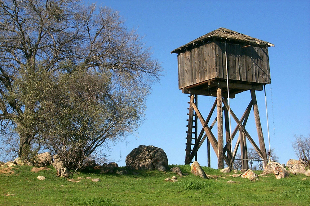
| Sting Rays at Shark Reef, Mandalay Boy | Old water tank in Raymond |
Rock wall near the Raymond Road |
 |
 |
 |
| The Quick Ranch |
Snow at Midpines Summit |
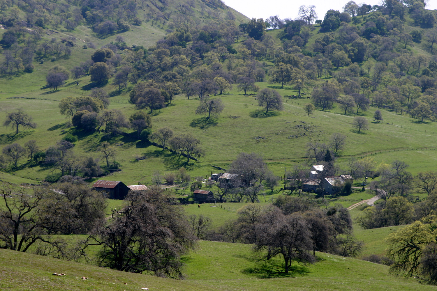
Our house in Mariposa |
|
 |
 |
|
Basalt cliffs on Little |
The view from the top |
The boulder known as "Stonehenge" |
 |
 |
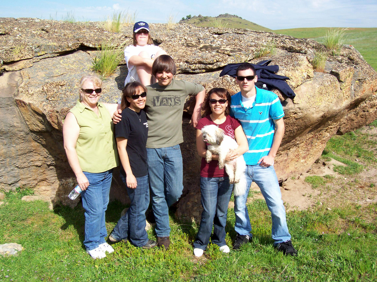 |
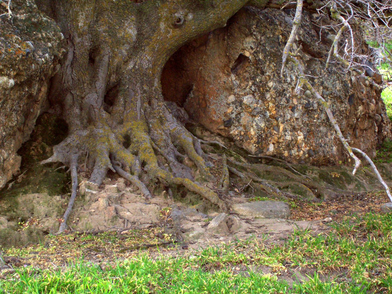
| Getting to the roots of the matter | Jennifer by the fallen cross | Janell, Nichole, Dominick, Jessica, Kyle, Mikie (on rock), Tinker Bell (held by Jessica) |
 |
 |
 |
| Jessica & Kyle; south end
of Little Table Mountain in the background |
Dominick clings to the few |
Not Stonehenge, but still, |
 |
 |
 |
| Houses viewed from Aliso & Wood Canyons trail |
View down Laguna Canyon to the ocean |
Wild cucumber by the trail |
 |
 |
 |
| Dana Point from the boat | Dolphins feeding off Dana Point | Chuck & Katie on the boat |
 |
 |
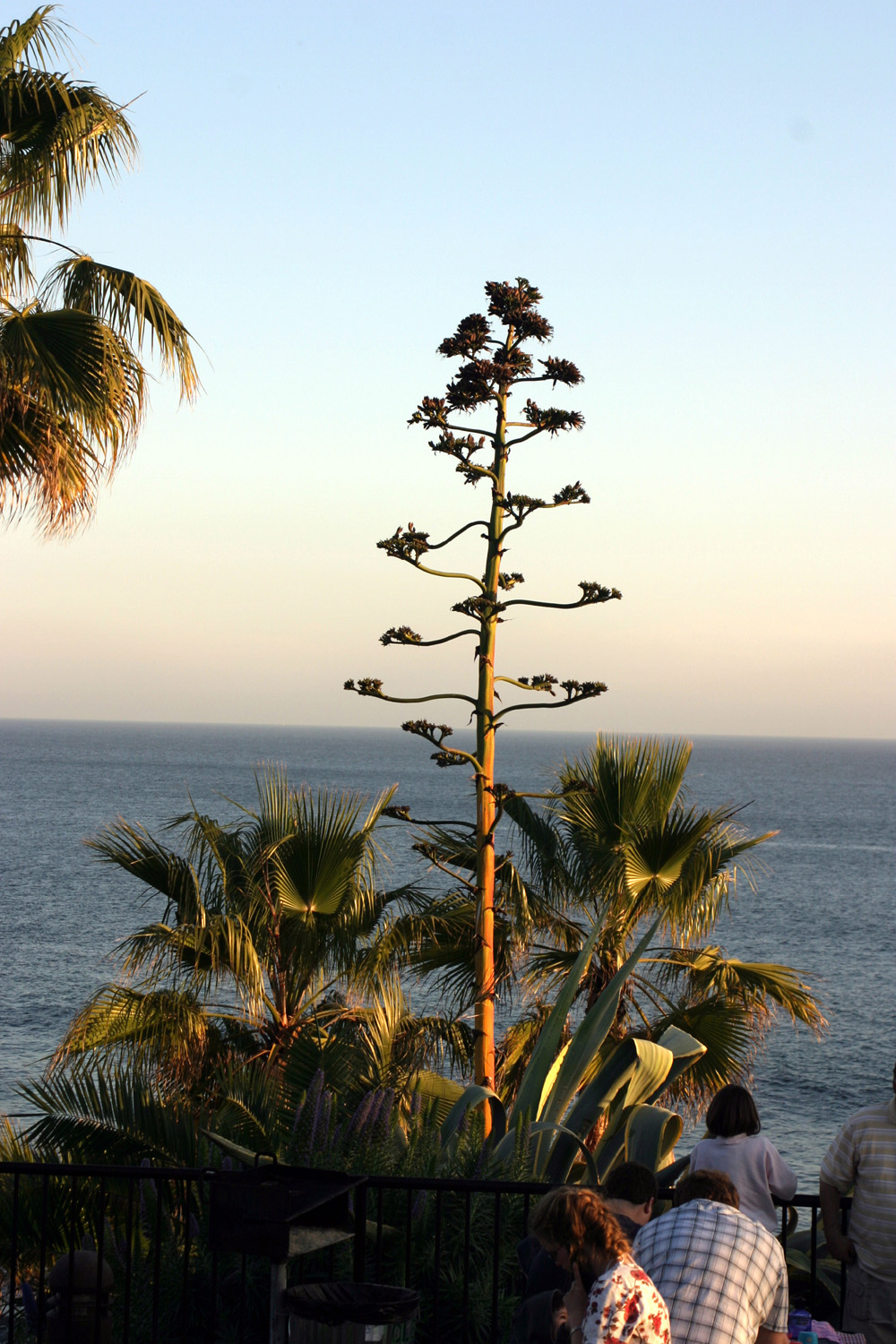 |
| Sand and surf at Laguna Beach | Landscaping at Heisler Park | Century Plant in the park |
 |
 |
 |
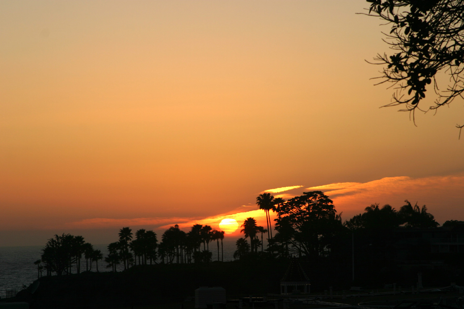
| Sunset from Laguna Beach |
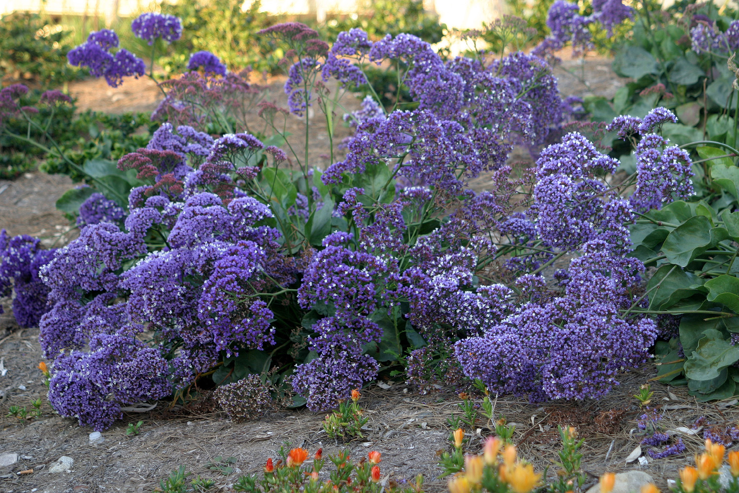
Mustard flowers in Laguna |
Chuck & Katie in the park |
 |
 |
 |
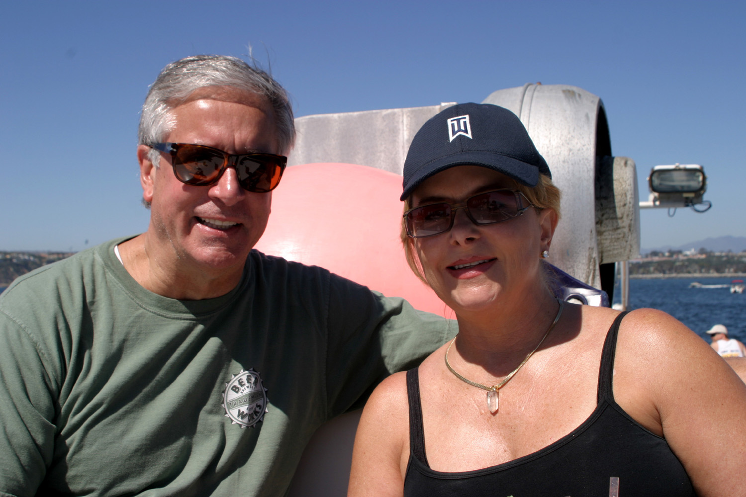
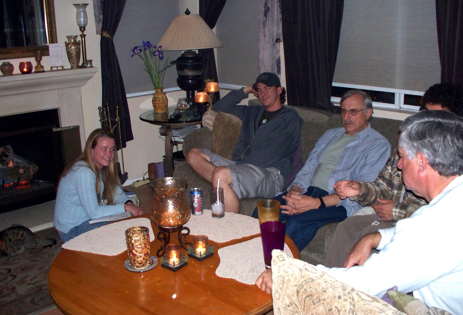
| Lake in the park | Shauna, Cory, Dick, Ricky
(hidden), Chuck relaxing after a good dinner (K. Leary photo) |
Ebee stands guard |
 |
 |
 |
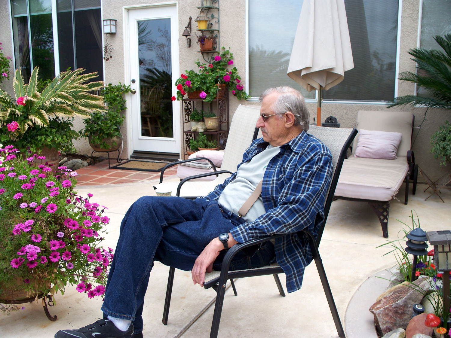
| Some old guy resting in
Chuck & Katie's back yard (K. Leary photo) |
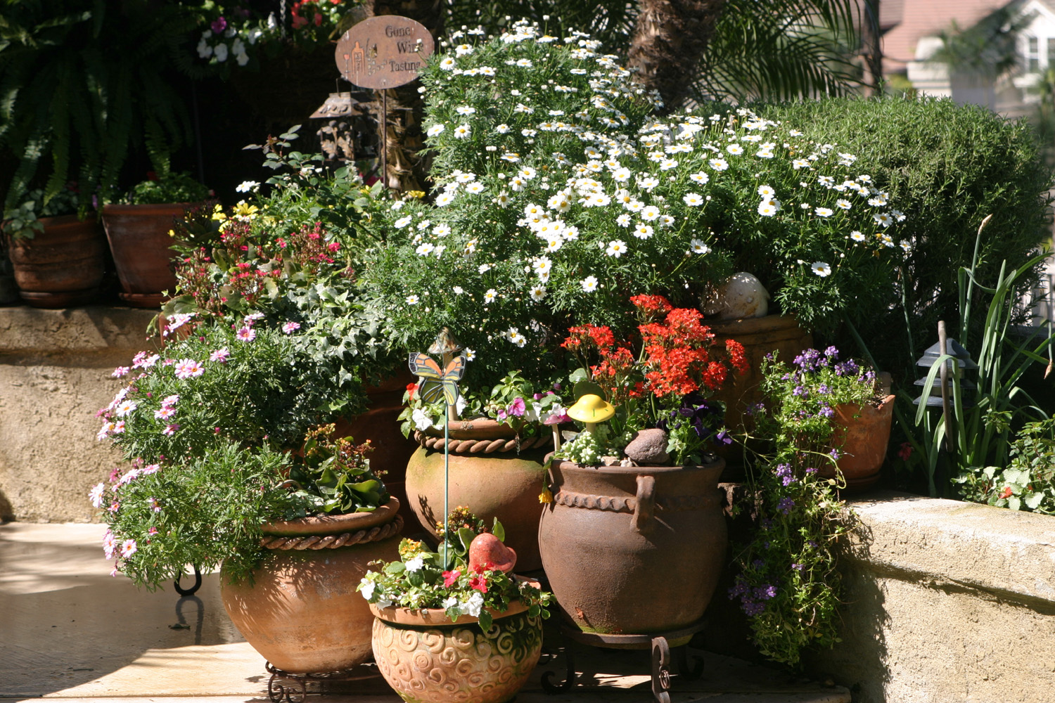
Landscaping in Katie's back yard |
Another view of the yard (K. Leary photo) |
| All photos copyright © 2002-2009 by Dick
Estel or Katie Leary. Permission granted for personal use only; commercial use prohibited |
||
|
Related Links |
||
| Shark Reef | Quick Ranch | Miner’s Inn |
| LeGrand | Whale Watching | Heisler Park |
| Aliso & Wood Canyons Wilderness Park | Laguna Niguel Regional Park | Black Bear Diner |
| Little Table Mountain | Basalt | Olamendi's Mexican restaurant |