|
Rambler Hikes 2025 Page 3 |
|
|
Rambler Hikes 2017 Rambler Hikes 2018 Rambler Hikes 2019 Rambler Hikes 2020 Rambler Hikes 2021 Rambler Hikes 2022 Rambler Hikes 2023 Rambler Hikes 2024 2025 Page 1 2025 Page 2 |
|
|
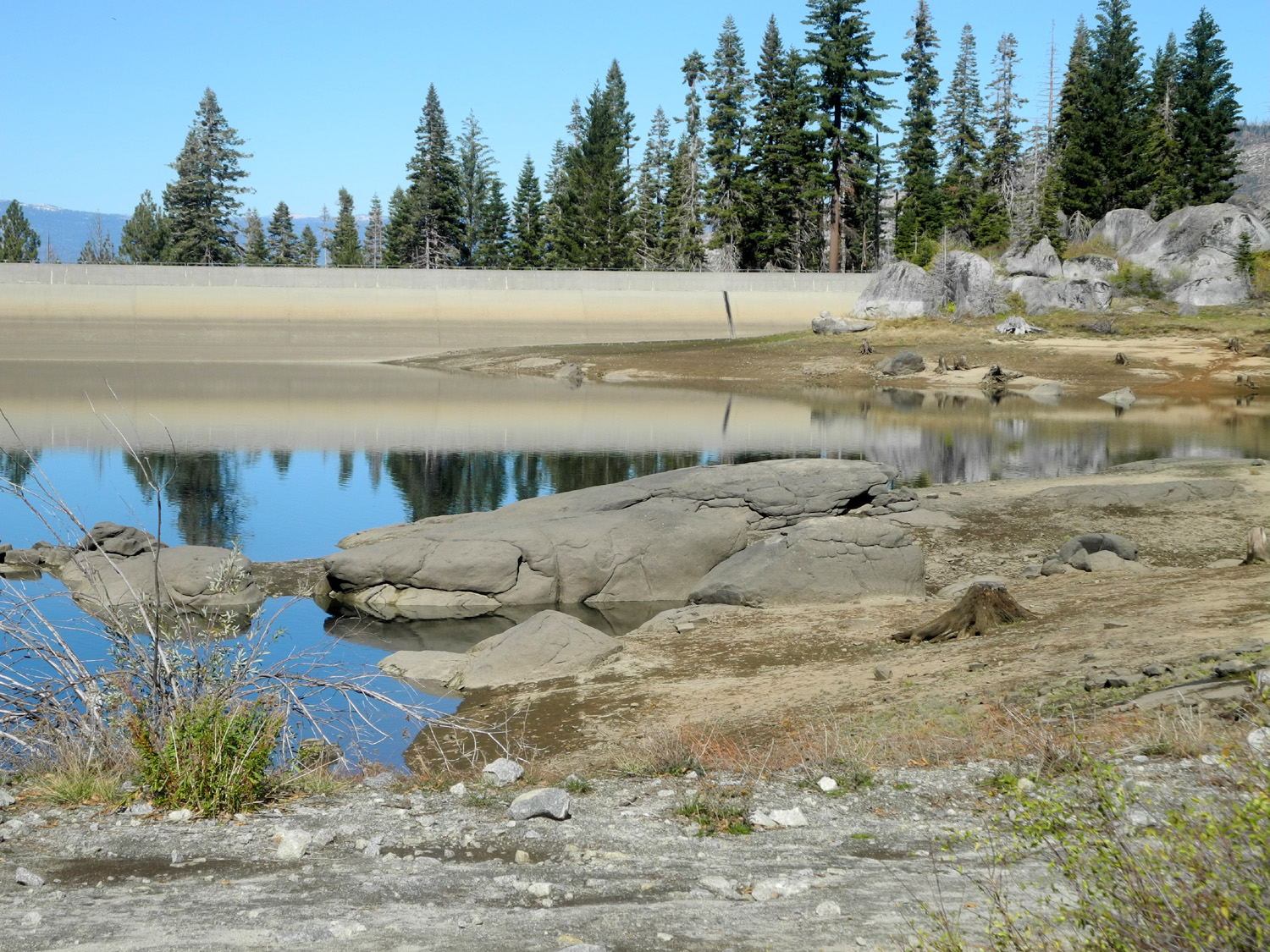
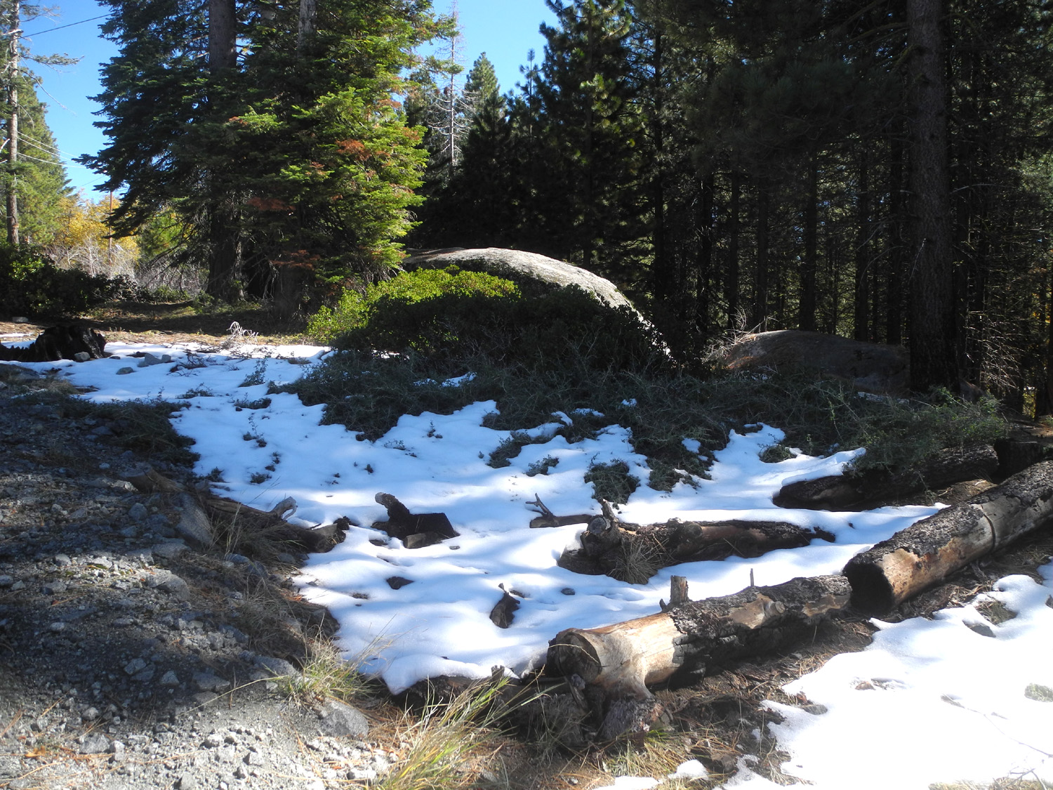
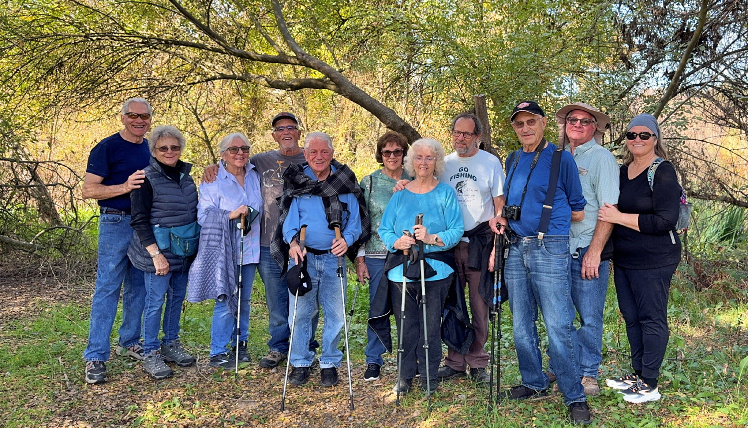
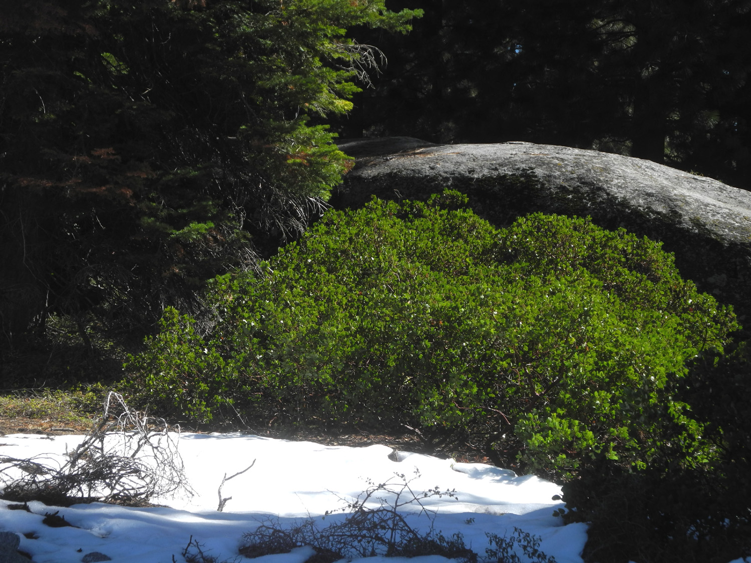
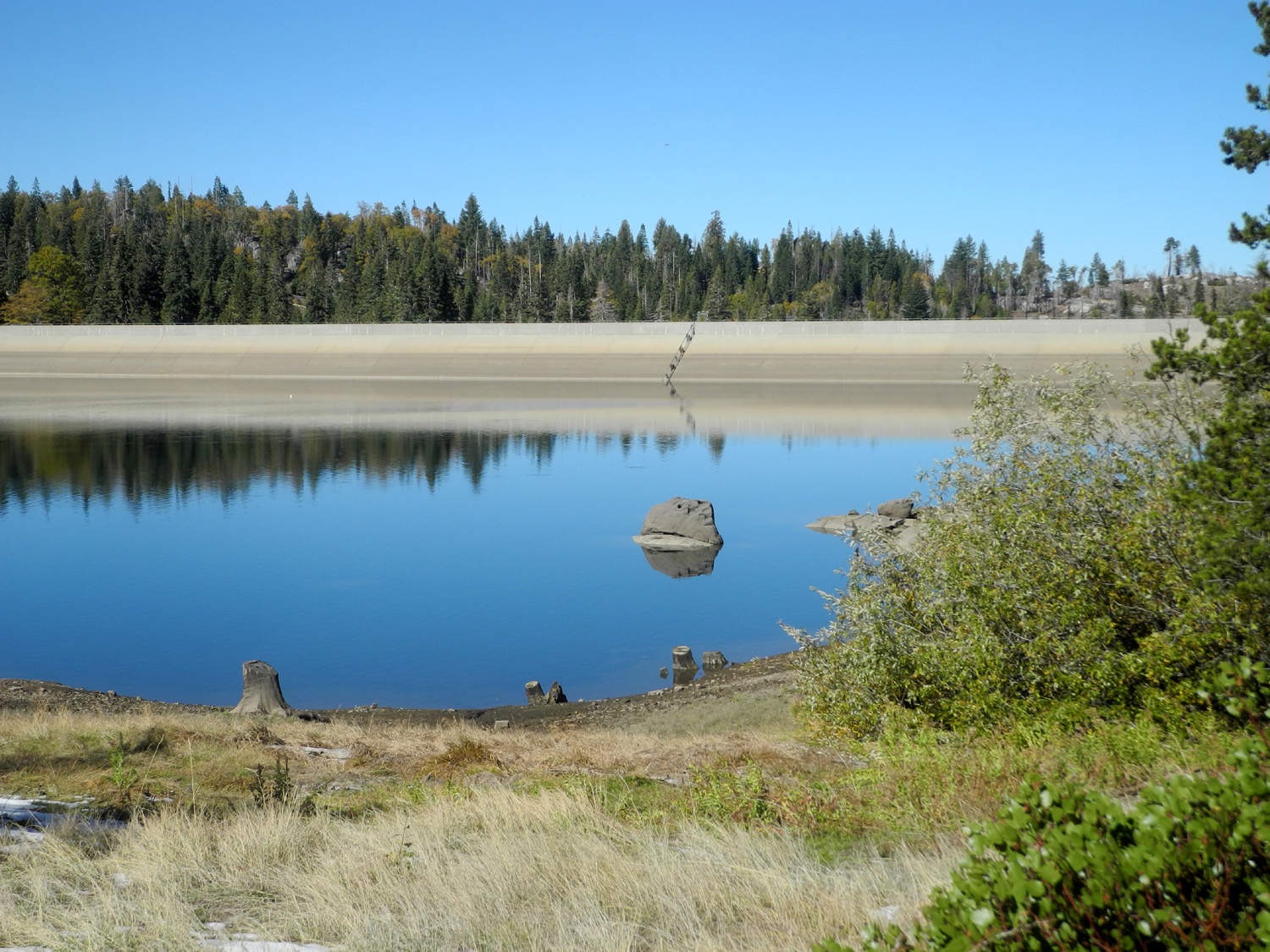
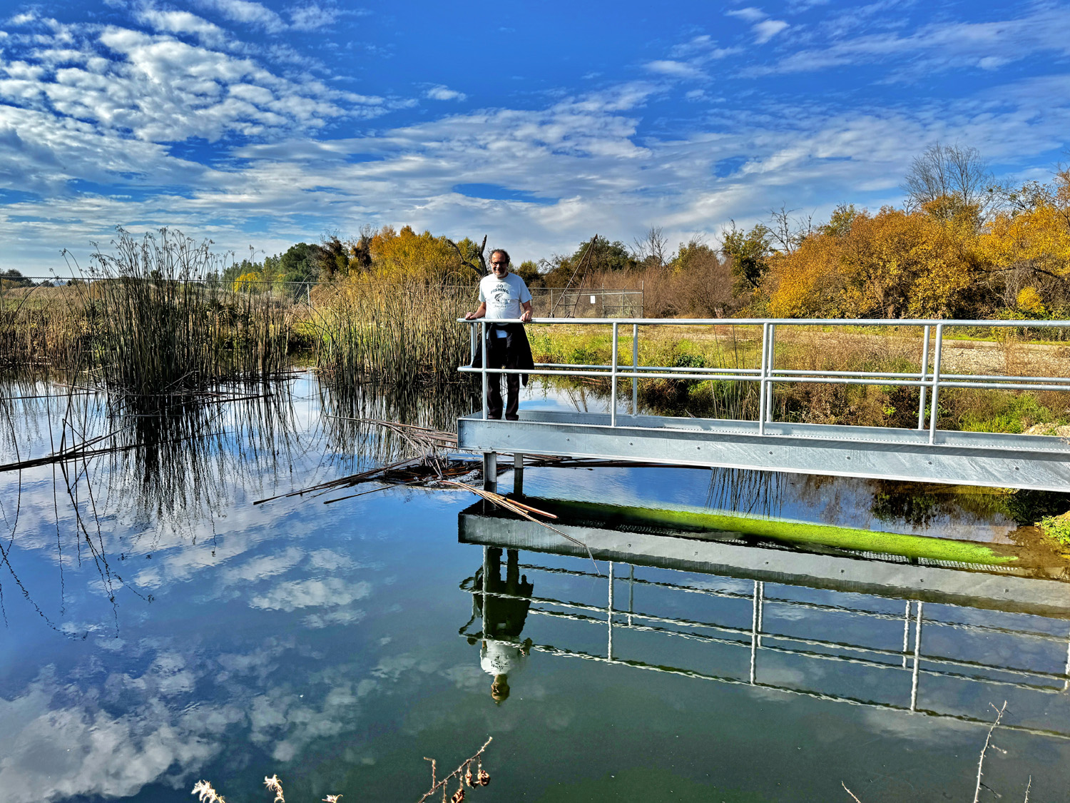
Balsam Forebay Jeff Scroggins, an extraordinary bluegrass banjo player, made a CD called "Ramblin' Feels Good." On October 20, six young-at-heart senior citizens set out on a Sierra Nevada trail to test the validity of that claim - and at the end of our adventure, we agreed that we all felt good. This was the 137th Ramblers hike, and after more than ten years hiking we were delighted to welcome a new Rambler, Patrice White, who most of us worked with at the Department of Social Services. Also along on this outing were Sue Wirt, Don McClellan, Charlotte & Pat Tilkes, and me, Dick Estel. Our destination was Balsam Forebay, a part of the Southern California Edison hydroelectric project, about half way between Shaver Lake and Huntington Lake. It had snowed over a foot at Huntington about five days earlier, and there was still snow along (but not on) the entire trail. However, the weather was warm enough that a t-shirt and light sweatshirt were almost too much. |
|
 |
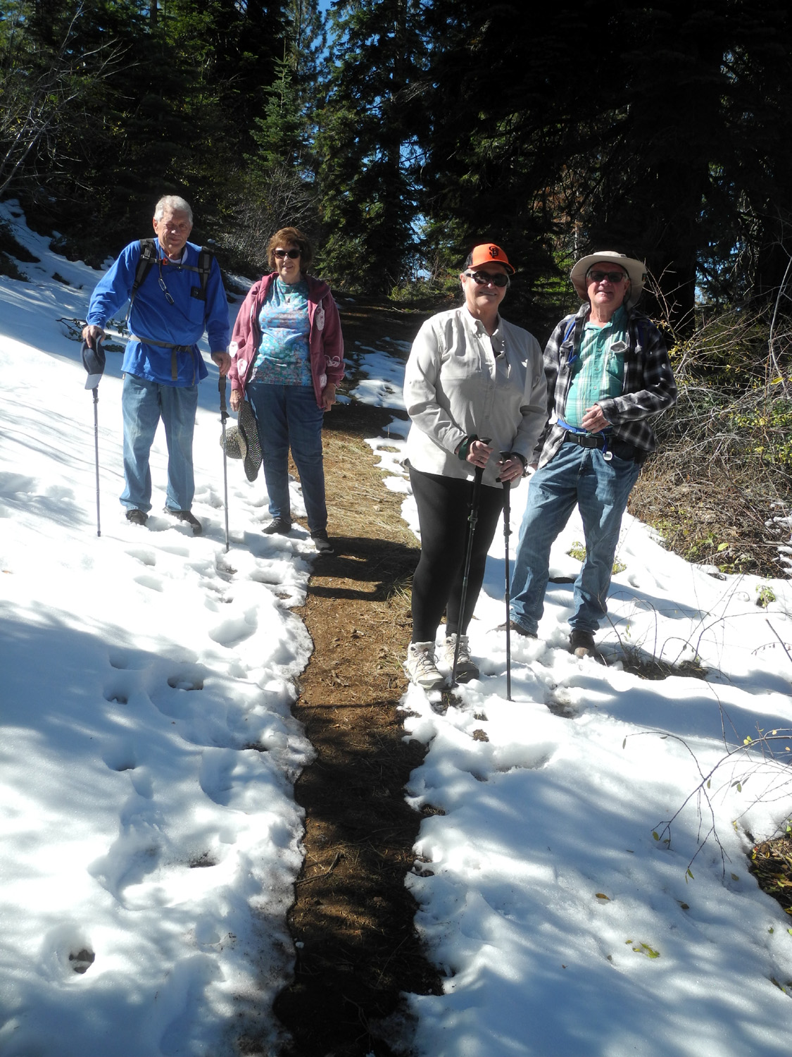 |
| Ramblers at lunch: Don, Dick, Pat, Charlotte, Patrice, Sue | Don, Patrice, Charlotte and Pat enjoying the snow-lined trail |
|
The trail is a loop with only a few very moderate uphill sections, and the return half is a dirt road that provides access to the lake, but is closed to public traffic. The snow, the evergreens, and the granite rock formations along the way made this a very scenic and pleasant hike. We spent probably a half hour at the lake, sitting on some moderately comfortable rocks and discussing various important topics, none of which have stayed in my mind long enough to be part of this report. |
|
 |
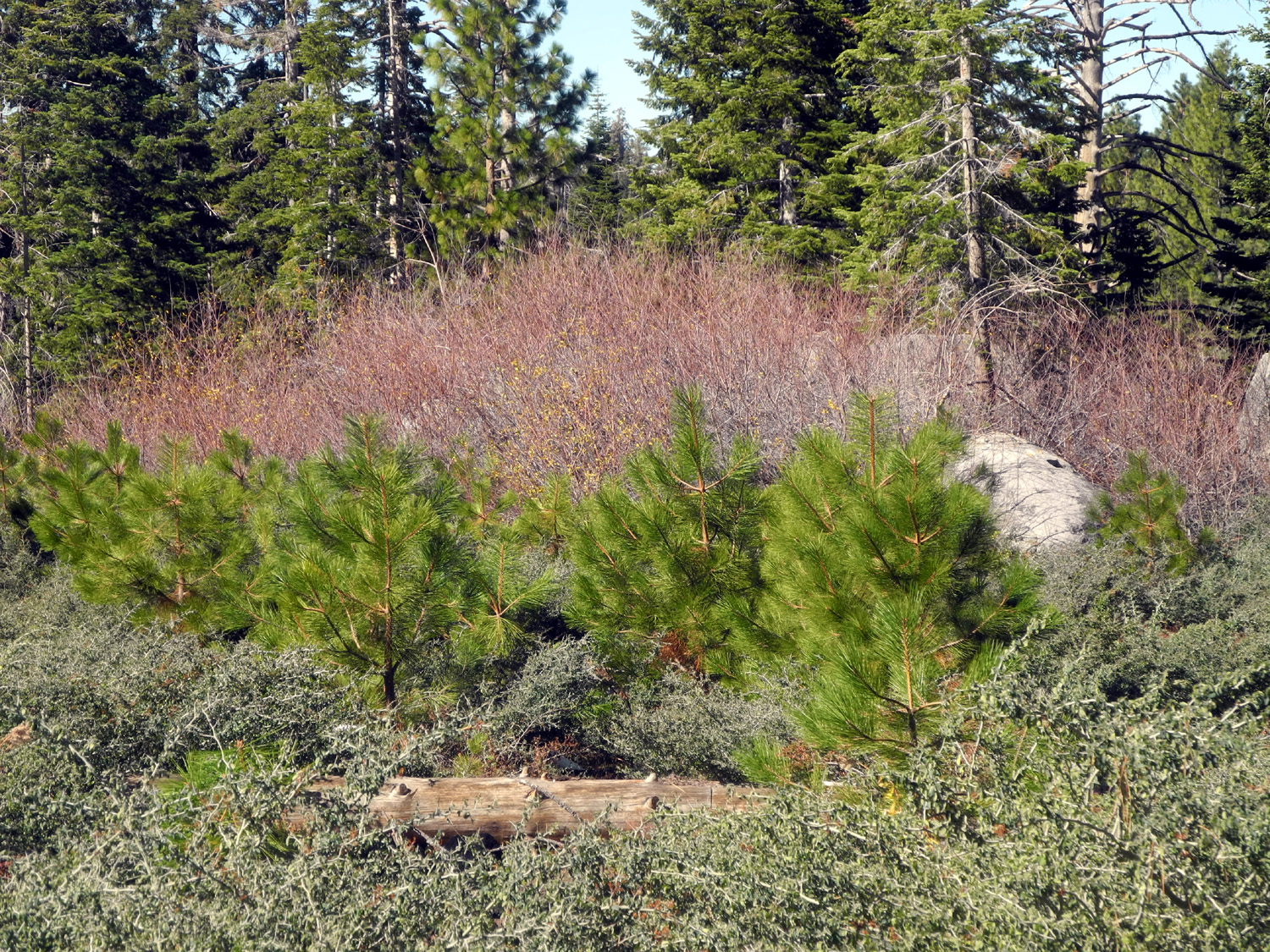 |
| A nice patch of snow with dark evergeens beyond | This area had several dozen young pine trees |
|
|
|
|
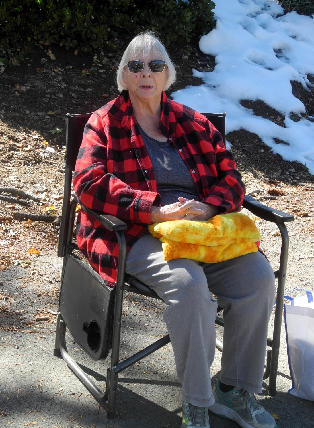
Sue has some mobility issues and chose to wait at the trailhead, sitting in her chair and reading, and moving between sun and shade and enjoying amazingly nice temperatures at this 6,600 foot elevation. Although our hike was just a little over a mile, the effort and the fresh air gave us a good appetite. When we're in this part of the mountains, we usually eat at a restaurant in Prather, about 35 miles from our starting point in Clovis. This time we chose the Pizza Factory, a chain with outlets in many small towns throughout California, featuring not only excellent pizza, but delicious sub sandwiches. |
|
 |
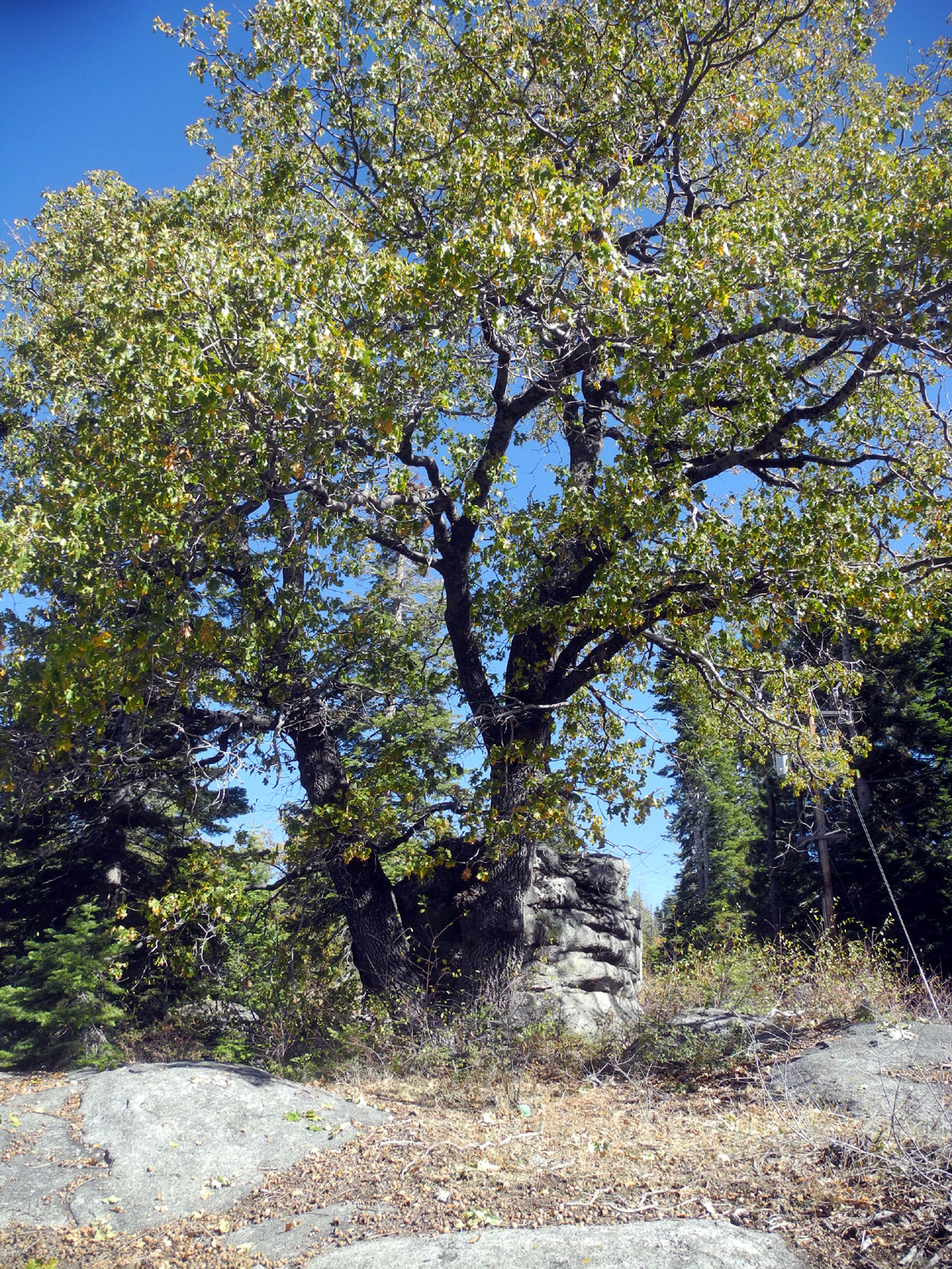 |
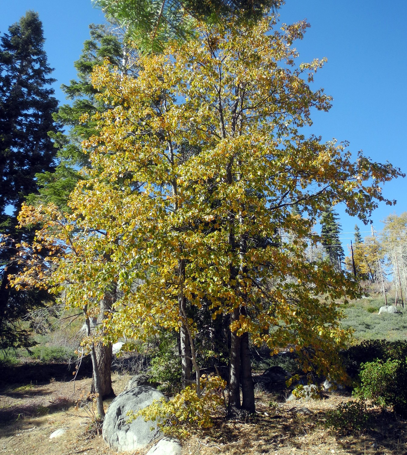
| Sue on guard at the trailhead | Only a very few leaves on this black oak have begun to turn |
|
We felt fortunate to be able to hike at a fairly high elevation in October, and hope our luck continues for our November outing, which will also take us over 6,000 feet (of course, we have a Plan B if needed). --Dick Estel, October 2025 |
|
| FINS
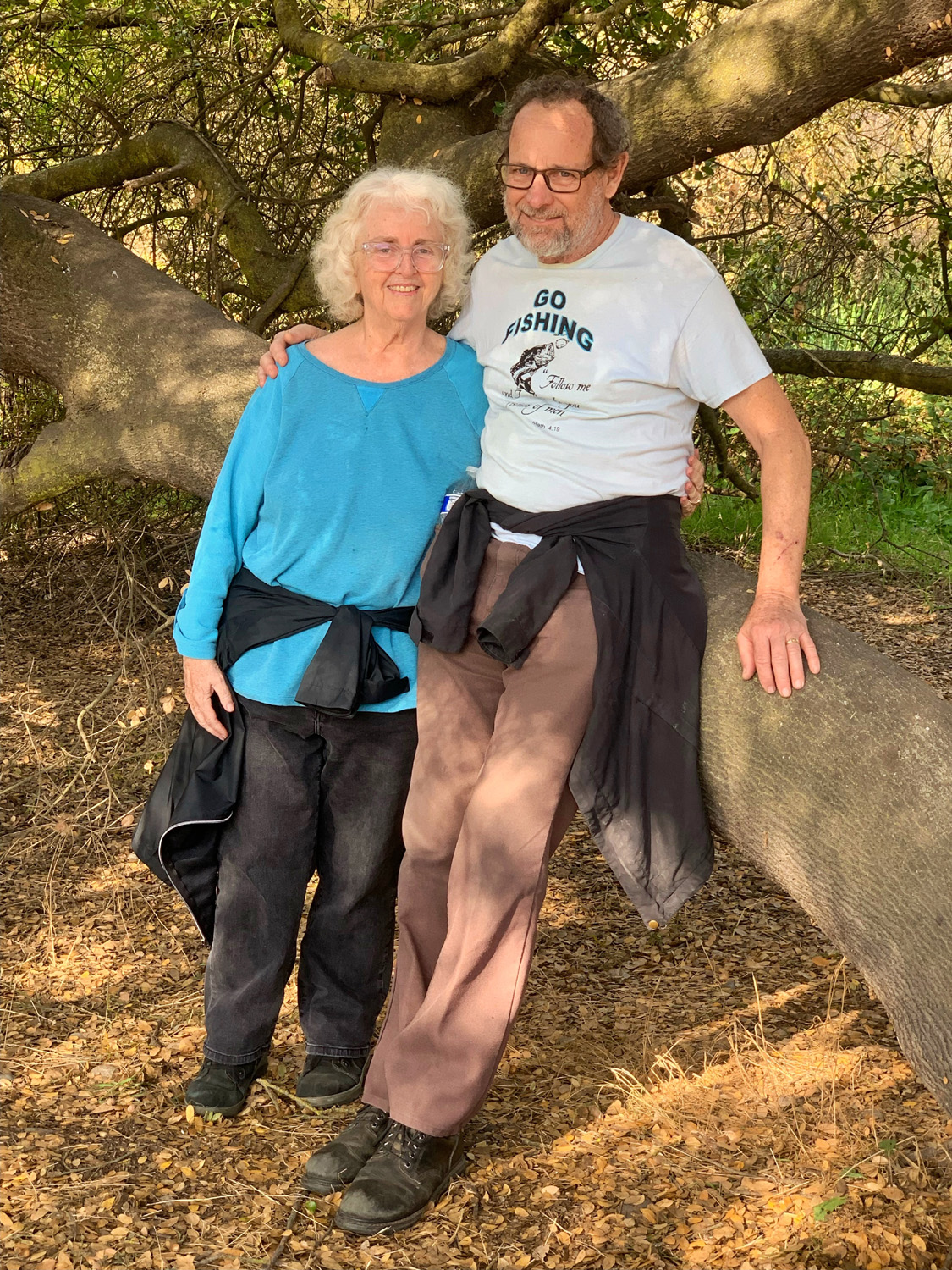
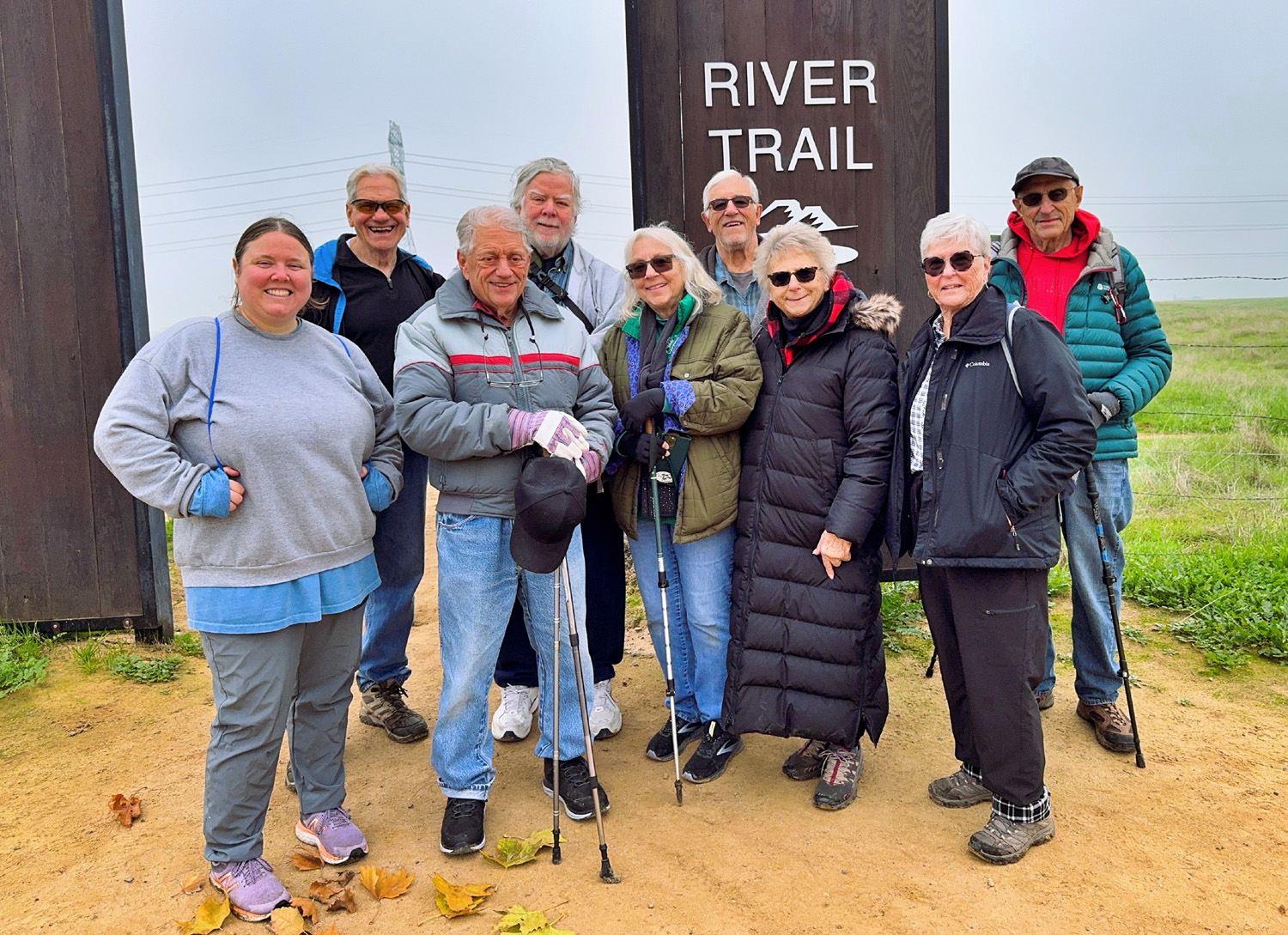
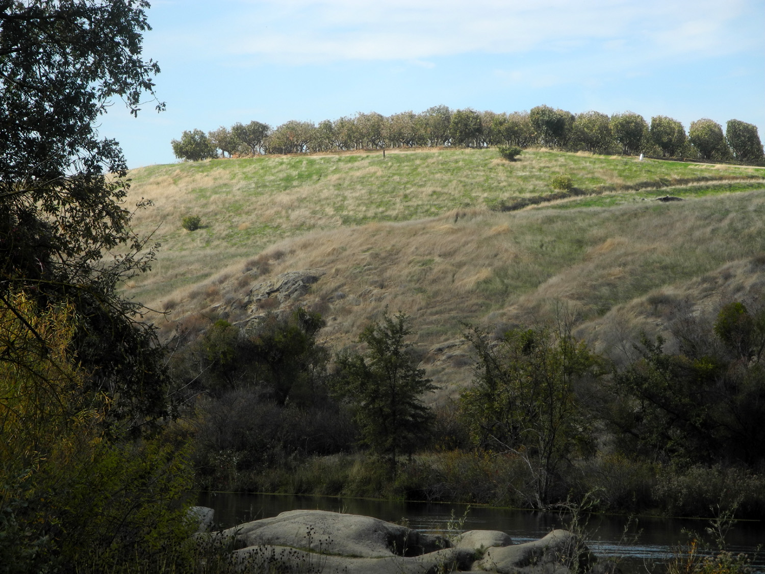
Trail (Photos by Wes and Dick) Challenging anticipated rainstorms, the Ramblers enjoyed an easy, delightful hike on November 12. For some time the forecast for that date had called for afternoon rain. Since we are as always, undaunted, we believed we would be fine. By the time the date arrived the weather people had decided the rain would not start till late that night, or maybe the next morning, or....sometime. As it turned out, we had intermittent clouds and sunshine, walked comfortably in lightweight shirts, and did not see rain until mid-morning 24 hours later. Our hiking location was one we had visited in 2017, the FINS Trail (for Friant Interactive Nature Site). This trail starts near the fish hatchery in "downtown" Friant, and runs parallel to the San Joaquin River. The "interactive" part is the Small Fry Trail, a loop off the main paved route lined with things to interest and educate kids - several animal and fish models, a beaver dam, a slide, other play areas, two bridges, a raft, a canoe, and a bed of pea gravel, simulating a place where small trout hide, with shovels for people who like to dig in the dirt. We were eleven strong for this outing: The Sohms, Keith and Beth; the Tilkes, Pat and Charlotte, Susan Silveira, Laurie Fitzgerald, Wes Thiessen, Patrice White, both Don's, McClellan and Bandoni, and your faithful reporter, Dick Estel. |
|
 |
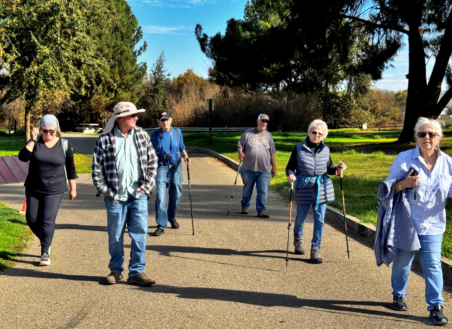 |
| The Ramblers on the FINS Trail | Charlotte, Pat, Dick, Don B., Laurie, Susan |
 |
 |
| Beth and Keith | Charlotte and Susan |
|
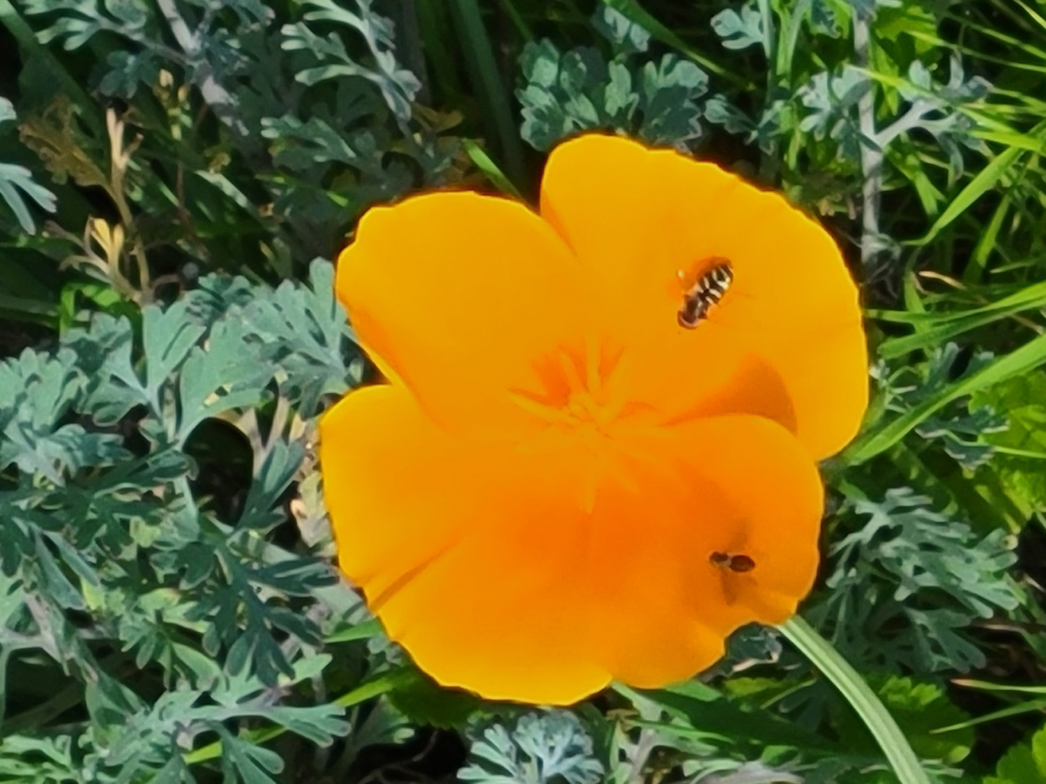
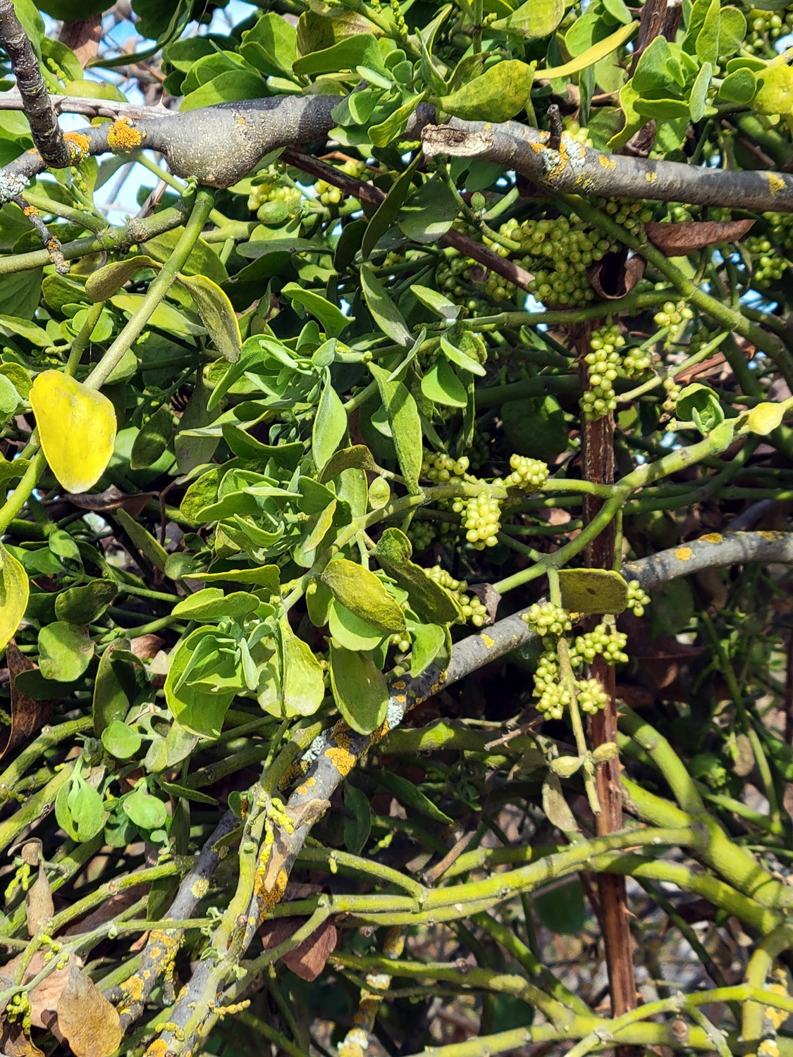
Since this is the era of global warming, there were quite a few flowers out, including some that should have stayed hidden until at least February. The only ones I could identify with certainty was a handful of California poppies. In time for Christmas, there was a bunch of mistletoe on a low-hanging branch, within easy reach. We left it there. |
|
 |
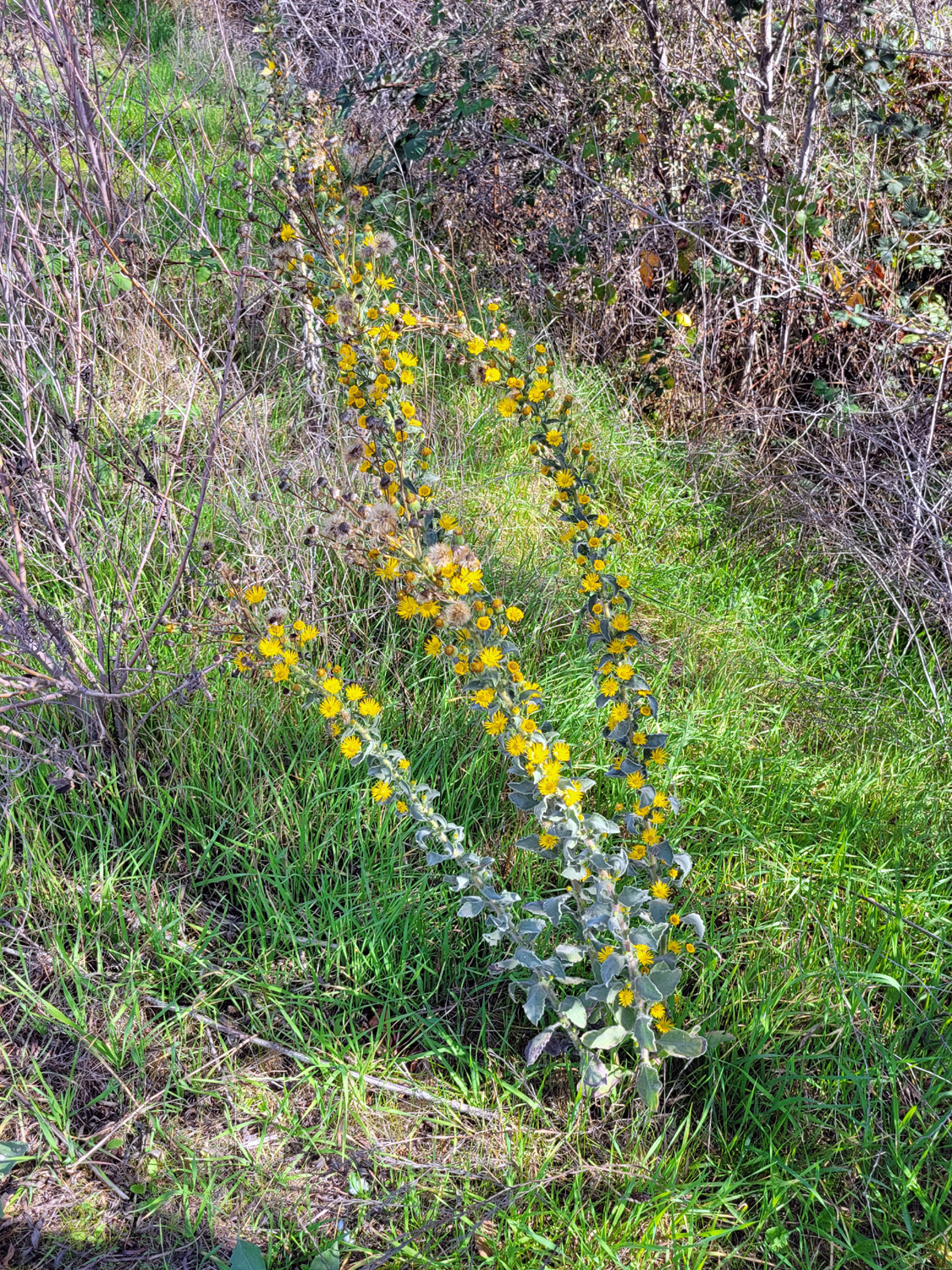 |
| The bugs are enjoying this "out of season" poppy | A four foot tall flowering plant |
|
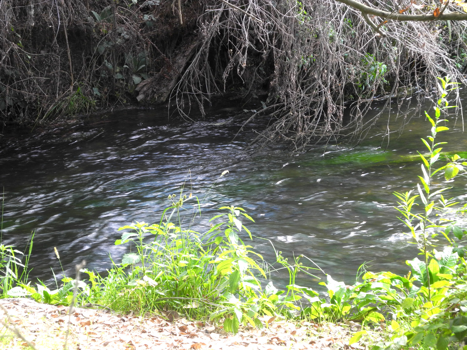
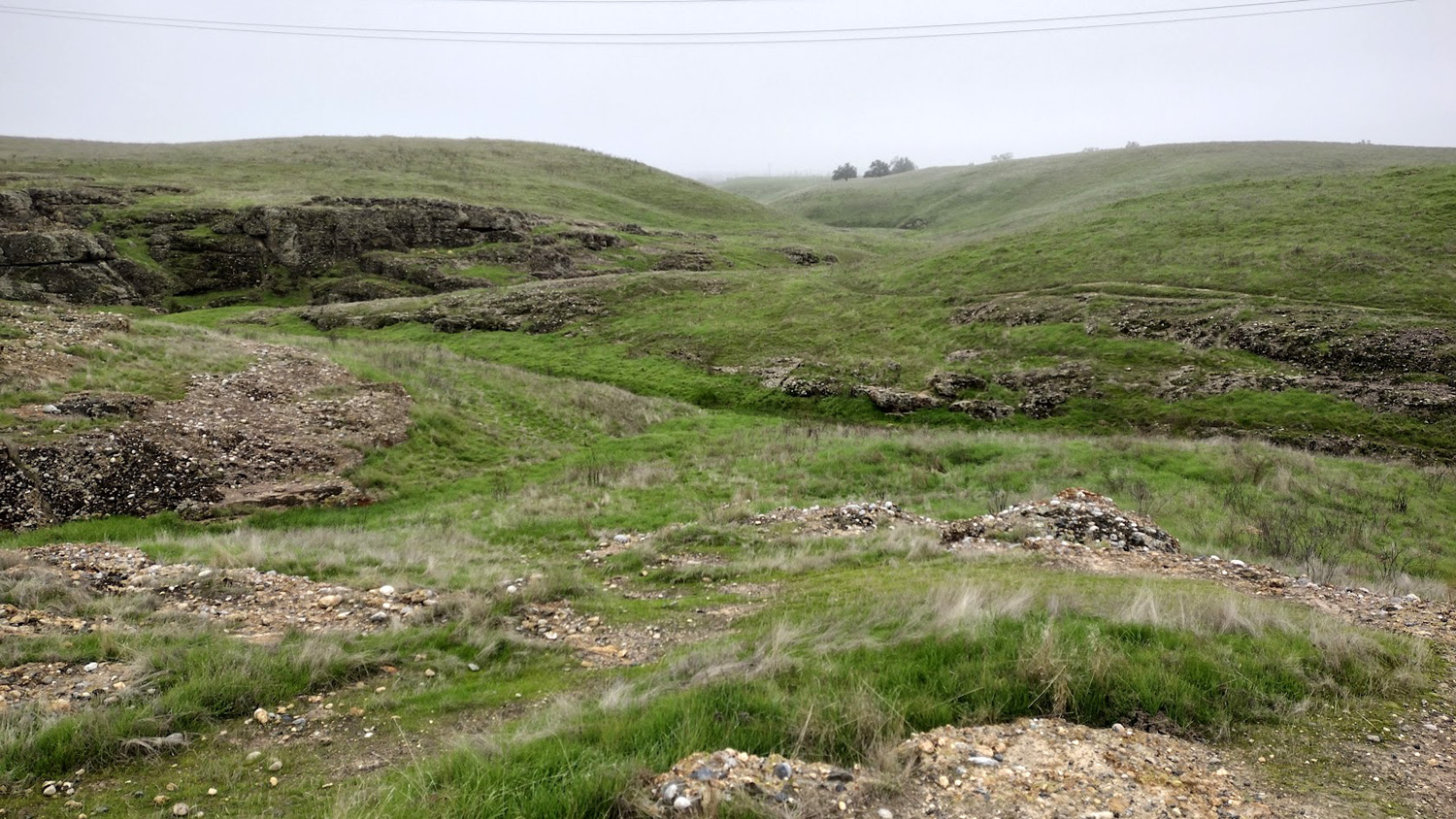
The trail officially ends at Lost Lake Park, where an old gravel pit has created a sort of small lake on the San Joaquin River. The river is visible at several locations along the FINS trail, and is a constant companion as you continue your walk through the park. There were lots of people camping and enjoying the warm fall weather. I hope they made it out before the big rains of Thursday and Friday. |
|
 |
 |
| The river is overgrown with bushes in this area | Looking across from the park to Madera County |
|
We finished our hike around 11:30, and set off for the nearby Table Mountain Casino and the Blue Oak Grill, where we have eaten a couple of times in the past. The prices are fairly reasonable, the food good, and there was only a short wait to be seated. During lunch we discussed previous and future hikes. We also solved many of the world's problems, if only those who cause them would listen to us. With cooler weather coming, we will continue to seek low elevation sites for our next two or three hikes and hope we continue to have a good turnout. --Dick Estel, November 2025 |
|
| Tesoro
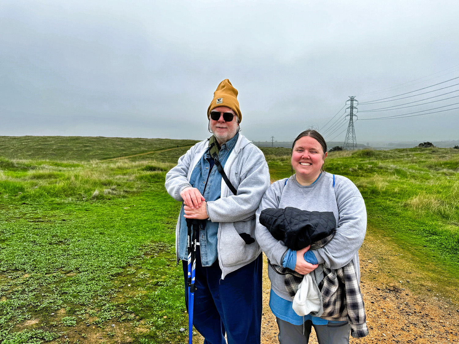
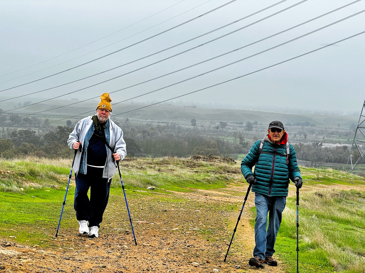
Viejo (Photos by Wes Thiessen and Dave Smith) It was a dark and stormy night. No, wait, it was a cold and gloomy day. When I got out of my car on a 45 degree foggy day, my first thought was, "Who's stupid idea was this?" Ooops. .It was mine. But with no disagreement the Ramblers had chosen to hike at Tesoro Viejo, a large residential development between the San Joaquin River and the table top mountains that lie just east of State Highway 41, about eight miles north of the Fresno-Madera County line. I'll report on the hike soon, but first a few words about the tule fog that plagues the San Joaquin Valley in the winter. After a good rain, the moisture in the ground and air condenses into a thick fog. It's usually on the ground early in the morning, but often lifts up to form a cloud-like blanket above us, blocking the sun. Every few days it may clear for an hour or so, but it's right back the next day. When we hiked on December 11, we had not had a true sunny day since some time before the end of November (nor has the sun come out as this report is completed on December 17). But of course, we are undaunted. Nine hikers met at the Town Center and drove in three cars the two miles or so to the trailhead, also known as the Kissing Gate. We were dressed properly for the conditions, and once we began hiking, we warmed up enough that it was never really uncomfortable. Once you get past the ever- increasing numbers of houses, you are on a dirt road that goes through green hillsides and orchards. Along the way the people in Wes's car saw a roadrunner, a bird that has lived in the valley much longer than I have, but which has become extremely rare. Our group consisted of Wes Thiessen, Don Bandoni, Don McClellan, Susan Silveira, Pam Frazier, Laurie Fitzgerald, Dave Smith and daughter Megan, and yours truly, Dick Estel. |
|
 |
 |
| Megan, Wes, Don M, Dave, Susan, Don B. Laurie, Pam, Dick | That white fence in the left middle distance is the trailhead |
|
The trail is actually an old road through what was once (and maybe still is) cattle ranching country. There is a good amount of up and down, allowing the hiker to exercise all muscle groups. The terrain is land that rises from the San Joaquin River and meets the edges of territory that stretches north into a row of table-stop hills. There are drainages that lead down toward the river, with lots of exposed rocky cliffs embedded with well-worn river rock. The trail and surrounding surface are also covered with these rounded rocks. |
|
 |
 |
| A rock-lined drainage | A side trail follows the drainage |
 |
 |
| Ramblers on the trail | Dave and Megan |
|
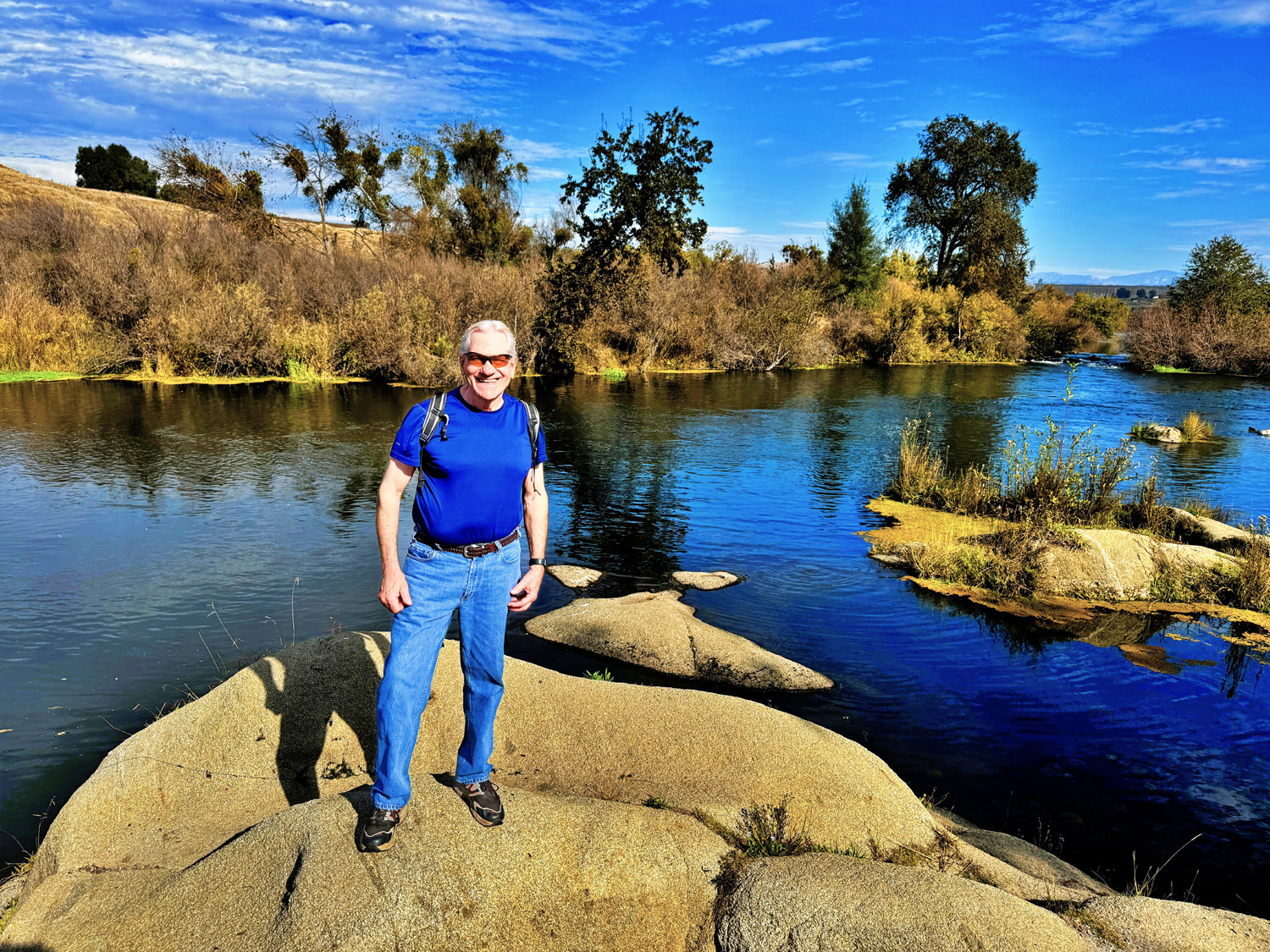
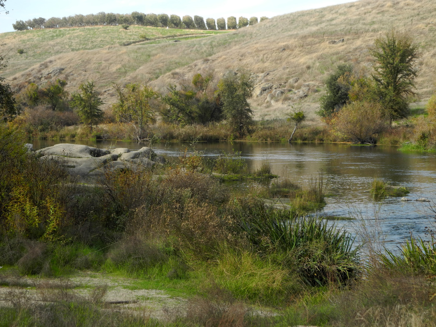
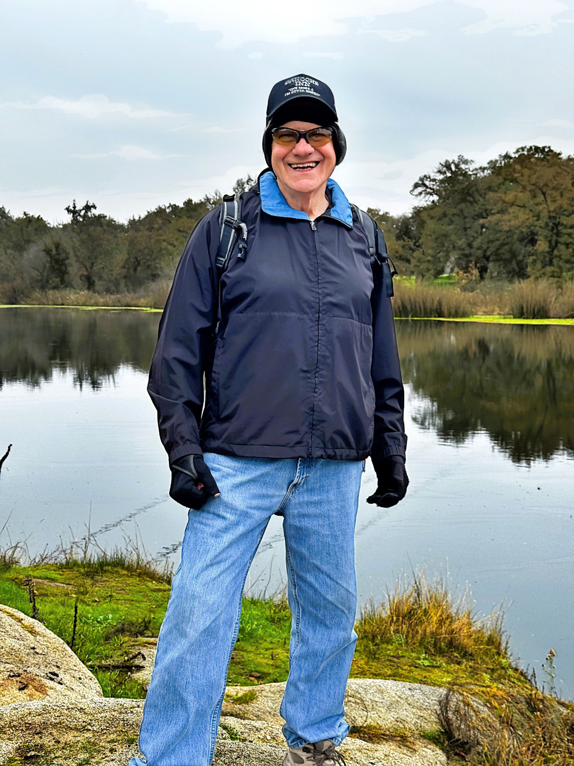
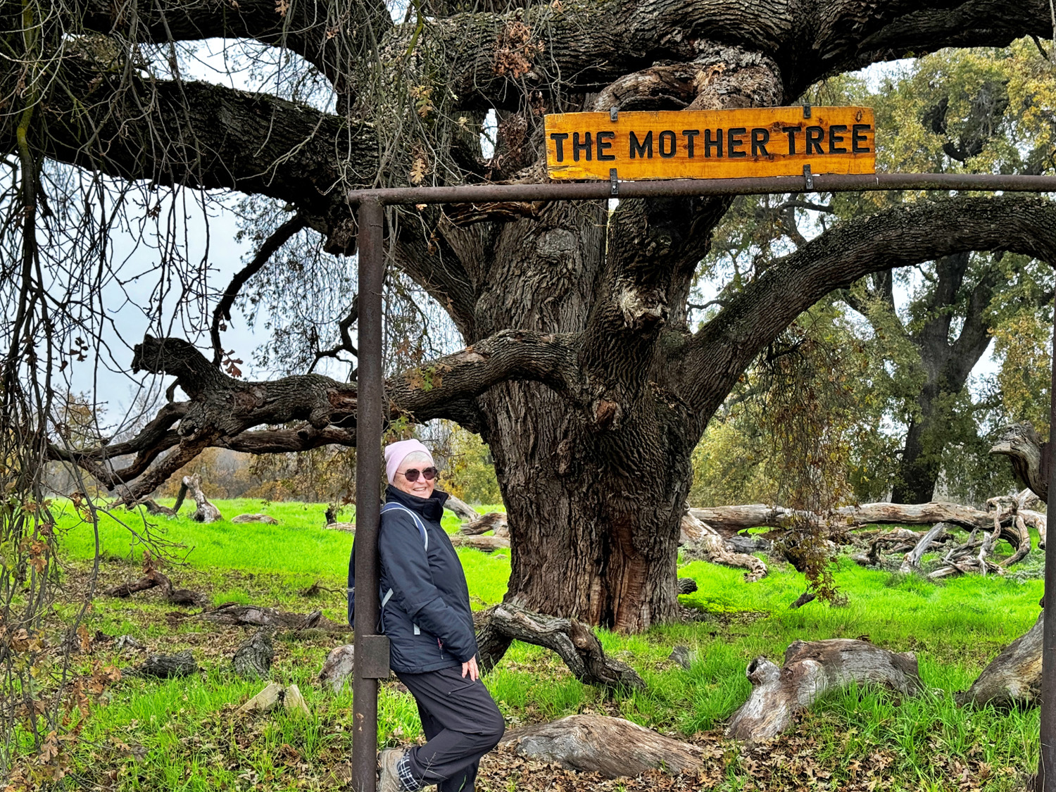
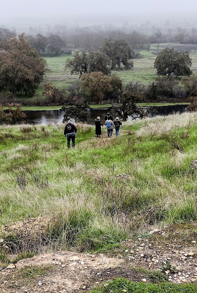
Now a few words from Wes: The Tesoro Viejo Trail is just right for senior hiking because it's "out and back." Every hiker can walk as far as they want before turning back to the trailhead. All of our group made it to the one mile mark where there is a bench with a view overlooking the San Joaquin River below. On a clear day one can see Friant Dam to the north and Table Mountain Casino to the east. Due to the fog and overcast we could only see a half mile to Friant Road. Several of us hiked down from this high vista to the river below. On our way down, I pointed to a huge valley oak tree in the distance. It is honored with a sign which reads "The Mother Tree." Some years ago, my hike partner, Dick, renamed it the "Wheeler Oak" to honor the passing of our friend and colleague, Regina Wheeler, who gave us the Ramblers name. I estimated that the tree was a quarter mile from our resting place at the river. Megan and Pam looked at me and said: "Let's go." The trail to the "Wheeler Oak" crossed a dry creek bed onto Ledger Island. We moved quickly along the path so as not to get too far behind the main hike group. We arrived at this huge oak with large branches at least 30 feet long in each direction. We took a series of record photo shots and quickly turned back. Within a short while, we had run/walked back to that high point breathing heavily and perspiring profusely. Although exhausted, we made it back to the main hiking group. The extra half mile was well worth standing under this giant of a tree. (A few years ago Dick went in with a tape measure and recorded the tree's circumference as 24 feet.) |
|
 |
 |
| Wes at the San Joaquin River | Pam and the Wheeler Oak |
|
Dick again: Dave, Don and I, being either chronologically or physically in the "old folks" category, chose not to take the steep hike down and the lung-challenging hike back up, and enjoyed the local scenery around the vista point, walked around a bit, and rested on a convenient bench. |
|
 |
 |
| Dick and Don | Dave and Dick "hiking" at the resting place |
|
Once we all got back to the trailhead, we drove out to the Town Center, where we enjoyed a delicious lunch at the Axis Coffee Bar and Eatery. Even if you don't hike, you might enjoy a visit here. --Dick Estel, December 2025 |
|

| Photos (Click to enlarge; pictures open in new window) | ||
| Balsam Forebay FINS Trail Tesoro Viejo | ||
| Balsam Forebay | ||
 |
|
|
| The dam and the forebay | The rocky shoreline | Snow against greenleaf manzanita |
 |
 |
 |
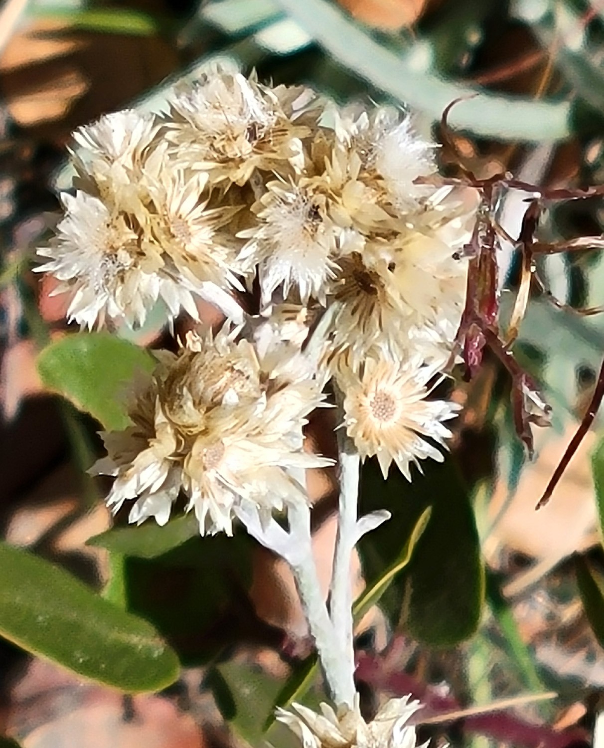
| Young black oak near the trailhead | Last summer's flowers | Rock outcrop across the highway |
| FINS
Trail (Photos by Wes and Dick) |
||
 |
 |
|
| Susan and Don B | Keith out on the pier | Wes on the rock |
 |
 |
 |
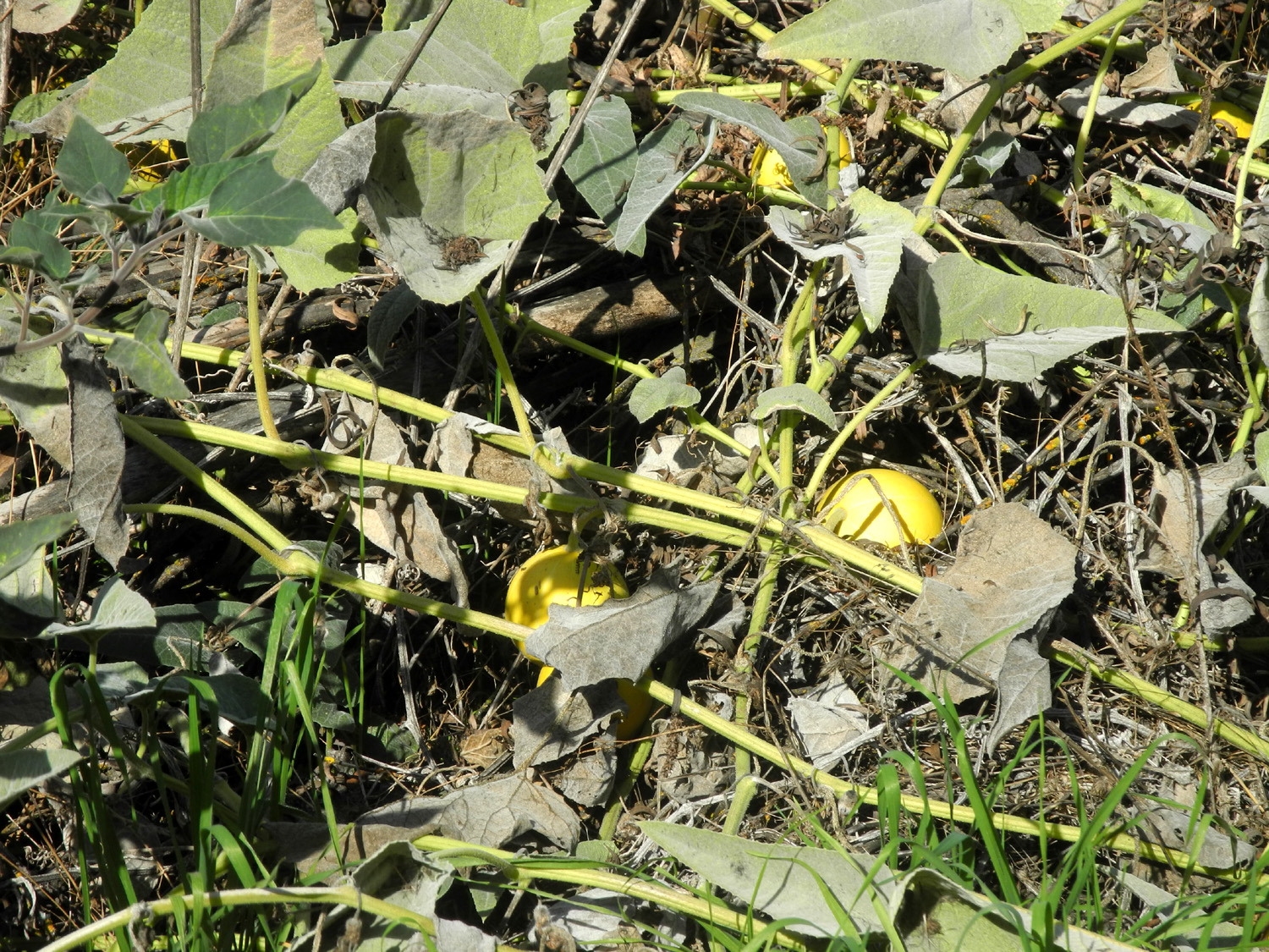
| Mistletoe | None of us had ever
seen yellow gourds like these before |
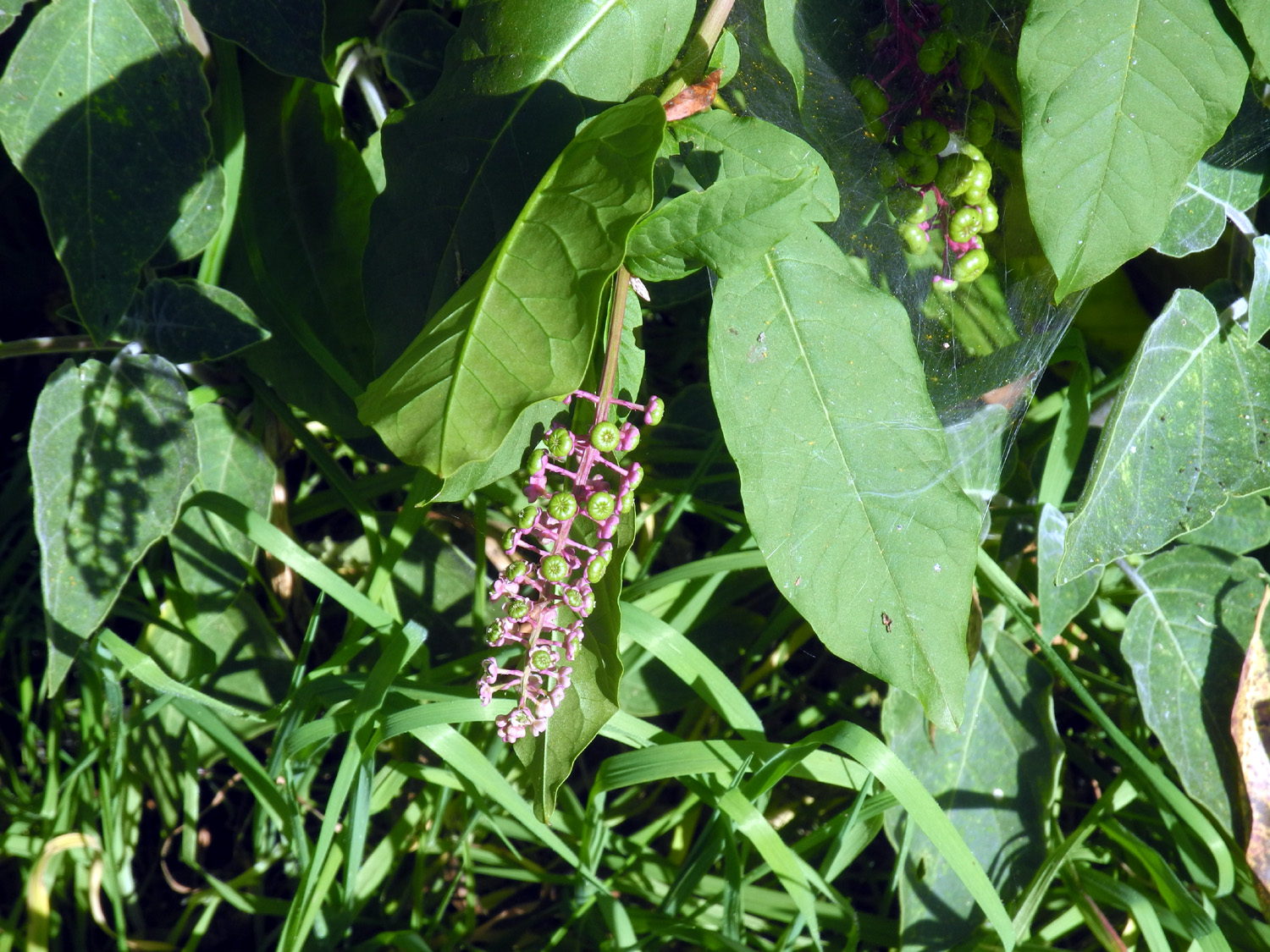
An unknown but charming plant |
|
 |
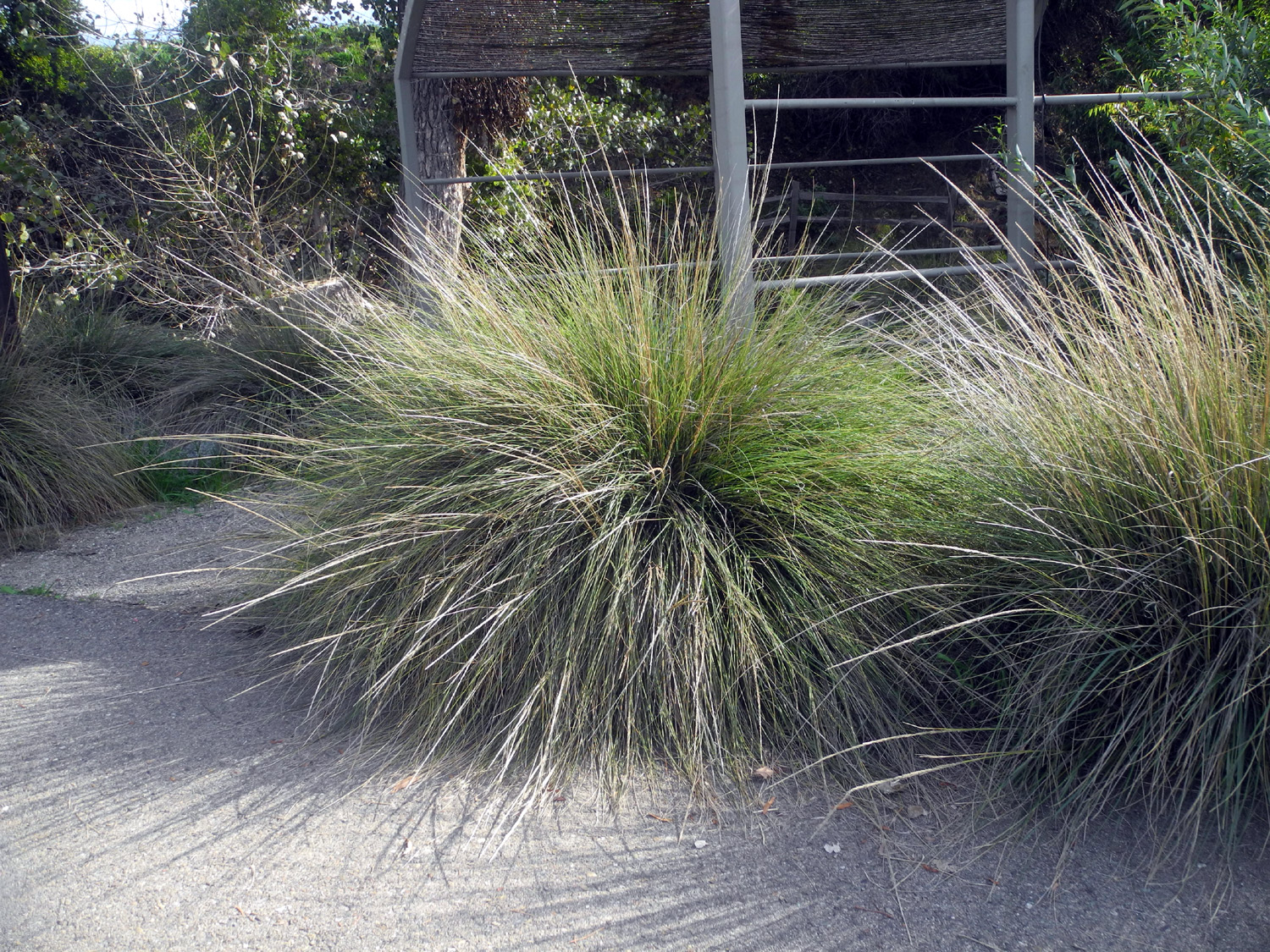 |
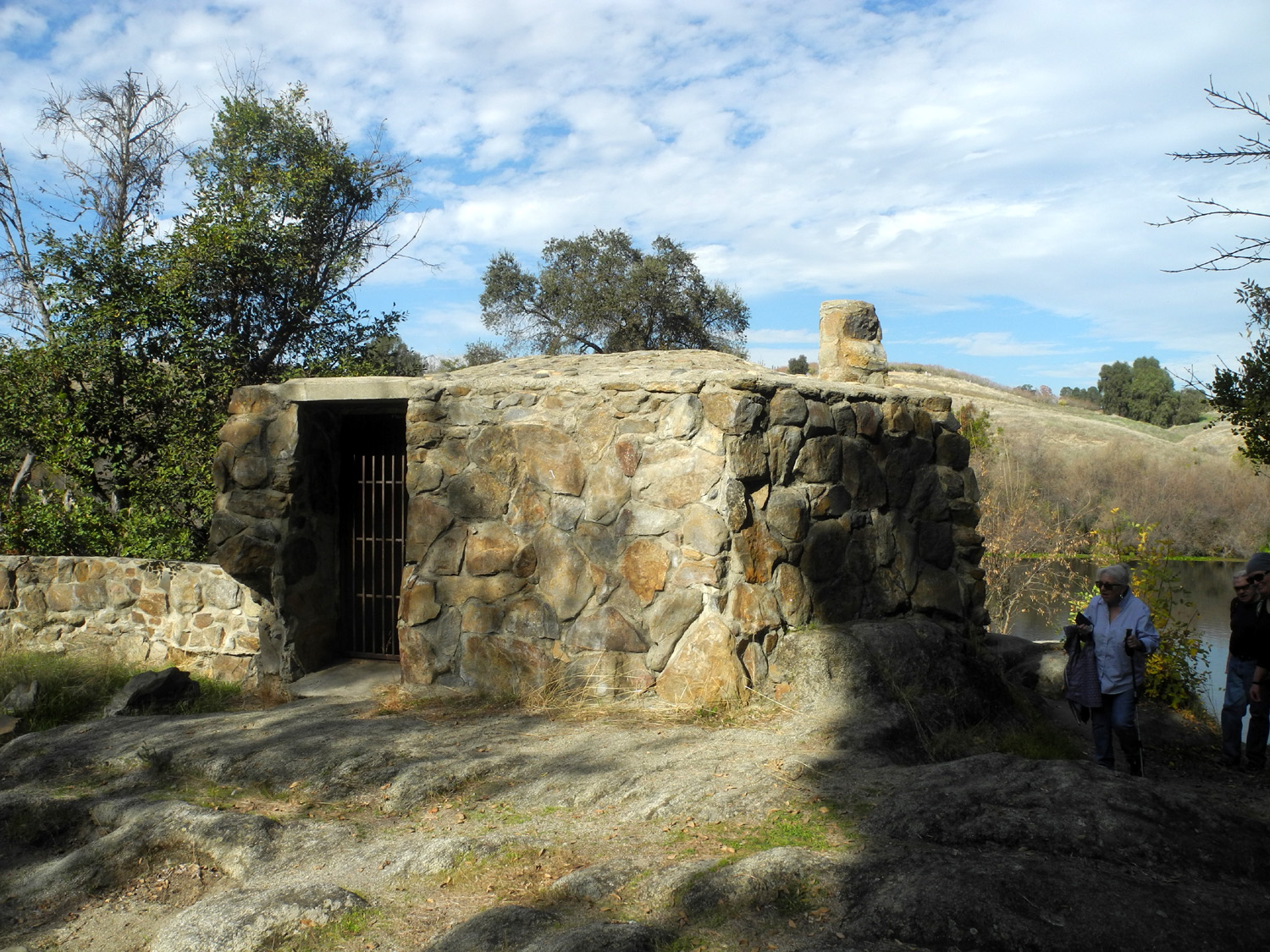
| We don't know the purpose of this structure | Pistachio trees on the hills above the river | Bunches of bunch grass |
| Tesoro
Viejo (Photos by Dave Smith and Wes Thiessen) |
||
 |
|
 |
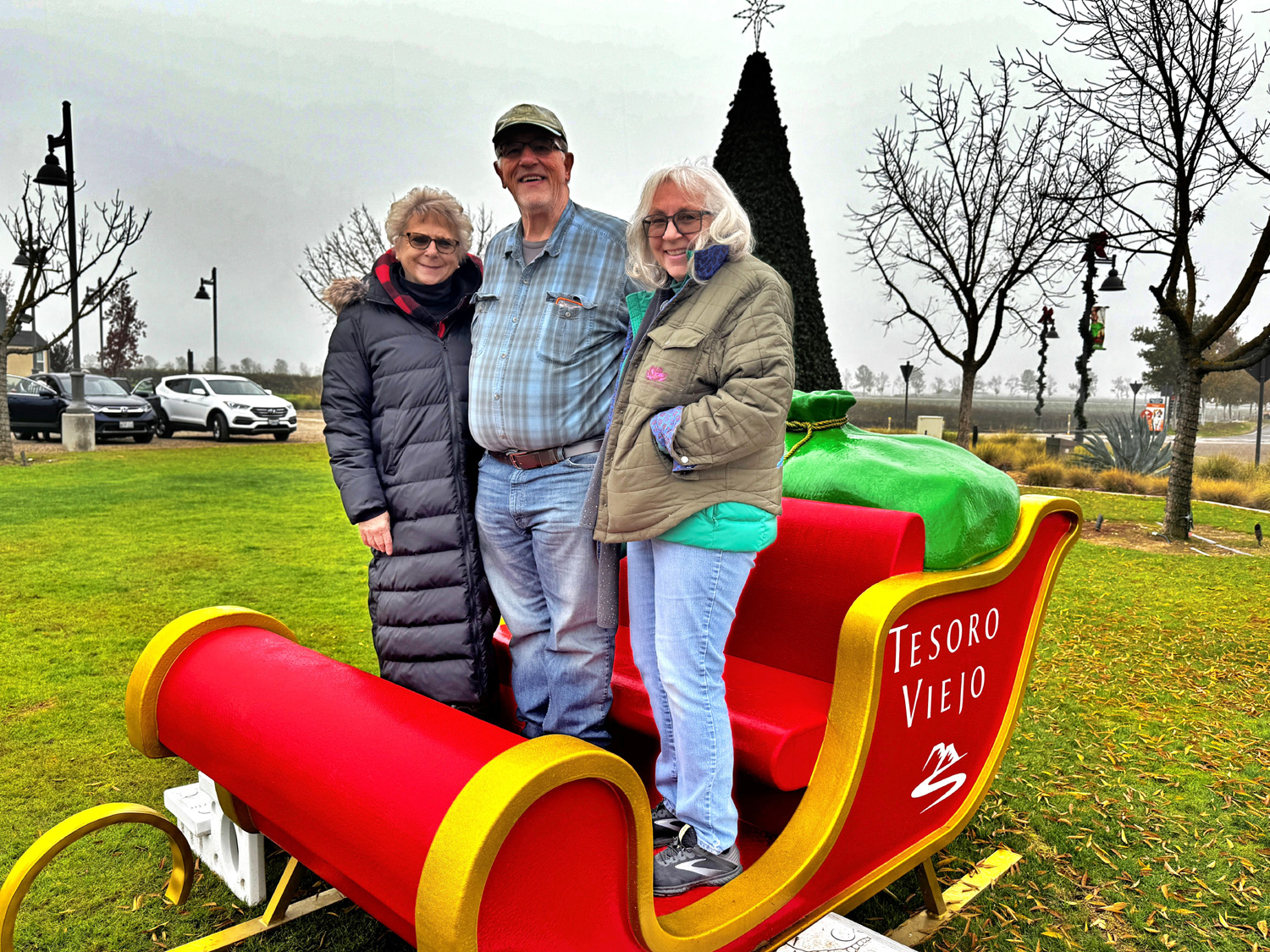
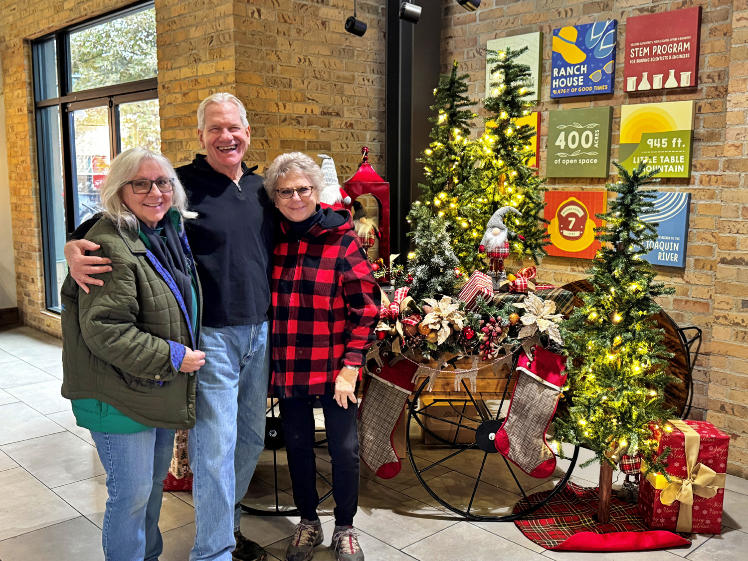
| Wes (behind camera),
Laurie, Don and Susan could not resist a visit to Santa's sleigh |
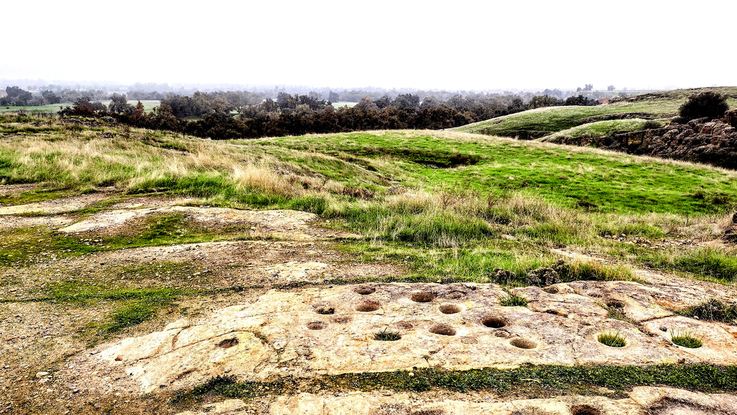
Indian grinding holes at the vista point | Megan and the river |
 |
|
 |
| Ramblers heading down the steep trail | What has caught Pam's attention? | Susan, Wes and Laurie at the Town Center |
| Related Links | ||
| Google Search Links | Balsam Forebay | More Photos & Info |
| Black Oaks | Mid-October Snow Storm | Lost Lake Park |
| FINS Trail | Table Mountain Casino | Blue Oak Grill |
| San Joaquin River | Friant | Dave's Tesoro Viejo Photos |
| Tesoro Viejo | Axis Coffee Bar and Eatery | |