|
Dick's Adventures of 2019 - Part 4 |
|
| Photos Related Links More Travel Reports | |
| Adventures of 2016 Adventures of 2017 Adventures of 2018 2019 Part 1 2019 Part 2 2019 Part 3 2019 Part 5 | |
| Nelder Grove Camp Courtright Camp Short Reports on Several Trips Courtright & McKinley Grove Lassen Park | |
| Nelder
Grove Camp with Colton & Jack
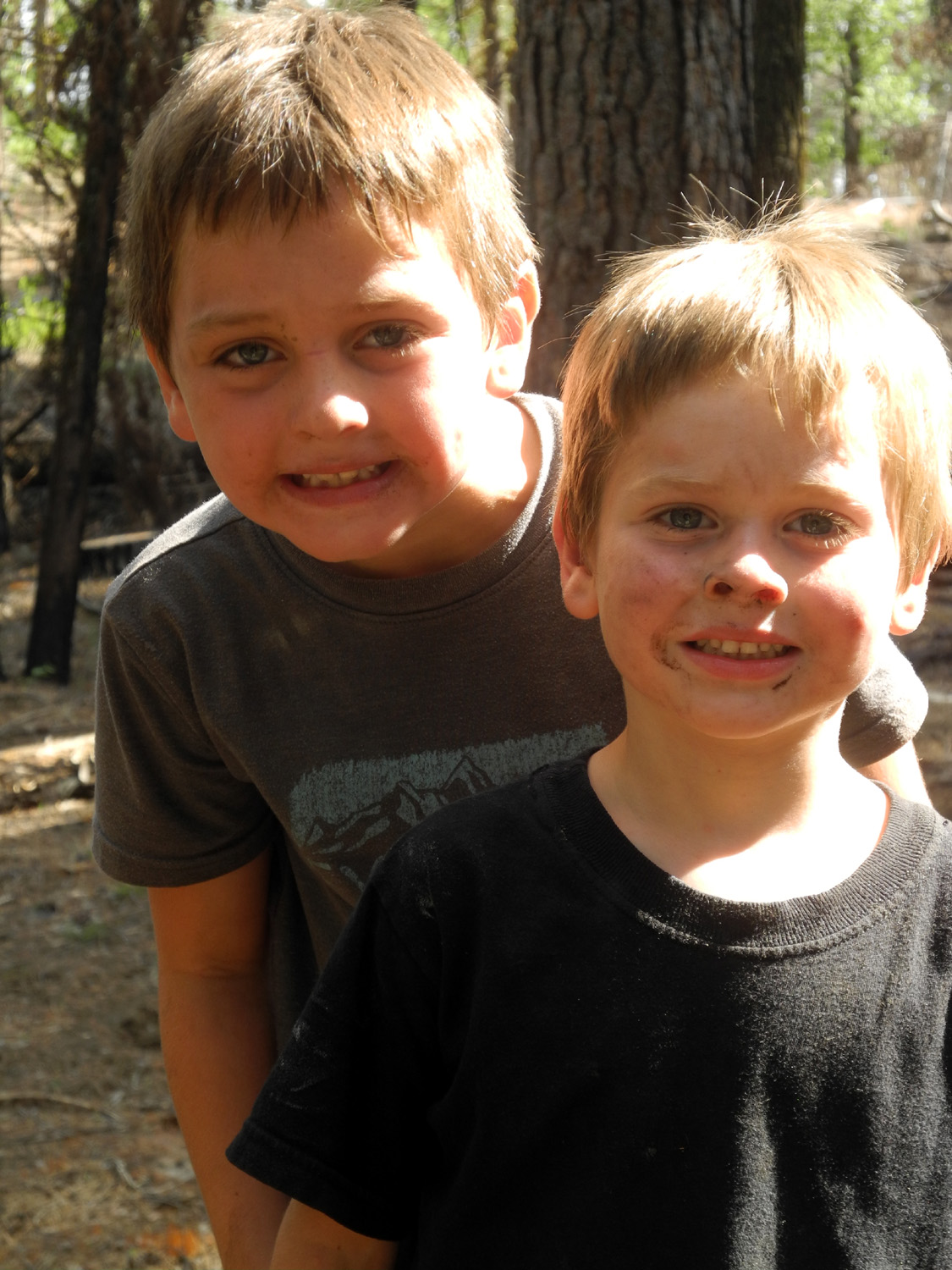
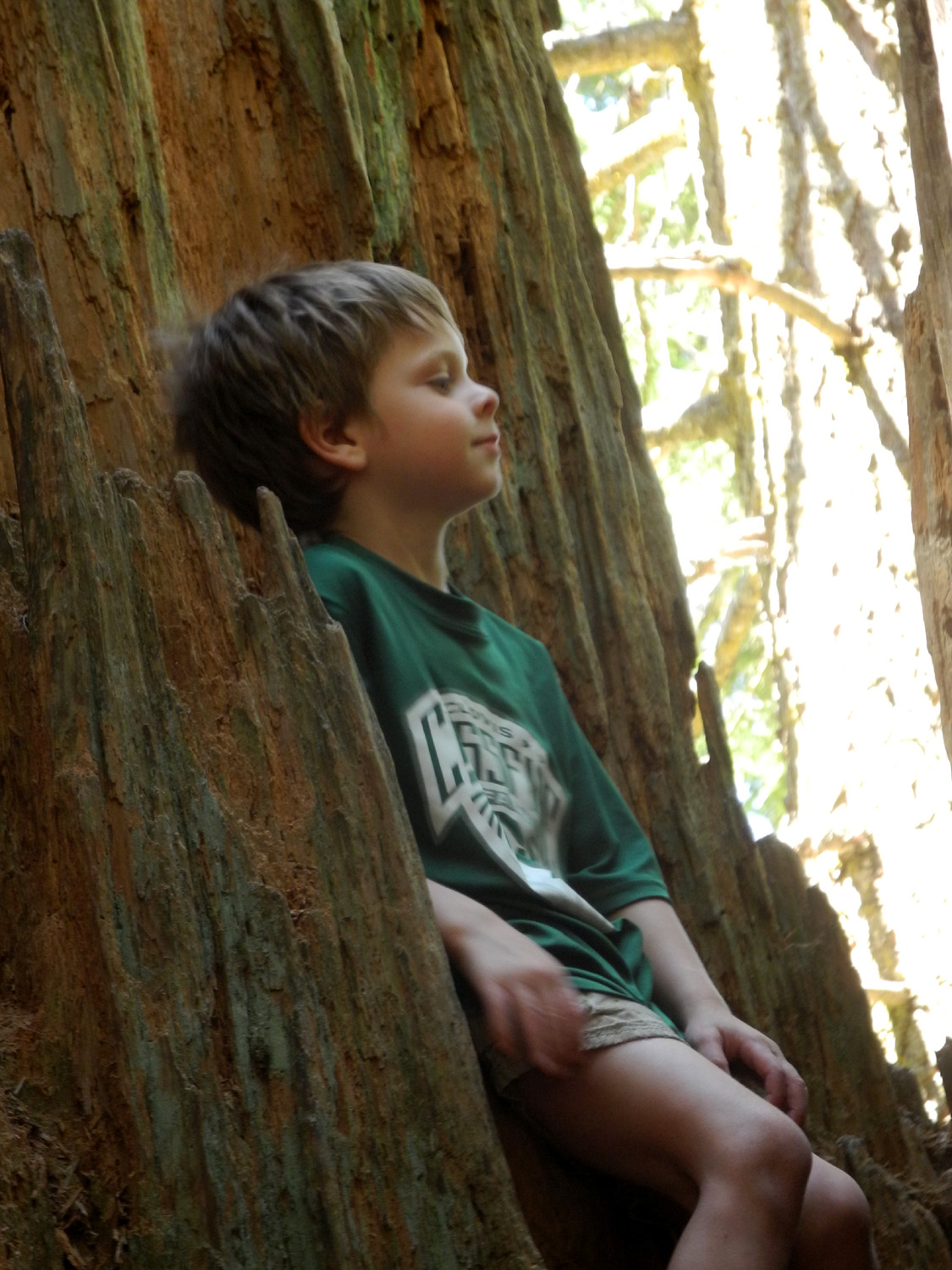
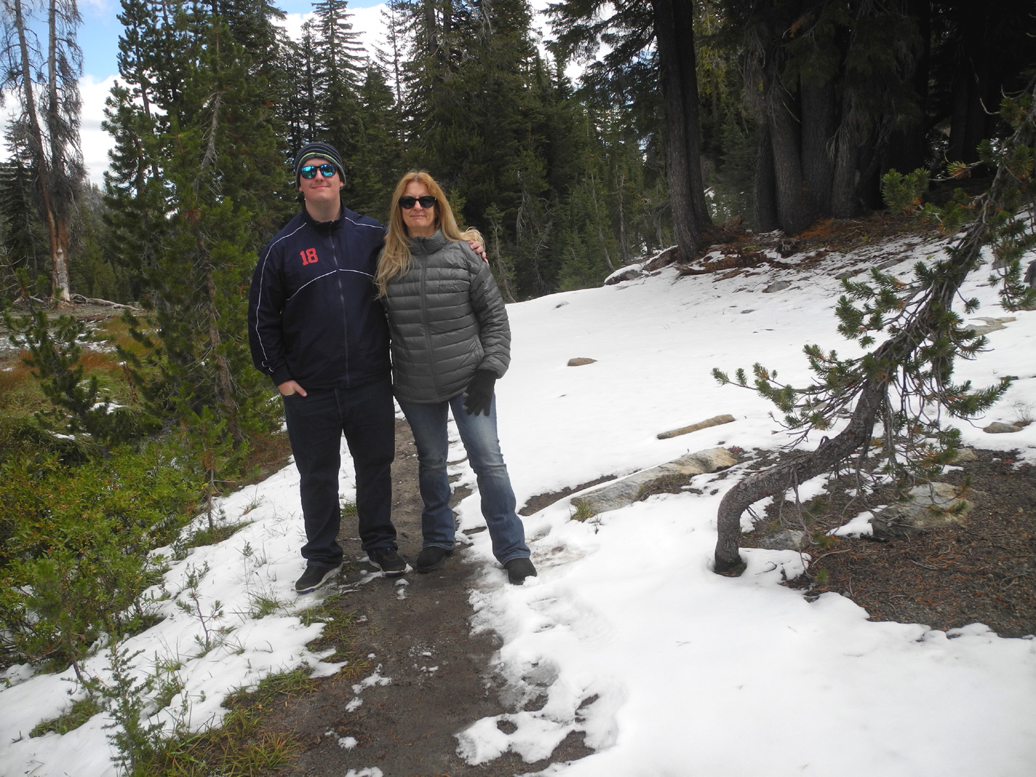
"Are you crazy?" "Good luck!" "Are you sure you want to do THAT?" These were some of the reactions of family and friends when I told them that I was taking both my young great grandsons camping. Colton, six and a half, and Jack, four and three quarters, are energetic, fun-loving, smart, and sometimes a real handful. However, as usual I was undaunted. Well, maybe a little daunted. We had our moments of crying and complaining, but I think the best way to tell how it went came from Colton after he got home. His Dad asked him "How was the camping trip?" Reply: "It was epic!" |
|
 |
 |
| Angels with dirty faces | "Who's cuter than us?" |
|
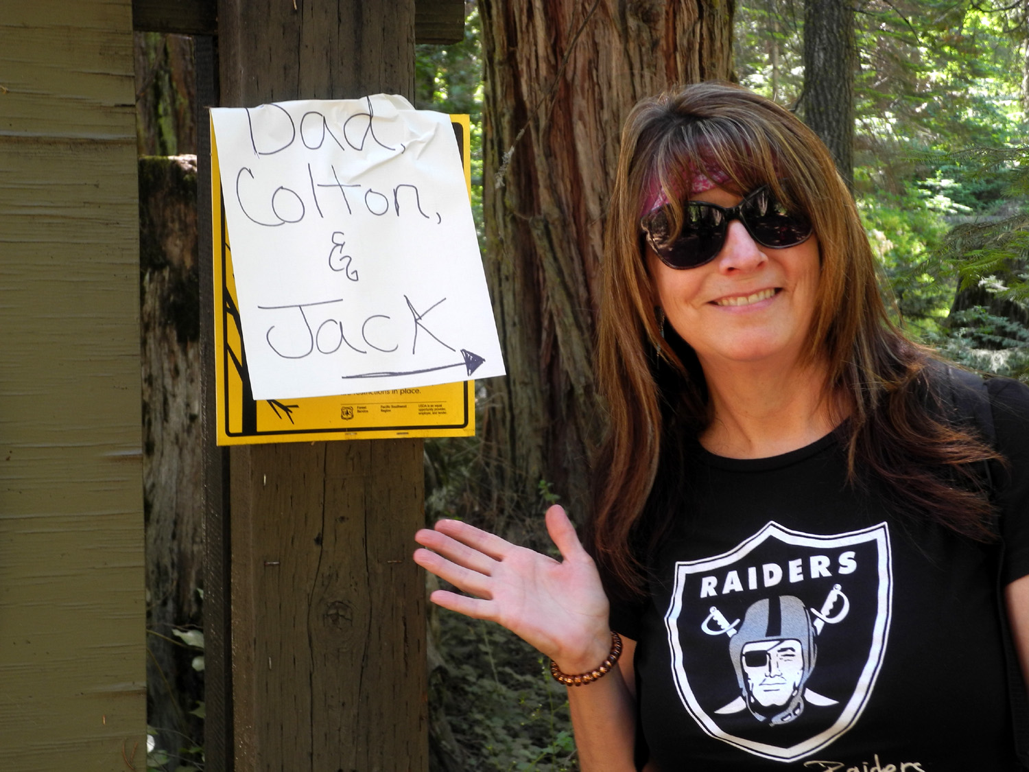
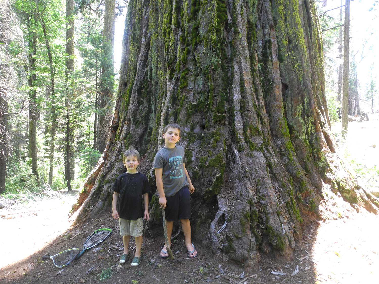
As usual for these events, Johnny dropped them off at my house about 7:30 a.m. on July 22, and I fixed breakfast. We finished loading the truck and made the 60-mile drive to the Nelder Grove campground, arriving about 11 a.m. Daughter Jennifer from Oakhurst was waiting and had occupied the campsite we wanted. She was not camping, but joined us for our frist activity, hiking the Chimney Tree Trail. This is a one-mile loop trail through an area north of the campground where there are a few large sequoias, and a lot of stumps from logging in the 1890s. It's a fairly easy route, and at the end a short spur trail leads to the Bull Buck, the most nearly perfect giant sequoia in the grove. I base this on the fact that is not scarred by fire; the top is unbroken, the base is symmetrical, and the trunk displays clean, straight lines for many feet to the beginning of the huge branches. A number of years ago an area was cleared out from the tree, with a bench at the end, where you can sit and enjoy a full top to bottom view of this magnificent sequoia. |
|
 |
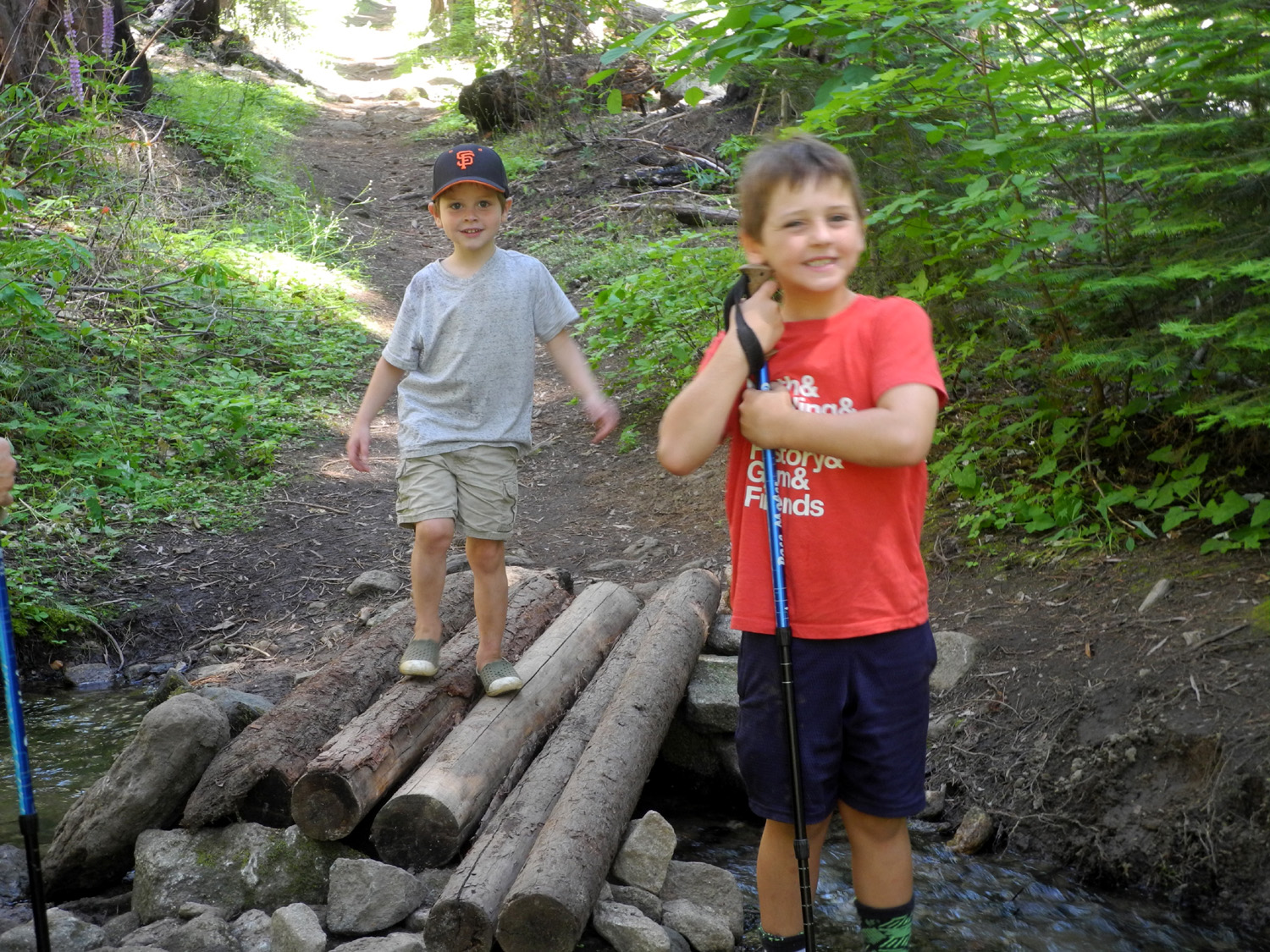 |
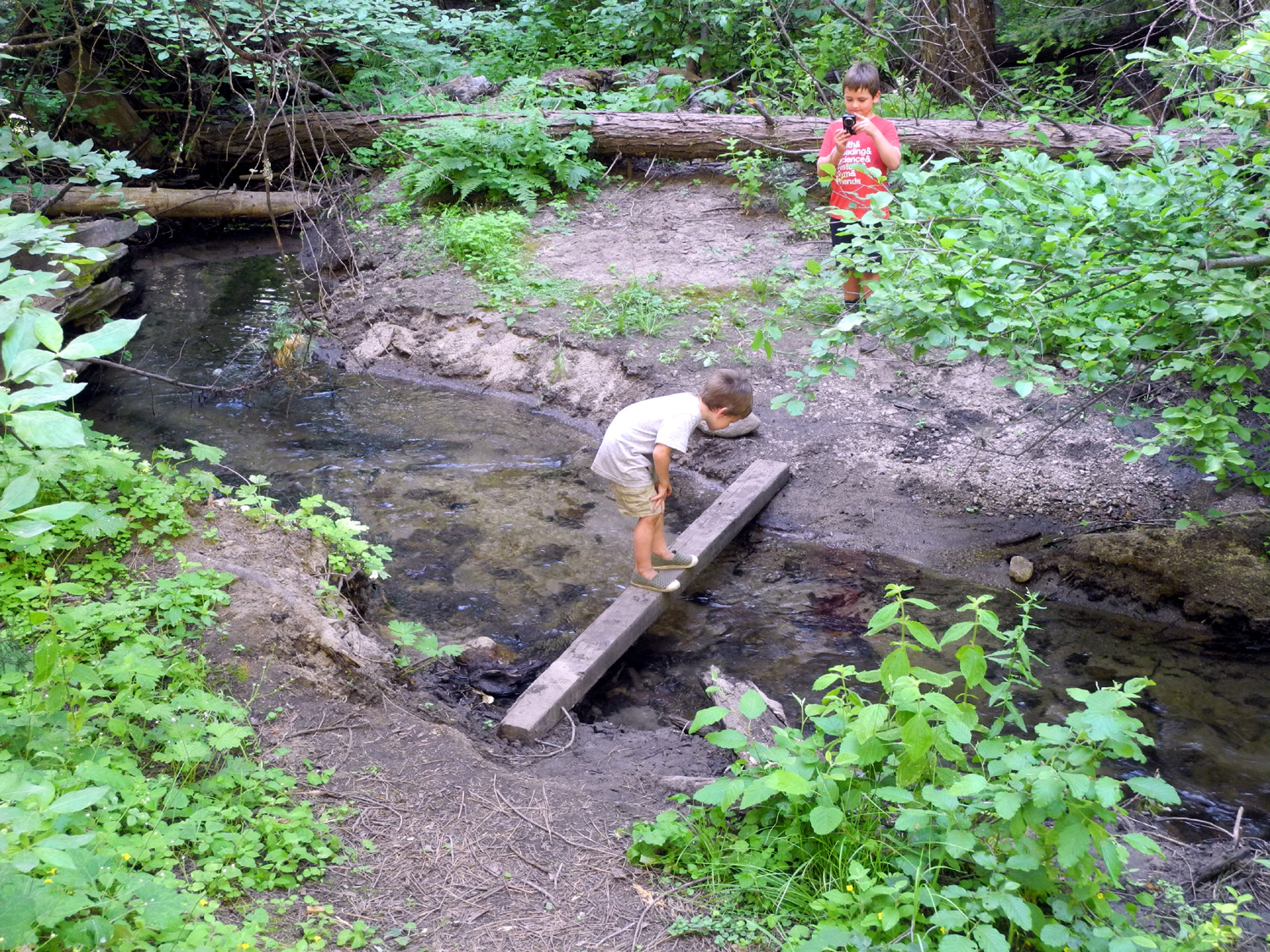
| Jennifer prepared a sign to guide us to our camp | Jack and Colton on the Chimney Tree Trail's log bridge |
 |
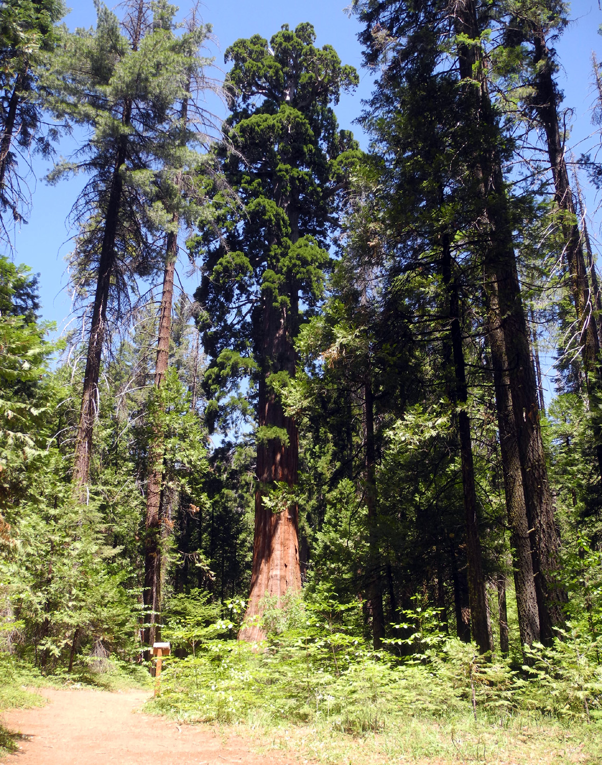 |
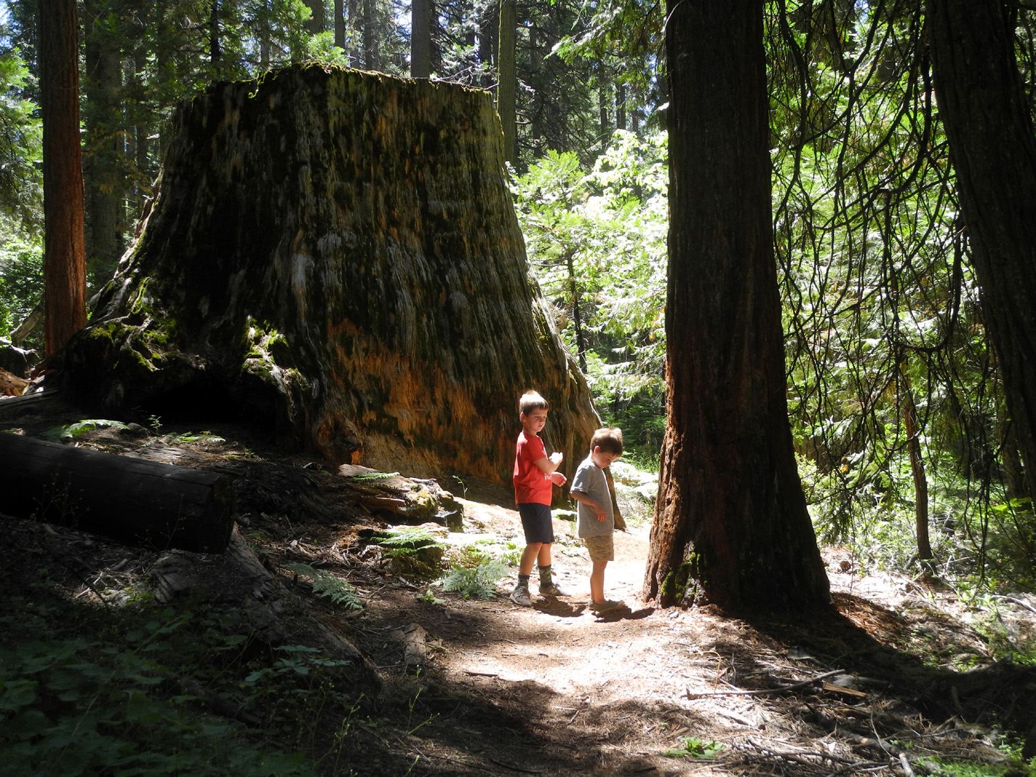
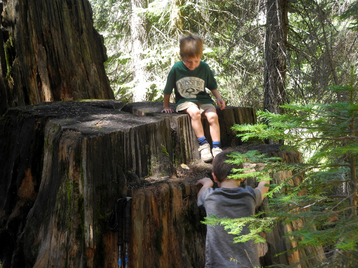
| The boys and a big stump along the trail | The Bull Buck was looking especially fine on July 22 |
|
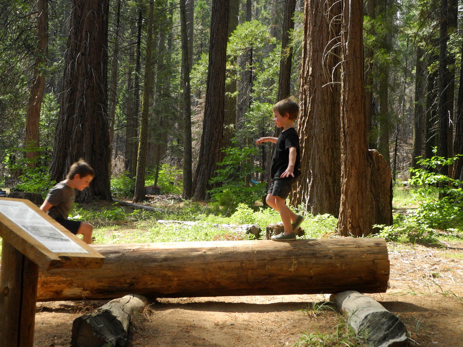
When we returned to camp we had lunch, then Jennifer took her leave, and the boys and I started setting up camp. Since I started pickup camping again in 2016, I have slept under the camper shell in the back of my Ford F150. This has worked fine for the most part, but it's a hassle to get out during the night, which I have to do several times. Recently I bought a camp cot and a canopy, intending to sleep outside in all but the coldest weather. My plan for this trip was for the boys to sleep in the truck, with me right outside. However, Johnny offered his four-person tent, which would easily accommodate all three of us. It's been decades since I have set up a tent, and then it was the small "pup tent" variety, but with Colton's help I got this one set up. It has a screened front section, and my plan was to have the boys inside the main part, with me on the cot in front. I have a thick, very comfortable folding mattress, which I planned to put on the cot, but it proved to be a full foot wider than the cot, and when Jack climbed aboard, he immediately fell off. I could see that I would suffer the same fate, so I put my mattress inside the tent. (The cot has since been returned and a satisfactory replacement acquired.) |
|
 |
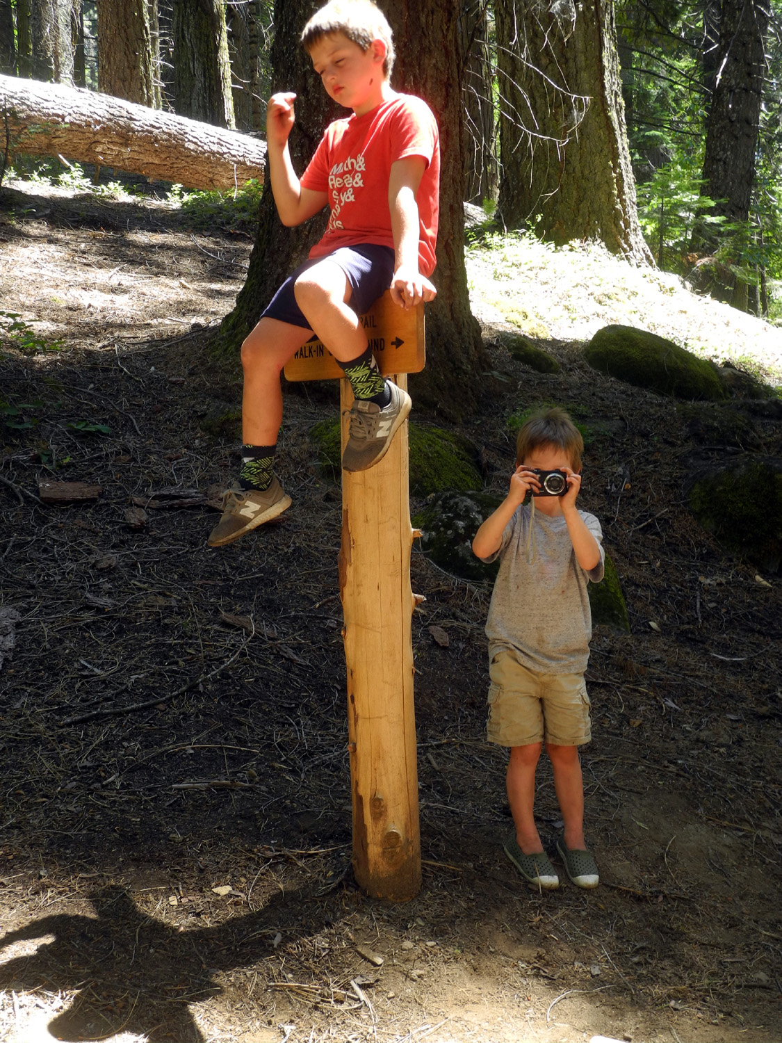 |
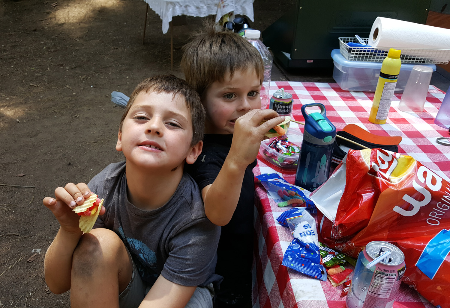
| Lunch in camp | Both
boys climbed and sat on this sign several times throughout our campout |
|
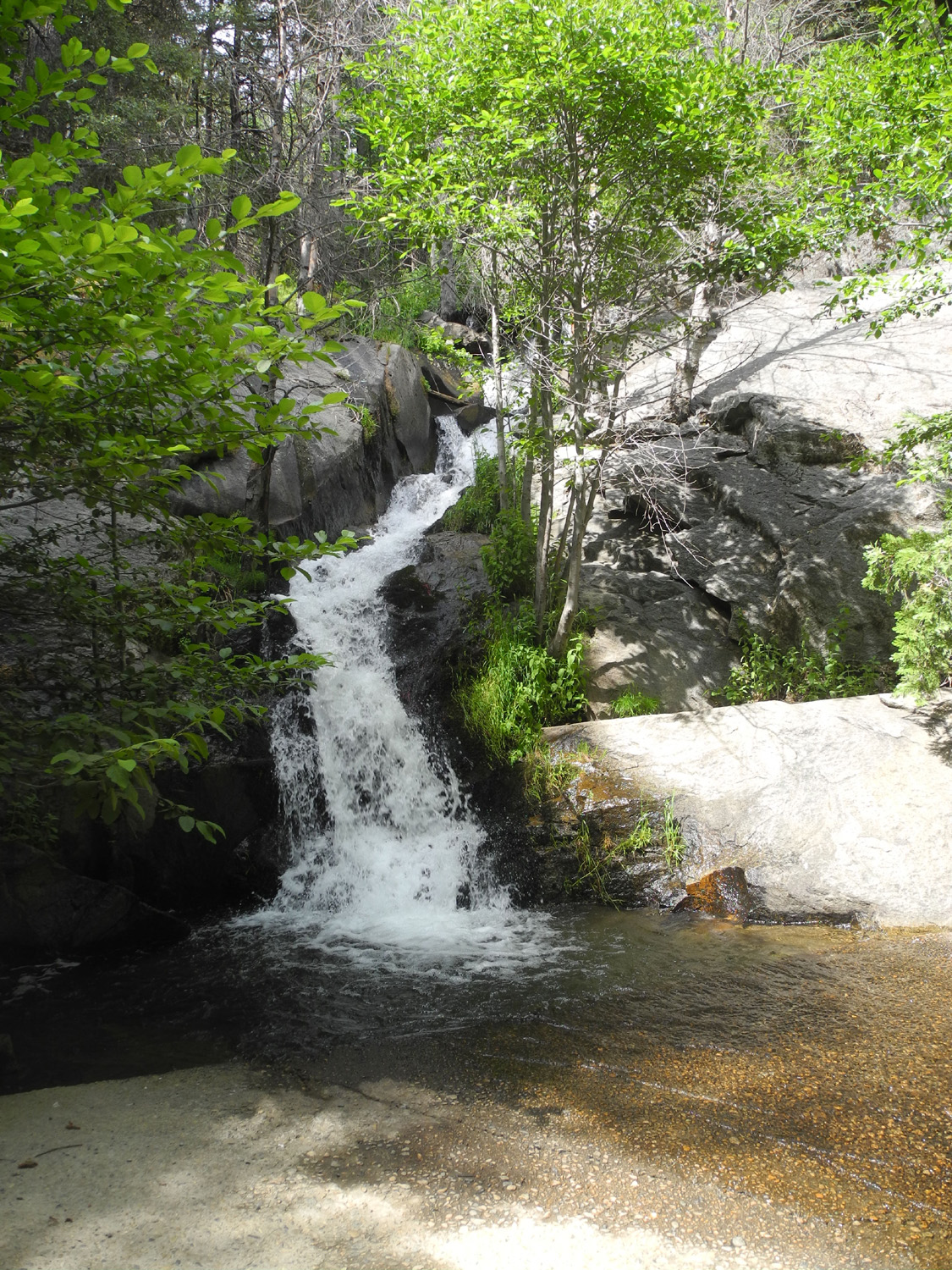
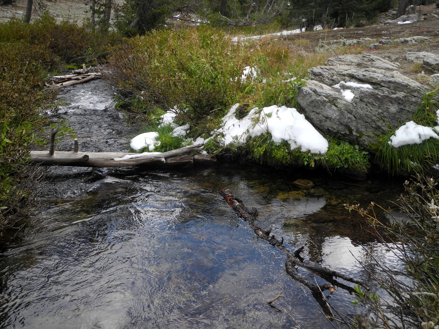
We did another short hike, on the unofficial trail that goes parallel to California Creek. A short distance downstream from the camp, the creek begins to drop over a series of cascades, culminating in a 20-foot waterfall that takes the creek down to the main road. The trail goes all the way down to this road, but it's a fairly long ways, and we only went to where it started to go away from the creek. The boys have done this walk before, and they always enjoy the part where the creek drops into a little canyon and we have to watch out for the "Canyon Monster." (Disclaimer: There is no monster.) |
|
 |
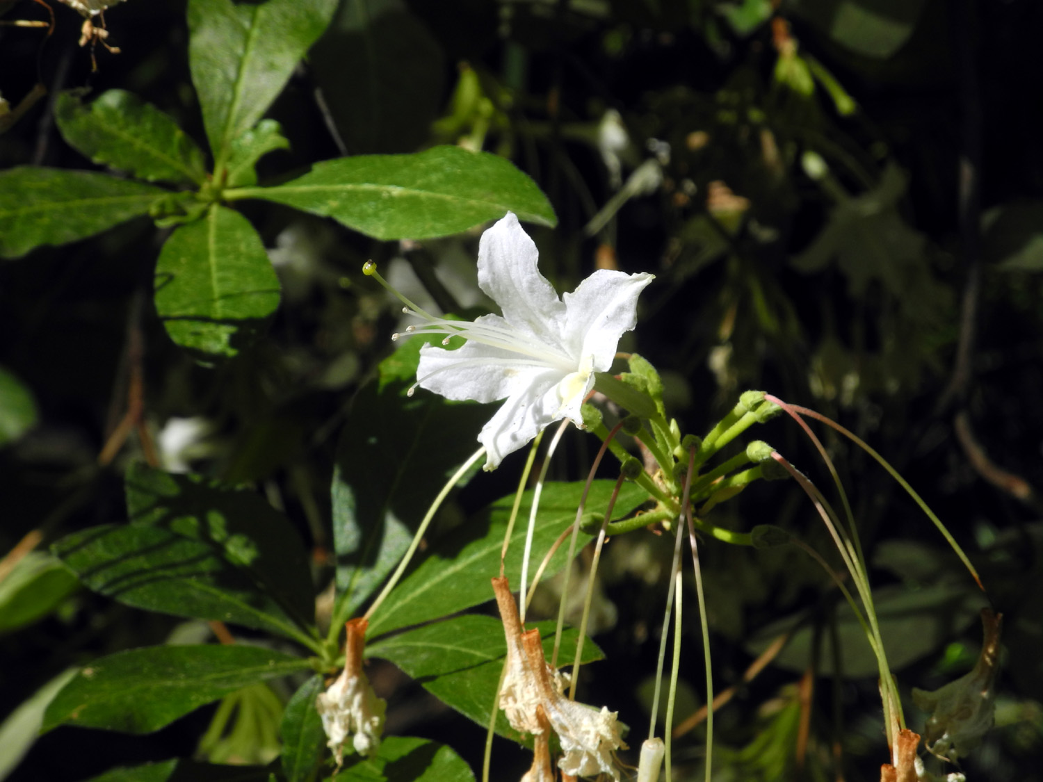 |
| Jack on a makeshift bridge over California Creek | One of the last azaleas of the season |
|
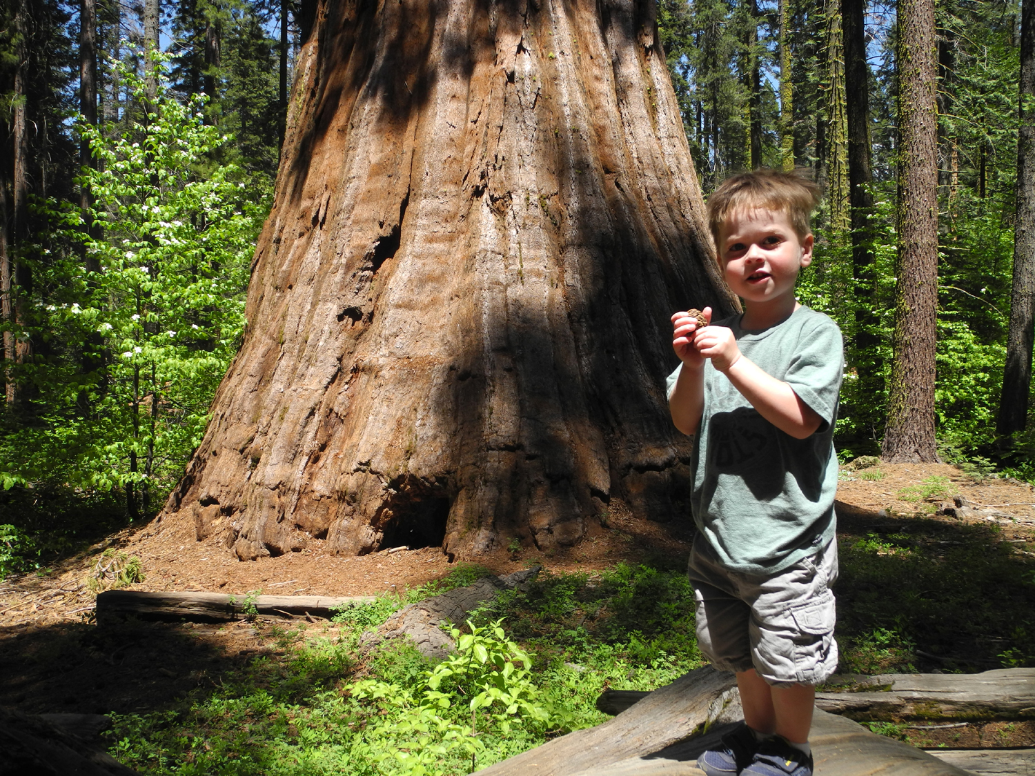
We took one more walk, over to the exhibit area where there are features explaining early logging methods. It was getting dark and we wore our headlamps, since I wanted the boys to understand that being out in the dark is not that scary. This worked out fine, especially since it was not quite full dark when we got back. We had a campfire, which of course required the making of S'Mores. Jack's idea of "roasting" marshmallows is to catch them on fire, and few were edible. He did eat some, following his own special recipe which eliminates the graham crackers, leaving a marshmallow between two large pieces of Hershey bar. There was some drama at bedtime, which was after 9, since this is the time they start missing Mom and Dad. Colton started crying softly, and Jack of course joined in. I got in the tent with them and we talked, and they relaxed and then talked with each other till 10 p.m. The next day started out with the boys noticing a trail that started right next to our camp. This is one end of the Bull Buck Loop, a 3/4 mile jaunt to the tree that returns on a section of the old road that is now also part of the Chimney Tree Loop. They walked up the trail out of sight, then came running back down. They repeated this several times, going a little farther each time. Eventually they informed me that they wanted to hike this trail, and I told them we would do so after breakfast. I did NOT tell them I had planned to take them on this trail anyway. We made our second visit to the Bull Buck where I added one more to my collection of kids/grandkids/great grandkids posing in front of the tree. As we were leaving I talked with a couple hiking there who turned out to be teachers in my old high school in Mariposa. While we talked the boys ran all the way back to camp and were "hiding" in the tent when I arrived. I had definite mixed feelings about their comfort with going off by themselves. |
|
|

|
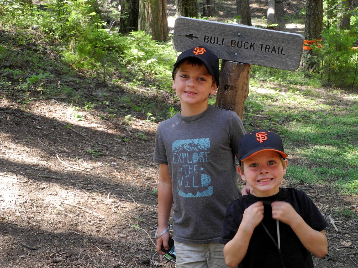
| Ready to hike the Bull Buck Loop Trail | Jack and Colton, the fourth generation to pose in front of the Bull Buck |
|
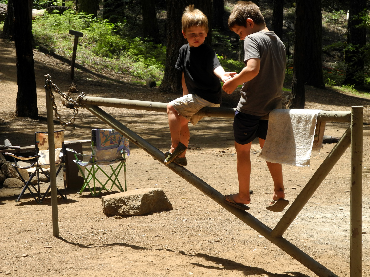
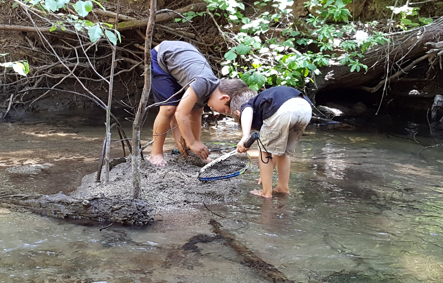
We were prepared for the boys to play in the creek, and this was our next activity. The creek runs through a huge culvert under the campground road, and Colton and Jack ran through the culvert a half dozen times. We went downstream a ways to where there was a log across the creek, and they played here for a long time while I sat on the bank watching. There was a tiny island of delightful sandy mud in the creek, and much of it got thrown into the water, into the bushes, and at a brother. When we left Colton had a bit of drying sand in his hair. Jack had a large patch there as well as on all sides of his body. |
|
 |
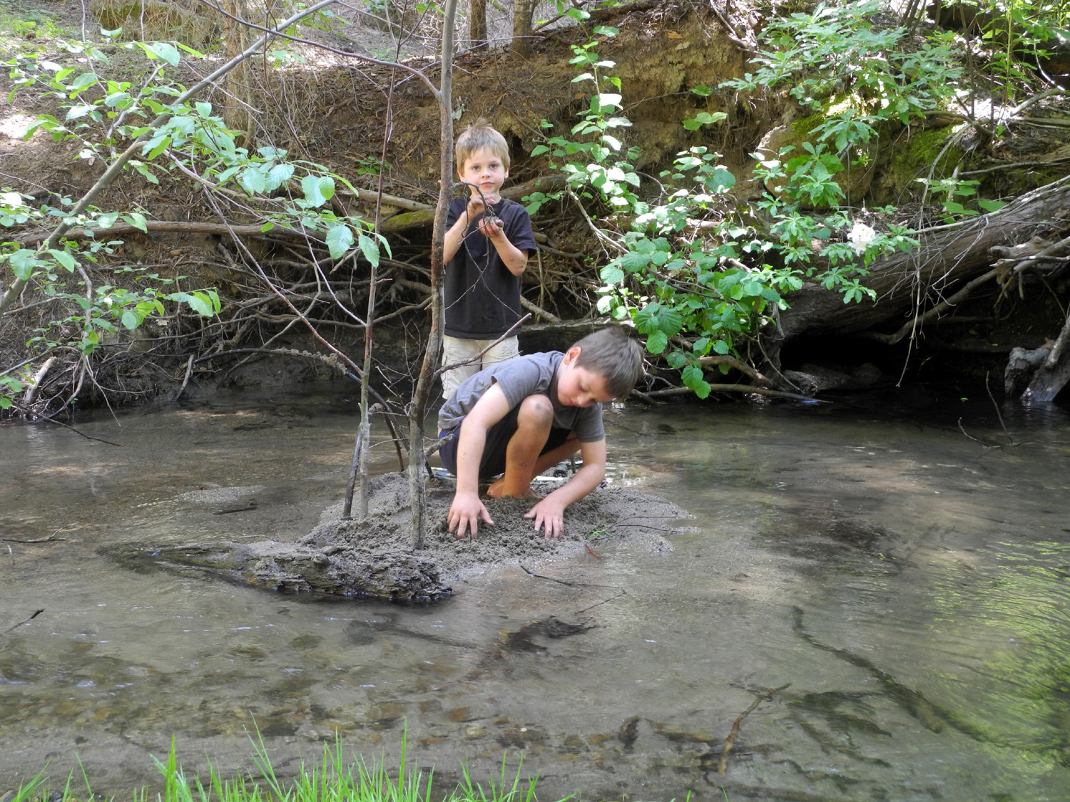 |
| Fun in the culvert | A wonderful muddy, sandy island |
|
We walked up from the creek past the Big Ed Tree, the only large sequoia visible from the campground, and to the exhibit area. Their favorite thing here was the big 3D topographical map that shows the entire grove. John Hawksworth, a former campground host, created a model of every large sequoia in the grove, just over 100 of them, using bits of redwood and what looks like Spanish moss for the greenery. The boys had a good time locating the exhibit area and the Bull Buck on the map. The map is enclosed in Plexiglas, and is too high for them to see it very well. I could lift Jack up and hold him briefly, but Colton had to stand on a chunk of rotting wood. Jack also wanted to lay on top of the display, something I strongly discouraged. |
|
 |
 |
| The Upshaw Brothers at the Big Ed Tree | Determined to explore |
|
We returned to camp via the road, and soon set off on another adventure. We drove out of the campground and along the main road to the waterfall. The creek crosses the road on a concrete apron, and the boys could wade through this two-inch deep section. Jack had a slight mishap, sliding down a rock into the creek, where both feet went into a narrow space. He had a little trouble getting one foot out and was starting to panic, but Colton helped him get free. I then administered a special medication designed to cure being afraid, his favorite food on earth, a Hershey bar (Colton and I also had some as a preventive measure). |
|
 |
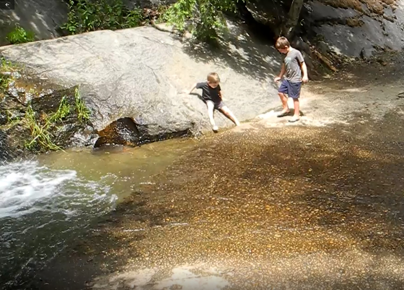 |
| The falls on California Creek | Jack's scary slide |
|
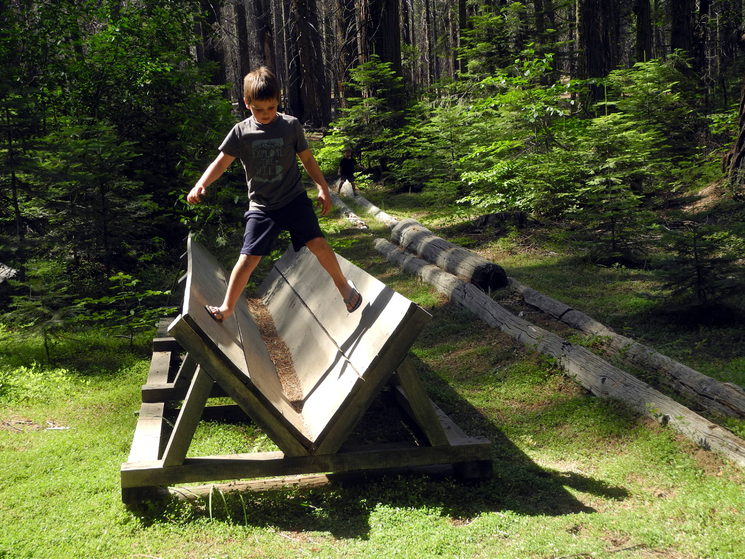
We returned to the exhibit area, and I set up a milk crate I had brought from camp for the boys to stand on while looking at the topo map. We also discovered a new use for the various logging exhibits. These include a replica of the flume that carried lumber from the mountains down to the San Joaquin Valley, and a rail bed that was used for carts that moved logs to the mill. There were two other displays, and all four of them became a "station" on an exercise program, with the boys running from one end to the other on each of the stops. They also ran along the top of a fallen sequoia nearby, as well as two other smaller logs. I would estimate that they ran a good mile in this area, over and above the four plus miles of our various hikes. |
|
 |
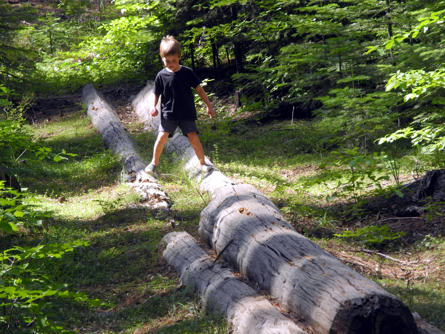 |
| Walking in the flume | The
two-pole logging chute - good for guiding logs, good for boys to run on |
 |
 |
| This tree has remained solid 120 years after it was cut | "Climbing" to the top of a giant sequoia |
|
We also made a wonderful discovery in this area. For many years the Big Ed Trail has run from the exhibit area a few hundred feet down to the tree, just above the creek. Standing next to the tree, you can't really appreciate its scale, and I always thought of it as a second-rate giant. Now they have diverted the trail across the slope south of the tree, to a vista point that gives you a great top to bottom view, and lets you see what a great example of the species this tree really is. Colton chose to go down to the tree, while Jack and I enjoyed the view from above. |
|
 |
 |
| The Big Ed from its new vista point | Jack and Big Ed |
|
After this we returned to camp and just played around there for the rest of the evening. Throughout our campout the boys were always getting into food and candy that was in the truck, so I locked the doors, but lowered the back windows half way. I heard the sound of a box being dragged across the dirt, and looked up to see them climbing in the window. On that final night Colton laid down in the tent and fell asleep about 7:30, the first time I have ever worn him out before he did it to me. Jack needed some comforting, but fell asleep easily by 8:30, and I soon followed him. In the morning we ate breakfast and started loading up. When it was tooth brushing time Colton decided to brush Jack's, resulting in tooth paste from nose to chin. On our way home we stopped at Reimer's, a candy and ice cream place in Oakhurst, for ice cream, then completed our trip back to the valley. --Dick Estel, August 2019 |
|
| Courtright
Camp
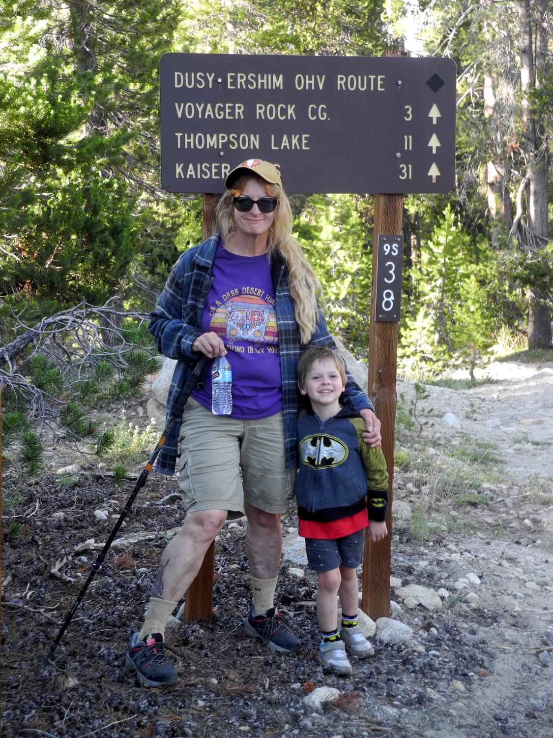
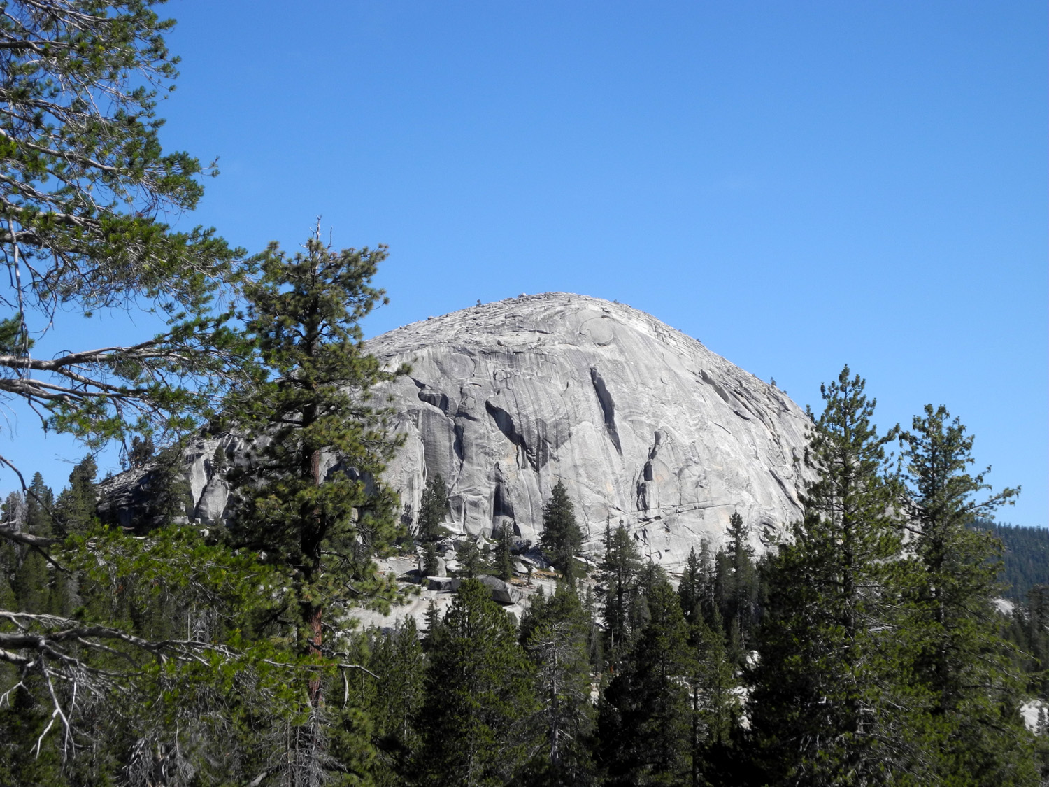
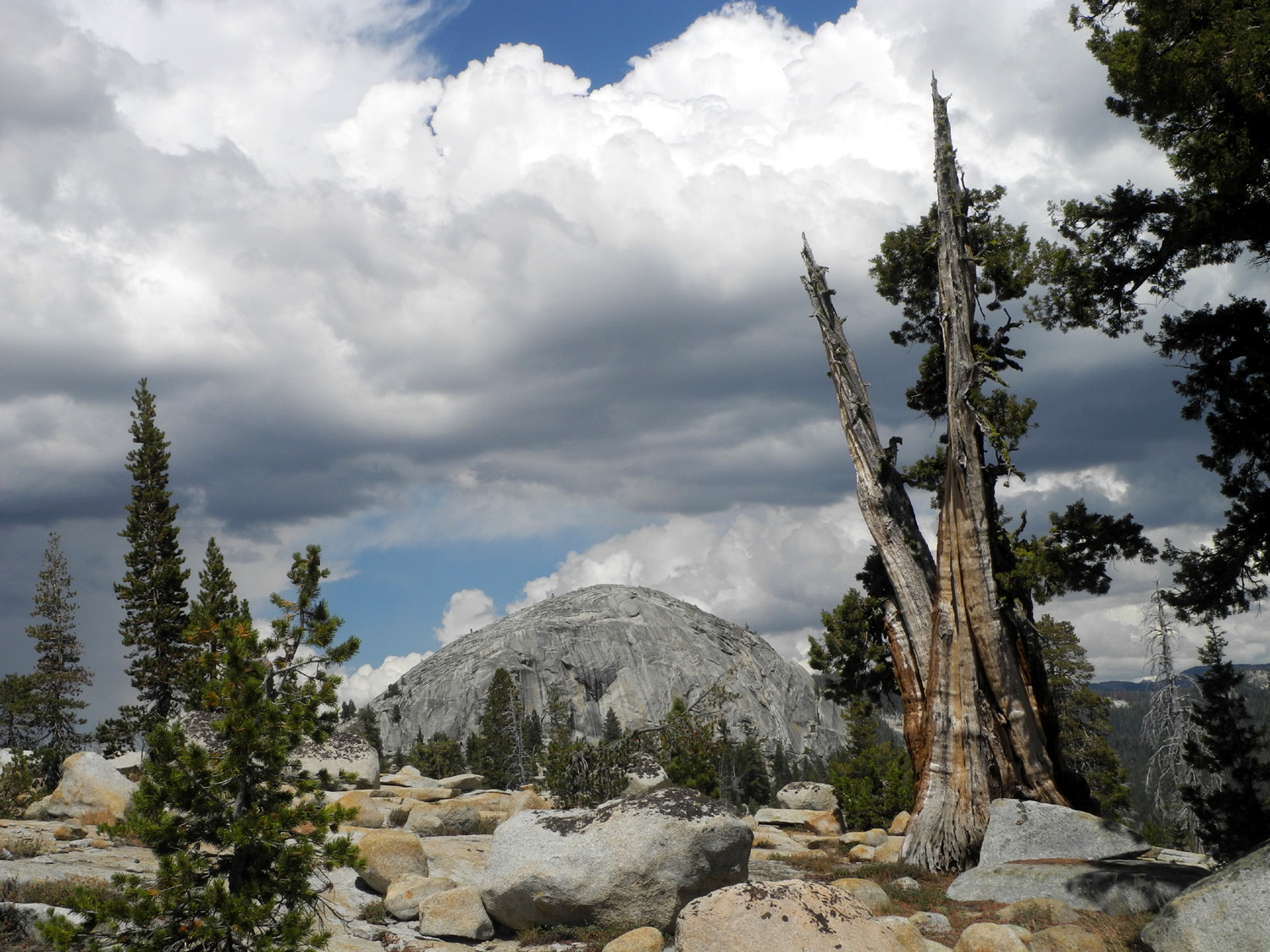
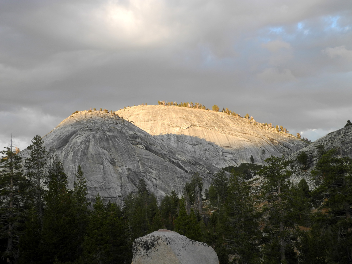
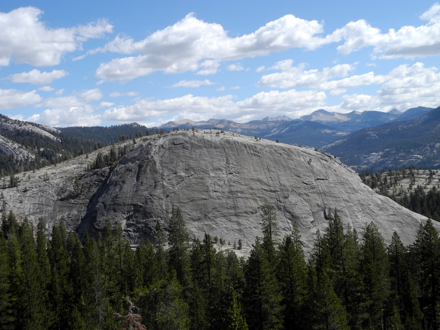
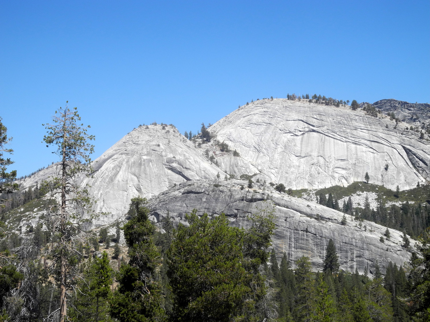
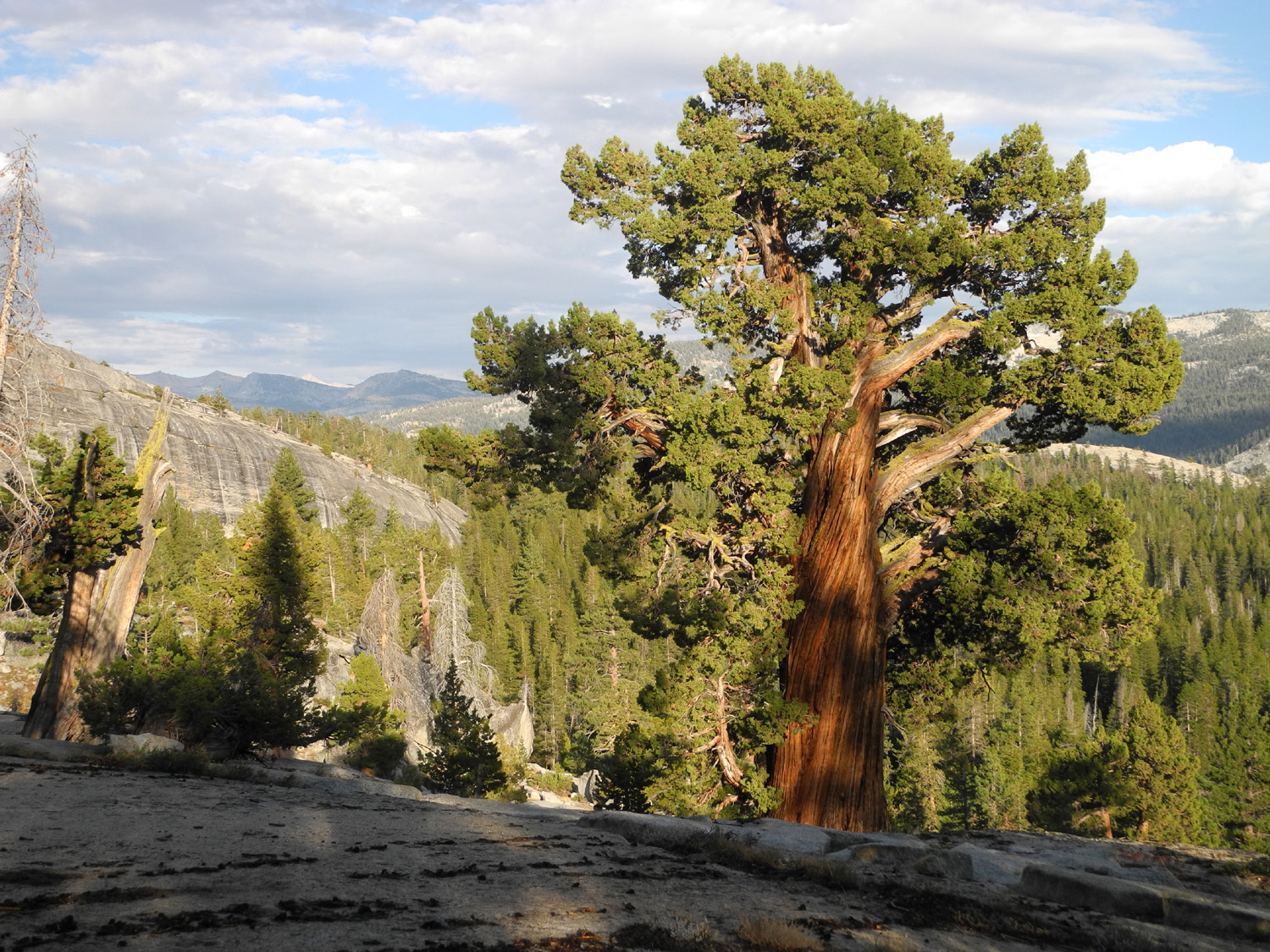
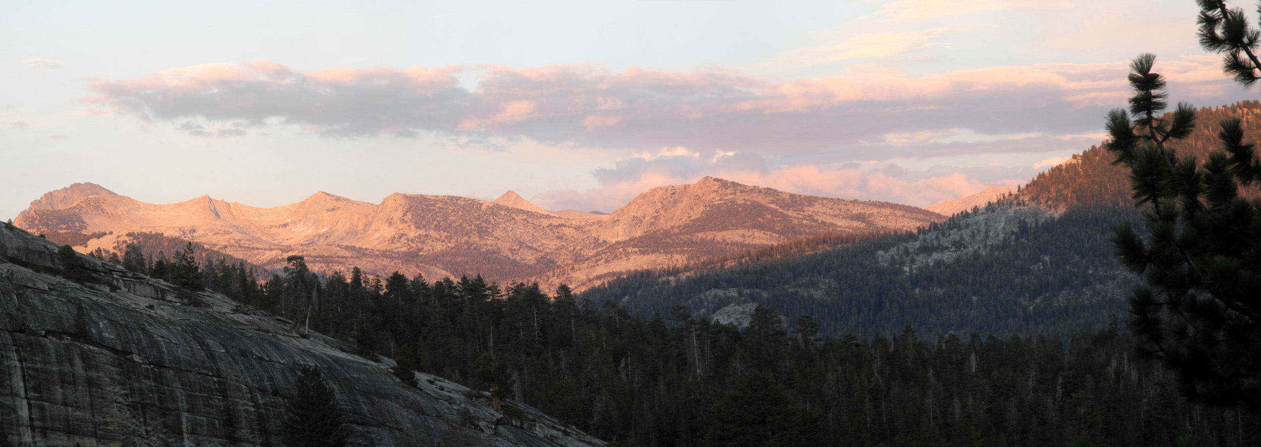
For the last few years I've gone camping near Courtright Reservoir every summer, either alone or with family. This particular outing was supposed to include my older daughter Teri, her older son Johnny, and his family. Then the Upshaw's planned a trip to their mobile home in Greeley Hill and it looked like it would just be Teri and I. So I was very happy to get an email from Johnny saying that the boys would go up with Teri on Thursday, August 8, and he would join us after work. They would stay one night, and leave the next afternoon. I had a meeting that morning, so I didn't get started from home till close to noon. The place we like to camp is an unofficial spot on the road that goes past the lake and leads to the Dusy-Ershim 4-wheel drive trail. It's a big, fairly level area of granite bedrock with a fantastic view of some of the many domes that are common throughout this area. When I arrived someone else was in "our" spot, but Teri had set up in one of the other half-dozen camp sites along the road. It had a view of some of the domes, plus a section of the LeConte Divide, which can't be seen from the big rock site. No one was in their campsite, but I thought I recognized the boys' little chairs, and this proved to be the case. Usually it's a big relief to go up to 8,000 feet, with temperatures of 100 to 105 in the valley. However, the high at home was supposed to be only 95, so we were prepared for nice days and cool nights As it turned out the lows were around 40, and the days were pleasant, just right for hiking and climbing around among the rocks and juniper trees that make this a special place. |
|
 |
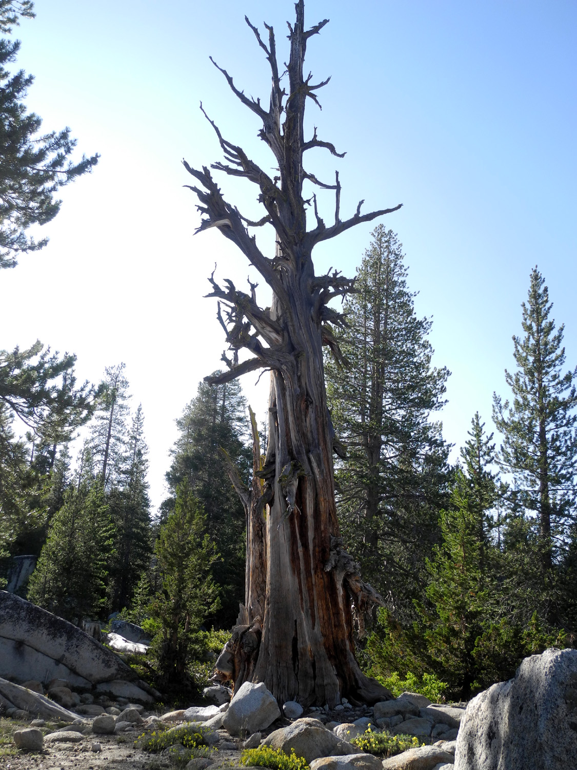 |
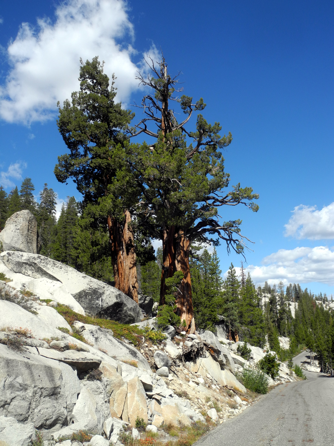
| Constant Dome, AKA Voyager Dome | A dead juniper near the trailhead parking lot |
|
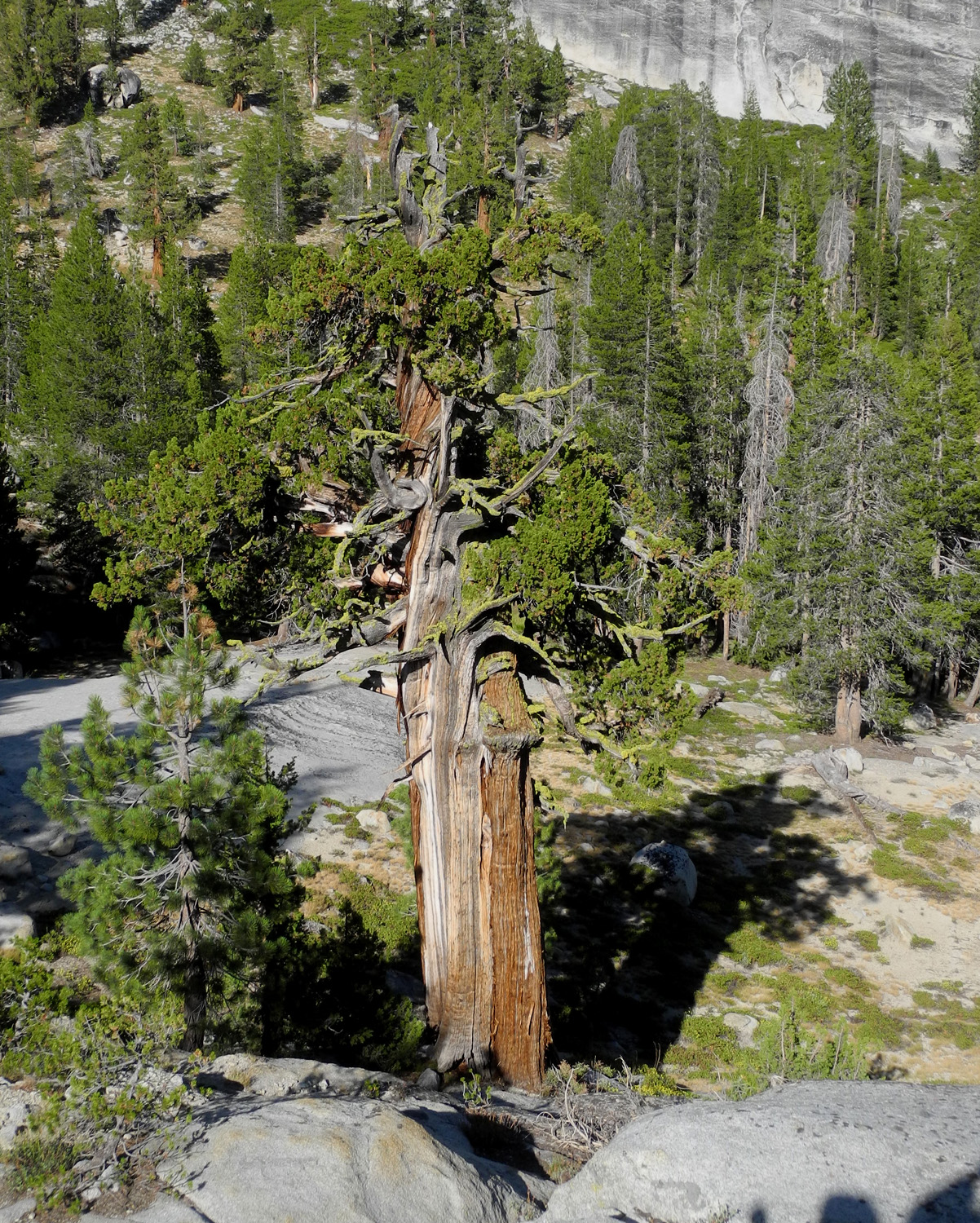
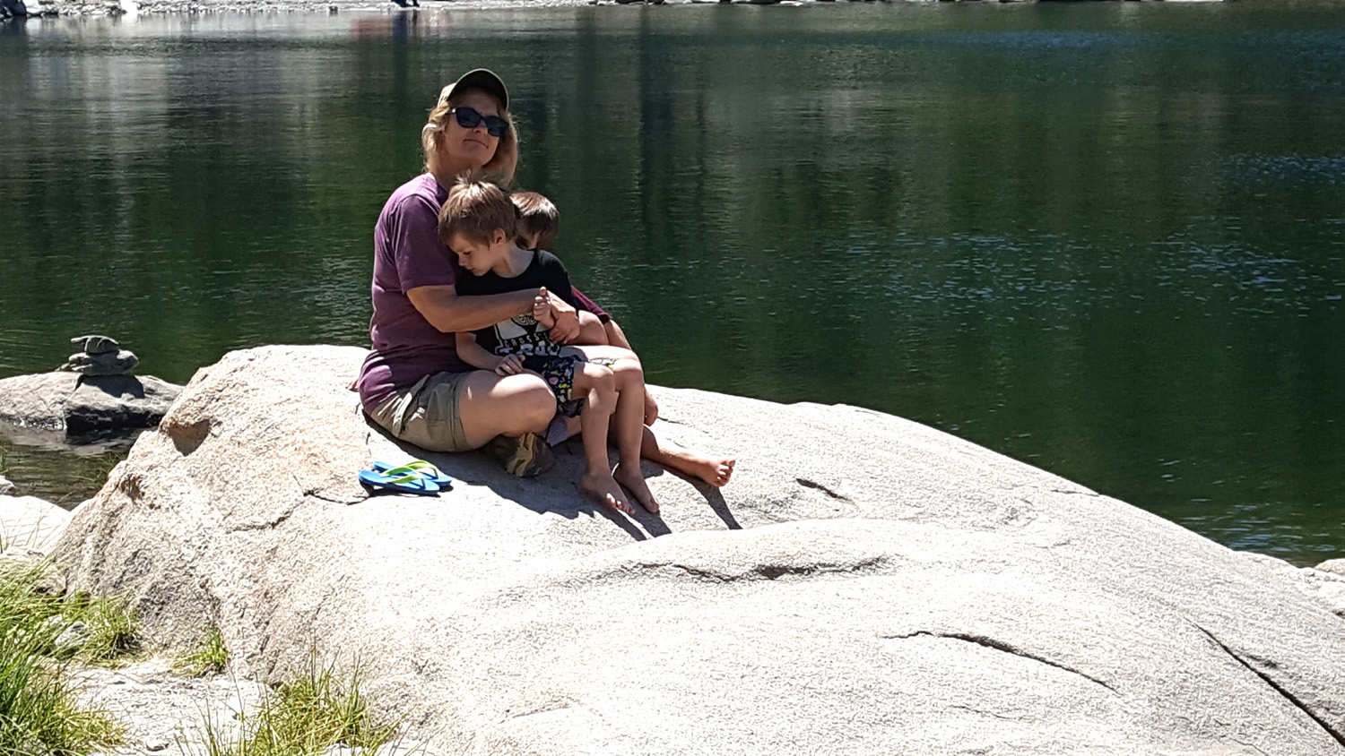
Teri and the boys soon returned from a visit to the lake, which is on the opposite side of a rocky ridge from where we were camped. We took a hike to see a huge juniper tree I had spotted a couple of years ago, which we had named the Bull Juniper, honoring the Bull Buck sequoia tree in Nelder Grove. It's only a short walk from our camp to the edge of a small cliff where you can look almost straight across at the top of the tree. It takes a little rock scrambling to get down to the next level, where you can stand next to the trunk of this rugged, extra-large specimen. Our path took us right across the edge of our favorite campsite, which temporarily belonged to someone else, so we took a longer, more round-about path back to camp, enjoying the sight of other rugged junipers, living and dead. Before returning to camp, we explored the start of a side road that leads to the Clyde Pack Station corral, and climbed up on a large boulder near the trailhead. Colton picked up a few sticks for the fire on the way. |
|
 |
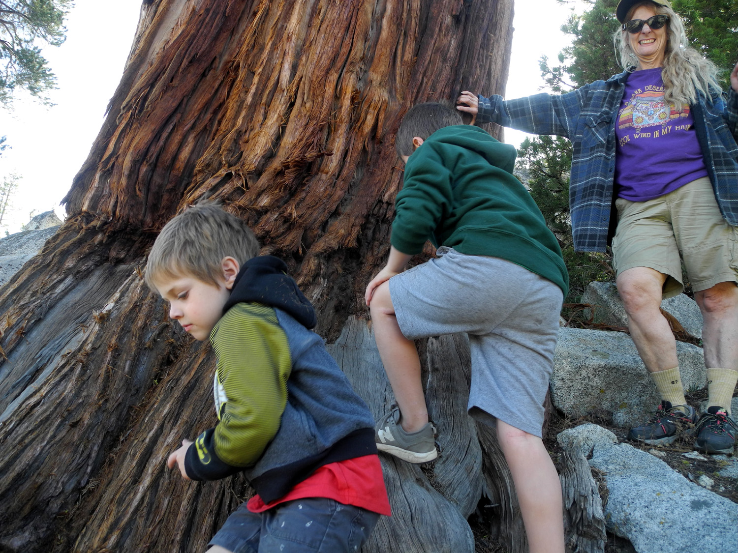 |
| The Bull Juniper | Jack, Colton and Teri get up close and personal with the base of the Bull Juniper |
|
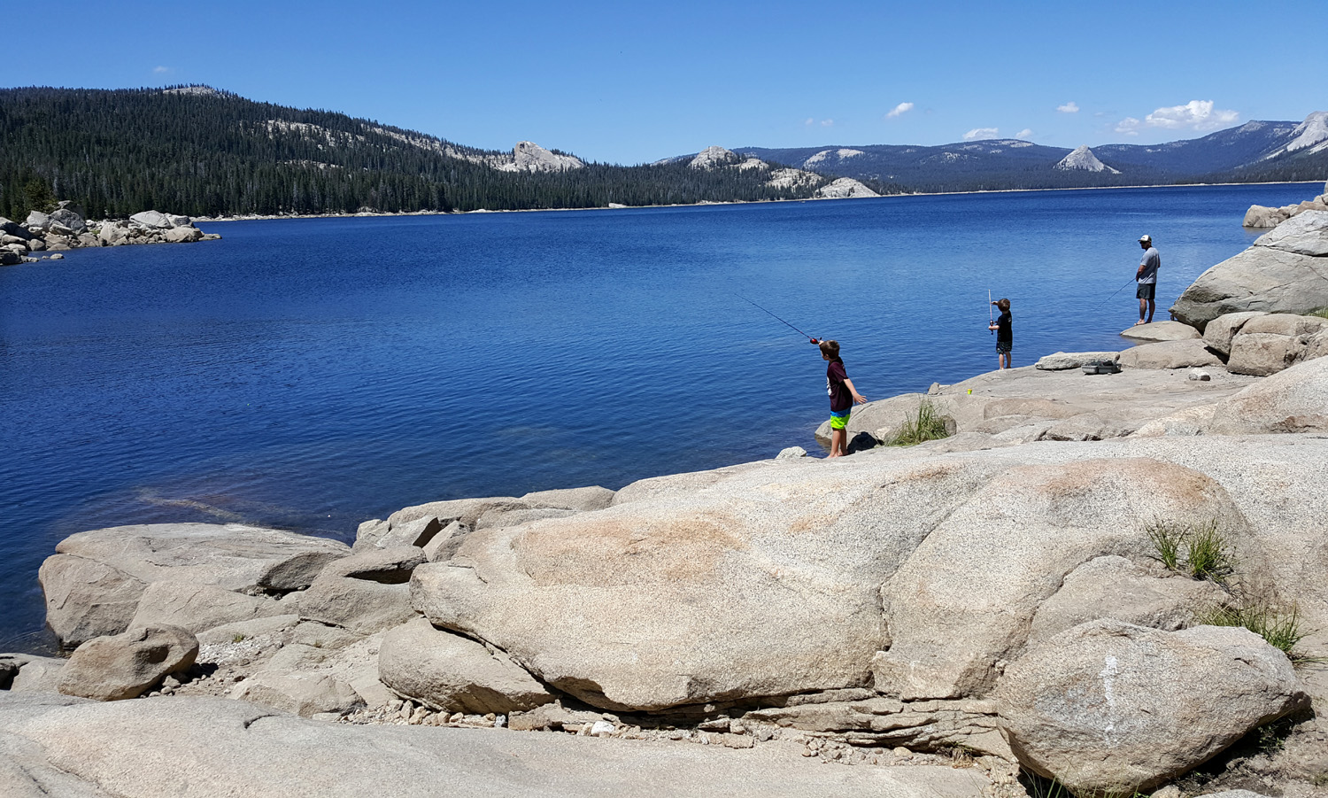
The rest of the day we mostly lazed around camp until Johnny arrived about 6:30. Once he got their tent set up, he and Colton gathered firewood to supplement the box of "store-bought" wood that I had brought, and we got a nice campfire going. For the first time since I resumed truck camping I did not sleep in the truck, but instead on my new folding cot. It's 40 inches wide, just right for the three-foot wide folding mattress I've been using, and worked out very well. When the weather is cold I normally sleep in a hooded sweatshirt, but I forgot to bring it. Johnny lent me his hooded down jacket, and I was warm and comfortable, even with the temperature down to 40 that night and 37 the next night. After breakfast the next morning, Johnny and the boys wanted to fish in the lake. The plan was to hike over the ridge above our camp and down to the water. Teri and I have hiked up that ridge together and separately several times, and where we reached the top, it was more or less a cliff down to the water. However, Johnny knew of a trail that left the rocky slope and went through the woods and over to the lake with no difficulty. We first went up to the Sentinel Tree, which Johnny declared should be the Saguaro Tree, then headed northwest. I reached a point that I realized was far enough, wished them good luck, and made my way back down through the rocks to camp. |
|
 |
 |
| The Sentinel (or possibly the Saguaro) Juniper | Johnny and sons on a granite shelf below the tree |
 |
 |
| Friday morning sunrise | Livin' the good life - Oreos for a snack and Legos to play with |
|
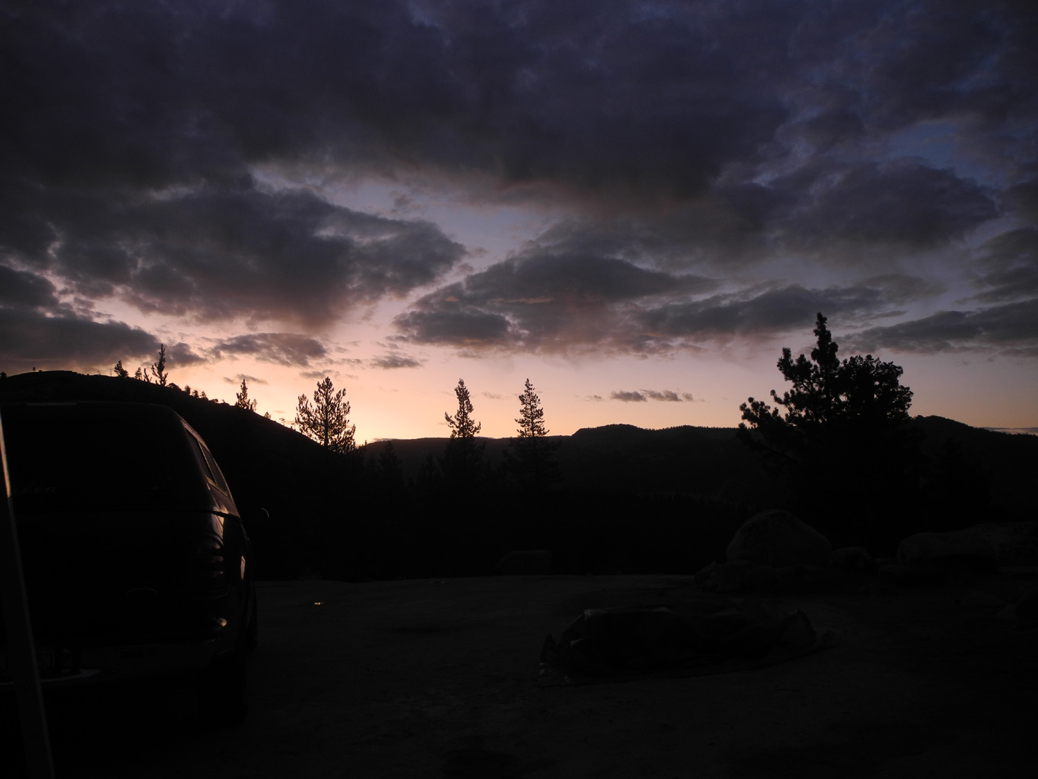
They had had a good time fishing, without any of that messy catching, and returned after an hour or so. We had lunch, then Johnny started taking down the tent and packing up to leave. They would be driving up to their mobile home in Greeley Hill in Mariposa County after Brittany got off work. But first we all drove to the other side of the lake, where Johnny and the boys again tried their luck. Once again all the luck belonged to the fish. Johnny, Colton and Jack got into his pickup and headed down the mountain, while Teri and I drove back to camp in her car. We did a little wandering around near the camp, but no real hiking. We had dinner, and got to bed fairly early. On Saturday we did our usual leisurely job of having breakfast and packing up, and got started for home before noon. The section of the road that runs from the dam to the Ducy trailhead has a half dozen unofficial but well developed campsites. All of them were occupied, and people were camping in secondary areas farther off the road. None of us had ever seen so many other campers in the area, but considering the amazing beauty of the area, it was not surprising that it attracted what amounted to a good size campground's worth of visitors. The weather was clear all the time, and we had a great view of stars early in the night, with a half moon coming up after midnight. I had the added bonus of waking up early enough to get some nice sunrise photos Friday morning. Since it was 40 degrees, I got back in bed until the sun started to warm our campsite. |
|
 |
 |
| Colton, Jack and Johnny fishing in Courtright Reservoir | The boys with Grandma Teri |
|
The
one thing we didn't do was hike on the Ducy trail, which leads
through a small glacier-carved valley to a big
granite slope about a mile back. Perhaps I will have to camp at
Courtright once more this year. --Dick Estel, August 2019 |
|
|
Short Reports on Several Trips Grant Grove Courtright Almost Glacier Point |
|
|
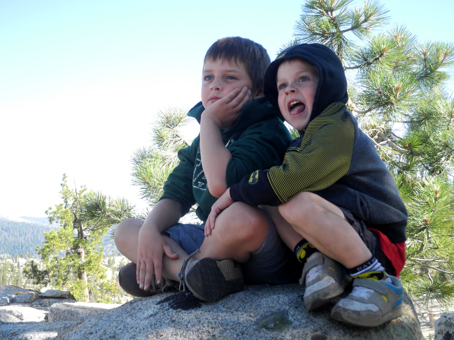
Grant Grove with Colton & Jack
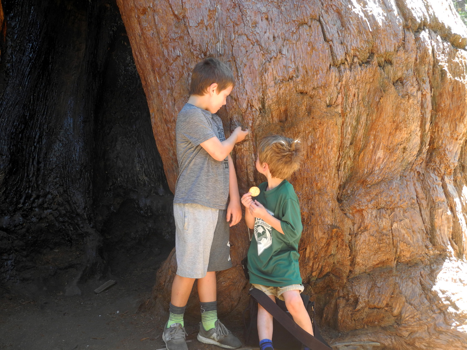
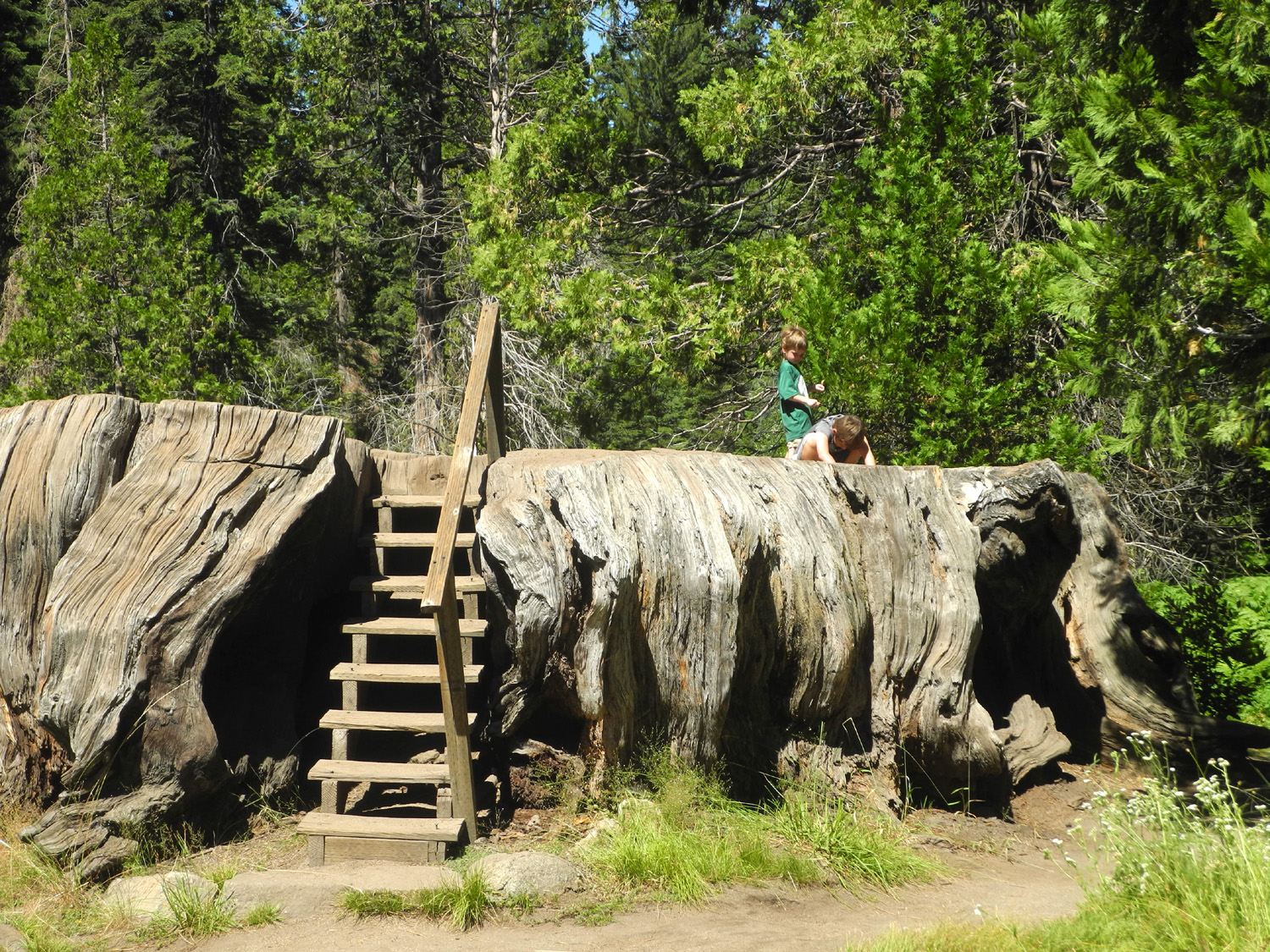
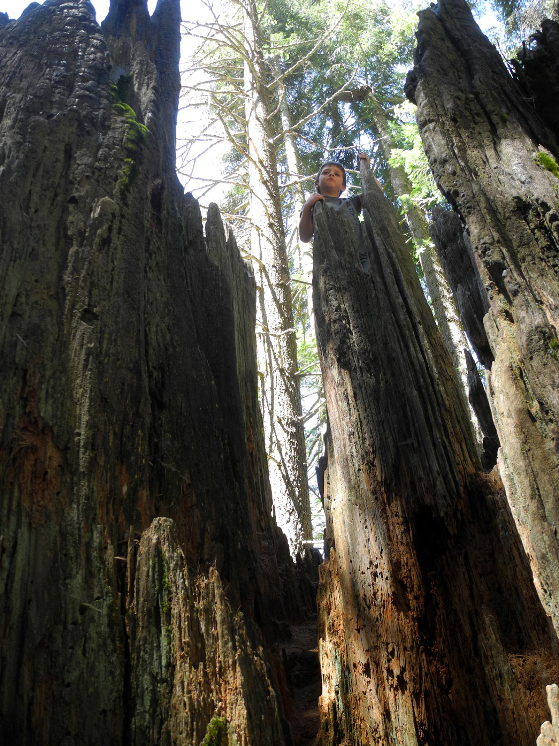
On August 14 my great grandsons and I went to Kings Canyon National Park. My intention was to hike the Big Stump Trail, a two mile loop through old stumps and a few big trees. About 300 yards into the hike it was clear the boys were not in the mood for hiking. The main feature of the hike is the Mark Twain Stump, and there's a quarter mile round trip trail to it from near the park entrance, so we drove there and walked in. Not far from the Mark Twain is a huge broken-off sequoia stump which Colton has climbed on before, naming it The Castle. We walked the short distance and both boys had a great time climbing in, around, and through this unique feature. We
then went to
Panoramic Point and had lunch at a picnic table at the parking
area. It’s a challenge to find something Jack will eat. He’s
allergic to nuts, so the go-to kids food of PBJ is out. After
lunch we went up the trail to the point, which has a fantastic view
of the
peaks of the |
|
 |
 |
| Jack and Colton on the Mark Twain Stump | Colton surveys his empire from The Castle's battlement |
 |
 |
| Colton leads the way, stepping carefully across the jagged wood | Jack, just kicking back |
|
Another Courtright Camp
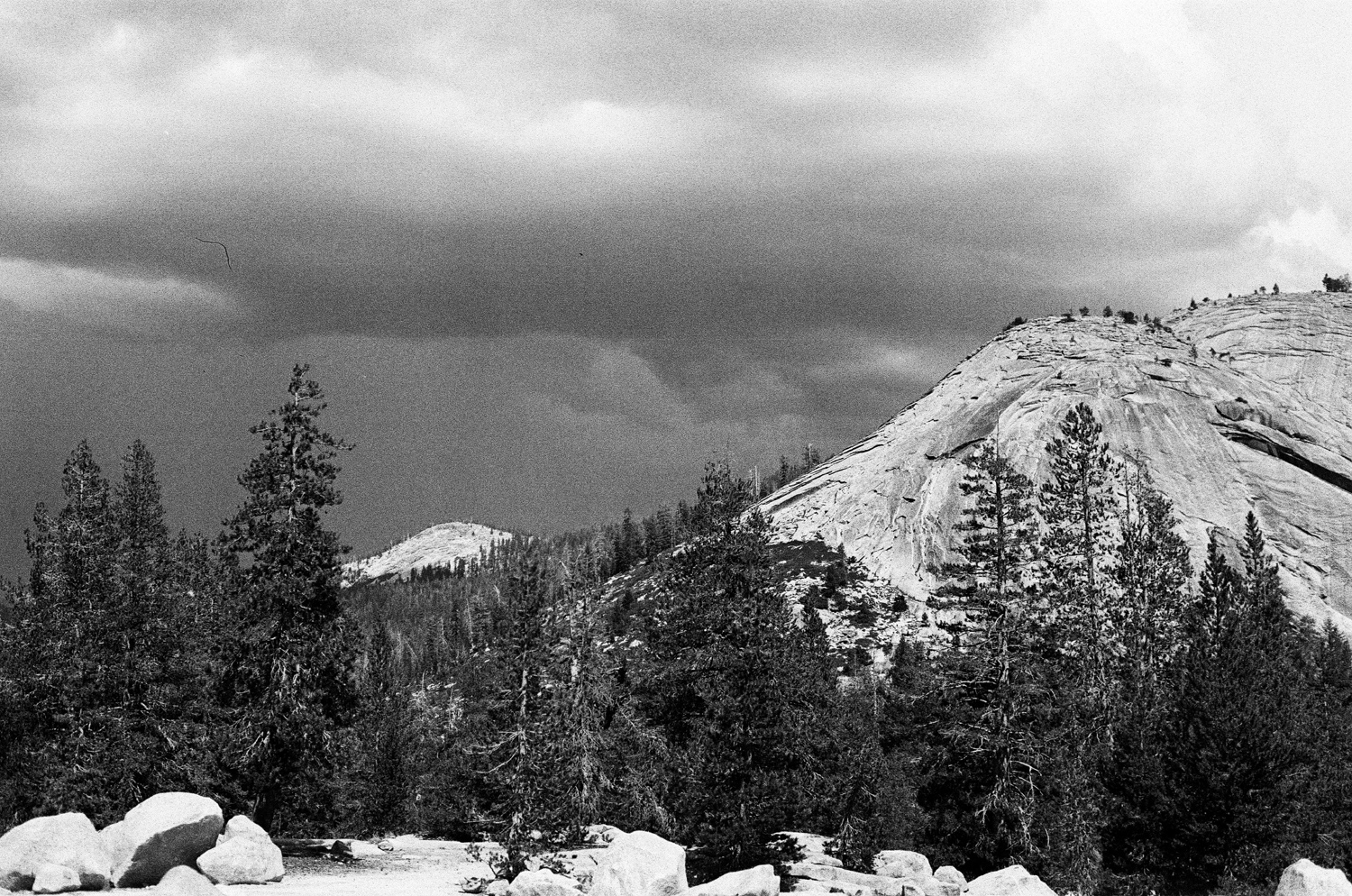
This early September trip was probably the first time I had a pretty bad experience camping. I had a cold, so didn't feel like doing any serious hiking. I did take several short walks around the area, enough to add up to a little over a mile, with lots of rest in between. It rained the first day, just for about 15 minutes. Some things got damp, but it was not too bad. The next day was partly cloudy, with no rain, but lots of wind. I had bought a canopy, which I set up for the first time. I was camped on granite, so could not put in the tent stakes, but I piled rocks around the legs. This was not enough, and it blew over three times, slightly tearing the fabric on some rocks. Still I had a nice day overall, with another walk of over a mile. I still didn't hike the Dusy Trail. Shortly after I woke up the final day it started to rain. It slacked off, so I decided to have breakfast and leave. Before I could get breakfast started the rain began again, and showed no sign of stopping. I finally loaded everything into the truck, all of it wet, and started home. There was rain almost all the way out to Dinkey Creek. When I got home I had to spread everything from the truck around my garage and patio to dry out. While I was packing up, I used all the swear words I knew, and had to make up some new ones. Of course, I plan to go back again very soon. |
|
 |
 |
| A rugged juniper clings to life on the rocky slope above camp | Late afternoon clouds hint at a coming storm |
|
|
|
 |
 |
| Sunset view from camp | The rugged top of the Bull Juniper |
|
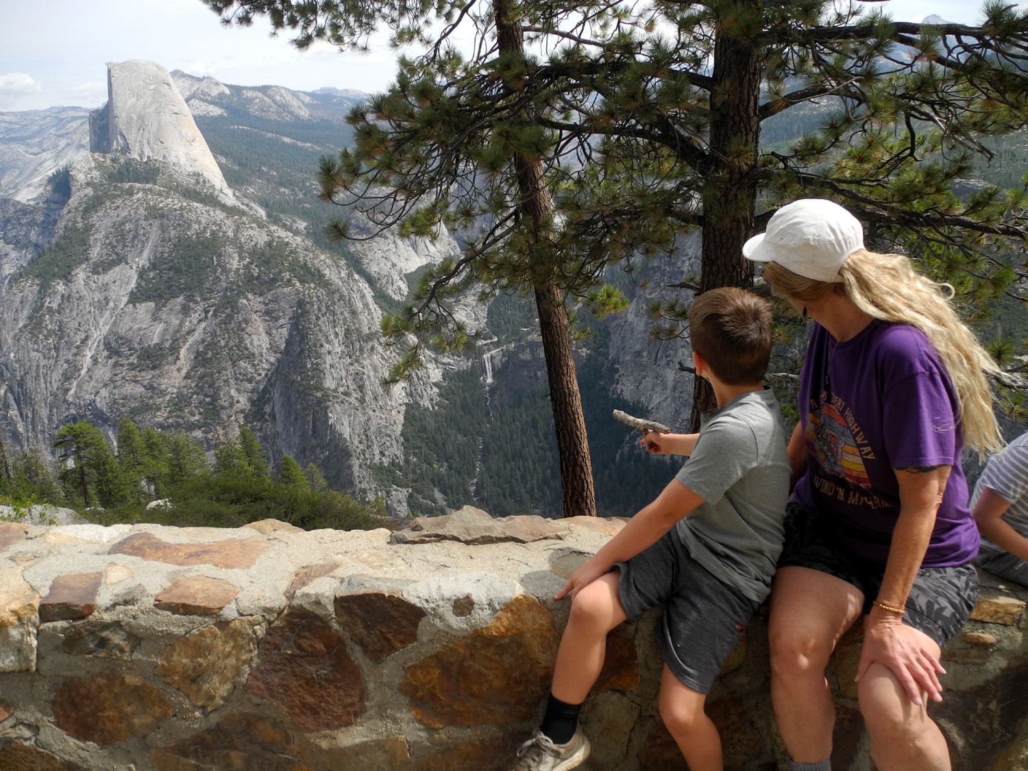
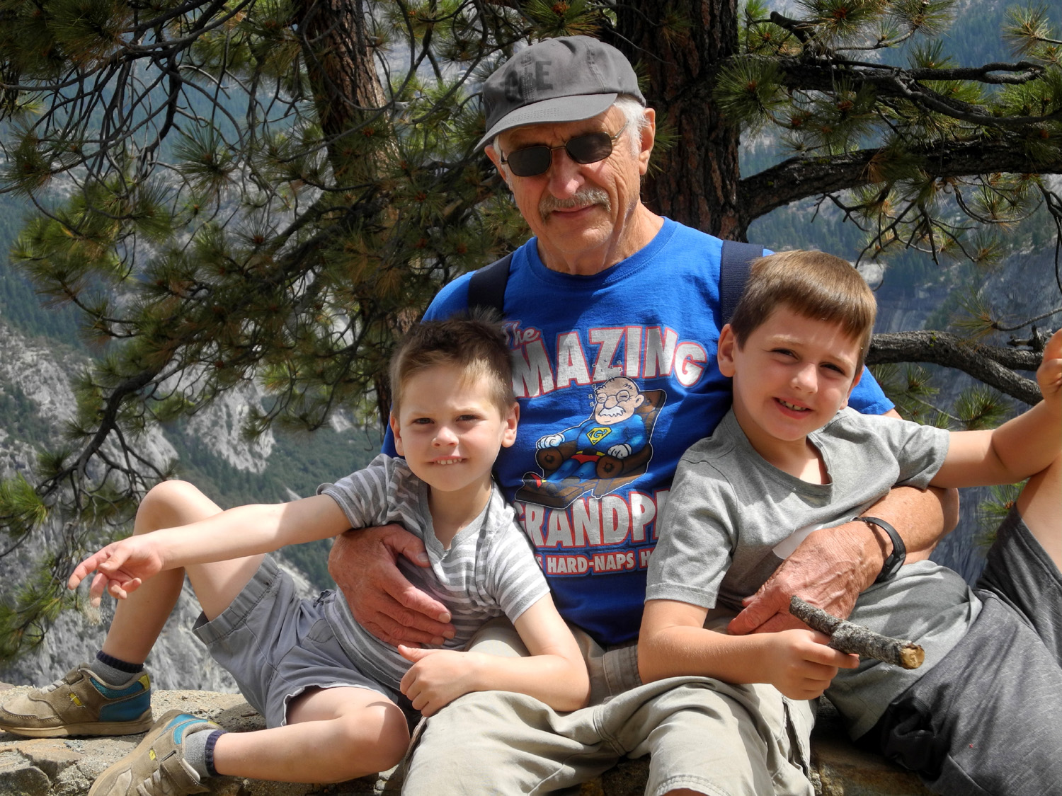
Glacier Point (Almost)
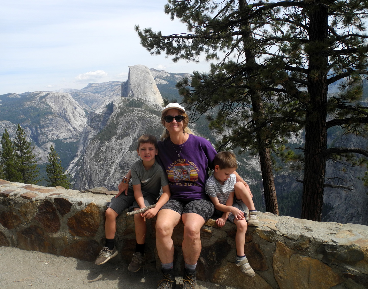
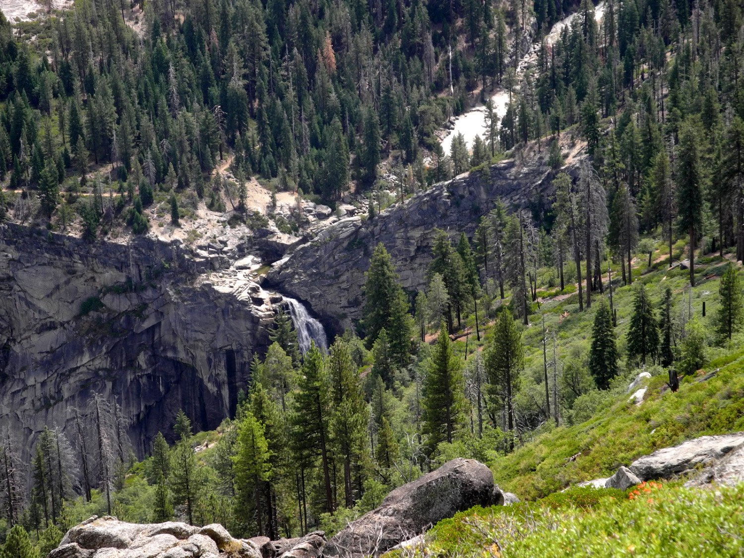
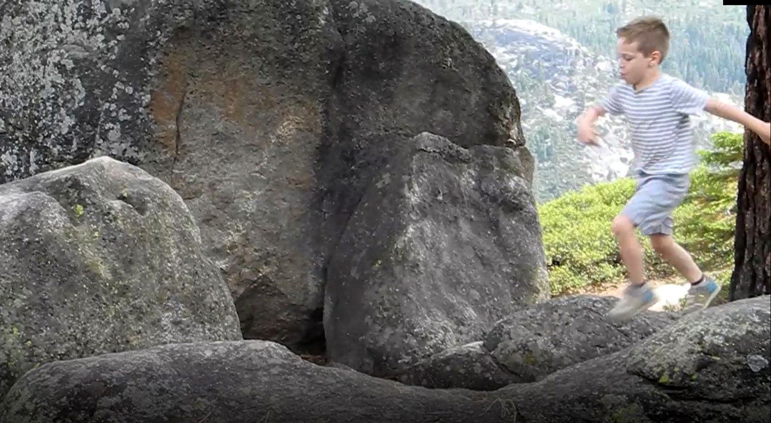
On Saturday, September 7, Teri, Colton, Jack and I set out for Yosemite, intending to go to Glacier Point. I had hoped that since it was after Labor Day the crowds would have diminished at least a little bit. This was not the case. As we approached the last half mile, traffic came to a halt. Sporadically a car would come up the hill, including seven Ferrari's, apparently a club. We concluded that cars were finding no parking available and were driving through the lot and coming back up. We turned around, hoping to park at Washburn Point, about a half mile from the Glacier Point parking lot. This lot was full of Ferraris, so we drove a little farther and pulled off the road where we could give the boys a snack. Our plan was that when we saw the first Ferrari coming up the road, we would jump in the truck and drive the short distance back down to Washburn. We did this, so literally that Teri, who was changing into her boots, had on one boot and one tennis shoe. We got the last parking spot, and spent some time here enjoying the view. You can see Half Dome, Vernal and Nevada Falls and the high peaks beyond, but there is no view into Yosemite Valley itself. However, this location does offer a look at the top of Ilillouette Falls. The boys had a great time climbing on and jumping from the boulders around the parking lot. We drove back down the road and found a place where we could set up my card table and enjoy our picnic lunch, as well as more rock climbing and running around. We
had a great time, but vowed never to go to Yosemite on a weekend
again. --Dick Estel, September 2019 |
|
 |
 |
| Vernal and Nevada Falls seen through a big Jeffrey pine |
Colton points out the Mist Trail, which he hiked with his family earlier in the summer |
 |
 |
| Jack and Colton in the rocks | Dick and great grandsons Jack and Colton |
|
Courtright & McKinley Grove
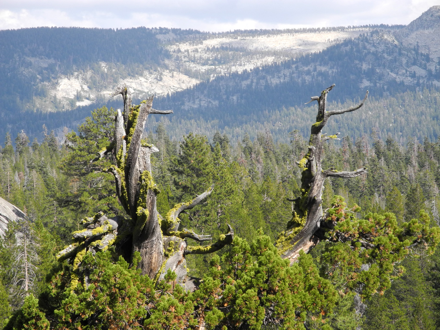
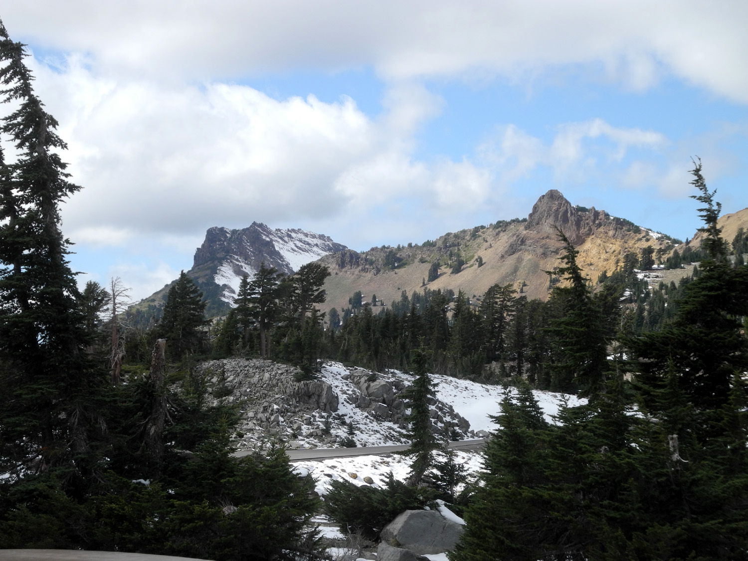
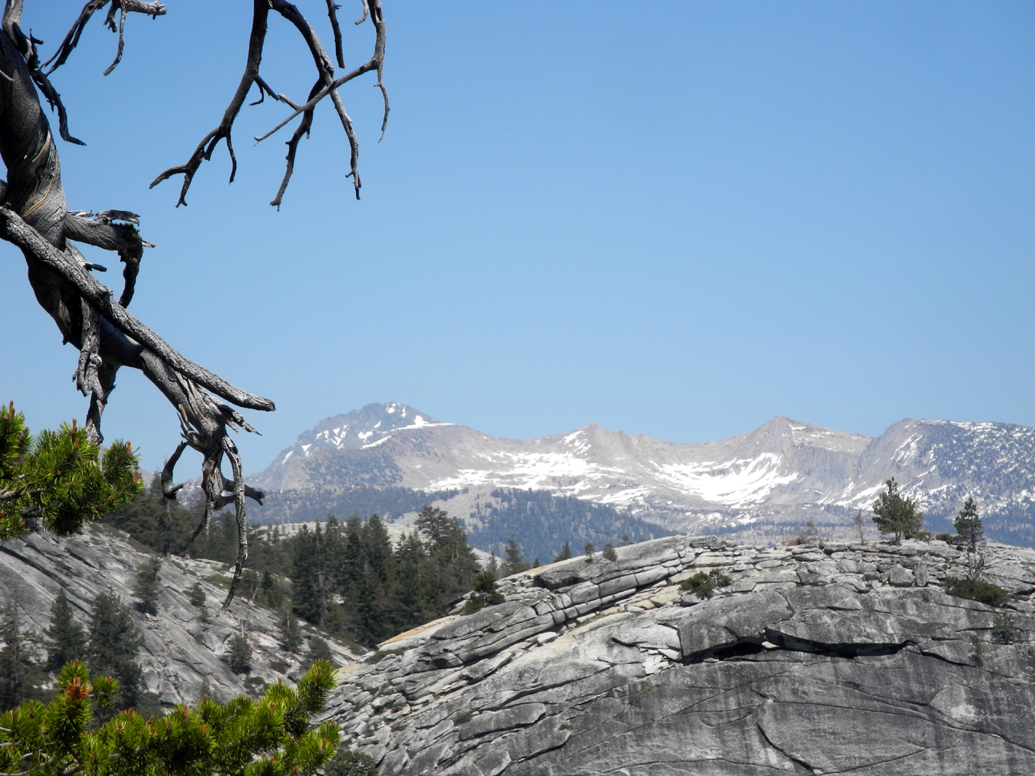
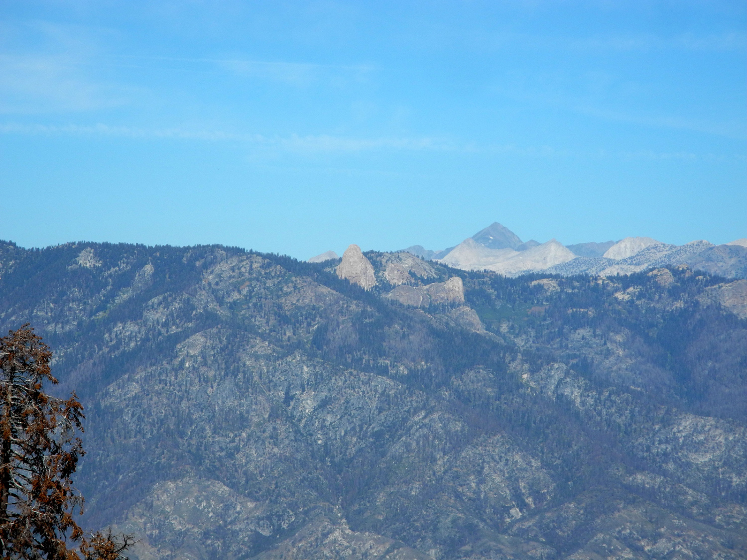
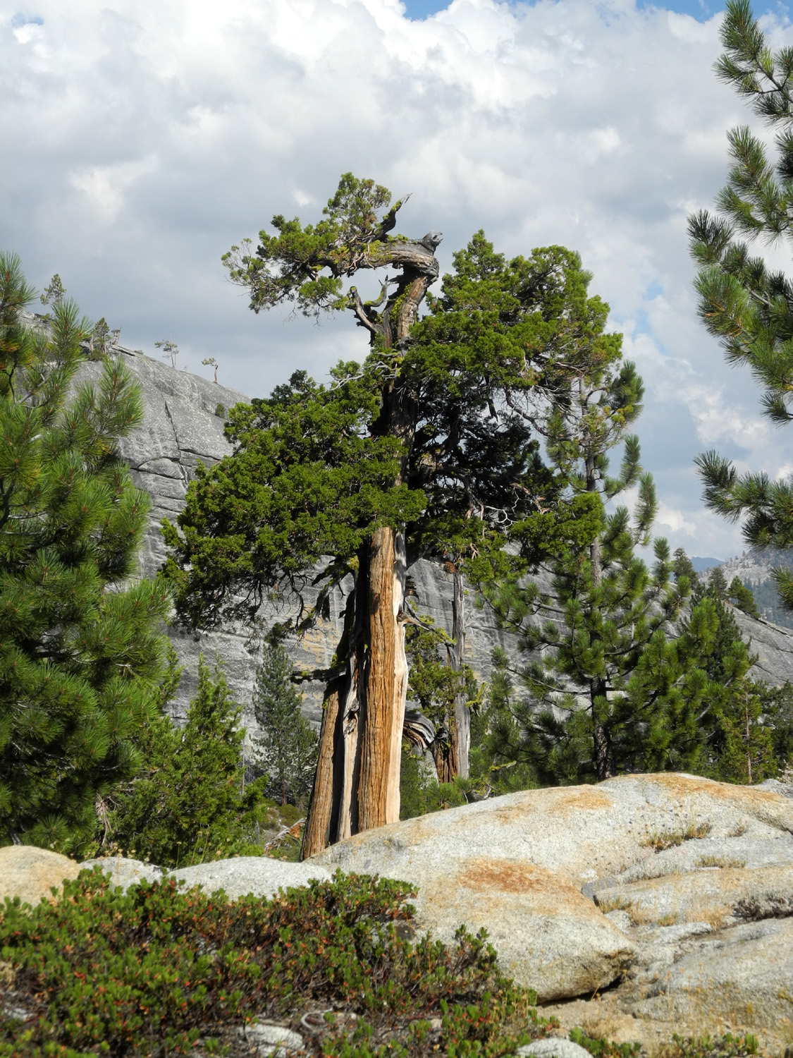
When I camped at Courtright on September 3 and 4, I brought my film camera with black and white film, intending to photograph the LeConte Divide to the east. Unfortunately, I forgot my telephone lens, and could not get good long distance shots, so I knew I had to return. I considered a day trip, but it's 75 miles one way, which makes for a long, long day, so I planned another camping trip on September 23 and 24. When I arrived at my usual camping spot, I got out a few things, then hiked up the granite slope west of camp. I photographed some of my favorite junipers, as well as the distant mountains, and returned to camp to have lunch. |
|
 |
 |
| The Sentinel | LeConte Divide, Mt. Goddard on the left |
|
When I started to eat my chicken salad, I was harassed by dozens of yellowjackets, AKA meat bees. They were so bad that I ended up eating in the truck. Then when I sat out in my chair to read, I still had the nasty little critters buzzing around me. It was also very windy, and I began to think about moving to a different location. I took a few more photos, then loaded up the few things I had taken out of the truck, and headed down the road. |
|
 |
 |
| Double Dome | Teri's Dome from the road into the lake |
|
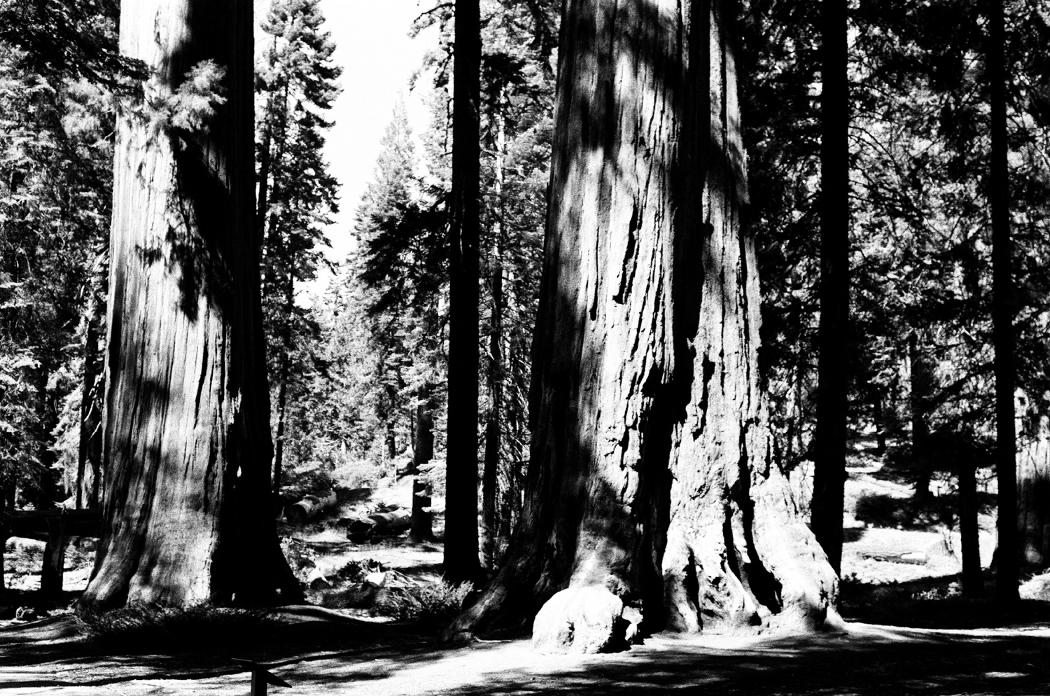
I had previously explored a dirt road that left the McKinley Grove road just west of the grove, and knew it had a nice flat spot for camping, complete with two fire rings. I drove in and found it unoccupied, and made camp there. The rest of the day was spent getting everything set up, walking around the area, and reading. The road forms a loop by the camp, but at the edges of the area is either thick forest, or a steep slope with thick forest - no place to really walk except in the road itself. However, it is right on the edge of the Dinkey Creek drainage, and I had views through the trees down into Blue Canyon and the valleys of Laurel Creek and Bear Creek. As the sun set, the western sky turned fiery red, and I enjoyed a nice campfire as it cooled off. After breakfast the next day, I set out on my "major" hike of the trip - down to McKinley Grove. It's less than a quarter mile along the main road, but the grove has a nice loop trail that goes by most of the bigger trees. At first glance the grove does not appear that impressive, but there are actually a lot of big trees - over 200 with diameters larger than six feet, and at least a dozen much larger. The grove's tallest tree rises to 230 feet, and the biggest in diameter is 19 feet. |
|
 |
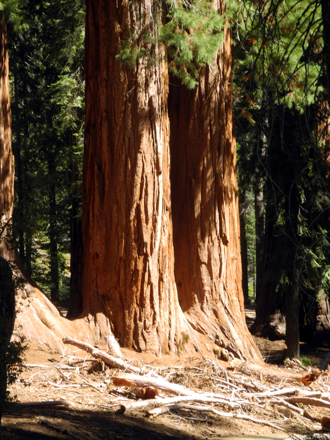 |
| Sequoias along the McKinley Grove trail | Twin Sequoias |
 |
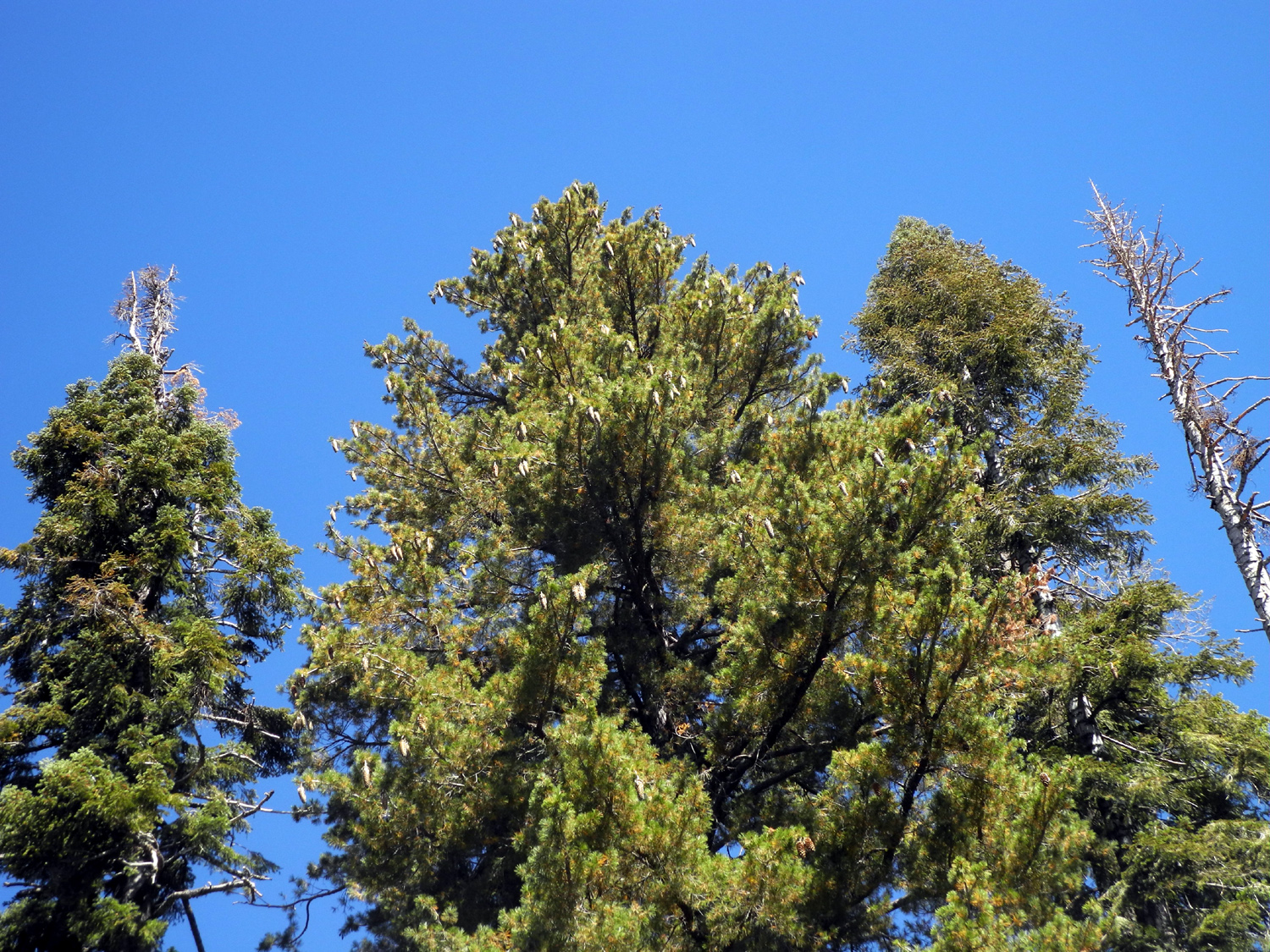 |
| My camp near McKinley Grove | A good crop of sugar pine cones |
|
My
hike added up to a little over a mile. I was on this walk for two
hours, although only 40 minutes was actual walking time. The rest of
the day was spent as usual, reading, loafing, wandering around the
camp area, and eating. The final morning I had breakfast and got
everything loaded up, and made it back home in early afternoon,
already thinking about where my next camping trip will take me. --Dick Estel, October 2019 |
|
|
Lassen Park (and other places)
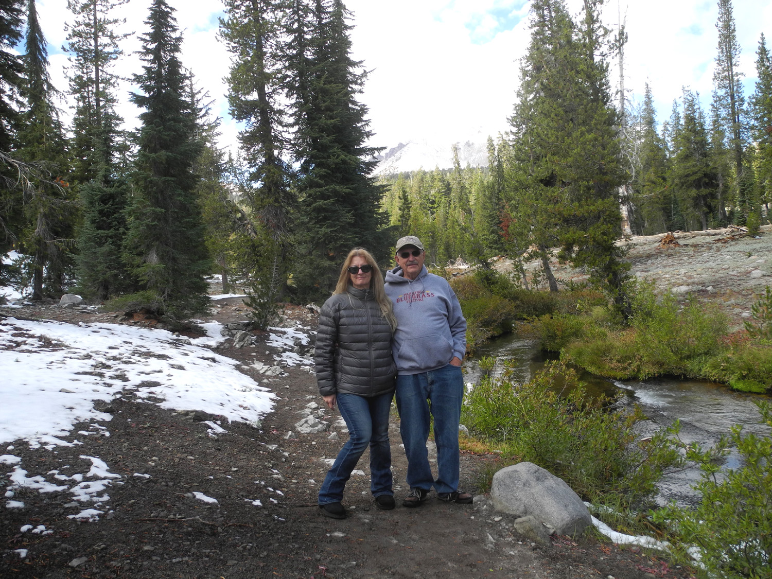
In July 2019 my younger grandson Mikie started working as a correctional officer at High Desert Prison in Susanville. On October 2 his mother, Teri, and I drove to Susanville for a visit, traveling over the Sierra on I-80 and from Reno to Susanville on US 395. We had a nice visit, and went out for a great breakfast at Lumberjacks the second day. Mikie's girlfriend Lizzie had to work that day, but the rest of us went to Lassen National Park, about 65 miles away. We drove into the park as far as the King Creek picnic area, where trails lead to several points of interest. Teri and I had visited this area last year with Colton, and Mikie went through the park a number of years ago, as well as hiking on the road with us two years ago. There was quite a bit of snow at the highest elevation, and a good amount on Mt. Lassen. At the picnic area we walked on a path that runs along King Creek for a few hundred yards, then started back. |
|
 |
 |
| Mt. Lassen | King Creek |
 |
 |
| Mikie and Teri in the snow near King Creek | And Teri and Dick by the creek |
|
We made a stop at Lake Helen, and I got a pretty good photo of Brokeoff Mountain, one of several remnants of Mt. Tehama, a huge volcano that eroded over the years after thermal activity moved north to Lassen about 300 thousand years ago. |
|
 |
 |
| Lake Helen | Brokeoff Mountain |
|
Back
at Susanville, we enjoyed pizza when Lizzie got off work. The next
day we decided to go home via Tioga
Pass through Yosemite National Park, which proved to be a
fantastic drive, despite taking ten hours instead of the eight via
I-80. --Dick Estel, October 2019 |
|
|
Photos (Click to enlarge; pictures open in new window) |
||
|
Nelder Grove Courtright Camp Kings Canyon, Courtright Again, Yosemite Courtright & McKinley Grove Lassen Park |
||
|
Nelder Grove |
||
 |
 |
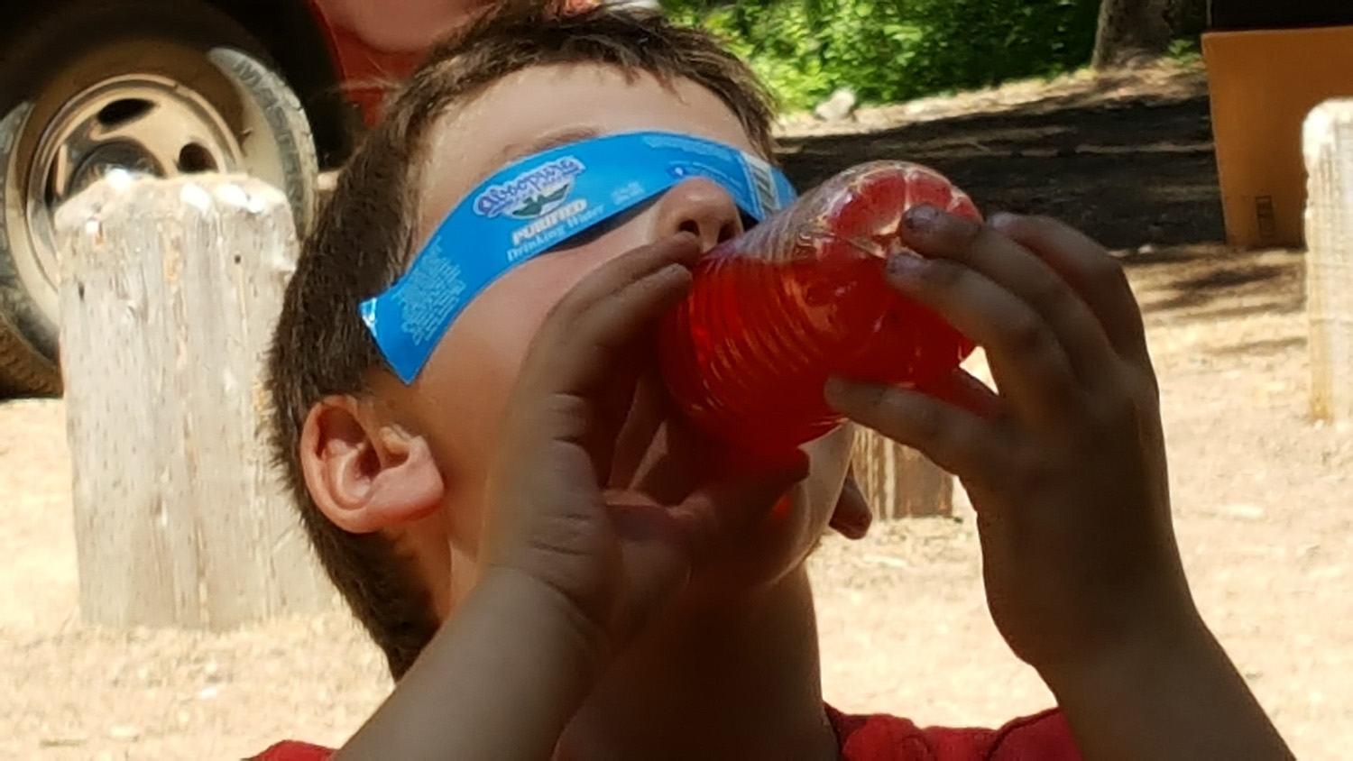 |
| Dick and great grandsons Colton and Jack | Jack's "gourmet" lunch, with added Cheez-its | Put the label over your eyes when you drink this mystery beverage |
 |
 |
 |
| Young photographers | Gates are for climbing and swinging | Fun in the creek |
|
 |
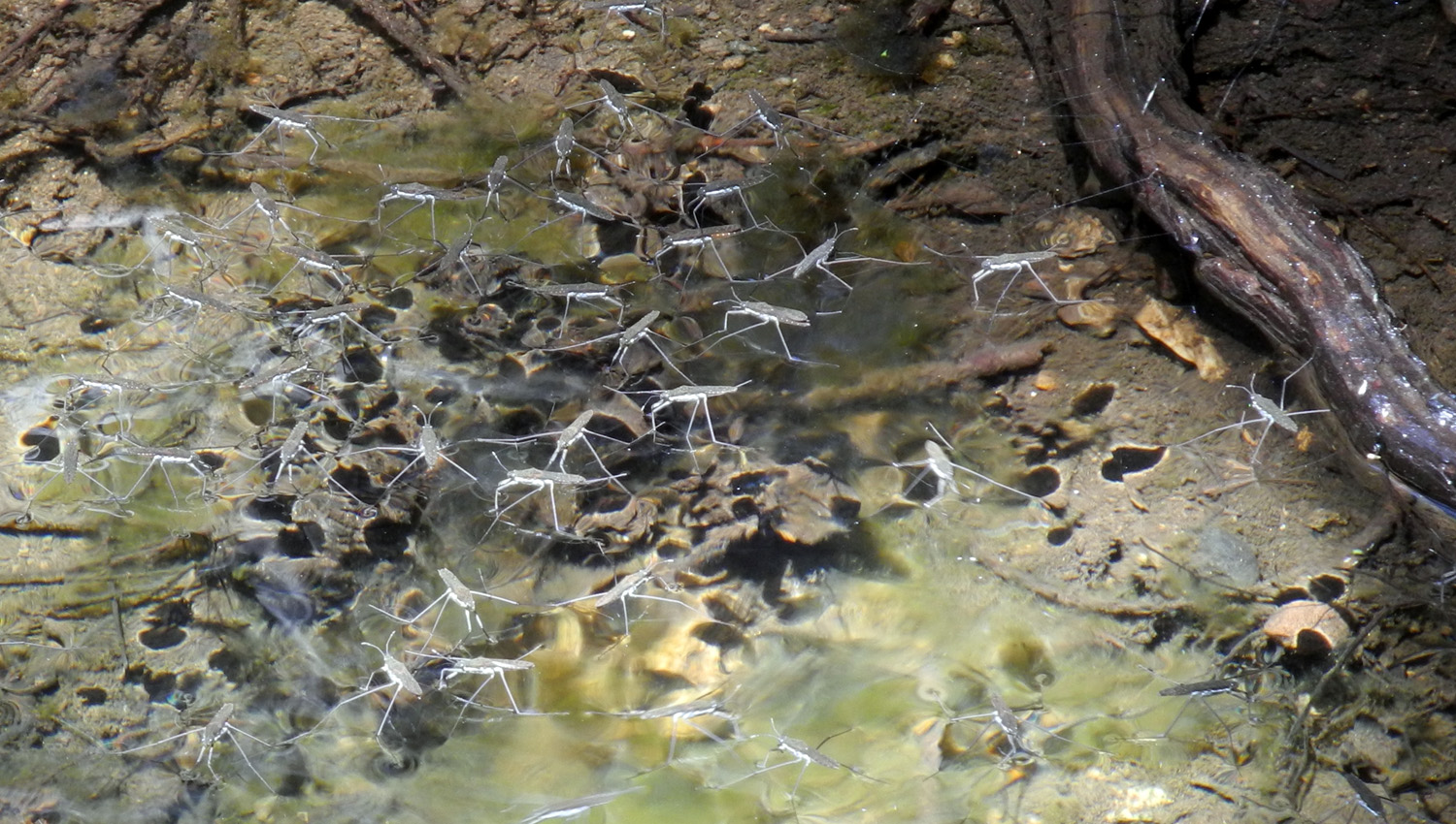 |
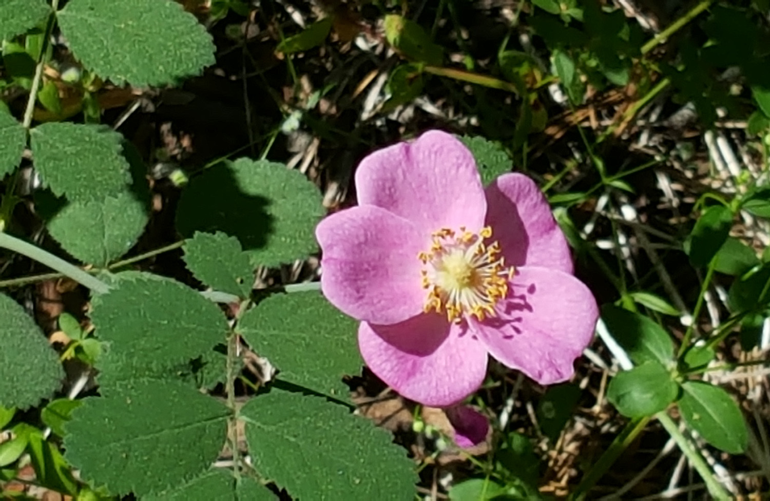
| Racing on the logs | Wild rose | Water walker bugs |
| Courtright Camp | ||
|
 |
 |
| Teri and Jack at the Ducy trailhead | Colton collects kindling for the fire | A rare quiet moment |
| Kings Canyon, Courtright Again, Yosemite | ||
|
 |
 |
| Inspecting the bark of a giant sequoia | At the bridge between the Mark Twain and The Castle | Climbing more stumps |
 |
 |
|
| This is Teri's
Juniper because she has it tattooed on her shoulder |
I call it the Bull Juniper's Upstairs Neighbor, because it's on the cliff above the bigger tree | Just before sunrise the second day |
 |
||
| Storm clouds over the domes | ||
 |
||
| LeConte Divide at sunset | ||
 |
 |
 |
| With Half Dome in the background, Teri enjoys being out with her grandsons | The creek and top of Ilillouette Falls | My nicknames for him
include "Happy Jack" and "Jumping Jack Flash" |
| Courtright and McKinley Grove | ||
|
 |
 |
| Wishon Reservoir from the Courtright Road | Junipers by the road near Courtright | A typical late-season flower |
 |
 |
 |
| The Shelf Juniper in Black & White | It looks like someone planted this row of junipers | Stuff about McKinley Grove |
 |
 |
 |
| Big sequoias in the grove | A magnificent specimen by the road | A huge limb fell on
the trail and had to be cut apart to be moved |
| Lassen Park Plus | ||
|
 |
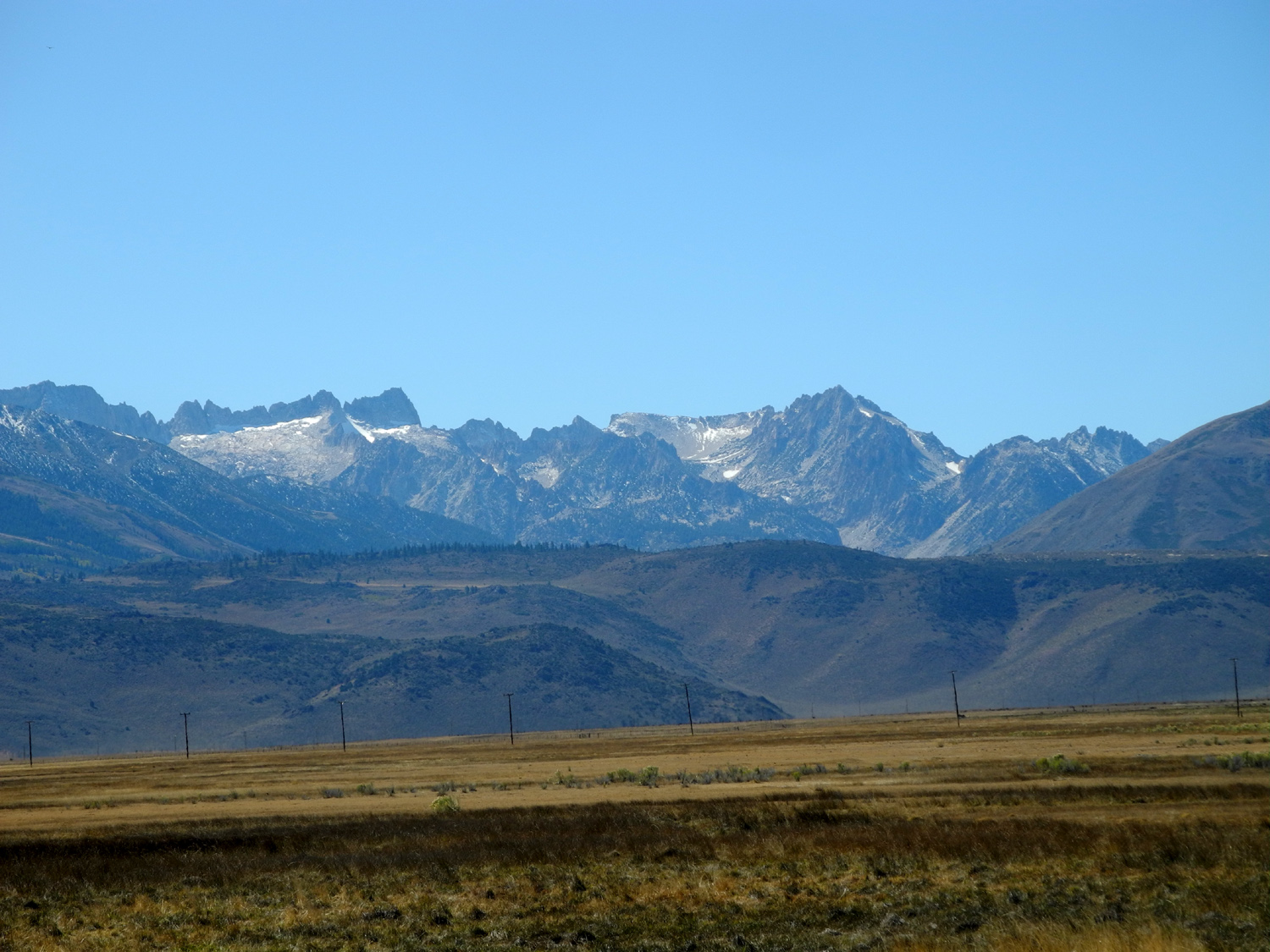 |
| Clouds over Lassen Park | Brokeoff Mountain | Eastern Sierra near Bridgeport |
| Related Links | ||
| Colton with Dad Johnny at the Bull Buck in 2014 | Jack at the Bull Buck in 2017 | Friends of Nelder Grove |
| USFS Nelder Site | Bull Buck Tree | Nelder Grove Interpretive Area |
| Dick's Nelder Grove Page | Other Nelder Grove Trips | Big Ed Trail |
| LeConte Divide | Dick's Juniper Photo Page | Courtright Reservoir |
| Courtright Area Slide Show | Dusy-Ershim OHV Trail | Maxson Trailhead |
| Kings Canyon National Park | Big Stump Trail | Mark Twain Stump |
| Yosemite National Park | Washburn Point | Jack
Climbs the Wall (Video downloads to your device) |
| McKinley Grove | Blue Canyon | Lassen National Park |
| Mt. Tehama | Susanville | Lumberjacks |