|
|
Dick's Spring 2014
Hikes |
| |
|
Photos
Related Links
More
Travel Reports |
| |
Stockton
Creek Preserve
San Joaquin River Trail
San Joaquin Gorge Millerton
Lake
Sycamore Creek
Buena Vista Peak Again |
| |
|
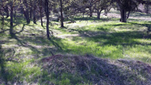
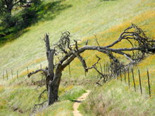
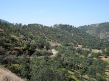
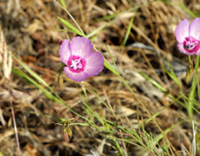
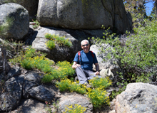
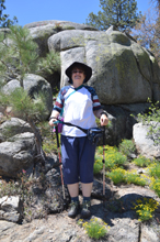
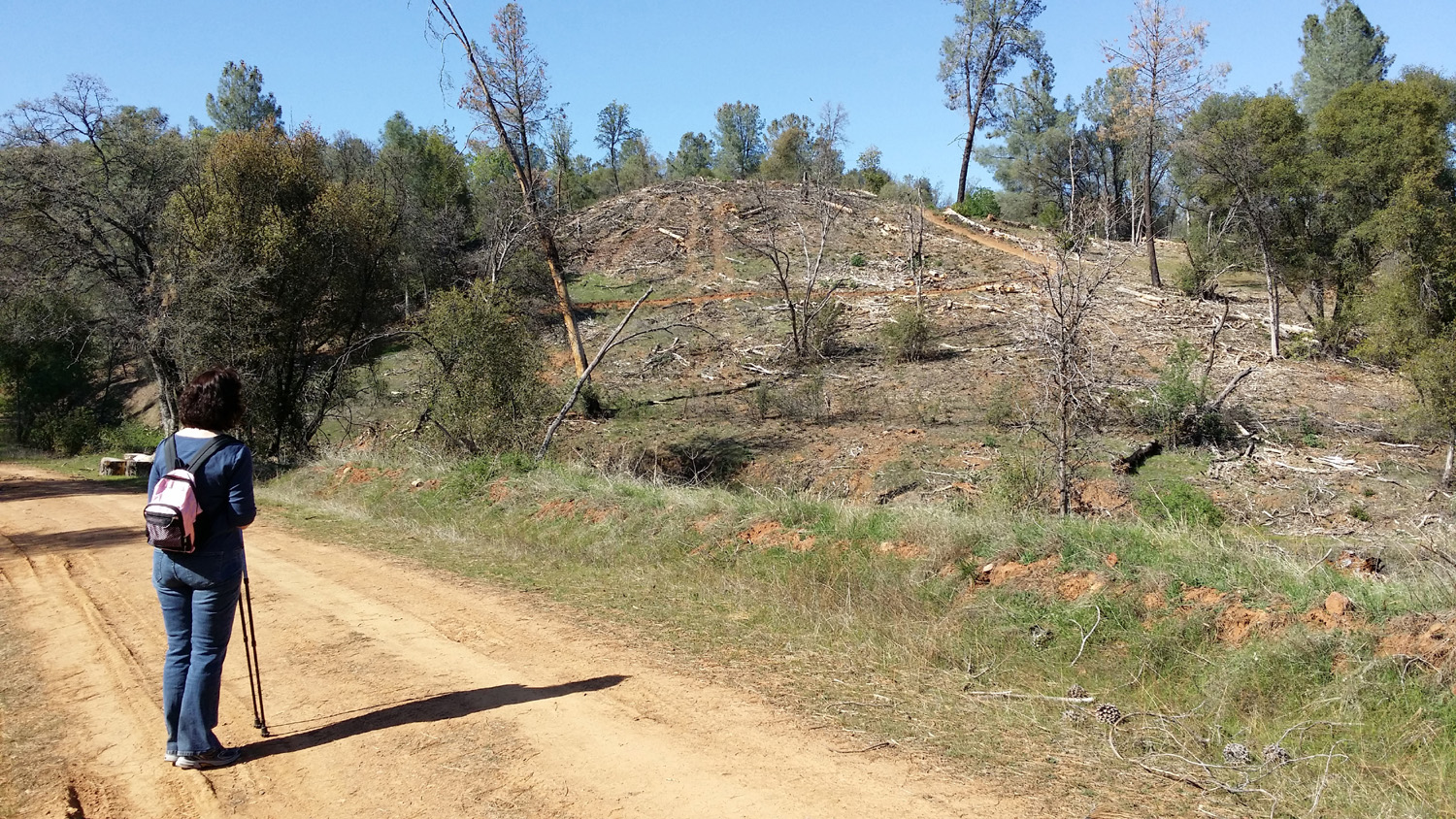
Stockton Creek
Preserve: This is a short report about a short hike on a trail
we discovered by accident.
On March 22 my daughter
Jennifer and I went to Mariposa
to do some maintenance on my parents' and grandparents' graves. This
was a quick project, so we decided to do a short hike. There is a
dirt road that goes from Highway 140, about a mile out of town
toward Yosemite, to the town reservoir.
It's not open to the public for vehicle use, but has been a favorite
walk for people in Mariposa for a long time.
When we arrived at the
road we found new signs, indicating that the
trail started about 1/4 mile in. We then came to a sign with a
map showing the route of a new trail through what is now known as
the Stockton
Creek Preserve. Just past the sign the trail goes uphill from
the road, then turns to parallel the road around the contour of the
mountain.
In this area a strip
about 100 yards wide has been cleared, part of a plan to restore
native vegetation, reduce erosion, and limit fire danger. The trail
runs through the center of this strip.
This upper trail closely
follows the 2500 foot elevation contour line, dropping to 2400 feet
at the town water treatment
facility. The lower trail loops back, staying close to 2100
feet. We did not go very far on the upper trail, so we only saw the
lower section where
it rejoins the upper, but I suspect it follows the old dirt road
that runs from the treatment plant to the dam. This is just above my
parents former home, and I've walked on that road many times.
We decided this would be
an excellent
trail for a more extensive walk during cool weather. The section
we were on had gentle ups and downs, and the map shows that the
entire trail should be similar.
Perhaps as a reward for
our hard work and diligent exercise, when we got back to Jennifer's
home near Oakhurst, her husband Rod was preparing to barbecue
hamburger, and had hors d'oeuvres ready for us.
Stockton
Creek Preserve Photos
--Dick Estel, March 2014 |
| |
|
San Joaquin River
Trail: After driving to Oakhurst and Mariposa and hiking with my
daughter, I realized I needed to get into the foothills a few more
times while the flowers are still blooming. Therefore on March 25 I
got up, put on my boots, grabbed my cell phone and a big bottle of
water, and headed for the Finegold Picnic Area on Millerton Lake.
This is the western starting point of the San
Joaquin River Trail, which goes eleven miles to the San
Joaquin River Gorge Management Area.
I've written about this
trail and my hikes here before, so I won't go into the location or
description, which is covered in my previous
report.
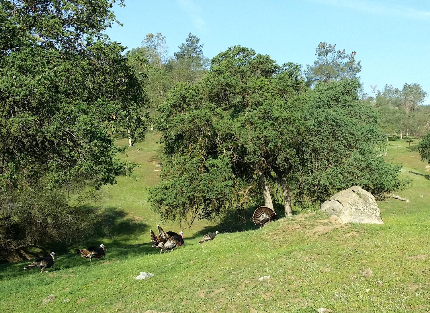
To get the day off to a
good start, as I was driving up Auberry Road, about ten miles from
town into the foothills, I saw a large bird fly over the road and
land on the other side. I realized that it was a wild turkey, and
then saw about six more in the field near the road. I've seen them a
number of times in the foothills, but had never seen them doing
their fan tail display, part of their "spring fling"
behavior.
The last part of the
route to Finegold, Sky Harbor Road, goes along a fairly steep slope
above Lake Millerton. This area was starting to dry out and there
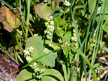
weren't many flowers. But once I got on the trail, I saw and
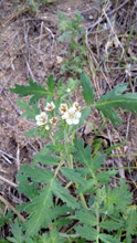
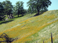
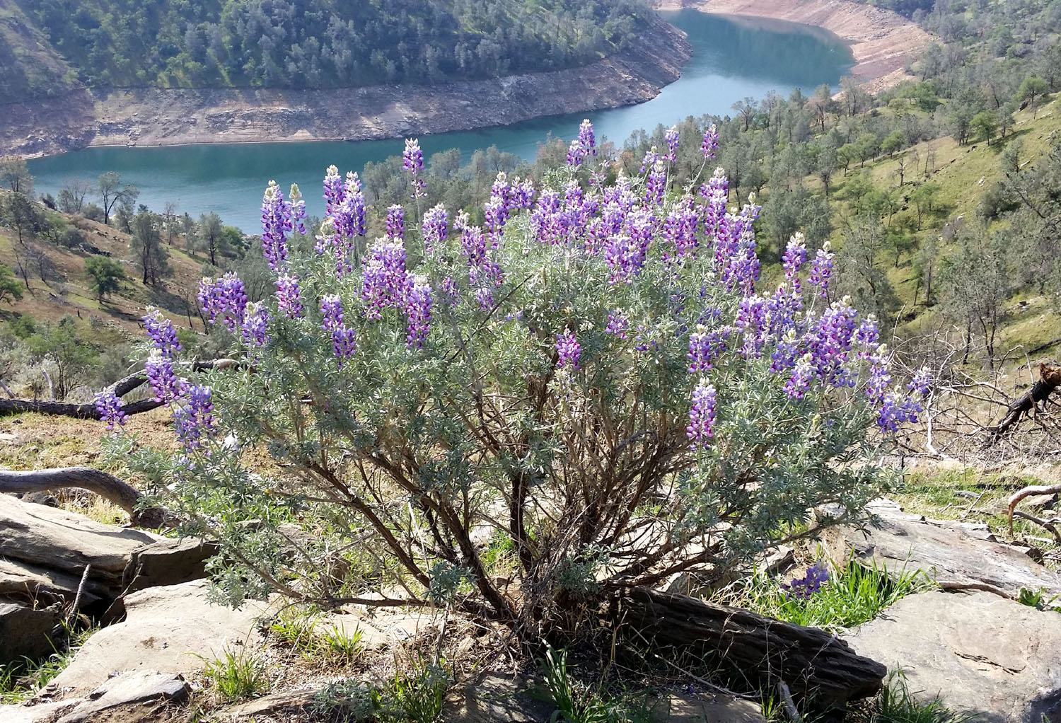
photographed around a dozen species. These included baby blue eyes, lupine,
fiddleneck, popcorn flowers,
miner's
lelttuce, blue
DIck, filaree, chaparral, and at least three unknown species.
The trail is pretty much
all up hill the first hour, and once I get to the top
of the ridge where it levels off, I
don't have the ambition to go farther, so my usual habit is to rest
a while and head back down.
The weather was excellent
- cool enough that I did not get too hot hiking, warm enough to get
by with jeans and a long sleeve T-shirt. I did get a little
"hot-headed" since I wear a cap to keep the sun out of my
eyes, but going back down the trail the sun was at my back, and I
was able to leave the cap off the entire way.
When I first got to the
parking area, there was one other car; when I got back, there were
nine. I saw over a dozen people on the trail, including three who
were riding their bikes up the steep grade, and a group of men and
women who were jogging up the trail.
My total round-trip
walking time was an hour and 50 minutes. My goal is 30 minutes a
day, five days a week, and since August I have met or exceeded that
amount, with an average of 41 in February. The longer hikes make it
possible to take a day off, which I often need to do the day after a
longer walk.
In the interest of having
less to carry, I decided to use this hike to test the camera in my
new Samsung
Galaxy Note 3 phone. I'm still learning how to take advantage of
its many features, but it seemed to work fairly well. I still prefer
my Nikon because of the optical view finder, a necessity for me for
outdoor photos.
This trail is part of
what is intended to be an 80-mile route from Highway 99 on the west
side of Fresno to the eastern slope of the Sierra. Various segments
exist, including the section from Sky Harbor to the San Joaquin
Gorge. Be aware that many of the web pages mentioning this trail
focus on bike riding. It's a delightful walk from either end, but I
have no hope of ever completing the entire segment unless I can do
it three miles at a time, with a helicopter ride to my starting and
ending points.
San
Joaquin River Trail Photos
--Dick Estel, March 2014 |
| |
|
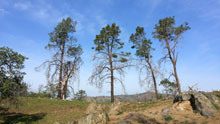
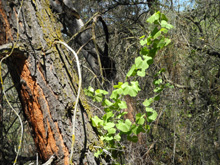
San
Joaquin Gorge: On April 7, for the third time in 2014, I found
myself on the trails at the San
Joaquin River Gorge Special Recreation Management Area. This time it was for day hiking, and I was joined
by a former co-worker, Carolyn Amicone.
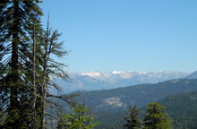
The
weather has been warming up, so we got started from Clovis around 9
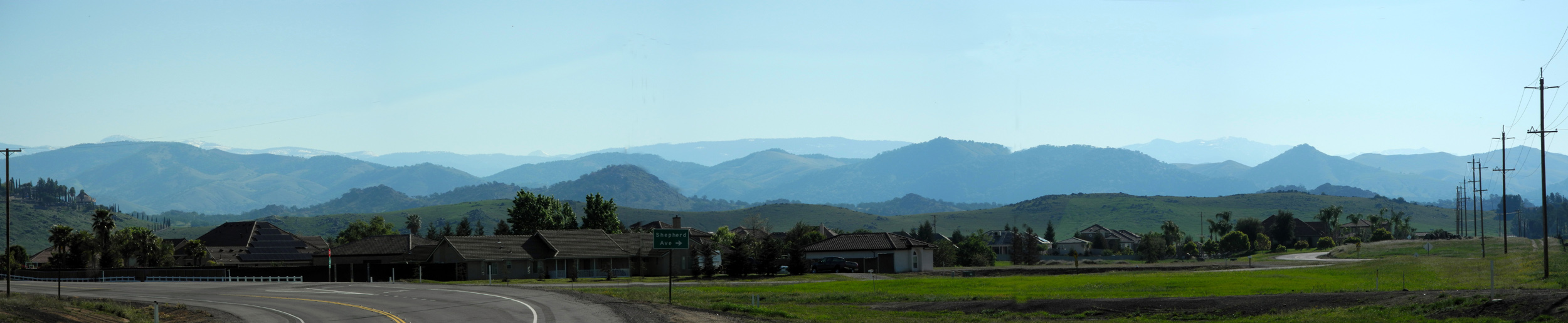
a.m., in order to complete our hiking before it got too hot. As we
drove east on Highway 168, the air was clear, and the lighting was
such that every ridge and hill of the Sierra
foothills stood out in a different shade of blue from the one
behind it.
I
usually take Auberry Road when going to the Gorge, so we got to
enjoy some different scenery on 168. There weren't many wildflowers
along the roads in the valley, but as we gained elevation, we saw
more and more blossoms, especially fiddlenecks.
Once
we got to the parking area and paid our fee, we took the nature
trail, with hopes of completing my photo
documentation of the plant species described by the signs along
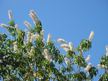
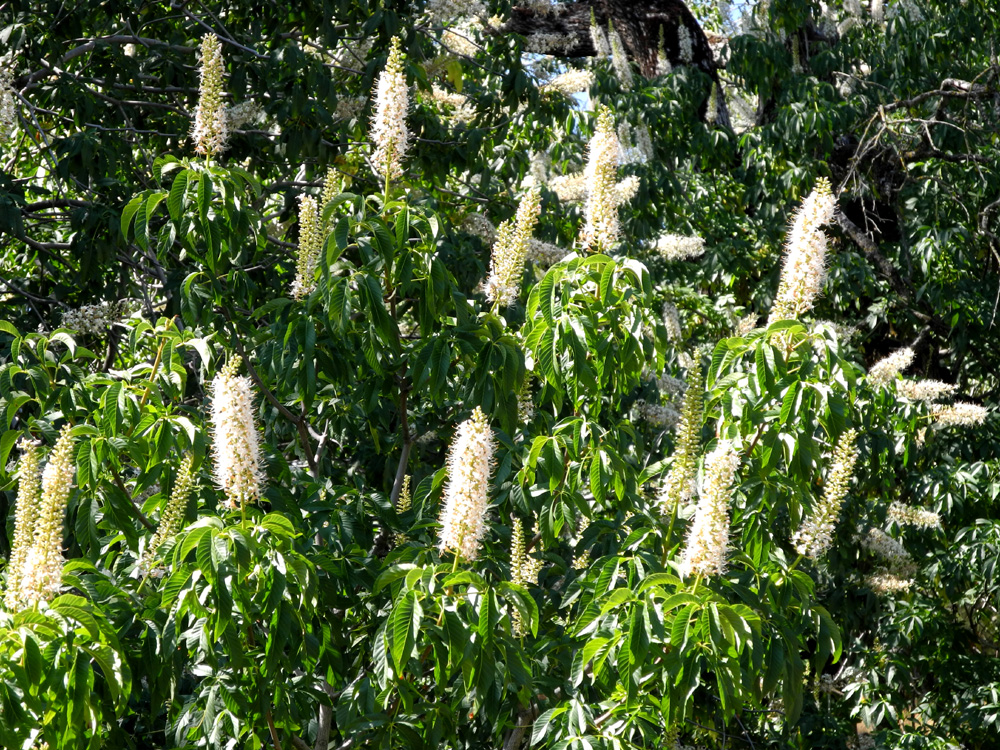
the trail. The main thing I am missing is a good photo of buckeye
in bloom, and it turned out that the blossoms on this tree were
just getting started, so I need to try one more time in the near
future.
It was
Carolyn's first visit to this area, and she enjoyed the walking and
the flowers. She also liked our next stop, the visitor center, which
is excellent despite being shamefully under-utilized. Brenda, the
woman I met in January, said they get only about ten visitors a
week.
I
described the main features of the center in my January
report, so I won't get into it again, but if you're ever in the
area, don't miss this fine facility. It's open seven days a week
from 10 a.m. to 2 p.m.
After
leaving the visitor center, we drove to the main parking lot and
started walking on the San
Joaquin River Trail. This eleven-mile stretch of the trail ends
at Sky Harbor on Millerton Lake, but of course, we just walk till we
feel we've walked half as much as we want, then turn back.
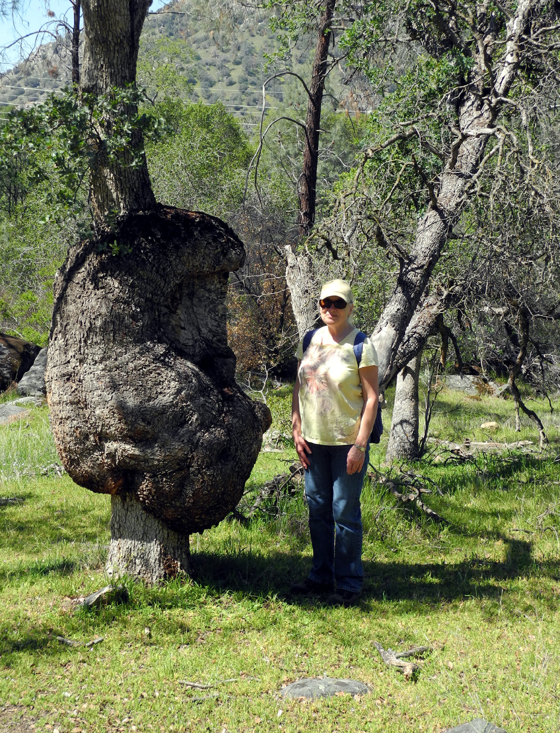
We
made it to the blue oak with the huge
burl, which I wanted Carolyn to see. There are many oaks and
other trees with burls, but this is one of the biggest I've seen.
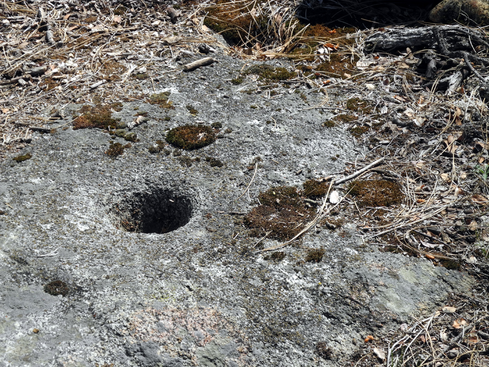
Just past the tree, off the trail, were some rocks where we sat to
rest, and we discovered several bedrock
mortars there.
Like
many trips, the walk back seemed shorter than the walk in, but we
were ready to switch to tennis shoes and relax on the drive back to
the city. When we arrived at Clovis, we went to El
Pueblito Mexican restaurant, which we'd both enjoyed a number of
times in the past.
San
Joaquin Gorge Photos
--Dick
Estel, April 2014
|
| |
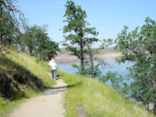
|
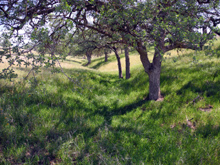
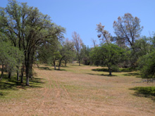
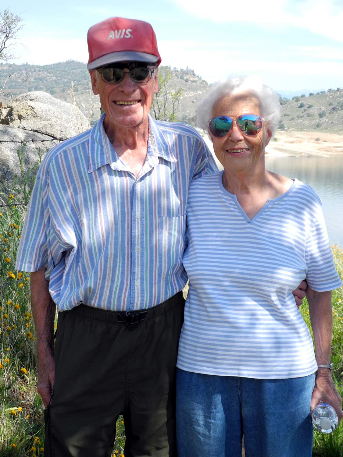
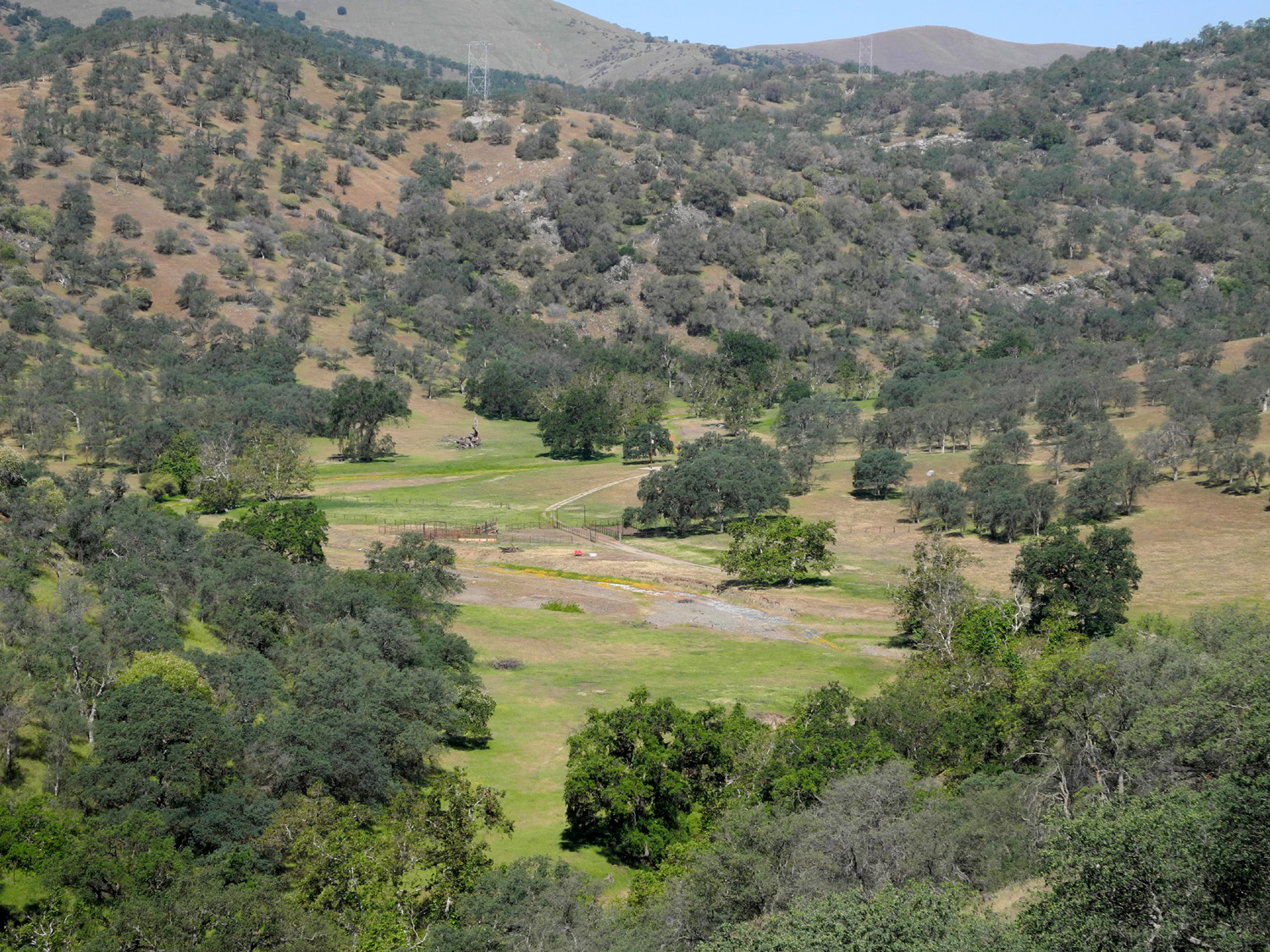
Millerton
Lake Trail: Only two days later my next door neighbors, Bob
and Alice, joined me on another nice walk, this time in the low
foothills at Millerton
Lake. They walk about an hour every day, but had been doing all
their walking around the neighborhood. A few weeks ago I introduced
them to the Clovis
trail system, and they agreed that these walks were an
improvement over sidewalks and streets.
They
had never been to Millerton Lake for any purpose, so again
I had the pleasure of showing people something they had not seen
before. Since we planned to stop for lunch in Friant after our hike,
I drove out Auberry Road to Millerton Road, so we would have a loop
drive and the maximum possible scenery.
The
hike is the same
one I took in January, the South Bay Trail (also known as the
Blue Oak Trail). We drove about two
miles into Millerton State Park, just before the road ends, and got on
the trail about 10:15 a.m. Although the high was expected to be
90 that day, we had a nice breeze much of the time, and since we
finished our hike around noon, it was probably just above 70.
Since
I described the area in my earlier report, I won't repeat that part.
Bob and Alice very much enjoyed seeing some
country they had not been to previously, and we worked up a good
appetite. We headed for the Dam
Diner in Friant, but it was closed. There was a sign saying
"closed for winter; we will re-open in green spring."
Since green spring is already close to getting brown, who knows when
or if the place will be open again (it never did).
Not
far away was a Pizza Factory,
a very good chain restaurant that is found in many small towns. I've
eaten in three of or four of them, and this one was good, like the
others. Bob and I had an excellent sandwich, while Alice, due to
dietary limitations, brought her own. We sat outside on a shaded
patio with a nice view of rose bushes, green hills beyond, and very
pleasant weather.
After
lunch we continued west on Friant Road to Willow Avenue, which led
us back to Clovis, having hiked close to two hours, covering about 3
1/2 miles
Millerton
Lake Photos
--Dick
Estel, April 2014
|
| |
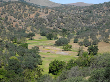
| Sycamore
Creek:
This was another of those
day trips that I wasn't planning to write about, but as usual, in
the end I could not resist.
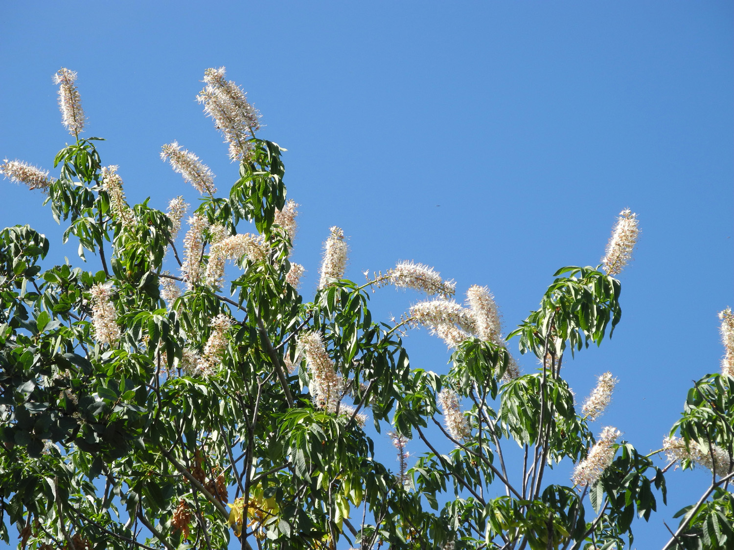
I set out on April 29
with two goals in mind: To photograph some buckeye blossoms at their
peak, and to walk enough to get my daily exercise. I considered
three different destinations. The route to Nelder
Grove would take me through a cluster of buckeyes along Highway
41 above Oakhurst, and would end with a walk in the redwoods, but I
really didn't want to drive the 60-mile one way trip. One of the
photos would end up on my San Joaquin Gorge photo
album, so it would be nice to actually take the photo there, but
after three visits, I was ready to go somewhere else.
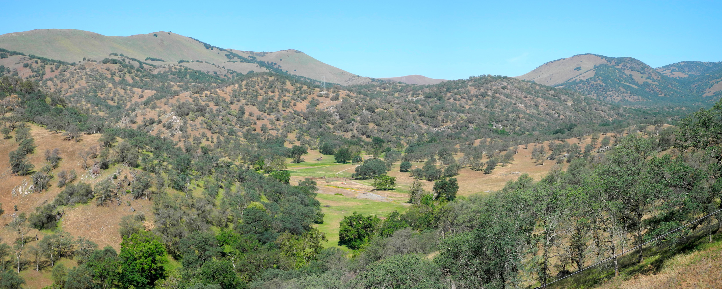
Eventually I settled on
the Blue Canyon Road, which runs along Big
Creek, and starts where the creek runs into Pine
Flat Reservoir. I wrote about a trip
to this area a year ago.
After a good breakfast, I
drove south through the city and turned east on Belmont Avenue,
which goes through miles of farm land, and becomes Trimmer Springs
Road as it approaches the Kings
River and the foothills. This road then winds into the
foothills, over a ridge, and runs along the north shore of the lake
and past its upper end.
Only a short distance
into the hills past the hamlet of Piedra
I came to an area where there were several different bunches of
buckeye trees by the road, so I stopped twice and got the photos
I wanted. If you know anyone who needs a bunch of buckeye blossom
pictures, I can provide you with about a dozen.
At this point I decided
to shorten my drive a little, and walk in the area of Sycamore
Creek. There are two large tributaries that run into the lake
from the north, creating long, narrow branches of the lake, and
requiring the road to go up these canyons a mile or more from the
main lake. Big Creek is the farthest, and the road beside it goes up
to around the 3,000 foot elevation to join Highway 168 below Shaver
Lake.
There is an old paved
road along Sycamore Creek, but access is blocked, so I thought it
would make a good hiking trail. There is another dirt road that runs
parallel to the creek and paved road, about 200 feet in elevation up
the canyon, and I had walked in on this road a short distance a
number of years ago.
I decided to hike this
road, which starts a quarter mile past the creek, hoping it might
drop down to the other road and allow me a loop trip. This would be
a mixed blessing, since the walk from the creek back to my car was
up hill in the sun.
The dirt road is blocked
by four stout posts, and even when open was only usable with a
4-wheel drive vehicle. The posts only create a challenge, and
adventurous drivers have simply created a new route on the steep
slope around the posts. The first hundred feet or so is very steep,
and I had trouble believing that I had walked up it with a chain saw
and cut firewood about 25 years ago, throwing heavy chunks of live
oak down that hill two or three times till they got close enough to
carry to my truck.
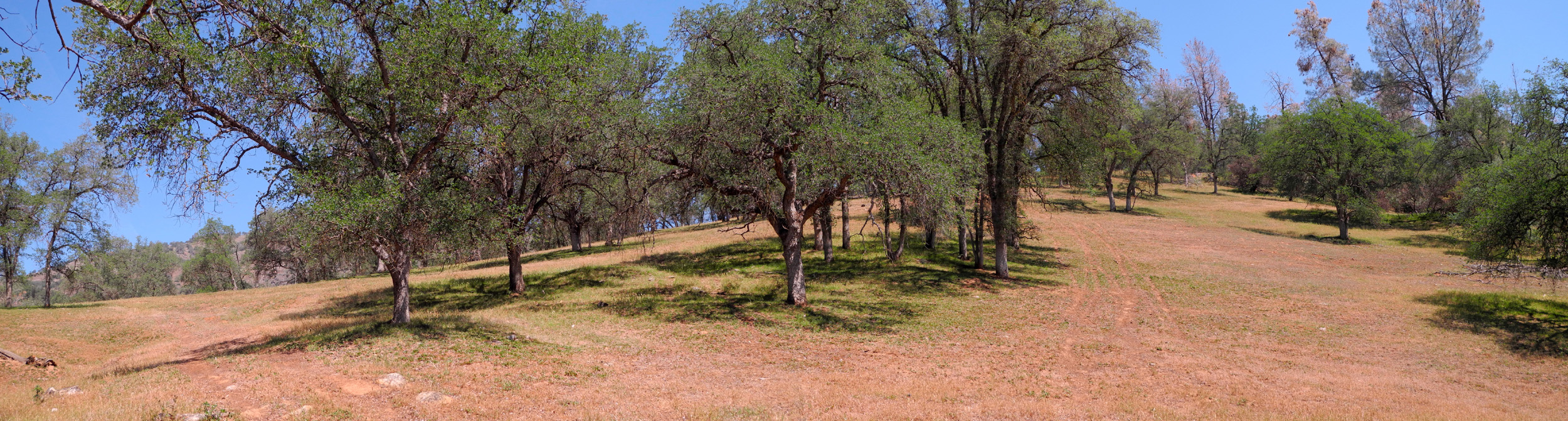
Once I got up this
section, the road was the kind of trail I prefer, with sections of
up and down, but never too much of either, and nothing very steep.
The vegetation
here is mostly bull pines, interior live oak, some blue oak, and
lots of brush and shrubs of various types. The grass is starting to
dry out, but it's still green overall in most areas.
Although it is pretty
much the end of spring in this part of California, there were still
quite a few wild flowers, mostly scarce remnants of those that bloom
earlier, but a few that are late bloomers. The most profuse blossoms
were "farewell
to spring," which were thick along the road, although
absent from my hiking area.
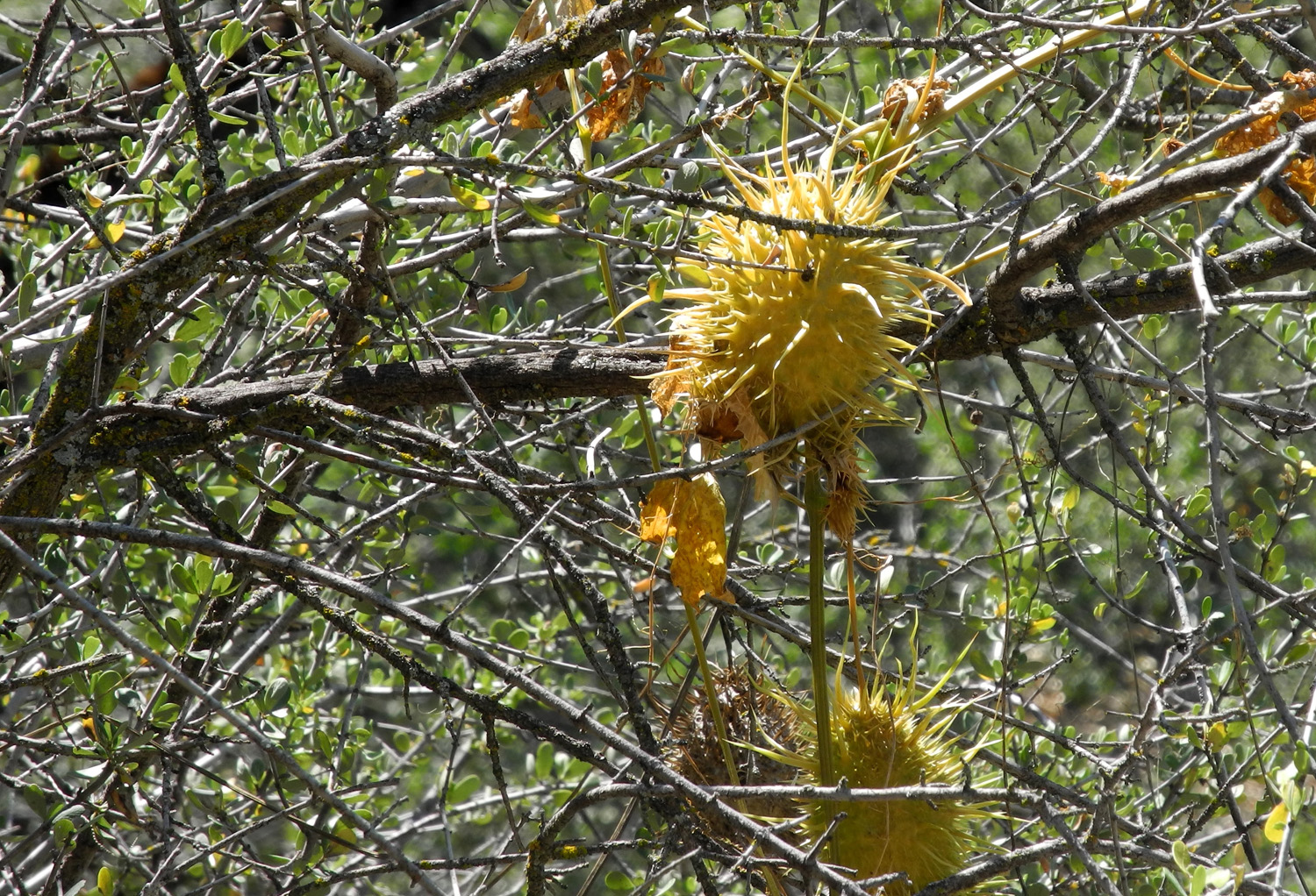
I made note of various
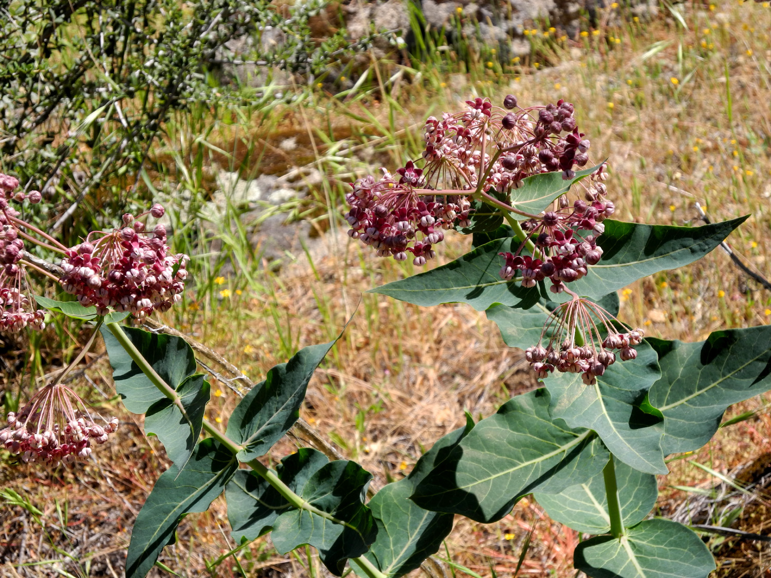
plants and flowers that I observed as follows: Hiking area: Baby
blue eyes, fiddlenecks, lupines, and popcorn flowers, all at the
very end of their time; filaree, milkweed,
yerba santa (a shrub), unidentified little yellow flowers, and wild
cucumber. Unlike some wild plants with "food" names, these
are not edible, but produce a large, prickly seed
pod which dries up after popping open at the bottom to release
the seeds. Even those that were still green had opened up.
Along
the road I saw farewell to spring in great profusion, a daisy-like
flower, gold cups (a variety of poppy), unidentified tall
thistle-like plant, purple vetch, purple brodieia, Mariposa lily, a
plant with leaves in a circle at the ground and a tall stalk with flowers
on the sides, and of course, buckeyes.
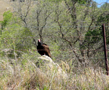
Wild
life included a dead snake in the road (once alive), and lots of
birds, including a turkey
buzzard that flew up from the road as I came around a corner. I
didn't get a good look at it, but it landed in a tree close to the
road. It did not look like a hawk, and I hoped it might be an eagle,
so I turned around and went back, then turned again, and saw what it
was. It landed on a rock about 20 feet from the road and stayed
there while I took photos. From the aroma on the air, he was dining
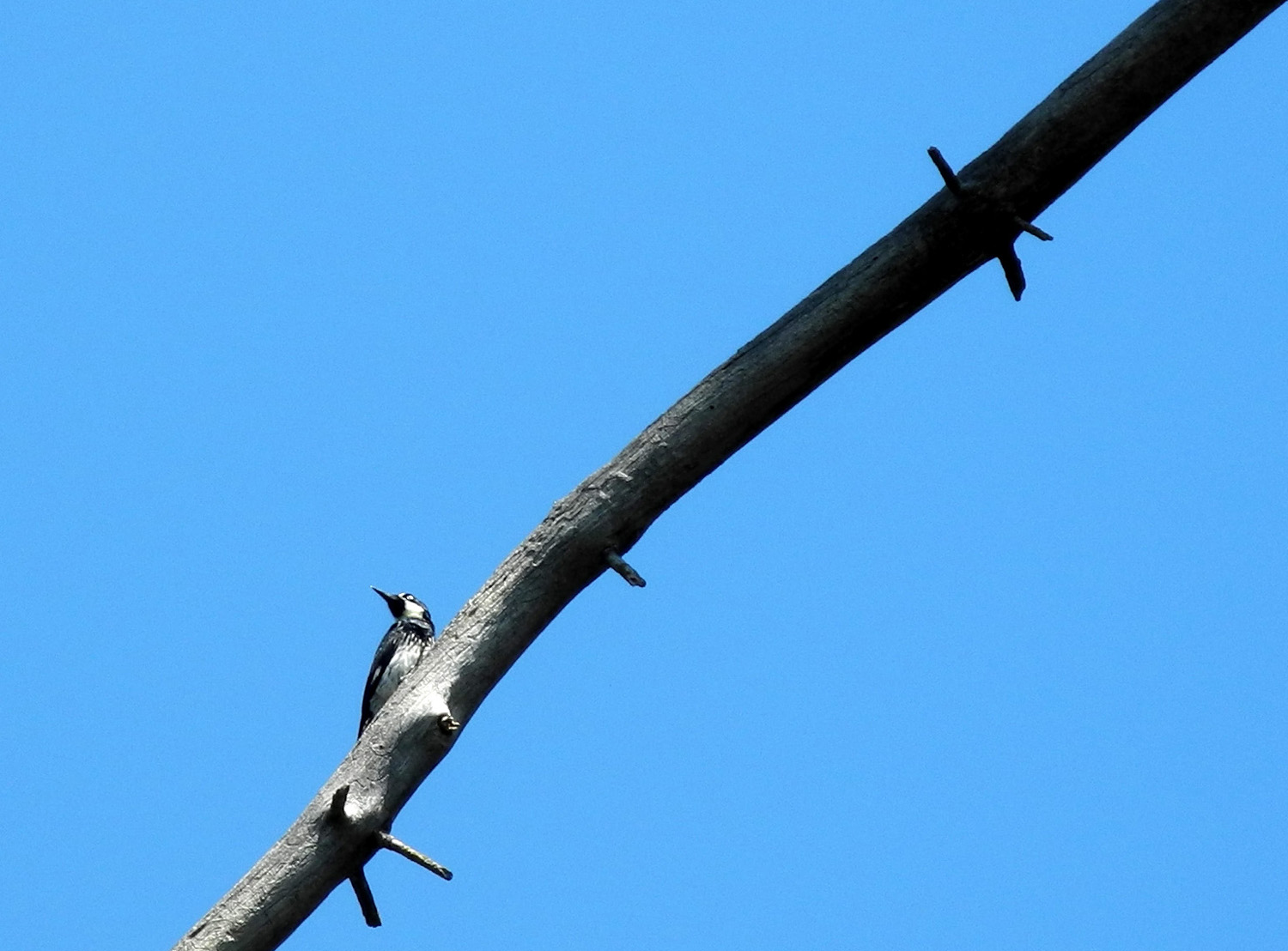
on a tasty dead skunk. I also got a good look and a pretty good
photo of a woodpecker
along the trail.
I'm going to claim that I
walked about a mile on the dirt road, because that's what the
step-counter app on my smart phone said. However, I think it
calculates mileage based on the number of steps, with no allowance
for the fact that some steps are longer and some shorter. I take
very short steps on steep terrain, and went down the side of the
hill a ways from the road to photograph the cucumbers, so my actual
mileage may have varied. In any case, I walked a little under an
hour total, including stops to rest and take pictures.
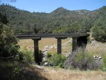
I did not find a way down
to the old paved road, which proved to be a good thing. I stopped at
the bridge to walk in a ways on that road, and it is blocked with
fallen trees and brush much worse than the dirt road. There were
trails to bypass the blockages, but they were narrow and required
ducking under brush and scrambling over fallen logs. I considered
this part of the trip educational, and I did get a good shot of the
bridge.
From this point I drove
back to Clovis with only a couple of quick stops, and went to the Colorado
Grill for one of their excellent spicy chicken sandwiches before
heading back home, a round trip of about 90 miles.
Sycamore
Creek Photos
--Dick
Estel, May 2014 |
| |
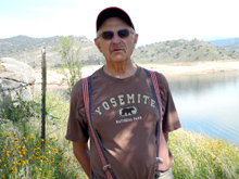
|
Back
to Buena Vista Peak: This hike was scheduled for May 20, but a
few days before that, the weather forecast was for scattered
thunderstorms all over central California. Since our destination was
an exposed granite dome, and the temperature was to be in the 40s, a
postponement was in order. This seems to be par for this hike;
Carolyn and I went there in
November, having been delayed from October by the government
shutdown.
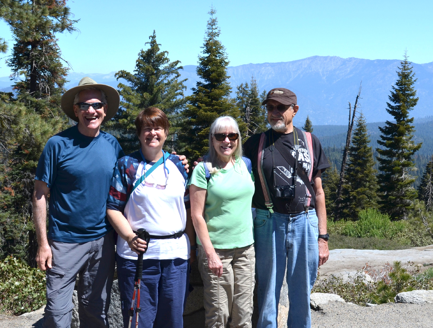
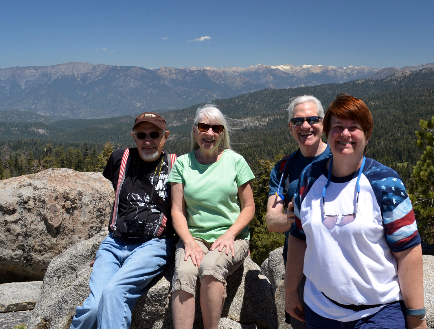
This
time we had a group of
four, all retired from the Fresno County
Department of Social Services. I'd hiked separately with Wes
Thiessen and Carolyn Amicone before, but it was my first time to
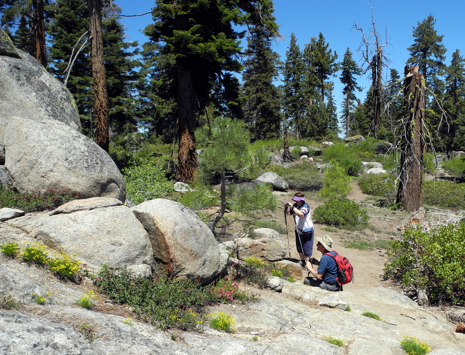
have Julie Hornback along. Retired we may be, but we are all ambitious enough to handle a two-mile round trip hike at 6,000 feet
elevation. Wes is actually capable of much more, but with ten years
on all the others, it's getting to be more of an effort for me.
Wes
acted as chauffer, picking each of us up, and we were on the road by 9 a.m. on May 26, Memorial Day Monday.
From Carolyn's house we drove south through what used to be farm
land, but is now houses for a long ways, until we reached State
Highway 180, the route into Kings
Canyon and Sequoia Parks. The trail head is on the General's
Highway, between the parks and about five miles south of the Grant
Grove area. We
arrived there some time between 10 and 10:30 and headed
up the hill. The trail is moderately steep in a few places, but for
the most part winds gently around the dome to the southern side,
where it makes a fairly straight rise to the top.
The
trail web
site warns about a place where it's easy to get off the real
trail and get on what looks like a trail, but which dead ends at a
rock wall at the northern base of the mountain. I should have
reviewed this information as a refresher, but having navigated the
route when it was half covered in snow, I assumed that I was an
expert. In fact, I have a sort of good excuse - we started seeing
wild flowers just a few feet into our hike, and had counted at
least ten different varieties by the time we came to a big log that
we had to go around. Paying more attention to the flora than the
terrain, I went to the right instead of the left, which as we
observed coming down, was clearly marked with rock cairns.
It was
actually a pleasant side trip; it took us up near the top of a ridge
where we got a nice cooling breeze flowing up the mountain, and we
only had to walk about 100 yards cross-country, down hill through
fairly easy terrain, to get back to the trail.
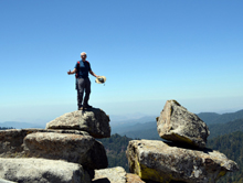
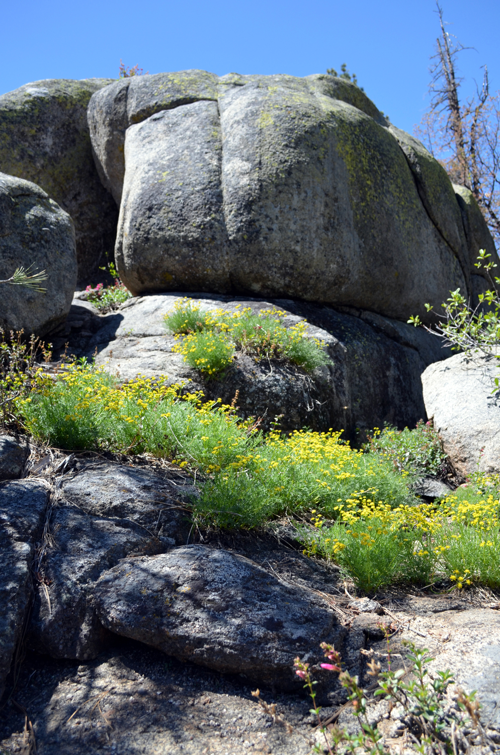
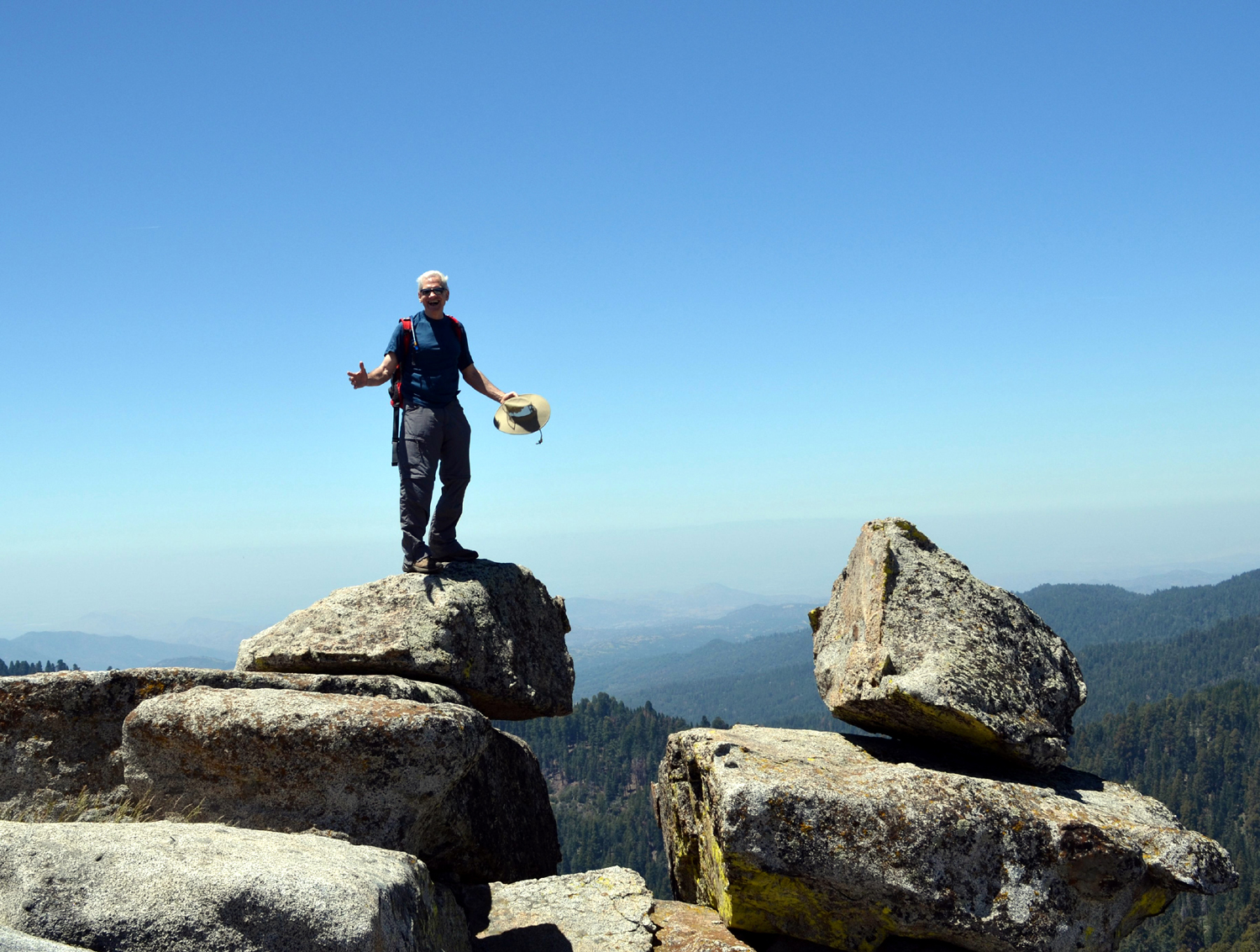
The
rest of the walk went off with no problems, and we arrived at the
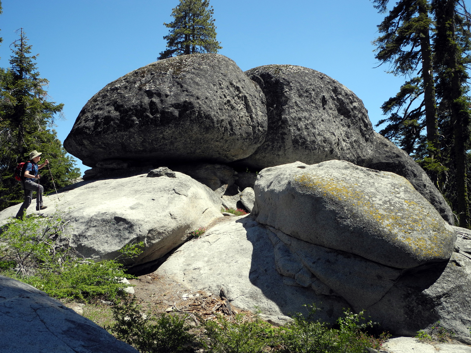
top ready to rest and enjoy the view, the breeze, and a snack. There were two
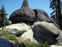
other hikers there who took photos of us with Wes's camera, and he
set up a tripod to get some other shots. The top is at least an acre
in size, with several large boulders. To reach the very highest
point, you need to climb on one of these, but access is
difficult for older people, so we settled for being right next to
the top. I studied the two routes that could be used to get up on the
highest boulder, and decided that I could have easily done it 20
years ago. Wes did go out on a rock near the edge of the drop off, and
we accused him of acting like a 14-year old as I took some photos of
him.
The
view from the top is a full 360 degree vista, with the mountains
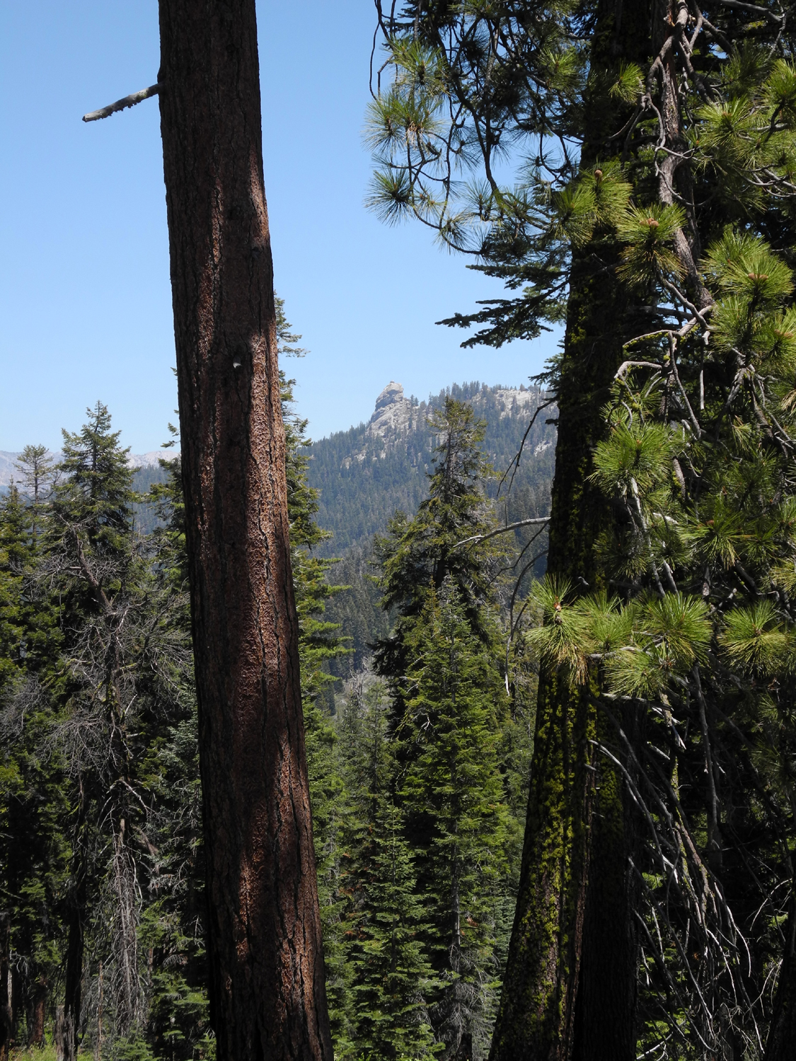
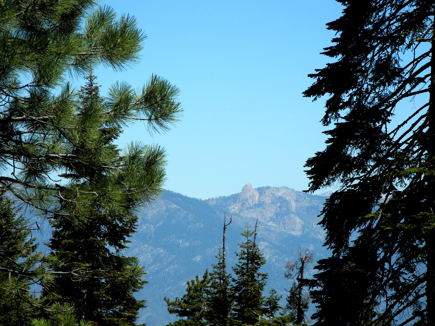
around Alta Peak to the south east, and Big Baldy, a rocky dome that
marks the end of ridge about a mile away to the south. Directly east
and nearby is Buck Rock with a fire lookout on the top, and farther
away to the northeast is a range of snow-covered peaks in the Kings
Canyon backcountry. Directly north you are looking at 10,000 foot
Spanish Mountain, which plunges 7,000 feet to the bottom of the
Kings River below, making the deepest canyon in North America. The
westerly view looks down on Redwood Mountain and Redwood Canyon, the
site of one of the largest stands of giant sequoias in existence,
with over 2,000 trees that are over ten feet in diameter. Beyond
this is the San Joaquin valley, shrouded in a purple haze. We tried
not to think about the fact that this stuff is what we are breathing
every day.
After
a half hour or so we began our trip back down. A little below the
top is a long, flat ridge, and the trail from there to the top is not really
obvious, but not hard to find. Coming back down from the
top to the ridge there are several routes that look like the trail,
but only one of them really is. We discovered this by the simple
process of taking the wrong one first.
The
walk down was pleasant, usually with a breeze, but of course, we had
to be careful on the few steep spots, so it was not fast. When we
reached the car we calculated that we had enjoyed a three-hour hike,
going about three miles when you add in the wrong paths and
wandering that we did.
After
changing out of our hiking boots, and enjoying some cold bottled
water that Wes had thoughtfully brought along, we drove to the Grant
Grove Village area and went to the restaurant. Because it was the
last day of the Memorial Day weekend, they were out of many things,
including French fries, which forced us to have a healthy salad with
our sandwiches. The waitress told us that when the concessionaire
first got the contract, they had to agree not to serve any deep
fried foods. This resulted in servers being subjected to verbal
abuse by unhappy customers, and the policy was soon changed. We
agreed it would be almost easier to take away people's guns than to
take their French fries.
After
enjoying our lunch, we started the drive back to the valley. With a
constant flow of conversation, the ride went quickly. When we made
our first stop, to drop off Carolyn, we were a bit shocked to open
the car doors and be hit by the valley heat of 100 degrees. We agreed
we'd like to get back to cooler elevations for another hike soon.
Buena
Vista Photos
--Dick
Estel, May 2014
|
|
|
|
Photos
(Click to enlarge; pictures open in new window) |
Stockton
Creek Preserve San
Joaquin River Trail
San Joaquin Gorge Millerton Lake
Sycamore
Creek Buena
Vista Peak |
| |
Stockton
Creek Preserve |
|
|
|
|
 |
 |
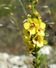
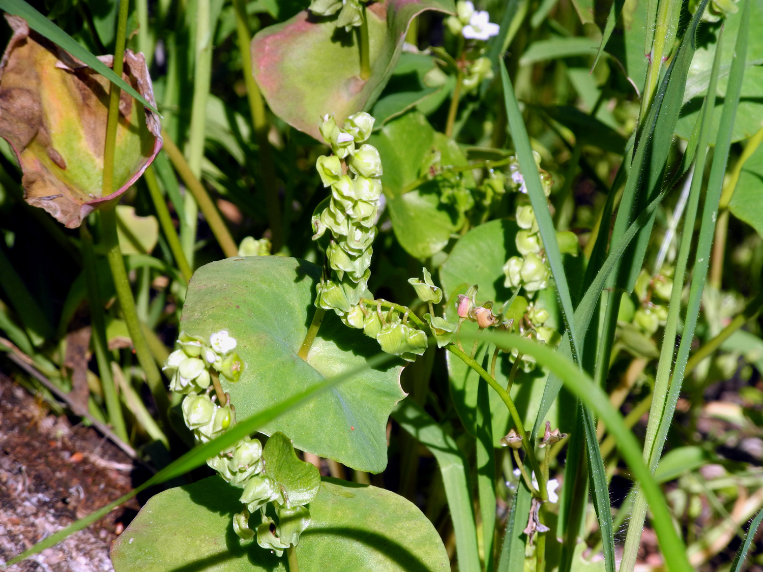
| Spring Beauty |
Jennifer by the trail sign |
Where the lower loop comes
back in to the upper trail |
| |
 |
 |
 |
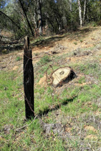
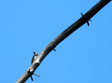
| Old post and barbed wire |
Another
unidentified foothill plant |
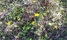
Buttercups by the trail |
|
|
|
San Joaquin River Trail |
| |
 |
 |
 |
| Turkeys on parade |
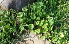
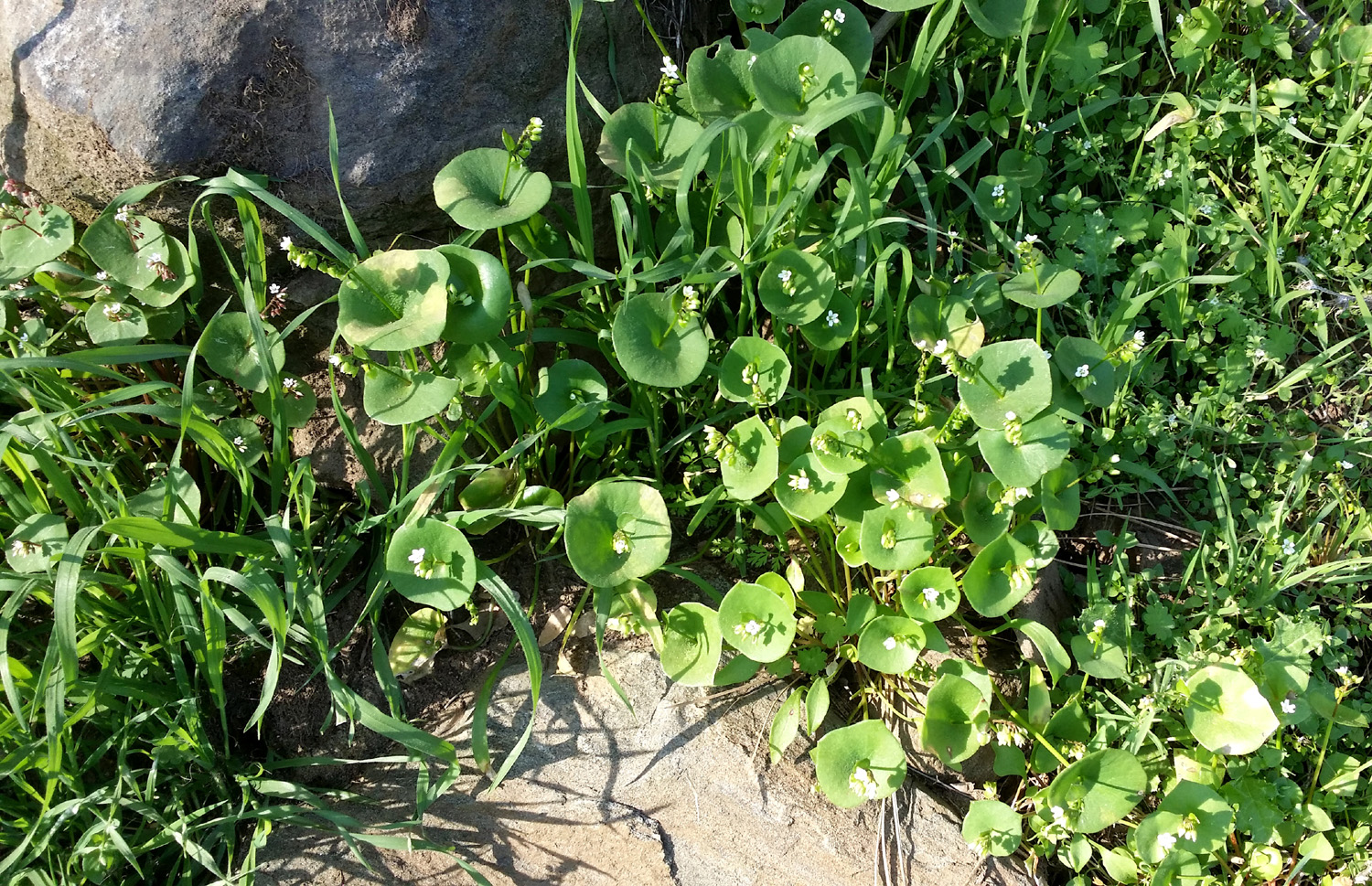
Miner's lettuce |
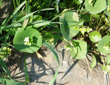
A closer look |
| |
 |
 |
 |
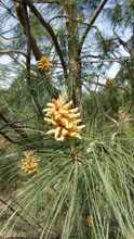
| Fiddleneck blossoms |
Along the trail |
Chaparral blossoms |
| |
 |
 |
 |
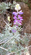
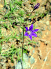
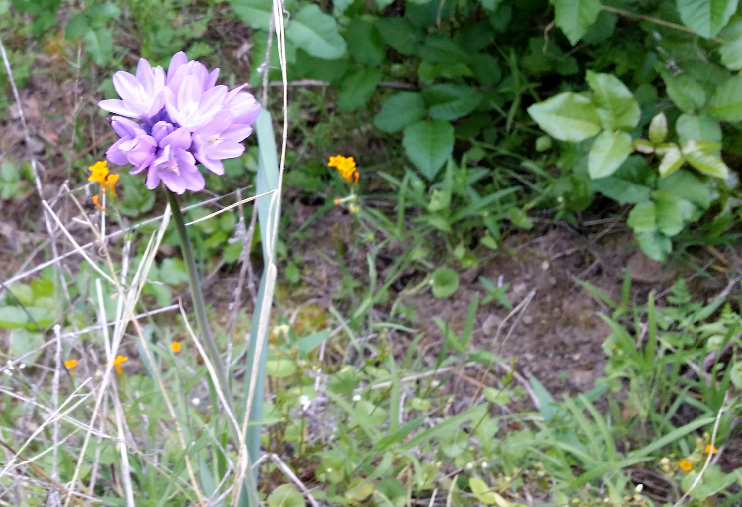
| Blue Dick |
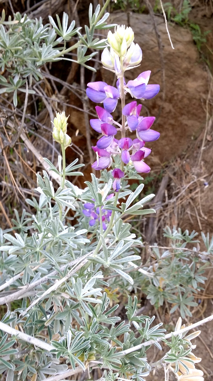
Bush lupine |
Once
"unknown," we now
know this is a phecelia |
| |
 |
 |
 |
| Daisies and fiddlenecks |
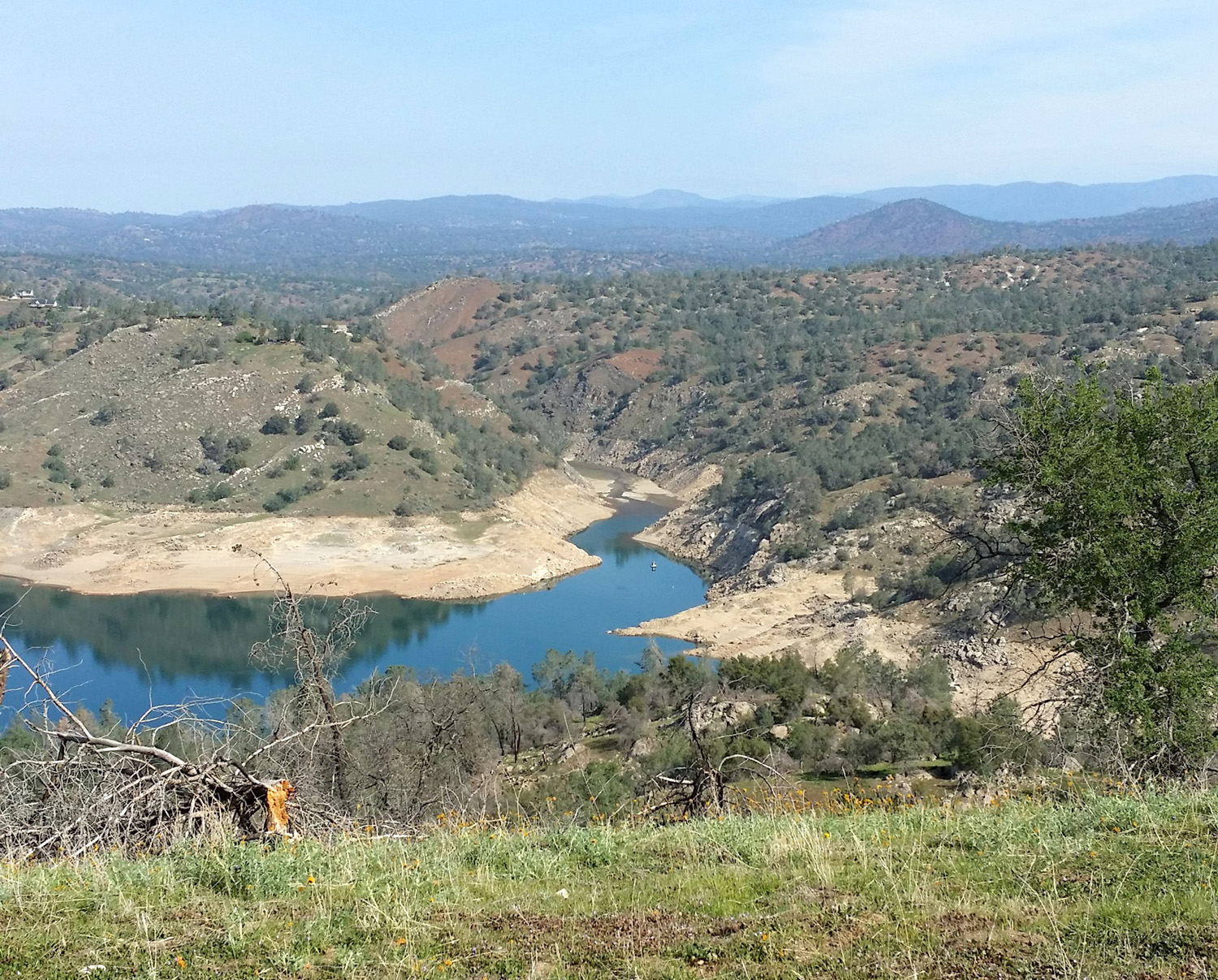
Filaree |
With a dry year, the lake
barely
reaches into Finegold Creek |
| |
 |
|
 |
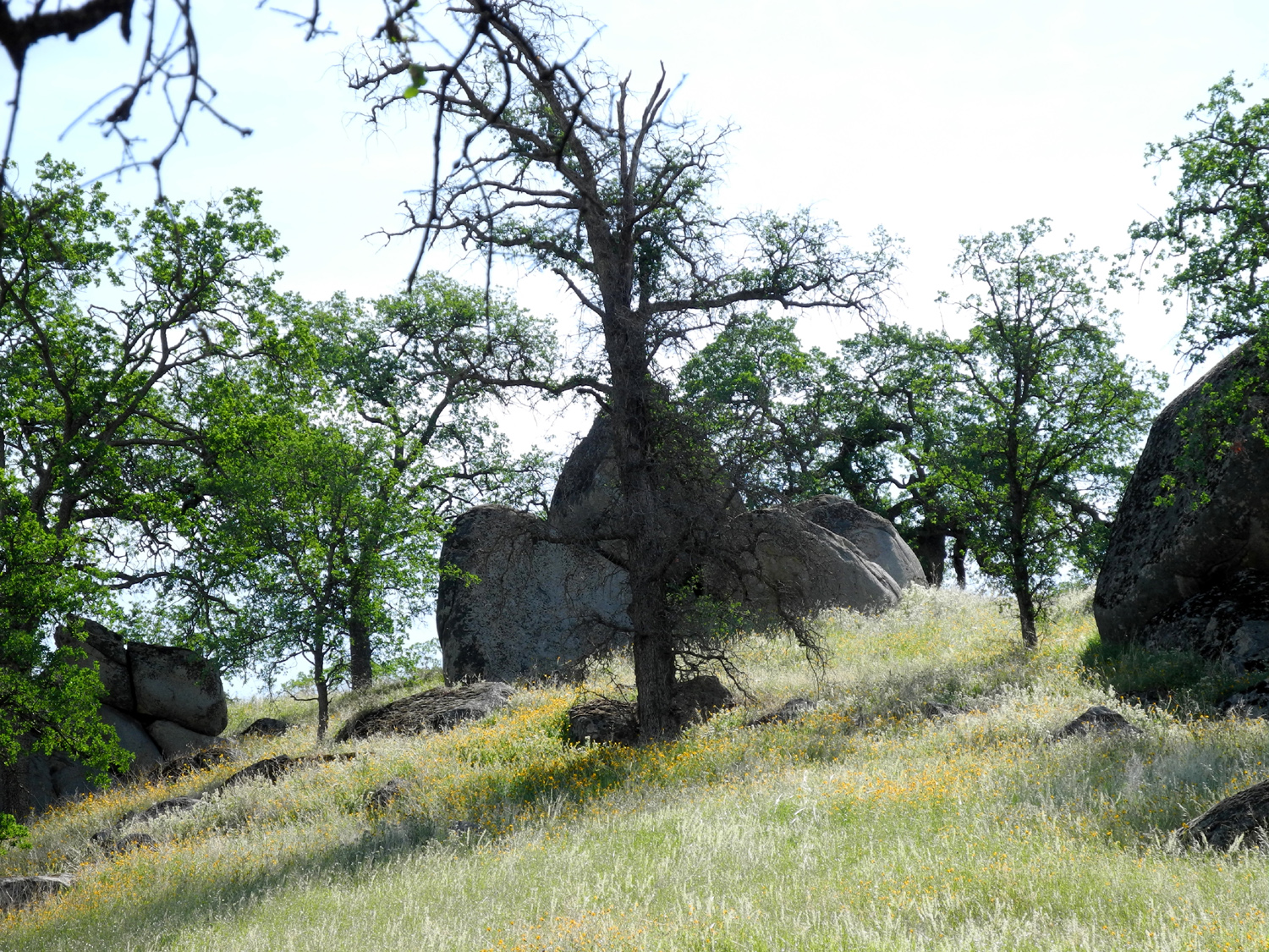
| Bush lupine on the ridge |
Guardian pines on the ridge
top |
Male bull pine cones |
|
|
| San Joaquin
River Gorge |
| |
|
 |
 |
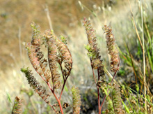
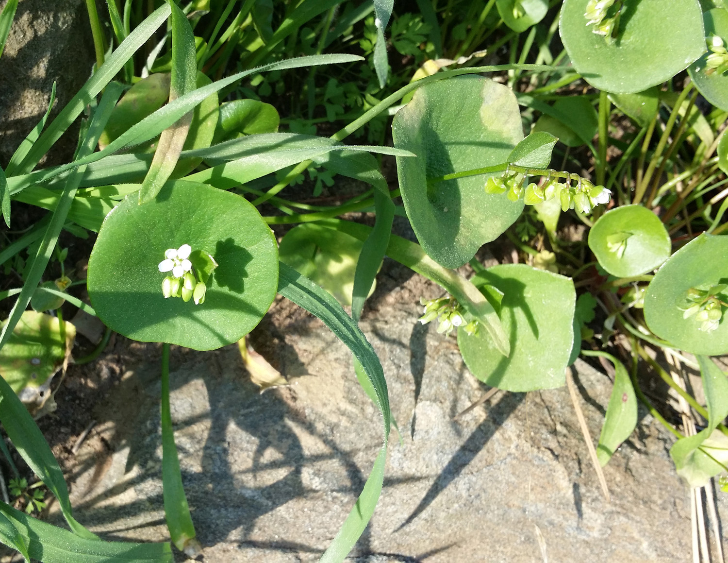
| Miner's lettuce after seed
formation |
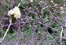
Buckeye tree with blossoms
just getting started |
Close-up of buckeye
blossoms |
| |
 |
 |
 |
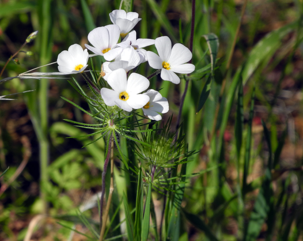
| Mustang clover |
Carolyn by the big burl |
Bedrock mortars near the
burl oak |
| |
 |
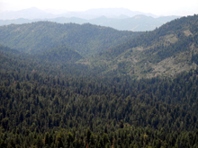
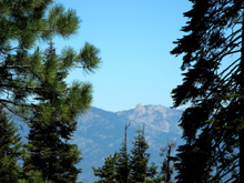
| Sierra
panorama from State Highway 168 east of Clovis |
| |
| Millerton
Lake |
| |
 |
 |
 |
Blue oaks and boulders
above the South Bay trail |
A hillside of fiddlenecks |
Ancient dead blue oak
makes an arch over the trail |
| |
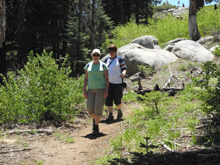
 |
|
 |
| Hikers heading west |
A beautiful green drainage
near the start of the trail |
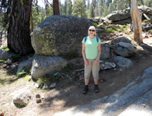
Bob and Alice |
| |
| |
 |
|
| |
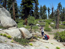
Dick on the trail |
|
| |
| Sycamore
Creek |
| |
 |
 |
 |
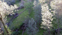
| Valley of Hughes Creek |
Where
the road rises up
from Hughes
Creek to the
ridge above Pine Flat |
Wildflower gone to seed |
| |
 |
|
 |
Typical "candle"
appearance
of buckeye blossoms |
A closer look |
Turkey vulture next to
Trimmer Springs Road |
| |
 |
 |
 |
| Farewell to Spring |
Wild cucumber vine |
Drying wild cucurmber seed
pod |
| |
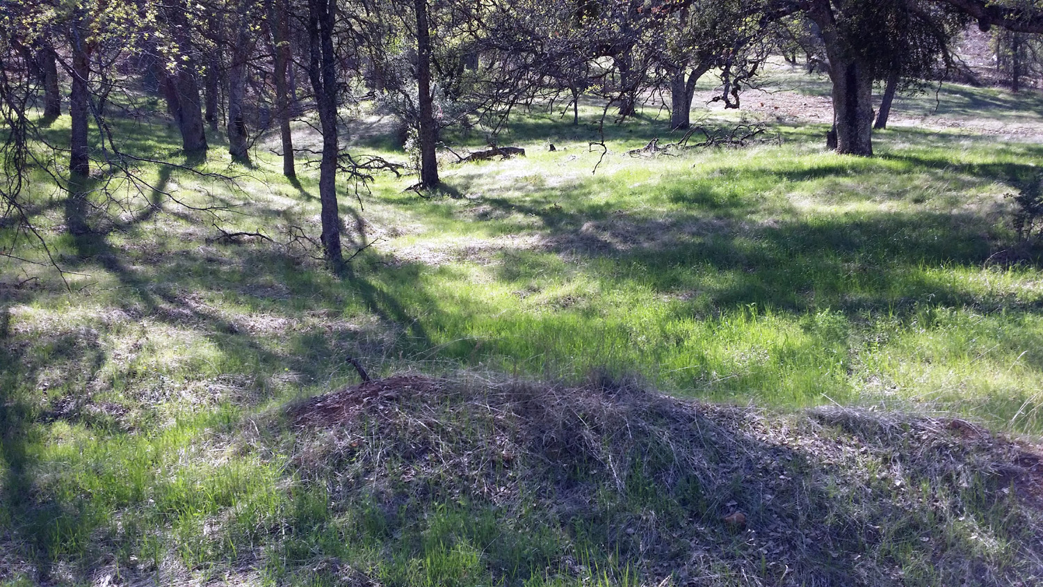
 |
 |
 |
| Some non-typical open
terrain on my walk |
Trimmer Springs bridge
over
Sycamore Creek |
Woodpecker on a branch |
| |
 |
 |
 |
| Who can identify this
plant? |
Milkweed in bloom |
Athurial's
spear |
| |
 |
| Valley and
foothills below Trimmer Springs Road |
| |
 |
| Not the end of
the road, but the end of my walk |
|
|
| Buena Vista
Peak |
| (photos
by Dick Estel and Wes Thiessen) |
 |
 |
|
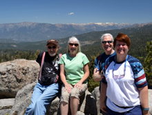
Ready to get going: Wes,
Julie, Carolyn, Dick |
Wes investigates an
interesting flower cluster |
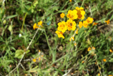
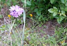
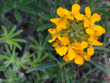
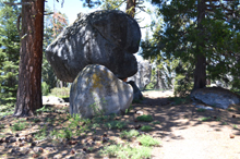
Stacked boulders and yellow
flowers |
| |
 |
 |
 |
| Julie and Wes stop for
pictures |
Carolyn always found a
shady
spot during our rest stops |
Plenty of boulders
and
trees along the trail
|
| |
 |
 |
 |
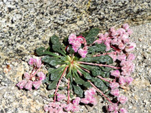
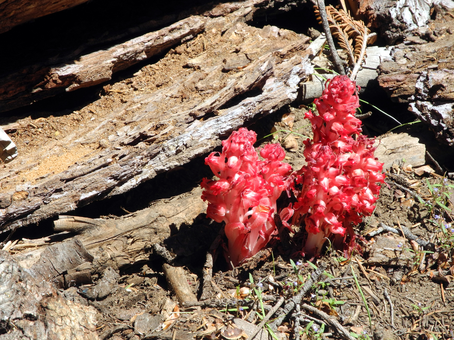
| Snow plants |
Pussy
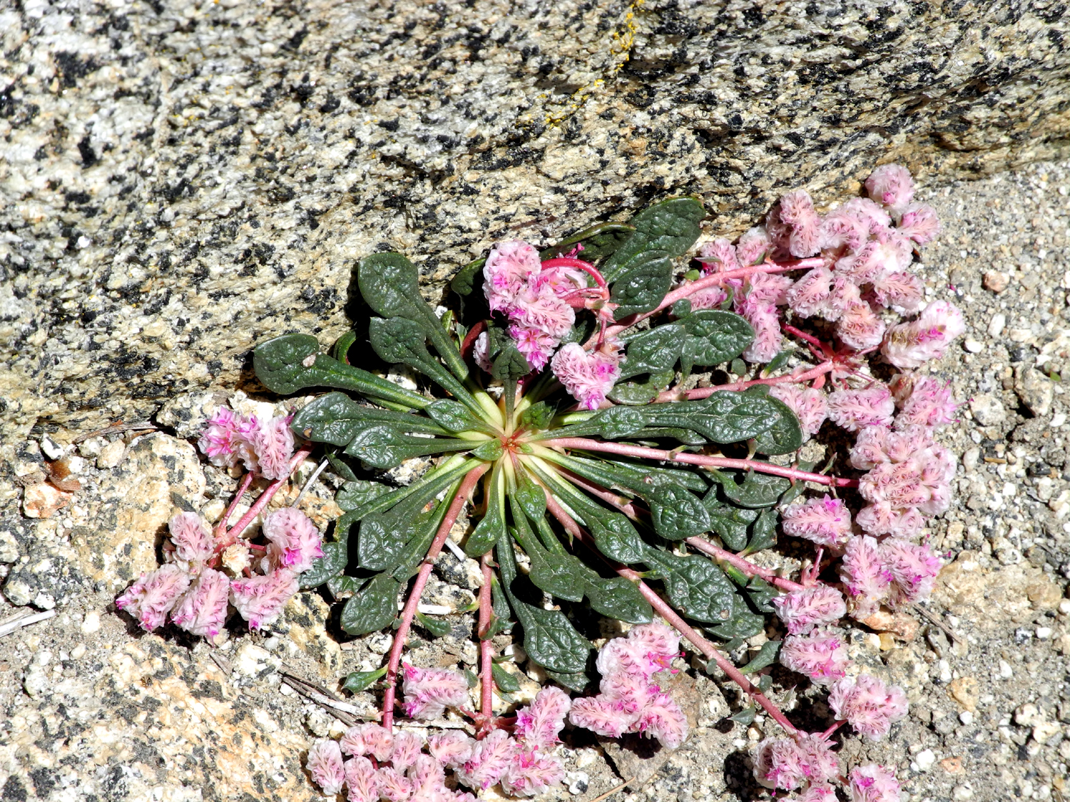
paws |
Western wall
flower |
| |
 |
 |
 |
| Wes among the flowers |
Julie by the trail |
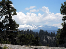
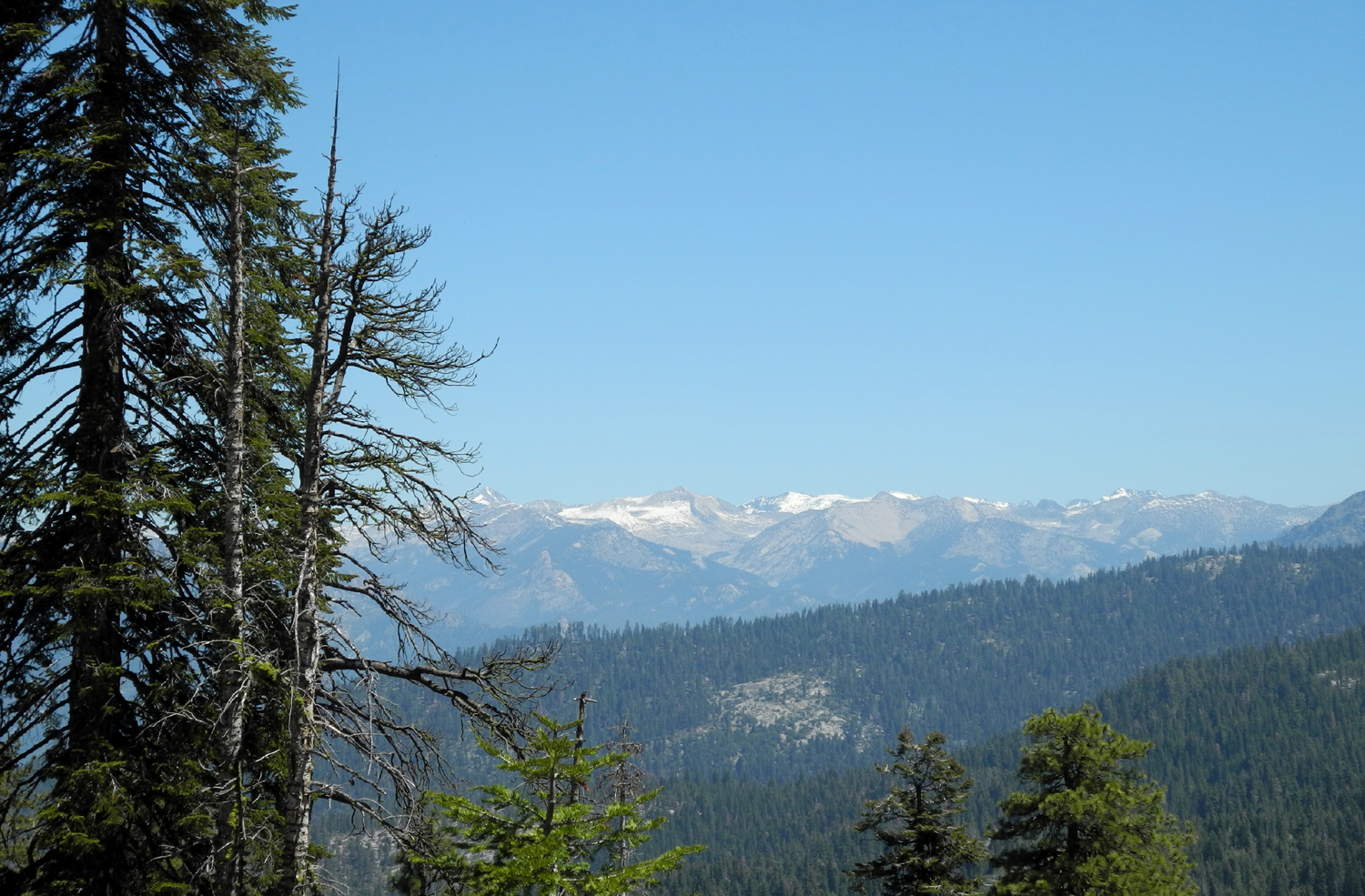
Kings Canyon and Sierra
Nevada
back country peaks above |
| |
 |
 |
 |
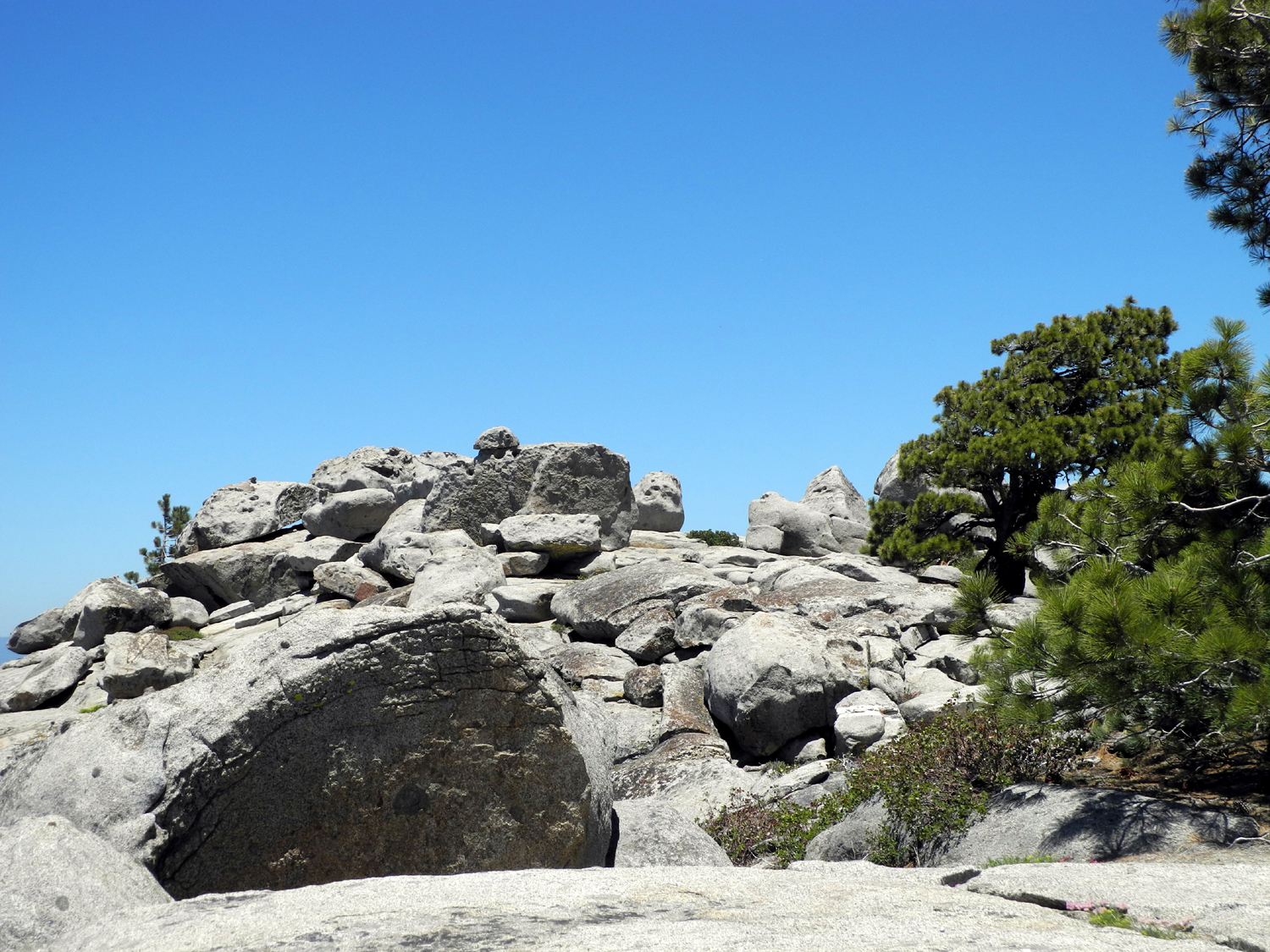
| The top of the mountain |
Wes channels his inner 14-year old |
We made it! |
| |
 |
 |
 |
| Looking down into Redwood
Canyon |
Buck Rock has a fire lookout on top |
Mountains in the Alta Peak
area |
| |
 |
 |
 |
| A typical section of the
trail |
Another
view of Buck Rock |
Heading down hill |
| |
| Related Links |
| |
| Stockton
Creek Preserve |
Millerton Lake |
San
Joaquin River Trail |
| Hiking
the Trail |
Trail
Map |
San
Joaquin River Trail Council |
| Samsung
Galaxy Note 3 |
San
Joaquin River Gorge |
Two
other hikes from Finegold |
| El
Pueblito Mexican Restaurant |
Four
SJ Gorge Hikes in 2012 |
A
Previous Millerton Hike |
| San
Joaquin Gorge Camping |
Pizza
Factory |
Sycamore
Creek |
| Pine
Flat Reservoir |
Buckeye
Trees |
Piedra |
| Nelder
Grove |
Kings
River Conservancy |
Kings
River |
| Buena
Vista Trail |
Generals
Highway |
More
Buena Vista Photos |
| Grant
Grove Restaurant |
Grant
Grove Village |
Buck
Rock Fire Lookout |
| |
|
|


