
|
2024 Rambler Hikes Page 1 |
|
|
Rambler Hikes 2017 Rambler Hikes 2018 Rambler Hikes 2019 Rambler Hikes 2020 Rambler Hikes 2021 Rambler Hikes 2022 Rambler Hikes 2023 2024 Page 2 2024 Page 3 |
|
|
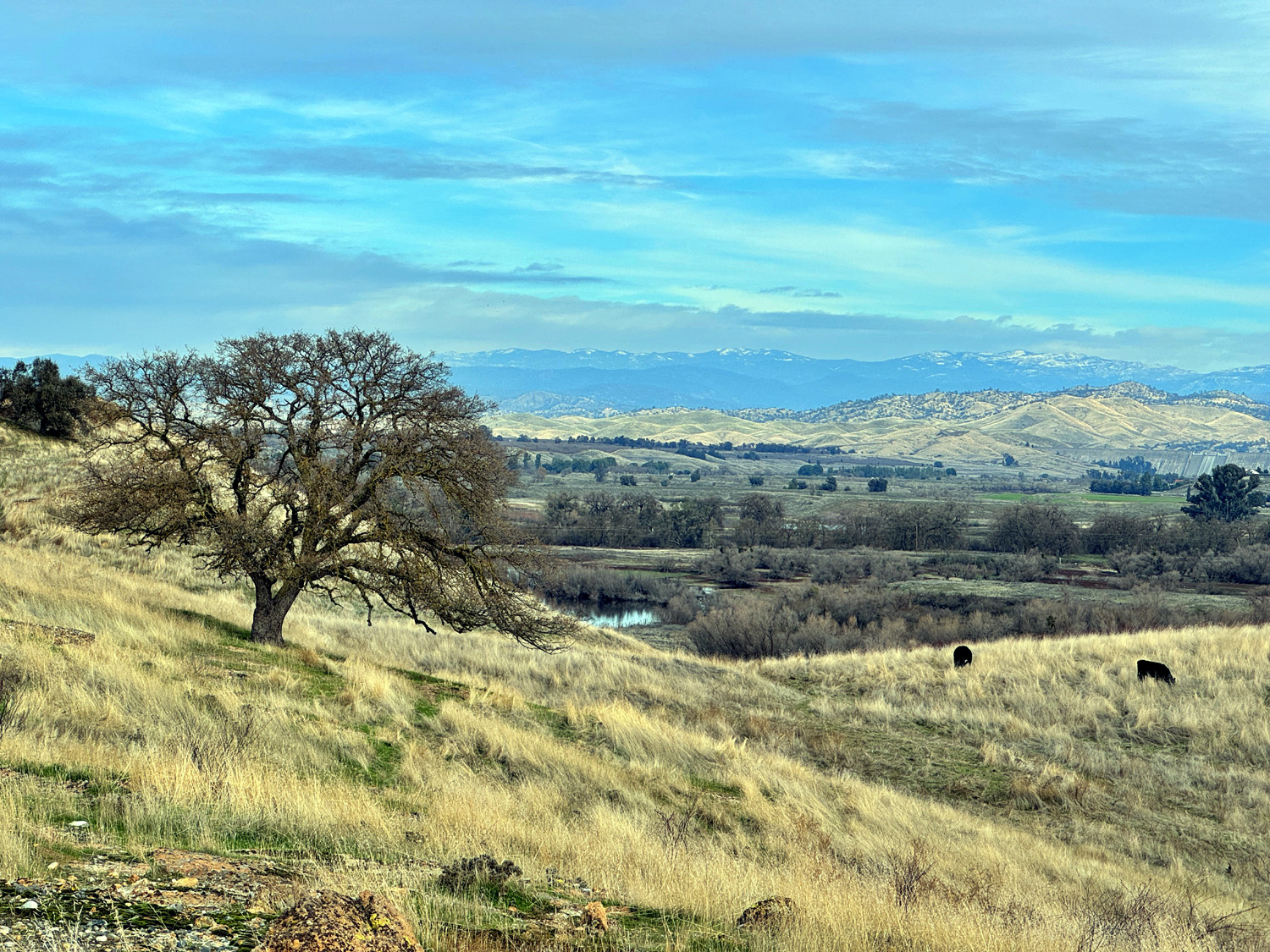
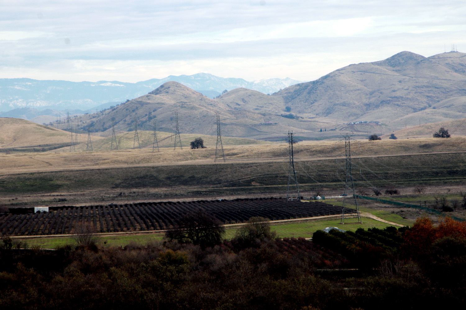
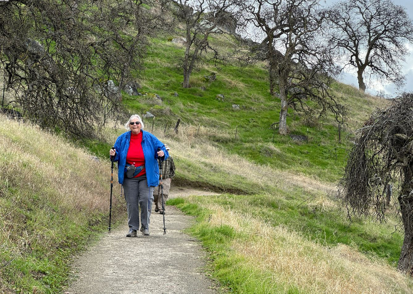
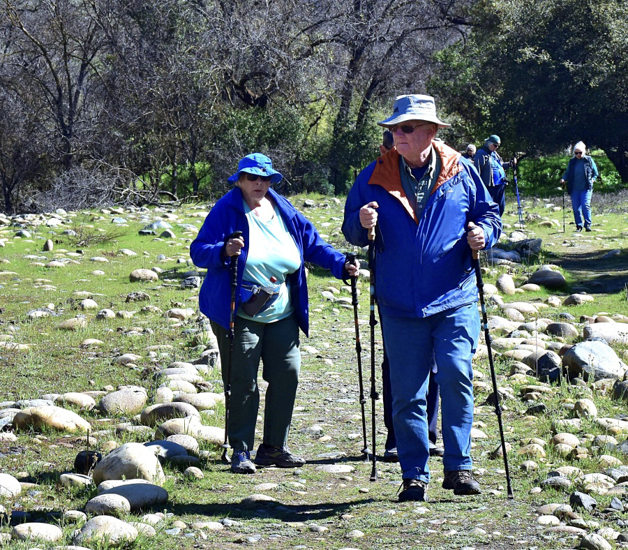
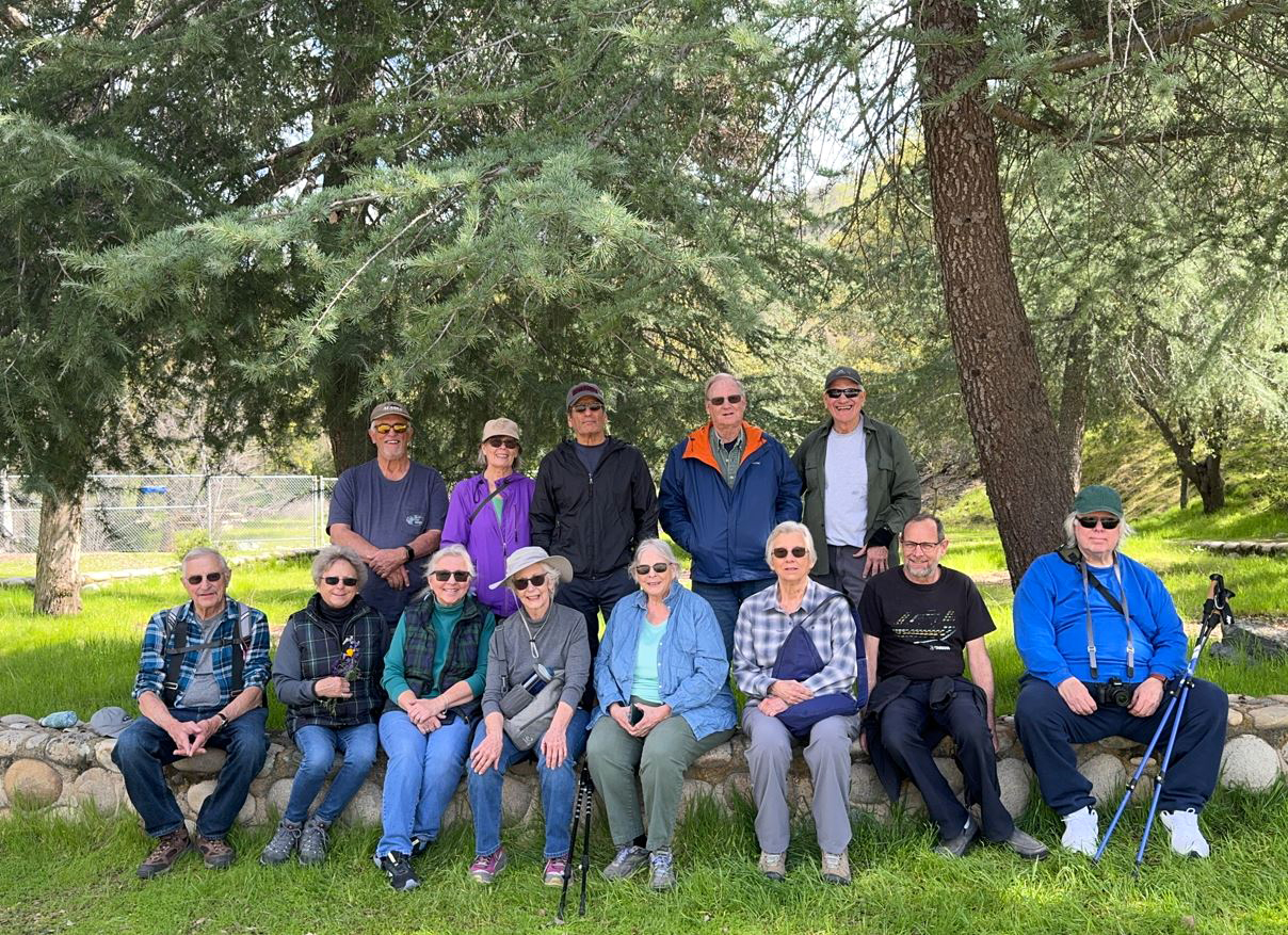
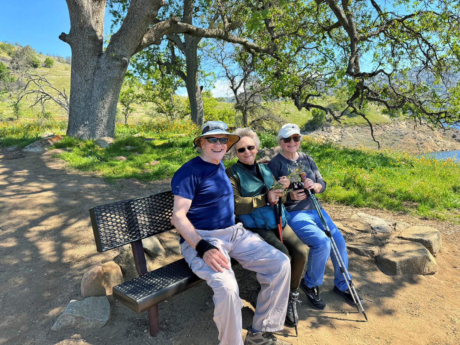
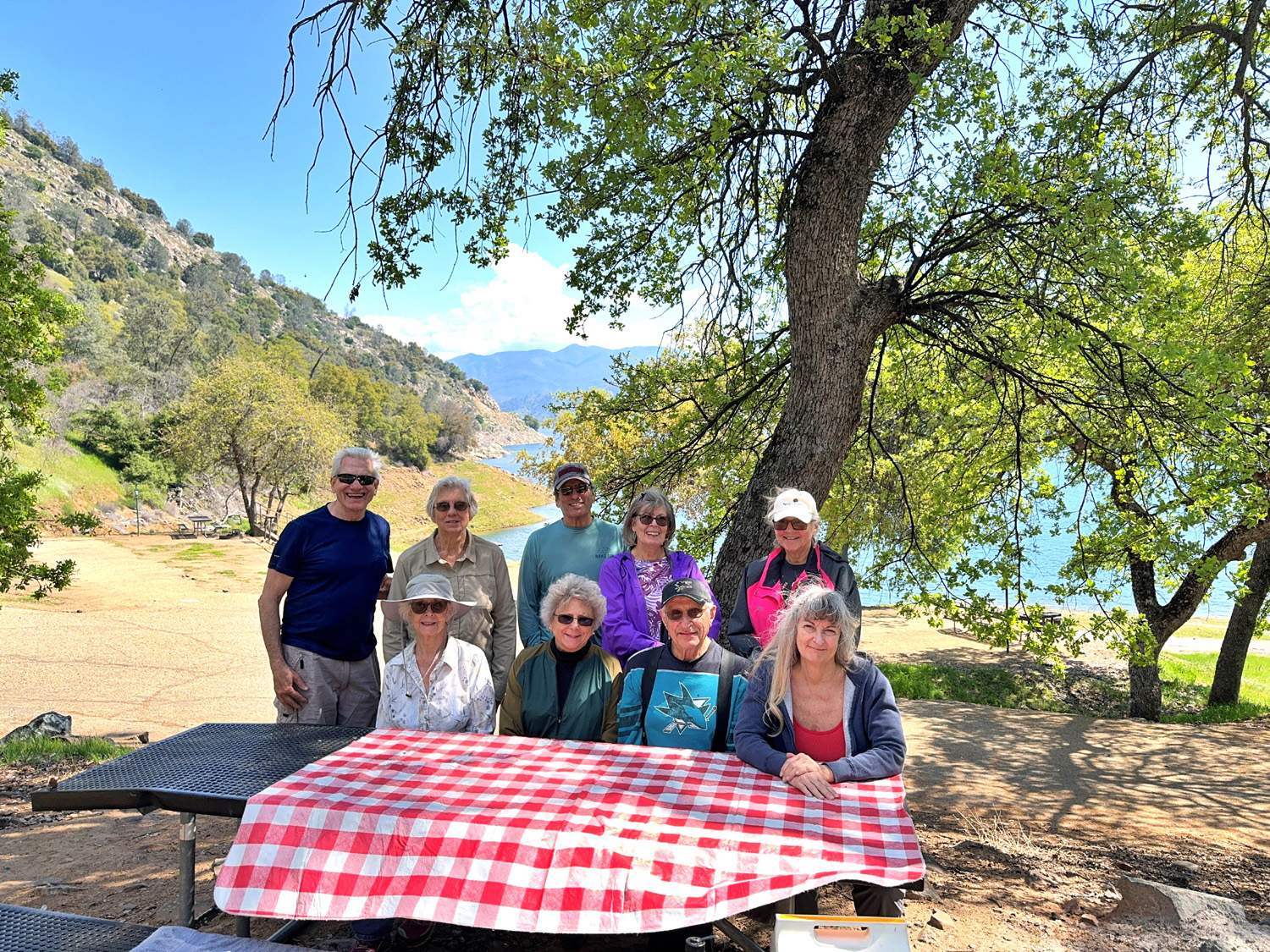
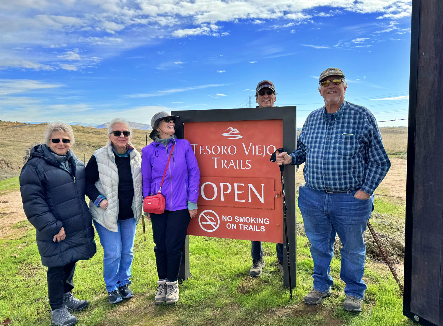
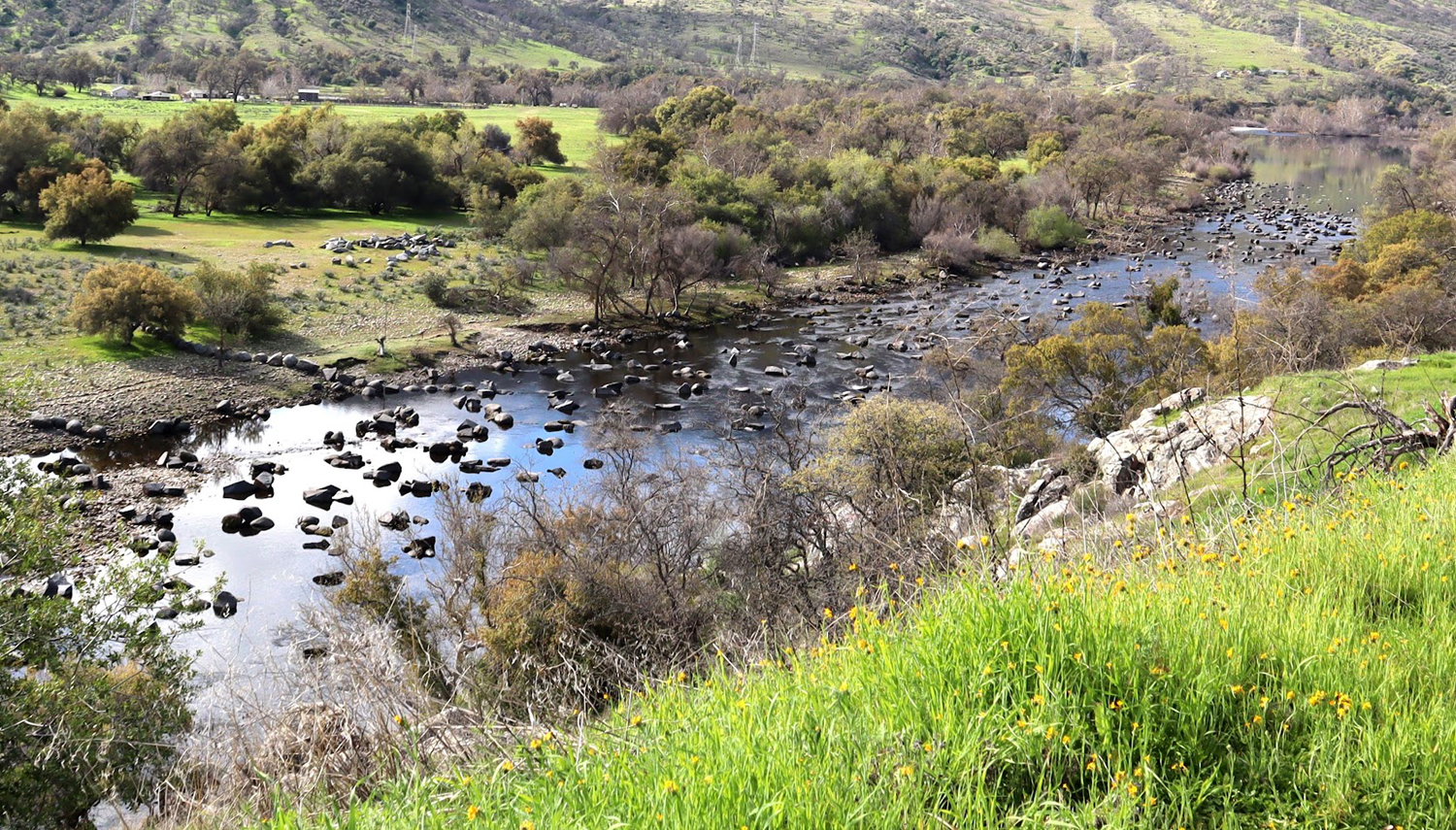
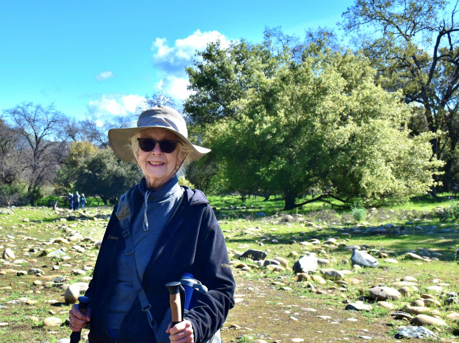
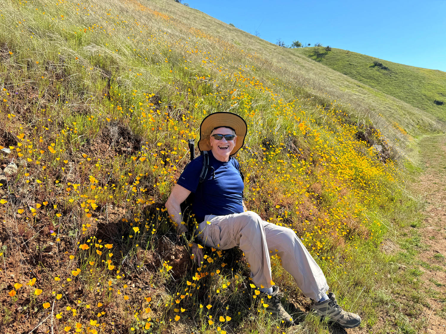
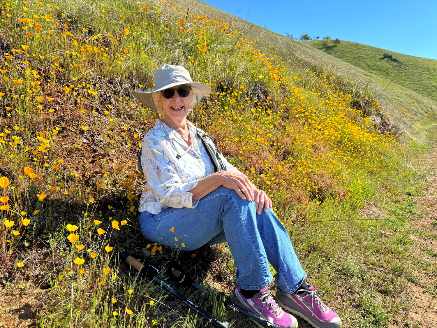
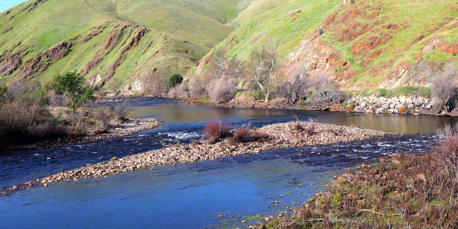
Tesoro Viejo Tesoro Viejo - "old treasure." The treasure in this edge-of-the-foothills area is land - previously land for cattle ranching and vineyards. Now a good portion of it is land for that invasive species, houses. Houses priced from "the mid 400 thousands," but jammed as close together as any neighborhood in the city. Fortunately, there are still a lot of acres devoted to ranching, and the old dirt access roads are open to hikers and bicycle riders. The starting point is the City Center, just east of Highway 41 a few miles north of Fresno and the San Joaquin River that marks the border between Fresno and Madera Counties. Besides a large parking lot, the Center includes a visitor center, restaurant, fire station and sheriff sub-station. We've enjoyed several hikes there, and did so once again on January 9th. We were ten strong, more than half of us visiting the place for the first time. We had two new members who had a good time and plan to go with us again, Susan Silveira and Laurie Fitzgerald, who knew Wes from years ago on the valley's west side. After being absent for several months, Carolyn Amicone made a rare and welcome appearance. Other more regular members of the group were Wes Thiessen, Don Bandoni, Ardyss Webster, Sue Wirt, Bruce and Susan Vasquez, and Dick Estel. Don McClellan joined us for lunch after our outing. After parking at the City Center, we drove in three cars about two miles on mostly dirt roads to the Kissing Gate, which marks the start of our hike. (Wes will have more to say about the gate later.) |
|
 |
 |
| All the hikers except Wes | Cultivated fields and open land below the trail, near the river |
|
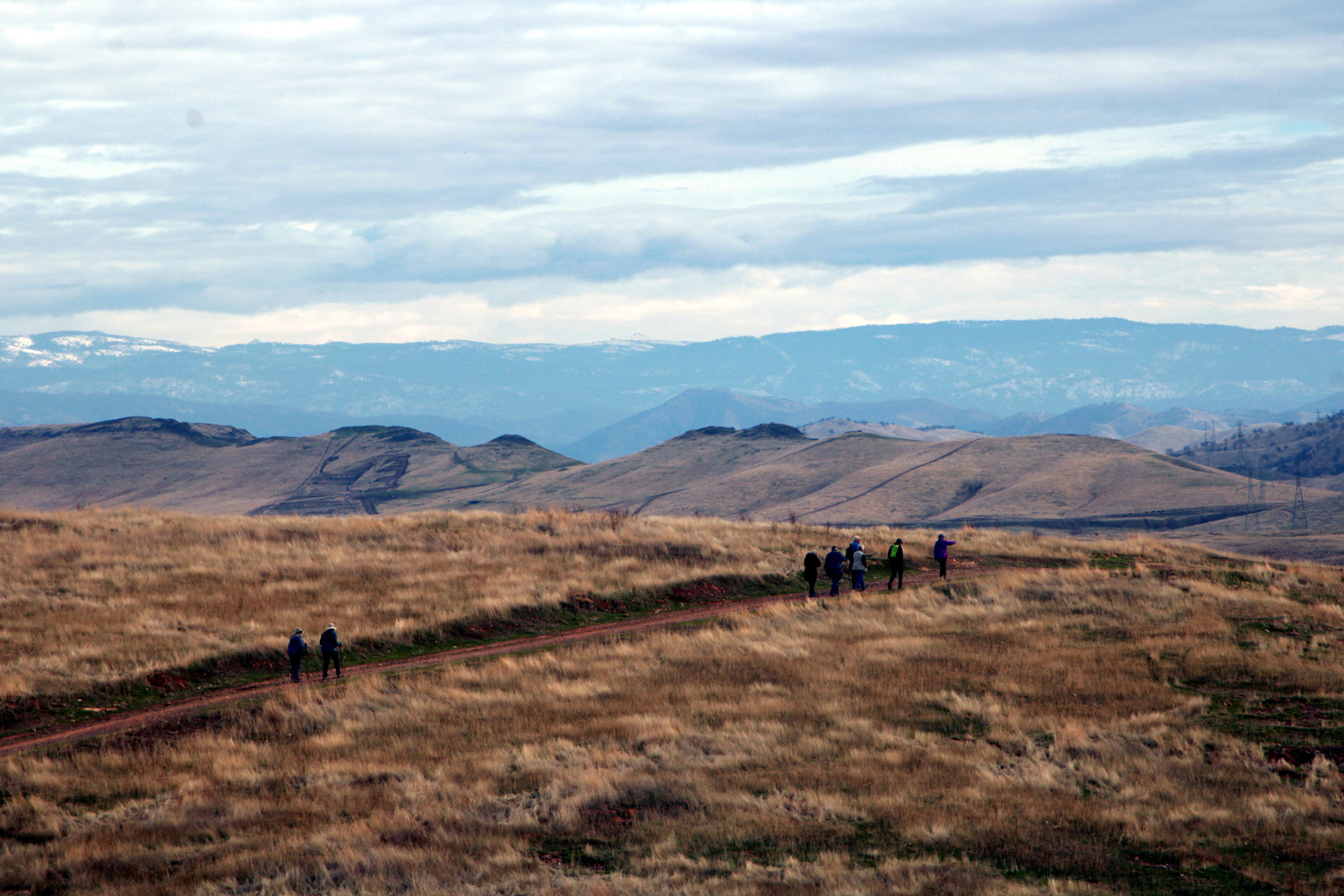
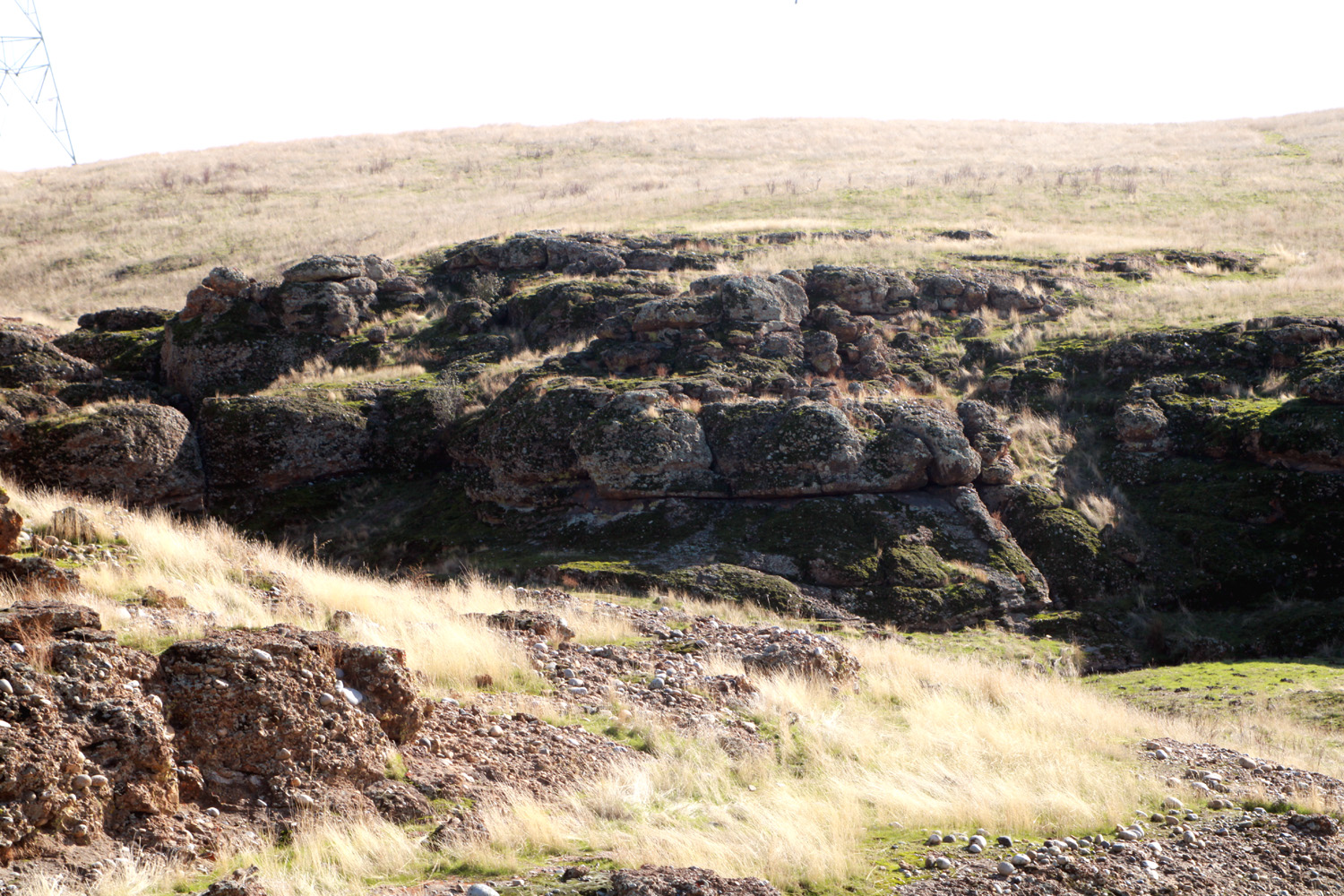
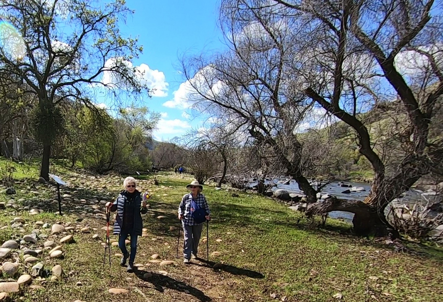
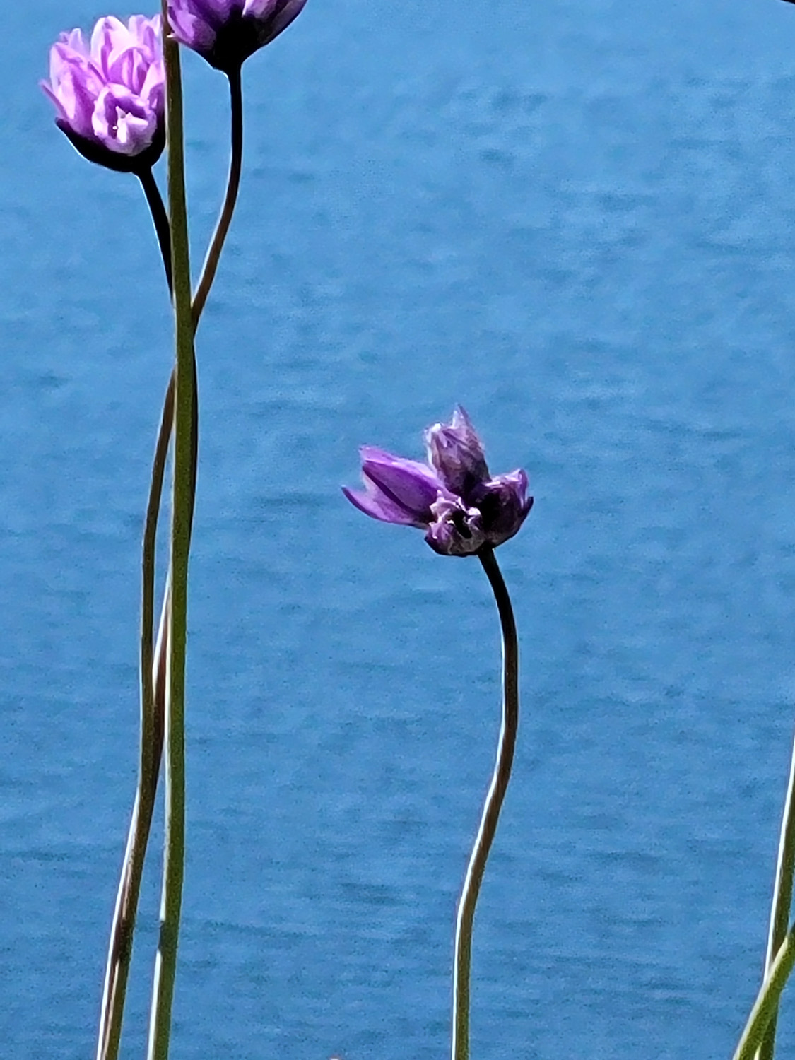
The predicted high was a chilly 52, and even cooler for our 10:30 start time, but it was sunny and very comfortable, and I'm pretty sure it was warmer than the forecast. Most hikers wore only one outer layer, and those who went with more took them off or wanted to. Recent rains have brought forth new green grass all over the hills, but the flowers have yet to appear. The scenery does not include a lot of trees by the trail, but there are many rock outcroppings, and as the trail rises up from the flat land below, impressive canyons appear, leading down to the San Joaquin River, a short distance south and a few hundred feet below our route. |
|
 |
 |
| Ramblers on the trail | One of the rocky drainages south of the trail |
|
|
|
|
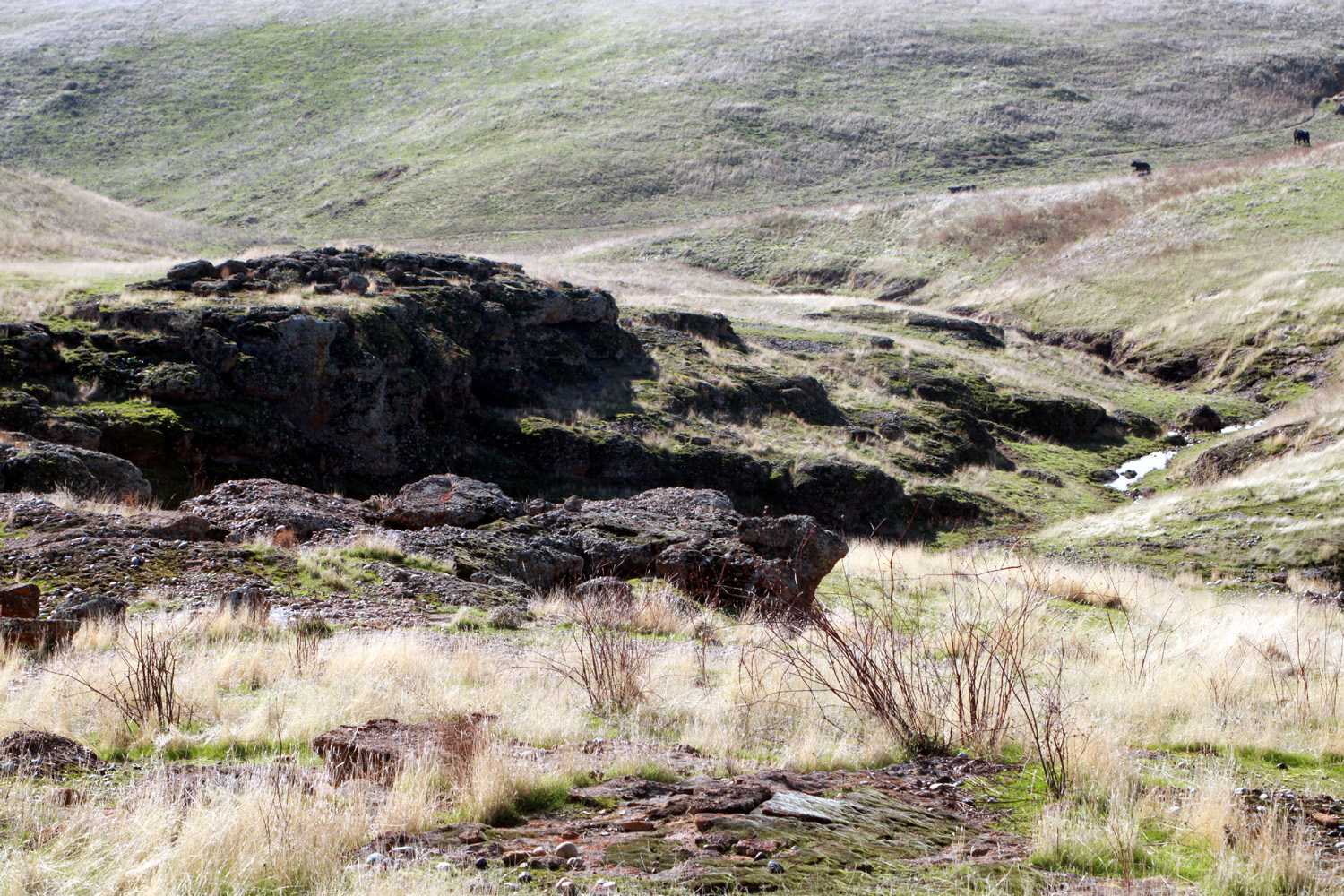
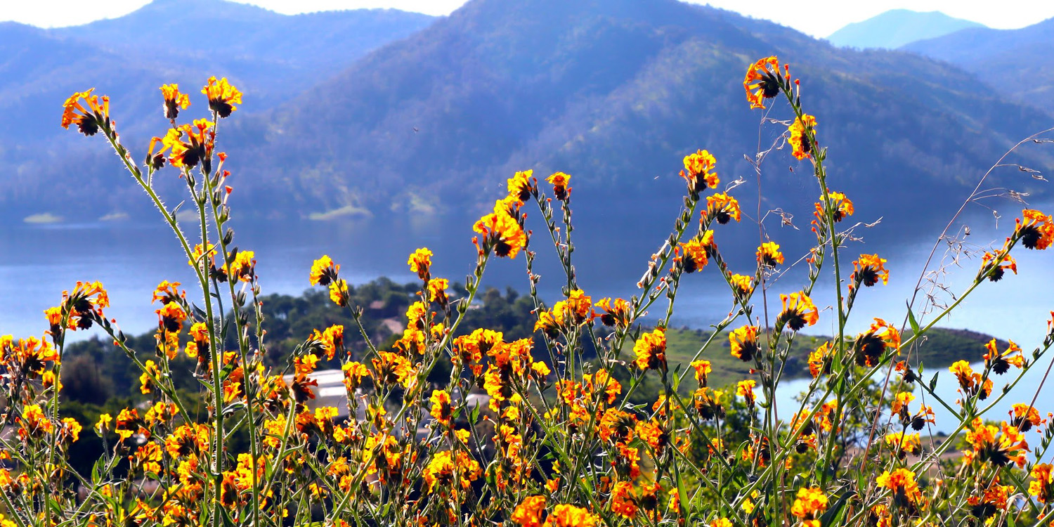
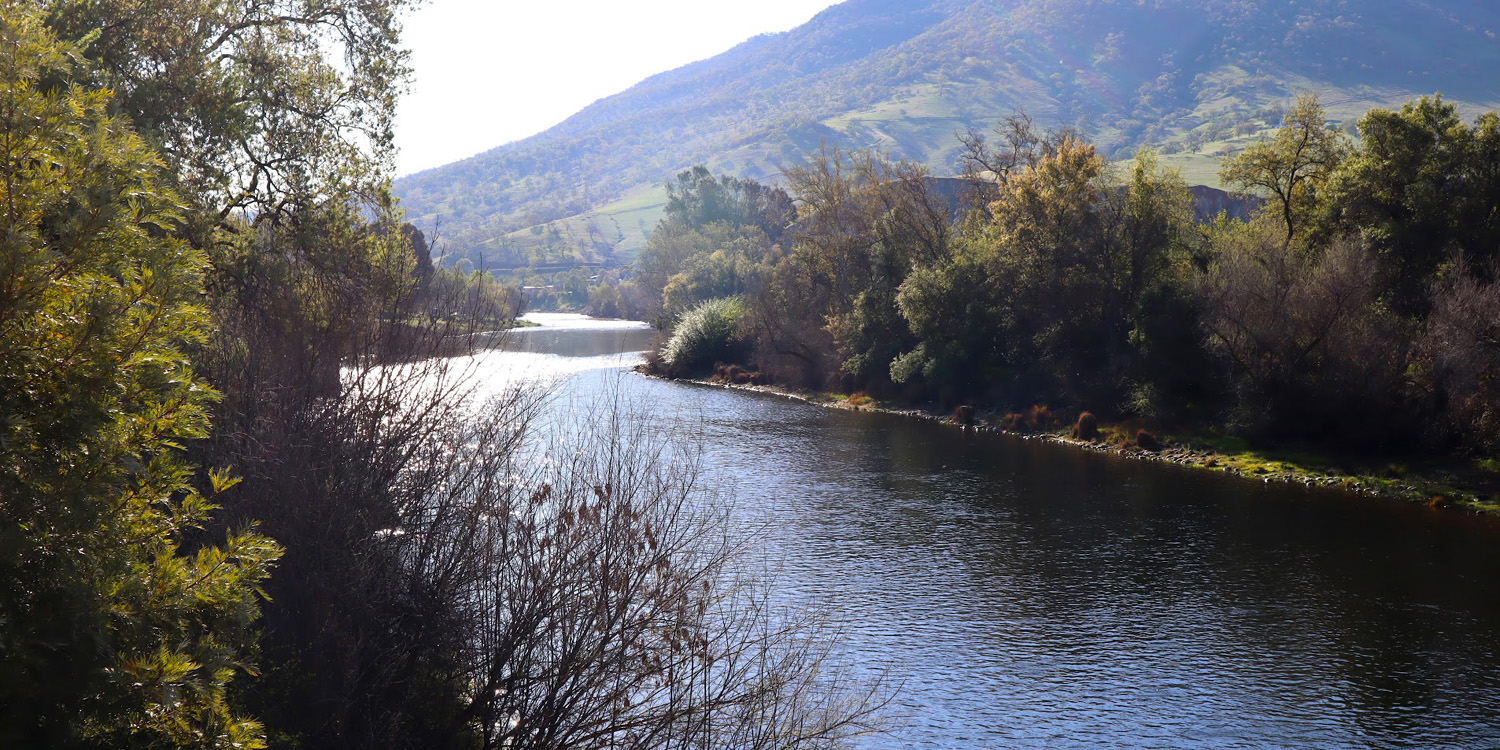
Although the City Center is in flat San Joaquin Valley territory, the dirt road to the trailhead rises up slightly, and the trail itself goes up and down in what is decidedly hill country. To the north of the area are table top hills, with rocky tops of cemented river gravel (natural, not man-made), and similar outcroppings line the trail and the drainages that lead off toward the river. The river came into view about half way through the walk, and the snow-covered Sierra Nevada mountains were visible to the east. |
|
 |
 |
| Starting the steep climb back up from the river | Another
mini-canyon lined with rocks consisting of cemented river gravel |
|
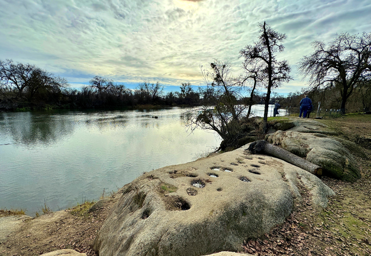
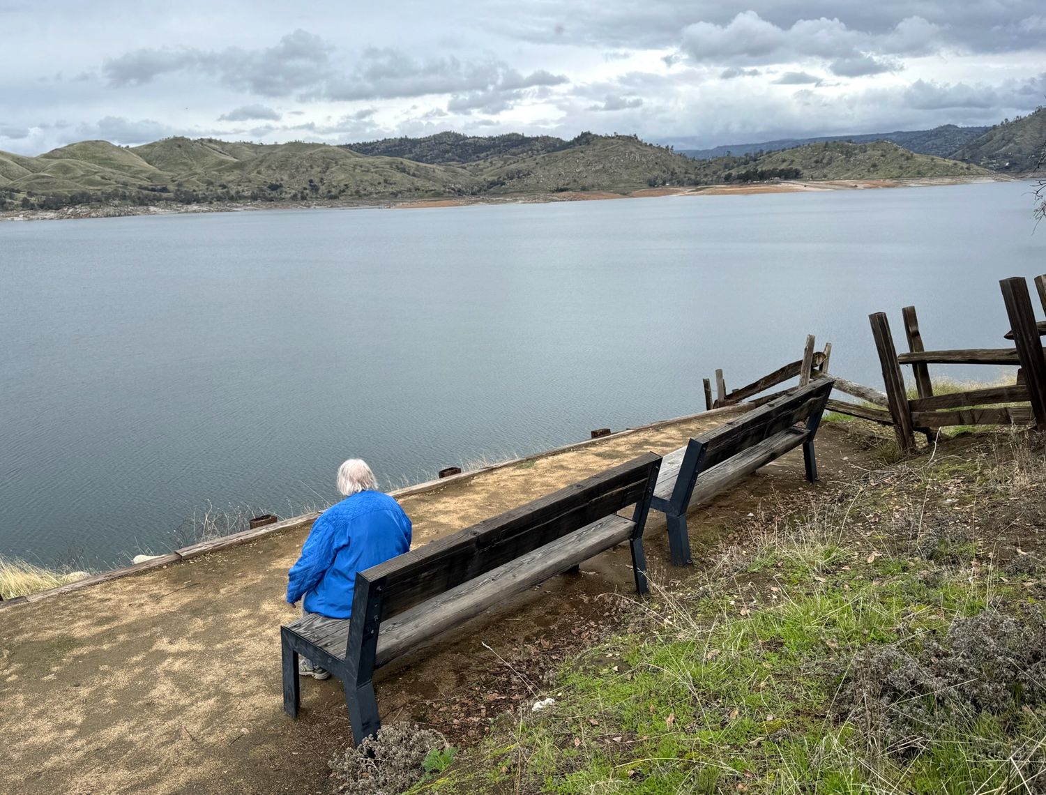
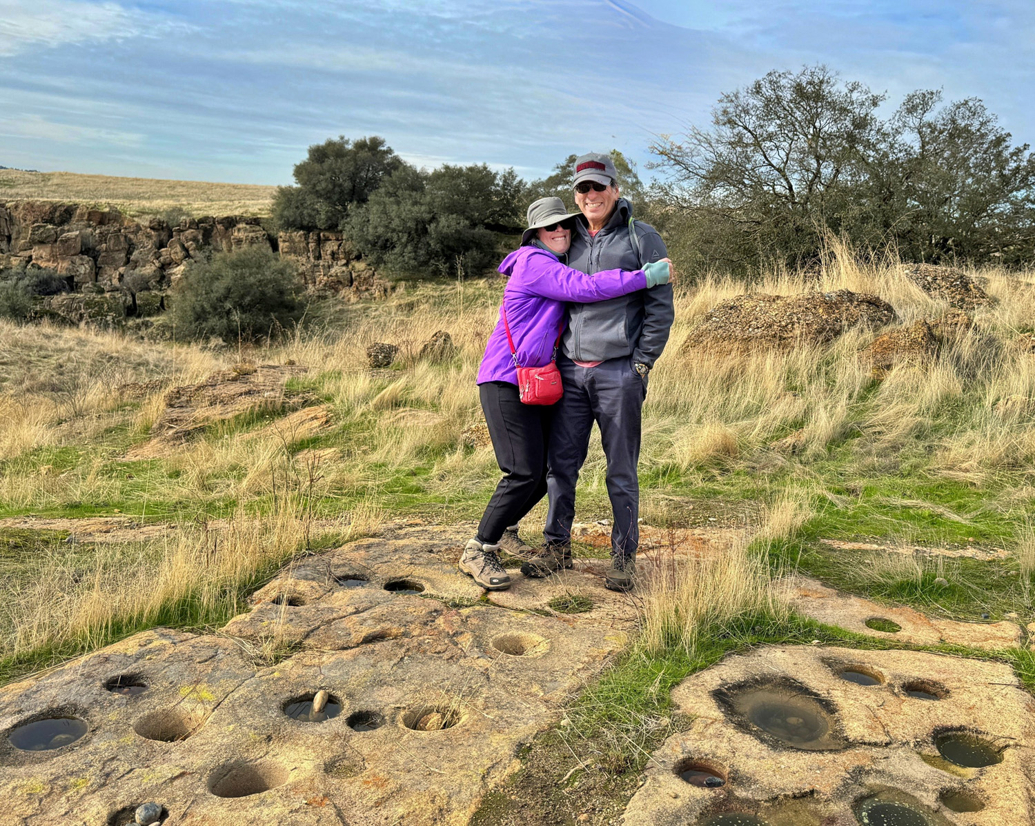
About eight tenths of a mile from the start of the trail, it goes down fairly steeply to the river. Sue and I chose to take advantage of a bench at this point, while the rest of our group made their way down the hill, where they were rewarded with the sight of a large slab of granite with an array of Indian grinding holes, also known as bedrock mortars. These were also in evidence in the cemented gravel rock near where Sue and I rested. |
|
 |
 |
| The original residents processed acorns here | Ardyss prepares to leave Sue and Dick at the resting bench |
|
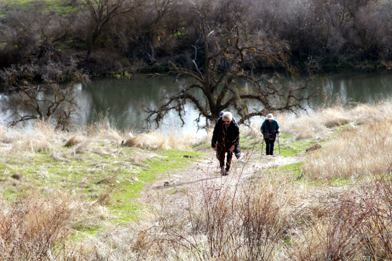
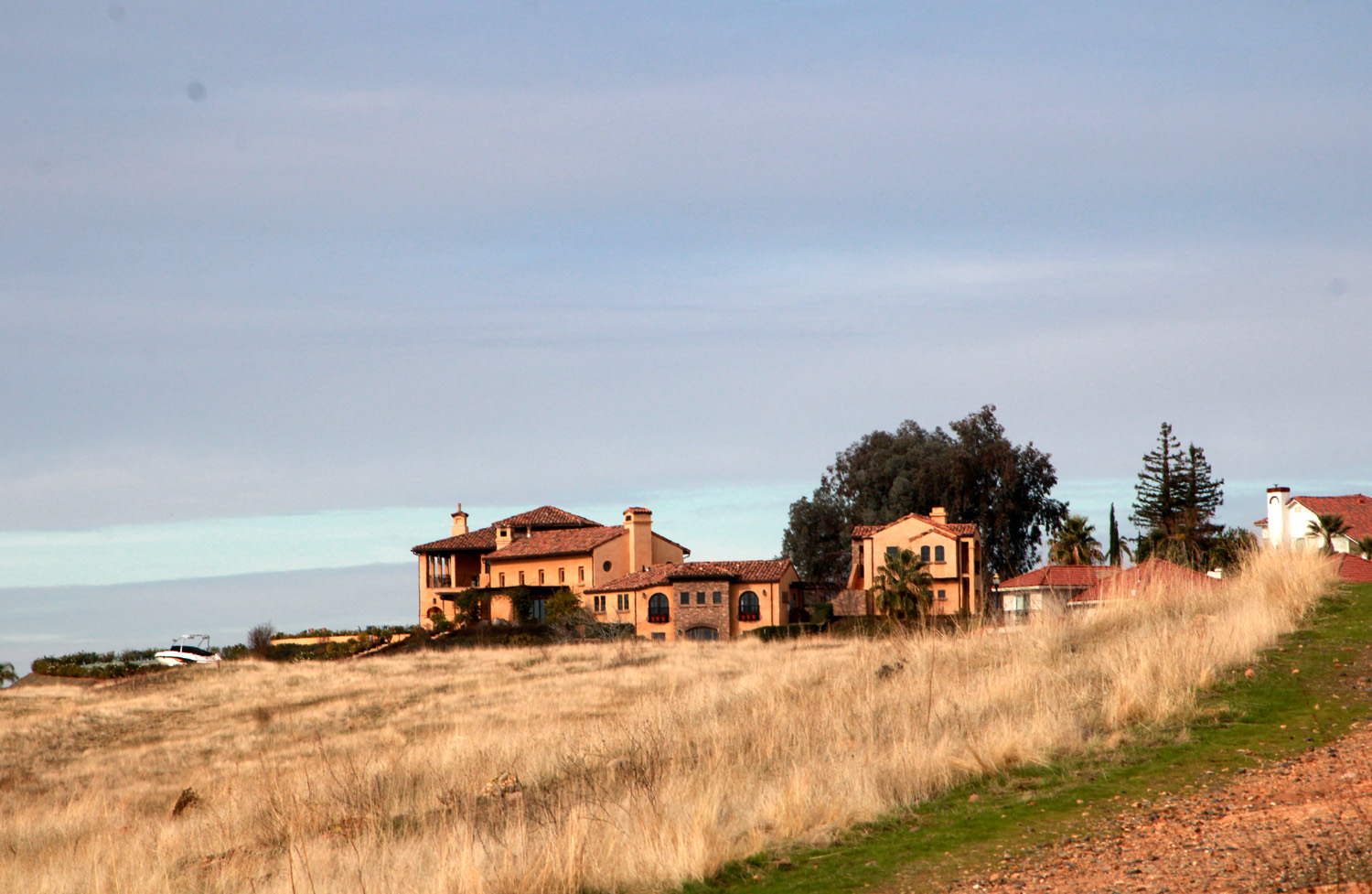
Sue and I discussed many things while we rested, and probably solved a few of the world's problems, if the world would just take our advice. Soon we saw the rest of our group making their way back up the hill. From where we waited we could see some of the large, fancy homes on "Pill Hill," so called because a number of doctors live there. This area pre-dates and is not part of the Tesoro Viejo housing tract. We got back to the City Center and headed for the AXIS Coffee Bar & Eatery, where we found Don McClellan waiting for us. Don loves to hike, but has had mobility issues for some time. We enjoy his company and are always happy when he can be part of our outing. We had an excellent lunch at the "eatery," sitting outside to enjoy the mid-50s sunshine. |
|
 |
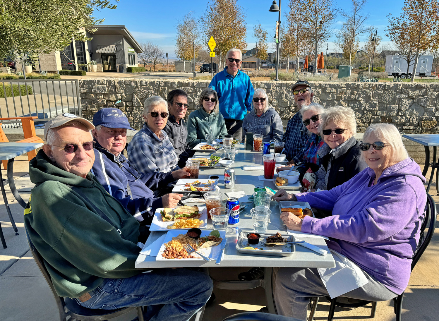 |
| A house on Pill Hill | Ramblers
at lunch: Dick,
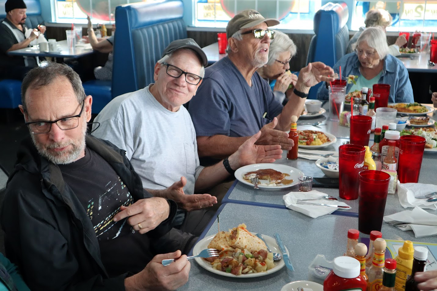
Don McClellan, Ardyss, Bruce, Susan V, Wes, Carolyn, Don B, Susan S, Laurie, Sue W |
|
I'll let Wes provide his perspective: The
start of 2024 found the Ramblers at it again, this time hiking the
hill country of Wes & Dick, January 2024 |
|
| Blue
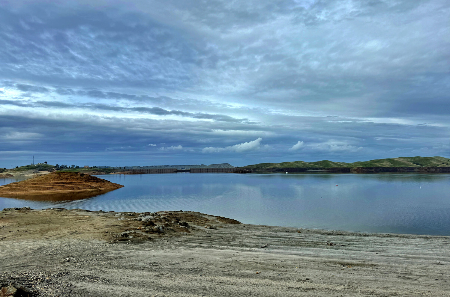
Oak Trail (All photos by Wes Thiessen) DICK: This was the hike that refused to be canceled. We're having another very wet winter; not like last year but close. So as hike dates approach, we obsessively check the weather forecast. On the preceding weekend, February 7 looked good, but each day's forecast kept getting worse. Finally, the day before, I officially canceled the hike. Even so, a few Ramblers decided to chance it. I thought, "when they are a mile out from the trailhead and it starts to pour, I will laugh and laugh." I should have kept these thoughts to myself, but no, I had to email Wes. With just a very brief tiny sprinkle, the five undaunted Ramblers had the last laugh. Sue didn't go as far as the others and didn't experience any rain. Of course, I was actually glad for them. WES: The 7th was a lucky day for the five of us who hiked the Blue Oak Trail at Millerton Lake this past Wednesday. I don't follow numerology but perhaps 7 is the perfect number. The forecast was for heavy rain throughout the day. Leader Dick wisely cancelled the hike for the protection of the group. He then private messaged a few of us saying "if you like getting caught in the rain, go for it." And so we did, finding little wind or rain. In fact, it was the perfect day of hiking. Here is the first image we saw getting out of our vehicles. |
|
 |
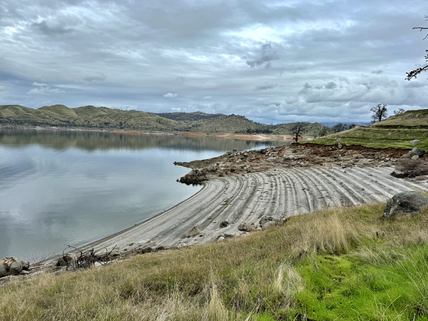 |
| Millerton Lake, near the trailhead | Rising and lowering water levels create parallel lines in the sand |
|
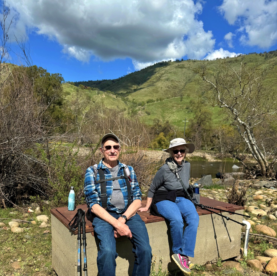
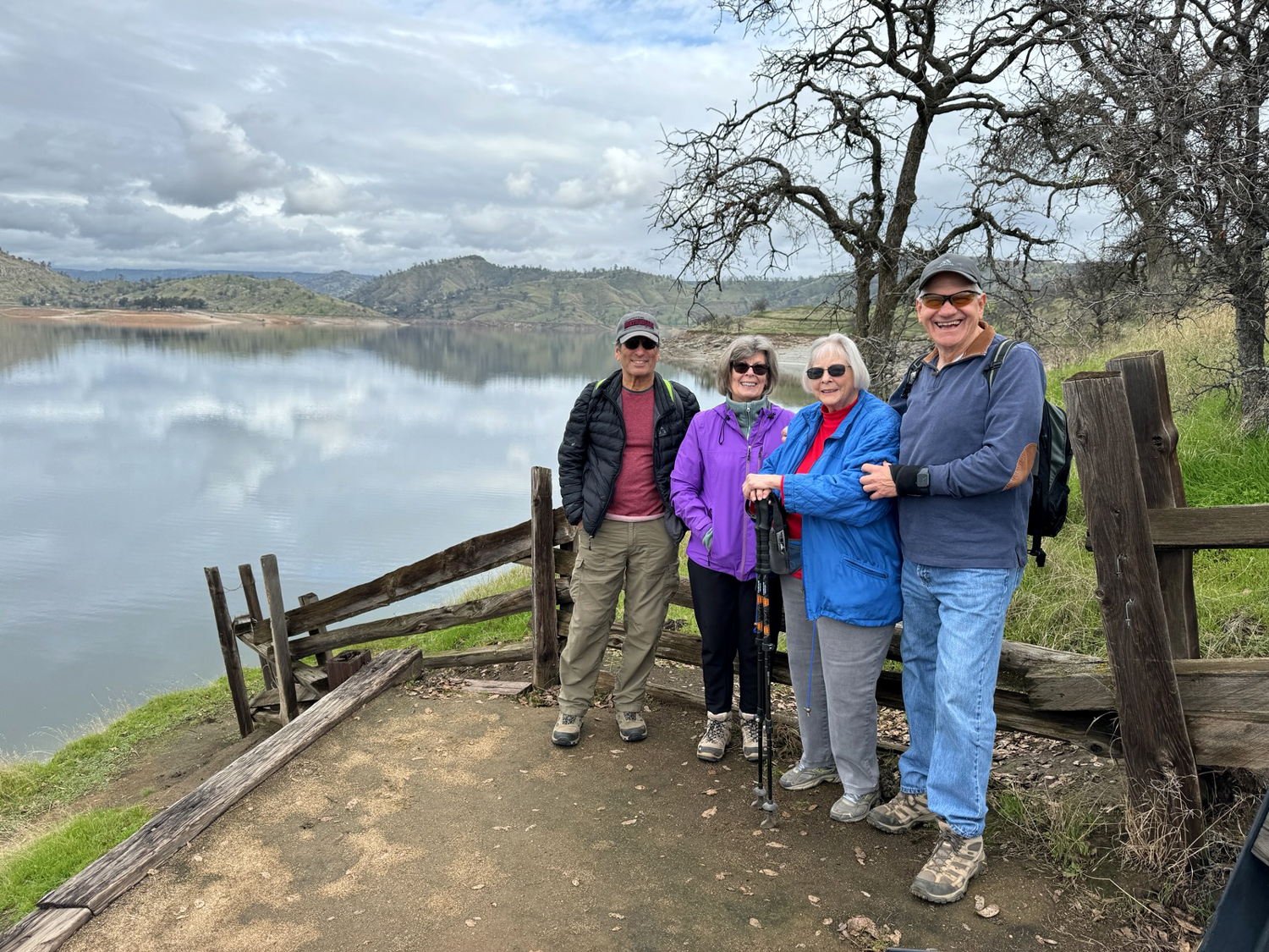
DICK: We've hiked the Blue Oak Trail a number of times, most recently in January of last year. It runs parallel to the lake's high water line, and goes to a marina at Winchell Cove, another place to access the trail. On one of our hikes, we placed cars at both ends of the trail to avoid having to double back, but this eats up a lot of time, and we have not repeated this approach. |
|
 |
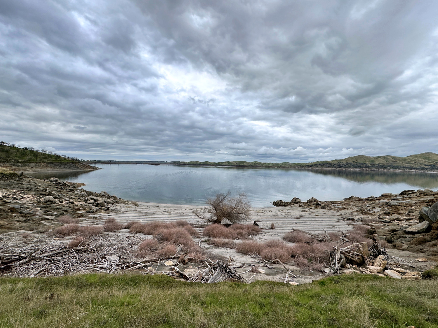 |
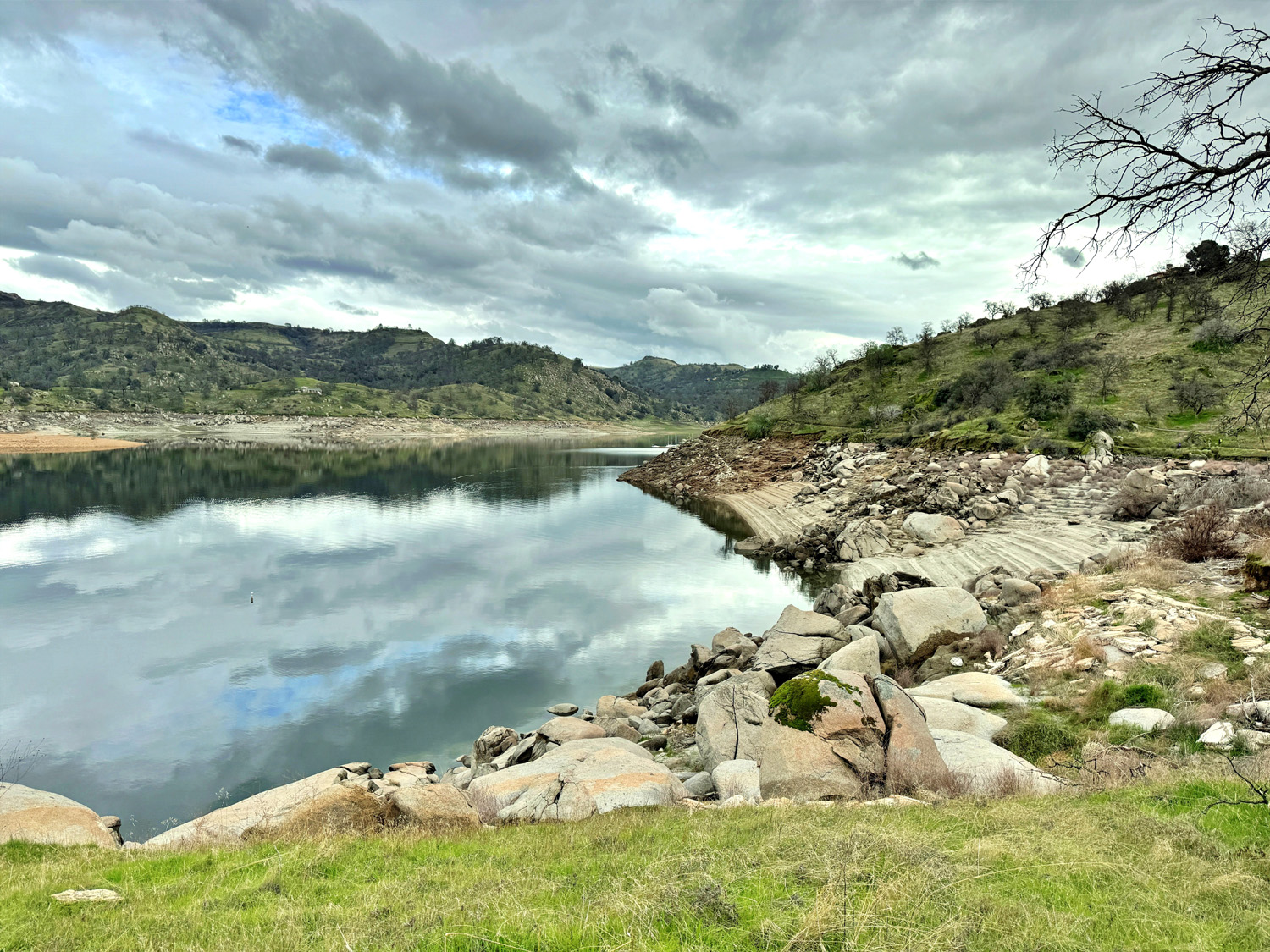
| A rocky shoreline | Dramatic clouds above a driftwood-filled cove |
|
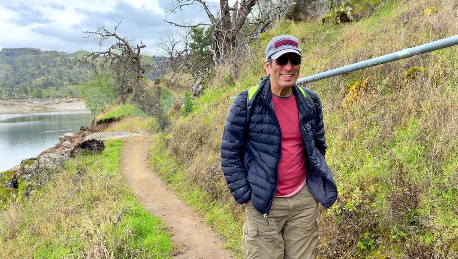
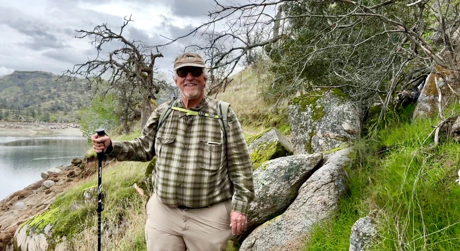
The five adventurous Ramblers were Wes Thiessen, Sue Wirt, Don Bandoni, and Bruce and Susan Vasquez. Wes's photos show them as happy hikers under the cloudy-bright skies. WES: This was an "out and back" hike of near three miles. We practically had the lake to ourselves. We all walked as far as desired in such a peaceful paradise. Hike with us of a few minutes and enjoy this relaxing trail. The background music is the theme song of the Ramblers. |
|
 |
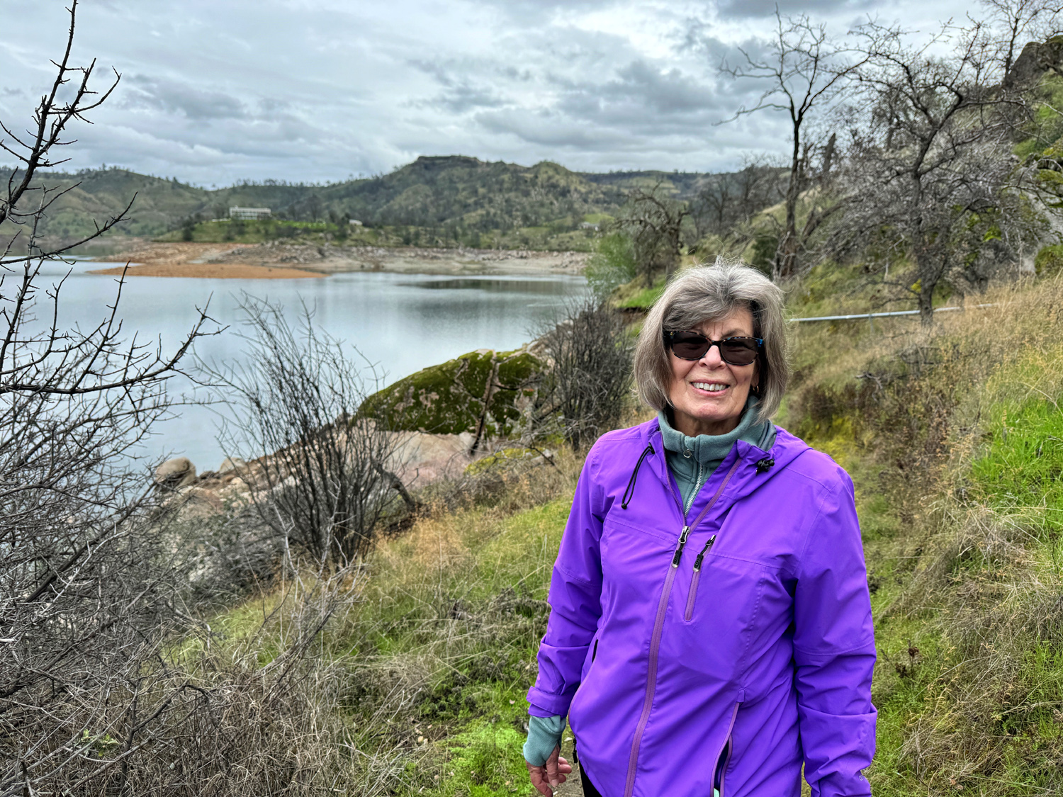 |
| Sue, rambling | Susan in purple |
 |
 |
| Bruce is happy to be out on the trail | Don pauses and poses |
|
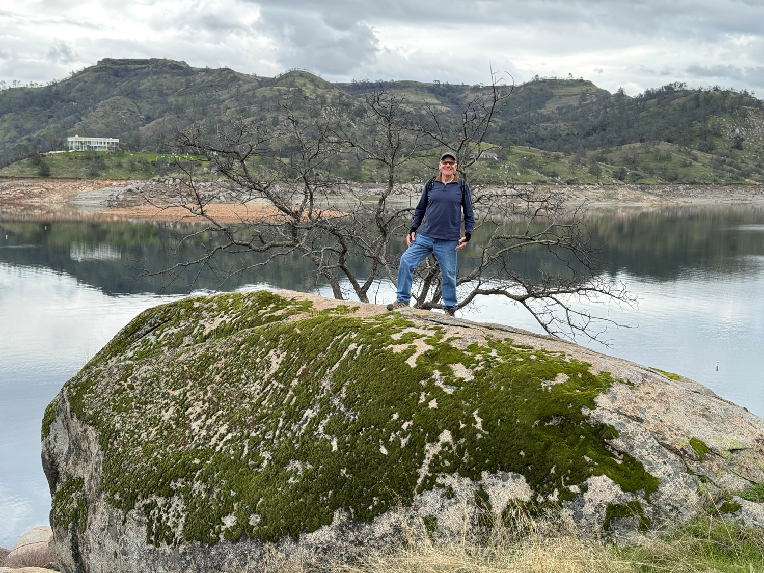
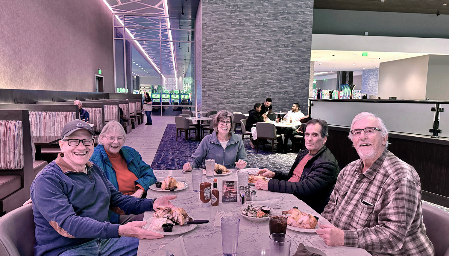
DICK: Although a bit less adventurous than he used to be, Wes still managed to find a safe perch for the traditional "Wes on the Rock" photo, that goes back well before the formation of the Ramblers. Also in keeping with tradition, the hikers built up an appetite, which they satisfied at the Blue Oak Grille at the nearby Table Mountain Casino. |
|
 |
 |
| At last - Wes on the rock! | Lunch at the Grille - Wes, Sue, Susan, Bruce, Don |
|
Did I regret not joining my fellow Ramblers on this hike? Only a little bit. I've hiked this trail a number of times, with the Ramblers, with other friends, and by myself. Although there is always something new on every hike, I felt comfortable missing this one. --Wes & Dick, February 2024 |
|
| Raptor
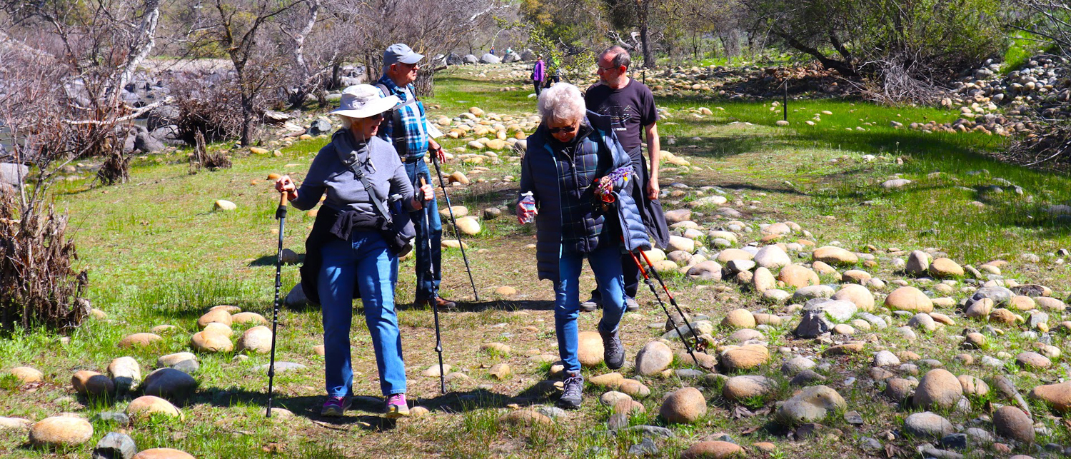
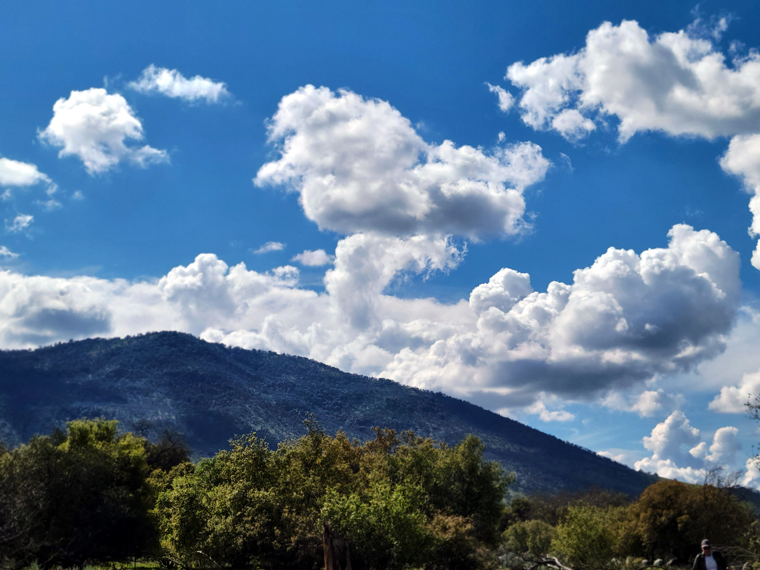
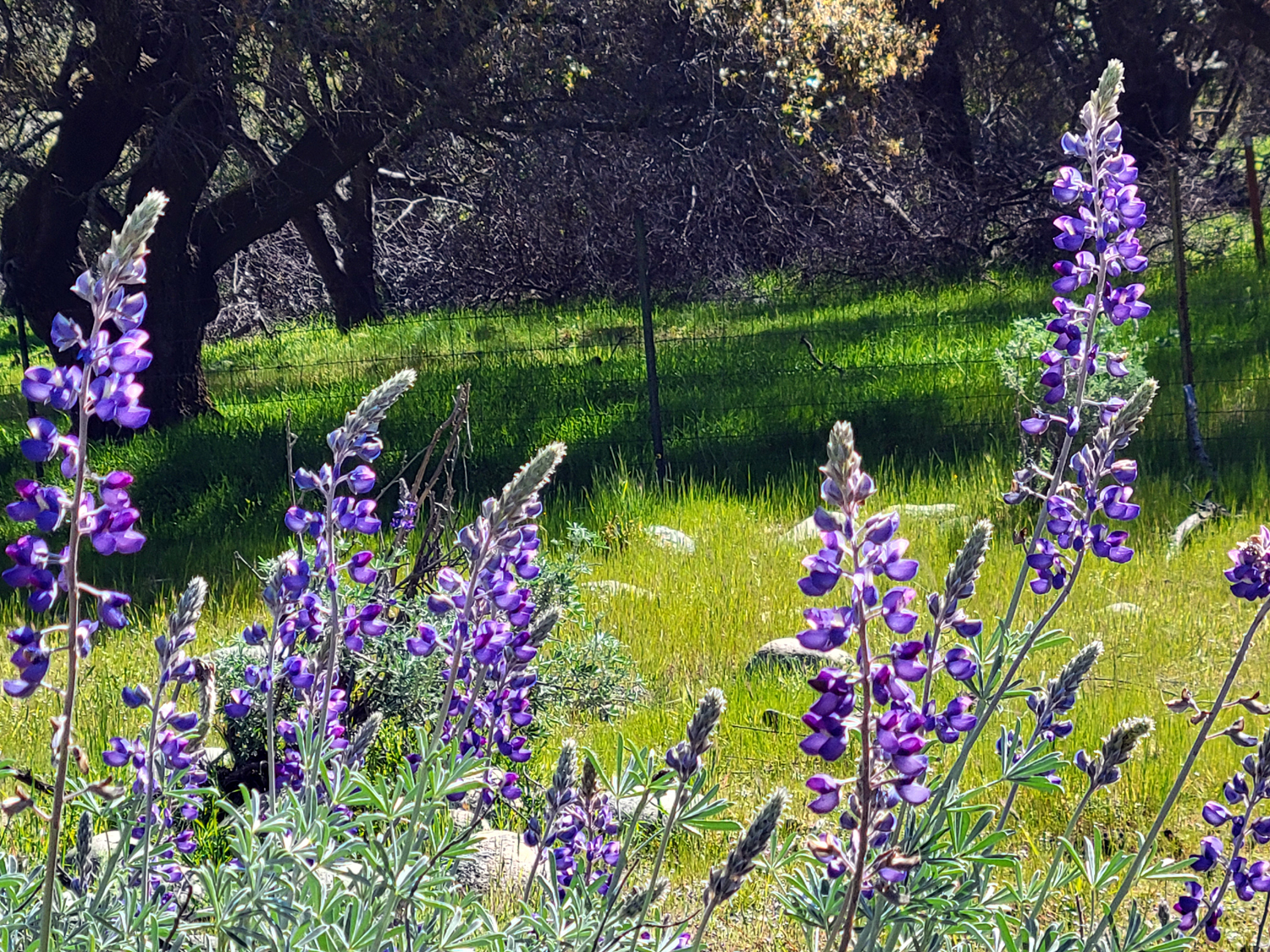
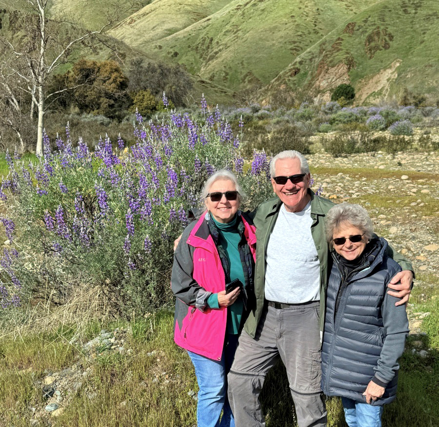
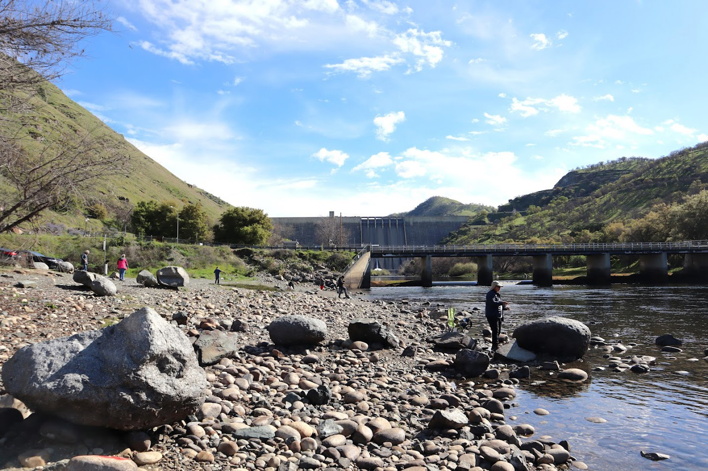
Walk (Photos by Wes, Dave and Dick) A record group of 13 braved the 2% chance of rain on March 6 to hike the Raptor Walk Trail near Pine Flat Dam. This is the time of year when we try to do two hikes per month, in hopes of seeing ALL the foothill wildflowers. We enjoyed a lot of blue sky with big puffy clouds, and a comfortable temperature for hiking. It was cool when we started, but most of those who wore a jacket soon had it tied around their waist. Ultimately, the predicted 50%+ chance of rain in the evening never materialized in Clovis (my daughter a few miles west in Fresno had a hard downpour late in the day). |
|
 |
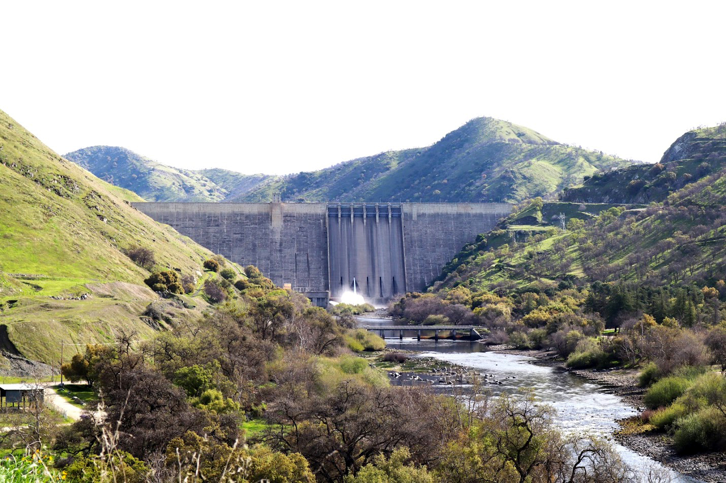 |
| Just the right amount and type of clouds | Pine Flat Dam and the Kings River |
|
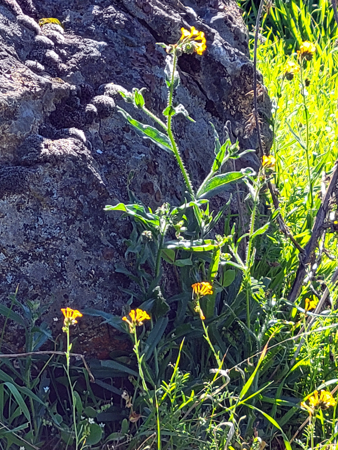
There were only a few flowers except for bush lupines, which grew in small "forests" at many places along the trail. We saw a few fiddlenecks, filaree, vetch, a small clump of poppies, and the usual "unidentified." It whetted our appetite for our next hike in two weeks, which should have us walking among thousands of blooms. Only Sue had walked this trail previously, but the area was familiar to several of us. Where Trimmer Springs Road curves to the left away from the river to go around the lake, Pine Flat Road goes directly east to the dam. Downstream from the dam we drove across the bridge over the Kings River and parked opposite a former campground, now closed but preserved as a bird sanctuary. Several of us had camped there in the past. The approach to the trailhead is through the old campground, walking on pavement. The trail itself goes downstream parallel to the river for a mile or so, and in some spots is very rocky. Most of us had hiking poles, and made good use of them in this challenging stretch. |
|
 |
 |
| Bush lupines are getting a good start | Hard to tell the trail from the rocky surroundings |
|
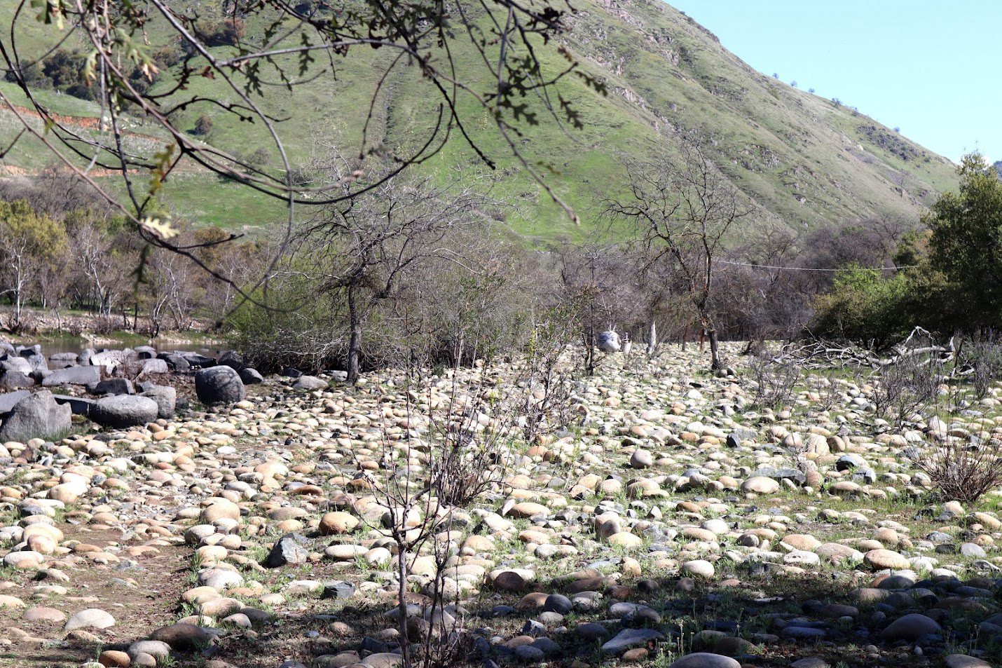
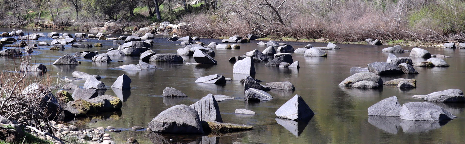
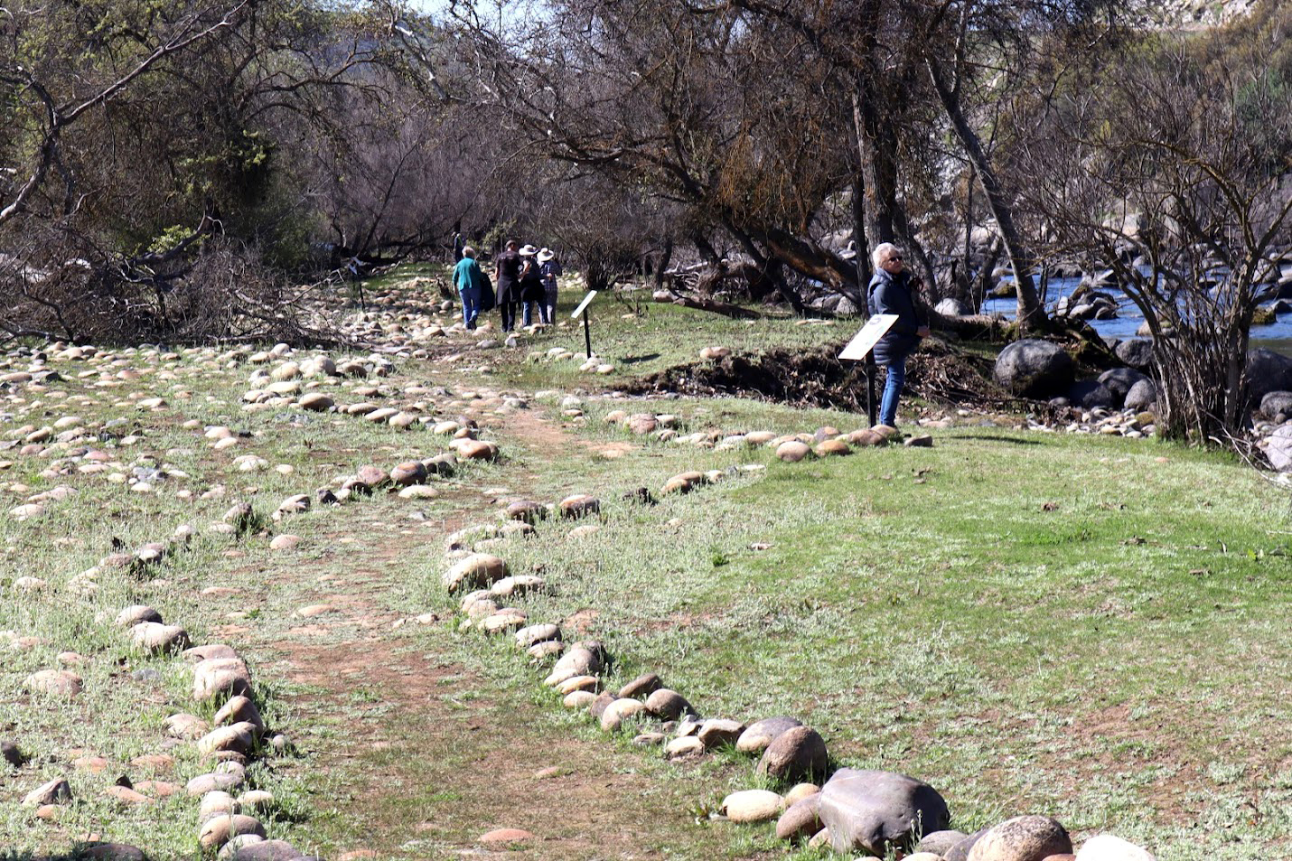
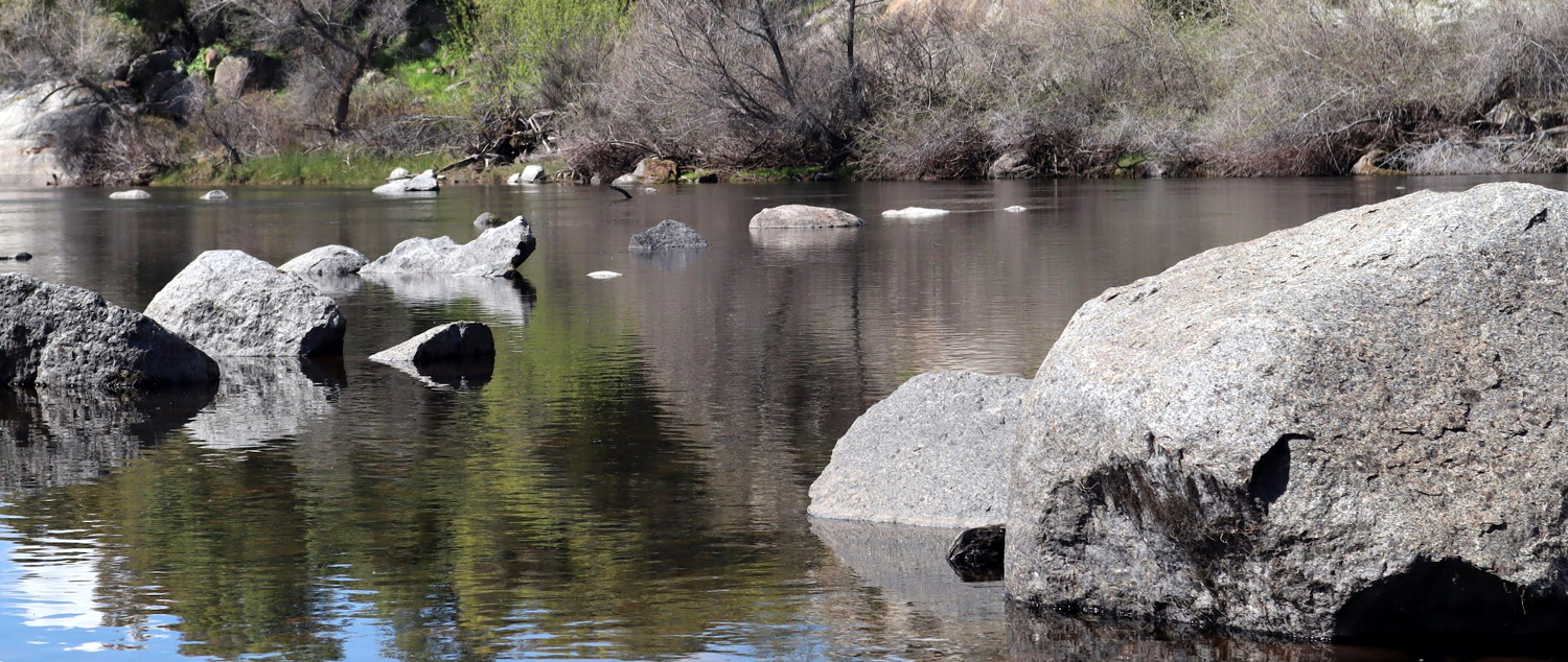
Along the trail are signs giving information about the various birds we might encounter, including bald and golden eagles, falcons, and a variety of hawks. The birds did not seem to have noticed these signs, and were mostly absent. A few of our group saw two eagles up very high, and one person mentioned seeing (or maybe just hearing) a hawk. Even without wildlife, the walk was a delight. The water was very low, with the current runoff being held in the lake, and there were hundreds of boulders in the river bottom, many of them showing signs of having been drilled with a jackhammer. Possibly some of this is a result of the dam construction in the 1940s and 1950s. |
|
 |
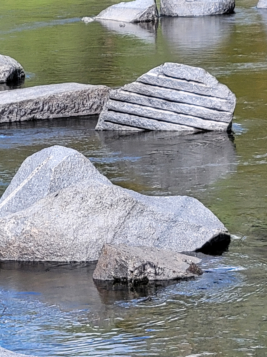 |
| Low water and plenty of rocks in the river | Rock above center has been drilled with a jackhammer |
|
We enjoyed the rocks, the river, the trees, the flowers, the clouds, the surrounding hills, and of course the company. We walked a little under two miles in total, usually drifting into groups of three or four before meeting back at the parking area for a group photo. |
|
 |
 |
| Sue and Allen | Susan, Wes and Laurie, with a nice bush lupine |
 |
 |
| Dick and Jackie find a good resting spot | Dave and Susan |
 |
 |
| Susan and Don | BACK: Don
Bandoni, Susan and Brice Vasquez, Allen Ward, Wes Thiessen FRONT: Dick Estel, Laurie Fitzgerald, Susan Silveira, Jackie Taggart, Sue Wirt, Ardyss Webster, Keith Sohm, Dave Smith |
|
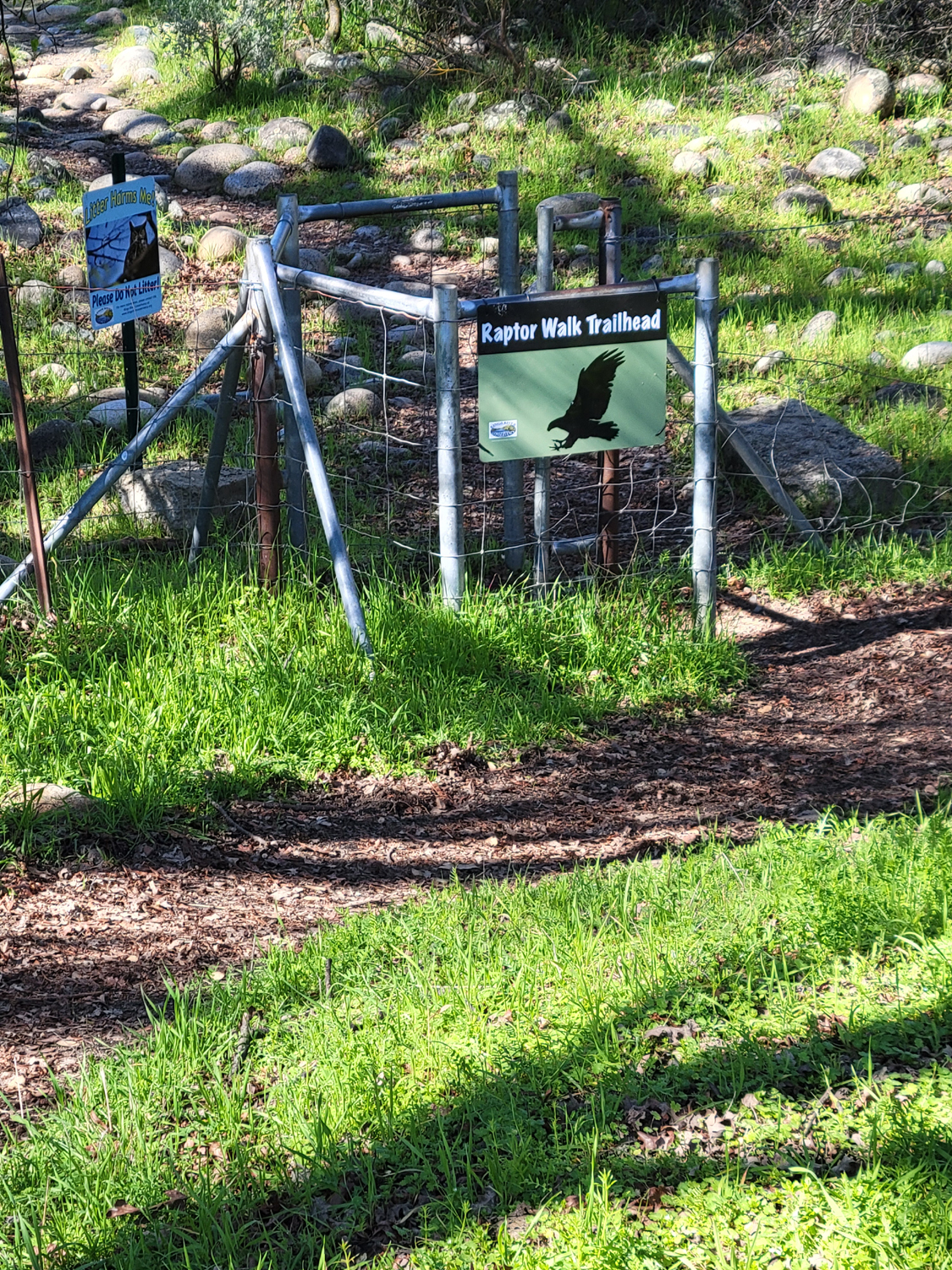
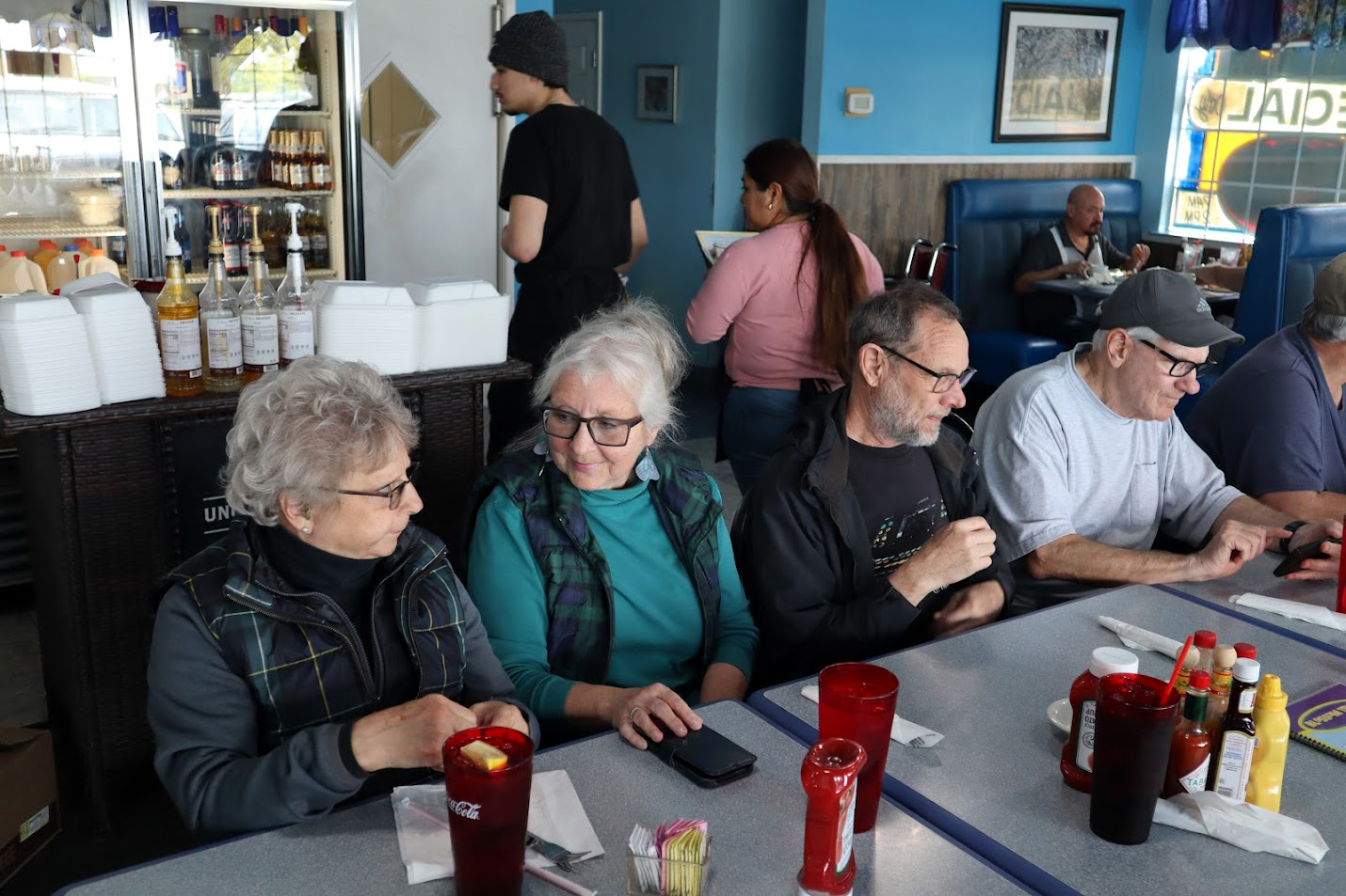
We retraced our route back as far as Belmont and Academy Avenues, where we enjoyed an excellent lunch at the Blossom Trail Cafe. This is a popular and busy place, out in the country but officially in the city of Sanger. There were a lot of cars in the lot and a lot of people inside, but we were seated within five minutes, and had quick and friendly service throughout our visit. Wes will wrap up the commentary on this excellent outing: Some believe the number 13 is unlucky. In spite of the risk, 13 Ramblers came together for a hike along the Kings River at the base of Pine Flat Dam. The Kings River Conservancy has developed the "Raptor Walk" stretching a mile and a half along the shore in an area frequented by hawks, eagles and owls. To get to the trailhead, we first walked through the Army Corp of Engineers wildlife area. It turned out to be a very lucky day for us all. With mild temperatures and a slight cloud cover, we "sauntered" along the trail at a moderate pace with frequent rest stops and lots of friendly conversations. The trail was flat with no difficult climbs. And the foothills were Irish green with bush lupine in full bloom. Walk with us a few minutes and see our wonderful world here in the Central Valley. --Wes Thiessen and Dick Estel, March 2024 |
|
|
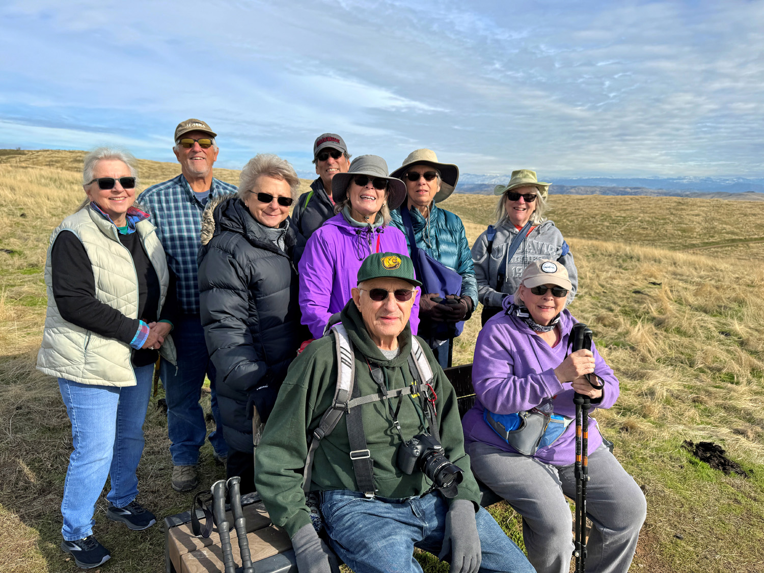
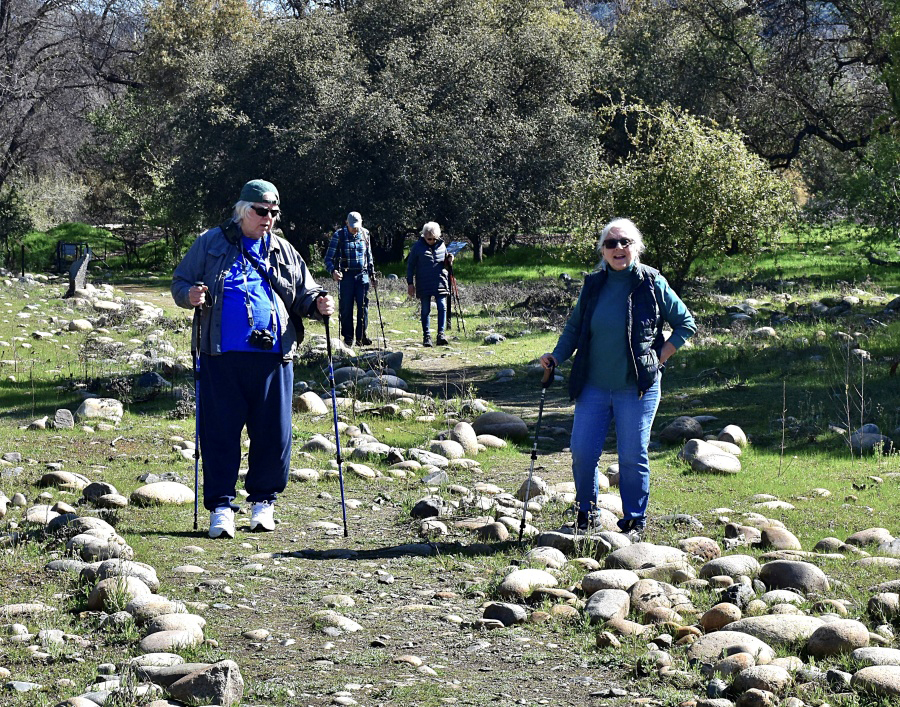
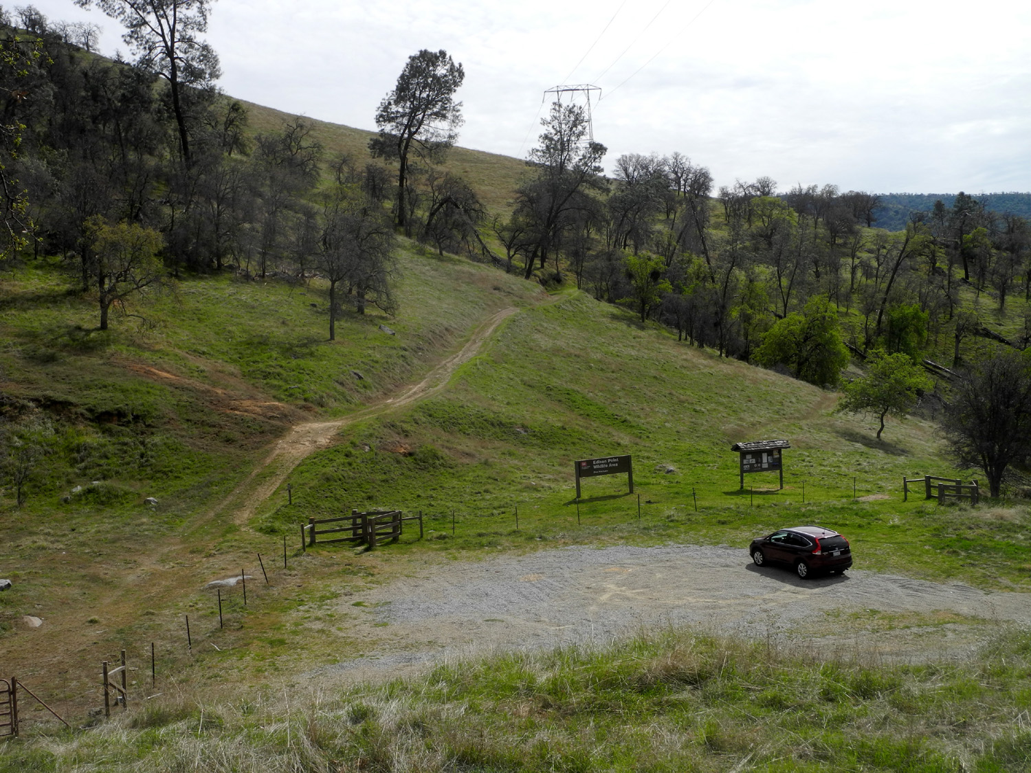
Edison Point (Photos by Wes, Dave and Dick) Here's another hike that is very familiar to the Ramblers, and me (Dick) in particular. If you check out my Travel Index Page and do a search for Edison Point, you will find reports on fifteen previous hikes there, with the Ramblers, with friends and relatives, and a few solo outings. On March 20 ten Ramblers met at the Edison Point Trailhead by Pine Flat Lake. Only nine of us hiked; Dave was not up to strenuous effort, but had arrived early, taking a nice gallery of photos along the way and around the parking area. |
|
|
|
| Fiddlenecks, popcorn flowers, and the lake | Entrance gate to the lower end of the trail |
|
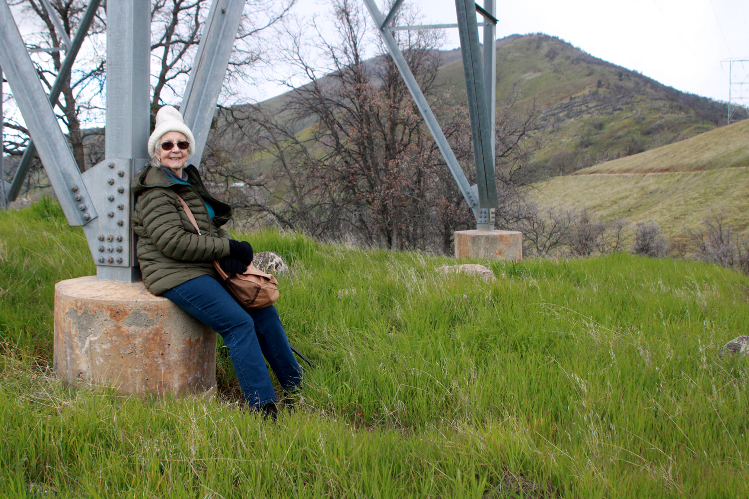
The trail is a loop, with access at the trailhead to what I call the upper and lower ends. The lower end goes down toward the lake via some switchbacks, while the upper trail goes up very steeply for about 50 feet. It is then moderately steep for a while, and finally settles into gentle up and down for a half mile out to a point of land with the lake on three sides. This is the actual Edison Point, and there is a transmission tower here with flat cylindrical cement "feet" that are perfect for resting From here we usually re-trace our steps back to the parking lot. Those who hike the full loop will find that the trail goes down very steeply from the point to a bench near the lake, and then parallel to the shore, with some long, long switchbacks. Teri and I had done the full loop, and don't have to do it again, but the rest of the group started down toward the bench and the high water line. Teri and I were concerned about Jackie attempting this section, and were very happy to see her returning after a few minutes, followed by Ardyss. The upper part of the trail was refurbished since Teri and I hiked it, but after a short time it became very steep and narrow, and the two ladies were wise to turn back. |
|
|
|
| This old road is behind a locked gate about 100 feet past the parking lot | Wes, Laurie and Susan S on the bench just above high water line |
|
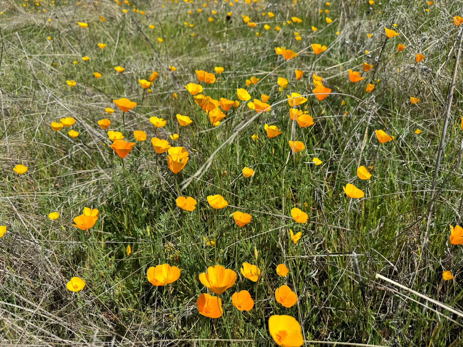
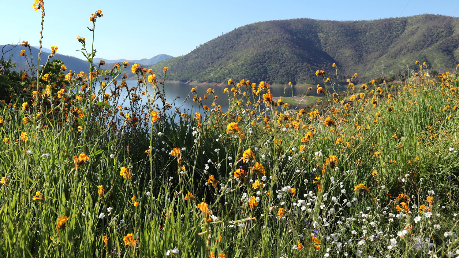
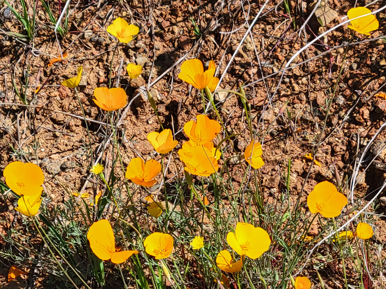
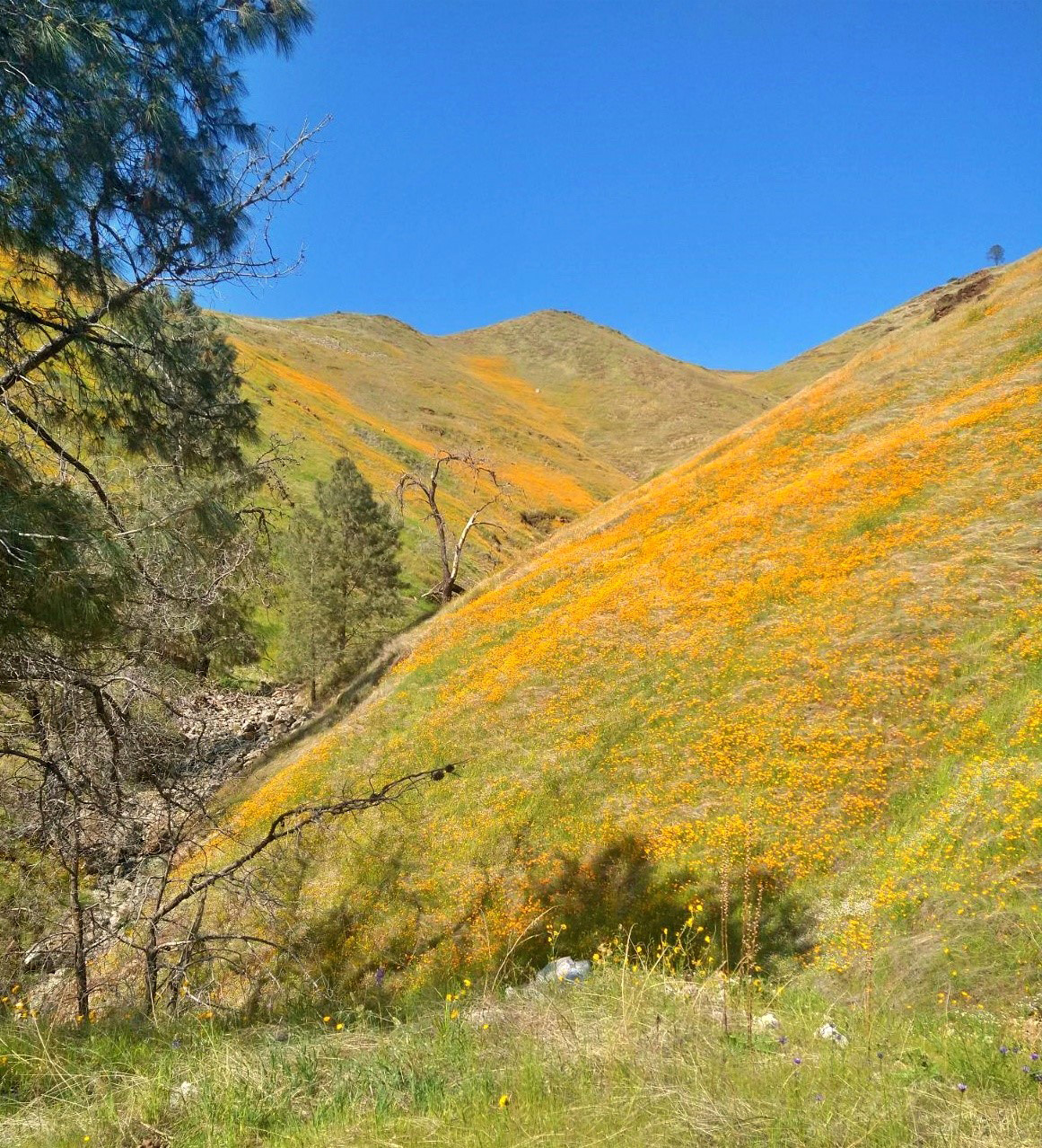
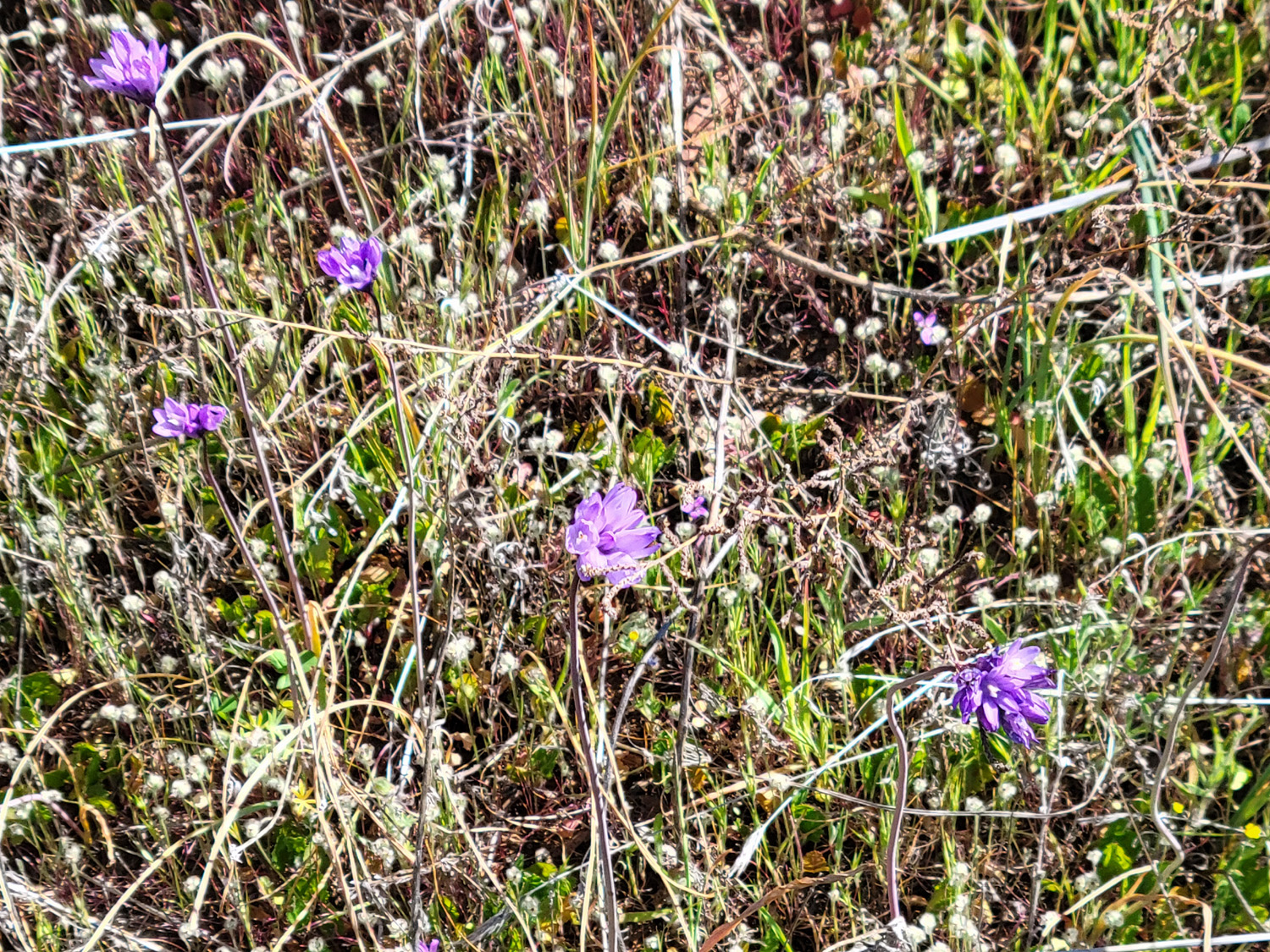
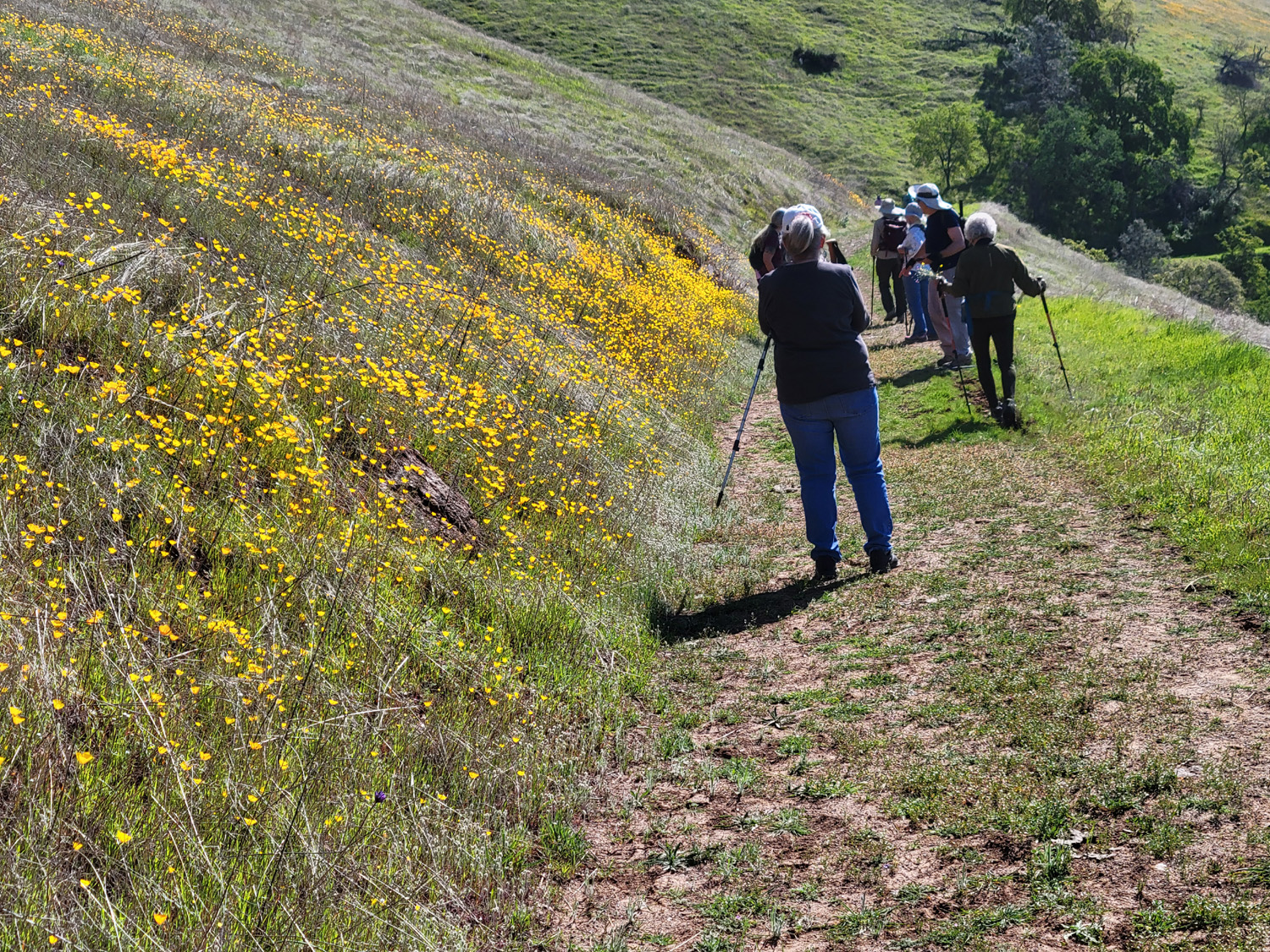
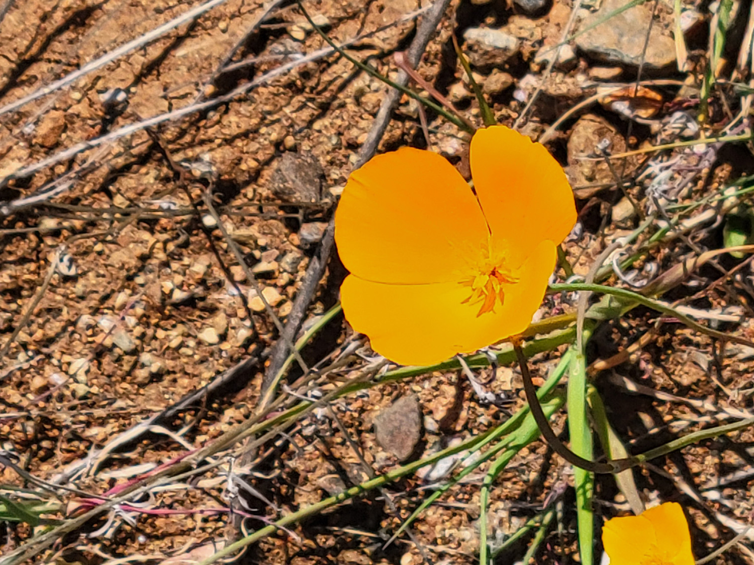
The four of us rested at the point for a while, then started our hike back to the trailhead. Our primary goal of seeing spring wildflowers was fulfilled on both sides of the trail and along the road coming up from the city. The most common foothill wildflowers, fiddlenecks, were thick along Trimmer Springs Road, along with popcorn flowers and bush lupines. On the trail we saw those two flowers, plus purple brodiaea (just getting started), harvest brodiaea, blue dicks, bird's eye gillia, phecelia, filaree, and massive numbers of poppies. |
|
|
|
| Fiddlenecks with the lake in the background | We're always happy to find poppies |
|
|
| Poppies cover this hillside | Blue dicks and other stuff |
|
As Jackie, Teri, Ardyss and I came within sight of the parking lot, we saw Dave putting a note on Wes's windshield. He saw us approaching, and told us his back was starting to bother him and he was leaving early. Since he had arrived an hour before the rest of us, and provided some nice photos of the scenery along the road, we understood and wished him well. |
|
|
|
| View of the Kings River along Trimmer Springs Road | The lower end of the trail is well marked - for a while |
|
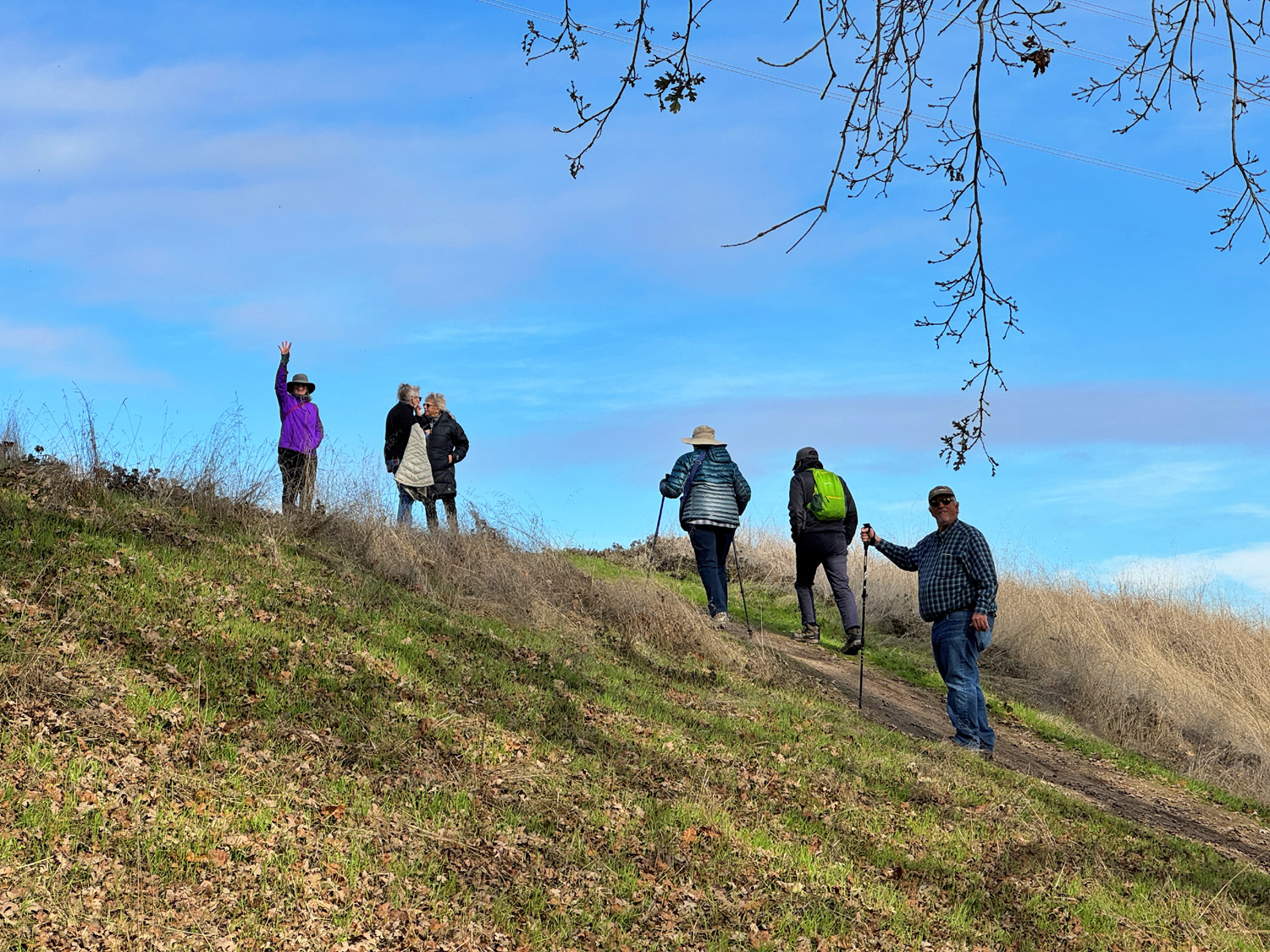
Now it was time to rest and await the return of the Fabulous Five who braved the entire challenging loop. Wes had this to say: "For some of us this was an 'out and back' hike to a hilltop affording a panoramic vista of the waters below. Others took a longer path back descending to the shoreline and then climbing back up to the parking area. We had to make our way past three fallen trees, but in the end we all made it back a little exhausted but happy for the adventure." First to return were Bruce and Susan, who are always willing and able to go above and beyond what most of us can do. About ten minutes later Wes arrived with Susan S and Laurie, who said they enjoyed the hike, but found it a bit more than they bargained for. Even though both ends of the trail have been refurbished to some extent, the middle remains a bit daunting. There were some places where the trail disappeared and it was necessary to struggle up the steep hillside to the next section. No matter how much we had hiked, we were all ready for lunch, so we drove a few miles to the Trimmer Campground. We ignored the "No Day Use" signs and occupied a picnic table, only to be visited by a very friendly ranger who pointed out the error of our ways. After a brief discussion, she told us we could stay but had to be out by 2 p.m., campground check-in time. We had 40 minutes, and without having to gobble our food, made it with a minute or two to spare. |
|
|
|
| A bit of the lower trail where it approaches the parking lot |
Wes, Ardyss, Bruce, Susan V, Susan S, Jackie, Laurie, Dick, and Teri at the Trimmer Campground |
|
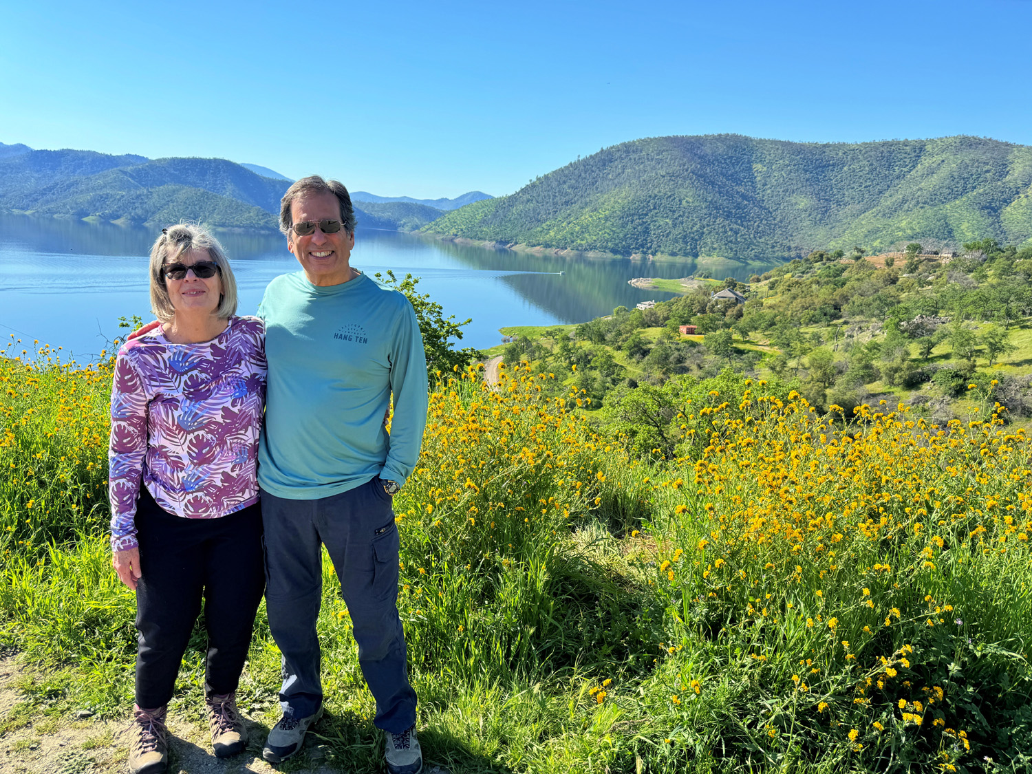
We had found everything we hoped for - the blue water beauty of the lake, a good variety of wildflowers (including plenty of poppies), great companionship, and good exercise in the fresh foothill air. We are looking forward to two more foothill hikes in April. --Dick Estel, March 2024 |
|
| Photos
(Click to enlarge; pictures open in new window) (Photos by Wes & Dick) |
||
| Tesoro Viejo Blue Oak Trail Raptor Walk Edison Point | ||
| Tesoro Viejo | ||
 |
 |
|
| Wes and Carolyn pose by the sign | So do Laurie, Susan S, Susan V, Bruce and Don B | Making the steep climb back up from the river |
 |
|
 |
| Some local residents | The view from the
trail (Friant Dam in extreme right center) |
It's OK folks, they're married |
| Blue Oak Trail | ||
|
|
 |
| A great place to enjoy the view | Solitary boatman | Astute detective work tells us Don took this photo |
| Raptor
Walk (Photos by Wes, Dave and Dick) |
||
 |
 |
 |
| Looking down on the Kings River from the road | Pine Flat Bridge across the Kings | The start of the trail |
 |
 |
|
| A quiet stretch of the river | Abandoned
water tank, possibly from campground days |
The trail is well marked most of the way |
 |
 |
|
| Having
missed a few hikes recently, Jackie is happy to be back on the trail |
Laurie and Ardyss | It's
necessary to watch your step in these rocky places |
 |
 |
 |
| The Blossom Trail Cafe | Ramblers waiting for lunch | The food has been served! |
| Edison Point | ||
 |
 |
 |
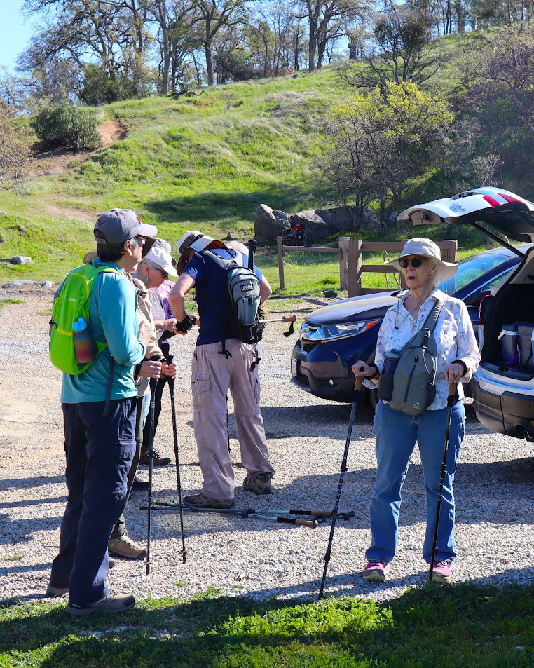
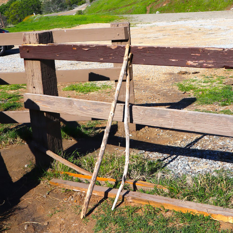
| Ramblers gearing up for the hike | Temporary
hiking poles, abandoned at the end of someone's outing |
Ramblers on the trail |
 |
 |
 |
| Everyone swore the blue dicks were really purple | A single poppy up close | Artistic fiddleneck arrangement |
 |
 |
 |
| Susan & Bruce Vasquez at Kirkman's Point | Wes and the poppies | Jackie finds a resting place |
|
 |
|
| Susan and Laurie at Kirkman's | The Kings River by Trimmer Springs Road | Another nice poppy patch |
| Related Links | ||
| Tesoro Viejo | Tesoro Viejo Video | AXIS Coffee Bar & Eatery |
| San Joaquin River | Kissing Gate Explained | Another Video |
| Blue Oak Trail Video | Blue Oak Grille | Millerton State Recreation Area |
| Blue Oak Trail | Raptor Walk | Raptor Walk Video |
| Kings River | Blossom Trail Cafe | Dave's Photos on Line |
| Blossom Trail | More About the Trail | Pine Flat Dam |
| Dave's Edison Point Photos | Edison Point Trail | Another Edison Point Trail Link |
| Trimmer Campground | Wes's Edison Point Video | |