


Dick's Adventures of 2018 - Part 5 |
|
|
Adventures of 2016 Adventures of 2017 2018 Part 1 2018 Part 2 2018 Part 3 2018 Part 4 2018 Part 6 |
|
|
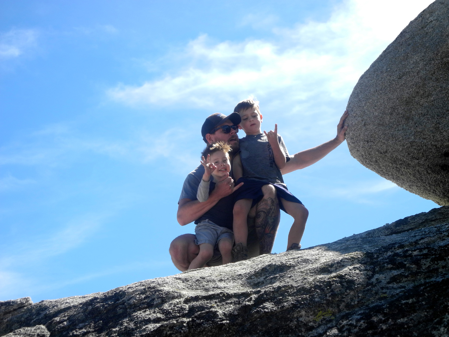
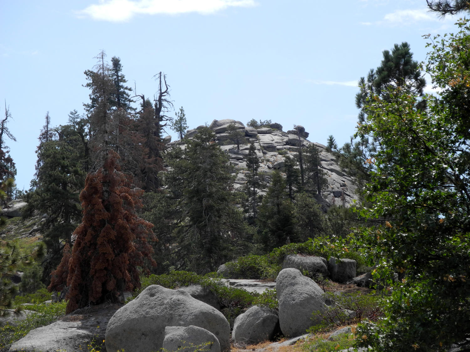
The Notorious Upshaw Brothers at New Stargazer Rock Buena Vista Peak |
|
|
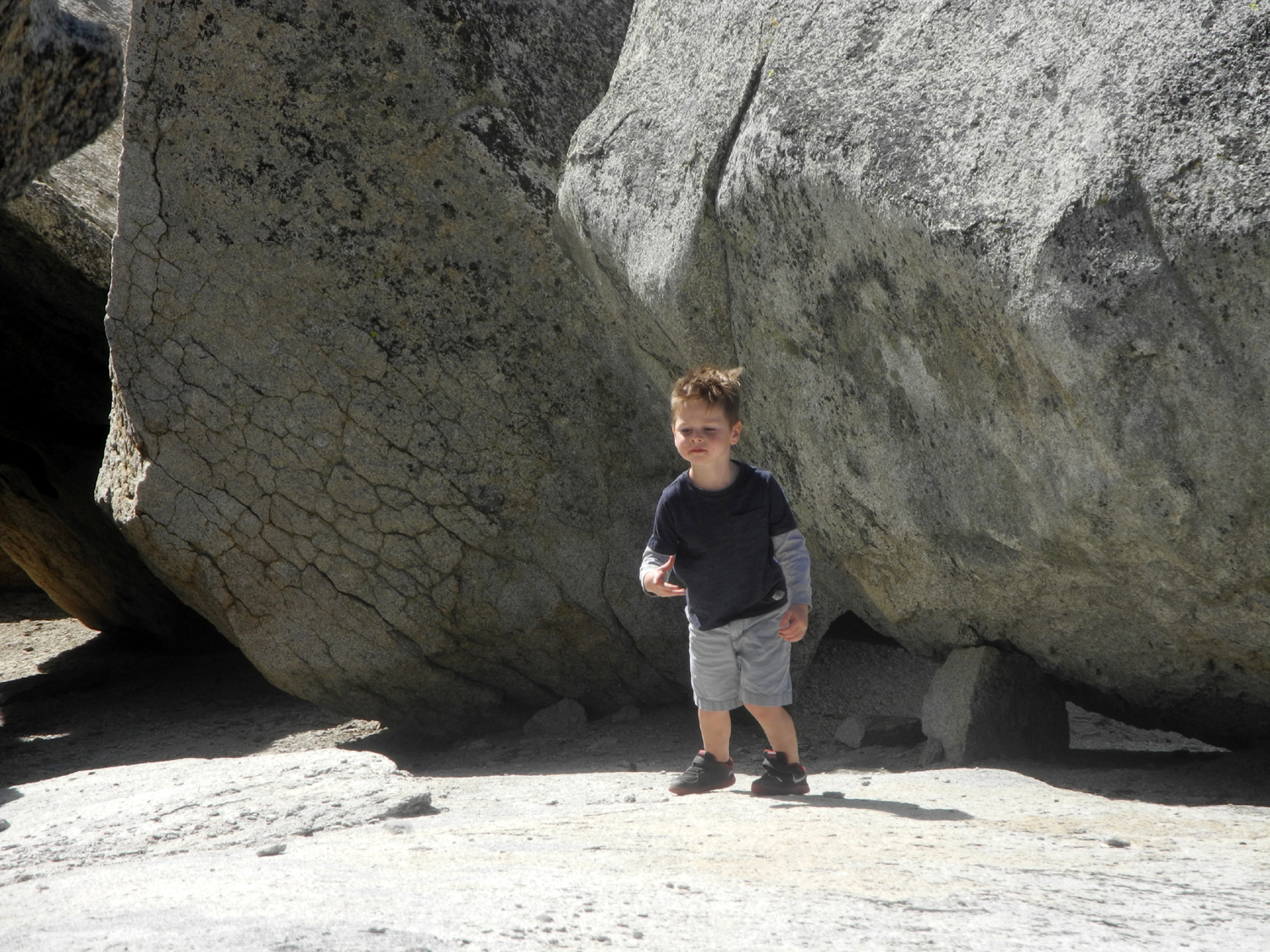
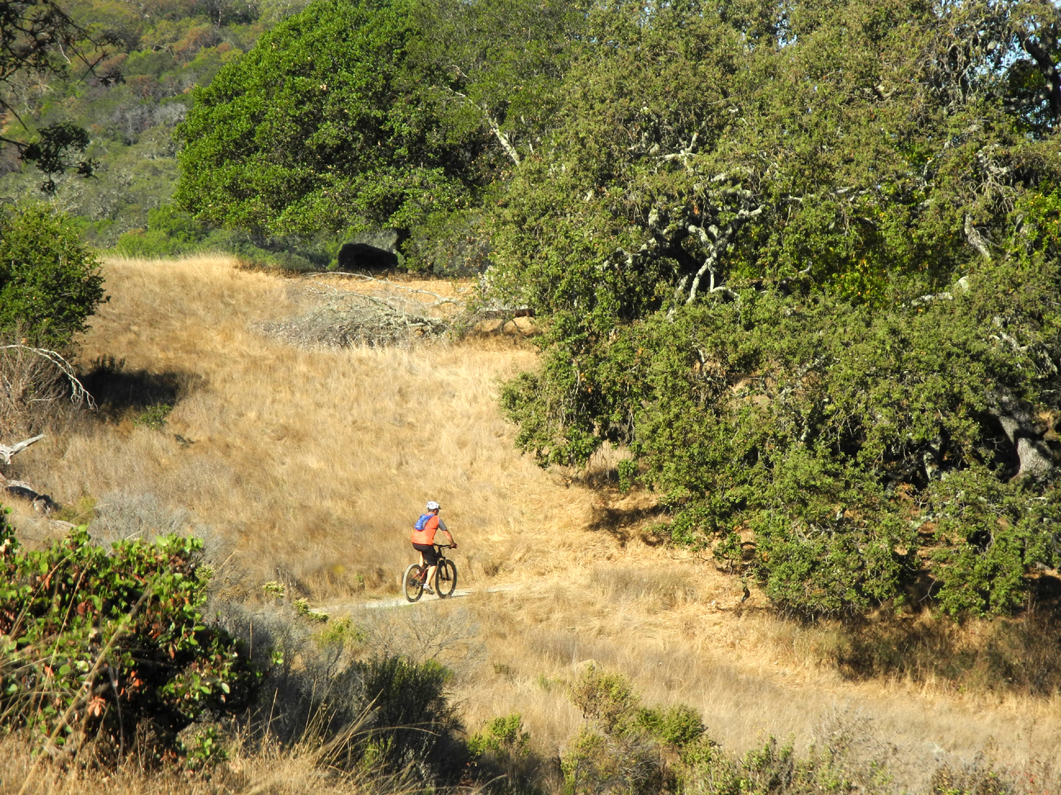
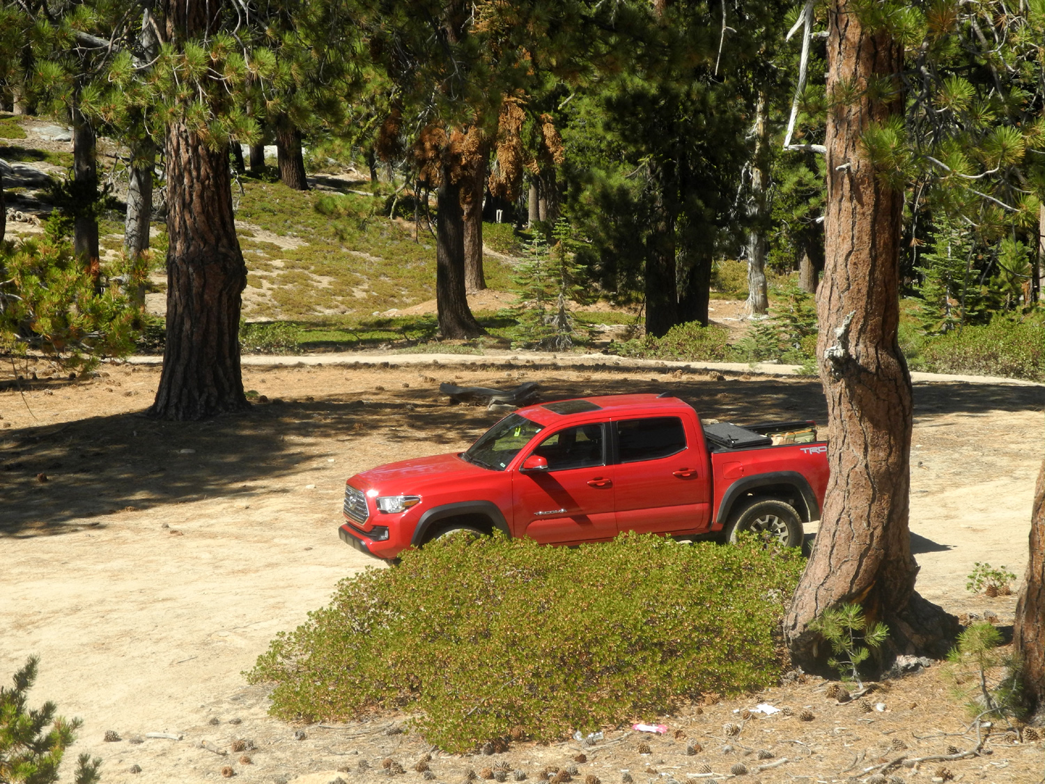
Day Trip to New Stargazer Rock I camped by myself at New Stargazer Rock last year and last month, and immediately wanted to share this delightful place with family members. I knew that Colton and Jack would have a great time running up and down the big rock just east of the camp, and I had an even more ambitious plan for them. More about that later. We found a date that worked for the Upshaw family, so I got up early on September 23 and arrived at their house at 8 a.m. Johnny, Colton, Jack and I set out in their Toyota Tacoma, driving up Highway168 past Shaver Lake, then following dirt roads for five miles to the campsite I first discovered in August of 2017. (Brittany, a school teacher, would enjoy a rare day without being around kids for eight hours or more.) Another gentleman was parked by the campfire ring, so we found a spot at the edge of the area and started our first explorations. He was not camping, just enjoying the area, and soon went on down the road. Meanwhile the boys (all four of us) made several trips up on the rock, and Johnny, Colton and Jack went down into the cave-like crevasses on the far side. |
|
 |
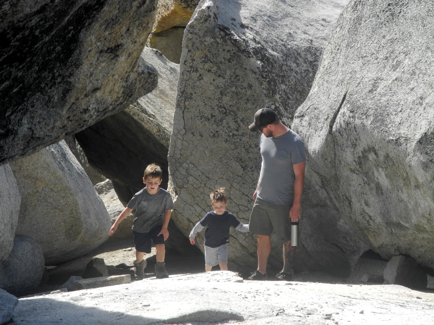 |
| Jack explores the rock | Colton, Jack and Johnny |
|
We had a snack to give us energy and got ready for our "big hike" of the day. We have a family rule that says you can put your name on a dome, hill or mountain if it has no official name, and more importantly, if you go to the top. Just north of the camp there are two small domes and I have gone to the top of them during both my trips there. The total walk was just over half a mile, so I let Colton and Jack know that they would have their own domes if they would hike to the top. In this same area my younger grandson has climbed Mikie's Dome, and daughter Jennifer and her husband Rod have climbed Neely Dome. |
|
 |
 |
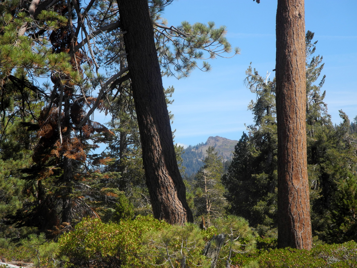
| Taking on fuel for the climb ahead | Our destination, as seen from the campsite |
|
|
|
|
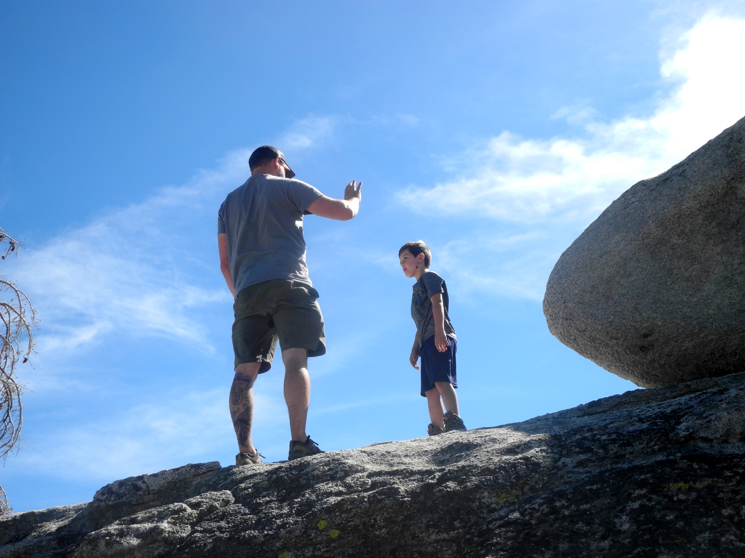
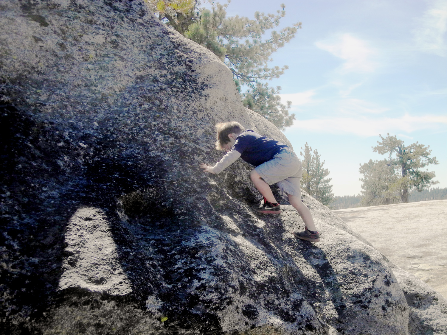
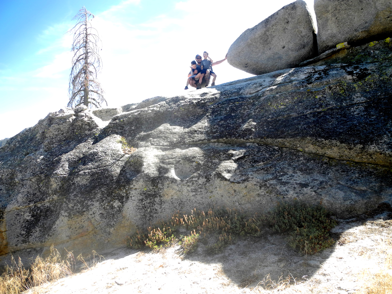
The route is a short downhill walk through a drainage, then up through a stretch of sandy soil, and finally a moderately steep hike up through rock slabs that have been created by the process of exfoliation. Although I encouraged everyone to take it slow and easy, Colton was soon running up to the top, 100 feet ahead of the rest of us. Jack, on the other hand, can always find something to do that is more interesting than hiking, and would stop, sit down, poke at the rock with a stick, and just generally travel at his own pace. When he looked up and realized that we weren't waiting for him, he quickly ran and caught up. There is a big rock formation on top of the dome, which I have never tried to climb. Naming rights do not require anyone to do anything that's not safe, but Colton decided that he could get up on top of the rock. With a little help from Dad, he was soon up on the first level, the highest that could be done safely. Jack wanted to do it too, and soon all three Upshaw men were on the rock, while Grandpa Dick wisely stayed below and took photos. |
|
|
|
| Colton earns his dome | Upshaw and sons on the rock on top of the dome |
|
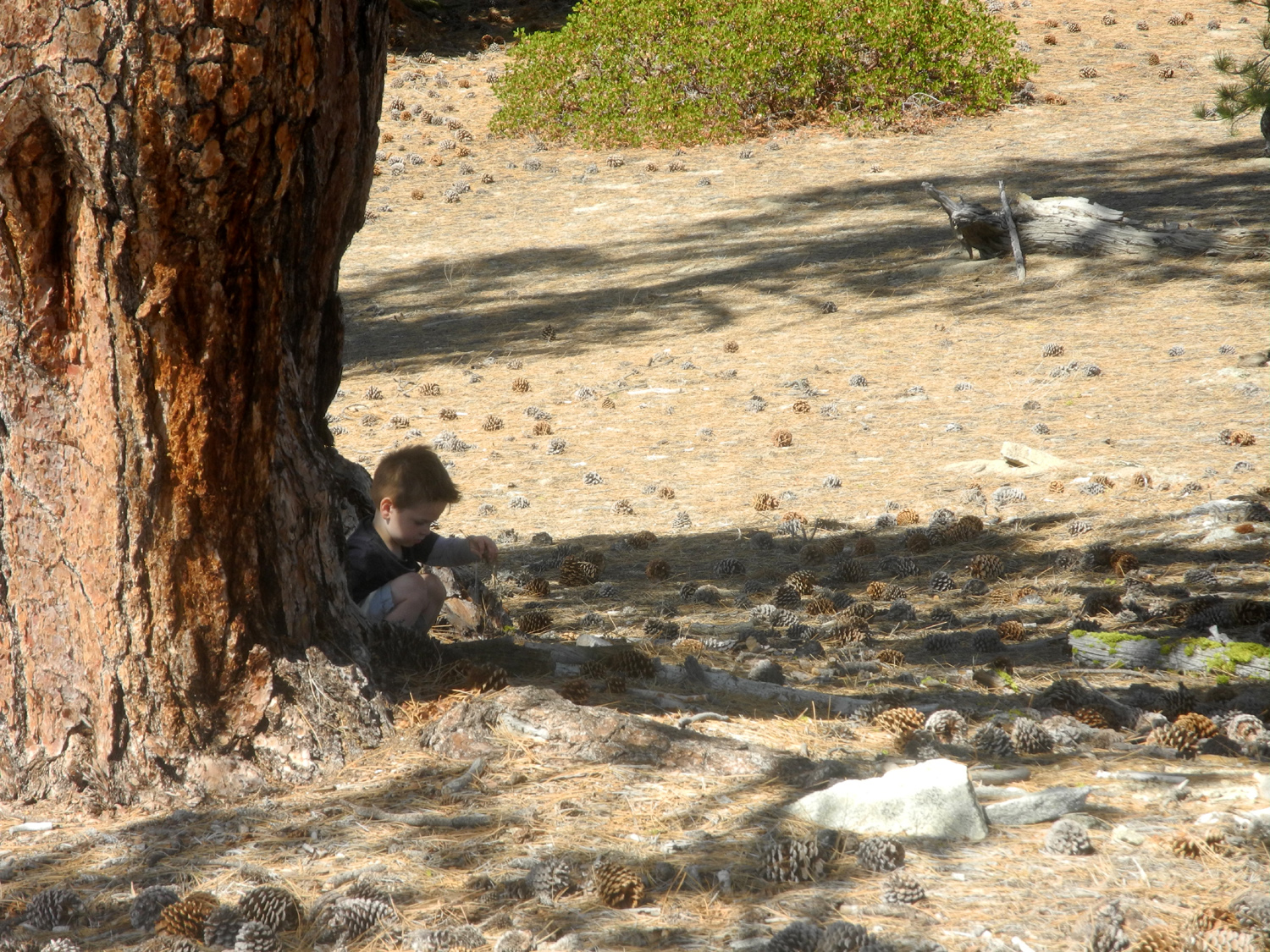
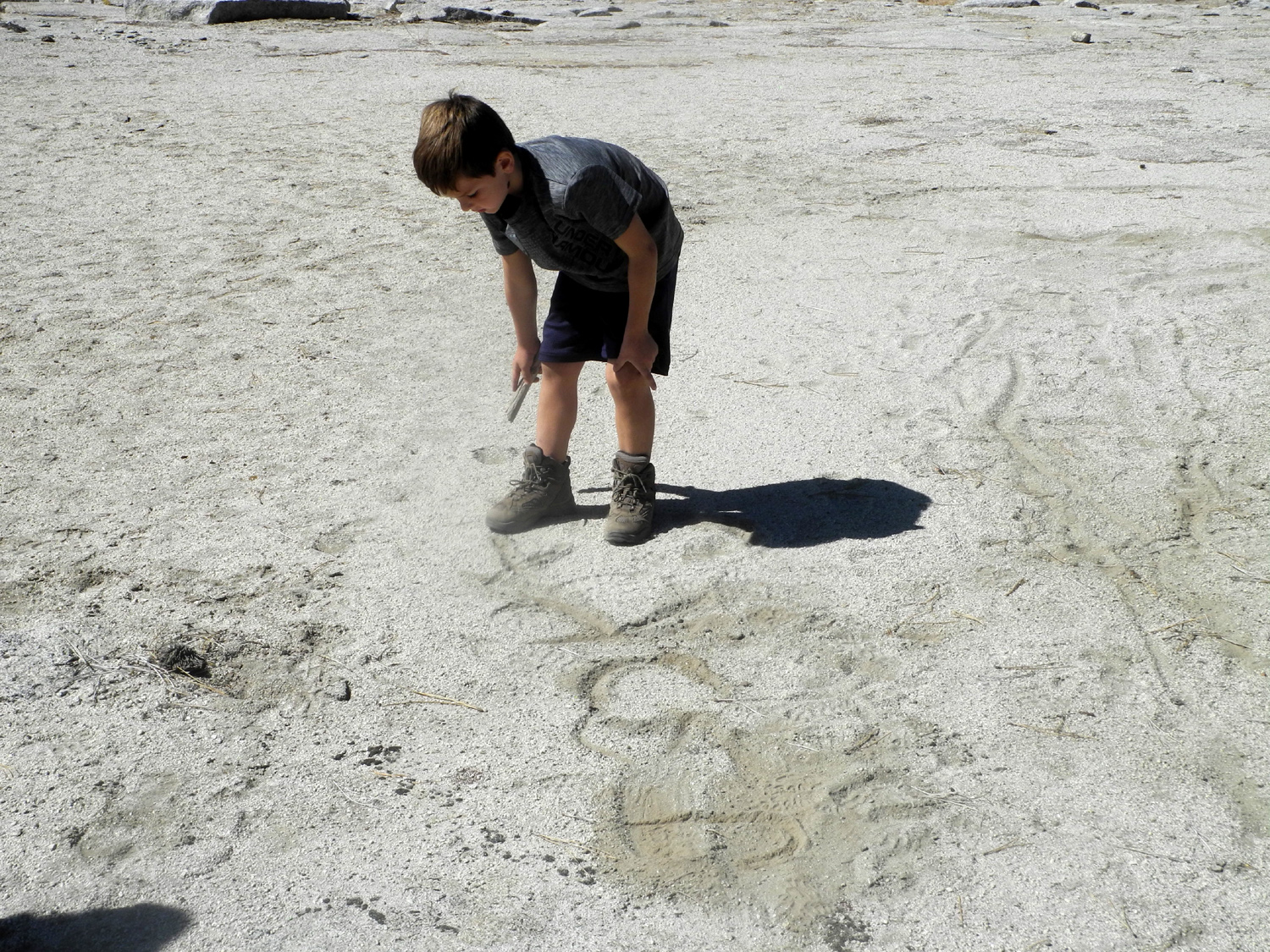
From the newly christened Colton's Dome, the trek to what would soon be Jack's Dome is a simple stroll, a short distance down across a saddle, and a gentle slope up to the big, flat top. Everyone made this stretch without any delays, until it was time for Jack to go the last 20 feet to the highest point and pose in triumph. Instead he found a bunch of pine cones under a Jeffrey pine, and sat under the tree, stacking cones on top of each other and ignoring all entreaties to complete the climb to his dome. Eventually he did finish the "climb," and he and Colton then spent several minutes writing their names and other messages in the dirt with sticks. Johnny and I enjoyed the view and just being out in a fantastic mountain setting. We took a few final photos, and made our way down across the lower shoulder of Colton's Dome and back to camp. |
|
 |
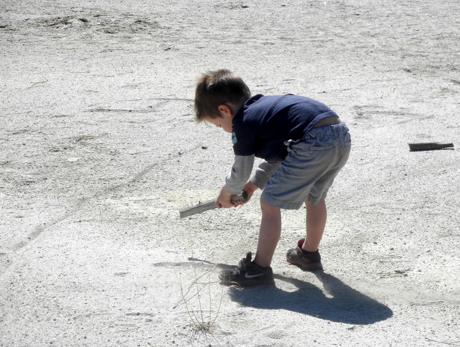 |
| Jack prefers the study of pine cones to posing on "his" dome | Finally making his mark |
 |
 |
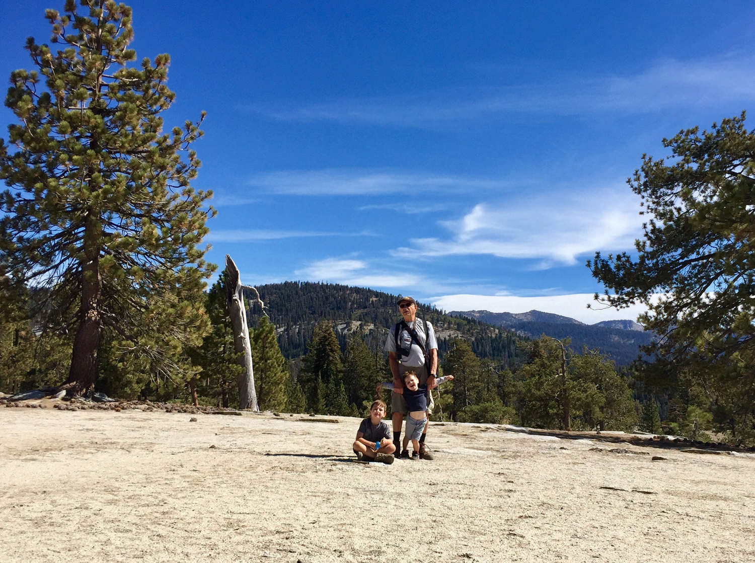
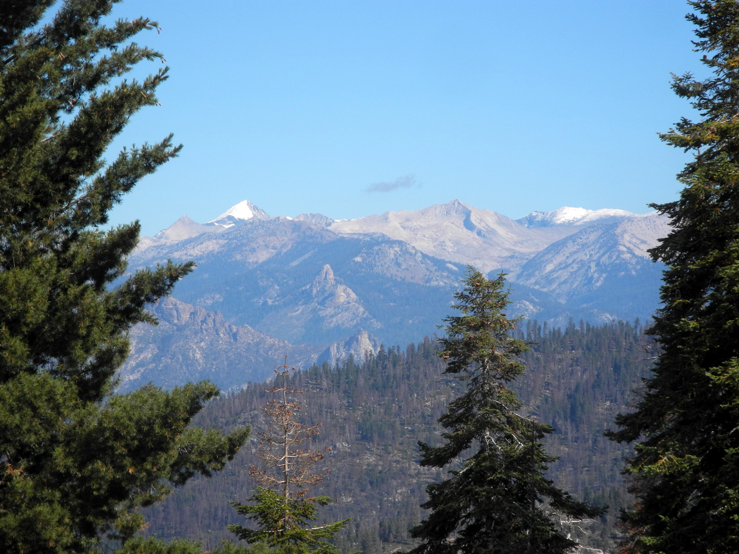
| Dick Estel and his great grandsons, Colton and Jack | High Sierra peak, viewed to the north of Jack's Dome |
|
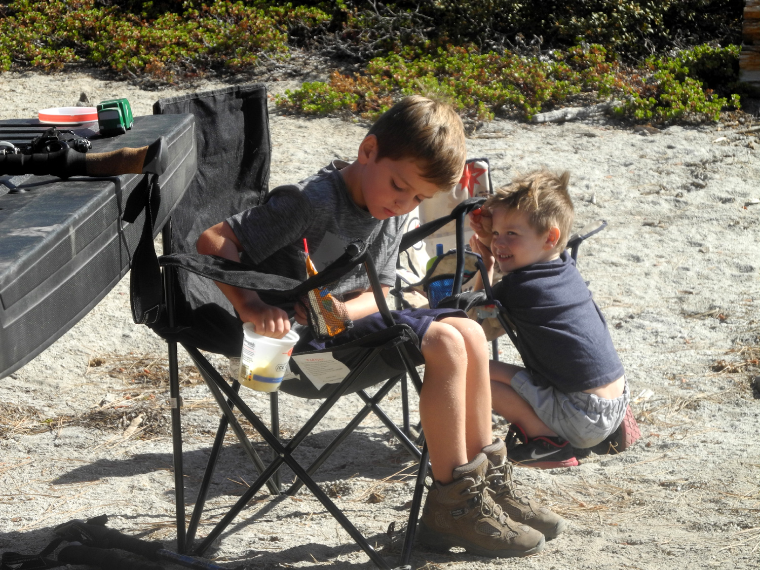
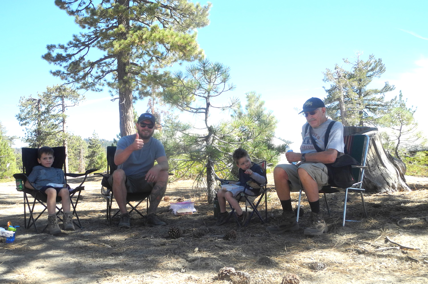
We moved our chairs into the shade and enjoyed our lunch. There were a few yellowjackets who wanted to join us. The little creatures were not nearly as bad as I've seen them in some areas, and for the most part just shooing them away works pretty well, but the boys were concerned enough that they sat in the truck to finish eating. |
|
 |
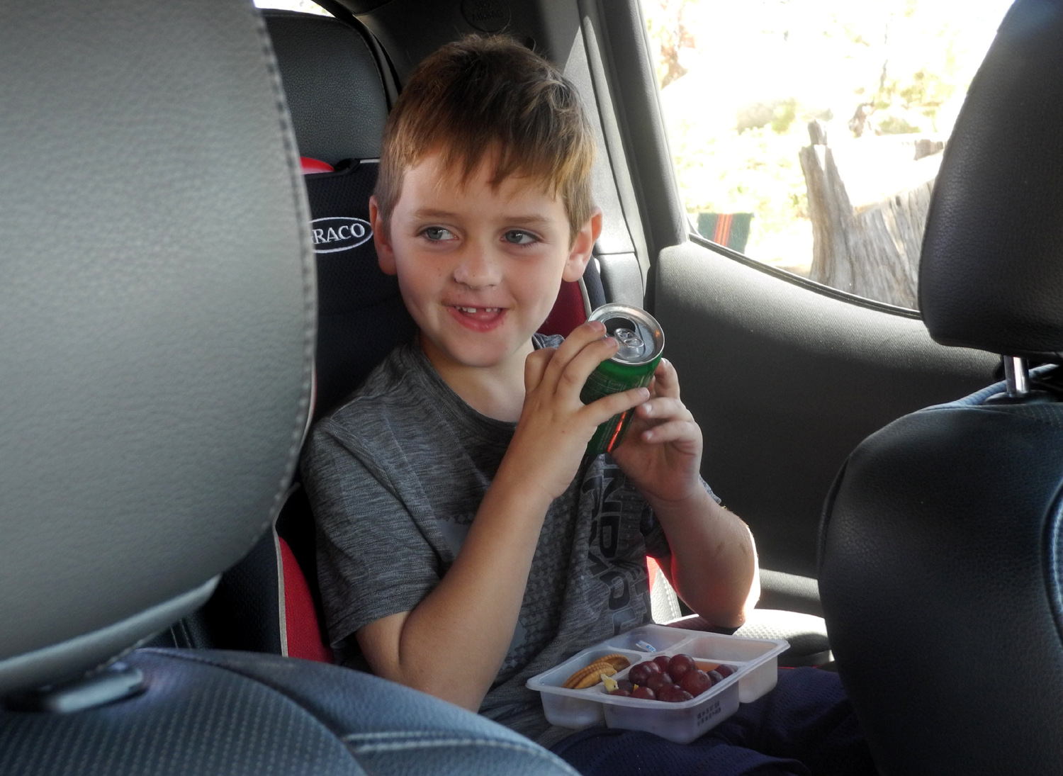 |
| Lunch in the high country | Dining in the truck, safe from yellowjackets |
|
It was cool and breezy, and when I first stepped out of the truck I thought maybe I should have worn jeans and a long-sleeve shirt. However, going up and down the rock a few times warmed us up nicely. It was very clear. We could see the outline of a distant range of peaks in the Kings Canyon back country. On my camping trips, this feature was only visible late in the day or early morning. Johnny's truck is 4-wheel drive, so we navigated the road without difficulty. However, we did experience some bouncing and bumps, which the boys find very exciting. There was more traffic in the two hours or so that we were there than both of my previous three-day campouts combined. Weekends make a big difference in this country. There are a number of songs on my computer that Colton and Jack love, including "The Chipmunk Song," "Purple People Eater," "They Gotta Quit Kicking My Dog Around," "Rugged Ralph the Rapid Rabbit Runner," and "Dead Skunk in the Middle of the Road." I had put these and others on a CD for them, and we listened to their favorites as we drove. In a case of life imitating art, we saw an actual dead skunk in the middle of Highway 168. We all enjoyed this outing, and of course, it's always special for me to spend time with my grandchildren and great grandchildren. The boys fell asleep before we got off the dirt road and had a two-hour nap on the drive home. Now that I've finally shared this location with family members, I'm hoping I can camp there with them. I'm not sure I want to drive on that road again - ideally someone else will drive.
--Dick Estel, September 2018 |
|
| Buena
Vista Peak
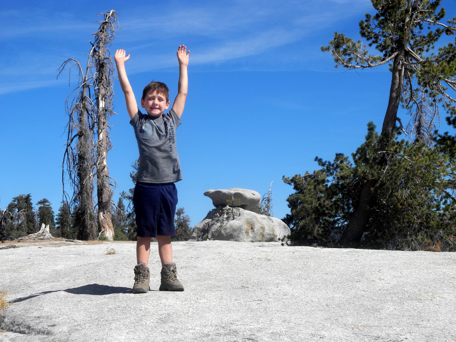
Buena Vista Peak is a rocky, dome-like mountain in Giant Sequoia National Monument, just outside the Grant Grove section of Kings Canyon National Park. The trailhead is about 60 miles from home, on the General's Highway right across from the Kings Canyon Overlook. From the top, it offers a 360 degree view that takes in the foothills to the west, Redwood Mountain, and high Sierra peaks in the back country of the national park. When my daughter Teri learned she did not have to work on Friday October 5, she called and suggested we go hiking, and we decided on this location. She had been there once with her mother, and it would be my fifth trip to the top. My first visit was in November of 2013, with snow on the trail, and was followed in the spring of 2014 by the first official hike with the Ramblers. A recent storm had washed the dust off the leaves, but snow was limited to the high country above 9,000 feet, well above the 7,500 top of Buena Vista. Across from the trailhead, the Kings Canyon Overlook provides a view of the Kings River Canyon and some some of the spectacular peaks beyond. |
|
 |
 |
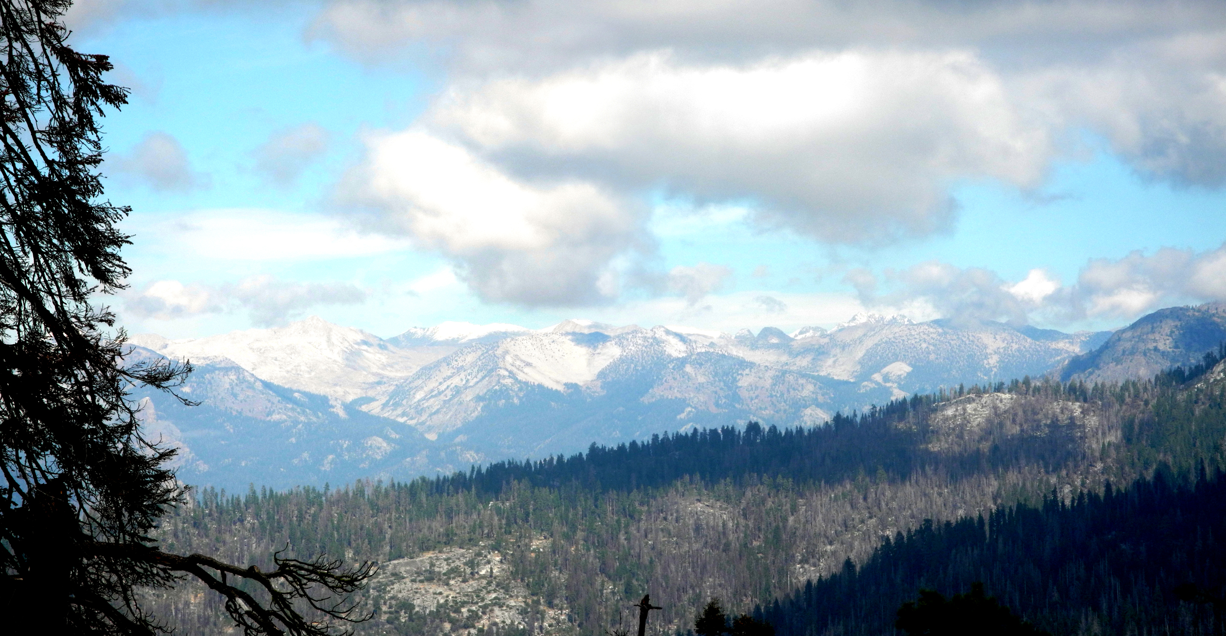
| High
Sierra peaks from Kings Canyon Overlook (with first snow of 2018-19) |
The top of Buena Vista Peak from the trail (2017 photo) |
|
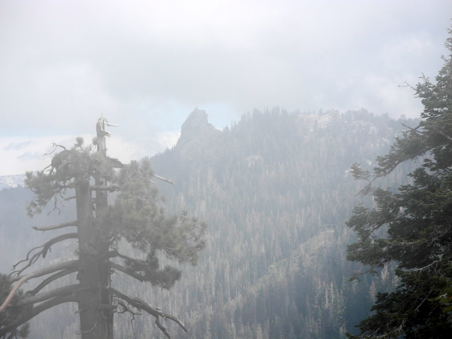
Clouds from the storm two days earlier still lingered over the mountains, but our view of Kings Canyon was mostly clear. As we hiked, clouds and mist drifted over the ridge across from us, and up from the canyon below Buena Vista, leaving the Buck Rock Fire Lookout nearly lost in the mist. On the way back down, it was much more visible, lit up by the afternoon sun |
|
 |
 |
| Buck Rock, almost lost in the mist | Buck Rock in the sun |
|
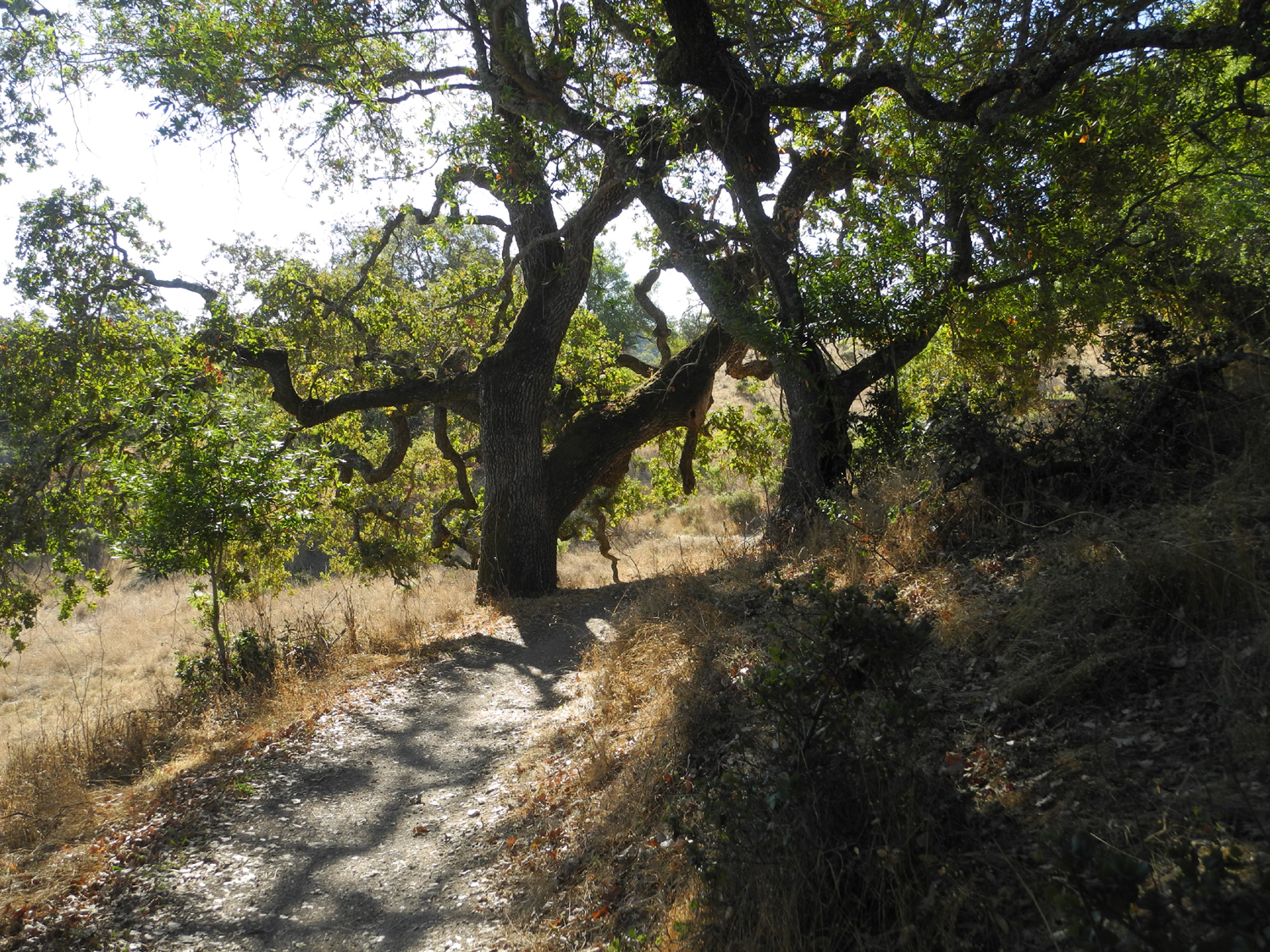
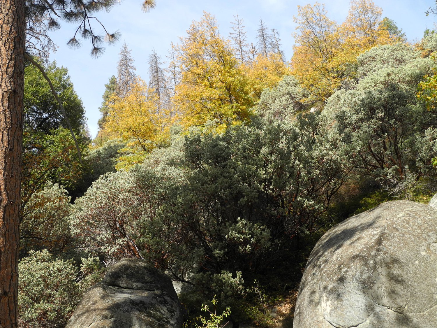
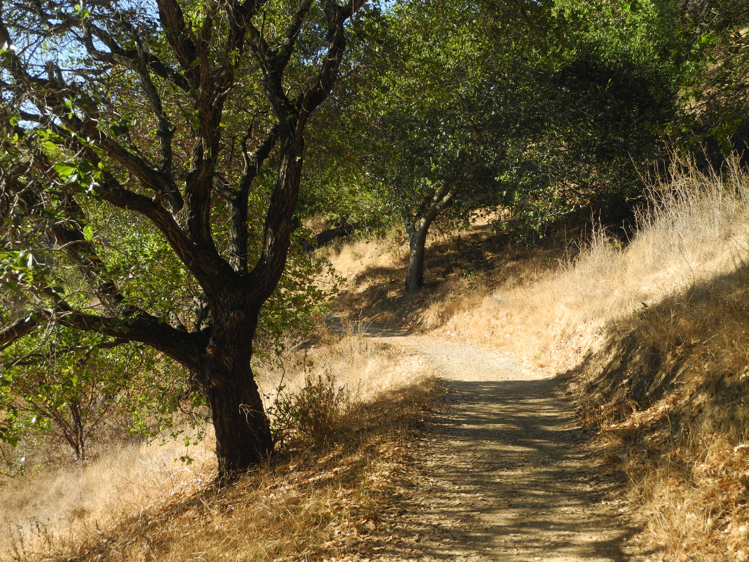
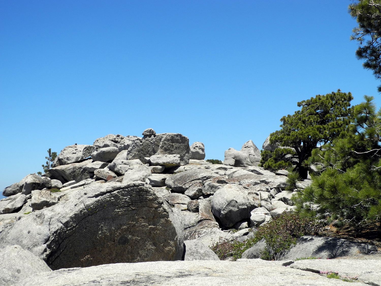
The hike up was delightful and less taxing than many treks that are mostly uphill. The trail can be seen as three separate parts. After a short climb from the parking lot, the trail goes through big rocks, huge boulders and rounded granite formations, interspersed with manzanita, buck brush, chinquapin and big evergreens, mostly Jeffrey pine and firs. The trail then leaves the rocks behind and enters a shady forested area east of the dome, winding its way gently up and around to the south. The final stretch is up to the rocky top of the mountain from a saddle. In this area the trees show the effects of their harsh surroundings, having most of their branches on the downwind side, and often reaching only 20 or 30 feet in height. |
|
 |
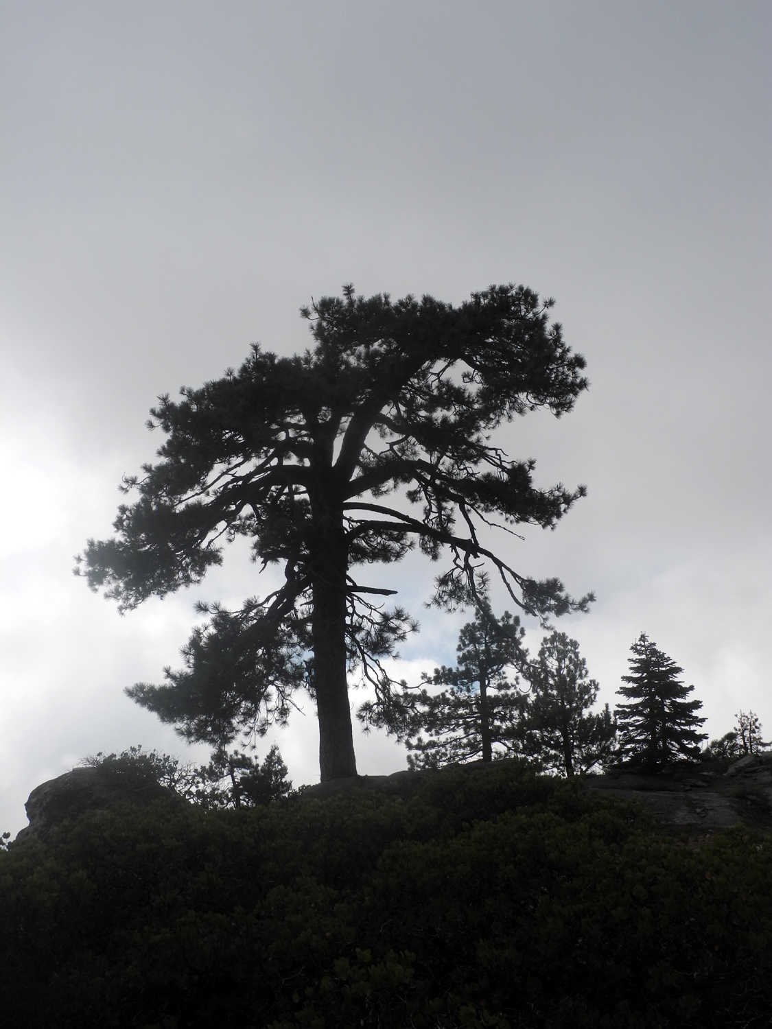 |
| Dick in front of a gnarly old Jeffrey pine | Harsh conditions have limited the height of this Jeffrey pine |
|
When we reached the top, we had about 50% of the full 360 degree view. Redwood Canyon below us was hidden at first, but became visible. The clouds had started to drop down in the east and were covering the highest peaks. However, there was still plenty to enjoy, including a patch of ferns turning yellow on the slopes below Buck Rock and some scrub black oaks starting to put on their fall colors. There's usually a strong breeze at the top, but today it was very gentle despite the clouds. Shortly after we finished our snack, two groups totaling five people arrived, and we prevailed on one gentleman to take our photo. Teri then returned the favor. |
|
 |
 |
| Black oaks changing color for the fall | Dick and Teri on Buena Vista Peak; Kings Canyon in the distance |
|
We enjoyed the changing views of clouds and mountains on our way back down, then drove to Grant Grove Village for lunch. Although there were almost no other customers, no one ever came to offer drinks or a menu, or take our order. This in spite of the fact that two people who appeared to be servers were doing mostly nothing at another empty table and at a counter by the wall. We were not all that hungry, so we left and drove down the mountain to the School House Restaurant, on Highway 180 just past where it turns east past Centerville and Minkler. The service here was excellent, and the food even better. With
a short work day every Friday, Teri declared we should do a bunch
more hiking, while we still can. --Dick Estel, October 2018 |
|
| China
Camp State Park
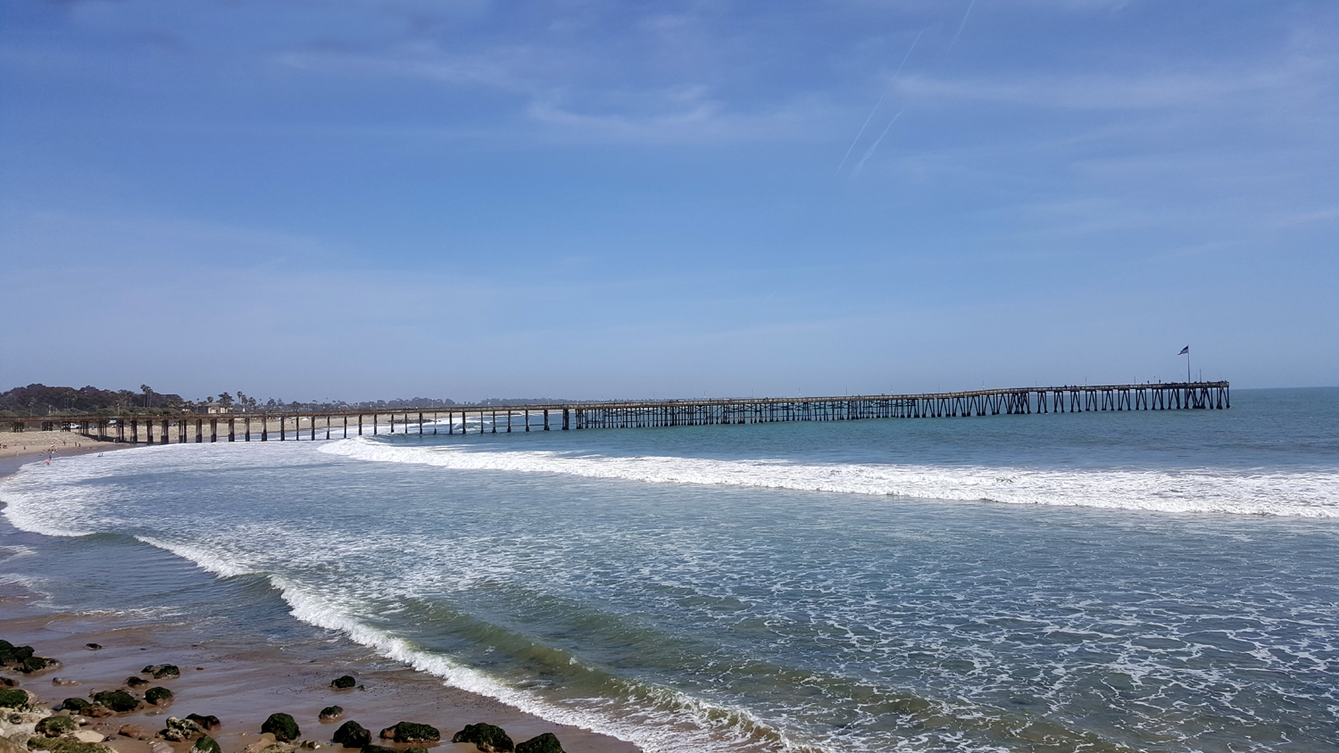
Twice a year I attend a conference of retired county employees, hosted by one of 20 counties in the organization (CRCEA). I usually drive to the location on Sunday, and with the event starting at 1 p.m. Monday, I do a little sightseeing in the morning. In Ventura I walked on the beach, and in Santa Barbara, I visited the mission - activities that don't qualify as "adventures" for these reports. |
|
 |
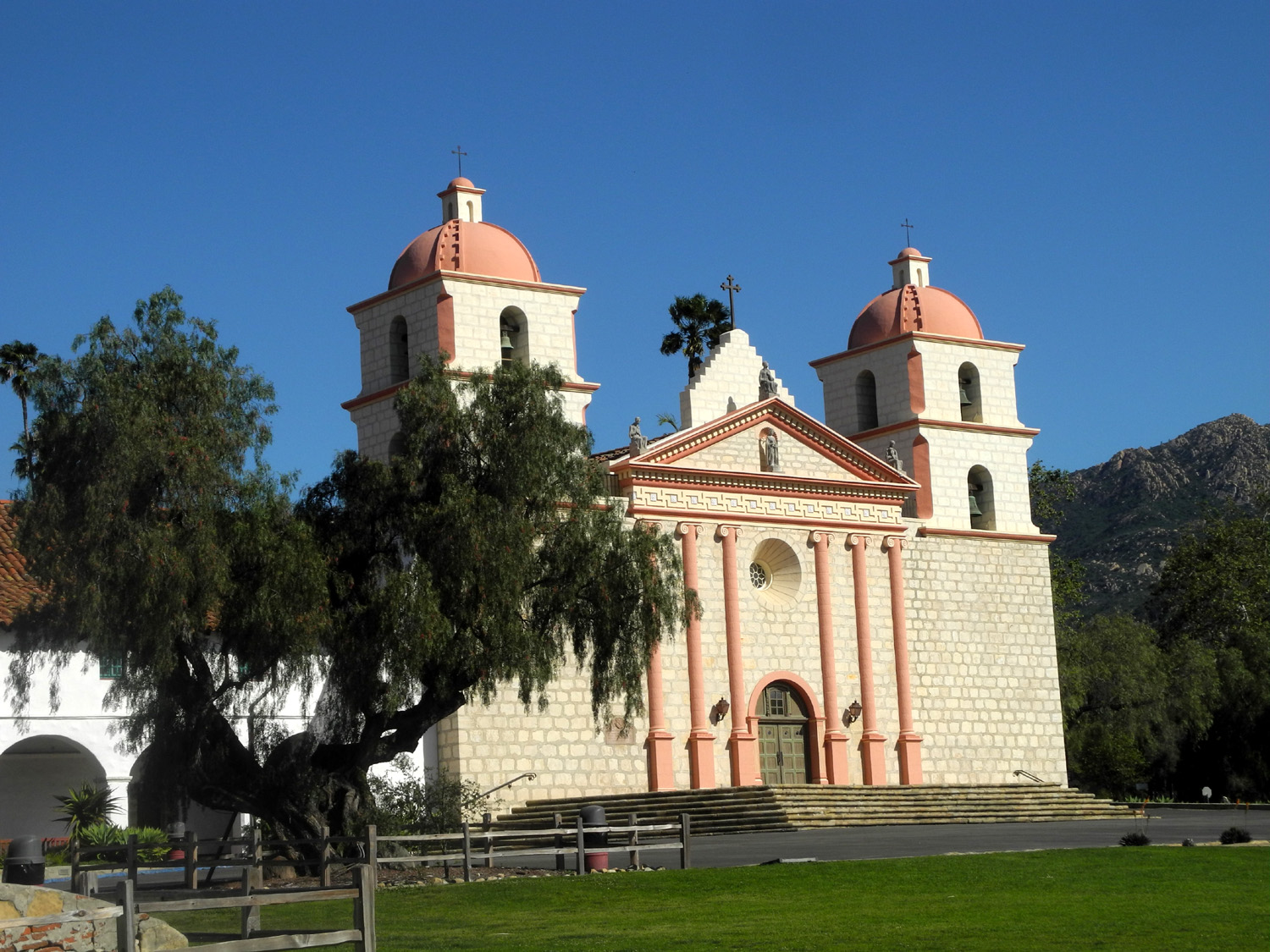 |
| Places I didn't write about - the pier at Ventura... | ...and the mission at Santa Barbara |
|
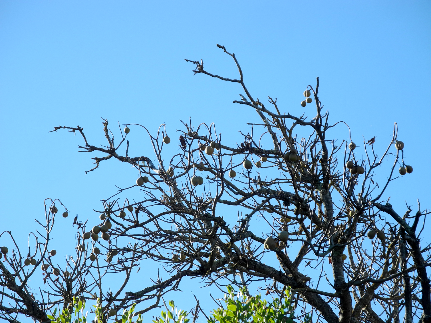
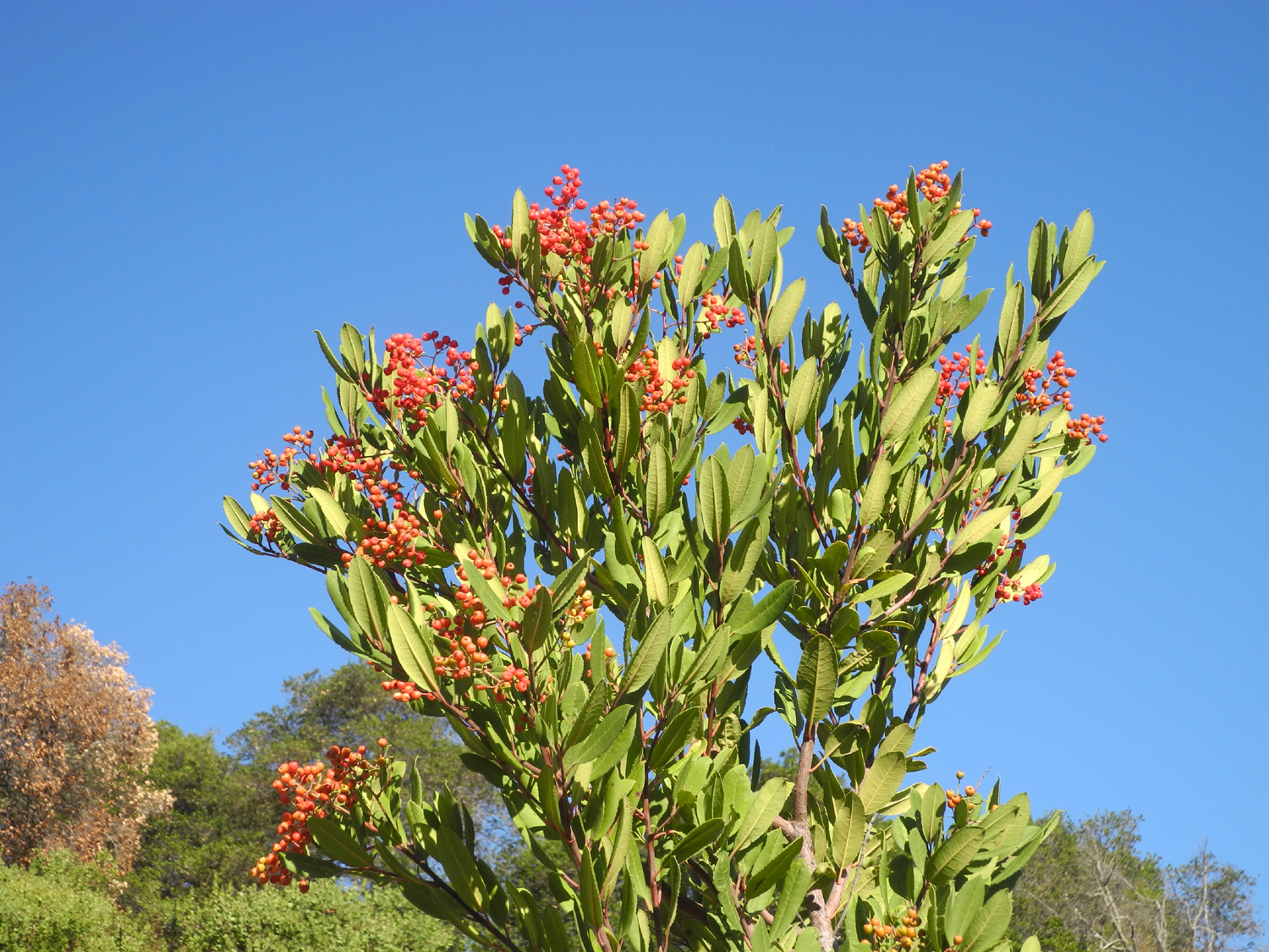
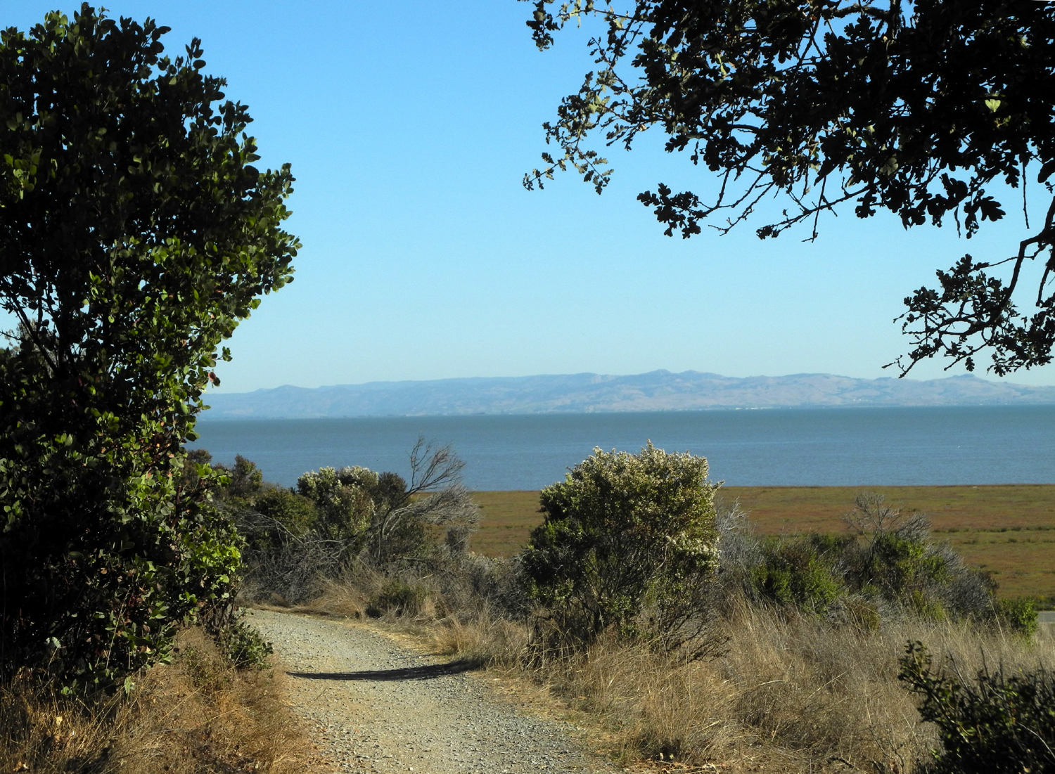
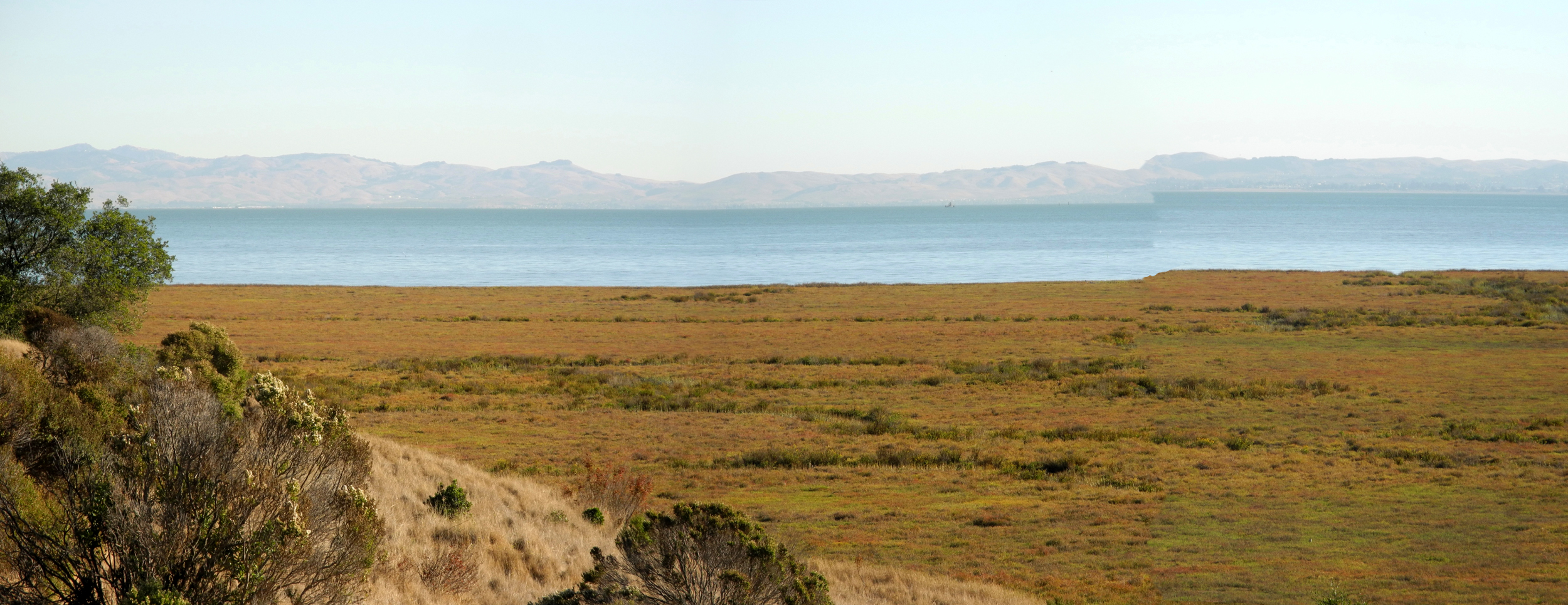
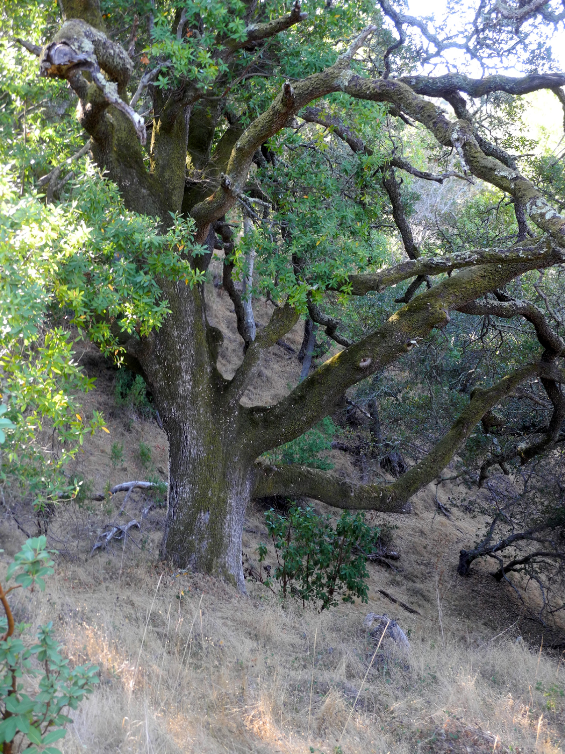
However, preparing for a trip to San Rafael in Marin County, I did some research and found that there was a state park only four miles from the hotel. On October 15, I drove to China Camp State Park, and hiked the Turtleback Nature Trail. This is a 3/4 mile loop trail around a hill with San Pablo Bay and the salt flats on one side, and oak woodland on the other. It was nearly all level, wide and smooth, and I had no problem walking despite the lack of boots and hiking poles. I walked through live oak, black oak, big California bay laurel trees, madrone and manzanita. There were also a couple of buckeye trees, leafless but with a big crop of seeds. I also saw a couple of the shrubs we always called holly, properly known as toyon, with bright red berries. |
|
 |
 |
| San Pablo Bay and the salt flats | The tree-lined Turtleback Nature Trail |
 |
 |
| A good crop of seeds on this buckeye | Holly berries (toyon) turn red in time for Christmas |
|
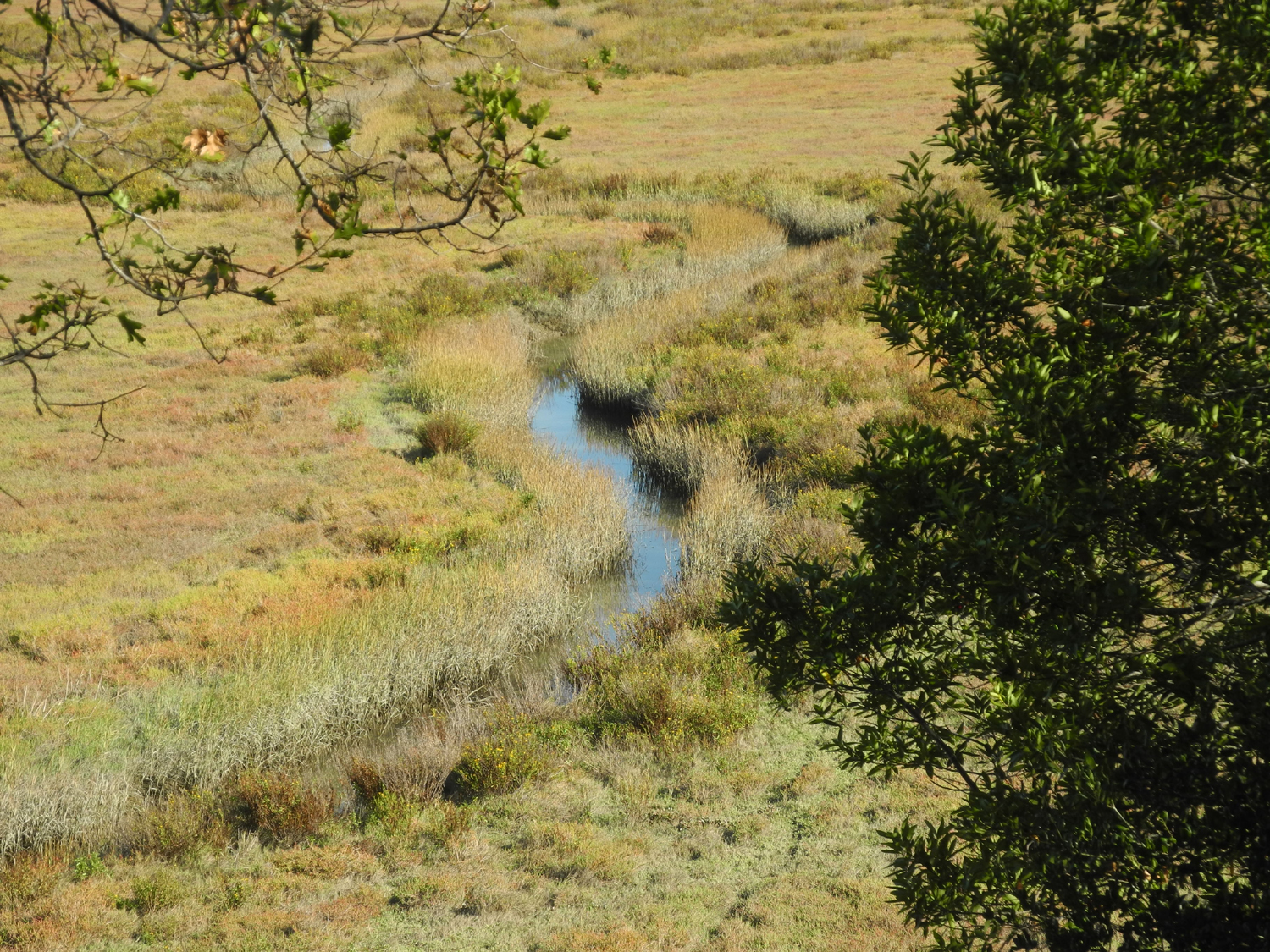
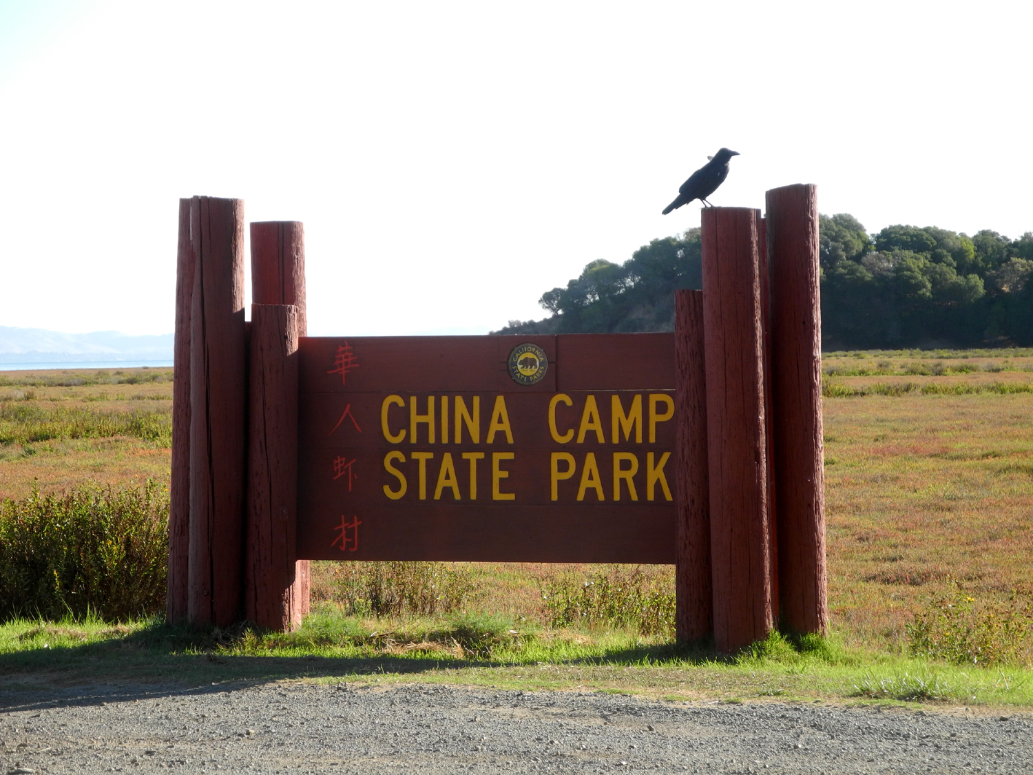
The salt marsh has little water channels running through it, but can be under water during storms or unusually high tides. In earlier times, people moving into the area filled in a lot of this "useless" land, then discovered that it acts as a filter to clean water flowing into the bay. Now the biggest threat is from rising sea levels due to melting of polar ice. Along the trail the only wildlife was one lizard, but at the park entrance I saw a raven and a large flock of wild turkeys. |
|
 |
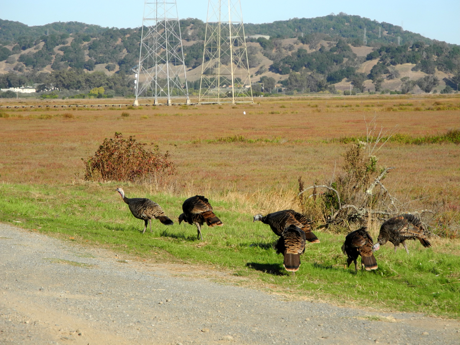 |
| One of many little channels through the salt marsh | Wild turkeys along the road at the park entrance |
|
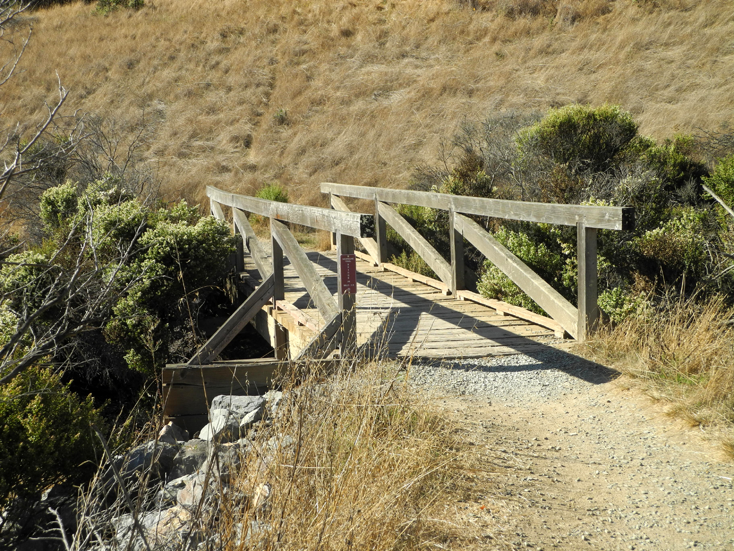
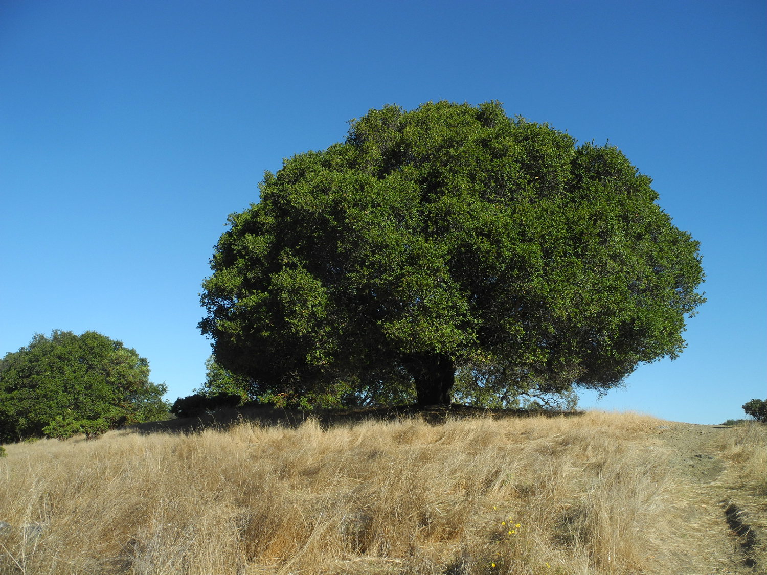
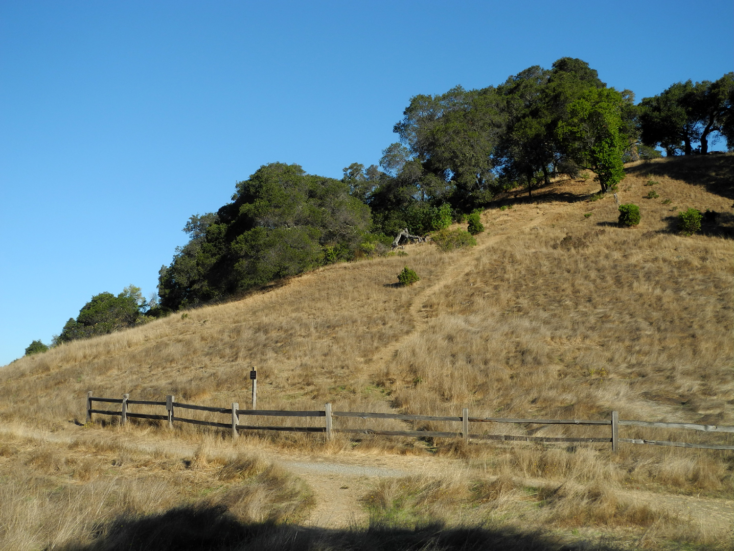
Across the road from the Turtleback Trail, next to where I parked, there was access to the Shoreline Trail. This runs for several miles parallel to the bay, going up and down through the oak woodland. I walked another quarter mile or so on this trail, turning back at a bridge. I also went down and up an unofficial trail that led to a knoll topped with a perfectly rounded live oak. |
|
 |
 |
| Bridge across a drainage on the Shoreline Trail | Nature did a nice job shaping this live oak |
|
I didn't see any other hikers on the Turtleback Trail, but the Shoreline seemed to be more heavily used, mostly by bike riders, with one other hiking party. This trail offered more views of the bay and marsh, another holly bush, another buckeye, and more oaks, manzanita and madrone. There was a power transmission line running across the marsh near the park entrance. A wooden walkway had been constructed under to line to allow access across the swampy terrain for power line maintenance. |
|
 |
 |
| A young madrone tree. They can grow to be 70 feet tall | Wood walkway under the power line for service access |
My
total hiking distance was 1.32 miles, with very pleasant sunny
weather. Not knowing what to expect I wore a long sleeve t-shirt
which was comfortable most of the time, although I rolled up the
sleeves for the last half mile or so. Once I finished the hike, I
enjoyed the scenic winding drive back to my hotel, with plenty of
time for lunch and a little relaxation before the conference got
underway. --Dick Estel, October 2018 |
|
| In
Search of Dick's Dome or, a Visit to Ross Crossing
Many
years ago, probably in the 1980s, I was exploring the back roads
between Dinkey Creek and Wishon Reservoir. Driving down a dirt road a long
ways off the pavement I spotted a small dome not far from the road.
I hiked to the top and named it Dick’s Dome. I returned at least
twice with other people, the last time in October, 1995, with
grandson Johnny, age 11, and two of his friends. The
road leaves the McKinley Grove Road
nine miles past Dinkey Creek, and goes down the drainage of Deer
Creek, a major tributary of Dinkey Creek. The road continues on and
drops down to Dinkey
Creek at Ross Crossing, then goes out and joins
the Dinkey Creek Road
near the This
was another of those places I wanted to go to again "while I
still can," so I invited younger grandson Michael to join me.
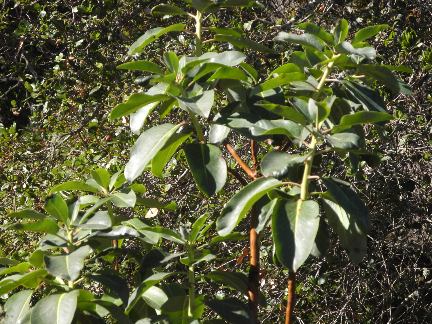
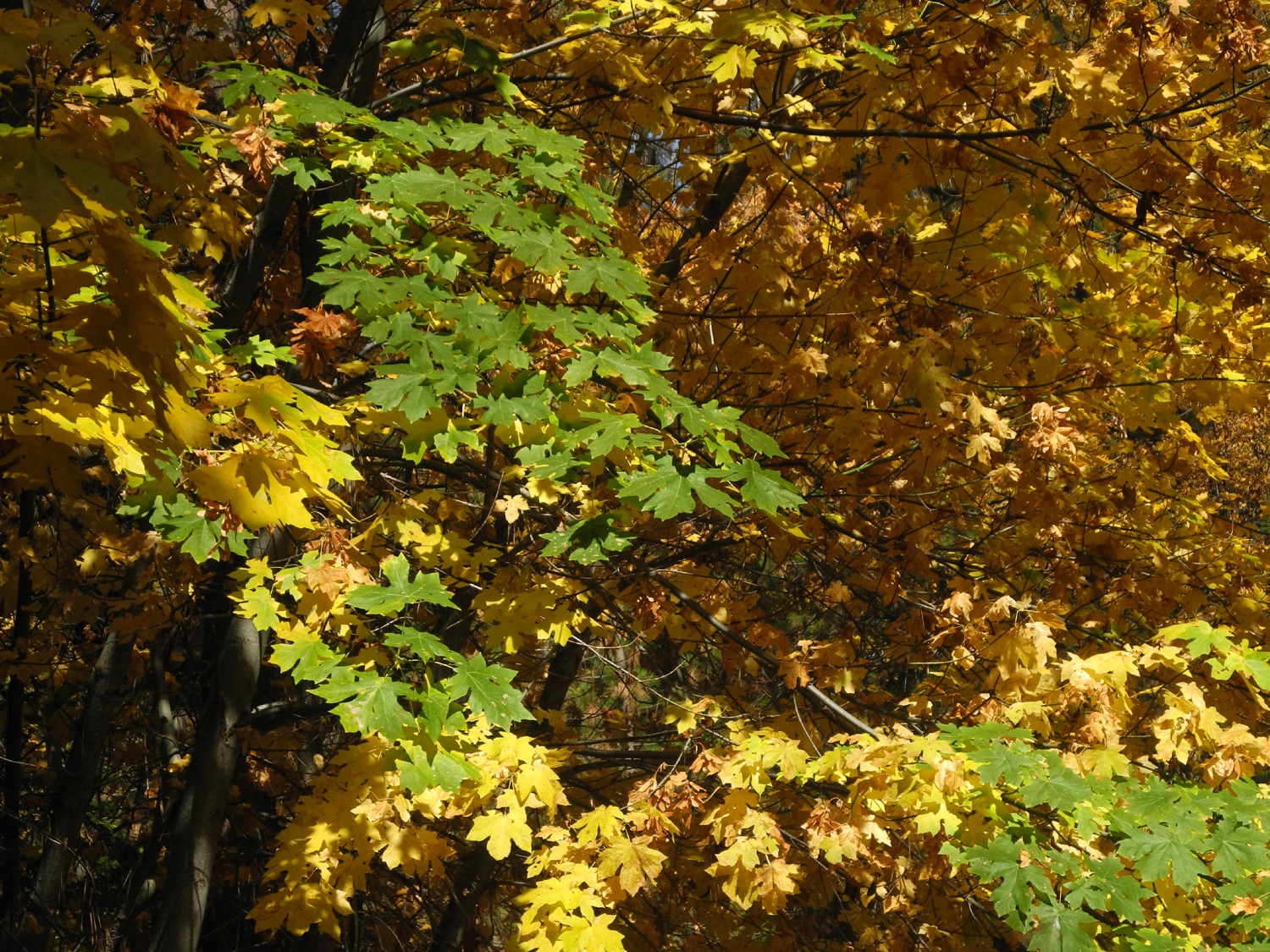
He came over about We came to a small creek where we stopped to photograph the bigleaf maple leaves changing color, and just to look around a little. |
|
 |
 |
| Bigleaf maple leaves in green and gold | Shrubs and evergreens at Ross Crossing |
|
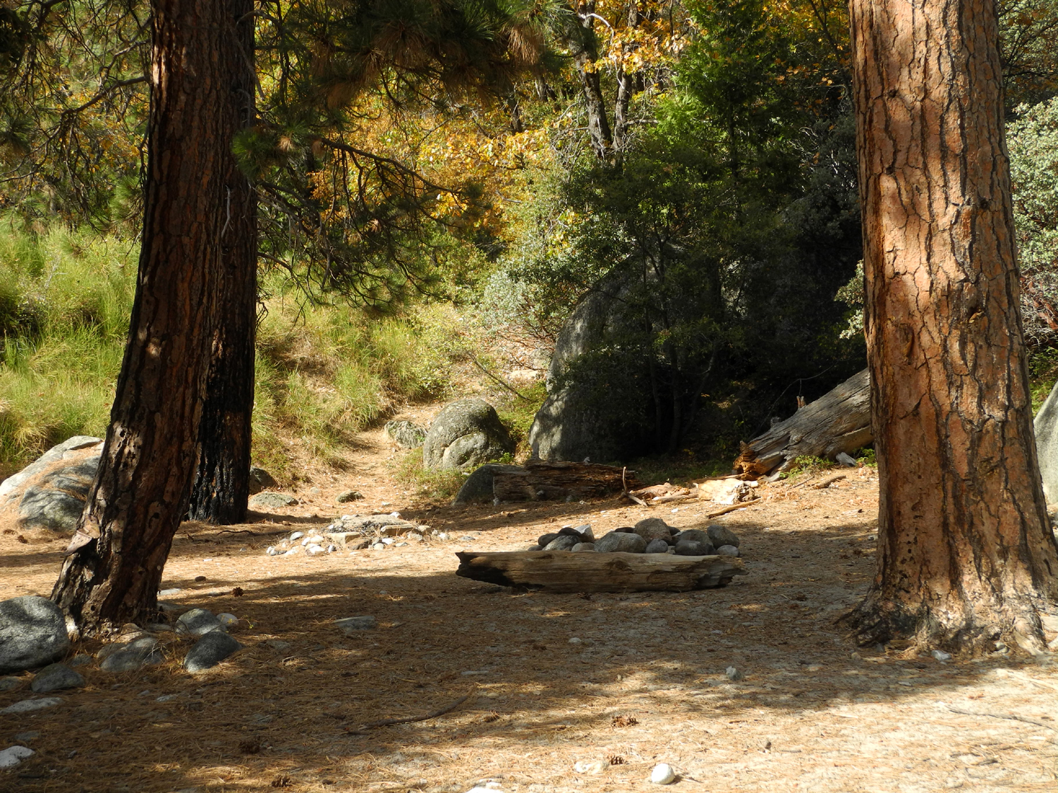
We
continued on to Ross Crossing, where there is a small campground. The
road into the camp goes down to the west, just past the bridge.
There are no picnic tables and no toilet, but it is a designated
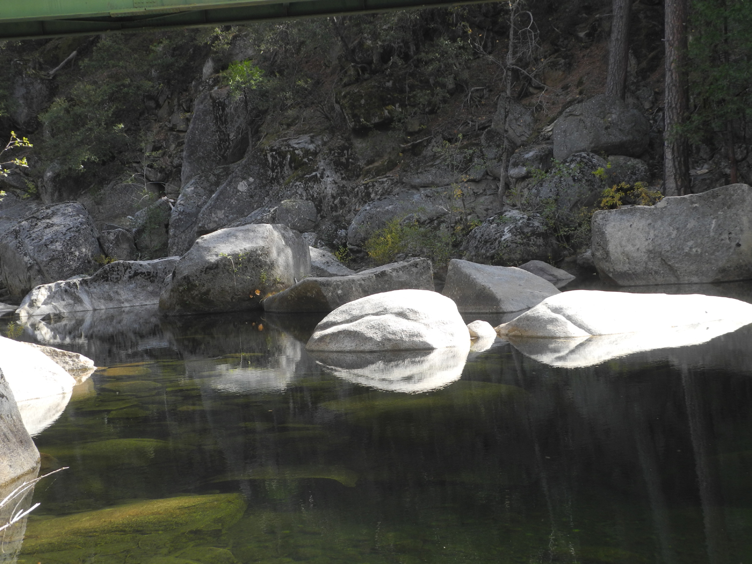
campground on the map. There is a big pool
in the creek there, long, wide and
deep. I camped there once and swam in the 63 degree water, and
Johnny and his friends went in when we were there the last time. We
saw a couple of fish jump, and Mike filed this location away as a
possible fishing spot. We
went down the other side of the road by a steep trail, where I
carried my camping gear down and up in August of 1979. On that
trip, I came in from the Dinkey Creek Road, only ten
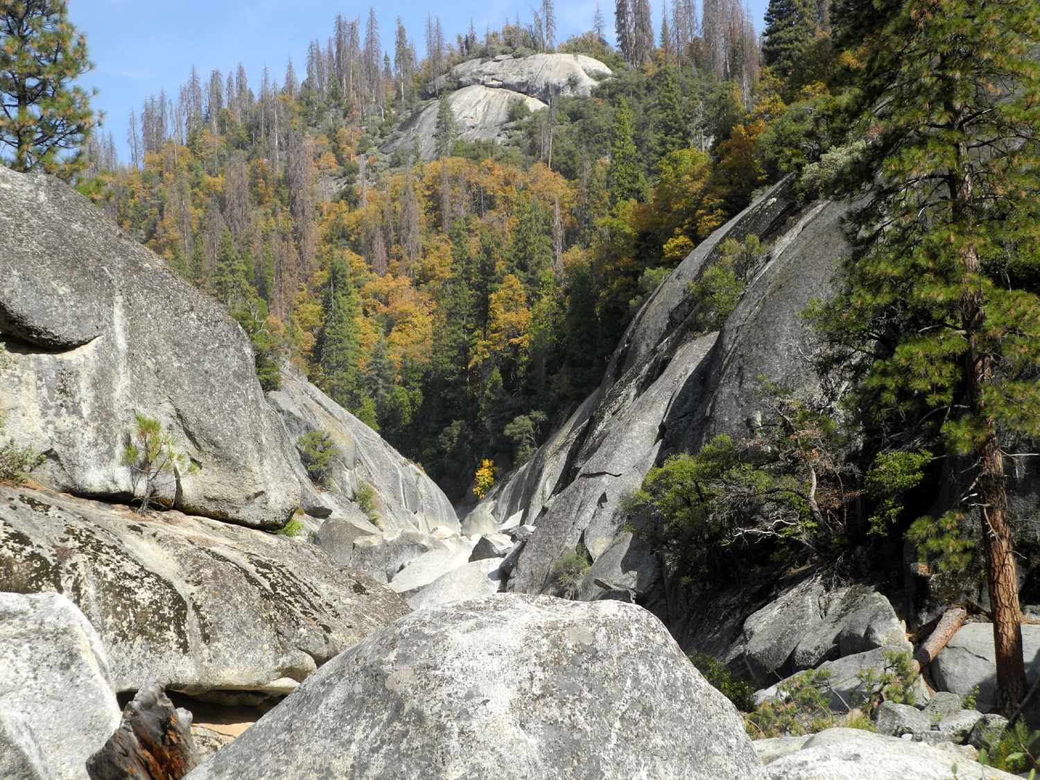
miles. Just above the camp site on this side the creek
runs through a narrow, rocky gorge with huge boulders in the
channel. We enjoyed the view here, then returned to the truck and
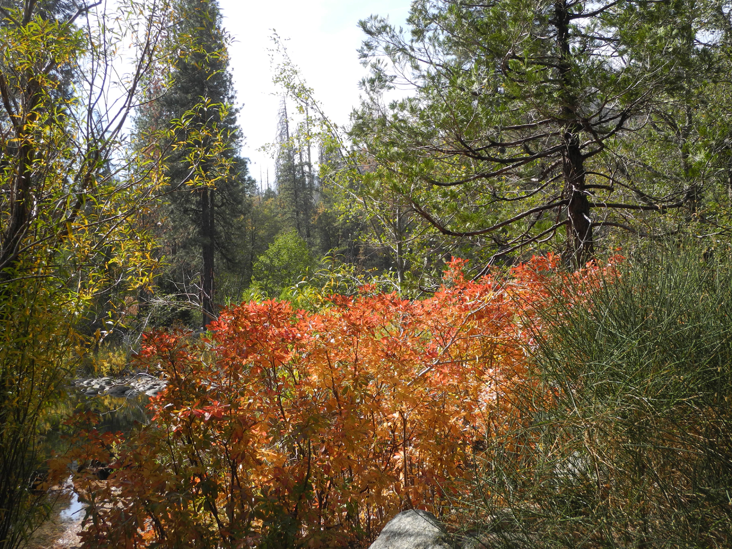
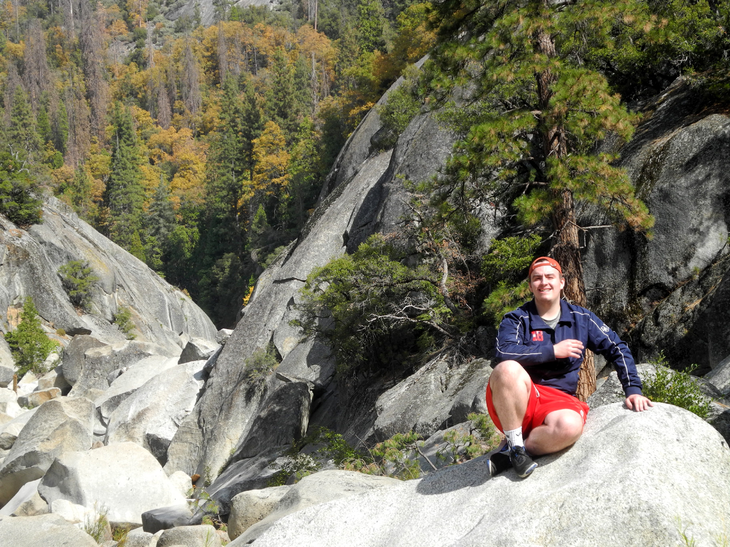
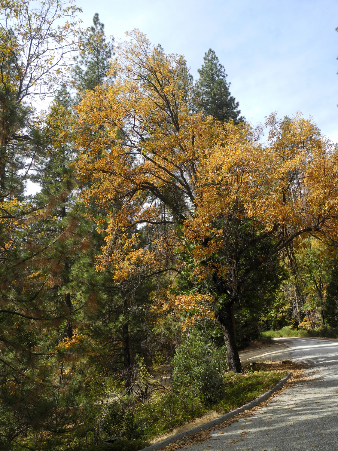
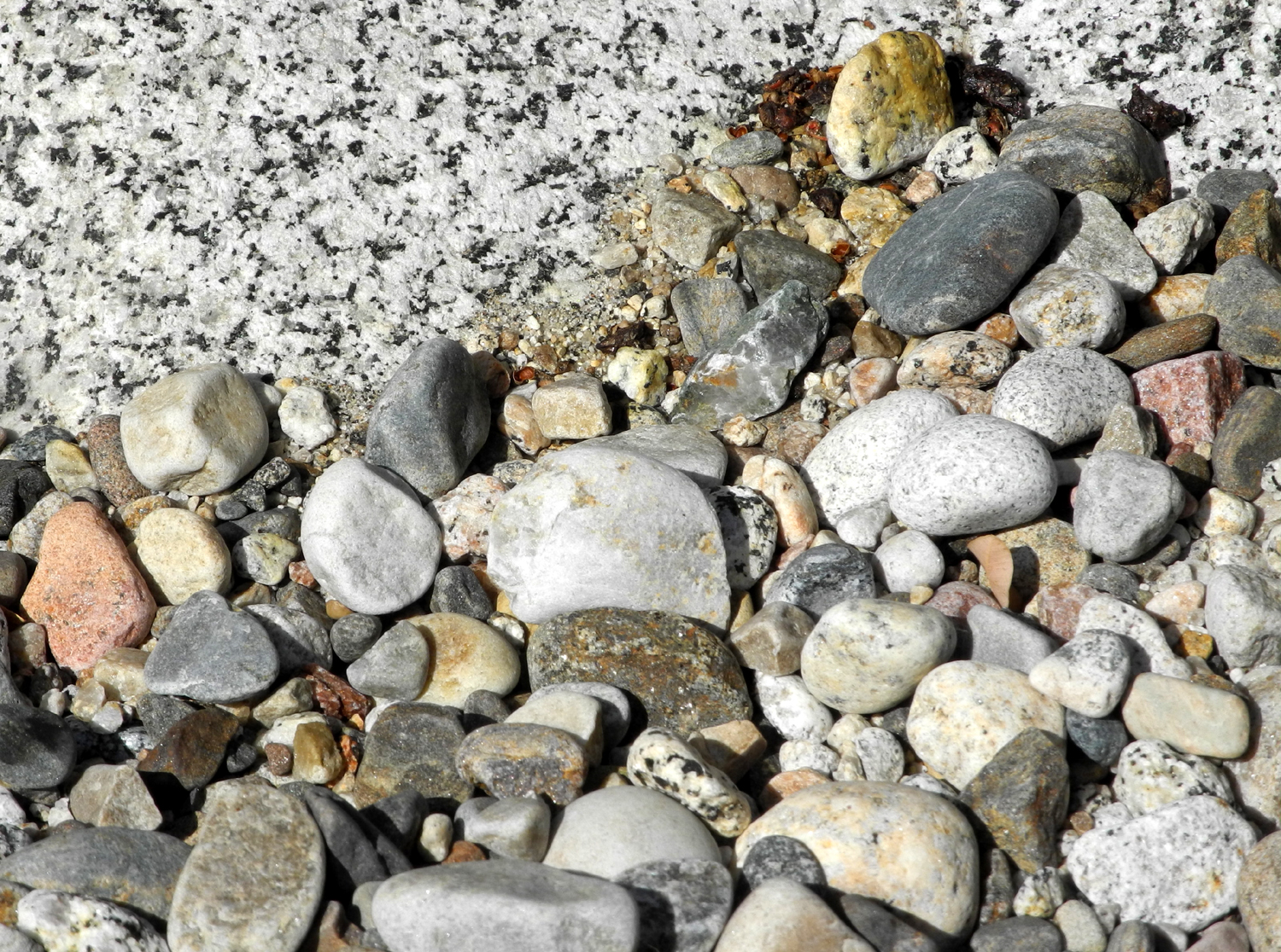
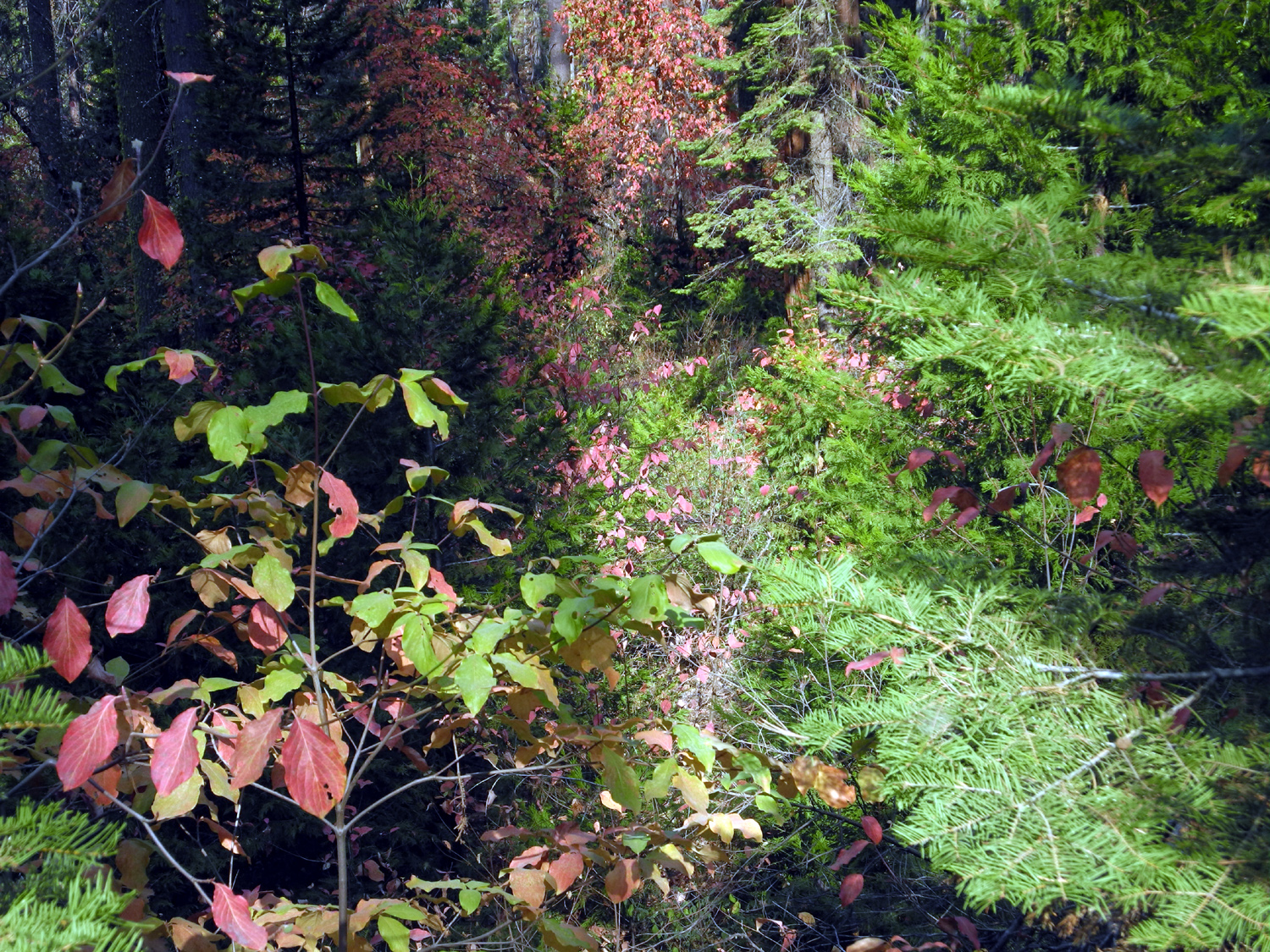
started the last part of our journey. Along the road we saw lots of fall color – bigleaf maple, dogwood, black oak, and several small and large bushes I could not identify. All along the way there were literally dozens and dozens of places where dead trees had fallen across the road. Whoever cut them out must have had narrow vehicle, since it was a close squeeze to get through the space between the two sections of some of the logs. I complained more than once that it would have been easy to cut off another foot. In one place the log had not been cut, but you could drive down off the road and get around it. In another place I had to put the right wheels down into a shallow ditch to get past the log. |
|
 |
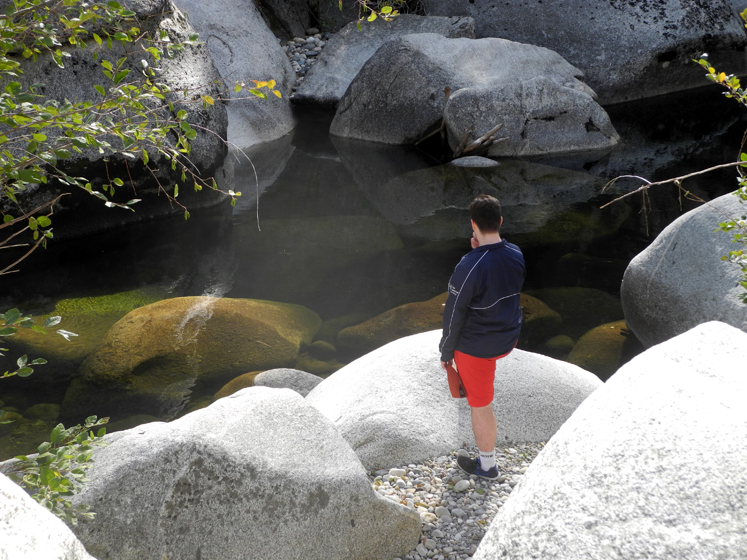 |
| The Dinkey Creek gorge upstream from Ross Crossing | Mike contemplates the pool at Ross Crossing |
|
Despite
not reaching our actual objective, which was to hike to the top of
Dick’s Dome, we had a great time, enjoying the scenery and seeing
some territory that was new to Mike and almost new again to me. When
we got back down to Prather, we stopped at Velasco’s
Restaurant, a
favorite lunch spot when returning from hikes in this area. --Dick Estel, October 2018 |
|
 |
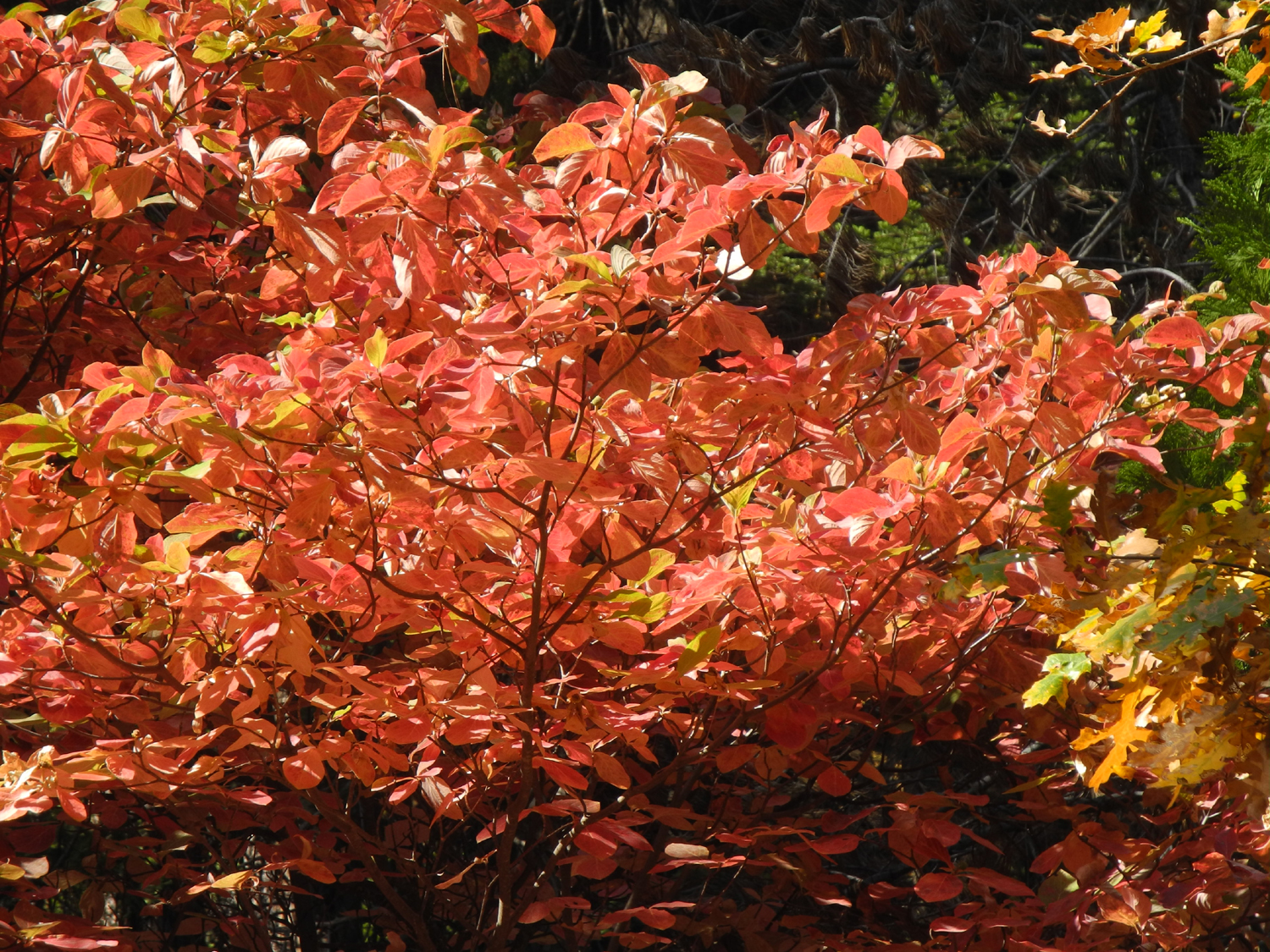 |
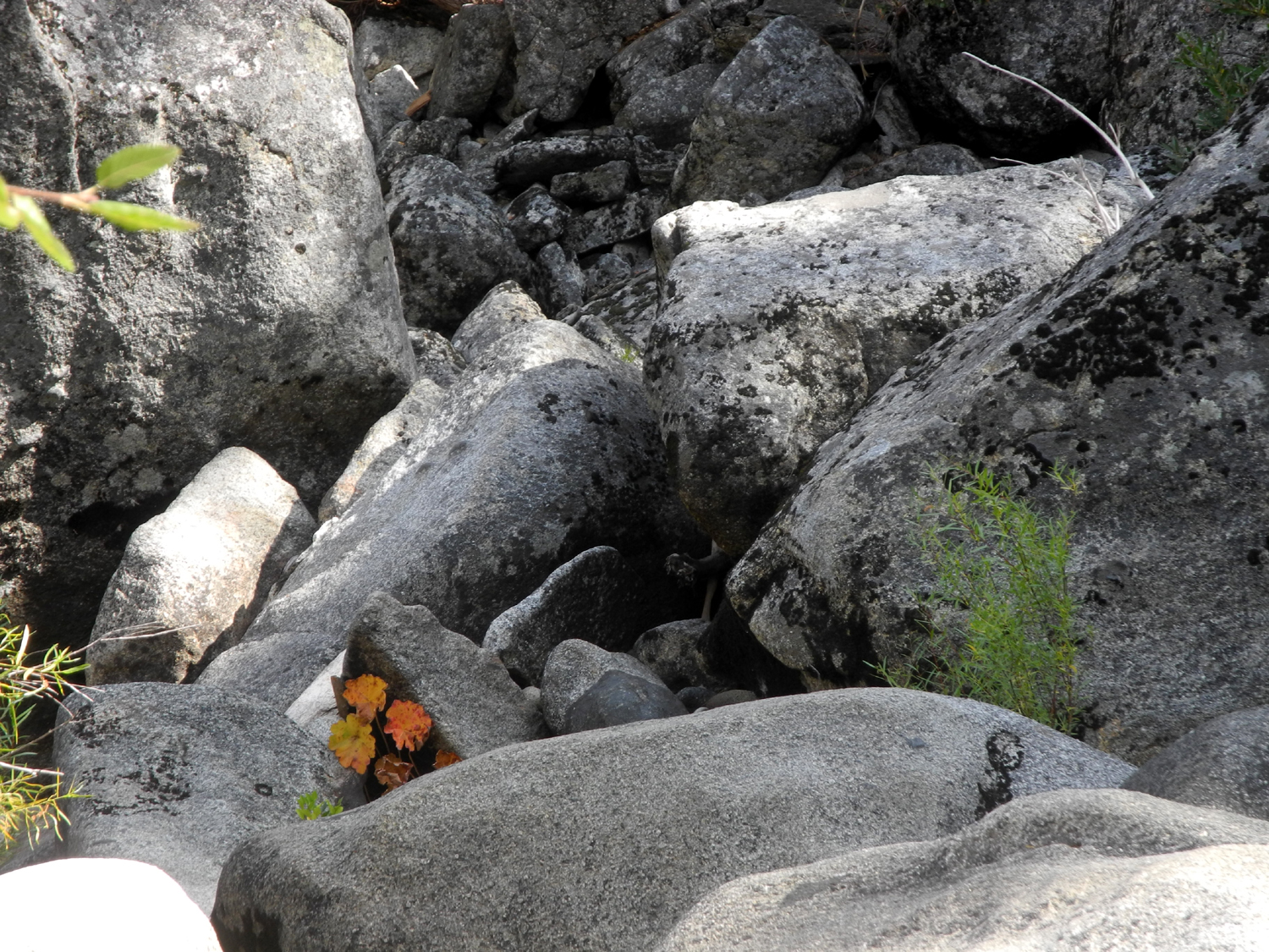
| Indian rhubarb adds a spot of color among the boulders | There was dogwood in many places along our 30-mile backroads route |


| Photos (Click to enlarge; pictures open in new window) | ||
| More New Stargazer Photos Buena Vista Peak | ||
| Upshaw's at New Stargazer Rock | ||
|
|
 |
| Jack decided to climb the rock too | Colton gets a high five from Dad | A long view of the rock |
|
 |
|
| We left writing all over Jack's Dome | The view of our camp from the big rock | The distant peaks are in the back country of Kings Canyon National Park |
| Buena Vista Peak | ||
|
|
 |
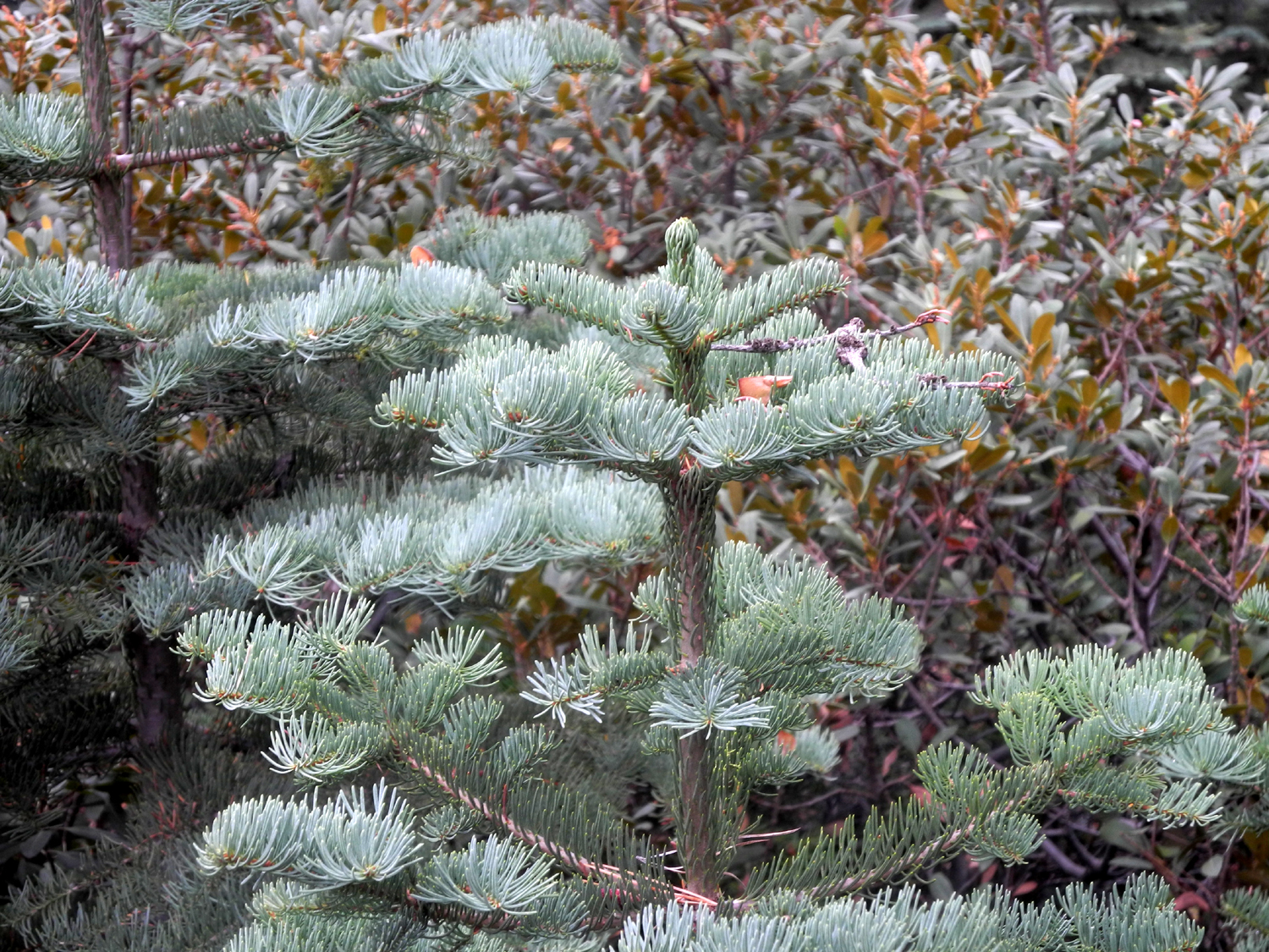
| Bluish green needles identify these as young red firs | Dying ferns create a spot of orange among the green | The recent rain created many little washouts |
 |
||
| The view from Buena Vista Peak | ||
| China Camp State Park | ||
 |
||
| Panoramic view of San Pablo Bay and the adjacent salt marsh | ||
|
|
 |
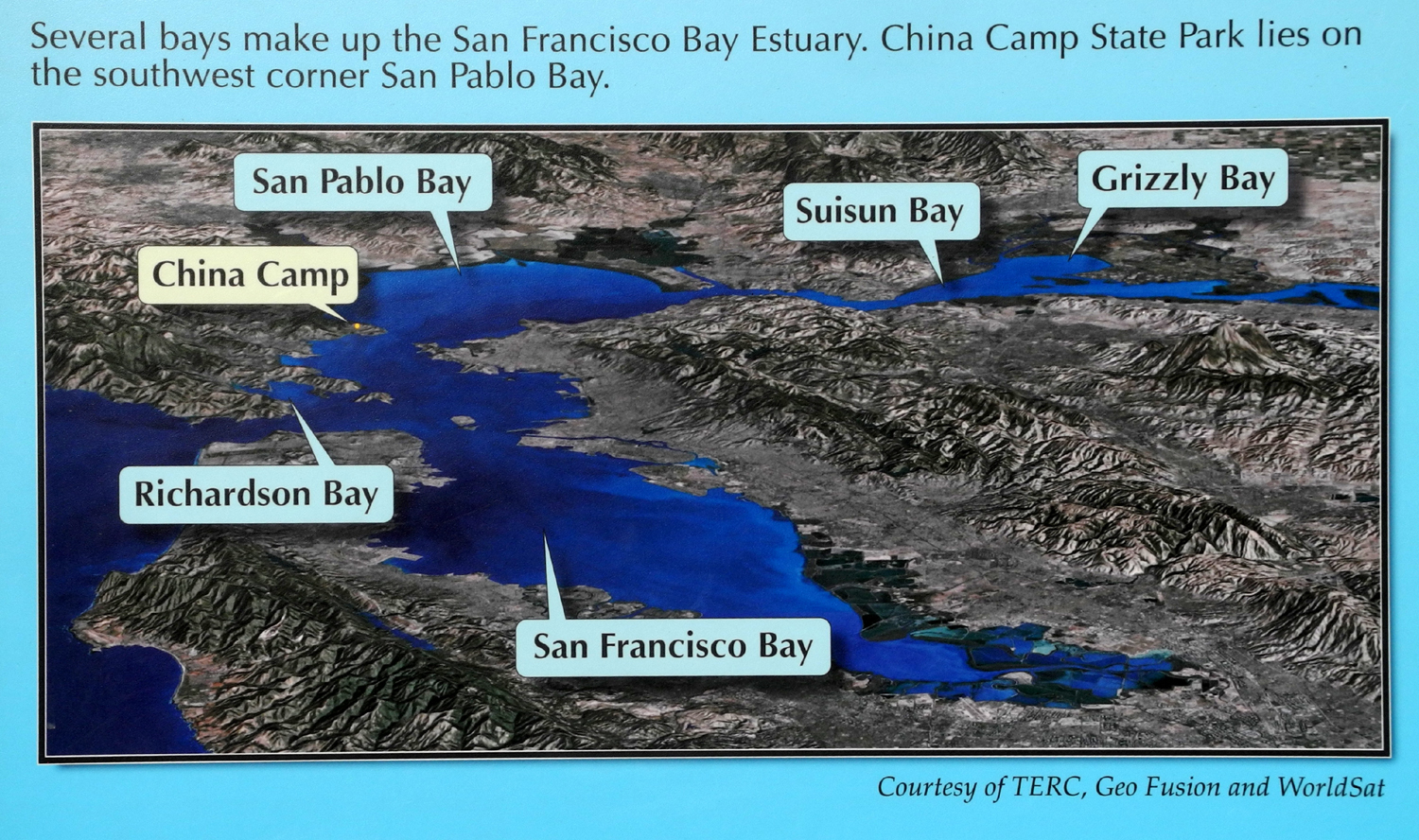 |
| A raven helps welcome visitors to the park | I was glad to realize this steep path up the hill was not the official trail | The state park, in relation to the various bays that make up the San Francisco Estuary |
|
|
 |
|
| Base of a large manzanita |
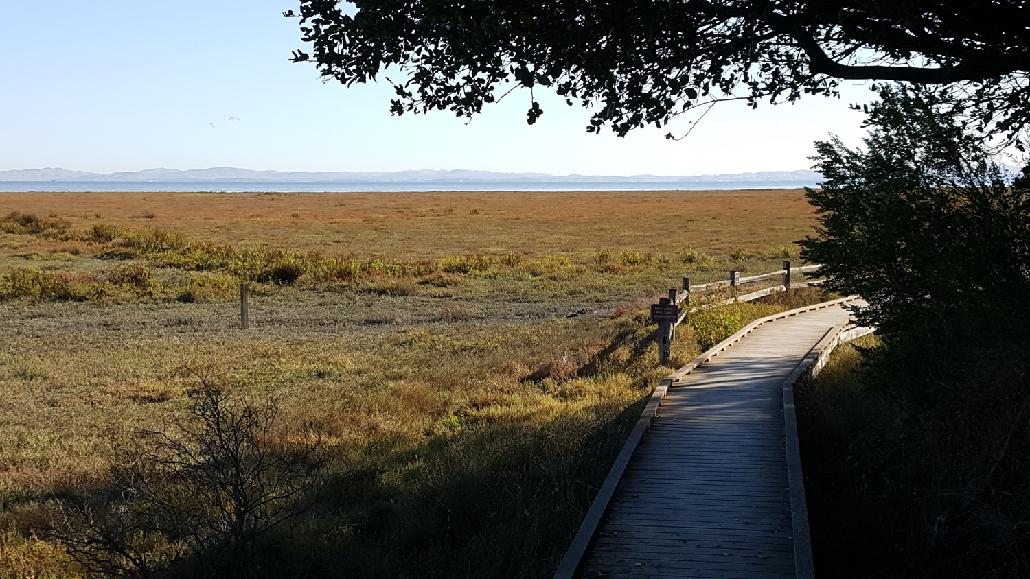
Where it goes next to the marsh, the trail is a boardwalk |
Oak woodland along the Shoreline Trail |
|
|
 |
 |
| View of San Pablo Bay from the Shoreline Trail | A huge oak tree by the Turtleback Trail | The Shoreline is perfect for bicyclists |
| Ross Crossing | ||
 |
 |
 |
| Black oak with fall color | The big, deep pool at Ross Crossing | Michael near Dinkey Creek |
|
|
|
 |
| Rocks rounded by time and water | Manzanita and black oaks | Campsite at Ross Crossing |
| Related Links | ||
| Bald Mountain Trail | Highway 168 | Jeffrey Pines |
| Shaver Lake | Exfoliation | Buena Vista Trail |
| Giant Sequoia National Monument | Generals Highway | Kings Canyon Overlook |
| Kings Canyon National Park | Redwood Canyon | Buck Rock Lookout |
| School House Restaurant | San Rafael | China Camp State Park |
| Toyon | Manzanita | Madron |
| Dinkey Creek | Ross Crossing | Bigleaf Maple |