


|
Rambler Hikes 2025 Page 2 |
|
|
Rambler Hikes 2017 Rambler Hikes 2018 Rambler Hikes 2019 Rambler Hikes 2020 Rambler Hikes 2021 Rambler Hikes 2022 Rambler Hikes 2023 Rambler Hikes 2024 |
|
|
Mariposa Grove Indian Basin Grove Rancheria Falls Crescent Meadow Panoramic Point |
|
|
Mariposa Grove May
in central In
late May the weather is likely to be quite warm. Because of this,
the Ramblers usually move our outings to higher elevations, and on
May 22 a dozen of us set off for the Mariposa
Grove of Giant Sequoias in Yosemite
National Park, between 5,000 and 6,000 foot elevation. Those
present were Dick, Keith, Beth, Vickie,
Wes, Don M, Don B, Jim, Bruce & Susan V, Susan S, and Laurie.
Several members of our group were making their first visit to the
grove. Consistent
with many locations where people have begun loving our national
parks to death, the Mariposa Grove had many issues that threatened
the health of the trees and distracted from visitors’ enjoyment.
In 2014 a
project to restore the area was launched, with the grove closed
from 2015 to 2018. With the re-opening, most visitors park at a
large area just inside |
|
 |
 |
| Bruce and Susan Vasquez, Laurie Fitzgerald | Standing room only on the shuttle |
|
Don M
brought his handicap placard, but rode in Wes’s larger vehicle,
along with Don B and Jim. They drove in while the rest of us took
the bus for the six minute ride (buses run about every 15 minutes).
Most of us then walked the .3 mile trail that goes through a number
of giant trees. The longer trail breaks off from this short loop,
and the majority of our group walked the .6 mile route to the Giant,
while Wes drove those who did not want to take that uphill hike. In
fact, he made two and a half trips up that road, “herding
Ramblers.” |
|
 |
 |
| Fallen sequoias by the short loop trail | Wes, Don B, Bruce, Dick and Jim |
|
|
|
 |
 e e |
| Sequoias along the loop trail | The Grizzly Giant, patriarch of the grove |
|
We
didn’t have any trouble finding parking spaces at the plaza, and
were able to get on the first bus that came along, but there were
still plenty of people visiting the park. At the Grizzly Giant, you
pretty much had to accept that there would be “other” people in
your photo. |
|
 |
 |
| The impressive top third of the Grizzly Giant | Main entrance to the grove |
|
A
hundred yards or so from the Giant is the California Tunnel Tree.
This is not the famous drive-through
tree, which fell in 1969, but it has an opening big enough for
an easy walk-through. At this location there was a line to take
pictures of your companions at the opening in the tree, but the wait
was not long. |
|
 |
 |
| Full top to bottom view of the Grizzly Giant | Keith, Vickie and Dick at the California Tree |
|
Once we finished enjoying this section of the grove, we began our trip back down. Some of us rode with Wes; others walked. With a dozen people, and several groups doing different things, it was not surprising that we lost Beth, Keith’s wife. They had started walking up to the Grizzly Giant, but she decided it was more than she could do, and started back down. We expected to find her at the bus pick-up/drop-off plaza, but there was no sign of her. We finally decided she had probably taken the bus back to the main parking lot, and fortunately there she was. |
|
 |
 |
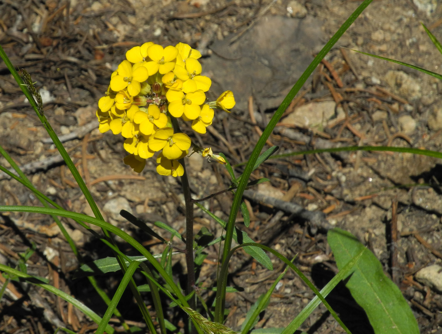
| Laurie, Susan S and Susan V | Western wall flowers near the bus stop |
|
At
this point we had exercised enough to be thinking about lunch. A few
days before the trip Johnny, my older grandson, had said, “I know
you usually eat at El Cid. But there’s a very good place in Fish
Camp called Aroma Tavern.” We decided to try this place. If you are not familiar with Fish
Camp, there is a general
store that has been there most of a century, and a few service
businesses. It should be easy to find the restaurant, right? We did
not see it, but sent a delegate into the store to inquire. The first
person she talked with was not familiar with that restaurant, but
the other person on duty told her it was two miles down the highway
at the Yosemite Sugar Pine Railroad. Doesn’t matter. When we arrived, we found that the restaurant was not open until 4 p.m. Fortunately we have our permanent Plan B dining location in Oakhurst, El Cid Mexican Restaurant, and everyone was happy eating there, including several who were first-timers. Full and satisfied we got into our three vehicles for the drive back
down to the warm --Dick Estel, May 2025 |
|
| Indian
Basin Grove
For our June hike the Ramblers looked for a place we’d never been to before, a bit of a challenge after 132 hikes. Our destination was the Indian Basin Grove, a grove of giant sequoias that were all cut down early in the 20th century. There are many huge stumps, and a lot of tall, young sequoias, most probably close to the 100 year mark. |
|
 |
 |
| Young sequoias, probably 100 years old | The stump of their ancestor |
|
Access
is via Highway 180 through Kings
Canyon National Park. After passing through the Grant
Grove section, the road leaves the park, and in a few miles
comes to Princess
Campground, the starting point for the hike. If you see the
turnoff for Hume
Lake, you’ve gone a couple hundred yards too far. The road
re-enters the park another 30 miles or so farther, but this location
is partly in the Sequoia
National Forest and partly in the Giant
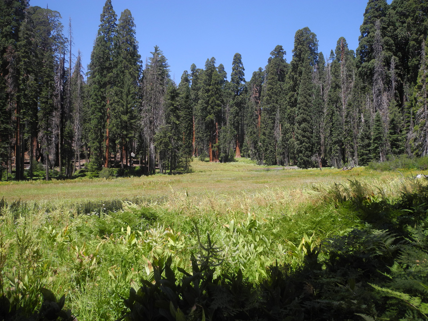
Sequoia National Monument. The trail is asphalt and has only the slightest uphill section. At the start it goes by a huge meadow complex, which is visible from many points on the trail. Along the way we saw at least a dozen species of wildflowers, plus pines, cedars, firs, sequoias and shrubs of various kinds. There were also large ferns by the thousands. |
|
 |
 |
| Indian Basin Meadow | Lots of ferns |
 |
 |
| Wild Rose | Wild iris |
|
We
saw very few other hikers. As we started we chatted with a large
group that was finishing their hike, learning that they are
from Tulare and have been hiking and camping together for 50 years. We
encountered about four other groups, either couples or parents with
one or two kids. At one point a 20-inch sugar pine cone dropped from the tree and landed three feet from Allen. The
weather was very nice, although as we finished it was getting warm
walking in the sunny spots. All in all it was an incredibly
delightful hike. Although around eight Ramblers had indicated a desire to go, illness and other factors reduced our number to four: Wes Thiessen, Allen Ward, Sue Wirt, and Dick Estel. Mobility problems kept Sue from hiking, but she enjoyed the outing as much as any of us, sitting in a shady spot with her book at the trailhead. |
|
 |
 |
| Allen's foot and the cone that nearly hit him | Base of a pretty big (but not giant) sequoia |
|
|
|
|
Sue, Wes, Allen and Dick at lunch |
Wes on a big stump, surrounded by ferns |
|
|
|
|
When
we departed from the trailhead, we stopped in the national park at the Grant
Grove Restaurant for a nice lunch, then made our way back down
to the warm, hazy valley. --Dick
Estel, June 2025 |
|
| Rancheria
Falls
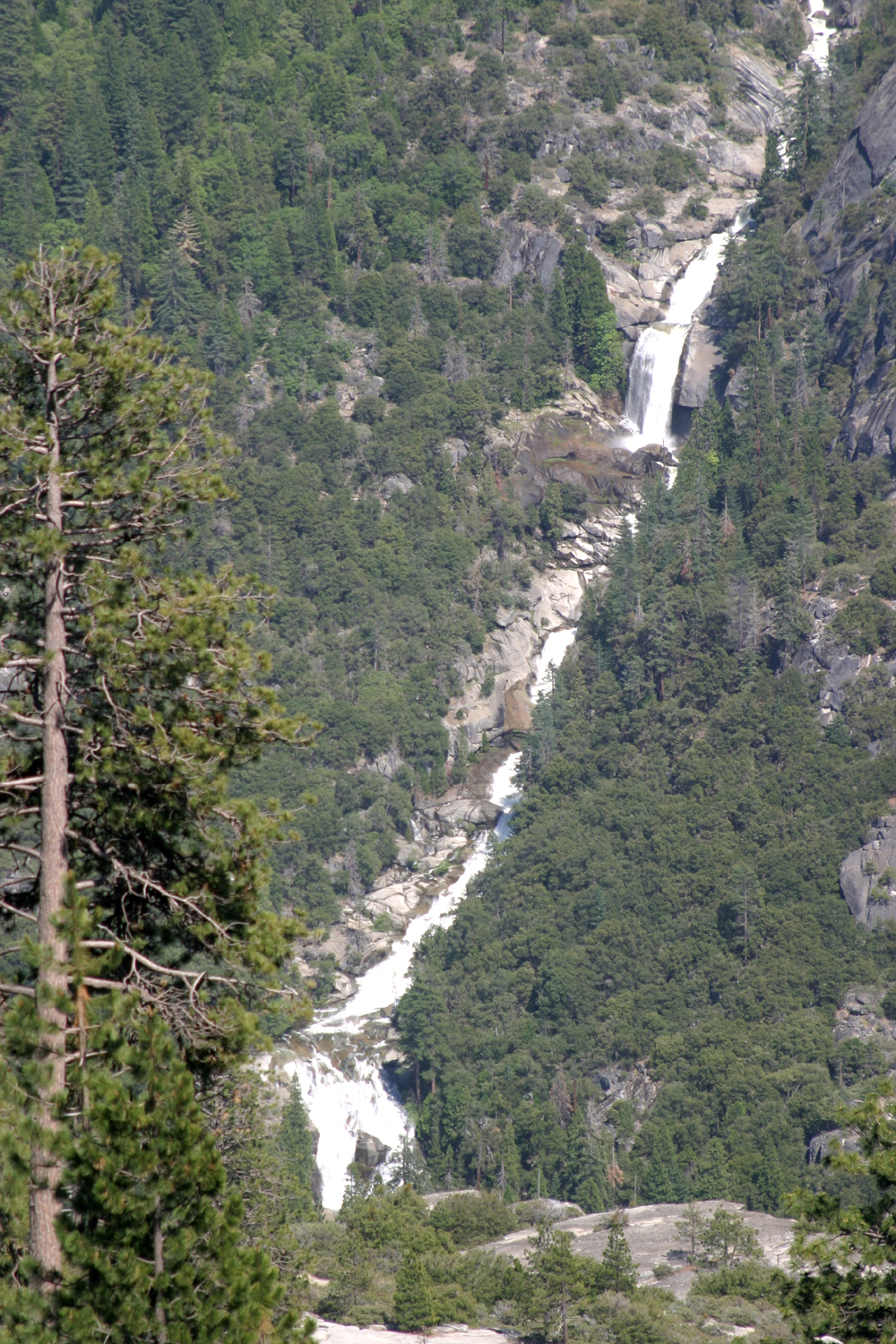
On July 3 the Ramblers hiked to Rancheria Falls. But which one? There is a Rancheria Falls that drops into the now-flooded Tuolumne River canyon at Hetch Hetchy Reservoir, but it's a pretty challenging hike. There is a long series of cascades and short drops that tumbles down the east side of the Kings River's North Fork, below Wishon Reservoir, visible only at a long distance from a dirt forest road above Black Rock Reservoir. There's a short, easy to reach one off the Alaska Highway in the Yukon, but that's a pretty long drive. Then there's the one we visited, one we've been to at least four times, near Huntington Lake. I've
been there probably an additional half-dozen times without the
Ramblers, so I did not take many photos. Pictures linked from within
the text are from earlier visits. Once again we had a small group, but we were delighted that it included Elsa and Pam, who are rarely able to join us. The group was filled out with Allen, Don B, and me (Dick). The weather at this location, ranging from about 7,500 to 7,900, was just right, cool enough for comfortable hiking. |
|
 |
 |
| Don and
everybody else - Dick, Pam, Elsa, Allen (Don Bandoni photo) |
Rancheria
Falls from the Kaiser Pass Road above Huntington Lake (Wes Thiessen photo) |
|
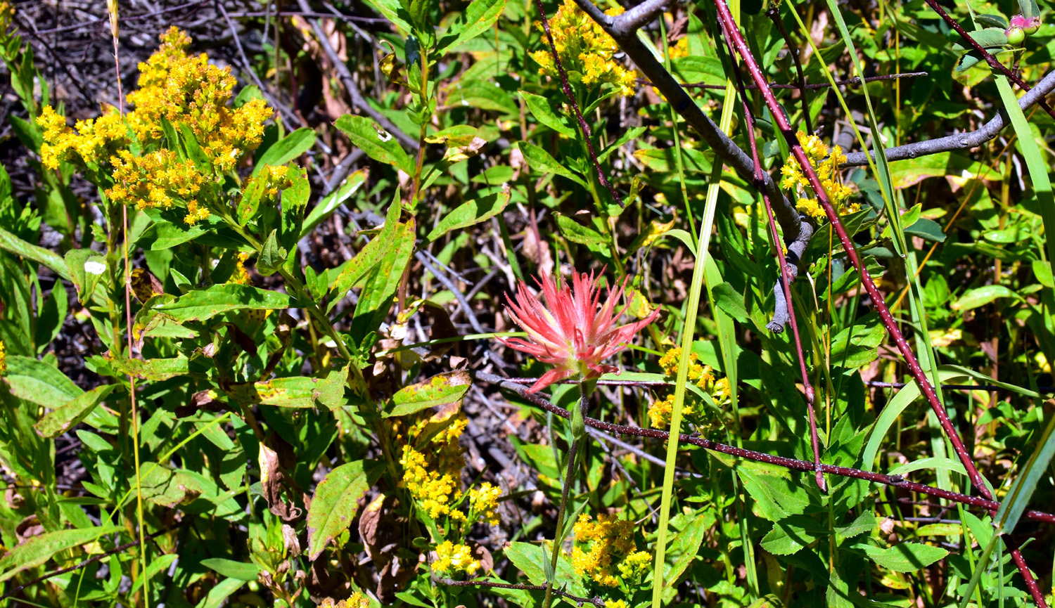
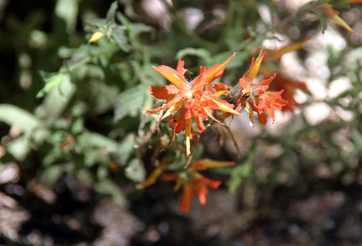
Along the trail we saw the usual flowers that bloom in this season at this elevation. The dominant flowers were lupines, but we also saw Indian paintbrush, western wall flower, this unknown beauty, and four or five others. |
|
 |
 |
| Lupines and a fallen log | These large lupine plants were thick along the lower part of the trail |
|
This is the elevation at which we see red firs, recognizable by their massive reddish trunks and the bluish color of new growth. There are also white firs, sugar and ponderosa pines, and near the falls a few western white pines. Along the trail we met or were passed by maybe a dozen other groups, but there was never any feeling of being crowded. When we reached the falls we were glad to see that the flow is still around half the peak level, meaning it was still loud and impressive. |
|
 |
 |
| Rancheria Falls July 3, 2025 | Cascade below the falls |
|
As usual we separated into groups of one or two, so we were never all at the falls together. However, we reunited at the parking lot, where Don took a selfie that managed to include the entire group. Heading back down the highway to home, we stopped at one of our favorite after-hike restaurants, Velasco's in Prather, for a delicious Mexican lunch. Like many hikes, this one has become a bit more challenging for me, so when Don dropped me off at my home, I was ready to drop into my recliner and enjoy the morning and afternoon naps that I had missed. --Dick Estel, July 2025 |
|
| Crescent
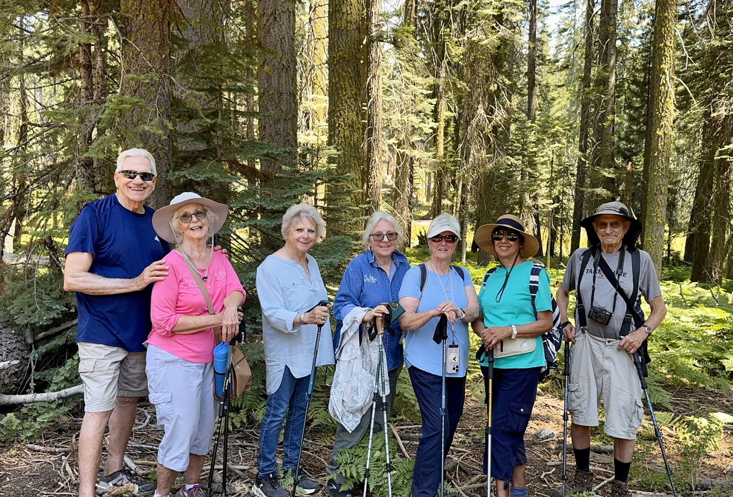
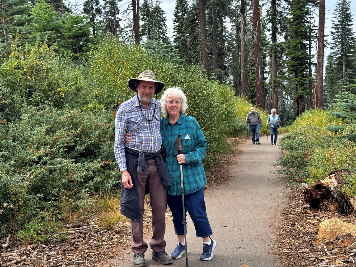
Meadow (Photos by Wes, David, Susan and Dick) After two hikes in a row with only four Ramblers, we were happy to have a turnout of nine hikers for our August outing. Of course, being "ramblers," we did not all hike together or even in the same direction. More about that later. Our destination, Crescent Meadow in Sequoia National Park, was familiar to some of us and new to others. The Ramblers went there in June, 2015, a little over ten years ago (!) Enjoying this hike were Wes Thiessen, Susan Silveira, Laurie Fitzgerald, Pam Frazier, Elsa Sweeney, Dick Estel, Jackie Taggart, Bruce Nieman, and Dave Smith. Dave likes to go early and take photos on the way, and Bruce also chose to drive up by himself. He was waiting in the parking lot when we arrived, but Dave was nowhere in sight. The trailhead is about two miles from the Giant Forest museum. Shuttle service is offered, but we took a chance on driving in and were lucky enough to find parking. Along the way there is a big tree that fell across the road in 1935 A tunnel has been cut to allow access for most cars. There is a bypass for vehicles that are too tall. |
|
 |
 |
| Wes,
Jackie, Laurie, Susan, Pam, Elsa, Dick (Bruce and Dave escaped before we could take the group photo) |
Gooseberries make a nice jam, but it takes a LOT of work |
|
Normally we like to go to our right and take this loop trail counter-clockwise. This gives us a trail that is paved all the way, and takes us past the meadow plus Tharpe's Log. However that direction was blocked by caution tape, so we went the other way on a dirt trail, enjoying views of the meadow most of the way. We also hiked past many giant sequoia trees, since the meadow is within the Giant Forest. As we sauntered along, who should we meet coming toward us but Dave. We stopped to chat for a while, then all went on our way. |
|
 |
 |
| Base of a giant sequoia | There are at least a half dozen sequoias in this photo |
|
Eventually this mostly level trail started uphill. Bruce checked the map on his phone and informed us we were heading away from the meadow and the trail that would take us back to the parking lot. We backtracked a short distance, and took the right fork instead of the left. Not far from here a paved trail came in from our left, and we realized that was the path we would have been on if we had been able to follow our usual route. From then on, we had a mostly level asphalt trail that took us around the southern end of the meadow and back to our cars. Our previous hike at this place was early in the season, and we were delighted to see that the meadow was filled with flowers, more then we had ever seen on our other visit. |
|
 |
 |
| Cone flowers | Corn lilies and unidentified white flowers in the meadow |
 |
 |
| Big waist-high lupine plants were abundant | Possibly California goldenrod and a variety of Indian paint brush |
|
When we finished our hike, seven of us drove a few miles back toward Kings Canyon and went to the Wuksachi Lodge for lunch. This proved to be a frustrating experience for some of us. There is no wait staff - you place your order on a large touch-screen computer device, which was not designed to be user-friendly. We all eventually managed to order, but one of our group was prompted to enter their name five times before the order was accepted. From now on, we will bring out own lunch. Despite those minor issues, the hike was fantastic, with great weather. I had forgotten how many sequoias there are along the trail, and with the trees, the meadow, and the flowers, we indeed were able to walk in beauty. --Dick Estel, August 2025 |
|
| Panoramic
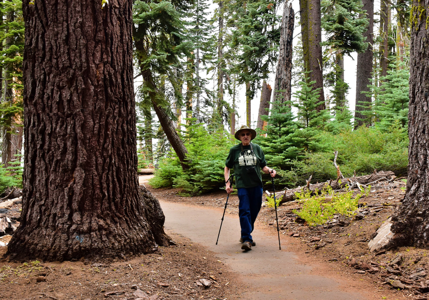
Point & Park Ridge Trail (Photos by Wes and Dick) As fall approaches, the Ramblers have to be concerned with weather conditions when we hike. Will it be hot? Will rain from a southern tropical depression make its way into our hiking area? For our hike in Kings Canyon National Park on September 18, we had a little of everything. Rain, "heavy at times," was expected, but mainly after 1 p.m. The official forecast was a 50% chance of rain - good odds in a casino or the Sierra Nevada. I'll deal with the results a little later in this report. Our destination was Panoramic Point and the Park Ridge Trail above the Grant Grove Visitor Center. The trailhead is at the end of a two-mile narrow, winding paved road. A half-mile hike up a slight uphill paved trail brings you to a vista point with Hume Lake below and the High Sierra backcountry in the distance. From the vista point a dirt trail goes 2.5 miles to a fire lookout, following a ridge top with only moderate up and down sections |
|
 |
 |
| Do you need a caption to tell you this is the trailhead sign? | Hume Lake and the hazy Kings River canyon |
|
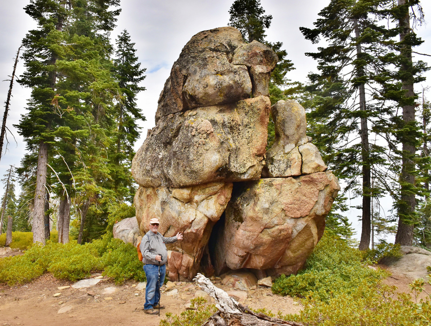
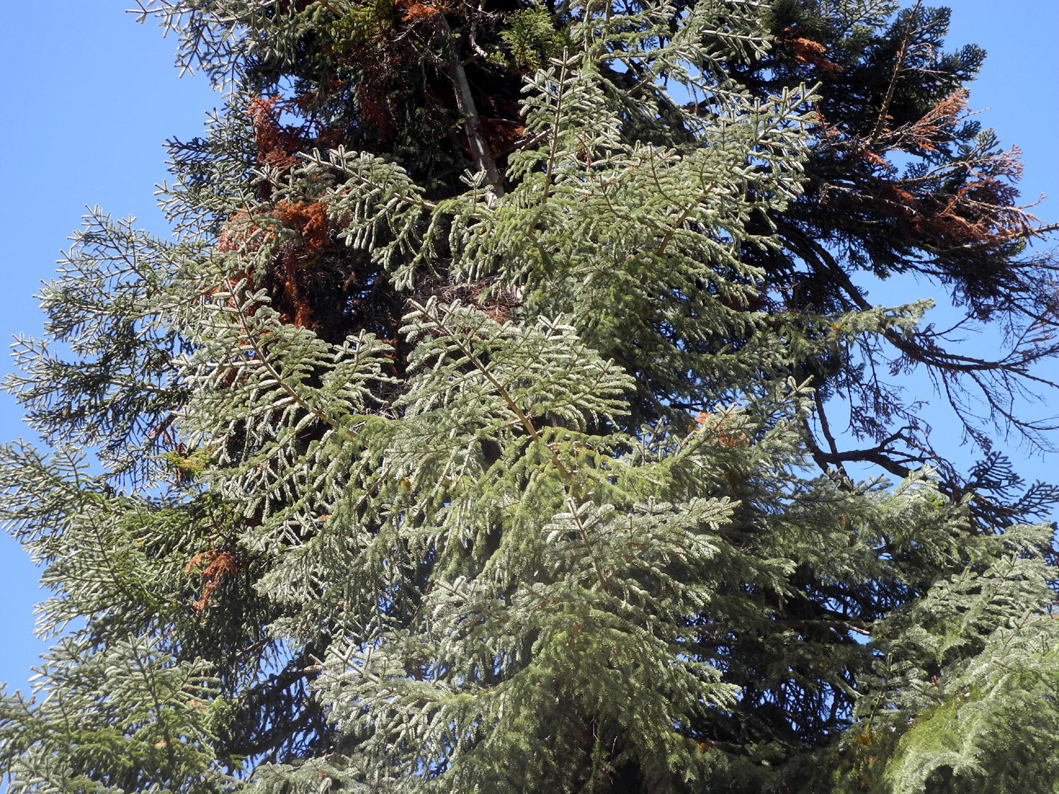
Unfortunately, smoke from fires and moistures from incoming storms reduced the distant view to a hazy outline. But the evergreens and bushes around us were vibrant and provided plenty of the mountain scenery we cherish. The most common shrubs along the trail were greenleaf manzanita and chinquapin. This, along with many dramatic rock formations filled our view along the trail. We also saw a half dozen deer, mostly along the road to the trailhead. |
|
 |
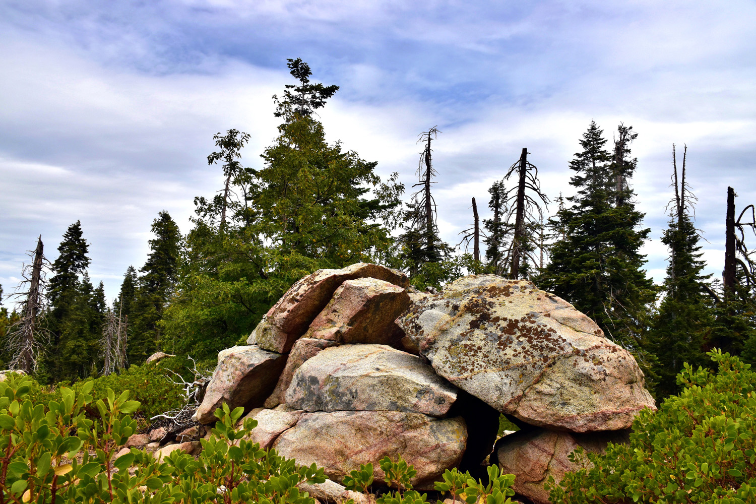 |
| Don contemplates our favorite rock formation by the trail | Another nice rock pile |
 |
 |
| Trail with firs and manzanita | A close look at greenleaf manzanita and Don |
|
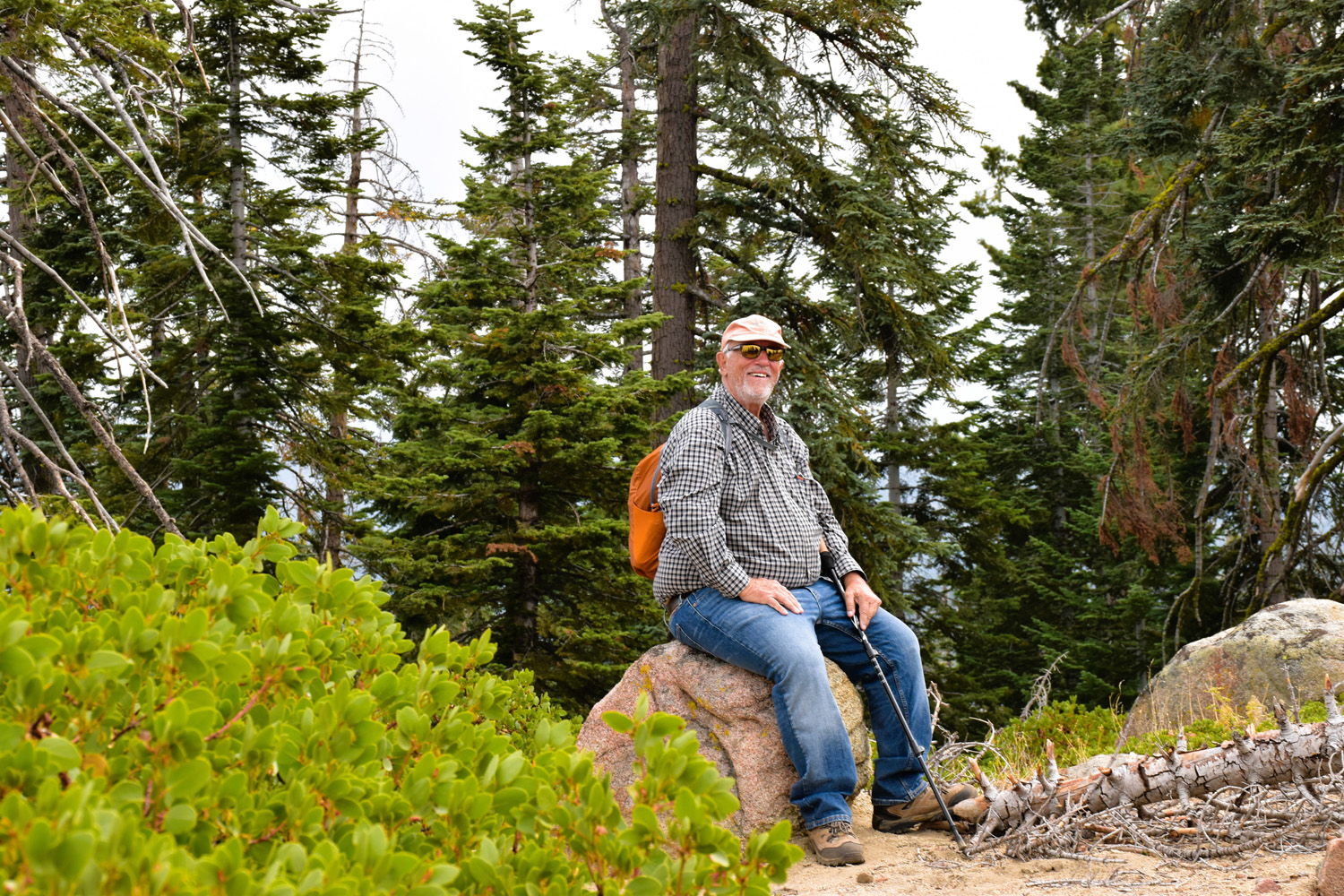
As you may have guessed, we did not walk the entire five-mile round trip trail. As usual, we hiked till we had gone half of far enough and turned back. The trailhead provides plenty of parking, a restroom, and picnic tables. We had all brought our own lunch, and restored our energy in the beauty of the Sierra at 7,000 feet. This hike brought together seven Ramblers: Laurie Fitzgerald, Keith and Beth Sohm, Allen Ward, Dick Estel, Wes Thiessen and Don Bandoni. Hopefully we will see these and more on our next few hikes. |
|
 |
 |
| Laurie, Keith and Beth, Allen, Dick, Wes and Don. | Keith and Beth on the trail with Don and Laurie coming along behind |
|
Although some of our members kept a wary eye on the cloudy skies, we stayed dry and happy on the entire trip. As we were picking up after lunch, about four drops of rain fell, and we experienced two or three brief showers down in the low country while driving home. The serious rain held off till late in the evening - after we were all safely tucked away under our respective roofs. --Dick Estel, September 2025 |
|


| Photos (Click to enlarge; pictures open in new window) | ||
| Mariposa Grove Indian Basin Grove Rancheria Falls Crescent Meadow Panoramic Point & Park Ridge Trails | ||
| Mariposa Grove | ||
 |
 |
|
| Susan S and Don B | Wes, Laurie, Don B and Jim | The condition of
this giant indicates it probably fell in the 21st century |
|
 |
 |
| Dick and other visitors at the Grizzly Giant | The top of the giant | Wes, Susan S, and Laurie at the California Tree |
| Indian
Basin Photos by Wes & Dick |
||
 |
|
 |
| Start here | A magnificent meadow | Dick on the trail |
 |
 |
 |
| Clouds in the distance | Wes on the stump in the midst of lots of ferns | A burned out snag |
|
 |
 |
| Ferns surround every stump | There's a prize for identifying this flower | Possibly a fading current blossom |
| Rancheria Falls | ||
|
 |
 |
| Lupines by the trail | Halfway
down, the water hits a ledge and bounces back up |
A
different Rancheria Falls, on the east side of the Kings River's North Fork |
| Crescent
Meadow (Photos by Wes, David, Susan, Dave and Dick) |
||
 |
 |
|
| Aster | Wes and Elsa in the flowers | Looking
across the meadow at sequoias young and old |
 |
 |
|
| Sequoias above the trail | Jackie and a big tree | Reaching for the sky |
 |
 |
 |
| Elsa and Pam | Wes in a tunnel tree | Elsa and corn lilies |
 |
 |
 |
| Dick,
Jackie and Susan resting at the base of a giant sequoia |
Laurie and Wes on the trail | Laurie shows us the places we DIDN'T go |
 |
 |
 |
| Crescent Meadow | Sequoias and ferns | On the
road to the meadow, a tunnel was cut into this fallen tree |
 |
 |
 |
| Views along the trail, courtesy of Dave | ||
| Panoramic
Point & Park Ridge Trails (Photos by Wes and Dick) |
||
 |
 |
 |
| Wes near Panoramic Point | A young fir tree | Dick walks past a big fir tree |
 |
 |
 |
| A typical section of the trail | Beth takes a break | Allen on the trail |
 |
|
|
| The paved section of the trail | Rest stop | Clouds over the Sierra |
| Related Links | ||
| Restoration Project | Fish Camp | Ramblers at the Grove in 2024 |
| Yosemite National Park | Mariposa Grove | Grizzly Giant |
| Wawona Drive-Through Tree | Indian Basin Grove | Kings Canyon National Park |
| Princess Campground | Sequoia National Forest | Sequoia Quest |
| Velasco's | Ramblers First Visit to Rancheria | The Falls at its Peak |
| Rancheria Falls Trail | Huntington Lake | Crescent Meadow |
| Sequoia National Park | Giant Forest | Wuksachi Lodge |
| Dave's Photos On-Line | Tharpe's Log | Panoramic Point |
| Park Ridge Trail | Chinquapin | Greenleaf Manzanita |