
Northern California Journey 2018 Lassen Park, Burney Falls, Lava Beds Monument |
|
|
Day 1: On the Road Day 2: Lassen Volcanic National Park Day 3: Subway Cave and Lassen Day 4: Burney Falls Day 5: Lava Beds National Monument Day 6: Heading Home (Photos by Teri Liddle, Colton Upshaw, and Dick Estel) |
|
|
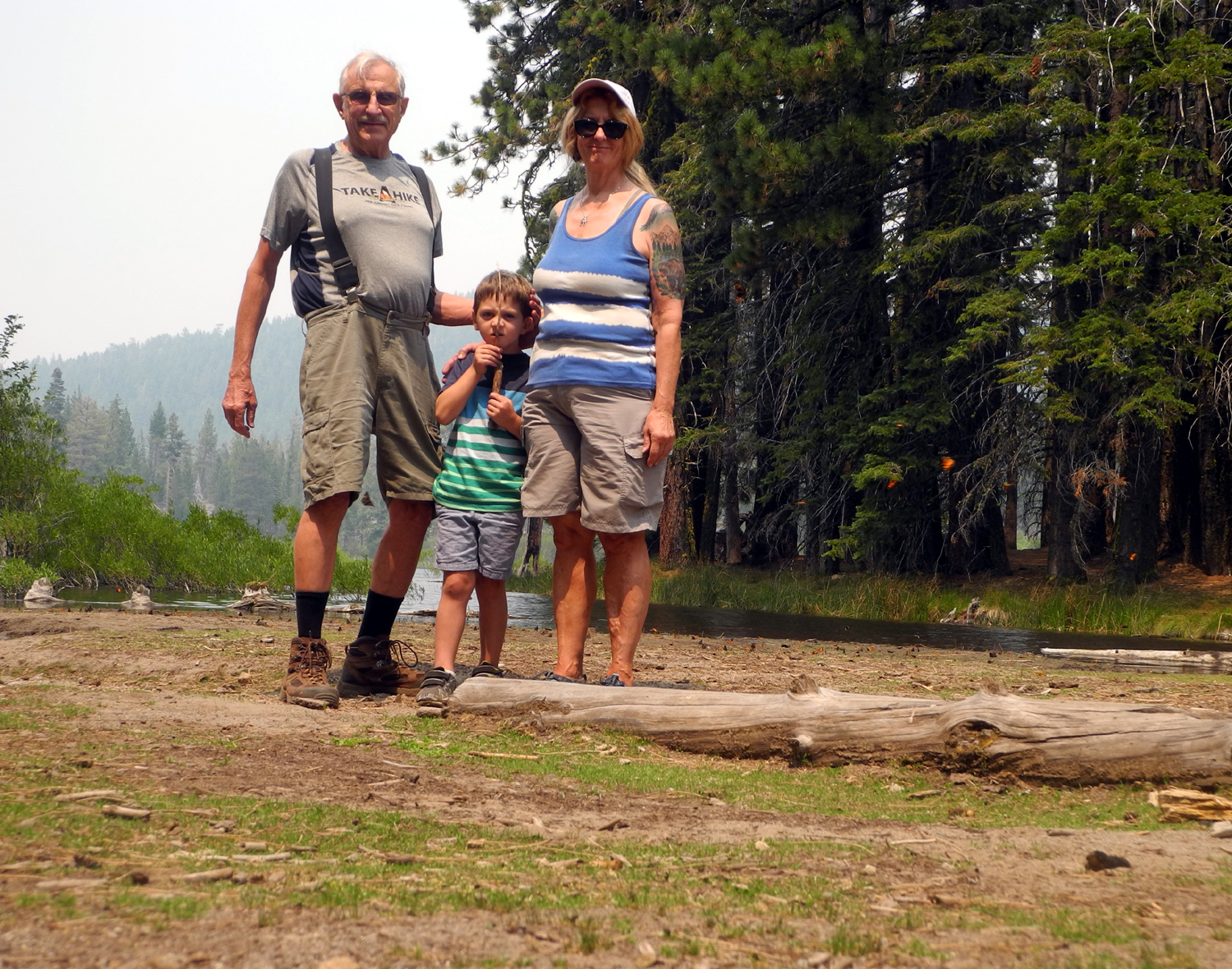
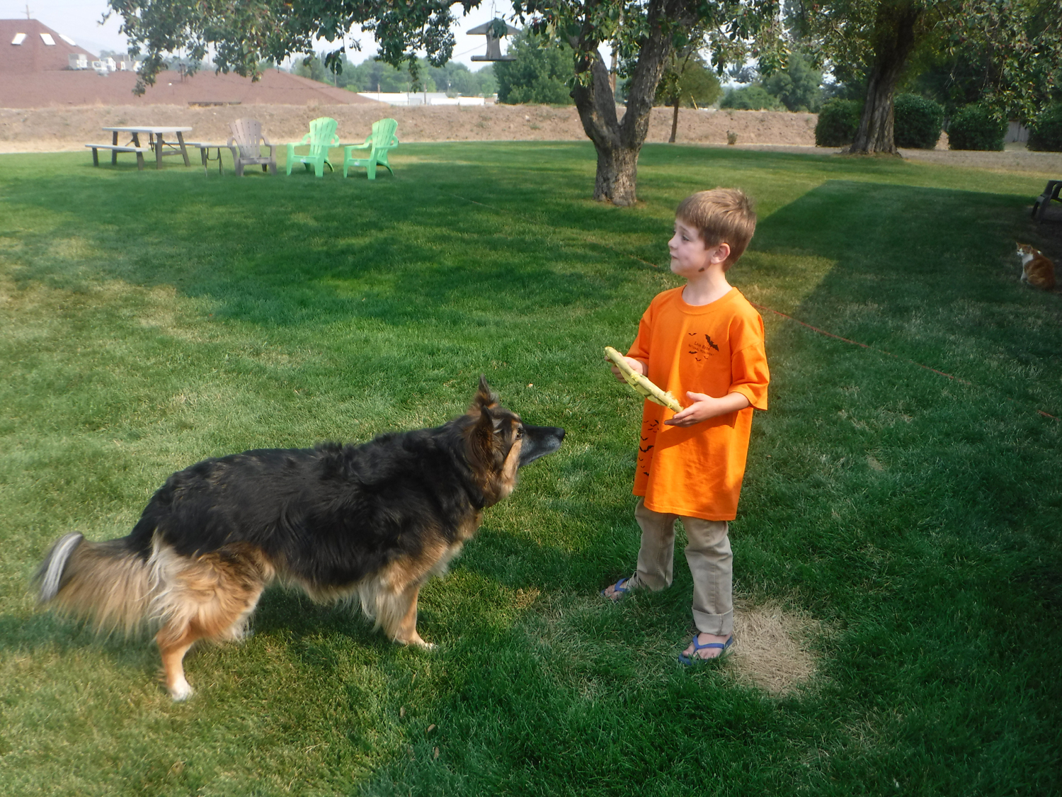
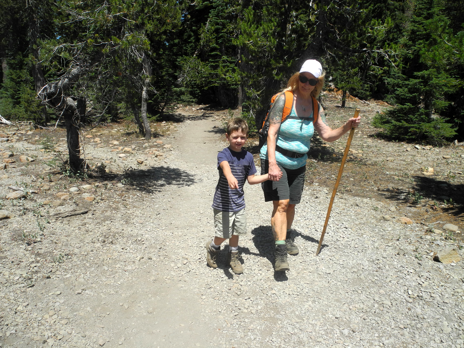
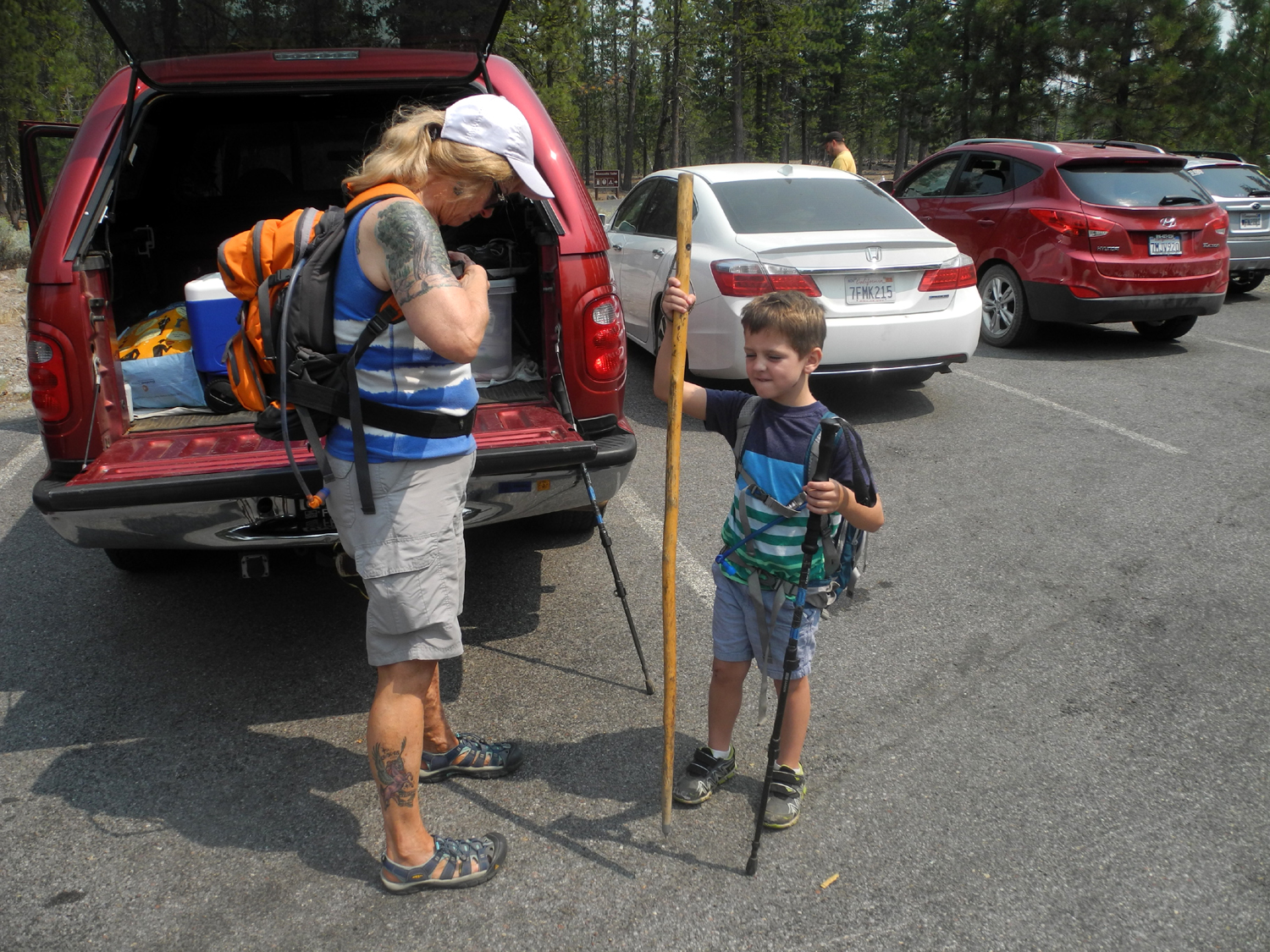
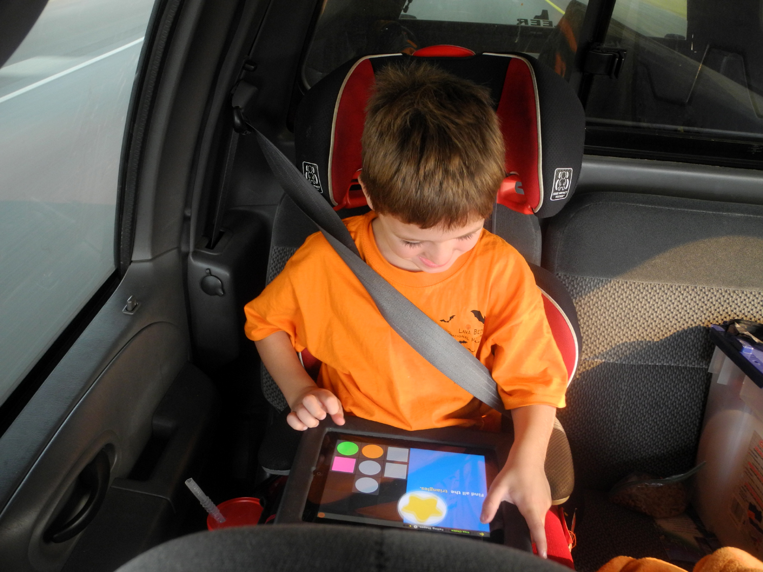
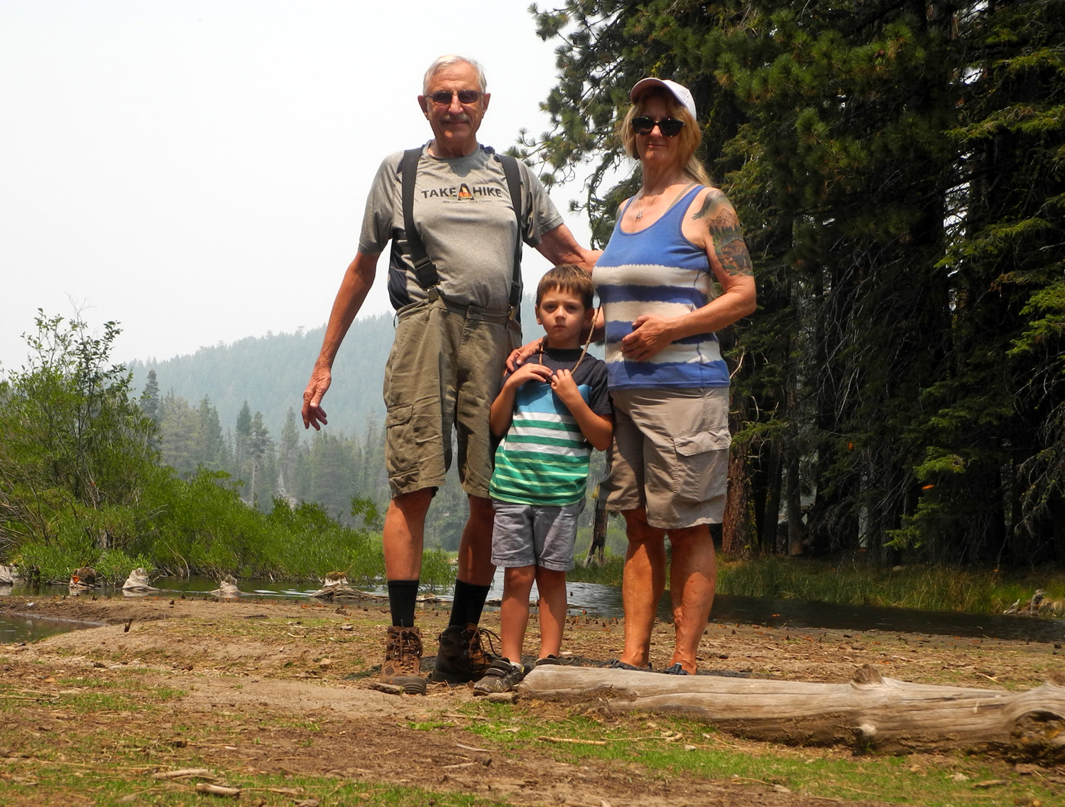
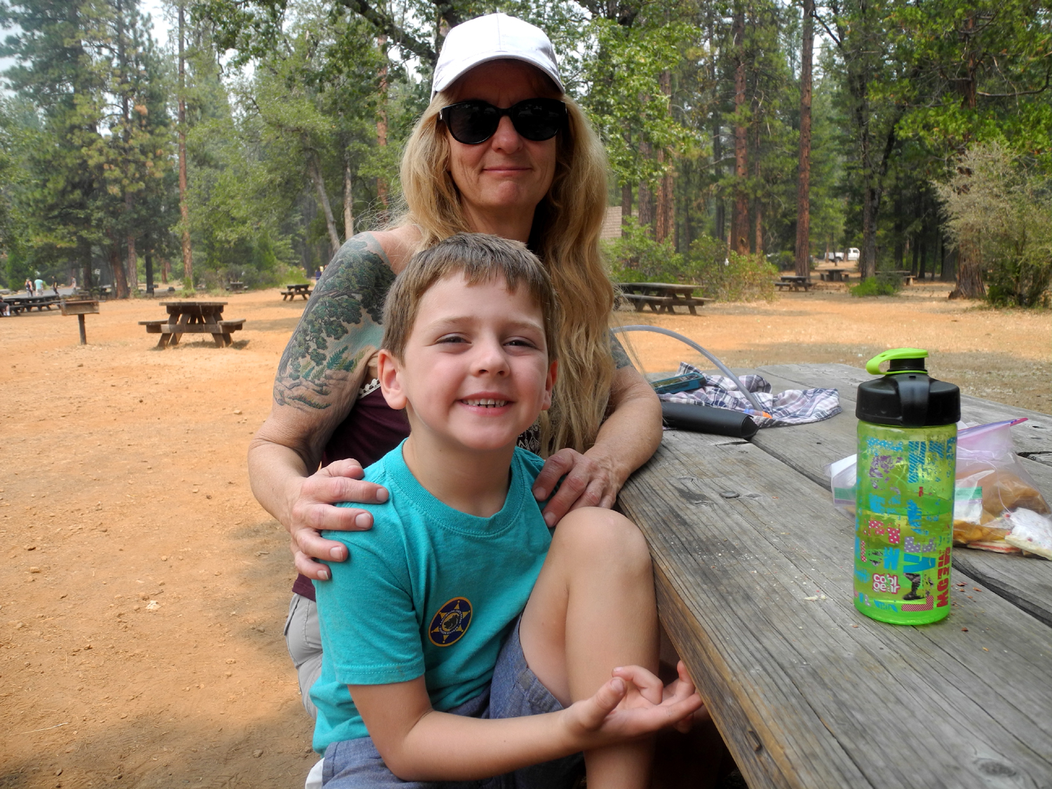
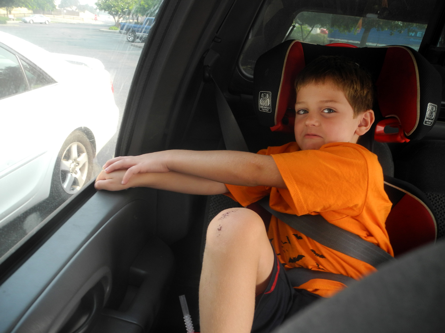
Day 1 - On the Road In June, 2017, my daughter Teri, grandson Mikie, his girlfriend Lizzie, and I went to Lassen Volcanic National Park. There was still so much snow that we could drive only a few miles into the park. We could walk on the road a couple of miles further, beyond which it was closed. Teri greatly enjoyed this trip and wanted to return when the entire park was open, so we started planning a trip for 2018. As is usual when Teri is involved in planning a major trip, discussion started early, and motel reservations were completed by mid-February for a trip that would start on August 3. Teri's older grandson (my great grandson) Colton would be traveling with us, and since he would be starting kindergarten in mid-August, we needed to schedule the trip so that we would be back in time. After a long wait and final planning, Johnny brought Colton to my house on his way to work, and we drove in my truck to Teri's. We decided on the larger vehicle since we would be fixing most of our own meals and needed two ice chests, luggage, food boxes, etc. We also took my camping mattress for Colton to use. We left Teri's around 6:30 a.m., heading up Highway 99, then across to Interstate 5 at Stockton. Our destination the first night was Red Bluff, where we would spend the night, then head for Lassen National Park in the morning. At the motel we enjoyed the swimming pool, and walked across the street to pick up pizza from Domino's. Next door was a Baskin-Robbins, so we also took ice cream back to the motel. Please don't mention this to anyone, but the thing Colton (and most young kids) seem to enjoy most about a motel is jumping on the bed, particularly from one bed to the other. Colton started out with a few sedate jumps, but by the end of the trip he was doing somersaults and wild leaps that made Teri and I worry about the danger of breaking his head or the wall, whichever gave in first. We also did a lot of reading, and Colton spent time watching videos on an iPad. Teri imposed a "quiet time" rule where all wild and loud activity came to an end so we could wind down a while before going to bed. |
|
|
|
|
|
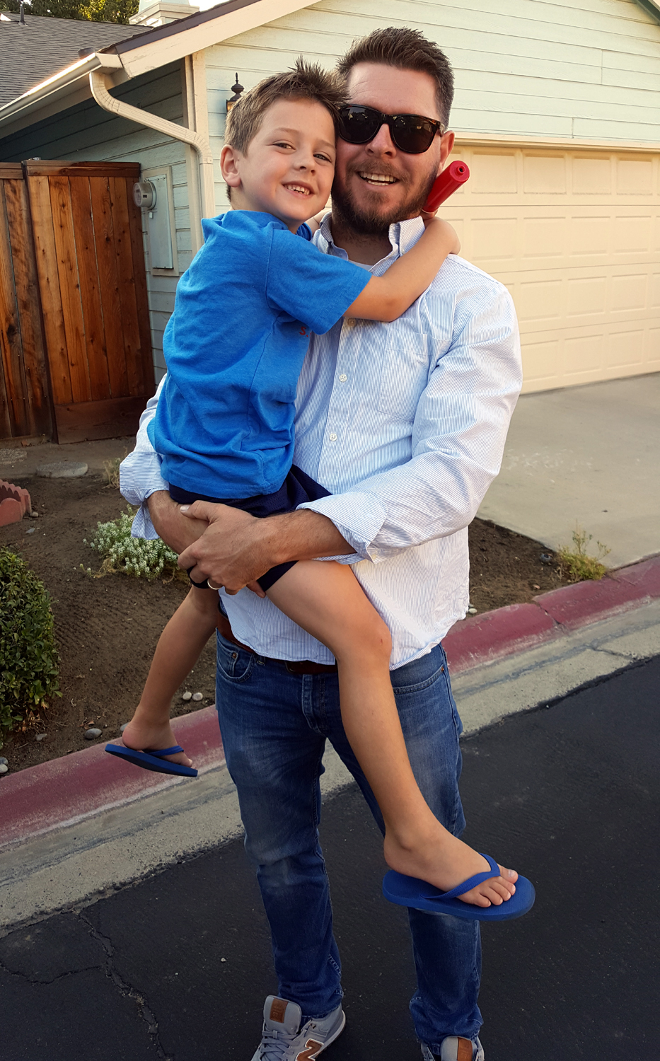
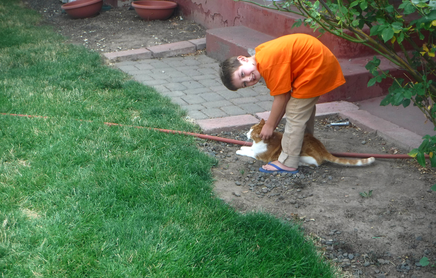
Saying goodbye to Dad |
Enjoying dessert to the fullest |
|
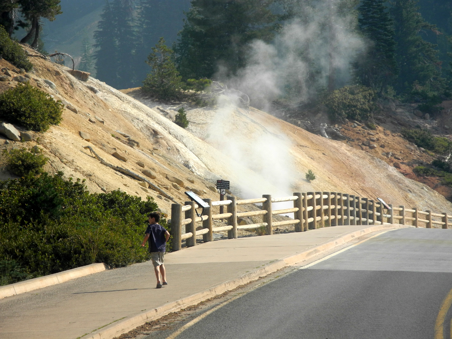
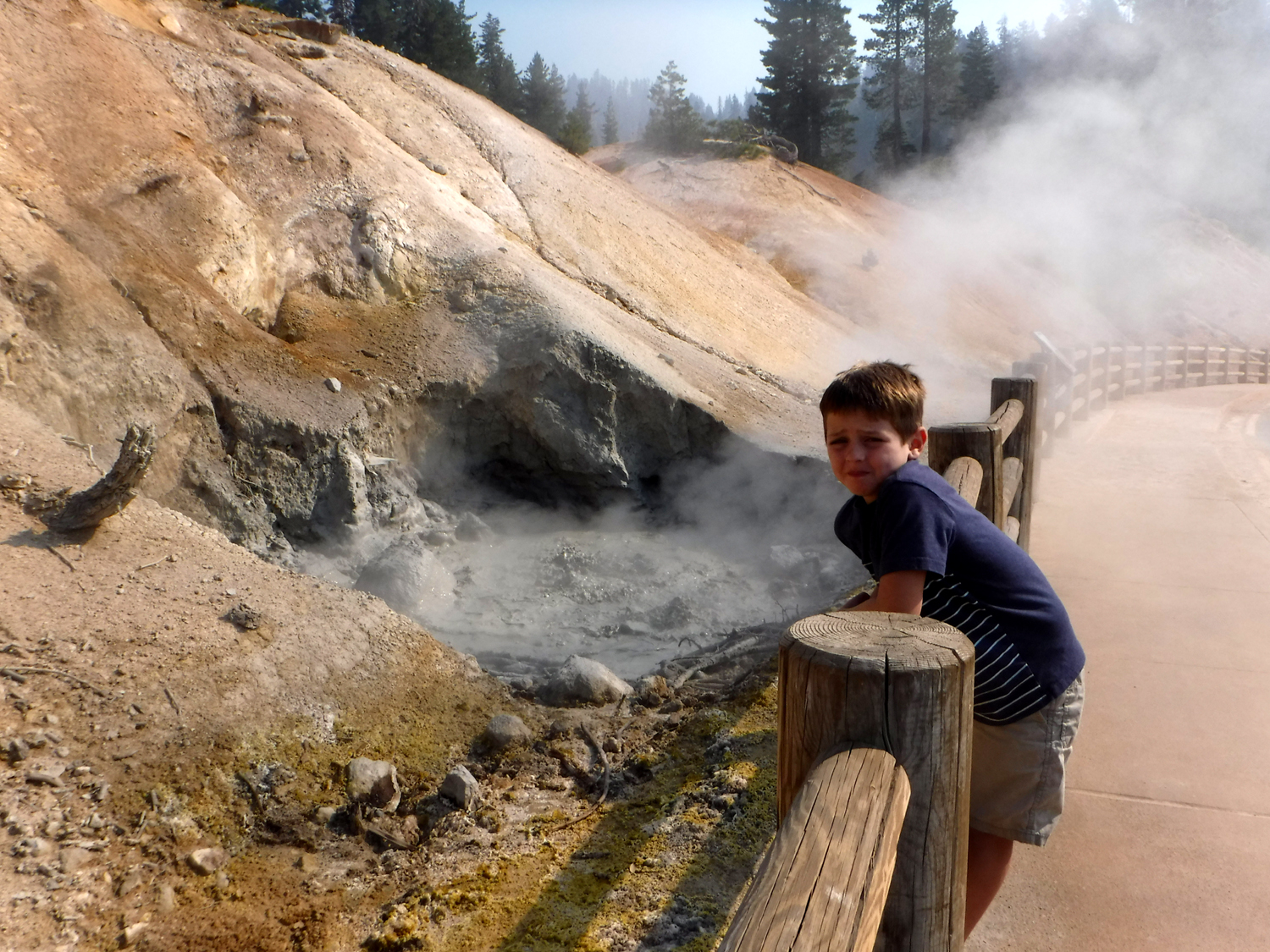
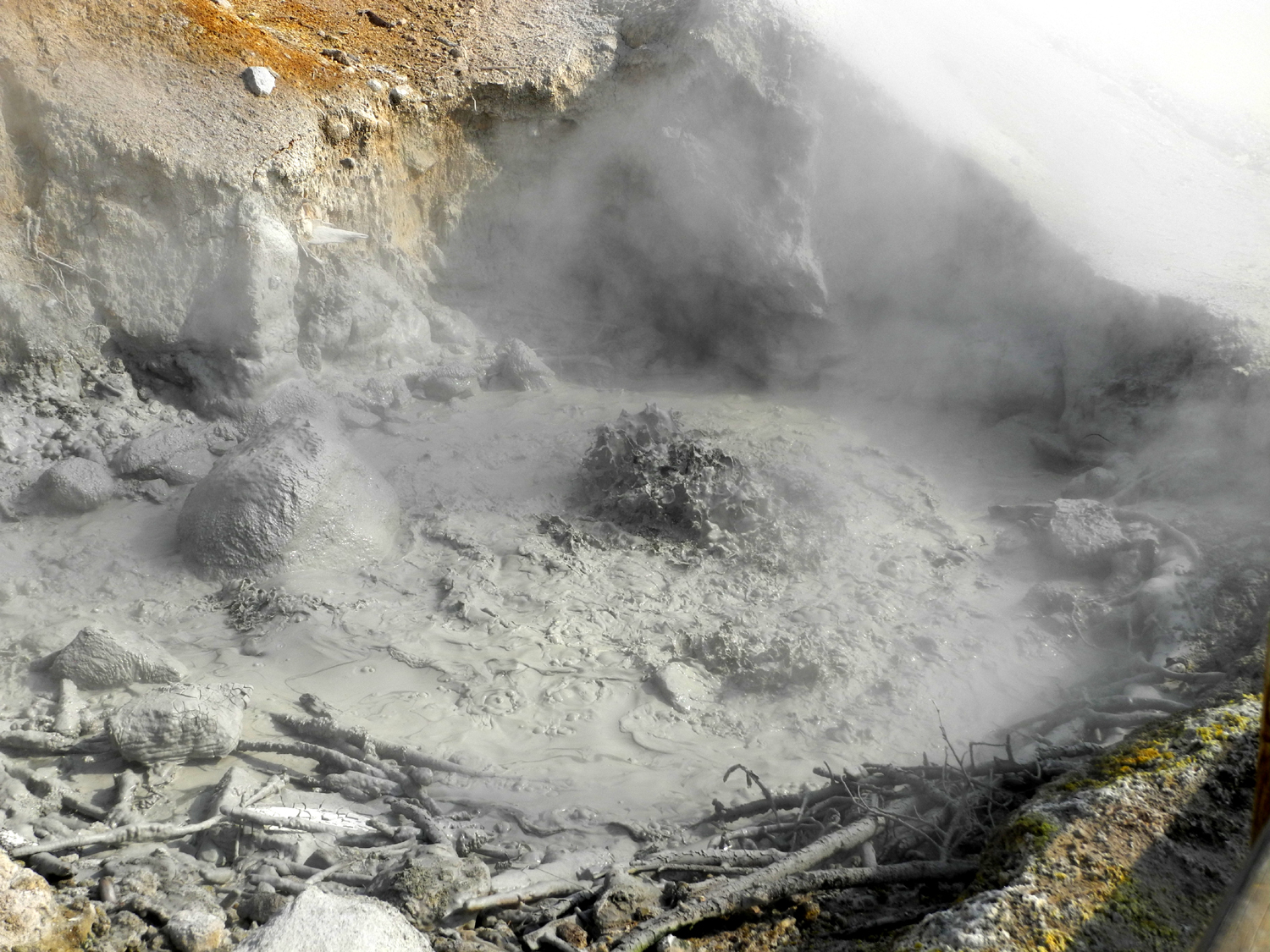
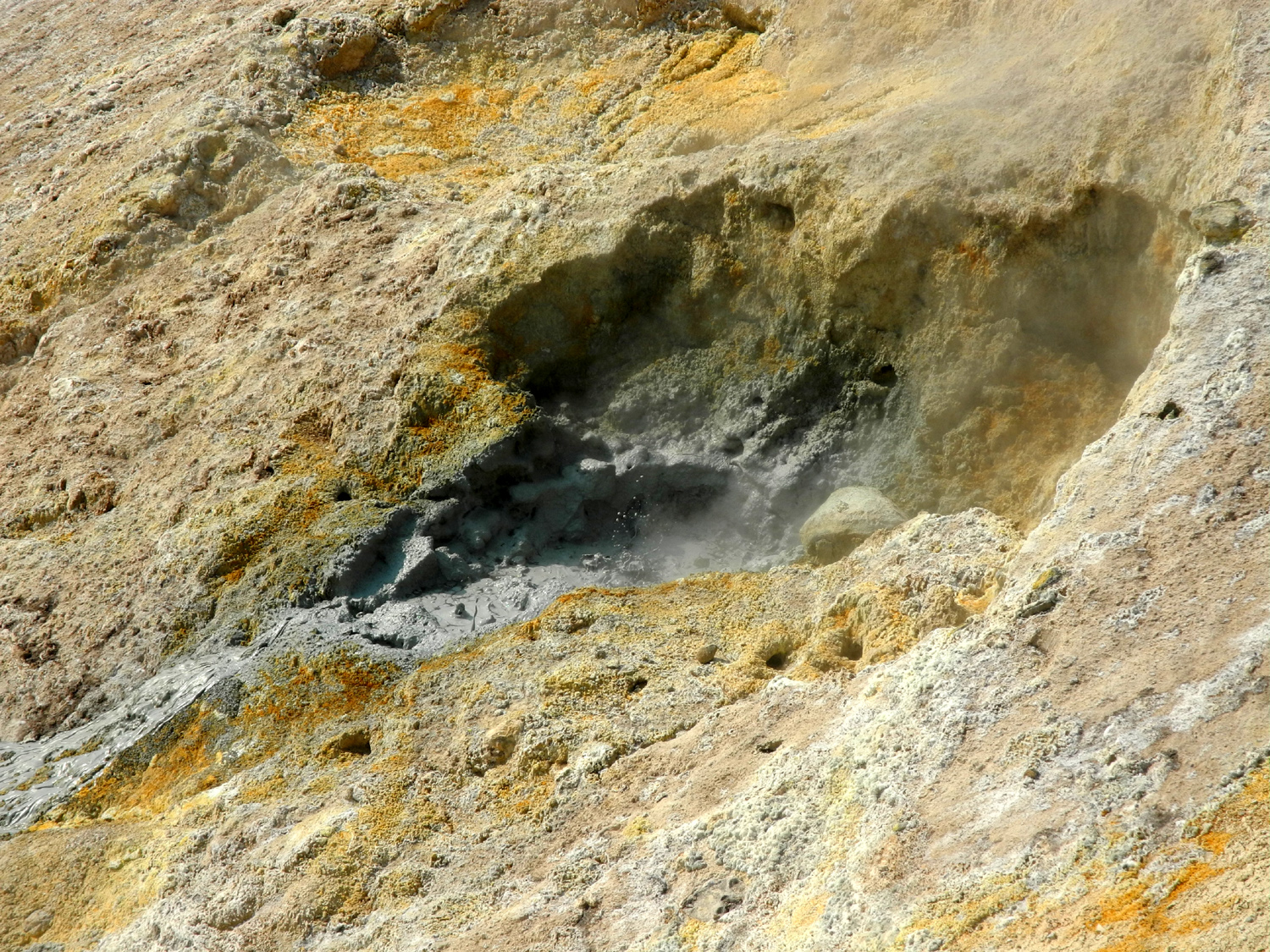
Day 2 - Lassen National Park The next day we had a short drive of a little over 50 miles, so we got a leisurely start, but still arrived in plenty of time to do a lot of stuff in Lassen National Park. We made our first stop at the visitor center, where we bought some souvenirs for Colton and brother Jack, and watched a video about the formation of the area. The film had excellent animation of lava flow and eruptions, and it held Colton's attention (as well as Teri's and mine) throughout the 20 minutes or so. Just a short distance past the entrance is the Sulfur Works, a thermal feature consisting of a mud-colored pool with vigorously bubbling water and a strong sulfur smell. The look on Colton's face perfectly conveyed the usual reaction to the smell when it's first encountered. It proved to be the perfect time to be there, as a young ranger approached, and asked Colton if he wanted to help take the temperature of the water. He got out a laser thermometer, showed Colton how to hold it and pull the trigger, and had him point it at the water. The temperature varied in different parts of the pool from 160 to 170 degrees. The hottest it gets is about 180, and the apparent "boiling" is actually caused by escaping gas. The ranger also told us about extremophiles, microscopic organisms that live in the heated pool, and showed a photo, magnified 20,000 times (it looked like this). We walked around this area, where two nice creeks come in, and looked at a small mud pot across the road and down the hill. The ranger told us this one is new just since last year. |
|
|

|
| Colton expresses his opinion of the sulfur smell | Taking the temperature of the bubbling mud pot |
|
|
|
|
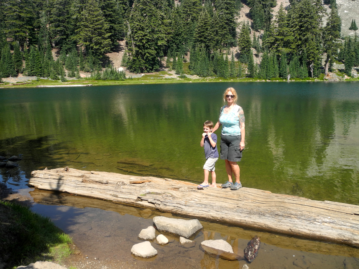
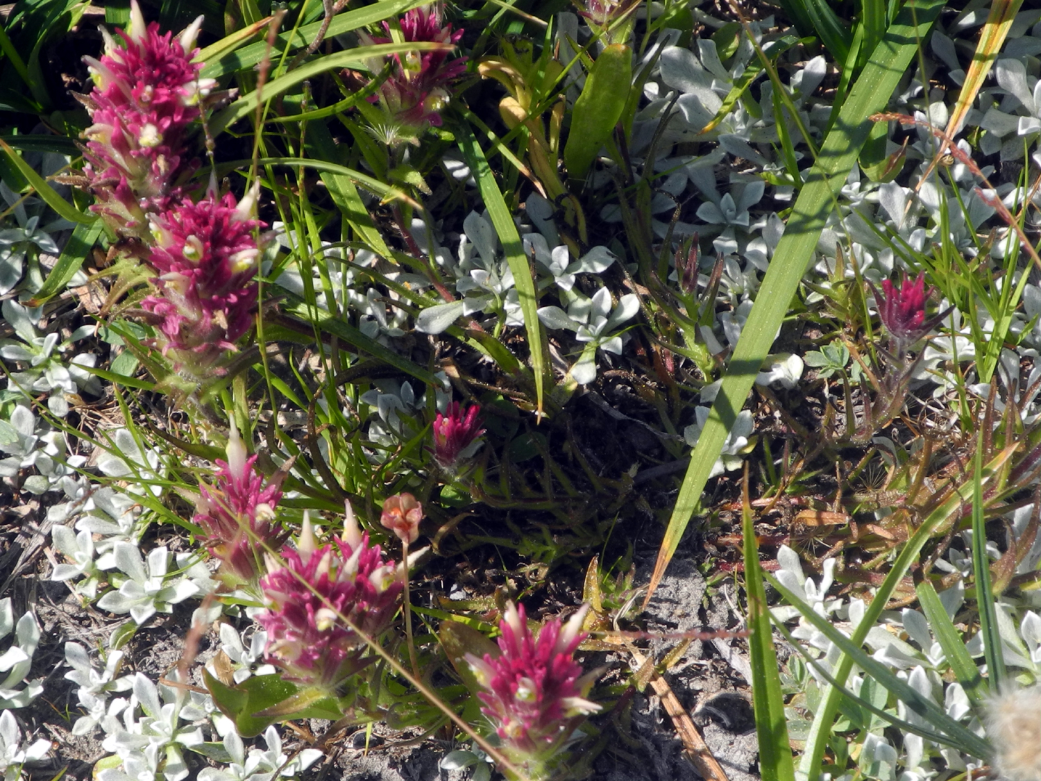
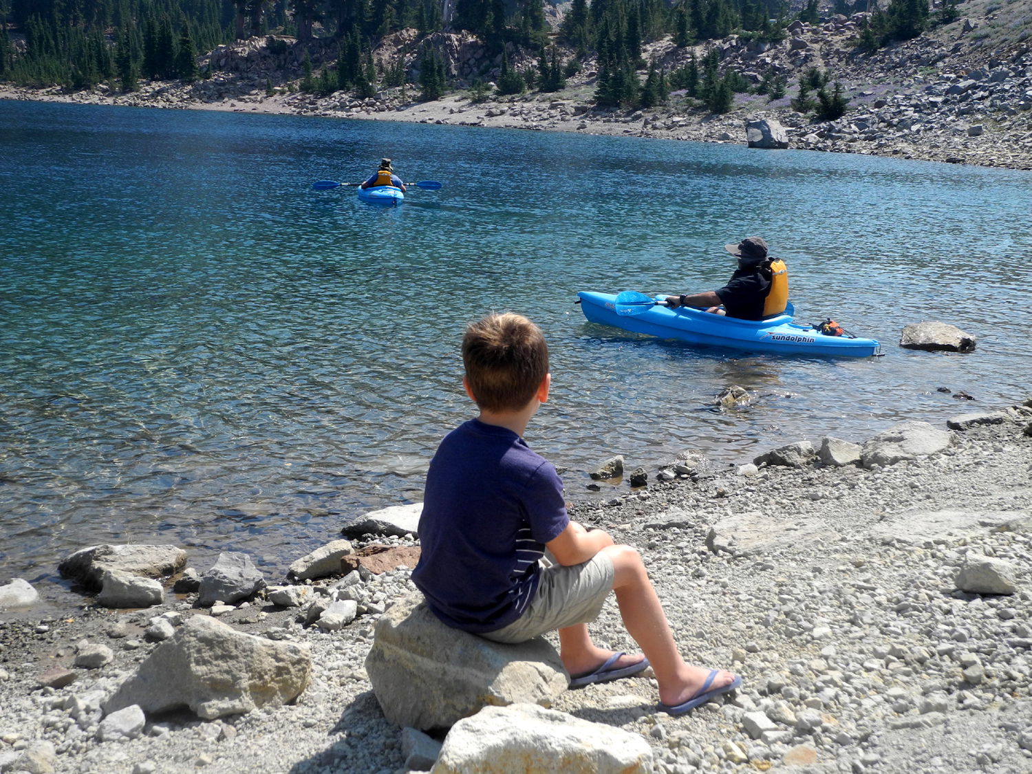
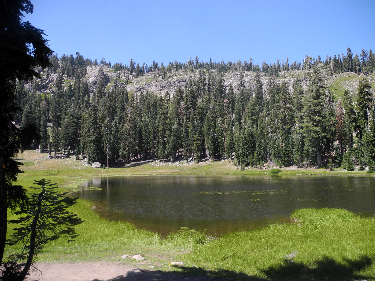
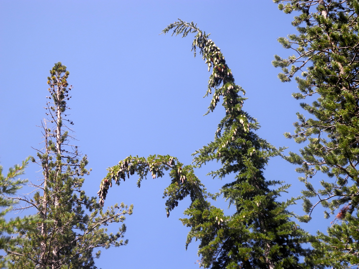
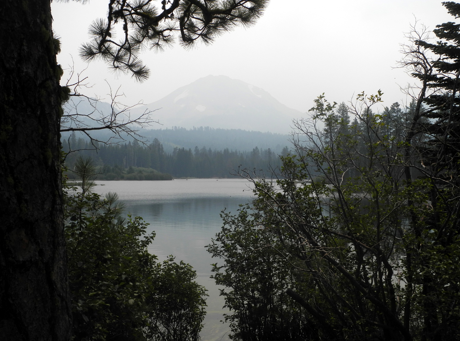
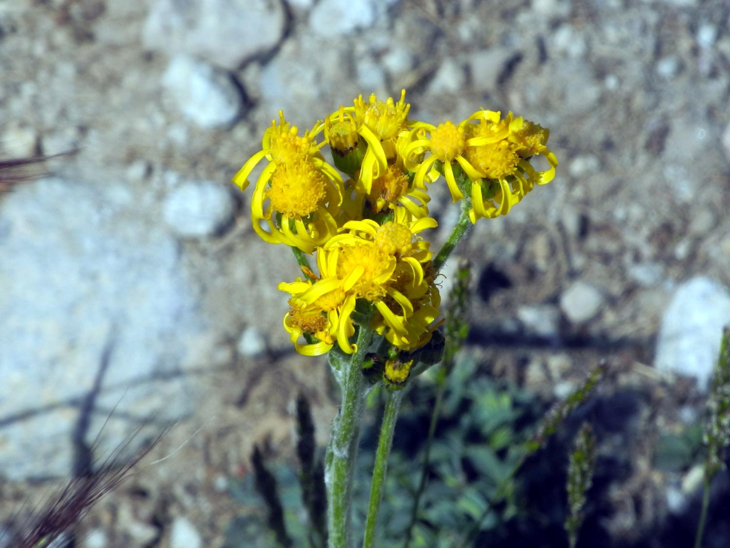
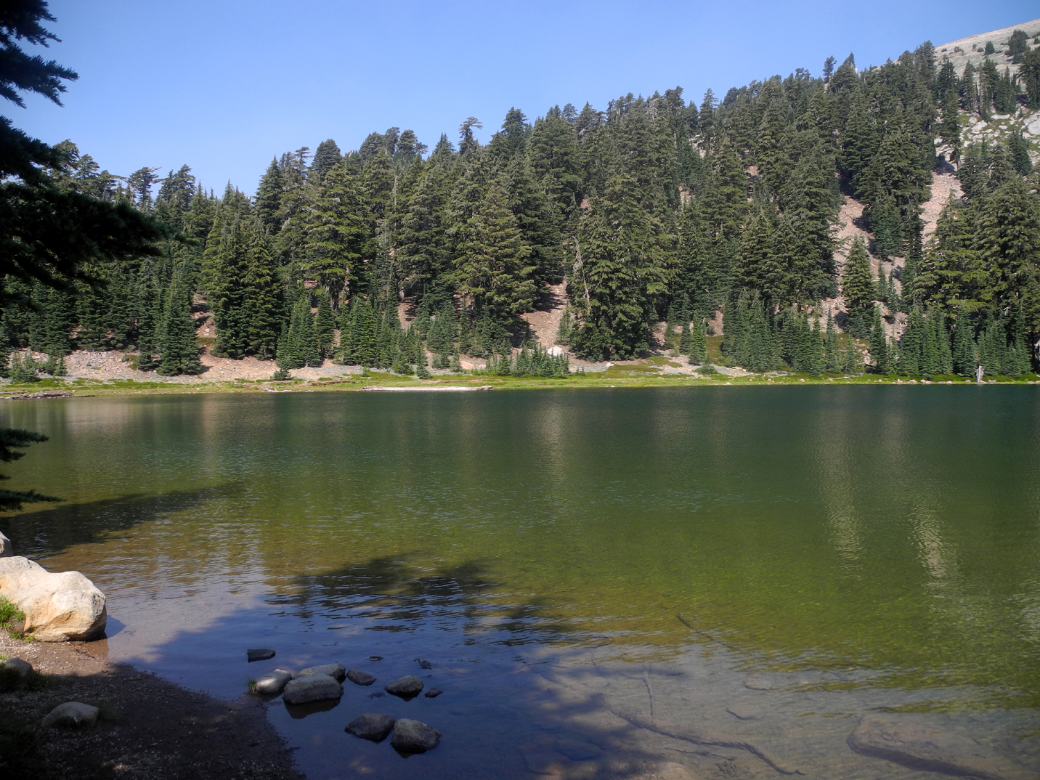
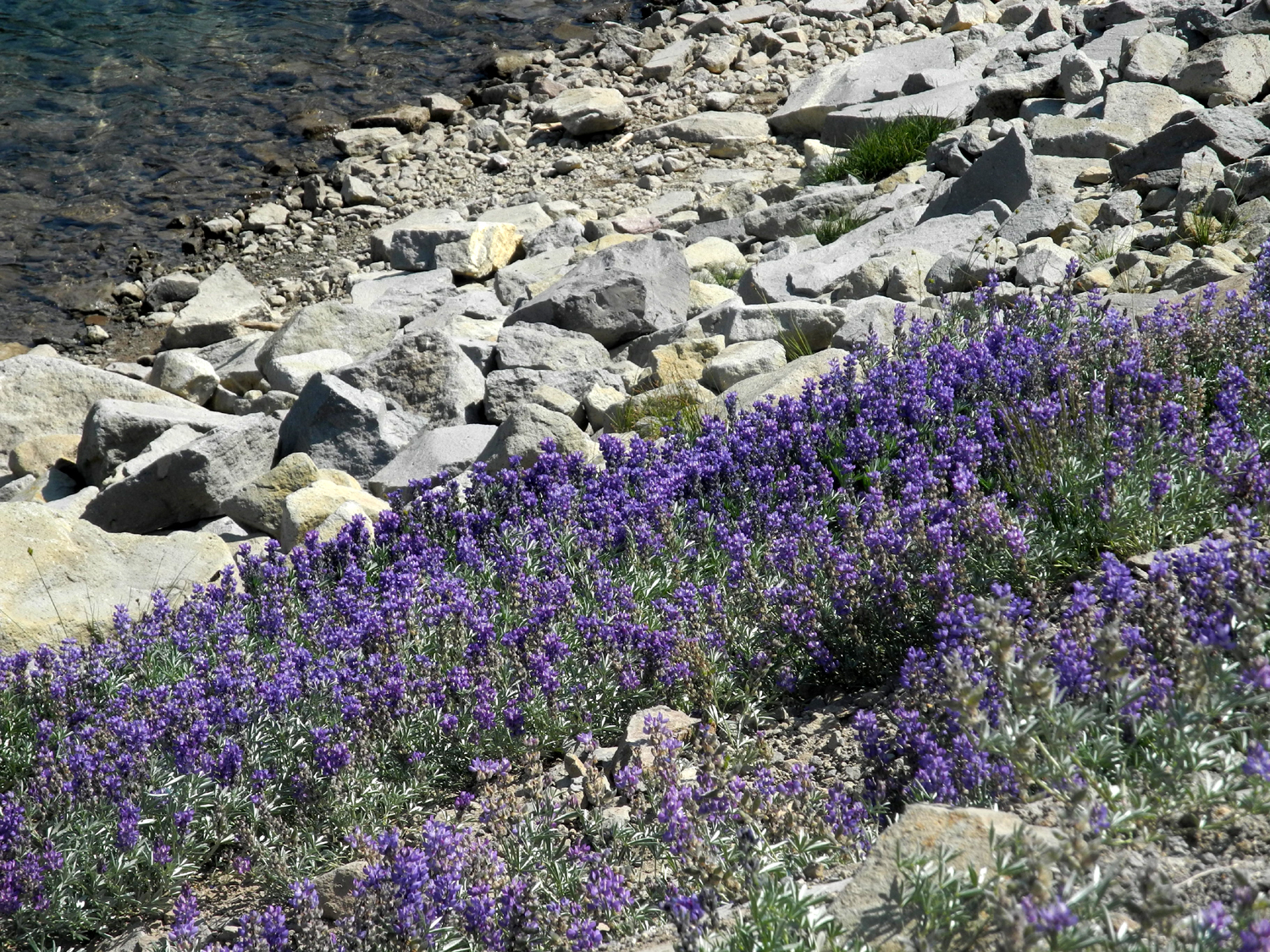
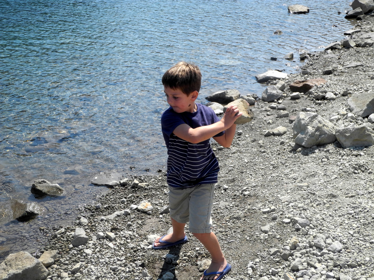
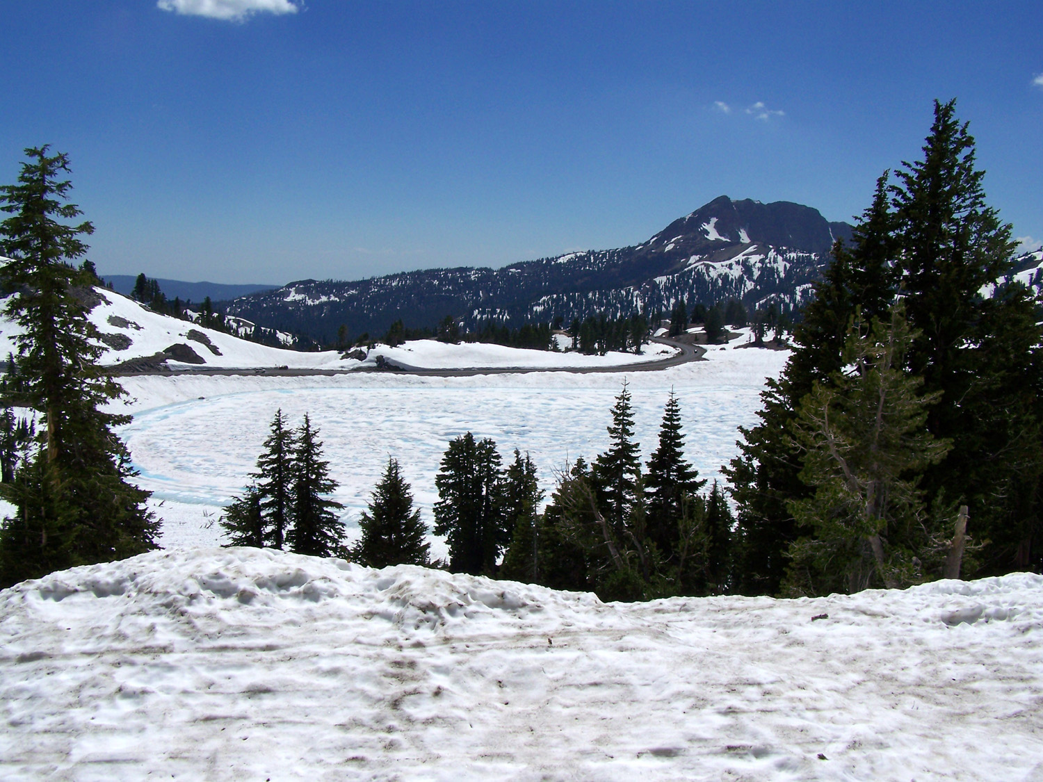
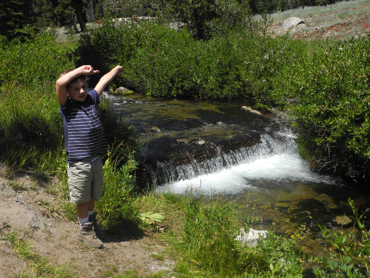
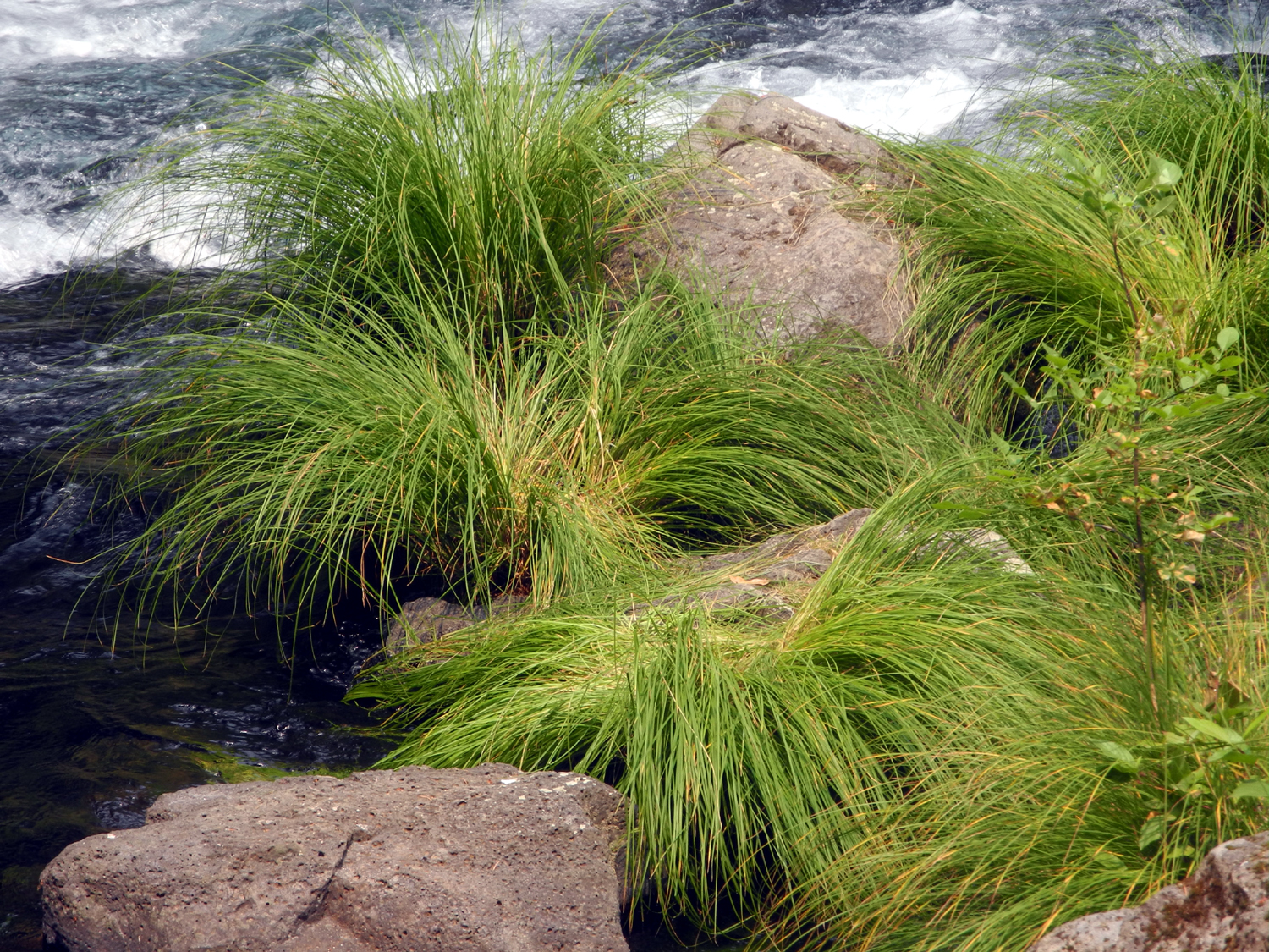
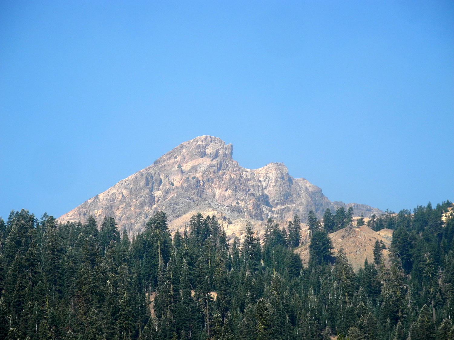
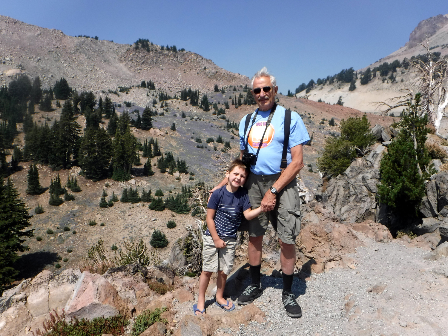
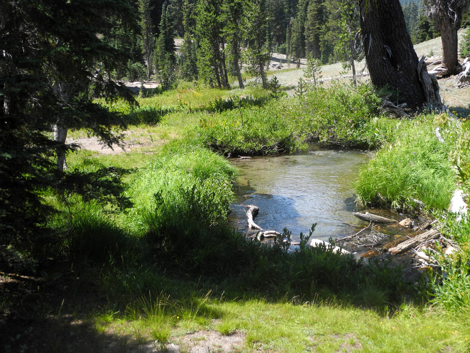
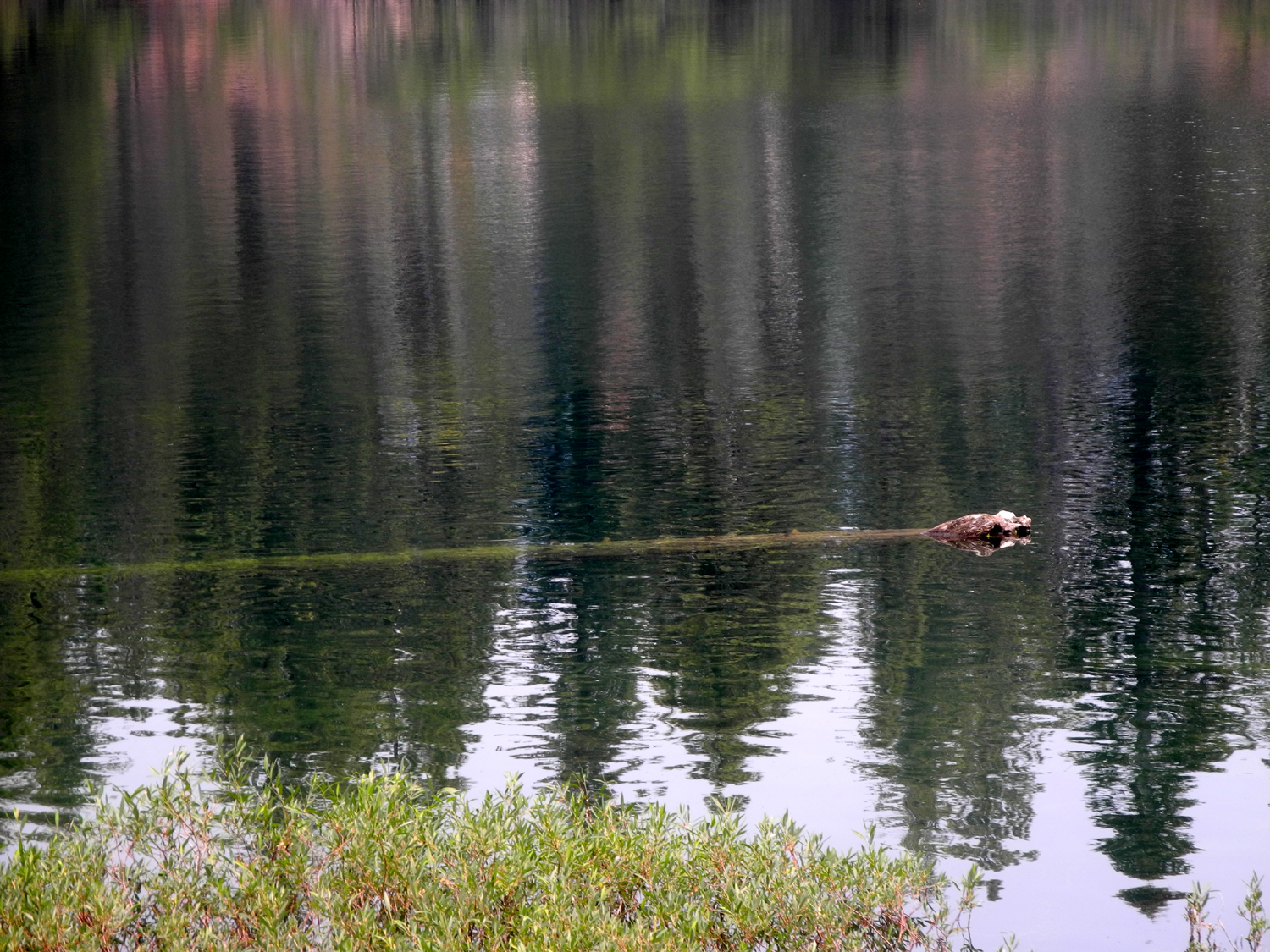
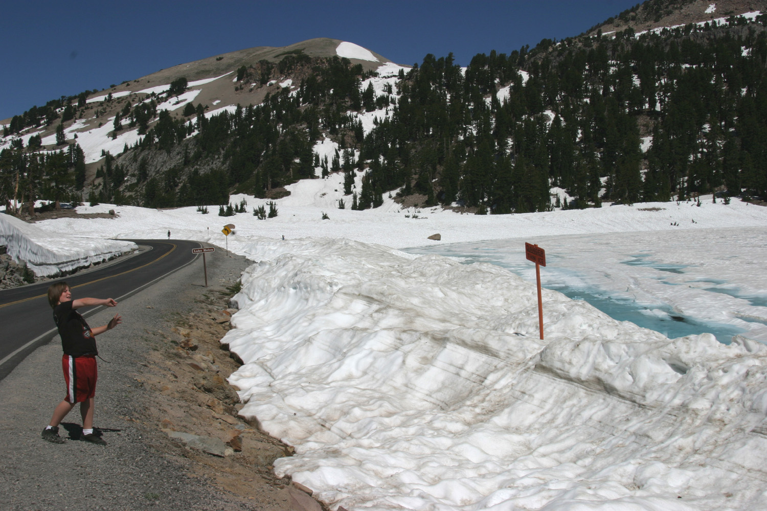
Beyond this point the road rises up continuously to the high point at 8,512 feet, and we stopped at several places along the way, including a small meadow-lined creek where we enjoyed a number of flower species. Next were two small lakes, starting with Emerald Lake, the smaller of the two, and I believe the more scenic. Around the lake we identified a number of western hemlocks, recognizable by their droopy tops, as well as red fir. We saw lupines everywhere, and learned about a species unique to the area, the Lassen Paintbrush, a rose-colored variation of this widespread flower. As we prepared to leave the lake, we spotted a robin looking for breakfast along the shore. Less than a quarter mile up the road is Lake Helen, a bit larger and mostly surrounded by tree-covered rocky slopes. There was an easy path down to the water and plenty of rocks for Colton to throw. However, we were all most interested in watching another group of tourists carry kayaks down to the water and launch them. It proved to be one of the shorter voyages in history, as a ranger came along before they were 50 feet from the shore and informed them that boating was not permitted in these two lakes. In three previous visits to this area, all in the summer, I had never seen Lake Helen without ice on the surface. We could not get this far last year, but considering the amount of snow we walked through, it was most surely icy then also. This photo is from mid-July, 2010. The park's major thermal feature is Bumpass Hell, which grandson Johnny and I visited in August, 1993. Part of the trail was covered in show with the trail marked by orange flags. The area is currently closed for rehabilitation, but we followed a short path up from Lake Helen to a barrier that leads to the trail and enjoyed the view before heading for the high spot on the road. |
|
|
|
| Colton and Teri at Emerald Lake | Lassen Paintbrush |

|
|
| Lake Helen | Watching the launching of the kayaks |
|
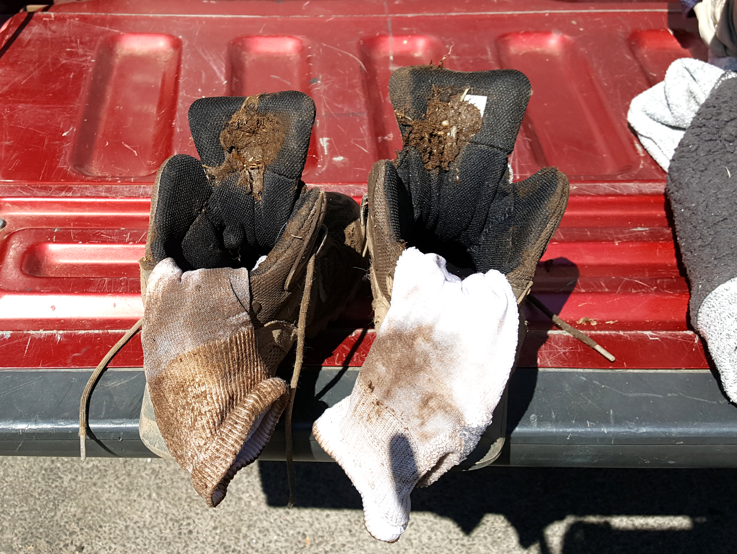
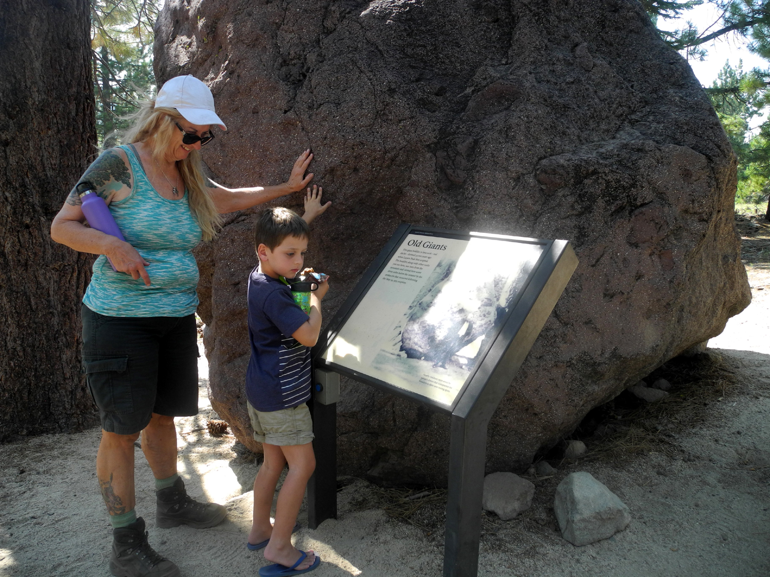
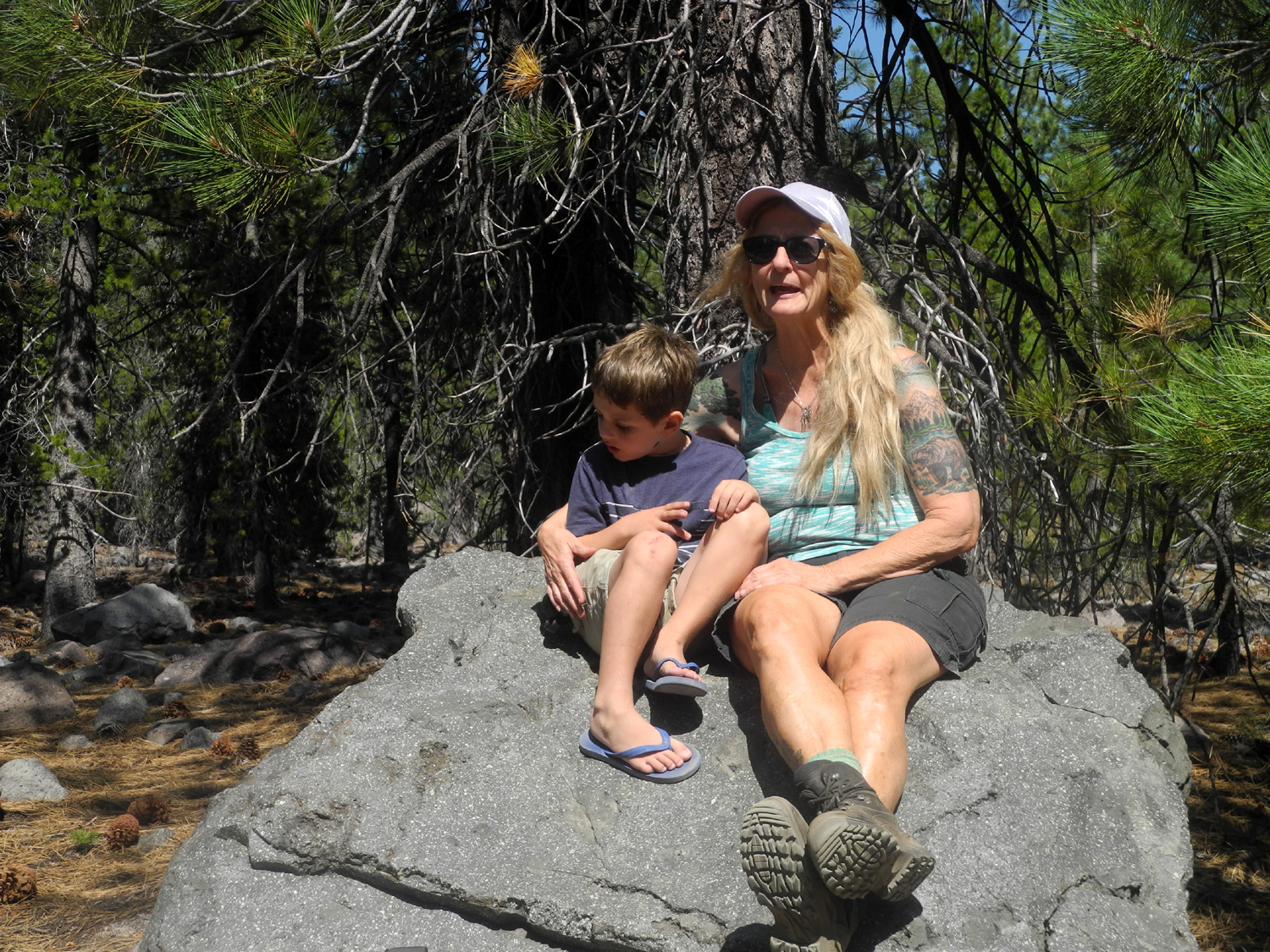
Our next stop was the Kings Creek Picnic Area, where we planned to eat lunch, then hike to Cold Boiling Lake. Teri's friend Kara, who we hiked with at Wawona in May, was camping at Manzanita Lake at the north entrance of the park, and they had made plans to try and meet up. As we were parking at Kings Creek, she drove up, and we had a short visit. Since she had her dog with her, she was limited in what she could do, not being allowed to take pets on the park trails. It was very cold and windy at this location, and we found a table in the sun. We had to weight down napkins and other light-weight objects, including an empty soda can, to keep them from being blown to the opposite end of the picnic grounds. After lunch we walked down to the far end of the picnic area, and started down the trail which ran along the creek. This route soon came to the main road, so we decided it was not the trail to the lake, and retraced our steps. It was a very beautiful creek, lined with flowers, and we considered our "wrong turn" a bonus. We found the right trail, and were soon on our way to Cold Boiling Lake. The trail rises steeply for a short distance at the start, then becomes fairly level, with some up and down. There are plenty of flowers, along with hemlocks, red fir and lodgepole pines. The lake is indeed cold, but of course, not boiling. Gas bubbles from below the lake bed rise and create the bubbling effect, but there's not enough heat to warm the water. When we arrived at the lake we went up close to see the bubbles, but there were really none visible in the main lake. At this point Colton got too close and slipped in, getting wet and muddy up above his knees, but was otherwise unharmed. We had plenty of drinking water and rinsed him off, then spent some time denouncing the "stupid lake." Once he dried out, he was his usual happy self, although quite a bit dirtier than usual. We found that there is a small pond separate from the main lake which offers plenty of bubbles, and enjoyed the area for a while before starting back. When we took his boots off at the truck, we found a thick layer of mud inside the tongues. We made one final stop, at the Devastated Area not far from the north entrance of the park. This is where the main flow of rocks, ash and lava wiped out all vegetation in the eruptions of 1915. The half mile loop offers a half-dozen informational plaques with audio narration, as well as some of the remarkable photos taken by Redding businessman B.F. Loomis. Although the forest has recovered significantly over the intervening 100+ years, it's sobering to look at a car-size boulder and realize it flew through the air to land where you're standing. We had considered a couple of other stops, but we were all ready to just relax for the day, and continued north through the park and on to the town of Burney, where we would spend three nights. Our motel room in Red Bluff was tiny and cramped, and the owners were just this side of rude, so it was a delight to be greeted with a smile at the Shasta Pines Motel. When we entered the room, Colton announced, "This is perfect!" It's a clear indictment of the previous place that he was excited to see that the bathroom light worked. And best of all, there was plenty of floor space for his bed. For dinner we had chicken and salad that Teri had brought, with a corn dog for Colton. Later we drove up Main Street a short distance to a Rite Aid and got ice cream for dessert. This is one of the few drug stores that still offers hand-dipped ice cream, and it's the "old school" Thrifty brand, retaining the iconic original name of this chain. |
|
|
|
| Cold Boiling Lake | Some of the mud Colton brought back from the lake |
|
|
| Western hemlocks, weighed down with cones | A big boulder in the Devastated Area |
|
Day 3 - Subway Cave and Lassen Again When Johnny and I were in this area in 1993, a few miles north of the park we noticed a sign for Subway Cave, . This proved to be a lava tube cave, and we turned off the highway and went through it. When lava flows across the ground, the top layer cools and hardens, while lava below continues to flow. Eventually this drains out, leaving a tube-like cave. There are a number of these near Lassen, with Subway the largest accessible one, and they are the major feature at Lava Beds National Monument. When we arrived for our visit, Colton was both nervous and exited, but as we went down the stairs and walked the half mile or so through the cave, he had a great time. We all wore headlamps and carried an extra flashlight. Temperatures in the caves range from mid 40s to mid 50s, so we dressed accordingly, and were quite comfortable. This cave has an exit at the end of the walk, and you return to the parking lot on top of the cave through a pine and fir forest. The floor was very rocky and rough, with no actual trail, and I regretted not bringing my poles, but we made it through without mishap. Beyond the cave we made a quick stop at a vista point, which was actually more of a demonstration forest. In an area which had supported only brush, about 150,000 ponderosa and Jeffrey pines were planted in the 1960s. The forest is thinned on a regular basis, with harvesting scheduled for the late 22nd century. |
|

|

|
| Colton descends into the Subway Cave | In the dark, but with a good headlamp |
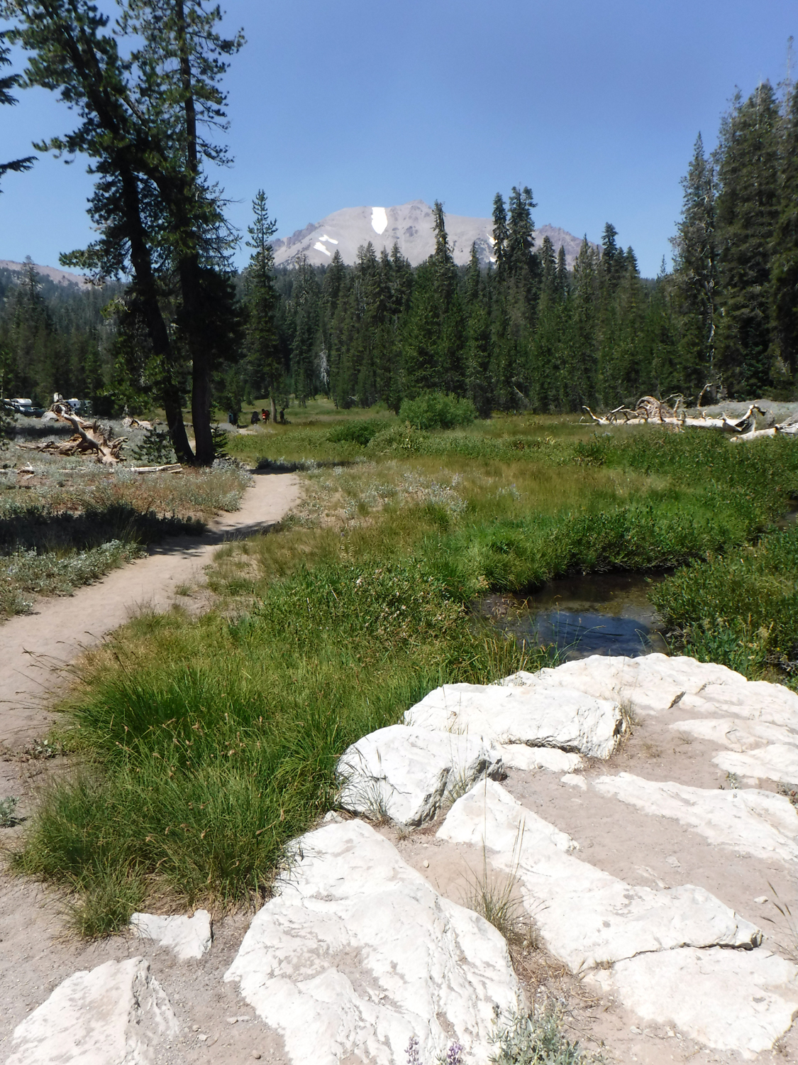
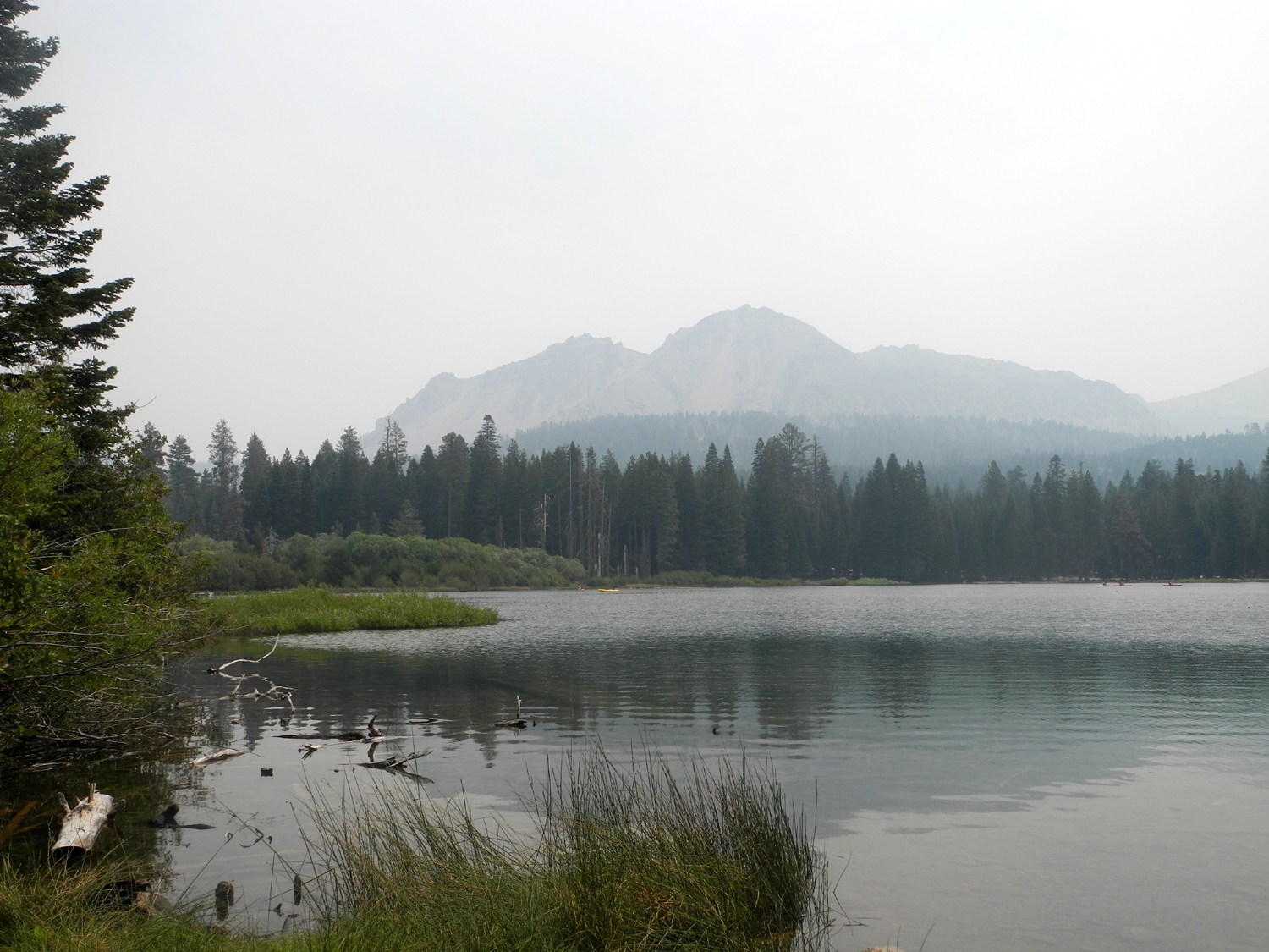
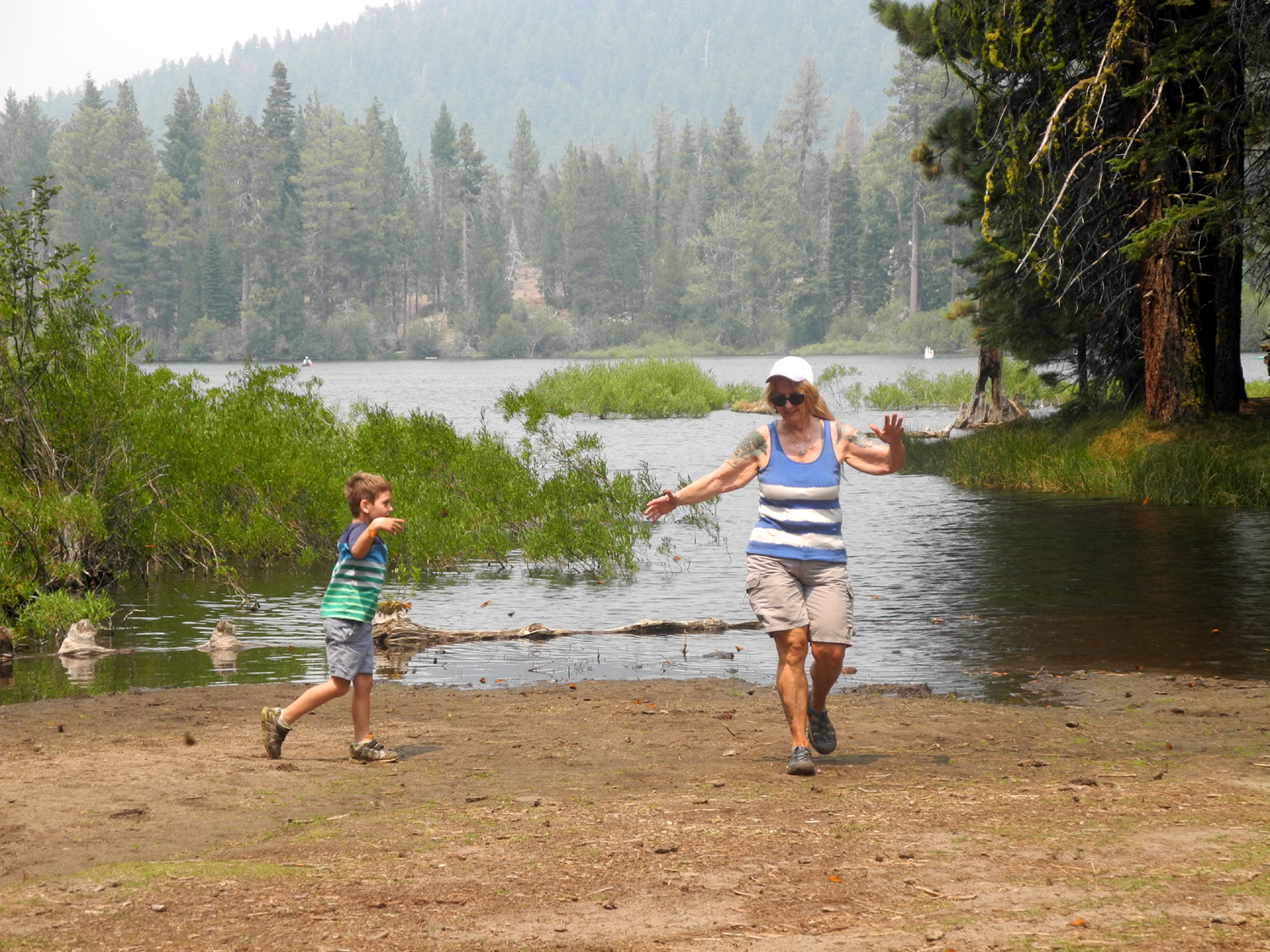
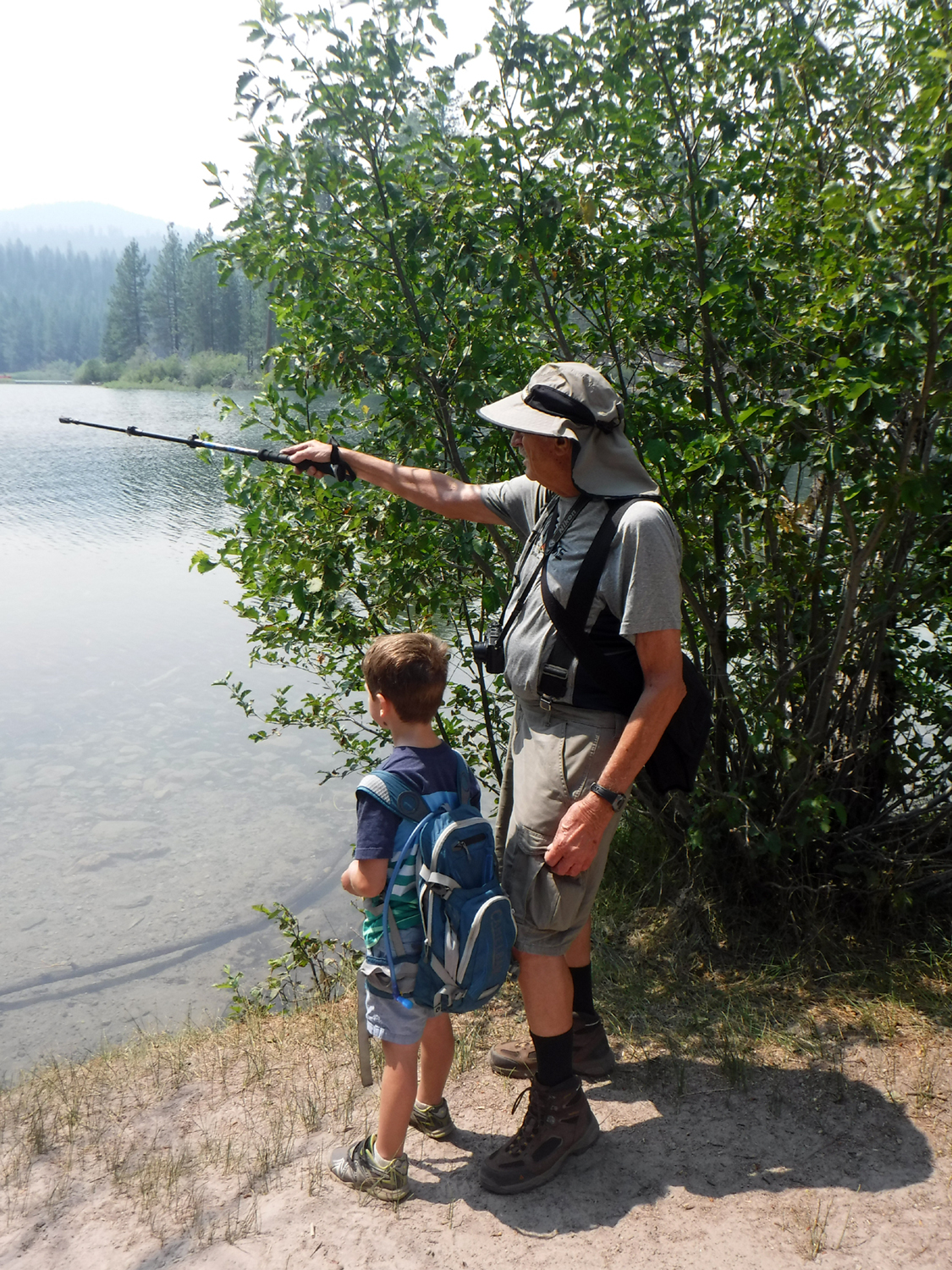
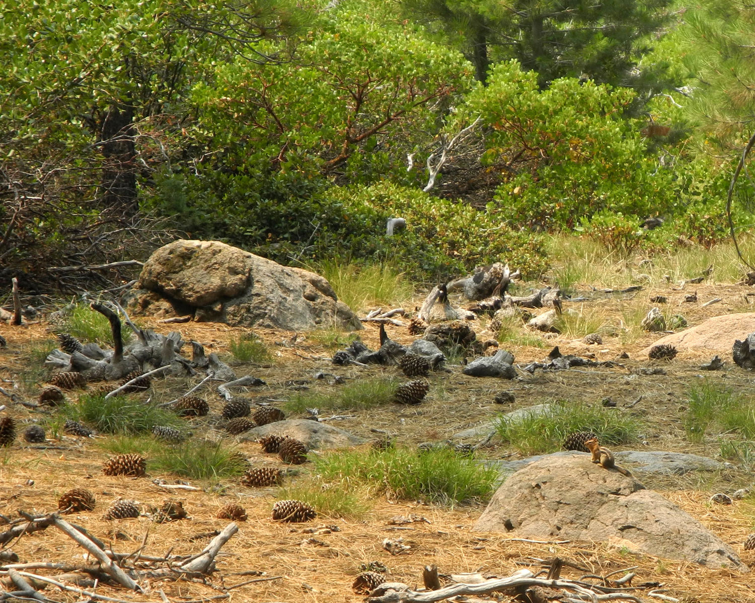
Our main destination for the day was Manzanita Lake, just inside the north entrance of Lassen Park. This area includes a large campground, boat launch area, a visitor center, and a loop trail around the lake. We first went to Tara's campsite, but she had moved on, so we parked near the visitor center and started around the lake. This trail is described as having stunning views of Mt. Lassen and Chaos Crags, but that applies to days when California is not struggling with a dozen major fires. We could see the mountain at a number of points, but the view was very hazy. Along the trail we saw a few chipmunks, and the remnants of probably a hundred or more pine cones, which had been stripped to their center core by the little creatures who feed on the seeds. We were also entranced by the large number of boats, all human-powered, all around the lake, along with ducks and other water birds. We crossed the creek that runs out of the lake on a small footbridge, and worked our way around to the west side. Where the trail begins to turn east again we found a nice pile of logs where we enjoyed our lunch, and also the best thing about the whole hike. In a flat, damp area near the lake there were a thousand or so butterflies, sitting on the ground and slowly moving their wings. Colton walked among them, and was delighted when they flew up all around him. This became a game, with him running back and forth making sure every butterfly got its exercise. Teri even joined in for a short time. With our lunch finished, we continued on around the lake. After seeing very few people on the trail, we had to walk through the boat launch area and the edge of a campground, where the population increased significantly. Finally we crossed the bridge over the creek that runs into the lake and arrived back at the parking lot. We took our packs to the truck, and headed for the visitor center, also known as the Loomis Museum. An interpretative ranger had set up a table outside with a number of skulls, and gave a short talk on the different arrangement of teeth in the carnivore (mountain lion), omnivore (black bear), and herbivore (deer). Colton was concerned for only a split second when the ranger pointed out that there was a large omnivore (me) standing right behind him. We then did a short tour of the visitor center, and started back to Burney. A good part of the drive goes through the valley of Hat Creek. It's a long, flat valley, ranging from a few hundred feet to a mile wide, with cattle ranching being the predominant activity. Back at the motel dinner was home-made BBQ beef and salad, and once again we found ourselves drawn to the ice cream counter at Rite Aid. |
|
|

|
| Manzanita Lake | Boaters on the lake |
|

|
| Dick, Colton and Teri near our lunch stop | Colton and the butterflies |
|
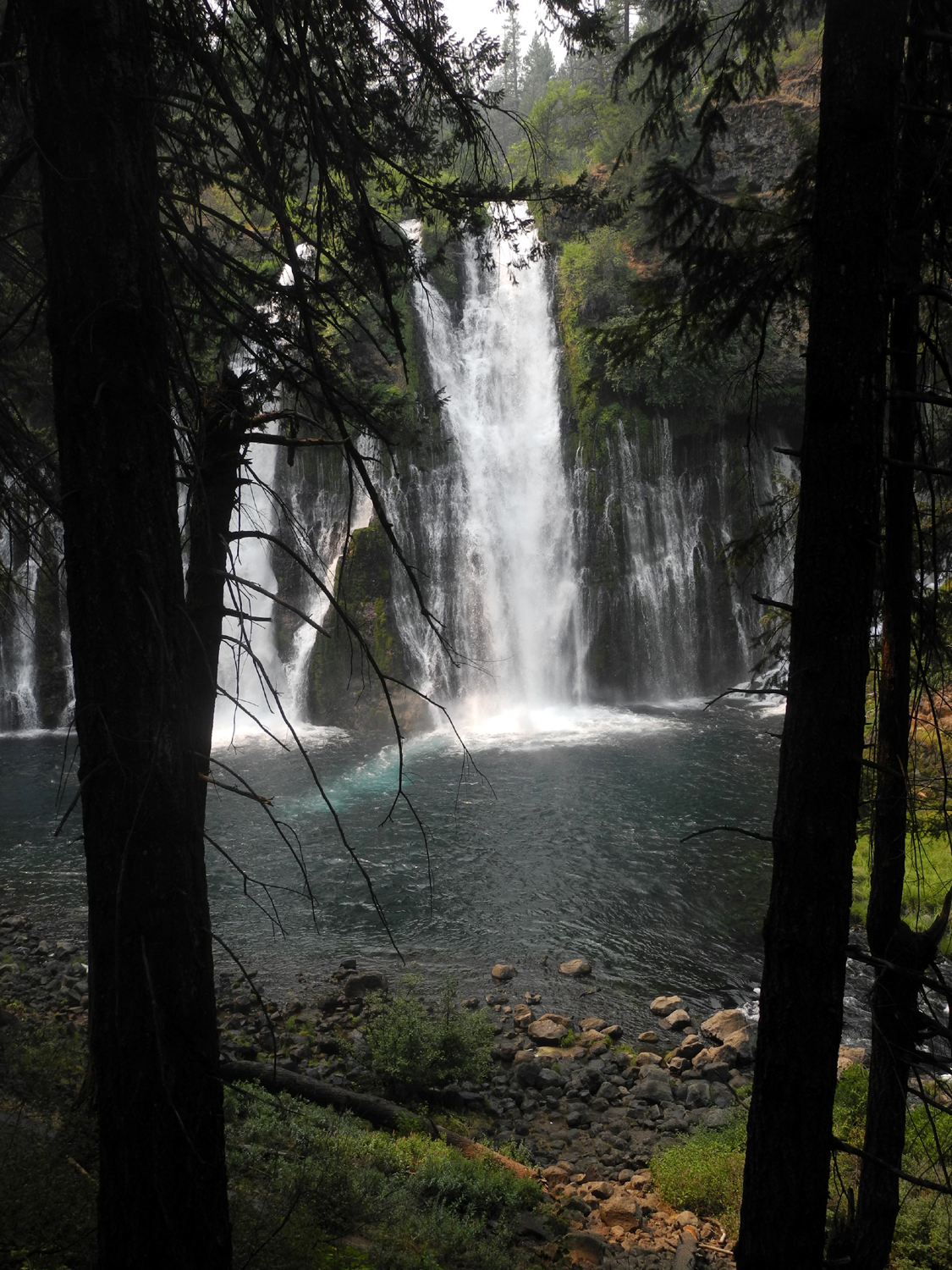
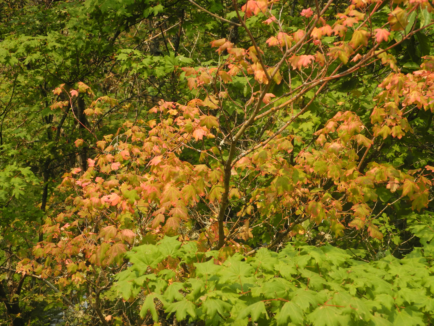
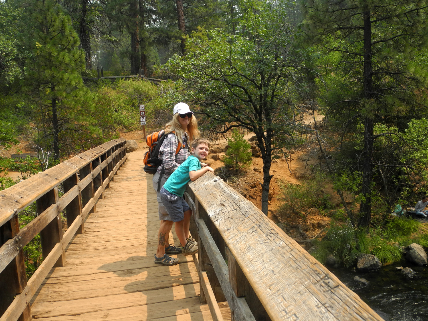
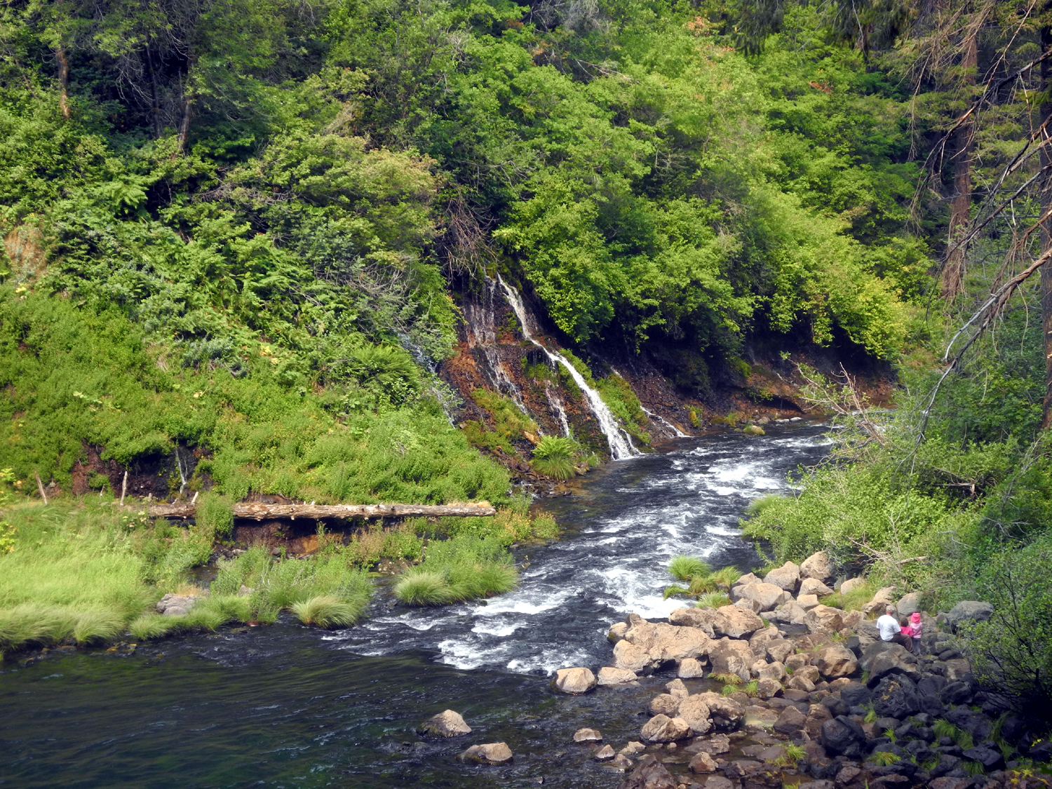
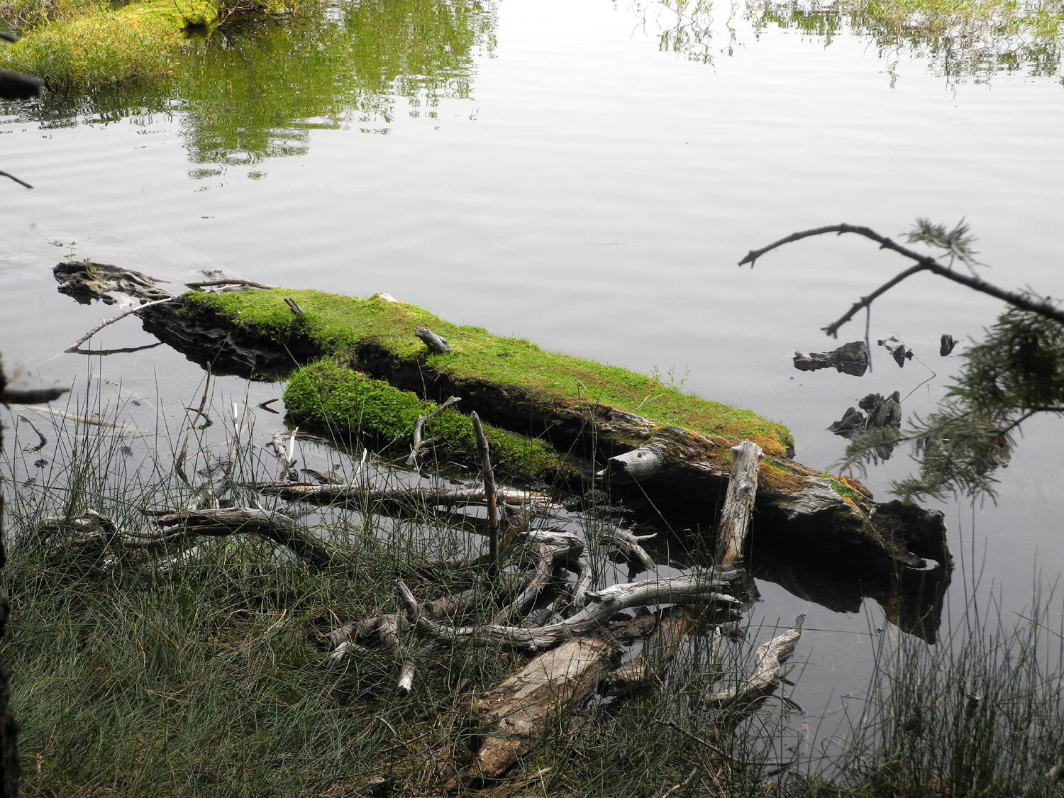
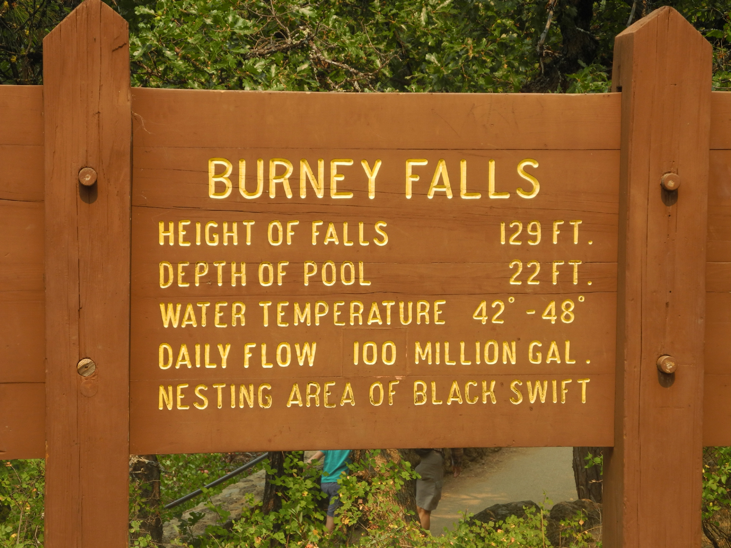
Day 4 - Burney Falls Our third day of activity was a visit to Burney Falls, which some consider the most beautiful waterfalls in California. The water pours over a 129 foot drop in two large sections, but the unique thing here is a series of delicate cascades that pour out of the lava rock from about a third of the way down, across a wide expanse on both sides of the main falls. Most of the water in summer comes from springs, and the secondary flow is actually an ancient bed of the creek that was covered over by lava flows. Water easily seeps down through the porous rock. Additional cascades pour out of the lava cliffs along the creek downstream from the falls. In the past it was usually referred to as McArthur-Burney Falls, but the McArthur name seems to have been dropped from most references. This seems particularly unfair, since Mr. Burney came to the area and promptly died, while the McArthur family purchased the property to save the falls from being drowned by a dam on the Pit River, into which Burney Creek flows. In any case, it's a beautiful spot, with big pines, small trees that appear to be some type of maple, and lava cliffs and boulders all around. We stopped first at the visitor center then walked the 75 feet to the vista point above the falls. From here a trail leads one third of a mile down to the bottom, where you can get an up-close view. The trail then goes downstream, crosses the creek, winds up the side of the canyon, back across the creek above the falls and back to vista point. Johnny and I visited the falls on our second Lassen visit in 1997, but Teri and of course Colton had never been near it before. |
|

|

|
| Burney Falls | Trail downstream from the falls, with mossy lava boulders on the slope |
|
|
| Apparently some type of maple | Teri and Colton on the bridge over Burney Creek |
|
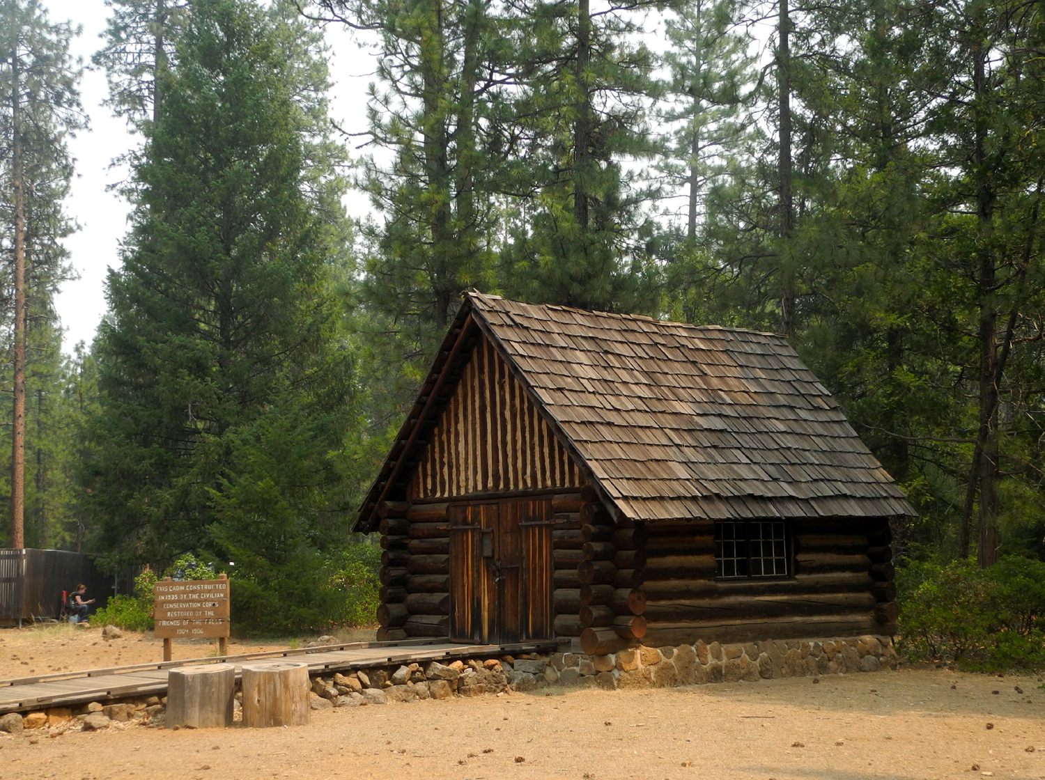
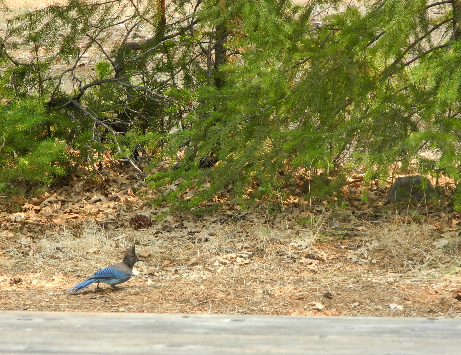
At the Lassen visitor center Teri had bought stuffed toy birds for each grandson. These represented birds that actually live in the area, and squeezing them produced a fairly realistic representation of their call. Colton's bird was a Steller's Jay, and he enjoyed seeing the real thing at several places we stopped, mostly hanging around picnic tables. After our hike around Burney Falls, we went to the picnic area, where we were immediately greeted by Colton's new favorite bird. I had some almonds, and Colton put one on a nearby picnic table. Within fifteen seconds a jay swooped down and made off with the nut. We then put out two nuts, hoping two jays would arrive. However, the bird that landed swallowed the first nut, then hopped to the second one and made off with it. We watched him eat several nuts, swallowing them whole. Teri and I were surprised that only two birds were seen; normally when one gets a tidbit, a dozen relatives show up demanding their share. We enjoyed our lunch and looked around the picnic area. There are some old rock fireplaces which were constructed by the Civilian Conservation Corps in the 1930s. There is also an old cabin that they built in 1935, which was restored in the 1980s. Soon we were headed back to Burney the town, and had a relaxing evening for our last night there. We got everything packed up that we did not need in the morning so we could get an early start for our next destination. |
|
|
|
| Cabin built in 1935 by the CCC | A Stelller's jay was our guest for lunch |
|
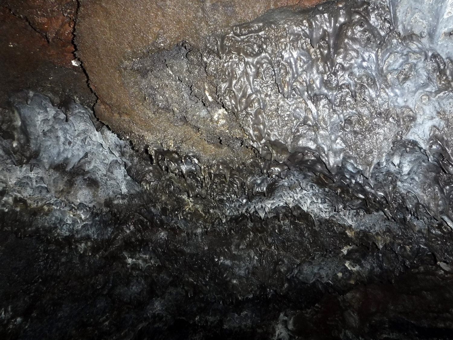
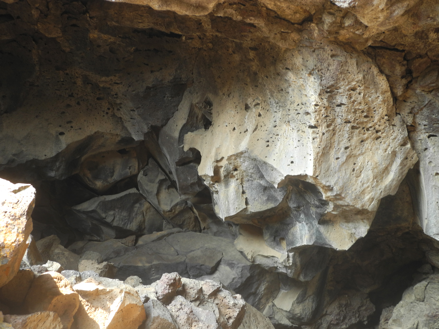
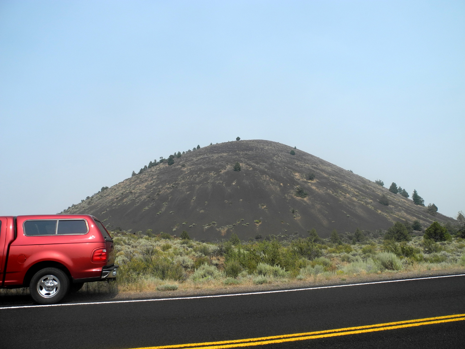
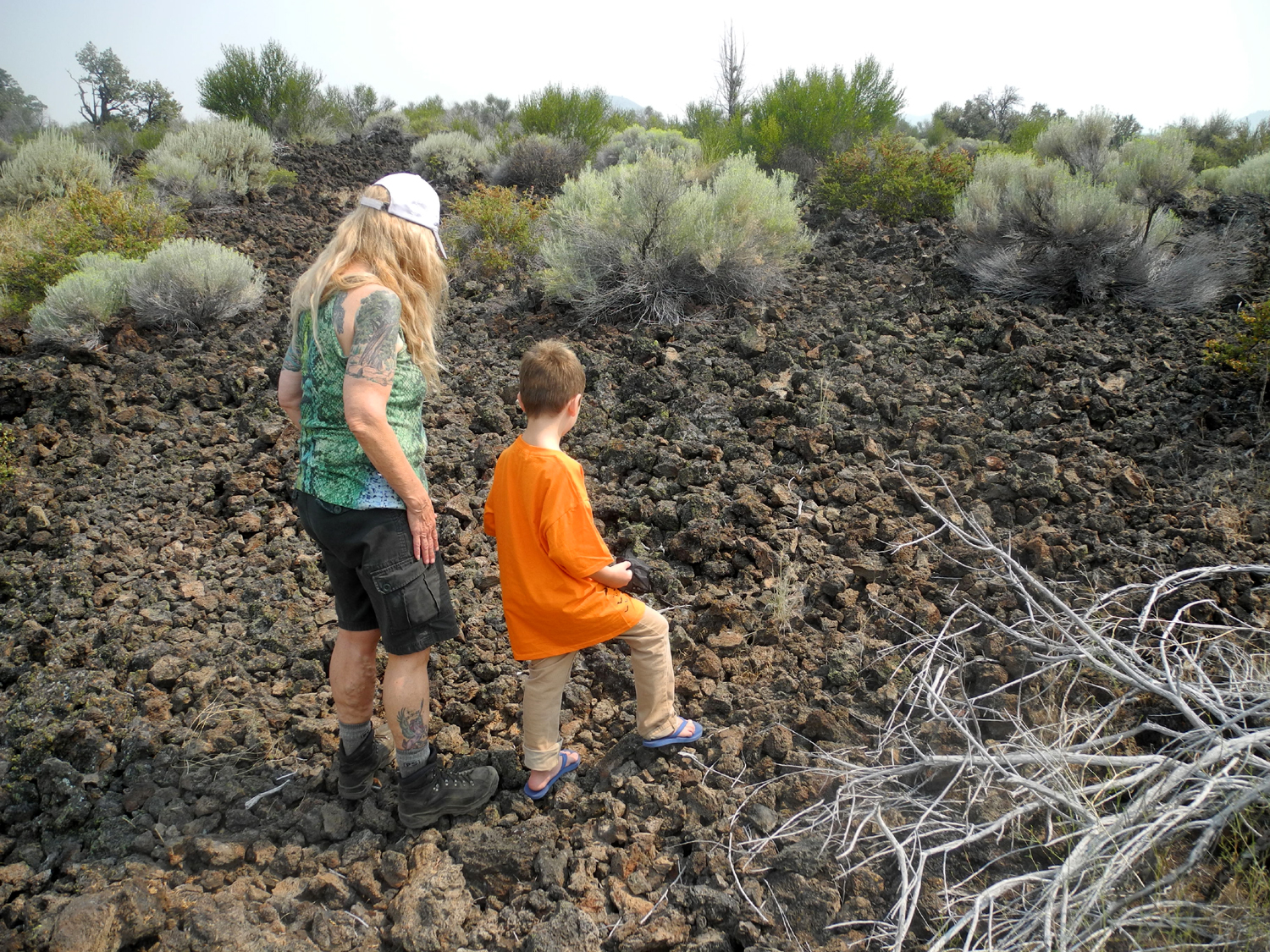
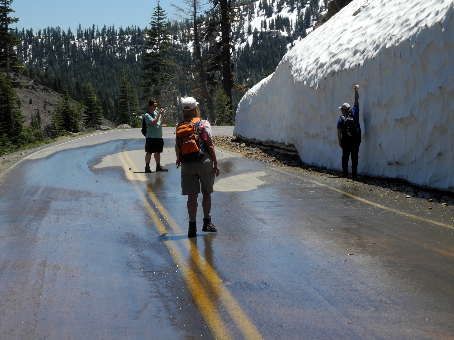
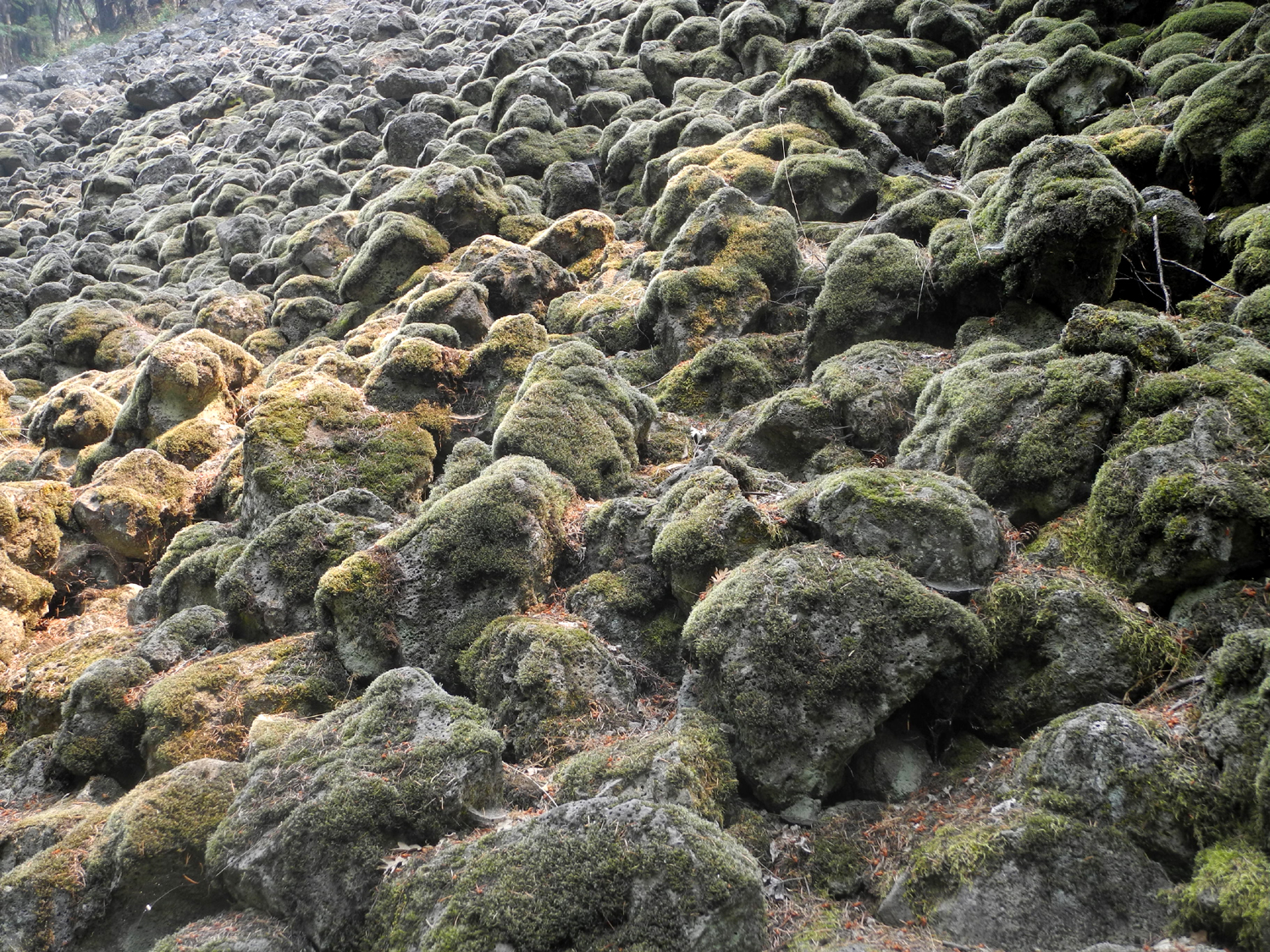
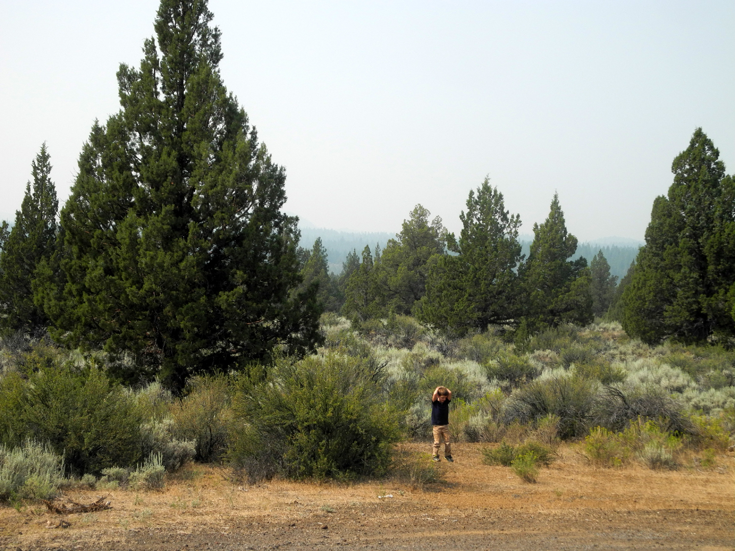
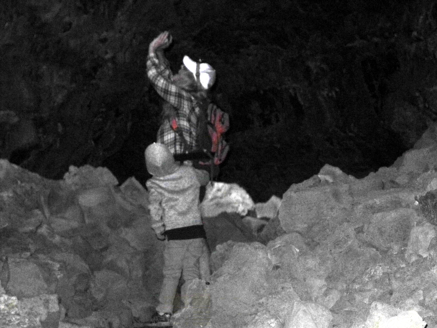
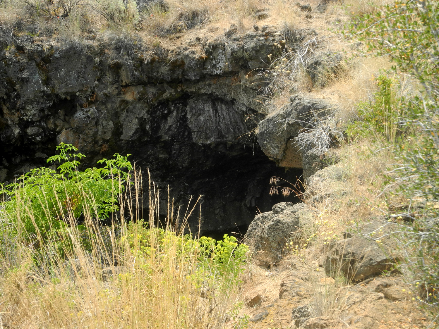
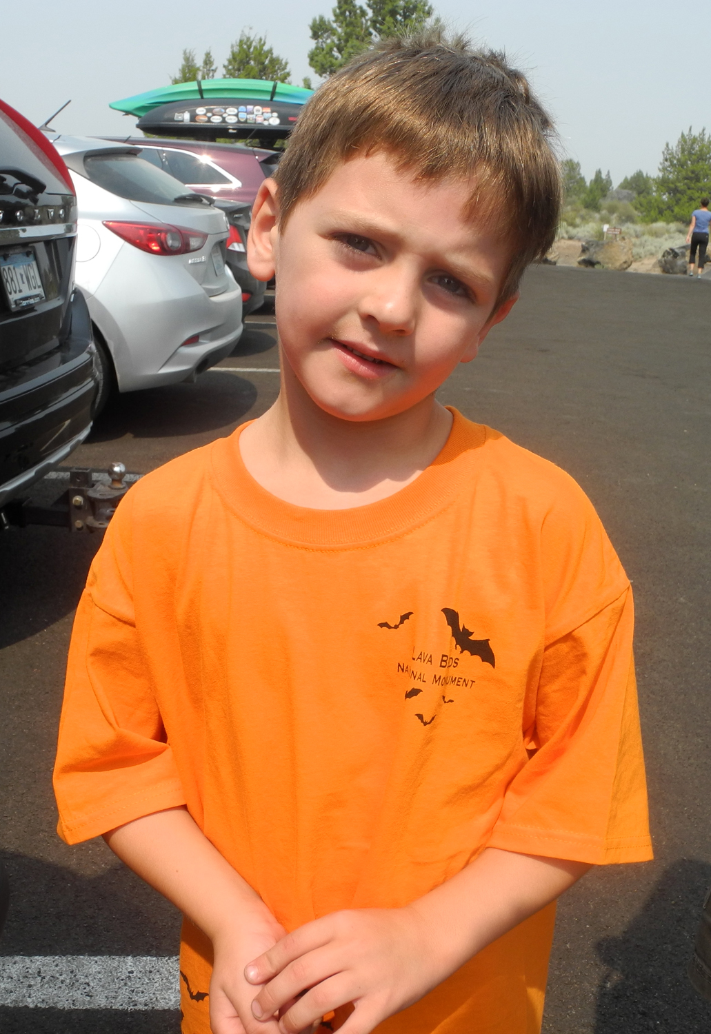
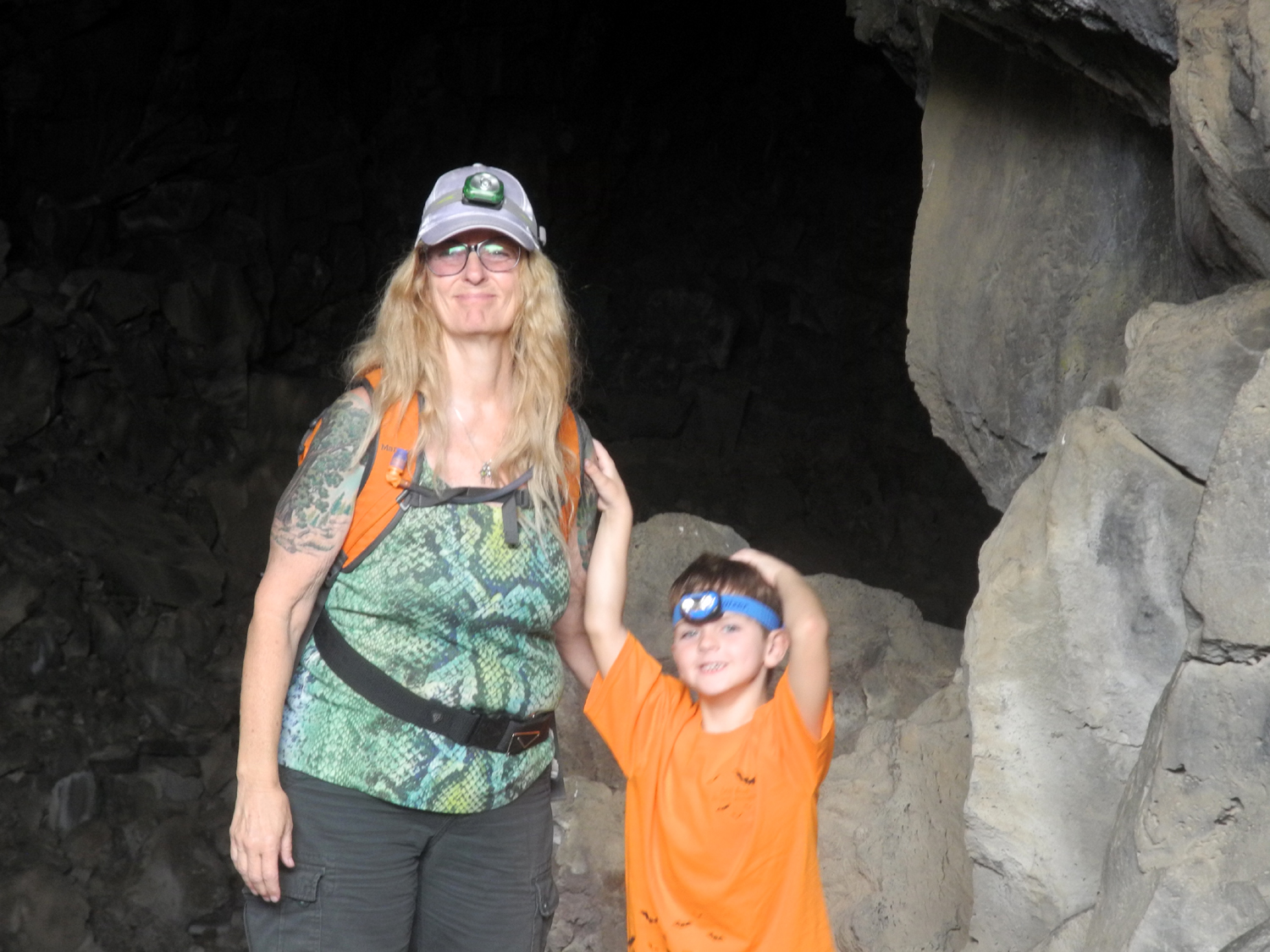
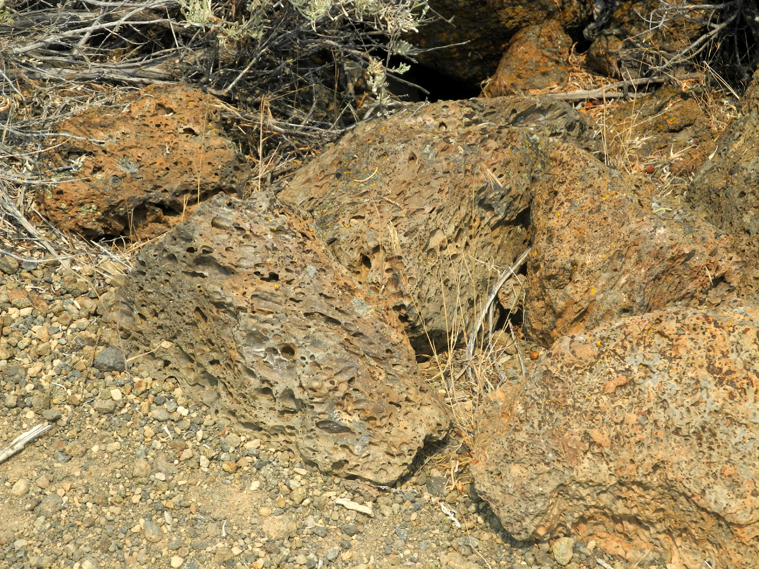
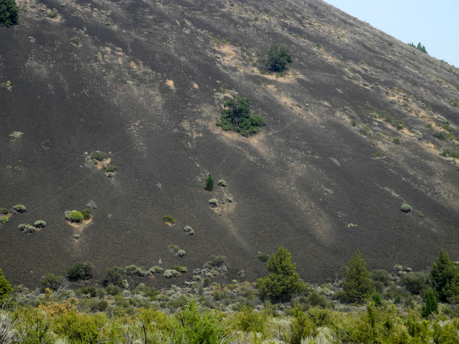
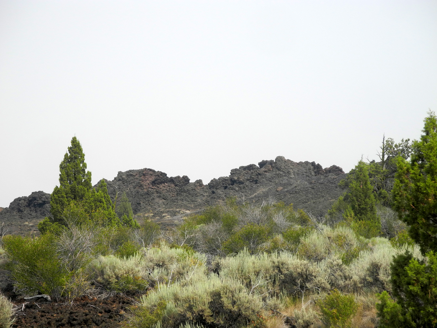
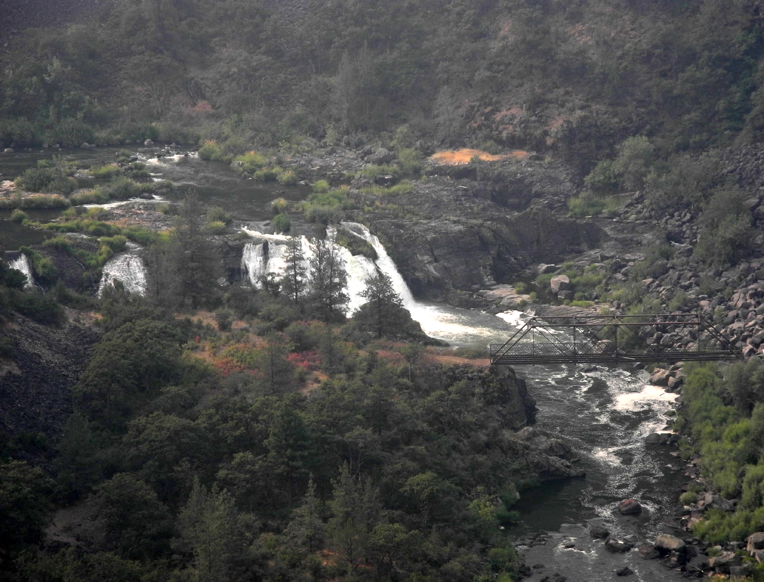
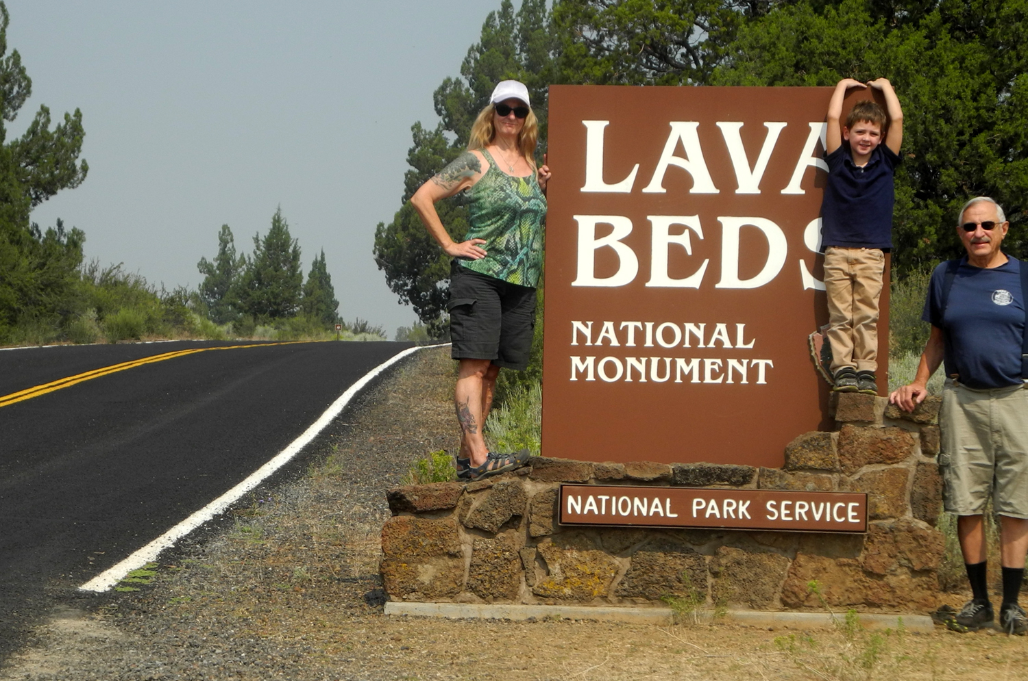
Day 5 - Lava Beds National Monument For our final adventure we were headed to Lava Beds National Monument, very close to the Oregon border. It was our longest drive between stops, about 90 miles and an hour and 45 minutes .The route goes through some of the most isolated and sparsely populated parts of California. We followed US 299 more or less northeast for some distance, stopping at a vista point near the small town of Falls River Mills. We found ourselves looking down into the valley of what I assumed was the Pit River and a nice waterfall. Later research proved that this was indeed the Pit River Falls. Beyond this we took several county roads and a state highway north and northwest, approaching the monument through a landscape of seemingly endless lava flows, sage brush and juniper. A stop at the visitor center is mandatory for those who wish to enter caves. Here the rangers check if you have been in other caves recently, to screen for the possible presence of a disease that is deadly to bats. We also learned which caves were best for our abilities, and which were closed. Most of the closures were due to the presence of baby bats, but one was being used by NASA to test a new space rover vehicle. The rough terrain inside the caves matches up well with extraterrestrial locations. The rangers rank the caves at three levels of difficulty, and the description of the more challenging ones convinced us to stick with those rated easy. We affixed our cave permit to the windshield, then walked to Mushpot Cave, the one closest to the visitor center. This is the only cave with artificial lighting, but flashlights are still encouraged. It also had the lowest ceiling of all the caves we entered, and I had to stoop down as far as possible to get through one section. Lava caves are not like limestone caves, lacking the variety of colors and shapes that most tourists go to see. However, there are various subtle colors, shapes that were caused by the hot molten lava cooling and flowing, and big boulders that have dropped from the ceiling. Returning to the truck, we drove on the Cave Loop, which leads to about a dozen nearby caves. Between closures and level of difficulty, we found only one cave here that we wanted to try, Sentinel. We were equipped with headlamps and a flashlight, a must in nearly all these caves. It was a long, completely dark cave with unique shapes in the rock, a narrow walkway, and plenty of headroom. For reasons unknown, Colton became nervous and wanted to go back, which we did. We were thinking this might be the end of our cave exploration, but as we came out, he said, "What's the next cave?" We returned to the visitor center where I bought bat themed t-shirts for Colton and brother Jack, and picked up directions for how to get to Klamath Falls, OR, our overnight stop for the final night. The next cave was on the way, and soon we were descending into Skull Cave, so named because early settlers found many animal bones and a human skeleton in it. This is one of several ice caves, features that are deep and cold enough for water to freeze and remain frozen throughout the year. Access to the ice is blocked to allow it to recover from damage by debris brought in by tourists, but the temperature was icy enough. Temperature in these caves range from 45 to 55 degrees, so we wore jeans and long sleeves at Subway, but it felt a little too warm, so we got by fine in our normal shorts and t-shirts at the first two caves in Lava Beds. Skull Cave consists of three large lava tubes, one on top of another, and we found ourselves descending via steep stairways to the lower depths, where it got colder and colder. Teri and I had decided we'd had quite enough cold when we realized we were at the end. Climbing down and back up, our hands got very cold hanging on to the metal stair railings. I felt Colton's hand and was surprised to see that it was warm. Then we realized he was running up the stairs without touching the railings. We grandparents decided cold hands were worth the security of holding on tight. Of course, the monument offers many features beside caves, most of them related to volcanic activity. The vast majority of lava features here come from lava flowing from cracks in the earth rather than volcanic eruptions. We made two more stops on our way out of Lava Beds, the first one at Schonchin Butte, a classic cinder cone, and then at the Black Crater. This has a crater-like appearance from some angles, and from others appears to be a large lava ridge. It is surrounded by beds of lava, most of which has broken down into jagged boulders of various sizes. Trails lead to both these features, but we just enjoyed them from the parking lots. Along the road farther north we stopped and looked out over a huge field of lava, with lava-topped table mountains above us on the other side of the road. The major cultural and historical interest in Lava Beds National Monument relates to the original occupants, the Modoc Indians. White settlers wanting to take over this land wiped out most of this tribe, with the help of the U.S. Army. This was not without its cost. Although the Modoc had been banished to a reservation near Klamath Lakes, a final band of holdouts, led by Kintpuash, known as Captain Jack, returned to their home. Using their knowledge of terrain, especially the hundreds of caves, they held off a vastly superior force for some time, but were eventually overpowered. Captain Jack was hanged as a war criminal, and other resisters we sent nearly 2,000 miles away to a reservation in Oklahoma, effectively destroying their culture. |
|
|
|
| Inside the caves at Lava Beds National Monument | |
|
|
| Schonchin Butte, a typical cinder cone | Teri and Colton study the ancient lava flow |
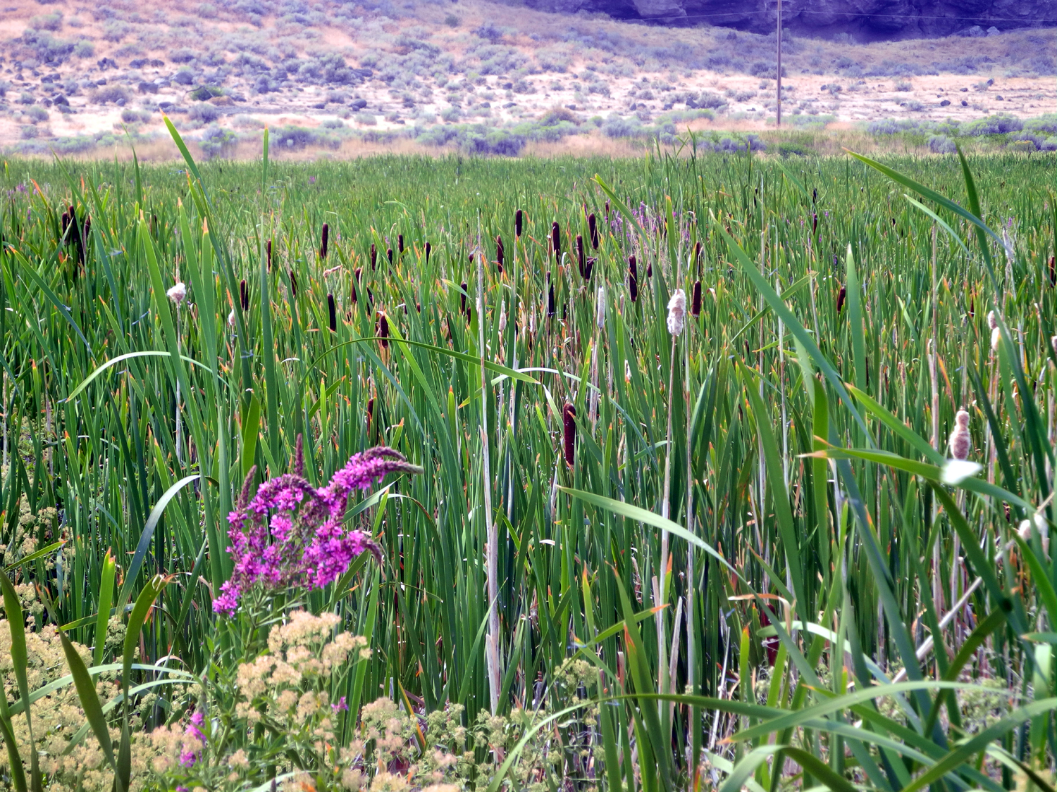
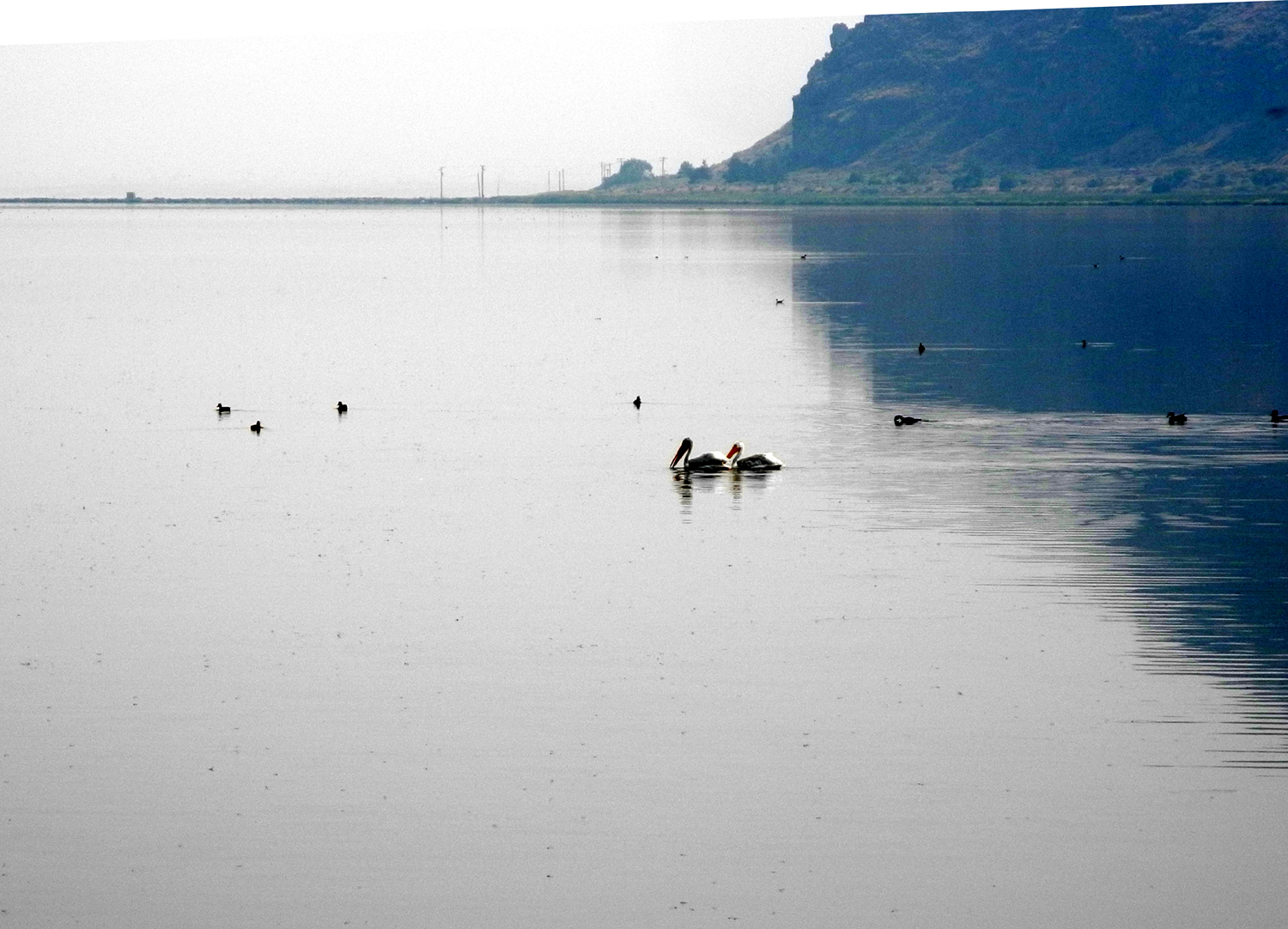
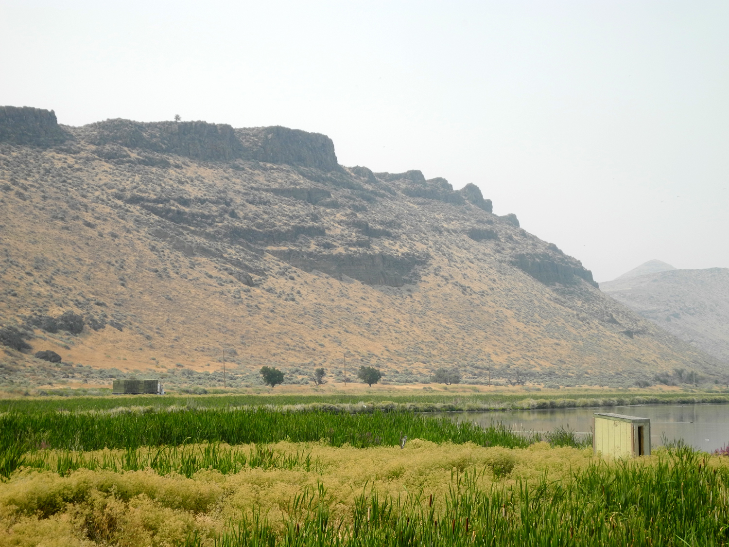
Not long after we left the monument we driove by Tulelake National Wildlife Refuge, consisting of over 39,000 acres of open water and crop land. It's a major stop for migrating waterfowl, and offers sightings of pelicans, ducks, gulls and many others throughout the warmer seasons. We stopped where we could walk out on a rubberized walkway through cattails and flowers, to a photo blind. Our best view of birds were actually along the walkway. From Tulelake it was a fairly short distance to the Oregon border. Colton has been to Hawaii, which he vaguely remembers, and to Nevada, which he has forgotten, so he was excited to be going to another state. However, the best part of our visit for him was when we arrived at our motel, and were greeted by a dog carrying a Frisbee. Colton played with the dog while Teri and I checked in, and was invited to return later if he wanted. The next day was my birthday so Teri and Colton took me out for dinner. We were headed for a barbecue place when we spotted a Black Bear Diner, and diverted to that. We've eaten at this chain restaurant in several locations, and are looking forward to the first Fresno location, coming in a few months. With dinner over, we just relaxed in the motel and got things ready to go in the morning. |
|
|
|
| Tulelake National Wildlife Refuge | Pelicans in the refuge |
|
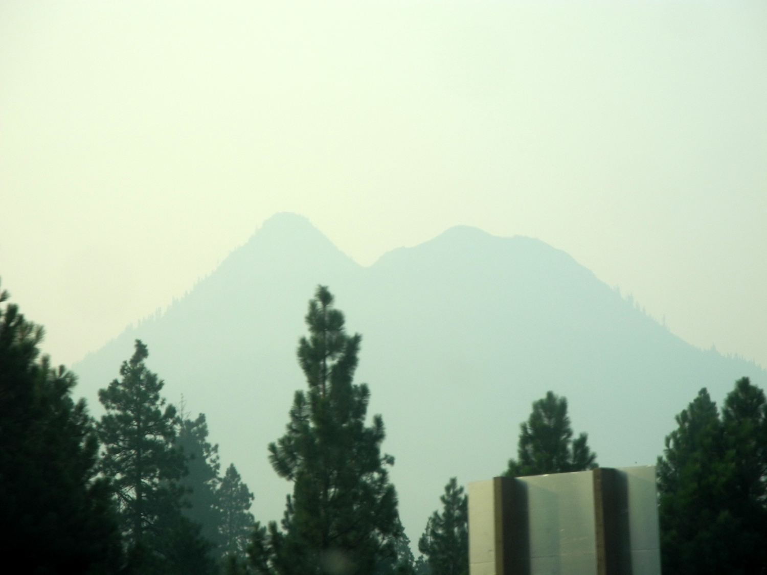
Day 6 - Heading Home We got up at 5:30 on August 8, and were on the road by 6:30, with 470 miles to go. Our route was mostly down US 97 to Weed, where we got on I-5. There's usually a great view of Mt. Shasta heading down this highway, but smoke from several fires, especially the Carr Fire west of Redding, reduced it to the barest outline. In fact we had some smoke and haze everywhere we went, but at Lassen we got up high enough to be out of it, and it never bothered us at any of our hiking locations. Views in Lassen were partly obscured but not to the extent that we saw near Shasta and as far south as Sacramento. We had lunch at a rest stop, and made two or three other stops, getting home around 4:30. Not surprisingly Colton was very anxious to see his family, even objecting to a lunch stop. His mom had just got off work as we left the freeway in Fresno, headed for Teri's. We unloaded her stuff, then I took Colton home, where he literally jumped into Mom's arms. Their greeting was brief as Jack brought out a new set of Legos, which were immediately dumped on the floor. Jack did take time to put on his new bat t-shirt, and I said my goodbyes and headed home.
Best sign along the trip, somewhere on I-5: "Autocorrect is my worst enema."
|
|
|
|
| Francesca, the Klamath Falls motel Frisbee dog, awaits Colton's throw |
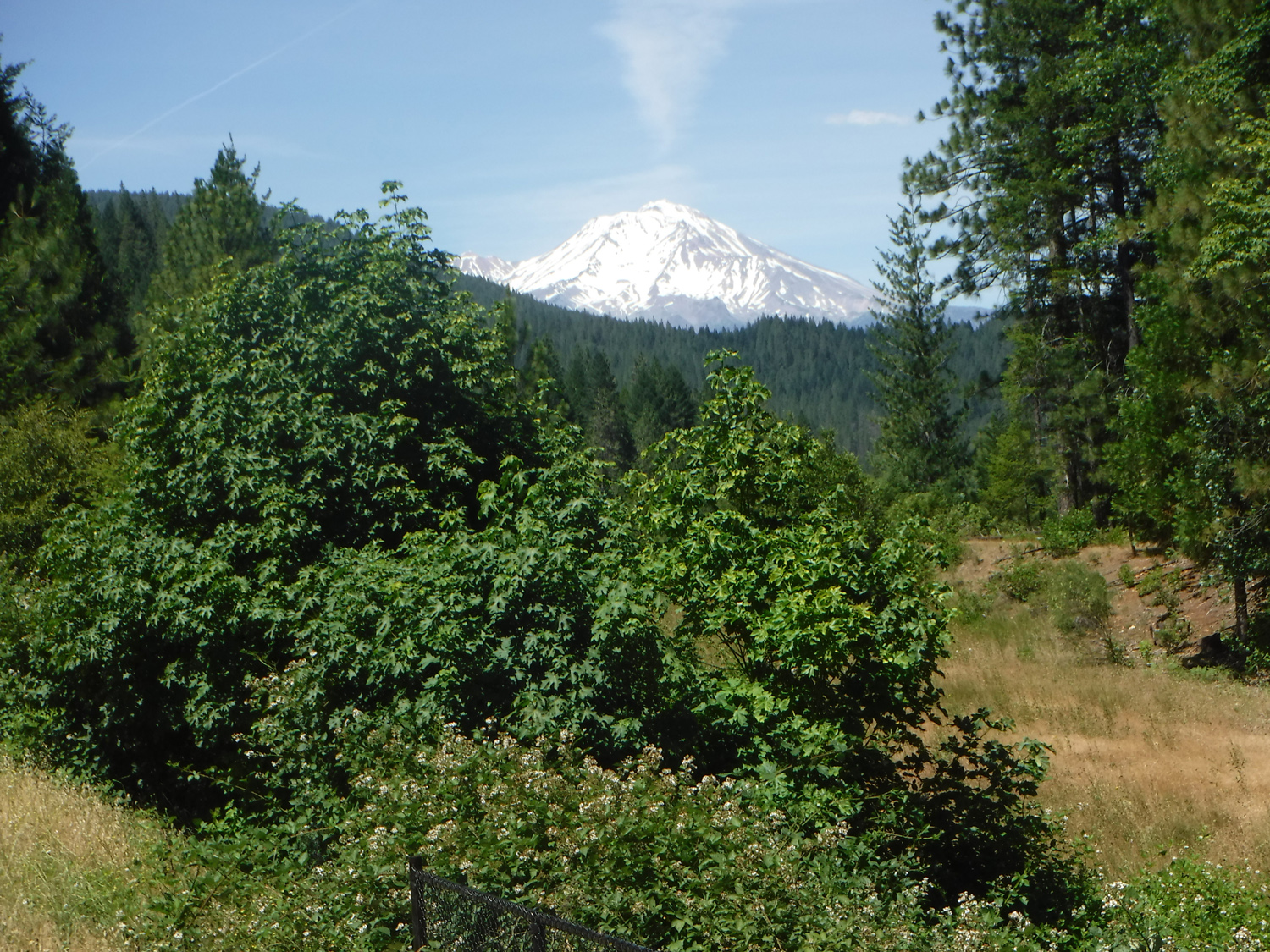
From this view near Weed on I-5 you can normally see detailed features on Black Butte |

|

|
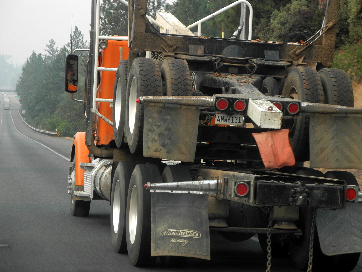
| We saw at least a hundred log trucks during our travels | The smoky Sacramento skyline |


|
Photos (Click to enlarge; pictures open in new window) |
||
|
Lassen Volcanic National Park |
||
|
 |
 |
| Approaching the Sulfur Works | Not boiling but hot and bubbling | Brokeoff Mountain, one of several that were part of gigantic Mt. Tehama |
 |
 |
 |
| Lassen's newest thermal features, less than a year old | A delightful but unidentified flower | Emerald Lake |
 |
 |
 |
| Lupines were the most common flower | Throwing rocks in Lake Helen (In 2010, snow and ice made it more of a challenge for Uncle Mike) | Colton and Dick on the ridge south of Lake Helen |
 |
 |
 |
| Mt. Lassen with just a small patch of snow | Kings Creek below the picnic area | Kings Creek and Mt. Lassen |
 |
 |
 |
| Colton at Kings Creek | Colton and Teri on the trail to Cold Boiling Lake | Cold Boiling Lake and a rocky ridge |
 |
 |
 |
| Sitting on a rock that flew in from a few miles away | Another flying rock | Ponderosa pine |
 |
 |
 |
| Ready to hike around Manzanita Lake | Colton takes the path less traveled | The Manzanita Lake Monster |
 |
|
 |
| "Look over yonder" | Chaos Crags above Manzanita Lake | A peaceful corner of the lake |
 |
 |
 |
| Teri joins in the butterfly chase | The hikers | Chipmunk along the trail |
| Burney Falls State Park | ||
 |
|
 |
| Burney Falls statistics | Burney Falls | Water flows from the rock cliffs in several places downstream from the falls |
 |
|
 |
| Moss covered lava boulders | A tranquil scene at Burney Creek | Teri on the first bridge |
 |
 |
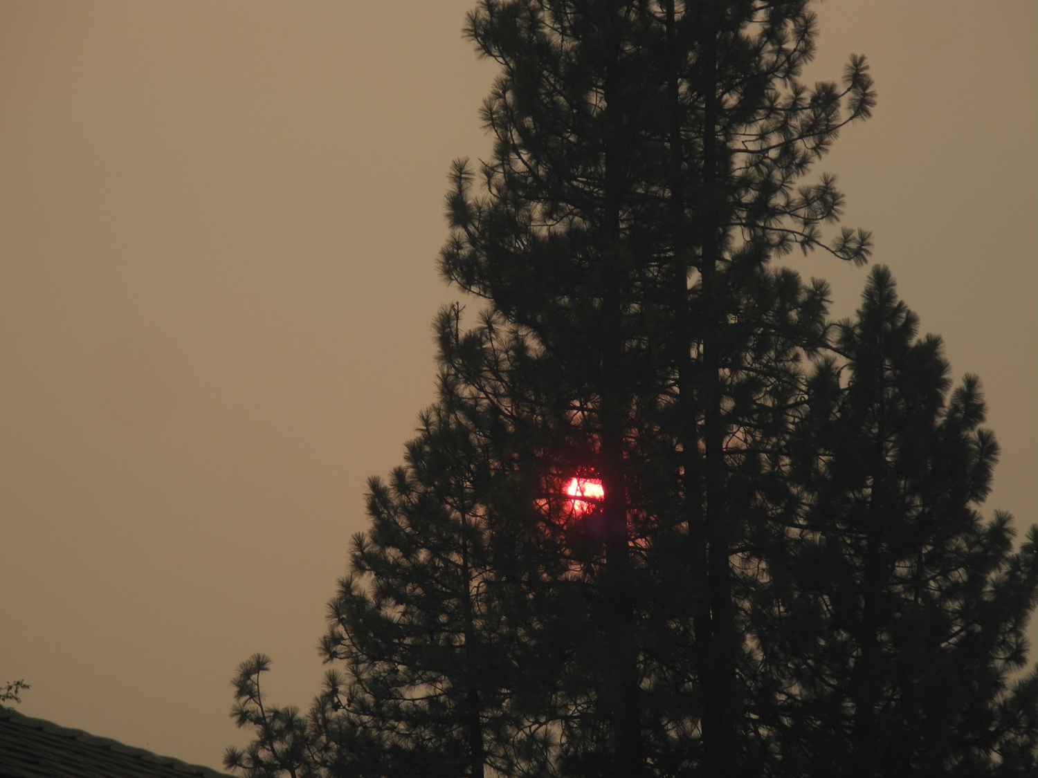 |
| Colton and Dick on the second bridge | Lunch time | Red sun due to smoky air at Burney |
| Lava Beds National Monument | ||
 |
 |
|
| Pit River Falls | At the monument entrance | Lots of sage brush and juniper |
 |
 |
|
| A cave entrance | In Mushpot Cave | Cave people |
 |
 |
 |
| Lava rock along the cave trail | Bat Boy #1 | In Sentinel Cave |
 |
 |
 |
| Thirty thousand years after it formed, the slopes of Schonchin Butte remain mostly barren | The Black Crater | Lava almost to the horizon along the road in the northern part of the monument |
 |
 |
 |
| Lava topped cliffs above Tulelake | A solitary wader has this cove all to himself | Our motel in Klamath also had a friendly cat |
| Going Home | ||
 |
|
 |
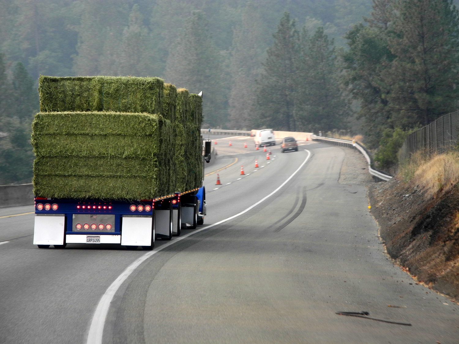
| Happy to be headed home | There were lots of hay trucks in northeastern California and on Interstate 5 | Empty log trucks have to haul their own trailer |
| |
 |
 |
| Concentration | Bat Boy #2 |
What Mt. Shasta SHOULD look like - taken by Teri in June, 2018 |
| Videos
(Videos will not play on line. You can download them to your computer and play them there) |
||
| Cold Boiling Lake | Sulfur Works Mud Pot | Burney Falls |
| Herding Butterflies | ||
| Related Links | ||
| Sulfur Works | Western Hemlocks | |
| Lassen Paintbrush | Cold Boiling Lake | |
| Manzanita Lake | Burney Falls | Schonchin Butte |
| Hat Creek | Subway Cave | Pit River |
| Steller's Jay Photos | Lava Beds National Monument | Modoc Indian War |
| McArthur-Burney State Park | Extremophiles | |