|
Squaw Leap Times Four |
||
|
|
||
|
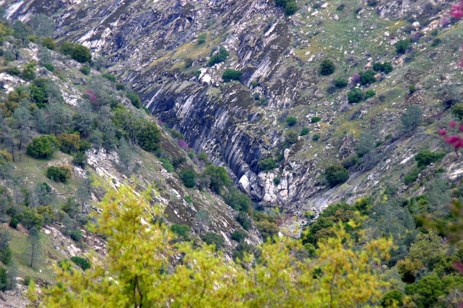
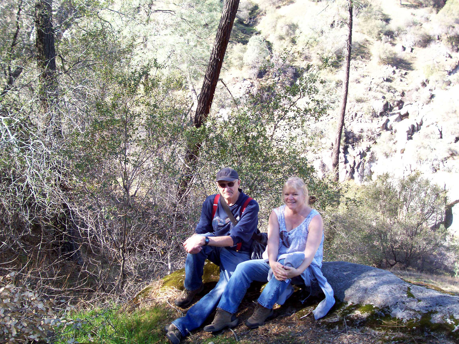
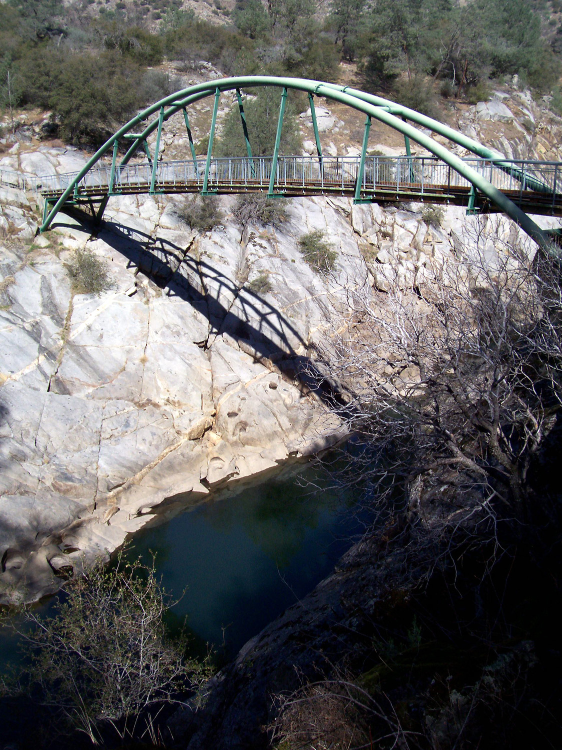
If you read my backpacking report, you may recall that I made a number of trips to Squaw Leap, now called San Joaquin Gorge, a Bureau of Land Management (BLM) property on the San Joaquin River just upstream from Millerton Lake. A lot of those trips were overnight, but more of them were day hikes. There were some years when I hiked there four or five times during the spring, and many years when I didn't go there at all. I seem to have started a new phase of making that one of my regular destinations, with four trips this year (so far). To get there from Fresno you go up Highway 168 or Auberry Road into the small town of Auberry, take Power House Road north of town, and take a left on Smalley Road just where Power House goes over a ridge and starts down to the river. Smalley Road leads in to the Squaw Leap campground and parking area, about five miles downhill. A trail leads down to the river where there is a footbridge, with several trail choices available on the north side. When I first heard of the place, the bridge had just been built, so I made a trip in there, probably about 1978. It wasn't long before I did a backpack trip, and discovered a couple of nice camping spots. When I walk in, I usually go past the bridge, up hill a ways on the River Trail, then off the trail to what we call the L/S Expedition camp site. During my early visits to the area, a new power house was being constructed about a mile downstream from the bridge. What is now the campground was then the staging area for construction, with material storage and office trailers. There was a lot of traffic with workmen coming in every day, and security lights visible from the other side of the canyon where we camped. Once the project was completed, the work area was converted to a group camp area, with an equestrian camp nearby. Next to the main parking lot are about six campsites (there were none in the early days). And best of all, there are some new trails on the south side of the road, away from the river - trails that do not drop down to the river bottom, requiring a difficult hike out. Trails that actually have downhill as you return to the trailhead. There's also a visitor center that opened in the last two or three years. But we didn't even know about these new trails when we made our first 2012 hike on February 4. I was joined by my frequent hiking, camping and bluegrass companion Janell Sidney. We had chosen this date because it was late enough that there should be wild flowers, and early enough to be nice and cool. The weather was in fact perfect for hiking – about 65 to 70 degrees, with just a few small clouds. There were a lot of people there – the parking lot was basically full. As we started down the trail, about eight people on bikes passed us. The results of the lack of rain this year were obvious in the lack of wildflowers – we saw one popcorn flower and about five fiddlenecks the whole day. Small creeks that should be running good were just a trickle. We had a very early rain that got grass and broad leaf plants started, but then it was dry for the next two months or more, so the plants did not grow well. We got some good rains late in the season, and had a fair wildflower display, but our experience this trip was typical for the foothills this year in terms of flowers. We went in to the L/S Expedition camp site, where we rested a while and had a snack. Hiking out was, as always, more difficult than hiking in, but we made it OK. When we got back to Fresno we went to Sweet Tomatoes, a salad, soup & pasta bar, for dinner.
Less
than a month after my earlier hike with Janell, I made another trip to Squaw Leap, this time with
my grandson Johnny, Usually dogs on a hike cover two to three times as much distance as the humans with them, since the dogs tend to make many side trips exploring interesting smells and sounds. However, Sidney seemed to have a comfort zone of about 15 feet, and never went much more than that away from Johnny or Brittany. Like last time, we also went to the L/S camp site, then worked our way northeast from there to an old fire road, and up to where Johnny and I camped in about 2001. This road was never intended for hiking, or for two-wheel drive vehicles for that matter, and there is one very steep section. Going up it this time was a little easier than 11 years ago, when I was carrying a heavy backpack. The road goes up and down and around a hill or two and connects with the trail, but at one point what we thought was the trail proved to be a cow path. However, we soon found the actual trail and headed back to the bridge, then up the hill to the parking lot. Instead of going directly back to Fresno, we took Millerton Road toward the dam and into the town of Friant, where we had an excellent lunch at the Dam Diner.
One Tuesday while all my hiking companions were working, I drove the truck to Squaw Leap, with my bike in the back. I did a very little bit of bike riding, mainly from the parking area to the Visitor Center and back. For the first time in my life I drove down the road past
the parking area. About a mile down the road is the site of the new
power house, built in the early 1980s. There is a parking area here,
and a new trail that goes down to the river. It’s a much shorter
drop to the river from here than the route from the main parking
area. I went down the trail part way, but it
looked quite steep at the bottom, so I headed back to the parking
area. From here I walked a little ways on the other new trail. It
goes south from the parking area, then runs along the bottom of the
ridge there, and from the map, it looks like it goes quite a ways
down past the upper end of Millerton
After some sitting and reading, I headed home. About a mile up from the parking area I stopped and picked up some bull pine (AKA digger pine) cones. These are much different in appearance from the bull pine cones around Bootjack where I grew up. They are longer, and the scales are long and slightly twisted. On my way home I stopped for lunch once again at the Dam Diner in Friant, where I had an excellent hamburger.
Janell and I went hiking again at Squaw
Leap on April 21st, my fourth trip there this year. Along
the road on our way in we saw a wild turkey.
Johnny and I had seen one years ago, but I had not seen any since. We went past the main parking lot about a mile and on to the lower trail, which starts near the new power house. As I had done on March 27, we walked down the trail a short distance, but it’s a quick drop to the river, and we did not want to have to do the steep return trip, so we soon headed back to the car.
After admiring and photographing plants and flowers and the
scenery in
general, we went to the main parking lot, and went down the new
trail, which I call the South
Trail, since it heads south from the
trailhead. Actually, after going south a few hundred yards, it turns
west and more or less parallels the ridge to the south and the river
to the north. It goes up and down quite a bit and into or close to
the lower parts of the ridge.
Along the way there were lots of wildflowers, although some species
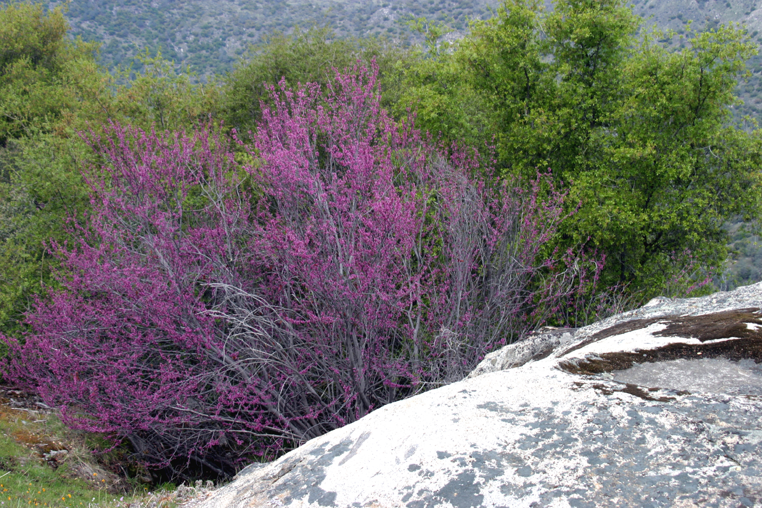
I saw a month ago had finished blooming, especially redbud
and bush
lupine. There are also range cattle on the property, but they pretty
much mind their own business. They don’t freak out and run when
you approach like some herds, but they drift away if you get too
close. Although
we probably walked twice as far as I had on March 27, we didn’t
get anywhere near the end of the trail. A map posted at the parking
area shows that it goes way down past the upper end of Millerton
We climbed a small hill just off the trail and made that our
turnaround point. We had gained some elevation and had a good view
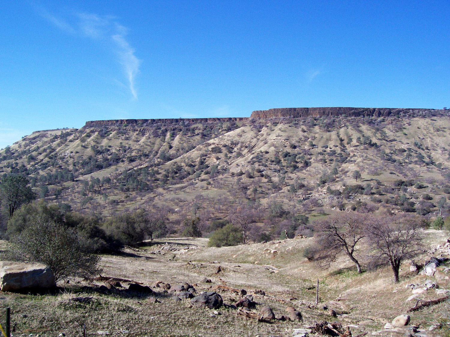
down the river and across to Kennedy Table on the north side of the
We headed back to the parking area, enjoying the fact that the finish of this trail is downhill. We stopped at the Dam Diner, but it was closed, so we went to Five Guys Burgers & Fries in Fresno . --Dick Estel, May 22, 2012 |
||
|
|
||
 |
 |
 |
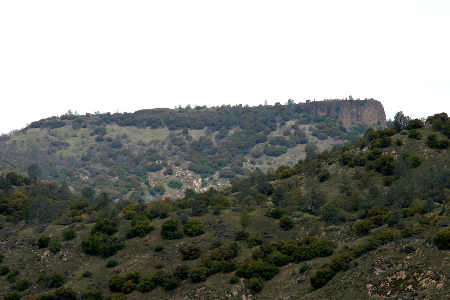
| This table top parallels Auberry Road,
with the San Joaquin River on the other side |
Bug Table, north of the San Joaquin Gorge management area |
San Joaquin River from the road to Squaw Leap |
 |
 |
 |
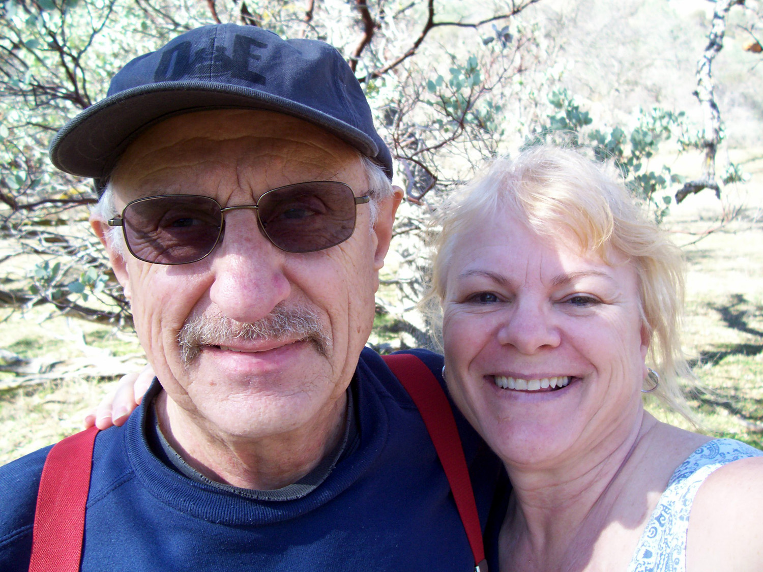
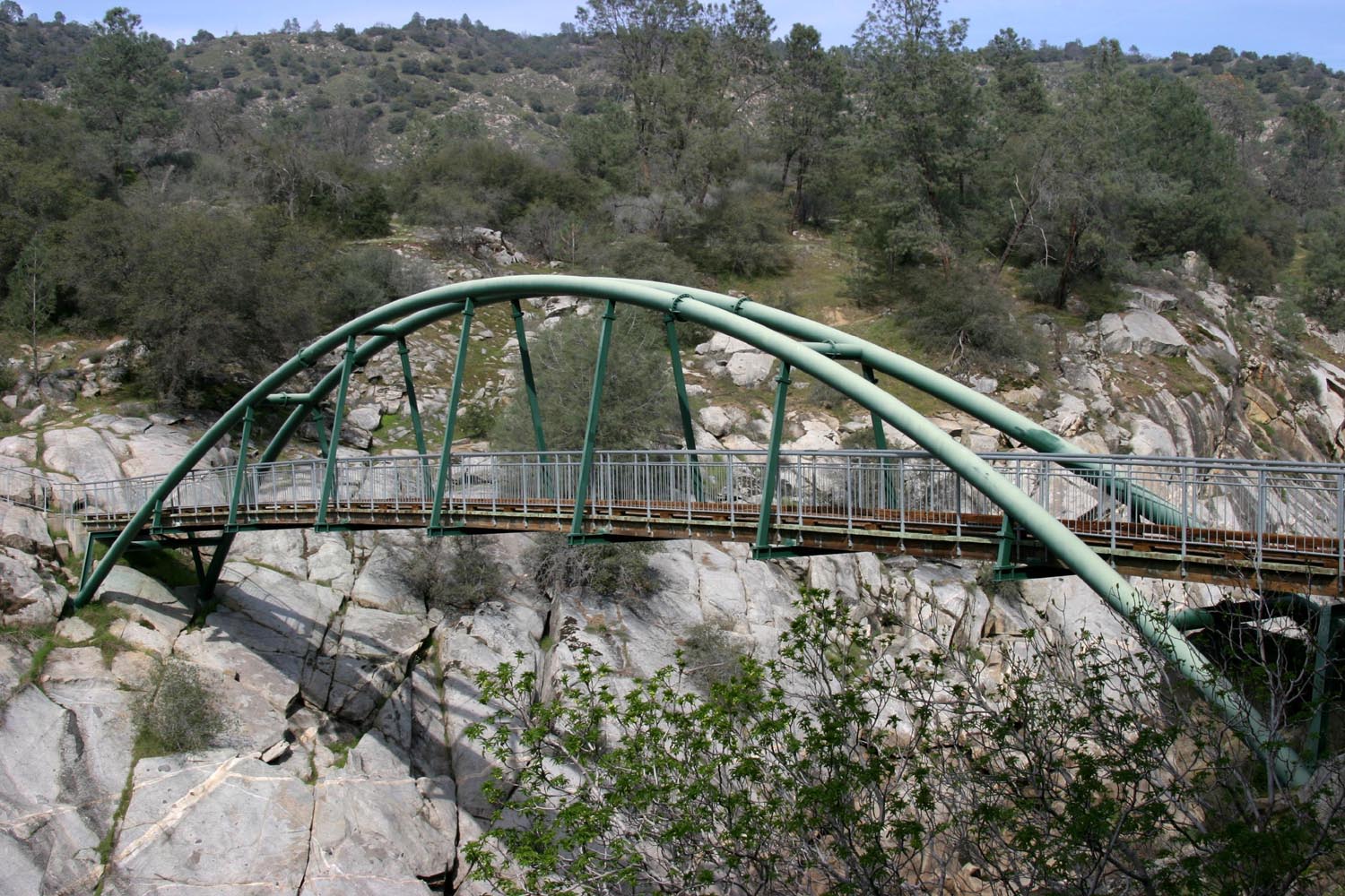
| Dick and Janell rest beside the trail to the river | The bridge across the San Joaquin | Kennedy Table |
 |
 |
|
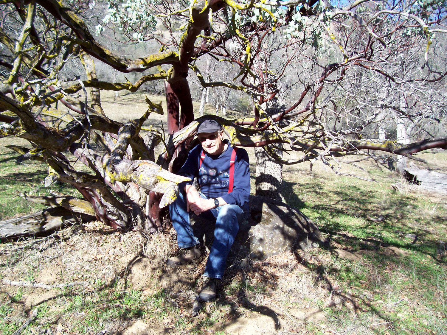
| Dick by the big manzanita near the L/S Camp Site |
Dick and Janell at the L/S Camp Site, February 2012 |
Redbud at it's peak |
 |
 |
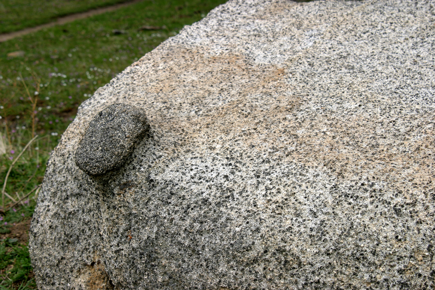 |
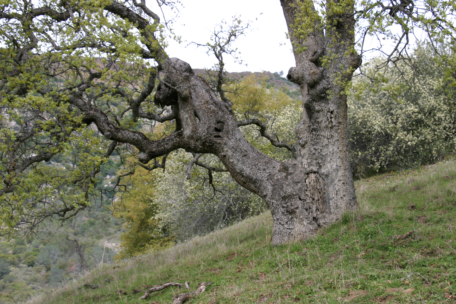
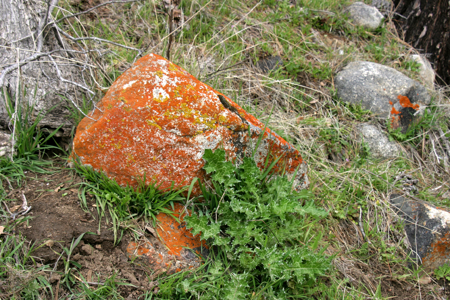
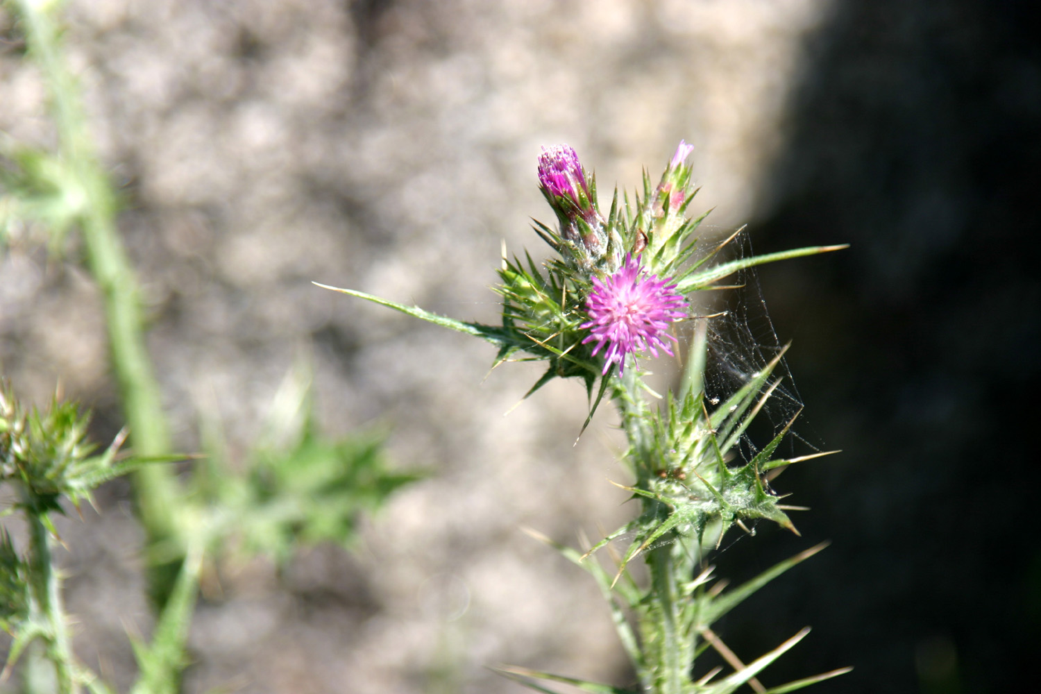
| Blue oak on the hillside | Orange lichen, thistle and granite | Grab the knob to move this boulder out of your way |
 |
 |
|
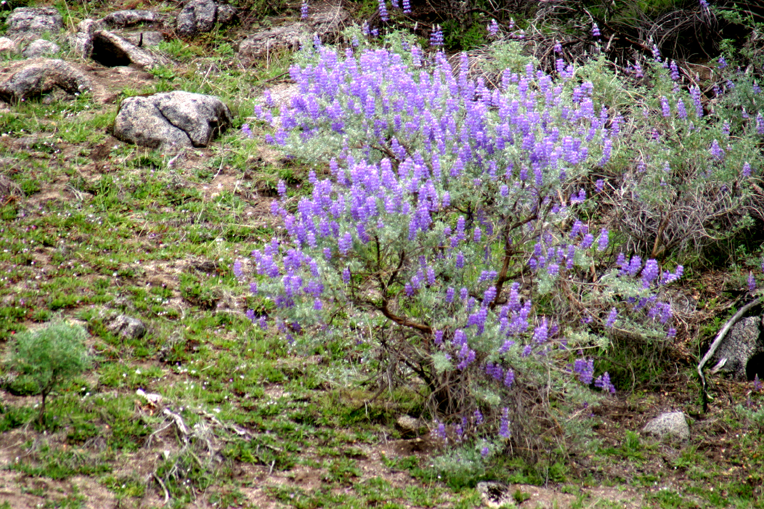
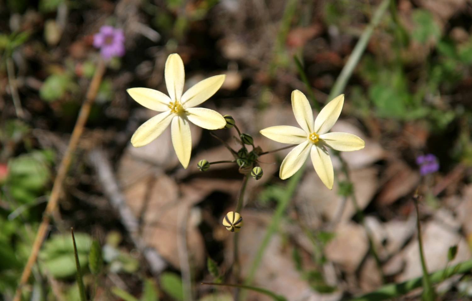
| Lupines | Thistles in bloom | Harvest brodiaea |
 |
 |
 |
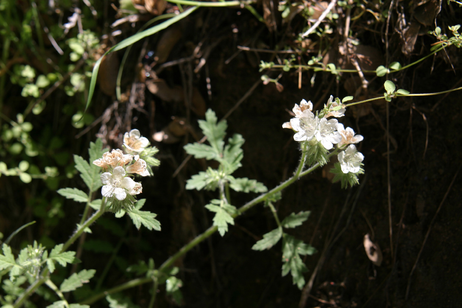
| Top of a lupine, ready to blossom | Phecelia near the lower power house | The San Joaquin
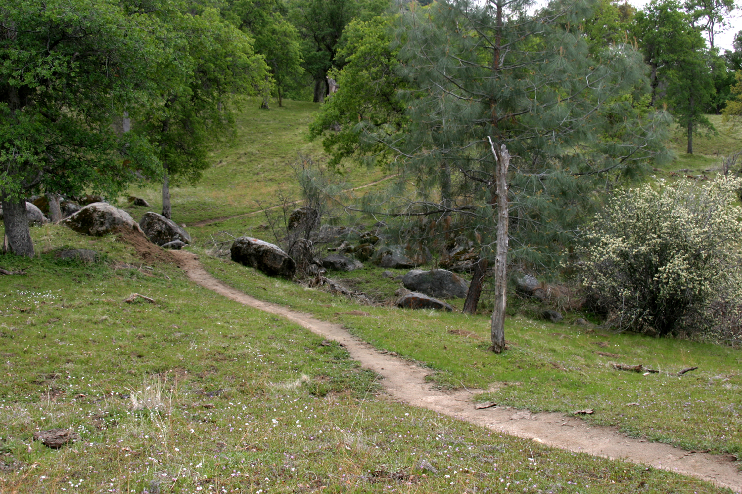
River Trail (referred to as South Trail in the above reports) |
 |
|
 |
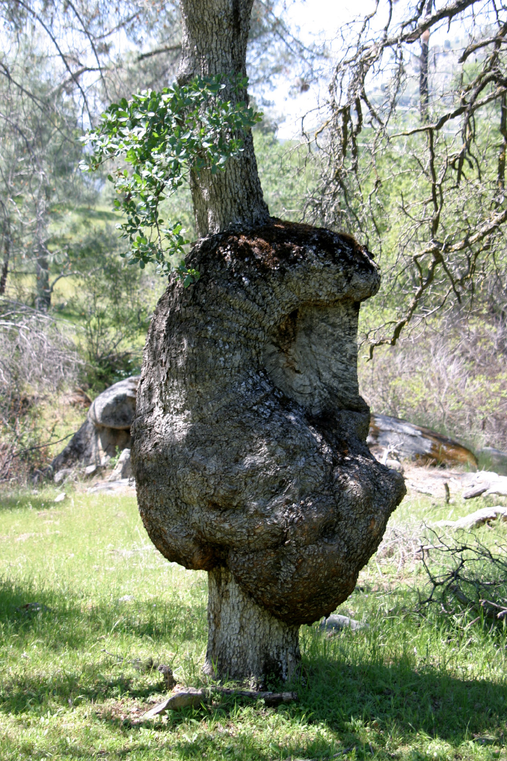
| Janell takes a break beside the South Trail | Big burl on blue oak | Home on the range |
 |
 |
 |
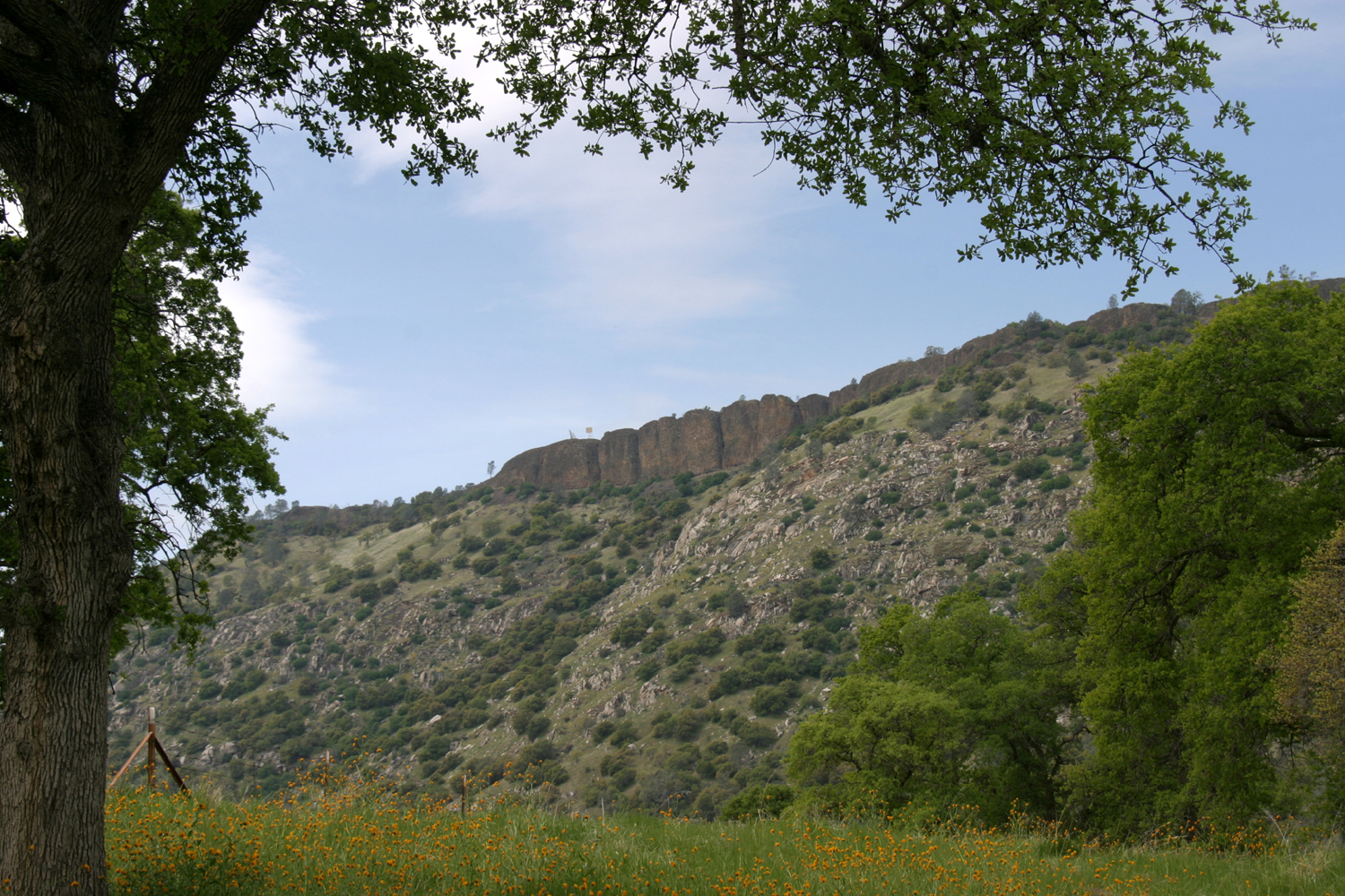
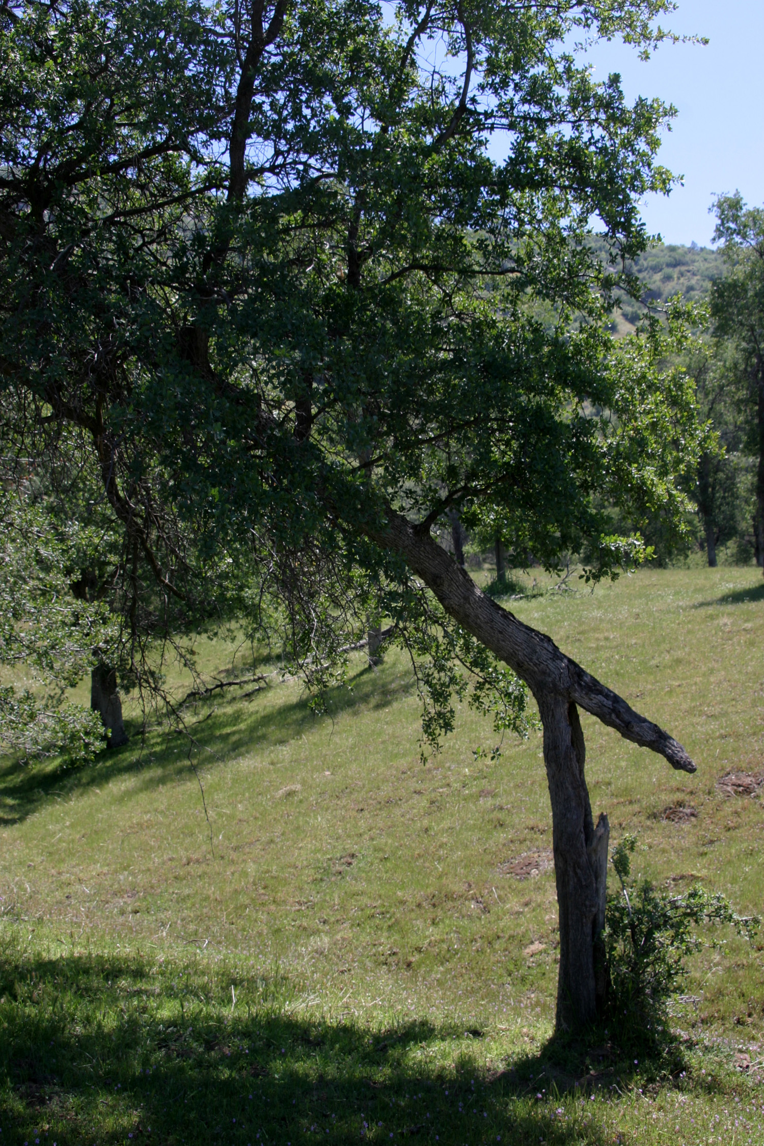
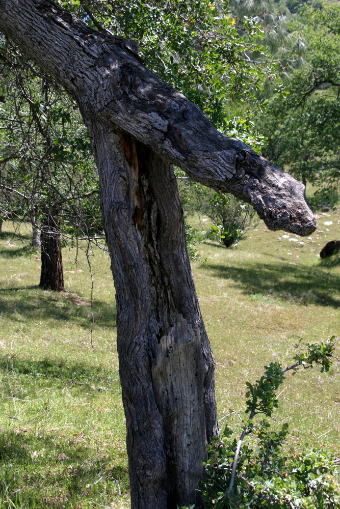
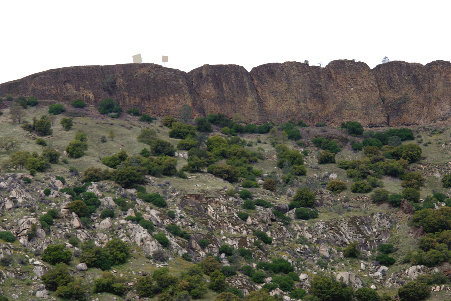
| This oak continues to grow, despite a long-ago break | Big Table Mountain | |
 |
 |
 |
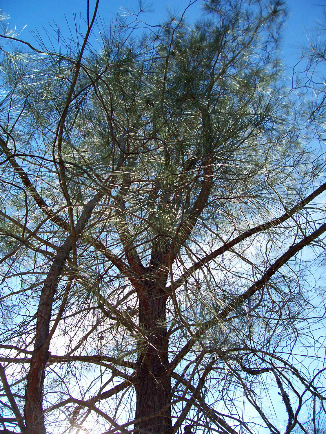
| Bull Pine (AKA Digger Pine) (J. Sidney photo) |
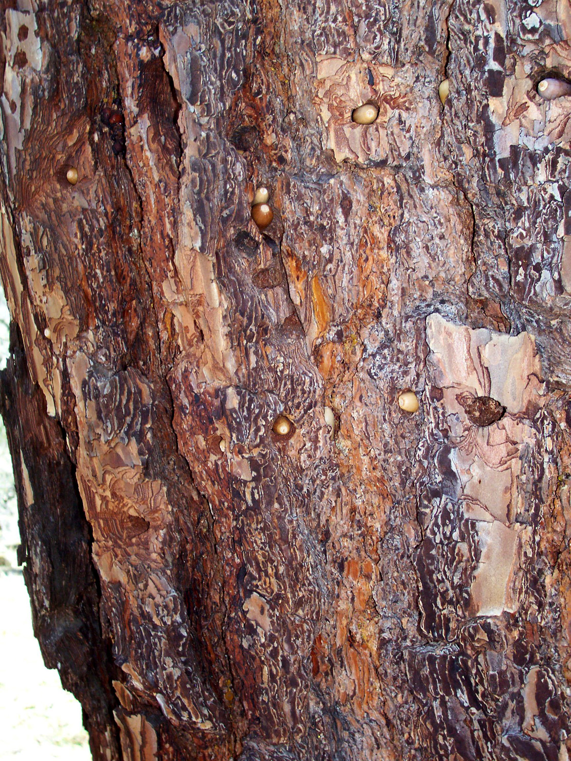
Bush lupine | Woodpecker larder tree |
| Related Links | ||
| SJG Map & Photos | Bureau of Land Management | San Joaquin Gorge |
| Auberry | Friant | Dam Diner (RIP) |