

|
Dick's
2017 Northern
California Journey |
| |
|
Photos
Related Links
More
Travel Reports |
|
|
|
Introduction
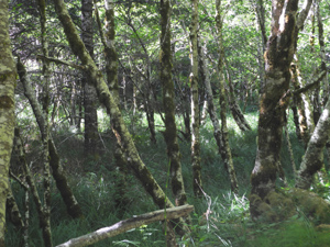
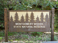
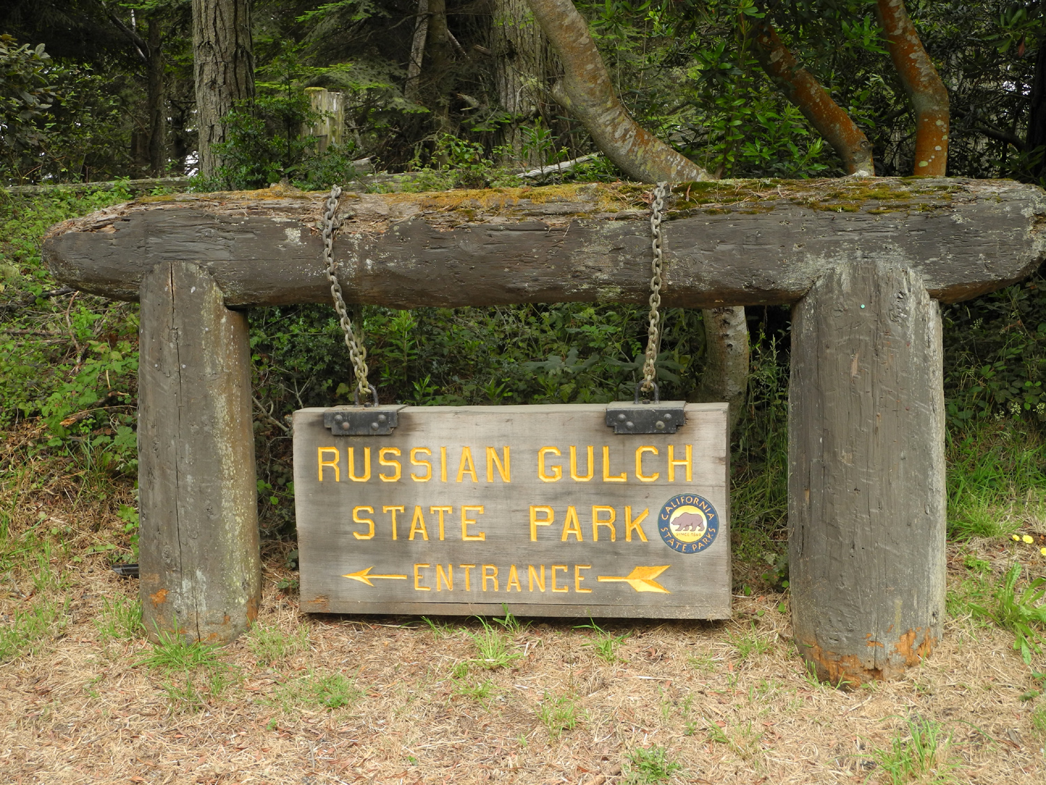
Montgomery Woods
Grace Hudson Museum
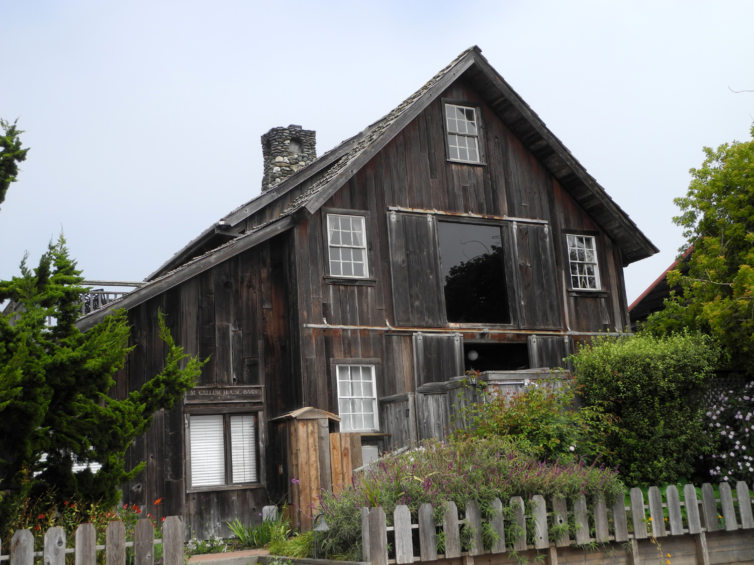
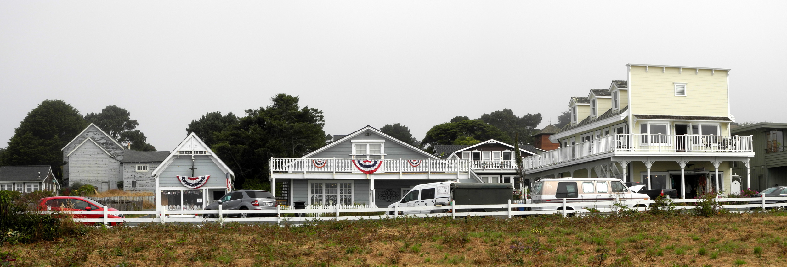
Mendocino
County Museum
Hiking in the King Range
Fort Bragg
Mendocino
Coast State Parks
Mendocino Village
Fort Bragg to Woodland
Home
|
| |
| Introduction
- July
24, 2017 |
| |
 |
 |
 |
|
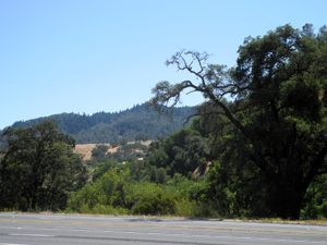
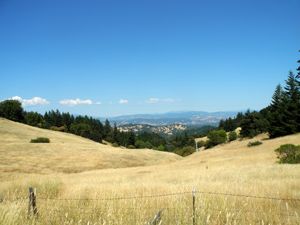
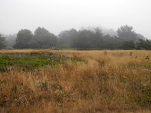
On Highway 101 between Santa
Rosa and Ukiah
|
|
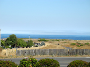
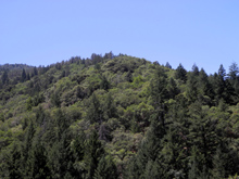
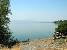
Coastal
mountain foothill
country on Highway 101 |
| |
|
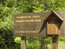
I don't know where I heard about Montgomery Woods State
Natural Preserve, but I think it was probably in the Triple A magazine Via.
The article said it had a nice hiking trail through some of
the tallest coast redwoods in the state. The trail length is given
as two miles in some places and three in others. I immediately decided I
would go there, and planned the trip for the summer of 2016. Life
and other things intervened, and it was not feasible to go that
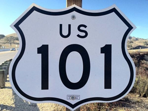
year, but here I am only 15 miles away, in the Motel 6 at Ukiah on
US 101, about 300 miles from home. I
got on the road about 8:30, driving north on Highway 99 and I-5 to
CA 12. I took what seemed to be a somewhat
convoluted route from Highway 12 to US 101, no doubt because I
partly followed my GPS and partly "just winged it." I
think the winging might have taken me into less traffic than the
GPS, but I
already have an alternate route home in mind that will avoid the
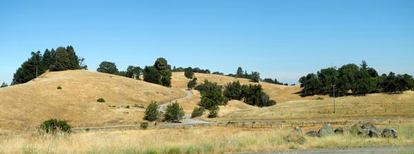
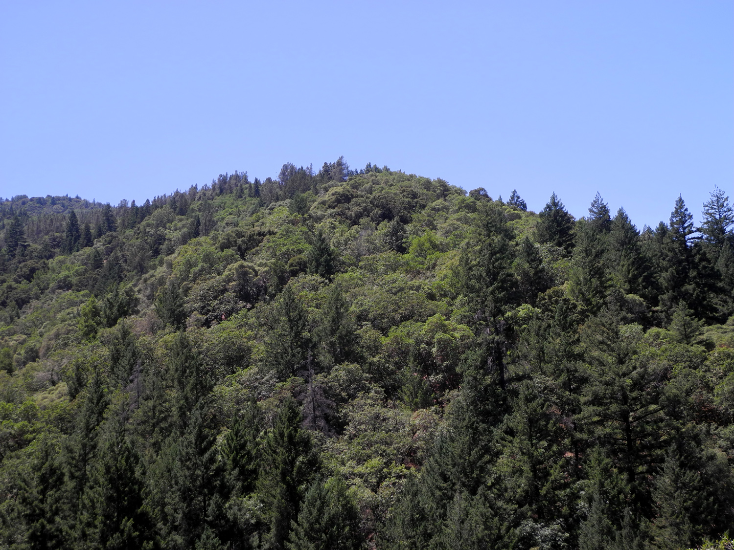
mess that is Napa-Sonoma-Santa Rosa. North of Santa Rosa the drive
was very scenic - vineyards, golden brown grass, and tree covered
hills. After
Ukiah, I will go on to Garberville, 90 miles north, and hike in the
King Range above California's Lost Coast. By
the way, this is the first time in a long time that I have written
one of these as I go; most of them have been composed completely
after I got back home. This method may give a more complete and
accurate account, but it may encourage me to go on and on more than I
should. We shall see. |
| |
|
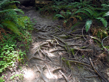
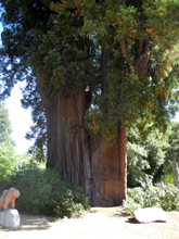
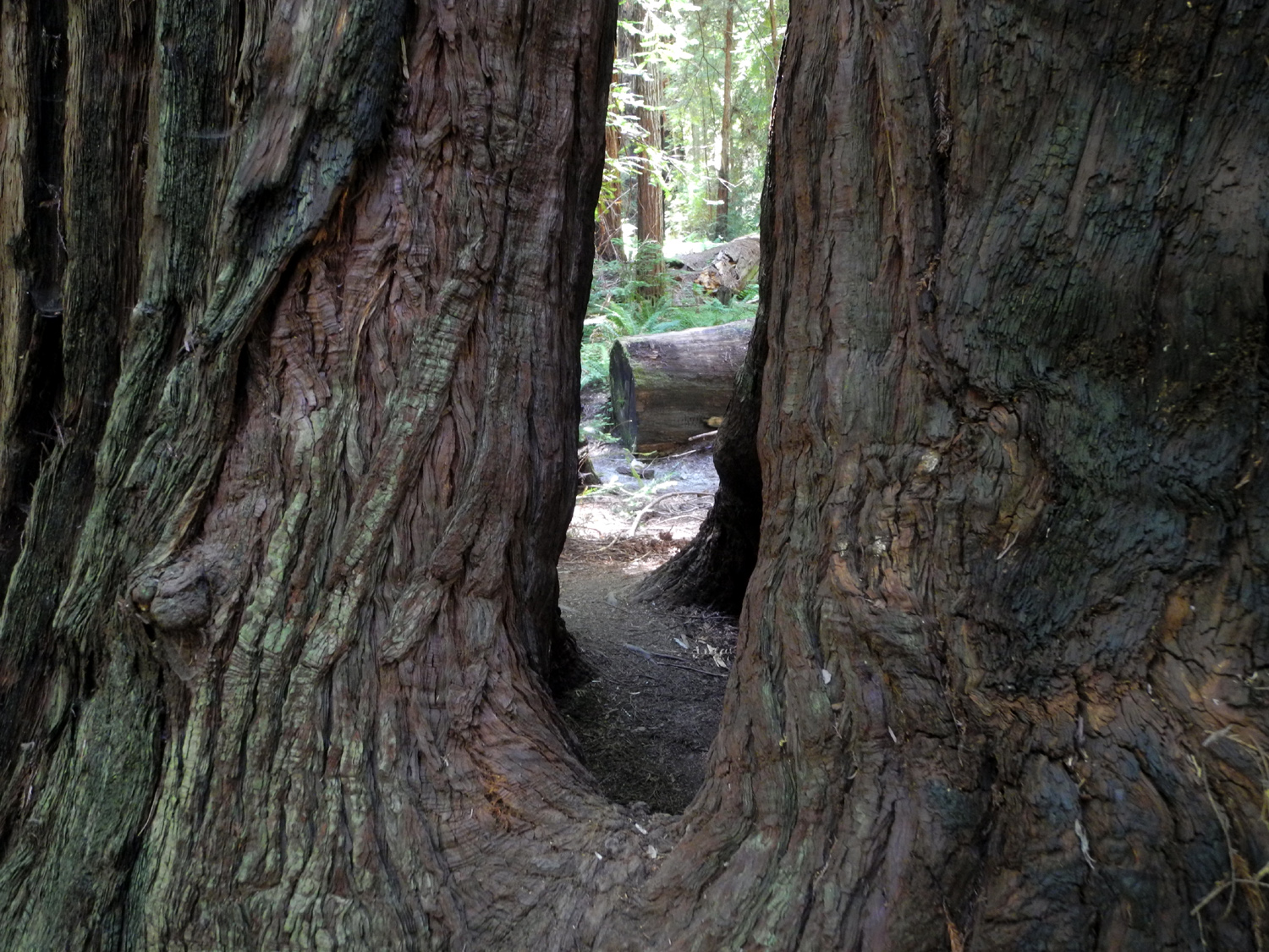
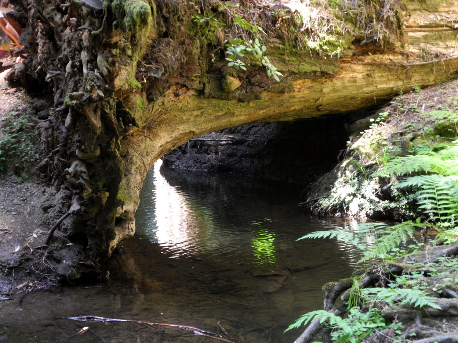
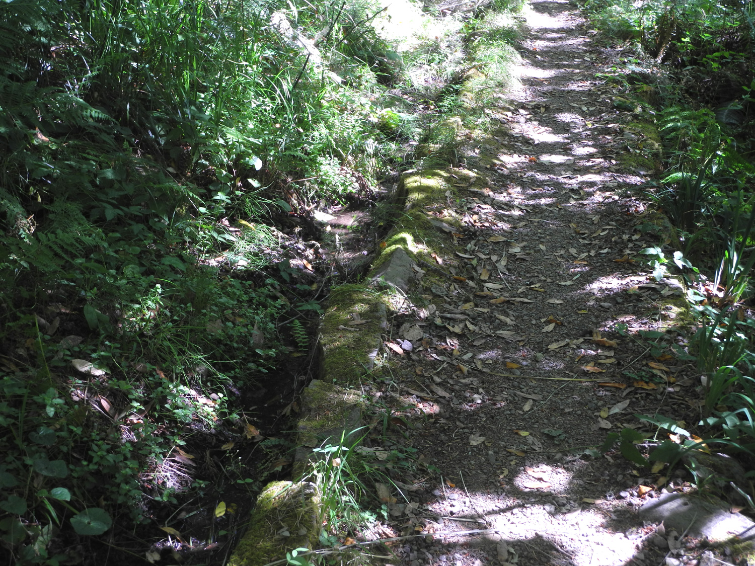
Montgomery Woods - July 25 |
|
|
 |
 |
 |
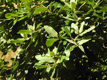
Looking
east from Orr
Springs Road, west of Ukiah |
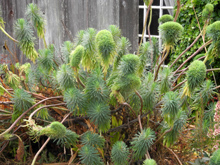
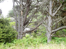
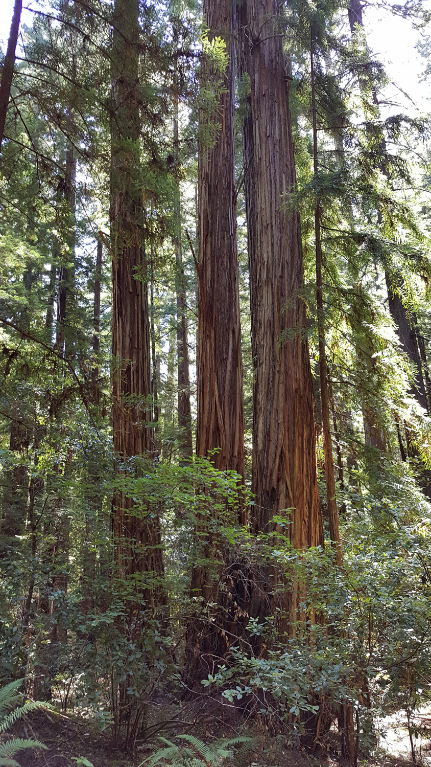
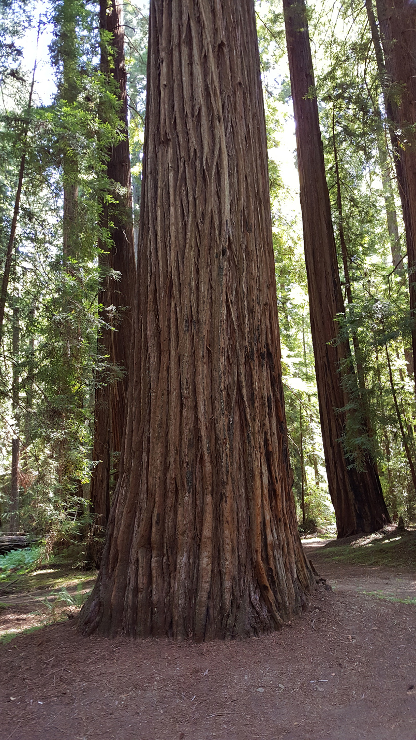
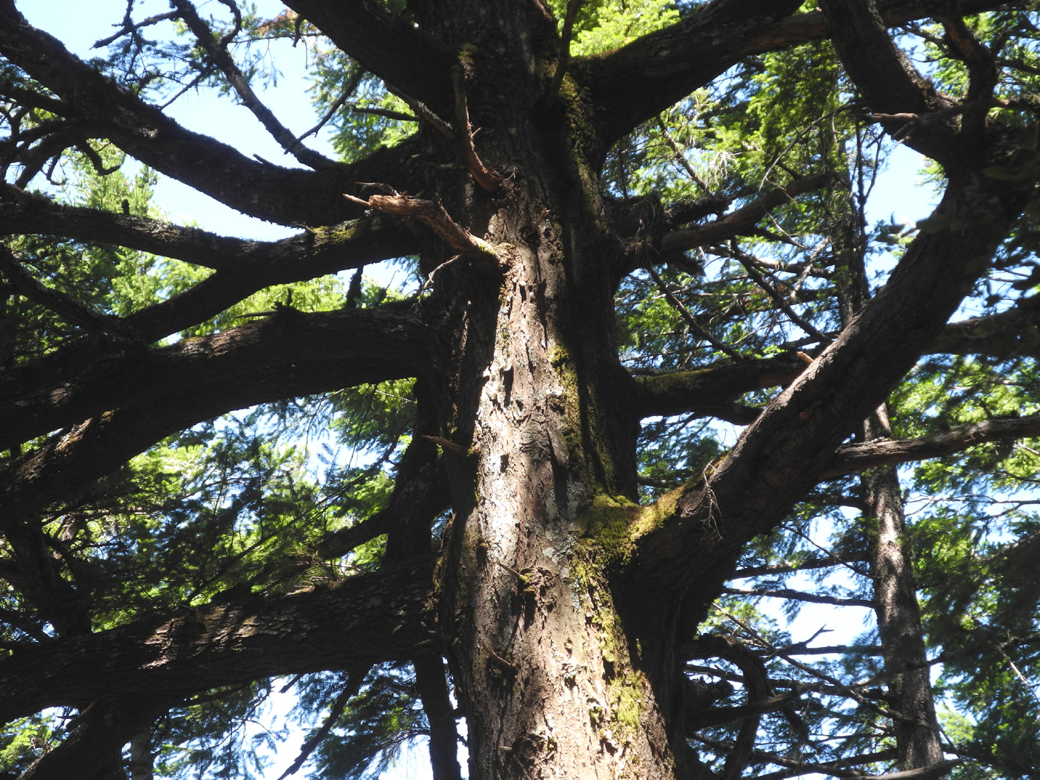
Redwoods
in Montgomery Woods |
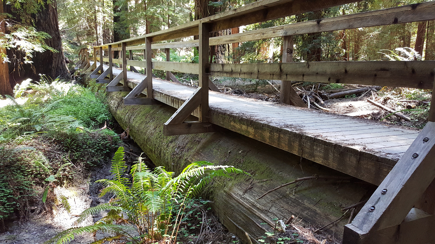
Trail
bridge built on a fallen redwood log |
| |
|
I slept late, had a leisurely breakfast (stuff
I brought, since the motel does not provide one), and got on the
road about 9:30. Although the trip to Montgomery Woods is barely 15
miles, it is a very slow, steep, winding road. Top speed was about
25 MPH, with lots of 10 to 20 MPH sections. Some people drove faster (i.e.
too fast). I stopped at least a half dozen times to take photos, but
a non-stop trip would still take close to an hour.
Orr Springs
Road starts about a mile north of my motel, goes west, and rises up to
the 2,300 foot level, dropping back down to about 900 feet at the
trailhead. Although it seems like "empty" country, there
are many roads with several mailboxes and some large ranches, so
there are plenty of people living up in those hills. There was
not a lot of traffic, although one or two cars would usually go by
during any photo stop.
Driving
on this road, like many mountain roads, I came to a sign that said
"Road Narrows." Then I came to another one. How narrow can
it get, I thought? Actually it got wider in between the two signs,
but they don't seem to stock "Road Widens" signs.
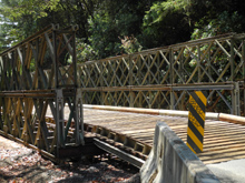
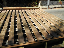
Along the way I
crossed a bridge that looked like it had been built from a ready-to-assemble kit. The roadway was
large
timbers, maybe six by
four inches, spaced several inches apart, and very bumpy. At a driveway a short distance above, I
stopped and walked back to take photos of the bridge, and was able
to walk beside it to the creek it spanned. Here I could see that the
old pavement ended abruptly with a 20 foot drop-off. The sound of
vehicles crossing the bridge as I stood there was amazingly loud.
When I got
started again my GPS became confused, thinking I was on the
"unnamed road" that was really someone's driveway, and
told me twice to make a U-turn, even though I was going the right
way. Past this
point the road descended steeply through mostly open hills with
scattered trees, but once I got down to the bottom, I was driving
through redwoods and thick vegetation for the last two miles to the
preserve. The apparent dryness in the upper areas was belied by the
presence of Spanish moss on the oak trees.
I started my
hike at 11:15 with the temperature a nice cool 72 degrees. It would
warm up to 84 by the time I returned, but the trail was shaded about 95% of
the way. There were a half dozen cars at the trailhead, but I saw
very few people on my outbound trip.
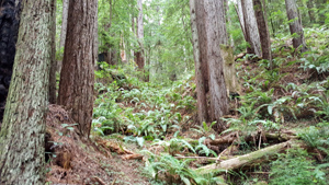
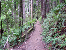
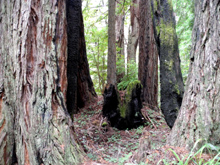
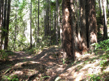
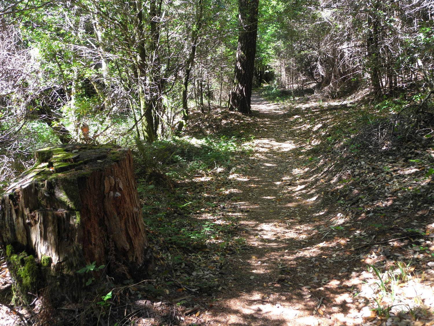
The trail,
which turned out to be a three-mile loop, runs along a small creek and through a
flat, narrow valley between steep, wooded hillsides. Except for a
short, steep section up and down during the first quarter mile, it
is nearly flat. The preserve consists of a half dozen named groves,
but there are redwoods along the trail all the way. I did not see
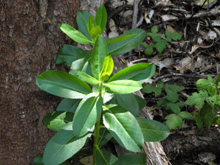
any other evergreens, but there are small bushes and a lot of tan
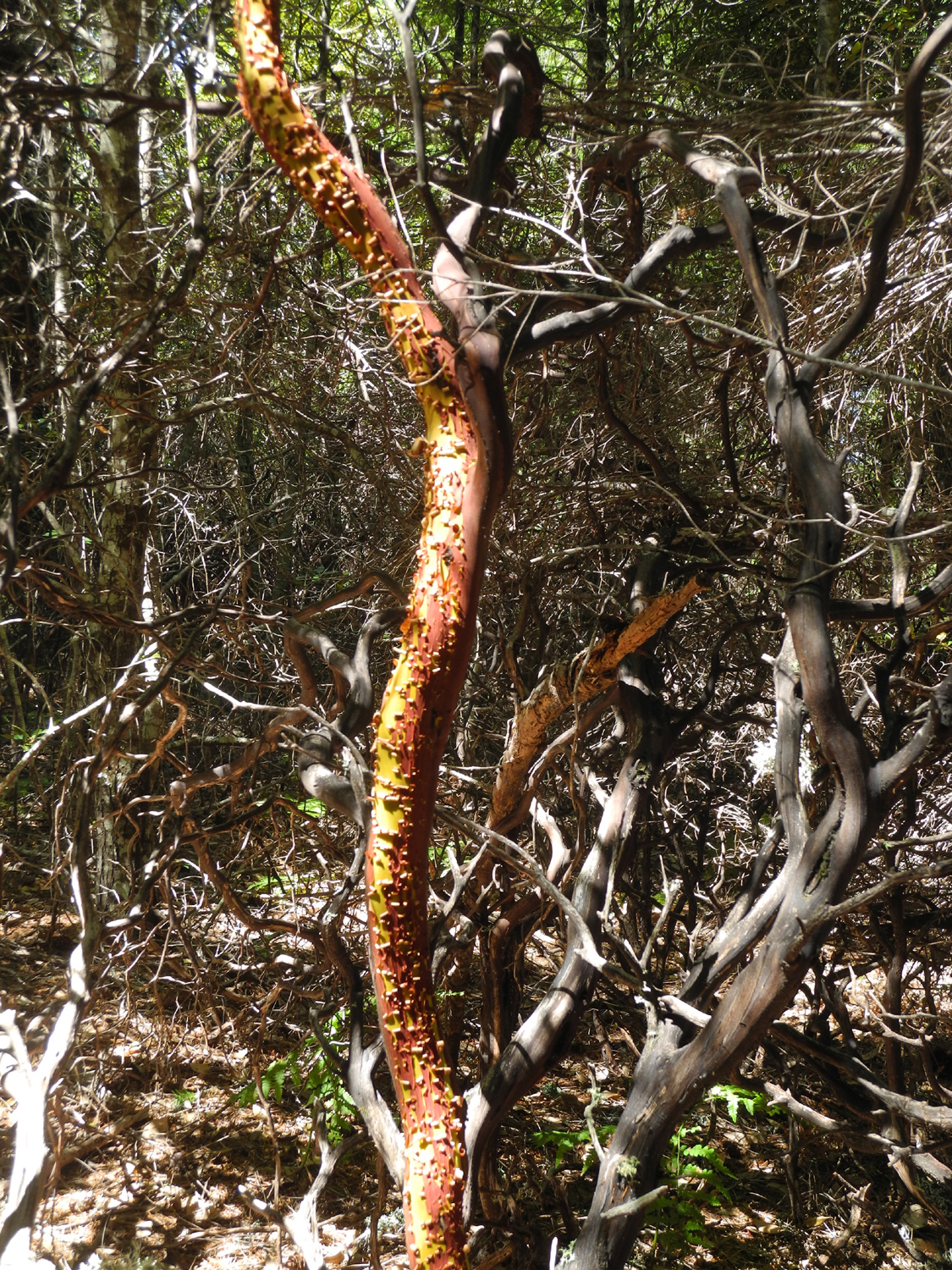
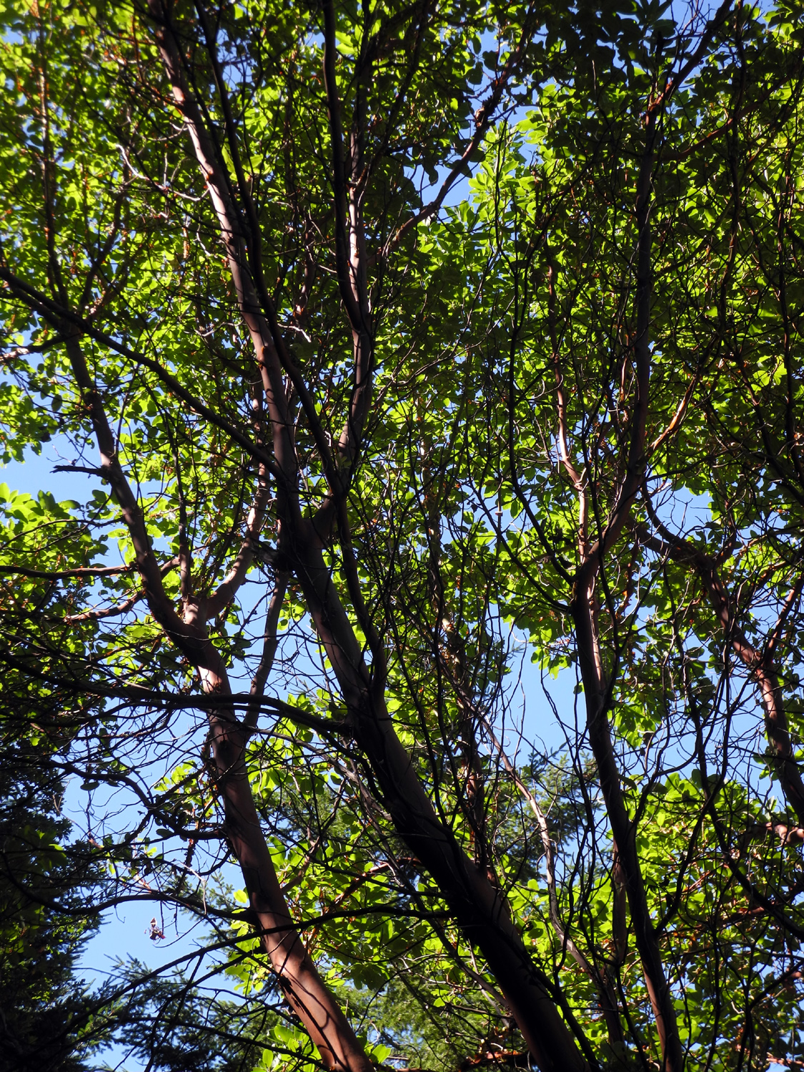
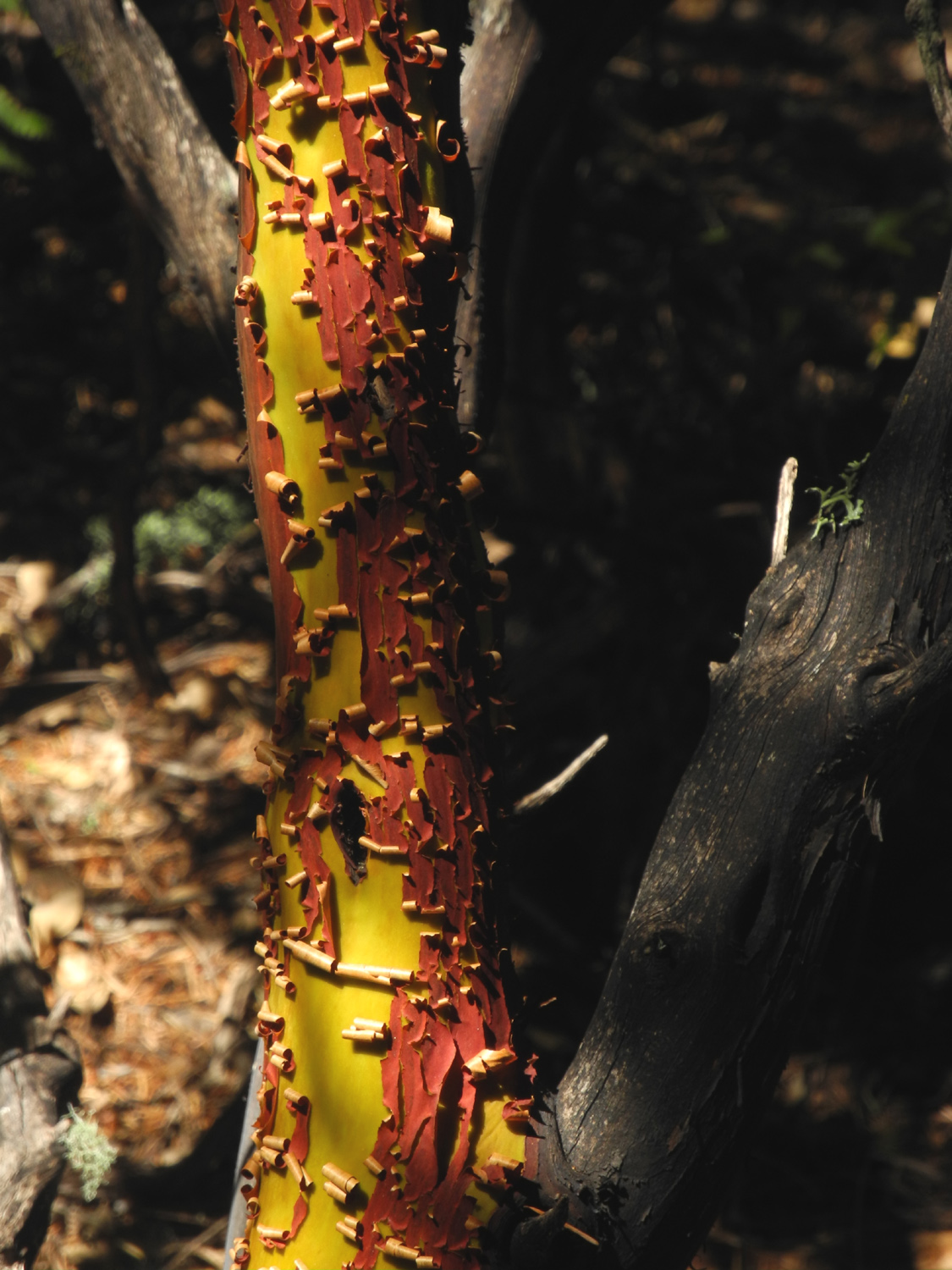
oaks. Up on the hillsides you can spot madrones.
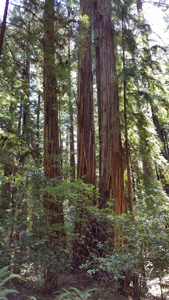
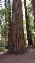
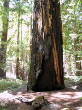
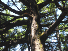
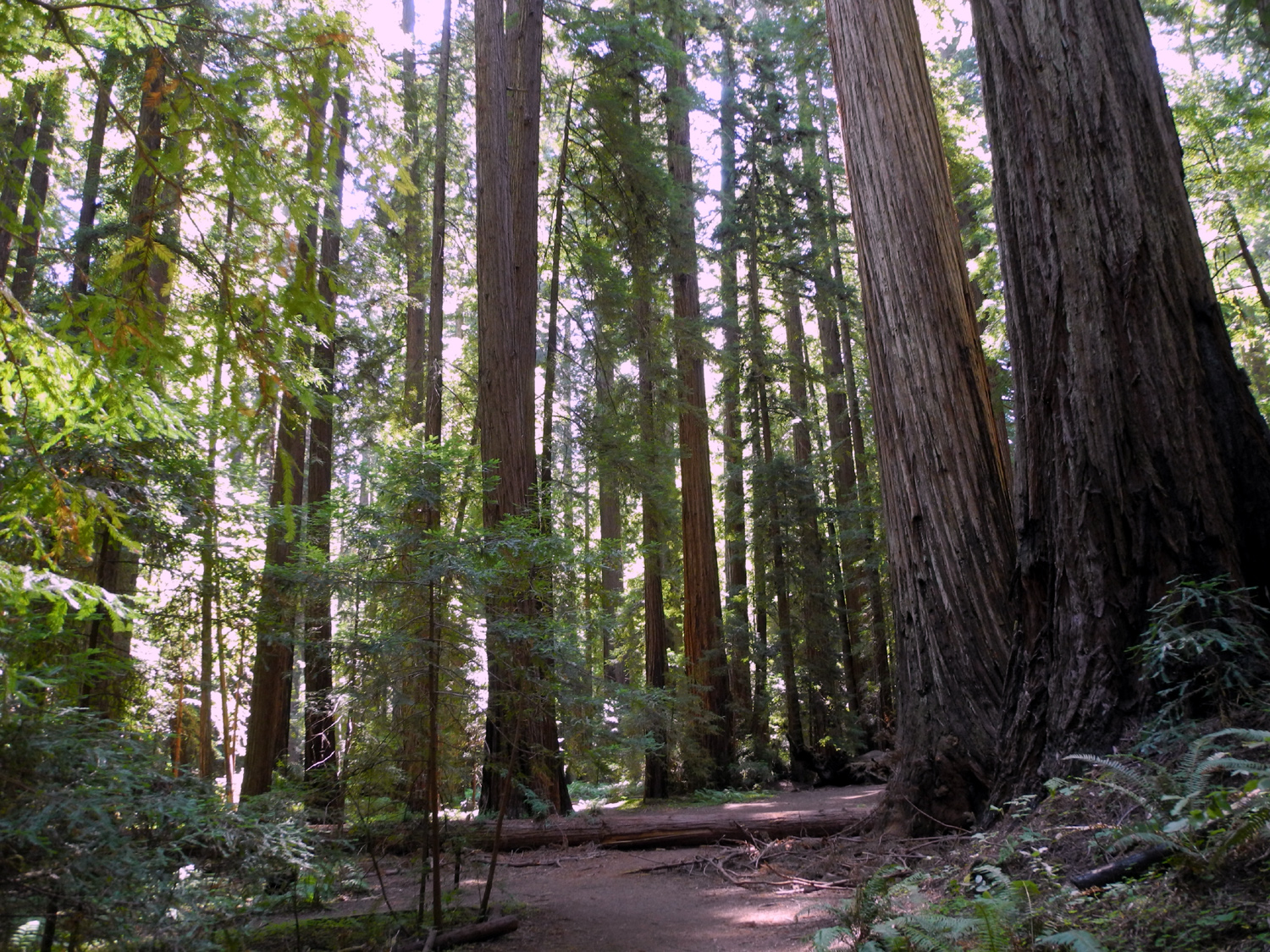
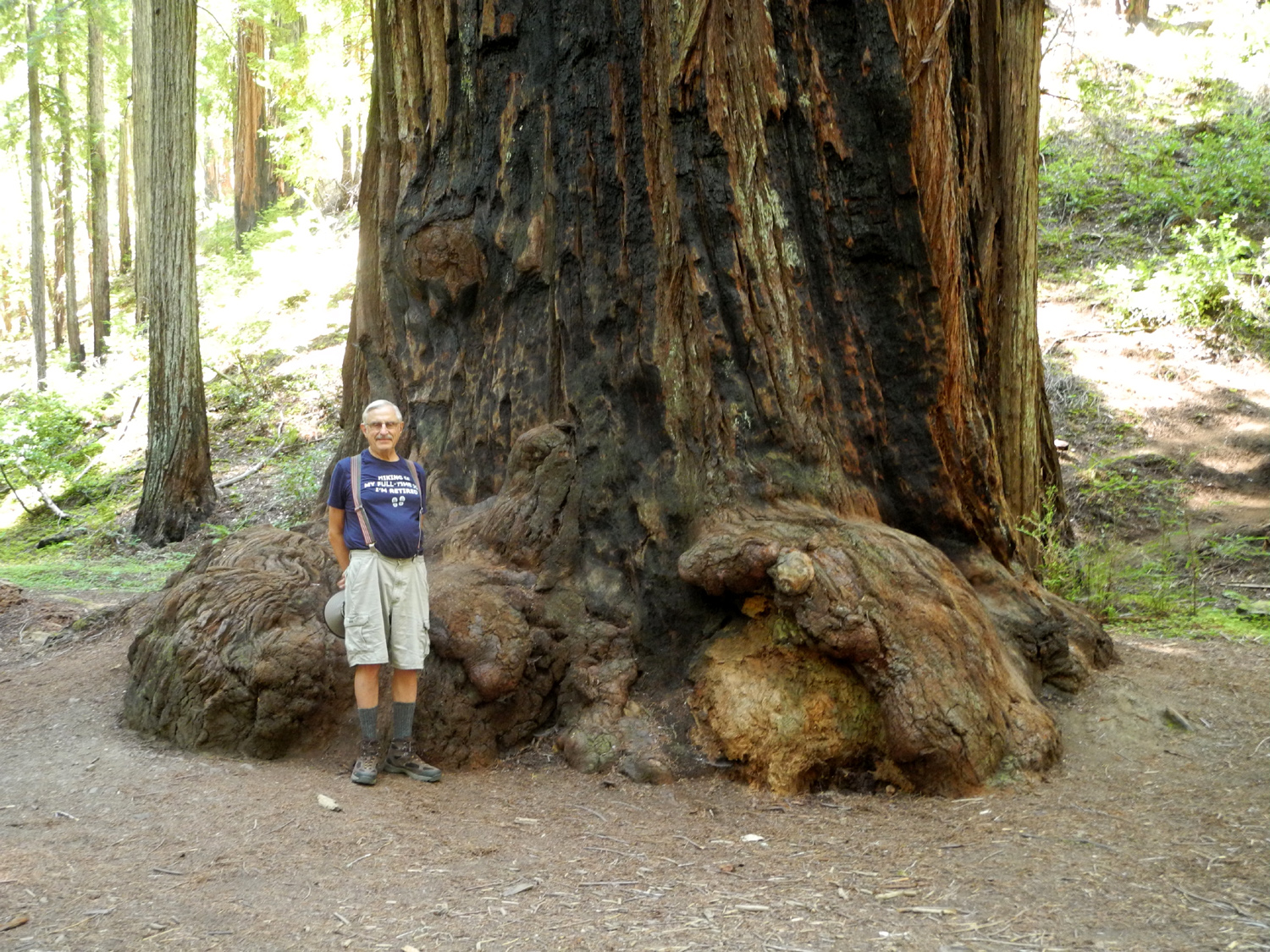
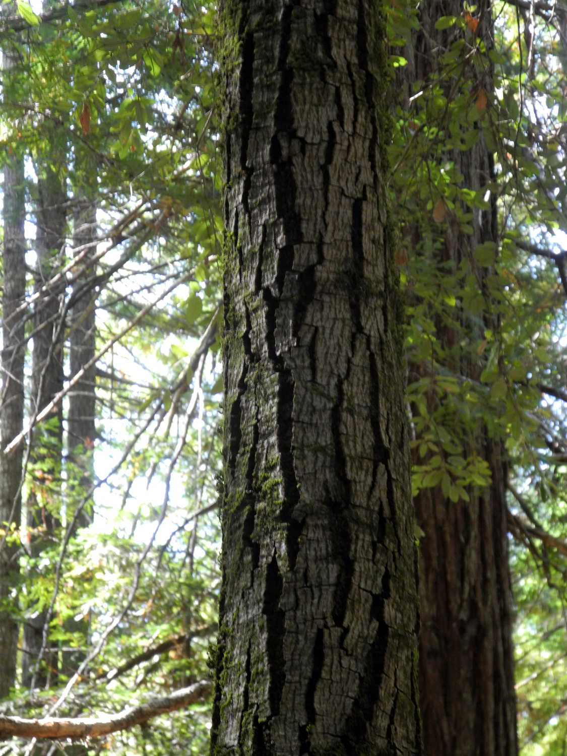
Many of the
trees in this grove are very tall. The Mendocino Tree at 367 feet was once the tallest known coast redwood, but taller trees were
discovered in Humboldt Redwoods State Park and Redwoods National
Park around 2005. The level flood plain, with rich soil carried in
by the creek, encourages the growth of
redwoods, and
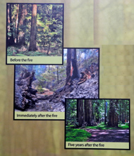
stifles other evergreens. A lightning-caused
fire went through the grove in 2008, burning through a large
percent of the preserve. Like their Sierra
counterparts, these trees are highly resistant to fire, and few
trees were killed. Fire scars remain, but the area has recovered to
great extent.
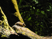
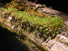
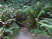
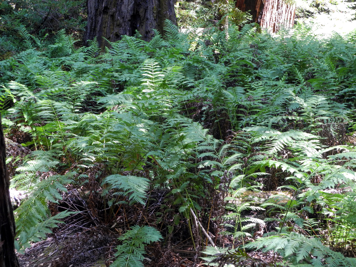
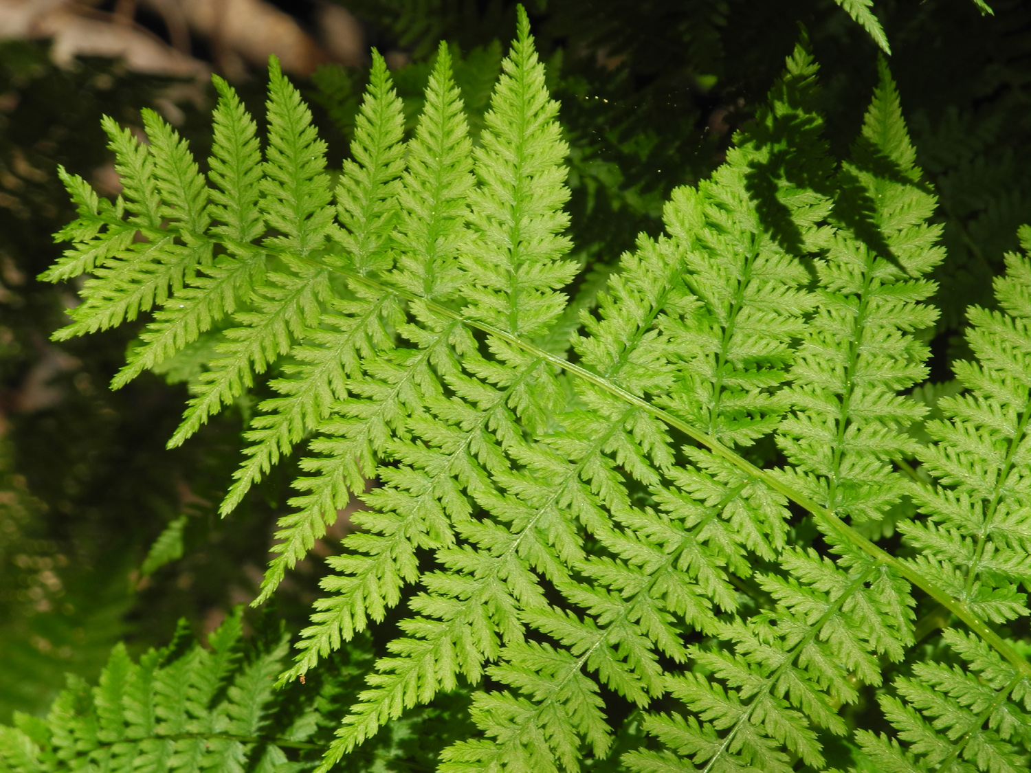
Probably the
most common plants along the trail are ferns, which are thick in
many places. A sign at one point describes the three main varieties,
and I was taking a photo there when I realized there was a chipmunk sitting on a log right in front of me. I was able to get several
photos of him, and a short distance beyond, another one sat and
posed for me.
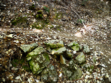
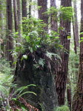
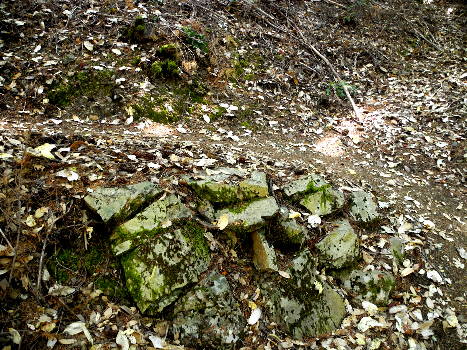
As
usual in most redwood groves, there has been logging in years past,
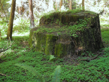
so there are some large stumps along the way, although not as many
as in some places I've been in. And like most such stumps, they
support plants,
trees, or in one unique case, rocks.
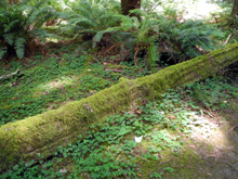
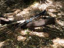
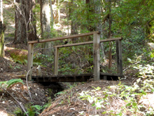
Along the
trail there are
several bridges across the creek, mostly very small, but the most dramatic one is about 50 feet long and is built
on top of a fallen redwood log, which provides a ready-made
superstructure for the crossing. It was just past this point where I
made what I like to think of as an "enhancement" to my walk. All along
the trail there are places where people have walked around among the
trees, creating obvious paths that are not part of the official
trail,
and sometimes it was not clear whether I was on the official trail or not.
As I stepped off the bridge, I turned right and saw a sign with an
arrow pointing in both directions, so I continued up the creek.
Although the
trail was still obvious and there were recent footprints, I began to
encounter a lot of fallen trees across the trail, making progress
difficult. The canyon started to become very narrow. I checked the
mileage on my phone app, and saw that I had hiked 1.7 miles. Whether
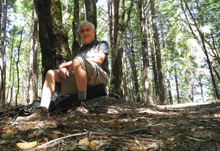
the trail was two miles or three, it should have looped back by this time. I found a
comfortable log to sit on while I ate my snack and considered my
options. To turn back and not complete the loop was not an ideal
choice for a dedicated hiker, but to continue on until the trail
fizzled out to nothing was equally unattractive. I decided to walk
up another hundred yards or so without my pack, and if there was no
sign of the return route, I would re-trace my steps.
In that
short distance the canyon only got narrower, and appeared to stay
with the creek. I should mention that at this point I expected the
trail to climb up out of the canyon on one side or the other for the
return route. As I retrieved my pack and headed back down the trail,
I had another dilemma. If I saw the obvious loop back point, should
I follow that, possibly adding a mile or more to the return trip? Or
should I just stick with the trail I knew, which would still give
me over three miles of hiking?
It turned
out that that the decision was easy. Facing the double arrow sign
when I came off the bridge, I assumed it meant "Go right and
continue the main trail, or left and turn back across the
bridge." What it really meant was "Go right if you want to
explore a little further (intentionally or otherwise), or go left and
follow that obvious trail that heads back toward the trailhead on
the opposite side of the creek."
For much of
the way back, the two trail sections were close enough that I could see
hikers on the other side of the creek. And at this point I started seeing lots of
hikers, going in both directions and on both sections of the trail.
One family group had a double stroller, although it looked as if
they were carrying as much as pushing it. Hopefully the little ones
enjoyed what was for them a 4-wheel drive run.
Going back
down along the creek, the walk was mostly level, with a short section where
it went up the side of the canyon and back down. There were two fairly
long sections that were a boardwalk. Eventually this
"return" trail crossed
the creek and joined the route on the other side, about a half mile
from the trailhead.
When I got
back to the car, the parking lot was full and there were at least
five cars parked along the main road. There is a
restroom, and a wooden platform with a picnic table overlooking the
creek, and people were using the table.
More
Montgomery Woods Photos
|
| |
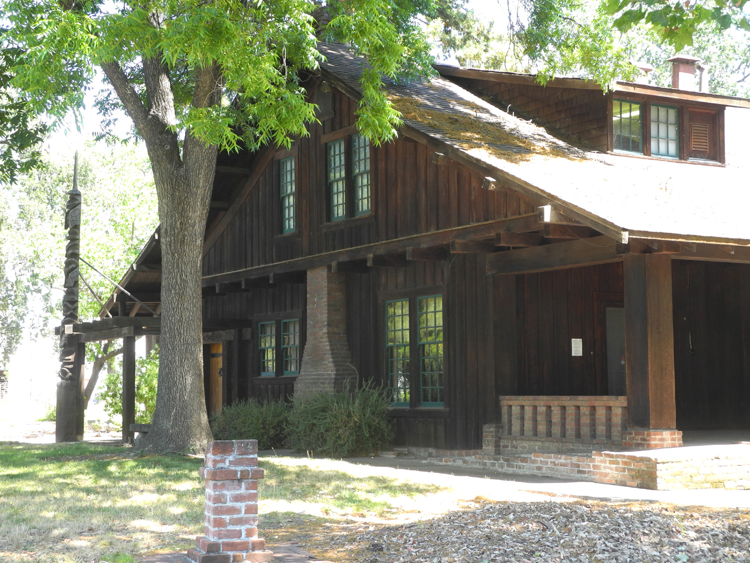
|
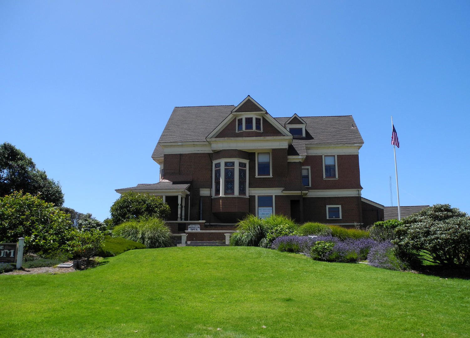
Grace
Hudson Museum - July 26 |
| |
 |
|
 |
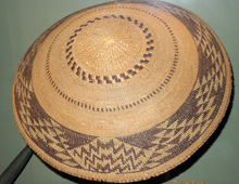
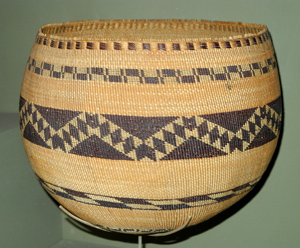
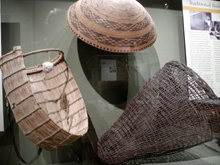
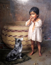
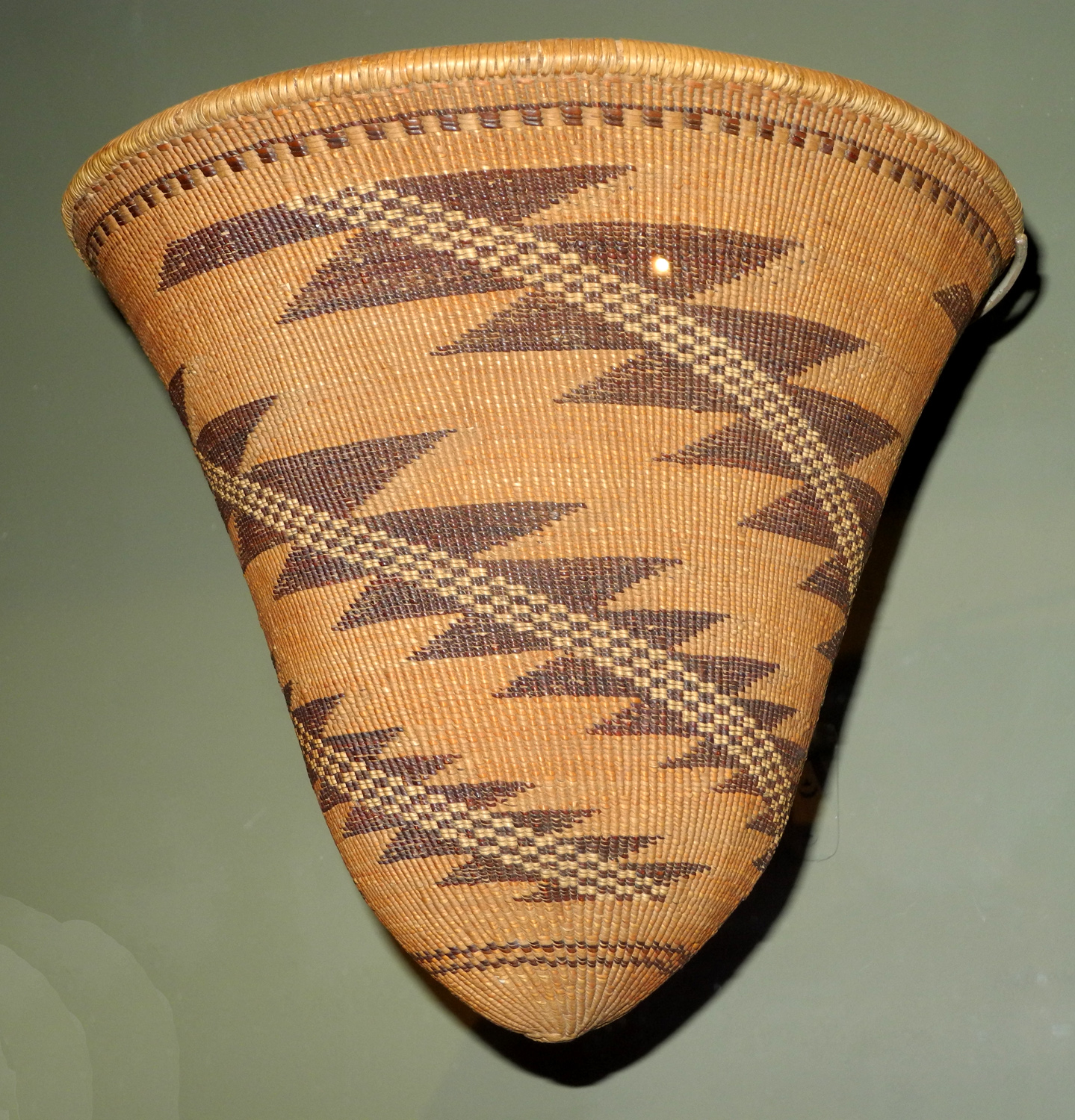
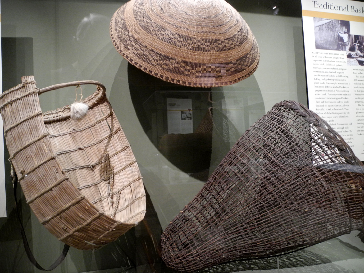
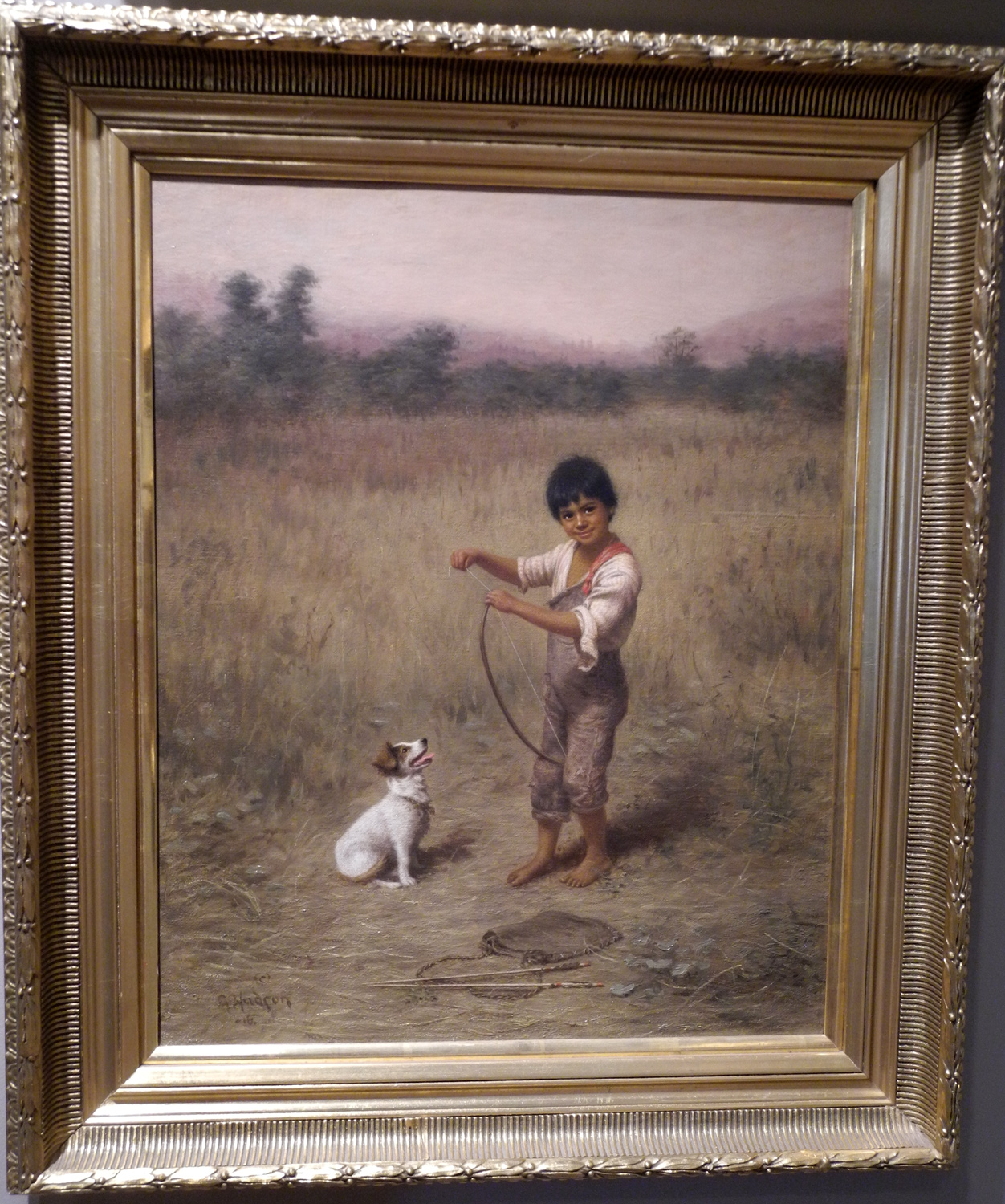
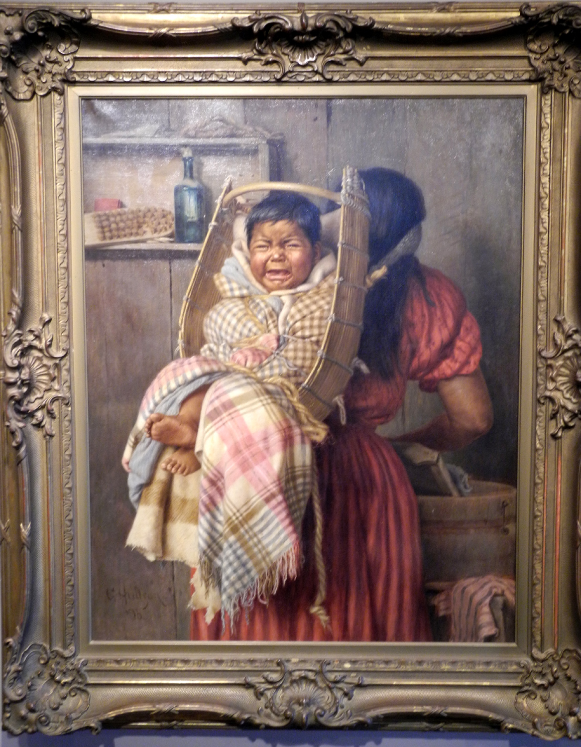
| Pomo
Indian basket in Grace Hudson Museum |
This
carving at the Motel 6
is over 20 feet high |
One of
Grace Hudson's many
paintings of the Pomo Indian people |
| |
|
When I began planning this trip, I had
a number of places in mind that I wanted to see. In addition, I
researched other things to do in the areas I would be in, and the one that stood
out in Ukiah was the Grace
Hudson Museum and Sun House.
Grace
was born in 1865 in Potter
Valley, not far from Ukiah, but lived in the latter town most of
her life, which ended in 1937. A member of a distinguished and
accomplished family, Grace showed a talent for art early in life,
and entered the San Francisco School of Design at age 14. Although
she worked in various media and with multiple subjects, her focus
was the Pomo Indian people she had grown up among, and she created
hundreds of luminescent
paintings of the natives. Her husband,
originally a physician, gave up his practice to study the culture
and history of these early people.
I am
far from a connoisseur of art, and rarely have any interest in
paintings, but Hudson's work impressed me greatly. Her work is very
realistic, without being photographic. She was influenced by her father, who was a noted photographer and portrait
studio operator in Ukiah, and her mother was a good painter in her
own right. Some of the pictures, especially of
children, just make you smile or laugh in recognition of how
they reflect kids in your own life.
In
addition to the paintings, there is a room full of Pomo
baskets,
displaying the incredible artistic efforts native people put into
creating these utilitarian
items. The descriptive notes are
extensive, explaining the different types of baskets, material used,
and the unique characteristics of baskets made by men as opposed to
those made by women.
There
is also a room recounting Grace's ancestry, with biographical
information going back to her great grandparents, photos of many of
them, and artifacts passed down by the family.
A
rotating exhibit in the building currently features Japanese-style
woodcut prints, mostly of the Mendocino and northern California
coast. I don't care for this style, and would have much preferred to see a photo
exhibit of this subject. I spent only a short time in this room.
Finally,
I joined a docent-led tour (as the only tourist) of Sun
House, the
home built by John and Grace Hudson between 1910 and 1912. It was
occupied by a nephew and his family after her death, and a few
changes were made, but for the most part the original redwood
building, furniture and artifacts have been preserved, and the
property is now owned by the city of Ukiah.
With
plenty of time left in the day, I looked in the Mendocino County
guide that I picked up in the museum, and headed for Low Gap
Regional Park. At first all I could see was a skate park and picnic
tables, so I drove on past and up the road a ways. Not surprisingly
it goes through a low gap in the hills, and soon turns to dirt. It's
in a narrow, heavily wooded canyon, with not much to see except tree
tops, so I soon turned around.
I
drove into the park and walked in a ways, and I came to a map
showing that it's actually a large area with many hiking trails. I started
down a paved walkway, across the bridge over Orr Creek, and found
myself on a steep, rough dirt trail. I was too lazy to go back to
the car to get my boots and hiking poles, so I walked only a short
distance, but even that was a difficult task for me; there
was a lot of loose rock on the steep trail, and I just went around a short
loop before heading back to the motel for lunch, a nap, swimming,
reading, and of course, working on this report.
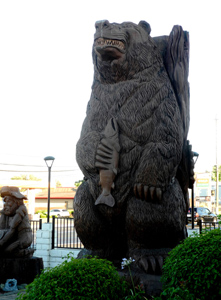
There
was some art of sorts at my motel - several large wooden carvings,
showing a much higher level of skill than the usual chain saw
carvings sold at roadside stands. The most eye-catching was a
bear up on his hind legs, holding a salmon, stretching up over
20 feet high.
|
| |
|
Mendocino
County Museum in Willits - July 27 |
|
|
 |
 |
 |
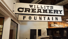
| Willits
Creamery and Fountain reproduction |
Surrey
with a fringe on top |
Old
"wig-wag" railroad warning signal |
| |
|
Since I had only 90 miles to
travel today, and all day to do it, I decided to follow the
recommendation of a docent at the Hudson Museum and stop in Willits
at the Mendocino County
Museum.
Getting off the highway
into Willits was a comedy of errors committed by my Honda's GPS
system. Even before I got there, it showed me somewhere to the east
of Highway 101 while I was clearly driving on it. It did not give me
directions when I should have exited, so I went past the town, then
was directed to make a U-turn. It then showed me ON 101 while I was
on the access road that leads into town, and again when I followed that
road back to the highway. However, I arrived at the museum safe and
sound, and spent some time there.
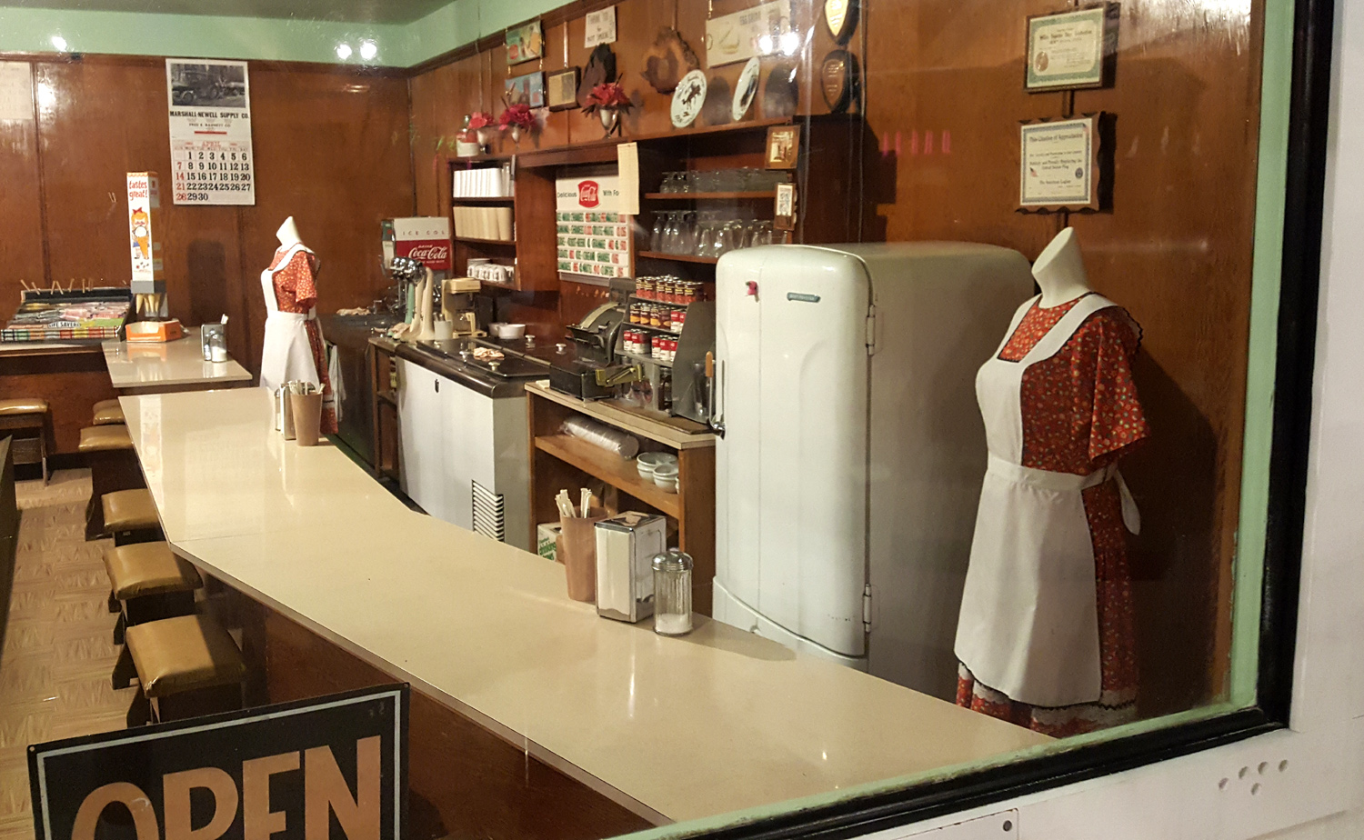
It is
typical of most small-town museums, with lots of local history.
There is a focus on the more recent past - signs, artifacts and
a
re-creation of businesses that existed up into the 1970s and even
1980s, but plenty of much older
stuff too.
There
is a room devoted to the natives of the area, and how the influx of
white settlers changed their culture. A lot of it is very sad and a
shameful commentary on how a nation of immigrants treated the people
who were already here.
The
trip from Ukiah to Garberville
took a lot longer than I expected,
since I made several rest stops, and got held up for about 20
minutes at one road construction site. Since a sign warned of
40-minute delays, I did not complain.
Highway
101 in this area, and in fact, north of Santa Rosa, is a combination
of freeway, four-lane highway with cross traffic, and two-lane
highway. It goes up and down through hilly country, so it's rarely
possible to travel faster than 65 MPH, even on the freeway sections.
Often 55 is the fastest safe speed. On the other hand, the route is pretty much 100% scenery, so
traveling a little slower, and sometimes a lot slower, is not a bad
thing.
I had
an early, light breakfast, and spent quite a long time at the
museum, so I was getting hungry well before I would reach my
destination. At a rest stop I had a few pretzels and some veggies,
then decided to stop at Laytonville, 45 miles from Garberville, for
lunch. The restaurant I chose was crowded and had no available tables,
so I left, and before I spotted another restaurant, I was
past the town limits, so I decided to just keep going. At my motel
in Garberville the clerk recommended Cecil's New Orleans Bistro, so I went there
after a quick stop at my room, only to learn that it would not be
open for another 90 minutes.
I went
across the street to Calico's Deli, which proved to be a good
choice, and I had an excellent roast beef sandwich with cheese,
onions, etc. on grilled sourdough bread. Now I am full and ready for
a nap.
Mendocino
& Hudson Museum Photos etc
|
| |
|
Hiking in the King
Range - July 28
|
|
|
 |
 |
 |
| Tree
trunks line many parts of the trail |
Long
meadow beside first
part of the Lost Coast Trail |
This
young madrone stands guard where
the trail begins its steep uphill
climb |
| |
|
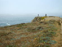
My first knowledge of the King Range came when
I visited Shelter
Cove on the Lost
Coast in 2011. This is a section of the California coastline
that is so rugged, it was decided not to try to build a highway
through it. So State Highway 1 veers inland north of Fort Bragg and
joins US 101 near Legget. From that point north, only narrow, steep,
winding local roads go to the coast until 101 reaches it at Eureka.
The road to Shelter
Cove from Redway, just west of Garberville, goes up over the King
Range, whose mountains drop down almost directly to the sea, leaving no land
to support roads or serious development. On that earlier trip I stopped
briefly at the pass, but didn't explore the roads that lead away
from the paved road. I saw signs indicating that hiking trails
began a short distance in, and vowed to return someday. Today was
that day.
The road out of Redway
goes through some thick redwood forest, and at places it was almost
too dark to drive wearing sunglasses. But the road comes out into
open terrain, especially as it starts uphill. For a supposedly
"lost" area, there was a lot of traffic headed inland.
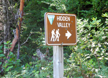
My destination was
Hidden
Valley Trailhead, on
Chemise Mountain Road a quarter mile from the road to Shelter Cove. This is a paved road which on the map at
least will take you all the way to the ocean, although I suspect
it's partly dirt. It also loops back to the Shelter Cove Road
farther away from the coast.
The trail I took is the
Lost Coast Trail, which goes much farther than I can hike, but as
usual with such trails, I hiked until I had gone half of far enough,
then turned back. Had I kept going, it would have taken me down from
2,300 feet to the ocean.
I went through some
beautiful scenery, and some sections that I would call
"interesting," but not quite beautiful. Starting at 1,800
feet, the trail follows a little creek which drains a nearby
meadow. A section of the trail near the start was a built-up
"causeway" lined with rocks, with water flowing parallel to
the path on the uphill side, and crossing it in a couple of places.
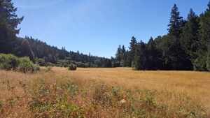
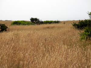
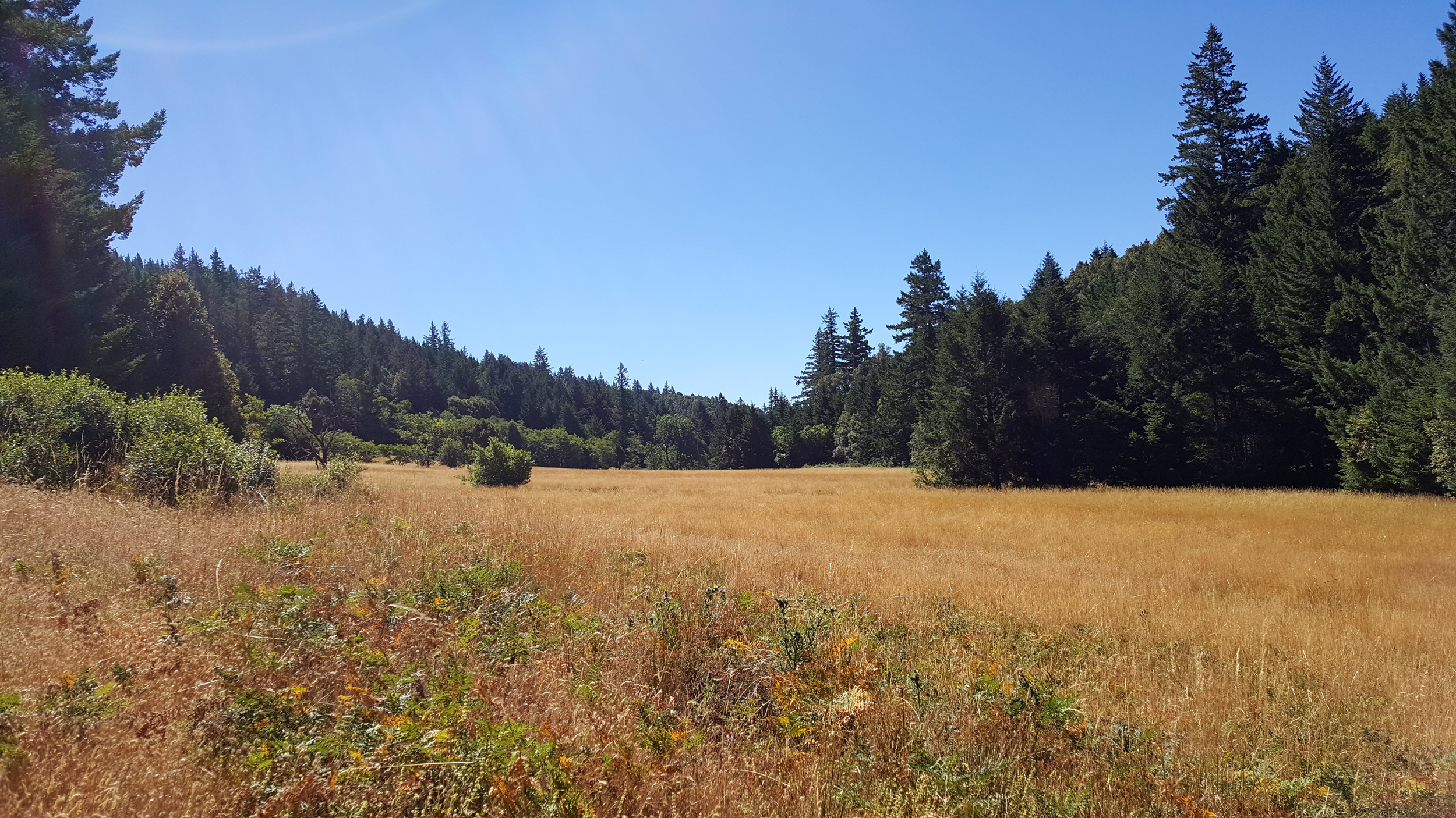
Then it started up very gently, above a long, wide
meadow, mostly
dry but with some green plants and wildflowers. A sign
indicates that there is an orchard in that area, but I did not
explore that fork of the trail. Along this first part I was walking
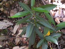
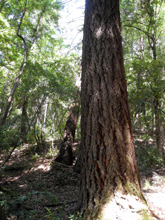
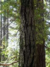
through huge Douglas fir and tan oaks, tall madrones, a few bay
trees, and various smaller bushes.
After following the
meadow for a short distance, the trail veered to the left and
started to rise, following a side branch of the drainage. Then began
a series of switchbacks that eventually took me up to the 2,300 foot
level. Many parts of the hike at this point were quite steep, and
the scenery became mostly tree
trunks. The greenery was still
there, but it was high above me, and looking up or down the trail or
to the side, it seemed to be endless trunks.
Eventually I could see
that the trail was nearing the top of the mountain or the ridge, and
after a few more steep switchbacks tantalizingly close to the top,
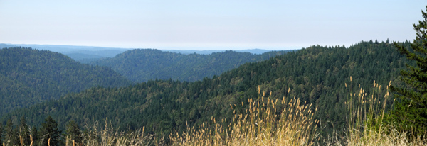
it leveled off and went along a ridge top for some distance. From
here I could see across the land on my left to some distant hills,
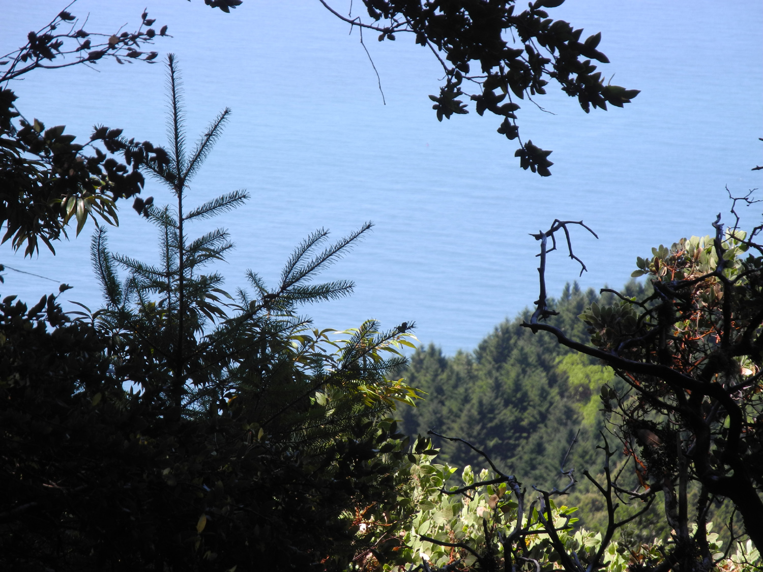
with lots of forest country. On the right was the Pacific Ocean, but
the view was never great on either side. The tall tree trunks were
still everywhere. I tried in several places to walk off the trail
where I thought I could get a better view of the ocean, but the land dropped
sharply and the thick stands of smaller trees and brush mostly
blocked the view. I did manage to find one spot where I could get a
fairly good photo of the ocean.
In a
couple of places along the top of the ridge, I saw a lot of
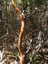
manzanita bushes, mostly dead. There were a few live ones, including
some that displayed the peeling of bark that they share in common
with madrones.
Considering the number of
trees, which should produce lots of fallen logs, there were almost
no places to sit and rest. The logs were mostly rotted,
covered with sharp broken branches, lying at a 45 degree angle on
the hillside - or all three. Rocks were plentiful, but they rarely
exceeded one inch across. I finally found a small madrone log that
had been cut off when it fell across the trail, and with the help of
the long sleeve shirt I had brought along "just in case,"
I managed to create an acceptable seat for my snack break.
When I reached my
turnaround point I had gone 1.35 miles, so I would get a total
distance of 2.7. It was significantly shorter than my hike at
Montgomery Woods, but much more demanding. The weather was a little
cooler overall, but the uphill part was quite warm. As I neared the
top of the ridge, I started feeling a breeze, and it was nice and
cool on top. Surprisingly, it came from the side of the
ridge away from the ocean.
On my
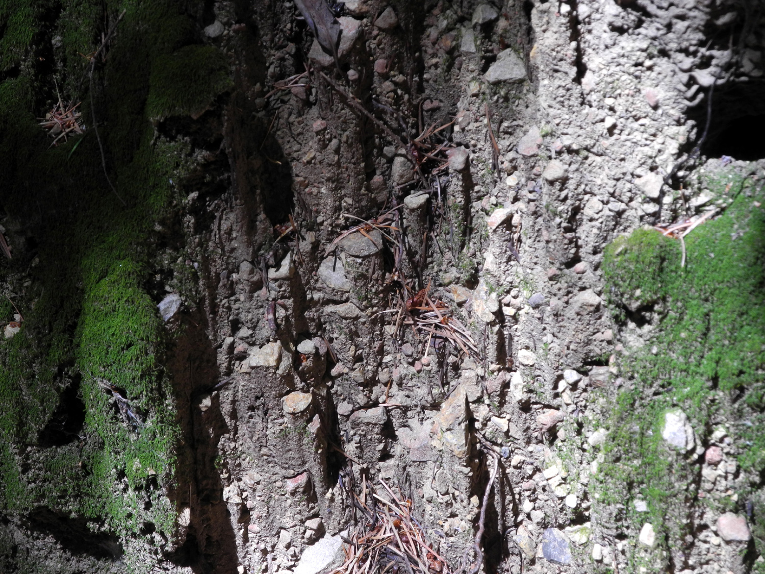
way down I went by an area that displayed a geological phenomenon
that I've seen in a number of other places. An area of earth or rock
has sections that are harder than the surrounding material, so that
the softer sections erode away, leaving a series of pillars. The
unique thing about the ones here was that they were created by small
pebbles, less than an inch across, and the result was dried mud
pillars a few inches high.
There was a large pickup
and camper at the parking lot when I arrived, but throughout my hike
I didn't see another soul until I was almost back. As I was taking
pictures of flowers beside the trail, a couple came down and passed
me. I assumed they owned the pickup, but when I got back they were
getting into a passenger car. I talked with them briefly and learned
that they had gone in from a nearby campground. It turned out they
were from Barcelona, Spain and were touring California, with plans
to go to Humboldt Redwoods State Park the next day.
On my way back
"home" I made a few stops to take pictures, and went to
the grocery store in Redway,. before settling in for the evening.
King
Range Photos
|
|
|
|
Garberville to Fort Bragg - July 29
|
|
|
 |
 |
 |
| Oops! |
First
view of the ocean, about
15 miles north of Fort Bragg |
Guest
House Museum in Fort Bragg |
| |
|
I have stayed at Fort Bragg
twice previously to enjoy the ocean, to visit the many state parks
in the area, and to wander around nearby Mendocino Village. I also
stayed there one night only on my home from Oregon.
Looking for someplace to
go to finish off this year's northern California journey, I decided
on a return to this fascinating area of the Mendocino County coast.
My previous visits were in 2011
and 2012.
I got a fairly early
start from Garberville, around 10 a.m., and headed back south on US
101. At Legget I turned off on CA Highway 1, the famous Pacific
Coast Highway that hugs the coast all the way to San Diego County. The
first part of the highway goes through redwoods and other forest and
is very slow, with lots of 10 and 20 MPH curves. It reaches the
coast at Hardy, which is little more than a name on the map, about
23 miles from Legget, and from there it's about 20 more miles to
Fort Bragg. Along this section there are many places to pull off and
take in the
view, as well as state beaches where you can camp if you
go in for cold, windy conditions.
I had already looked
through a travel guide, 101 Things to Do in Mendocino County, that I
picked up in Ukiah, and had decided on a vist to the Guest
House Museum. Despite my two previous visits to Fort Bragg, I
did not know that this facility existed.
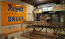
The main focus of the
museum is on the lumber industry, but there are sections devoted to
railroading and sailing, which are both connected to lumber in one
way or another. There is also a room devoted to the original
occupants of the land, and extensive information on the C.R.
Johnson family, who operated the local lumber company for three
generations. In 1882, when he was 23 years old, Charles R. Johnson
purchased a small lumber mill north of Fort Bragg. Realizing that
prosperity required greater capacity, he built a much larger mill
at Fort Bragg, and purchased extensive timberland. His holdings grew
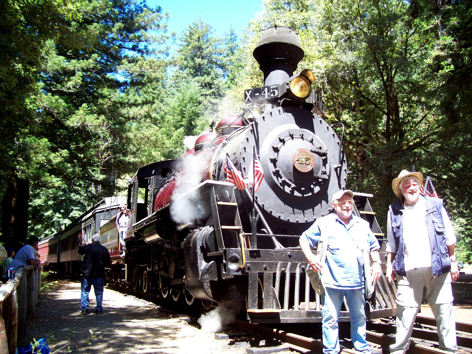
into the giant Union Lumber Company, which also begat the California
Western Railroad, the famous "Skunk
Train." The Johnson's controlled the company until 1969,
when it merged with Boise Cascade.
When I started traveling
post-retirement, another traveling retiree and I would bring back
magnets from places we visited for our friend Phyllis, who was still
working. She has not been able to travel much even in retirement,
but says that her refrigerator has been everywhere. After I rode the
Skunk Train five years ago, I realized I didn't get Phyllis a
magnet. So after I finished with the
museum, I went to the Skunk Railroad depot and gift shop, a short
block away. I got a magnet for Phyllis and toy stuffed skunks for my
great grandsons.
By this time
I was ready to
eat. Right next door to the museum is the Company Store, which is now a small
indoor mall with shops and restaurants. At the Sea Valley Cafe, I had the Fort Bragg Philly
sandwich, which was perhaps the best version of that item I've ever
eaten. It was very filling, and I got to enjoy the other half
for lunch the next day.
Photos
- Highways US 101, CA 1, Fort Bragg
|
|
|
|
Mendocino Coast State
Parks - July 30
|
| |
 |
 |
 |
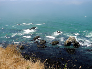
| Rocks
and surf at Pomo Bluffs |
Redwoods
on the North Trail
in Russian Gulch State Park |
The
coastal plain at
Jug Handle State Preserve |
| |
|
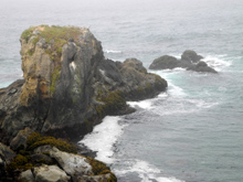
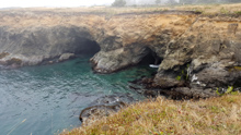
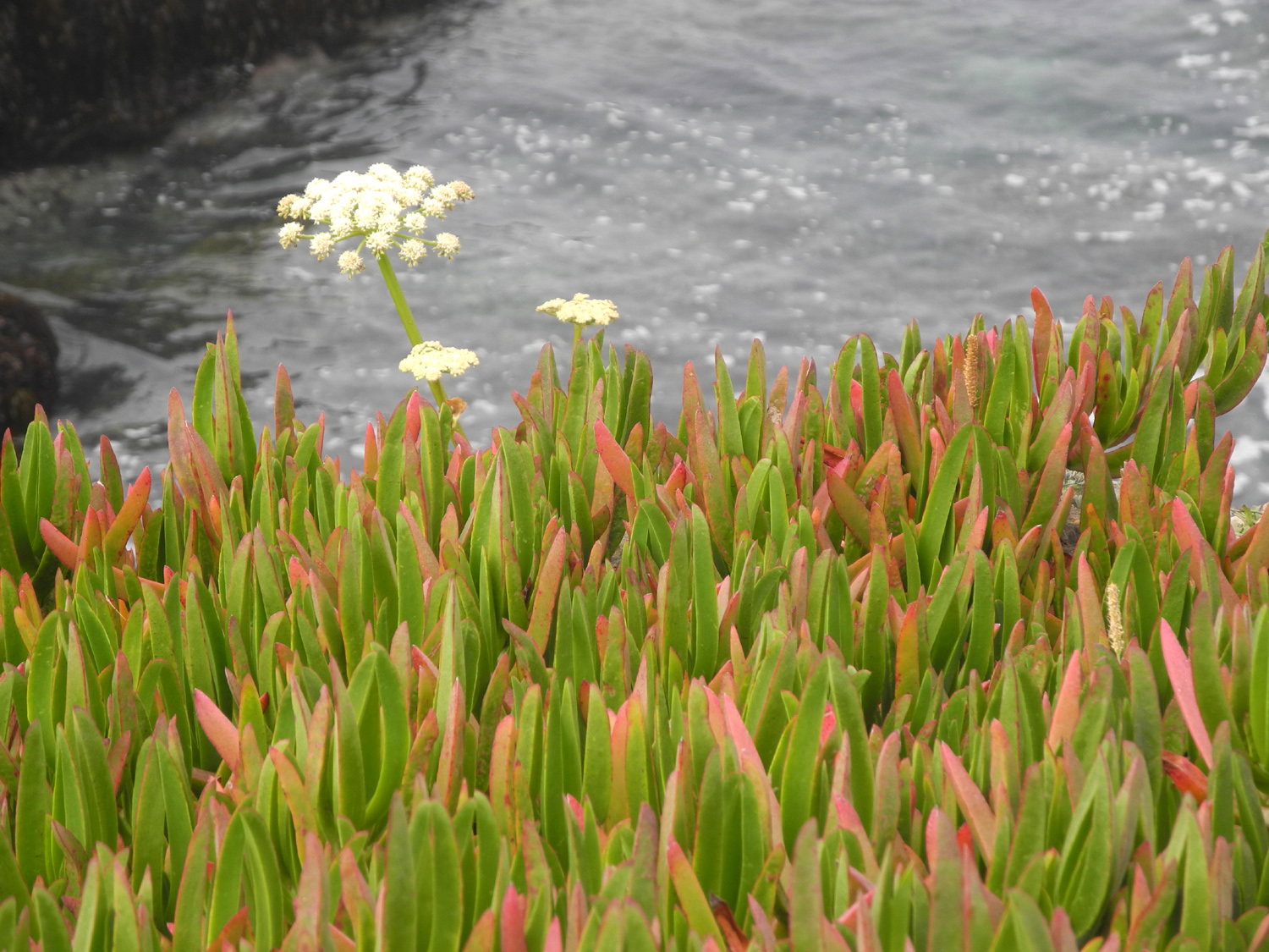
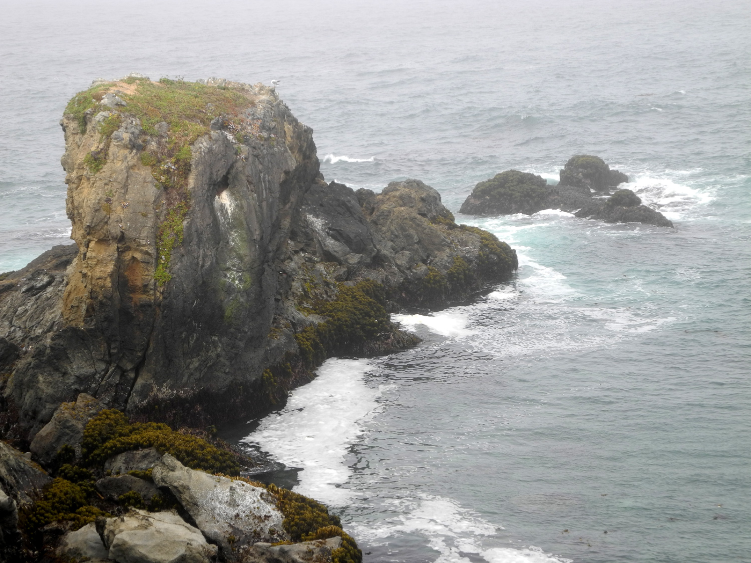
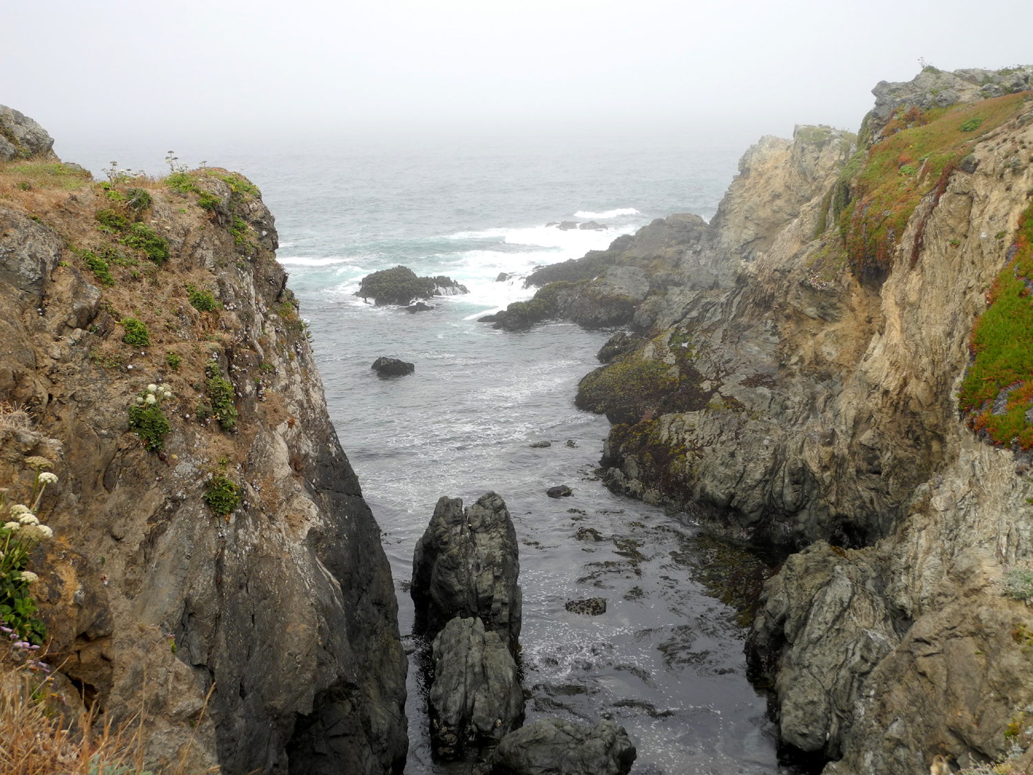
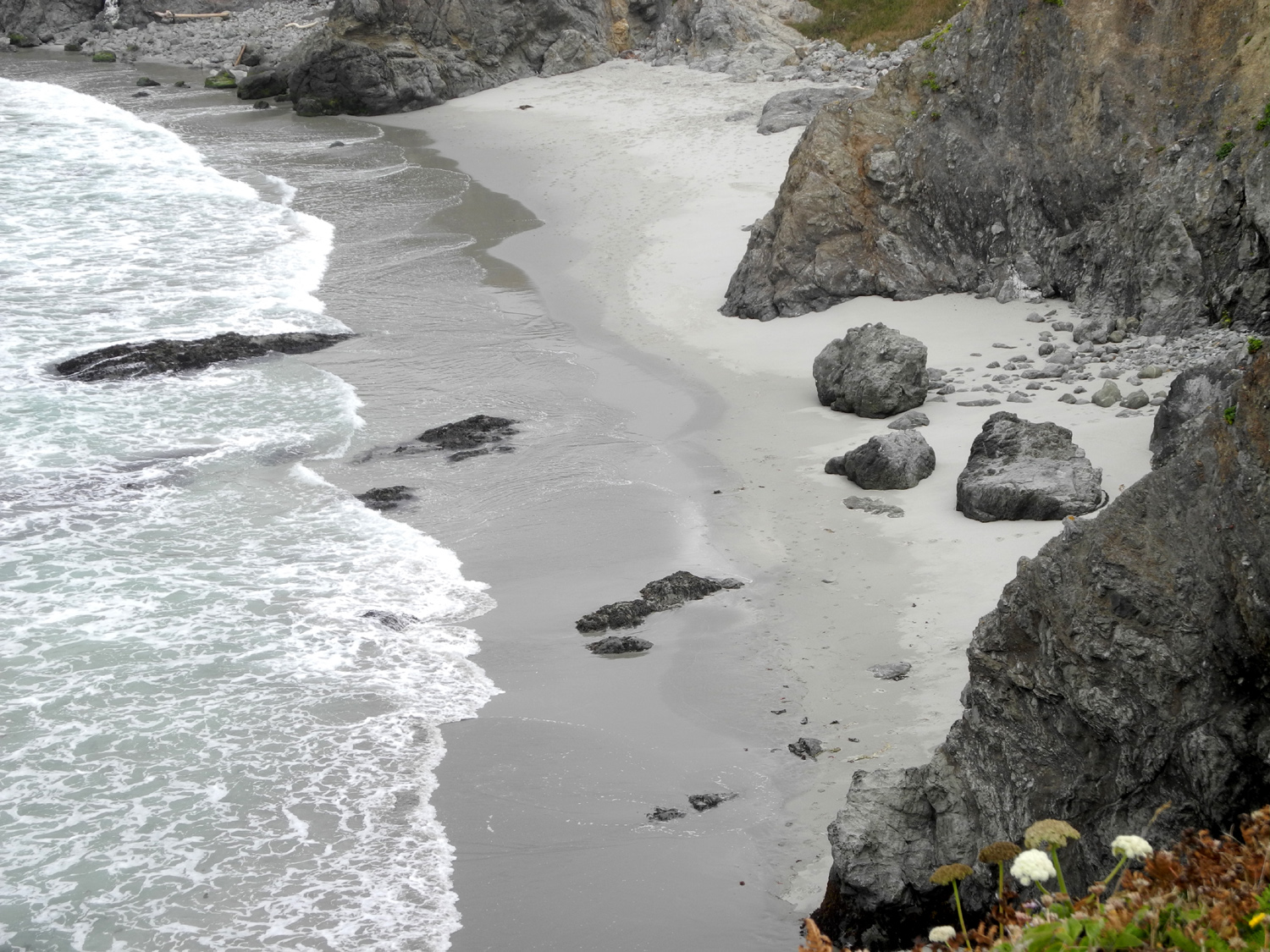
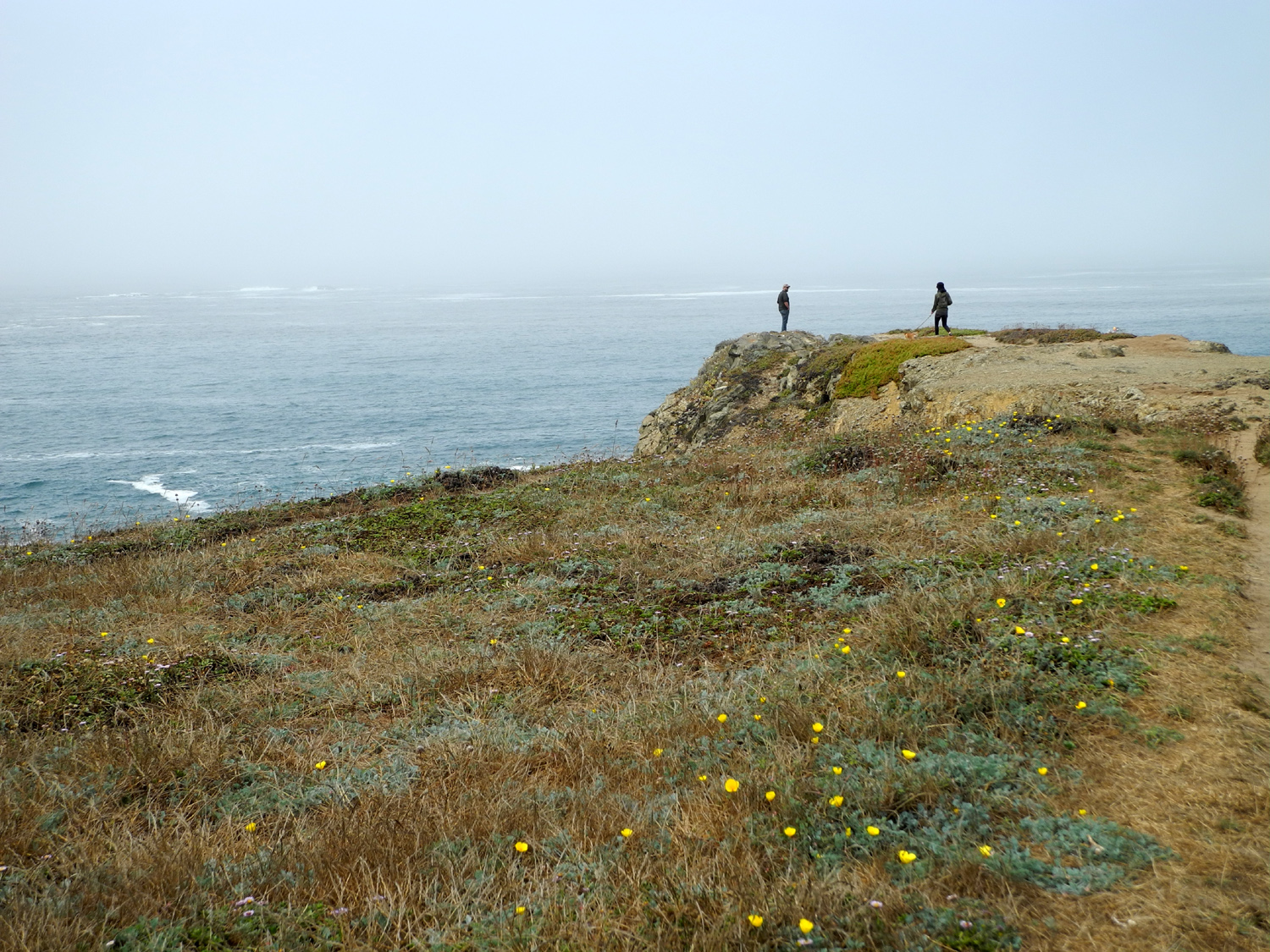
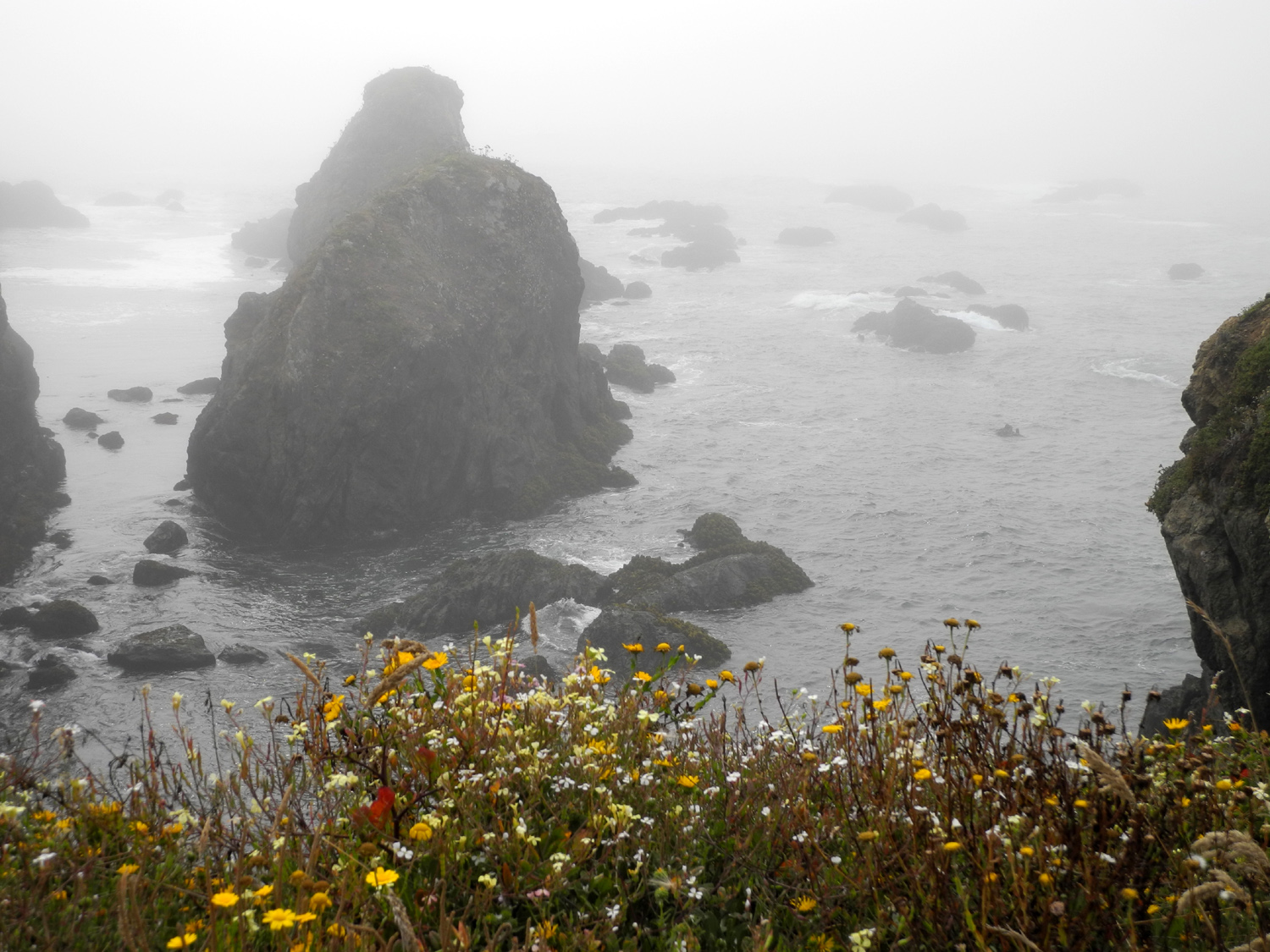
There are a dozen or more state parks along the
Mendocino coast, several of them close to Fort Bragg and Mendocino
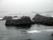
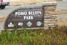
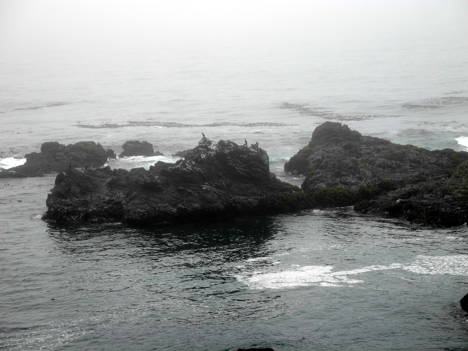
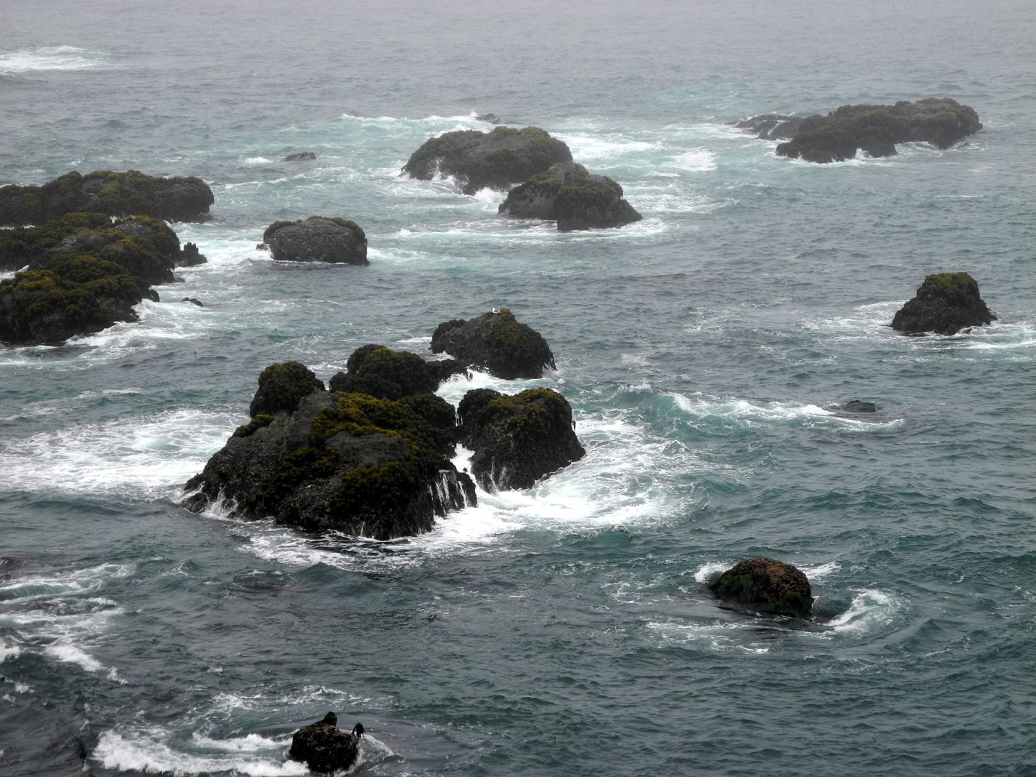
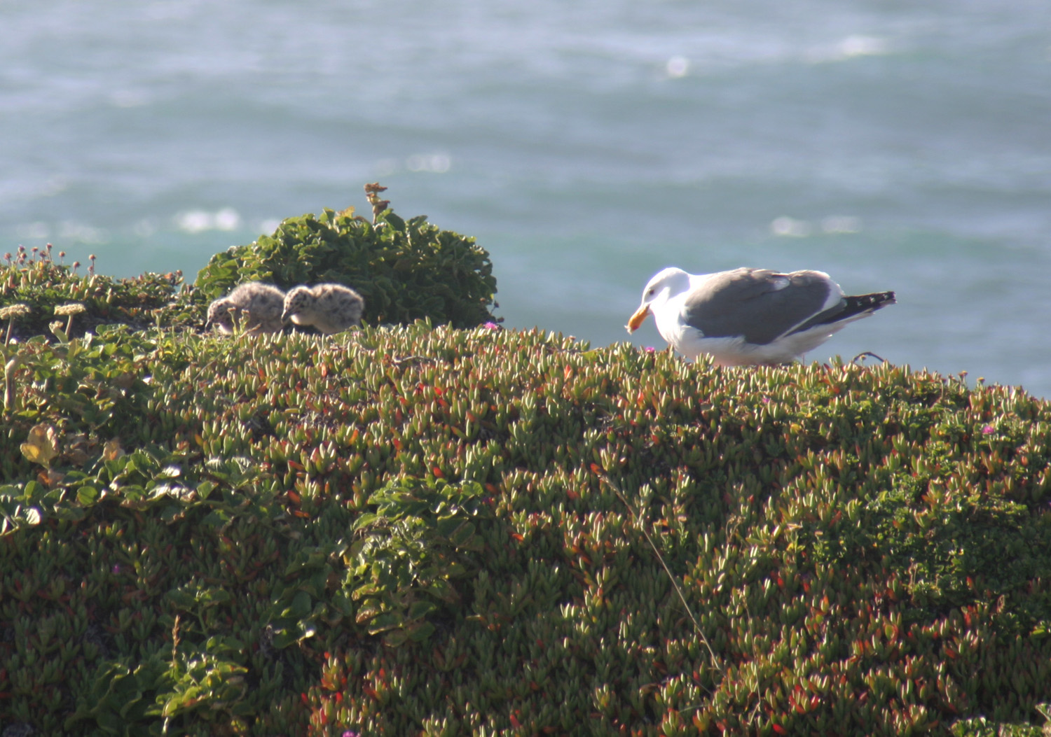
Village. Today I went to two of them, as well as Pomo
Bluffs, a city park just south of the main part of Fort
Bragg.
I had walked and driven
out on the bluffs several times on each of my previous visits, so I
knew what was there, which is a rocky coast with steep 50-foot
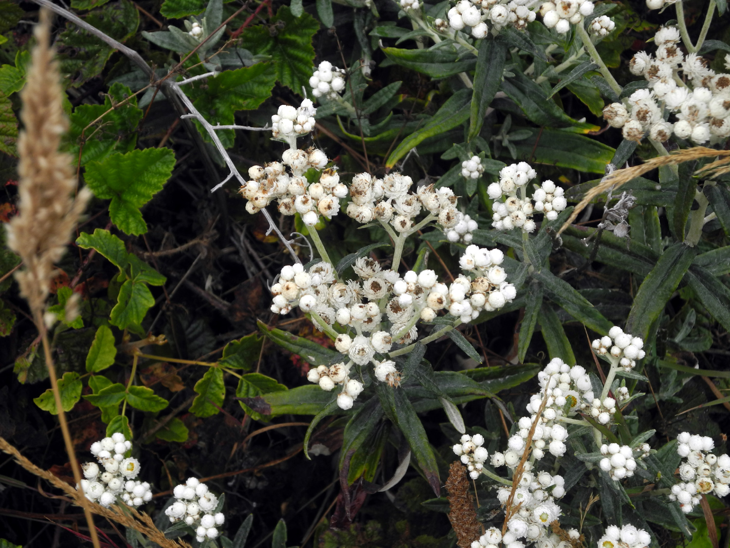
drop-offs, and lots of ice
plant and flowers
near the edge. The waves come in and crash against rocks and
cliffs,
sending up dramatic splashes of white water and mist. On the headlands
that are separated from the accessible area, seagulls and other
birds perch and launch themselves in front of you at eye level. On
one such headland in 2012 we saw baby
gulls, and I'm pretty sure the
spot is used every year. There was an adult visible, but I did not
see any little ones this time. I walked around the edge of the cliffs, taking
in the different views, then continued south on Highway 1 to my next
stop.
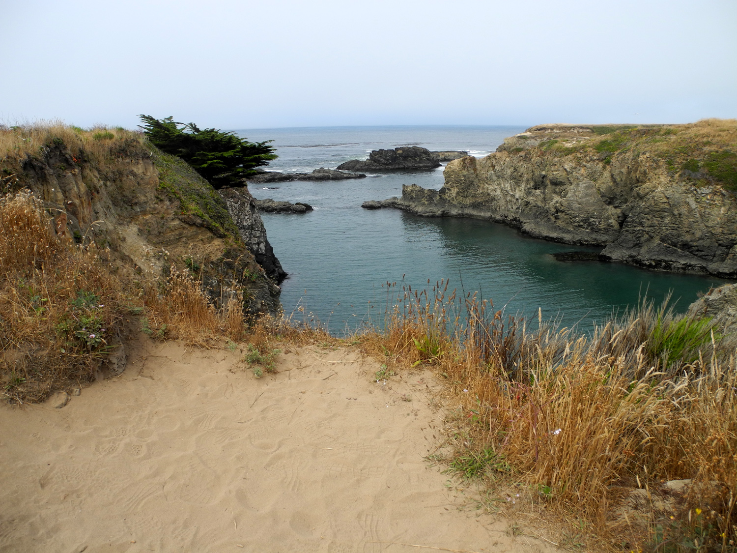
Russian
Gulch State Park is another place I visited both times
previously. It's one of the larger state parks in the area, with
many miles of trails, both on the headlands and inland into the
redwood forests. I walked out to the edge of the cliffs and along
them on the various trails that wind through the level,
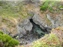
grass-covered land that is part of the ancient sea bed. One unusual
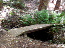
feature here is a blow
hole, a 50-foot
wide opening in the coastal plain, cut off from the ocean by 50
feet of flat land, but with sea water coming in through a tunnel.
It's more spectacular when the tide is coming in. On a sign at the
trailhead it's described as a "Sin Hole," with a
space where there was probably a K.
After
I had seen all I wanted at this location, I drove
to the campground. From this location a
trail follows the creek upstream for about 2.5 miles to a waterfall.
I had hiked to the waterfall in 2012, and walked part way in 2011, so I planned
to just walk enough to get in a mile or so of hiking. You have to
park at the edge of the campground and walk about a quarter mile along a paved road to
the trailhead, but before I reached it I saw a sign to my left for
the North
Trail. Why repeat old routes when a new one is available?
So up I went, and up, and up. The trail went through heavily
forested terrain with redwoods, Douglas fir, tan oak, and the usual
small bushes and plants that are mostly unknown to me. The first
part of the trail was a series of switchbacks, but it was
considerably less steep than my hike in the King Range. About 3/4
mile from where I parked the trail leveled out, and I walked on this
ridge top a short distance before turning back. Along the way I saw
several examples of a common sight in the redwoods - a "fairy
ring" or "family
circle," which is a group of redwoods growing up around the
roots of an ancestor that has been cut down or died. There were also
a number of stumps that supported new
growth, including small trees and various other plants. The
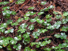
redwood sorrel and other small plants were shining
with moisture from the morning fog.
On the way down I
met a group of hikers who told me that the trail goes up and
connects with the waterfall trail, and they planned to hike the
entire loop, about six miles. When I get to be 20 years younger, I
will hike it too. Reincarnation anyone?
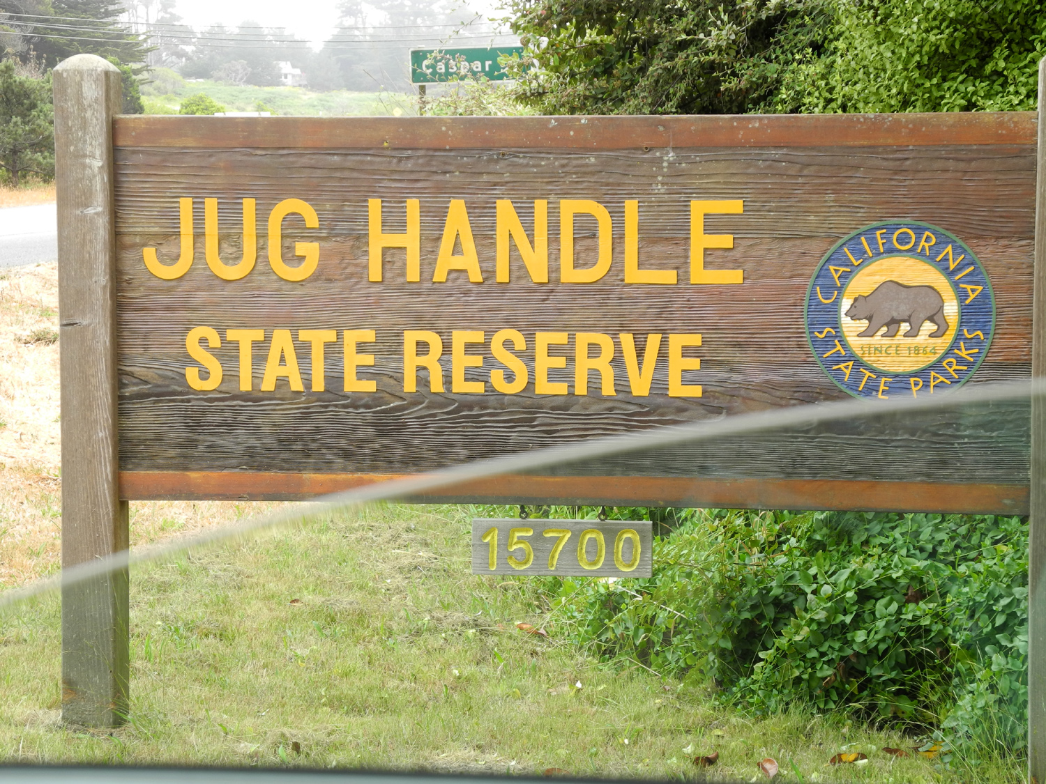
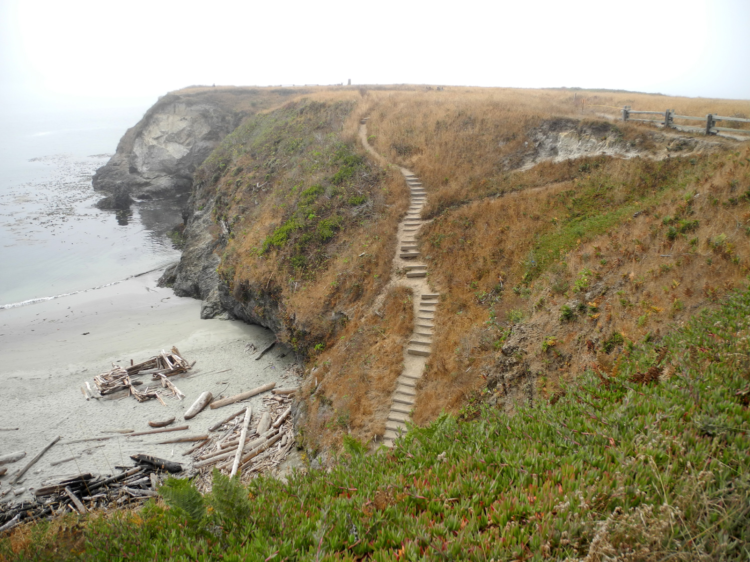
My last stop was at the Jug
Handle State Natural Reserve. A quote from the web site explains
it best: "The reserve’s 2.5-mile Ecological Staircase Trail explores three wave-cut terraces formed by the continental glaciers, rising seas, and tectonic plates that built the Coast Range. Few places on earth display a more complete record of how geology, soils, and plants change over time."
One of the more
fascinating parts of the reserve is a pygmy
forest, which the ranger at the parking area was explaining to a
family with two young girls. She had samples of the soil that limits
native trees to a height of two to six feet, despite being 50 to 100
years old. She also had a bottle of vinegar, which she said is basically what these trees are drinking. When she said it was
over two miles to the trees, it was obvious neither the family nor I would be making that trip. However, the ranger told them about Van
Damme State Park, several miles south of Mendocino, which has a
short boardwalk trail through a pygmy forest, starting right next to the parking area, and
which Janell and I visited in 2012.
I set off on the
trail,
intending to go my usual "half of far enough." At the
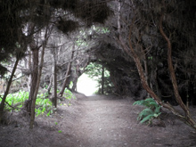
beginning the trail goes through very dark "tree
tunnels,"
with many large trees, mostly bishop
pines. It crosses under the
highway bridge that goes over Jug Handle Creek, and winds down to a
staircase leading to the
beach. This distance was not "half of
enough," but the stairway was definitely enough. I went down a
few steps to get a good photo angle, then returned to my starting
point.
From here I followed
another trail through the trees and out into the grass-covered
coastal plain, and on to the cliffs above the ocean. This area was
even more rocky than Pomo Bluffs, and I enjoyed various views as I
walked along the edge, then followed a loop trail back to the
parking lot.
By this time I was ready
for lunch, so I drove the three miles back to Fort Bragg, stopping to
get gas and milk, and enjoyed part 2 of the world's best Philly
cheese steak sandwich.
I have stayed in Fort
Bragg three times in the past, once just overnight. All three times
the weather was sunny. This time I may have to write a sharply-worded
letter to the chamber of commerce, because it has been foggy a lot
of the time. It's not the all-encompassing fog of a San Joaquin
Valley winter, but rather a mist that comes and goes, and
usually stays close to the ground at the coast. When I was hiking on
the highlands at Russian Gulch, I could see well into the mountains
above me. But I could not make out the Highway 1 bridge over the
gulch that was fully visible from where I stood on previous trips.
The temperature changes
quickly, particularly as you move away from the shore. I wore a
heavy sweatshirt on part of my walk near the ocean, but just a light flannel on
my hike into the redwoods inland.
Mendocino
Coast State Park Photos
|
|
|
|
Mendocino Village - July 31
|
| |
|

|
 |
 |
| In
the Mendocino Headlands State Park |
The
tall, spiky plants are Pride of Madeira |
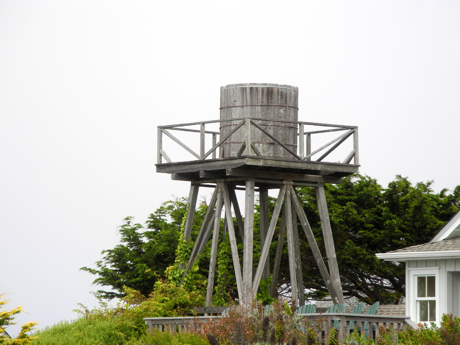
Mendocino
is known for its many water towers |
| |
|
During
my previous two stays at Fort Bragg, I drove the nine miles south to
the town of Mendocino.
Originally a lumber and ranching town, it is now a prime tourist
destination, and the center of a large artistic community, nearly all
of whom have shops selling their creations.
It is also surrounded by Mendocino
Headlands State Park, which consists of the coastal plains along
the ocean and the forest land along Big River inland. I parked along
the southernmost road in town, which has shops on one side and the
park on the other, and walked out on the bluffs. I followed the edge
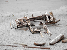
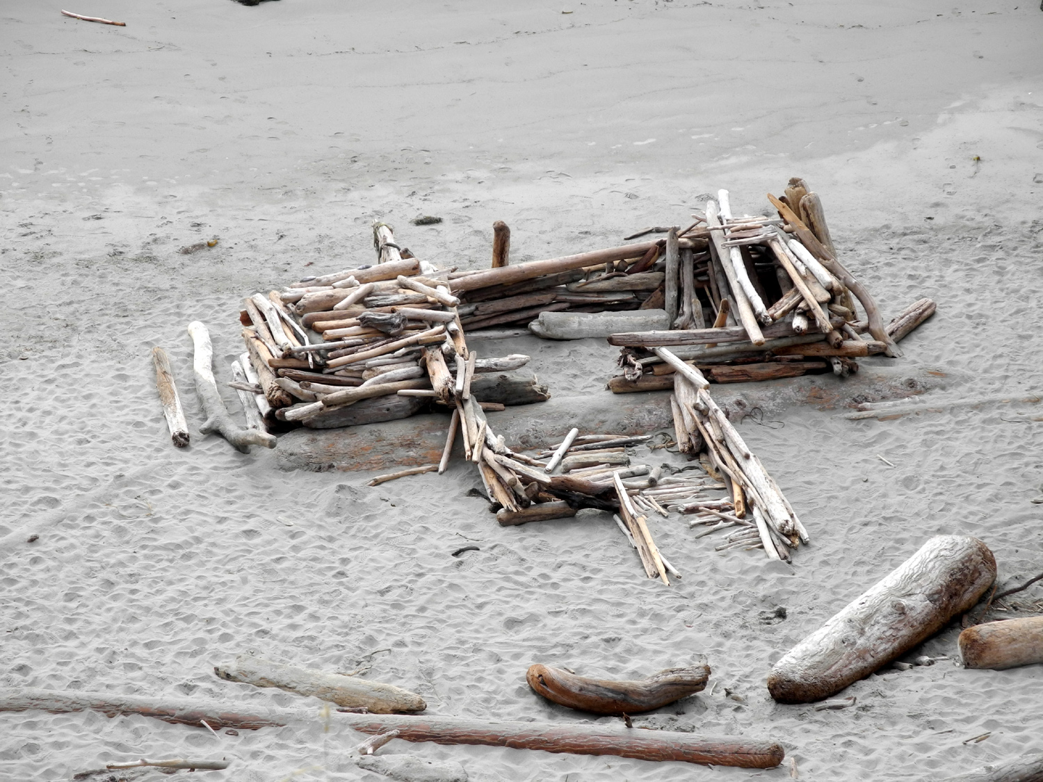
for quite a ways, taking in the sights of foaming surf, driftwood
huts on the beach, and a stairway
to the sea which is closed and awaiting repairs.
I then
made my way into town and walked up one street and down another, as well as east and west. Despite the large
number of places offering goodies for sale, I resisted all but one
of them, the Mendocino Chocolate
Company, where I bought eight irresistible dark chocolate candies.
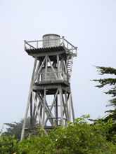
The thing I like best
about Mendocino is the old water towers that are scattered
throughout the village. These date from the early days when
residents built tanks high enough to provide good water pressure, and pumped water into the tanks with windmills.
There are a number of fascinating designs, including one tall tower
with two
tanks. Some of these artifacts have been converted into
shops, and some are obviously now used as part of a residence.
The other thing I
consider "uniquely Mendocino" are some tall, spiky
plants,
six to ten feet high with tiny pink or purple flowers. They do
appear elsewhere, but Mendocino is where I have seen them in large
numbers. They are echia, common name Pride of Madeira, and are a
biennial, although some survive longer. It was obvious that some I
had seen five or six years ago were gone, but there were other
places where new ones had grown. There are also many flowers and
other unusual
plants.
By the time I finished my
walk in the headlands and through the village I had completed
2.12 miles, so I returned to the car and drove out the road that
parallels the bluffs to a parking area at the northern end. I did a
short walk at this spot, through a small forest of huge cypress
trees and out to the
bluffs, then walked back and returned to the
hotel. I fixed a sandwich, with one of my chocolates for dessert,
and took a nap.
For my final outing in
this area, I drove to the old downtown section of Fort Bragg and
walked around, looking in store windows and going into a couple of
shops, without buying anything. I then went out for a last look at
the ocean at Pomo
Bluffs, set up my folding chair where I had a good
view of a rocky cove, and alternated between reading and watching
the waves.
By this time I had
decided that on my journey home I would go back inland via Highway 20, which runs from just south
of Fort Bragg to Willits on Highway 101. This is known to be a very
slow, winding route, and there are places I might want to stop, so I
did not want to try to drive the 350 miles back home in one day, and
made reservations at Woodland, north of Sacramento. After enjoying
cool weather, not quite 70 degrees at the highest, I will be back in
triple digit temperatures, with a forecast of 105 on the day of my
return.
Mendocino
Village Photos
|
| |
|
Fort Bragg to Woodland
- August 1 |
| |
 |
 |
 |
On
my last morning in Fort Bragg,
the sun finally came out |
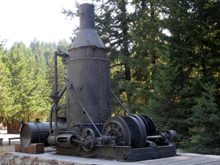
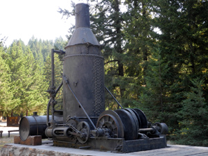
Donkey
engine at Jackson Demo Forest, used to drag logs out of the woods |
The
view along State Highway 20
between Fort Bragg and Willits |
| |
|
When I stepped out onto the balcony from my
room this morning, my unhappiness with the Fort Bragg chamber of
commerce increased another level. Now that I was leaving, it was
sunny and the ocean was a brilliant
blue.
During "down
time" in Fort Bragg, I looked at possible stopping points along
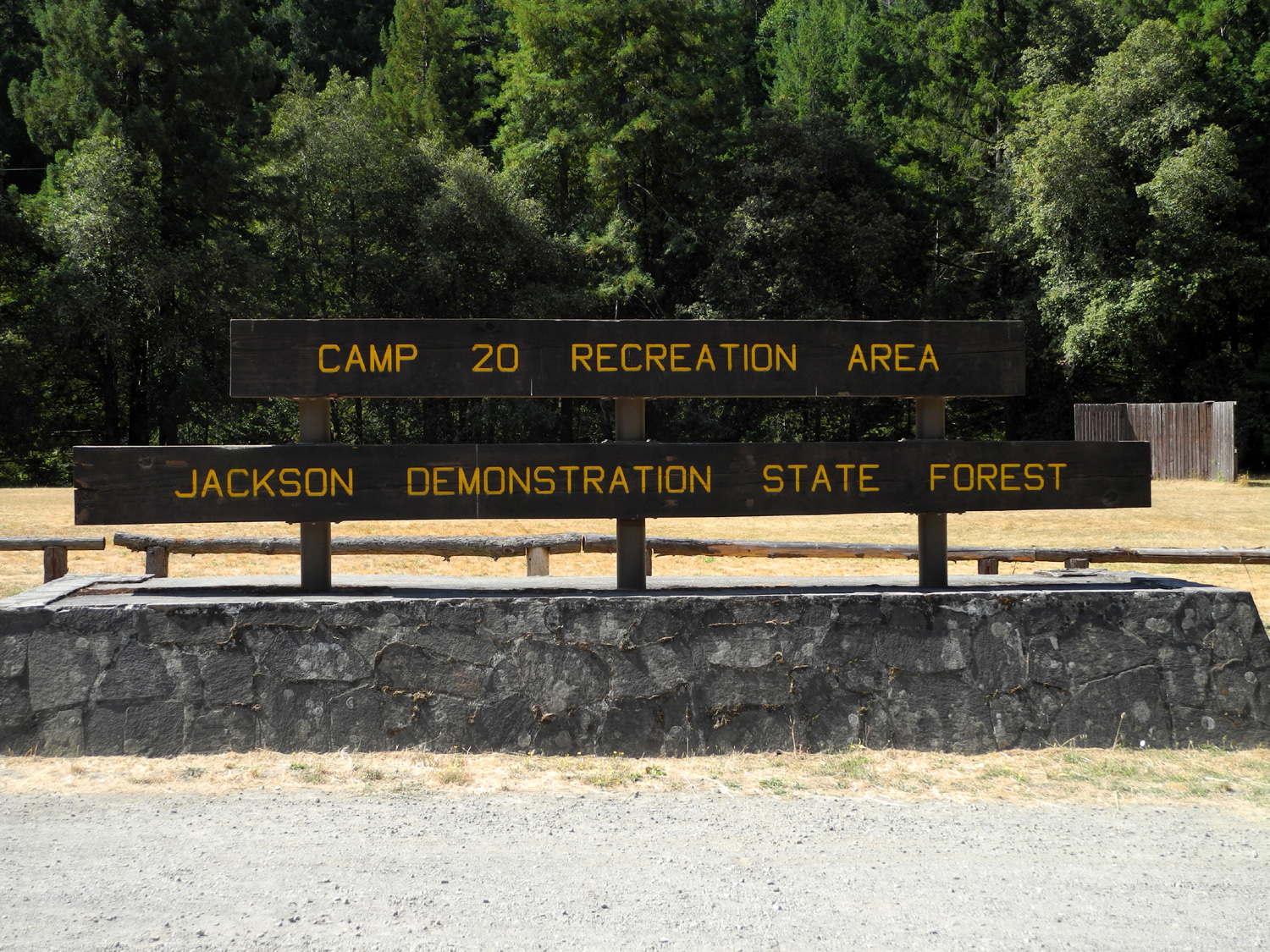
Highway 20, and found the Jackson
Demonstration State Forest. Somewhat oddly, it is operated by Cal-Fire,
but then, that organization is properly called the California
Department of Forestry and Fire Protection. The Jackson is
one of eight such forests, and offers camping and hiking trails, although
sections are subject to closure due to logging activities. The
directions given on the web site were not all that clear, but about
20 miles into my drive I arrived at a large parking area with
bathrooms, picnic tables, an old donkey
engine, and informational signs. A short search,
with help from a couple that had also stopped to hike, revealed a
trailhead across the highway, and I changed into my boots, got out
my hiking poles, and stepped into the woods.
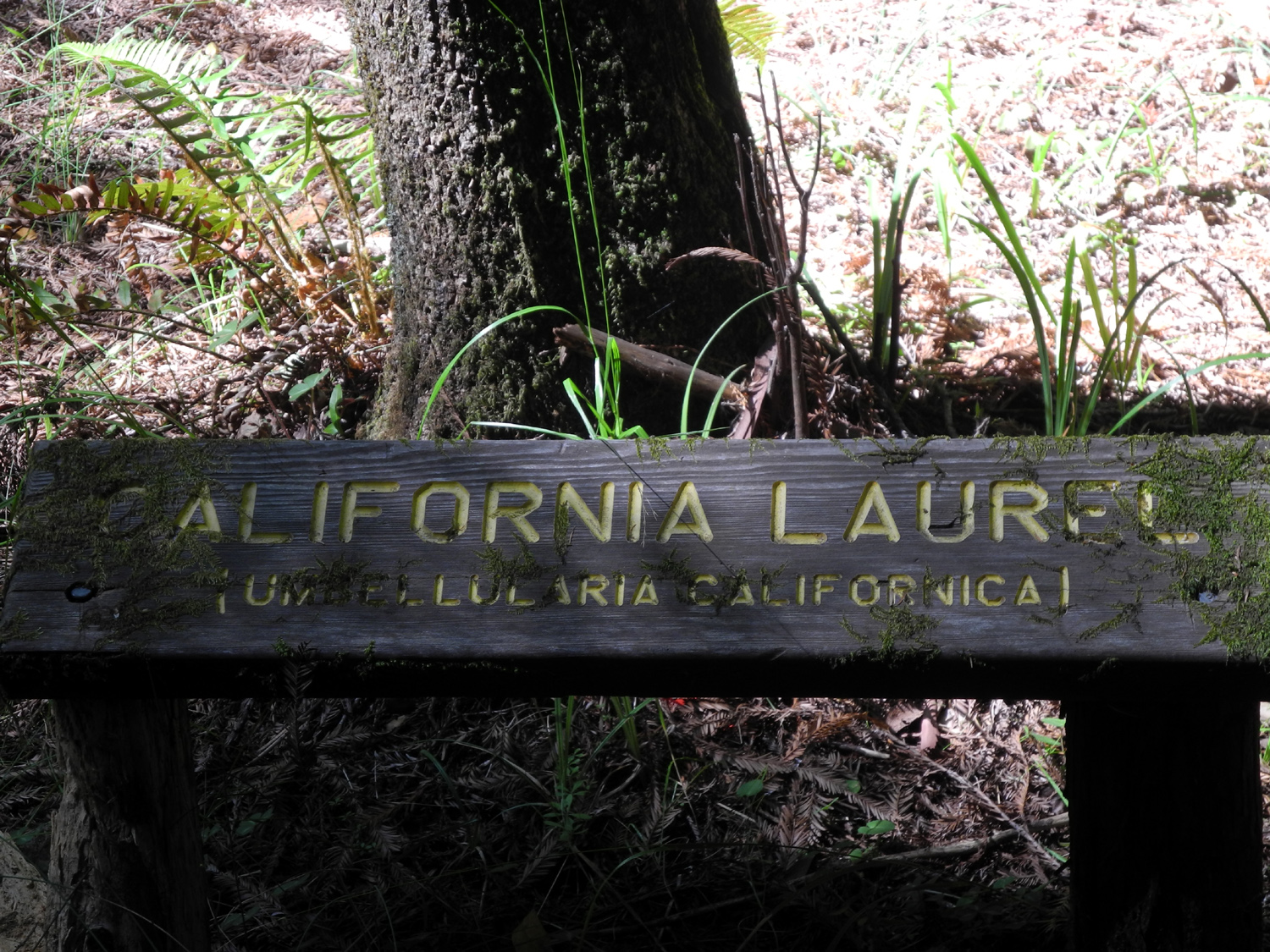
It's a self-guided
nature
trail, and a sign suggested that you take a brochure. Unfortunately,
someone else had taken all of them, so I could only assume that the
numbered posts next to a redwood "family circle" or "fairy
ring" was
calling attention to that phenomenon. A short distance up the trail
were two signs: "45 minute trail" and "15 minute
trail." Experienced hikers will realize that one man's 15
minute is another man's 45, and the 45 could be 90. I chose the
shorter route, which led up through a redwood forest and and looped back to that
same starting point.
Along the way some of the
trees had old, weathered signs giving the common and
scientific name of the species,
so the guide was not necessary in those sections. Actually I could have identified
just about all of the signed trees. In addition to the usual small bushes and
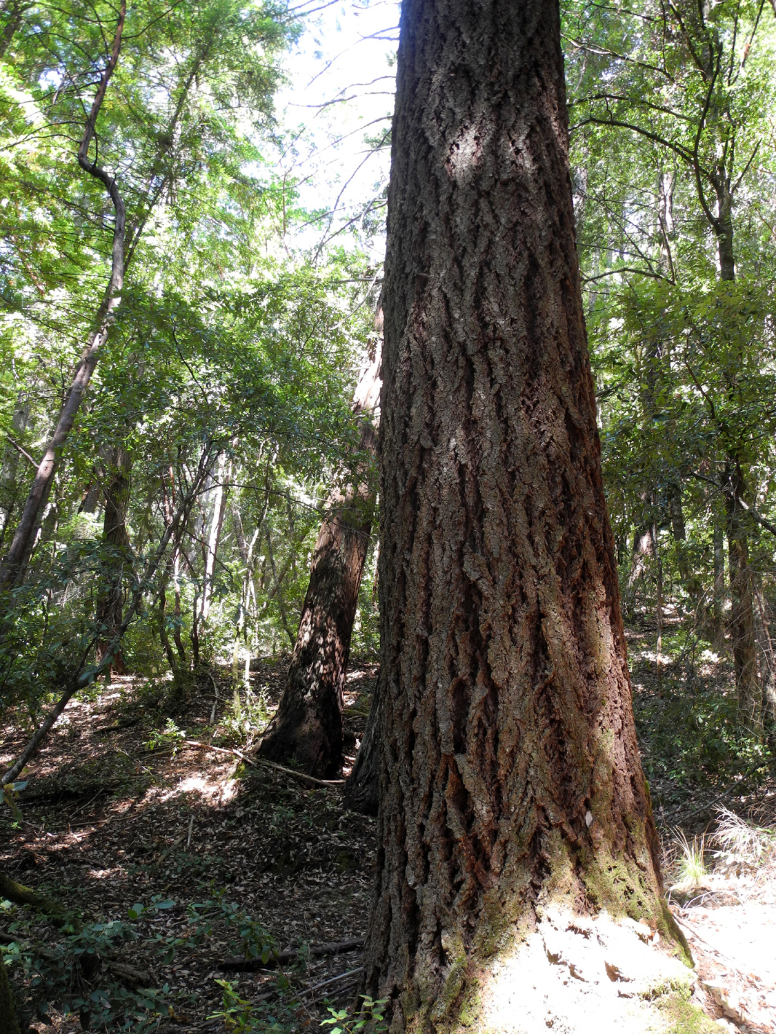
plants, the forest was the usual mix of redwood, Douglas
fir, tan
oak, madrone, and California laurel or bay.
I walked a
little over a
mile here, then got on the road again. I kept looking for the
difficult and scary places friends had warned me about before I left
home, but did not find them. Some parts of the road are very
winding, and it's steep in places, but it's a two-lane road with a center
line and smooth pavement all the way over the low
mountains to
Willits.
Although it was only
12:30, earlier than the usual time for my main meal, I had a light
breakfast and a good hike, so I stopped at the Lumberjack Restaurant
in Willits and had a delicious turkey melt sandwich, half of which
became my evening snack.
South of Willits Highway
20 is contiguous with US 101, then branches off to the southeast.
From there it goes past Lake Mendocino, then parallels Clear
Lake, the huge natural
lake that is a major tourist destination in Lake
County. Although it was a weekday, I expected to see a lot more
activity along the lake than there was. Most of it seemed to be
confined to the several small towns that have grown up
along the shore.
Maybe the 101 degree heat kept people indoors.
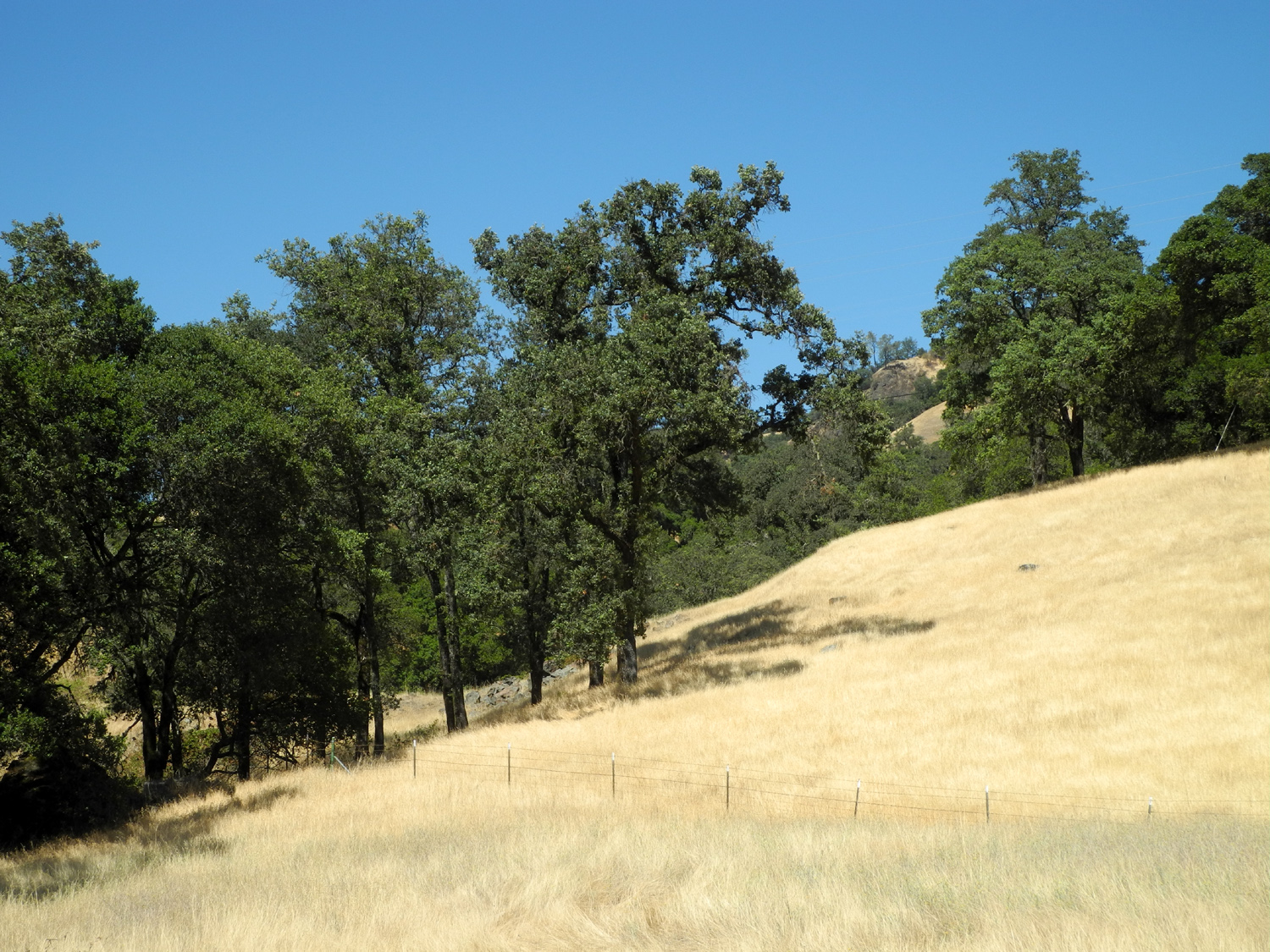
The second half of the
trip was through typical California foothill country, with dry
grass, oak trees, bull pines and a few other species that are not
seen in my part of the country, but seem to fit right in. The GPS
wanted me to stay on Highway 20 all the way to Williams on I-5, so
that was probably the fastest route, but the shortest and more
interesting route was to turn off on Highway 16, which comes in to
Woodland on I-5. A good part of this trip was through country that
seemed very remote, with little traffic, but with several campgrounds
and trailheads along Bear Creek.
I drove for some distance
through a very steep, narrow canyon, which eventually widened out
into an agricultural valley at Rumsey, population 50. This began a series
of small towns, each with something interesting to make it
memorable, and all of them in Yolo County. There were low growing crops that appeared to be
vegetables, and lots of orchard land, mostly walnuts with a few
almonds. Then game Guinda, boasting 500 people and a store, followed
by Brooks, with only 92 people but the huge Cache Creek Casino.
Probably 90 of them work there.
At this point I began to
see a crop I had not seen since 1970 in Michigan - sunflowers, as
well as some hay. Copay had 200 people, a restaurant, and more
sunflowers. Finally came Esparto, with 1,800 people and a large
modern residential subdivision, followed by Madison, with 500. This
brought me into the Central Valley, so all the rest of the way to
Clovis it would be flat country, towns, cities, and crops of all
kinds.
I reached my destination,
the Econolodge in Woodland, a little after 4, glad that I had not
tried to make the final 200 miles this day.
Fort
Bragg to Woodland Photos
|
| |
|
Home
- August 2
|
| |
|
I had a great time, but I was ready to be home. I
got on the road around 9 a.m., with only 190 miles to go. Of course,
I stopped at a rest stop and for gas, and stayed close to the speed
limit so it took close to four hours, as I expected.
After
the 67 degree high at Fort Bragg it was somewhat of a shock to be
back in the San Joaquin Valley, but not a surprise. It was about 105
when I got home.
Final
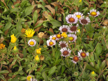
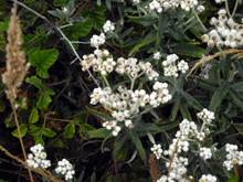
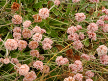
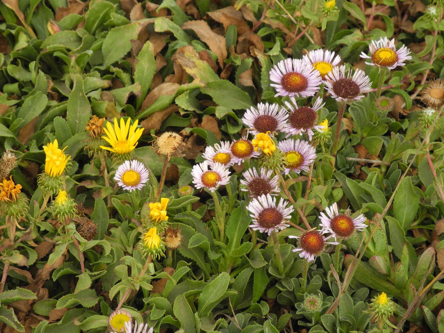
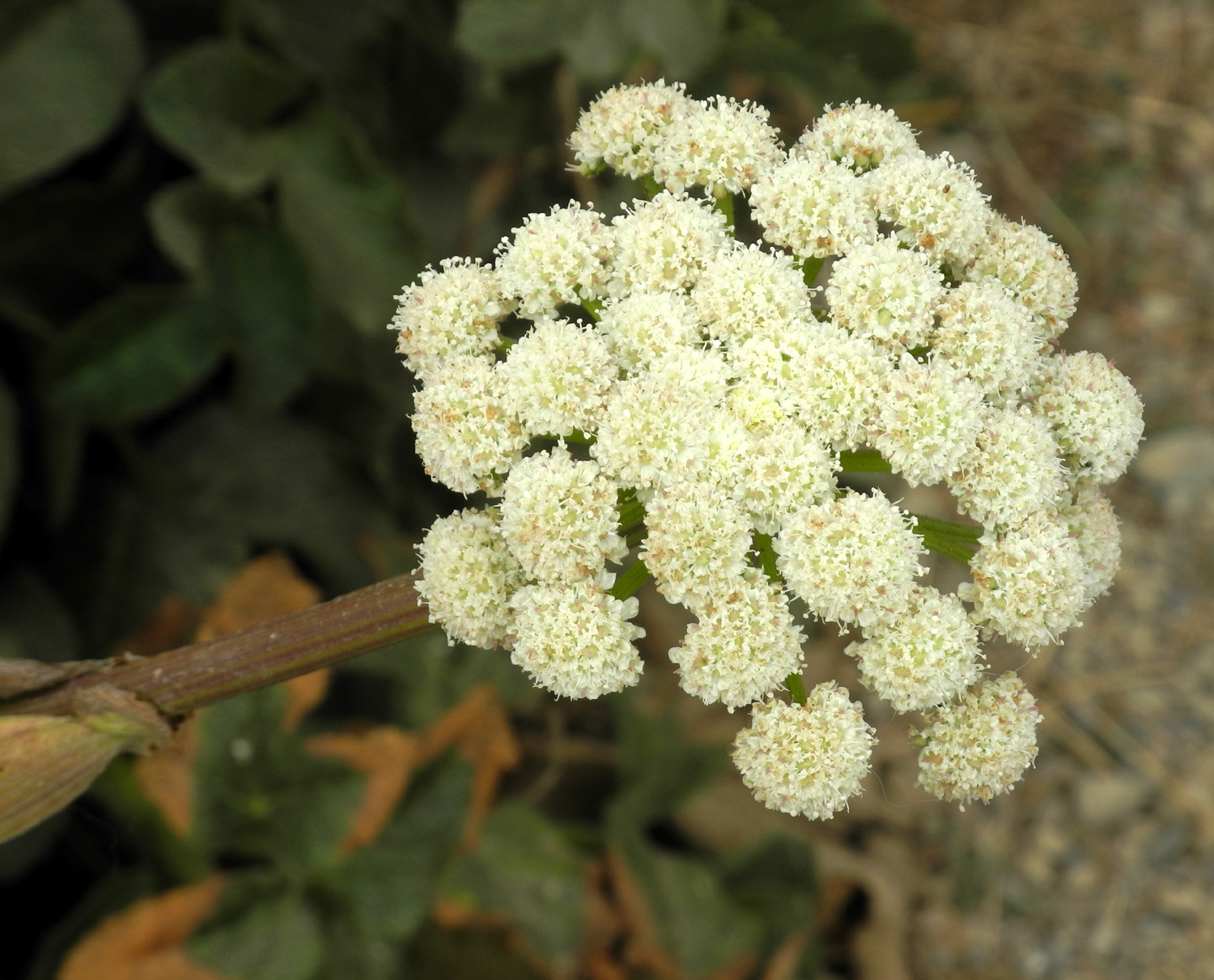
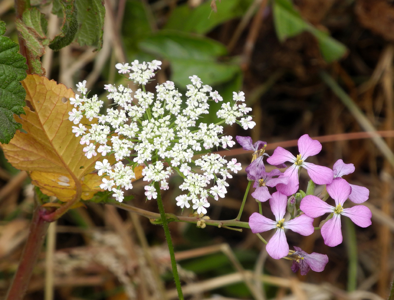
thoughts: I didn't mention flowers I saw as I was writing the
day by day account, but there were lots of them. In the redwood
forests and other inland areas, most of them were small, though
there were a few more noticeable ones. In areas close to the ocean,
flowers were bright, big and varied, especially in Mendocino
Village. The sea air seems to encourage prolific growth, and
Mendocino has some unusual
plant and flower varieties I've never seen anywhere else.
Out along the bluffs there were lots of orange flowers a little over
a inch in diameter, with foliage that looked familiar. I also saw
them in yards in the town. Of course, the Pride of Maderia were
among the more spectacular, although it was the stalk and foliage
that drew the eye - the blossoms were barely a quarter inch across.
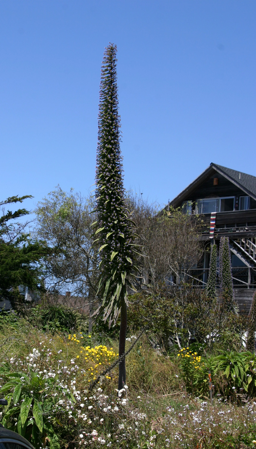
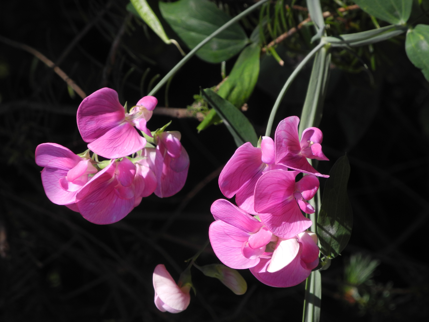
Probably the most frequently seen flowers were sweet
peas. In the last few years I have seen them growing
"wild" along roads nearly everywhere I've gone, and they
appeared in a half dozen places on this trip.
Since
I got an altimeter app on my phone, I try to check elevations when I
hike or travel. I realize not everyone is looking forward eagerly to
this information, but just in case, the elevation at Ukiah was 660.
The highest point on the road to Montgomery Woods went up to
2,300, down to 900 at the grove, and about 1,100 at the farthest
point on the trail.
Going
from Ukiah
to Garberville I went over Ridgewood Pass, the entry into the Eel River Drainage,
at 2,200; then dropped down to 1,400 at Willits
At
Garberville I started from 535, and went up to 1,800 feet at
the start of the trailhead in the King Range. The trail went up to 2,300 at the
top part of my hike.
The
weather was warm in Ukiah, even hot hiking in Low Gap Park in the
afternoon, but between 70 and 80 at Montgomery Woods. There was a very cool breeze at Garberville and at
the top of the road to my hike from there. When I got up the second
day there was fog
above the hills around town, but it was gone by the time I started my drive.
It was 61 degrees at the trailhead at about 10:00 a.m.
I've
mentioned the fog at Fort Bragg, and the high there was around 67.
The
price of gas varied widely up and down the state, but mostly was in
the same range as the Fresno area. The name brand stations as usual
were higher, often $2.99 or more. The price at the Petaluma
Mobile was $2.91. This was the place that didn't have a bathroom
when I badly needed one, and when I learned that, I shut off the pump
and left. I found the lowest price on the trip at Ukiah, but I had
to pay inside and didn't realize until I got home that the amount
and price per gallon were not shown on the receipt. To the best of my
memory it was under $2.80.
My
next gas fill up was at Fort Bragg, where it was $2.89 at a Mobile station, the lowest price
I saw in that area. Around Clovis it's usually $2.79 to $2.89,
although there are many cheaper places across town, not convenient to
where I live. I did not need gas again till I was almost home, and I
stopped at a Pilot truck stop north of Madera where regular was
$2.59. Might almost be worth driving 30 miles to get that price.
The
four motels were all fairly good. Each had a negative feature, some
of them more negative than others. They were all clean, comfortable,
adequately stocked with towels and such, and in good to very good
condition. The Motel 6 in Ukiah was a large, spread-out
property with only two ice machines, and as often happens, one was
out of ice when I needed it. This location needs at least two more
machines.
The
Motel Garberville was clean, but a bit shabby. The toilet seat was
loose (same problem in Ukiah). The shampoo was in hard to open plastic
packets like ketchup instead of a bottle or tube. The TV system had
that scrolling guide that shows only the next two hours and can't be
paused or controlled in any way. This motel had the tiniest soap bars
ever. They changed the WiFi password during the night without
notice.
The
Super Eight in Fort Bragg was nice overall, but very small. The
refrigerator was small and not well designed; it was hard to get all
my stuff in, after five days of using up "stuff." The
biggest negative was the lack of electrical outlets near the table.
I had to stretch my computer power cord across the walkway and carefully step over it every time I wanted to use
the computer or go out the door.
The
walls are apparently very thin; you can hear people talking in the next room and you can hear their shower. It
was so loud I got up from bed to make sure the water had not somehow got turned on in my bathroom.
The TV system had no guide. There’s a channel for it, but all it showed was “no signal.”
On Sunday night the only channel I wanted to watch had a loud hum in the audio, making it impossible to watch.
Overall
the people working here demonstrated more concern for my needs than either of the others. I just wish they had shown that concern when they were planning the wiring and selecting a TV system.
The WiFi password was ten 8's, which is very hard to read; or more
precisely, hard to count how many 8's.
The
motel in Woodland was fine for my one-night stay. There was no
coffee maker, which is unheard of. I don't drink coffee, but use the
machine to make tea. The chair was a straight back model which was
too low. They need a rolling, adjustable chair. This was the
quietest location of any on my trip. It also had the second best piece
of art I've ever seen on a motel wall. Breakfast was a joke - instant oatmeal,
packaged pastries and fruit. There was NO milk.
Ukiah
and Woodland had swimming pools, very welcome since both places were
hot.
I drove 948 miles, walked 16, saw the redwood forest, the Pacific
Ocean, the remote trails of the King Range; sampled the food and
ambiance of five small California cities, and traveled back in time
with the displays of three very well-designed museums. I learned a few
things, and met some nice people. I'll be ready for another 10-day
road trip again next year.
--Dick Estel, August 2017
|
| |
|
Photos
(Click to enlarge; pictures open in new window) |
|
|
|
Montgomery
Woods
Mendocino Museums etc
King Range
US 101, CA Highway 1,
Fort Bragg Mendocino
Coast State Parks
Mendocino Village and Headlands
Fort Bragg to Woodland |
|
|
|
Montgomery Woods |
|
|
 |
 |
 |
| Bridge on Orr
Springs Road west of Ukiah |
Board
road bed makes a loud, bumpy ride |
Entering the
preserve |
|
|
 |
| Panoramic
view along Orr Springs Road |
|
|
 |
 |
 |
| Coast redwoods
dominate the area |
Sign
shows the after effects of a 2008 fire |
An outstanding
example of the redwood |
|
 |
 |
 |
| Dick in front of a
tree with big "toes" |
The
fern forest |
Chipmunk poses for
his portrait |
|
 |
 |
 |
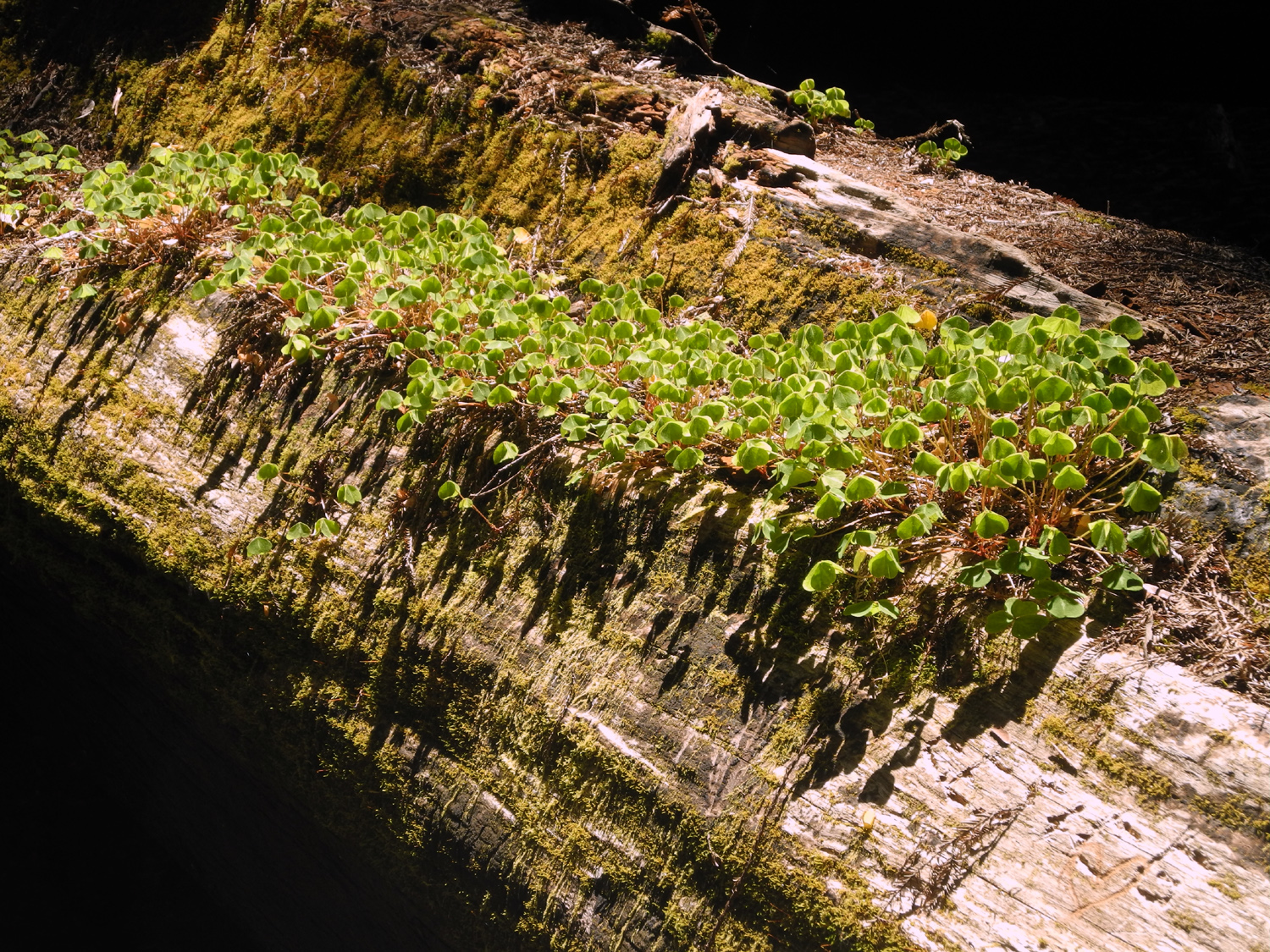
| Redwood sorrel
growing on a redwood log |
Do you
step over or duck under? |
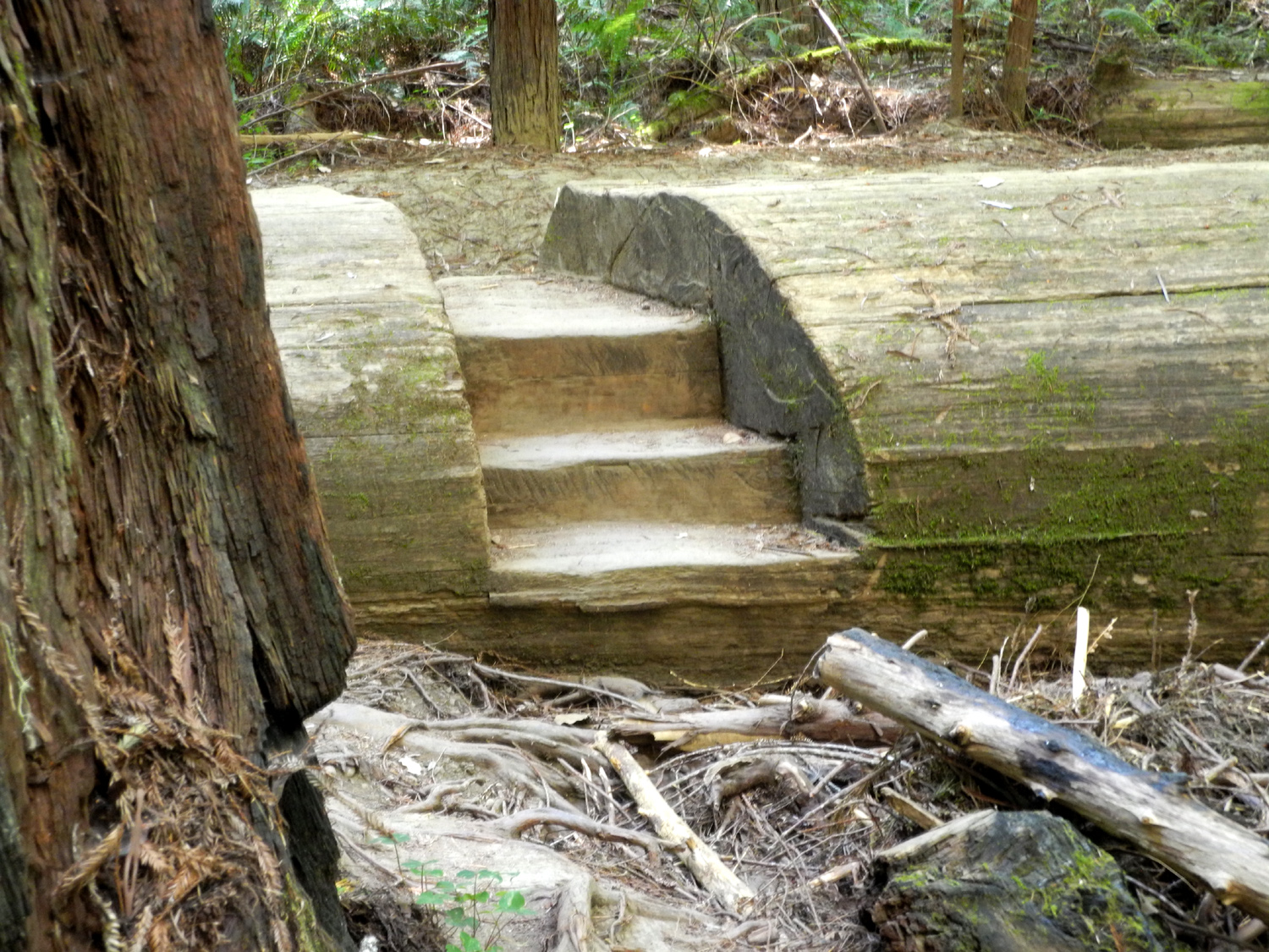
Steps cut in a
fallen redwood
(there's a
bridge built on top of the log) |
|
 |
|
 |
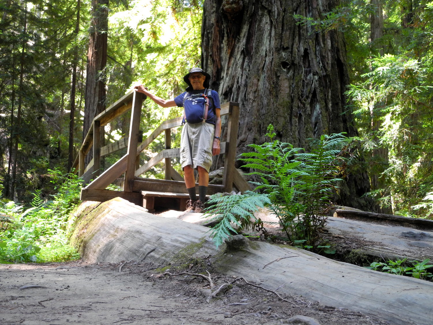
| Dick stepping off
the redwood tree bridge |
Every
stump has plants
growing on top of it |
Well, not quite
EVERY stump |
|
 |
 |
 |
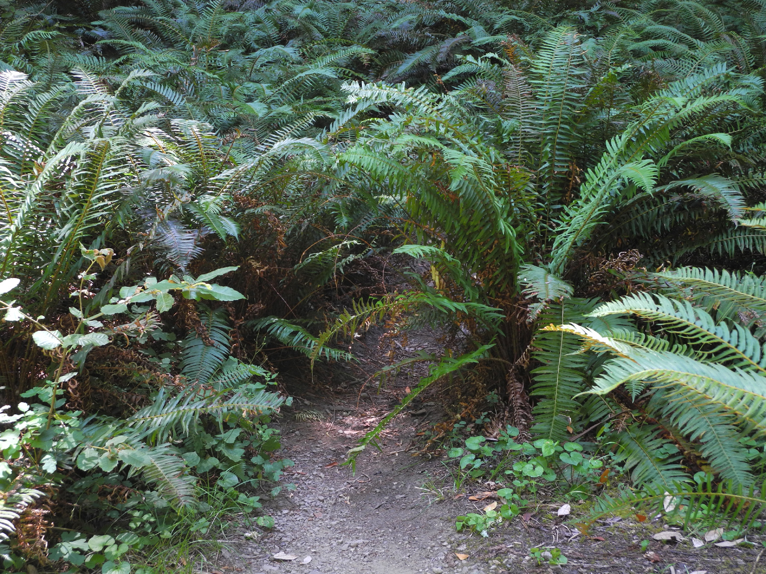
| That's the trail,
going into a thick patch of ferns |
Damp
climate of the redwood forest leaves most downed logs covered in
moss |
Twin trees |
|
 |
 |
 |
This tree shows a
scar typical
of many older specimens |
Rock
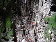
cliff thickly covered in moss |
The creek runs under
the
base of a fallen redwood |
|
 |
 |
 |
Redwoods' shallow
root system makes
for some tricky spots on the trail |
Big dead oak along
Orr Springs Road |
Historic
building in downtown Ukiah |
|
|
| Mendocino
Museums etc. |
| |
 |
 |
|
| Sun House in Ukiah,
built 1910 - 1912 |
Pomo
basket in Grace Hudson Museum |
Another Pomo basket |
| |
 |
 |
 |
| Pomo child carrier
and baskets |
Grace
Hudson painting of
Pomo boy and dog |
Three key things
in Pomo life -
child, dog and basket |
| |
 |
 |
 |
| Who has not seen
this face on their own child? |
Hills
along Low Gap Road west of Ukiah |
Buckeye seeds just
developing |
| |
 |
 |
 |
| Old signs from
downtown Willits |
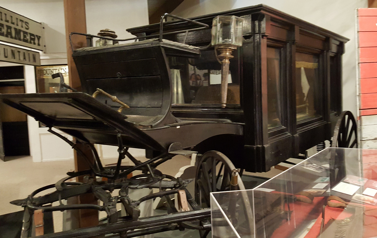
Undertaker's
wagon in
Mendocino County Museum |
Willits soda
fountain
sign |
| |
| King
Range |
| |
 |
 |
 |
Trailhead for the
Lost Coast
Trail in the King Range |
The
trail is shady most of the way |
Sunshine backlights
the madrone branches |
|
 |
 |
 |
| Tan oak leaves |
Madrone
leaves |
A young bay tree |
|
 |
 |
 |
| Bridge
over a small creek on the trail |
Some
switchbacks are reinforced with rock |
Rugged branches |
|
|
 |
 |
| One of the few
living manzanitas along the trail |
Close-up
showing peeling bark |
That blue down there is the Pacific
Ocean |
|
 |
 |
 |
| My resting
"log" |
Dick
resting |
Little pebbles
create columns of dried mud |
|
 |
 |
 |
| Big fern |
Unknown
flowers |
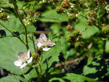
Berry blossoms |
| |
| US 101, CA Highway 1,
Fort Bragg |
| |
 |
 |
|
| Near
the Eel River along US 101 |
The
Grandfather Tree |
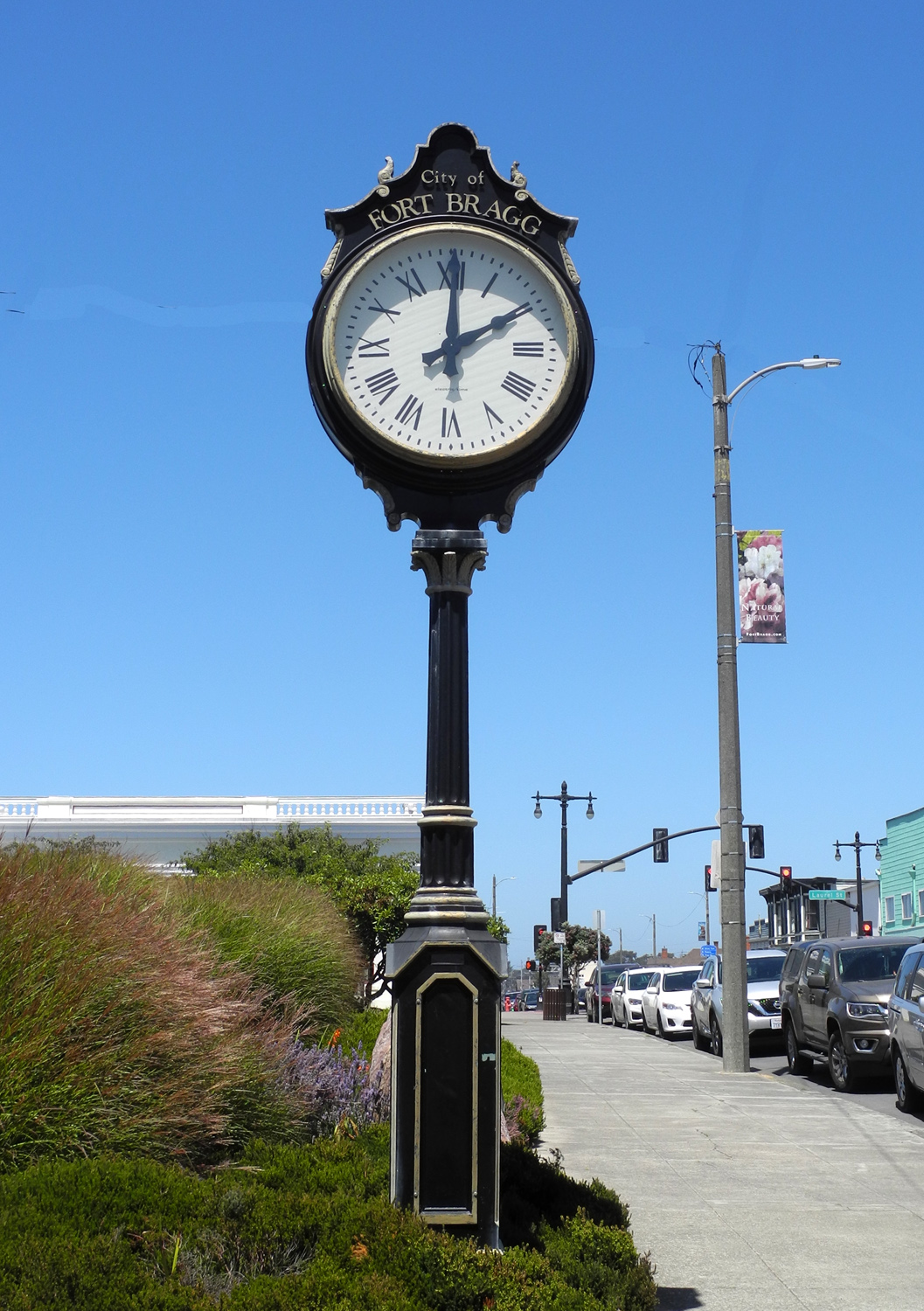
Fort
Bragg knows what time it is |
| |
| Mendocino
Coast State Parks |
| |
 |
 |
 |
| Just
south of Fort Bragg |
Ice
plant above the ocean |
Flowers
thrive in the moist atmosphere |
| |
 |
 |
 |
| Dramatic,
but the name is unknown |
Waves
crash against the rocks |
Rocks
show weathering
from eons of wave action |
| |
 |
 |
 |
| About
two miles north of Mendocino |
Lots
of different flower species in the park |
Pink
and kind of fuzzy-looking |
| |
 |
 |
|
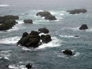
Blow
hole 50 feet from the ocean cliff
where waves wash in through a
tunnel |
One
of these is the tunnel to the blow hole |
Birds
keep watch out on the rocks |
| |
 |
 |
 |
Back
from the cliffs, the sea plain
is covered with grass and trees |
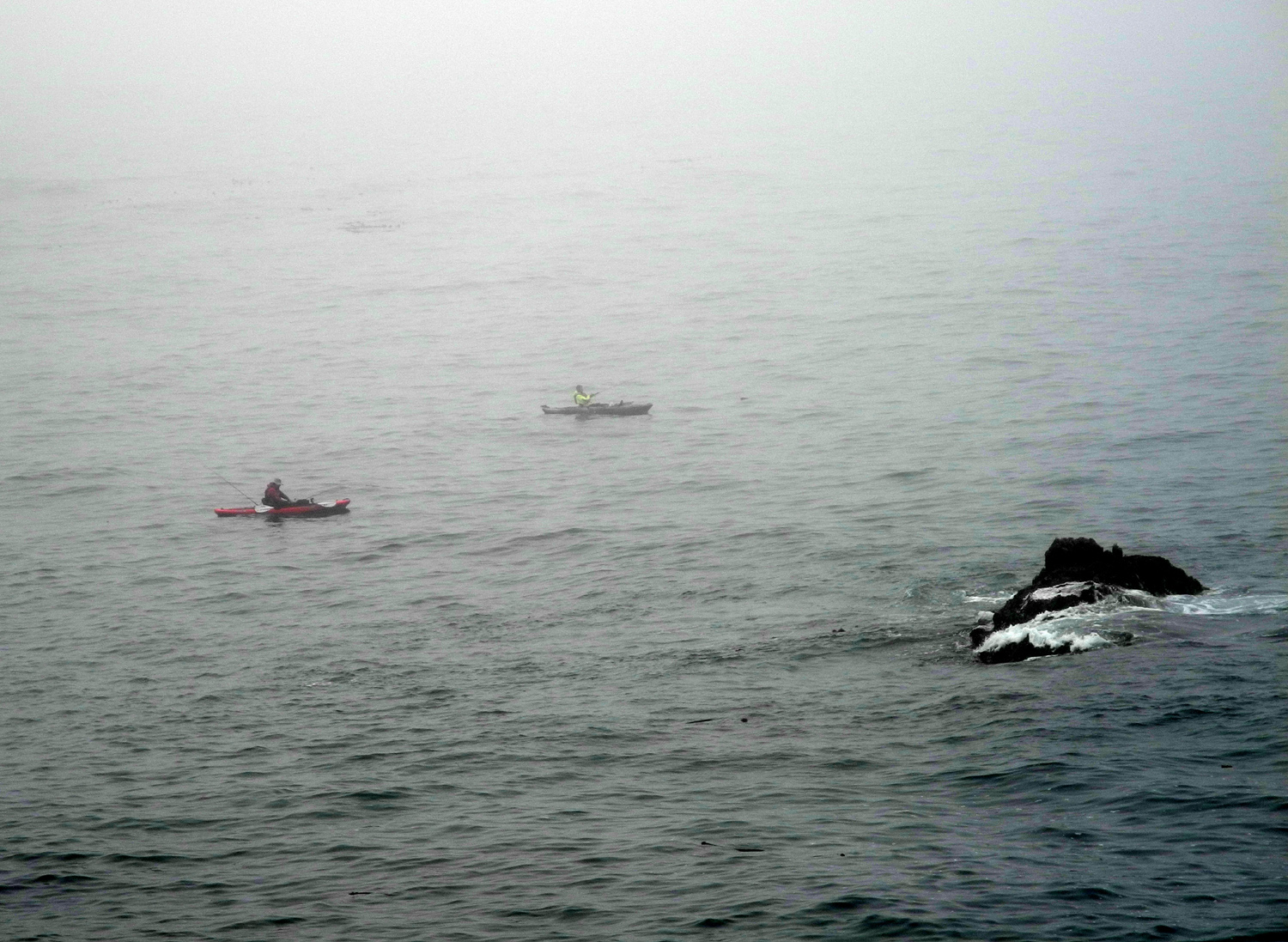
Fishing
in the mist |
The
North Trail goes inland
through the redwood forest |
| |
 |
 |
 |
| Every
stump supports new life |
Redwood
sorrel, glistening
from the morning fog |
A
typical redwood "family circle," new trees
grown up from
the roots of an ancestor |
| |
 |
 |
 |
| Just
north of the town of Caspar |
More
floral variety in the Jug Handle |
The
Ecological Staircase Trail
goes under this Highway 1 bridge |
| |
 |
 |
 |
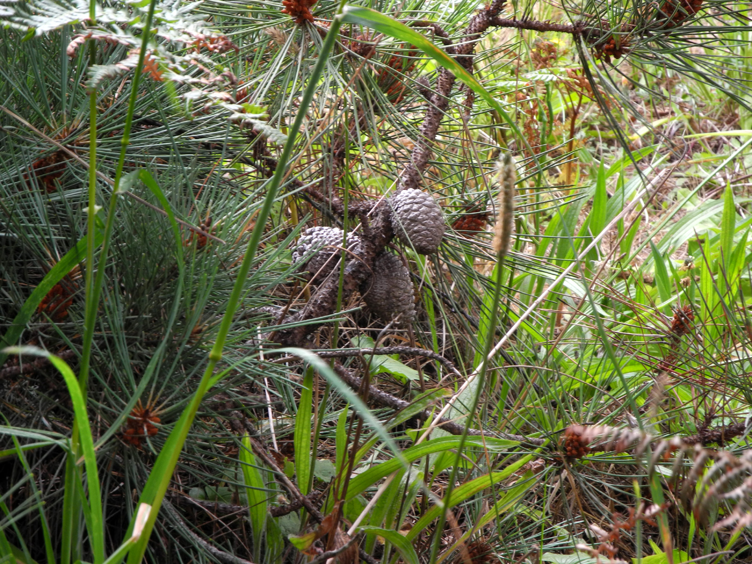
Cones
of bishop pines require fire to cause
them to open and disburse
their seeds |
A
dimly lit tree tunnel on the trail |
View
from the trail to a rare sandy beach |
| |
|
 |
|
|
Small
forest of bishop
pines near the trailhead |
|
|
|
| Mendocino
Headlands and Village |
| |
 |
 |
 |
Stairway
to the sea at Mendocino
Headlands State Park |
You
are not allowed to build driftwood structures on the beach |
Mendocino
is also a fishing village |
| |
 |
|
 |
These
brilliant flowers appear
on the bluffs and in town |
One
of the more unusual plants in Mendocino |
A
beautiful old home |
| |
 |
 |
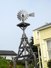 |
| A
basic water tower |
This
tall tower has two tanks |
One
of very few remaining windmills |
|
 |
 |
 |
| Out
on the bluffs north of town |
Back
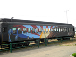
in Fort Bragg, a Skunk
Train passenger car |
A
last look at the ocean at Pomo Bluffs |
| |
 |
| Southern
view of Mendocino Village |
|
|
| Fort
Bragg to Woodland (Mainly Highway 20) |
| |
 |
 |
 |
| On
Highway 20 between Fort Bragg and Willits |
With
no pamphlets left, it became
even MORE self-guided |
Along
the trail |
| |
 |
 |
 |
There
were some old-looking
REAL signs by some of the trees |
California
laurel |
Bridge
on the trail |
| |
 |
 |
 |
| Another
helpful sign |
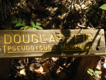
Douglas
fir, not a real fir |
Tan
oak, not a real oak |
| |
 |
| Panoramic
vista along Highway 20 |
| |
 |
 |
 |
One
of several small towns
along the shore of Clear Lake |
Clear
Lake |
Excellent
art in the Woodland Econolodge |
| |
| Related Links |
| |
| Montgomery Woods State
Natural Preserve |
Ukiah |
More
Ukiah |
| Orr
Fire |
Grace
Hudson Museum and Sun House |
Highway
101 |
| Mendocino County
Museum |
Garberville |
Lost
Coast |
| More
Lost Coast |
Southern
Humboldt County |
Guest
House Museum |
| Fort
Bragg |
Pomo
Bluffs Park |
Russian
Gulch State Park |
| Jug
Handle State Natural Reserve |
Van
Damme State Park |
Mendocino |
| Mendocino History |
Mendocino
Headlands State Park |
Jackson
Demonstration State Forest |
| Coast
Redwoods |
Redwood
Reproduction |
|
| |
|
|


