

|
Dick's Adventures of 2020 - Part 3 |
|
| Photos Related Links More Travel Reports | |
| Adventures
of 2016 Adventures
of 2017 Adventures
of 2018 Adventures
of 2019
2020 Part 1 2020 Part 2 2020 Part 4 2020 Part 5 2020 Part 6 2020 Part 7 |
|
| Ahwahnee
Hills Edison
Point Hike
to Camp 4 1/2 Cabin
Buckeye Helipad Edison Point Again Goofy Smith Flat North Fork & Manzanita Lake |
|
| Ahwahnee
Hills
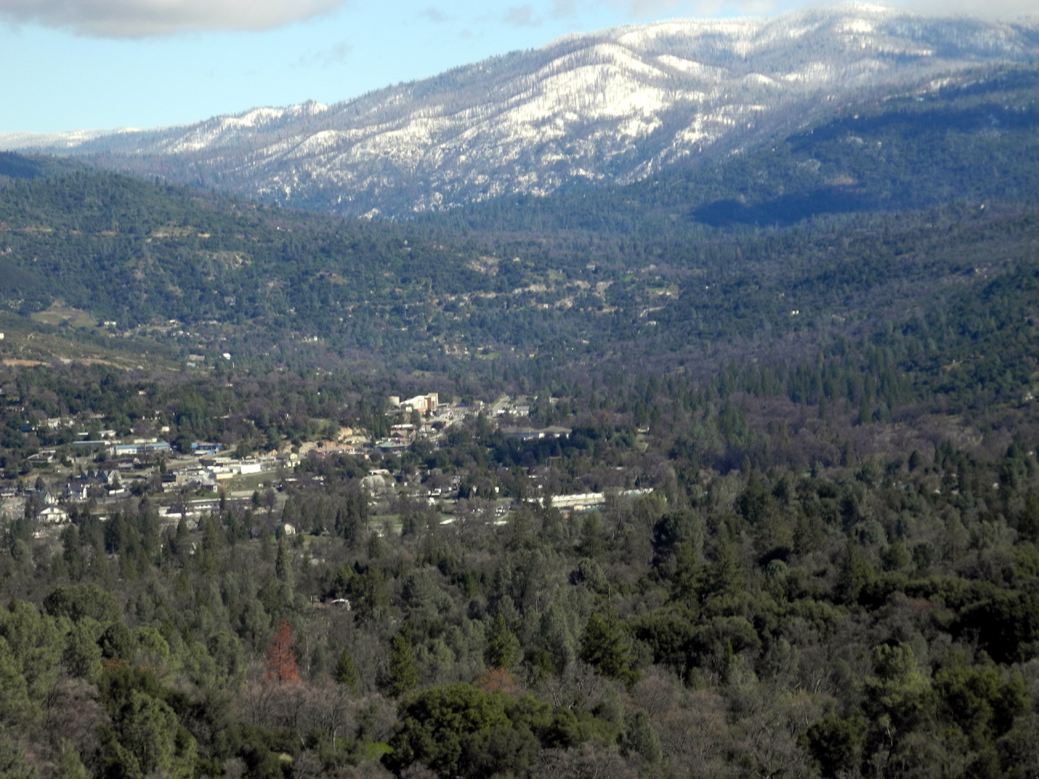
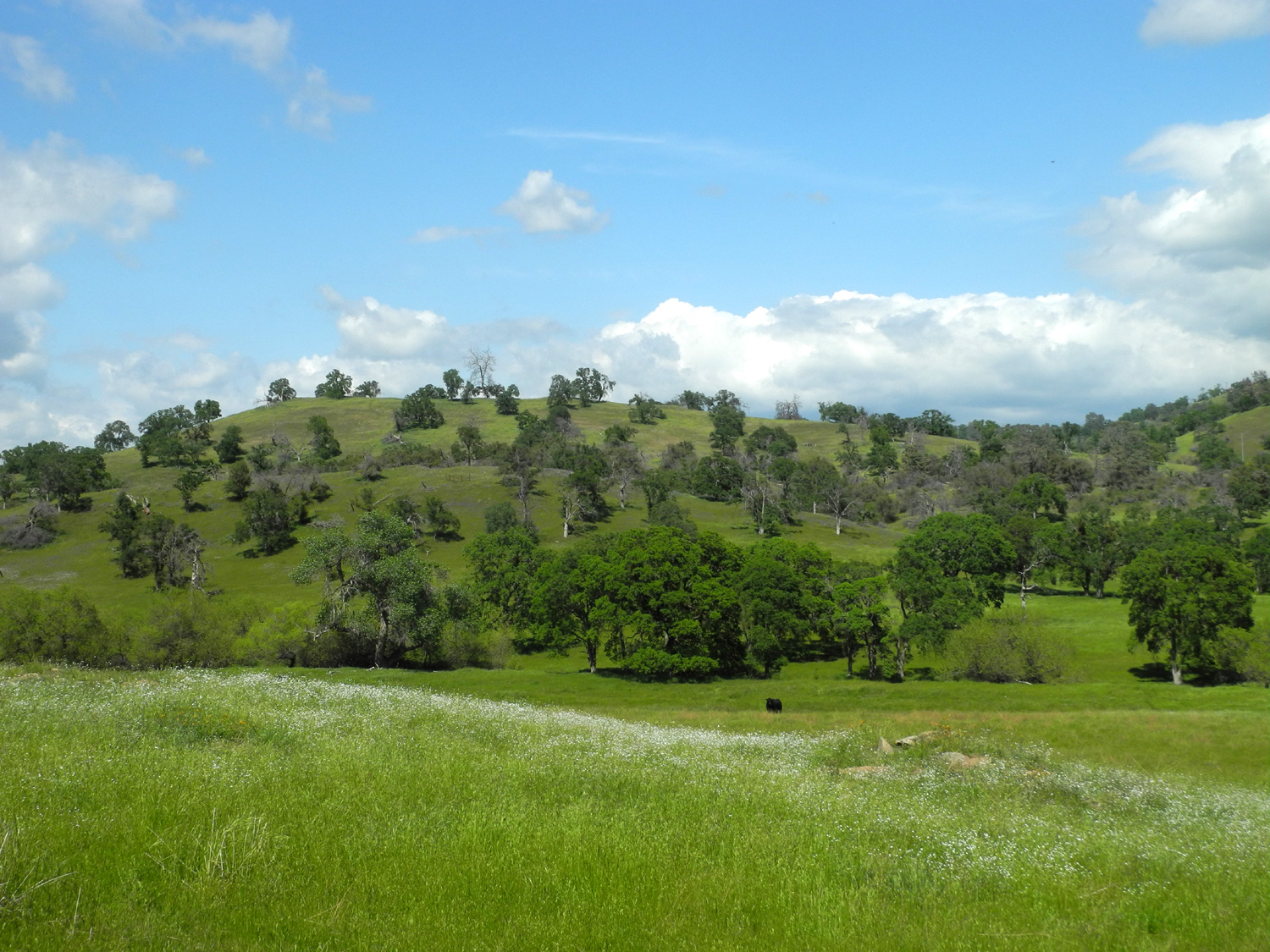
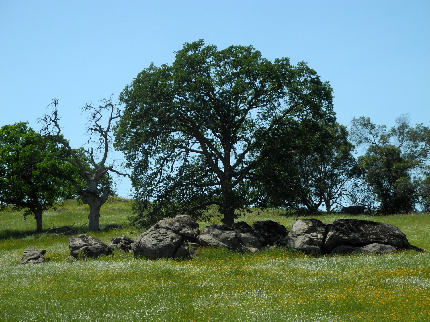
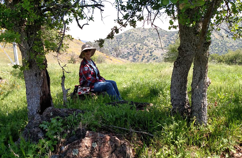
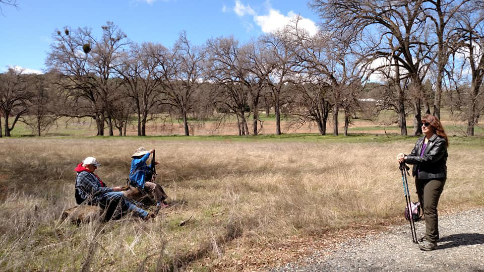
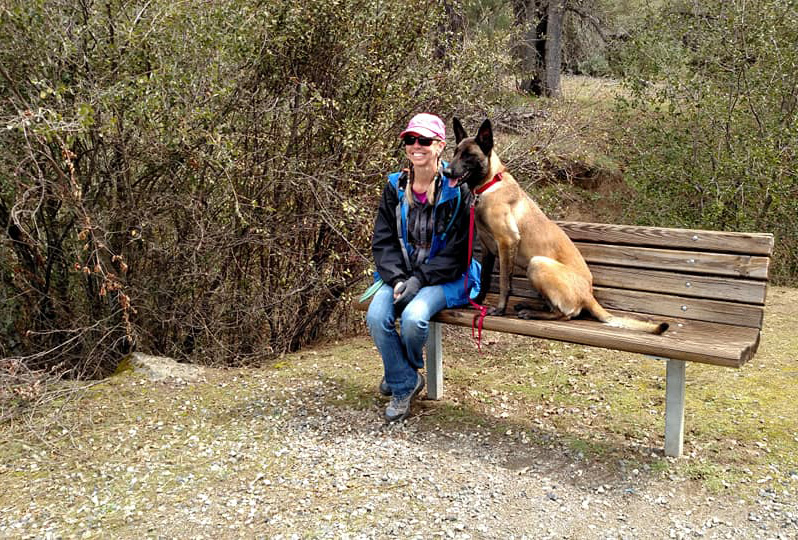
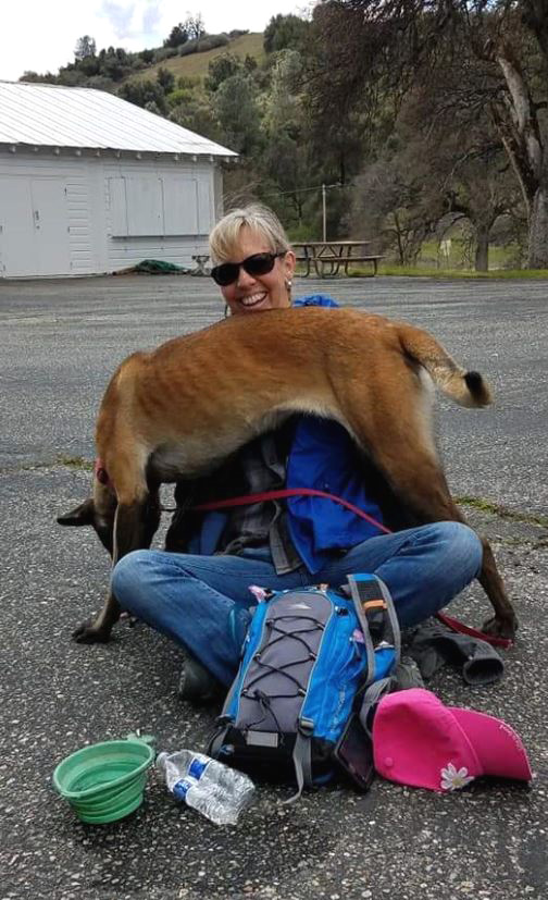
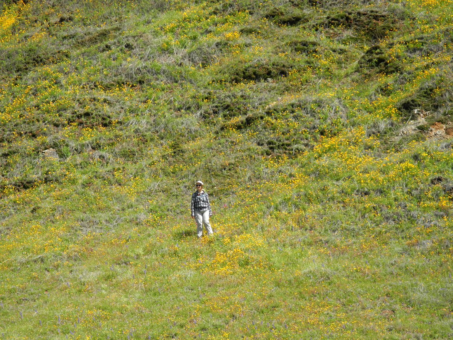
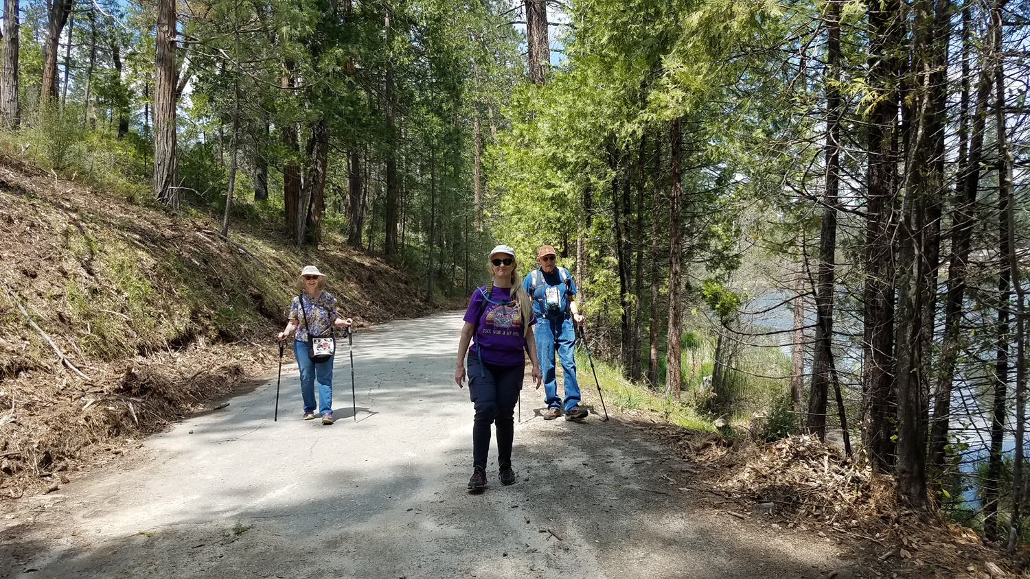
On March 27, the day after our Sycamore picnic area hike, Teri, Jackie and I drove (in separate cars of course) to the Ahwahnee Hills Regional Park on Highway 49, five miles west of Oakhurst. There we were joined by my younger daughter Jennifer and her colleague from the Madera Schools, Donna, along with Kenzie, a large young dog who proved to be well disciplined on the trail. This area was once the site of a tuberculosis sanitarium, and briefly served as a boys' ranch around the 1980s. The property sat idle for some time until it was purchased by the County of Madera, which developed a series of hiking trails and opened it to public use. |
|
 |
 |
| Donna, Jennifer and Teri near the start of the trail | Dick, Jennifer and Jackie |
|
The trails split off into loops here and there, so you can make it a long or short walk. We followed what is nearly the longest possible path, around two and a quarter miles total. Along the way we traveled past huge old valley oaks, walked along a nice creek, and enjoyed the view of a large pond occupied by ducks and geese. |
|
 |
 |
| The area is decorated with many huge old valley oaks | This lovely stream runs along one border of the park |
 |
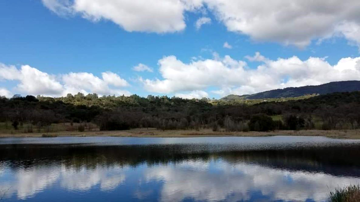 |
| Clouds are reflected in this pond at the north end of the area | |
|
There are benches for resting along the paths, and we had a view of snow at fairly low elevations. When we returned to the parking area, we enjoyed our snacks and took a carefully spaced group photo. There were not a lot of wildflowers but we saw plenty of fiddlenecks and popcorn flowers along Highway 41 on the way up from the valley, and improved our mental health by getting out on a beautiful spring day. --Dick Estel, March 2020 |
|
 |
 |
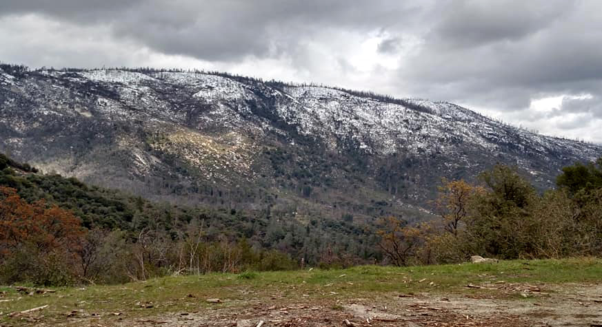
| A recent storm brought snow down to the 3,000 foot elevation | Jackie,
Teri, Jennifer, Donna and Dick stand at a safe distance while Kenzie relaxes |
|
Edison Point Trail
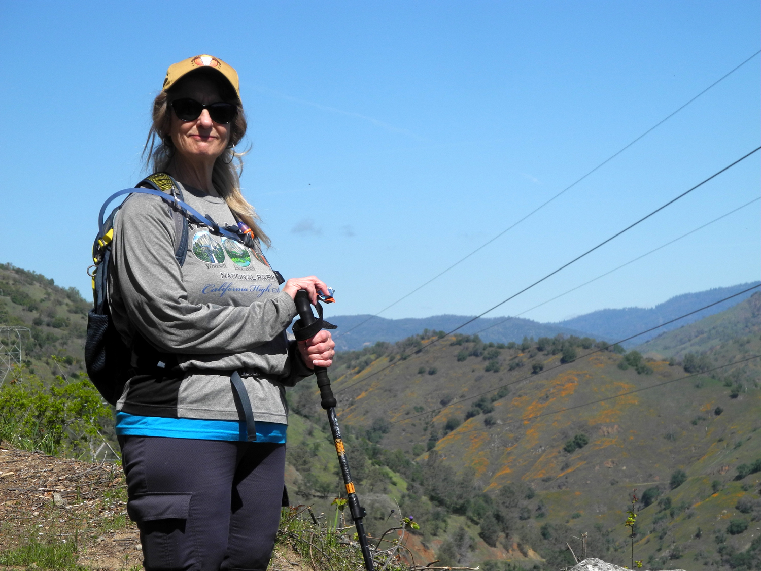
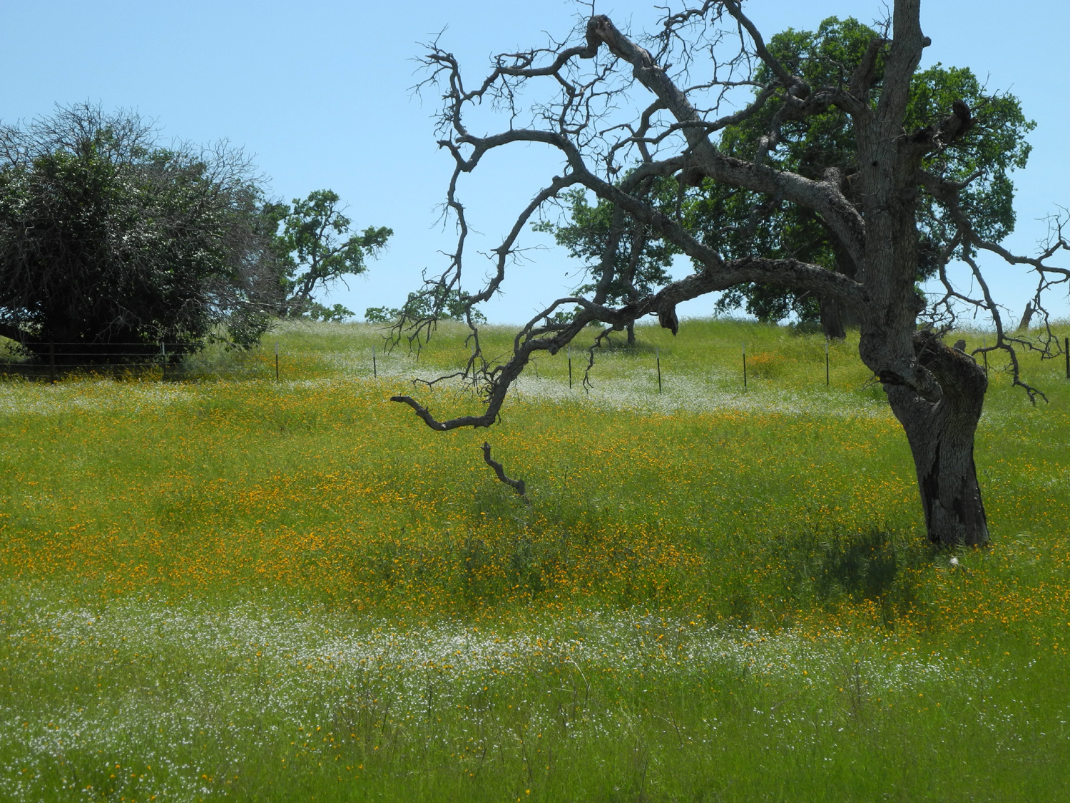
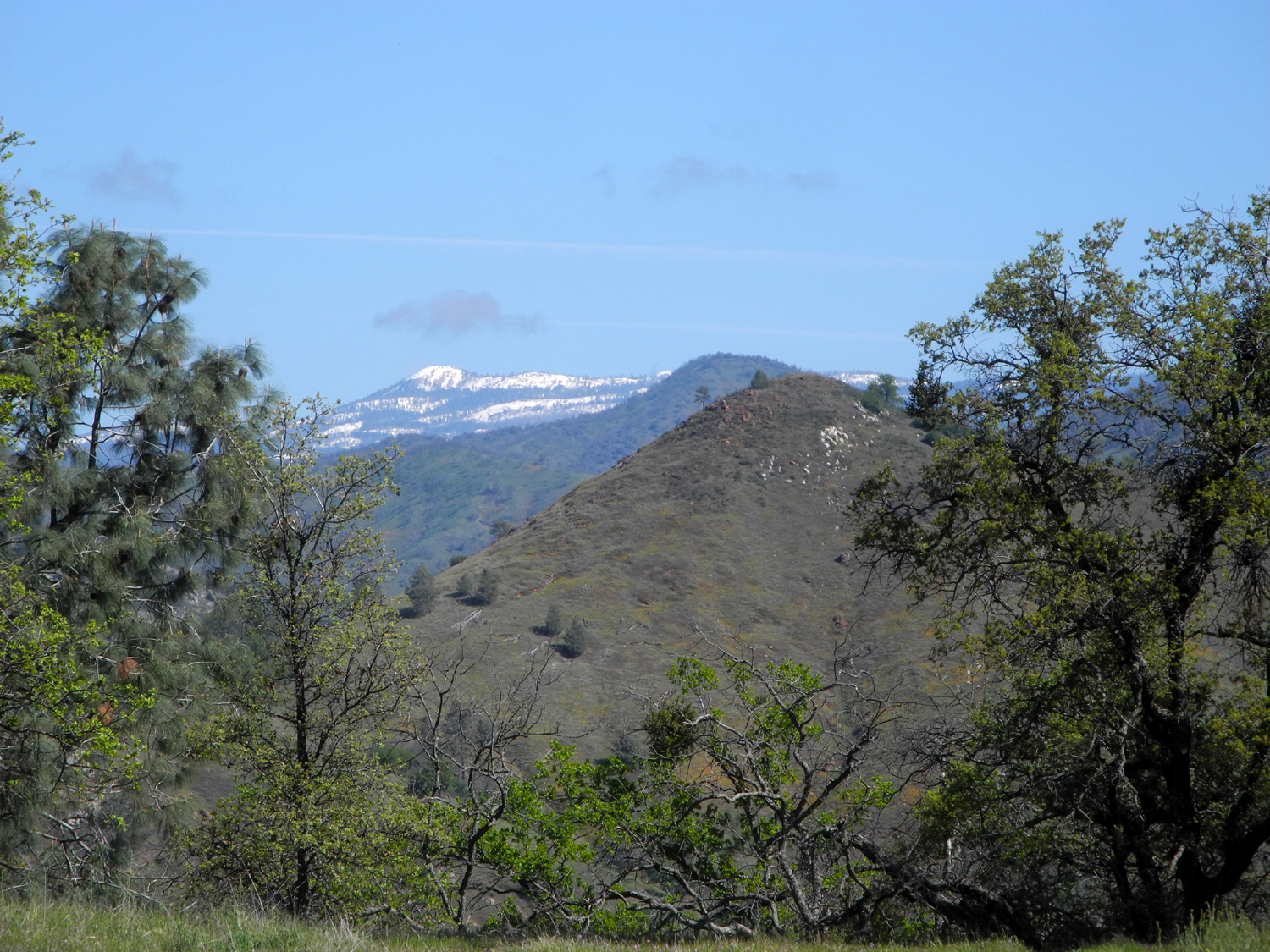
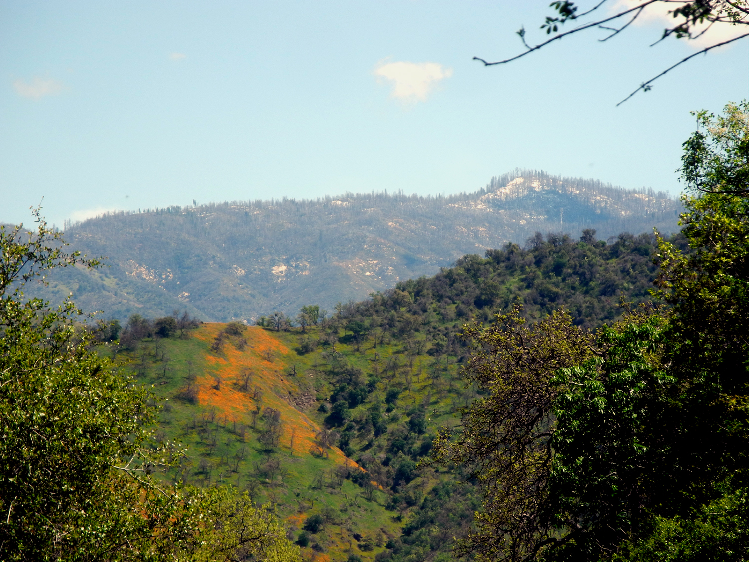
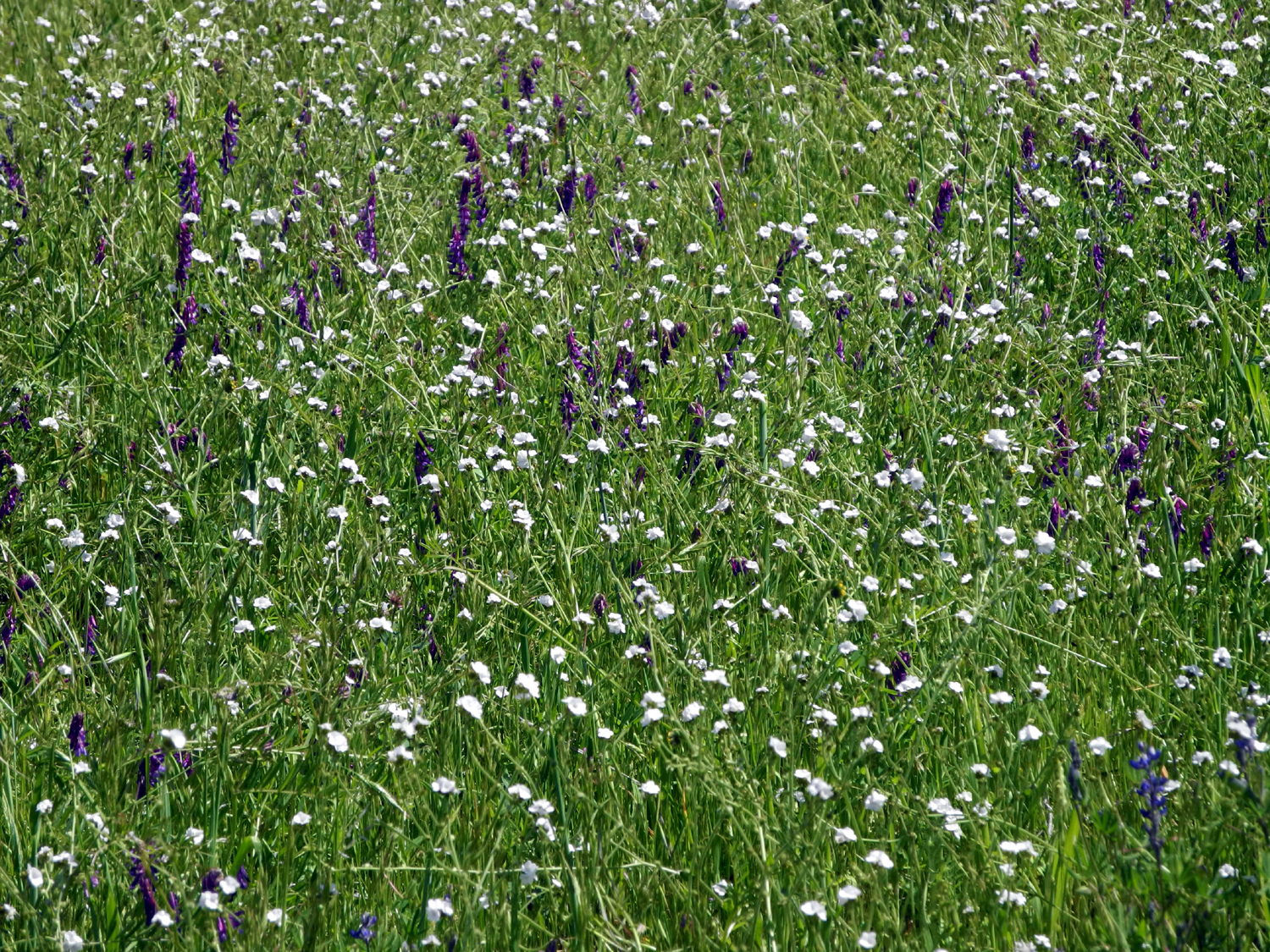
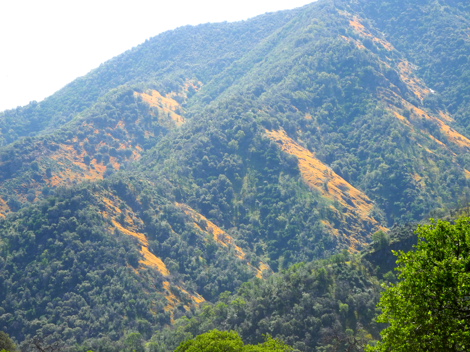
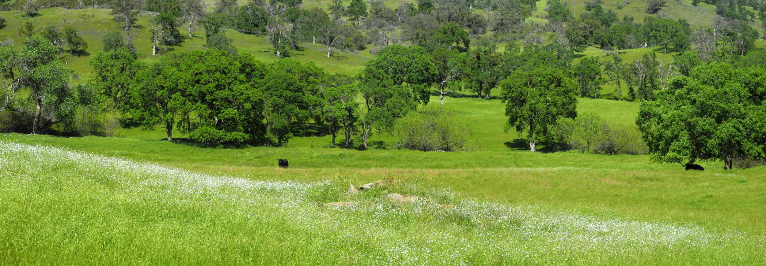
Since I went to this location on March 9, why would I go again on March 31? First, this time I was able to hike with my daughter Teri. Second, a week or more of rainy weather in mid-March has produced an explosion of wildflowers in the foothills, reviving what looked like a very poor season. Following our current practice, we drove in separate cars to the Edison Point trailhead, on Trimmer Springs Road parallel to Pine Flat Lake. Traveling separately is highly unsatisfactory, because one of the joys of trips like this is the conversation in the car on the way. It's also not the best thing for the air, but these outings are absolutely necessary for our mental health. The display of new green grass and wildflowers begins at the lowest foothills, and gets better as the road approaches the lake. A second batch of grass seeds have germinated, bringing green back to hills that were turning brown. At one lake overlook I counted eight species of flowers, dominated by fiddlenecks, purple vetch, and phecelia. |
|
 |
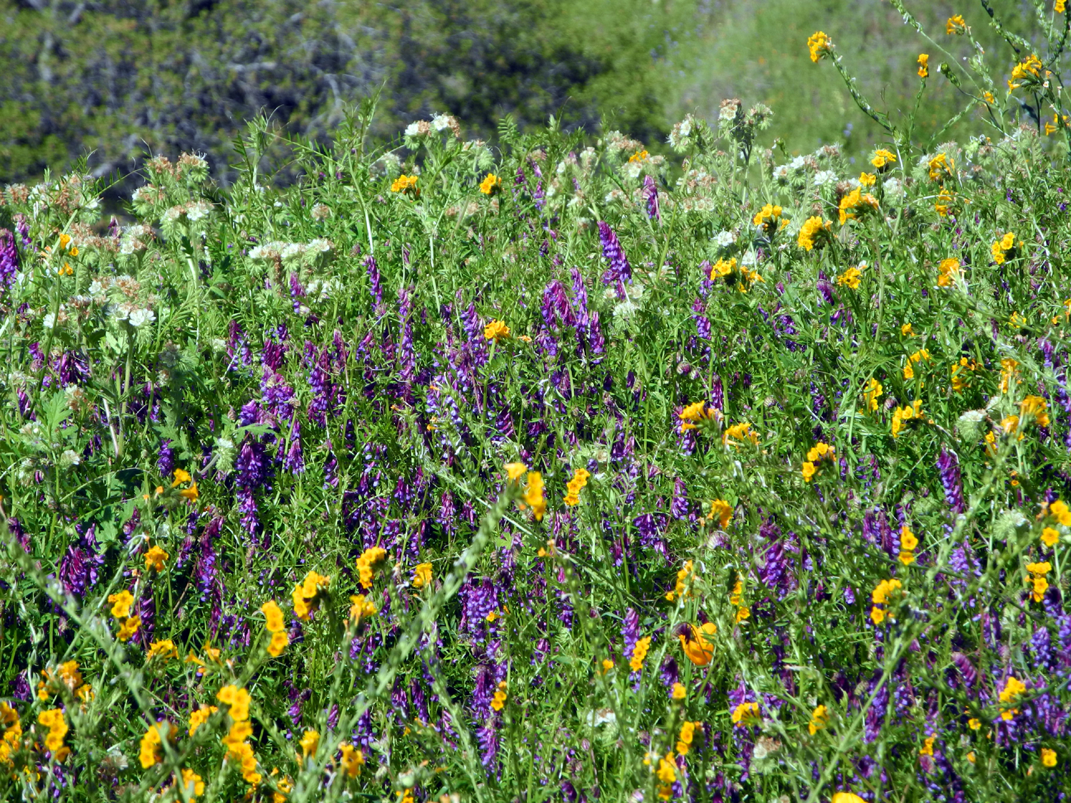 |
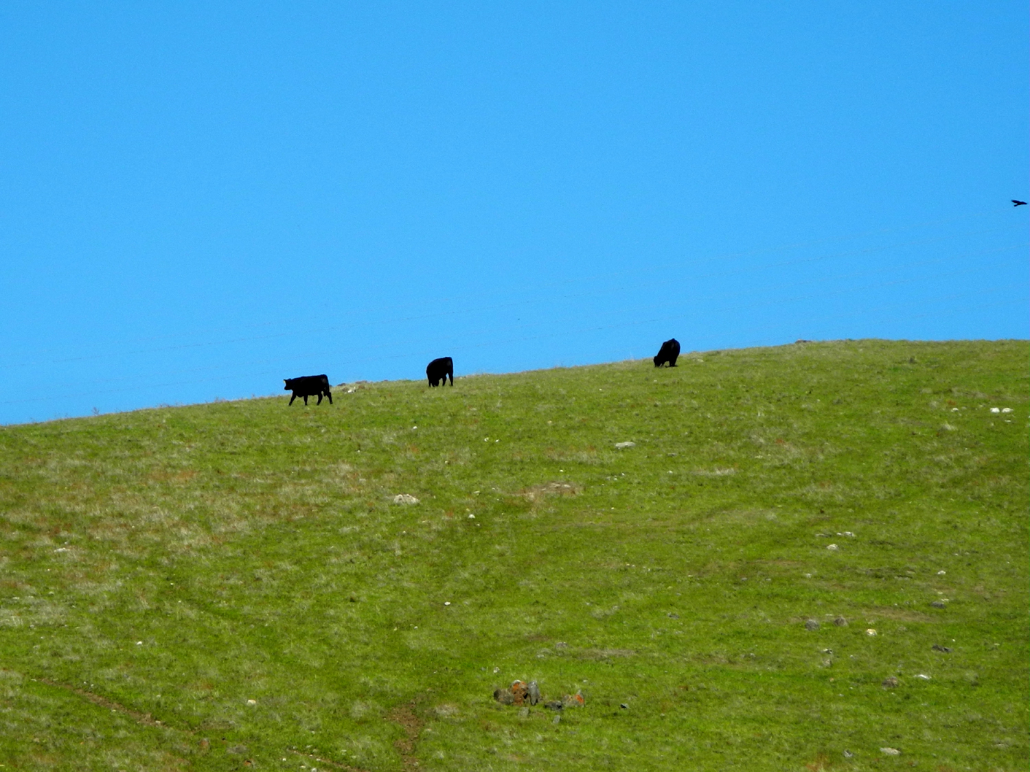
| Cows enjoy a new crop of grass along Trimmer Springs Road | Fiddlenecks, purple vetch and phecelia create a colorful pattern |
|
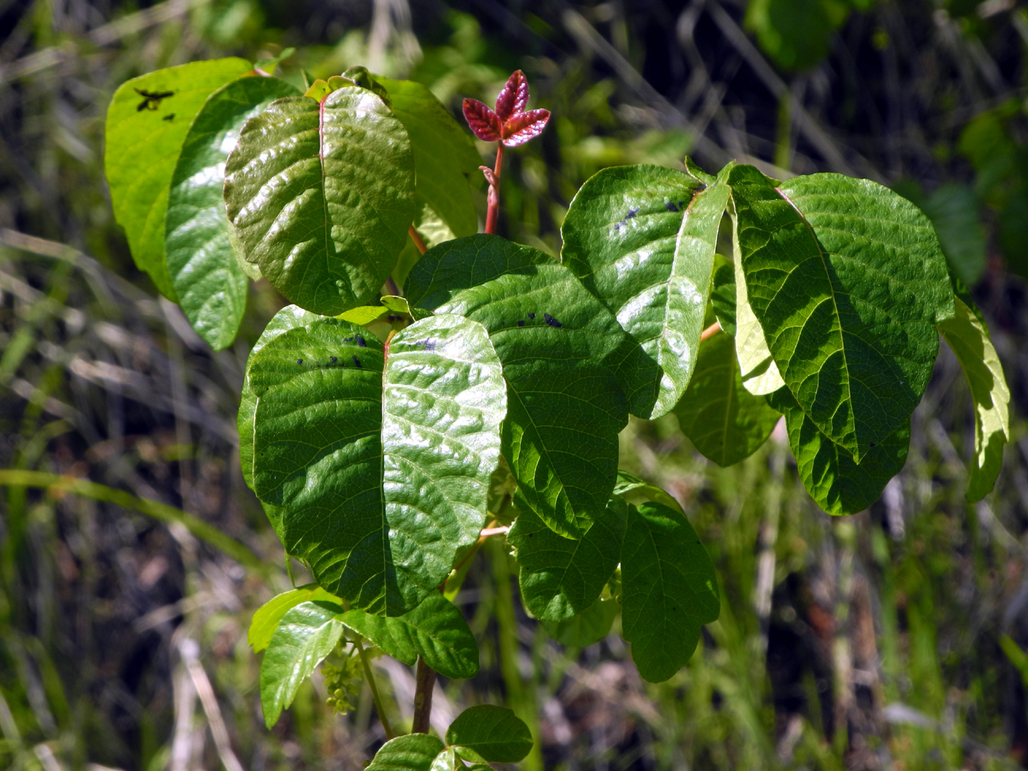
From the Edison Point parking area, you can take the official trail south to the point itself, where a huge power transmission tower dominates the landscape. Or you can cross the road and follow a gated dirt road that runs between the main road and the power line - a service road to provide access to the transmission towers. We took this route first, enjoying a view of snow-topped mountains, and a few flowers we had not seen elsewhere this year, including the rare globe lily, and the showy mule ears. We also had to be aware of thick patches of poison oak along the road, some of it still showing brilliant red new leaves. |
|
 |
 |
| View of Sierra snow from the power line service road | We rarely see more than three or four globe lily plants |
 |
 |
| Mule's ears | Resist the temptation to touch the colorful leaves of poison oak |
|
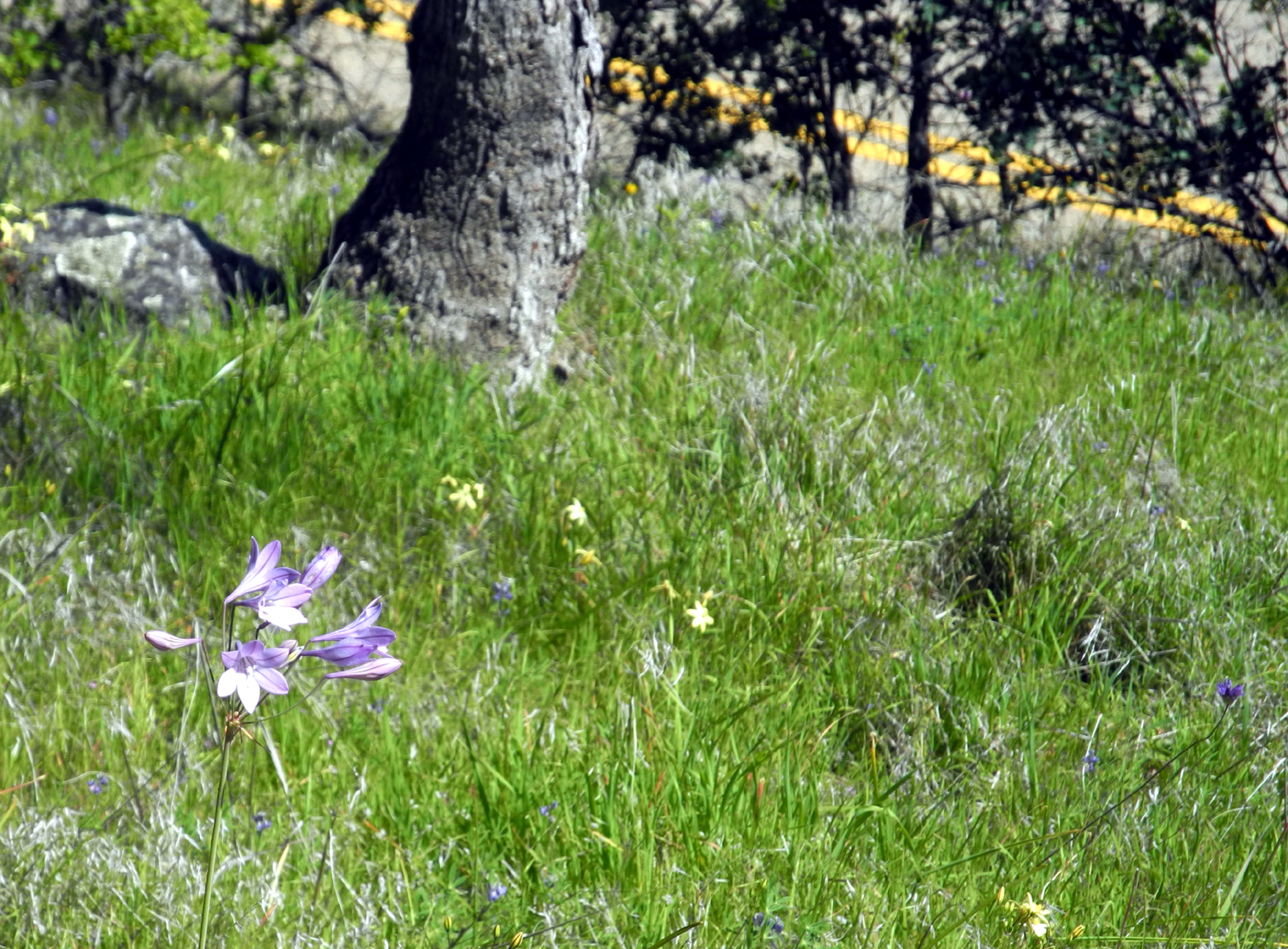
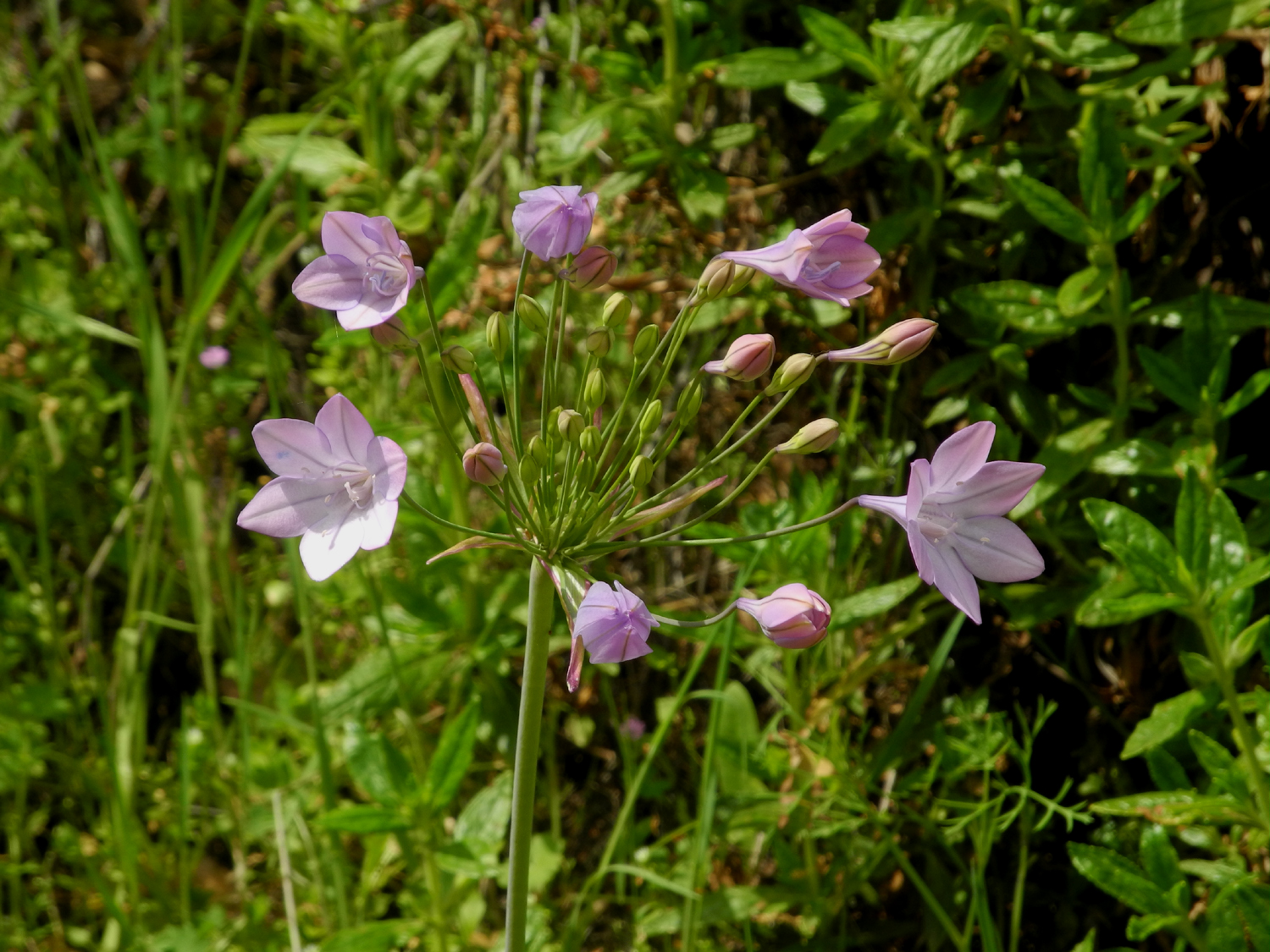
As an example of how flowers have increased in three weeks, on March 9 I saw exactly three stems of purple brodiaea. On this latest hike we saw too many to count. The yellow harvest brodiaea was also abundant. |
|
 |
 |
| Purple brodiaea likes cool, shady spots | A relative, harvest brodiaea can handle more sun |
|
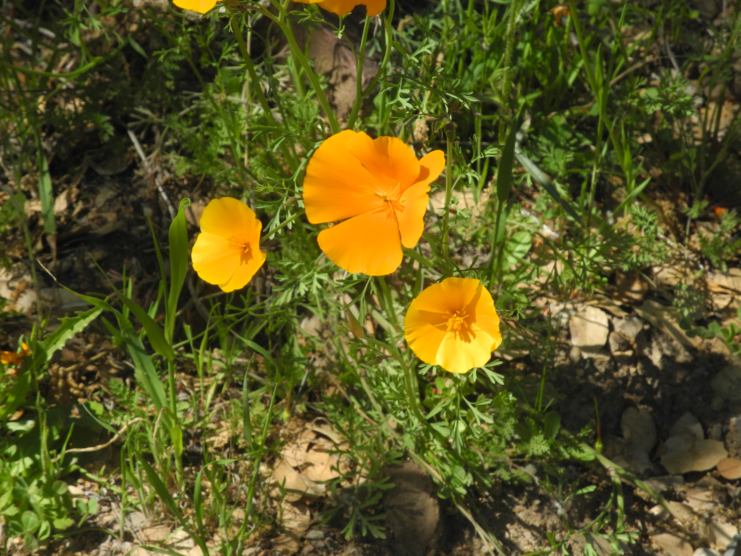
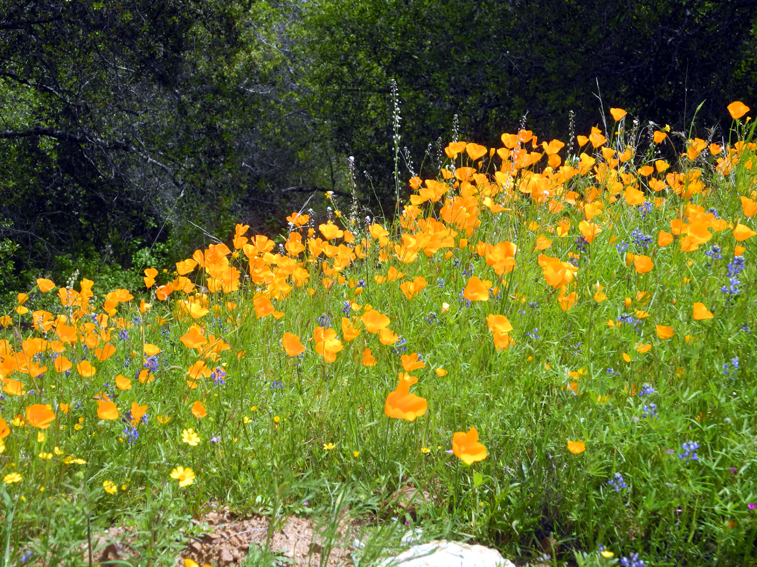
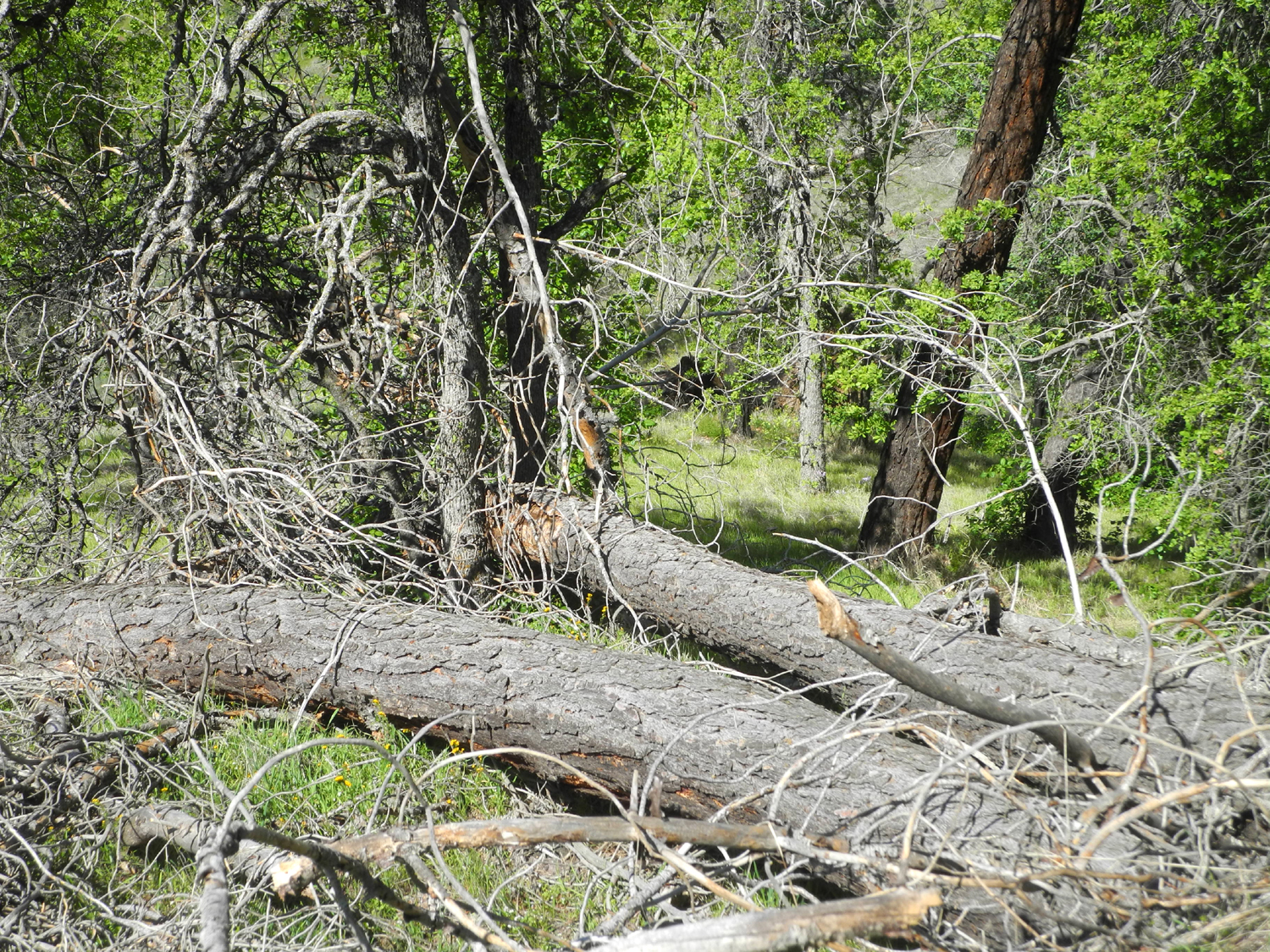
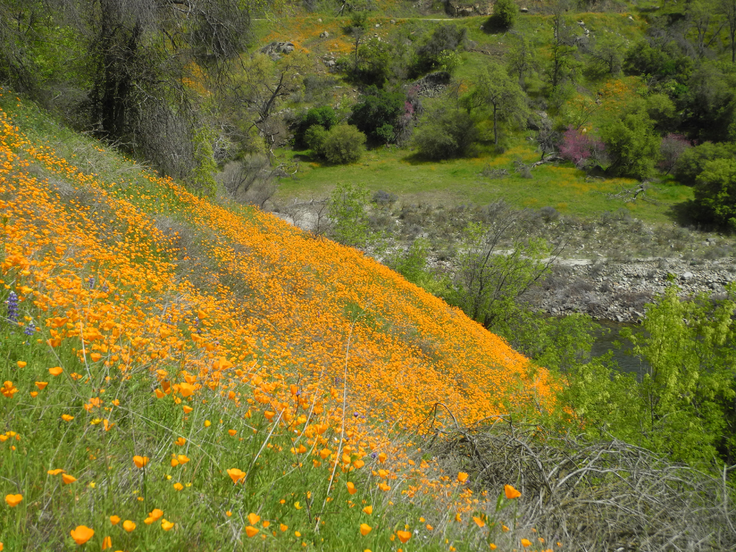
After going a little farther on this route than I had on two previous hikes, we returned to the parking lot and went south on the Edison Point Trail. This is a loop trail that goes down to the water's edge, then zig-zags back up to the parking area. We hiked it several times previously, but it goes straight down the hill in one place, and is blocked by many fallen trees, and we don't intend to go on it again. We went the half mile to the point, and found some nice rocks in the shade where we enjoyed our snack and lots of flowers, including milkweed, lupines, and a hillside covered with poppies. |
|
 |
 |
| Milkweed stands out among the surrounding grasses | A hillside of poppies and fiddlenecks |
|
Our two-part hike added up to 2.19 miles, and brought my personal total for the month to 40 miles, the most I've hiked since November, 2016. It was also one of the warmest hiking days of the year, and even with a slight breeze, I was comfortable in a short-sleeve t-shirt. As
we said our goodbyes, we discussed future hikes, the next one to
take place only three days later. --Dick Estel, April 2020 |
|
|
Hike to Camp 4 /1/2 Cabin
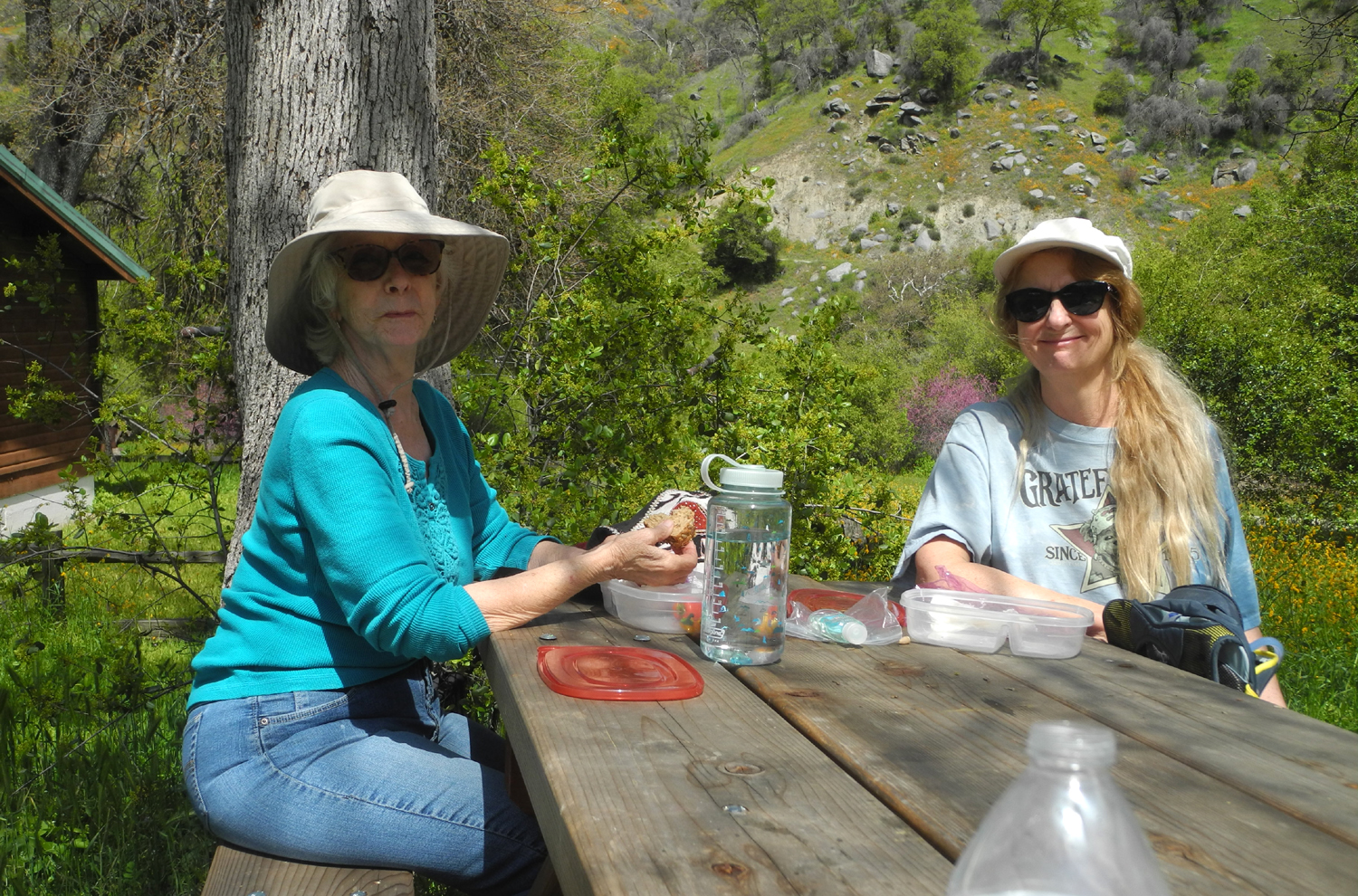
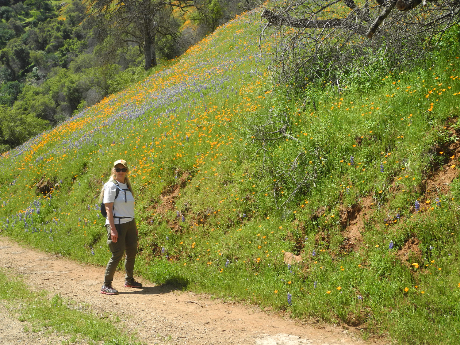
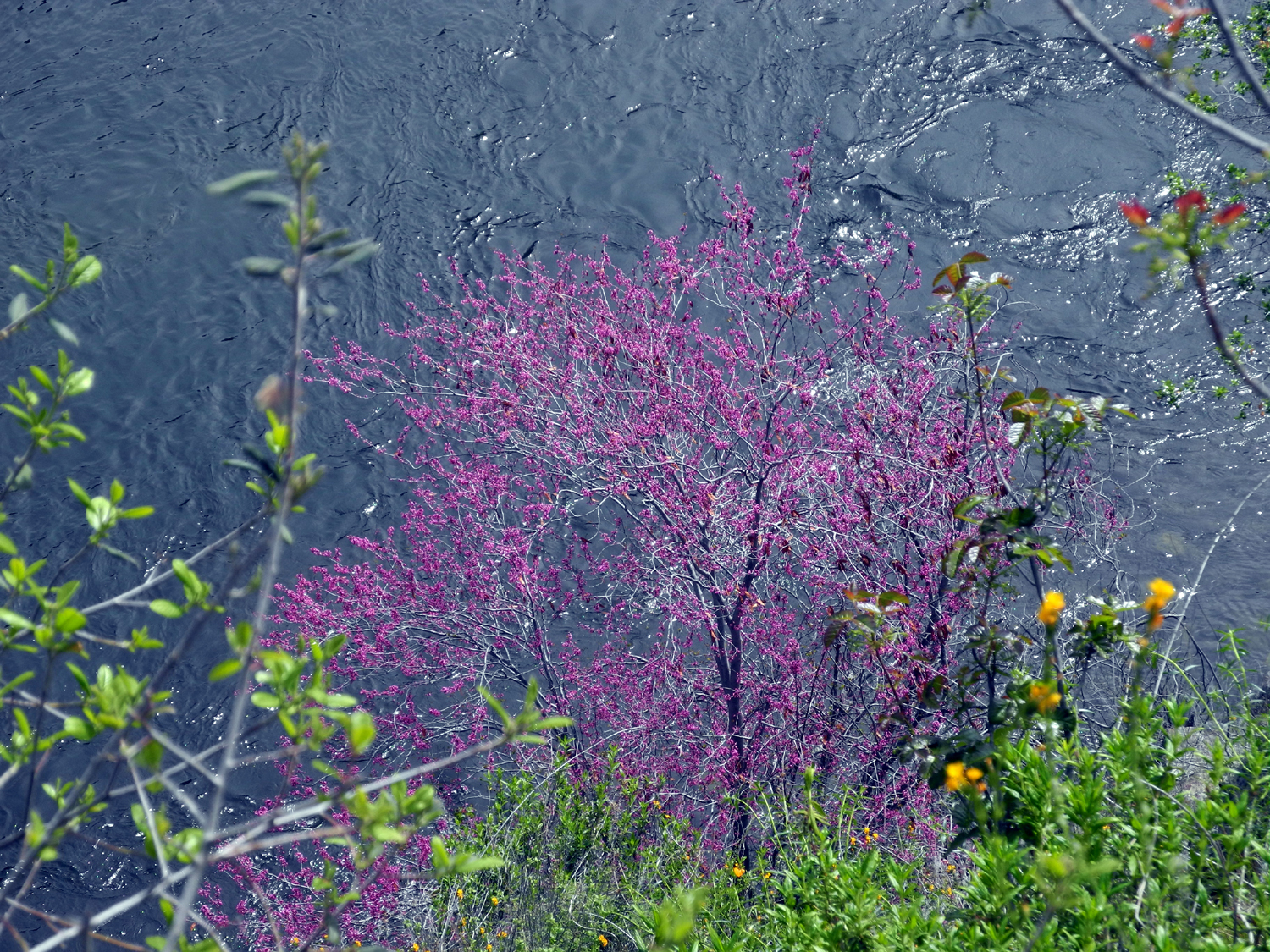
For each of the last four years, we have made reservations to stay at Camp 4 1/2 Cabin, a former ranger residence along the Kings River, one mile up the dirt road on the south side. In 2017 we had record rains, there were slides on the road to the cabin, and our reservation was canceled. However, I walked in to see just how bad the road really was. Everything worked out fine in 2018 and 2019. This year we scheduled our family camp for Wawona in May, so my younger daughter who lives in Oakhurst could join us. However, I still reserved the cabin for early April, planning to go with my friend Wes. daughter Teri, and great grandsons Colton and Jack. Unless you've been living on Venus you know that the whole world's plans for April have been disrupted. However, it's still possible to walk in along the road that goes to the cabin, and I did just that on April 3, along with Teri and her mother Jackie. We drove two separate cars the 60 miles to where the dirt road leaves the pavement and parked there, near the Kings River. |
|
|
|
| Spectacular popcorn flower display along Trimmer Springs Road | Blue fiesta flowers stand out among the fiddlenecks |
|
It was a warm day, with a nice breeze much of the time, and the flowers got better and better the farther back into the Kings River canyon we went. Although the most common flowers were probably fiesta flowers, growing in thick patches of small blue blossoms, the real show came from the poppies. They grew along the side of the road most of the way in to the cabin, and created large orange splashes on the hills on both sides of the river. |
|
|

|
| Part of the poppy border along the road to the cabin | Typical scene on the hills above the Kings River |
|
We also were delighted to see quite a few purple brodiaea, the first western wall flowers we'd seen this year, and samples of most other "regular" foothill flowers, including shooting stars, blue dicks, globe lilies, Indian pinks, and the usual masses of fiddlenecks. As expected during spring along the river, there was a fantastic showing of redbud. On the drive home, I saw a hillside covered with what I'm pretty sure were farewell-to-spring along the road. |
|
|
|
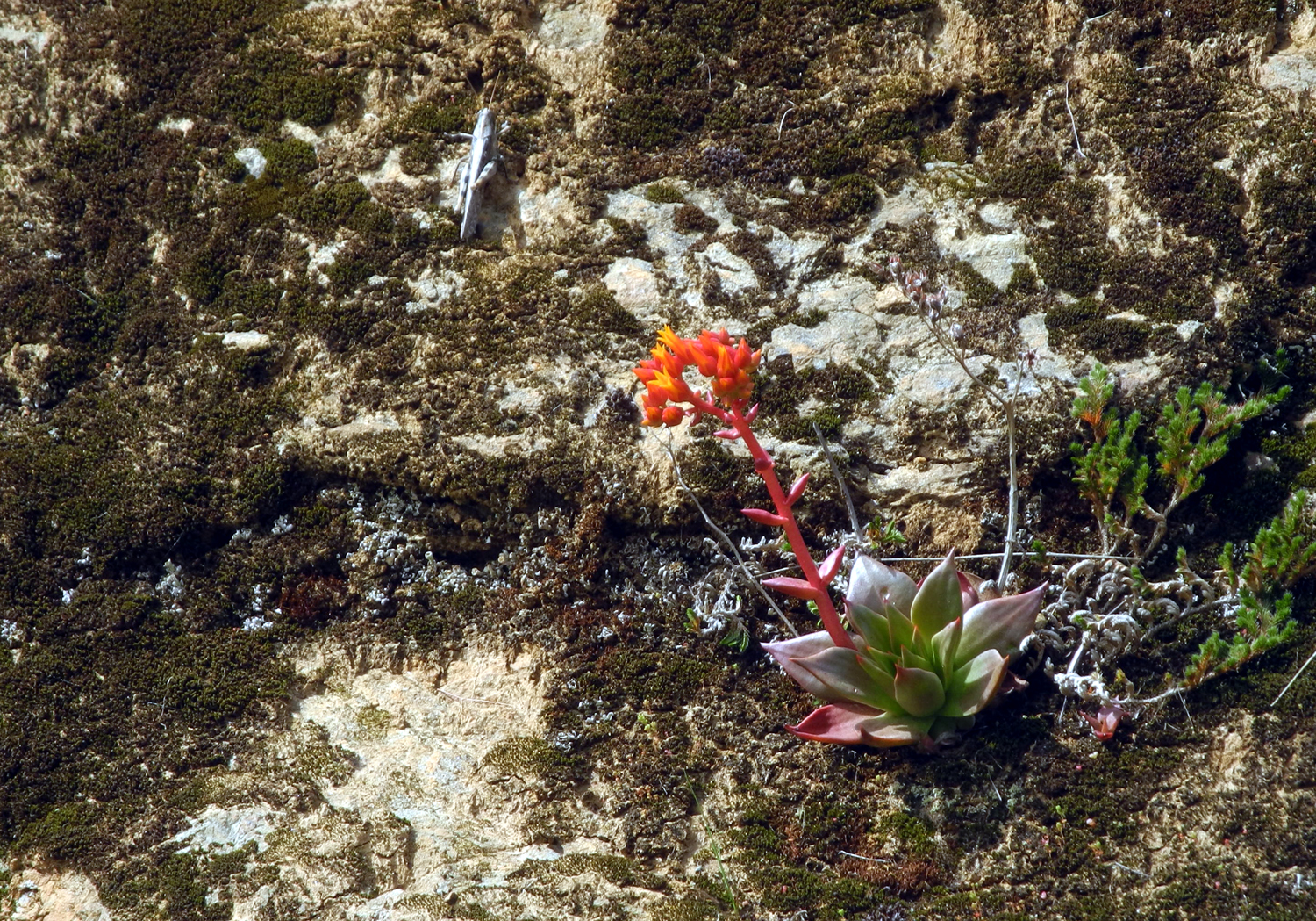
| The showy purple brodiaea grow on the shaded side of the road | Rock cliffs above the road offer a perfect habitat for succulents |

|

|
| Bright Indian pinks were out in small numbers | The redbud was at its best along the upper Kings |
|
Developed areas, including all campgrounds and the cabin, are closed, but hiking and "socially distanced" enjoyment of the national forest is permitted and even encouraged. We were unable to work up any feeling of guilt when we sat at a picnic table behind the cabin and enjoyed our lunch, with no other human in sight. |
|
|
|
| Jackie and Teri enjoy lunch next to the cabin | Typical Sierra spring - snow and poppies |
|
Our Friday hike marked the end of a full "work week" of delightful spring weather, but we were well aware that the weekend forecast called for as much as two inches of rain in the area, and plenty of snow in the high elevations. We were happy to have scheduled this outing ahead of the weather change. Each
time we have stayed at the cabin, we have been visited by wild turkeys
in the mornings. We did not expect to see them on this visit, but as I
was driving home, I came upon a half dozen of them, taking their sweet
time crossing Trimmer Springs Road just past where it leaves the
lakeside. It was a fitting end to a special spring day in the
foothills --Dick Estel, April 2020 |
|
|
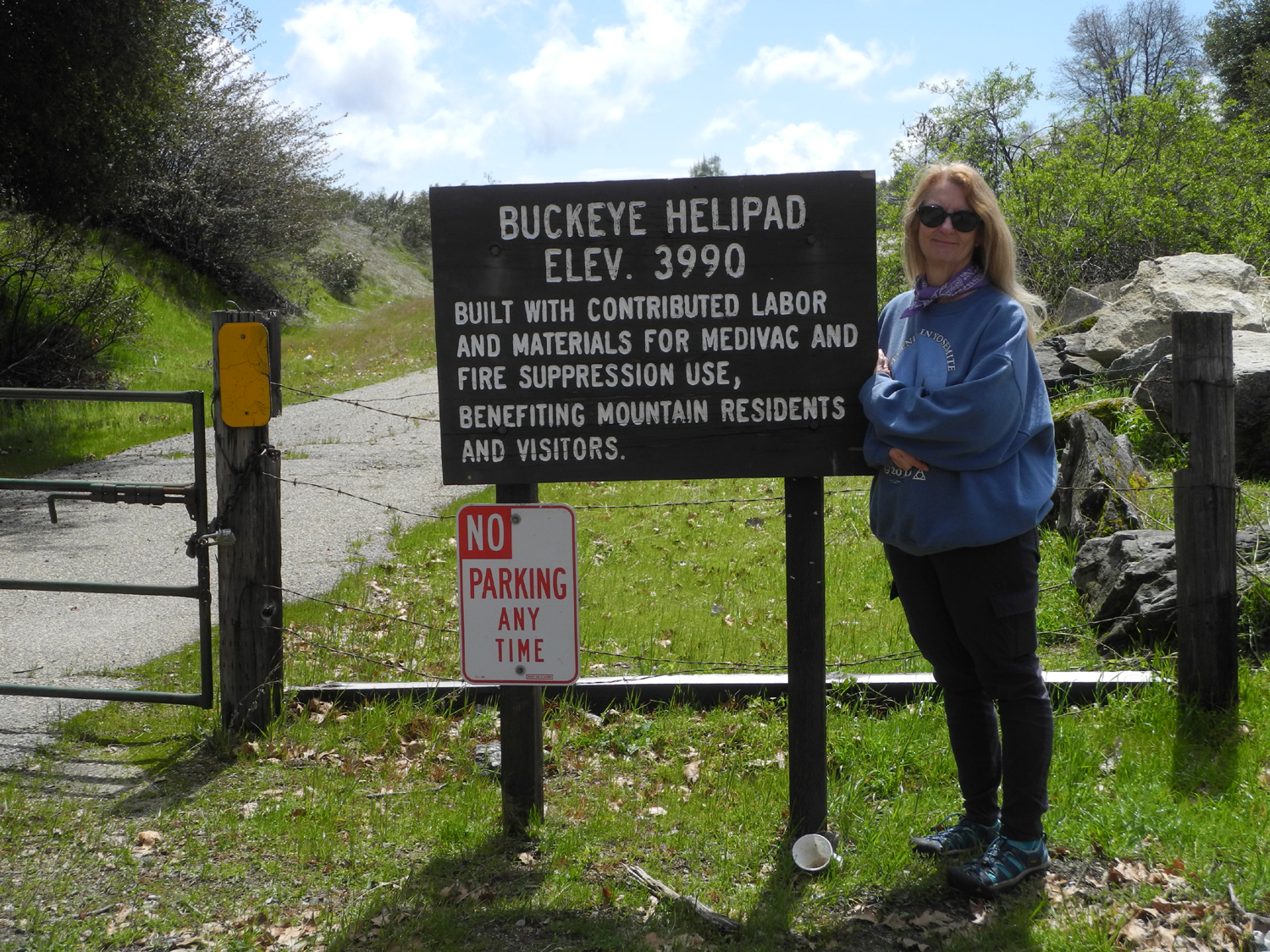
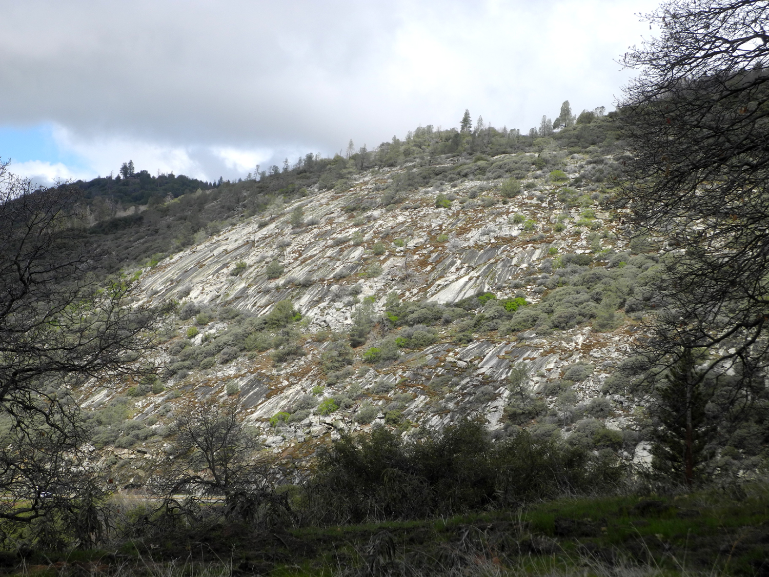
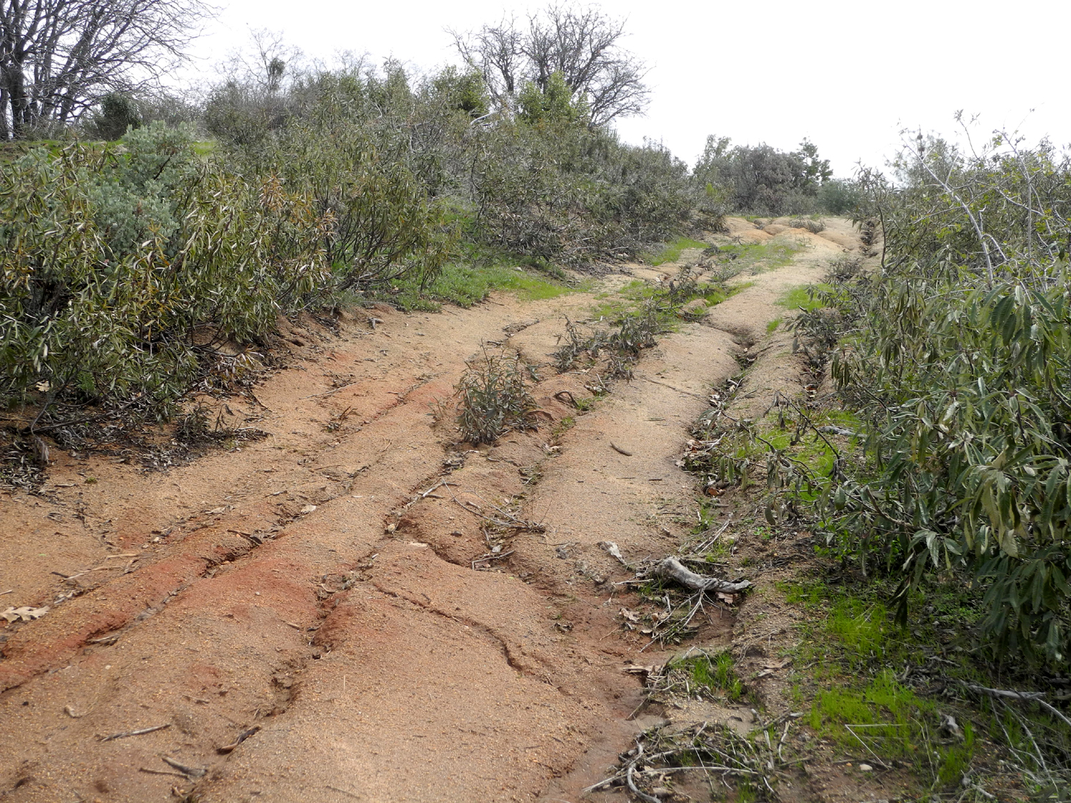
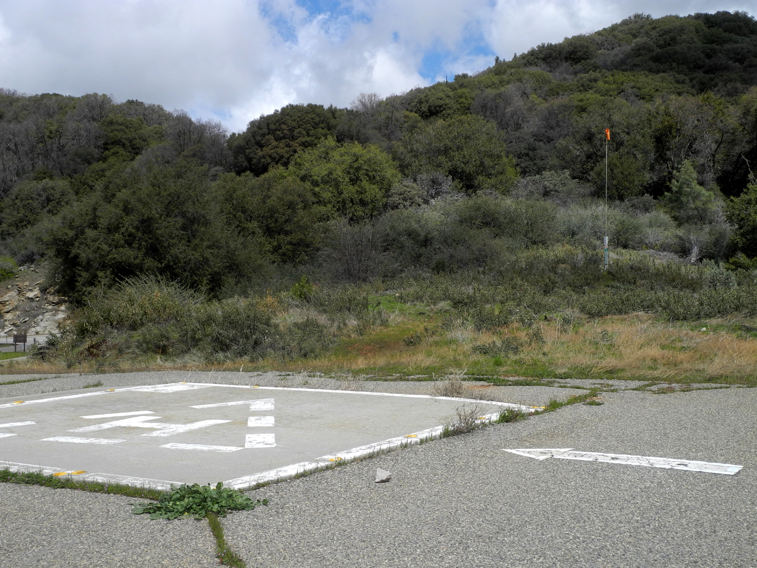
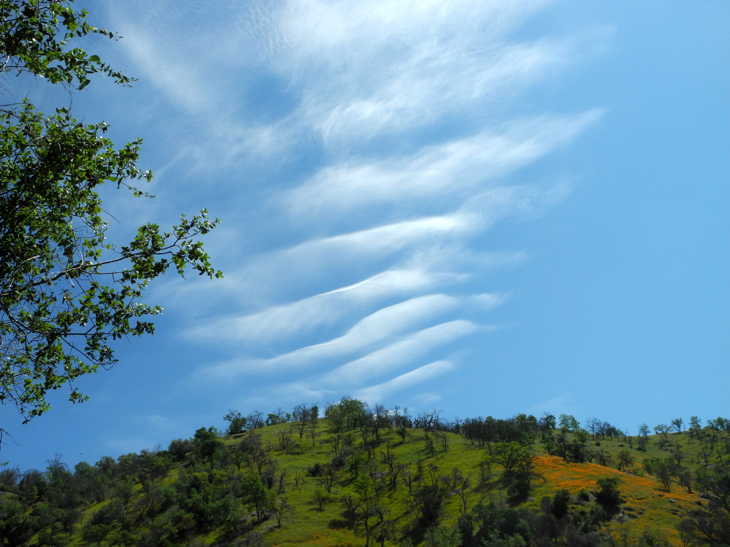
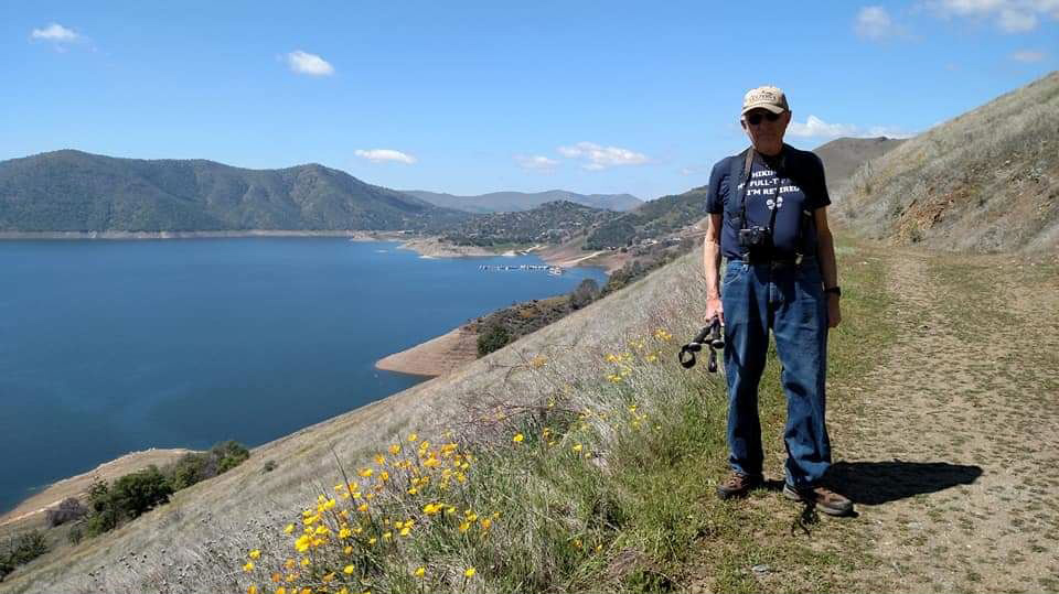
Buckeye Helipad On April 7 Teri and I set off for the foothills, in separate cars as required by the strange times we are living in, hoping to hike at San Joaquin Gorge. We knew we might not accomplish this goal for a couple of reasons. This has become a very popular area, with the parking lot nearly full even on weekdays, especially with a lot of people not working. We had decided if it was crowded, we would go somewhere else. And there was always the possibility that the area would be closed. When I reached Smalley Road, the turnoff from Powerhouse Road, there was a notice that the campgrounds and "recreation areas" at the Gorge were closed. This seemed at big vague to me, so I continued down Smalley till I came to the border between private and pubic land, where the gate was closed and locked. How hard would it have been to include four simple words on the sign: "The trails are closed." I returned to the Power House/Smalley junction and met Teri a few minutes later. We decided to drive up Auberry Road through Meadow Lakes and Alder Springs, a scenic route that goes up from Auberry at 2,000 feet to join Highway 168 at 4,400 feet. After that we headed down the section of Highway 168 known as the "Four Lane" and hiked at the Buckeye Helipad. I had done this in December, 2018, in reverse order, and we were both familiar with the scenic views along Auberry Road. The weather for the day was clouds and sunshine, and as we drove along the places where we would have an unobstructed view of the Sierra, the clouds were in control. Later we had glimpses of snowy peaks through the trees, but never a view like this one from 2018. At the highest part of the road there were small patches of snow for several miles, and the temperature dropped down to 39. It was the same when we arrived at the Helipad, which is located at just under 4,000 feet, but walking quickly warmed us up. There is a dirt parking area off Highway 168, where it cuts across a rocky hillside. |
|
|
|
|
Another sign at the entrance announces that hiking, biking and horseback riding are permitted here |
A section of the highway at the base of this rocky slope can be seen at the lower left |
|
It's only a short walk to the pad itself, but then a dirt track goes up hill, levels off, goes up again, then drops down to an area that has been disked up. Along the way we had views of the mountains in the Kings Canyon area and to the southwest. |
|
|
|
| View of an area that has been cleared and plowed up | Vista to the southwest from the trail |
|
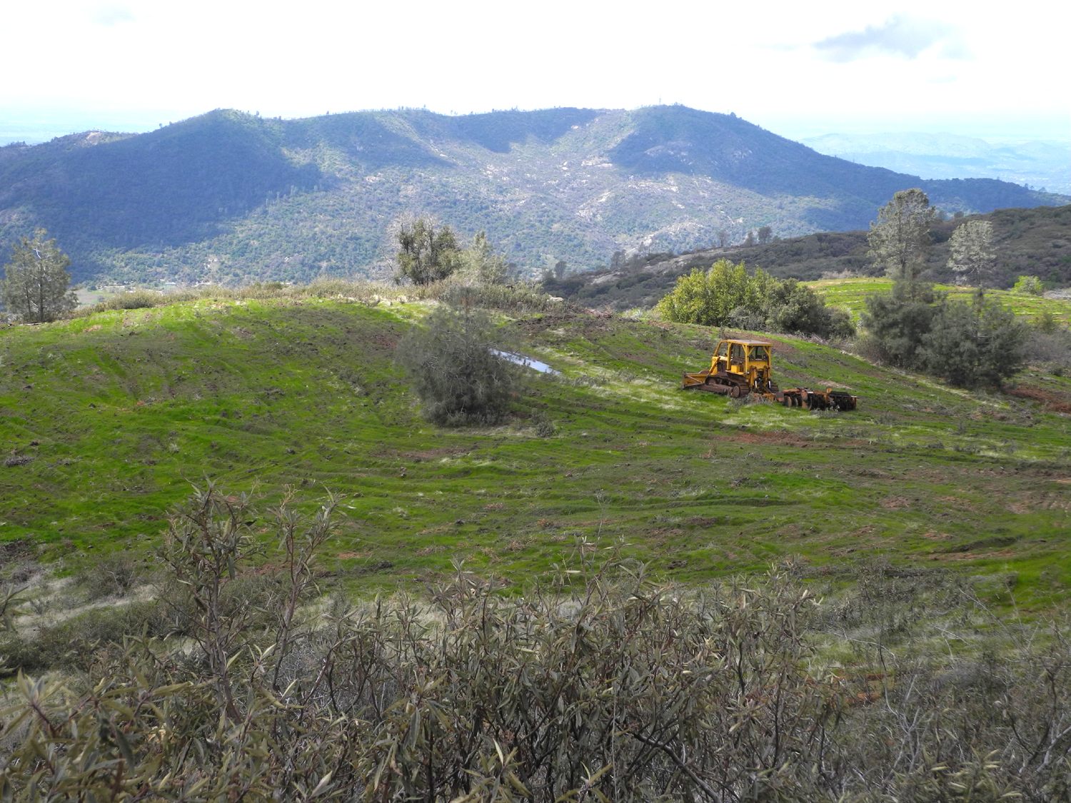
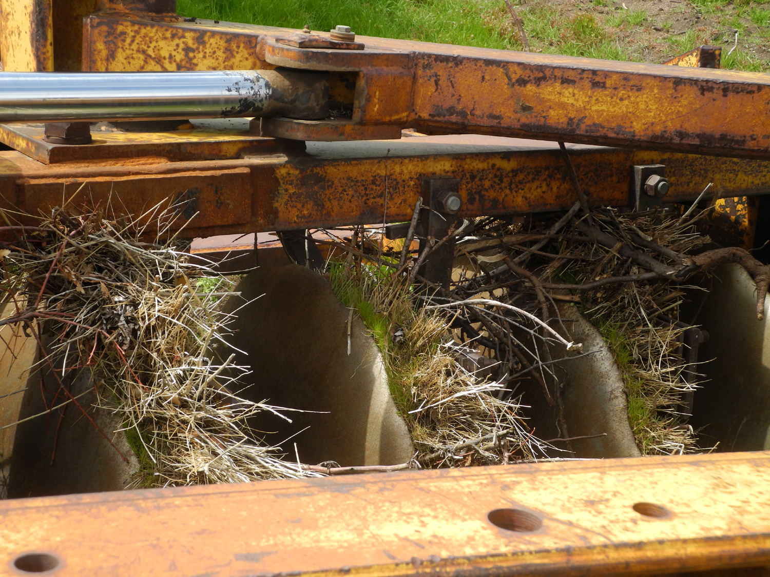
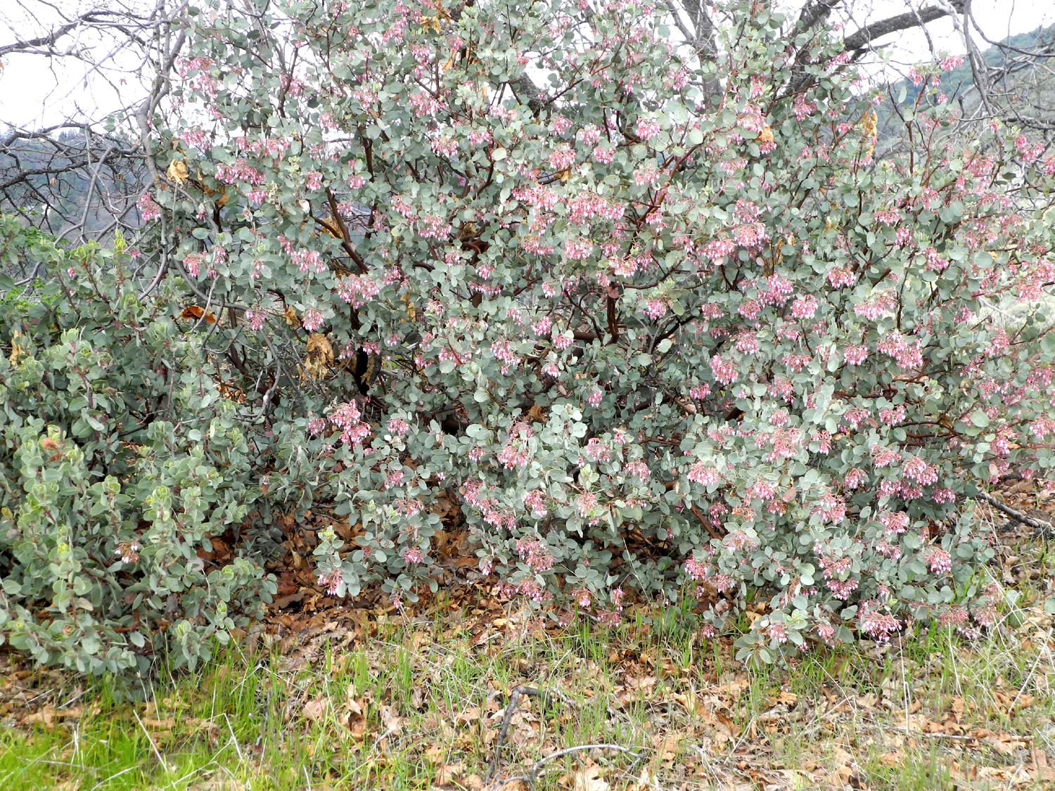
We went down to the plowed up area, stopping to check out a large bulldozer and disc that appear to have been sitting there for some time. New grass and plants have had time to grow in the dirt clinging to the dozer tracks and disc. We went a short distance past this point, then returned and sat on the dozer while we had our snack. There was a bush lupine and some fiddlenecks by the entrance road, manzanita in bloom and a few small filaree blossoms along the trail, but this was not a wildflower hike. Instead we were impressed by the large number of black oaks in the area. They are not yet leafing out, but provide some color with a few dry leaves from last season. |
|
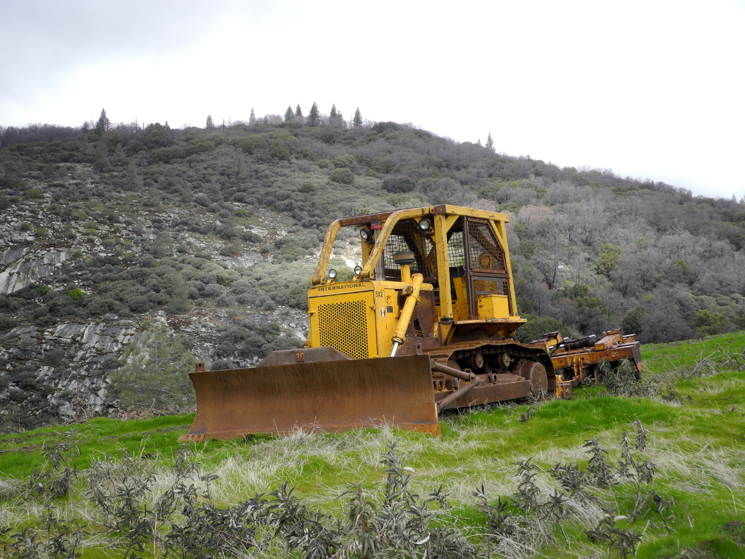
|
|
| Sitting and rusting | A few of the many black oaks in the area |
|
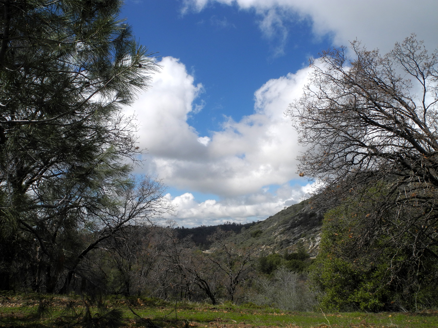
With our snack finished, we made our way back up the steep, rutted track, enjoying the shifting views of clouds and blue sky |
|
|
|
| This section of the road is steeper than it looks | Clouds to the west |
|
Although
we could not hike at our planned destination, we saw some great
scenery, got to drive through snow, and enjoyed a hike of just under a
mile and a quarter. We were expecting rain the next two days, then
another good hiking day on April 10. Watch for news about that. --Dick Estel, April 2020 |
|
|
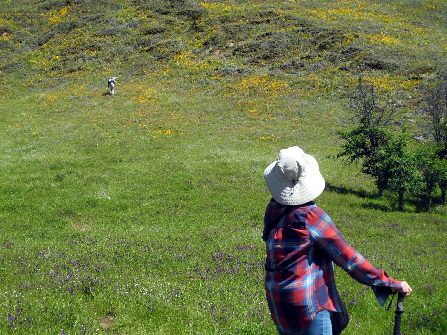
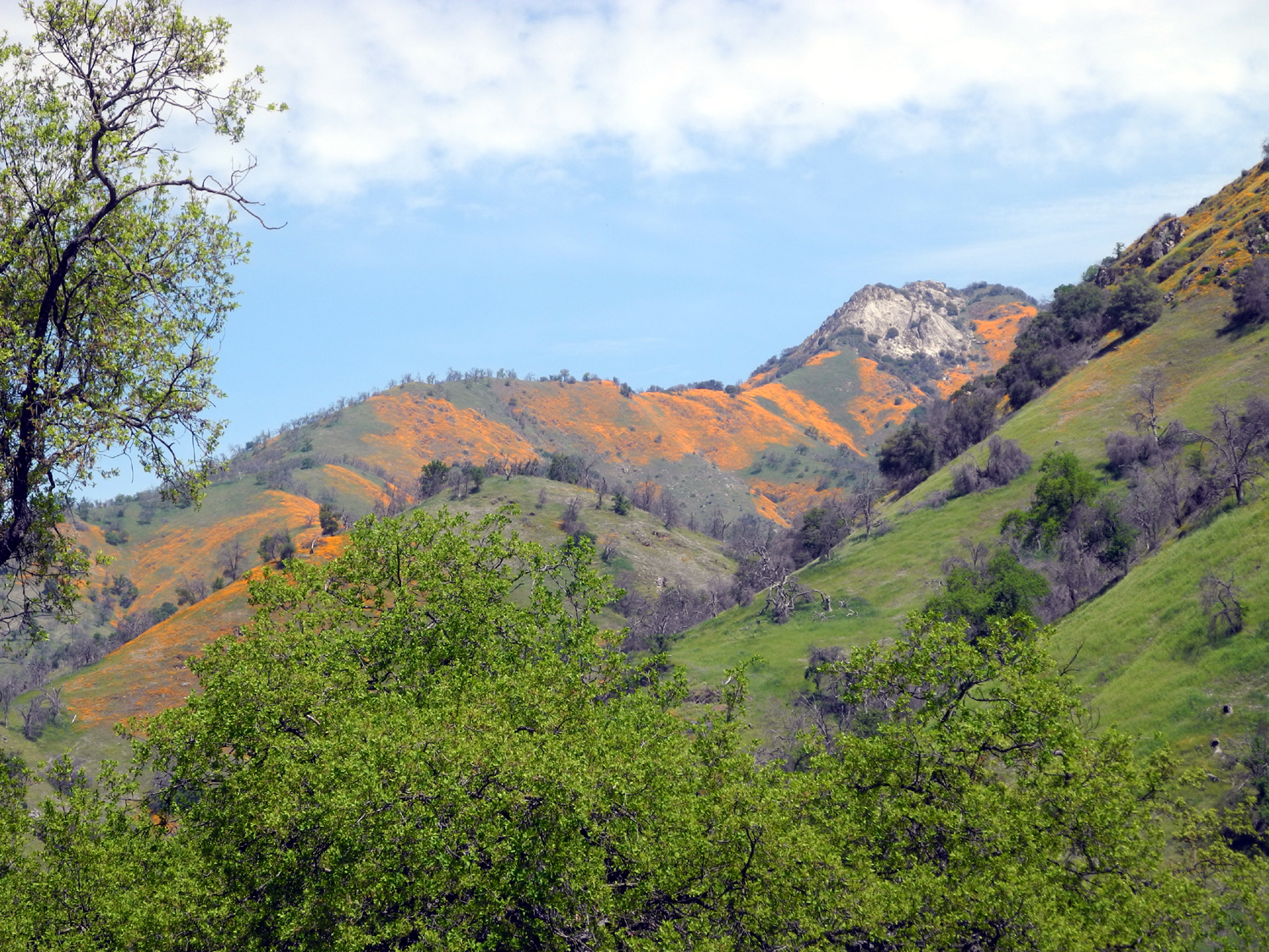
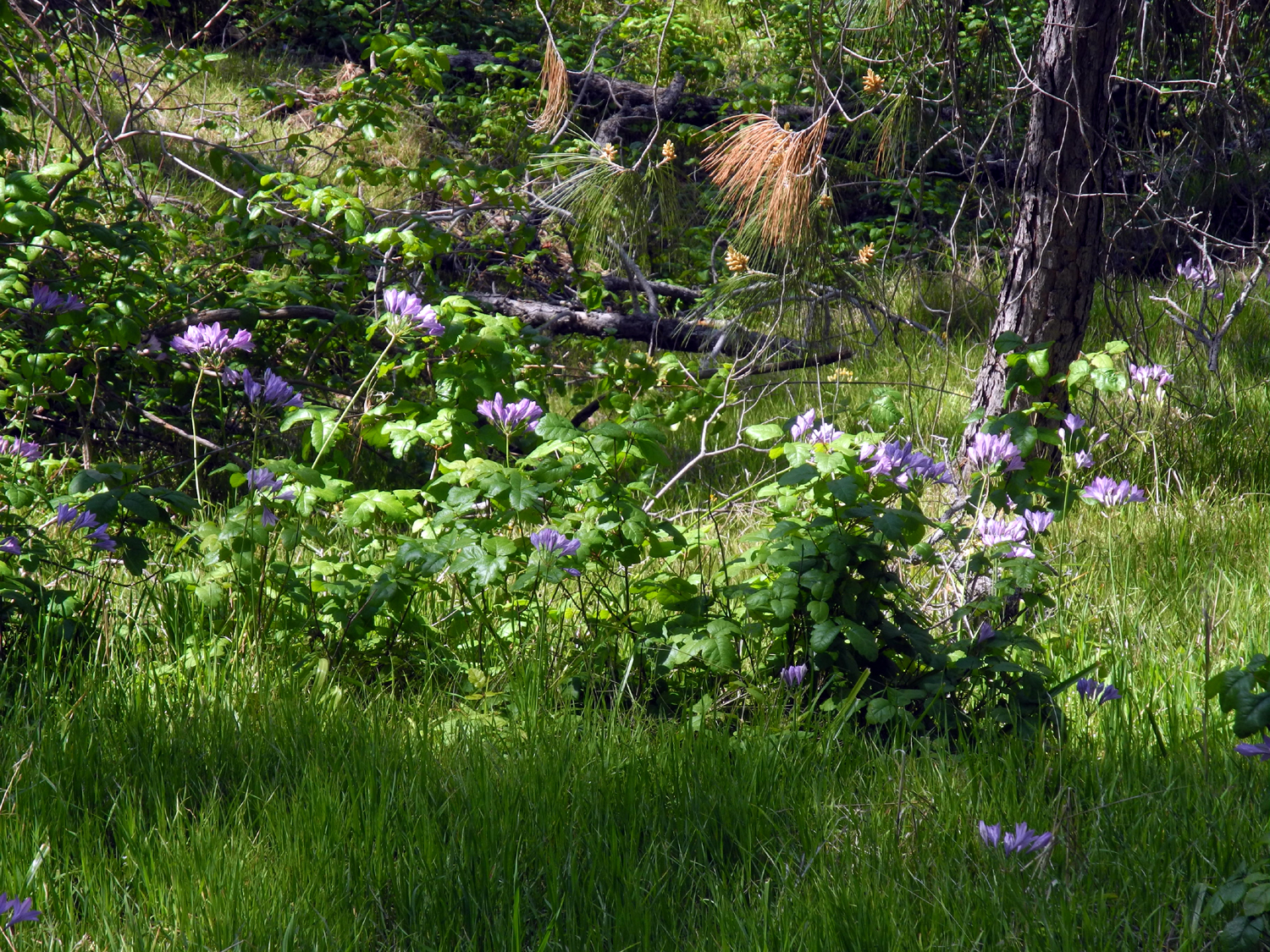
Edison Point Again
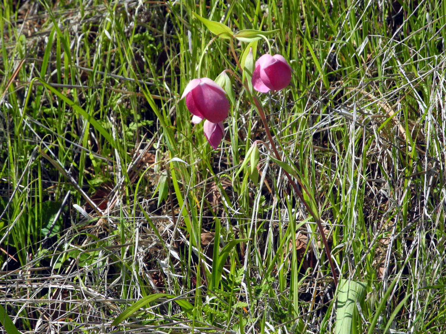
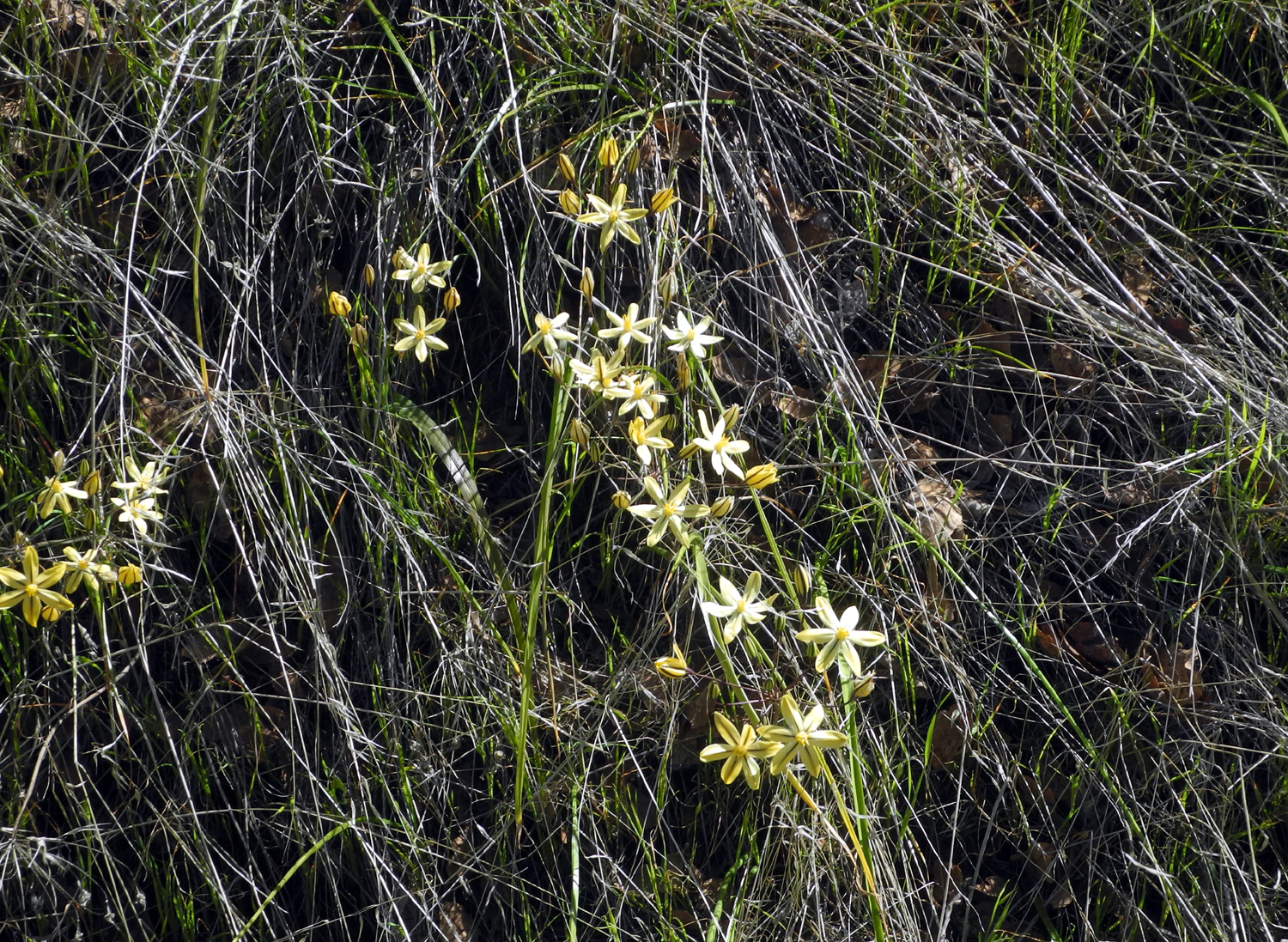
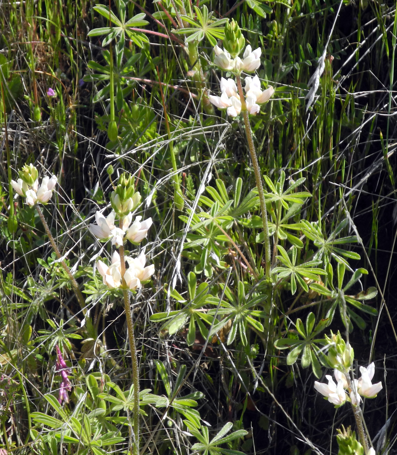
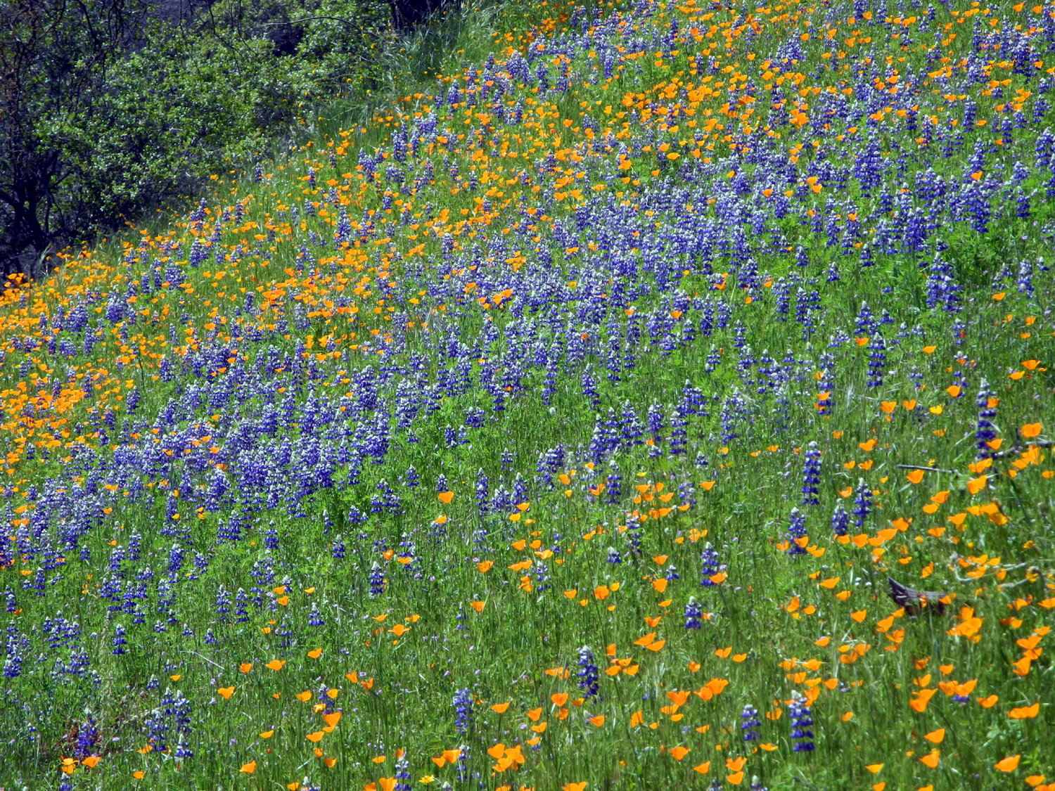
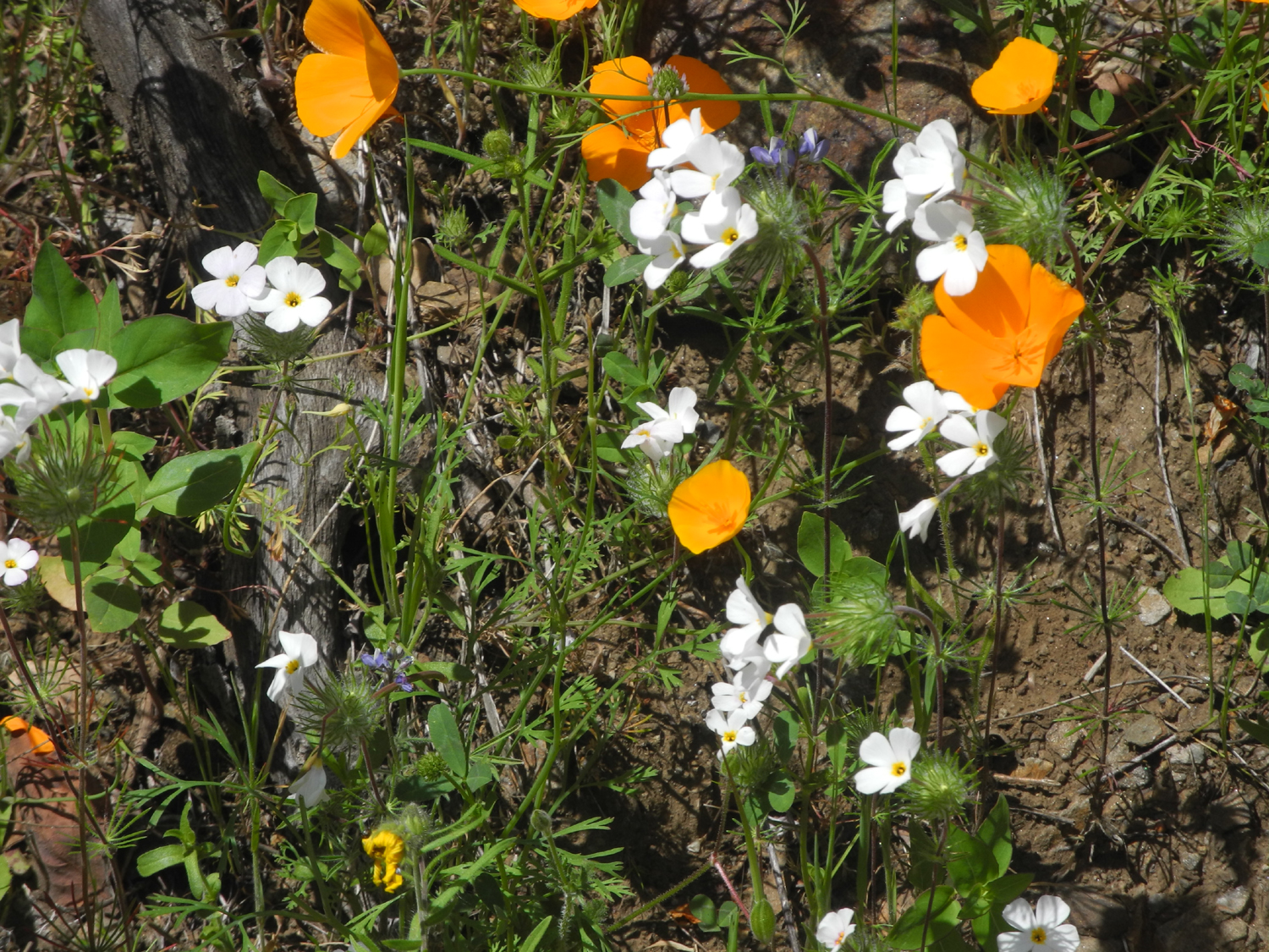
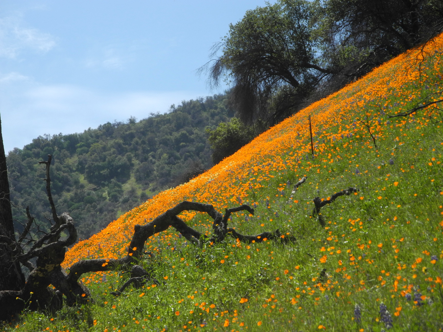
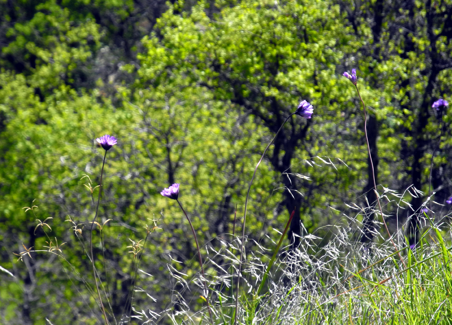
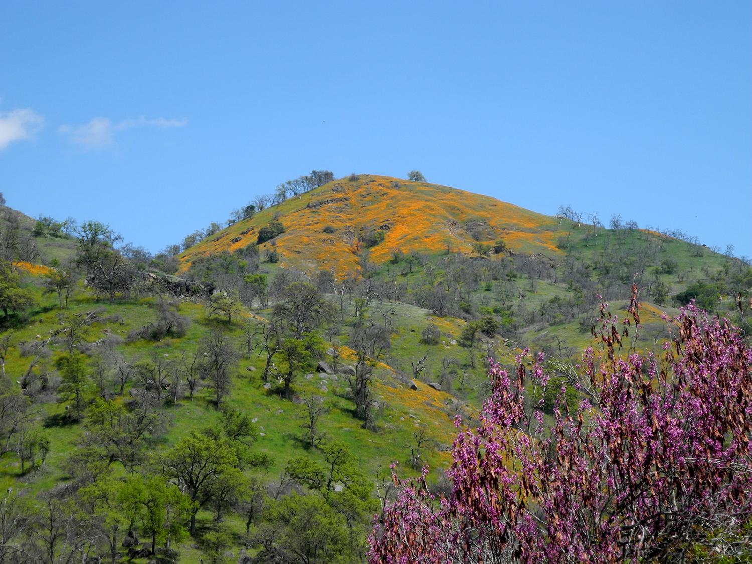
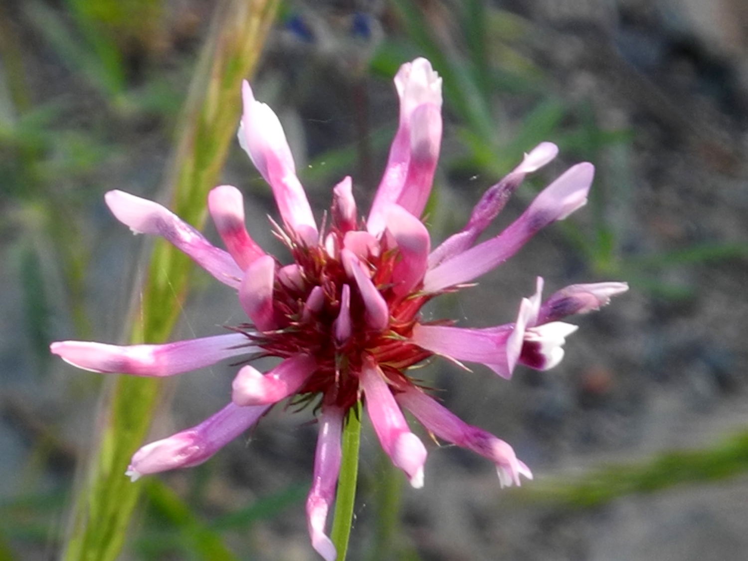
Are we running out of places to go? You might think so, considering that this was my third visit to Edison Point this spring - a solo hike on March 9, a walk with Teri on March 31, and now with Teri and Jackie on April 10. One week earlier the three of us had hiked along the Kings River above Pine Flat Lake. In between we had several days of rain, with more than an inch watering the foothills, and a foot or more of much-needed snow falling in the higher locations. The wildflowers keep getting better with each visit, and this time was no exception. I had spotted a small patch of farewell-to-spring on my drive home from our cabin hike on April 3. This time they covered the road banks in many areas. Tall blue ground lupines made an appearance on the trail, and grew in profusion along Trimmer Springs Road. We also saw white lupines, bush lupines, poppies, fiddlenecks, popcorn flowers, phecelia, purple and yellow brodiaea, milkweed, common madea, and some we could not identify. |
|

|
|
| Lupines by Trimmer Springs Road | White lupines along the trail |
|
|
| Poppies are thicker each time we go to the foothills | A mix of popcorn flowers and purple vetch |
|
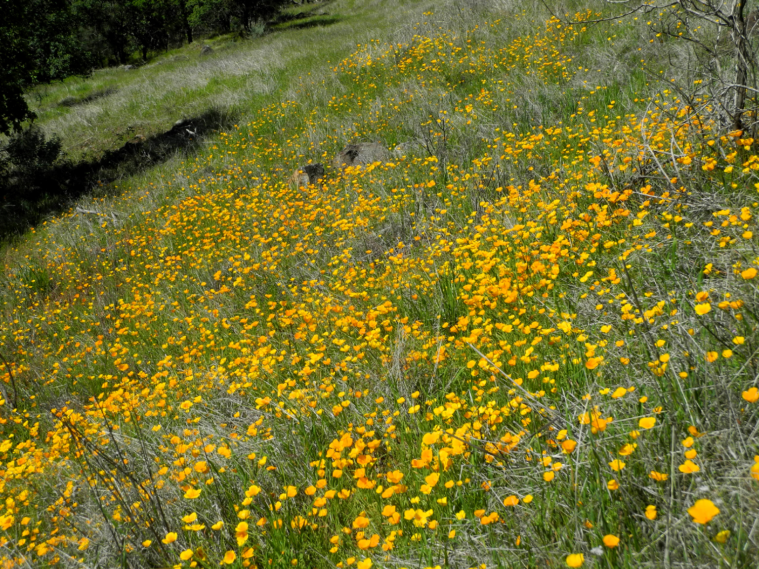
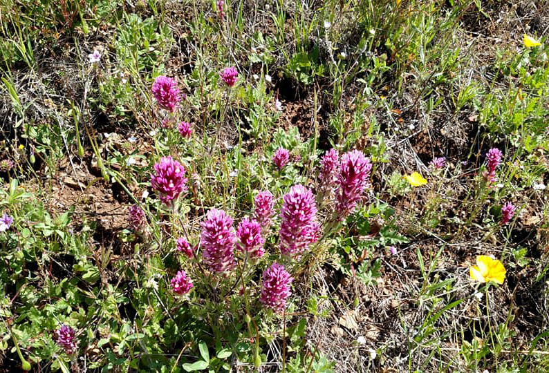
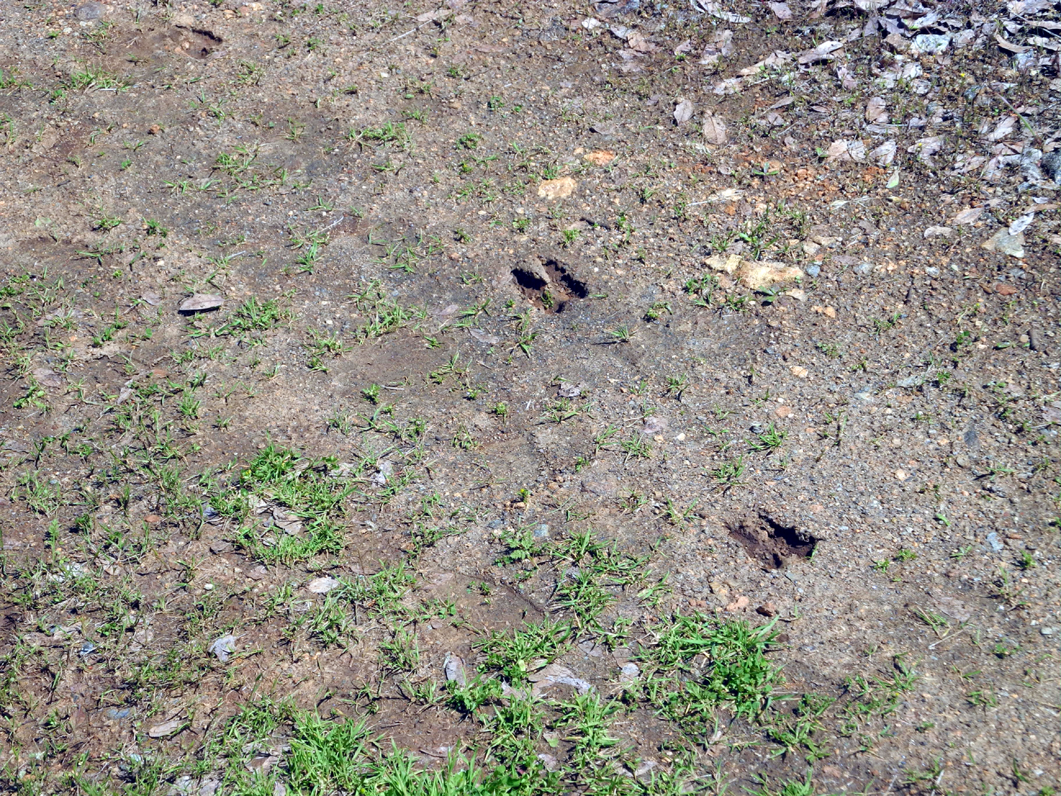
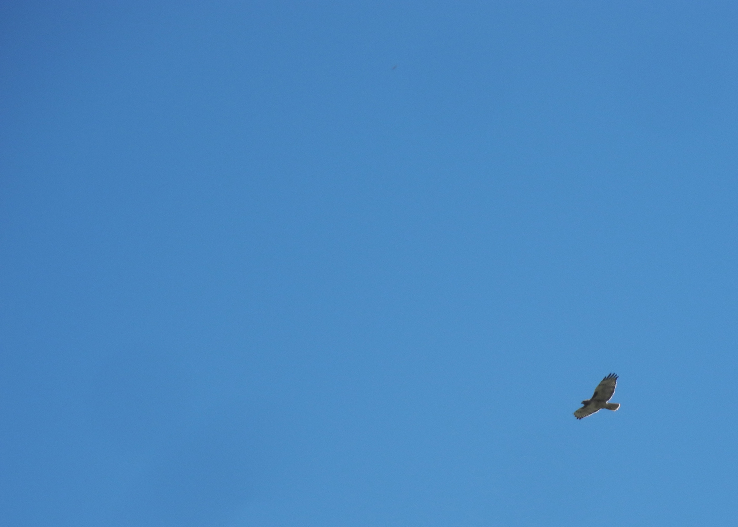
It was also a good day for bird-watching. I saw a wild turkey while driving up on the main road, and during our hike we saw hawks, buzzards and an eagle. None of them posed for a decent photo. We also saw a lot of deer tracks on the trail. When we reached the point, Teri went up the hill to the east and got our first photo of the year of owl clover, as well as a close look at the thousands of poppies scattered all over the hillside. |
|
|
|
| Jackie watches as Teri explores the hill above the point | Her exploration revealed a nice patch of owl clover |
|
We enjoyed our snack sitting on rocks in the shade, where we had a view of the lake, plenty of flowers, and a wildlife guzzler surrounded by fiddlenecks. |
|
|
|
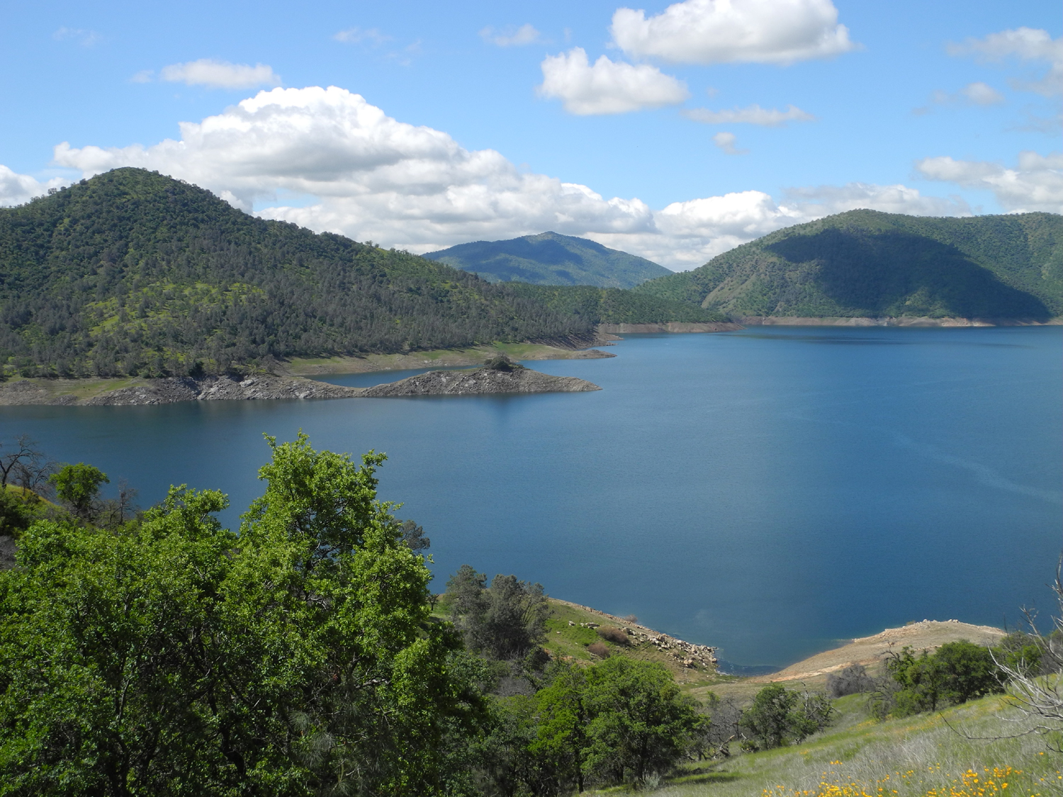
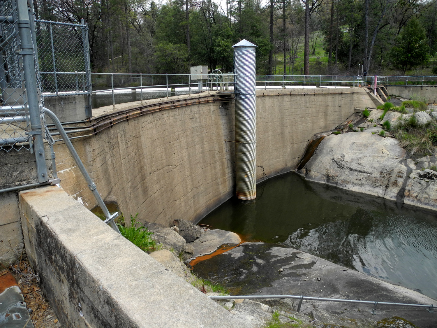
| A perfect day at Pine Flat Lake |
Wildlife
Guzzler near Edison Point - rainwater flows down the metal panels into a concrete basin below |
|
When we got back to the parking lot, there were a dozen cars there, but we only saw one group and one solo runner on the trail. The rest had apparently made their way down to the lake for fishing. |
|
|

|
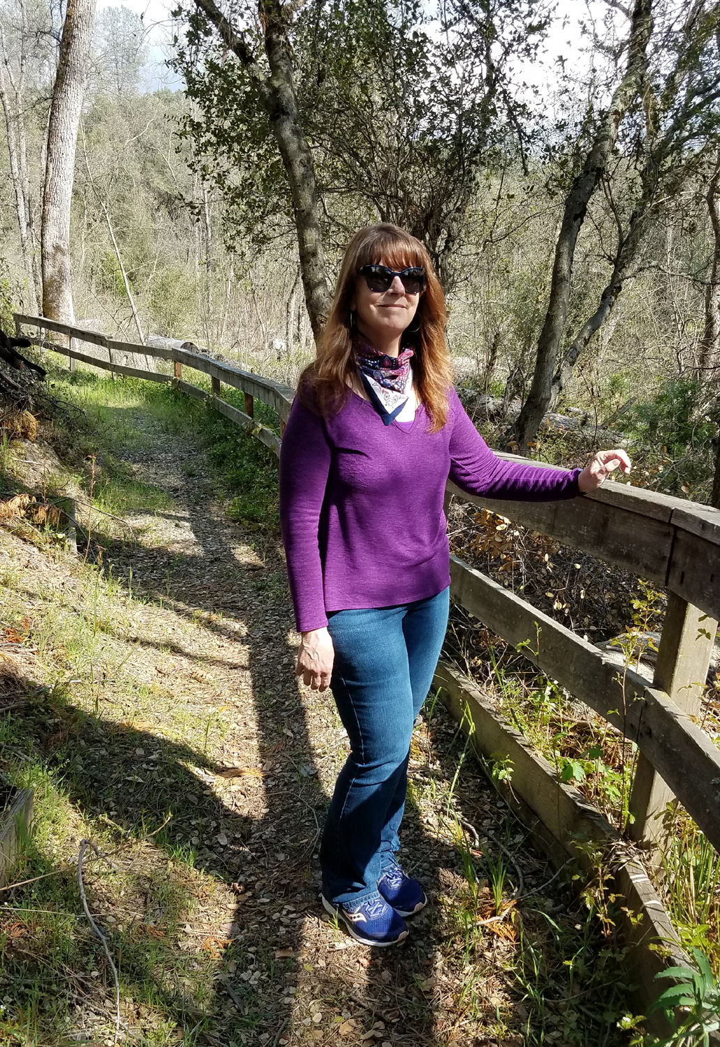
| Teri and Jackie, almost done with the hike | View up the Kings River canyon from Trimmer Springs Road at Piedra |
|
Although
our outing lasted two hours and 45 minutes, we only logged 51 minutes
of hiking time, covering just under a mile and a quarter. We used the
rest of the time enjoying fantastic spring weather and the beauty of
the Sierra foothills, a needed respite from the grim news that
assaults us every day. --Dick Estel, April 2020 |
|
|
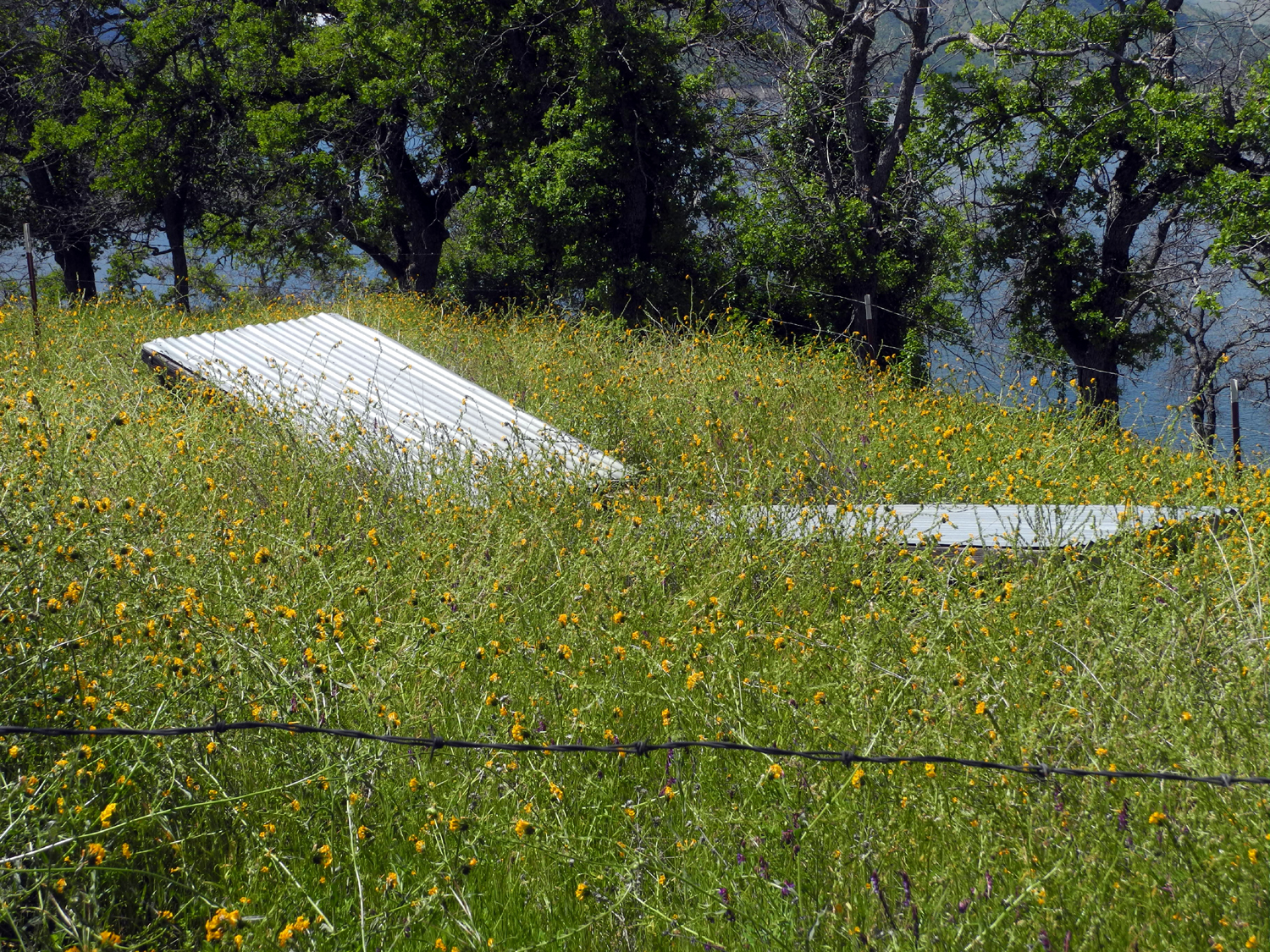
Goofy Smith Flat
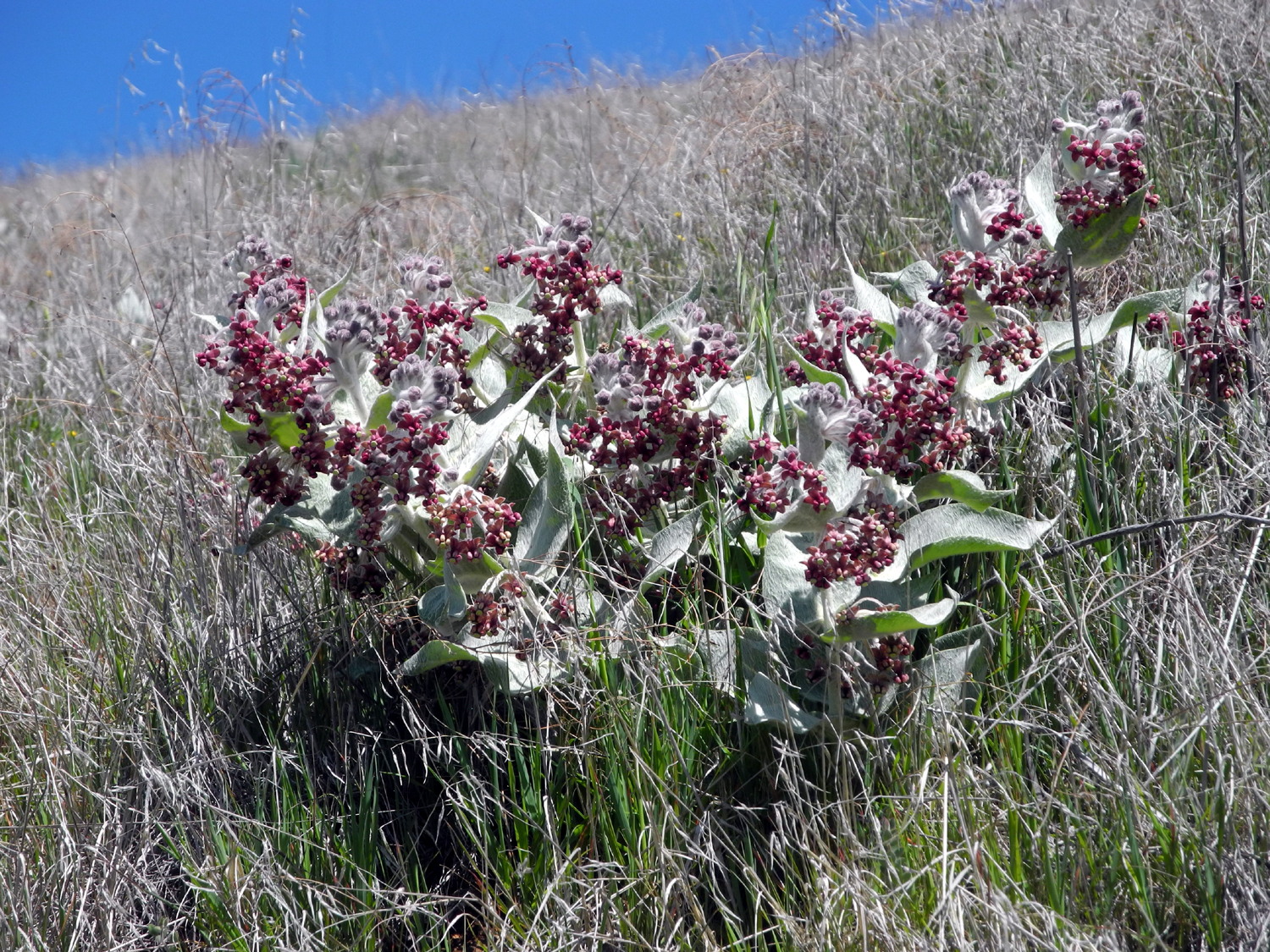
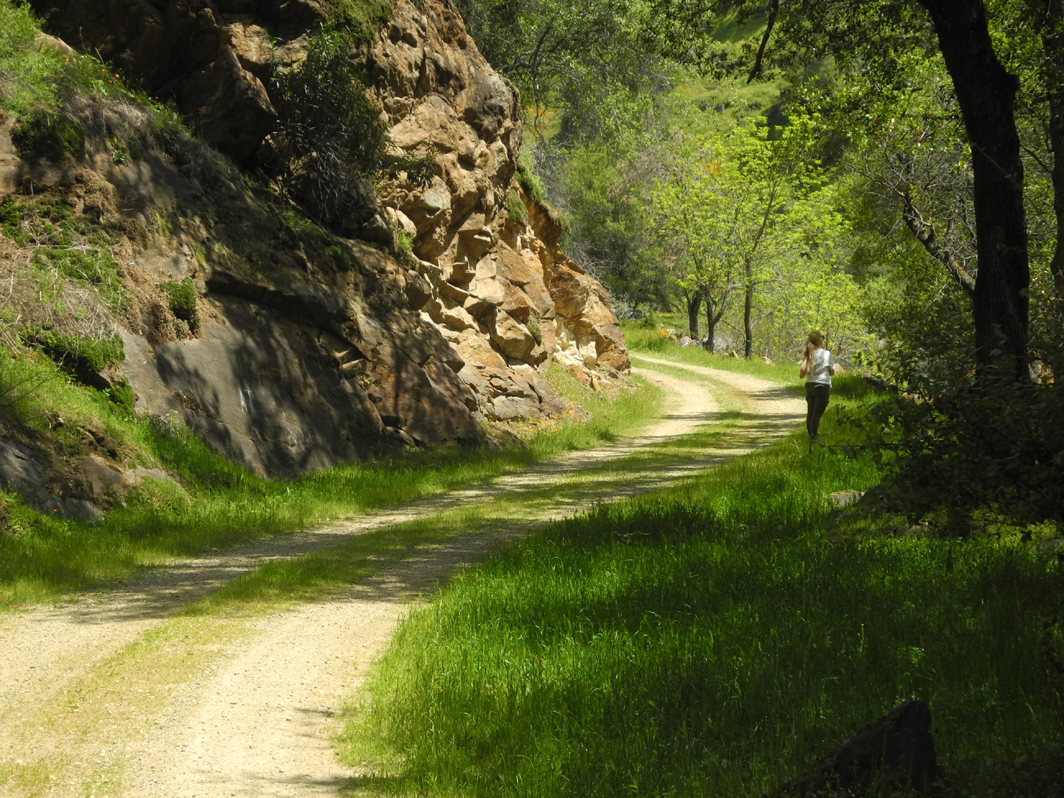
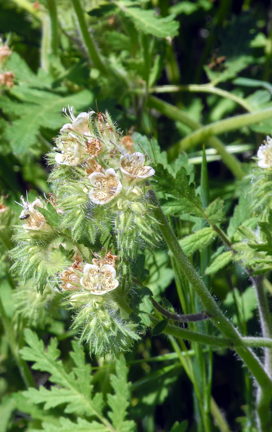
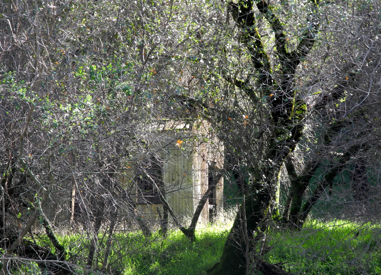
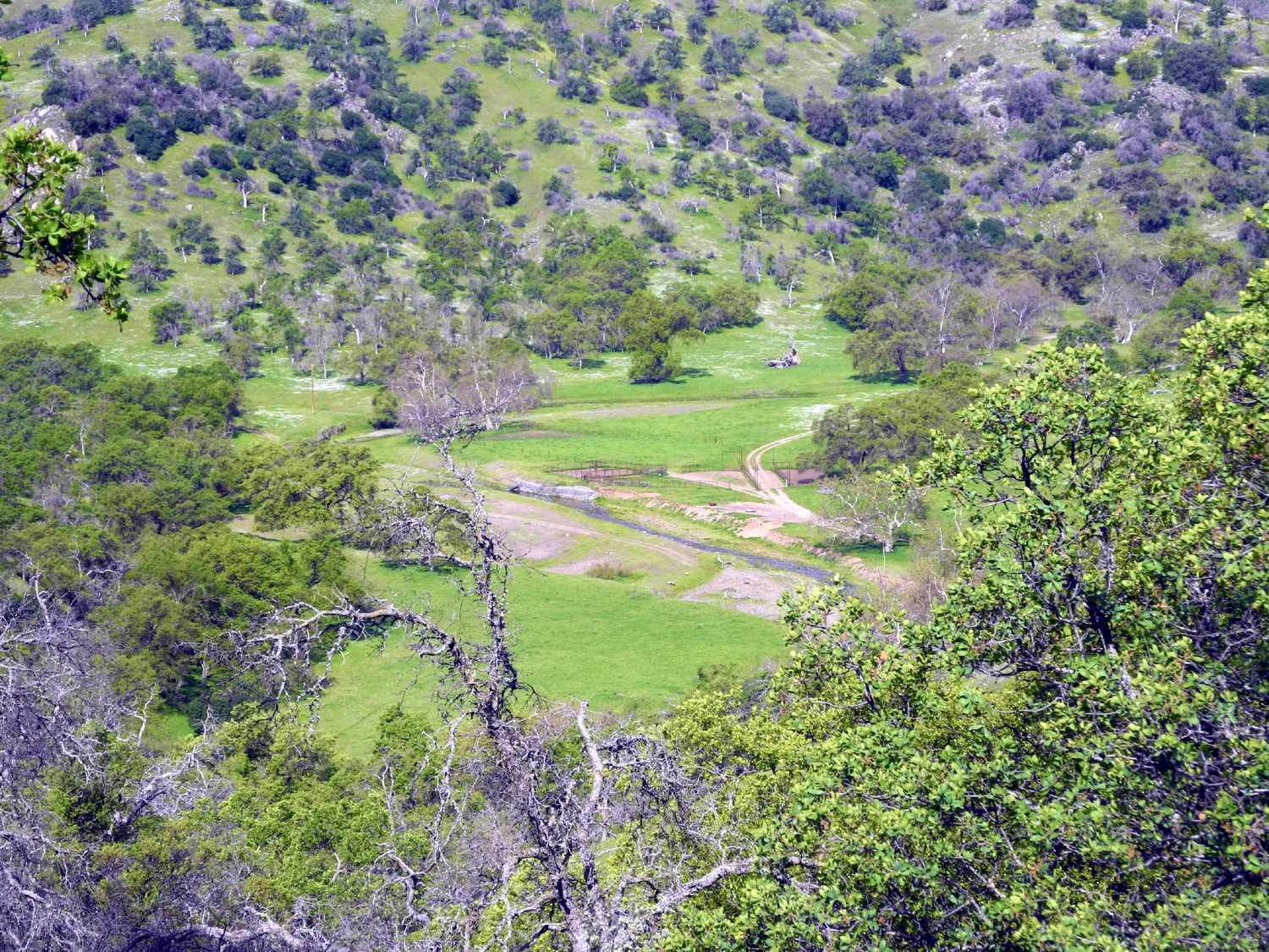
I have a long-standing habit of giving names to landmarks that lack one. Sometimes I learn that the mountain or dome or camping area already had a name that just didn't appear on the map. Sometimes my name is better - would you rather hang out at Bald Mountain Base Camp or Stargazer Rock? However, I didn't make up the name Goofy Smith Flat. When I first visited this location, it was painted on the rock cliff beside the road, along with an address. Sadly it's almost completely washed off. Where Trimmer Springs Road crosses the Kings River and begins to follow the North Fork, dirt roads go east on both sides of the main river. Three miles up on the south side is Mill Flat Campground, where the road turns away from the river and follows Mill Flat Creek. This route takes you to Goofy Smith Flat, where there is a small building or cabin made of corrugated metal on the opposite side of the creek. Research revealed that no one can tell me anything about Mr. Smith. Was he a miner? A cattleman? Was he really goofy, and if so, was he certifiable? I've asked members of the county historical society, and they know nothing. A search on the Internet is no help, although at one time it led me to my own earlier page about the area, or my visit with Wes and Teri in 2018. But that was then and this is now, and on April 16 Teri and I drove in separate vehicles to the locked gate at Mill Flat Campground, and walked on the dirt road for a little over a mile to the notorious Mr. Smith's old stomping grounds. If you followed this road to its final destination, you would come out on Highway 180, a few miles up from Dunlap on the route to Kings Canyon National Park. The gate by the campground has been locked for at least two years, with no explanation. Of course, we were not there for the history or any of that stuff - we were there for the flowers. They seem to be better with each of our trips into the foothills, and more profuse the farther up the river canyon we go. It helps that we have had brief storms about once a week in April. |
|
|
|
| Chinese houses and common madea along Trimmer Springs Road | We haven't been able to identify this rather showy flower |
|
Driving the winding road beside Pine Flat Lake, we had spectacular view of lupines, fiddlenecks, popcorn flowers, and above all, poppies. |
|
|
|
| Poppies above the Kings River | Looking north from the road along Mill Flat Creek |
|
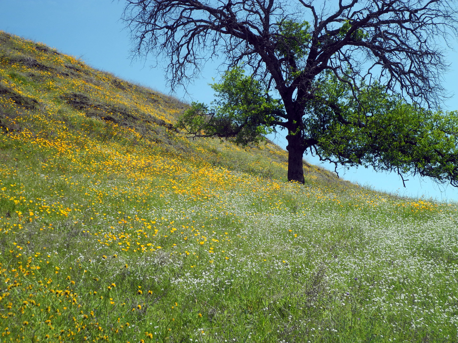
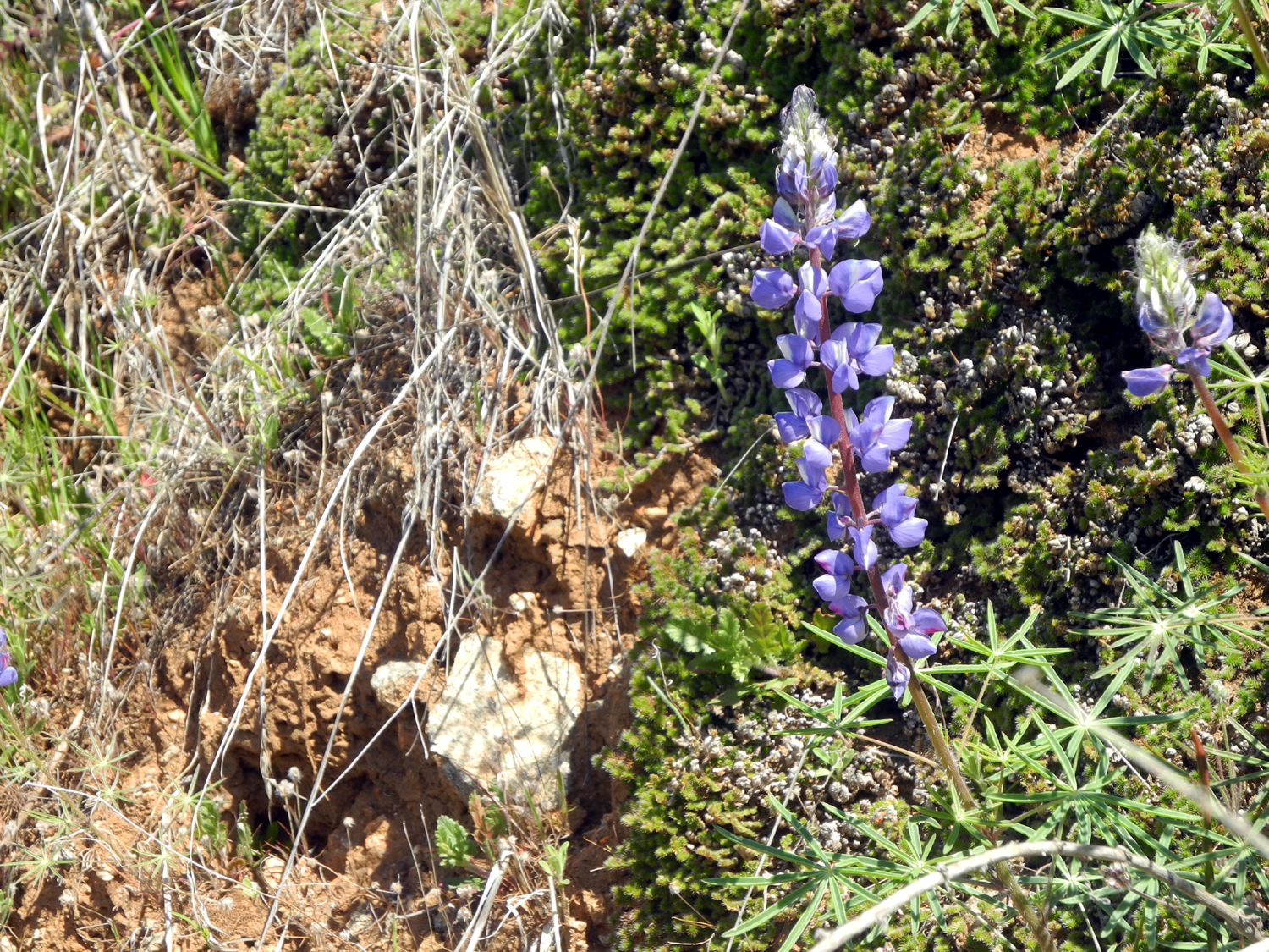
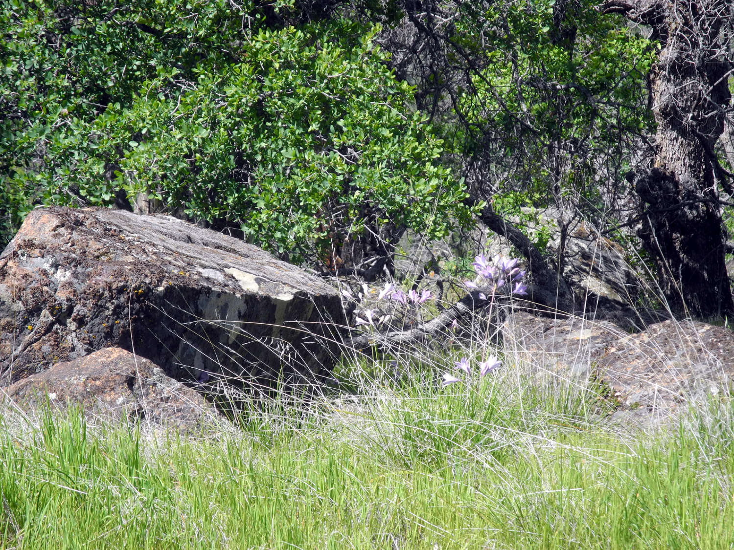
The floral beauty continued during our walk, with lupines vying with poppies for dominance. We saw several species for the first time this year, including one of our favorites, Chinese houses. Also making a first appearance were mustang clover, foothill gillia, yellow-throated gillia, and climbing brodiaea. |
|
|

|
| Poppies and lupines | Owl clover |
|
|
| Mustang clover and poppies | A dramatic hillside of poppies |
|
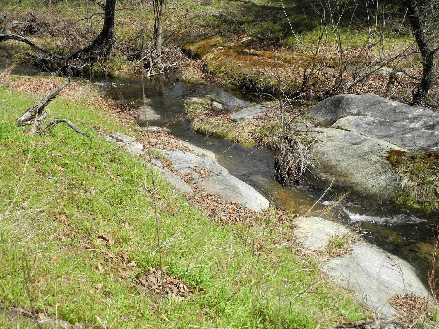
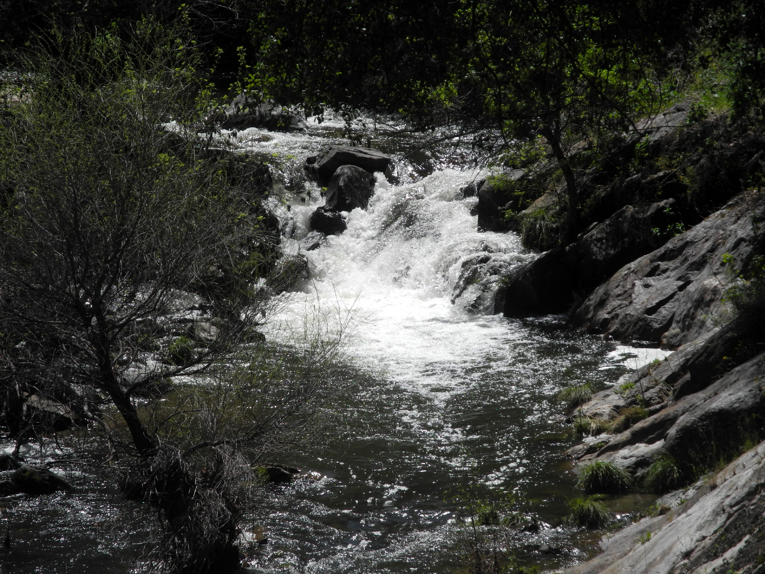
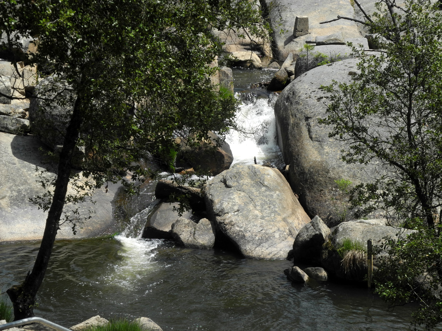
All along the way we had views of Mill Flat Creek, which cascades down through a rocky bed with few areas of still water. Most of the way the road is about fifty feet above the creek, although cows have made narrow, muddy trails down to the water in a number of places. Neither of us was tempted to try them. At the flat the road reaches the level of the creek, and we were able to easily walk through the rocks and grass for a closer look. We also found a perfect flat rock with room for us to sit the proper distance apart while we enjoyed our lunch. |
|
|
|
|
Mill Flat Creek descends from Sequoia Lake just outside of Kings Canyon National Park |
Teri by the road at Goofy Smith Flat |
|
For
the third time saw a wild turkey and a bald eagle. We enjoyed a walk
of a little more than two miles, with a few gentle ups and downs, but
generally easy walking on the smooth road
bed. Although we took nearly three hours for our journey, my phone
recorded only 70 minutes of moving time. That's what happens when you
have to stop and enjoy the
scenery every hundred feet or so. --Dick Estel, April 2020 |
|
|
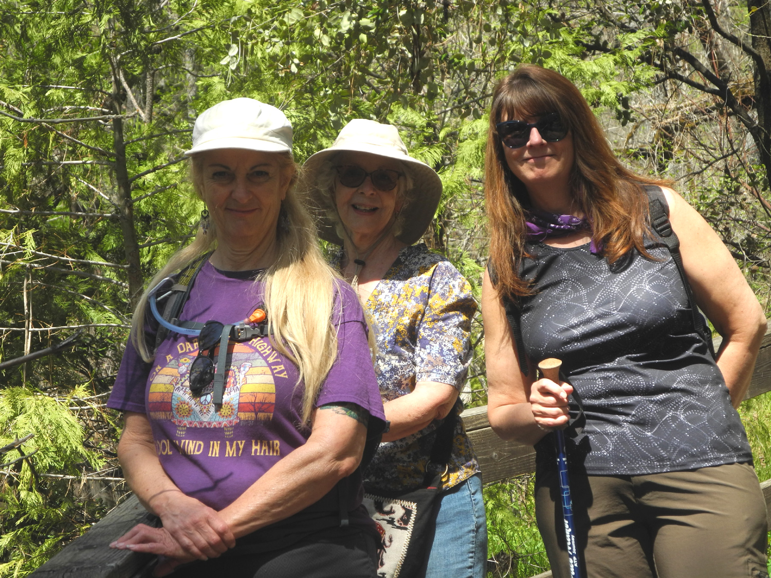
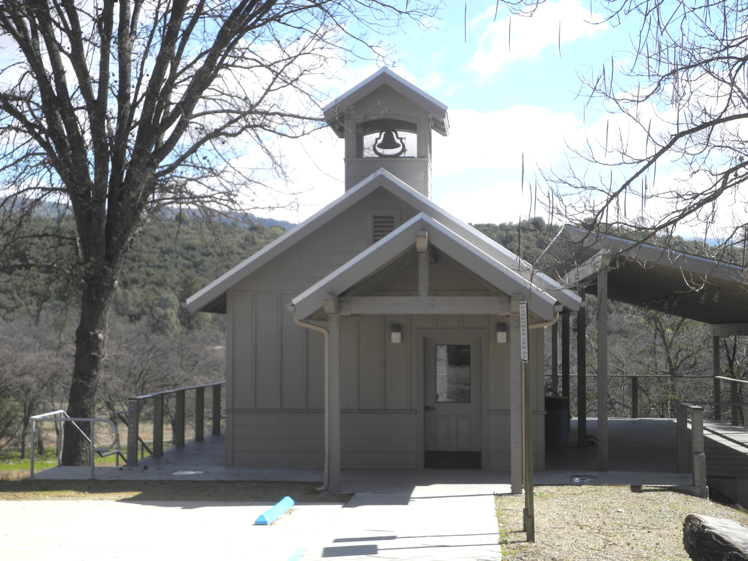
North Fork Ranger Station & Manzanita Lake
After so many spring hikes to places we've been many times, on April 23 Teri, Jennifer, Jackie and I went to a place that only Jennifer and her husband Rod had hiked before. The first stop was not exactly unknown territory - it was the ranger station in North Fork, a small Sierra village south of Bass Lake. I'd stopped there with the Ramblers to use the facility, but did not even know that there was a small hiking trail. It's the Cedars Interpretive Trail, a mostly paved loop of just under a mile, that goes down into the valley of Willow Creek, then back to the road and up to the parking area. Another loop section was closed for repairs, but there's a rumor that some hooligans of my acquaintance hiked on it last week. |
|
|
|
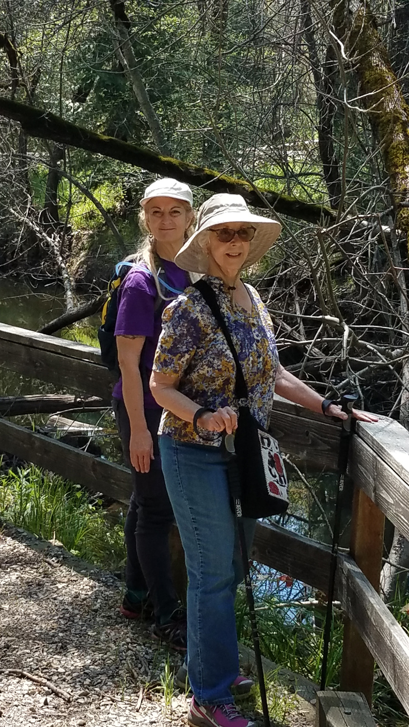
| Teri, Jackie and Jennifer on the trail | Rod where the trail is a boardwalk, a week earlier |
|
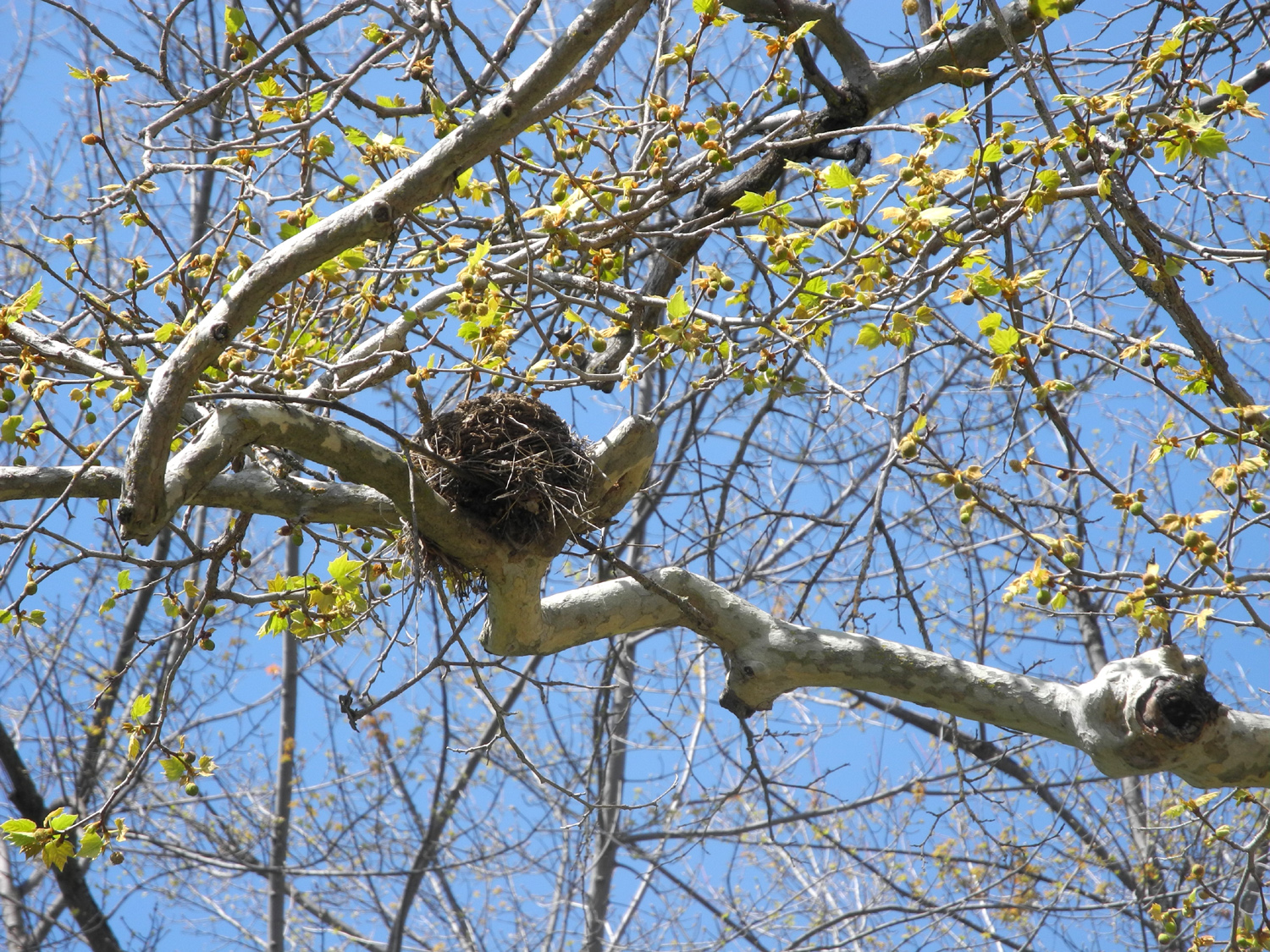
Walking along the trail where it ran parallel to the creek, we spotted several deer on the other side. Hiking and driving we saw many hawks and buzzards, and while I was on the North Fork Road where it ran between two banks, two wild turkeys flew overhead. In a tree in front of the ranger station there was a baseball-size bird's nest. Although winds up to 25 MPH were predicted for parts of central California, we experienced only a few gentle breezes, which were welcome on this very warm sunny day. |
|
|
|
| Jennifer on her hike with Rod | A compact, well-made bird's nest near the ranger station |
|
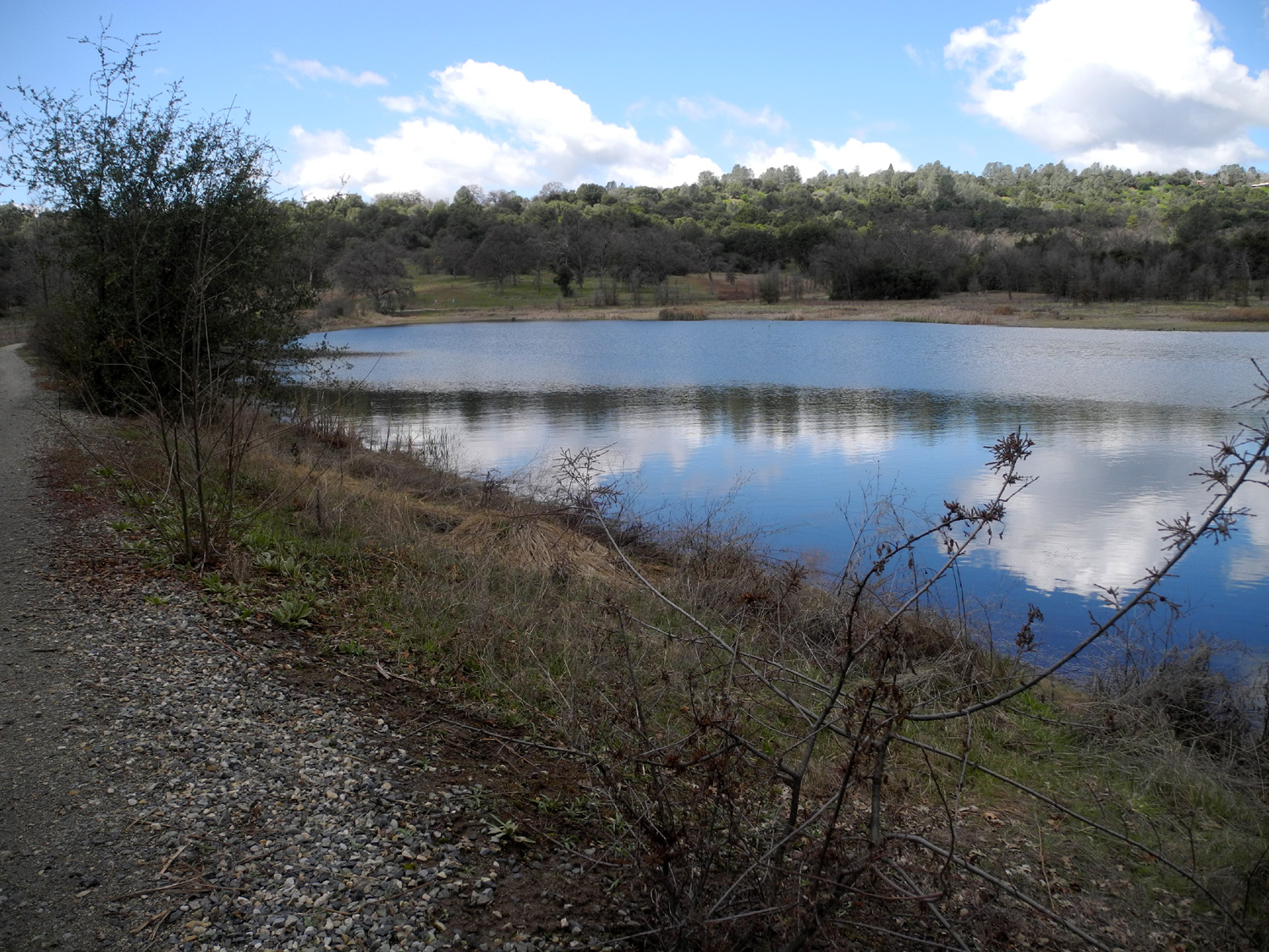
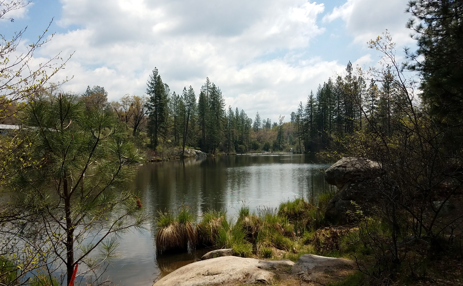
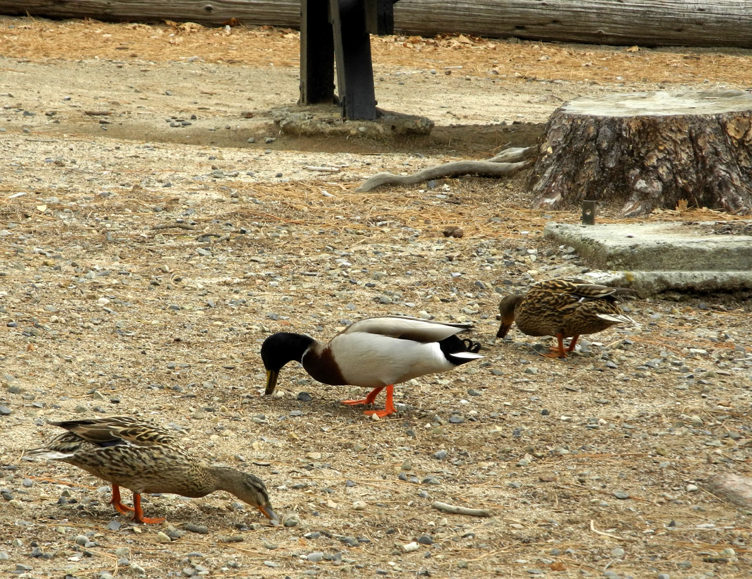
After returning to our cars, we drove about two miles up Road 222, which eventually goes to Bass Lake. However, we stopped instead at Manzanita Lake, a small facility downstream from Bass Lake at the 3,000 foot level. There is a picnic area there, and a sort of trail or road along the west side of the lake. We walked to the dam and back, adding another mile to our total, and enjoying spring growth and a few flowers. We enjoyed our lunch near the lake, joined by several ducks who seemed to be finding natural food among the gravel. There were probably a dozen other people there with several kids playing in the water. Since it's snow melt that passes through a larger, deep lake, it was surely too cold for us, and in fact none of the adults in the other parties seemed to be getting wet. |
|
|
|
| Manzanita Lake | Manzanita Lake dam |
|
|
| The spillway | Ducks joined us for lunch |
|
After enjoying our lakeside excursion, we set off for home in our three separate vehicles. Instead of following the North Fork Road back out to Highway 41, I turned left at O'Neals and took Road 211, AKA Hildreth Road, into Friant. Along the way I enjoyed several miles of spring beauty with lots of spectacular flowers. I also saw another deer. |
|
|
|
| Happy cows along Road 211 | Spring has lasted later than usual this year |
|
With
the temperatures shooting into the high 80s and even 90 degrees, we're
planning one more foothill hike in the Pine Flat area before the heat
dries out the grass and sends the flowers into dormancy. --Dick Estel, April 2020 |
|
|
Photos (Click to enlarge; pictures open in new window) |
||
|
Ahwahnee Hills Hike Edison Point Trail Camp 4 1/2 Cabin Hike Buckeye Helipad Edison Point Again Goofy Smith Flat North Fork & Manzanita Lake |
||
|
Ahwahnee Hills Hike |
||
|
 |
 |
| Snow on the hills above Oakhurst | Old schoolhouse at Ahwahnee Hills | Break time |
 |
 |
|
| Donna and Kenzie take a rest | Kenzie gets VERY affectionate | |
| Edison Point Trail | ||
|
 |
 |
| Teri at the far point on the power line service road | Pine Flat Lake from the service road | Blue dicks, another brodiaea variety |
 |
 |
 |
| The bull pine trunk
on the right fell right between two small blue oaks |
There was one small patch of lupines on the trail, but we saw many more by Trimmer Springs Road | These brodiaea grow
right in the middle of a patch of poison oak |
 |
||
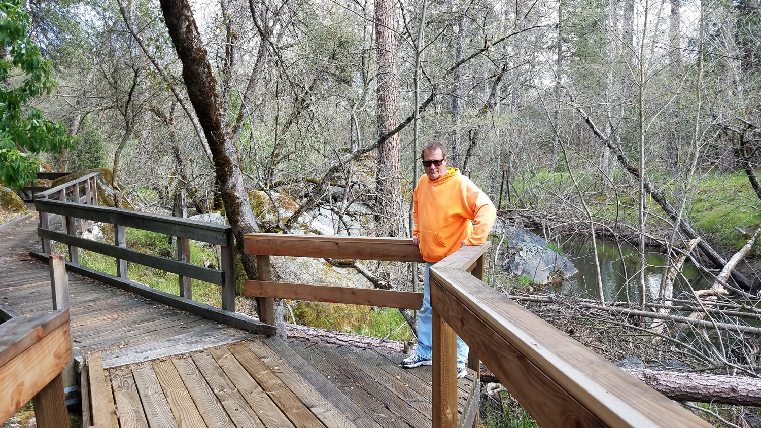
| Dick on the trail | ||
| Camp
4 1/2 Cabin Hike Photos by Dick & Teri |
||
 |
 |
 |
| Looking down into
the valley of Hughes Creek from Trimmer Springs Road |
Rock formation with dead grass next to the dirt road | Looking down at redbud and the river |
 |
 |
|
| It's a magical year for California poppies in the upper Kings River Canyon | ||
| Buckeye Helipad | ||
 |
 |
 |
| The Buckeye Helipad | The wind sock | Manzanita in bloom |
|
 |
 |
| The trail continues
an unknown distance beyond this open area |
Dirt in the disc supports new grass | This charming
creature appeared as we were ready to leave |
 |
||
| Dick on the bulldozer | ||
| Edison Point Again | ||
 |
|
 |
| Filaree
appears early and stays late all over the valley and the foothills |
This
little flower has a precarious spot in the parking lot |
Harvest brodiaea |
 |
 |
 |
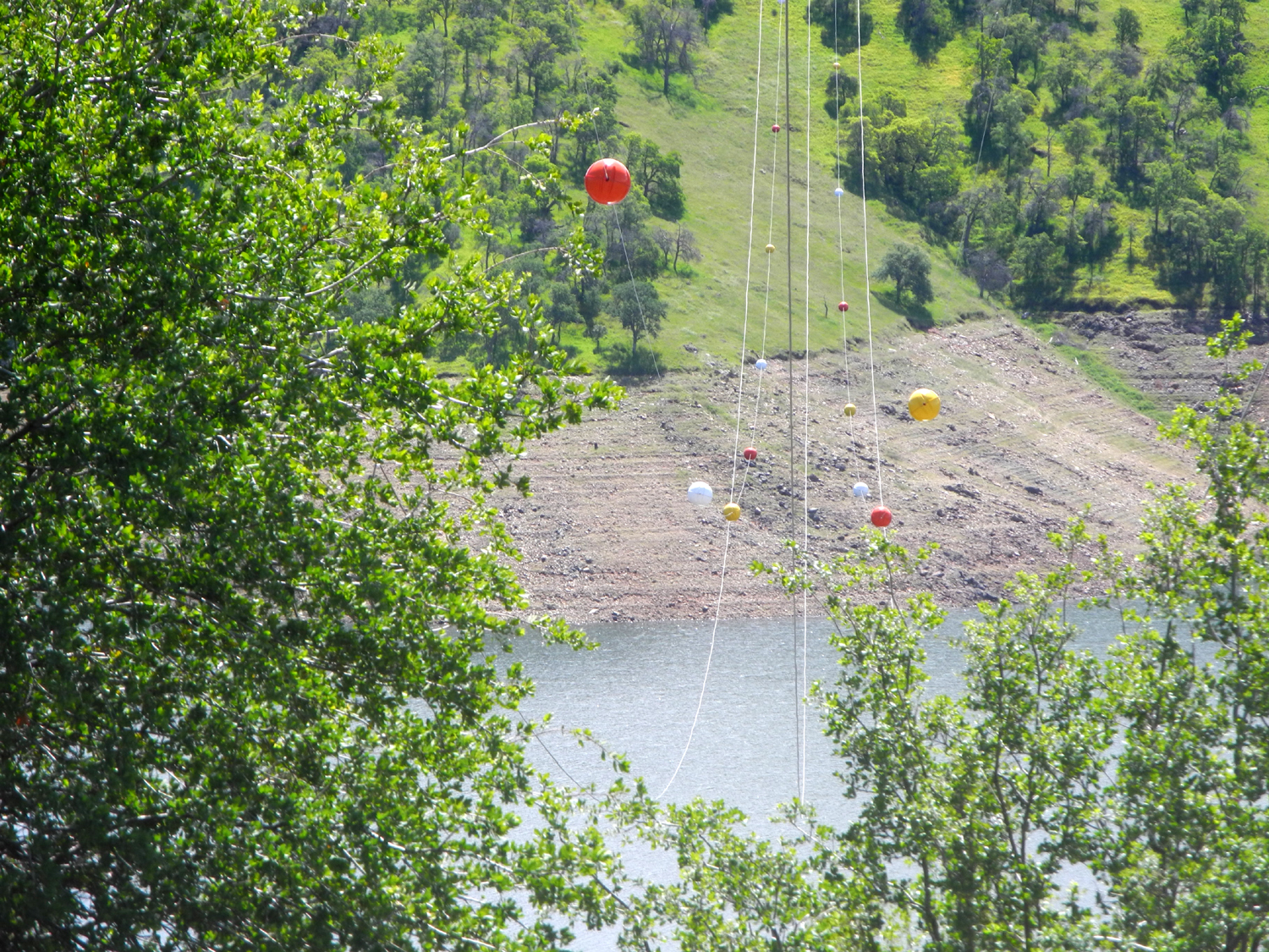
| Visibility
marker balls where the power line crosses the lake |
Teri and a few thousand poppies | One of several hawks we saw |
 |
 |
 |
| The fuzzy-looking phecelia | Dick at Edison Point | Jackie rests in the shade |
 |
 |
 |
| We saw lots of deer tracks; deer, not so much | Although beautiful, this thistle is an invasive species | Purple
brodiaea adds color to this foothill landscape scene |
| Goofy Smith Flat | ||
 |
 |
|
| A showy, unidentified flower | Mariposa lilies | Poppies
appeared on the slopes above and below the road |
 |
 |
 |
| Teri on the road to Goofy Smith Flat | Is this a mutant blue lupine? Or just faded? | A fantastic cloud formation |
 |
 |
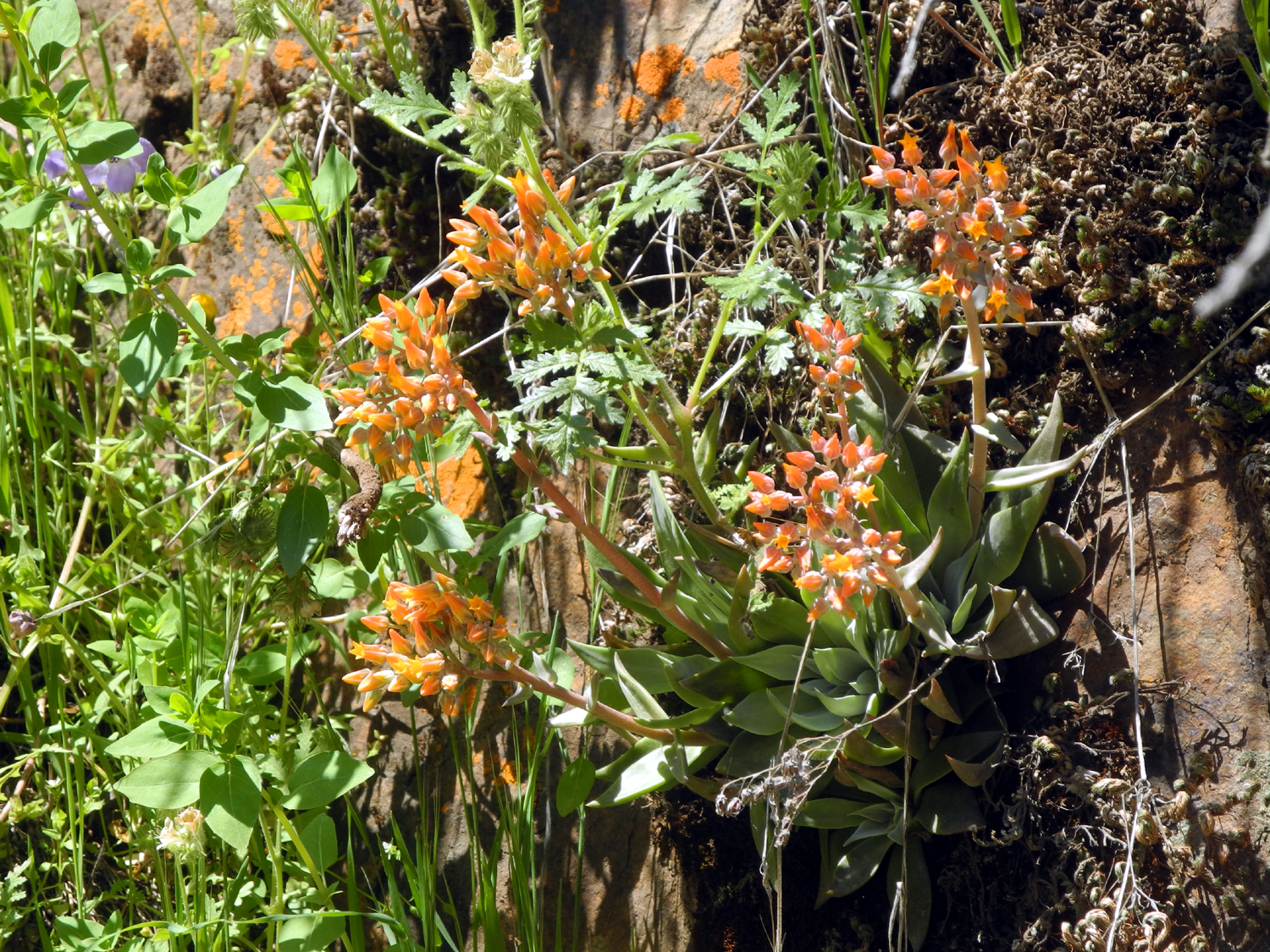 |
| Phecelia at the flat | Globe lilies appeared frequently along the dirt roads | These orange succulents were thick in the rock cliffs beside the road |
 |
 |
 |
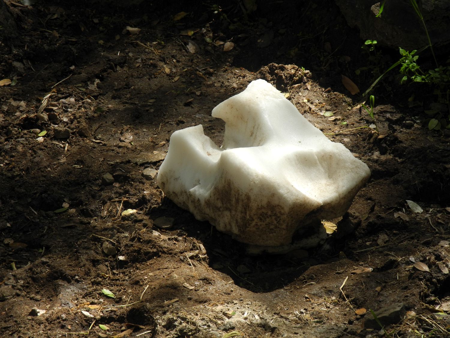
| White lupine at Goofy Smith Flat | The Great Salt Lick | Only a few letters remain from the sign that identified this location as Goofy Smith Flat |
| North
Fork Trail, Manzanita Lake, Sierra Foothills Photos by Jennifer & Rod Neely & Dick Estel |
||
 |
 |
 |
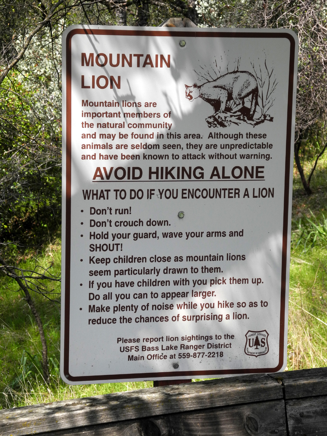
| In 80 years I've seen lots of signs but not one lion | Teri and Jackie by the railing | Jackie,
Teri and Dick on the road next to Manzanita Lake |
 |
 |
|
| Newly opened black oak leaves | Blossoms next to Manzanita Lake | Flowers along Road 211 |
 |
||
| A tranquil Sierra foothills scene | ||
| Related Links | ||
| Ahwahnee Hills Regional Park | Highway 49 - The Golden Chain Highway | Madera County |
| Pine Flat Reservoir | Edison Point | Dick's Pine Flat & Upper Kings Travel Reports |
| Camp Four and a Half Cabin | Kings River Special Management Area | California Poppies |
| San Joaquin River Gorge | Buckeye Helipad | Meadow Lakes |
| Wildlife Guzzler | Visibility Marker Balls | Mill Flat Campground |
| Mill Flat Creek | Bass Lake | Cedars Interpretive Trail |
| North Fork | Manzanita Lake | O'Neals |