Sierra Foothills - Spring 2013 |
|||
|
Regular readers of these reports know that I am a big fan of the San Joaquin Gorge, a Bureau of Land Management area formerly known as Squaw Leap. I hiked there four times last spring, alone and with various friends and relatives, and have now done two hikes this year (the first one is discussed here). On
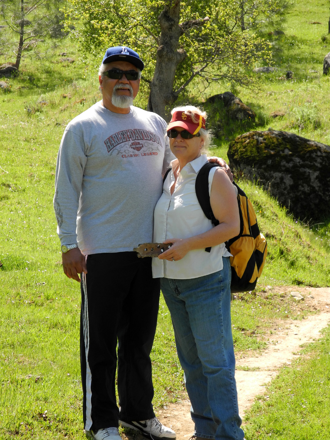
March 24, I was joined by my friend Janell Sidney and her finance
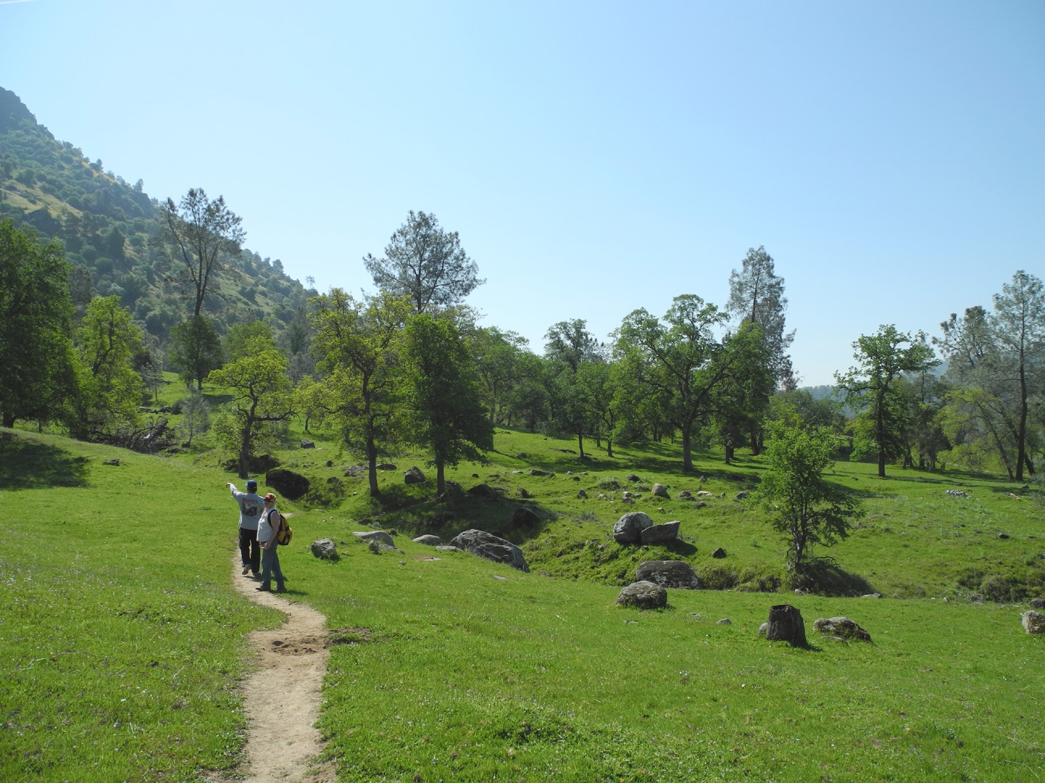
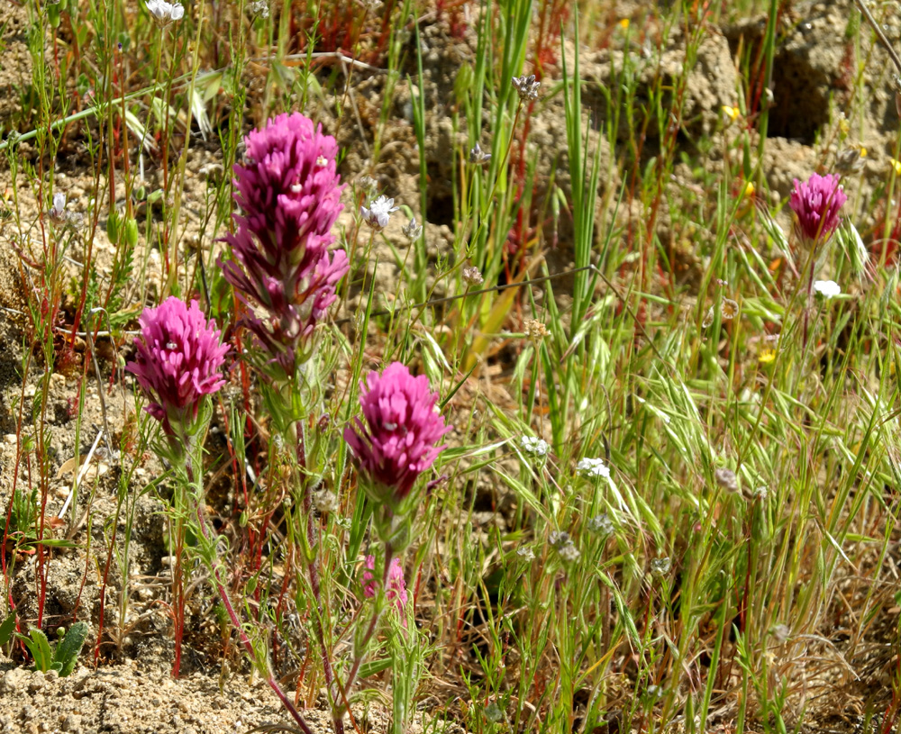
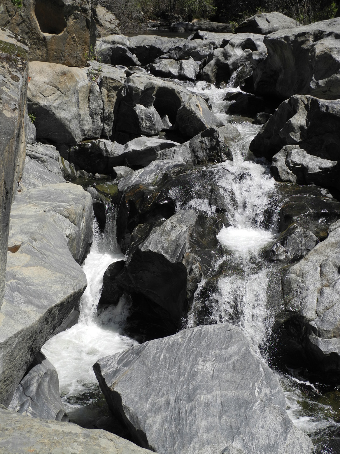
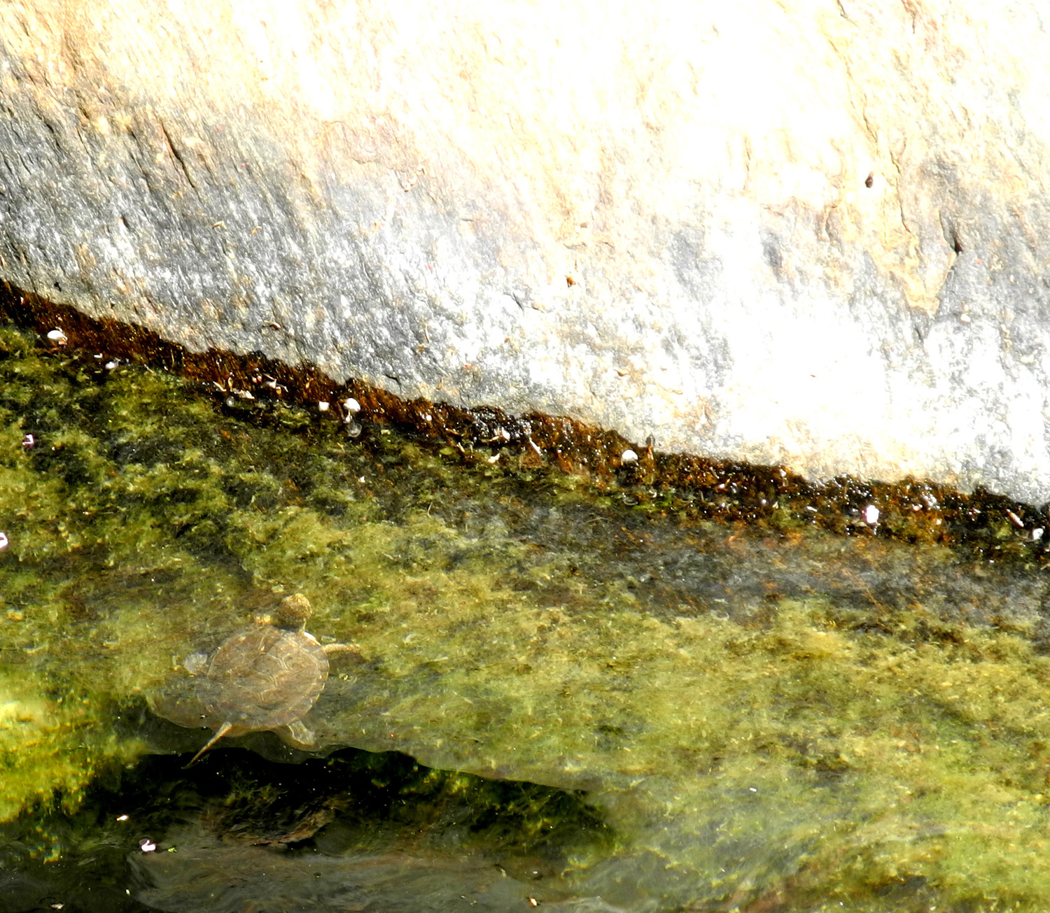
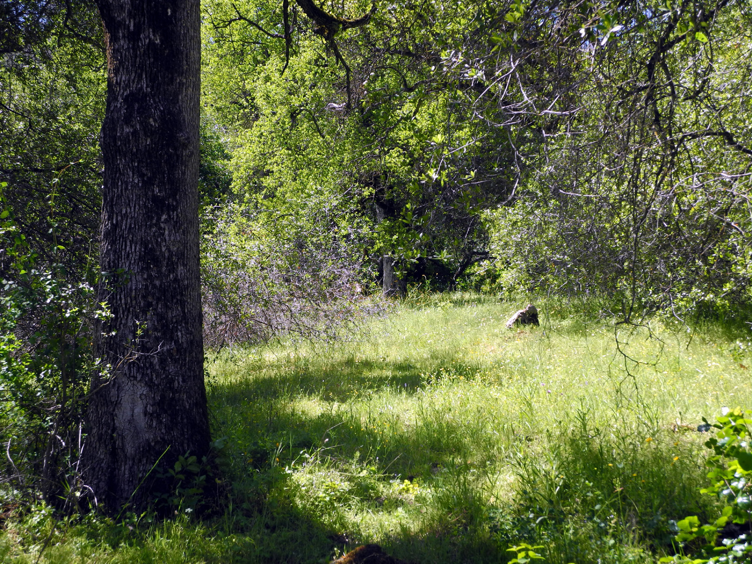
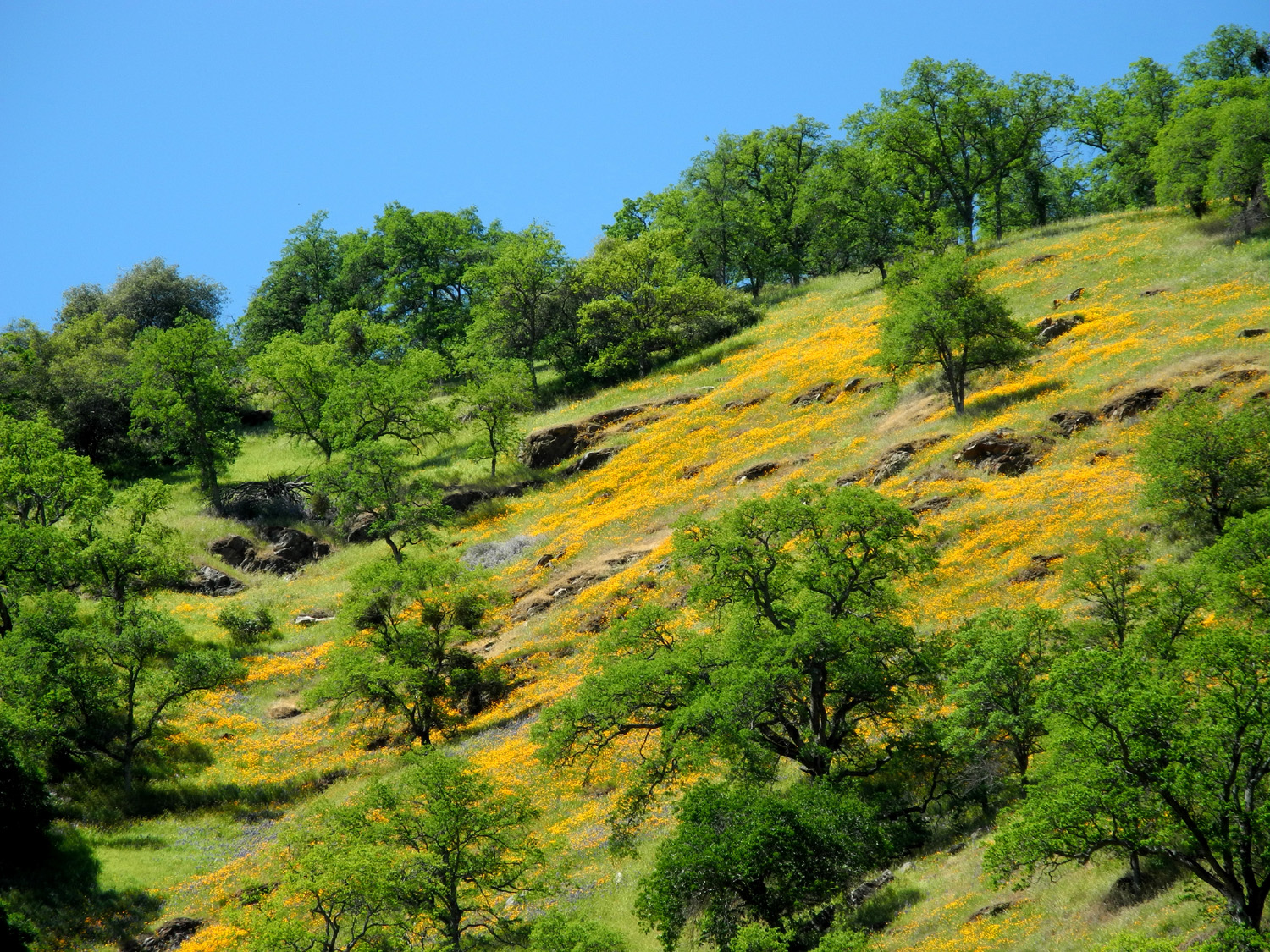
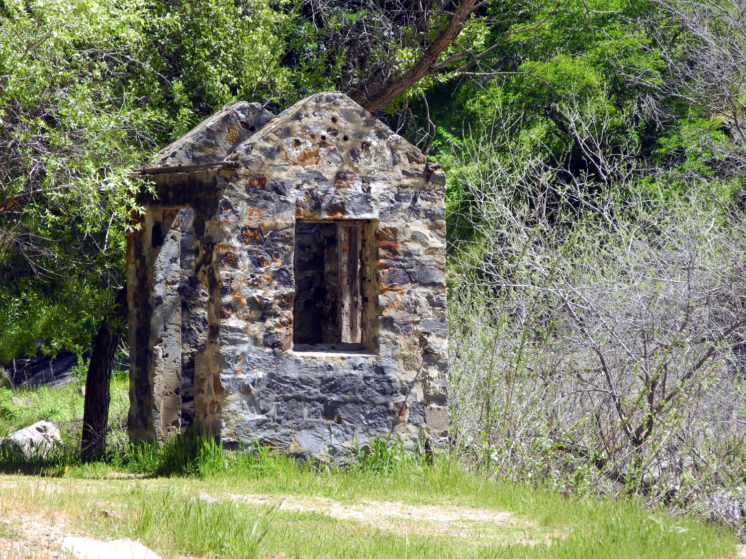
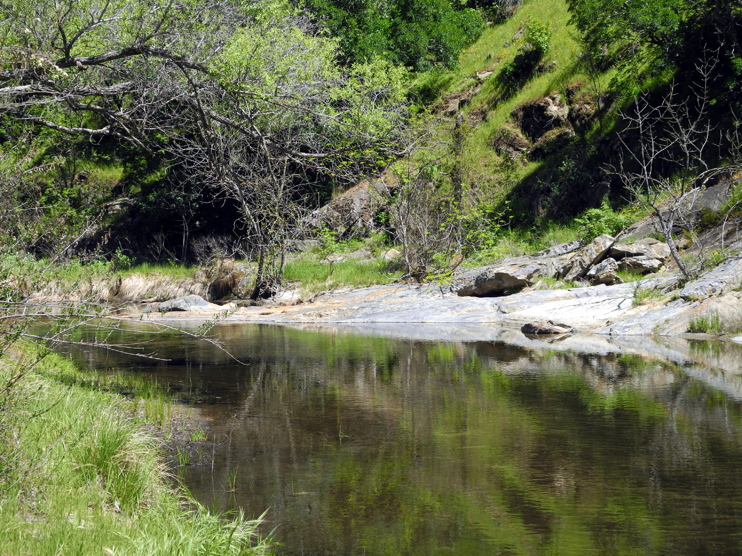
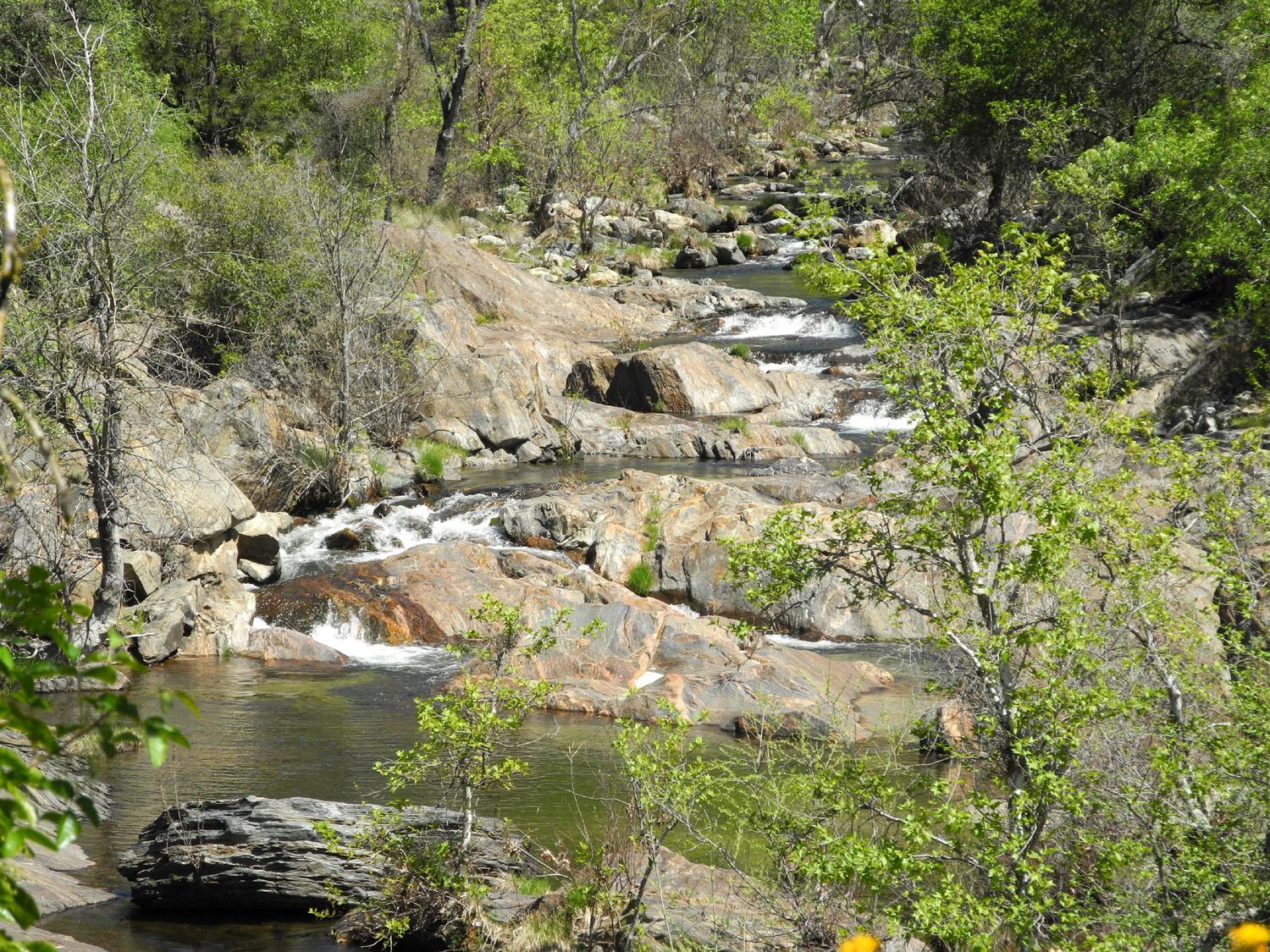
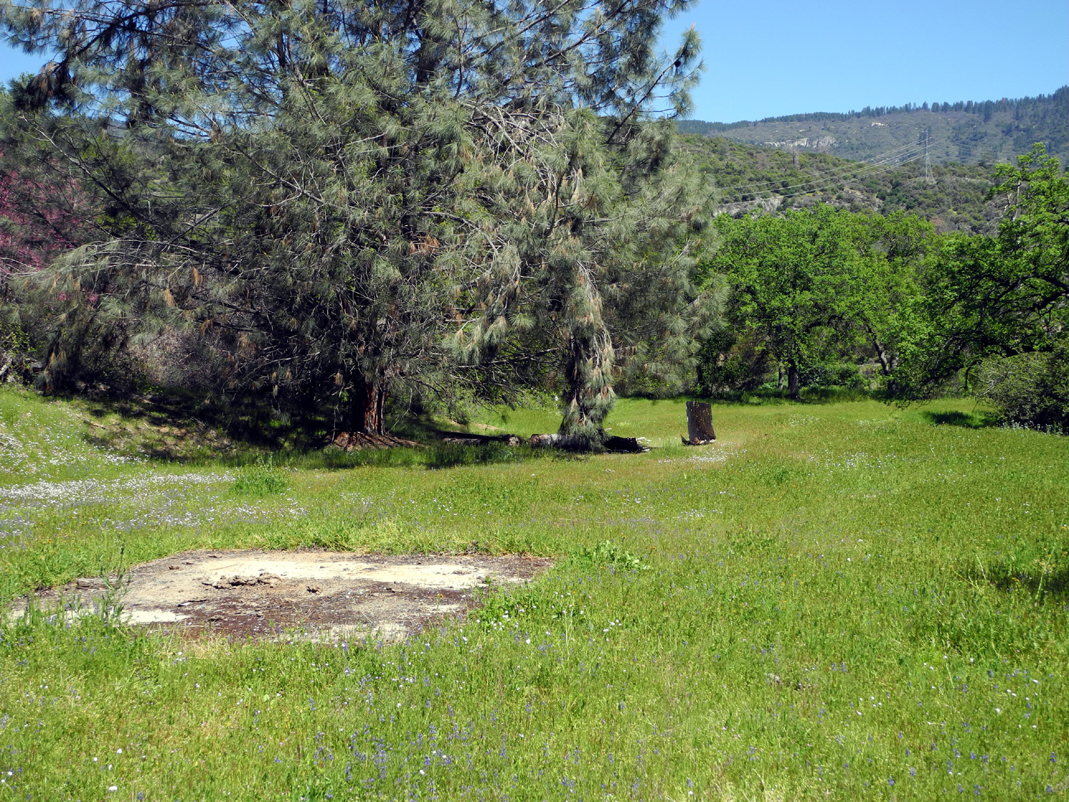
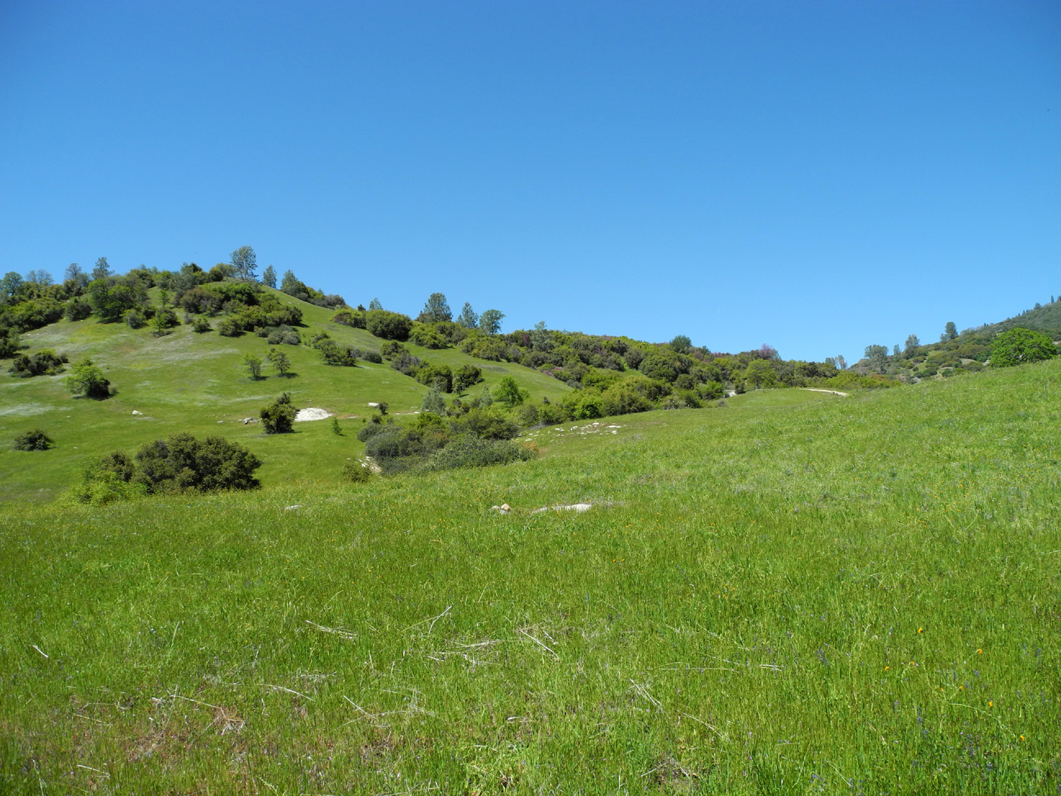
Ken Brown. They came over around The trail that goes down to the river is also nice, but it is almost 100% downhill, meaning 100% uphill coming back. I prefer a walk that includes a mix of up and down, and the San Joaquin trail fits this description perfectly. We went around a mile or so, a little farther than where Janell and I went last year, ending up on the hillside a little above the new power house. After going through open, meadow-like terrain with some easy ups and downs, the last part we hiked was carved into the upper canyon side, with some steep drop-offs on the downhill side. Along the way I carefully climbed up the slope about 50 feet to get a good photo of some owl clover. When we decided we had gone far enough, we walked out onto a small knoll to rest and eat our snack, then started back. We had passed a large water tank (bigger than the million-gallon tank I'm familiar with in Mariposa), so we followed some cow trails down a ridge and walked around it. At the edge of the flat area where the tank sits we could see the power house and the river beyond. From the tank we followed a dirt road which led out to the paved road that goes from the trailhead parking lot to the power house, and walked the last few hundred yards back to the car. We saw quite a few wild flowers, especially compared to my earlier hike, including a nice display of bush lupines, some redbud, and the usual annuals – fiddleneck, poppies, popcorn flowers, blue dicks, owl clover and several others. When we first arrived, there was a group of college students in the lot, asking people to complete a survey about the area, mostly relating to signage. One question asked how many times we had visited the area...with a little quick calculation, I figured I had been there at least 25 times, starting probably in the late 1980s. Janell has been there with me at least four times, but it was Ken's first visit, and he was duly impressed with the beauty of the area. The weather was very nice as April got under way, and I realized I should do some more hiking/camping in the foothills before it gets too warm. Actually I had planned to revive our annual Frog Camp with grandson Mikie, but he had a schedule conflict. Accordingly I began thinking of places to go, including the possibility of a solo Frog Camp. Then it came to me - Big Creek Road. Blue Canyon. Concrete Flats! Minnesota Flats! (click here for an explanation of these names). After waiting out a windy Monday and a lazy Tuesday, I started out on the morning of April 10, heading south from Clovis on Clovis Avenue, then east on Belmont Avenue. This street eventually turns into Trimmer Springs Road, which follows the north shore of Pine Flat Lake. Just before the road climbs up over Secata Ridge, I turned north on the Big Creek Road, which follows Big Creek for a few miles, then climbs up into the pine belt, and eventually joins State Highway 168 a few miles below Shaver Lake. In addition to the camping areas where we have stayed, there are a number of good places to stop and look at stuff along this road. I stopped at several of them, including a few that I had not visited before. The first stop is a structure that is hard to describe, but that I call "water works." There are several along the Big Creek Road and along the paved Trimmer road just before the turn-off. They are all located in creek drainages, and all have concrete basins or small dams built into the drainage. When my grandson Johnny and I were there in 2000, we saw bullfrogs in the reeds that have grown up in the bottom of one of the basins. They also have steps leading up the steep hill beside them, and various valves and what appear to be water gates. I have been told that they were used to measure water runoff before the construction of Pine Flat Dam. The most elaborate one is the first one along the dirt road, just a few hundred yards from the pavement. I stopped here and looked at the creek and the flowers, but did not climb the steps this time. I had done so a number of times in the past, and it looked as if the poison oak had overgrown the trail to a considerable extent. There are also a couple of places where concrete structures have been built next to and partly across Big Creek itself, and I stopped at both of them. During this part of the drive the road was lined on both sides by a thick carpet of California poppies and lupines, just as if someone had landscaped the road. About two miles up the road there is a large canyon coming in from the west, and as I drove across the bridge, I noticed that there was water in the small tributary creek. I had never stopped here before, so I backed up to a good parking spot, and made my way down the road bank to the creek. This proved to be a fortuitous decision. As I walked up a narrow path along the creek, I saw and heard something jump into the water from a sloping rock on the opposite side. I immediately suspected it was a turtle, and then I saw him as he quickly swam to the bottom, and burrowed under the mud. Shortly after that a smaller turtle jumped in, and I was able to get a fairly decent photo. Despite all the creek explorations I have done in my adult life, I have not seen turtles in the wild since I was a kid. Continuing up the road I arrived at Concrete Flats, the place where we camped on most of our trips to this area. On the right (east) side of the road, next to the creek, there are several campfire rings, and a small amount of open space. There are really no level areas here, and the roadway into the area would not be suitable for RVs. On the left, up a short driveway, there is a flat spot with some old concrete foundations which inspired the name we gave to the location when we first camped here. The road is very uneven, with huge ruts from rain runoff, but I used to drive up there with my Datsun pickup and we camped there many times. I did not attempt the road with my Ford F150, although when I walked up, I felt I could have made it OK. I never considered taking my trailer or motor home up there; most of our stays in this area were before I owned a trailer. This was originally a very attractive spot, with a fire ring, and trees and grass and flowers all around, but when we went there about ten years ago it had been turned into a garbage dump, and it is no better now. From the flat spot, I walked down the northern slope and through an area where I have cut firewood in the past. I hauled wood out in a Radio Flyer wagon to which I had attached makeshift sideboards, but it is so overgrown now that it was hard just to walk through. Poison oak is the major "crop" here. Although the elevation is fairly low, there are ponderosa pines and cedars along the creek, the seeds having been carried down by high water. My next stop was just up the road about a quarter mile. At this point the main road curves around to the east and crosses Big Creek. Another road goes uphill in a northwesterly direction, and an old driveway leads back to the south, parallel to and slightly above the section of the main road between this junction and Concrete Flats. Back this now impassible driveway is the site of the former Montgomery Brothers cabin, so I parked at the junction and walked in. An explanation: One time when we were camped at Concrete Flats, a man came riding up on a quad, got off, and asked us to be sure to be careful with fire, because he lived "right next door." I started asking some questions and learned that he was Jim Montgomery, who lived with his brother Loren in a cabin nearby, where they had a mining claim. After I explained my own love for the area, he mentioned that although "we live far from civilization, we are sociable...come by and have a beer some time." I regret that I never took him up on his invitation, but I learned some more about the Montgomery's when they were interviewed by the late Woody Laughnan, who wrote about interesting places and people for The Fresno Bee for a number of years. In preparation for this report, I tried without success to find that article on line. The men have been gone from their claim for at least ten years, and the forest service has removed their ramshackle cabin; the only thing remaining at the small flat area where they lived is a concrete foundation. However, I did take away one bit of knowledge from our conversation long ago. I mentioned to Jim that a ranger had told me that the foundations at Concrete Flats were from an old slaughterhouse. Jim scoffed at this and said, no, there was a tungsten mine there. After walking back out from what I will now call Montgomery Flats, I got in the pickup and started on down the road, and immediately noticed a ranger vehicle behind me with red lights and then siren going. They said that they had stopped me because I drove out from a road that is closed. I explained that I had merely parked at the junction and walked in, so they did a complete license, registration and insurance check, and sent me on my way. While one of the men was running the information, I chatted with the other, who was not aware of the Montgomery Brothers. I wisely decided not to ask them why they didn't put up a sign or barricades at the closed road. I have stopped and explored the area where the road crosses Big Creek a number of times, so I didn't stop this time. I continued for a few miles as the road started to climb until I came to Minnesota Flats. This is an area where I camped twice, and both times a very strong wind came up and blew all night. It rocked the Datsun and made the flames of the fire almost parallel to the ground. It is mainly a big meadow, with rising land on three sides, and a gradual drop-off down toward the creek valley. I think the terrain creates a funnel effect, causing the normal nighttime downhill flow of air to speed up greatly. I walked down the meadow to the place where we had camped to see if there was any trace of where we built a campfire, but nature has reclaimed the area completely. After taking a few pictures here, I started for home, but decided to take a different route. At Trimmer Springs by the lake I turned north on Maxon Road, a narrow paved lane with no center line. I met only two vehicles along this road. The first stretch climbed steeply and runs up and down through green fields and oak woodlands, then climbs another ridge through brushy, rocky hills. Eventually Maxon comes to a junction - if you turn right, it goes to the village of Tollhouse, and eventually joins Highway 168 a few miles below Shaver Lake. However, I turned left on the Watts Valley Road, which goes down through the last of the foothills, eventually reaching the nearly treeless but bright green ranch land at the edge of the San Joaquin Valley. After a few miles this road turns sharply west and becomes Ashlan Avenue, a main street that runs all the way through Fresno. In addition to the turtles, I saw ducks, doves, fish, gray squirrels, ground squirrels, buzzards, and quail; and the rangers said they had seen a snake on their patrol through the area. By the way, this Big Creek should not be confused with the Big Creek in the San Joaquin drainage that is both a town and a creek. There are many creeks with that name. Both of these are in Fresno County, as are Big Dry Creek and Big Sandy Creek. --Dick Estel, April 2013 |
|||
|
Photos (Click to enlarge; pictures open in new window) |
|||
San Joaquin Gorge Hike |
|||
|
|
|||
|
|
 |
 |
|
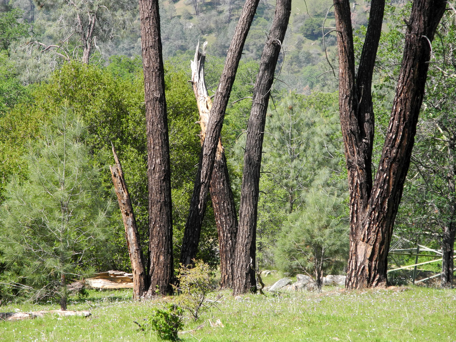
| San Joaquin Trail, near parking lot | Ken and Janell on the trail | Bull pines (AKA digger pines) | |
|
 |
 |
|
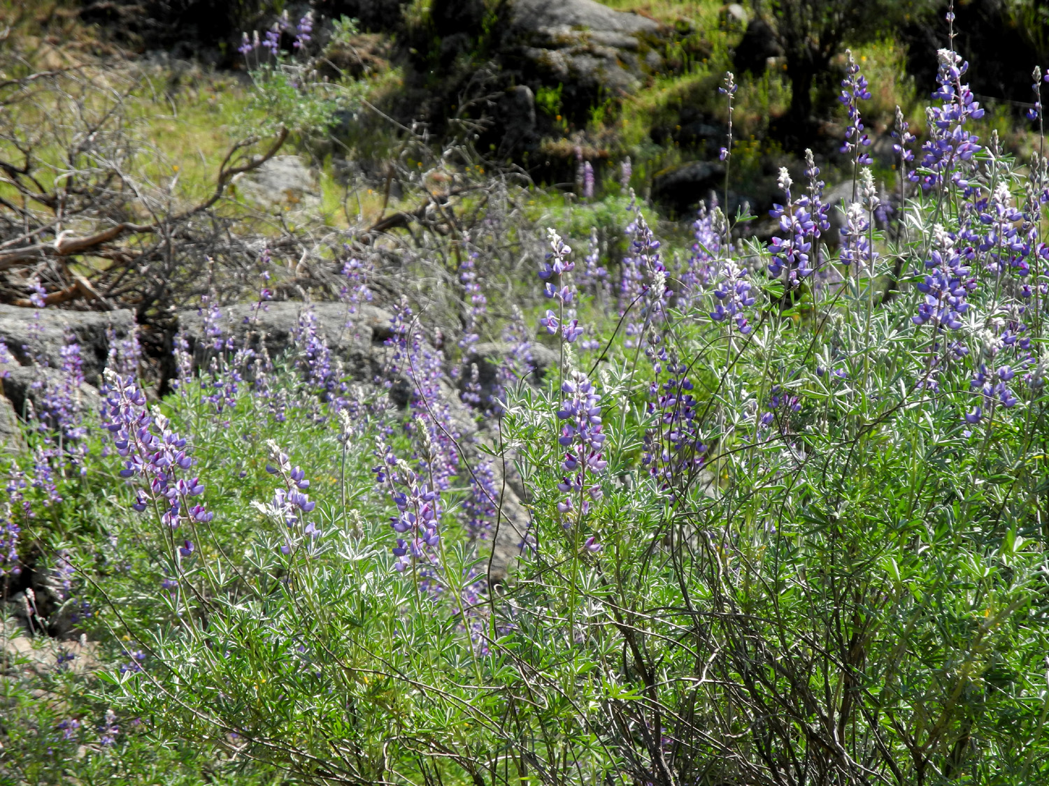
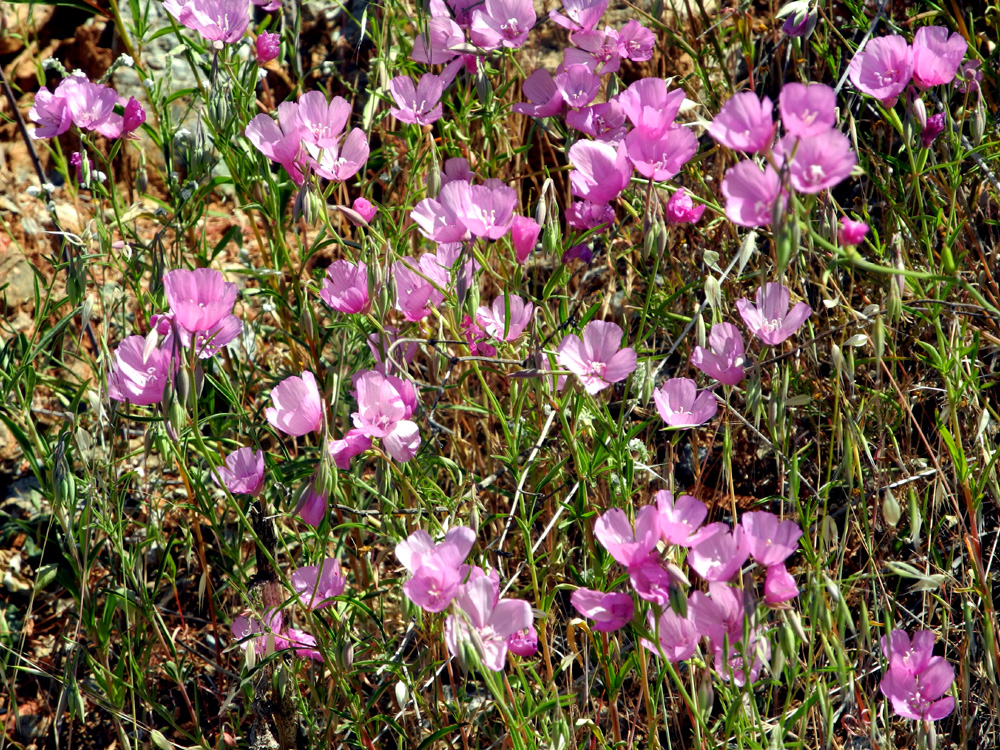
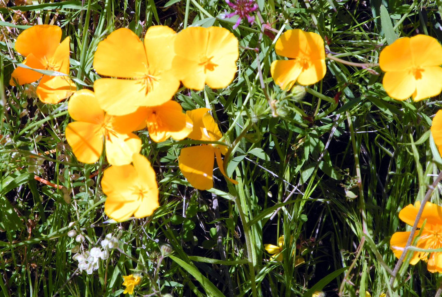
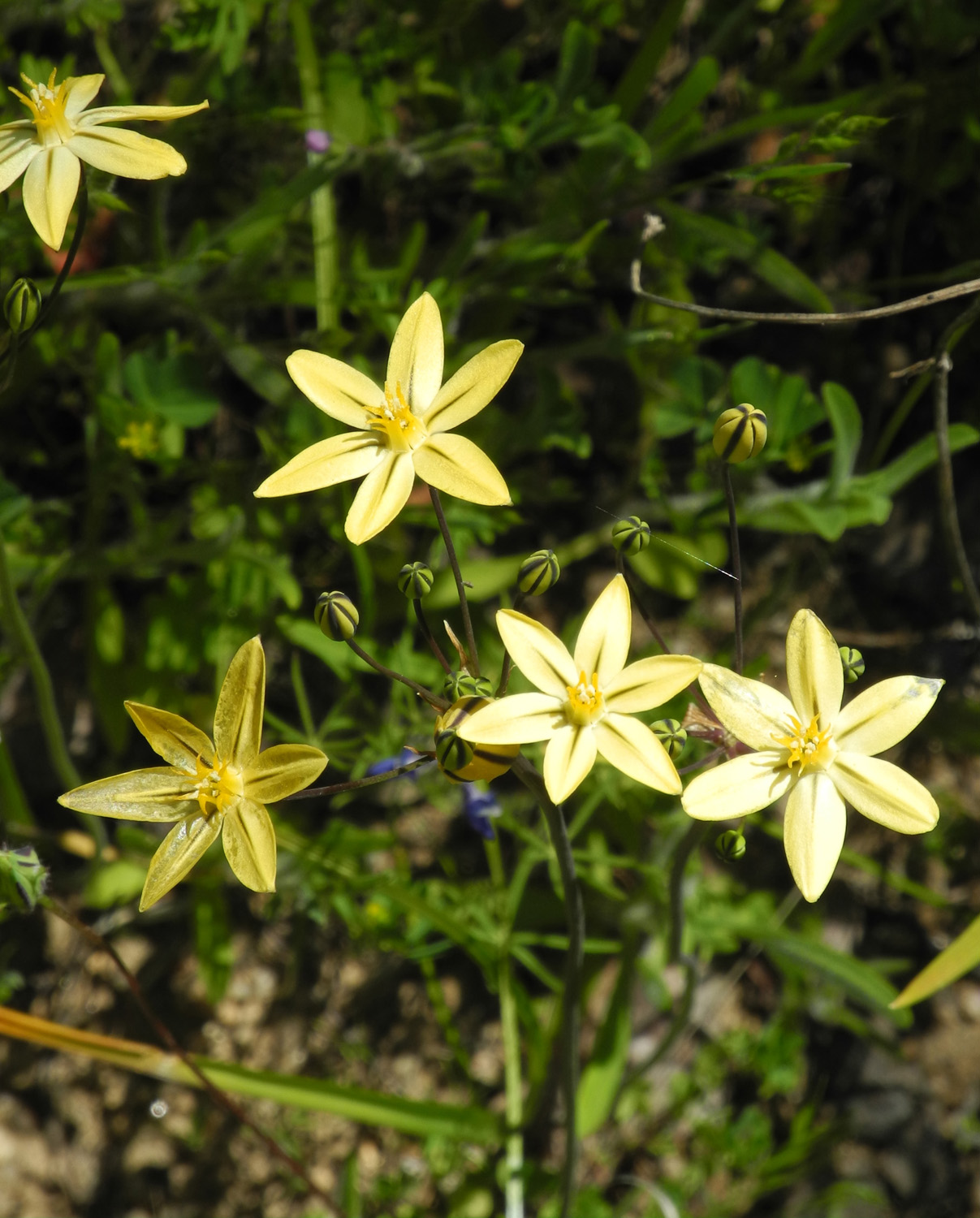
| Owl Clover | Bush lupines |
|
|
 |
 |
 |
|
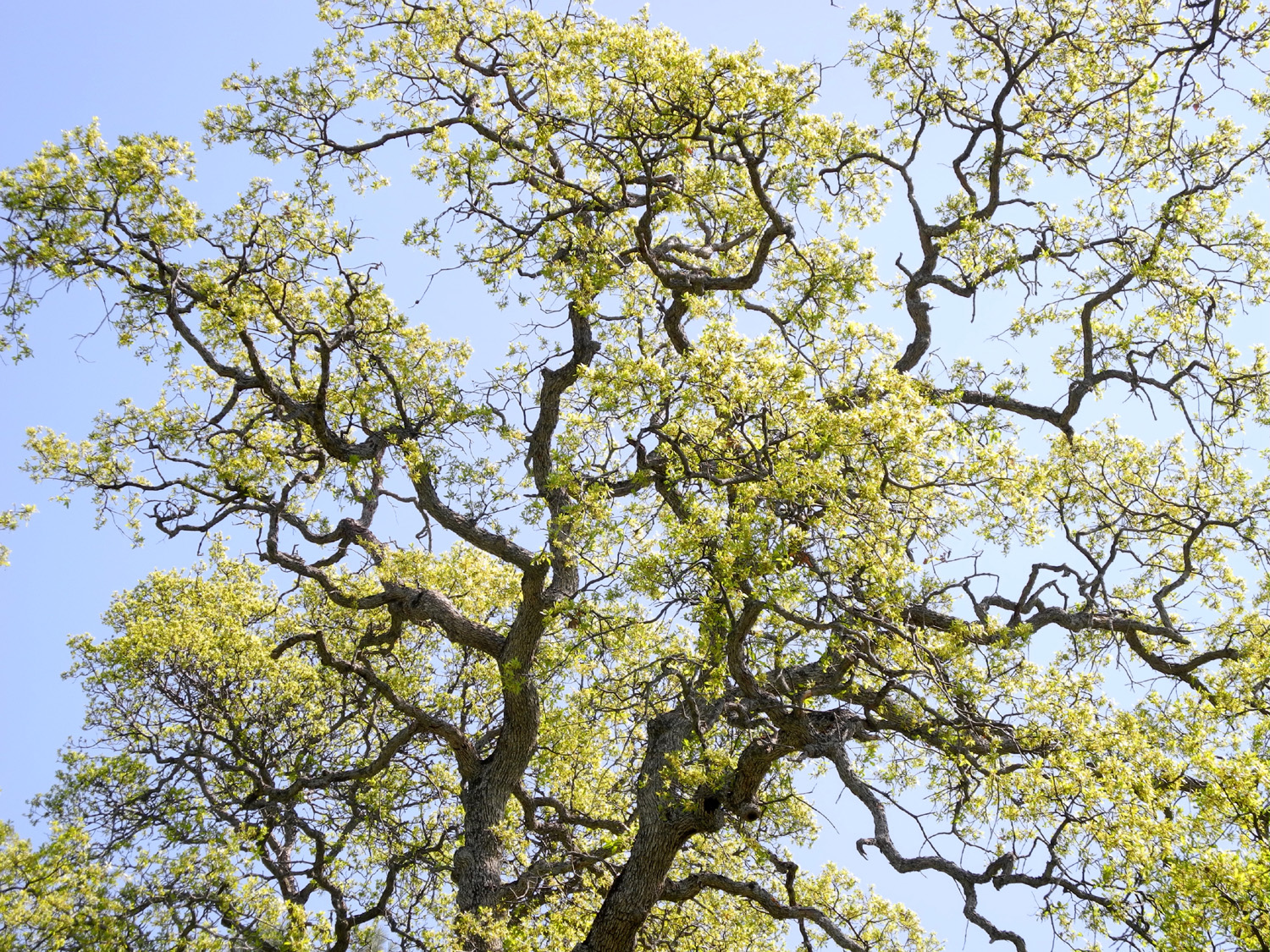
| Nature's landscaping | Sunlight through blue oak trees | View of the river below the new power house | |
 |
 |
 |
|
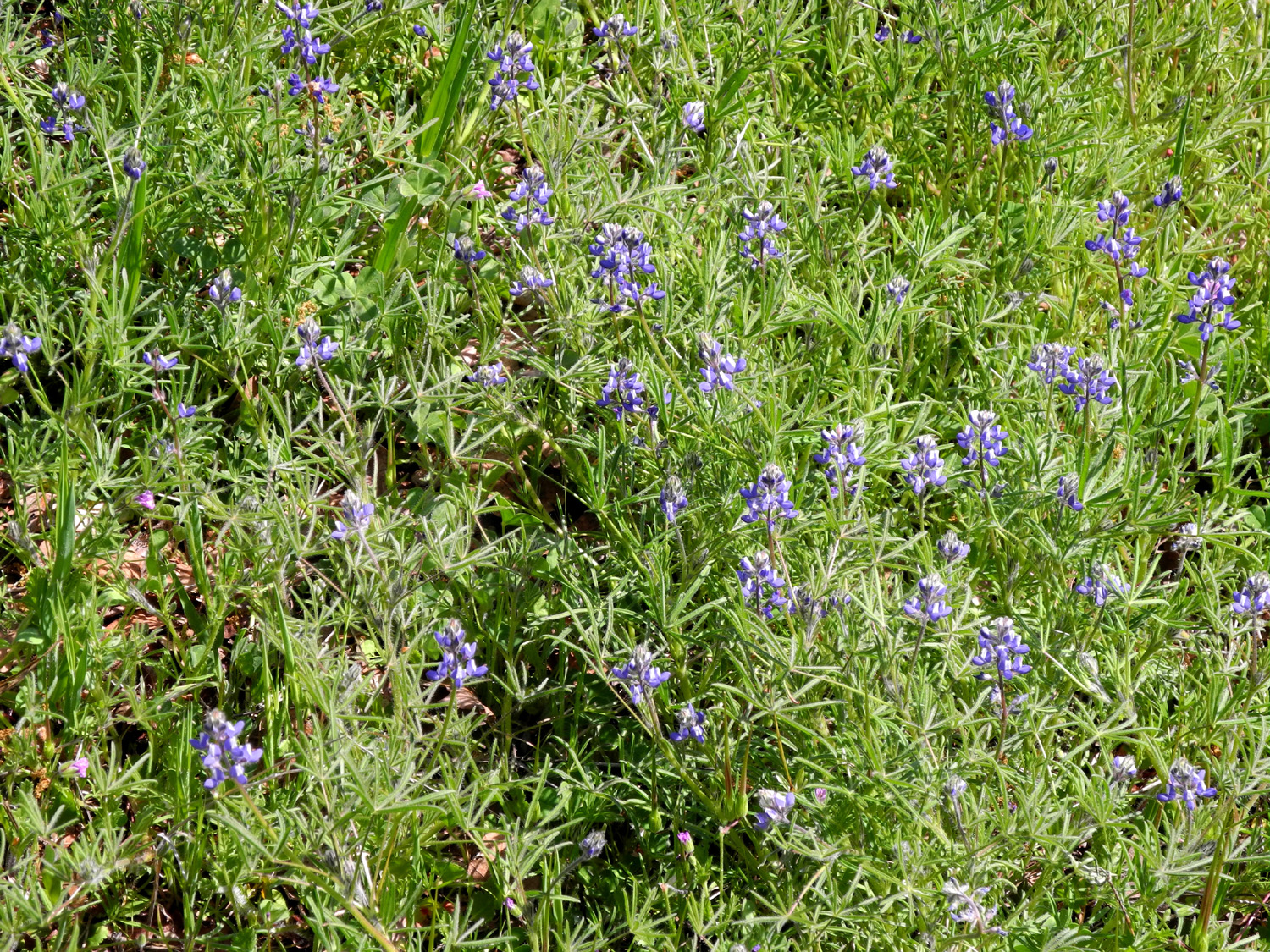
| Tiny dove lupine dominate the scene at this time of year |
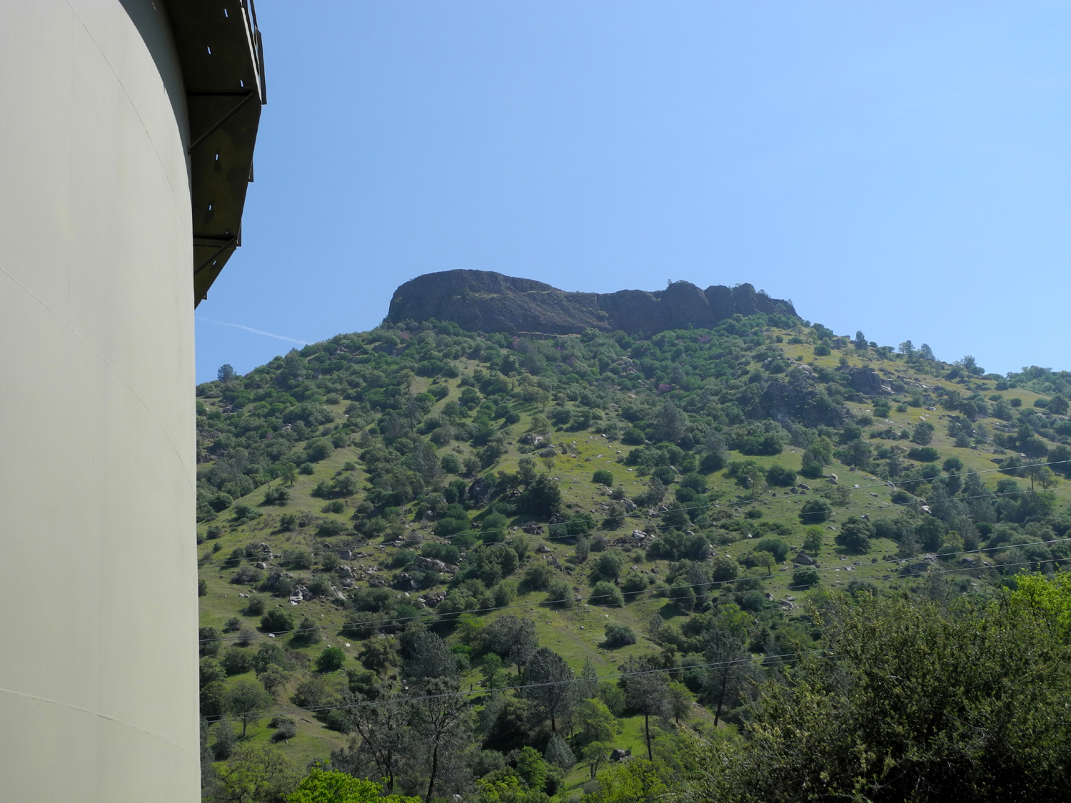
Squaw Leap, one of many table top mountains in the area |
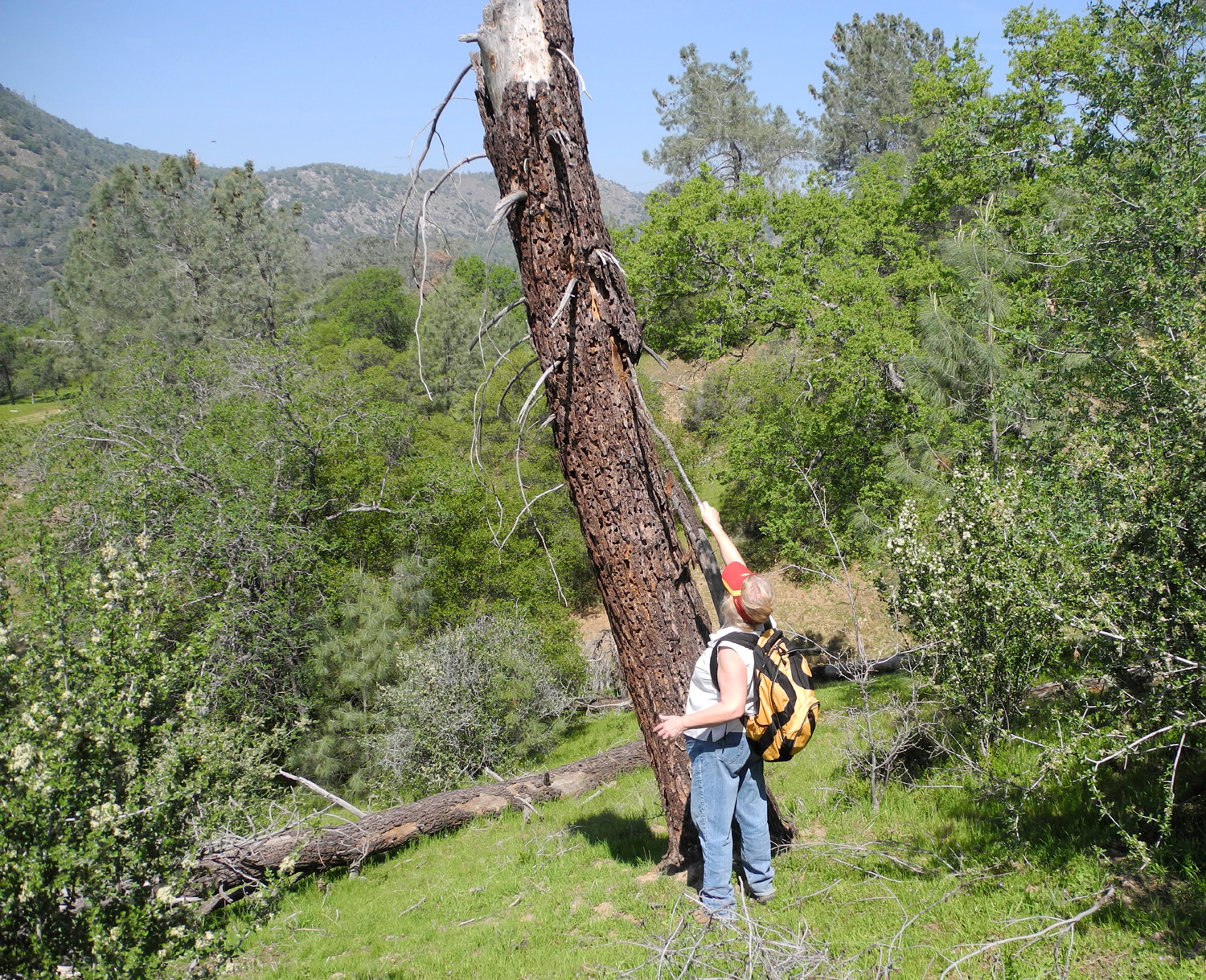
Janell harvesting pine bark that is filled with woodpecker holes |
|
A Drive Up Big Creek |
|||
 |
 |
 |
|
| Johnny Upshaw at the "water works" in 2000 | The old rusted valve doesn't really turn | Spring flowers along Trimmer Springs Road | |
 |
 |
 |
|
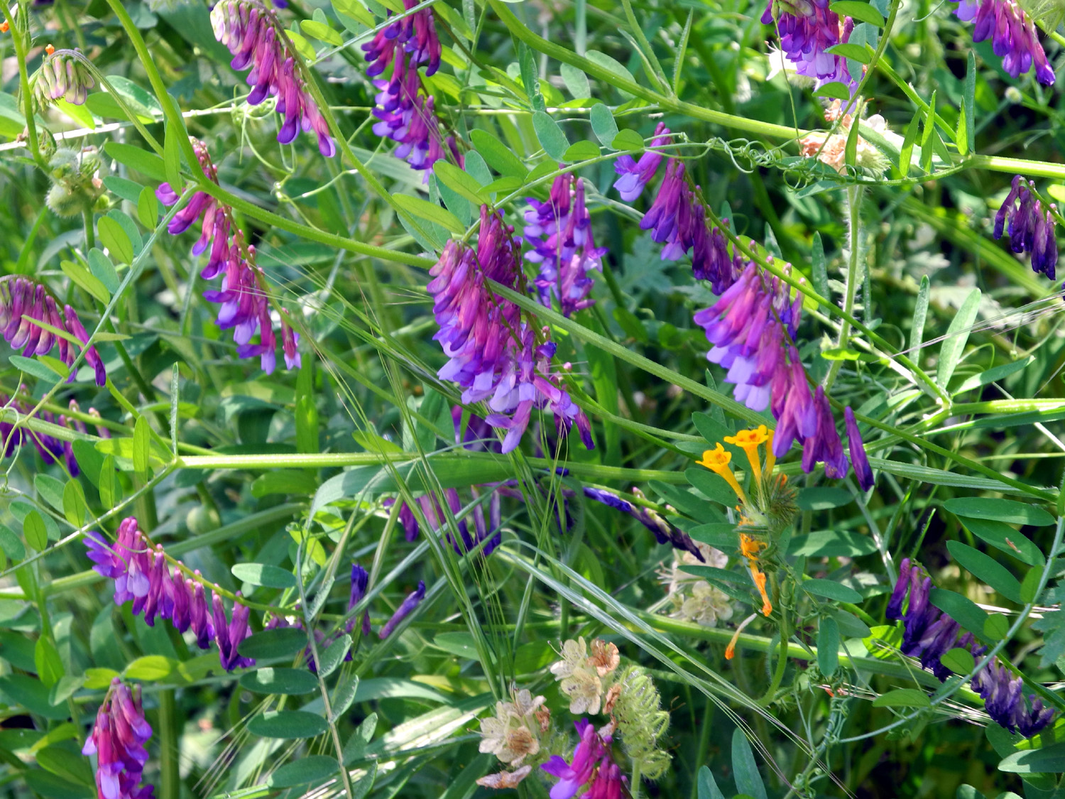
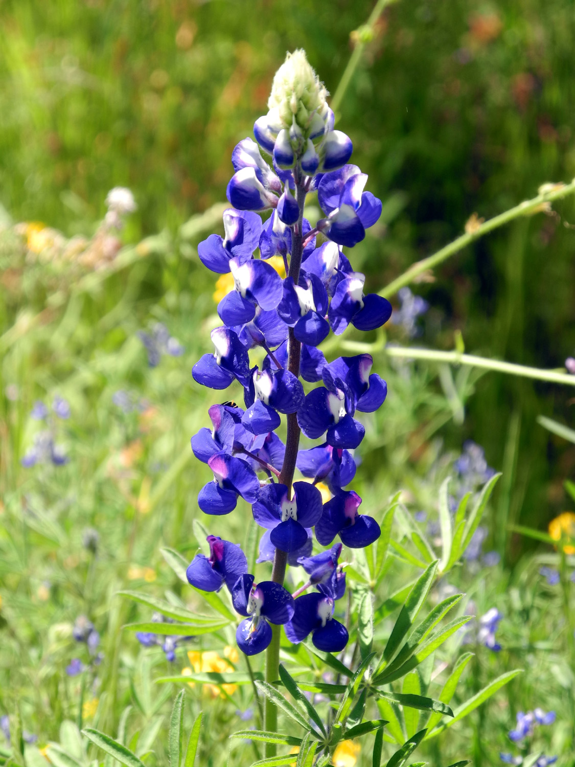
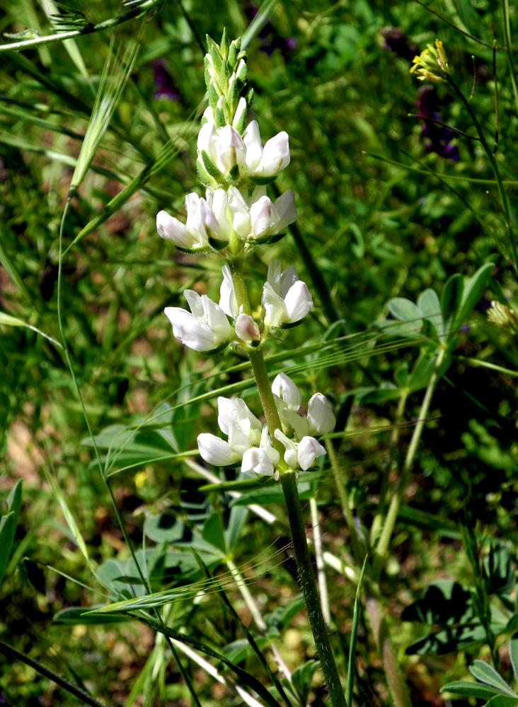
| Purple vetch | Blue lupine | White lupine | |
 |
 |
 |
|
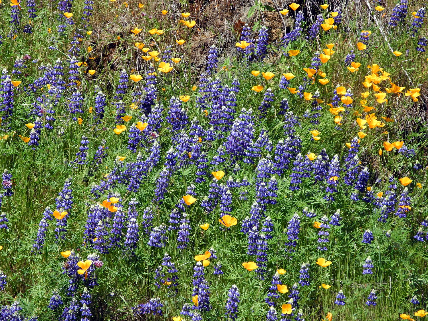
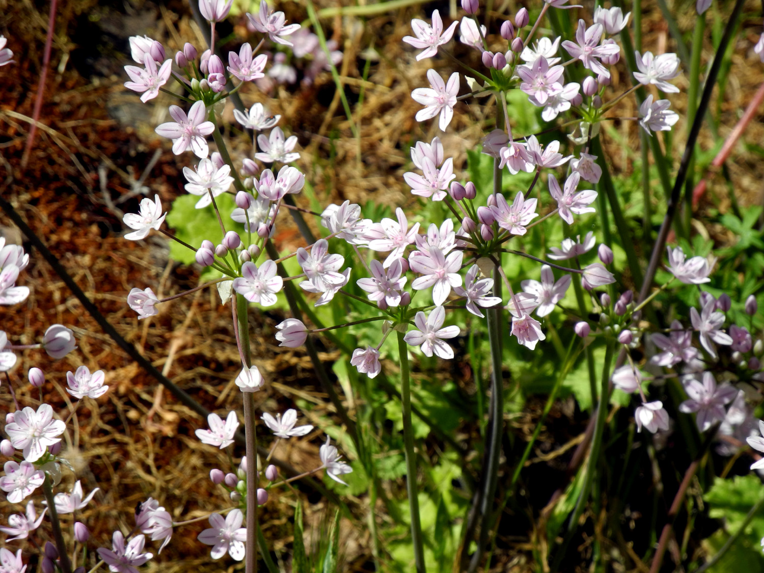
| California poppies | Lupines and poppies make a nice combination | A variety of brodiaea | |
 |
 |
 |
|
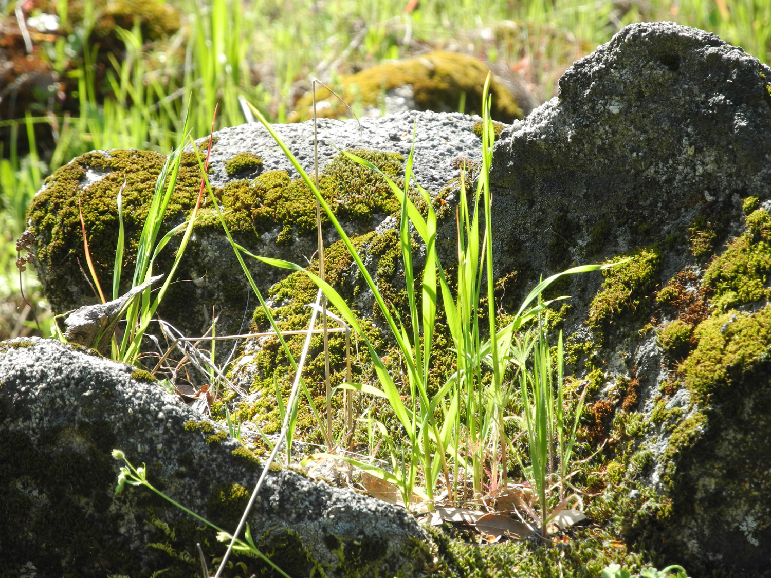
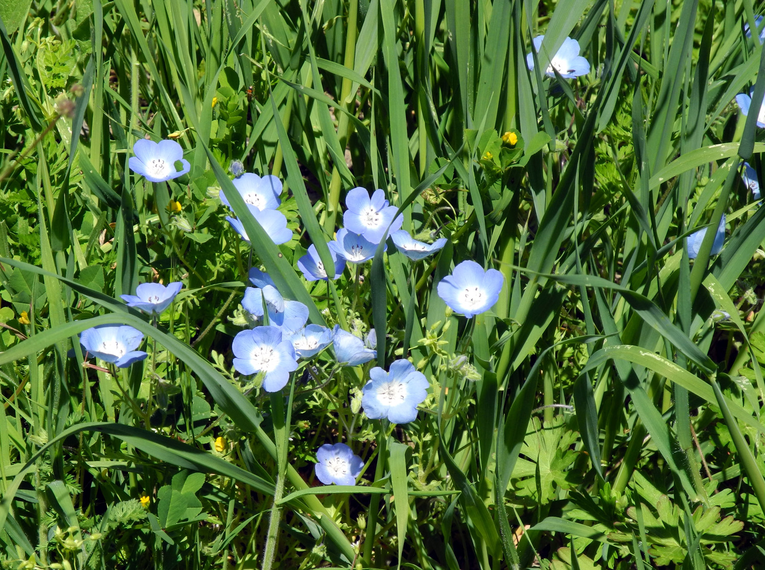
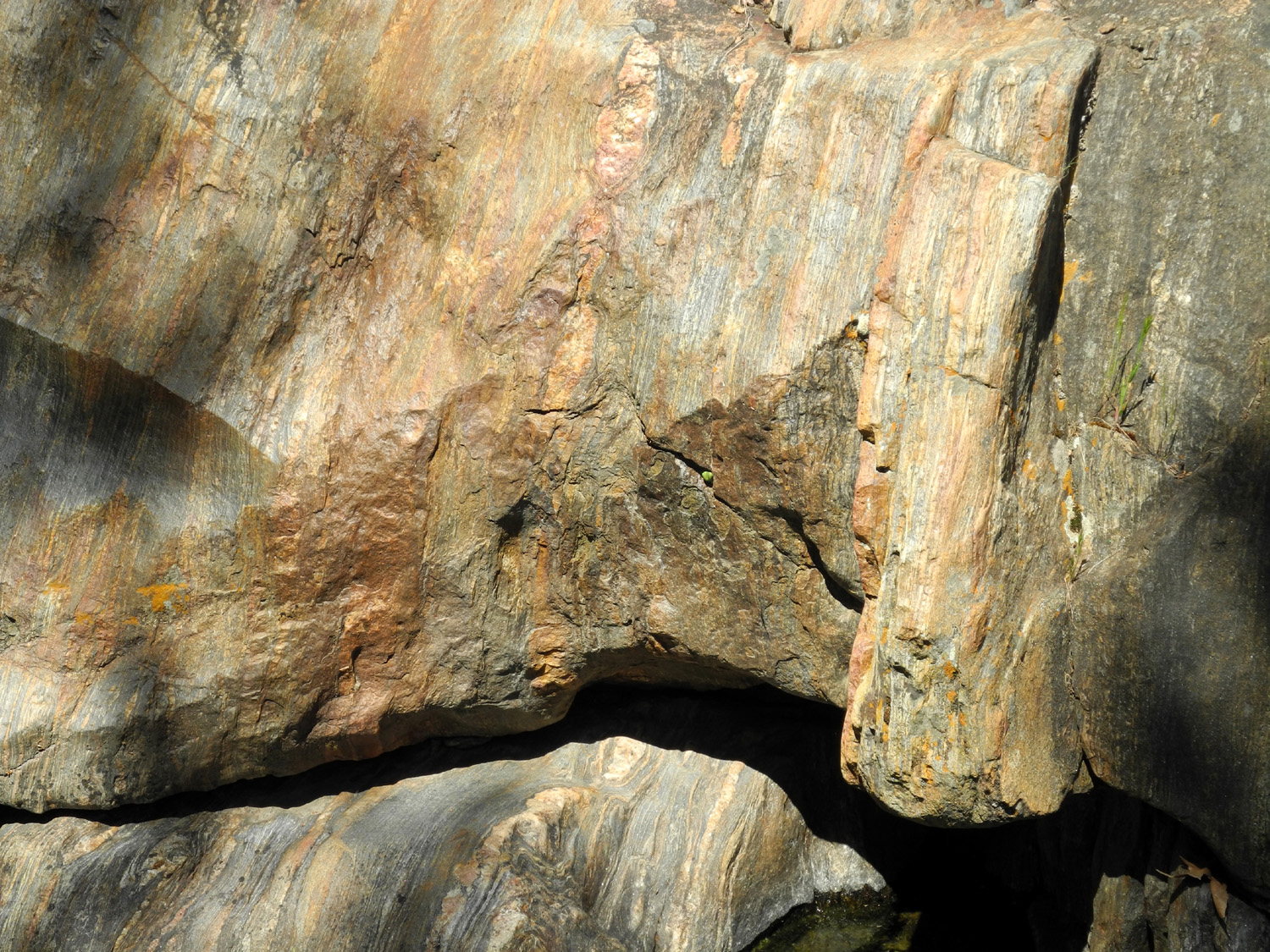
| Baby blue eyes | Harvest or golden brodiaea | Multi-colored rock | |
 |
 |
 |
|
| A rare sighting of a turtle | Spring landscaping | Poppies paint the hills | |
 |
|
 |
|
| We call this "The Guardhouse" | Cascades on Big Creek | A more peaceful stretch of creek | |
 |
 |
 |
|
|
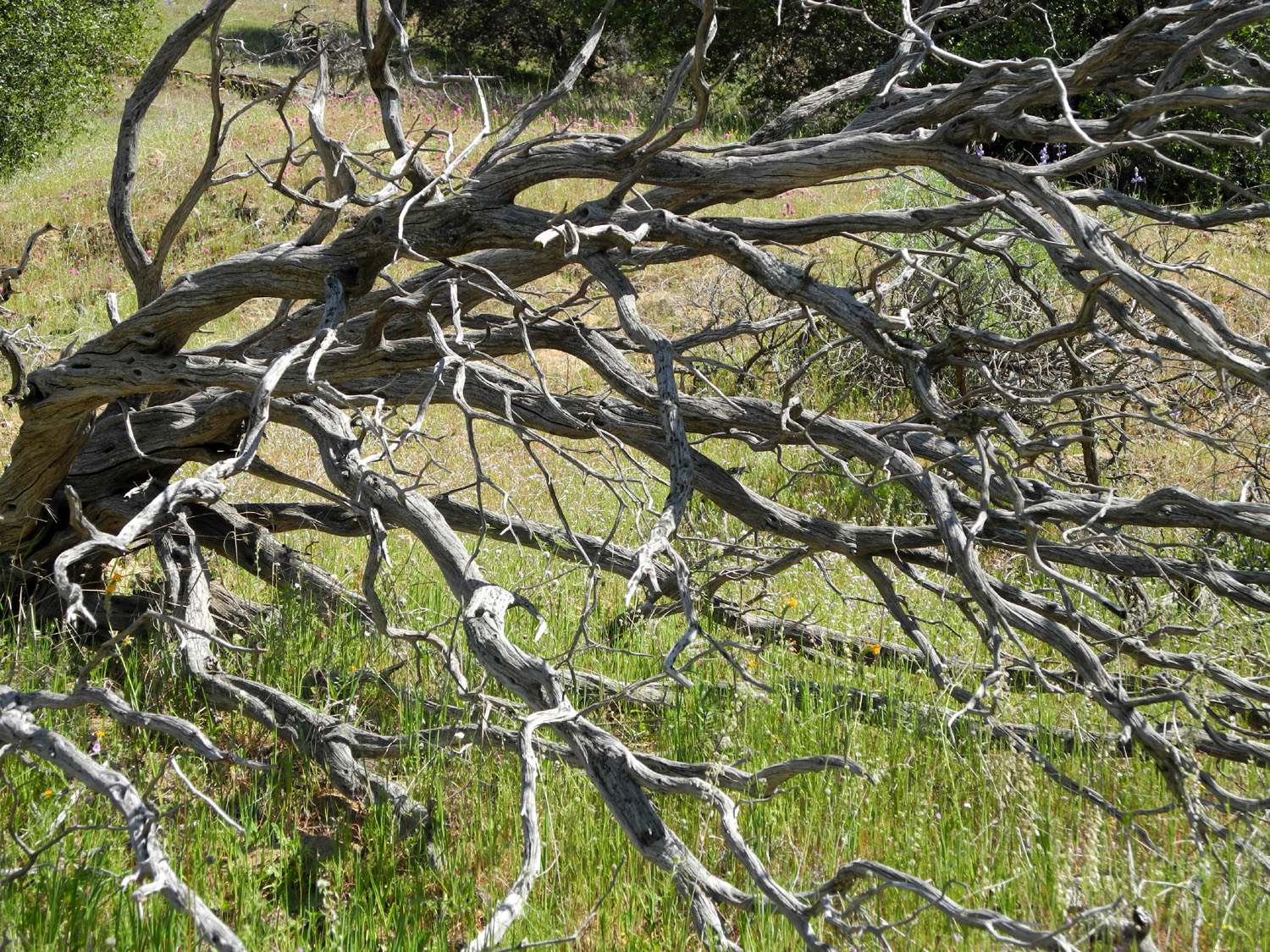
Montgomery Flats | View to the south into Big Creek drainage from Minnesota Flats |
|
 |
 |
 |
|
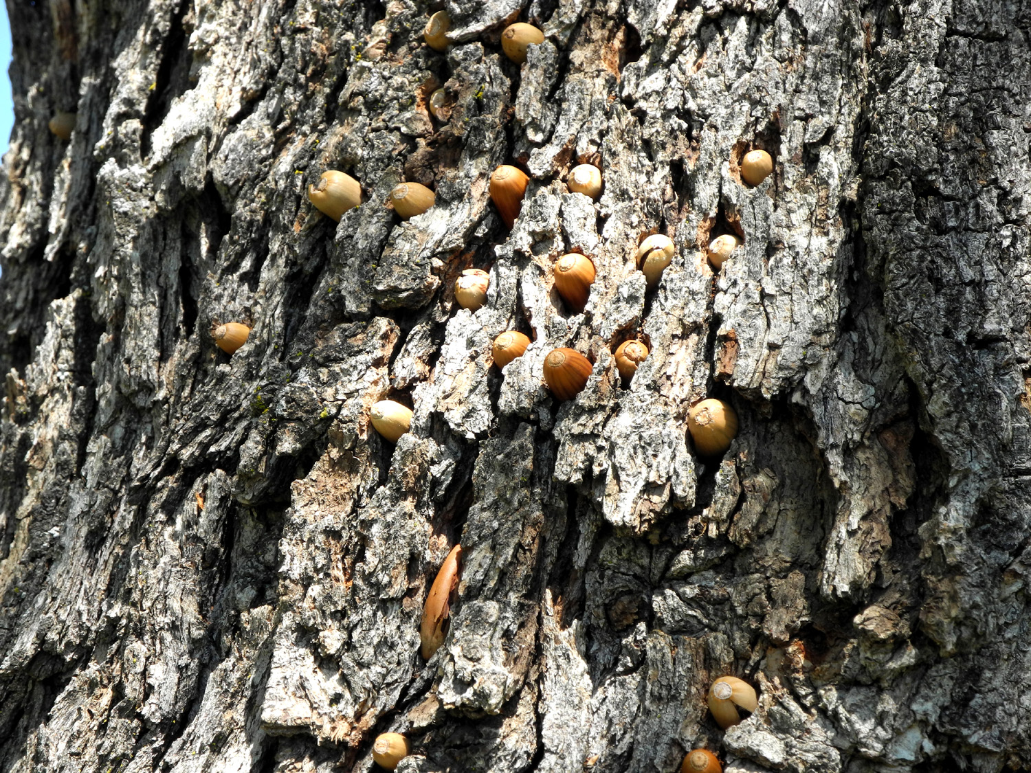
| Near our old campsite at Minnesota Flats | View to the north | Woodpecker food storage system | |
 |
 |
||
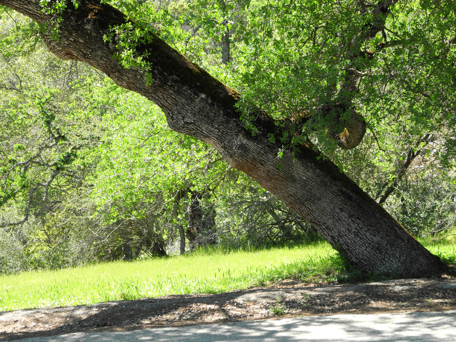
| Cattle chute on Maxon Road | The leaning oak | ||
 |
|||
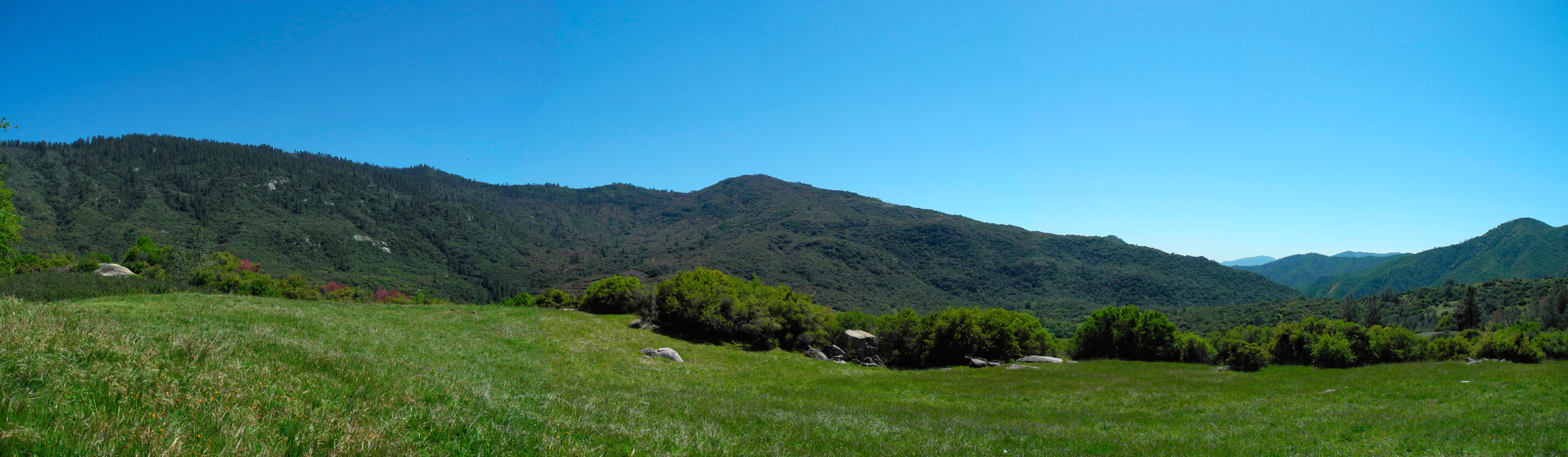
| Minnesota Flats panorama | |||
| Related Links | |||
| San Joaquin Gorge | Pine Flat Lake | Shaver Lake | |
| Trimmer Springs | Tollhouse | Watts Valley Road | |
| San Joaquin River Trail | Big Creek | ||