
|
2022 Rambler Hikes Page 2 |
|
|
Rambler Hikes 2017 Rambler Hikes 2018 Rambler Hikes 2019 Rambler Hikes 2020 Rambler Hikes 2021 |
|
|
San Joaquin Gorge Bridge Trail Lewis Creek Trail Chinese Ditch Buena Vista Peak Courtright Reservoir |
|
|
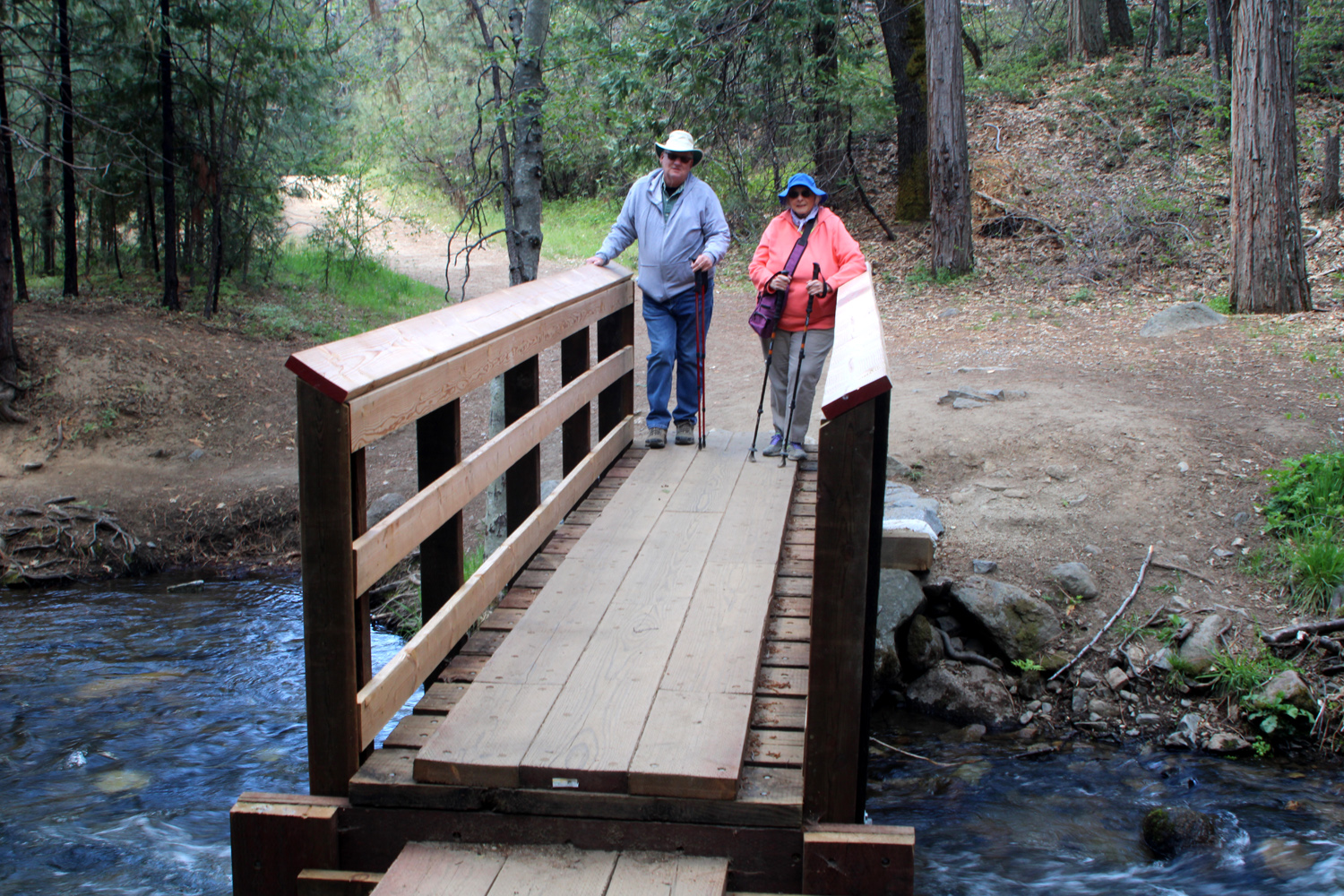
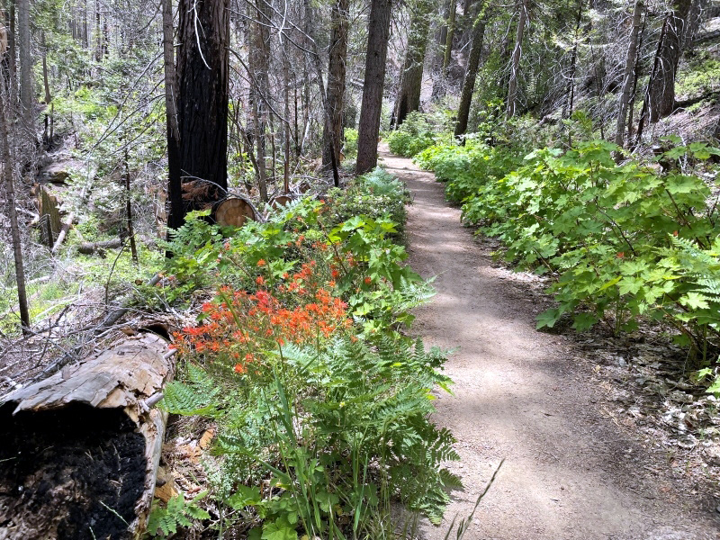
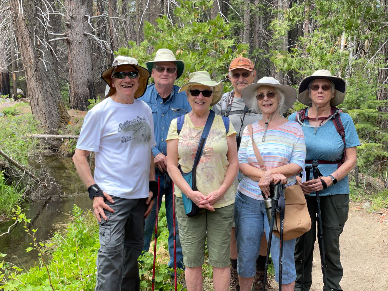
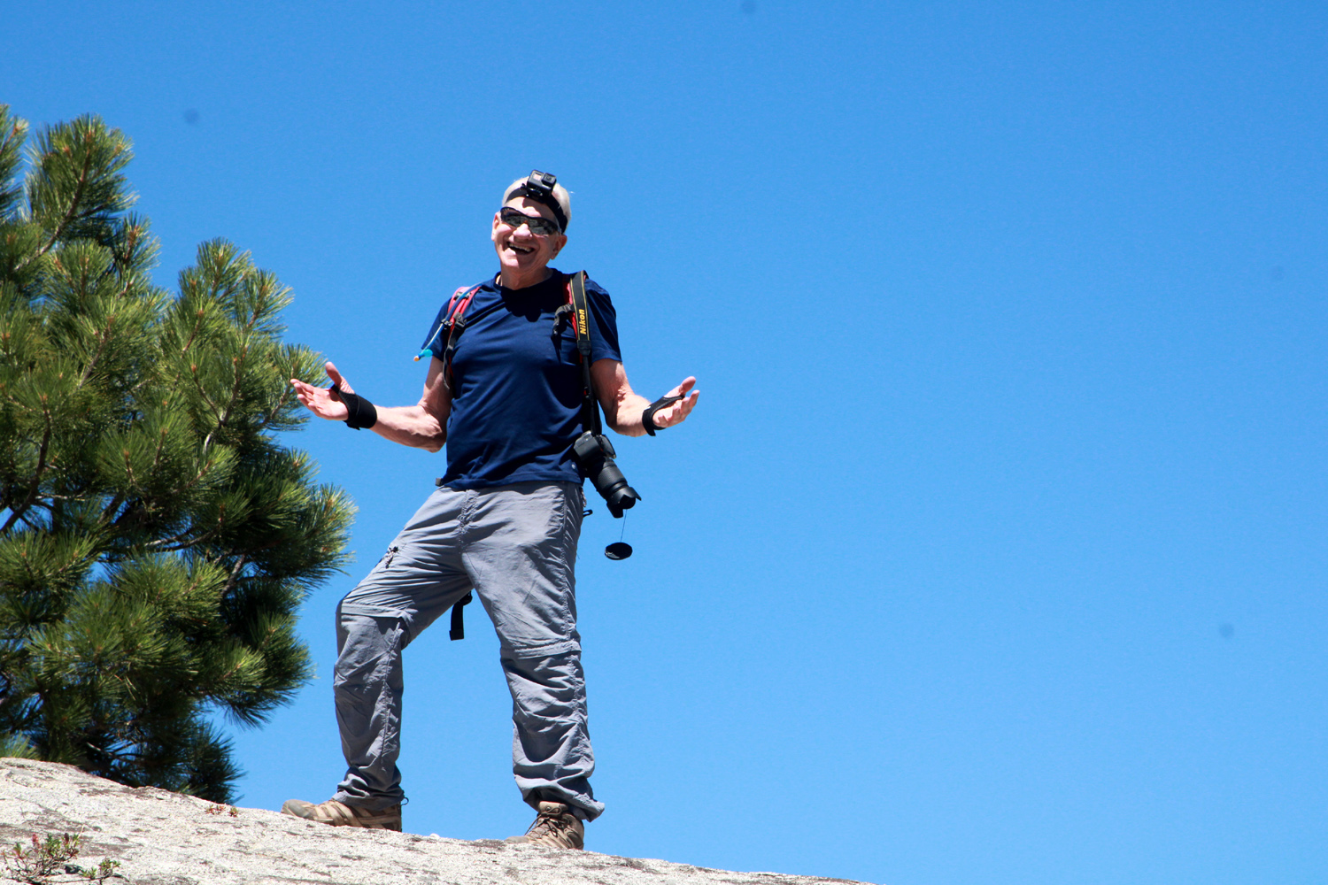
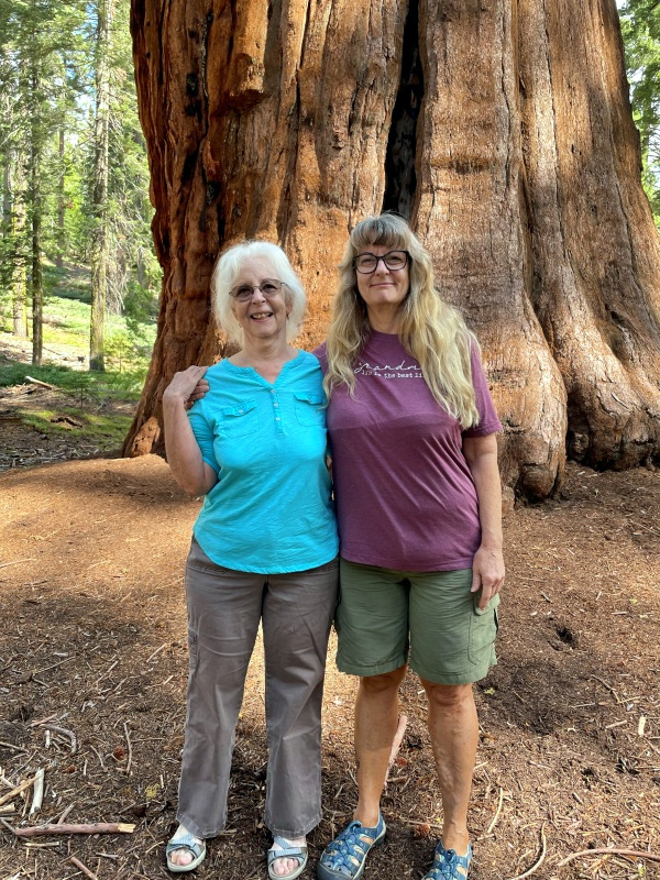
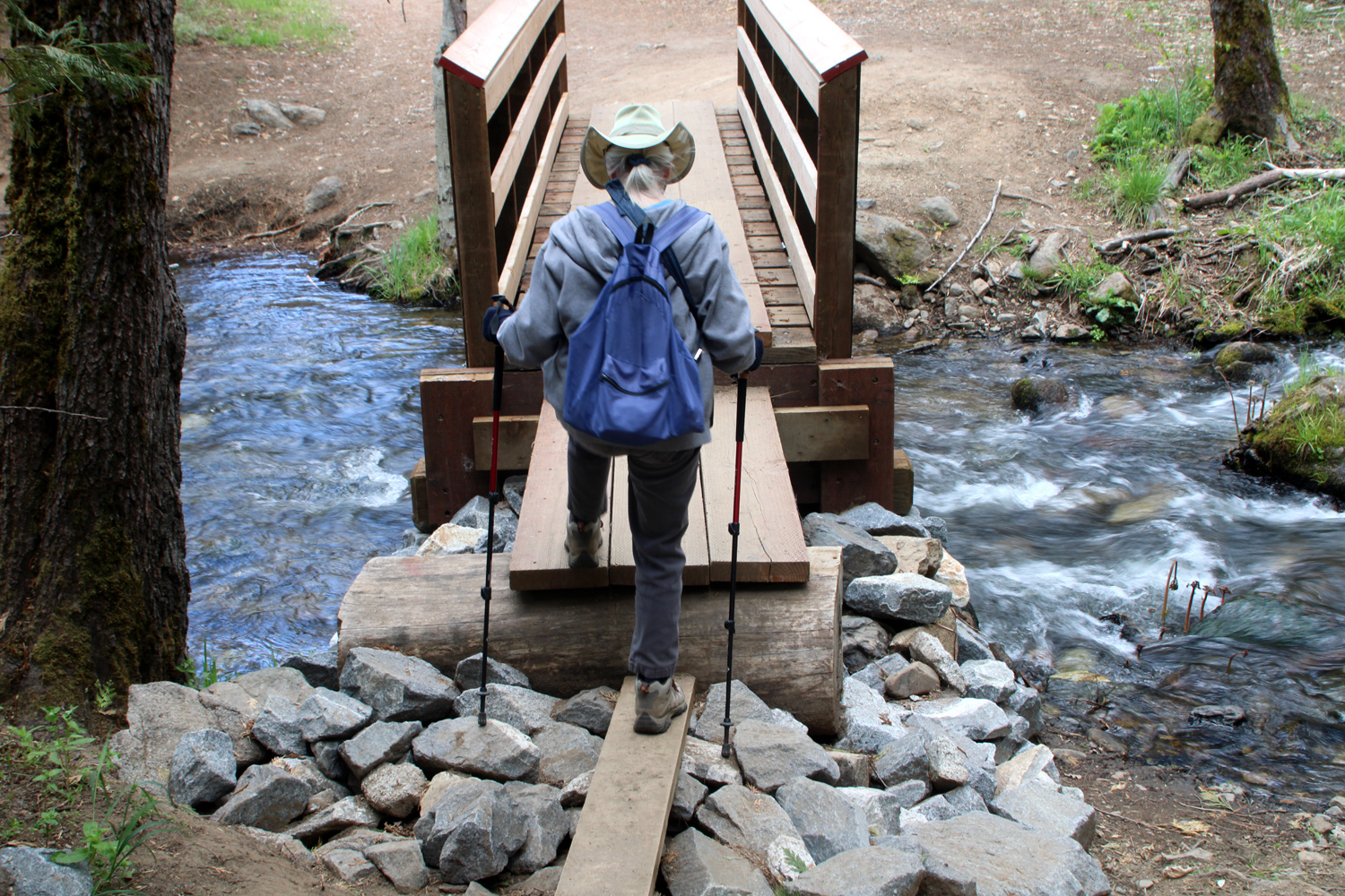
San Joaquin Gorge Bridge Trail On April 6 the Ramblers enjoyed our warmest hike of the year so far. Highs were close to 80 in Fresno, and probably about three degrees cooler at the San Joaquin Gorge. In retrospect, we were glad we missed the 87 degree high of the following day. We were six in number - Sue, Ardyss, Jackie, Carolyn, Allen and Dick, and our destination was the bridge across the San Joaquin River, a little over a mile one way from the parking lot. With an excess of ambition, Ardyss, Allen and Dick went beyond the bridge to a special tree, putting in three miles total. More about that later. |
|
 |
 |
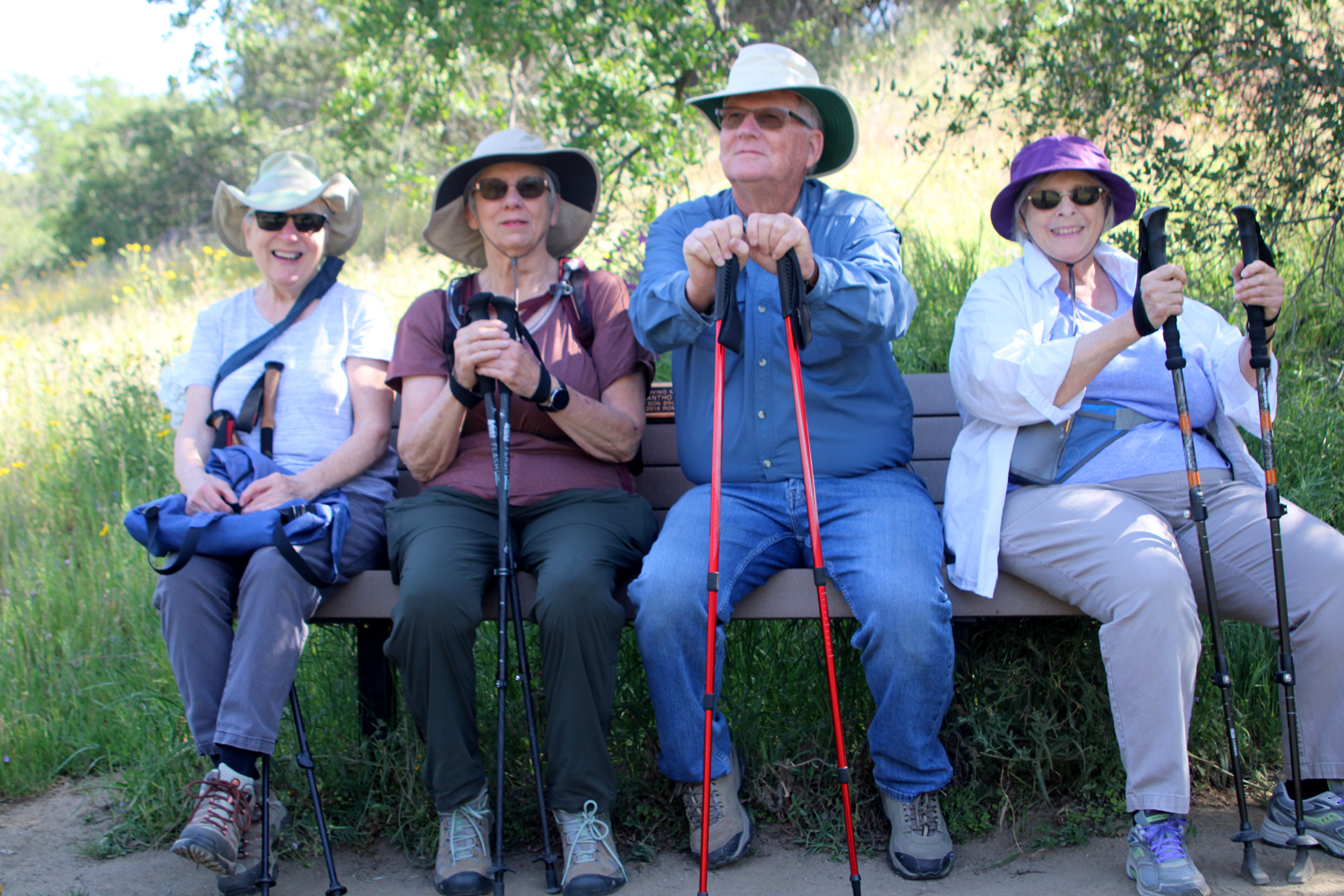
| Carolyn, Ardyss, Allen and Sue relaxing on the bench | Installing this bridge was a major engineering feat |
|
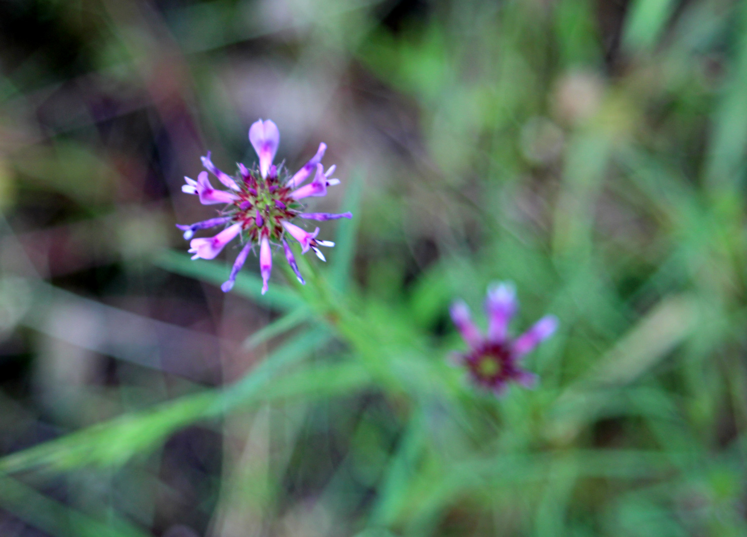
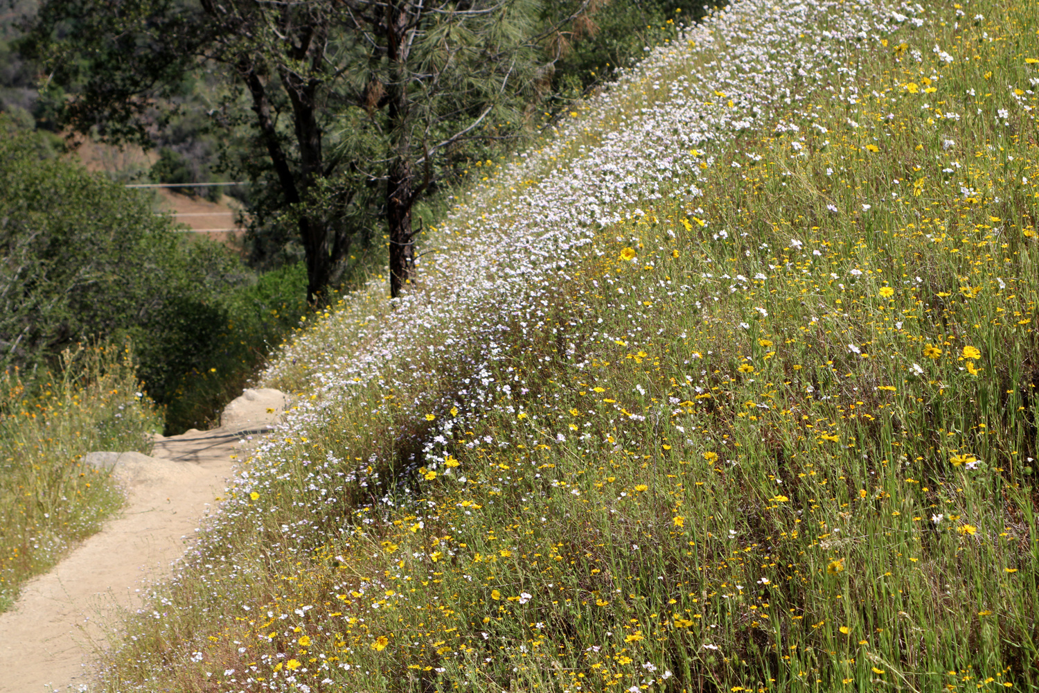
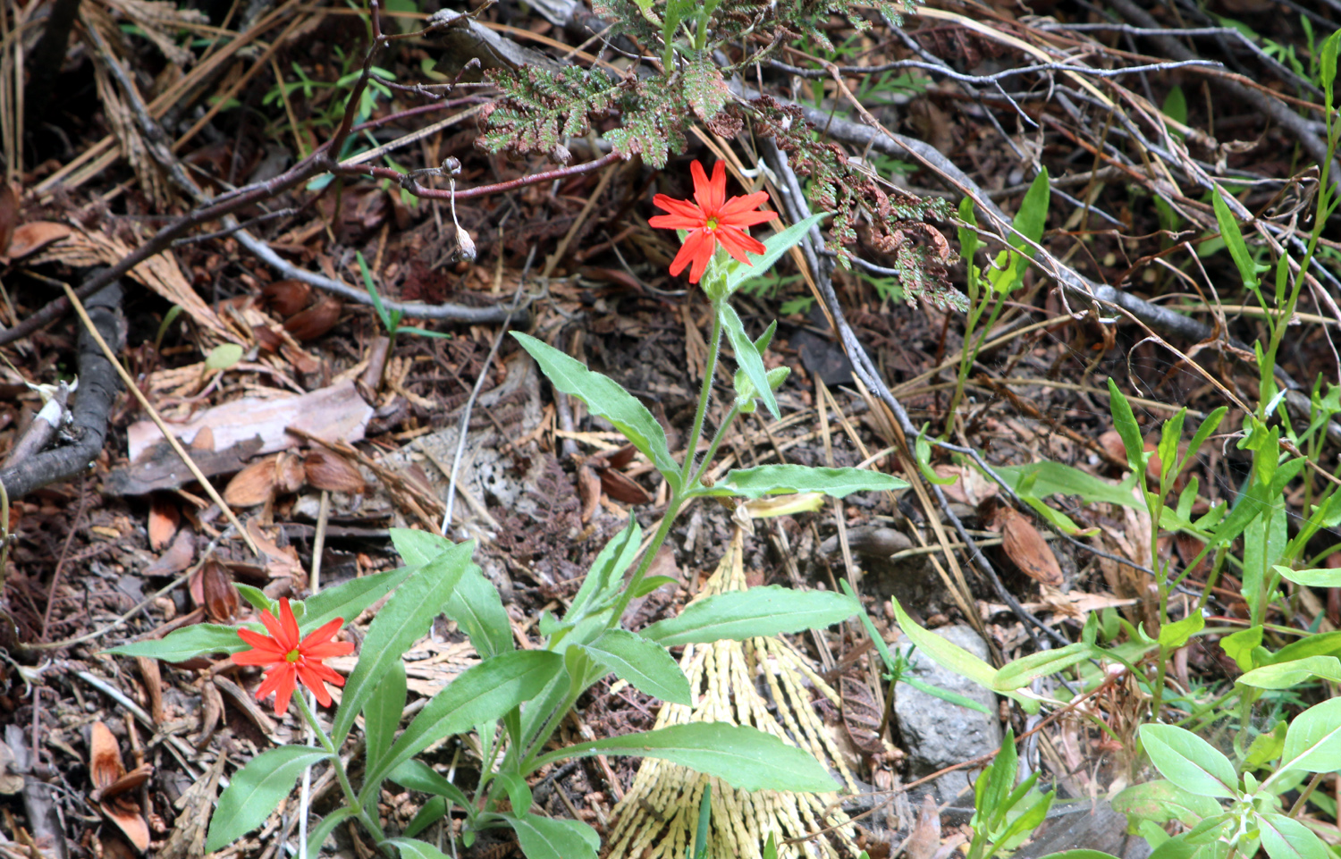
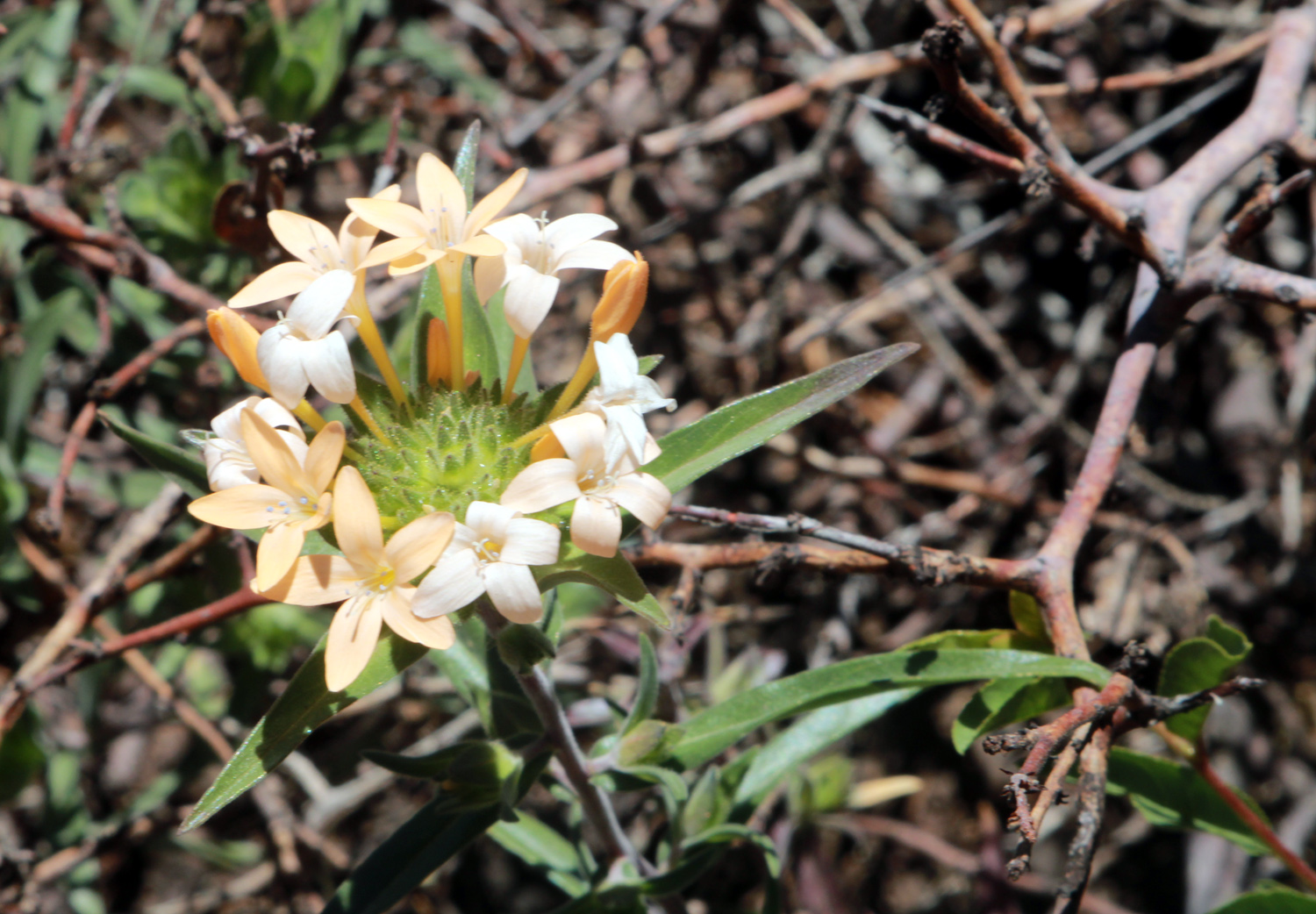
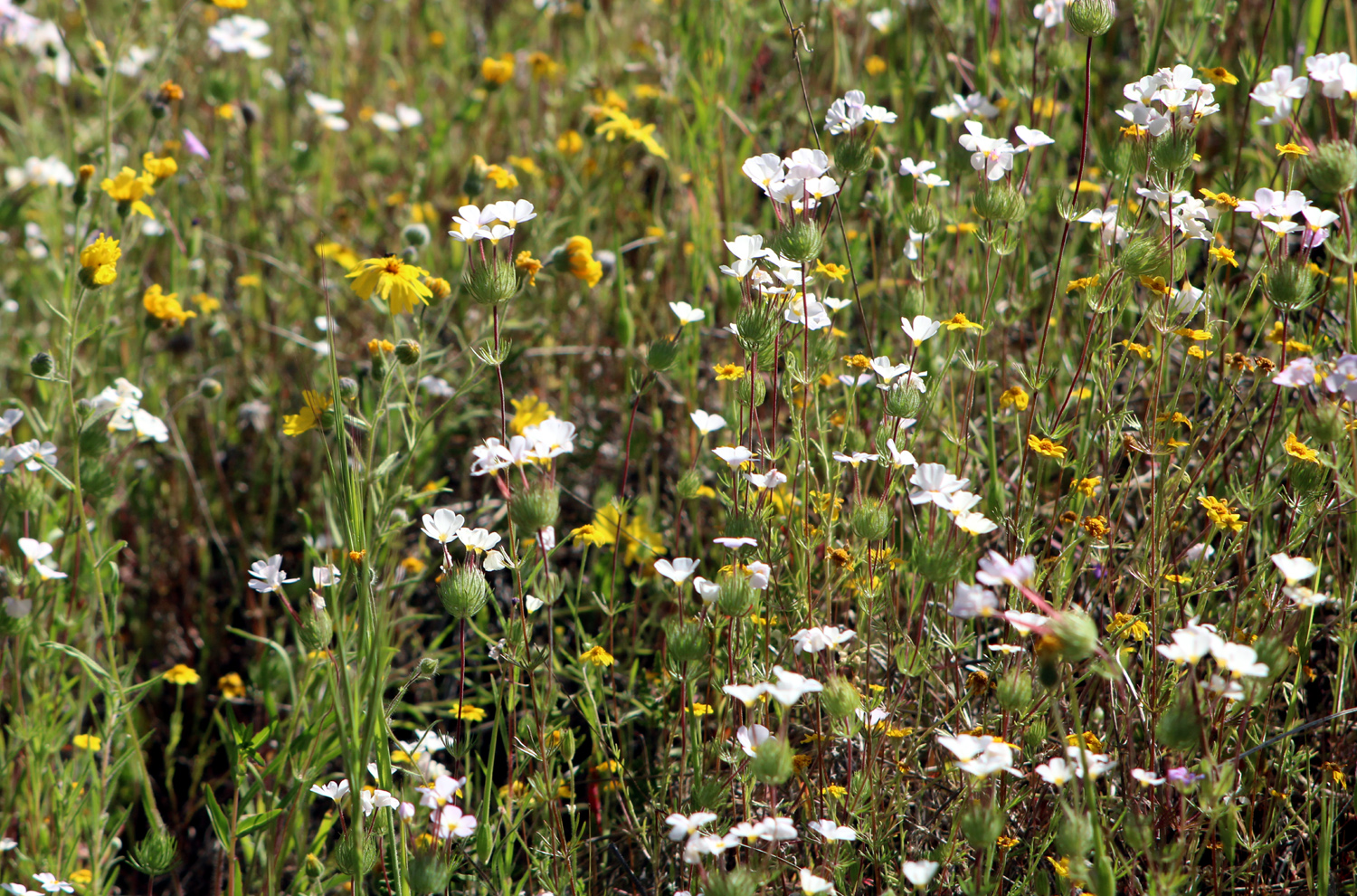
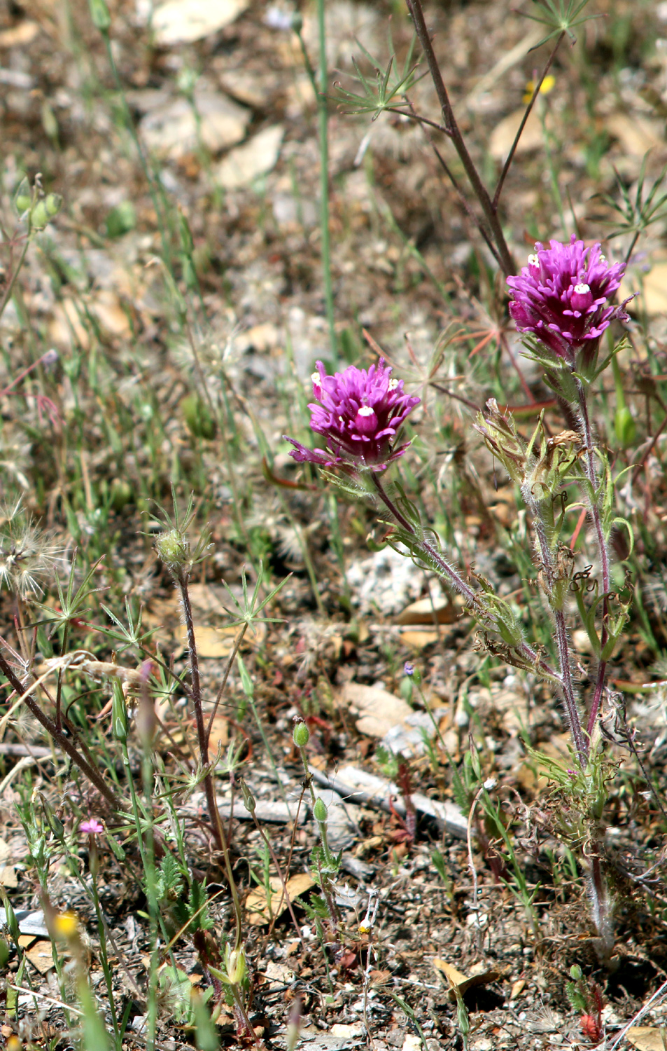
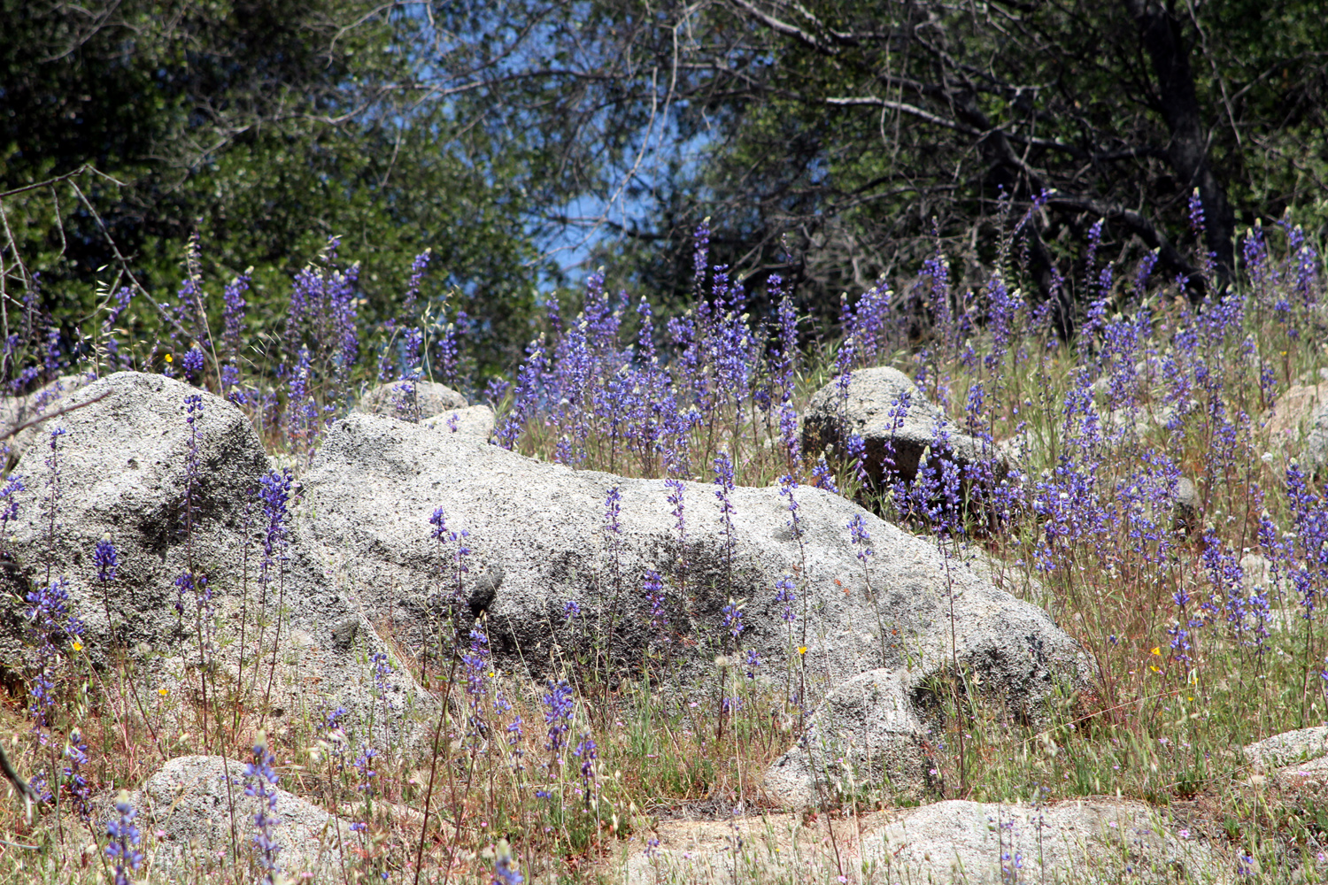
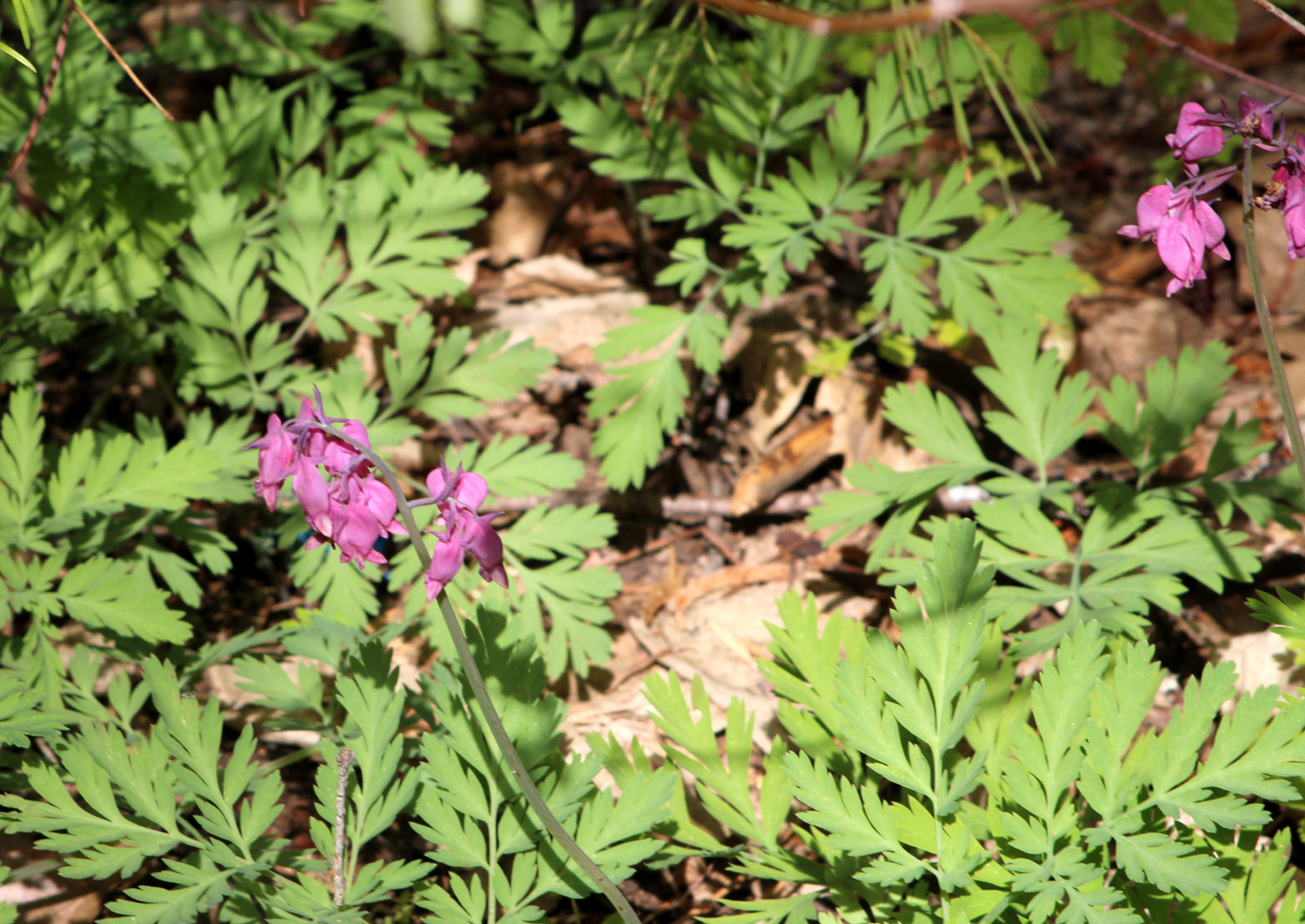
About a quarter of a mile down the trail a bench was installed a few years ago, and we never pass without stopping to rest, whether we need it or not. As we prepared to continue down the trail, Carolyn realized she had not brought her water. She returned to the trailhead, while we continued on. Even though she did not go to the tree, she also got in some extra hiking, and caught up with us at the bridge. Of course, our major goal with our spring hikes is to enjoy wildflowers, along with whatever other flora, fauna, or geological features appear. In the wildlife category, some of us saw a wild turkey running along the road on our way in. And the flowers proved to be all we had expected. As usually happens as the season draws to a close, there are still examples of the earliest blooms, including fiddlenecks, blue dicks, and even baby blue eyes. The flower making its first appearance was mustang clover, a delightful white blossom with a yellow center. They grow on a fairly tall stem, with a hairy cluster of spiky leaves from which the flower stems sprout. A few specimens are a pale pink, and this website claims that color variations are common in some areas. Along the Bridge Trail, they covered some hillsides in large patches of white, interspersed with the yellow of common madea. |
|
 |
 |
| Madea with a lot of mustang clover | Mustang clover close-up |
|
|
|
 |
 |
| Common madea growing beside a bull pine sapling | Madea close-up |
|
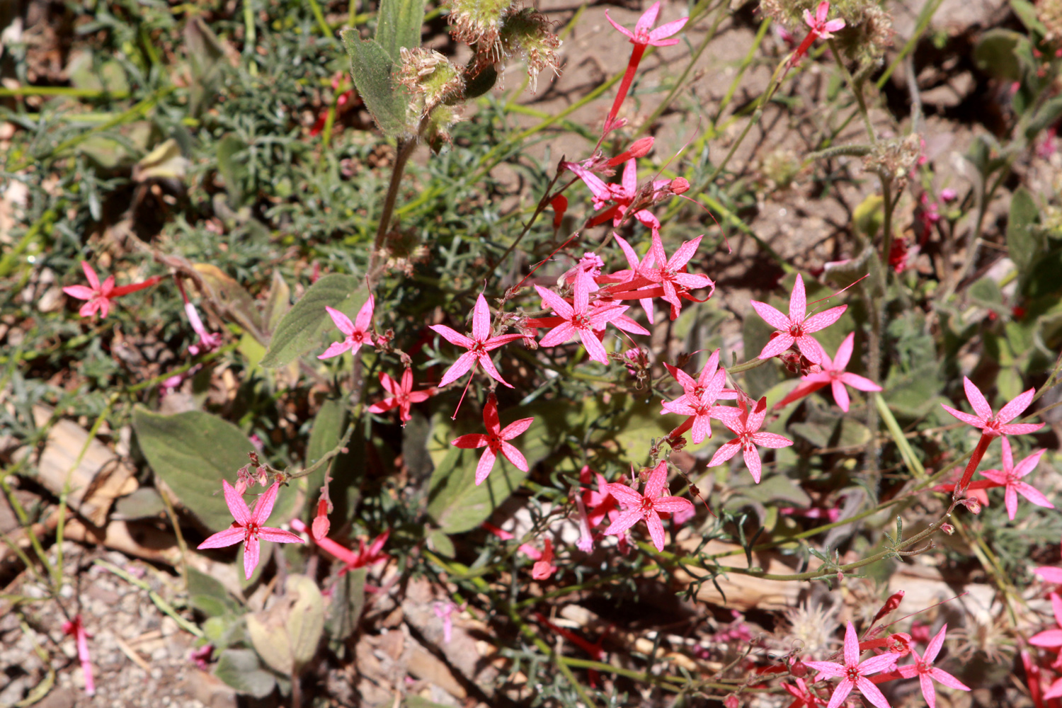
Other attractive flowers that appeared in small numbers included foothill gillia, Chinese houses, and owl clover. Purple vetch, fiesta flowers, and blue lupines have been fairly common everywhere we have hiked this spring. |
|
 |
 |
| Foothill gillia appear only in small numbers | Chinese houses have been scarce this year |
|
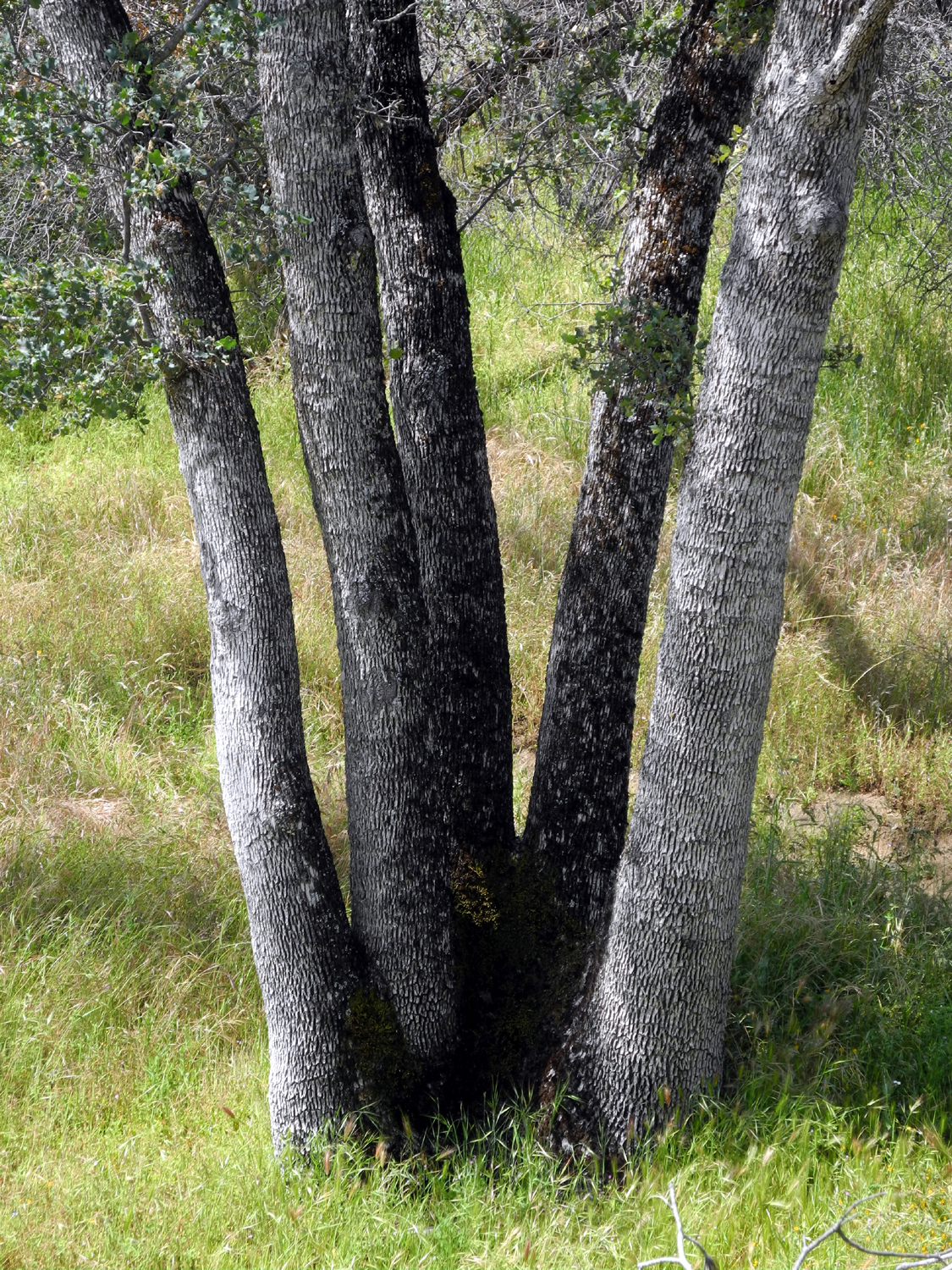
On past hikes, Wes has often gone off the trail, or farther down the trail, to find a good photo opportunity. It has become a thing for him to encourage Ardyss to follow, and most of the time she has done so, being one of our more capable hikers. At the bridge I announced that I was going to go up the trail about a half mile to the Five Ttrunk Blue Oak. A few hundred yards past the bridge is a trail junction, where the Pa'san Ridge Trail goes to the right (upstream), turns away from the river and up a ridge, then winds across and back down to the junction. On the western part of this route, another trail goes west parallel to the river and down to the north shore of Lake Millerton. The destination tree is about a quarter mile from the junction. This is not some huge old patriarch tree, but it is notable for its multiple trunks. Ardyss and Allen agreed to join me, and we left the others behind. We not only visited the oak, we also saw a couple of flower species that the others missed out on. Meanwhile, they started back up, and were waiting at the bench when we caught up with them. |
|
 |
 |
| Ardyss and Allen at the Five-Trunk Blue Oak | A species of chaparral |
|
Sue had gone on ahead of the others, and when we reached the parking lot, she was deep in conversation with a couple from UC Santa Barbara. They were doing a study of native plant species in the area in association with the Bureau of Land Management. After we loaded up our gear, we started for home, with a stop at one of our favorite post-hike dining spots, Velasco's Mexican Restaurant in Prather. If all goes well, this year will be the first time we have actually been able to complete six hikes in the three-month period we call De Facto Spring. I will be traveling in late April and will miss that final hike, so Wes has stepped up to handle the scheduling. I will be sorry to miss whatever adventure he comes up with, but will take comfort in the fact that I am enjoying the amazing scenery and hiking trails of Arches National Park. --Dick Estel, April 2022 |
|
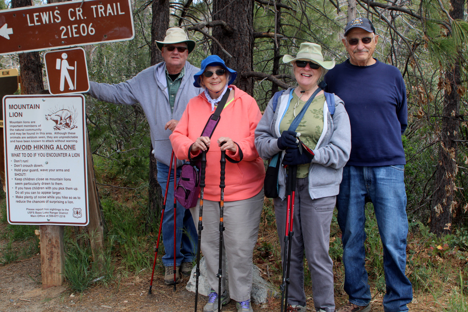
| Lewis
Creek Trail
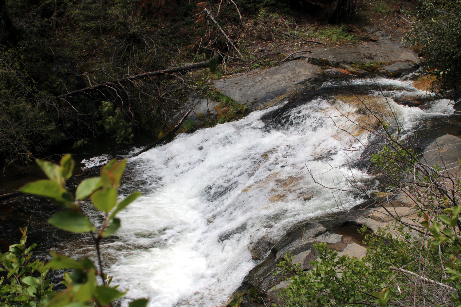
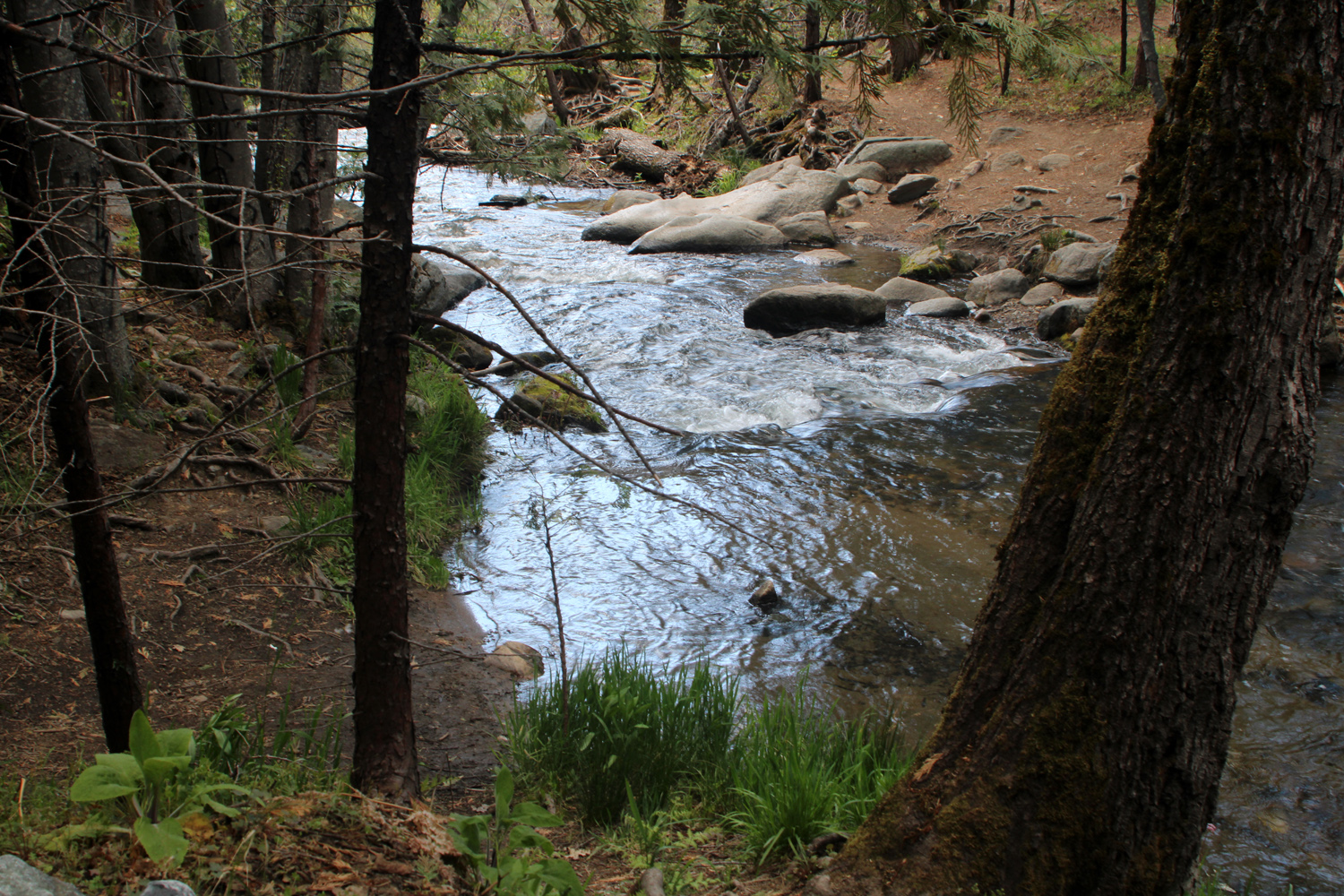
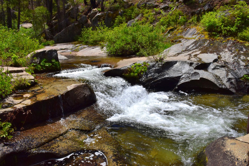
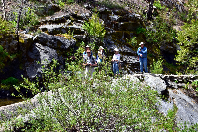
This hike was SUPPOSED to take place April 21. This report was SUPPOSED to be written by Wes Thiessen. I was SUPPOSED to be traveling in Utah with daughter Teri. My trip worked out fine, but one of our rare and much-needed mid-spring rainstorms shut down the Ramblers. So we re-grouped and went on May 11, a day which ironically offered a slight chance of rain. Chanting my mantra from backpacking days, "It wouldn't DARE rain on us!" four of us set out a little after 9 a.m., arriving at the Lewis Creek Trailhead around 10:30. Sue, Allen, Carolyn and I (Dick) were pleased to see that there was a lot of blue sky, along with big white clouds. Due to family obligations, Wes was not able to join us, so I have to do all the writing. This trail follows the creek from the tiny community of Sugar Pine to the little community of Cedar Valley, mostly parallel to State Highway 41. The main trailhead, about six miles past Oakhurst, is approximately the mid-point of the trail. It's a short walk down hill to a fork, with the route to the right leading to Corlieu Falls, a hike we've made a number of times. Going to the left, the trail crosses the creek and eventually arrives at Red Rock Falls. |
|
 |
 |
| Lewis Creek downstream from the bridge | A nice cascade on the creek |
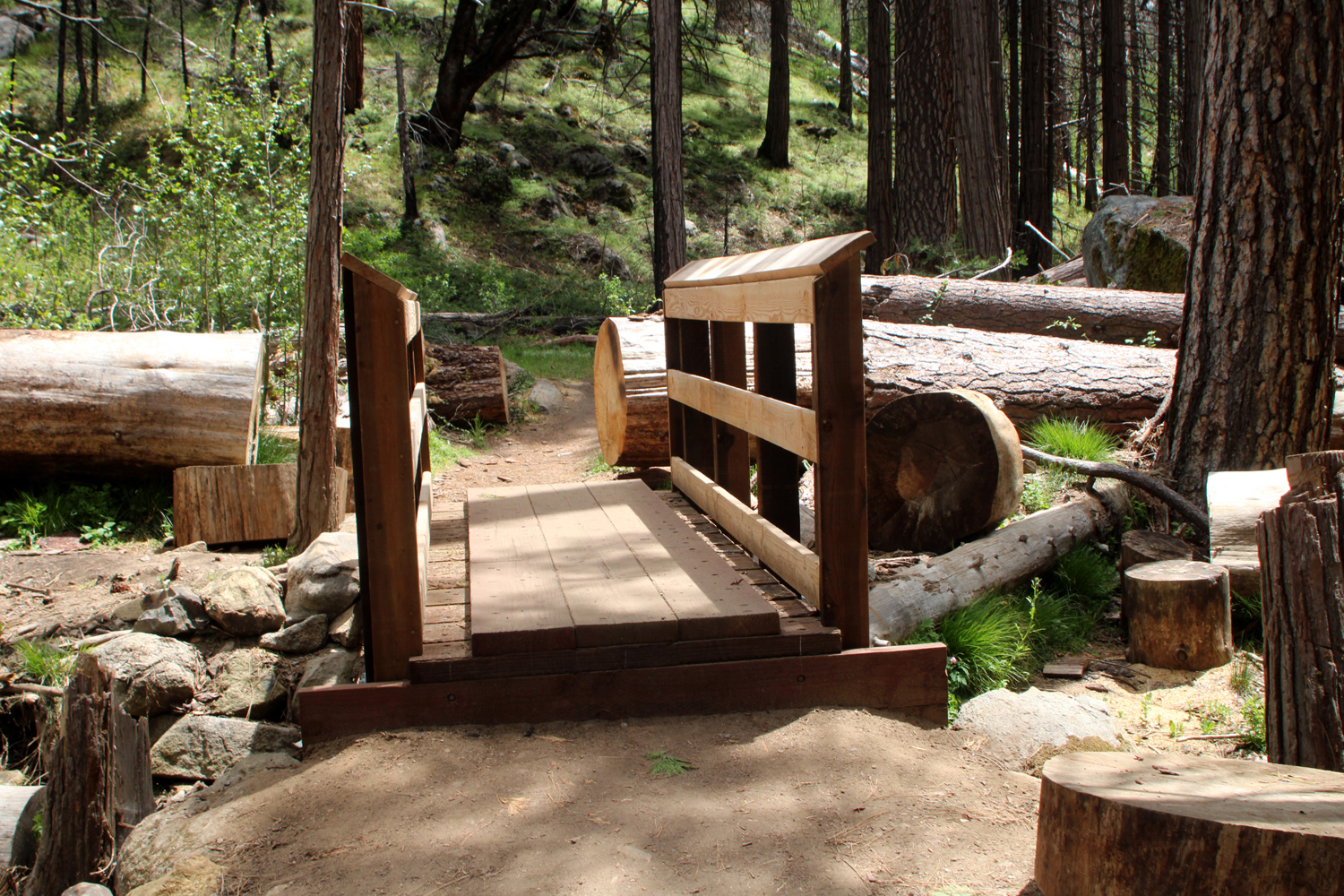
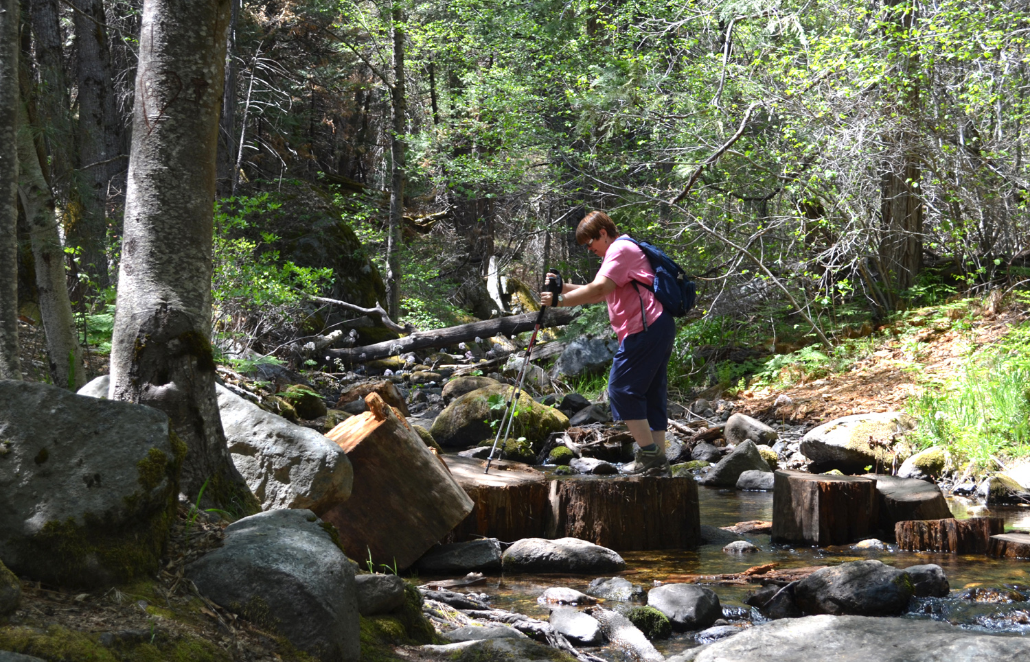
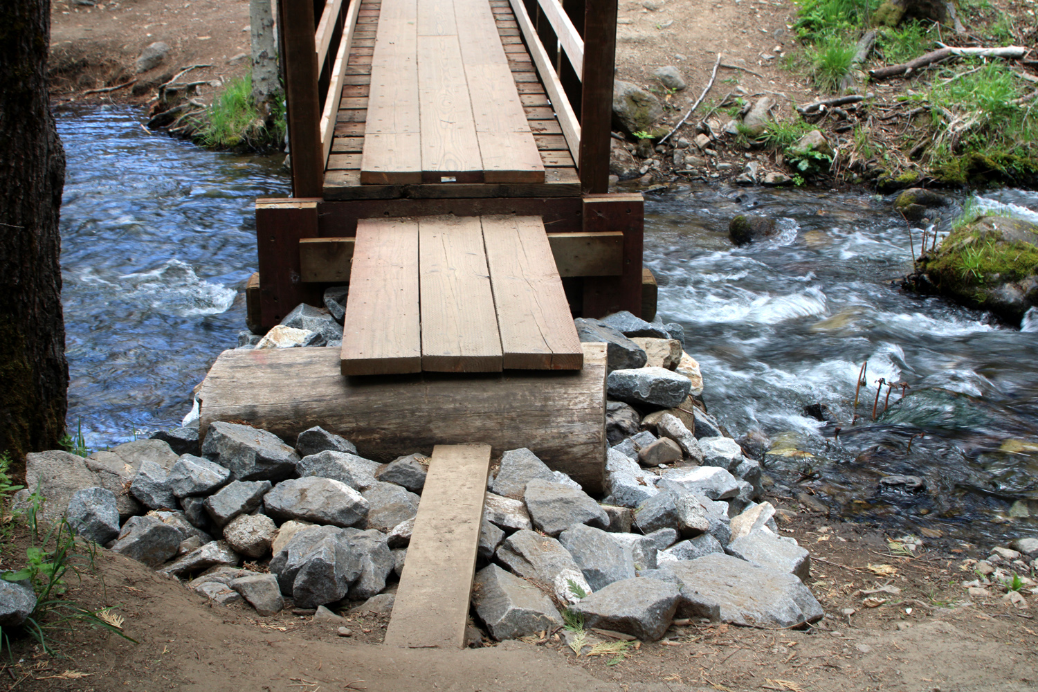
The TRAIL always crosses the creek, but hikers are not necessarily so lucky. Long ago there was a bridge, but by the time I started hiking in this area, it had washed out. On our first Ramblers hike in that direction we found a number of large log rounds in the creek, which we were able to use as a crossing aid. Other times the water was so low it was easy to step across. More recently, there was a log across the creek, and someone had tied a rope next to it. I have reached the age of Advanced Caution, and didn't even consider trying that method. Happily, when Wes and I hiked the trail in July 2021, a new footbridge had been built across the creek. A little farther up the trail a precarious log and plank arrangement made it possible, but not easy, to cross a good size tributary creek. When I returned to the area in November, the bridge was leaning and sagging. We joked that they had hired the C and D engineering students to build this bridge. More recently Wes reported that the bridge had been repaired or replaced, so the Ramblers had high hopes for a safe and easy crossing. Unfortunately, they had only progressed to the C+ students. The new bridge is fine as far as it goes. It just does not go all the way across the channel. There is a sketchy approach and an 18-inch step to get up on the west side. On the east you step down on to three boards that are balanced between a log and the end of the bridge, then try to keep your balance as you step down on to a 6-inch wide plank to finish the last five feet of the crossing. You may ask, "Why didn't they just build the bridge all the way across from one side of the channel to the other?" We also asked that question. |
|
 |
 |
| The oddly designed, too short bridge | There was a good flow of water in the creek |
|
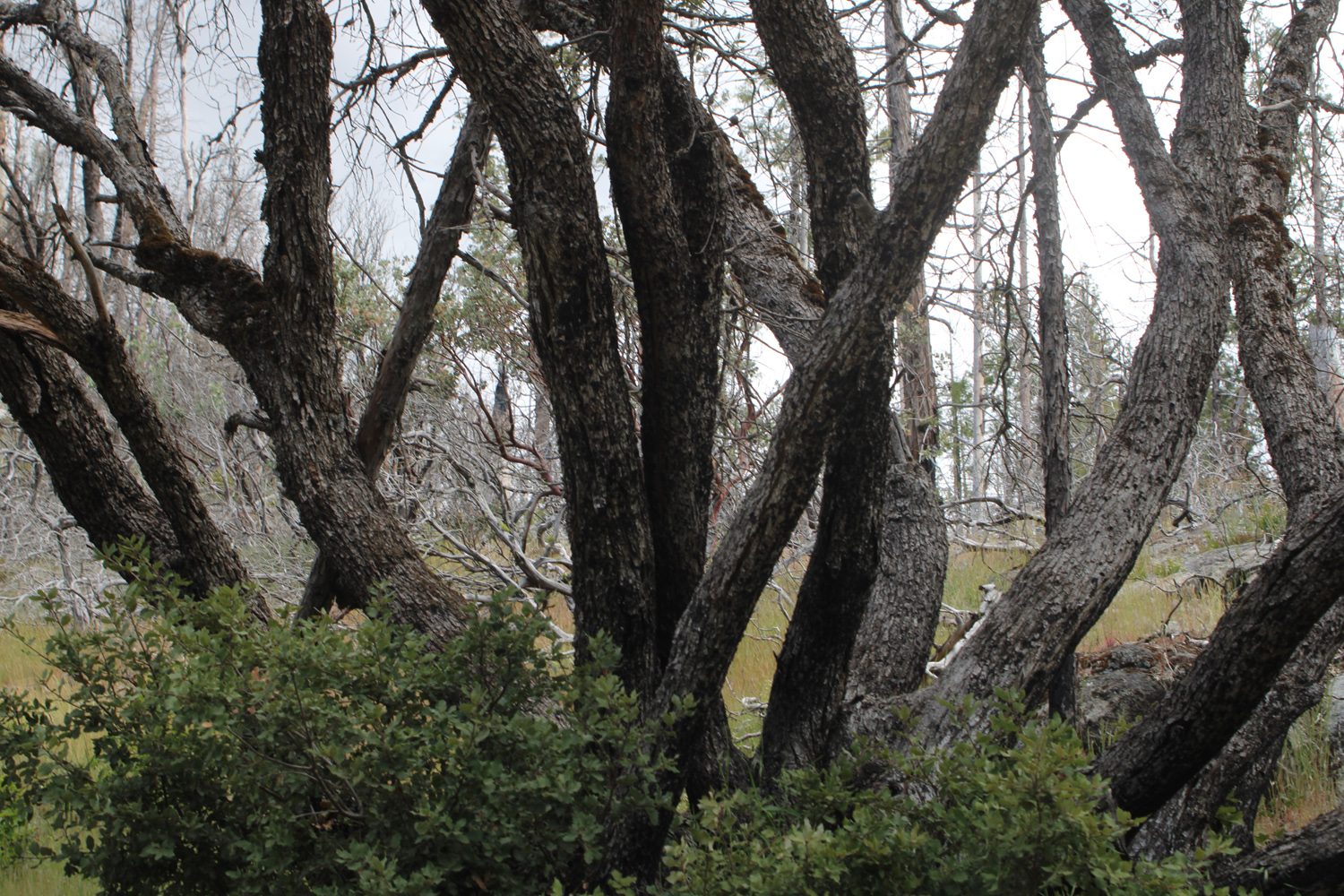
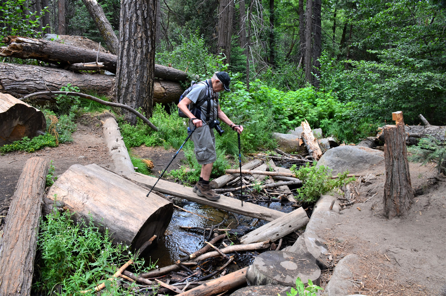
However, we soon realized that the A students had been assigned to build a new bridge across the tributary about a quarter mile into the hike. Perhaps because this creek is narrower, they had enough material to do a good job. Bridges aside, it was a fantastic day for hiking, cool enough to wear a jacket all the time and with an occasional gentle breeze Since the elevation is fairly low here, it can get dry pretty early in the warm months, but everything was still bright and green. The creeks were running big, and there were many wildflowers along our route. |
|
 |
 |
| A better bridge, over a good size tributary | Green hillside, with trees killed by the Railroad Fire |
 |
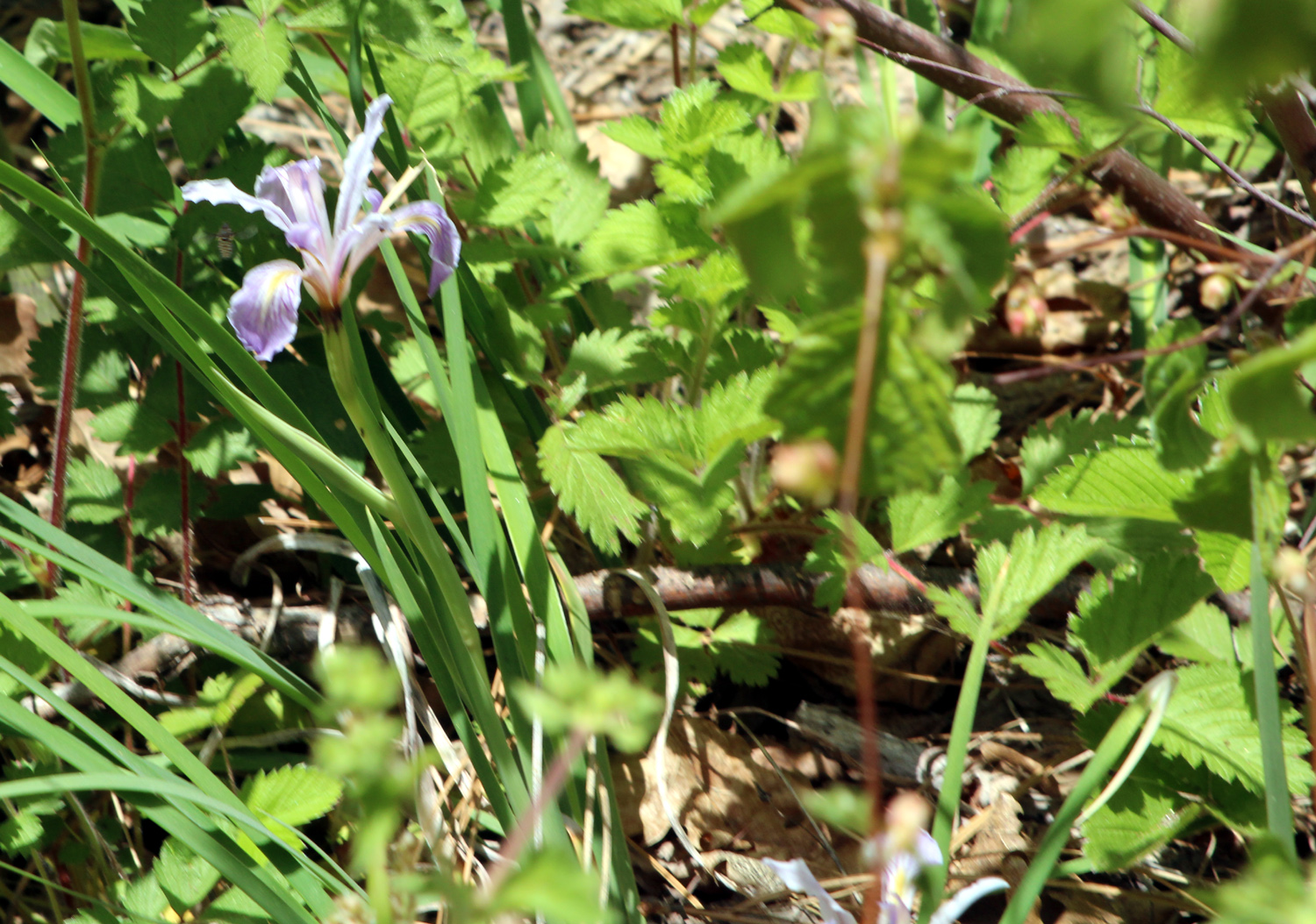 |
| Indian pinks | Wild iris |
 |
 |
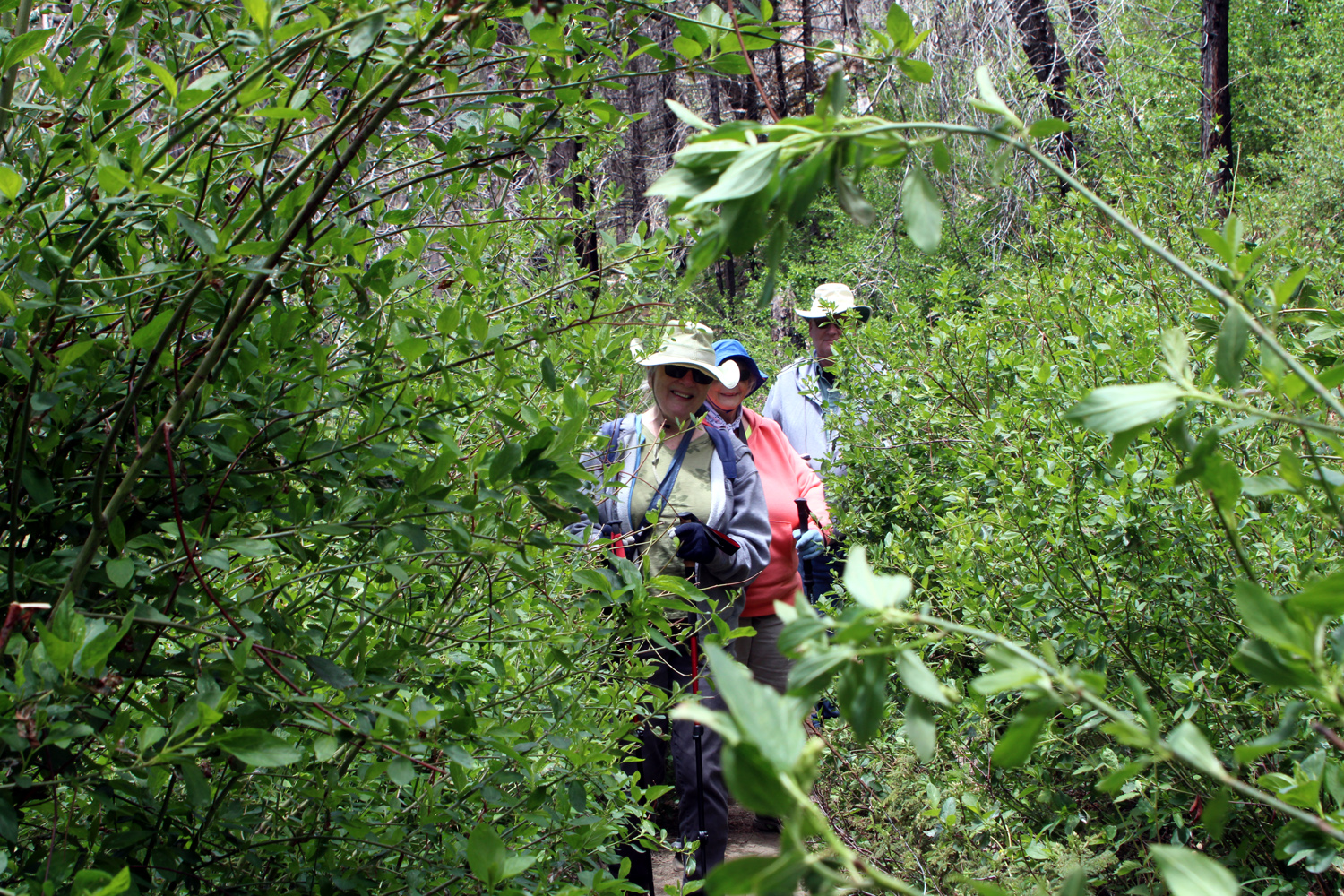
| The
Ramblers make their way through an overgrown section of the trail |
Black oak trunks |
|
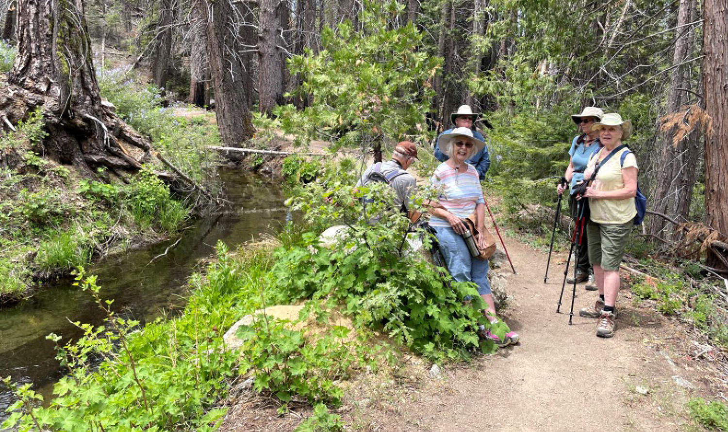
We saw a few other hikers on the trail, but there were more cars at the parking area than the numbers would suggest. It's probable that most visitors were headed to Corlieu Falls. We went to a place where the trail started up with a couple of switchbacks, then leveled out. When it started to descend, we conferred and decided to turn back to avoid hiking back uphill again. We walked about two miles total, and after our traditional group photo at the start of the trail, drove down to Oakhurst and enjoyed a fantastic lunch at El Cid Mexican Restaurant, probably our favorite mountain eating spot. --Dick Estel, May 2022 |
|
| Chinese
Ditch
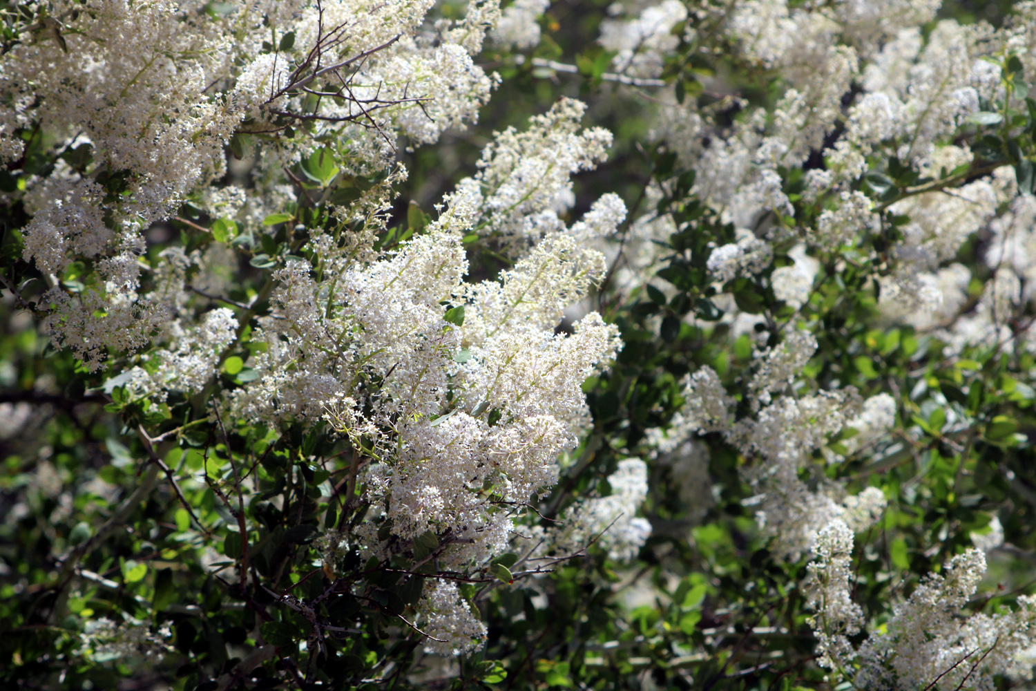
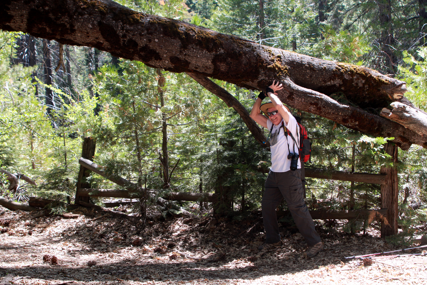
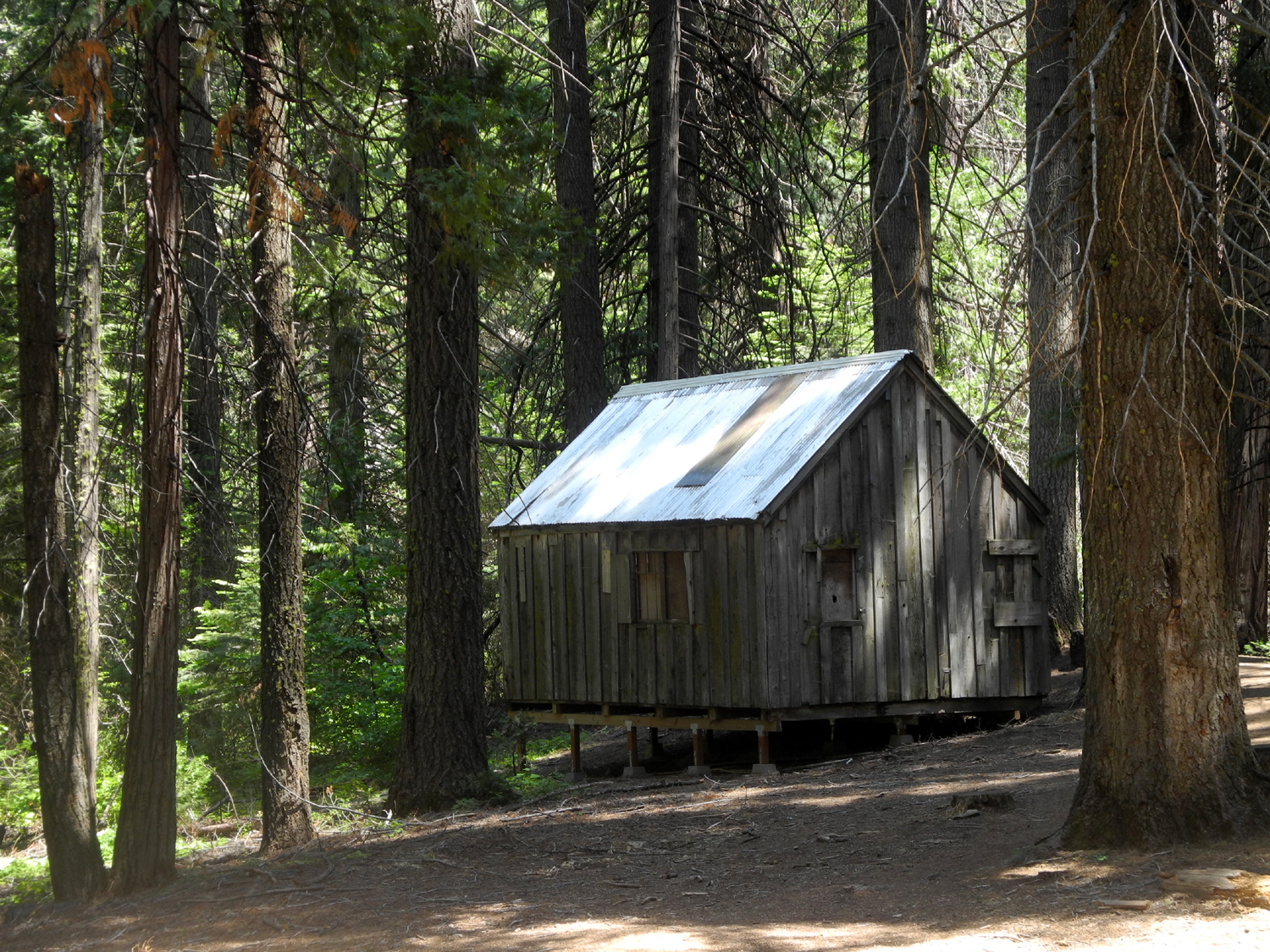
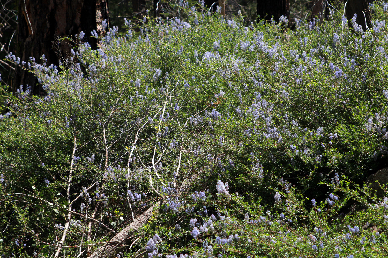
With summer weather in full swing, the Ramblers naturally seek higher elevations for our hikes. For our June 8 outing we returned to Chinese Ditch, a location we've visited previously. The ditch was constructed over 100 years ago to carry water from Big Creek near Fish Camp to Lewis Creek for use in logging operations. It's not clear why it's still in operation - the Internet offers little other than the link above. In any case, it provides a cool and scenic walk of a little over a mile and a half round trip, although some hikers make it longer by walking on the road leading to our starting point. Our group included Wes, Allen, Dick, Jackie, Carolyn and Ardyss. We traveled in Wes's Highlander and my F150, stopping at Deli Delicious in Oakhurst since we planned to dine in the woods. Just before Highway 41 entered the tiny hamlet of Fish Camp, we turned east on Jackson-Big Sandy Road . The road becomes dirt a half mile in, and it's about two miles total to a location with an old corral, cattle chute, and a cabin that has seen better days. There's plenty of room to park off the road on the right hand side, and a huge, recently-fallen black oak limb gave us the chance for a little fun. |
|
 |
 |
| Wes displays a feat of strength | Typical section of trail and ditch |
|
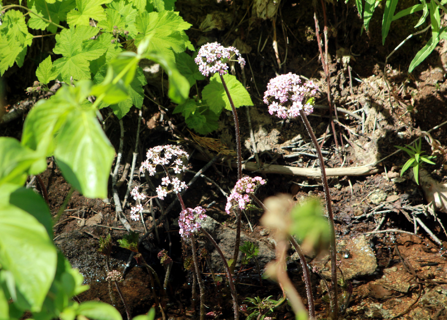
The trail follows the ditch bank, but the years it's existed have made it more like a creek, with evergreens, willows, and quite a few wildflowers. Although it's fairly level, it's no "walk in the park," since the terrain drops off steeply on one side into the canyon of Big Creek, with the other edge just above the water. Along the way we spotted a nest in a fir tree. Careful, hands-free observation revealed two blue eggs. The Internet reports many birds lay blue eggs, including blue jays, which are common in the foothills and lower mountains. |
|
 |
 |
| A rare find - a nest in a fir tree | Ferns and wavy-leaf Indian paintbrush line the trail |
|
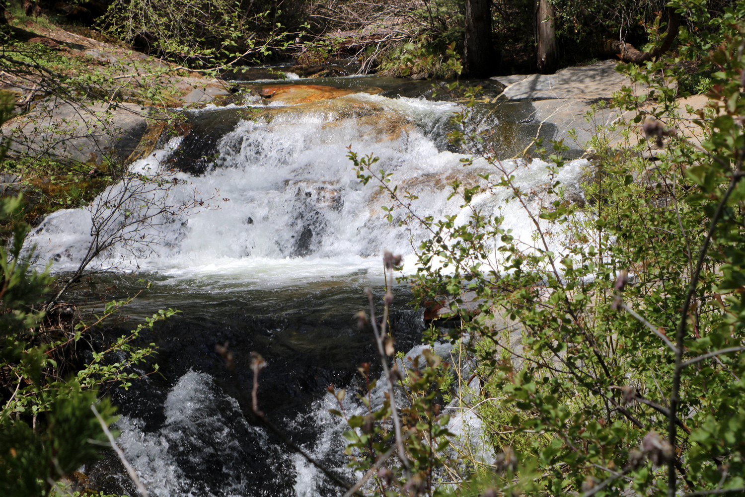
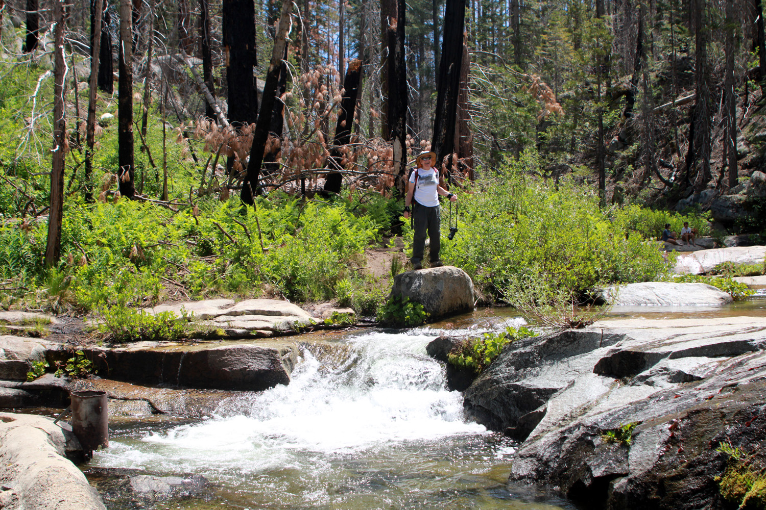
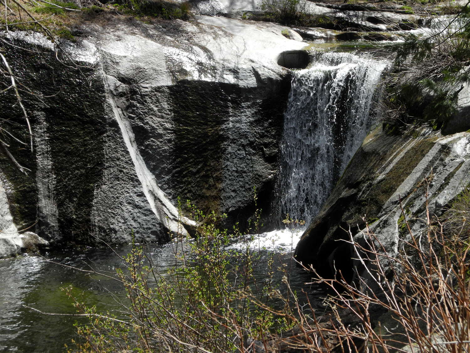
Where the ditch flows out from the creek, there is a nice waterfall. This picture is from 2020, but now the creek is low and most of the water was being diverted, so the falls was not impressive at this visit. Above the waterfall the creek drops over a number of small cascades, and there are supposedly pools deep enough for swimming above that point. However, the route across the creek is fairly challenging, and only Wes was up to going across. |
|
 |
 |
| Cascade above the falls | Wes on the Rock by the Creek |
|
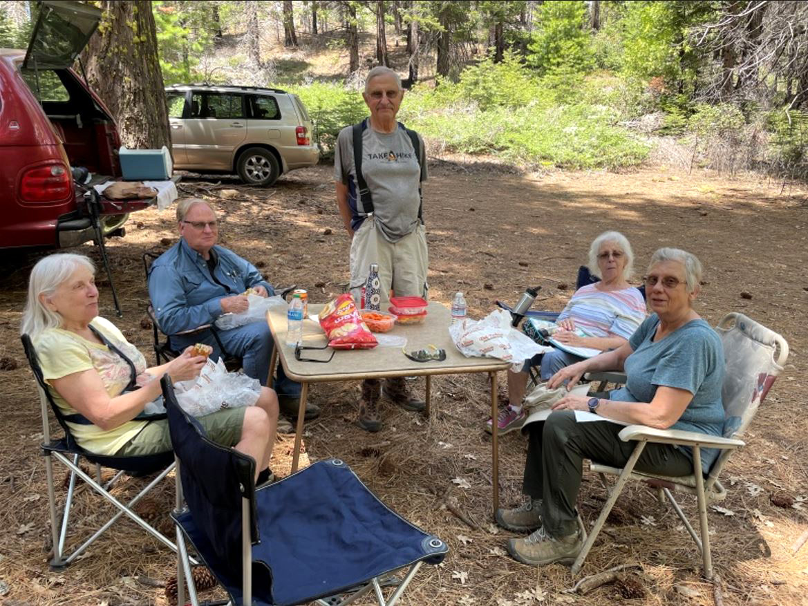
We spent 20 minutes or so at the ditch-creek junction, watching Wes carefully crossing the creek, looking for a place to sit, and enjoying the scenery and excellent weather. After we made our way back to the trailhead, we set up a card table and chairs and enjoyed our lunch in the peaceful surroundings of the Sierra National Forest. |
|
 |
 |
| Lunch time in the Sierra | Wes, Allen, Carolyn, Dick, Jackie, Ardyss |
|
We made one more stop, at Tenaya Lodge, a very nice (and very expensive) hotel in Fish Camp, to look around and investigate the restroom facilities. Among other amenities, the lodge provides bicycles for guests to use, and we had met several of them who had ridden to the trailhead and walked along the ditch bank. We chatted with the gift shop clerk, who said that England must be empty, because a large percentage of their guests were from the Mother Country. This was our finding on the trail as well. Our next adventure will be a hike to Buena Vista Peak in Kings Canyon National Park, the destination of our very first ever Ramblers hike back in May of 2014. Join us if you can! --Dick Estel, June 2022 |
|
| Buena
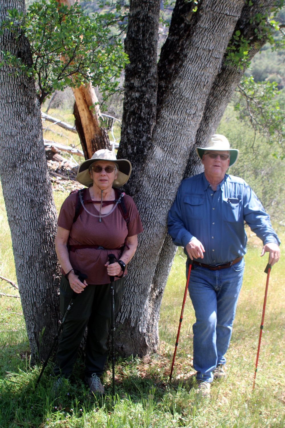
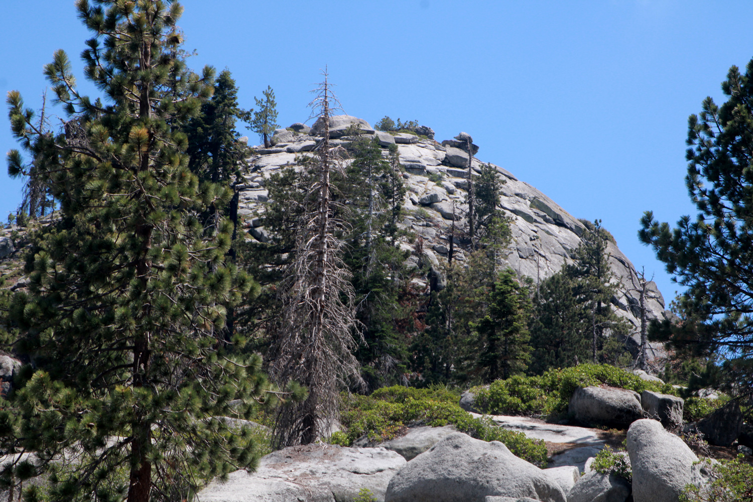
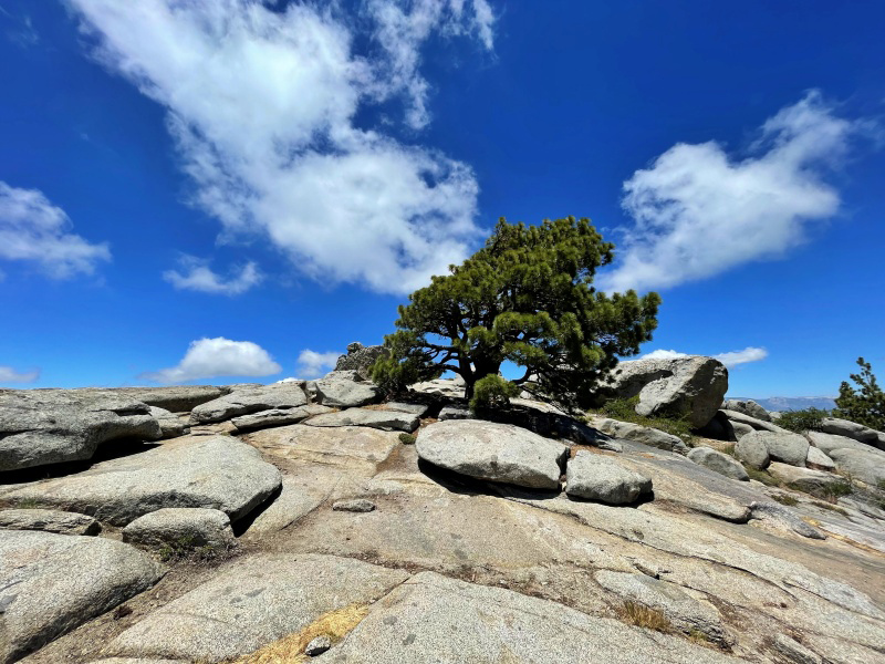
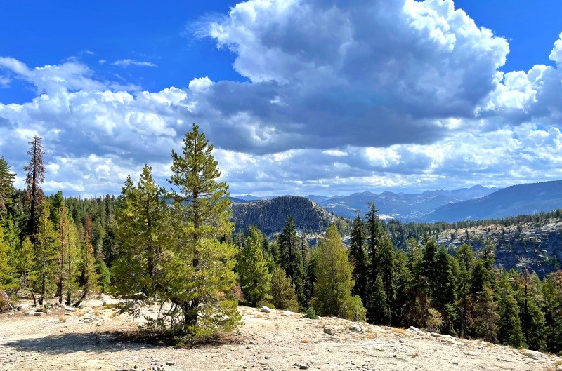
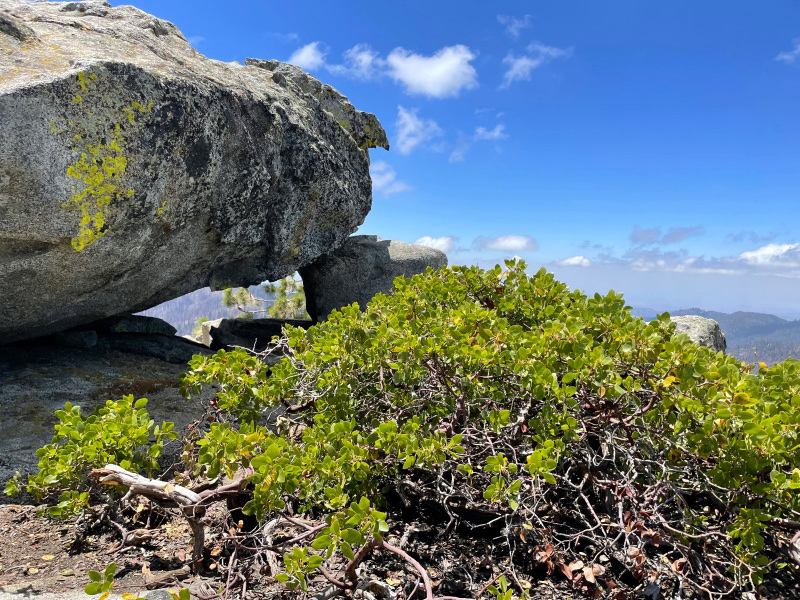
Vista Peak (Photos by Wes & Dick) Seeking cooler locations for our summer hikes, the Ramblers returned to a favorite spot in July, Buena Vista Peak in Kings Canyon National Park. This was the location of the very first Ramblers hike in May, 2014, and we have been back several times. Four of us drove up from Fresno-Clovis - Wes, Sue, Carolyn and Dick. It was more direct for Allen to drive up from his home in Visalia and meet us at the trailhead. The first thing everyone commented on was the fact that the parking area, which used to be a small, sloping dirt lot, had been paved. It's still small, but seems to be just about right for the amount of use this trail gets. The trail is pretty much all uphill, although most of it is not overly steep. It's one mile each way, and ends on top of a rocky dome at 7,500 feet elevation, with a 360 degree view. |
|
 |
 |
| Our destination, Buena Vista Peak, from about half way up the trail | Mature tree, pruned to bonsai size by the winds at the top |
 |
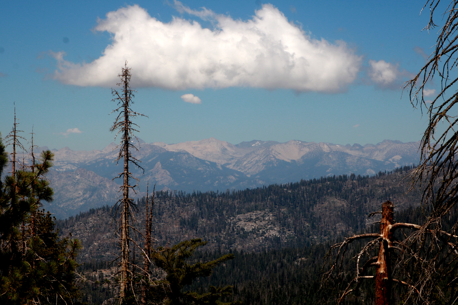 |
| A magnificent sugar pine by the trail | High Sierra peaks north of the Kings River canyon |
|
Along the way, and on top we had views of the Kings Canyon back country, the historic fire lookout on Buck Rock, and the Redwood Canyon/Redwood Mountain Grove of giant sequoias. This area sustained significant damage from the KNP Complex Fire last year. Despite the destruction, there are still a lot of trees that are unscathed visible above the burned area. The grove, including a trail I hiked on a few weeks before the fire, is closed until further notice. |
|
 |
 |
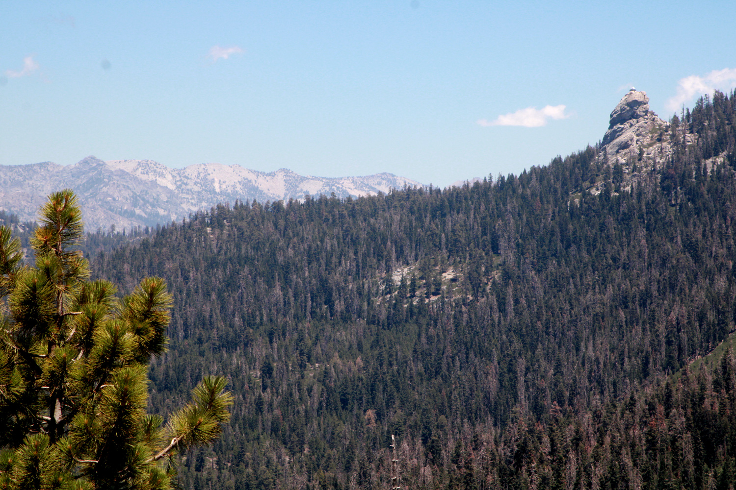
| Buck Rock on the right | A section of the trail |
|
Just
below the peak there is a saddle where you can look west toward the
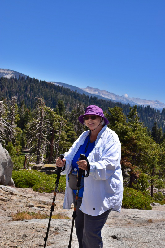
San Joaquin Valley, as well as east and south. Sue and Carolyn
decided to stop at this point, while Wes, Allen and I made it to the
top. Between their viewpoint at the saddle and a stop at the Kings
Canyon Overlook There was a nice breeze at the top, and sometimes along the trail. Like Sue and Carolyn, I thought that the route was steeper and longer than it used to be, and I was a bit stiff and sore the next day, something I did not experience with the hikes I did in the eastern Sierra the previous month. |
|
 |
 |
| Sue and Carolyn enjoy a well-earned rest | Wes on the rock - but not on the edge |
|
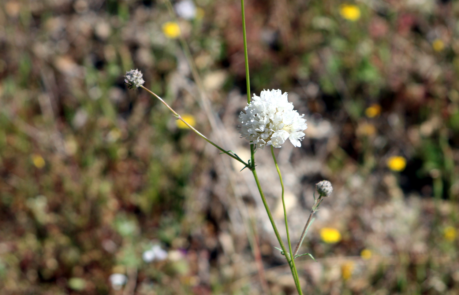
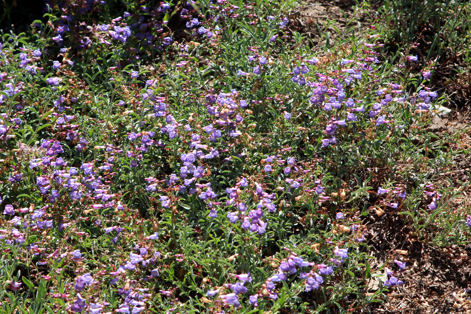
One of the best things about this hike was the prevalence of flowers all along the trail. Many of the blossoms were very small, and a lot of them were lupines starting to fade, but there were some very nice larger blossoms too, including the fairly rare grand collomia, which I have seen in only two other locations, and never before on this trail. |
|
 |
 |
| The rare and unusual grand collomia | We've seen these beautiful flowers only at Buena Vista Peak |
|
When we finished our hike we went to Grant Grove Village, hoping to enjoy lunch in the restaurant there. Instead we had to eat outside, and order on a confusing and poorly designed computer screen. The text on the separate card reader was so tiny we could not tell when it told us to remove the card, and some of us had to go through the ordering process two or three times. Next time we will bring our own lunch. This one hitch aside, we had a fantastic time, and are looking forward to another mountain adventure in August. --Dick Estel, July 2022 |
|
| Courtright
Reservoir
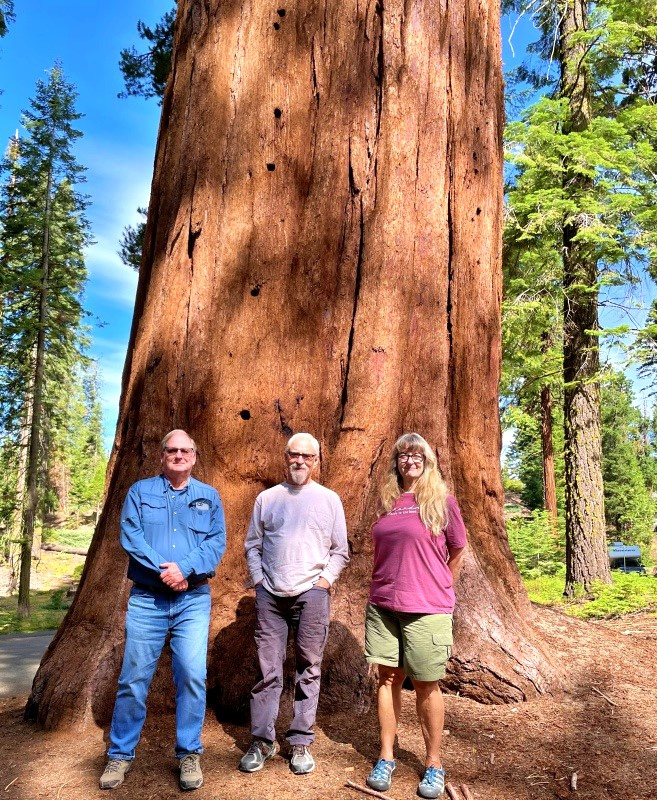
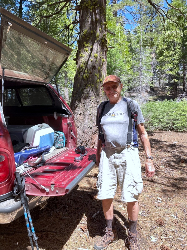
Build it and they will come. And if NATURE builds it, even more will come. This helps explain why the Ramblers August hike drew one of the largest groups of hikers in our history - ten flatland citizens happy to get up in the mountains, high up, 8,000 feet at Courtright Reservoir. Half the group was from my family - daughter Teri, her mother Jackie, grandsons/great grandsons Colton and Jack, and myself. The other half included people who've made nearly every hike (Wes), one celebrating four years with us (Allen) and three people who joined our group within the last year or so and have made only a few hikes - Jeff, Keith and Jim (Wes's brother-in-law). When the group was first formed, all of us were retired Fresno County employees. Ironically (if you have a low irony threshold), only Wes and I fit the definition on this hike. On the way to Courtright we stopped at the McKinley Grove of giant sequoias for a short stroll under the trees, then made a second stop along the Courtright Road, at the LeConte Overlook. This vista point offers a view of the LeConte Divide and 13,500 foot Mt. Goddard. From this point it was only a short distance to our destination. |
|
 |
 |
| Allen, Jim and Teri at McKinley Grove | Jackie and Teri |
 |
 |
| Jim and Wes at the LeConte Overlook | Looking toward the LeConte Divide and the Sierra Crest |
|
Courtright is formed by a dam on Helms Creek, a tributary of the North Fork of the Kings River. The water that used to flow down the creek to the North Fork now goes through an underground power house downstream from the dam, and through a tunnel to Wishon Reservoir on the Kings. At night when power use is lowest, water is pumped back up hill to Courtright, and the process is repeated, the whole thing being the Helms Pumped Storage Project. But all that is irrelevant to our purpose, which was to hike about a mile north on the Dusy-Ershim Trail, said to be one of the most difficult 4-wheel drive routes in the U.S. It goes about 33 miles to the opposite trailhead above Kaiser Pass, and recommended travel time is about three days. By foot, as far as we usually go, it's mostly level, fairly easy, and a delightful scenic hike, two miles round trip. |
|
 |
 |
| Teri and
the boys by a big boulder; Constant Dome (AKA Voyager Dome) looms above |
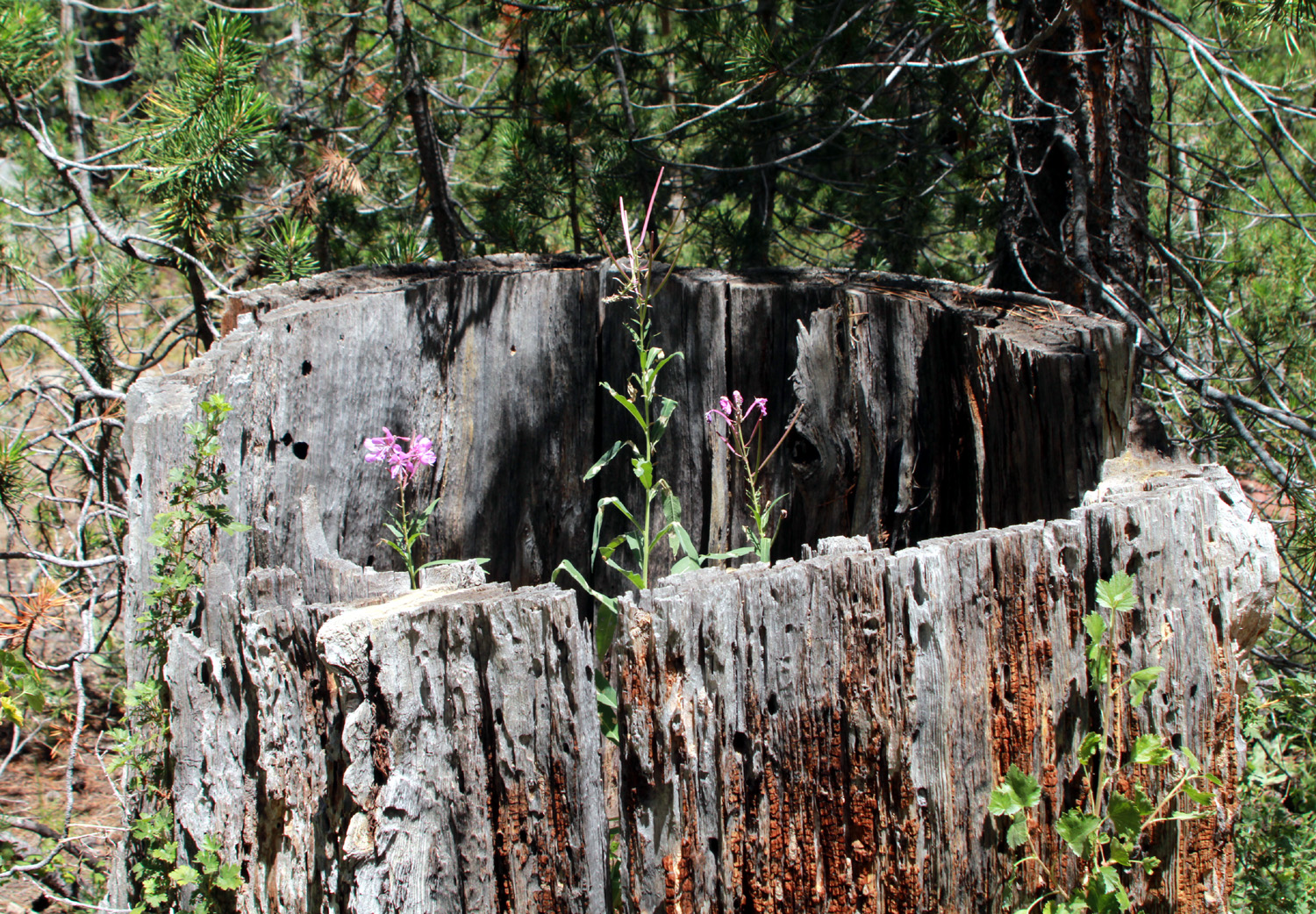
A natural planter with fireweed |
|
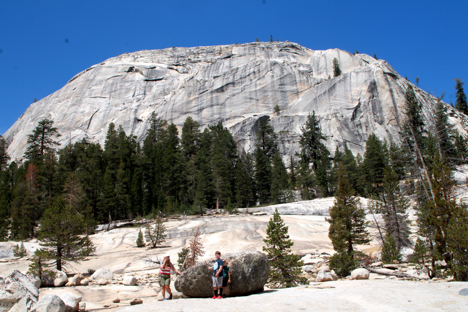
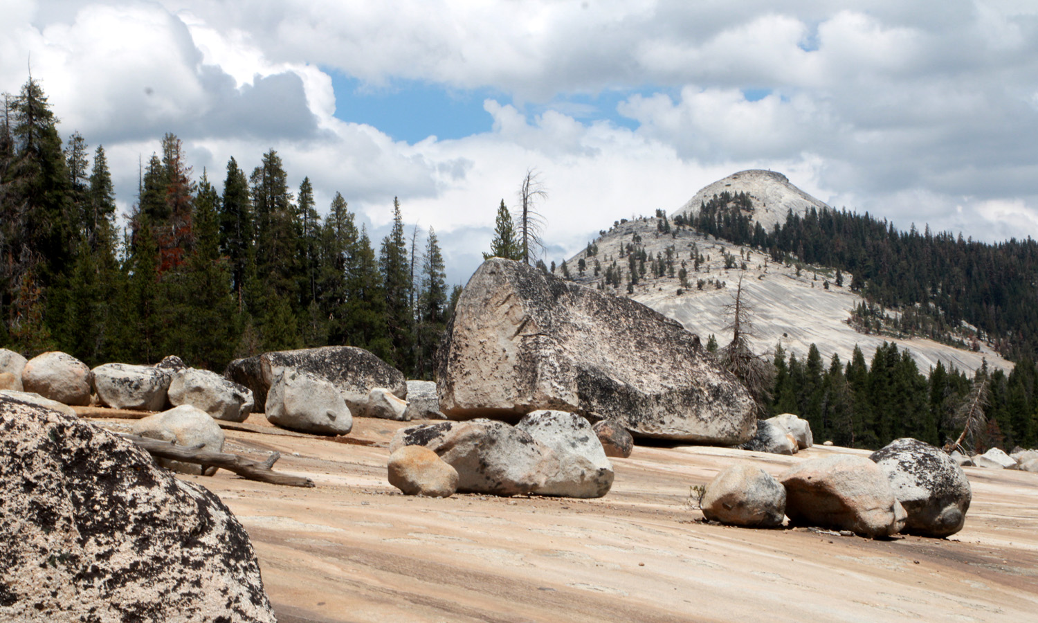
We ended up hiking in two groups, coming together only when we returned to the trailhead for lunch. Wes, Allen, Jeff, Keith and Jim hoped to hike a little farther than the rest of us so they set off before the family group was ready to start. The first part of the trail offers a choice - a steep, rocky hill on the 4-wheel drive trail, or a steep, rocky footpath. We chose the latter, but it was mercifully short and soon we were on a wide dirt road that I could have driven my truck on - except for not being able to get past that challenging first hill. All of my family group have hiked this trail, some of us a dozen times, and I always have as my destination a huge granite slope, covered with glacial erratics, reminding me of a giant marble game, abandoned long ago by the players. In fact, these boulders, ranging from a few inches in diameter to car-size, were left when the glacier that carved the little valley that holds the trail melted. |
|
 |
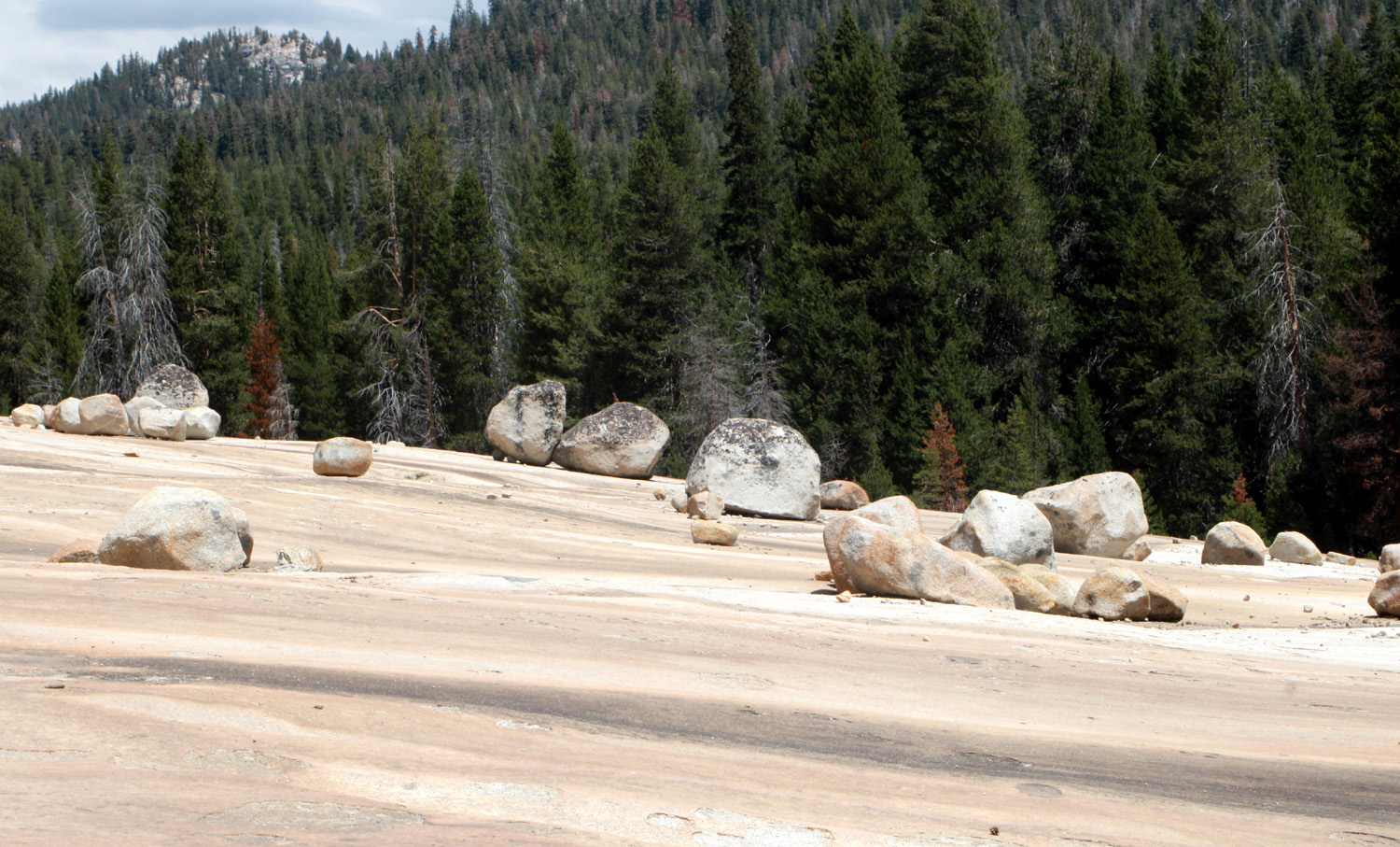 |
| Glacial erratics and Maxson Dome | The Giant Marble Game |
|
It's about a mile to that spot, and at the 3/4 mark, a foot trail splits off from the 4-wheel drive route. I routinely take the trail, although it crosses a swampy area on a log and plank boardwalk that has definitely seen better days. Repairs are being made, but many more are needed, and we older folks have to walk carefully to keep from stepping in a place where the logs have rotted away. At one point I got my hiking pole stuck between two logs, leaving the tip behind when I walked past. Colton was able to wiggle the tip loose for me. |
|
 |
 |
| Where the foot trail leaves the 4-wheel drive route | A precarious place to stand |
|
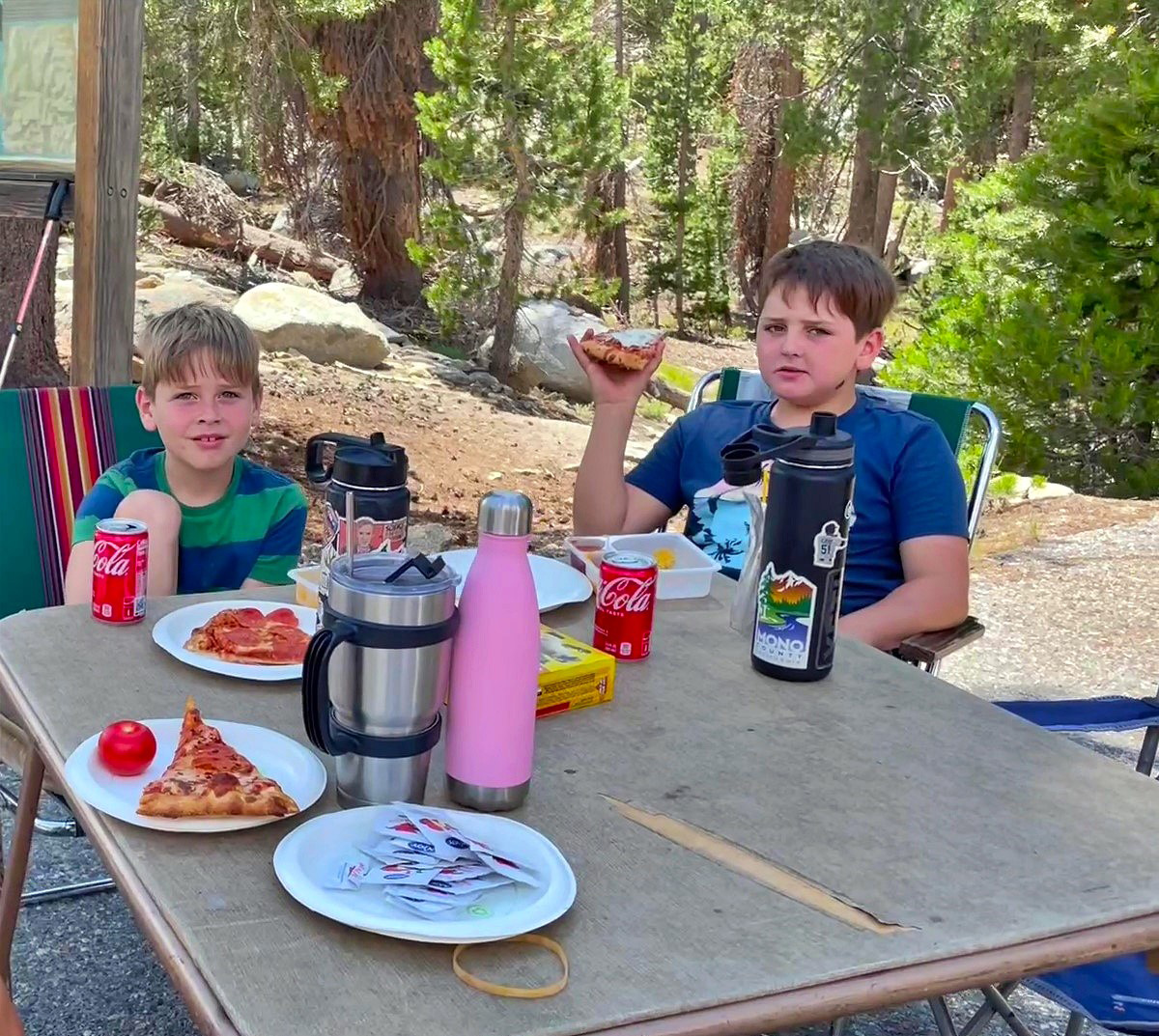
The foot trail runs along the lower edge of the granite slope, while the 4-wheel drive route enters the rock near the top and goes across it and on into the wilderness. When we reached the granite slope, we hiked up and across it, and started back on the 4-wheel drive road. Just as we left the rock Allen caught up with us, and told us the others were going to hike over to the lake. Years ago I had gone to the lake from this location, and thought it would be a short jaunt over the ridge to the west. Instead it was a VERY long ways to the lake. Allen went back to join his group, and we started back to the parking lot. Teri and Jack set a fast pace, because Jack needed some food, while Jackie, Colton and I kept to our usual leisurely pace. Along the way, Wes caught up with us. He knew that Teri's food was locked in his car, and intended to hike out and open it up. He told us that Jeff was having some difficulty, having forgotten how far it was to the lake. The others were with him, and Wes planned to return to check on them. Colton joined Wes for the rest of the walk to the car. We met Wes again as he returned to check on Jeff, while we finished the hike, and started our lunch. Eventually Allen, Keith and Jim arrived, followed some time later by Wes and Jeff. Once Jeff sat down and had some food and water, he felt OK. He reported later that he was stiff the next day, but felt good by evening.. We were able to visit the lake vicariously through Wes's photos |
|
 |
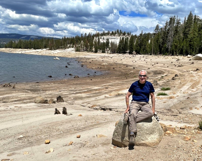 |
| Jack and Colton enjoying lunch | Wes visits the back side of Courtright Reservoir |
|
Despite the problems, the hike was a big hit with everyone. Even at 8,000 feet it was warm enough that a breeze felt good. There were just enough clouds to make for extra scenic photos, and the many domes, rock formations, flowers and trees all combined to make it a memorable day. --Dick Estel, August 2022 |
|
| Photos (Click to enlarge; pictures open in new window) | ||
| San Joaquin Gorge Bridge Trail Lewis Creek Trail Chinese Ditch Buena Vista Peak Courtright | ||
| San Joaquin Gorge Bridge Trail | ||
|
 |
 |
| Can anyone identify this one? | Owl clover also appears in yellow and white | Blue lupines beyond the bridge |
 |
 |
|
| Fiesta flowers | Lacy spring greenery | Common madea and mustang clover |
| Lewis Creek Trail | ||
|
 |
 |
| White water! | These unknown
flowers appeared all along the trail |
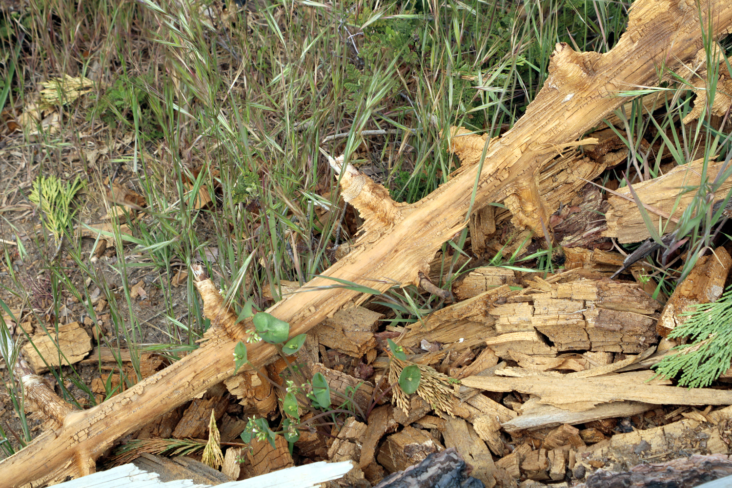
Nature's art - a rotting log |
 |
 |
|
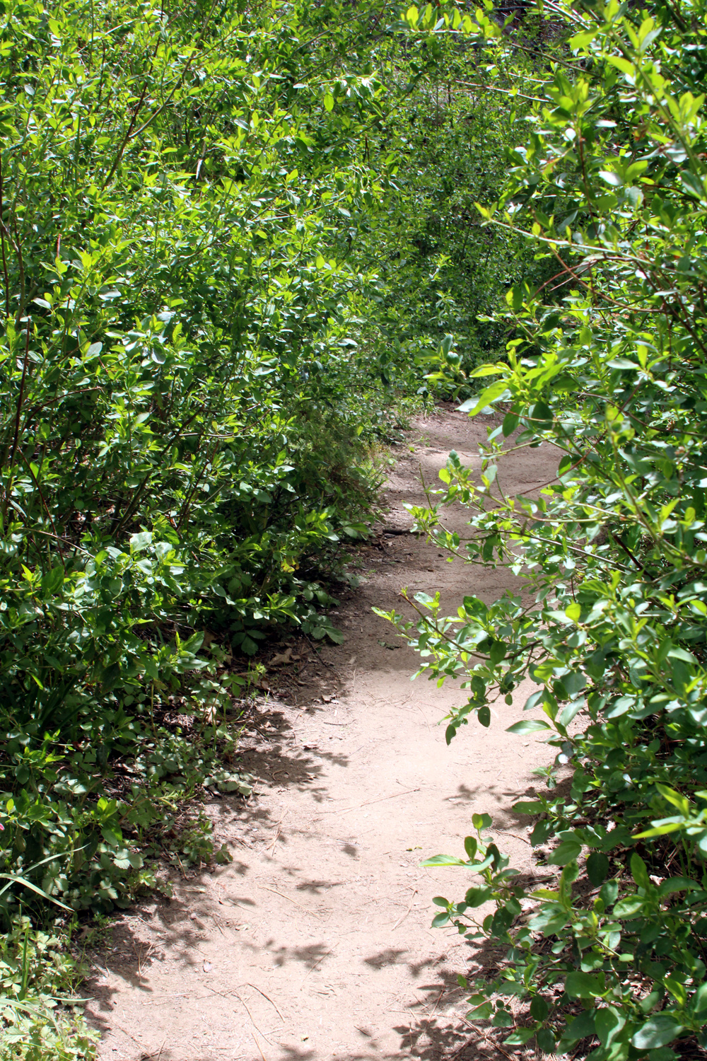
| Bushes crowded the trail for 15 feet | Yes, those Ramblers ARE on the trail | One giant step for Carolyn |
 |
||
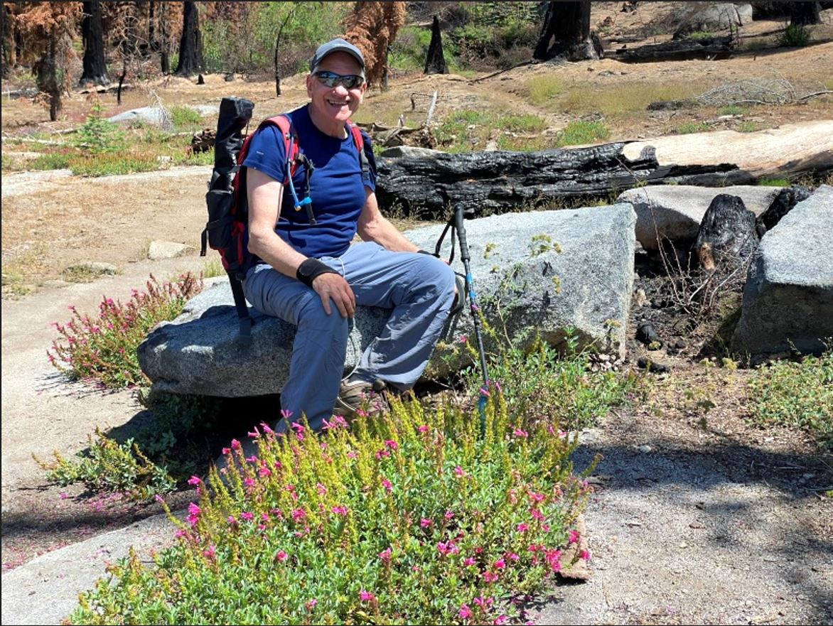
| The May Ramblers:
Allen, Sue, Carolyn and Dick |
||
| Chinese
Ditch (Photos by Wes & Dick) |
||
 |
|
 |
| Blue variety of
ceanothus, a member of the chaparral community |
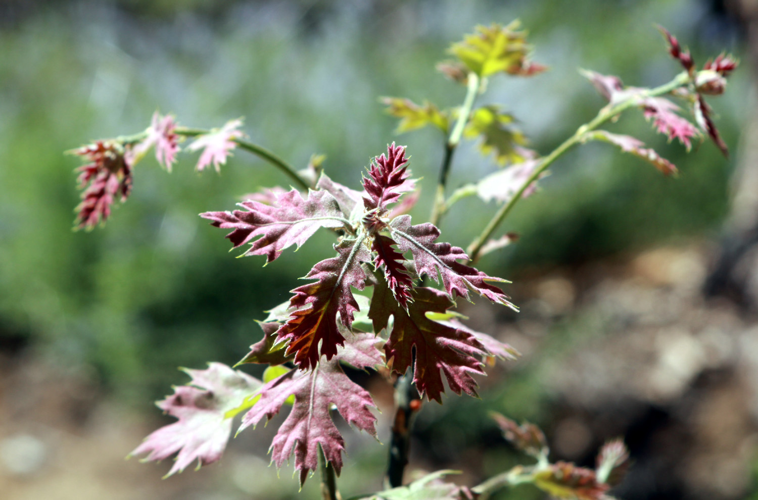
Indian rhubarb | New leaves on a young black oak |
|
 |
 |
| Ramblers resting by the trail | At the creek,
waiting for Wes to return from his solo explorations |
Dick getting stuff out for lunch |
| Buena
Vista Peak (Photos by Wes & Dick) |
||
 |
 |
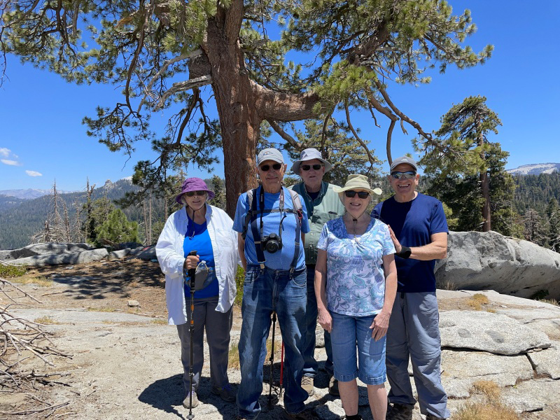 |
| The Generals Highway from the top of the peak | Greenleaf manzanita on top of the peak | The Ramblers: Sue, Dick, Allen, Carolyn, Wes |
 |
 |
|
| A variety of penstemon | We don't know the name of these charming flowers | Monkey flowers (probably) |
 |
|
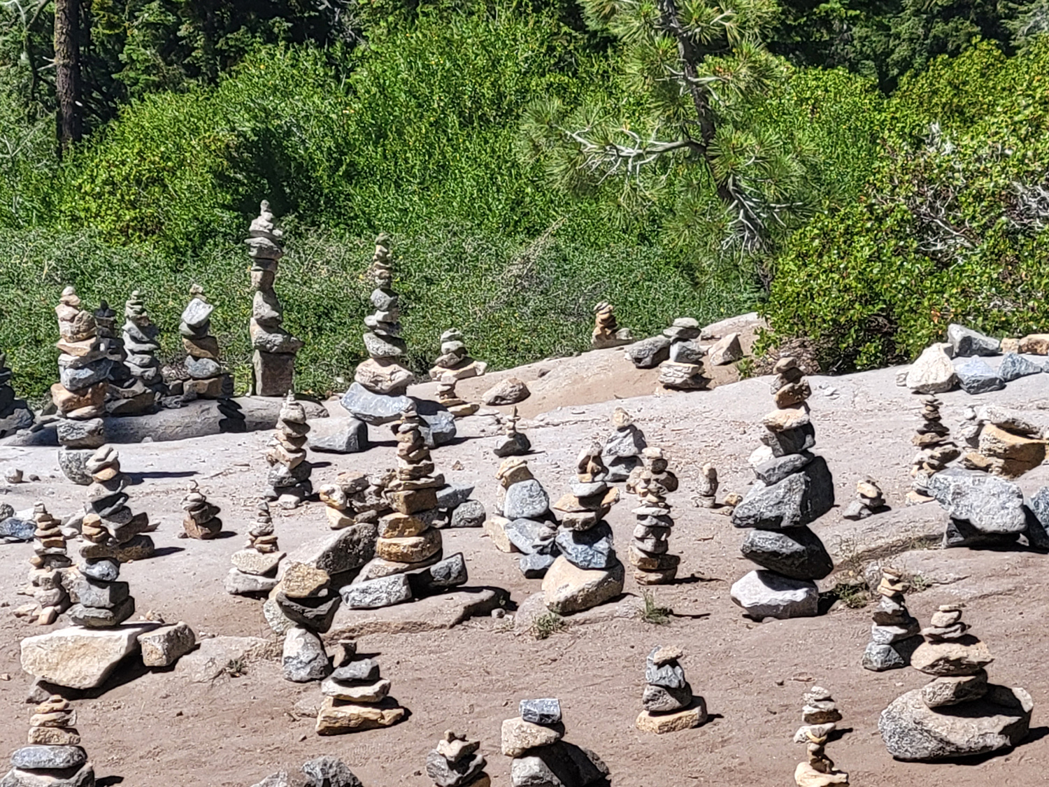 |
| Sue | Carolyn | Rangers periodically
remove these illegally- constructed towers, but they always grow back |
 |
 |
 |
| Wes | Dick and Carolyn | Allen |
| Courtright
Reservoir (Photos by Wes & Dick) |
||
 |
|
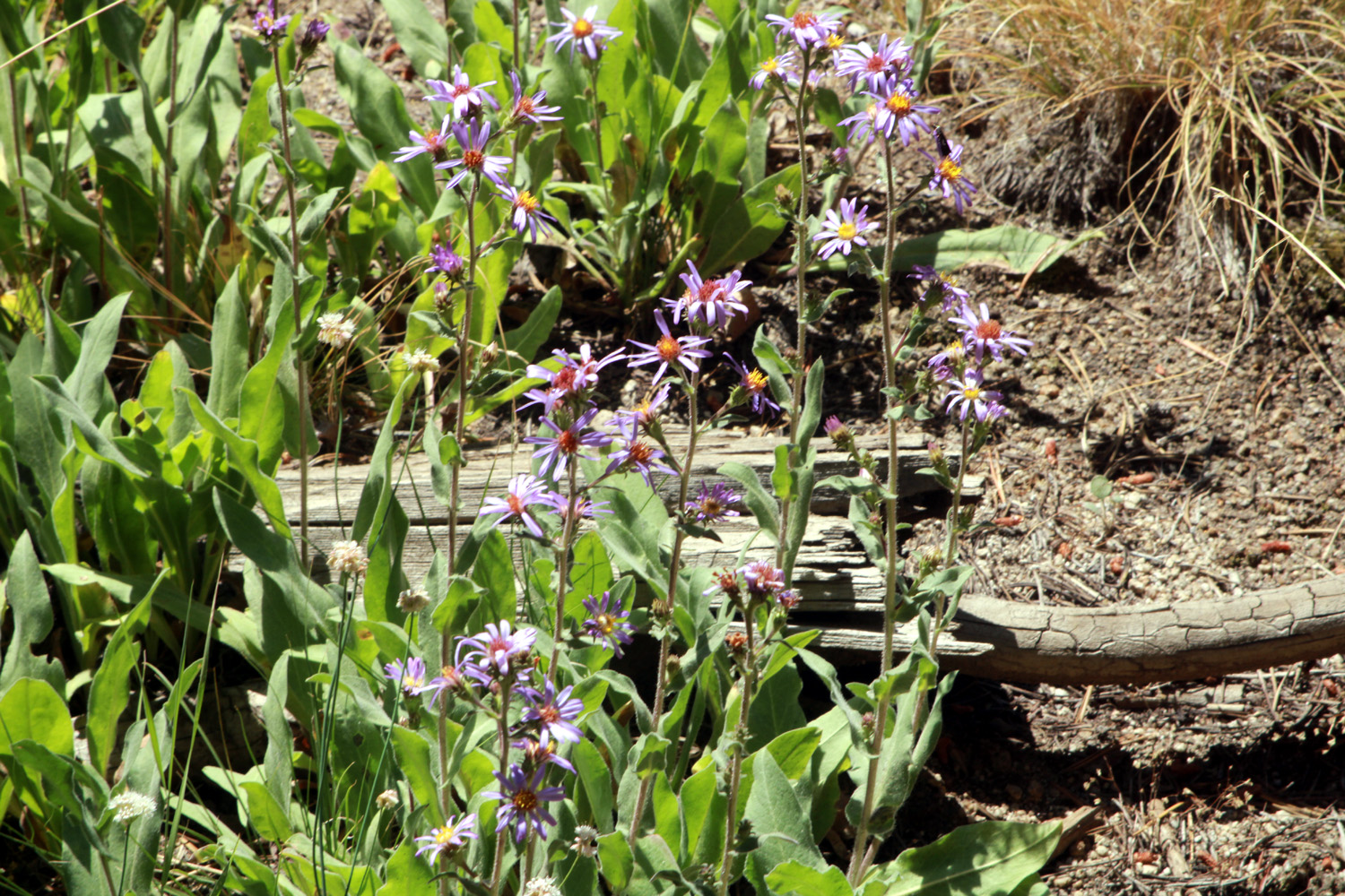 |
| This little creek was probably Colton's and Jack's favorite part of the hike | A living bouquet of asters | |
 |
|
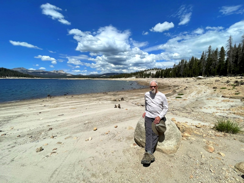 |
| Jackie and Dick resting up for the last uphill climb | Voyager Dome | Jim at the lake |
| Related Links | ||
| San Joaquin River Gorge | Mustang Clover | Velasco's |
| Pa'san Ridge Trail | Lewis Creek Trail | El Cid Mexican Restaurant |
| Corlieu Falls | Red Rock Falls | Fish Camp |
| Chinese Ditch | Deli Delicious | Tenaya Lodge |
| Buena Vista Video | Buena Vista Peak | Buck Rock Lookout |
| Kings
Canyon National Park |
Redwood Canyon | Grant Grove Village |
| Courtright Hike Video | Courtright Reservoir | LeConte Divide |
| Helms Pumped Storage Project | Dusy-Ershim Trail | Glacial Erratics |
| McKinley Grove | ||