|
2019 Rambler Hikes Page 1 |
|
|
The Ramblers are Carolyn Amicone, Julie Hornback, Wes Thiessen, Don McClellan, Sue Wirt, Elsa Sweeney, Ardyss Webster, Pati Soto, and Dick Estel, former colleagues at the Fresno County Department of Social Services, former CDF firefighter Allen Ward and Pati's long-time friend Berdie Beier. Every month or so we get together for a short hike, good conversation, and lunch. |
|
|
Photos Related Links More Travel Reports 2017 Hikes 2018 Hikes 2019 Part 2 2019 Part 3 Jensen Ranch Trail Pohonichi Trail at Hensley Sycamore Wildlife Area San Joaquin Gorge Ahwahnee Hills |
|
|
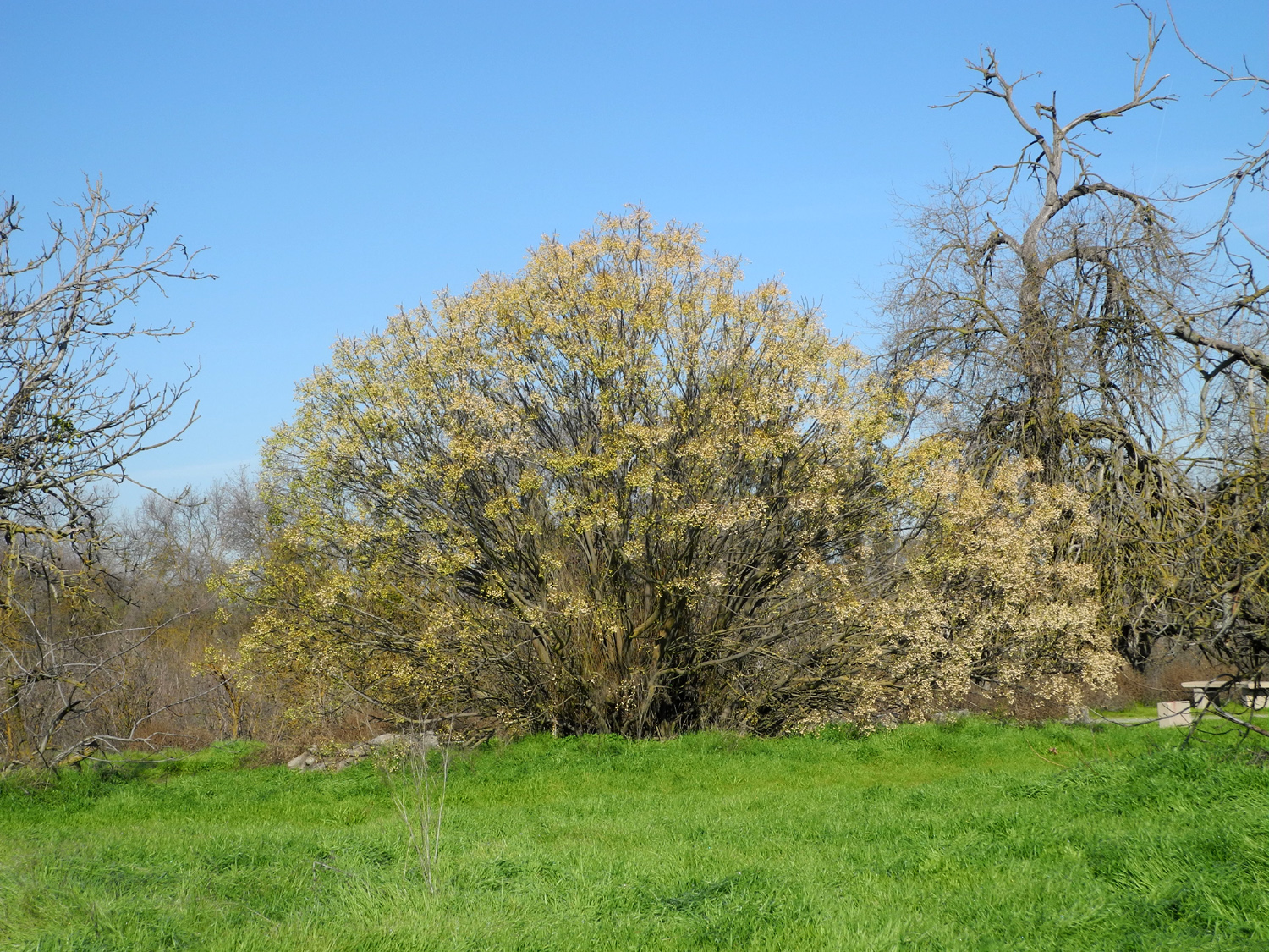
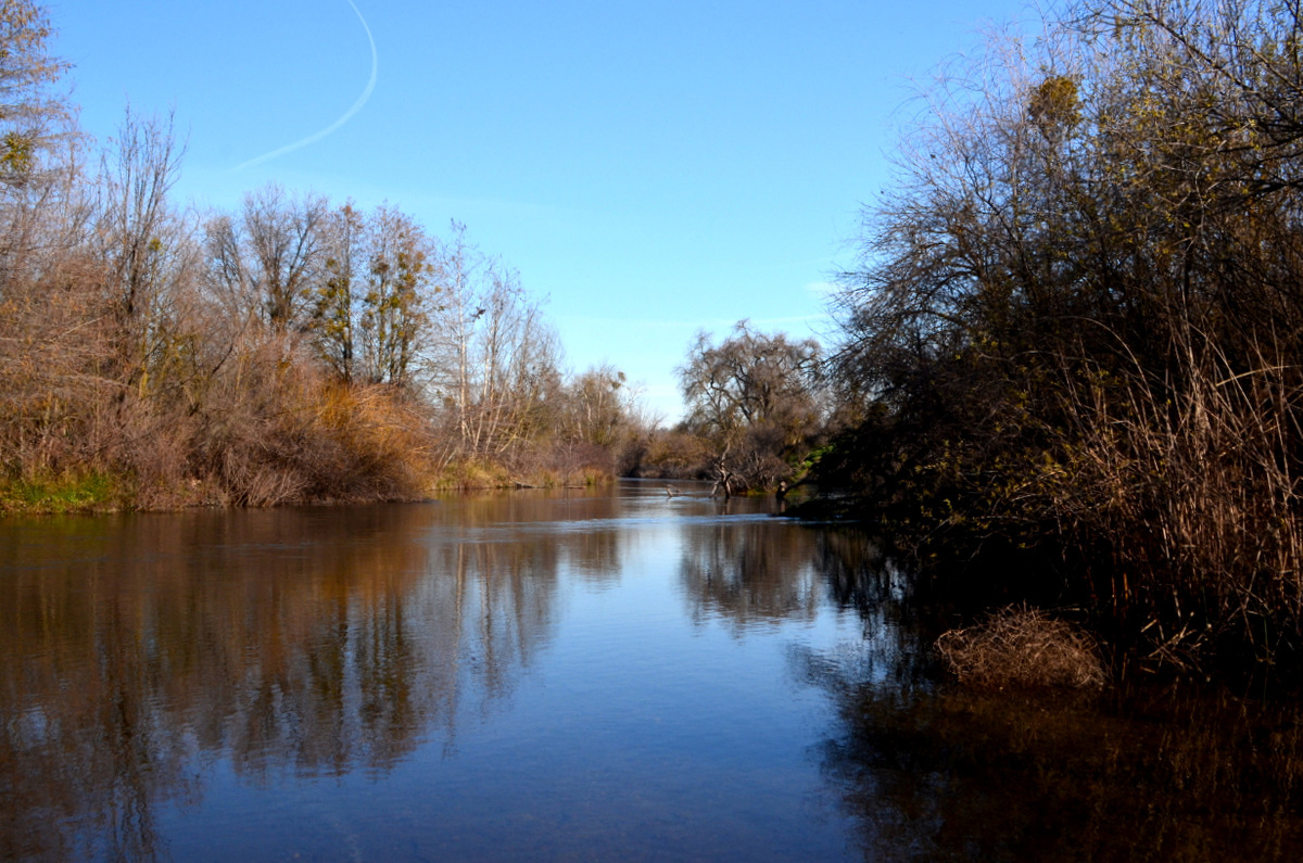
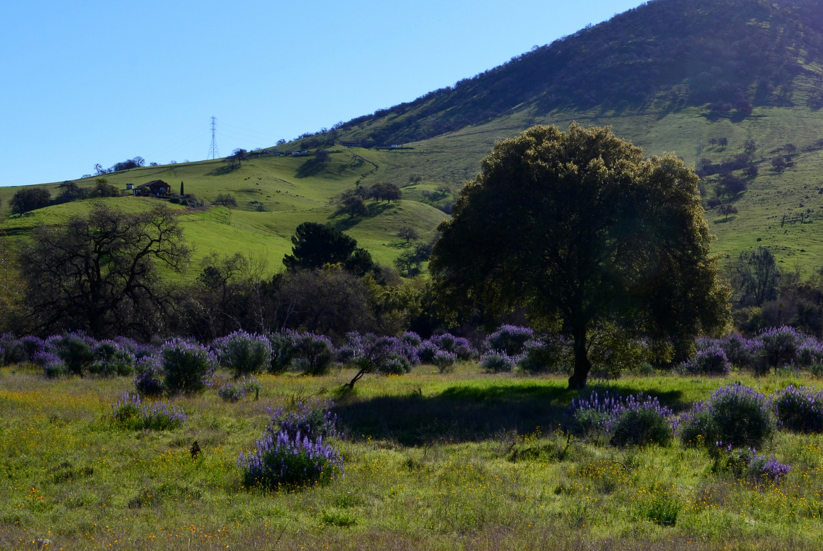
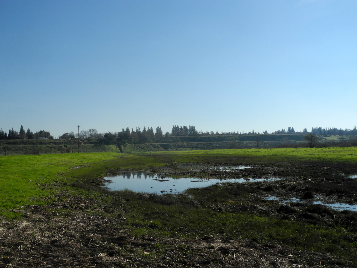
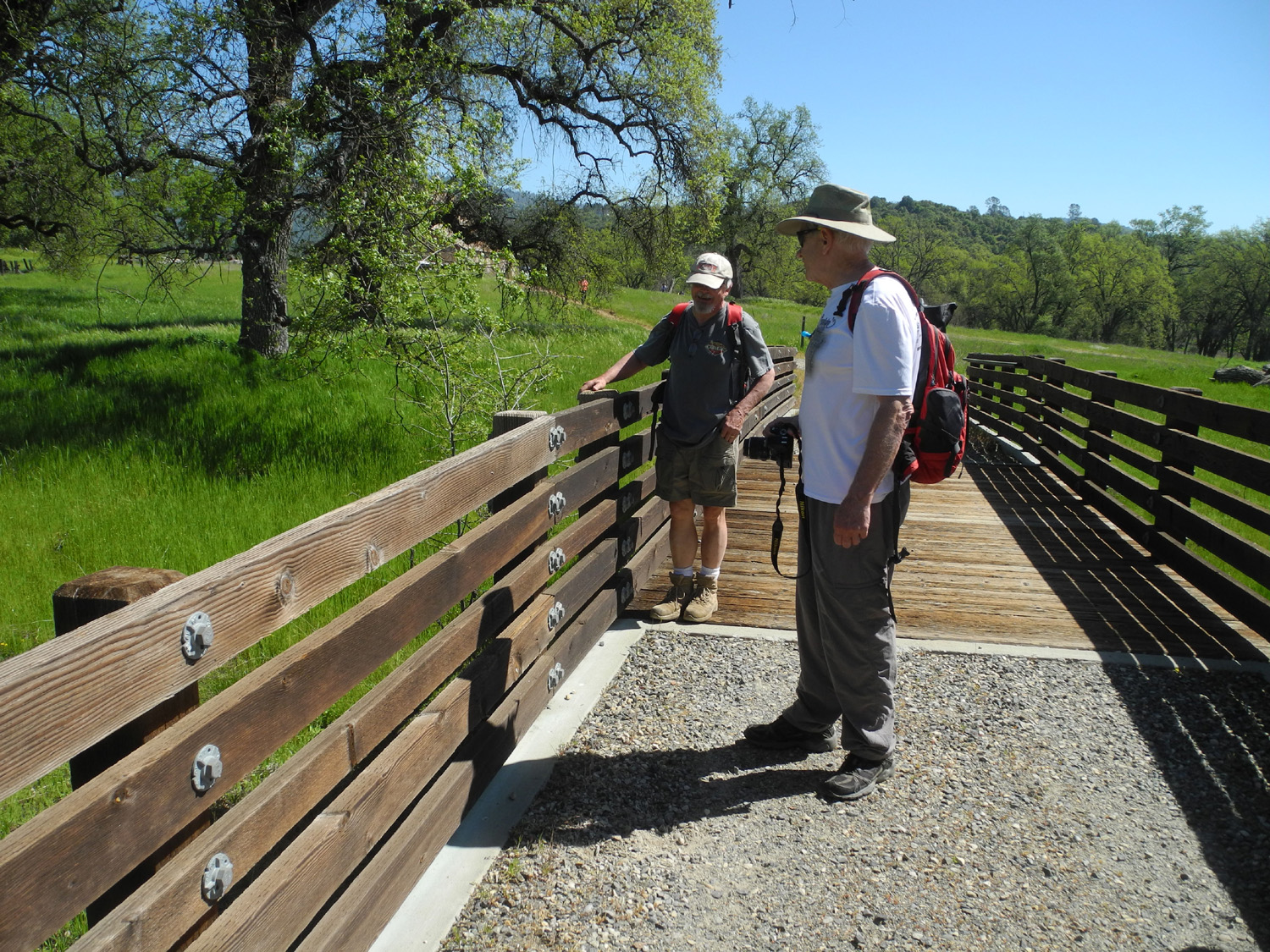
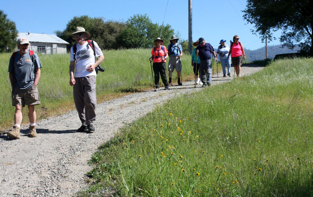
Jensen Ranch Trail The largest contingent of Ramblers and guests in history assembled on January 23 for our first hike of 2019 and enjoyed cool, sunny weather in the San Joaquin River bottom. Wes sent out his usual post-hike summary: We started the new year with the largest hike group ever:
Ten strong! We welcomed three new members including Marlene Pascua, Gloria Bishop Jackson, and her friend
Berdie Beier. With so much rain and snow in the foothills, we chose to walk
three and a half miles along the paths of Jensen Ranch adjacent to Woodward Park. The grass of these fields has turned
deep green giving us hope for a good wildflower season to come. The mighty San Joaquin River looked to be a weak stream which one could almost walk across. Marlene needed to leave the group early. It was fun to watch her "powerhouse"
up the bluffs taking a shortcut to her car. We were briefly joined by a posse of Fresno City Police Officers training on horseback. They stopped for a chat and "photo
op.. They were a nice corps of guys and gals. We thanked them for their service. We finished a beautiful morning with a lunch break at
La Kebrada where we enjoyed tasty Mexican dishes. |
|
 |
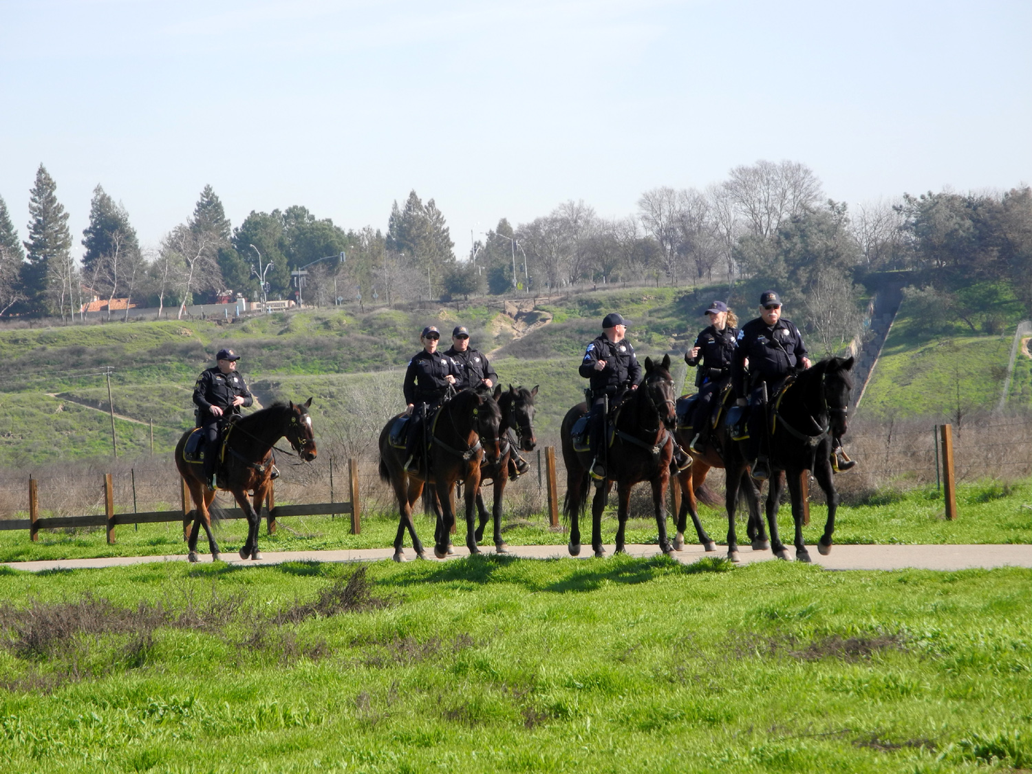 |
| A quiet section of the San Joaquin River | Some of Fresno's finest, on a training ride |
|
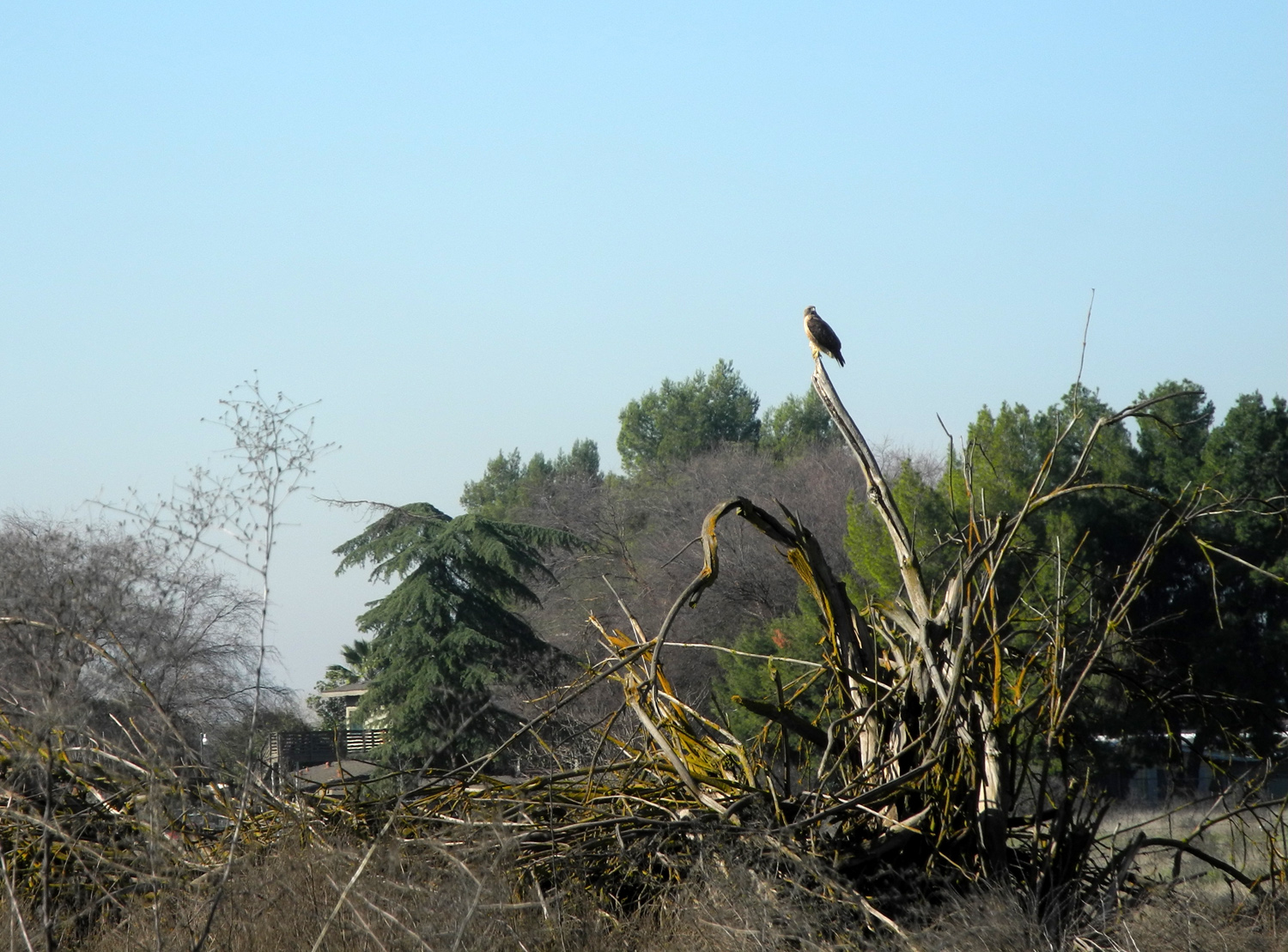
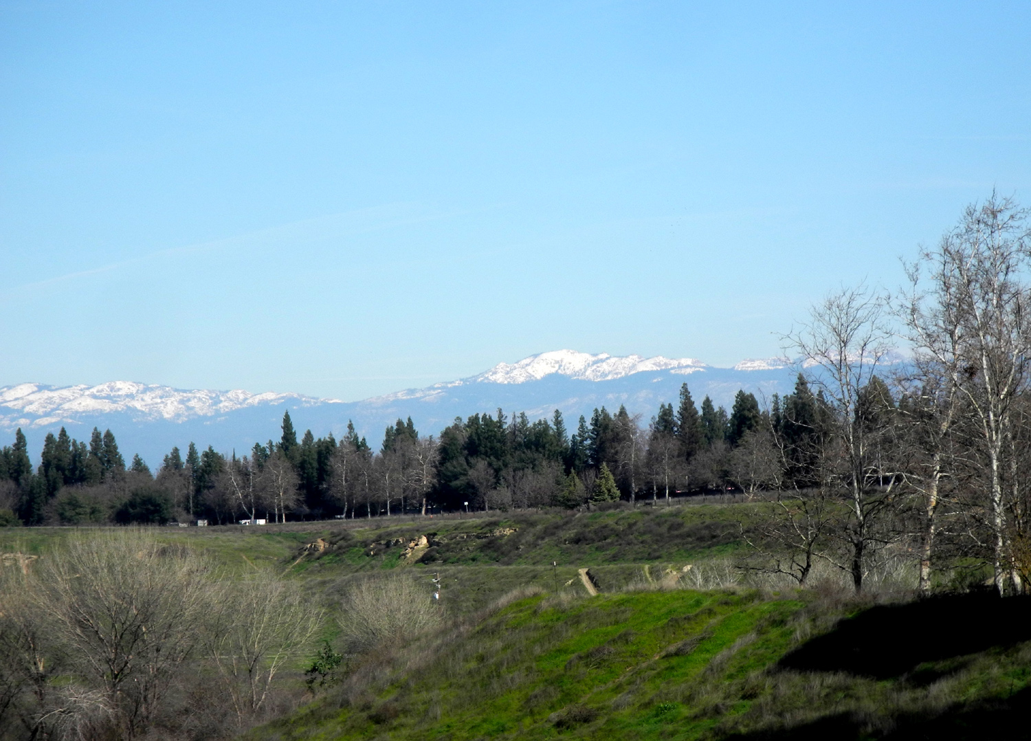
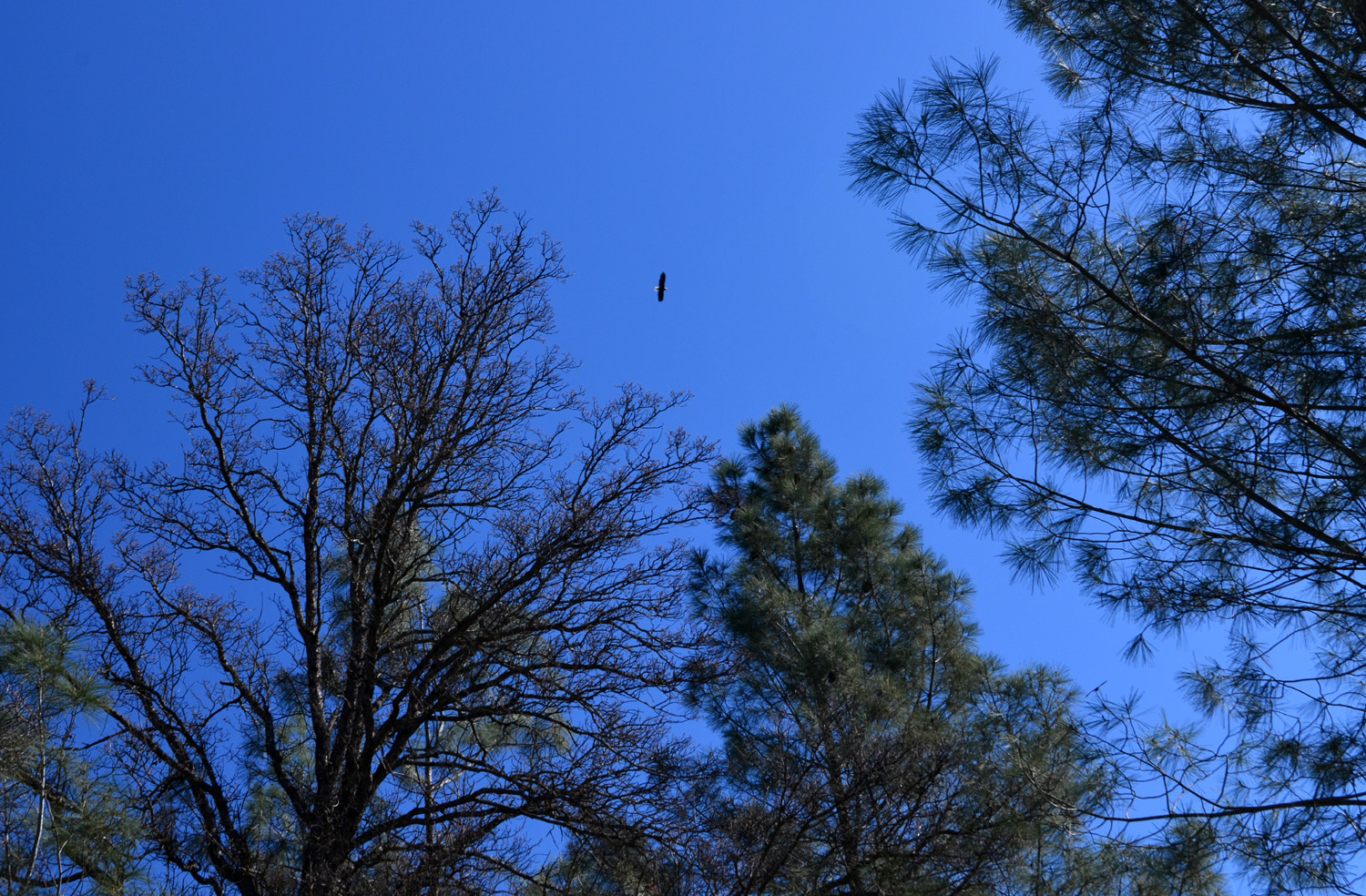
In addition to the three potential new Ramblers mentioned above, this hike brought together Elsa Sweeney, Ardyss Webster, Sue Wirt, Allen Ward, Wes Thiessen, myself (Dick Estel) and my daughter Teri Liddle, who had a couple of weeks off from work. We were treated to several wildlife sightings, including egrets, hawks and rabbits. Only the usually elusive raptor sat for a photo. We also had a great view east across the river bottom of the Sierra Nevada, which currently has 100% of normal snow pack, holding out the promise of some relief from a number of dry years. Beyond
that, Wes pretty much said everything that needs to be said, and our
photos each provide an additional thousand words. -- Dick Estel, January 2019 |
|
 |
 |
| This redtail hawk flew in and landed as we watched | There's plenty of snow on the distant Sierra |
|
|
|

|
|
| FRONT: Berdie Beier, Gloria Jackson, Sue Wirt, Dick Estel; BACK: Ardyss Webster, Elsa Sweeney, Allen Ward, Teri Liddle | Dick takes over the camera so Wes can be in the photo |
| More Jensen Ranch Photos | |
| Pohonichi
Trail at Hensley Reservoir
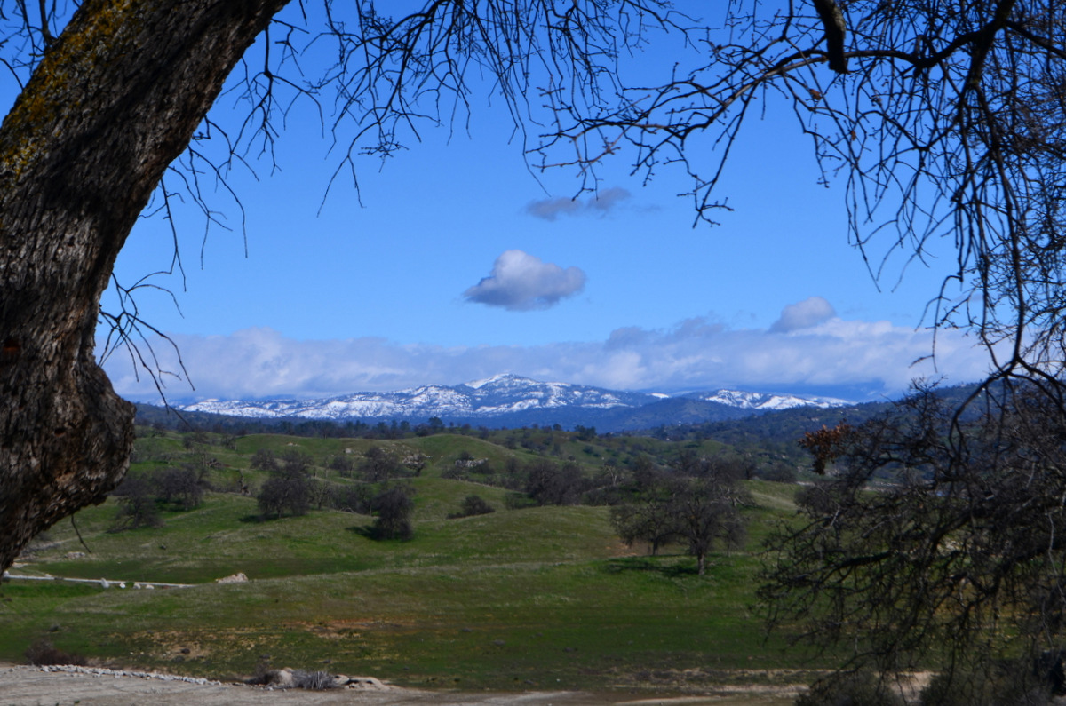
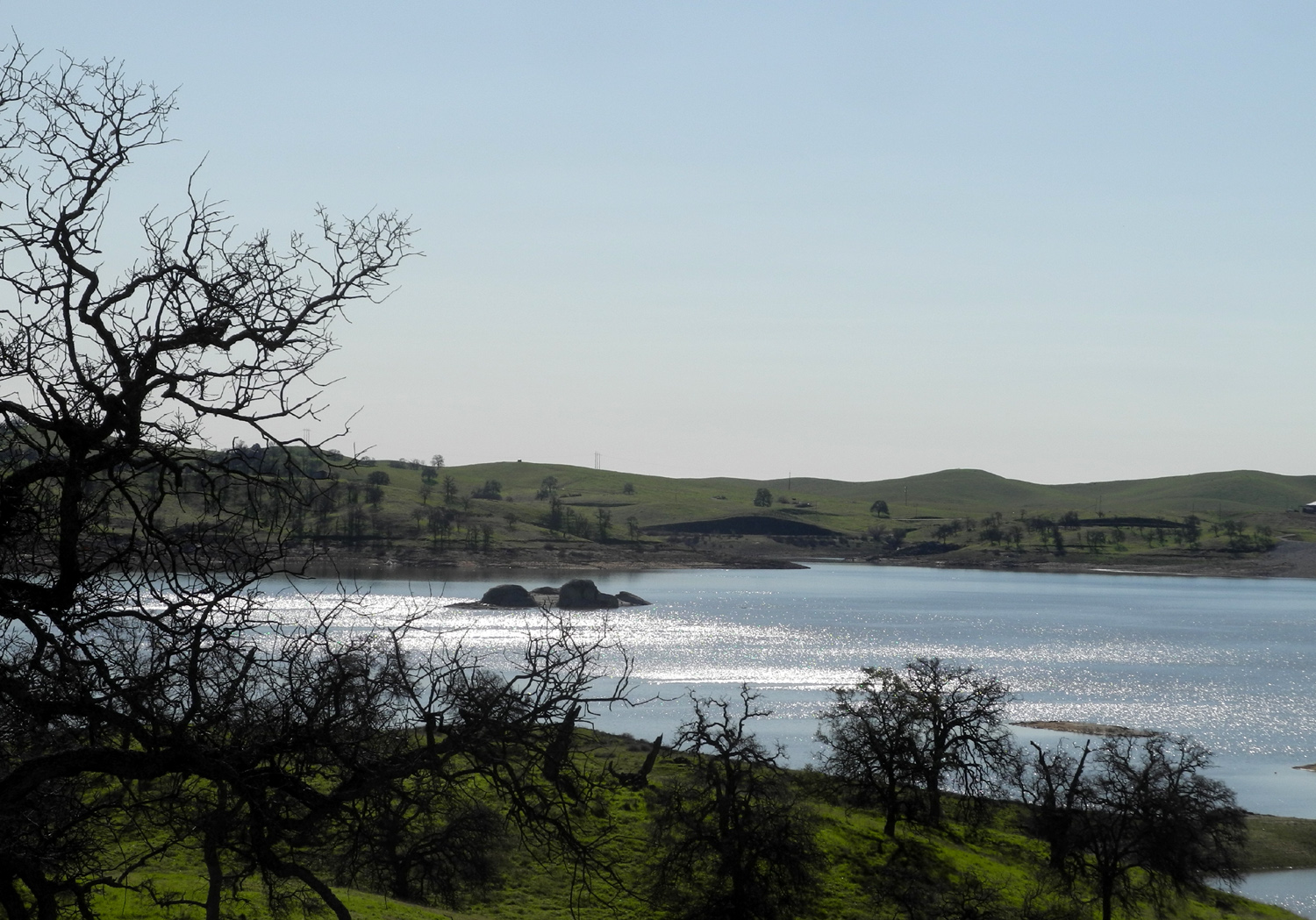
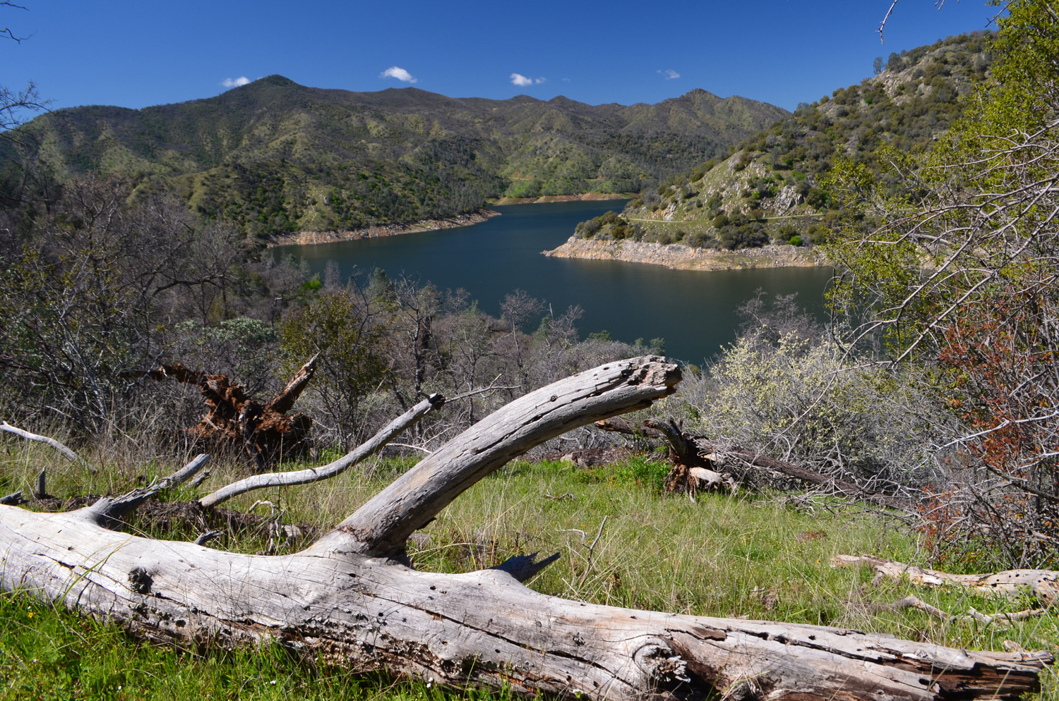
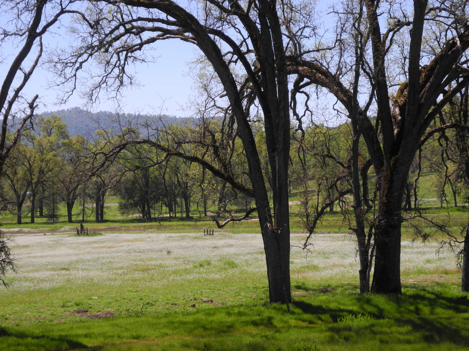
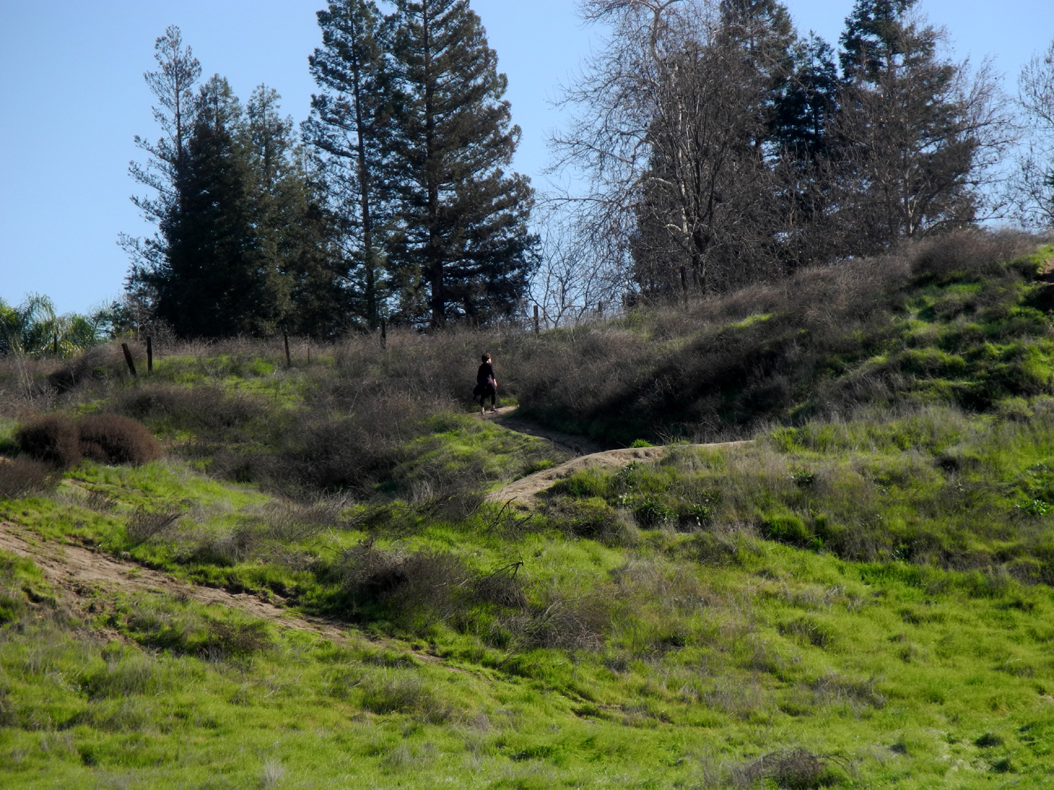
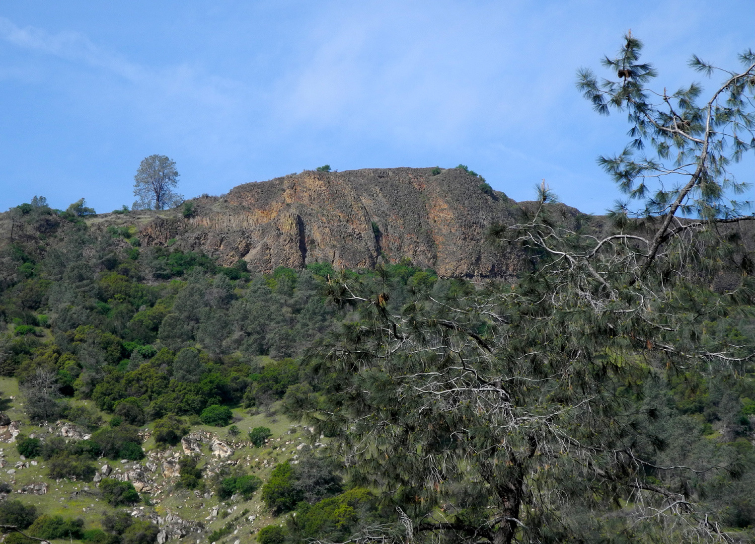
After our gang of 10 last month, the Ramblers count was down to four, just like when we first started. We were delighted to welcome Carolyn back, after an absence of 13 months. Two others were also "originals," Wes and Dick, with Allen rounding out the group. We met at the Park and Ride at Highways 145 and 41 north of Fresno, and took my Honda to nearby Hensley Reservoir, located on the Fresno River, only 35 miles from my house. We've hiked here several times, and I've written about camping and hiking trips before, so I'll spare you the repetitious details. There was a cool breeze much of the time, with a mix of sun and clouds, but the continuous up and down hiking keep us warm. The foothills are bright green with new grass, and the lake is filling up. |
|
 |
 |
| Wes follows a game trail back from a search for the perfect view | The winter sun glistens off Hensley Reservoir |
|
The predominant trees in the are are the blue oaks, with their striking gnarly branches. A recent cold storm brought snow down to below 2,000 feet, and we could see snowy mountains and ridges not too far away. |
|
 |
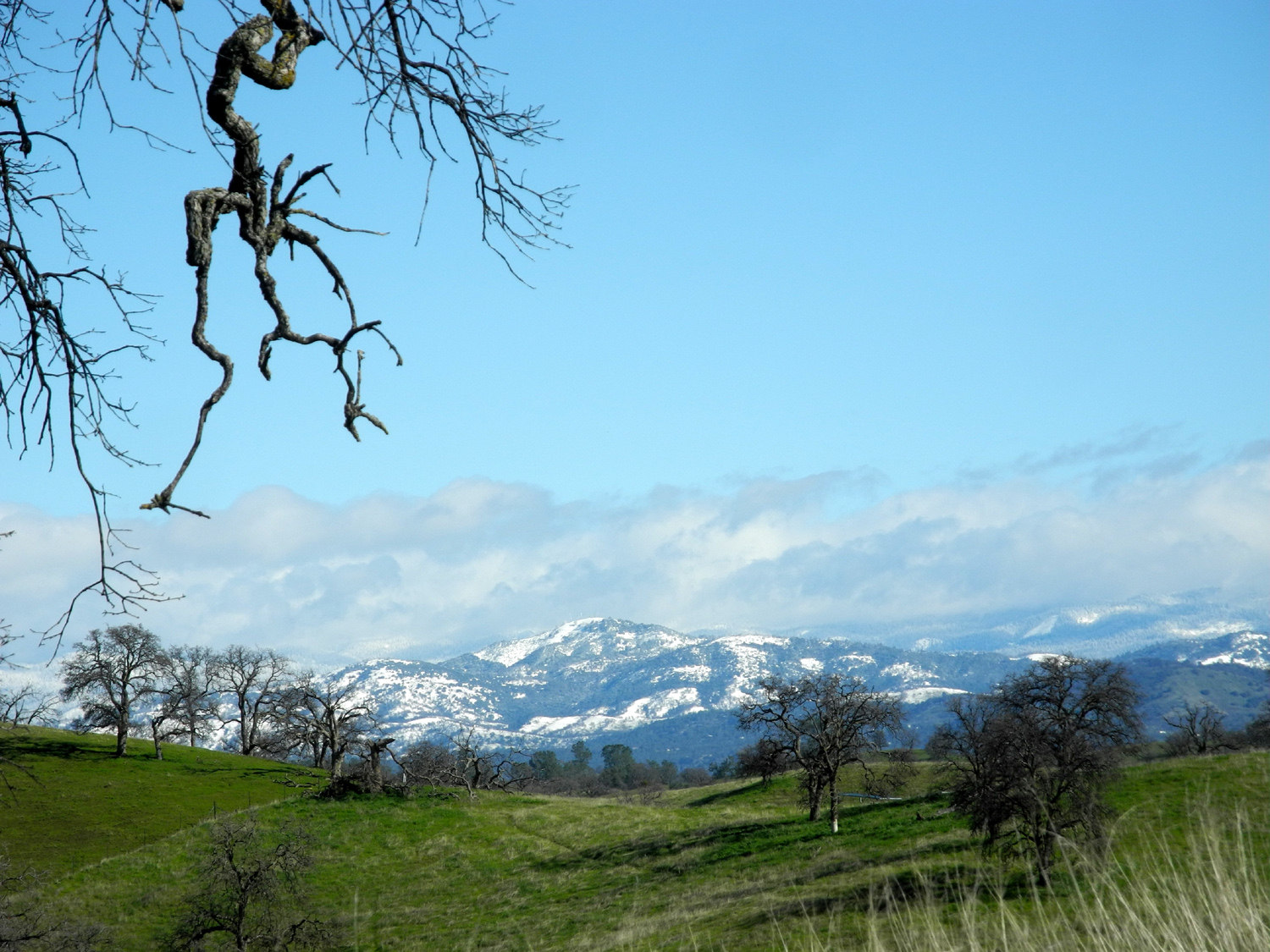 |
| The trail winds through blue oak woodland | Deadwood Mountain, west of Highway 41 and just south of Oakhurst |
|
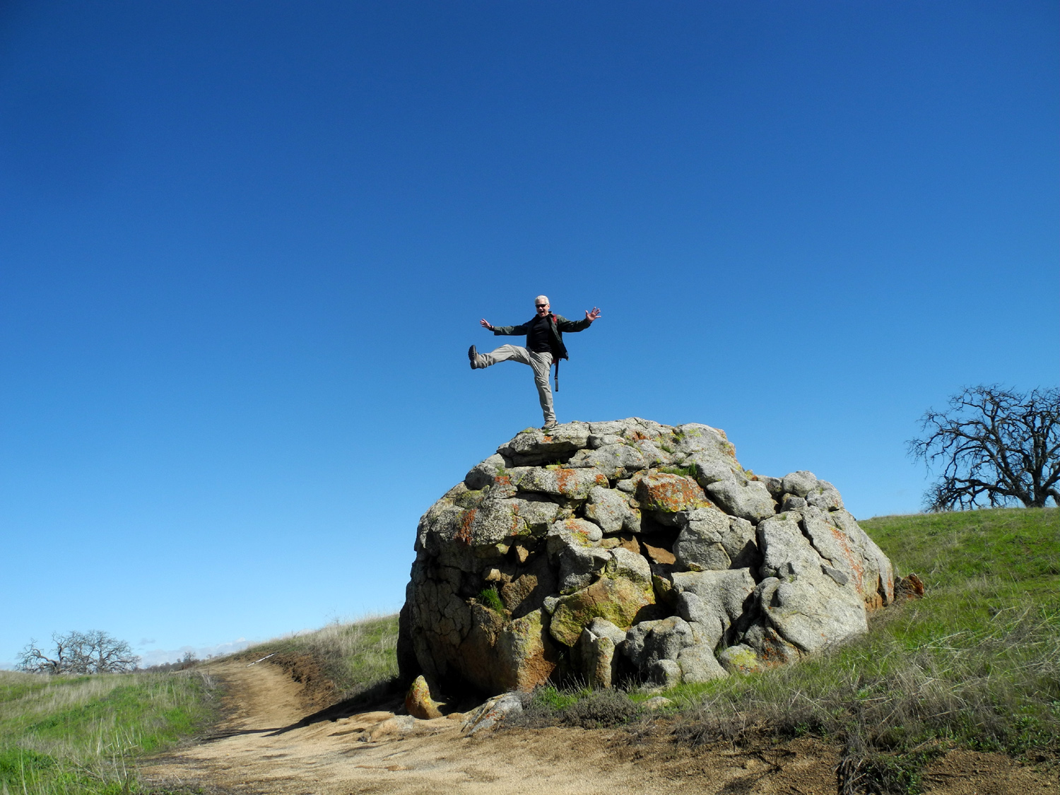
As always, Wes brought new drama to our "Wes on the rock" photo. We made a few short excursions off the trail, looking for the perfect view of lake, hills and mountains, although we saw more than enough beauty right from the trail |
|
 |
 |
| One giant step for Wes... | Could any human match nature's landscaping efforts? |
|
Wes provided his usual post-hike summary via email What a day! We woke to freezing temperatures. But the Ramblers would not be denied. Four of us met to hike the green hills of Hensley Lake in Madera County. Our hike started near 10 o'clock with sunshine and moderate climate. Although it was a one-mile hike, the trail took us up and down over various hills for a very good workout. The hill country was so lush green that "The Sound of Music" could have been preformed at this very site. On the hilltops, we could see the snow capped mountains of the Sierras in the distance. Our hike was filled with beautiful sights and great conversation. We were so happy that Carolyn Amicone had rejoined the Ramblers with her bubbly personality. She was a great asset on this hike. |
|
 |
 |
| A typical scene along the trail | The Ramblers: Allen Ward, Carolyn Amicone, Dick Estel and Wes Thiessen |
|
After returning to the trailhead, we drove about a half mile into the campground and walked up a paved service road to the highest hill in that area, looking for more vistas. As it turned out, clouds covered most of the snowy foothills to the northwest, and the view from where we parked was more than adequate. We finished our outing with a visit to the Axis Coffee Bar and Eatery, a brand new place in Tesoro Viejo, a brand new residential development on the east side of Highway 41 about five miles north of the San Joaquin River in Madera County. They had a limited sandwich menu, but the service and the food were both excellent, and we will no doubt be returning. Although
our numbers were small, our enjoyment was great, made even more so
by the realization that May will mark five years of Rambler hikes. --Dick Estel, February 2019 |
|
| Sycamore
Wildlife Area
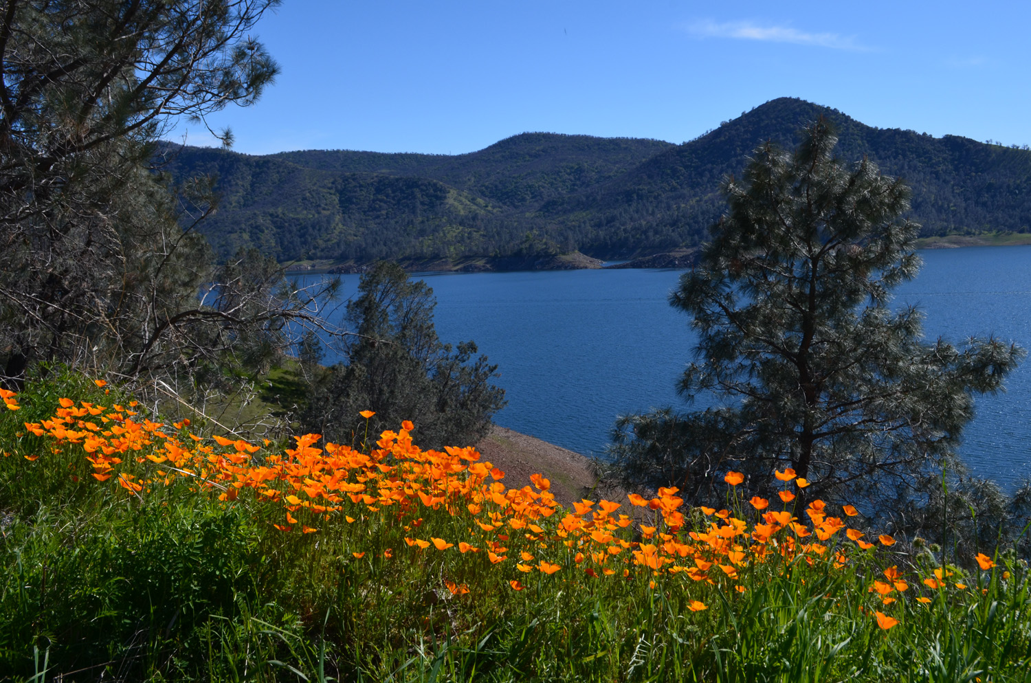
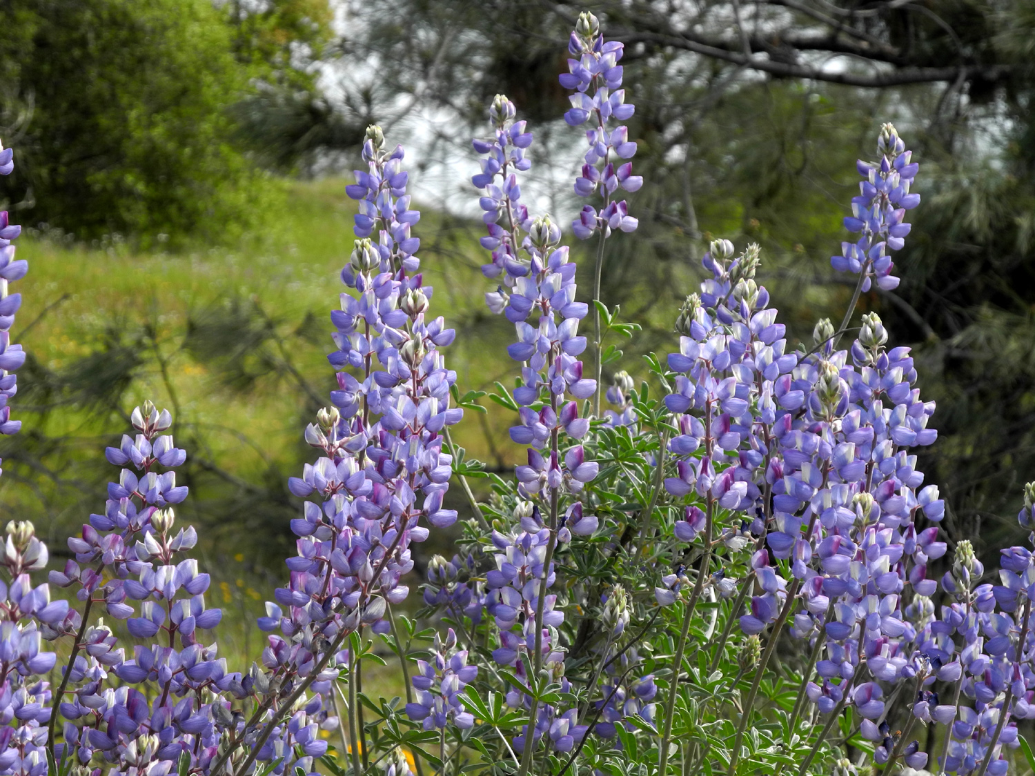
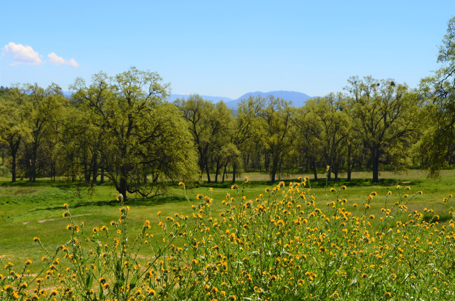
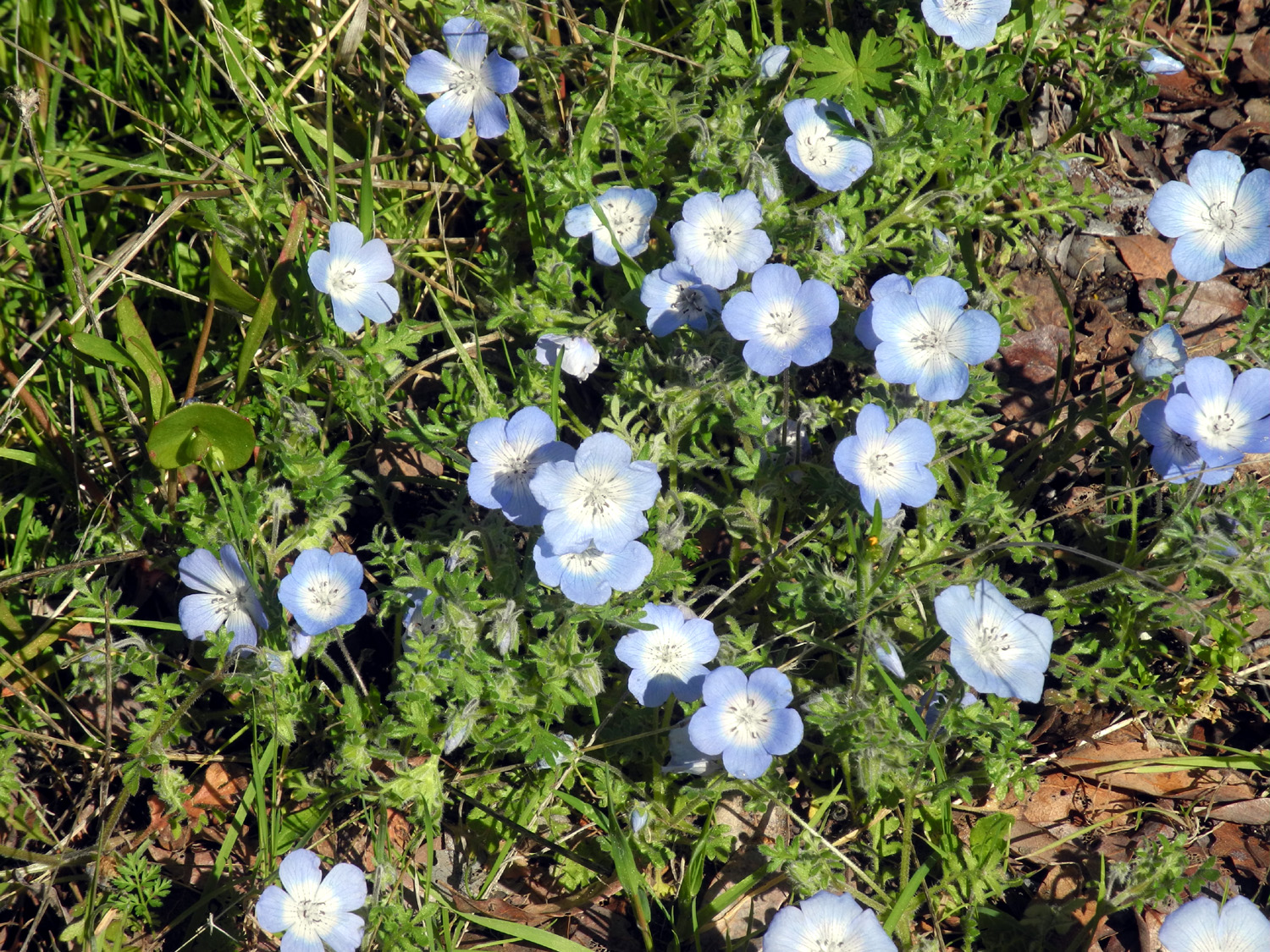
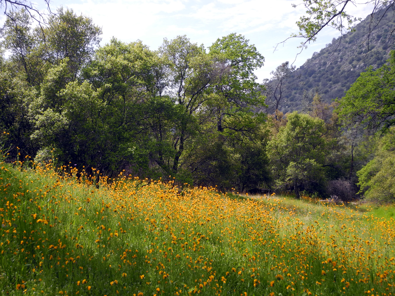
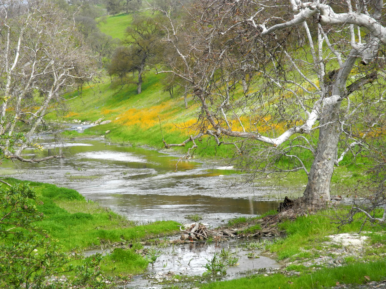
Trimmer Springs Road runs along the north side of Pine Flat Reservoir, close to the lake most of the way. There are two large tributaries running into the lake on this side, Sycamore Creek and Big Creek. The road goes up hill and away from the lake over the divide between the two creeks, and along this stretch there are two campgrounds and a picnic area. At least there USED to be. They have been closed for decades, with locked gates across the entrances. However, they are accessible for walking, and the first one is officially designated the Sycamore Wildlife Area. The old loop roads through the camps are still there, with grass growing in cracks in the pavement, but it's an easy walk with abundant wildflowers in season. The Ramblers first hiked there in 2015 and have returned several times. We met on the morning of March 11 at a Subway Sandwich shop in Clovis and got our lunch, then took off for the foothills in Wes's Toyota Highlander and my Honda CR-V. We were five strong- Elsa Sweeney, Ardyss Webster, Allen Ward, Wes Thiessen, and Dick Estel. It was the first visit to the Pine Flat area in many years for Elsa, Ardyss and Doug. With all the rain and cool weather, wildflowers got a late start this year, but we have heard good reports that they are coming out nicely, and we were not disappointed. We stopped twice near Piedra to enjoy the bush lupines growing there before proceeding to the lake and our hiking area. |
|
 |
 |
| A bush lupine forest near Piedra | Allen, Ardyss, Elsa, Wes, and a big bush lupine |
|
At each of the three places we hiked we had views of the lake, as well as blue oaks and various shrubs. Best of all, we found a good number of wildflowers. They were not covering the ground yet, but they show a lot of promise. |
|
 |
 |
| Pine Flat Lake from the old picnic grounds | Fiddlenecks amid the blue oaks |
 |
 |
| Baby blue eyes in the campground | Blue dicks along Trimmer Springs Road |
|
As we walked through one of the three old campgrounds, we were fortunate to see two bald eagles flying overhead, very close to us. We watched as they circled higher and higher until finally they went out of sight. We finished our hike by walking out on a ridge beyond the end of the road in the old picnic ground to a spot where we had the lake on three sides of us, and interesting rock formations to rest on. We covered a total of just under two miles, with very short drives separating the three sections of the outing. |
|
 |
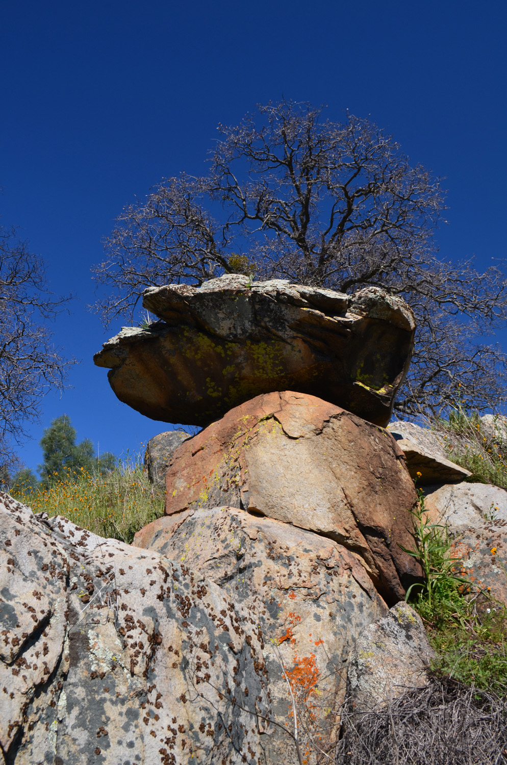 |
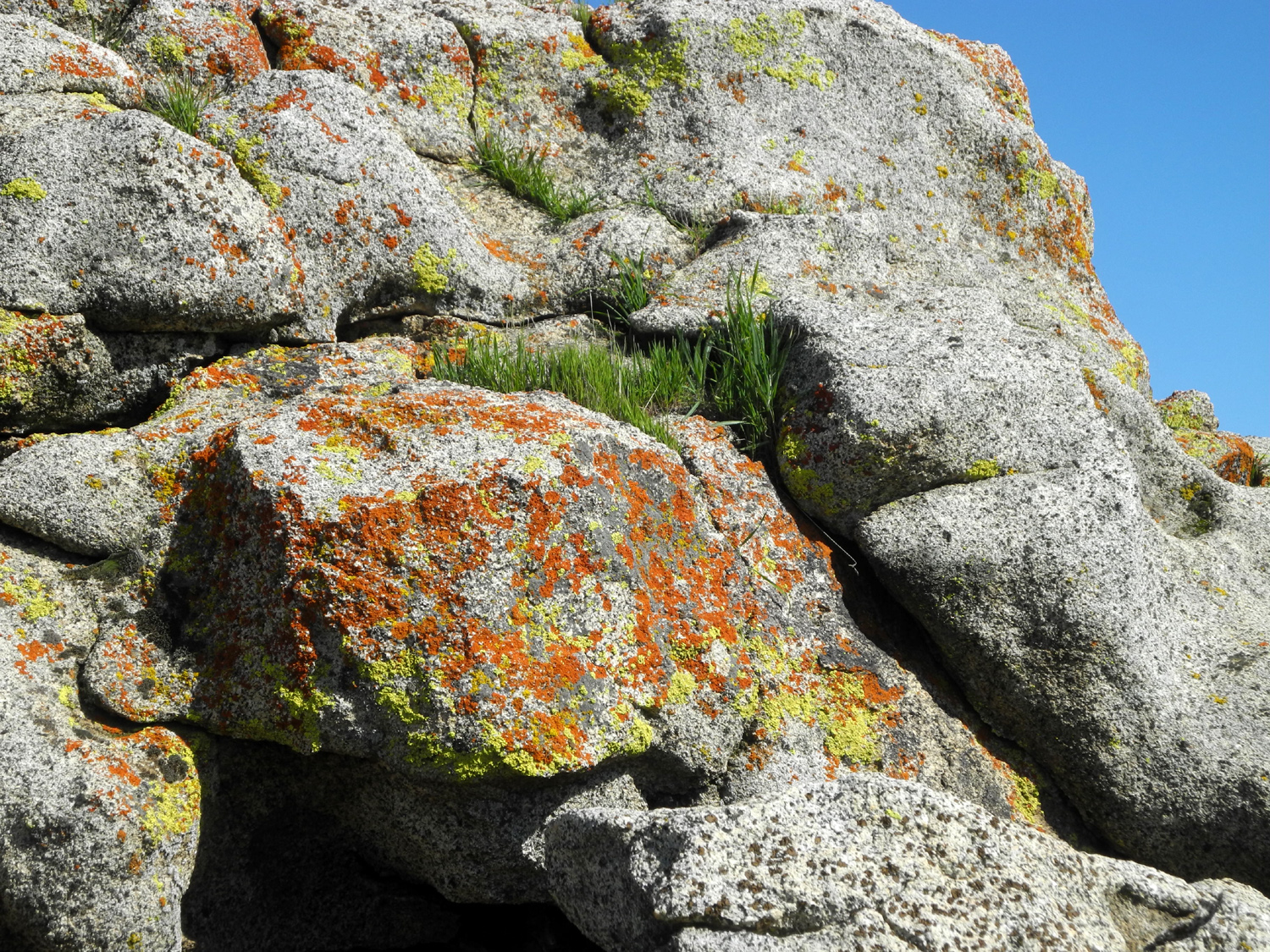
| One of two bald eagles who treated us to a spectacular flying display | Rocks piled on rocks and covered with lichen |
|
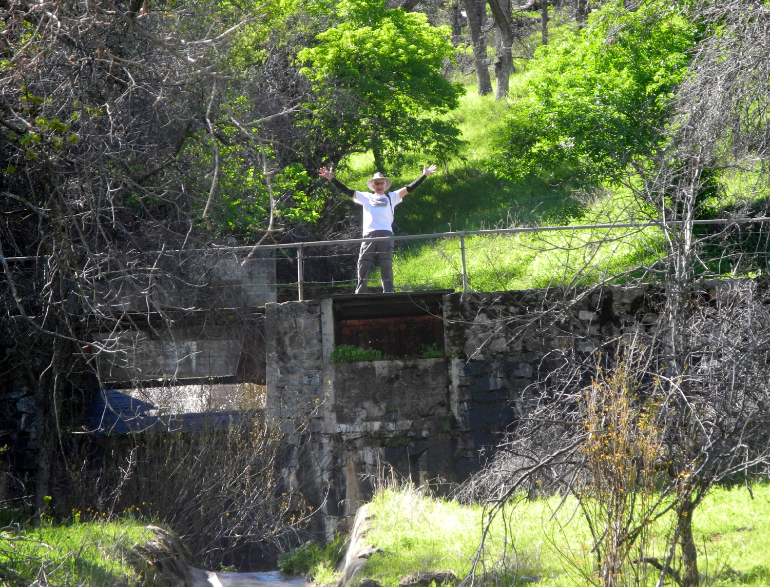
Finally we drove another two miles or so to where the road crosses Big Creek. A dirt road goes up along the creek, and we drove a short distance to a spot where we could set up a card table and enjoy our lunch with a view of the creek. This spot is the location of one of several interesting structures built in tributaries that run into Big Creek. Each of them consists of a small concrete dam or weir, various valves and gates, cement channels, and other artifacts whose purpose is open to discussion. I've been told they were used to measure runoff before Pine Flat Dam was built in the 1950s. In any event, they are well worth a closer look, especially since the larger ones have concrete steps built into the hillside parallel to the cement channel. I have gone up a number of times over the years, so I stayed back to photograph the others as they made the steep climb up and back. Wes and Elsa both made their way out on to the dam, allowing us to add "Elsa on the weir" to the traditional shot of Wes in apparently precarious locations. While exploring the water system, the hikers saw a salamander and bullfrogs. |
|
 |
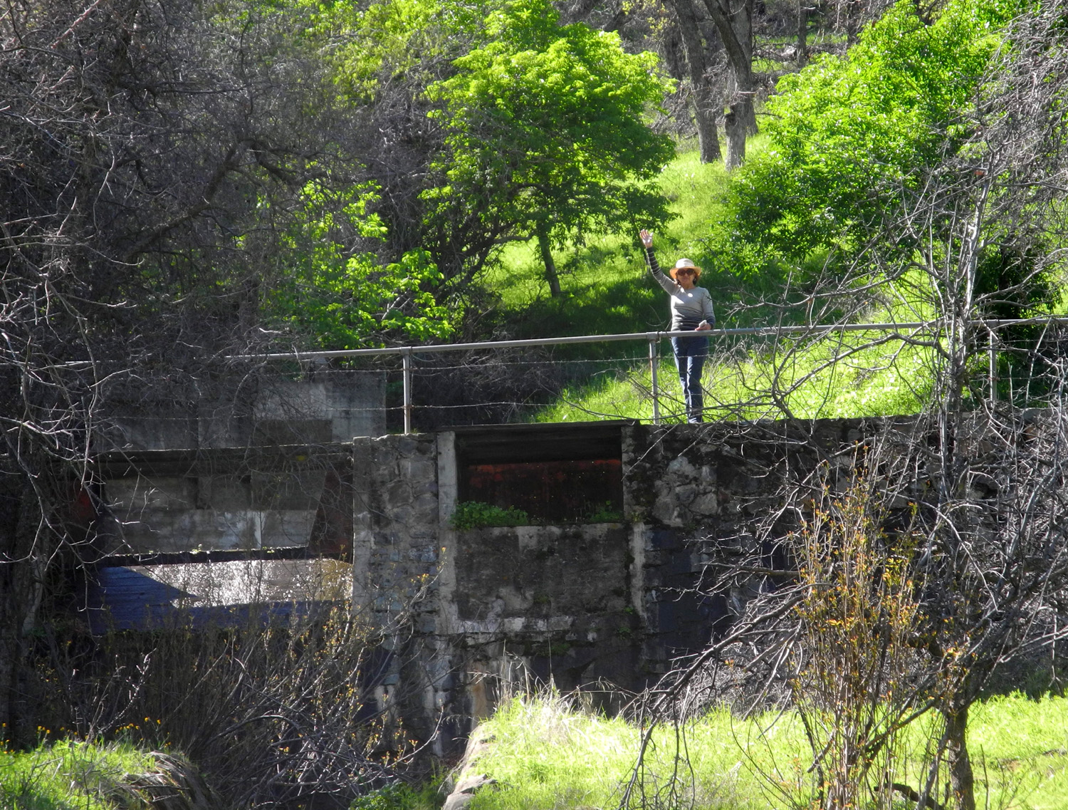 |
| Stepping carefully on the worn concrete steps | Elsa on the weir |
|
As we started our drive back home, we saw that the poppies by the roadside, mostly invisible in the morning, had opened to the sun, providing a perfect backdrop for our group photo. |
|
 |
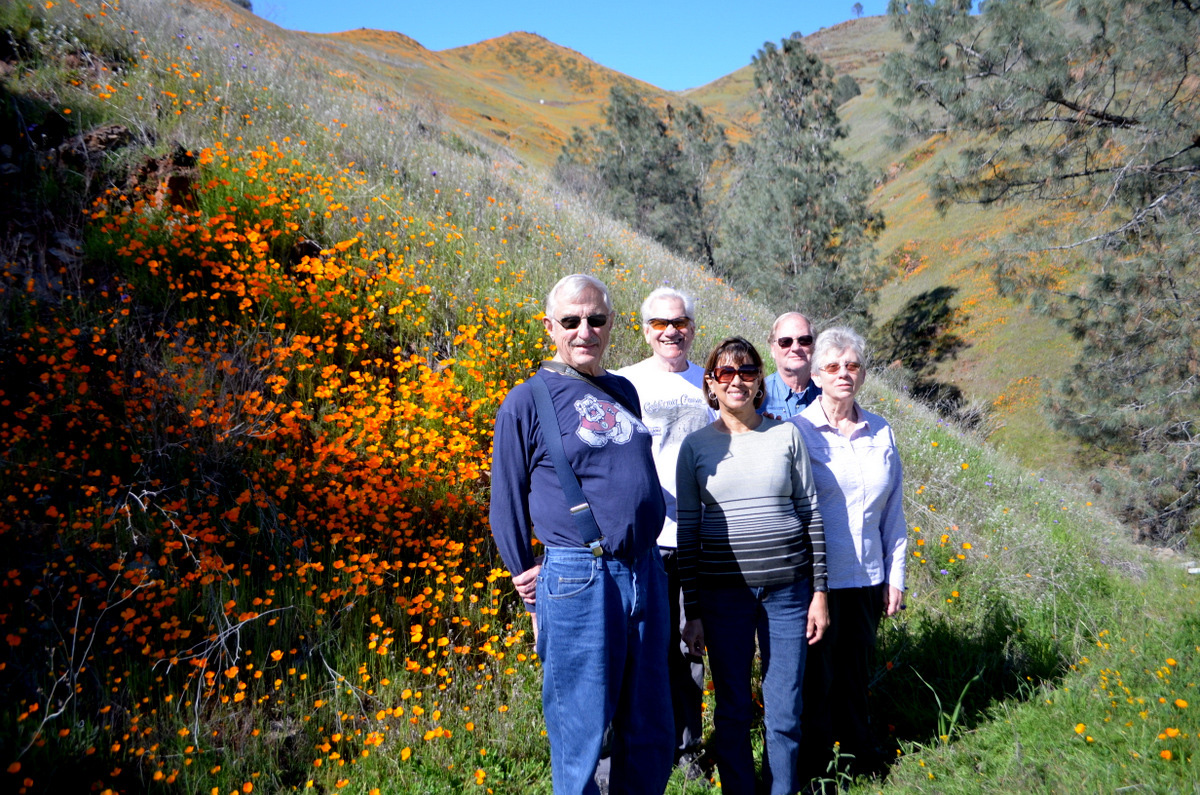 |
| Poppy-covered hills above Trimmer Springs Road | The Ramblers: Dick, Wes, Elsa, Allen and Ardyss |
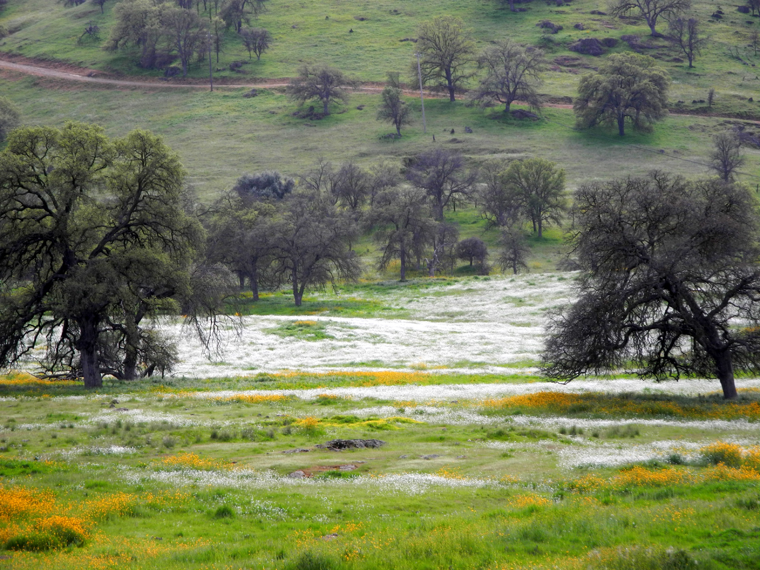
|
The
wildflowers were better than we had hoped, and inspired us to
"seize the day" and schedule a second March hike to see
more blossoms. --Dick Estel, March 2017 |
|
| San
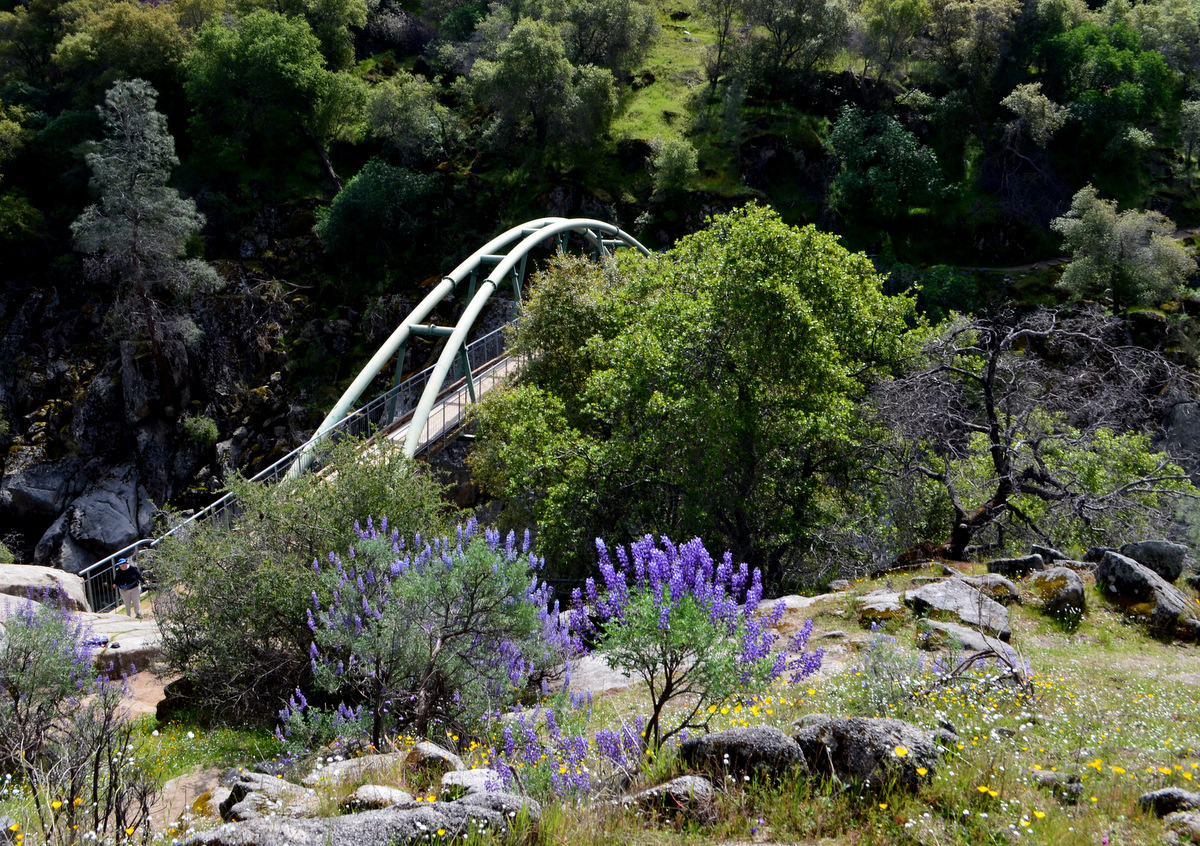
Joaquin Gorge Bridge Trail
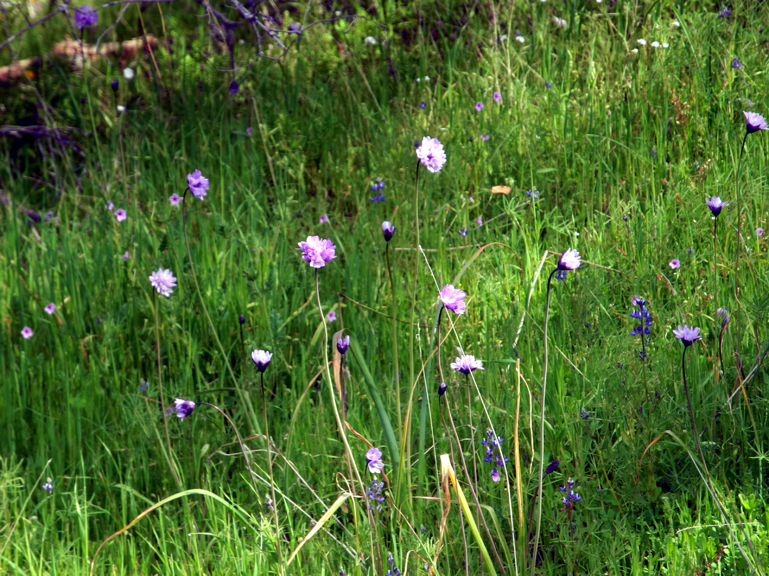
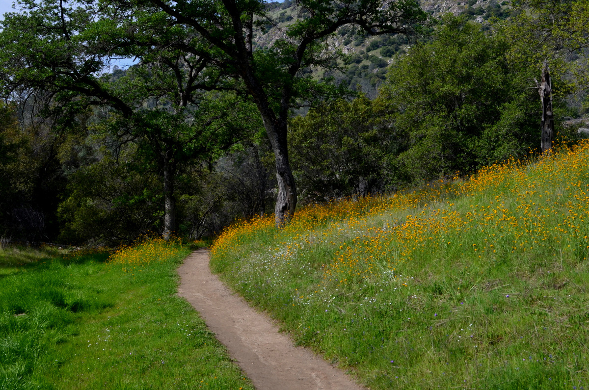
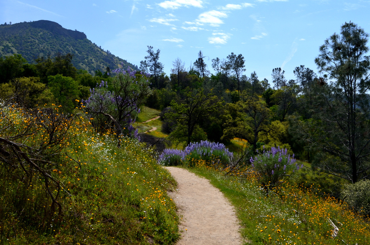
On March 26 five Ramblers drove the 35 miles from the big city to the San Joaquin River Gorge Recreation Area, planning to revel in the beauty of more foothill wildflowers. We chose the Bridge Trail, which goes down to the San Joaquin River, about a mile each way. Our decision to schedule a second March hike paid off beautifully, with large patches of fiddlenecks, popcorn flowers, clusters of baby blue eyes, spectacular bush lupines, and smaller samples of another dozen or more spring blossoms. |
|
 |
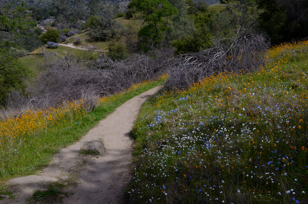 |
| Fiddlenecks were the dominant flower during our hike | The trail was lined with flowers most of the way |
|
I've written about this location more times than I can count, so for the most part I'll just let the photos Wes and I captured tell the story. |
|
 |
 |
| Blue Dicks waving in the breeze | Blue oaks and more fiddlenecks |
 |
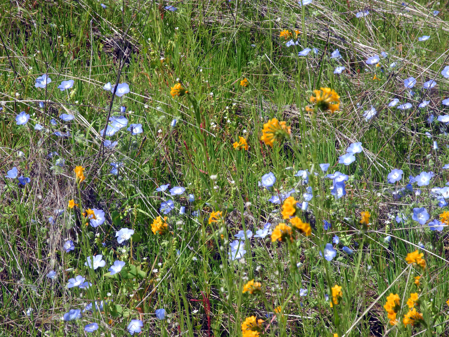 |
| Another scenic section of the trail | Baby blue eyes were out in good numbers |
 |
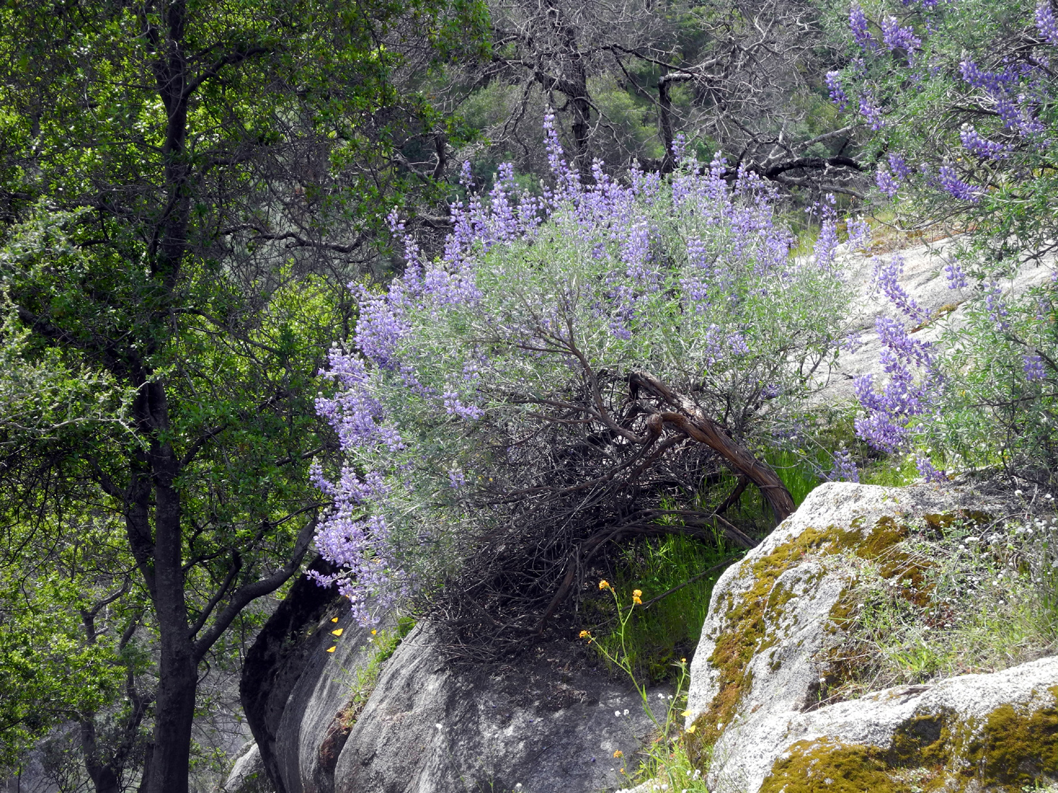 |
| We call this spot Lupine Point; it's lined with bush lupines on both sides | A close up view of a silver (bush) lupine |
 |
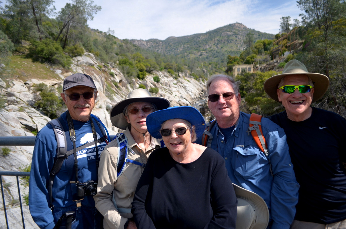 |
| The bridge over the San Joaquin River | The Ramblers: Dick, Ardyss, Sue, Allen and Wes |
|
Wes offered his usual post-hike comment in an email to all Ramblers: The Ramblers just couldn't get enough of springtime in the Valley. So Dick scheduled a second hike this month to expose us to even more of those colorful "flowers in the wild." And we were not disappointed. Many of you have hiked the trail leading from the
parking lot to the footbridge over the San Joaquin River. It can be a boring
one-mile trail except when it's lined with fiddlenecks, lupines, popcorn
flowers, baby blue eyes, and so many more wildflowers. Then that trail becomes a Royal Road. I couldn't stop clicking my camera. All I had to do
was hold it up and click the shutter in any direction to capture amazing photos. I was especially impressed with the trail and
captured a number of images of that Royal Road. After our hike, we stopped at Valasco's in Prather for a late lunch. Don & June McClellan drove up to join us. Many of us had not seen June in
a while, so there was "a whole lot of huggin going on." Way too much
fun! --Wes and Dick, April 2019 |
|
| Ahwahnee
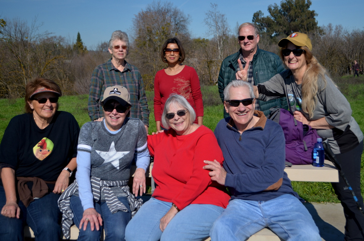
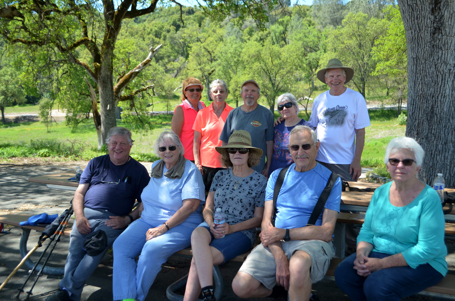
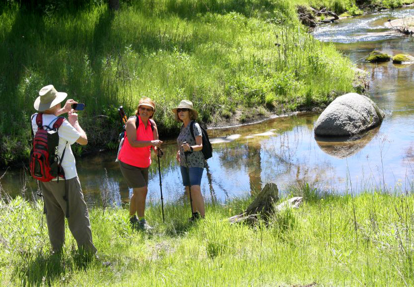
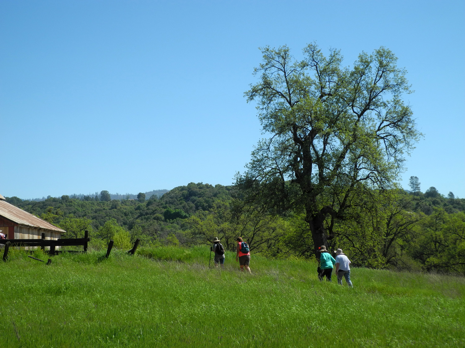
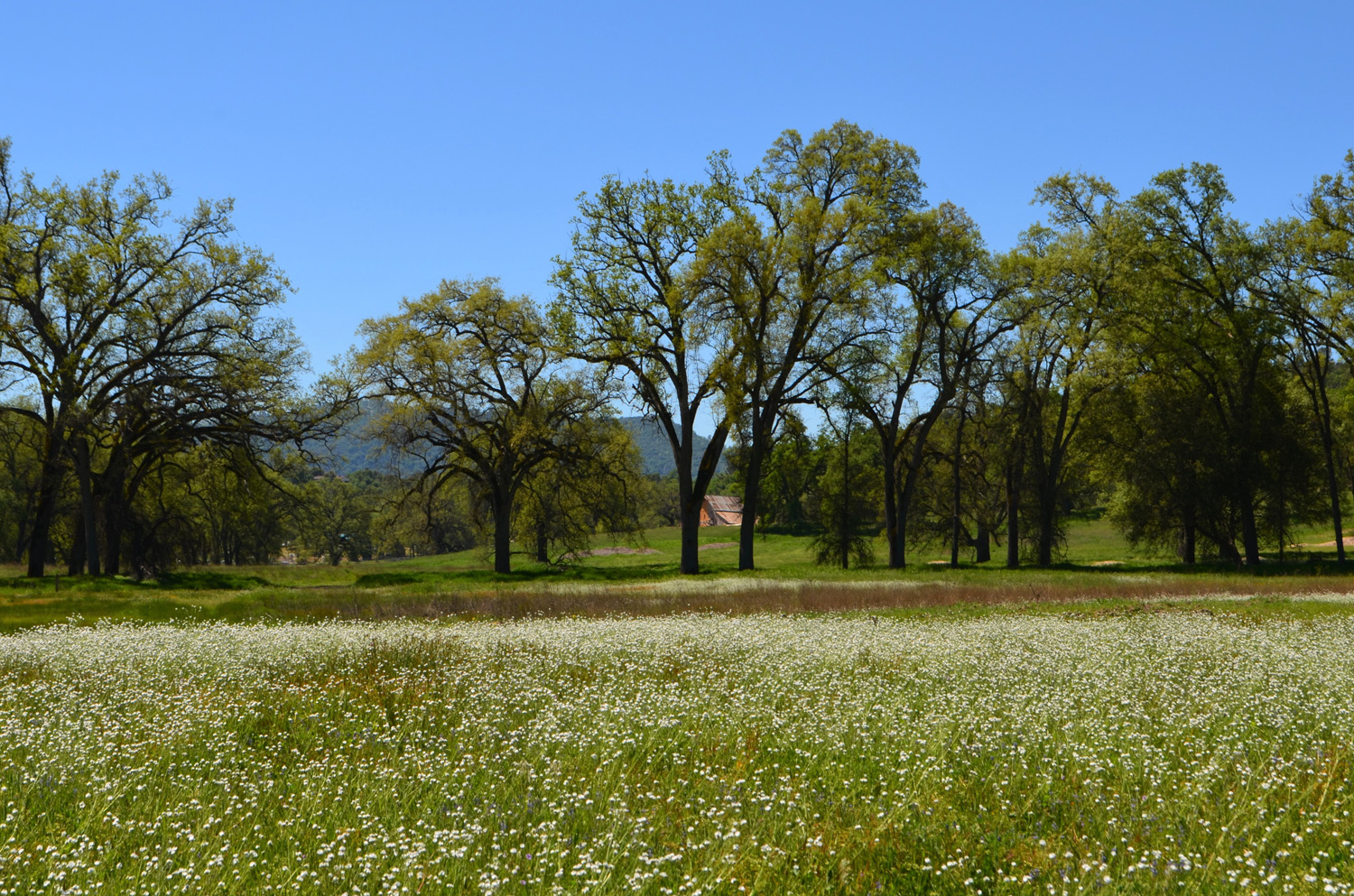
Hills Regional Park (Text by Dick and Wes) Dick: On April 25 the Ramblers made our third visit to Ahwahnee Hills Regional Park, a small preserve in the foothills near the village of Ahwahnee, about ten miles from Oakhurst on State Highway 49. We had a large group this time - "old timers" Wes, Ardyss, Sue, Don, and Dick; recent additions to our group Berdie and Pati, and three special guests. These were Bev Williams, who was in my high school class, and Andy and Susan Crandall from Mariposa County. Susan's grandfather and mine were friends in Oho as young boys in the early 1900s, so our family friendship goes back well over a century. |
|
 |
 |
| BACK:
Berdie, Ardyss, Andy, Susan, Wes; FRONT: Don, Sue, Pati, Dick, Bev |
The trail winds among huge valley oaks |
|
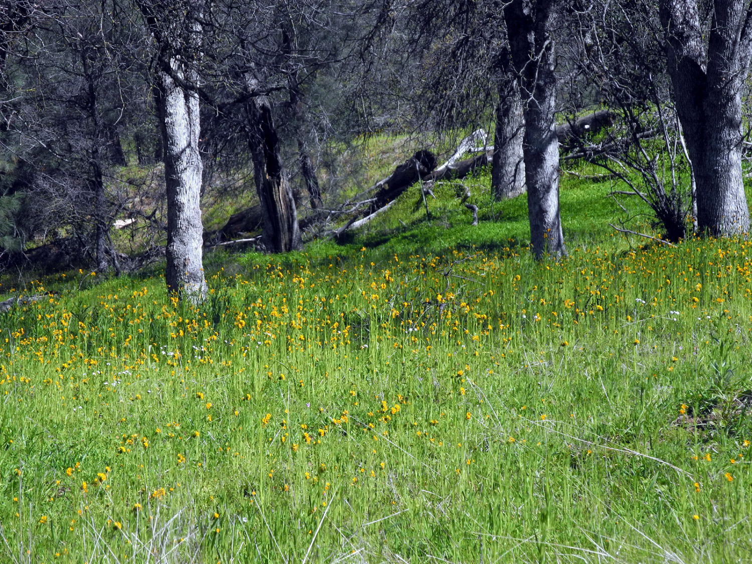
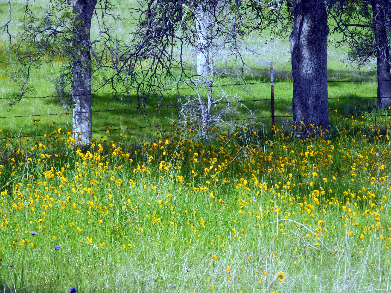
Wes: Today the Ramblers traveled to the Ahwahnee Regional Park for a late spring hike among the giant oaks. The pathways were surrounded with deep green grass and a variety of wildflowers. If you know your oaks, we saw valley, blue and live oaks. This hike was less than two miles so we didn't run but sauntered along the paths as recommended by John Muir himself. I knew we were in for an adventure when I saw Berdie jump into the air and scream. A gopher snake of reasonable size crossed her path. Susan caught him with her camera as he disappeared into the grass. |
|
 |
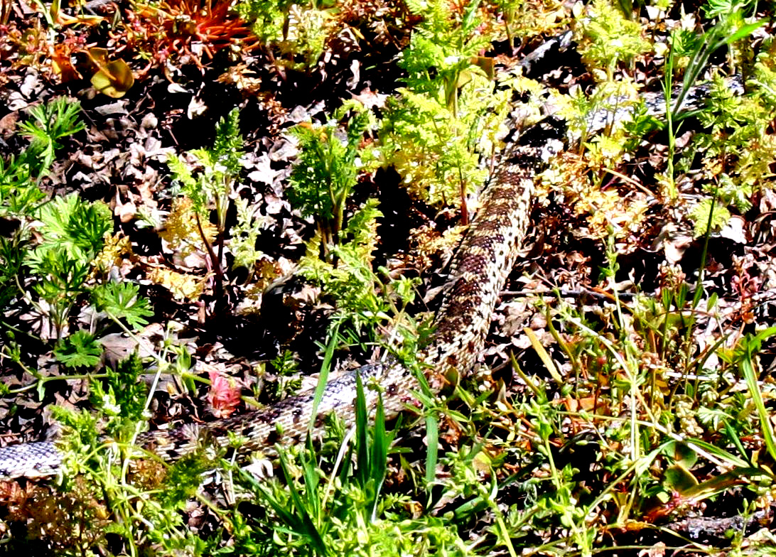 |
| Popcorn flowers and oak trees | Gopher snake, making a hasty retreat |
|
Dick: Like many recent trips, this one does not need a lot of words - the pictures that Wes, Susan and I captured tell the story better than I can. |
|
 |
 |
|
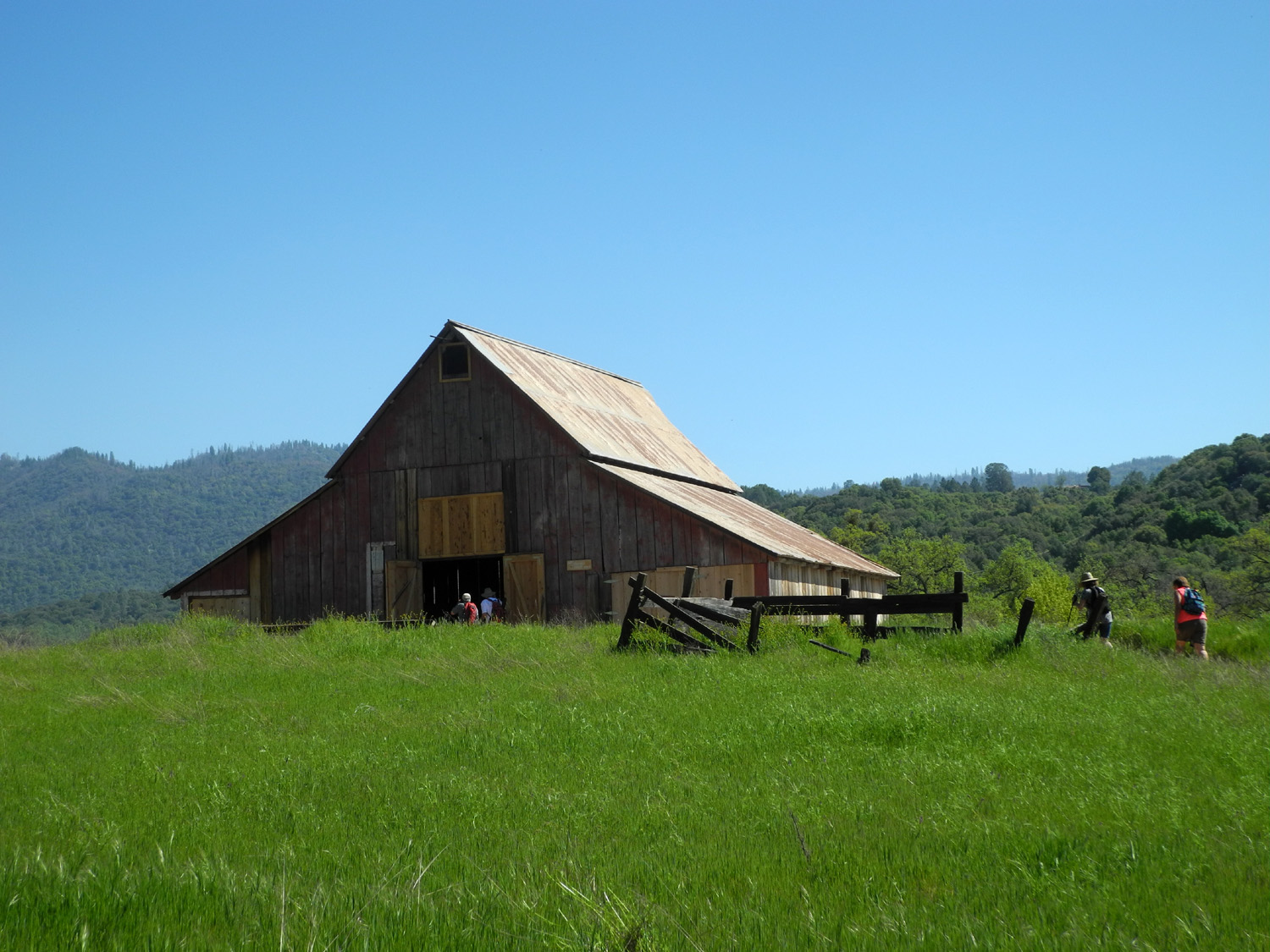
The old barn |
Dick and Andy |
 |
 |
| Cream cups | Wes photographs Berdie and Pati by the creek |
|
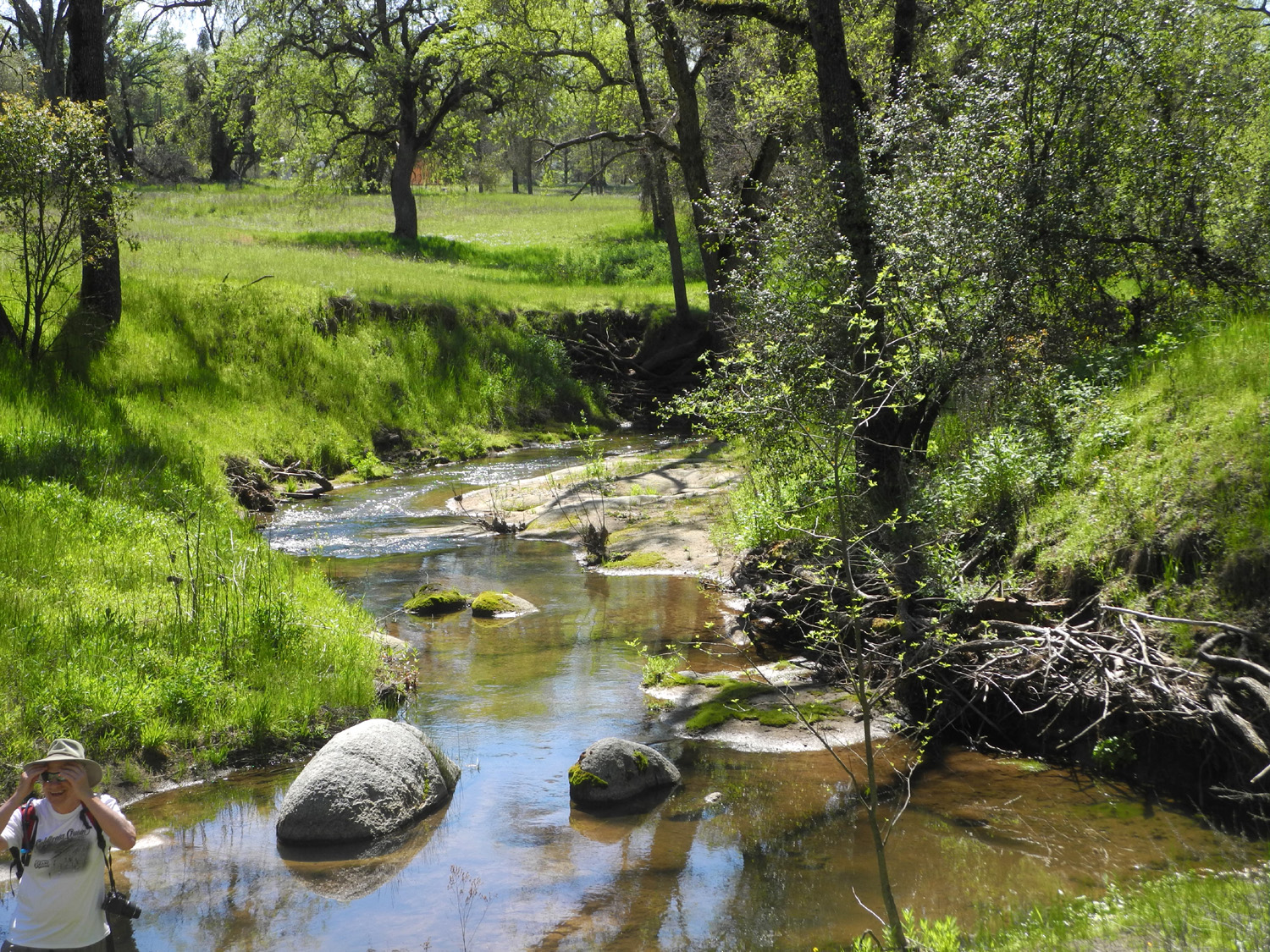
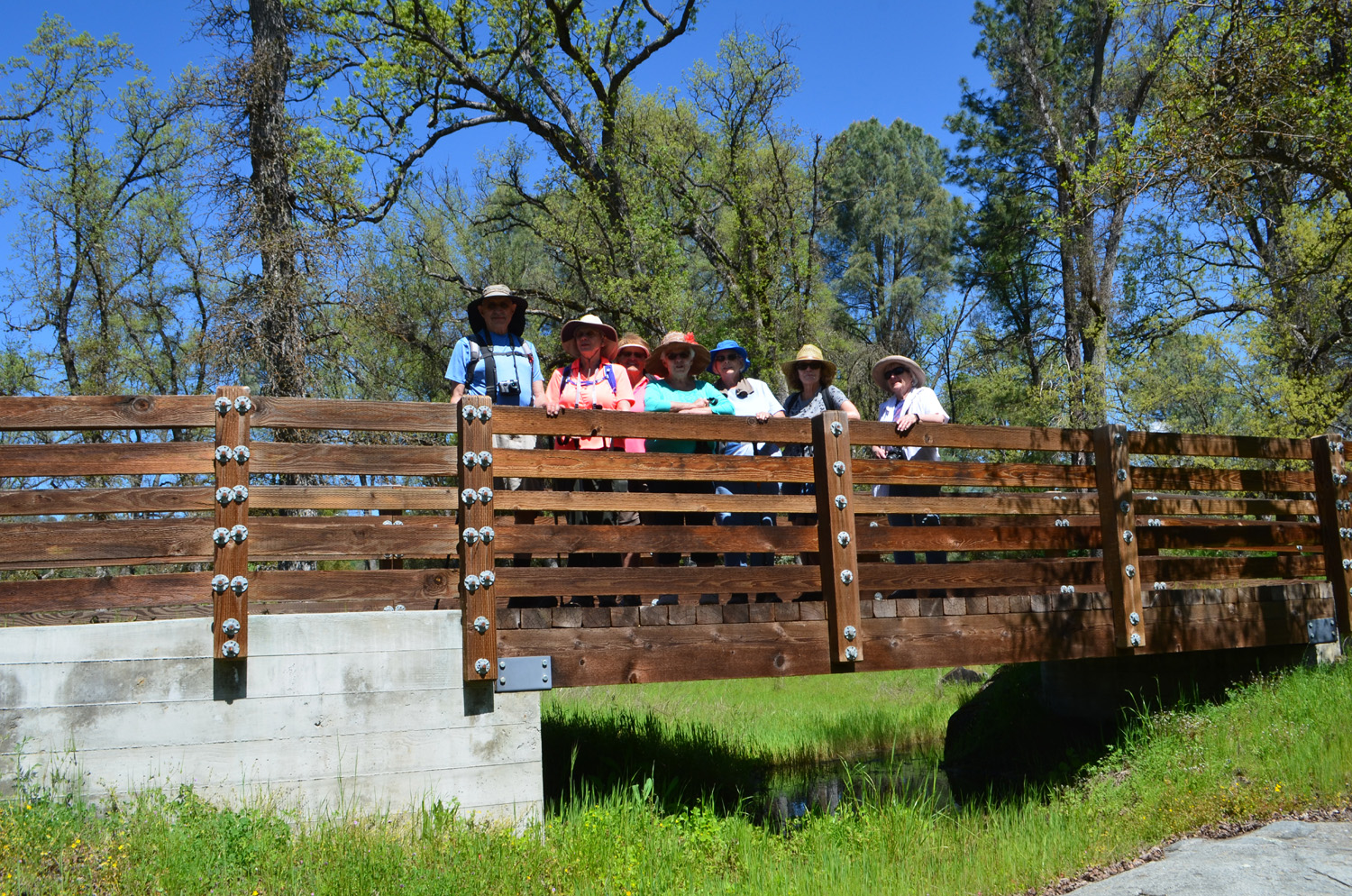
A lovely little creek winds through the park on the east side. Wes climbed down into the channel to get a shot of a little waterfall. The trail crosses a half dozen bridges, and we learned that Andy did some of the engineering work for them. And as usual, we visited the old barn that sits on the property. |
|
 |
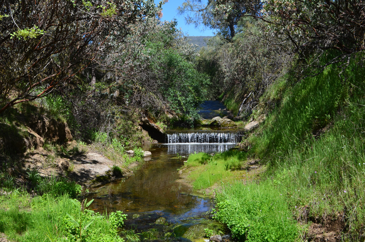 |
| This nameless creek runs along the east side of the park | A sort of waterfall on the creek |
|
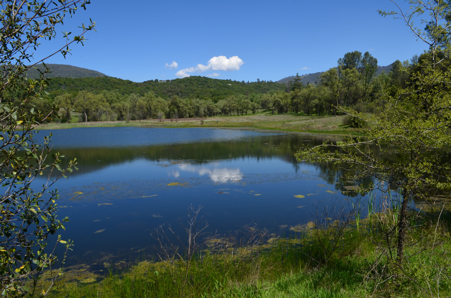
It does need to be said that this is not a single trail. There are loops off the main trail, and you can walk short or long routes. This time we pretty much followed the outer loop, getting in the most hiking possible. This allowed us to discover a nice pond that we did not know existed, and some of our sharp-eyed members spotted a turtle sitting on a stump in the water. |
|
 |
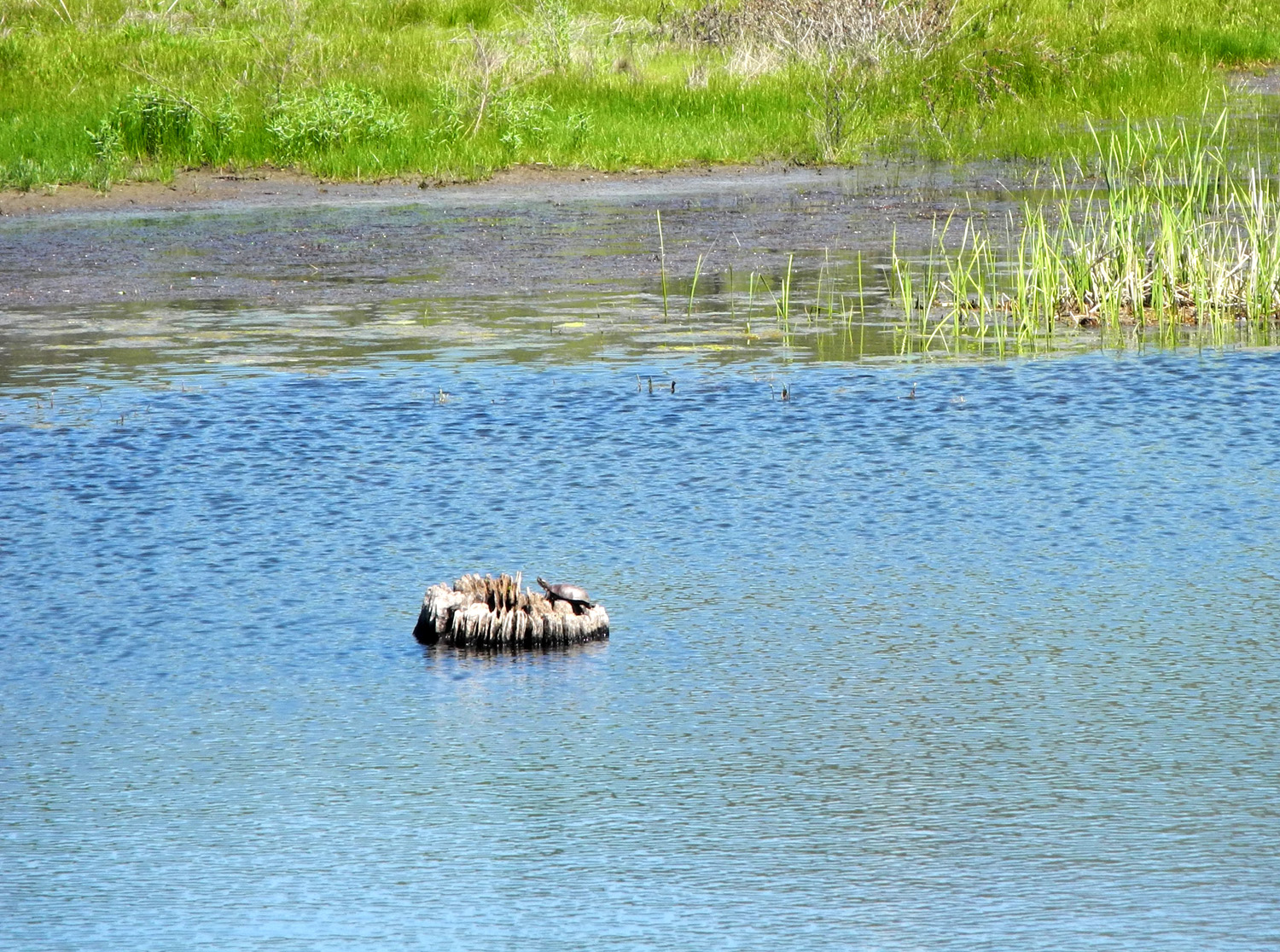 |
| Clouds and hills reflected in the pond | Western pond turtle, watching for lunch |
|
To
finish out the day, we had lunch at the Hitching
Post in "downtown" Ahwahnee, about a half mile from
the preserve. I've driven past this location dozens of times, and
always just assumed it was a little country bar. In fact it is a
very roomy restaurant offering views of the nearby green fields and
distant mountains, and providing excellent food and service. As an
added bonus, Bev's boyfriend Bob joined us, allowing me to not be
the oldest person in the group for a while. --Wes and Dick, May 2019 |
|


| Photos (Click to enlarge; pictures open in new window) | ||
| Jensen Ranch Hike Pohonichi Trail Sycamore Wildlife Area San Joaquin Gorge Ahwahnee Hills | ||
| Jensen Ranch Hike | ||
 |
|
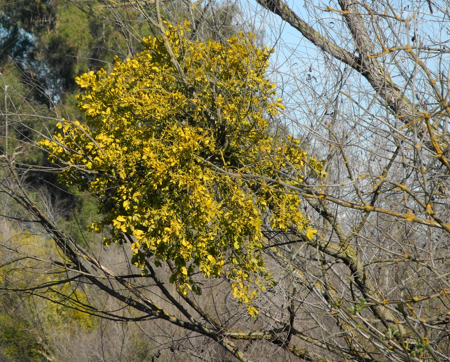 |
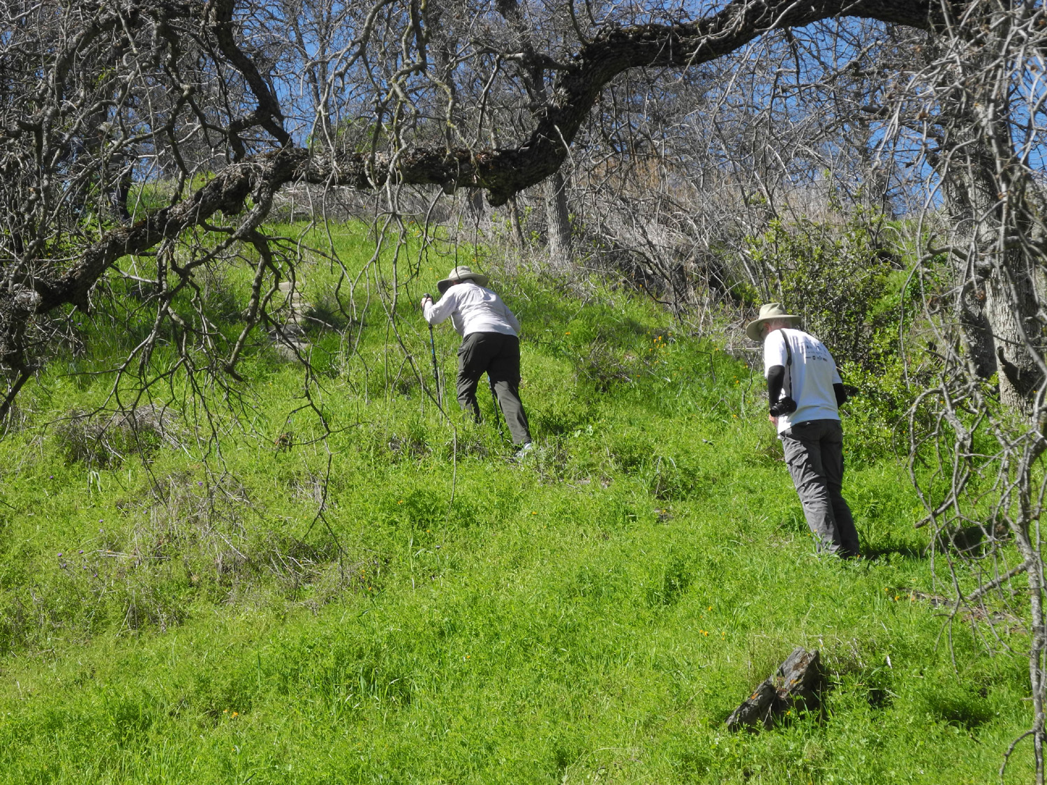
| The Ramblers start down to the river bottom from the main trail along the bluffs | We couldn't tell if this tree has leaves, seeds or flowers | A big bunch of mistletoe |
 |
|
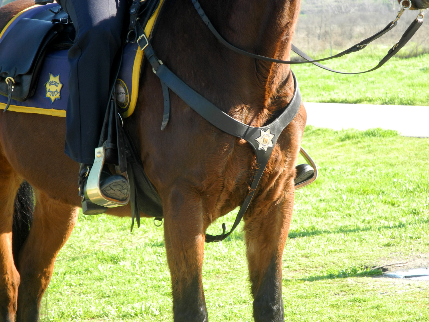 |
| View across the Jensen Ranch territory | We say goodbye to Marlene as she heads up the bluff | Even the horses wore badges |
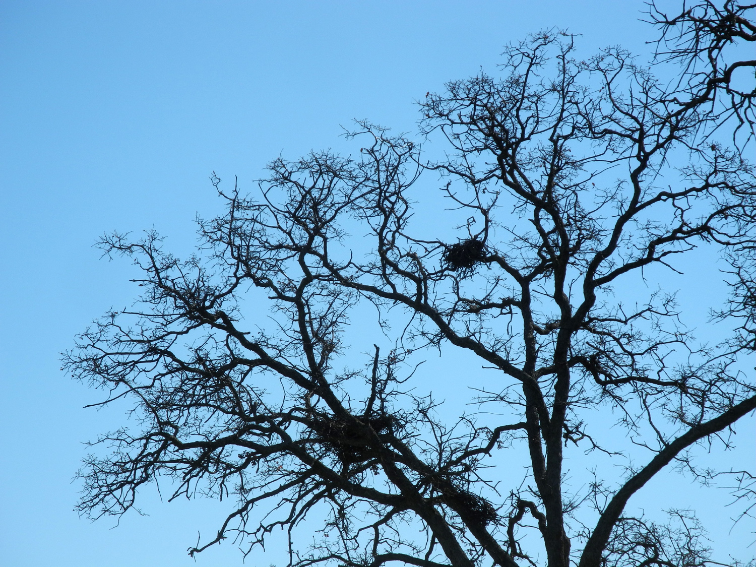
| Pohonichi Trail at Hensley Reservoir | ||
|
|
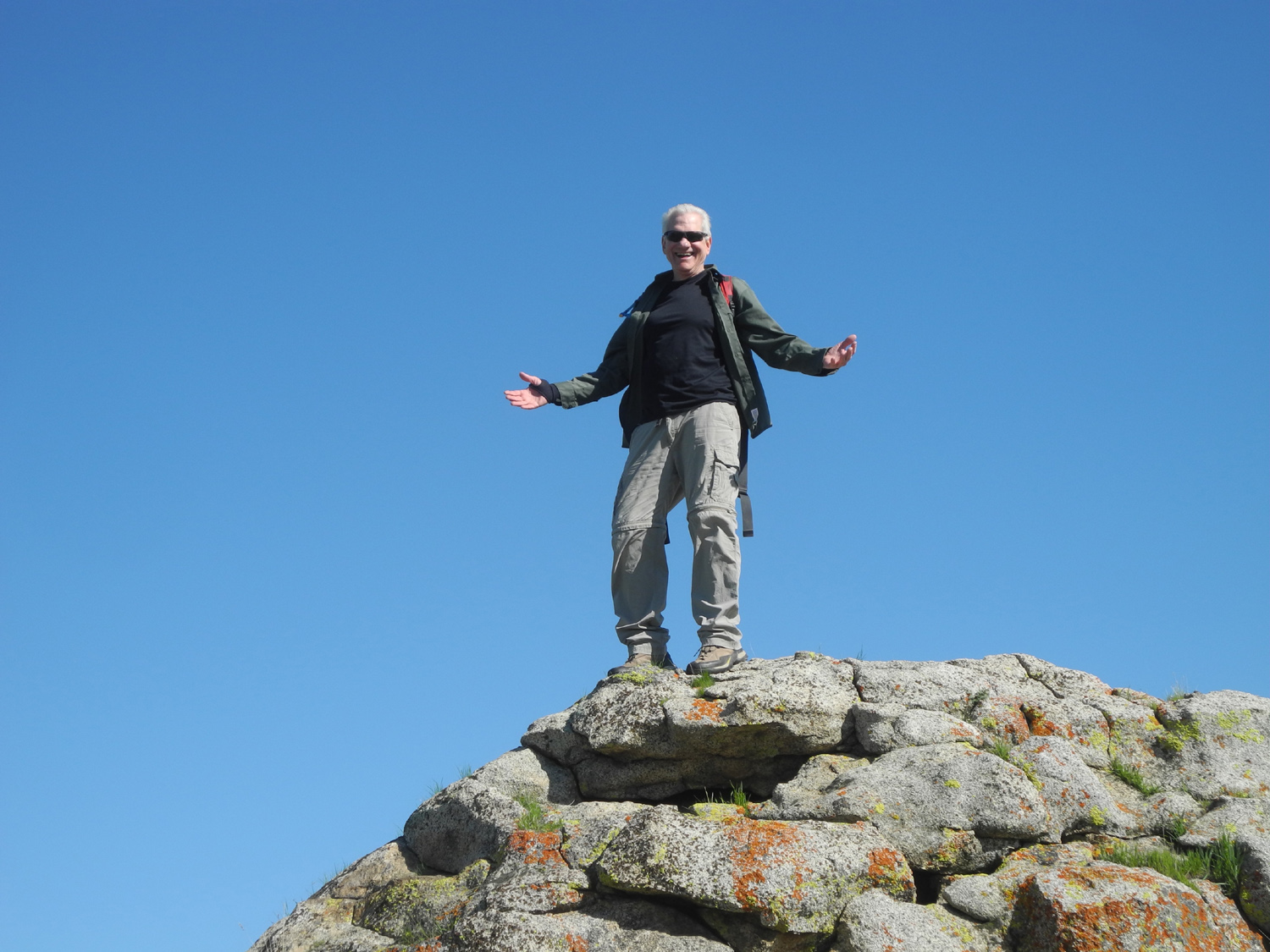 |
| The snowy vista from Hidden View Campground | Hawk nests in a blue oak | A more sedate example of "Wes on the Rock" |
| Sycamore Wildlife Area | ||
|
 |
 |
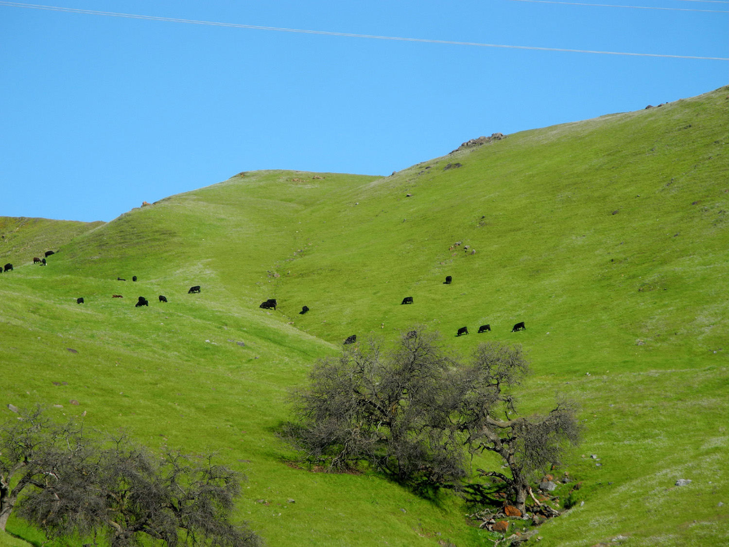
| Happy cows on the hills above Pine Flat | Popcorn flowers and manzania bush | A steep climb, even with stairs |
|
|
|
| Wes on the weir | Fringed redmaids | Poppies and the lake |
| San Joaquin Gorge | ||
 |
 |
|
| Kennedy Table, on the Madera County side of the river | Wes in the rocks | Bush lupines up close |
| On the way home, Dick and Wes stopped where Little Dry Creek runs along Auberry Road and captured some more spring wildflowers: | ||
 |
|
|
| Fiddlenecks and Little Dry Creek | Popcorn flowers turn the field white | |
| Ahwahnee
Hills Photos by Wes Thiessen, Susan Crandall and Dick Estel |
||
 |
|
 |
| The Ramblers heading down the trail | Heading for the barn | Andy and Wes |
 |
 |
|
| More flowers and trees | Dick, Ardyss, Berdie, Bev, Sue, Pati, Susan | Fiddlenecks, oaks, and Goat Mountain in the distance |
| Related Links | ||
| Jensen River Ranch | Woodward Park | La Kebrada |
| Axis Coffee Bar & Eatery | Hensley Reservoir | Fresno River |
| Pine Flat Reservoir | Subway Sandwich Shops | Lupines |
| San Joaquin River Gorge Special Recreation Management Area | Squaw Leap | Velasco's Mexican Restaurant |
| Ahwahnee Hills Regional Park | Hitching Post | Highway 49 - The Golden Chain Highway |