
|
Dick's Adventures of 2022 - Part 1 |
|
| Photos Related Links More Travel Reports | |
| Adventures of 2016 Adventures of 2017 Adventures of 2018 Adventures of 2019 | |
| Lewis Eaton Trail Tesoro Viejo Preview Two San Joaquin River Hikes Back to Sumner Peck Green Cabin Flat | |
| Lewis
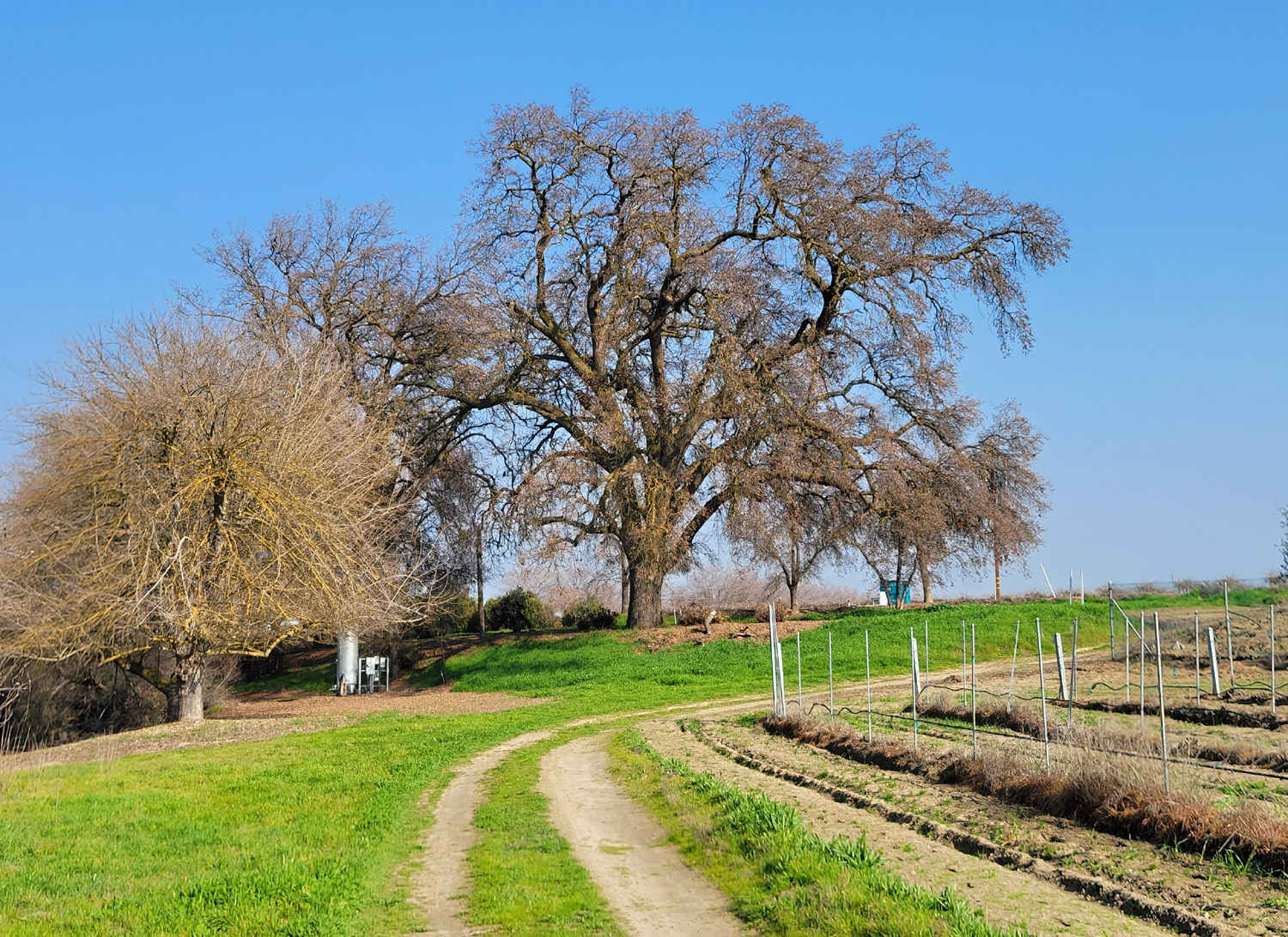
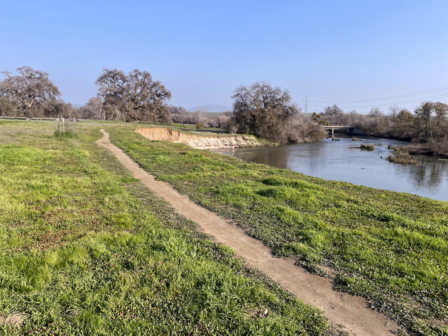
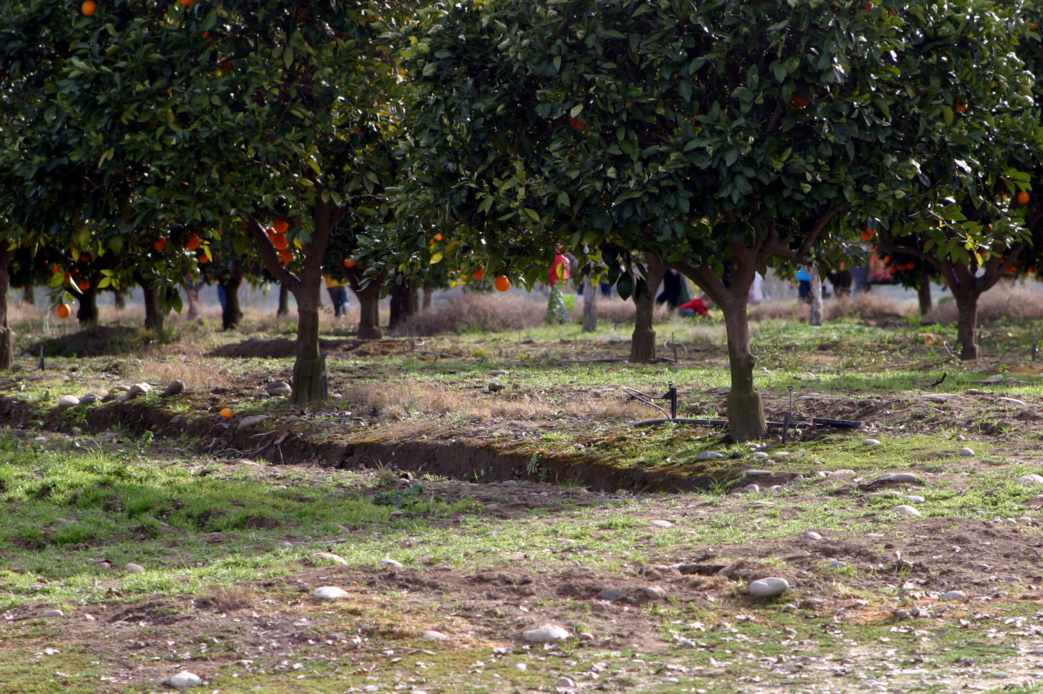
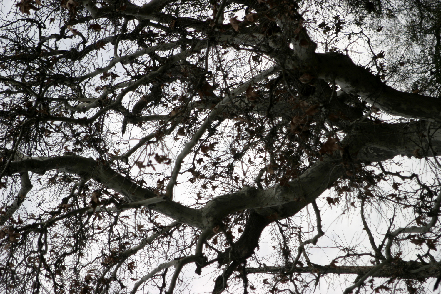
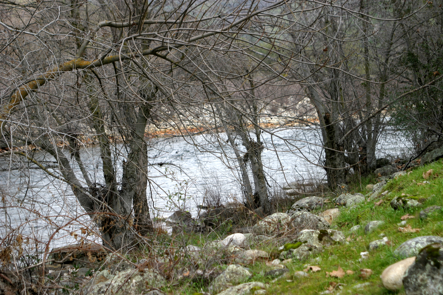
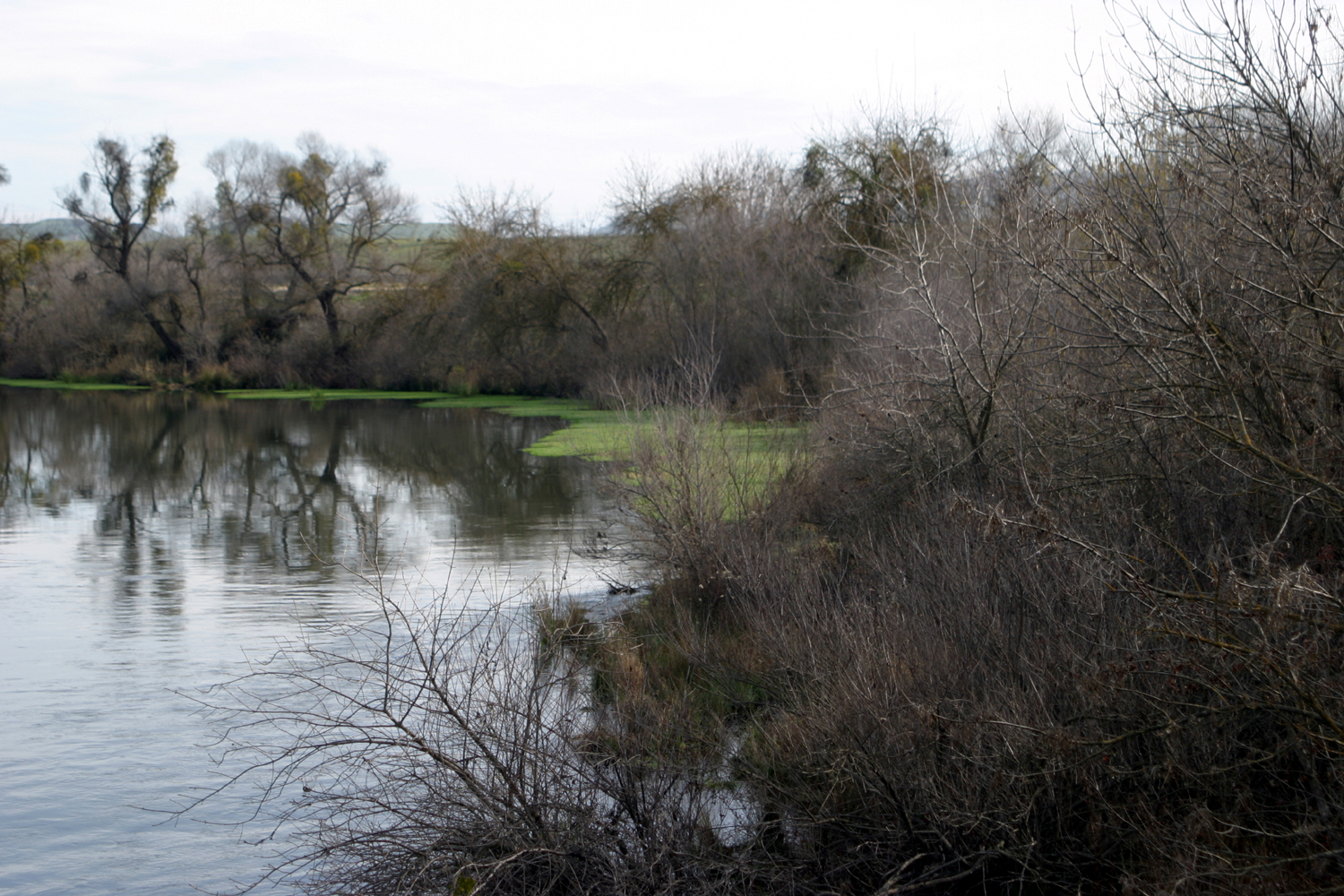
Eaton Trail After a long dry spell, the final days of 2021 brought rain in the Valley and snow in the Sierra Nevada, a series of storms off and on over the final two weeks of the year. This greatly interfered with my morning walks, and from the start of winter to New Year's Eve I managed only two very short walks around the neighborhood. In 2022, with a short neighborhood walk and a longer outing on the Clovis Trail System already in the books, I was ready for a real hike on January 5. I chose a nearby location with an easy, mostly level trail, but at least it was 2.14 miles in length. My destination was the Lewis S. Eaton Trail, which runs parallel to the San Joaquin River north of the Fresno-Clovis metro area. It goes from Woodward Park east to the Hallowell Center for River Studies, but you can access the trail at several points. My normal starting point is a parking lot at Friant Road and Copper Avenue. The trail goes along the top of the river bluffs for a short distance, then winds down to what I would call the highest flood plain. There is a series of ponds between the trail and the river, left from gravel mining in the past. When I hiked with the Ramblers in November, these ponds were almost all dry. Now they are filling up, although the most scenic one, next to the river center, is still empty. I did not take many photos this time, but you can see plenty here and here. One thing I did photograph was a place where the rains had washed out a lot of dirt from the bank. Over the years informal trails have developed in the bank that rises above the trail. People ride their bikes up and down them, and in some cases run up and down. Water naturally washes down these places, and at least two of them had a major washout this year. |
|
|
 |
| A new delta of soil at the base of the river bluff | Extensive wash-out half way up the bluff |
|
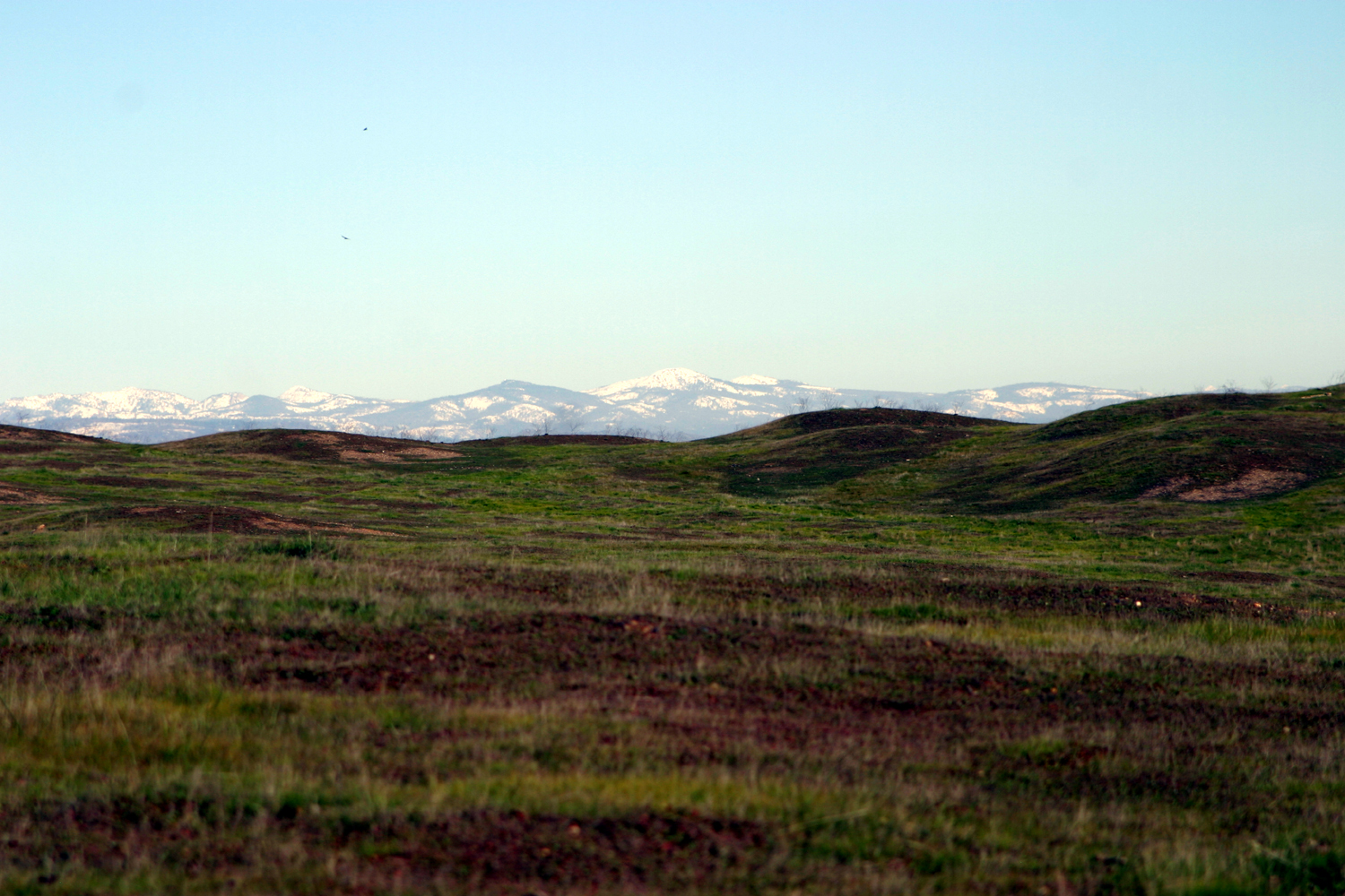
The weather was fairly good - sunshine and haze. The usual view from the trail of the snow-capped mountains was obscured, but I enjoyed views of the bluffs across the river. When I reached the dry pond next to the River Center, my back was bothering me, so I did not go all the way around to the center, but sat on a bench and enjoyed being out in nature before starting back. --Dick Estel, January 2022 |
|
|
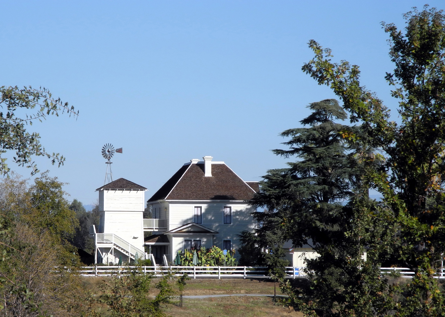
Tesoro Viejo Preview
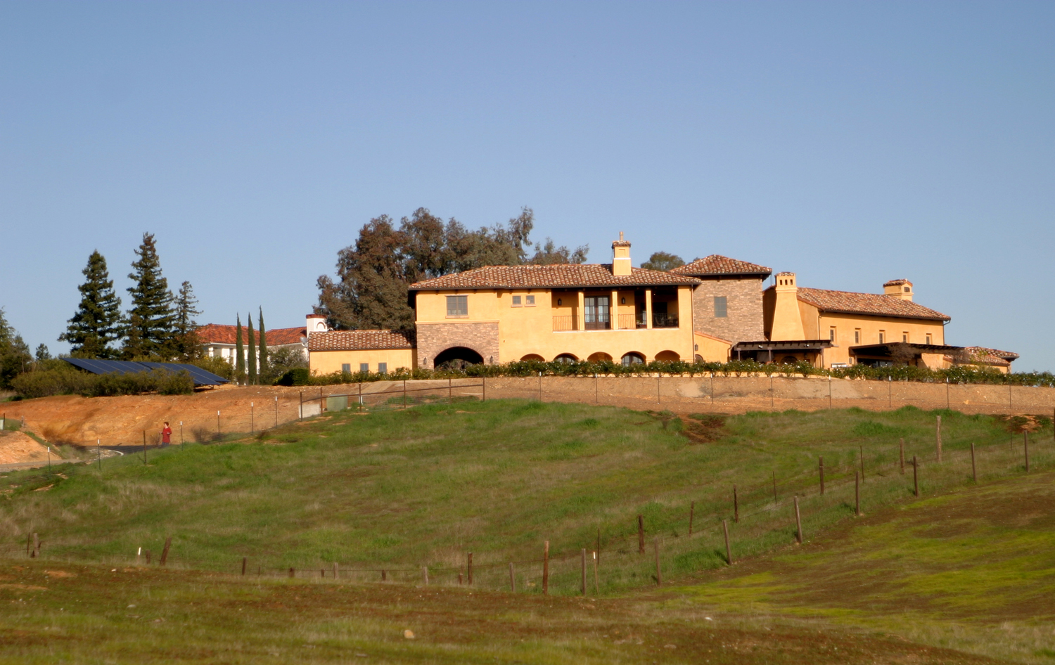
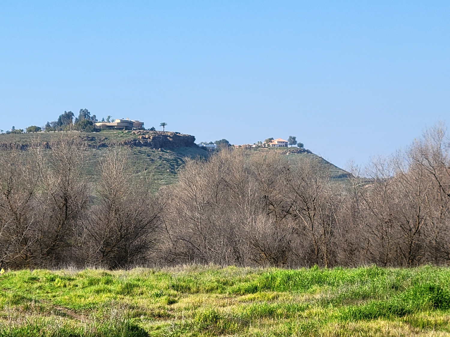
For the next Ramblers hike, Wes and I have been discussing several nearby, low-elevation locations. Tesoro Viejo is an upscale housing development (prices from "as low as $300,000") that has sprouted in former ranch land in Madera County, about six miles north of the Fresno-Madera County line, on the east side of Highway 41. Part of the requirement for approval of the project was to provide many miles of public hiking and biking trails. Wes has biked extensively in the area, but was concerned about how some of the Ramblers would handle a couple of steep spots. He suggested a test walk for the two of us, probably assuming that if the oldest Rambler could handle the trail, the rest could. |
|
 |
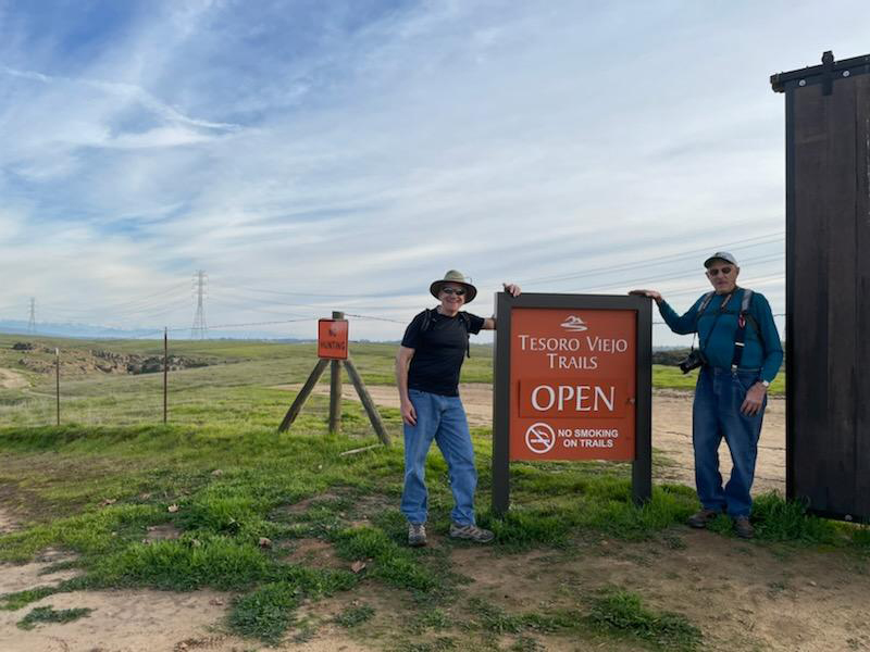 |
| As in the old bluegrass song, a mansion on the hill | Wes and Dick at the trail entrance |
|
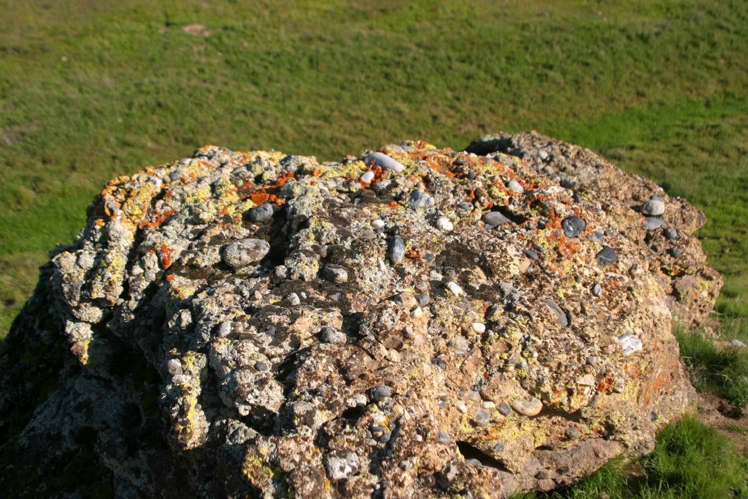
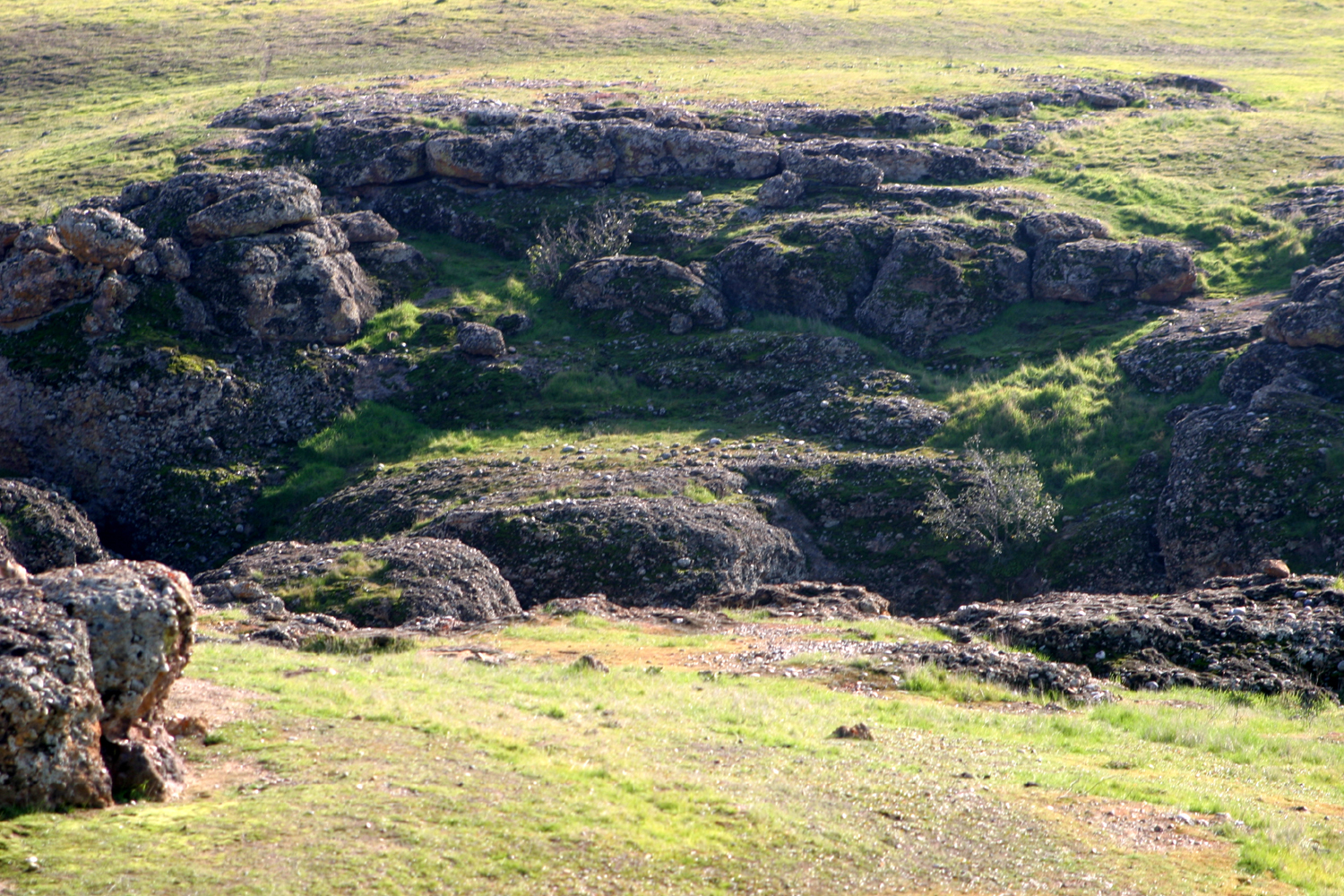
Wes picked me up at 1 p.m. on January 12 and we drove out Highway 41 to the entrance of the development, and on some dirt roads to the trailhead. It was a very pleasant day - we left our jackets in the car and were comfortable in t-shirts. Although the highway and the entrance roads are in the flat valley floor, the trails quickly take you into a land of rolling hills, little green valleys, and unique rock formations. |
|
 |
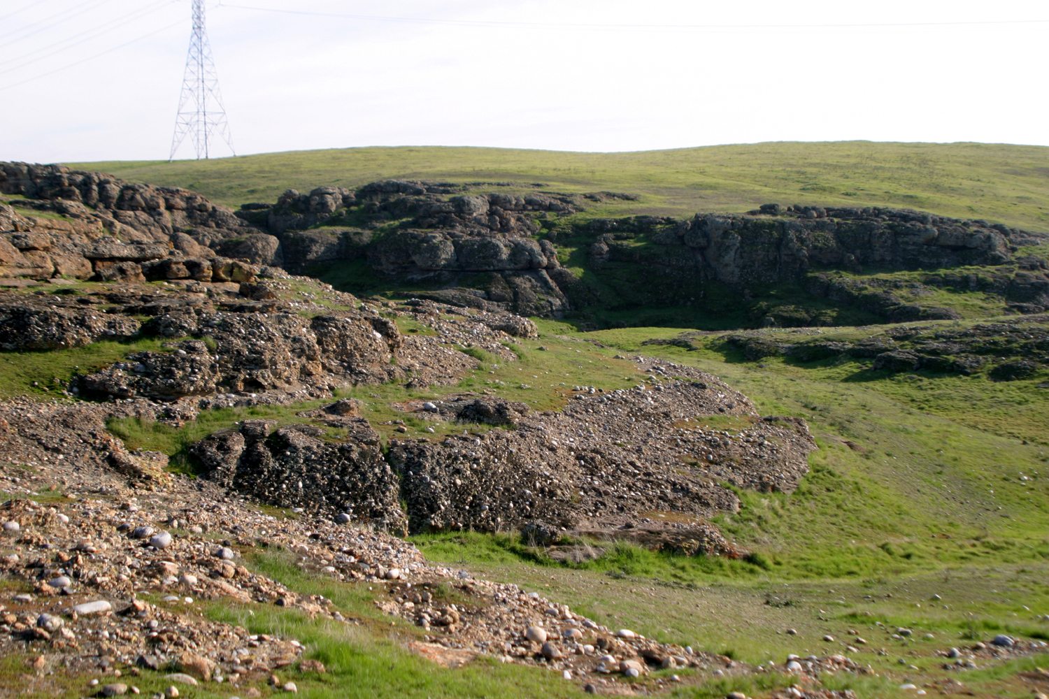 |
| The scenery reminded Wes of the green hills of Ireland | River rock fused in sediment left by receding waters in ancient times |
|
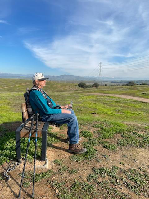
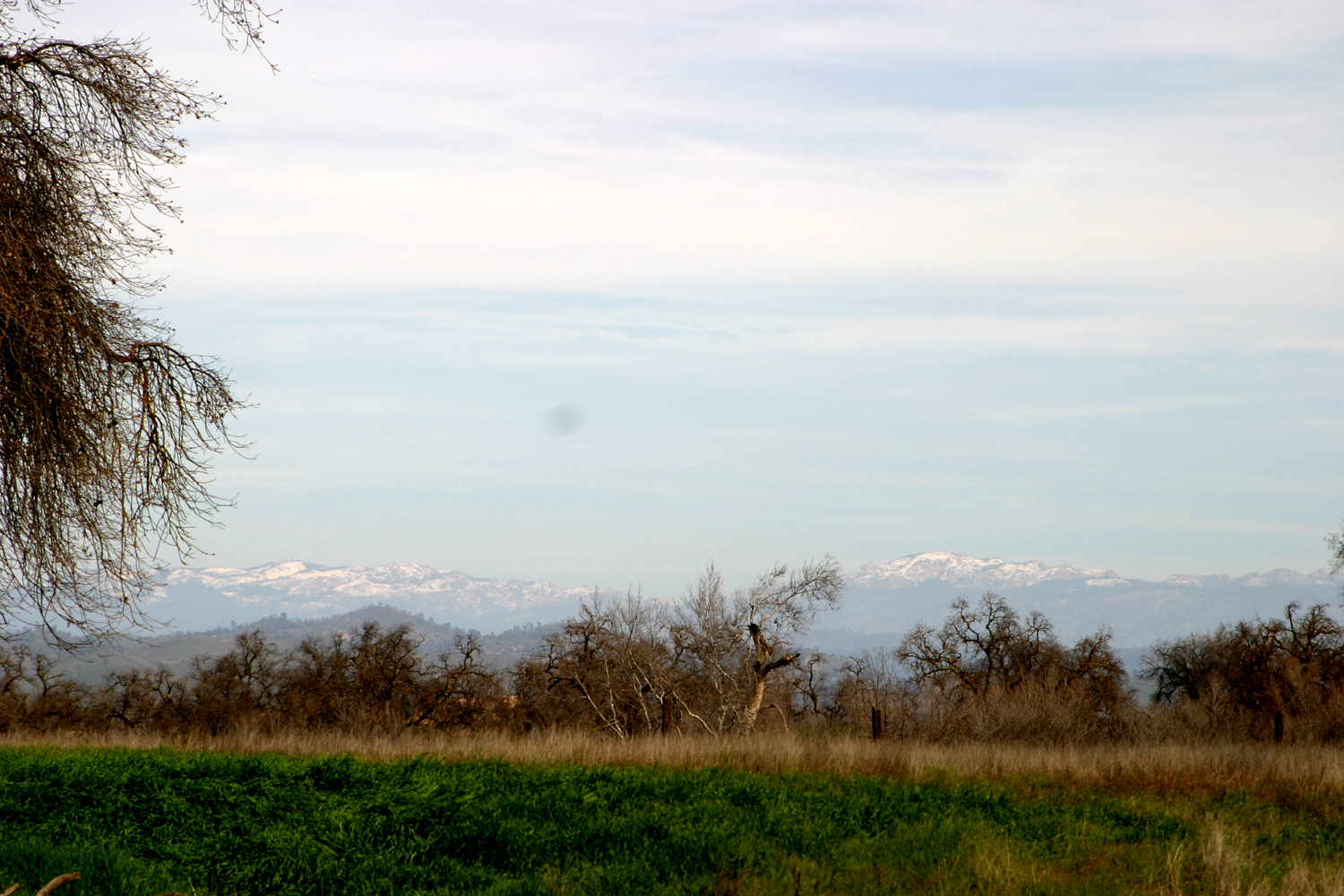
The hilly parts of the trail seemed quite gentle, and the one steep spot offered good footing. I declared that our members could navigate this route with no major problems. As we went farther east, we had a panoramic view of the high Sierra, covered in welcome snow from the big storms of December. To the southeast was the San Joaquin River bottom, in the area between Friant Dam and Woodward Park. In addition to enjoying the green grass and scenic views, I was glad to see that benches had been placed beside the trail in several locations, providing much more comfort than the rock or fallen log I usually have to rely on for my many rests. |
|
 |
 |
|
With the snowy Sierra beyond, the flat area in
the middle of the picture is the mouth of Little Dry Creek just before it flows into the river |
Dick enjoyed a rest on each of several benches along the trail |
|
Near the end of our hike, Wes saw a coyote in the field near us. We also spotted several hawks in the trees in a small drainage, and ground squirrels were active all around us. We saw only three other people on the trail. Two women had hiked up from the river bottom and would be completing a loop that must have been at least five miles. When we came out to the trailhead, we talked with a cyclist whom we recruited to take our photo. He was unfamiliar with the area, and had some questions that Wes was able to answer. Like the ladies, he would also be covering quite a few miles, down into the river bottom and across to Friant Road. Our own outing was somewhat less ambitious - we walked a little over a mile and a quarter round trip, but we certainly had a great time and got a nice dose of fresh air and sunshine. --Dick Estel, January 2022 |
|
| Two San Joaquin River Hikes | |
|
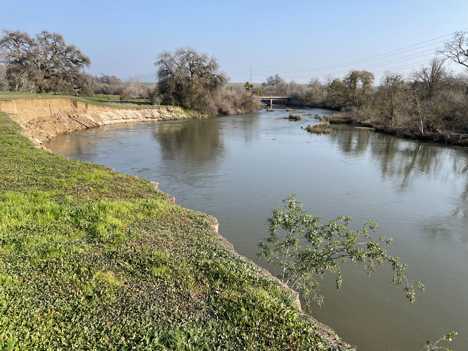
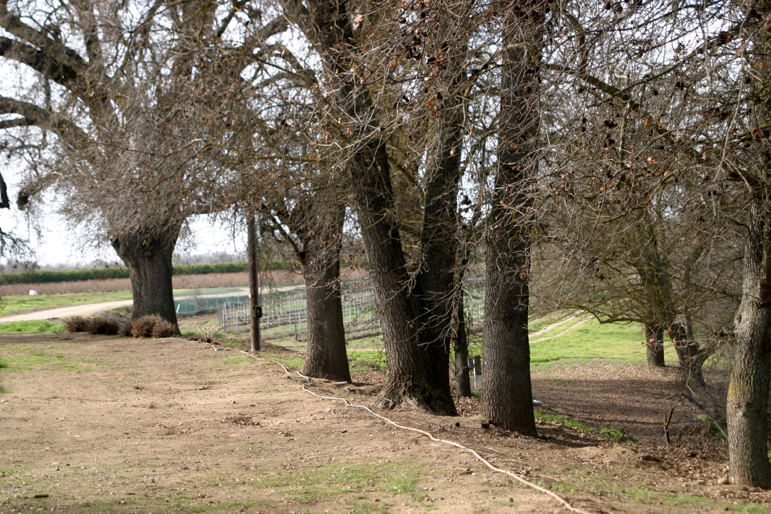
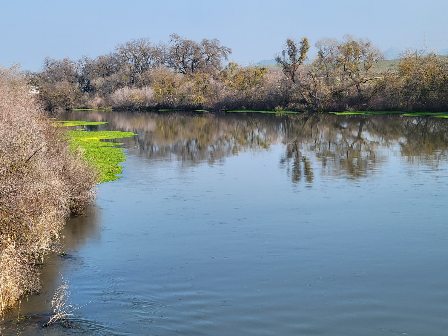
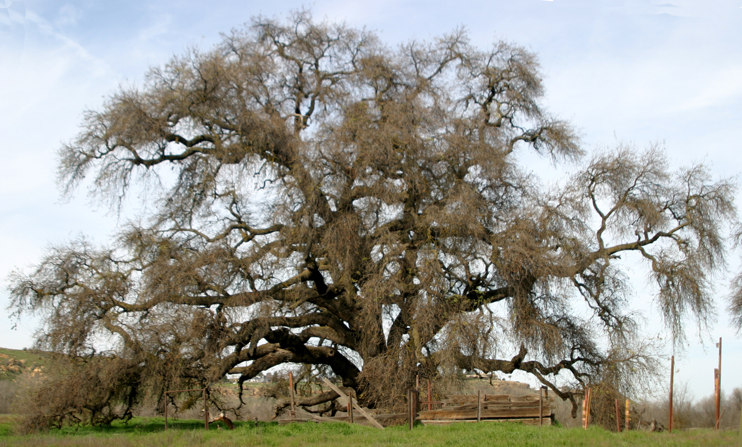
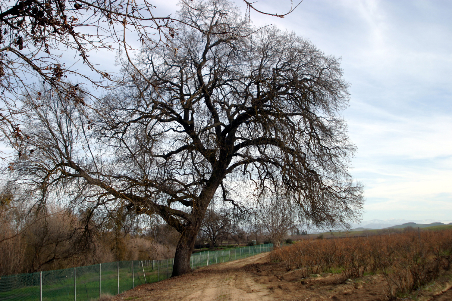
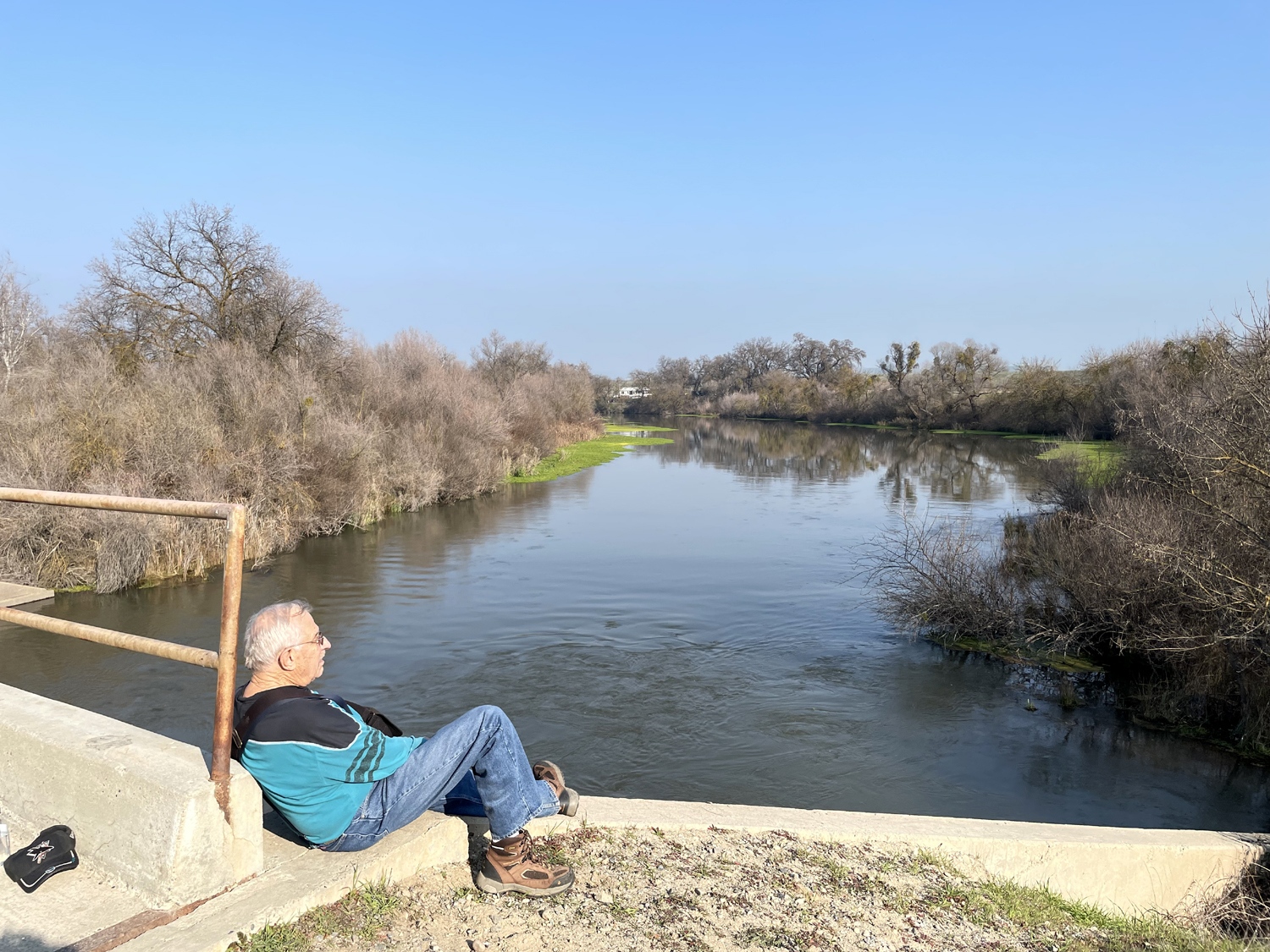
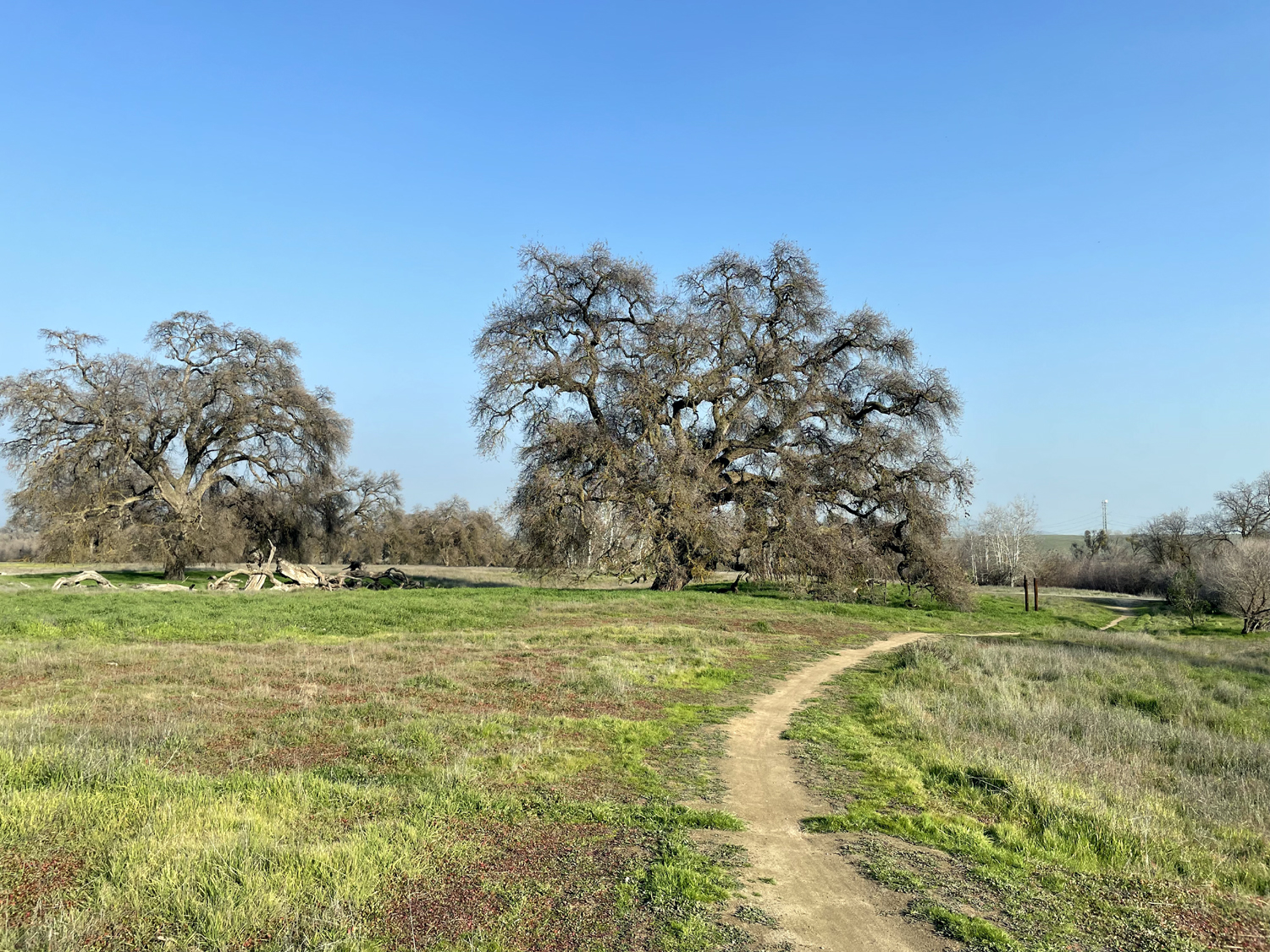
On January 19, In our endless quest to find the perfect winter hiking spot, Wes and I drove from my house out Willow Avenue to Friant Road, then a short distance east to the Sumner Peck Ranch. This and the adjacent Ball Ranch have recently become part of the San Joaquin River Conservancy, making hundreds of acres of river bottom land and miles of trails accessible to the public. At the parking area is the building that served as a fruit and produce stand, now used by a winery for tasting. The orchards remain and the site is currently offering "pick it yourself" citrus for a dollar a pound. We walked toward the river, then parallel to the waterway downstream. Along the way are blueberry vines, currently dormant, and some other fruit trees. By the river are the usual riparian trees and plants, including a number of large valley oaks. A short distance into our walk we came to a bridge, and crossed over. The trail here goes in both directions, and we turned left, heading west or downstream through the open flood plain, with occasional oaks and sycamores. Just past the crossing was the biggest valley oak I have ever seen. Information on these trees' longevity is conflicting but this tree could easily be 500 years old. |
|
|
|
| The trail, next to a vineyard | The San Joaquin River |

|
|
| Ancient Valley Oak on the north side of the river | The tree's massive base |
|
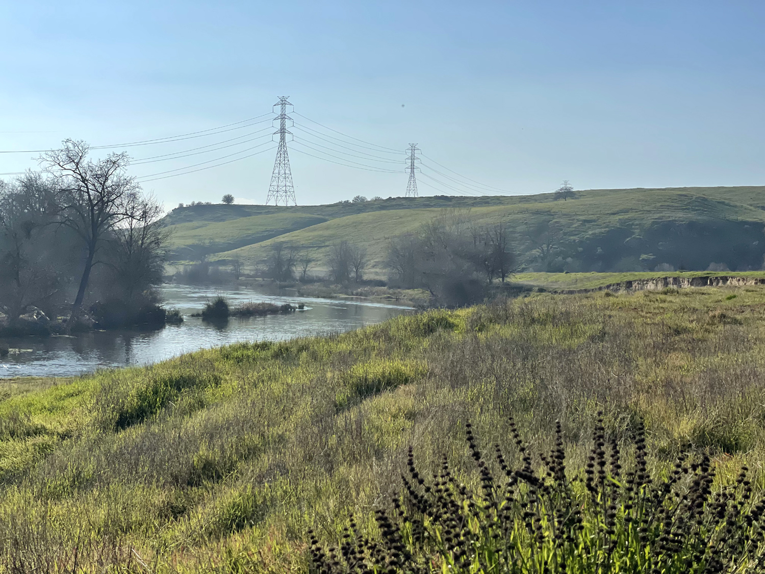
From the trail on this side, we could look up and see the area we had reached last week on the Tesoro Viejo Trail. A steep path leads down to the river bottom from the bluffs above, and we chatted with a couple who had started up there and were doing a long walk with their two dogs. |
|
|
|
|
The nearest transmission tower is where we ended our walk at Tesoro Viejo a week earlier |
The trail and the river |
|
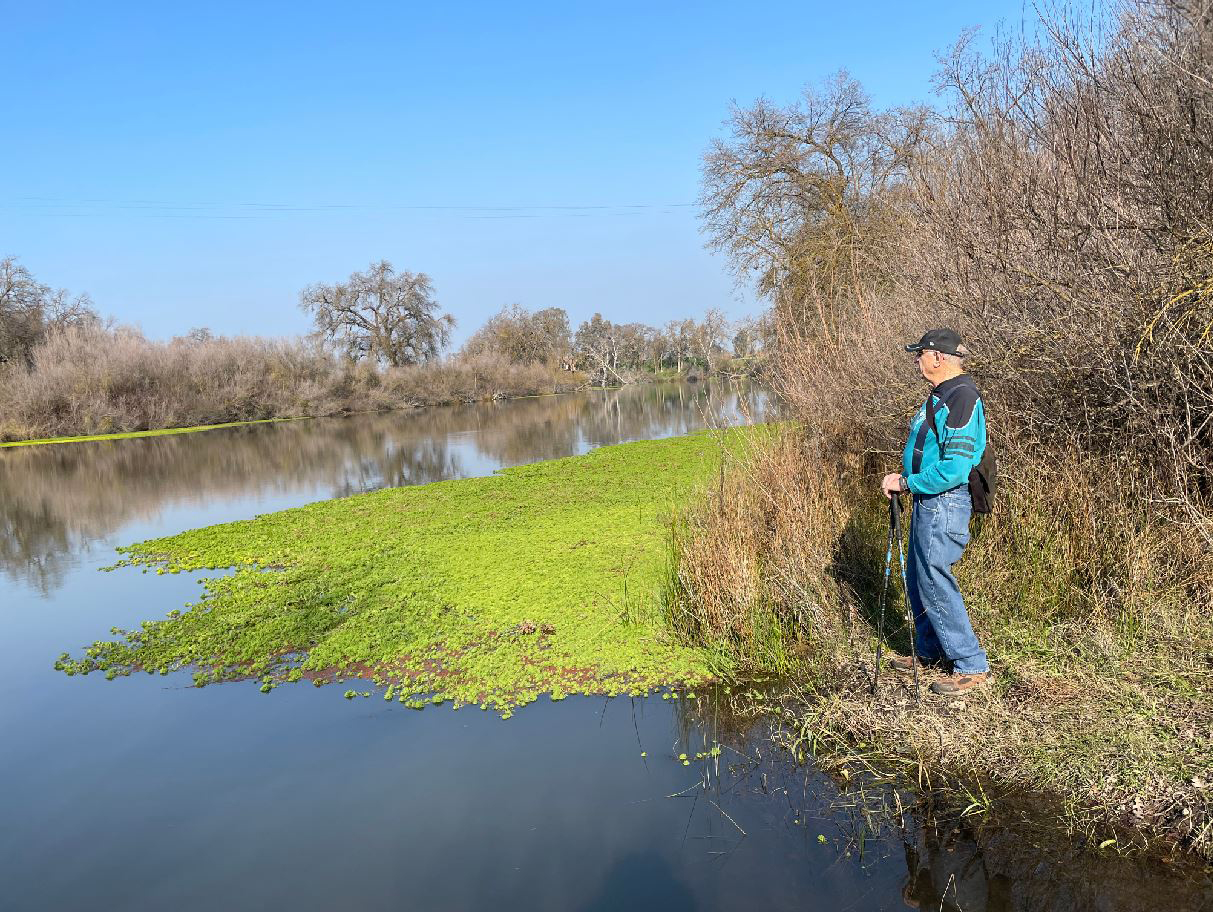
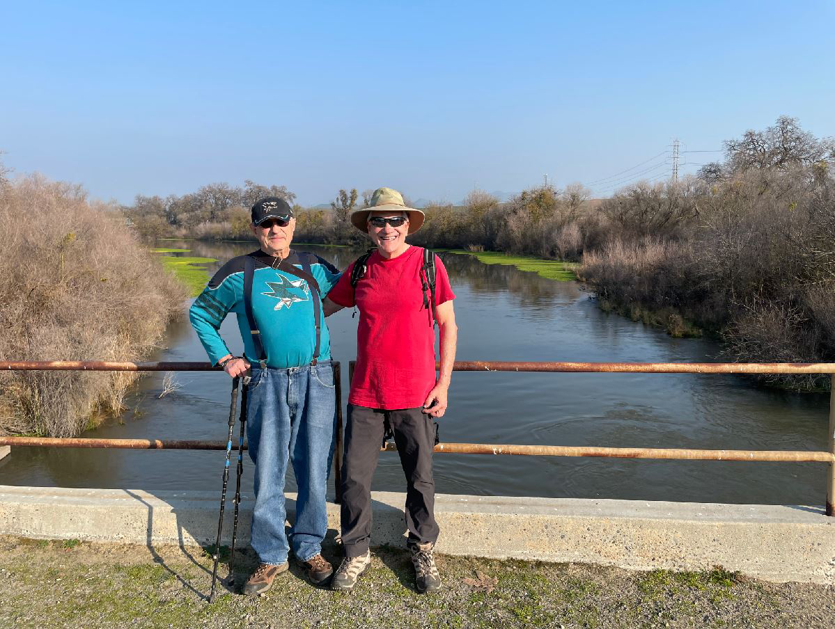
We soon turned back, re-crossed the bridge, and returned to the parking lot. Out total hike was 1.75 miles. At the ranch headquarters we made a quick visit to a prison-related museum, reflecting the name of the winery, Solitary Cellars. |
|
|
|
| Dick contemplates plants that grow on the surface of the water | Dick and Wes on the bridge |
|
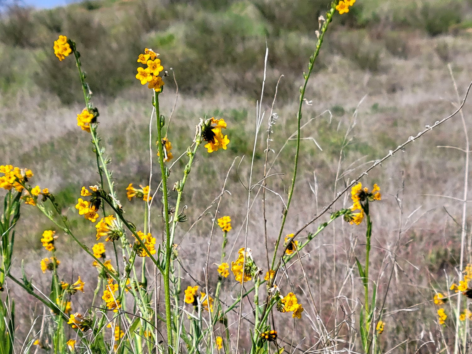
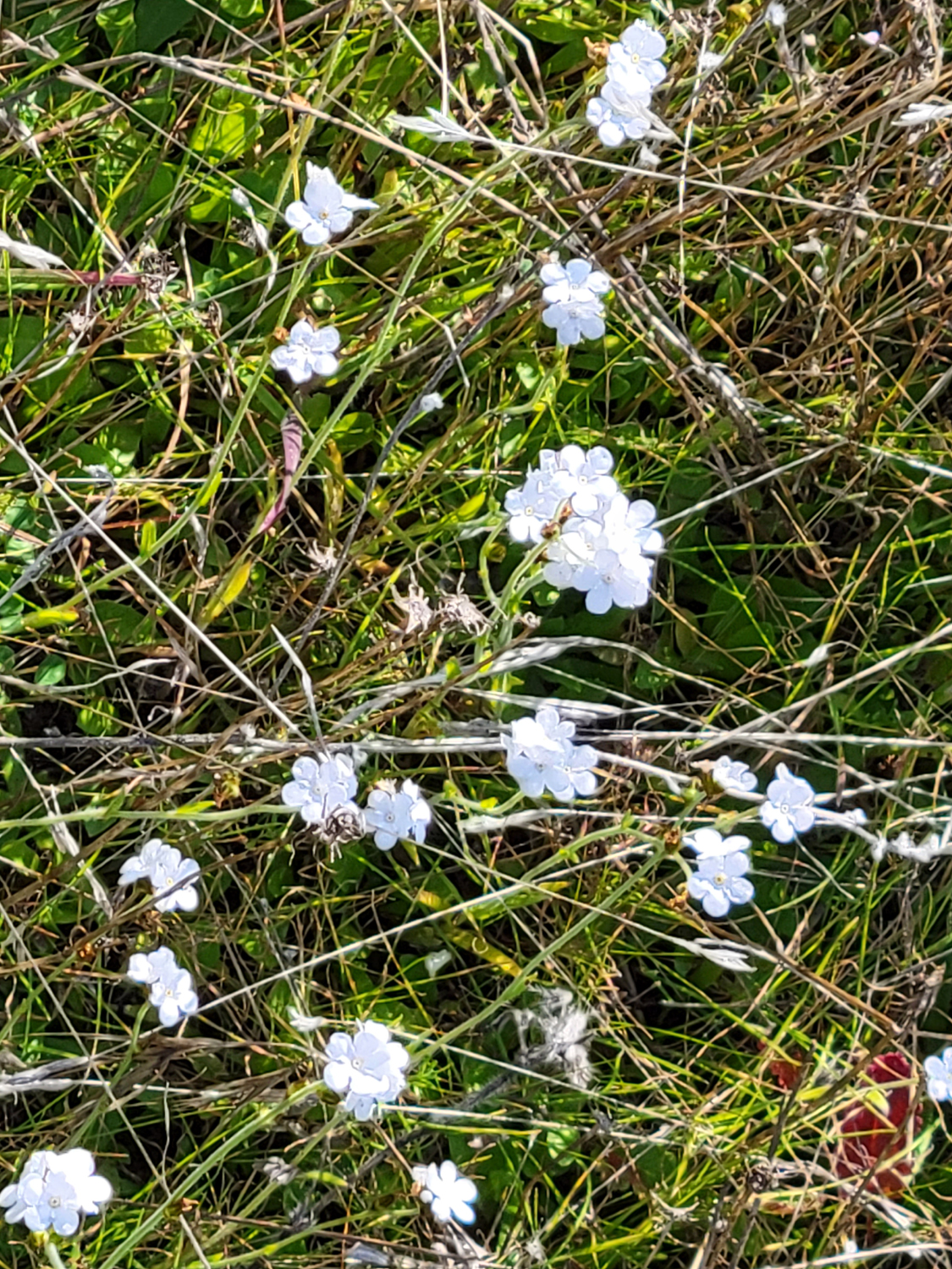
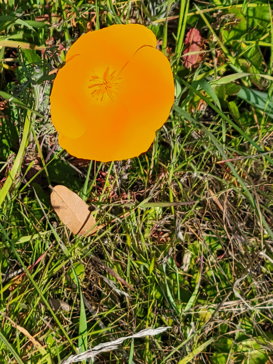
A few days later, on January 22, daughter Teri and I hiked at a different stretch of the river, the part of it that is Millerton Lake. Sky Harbor Road leaves Millerton Road next to the Table Mountain Casino and goes along the hills above the lake to the Finegold Picnic Grounds and the San Joaquin River trail head. This is steep trail, so when I want a short, easy hike that is in the hills, I often choose what I call Finegold North, which winds around a sort of peninsula between the main lake and a little inlet, the opposite direction from the main trail. We had watched the young grandsons play basketball in the morning, then got Subway sandwiches which we ate at my house. It was after noon before we left home, but we still had time to complete the hike and get back to town long before dark. The weather was delightful, and best of all, we saw a nice selection of foothill wildflowers, just getting started. The most common flowers were California poppies, followed by those two old standbys, fiddlenecks and popcorn flowers. There were smaller numbers, sometimes only one blossom, of blue dicks, birdseye gillia, and filaree. There is not a lot of brush on this trail, but one small clump of chaparral was just starting to bloom. |
|
|
|
| The most common foothill flower, fiddlenecks | Another widespread species, popcorn flowers |
|

|
| A few poppies were scattered across the hillside above the trail | This mushroom lifted some soil as it popped out of the ground |
|
Overall these two low elevation hikes were just what the doctor ordered to get us into the mood, and hopefully into shape, for a series of hikes in what promises to be a flower-filled spring in central California. --Dick Estel January 2022 |
|
|
Back to Sumner Peck
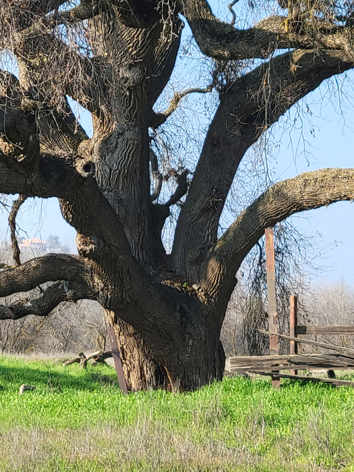
First a little background: When Wes and I visited this location on January 19, we were impressed with a huge valley oak by the trail, where a bridge crosses the San Joaquin River. I speculated that it could be 500 years old, but internet research was ambiguous. One source said the maximum age of these trees was about 300 years, while another site described a tree thought to have been standing 1,000 years. Then I realized I had in my possession a more reliable source of information, Oaks of California, a book I had purchased in Mariposa about ten years ago (out of print now, it's listed on Amazon from $35 to $350). It describes growth pattern, habitat, appearance and other details for nearly two dozen California oak species, and gives the maximum age for valley oaks as about 500 years. My new favorite oak is growing on the rich alluvial soil of the river bottom, so it could well be a fast-growing youngster of only 300 years or so. Back home I thought more about the tree's impressive size, and decided I needed to return and measure its circumference. Fortunately I have a very long steel tape measure that belonged to my great grandfather. It has a tab with two sharp prongs that can be used to hold it against a board, or slipped into the deep fissures in the bark of an oak tree, allowing the solo explorer to lock down the end, and walk around the tree to obtain its measurement. The data will be revealed below. A tree of this stature must have a name, and I decree that it will henceforth be known as the Wheeler Oak, in honor of a dear friend and work colleague who passed away recently. A wise and delightful person, she was a mere 90 years old, and was well known and loved by the Ramblers (a name she came up with) as well as all who knew her. She was also a fan of these reports, further proof of her intelligence. RIP Regina. |
|
|
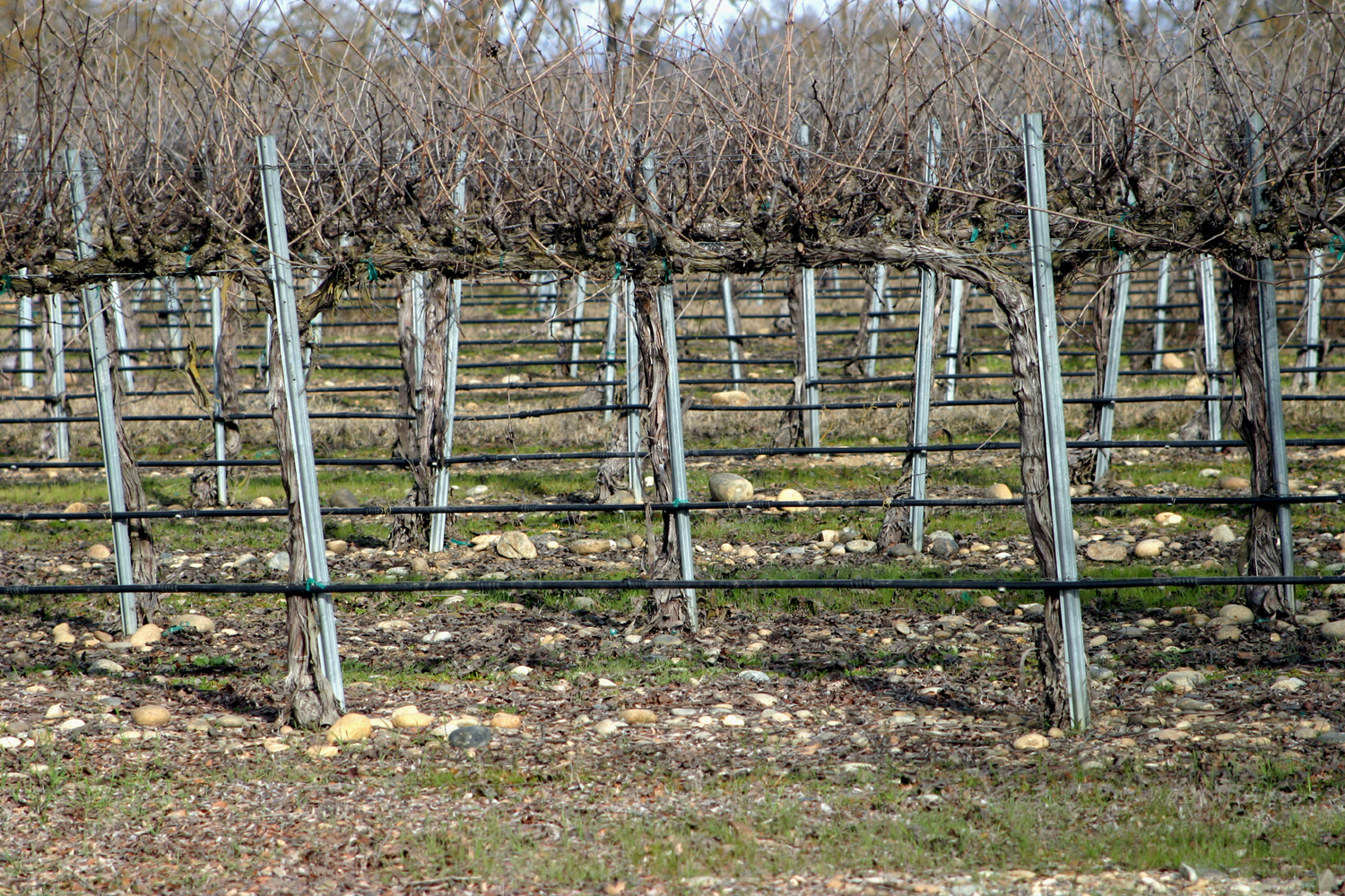
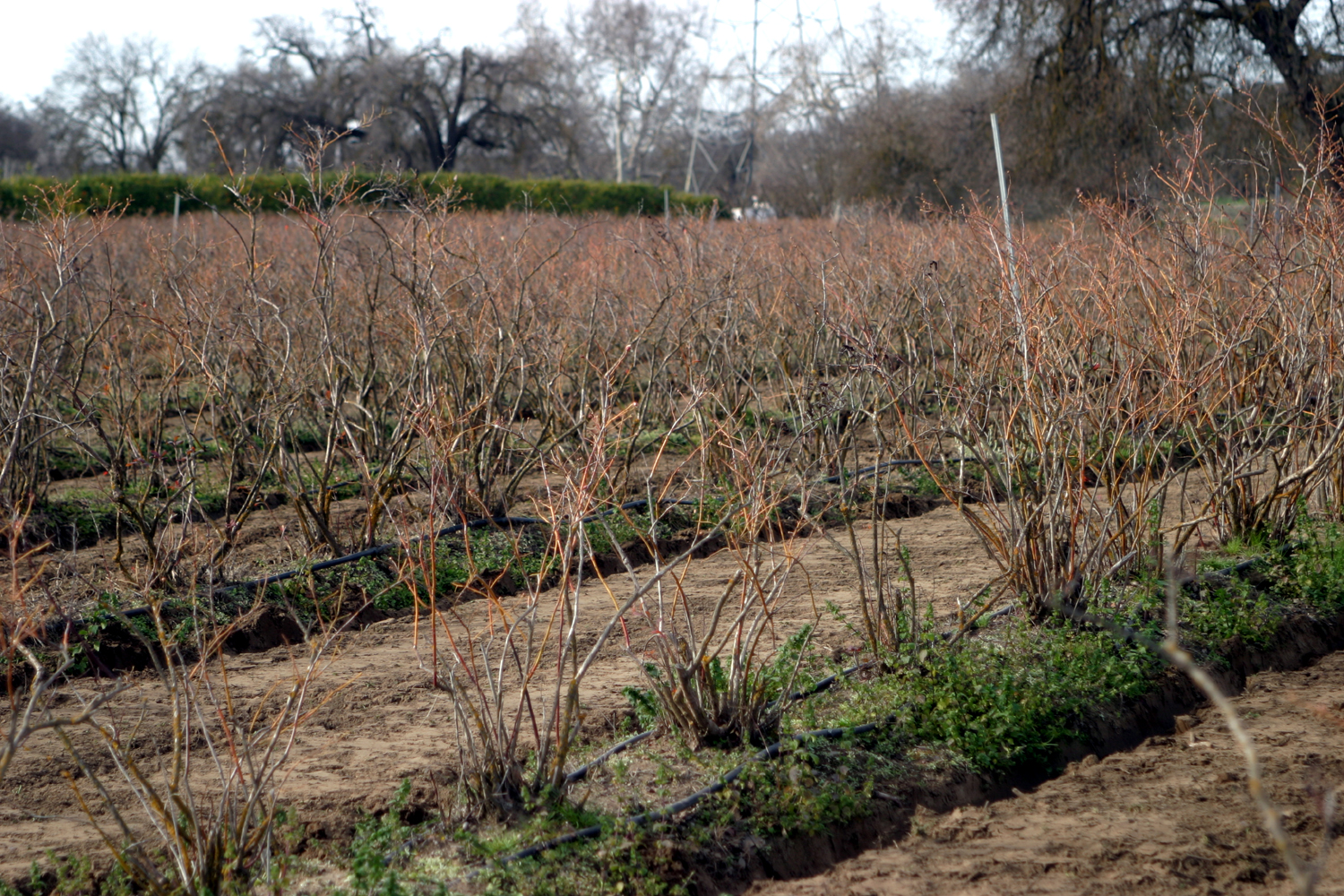
So: On January 28 I had a very light breakfast, and drove the twelve and a half miles to Sumner Peck Ranch, part of the San Joaquin River Conservancy. Except for a couple of short sections where the trail goes up or down a few feet between various flood plain levels, the trail is flat and mostly on dirt roads. I missed one turnoff, and found myself cut off from where I needed to be by an endless chain link fence, so I had to backtrack, helping to make my total hike an ambitious 2.28 miles. The first part of the trail from the parking area goes through wine grapes, and most of my unintended side trip was past blueberry vines (both are dormant at this season). Beyond the blueberries is a grove of citrus trees, where a number of people were taking advantage of the "you pick" policy of the current ranch operator, Solitary Cellars. |
|

|
|
| Entrance to Sumner Peck Ranch | Rocky soil under these wine grapes reminds us that we are in the river bottom |
|
|
| Dormant blueberry bushes | Pickers in the "pick your own" citrus orchard |
|
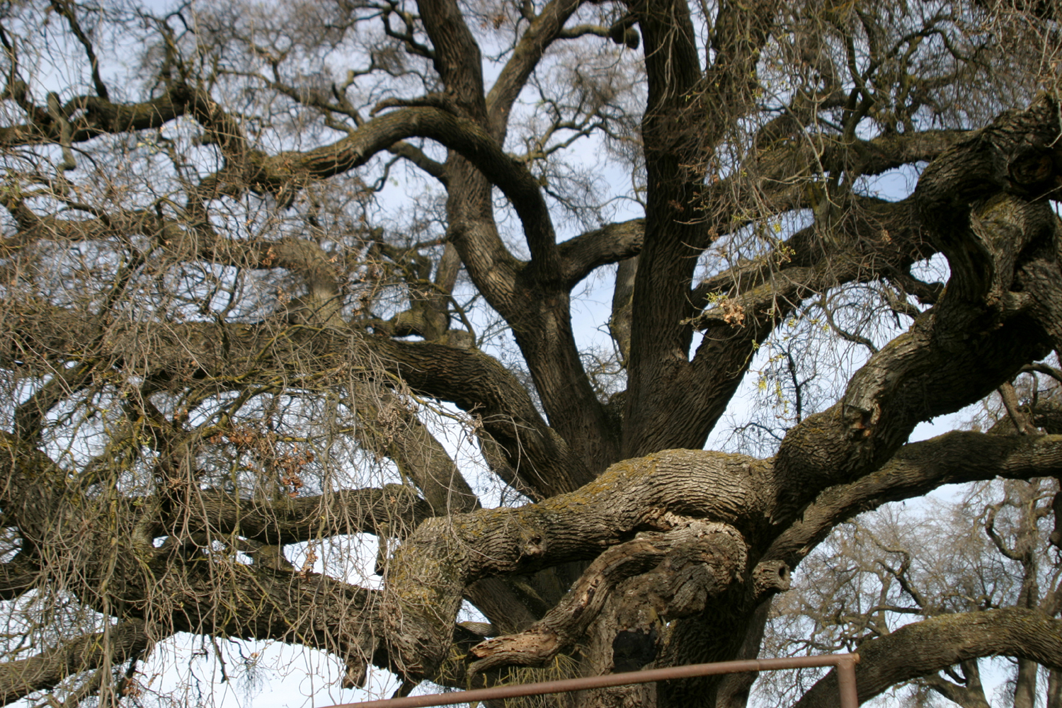
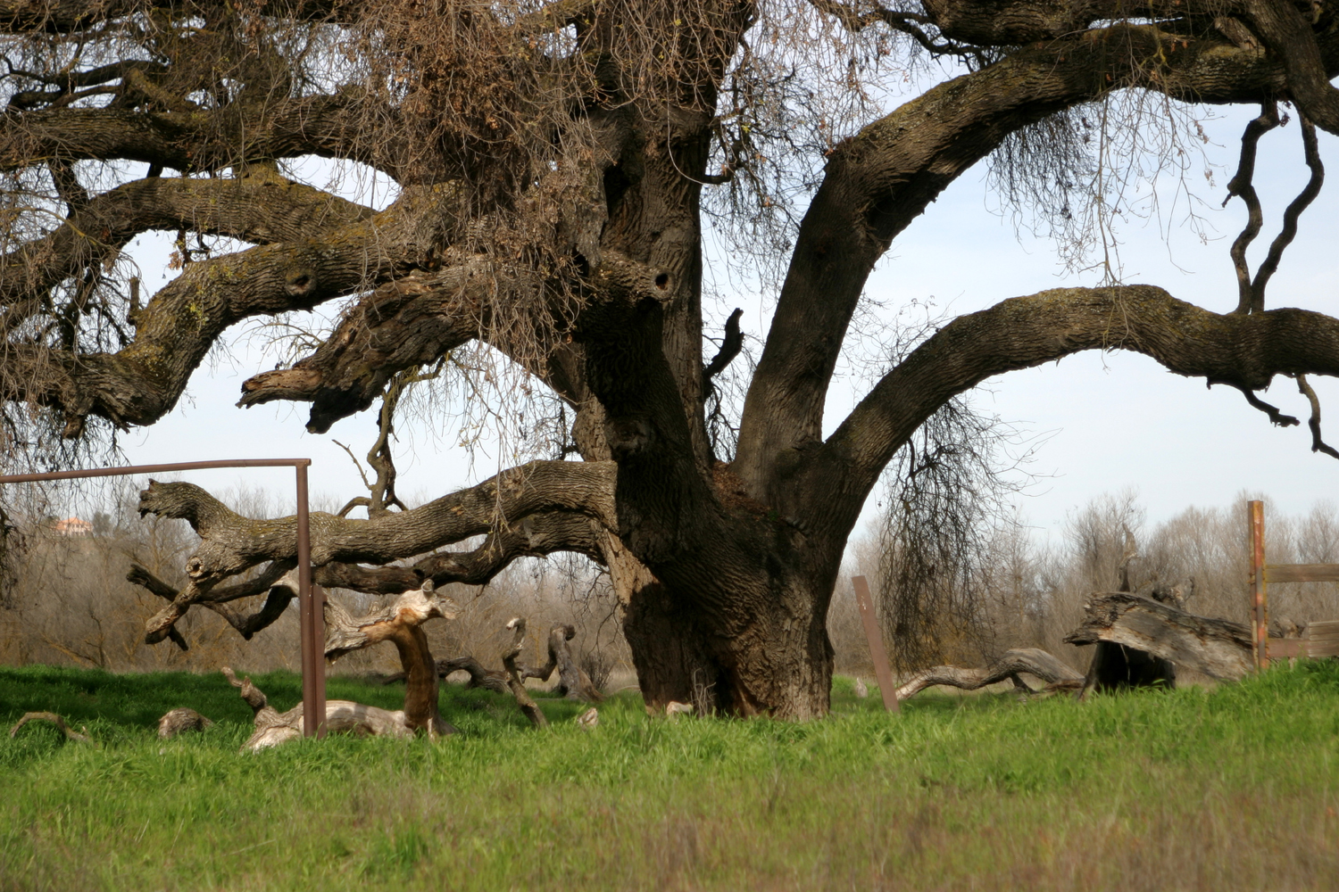
Even before I reached the bridge, I could see my target, the Wheeler Oak, rising above the lesser vegetation on the north side of the river. I took photos form a number of different angles, capturing as best I could the tree's impressive size. |
|
|
|
| The Wheeler Oak | Many limbs are larger than the main trunks of adjacent trees |
|
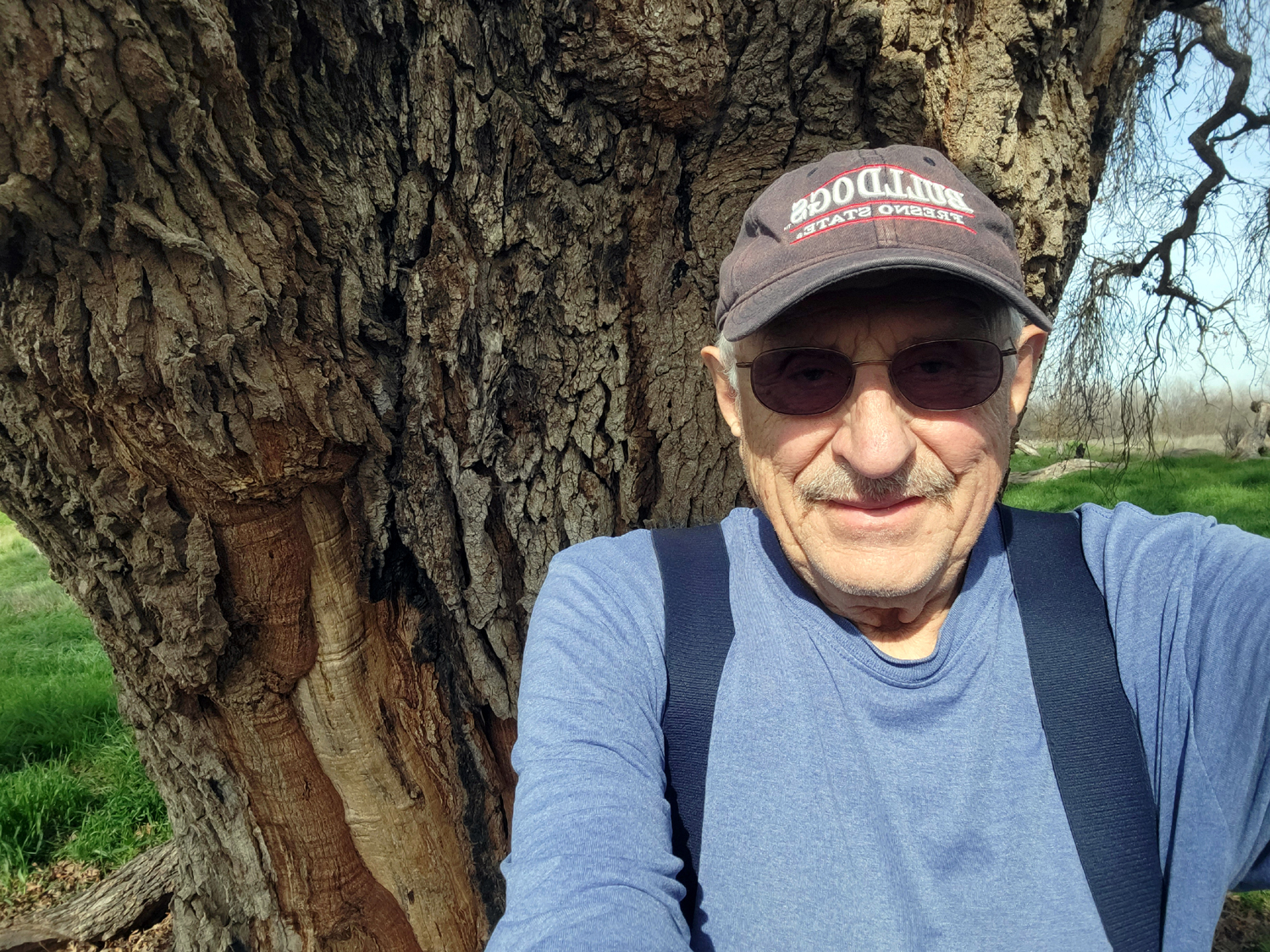
Finally I left the trail and waded through thick knee-high grass and under the tree's spreading branches. Leaving my pack and camera on some big fallen branches, I made my way to the tree's base, with just my tape measure and one hiking pole. I had no trouble hooking the tab at the end of the tape into the bark, and began my circumnavigation of the giant valley oak. I was delighted, and not particularly surprised to see the final figure: 24 feet, 3 inches, meaning the tree's diameter is just short of eight feet. I confirmed this by the non-scientific method of laying my hiking poles even with the edges of the base and measuring the distance between them. I also made a "pure guesswork" estimate that the venerable old giant is about 50 feet tall. As you can see from the photos, the horizontal spread of the branches is close to twice that amount. |
|
|
|
| A closer view of the lower half of the tree | Dick next to one his favorite trees |
|
When I finished taking photos and measurements, I looked around at other trees that line the river. There was one valley oak that looked pretty big, and I could not help but wonder if there were bigger giants in the vicinity. I decided NOT to spend the rest of my day measuring trees, and just enjoyed the view, including some large sycamores, before returning to the parking lot. |
|
|
|
| Oaks and sycamores along the river | A medium size valley oak between trail and orchard |
|
In my Oaks book, there is information about a huge valley oak that stood near Chico in northern California. It measured nine feet in diameter, but in May 1977 "its great aged branches were finally overcome by wind and gravity." I'm going to go out on a (big strong oak} limb and predict that the Wheeler Oak will stand for many more decades. --Dick Estel, February 2022 |
|
|
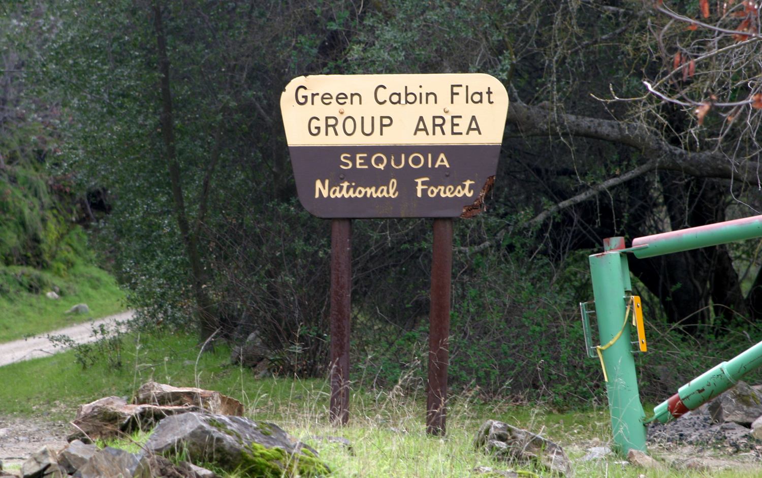
Green Cabin Flat
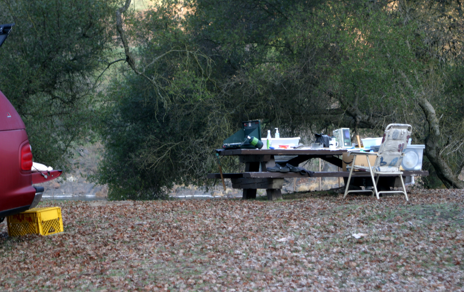
For various reasons, I have not not done much camping in the last couple of years. My only New Year's resolution is to do more camping this year, and I got an early start with a one-night outing January 31 and February 1. My destination was the Green Cabin Flat Campground, which does not have a cabin of any color, but does have a restroom. It's located about two and a half miles up the dirt road that goes along the south side of the Kings River, above Pine Flat Reservoir. I have driven past the place several dozen times, but never camped there before. I left home at 9:45 a.m. and spent two and a half hours on the 60 mile drive - partly because most if the trip is on a narrow, two-lane winding road, and partly because I stopped to enjoy the scenery several times. The temperature was in the low to mid-fifties, but got up around 60. It was supposed to be cloudy all day with clearing the next day, but in fact the clouds went away by 8 p.m. and I enjoyed a bright starry night. |
|
|
|
| Entrance to the camp | It's not neat, but it's home |
|
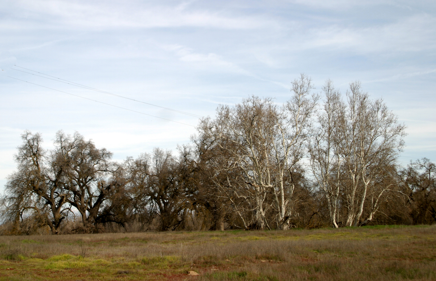
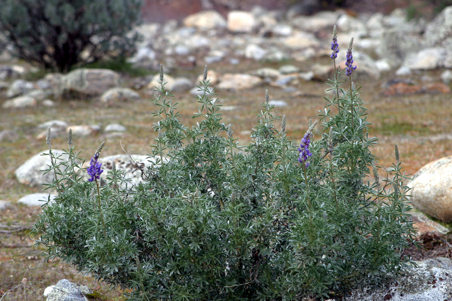
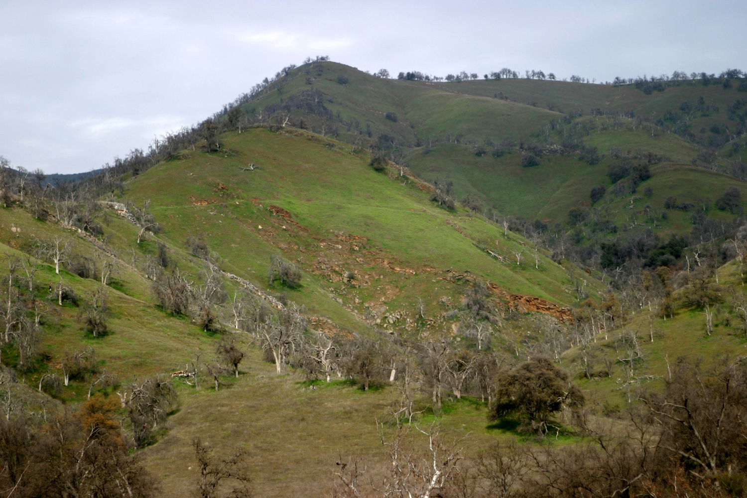
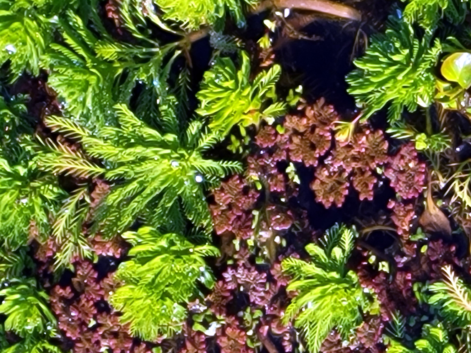
This is not really a good place for hiking, since the choices are to walk up the road or down the road. Even so, I wandered all around the very large flat area beside the Kings River, observing the green tree-covered hillsides on both sides of the river, and discovering that there are a few very small bush lupine blossoms started. I also saw a lot of poppies and fiddlenecks on the drive up. The river is running pretty big, no doubt carrying some early snow melt after record precipitation in December and the driest January on record. |
|
|

|
| A small grove of sycamores in the campground | Mostly blue oaks on the hills south of the camp |
|
|
| The first bush lupine blossoms of 2022 | Blue oaks and sycamores dot the hills on the north side of the river |
|
Although the camp area is large, it has only three or four official campsites. I wanted the one farthest east, but the fire ring was overflowing with trash, so I took the next one, under a nice big valley oak and only a few steps from the upper bank of the river bed. |
|
|
|
| A big valley oak spreads over my campsite | With an early snow melt, the river is running fairly high |
|
One reason I went back to truck camping was so that I could go to those more secluded spots that are not accessible with a motor home. On this Monday and Tuesday, there was more than enough seclusion - I saw only one vehicle the entire time, driving out on the other side of the river. I had picked up two bundles of firewood at a grocery store the day before, and I was ready for a fire by the time it got dark. I had wisely stopped near the upper end of the lake where the road goes over a ridge and loaded up a fair amount of dead manzanita. It was primarily for kindling, but there were a few bigger pieces to supplement the less than ideal pine wood from the store. When I transitioned back to pickup camping after mostly going with the travel trailer or motor home for nearly 20 years, I slept in the back of my pickup the first few times. I have to get up several times each night, and it's a lot of trouble to get in and out of the truck, so I got a sturdy folding cot and a thick mattress pad, and have been sleeping outside on that. However, I have camped in the Upper Kings a number of times, and there is almost always a heavy dew, so I decided to sleep in the truck for this one-night adventure. It was well that I did, since everything outside was wet by 2 a.m. The low temperature was 25, so all those wet surfaces were covered in ice by morning. Even after the sun came up, it did not shine on my camp, being low in the southern sky. I took my chair and a TV tray out to the far end of the camp, where it was sunny (but far from warm) and had my tea there. By the time I was ready to eat, there was still no sunshine on my camp. I did not want to carry cereal and toast from my camp out to that spot, probably 200 yards. I got everything ready at camp and drove the truck out and enjoyed my breakfast in the sun. Later that morning I was standing at the edge of the river bank near camp when a large bird flew out of the trees not far above my head and disappeared in the distance. He was dark, with a white tail. I asked myself, "Was that an eagle? Do eagles have white tails?" I realized later that I have always focused on the white head of eagles I've seen. Back home, I looked at several eagle photos and they all had white tails, so I decided that I had indeed seen one of these magnificent birds. In addition, ravens loudly announced their presence both days, and ground squirrels were busy excavating larger burrows all around the flat. An Internet search brings up several pages with information about this camp, but there is some misleading stuff out there. One site says "This area is kind of secluded and requires travel time to visit giant sequoia trees." In fact, one would need to drive back out all the way past the lake, turn south on Piedra Road, drive to Highway 180, then travel about 50 miles to Kings Canyon National Park to see sequoias. It also says the camp is "located at Dunlap." The district ranger station is indeed at that location, but again, if you went to Dunlap, you would have to reverse that long drive required of redwood seekers to get to this camp. Fortunately, I was not looking for redwoods, and I have visited the general area many times in fall, winter and spring, so I knew what to expect and what I could or could not do. Don't go in summer - the elevation is only 1,000 feet, so temperatures can easily reach 100 and above. I did my usual leisurely load-up and got started for home late in the morning. But as I drove out of the campground, I turned left and went up the road a half mile to where the road turns south away from the river. A gate here had been locked the last few years, but it is now open. The road goes across to Highway 180, but a sign warns that driving it is not recommended unless you have four-wheel drive. I accomplished my goals for this trip - to spend a night somewhere besides my house without paying $150 for the privilege, and scouting out the potential wildflower bloom. --Dick Estel, February 2022 |
|
|
Photos (Click to enlarge; pictures open in new window) |
||
|
Eaton Trail Tesoro Viejo Sumner Peck Back to Sumner Peck Green Cabin Flat |
||
|
Lewis Eaton Trail |
||
 |
 |
 |
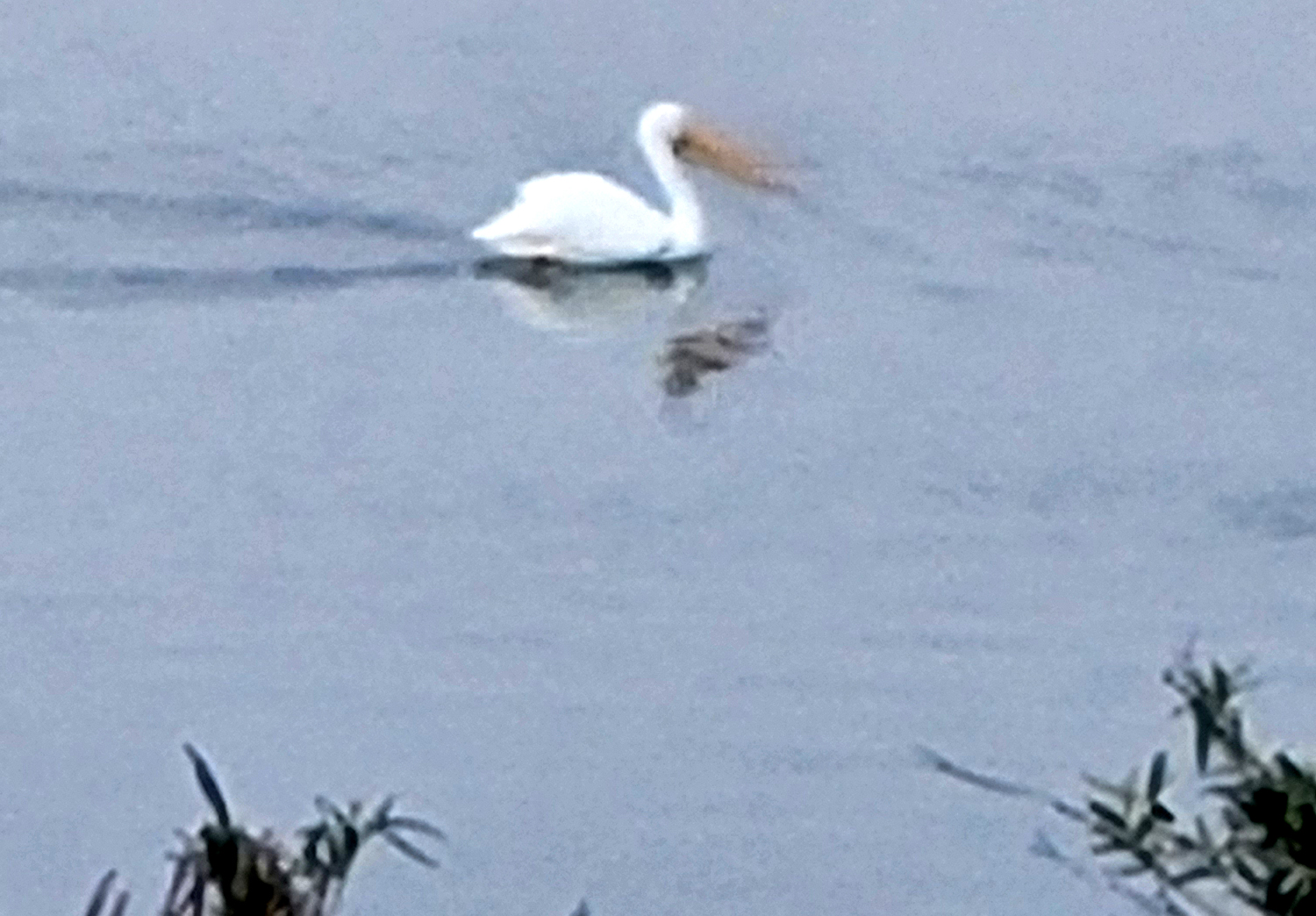
| Pelicans are regular visitors to our area | People ride their bikes up and down this "trail" | The River Center (From 2015) |
| Tesoro
Viejo (Photos by Wes and Dick) |
||
 |
 |
 |
| River rocks fused
together in sediment that was once at the bottom of the river |
Wes stands above a drainage along side the trail | Rocky aggregate in the drainage |
 |
 |
|
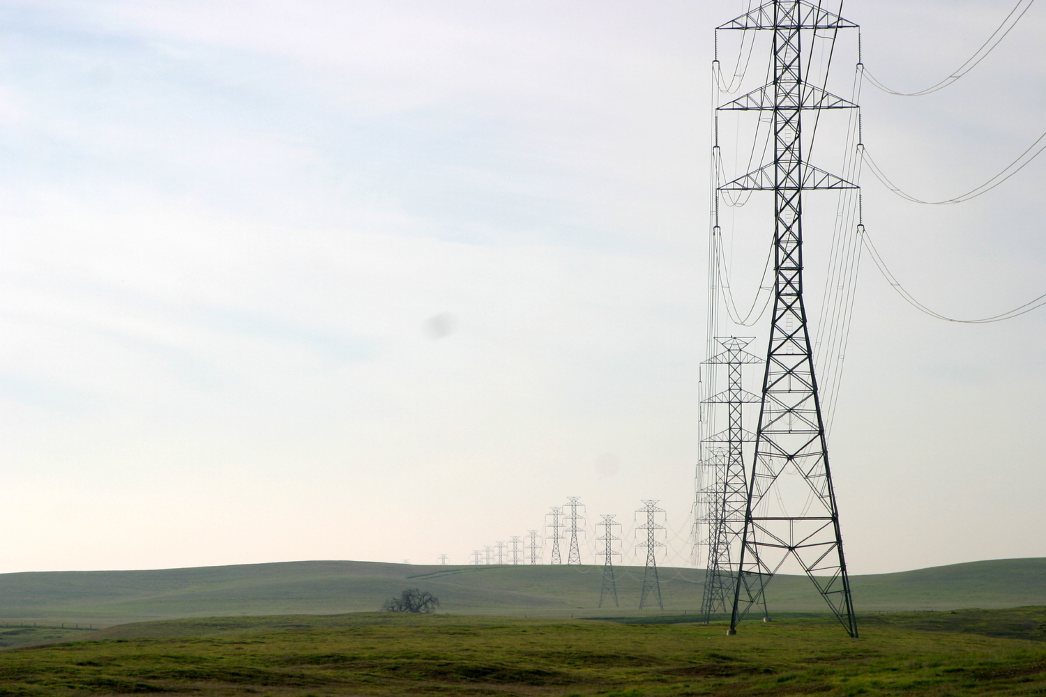
| The late afternoon clouds formed rays | Beyond the green foothills, snow blankets the Sierra | "Artsy-fartsy"
shot of power transmission poles receding into the distance |
| Sumner
Peck Ranch (Photos by Wes and Dick) |
||
 |
 |
 |
| The bright green plants float on the water | Here's a close-up look | Million dollar houses with a million dollar view |
 |
|
 |
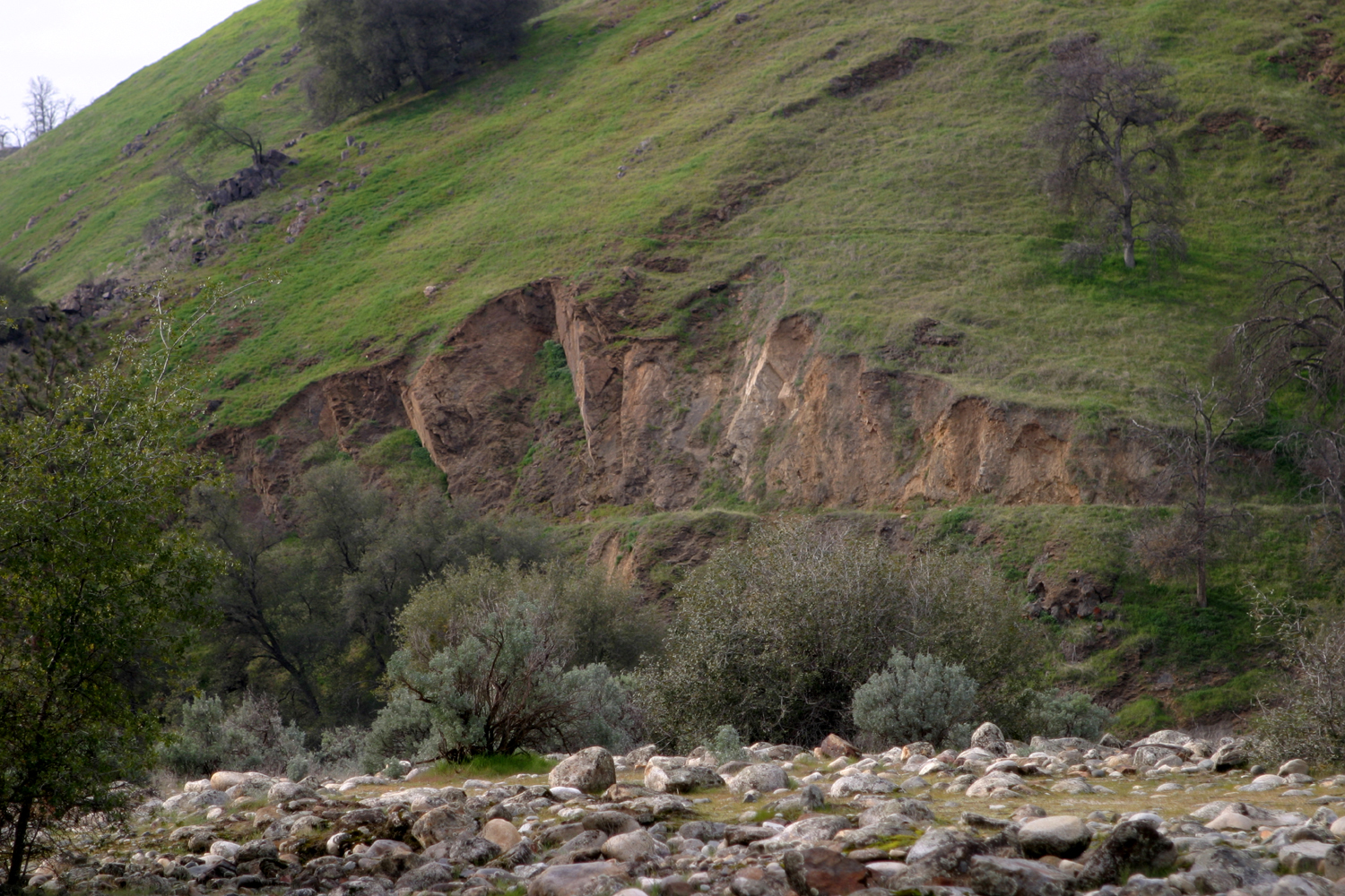
| Dick will find a place to rest anywhere | View of extensive erosion on the bank at the left | Where the trail passes the huge valley oak |
| Back to Sumner Peck | ||
|
 |
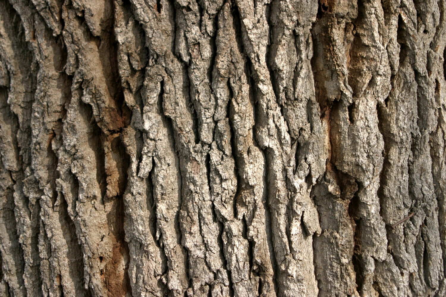 |
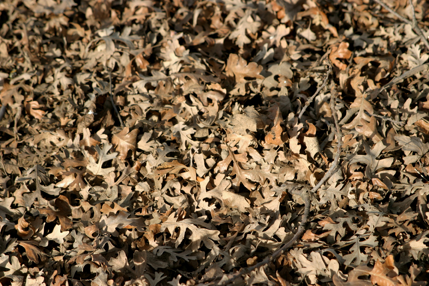
| A row of oaks mark this step down in elevation | Deeply lobed leaves cover the ground | The characteristic bark of a big valley oak |
 |
 |
 |
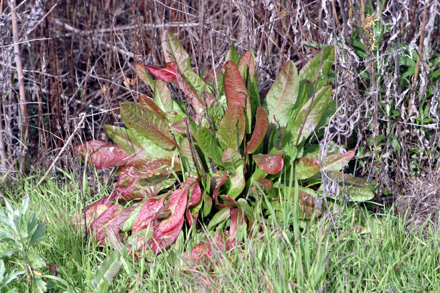
| This interesting
plant is part of the lush growth beside the river |
View of the San Joaquin from the Madera side | Trees and shrubs
line the river, with the snow-covered Sierra in the distance |
| Green Cabin Flat | ||
 |
 |
 |
| Where it is | This intriguing
trail at the east end of the camp goes about 50 feet and disappears in brush |
The road on the north side of the river |
 |
 |
|
| The early lupine blossoms are small | Blue oaks on the hilltop | Morning sun lights up this rocky hilltop |
| Related Links | ||
| Lewis S. Eaton Trail | Hallowell Center for River Studies | San Joaquin River |
| Tesoro Viejo | Tesoro Viejo Trail Guide | More About TV Trails |
| San Joaquin River Conservancy | Sumner Peck Ranch | San Joaquin River Trail |
| Millerton State Recreation Area | Valley Oaks | Quercus Lobata |
| Green Cabin Flat Campground | Kings River | Upper Kings River |