|
Dick's Adventures of 2021 - Part 5 |
|
| Photos Related Links More Travel Reports | |
| Adventures
of 2016 Adventures
of 2017 Adventures
of 2018 Adventures
of 2019
Adventures of 2020 2021 Part 1 2021 Part 2 2021 Part 3 2021 Part 4 |
|
| San Joaquin River Trail West Cat Sitting and Other Adventures Finegold North | |
| San
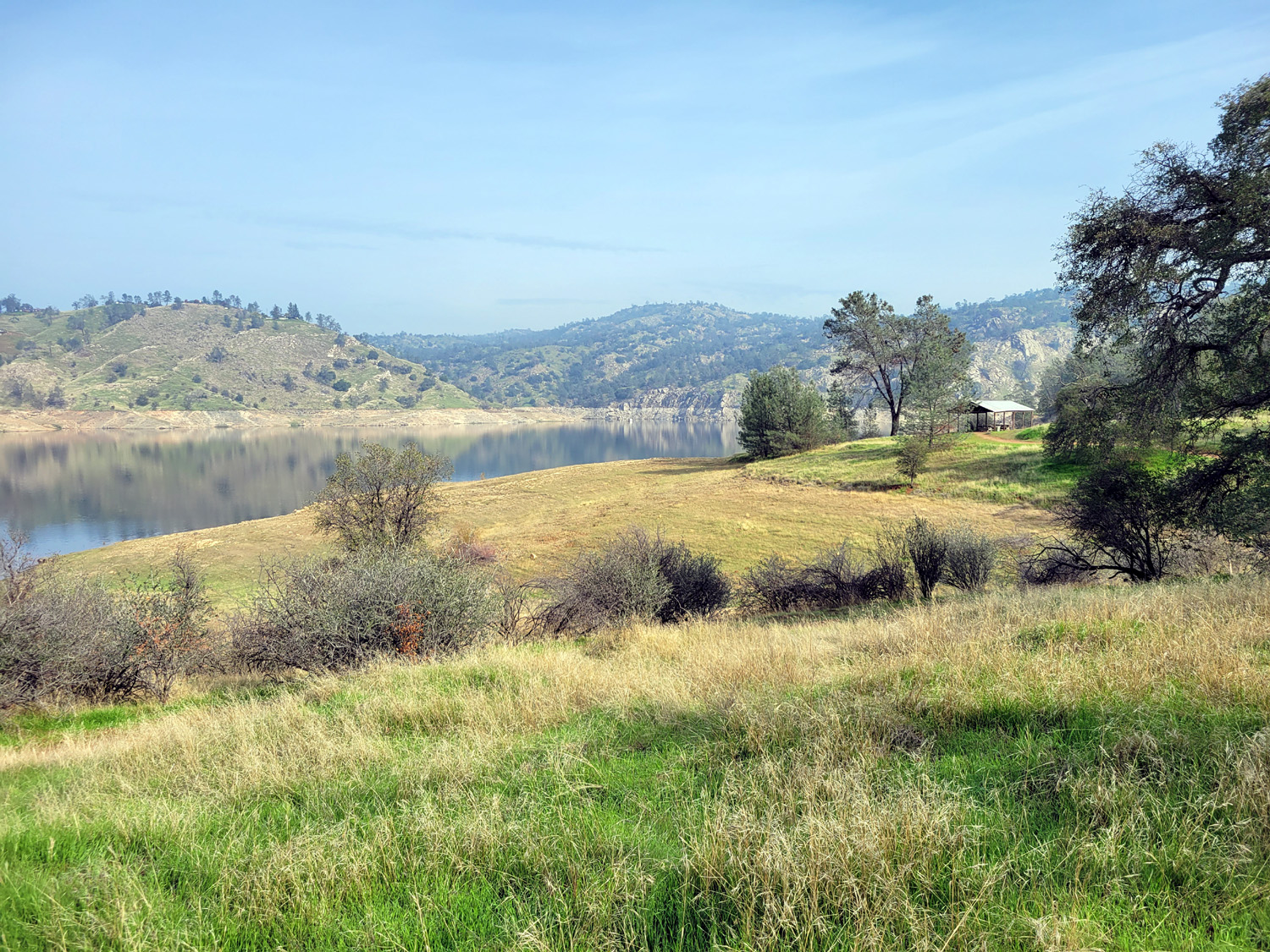
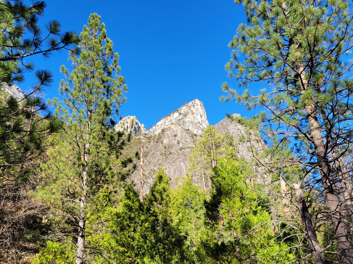
Joaquin River Trail West I haven't done much hiking or walking lately, but it looked like the weather on November 18 would be nice for a short foothill trip. I went to a place I've hiked a number of times in the past, Finegold Picnic area on Millerton Lake near Sky Harbor. The trail that starts here goes 12 miles to the San Joaquin River Gorge, but my hikes have always been about two miles, up to a saddle and back down. Beyond that spot the trail winds around the hills and goes up and down parallel to the lake and the San Joaquin River. It had been foggy every morning for a week, but it was not very thick that morning, and looked as if it would burn off before long. I got started up the trail at about 10:30 a.m. with the thermometer in my car reading 55 degrees. Even so it was obvious that a long sleeve t-shirt would be all I would need. "Up" is the operative word here - the first mile to the saddle is pretty much all uphill. I stopped to rest whenever I spotted a rock or log suitable for sitting. Even so, by the time I reached what I call the Big Resting Rock, I was thinking of calling that location "far enough." |
|
|
|
|
 |
 |
| View across Lake Millerton from the start of the trail | Here the trail crosses a large drainage |
|
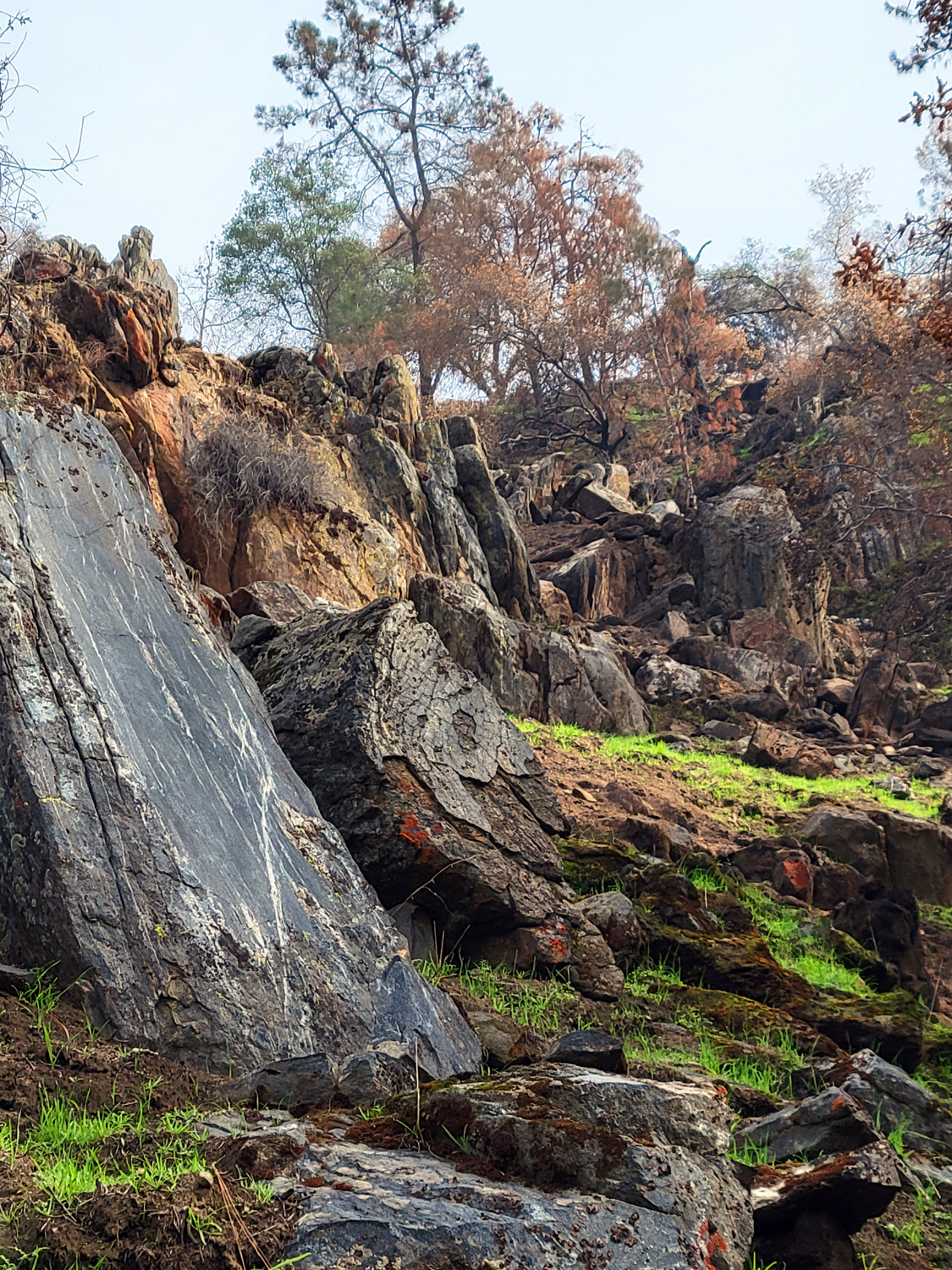
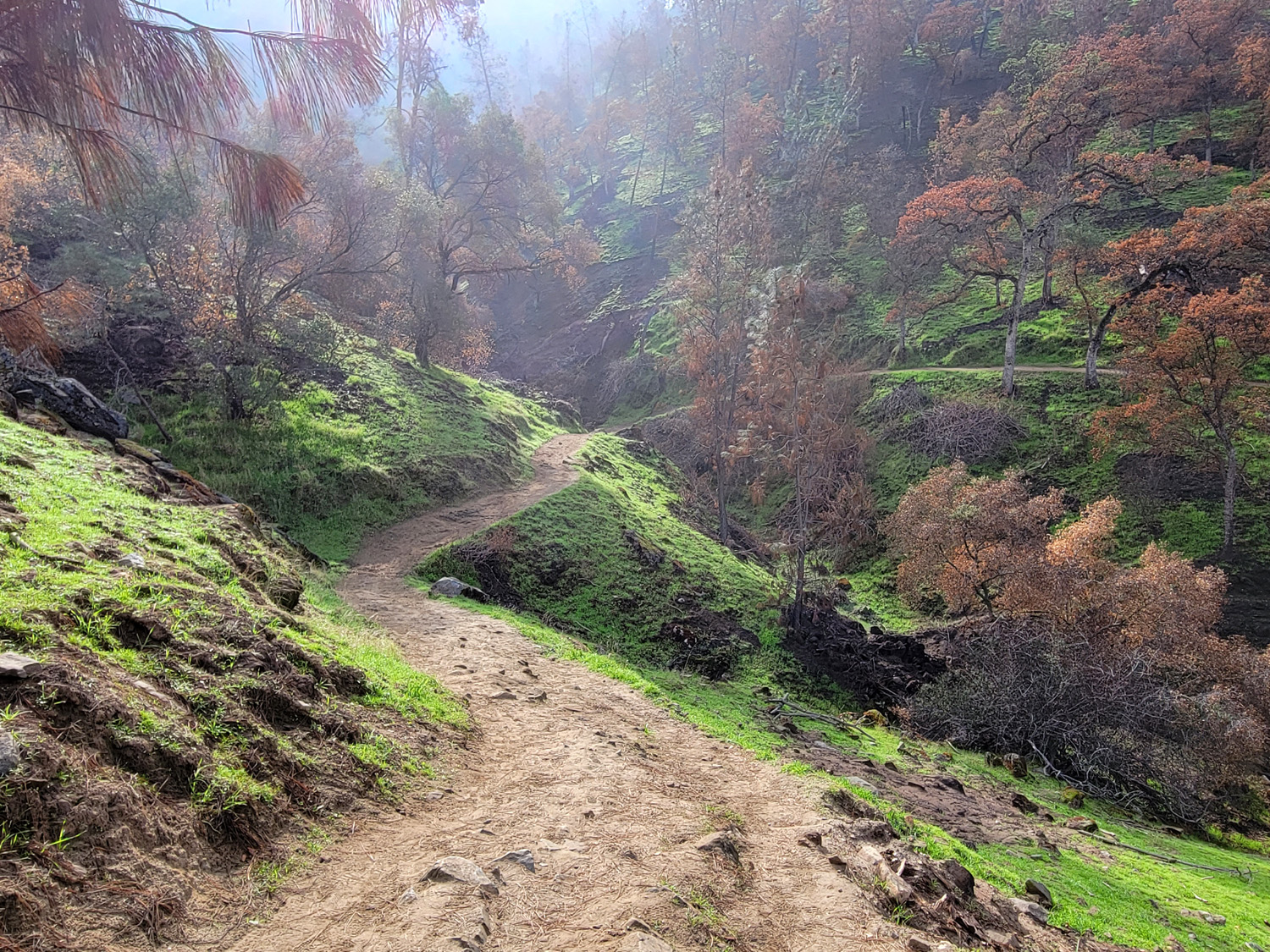
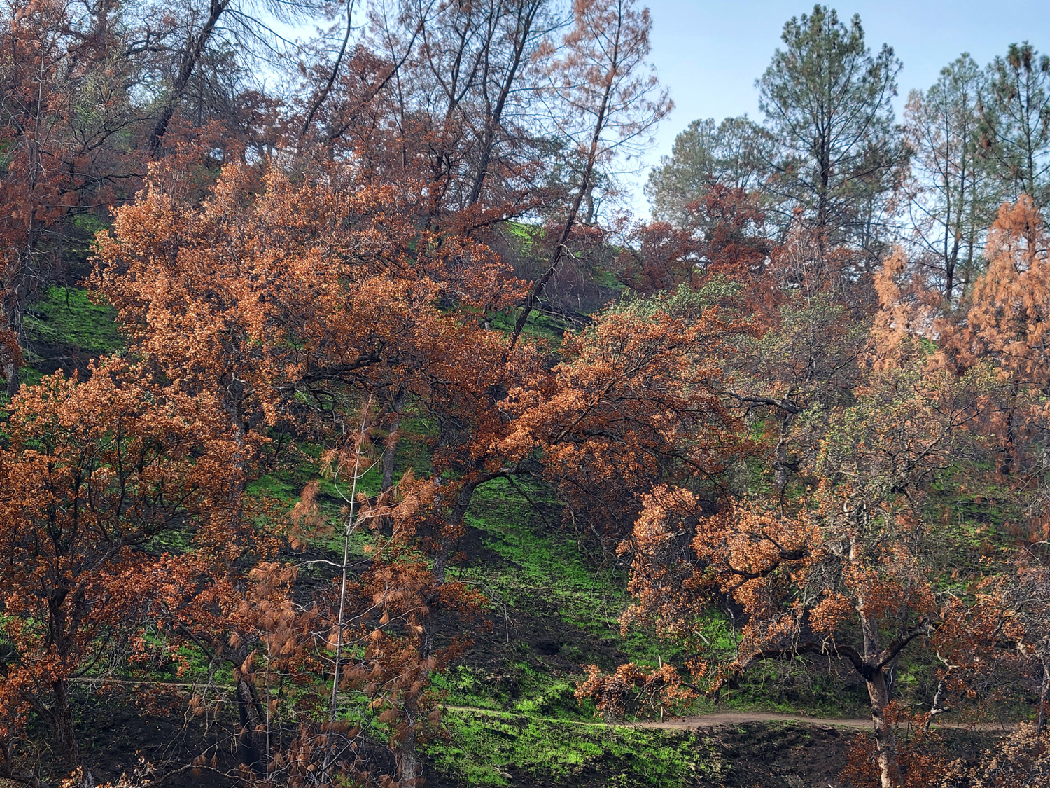
Along the trail I noticed obvious signs of a fire, and recalled something about a fire in this area early in the summer. Back home I entered "fire near Pincushion Peak" in my search engine, and found this video of a dramatic helicopter water drop on the Gold Fire of June, 2021. The fire appeared to have removed a lot of dead brush (good), and burned a bunch of oak trees (bad if they die; good if they make a comeback next year). |
|
 |
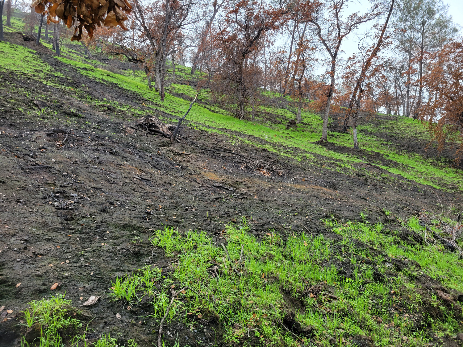 |
| Oak trees scorched by fire in June 2021 | Areas of intense fire left blackened patches of earth |
|
My other major observation was that the water level in the lake is up a little, measurable by the fact that water is backed up well into the valley of Finegold Creek. In fact, the lake is at 60% of capacity, far more than most California reservoirs. The Resting Rock is a granite outcropping level enough to sit on and big enough to lie down on. I did both, eating half an orange when I first arrived, then lying back on the surprisingly comfortable surface. After 20 minutes or so, it was time to go - up or down? I walked around a bend in the trail to where I could see my destination. The distance was not that far, but the elevation gain was enough to make me cut the hike short for the first time ever. |
|
 |
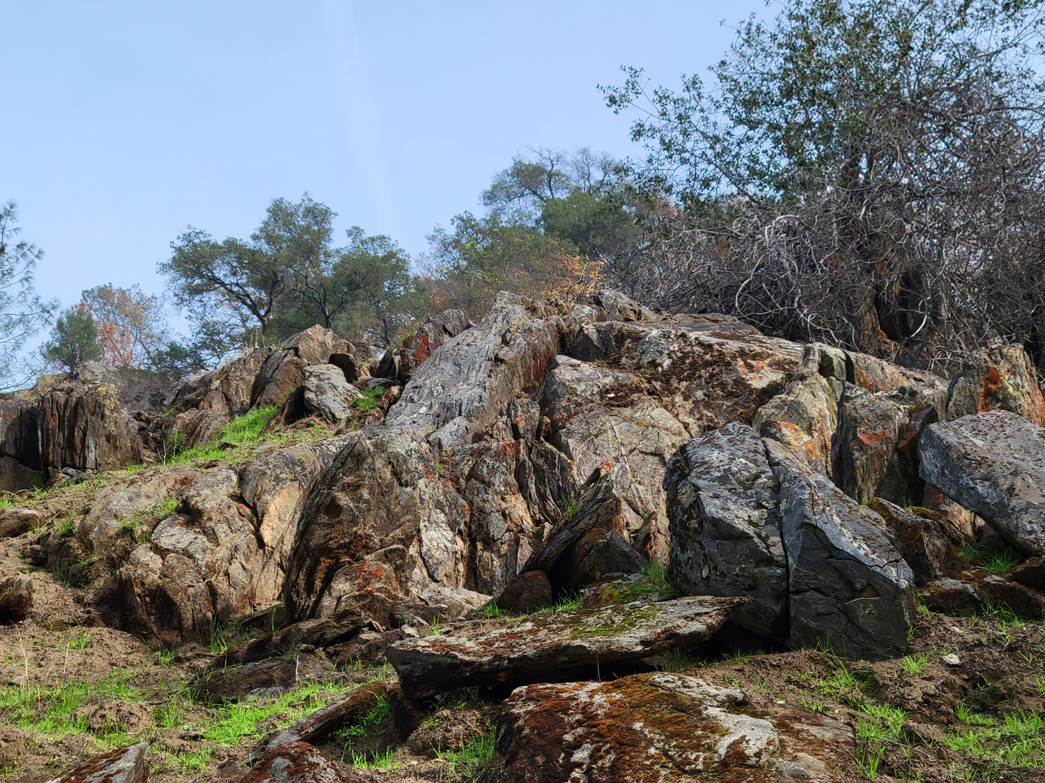 |
| The view up the Finegold Creek branch of the lake | Large granite outcroppings appear along the trail in this section |
|
There were quite a few others on the trail, including one man who ran down the trail at a fast pace, then ran back up again. I used to run for exercise, but only on flat ground. For me, just walking up hill seems to be more of a challenge each time, but I plan to keep moving. If you stop, you may never start again. As I have done a number of other times after hikes close to home, I stopped at my house to take off my boots and put away left over snacks, and went to the nearby Colorado Grill for a Buffalo chicken sandwich, fries and coke. --Dick Estel, November 2021 |
|
|
Yosemite, Cat
Sitting, Lewis Creek
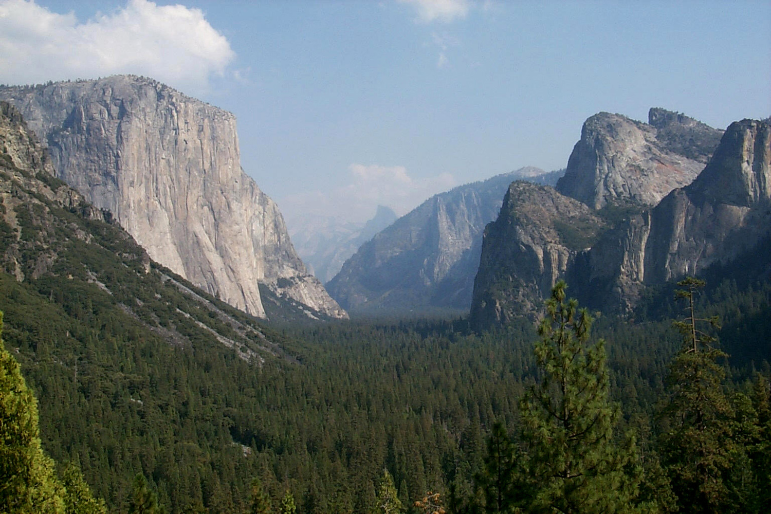
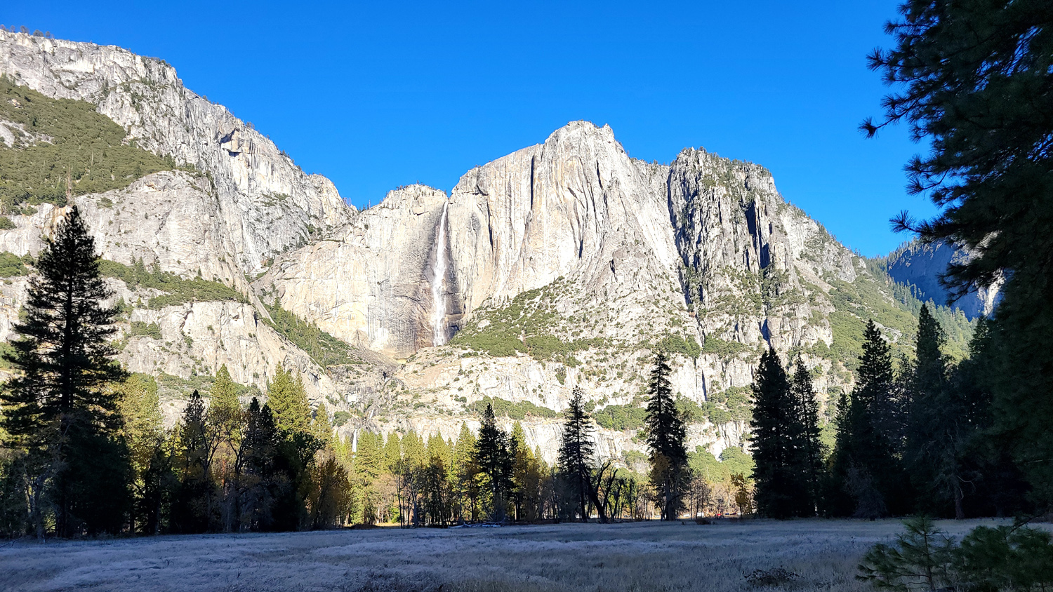
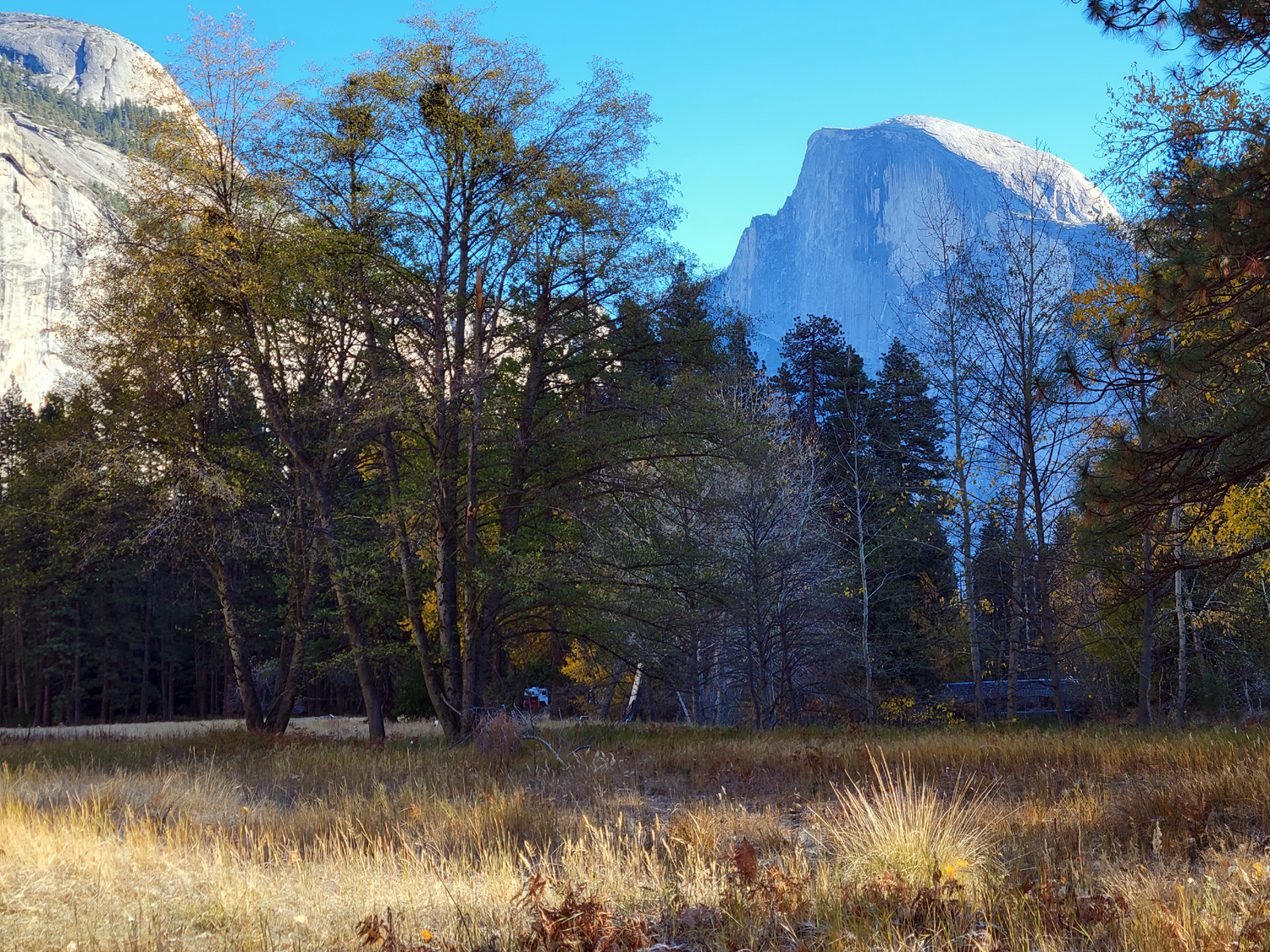
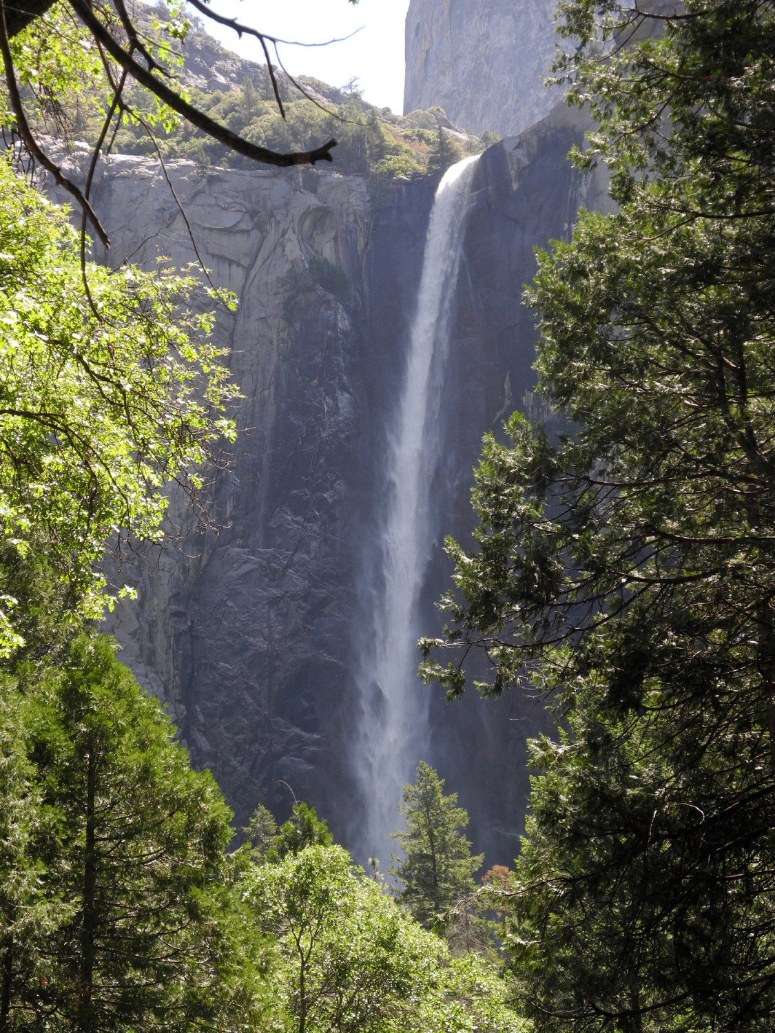
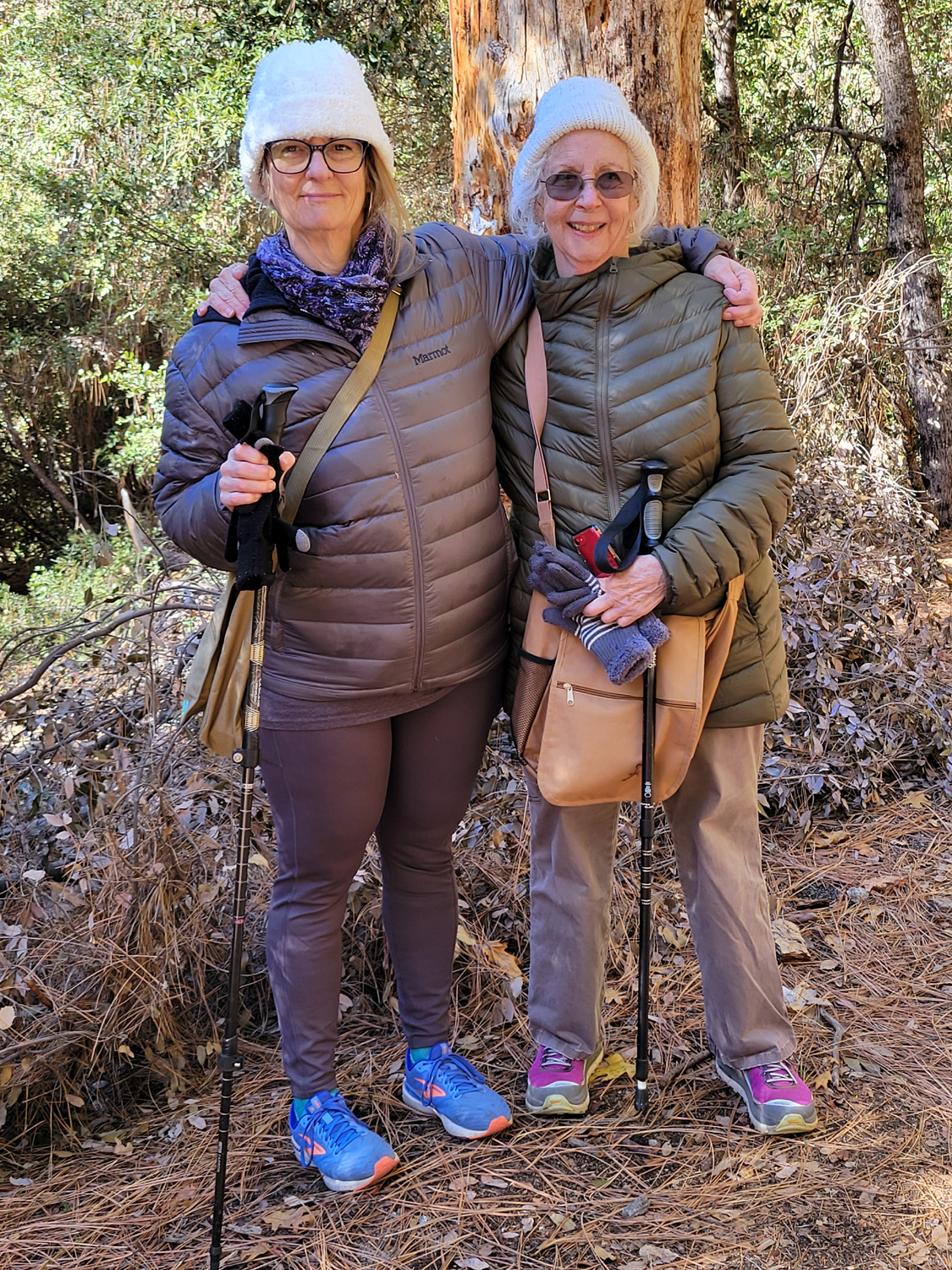
Yosemite: Each year daughter Jennifer and her husband Rod go to Tahoe during Thanksgiving break from her job teaching school. They have several cats, and for five years it has been my duty and pleasure to stay at their house and feed the cats. The location, about two miles off Highway 41 and 50 miles up from Fresno, makes it a good base camp for hiking and other activities. Daughter Teri has handled the job once, and joined me last year and part of this year. In addition, their mother Jackie came up on Monday, November 22, and we visited Yosemite Valley, my first trip there since June 2016. We arrived at Jennifer's between 8 and 8:30 and started the 45 mile drive to the Valley, a 90 minute trip over winding mountain roads. The weather was close to perfect, with virtually no haze to degrade our views, although very cold at times. We made a short stop at the Tunnel View, where El Capitan, Half Dome and Bridalveil falls dominate the iconic vista. The falls was just a trickle, not surprising in late fall. It was an unusual pleasure to pull into a parking lot and find a space immediately. In recent visits, even in the so-called off season (pre Memorial Day and post Labor Day), we have encountered terrible traffic and crowding. There were plenty of people visiting the valley, but nothing like the peak summer crowds. |
|
|
|
| The iconic Tunnel View (from 2002) | Cathedral Rock, with dramatic lighting |
|
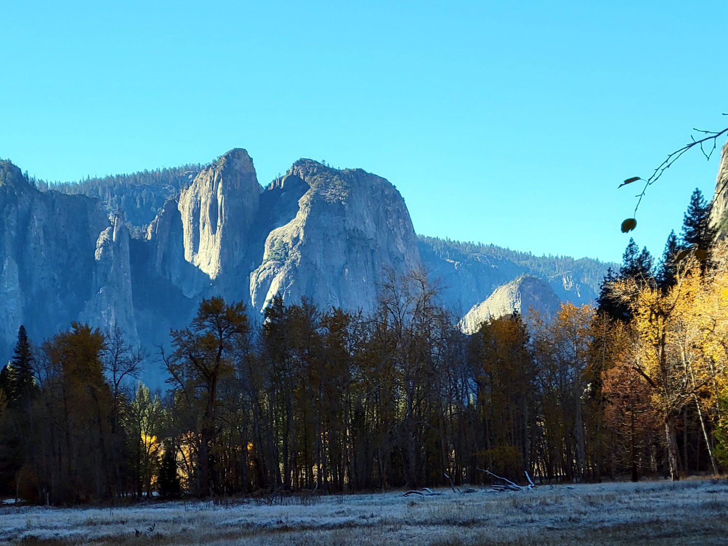
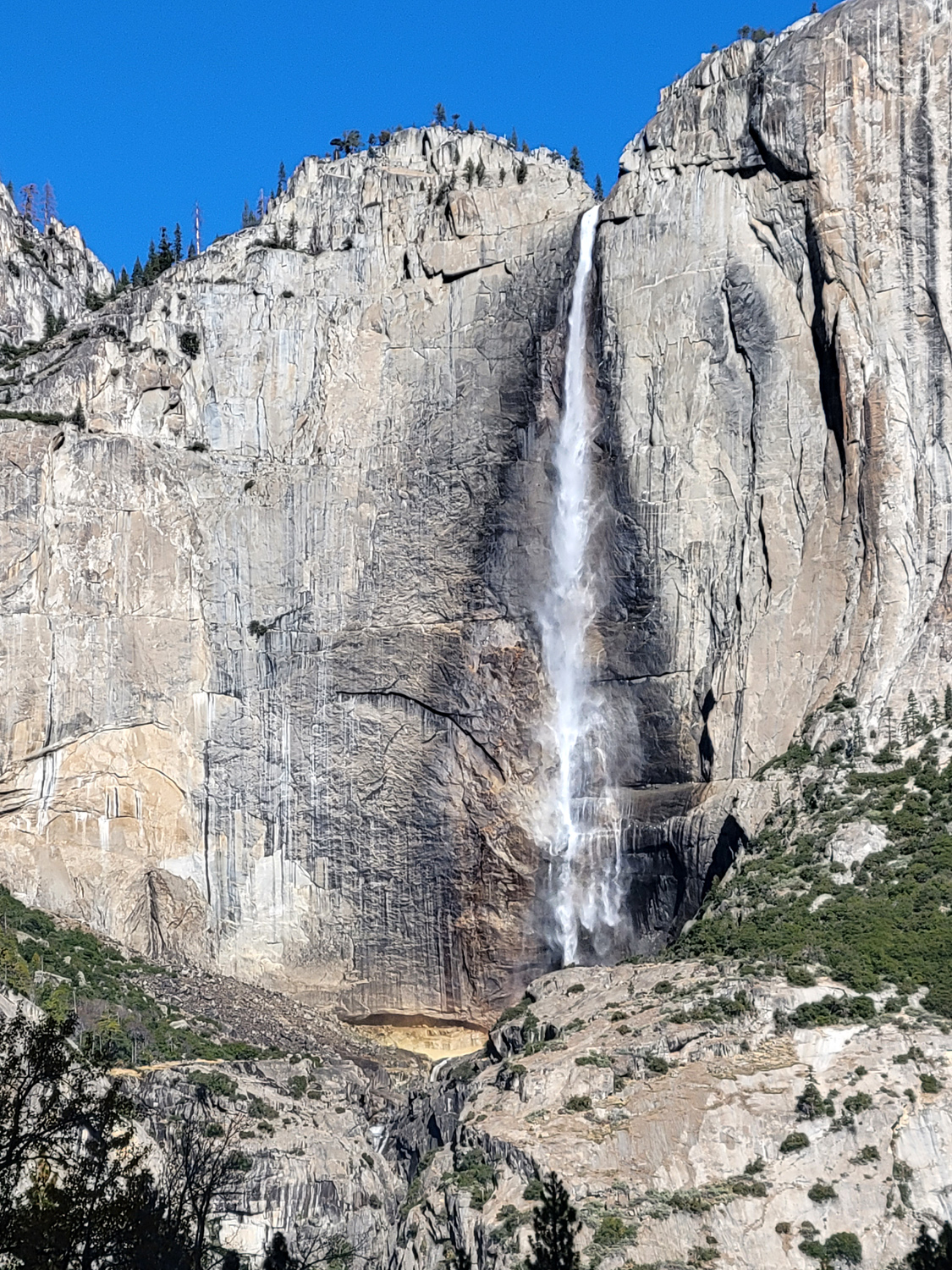
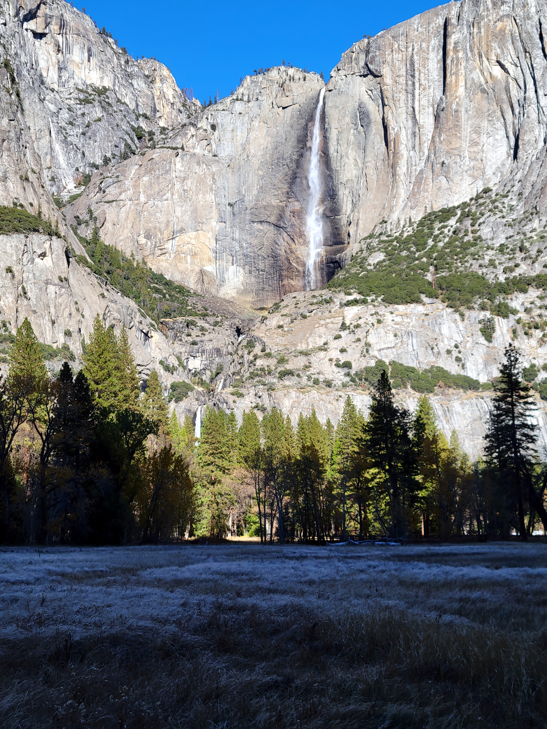
Our next stop was beside a meadow that offers a nice vista of Yosemite Falls. Usually in late summer and fall this magnificent feature is a mere trickle, but we had an early storm with heavy rain that raised the level of some of the streams, and Yosemite Falls, while not at peak flow, was running nicely. When we got out of the car, the thermometer in the vehicle showed 38 degrees, not surprising at 4,000 feet. With the sun low in the sky, the cliffs of the valley leave parts of the area in shade nearly all day long. We walked to a bridge over the Merced River, with sunshine on the other side, and once there were reluctant to return to our shady parking area. |
|
|
|
| Yosemite Falls has a decent flow for winter | A wide view of the falls and cliffs |
|
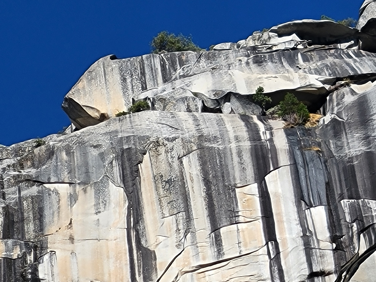
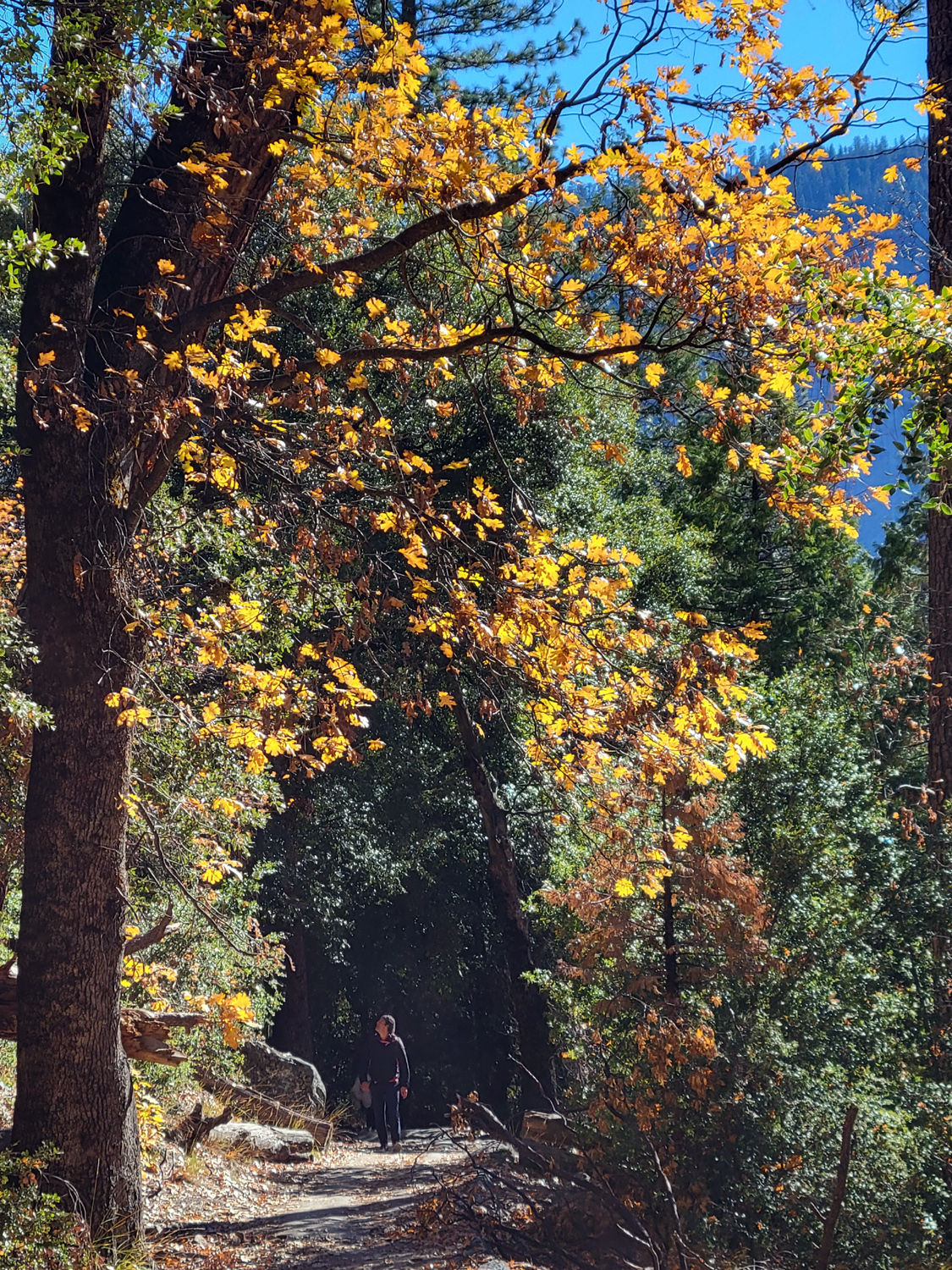
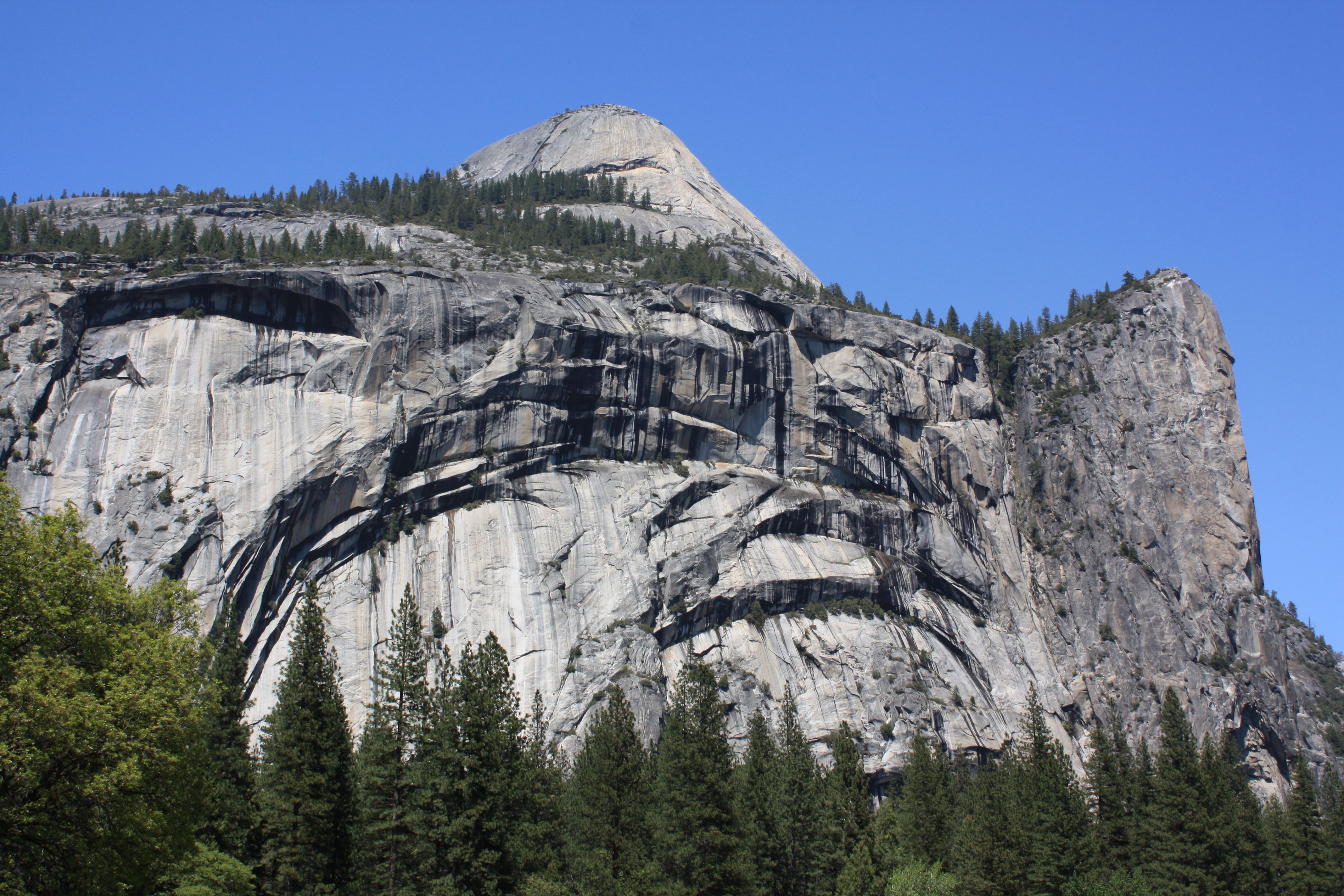
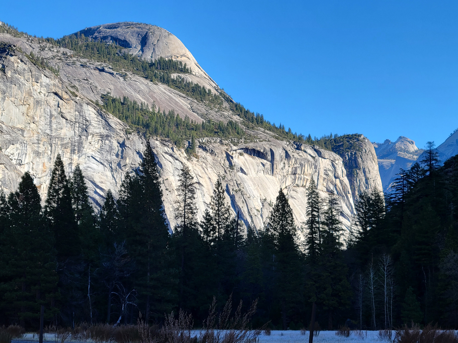
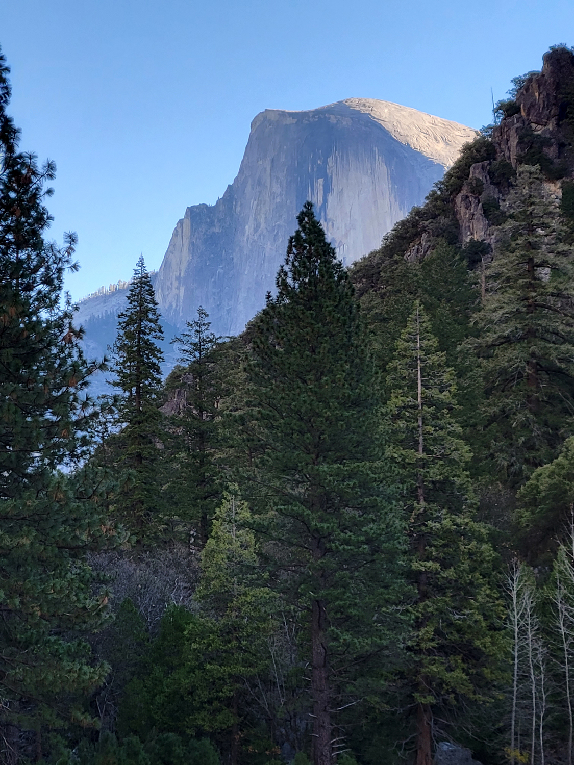
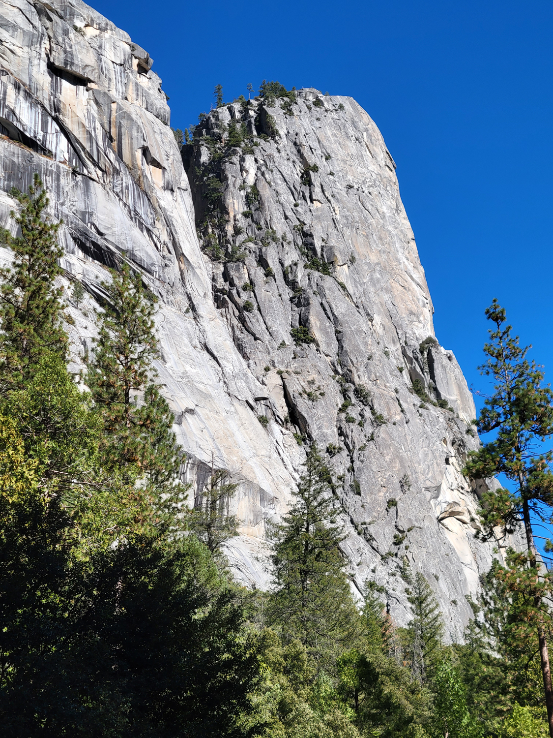
When I was in 4-H, shortly after the Jurassic Period, we had an annual camp in Yosemite Valley. One of the major activities was hiking, and from age 10 to 12, I walked on various trails that run along the edges of the valley, as well as hiking to Glacier Point and to the top of Yosemite Falls (both all-day hikes). The trail on the north side runs through the talus slopes and in places right next to the base of the cliff, and I have been wanting to re-visit this place. We found a parking spot behind the Ahwahnee Hotel, and got on the trial after a short walk of 50 yards or so. The trail went up and down, with huge boulders on both sides of the trail, and views of Half Dome and other features. We were right below a section of the northern wall called Royal Arches, where the same process that forms domes has created concentric arches in the mainly vertical wall. We were walking through black oaks and other trees, and enjoyed some fall color. It was also much warmer, probably about 60 degrees. |
|
|
|
| North Dome in upper left, and a classic view of Half Dome | Most black oaks are leafless, but along the trail we still enjoyed fall color |
|
For some reason, on this hike I paid closer attention to the rock formations above me, which allowed us for the first time to notice this "arrow" telling us to go west. This is located above the Royal Arches, so is not the actual "top," since North Dome rises above it. We also had a good view of the well-known Washington Column. |
|
|

|
| "Arrow" above Royal Arches says "go west" | Washington Column stands out from the adjacent cliffs |
|
We reached a point where the trail ran next to a paved bike path, and decided to return to our car on this alternate route. This trail soon veered off away from the direction we needed to go, so we followed some other hikers on a dirt road that took us past the stables (unoccupied at this season), and an "industrial" area, not meant for tourists. Soon we were back at our car and ready to find a place to eat lunch. Teri knew of a picnic area on the north side of the valley, so we drove there and found a table. Back at the Neely's I had put all the food I brought for my lunch in a small ice chest - then left it sitting on the counter. Fortunately, both Teri and Jackie had extra, and I did not go hungry. After eating, I walked around the area a little. We were just east of El Capitan, with an angle of view that was different from any I had seen before. There is an impressive ridge of rock running down from the eastern shoulder of the formation nearly to the valley floor. Also visible from where I stood were the Three Brothers, a series of peaks lined up one above the other in a stair step configuration. Yosemite Falls is tucked back in the recess east of these peaks, but not visible from our location. Although Teri and I would stay at Rod & Jennifer's overnight, Jackie needed to get back home, so we got loaded up and started back. She would have another hour's drive after we reached Oakhurst. As we drove past Bridalveil Falls we saw that it had noticeably more water than in the morning. We speculated that snow and ice melting in the high country had increased the flow as the day went on. With no traffic problems and small crowds, late fall proved to be a good time to visit Yosemite Valley. |
|
|
|
| The Three Brothers | A springtime view of Bridalveil Falls from 2016 |
|
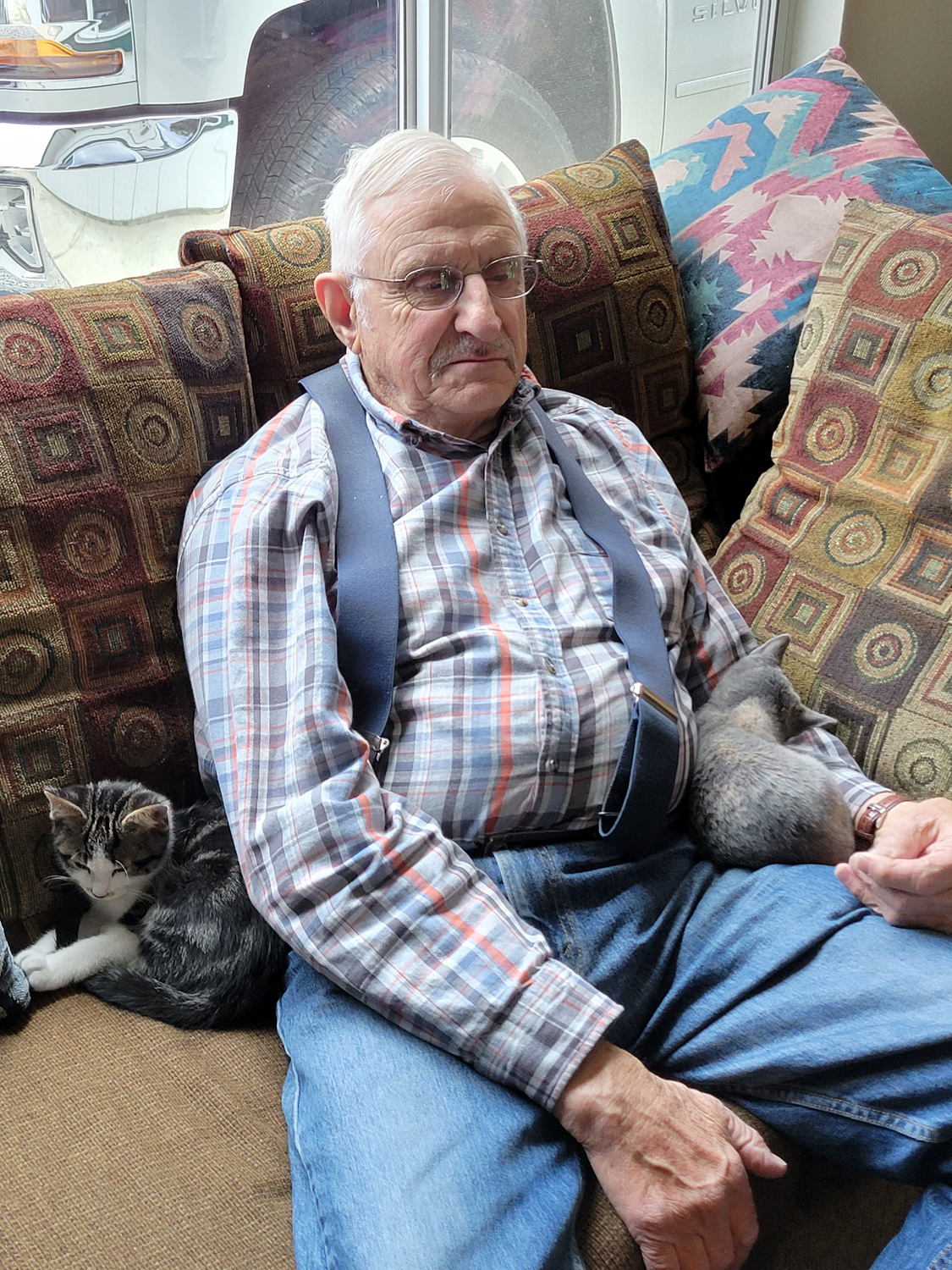
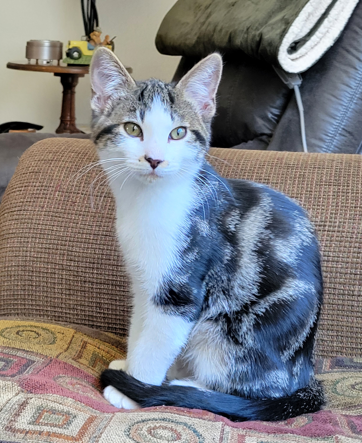
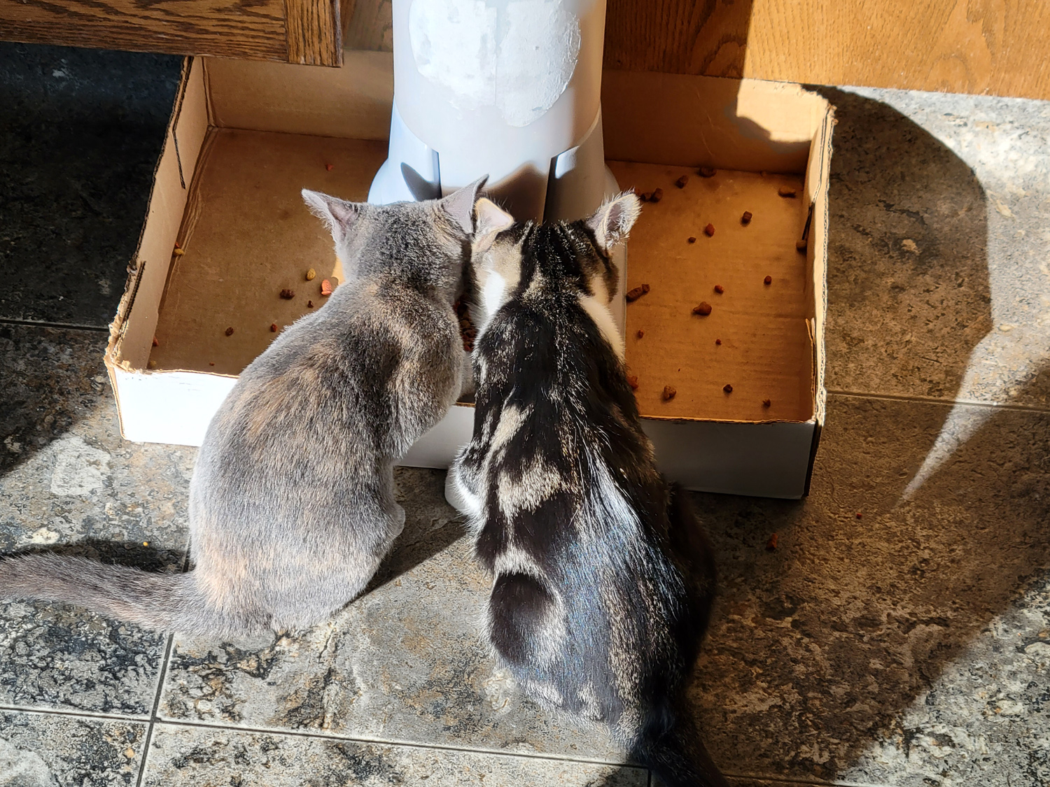
The Cats: The Neely household has always included at least three cats. Because of the dangers of living in Coyote Country, some of them have met an untimely end. They are quickly replaced, which usually results in a wide range of ages, from less than one year and up. Circumstances recently led to two kittens joining the household just weeks apart. They are nearly the same age but unrelated and from different sources. As cat lovers will understand, a Senior Cat often is not happy with the arrival of a young upstart, but these two age-mates play together night and day while they and their older "step sister" pretty much ignore each other. Pebbles, the current Senior Cat, has never allowed me to pet her and won't come within ten feet of me (or any other non-household human). The newer kittens have almost always enthusiastically welcomed me and others, as we observed during a day visit in early November. Therefore it was a surprise that Newton quickly hid under the couch when we first arrived in the morning. I accused him of living up to the nickname I had bestowed, based on an old cowboy song, High Falutin' Newton. Peanuts was perfectly happy to be petted, picked up and cuddled. We decided Newton would probably come around when we got back and it was time for their nightly can of wet food, a major treat that brings them rubbing against your legs, standing up on back legs, and generally letting you know that you are too slow in getting the food served. Not Pebbles of course. She loves the treat just as much but will not lower herself to beg; hers is served on the patio or in the garage. If the cats are napping or playing when treat time arrives, the sound of the pull-tab can being opened brings them on the run. To our surprise, when we opened the can, Pebbles came out of the bedrooms. It seems Rod had left her inside and didn't tell anyone. We put her separate plate of wet food down, but she had no intention of eating when we were nearby. Then we learned the meaning of "herding cats." We knew we had to get her outside so she could eat, but of course, we could not catch her. We finally chased her out from under the master bed, only to see her go into the guest bedroom. We closed the other door, then chased her out of the guest room and closed that door. Of course, she hid under the couch. The kittens are not allowed outside, so we shut them in one bedroom, opened the patio door, and watched as Pebbles hastened out. We put her dinner on the patio, released the kittens, and everyone was where they belonged. |
|
|
|
| Both kittens were friendly when we first met on November 5 | Newton could win a beauty pageant |
|

|
| If they get much bigger they'll each need their own dish | After dinner, time for a nap |
|
Backing up a little, after Jackie left for home, Teri and I picked up the gift certificate that Rod and Jen had left for us, and went to El Cid, the best Mexican restaurant in the foothills. We've eaten there many times and it is always excellent. Even with a small two-item combo, I have enough left over for another dinner. After breakfast on Tuesday we took a walk around the neighborhood, first following the trail Rod constructed across their property out to one of the residential roads. From here we walked out to Road 620. Rod and Jennifer's road closely follows the route of the old road to Yosemite (the name is Old Yosemite Road), and at the intersection is a plaque marking the site of Bissett Station, originally a stage stop on the route. Nothing is left of this business except an old fireplace, but the property is still occupied by a descendant of the pioneer family. Teri had to get back to work the next day, so she left after our walk. I spent the rest of the day just taking it easy, doing a lot of reading and some TV watching, enjoying the cats, and taking a short walk around the property. I went into town and had lunch at South Gate Brewing Company, another excellent restaurant that has been open for about five years. As I ate, I started thinking about what to do the next day. |
|
|
|
| Grass has a good start on the upper section of the Neely property | At the intersection of Old Yosemite Road and Road 620 |
|
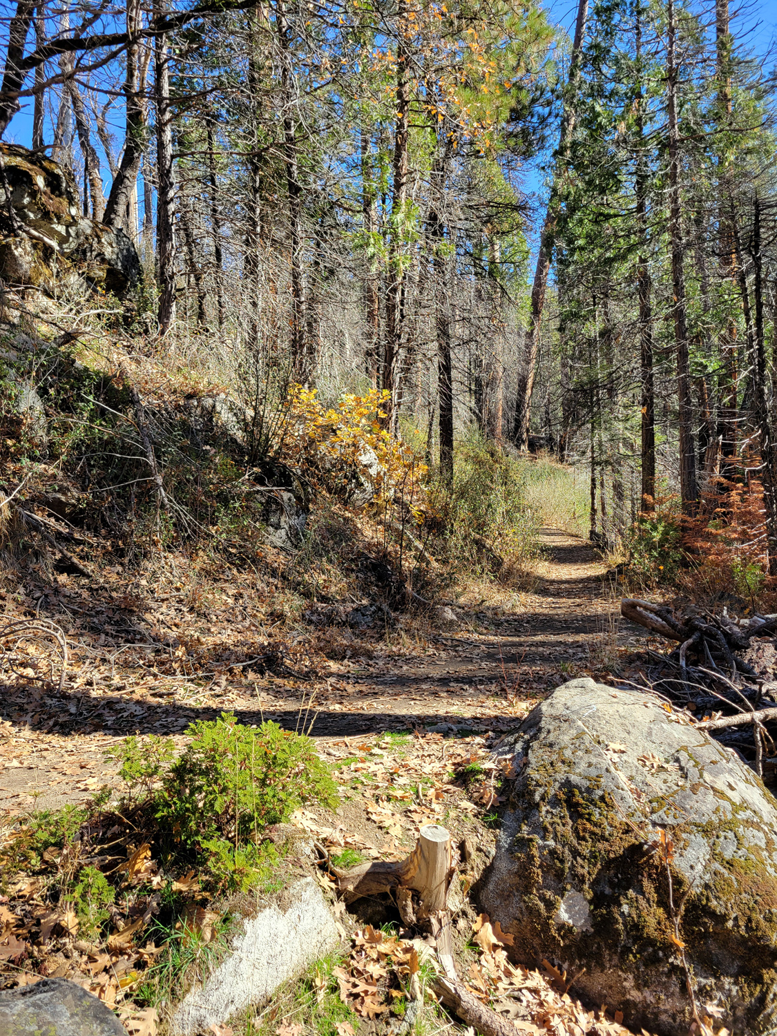
Lewis Creek Trail: I decided to do a short hike on the Lewis Creek Trail, another place I've been many times. Fellow Rambler Wes and I walked on the trail in July and were glad to see a bridge had been built across the creek, making the northward route much safer and easier. It's less than five miles up Highway 41 to the trailhead, and even though I got a fairly early start, there were already about ten cars in the parking lot. A short distance from the railhead, the trail splits. The right fork goes downstream to a fantastic view of Corlieu Falls, while the upstream path goes to Red Rock Falls and eventually the community of Sugar Pine. The downstream trail is very steep, and this is not the best time to view the falls, so I planned to go upstream, not all the way, but as far as I was comfortable with. As I approached the bridge I thought to myself, "I don't remember that it sagged that much in the middle." When I got close, I could see that it not only sagged, but that it was tilted toward the upstream direction. This bridge is not more than a year old, and there have certainly been no huge storms since last July, so I had to wonder about the ability of the builder. The bridge had been reinforced at the saggy area, and crossing it felt safe if a bit unsettling. |
|

|
|
| The bridge, sagging and listing but still usable | Typical view of the trail |
|
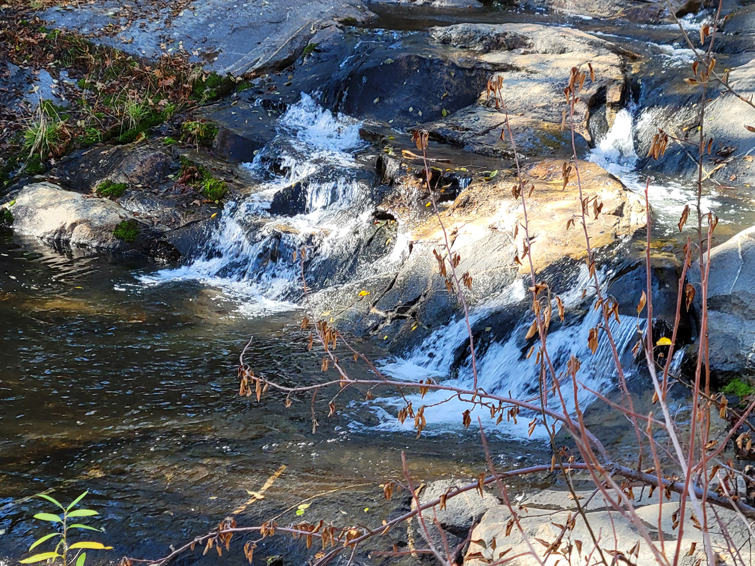
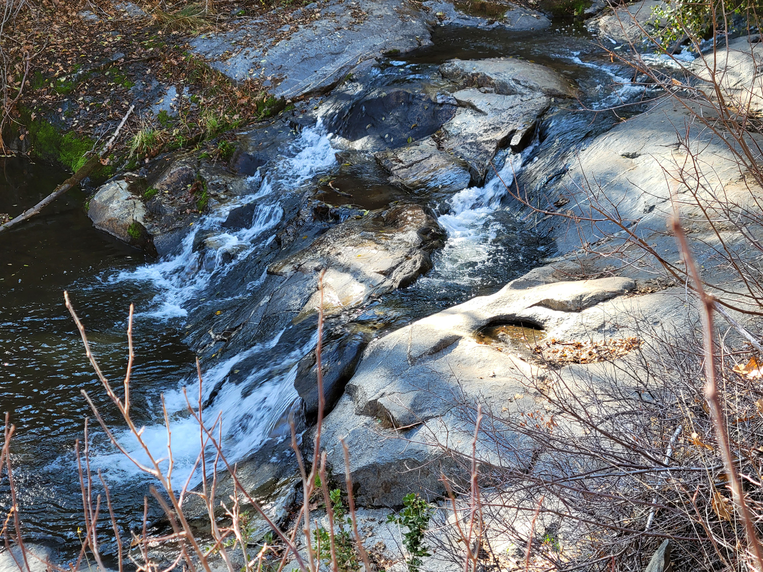
Past the crossing, the trail runs parallel to the creek for some distance, crossing a fairly robust tributary stream after about a half mile. There's no bridge here, and crossing requires stepping on rocks and boards, a bit precarious for an older hiker. Lewis Creek has a fairly good flow, although nothing like its spring peak. It continuously drops down over small cascades, meaning the upstream trail rises constantly. At one point the trail goes away from the creek to go up a particularly steep area in a series of switchbacks. |
|
|
|
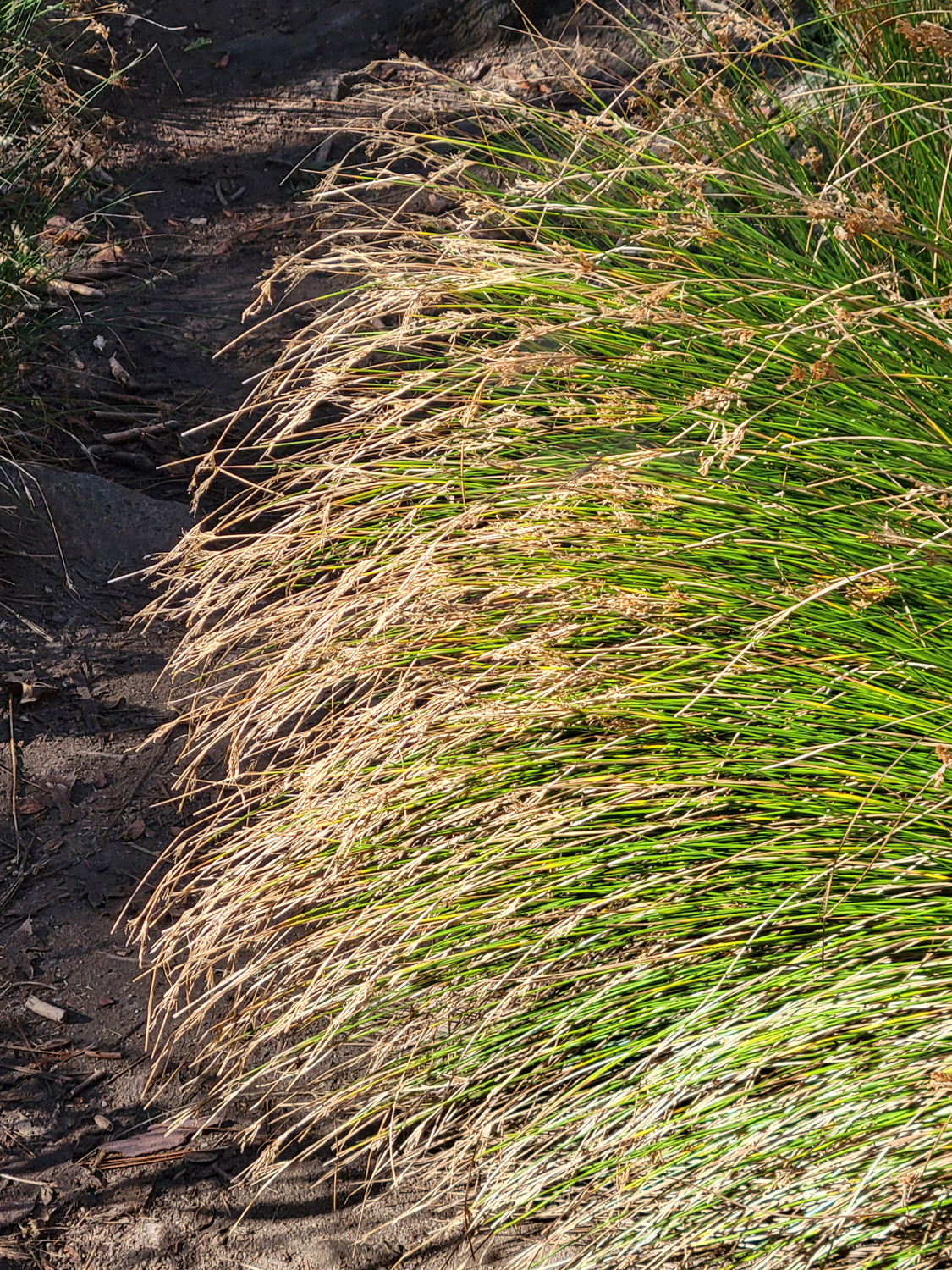
| A good flow of water in Lewis Creek | Nice bunch of grass by the trail |
|
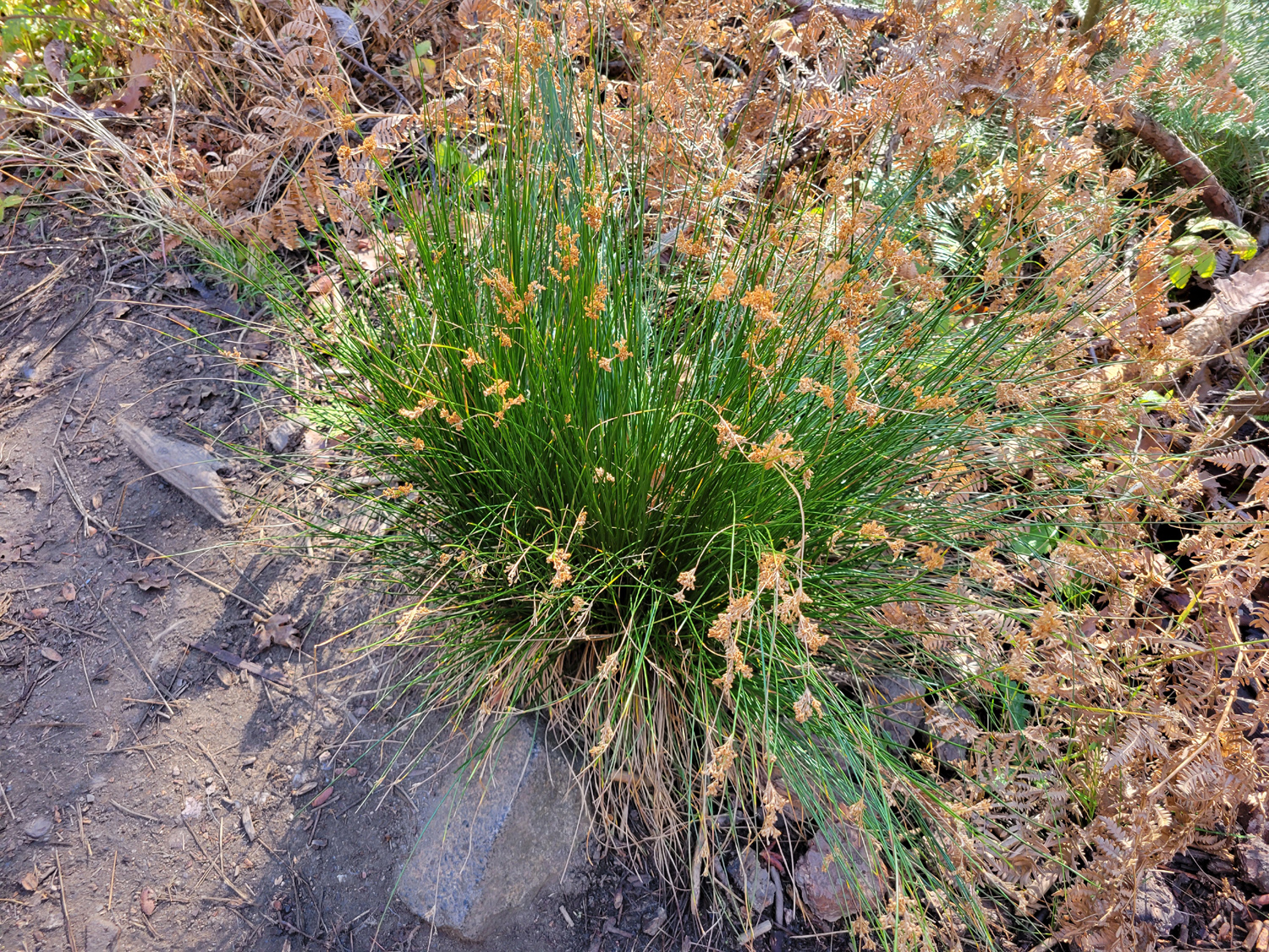
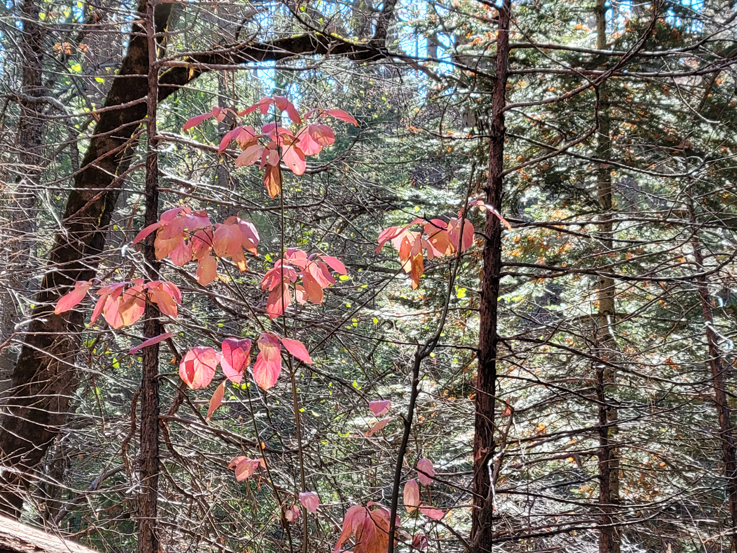
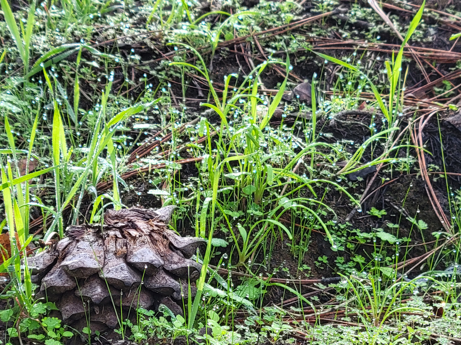
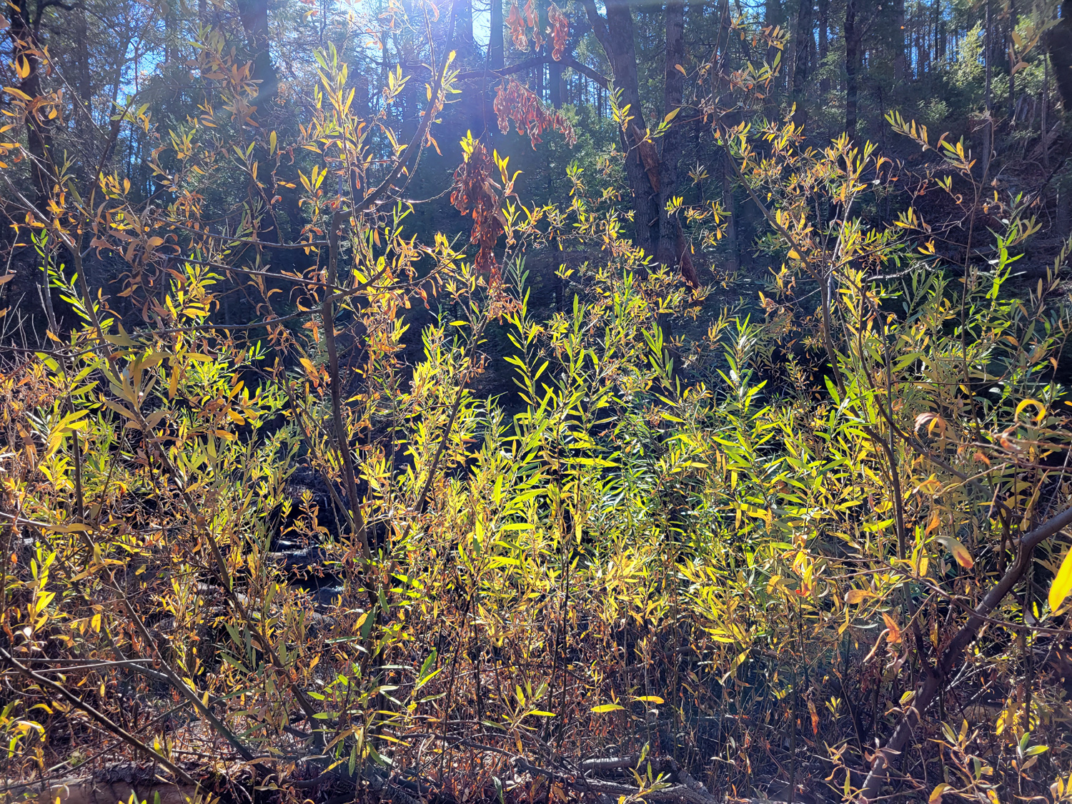
The weather was nice, with no wind. I saw more people on the trail than I have in the past, no doubt because it was the week of Thanksgiving. The scenery along this trail is trees and shrubs, typical of the 4,000 to 5,000 foot elevation - oaks, pines, cedars and a few firs There are quite a few dead trees, victims of drought, but this area was not touched by the nearby Railroad Fire of 2017. In the spring the creek is lined with dogwoods in bloom, and they also put on a fall color show. Most of the leaves have fallen, but there were a few still presenting a nice display. |
|
| . | |

|
|
| Are these flowers or seed heads? | Some of the last dogwood leaves of the season |
|
At the high point on the trail, I decided I had gone far enough, and started back to the trailhead. I finished out my last day as usual, reading, resting, taking care of the cats, and having my leftover Mexican food for dinner. The next morning I made sure the cats all had food and water, and started for home. It was Thanksgiving Day, and Teri and grandson Mikie were coming to my house for a ham dinner. --Dick Estel, December 2021 |
|
|
Finegold North
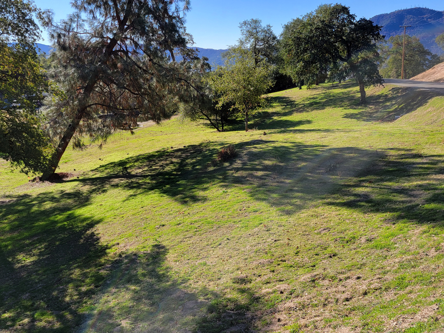
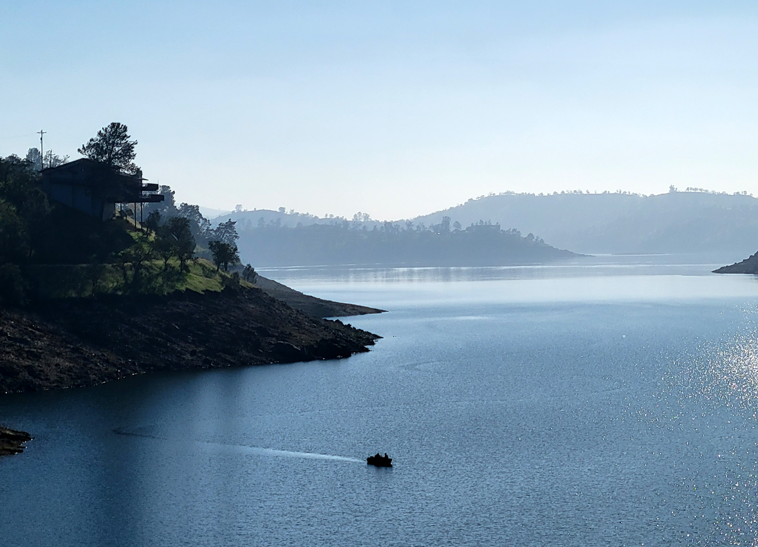
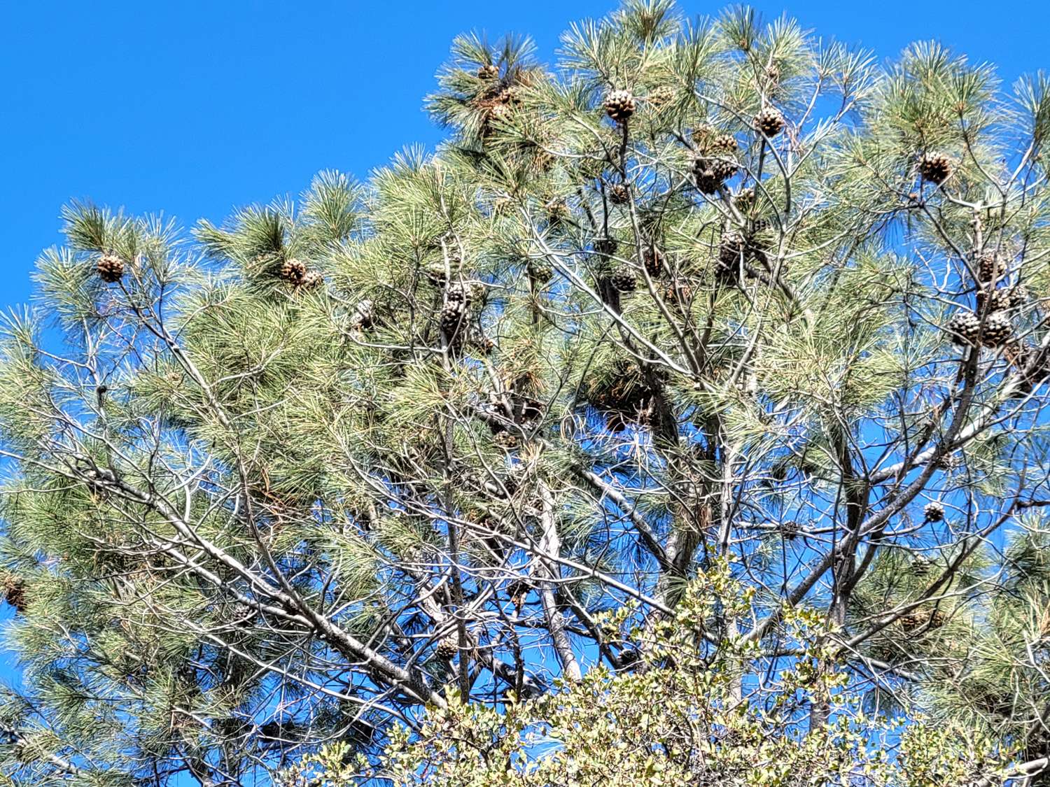
This is an unofficial trail, mainly used by fishermen to access Millerton Lake. From the end of the road at Sky Harbor, the trail goes down and crosses above a little cove, then around a ridge that separates the cove from the main lake. At road's end is the Finegold Picnic Area, and the beginning of a trail that goes to Pincushion Peak, and for those willing to bike or hike a dozen miles, the San Joaquin River Gorge. The north side hike is short and easy, mostly level with a gentle slope here and there, except for the first 50 feet. I've been there a number of times, most recently in January 2020 with The Ramblers. |
|

|
|
| Little cove next to parking area | Fishing in the mist on Millerton |
|
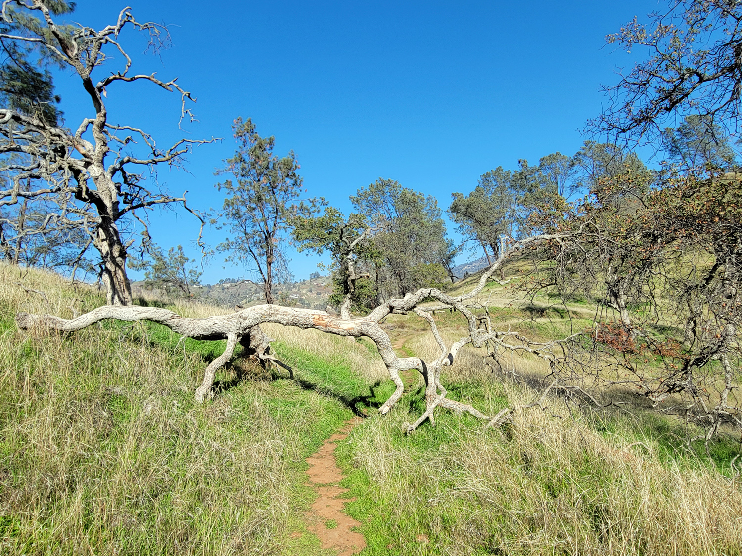
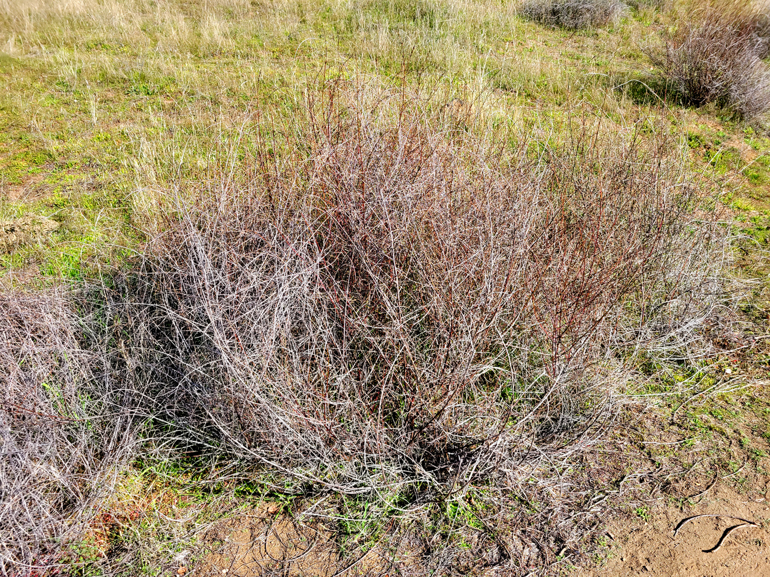
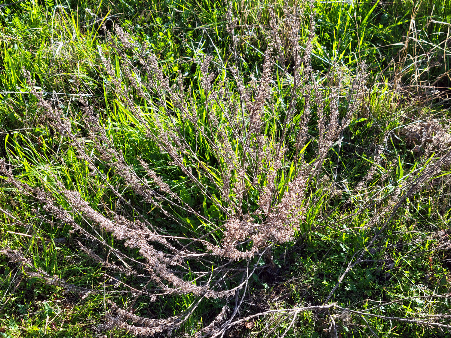
In the spring we can enjoy the usual foothill wildflowers along this trail, but in fall and winter we are left with the dormant perennials and plenty of blue oaks and bull pines. One oak that fell across the trail in late 2019 provides a sort of tunnel where you have to duck, but it never actually blocked the trail. Since this is not a "real" trail there is no maintenance, and this will no doubt be a permanent feature on this route. |
|
|

|
| Dormant bush | Fallen blue oak creates a tunnel |
|
The weather on December 1 was pleasant, with a little haze at the beginning. We've had foggy mornings lately, but usually it clears by mid-day, and I didn't get started till late morning. It seems this walk is one that I do when I feel like hiking, but don't want to drive far (23 miles) or walk any significant distance (just over a mile). It's also not crowded - I've seen other people on this trail just one time in my five hikes here. --Dick Estel, December 2021 |
|
|
Photos (Click to enlarge; pictures open in new window) |
||
|
San Joaquin River Trail West Yosemite Lewis Creek Finegold North |
||
|
San Joaquin River Trail West |
||
 |
 |
 |
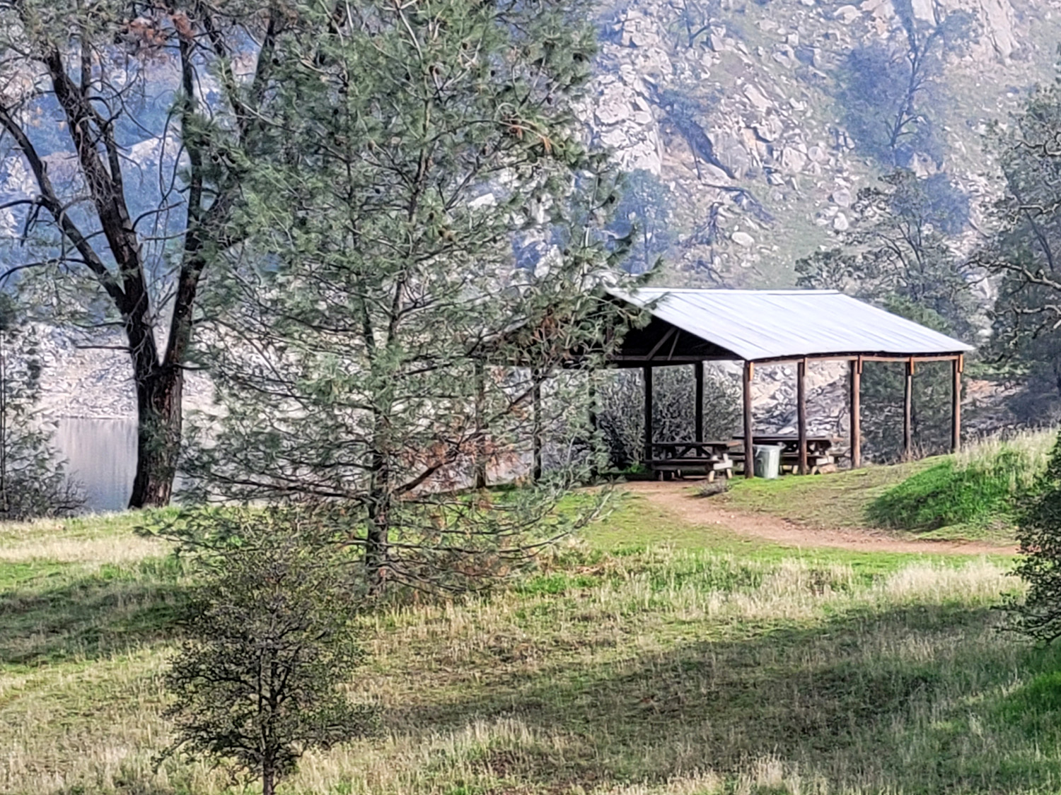
| Picnic shelter near the trailhead | The fire removed old
dried grass, encouraging new growth |
Trees were cut down
and cut up as part of the fire fighting efforts |
 |
|
 |
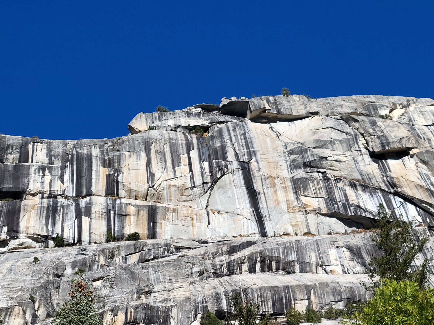
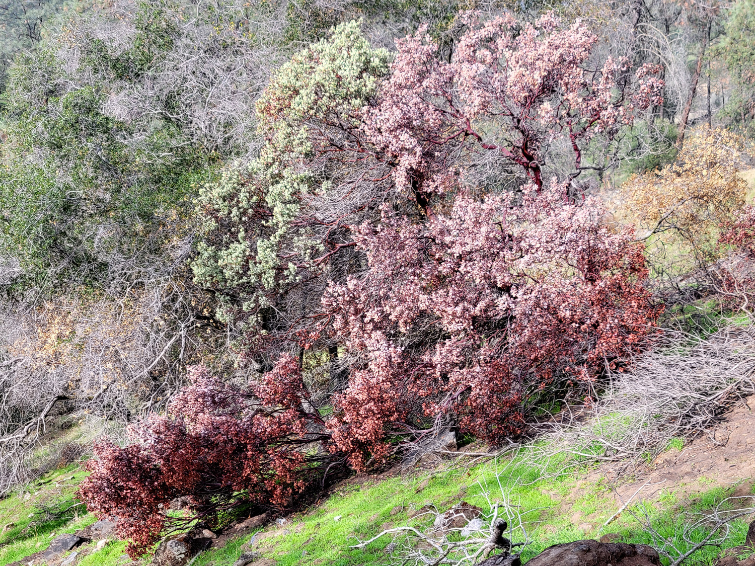
| Fire burned half the foliage on this manzanita bush | Rock outcropping on a steep hillside | A close look at the new grass |
| Yosemite | ||
|
 |
 |
| A closer look at the "arrow" | Both Upper and Lower
Yosemite Falls are visible in this scene |
North Dome rises above Washington Column |
 |
 |
 |
| Half Dome broods behind the darkened slope | Teri and Jackie on the trail | A closer view of Washington Column |
| Lewis Creek | ||
|
 |
 |
| Native California bunch grass | Willows changing color for fall | A view of a small cascade on the creek |
| Finegold North | ||
|
 |
 |
| The fallen oak from the east | Bull pine with a good crop of cones | Last year's dry plants and new grass |
| Related Links | ||
| San Joaquin River Trail | Colorado Grill | San Joaquin River Gorge |
| Yosemite National Park | Ahwahnee Hotel | Royal Arches |
| Yosemite Falls | Lewis Creek Trail | El Cid |
| South Gate Brewing Company | Finegold Map | Millerton State Recreation Area |