
|
2019 Rambler Hikes Page 2 |
|
|
Rambler Hikes 2017 Rambler Hikes 2018 2019 Part 1 2019 Part 3 |
|
|
Oakhurst River Parkway & Corlieu Falls Rancheria Falls & Big Creek Buena Vista Peak Tokopah Falls |
|
|
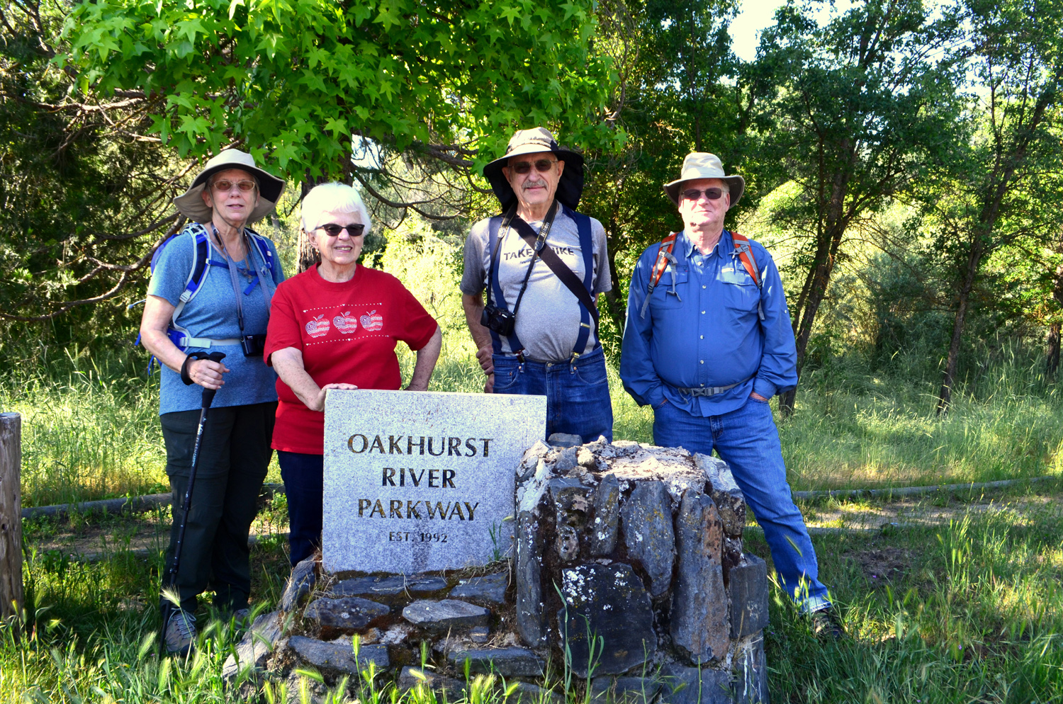
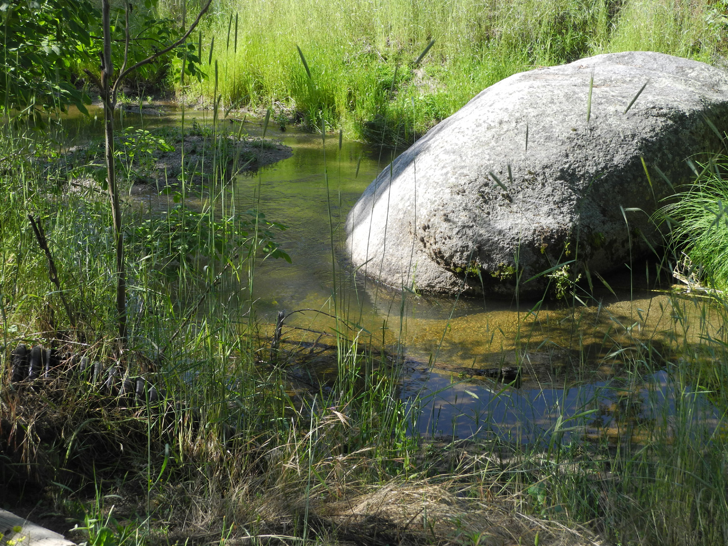
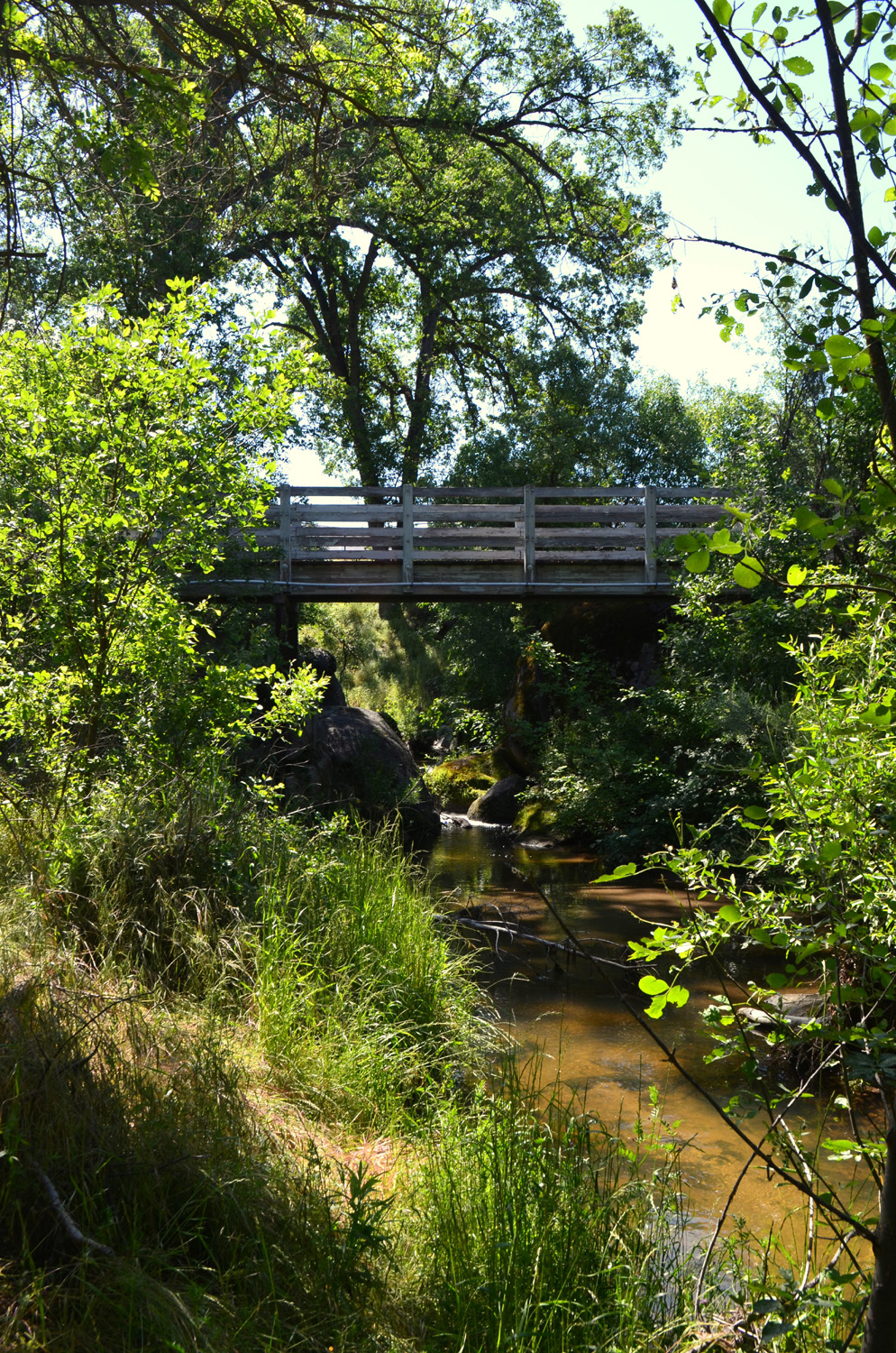
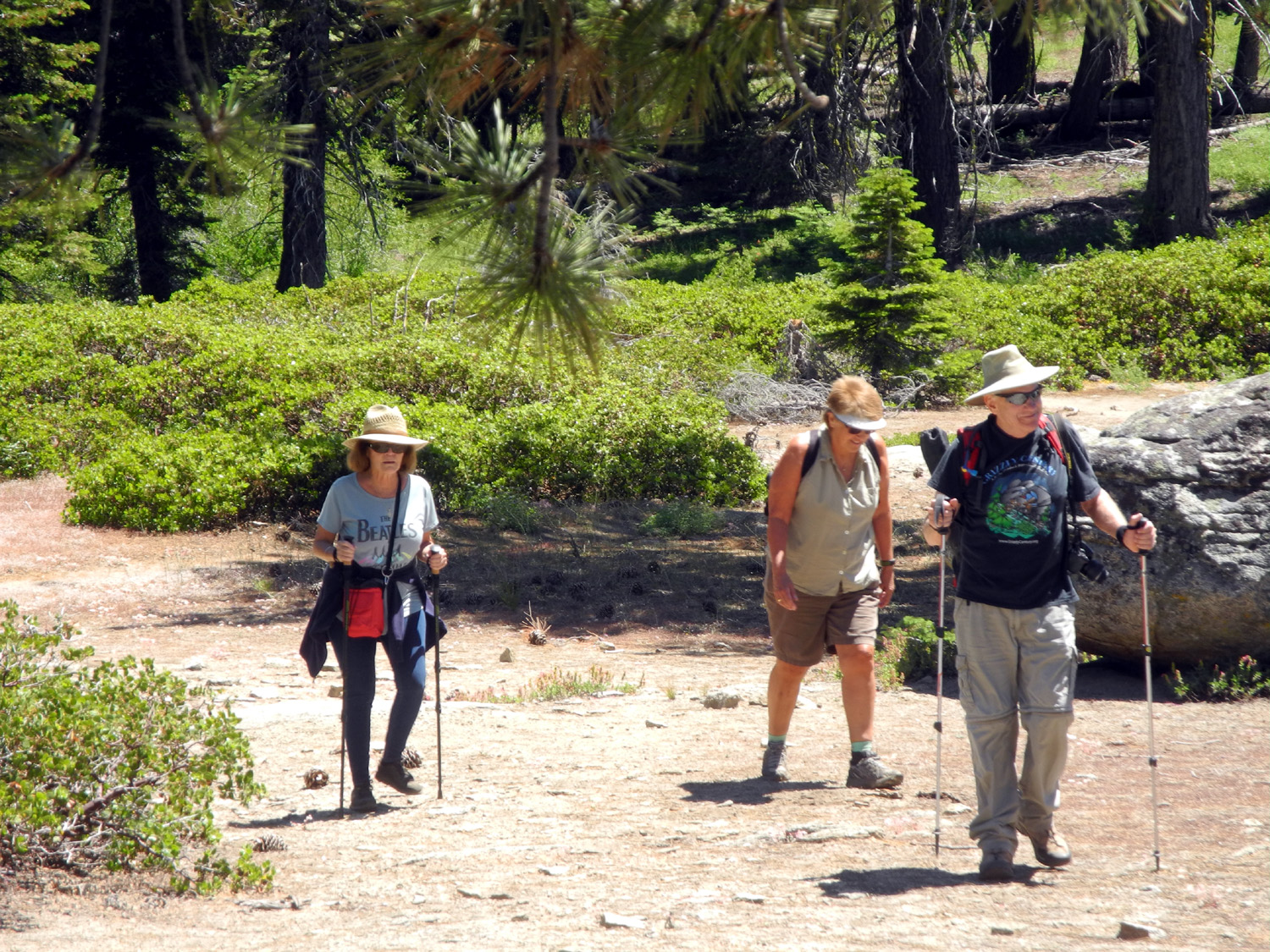
Oakhurst River Parkway Dick: Our May hike brought us to a trail that none of us had hiked before, although I had been on part of it with daughter Jennifer in the early 2000's. We also did a second hike that was new to half our group. However, I'm getting ahead of things here. On May 30 Ardyss, Allen and I left my place in Clovis at 7:30 a.m., and met Wes at the Park & Ride at Highways 41 and 145. We expected to have Don join us there but he had to cancel at the last minute, so we all got in Wes's Highlander for the 40-mile drive to Oakhurst. Here we met with Bev from nearby Ahwahnee, and hiked on the Oakhurst River Parkway. I didn't really remember what the trail was like or even where it started, but an internet search turned up the needed information, and we found it with no trouble. Wes: The Ramblers' hike today was a "two for." That is to say, we got two hikes for the price of one. We started the morning at the Oakhurst River Parkway which offers trails along China Creek and the Fresno River. Although we were in the midst Oakhurst, the trails gave the illusion of being in the wilderness. We crossed several foot bridges and enjoyed the lush green plants and valley oak forest on the river banks. |
|
 |
 |
| Ardyss, Bev, Dick and Allen ready to hike | The Fresno River |
 |
 |
| We didn't see them, but there are beaver in the river | A rustic bridge |
|
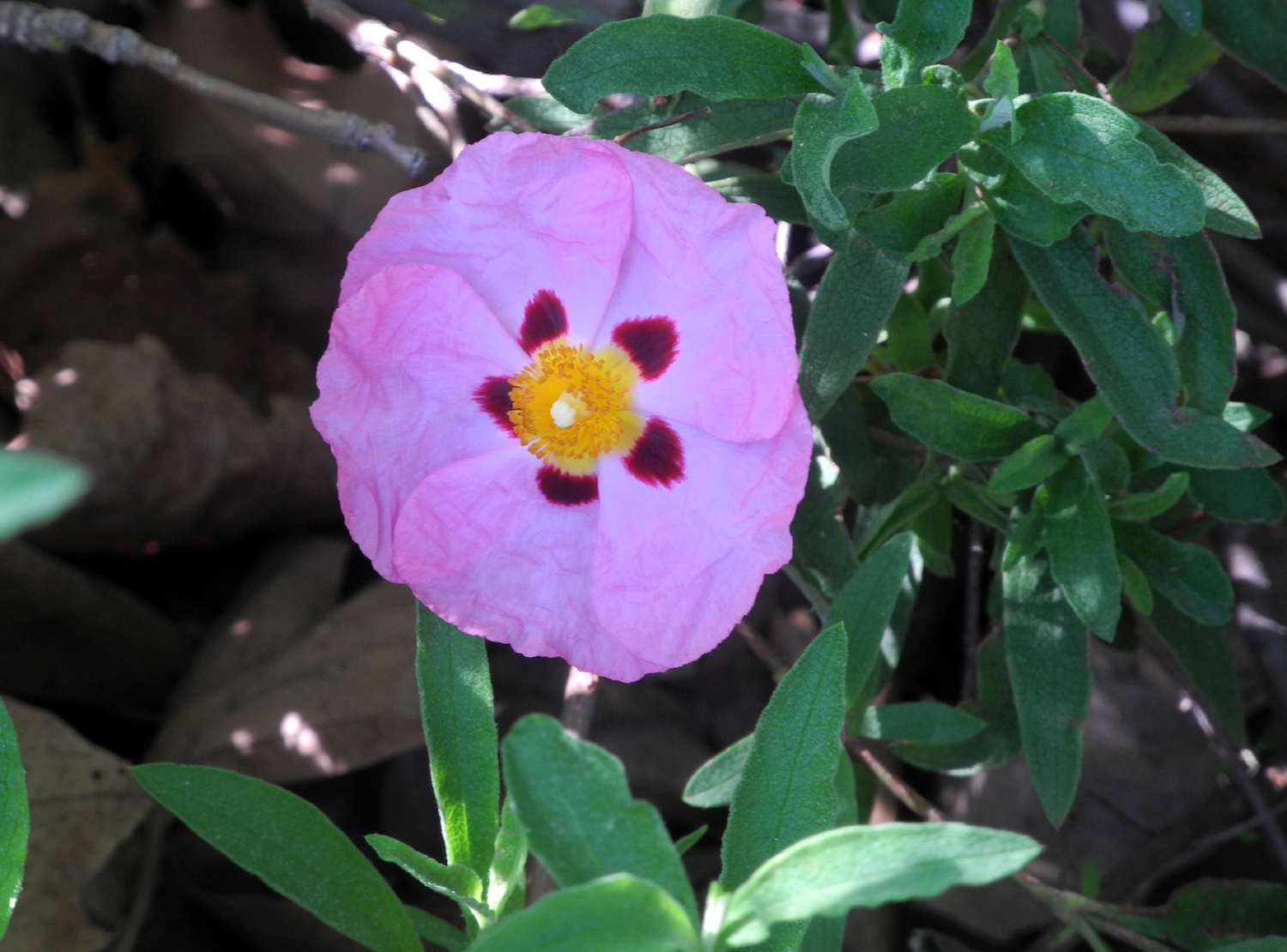
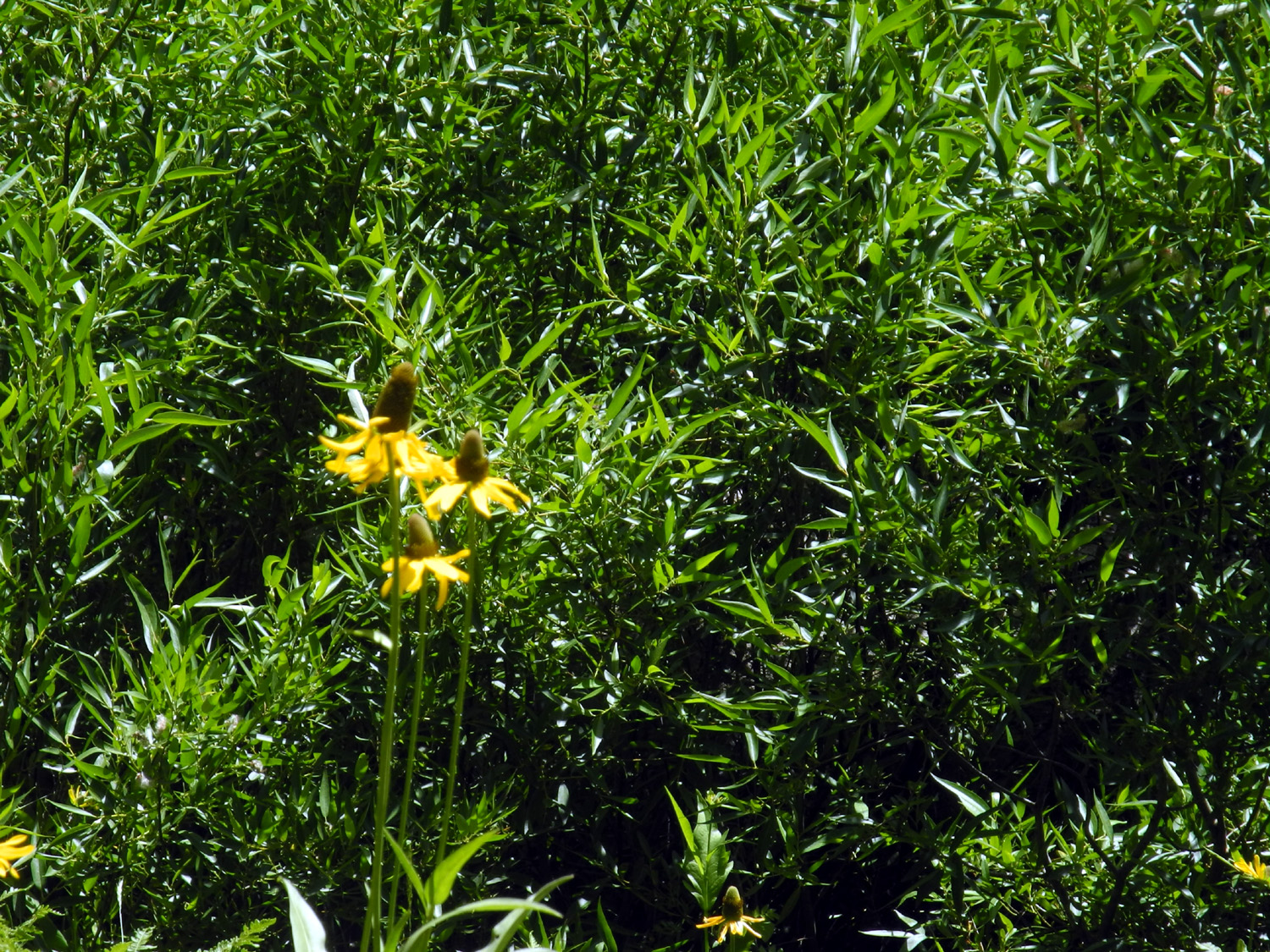
Dick: Along the trail and in the town park we saw a beautiful flower, which Allen identified as rock rose - not wildflowers, but still providing an added scenic bonus as we walked. From the park, the trail led us down into the channel of China Creek for about a quarter mile. We came to a short uphill section and found ourselves in town again, on Road 425. We walked west a short distance to a traffic signal where we could cross safely, then on a sidewalk in front of a small office building. Soon we were back in nature, this time walking along the bank of the Fresno River. We found a place where a senior citizen who's almost 70 could pose safely for a "Wes on the rock" picture. |
|
 |
 |
| Rock roses were planted in a number of places by the trail and road | Wes on the rock in the river |
|
|
|
|
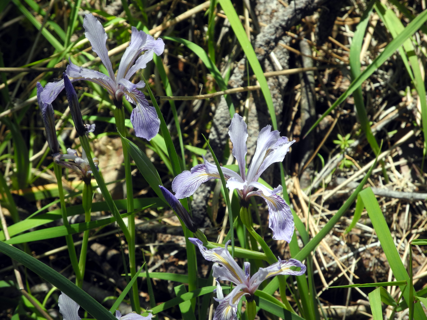
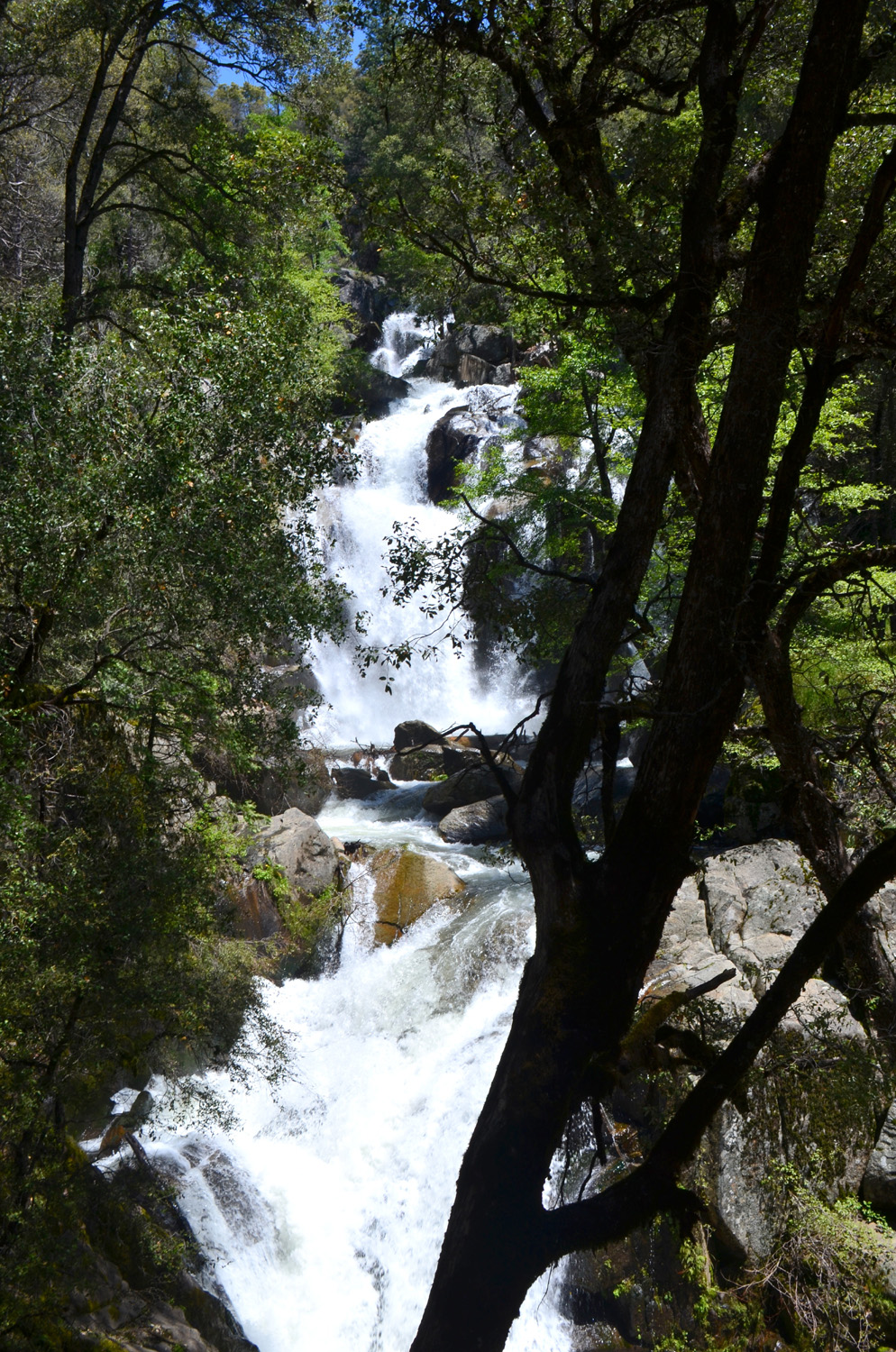
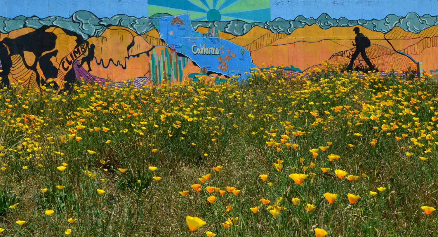
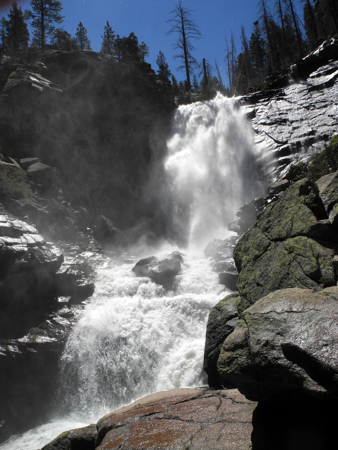
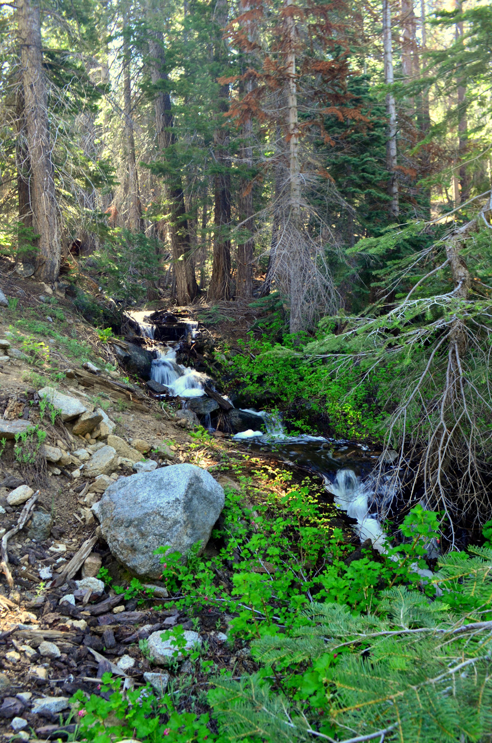
Wes: We saw a field of poppies which may have been planted years ago but appeared to be growing at random. They offered an interesting foreground to one of the town murals. Retracing our steps, we finished the river walk well before noon. Bev left for home to prepare for company while the rest of us drove up Highway 41 about five miles for our second hike of the day along the Lewis Creek Trail. We wanted to see Corlieu Falls at its peak flow, and we were not disappointed. The water roared as it raced through large boulders and down a 150 foot drop, offering lots of interesting sights and sounds. Dick: Although Wes and I have hiked this trail a number of times, it was the first visit for Ardyss and Allen, who were delighted with this little-known dramatic waterfall. Although it's only a bit more than a half mile from the trailhead to a viewing platform, it's fairly steep, and rocky in places. The trail descends into the Lewis Creek canyon through a forest of canyon live oaks, ponderosa pine and cedar, plus the usual bushes and plants. Flowers we saw included Indian pinks, elderberry, miner's lettuce, bear clover and wild iris. |
|
 |
 |
| Corlieu Falls | A rush of water at the base of the falls |
|
After enjoying the cool surroundings at the falls, we hiked back to the car, and drove to Oakhurst for a delicious lunch at Pete's Place, where we discussed our next hike. Options include Nelder Grove and Rancheria Falls. Stay tuned! |
|
| Rancheria Falls and Big Creek | |
|
This is a hike the Ramblers have made several times, the first one in 2016. It's fairly short and easy, but the reward is one of the more spectacular waterfalls outside of our national parks. We left my house at 7:30 on June 19 and drove the 60 miles to Huntington Lake. At the east end of the lake a dirt road goes in about a mile to the trailhead for the Rancheria Falls Trail. Our group this time included Sue, Wes, Allen and Dick. It was cool and comfortable when we got on the trail, although we did encounter some obstacles - at least five logs that had fallen across the trail. The route had just opened, so we understood why there had not been time for the logs to be cleared. |
|
 |
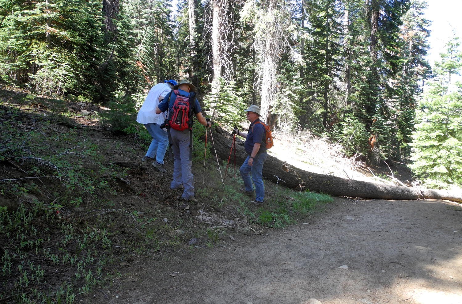 |
| The Ramblers: Dick Estel, Sue Wirt, Allen Ward, Wes Thiessen | Getting around the first fallen tree |
|
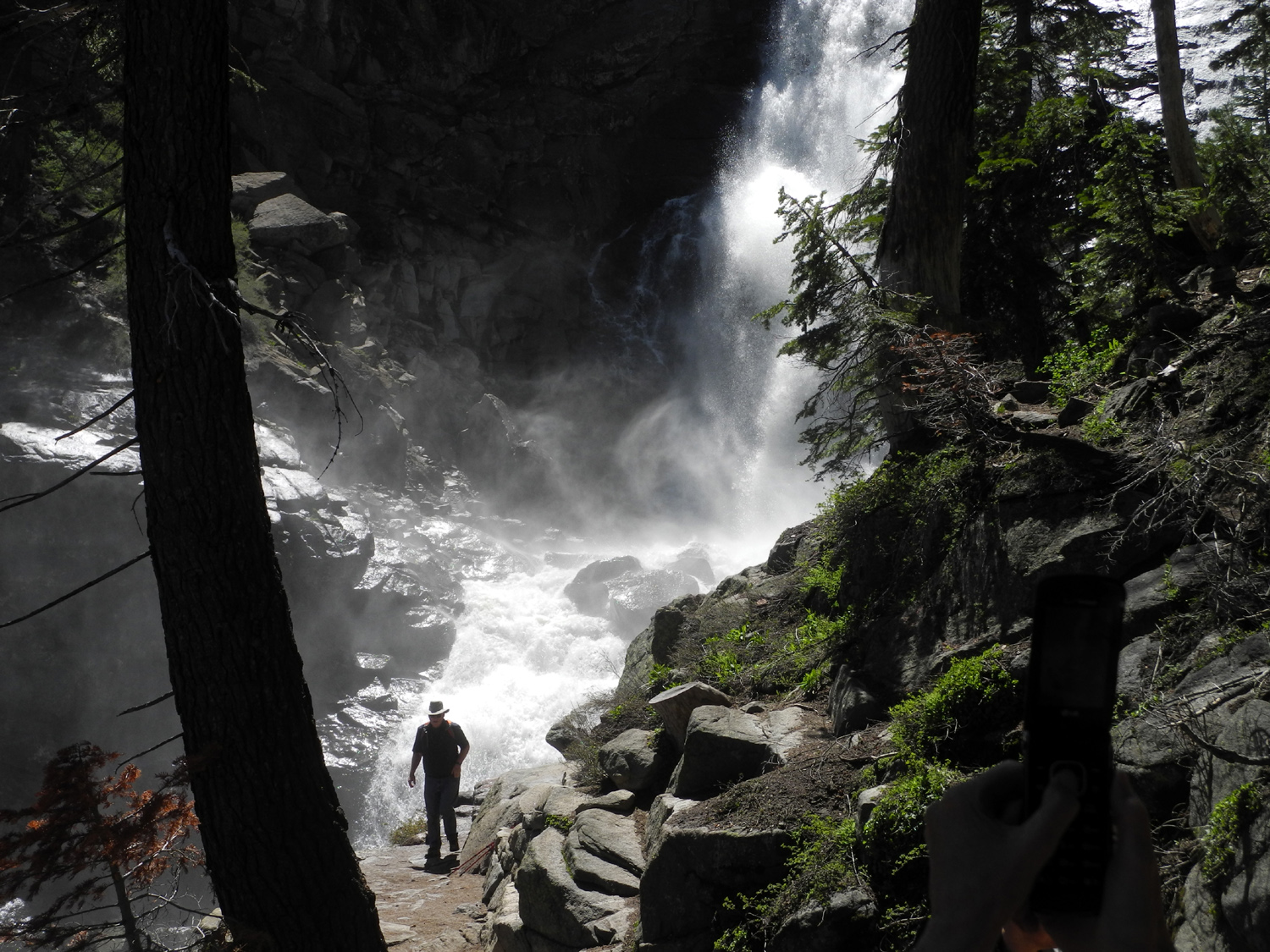
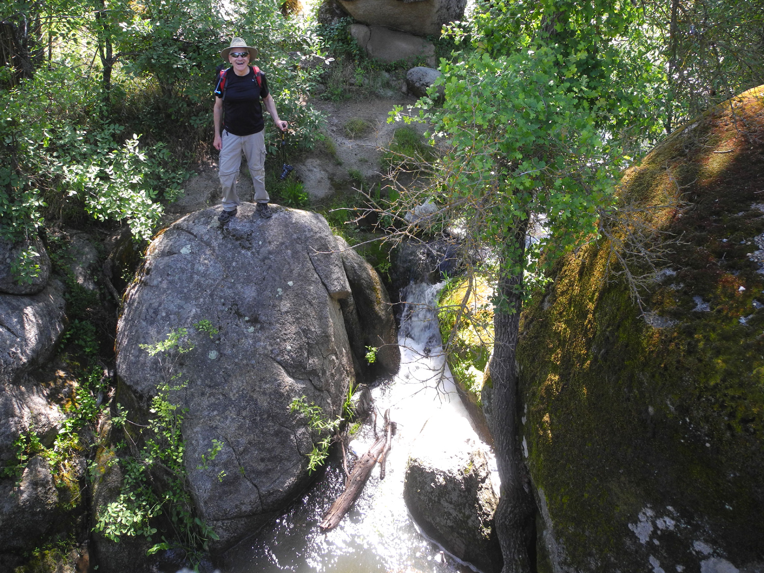
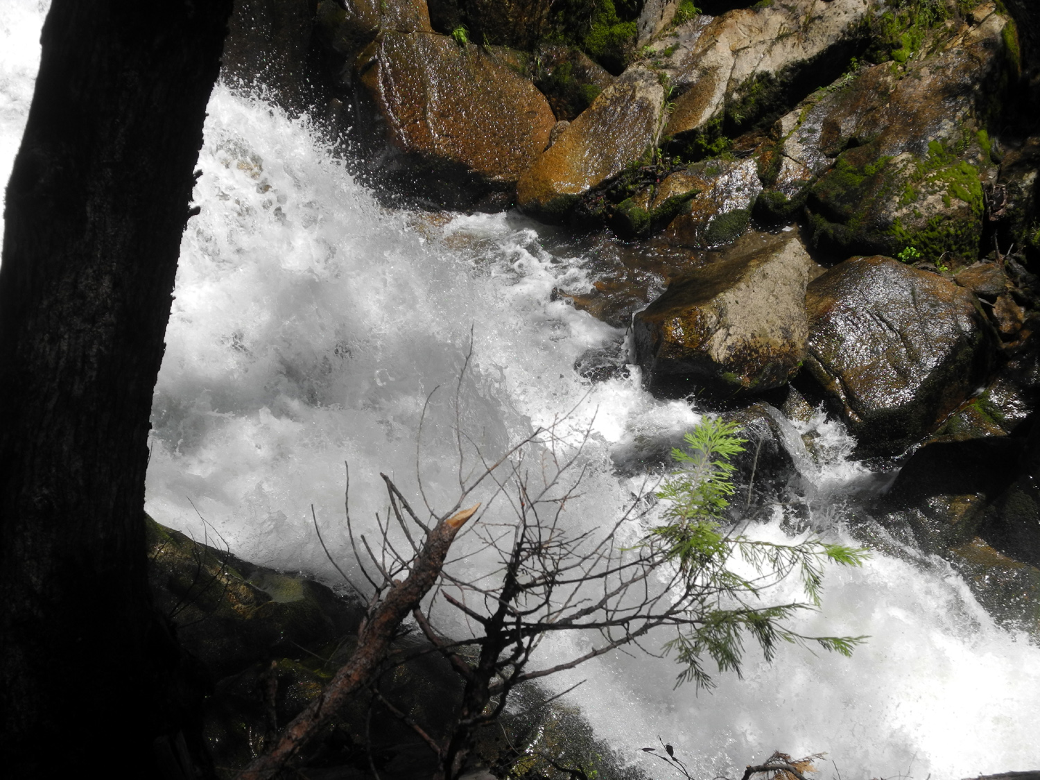
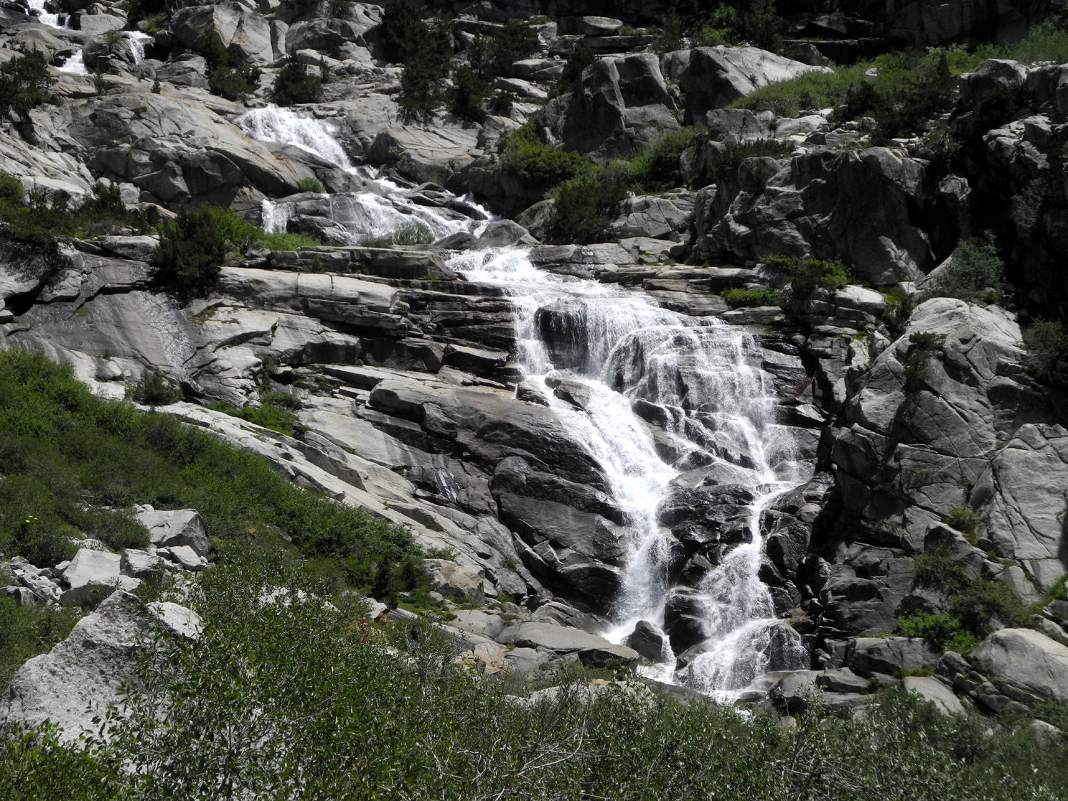
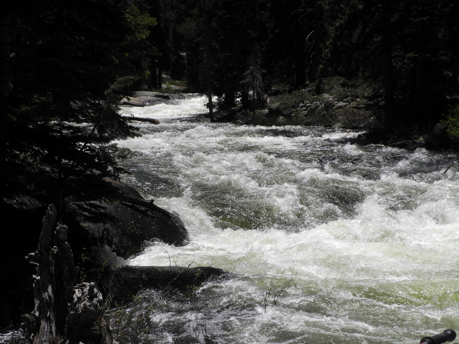
We managed to climb over or go around all the logs, and reached our goal, where we saw that the falls was running as full as we had ever seen it. It was the first visit for Sue and Allen, but Wes and I have been there with or without other members of the Ramblers a number of times. Following his usual habit, Wes went down a steep, narrow unofficial trail to a good vista point. Although there is a clear view of the 150 foot drop of the falls from top to bottom at the end of the trail, the spot Wes chose gives a better view of the cascades below the main drop. |
|
 |
 |
| Wes finds the perfect viewing spot | Rancheria Falls and the cascades below |
|
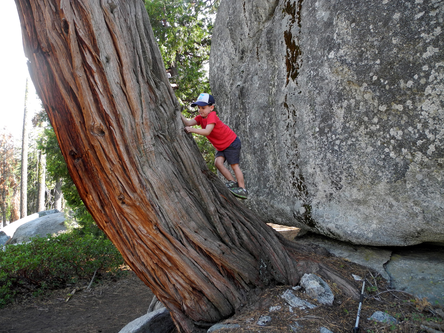
We enjoyed the view and the dramatic sound of rushing water, getting well dampened with mist in the process. As we took a final look at Rancheria Falls, I could not help thinking how much my great grandson Colton would like it, having become a big fan of waterfalls after his first visit to Yosemite at age three. |
|
 |
 |
| Rancheria Falls | The big cascade below the main falls |
|
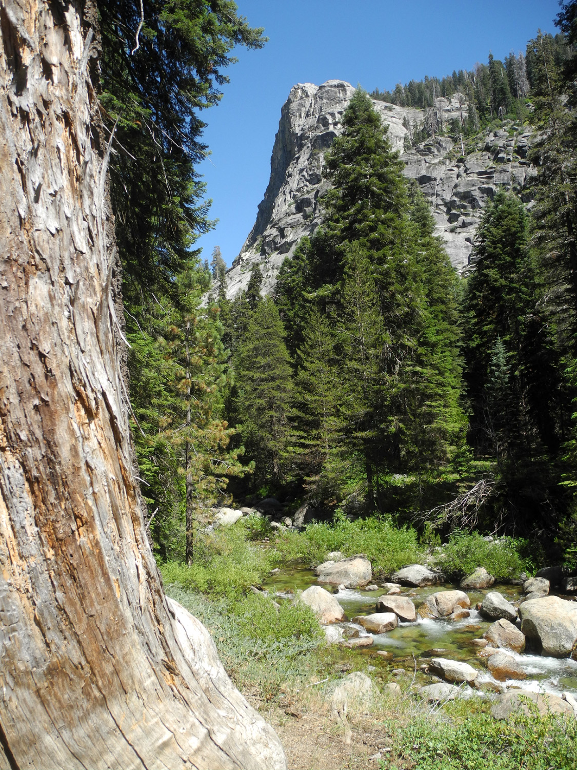
It was not even noon when we got back to the car. Since our hike had been fairly short and easy, we decided to go to the Big Creek Trail, which starts behind the China Peak Ski Lodge, about a mile from the Rancheria road. We have made this hike before, although we never go very far - less than half a mile round trip in this case. This creek is even bigger than Rancheria, and at this season is mostly white water crashing and cascading over rocks and boulders. |
|
 |
 |
| Wes gets too close to Big Creek | Lots of white water |
|
After
we finished our second hike, we made a lunch stop at Shaver Lake,
where we ate at the Pub and
Grub, an excellent restaurant we had discovered by accident on a
previous Ramblers hike. We missed those members of our group who
were not able to join us on this special hike, but hopefully they
will be back on the trail in July. --Dick Estel, July 2019 |
|
|
Buena Vista Peak
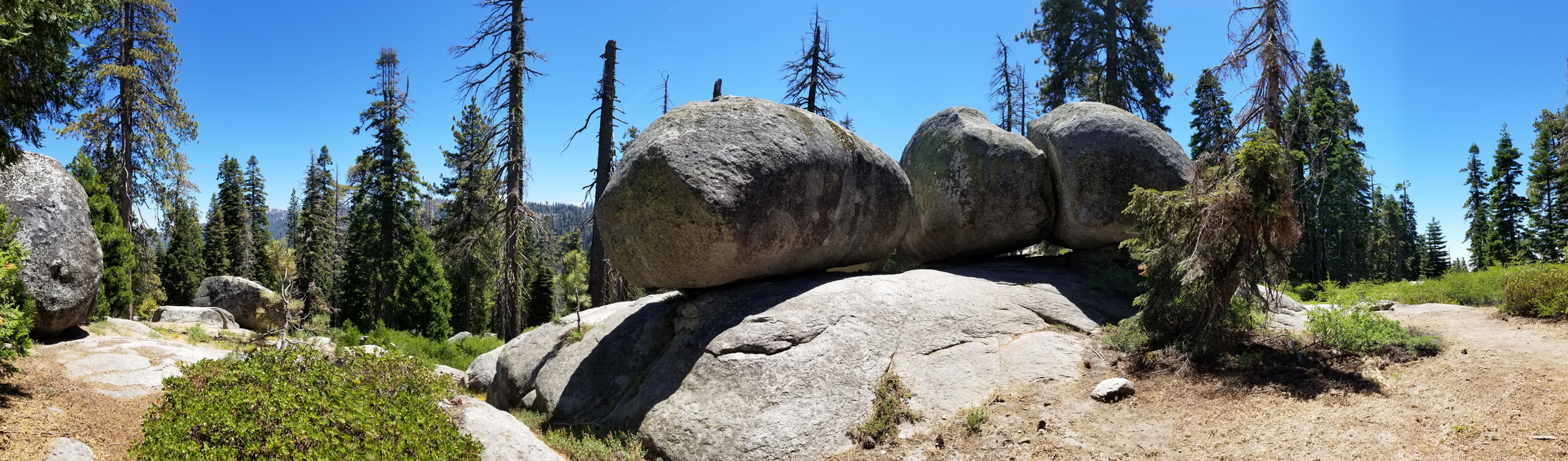
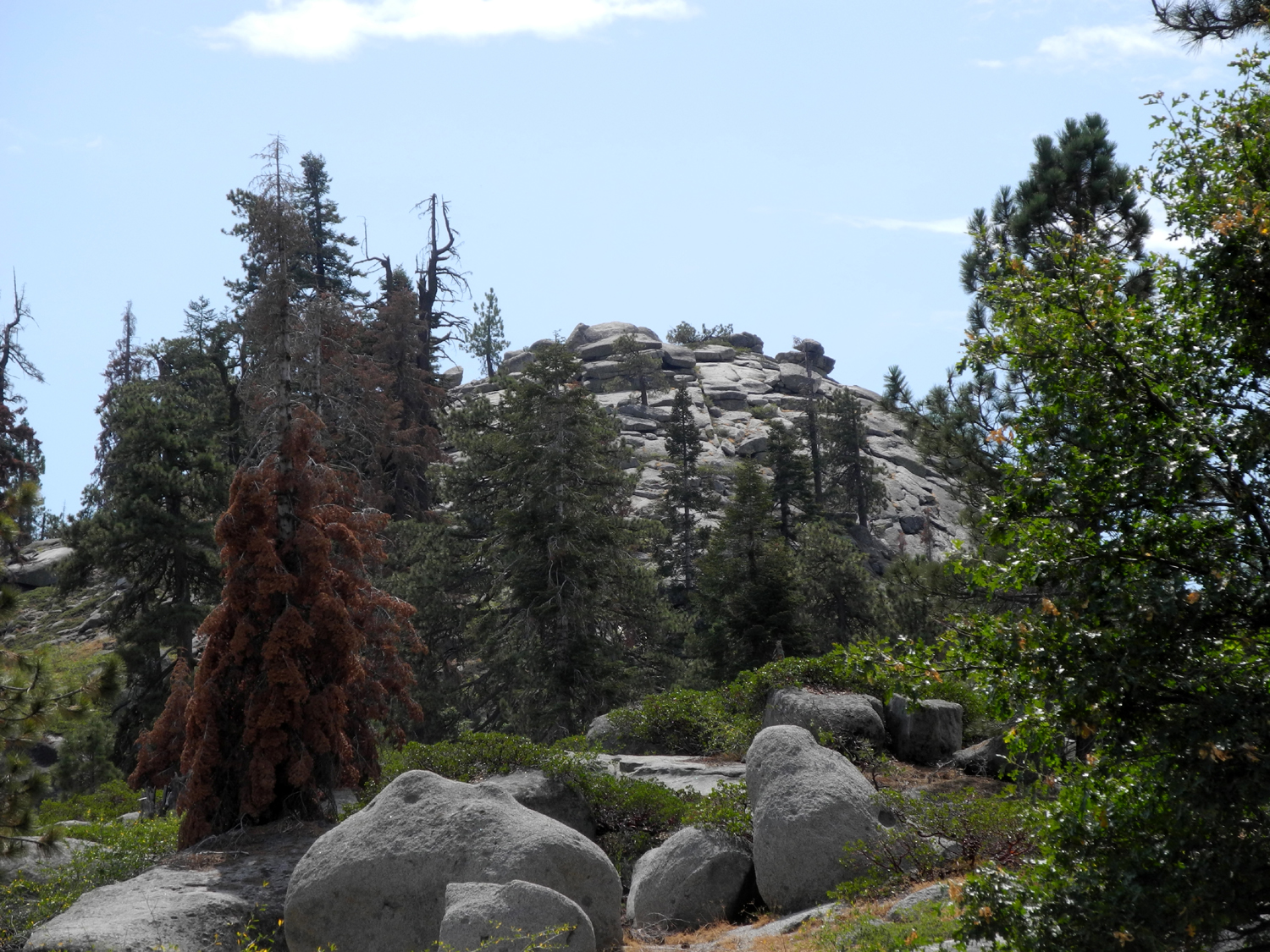
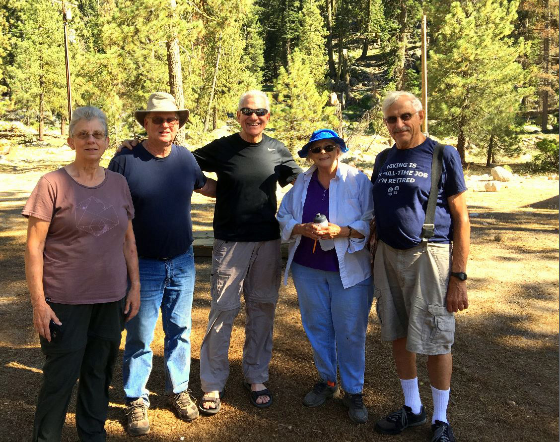
Here's another place the Ramblers have visited several times, as have individual members on non-Rambler hikes. Buena Vista Peak is a 7,600 foot high dome in Kings Canyon National Park, a short distance from the northern end of the Generals Highway. With a group of nine, we left the valley in three cars on July 19 for the 60 mile drive up Highway 180 and into the Grant Grove section of Kings Canyon. Where the road forks we turned right, a route that eventually leads to Giant Forest in Sequoia National Park. A left turn takes you to Grant Grove and eventually to Hume Lake (outside the park) and the Cedar Grove section of Kings Canyon. Present for this journey were Elsa, Ardyss, Pati, Berdie, Sue, Allen, Don, Wes and Dick. We've done over 60 Rambler hikes, and never lost a hiker - until this time. Soon after we turned on to the Generals Highway, we pulled off for a short stop at a vista point. When we continued on, Wes was leading, with Berdie following in her burgundy 2014 Honda CR-V, and me behind in MY burgundy 2014 Honda CR-V. Wes pulled off into the parking area, which is just a wide dirt spot beside the road. He thought I was behind him, and that Berdie would see as I turned off. Instead I approached the trailhead, only to see Berdie and Pati drive merrily past. The rest of us got ready to hike, speculating on how far they would go (all the way to Visalia was one possibility), but assuming they would soon realize there was no familiar car in front or back. Don was not going to do the entire hike, so he set up his chair in the parking area to watch for their return, while the rest of us set off up the trail. As it turned out, they figured out pretty soon that they had missed the turn, but had to wait at a construction zone for 30 minutes before they could turn around. Fortunately, both are strong hikers, and once they started up the trail, with Don joining them the first quarter mile, they caught up with us as we rested for the final approach to the peak. |
|
|
|
| Allen and Sue heading up the trail | Wes approaches the final stretch with the no longer lost hikers, Pati and Berdie |
|
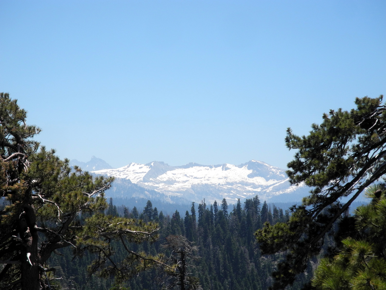
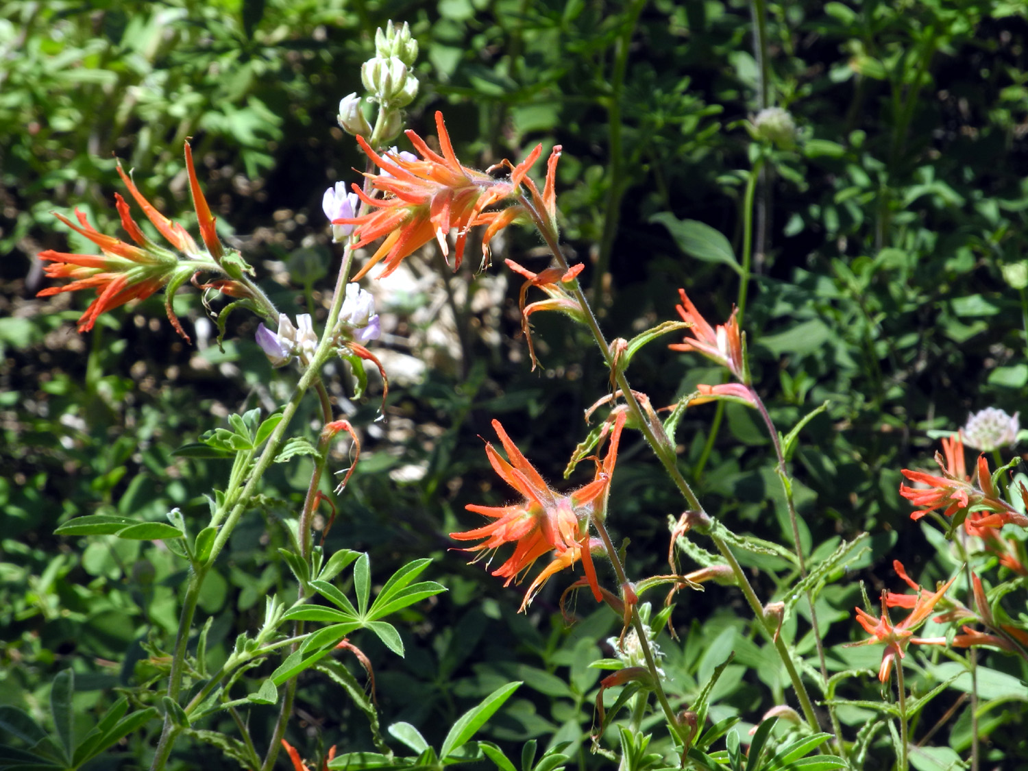
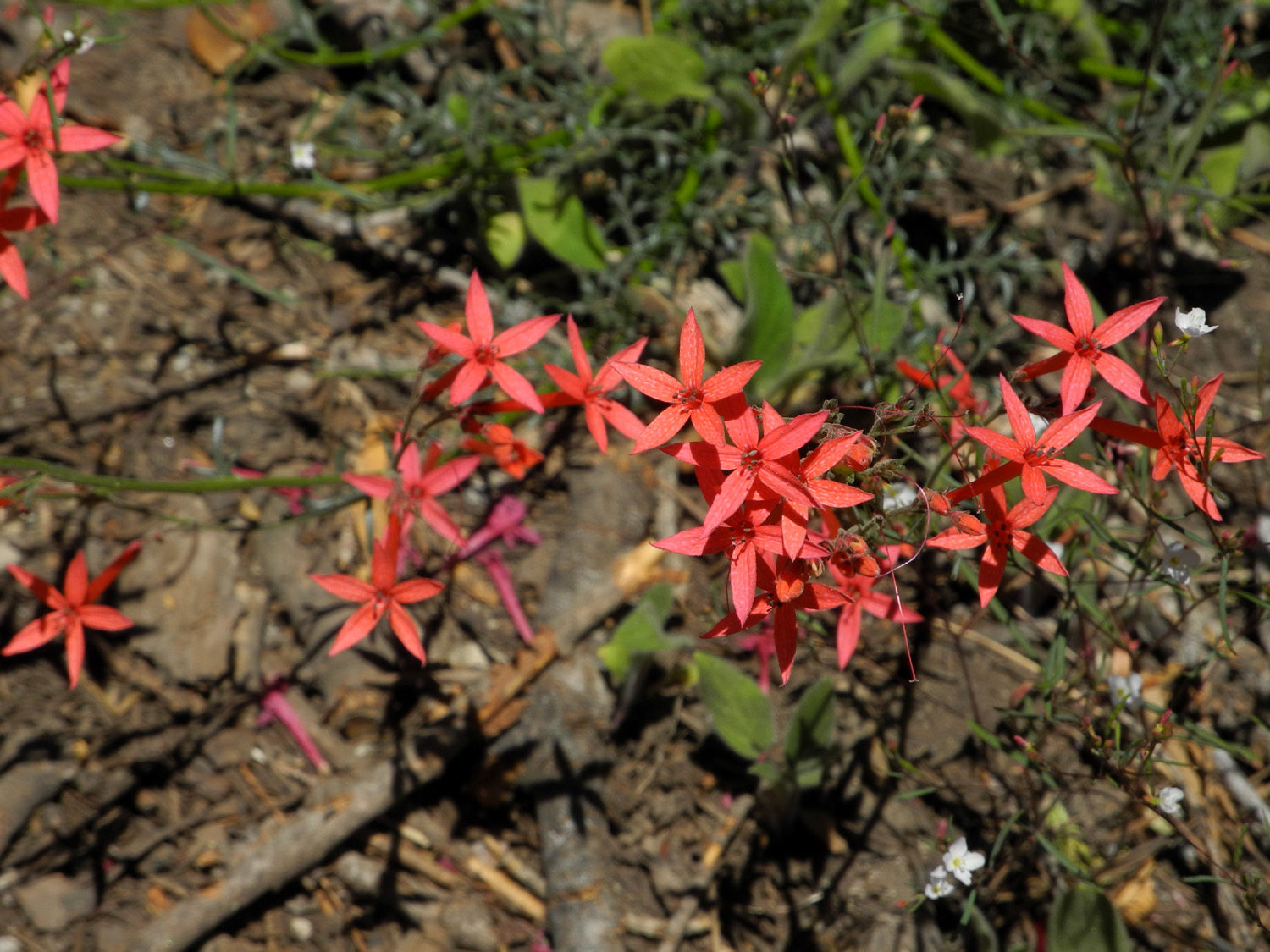
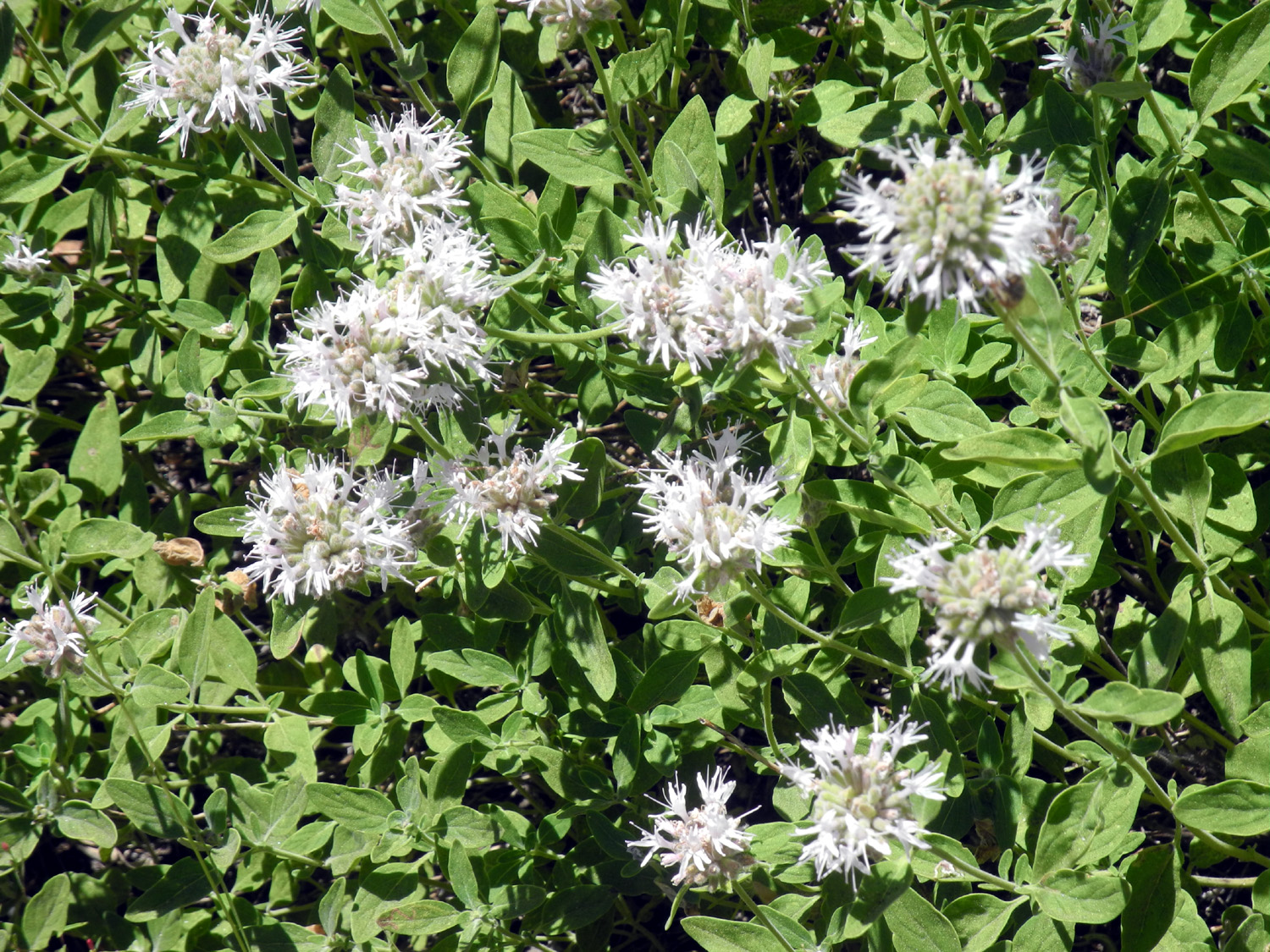
The rest of our hike was normal: Breathtaking views of the back country of Kings Canyon and Sequoia Parks, with snow still visible on the highest peaks; beautiful evergreens, particularly a giant sugar pine near the trail, and a lot of flowers, dominated by penstemon of various colors and wavy leaf Indian paint brush. We were especially intrigued by a red, star-shaped flower that I don't recall ever seeing before. |
|
|

|
| Snow-covered mountains in Sequoia National Park | Ardyss contemplates this magnificent sugar pine |
|
|
| Wavy leaf Indian paint brush decorated the trail in many places | Can anyone identify this delightful flower? |
|
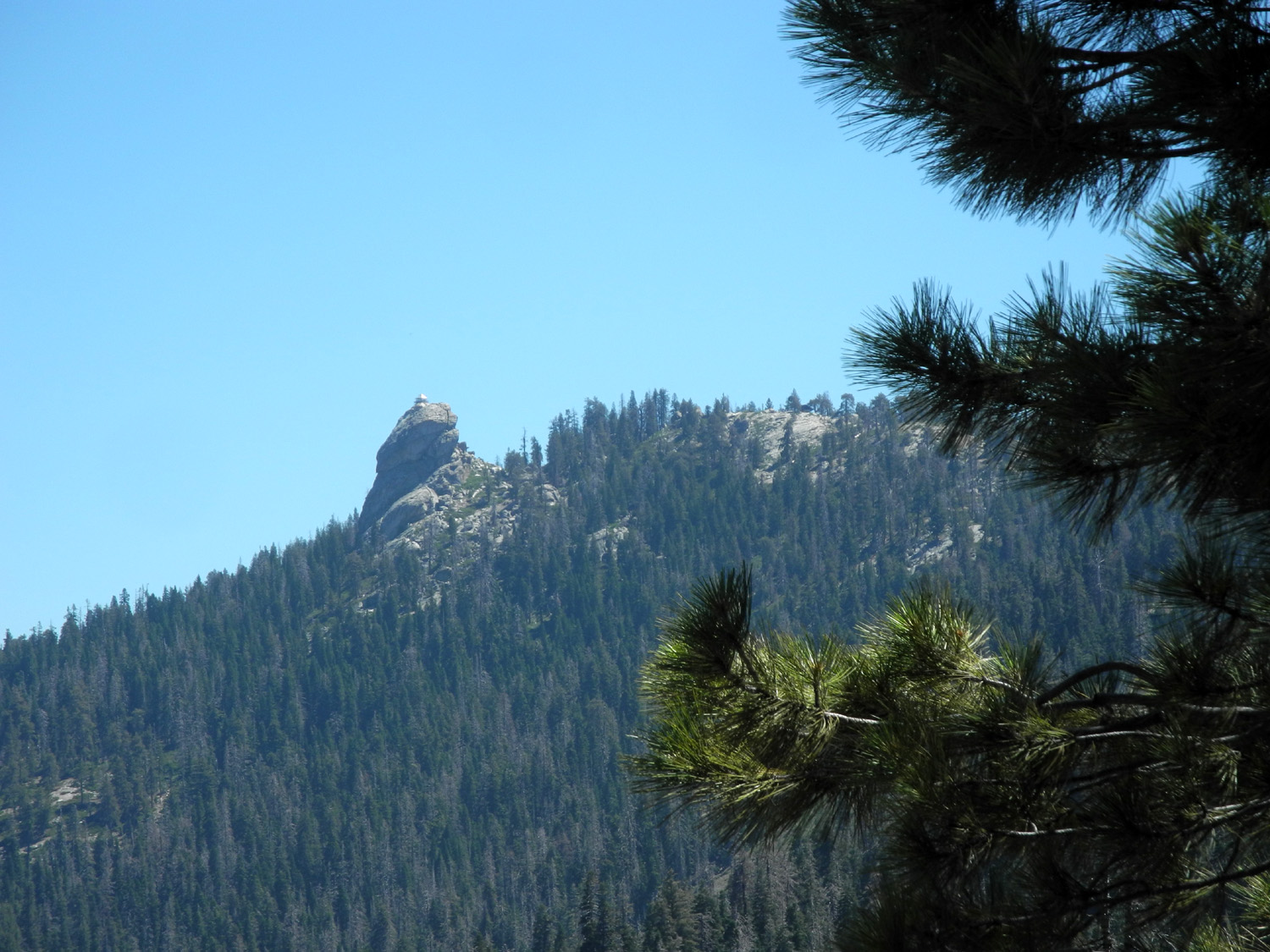
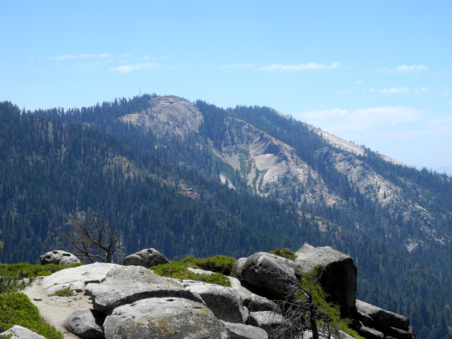
At the summit we captured a couple of variations of the mandatory Wes on the Rock pose. We had views from there and many places on the trail of Buck Rock, a granite thimble with a fire lookout on top. It felt good to sit in the cool breeze of the mountain top. |
|
|

|
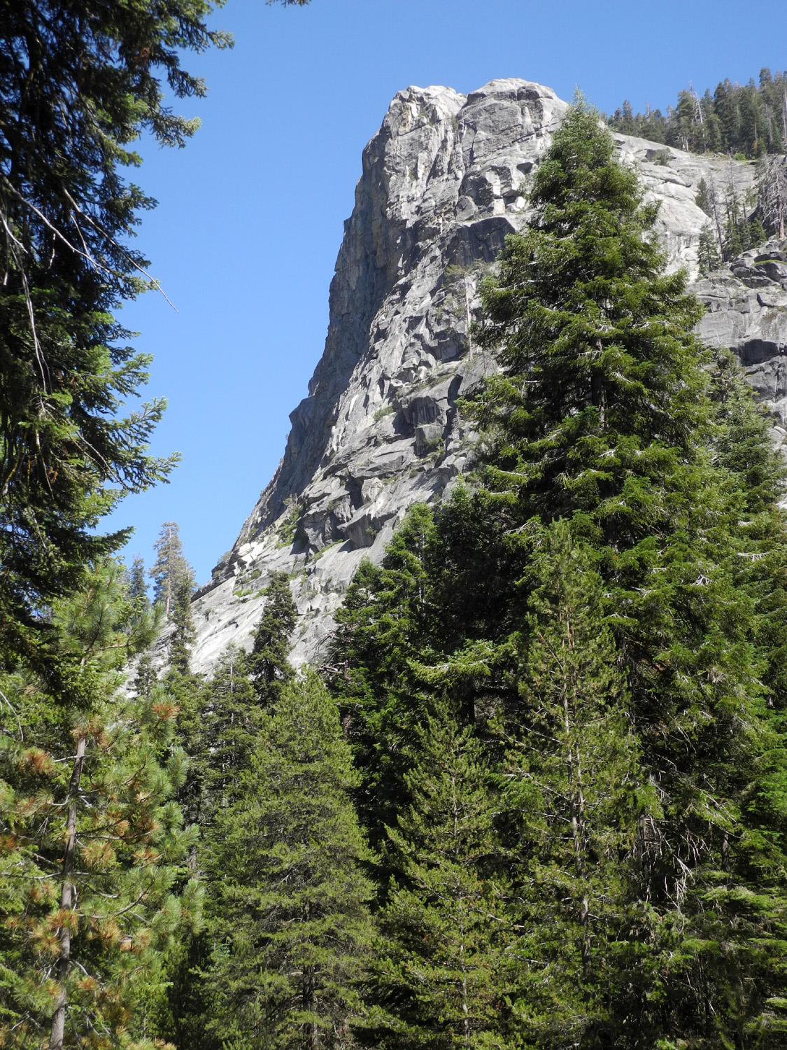
| Buck Rock with fire lookout perched on top | Sue and Elsa and the endless vista from the top |
|
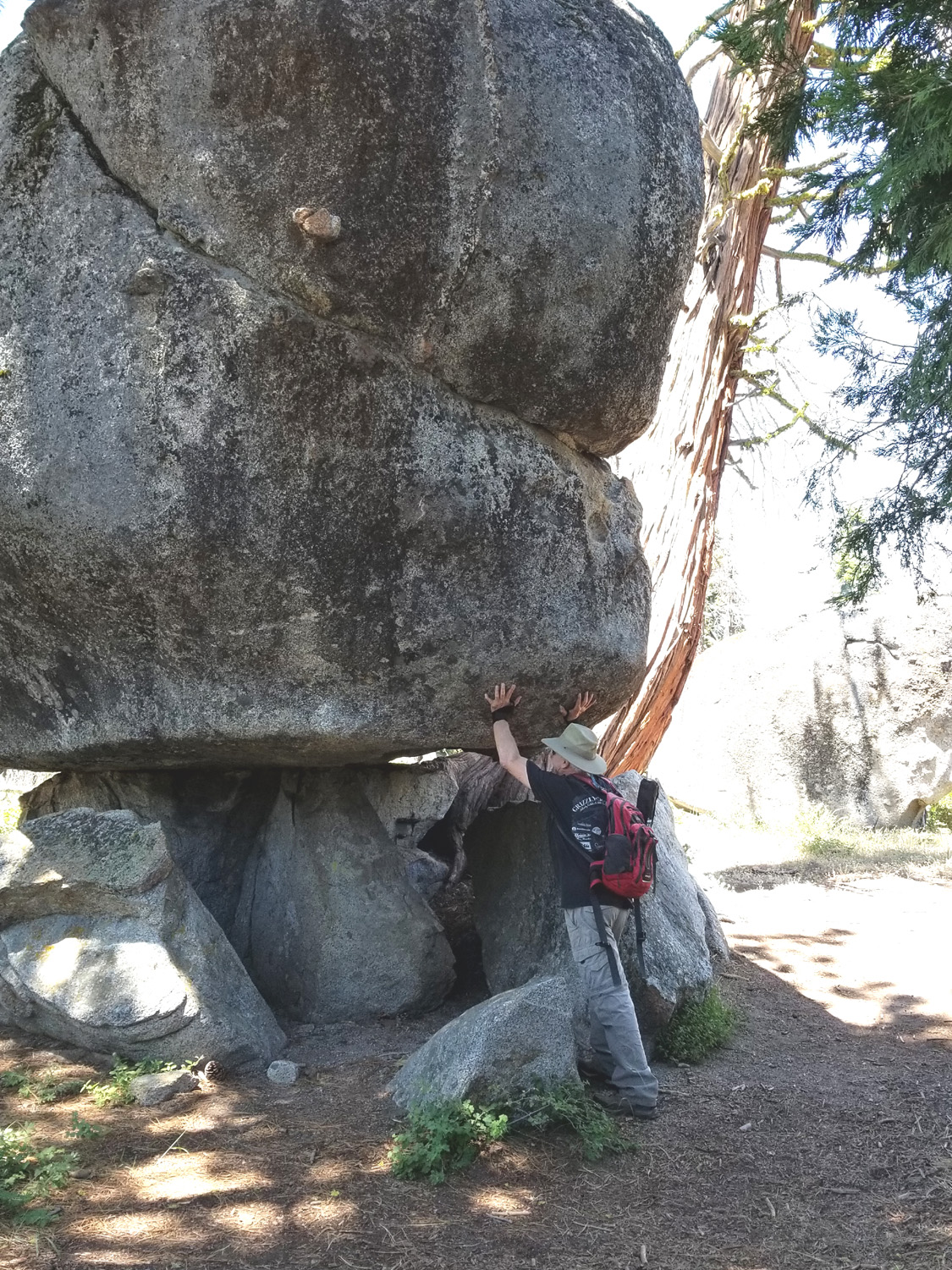
On the way down we found Don relaxing in an area of huge granite boulders, where a cedar tree grows out of the rocks at an angle, then sweeps upward as nature intended. |
|
|
|
| Don captured this dramatic rock formation | |
|
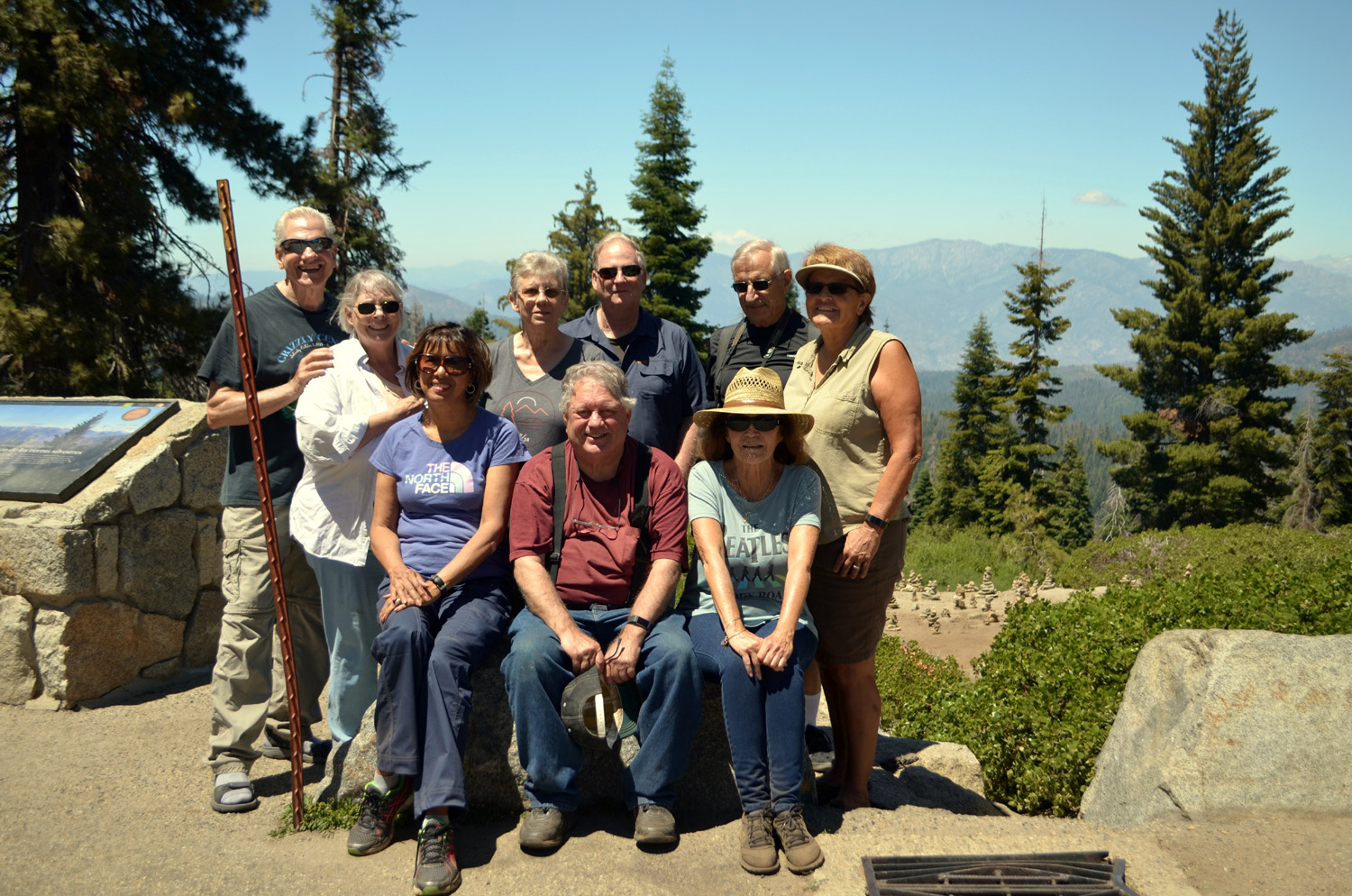
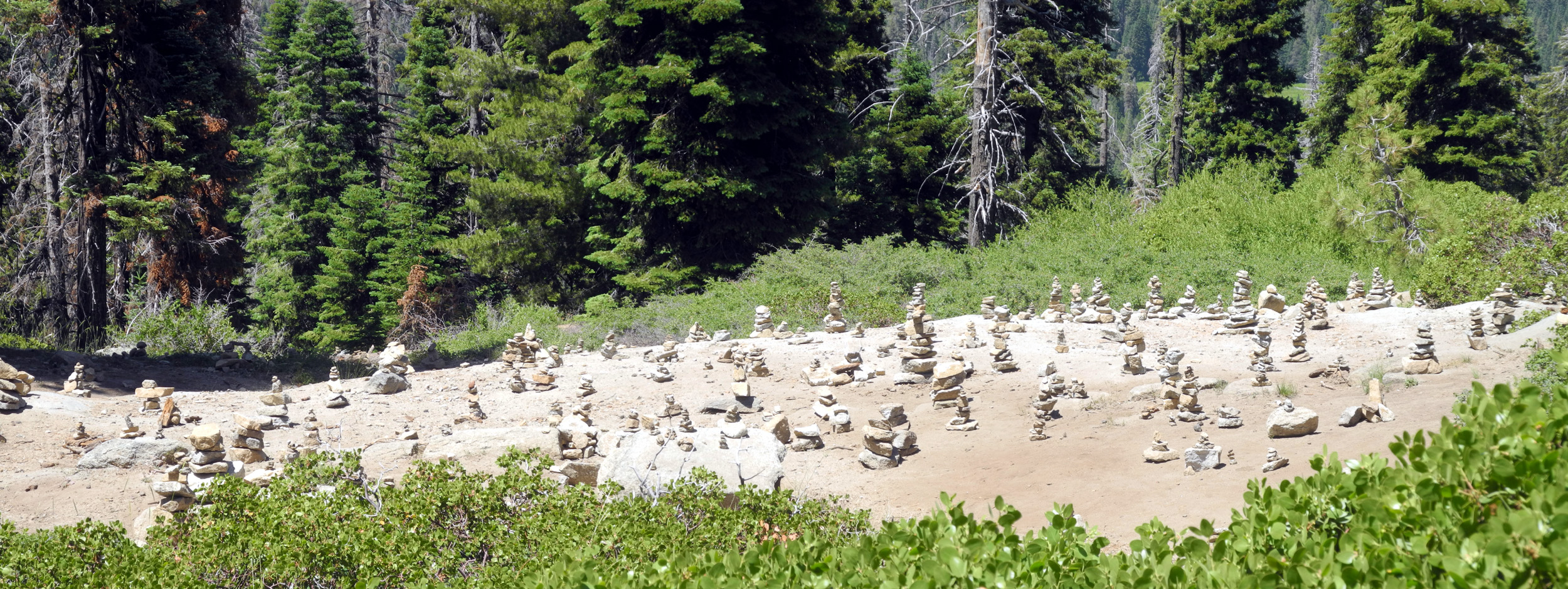
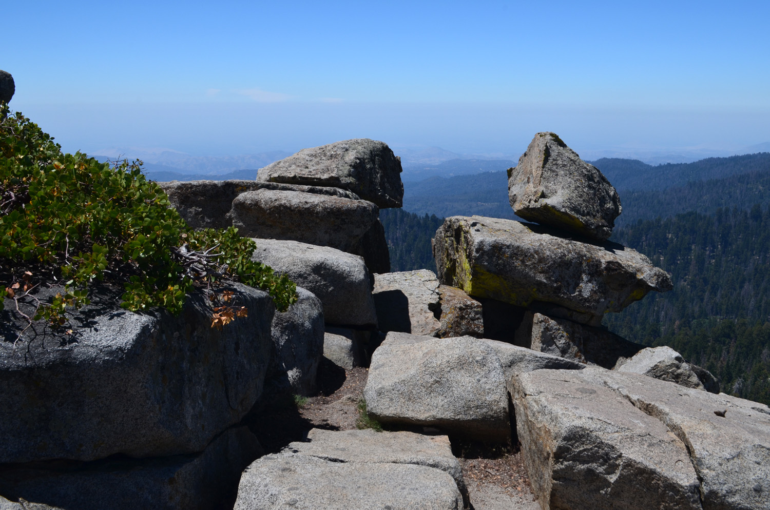
At this location we also saw something new, the rock on Wes. Despite the slight mix-up, everyone had a great time, and those who were visiting the peak for the first time enjoyed discovering this new destination. A short distance from the trailhead is the Kings Canyon Overlook, which offers breathtaking views of Spanish Mountain, rising 7,000 feet above the Kings River Canyon, as well as the high peaks of the park's back country, most notably Mt. Goddard. We stopped here for our group photo, although the view was fairly hazy. This was offset by the sight of dozens of rock cairns that visitors have built just below the lookout. The park service scatters them every so often, but they always come back. |
|
|
|
| What will happen if Wes lets go? | Seated: Elsa, Don, Pati; standing: Wes, Sue, Ardyss, Allen, Dick, Berdie |
|
|
| The park service scatters these cairns and tourists just rebuild them | |
|
We
finished our day with an excellent lunch at the
restaurant in Grant Grove Village, and made our plans for another
hike in the same general area for August. --Dick Estel, July 2019 |
|
|
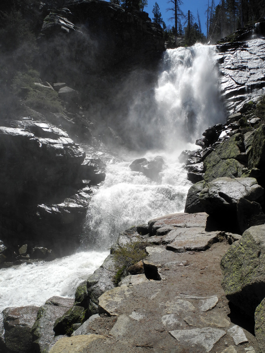
Tokopah Falls
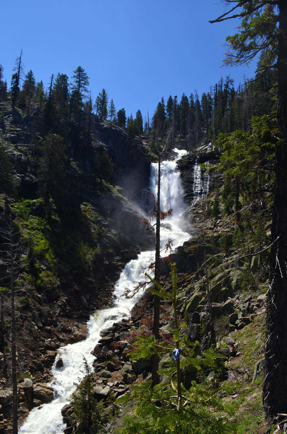
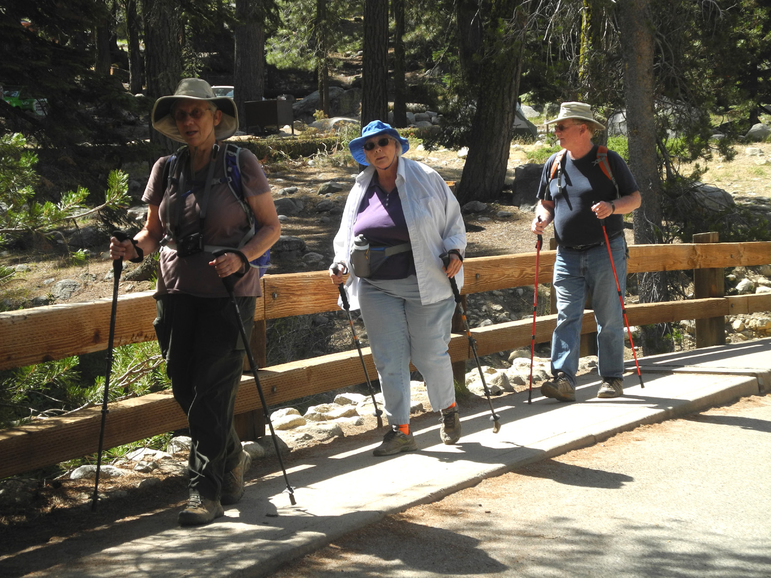
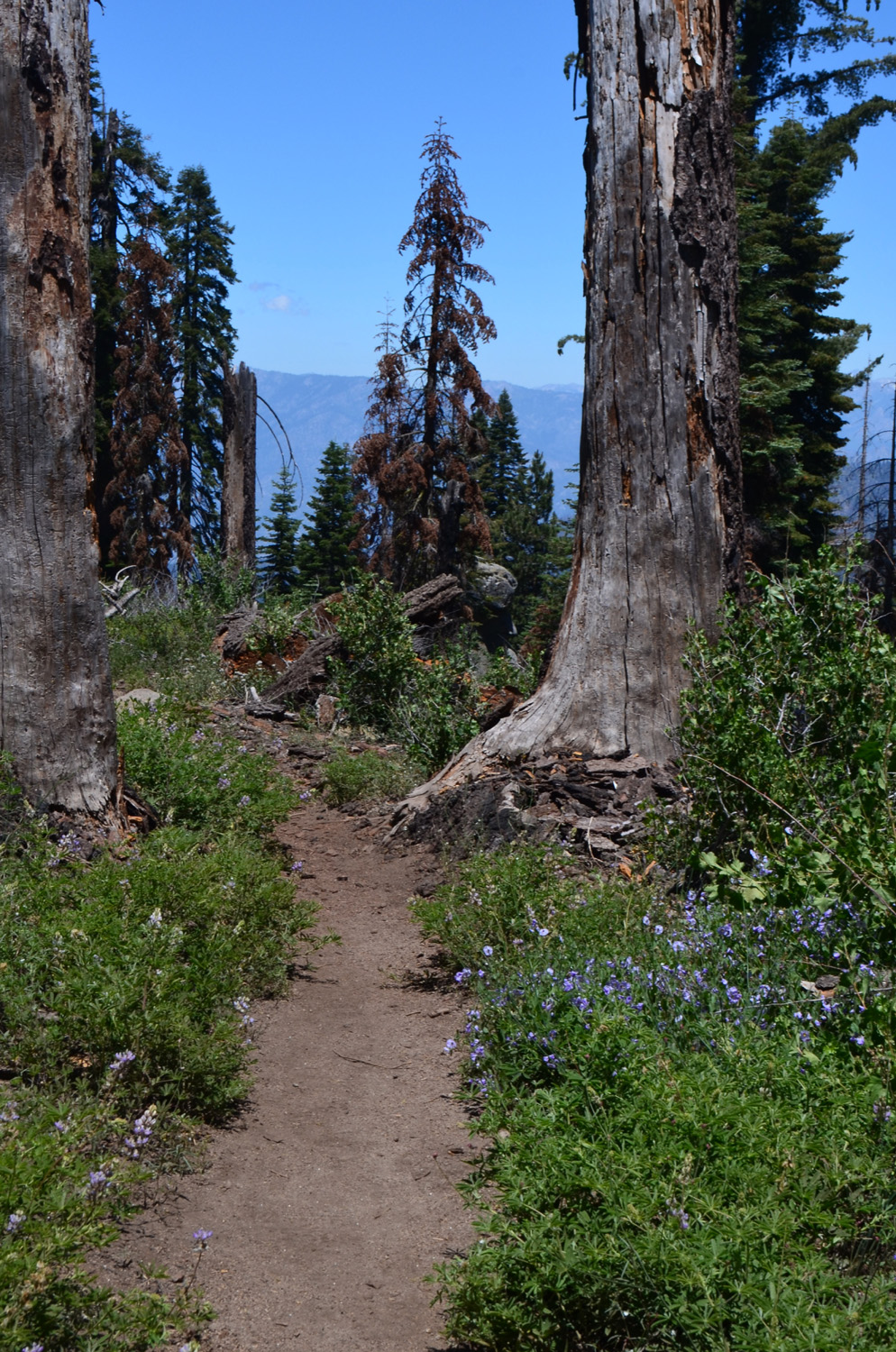
For our August 5 hike, the Ramblers picked a very challenging outing. The trail to Tokopah Falls starts at Lodgepole Campground in Sequoia National Park, and is 1.7 miles each way, according to the sign. Like most such distances, this is a rough guess, and the walking app on my phone reported a total hike of 4.3 miles. The trail rises several hundred feet in elevation, which is not a lot. However, much of that rise is via stone steps as much as a foot high. These require a lot of care and effort for older hiker, especially going down hill. |
|
|

|
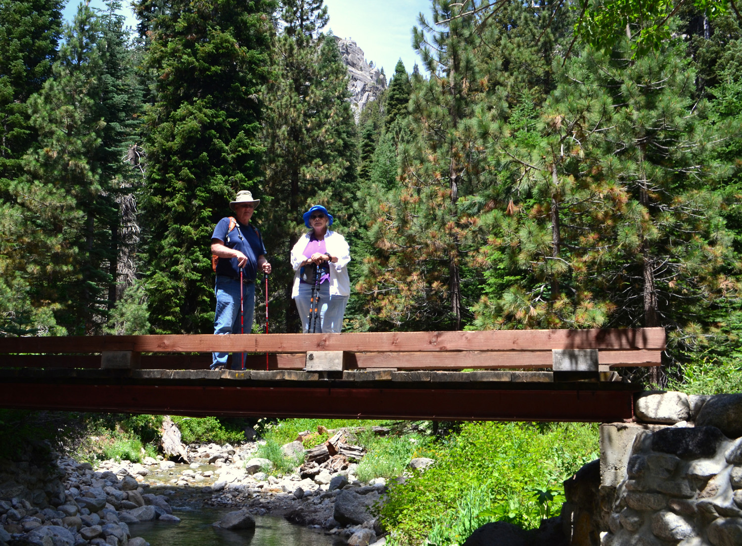
| Ardyss, Sue and Allen cross the bridge over the Kaweah at the start of the trail | Dick at the top of some rocky steps |
|
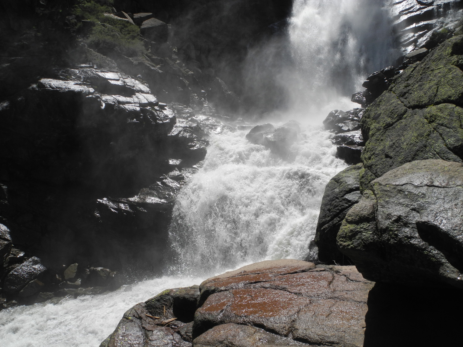
Discussing this hike over lunch on our Buena Vista Hike, Wes suggested that it was a bit longer than we are used to. Sue proclaimed that it was not that difficult, and that we could handle it. When we reached the first place where you can see the entire falls, Sue decided that she had gone far enough. She observed that something had changed in the 30 years since her previous visit. It was a very warm day, despite the 7,000 foot elevation, and Ardyss, Allen and I all stopped short of the final few hundred yards. Only Wes went all the way to the end of the trail, where he met a curious marmot, and had another hiker take his picture with the falls close behind him. |
|

|

|
| Tokopah Falls | We always see marmots on this hike |
|

|
| The lower section of the falls | Wes at the end of the trail |
|
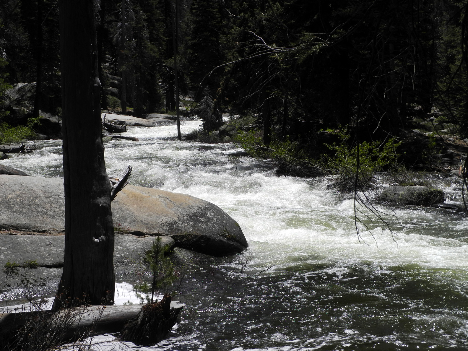
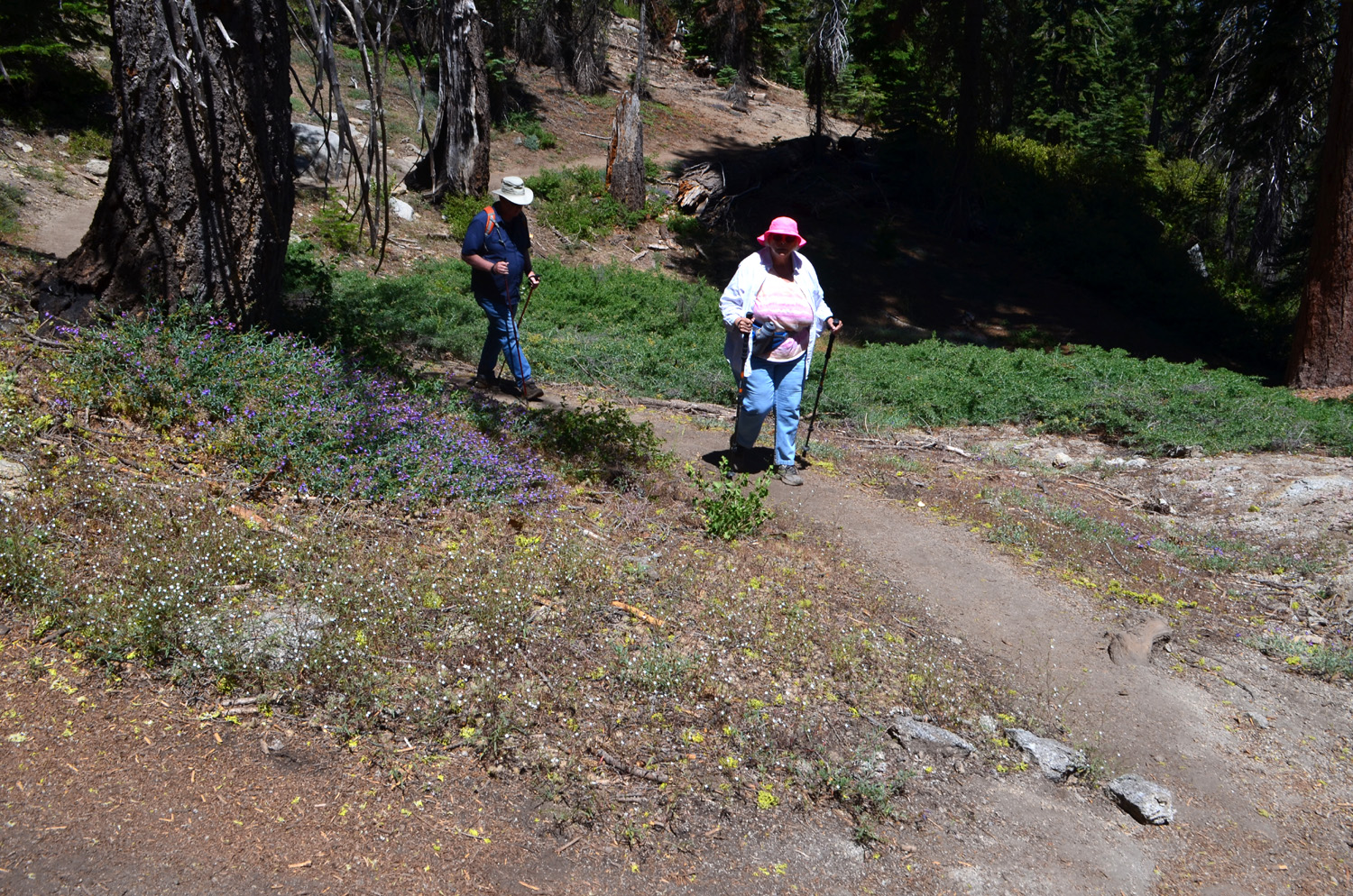
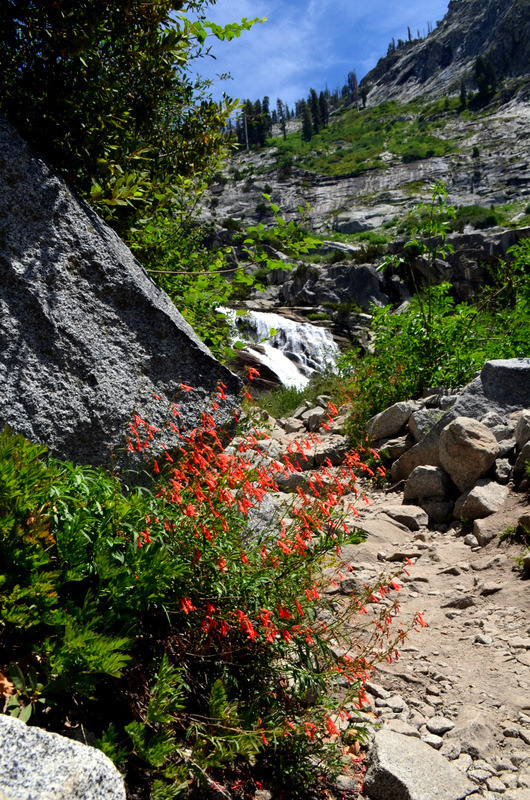
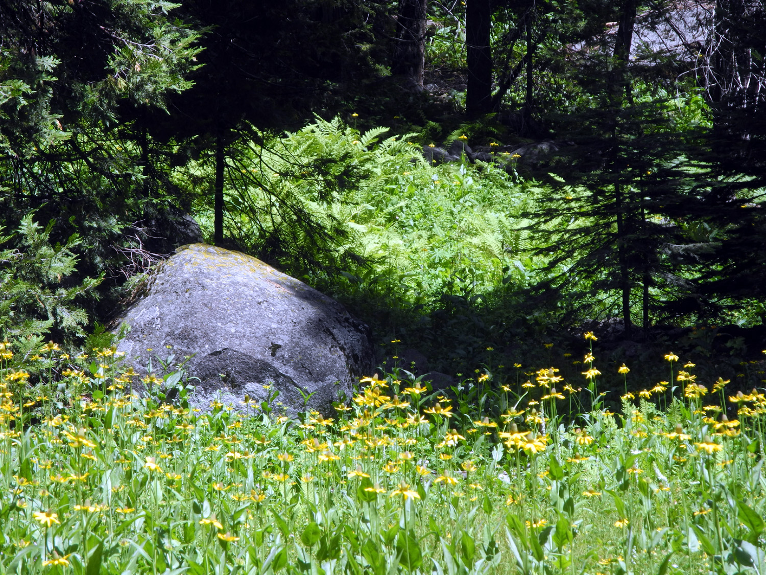
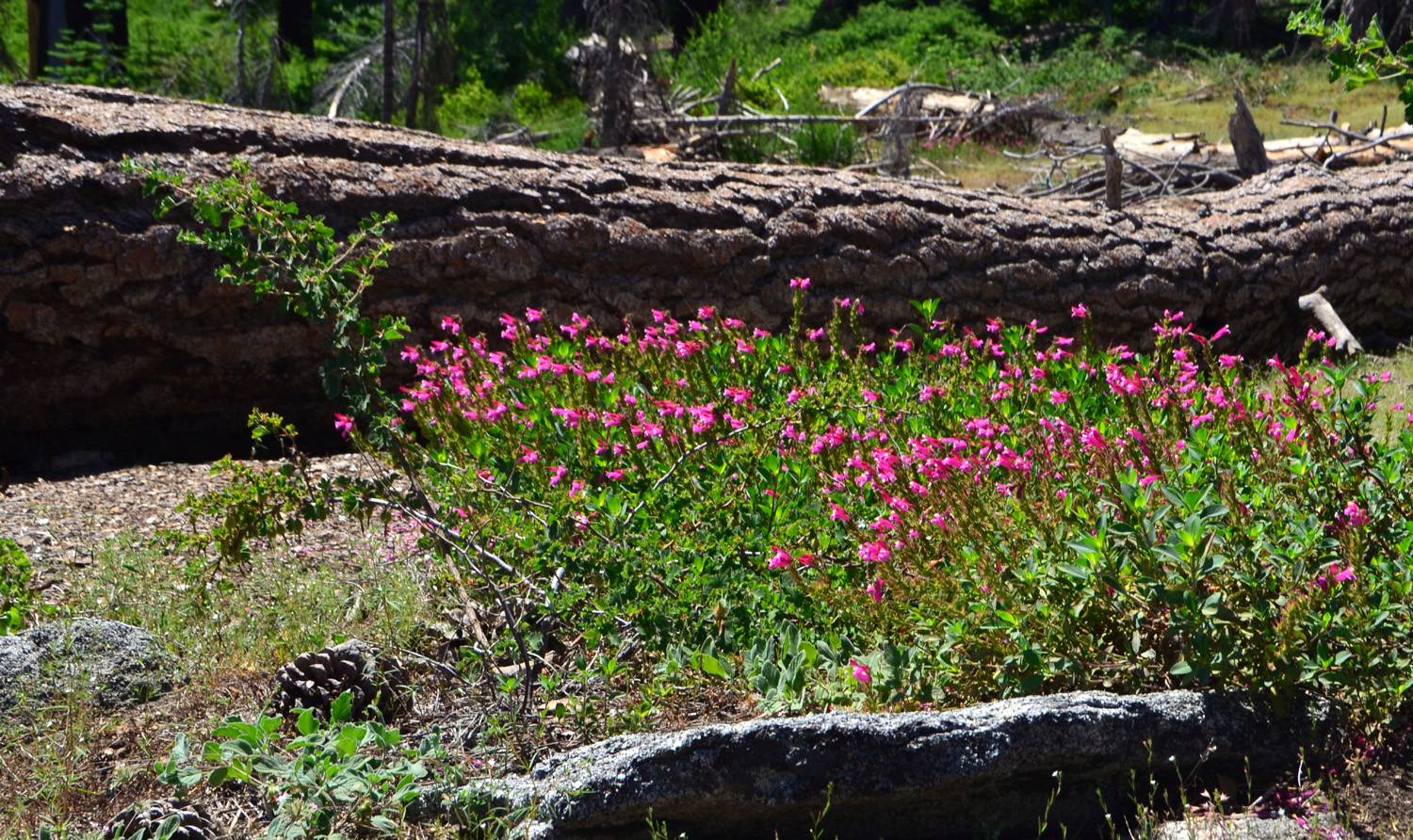
Despite these minor setbacks, we all had a great time. We enjoyed walking among huge pine, fir and cedar trees. It was spring at 7,000 feet, and every damp area was full of flowers. Best of all, the route runs along the Marble Fork of the Kaweah River. The peak runoff period is over, but there was still plenty of water, dropping over cascades of varying height and flowing through pools lined with evergreens. There were people playing in the water in a couple of spots, and at the trailhead, which includes a large campground, there were easily three or four dozen visitors enjoying the cold water. There were also many people on the trail, all of whom seemed to be younger and faster than us. |
|
|
|
| Some nice cascades on the river | These big yellow flowers were thick along the trail |
|
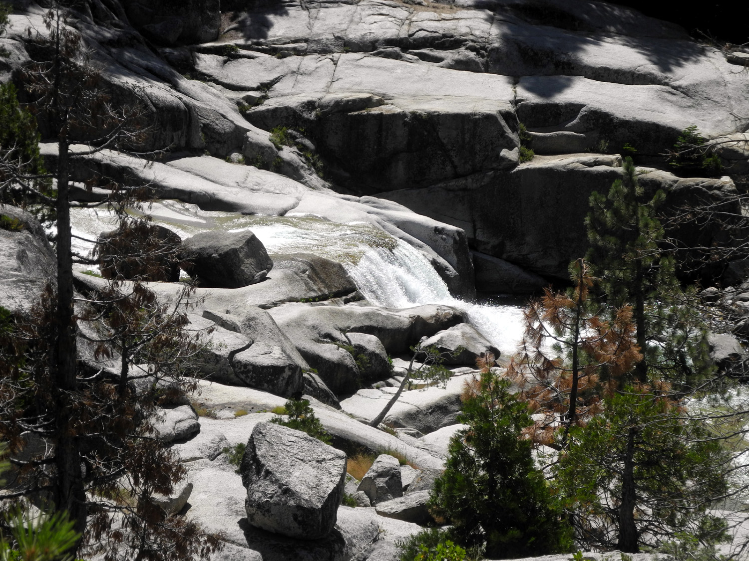
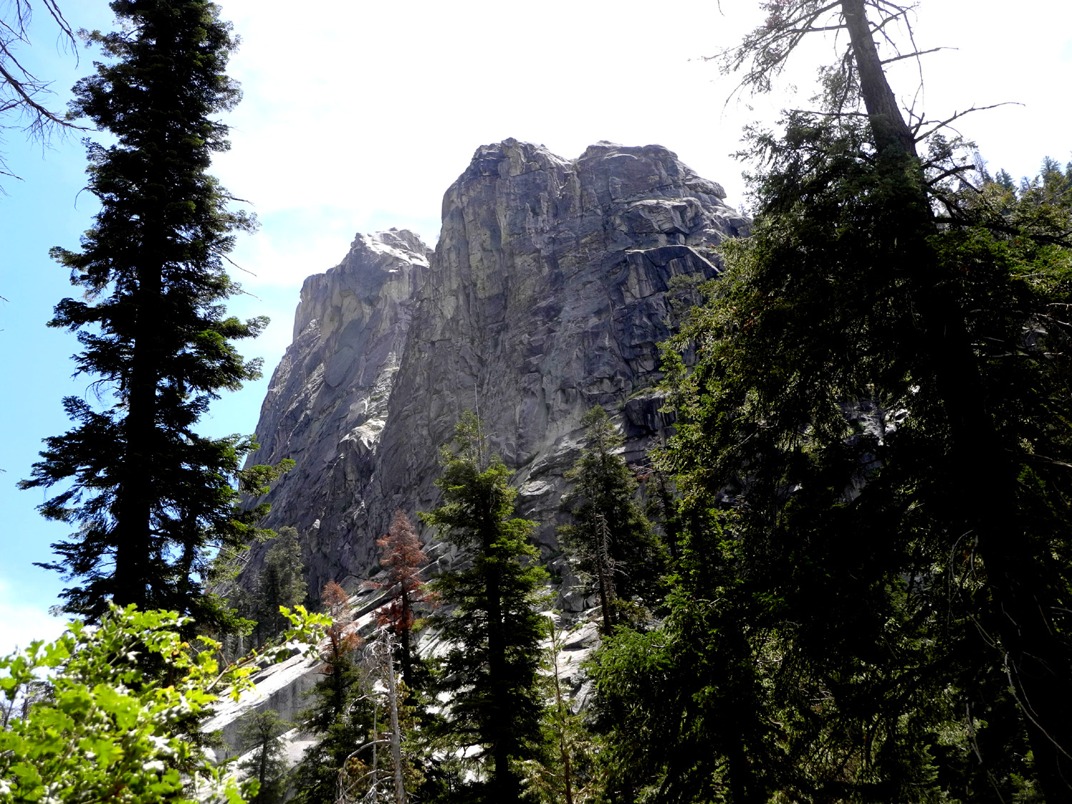
The Kaweah Valley is a typical glacier-carved canyon, with rock cliffs towering above in some areas, most notably The Watchtower. The falls itself does not have a true vertical drop, but consists of series of steep cascades totaling 1,200 feet. The full drop is visible from a distance, and the end of the trail offers a pretty good view of most of it. |
|
|
|
| The Watchtower rises above the valley | Brilliant orange penstemon decorate the trail near the falls |
|
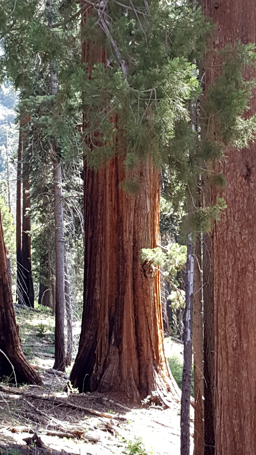
Driving to Lodgepole, we had a 20-minute construction delay right where the Generals Highway goes through the upper part of Redwood Canyon. We took advantage of the stop to get out and get a close look at some big trees that we had previously glimpsed only while zipping past at the park speed limit of 35 MPH. Because
it's a long drive from home to the trailhead, and the hike was longer
than usual, we decided not to take time to eat in a restaurant.
Instead everyone brought their lunch, and ate while resting along the
way or near the end of the hike. As we returned home we decided to go
for a low-key outing in September, having met a big challenge in
August. --Dick Estel, August 2019 |
|


| Photos
(Click to enlarge; pictures open in a new window)
Photos by Wes and Dick |
||
| Oakhurst River Parkway & Corlieu Falls Rancheria & Big Creek Buena Vista Peak Tokopah Falls | ||
| Oakhurst River Parkway & Corlieu Falls | ||
 |
 |
 |
| China Creek | Nearby Yosemite and Sierra wildlife are featured on this mural at the Boys & Girls Club | Another mural with a stand of poppies |
|
 |
|
|
The Ramblers at Corlieu Falls: Dick, Allen, Ardyss and Wes |
Making our way up the trail | Wild iris provided a bright spot along the trail |
|
 |
|
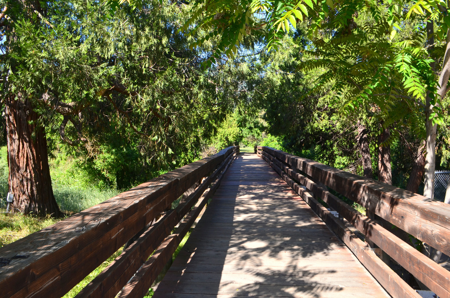
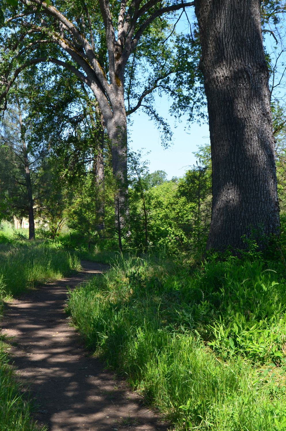
| Bridge over the Fresno River | Oaks beside the trail | |
| Rancheria Falls and Big Creek | ||
|
|
 |
|
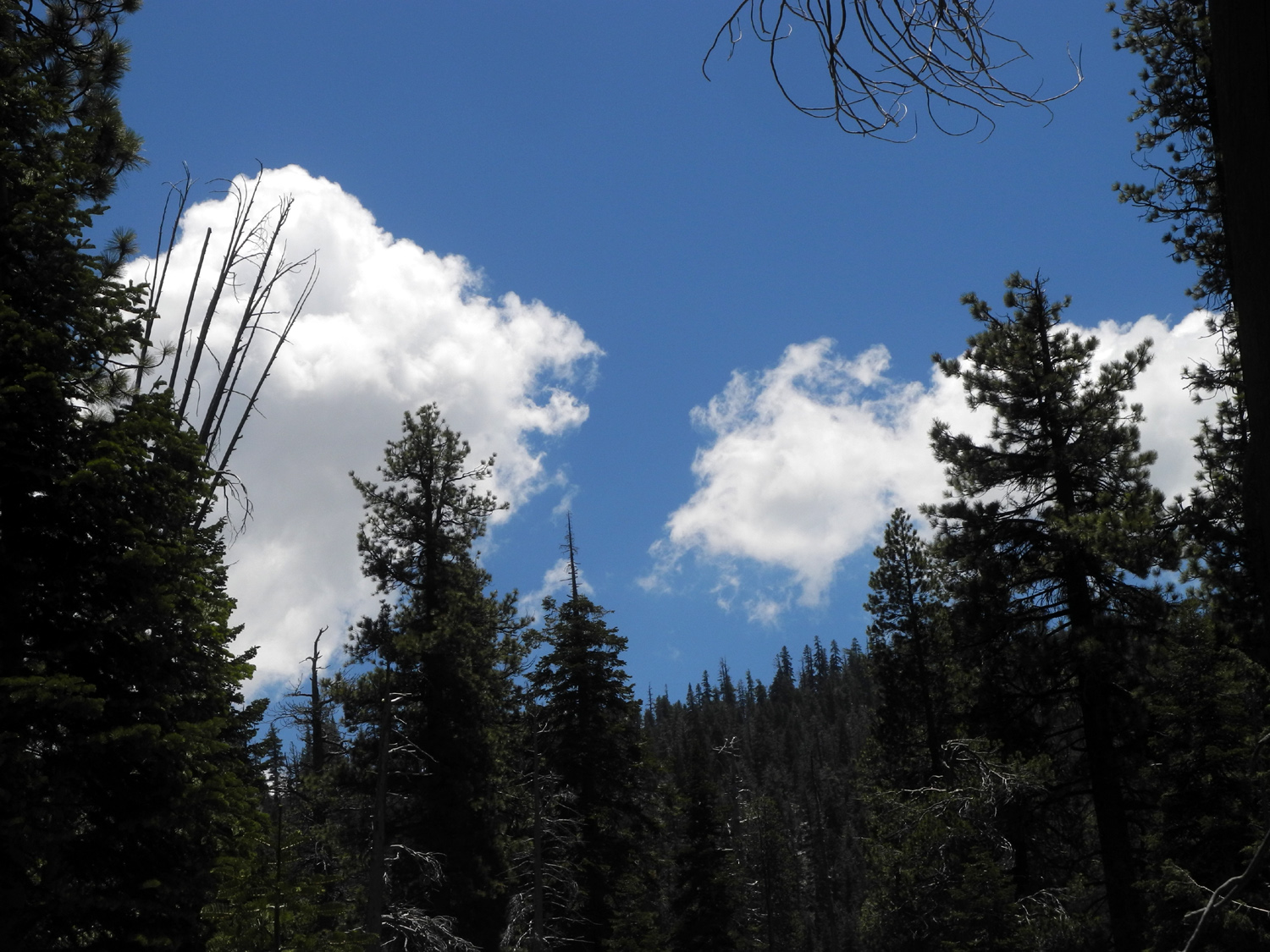
| Allen at the the end of the trail near the falls | Tributary that runs into Rancheria Creek near the trailhead | Clouds above the ridge |
 |
||
| Big Creek | ||
| Buena Vista Peak | ||

|
|
 |
| Maybe a variety of monkey flower? | An unknown flower | Another nice boulder surrounded by mountain brush |
|
|
 |
 |
| Wes on the Rock | The dome next door - Old Baldy | Dead tree along the trail |
|
 |
 |
| More flowers | A section of the trail | Boulders at the top of the peak |
|
Tokopah Falls (Photos by Wes, Ardyss and Dick) |
||
|
|
 |
 |
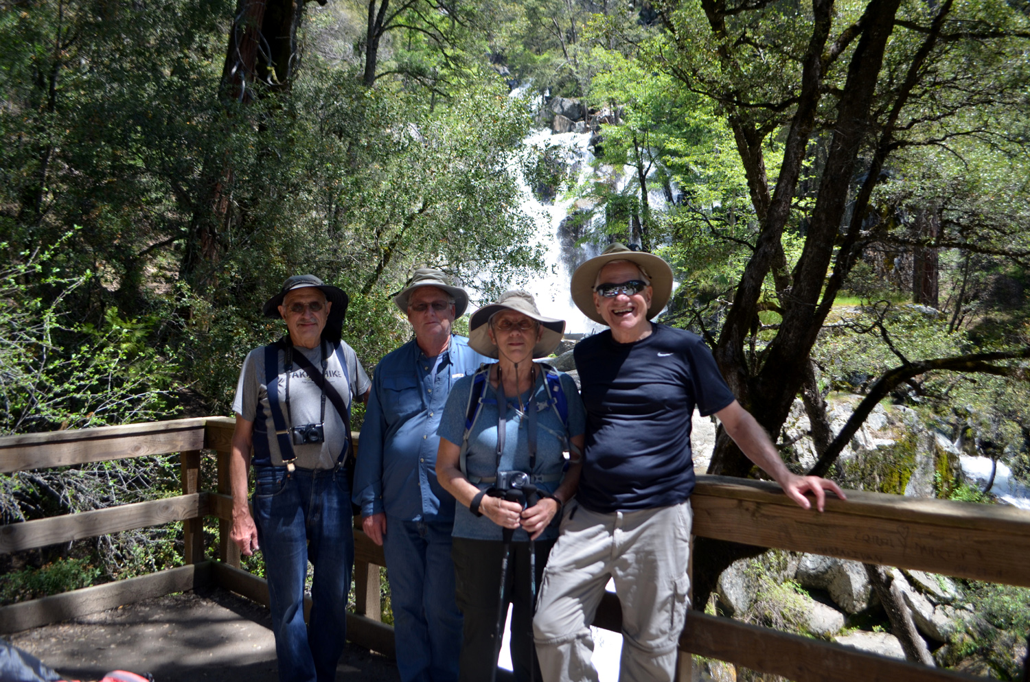
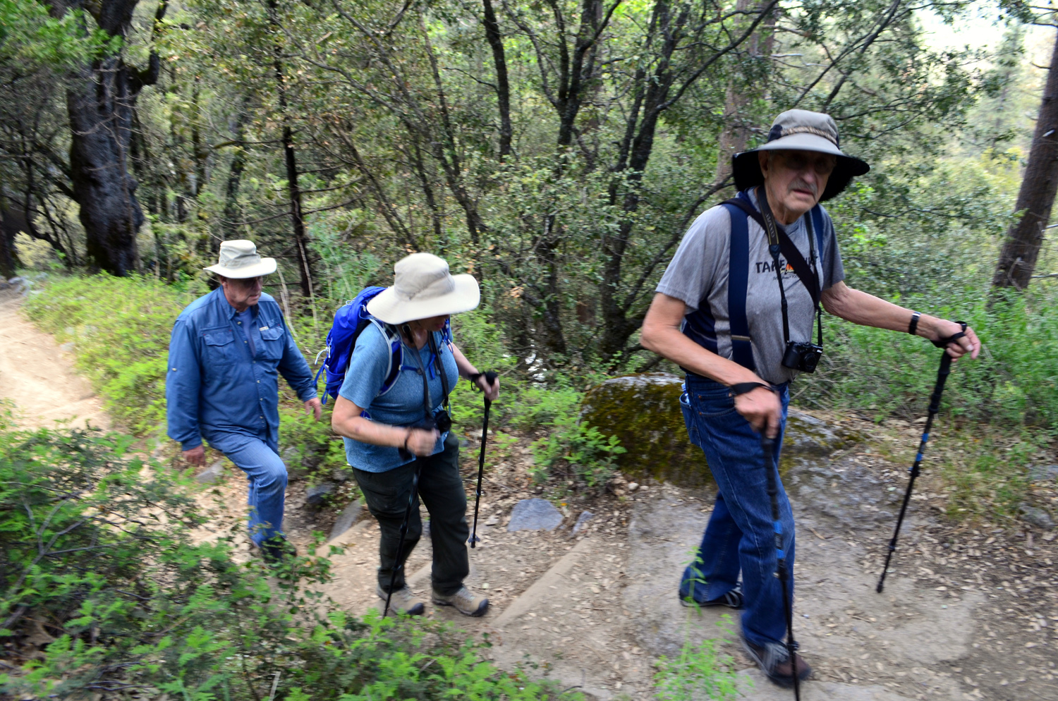
| Sequoias in Redwood Canyon Grove along the Generals Highway | Dick and Ardyss on the trail | The Ramblers: Ardyss, Allen, Wes, Sue and Dick |
|
 |
 |
| Allen and Sue on one of the bridges along the trail | A riot of flowers and ferns |
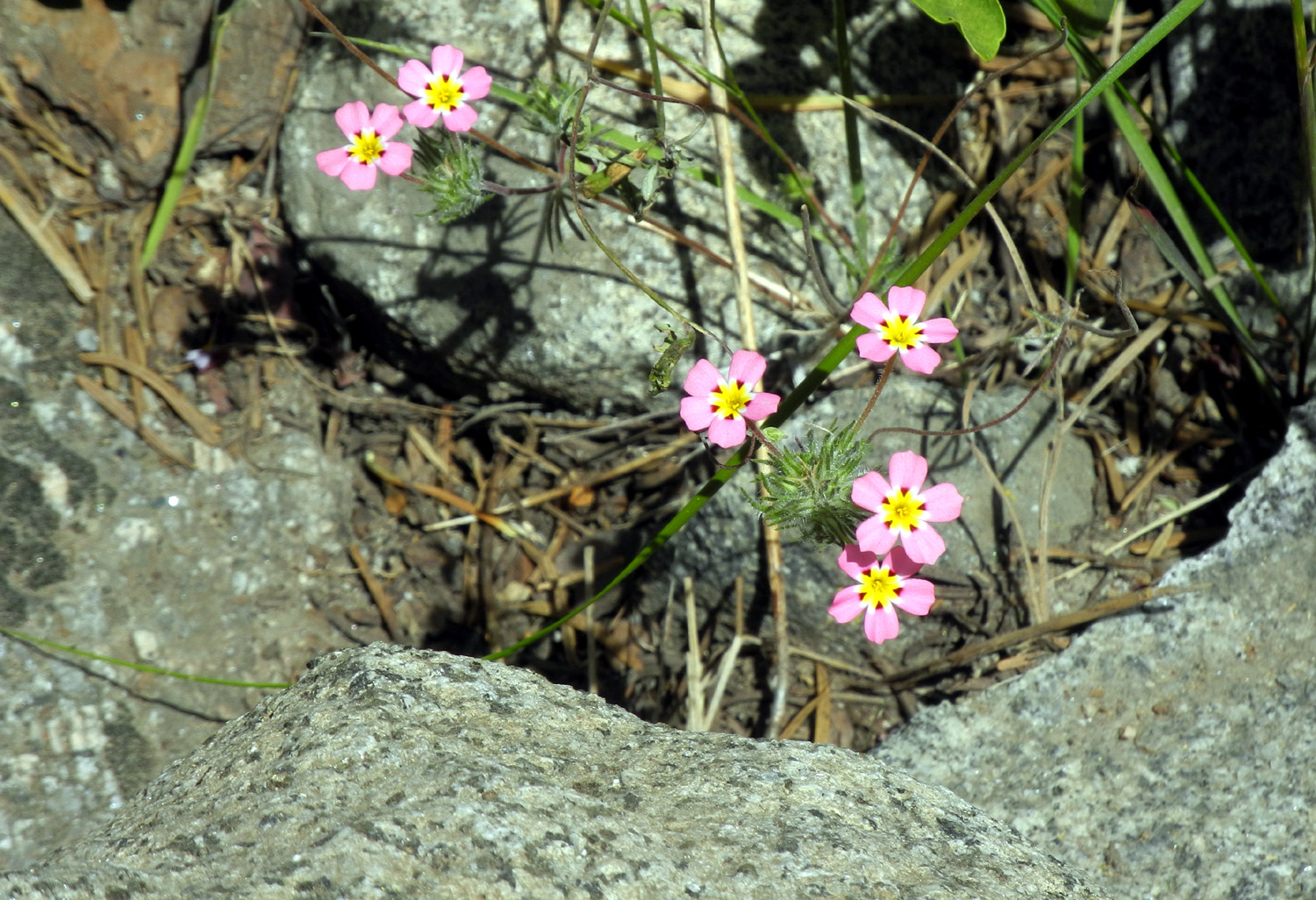
This small but delightful flower is a yellow-throated gilia |
|
|
 |
 |
| The river and The Watchtower | Another view of The Watchtower | Allen in the rocks |

|
 |
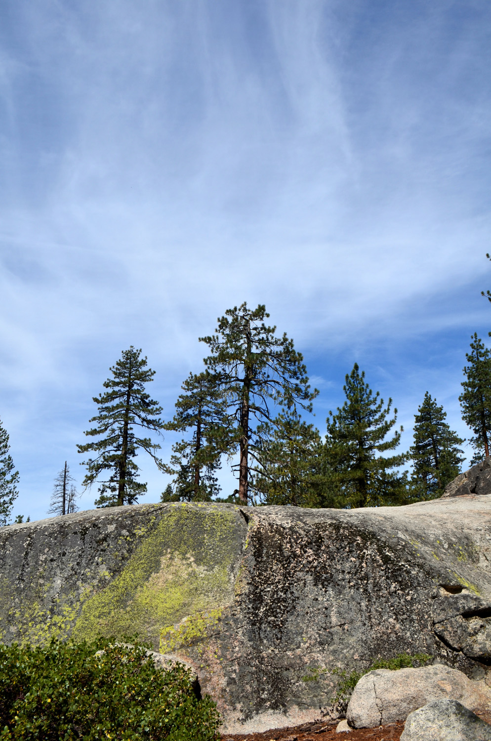 |
| Boulders in the river | A small waterfall crashes over the rocks | Clouds, pines and grainite |
| Related Links | ||
| Oakhurst River Parkway | Pete's Place | Oakhurst CA |
| Lewis Creek Trail | Corlieu Falls | Rancheria Video |
| Rancheria Falls Trail | Huntington Lake | Other Rancheria Hikes |
| Rancheria Falls 2019 | Buena Vista Trail | Generals Highway |
| Buck Rock Lookout | Kings Canyon National Park | Kings Canyon Overlook |
| Mt. Goddard | Sequoia National Park | Giant Forest |
| Kaweah River | Tokopah Falls | Lodgepole |